EstuaryWatch Data Portal
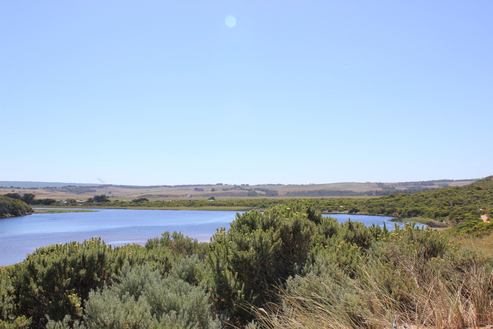
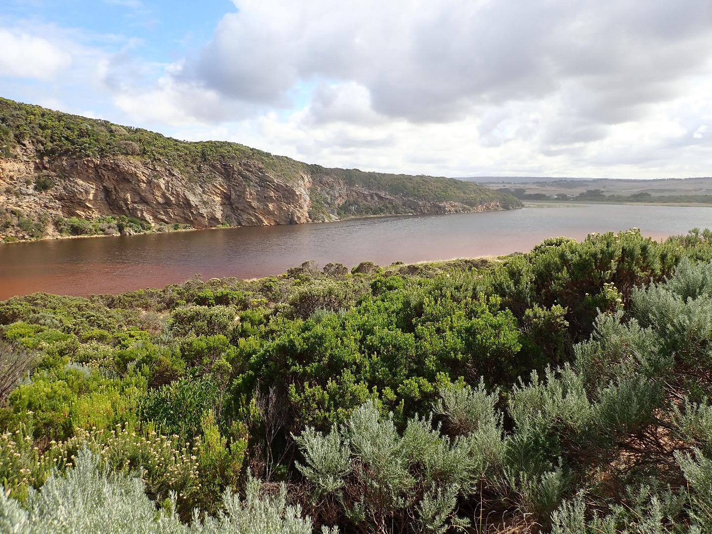
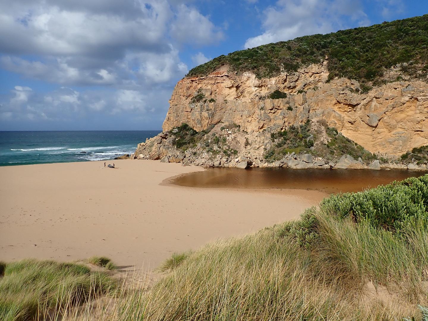
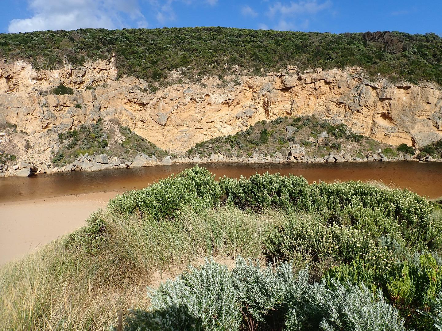
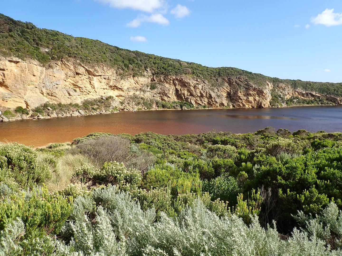
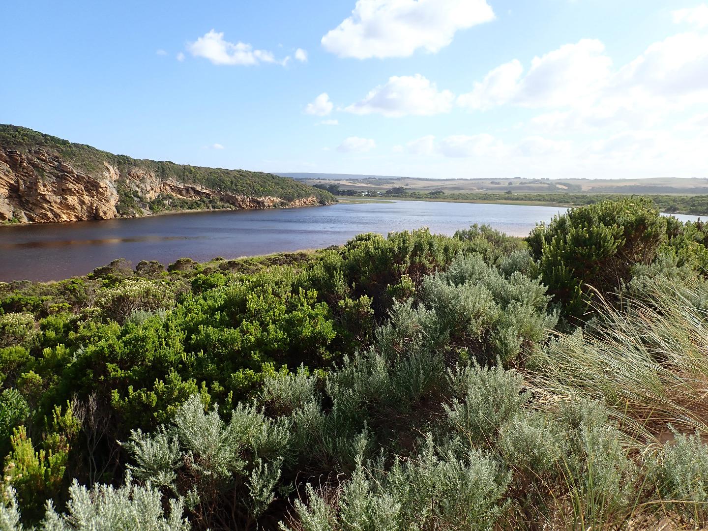
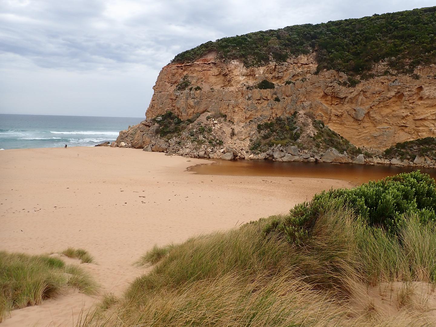
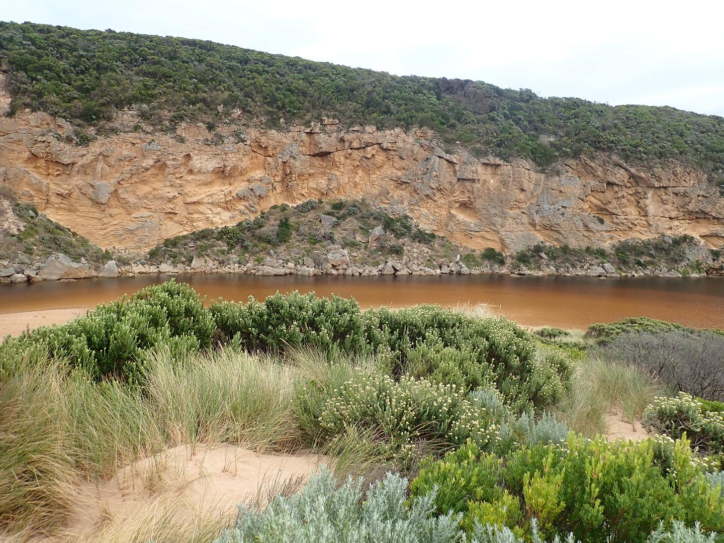
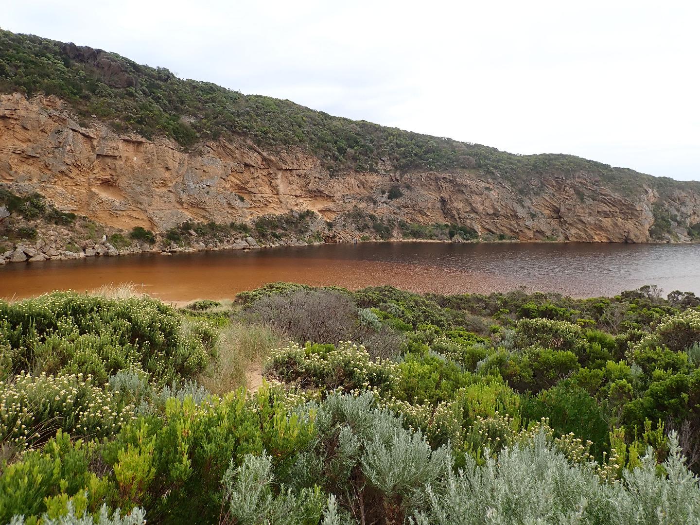
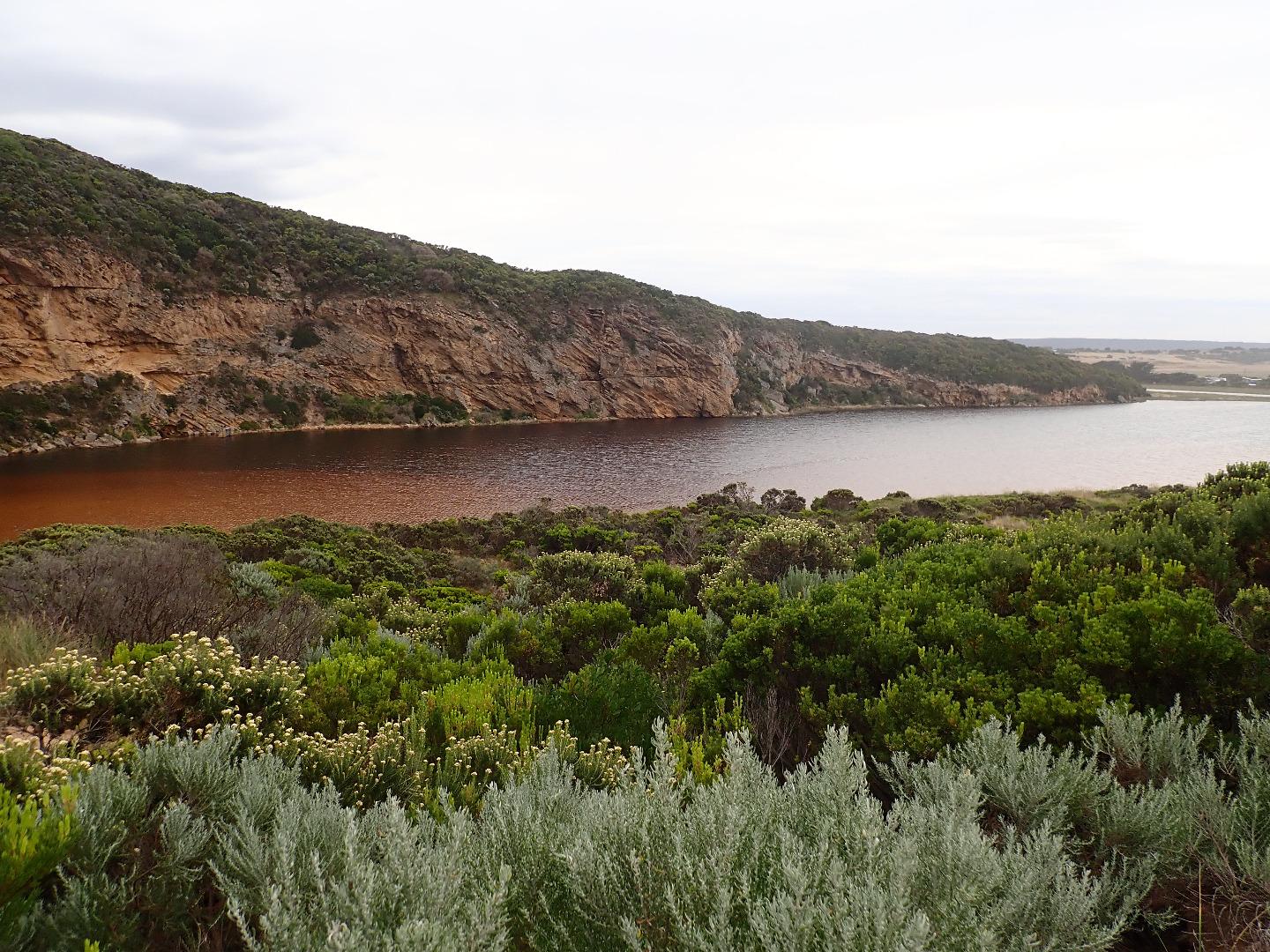
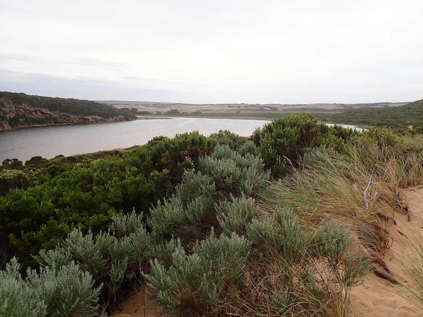
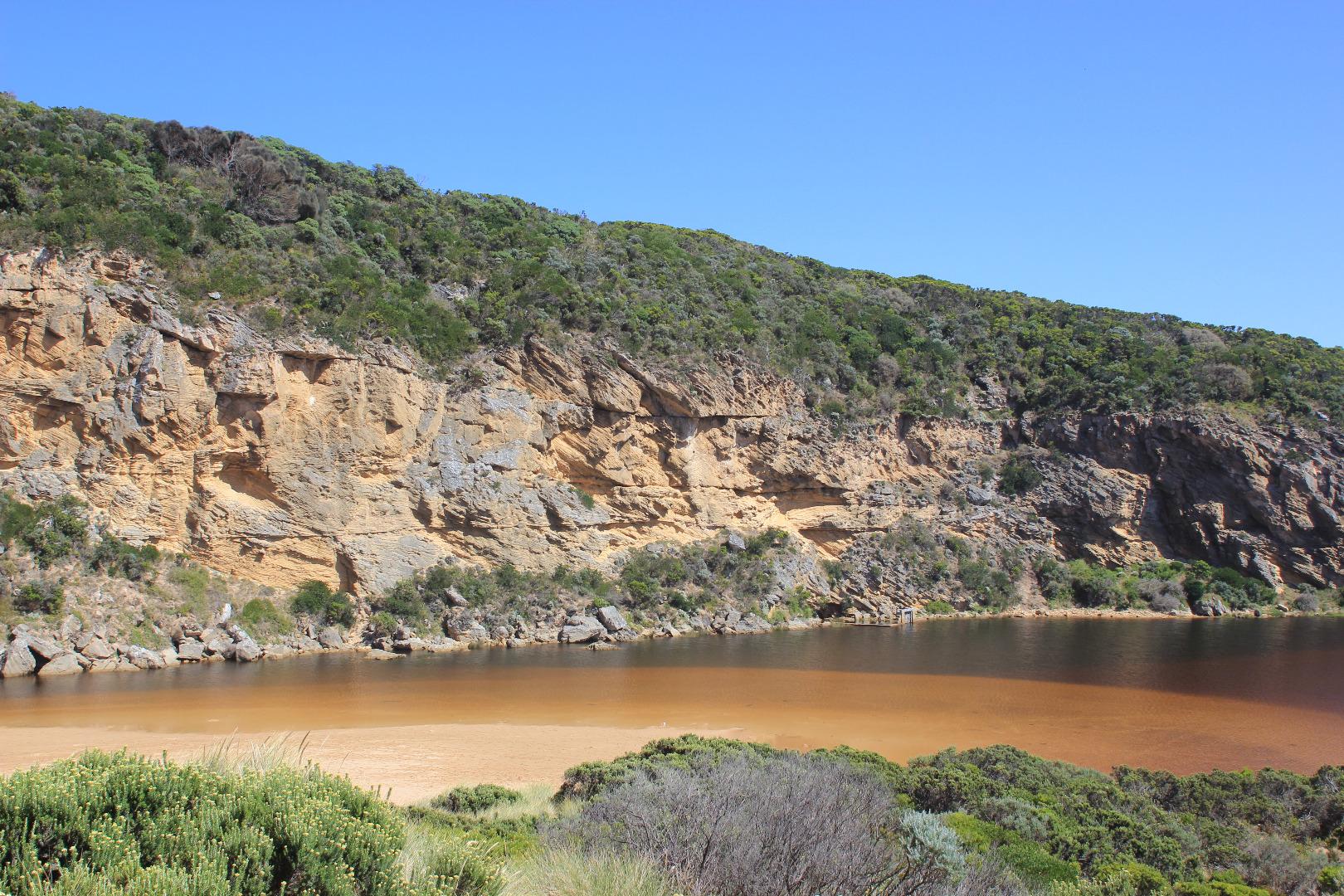
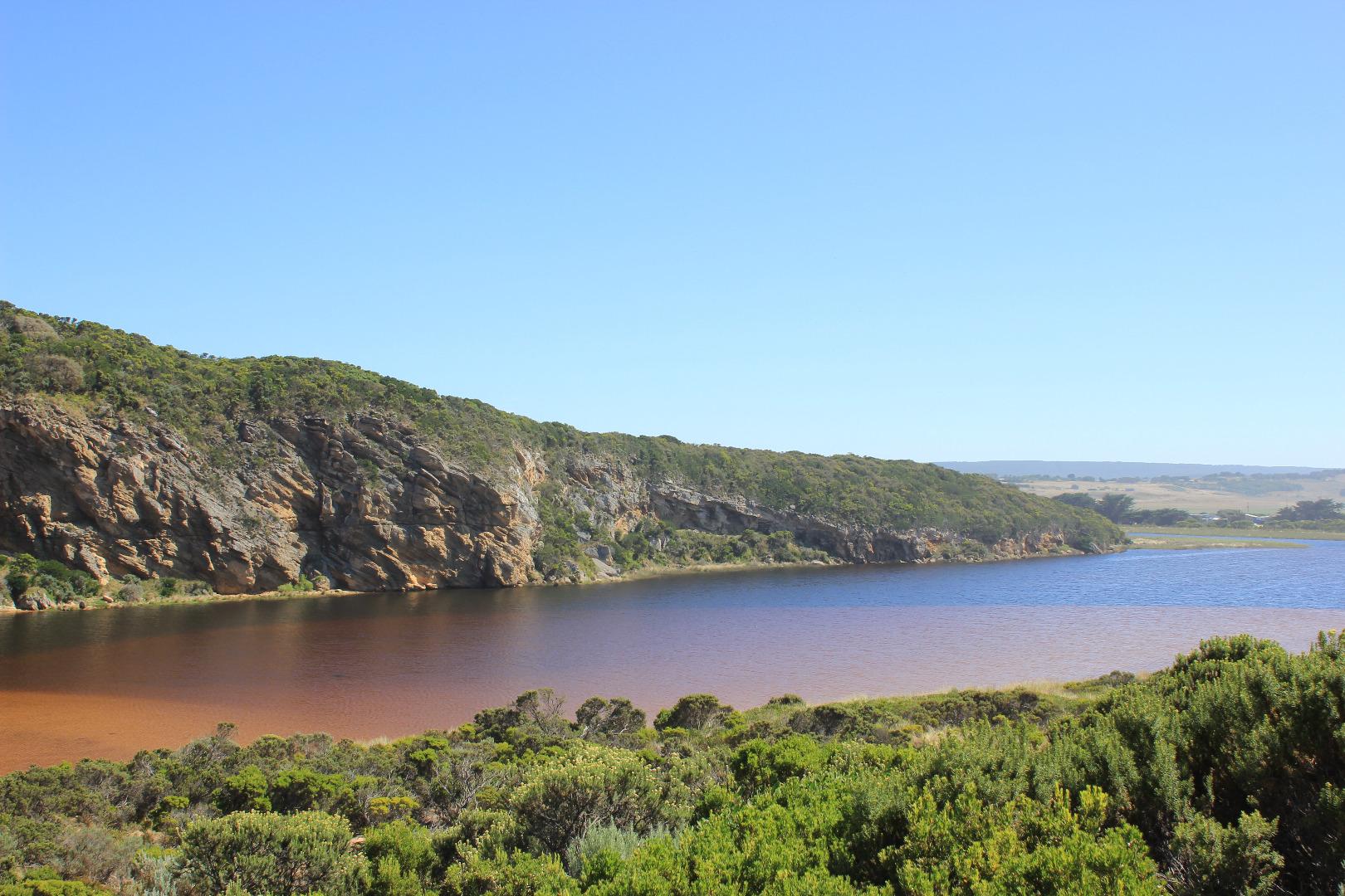
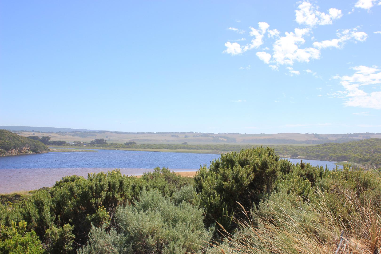
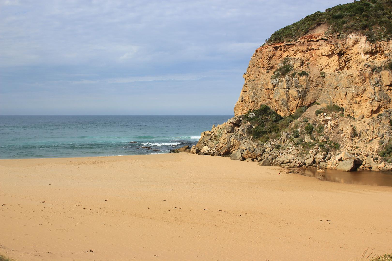
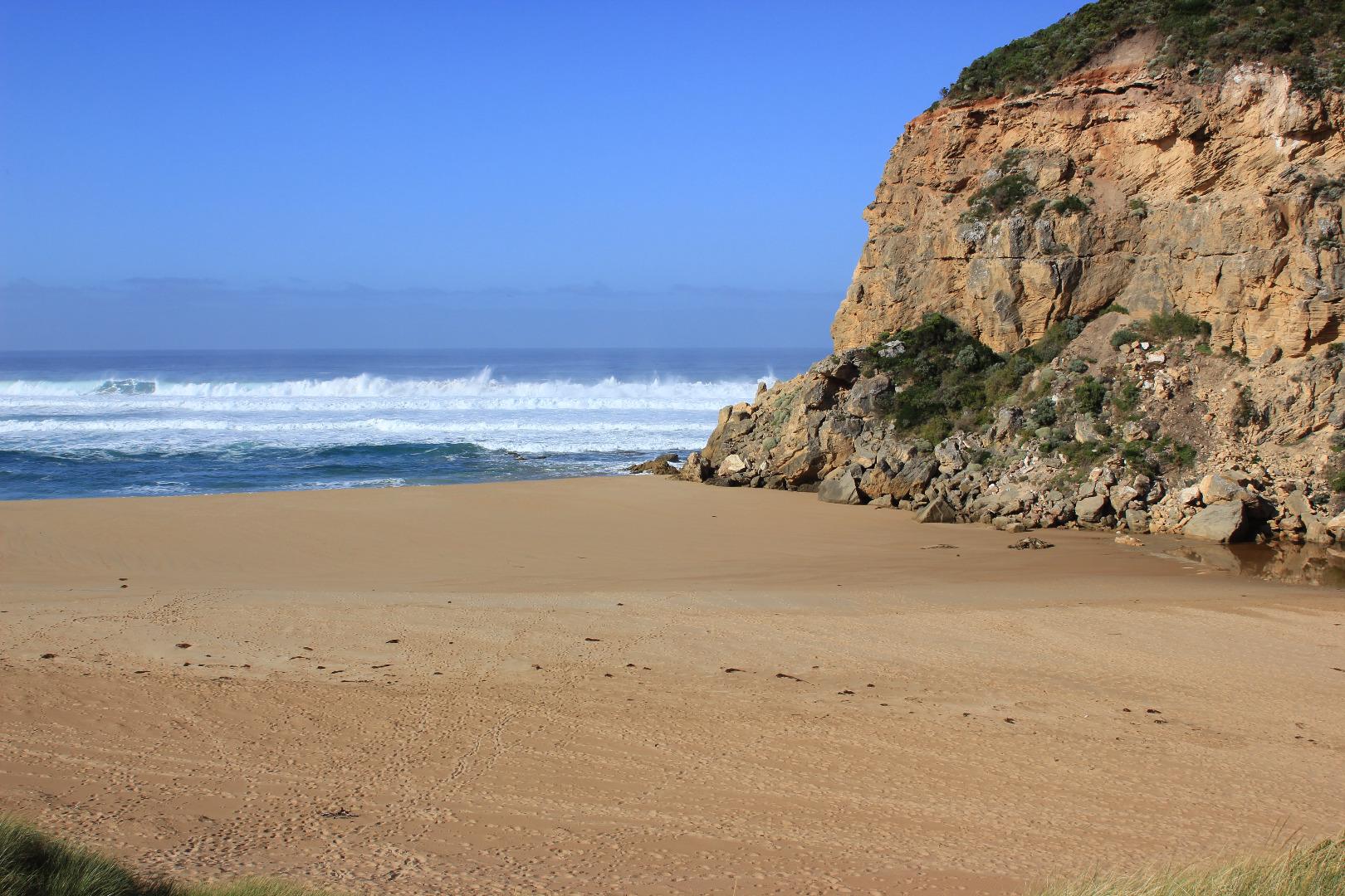
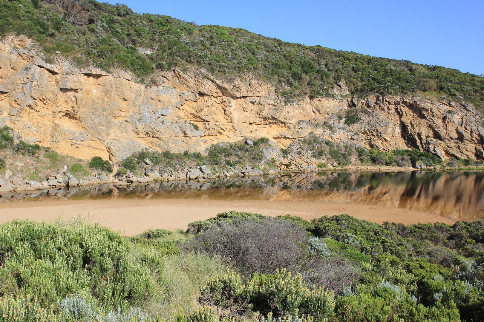
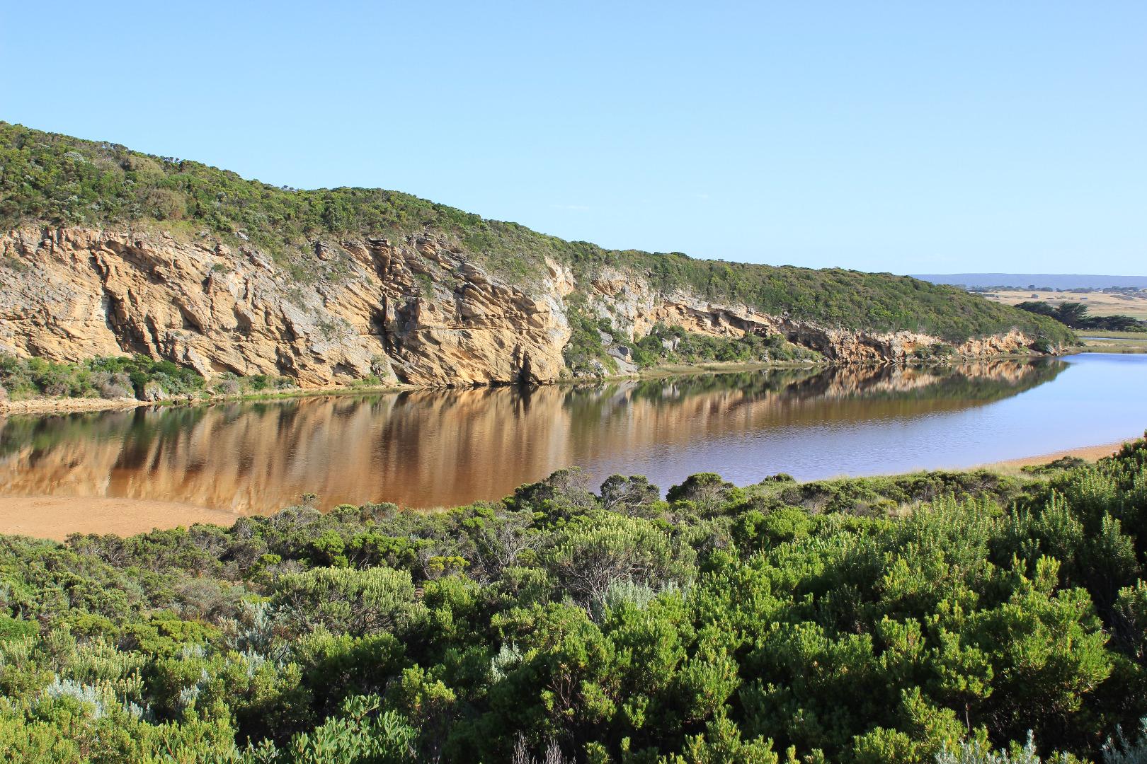
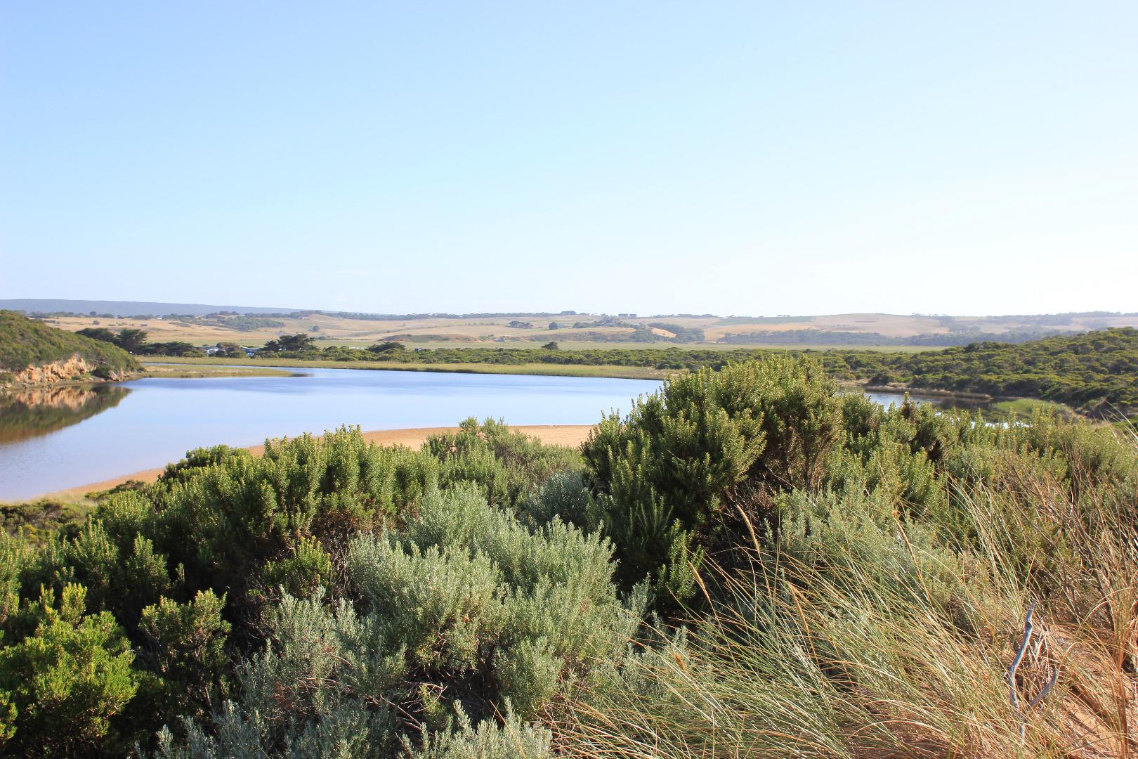
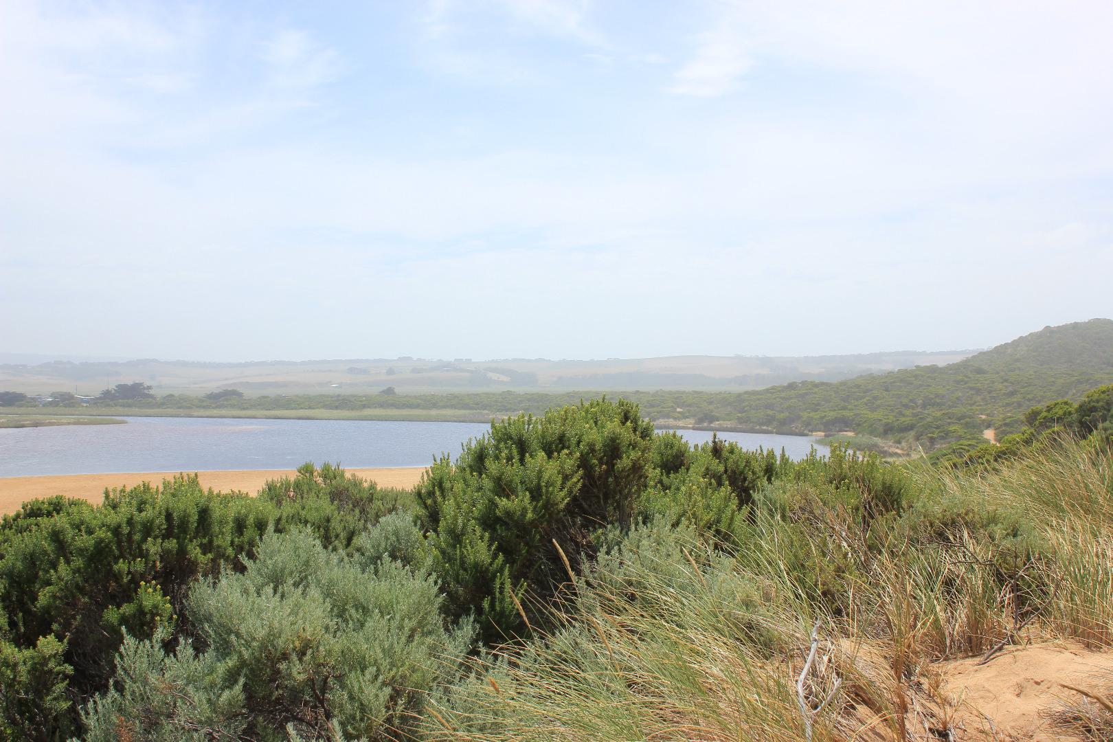
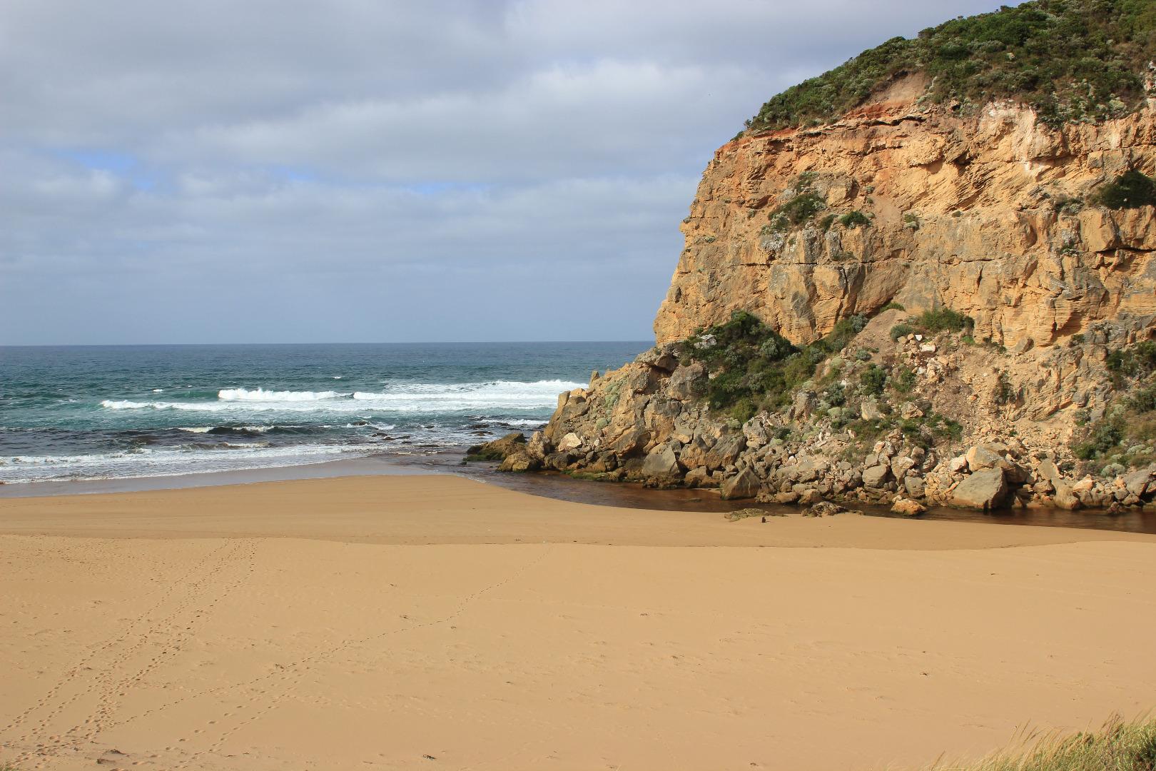
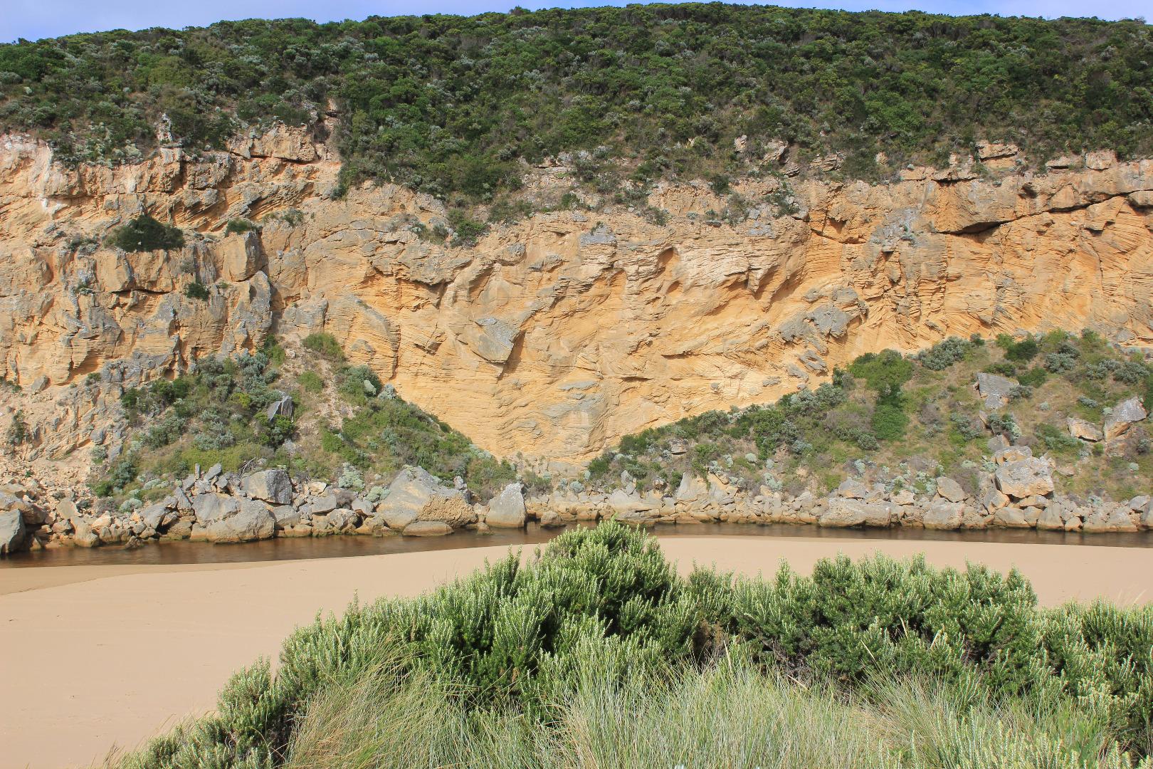
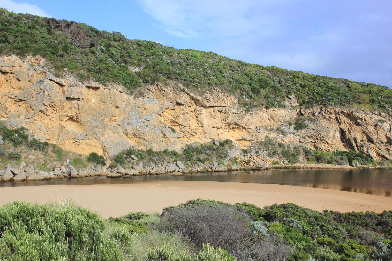
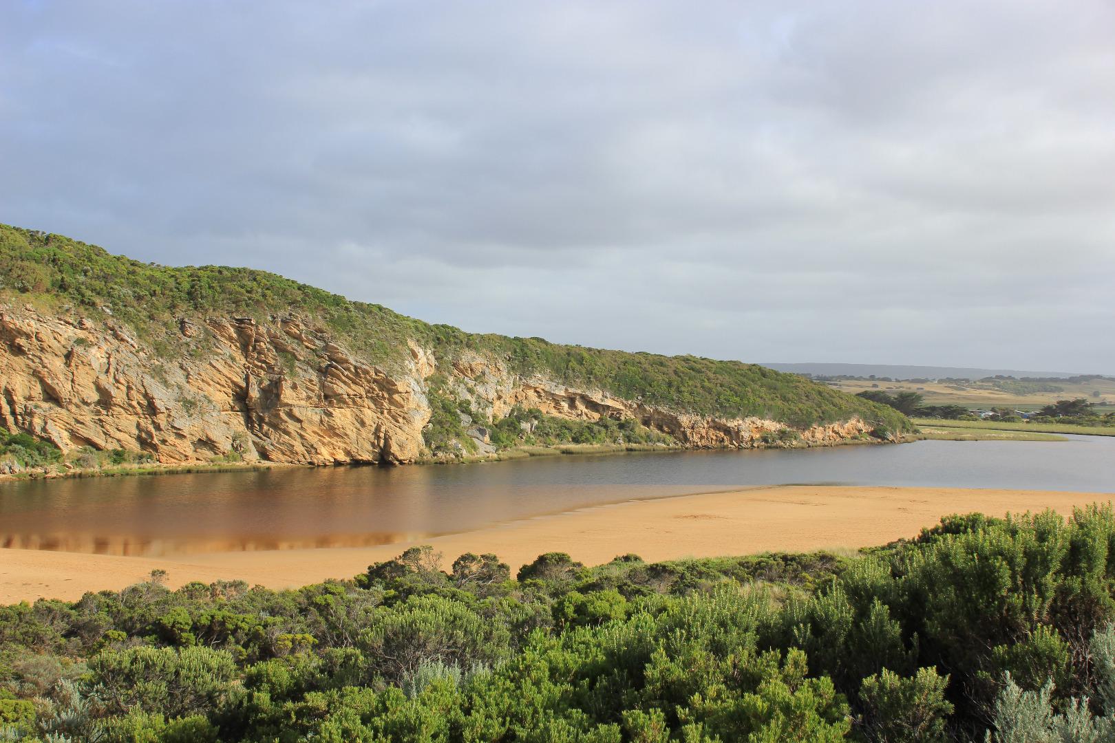
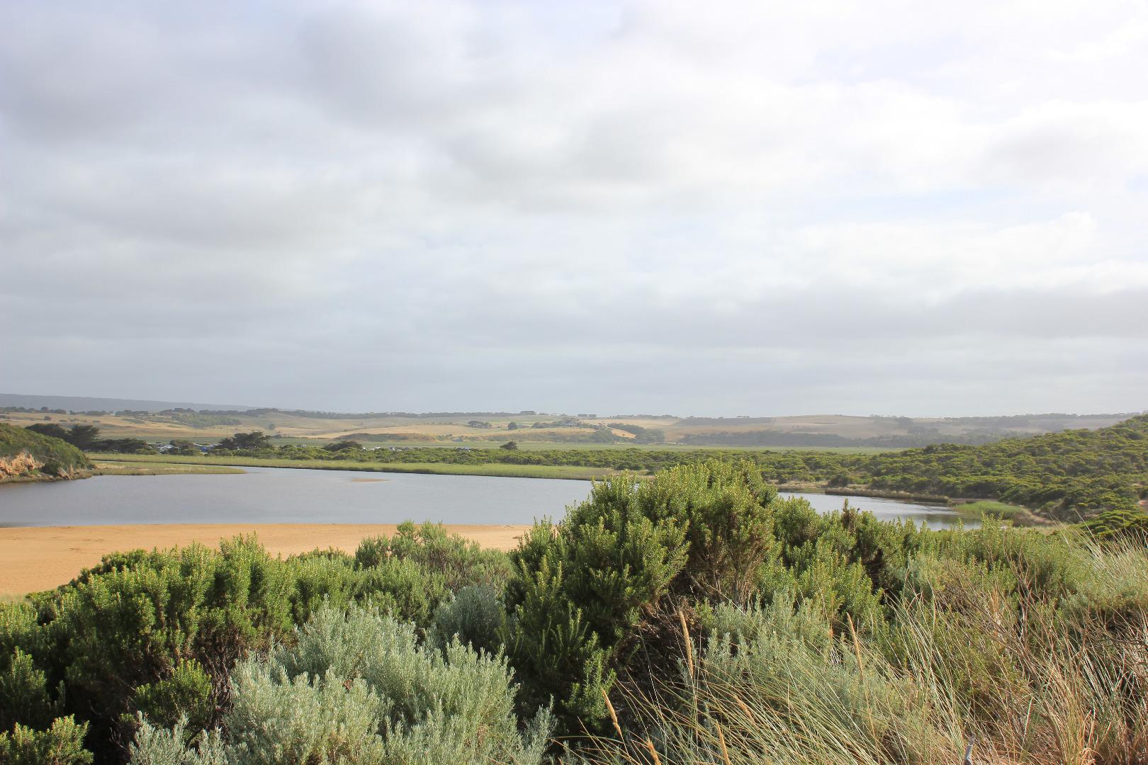
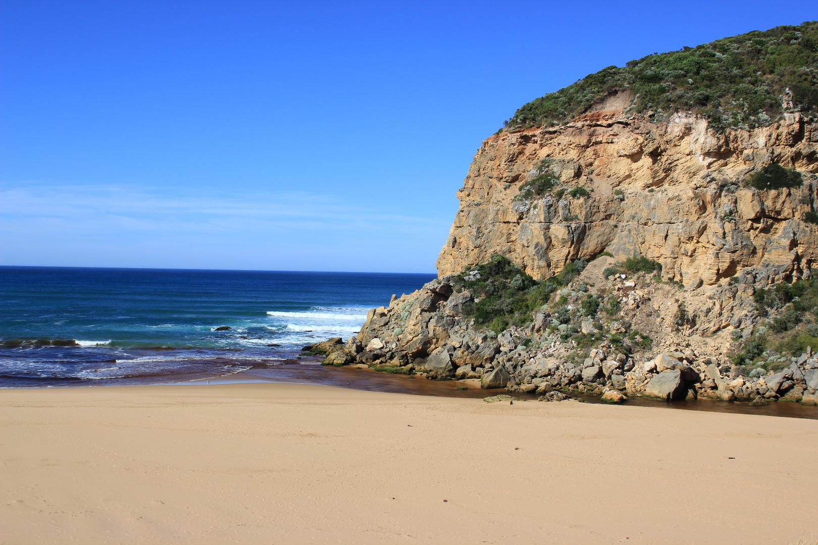
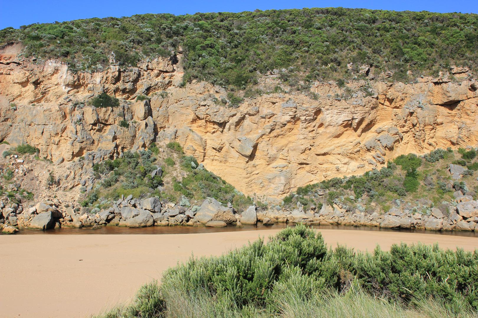
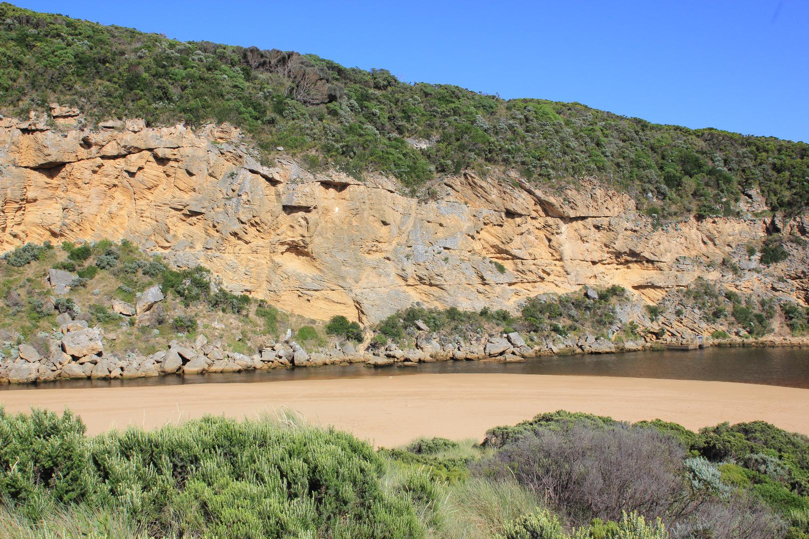
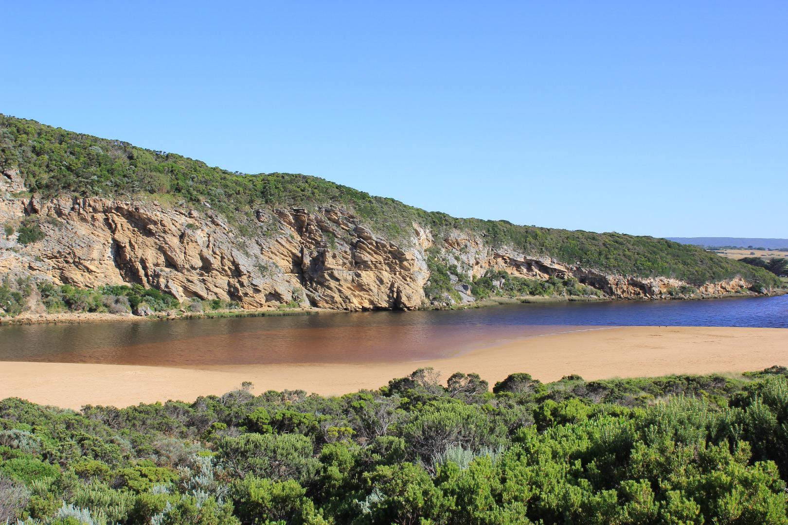
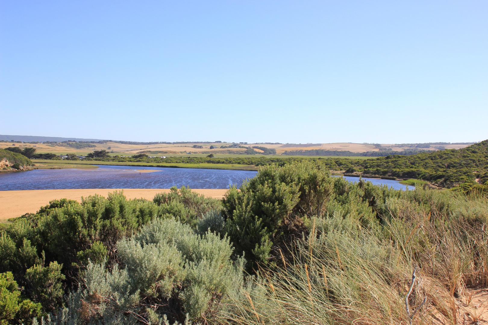
GMC Gellibrand River Estuary Mouth Observation Site
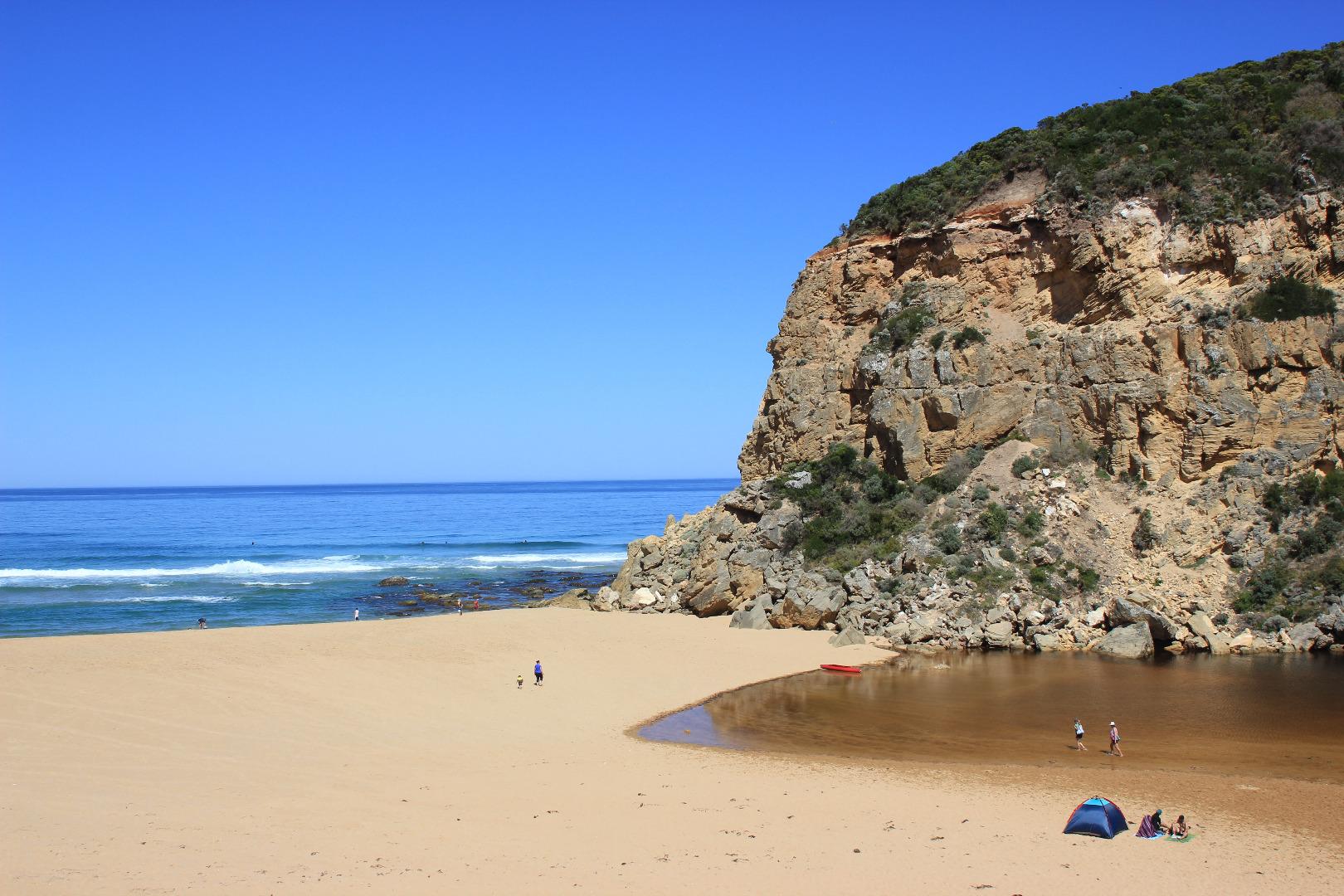
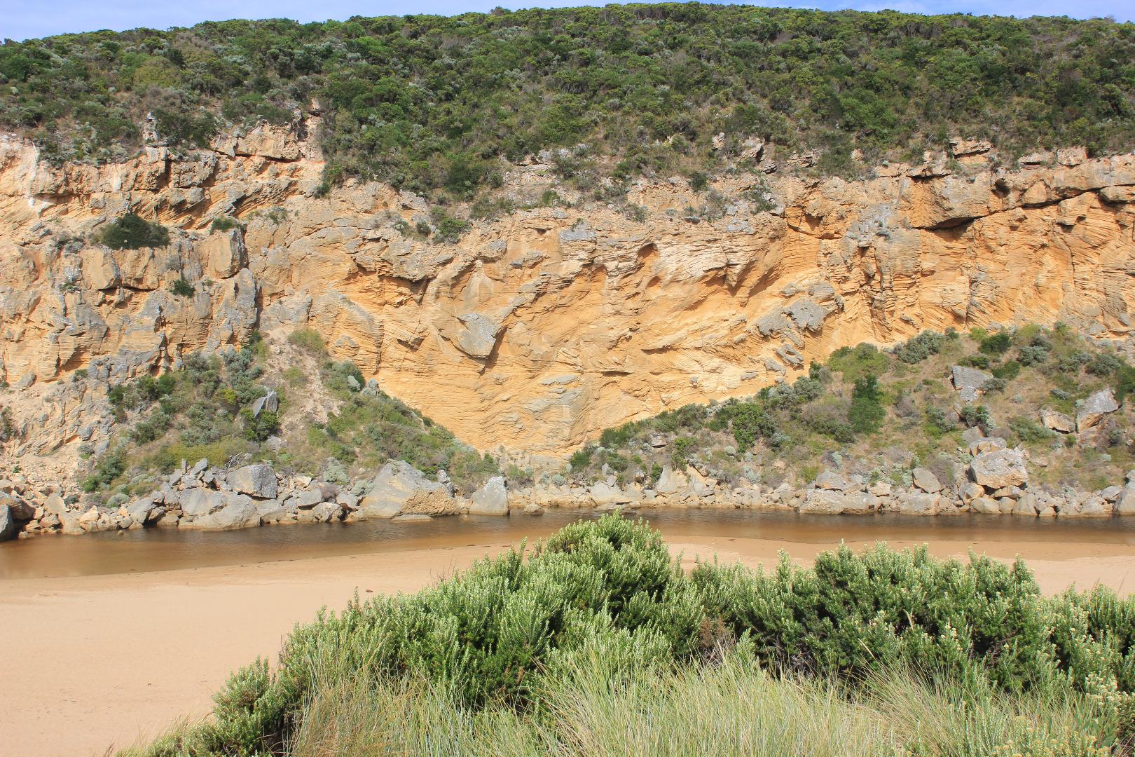
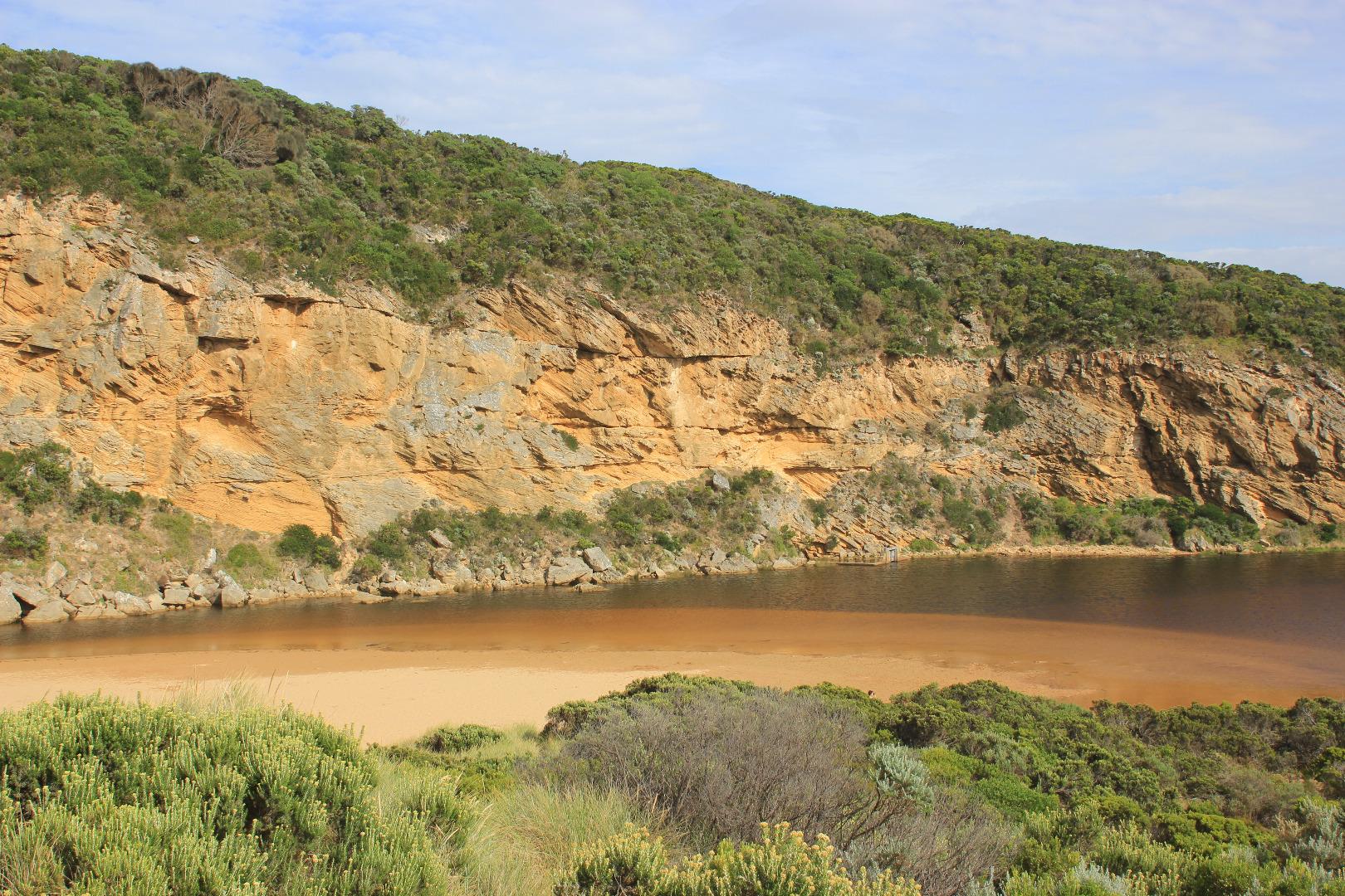
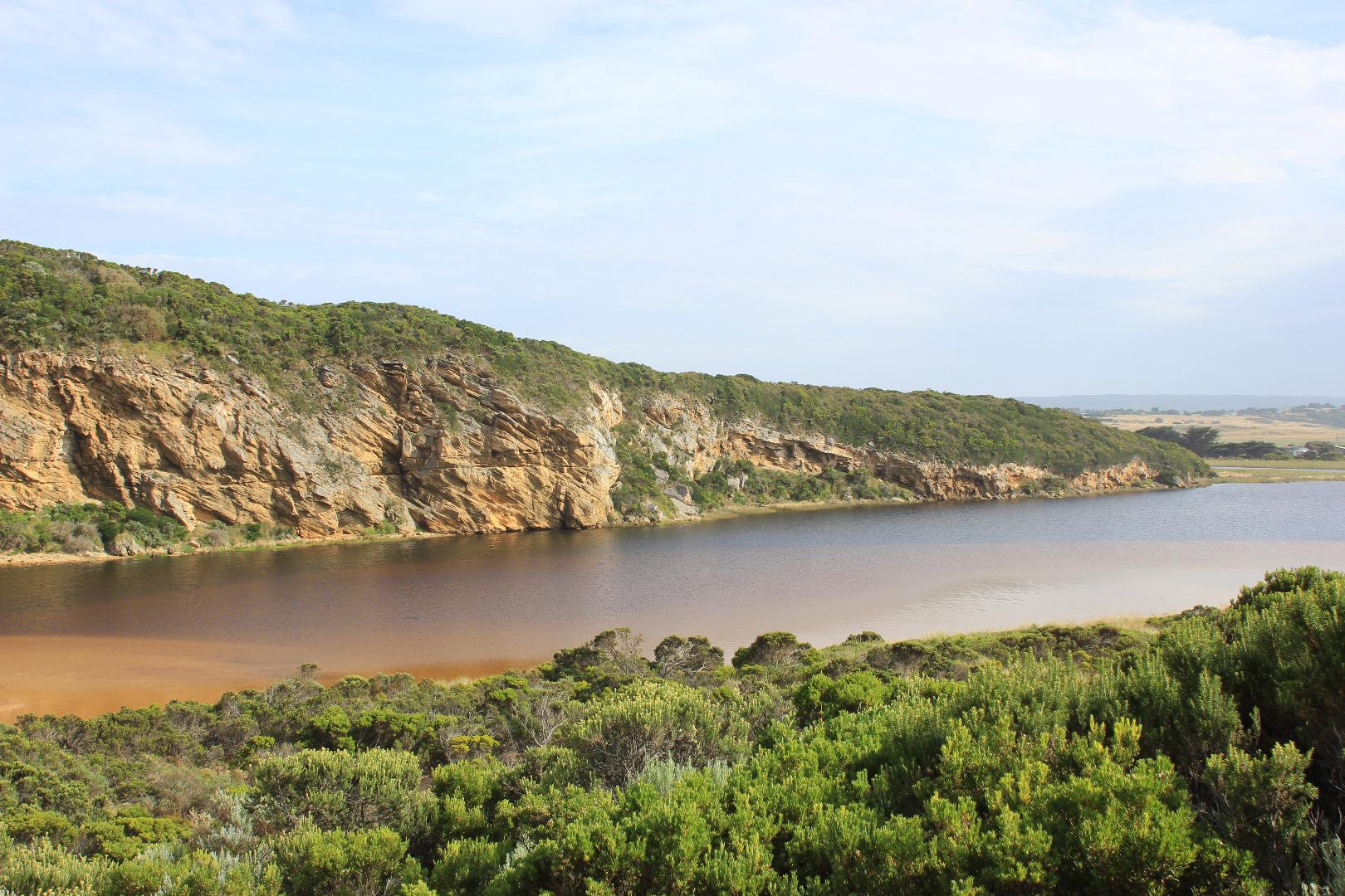
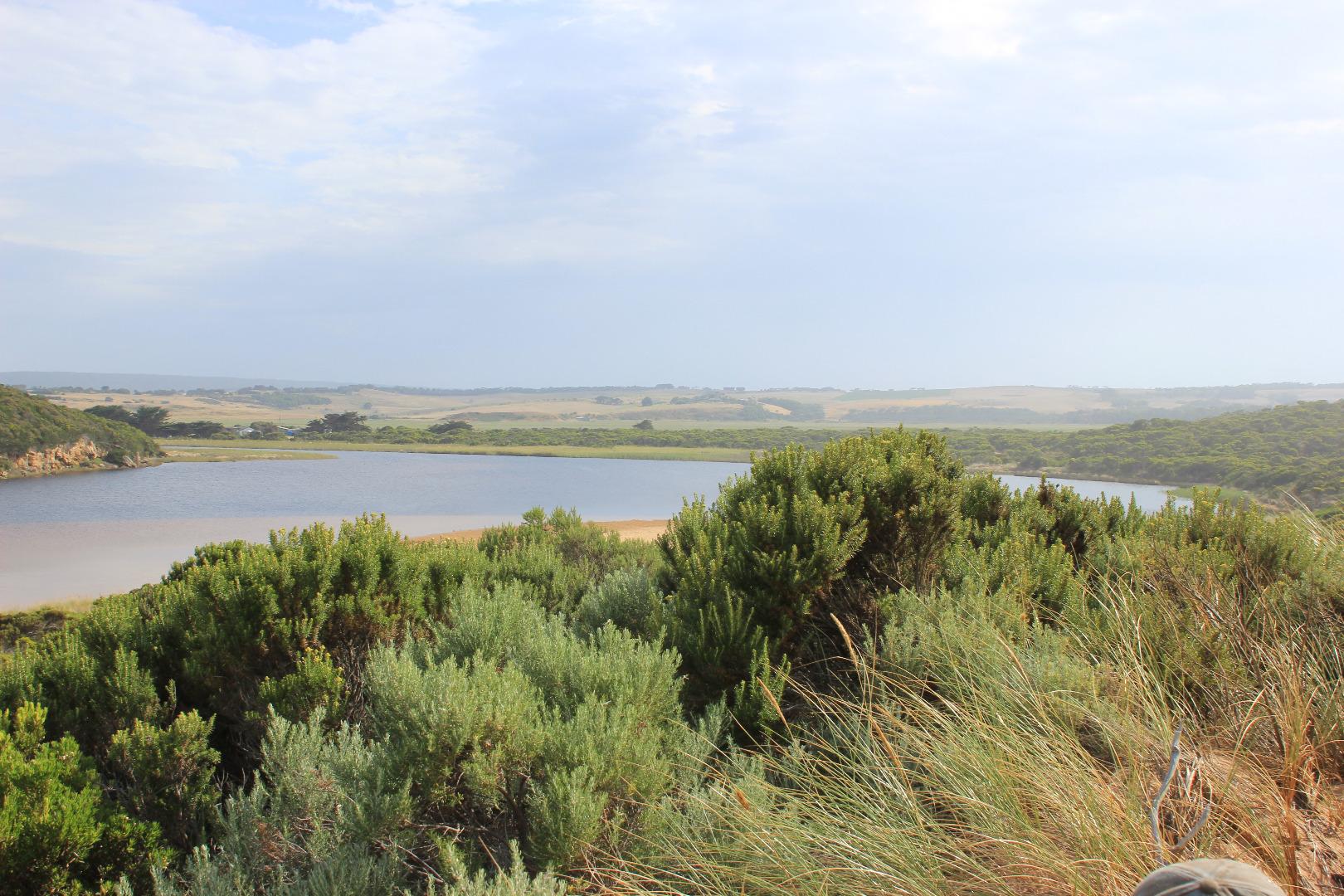
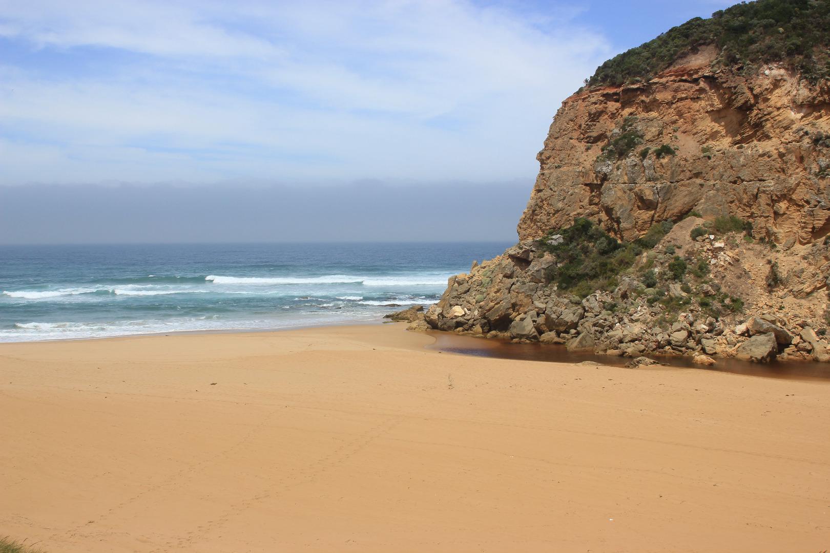
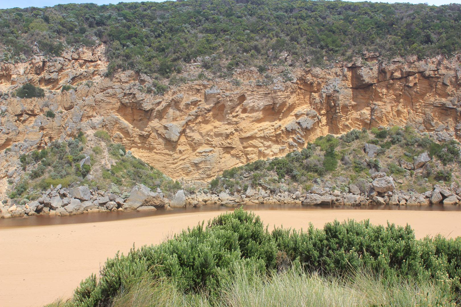
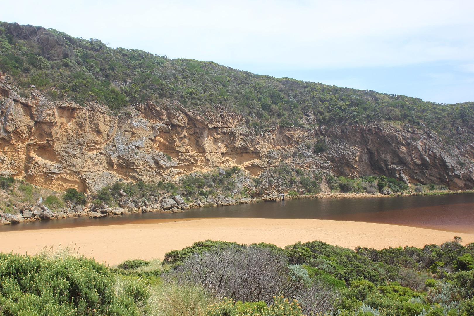
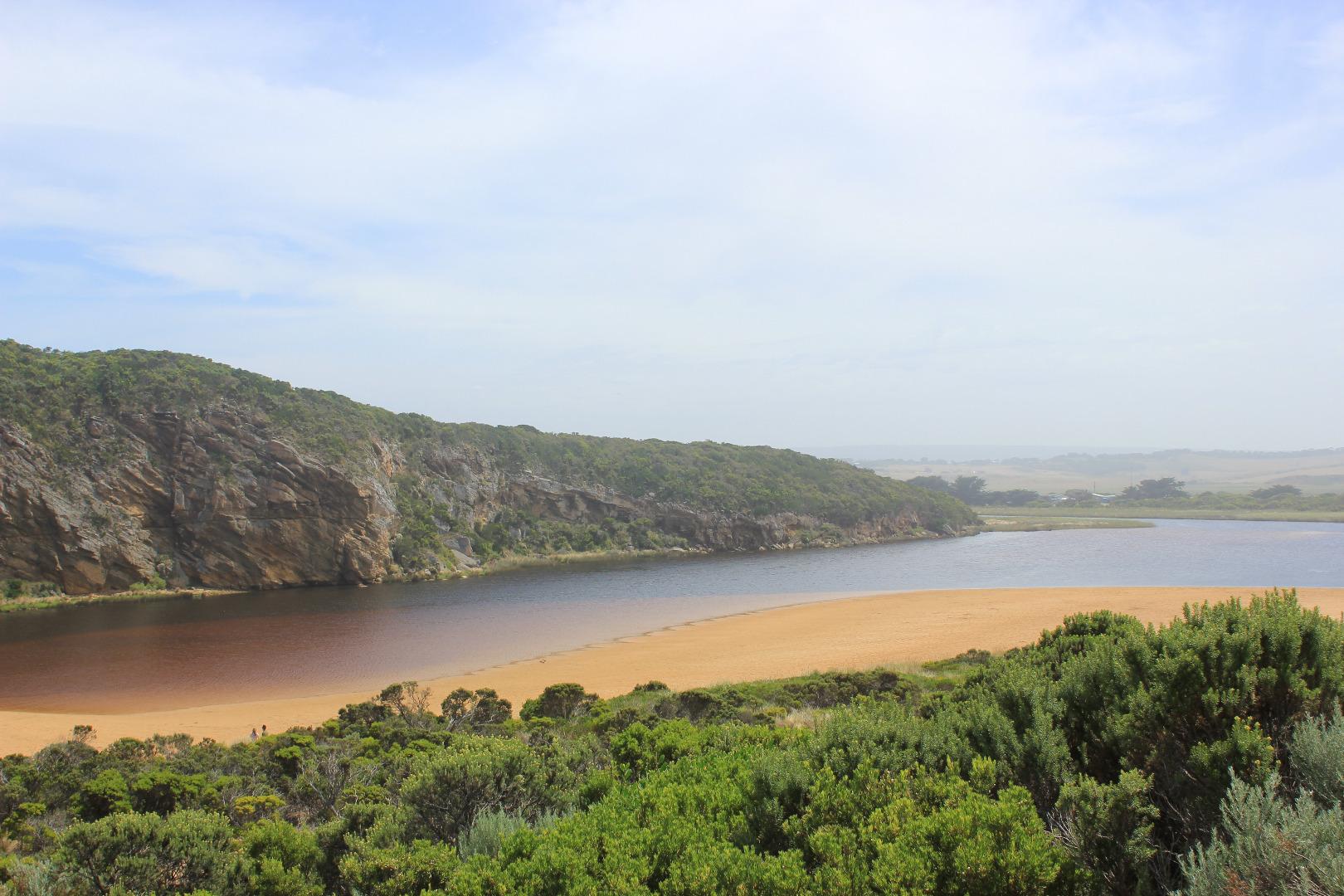
Active Mouth Condition 20-04-2007 - 19-04-2024Gellibrand River Estuary
| ID | Date | Status | Details | |
|---|---|---|---|---|
| #11905 | 10 Mar 2018 | Approved |
Notes:
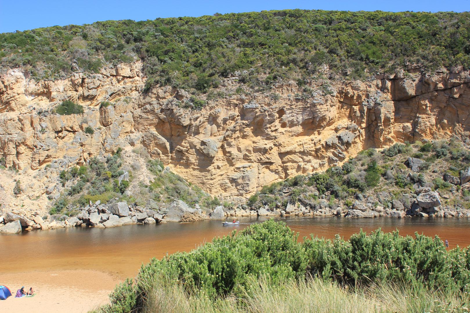
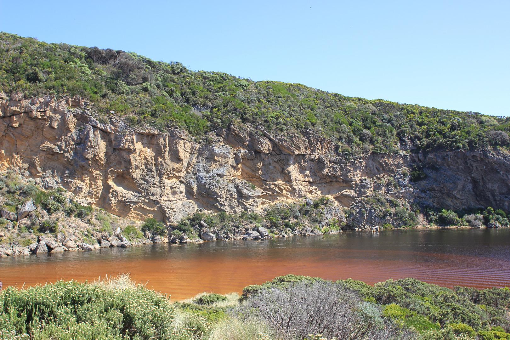
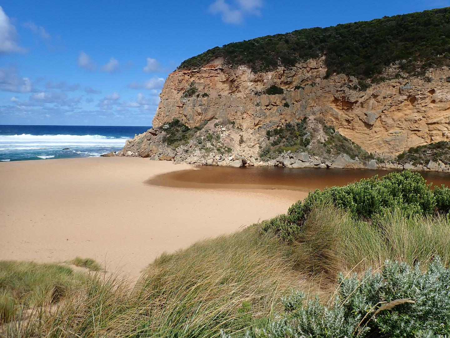
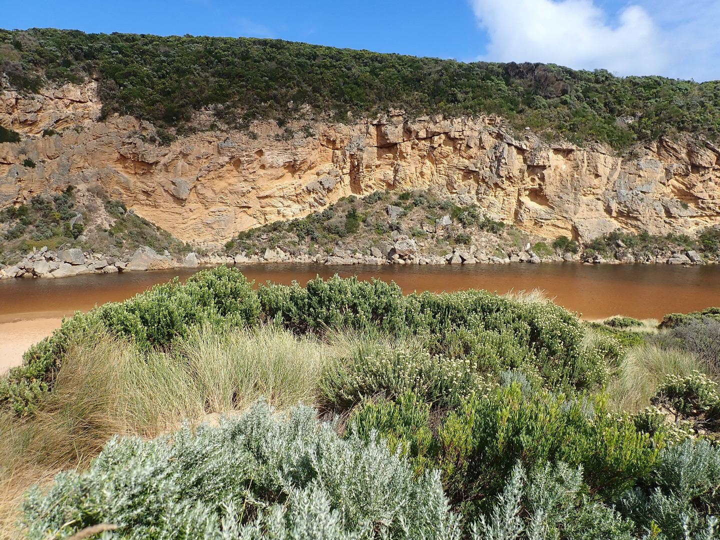
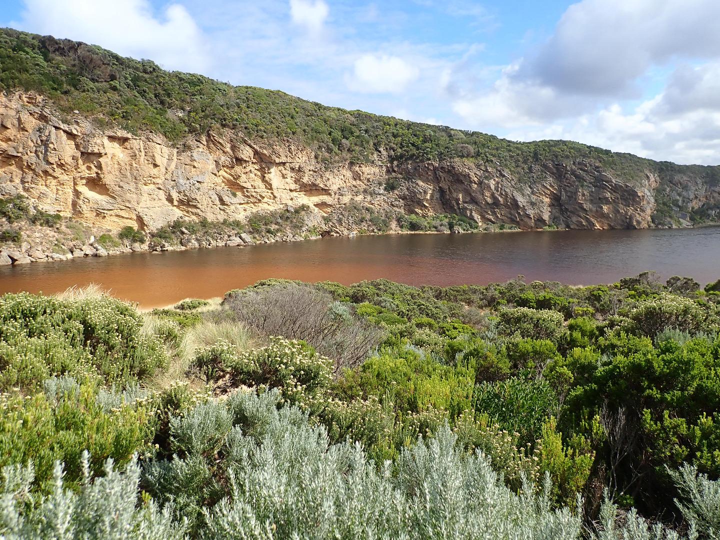
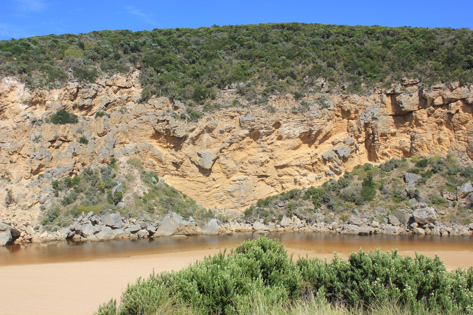
Mouth opened - cut through very high berm completed @ 15:20 AHD G6 1.45 @ 09:05 - 1.46 @ 15:45 Low tide before opening exposed very wide area in front of berm where a 2nd small berm was forming close to cliff. Estuary was completely across channel from cliff to dunes & front was wider & moved closer to ocean. Water was very reddish in colour with some areas of algae formed in areas of shallow water close to stream side veg. Strong wave impact & backwash at mid beach moving a large amount of sand. Strong longshore drift from this area in front of berm to cliff face No water over any roads (some at side of OOR near flood markers) Low track to beach completely covered & some water in lowest area of hi track. Camp ground has small areas of damp & water in SW area - from rising water table only
|
|
| #11865 | 5 Mar 2018 | Approved |
Notes:
Mouth still barred, some waves have been over topping along the berm but not reaching the estuary where water levels are higher with wider front . Water is completely across from cliff to dunes at northern end of channel No water over OCR & only puddles from rising ground water in camp ground ( no visible connection with river observed) Water still only at S side of OOR -between Lawson's & GOR (1 small puddle) More water near flood markers where a huge no. very small fish were observed swimming in drain & pond on S side. Small area of water on N side of road at west blocked culvert. More flood water on flats D/S G4 This is an very unusual event as there has been very little local rainfall /runoff. Water in estuary has been mainly from springs flowing strongly (confirmed by many local land owners) & only a very minimal flow from upstream catchment |
|
| #11844 | 28 Feb 2018 | Pending |
Notes:
Mouth remains closed & berm has increased in size with more sand over rocks. Water level in estuary higher with water over all of low track & small amount in lowest part of top track. No water over other roads, camp ground or tracks apart from water at side of OOR at flood markers where an extremely large number of small fish (1-4 cm) are very active Estuary has now extended completely across from cliff to sand dunes at northern end of channel Unusual westerly swell impacting east end of beach to around mid beach where waves are going further up - the backwash continues to scour out narrow depressions at mid beach with large amount of sand in breakers. Closer to east small sand cliffs have formed at beach face |
|
| #11829 | 21 Feb 2018 | Approved |
Notes:
Mouth closed & estuary has moved closer to top of berm but higher sand around rocks & more on sea side of berm. Waves overtopping berm but not reaching estuary. Waves impacting mid beach with backwash continuing to scour out narrow depressions Water over all of low track but only damp patch on top track. No water on other tracks, camp ground or OOR Large number of small fish observed in shallow water all around the estuary. Large brightly coloured tiger snake on sand near water at S E side of estuary |
|
| #11776 | 7 Feb 2018 | Approved |
Notes:
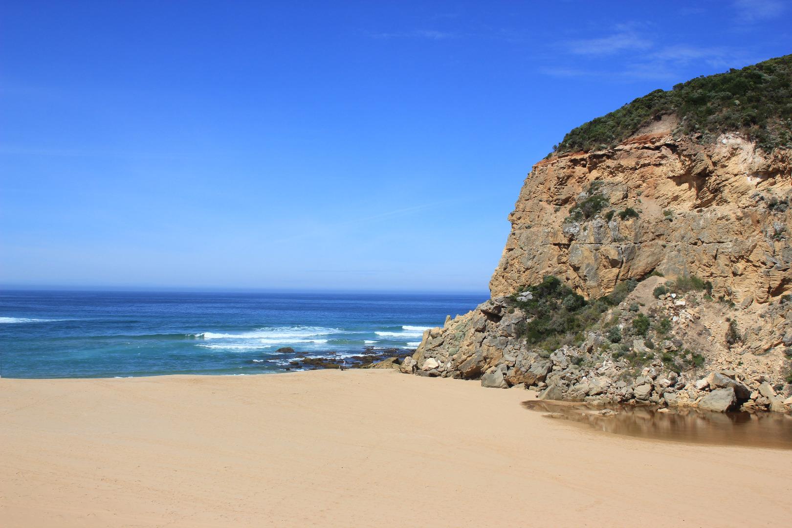
Mouth Barred AHD G6 1.14 @ 08:45 G2 1.17 @ 09:05 Observations taken near very low tide - Large expanse of beach with sand highest at east end possibly highest it has been for about 10-15 years.( However sand has been removed from Rivernook beach east of this site.) The shore line is horseshoe shaped with deep backwash scouring mid beach. Sand was visible in breakers going out to sea from this area Berm is more exposed - front now1.70m high with more sand build up in that area. More sand has covered the rocks in the channel & the front of the estuary has widened. The water is also completely across to the dunes at the start of the channel Water has completely covered the low track but there is no water over any other tracks or roads. Very large number of small fish observed at side of estuary from G2 site to start of channel. . Water is on flats downstream G4 but not on any pasture upstream - some in drains in small area close to G4 |
|
| #11757 | 29 Jan 2018 | Approved |
Notes:
Mouth closed Sea seems to have pushed top of berm slightly back towards estuary also lowered it slightly. Front of estuary has moved closer to sea. Channels have been dug at start of estuary. Water level higher in estuary AHD G2 1.07 @ 08:30 |
|
| #11748 | 25 Jan 2018 | Approved |
Notes:
AHD G6 0.99 @ 07:40 (both sites are very close G2 1.01 @ 08:00) High berm next to ocean - waves from rough sea coming up close to top but sand slopes down quickly to rocks where about 30-40 cm. of tallest one is still exposed above the sand Sand is very high at east end of beach, numerous lower areas occur along the beach front till about 40-50 m. from the west cliff where it is much lower with waves going further up towards the dunes. The sand then rises much higher from there to the cliff face Water levels in estuary are higher with some parts of low track impassable -no water over any other tracks or roads. Water is entering drain upstream of G4 |
|
| #11732 | 21 Jan 2018 | Approved |
Notes:
AHD @ G6 & G2 nearly the same Small low berm has formed Waves intermittently crossing over into estuary in a wide area. Estuary front extremely shallow & narrow - no out flow only wave return Beach very wide, waves from last hi tide have travelled far up. East end is highest with increased sand build up. Actual beach front is irregular with low area occurring about 40m. from entrance then increasing in height before reaching cliff face. Many Buoy barnacles partially covered with sand were found close to dunes at Gp1 site Water height in estuary increased. Many small to very small fish in shallows alongside lo track, S & Se side of estuary. Algae continues to build up on stream side veg. especially in contained areas |
|
| #11710 | 7 Jan 2018 | Approved |
Notes:
Slight pale discharge out to east for about 40m then turning out to sea. Flow very shallow over increased sand build - channel very narrow & shallow. More sand around rocks -3rd rock restricting flow Beach very wide with sand high at east end - reef exposed at both east & west ends Only small area of sand bar visible & increased algae (some iridescent patches) around streamside veg. alongside low track Estuary perch & Tupong have been caught @ G6 (7-01-18) |
|
| #11683 | 27 Dec 2017 | Approved |
Notes:
Pale discharge out along foreshore not far from entrance then dispersing out to sea Channel very narrow & more shallow, reduced flow only on both sides of 3rd rock. More sand downstream of rocks making entrance wide & very shallow. Longshore drift across mouth still active Beach has more sand covering rocks at east end. High in that area & also at mid beach after which it slopes down wide to the mouth Large amount of algae on stream side veg in shallow water alongside low track. North wind bringing waves carrying algae & red silt? to S.E. cr. of estuary. Sand bar only part uncovered. Many Ravens around estuary |
|


All content, files, data and images provided by the EstuaryWatch Data Portal and Gallery are subject to a Creative Commons Attribution License
Content is made available to be used in any way, and should always attribute EstuaryWatch and www.estuarywatch.org.au