EstuaryWatch Data Portal
WyMC Wye River Mouth Condition
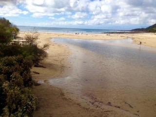
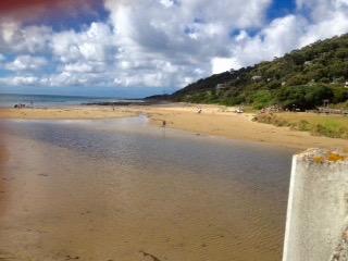
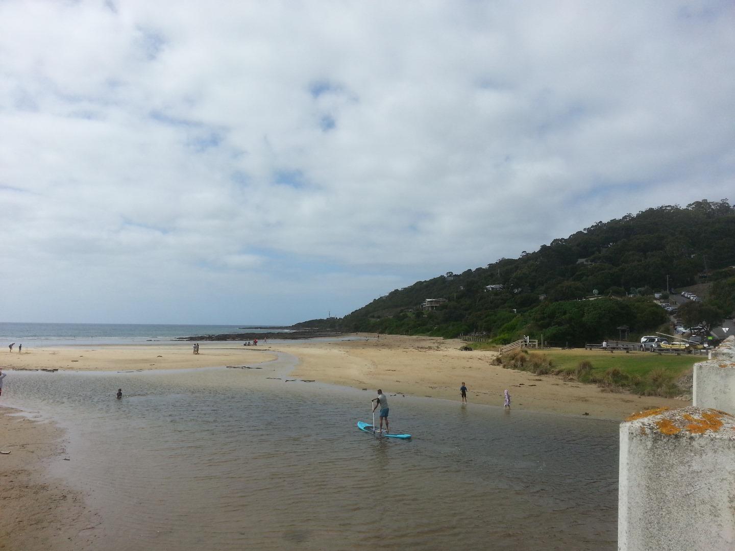
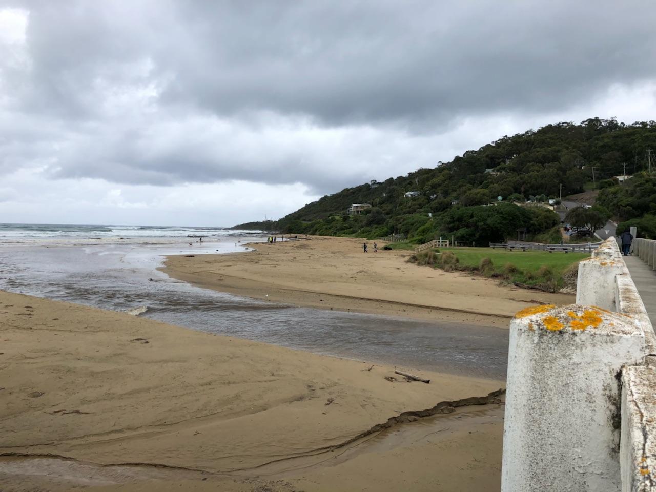
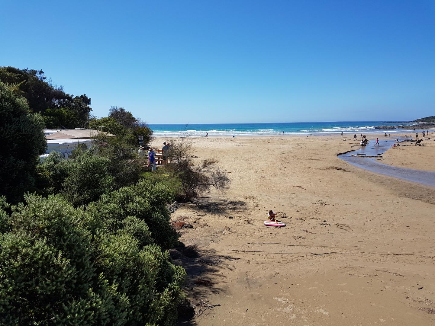
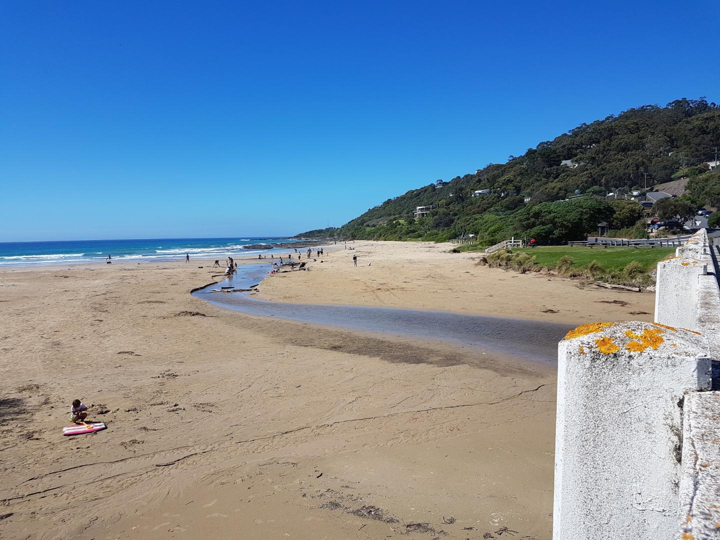
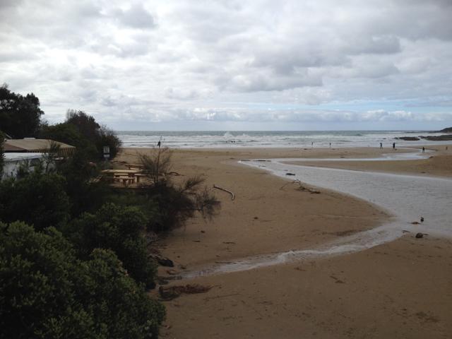
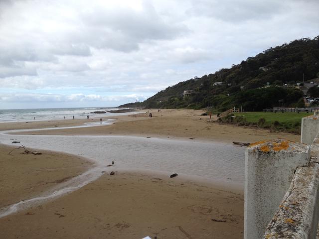
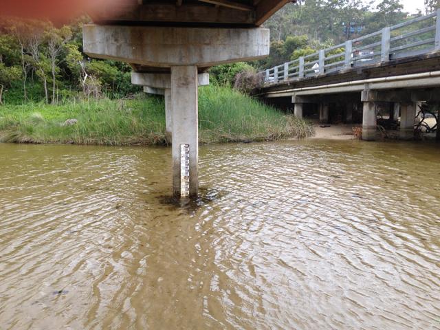
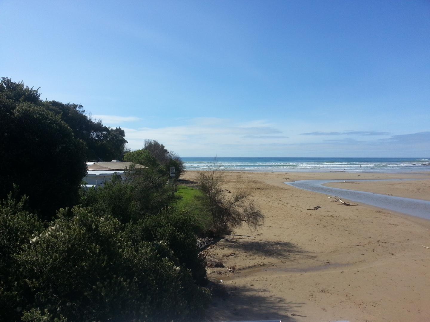
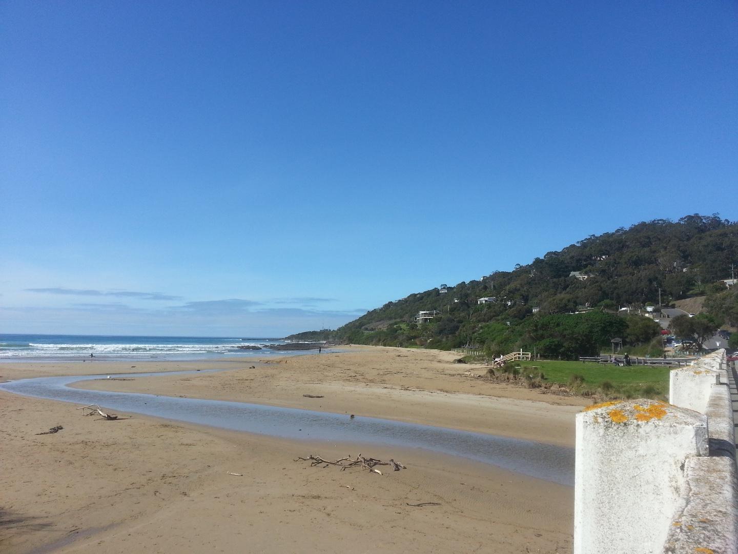
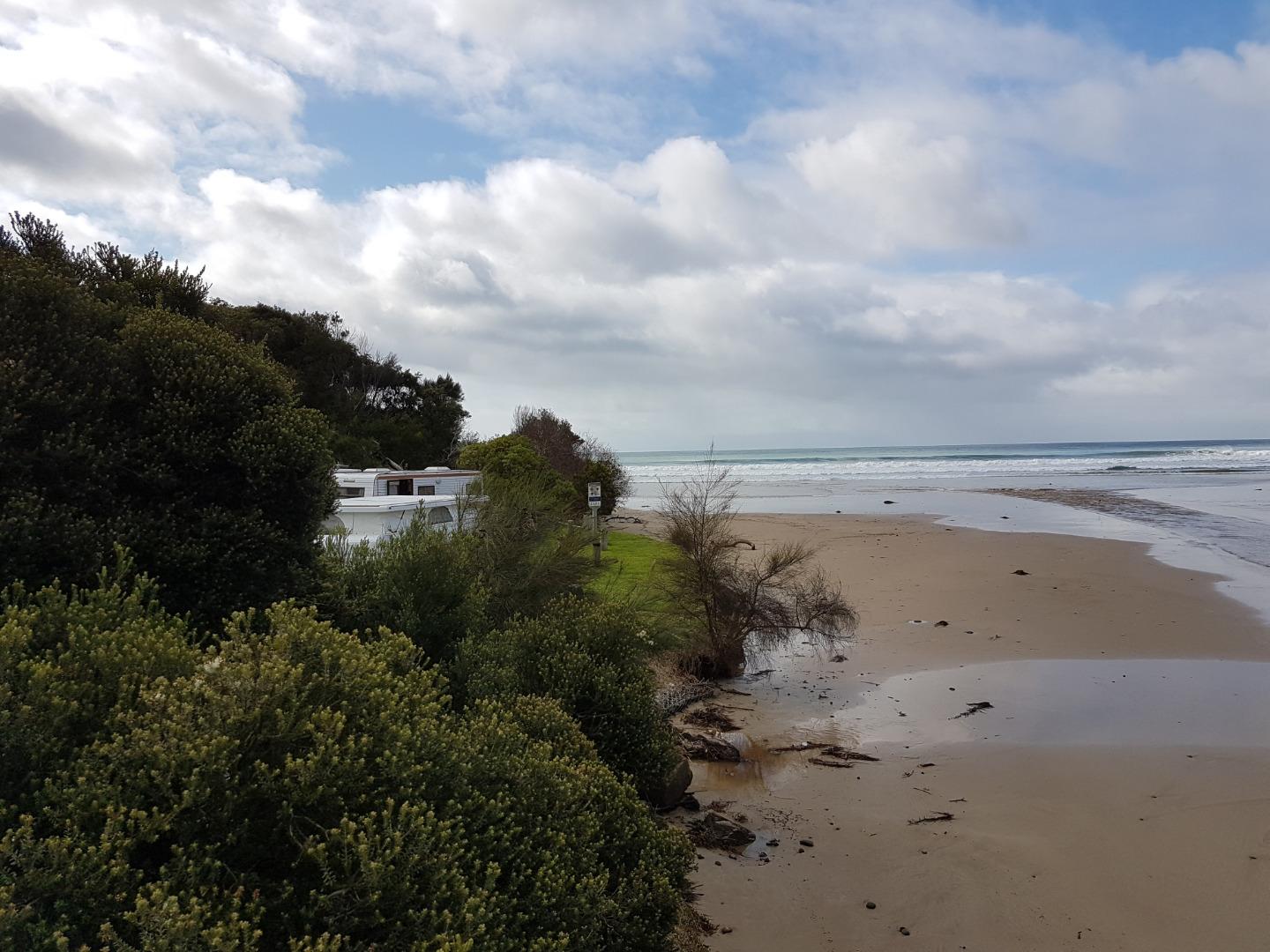
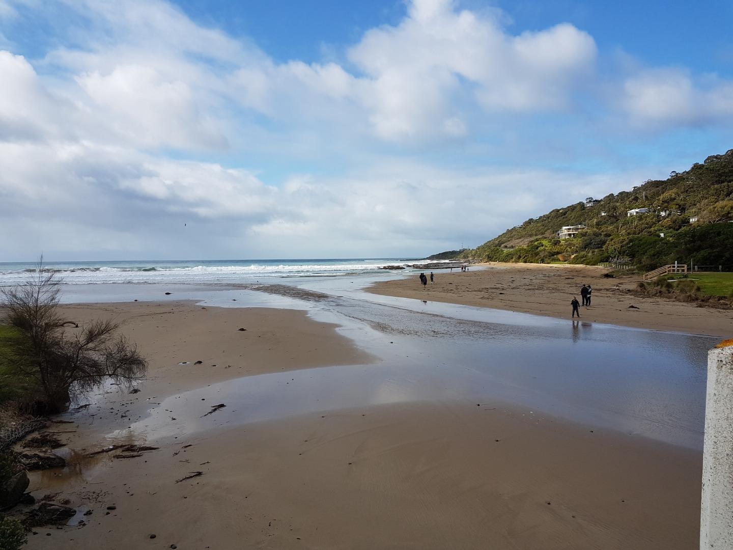
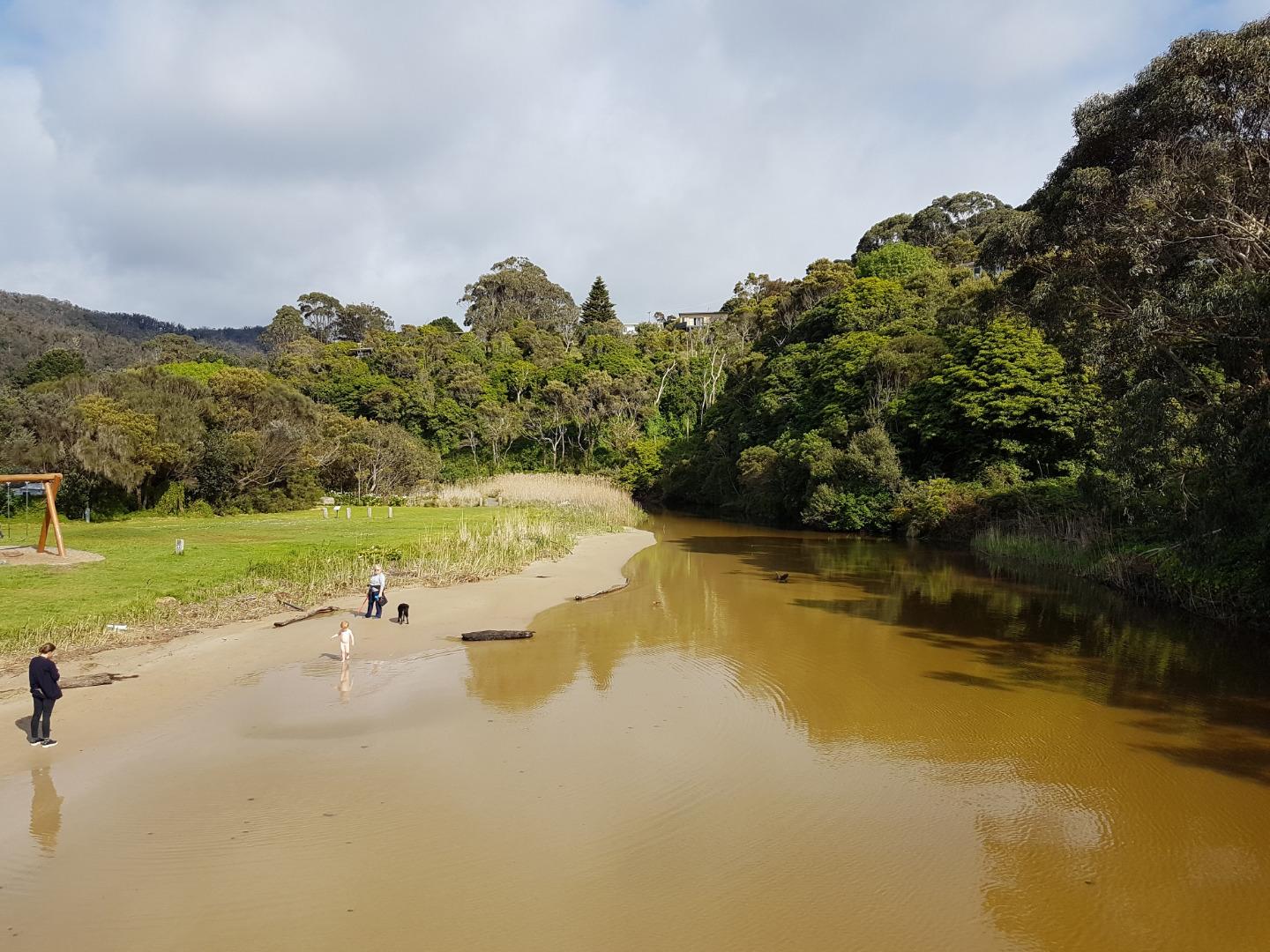
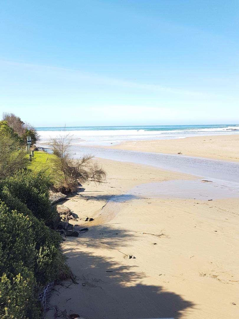
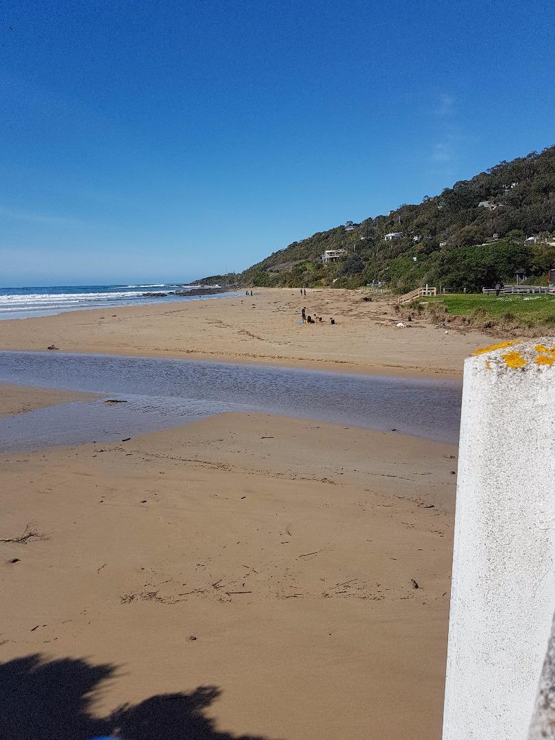
Active Mouth Condition 20-01-2007 - 05-05-2024Wye River Estuary
| ID | Date | Status | Details | |
|---|---|---|---|---|
| #11764 | 4 Feb 2018 | Approved |
Notes:
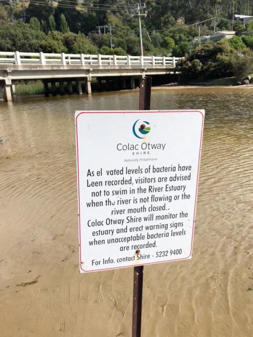
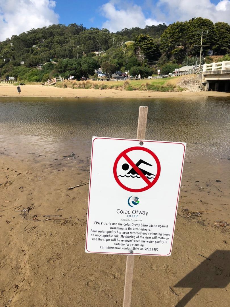
Colac Otway Shire have again erected signage at the river mouth (an annual summer occurrence) warning of high bacteria levels in the water and advise against swimming. Signage indicates that there will be further monitoring of the water and when acceptable signage removed. There is no indication of why the bacteria levels are so high. |
|
| #11740 | 21 Jan 2018 | Approved | ||
| #11846 | 7 Jan 2018 | Approved | ||
| #11675 | 17 Dec 2017 | Approved | ||
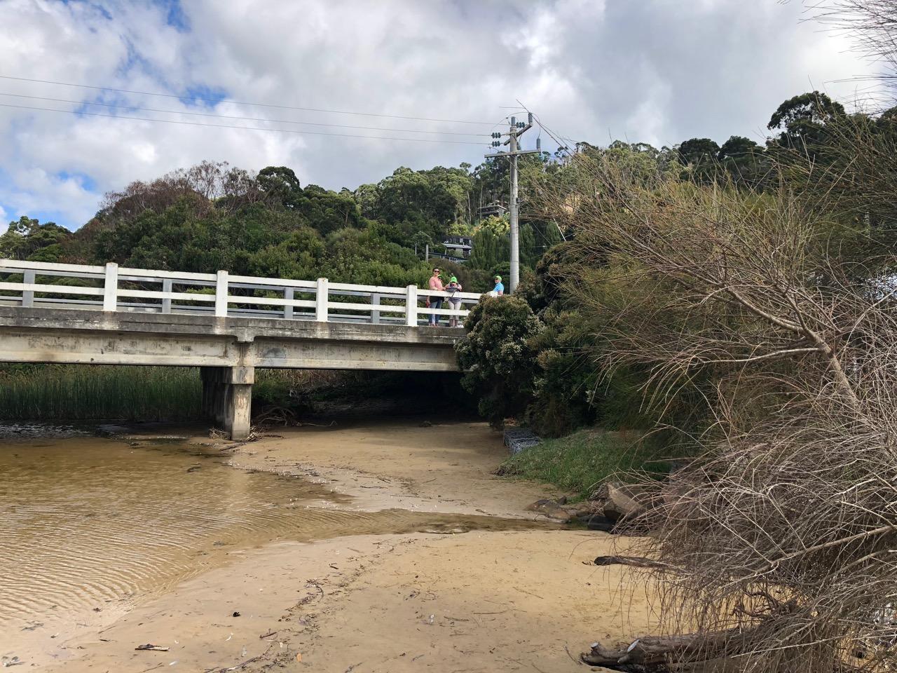
| #11621 | 3 Dec 2017 | Approved |
Notes:
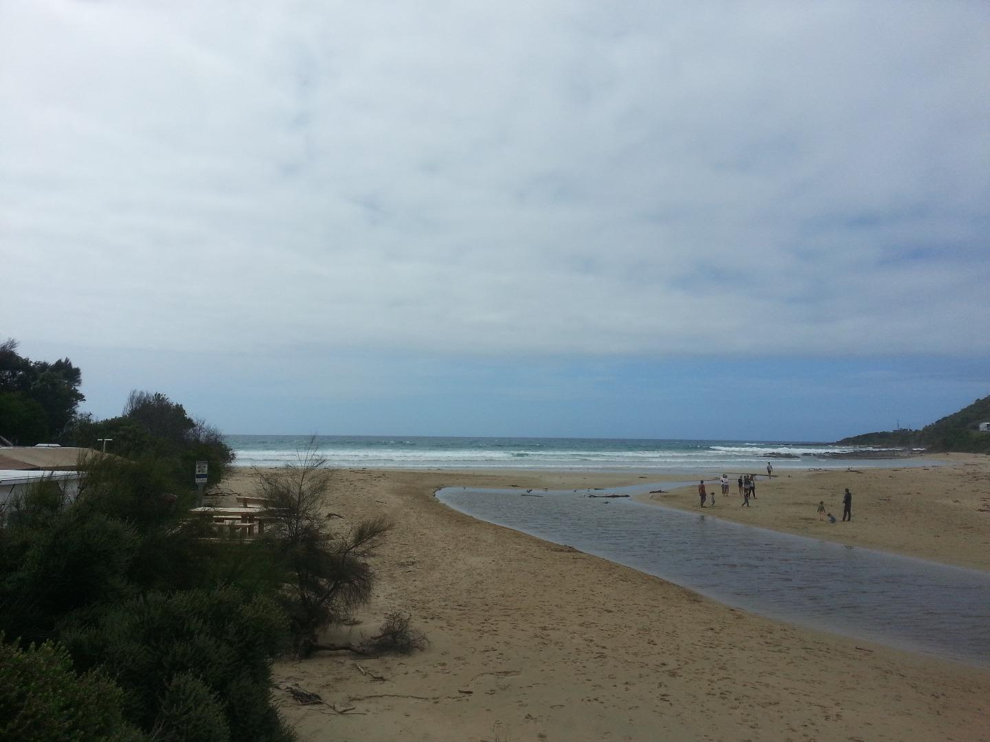
- even though the river is flowing fast out to sea the tide is coming in creating waves running up the river. -'Beach' under bridge and inland from bridge is becoming more established. |
|
| #11706 | 19 Nov 2017 | Approved |
Notes:
|
|
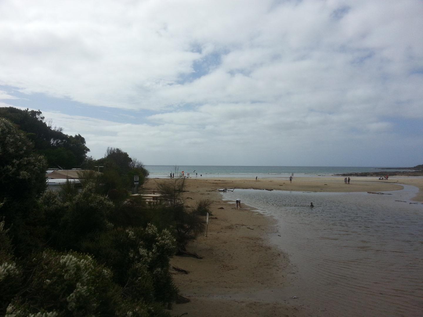
| #11570 | 5 Nov 2017 | Approved |
Notes:
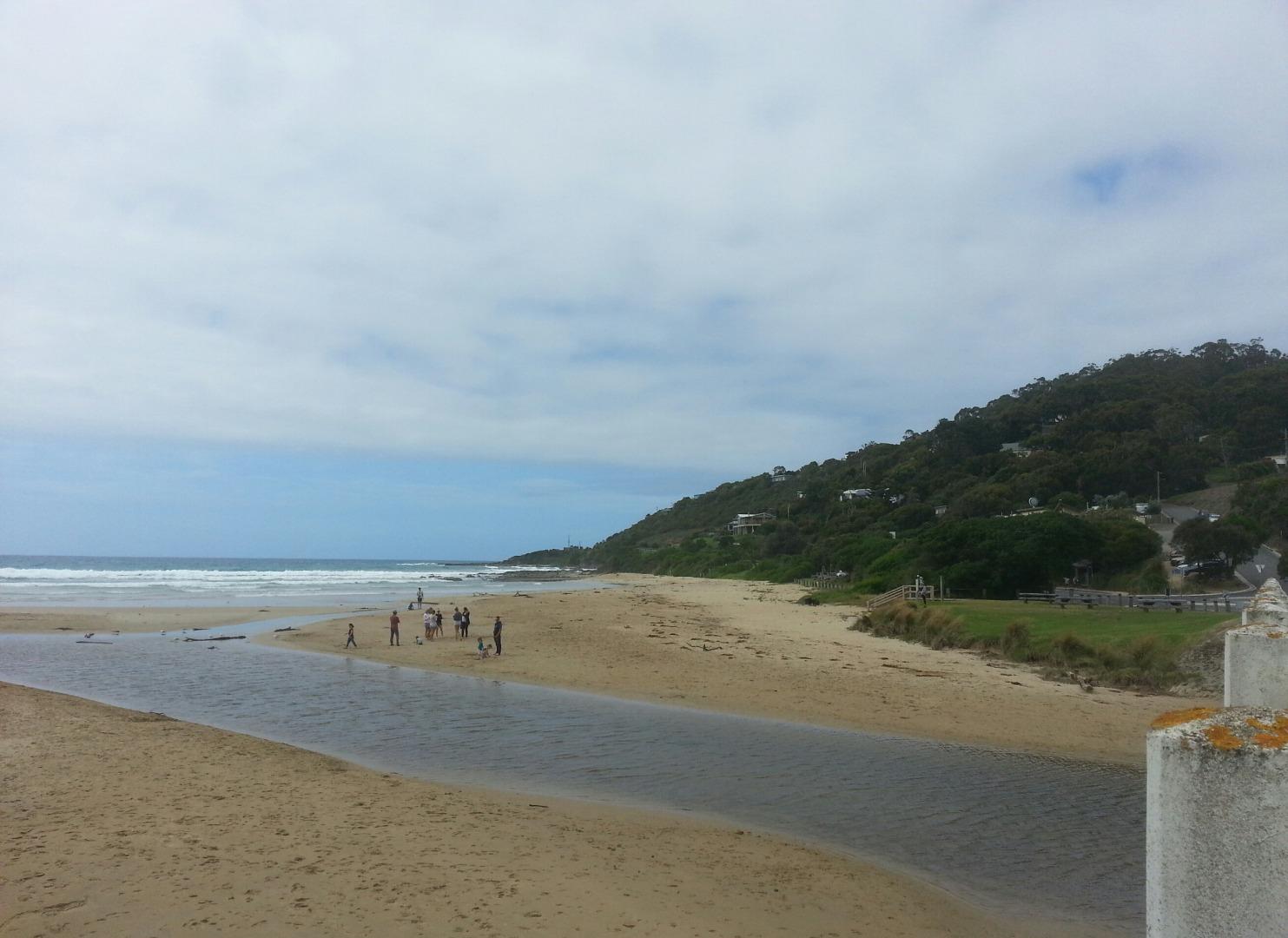
Algae growing in the floor of the river near the fishing Platform - see photos |
|
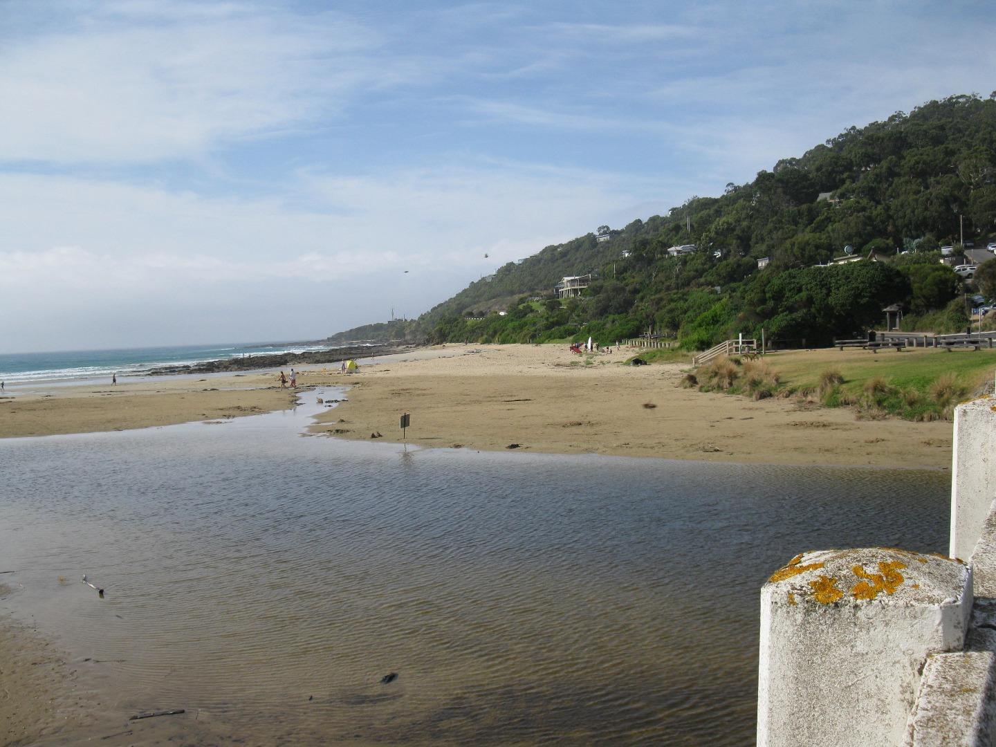
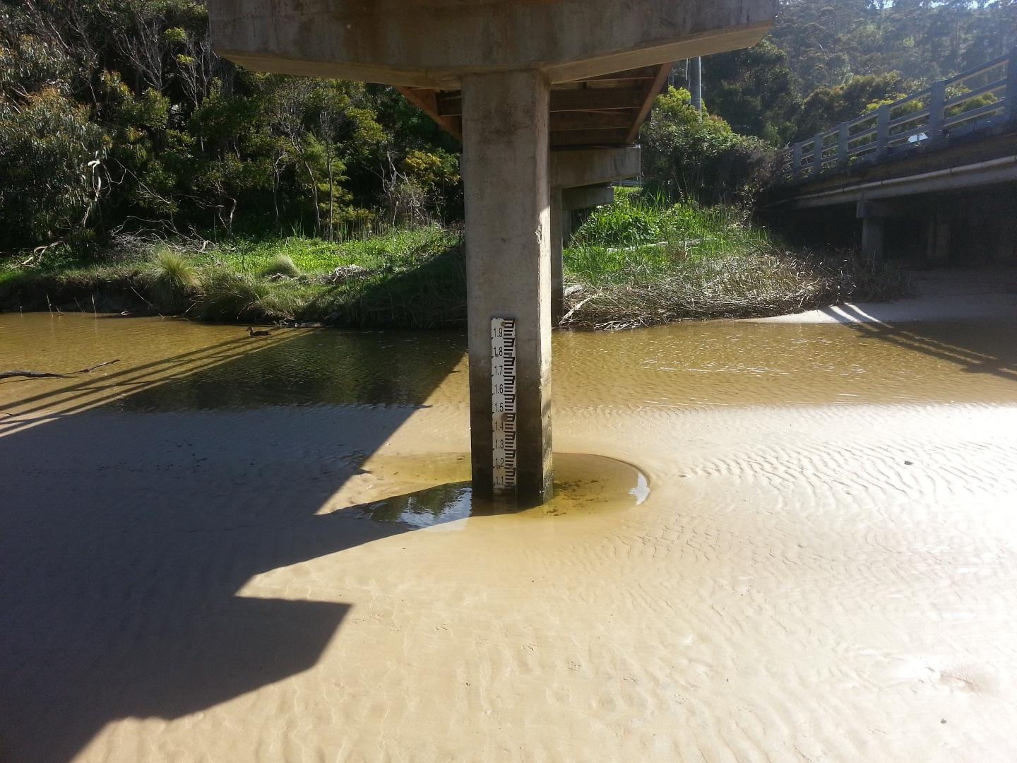
| #11513 | 15 Oct 2017 | Approved |
Notes:
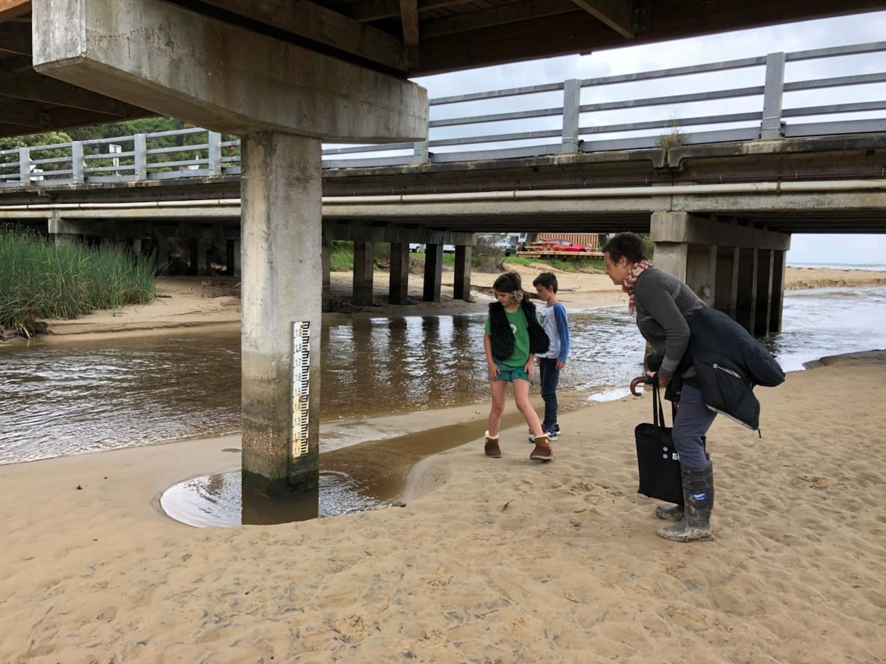
1. Water level - unable to measure as too low- photo taken for reference. 2. Sand bank visible around water level measure - photo for reference taken from the Wye River bridge. |
|
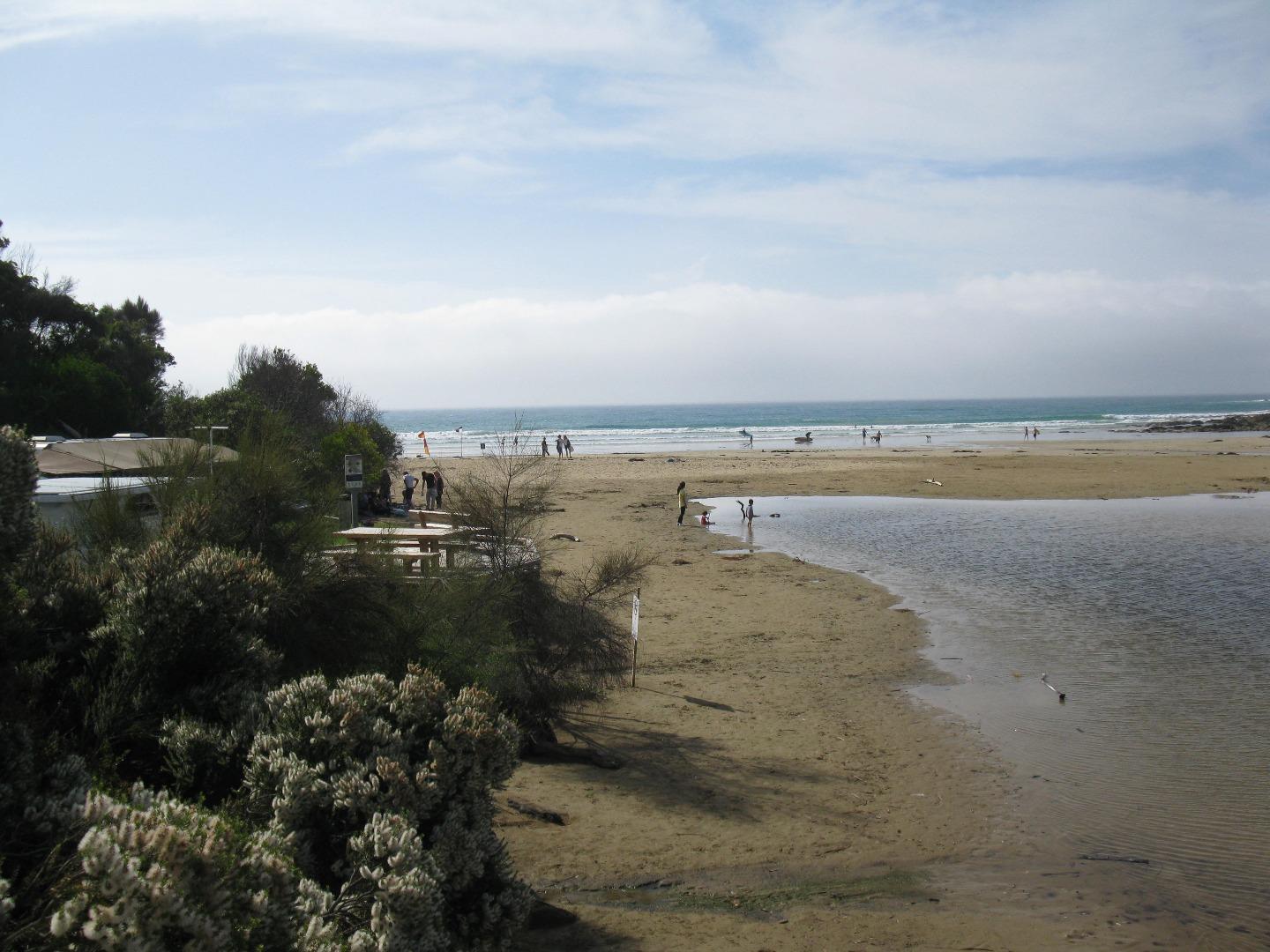
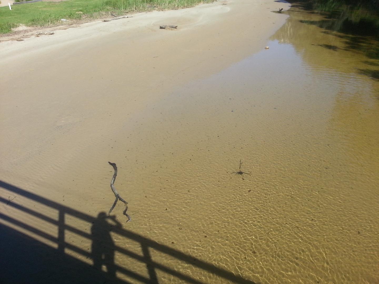
| #11511 | 1 Oct 2017 | Approved |
Notes:
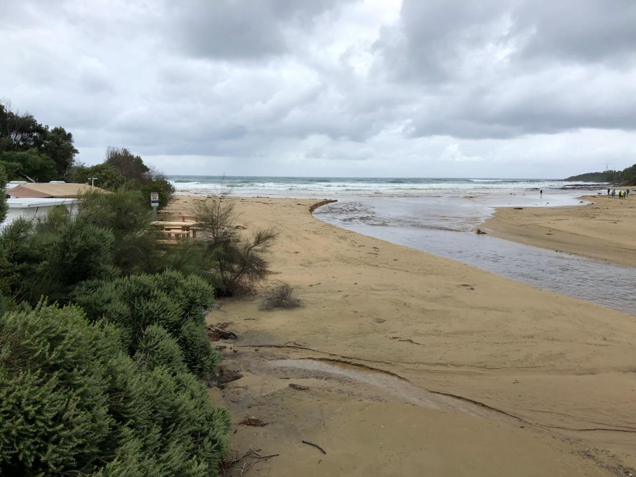
The whole river bed upstream of the bridge is now covered with sand - we have a new beach (see attached photo). A lot of sand lost in front of the campsite and river flowing straight out to sea. |
|
| #11477 | 17 Sep 2017 | Approved | ||

All content, files, data and images provided by the EstuaryWatch Data Portal and Gallery are subject to a Creative Commons Attribution License
Content is made available to be used in any way, and should always attribute EstuaryWatch and www.estuarywatch.org.au