EstuaryWatch Data Portal
WyMC Wye River Mouth Condition
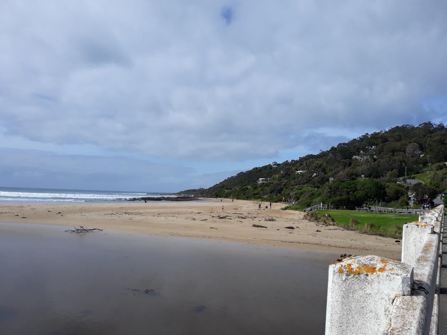
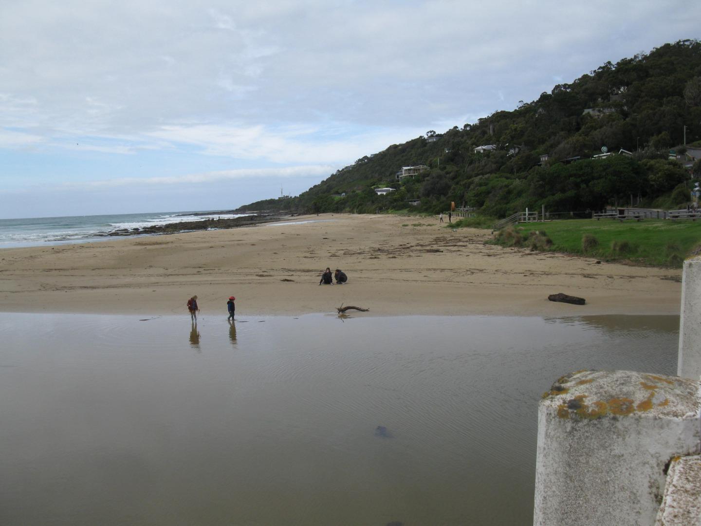
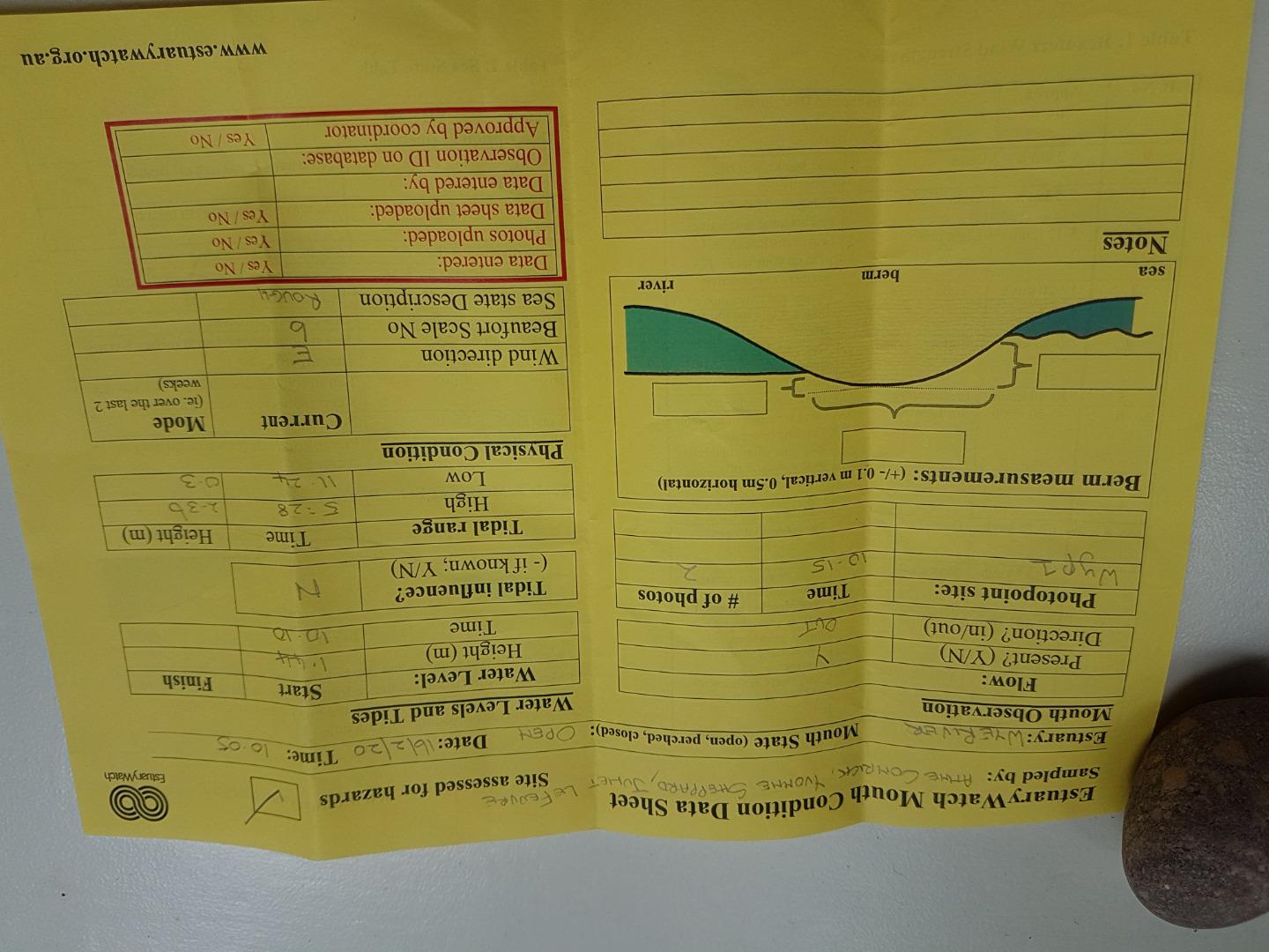
Active Mouth Condition 20-01-2007 - 21-04-2024Wye River Estuary
| ID | Date | Status | Details | |
|---|---|---|---|---|
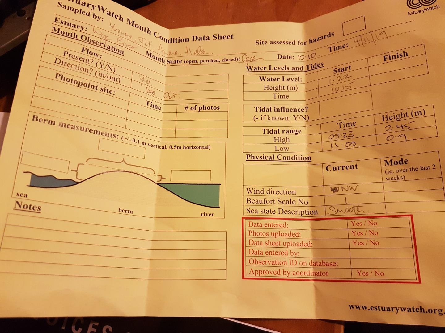
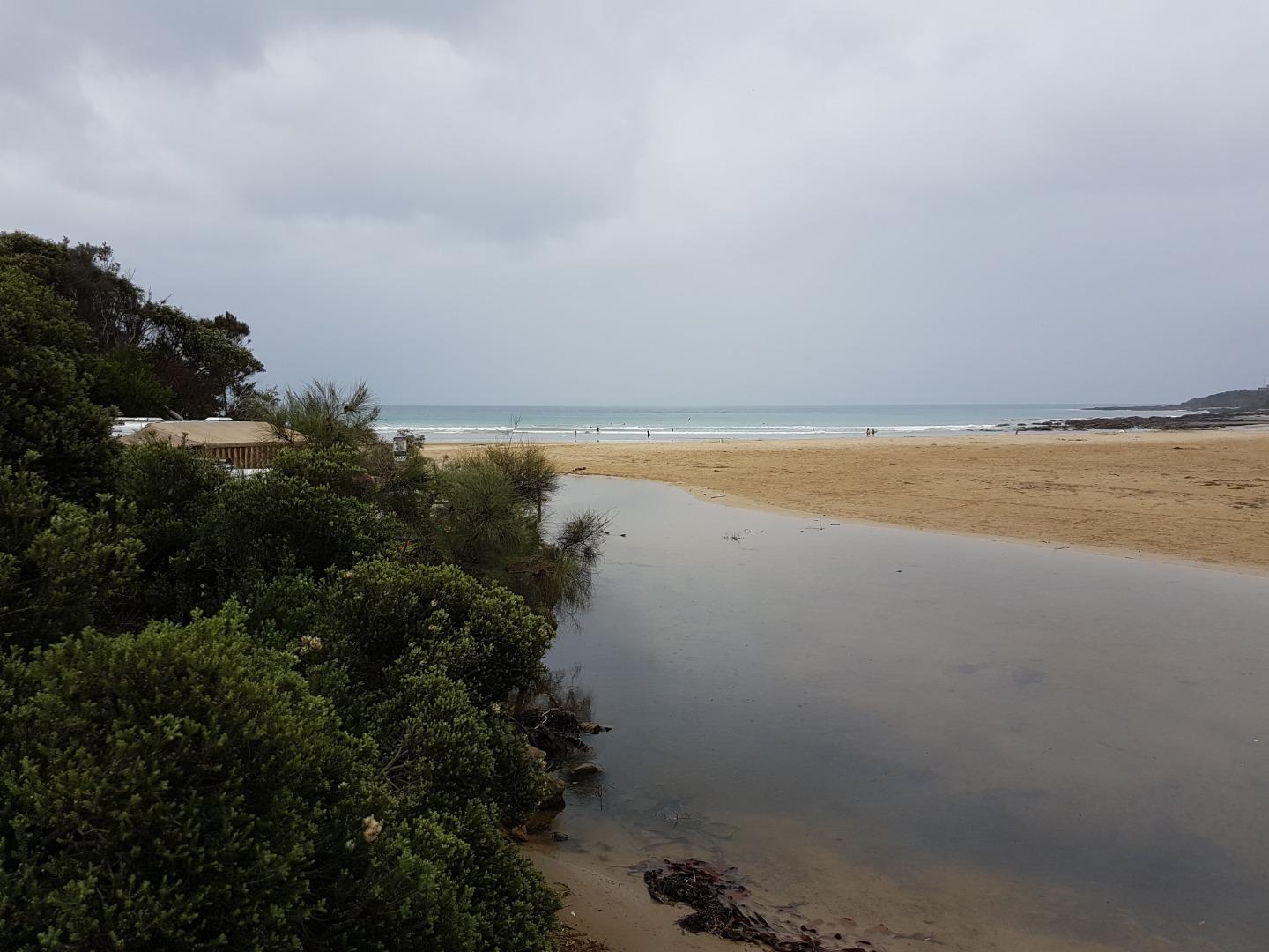
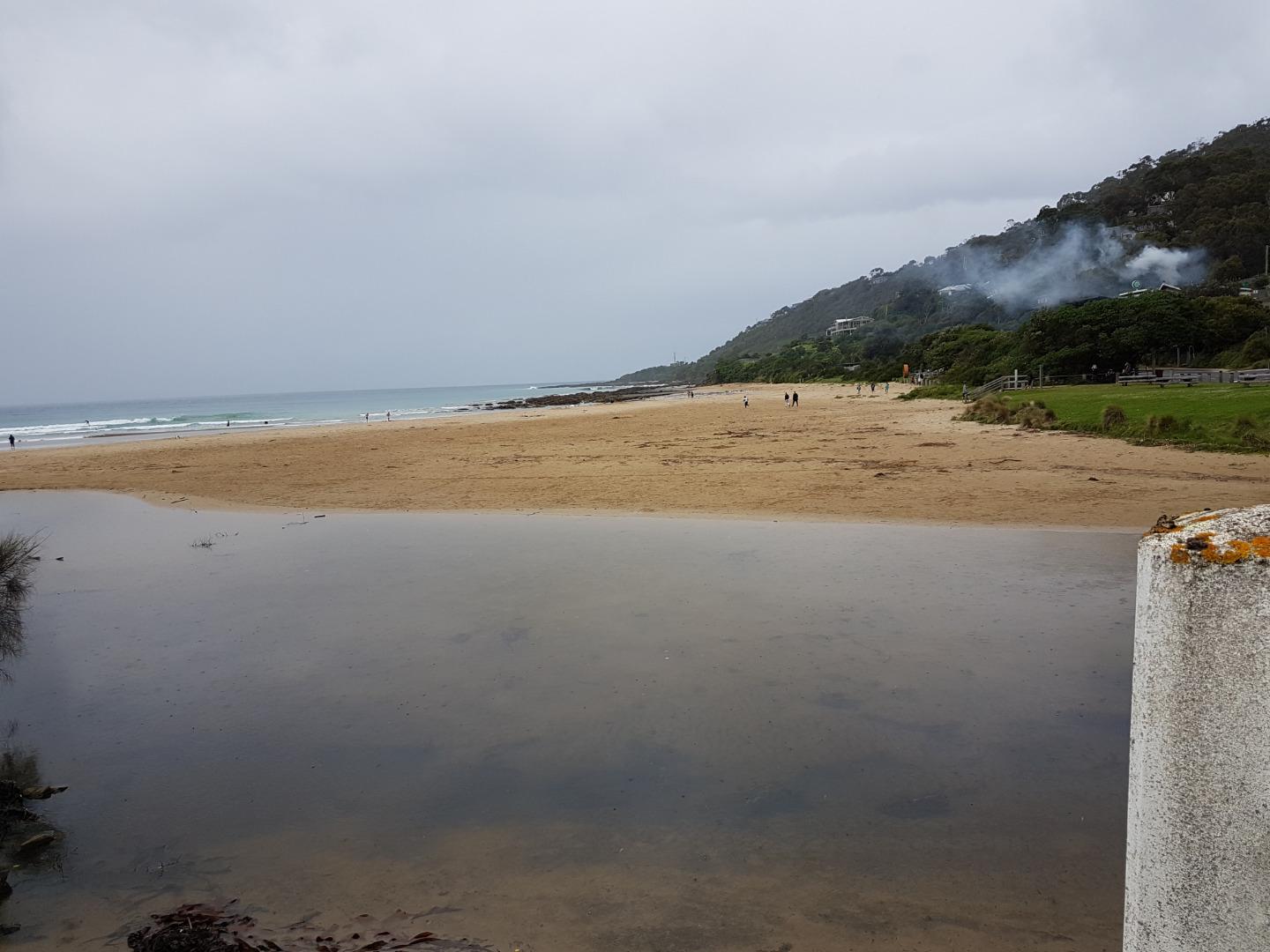
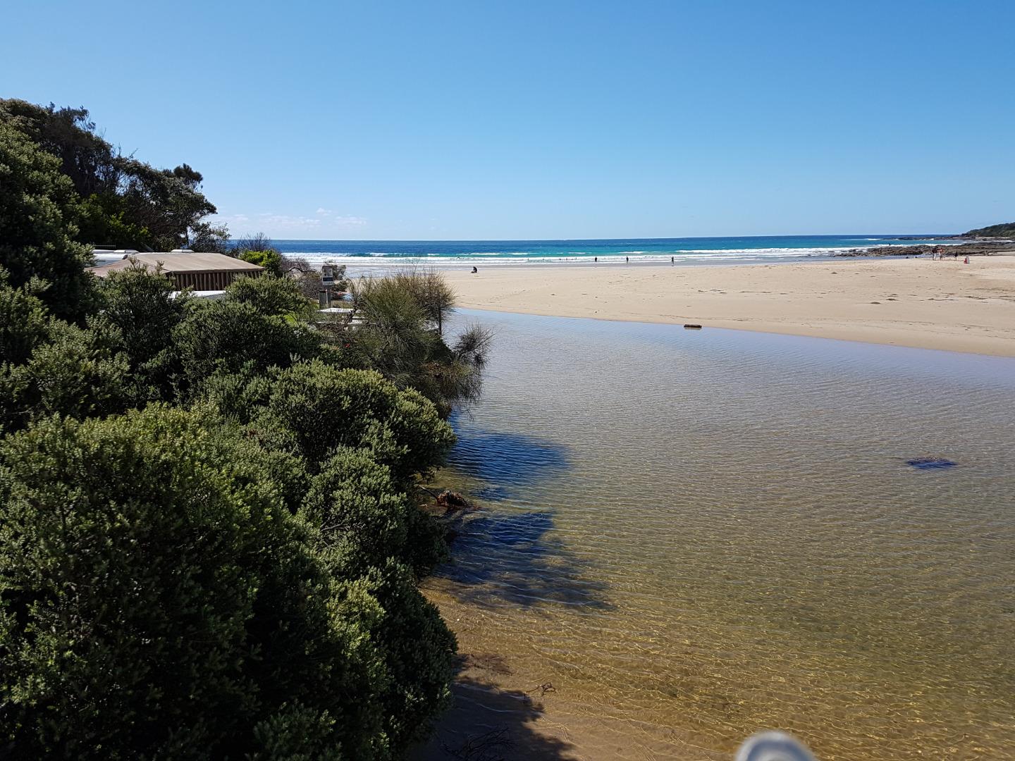
| #13353 | 6 Oct 2019 | Approved |
Notes:
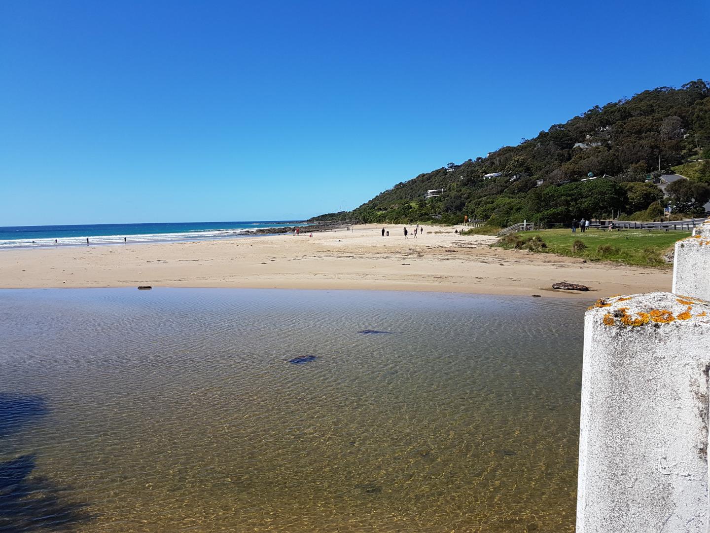
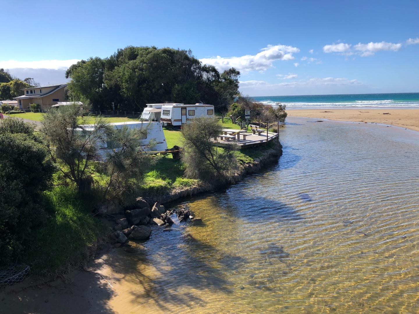
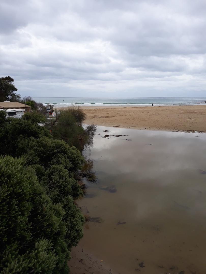
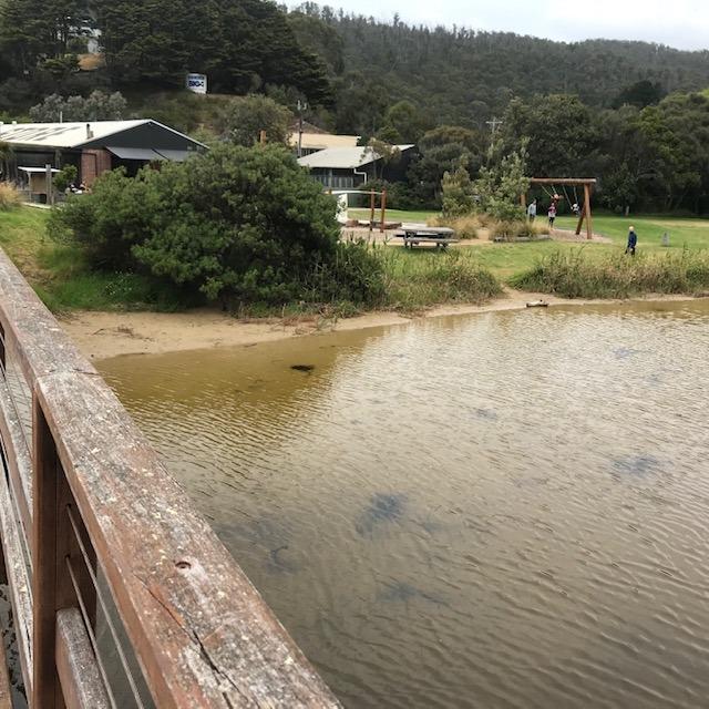
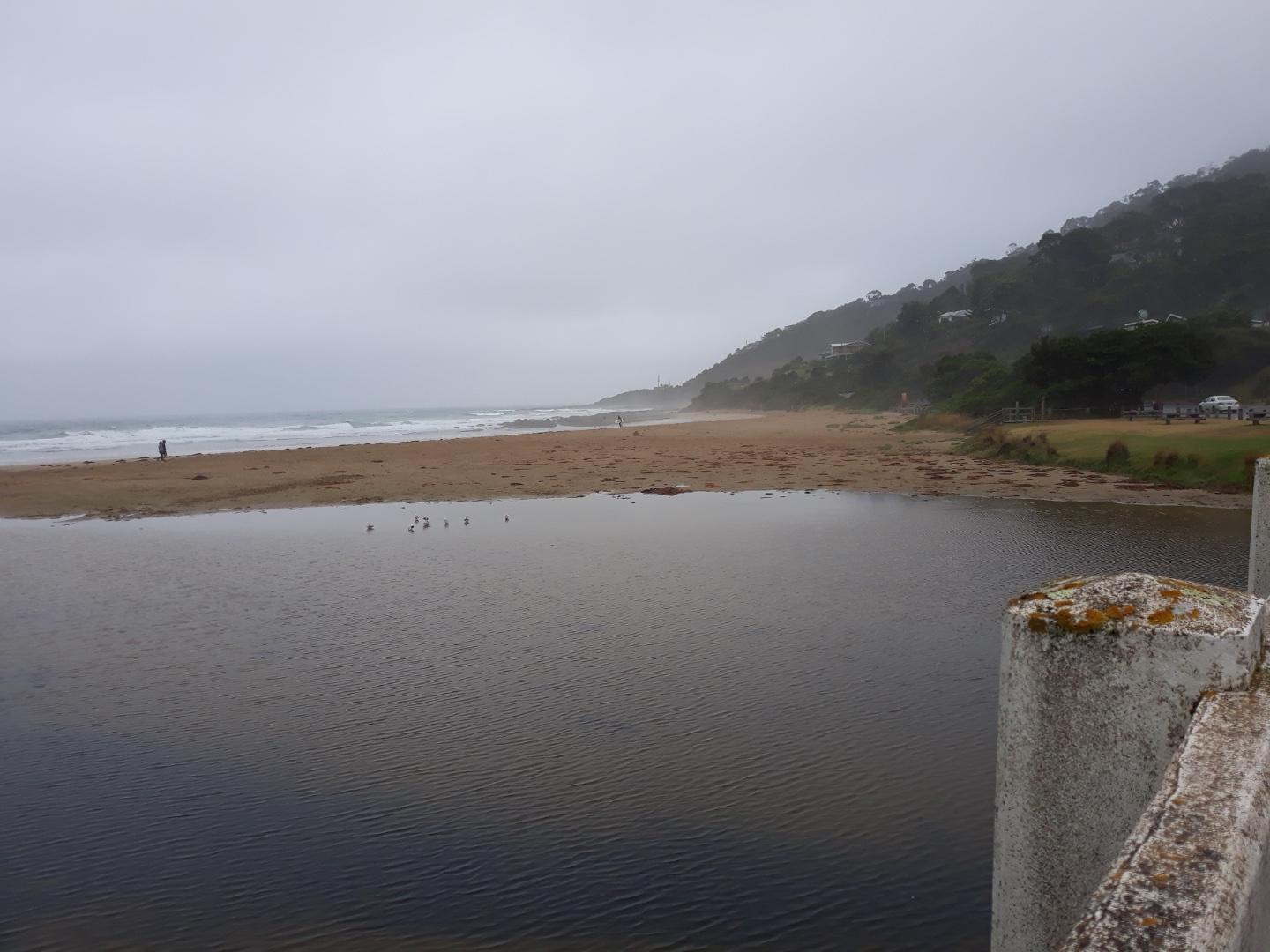
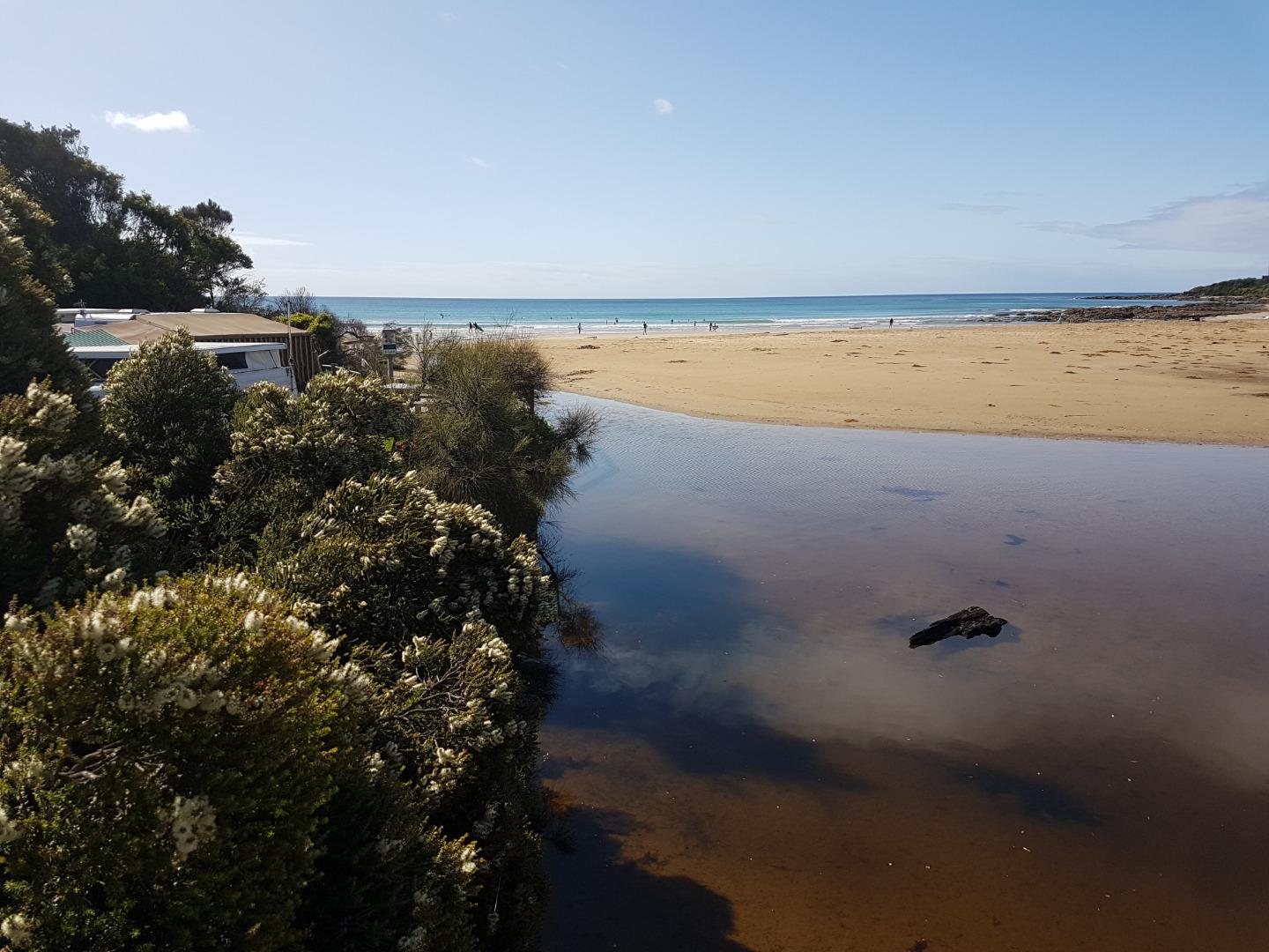
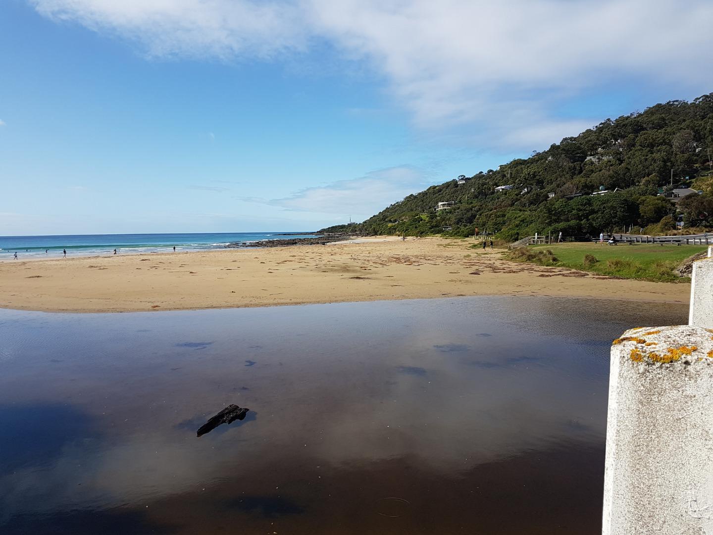
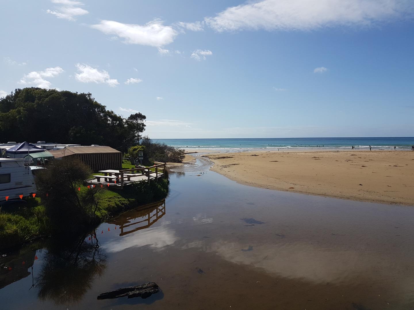
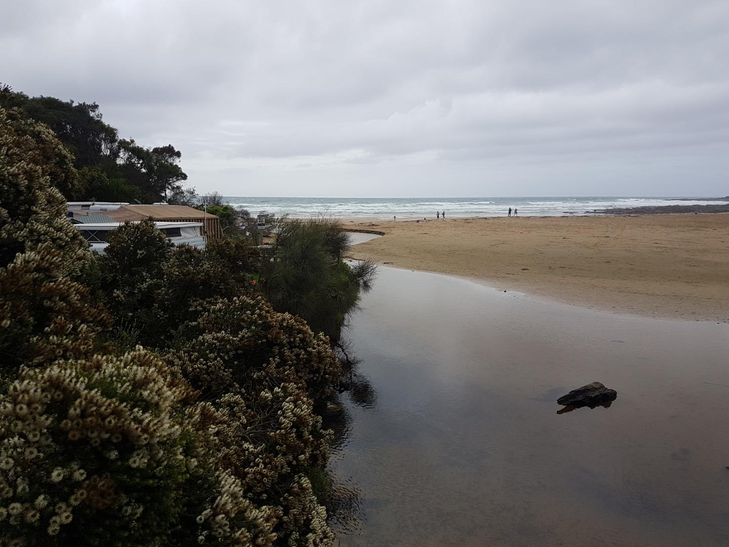
The erosion caused by the river cutting into the northern bank of the river adjacent to the Beachfront caravan park is noticeable. There is security tape across the bank edge to stop people using the bank. Stormwater pipe near the bottom of the steps to the beach ( opposite the shop) is exposed. Question: Do we need an additional photo-point? This month we couldn't capture the river course from the bridge to the sea from the current photo site only. I have attached some photos from the other end of the bridge - so the course of the river to the sea can be captured. Carolyn took some great photos and these are attached too! I am having trouble getting Anne's name to appear in the samplers ?? i enter it but it doesn't appear on the next page? |
|
| #13369 | 20 Oct 2019 | Approved |
Notes:
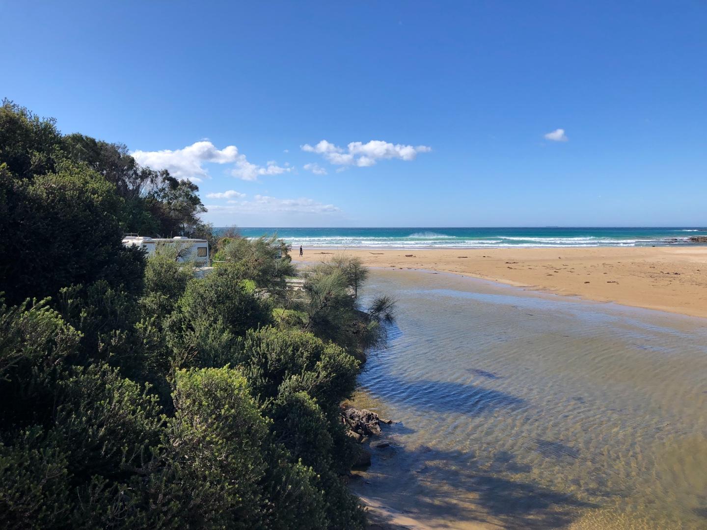
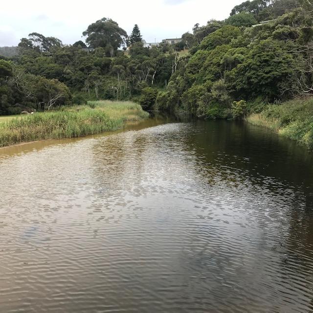
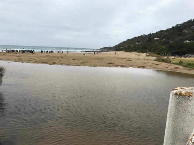
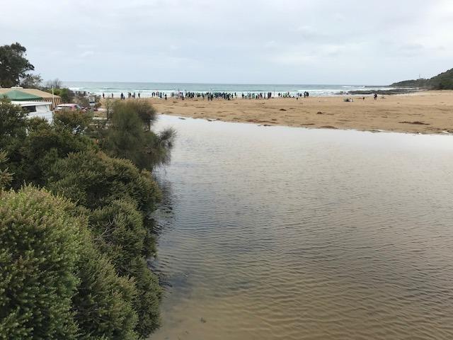
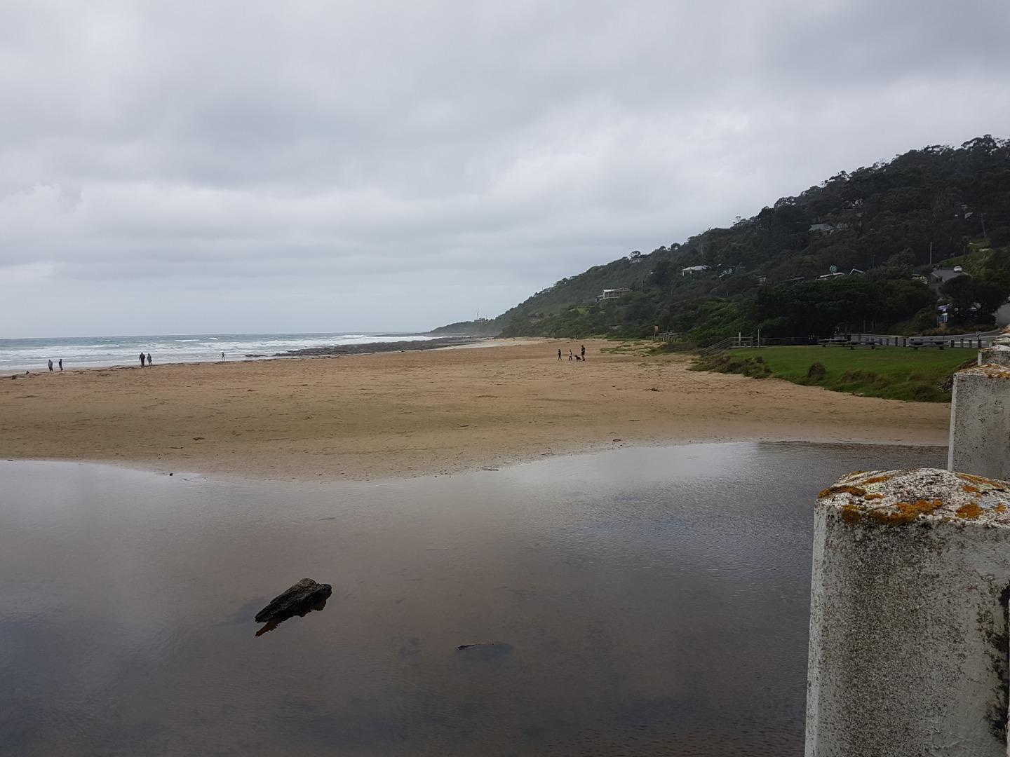
Erosion increasing adjacent to Foreshore Camping Reserve. Trees and shrubs have fallen into the river partially blocking the channel. Much sand deposited under the bridge, river is wide and shallow. Photo attached showing river and erosion in front of the Camping Reserve and Surf Club. |
|
| #13393 | 4 Nov 2019 | Approved |
   |
|
| #13418 | 17 Nov 2019 | Approved | ||
| #13545 | 30 Nov 2019 | Approved |
  |
|
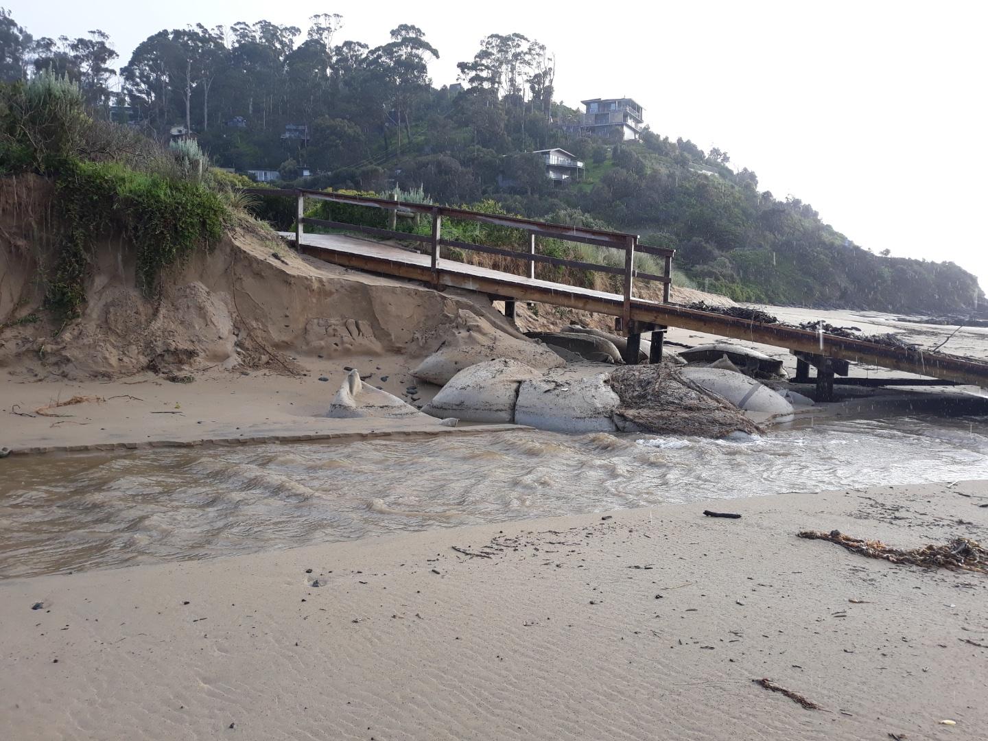
| #13454 | 15 Dec 2019 | Approved |
Notes:
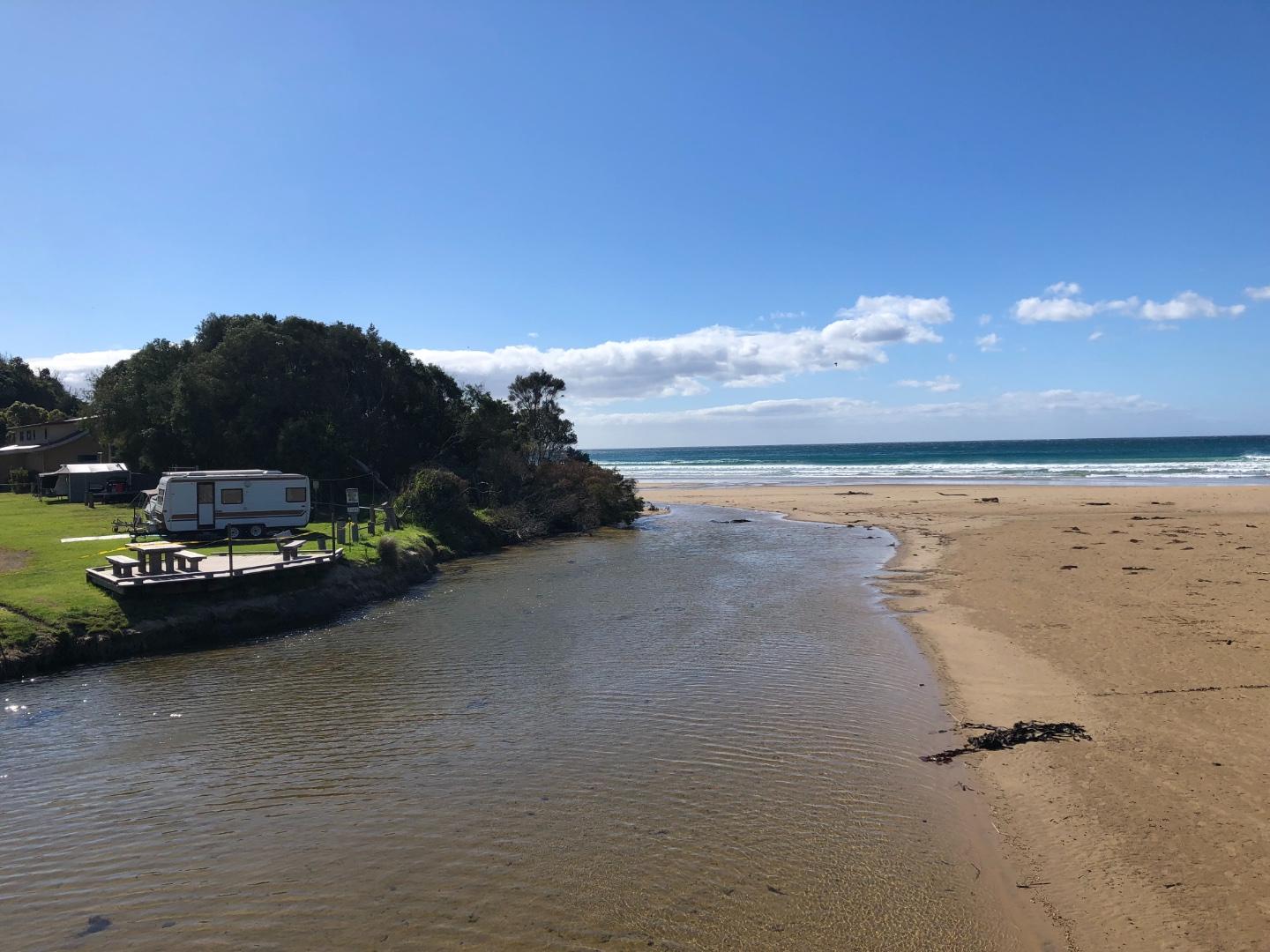
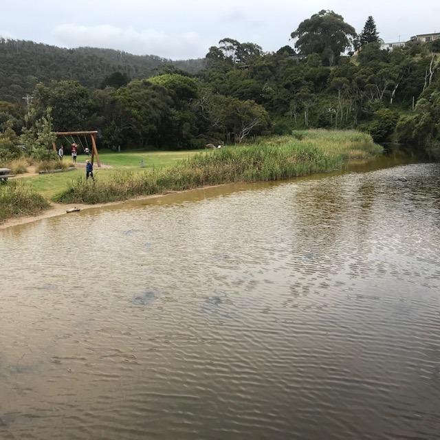
Wye River has dramatically changed course veering left towards the Surf Club beach front. |
|
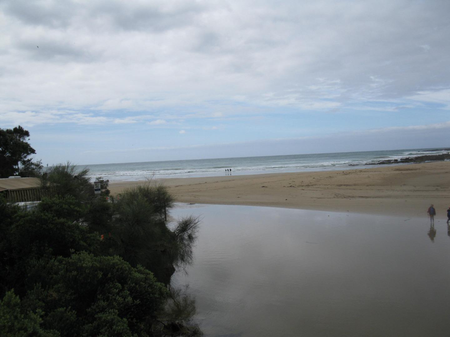
| #13483 | 5 Jan 2020 | Approved |
Notes:
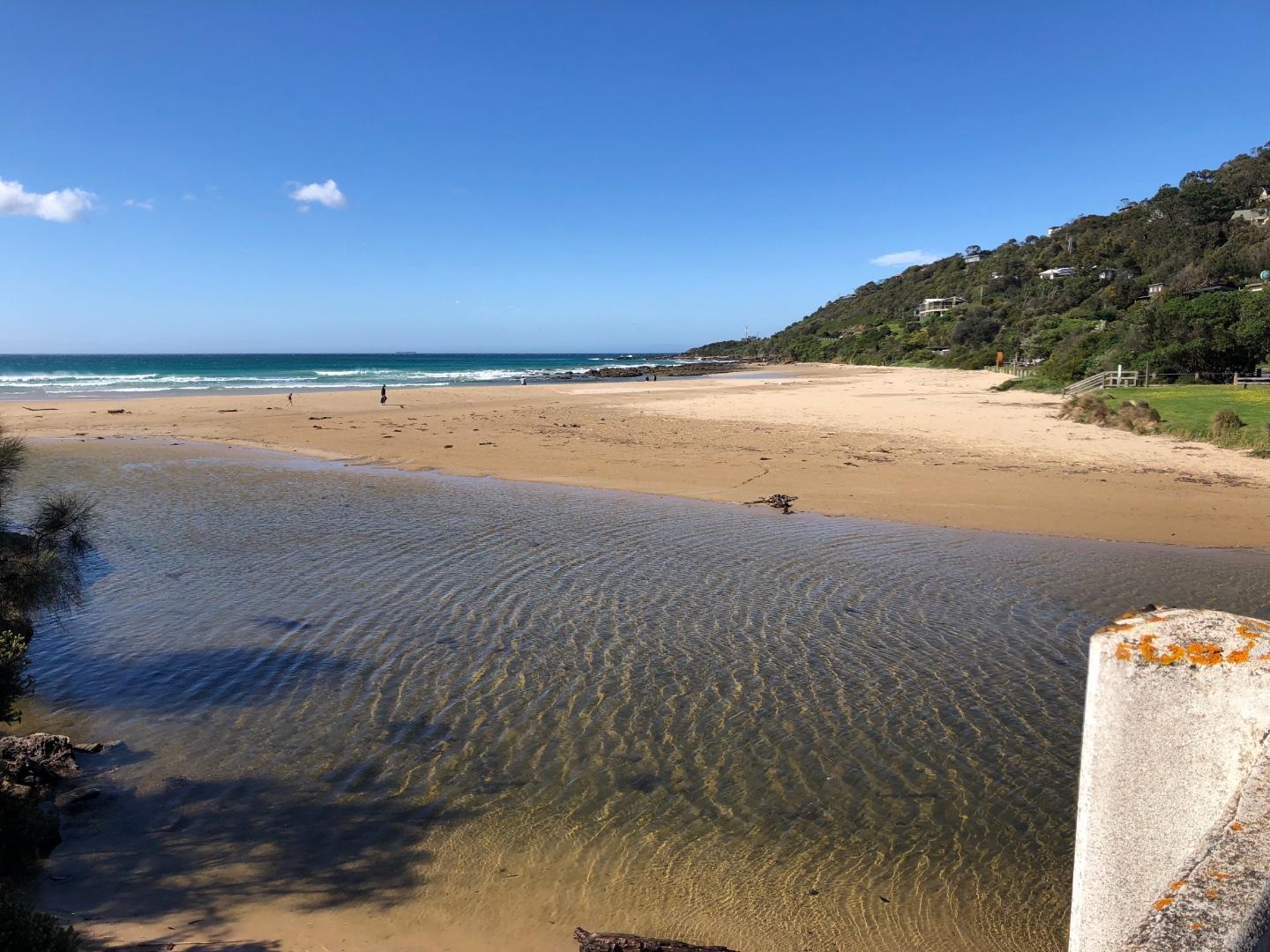
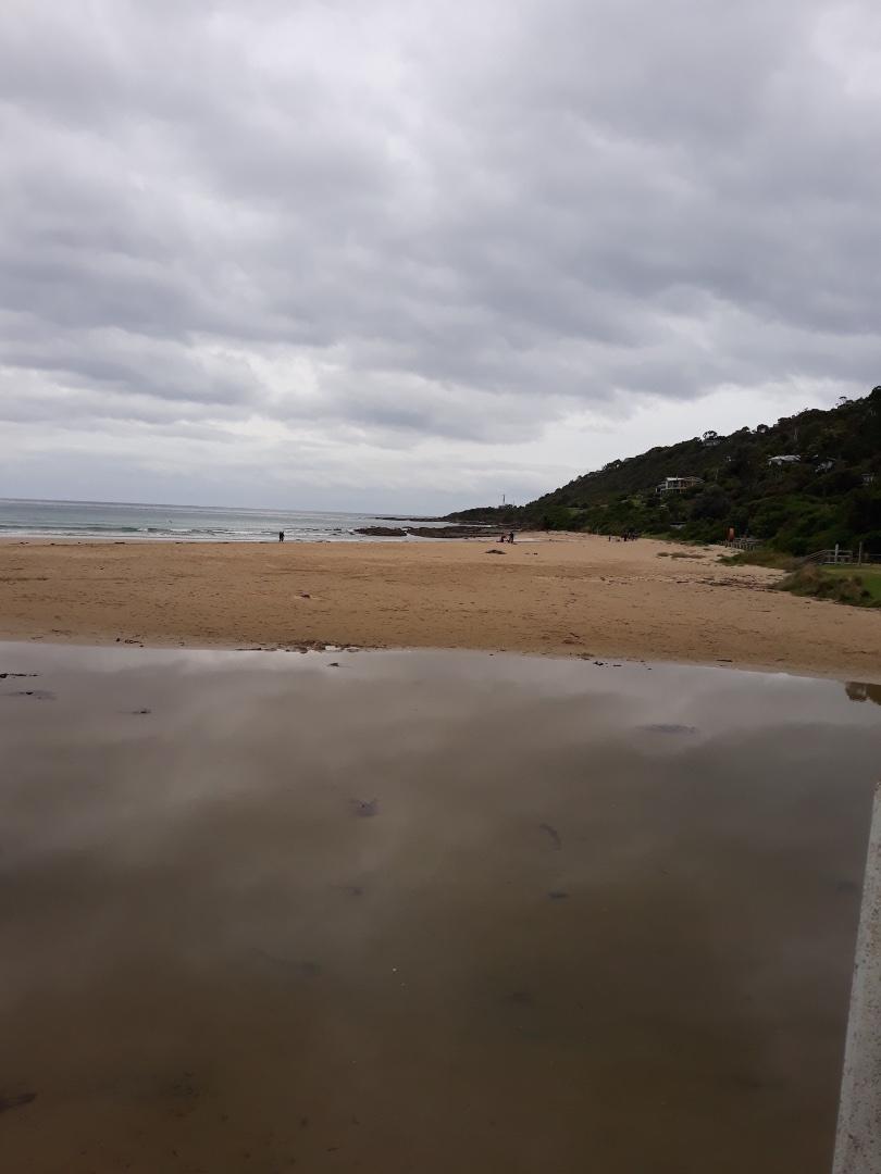
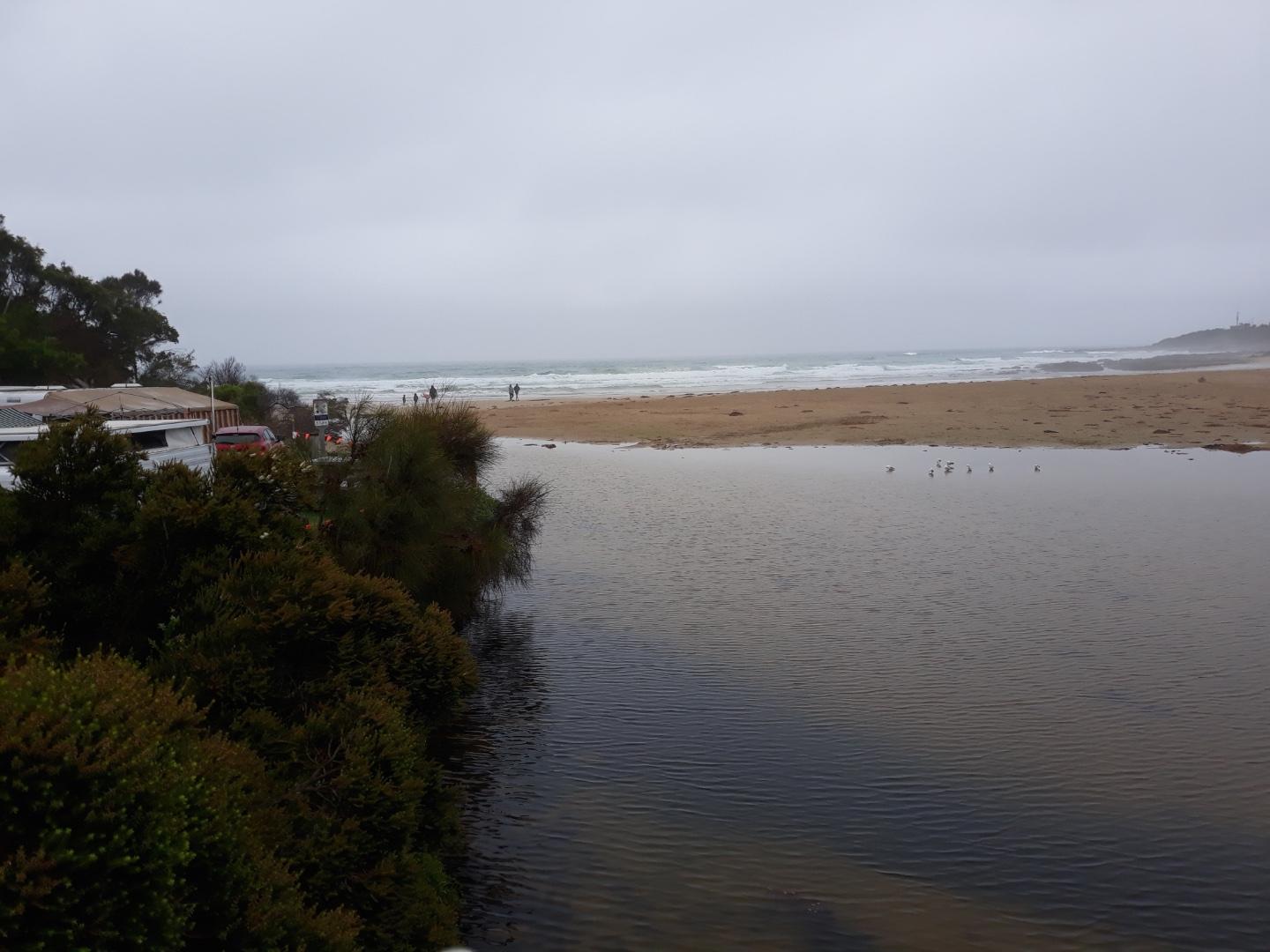
A change in the river above the footbridge, the wide beach that existed in previous months has disappeared with water covering this area. See photos attached. The river channel as it flows into the ocean has narrowed and there is not much water flowing into the sea. The channel is still undercutting the foreshore caravan park. If standing on the beach near the road bridge you can see the deposition of sand is quite high on the southern side of the river. |
|
| #13520 | 19 Jan 2020 | Approved | ||
| #13593 | 2 Feb 2020 | Approved |
Notes:
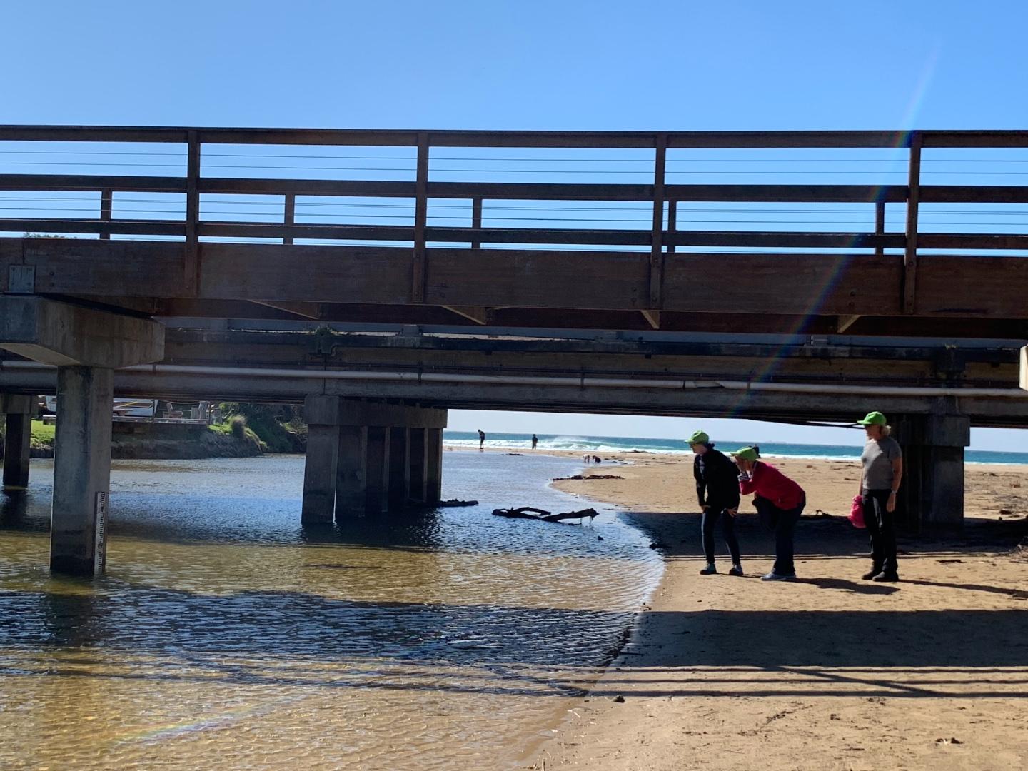
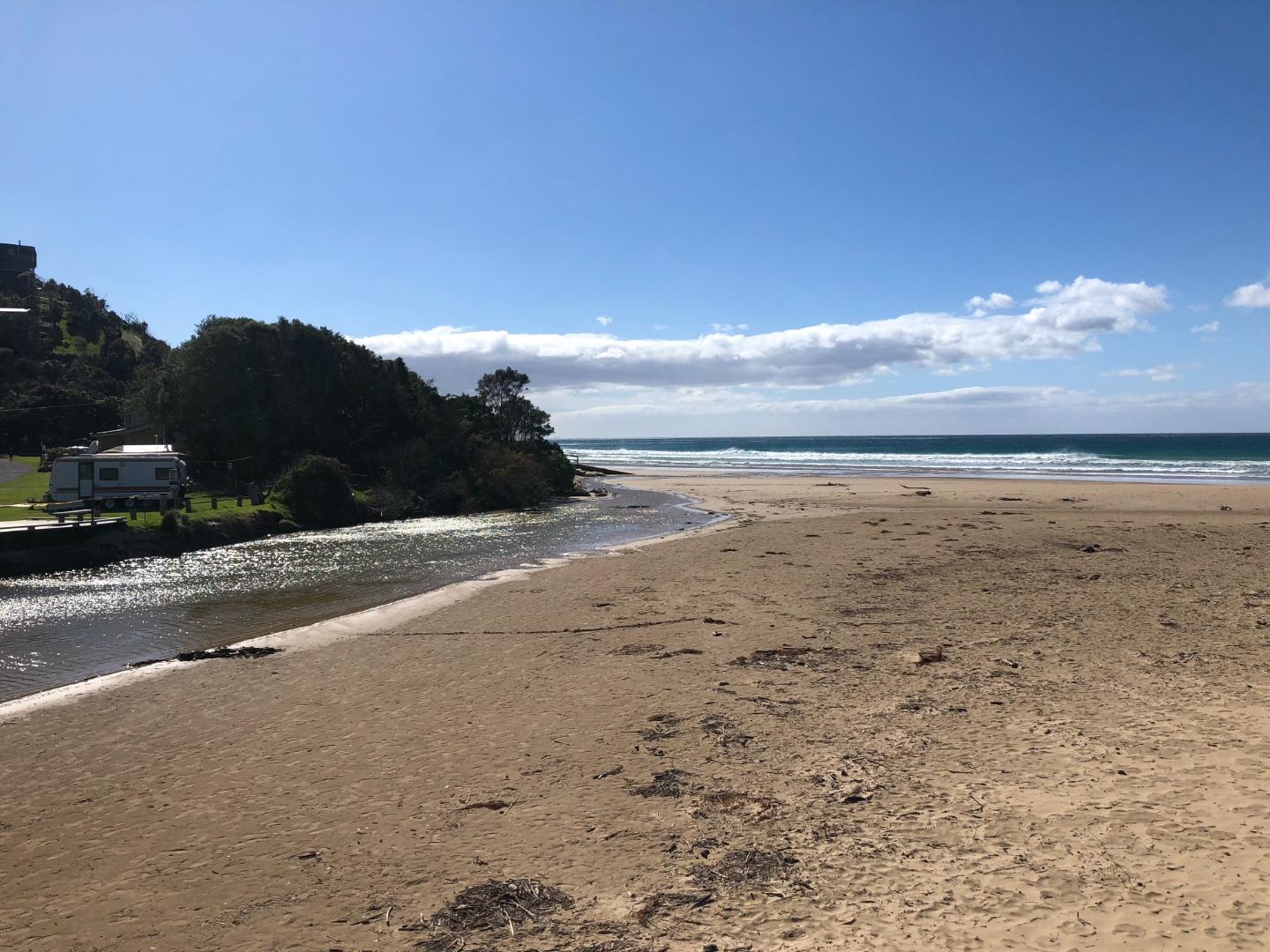
Extra photo shows river running straight out from bridge following rainfall |
|
| #13598 | 16 Feb 2020 | Approved |
Notes:
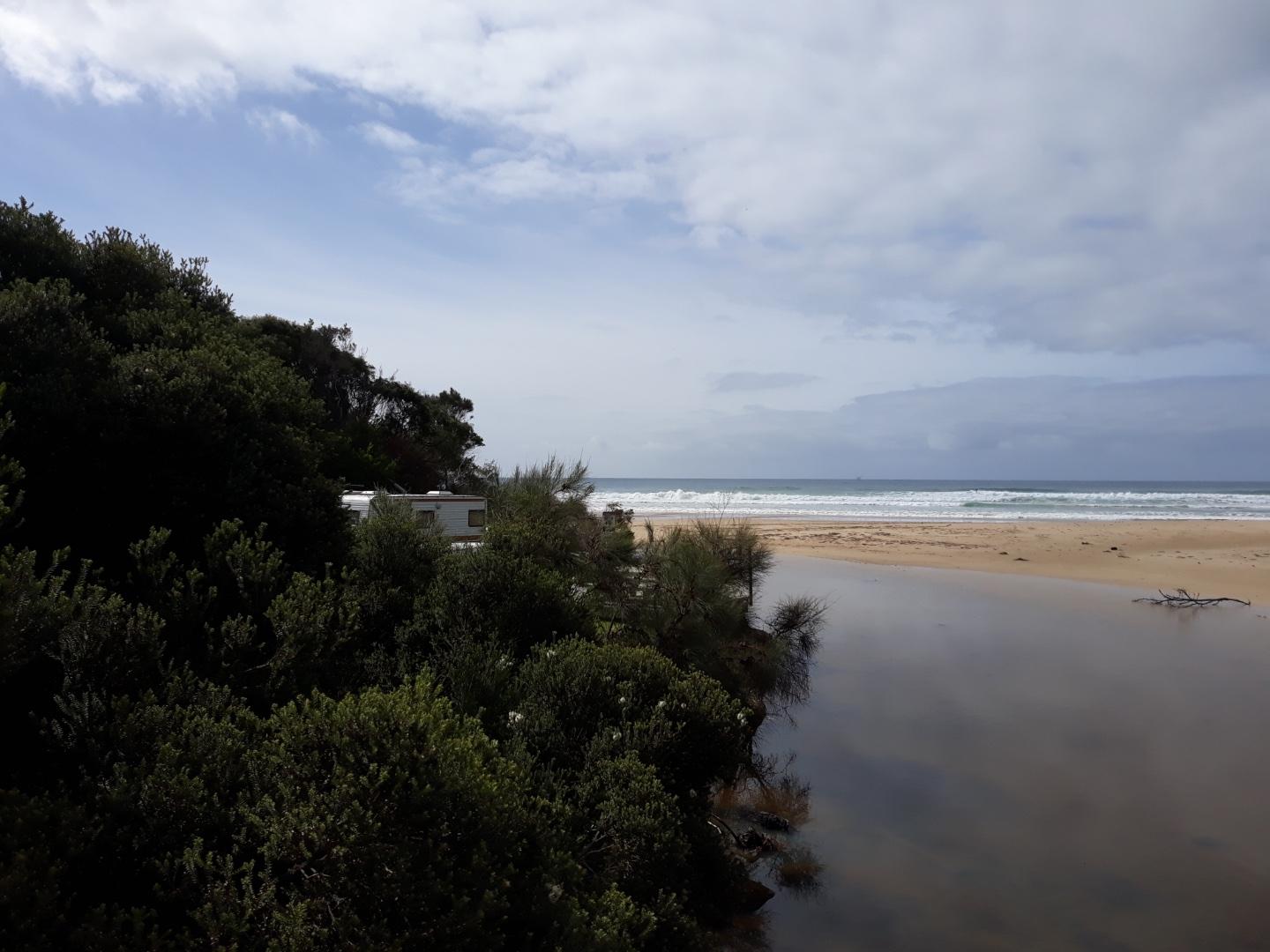
Water level in estuary has been falling for a few weeks, following rainfall |
|

All content, files, data and images provided by the EstuaryWatch Data Portal and Gallery are subject to a Creative Commons Attribution License
Content is made available to be used in any way, and should always attribute EstuaryWatch and www.estuarywatch.org.au