| #5155
|
14 Jun 2013
|
Approved |
Notes:
Mouth opened naturally at roughly 8:30 to 9am
|
|
Depth
|
Turb NTU
|
pH
|
Temp ° C
|
Salin ppt
|
D.O. mg/L
|
D.O. % sat
|
EC mS/cm
|
|
0.1m
|
|
|
11.80 |
3.50 |
7.99 |
75.4 |
6.51 |
|
5.0m
|
|
|
13.40 |
30.40 |
0.03 |
0.4 |
46.62 |
|
| #5156
|
14 Jun 2013
|
Approved |
Notes:
Mouth opened naturally between 8:30 - 9:00am
|
|
Depth
|
Turb NTU
|
pH
|
Temp ° C
|
Salin ppt
|
D.O. mg/L
|
D.O. % sat
|
EC mS/cm
|
|
0.1m
|
|
|
11.40 |
3.90 |
7.57 |
73.2 |
7.03 |
|
5.0m
|
|
|
13.50 |
31.80 |
0.02 |
0.2 |
48.70 |
|
| #5154
|
13 Jun 2013
|
Approved |
|
|
Depth
|
Turb NTU
|
pH
|
Temp ° C
|
Salin ppt
|
D.O. mg/L
|
D.O. % sat
|
EC mS/cm
|
|
0.1m
|
|
|
11.70 |
5.40 |
9.52 |
89.2 |
9.65 |
|
5.0m
|
|
|
13.40 |
31.60 |
0.03 |
0.4 |
48.51 |
|
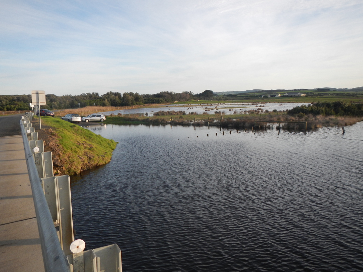
| #5149
|
9 Jun 2013
|
Approved |
Notes:
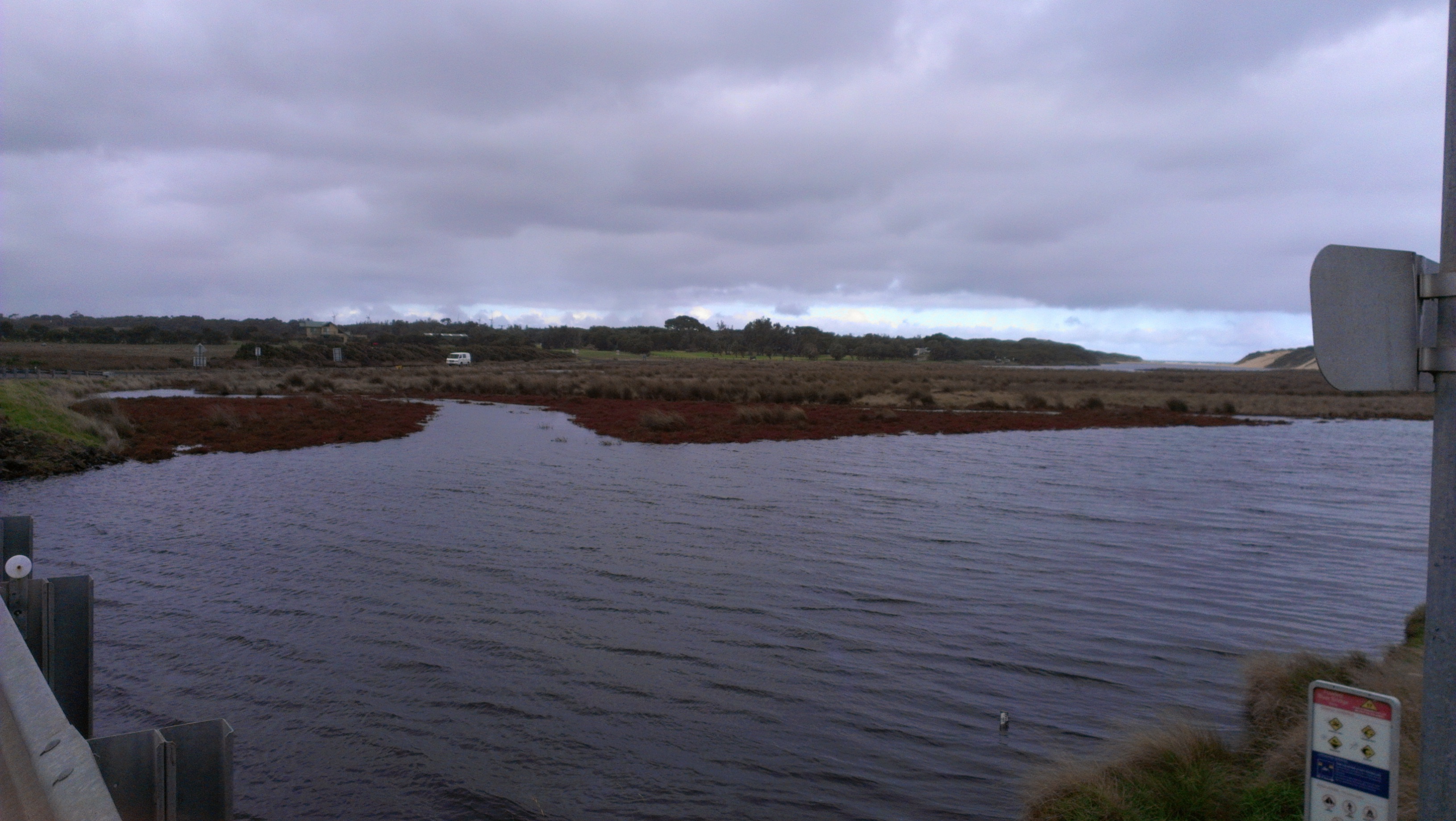
River very high.
Gauge board well below the surface of the water.
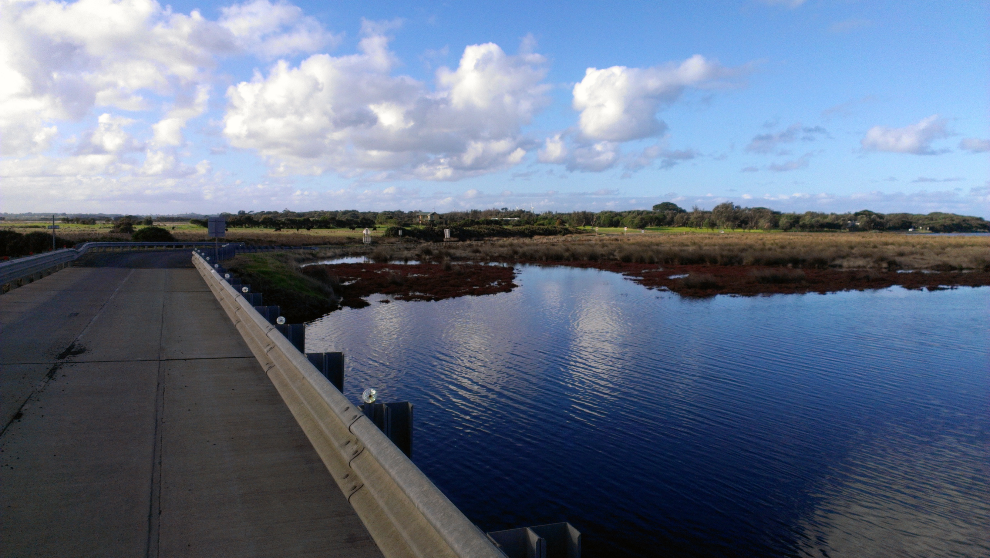
Large body of water covering crown land up stream from the car bridge.
|
|
Depth
|
Turb NTU
|
pH
|
Temp ° C
|
Salin ppt
|
D.O. mg/L
|
D.O. % sat
|
EC mS/cm
|
|
0.1m
|
8.0 |
7.8 |
9.20 |
12.20 |
10.52 |
100.0 |
20.40 |
|
5.0m
|
8.0 |
7.2 |
13.20 |
31.50 |
0.04 |
0.4 |
48.37 |
|
| #5150
|
8 Jun 2013
|
Approved |
|
|
Depth
|
Turb NTU
|
pH
|
Temp ° C
|
Salin ppt
|
D.O. mg/L
|
D.O. % sat
|
EC mS/cm
|
|
0.1m
|
|
|
9.70 |
12.50 |
7.80 |
74.0 |
20.84 |
|
5.0m
|
|
|
13.20 |
31.60 |
0.02 |
0.3 |
48.39 |
|
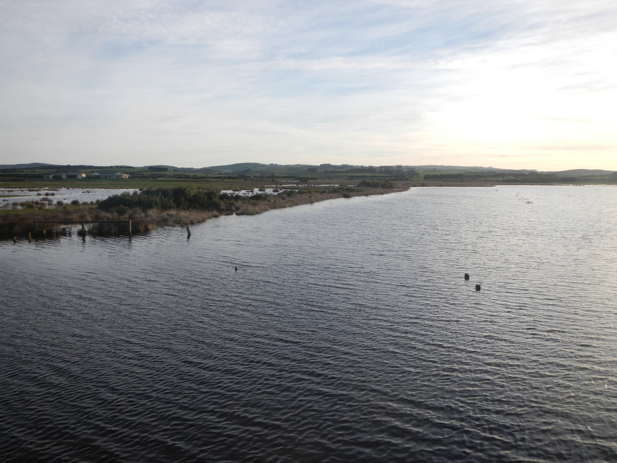
| #5147
|
2 Jun 2013
|
Approved |
Notes:
Very loud frog calling on Western side of Powlett channel.
Two varieties of Ibis present on property on Western side of the main channel, upstream of the Powlett River Bridge.
|
|
Depth
|
Turb NTU
|
pH
|
Temp ° C
|
Salin ppt
|
D.O. mg/L
|
D.O. % sat
|
EC mS/cm
|
|
0.1m
|
12.0 |
8.2 |
13.70 |
13.90 |
10.30 |
107.7 |
22.94 |
|
5.0m
|
12.0 |
7.6 |
13.20 |
31.70 |
0.16 |
2.1 |
48.60 |
|
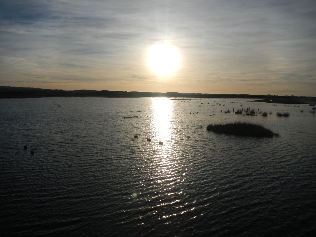
| #5145
|
27 May 2013
|
Approved |
Notes:
Frogs and birds inhabitating wetlands can be clearly heard from this site.
Black lines clearly visible from the top of the turbidity tube.
|
|
Depth
|
Turb NTU
|
pH
|
Temp ° C
|
Salin ppt
|
D.O. mg/L
|
D.O. % sat
|
EC mS/cm
|
|
0.1m
|
10.0 |
7.8 |
13.10 |
10.80 |
9.07 |
92.0 |
17.58 |
|
5.0m
|
10.0 |
7.4 |
13.00 |
31.80 |
1.13 |
12.6 |
48.74 |
|
| #5144
|
21 May 2013
|
Approved |
|
|
Depth
|
Turb NTU
|
pH
|
Temp ° C
|
Salin ppt
|
D.O. mg/L
|
D.O. % sat
|
EC mS/cm
|
|
0.1m
|
10.0 |
8.0 |
11.70 |
22.70 |
7.80 |
85.0 |
35.70 |
|
5.0m
|
10.0 |
7.8 |
12.90 |
31.90 |
3.06 |
34.4 |
48.80 |
|
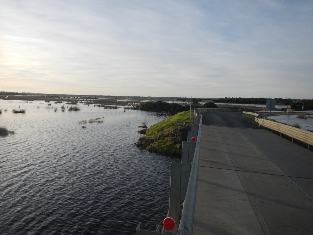
| #5138
|
18 May 2013
|
Approved |
Notes:
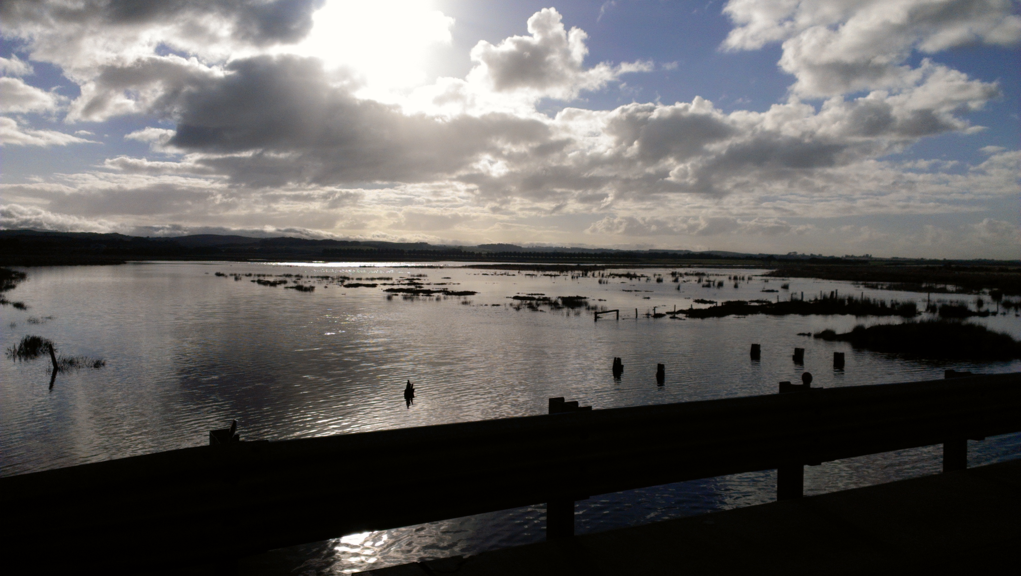
The river banks up stream from the bridge are covered in flood waters. Most of the conservation area is covered in water. The lower part of the carpark beside the bridge is being flooded.
|
|
Depth
|
Turb NTU
|
pH
|
Temp ° C
|
Salin ppt
|
D.O. mg/L
|
D.O. % sat
|
EC mS/cm
|
|
0.1m
|
9.0 |
7.7 |
11.80 |
30.60 |
7.65 |
87.0 |
47.20 |
|
4.5m
|
9.0 |
7.6 |
12.70 |
31.70 |
5.50 |
63.3 |
48.59 |
|
| #5141
|
17 May 2013
|
Approved |
Notes:
Gaugeboard reading: 1.895.
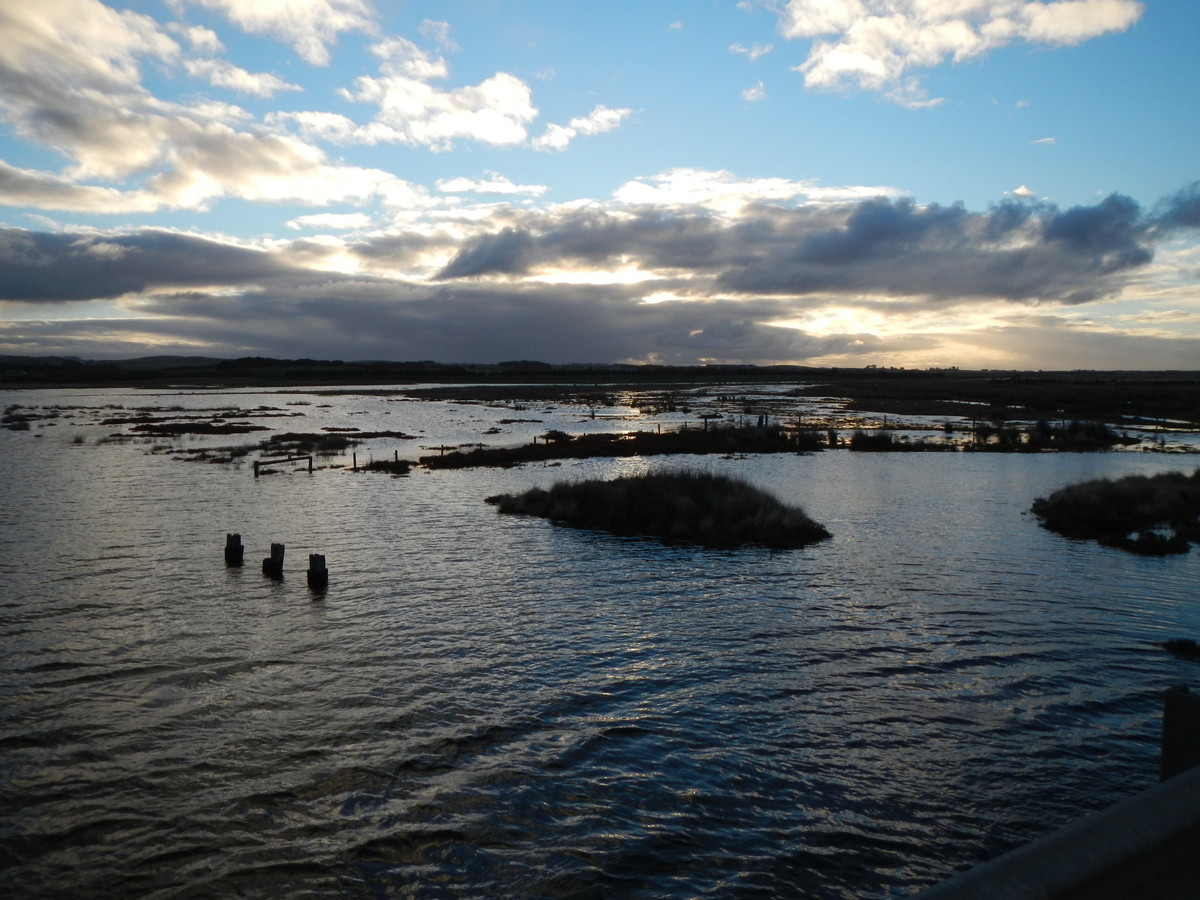
Flood plains covered
|
|
Depth
|
Turb NTU
|
pH
|
Temp ° C
|
Salin ppt
|
D.O. mg/L
|
D.O. % sat
|
EC mS/cm
|
|
0.1m
|
|
|
12.20 |
30.70 |
6.92 |
78.8 |
47.29 |
|
4.9m
|
|
|
12.50 |
31.80 |
5.00 |
54.0 |
48.77 |
|