EstuaryWatch Data Portal
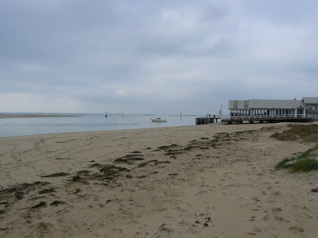
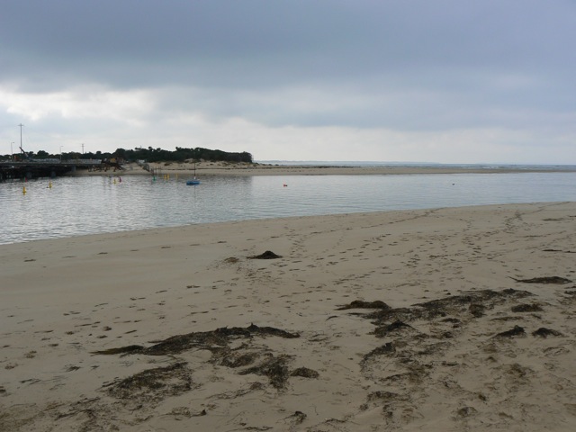
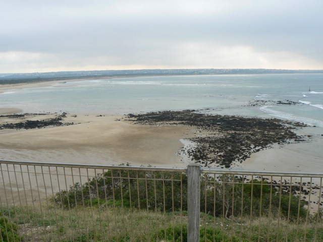
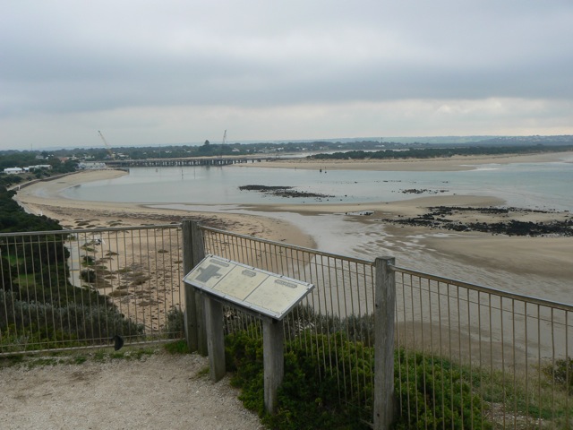
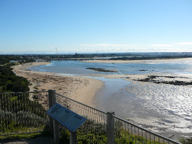
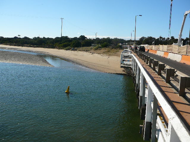
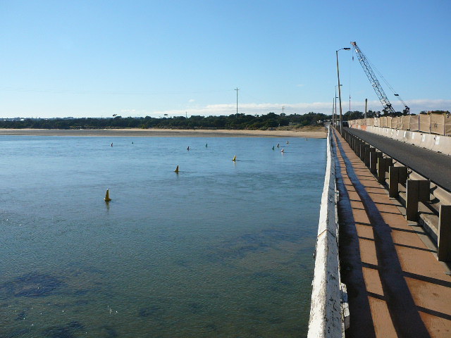
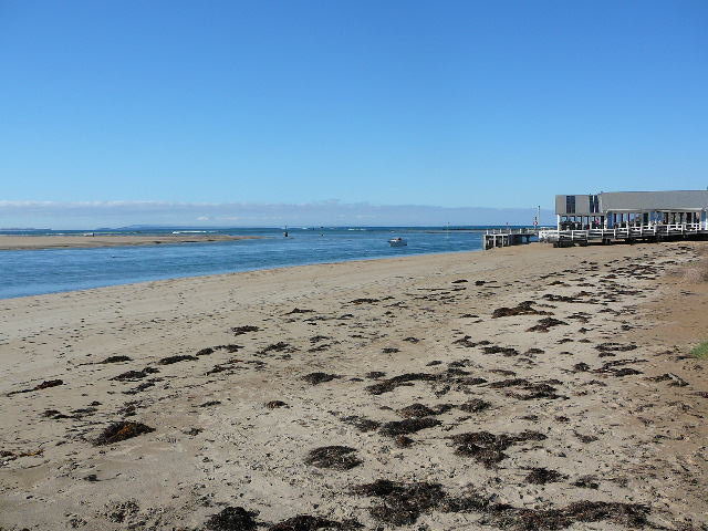
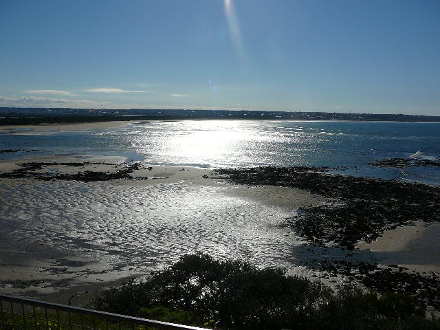
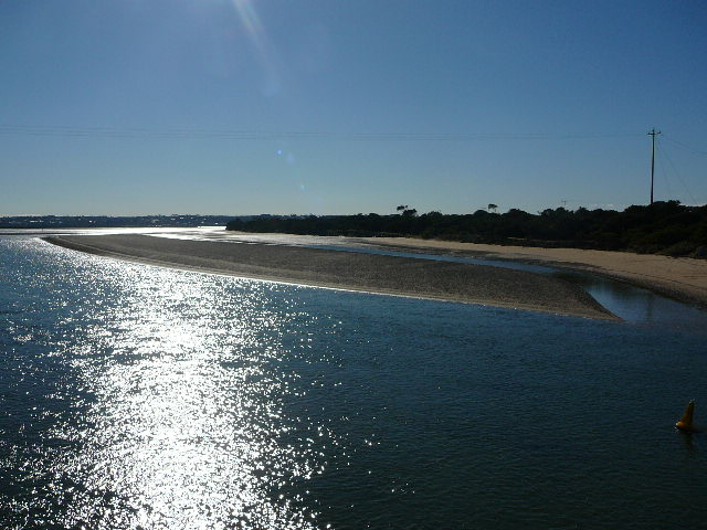
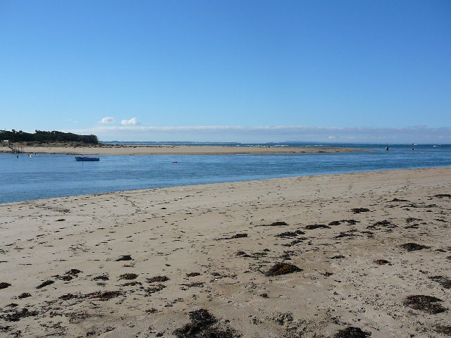
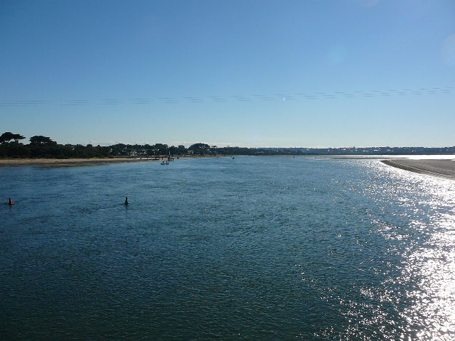
BMC Barwon River - Observation Site
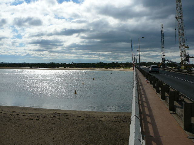
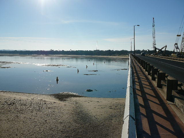
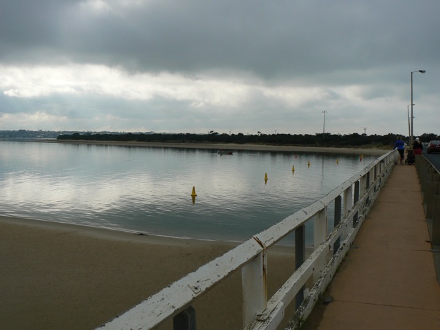
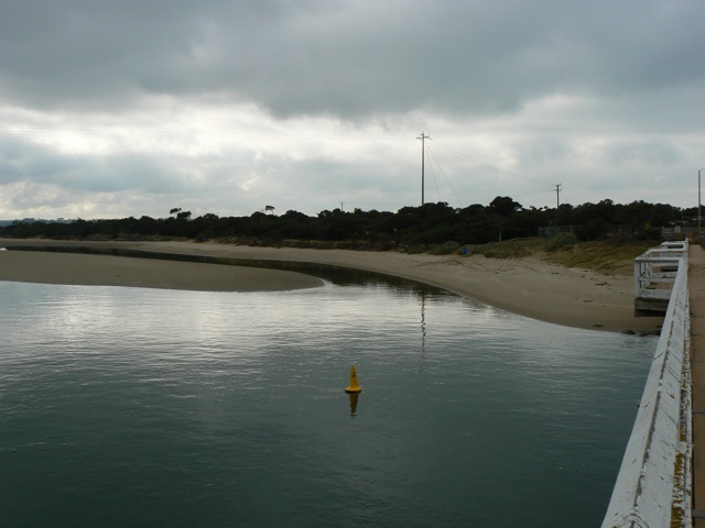
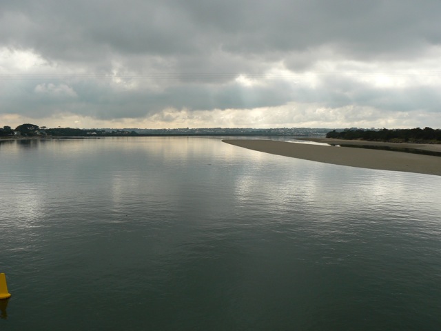
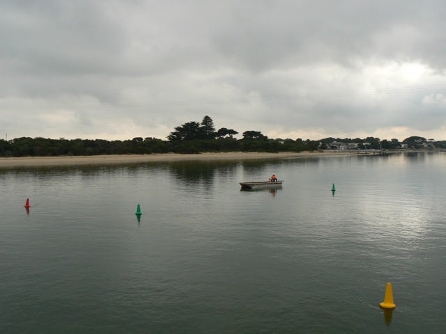
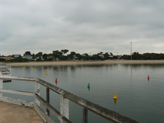
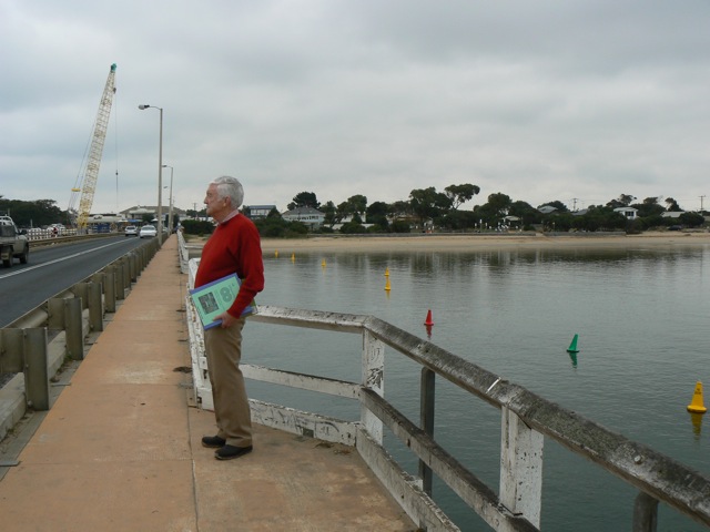
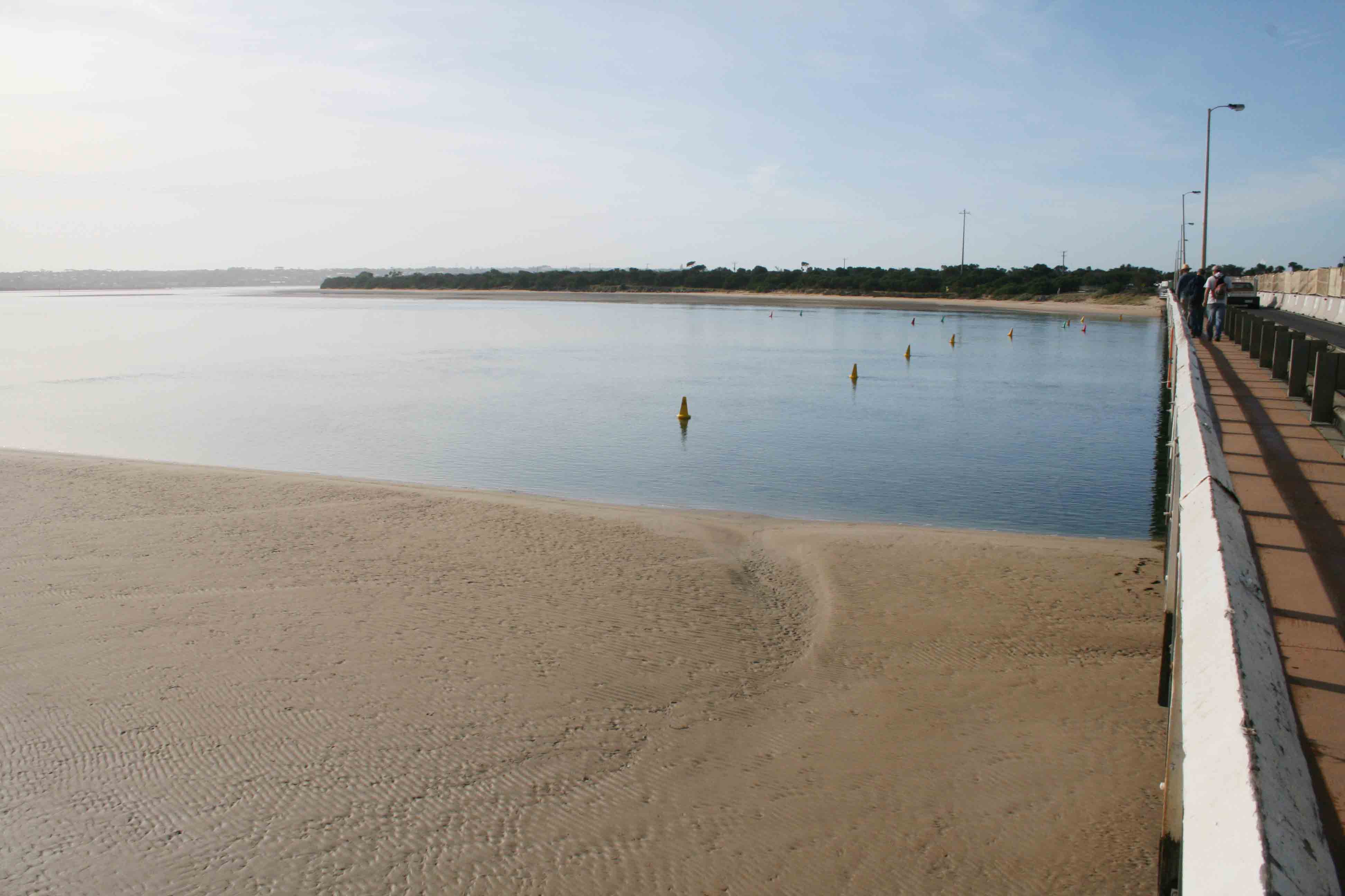
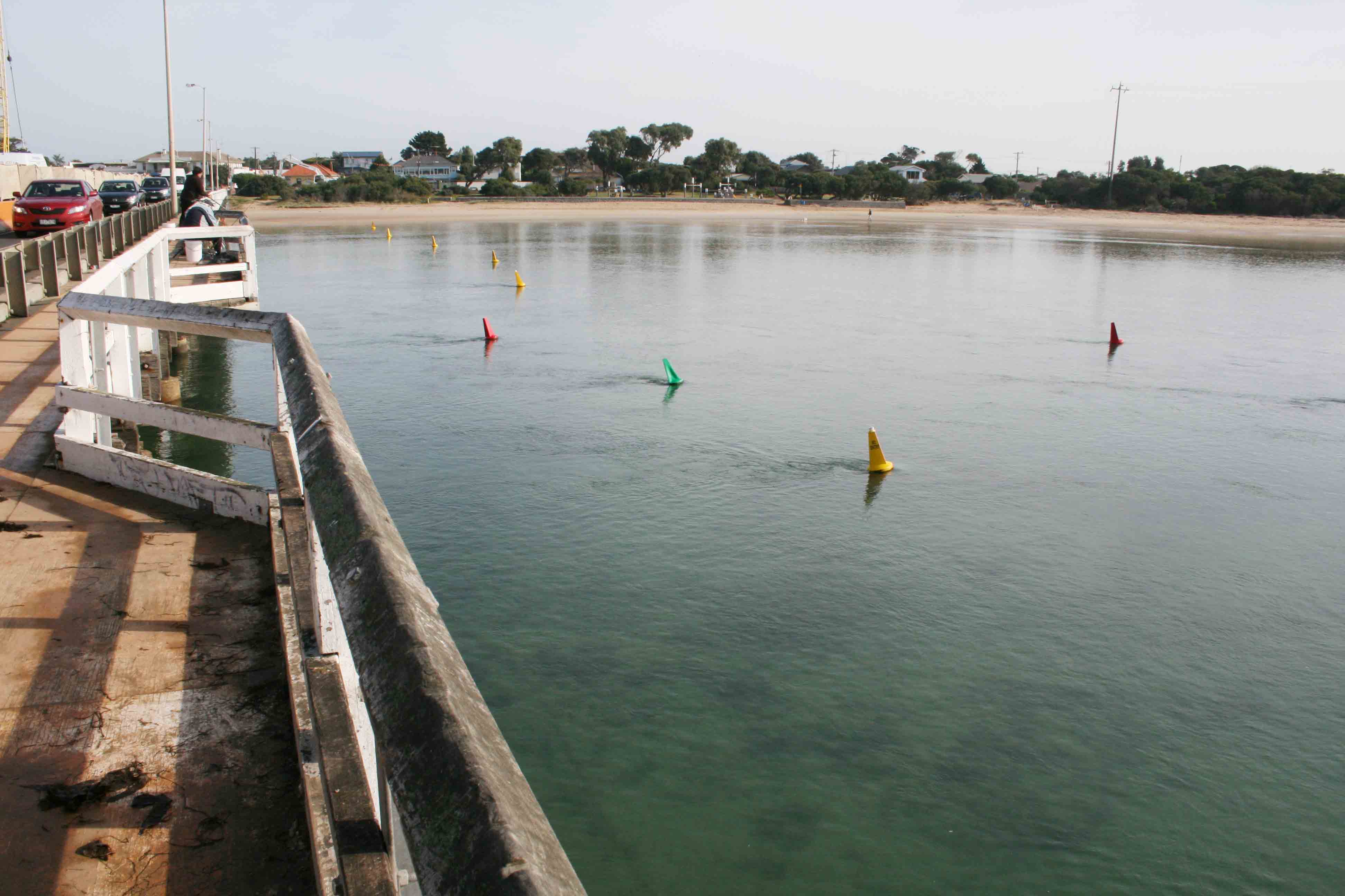
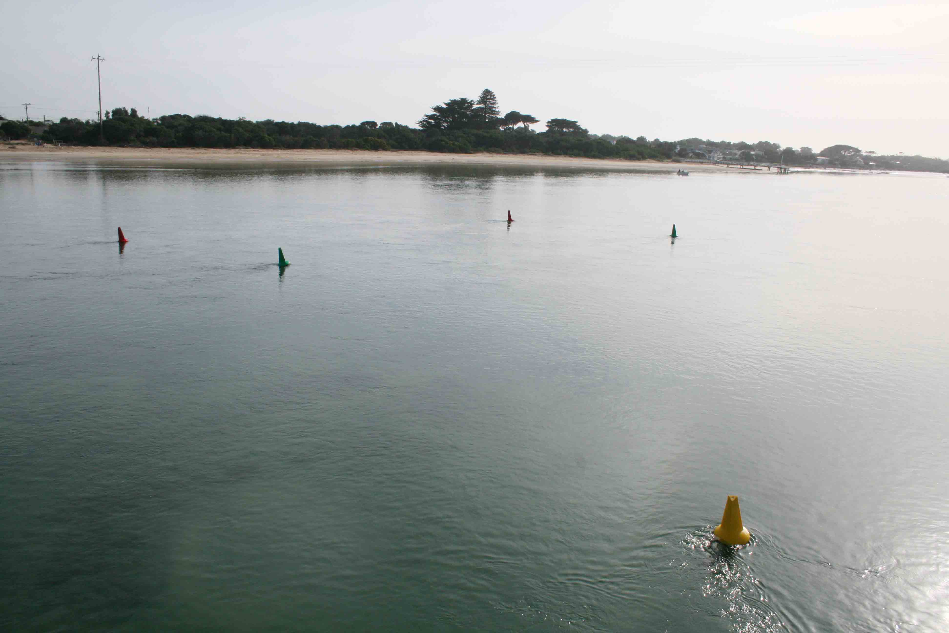
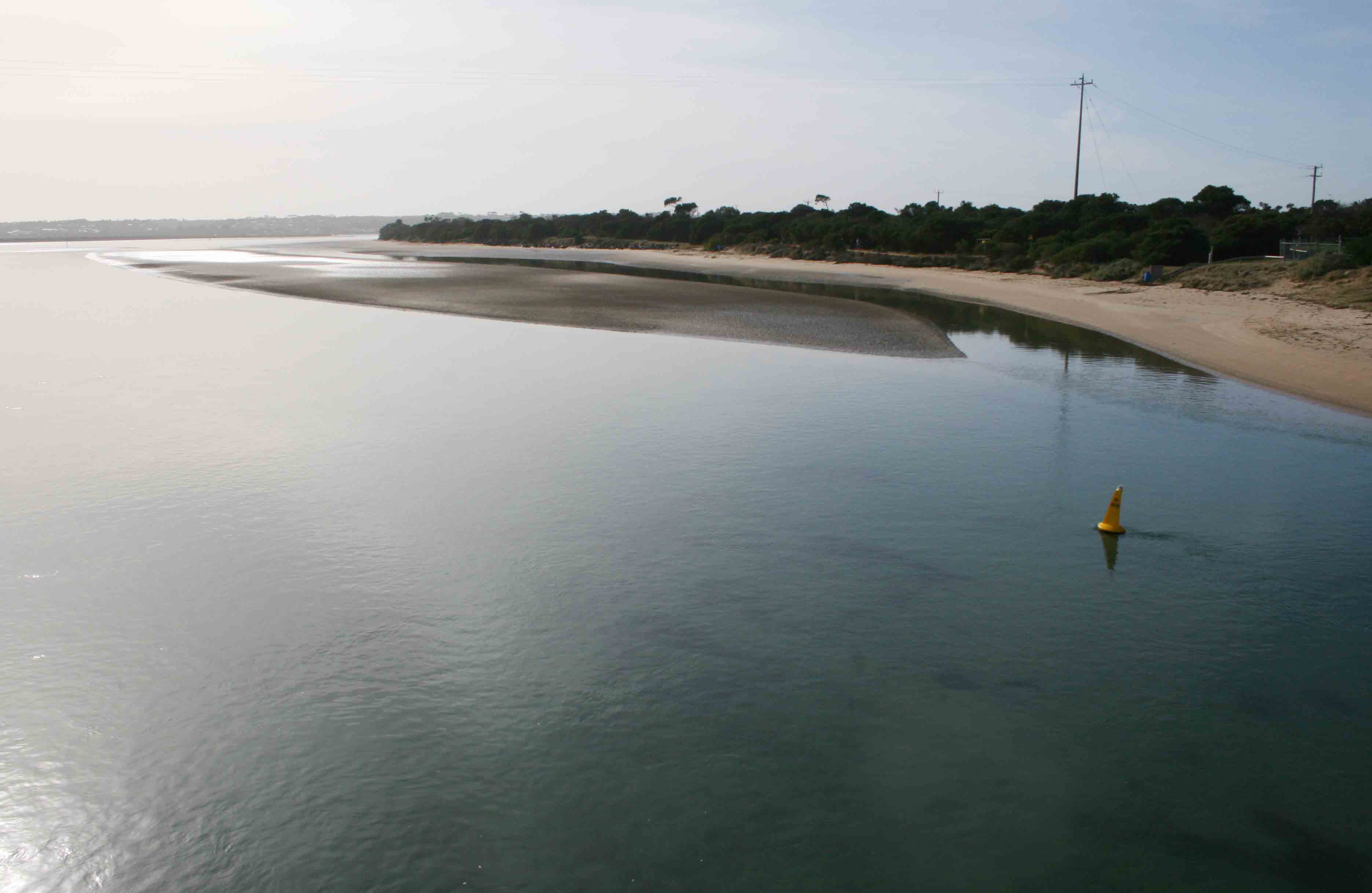
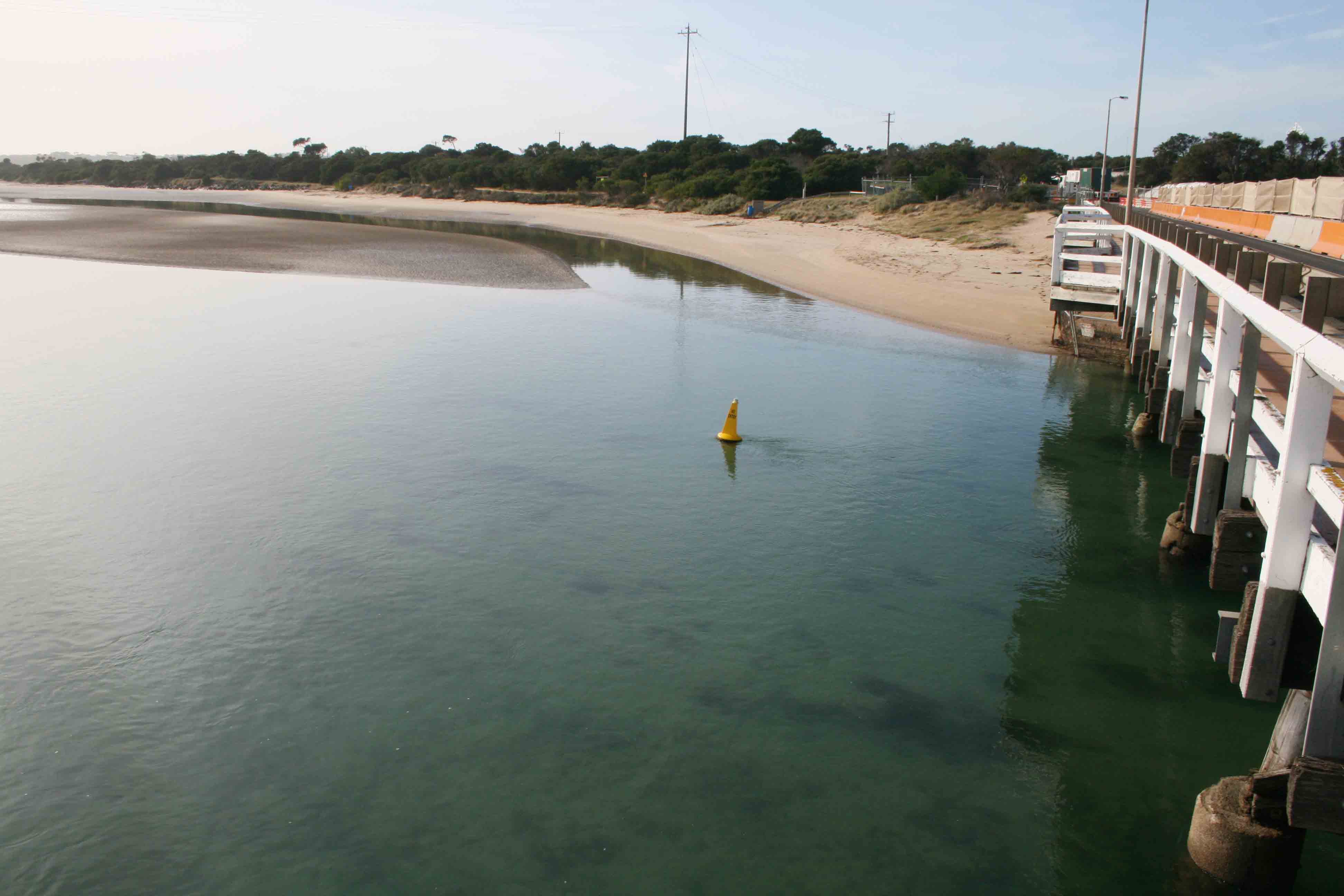
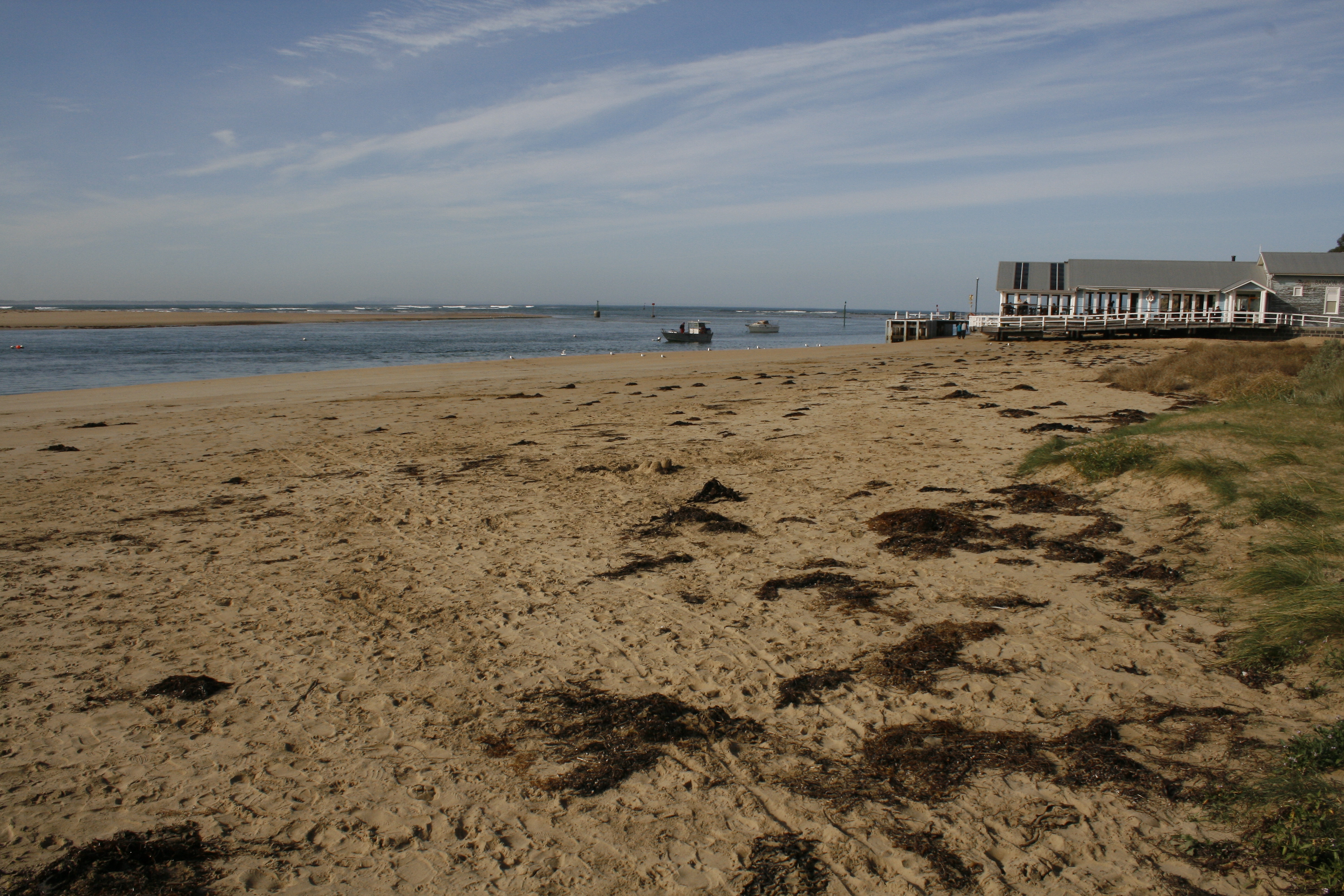
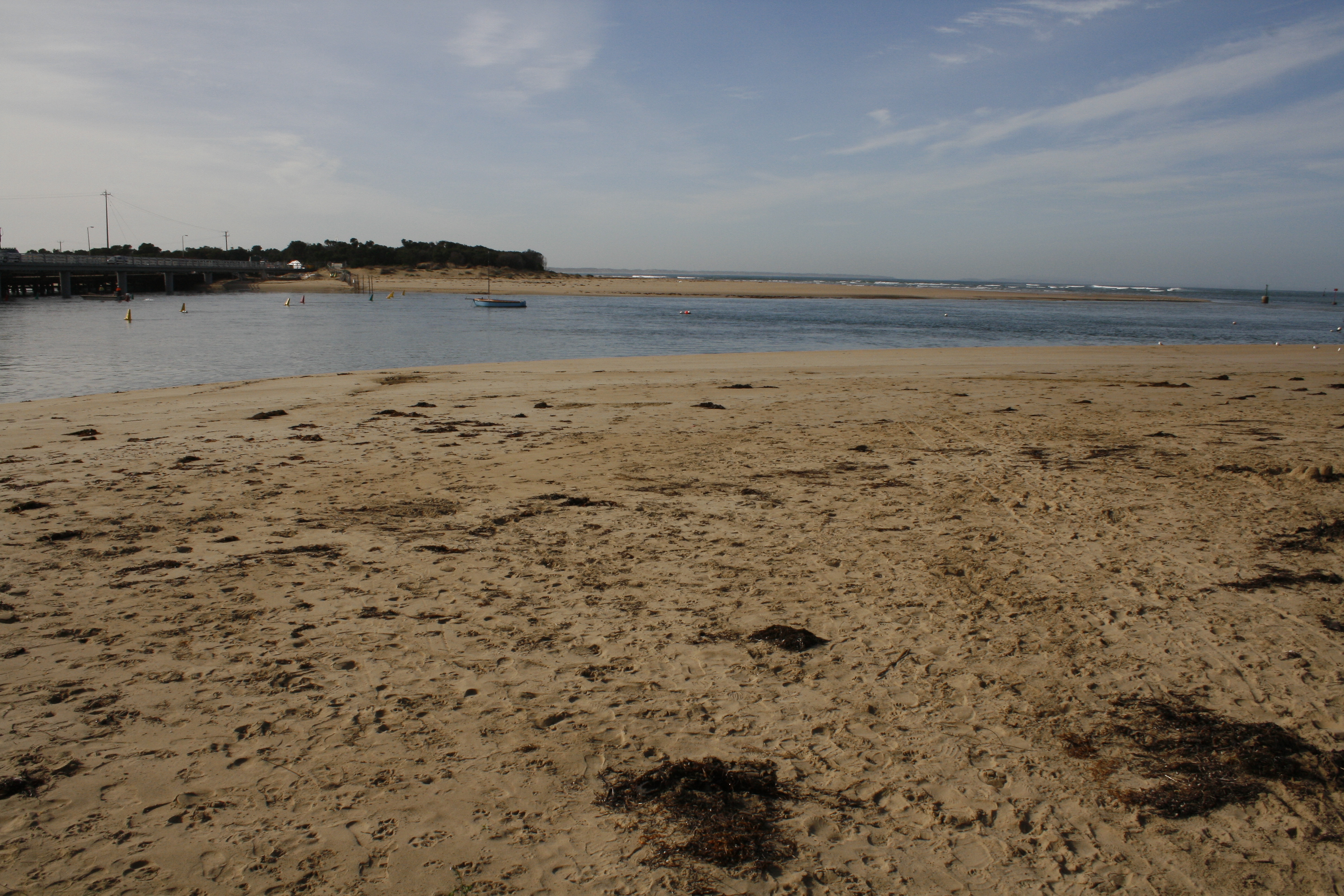
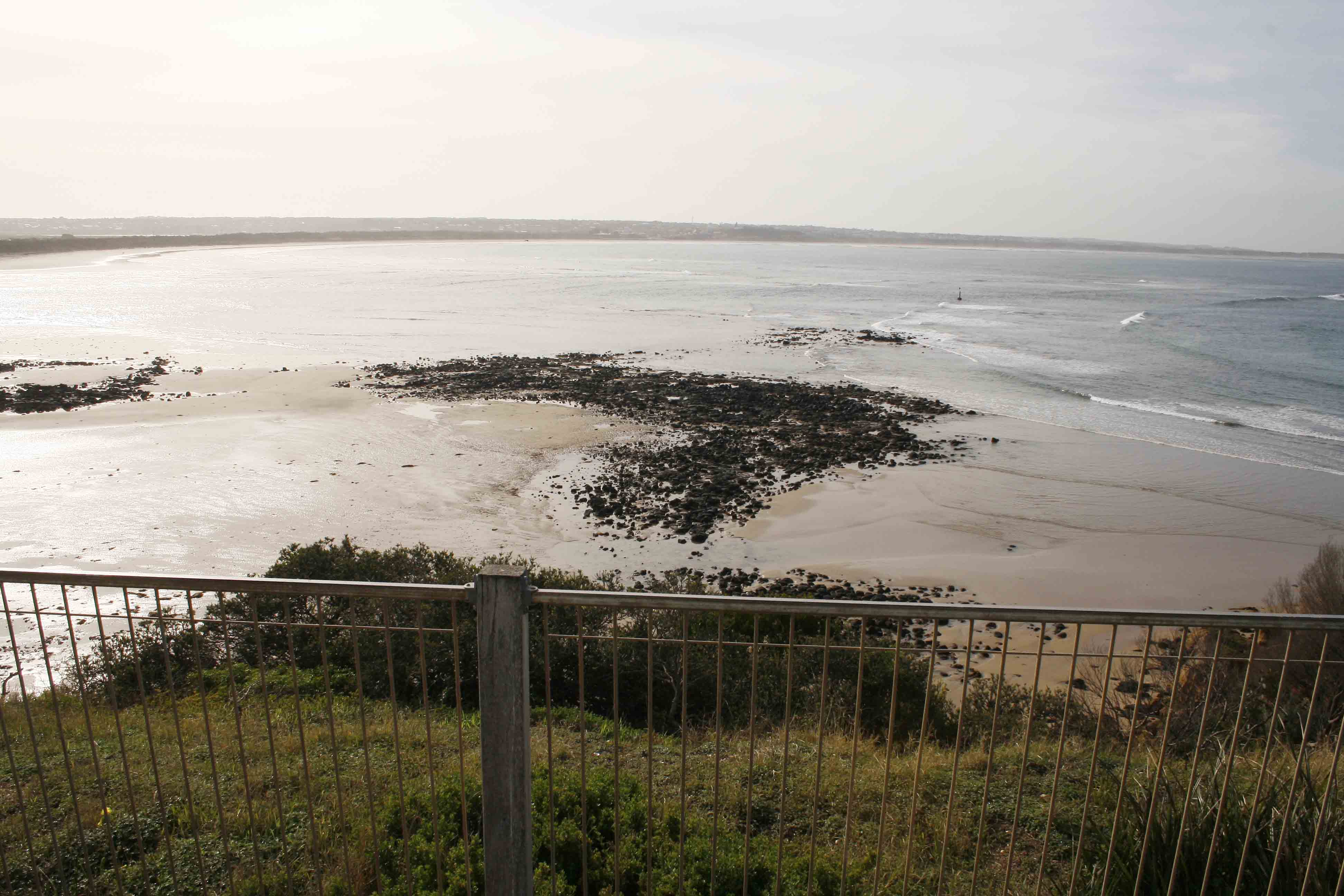
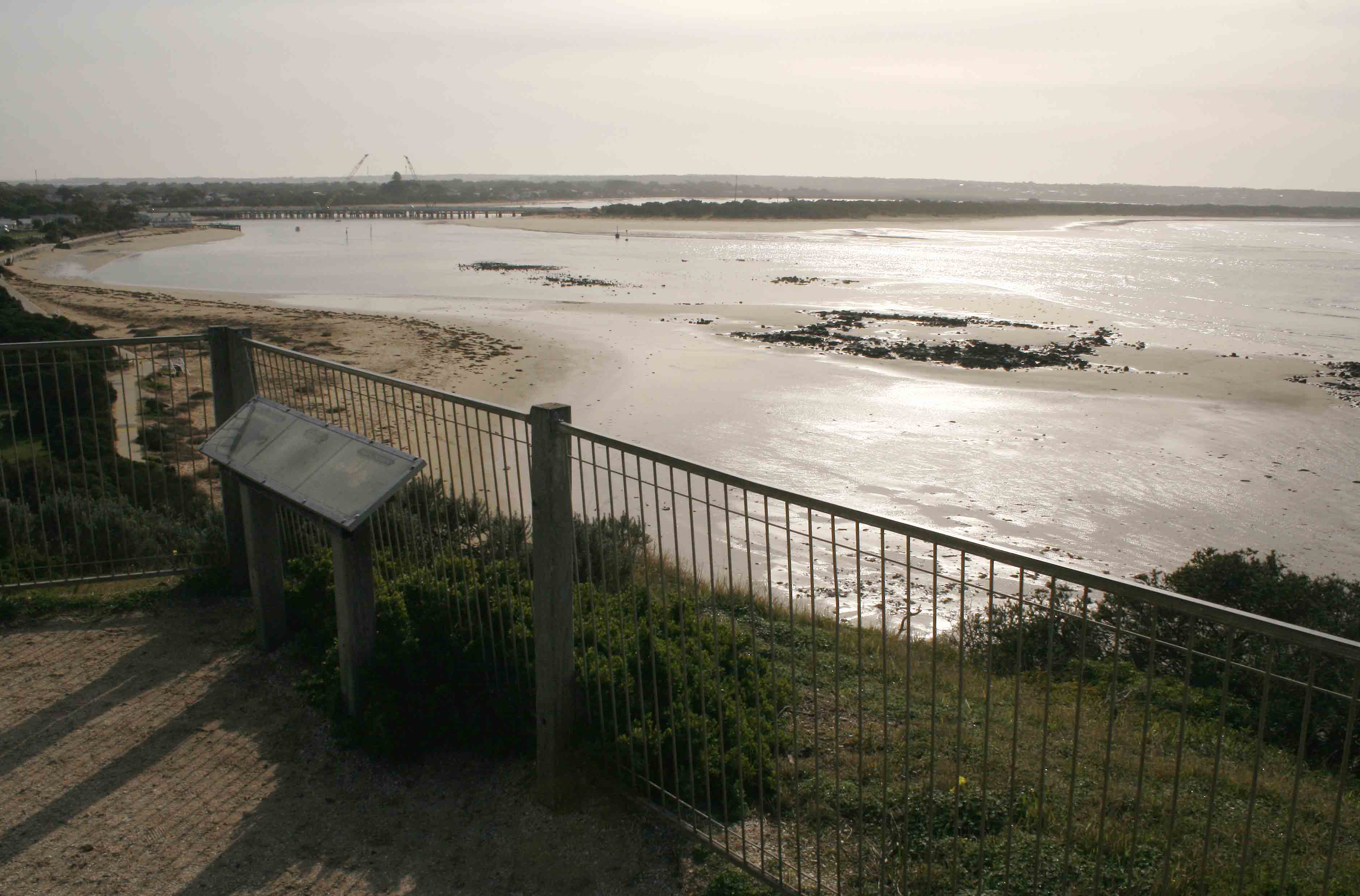
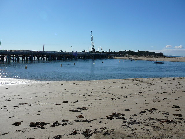
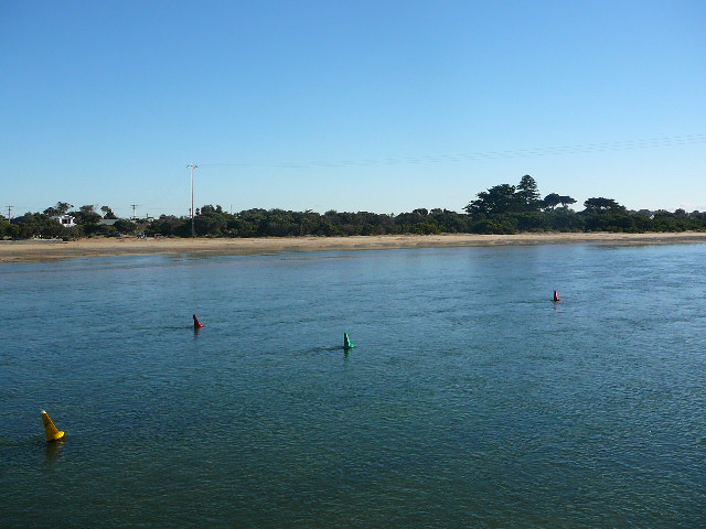
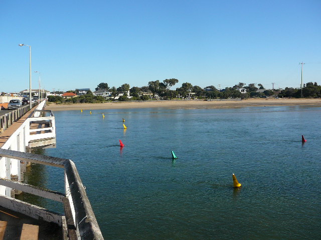
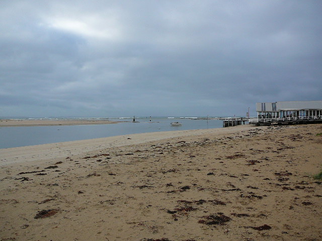
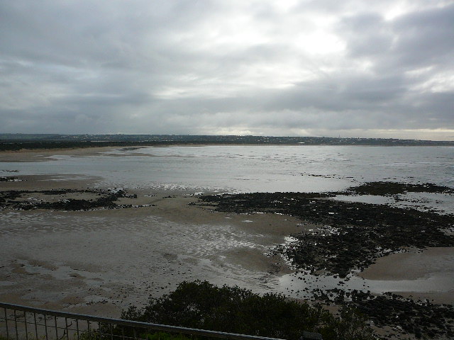
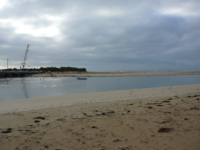
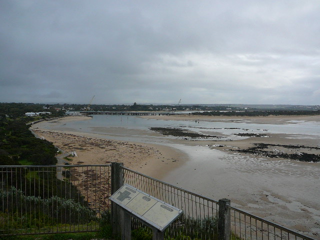
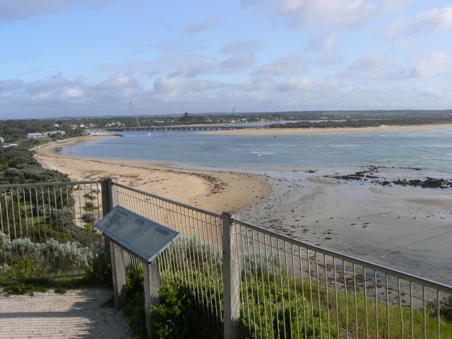
Active Mouth Condition 15-12-2007 - 17-04-2024Barwon River Estuary
236 results found (Displaying 11 - 20)
| ID | Date | Status | Details | |
|---|---|---|---|---|
| #3281 | 19 Mar 2010 | Approved | ||
| #3524 | 17 Apr 2010 | Approved | ||
| #3783 | 1 Jun 2010 | Approved | ||
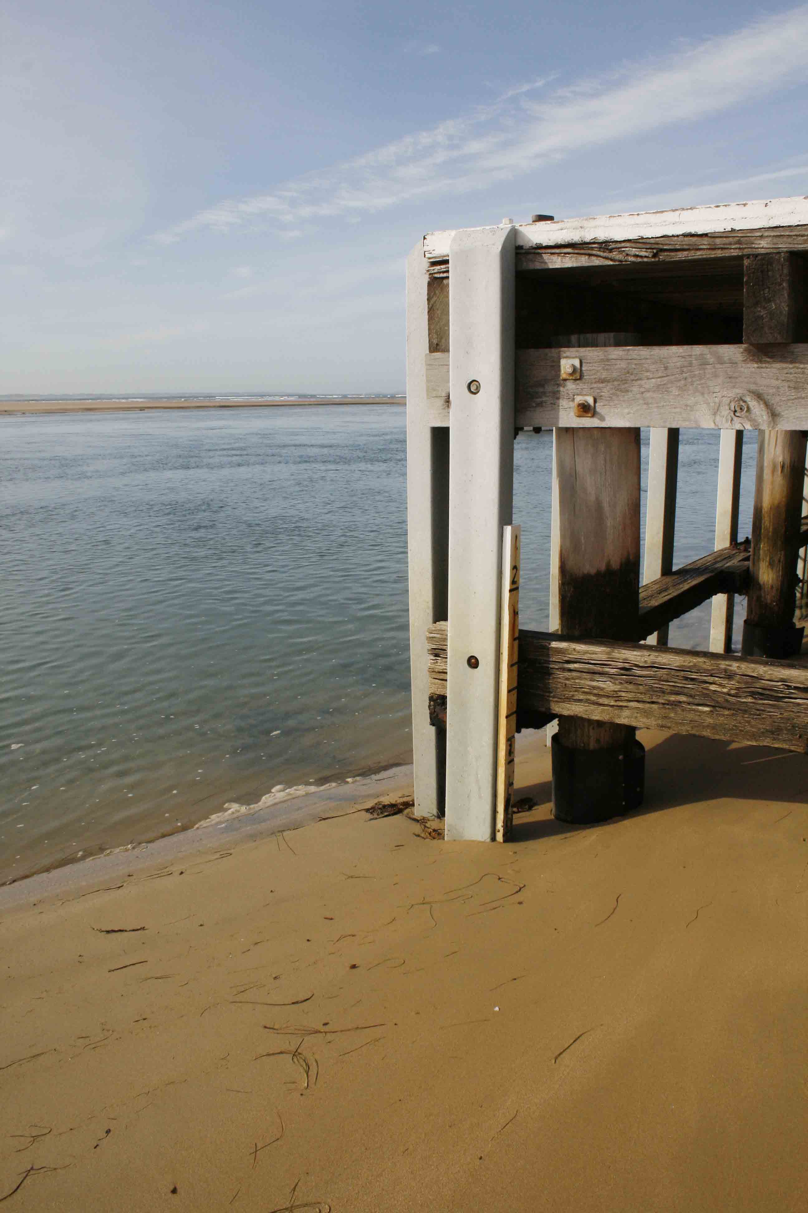
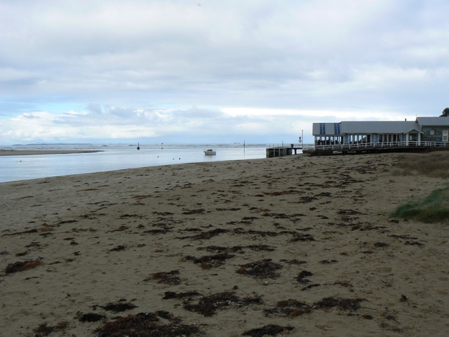
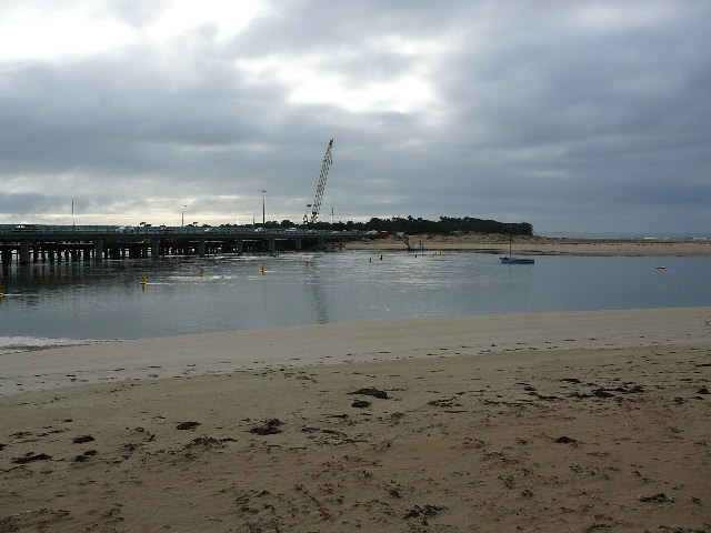
| #4441 | 22 Jun 2010 | Approved | Notes: Water level gauge board out of the water. | |
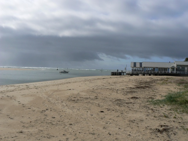
| #3804 | 1 Jul 2010 | Approved |
Notes:
Water level was below gauge board at start and finish. Wind stress on water surface made it appear that the tide direction was outward. |
|
| #4004 | 17 Jul 2010 | Approved | ||
| #4002 | 17 Jul 2010 | Approved | ||
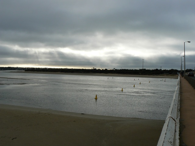
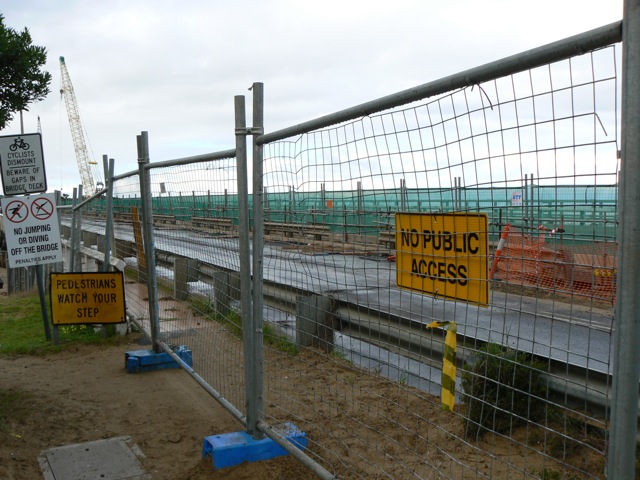
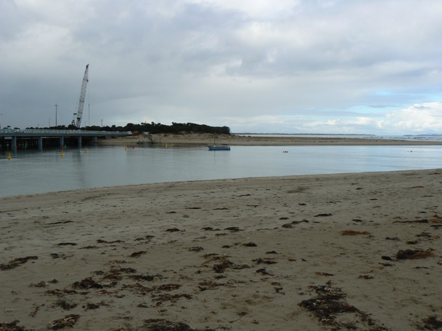
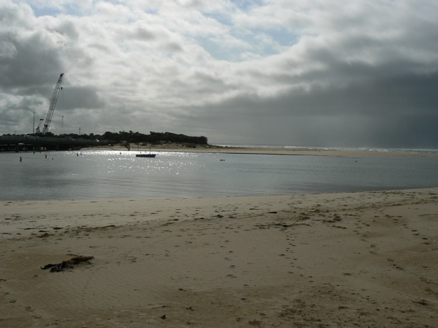
| #4181 | 6 Aug 2010 | Approved |
Notes:
Gaugeboard surrounded by sand at both start and finish. Bridgeworks prevented pedestrian access to Bp1 and Bp2, hence no images for those sites |
|
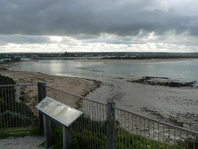
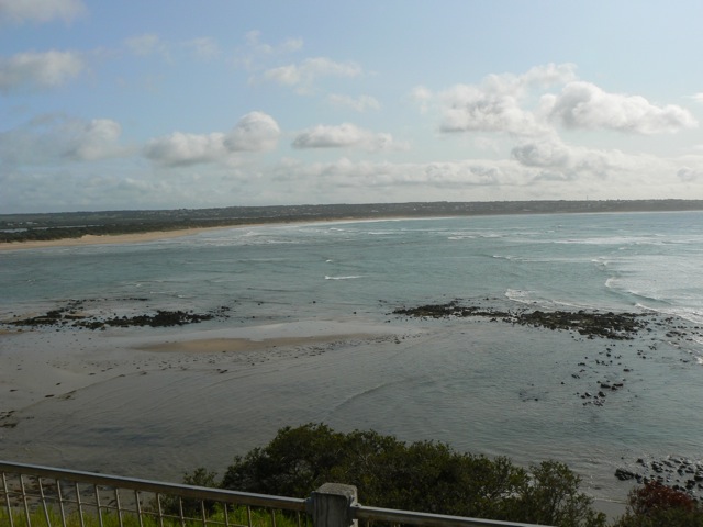
| #4201 | 13 Aug 2010 | Approved |
Notes:
Water level measurements not possible - sandbank covering scale to height of 1.0 m. Photopoints 1 and 2 not accessable due to bridge construction. |
|
| #4542 | 8 Oct 2010 | Approved |
Notes:
Bp1 and Bp2 remain inaccessible due to bridge works Gauge board near Sheepwash Rd corner used, but at the start of observations, it was still above the water level, although it was approximately 3 hours since the time of low tide. Nankeen kestrel seen at mouth. Australian Pelicans, Great Egrets, Royal Spoonbills and various cormorants seen at Sheepwash Rd site |
|


All content, files, data and images provided by the EstuaryWatch Data Portal and Gallery are subject to a Creative Commons Attribution License
Content is made available to be used in any way, and should always attribute EstuaryWatch and www.estuarywatch.org.au