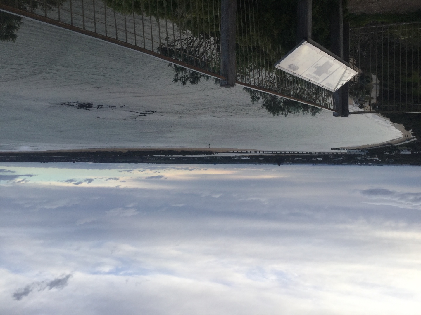
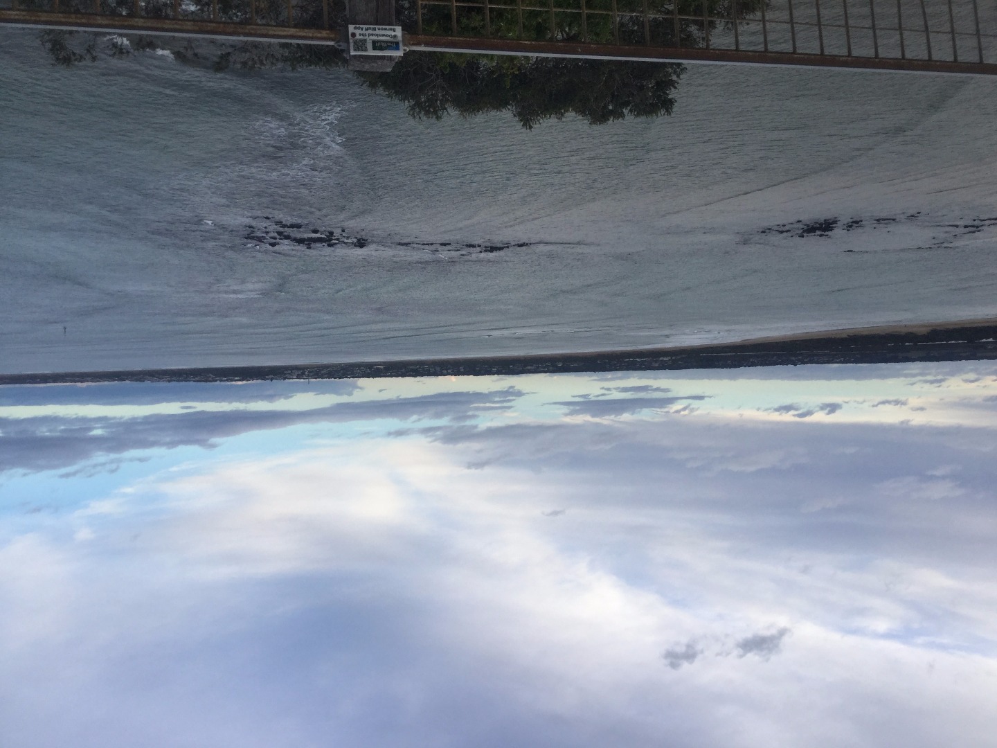
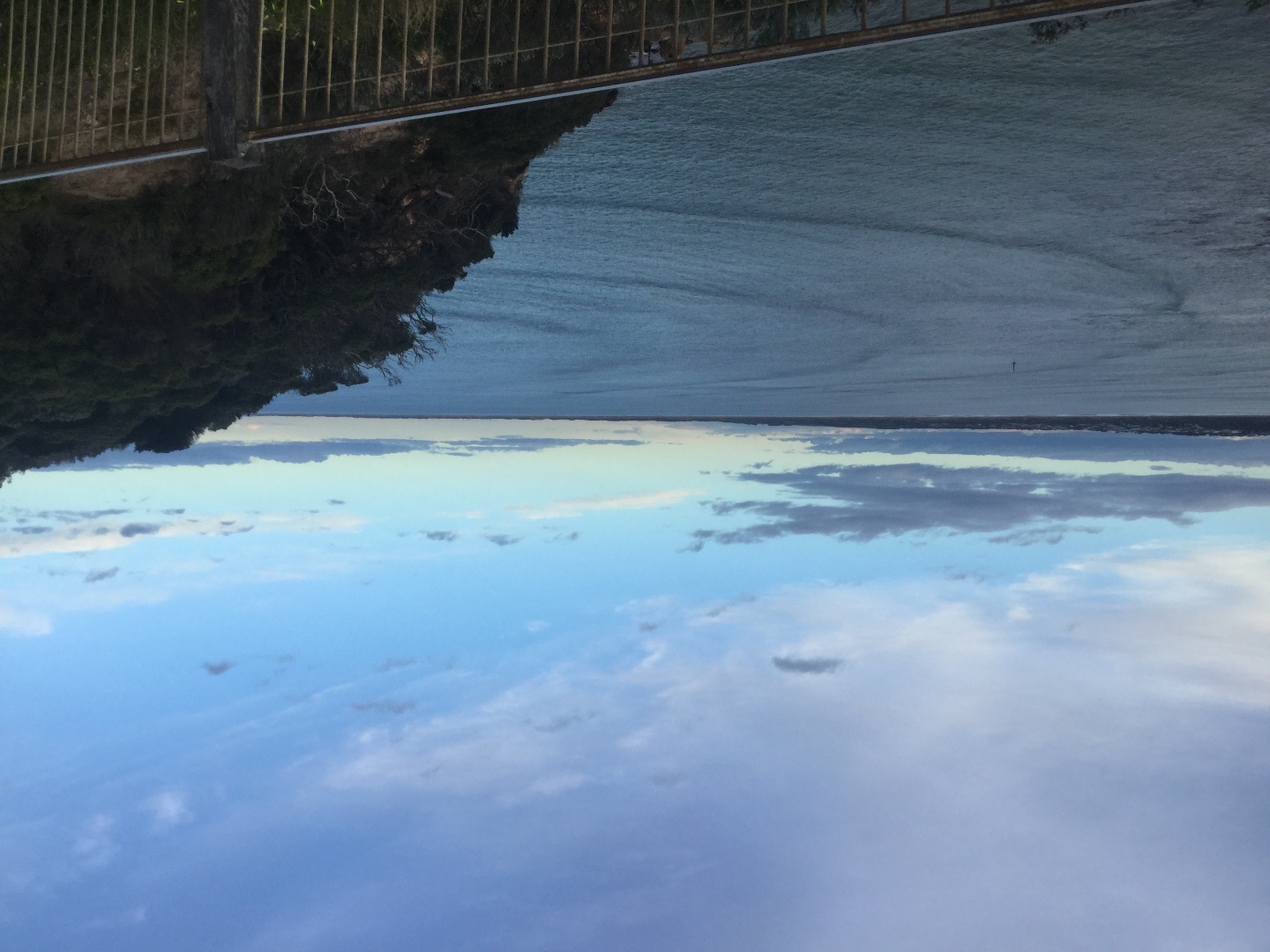
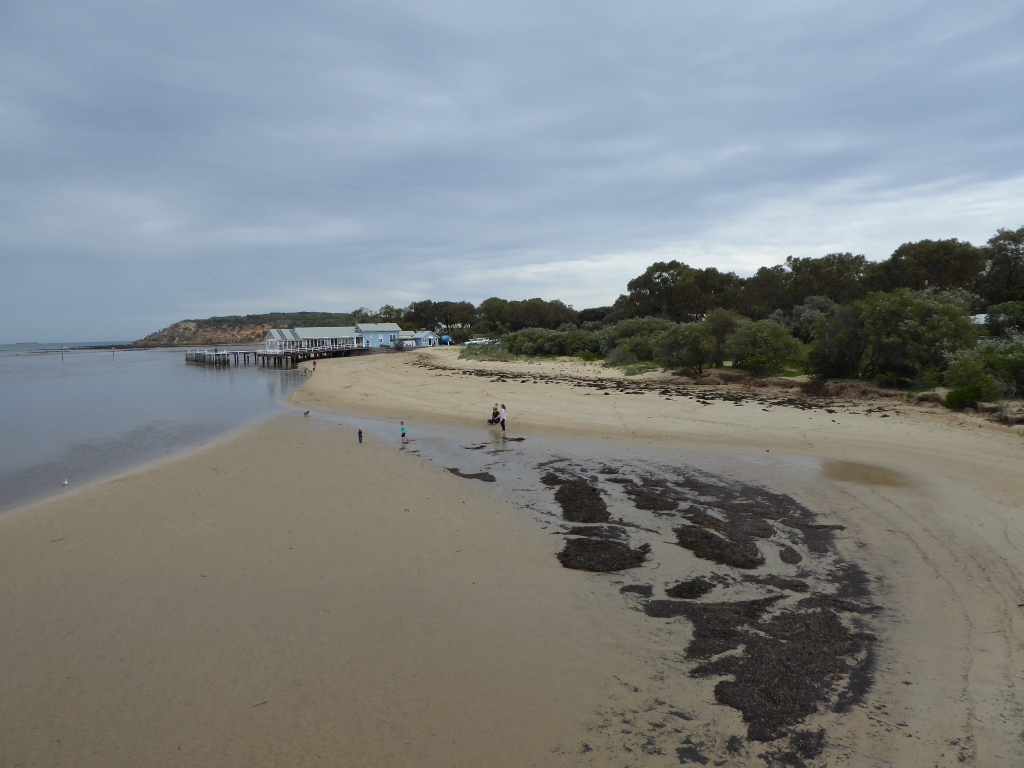
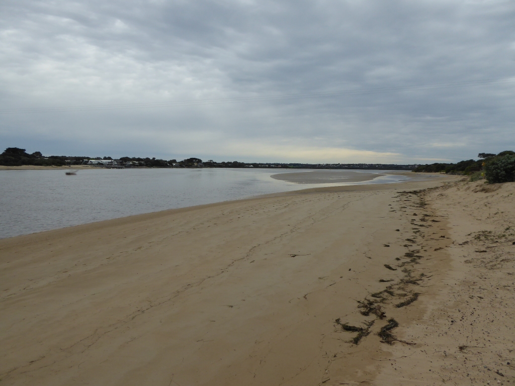
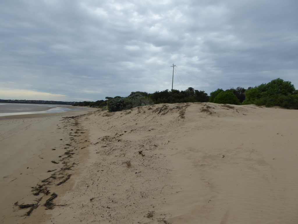
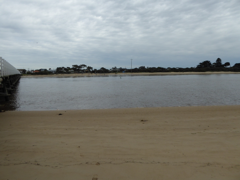
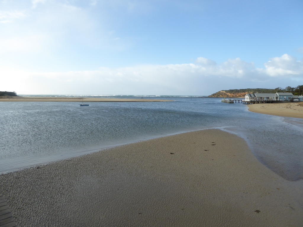
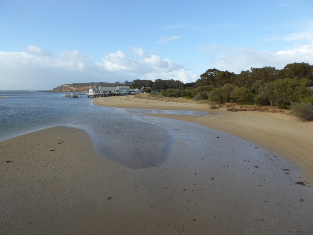
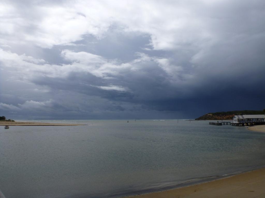
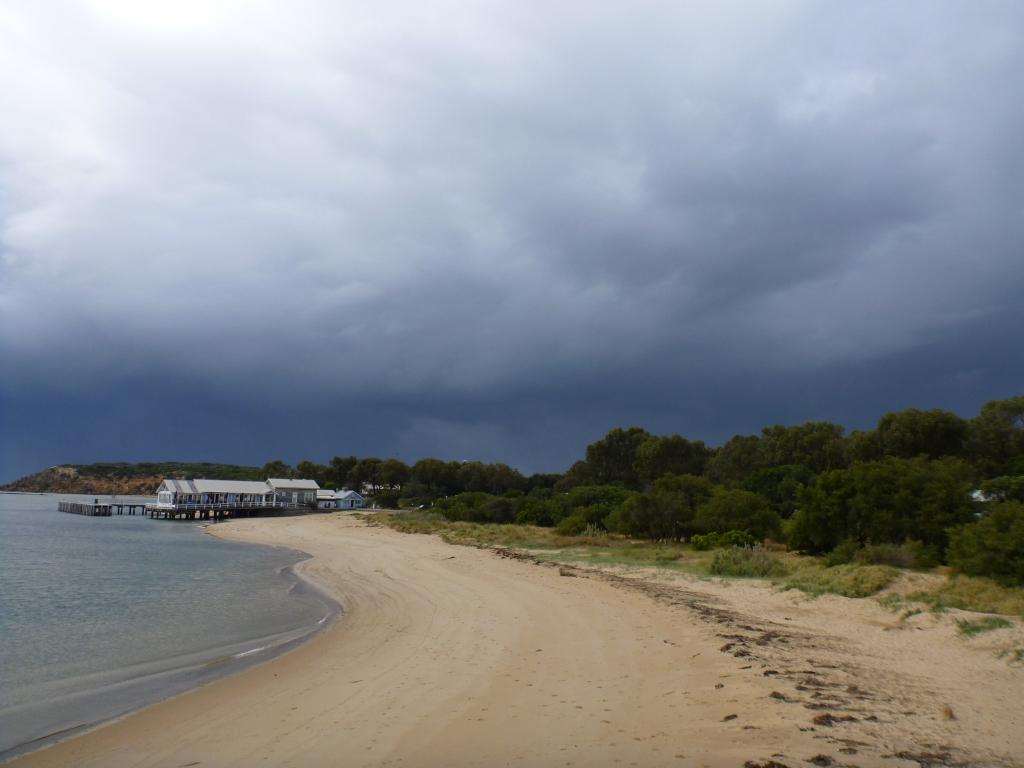
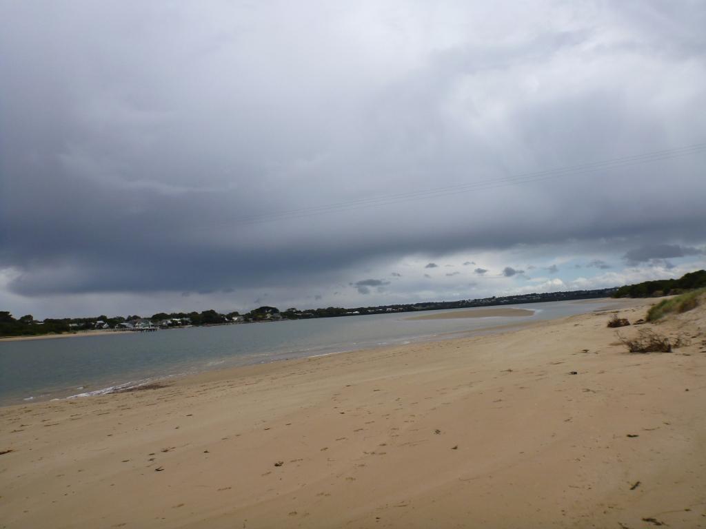
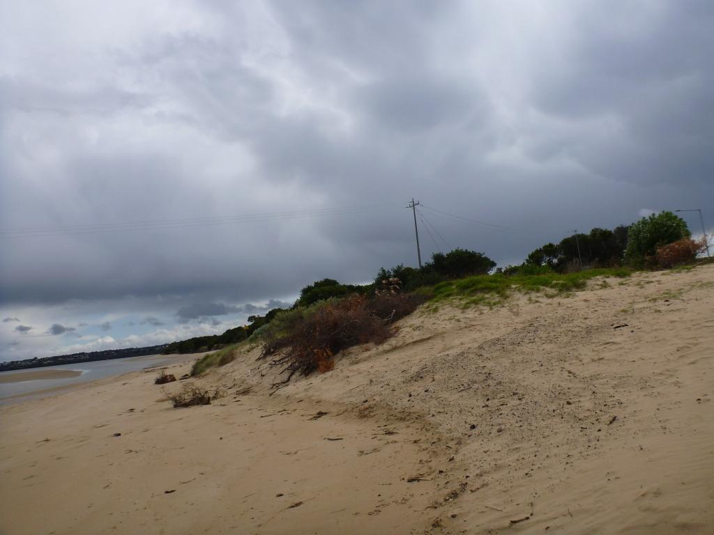
EstuaryWatch Data Portal
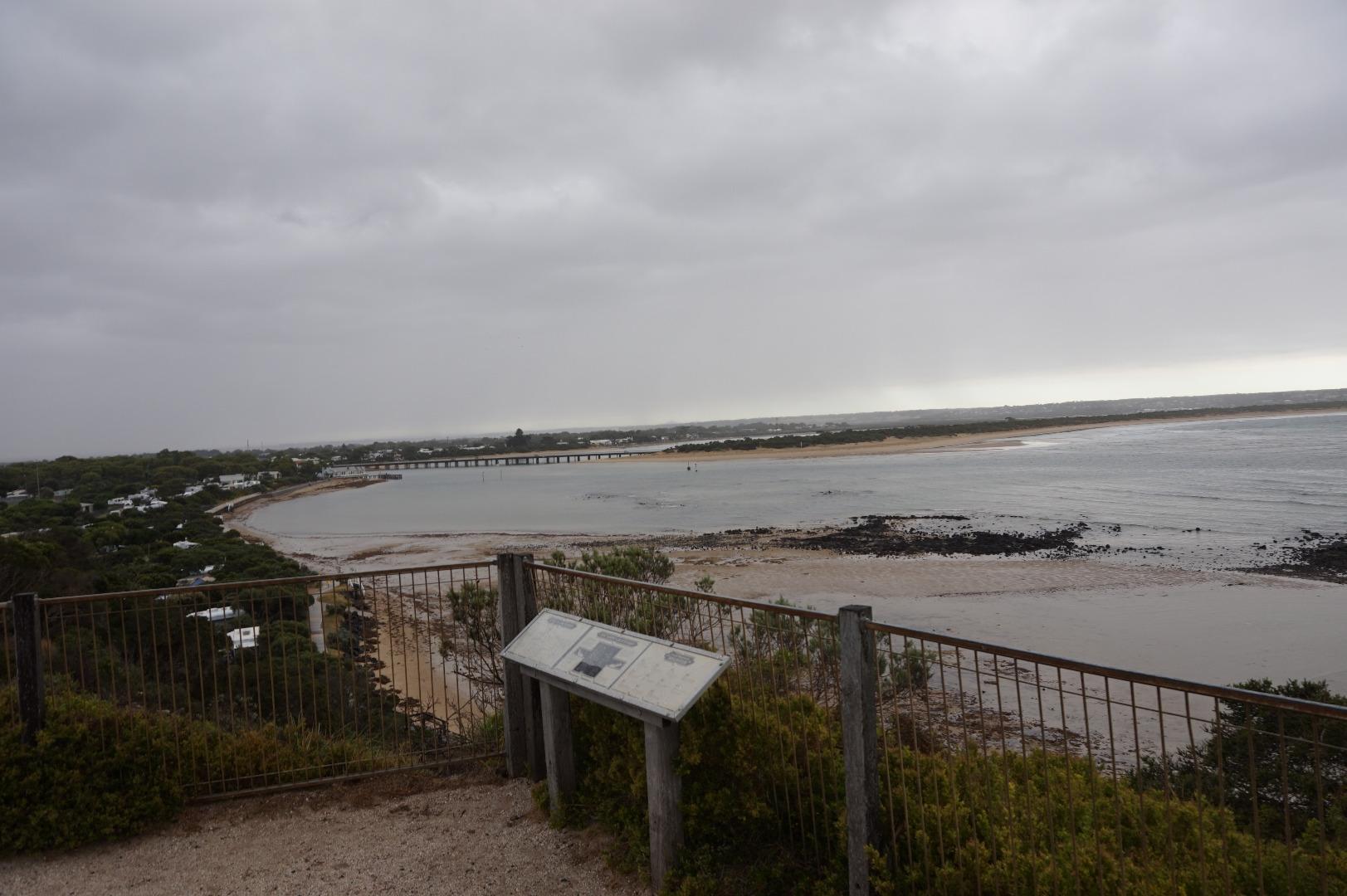
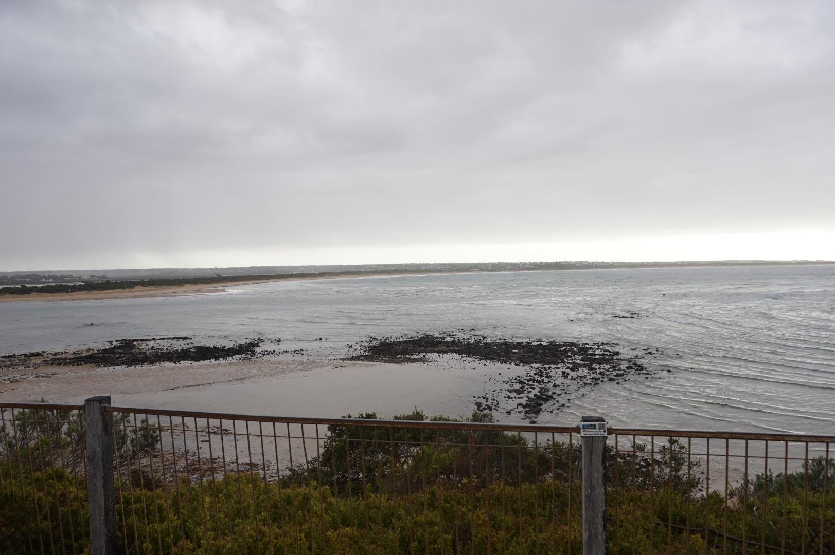
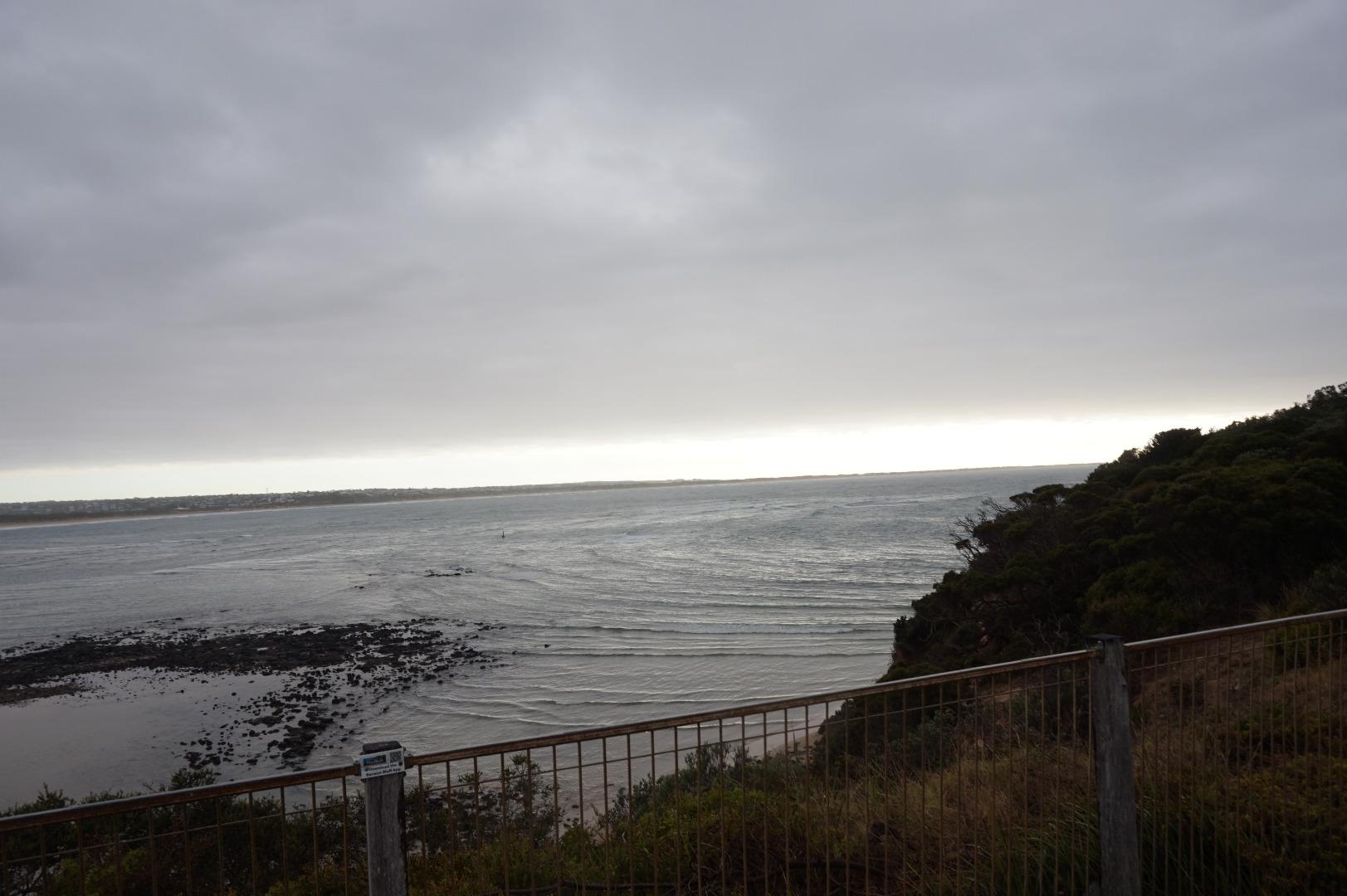
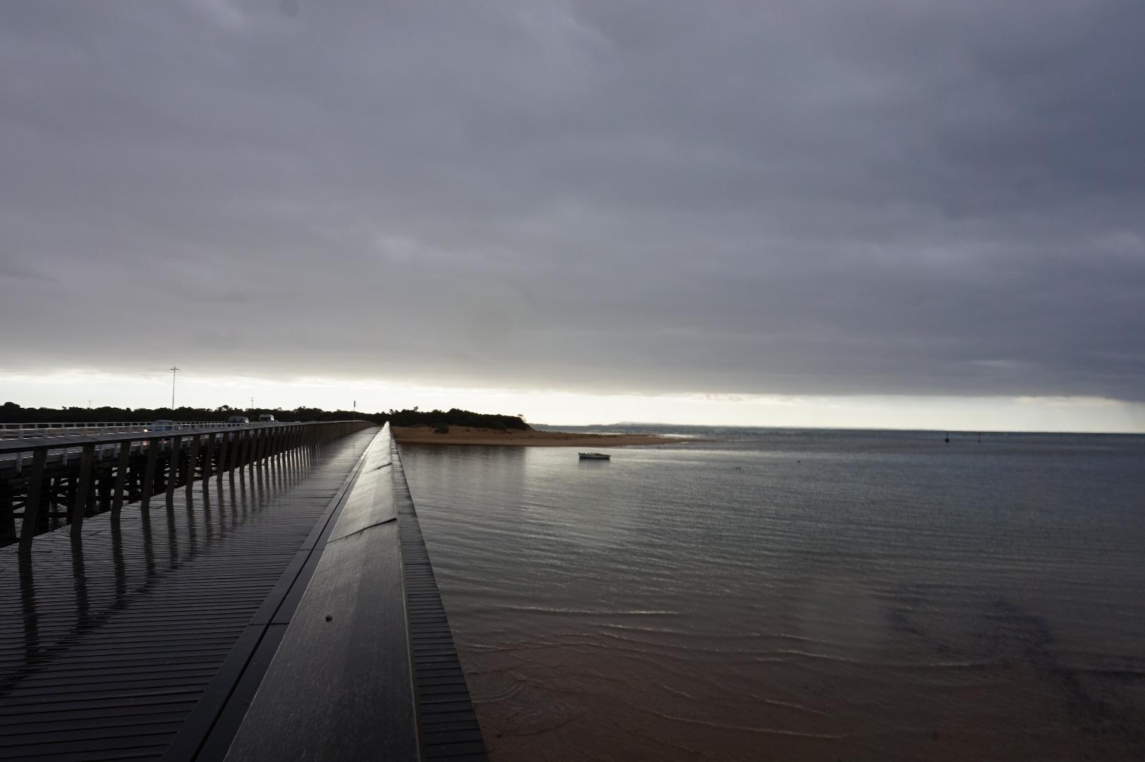
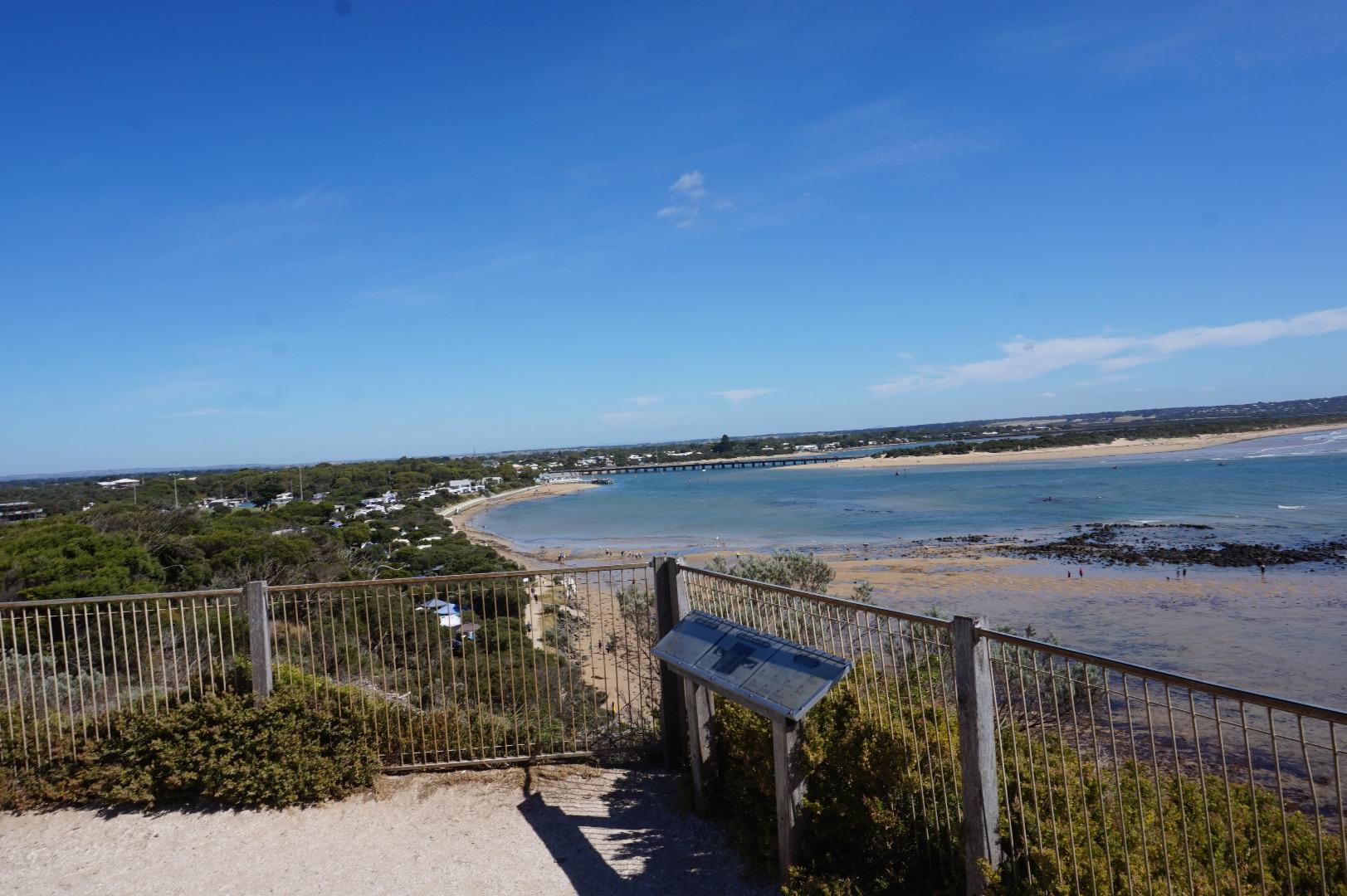
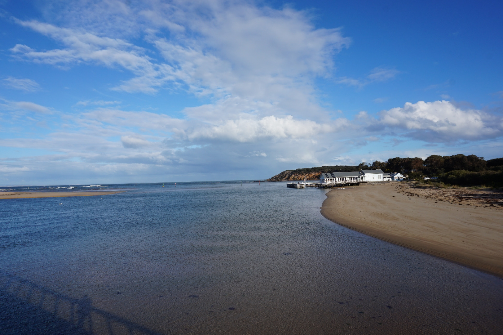
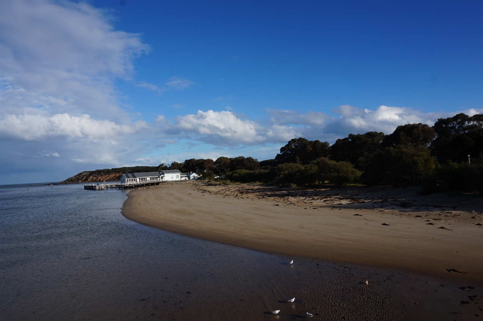
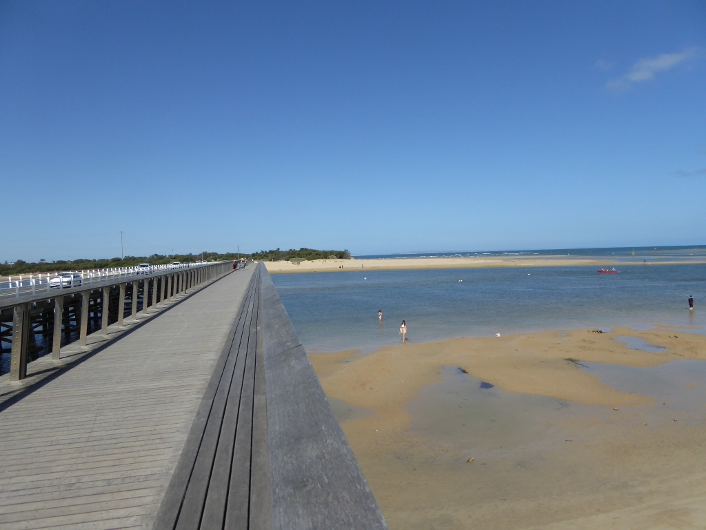
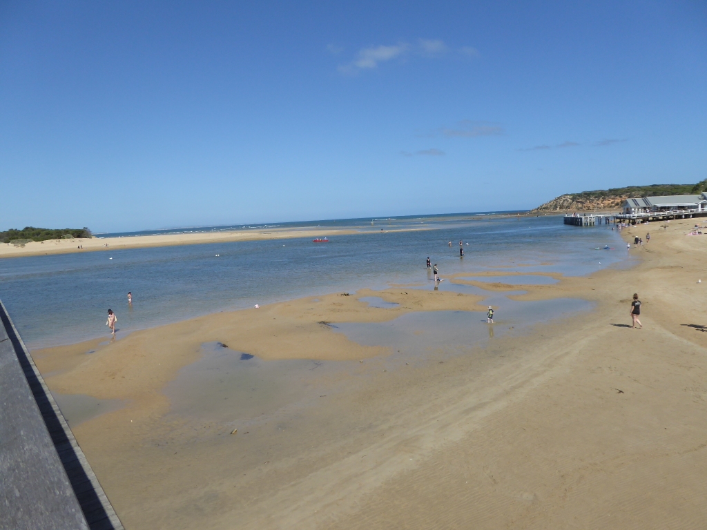
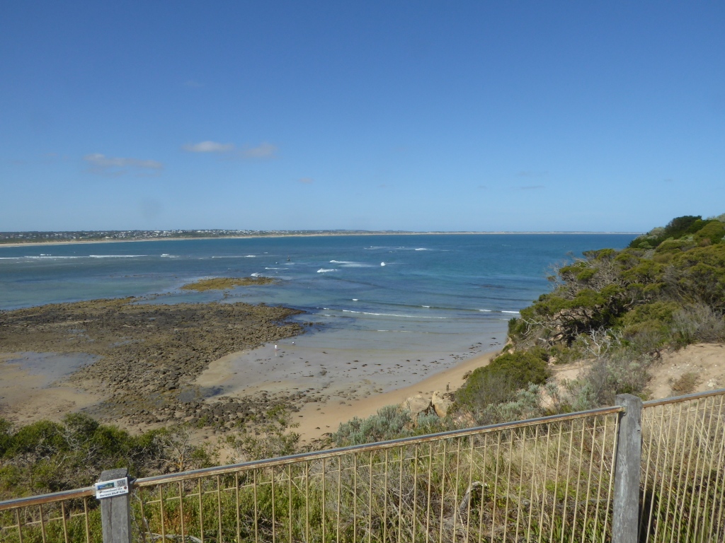
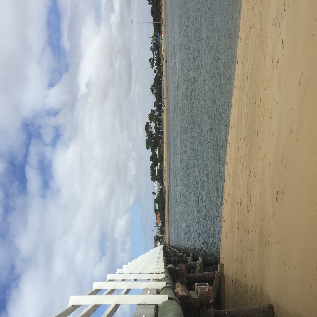
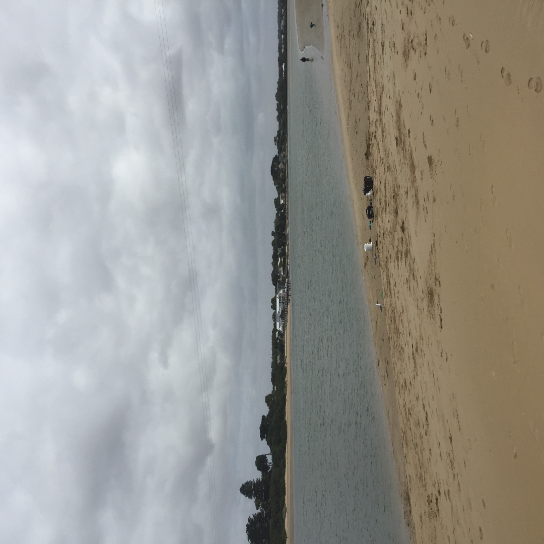
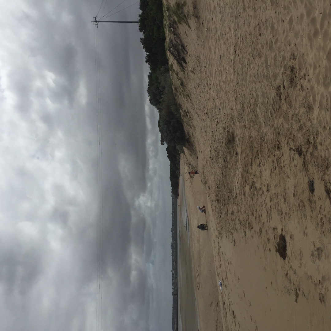
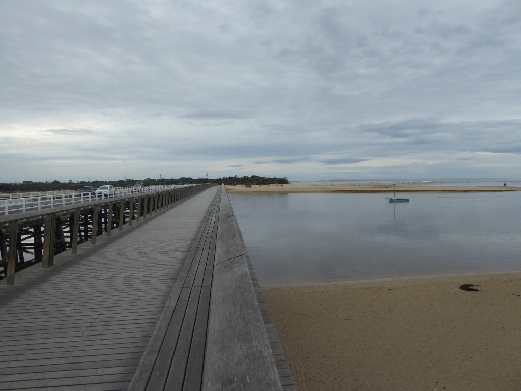
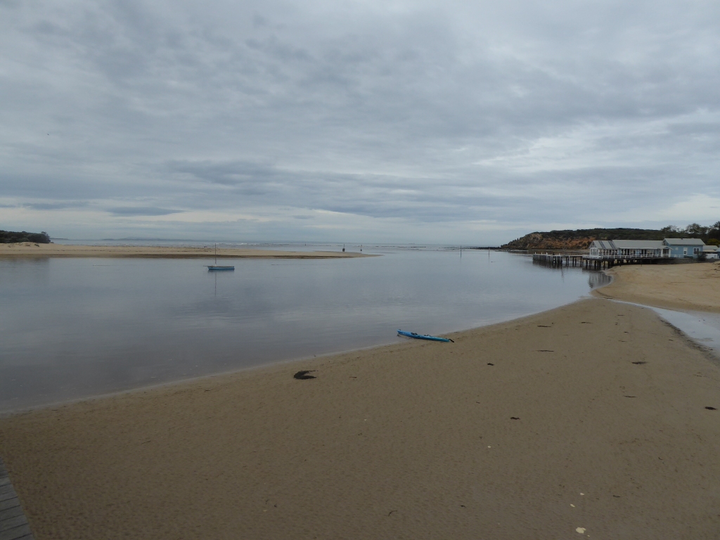
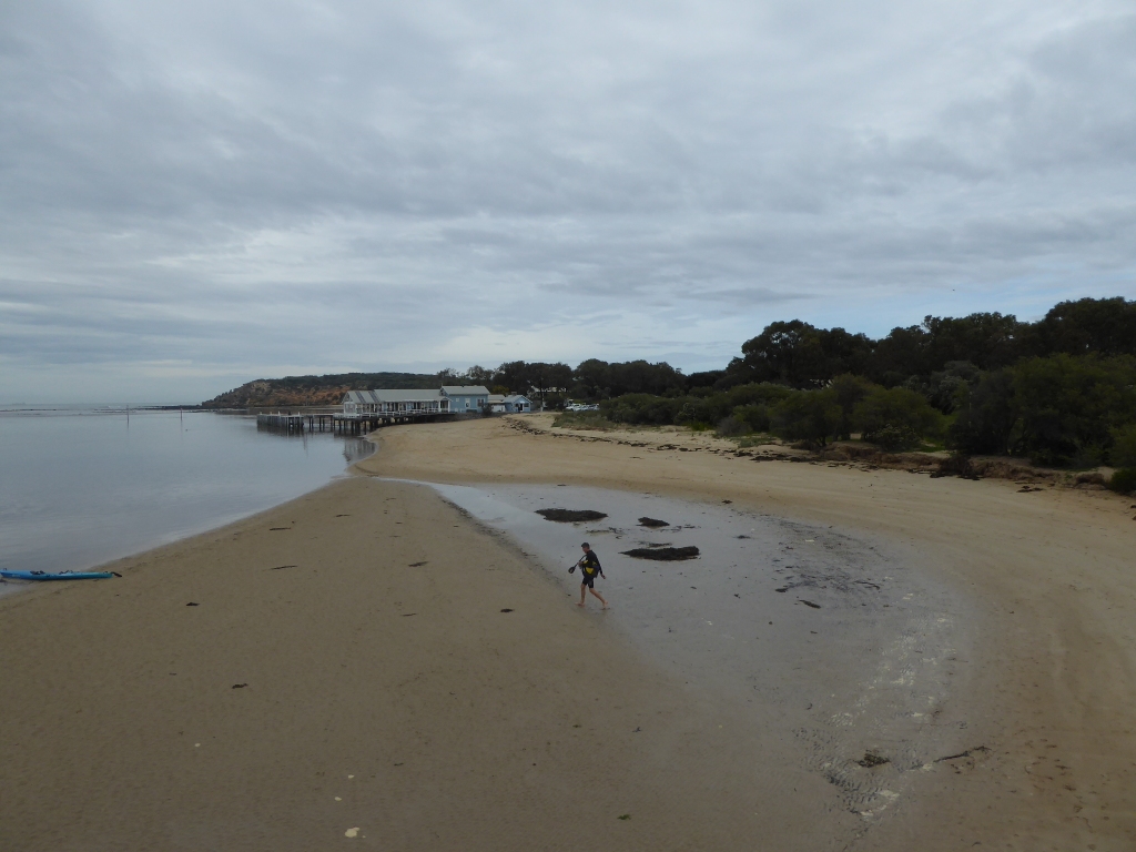
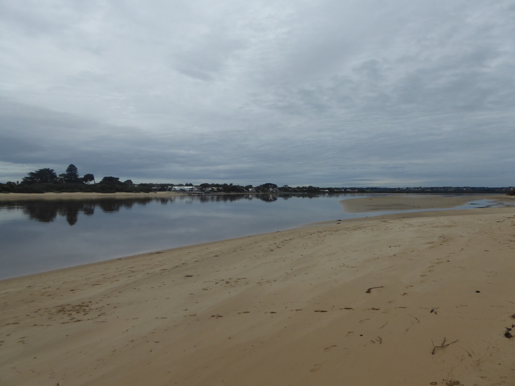
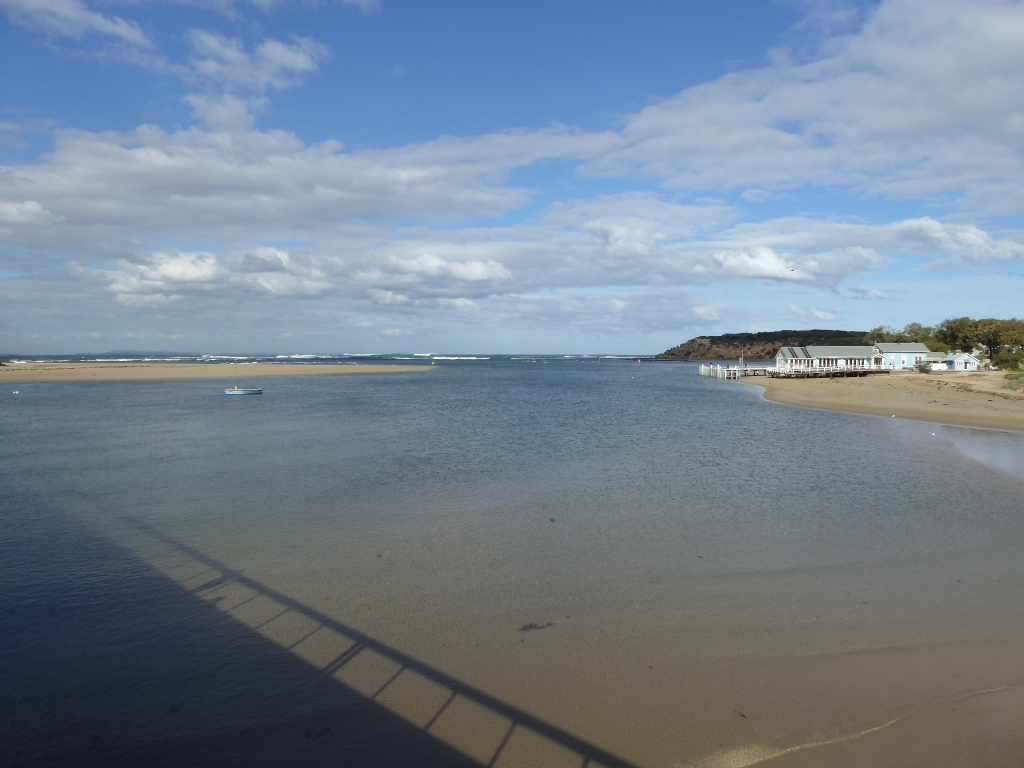
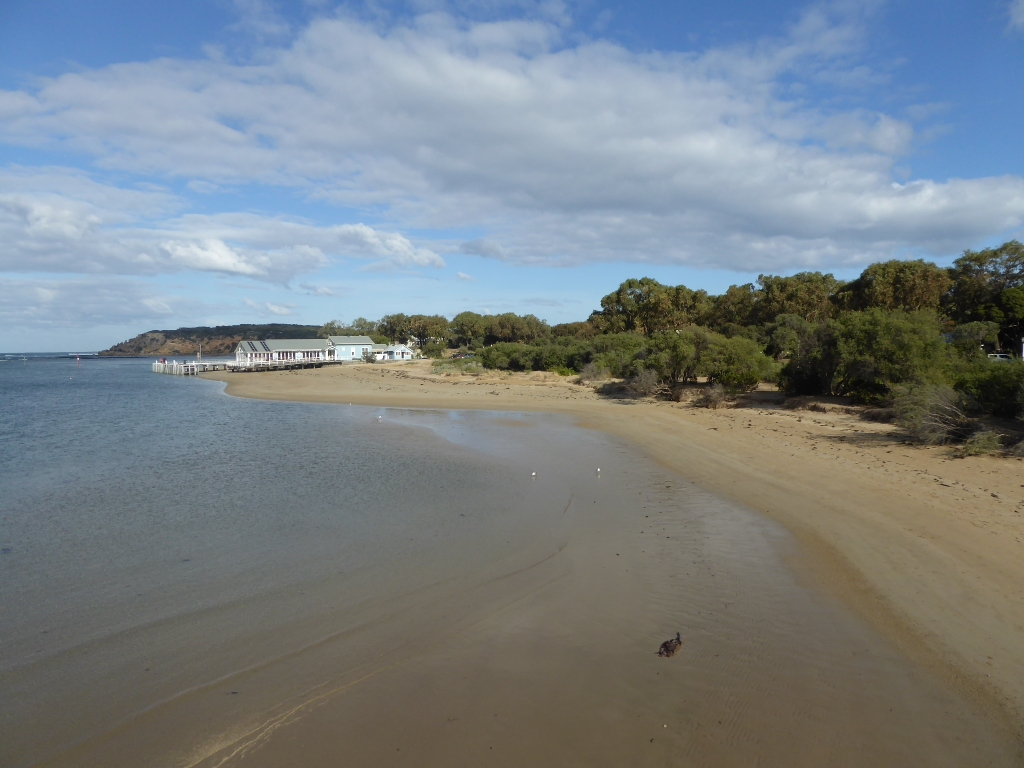
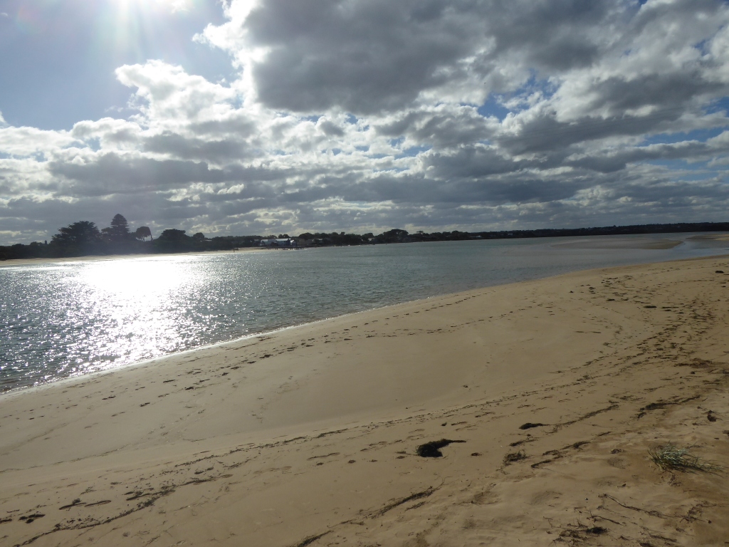
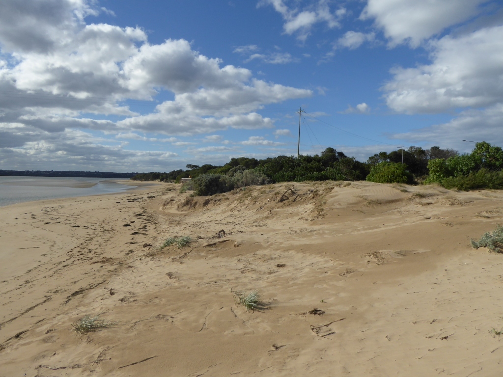
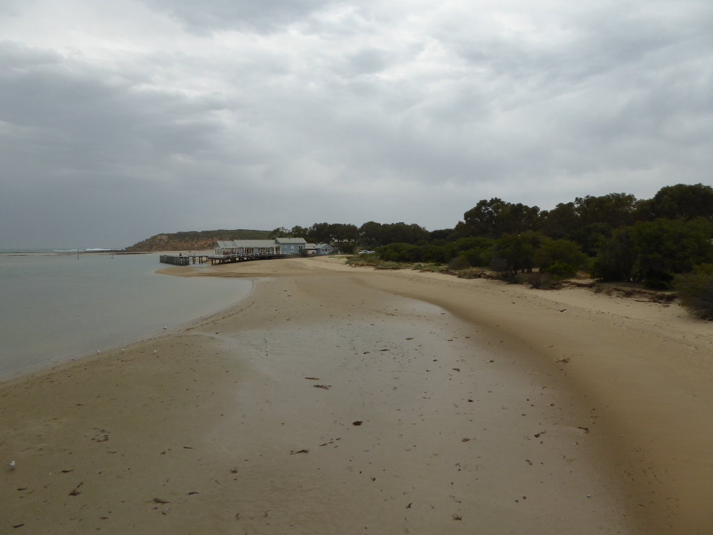
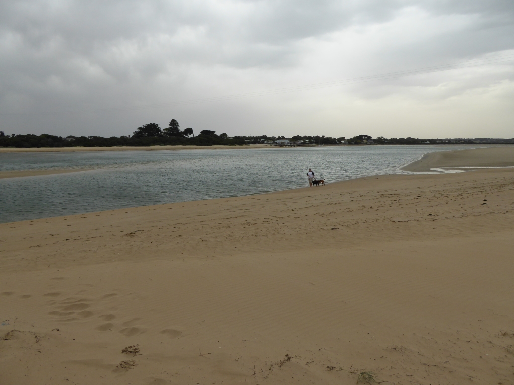
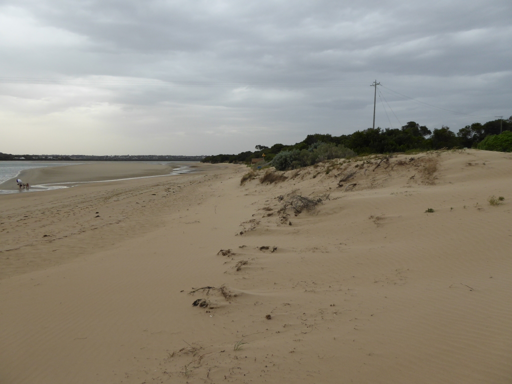
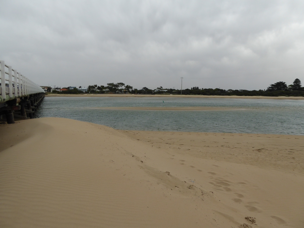
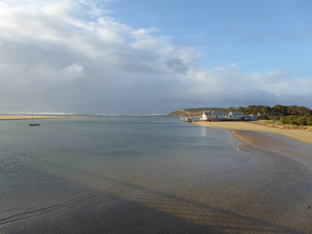
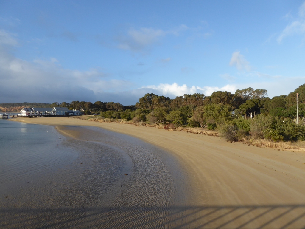
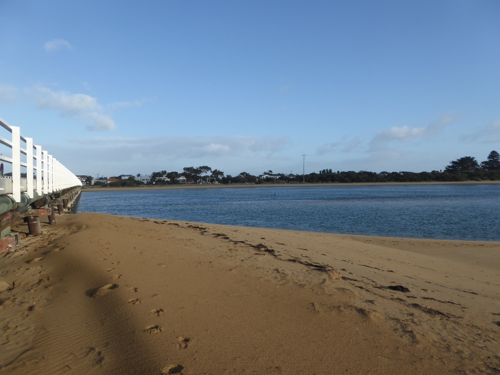
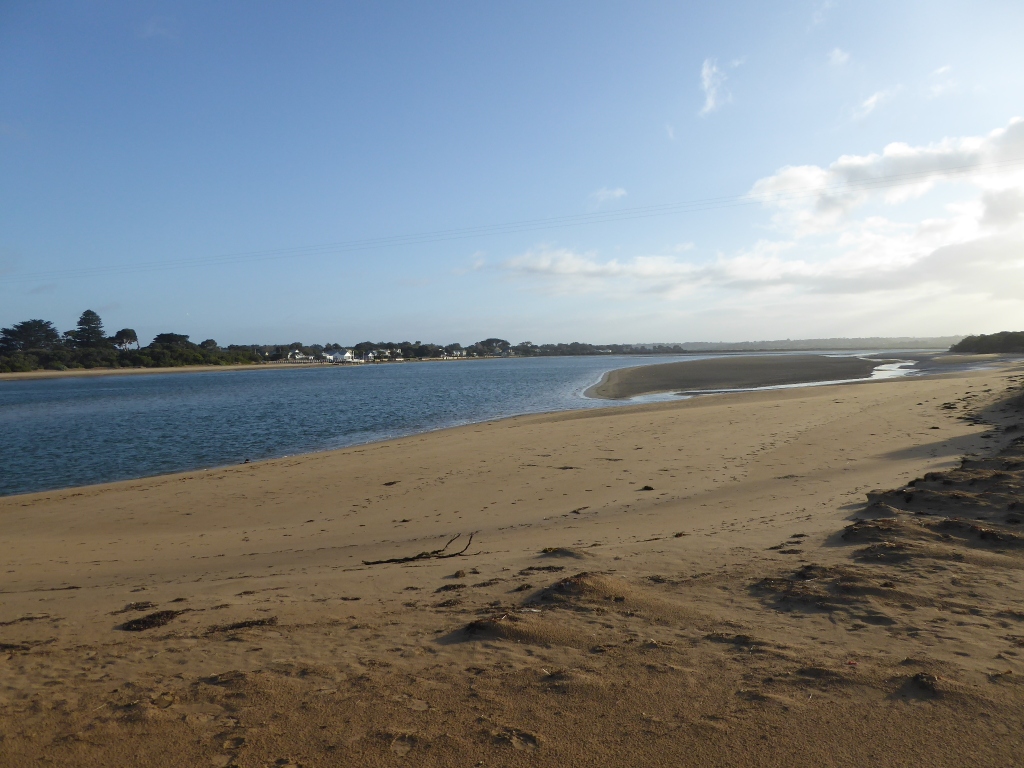
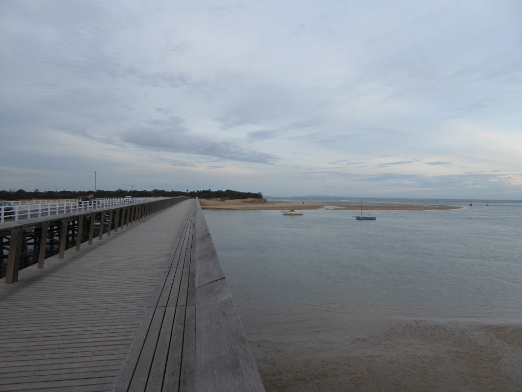
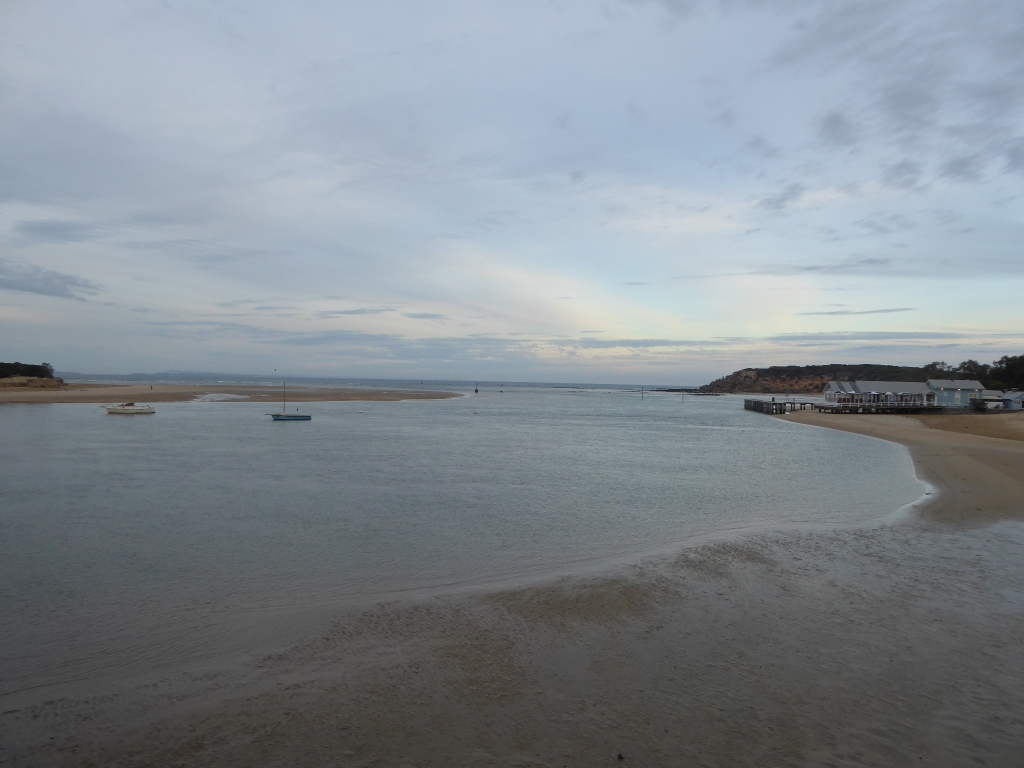
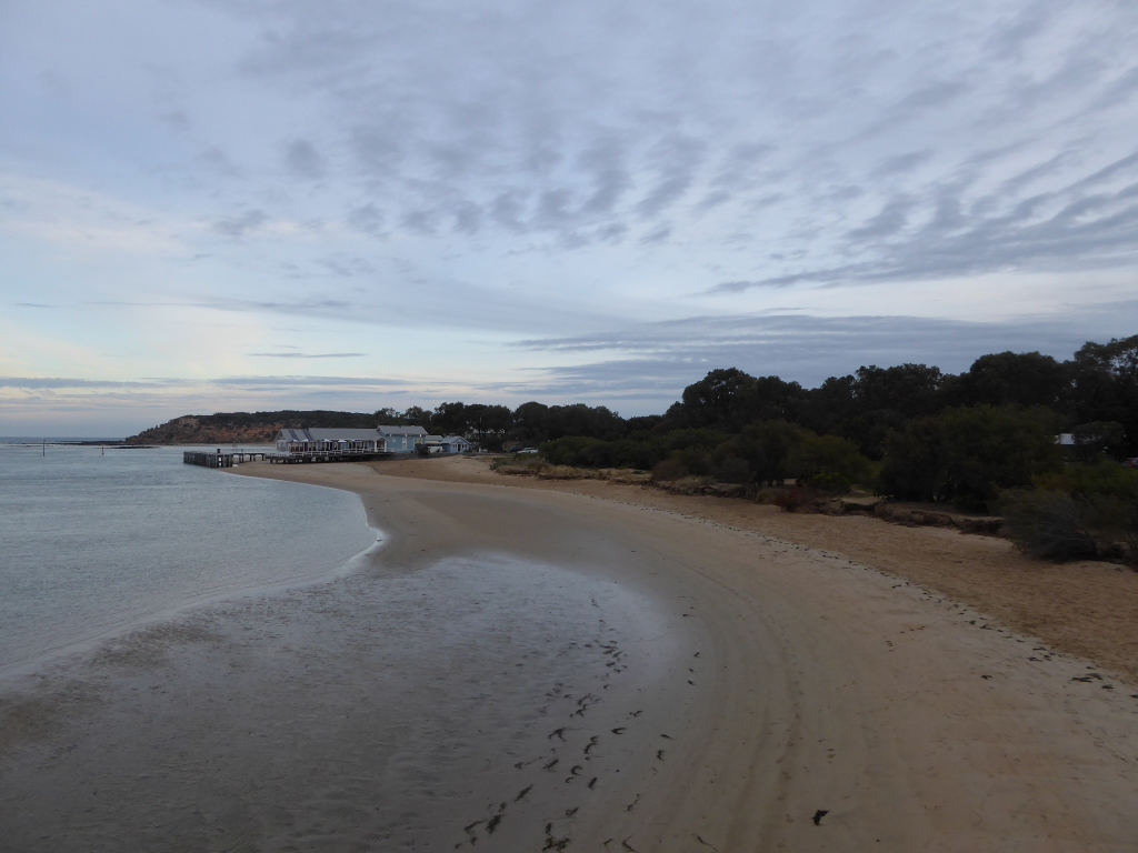
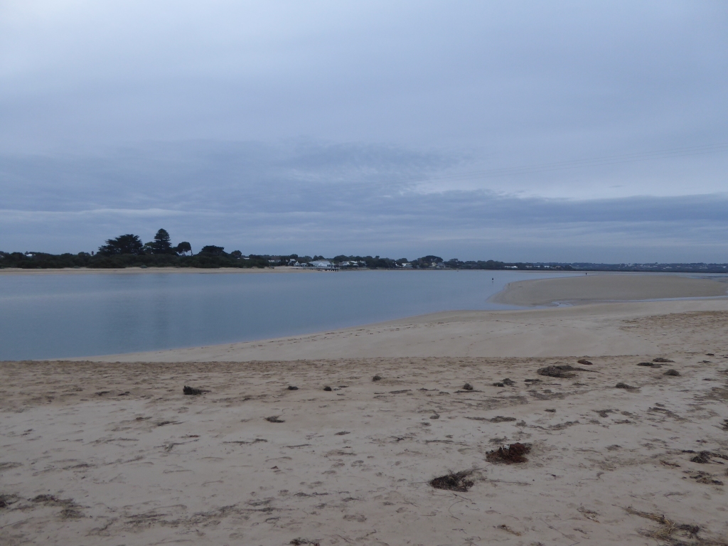
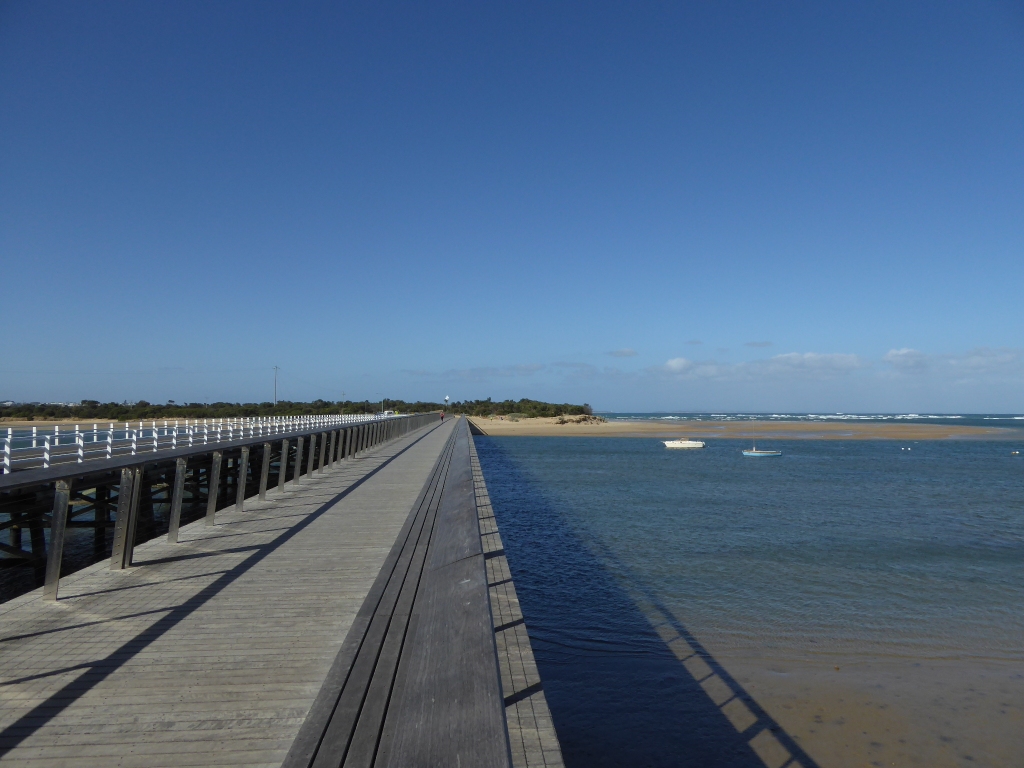
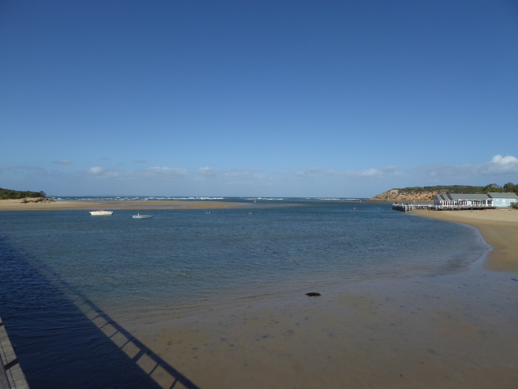
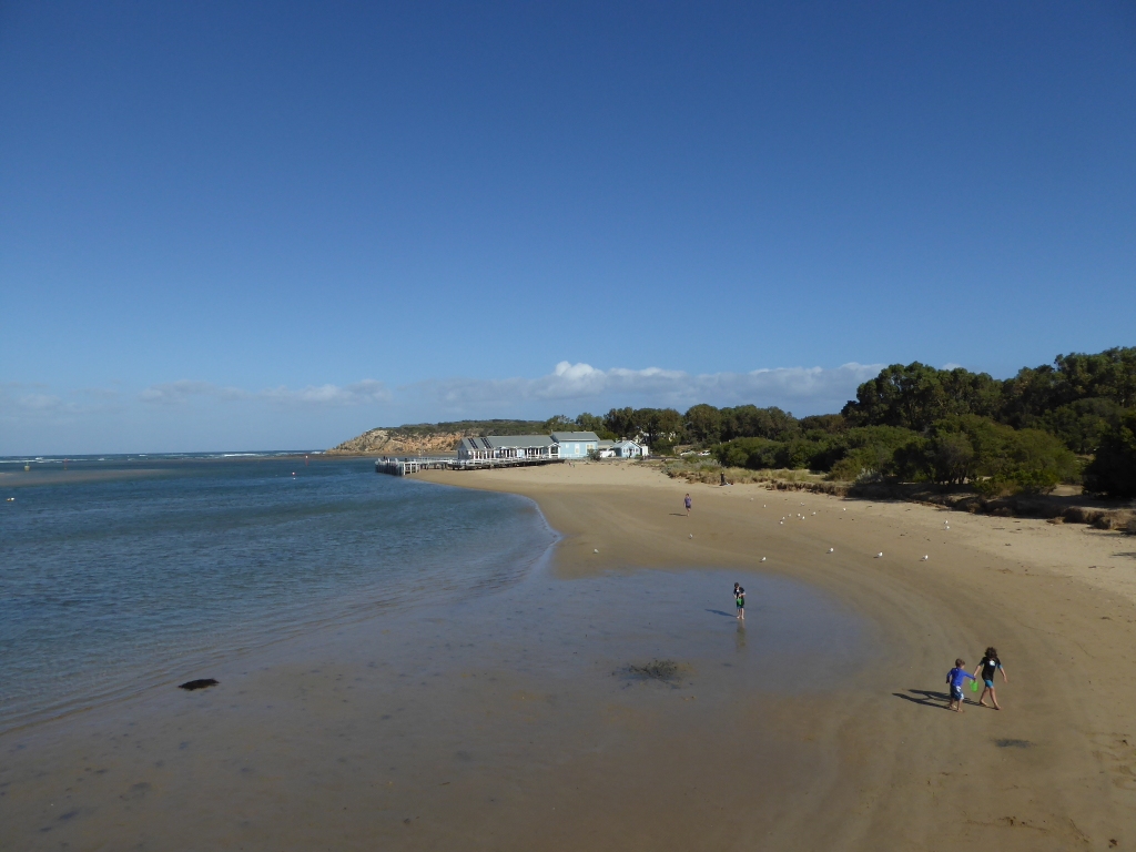
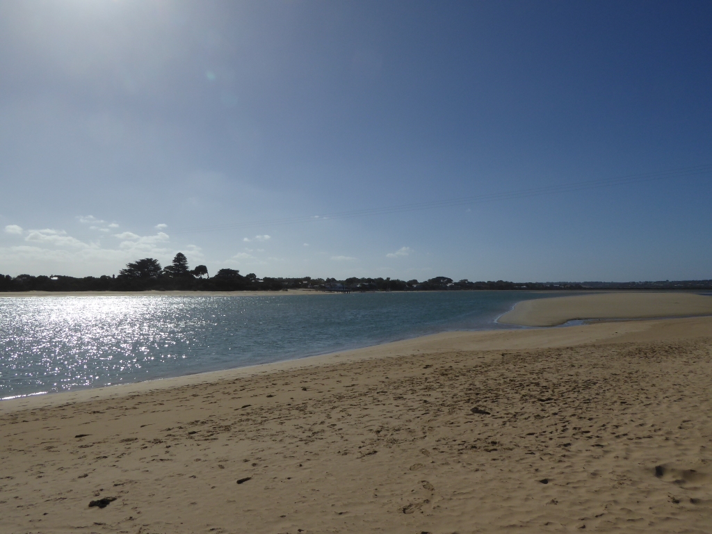
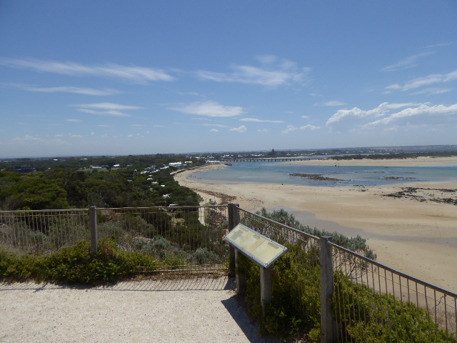
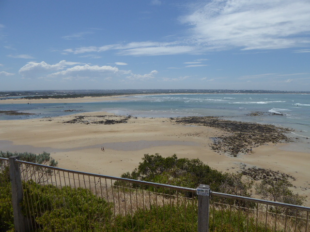
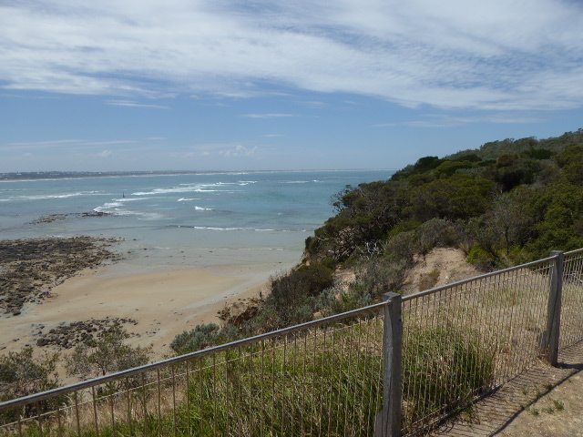
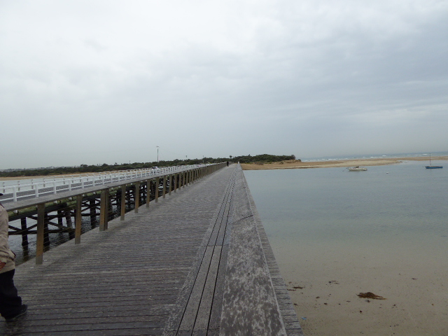
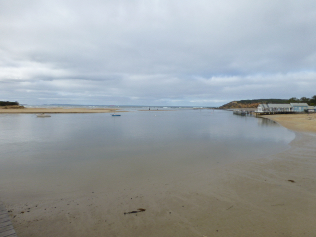
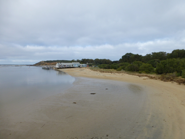
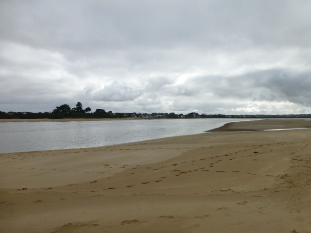
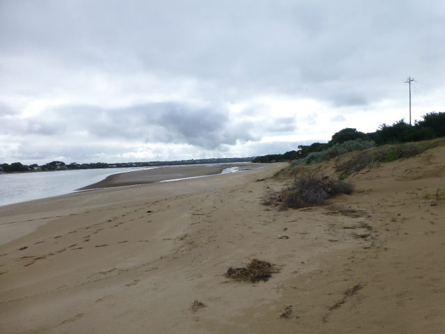
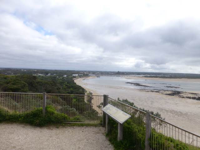
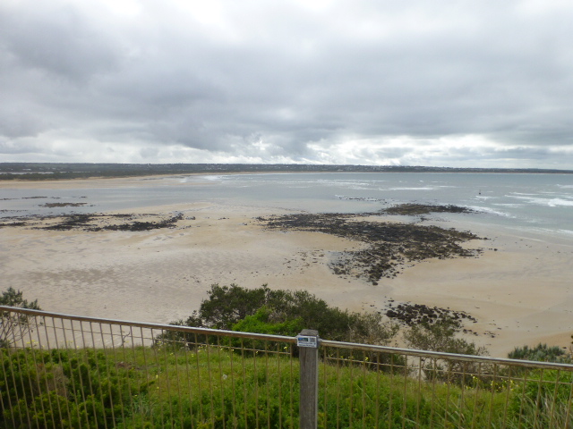
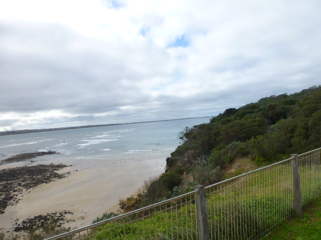
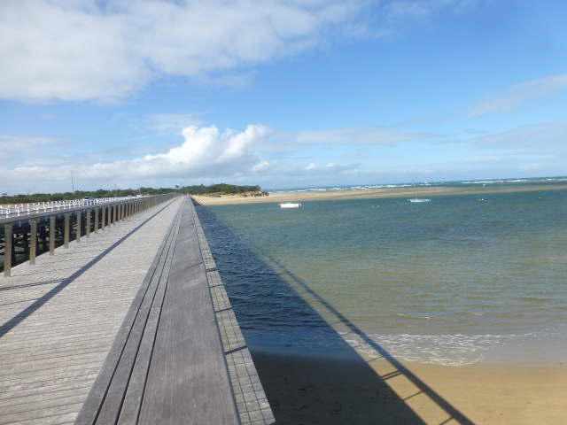
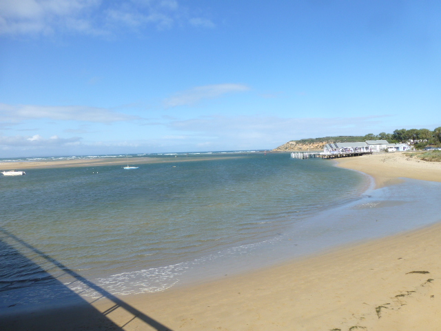
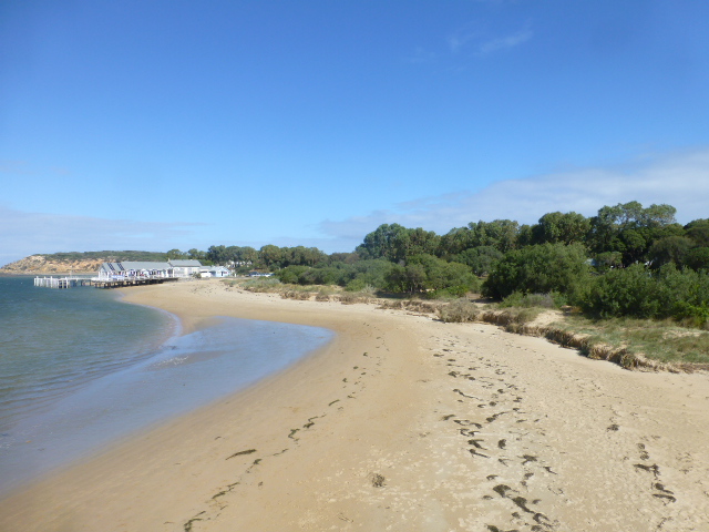
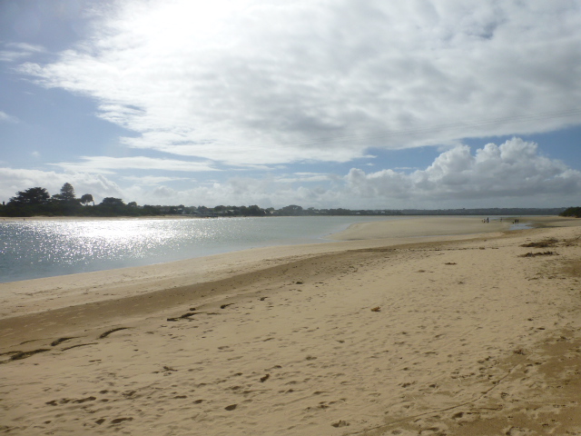
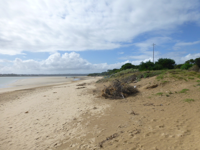
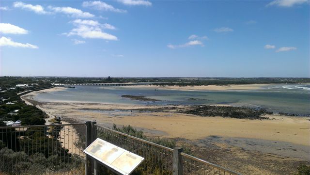
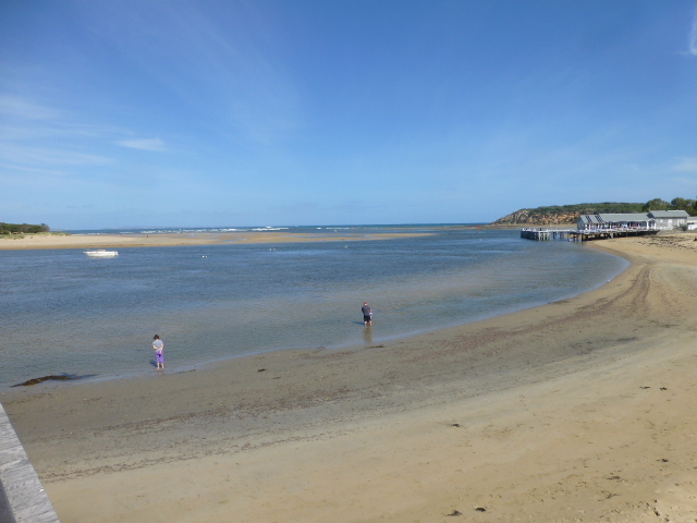
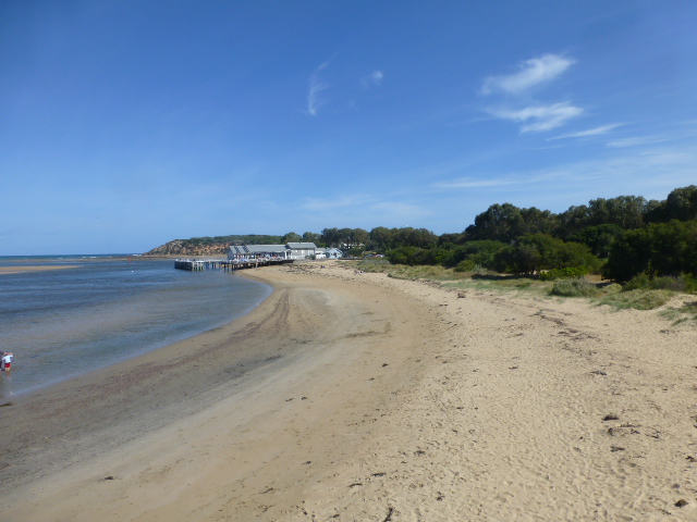
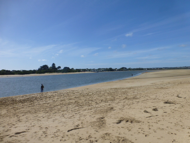
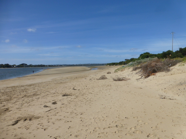
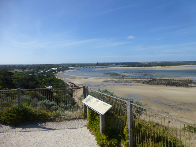
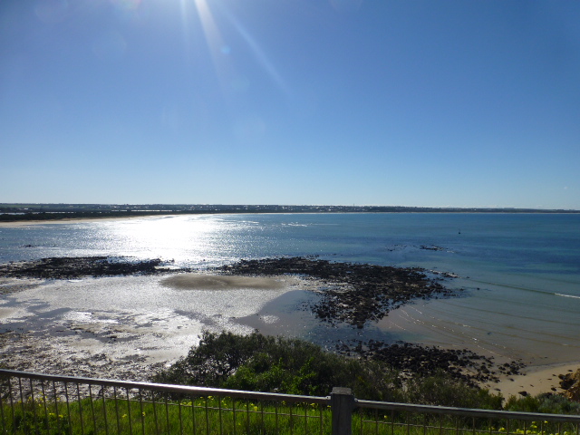
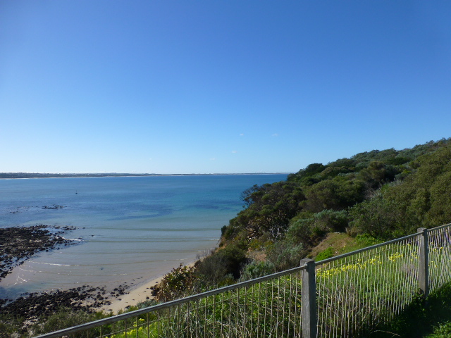
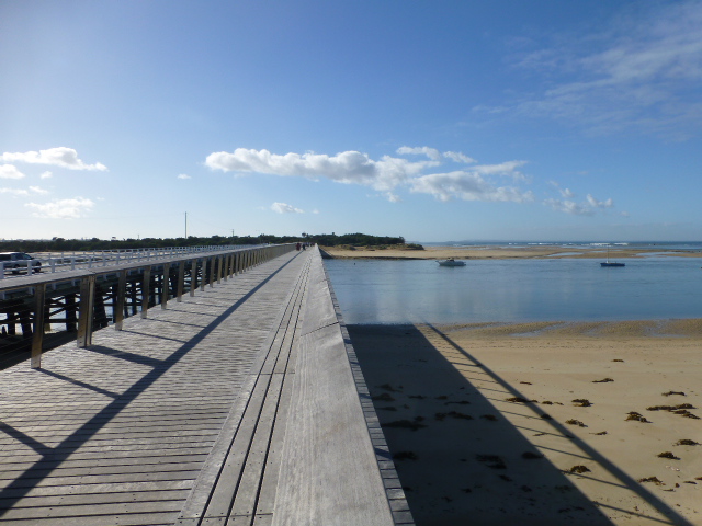
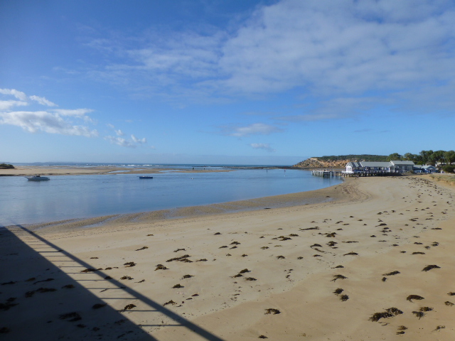
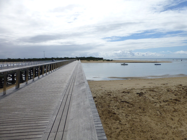
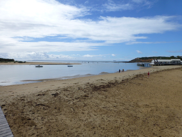
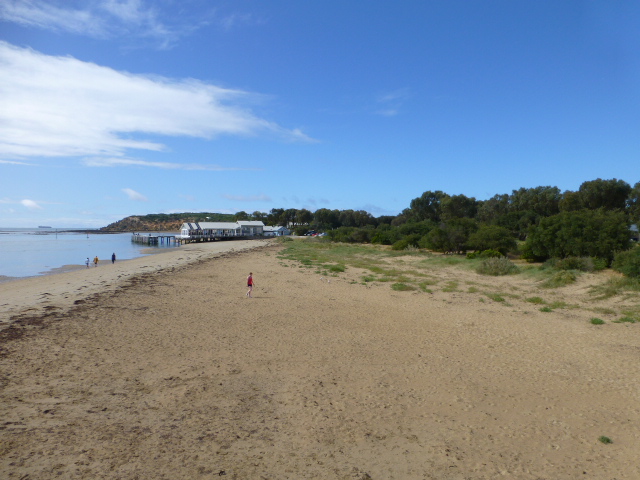
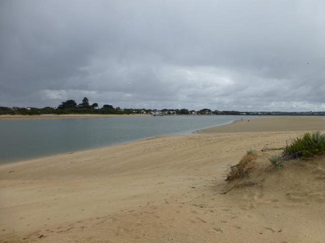
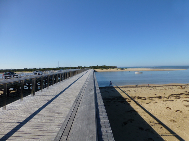
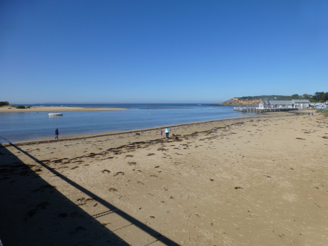
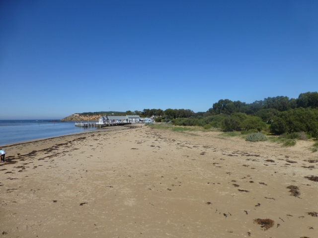
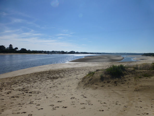
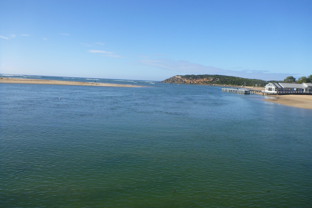
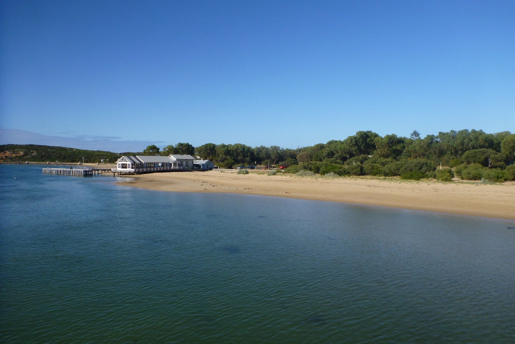
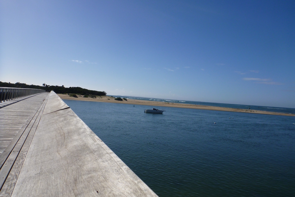
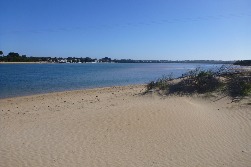
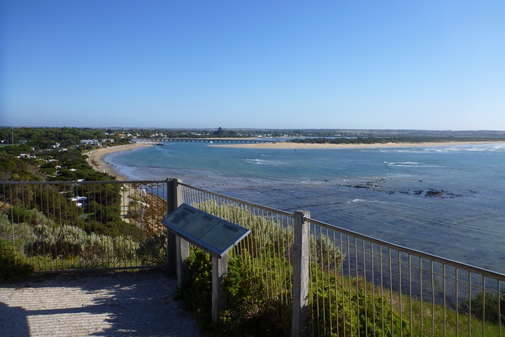
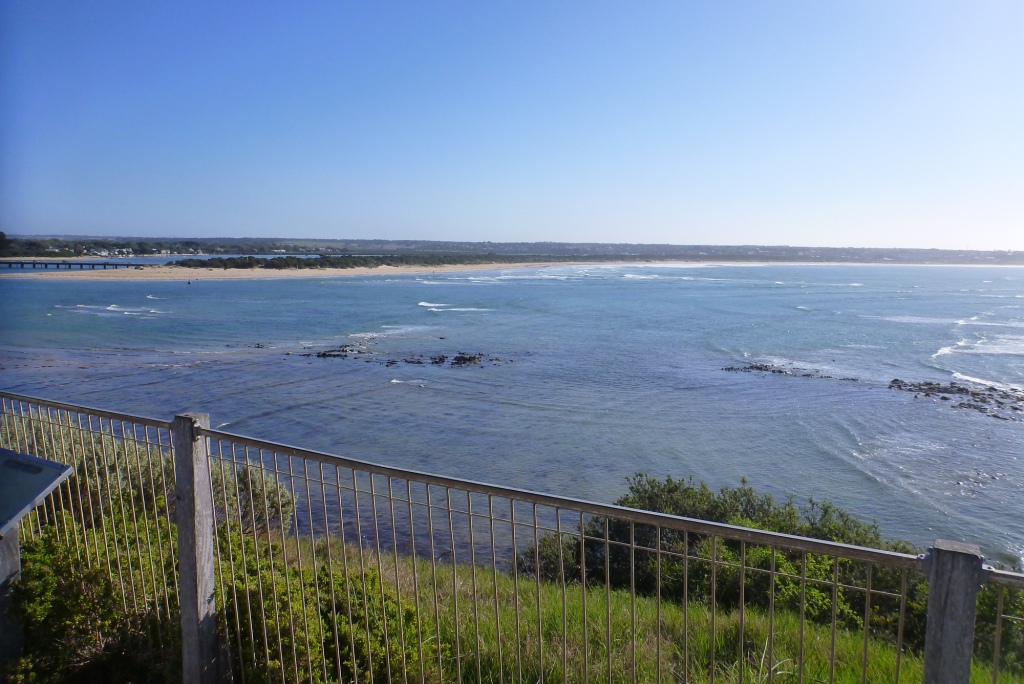
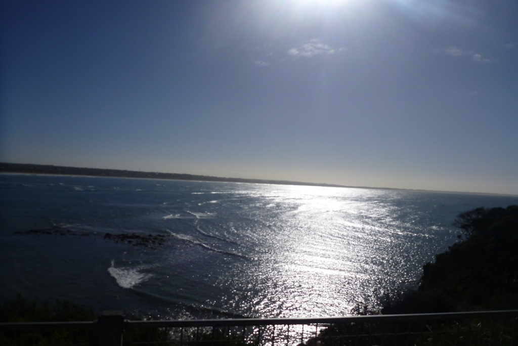
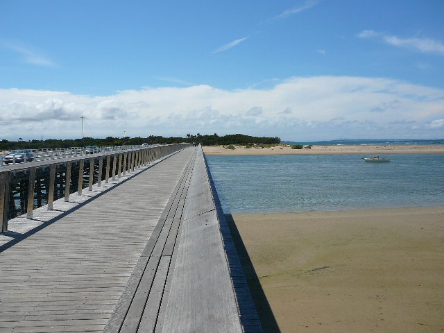
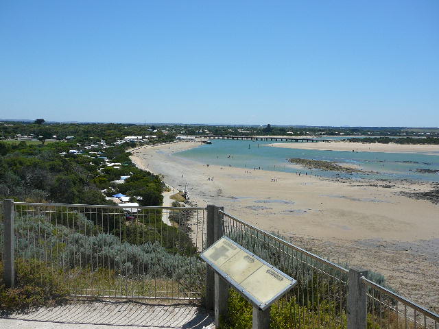
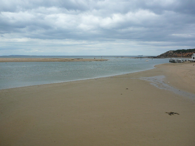
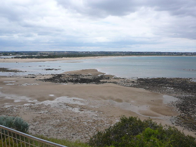
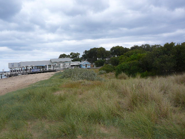
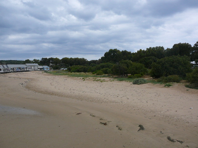
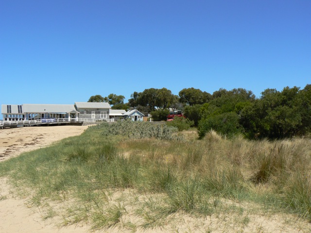
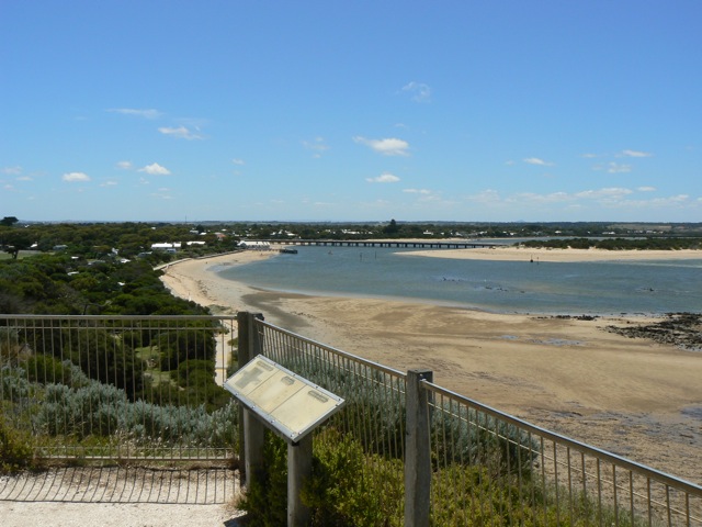
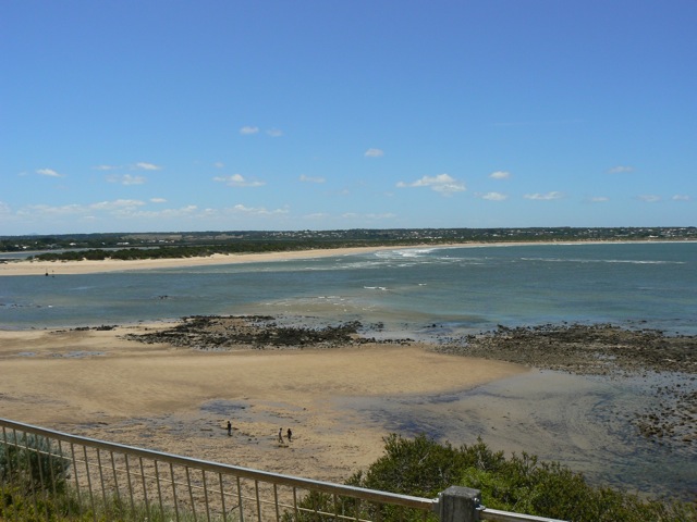
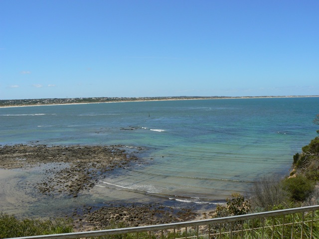
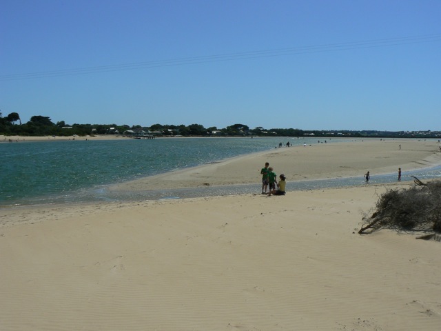
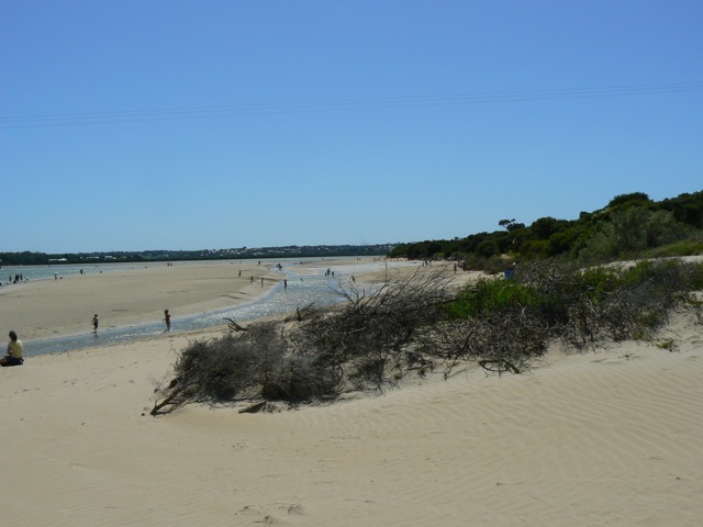
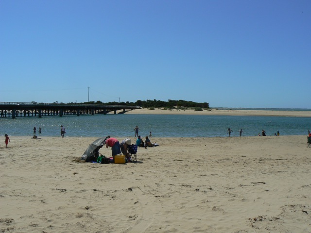
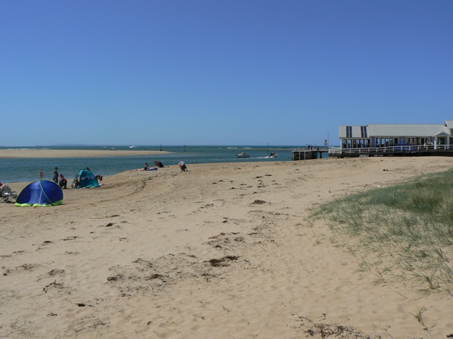
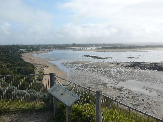
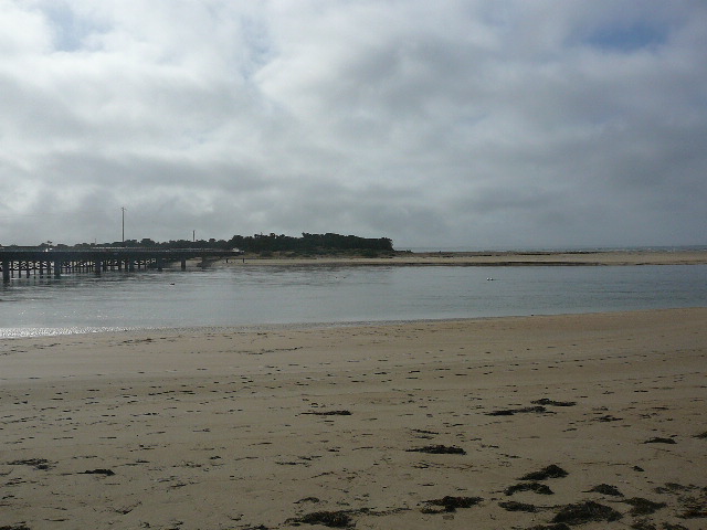
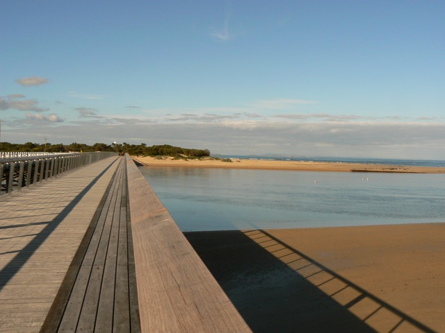
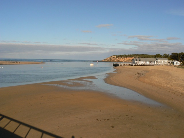
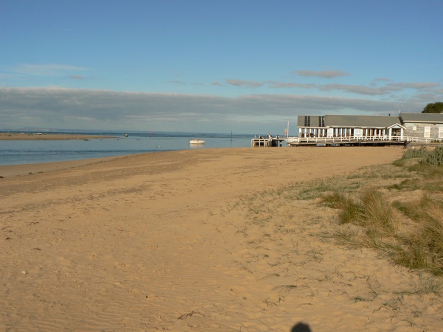
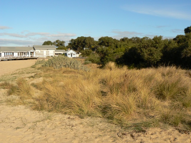
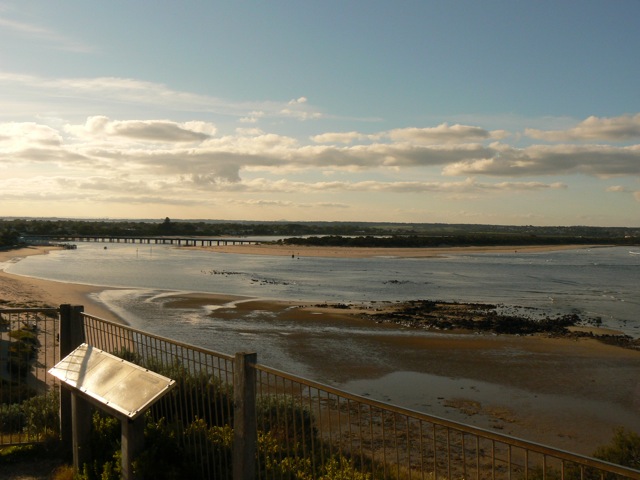
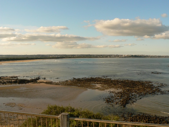
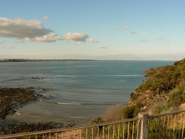
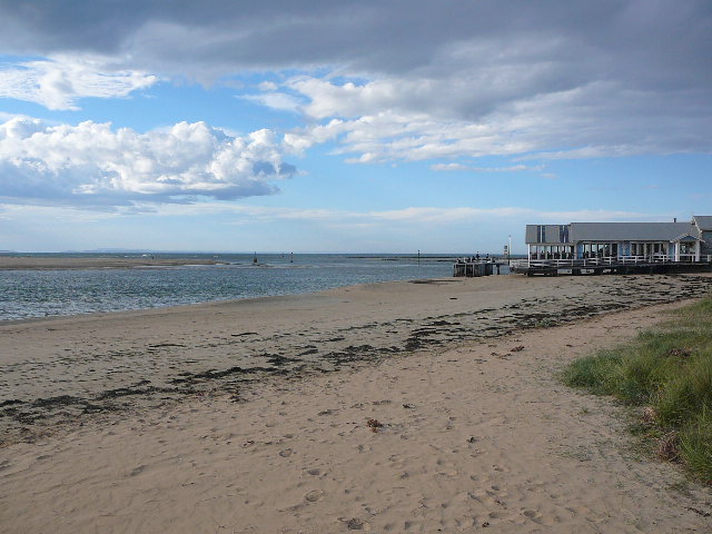
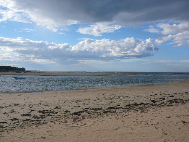
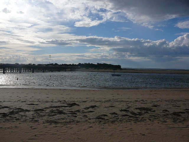
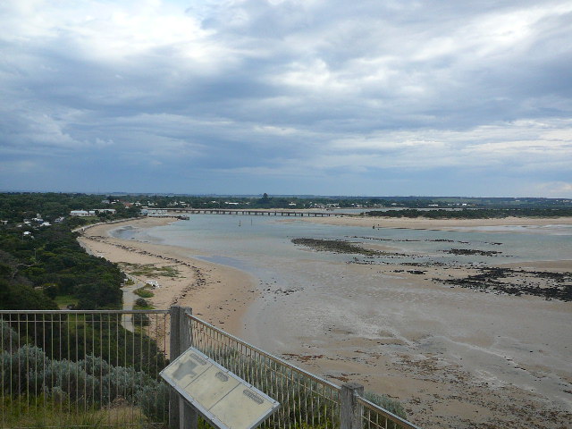
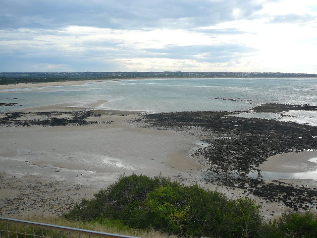
BMC Barwon River - Observation Site
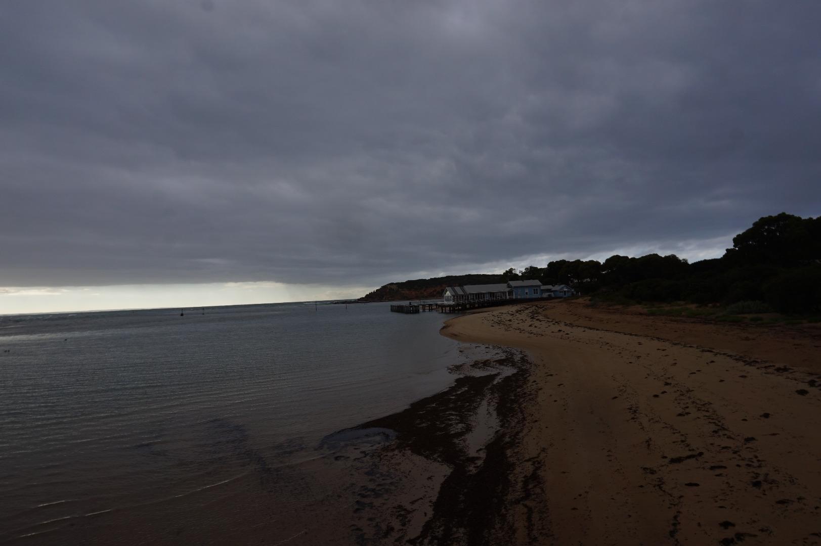
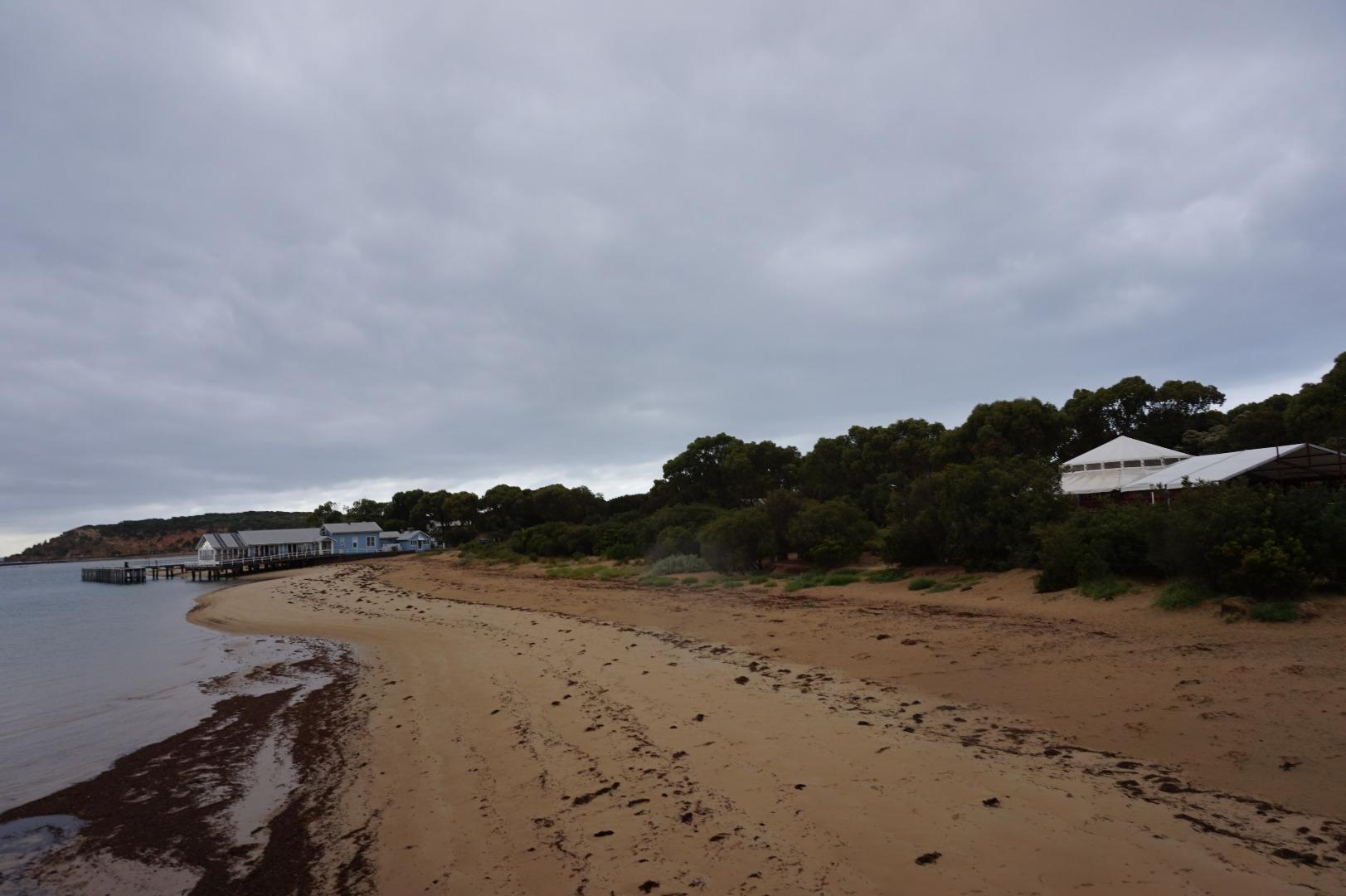
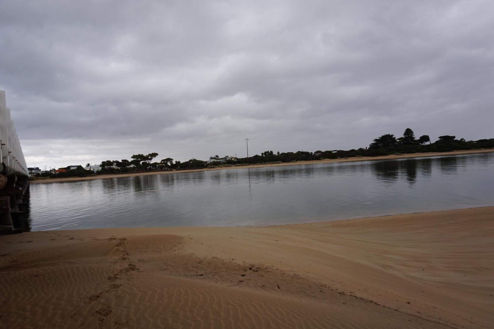
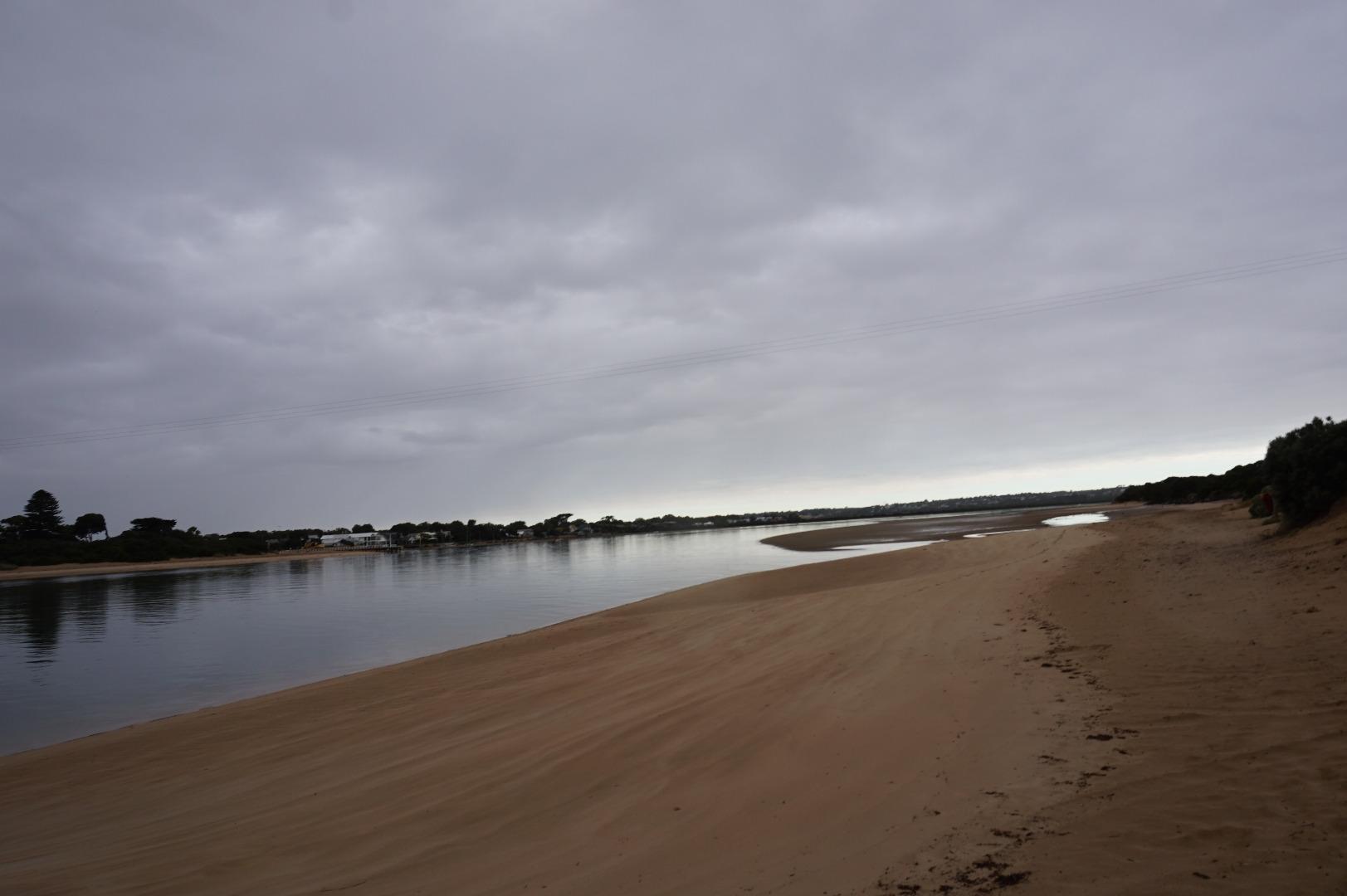
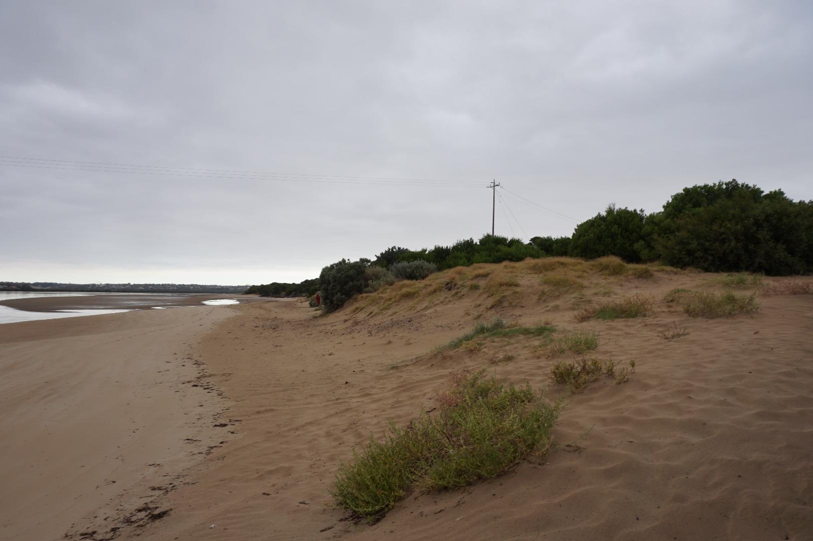
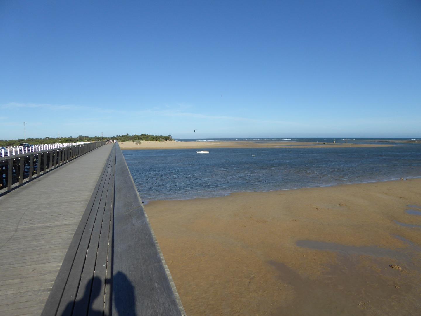
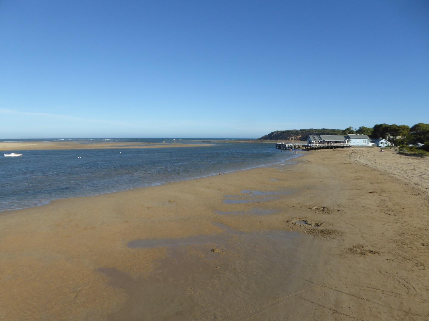
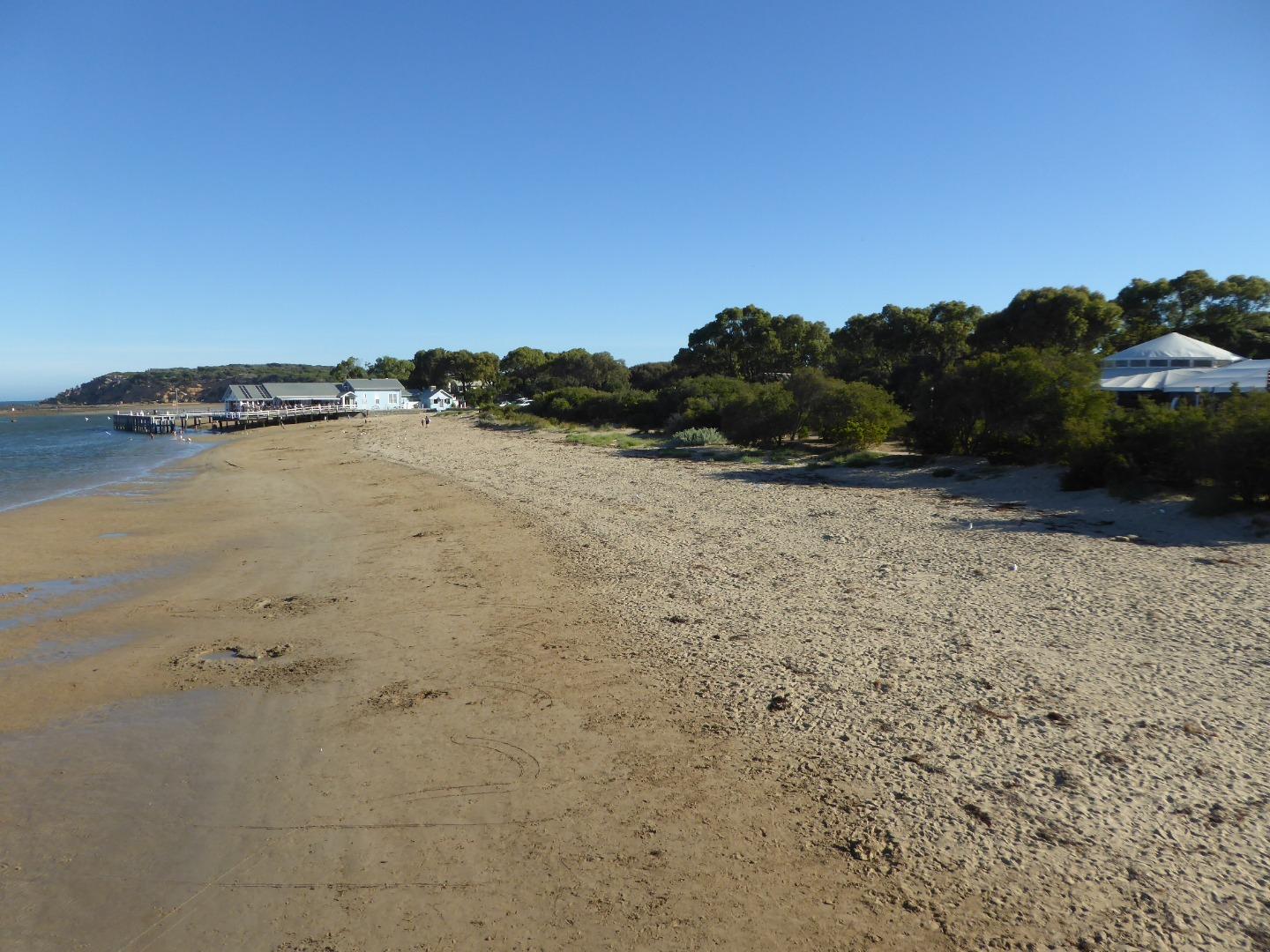
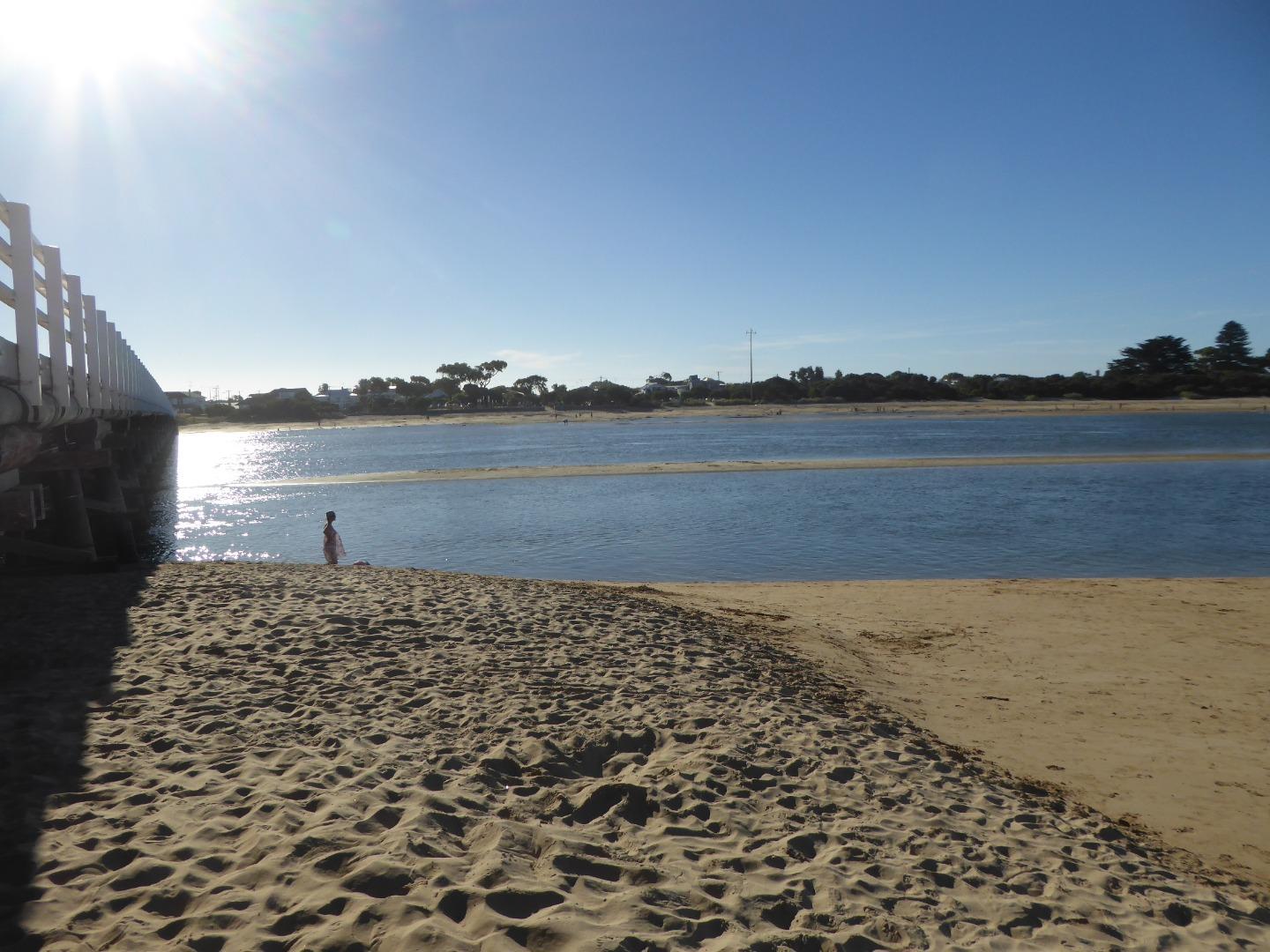
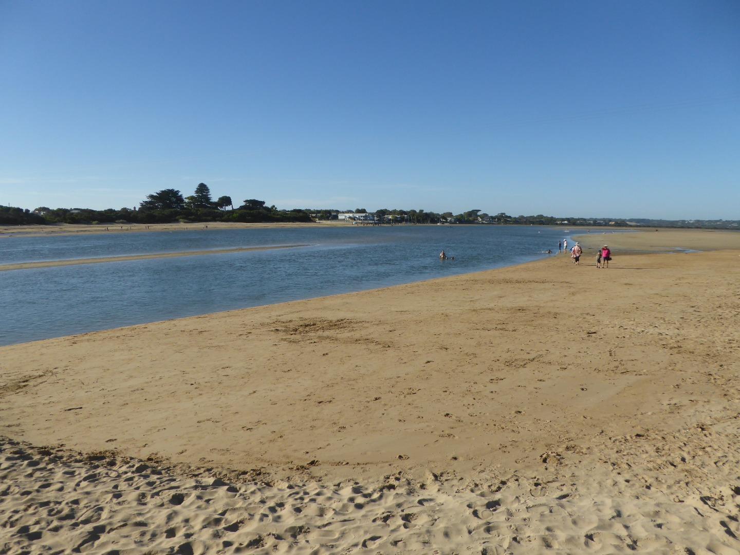
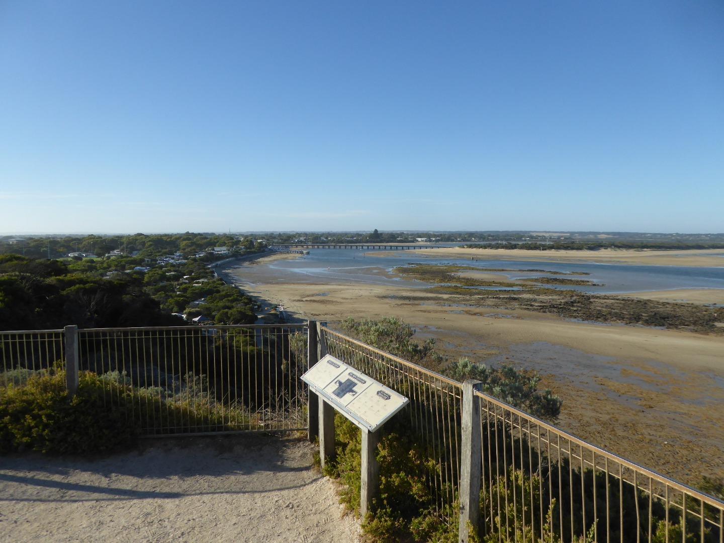
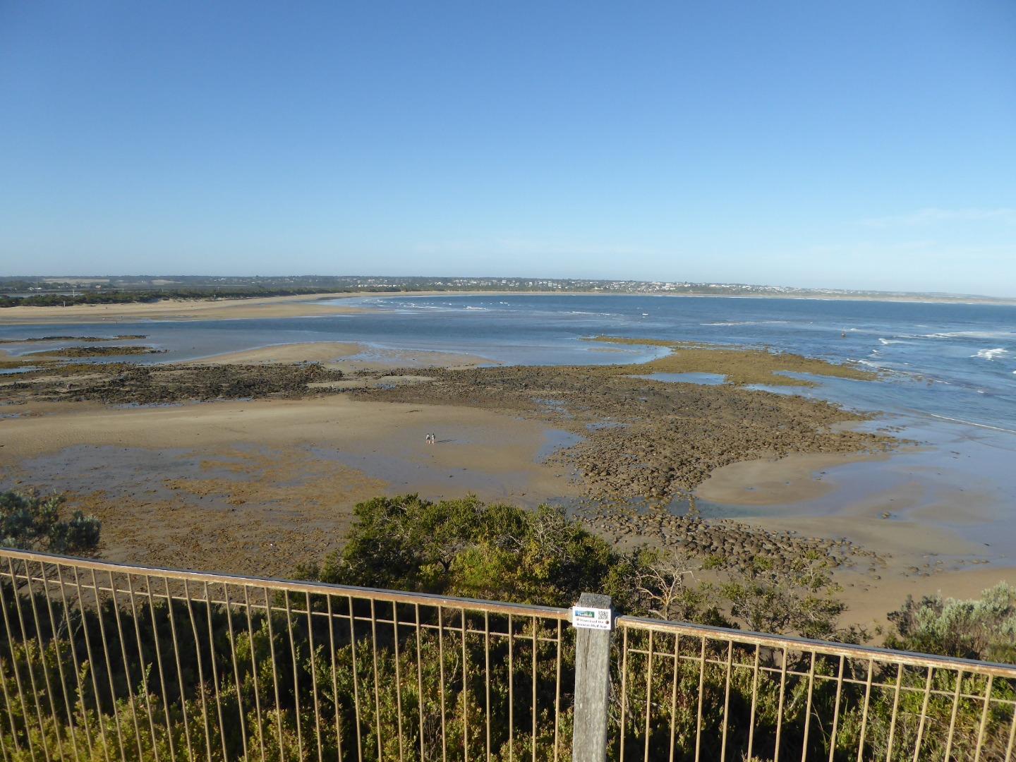
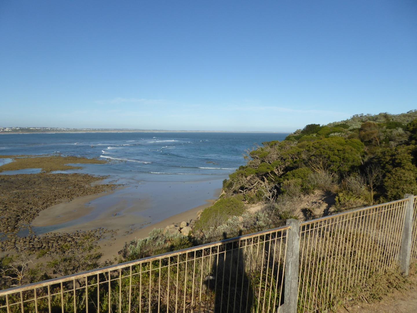
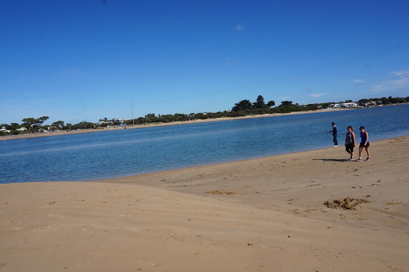
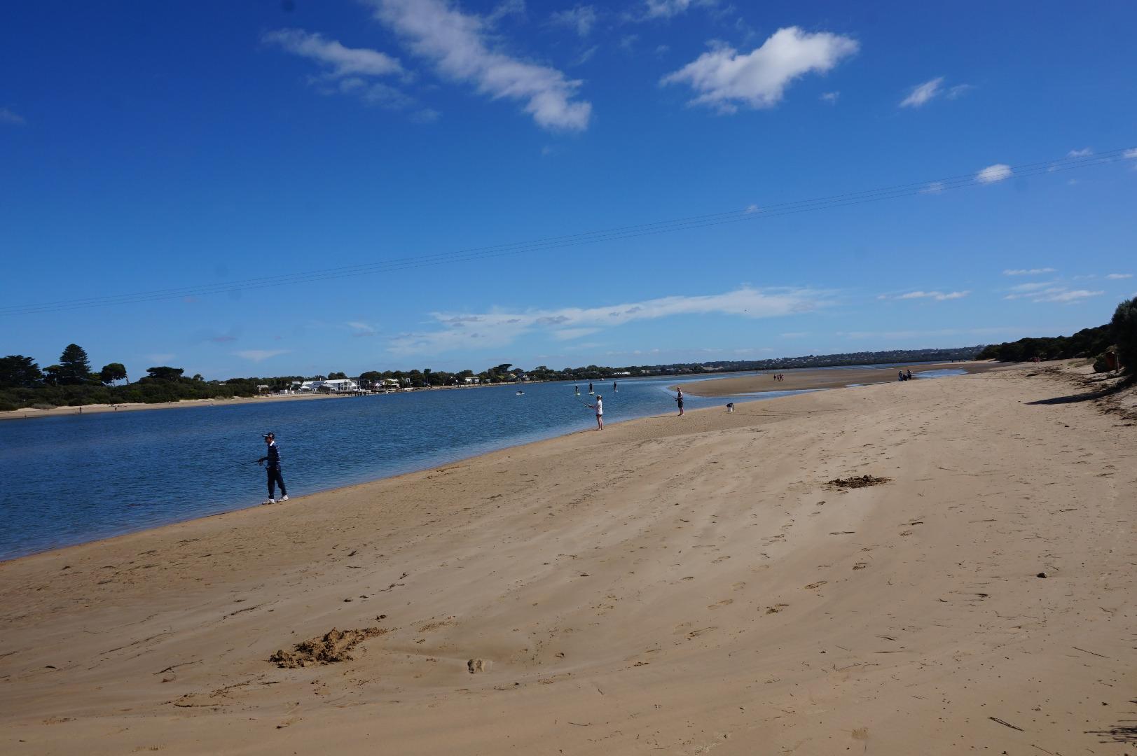
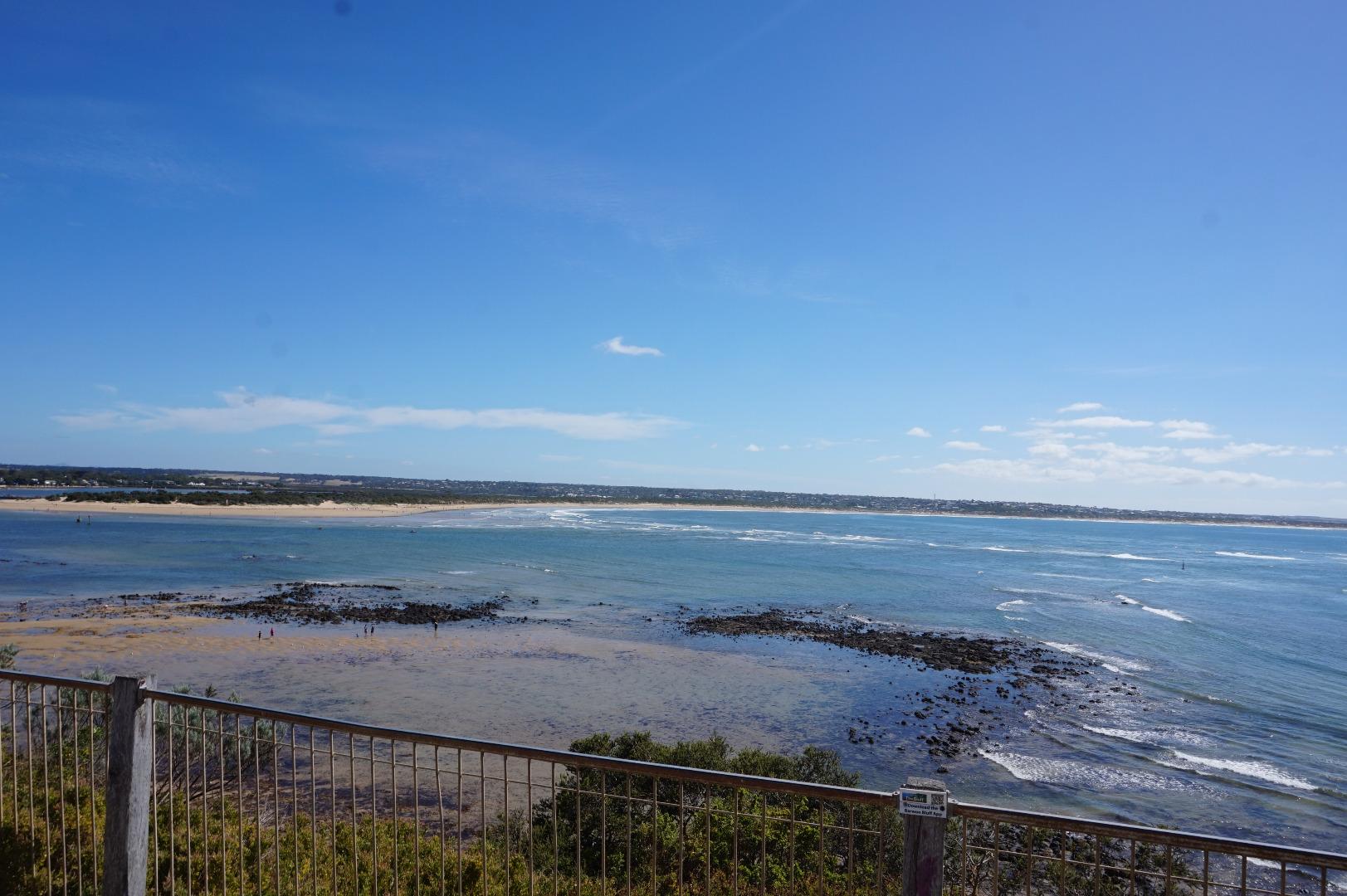
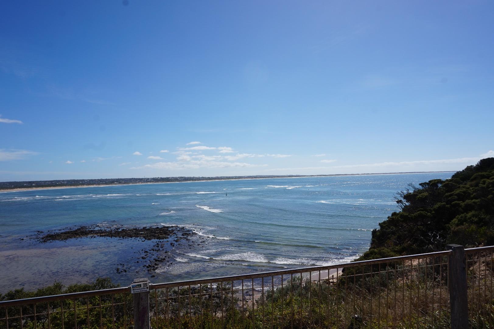
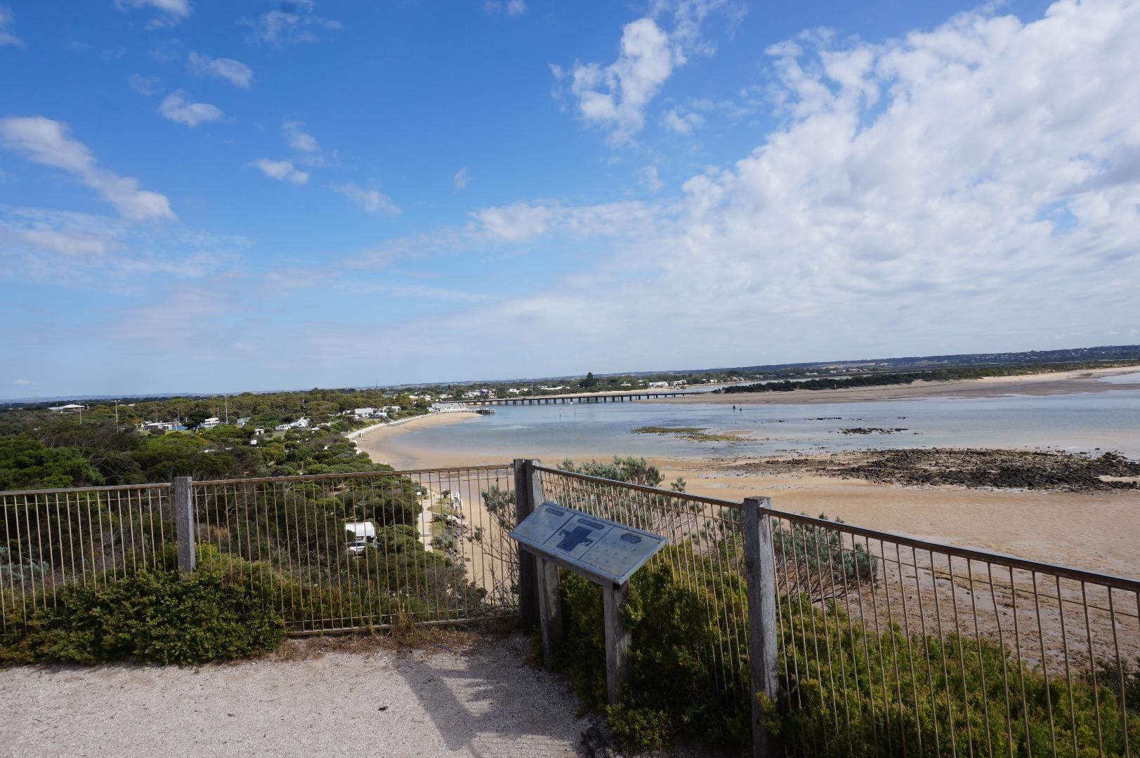
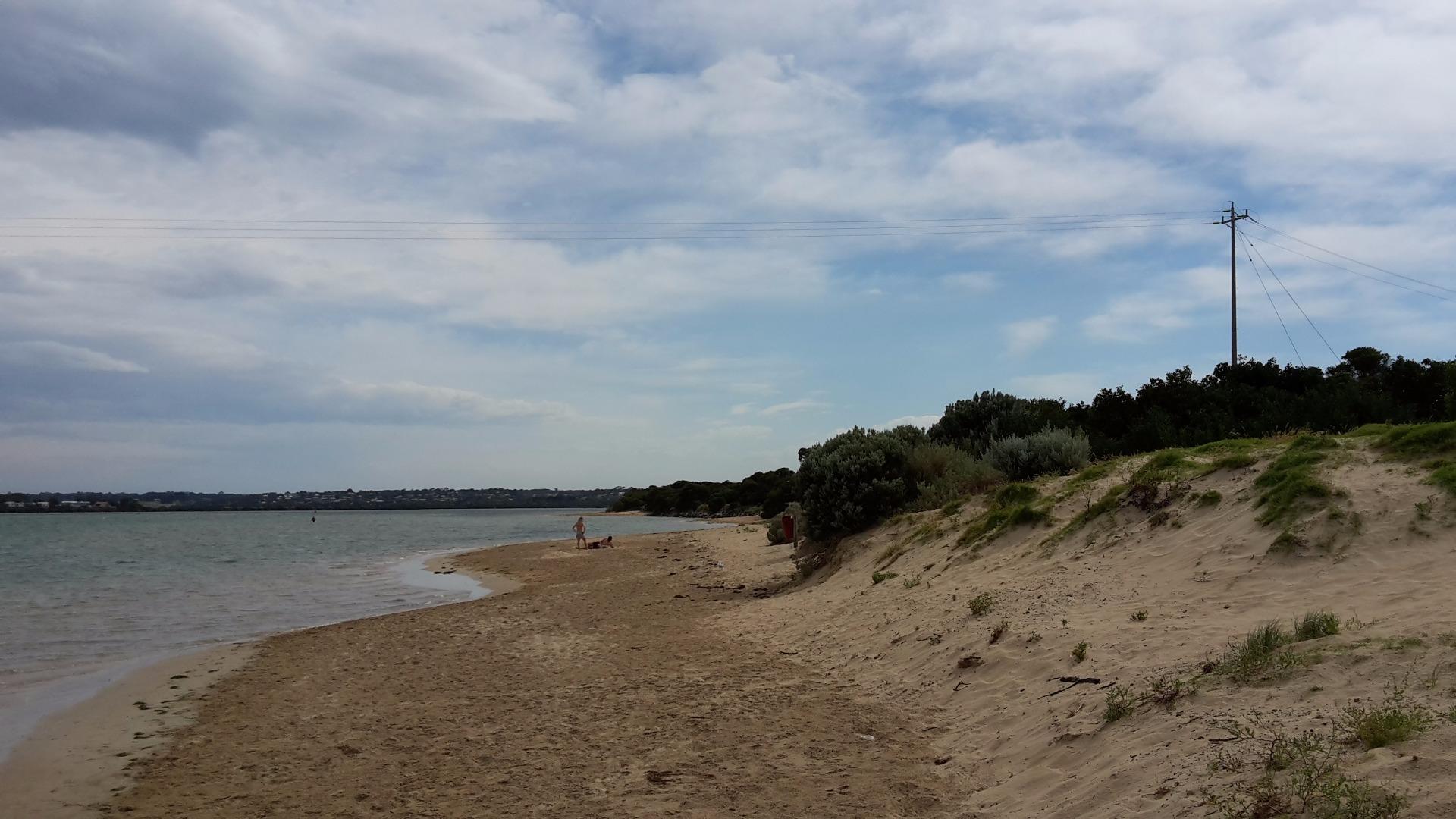
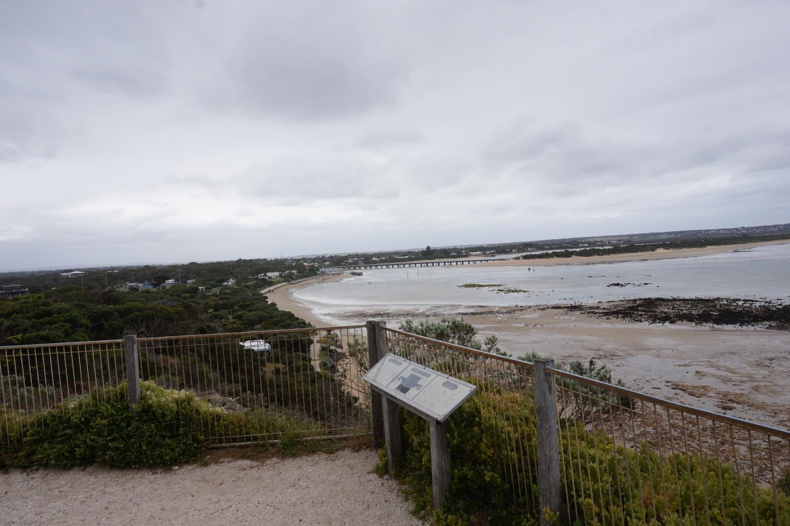
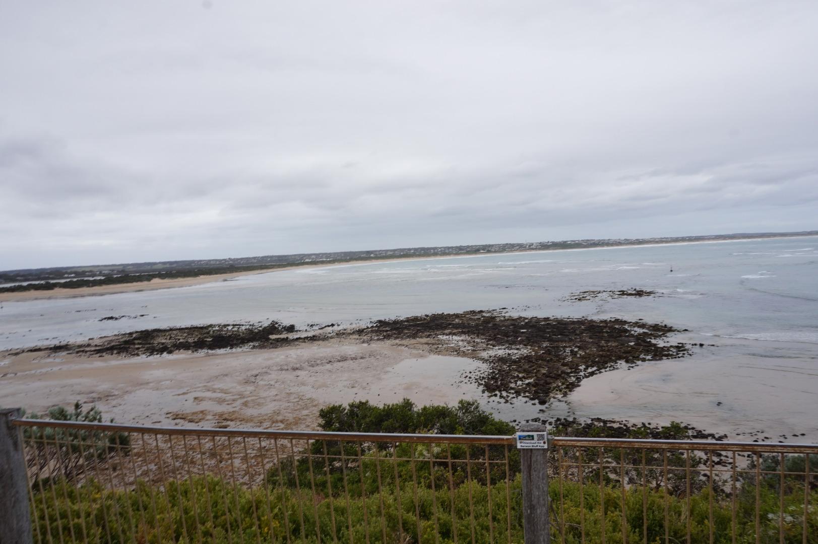
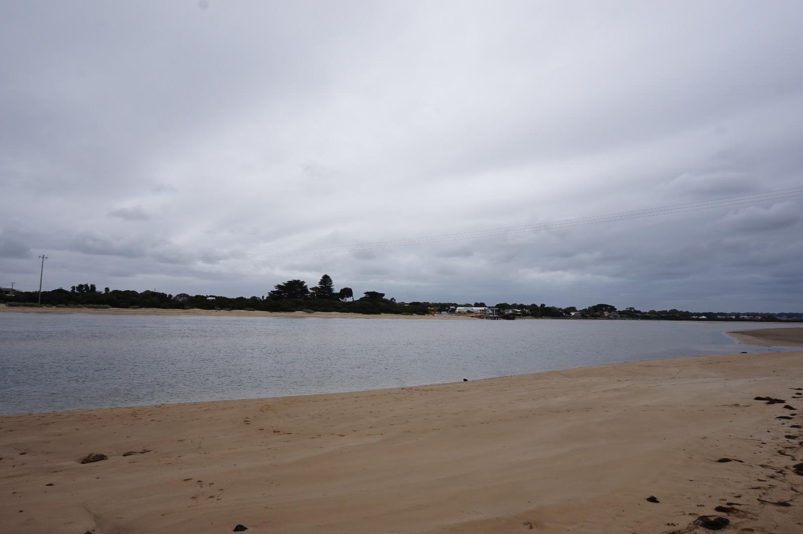
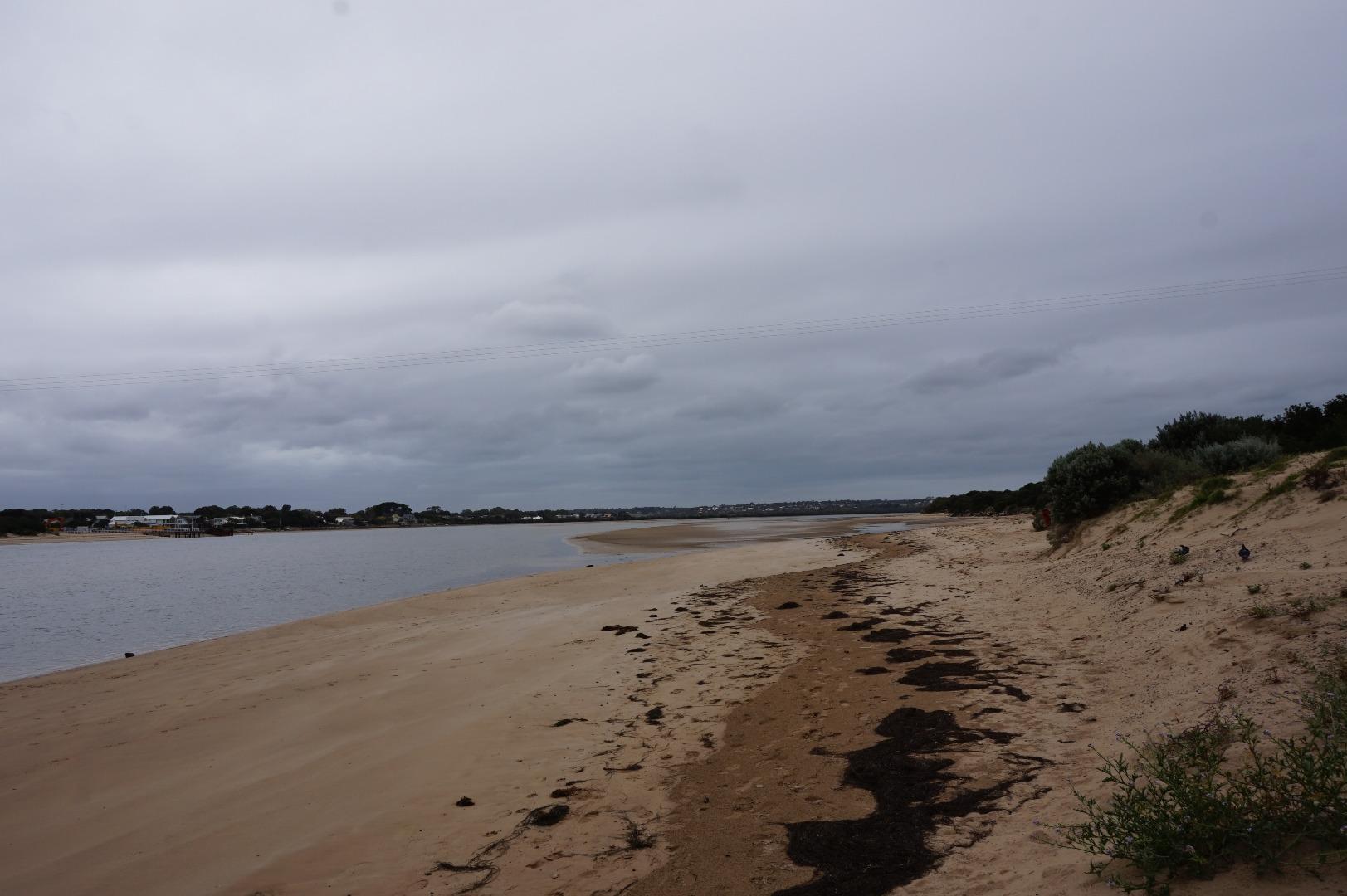
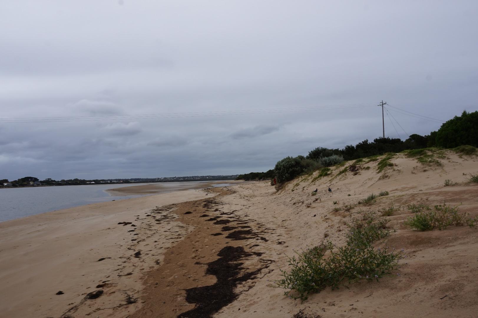
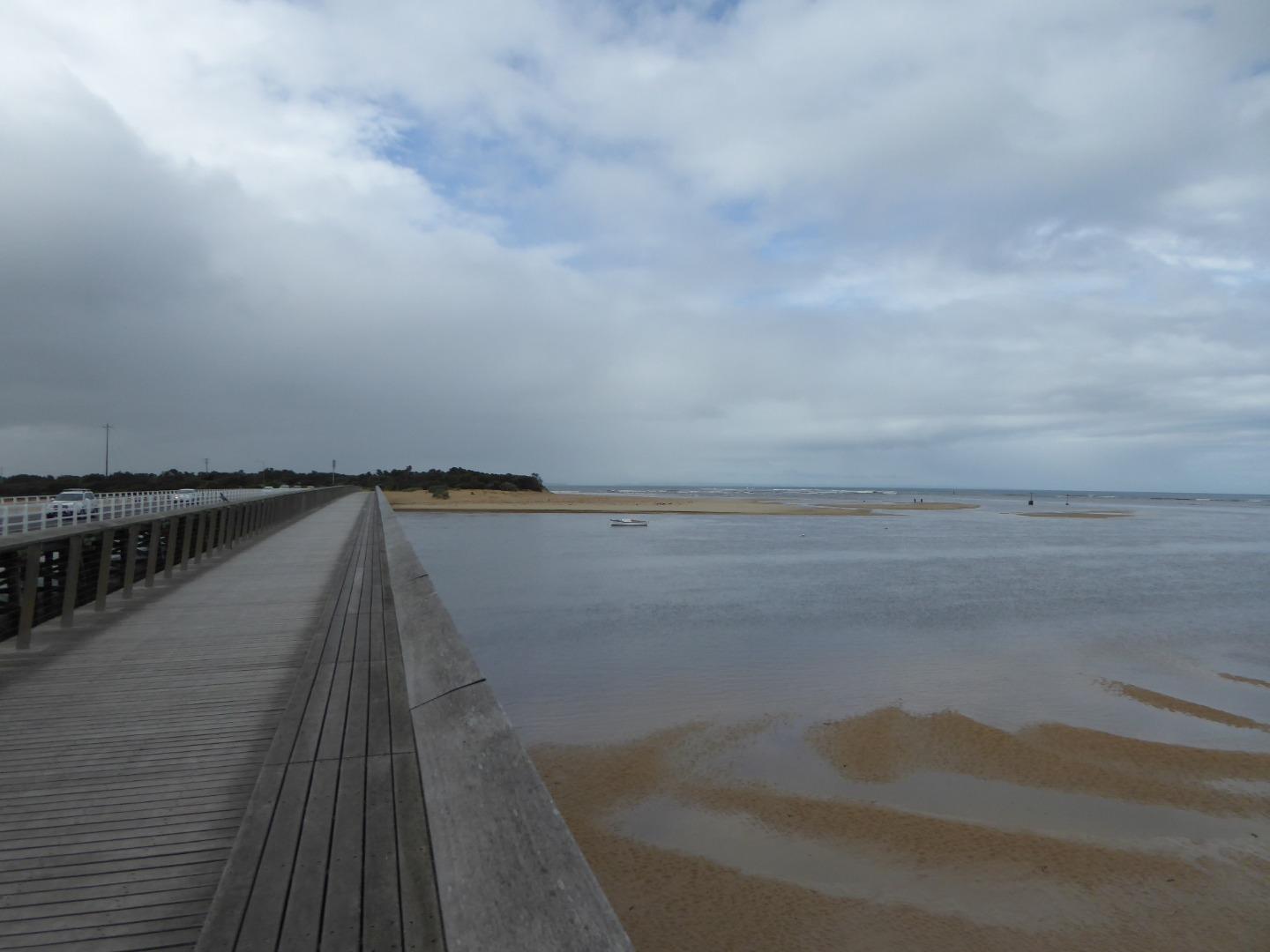
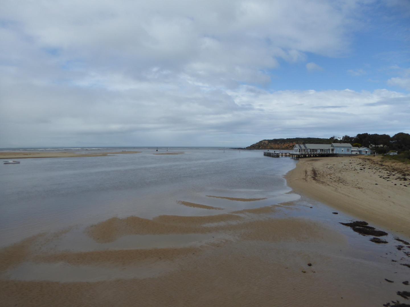
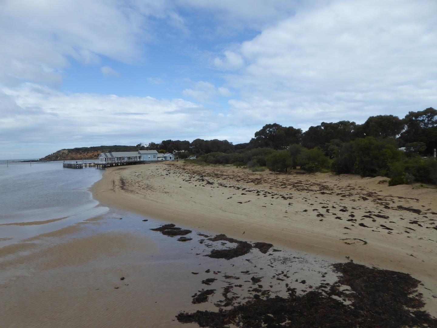
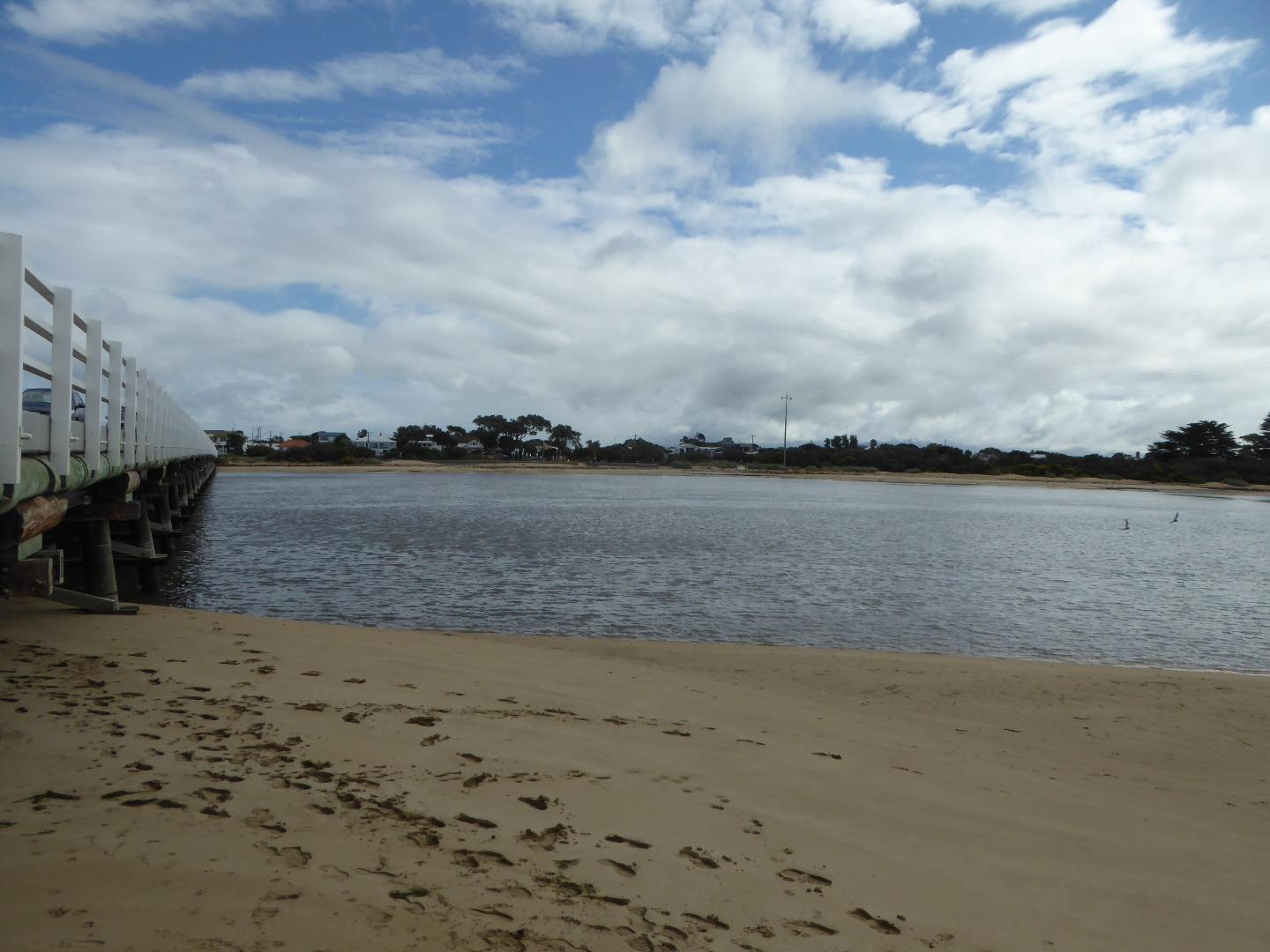
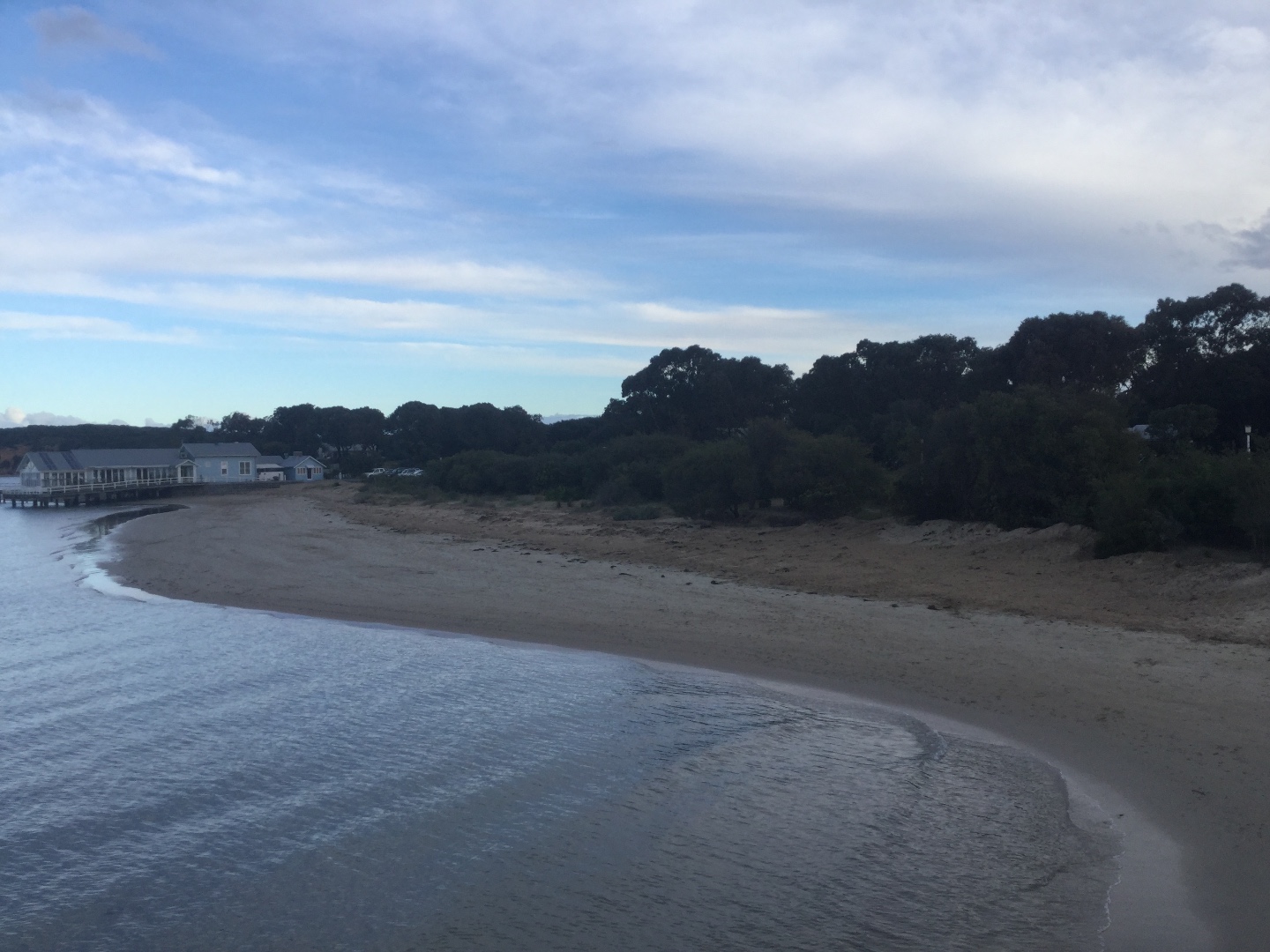
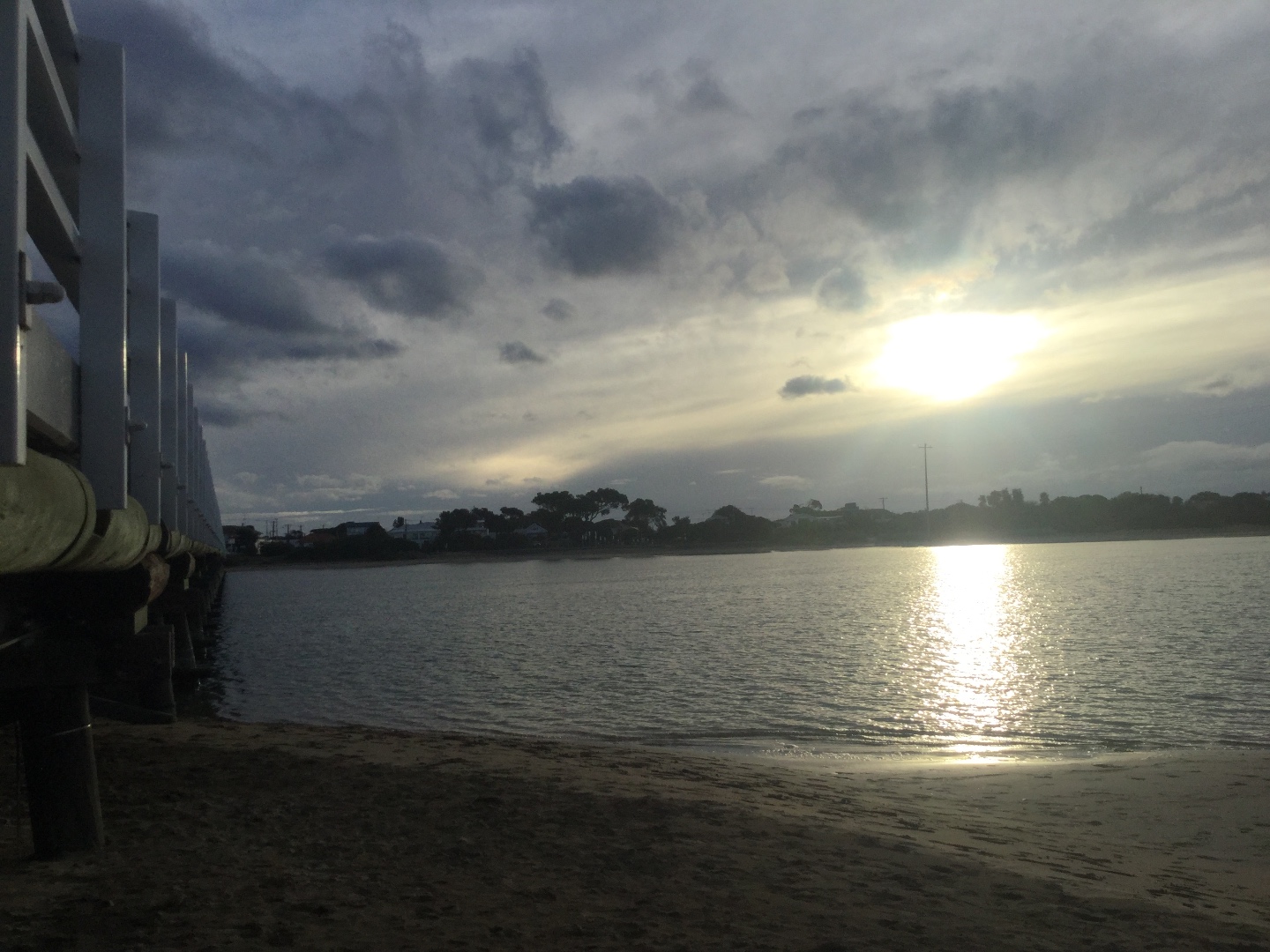
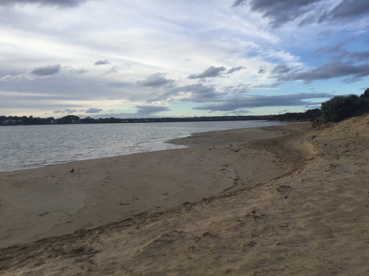
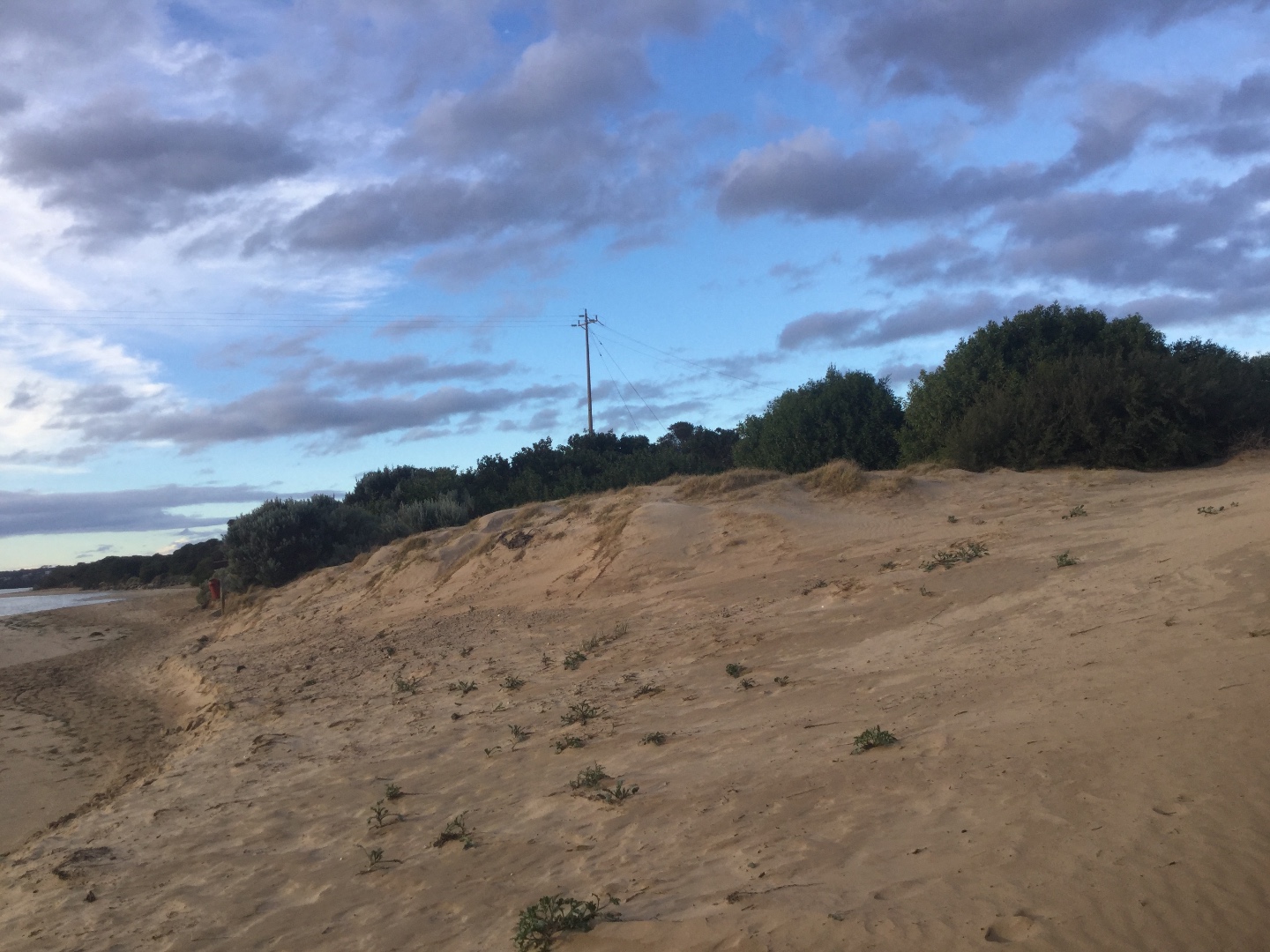
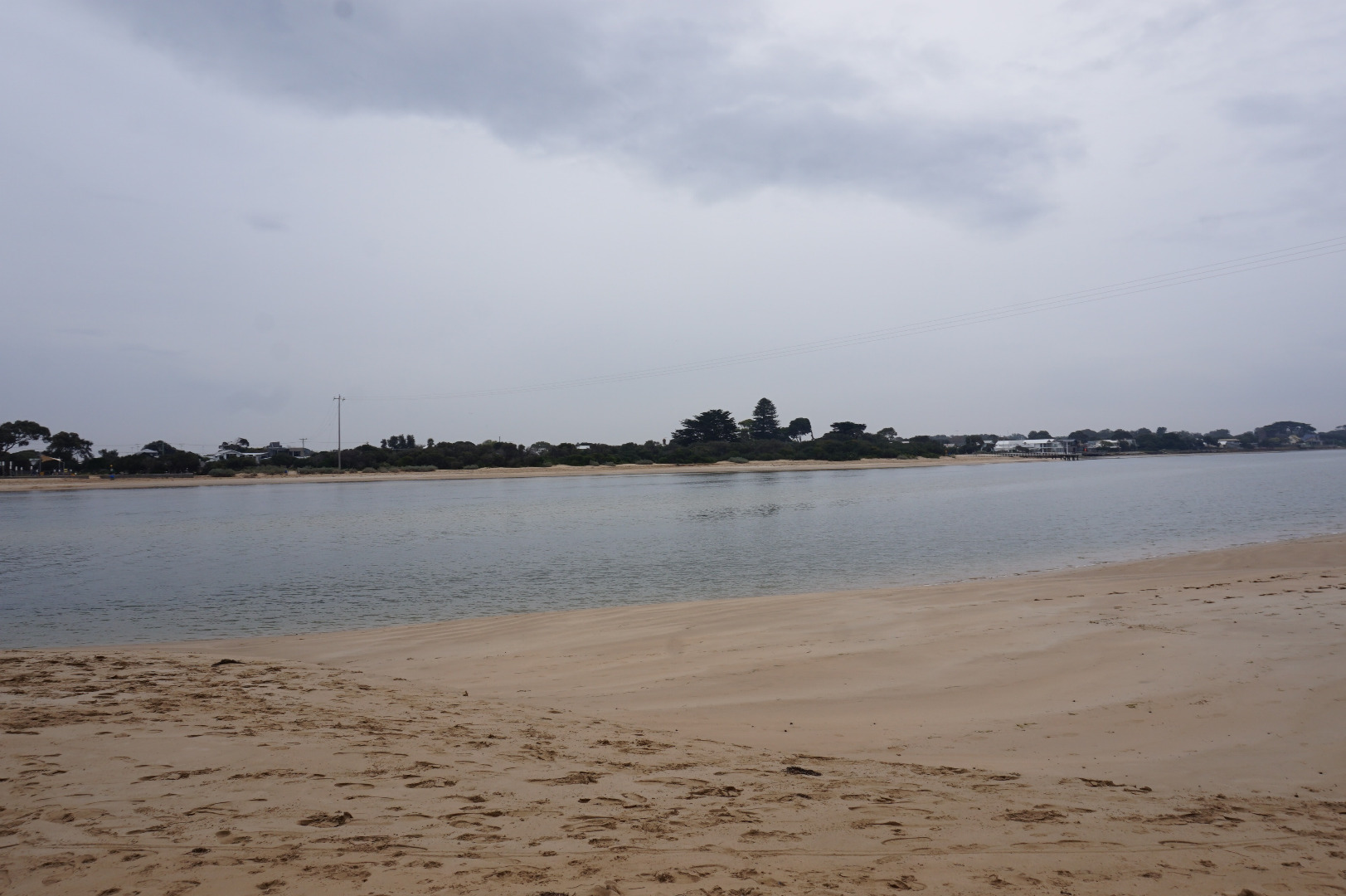
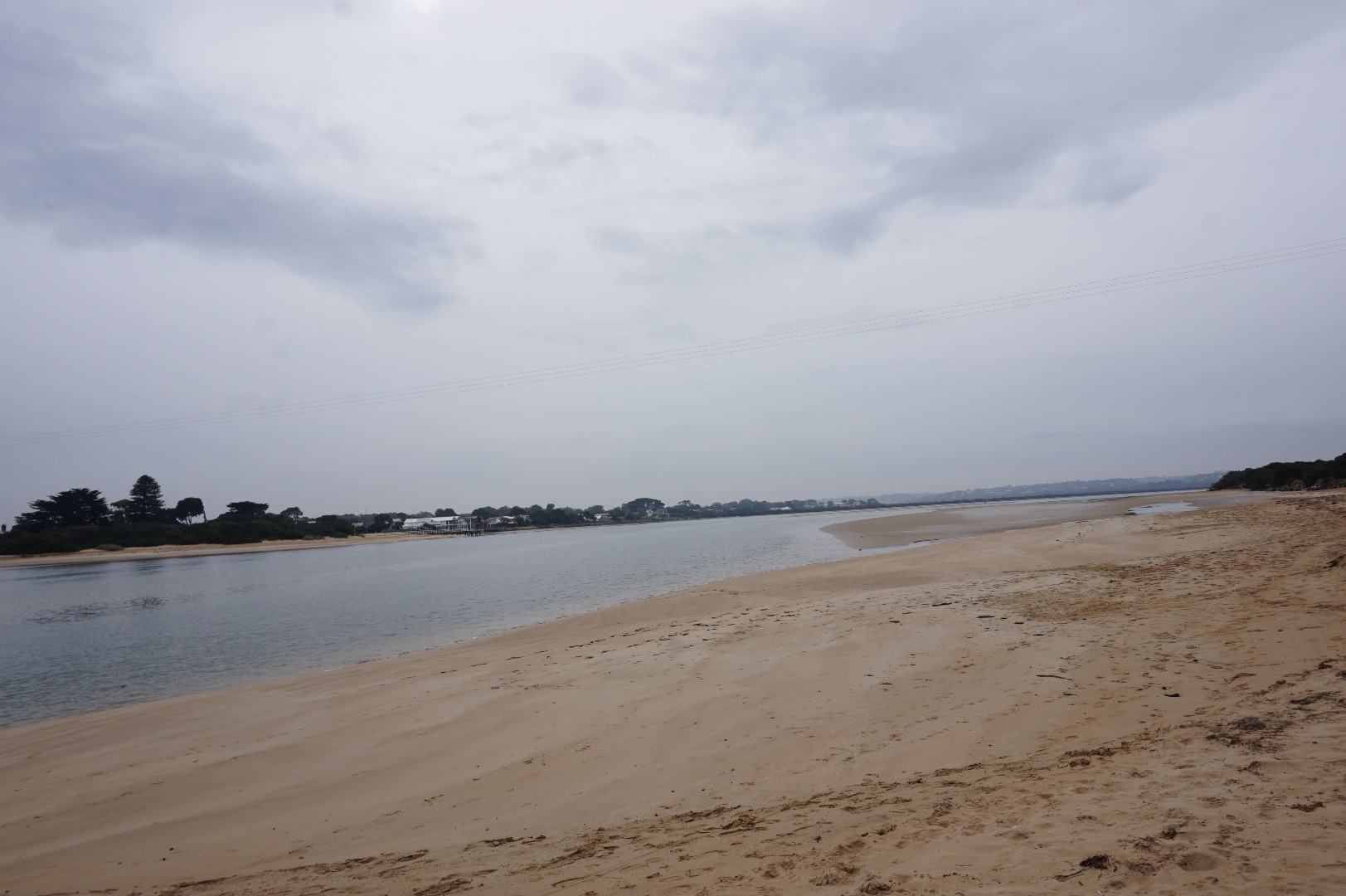
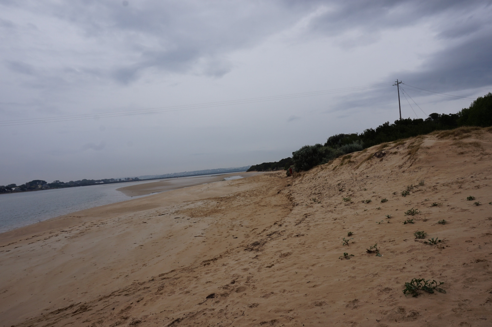
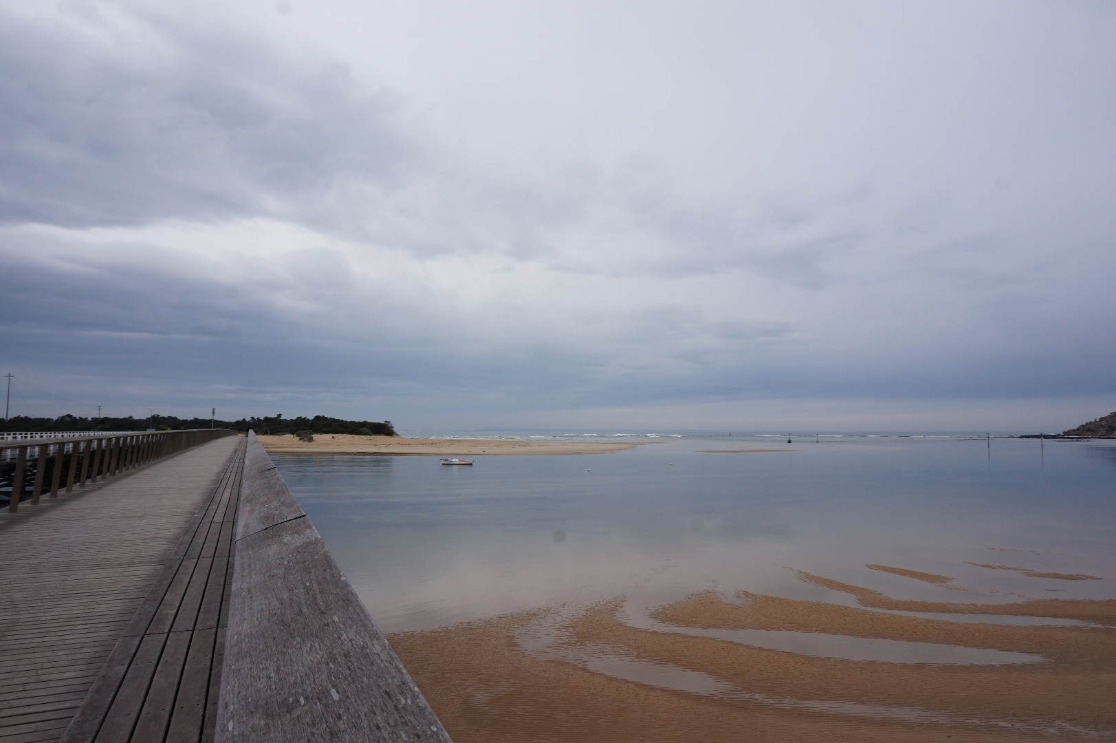
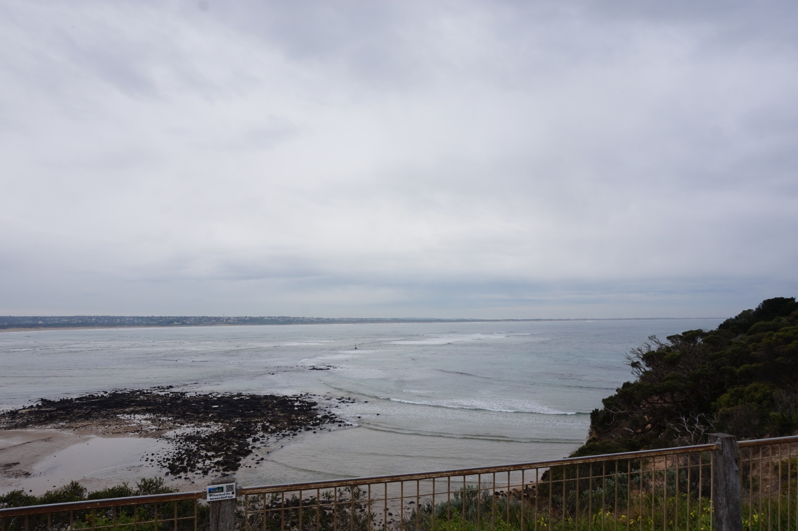
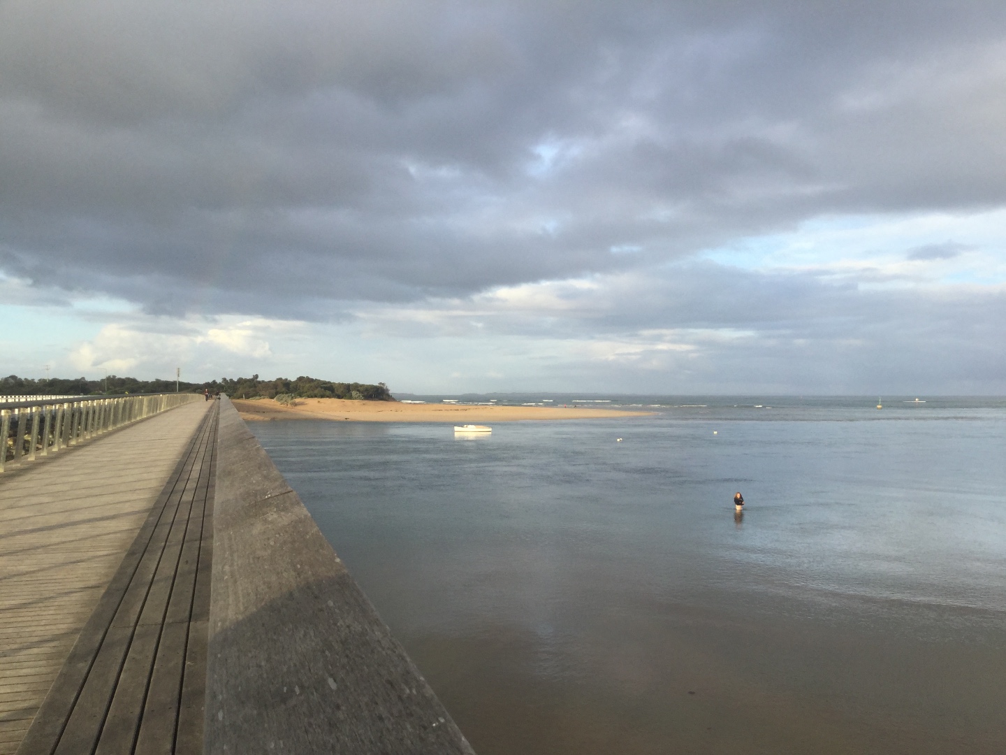
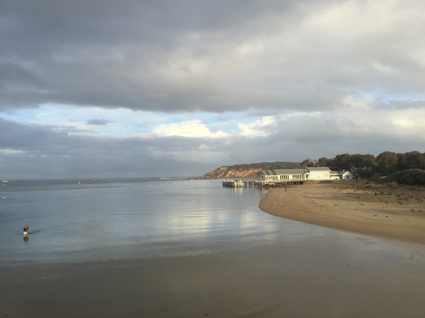
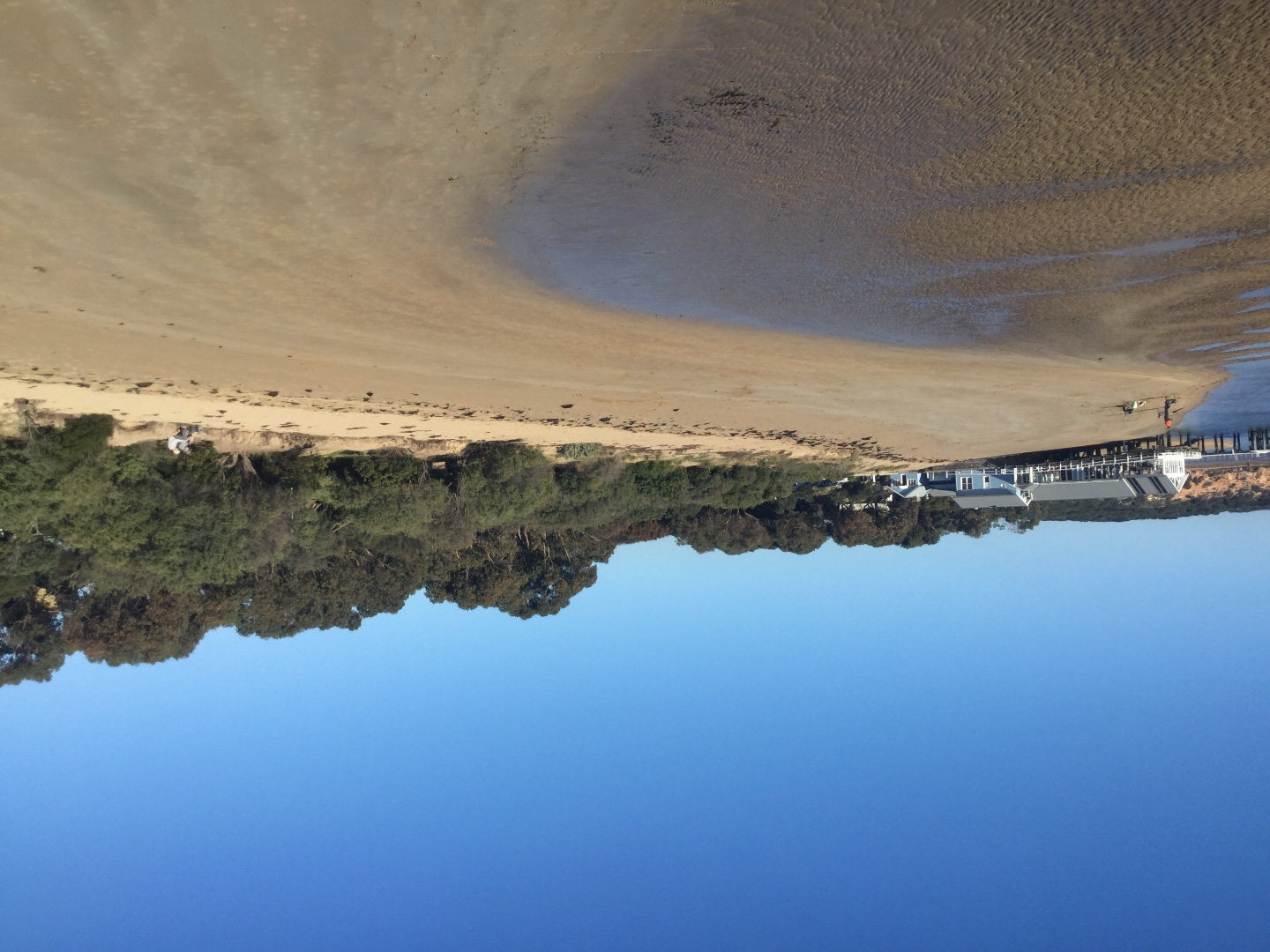
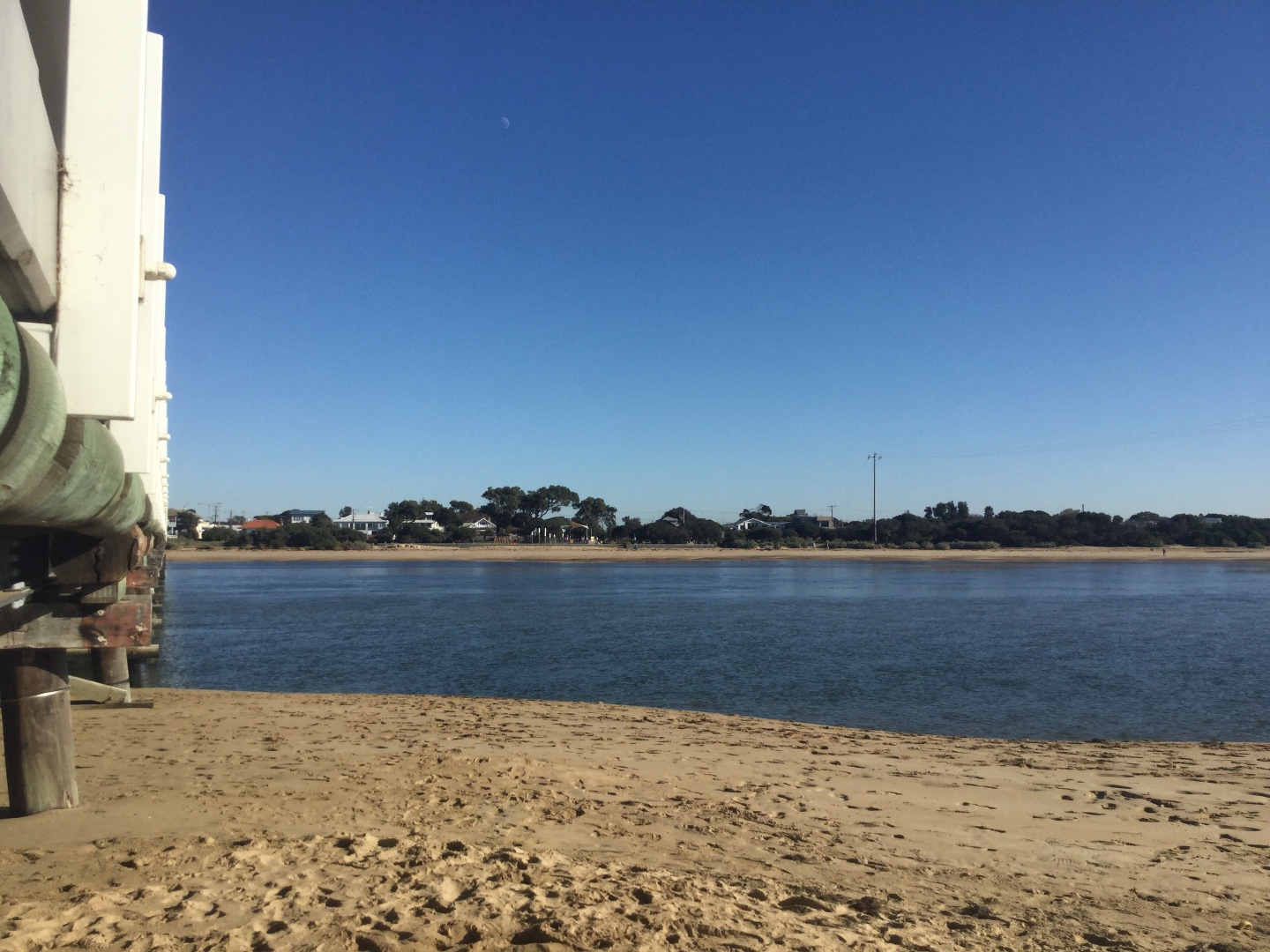
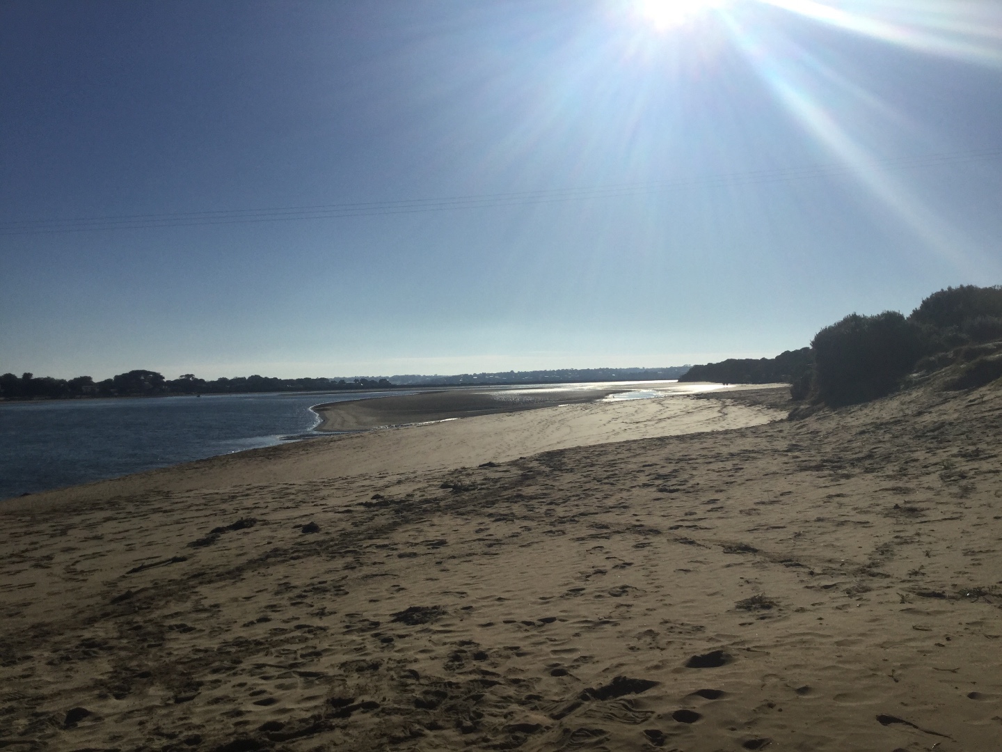
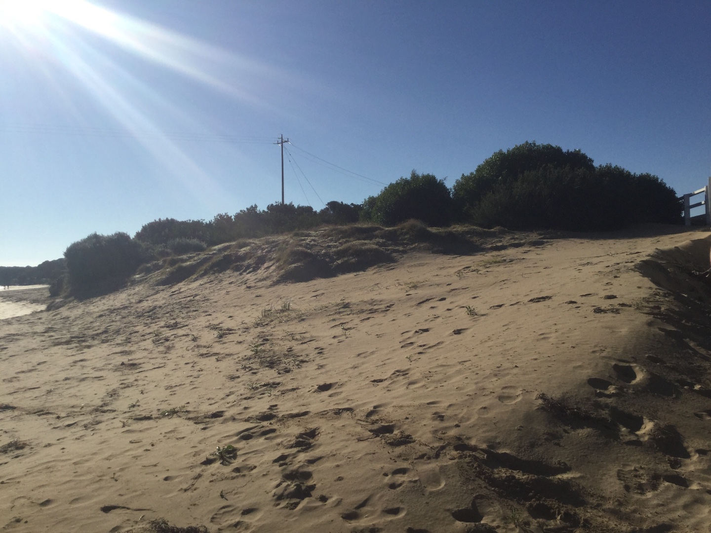
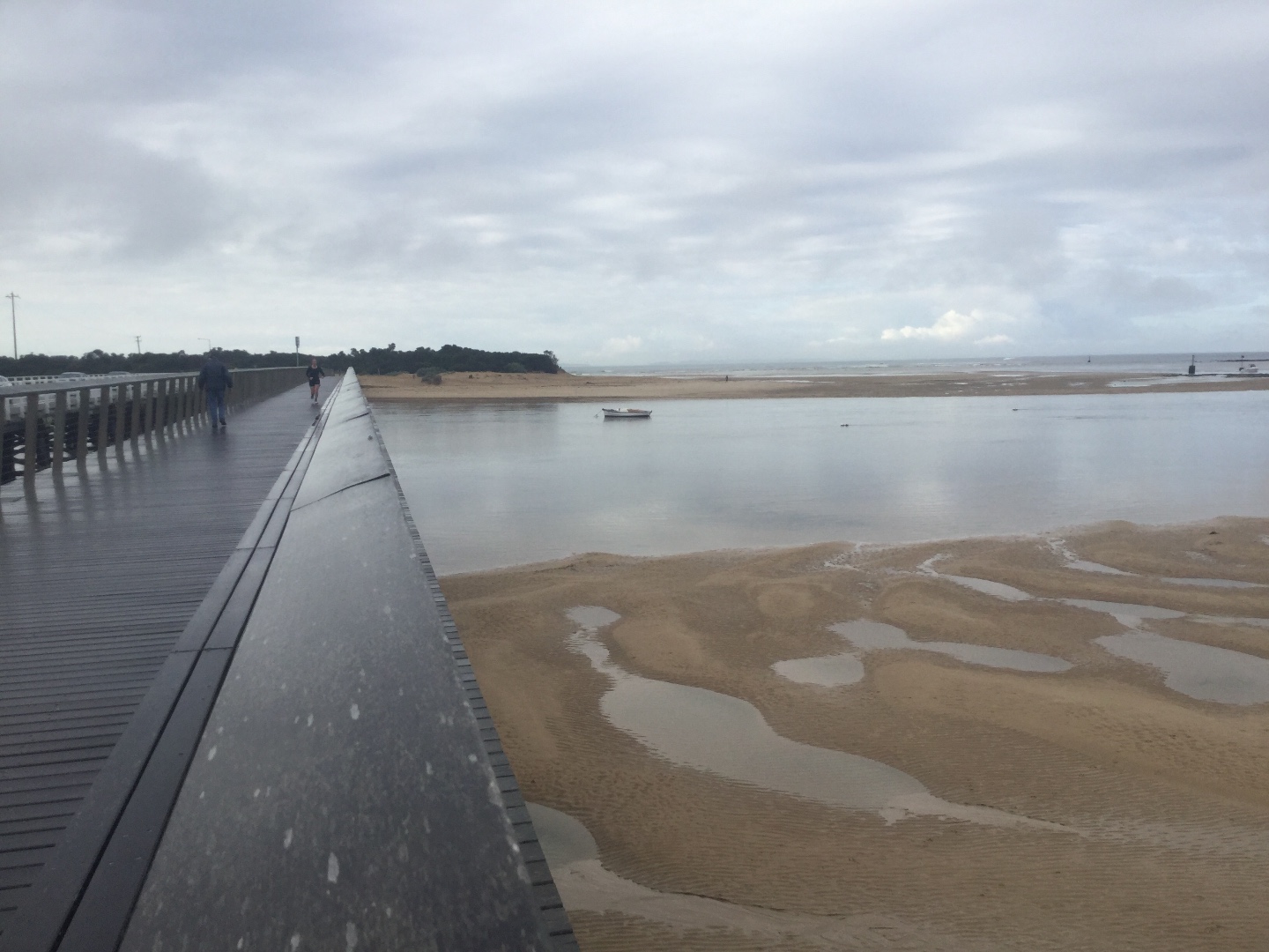
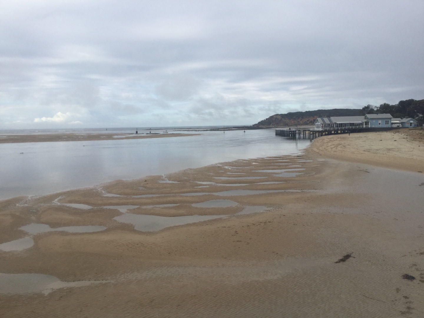
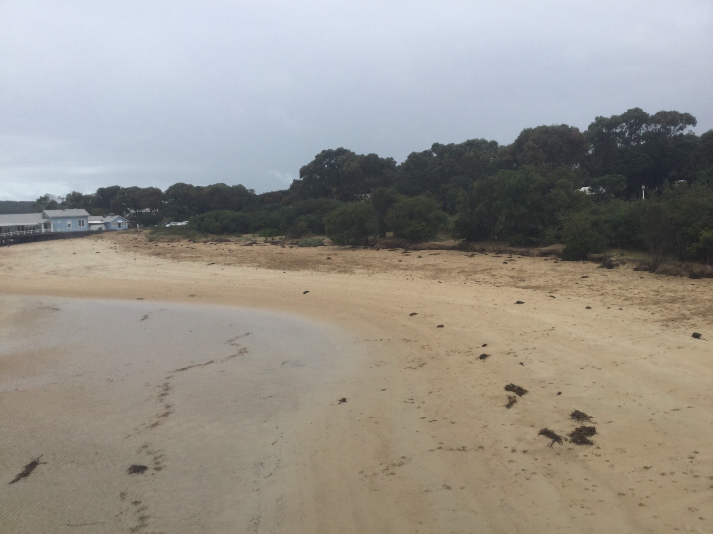
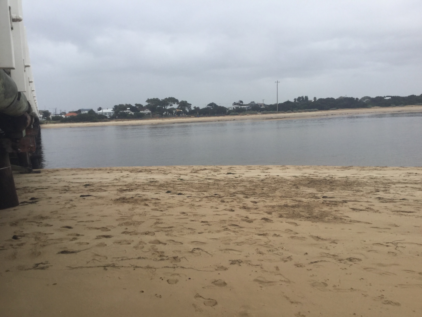
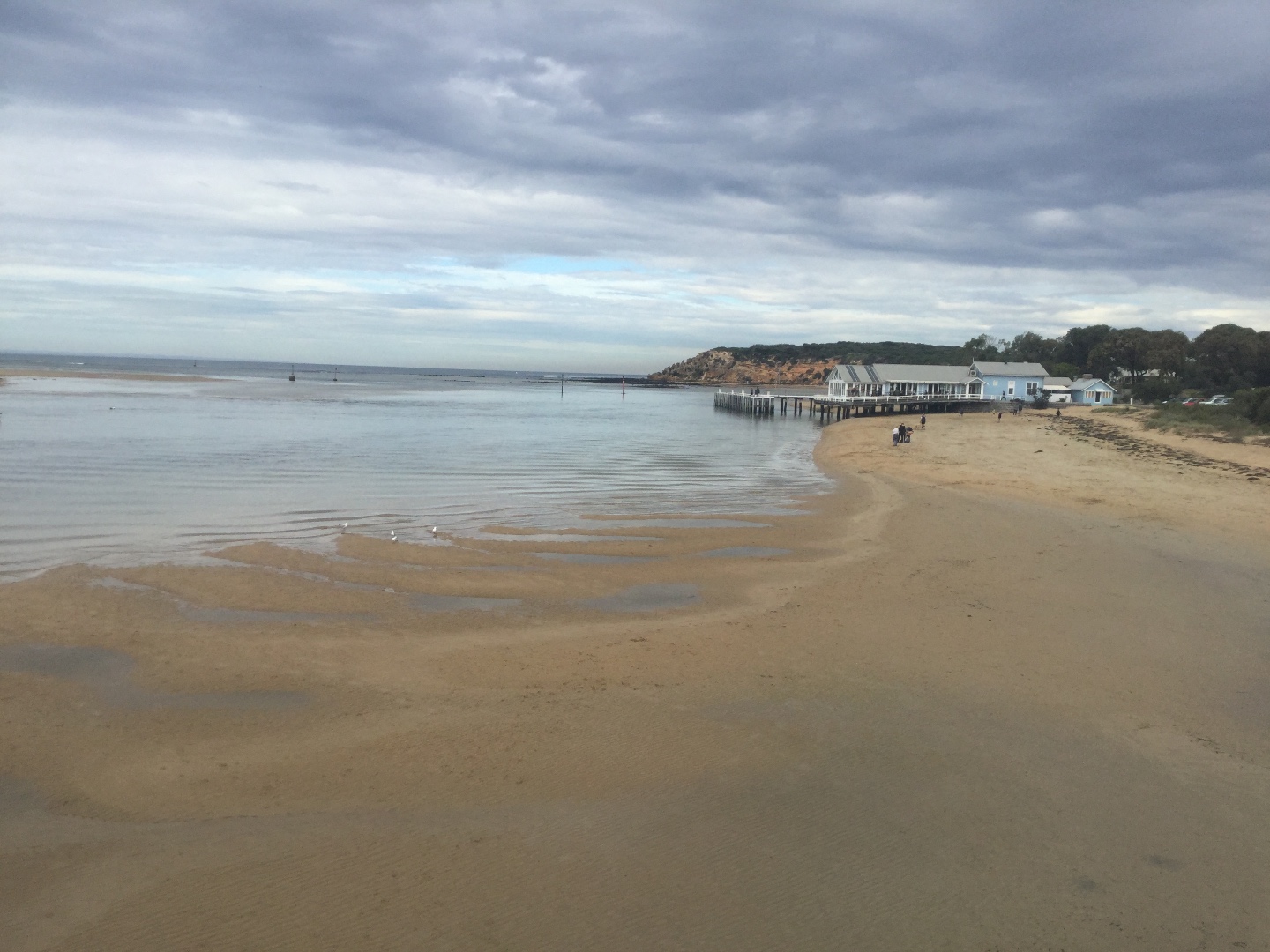
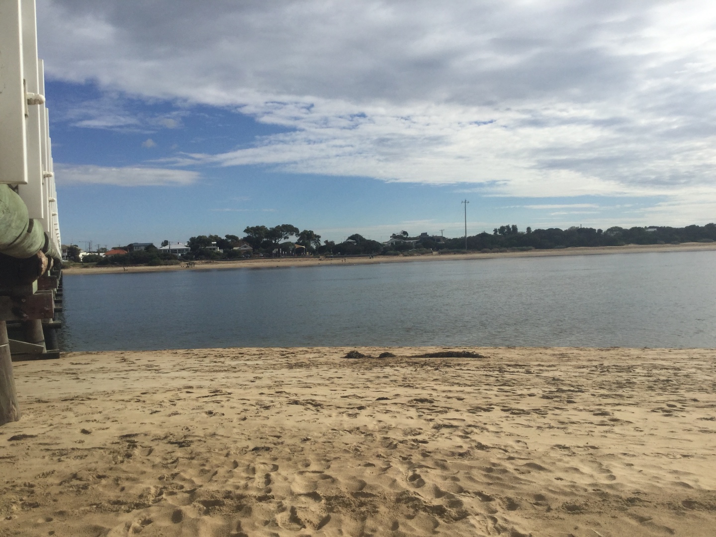
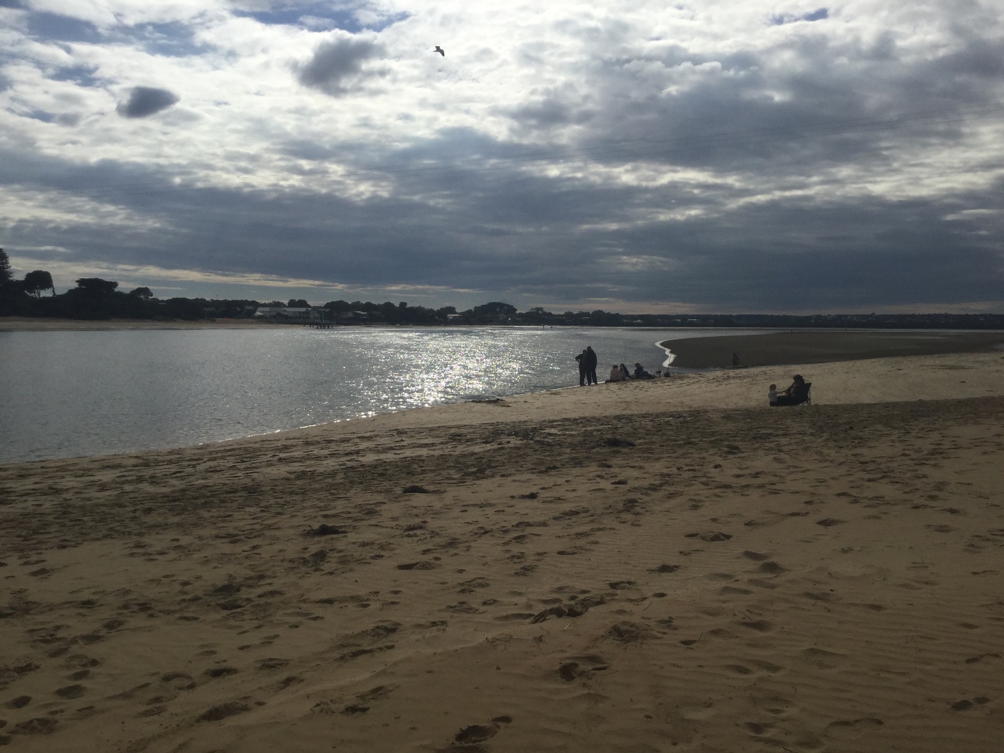
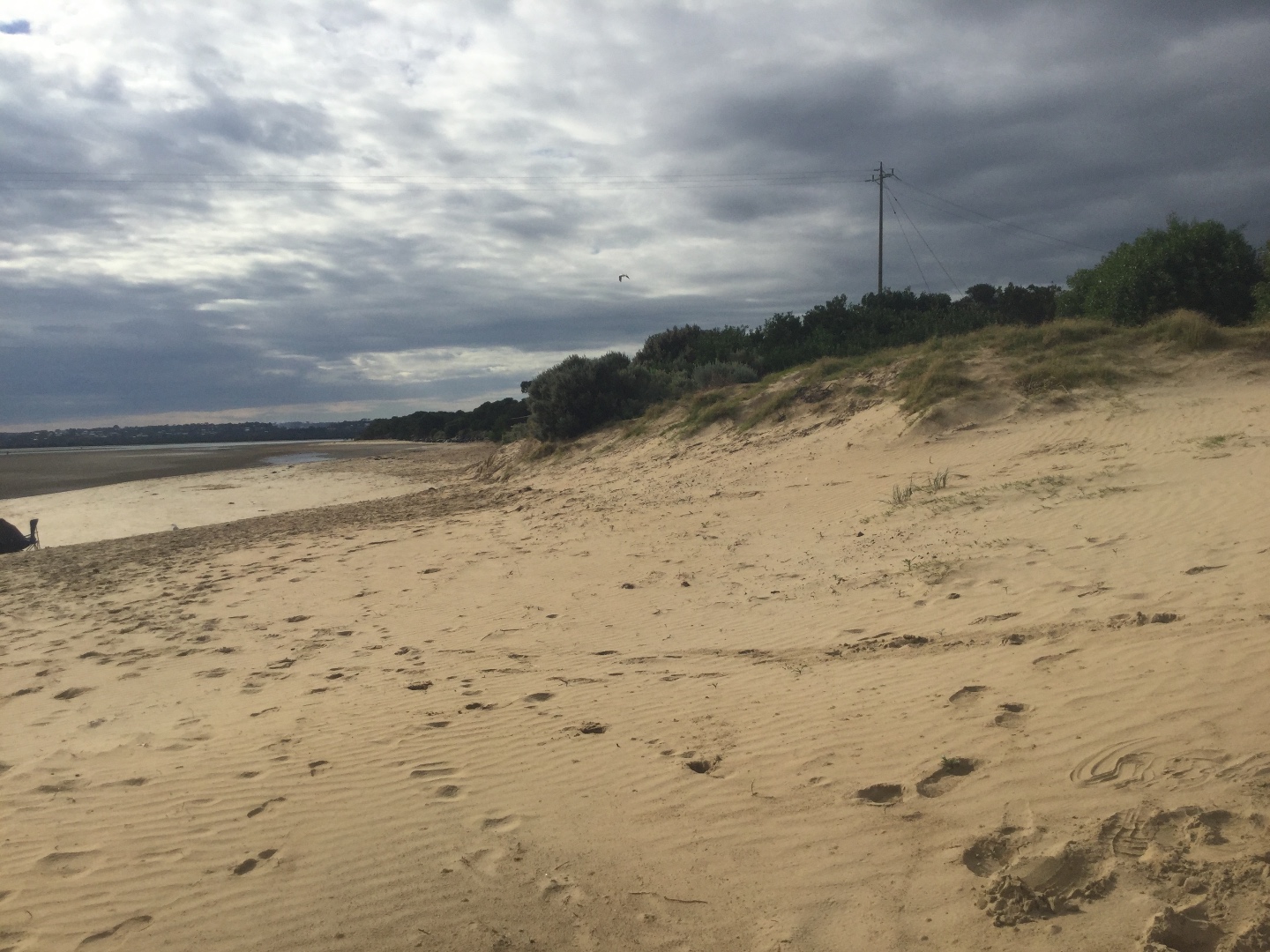
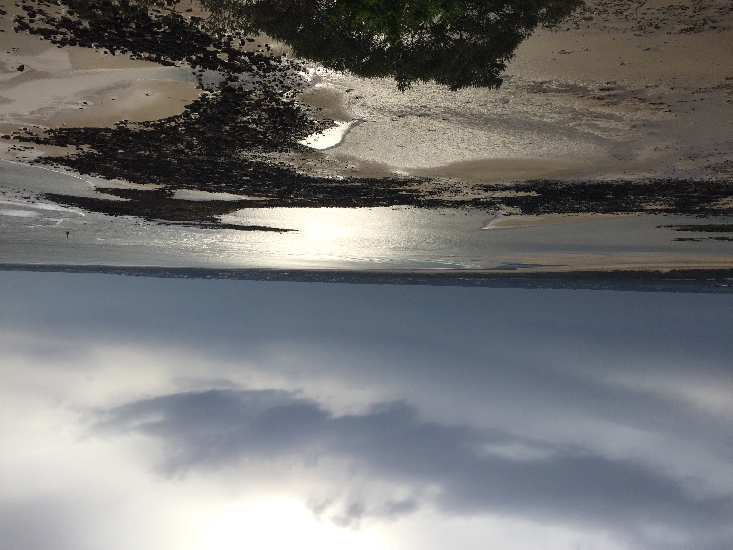
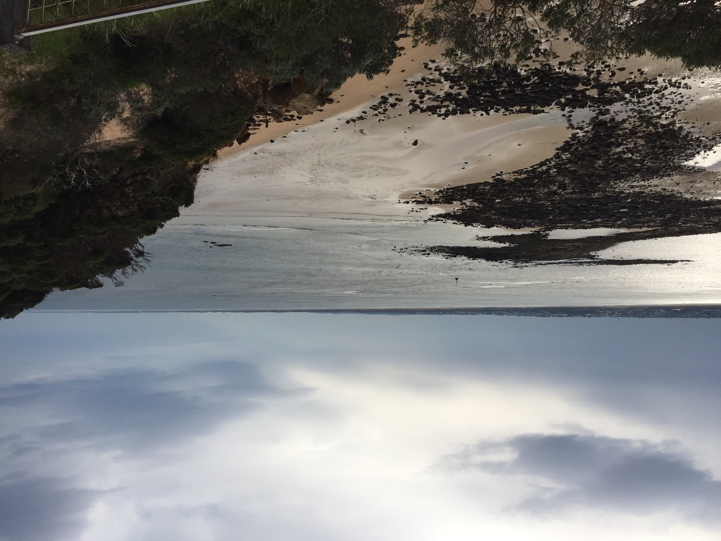
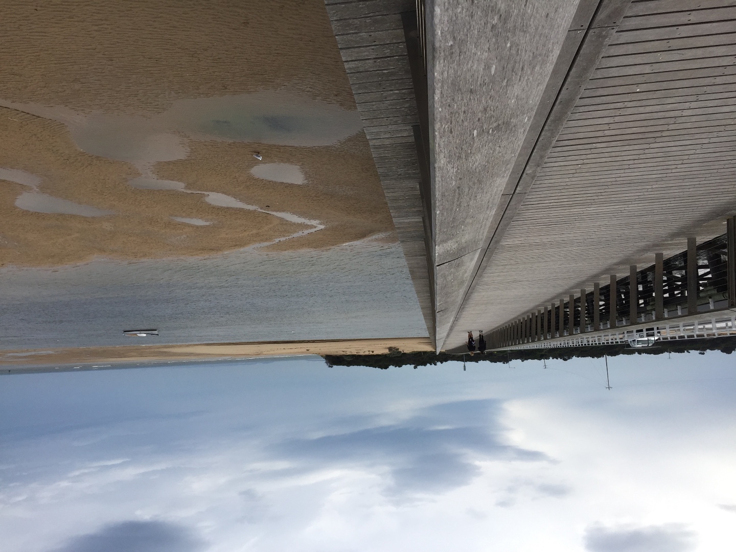
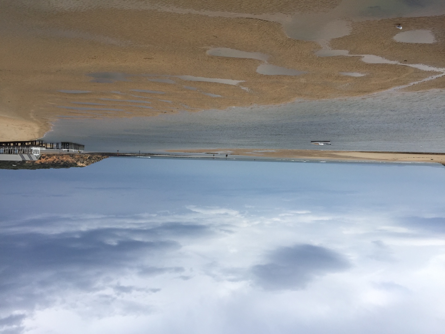
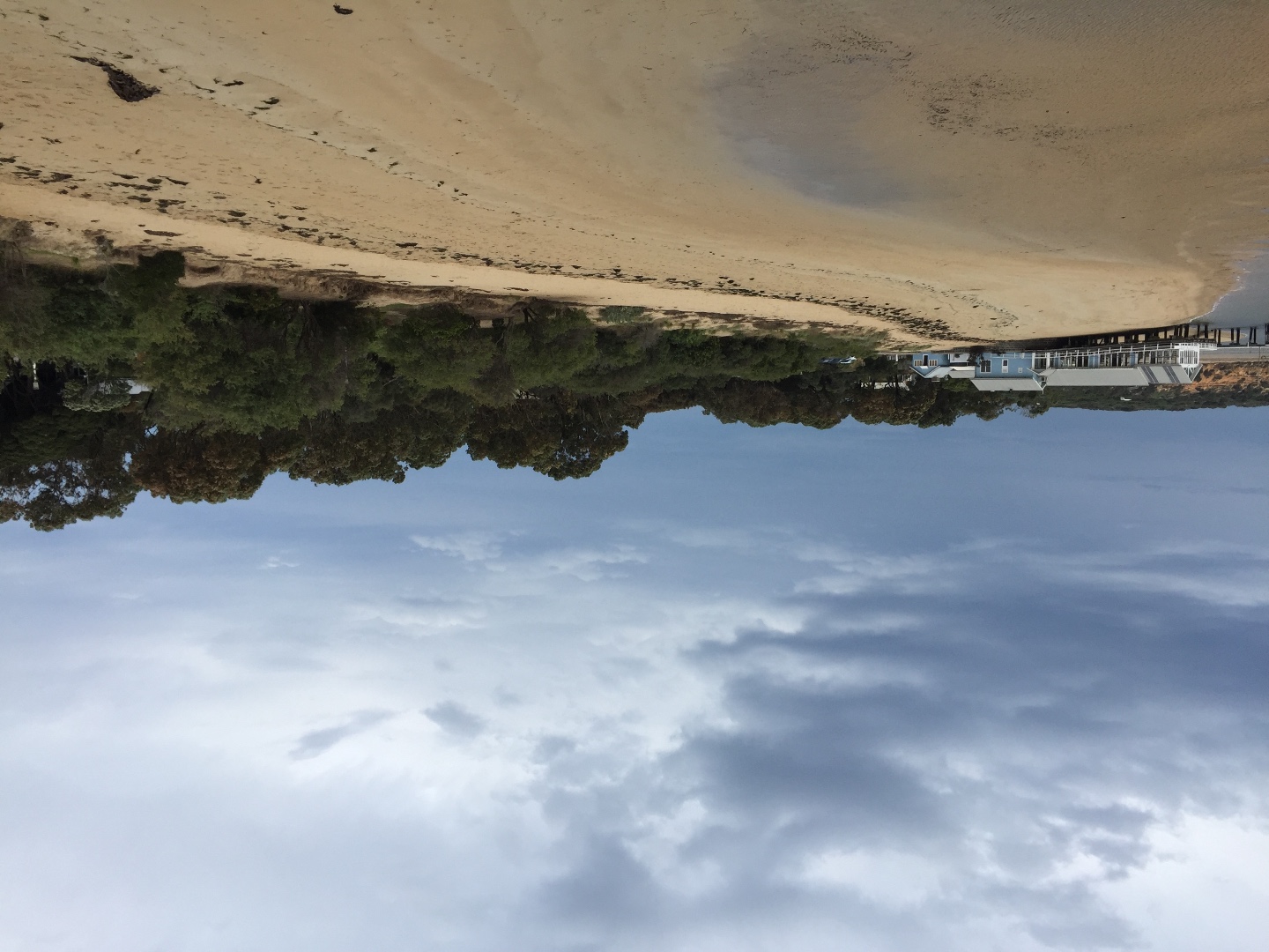
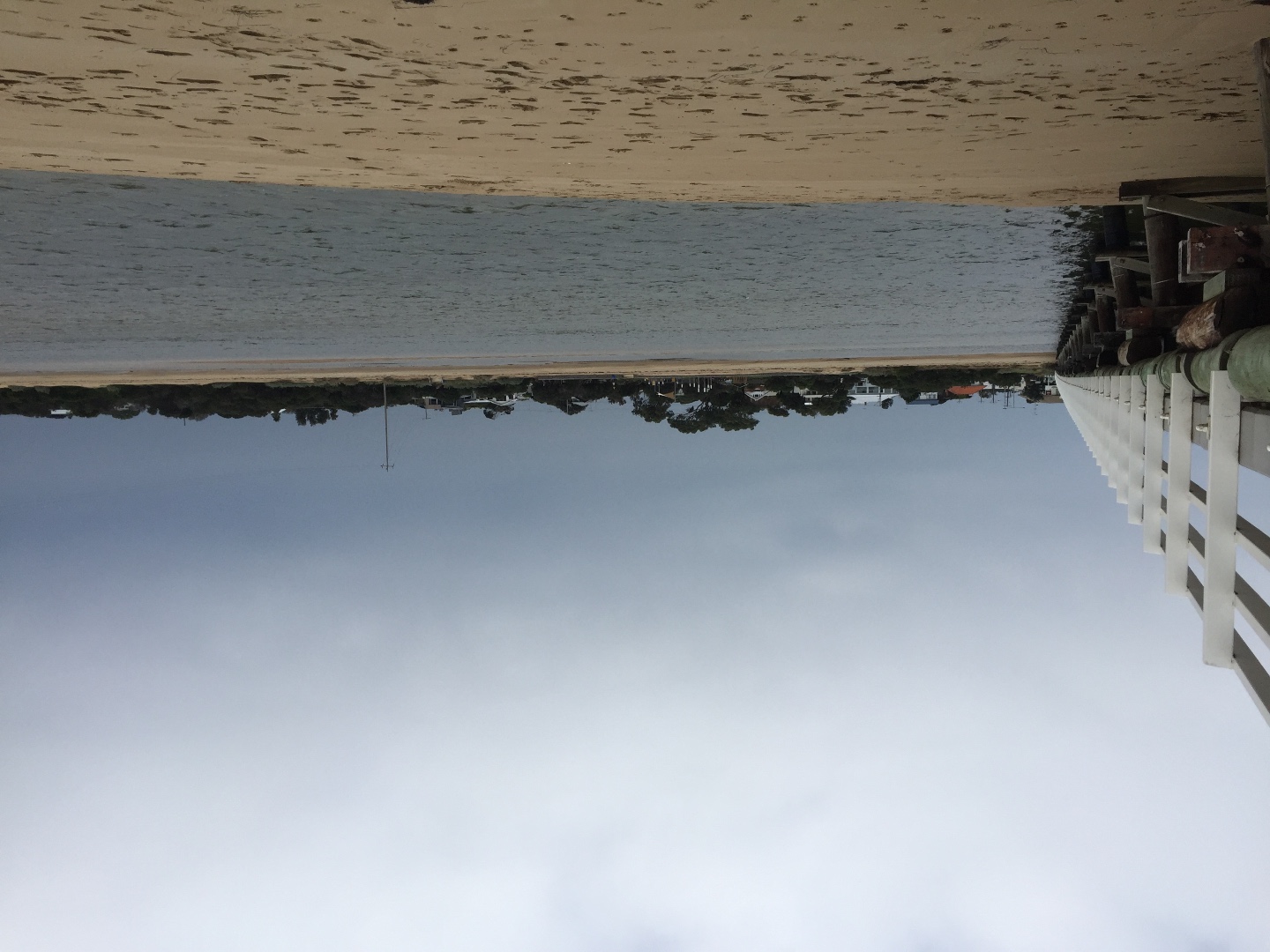
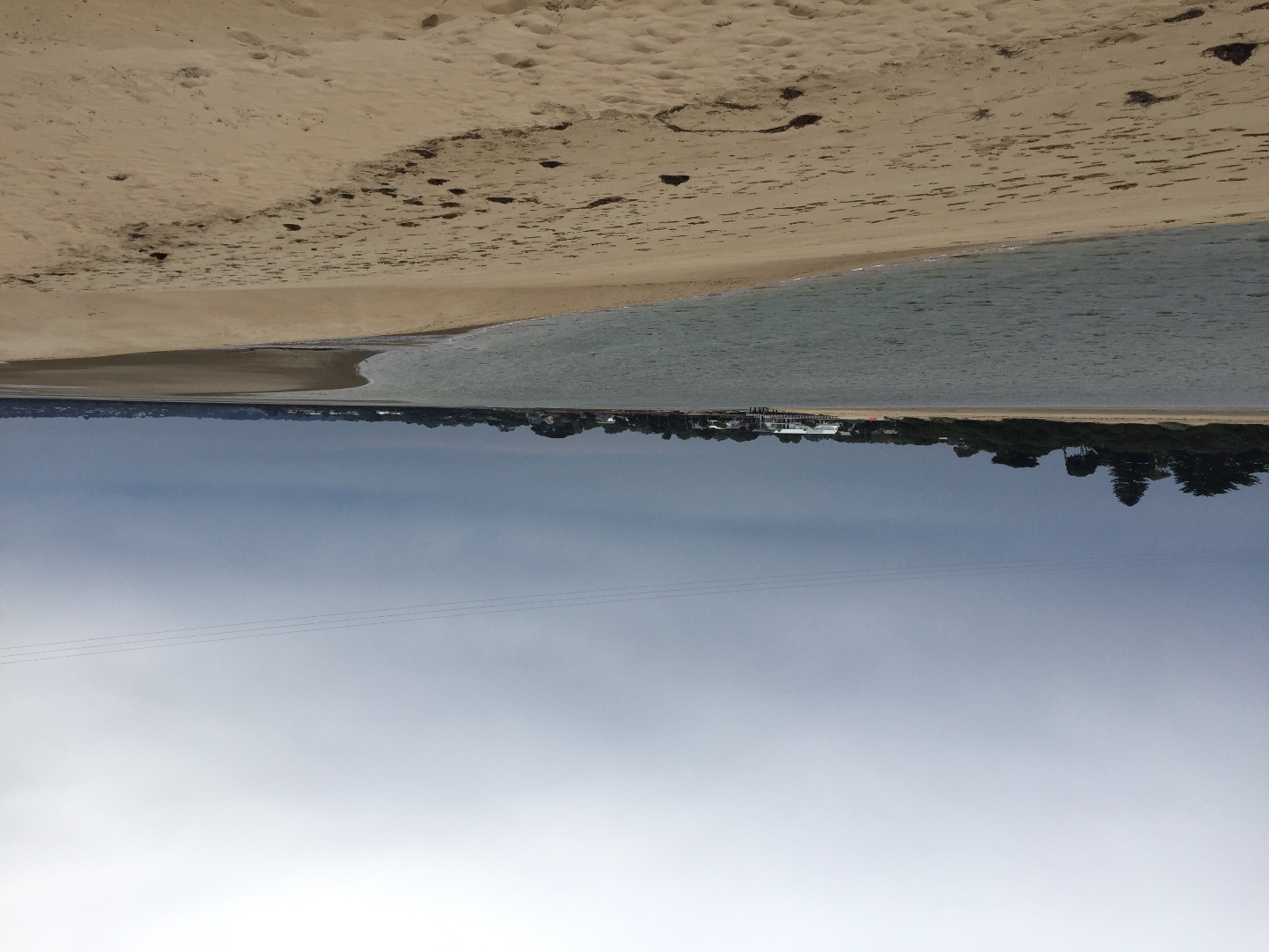
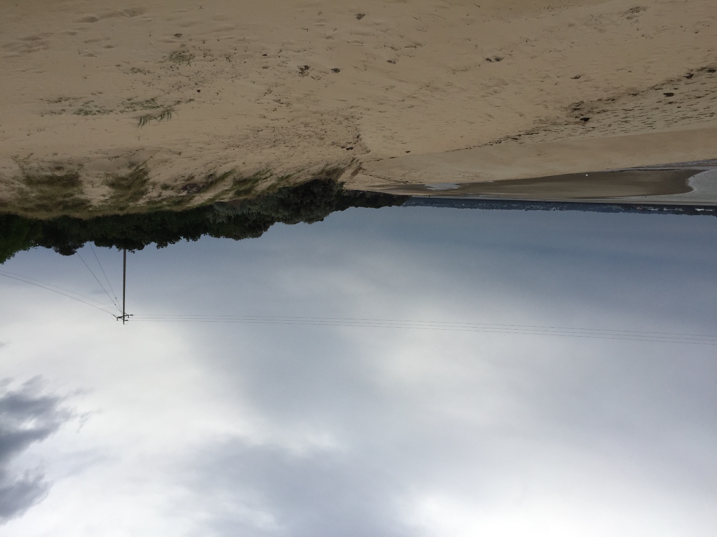
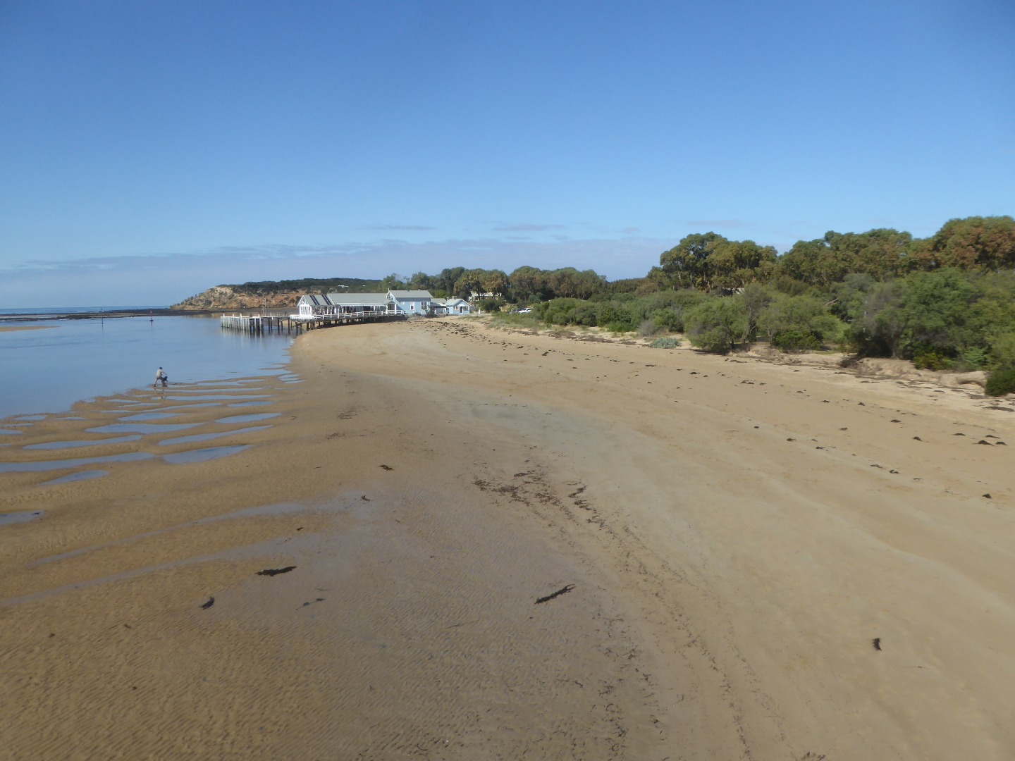
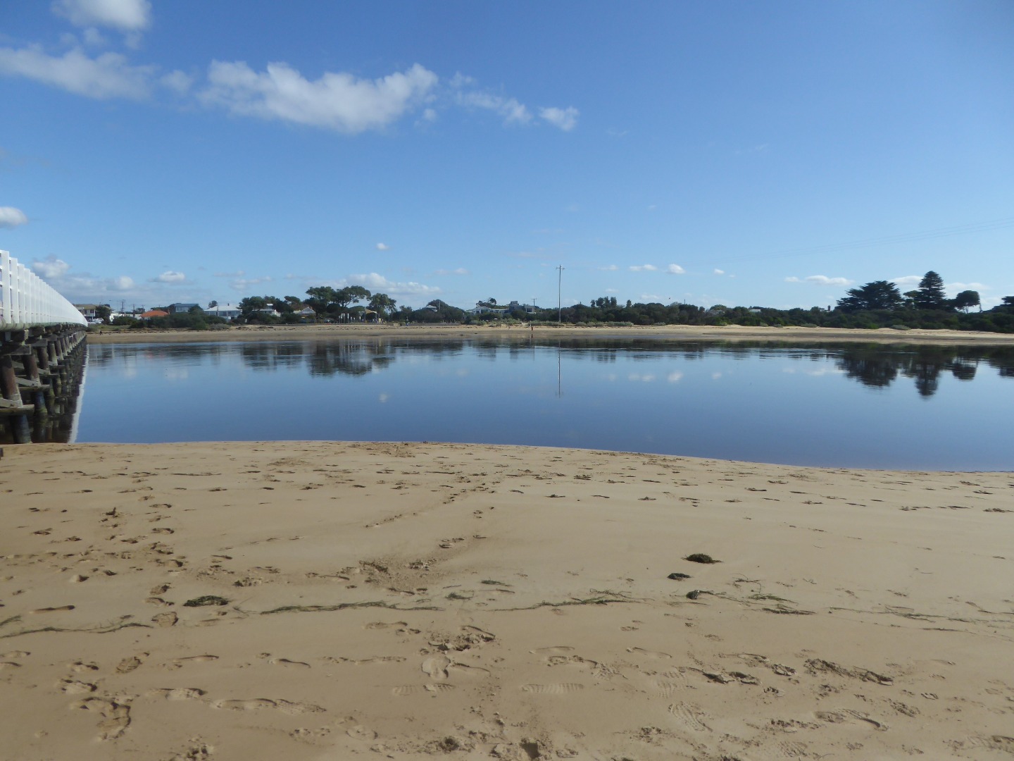
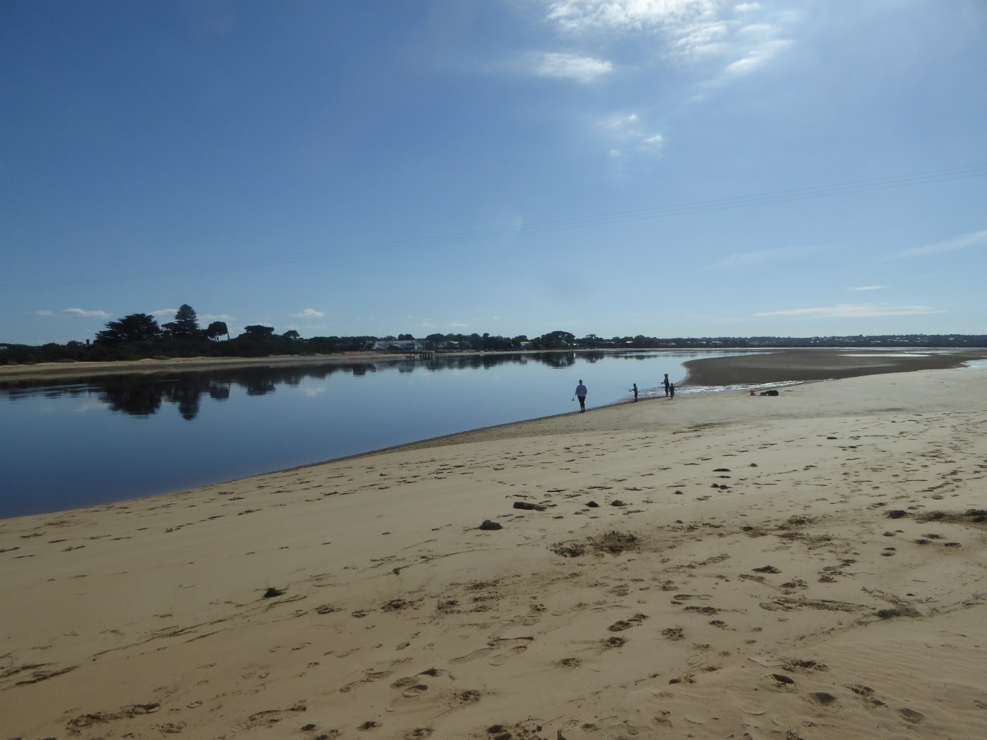
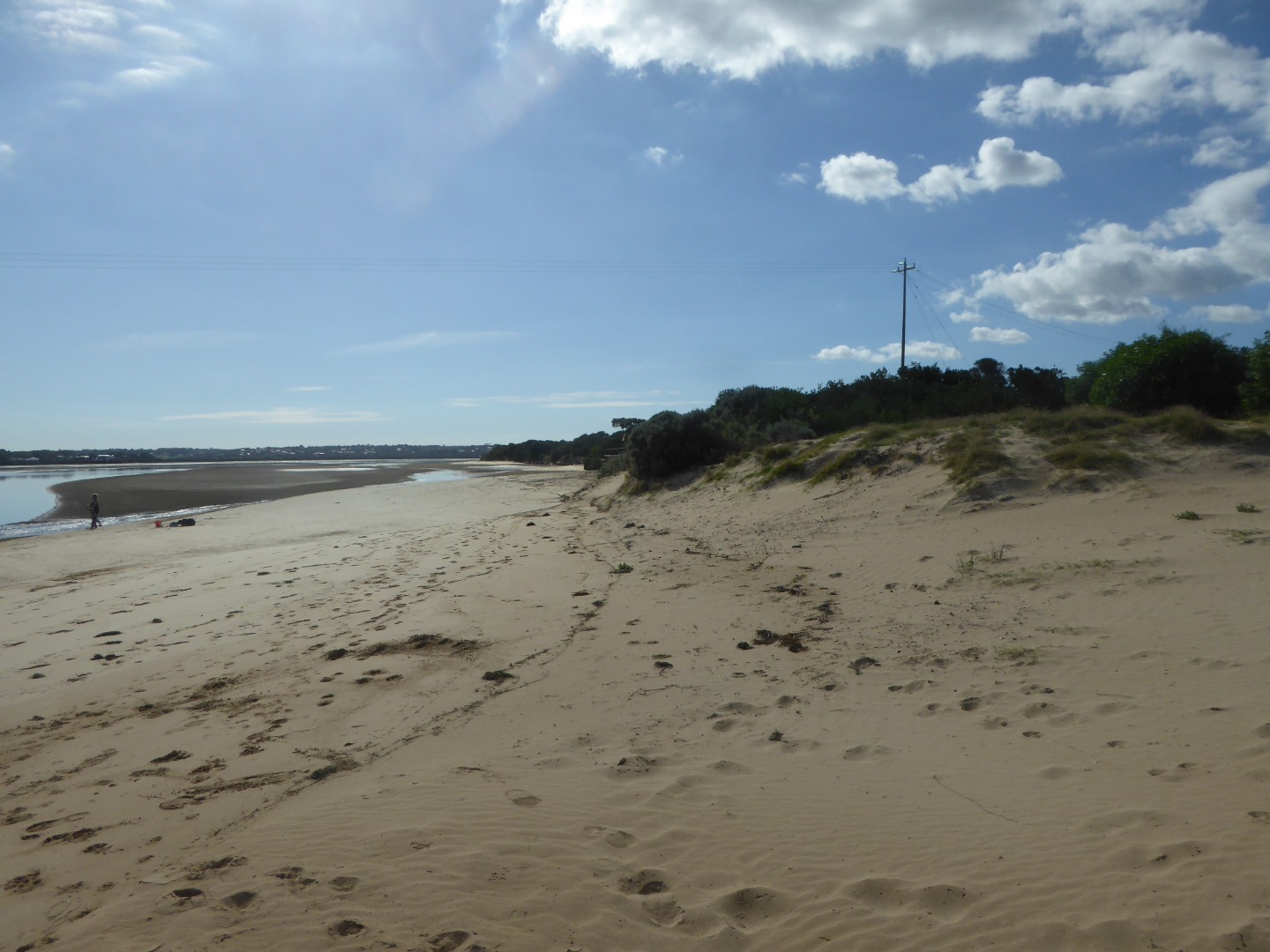
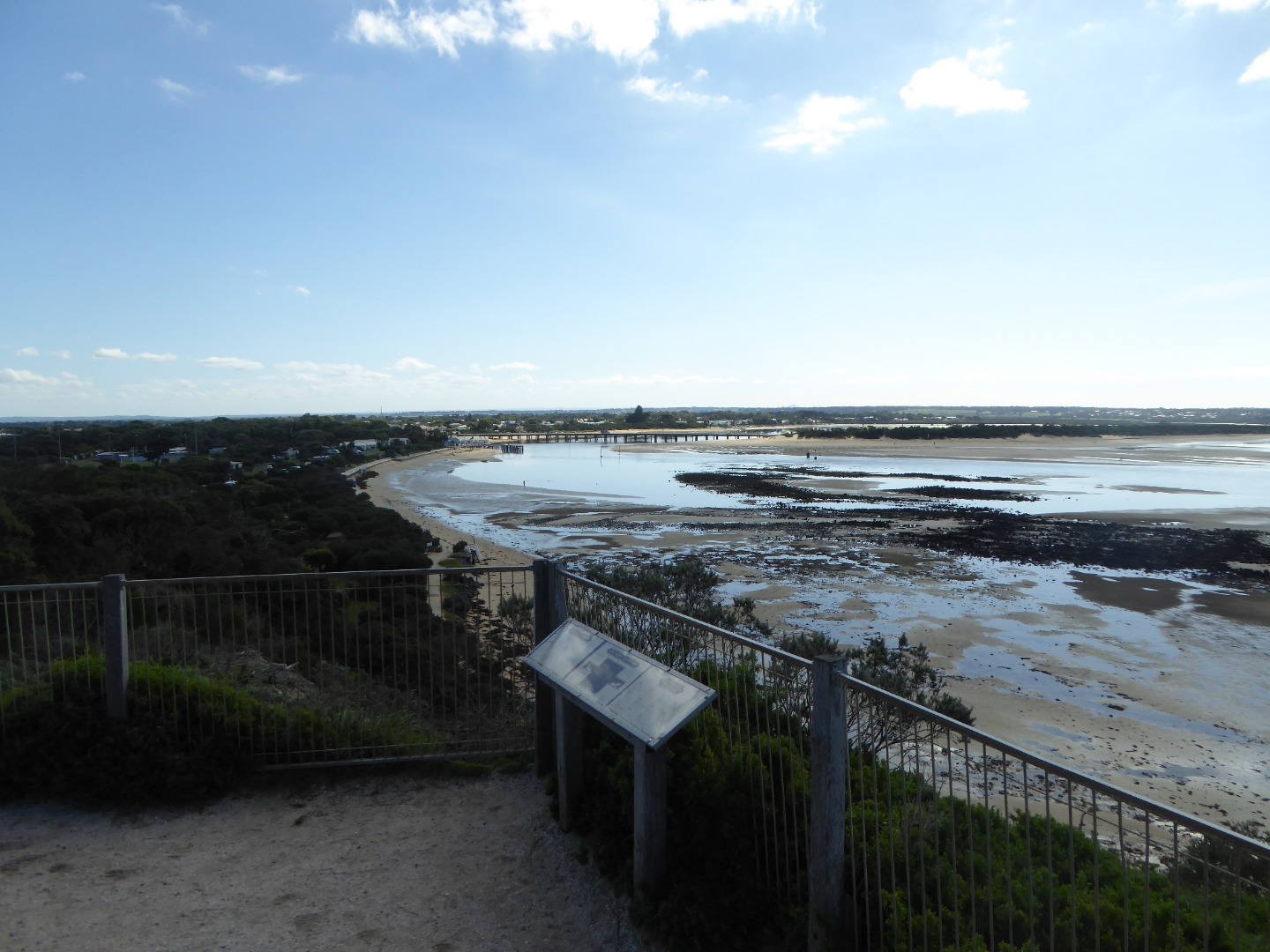
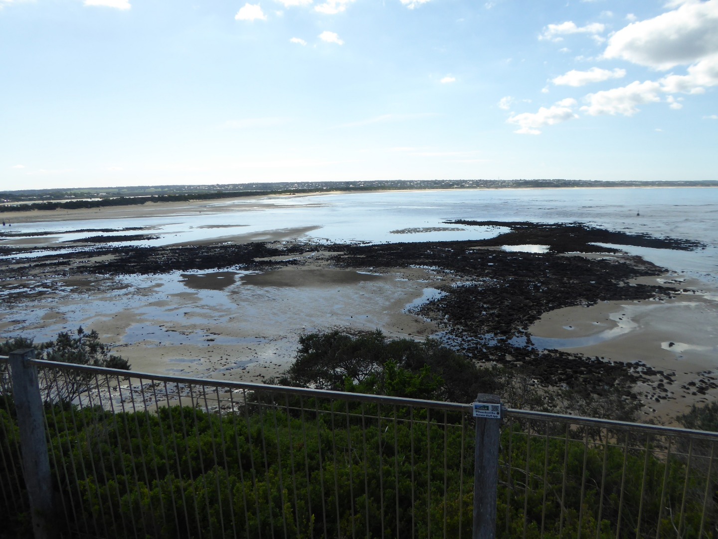
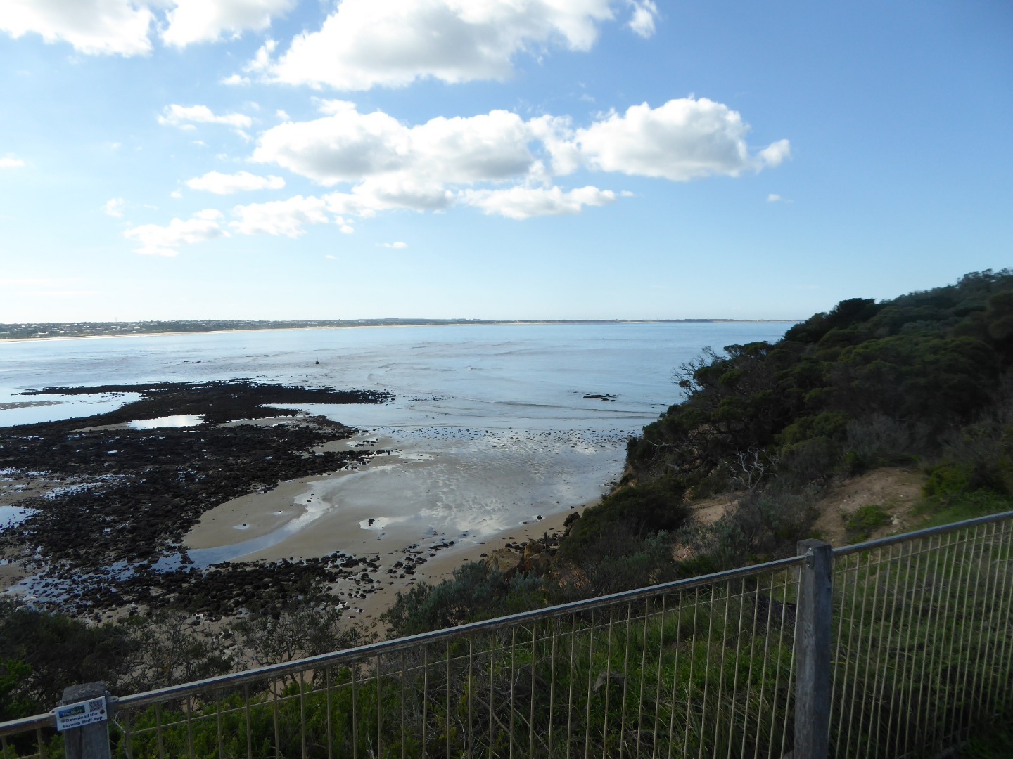
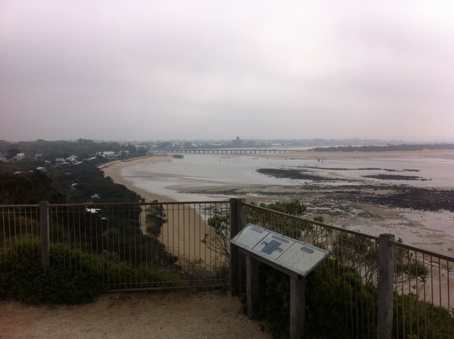
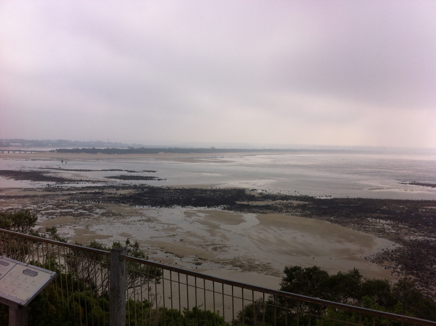
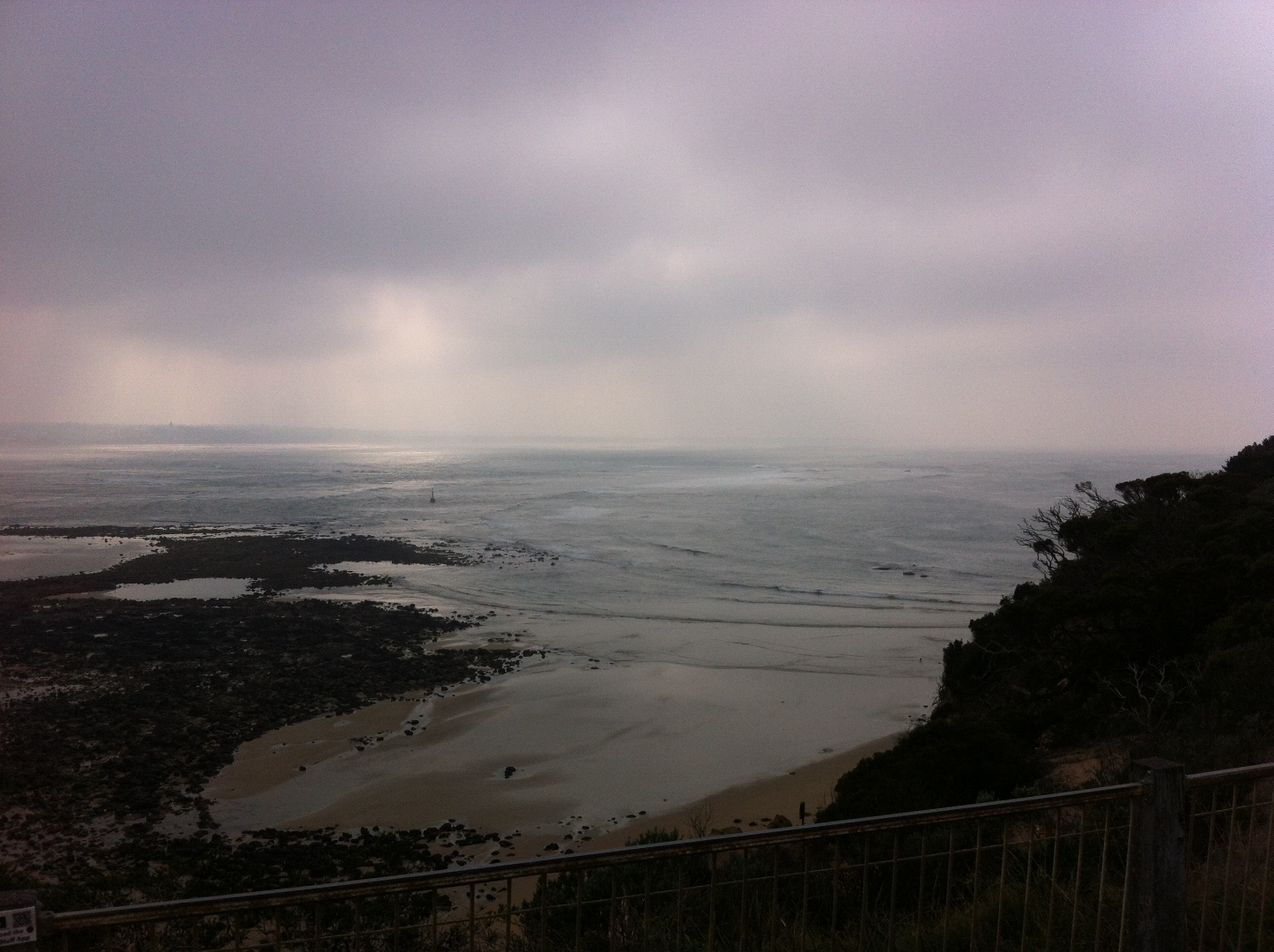
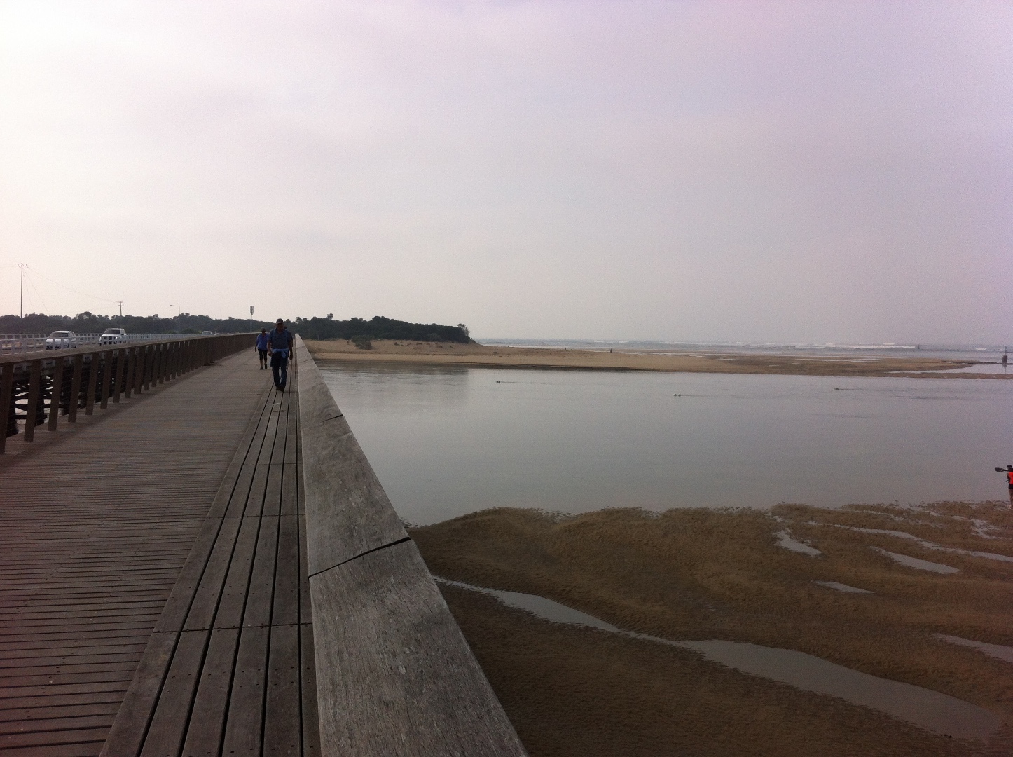
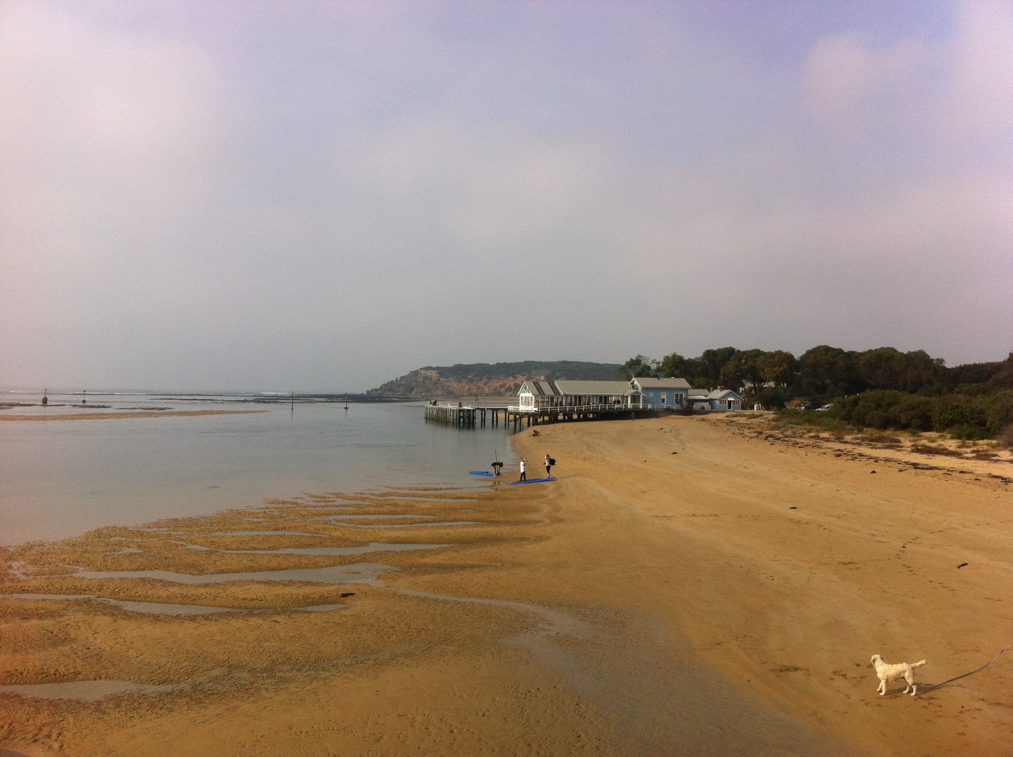
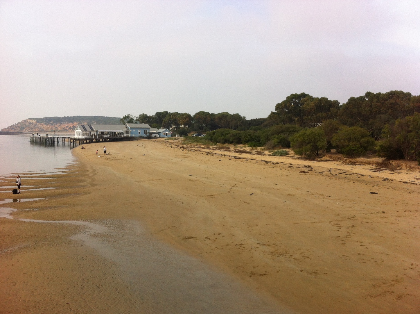
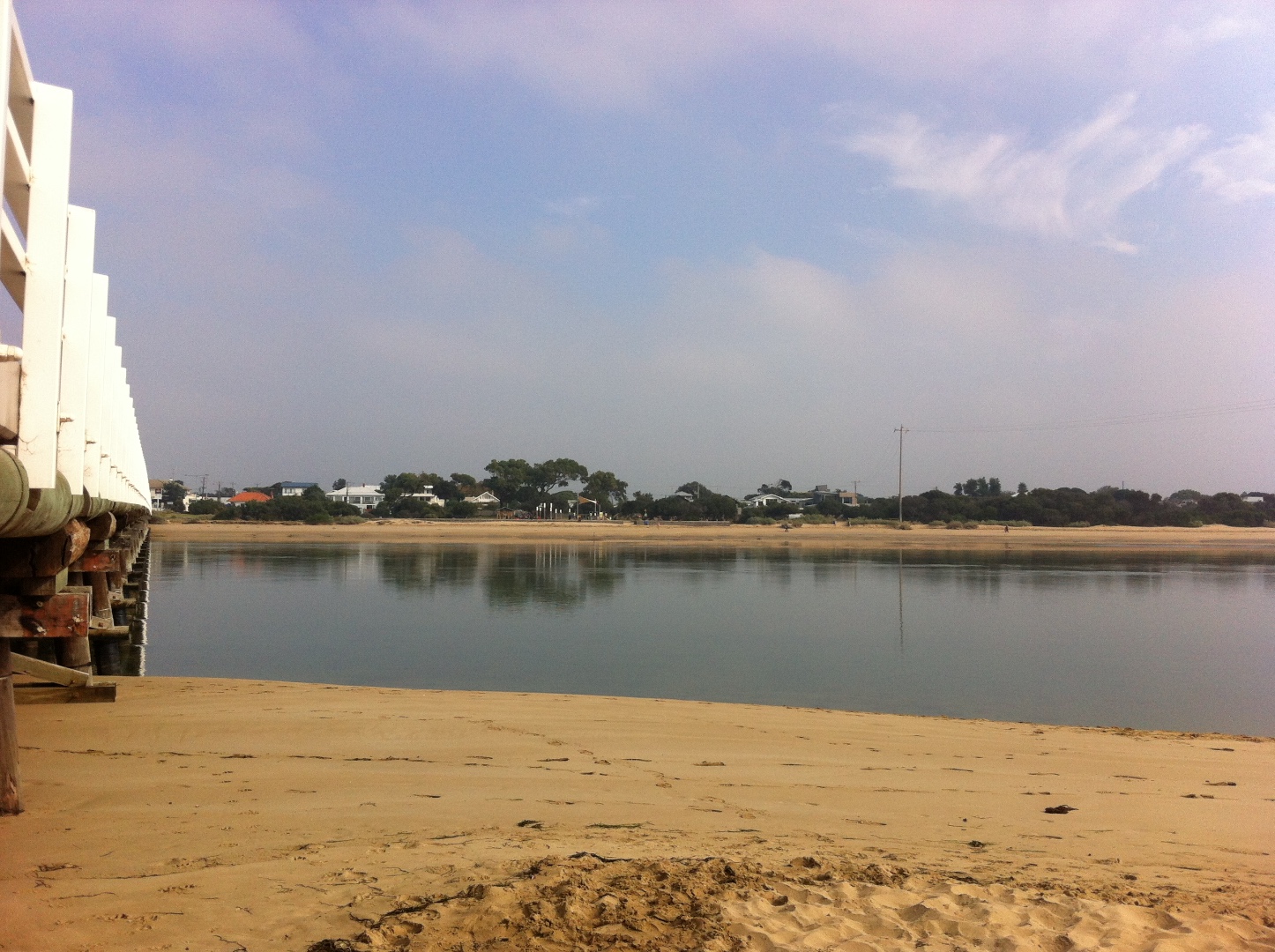
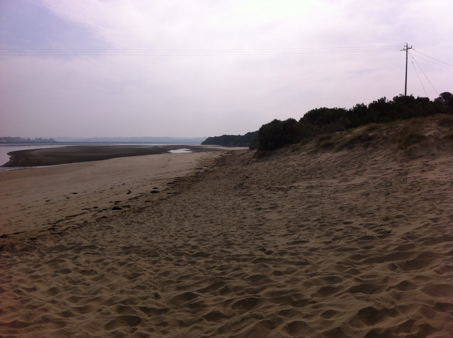
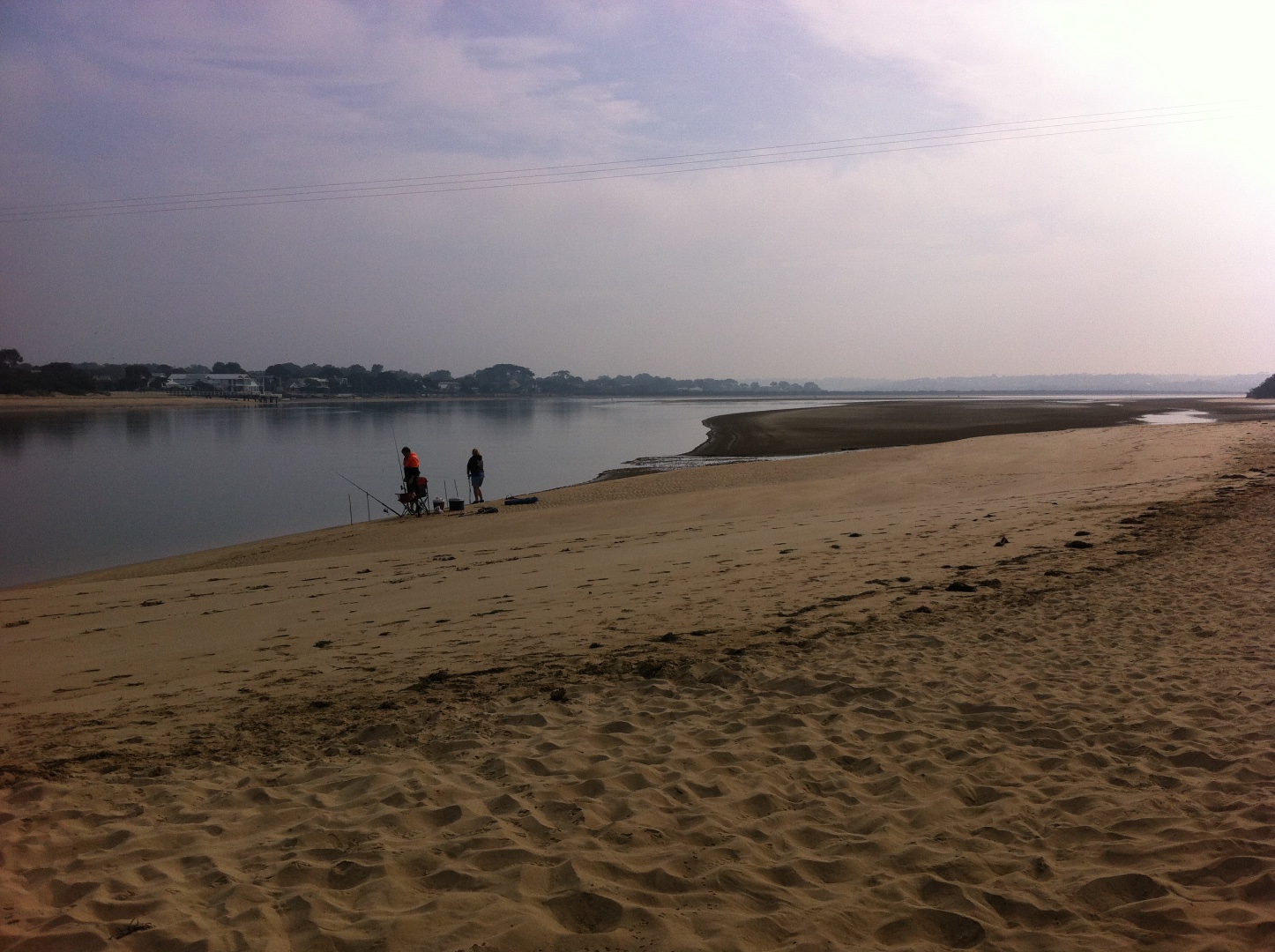
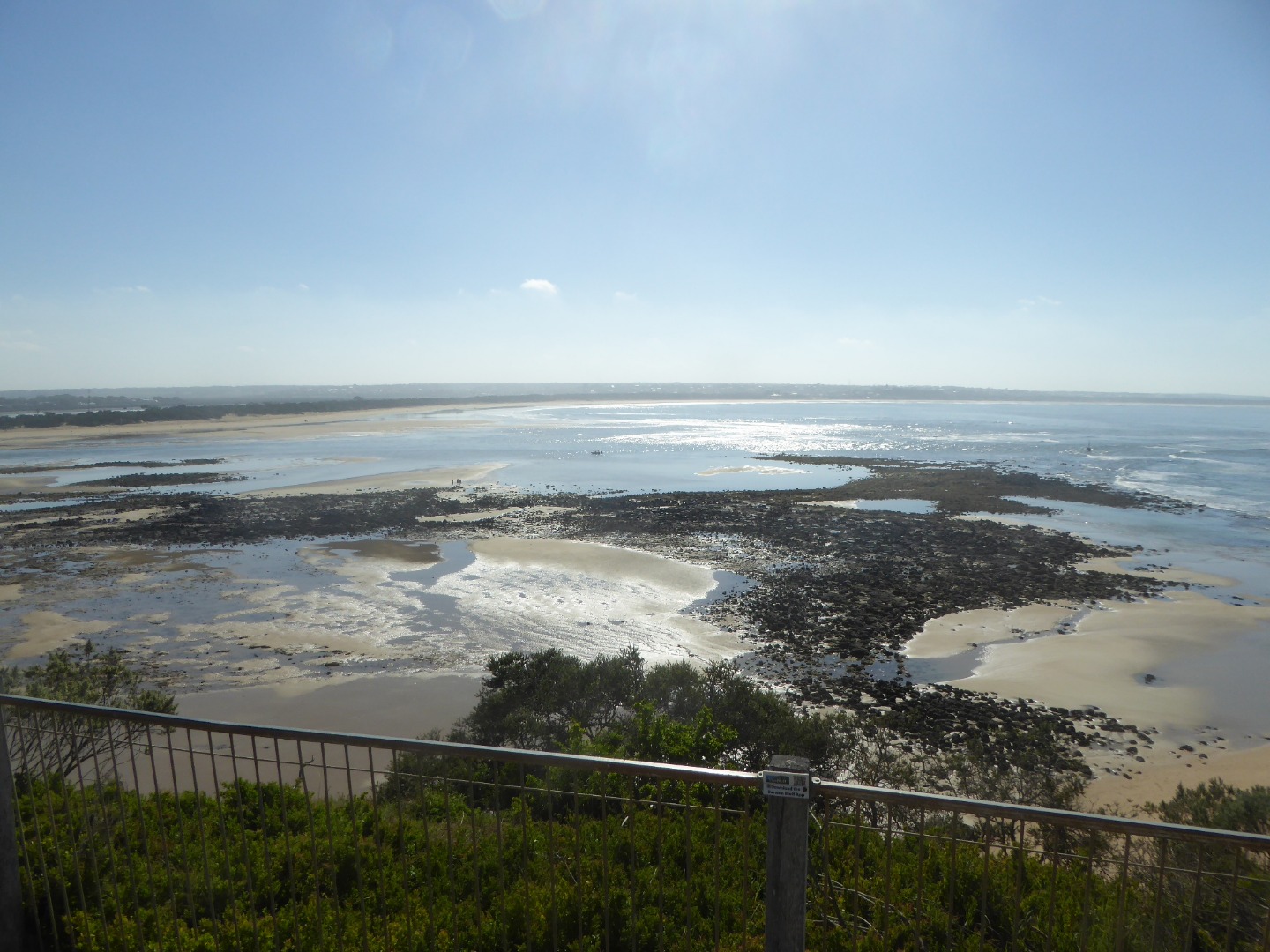
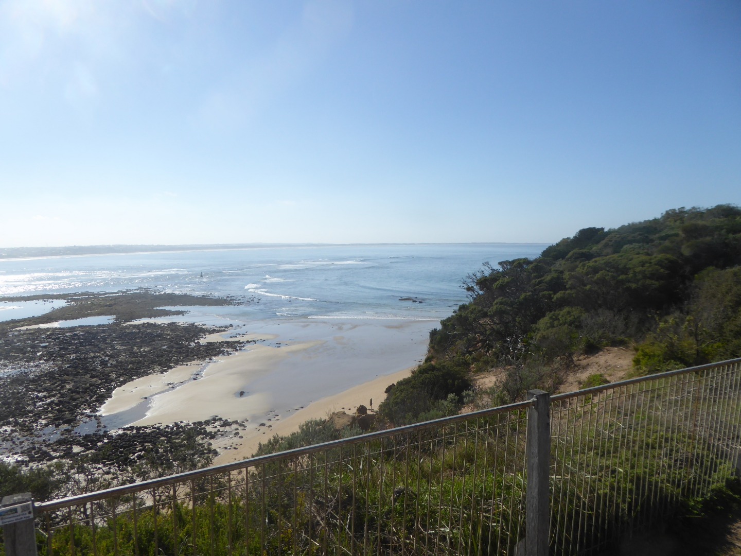
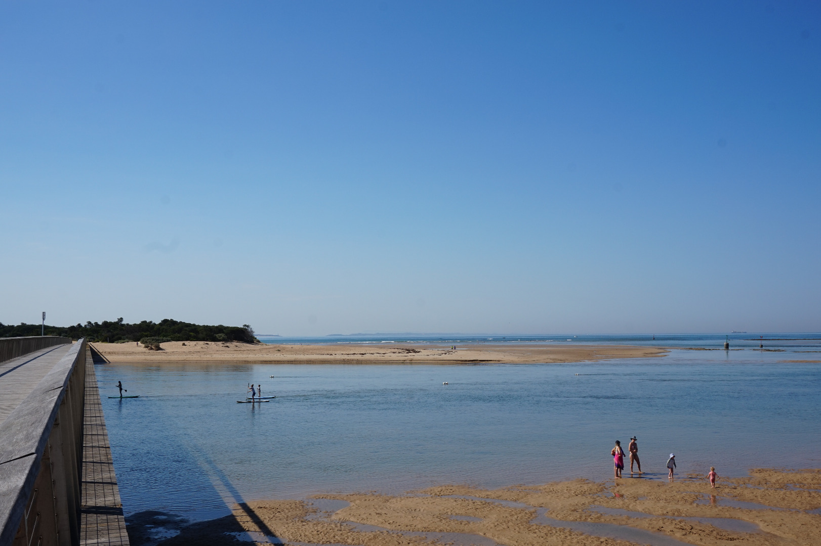
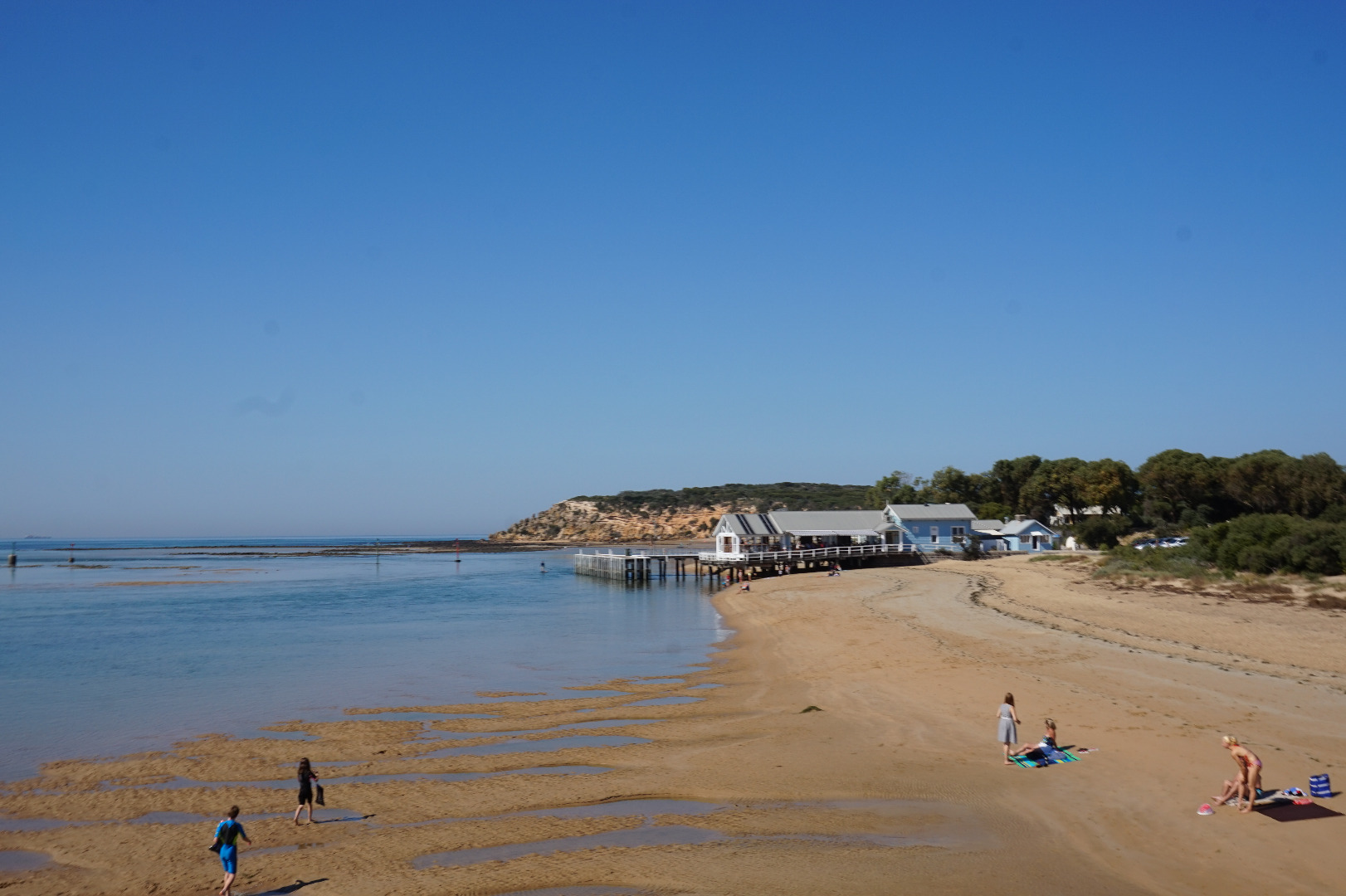
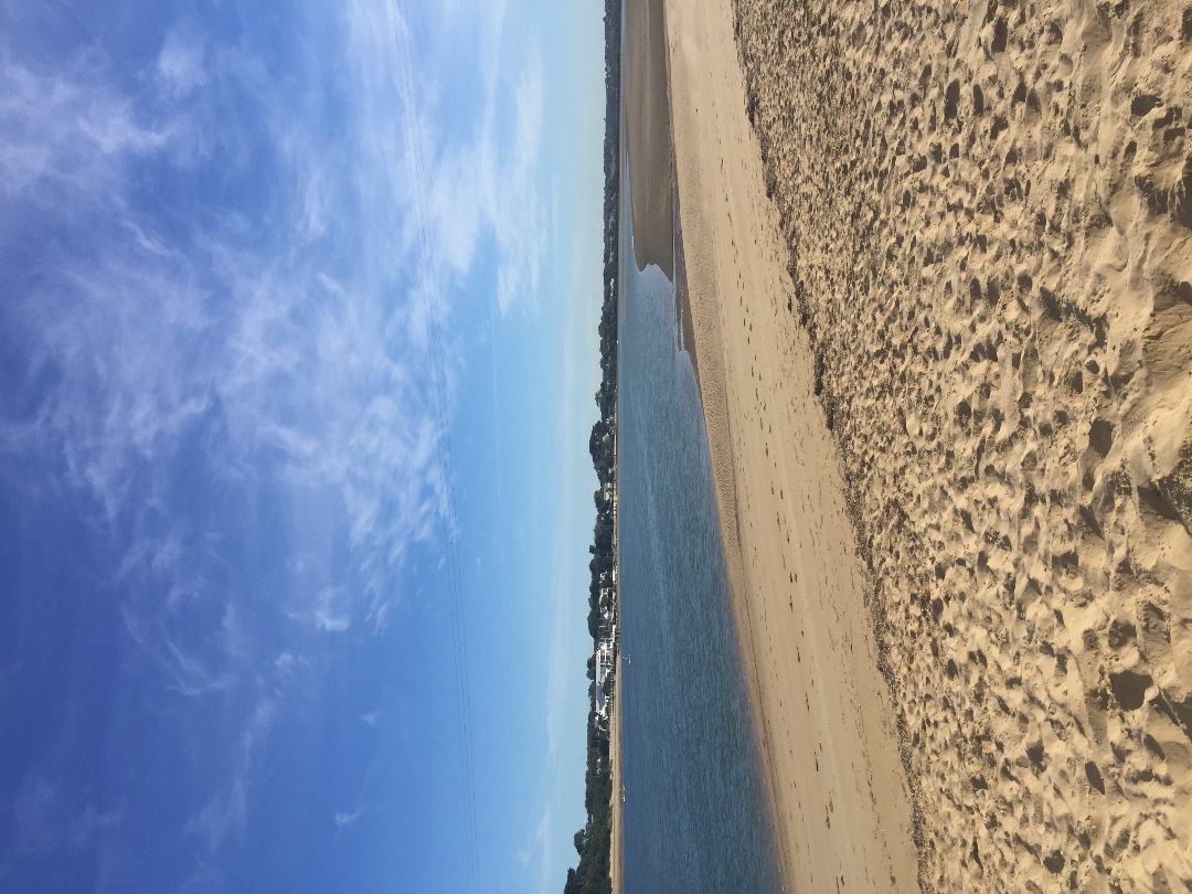
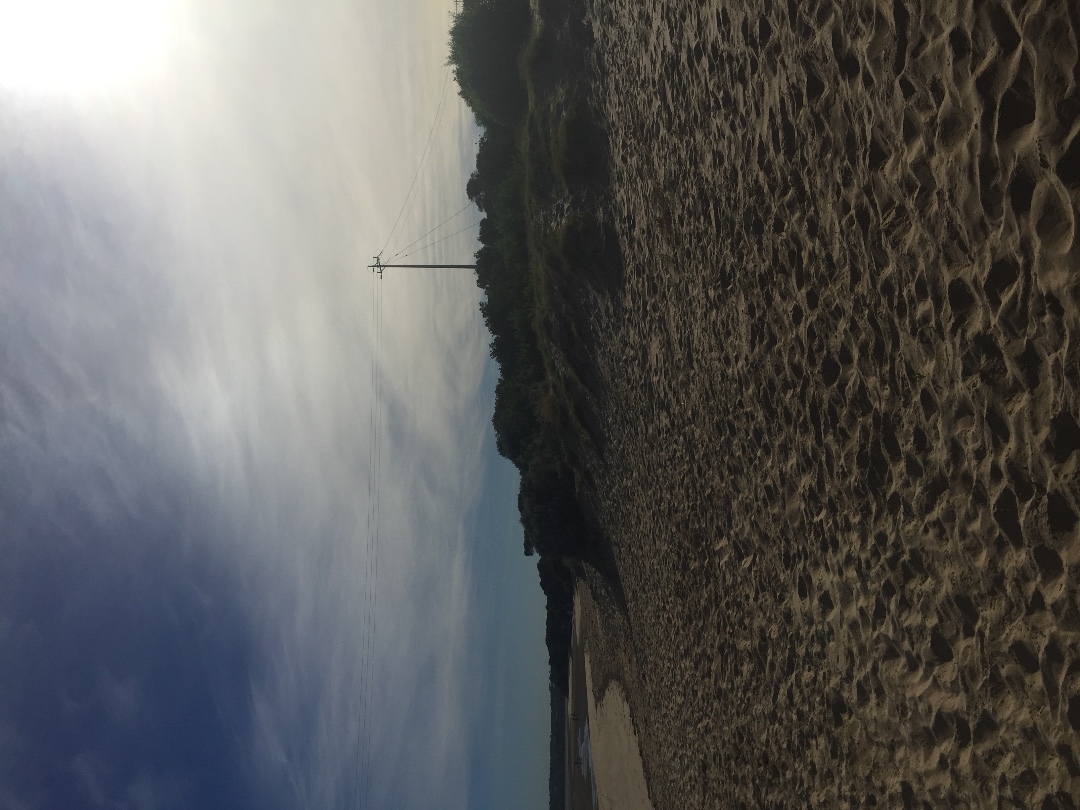
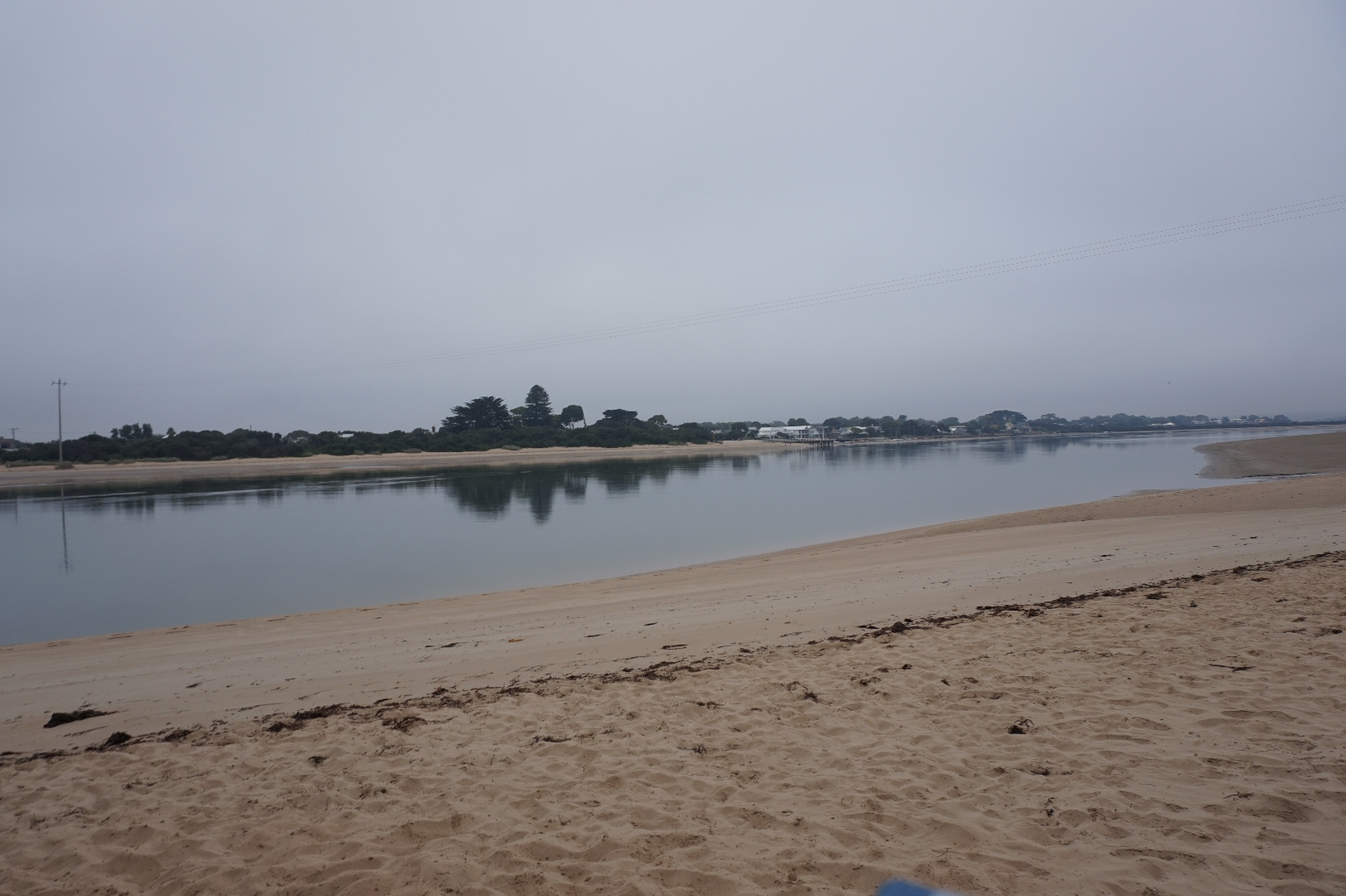
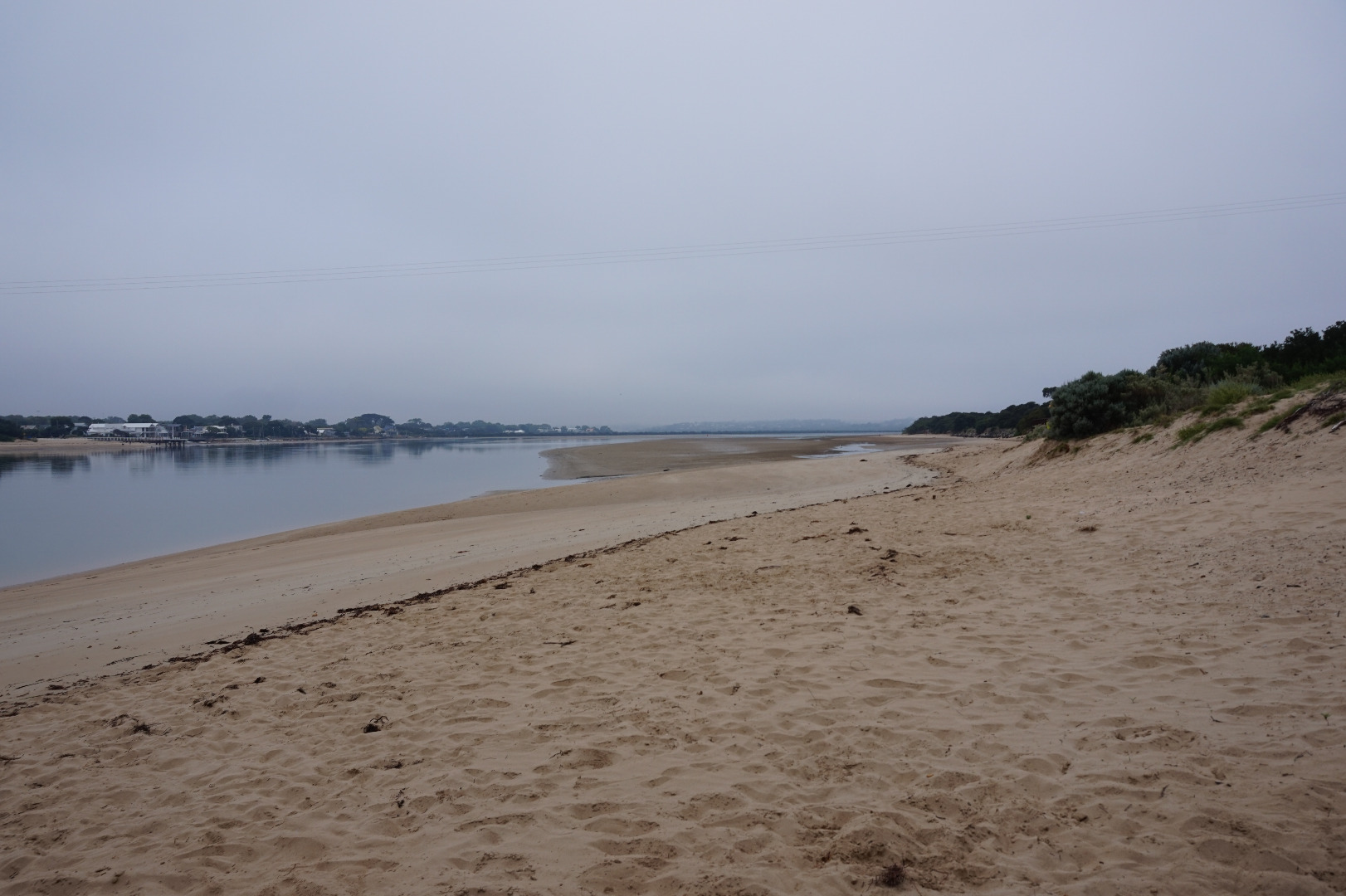
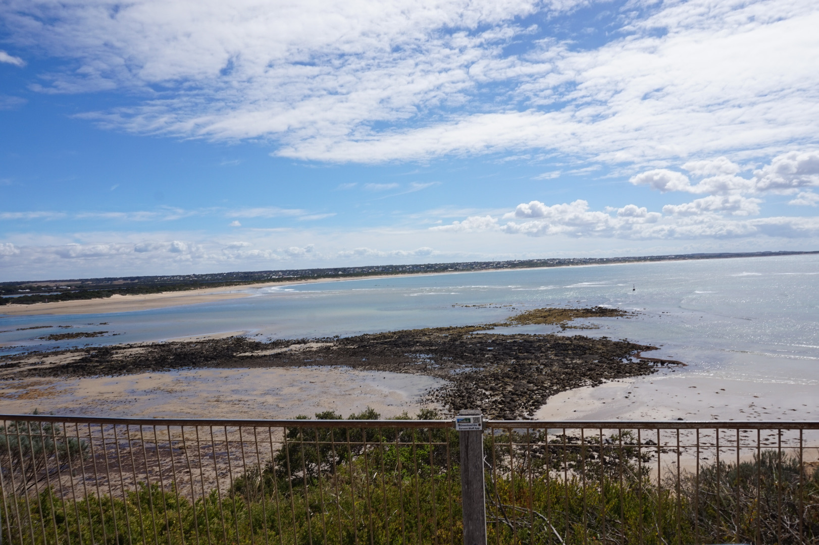
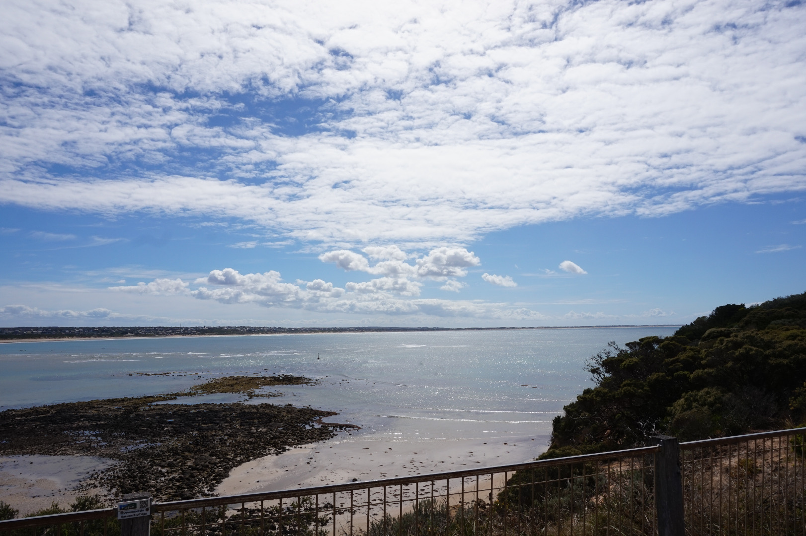
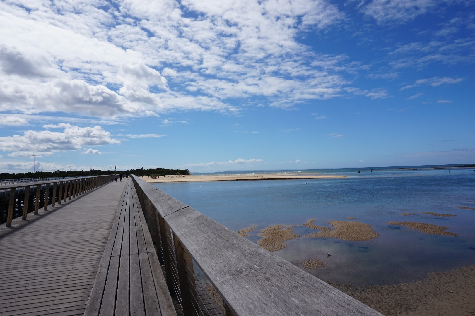
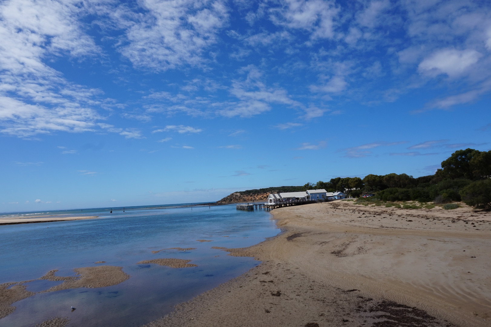
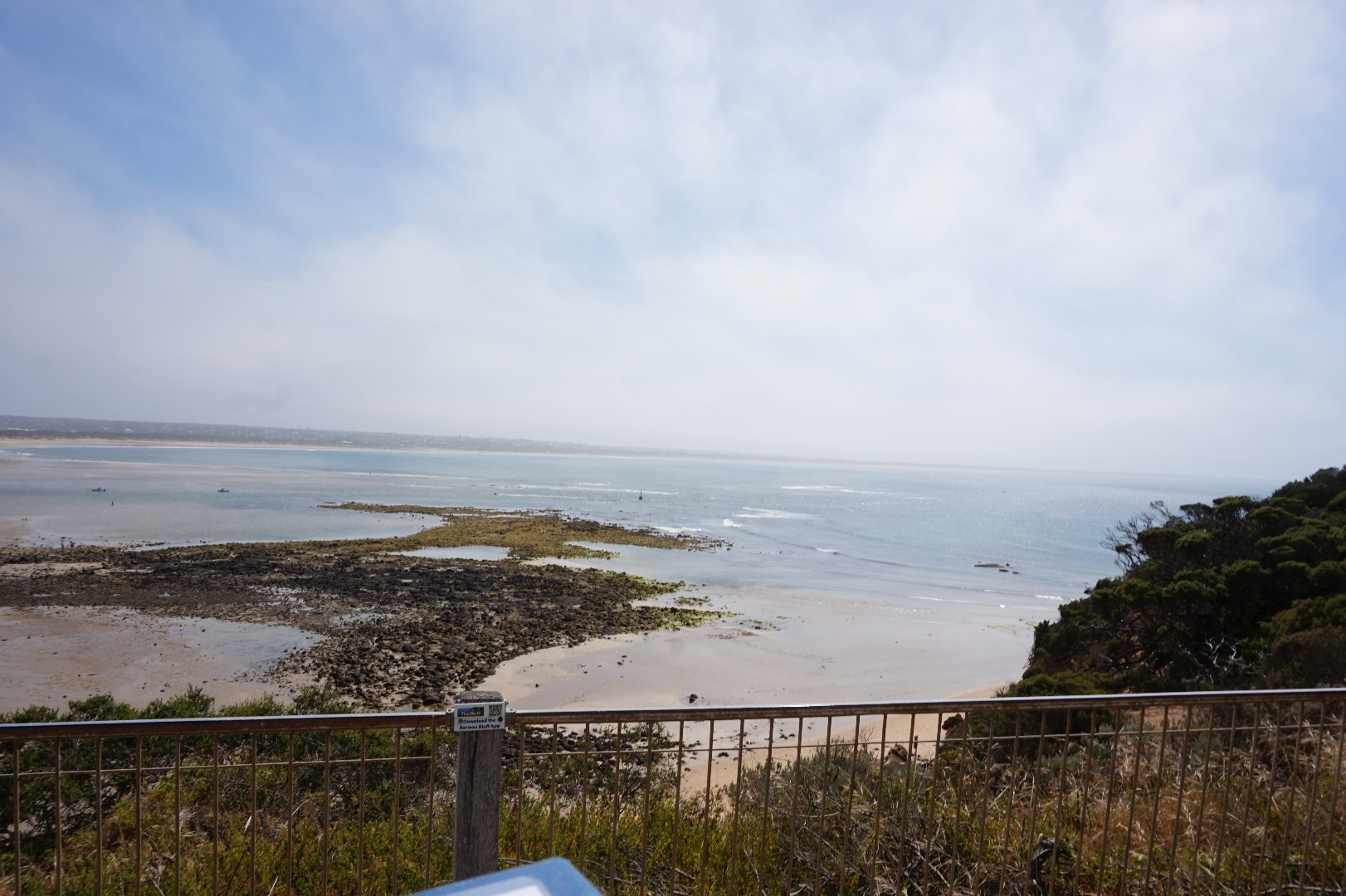
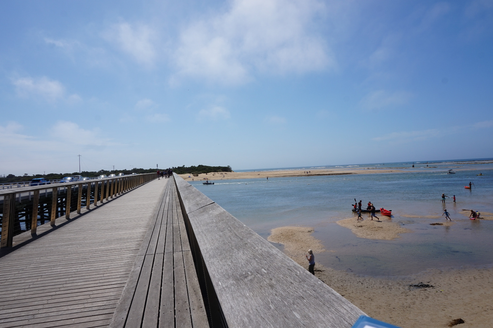
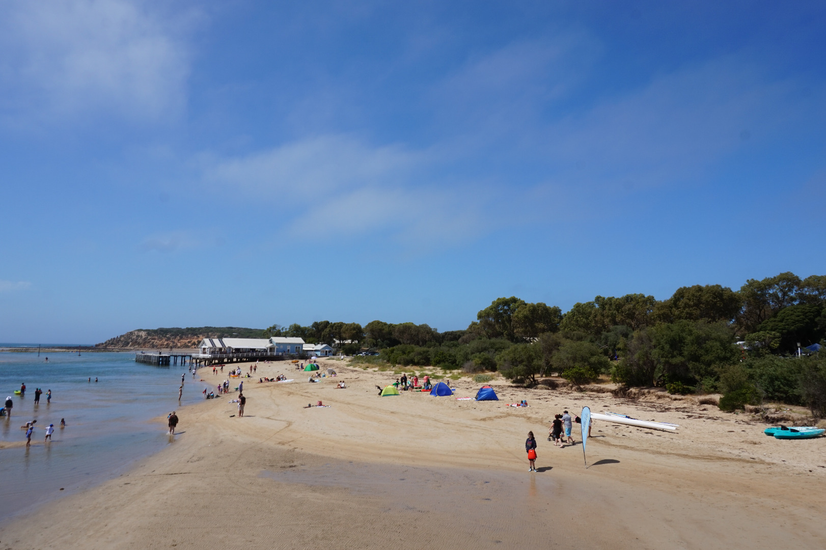
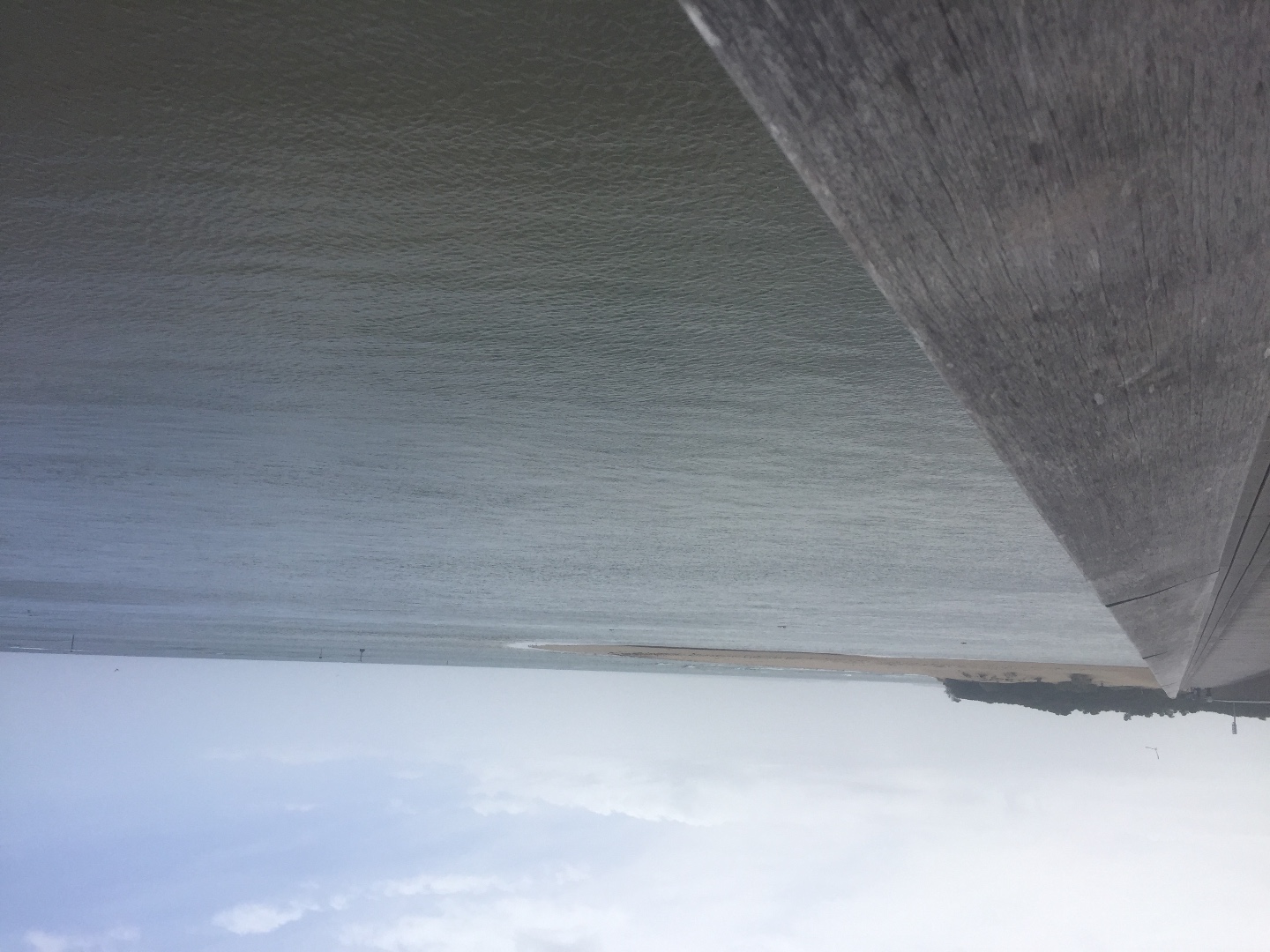
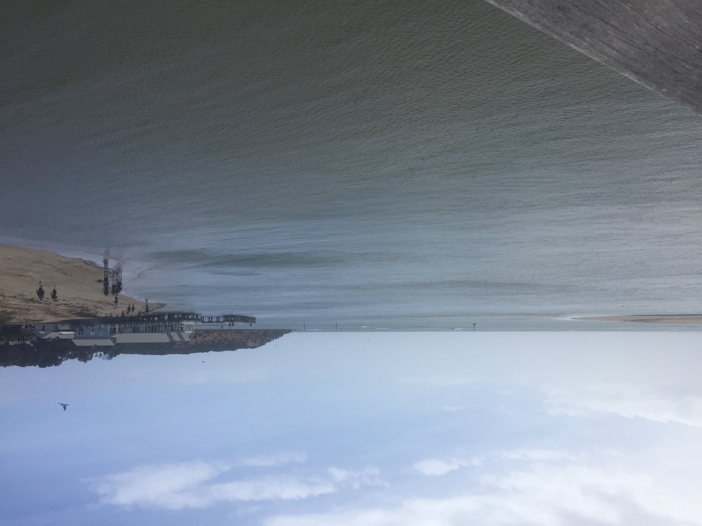
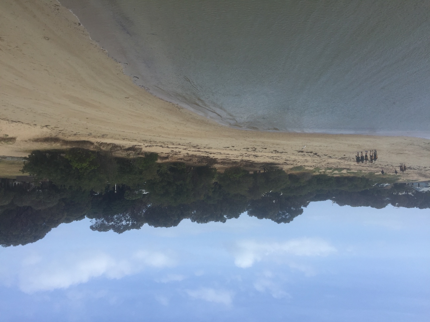
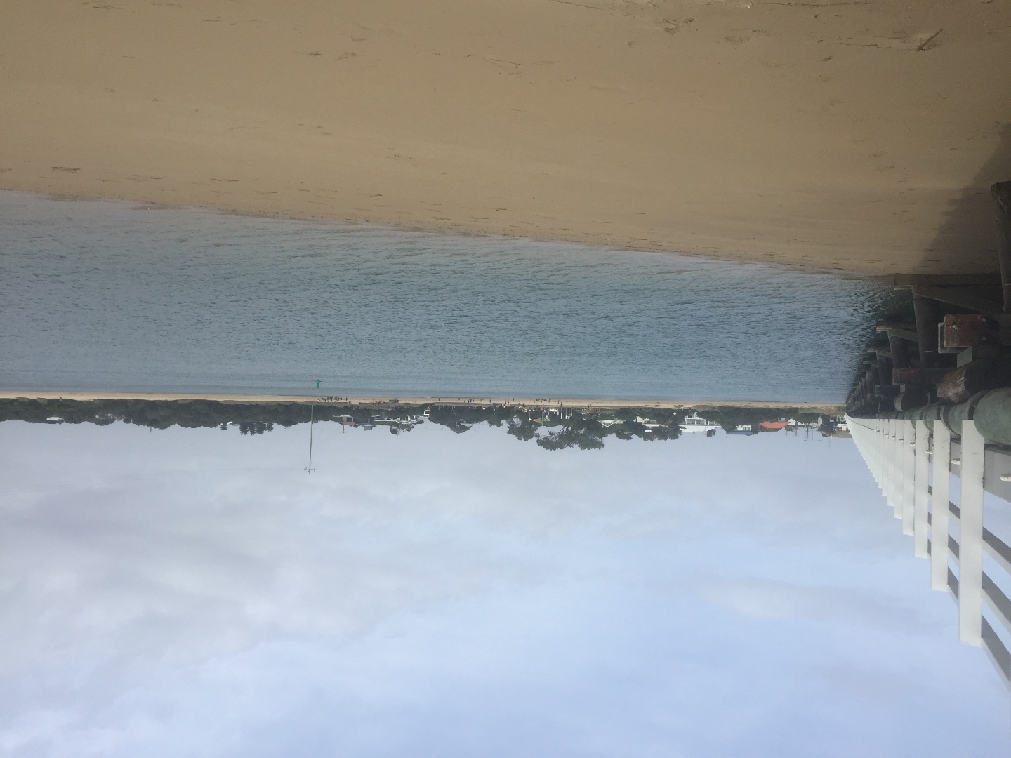
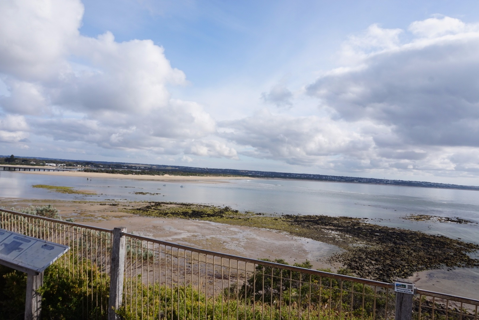
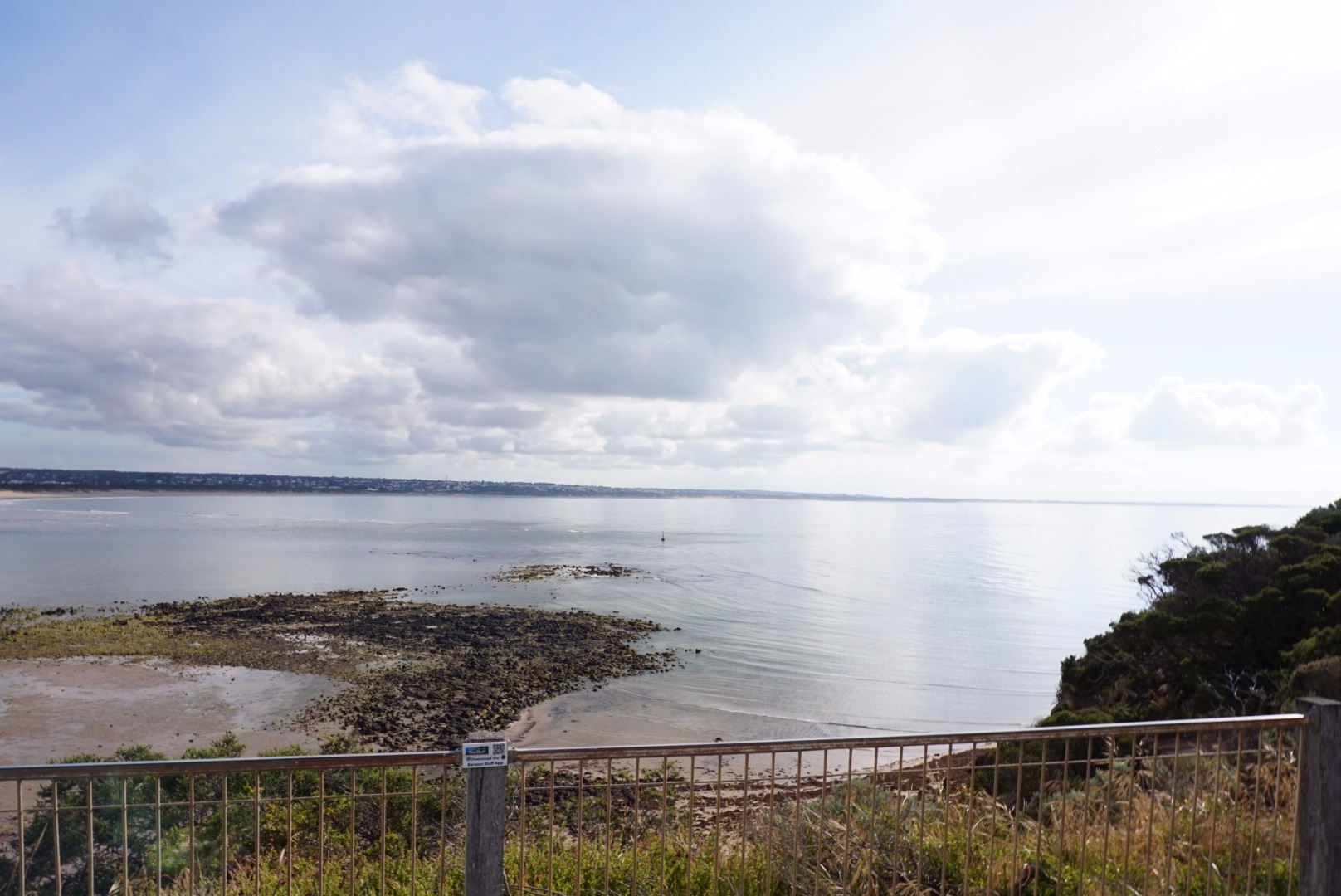
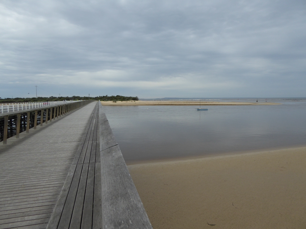
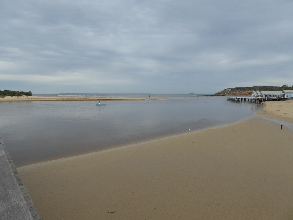
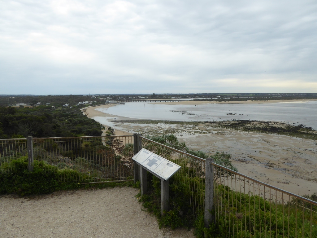
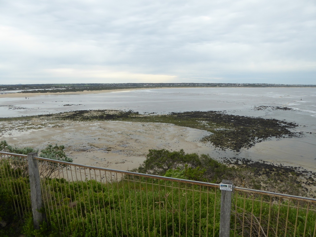
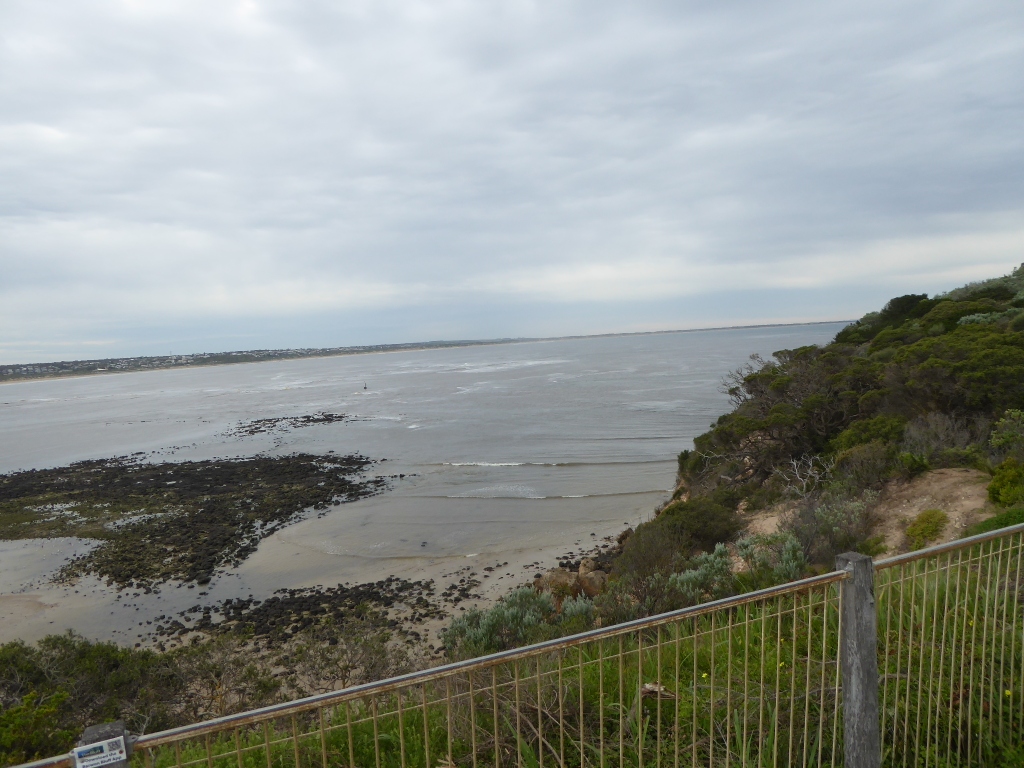
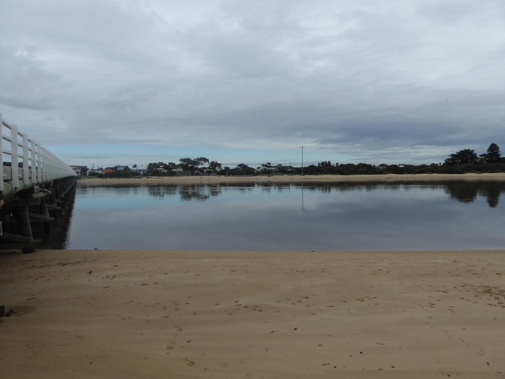
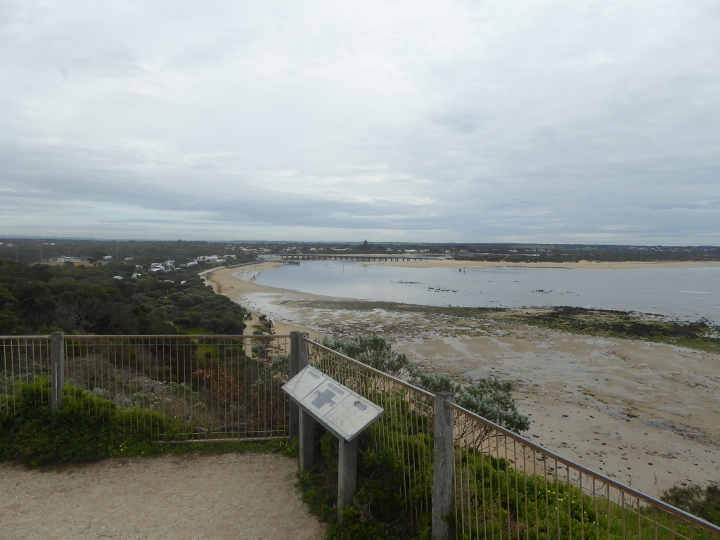
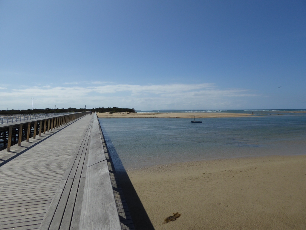
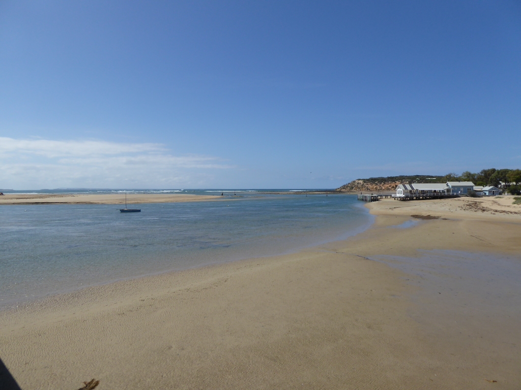
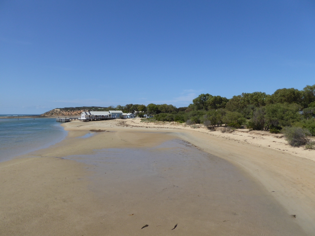
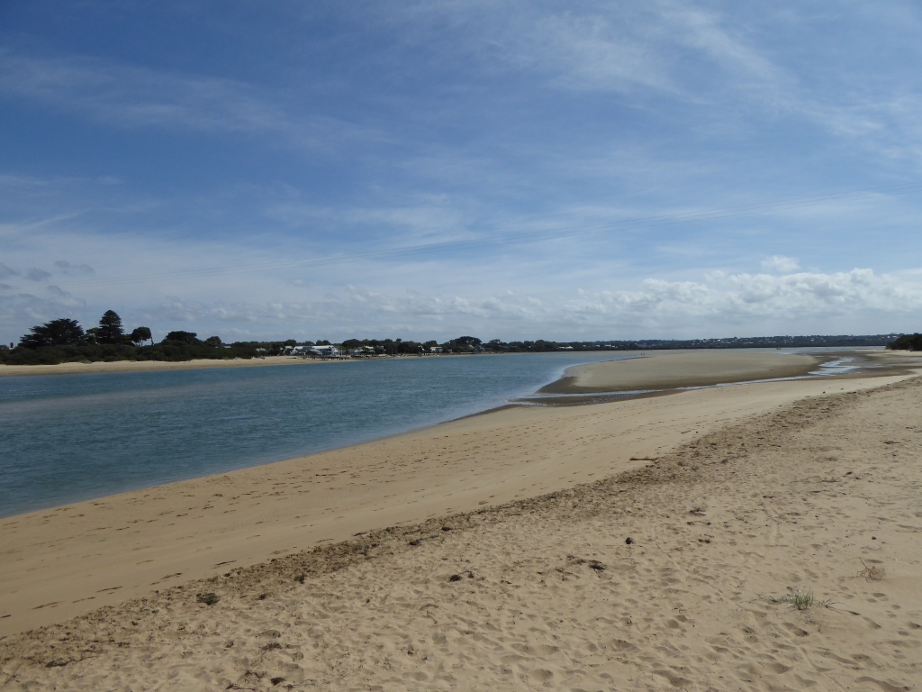
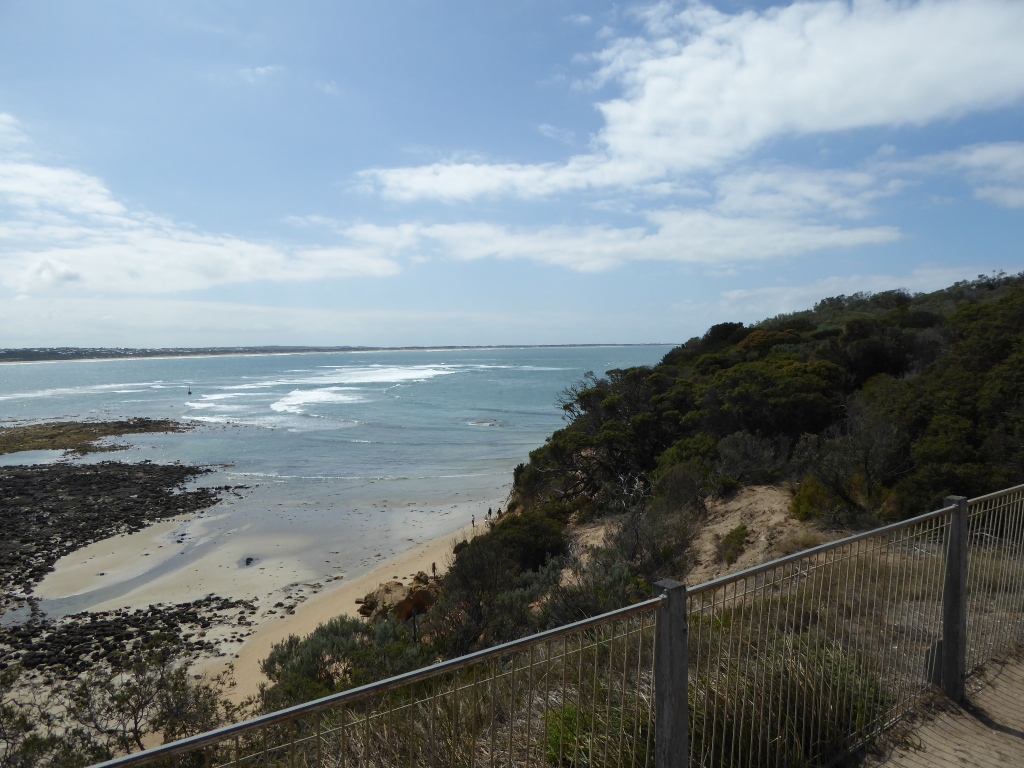
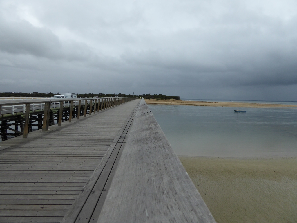
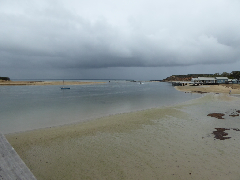
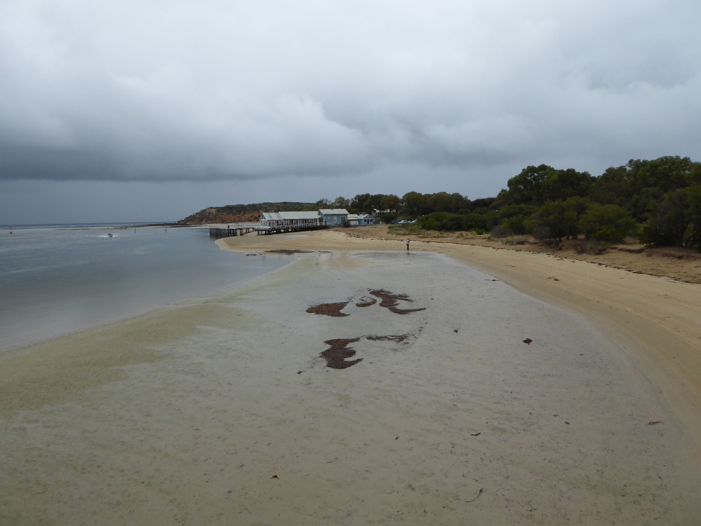
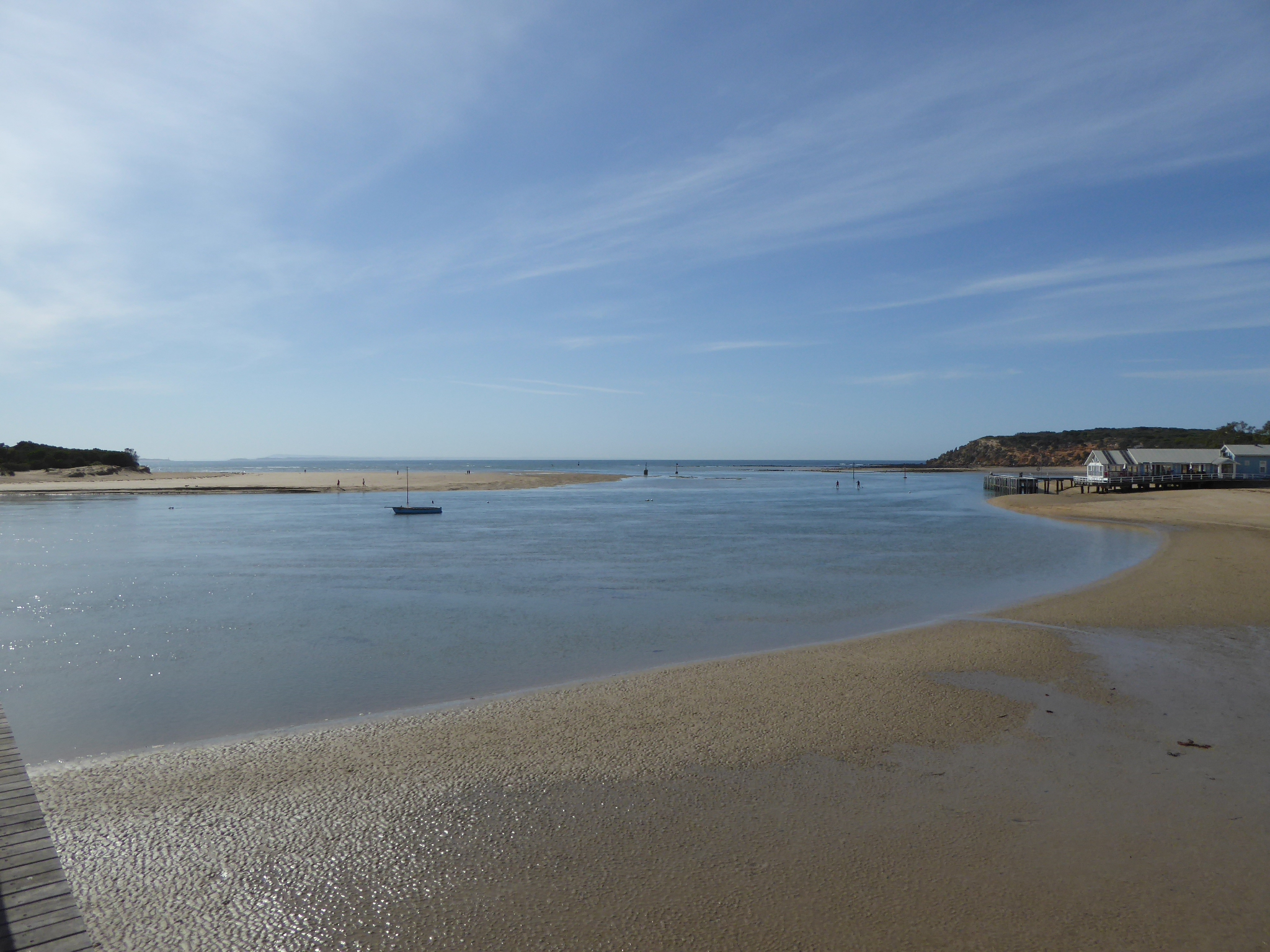
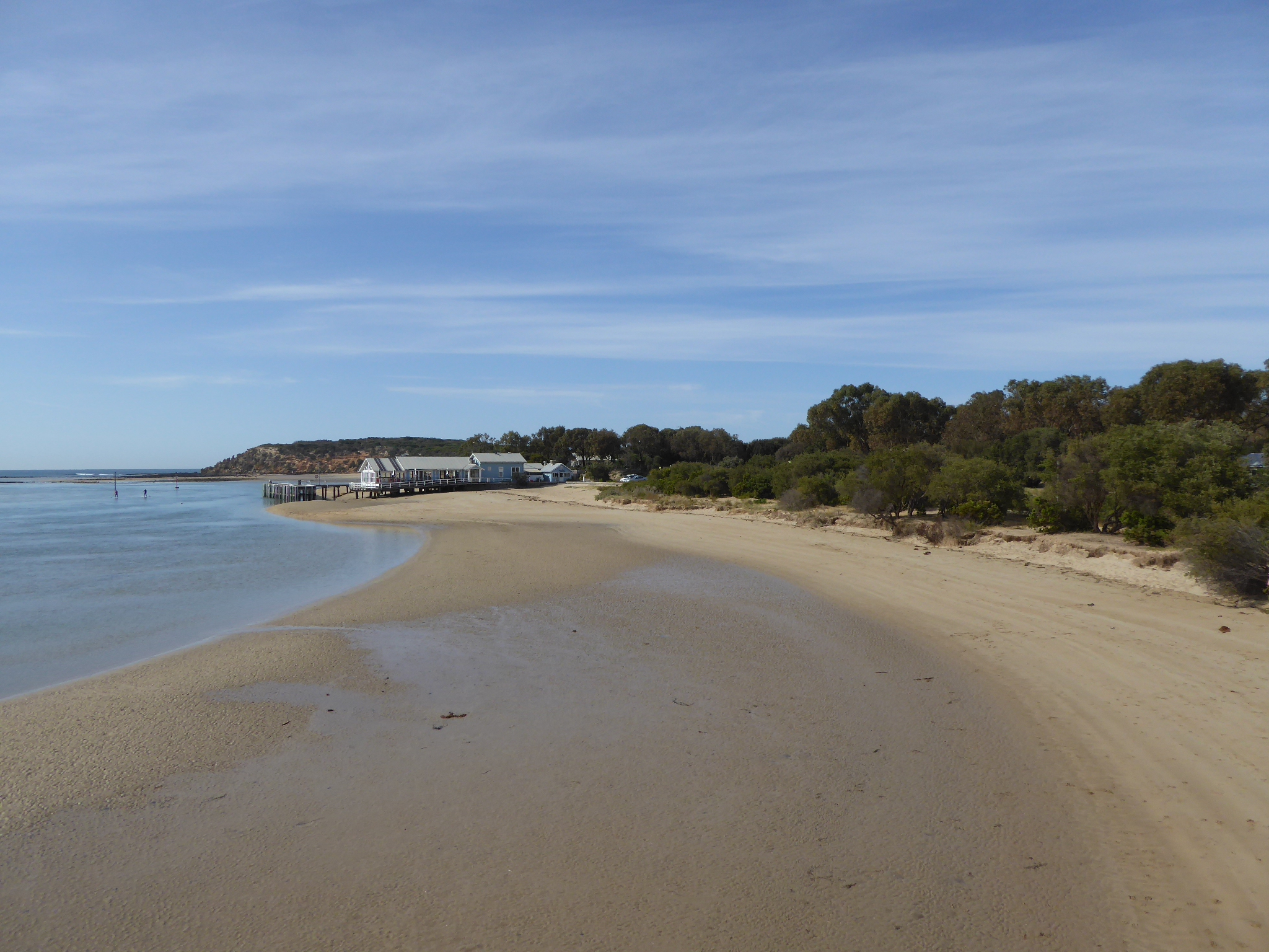
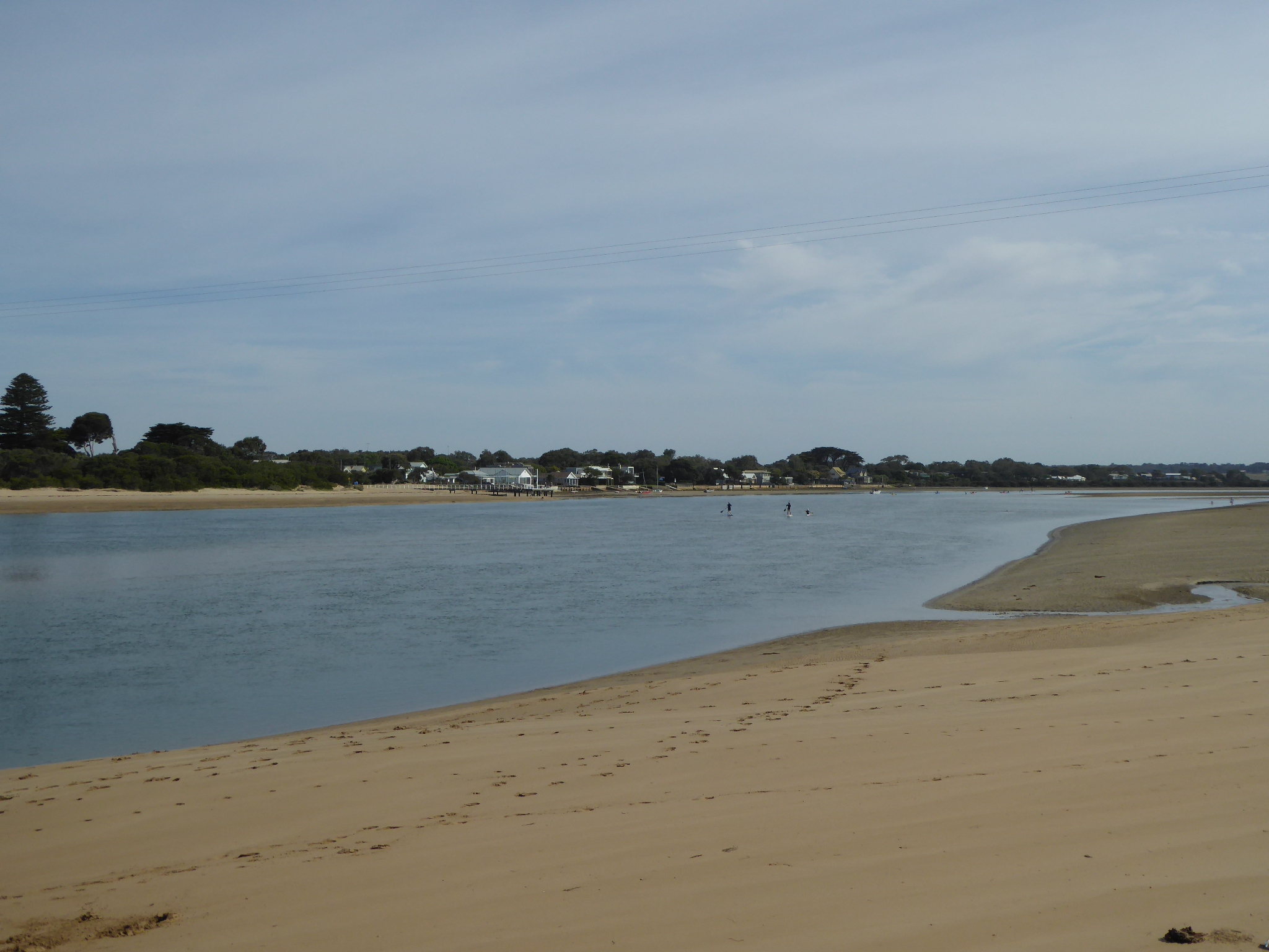
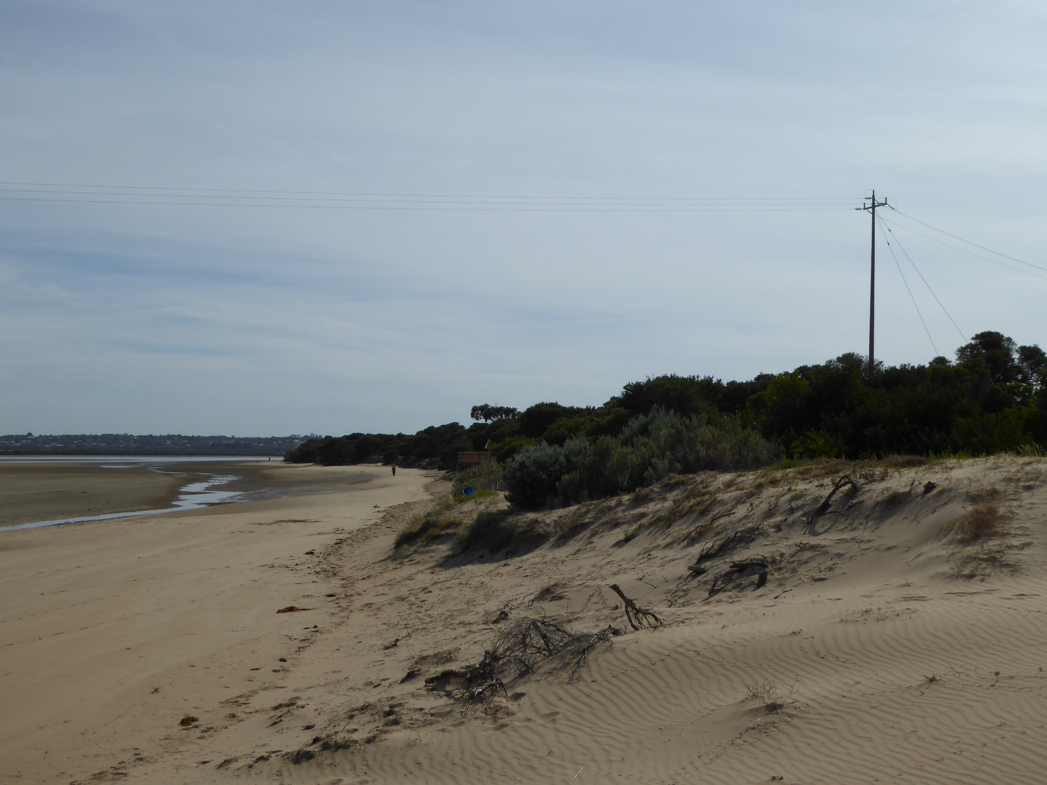
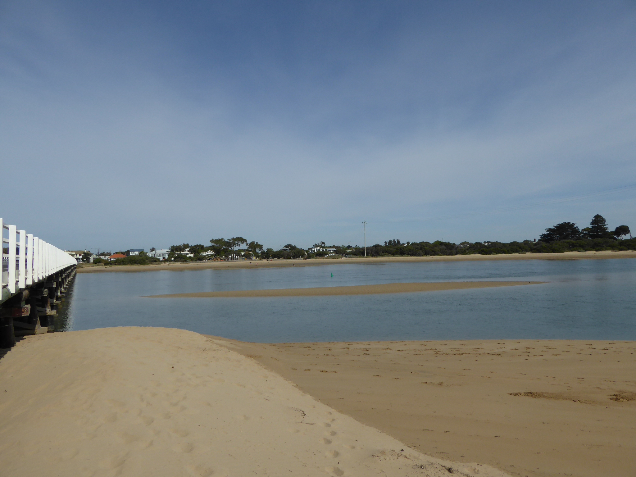
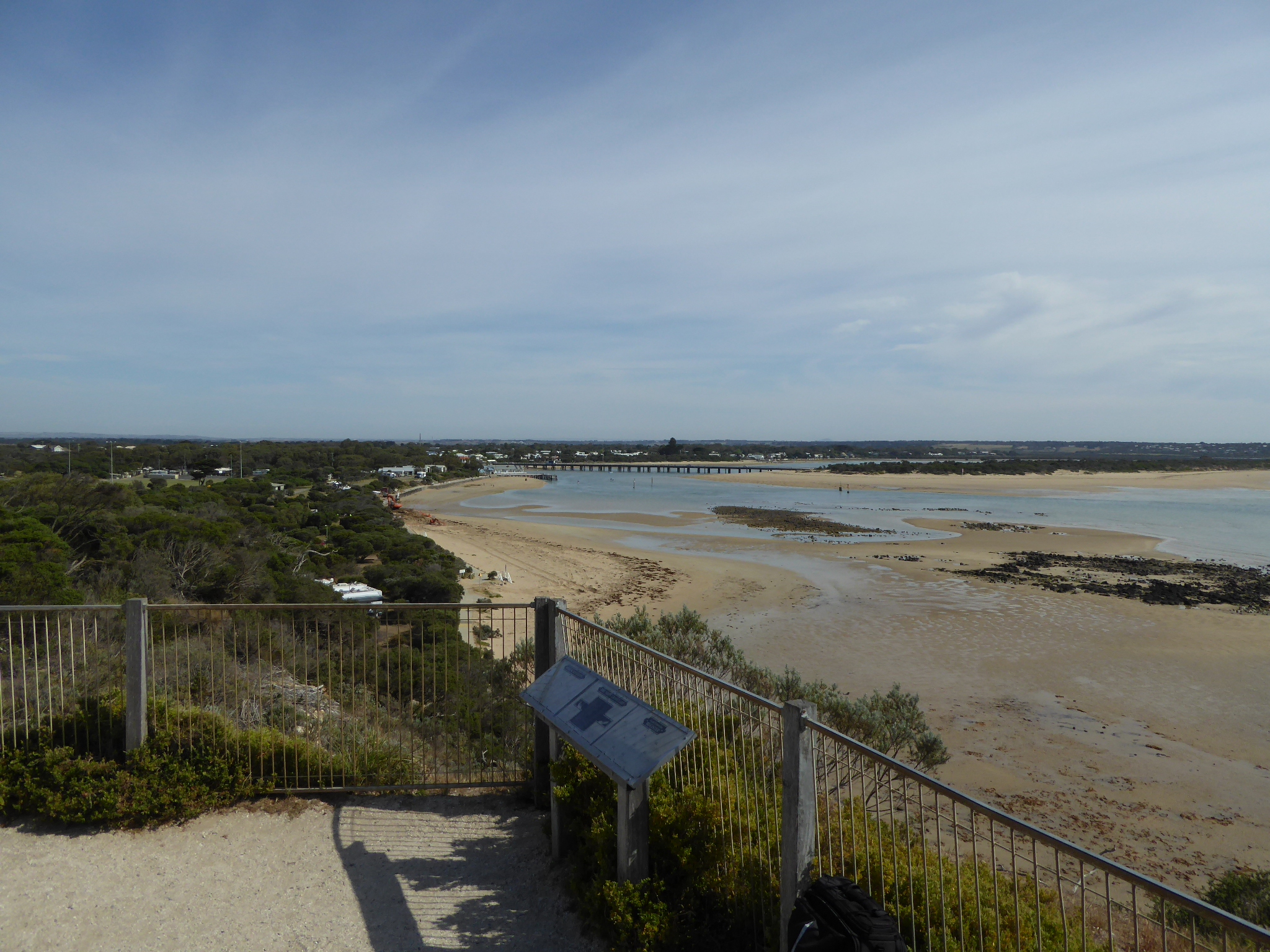
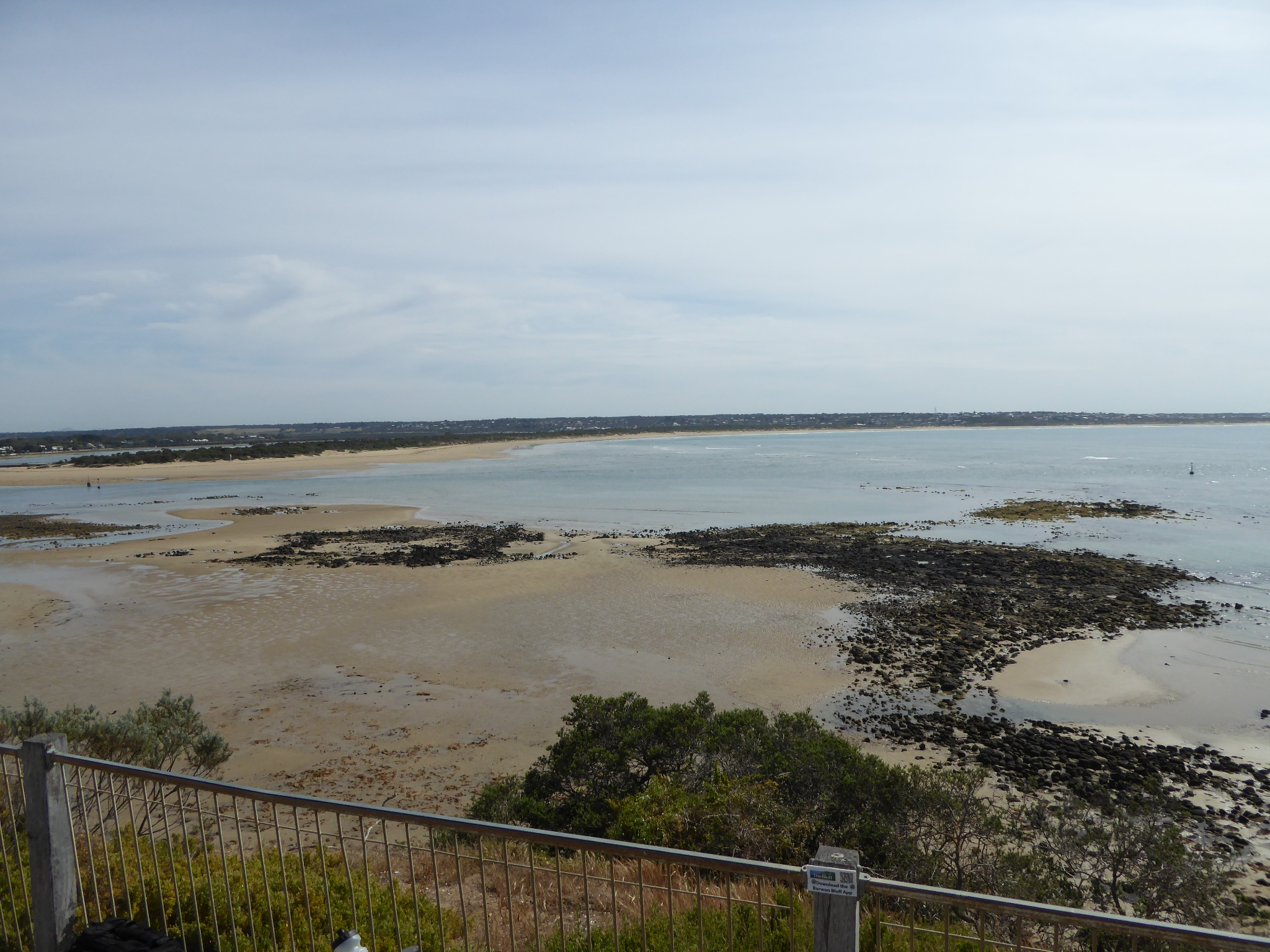
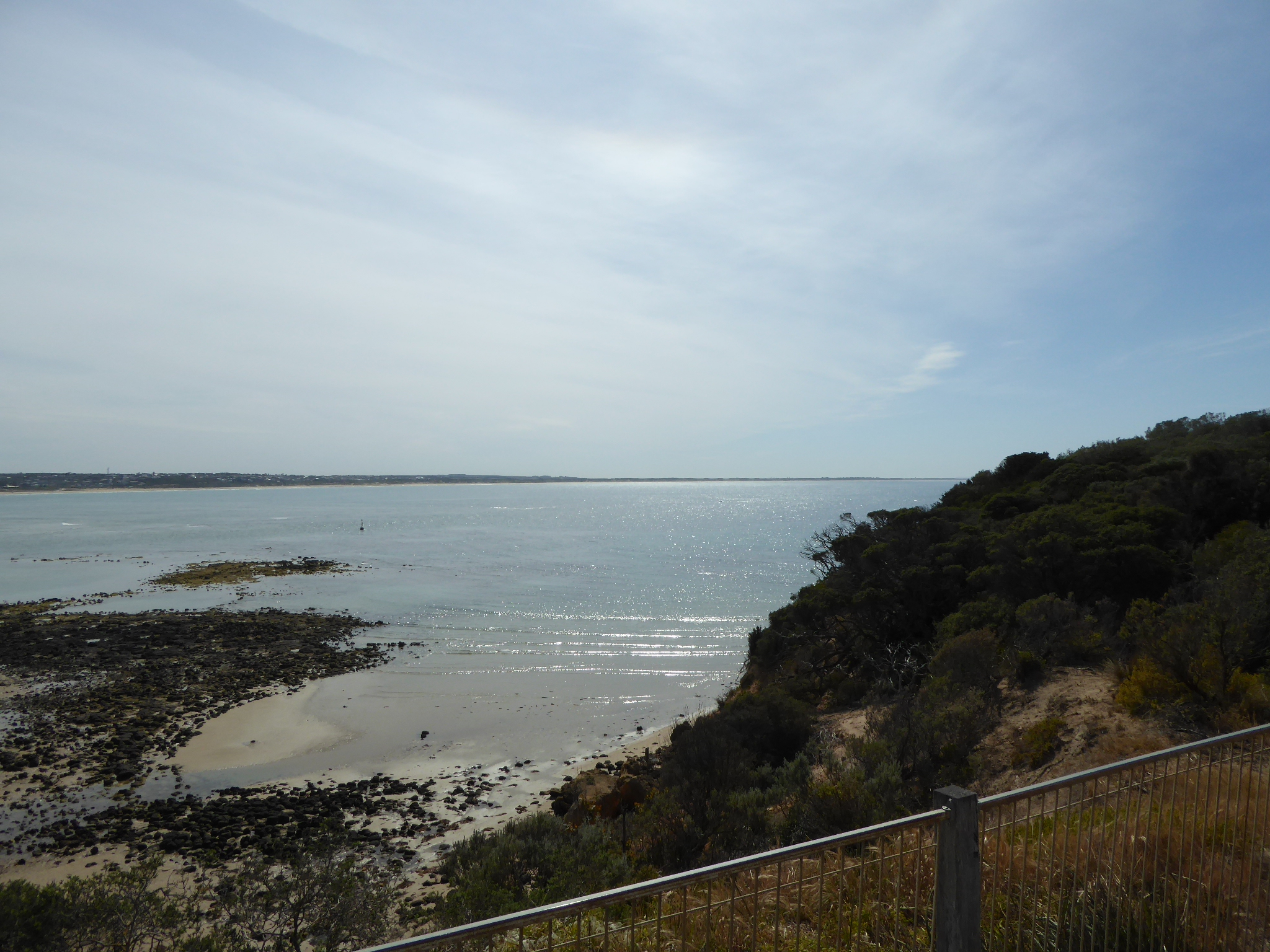
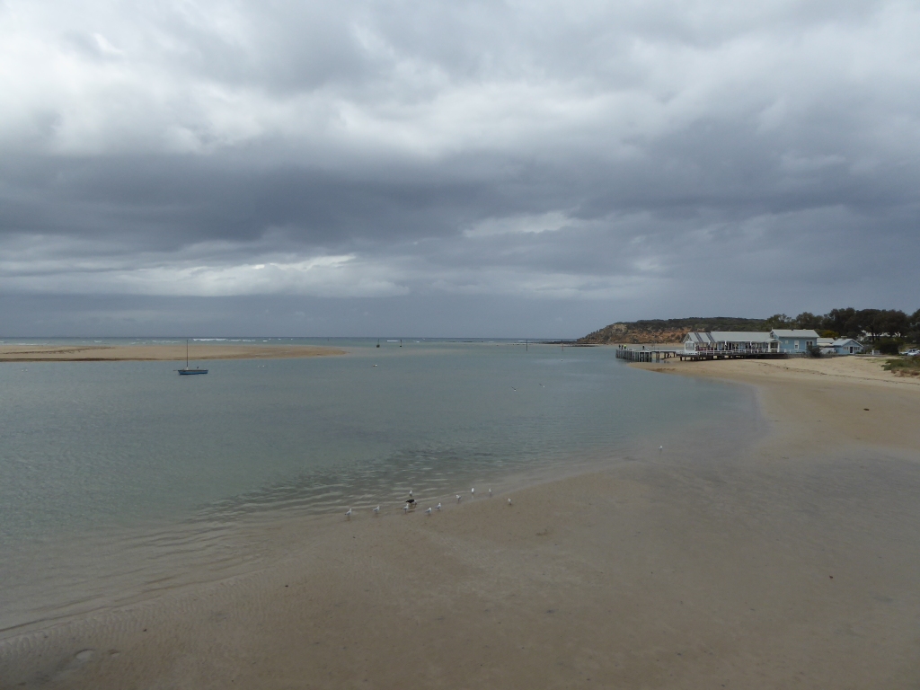
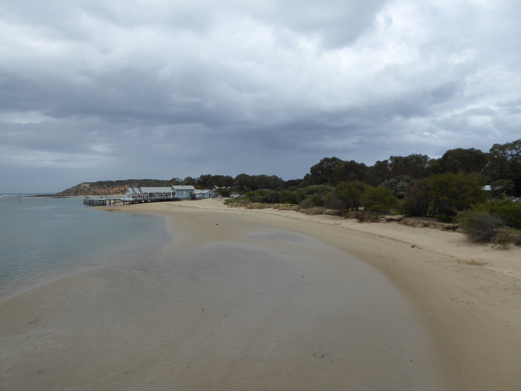
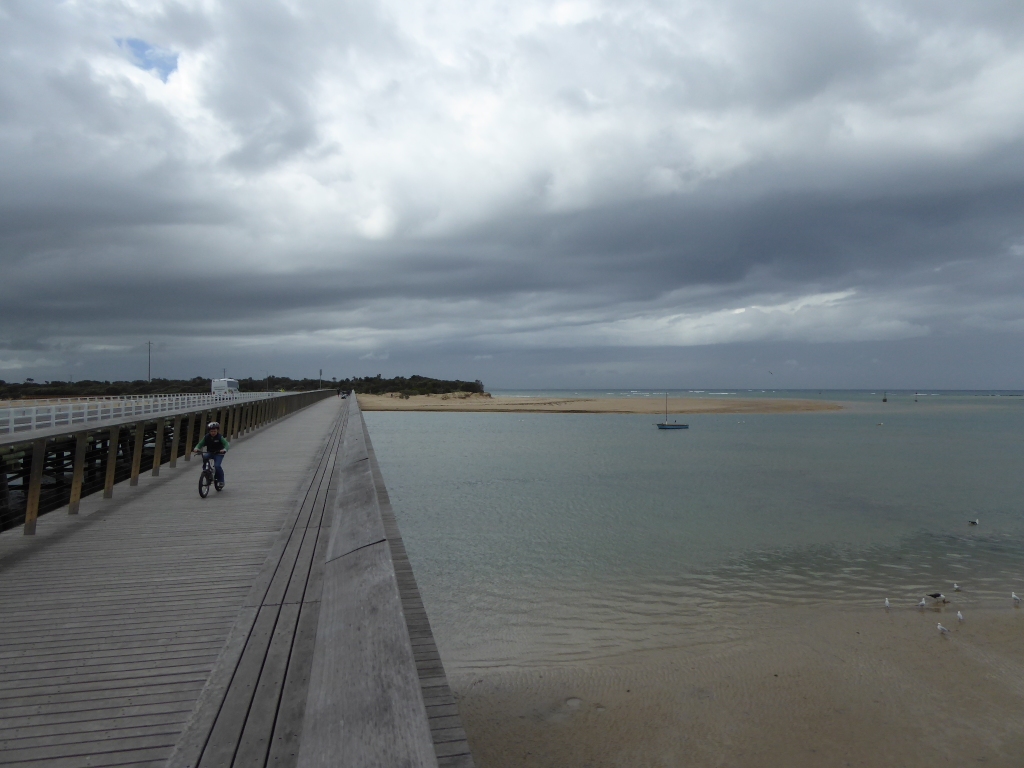
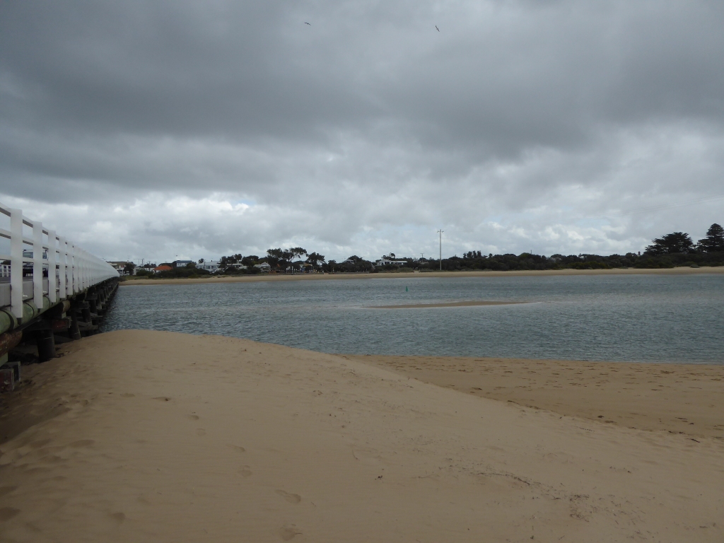
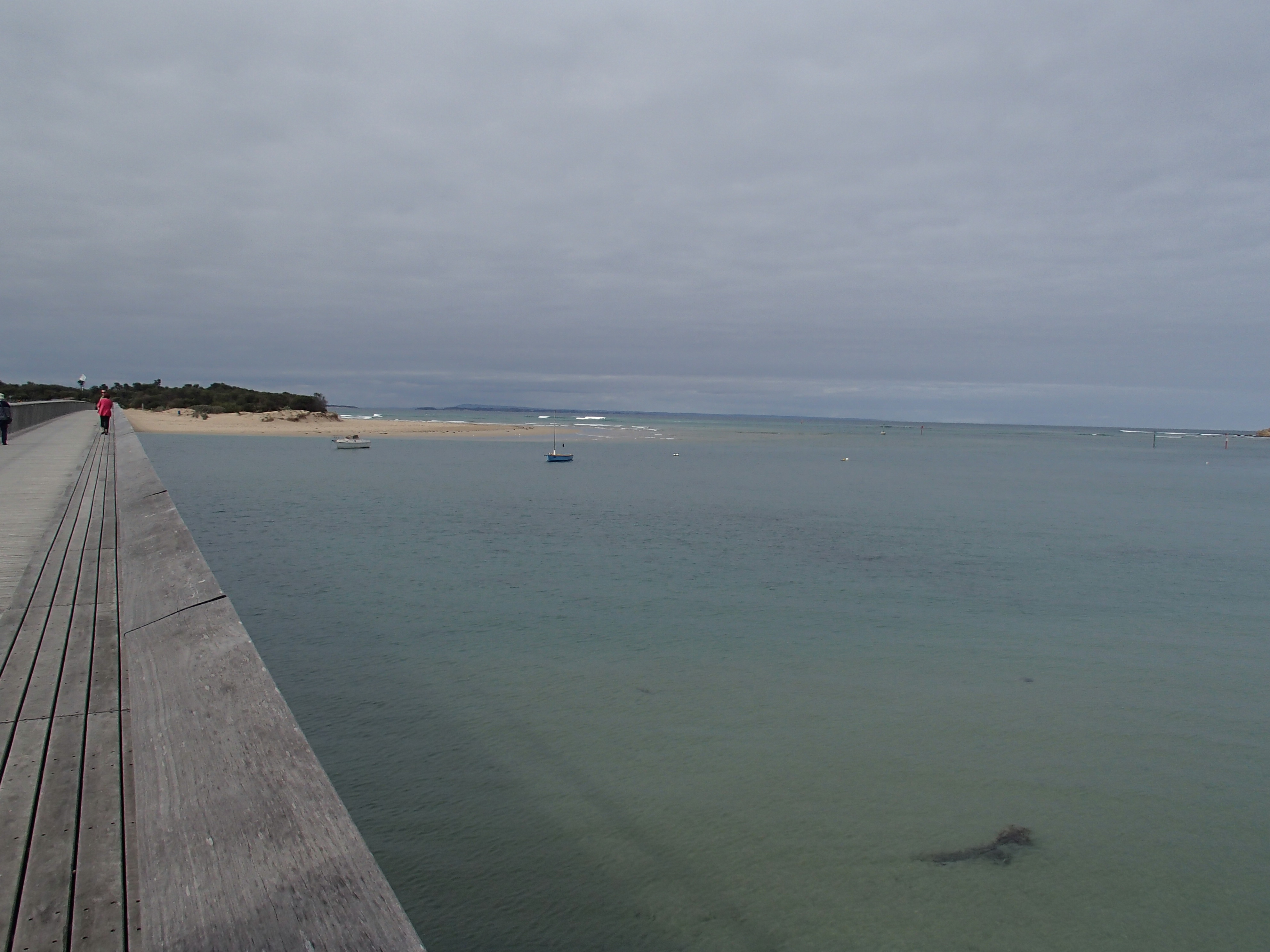
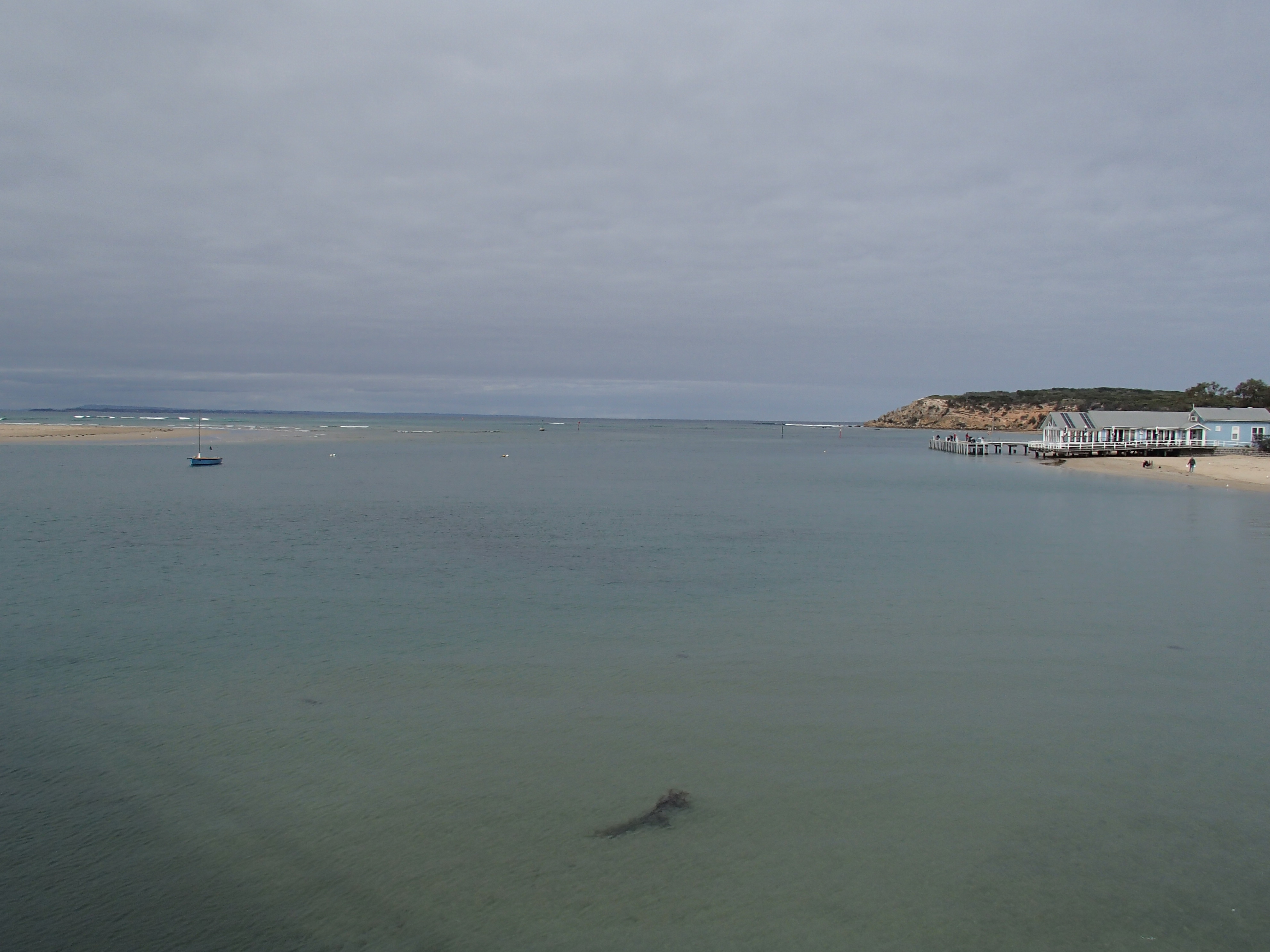
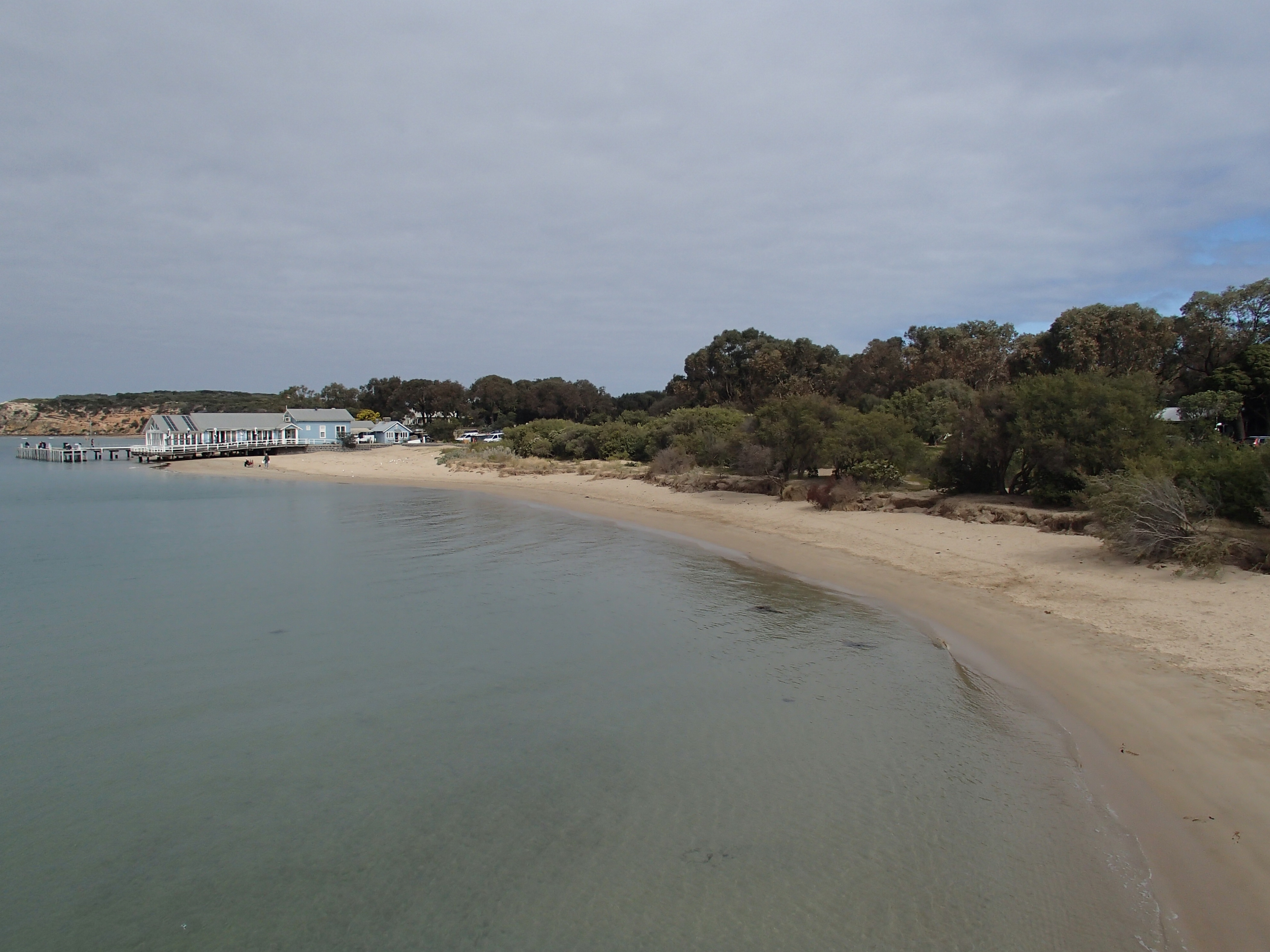
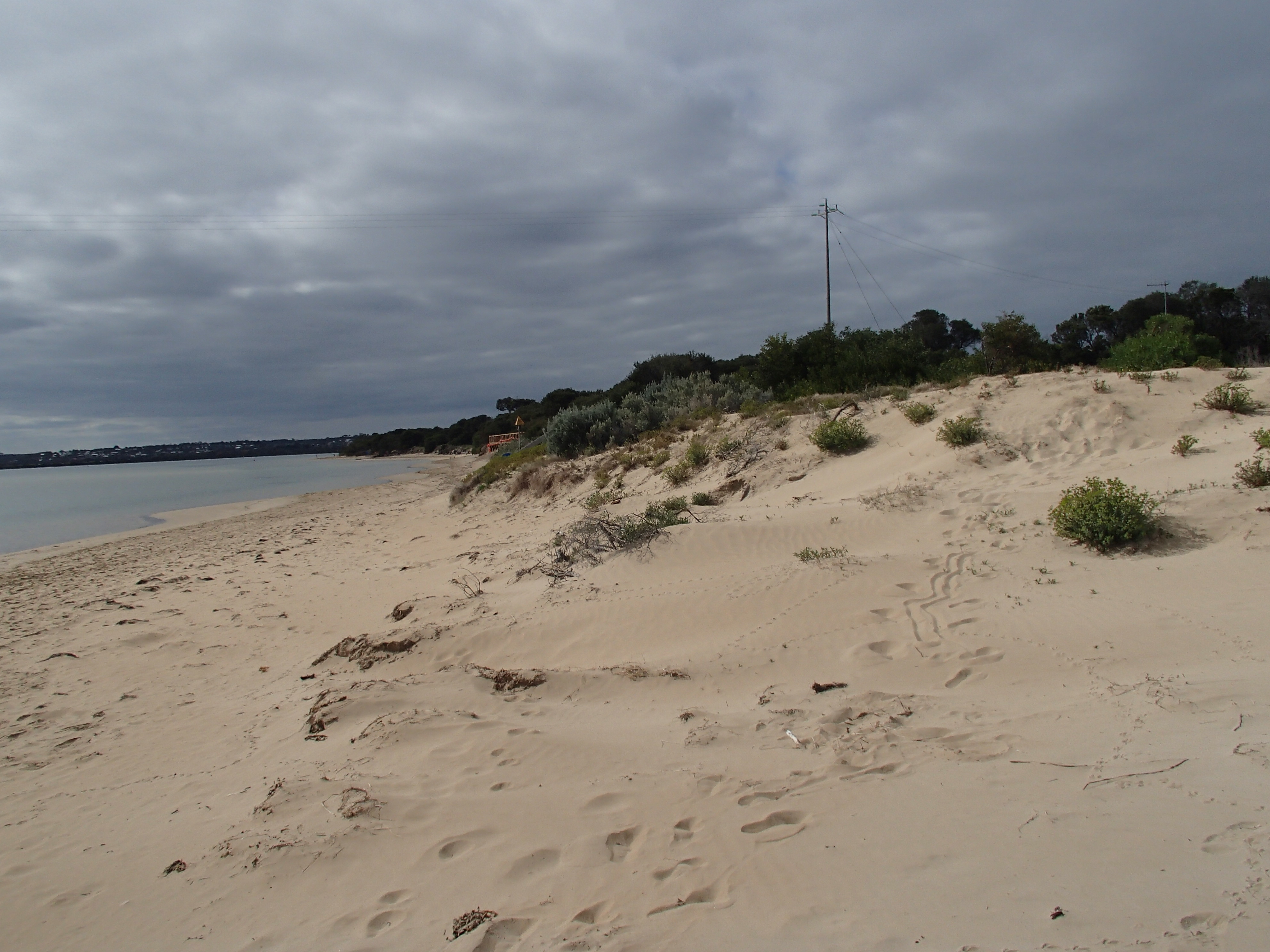
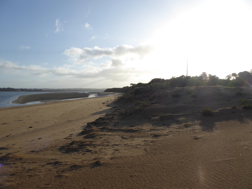
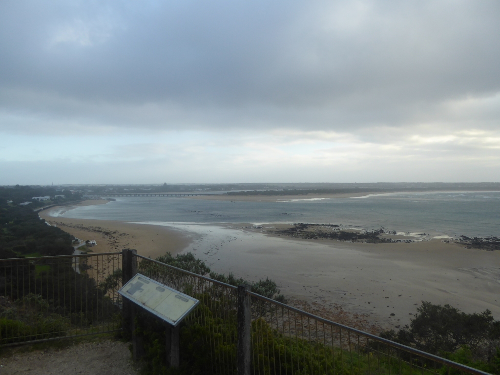
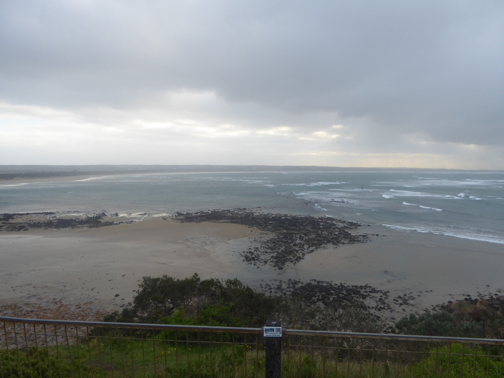
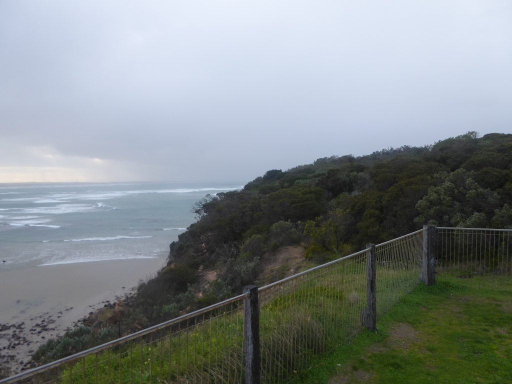
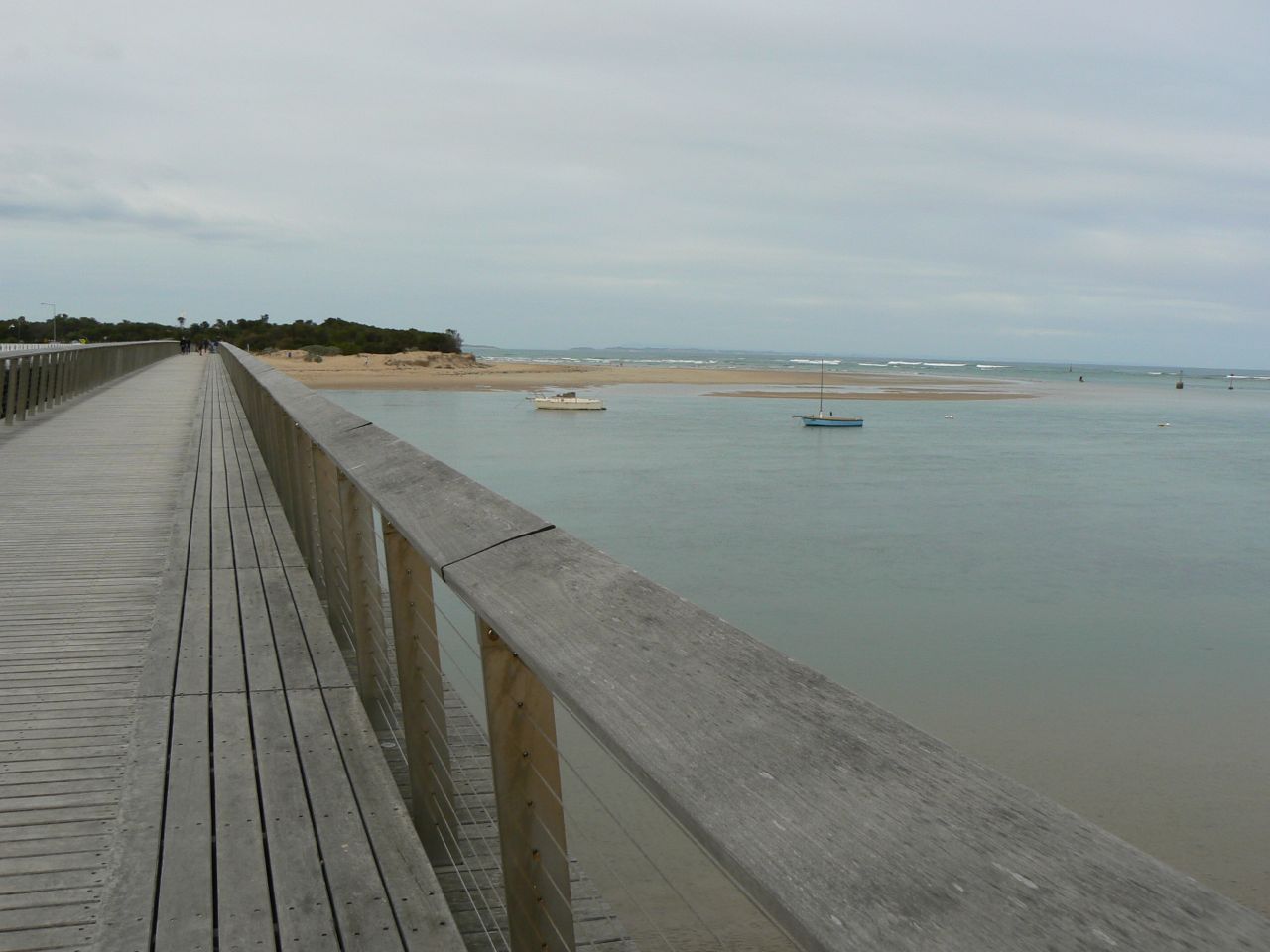
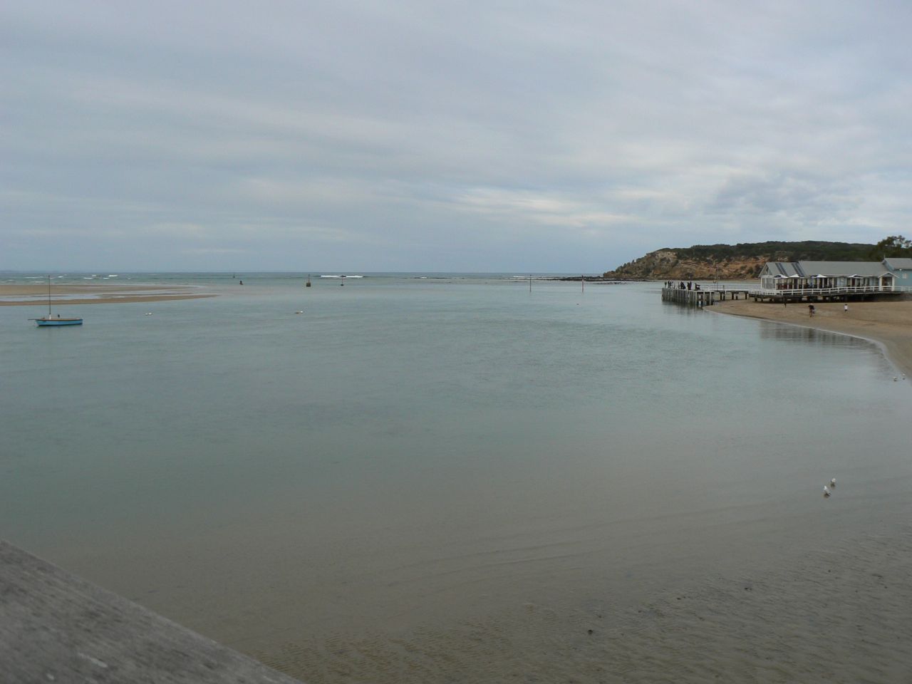
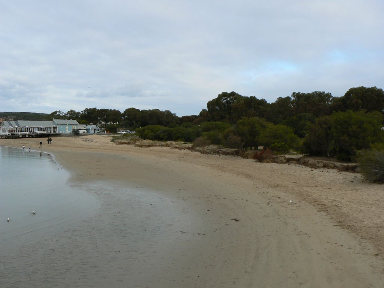
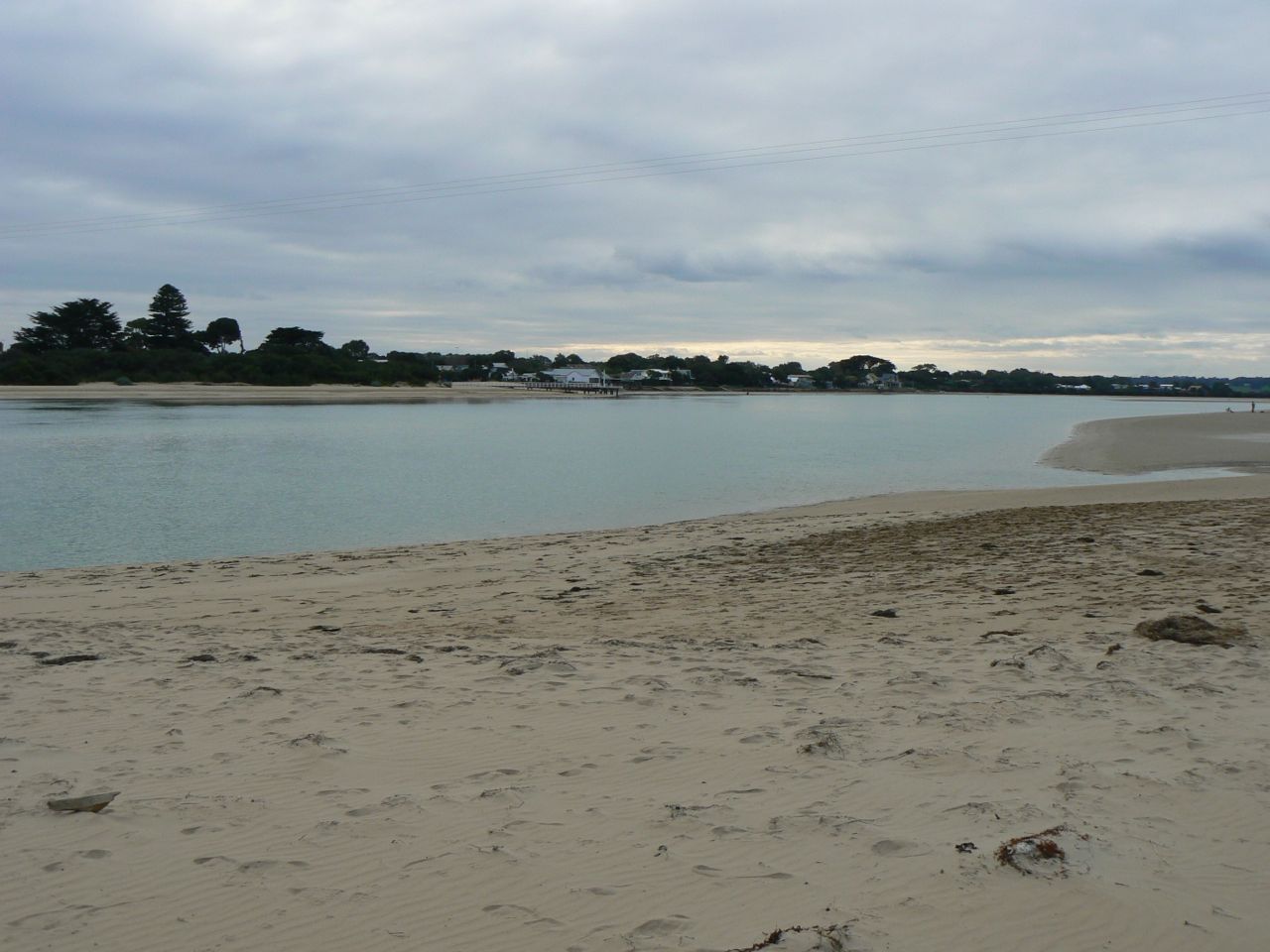
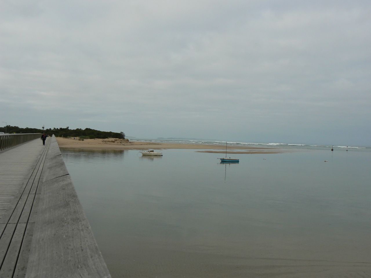
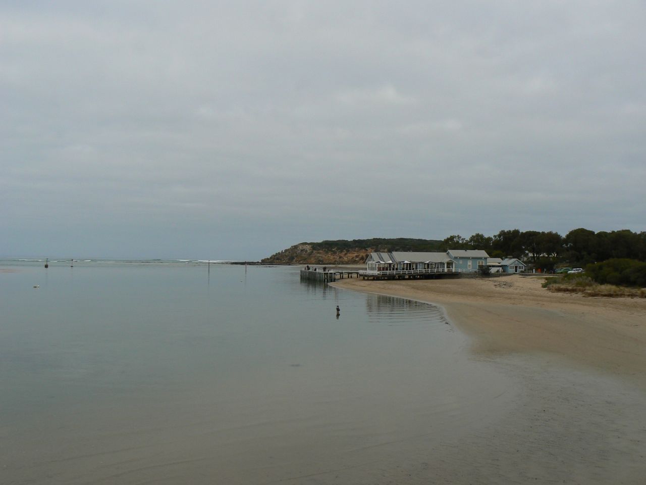
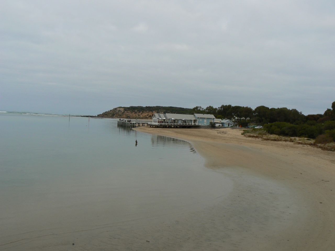
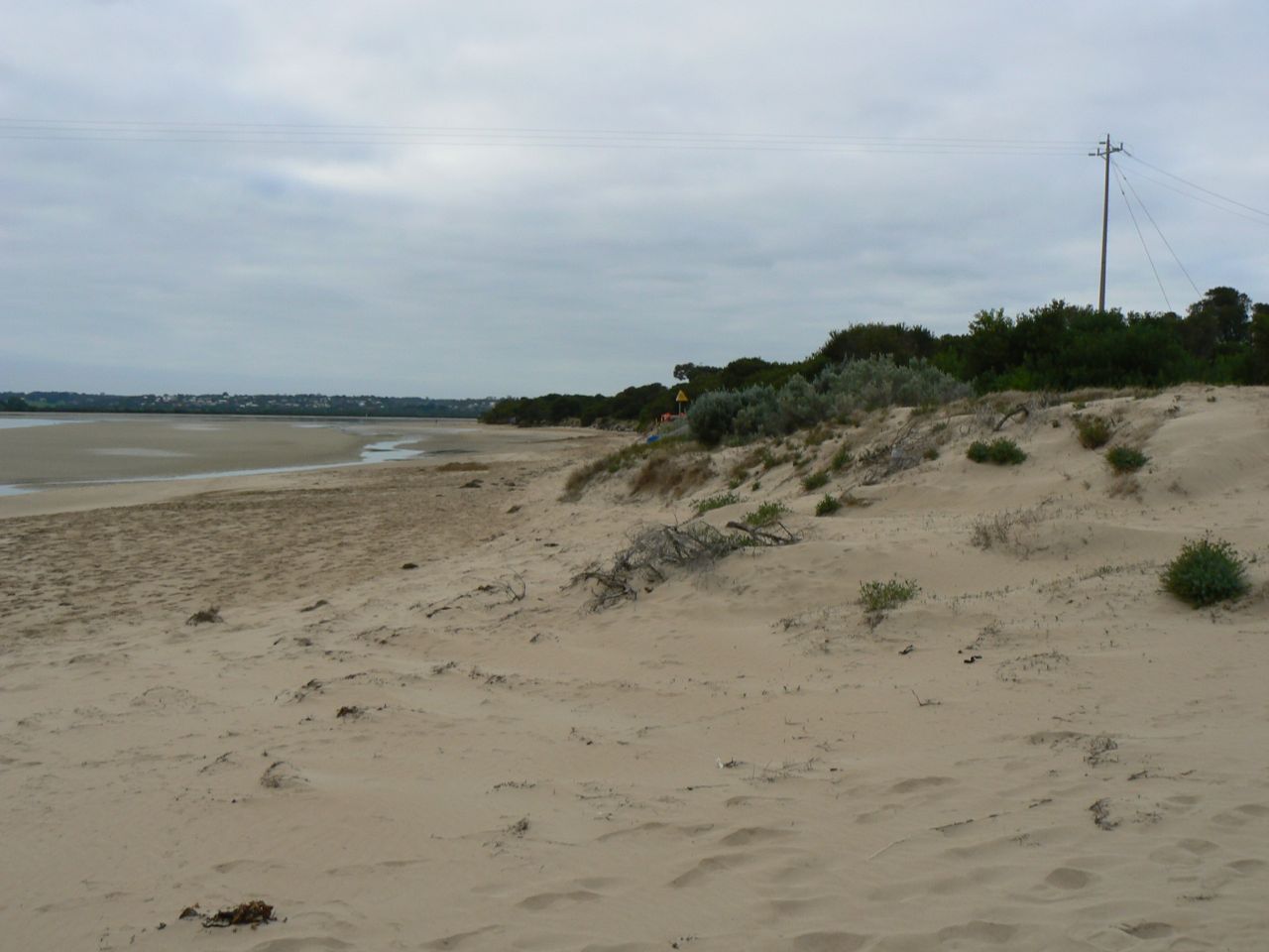
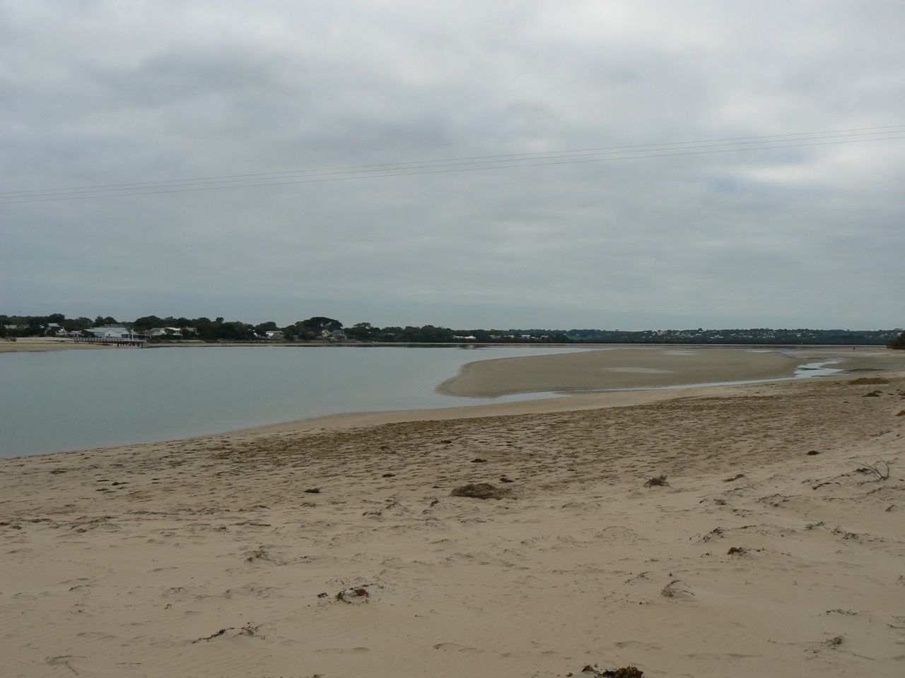
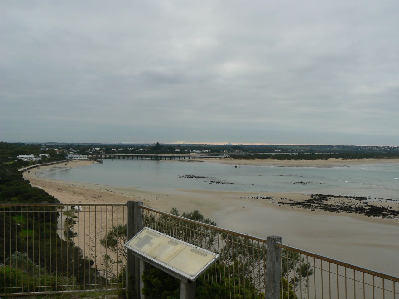
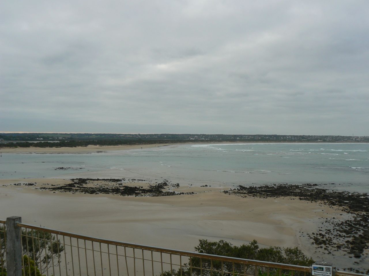
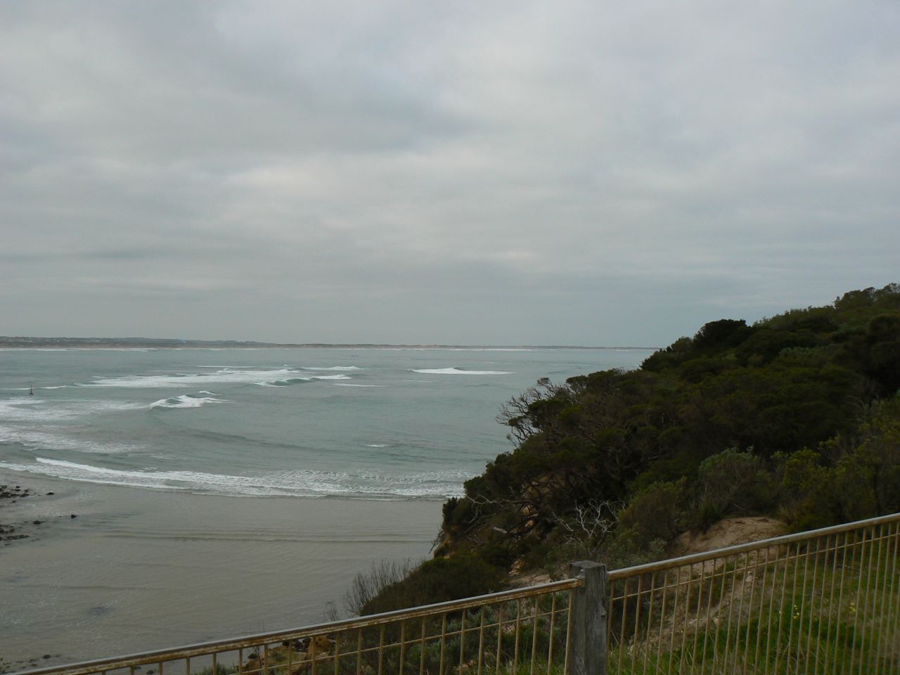
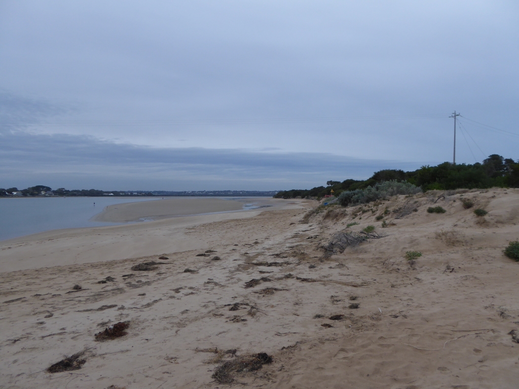
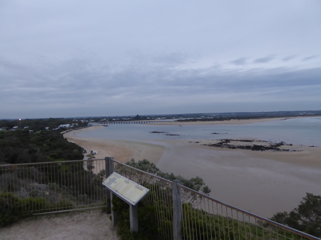
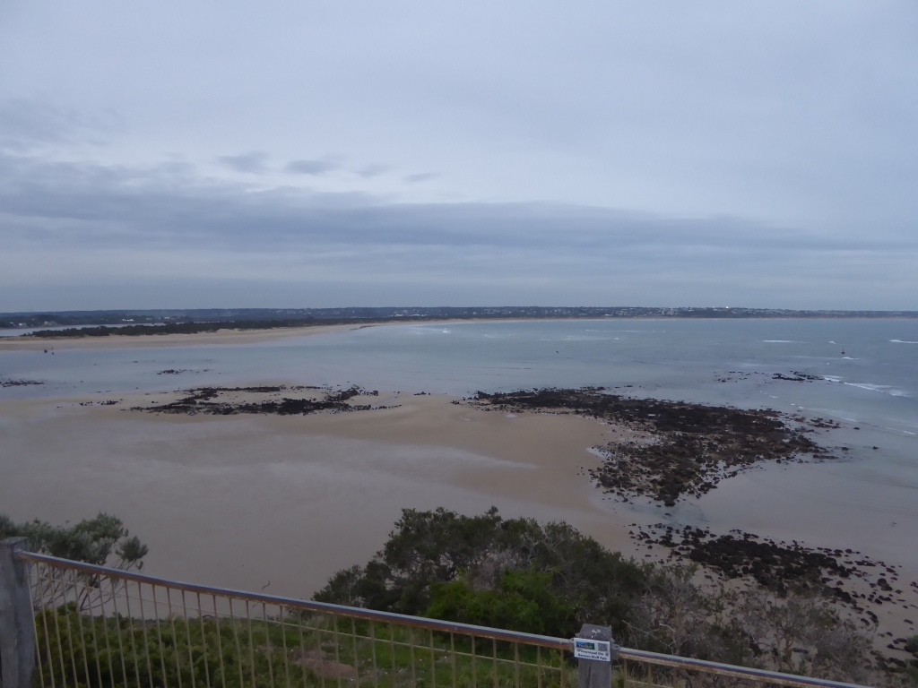
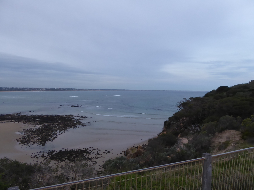
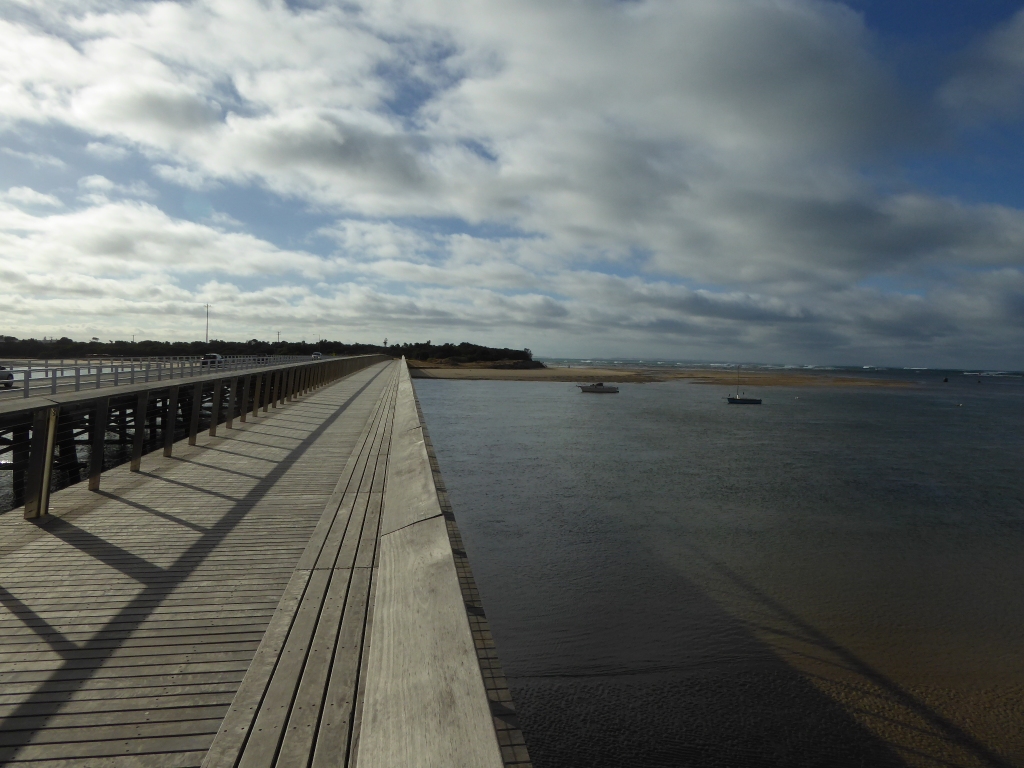
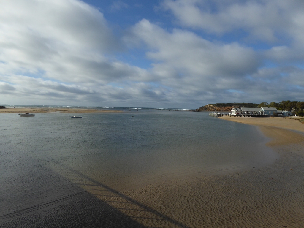
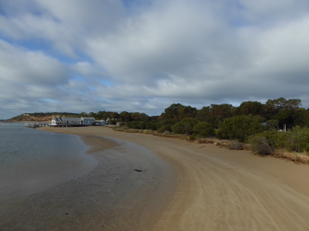
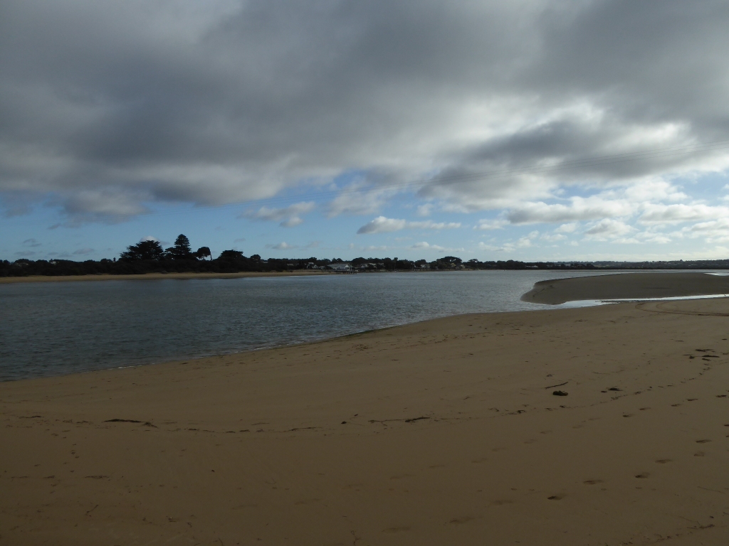
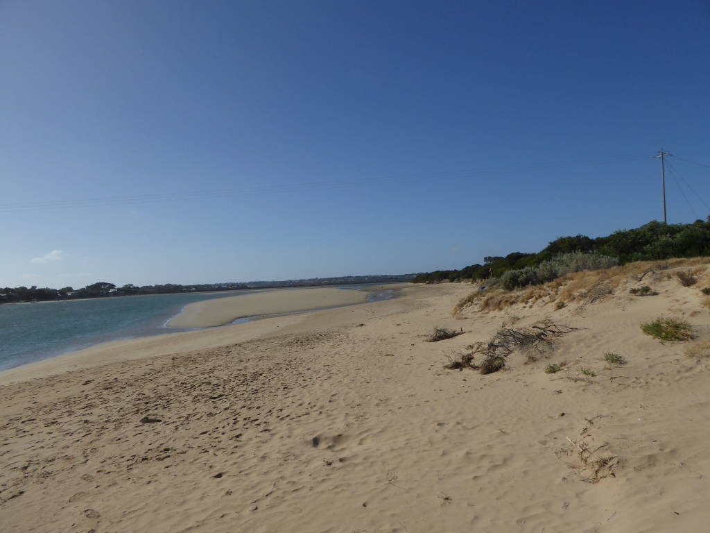
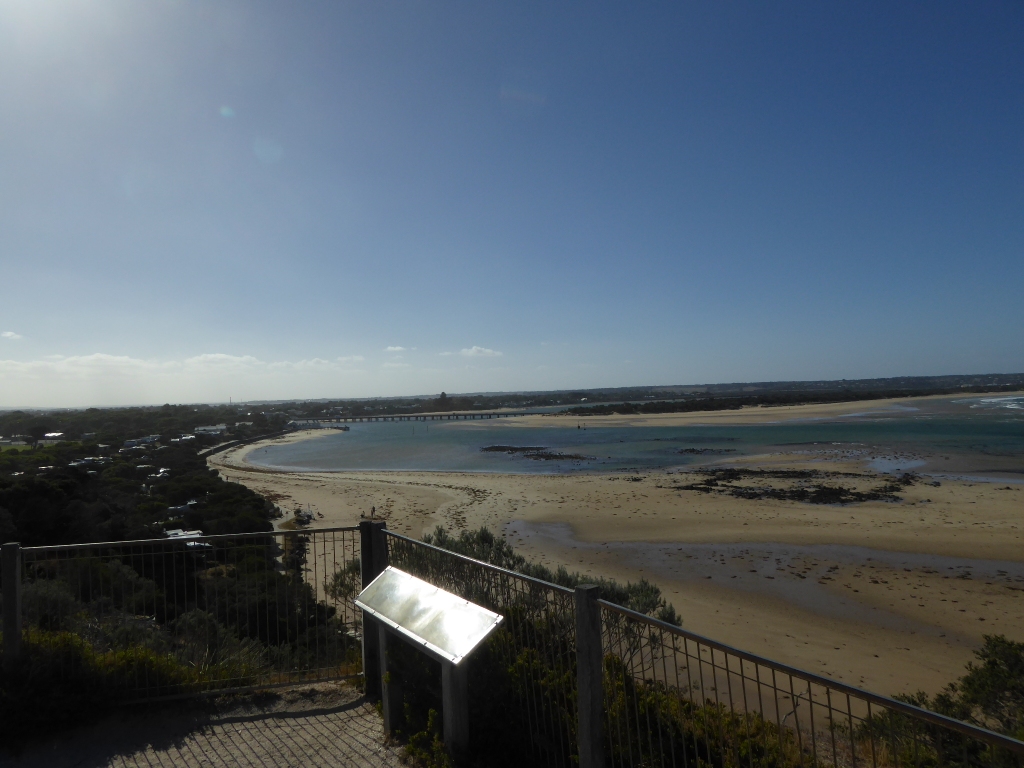
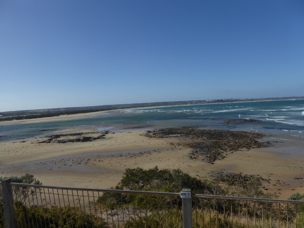
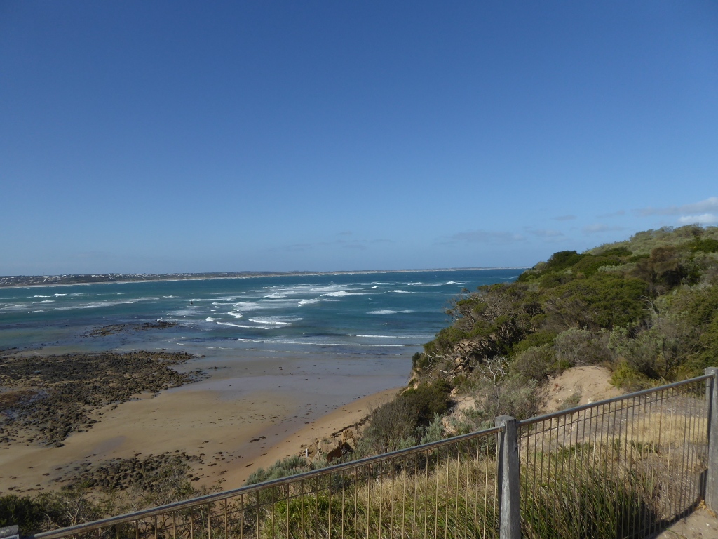
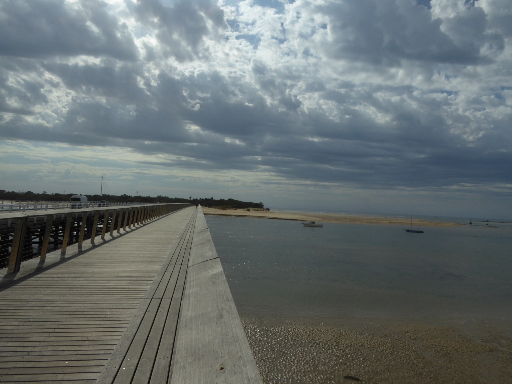
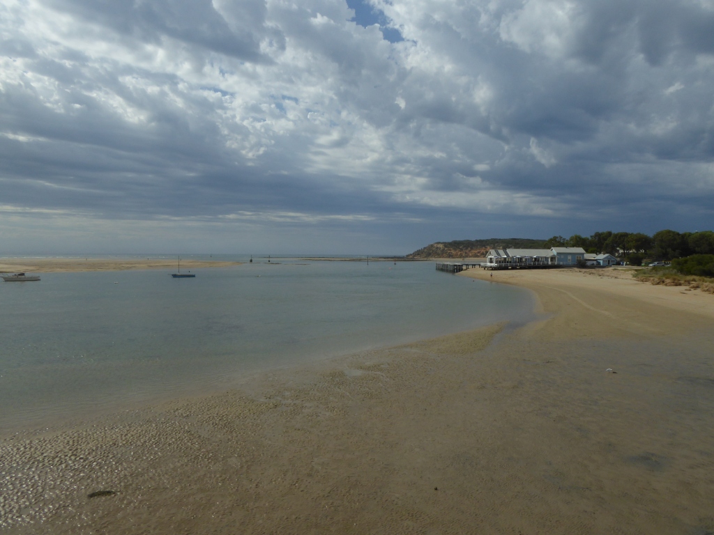
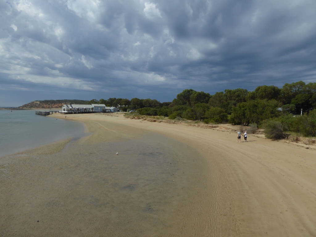
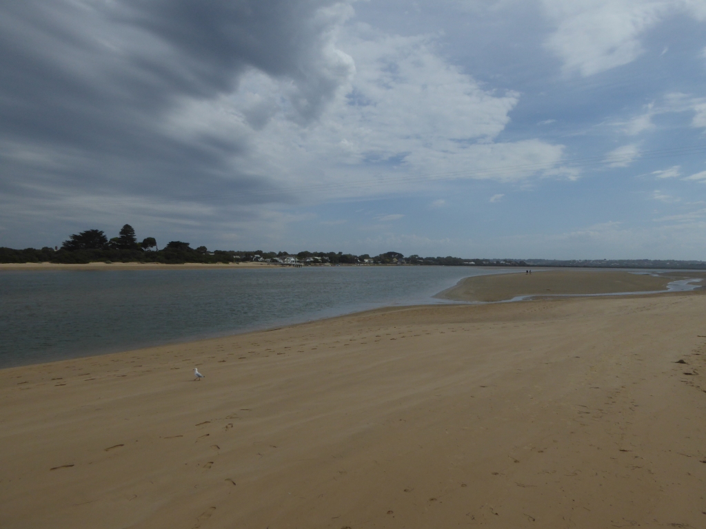
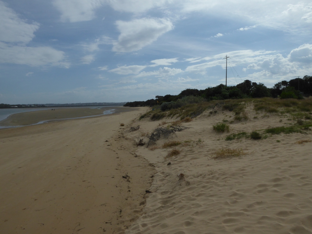
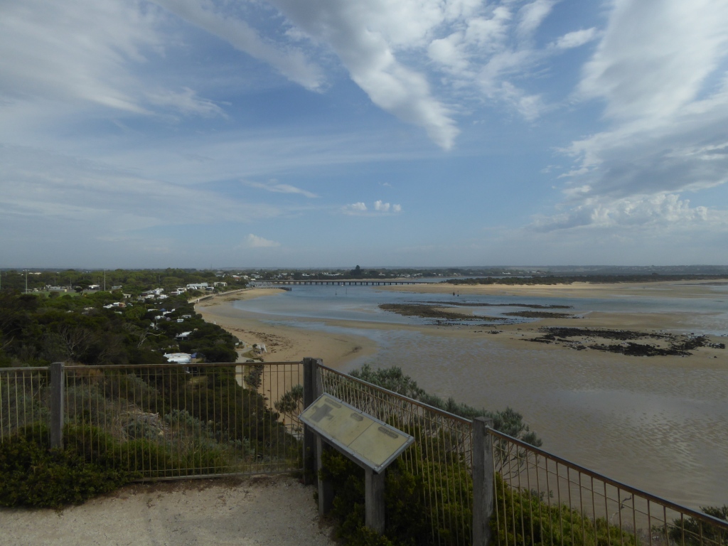
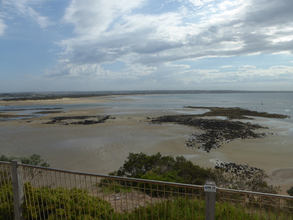
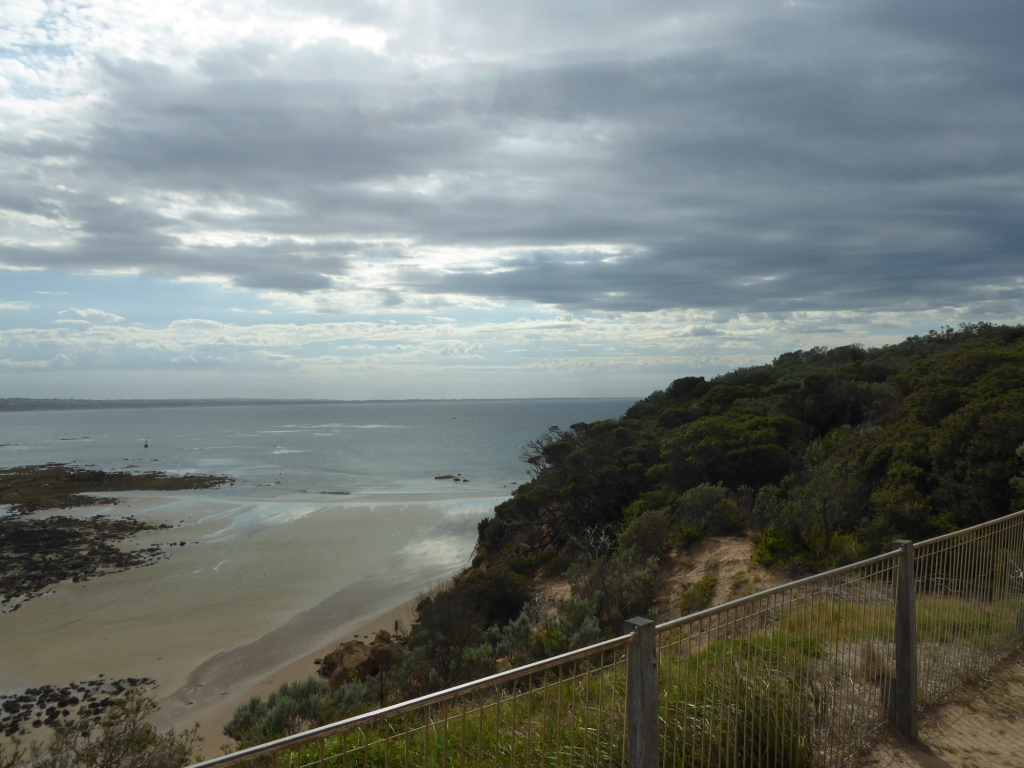
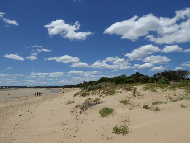
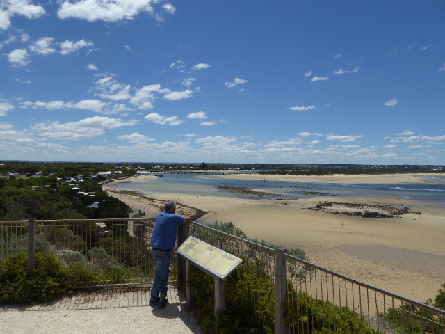
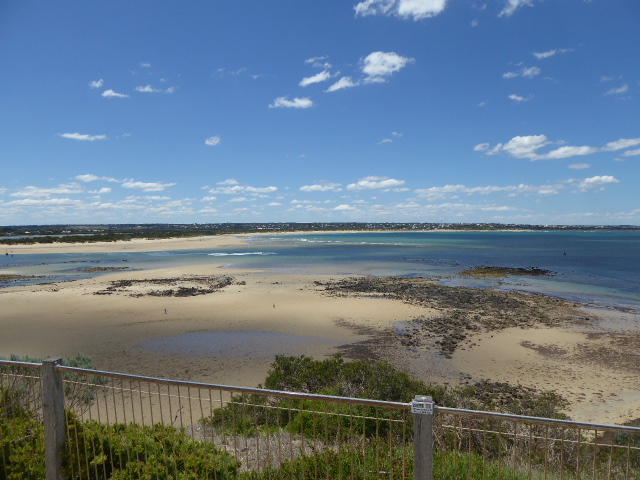
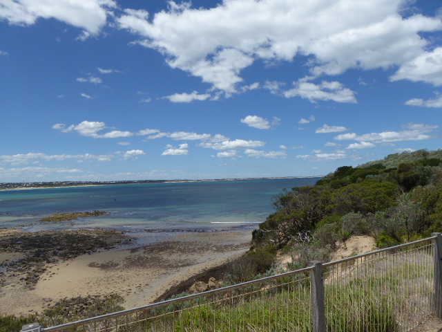
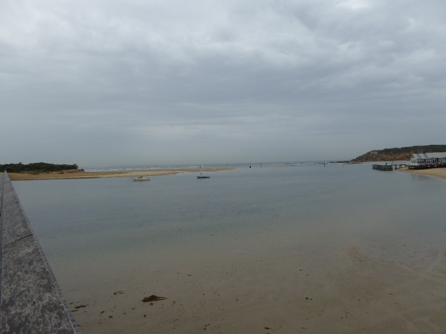
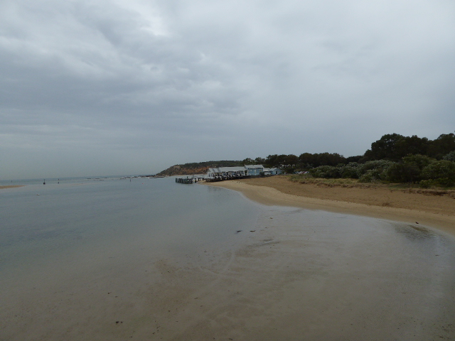
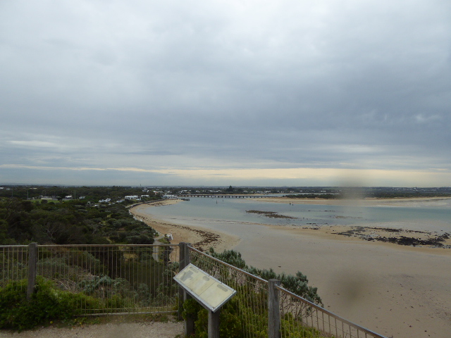
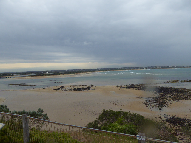
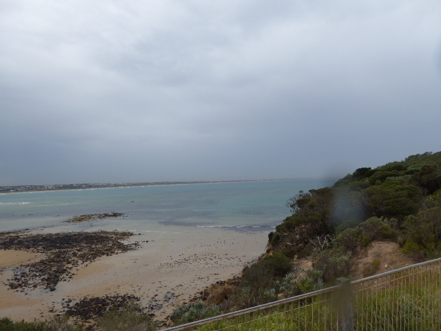
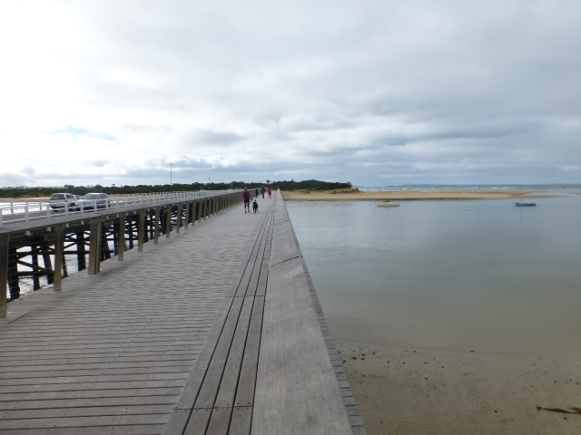
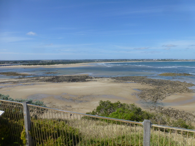
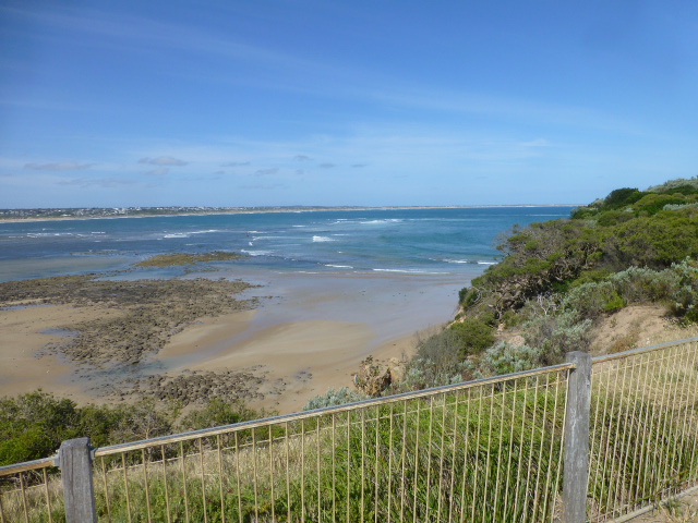
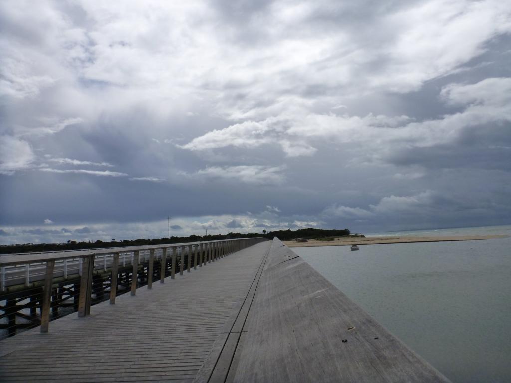
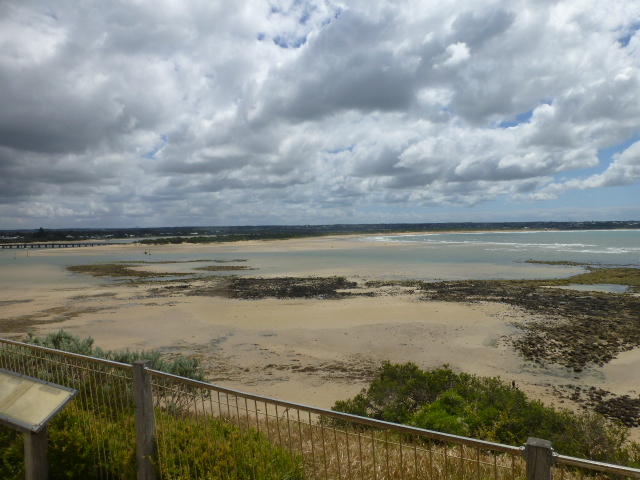
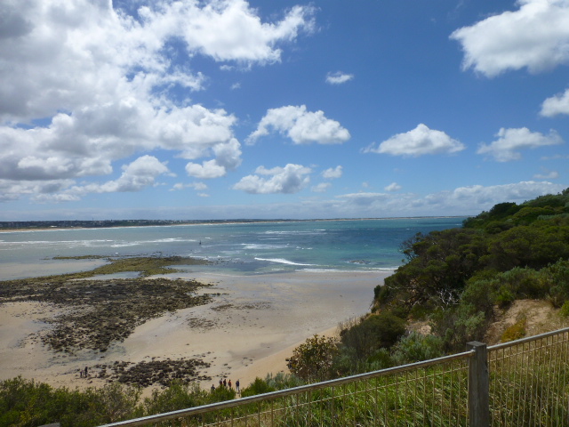
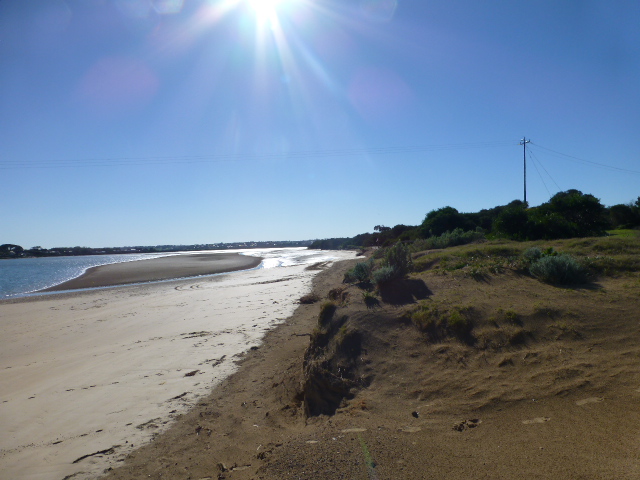
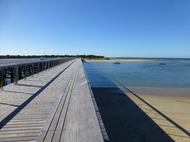
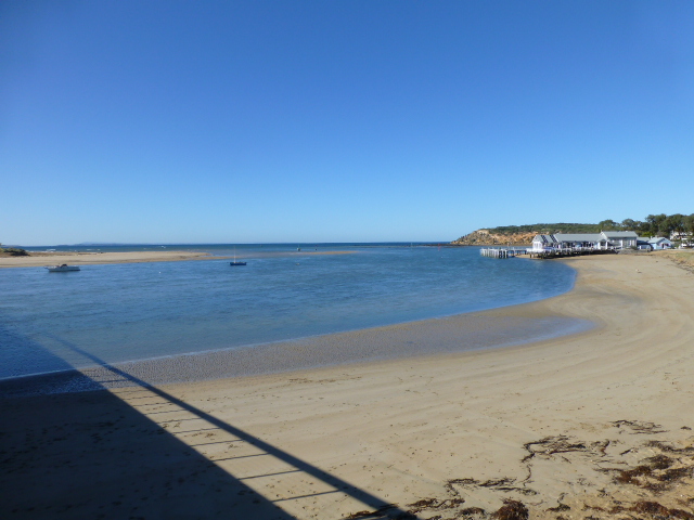
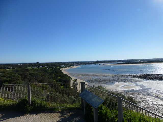
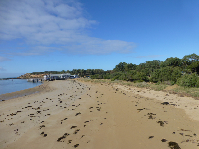
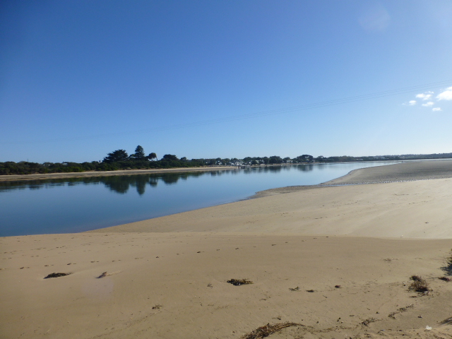
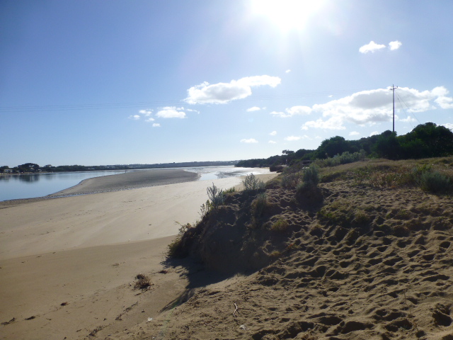
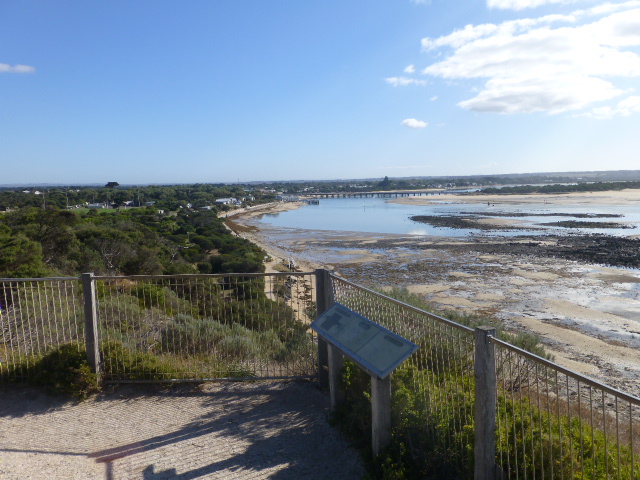
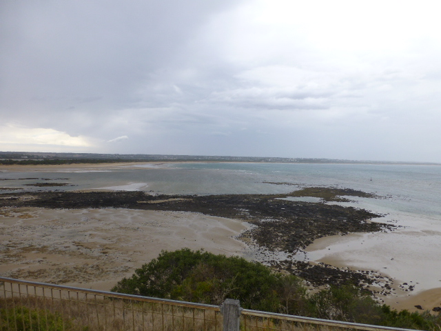
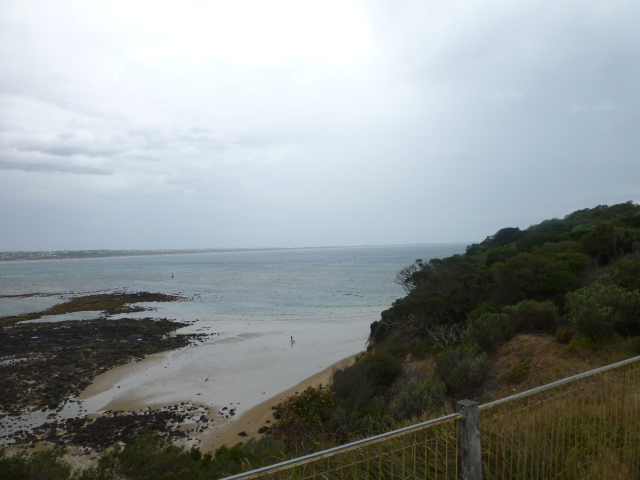
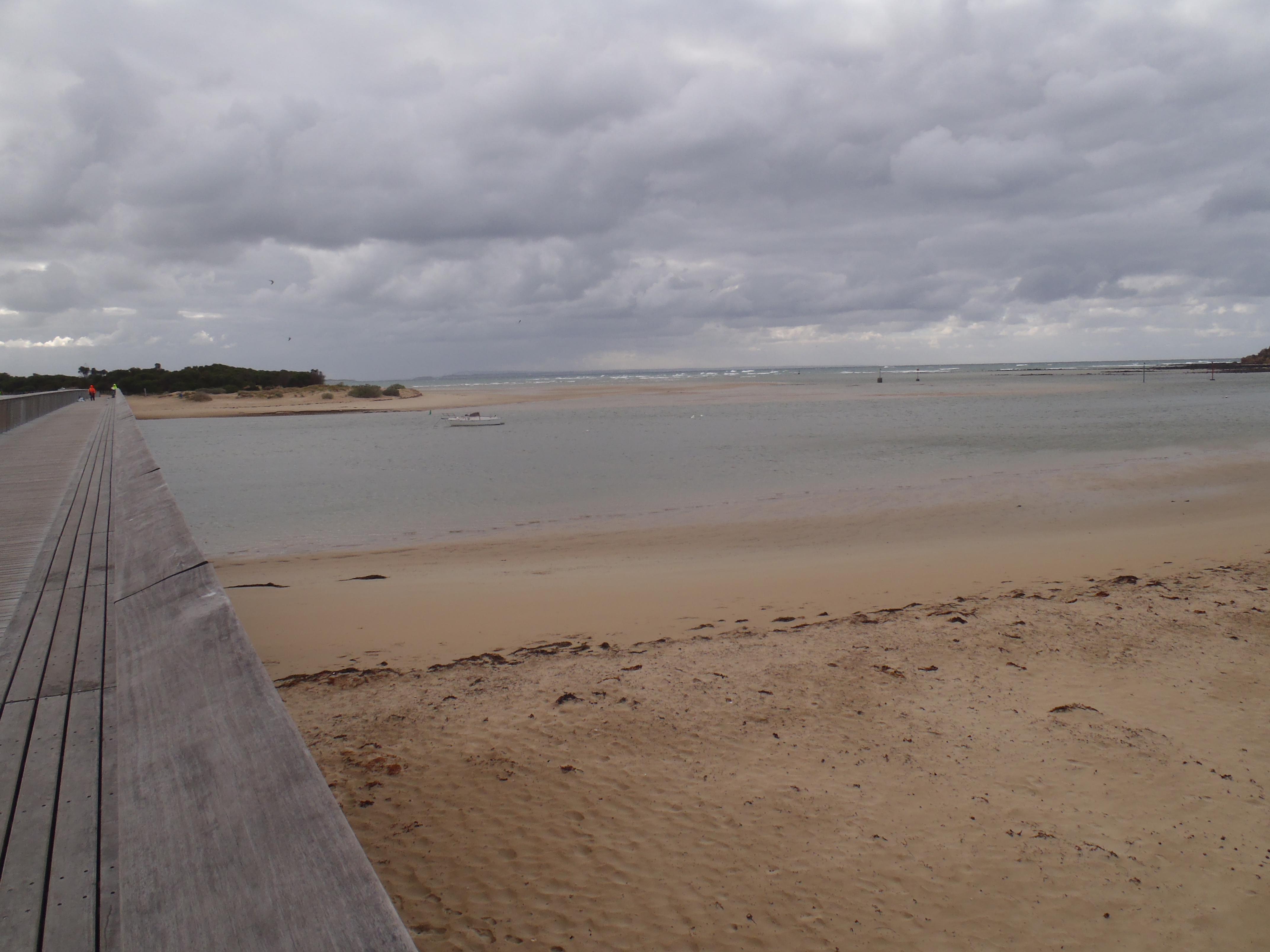
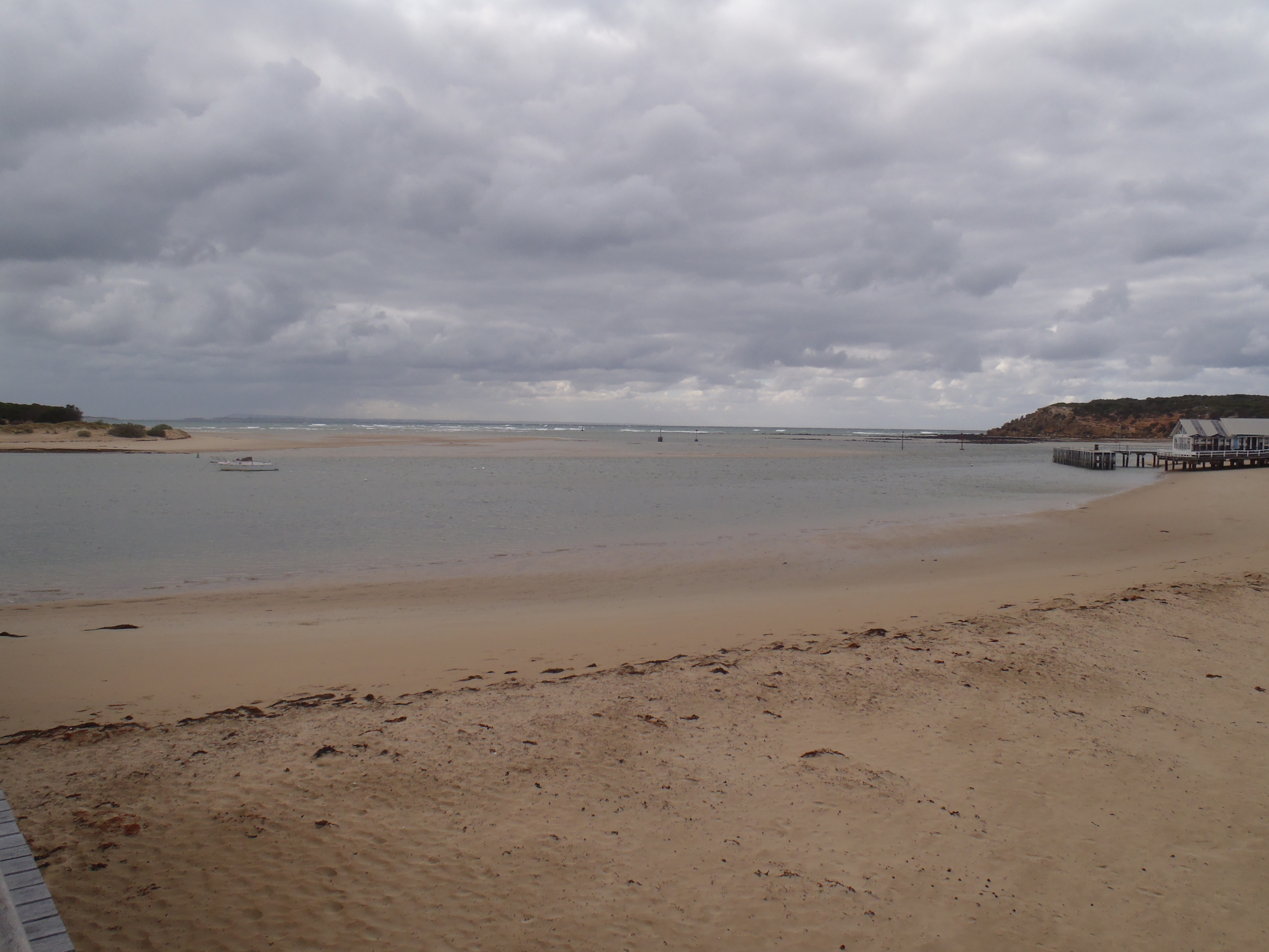
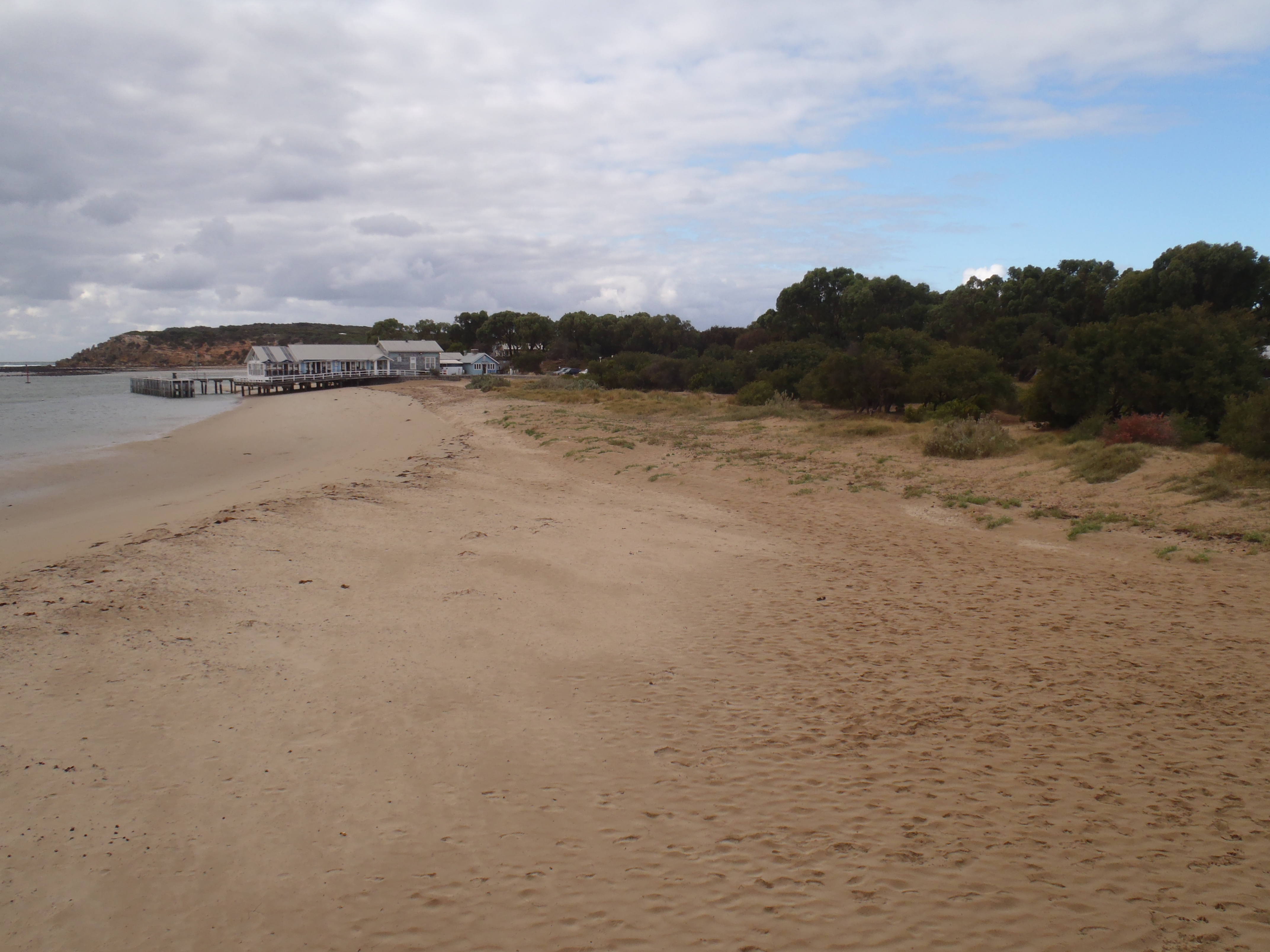
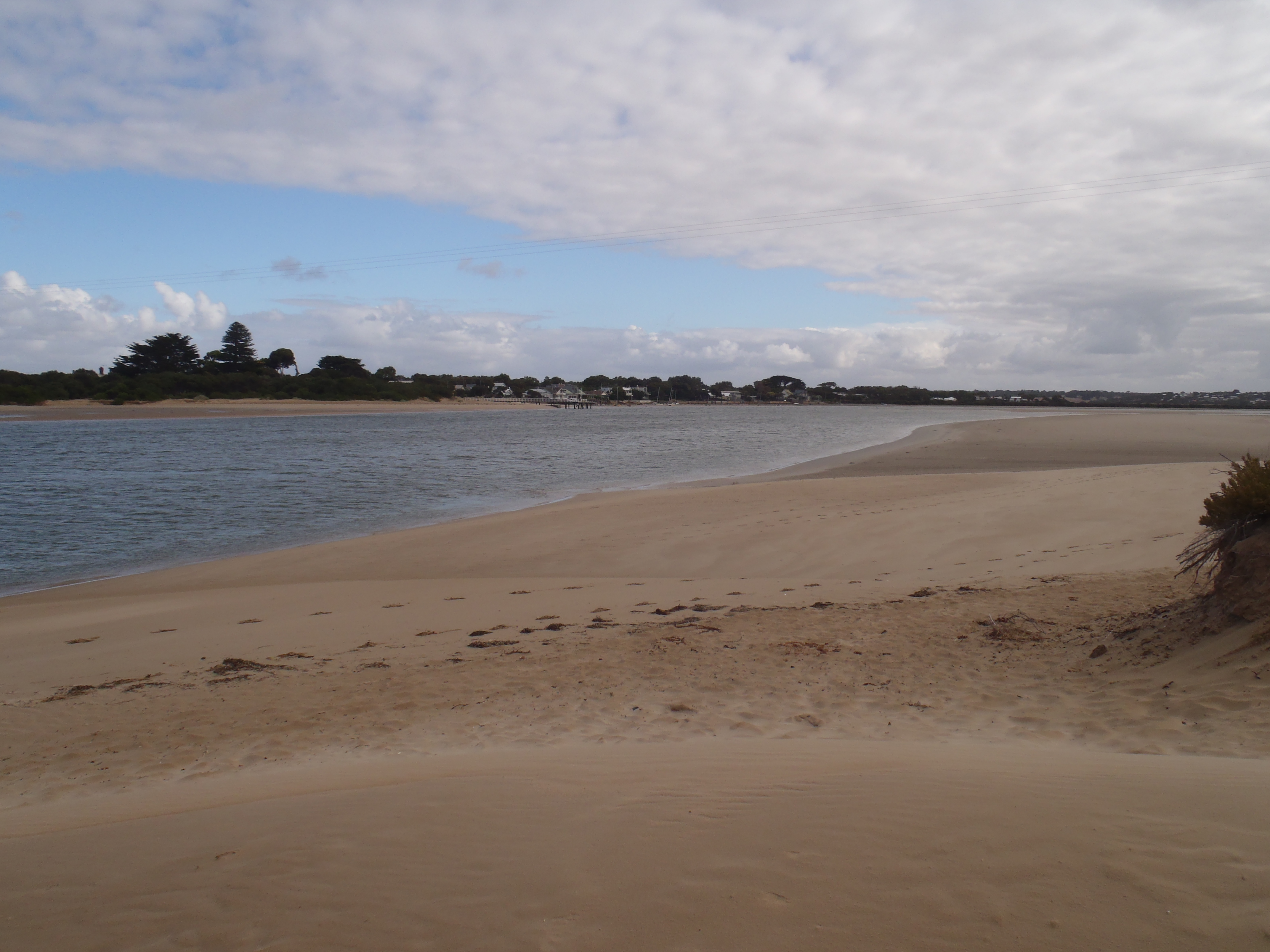
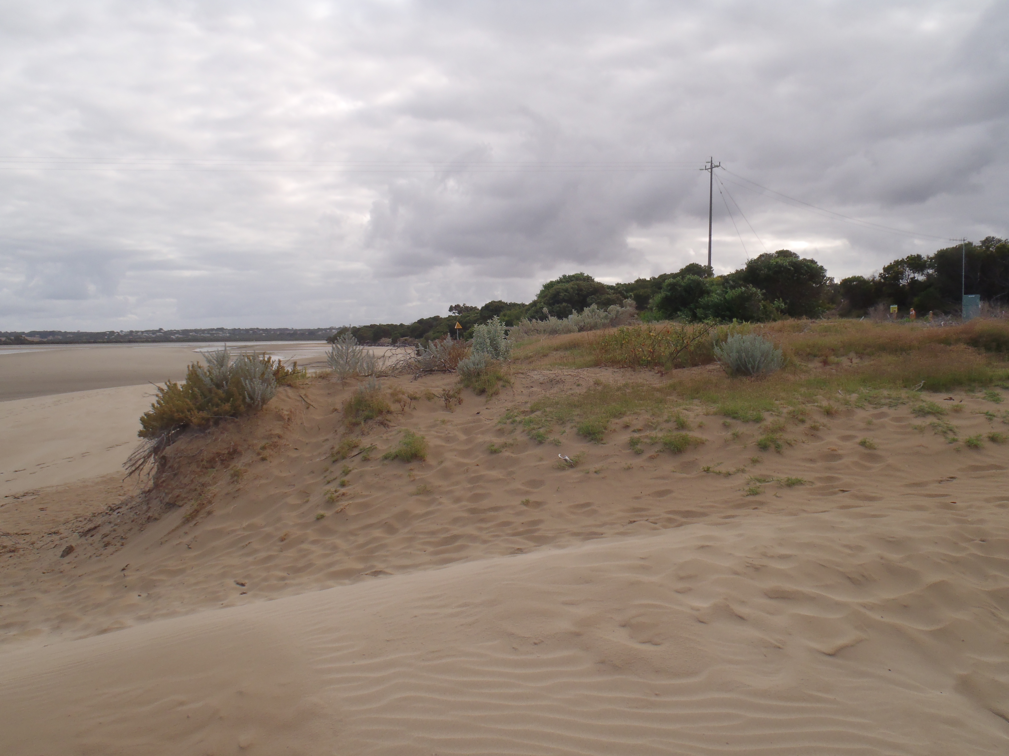
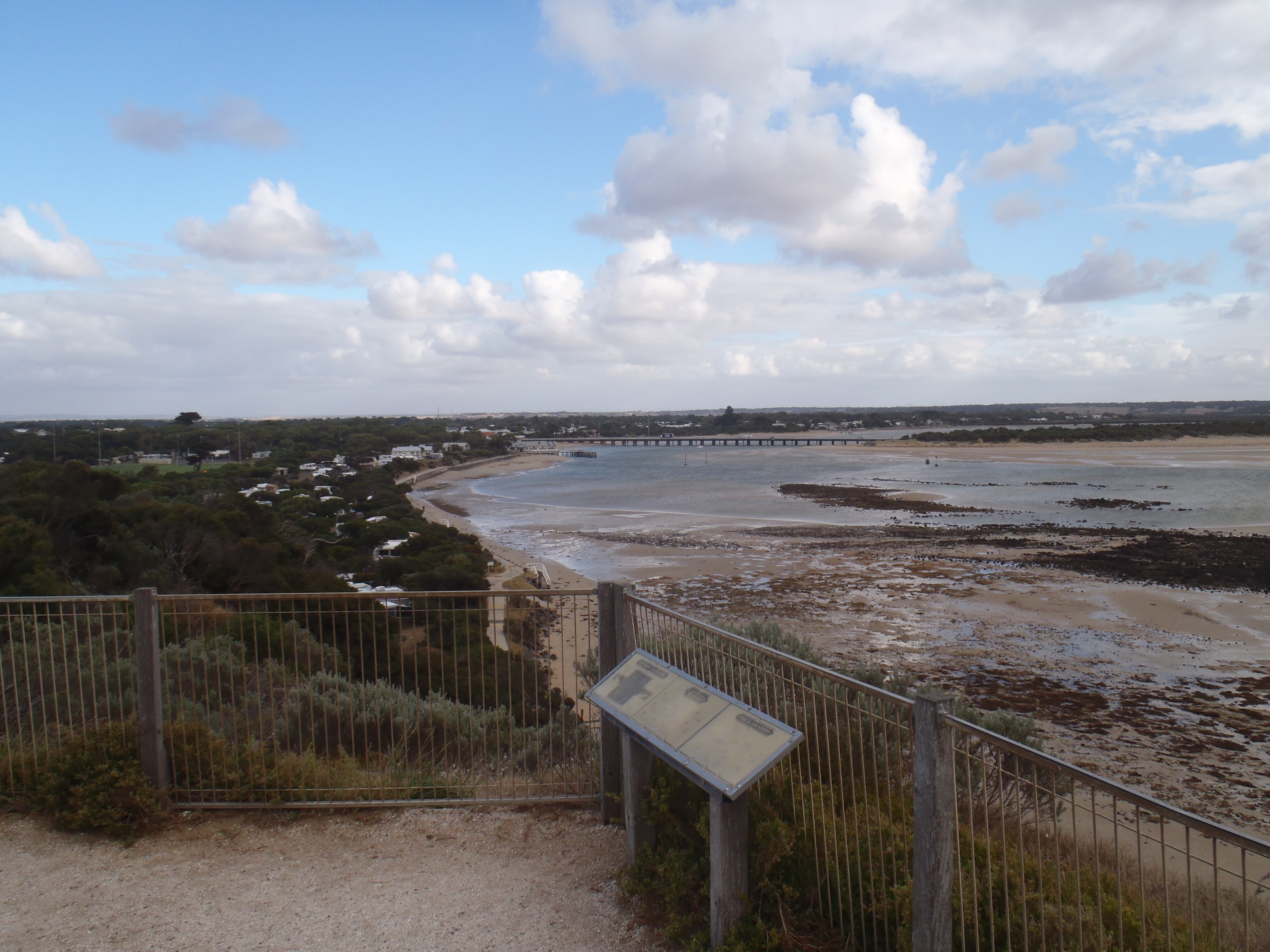
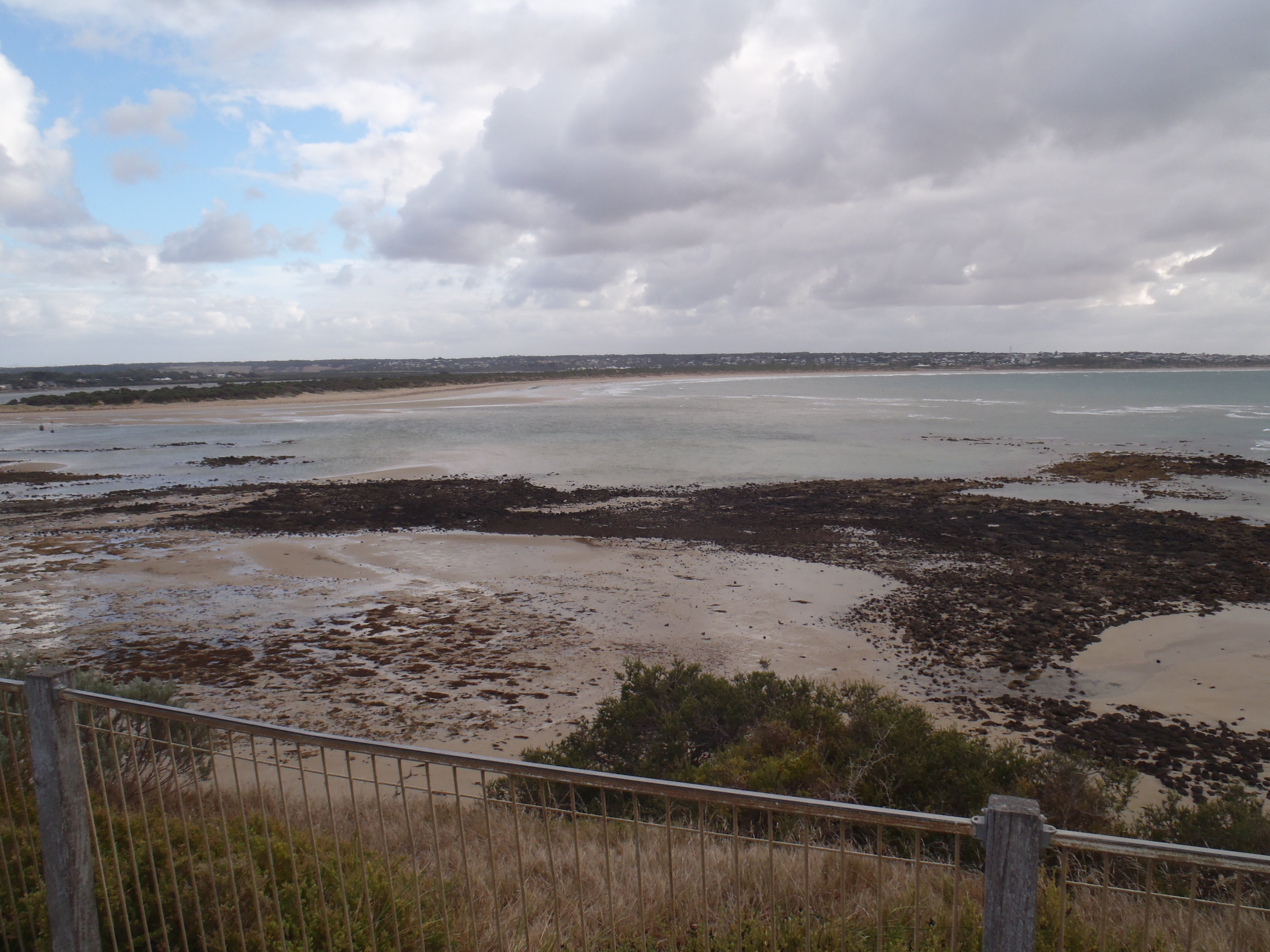
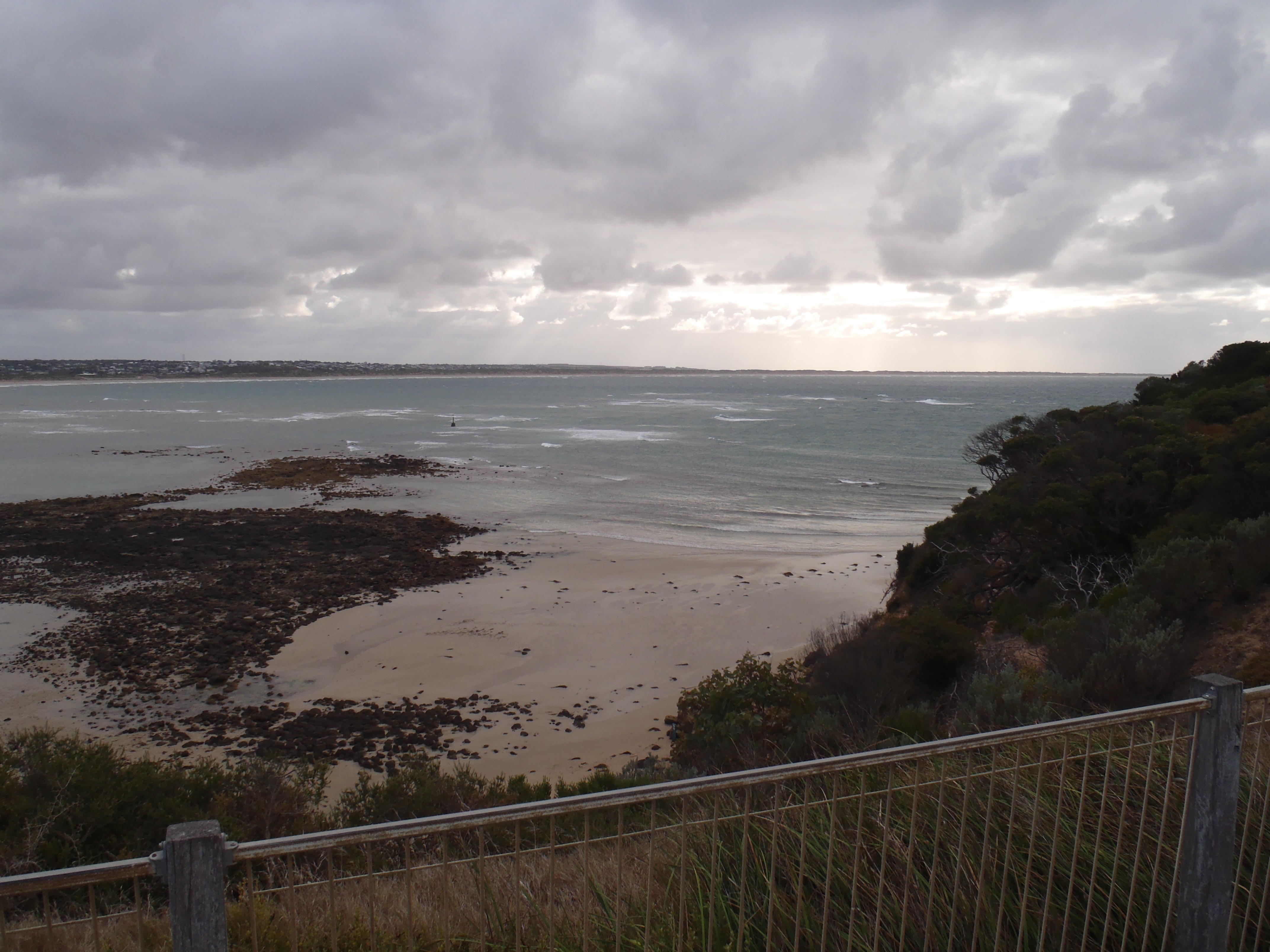
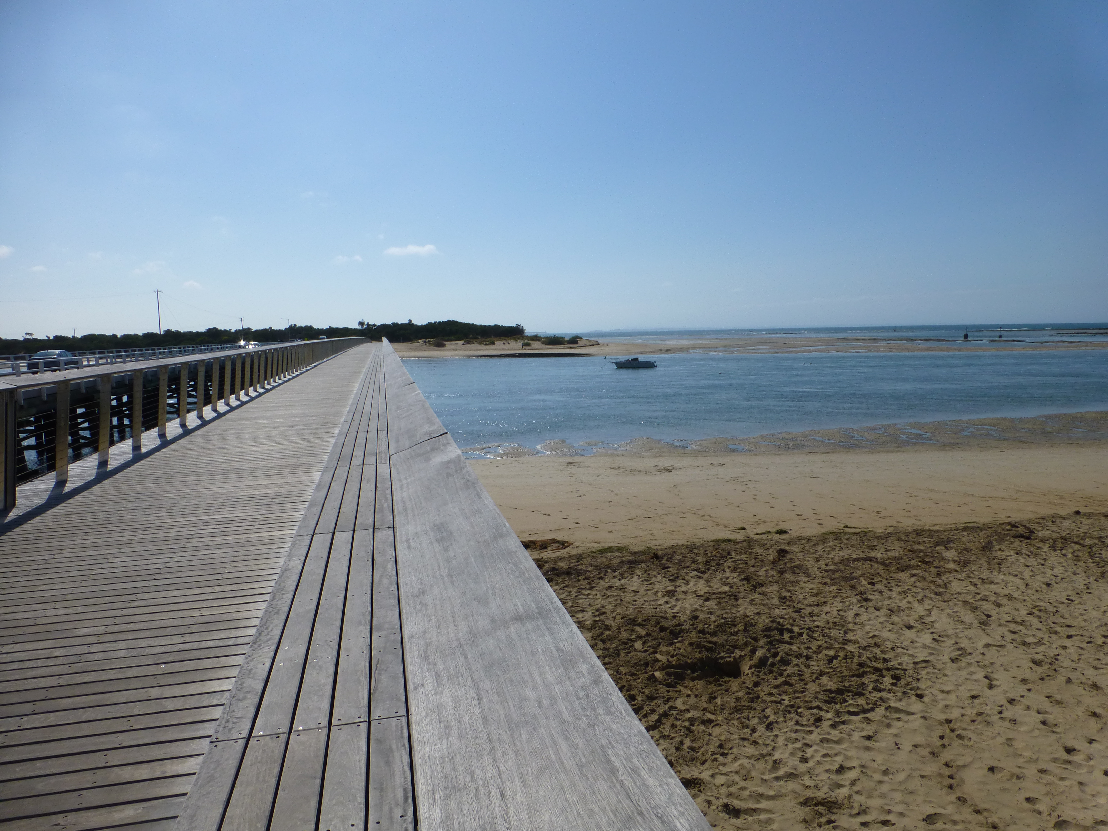
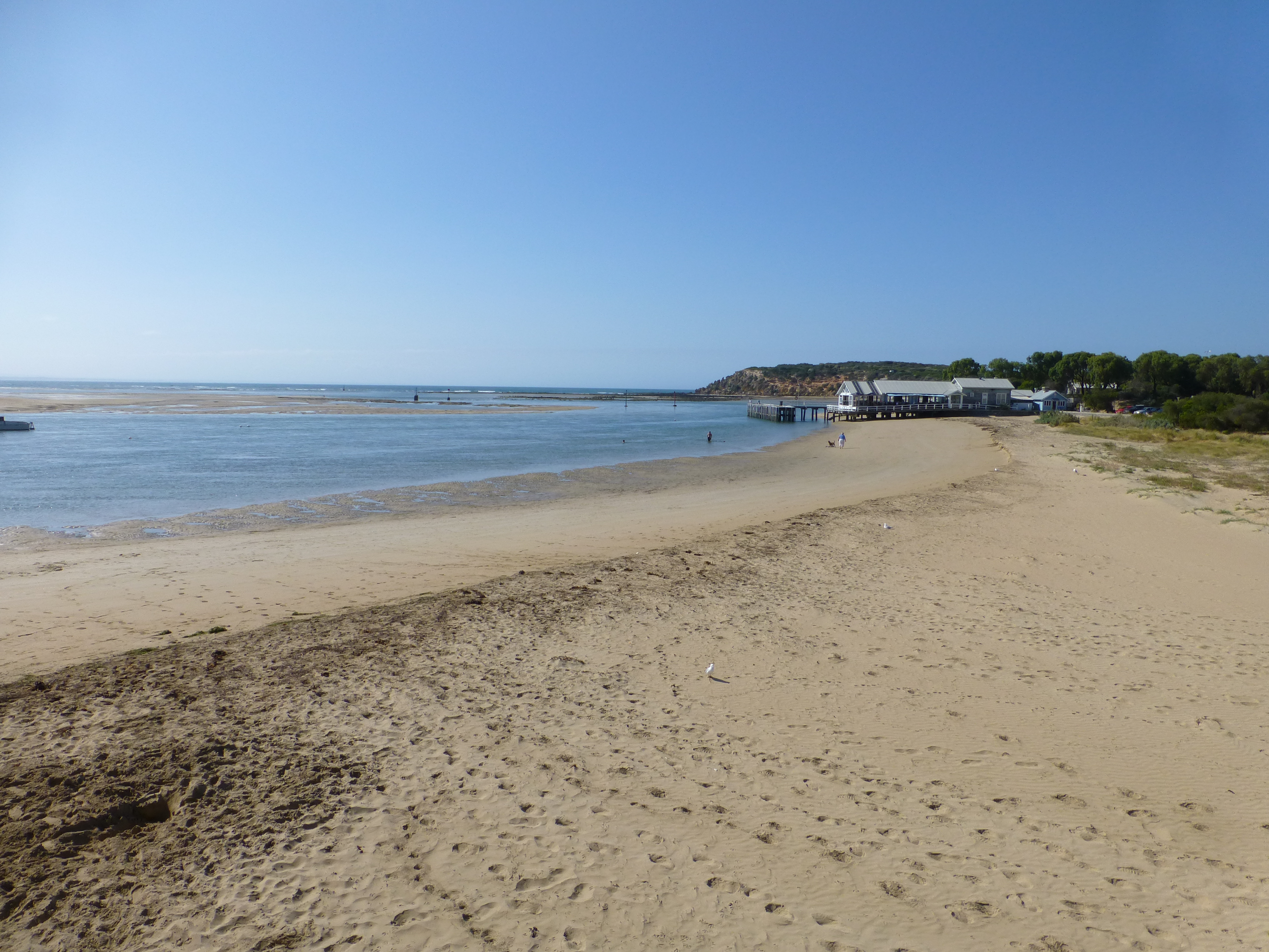
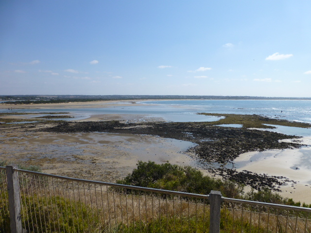
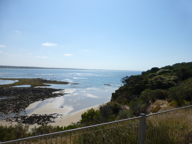
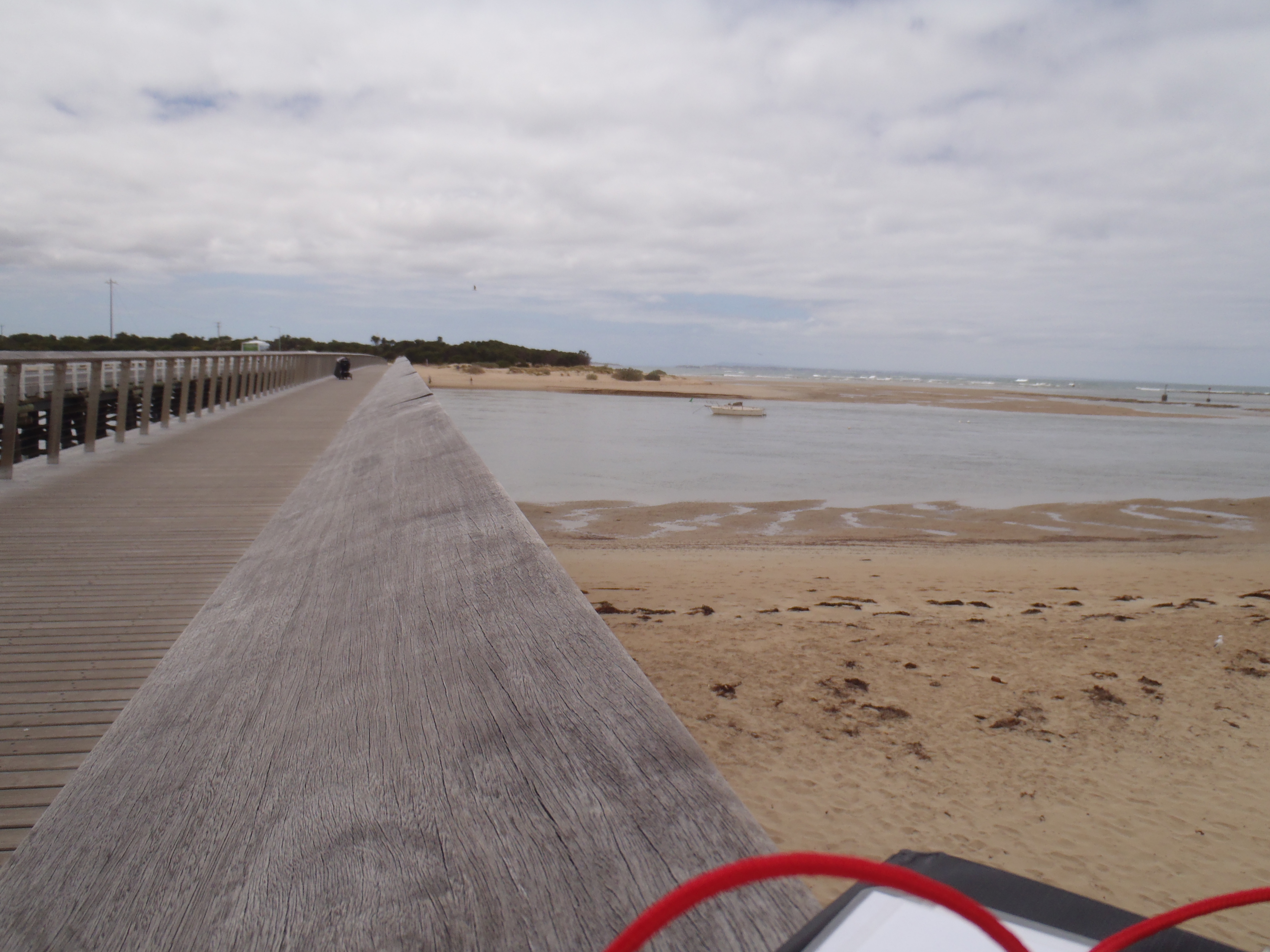
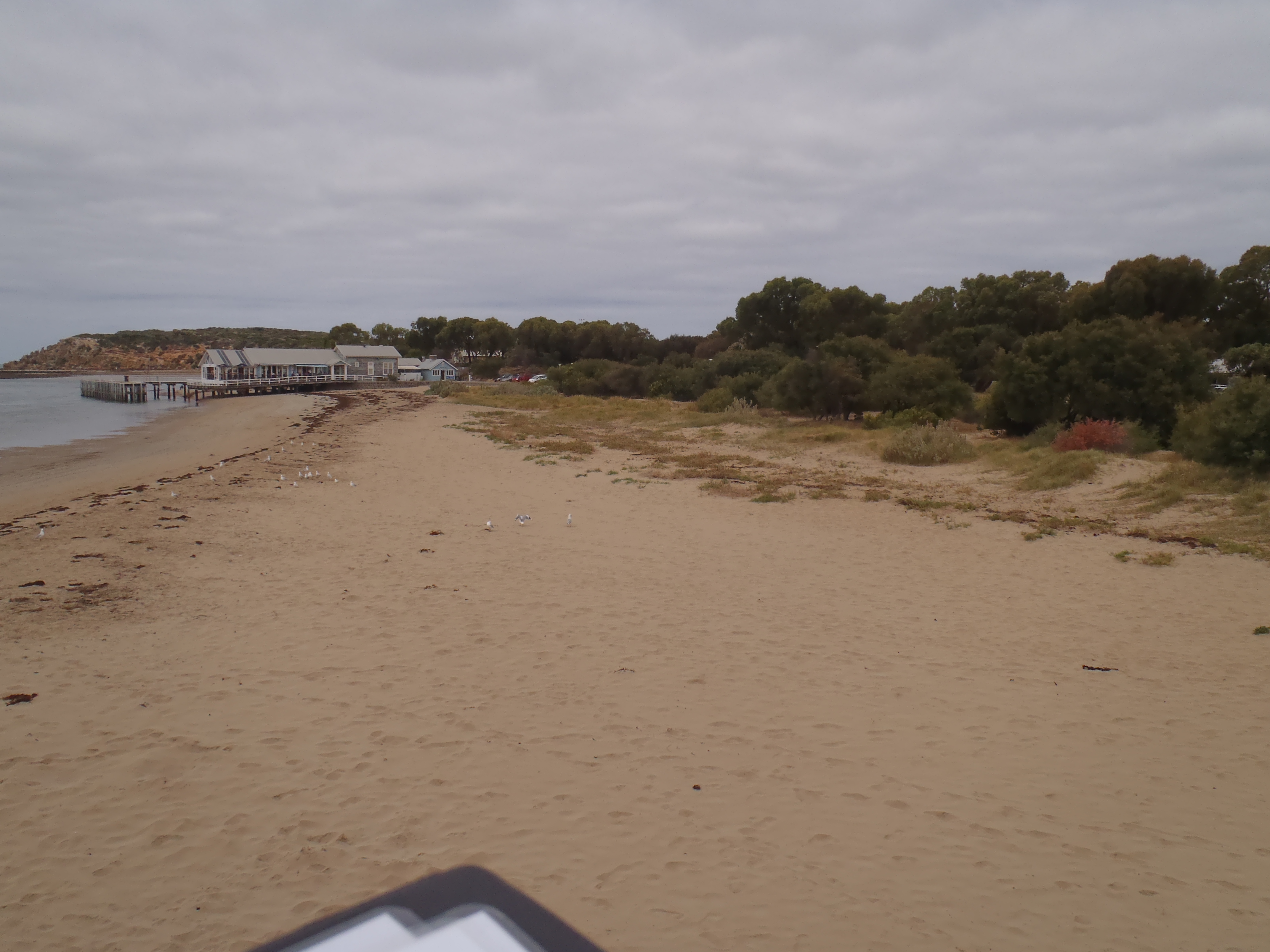
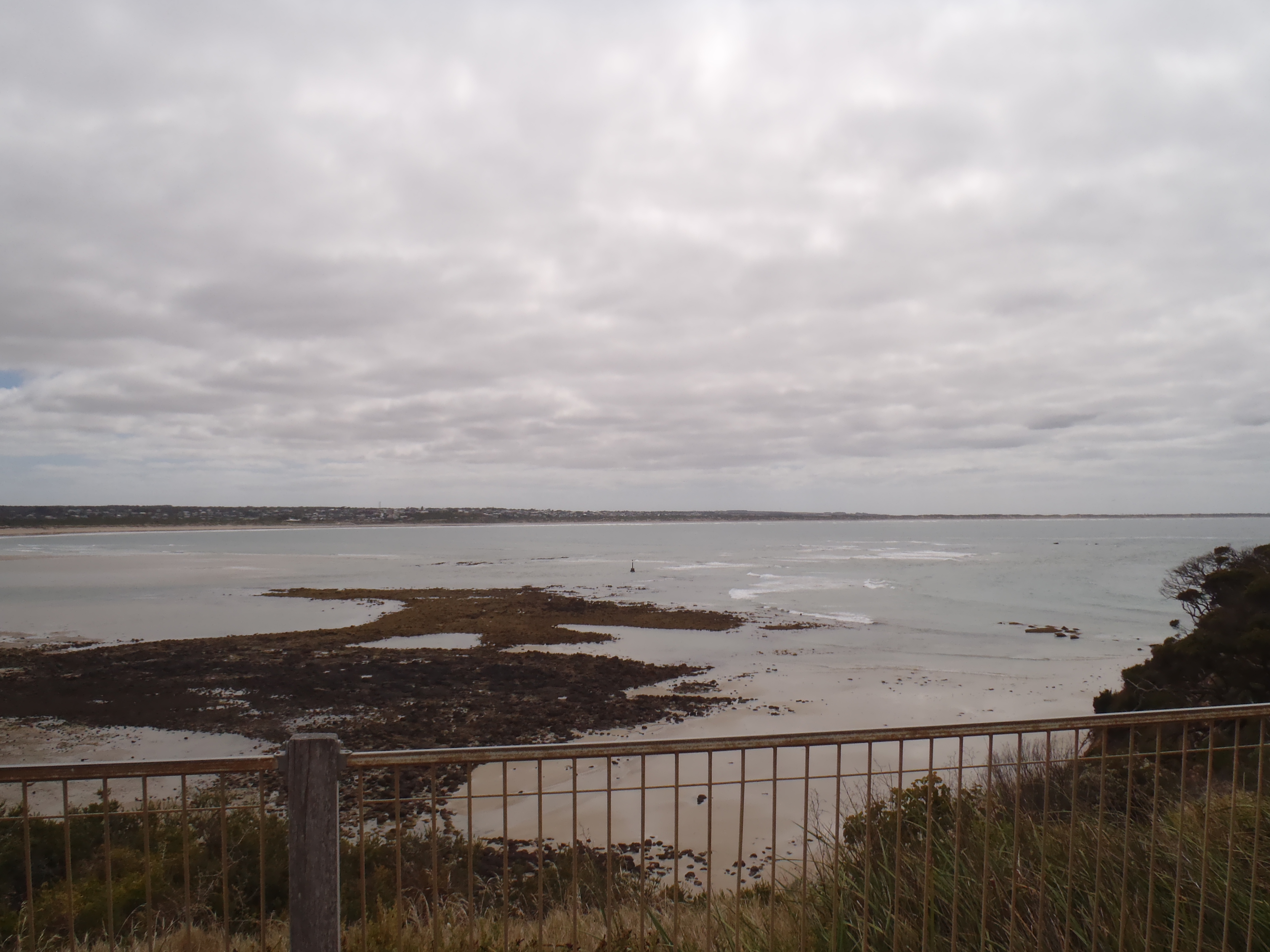
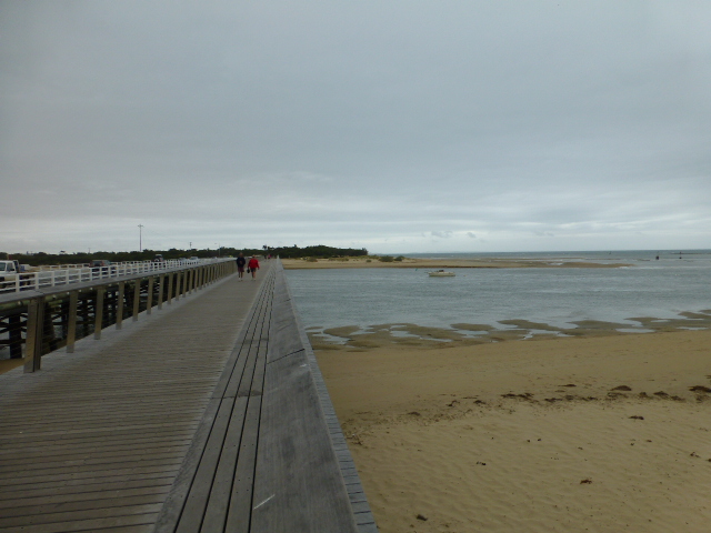
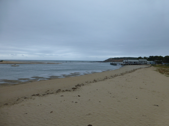
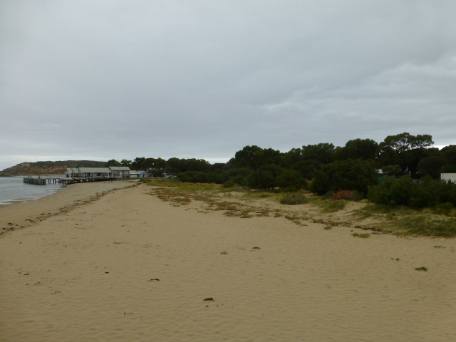
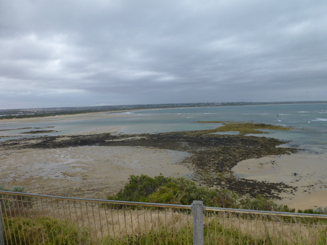
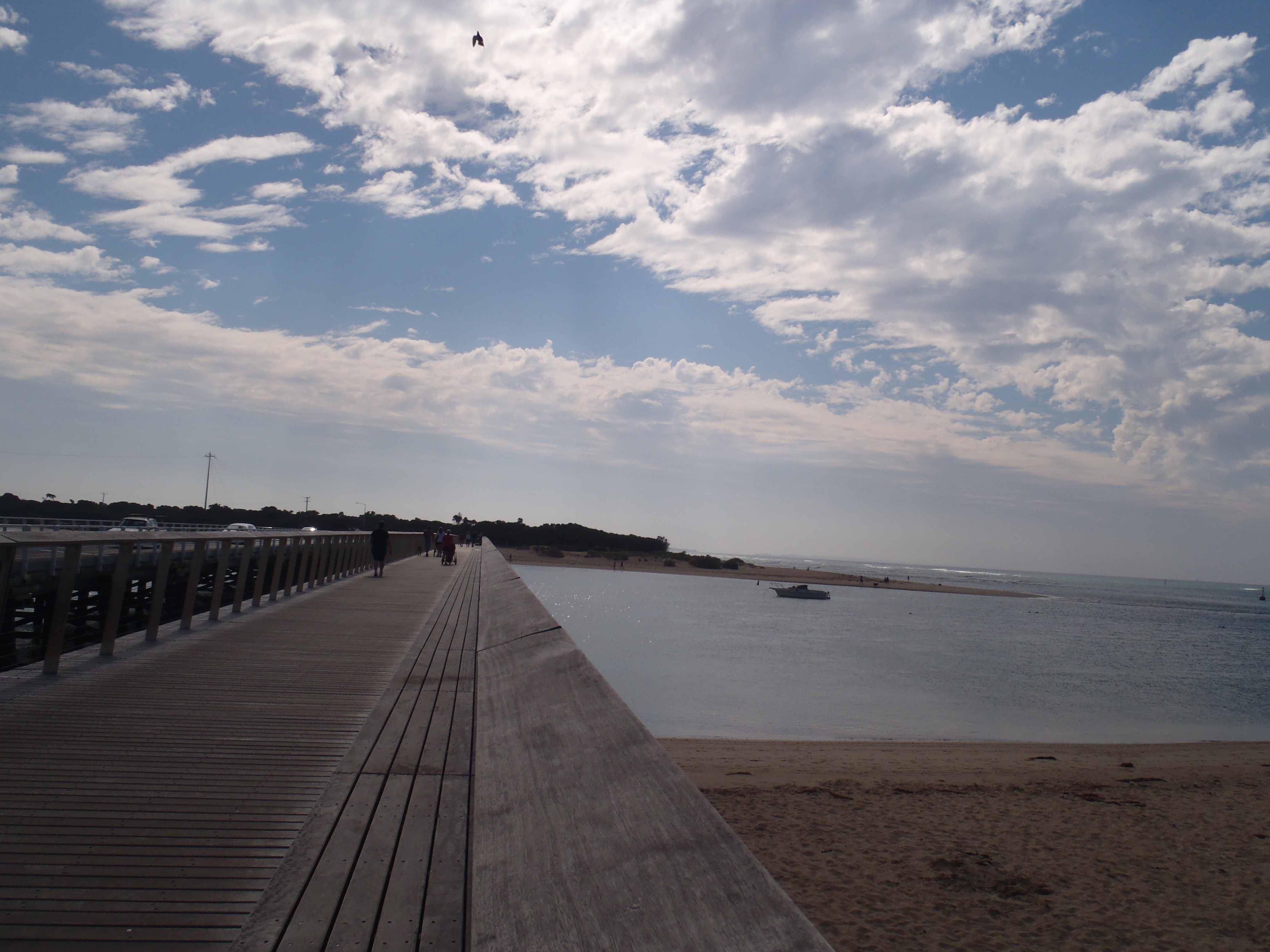
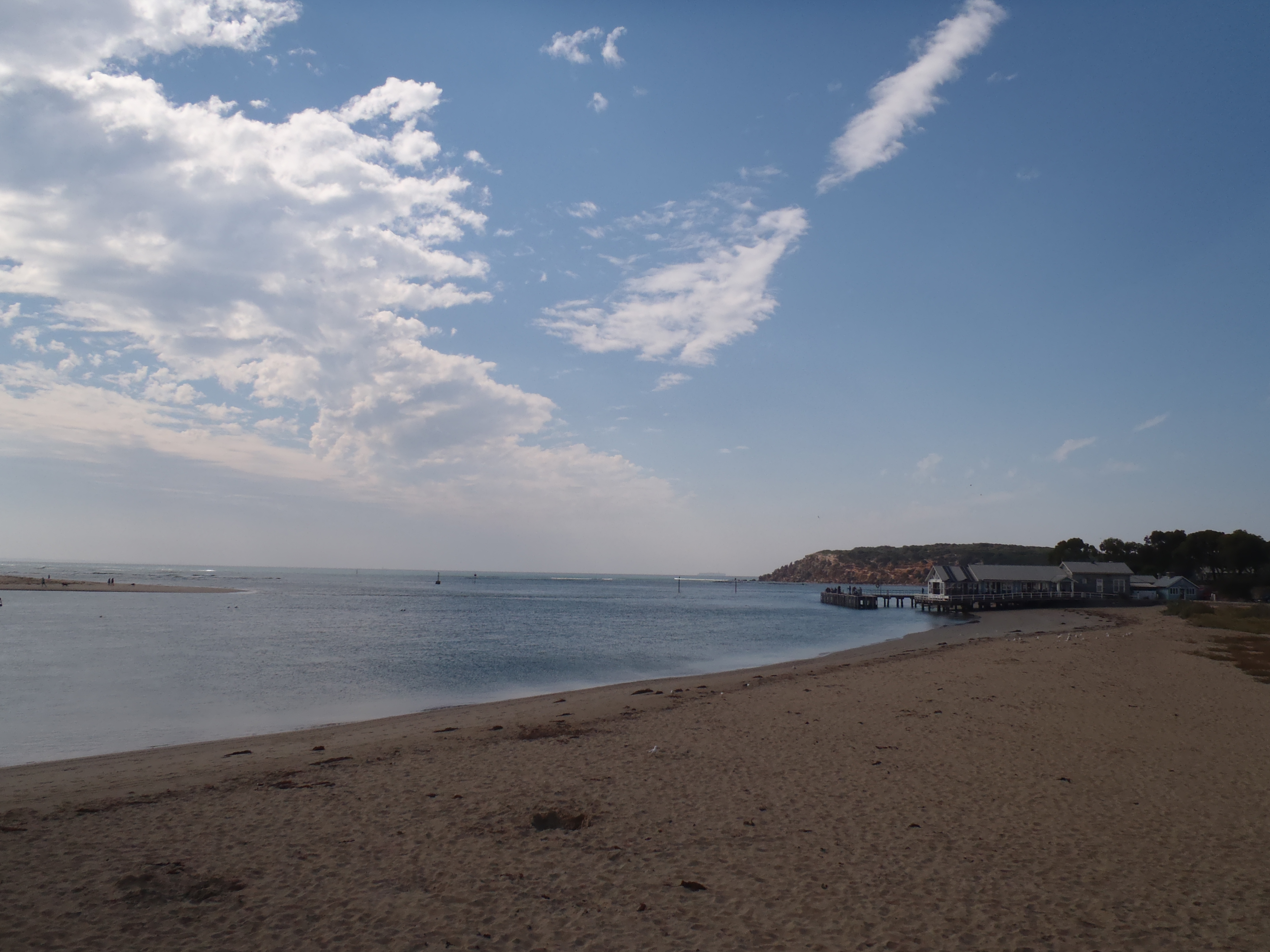
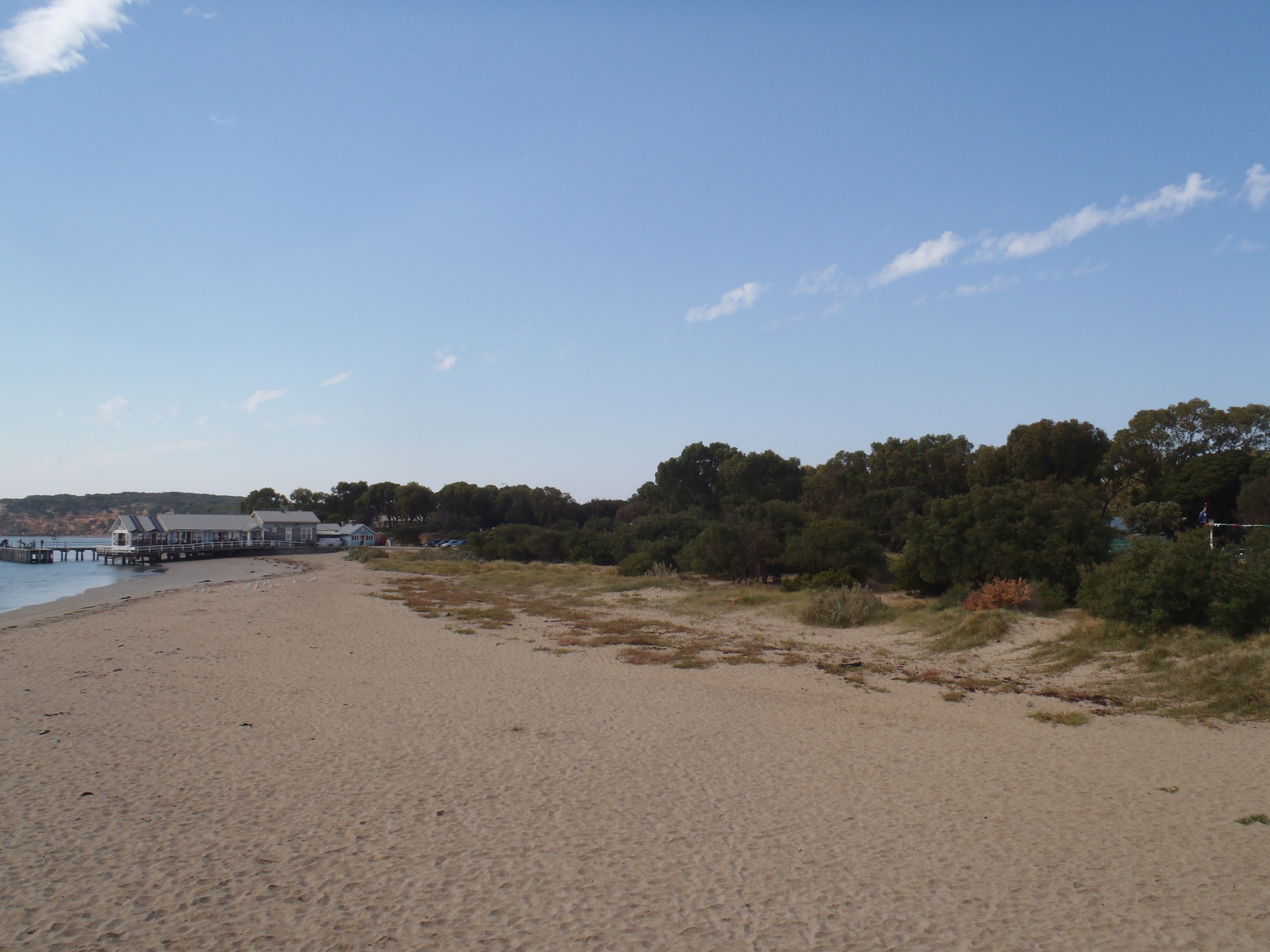
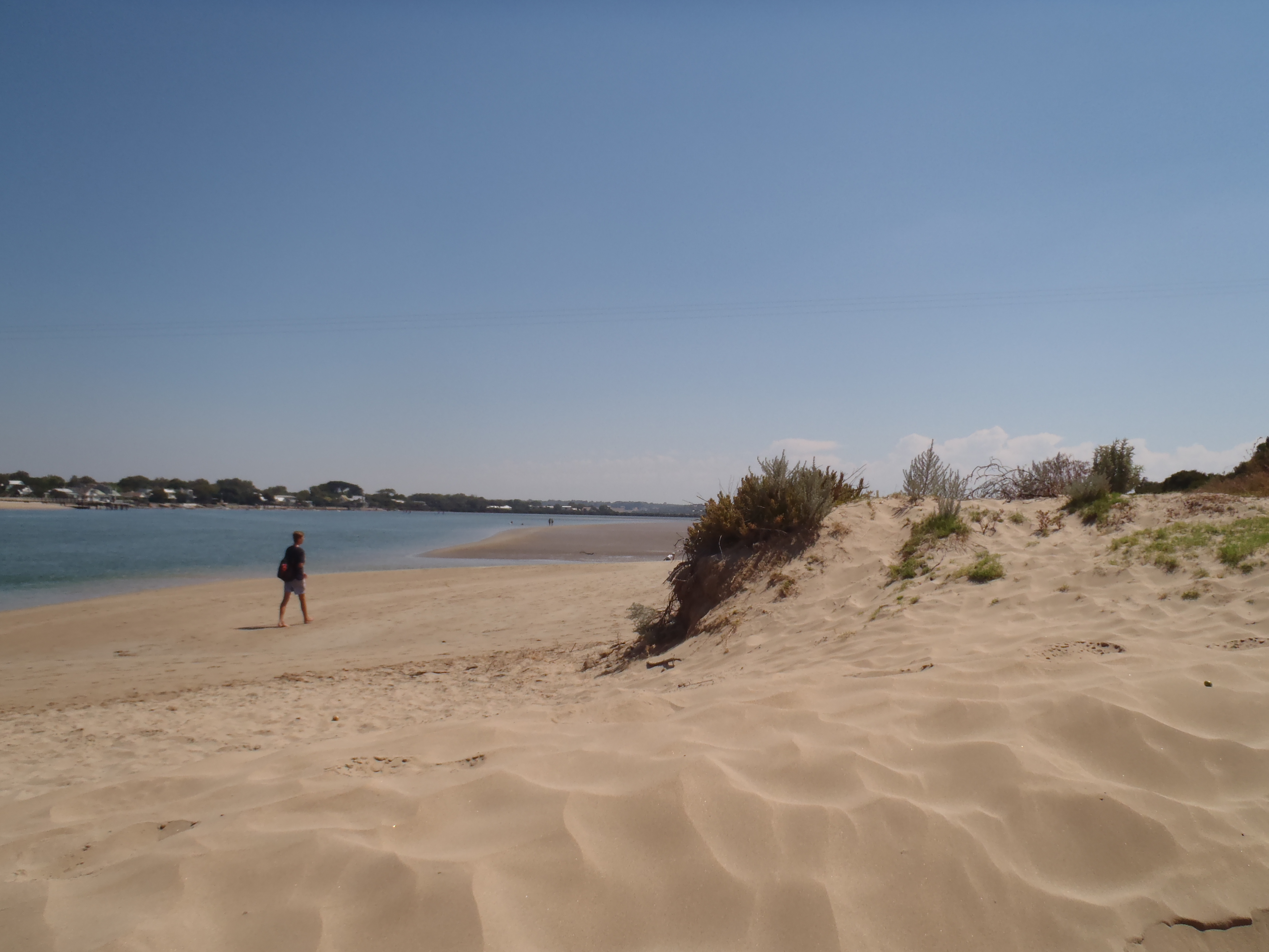
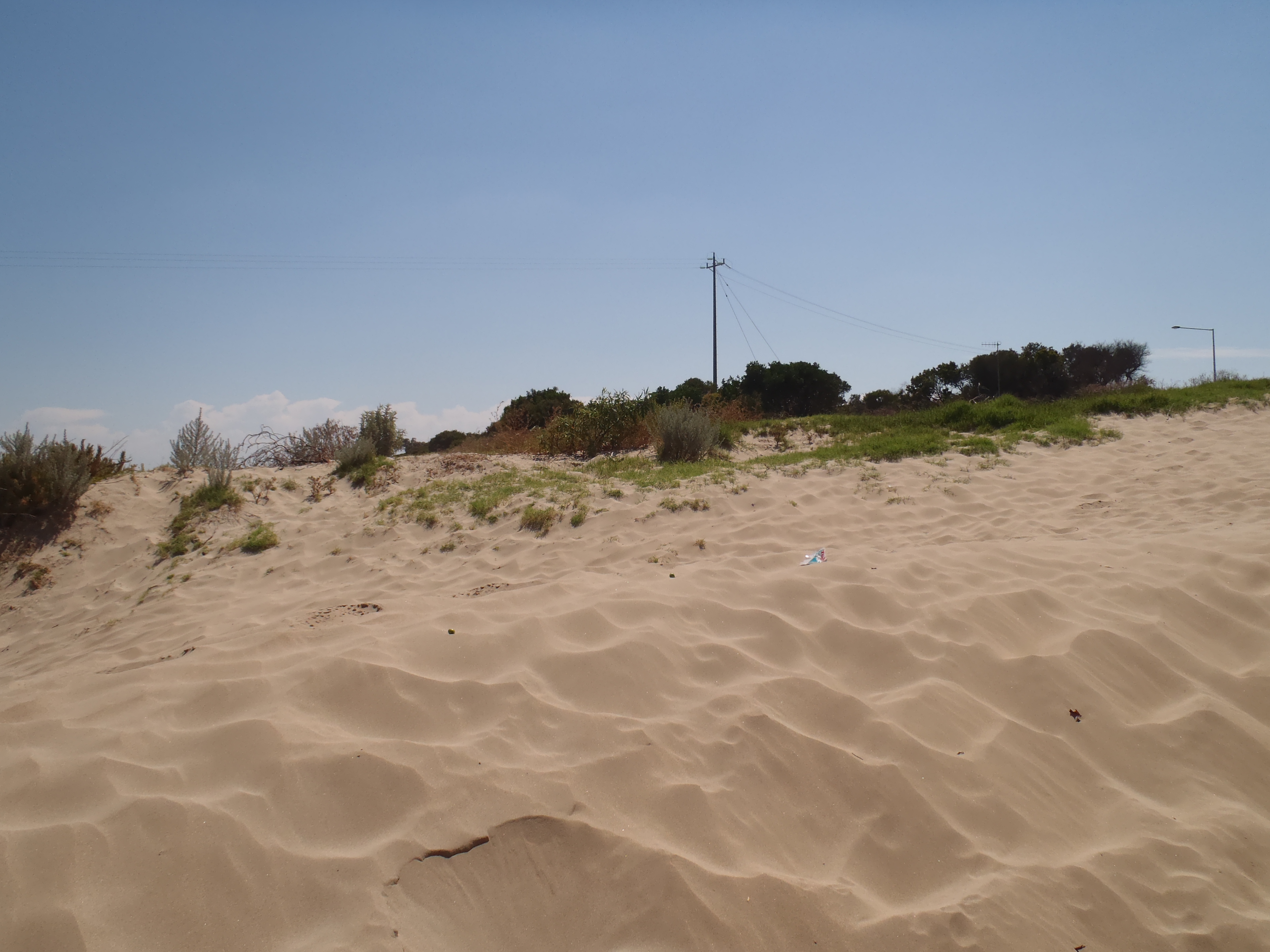
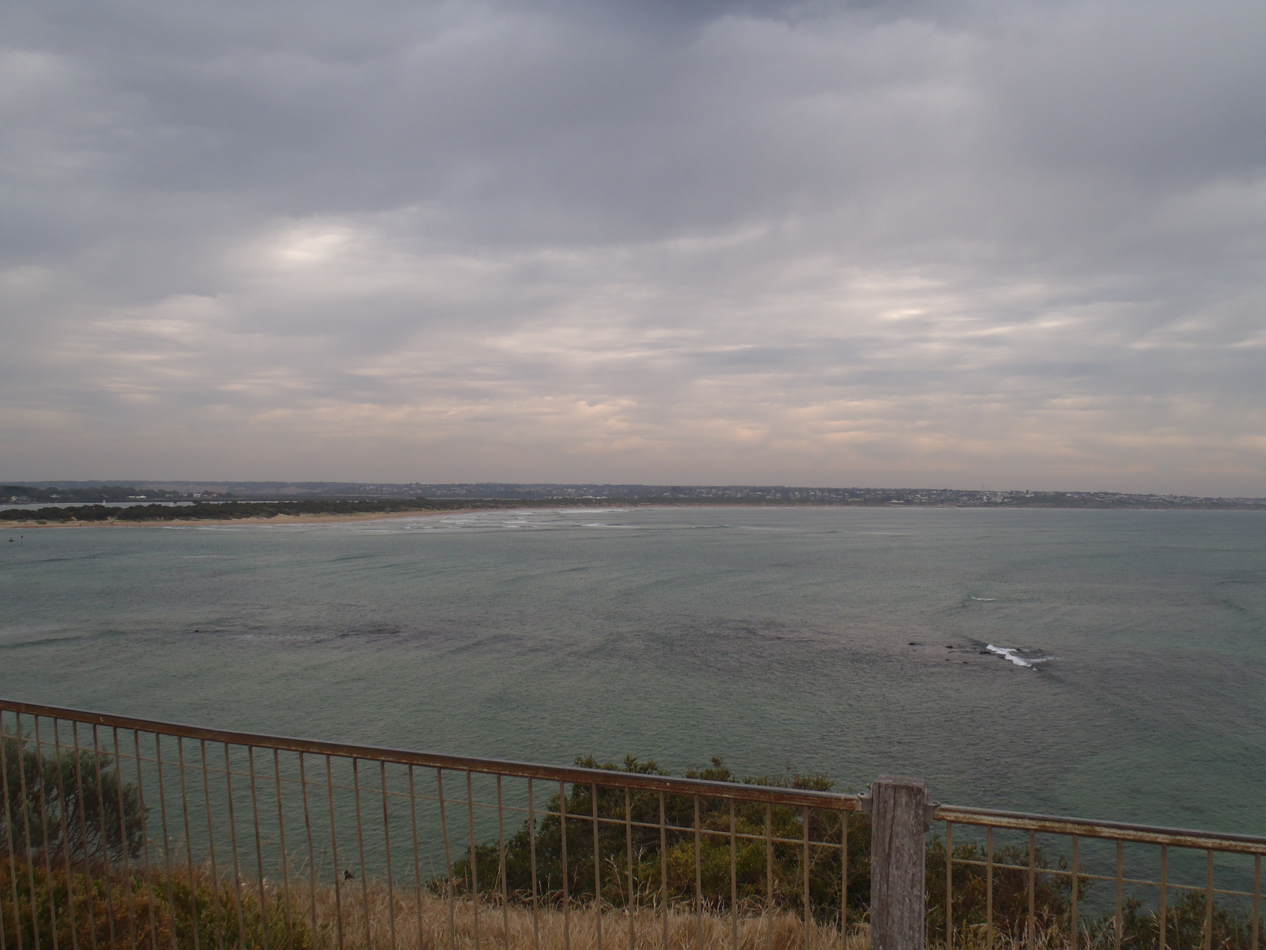
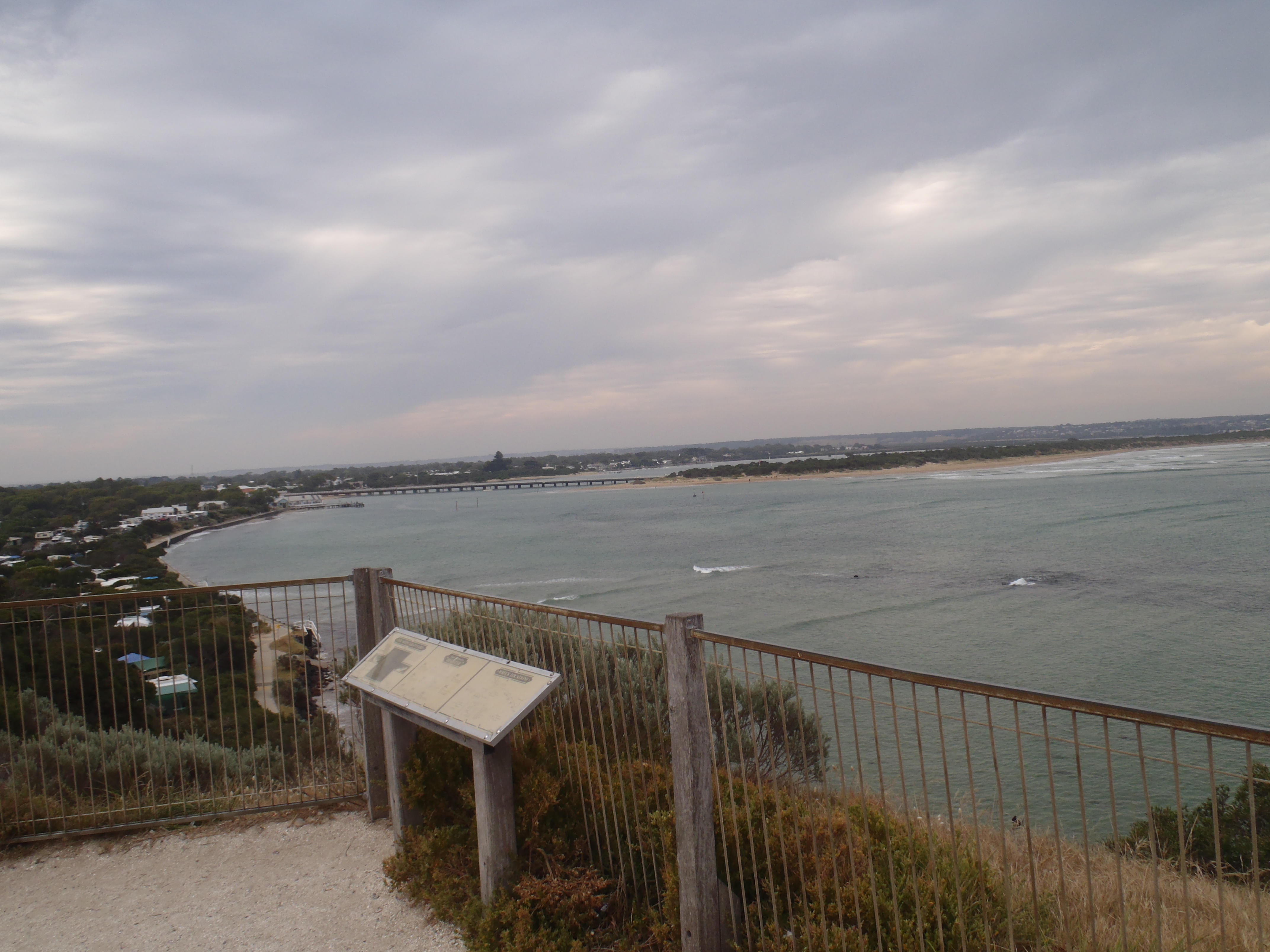
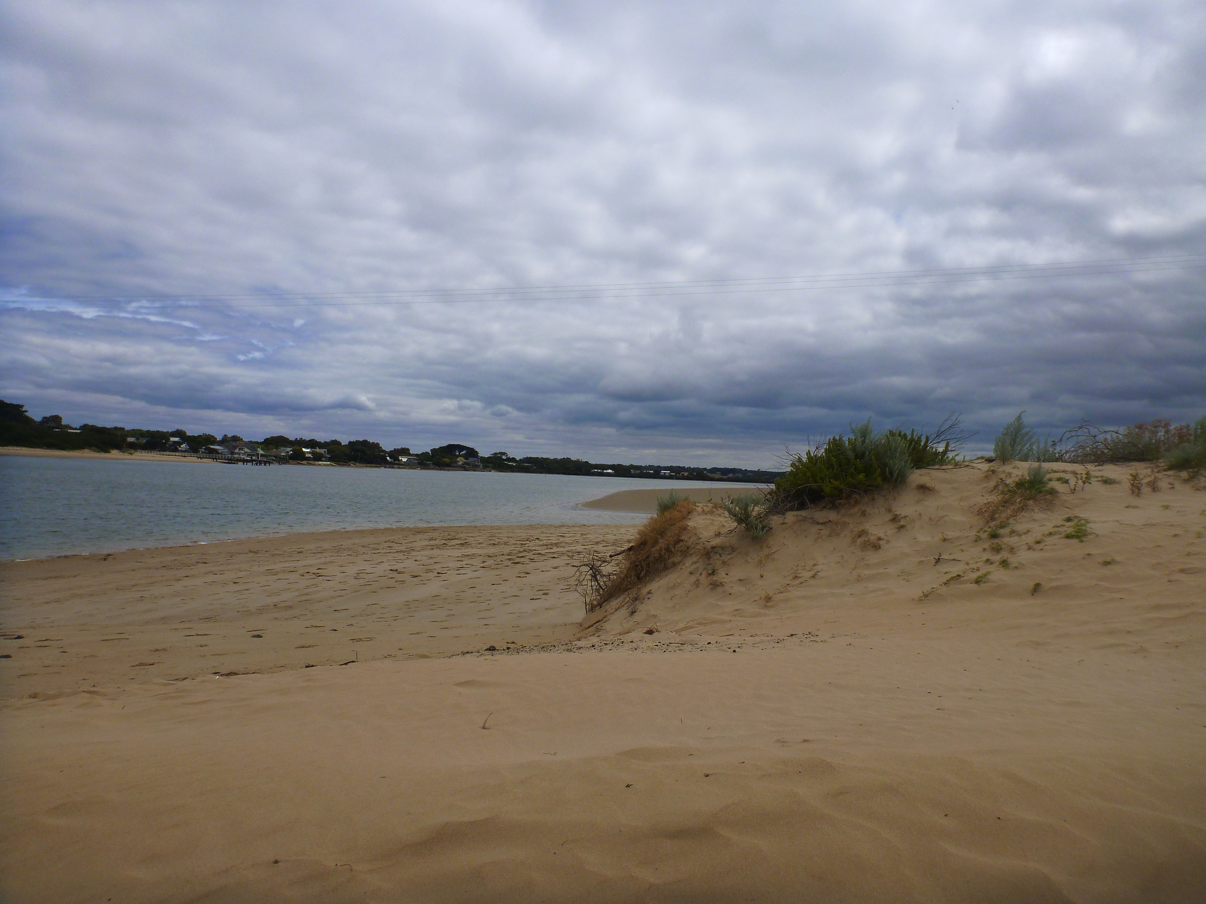
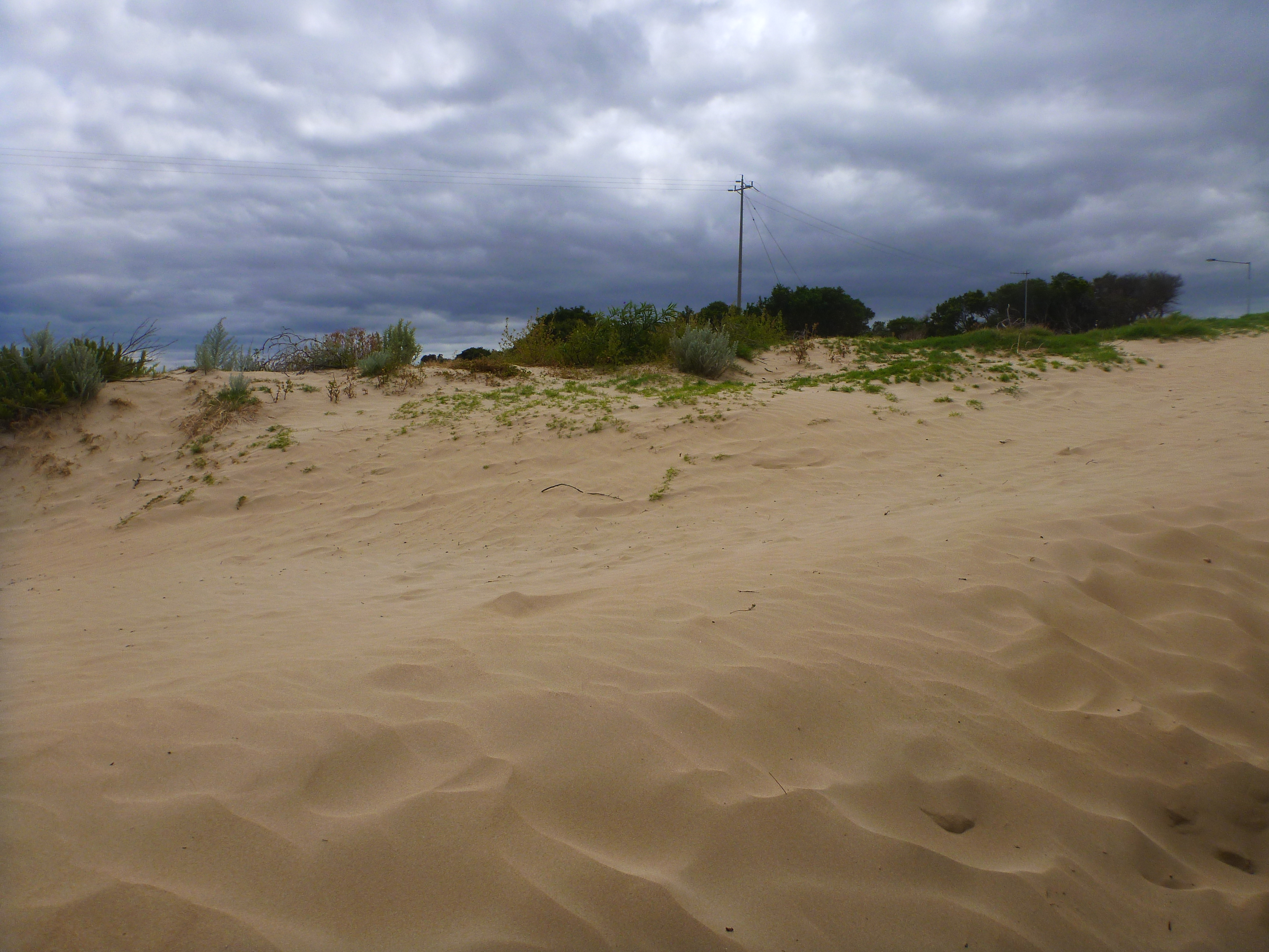
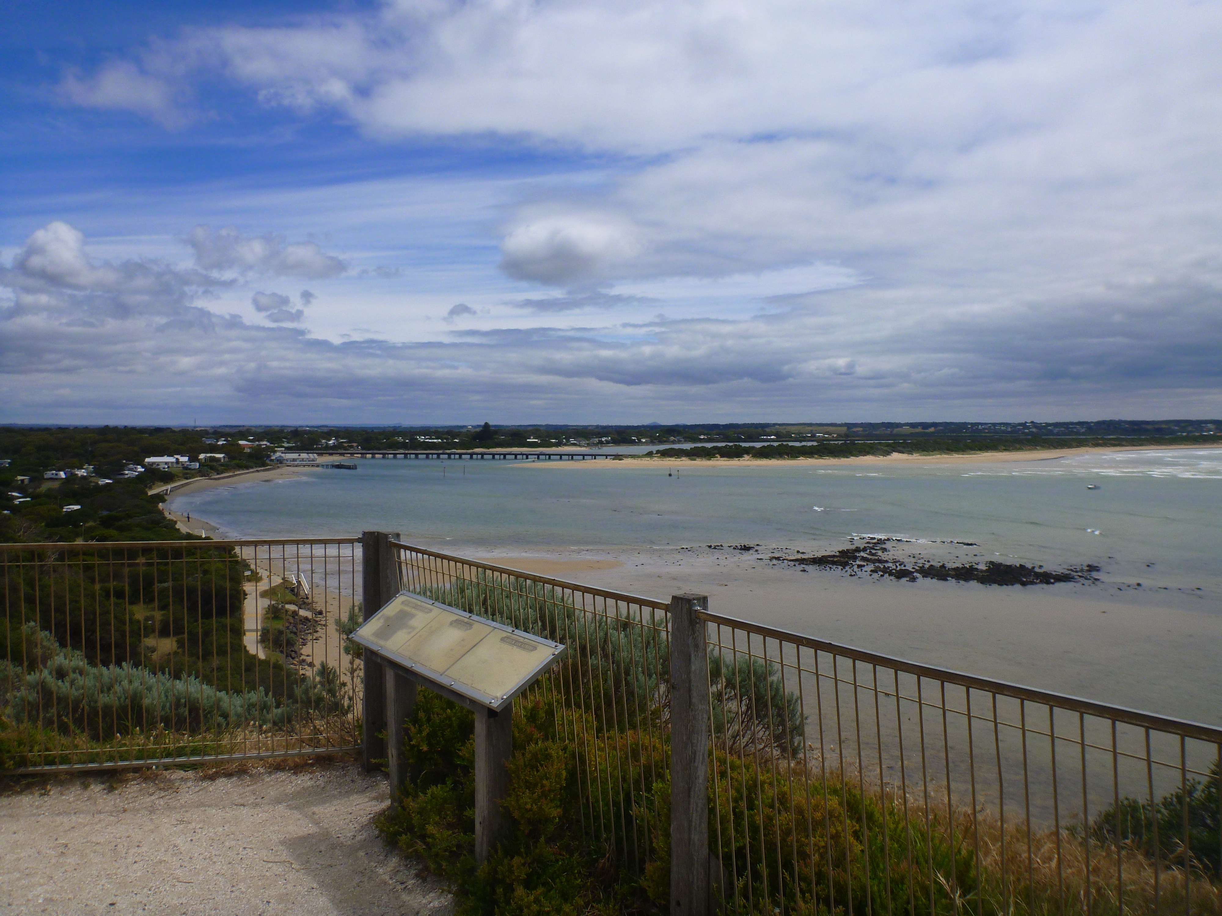
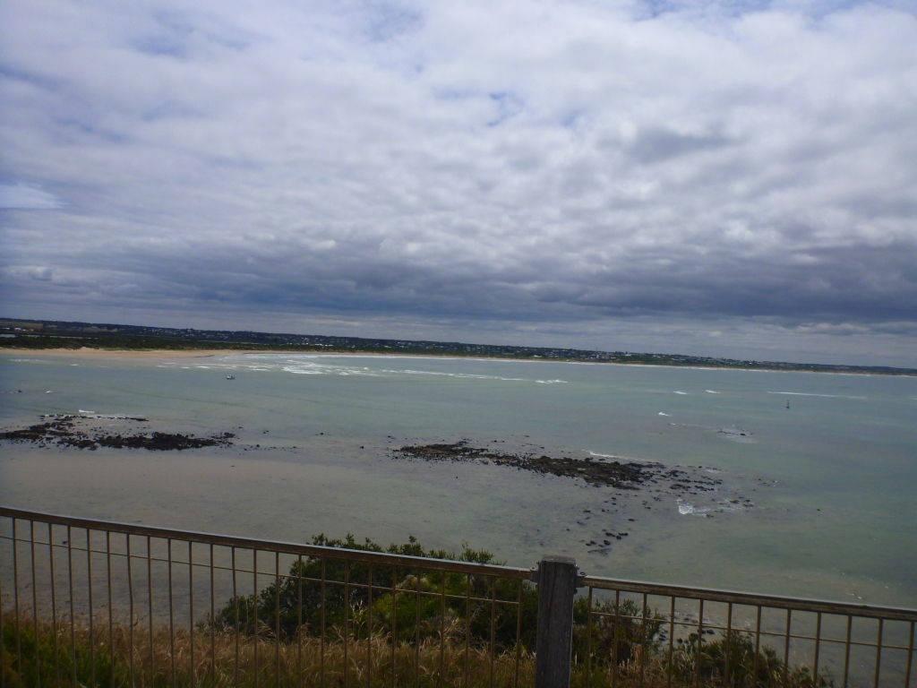
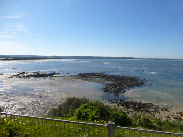
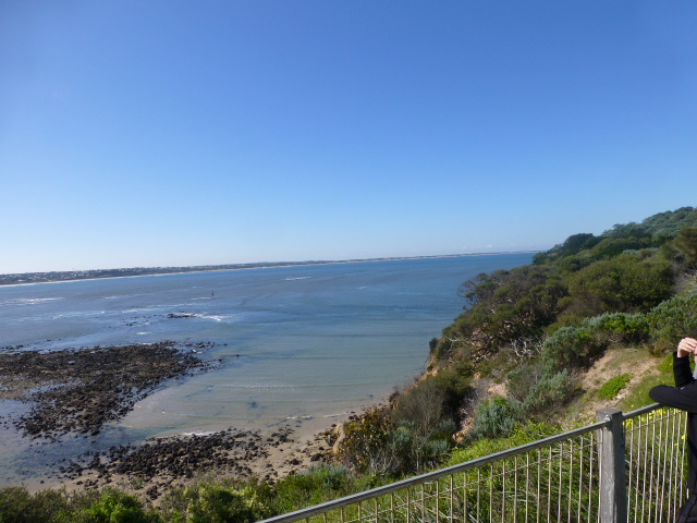
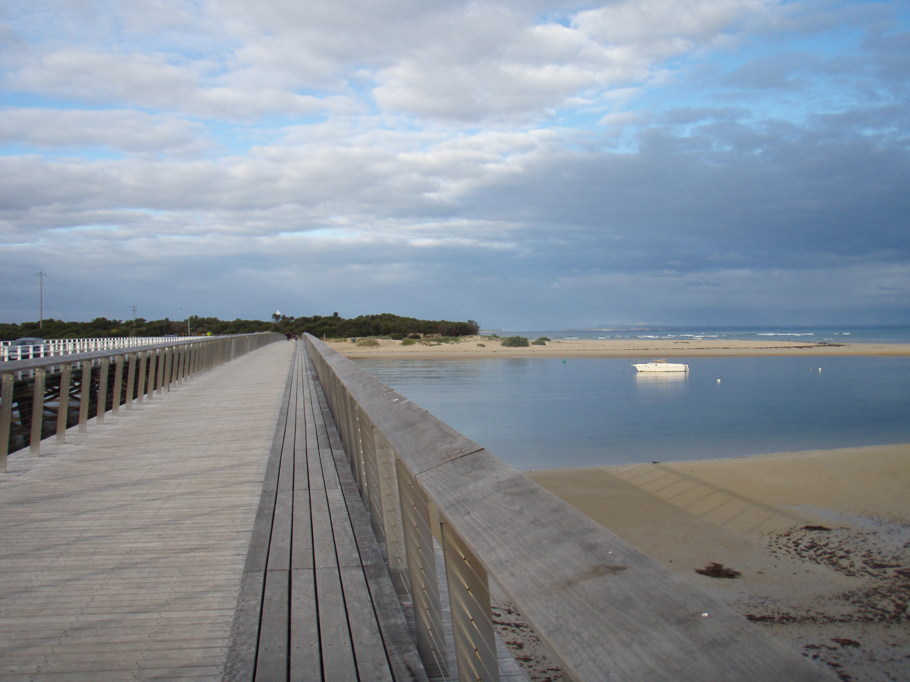
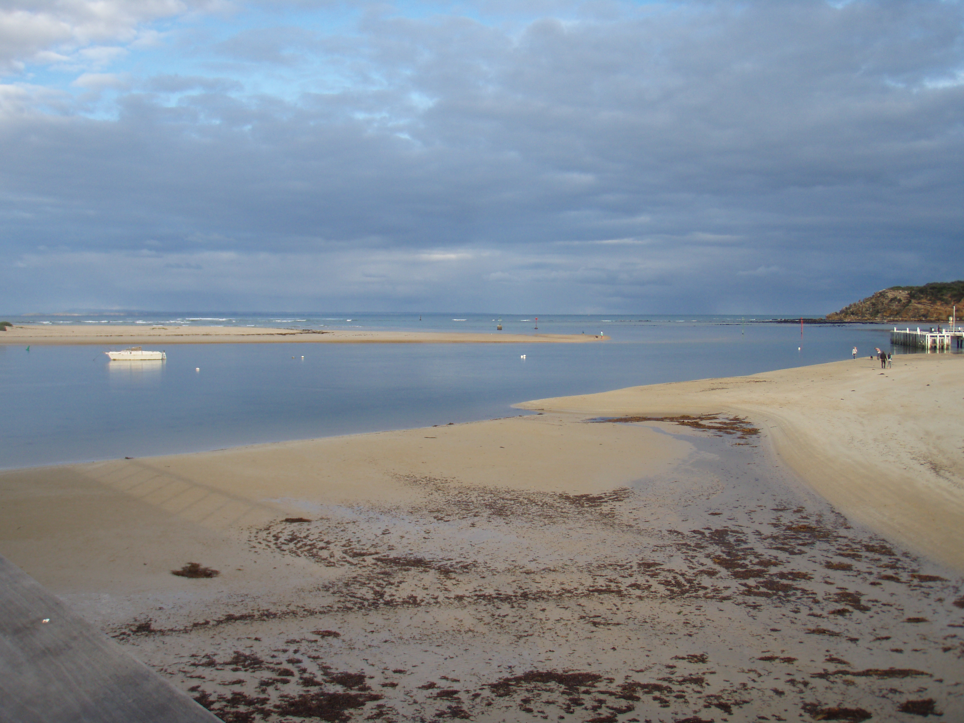
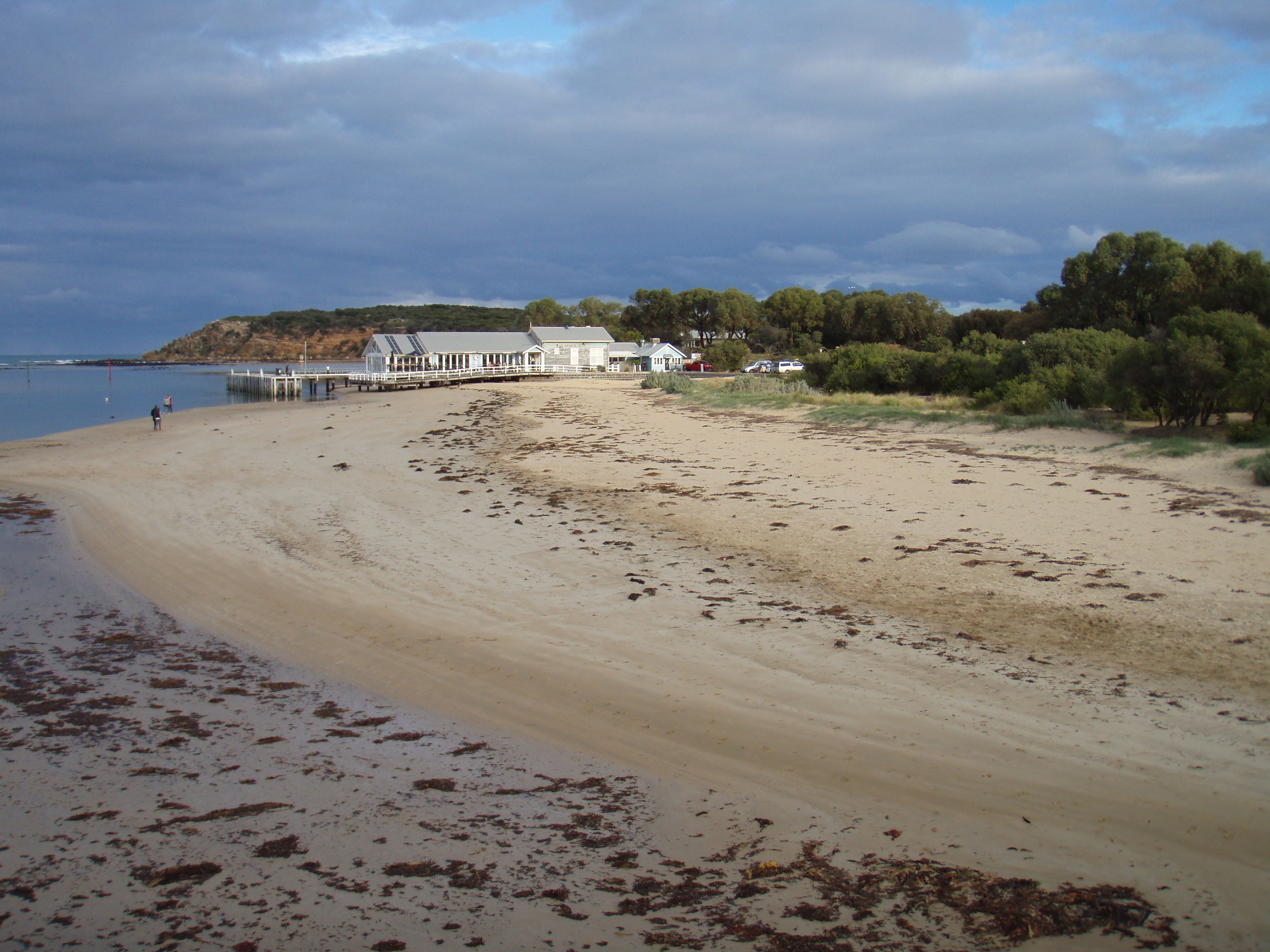
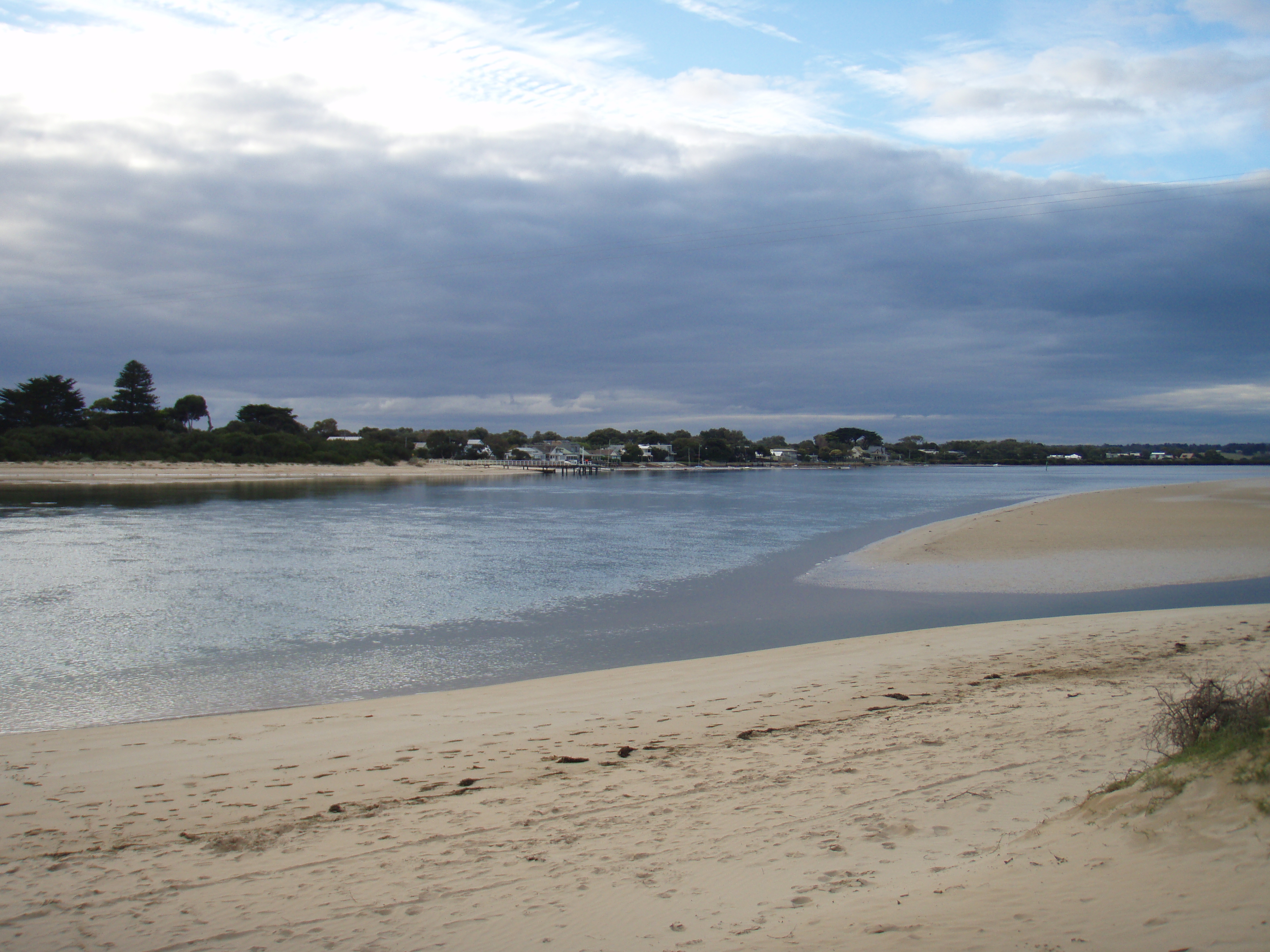
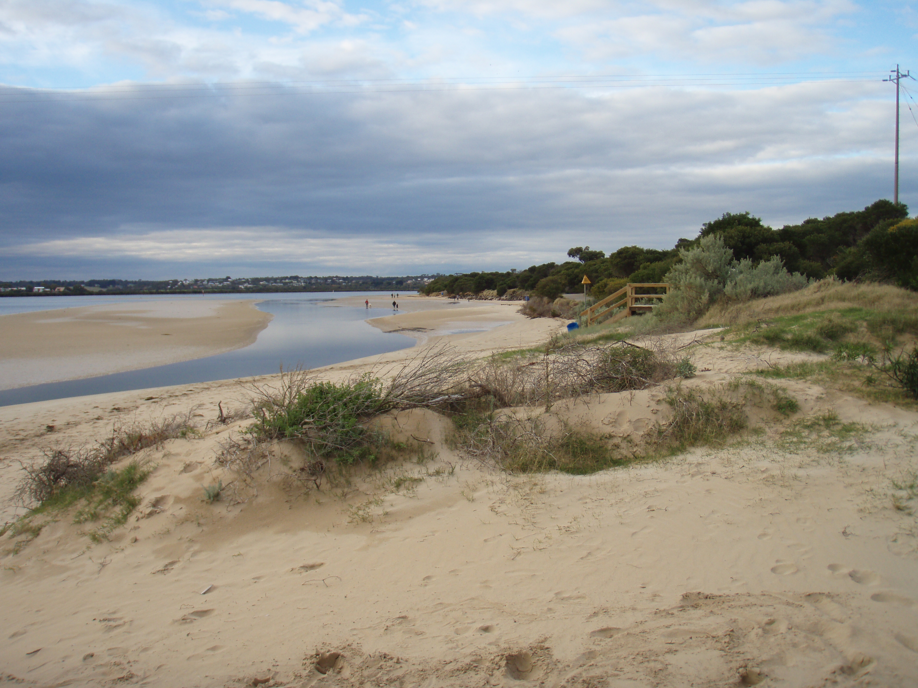
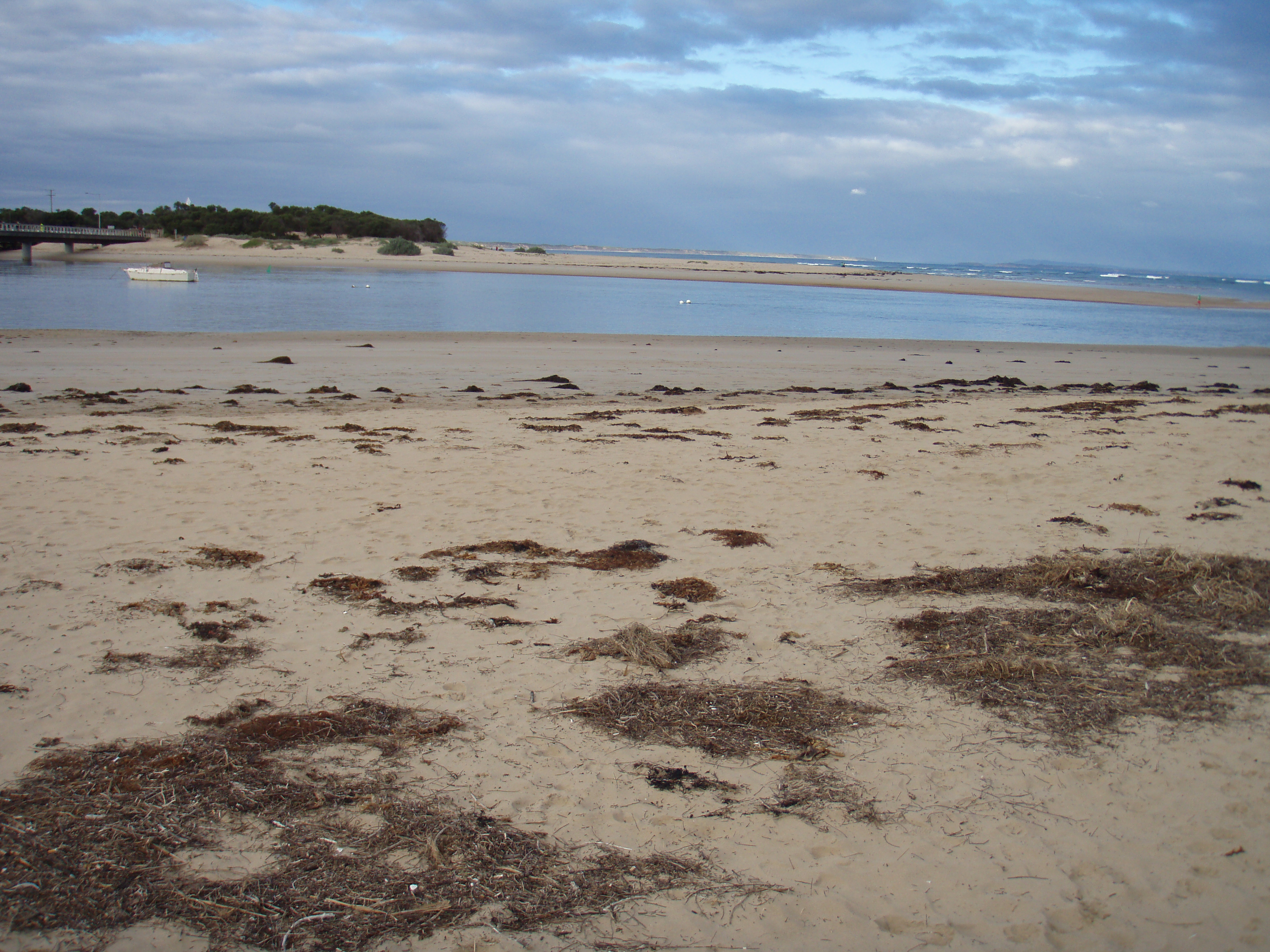
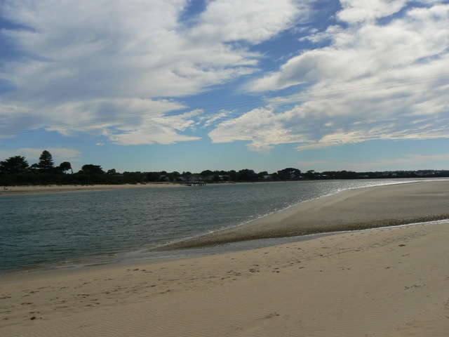
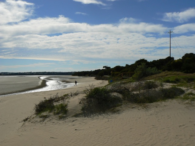
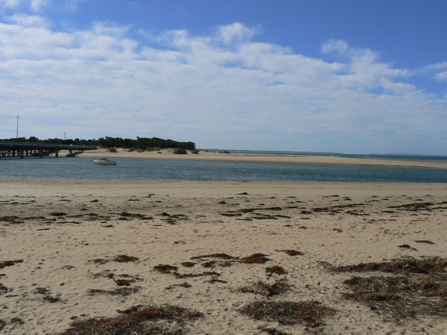
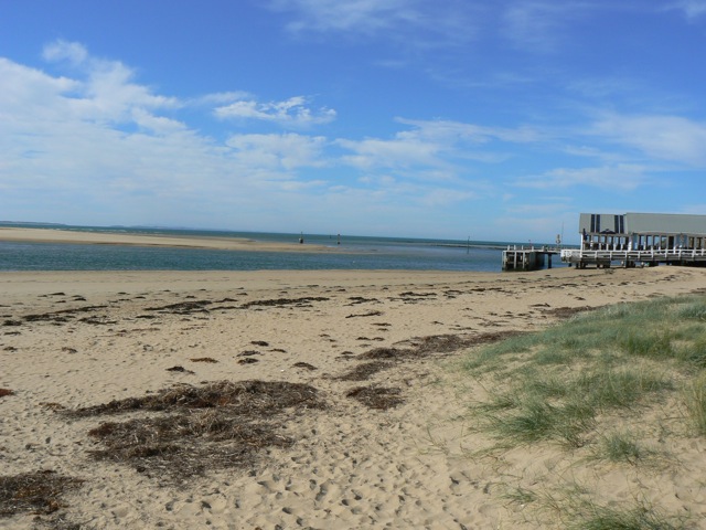
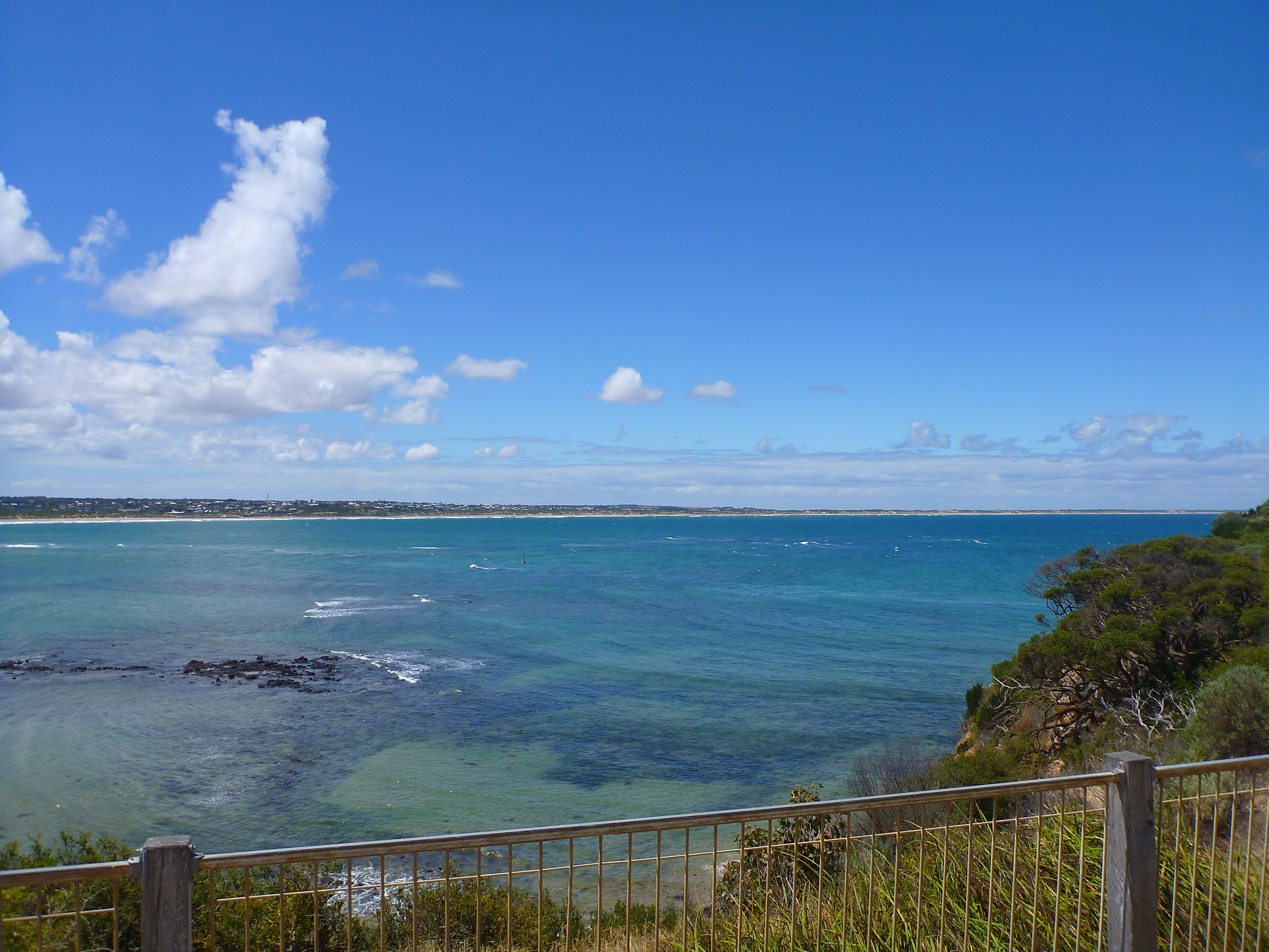
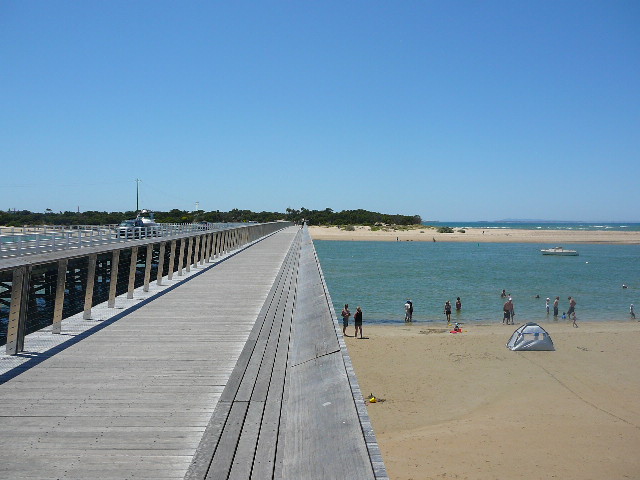
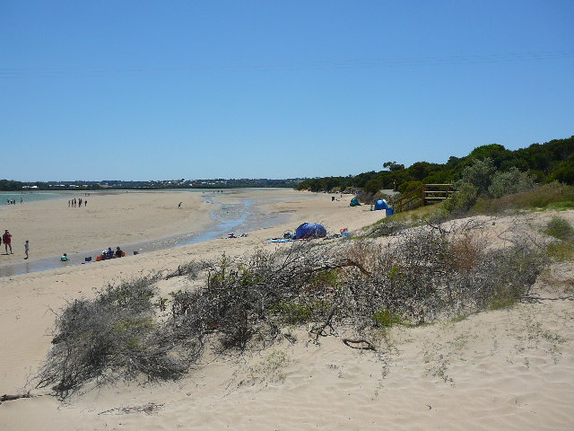
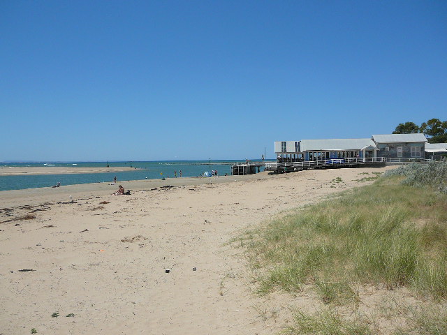
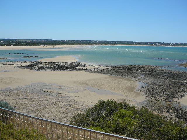
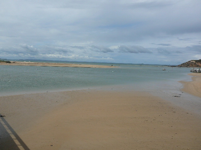
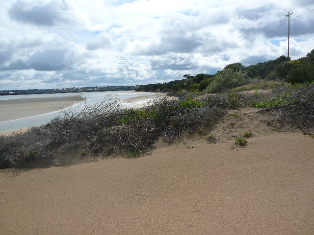
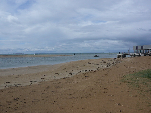
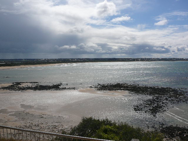
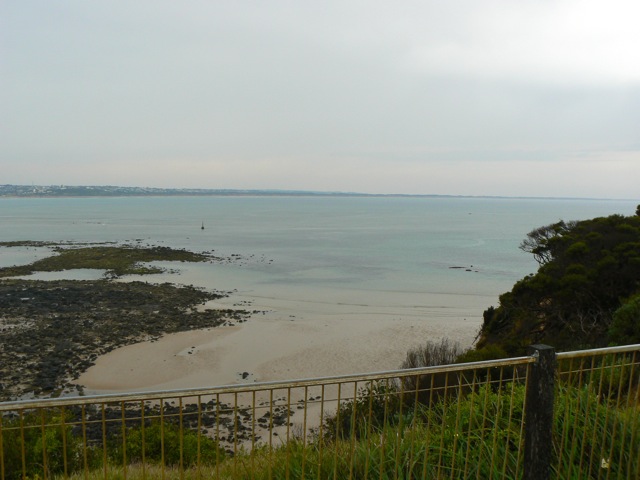
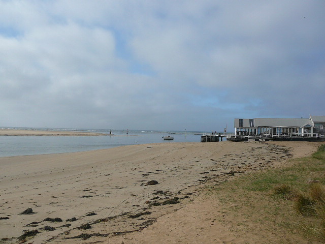
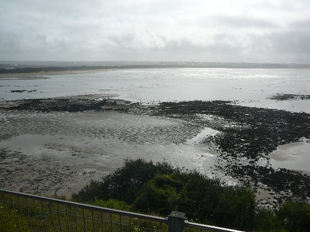
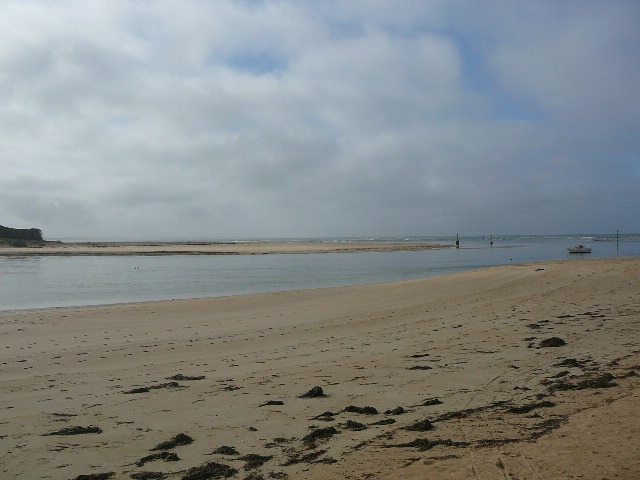
Active Mouth Condition 15-12-2007 - 17-04-2024Barwon River Estuary
| ID | Date | Status | Details | |
|---|---|---|---|---|
| #11761 | 1 Feb 2018 | Approved | ||
| #11822 | 17 Jan 2018 | Approved |
Notes:
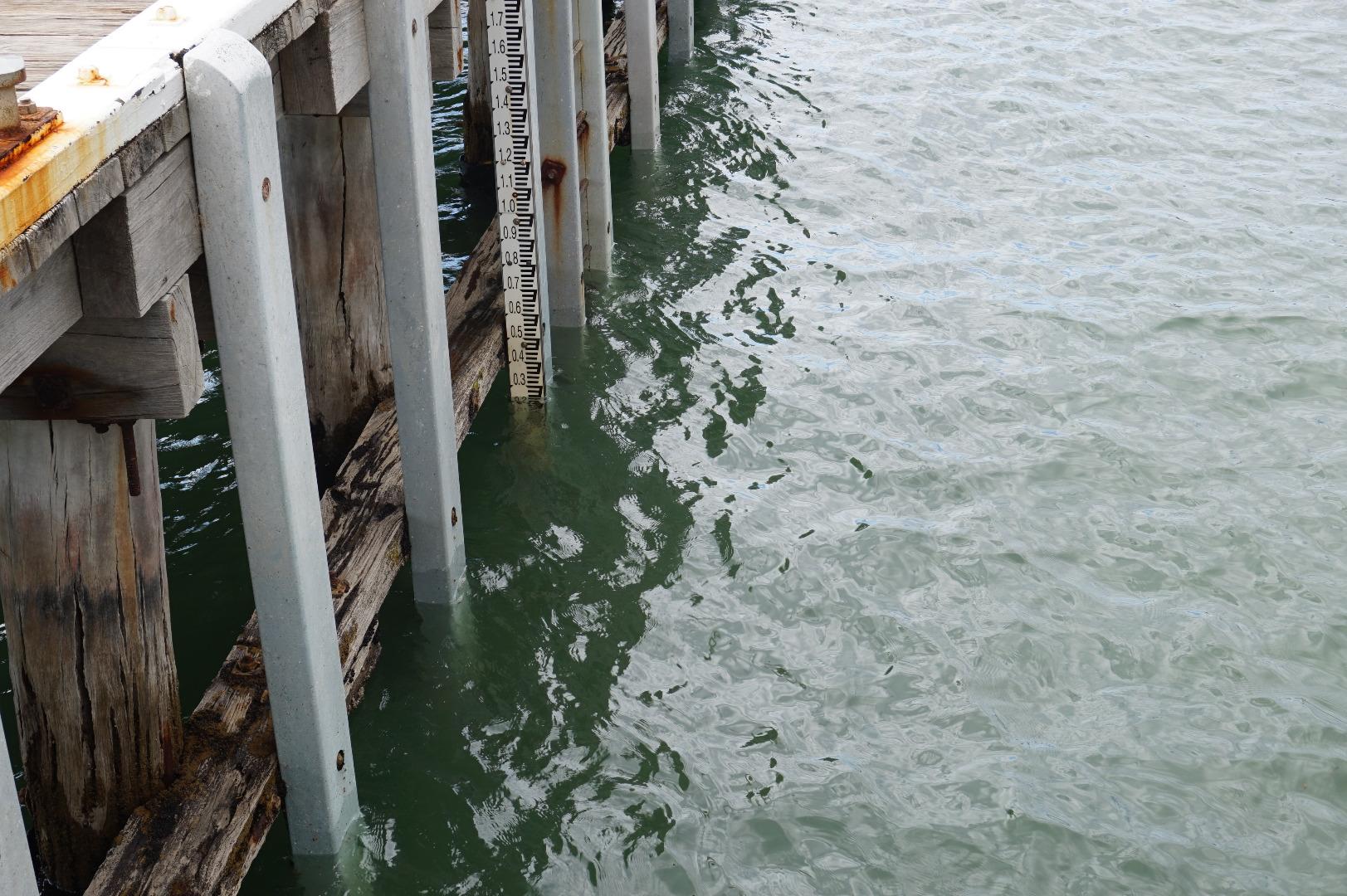
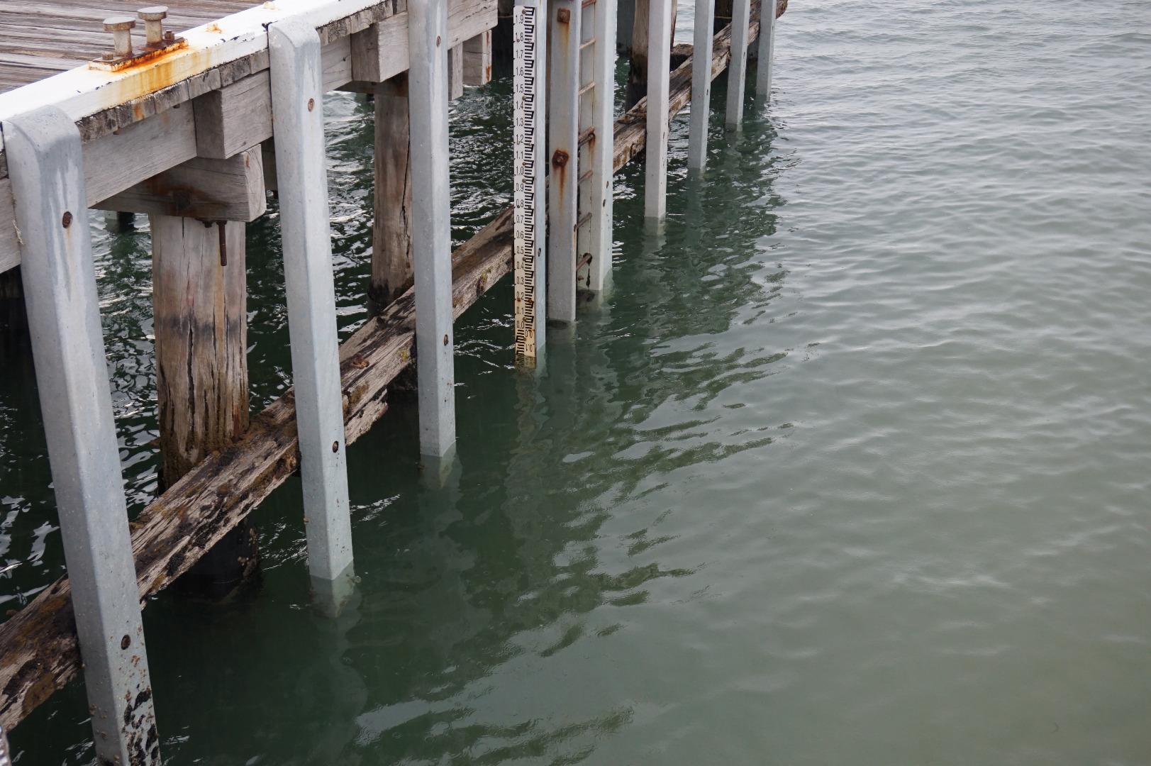
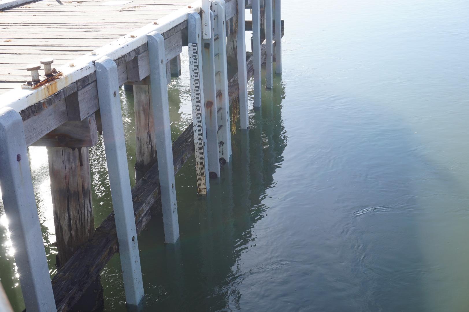
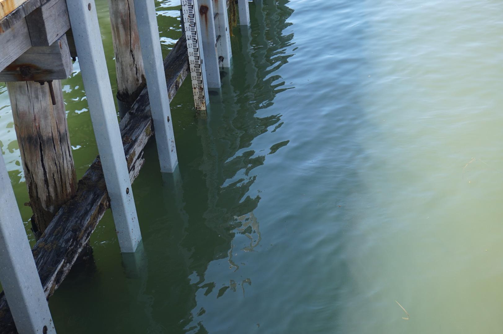
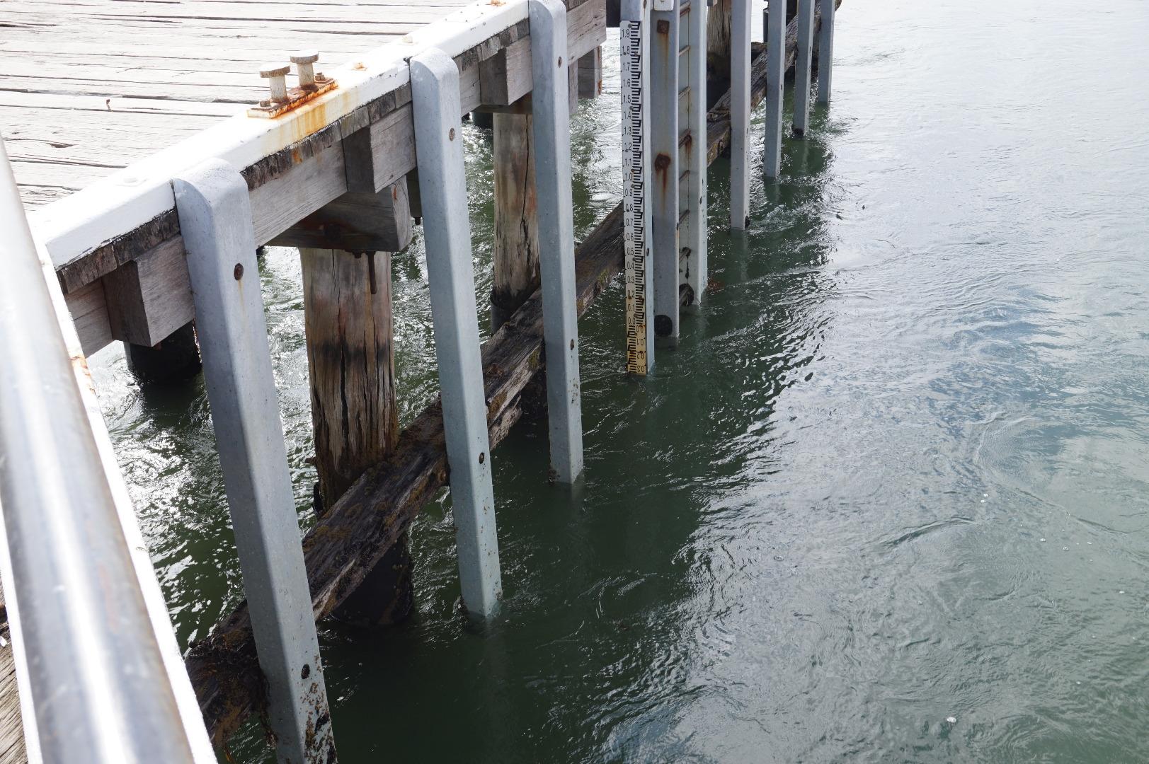
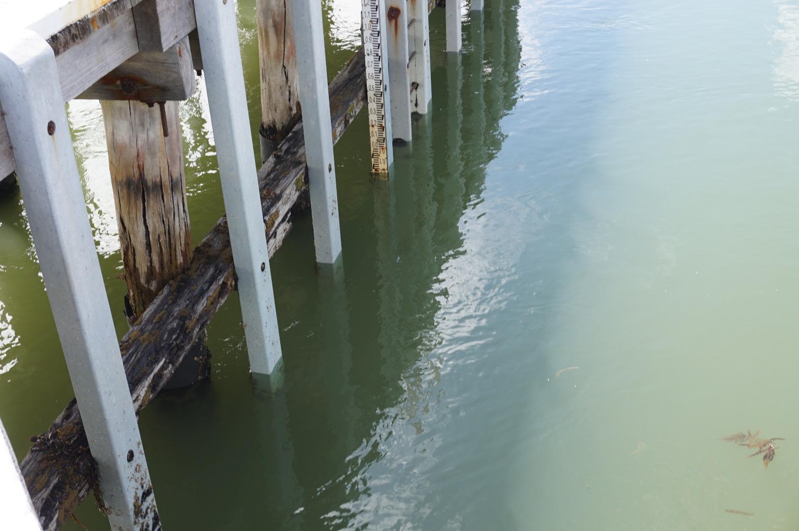
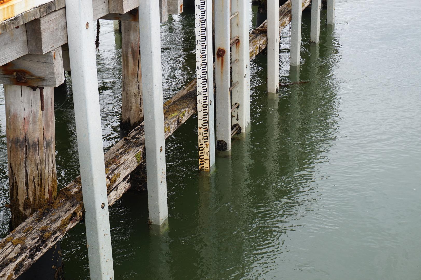
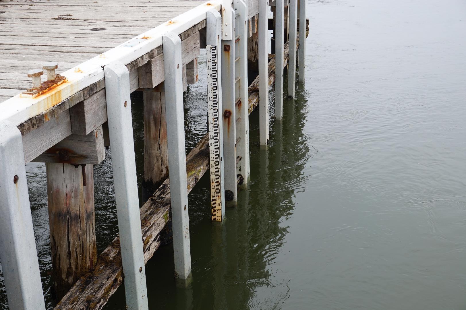
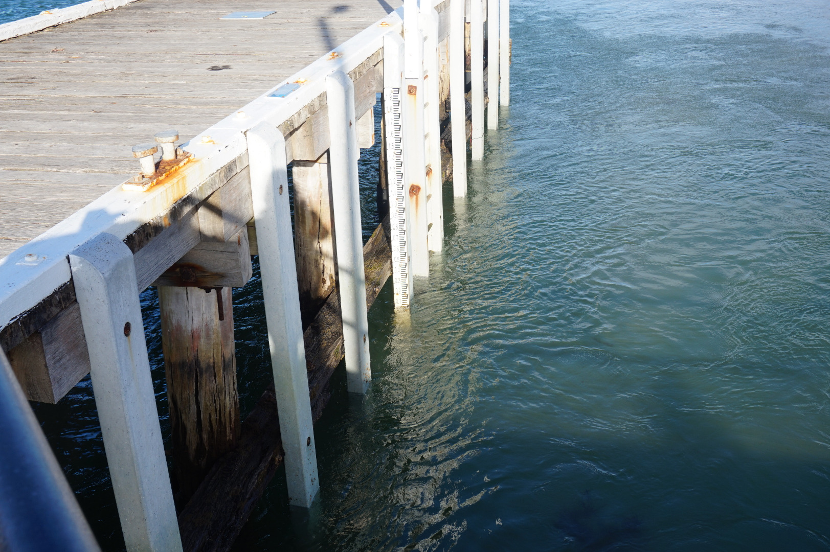
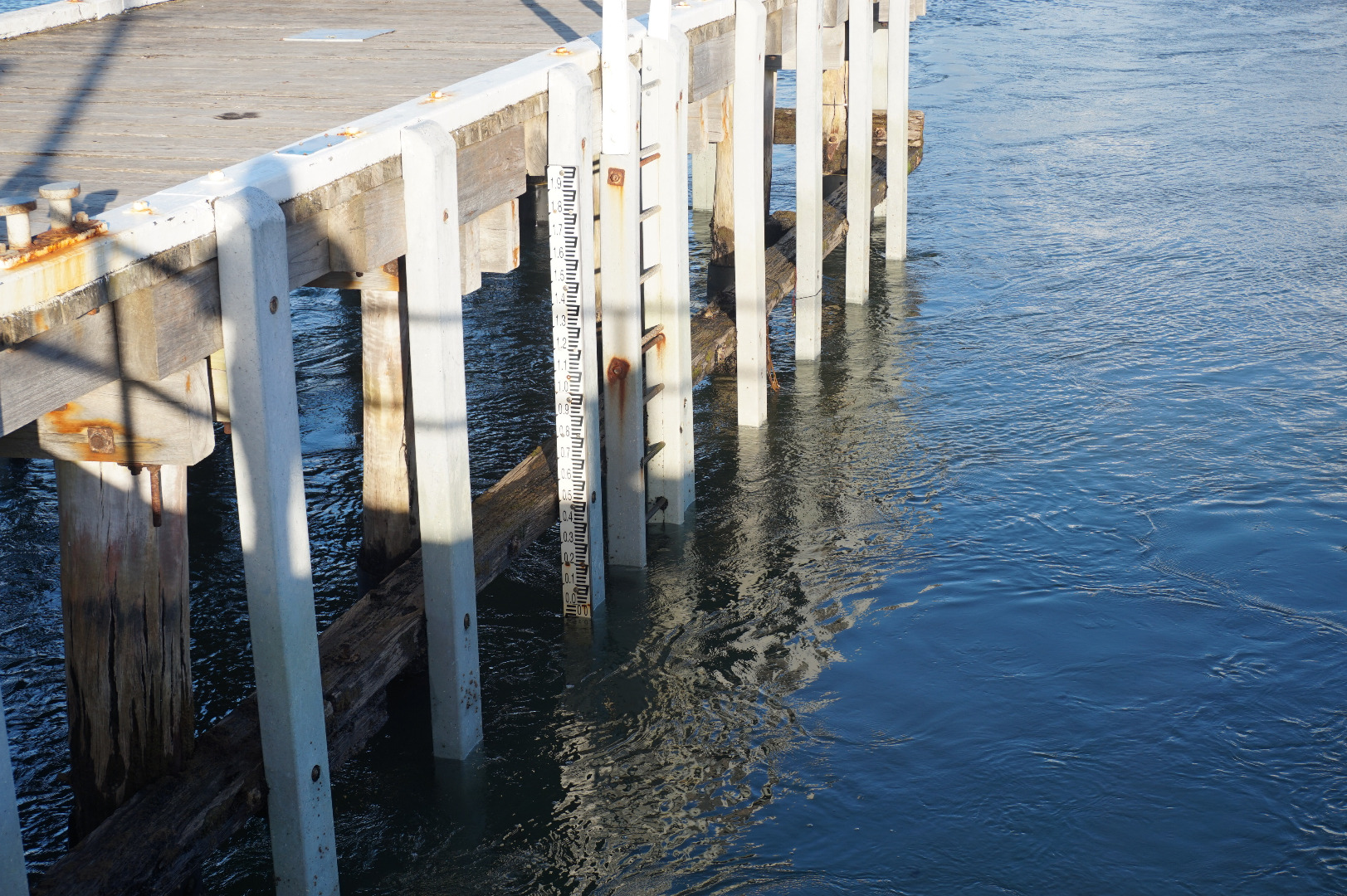
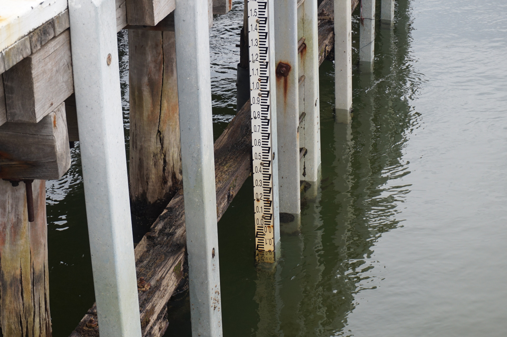
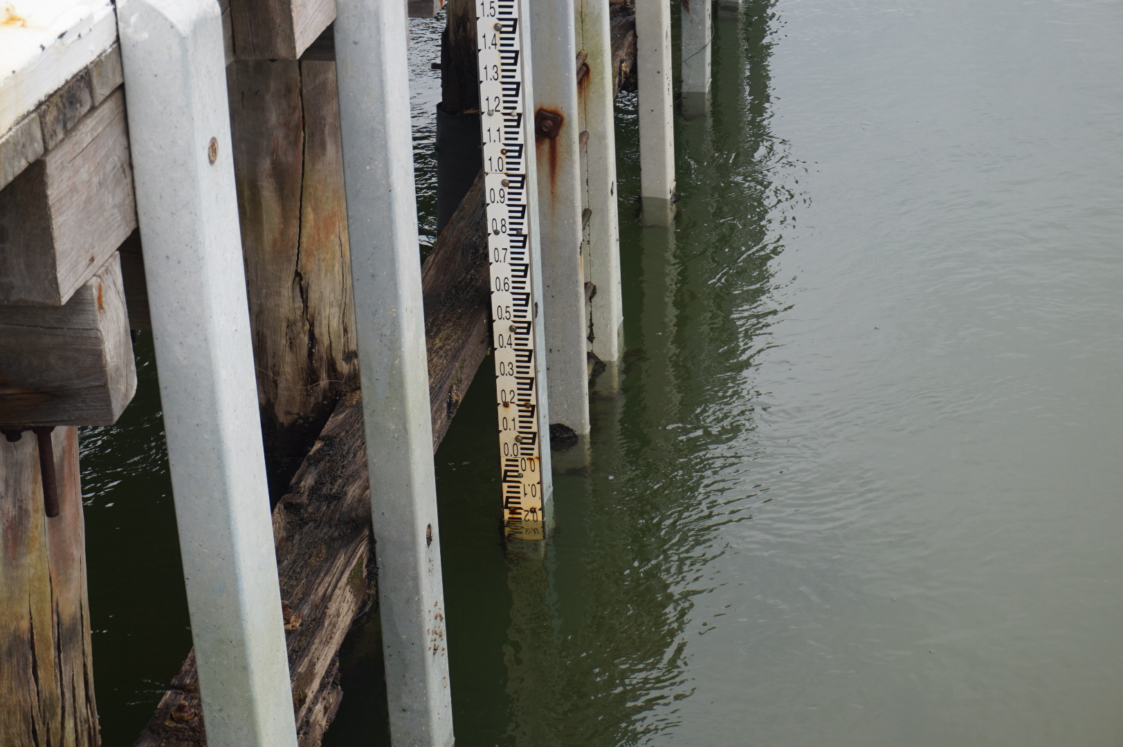
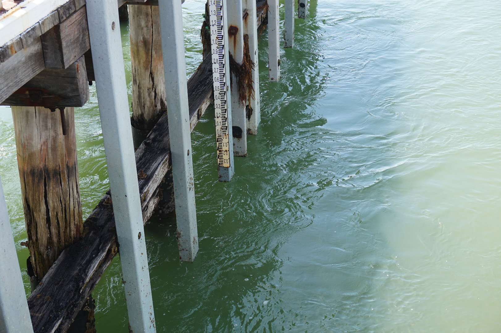
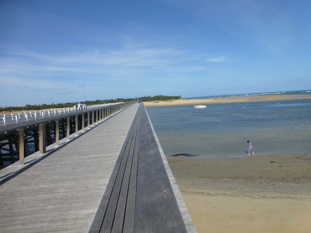
Tide height measurements are rough estimates only. Water level is approximately 0.5m below markings on the gauge board and 0.3m below the bottom of the post the gauge board is mounted on. |
|
| #11702 | 4 Jan 2018 | Approved | ||
| #11636 | 7 Dec 2017 | Approved | ||
| #11594 | 15 Nov 2017 | Approved | ||
| #11569 | 2 Nov 2017 | Approved | ||
| #11517 | 15 Sep 2017 | Approved | ||
| #11441 | 7 Sep 2017 | Approved | ||
| #11516 | 16 Aug 2017 | Approved | ||
| #11444 | 13 Aug 2017 | Approved | ||
| #11445 | 6 Aug 2017 | Approved | ||
| #11372 | 3 Aug 2017 | Approved | ||
| #11418 | 23 Jul 2017 | Approved | ||
| #11417 | 15 Jul 2017 | Approved | ||
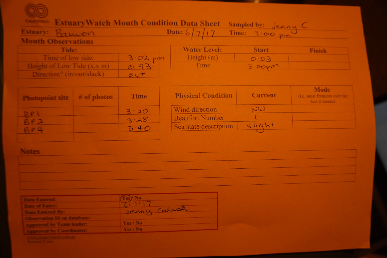
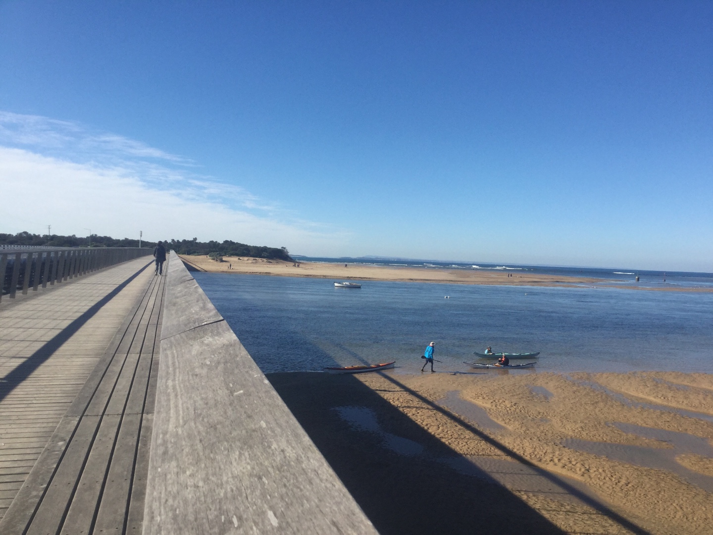
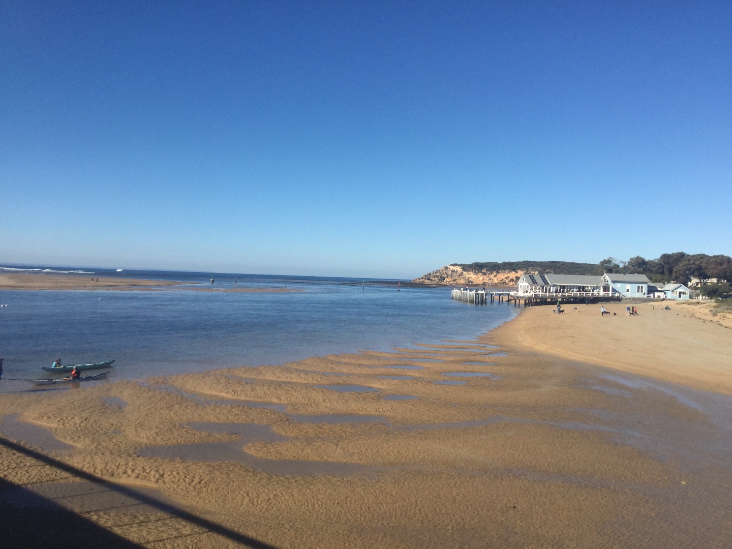
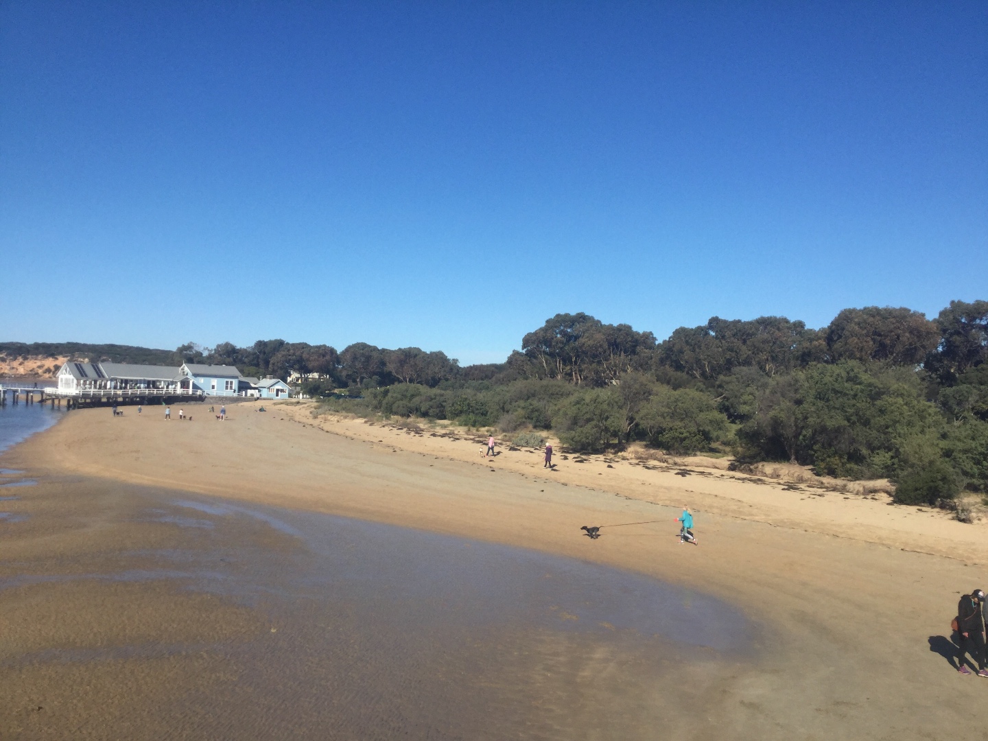
| #11324 | 6 Jul 2017 | Approved | ||
| #11332 | 2 Jul 2017 | Approved |
Notes:
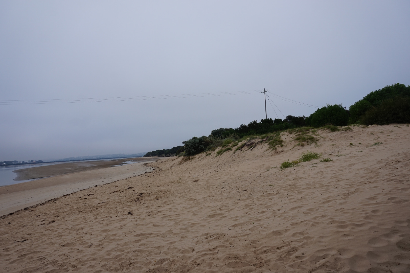
Sand has come up very high under bridge at Ocean Grove side. |
|
| #11319 | 21 Jun 2017 | Approved | ||
| #11331 | 17 Jun 2017 | Approved | ||
| #11330 | 12 Jun 2017 | Approved | ||
| #11260 | 5 Jun 2017 | Approved | ||
| #11231 | 3 Jun 2017 | Approved | ||
| #11230 | 29 May 2017 | Approved | ||
| #11216 | 21 May 2017 | Approved | ||
| #11189 | 17 May 2017 | Approved | ||
| #11214 | 15 May 2017 | Approved | ||
| #11142 | 4 May 2017 | Approved | ||
| #11091 | 19 Apr 2017 | Approved |
Notes:
I have included photos of the sand drifts which resulted from strong winds on 7/4/17. There was significant rainfall at the same time (>80mls recorded locally) yet surprisingly there was no noticeable discoloration of the water in the estuary in the following days. |
|
| #11131 | 18 Apr 2017 | Approved | ||
| #11068 | 6 Apr 2017 | Approved | ||
| #10909 | 15 Mar 2017 | Approved |
Notes:
Missed the water level 'finish" |
|
| #10890 | 2 Mar 2017 | Pending | ||
| #10774 | 2 Feb 2017 | Pending | ||
| #10767 | 25 Jan 2017 | Approved | ||
| #10751 | 18 Jan 2017 | Approved |
Notes:
Wind gusting to strong |
|
| #10667 | 5 Jan 2017 | Pending |
Notes:
The water level was less than the lowest mark on the gauge |
|
| #10727 | 16 Dec 2016 | Approved | ||
| #10628 | 14 Dec 2016 | Approved |
Notes:
Wind gust to 31 Km/h |
|
| #10625 | 1 Dec 2016 | Approved | ||
| #10529 | 15 Oct 2016 | Approved |
Notes:
Colour still slightly brown from recent flooding |
|
| #10726 | 7 Oct 2016 | Approved |
Notes:
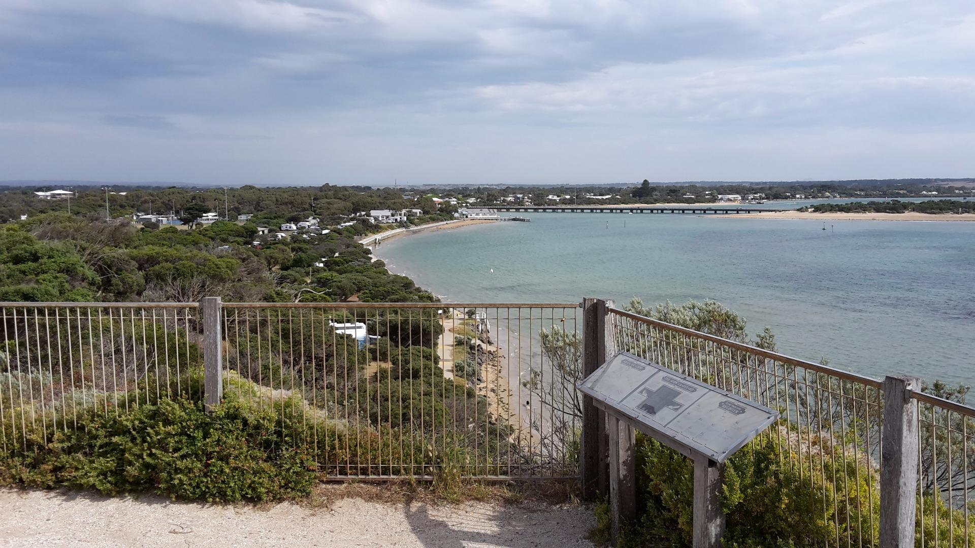
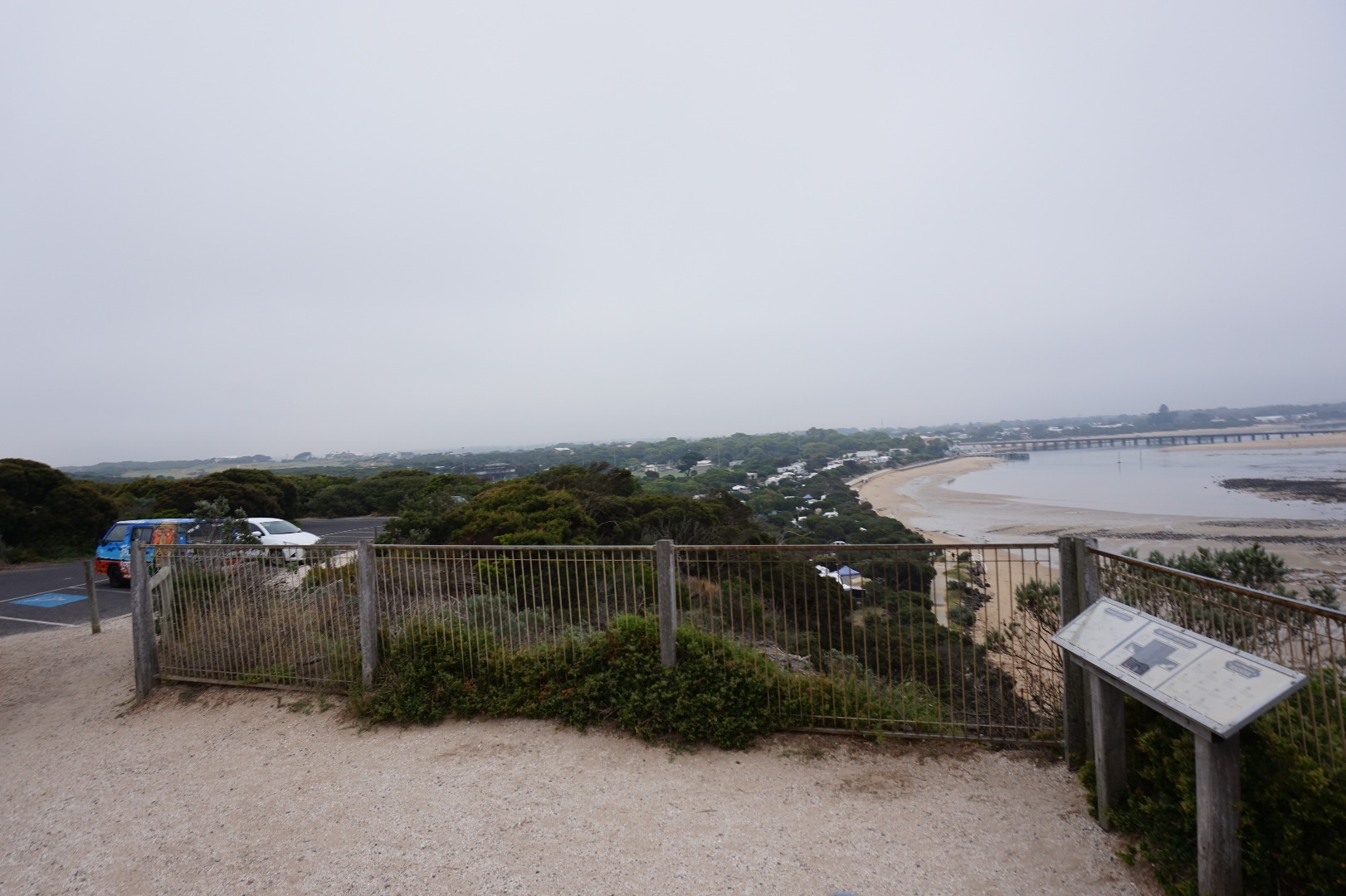
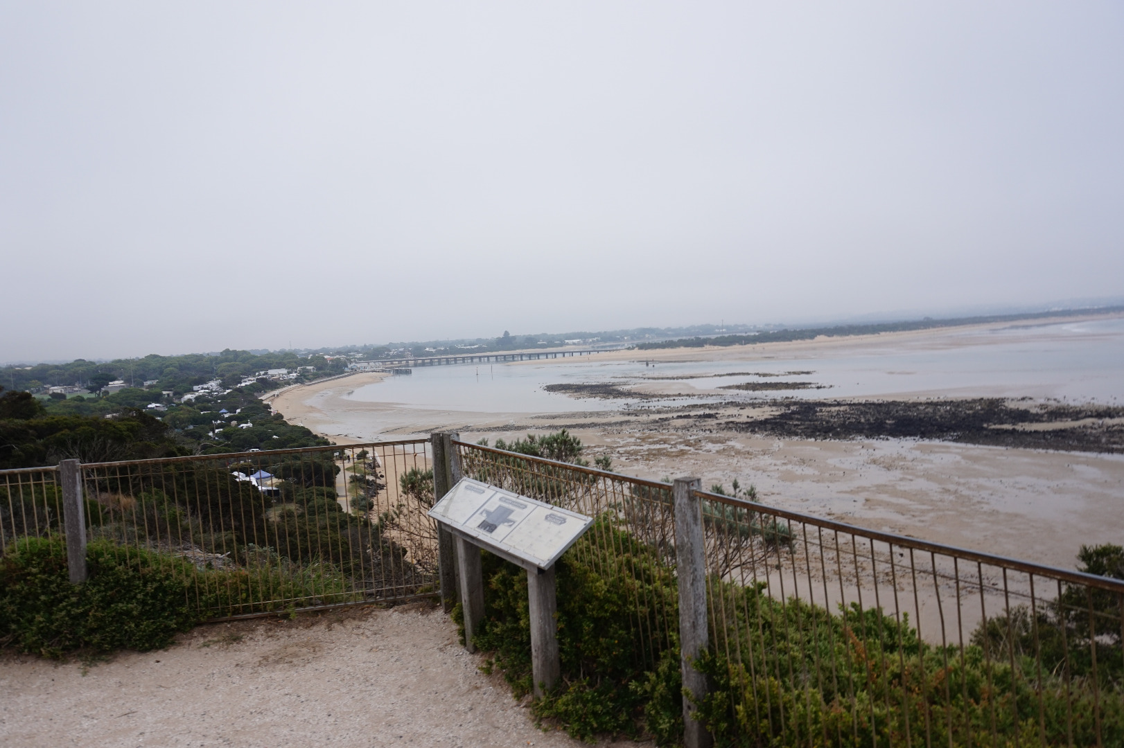
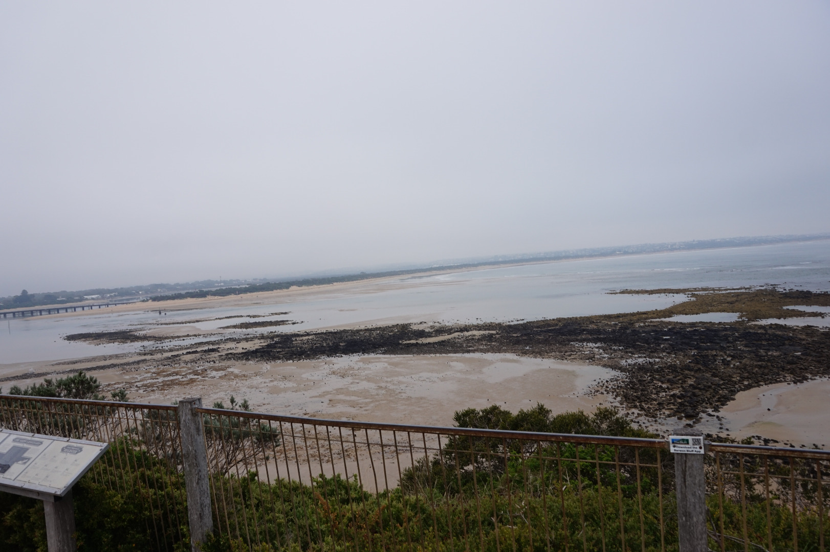
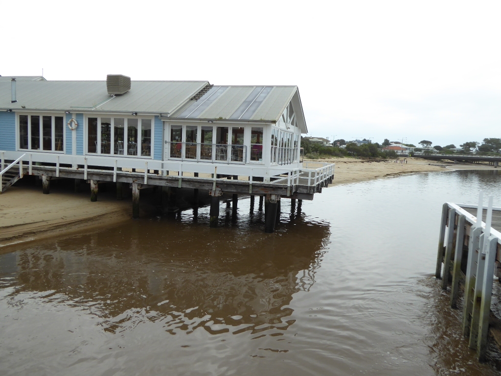
Estuary very turbid and brown from recent heavy rain. Discoloured plume of water extends East along Ocean Grove beach. Significant smell of river algae in air at mouth. Large amount of sand has moved from under/around the "Heads" restaurant. At low tide all pylons used to be out of the water now only half of them are.
|
|
| #10725 | 21 Sep 2016 | Approved | ||
| #10962 | 19 Sep 2016 | Approved |
Notes:
Heavy flow of water, huge amount of rainfall in last week. Rough break in surf, large amounts of seaweed washing up. 100 fish kill @ 17W
|
|
| #10527 | 23 Jul 2016 | Approved | ||
| #10304 | 4 May 2016 | Approved | ||
| #10306 | 20 Apr 2016 | Approved |
|
|
| #10208 | 29 Feb 2016 | Approved | ||
| #10207 | 29 Jan 2016 | Approved | Notes: Two days after floods in Geelong. Levels of sand on both sides of the estuary appear higher. | |
| #9978 | 25 Nov 2015 | Approved |
Notes:
1)Sand mounding up between bridges and blowing over road. 2) Tide heights are estimates as gauge board was fully out of water. |
|
| #10067 | 9 Nov 2015 | Approved |
|
|
| #9926 | 30 Oct 2015 | Approved |
Notes:
1) Tide heights are measured relating to AHD 2) Tide heights are estimates as gauge board scale does not extend below -0.2m |
|
| #9869 | 21 Sep 2015 | Approved | Notes: Tide height readings suggest the tide gauge board is not correctly calibrated - eg at the start time, one hour after low tide the tide height reading was more than 0.6 m below the published low tide height. | |
| #10092 | 12 Sep 2015 | Approved | ||
| #9824 | 31 Aug 2015 | Approved | ||
| #9790 | 3 Aug 2015 | Approved |
Notes:
1. No tide height readings as water levels below gauge board scale. 2. New photo added at BP2 to take in view across the river beside the bridge, compass bearing 260 degrees. This photo is labeled BP2_20150803_1a_272 |
|
| #9691 | 30 Jun 2015 | Approved | ||
| #9685 | 29 Jun 2015 | Approved | Notes: Wind direction not applicable. Calm/0 | |
| #9675 | 15 Jun 2015 | Approved | Notes: A new gauge board has been installed in the jetty. However,no tide height data was recorded as I missed seeing it. | |
| #9607 | 8 May 2015 | Approved |
Notes:
1. No tide height measurements taken as gauge board is not yet in place. 2.At BP2 big tides have washed away a large amount of sand that has accumulated over the past 2 years. |
|
| #9464 | 2 Apr 2015 | Approved |
Notes:
No tide height measurements as gauge board not yet installed. |
|
| #9462 | 23 Feb 2015 | Approved |
Notes:
No tide height measurements as gauge board not yet installed. |
|
| #9461 | 16 Jan 2015 | Approved |
Notes:
1. No tide height measurements, gauge board not yet installed. |
|
| #9300 | 5 Jan 2015 | Approved | Notes: Tide gauge (cnr River Parade and Sheepwash Rd) unreadable at 8.45am as out of water. | |
| #9460 | 30 Nov 2014 | Approved | ||
| #9173 | 10 Oct 2014 | Approved | Notes: No tide height measurements possible as gauge board still missing. | |
| #9009 | 19 Jul 2014 | Approved | Notes: No tide height measurements taken as gauge board is still missing. | |
| #8834 | 12 Apr 2014 | Approved | Notes: No tide height mesures recorded as gauge board is still missing | |
| #8752 | 10 Feb 2014 | Approved | Notes: No tide height readings possible as gauge board is still missing. | |
| #8669 | 14 Dec 2013 | Approved | Notes: No tide heights recorded as gauge board is still missing. | |
| #8601 | 5 Dec 2013 | Approved | ||
| #8610 | 10 Nov 2013 | Approved |
Notes:
1) No tide heights recorded as gauge board is still missing 2) BP1 only has 2 photos as the middle one in the series was not taken properly |
|
| #8471 | 20 Aug 2013 | Approved | Notes: Tide height measurements not possible as gauge board missing. | |
| #8438 | 29 Jul 2013 | Approved | Notes: Tide height measurements not possible as gauge board missing. | |
| #8281 | 2 May 2013 | Approved | Notes: No tide height measurements possible as gauge board missing. | |
| #8240 | 19 Apr 2013 | Approved | Notes: No tide height measurements possible as gauge board missing. | |
| #8224 | 4 Apr 2013 | Approved | Notes: -lots of kids out and about for the school holidays. | |
| #8188 | 21 Mar 2013 | Approved | Notes: Gauge board missing so no tide height readings possible. | |
| #8094 | 28 Feb 2013 | Approved | ||
| #8093 | 15 Feb 2013 | Approved | ||
| #8059 | 4 Feb 2013 | Approved | ||
| #8045 | 18 Jan 2013 | Approved | ||
| #8025 | 8 Jan 2013 | Approved | ||
| #7941 | 3 Dec 2012 | Approved | ||
| #7949 | 18 Nov 2012 | Approved | Notes: Tide heights approximate as gauge board covered with algae | |
| #7710 | 13 Aug 2012 | Pending |
Notes:
no tide height readings =- gauge board covered with algae
|
|
| #7850 | 13 Aug 2012 | Approved | Notes: Tide height measurements not possible as gauge board covered with algae. | |
| #7118 | 6 May 2012 | Approved | ||
| #7115 | 1 May 2012 | Approved | Notes: Gaugeboard too dirty to read the scale | |
| #6943 | 23 Mar 2012 | Approved | ||
| #6741 | 17 Feb 2012 | Approved | ||
| #7052 | 8 Feb 2012 | Approved | ||
| #6687 | 16 Jan 2012 | Approved | Notes: No evidence of algal bloom seen near estuary mouth | |
| #6502 | 3 Jan 2012 | Approved |
Notes:
Gaugeboard very dirty. Water levels have been estimated. At Bp1, compass affected by metal in the bridge structure? Photos taken to coincide with photos in EstuaryWatch manual. At Bp4. a family was picnicing at the table. Photos taken by standing on seat, not on table as usual. |
|
| #6507 | 19 Dec 2011 | Approved | ||
| #6383 | 2 Dec 2011 | Approved |
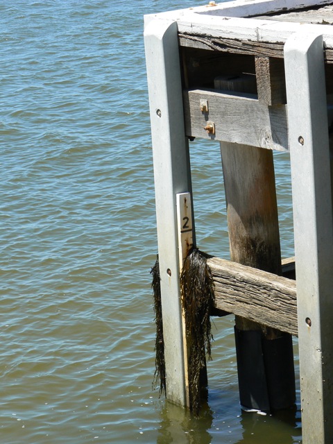
Notes:
Unable to read water level - depth gauge draped with sea weed (see photograph). Cannot provide "mode" data as we have been away for most of the last fortnight |
|
| #6223 | 19 Oct 2011 | Approved | ||
| #6144 | 20 Sep 2011 | Approved | ||
| #6044 | 4 Sep 2011 | Approved | Notes: When heavy rain started it was not possible to take photographs, hence there are no photographs taken from Bp1 or Bp2 on this occasion. | |
| #6061 | 19 Aug 2011 | Approved | ||
| #5945 | 12 Aug 2011 | Approved | ||
| #5906 | 21 Jul 2011 | Approved | Notes: No tide heights measured as gaugeboard is out of water due to sand build up. | |


All content, files, data and images provided by the EstuaryWatch Data Portal and Gallery are subject to a Creative Commons Attribution License
Content is made available to be used in any way, and should always attribute EstuaryWatch and www.estuarywatch.org.au