EstuaryWatch Data Portal
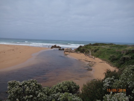
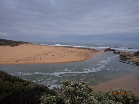
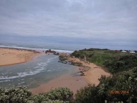
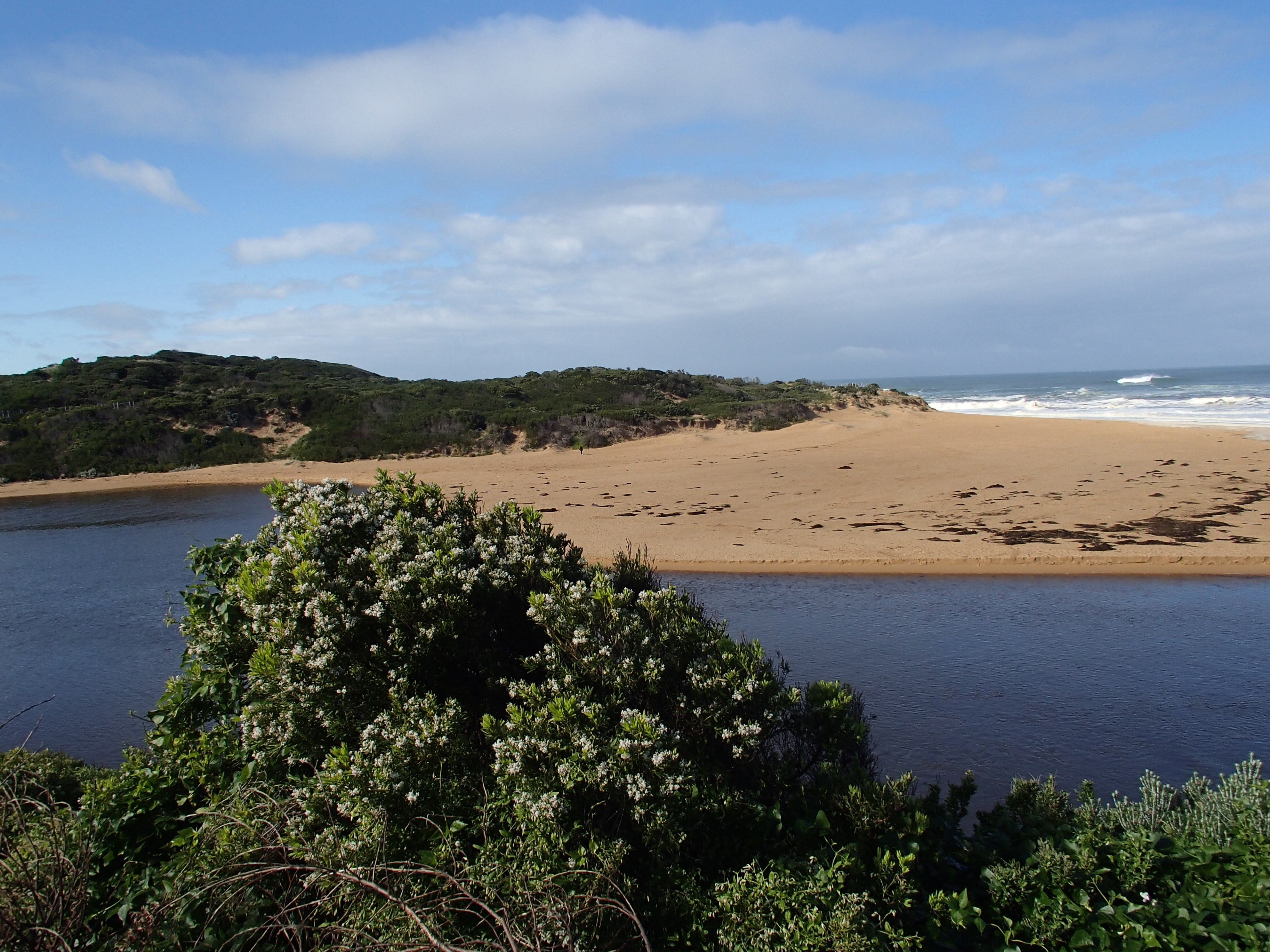
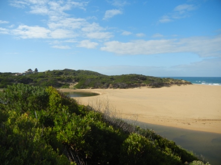
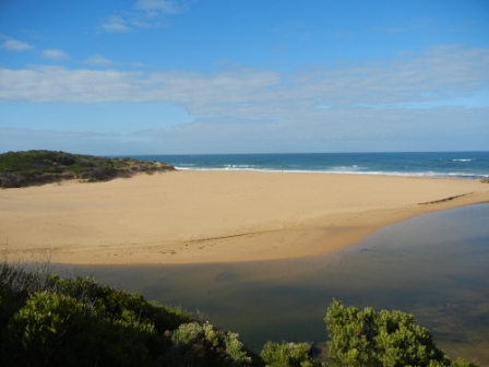
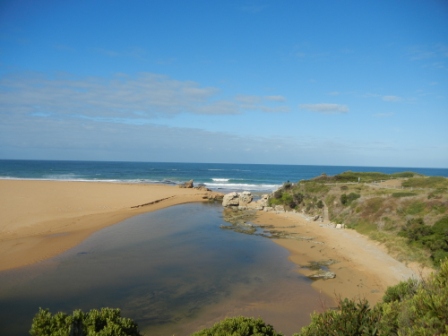
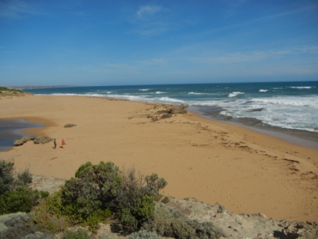
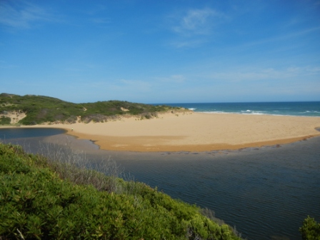
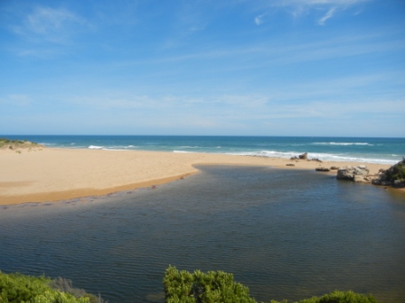
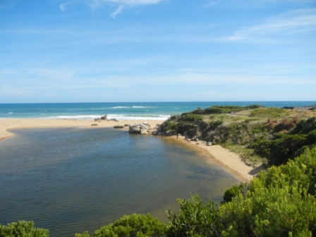
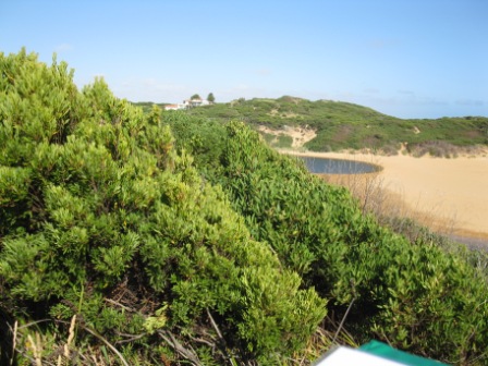
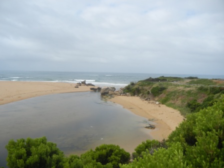
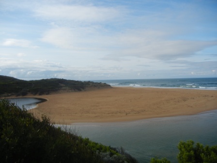
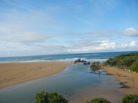
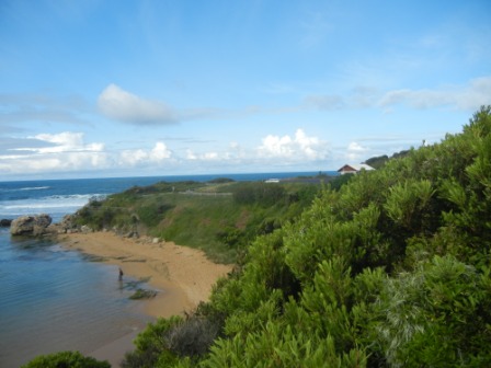
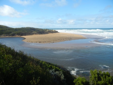
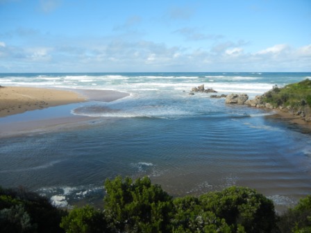
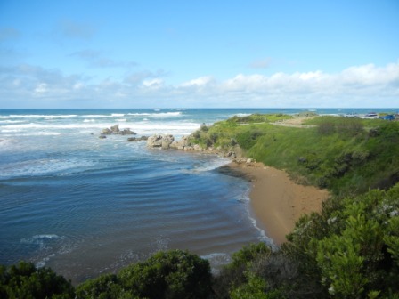
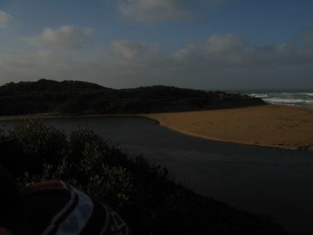
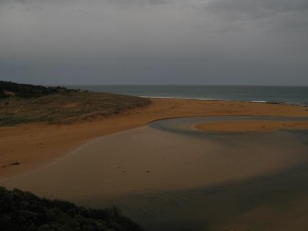
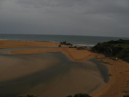
HMC Hopkins River Mouth Condition Observation Site
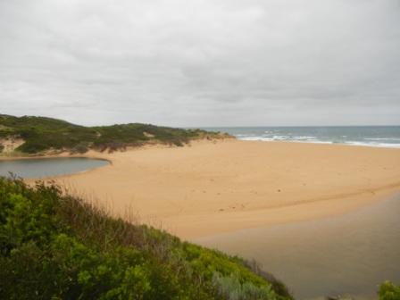
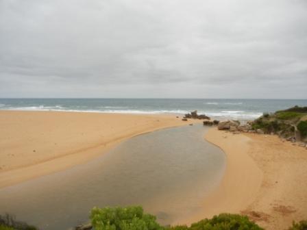
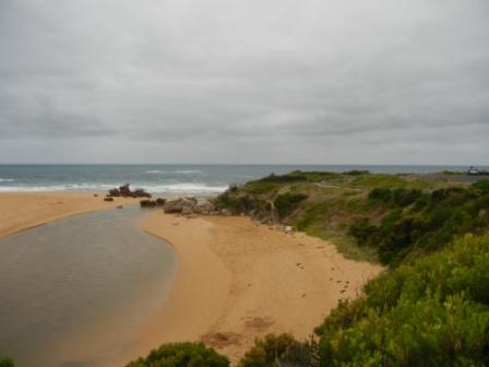
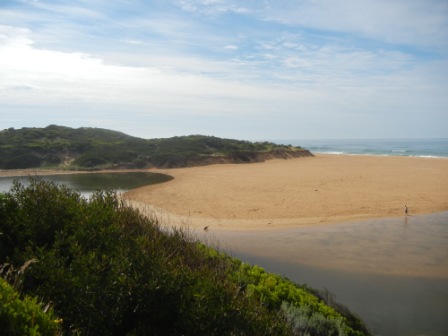
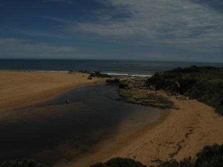
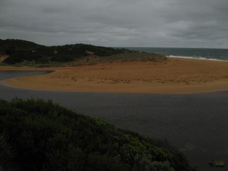
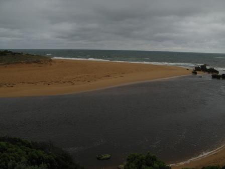
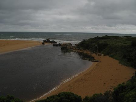
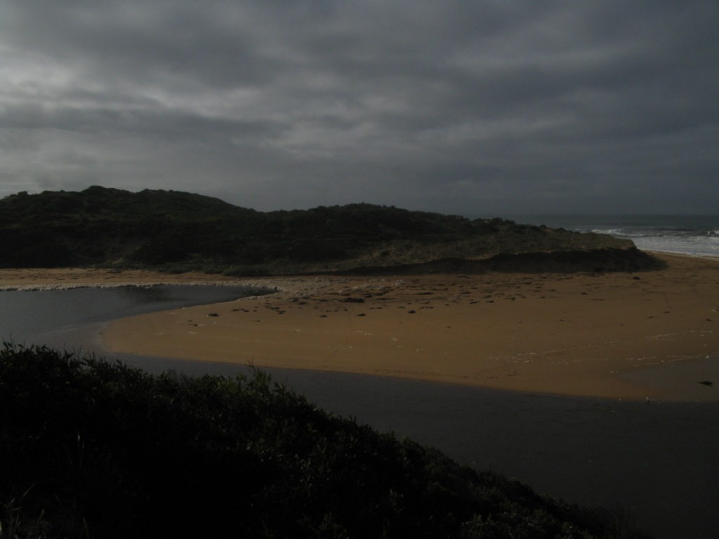
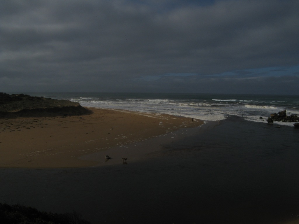
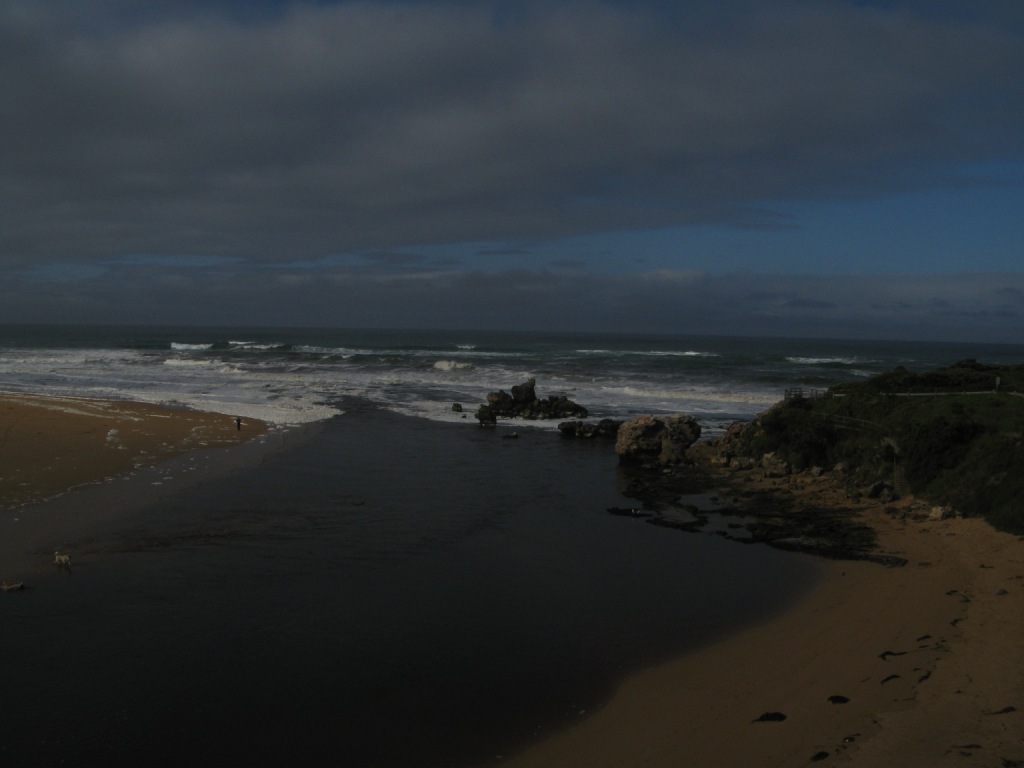
Active Mouth Condition 29-05-2010 - 20-10-2023Hopkins River Estuary
163 results found (Displaying 101 - 163)
| ID | Date | Status | Details | |
|---|---|---|---|---|
| #5245 | 13 Jun 2015 | Approved | ||
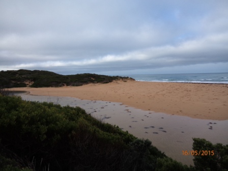
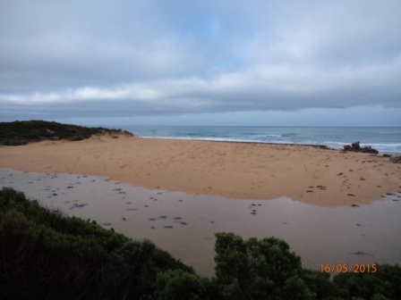
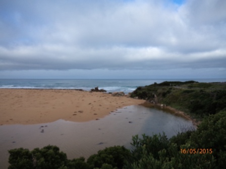
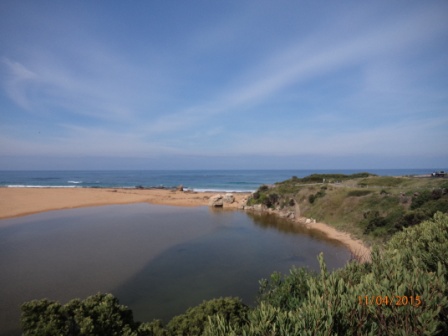
| #5193 | 16 May 2015 | Approved | Notes: The berm is approximately 109 metres from the river to the sea. The river to the highest point of the berm is approx. 66 metres & the highest point of the berm to the sea is approx. 43 metres | |
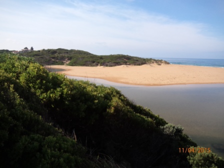
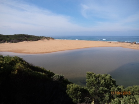
| #5192 | 11 Apr 2015 | Approved | Notes: The berm is approximately 65 metres from the river to the sea. The distance from the river to the highest point of the berm is approx. 40 metres & the distance from the highest point of the berm to the sea is approx. 25 metres. | |
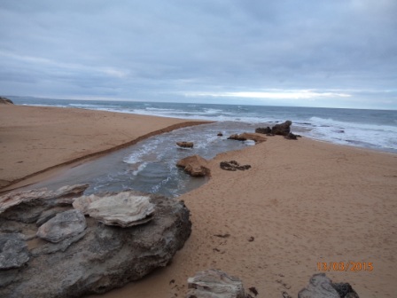
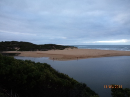
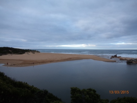
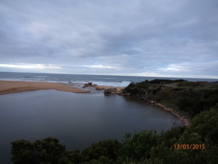
| #5191 | 13 Mar 2015 | Approved | Notes: Hopkins River artificially opened by the WCC 12/03/2015 | |
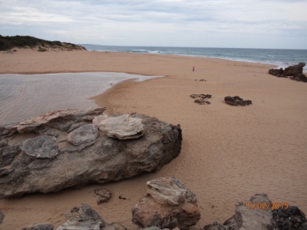
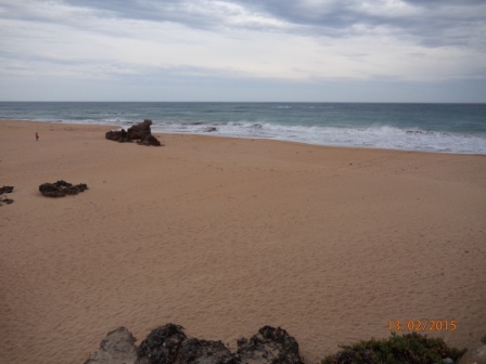
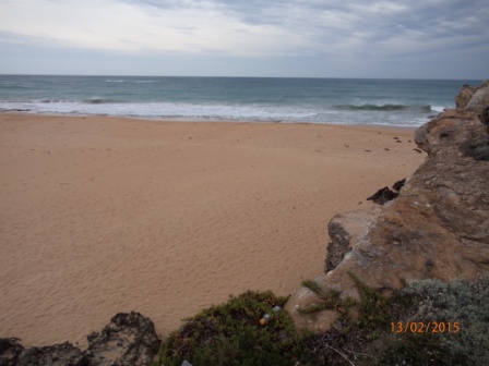
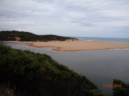
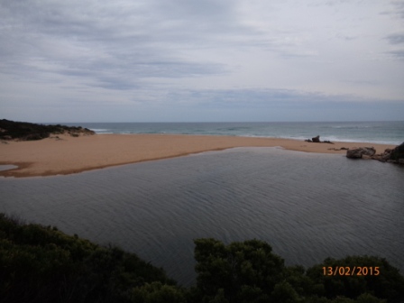
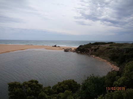
| #5190 | 13 Feb 2015 | Approved | Notes: The berm is approximately 66 metres from the river to the sea, The river to the highest point of the berm is approx. 30 metres & the highest point of the berm to the sea is approx. 36 metres. | |
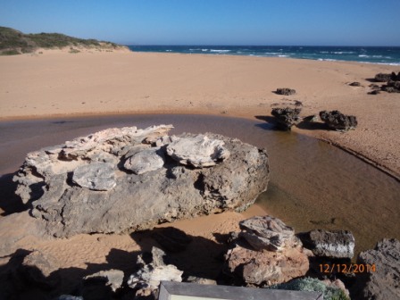
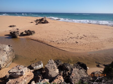
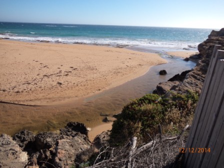
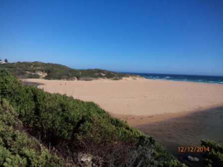
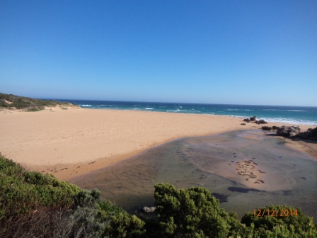
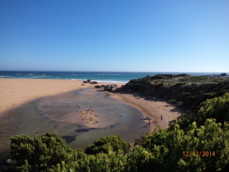
| #5173 | 12 Dec 2014 | Approved | ||
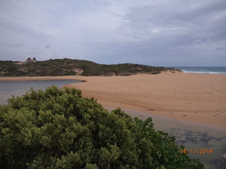
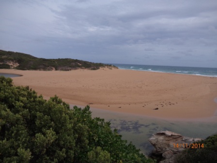
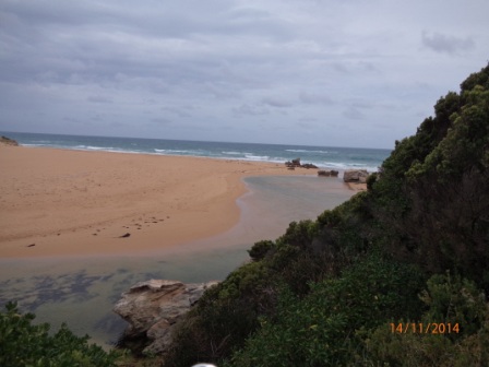
| #5172 | 14 Nov 2014 | Approved | ||
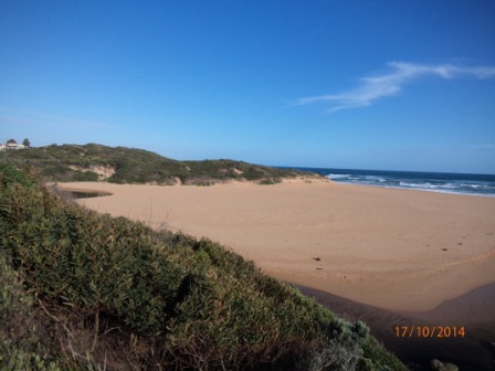
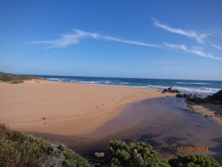
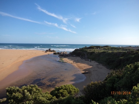
| #5171 | 17 Oct 2014 | Approved | ||
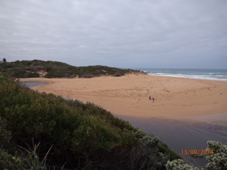
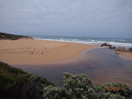
| #5170 | 13 Sep 2014 | Approved | ||
| #5169 | 16 Aug 2014 | Approved | ||
| #5092 | 5 Aug 2014 | Approved | ||
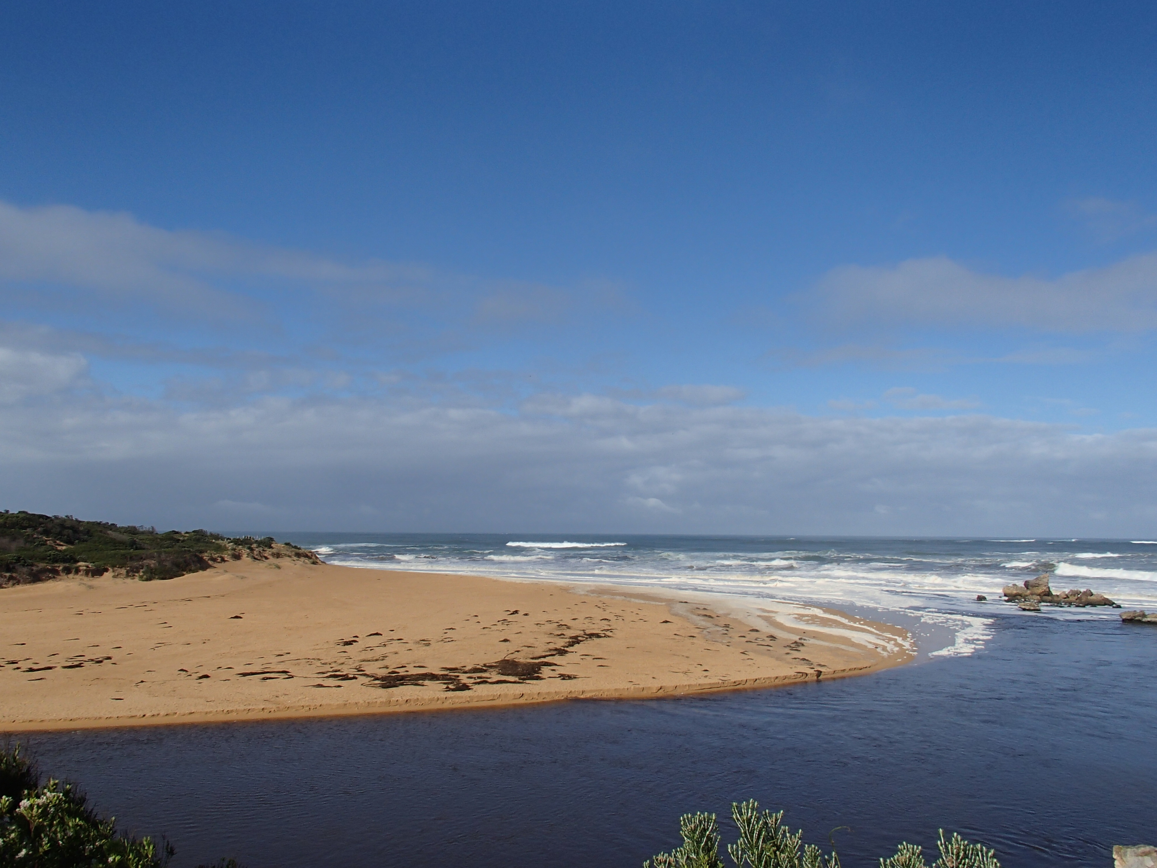
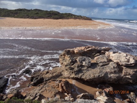
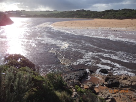
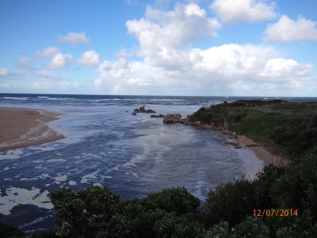
| #5168 | 12 Jul 2014 | Approved | Notes: River trying to flow out at times, but sea pushing back in. | |
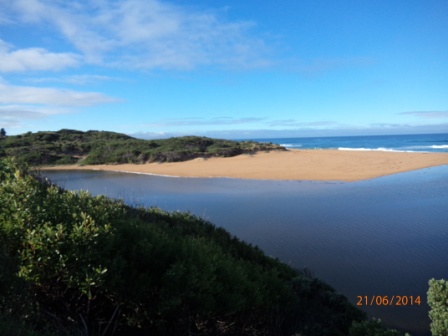
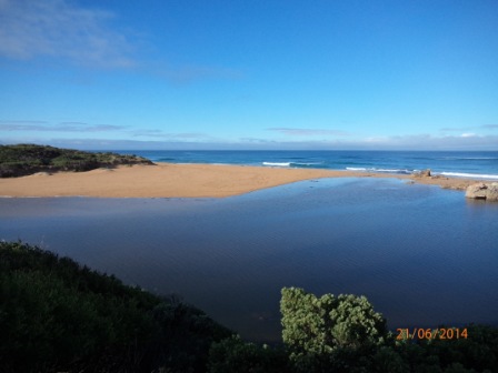
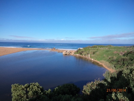
| #5082 | 21 Jun 2014 | Approved | Notes: Berm measurement approx. 48m from River to Sea. From River to highest point approx. 32m. From Sea to highest point approx. 16m. | |
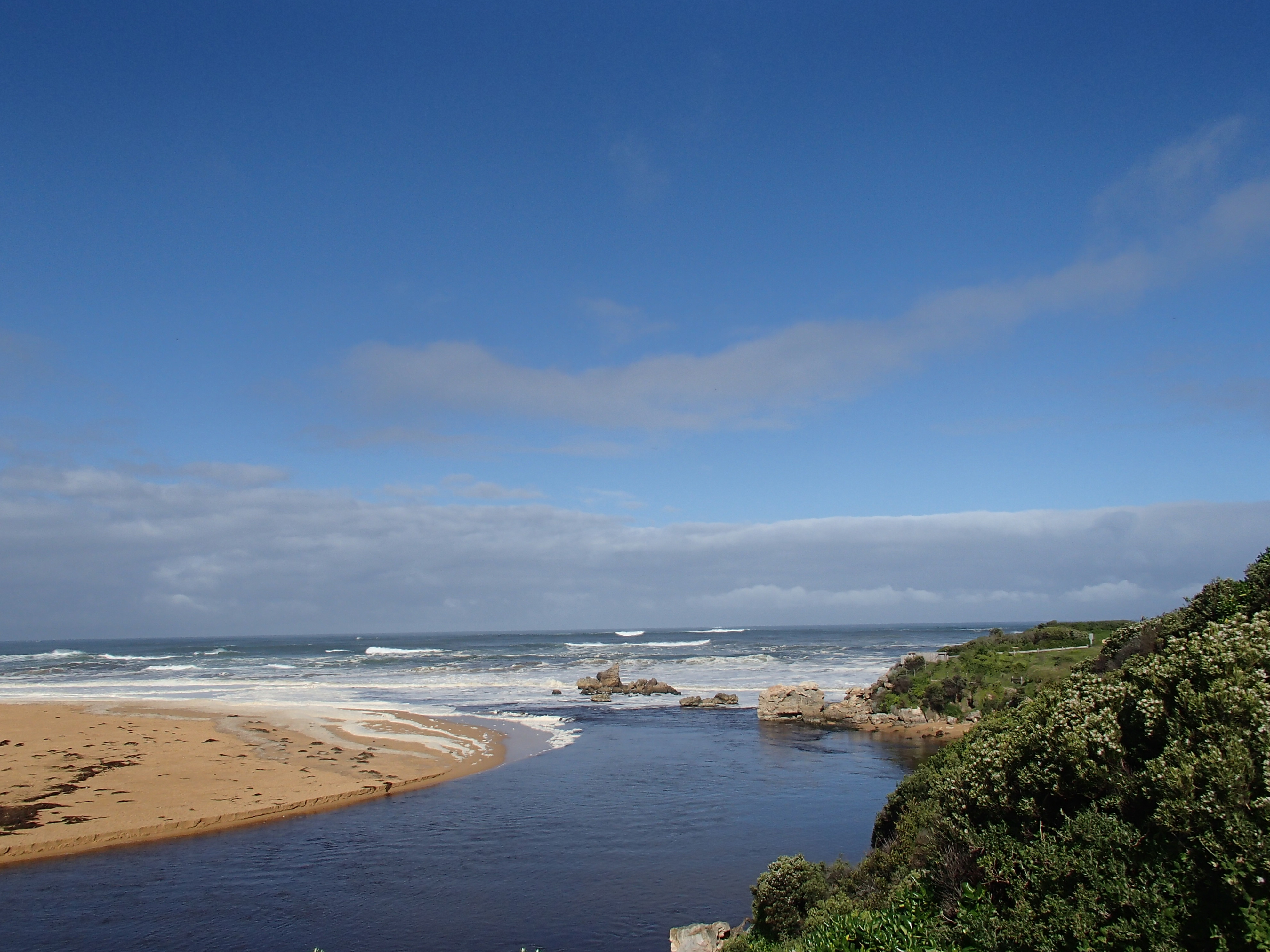
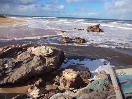
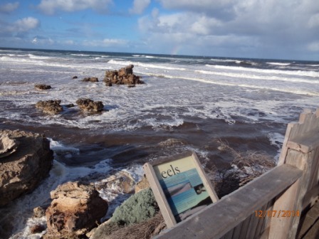
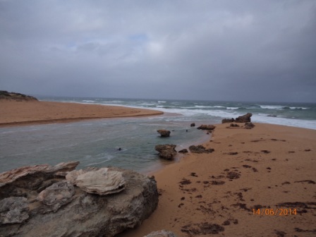
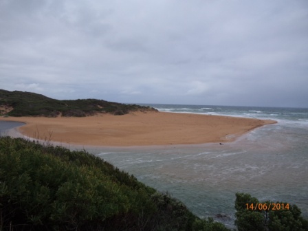
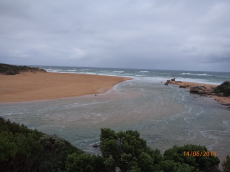
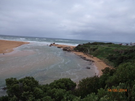
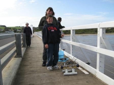
| #5081 | 14 Jun 2014 | Approved | Notes: Additional photo taken from Hopkins River mouth viewing deck | |
| #5062 | 14 May 2014 | Approved | ||
| #5061 | 12 Apr 2014 | Approved | Notes: Berm approx. 58m across, approx. 25m from highest point to sea & approx. 35m from highest point to river. | |
| #5046 | 14 Mar 2014 | Approved |
Notes:
Berm from river to Sea approx. 42 m total. River - Berm high point 25m Sea - Berm high point 17m Additional photos from River Boat Cruise Pontoon road flooded |
|
| #5045 | 7 Feb 2014 | Approved |
Notes:
Berm from river to Sea approx. 45 m total. River - Berm high point 26m Sea - Berm high point 19m |
|
| #5044 | 11 Jan 2014 | Approved |
Notes:
Berm from river to Sea approx. 52 m total. River - Berm high point 31m Sea - Berm high point 21m |
|
| #5043 | 13 Dec 2013 | Approved |
Notes:
Wind direction - WSW Beaufort Scale - 3 to 4 Sea State - Slight to moderate |
|
| #5042 | 15 Nov 2013 | Approved |
Notes:
SD card failed, no images available
|
|
| #5001 | 19 Oct 2013 | Approved | ||
| #5000 | 14 Sep 2013 | Approved | ||
| #4995 | 10 Aug 2013 | Approved | ||
| #4994 | 20 Jul 2013 | Approved | ||
| #4993 | 8 Jun 2013 | Approved | ||
| #4992 | 11 May 2013 | Approved | ||
| #4991 | 20 Apr 2013 | Approved | Notes: Mouth opened during week by WCC | |
| #4990 | 15 Mar 2013 | Approved |
Notes:
Waves occasionally breaking over berm. Berm measurements 53 metres from Sea to Estuary. Photo images corrupted unable to view |
|
| #4989 | 8 Feb 2013 | Approved | Notes: Berm measurement 41 metres from Estuary to Sea | |
| #4988 | 11 Jan 2013 | Approved | ||
| #4987 | 7 Dec 2012 | Approved | Notes: Berm measured approx 36 metres from Estuary to Sea | |
| #4918 | 9 Nov 2012 | Approved | ||
| #4917 | 13 Oct 2012 | Approved | ||
| #4916 | 9 Sep 2012 | Approved | ||
| #4915 | 11 Aug 2012 | Approved | ||
| #4914 | 7 Jul 2012 | Approved |
Notes:
photo files corrupted, unable to open/save/upload
|
|
| #4913 | 1 Jun 2012 | Approved | ||
| #4912 | 12 May 2012 | Approved | ||
| #4911 | 14 Apr 2012 | Approved | ||
| #4910 | 10 Mar 2012 | Approved | ||
| #4909 | 11 Feb 2012 | Approved | ||
| #4722 | 21 Jan 2012 | Approved | ||
| #4919 | 14 Jan 2012 | Approved | ||
| #4727 | 10 Dec 2011 | Approved | ||
| #4726 | 12 Nov 2011 | Approved | ||
| #4725 | 8 Oct 2011 | Approved | ||
| #4724 | 10 Sep 2011 | Approved | ||
| #4723 | 13 Aug 2011 | Approved |
Notes:
Photos taken by Dina Selman, will load them once received
|
|
| #4721 | 9 Jul 2011 | Approved | ||
| #4728 | 18 Jun 2011 | Approved |
Notes:
Photos x3 fromHp1 corrupted, unable to open/download
|
|
| #4543 | 13 May 2011 | Approved | ||
| #4542 | 16 Apr 2011 | Approved | ||
| #4541 | 19 Mar 2011 | Approved | ||
| #4525 | 15 Jan 2011 | Approved | Notes: Only x2 tides today | |
| #4524 | 4 Dec 2010 | Approved | ||
| #4523 | 13 Nov 2010 | Approved | Notes: Very quick flow out, brown water from river flowing out to Sea, visible out to approx 200m | |
| #4242 | 9 Oct 2010 | Approved | ||
| #4522 | 11 Sep 2010 | Approved | ||
| #4506 | 14 Aug 2010 | Approved | Notes: Hopkins River mouth open the widest seen in last 15 yrs, flowing very fast post x3 days heavy rainfall. Trees, bales of hay floating out to sea. Dune on east side eroded by approximately 50% since monitoring started | |
| #4505 | 10 Jul 2010 | Approved | Notes: very strong wind, raining, sea smooth | |
| #4504 | 17 Jun 2010 | Approved | Notes: High tide water entering estuary from sea, very strong wind | |
| #4521 | 29 May 2010 | Approved | ||


All content, files, data and images provided by the EstuaryWatch Data Portal and Gallery are subject to a Creative Commons Attribution License
Content is made available to be used in any way, and should always attribute EstuaryWatch and www.estuarywatch.org.au