EstuaryWatch Data Portal
Overview
| Estuary name | Hopkins River Estuary |
|---|---|
| CMA | Glenelg Hopkins CMA |
| Description |
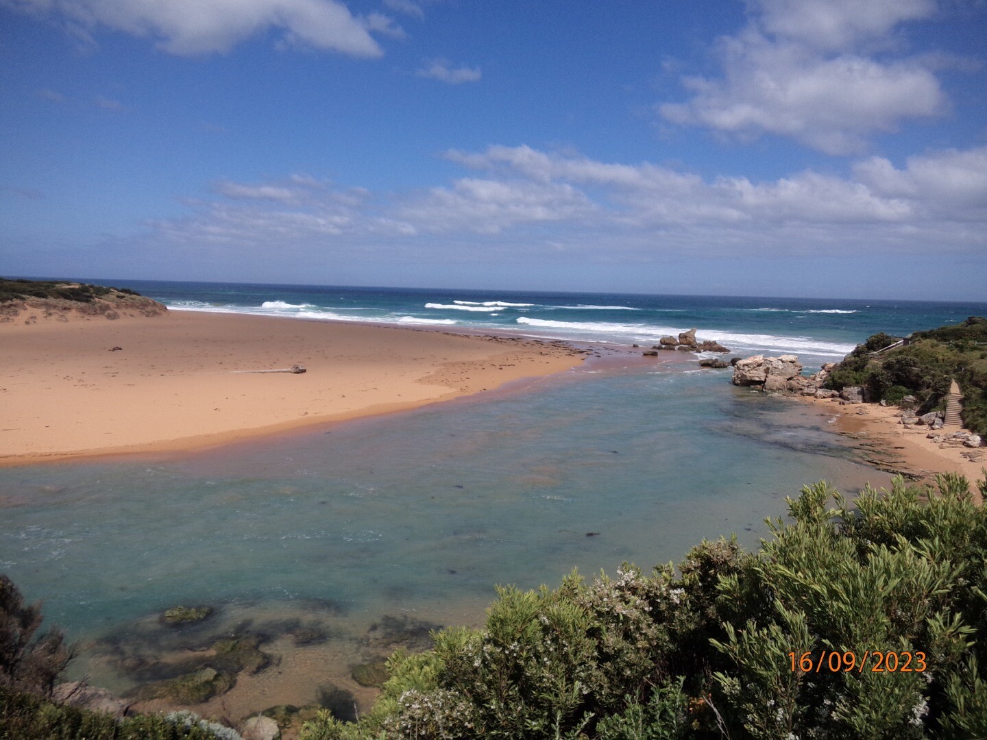
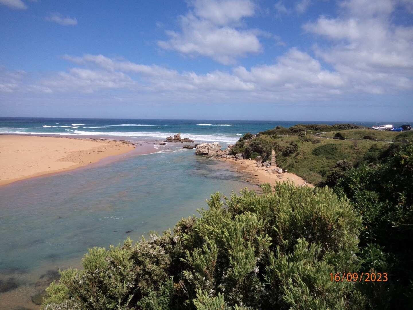
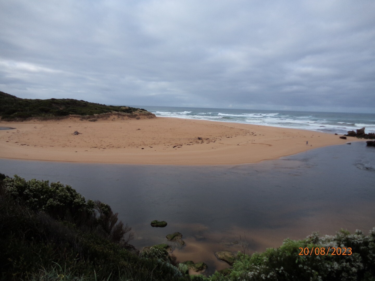
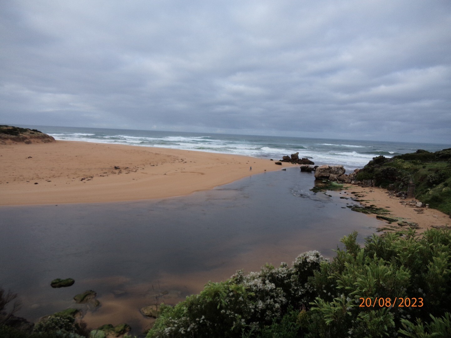
The Hopkins River Estuary is a wave dominated, seasonally closed, salt wedge estuary. The estuary is approximately 9.5km long, covers an area of approximately 1.6 km2 and has a total volume of 3,100 ML. It is confined by a rock walled canyon for much of its length, and is formed in a drowned river valley. In geological terms, the current form of the Hopkins River estuary is relatively young, forming around 6,000 years ago. |
| Estuary Values | |
| Estuary Threats | |
| Data | Site observations |
| Status | Active |
| Monitor group | Hopkins River EstuaryWatchers |
Sites
| Site details | Options |
|---|---|
H1 Site one (Hopkins River Bridge)Active Physico-Chemical 01-01-2000 - 20-04-2024Ocean side of bridge, between the 29th and 30th post (counting from the western side of bridge) infront of the fishing ruler. |
Observations 161 |
H2 Site two (Riverboat Cruise Pontoon)Active Physico-Chemical 11-07-2010 - 20-04-2024Pontoon located on the ocean side of the Riverboat. This pontoon extends out into the river beyond the other pontoons. |
Observations 159 |
H3 Site three (Mahoneys Road)Active Physico-Chemical N/A - 20-04-2024Fishing pontoon located on the oceanside of the boat ramp. Monitoring is conducted off the end of the pontoon. |
Observations 162 |
H4 Site four (Jubilee Park)Active Physico-Chemical 11-08-2010 - 20-04-2024End of the floating pontoon located closest to the ocean, opposite the Hopkins River Caravan Park/ Jubilee Park. |
Observations 158 |
HGB Hopkins River Water Level Gauge BoardActive Gauge BoardThis sites water level monitoring gauge board is attached to the Simpson Street boat ramp. |
|
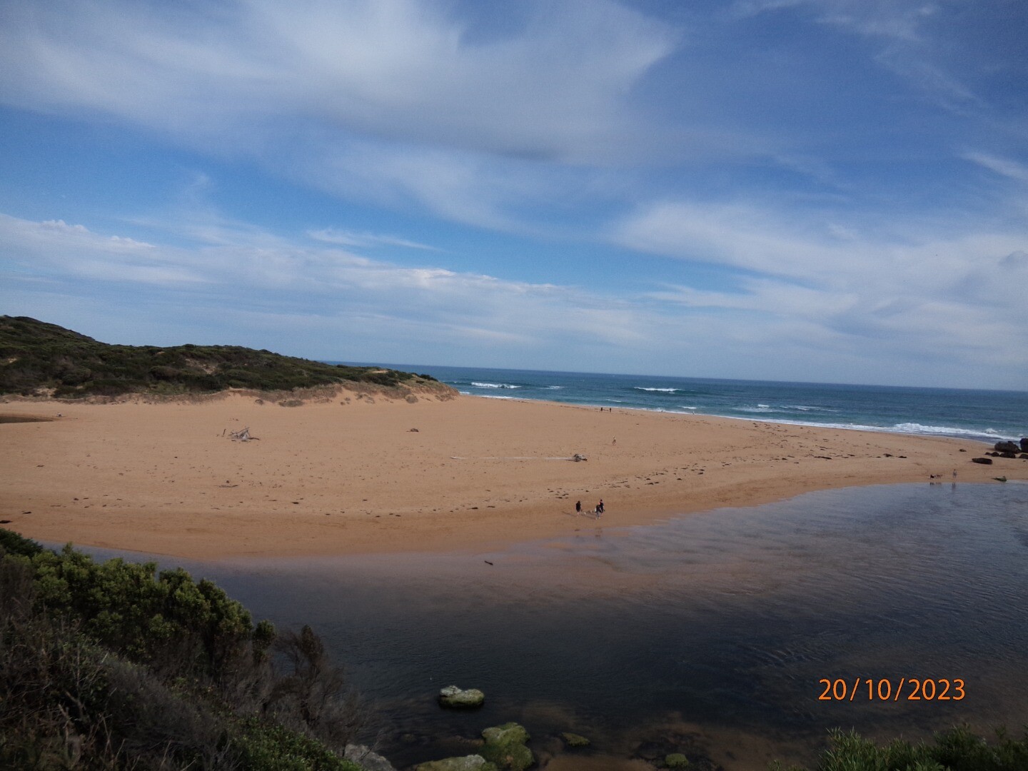
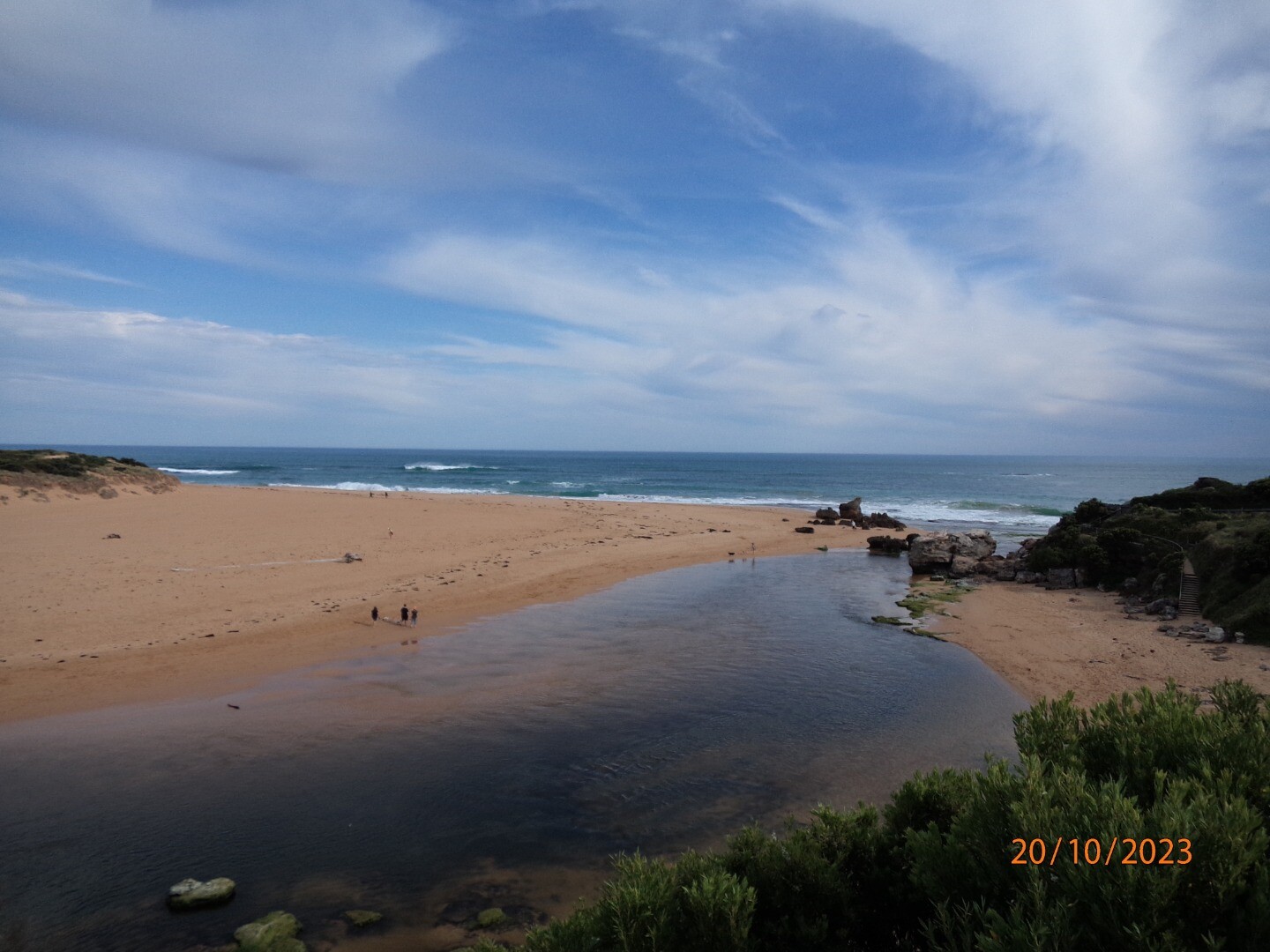
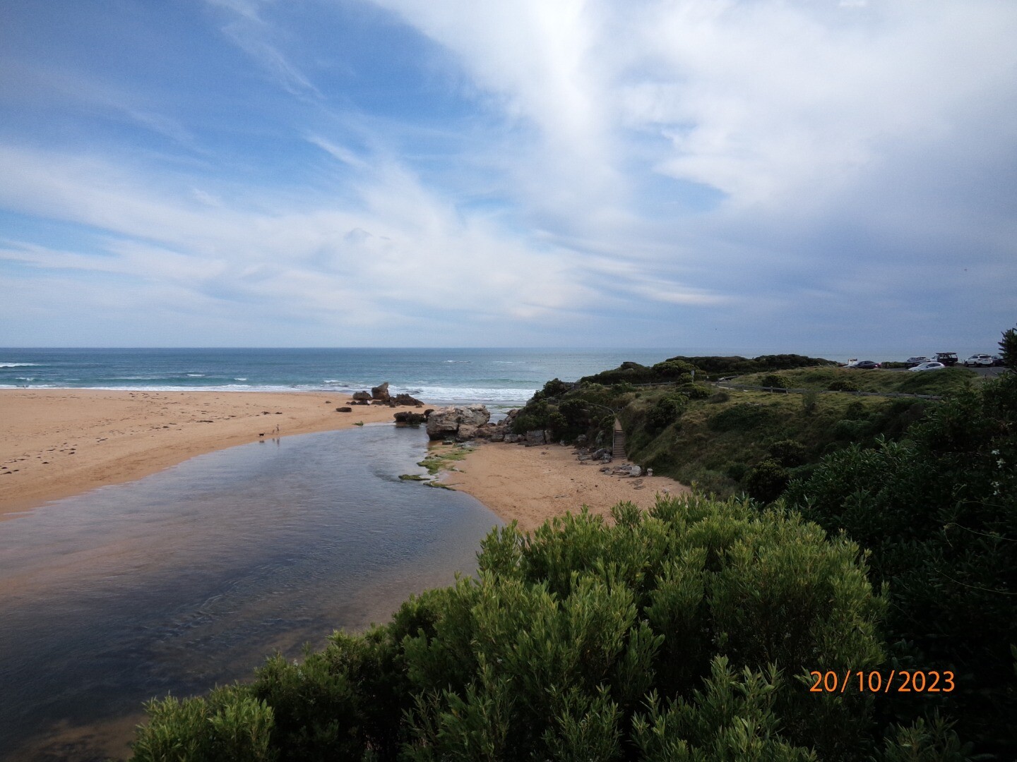
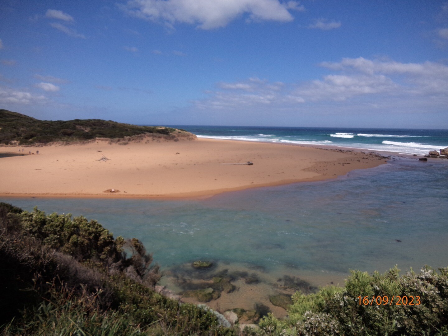
HMC Hopkins River Mouth Condition Observation SiteActive Mouth Condition 29-05-2010 - 20-10-2023Site changed in September 2019 to Fluker Post WEPS1. Previous location became overgrown. |
Observations 163 |
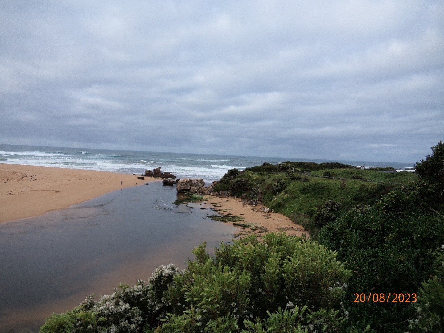
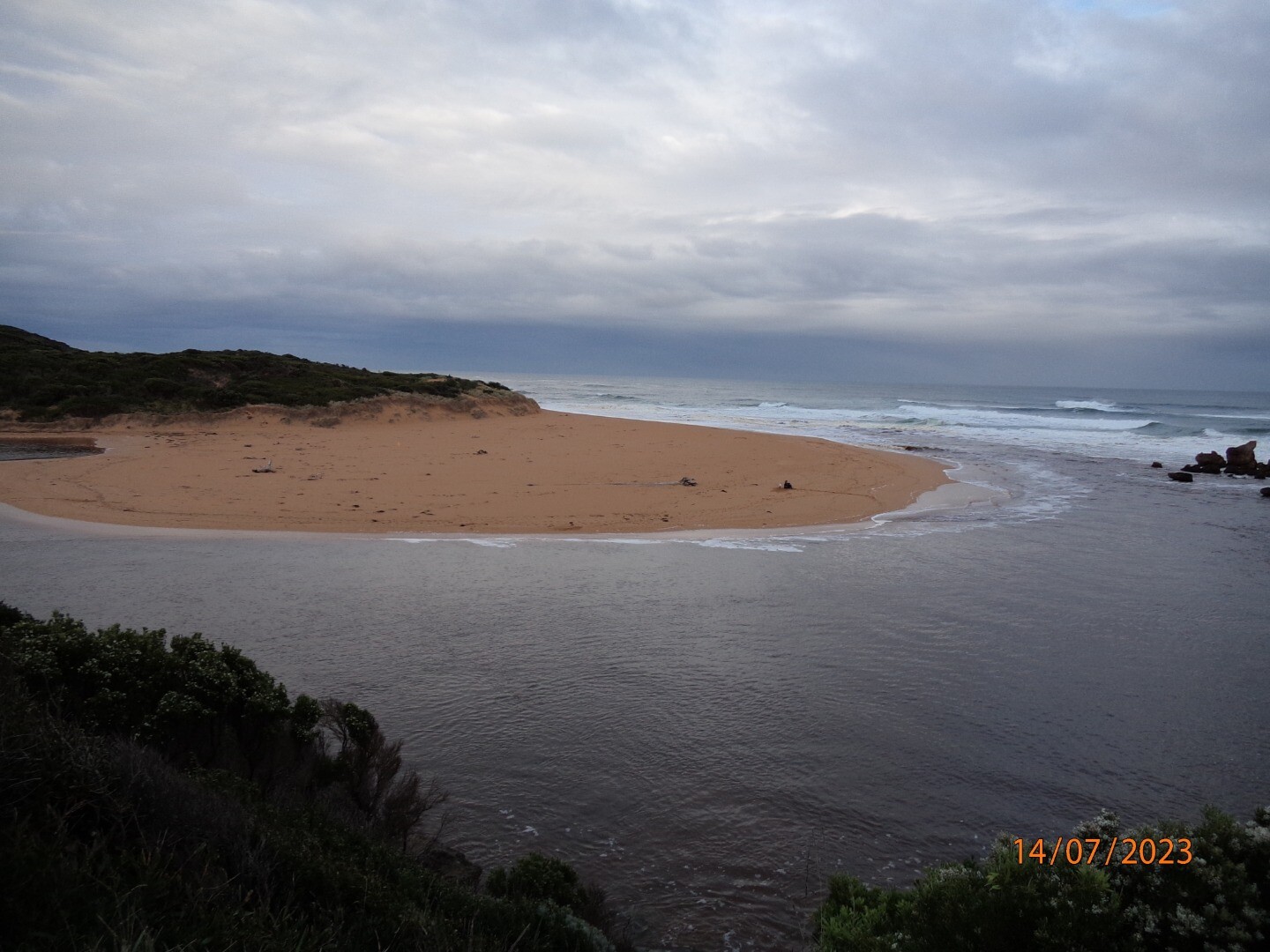
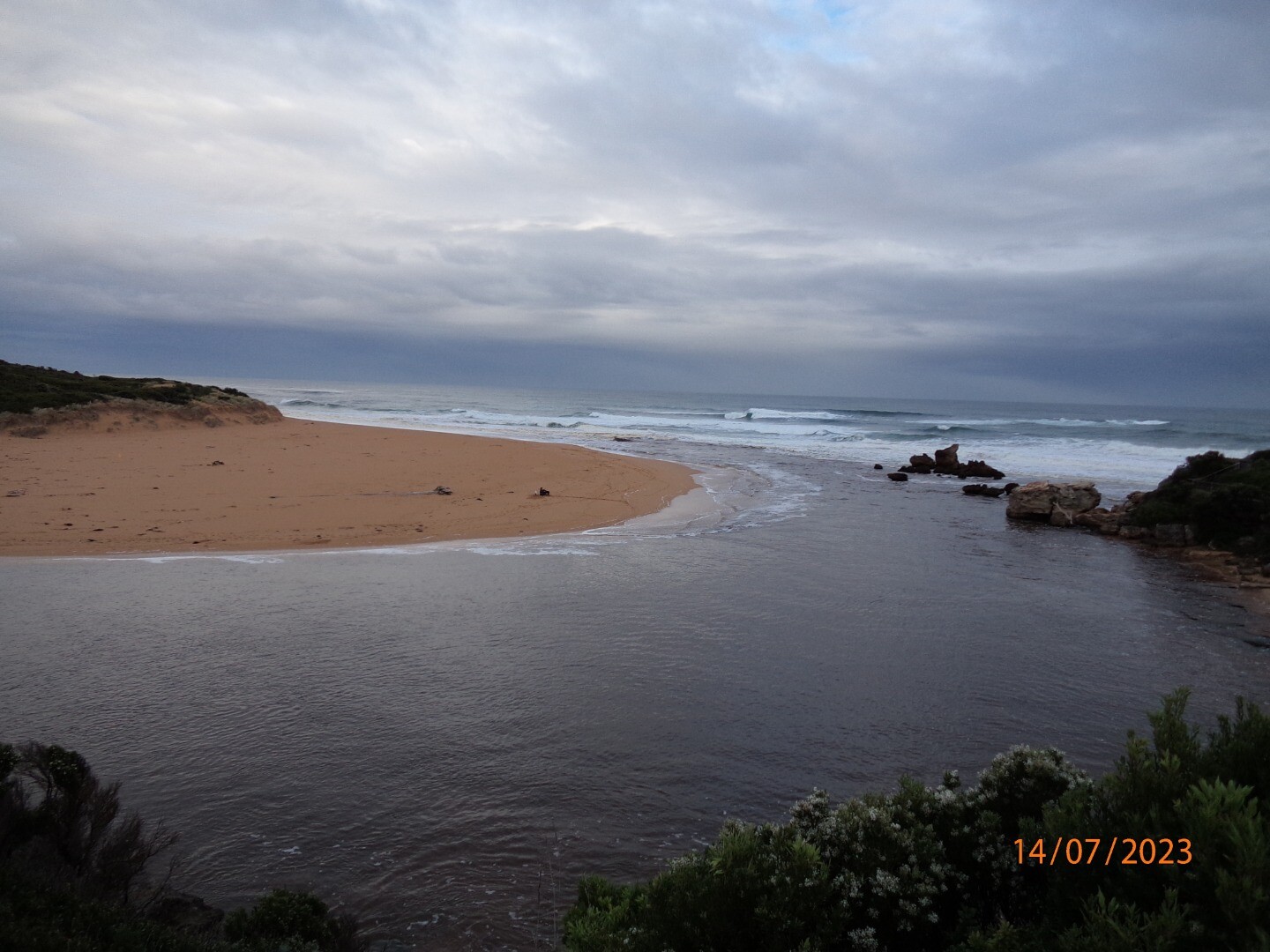
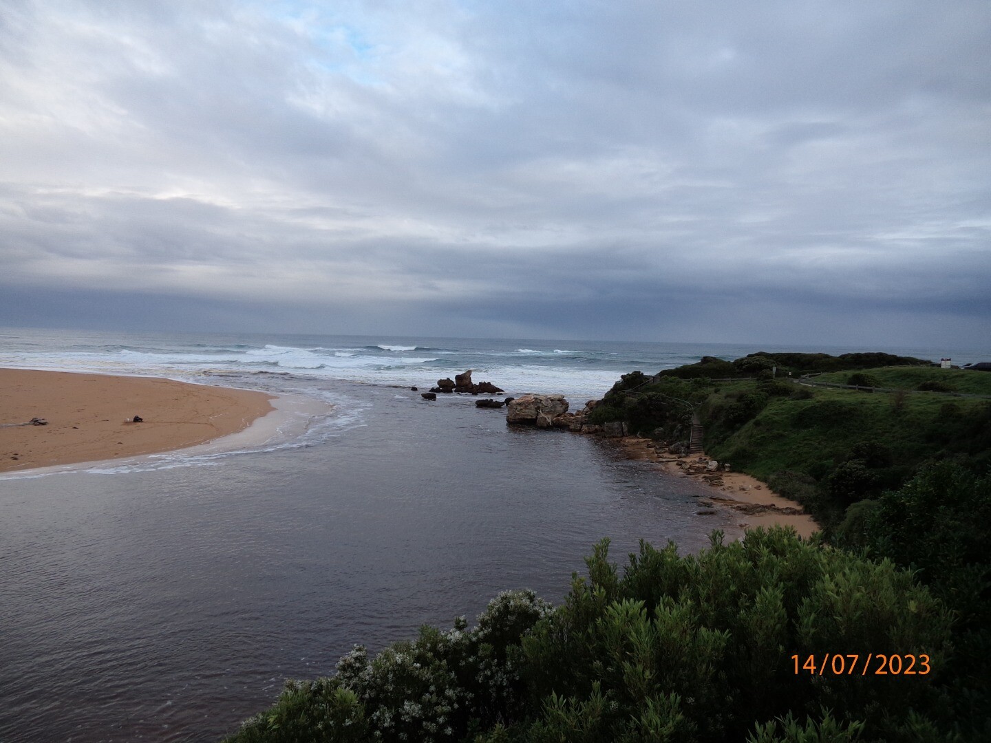
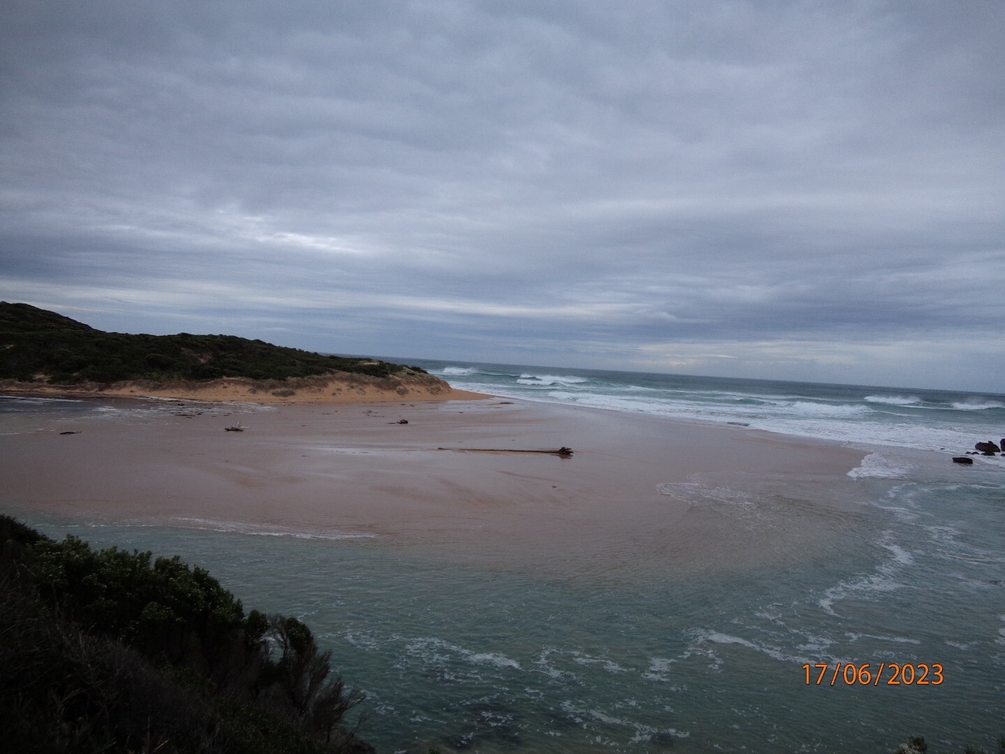
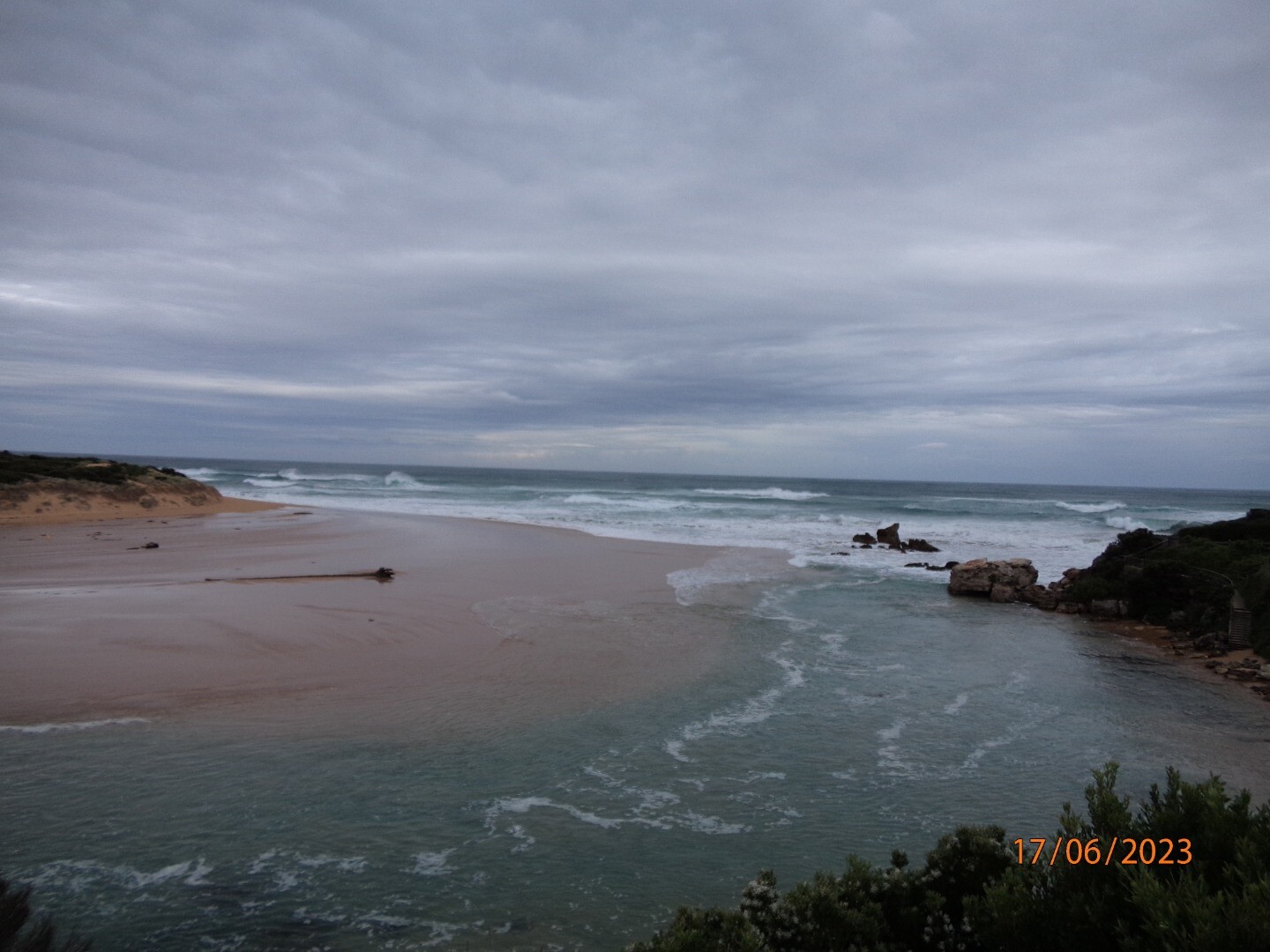
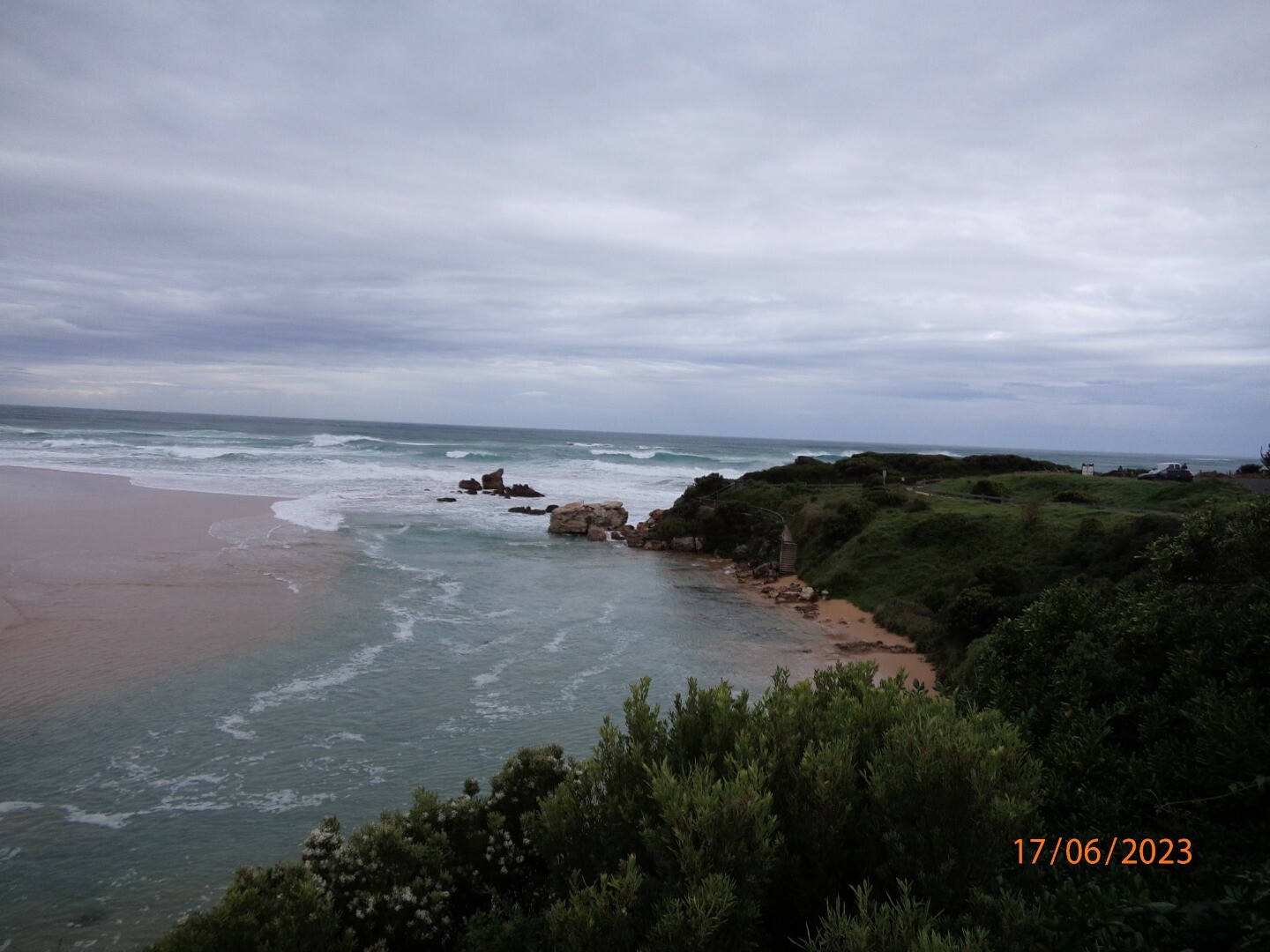
Hp1 Hopkins River Photopoint Site OneActive Photopoint 06-12-2012 - 20-04-2024Small cleared area located on the western side of the river mouth. |
Photos 392 |
Estuary Snapshots
The EstuaryWatch snapshots provide a summary of estuary condition on a particular day. For all EstuaryWatch Snapshots, photopoint photos and a longitudinal water quality profile from the estuary mouth to the inland extent is displayed. Read more
Autumn 2024
Summer 2024
Spring 2023
Winter 2023
Autumn 2023

All content, files, data and images provided by the EstuaryWatch Data Portal and Gallery are subject to a Creative Commons Attribution License
Content is made available to be used in any way, and should always attribute EstuaryWatch and www.estuarywatch.org.au