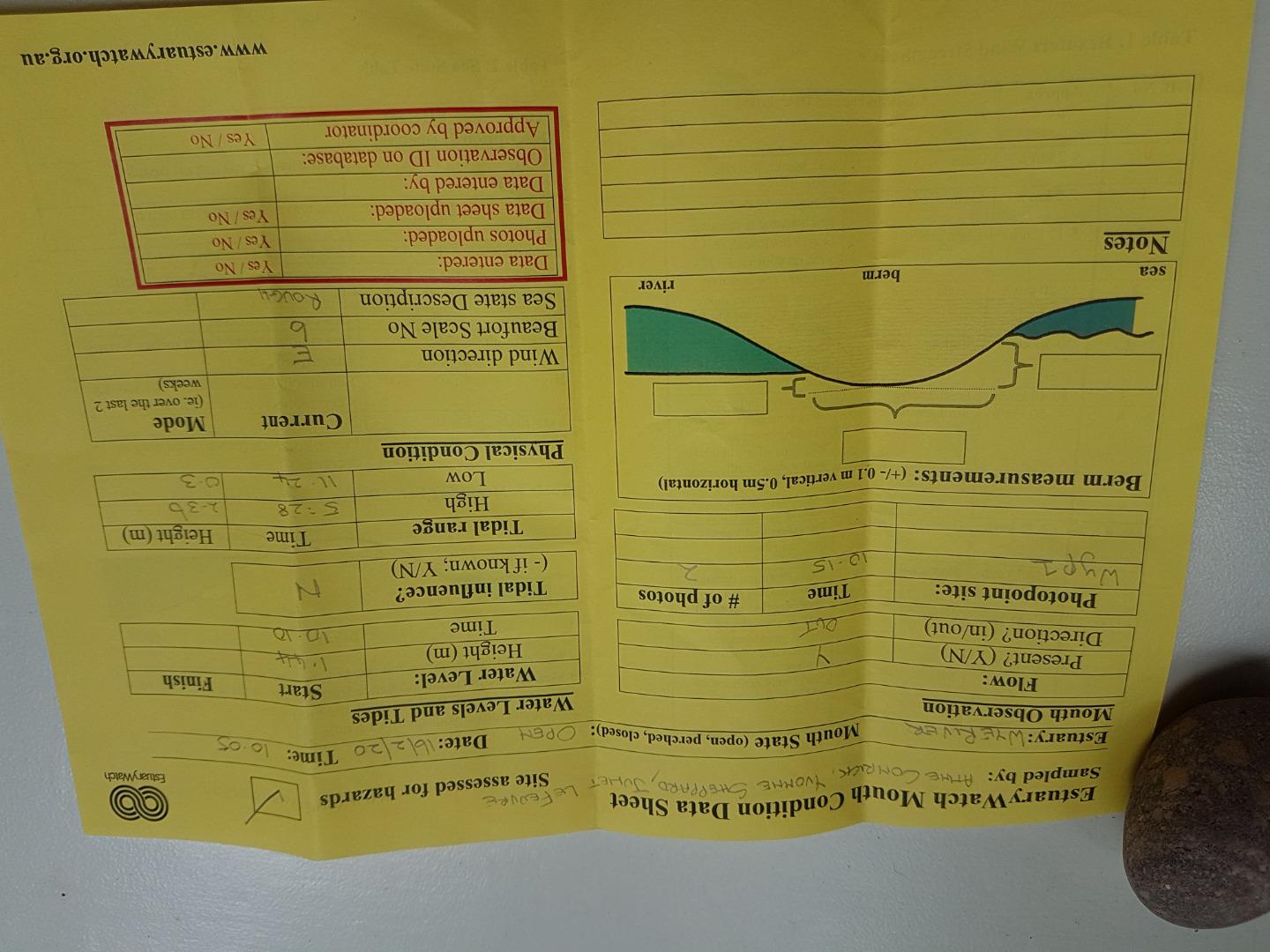
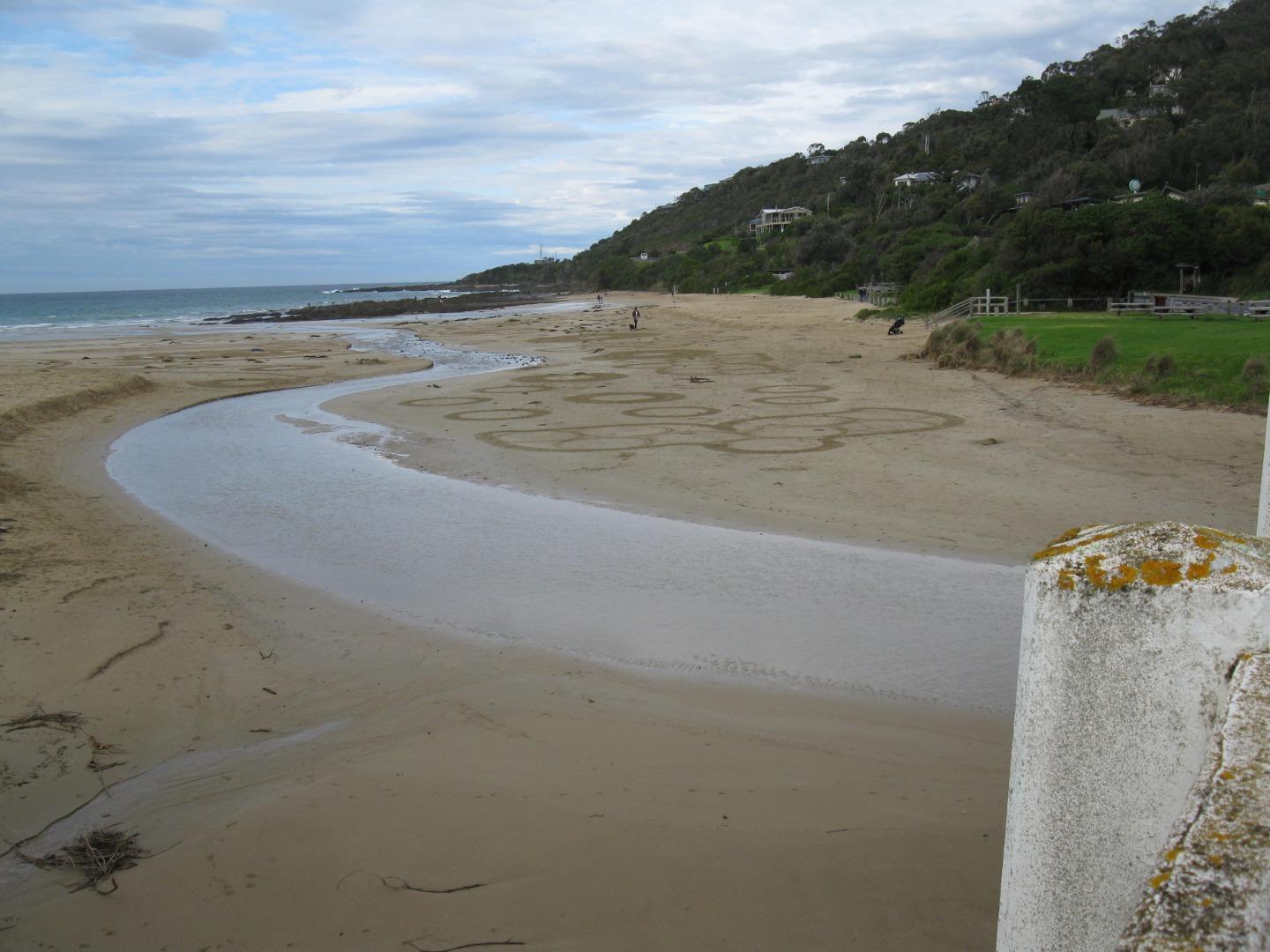
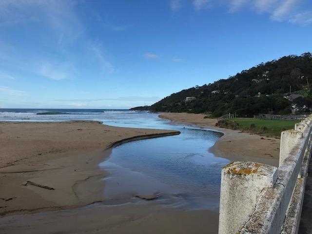
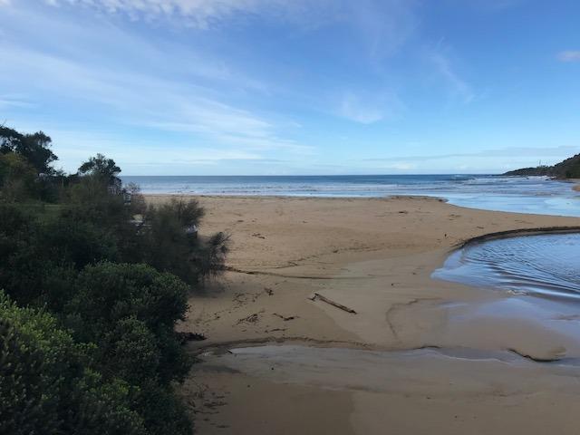
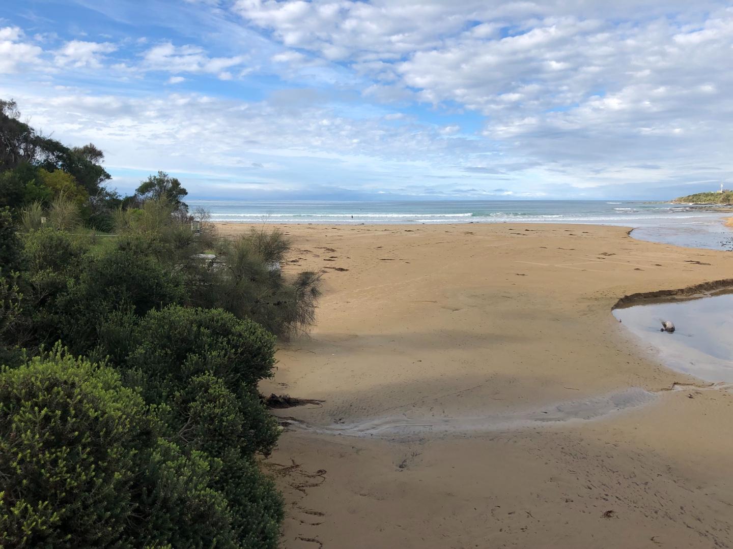
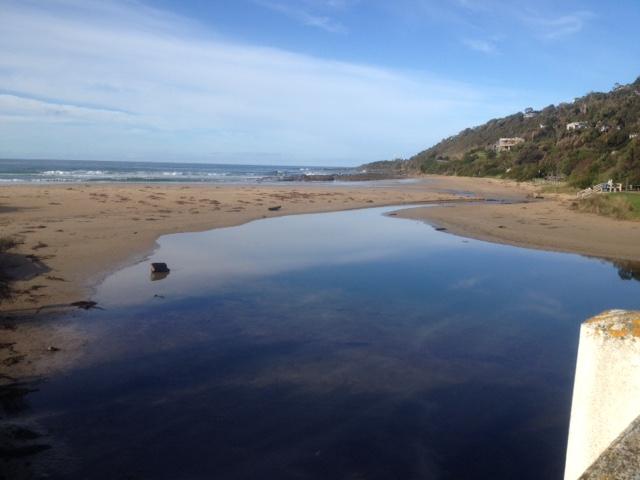
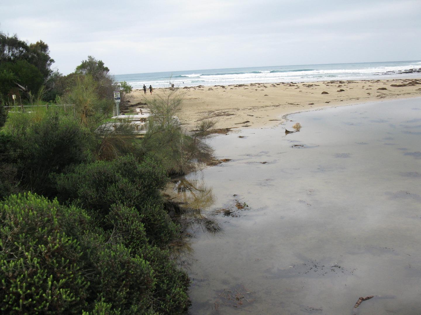
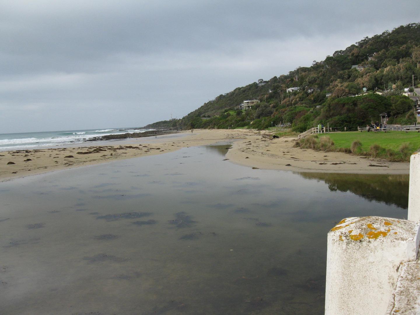
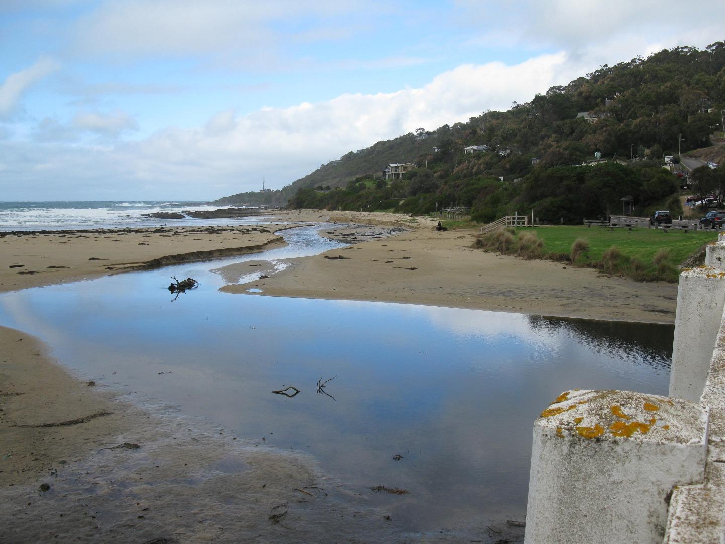
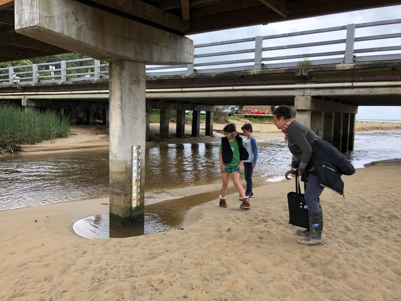
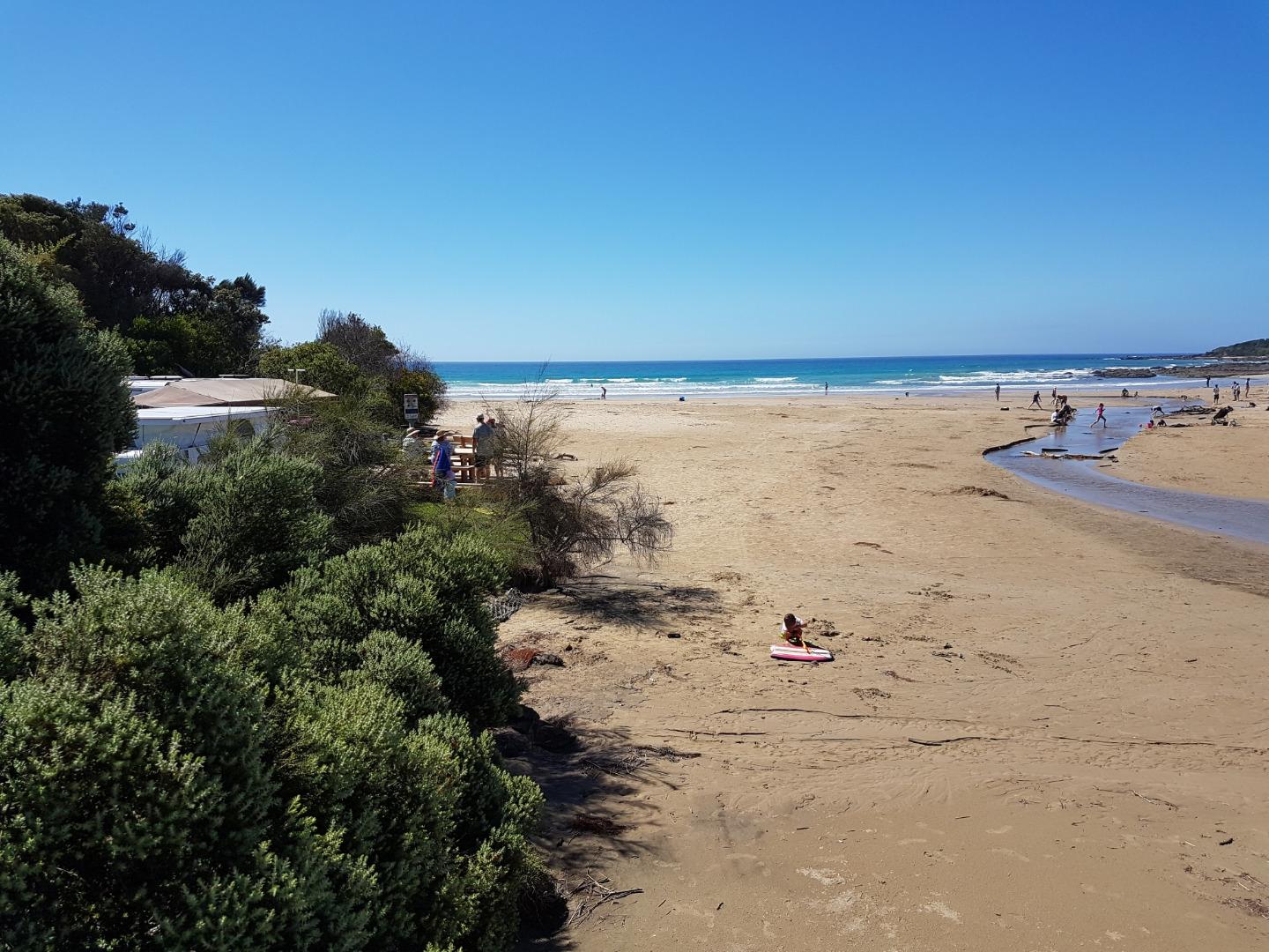
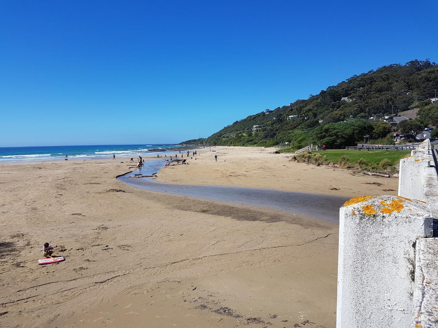
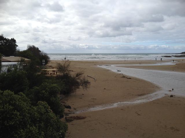
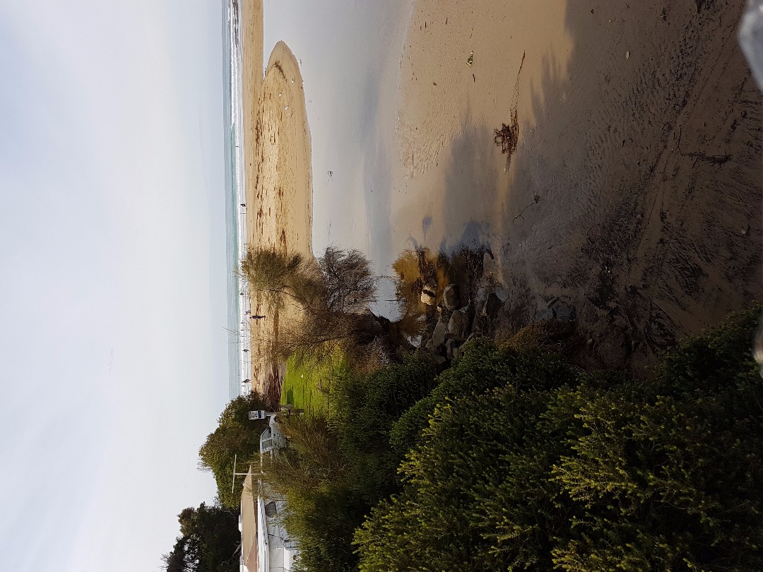
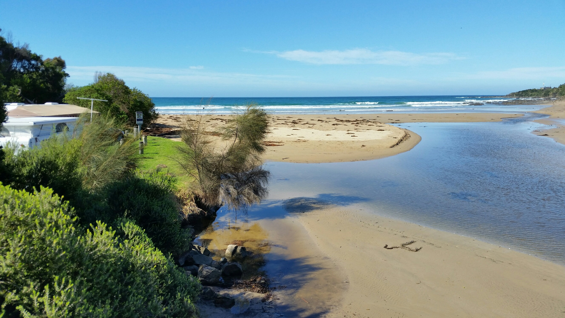
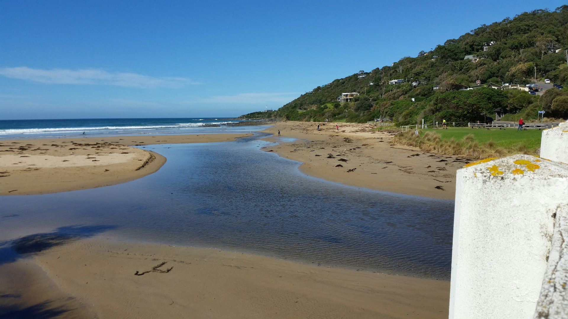
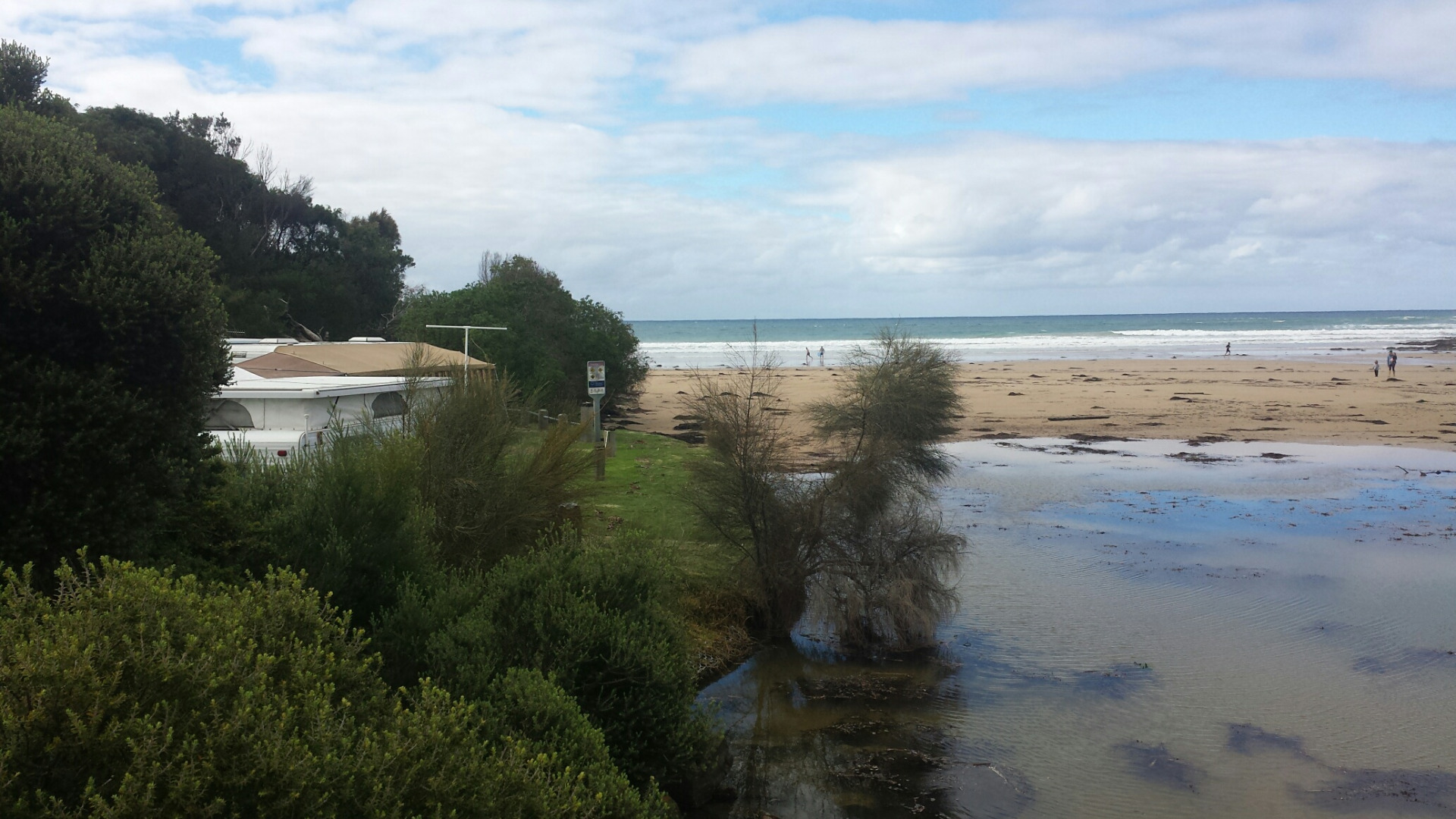
EstuaryWatch Data Portal
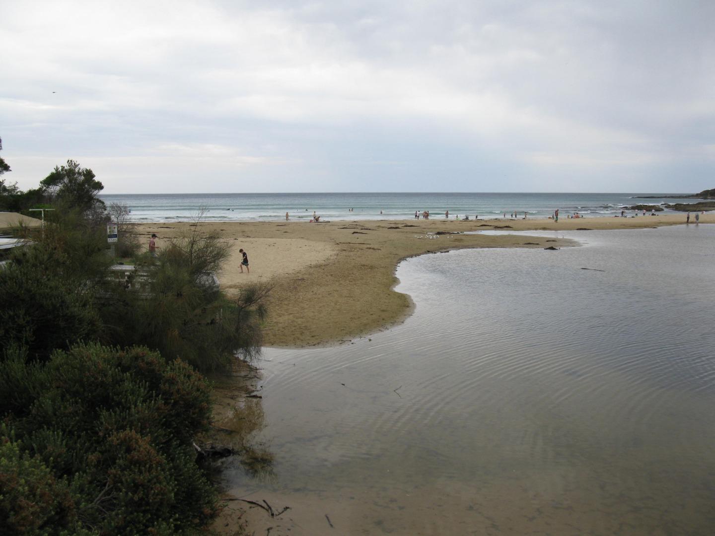
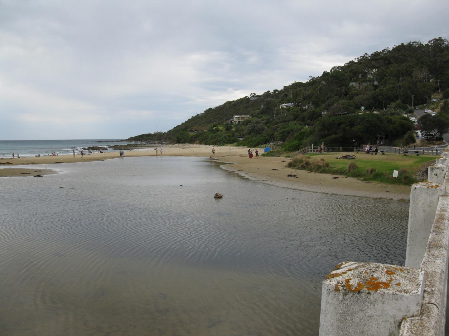
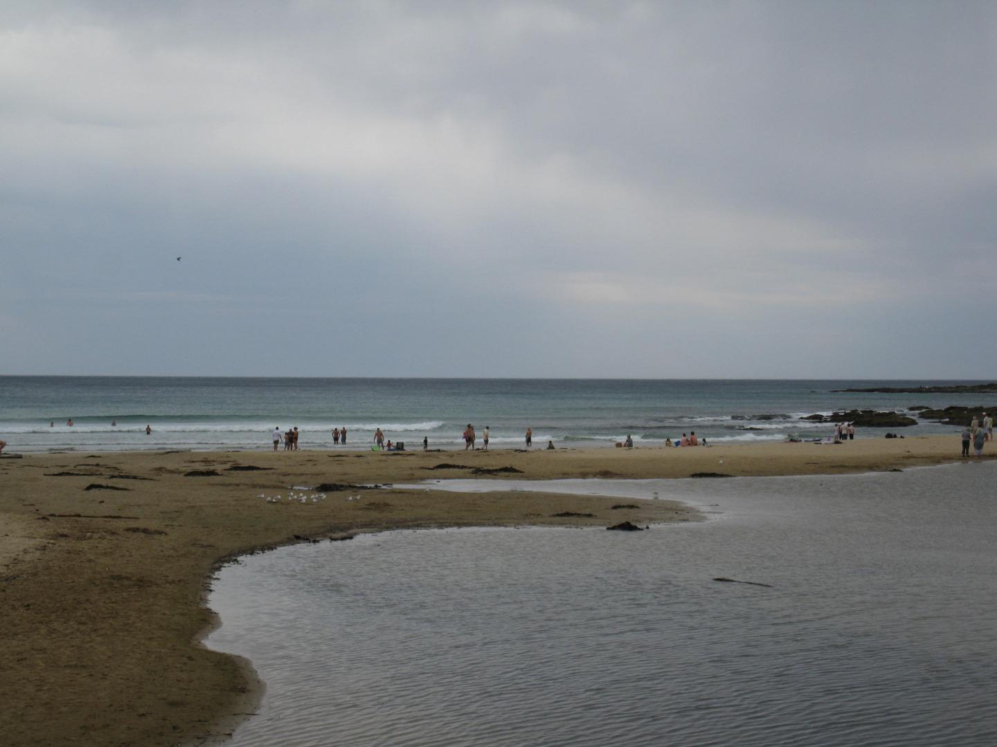
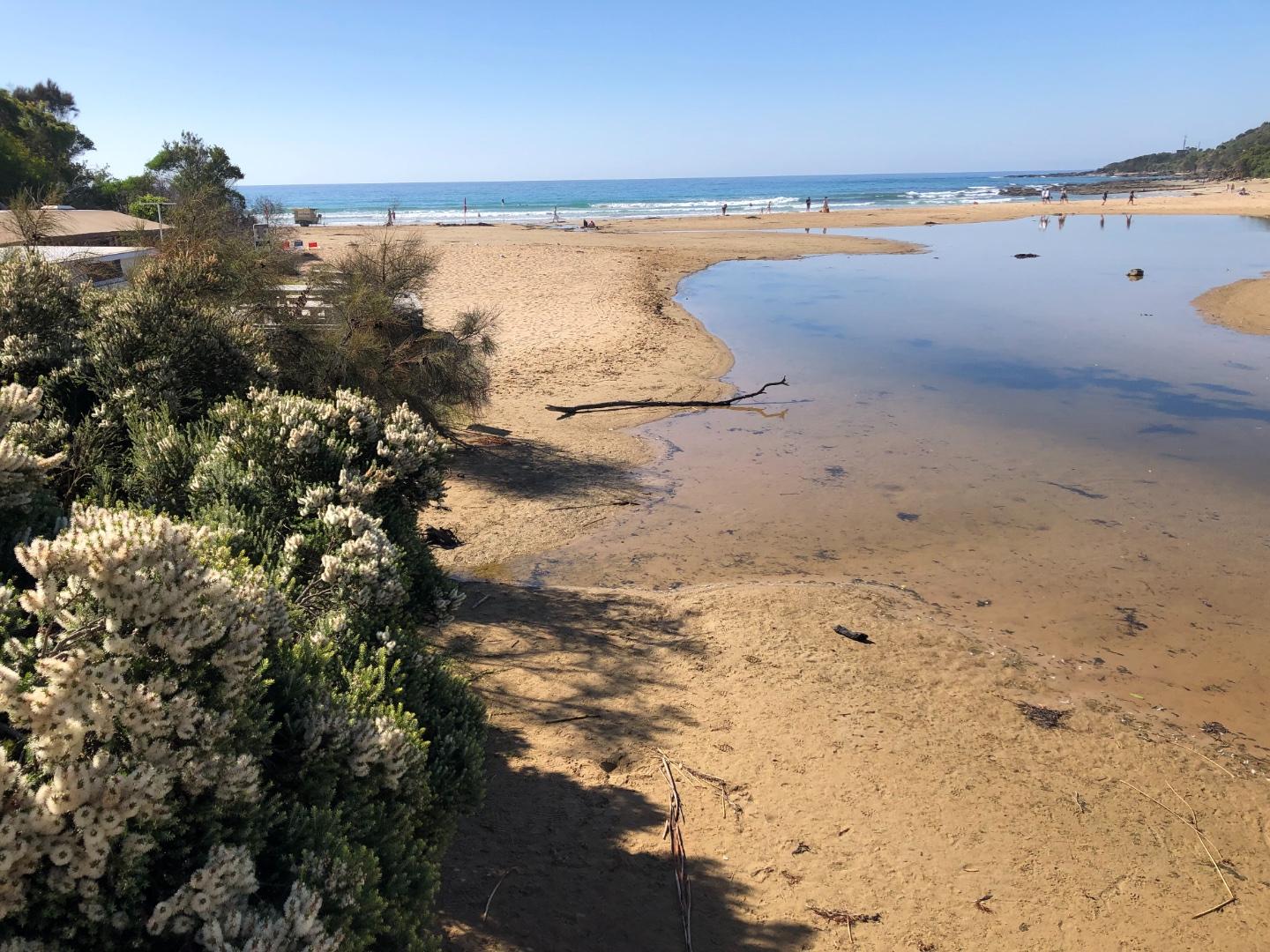
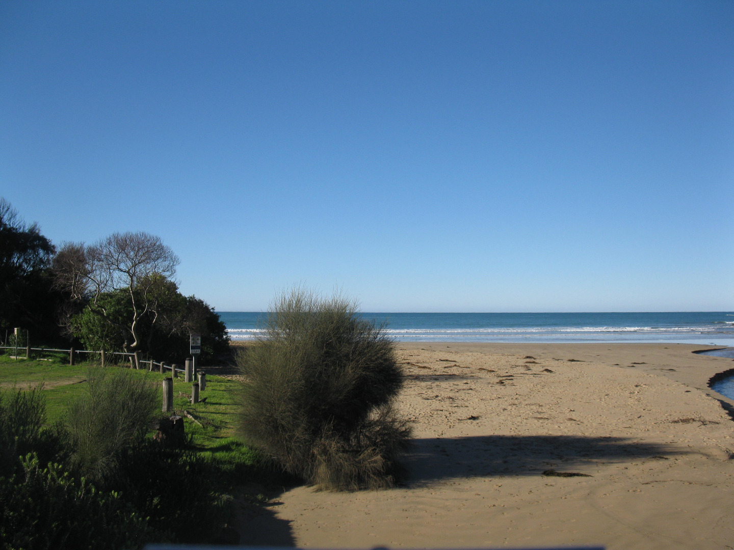
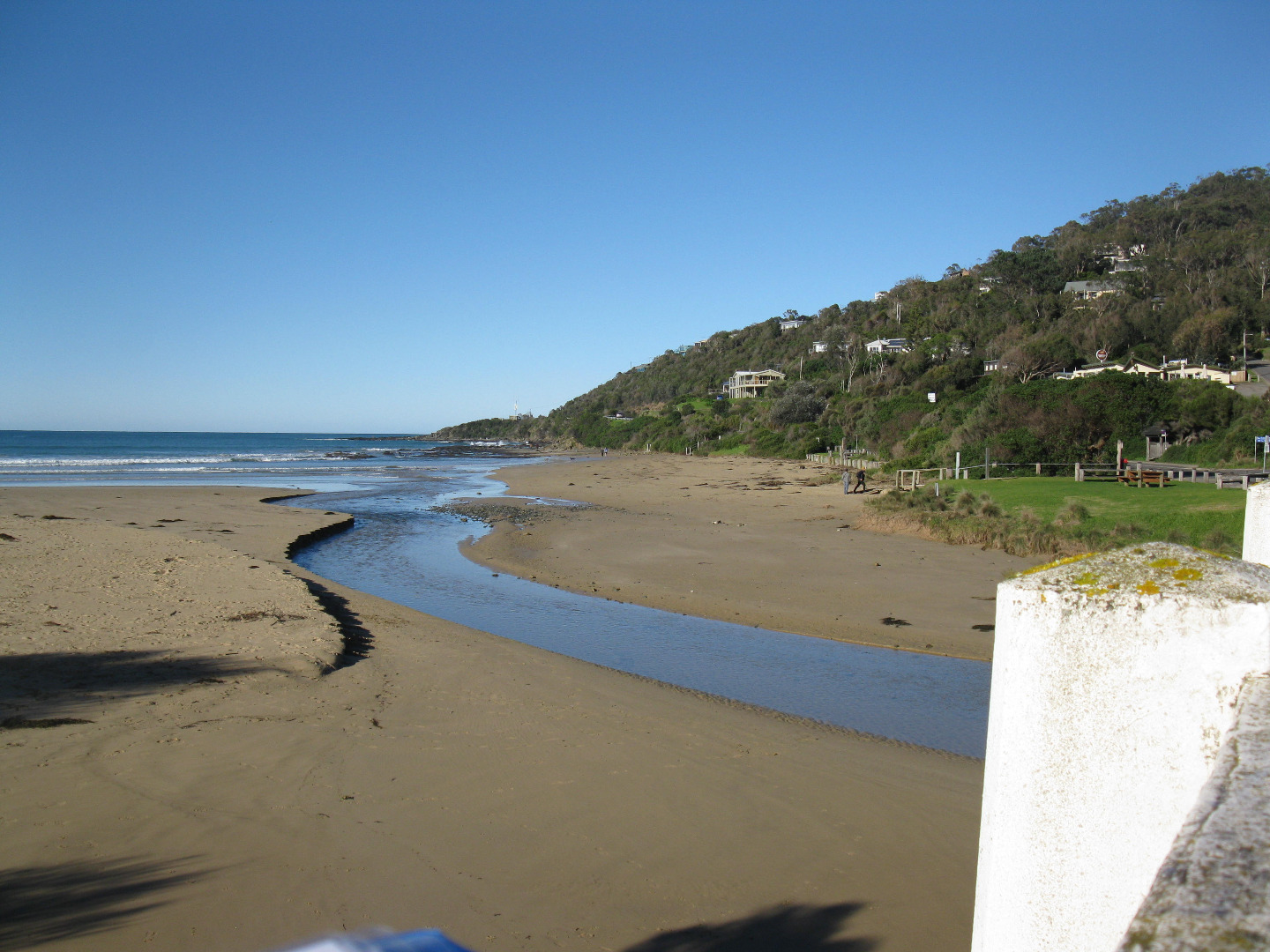
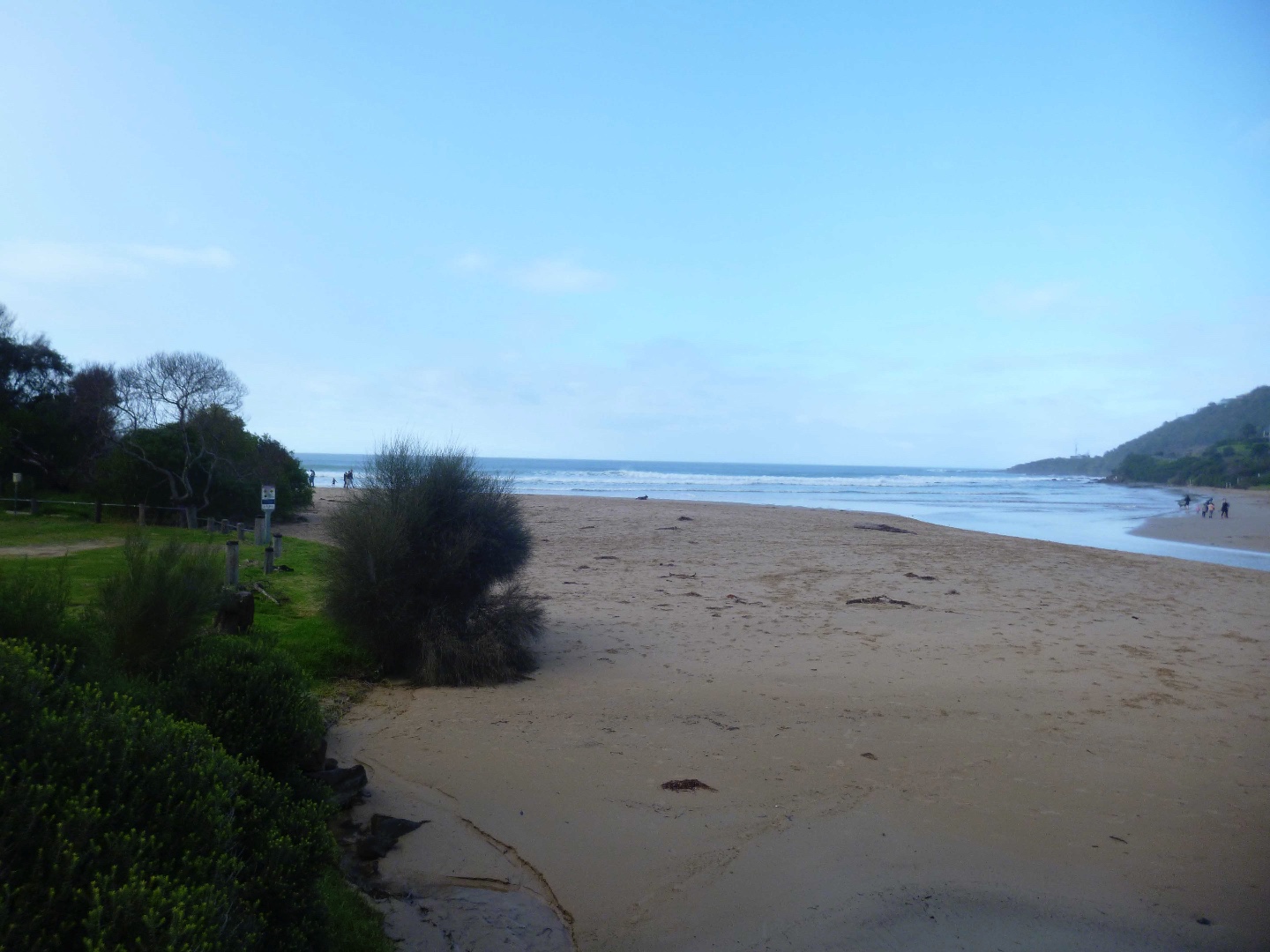
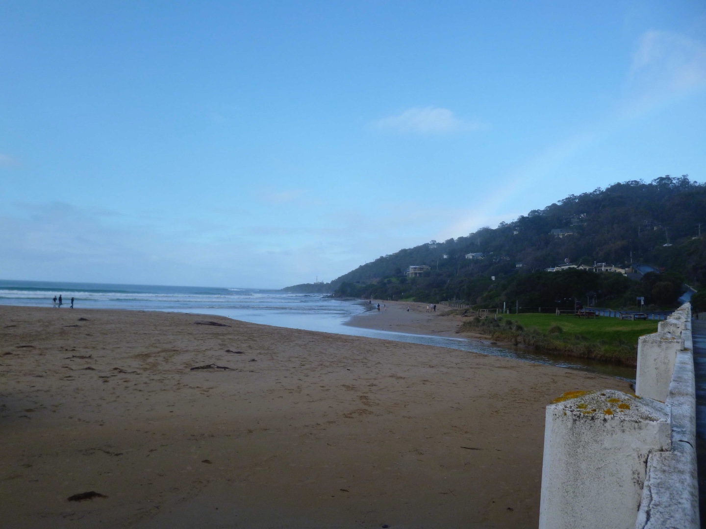
WyMC Wye River Mouth Condition
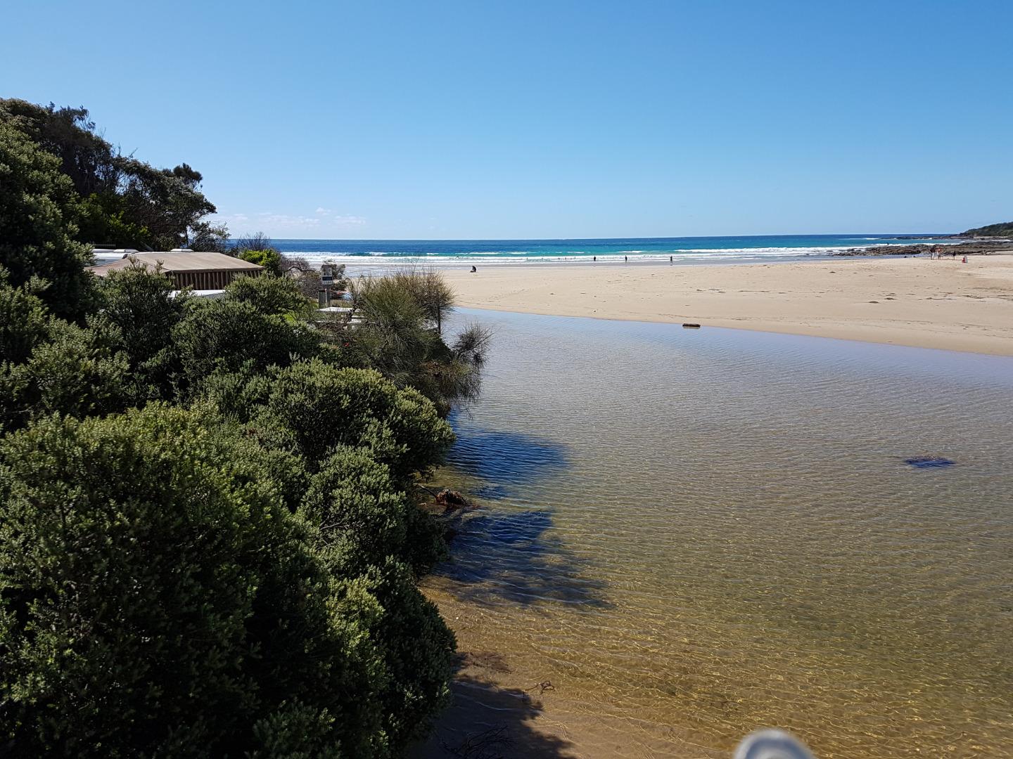
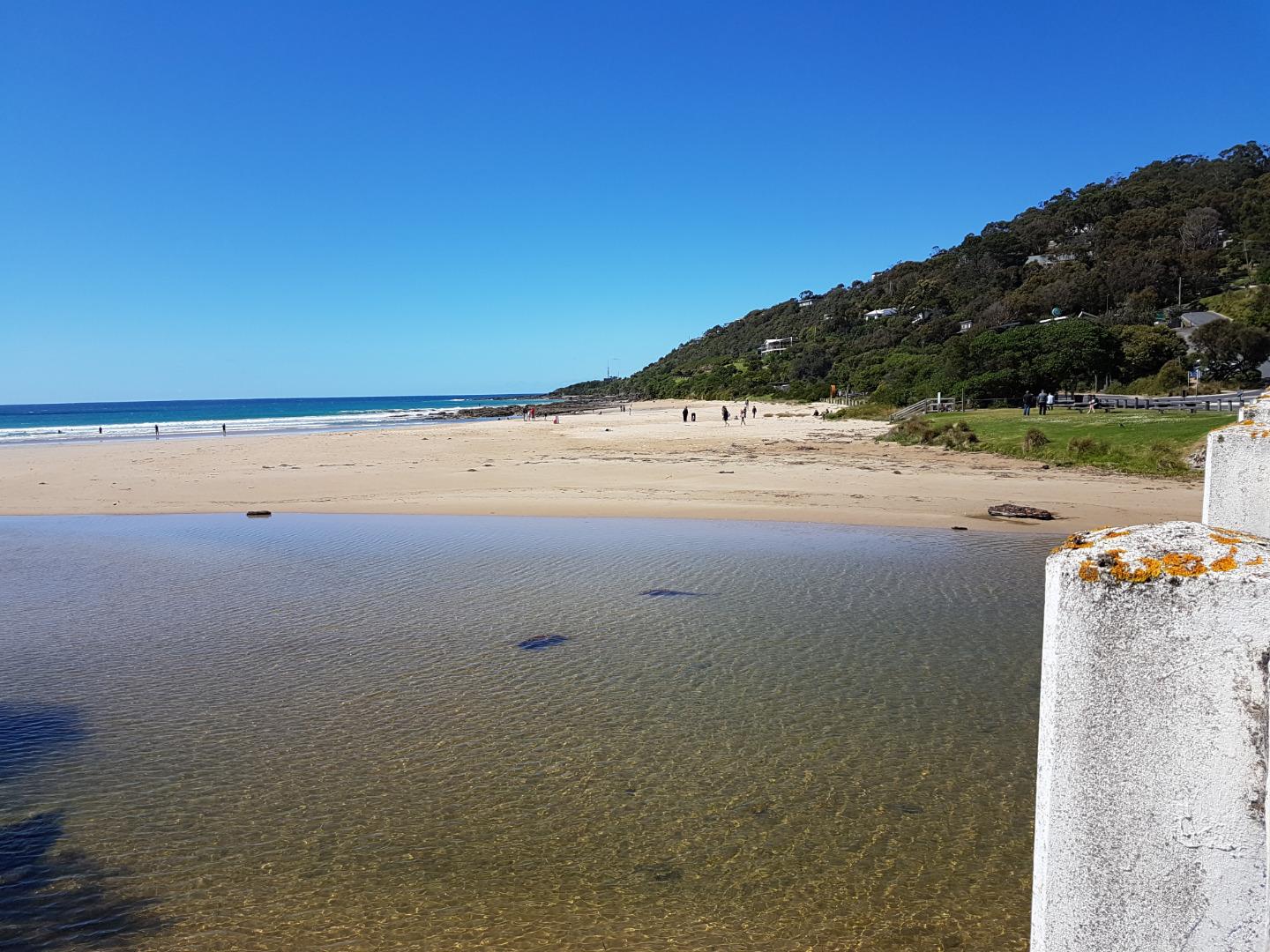
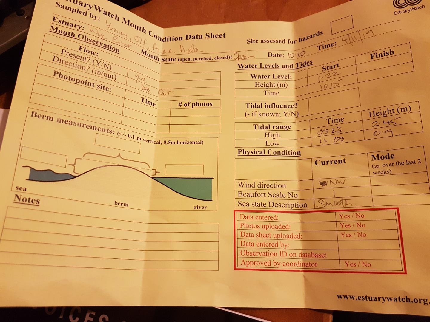
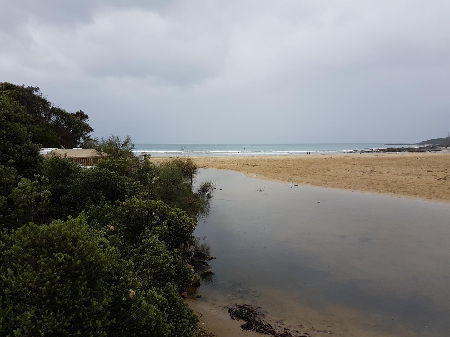
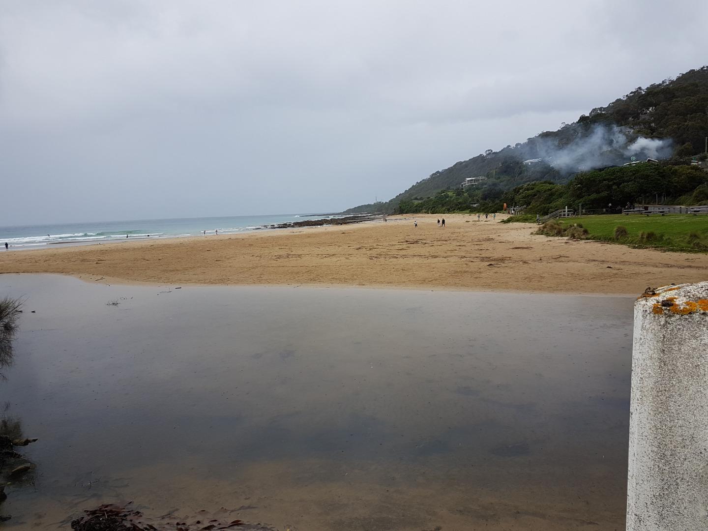
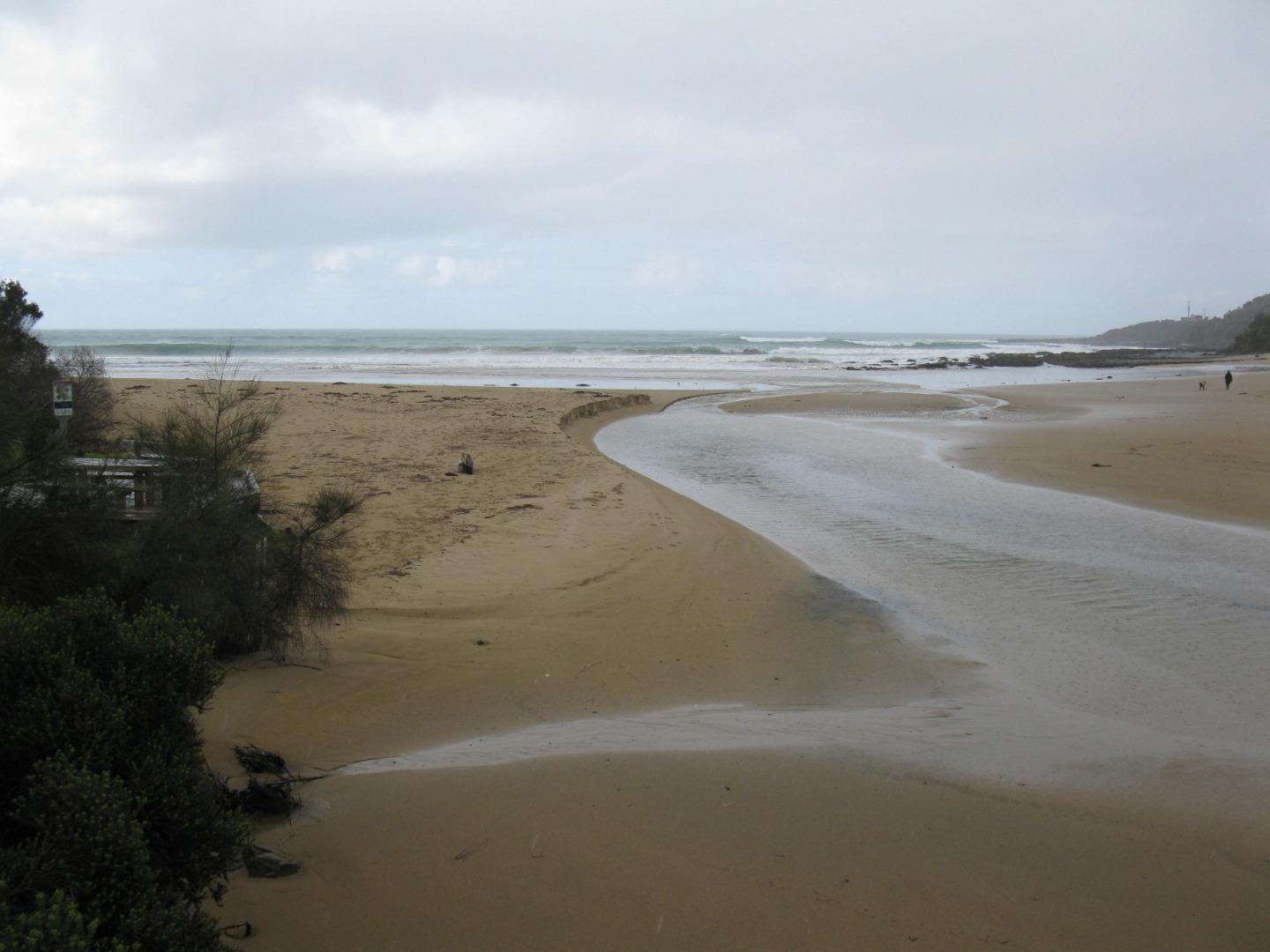
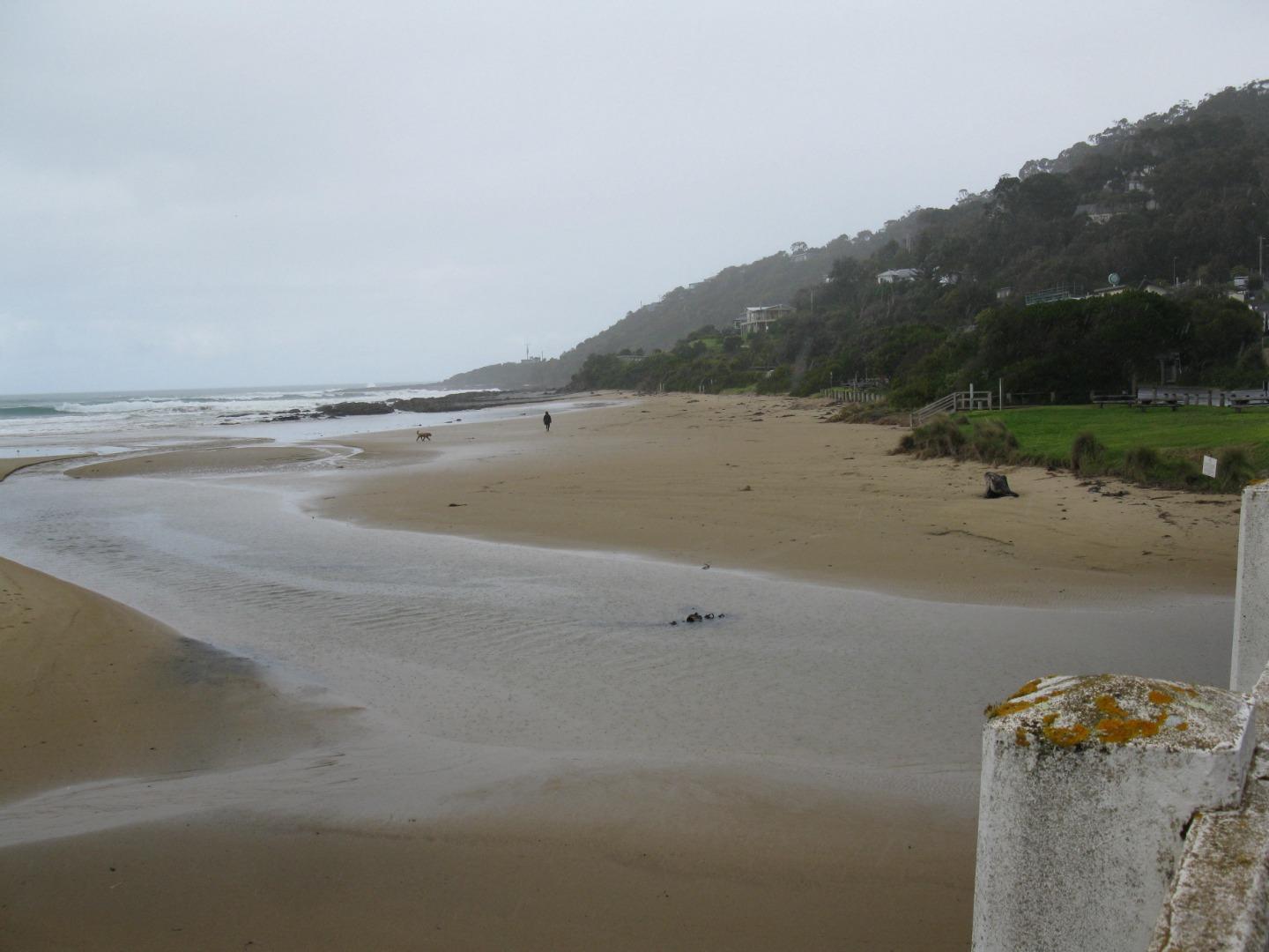
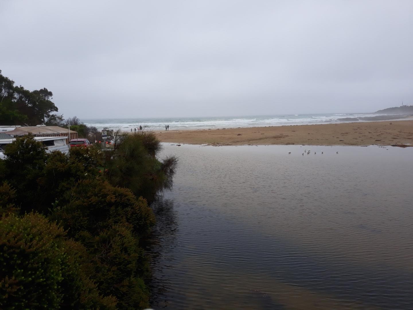
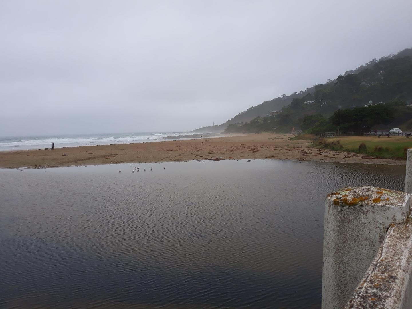
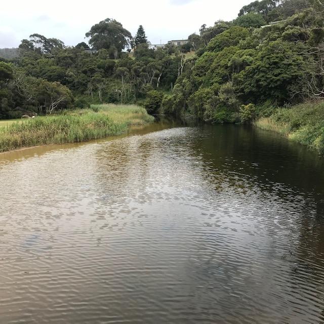
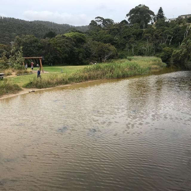
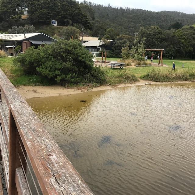
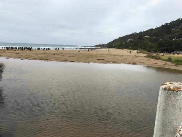
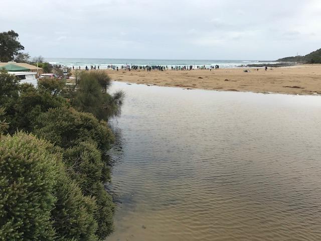
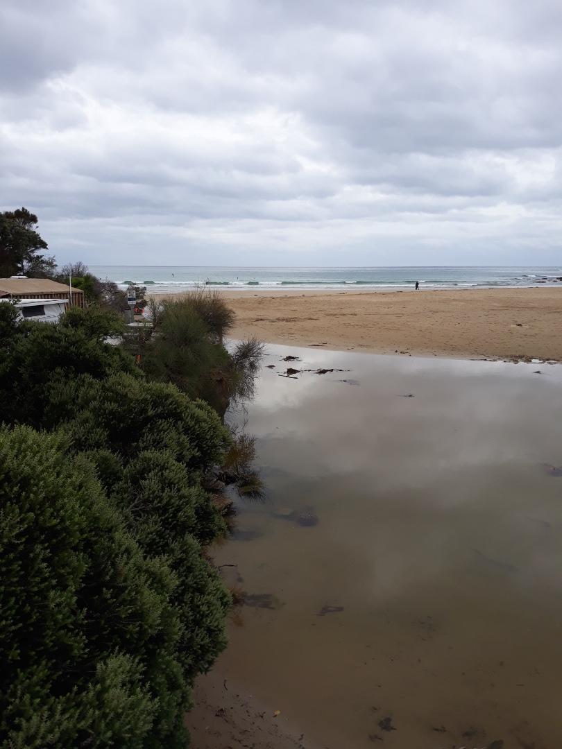
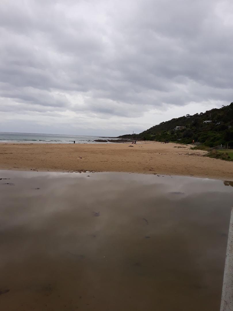
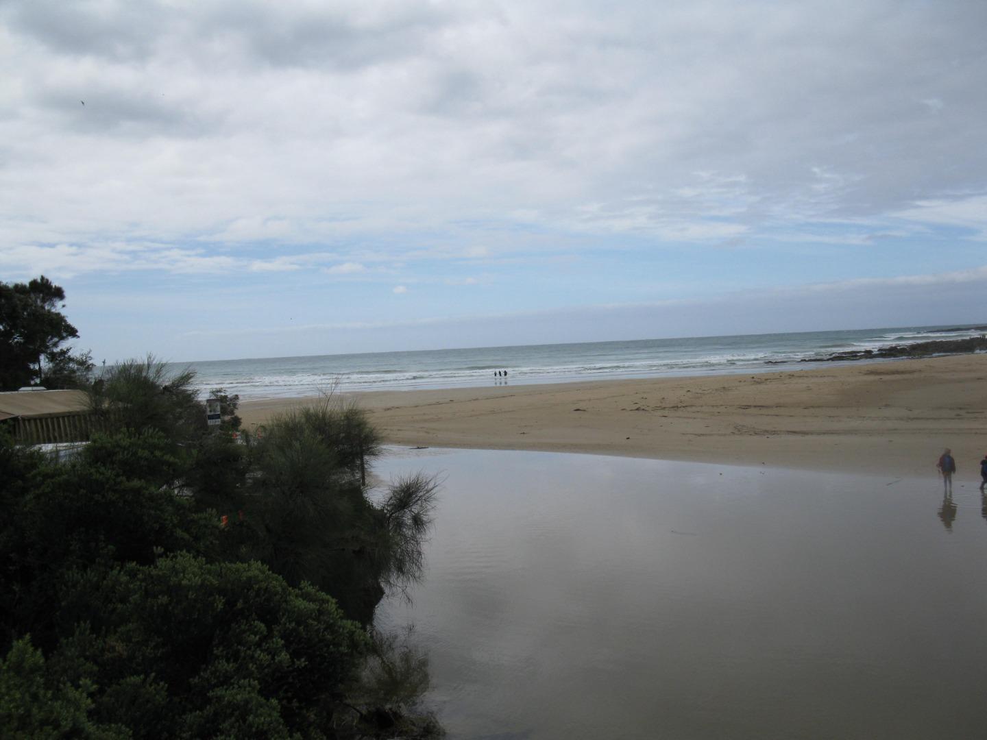
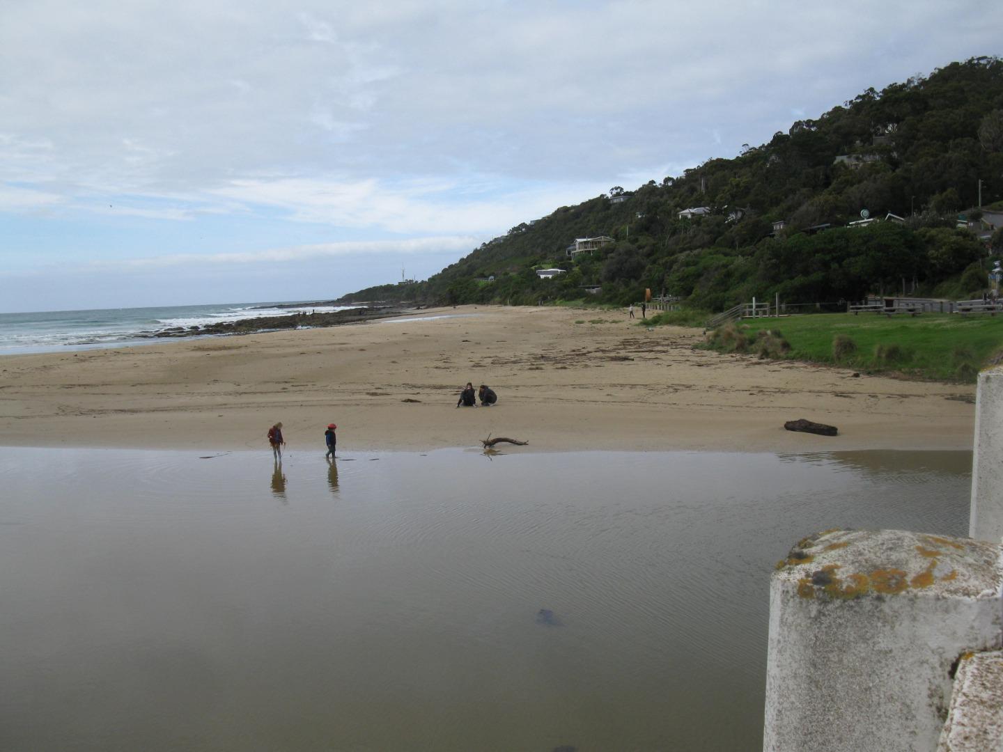
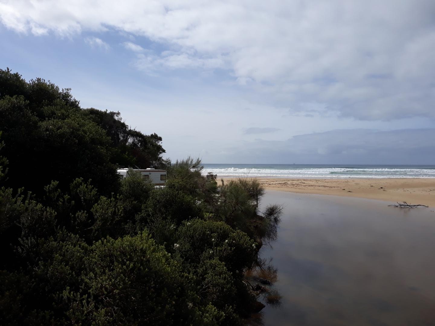
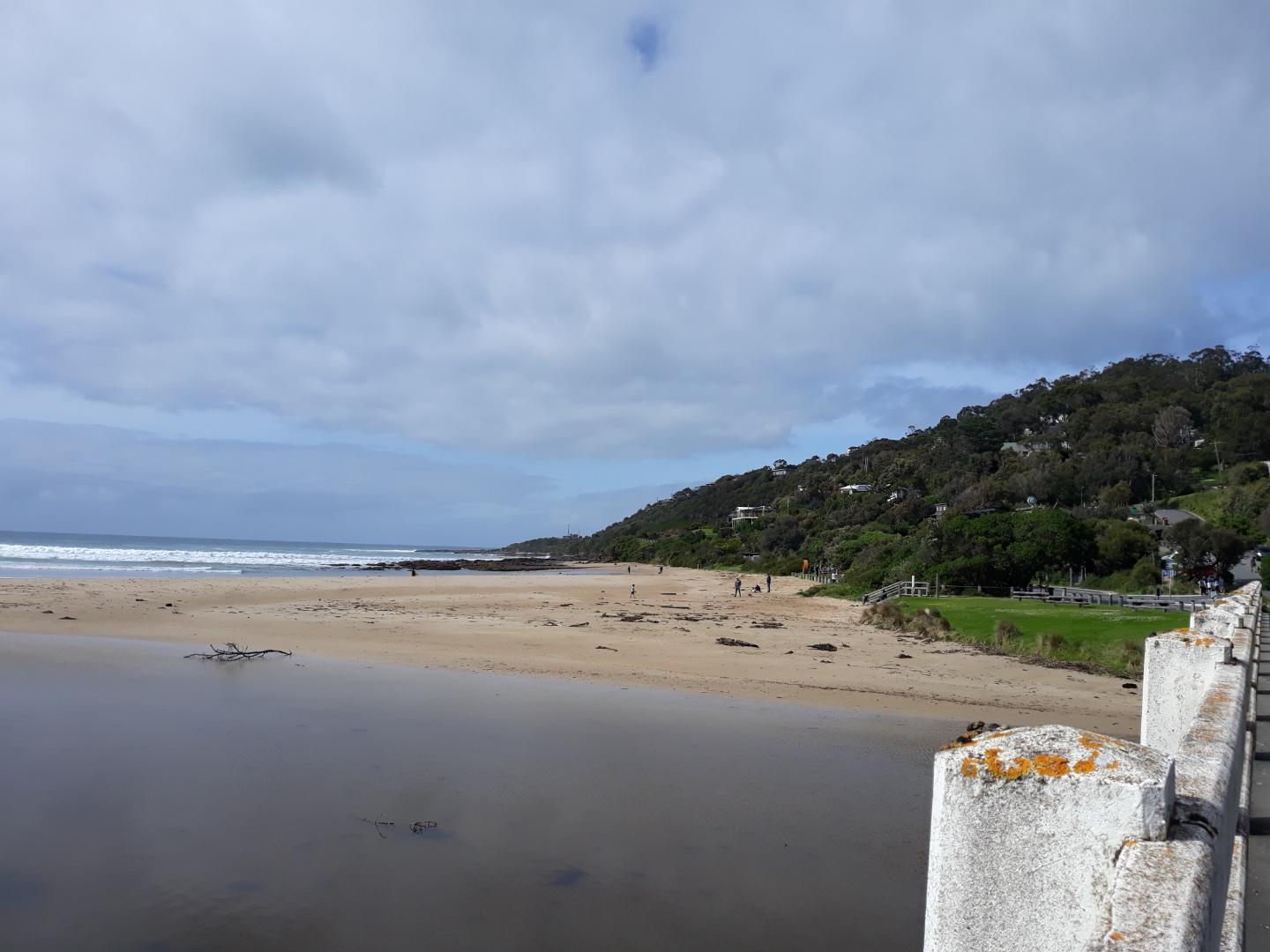
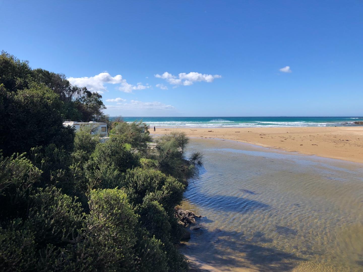
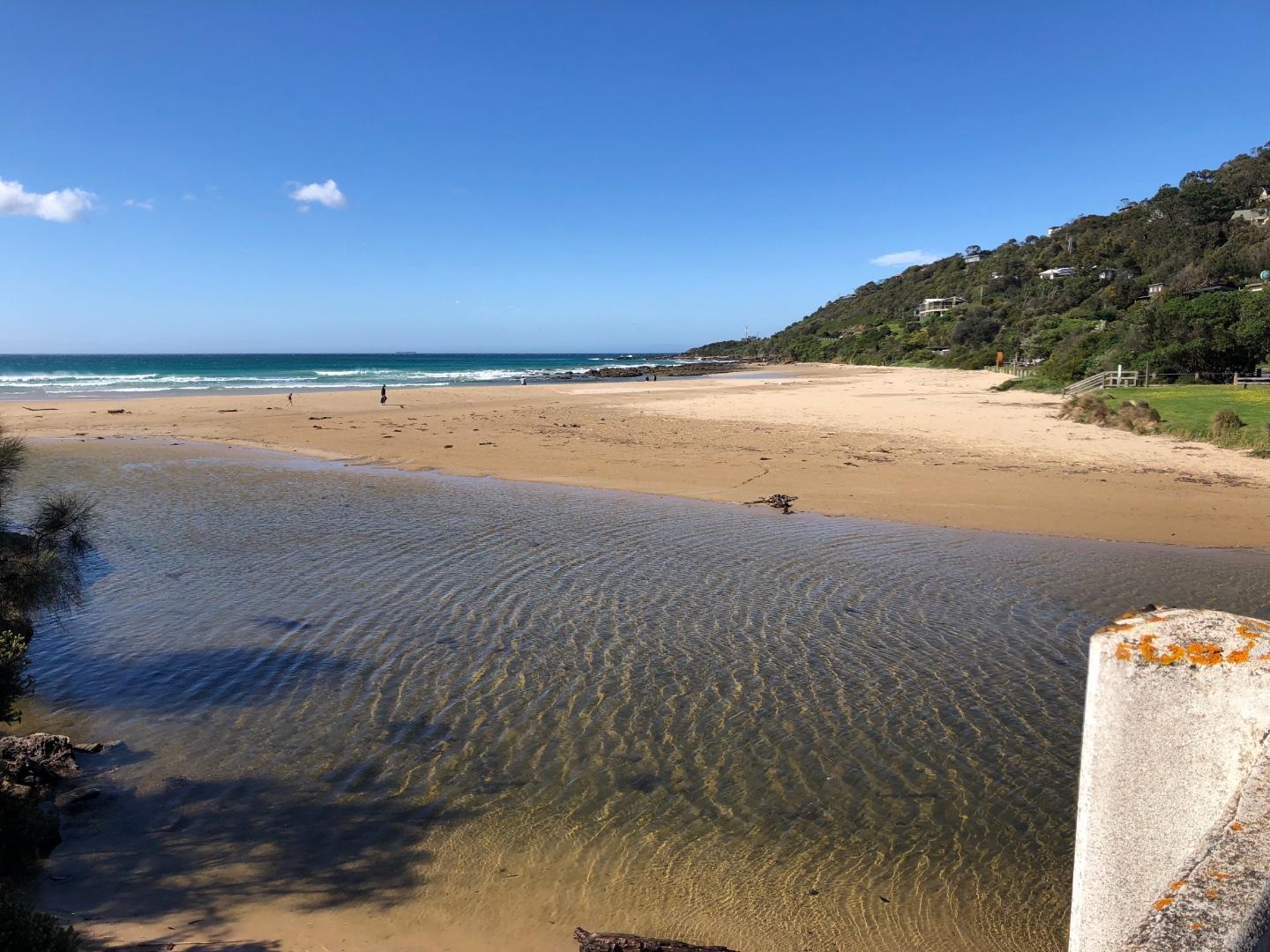
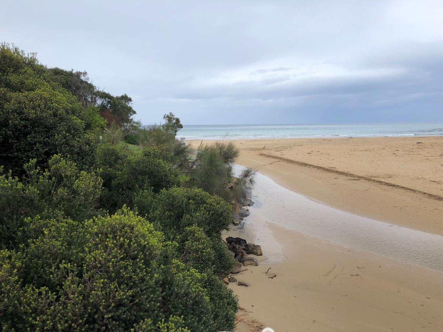
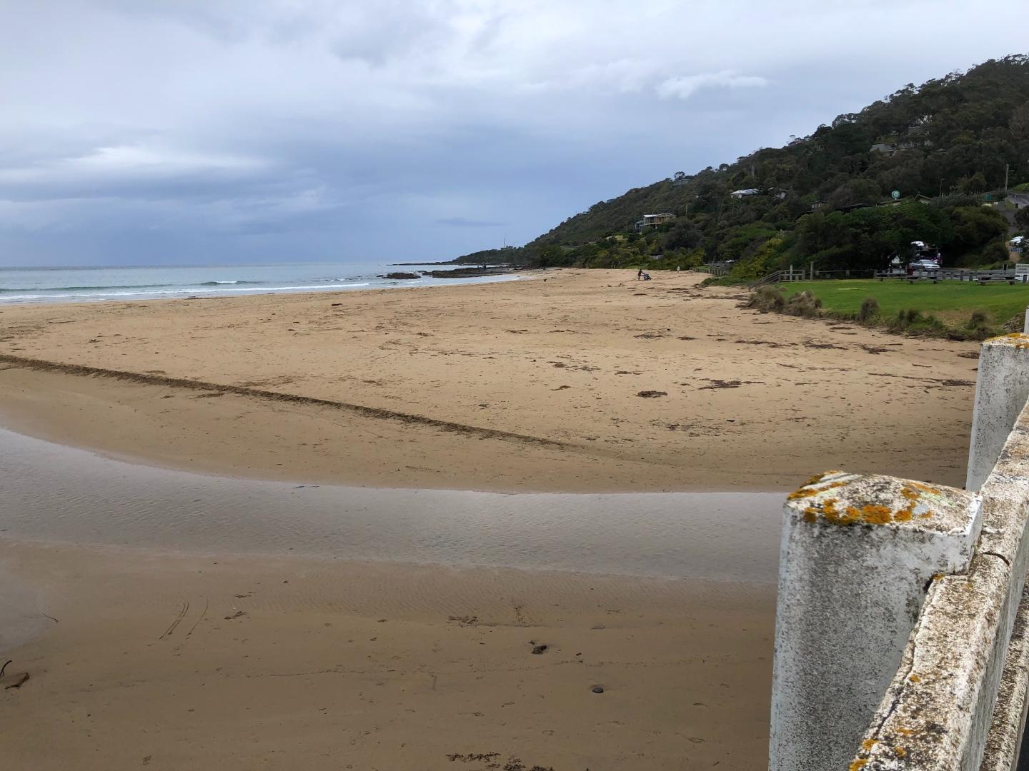
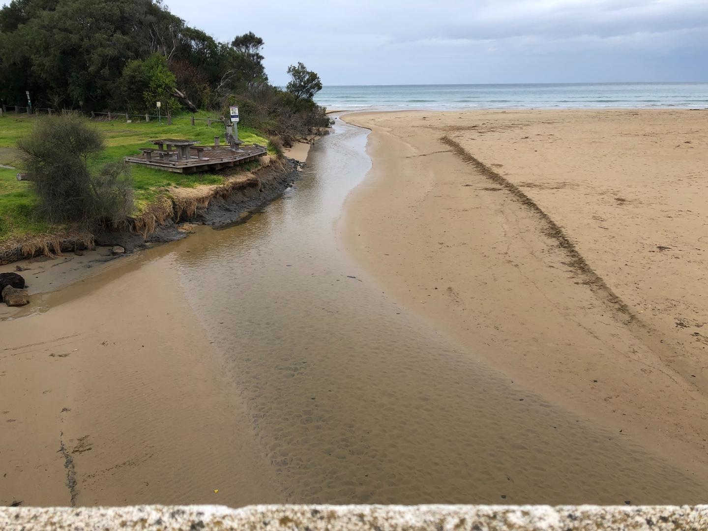
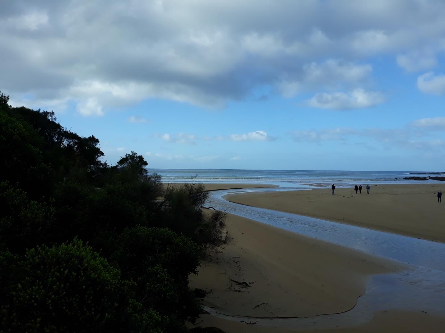
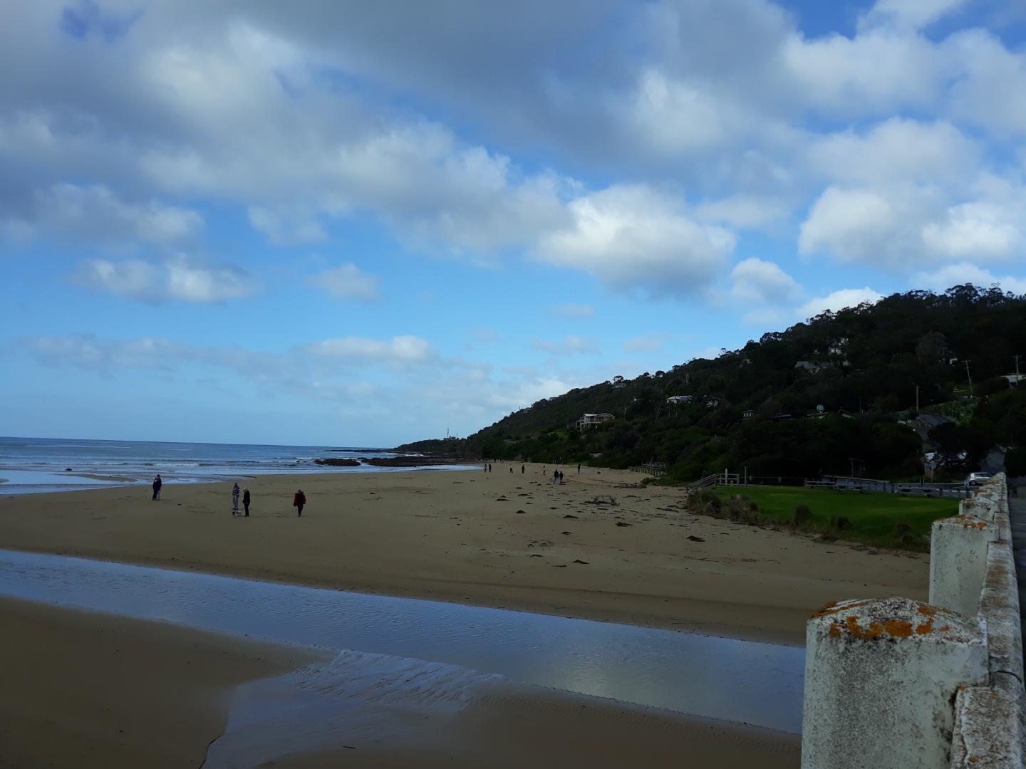
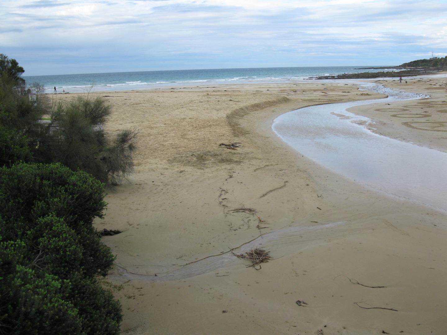
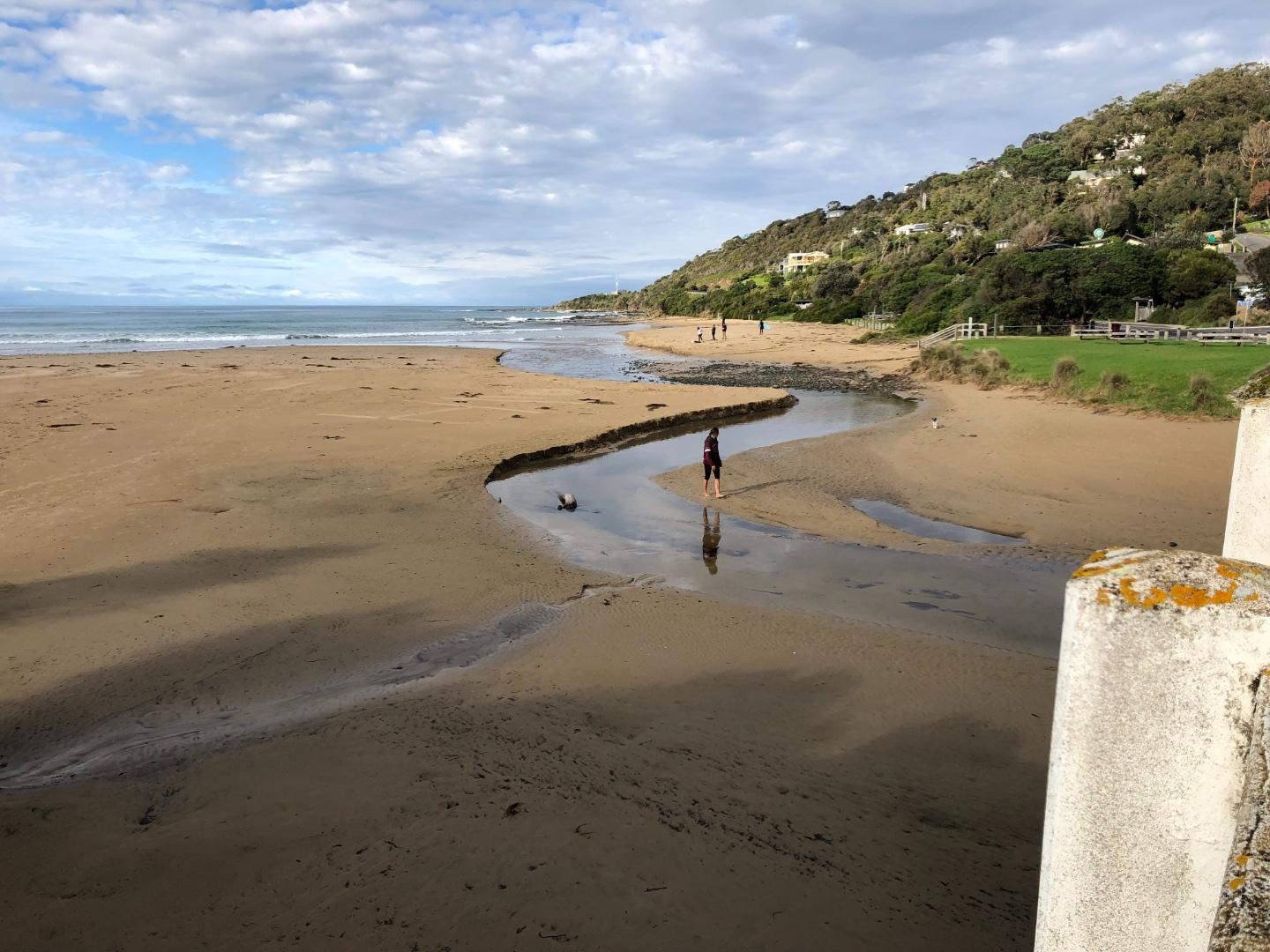
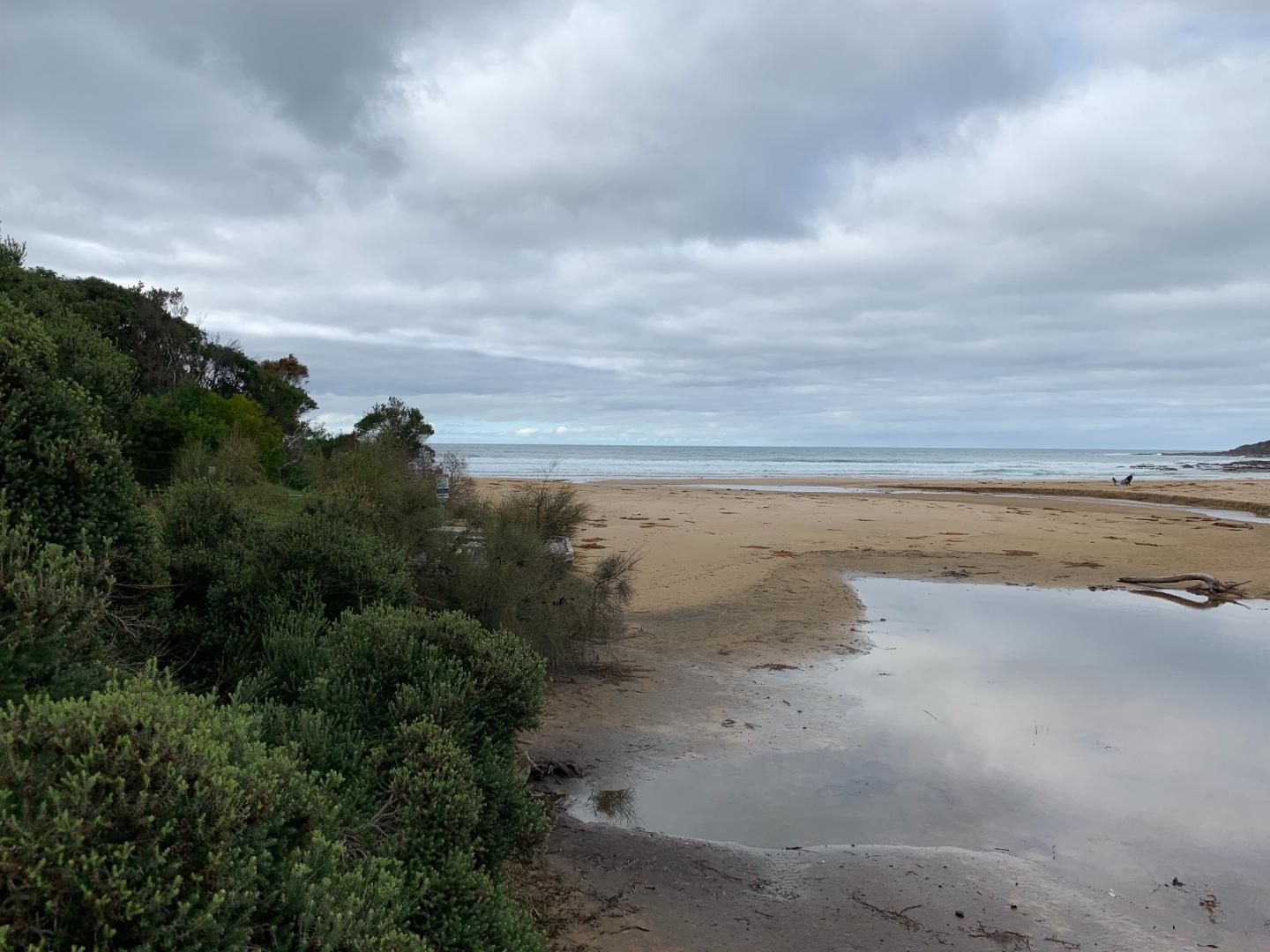
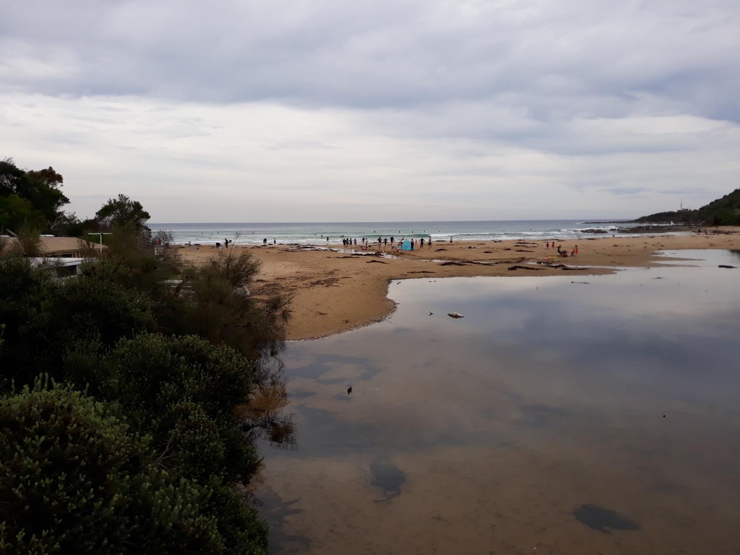
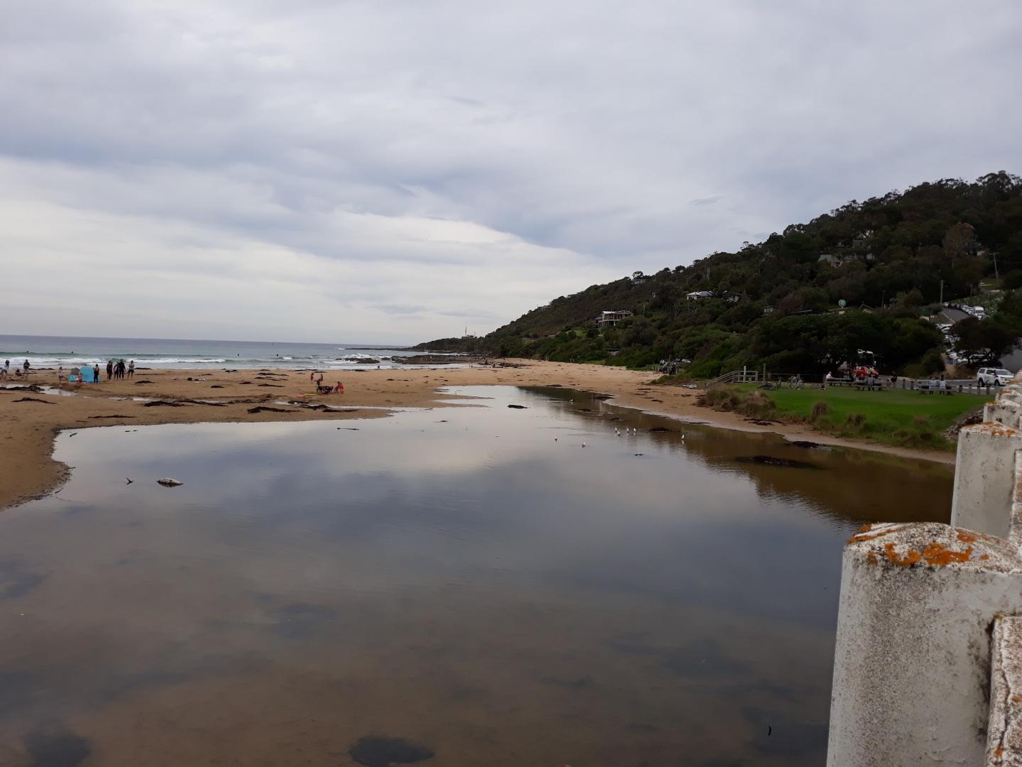
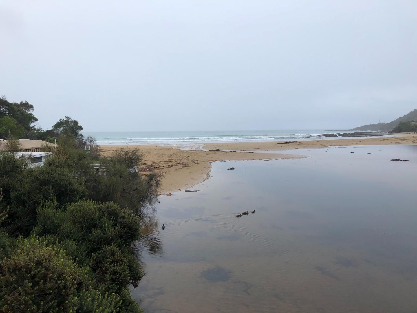
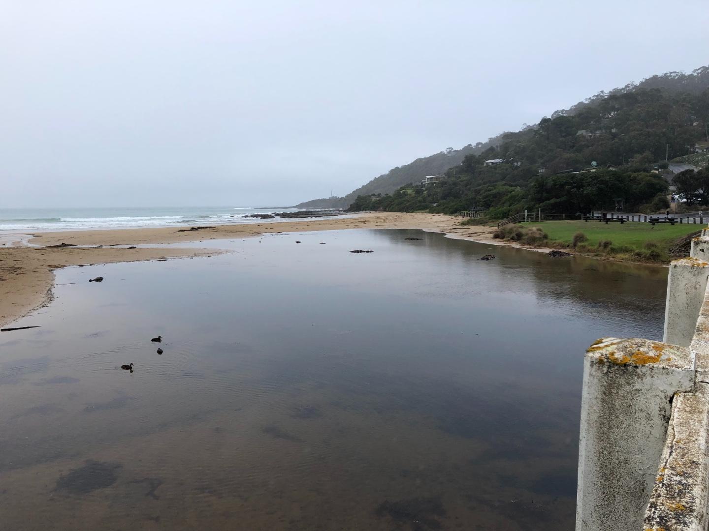
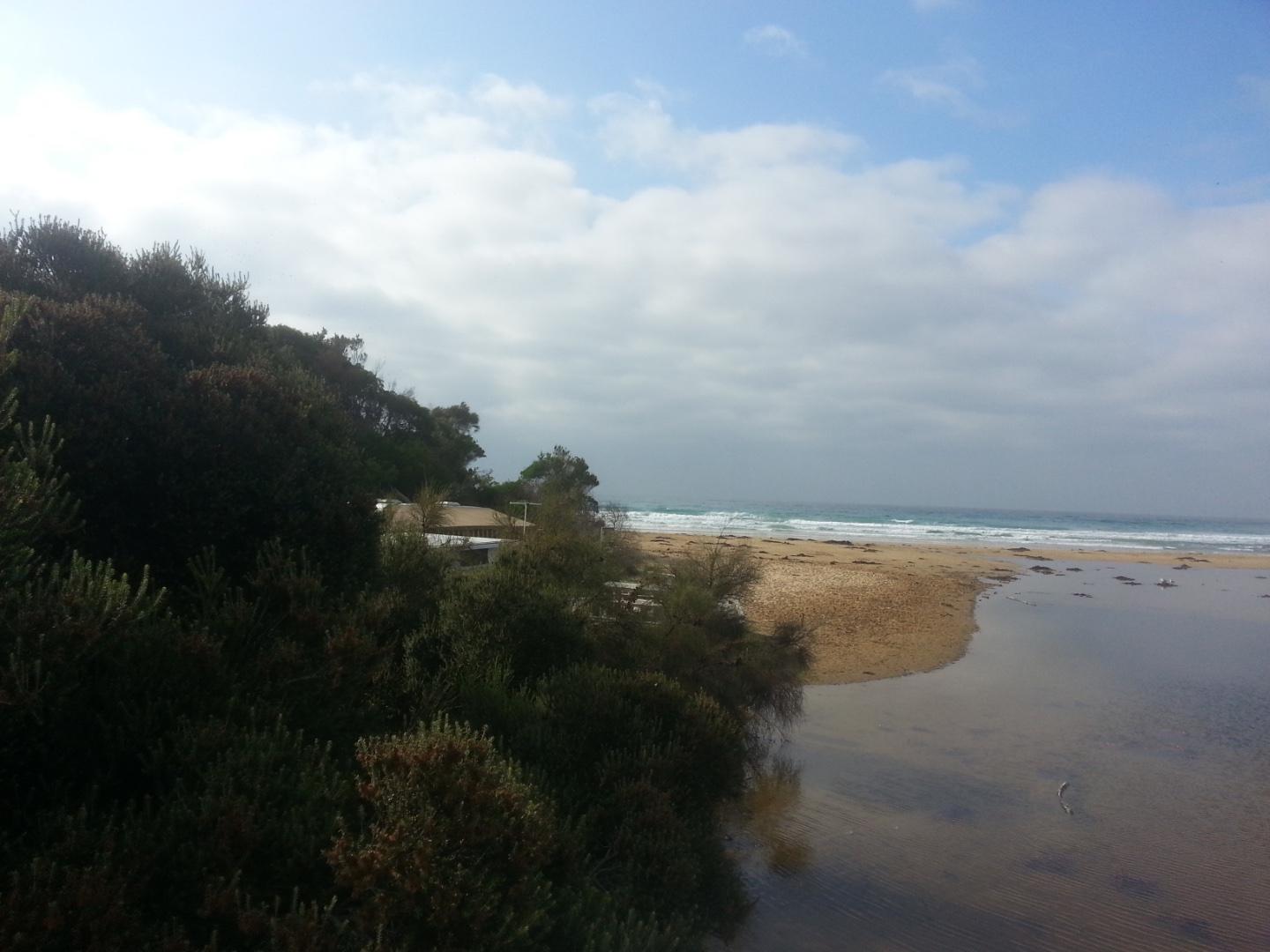
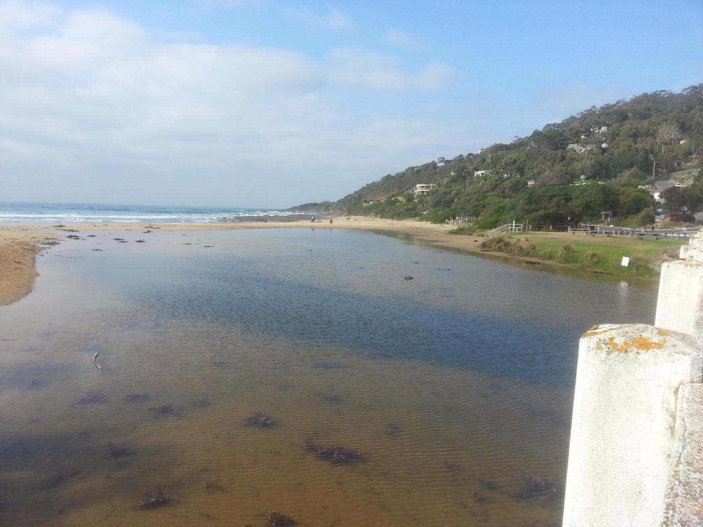
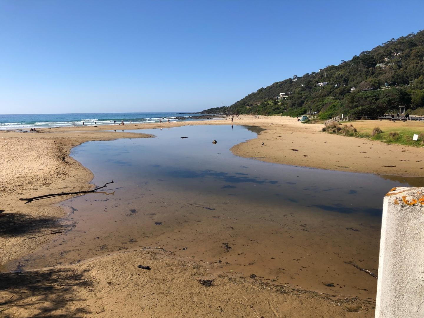
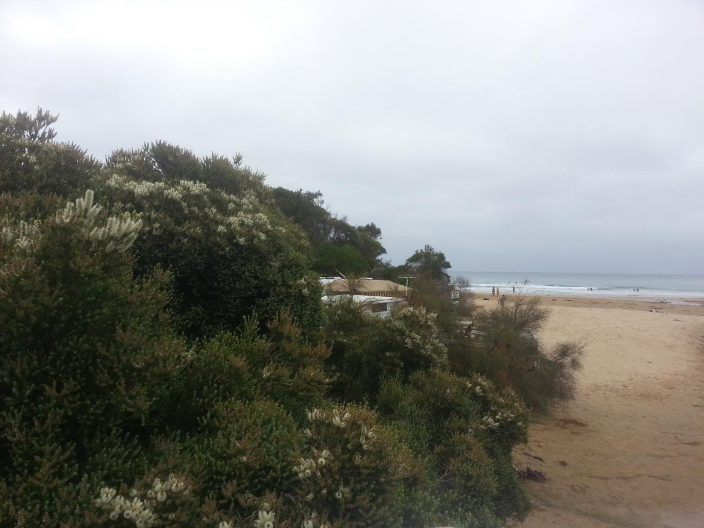
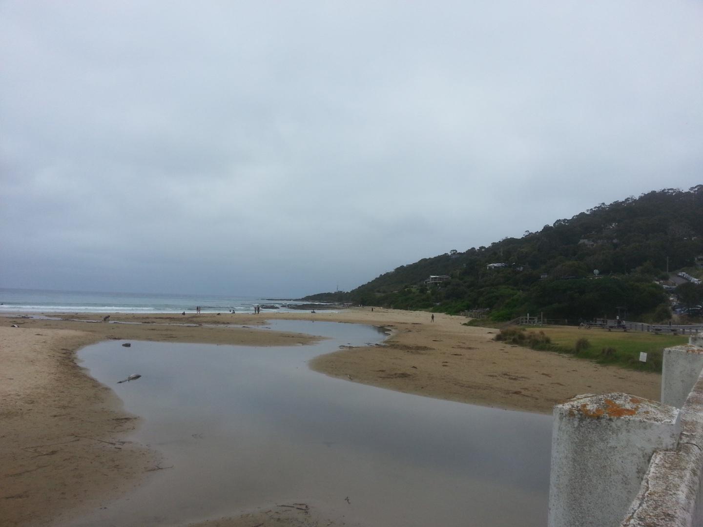
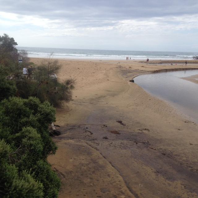
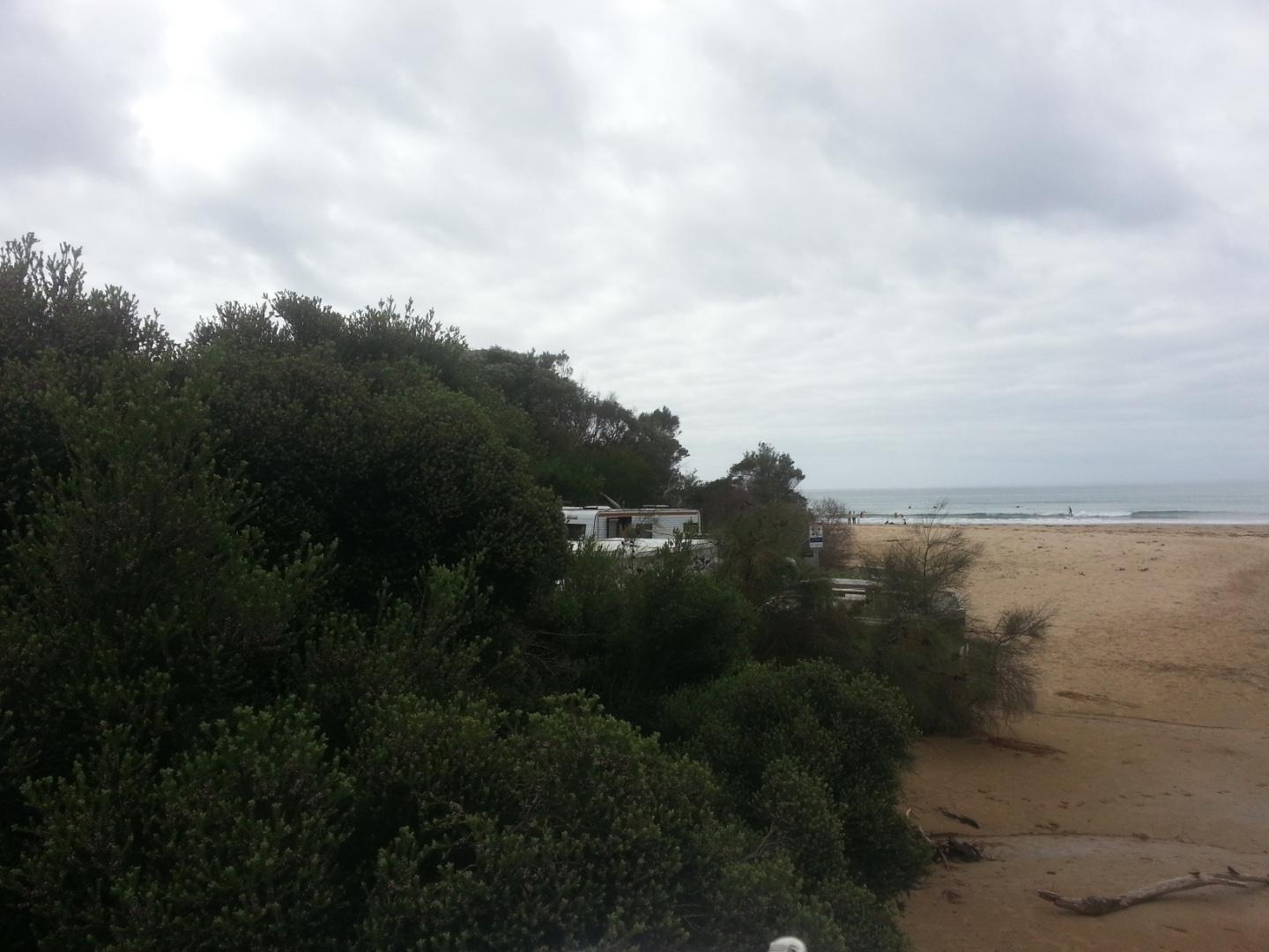
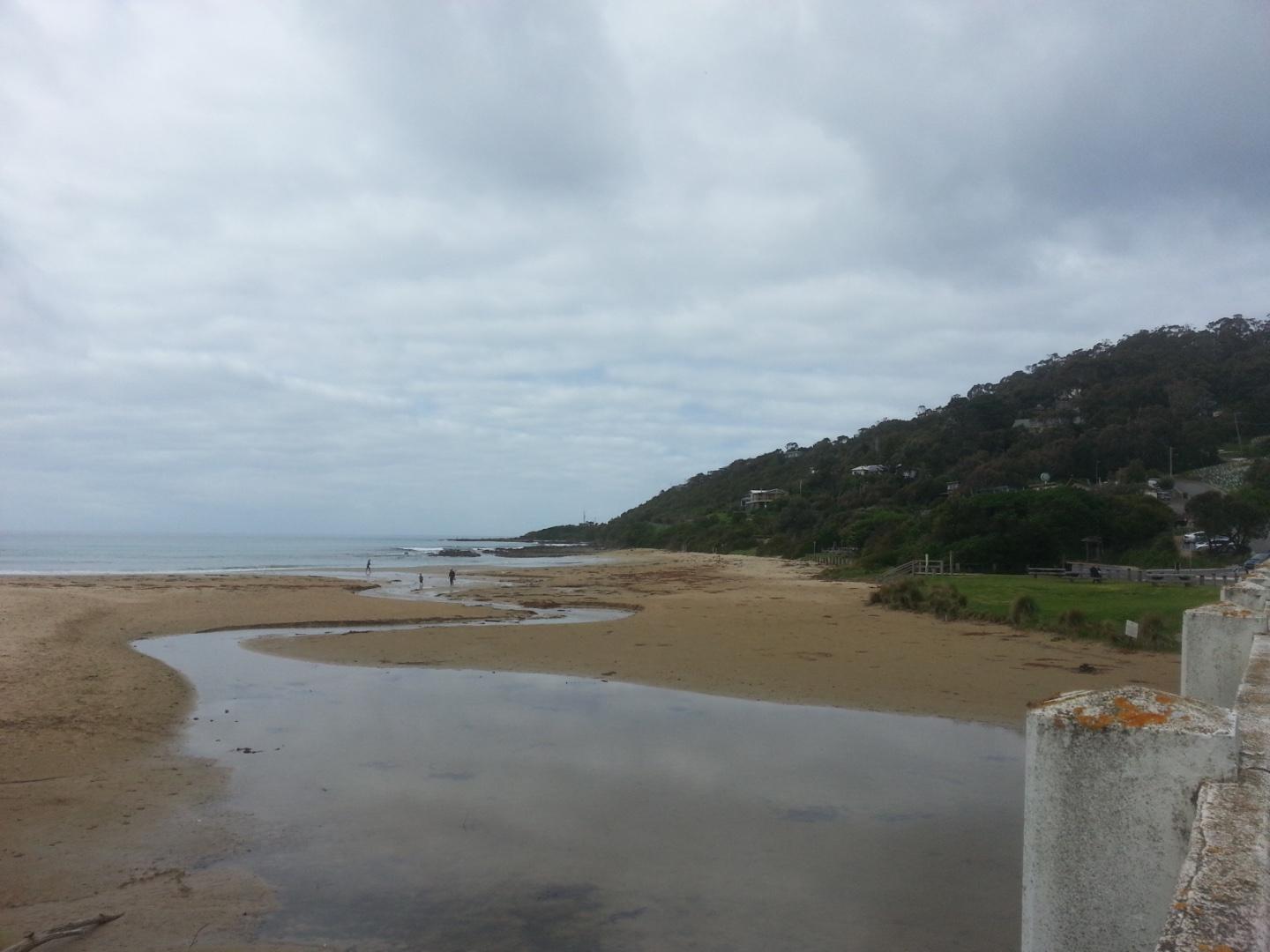
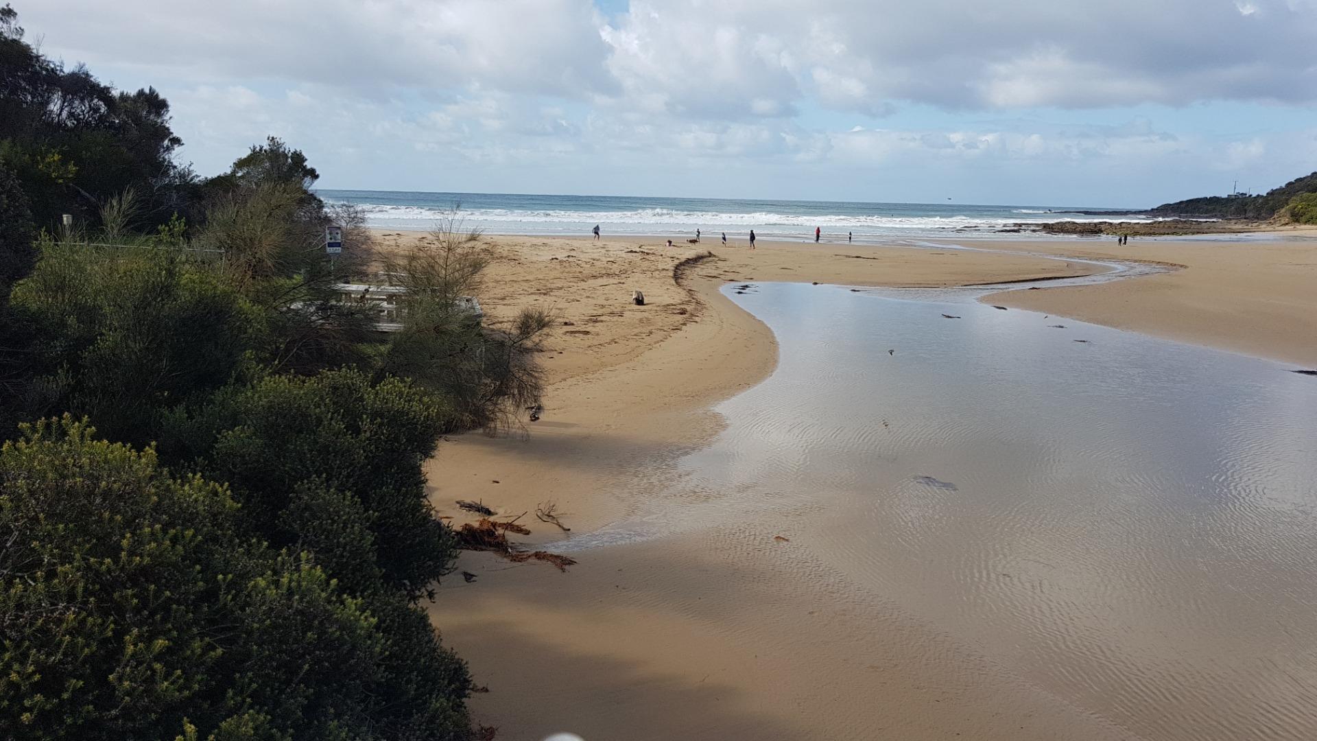
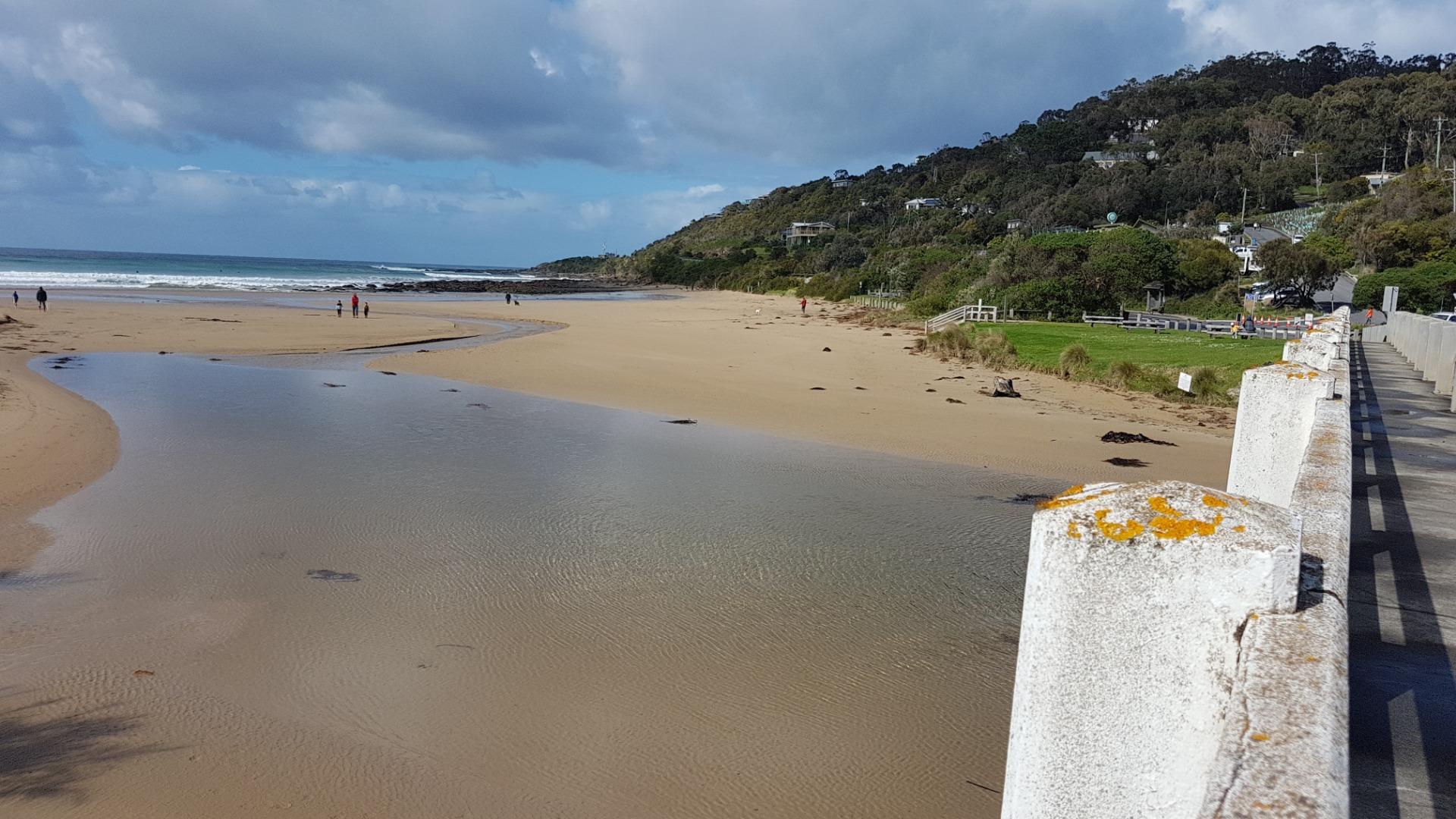
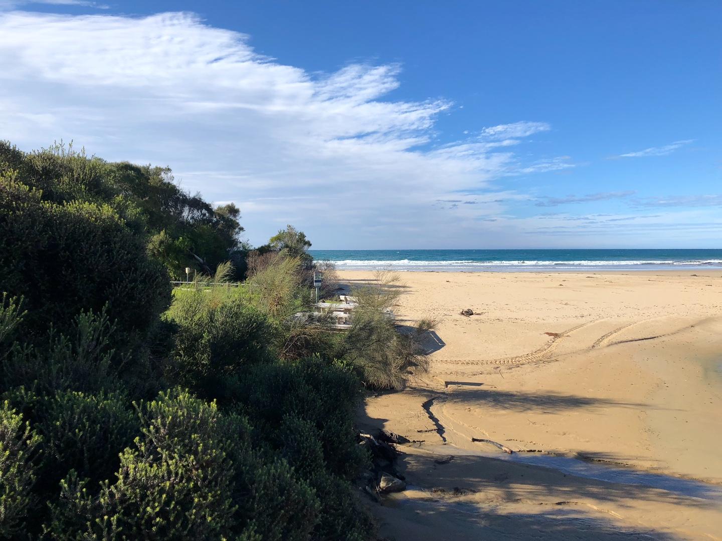
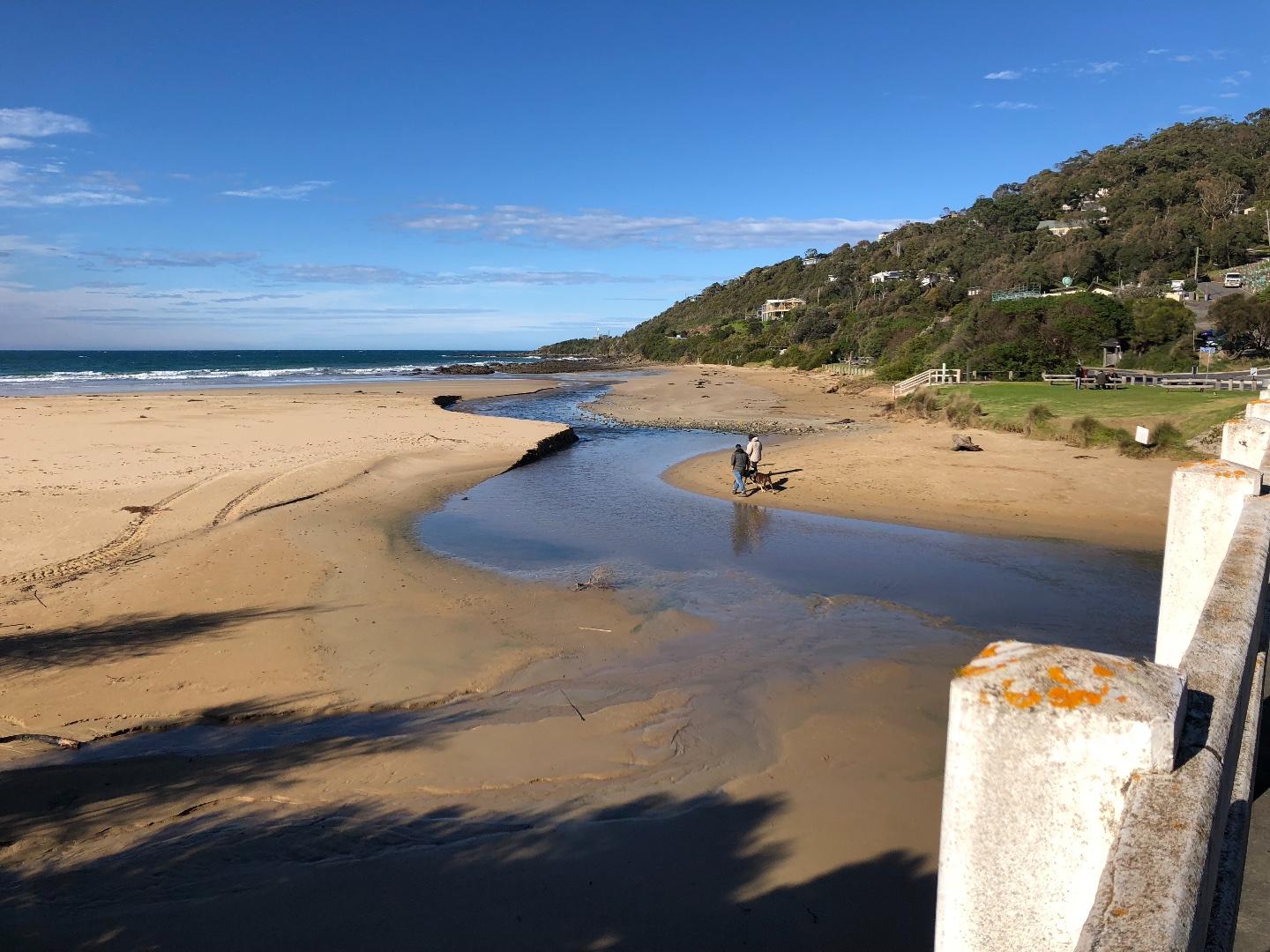
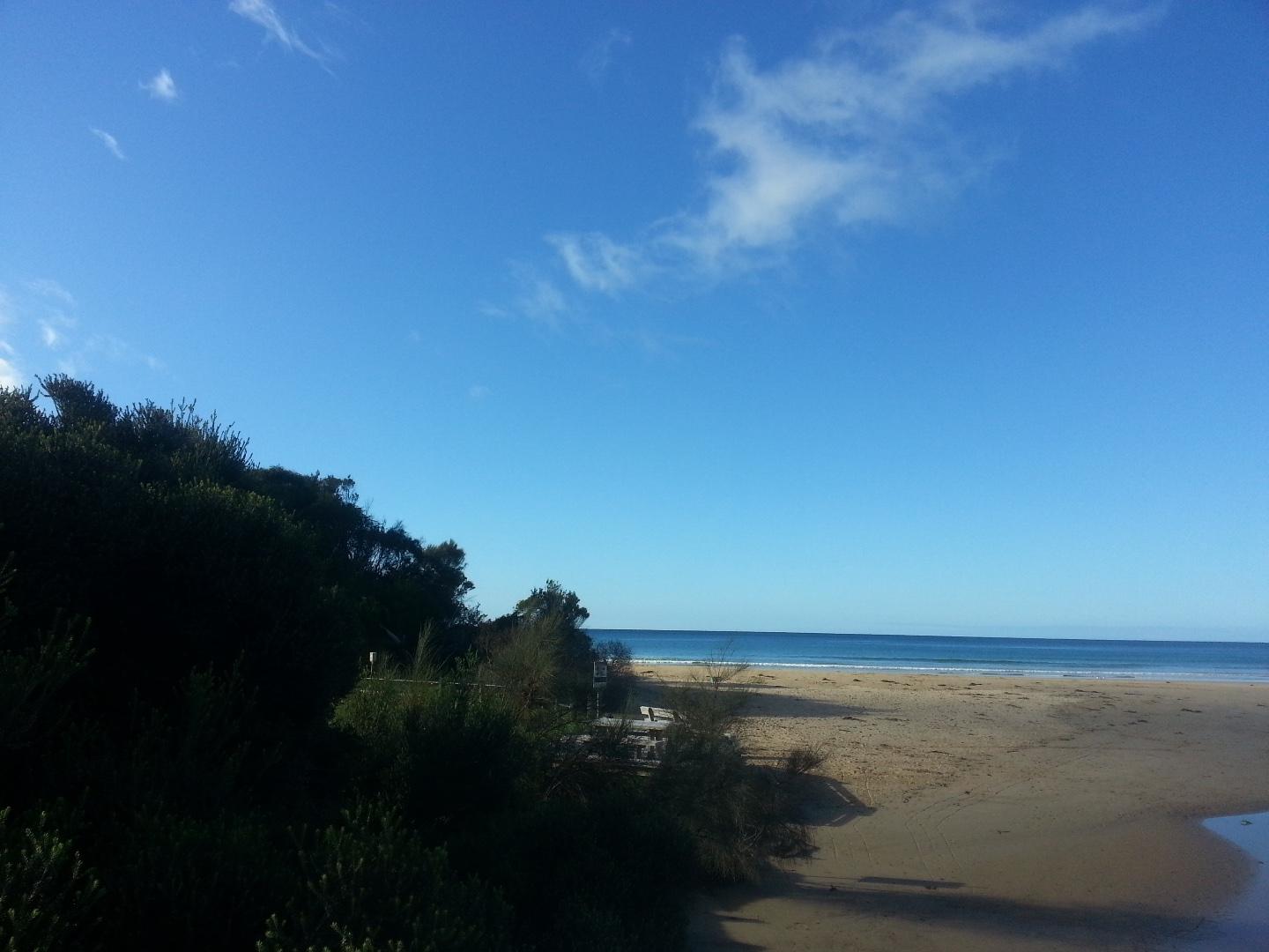
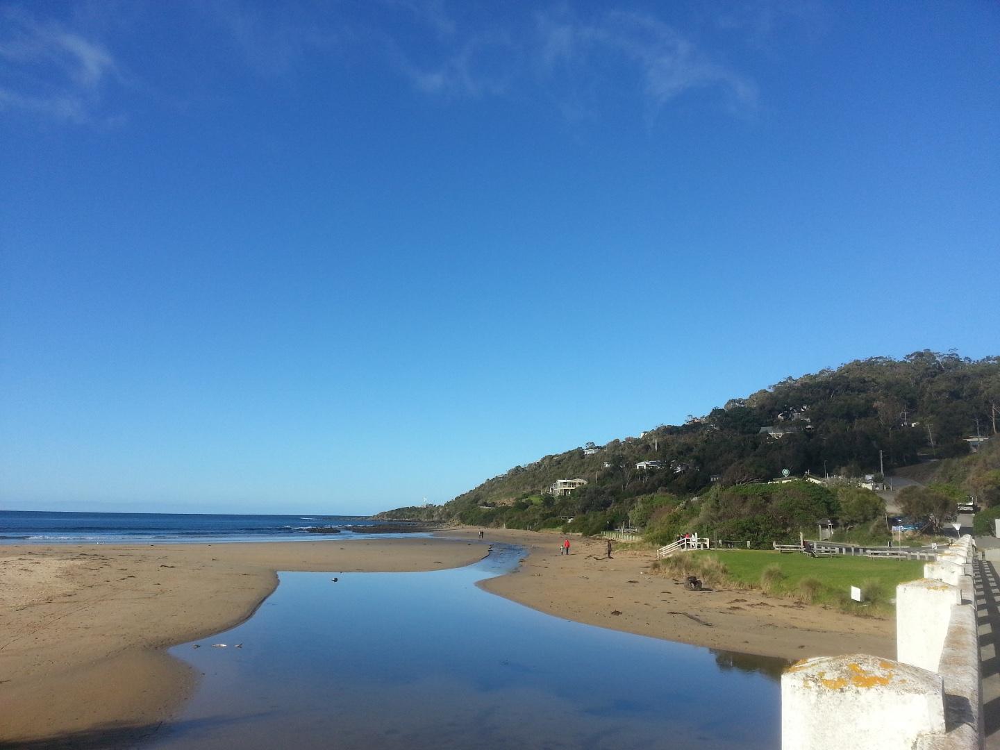
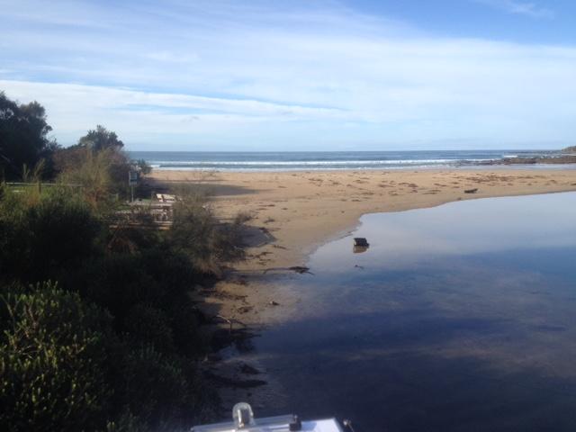
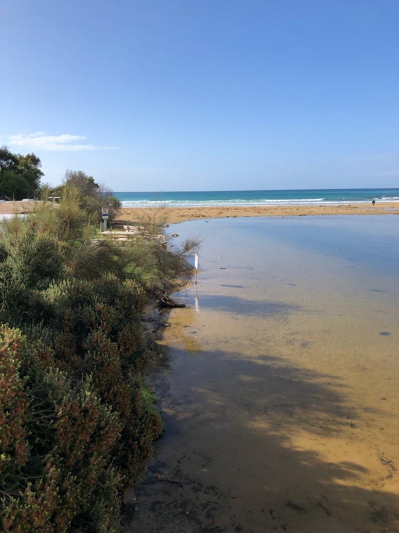
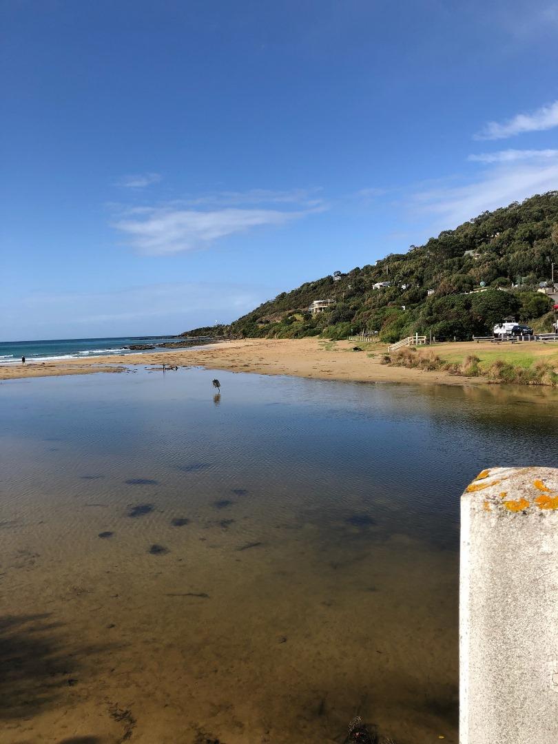
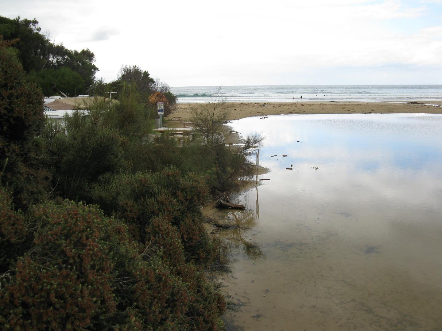
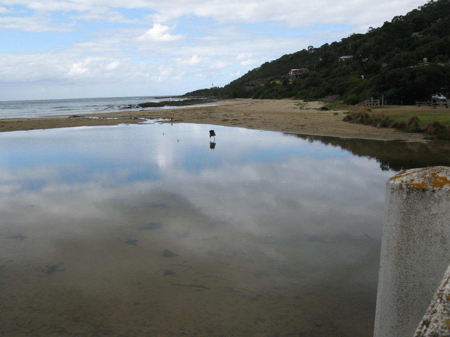
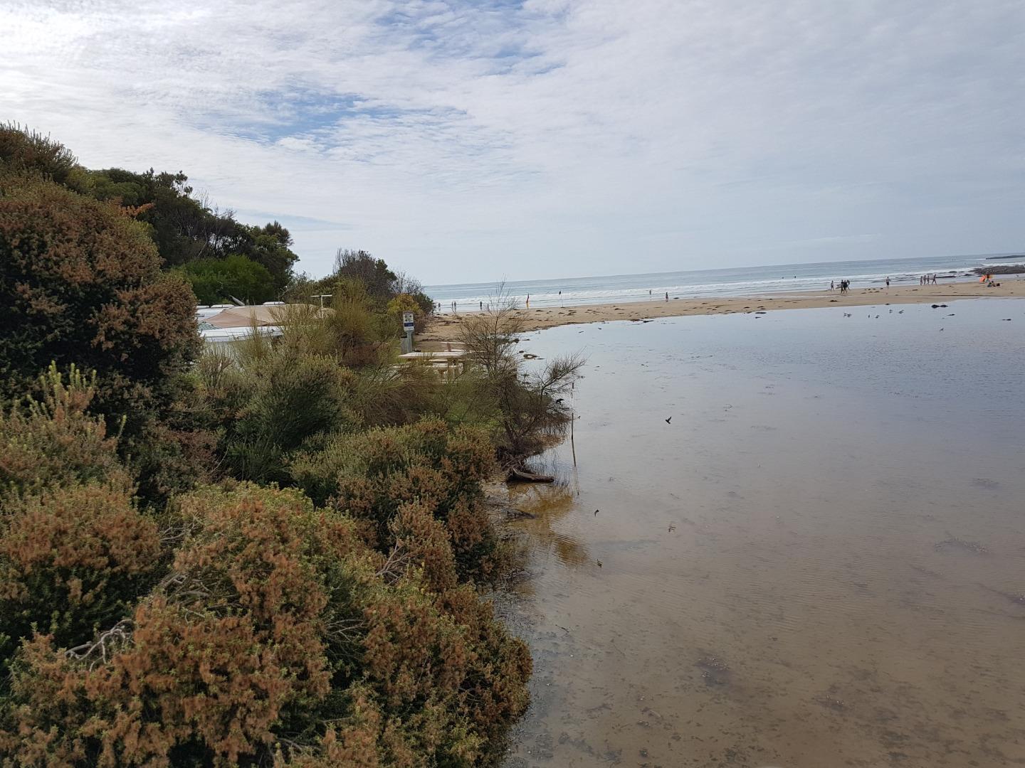
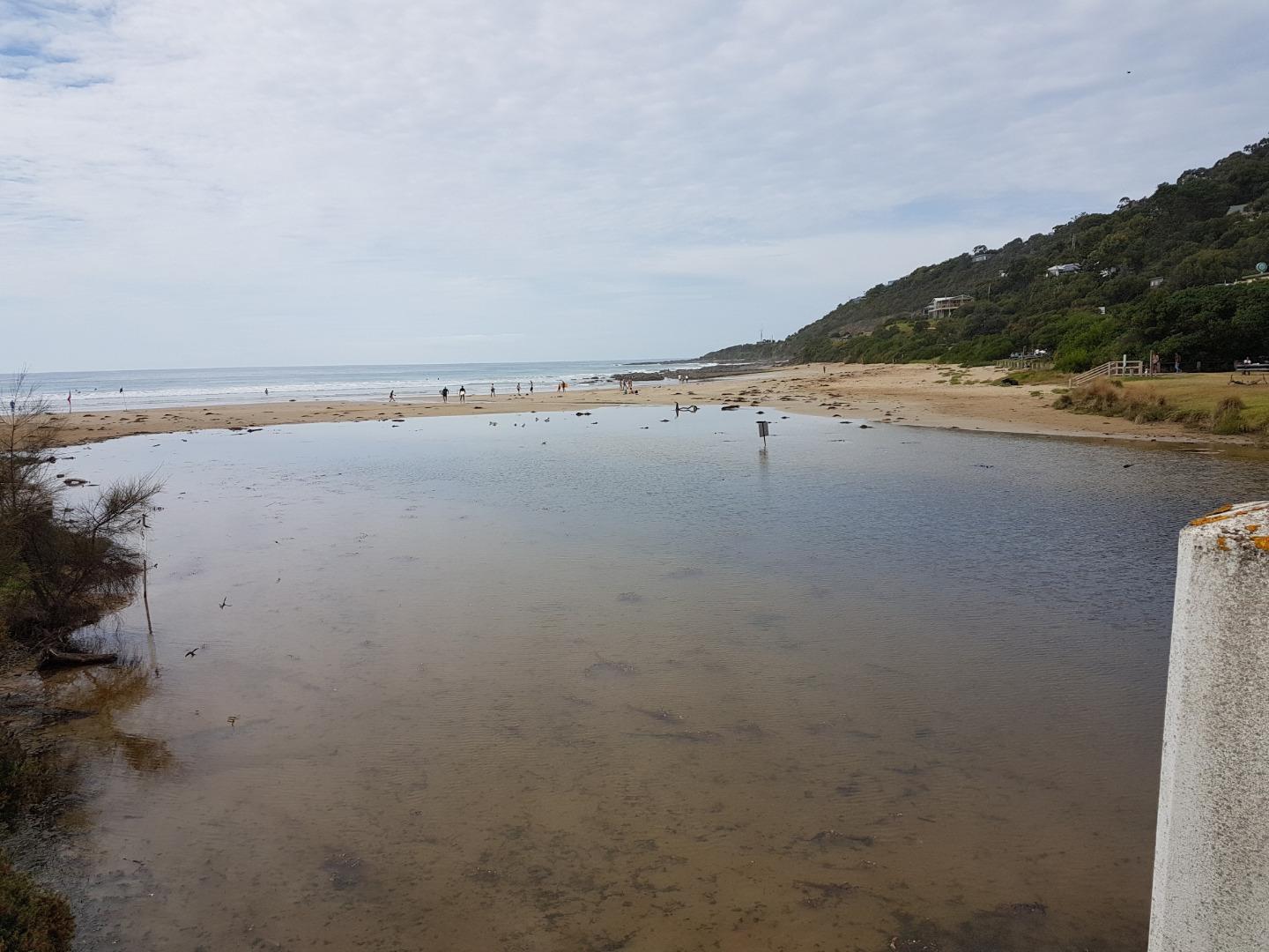
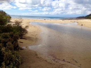
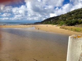
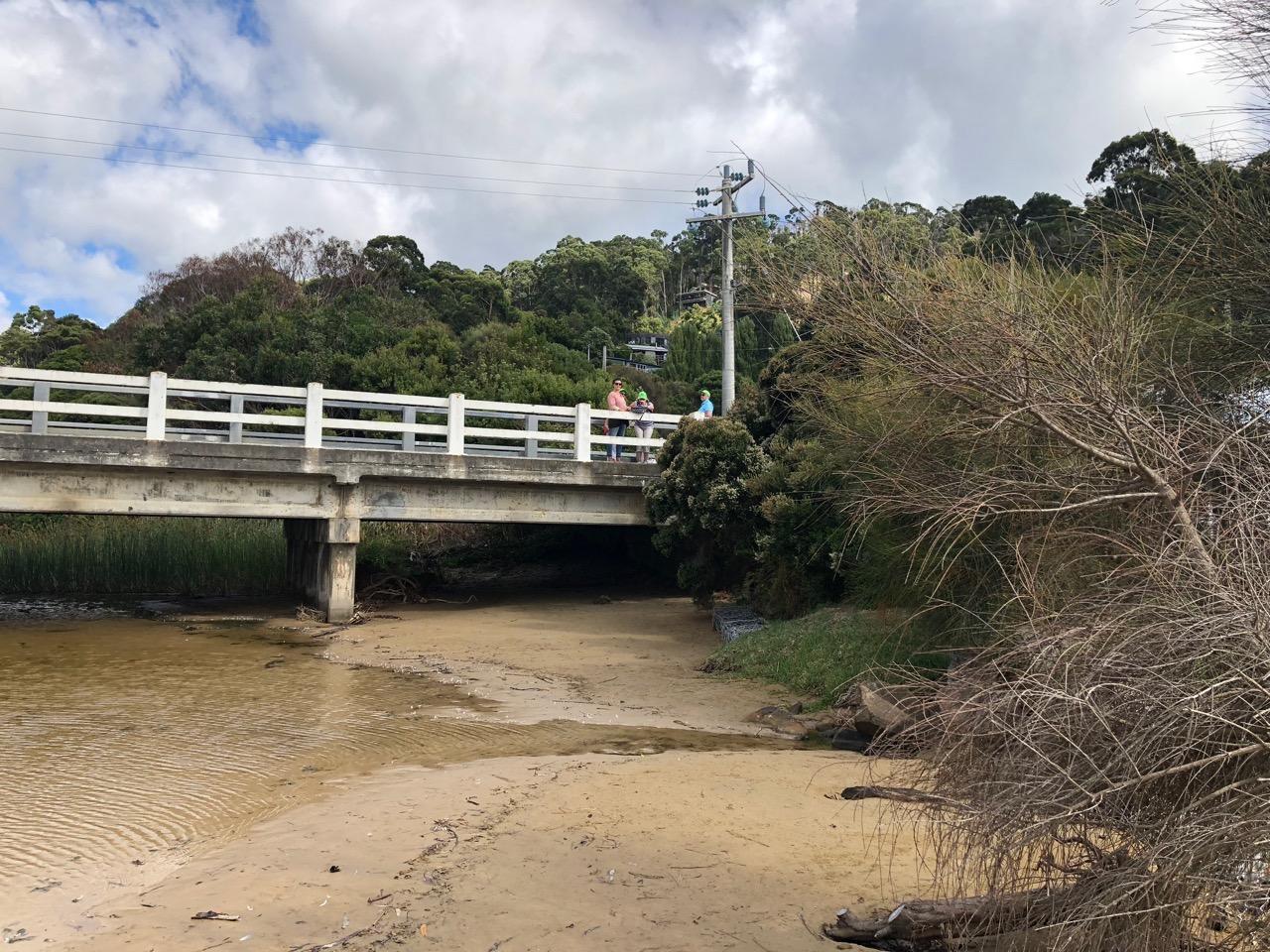
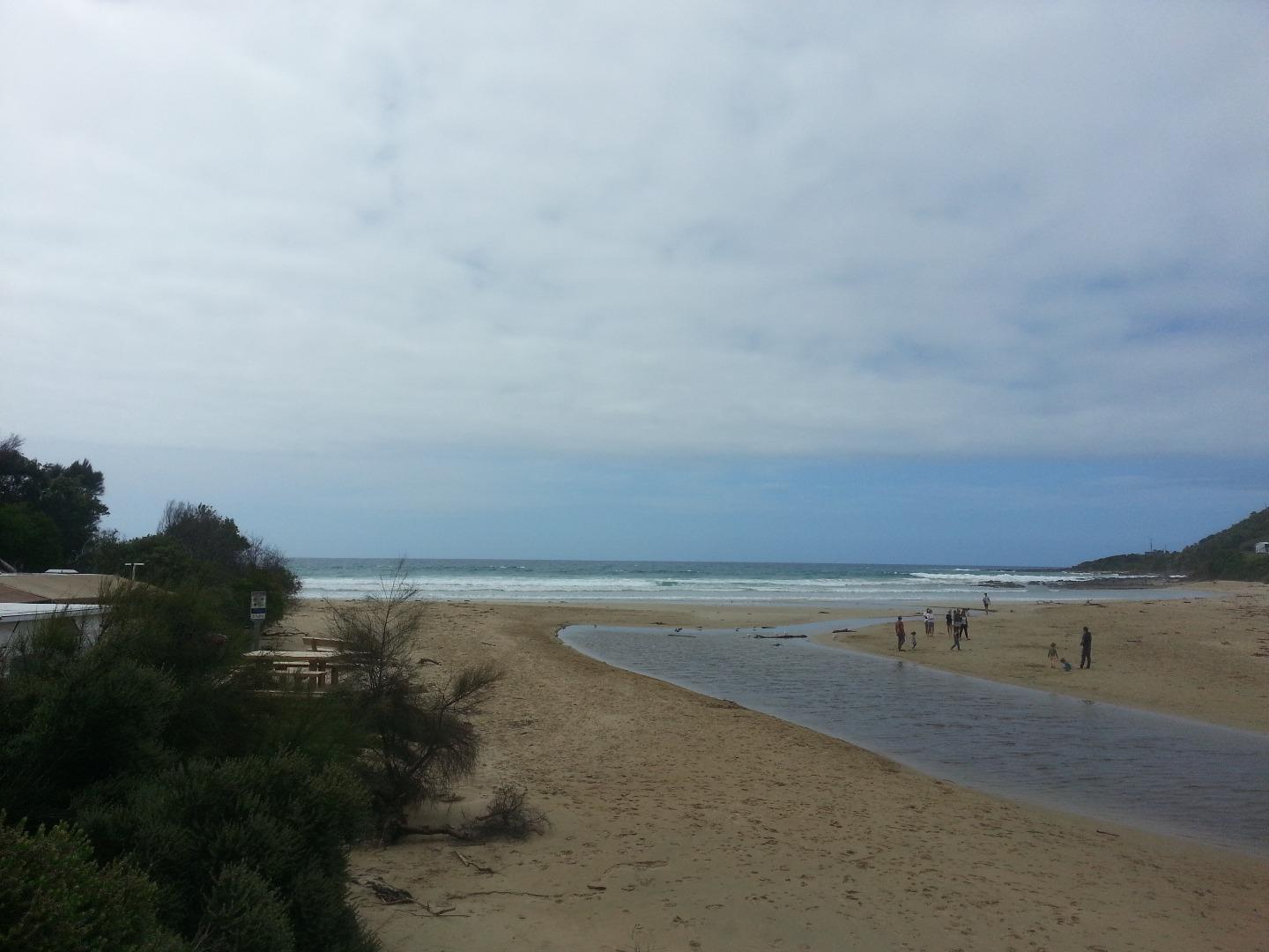
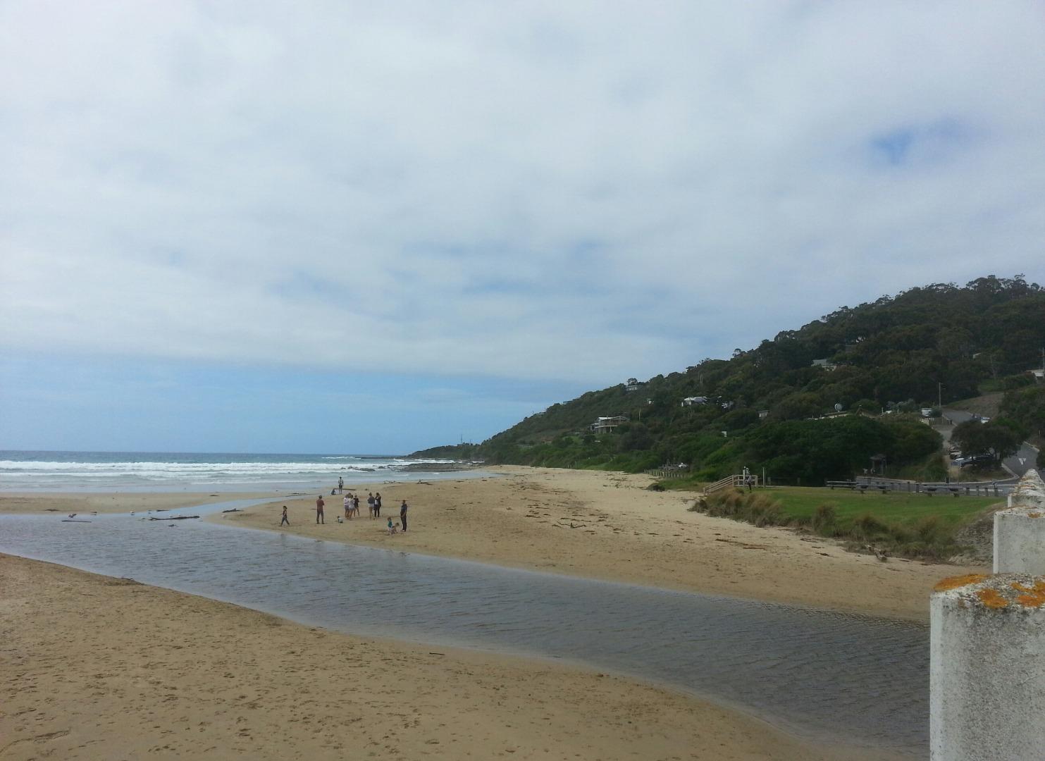
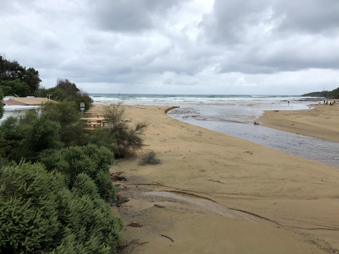
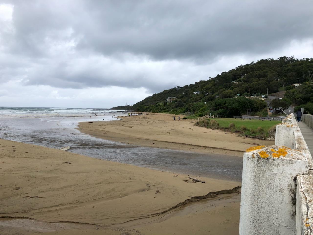
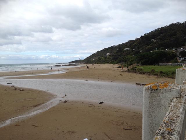
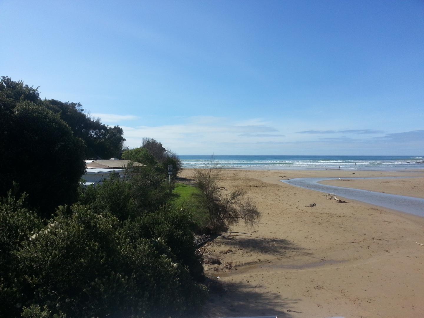
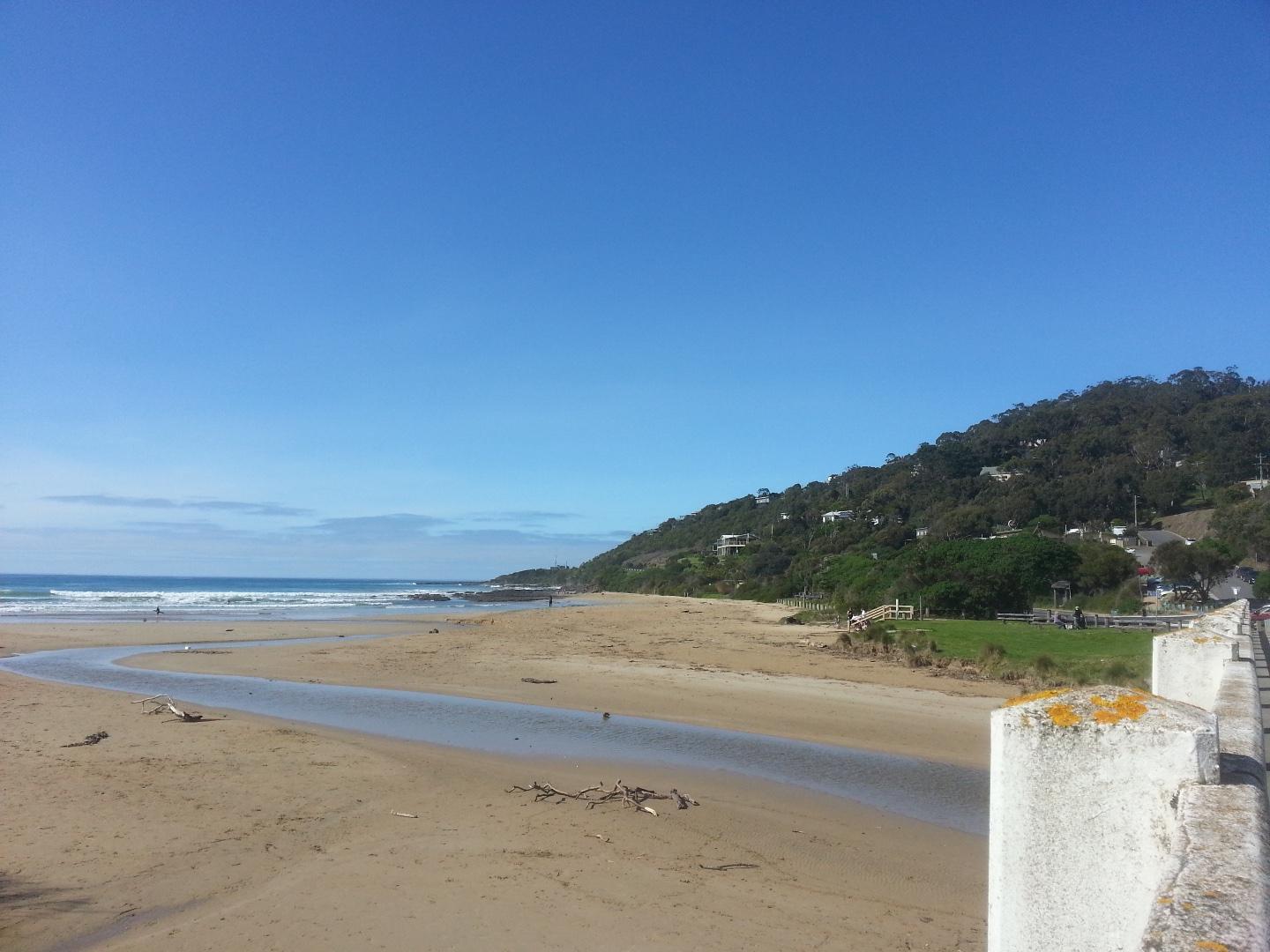
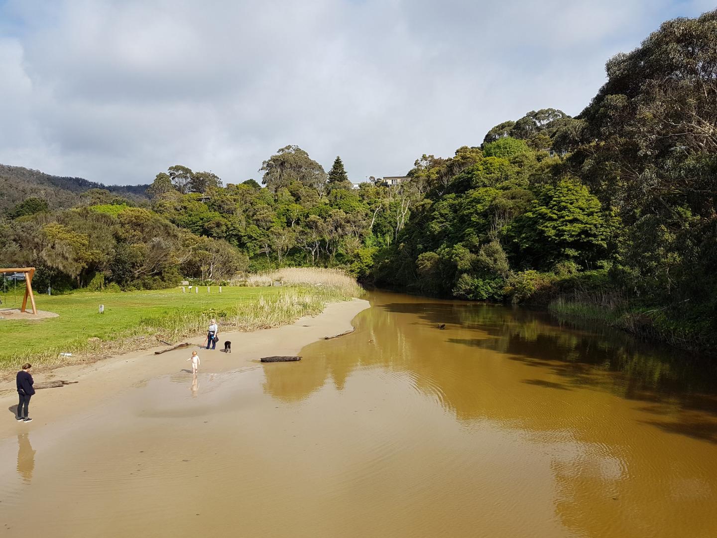
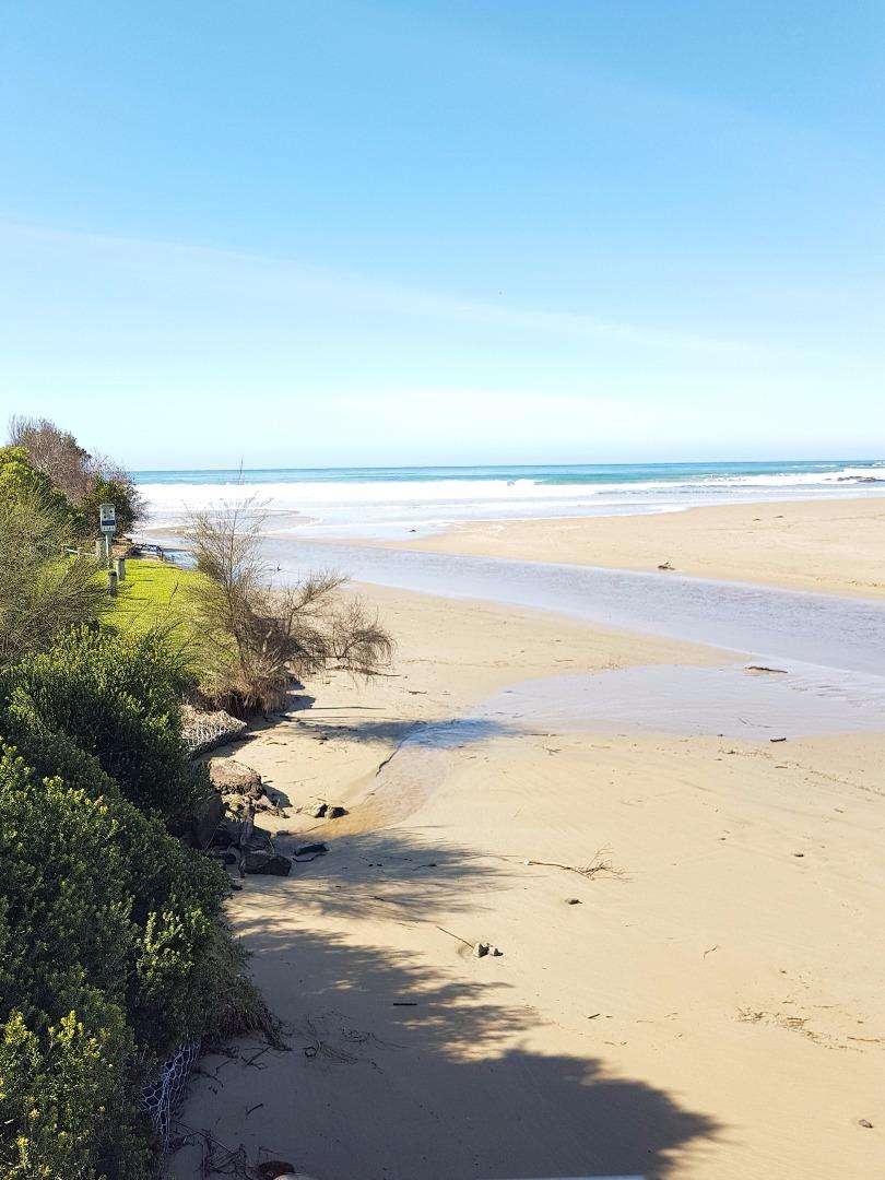
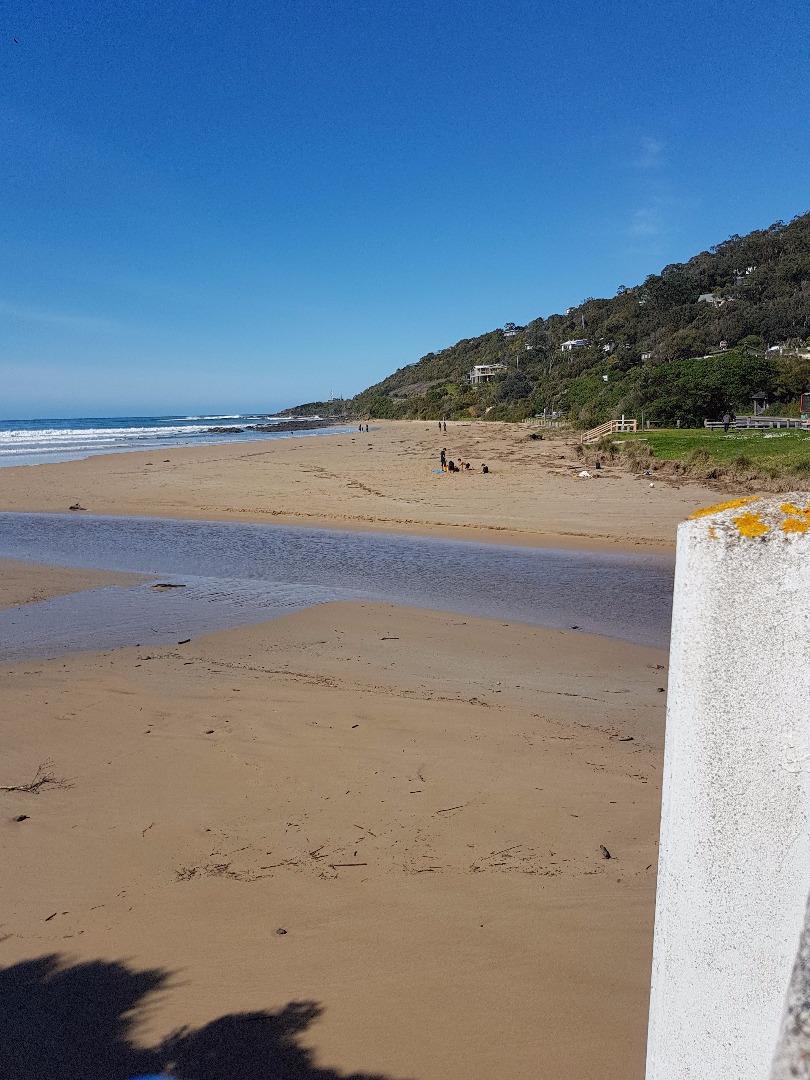
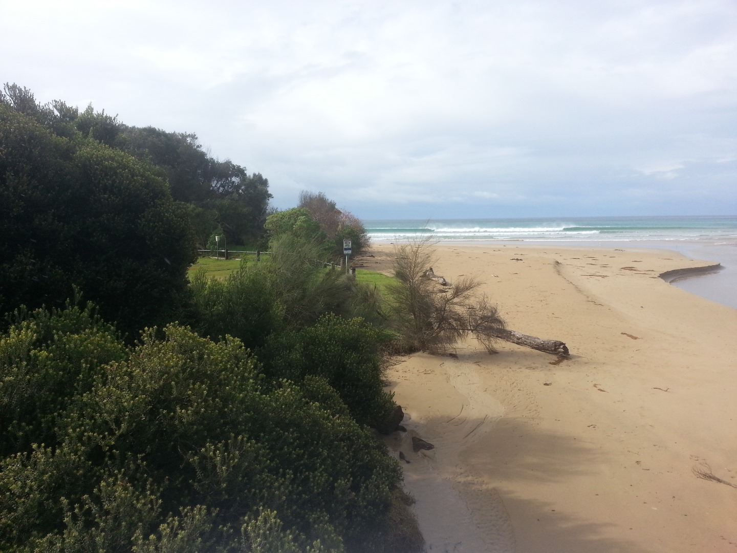
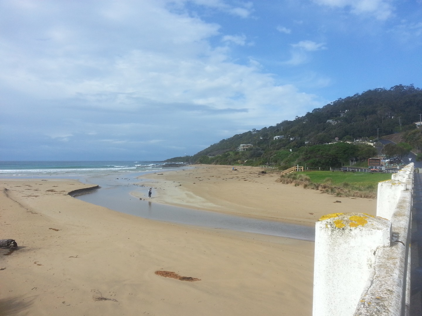
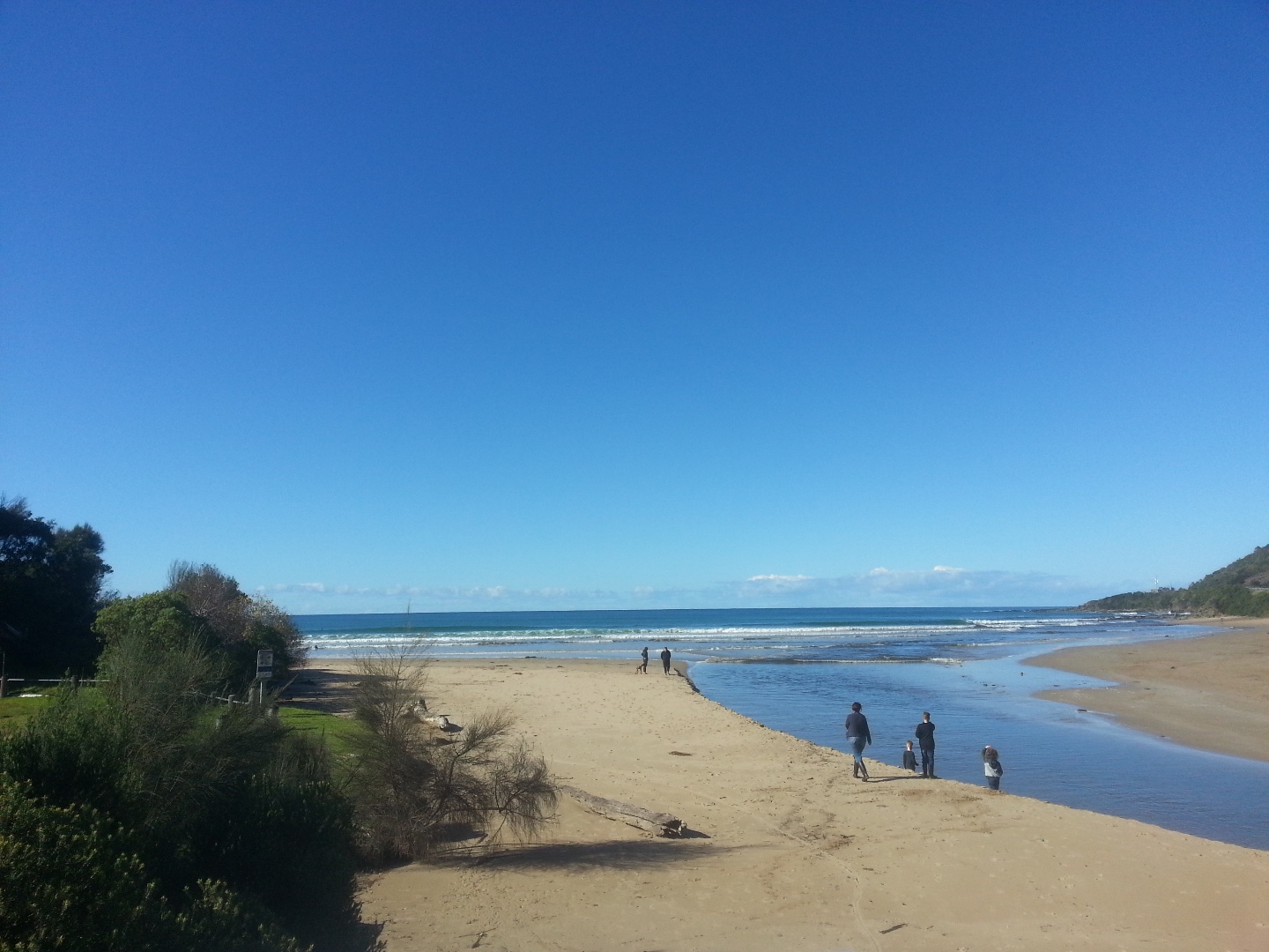
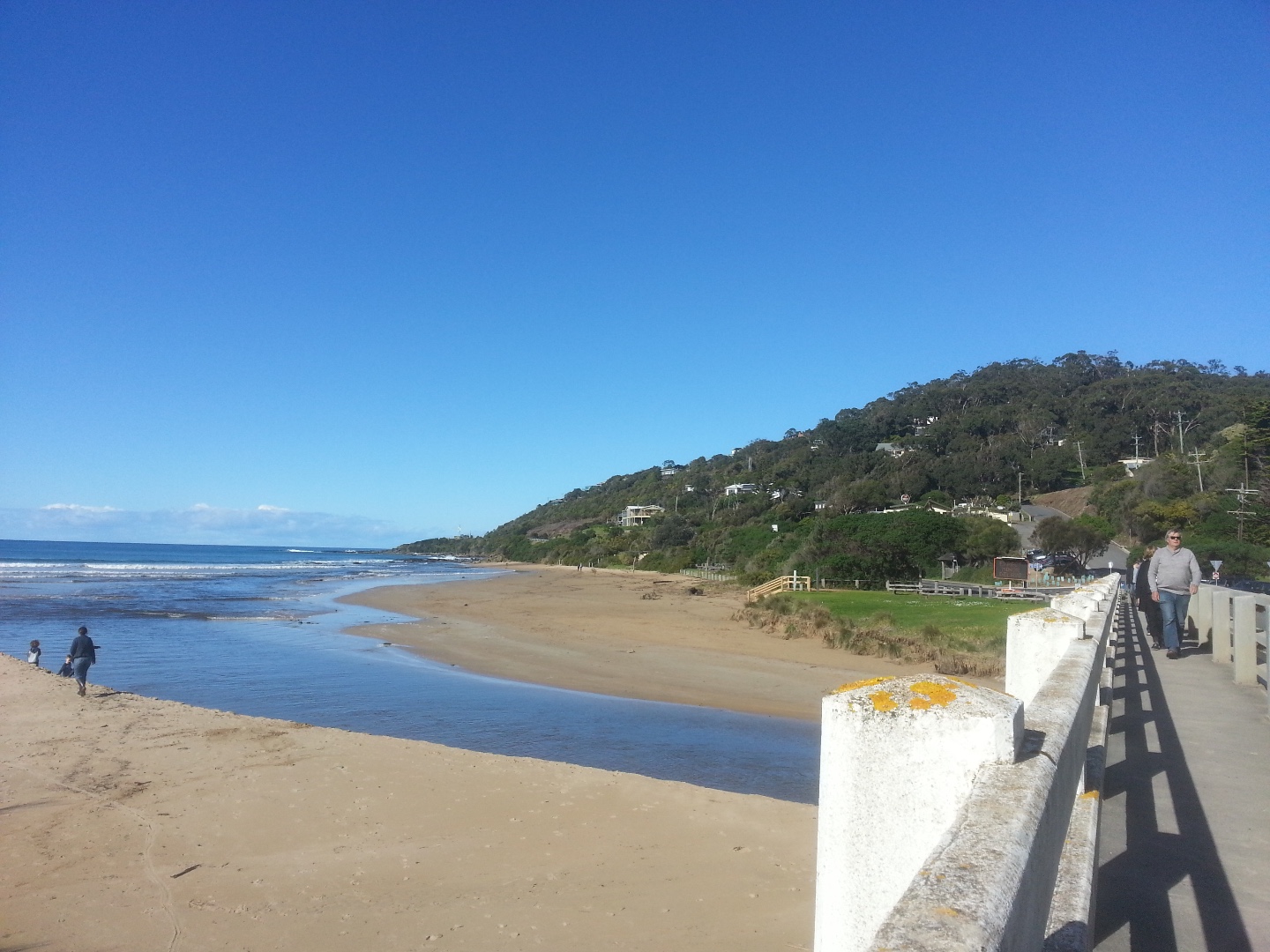
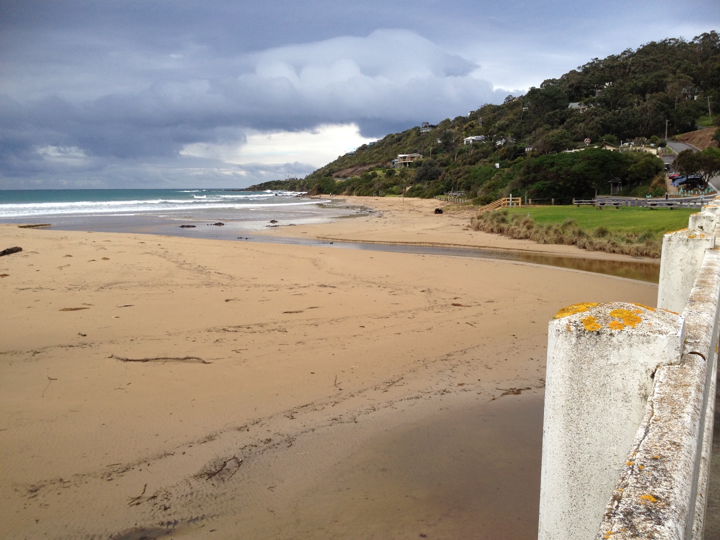
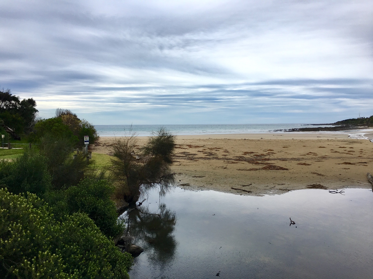
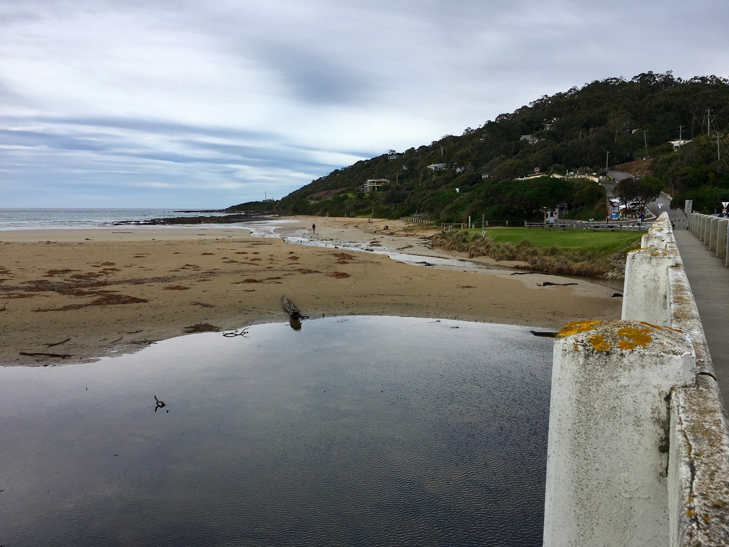
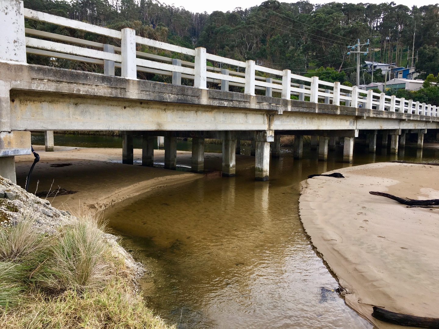
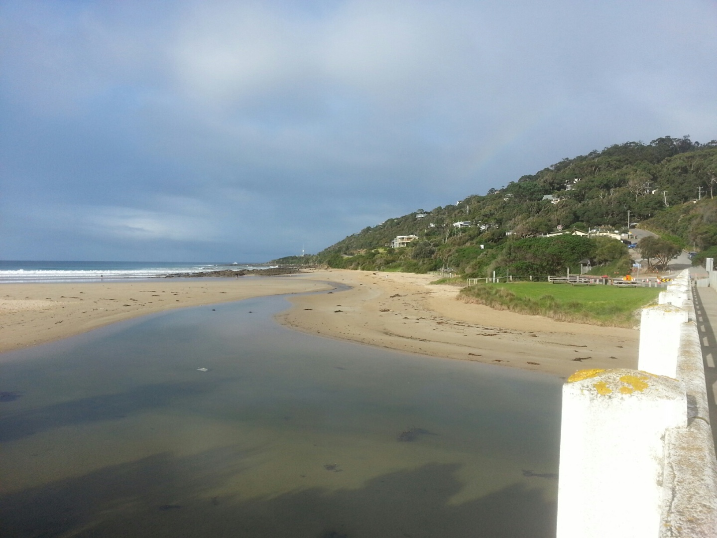
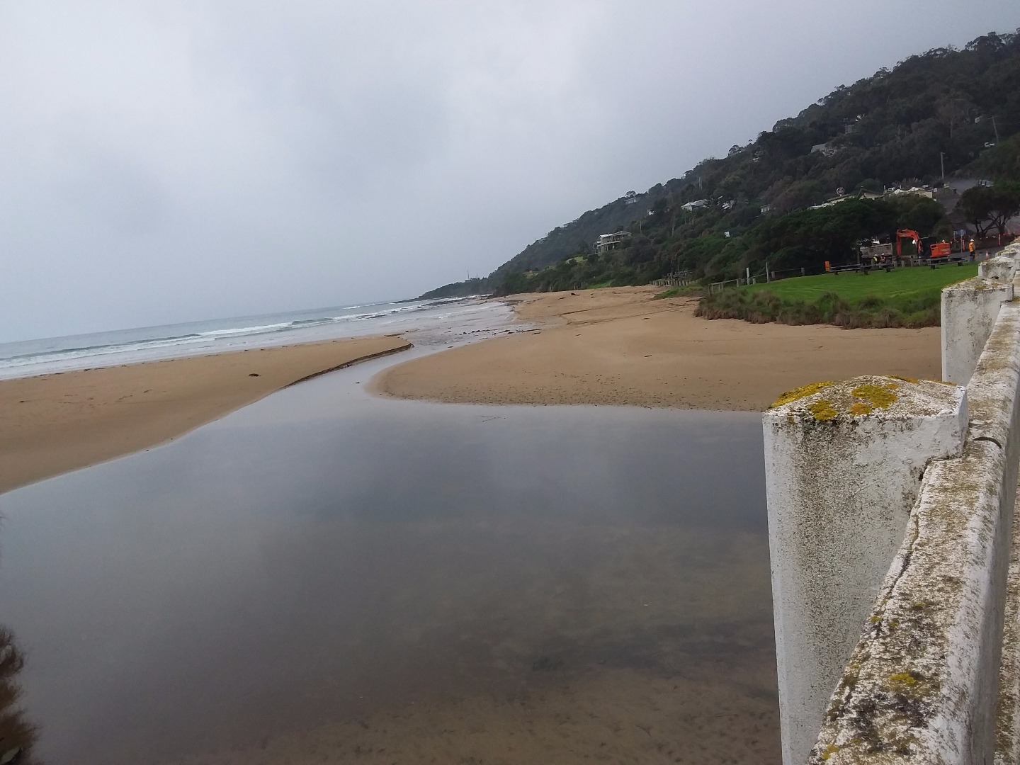
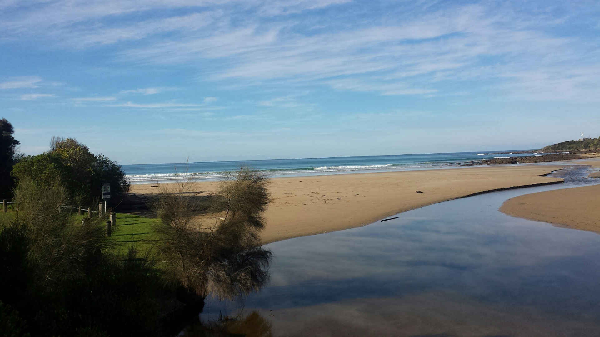
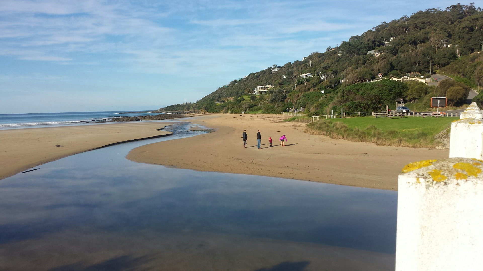
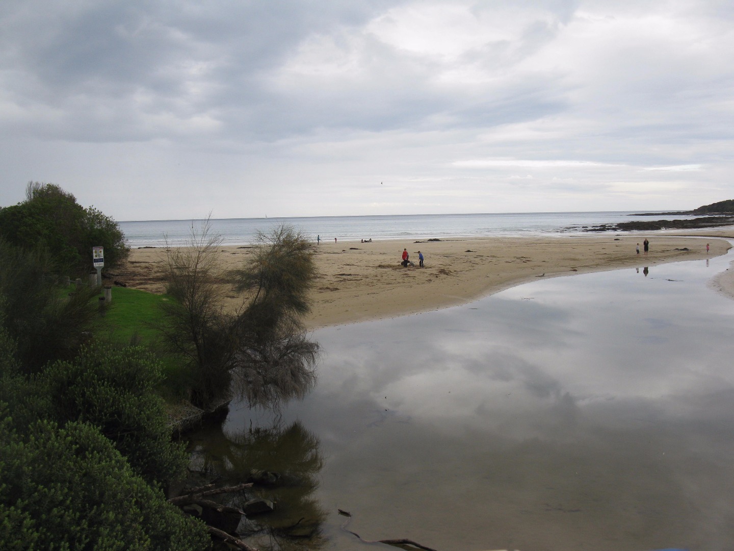
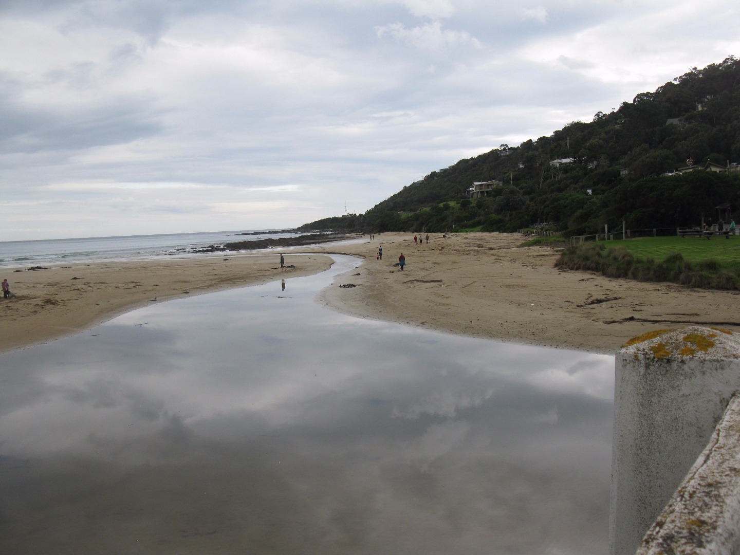
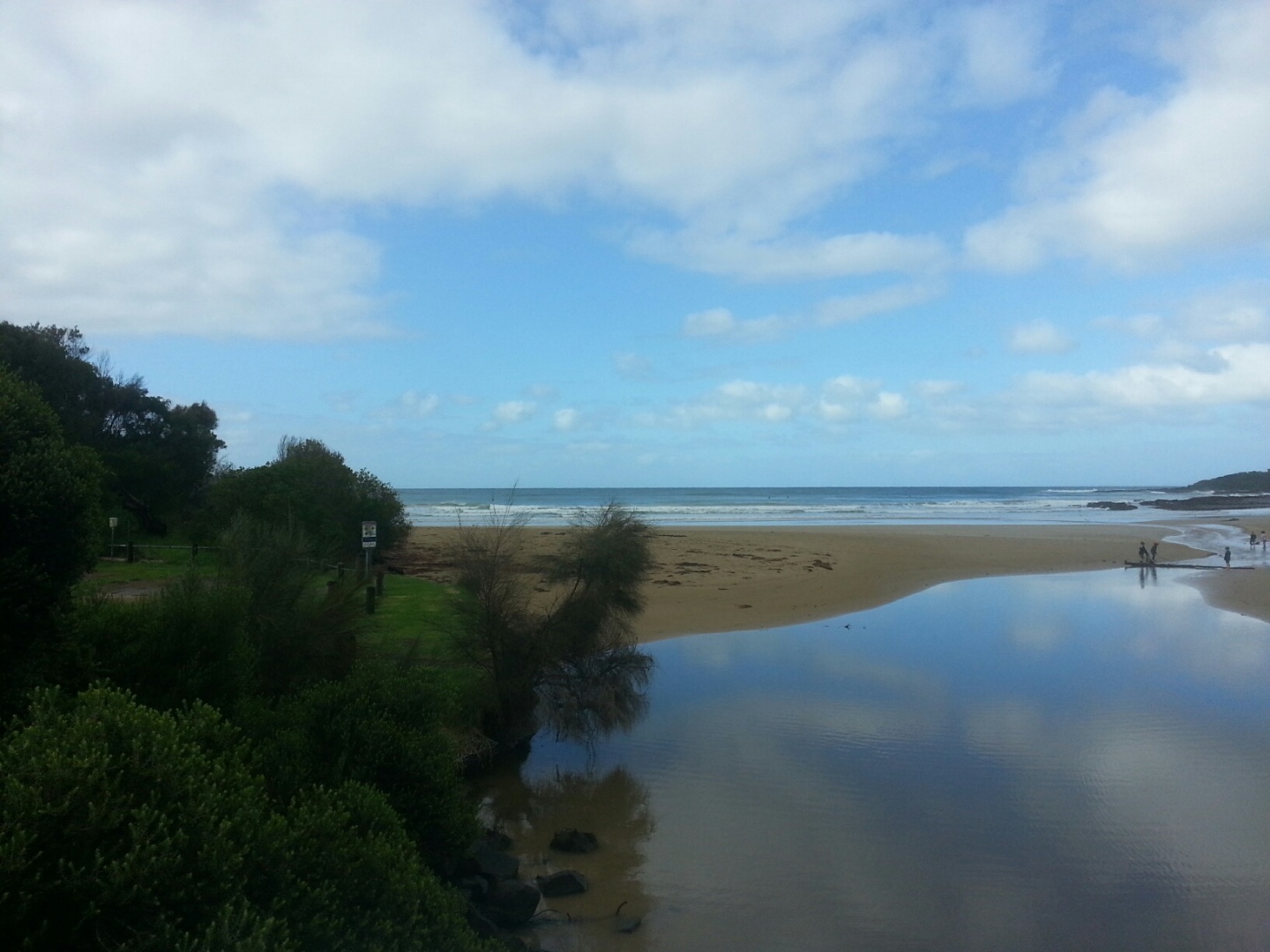
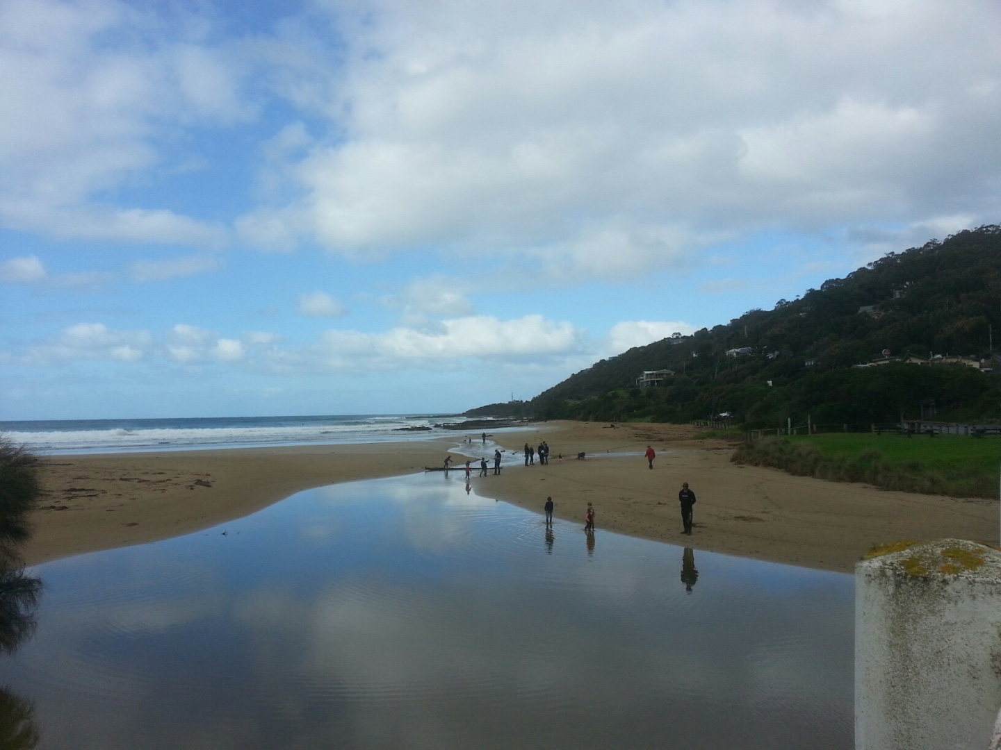
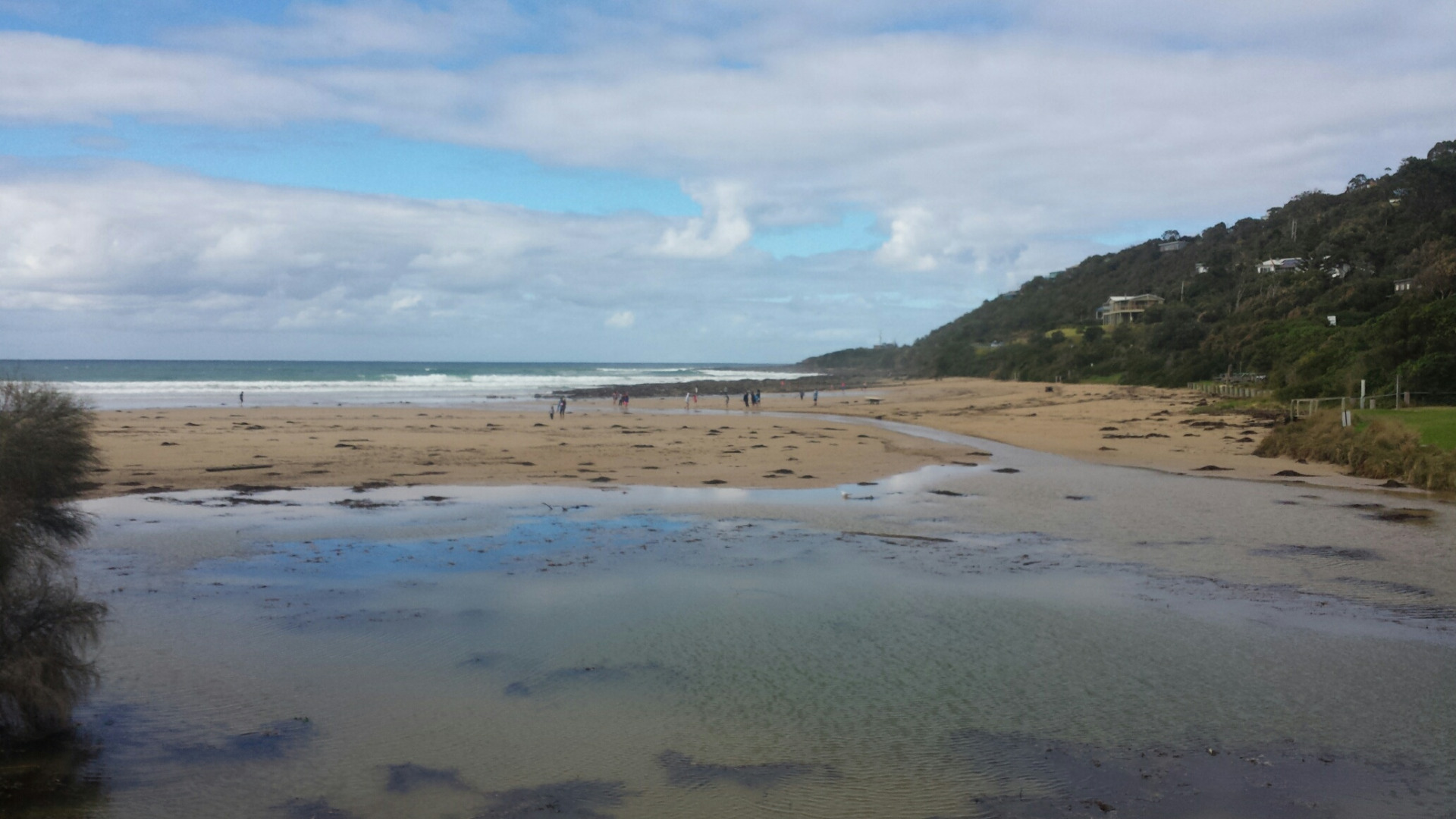
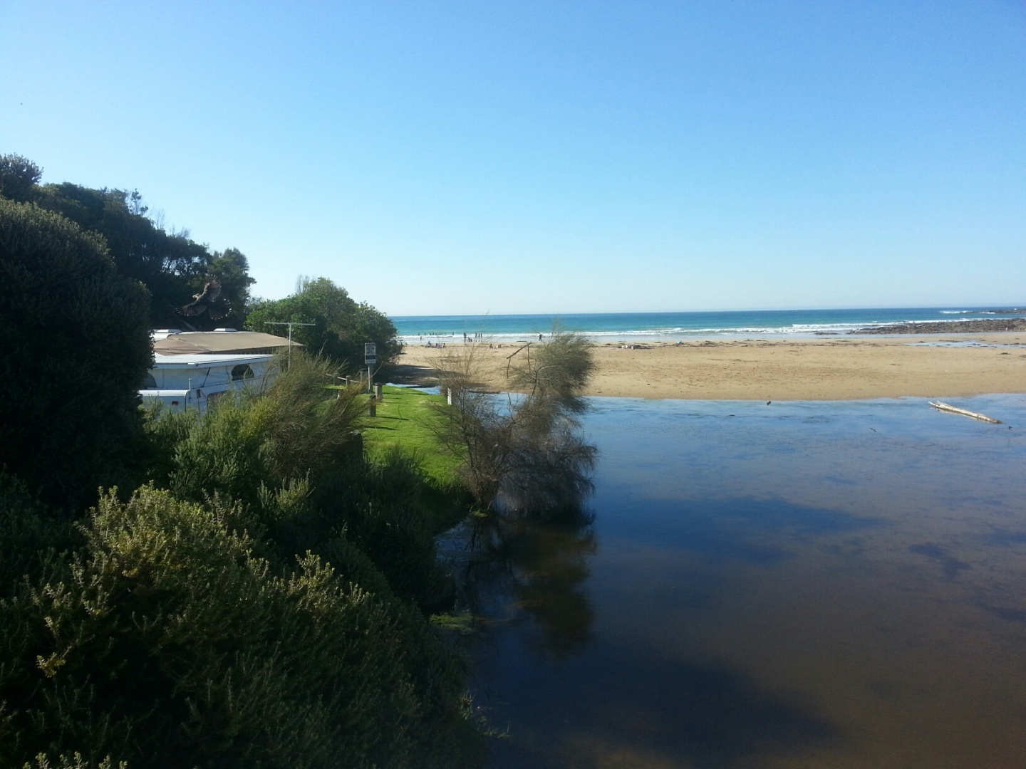
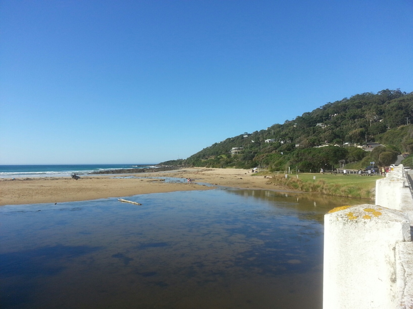
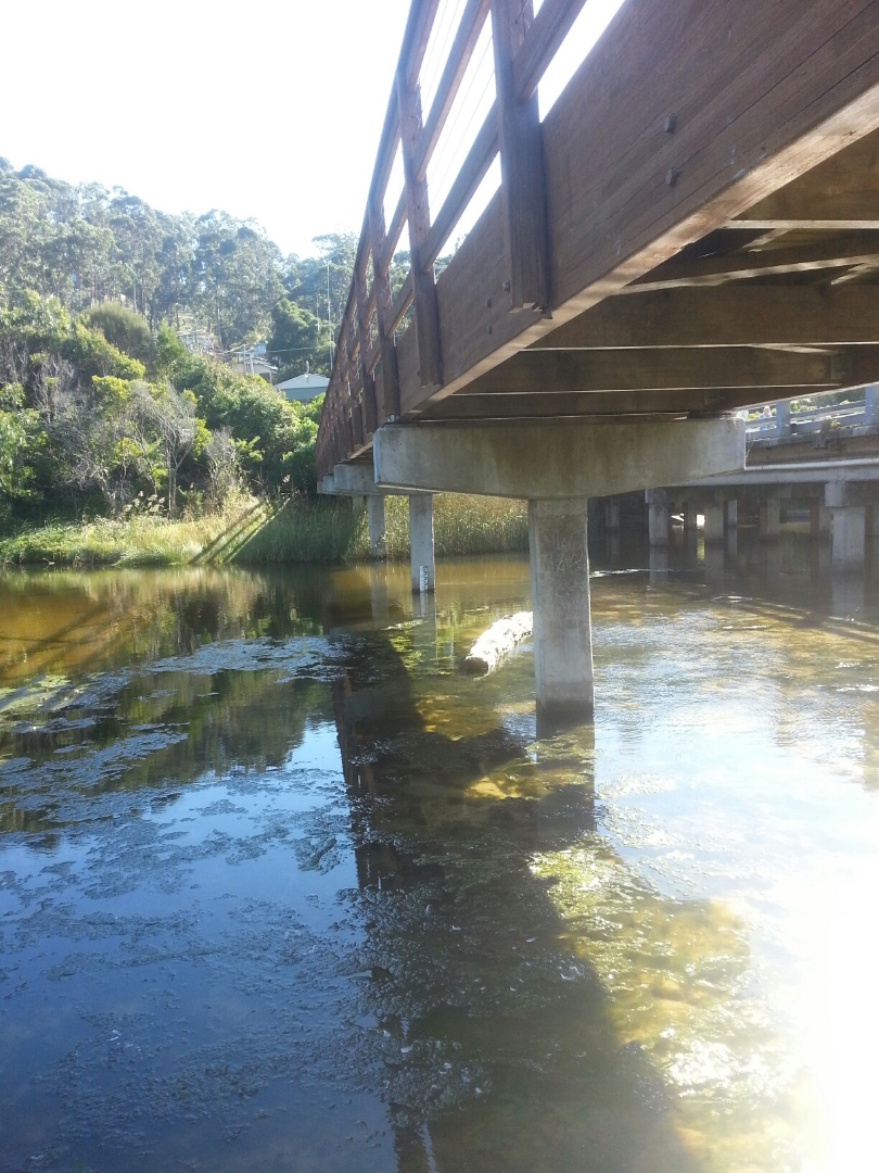
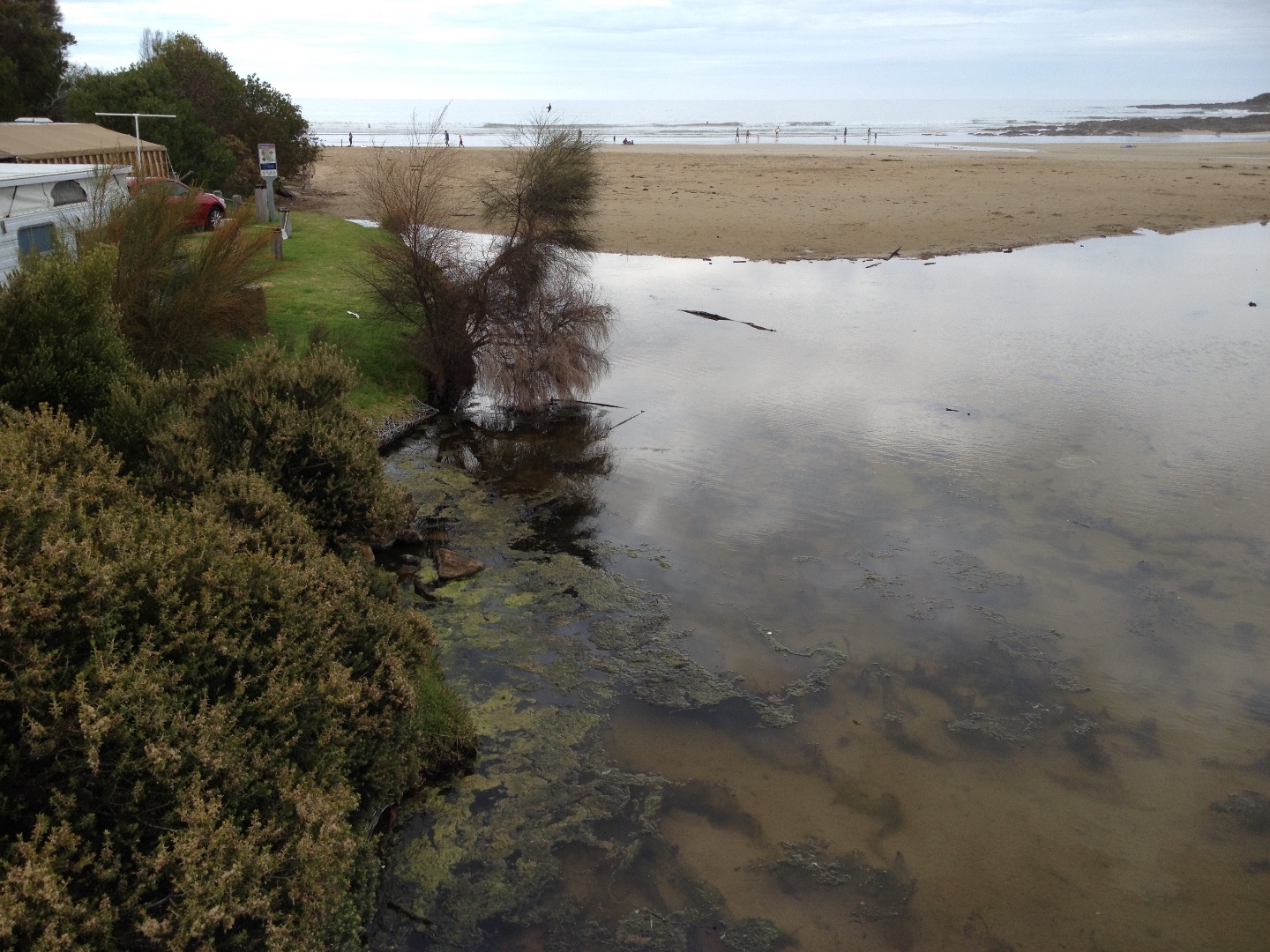
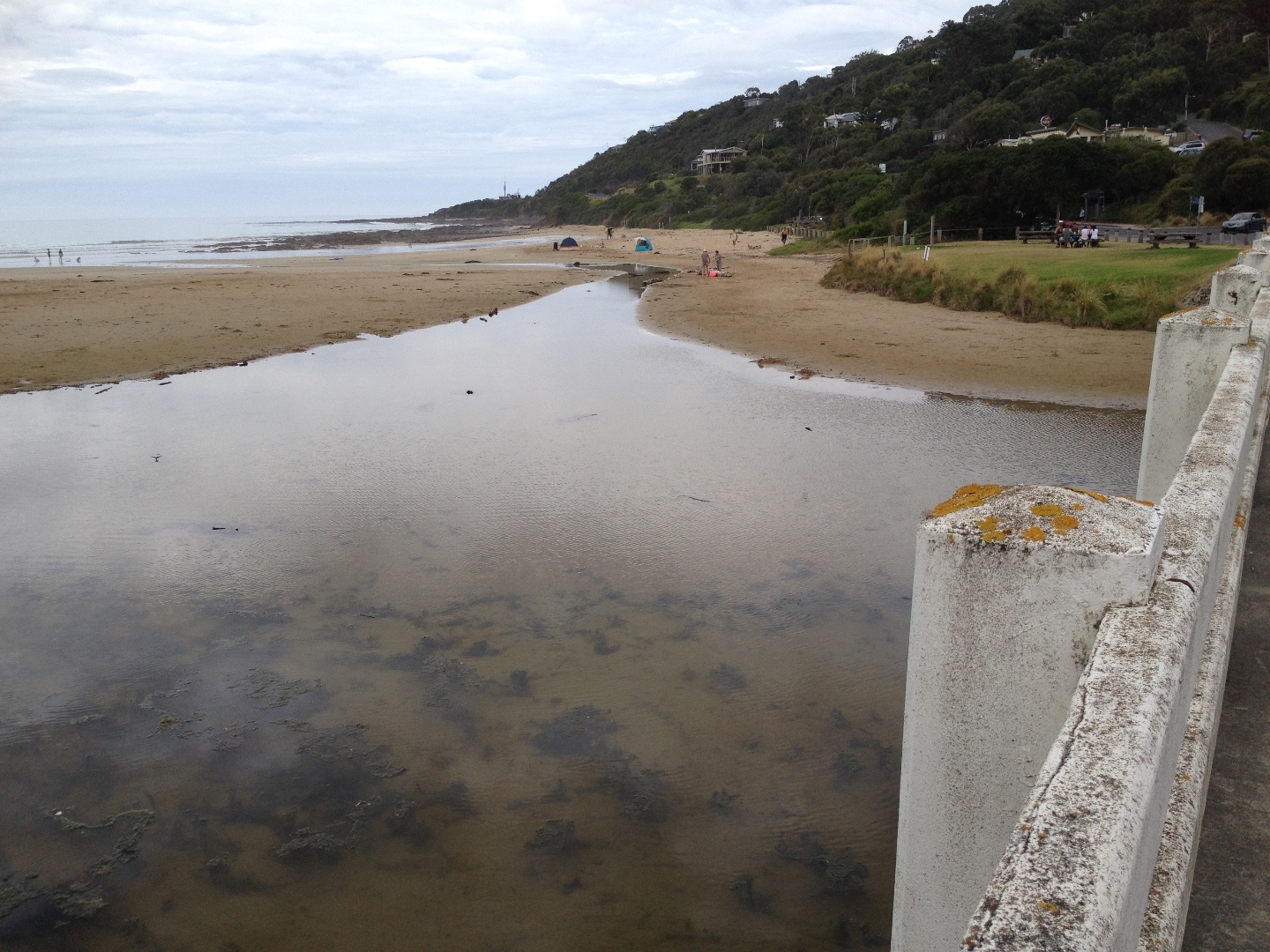
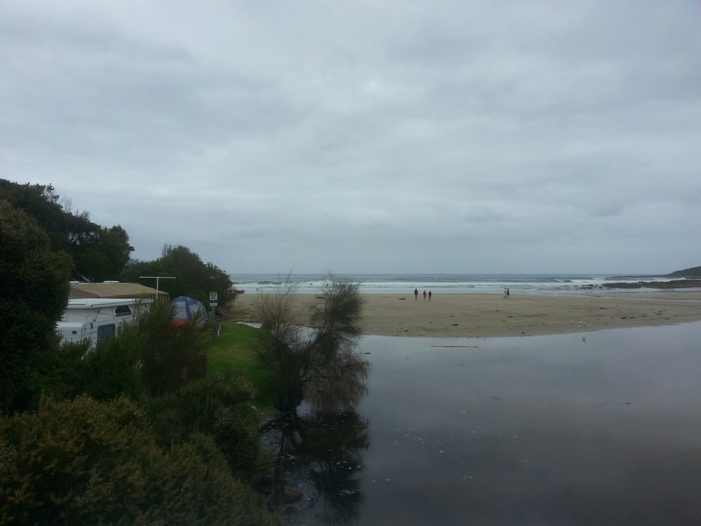
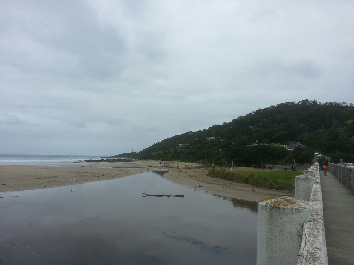
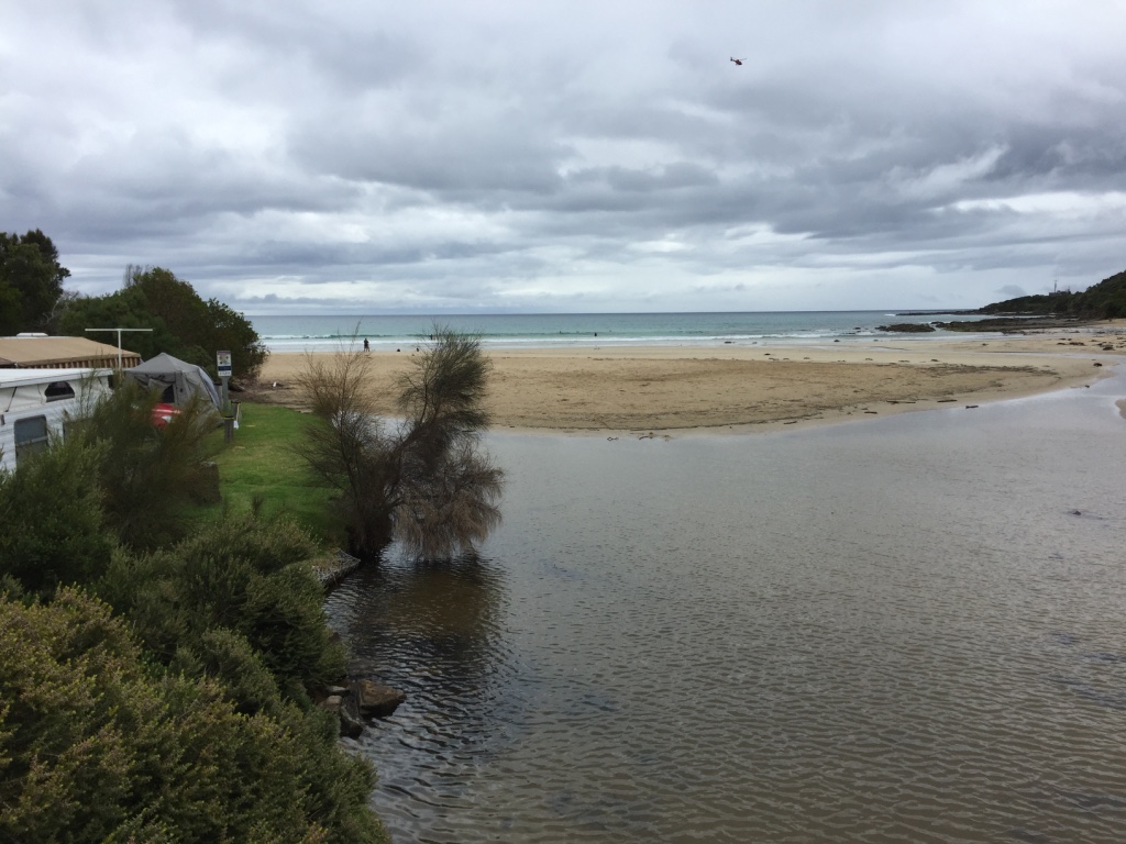
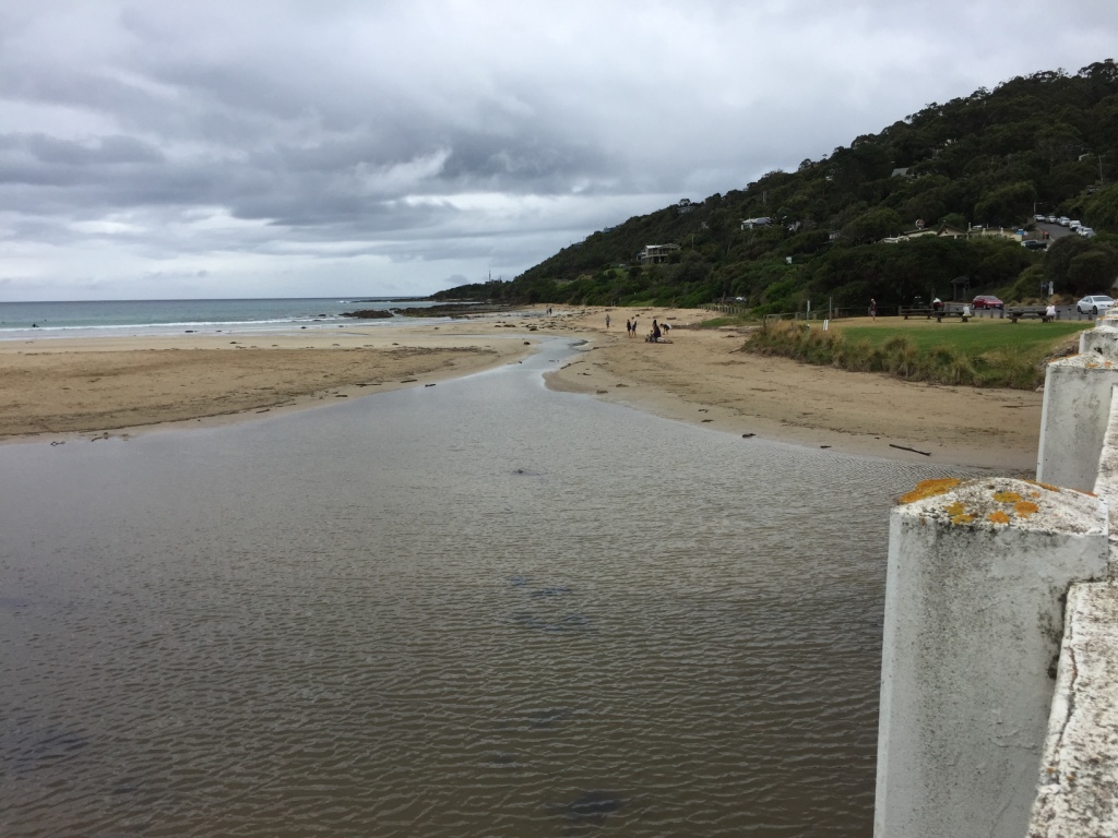
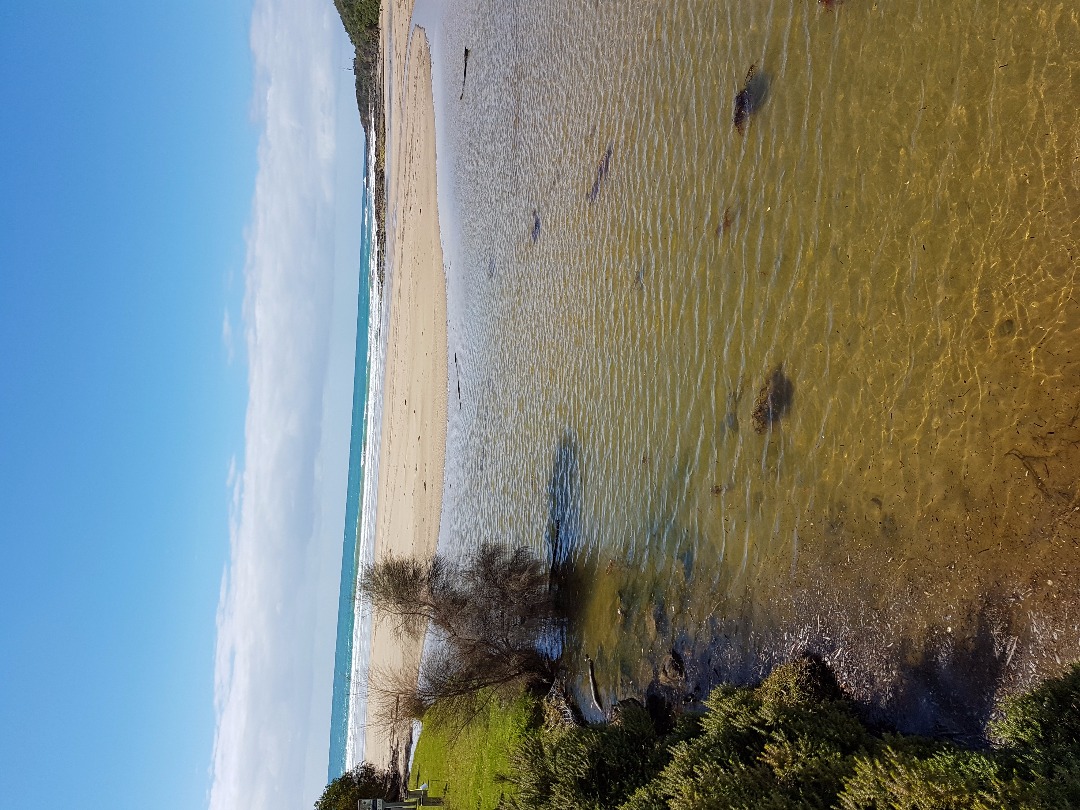
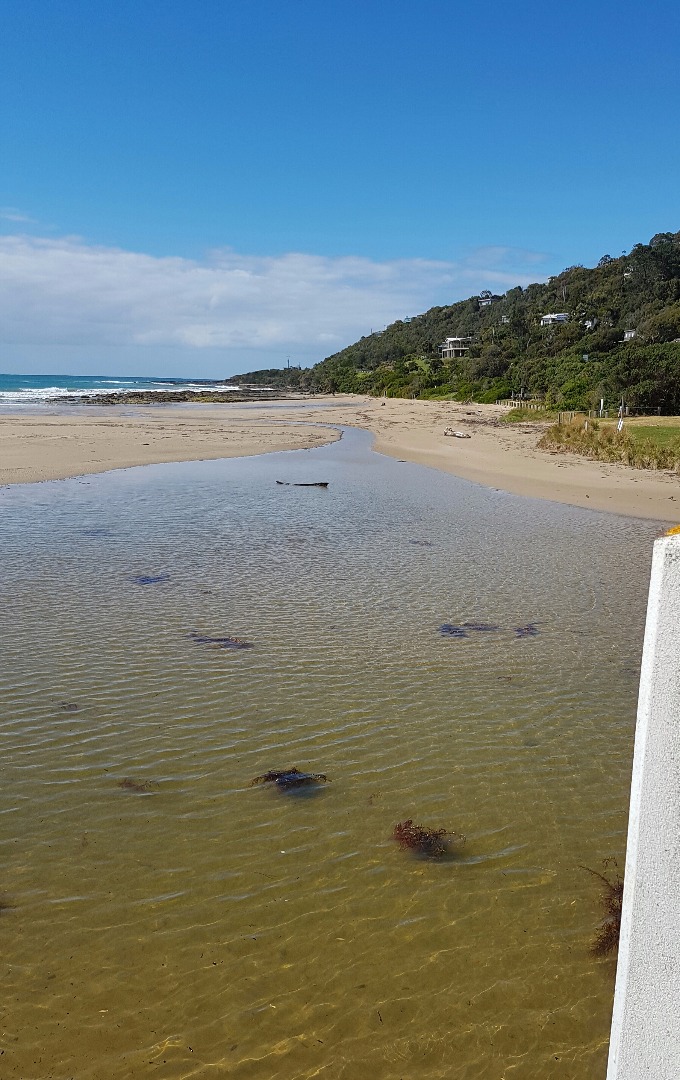
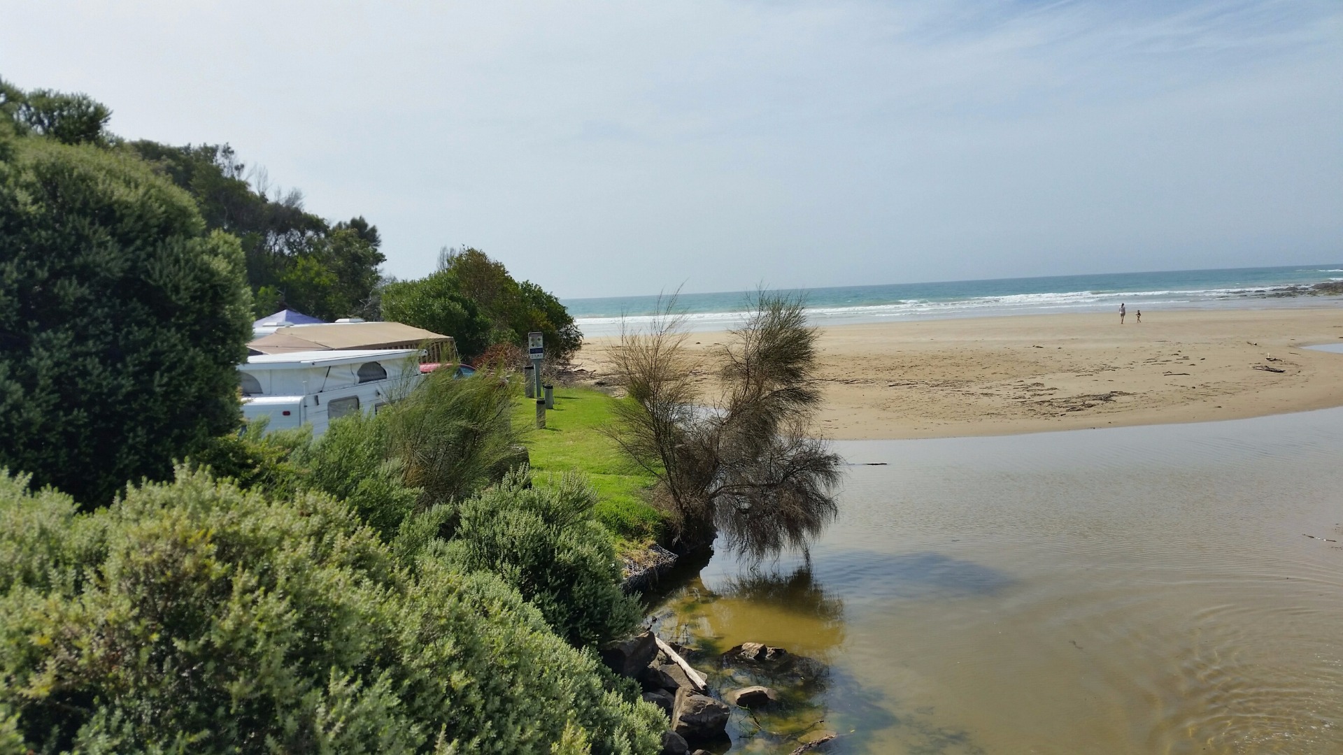
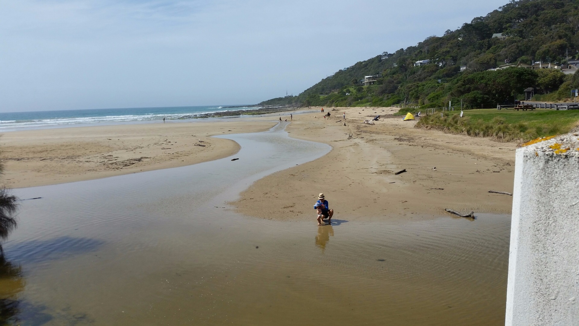
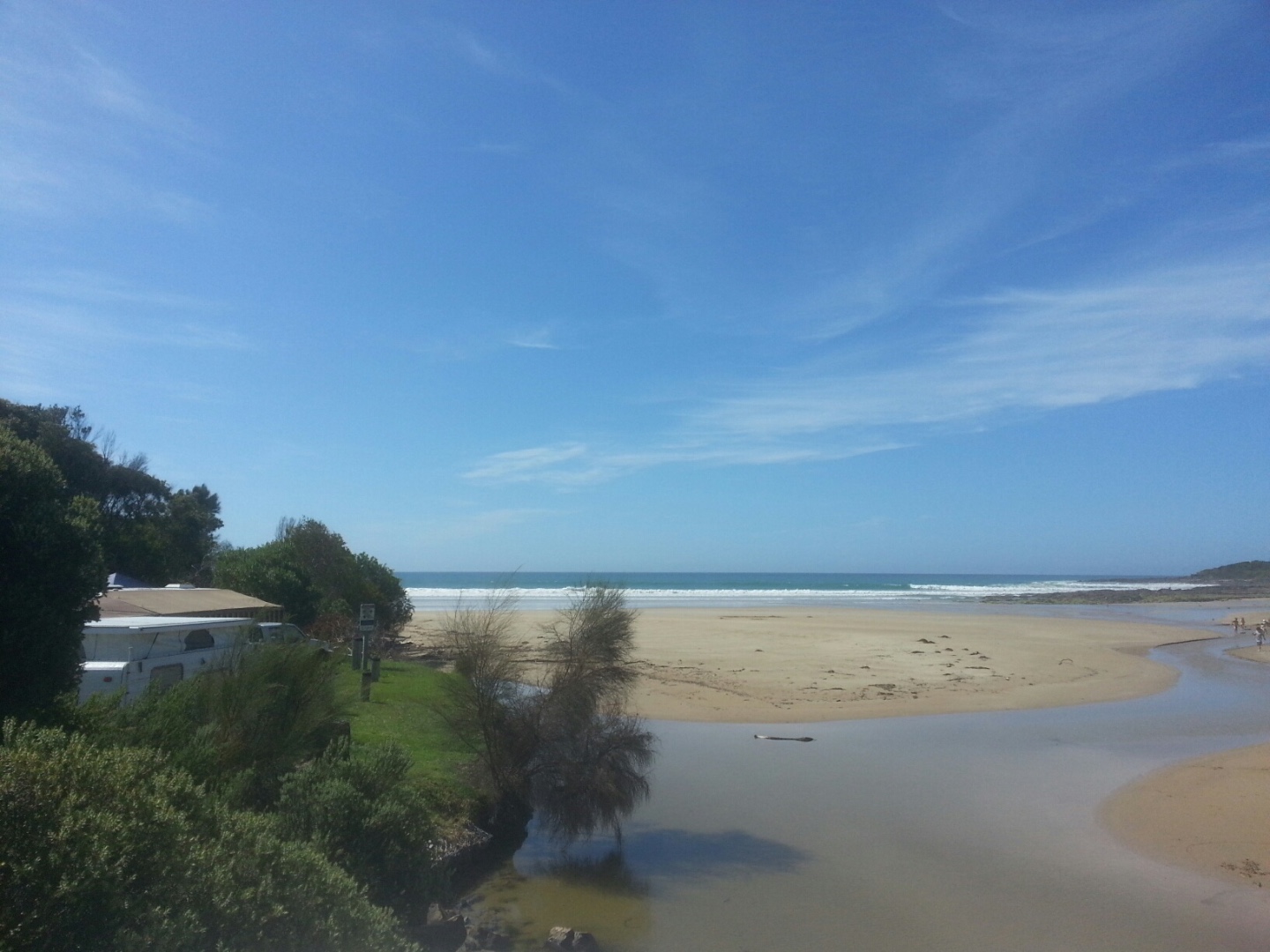
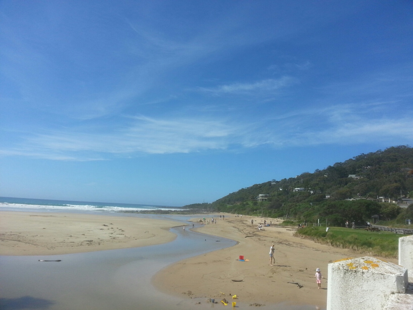
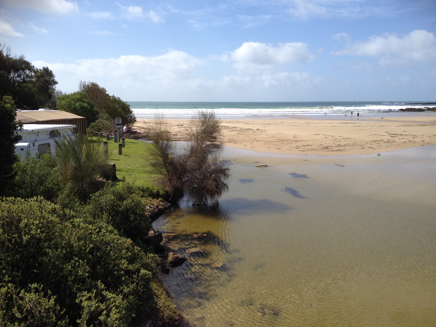
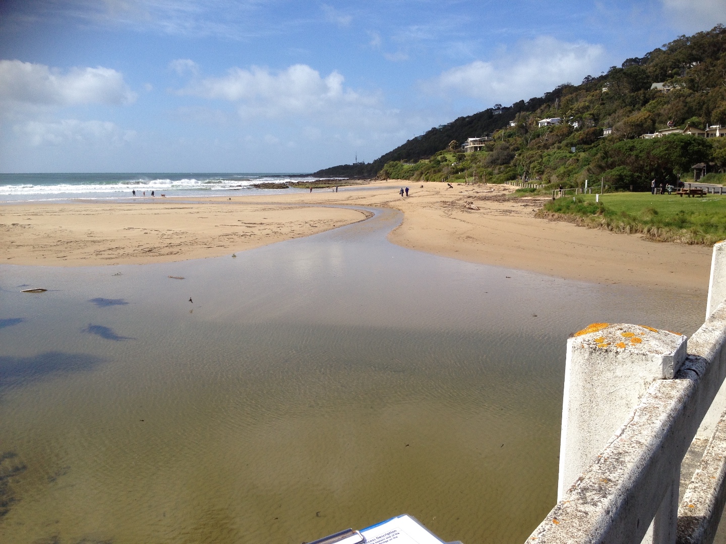
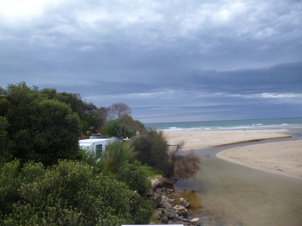
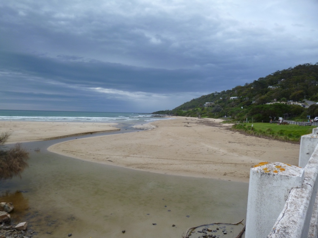
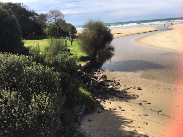
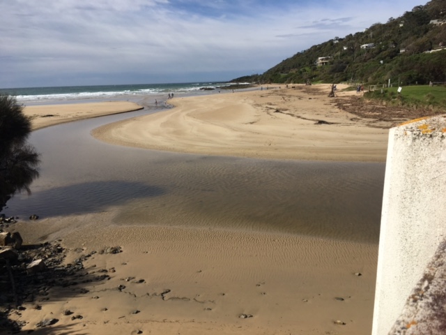
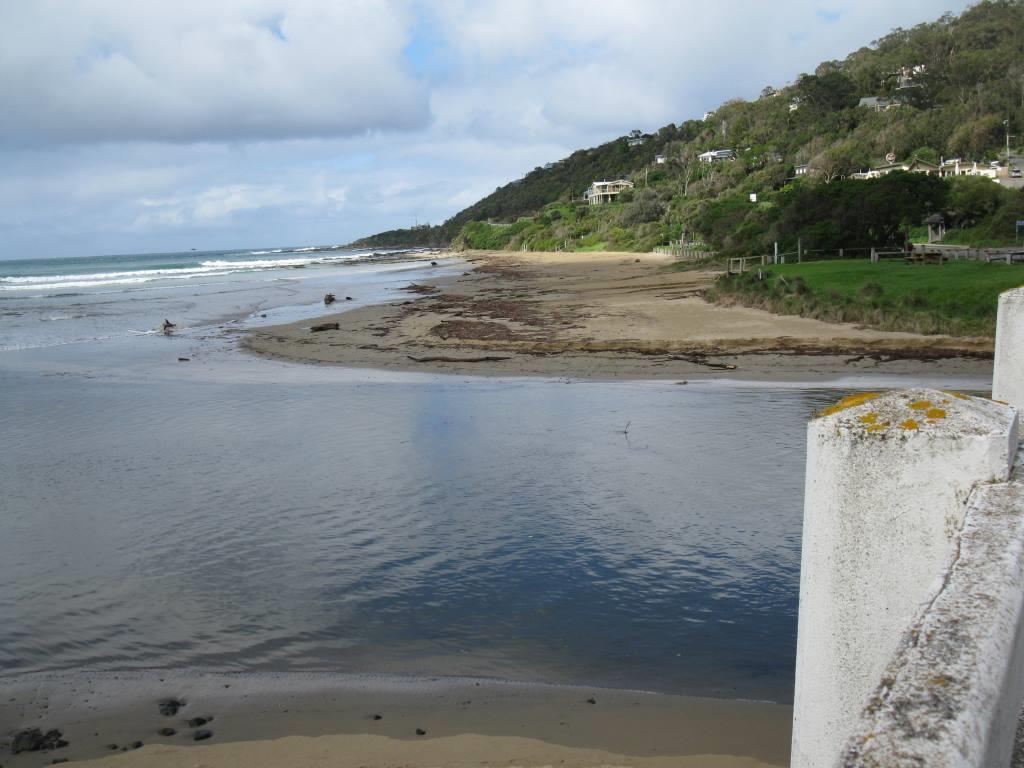
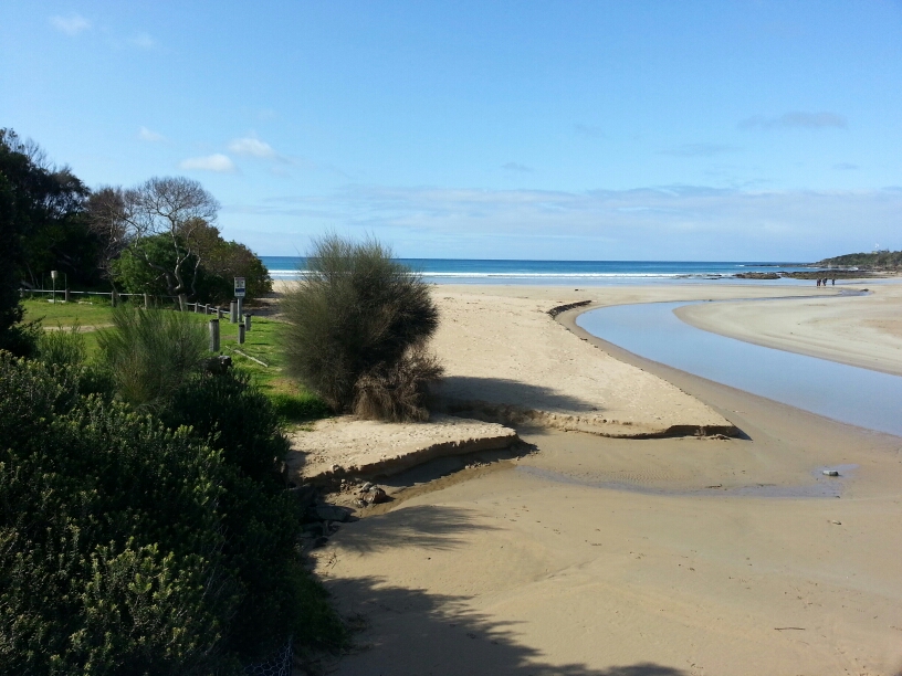
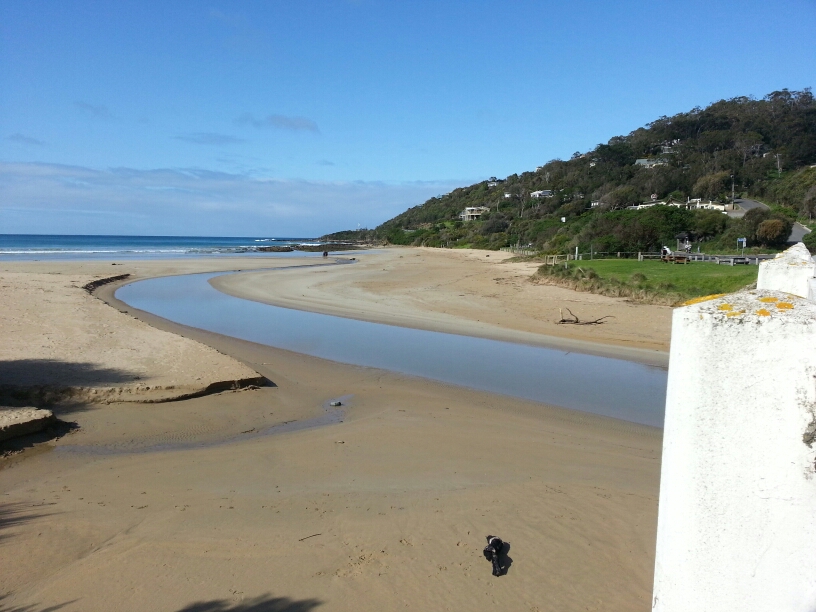
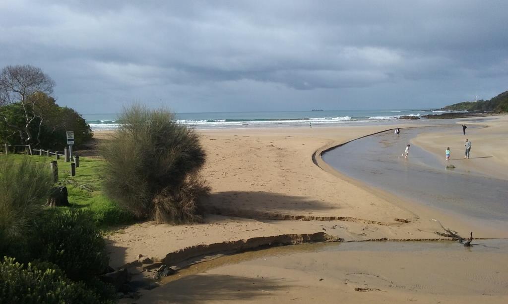
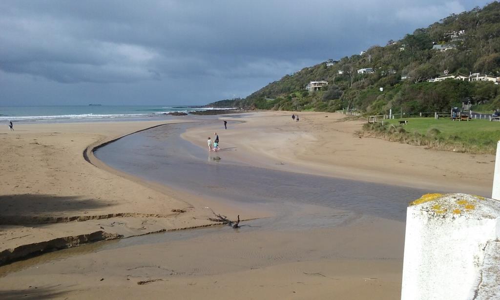
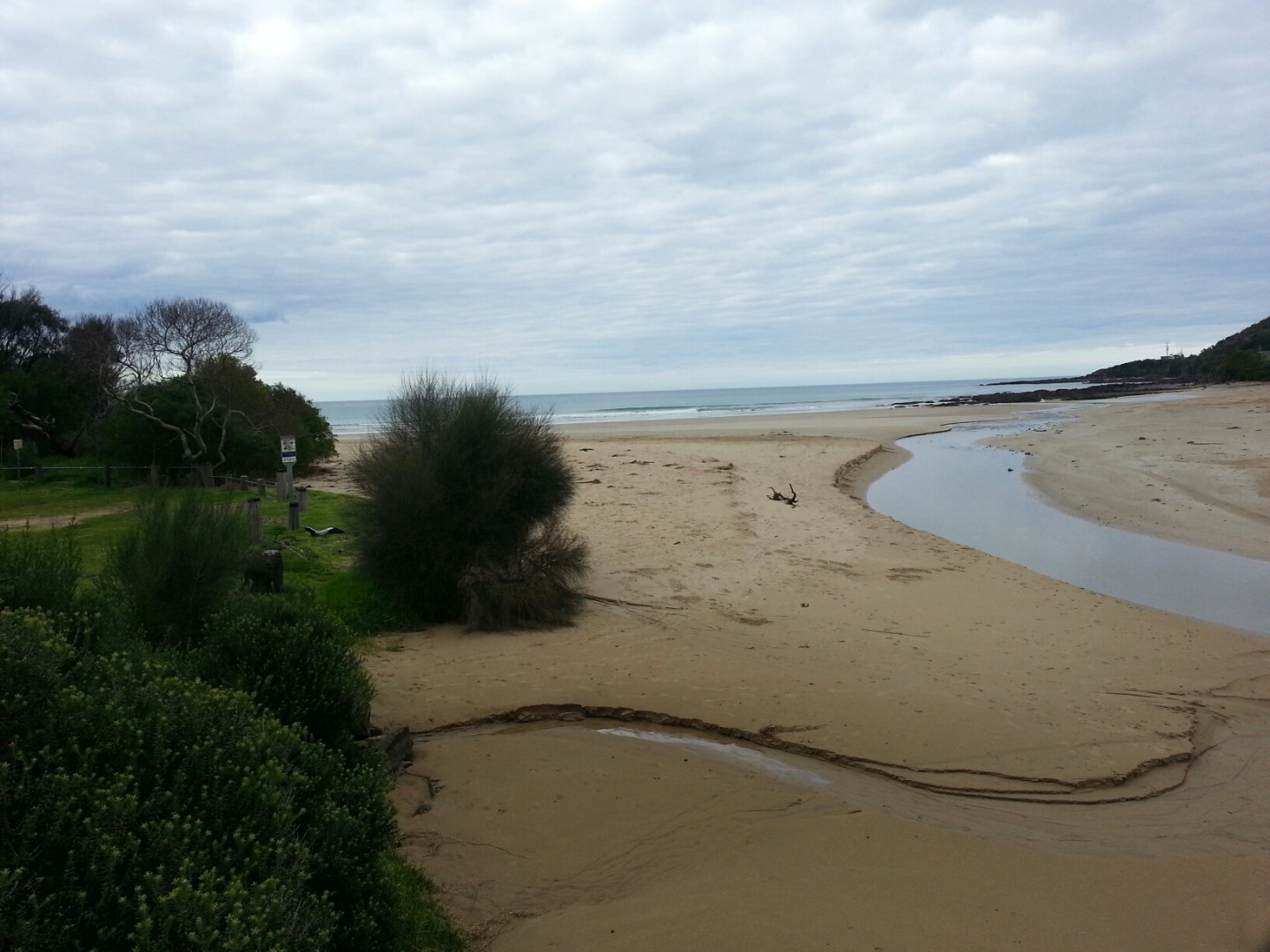
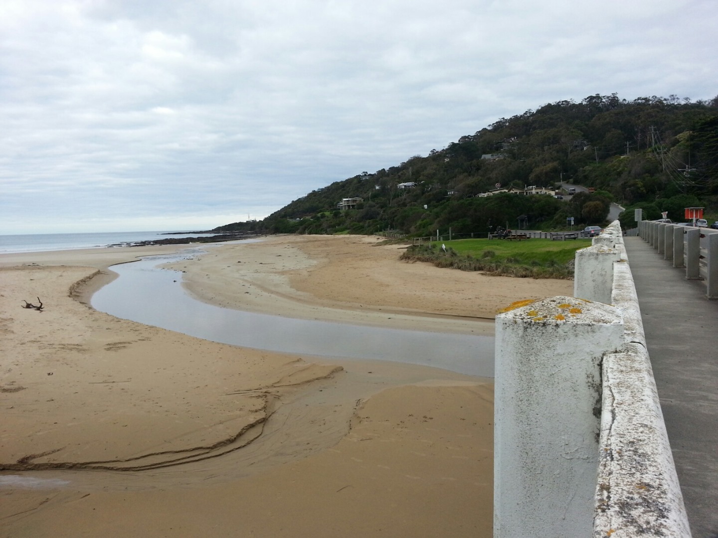
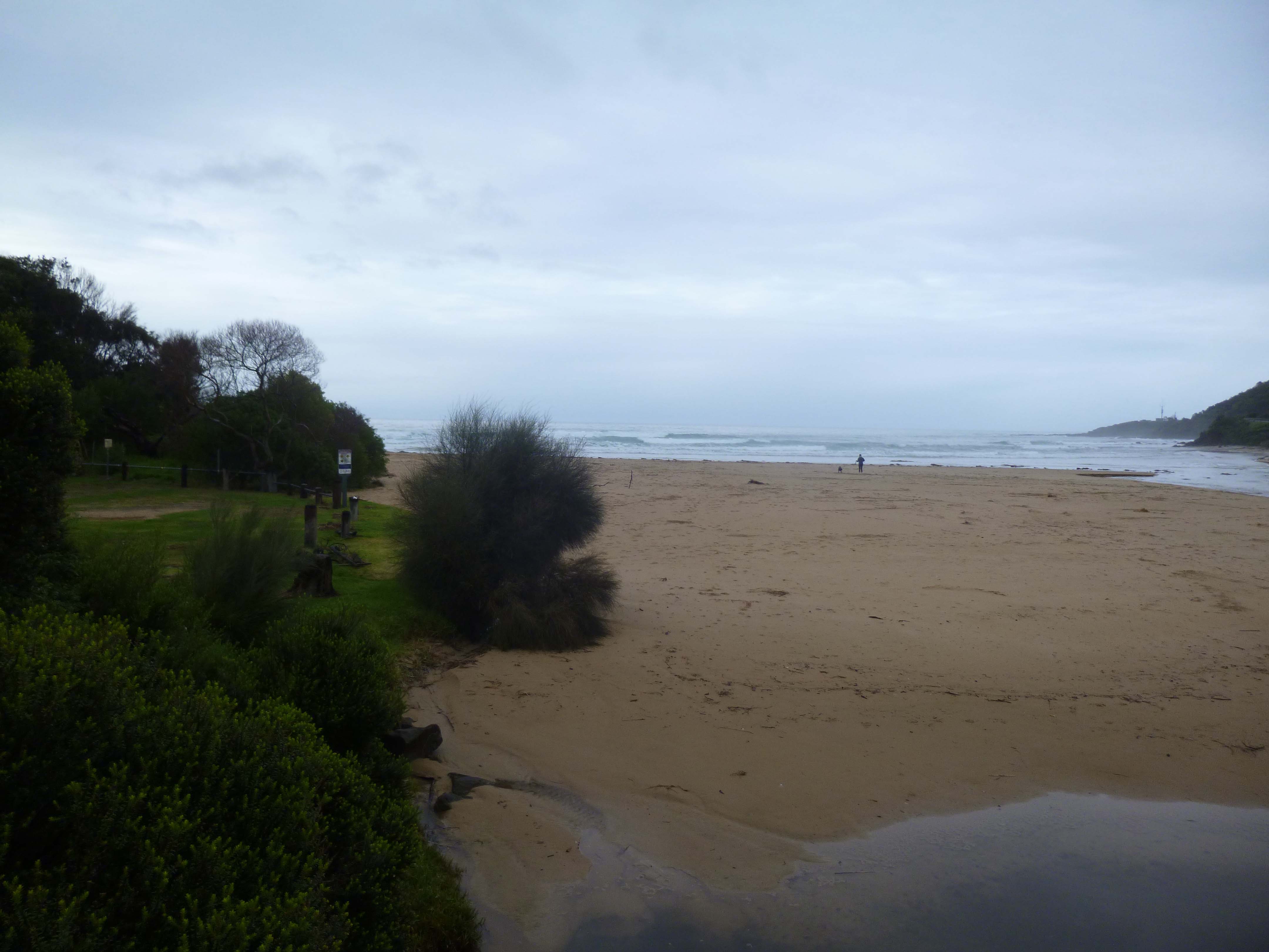
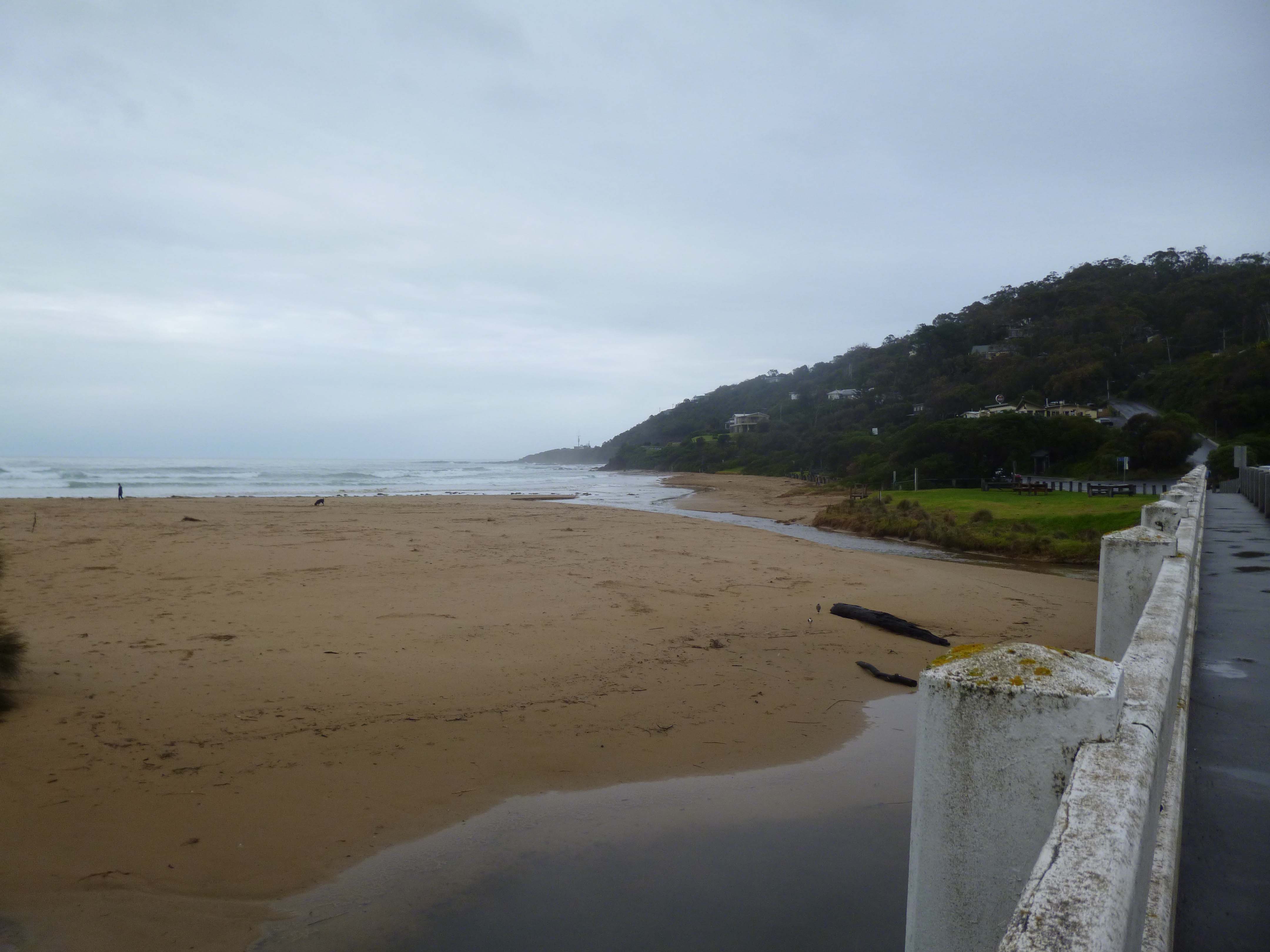
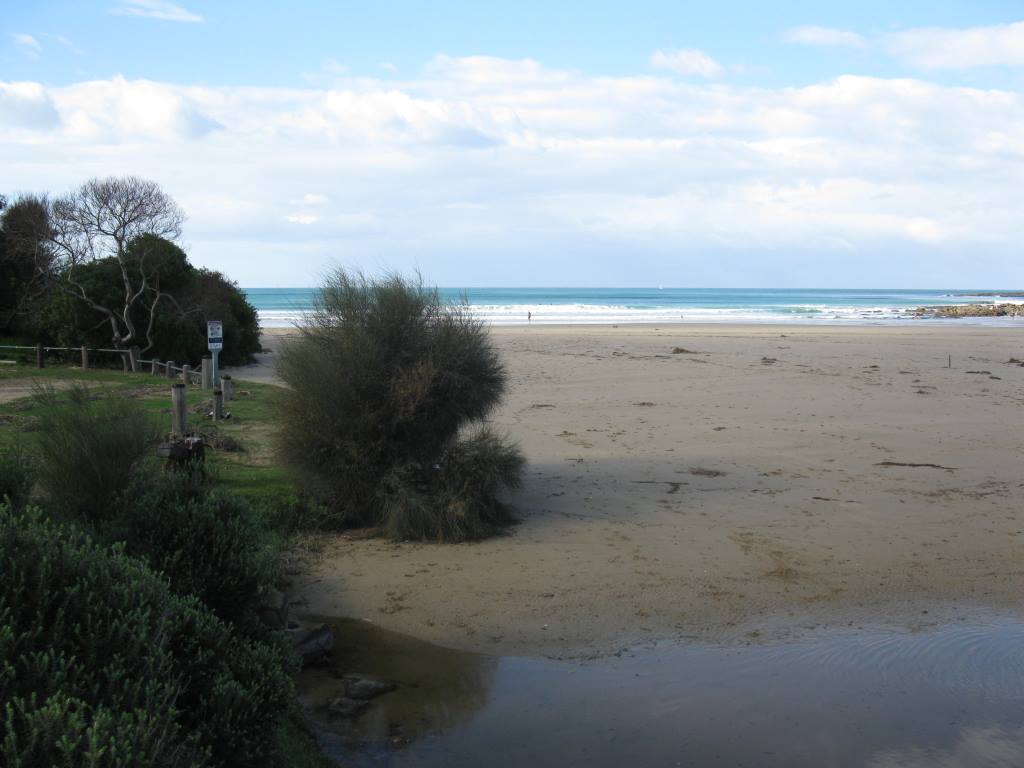
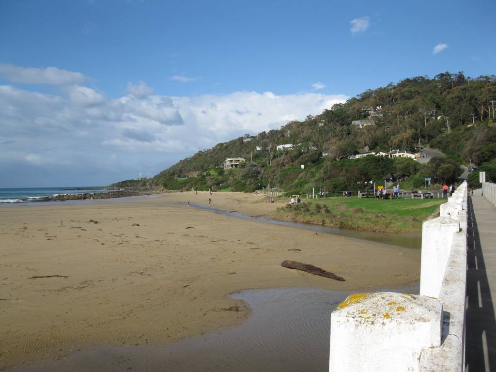
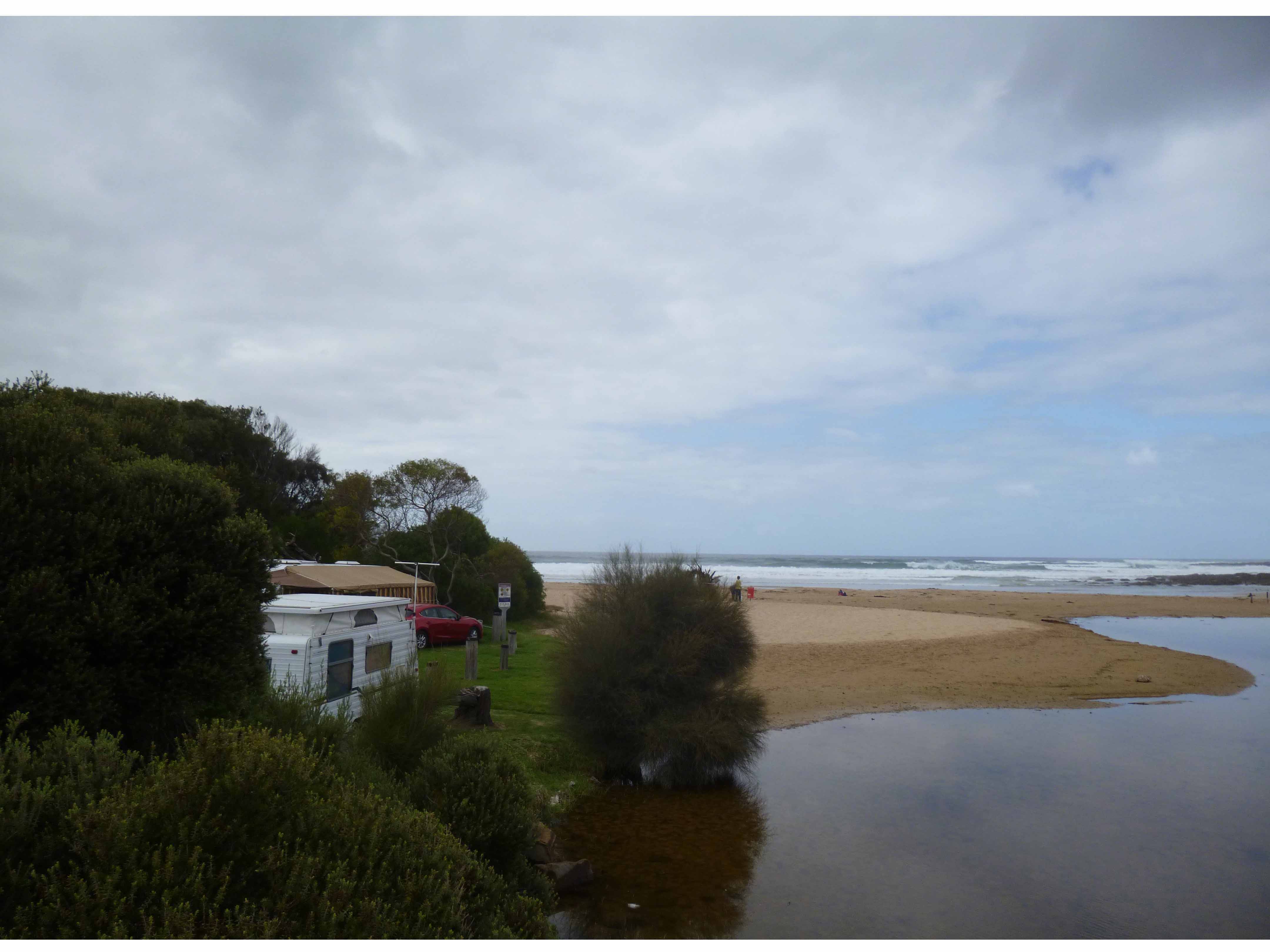
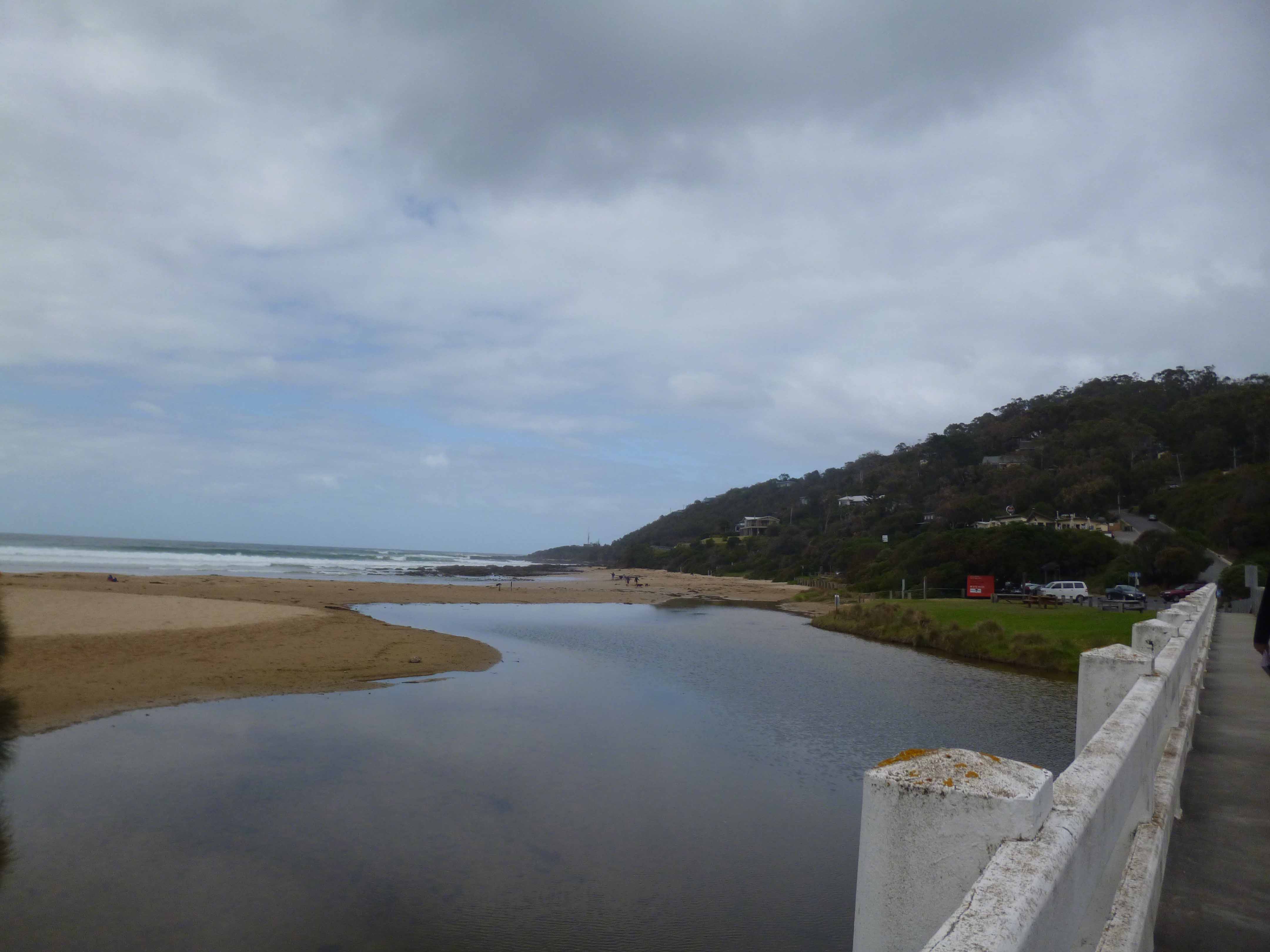
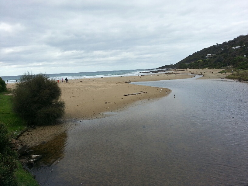
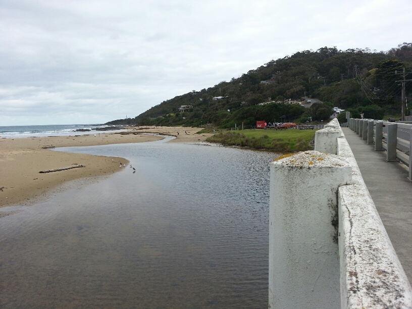
Active Mouth Condition 20-01-2007 - 21-04-2024Wye River Estuary
| ID | Date | Status | Details | |
|---|---|---|---|---|
| #13598 | 16 Feb 2020 | Approved |
Notes:
Water level in estuary has been falling for a few weeks, following rainfall |
|
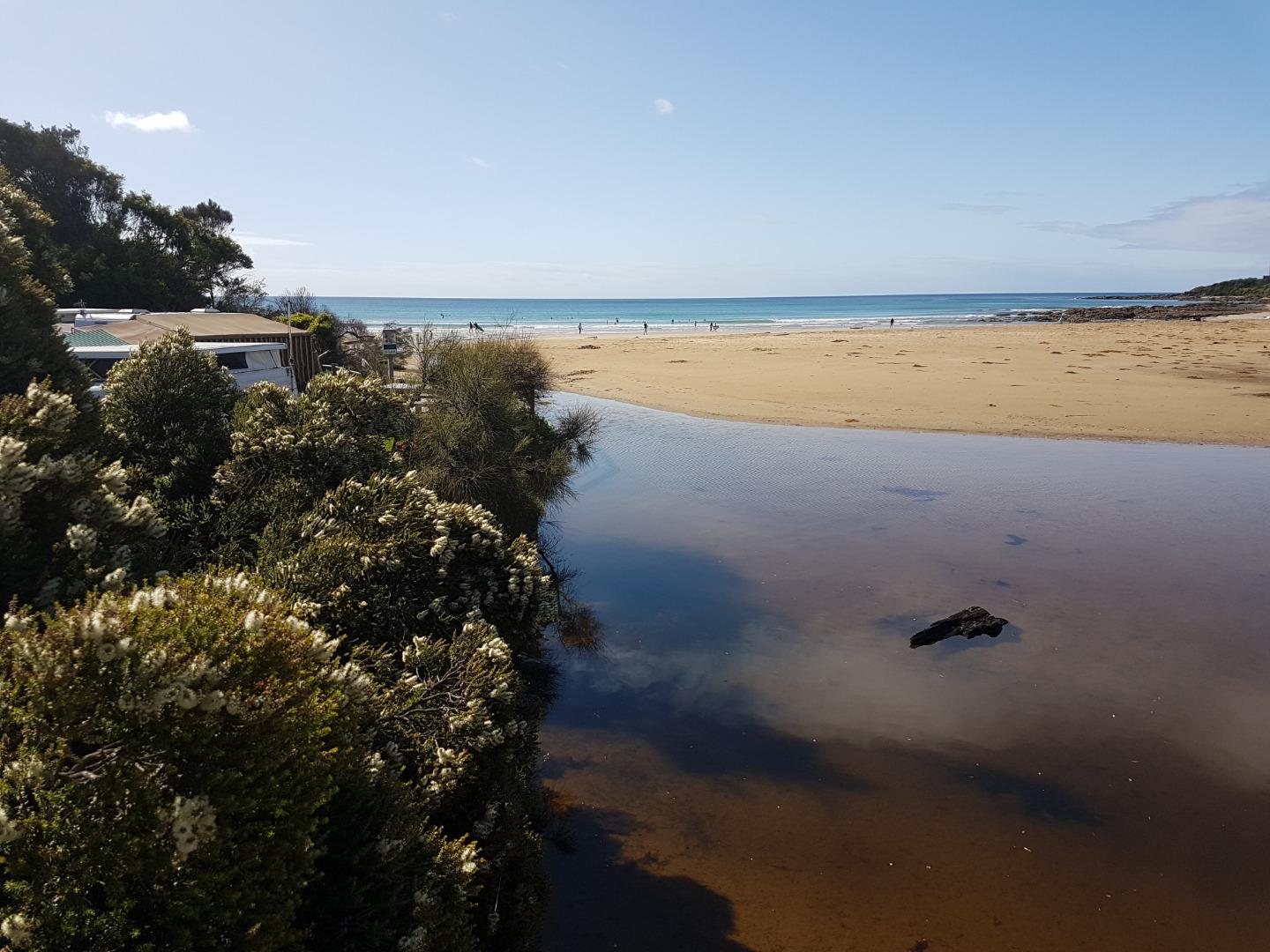
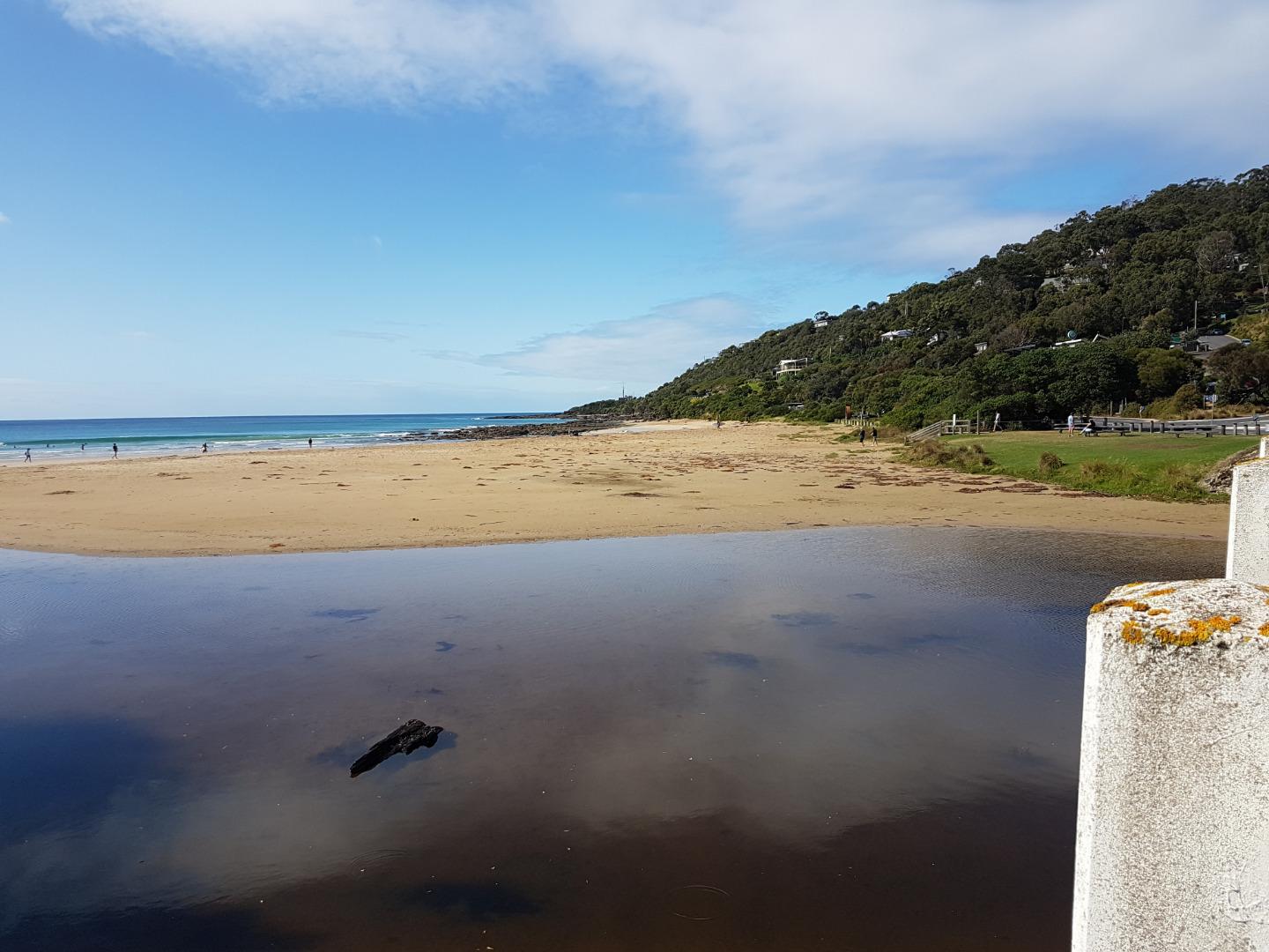
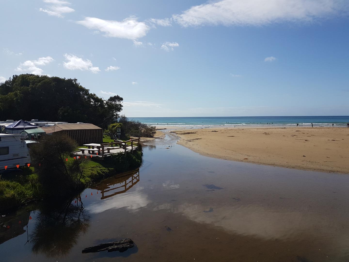
| #13593 | 2 Feb 2020 | Approved |
Notes:
Extra photo shows river running straight out from bridge following rainfall |
|
| #13520 | 19 Jan 2020 | Approved | ||
| #13483 | 5 Jan 2020 | Approved |
Notes:
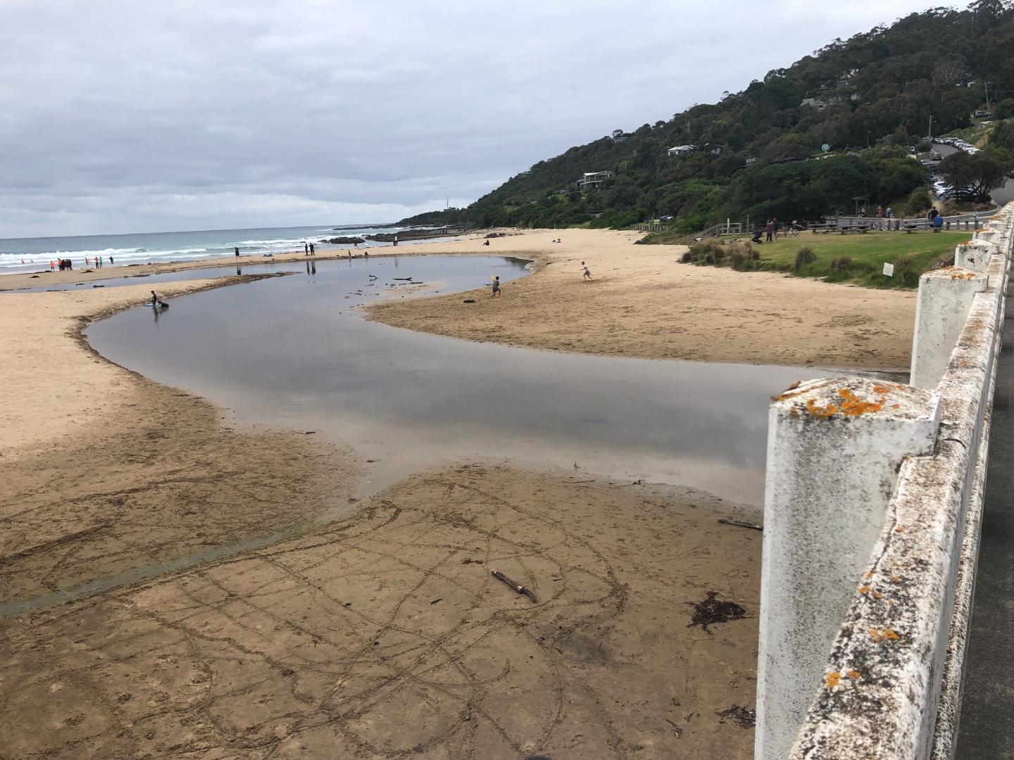
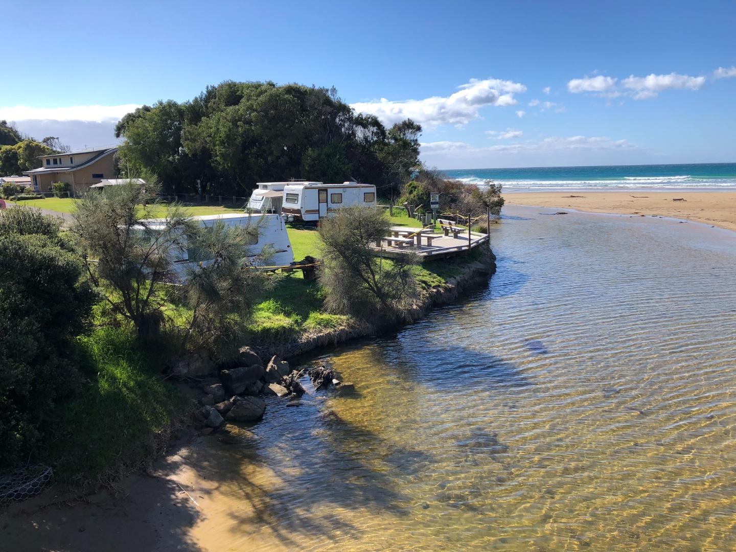
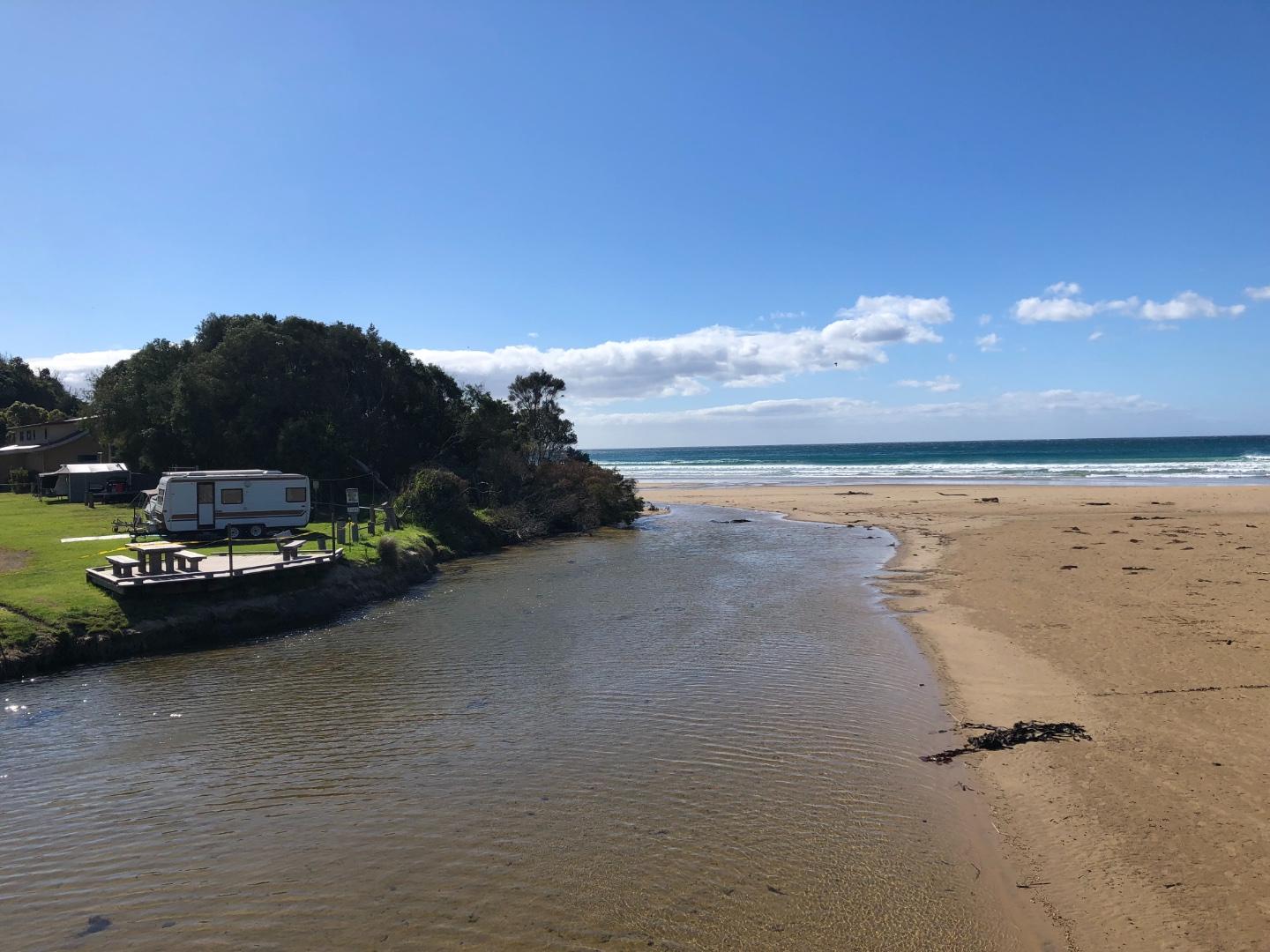
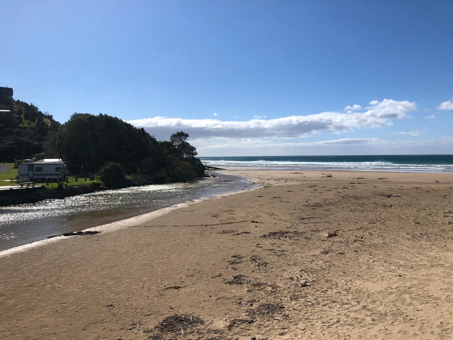
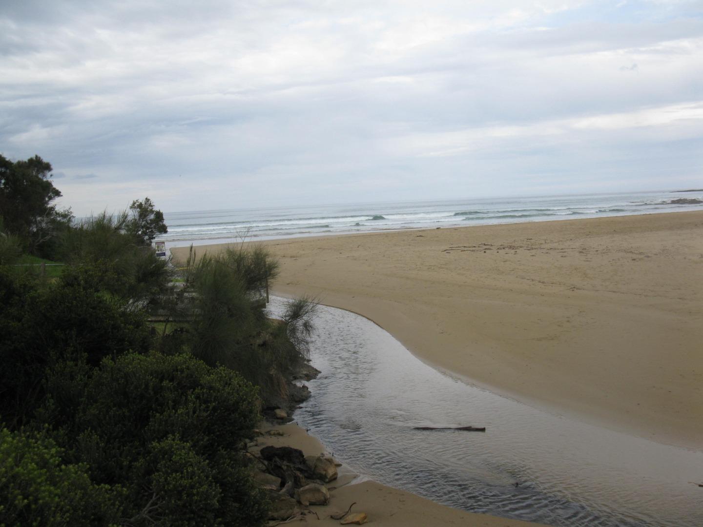
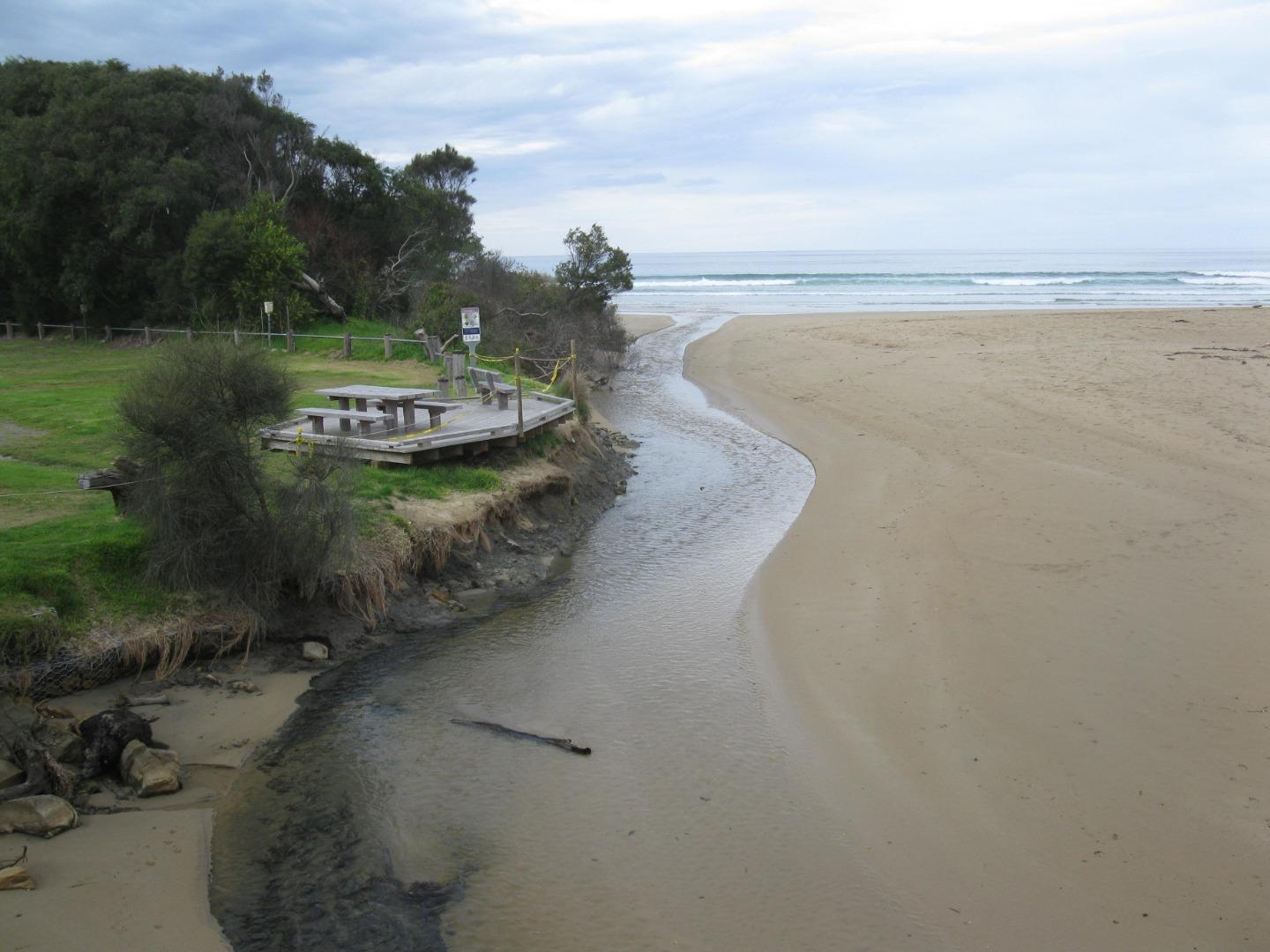
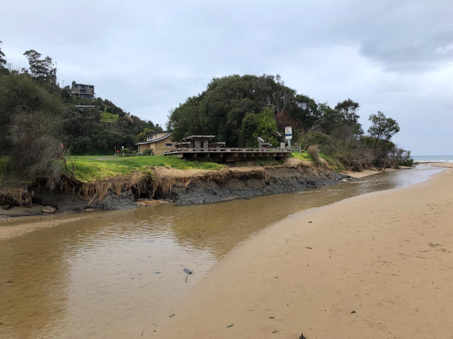
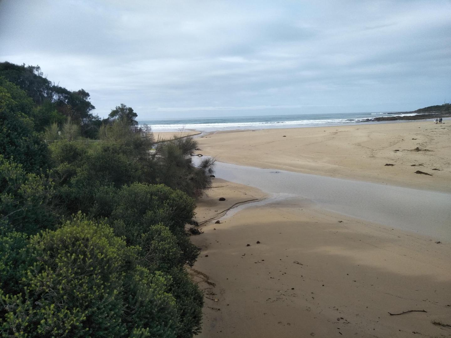
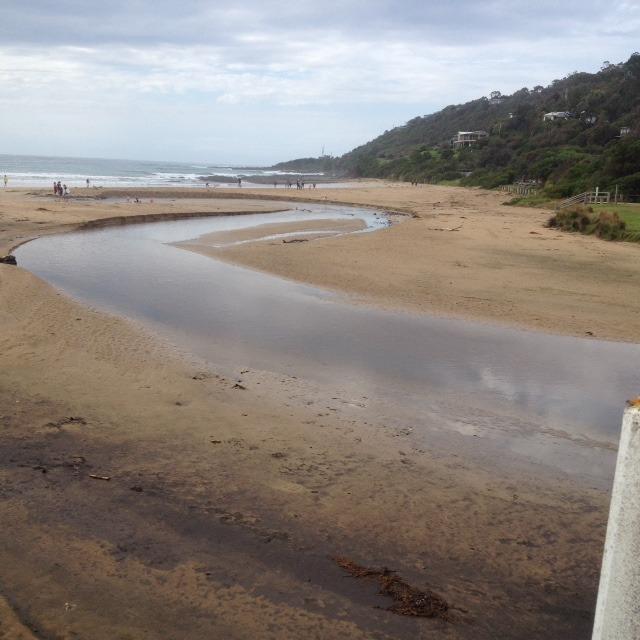
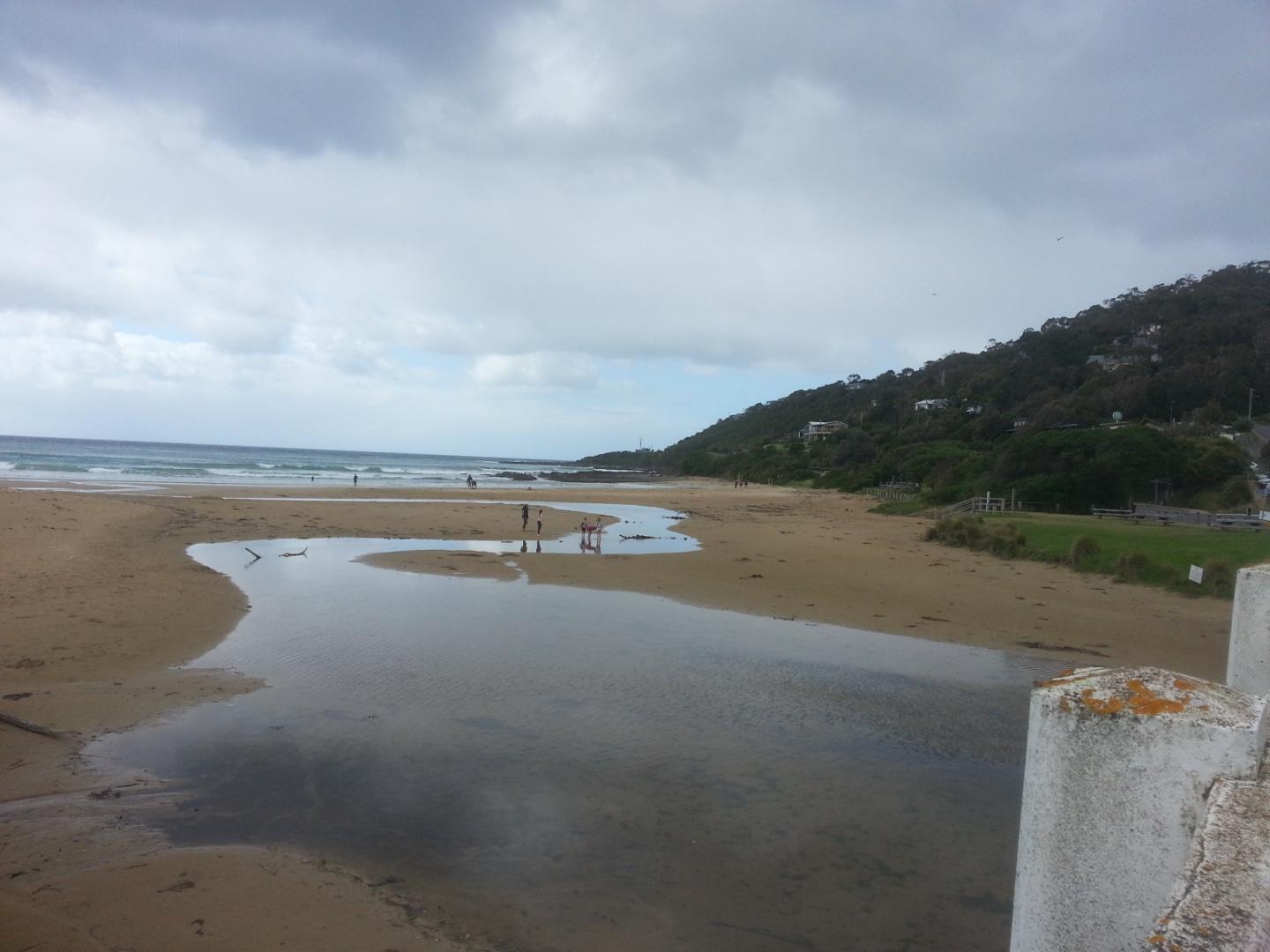
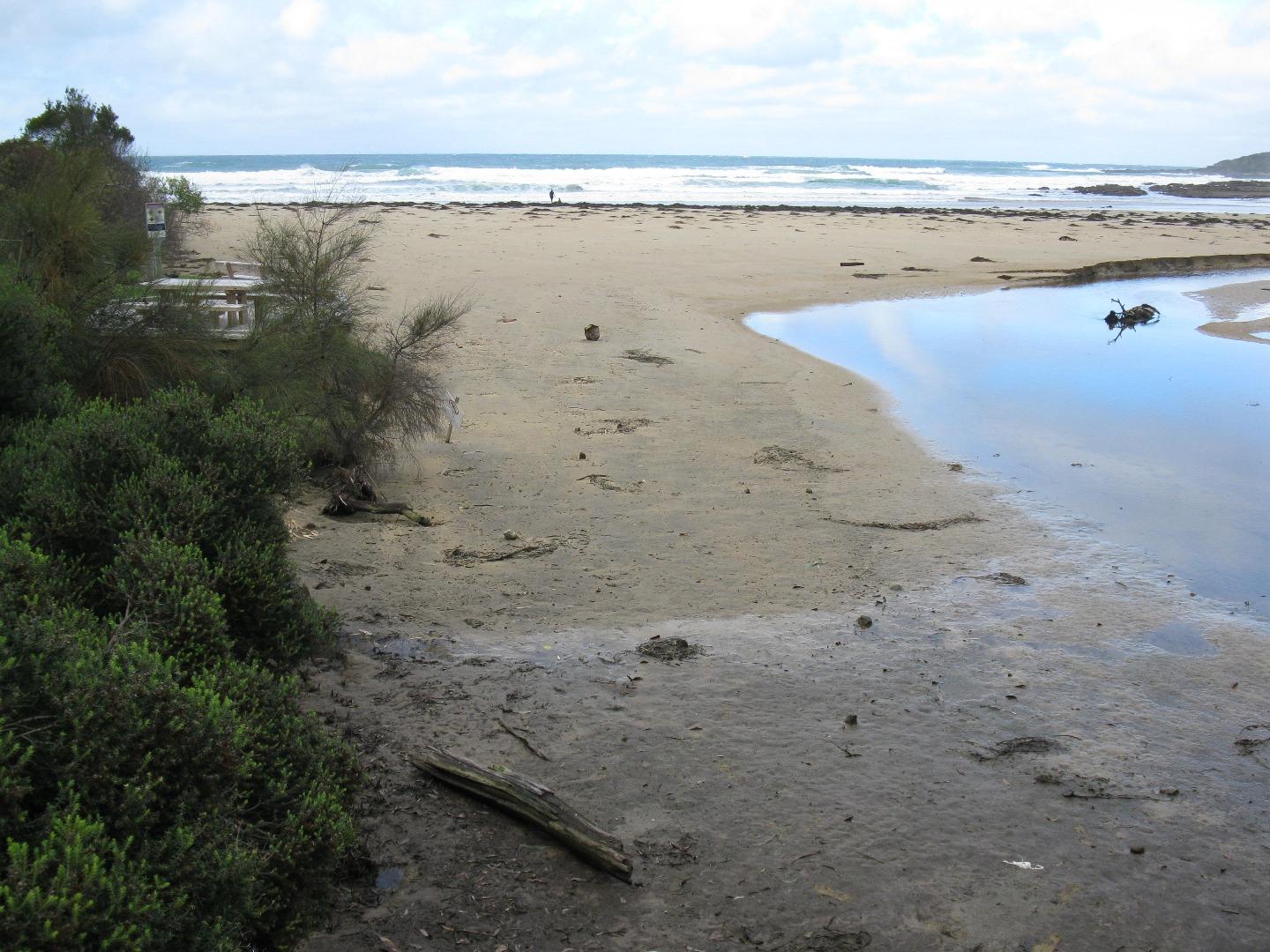
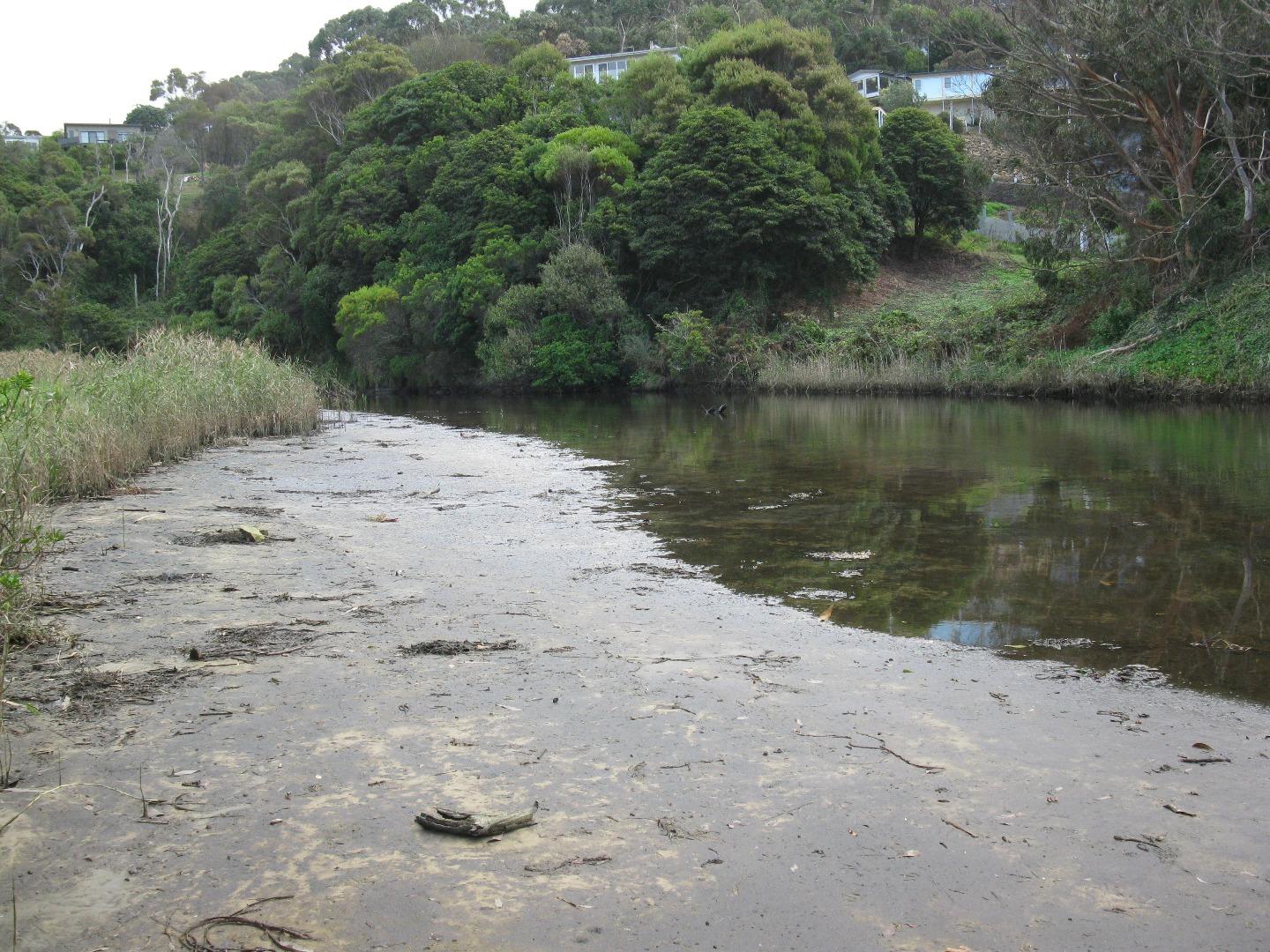
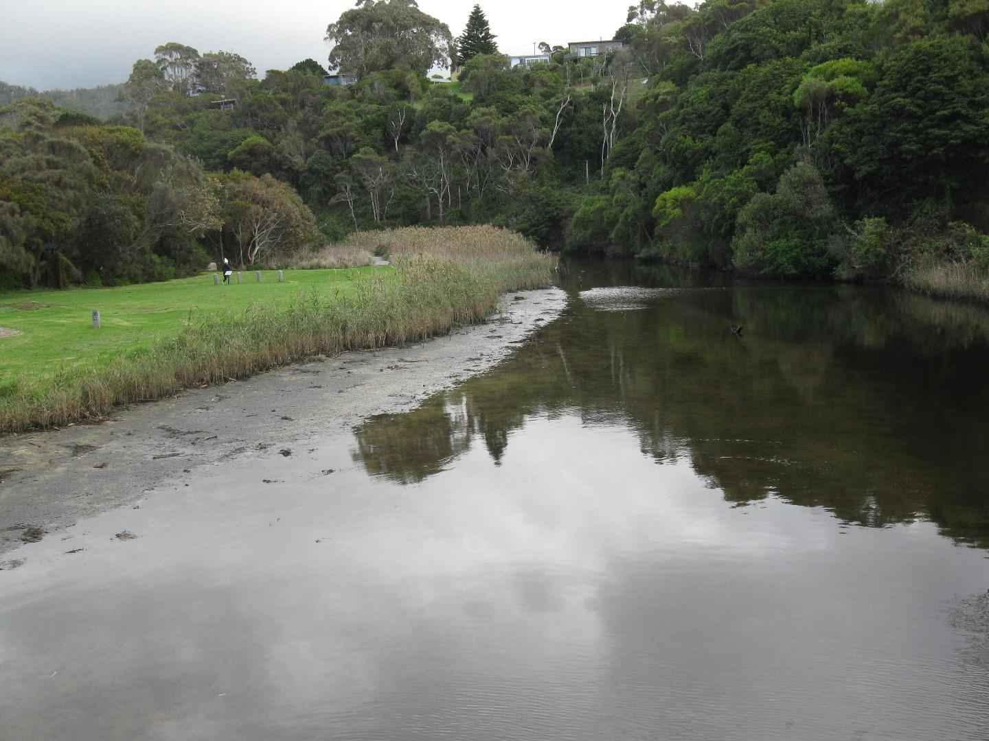
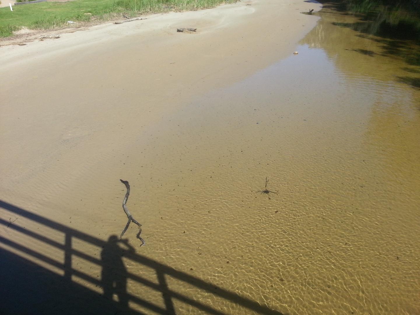
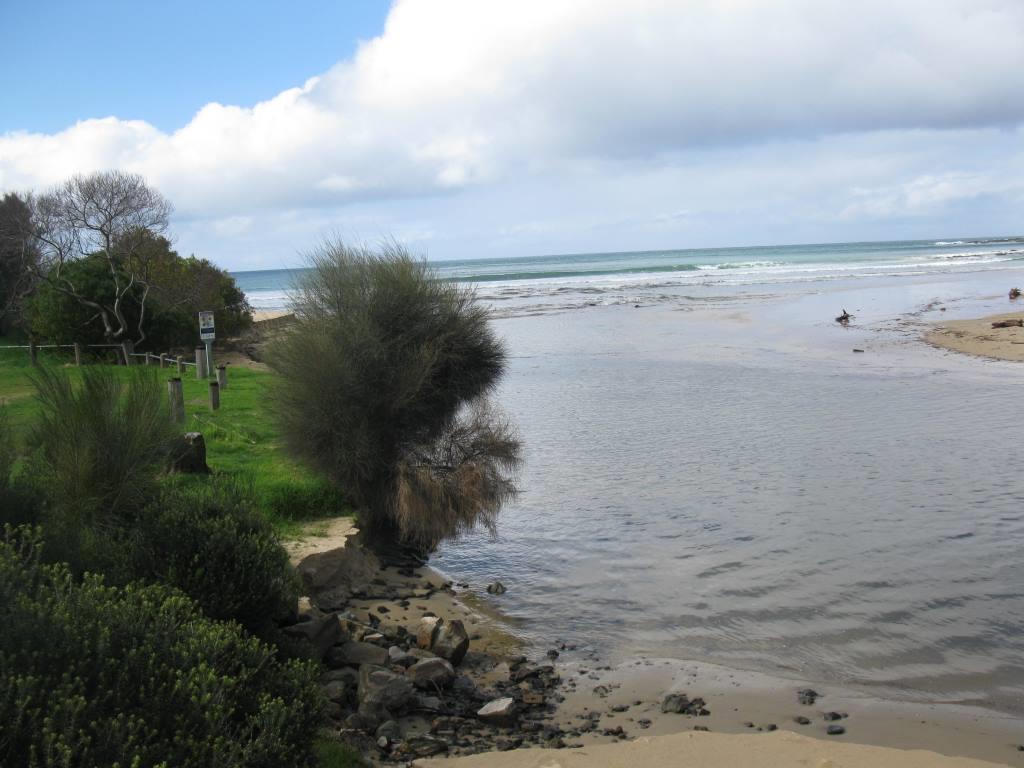
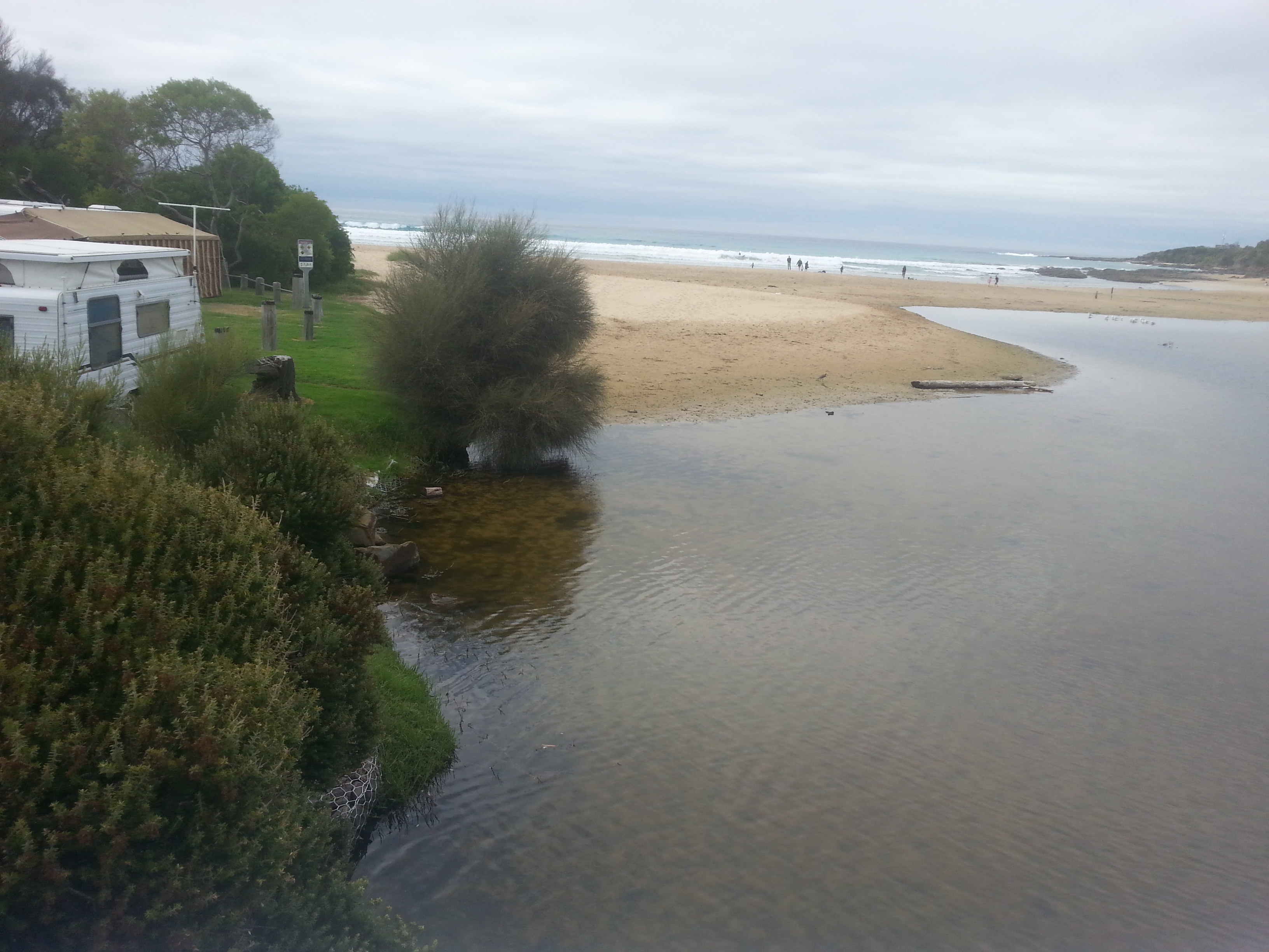
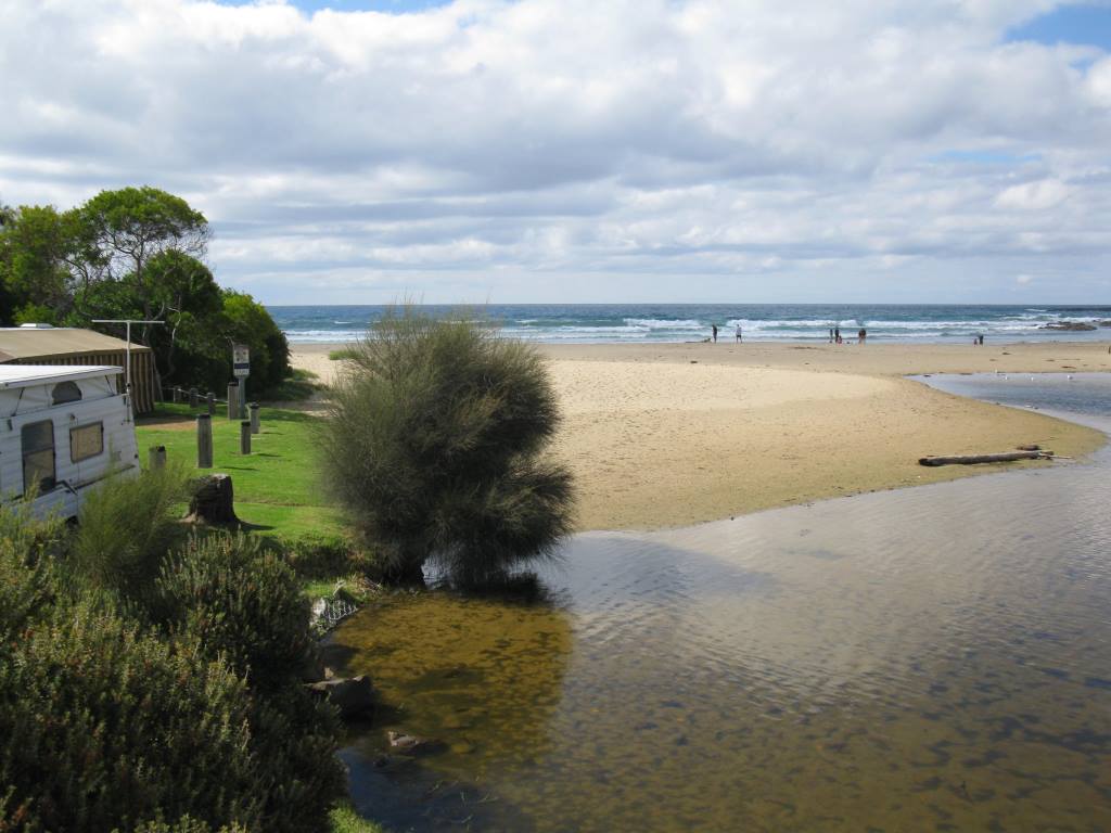
A change in the river above the footbridge, the wide beach that existed in previous months has disappeared with water covering this area. See photos attached. The river channel as it flows into the ocean has narrowed and there is not much water flowing into the sea. The channel is still undercutting the foreshore caravan park. If standing on the beach near the road bridge you can see the deposition of sand is quite high on the southern side of the river. |
|
| #13454 | 15 Dec 2019 | Approved |
Notes:
Wye River has dramatically changed course veering left towards the Surf Club beach front. |
|
| #13545 | 30 Nov 2019 | Approved |
  |
|
| #13418 | 17 Nov 2019 | Approved | ||
| #13393 | 4 Nov 2019 | Approved |
   |
|
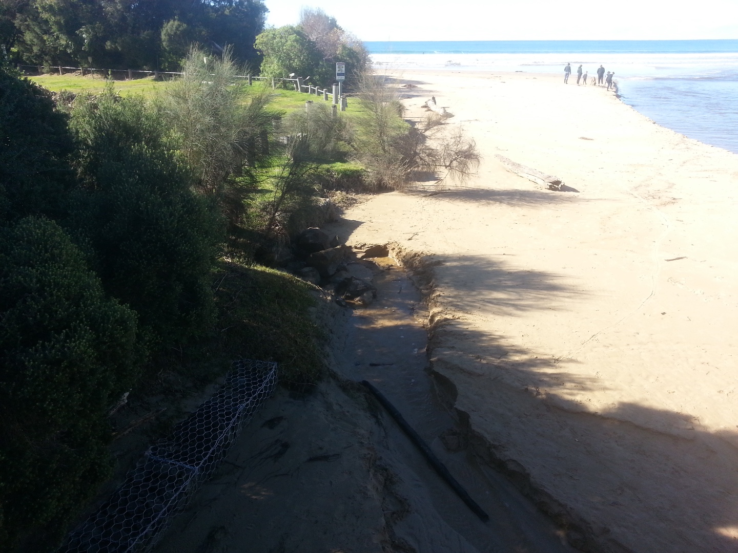
| #13369 | 20 Oct 2019 | Approved |
Notes:
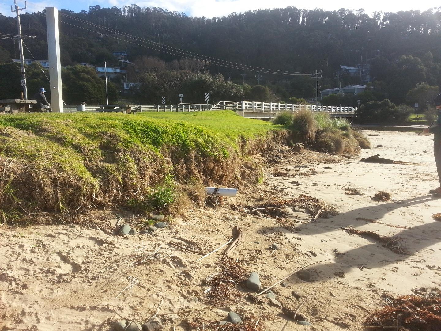
Erosion increasing adjacent to Foreshore Camping Reserve. Trees and shrubs have fallen into the river partially blocking the channel. Much sand deposited under the bridge, river is wide and shallow. Photo attached showing river and erosion in front of the Camping Reserve and Surf Club. |
|
| #13353 | 6 Oct 2019 | Approved |
Notes:
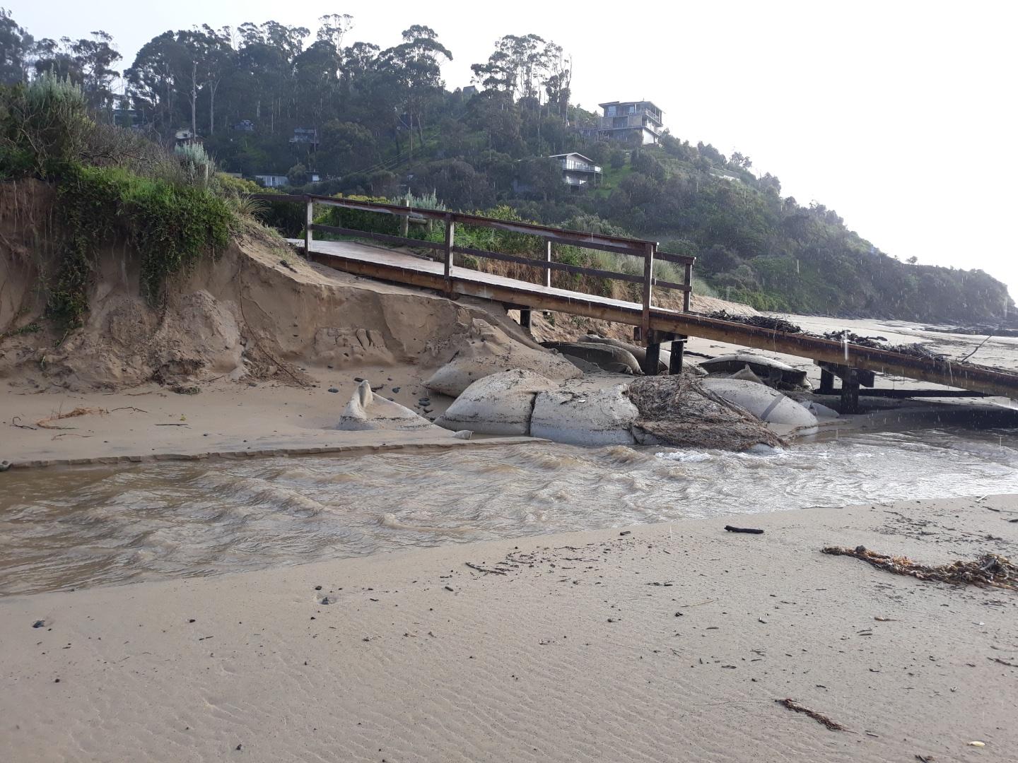
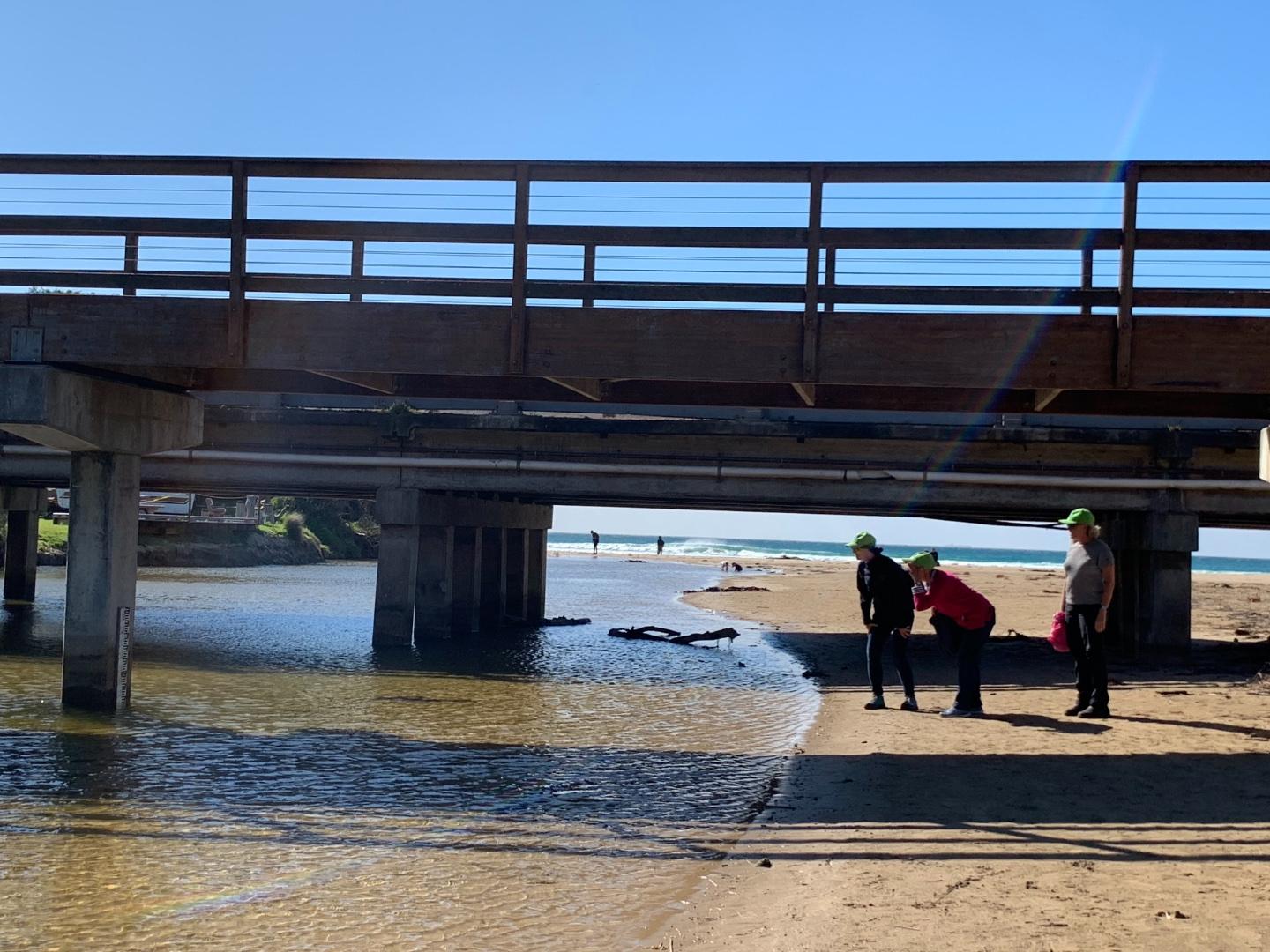
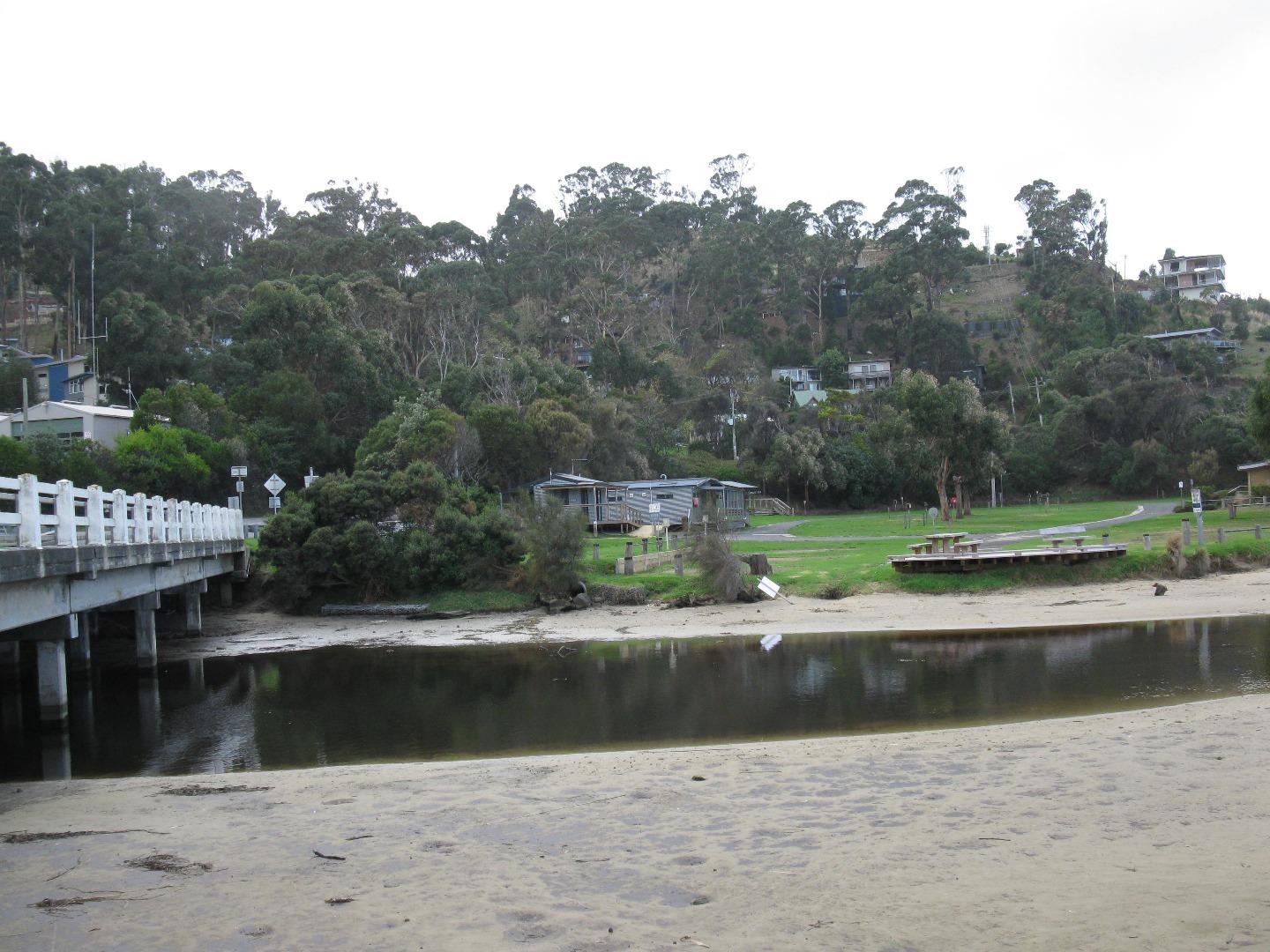
The erosion caused by the river cutting into the northern bank of the river adjacent to the Beachfront caravan park is noticeable. There is security tape across the bank edge to stop people using the bank. Stormwater pipe near the bottom of the steps to the beach ( opposite the shop) is exposed. Question: Do we need an additional photo-point? This month we couldn't capture the river course from the bridge to the sea from the current photo site only. I have attached some photos from the other end of the bridge - so the course of the river to the sea can be captured. Carolyn took some great photos and these are attached too! I am having trouble getting Anne's name to appear in the samplers ?? i enter it but it doesn't appear on the next page? |
|
| #13322 | 15 Sep 2019 | Approved | ||
| #13303 | 1 Sep 2019 | Approved |
Notes:
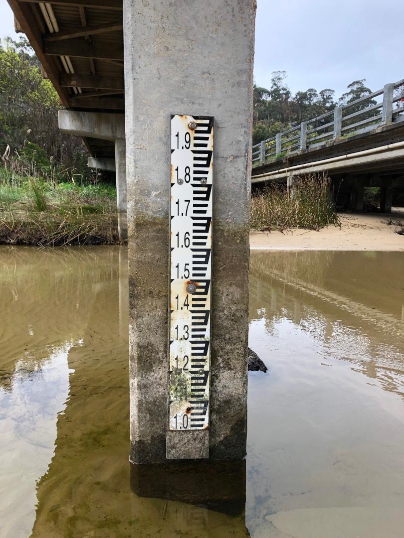
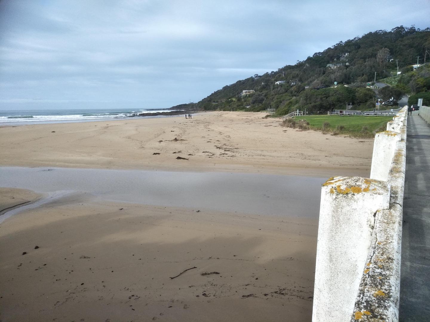
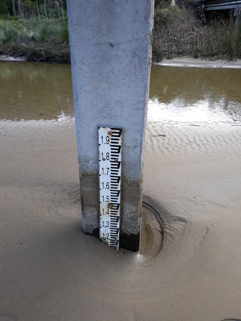
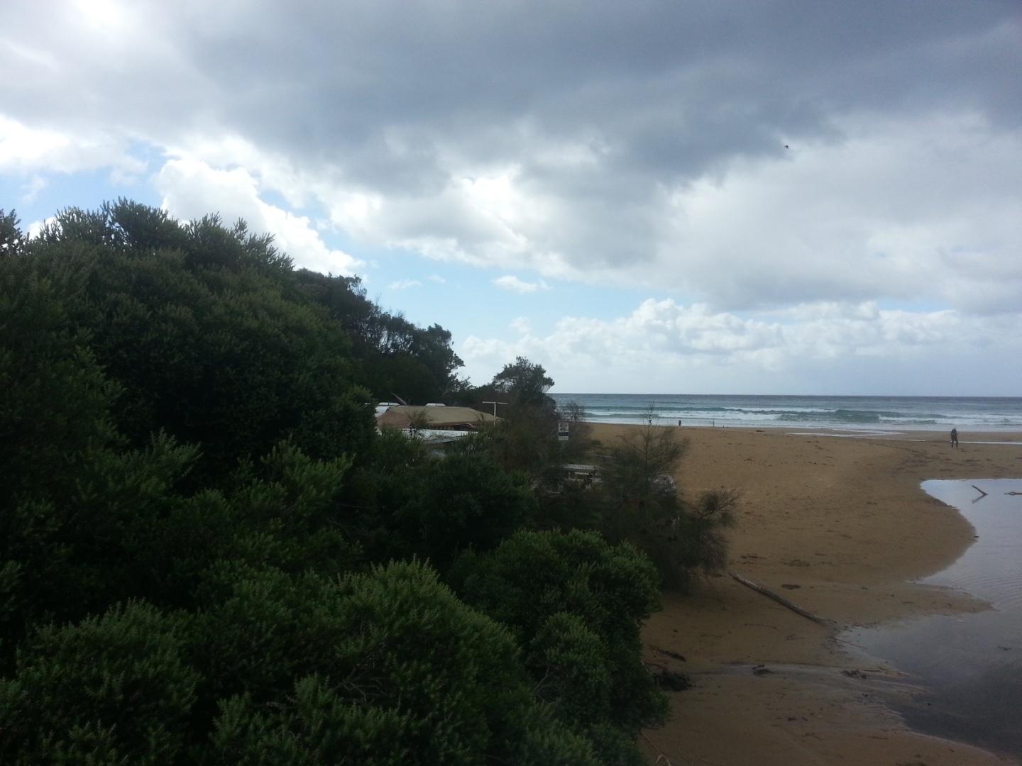
Photo 1 and 2 are the regular photo points The water level was below the scale on the height measuring board in the river - so we made an estimate see photo 3 Undercutting along the river bank next to the foreshore caravan - see photos 4 and 5 There was a bird - like a quail spotted on the riverbank
|
|
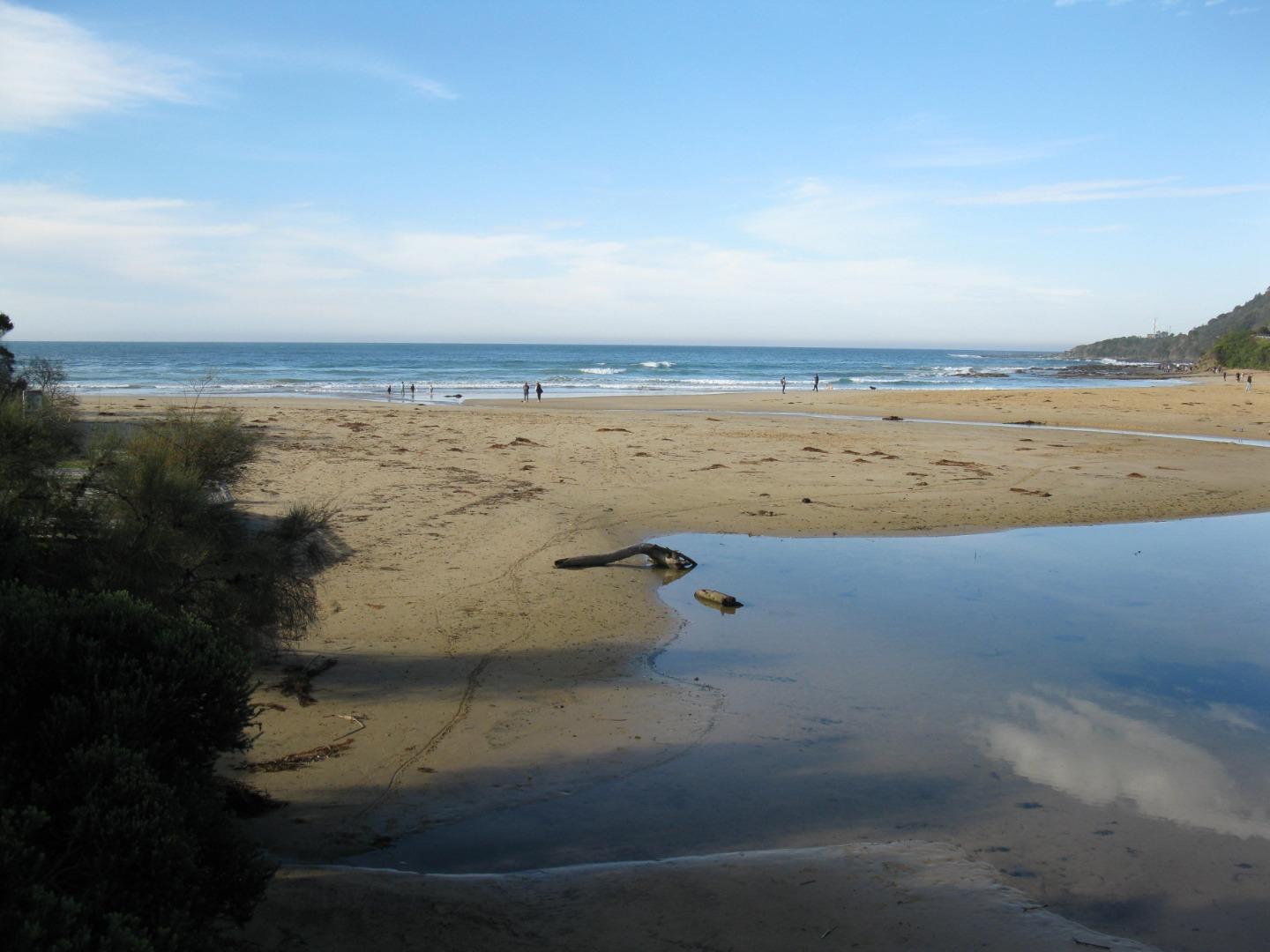
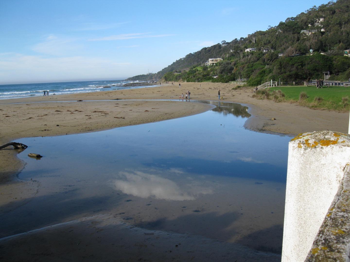
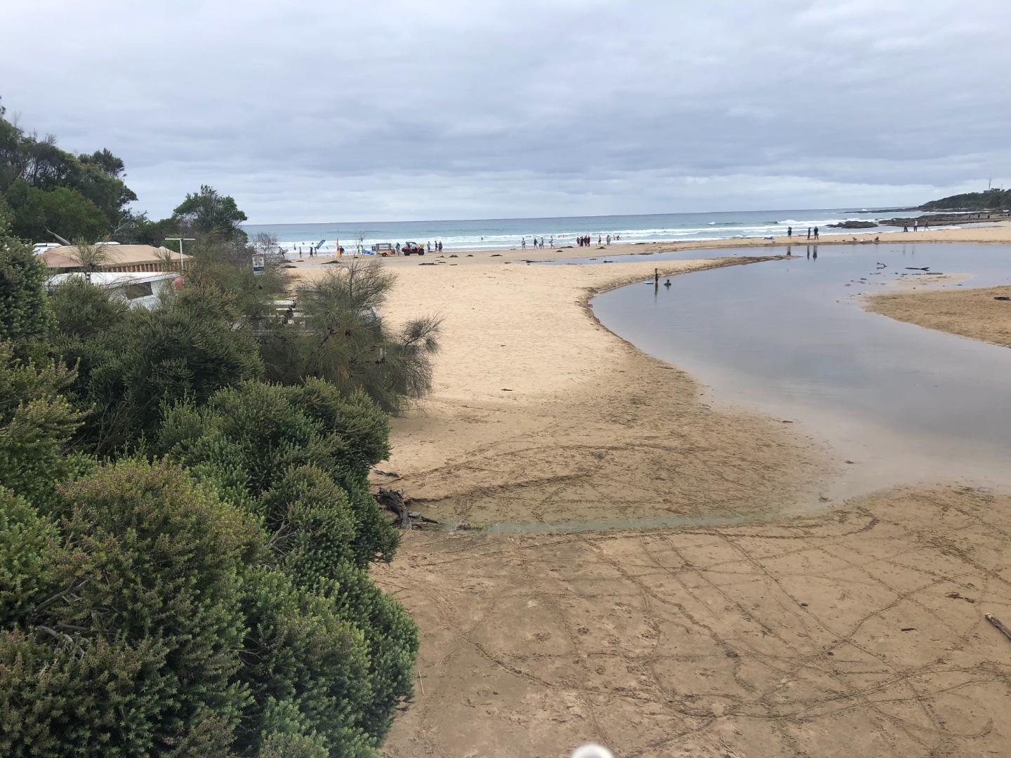
| #13252 | 18 Aug 2019 | Approved |
Notes:
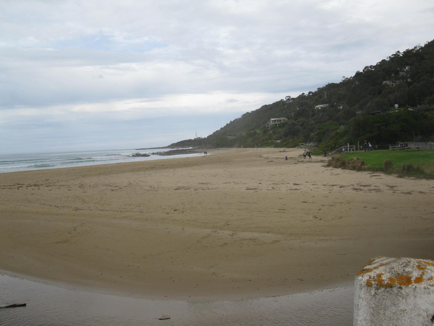
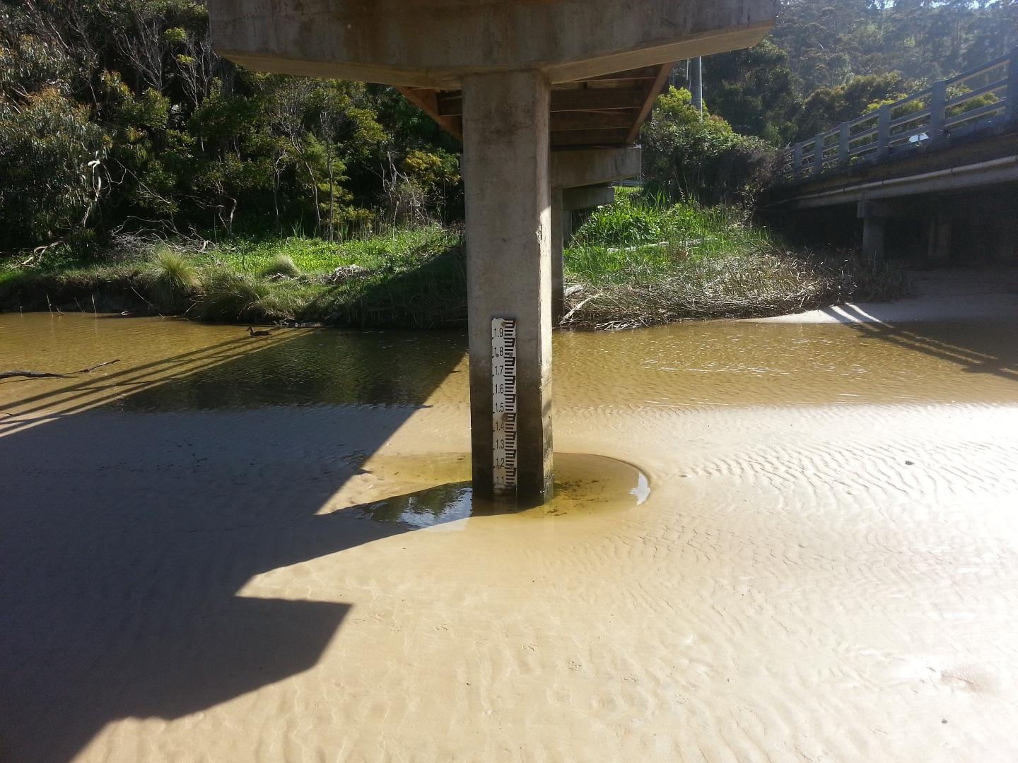
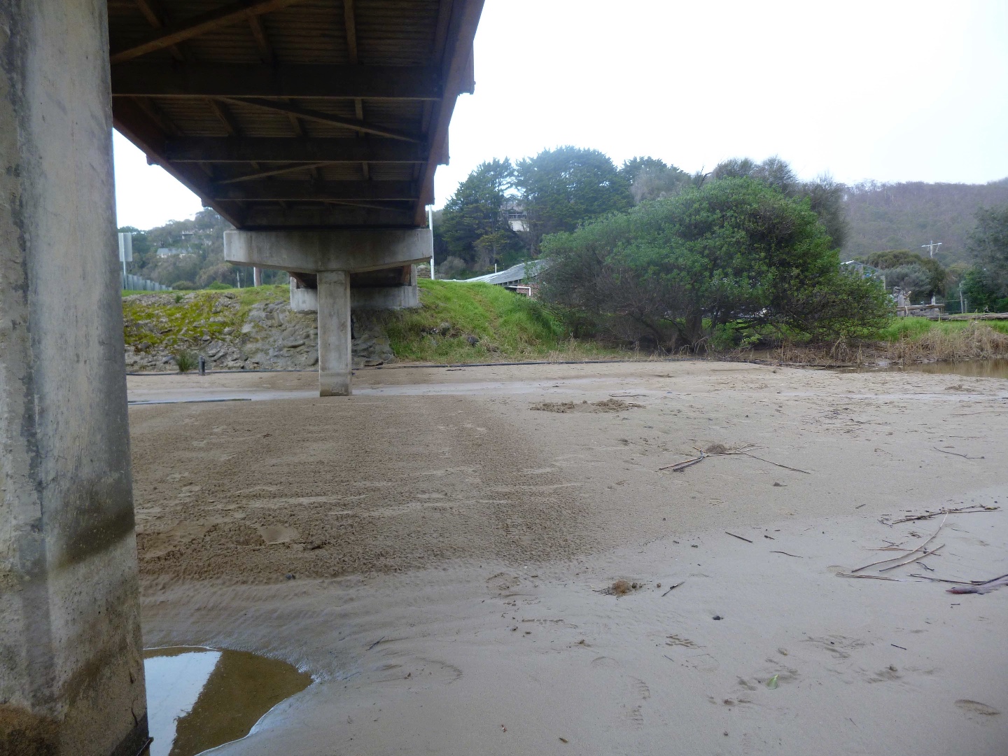
The Estuary this fortnight is completely different from any thing I've seen before. The sand has been taken away from around the caravan park leaving a cliff like edge. The sand under the bridge has formed a beach going all the way to the playground. The river itself is very clear, fast flowing but very narrow. River rocks are very visible from the bridge up the river. The water level gauge is a long way from any water and you can see the pylons which we think are from the very original bridge. The main beach is very large. 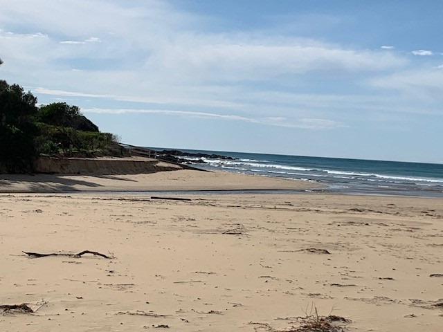 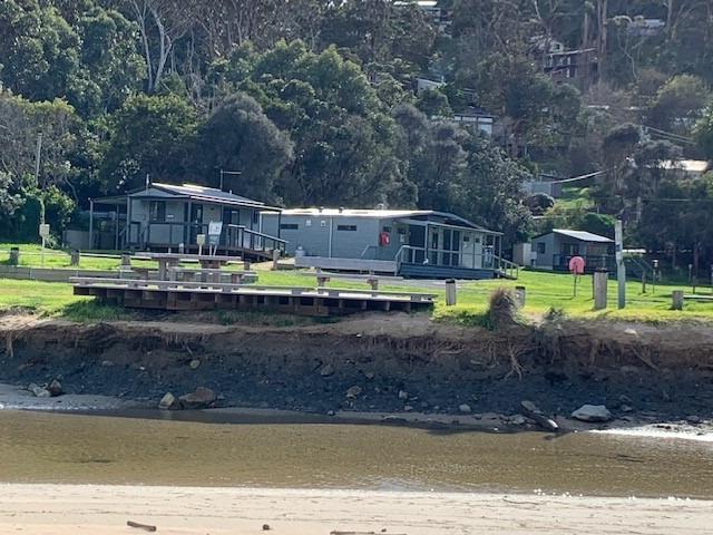 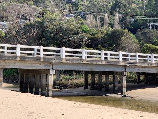     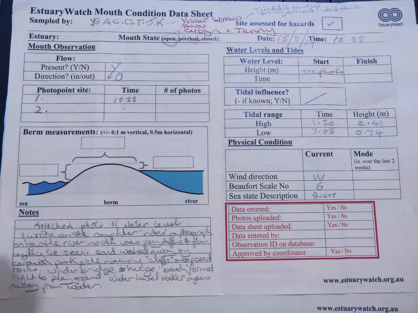 |
|
| #13240 | 4 Aug 2019 | Approved |
Notes:
Sand movement from beach to under bridge. Course of river outflow changed. Depth gauge no longer in river course. |
|
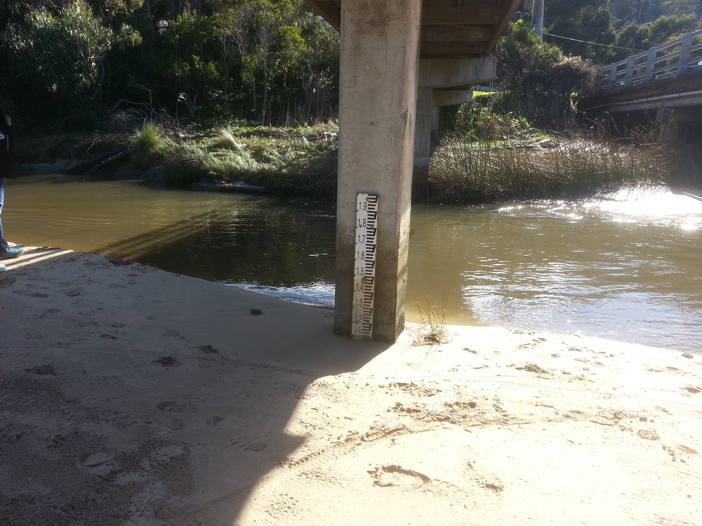
| #13212 | 21 Jul 2019 | Approved |
Notes:
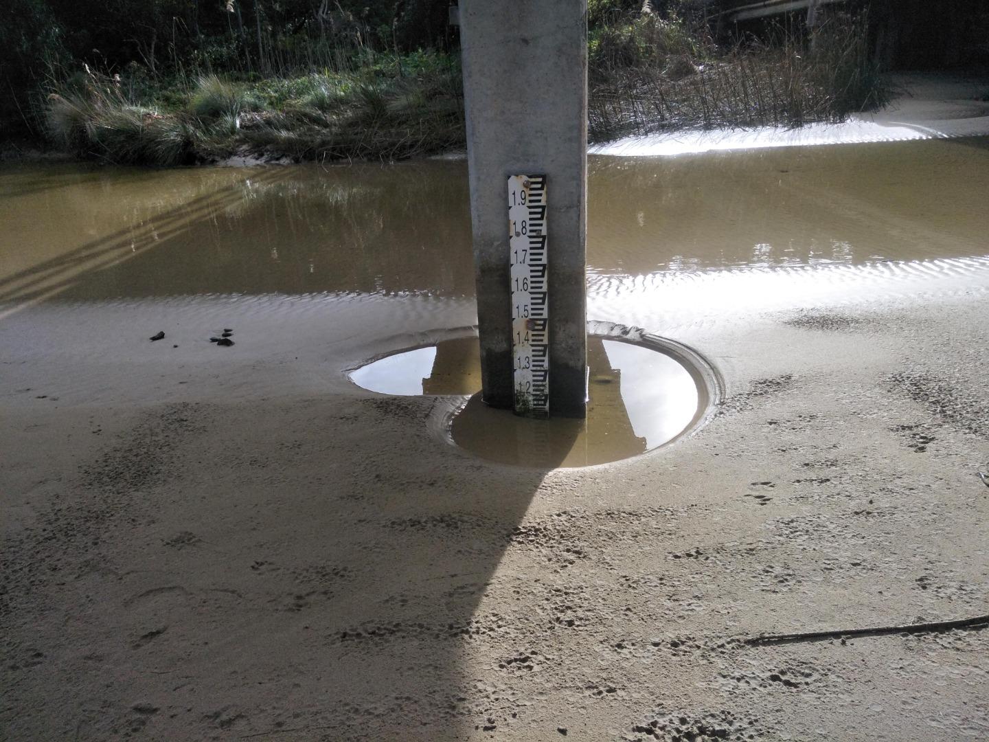
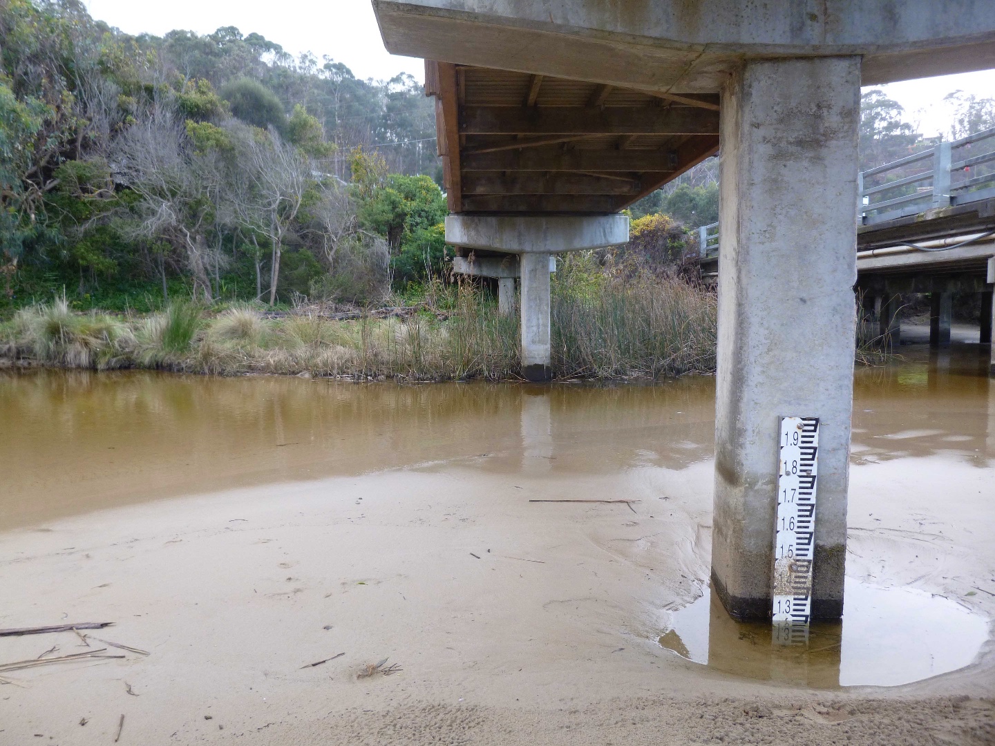
See attached photo showing water gauge, unable to measure a level. |
|
| #13188 | 7 Jul 2019 | Approved | ||
| #13127 | 16 Jun 2019 | Approved |
Notes:
Regarding tidal influence, high tide was at 10.45am and at 10.00am (when the observations were made) the sea was surging into the mouth of the river. When I went to check the water level at the gauge under the pedestrian bridge the surge from the sea had reached the tide gauge. On this day the sea state was difficult to judge as quite large waves were breaking onto the beach yet beyond the beach break, the sea was quite calm. Slight seas was chosen as greater than 0.5 metre waves were breaking onto the beach. |
|
| #13112 | 2 Jun 2019 | Approved | ||
| #13087 | 19 May 2019 | Approved |
  |
|
| #12902 | 5 May 2019 | Approved |
Notes:
As the tides have been very high the level maker is almost covered with sand. It is really amazing how the river mouth changes so much and often so dramatically over the two week checking. |
|
| #12867 | 21 Apr 2019 | Approved | ||
| #12799 | 31 Mar 2019 | Approved | ||
| #12771 | 17 Mar 2019 | Approved |
Notes:
Berm noted in previous report has dispersed. |
|
| #12754 | 3 Mar 2019 | Approved |
Notes:
Unusual for this estuary, a sizeable berm has established. Photo attached. |
|
| #12703 | 17 Feb 2019 | Approved |
Notes:
the river and pond were very small with the river slowly winding its way across the sand. we did speak to two families about please open their 'dams' when they had finished , so the river water would flow into the sea. We explained reasons and they were all very happy. |
|
| #12695 | 3 Feb 2019 | Approved | ||
| #12663 | 20 Jan 2019 | Approved | ||
| #12629 | 6 Jan 2019 | Approved |
Notes:
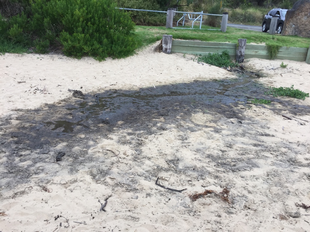
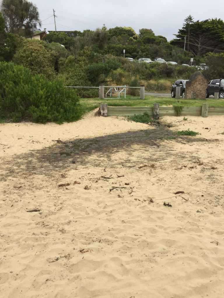
Green colour in drain - flowing into the river from the beach front caravan park.
  |
|
| #12599 | 16 Dec 2018 | Approved |
Notes:
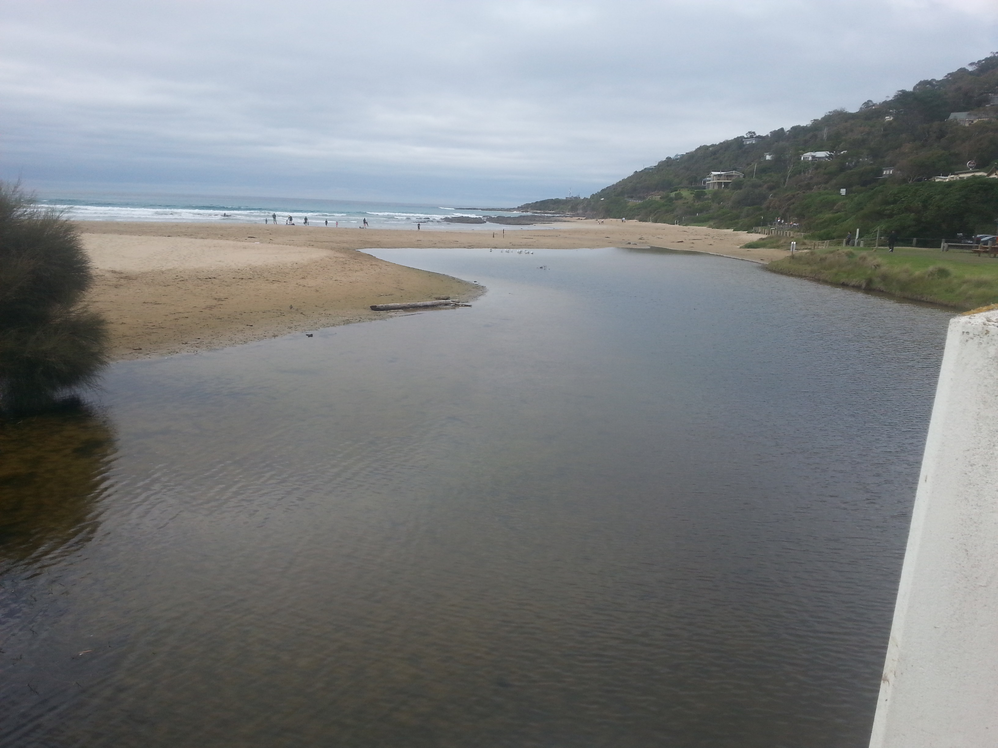
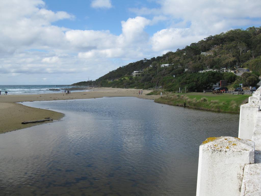
Large meander below the bridge and a steep bank before the river enters the sea. |
|
| #12566 | 2 Dec 2018 | Approved |
Notes:
1. River meanders from the lagoon to the sea. Much more sand. 2. Drain pipe on beach more exposed, see photo. |
|
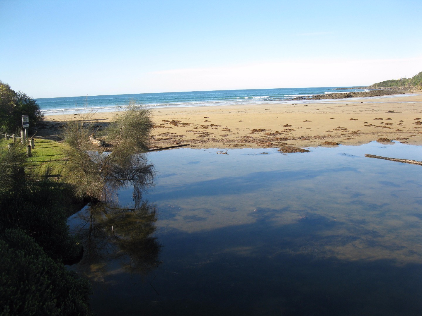
| #12611 | 18 Nov 2018 | Approved |
Notes:
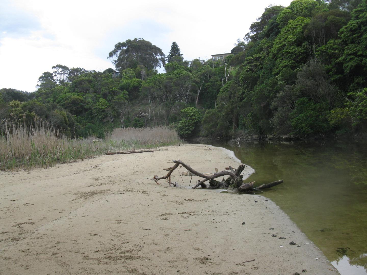
The river is settling into its new lagoon pattern with outlet channel more established. Green algae now growing upstream of bridge in shallow sand at waters edge 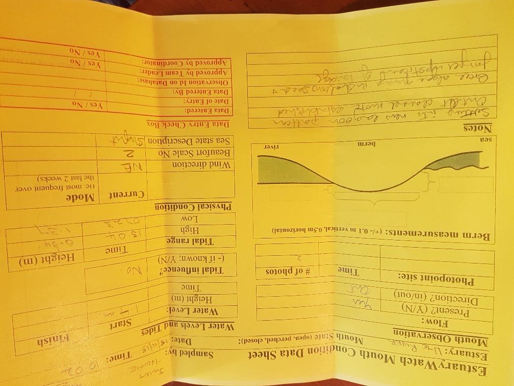 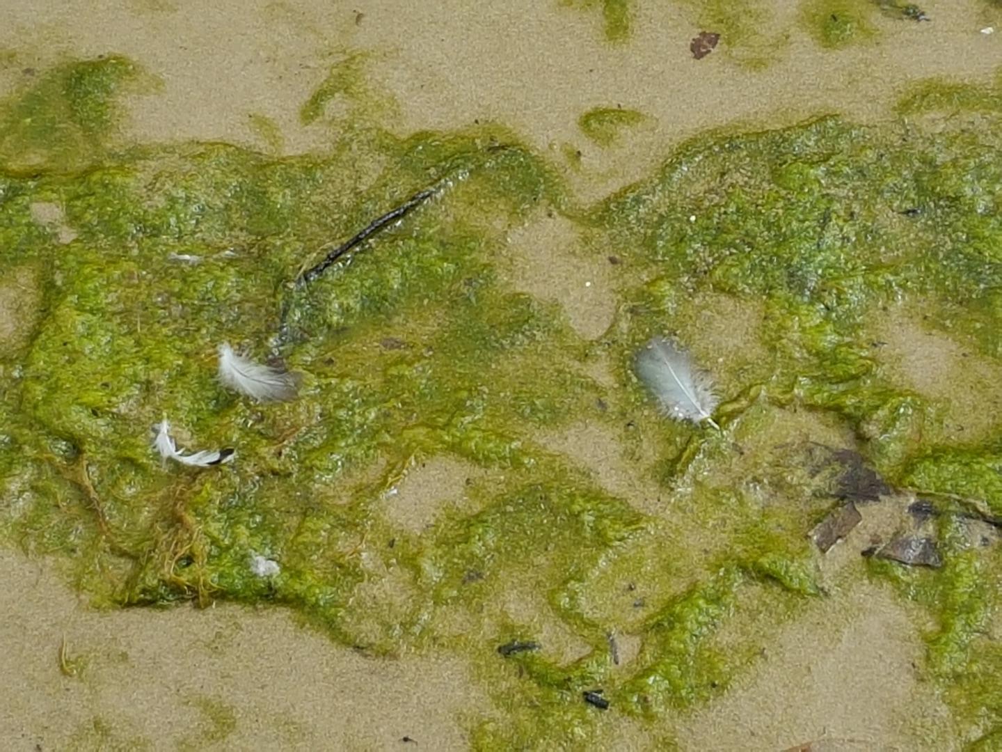  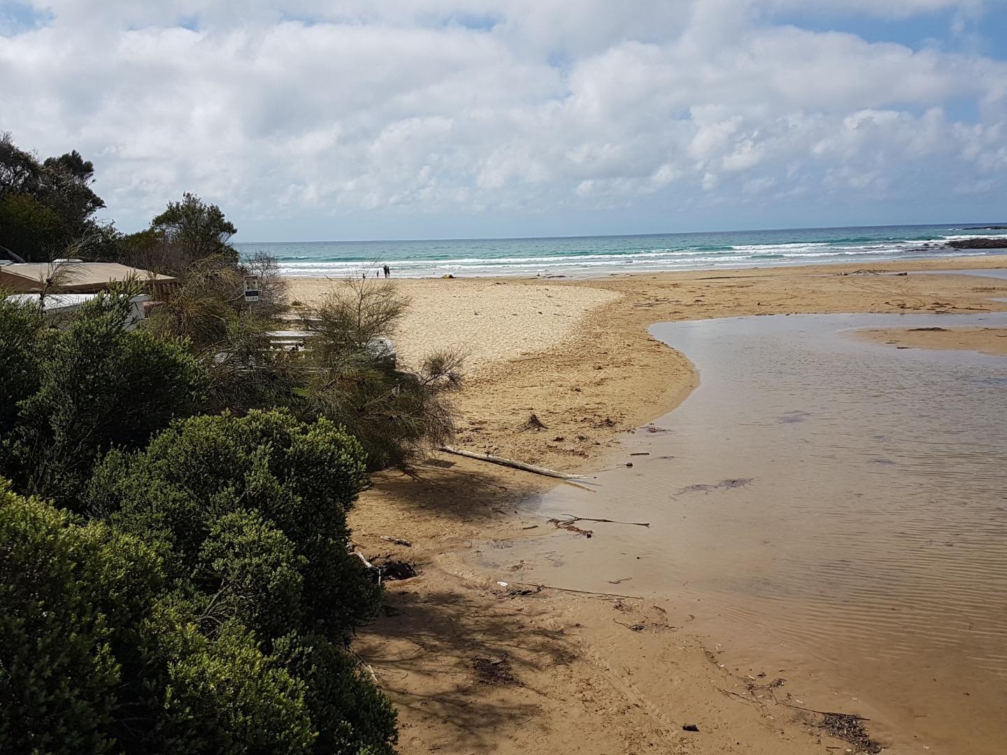 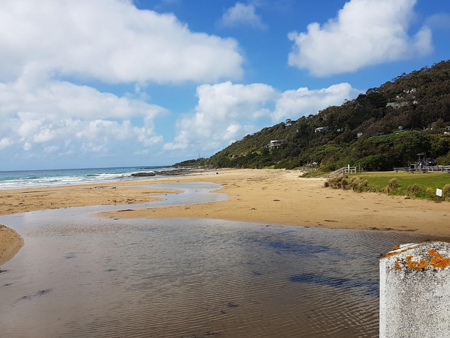 |
|
| #12530 | 4 Nov 2018 | Approved |
Notes:
Lagoon has moved down the beach and is now located behind a sandbar Lots of sand on upper beach and under bridge 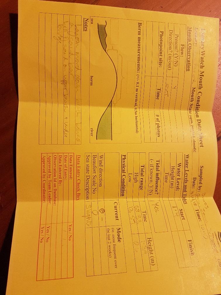 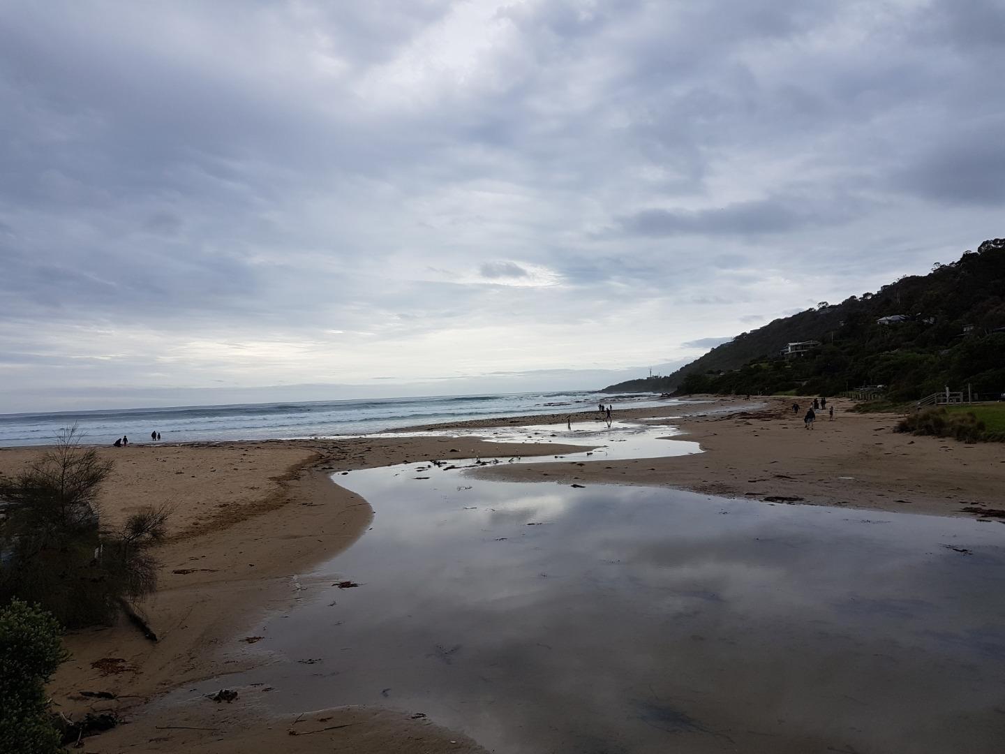 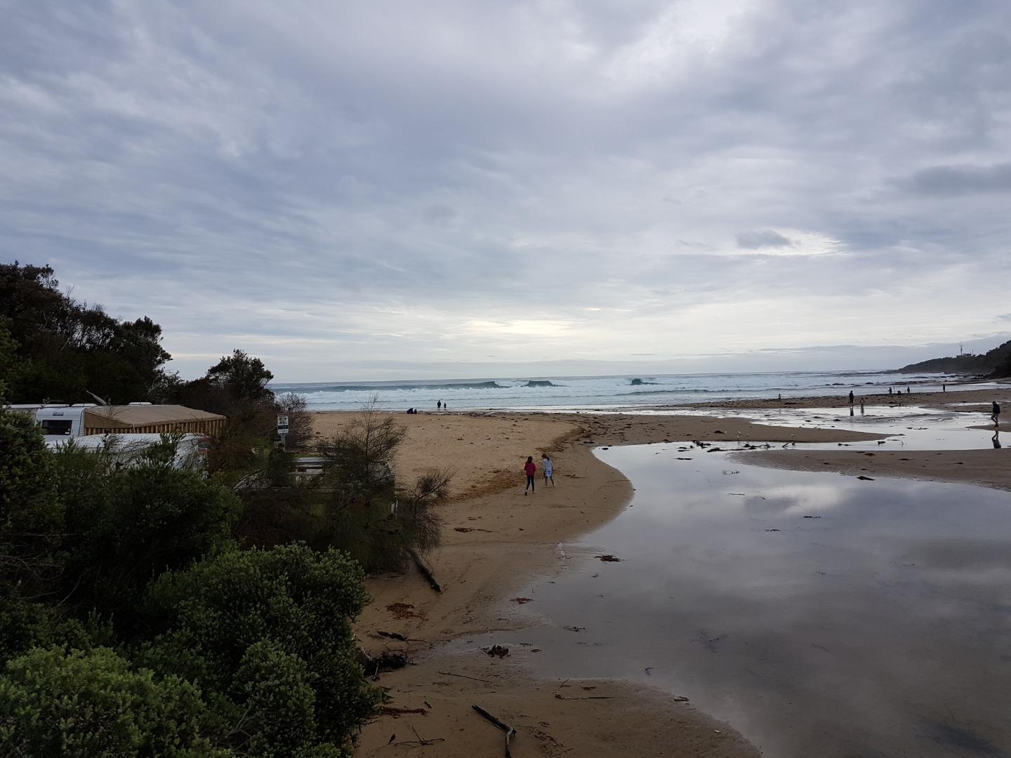 |
|
| #12457 | 21 Oct 2018 | Approved |
Notes:
Seaweed on the beach. Channel narrow around the gauge; upstream sand deposited under both bridges. Plovers active on the beach.--( not the endangered ones ) |
|
| #12482 | 7 Oct 2018 | Approved |
Notes:
Lagoon getting bigger on beach side of bridge. More sand accumulating under bridge 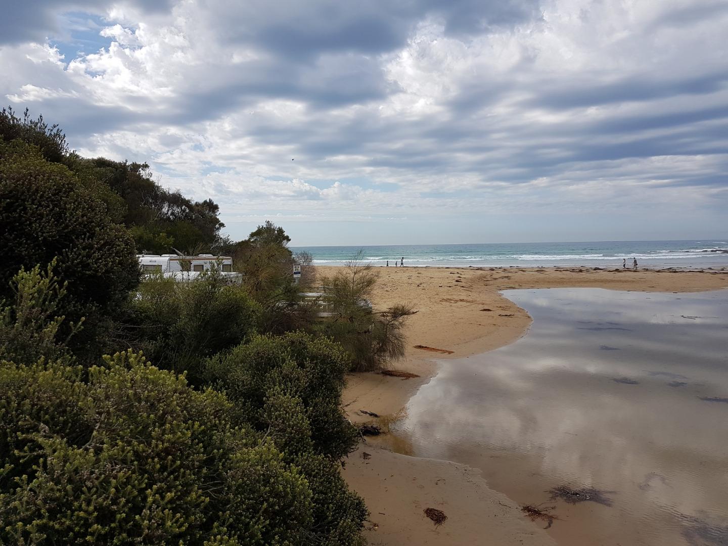   |
|
| #12419 | 16 Sep 2018 | Approved |
Notes:
sand continuing to build up upstream of bridge despite winter rains - easterly storms and high tides |
|
| #12374 | 2 Sep 2018 | Approved |
  |
|
| #12348 | 19 Aug 2018 | Approved |
Notes:
Observed large amounts of storm water flowing into the river from the two pipes on the southern side of the bridge, opposite the store. 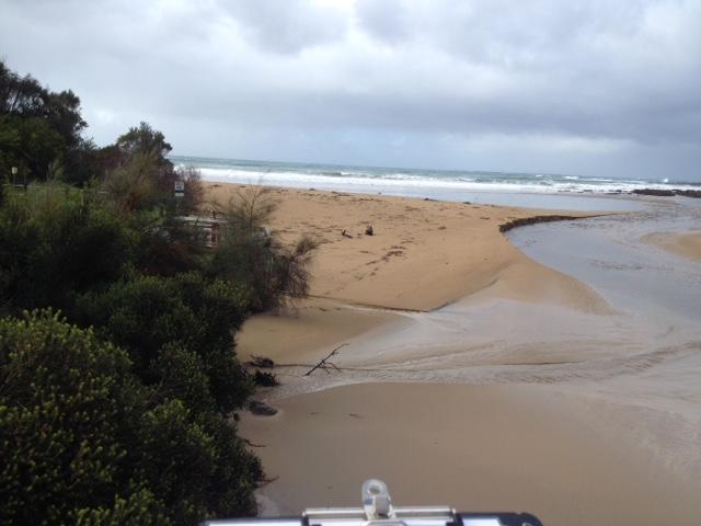 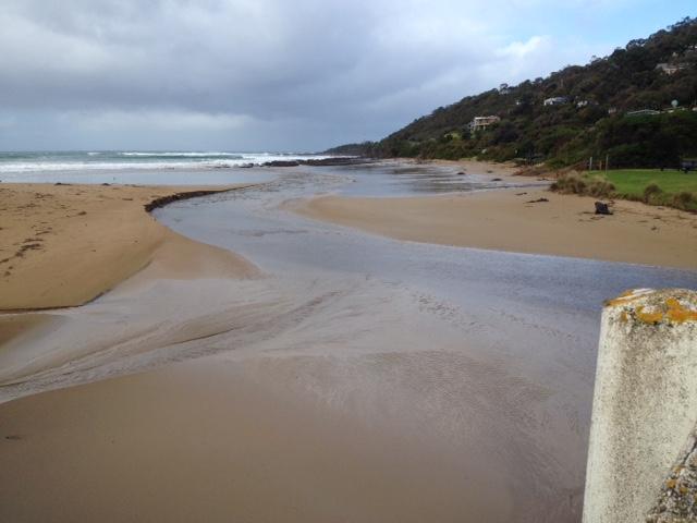 |
|
| #12309 | 5 Aug 2018 | Approved |
Notes:
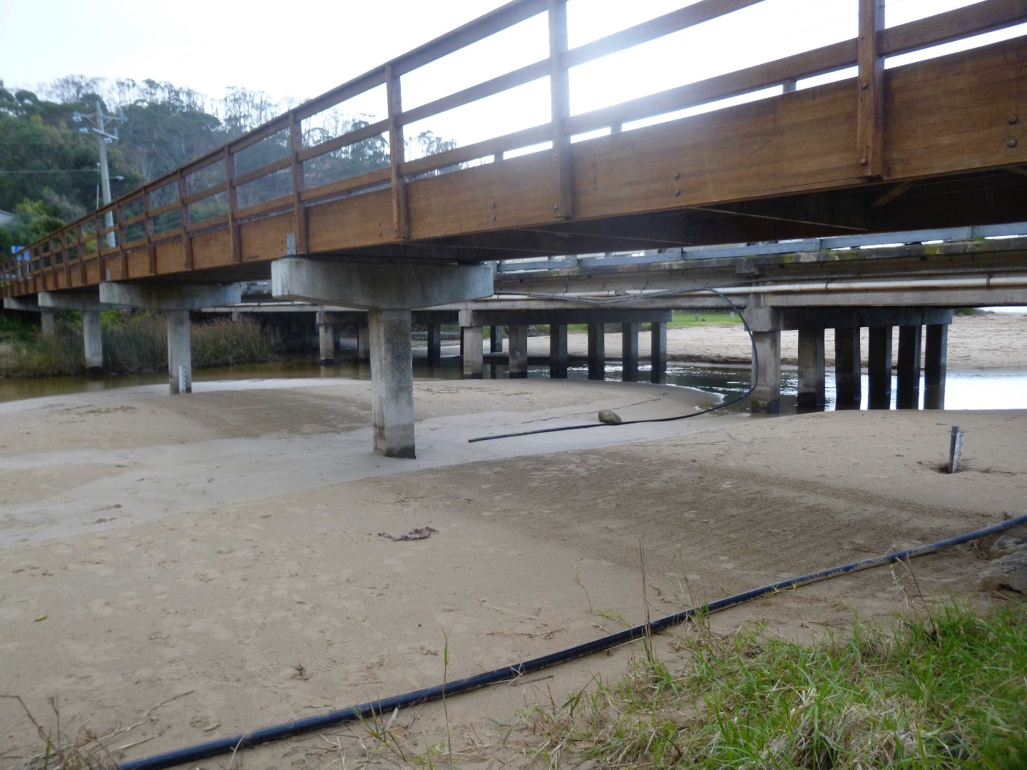
There is more sand under the bridge than in previous months |
|
| #12258 | 15 Jul 2018 | Approved |
Notes:
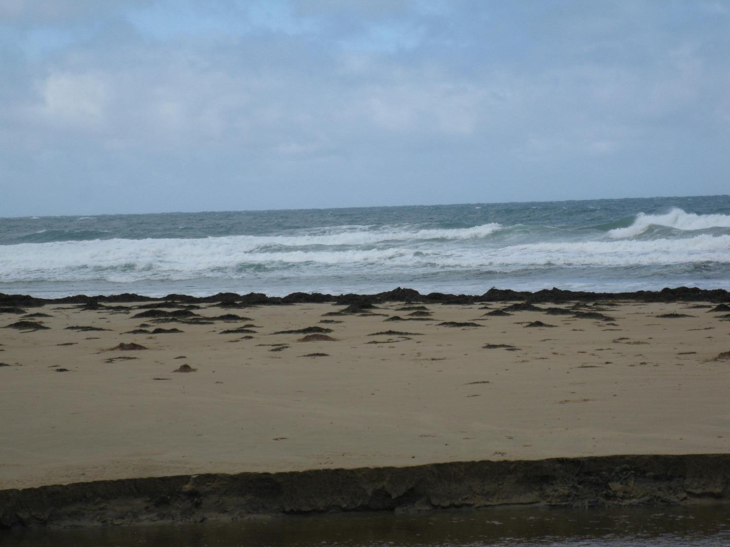
Plovers in residence. More erosion opposite Store but steps well covered with sand. Photo attached. More sand on main beach in front of campground.
|
|
| #12247 | 1 Jul 2018 | Approved |
Notes:
More sand deposition upstream of bridge and on north side of beach, more sand removed from south side of beach past picnic ground and toilet 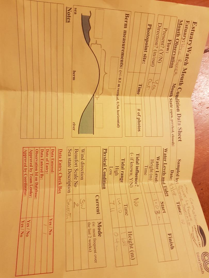 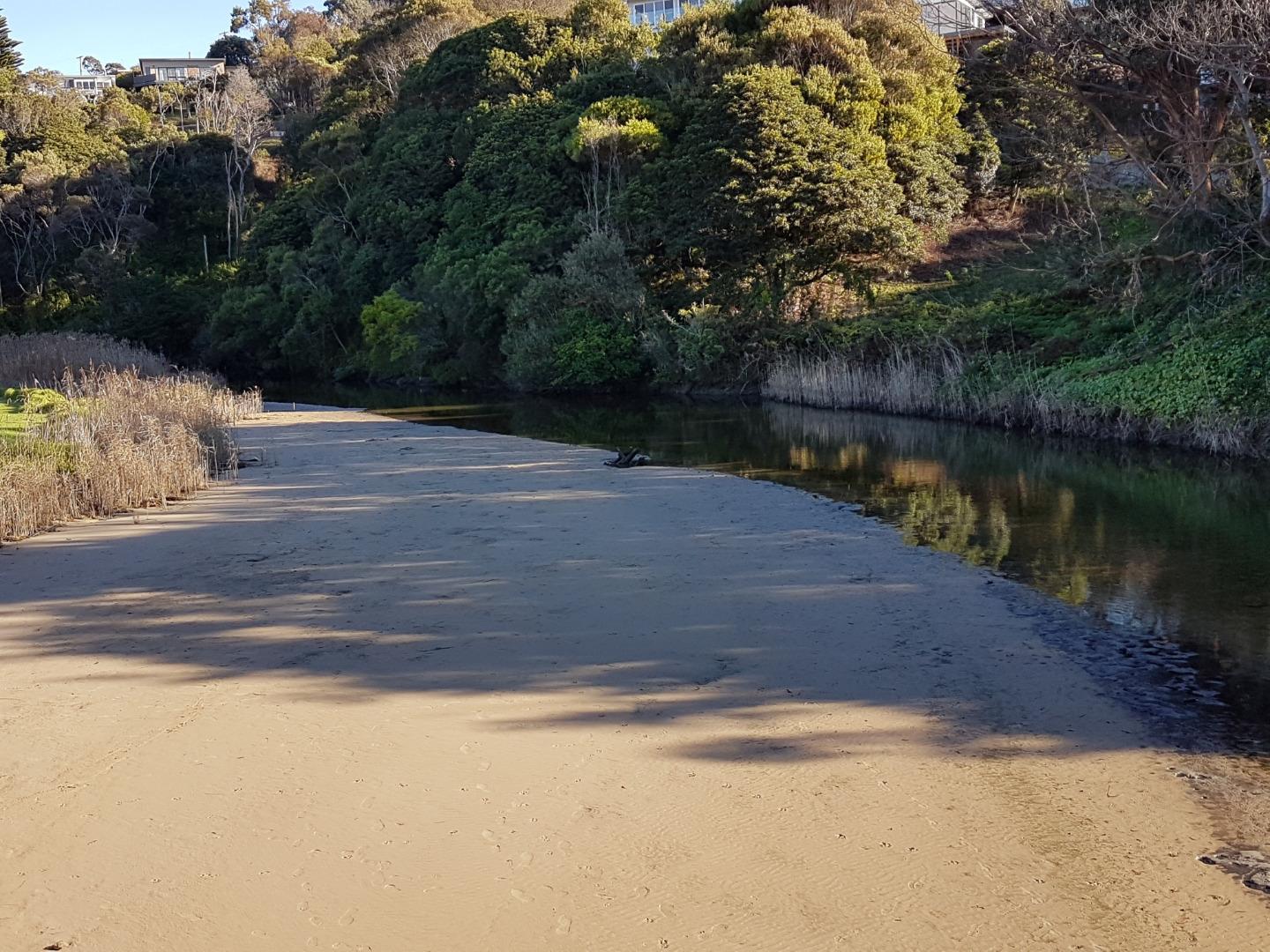 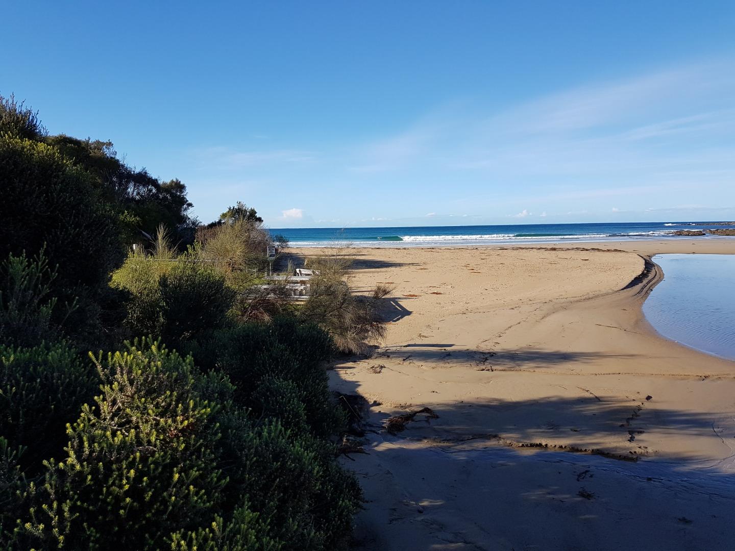 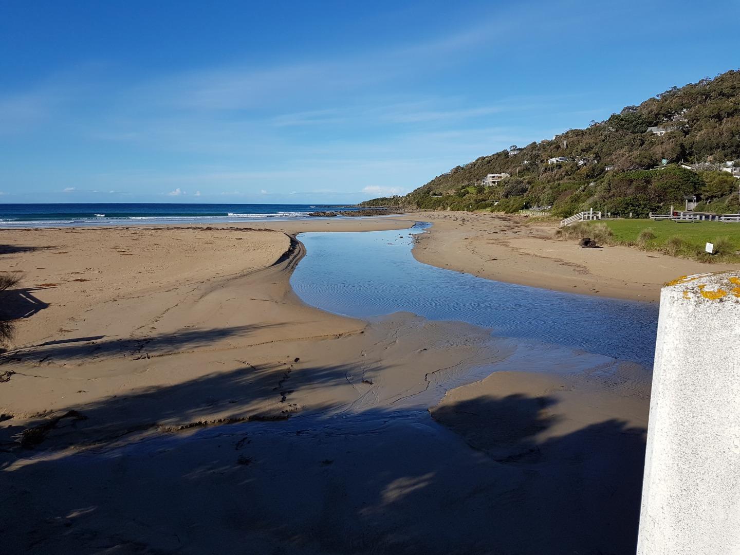 |
|
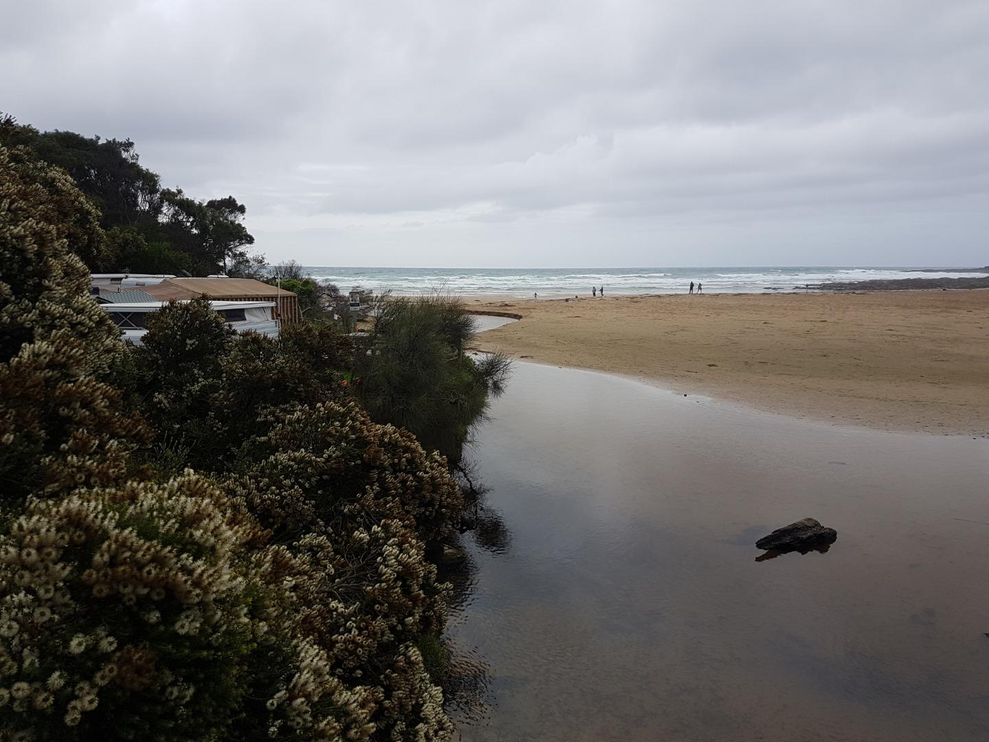
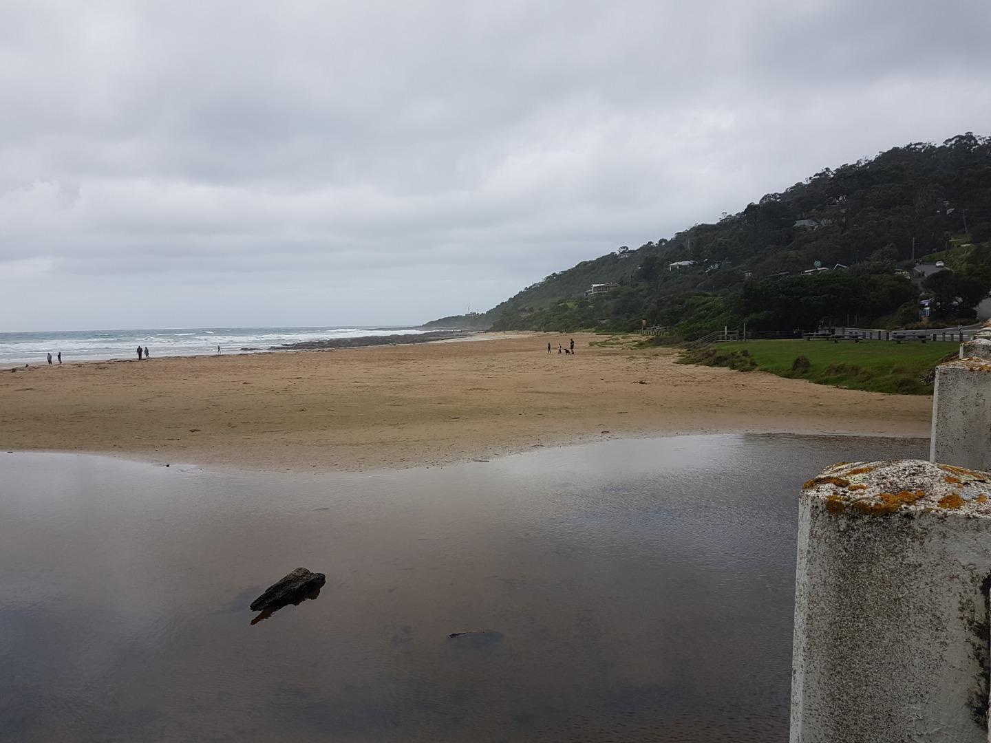
| #12163 | 17 Jun 2018 | Approved |
Notes:
* Strong winds overnight, gusty conditions *Water level height difficult to read, obscured by rust, photo attached * Grey crane observed, standing underneath the Wye River bridge 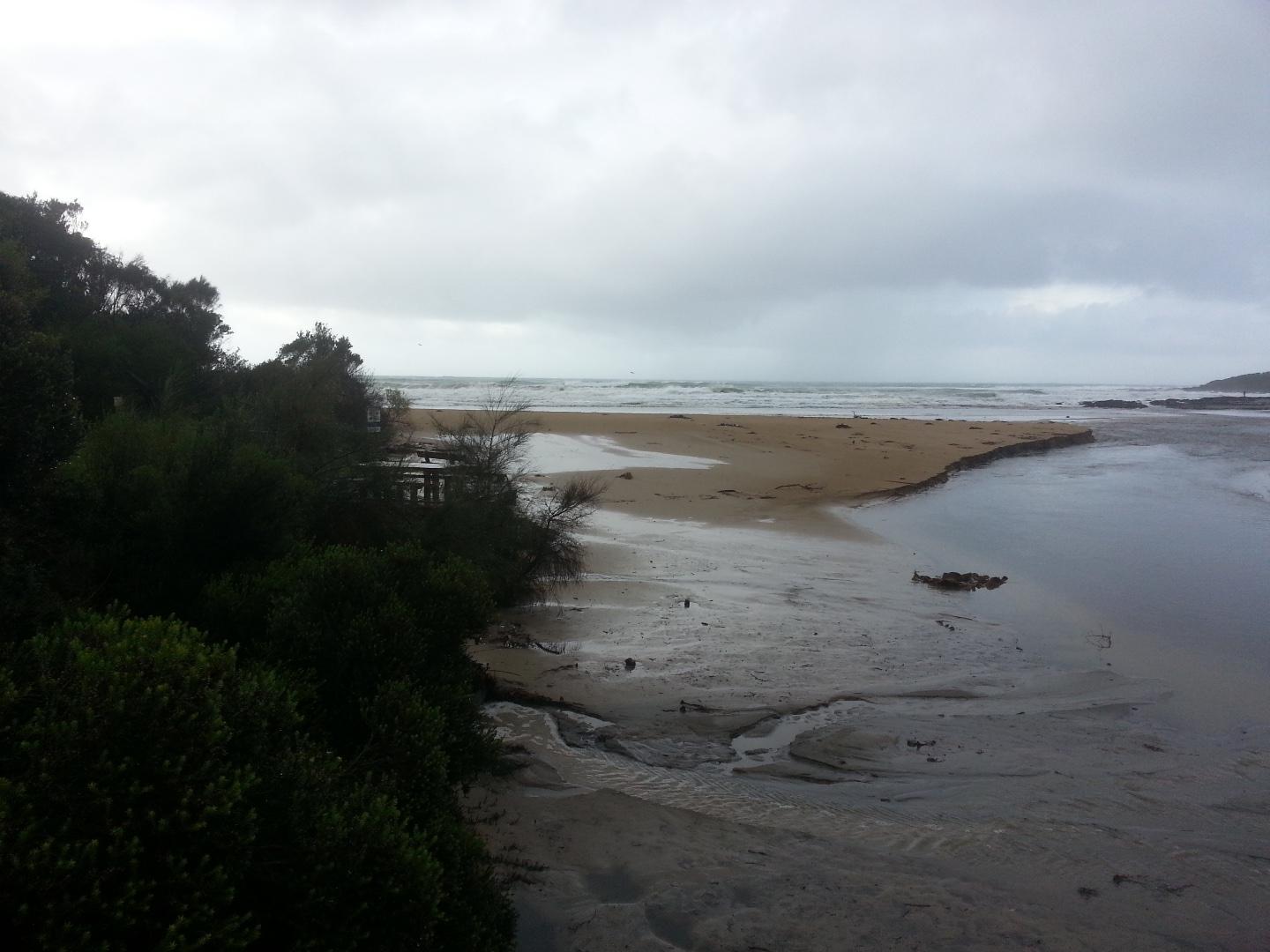 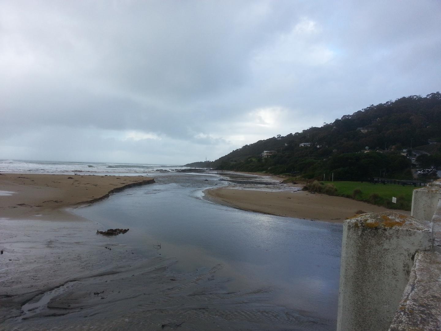 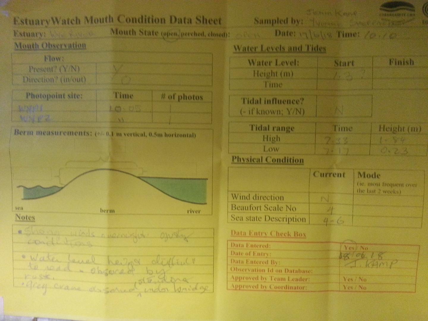 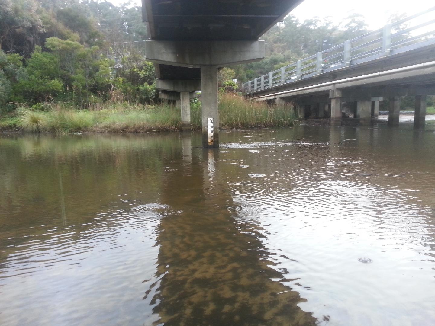 |
|
| #12118 | 3 Jun 2018 | Approved | ||
| #12078 | 20 May 2018 | Approved |
Notes:
Extreme wind event 10 nd 11 May. Course of river across beach shifted in direction and sand depth. Photos attached. |
|
| #12020 | 6 May 2018 | Approved | ||
| #11973 | 15 Apr 2018 | Approved |
Notes:
|
|
| #11930 | 1 Apr 2018 | Approved |
Notes:
|
|
| #11909 | 18 Mar 2018 | Approved |
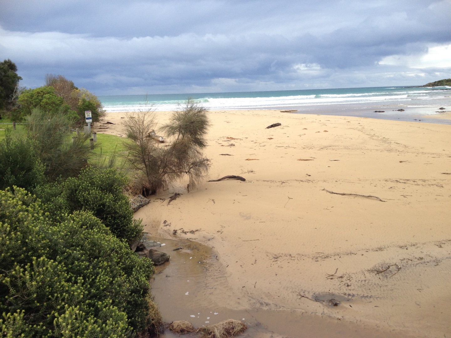
Notes:
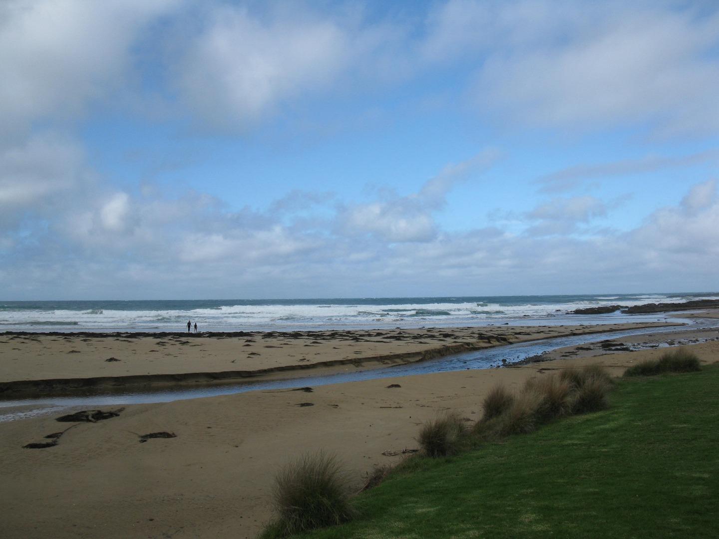
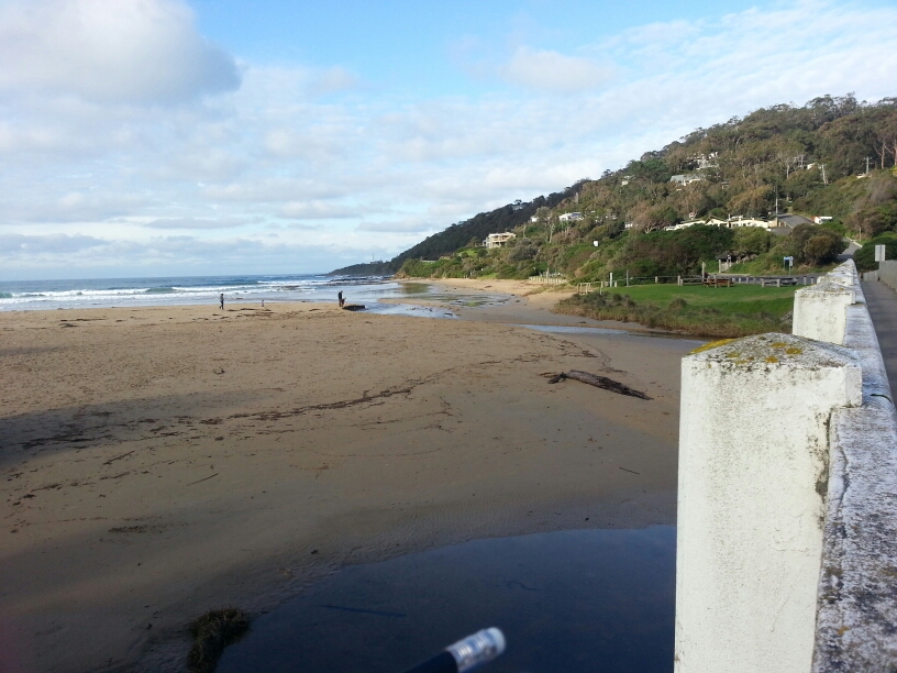
- the breeze, both in strength and direction, was very variable but mainly from the west. -a large pond had formed between bridge and half way down the beach. the mouth was only just open. |
|
| #11850 | 4 Mar 2018 | Approved | ||
| #11910 | 18 Feb 2018 | Approved |
Notes:
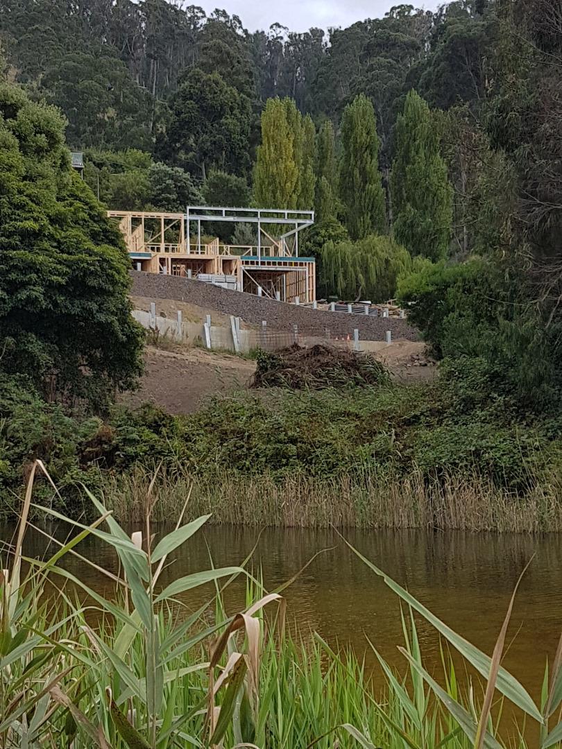
Lagoon greatly enlarged with small flow over the sandbar. Riverbank/tributary creek vegetation (opposite start of boardwalk) cleared by adjacent landholder /builder to improve views - see photo |
|
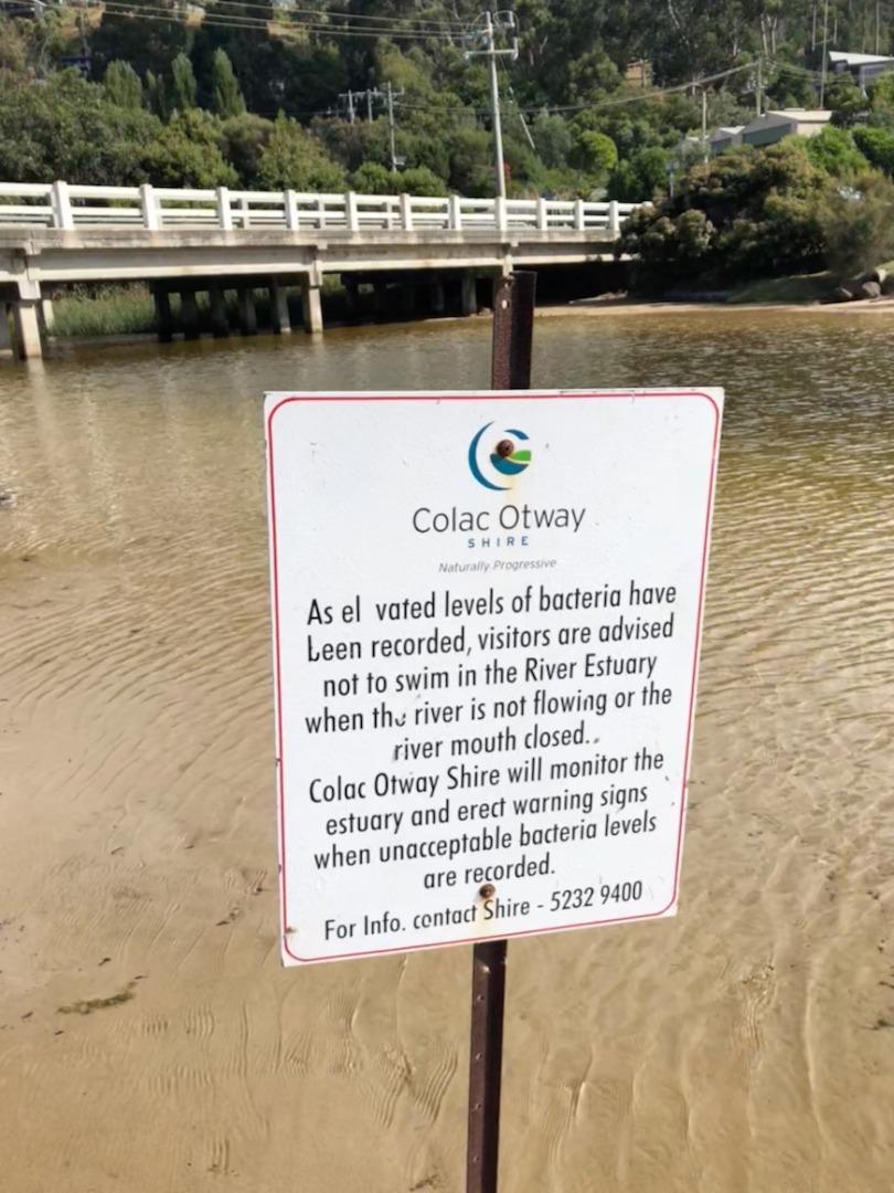
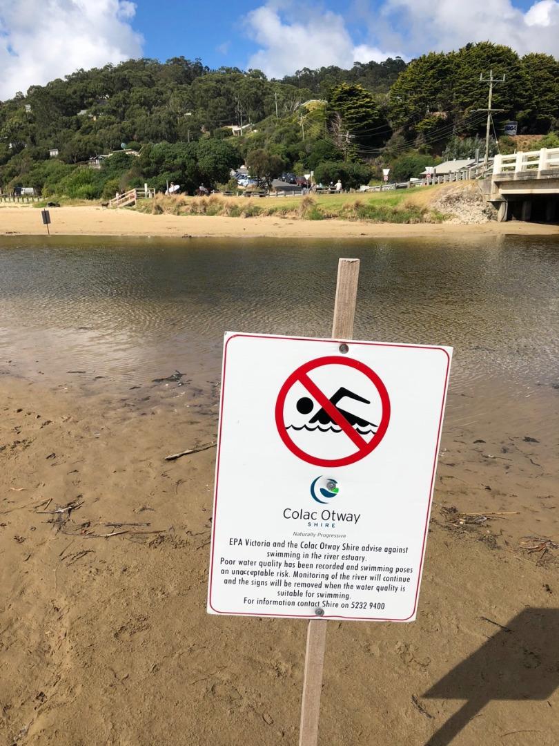
| #11764 | 4 Feb 2018 | Approved |
Notes:
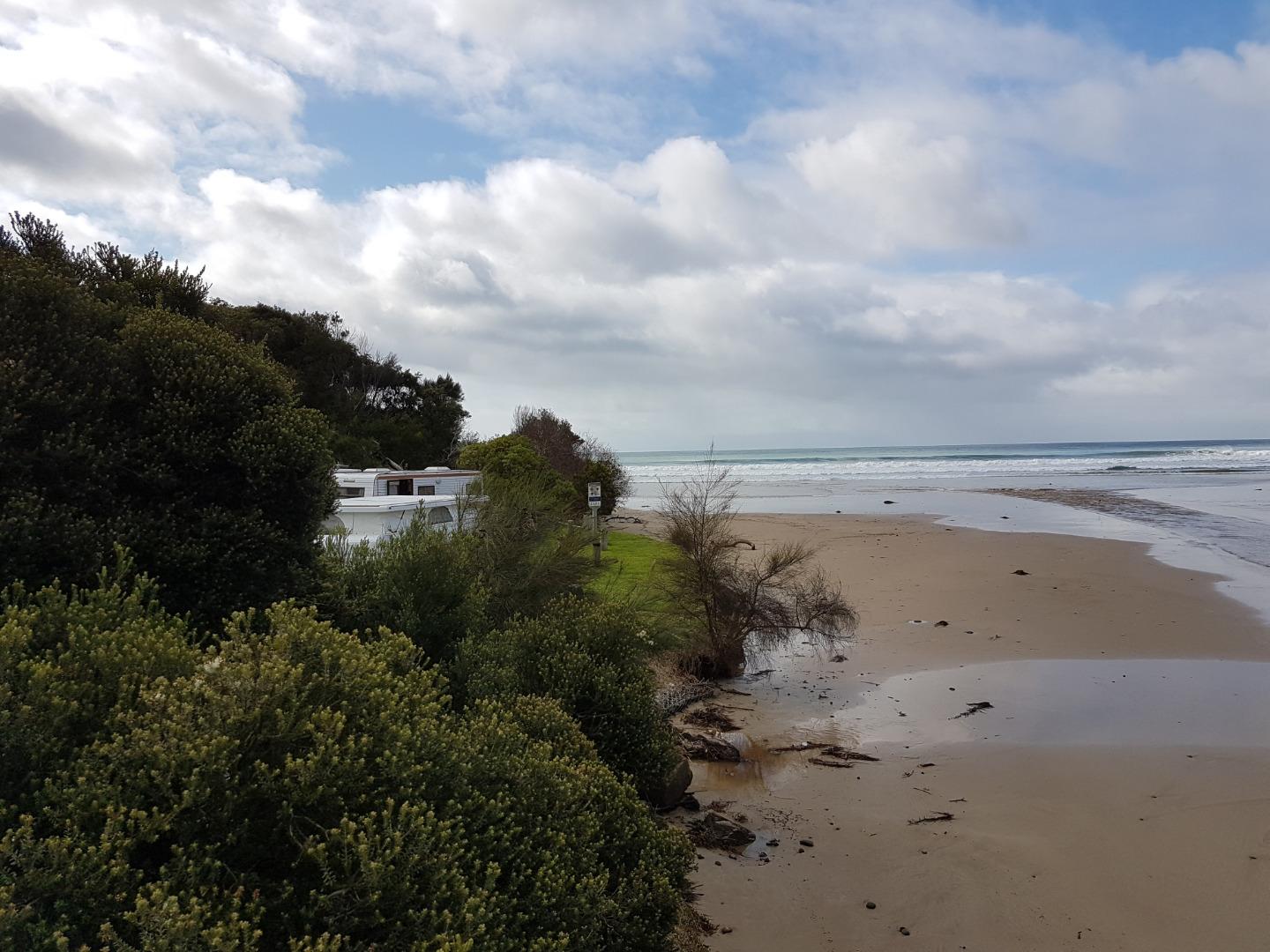
Colac Otway Shire have again erected signage at the river mouth (an annual summer occurrence) warning of high bacteria levels in the water and advise against swimming. Signage indicates that there will be further monitoring of the water and when acceptable signage removed. There is no indication of why the bacteria levels are so high. |
|
| #11740 | 21 Jan 2018 | Approved | ||
| #11846 | 7 Jan 2018 | Approved | ||
| #11675 | 17 Dec 2017 | Approved | ||
| #11621 | 3 Dec 2017 | Approved |
Notes:
- even though the river is flowing fast out to sea the tide is coming in creating waves running up the river. -'Beach' under bridge and inland from bridge is becoming more established. |
|
| #11706 | 19 Nov 2017 | Approved |
Notes:
|
|
| #11570 | 5 Nov 2017 | Approved |
Notes:
Algae growing in the floor of the river near the fishing Platform - see photos |
|
| #11513 | 15 Oct 2017 | Approved |
Notes:
1. Water level - unable to measure as too low- photo taken for reference. 2. Sand bank visible around water level measure - photo for reference taken from the Wye River bridge. |
|
| #11511 | 1 Oct 2017 | Approved |
Notes:
The whole river bed upstream of the bridge is now covered with sand - we have a new beach (see attached photo). A lot of sand lost in front of the campsite and river flowing straight out to sea. |
|
| #11477 | 17 Sep 2017 | Approved | ||
| #11423 | 3 Sep 2017 | Approved |
Notes:
The river channel has narrowed and the depth gauge is in sand, thus no water height can be recorded. See photo. Dolphins sighted close to the shore at 10.05am. |
|
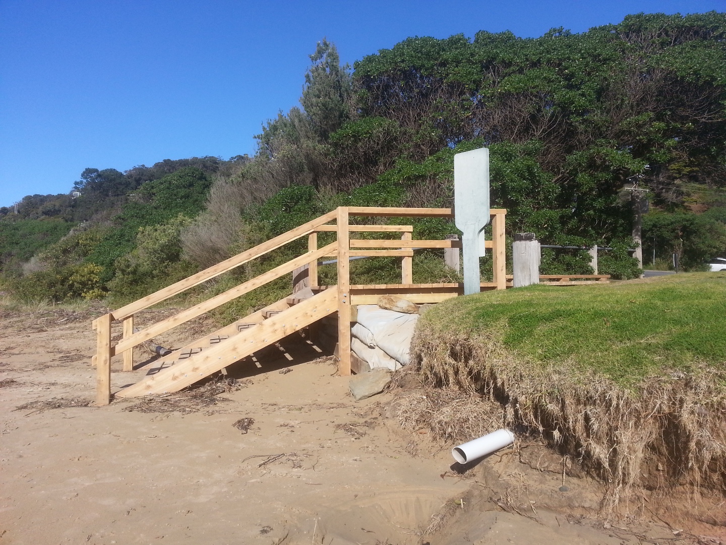
| #11396 | 20 Aug 2017 | Approved |
Notes:
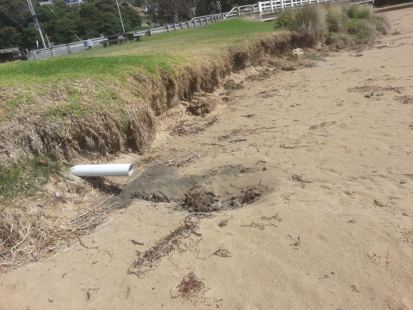
Depth gauge not in river due to change in river course-river narrow at gauge, see photo. Storm water drain flowing from caravan park, see photo. Beach access steps - new construction and drain, see photo. |
|
| #11374 | 6 Aug 2017 | Approved | ||
| #11354 | 16 Jul 2017 | Approved |
Notes:
Wind gusty and chill factor high, FREEZING! The ramp to the beach has been underscored by high tides and big swells a few weeks ago. The grass edge at beach continues to erode. Strong growth of shrubs and trees on bank at foreshore camping ground side of river. River from sea side of bridge flowing in unusual shape. Flowing north-south or right to left before flowing out along a more usual path.
|
|
| #11313 | 2 Jul 2017 | Approved |
Notes:
Water level gauge was completely above the water level. |
|
| #11267 | 18 Jun 2017 | Approved | ||
| #11254 | 9 Jun 2017 | Approved | ||
| #11299 | 4 Jun 2017 | Approved |
Notes:
More erosion on the grassy bank, pipe sticking out again |
|
| #11196 | 21 May 2017 | Approved | ||
| #11138 | 7 May 2017 | Approved |
Notes:
Photos were taken later due to frequent showers. |
|
| #11117 | 16 Apr 2017 | Approved |
Notes:
assisted by CL, HL, AC |
|
| #11082 | 13 Apr 2017 | Approved | ||
| #11083 | 2 Apr 2017 | Approved |
Notes:
Estuary has undergone significant change in last 2 weeks following heavy rain and very high tides |
|
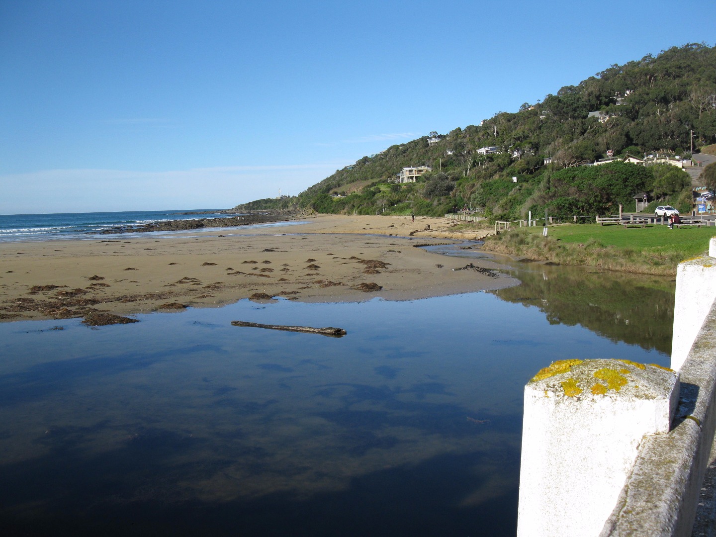
| #10946 | 19 Mar 2017 | Approved |
Notes:
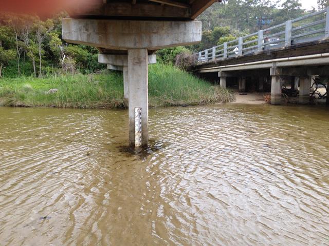
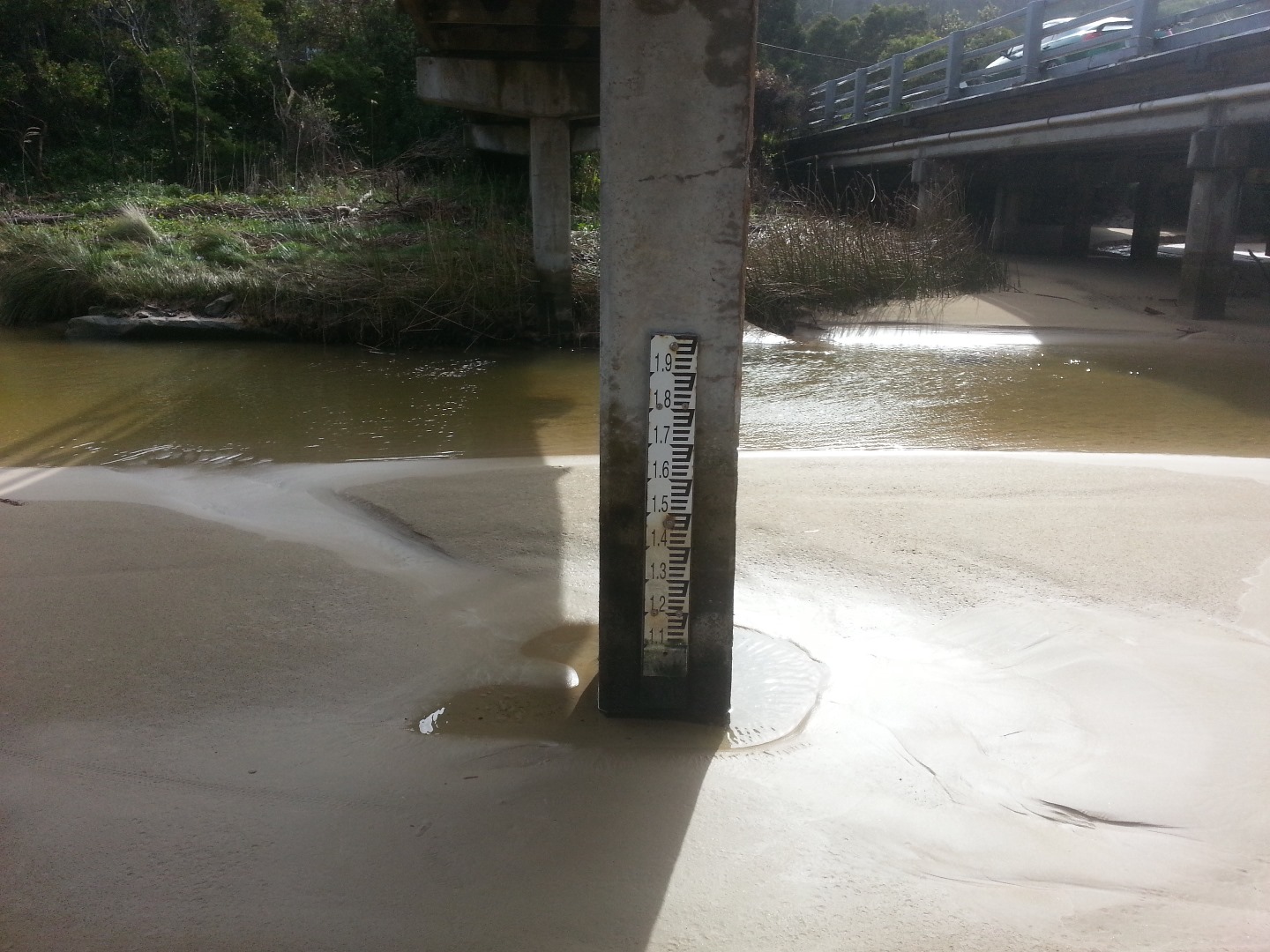
River between bridge and sea like a large very still lagoon with lots of algae - 2 schools of little fish observed. Photo taken of water level marker under the bridge- the measurements are very difficult to read- suggest the numbers could be marked in another colour and the line extended right across the post. |
|
| #10901 | 5 Mar 2017 | Approved | ||
| #10820 | 19 Feb 2017 | Approved |
Notes:
The increased growth of the tree on the river bank dominates the Wyp1 Photopoint site. |
|
| #10789 | 5 Feb 2017 | Approved |
Notes:
The sign that says no swimming in the mouth of the river is still in position on the beach. This sign has been in place for over one year indicating that it is unsafe to swim in the estuary for all of that time - which is untrue. Juliet has spoken to council employees about the sign - but there has been no action. There is a lot of algae in the river - both sides of the river and upstream |
|
| #10718 | 15 Jan 2017 | Approved |
Notes:
Helen Moriarty assisted with entering today's data as a new volunteer. |
|
| #10663 | 1 Jan 2017 | Approved |
Notes:
We had two observer/ visitors:
The signs - (that have been installed on Wye River beachfront location for over 12 months - first installed in December 2015) indicating that the estuary is unsuitable for swimming - are still in place. The stormwater, outlet flowing onto the beach, adjacent to the pub is making the sand black- see photo
|
|
| #10653 | 18 Dec 2016 | Approved | ||
| #10592 | 4 Dec 2016 | Approved |
Notes:
|
|
| #10560 | 20 Nov 2016 | Approved | ||
| #10619 | 6 Nov 2016 | Approved | ||
| #10514 | 16 Oct 2016 | Approved | ||
| #10553 | 2 Oct 2016 | Approved |
Notes:
Water level below gauge base. Daylight saving time started last night. When doing Waterwatch yesterday at 9.30 am, there was tidal in-flow under the bridge up to the Fishing Platform. The river inland of the bridge has completely changed, with a pebble sandbank in the middle opposite the playground. |
|
| #10551 | 18 Sep 2016 | Approved |
Notes:
Observations made post-14 September major rain event - >100 ml in 24 hours. Water depth gauge exposed above river water level. River stones now exposed. Sand bank on north side of bridge has been washed away,. Floodwater debris on beach. |
|
| #10755 | 4 Sep 2016 | Approved |
Notes:
Even more sand. |
|
| #10549 | 21 Aug 2016 | Approved |
Notes:
Additional sandbank under the bridge, still there, partly covering water level gauge. |
|
| #10756 | 7 Aug 2016 | Approved |
Notes:
|
|
| #10548 | 17 Jul 2016 | Approved |
Notes:
River level gauge in isolated pool due to sand movement |
|
| #10513 | 3 Jul 2016 | Approved |
Notes:
The recently installed water level gauge buried in sand. 3 photos were taken to show extensive sand coverage under the Wye River bridge. Time 10.25 |
|
| #10388 | 19 Jun 2016 | Approved |
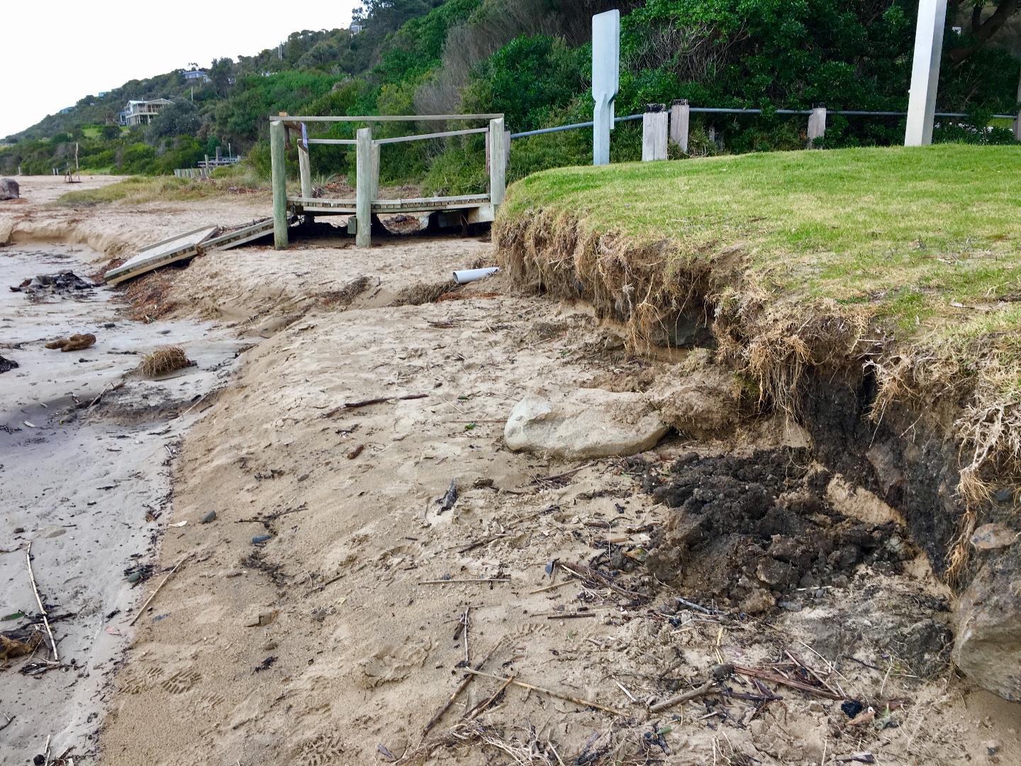
Notes:
Significant beach erosion at edge of foreshore grass - chunks are coming away. |
|
| #10757 | 8 Jun 2016 | Approved |
|
|
| #10351 | 5 Jun 2016 | Approved |
Notes:
Water level maker needs a clean- difficult to read. |
|
| #10305 | 15 May 2016 | Approved | ||
| #10283 | 1 May 2016 | Approved |
Notes:
Gusty Wind. Heavy rain - 20 ml overnight River flow-path now almost at top of beach edge - near road |
|
| #10251 | 17 Apr 2016 | Approved |
Notes:
Rain during the week |
|
| #10231 | 3 Apr 2016 | Approved | Notes: The river seems to have resumed its normal flow- very little rain. | |
| #10209 | 20 Mar 2016 | Approved | Notes: Mouth reopened following rain, water level in lagoon significantly lower. | |
| #10204 | 6 Mar 2016 | Approved | Notes: River was opened for 6 days recently. Berm length is 60m | |
| #10158 | 21 Feb 2016 | Approved | Notes: Berm first observed on the morning of Saturday 13th February 2016 | |


All content, files, data and images provided by the EstuaryWatch Data Portal and Gallery are subject to a Creative Commons Attribution License
Content is made available to be used in any way, and should always attribute EstuaryWatch and www.estuarywatch.org.au