EstuaryWatch Data Portal
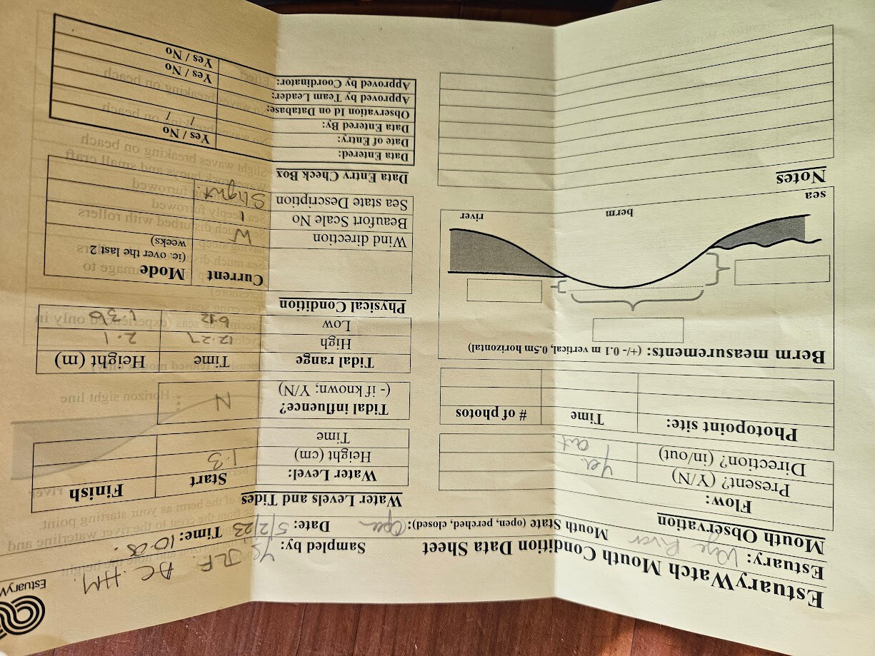
WyMC Wye River Mouth Condition
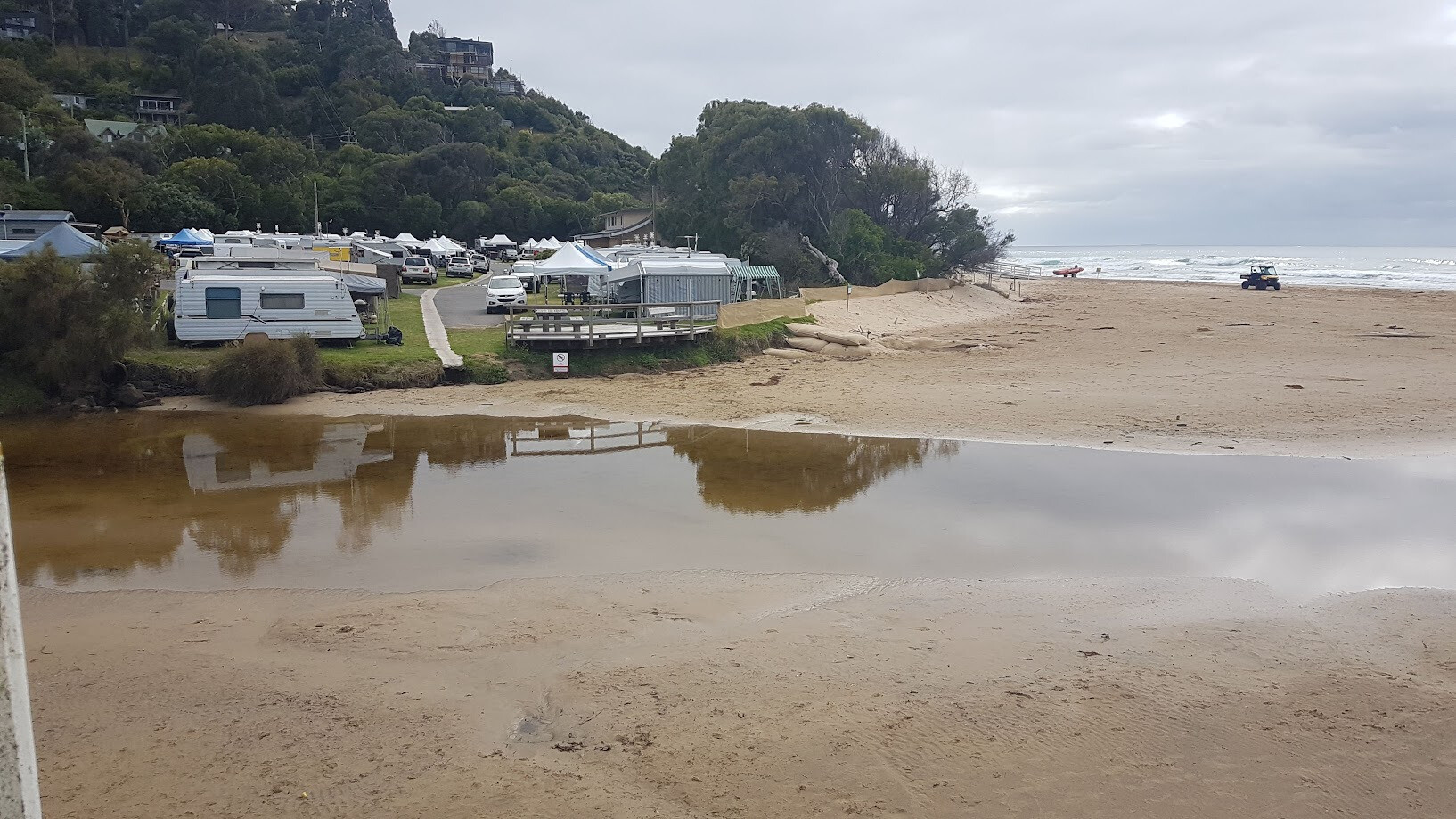
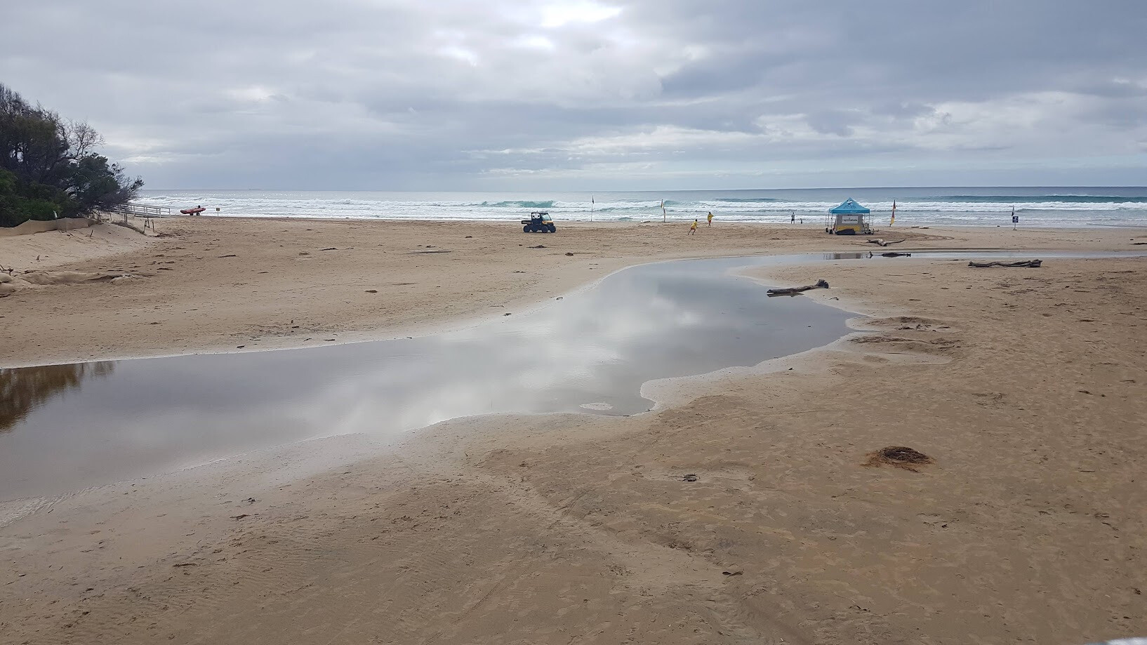
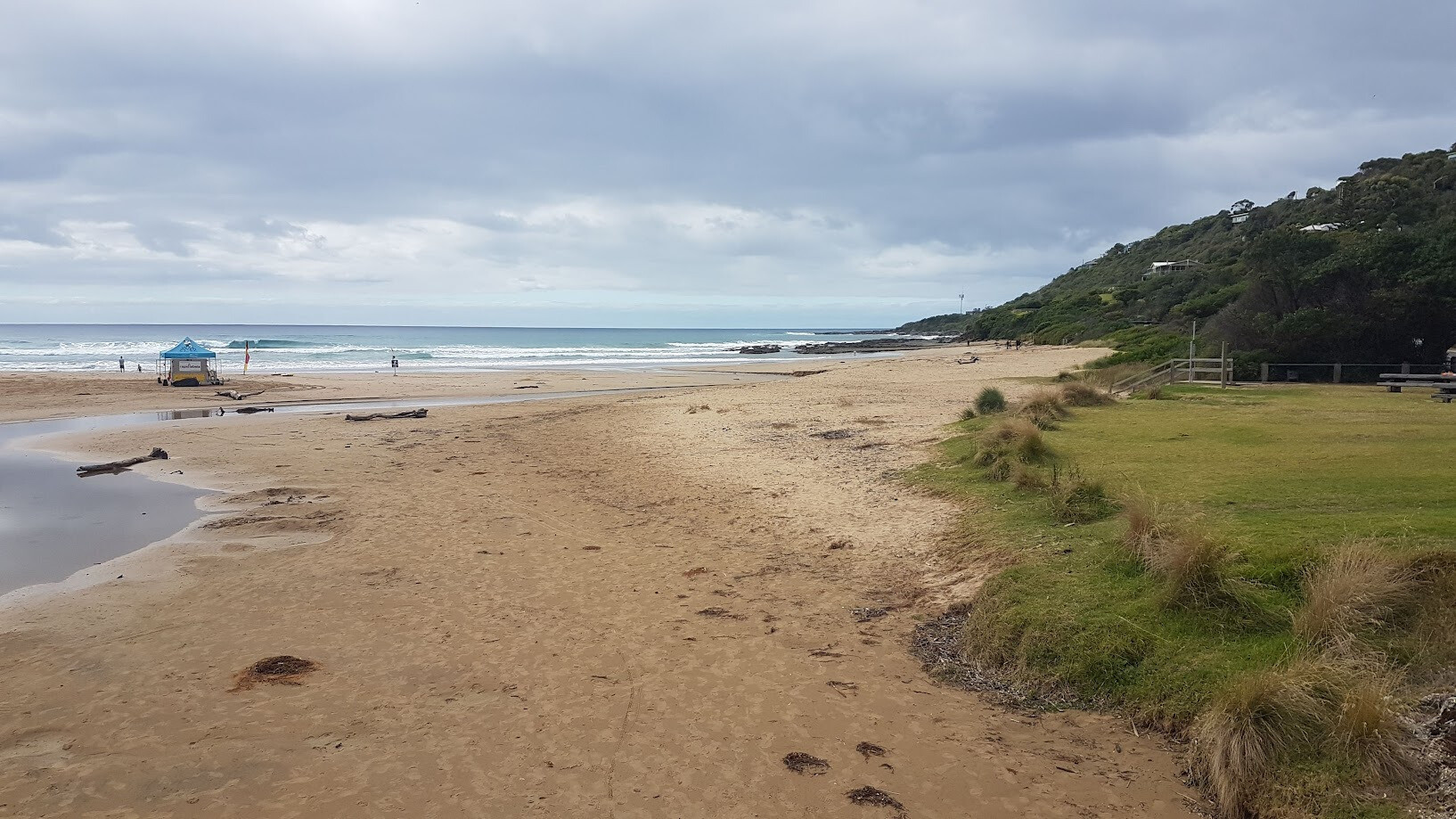
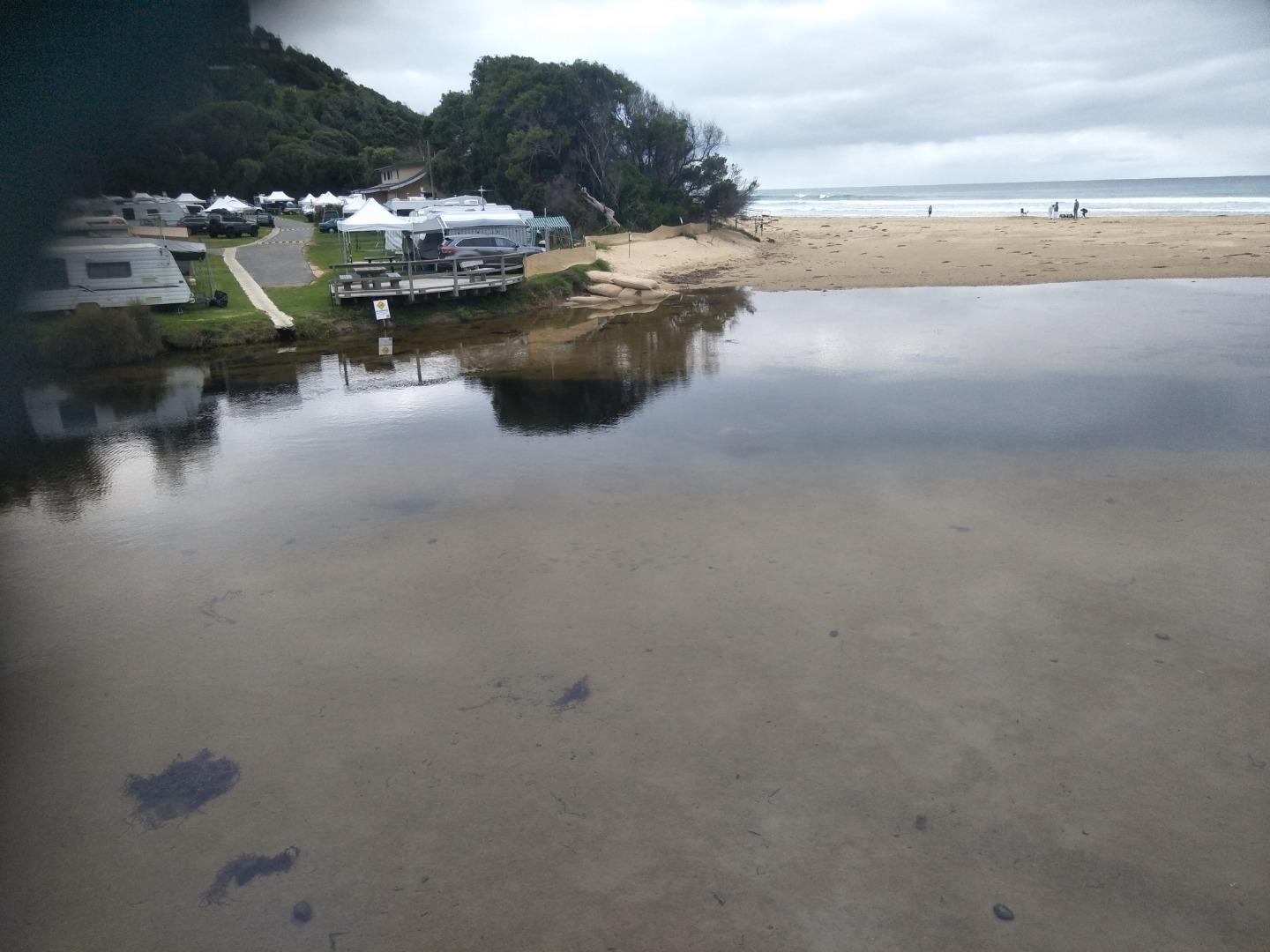
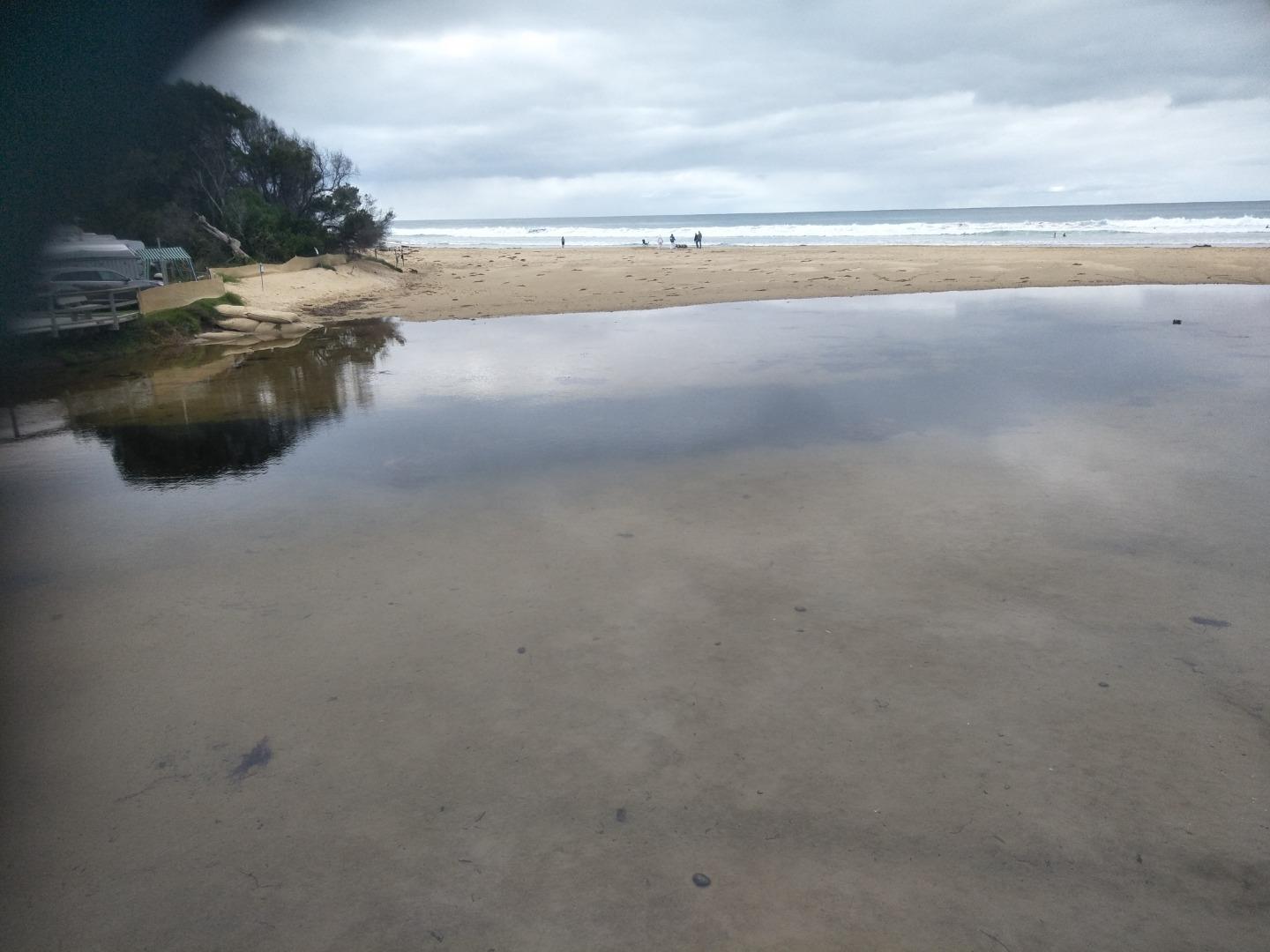
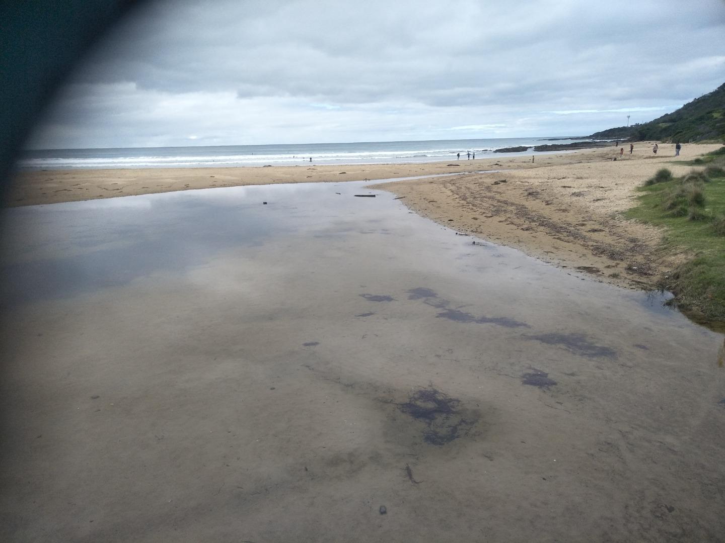
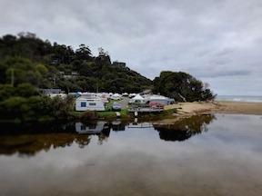
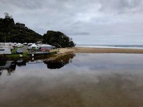
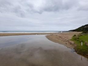
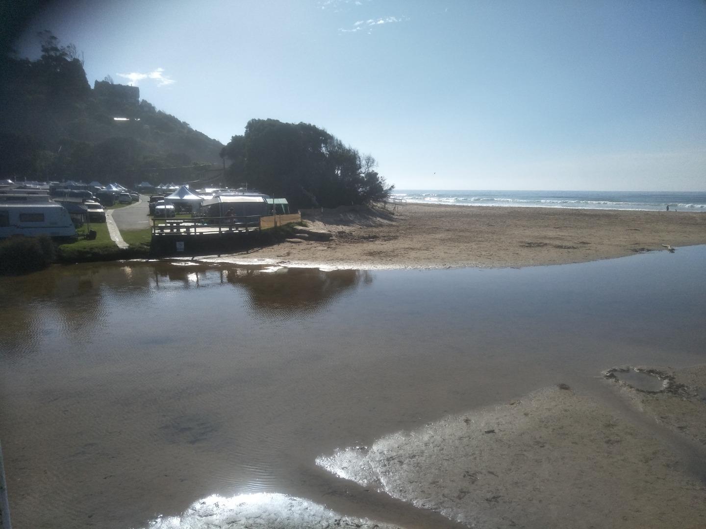
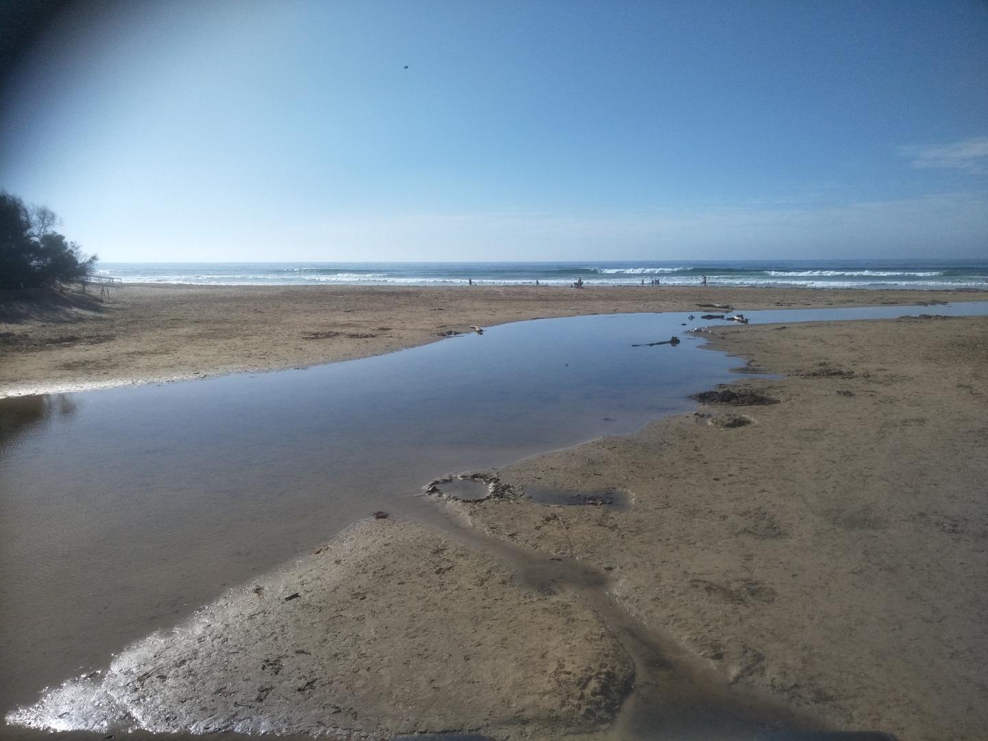
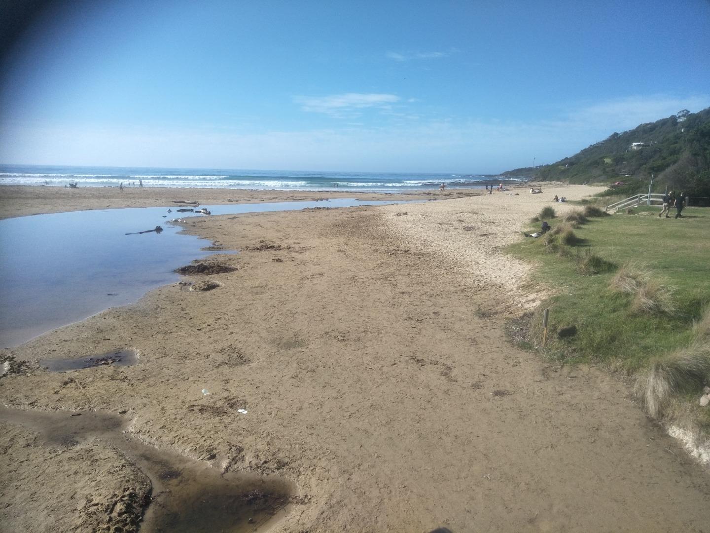
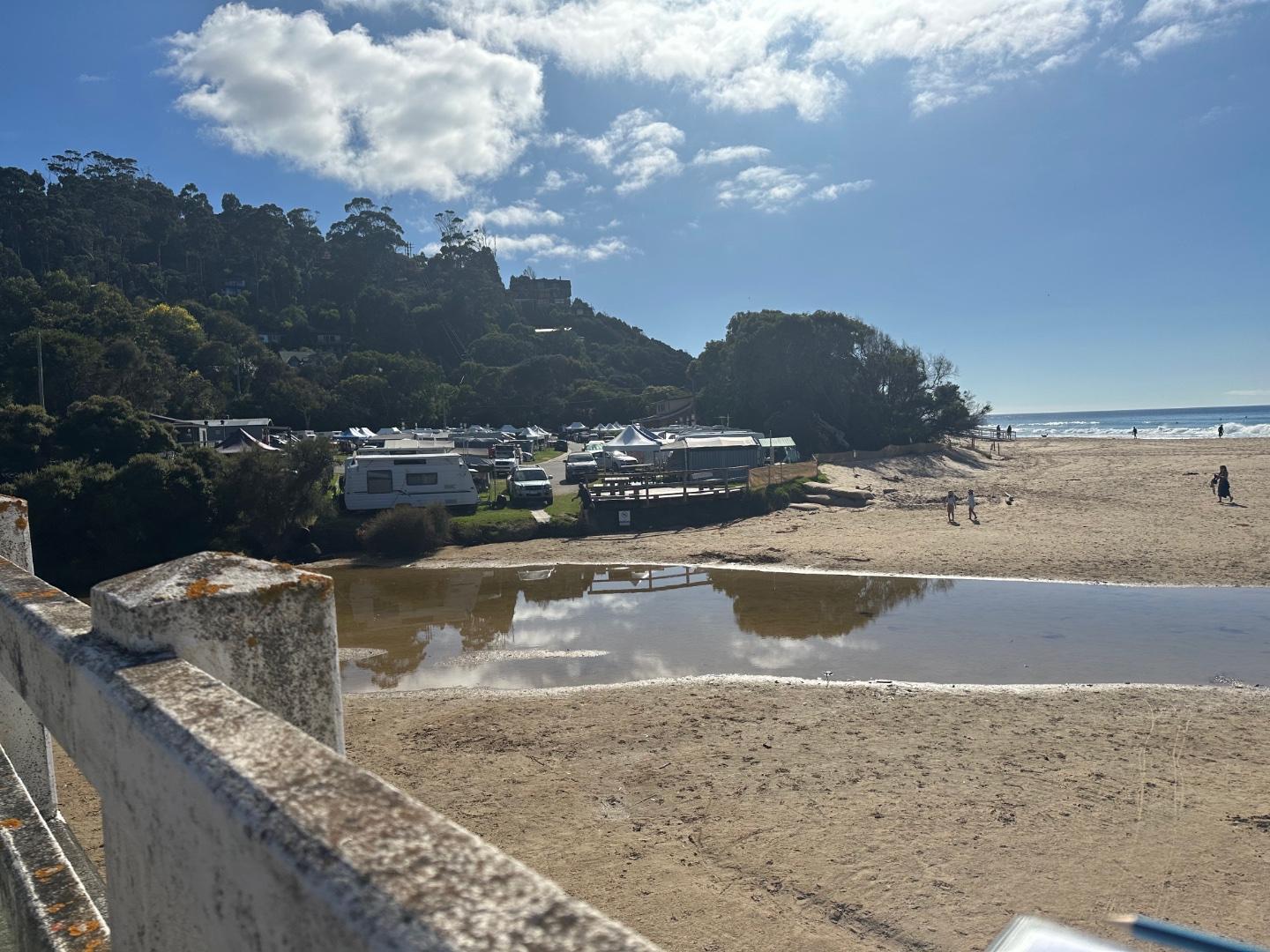
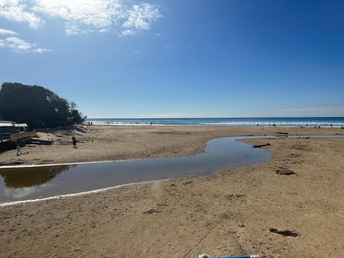
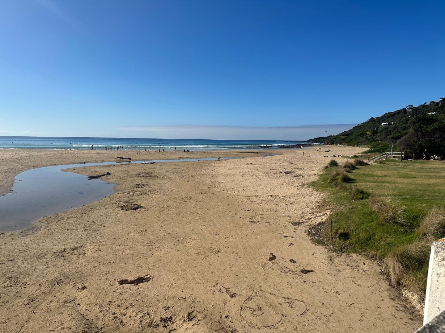
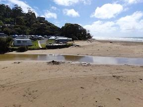
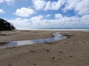
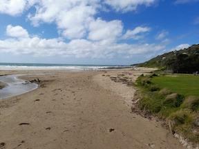
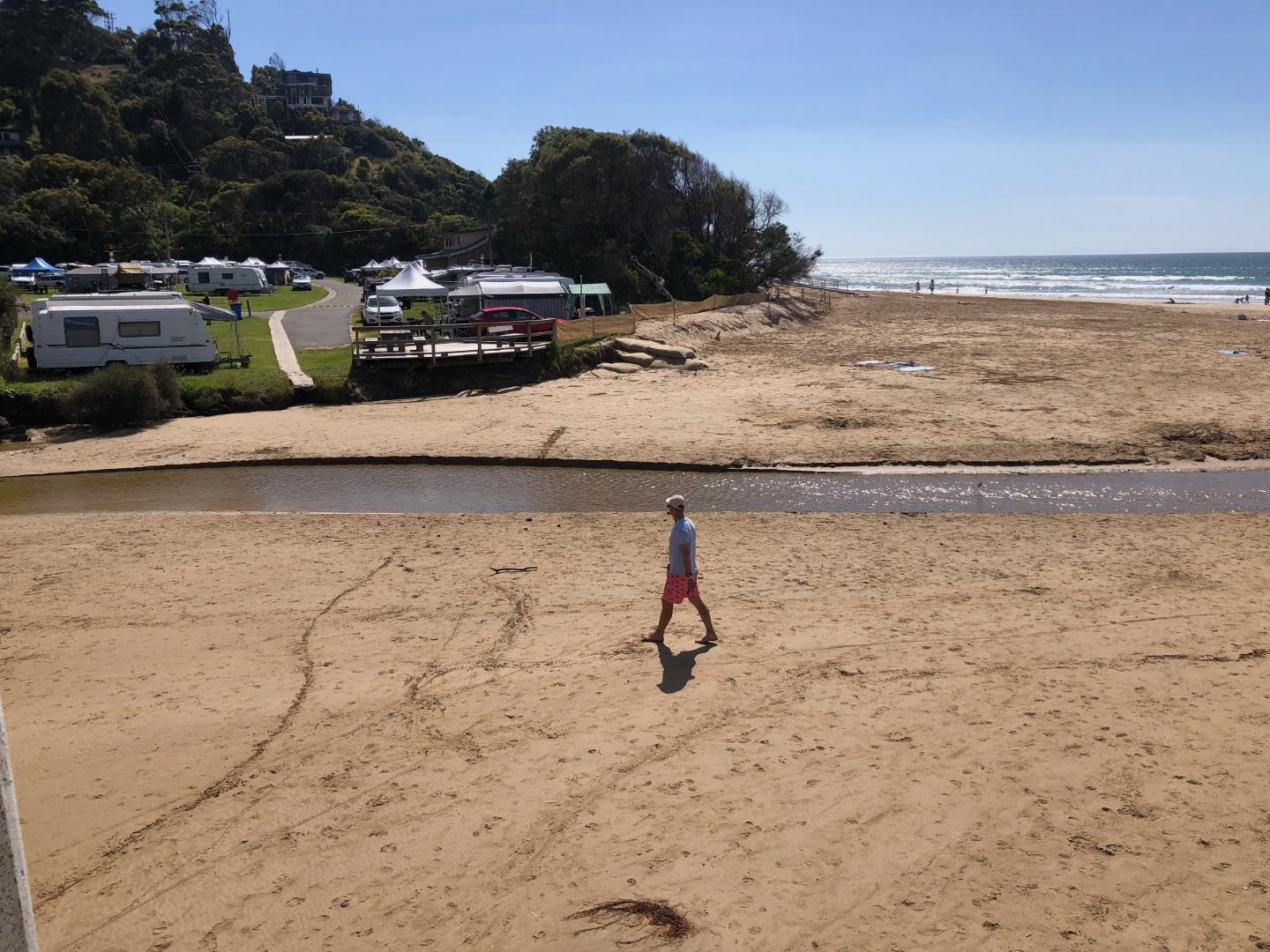
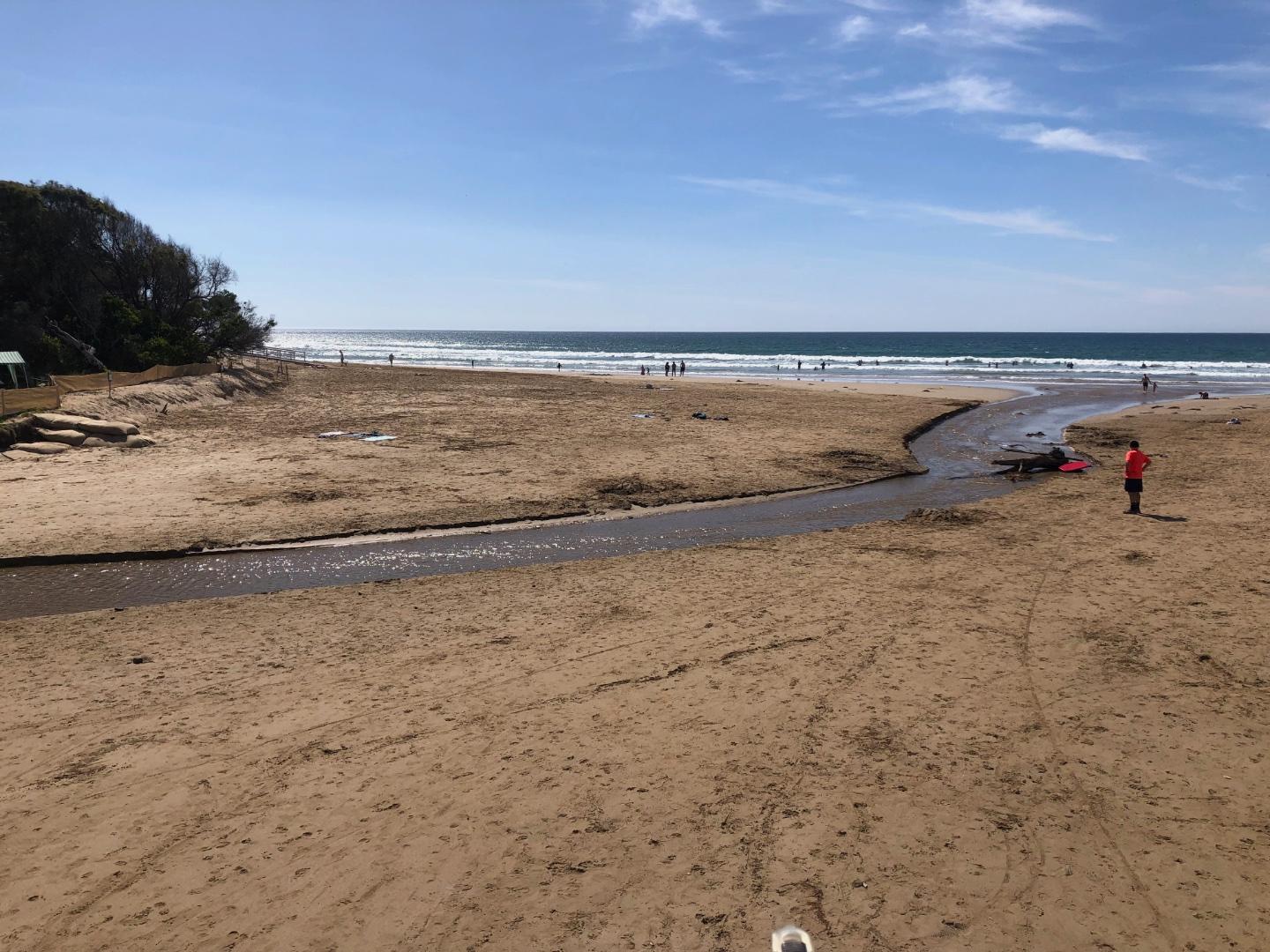
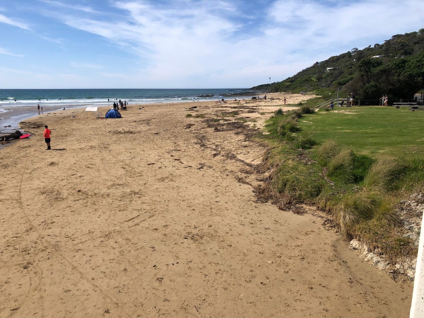
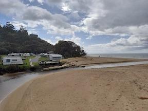
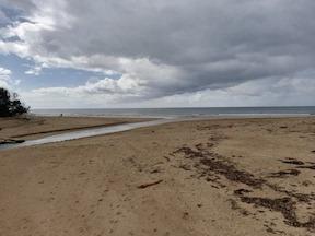
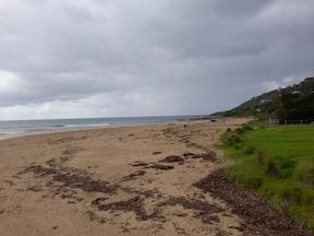
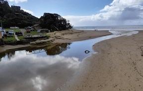
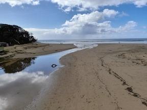
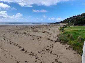
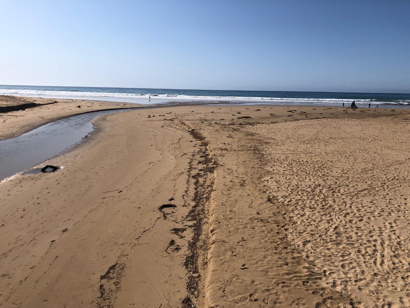
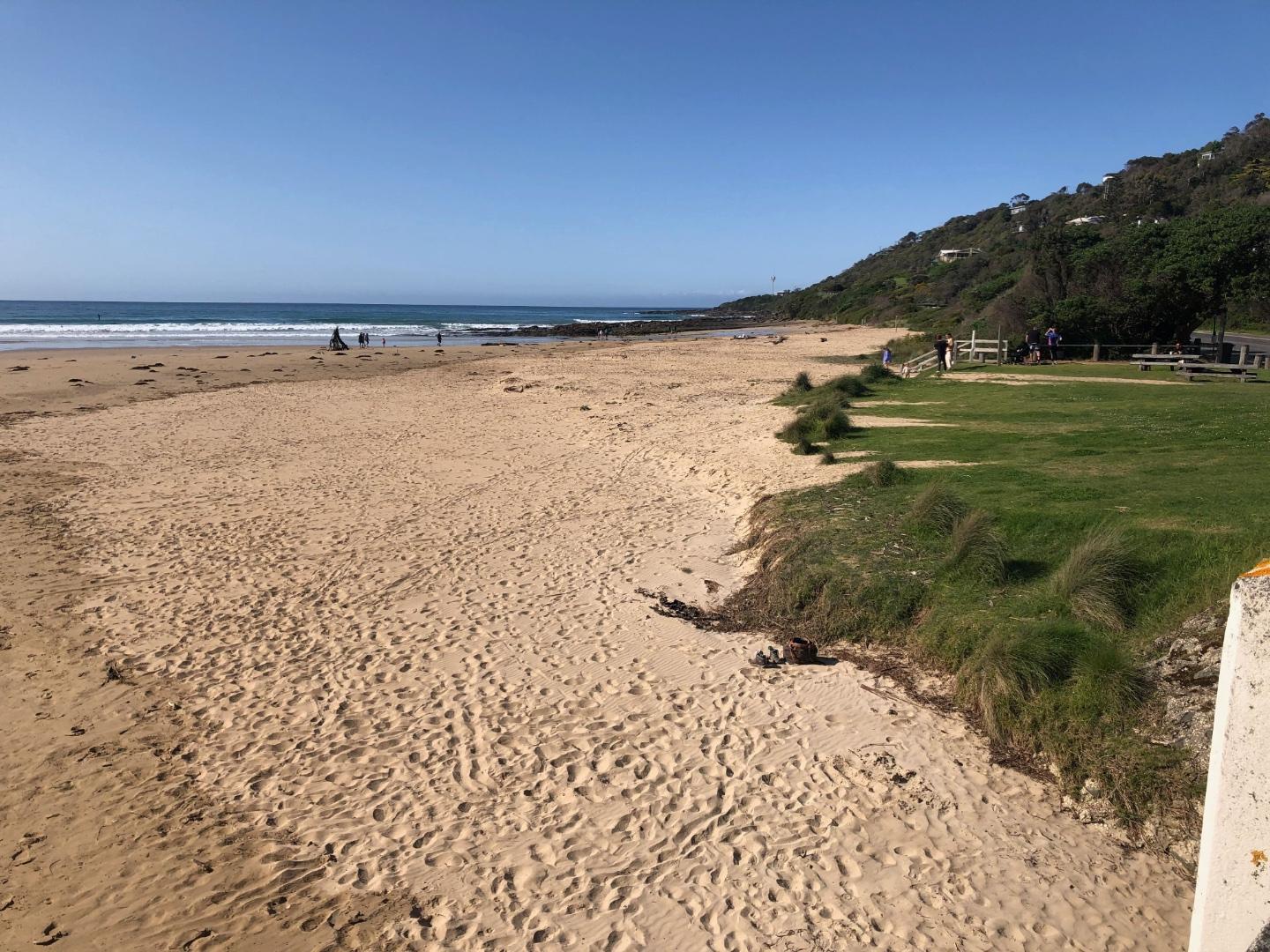
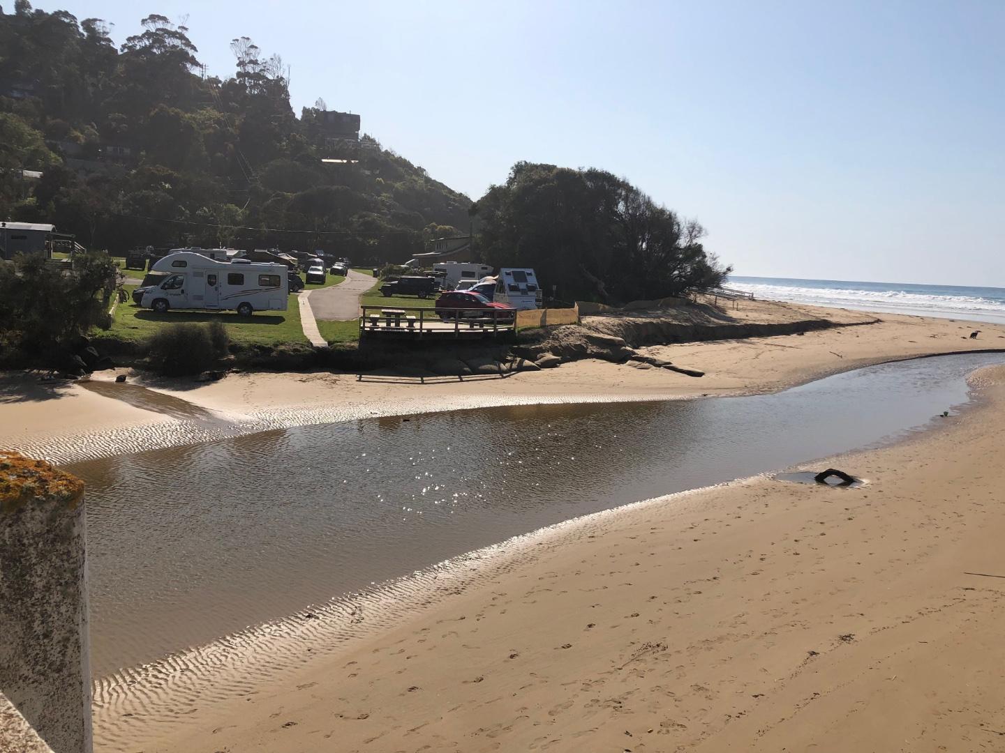
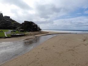
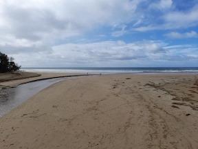
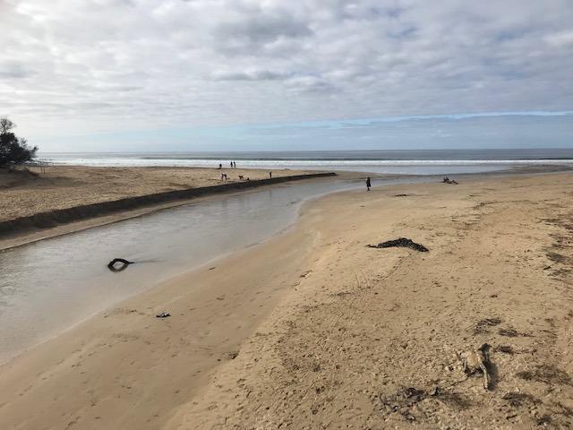
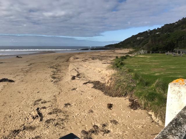
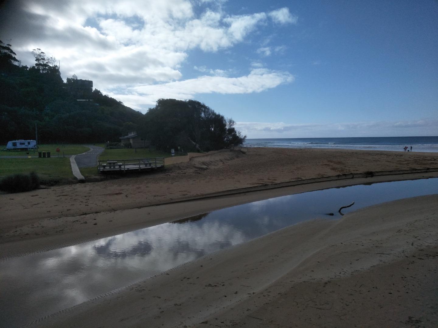
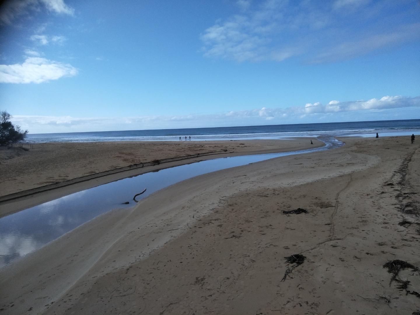
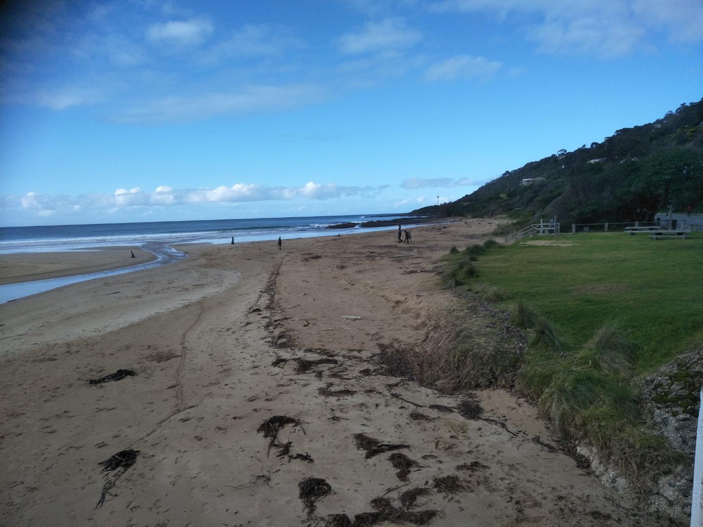
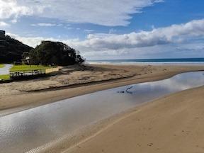
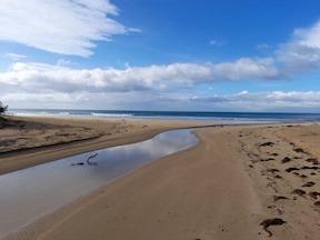
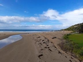
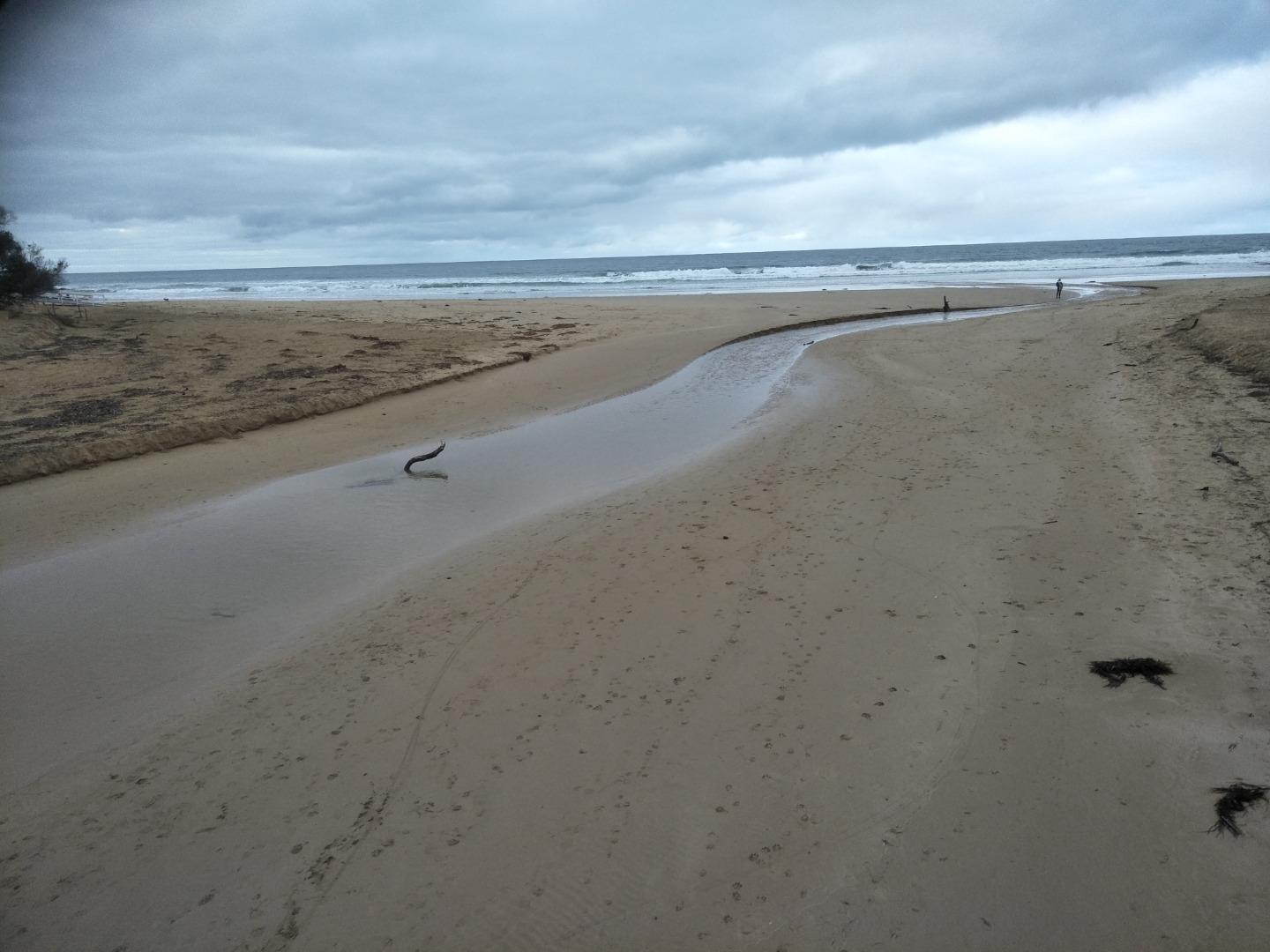
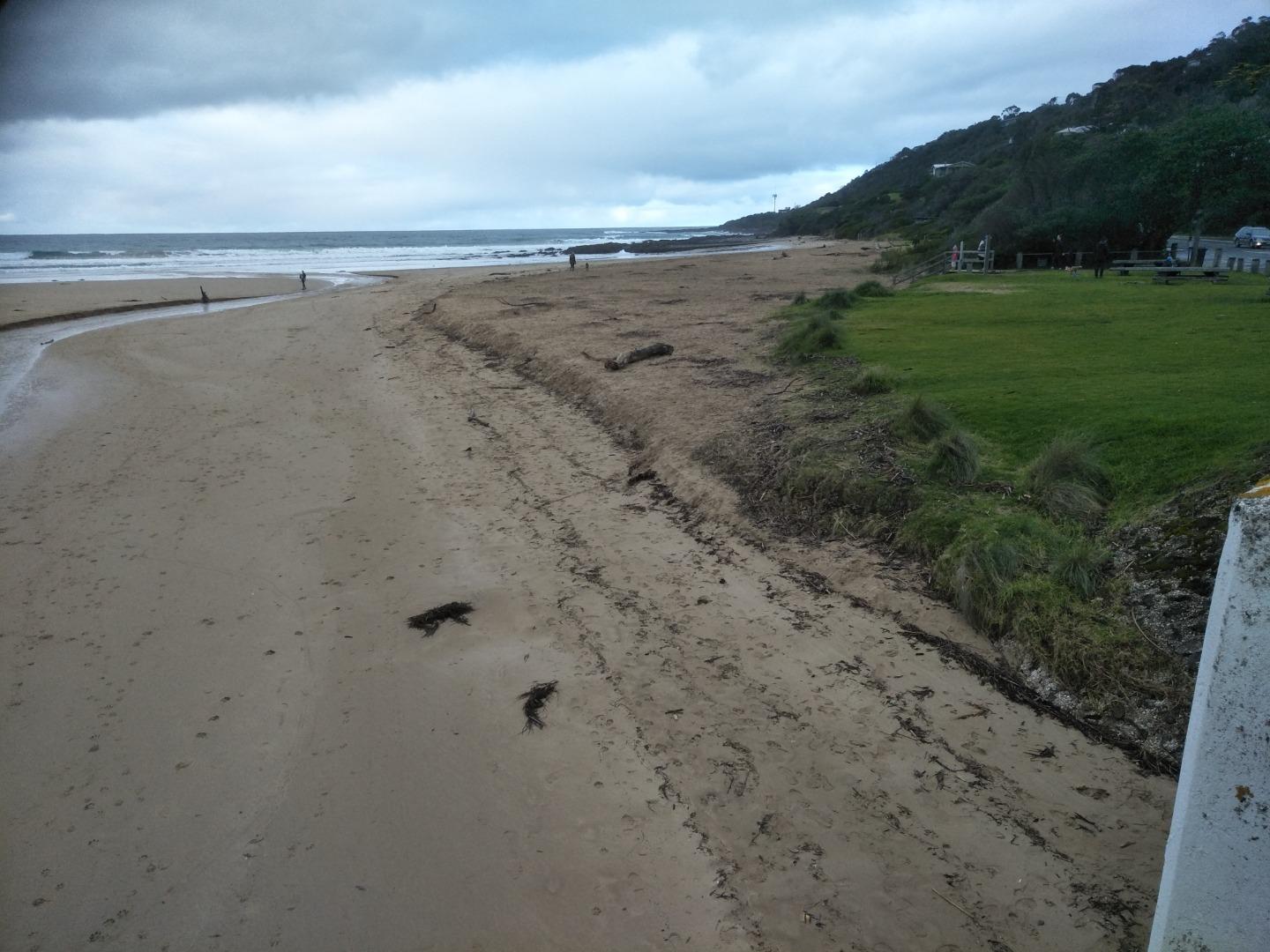
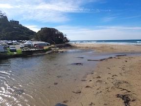
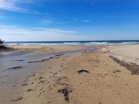
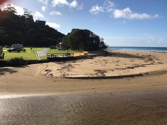
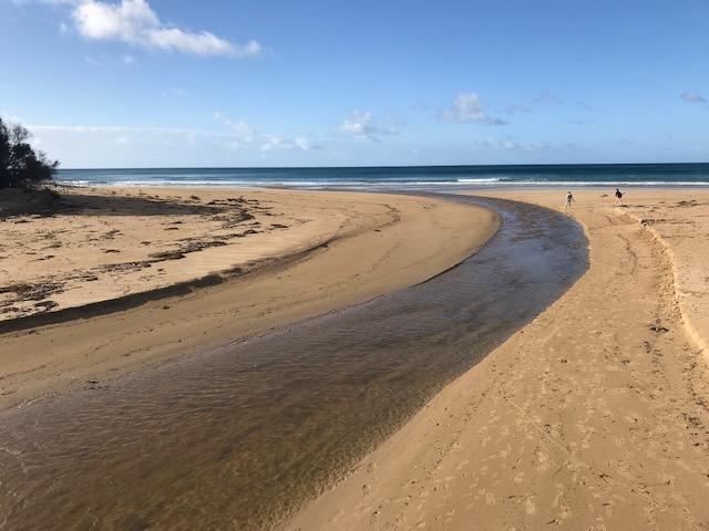
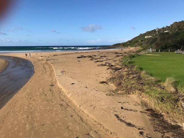
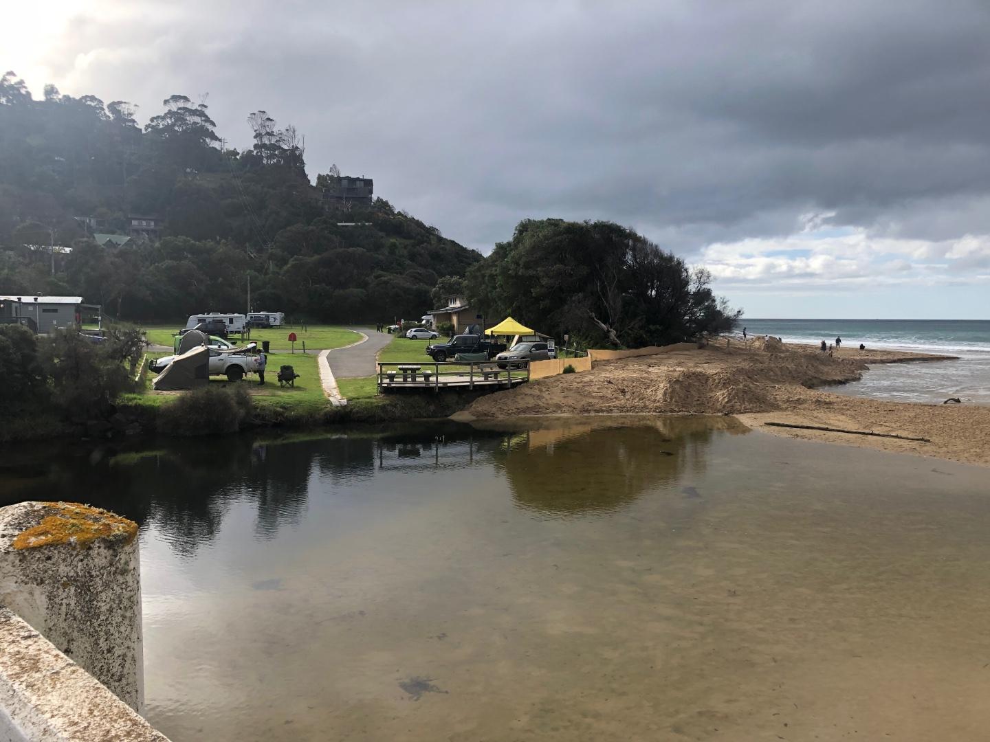
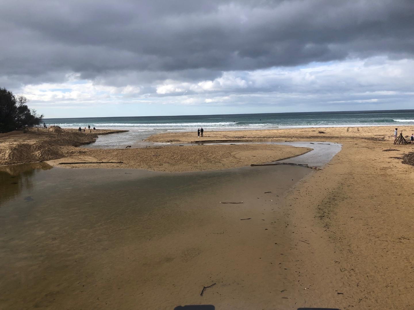
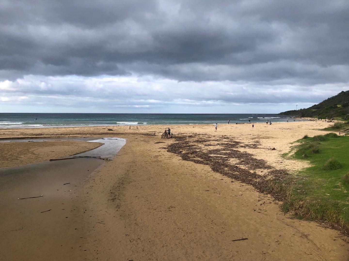
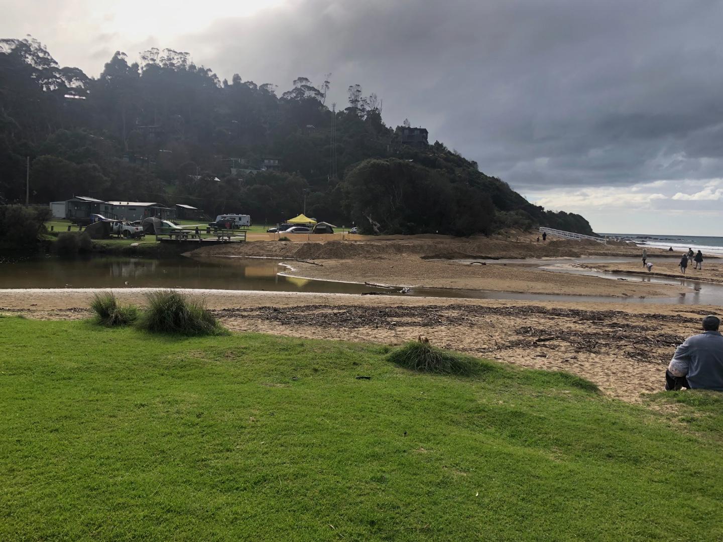
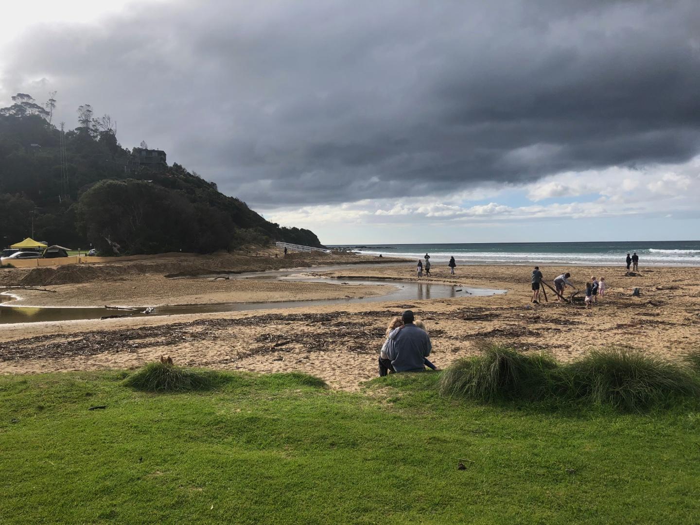
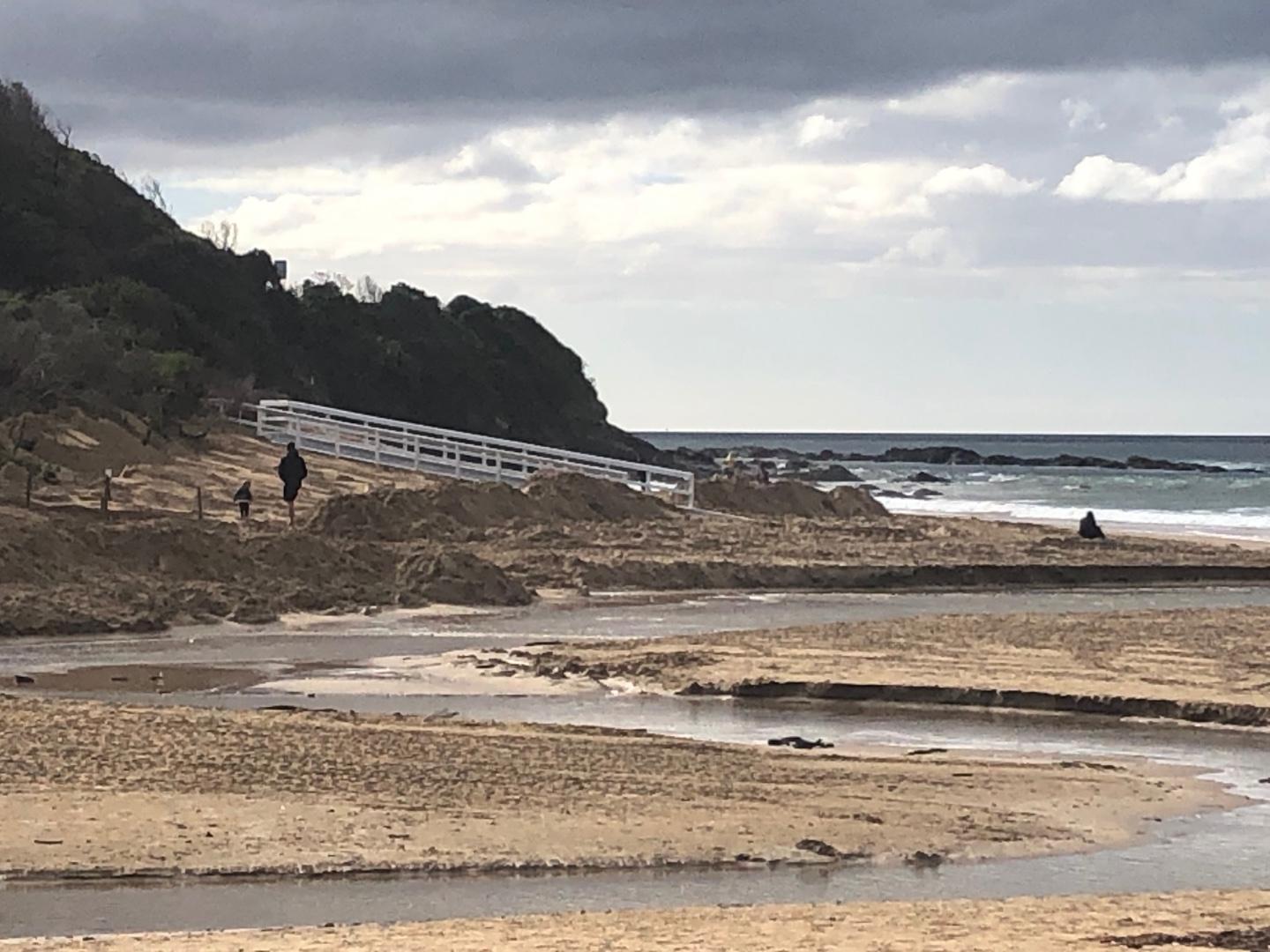
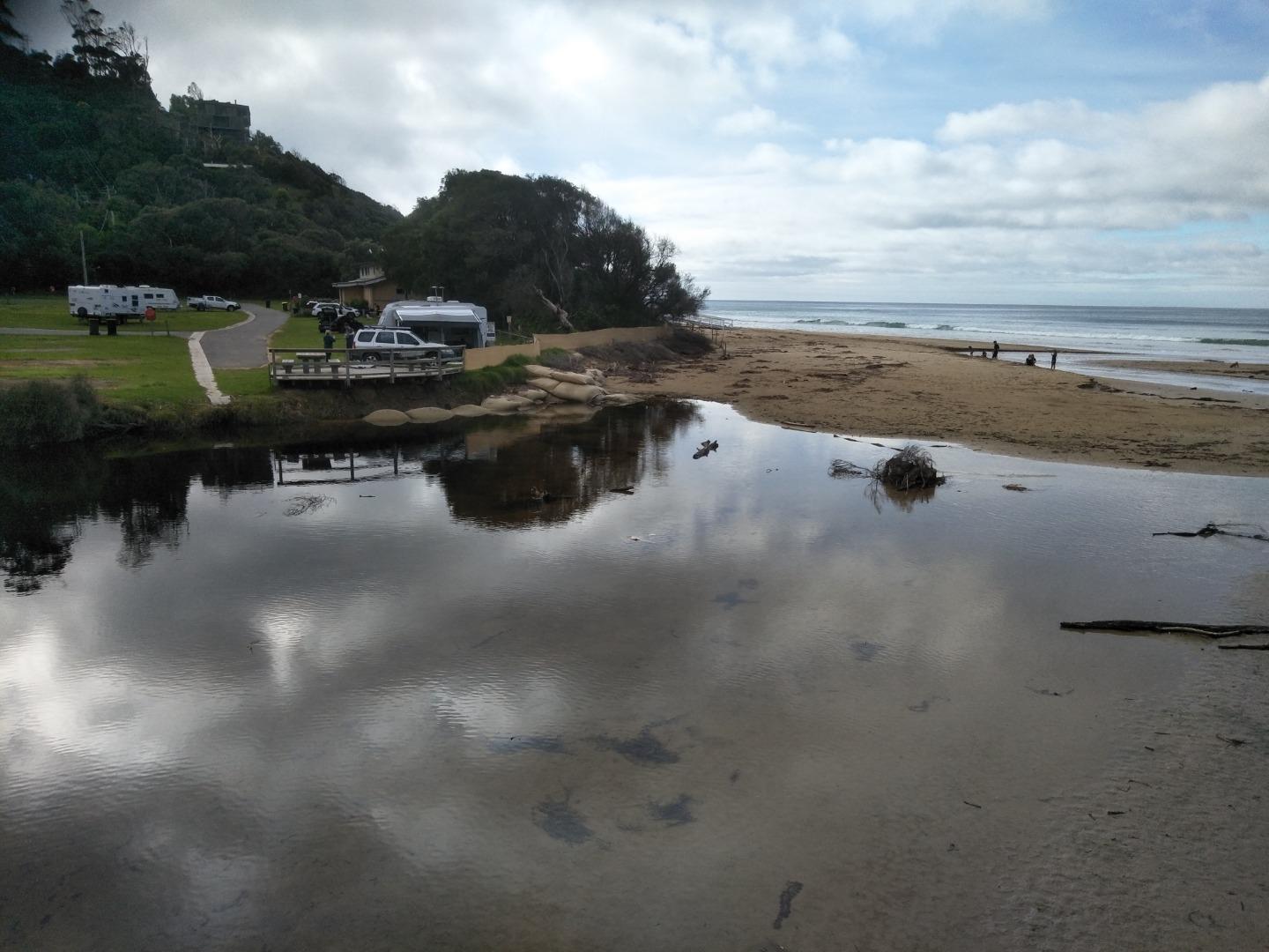
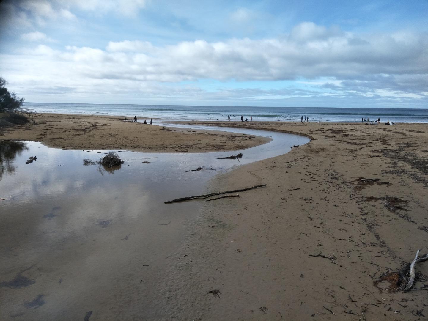
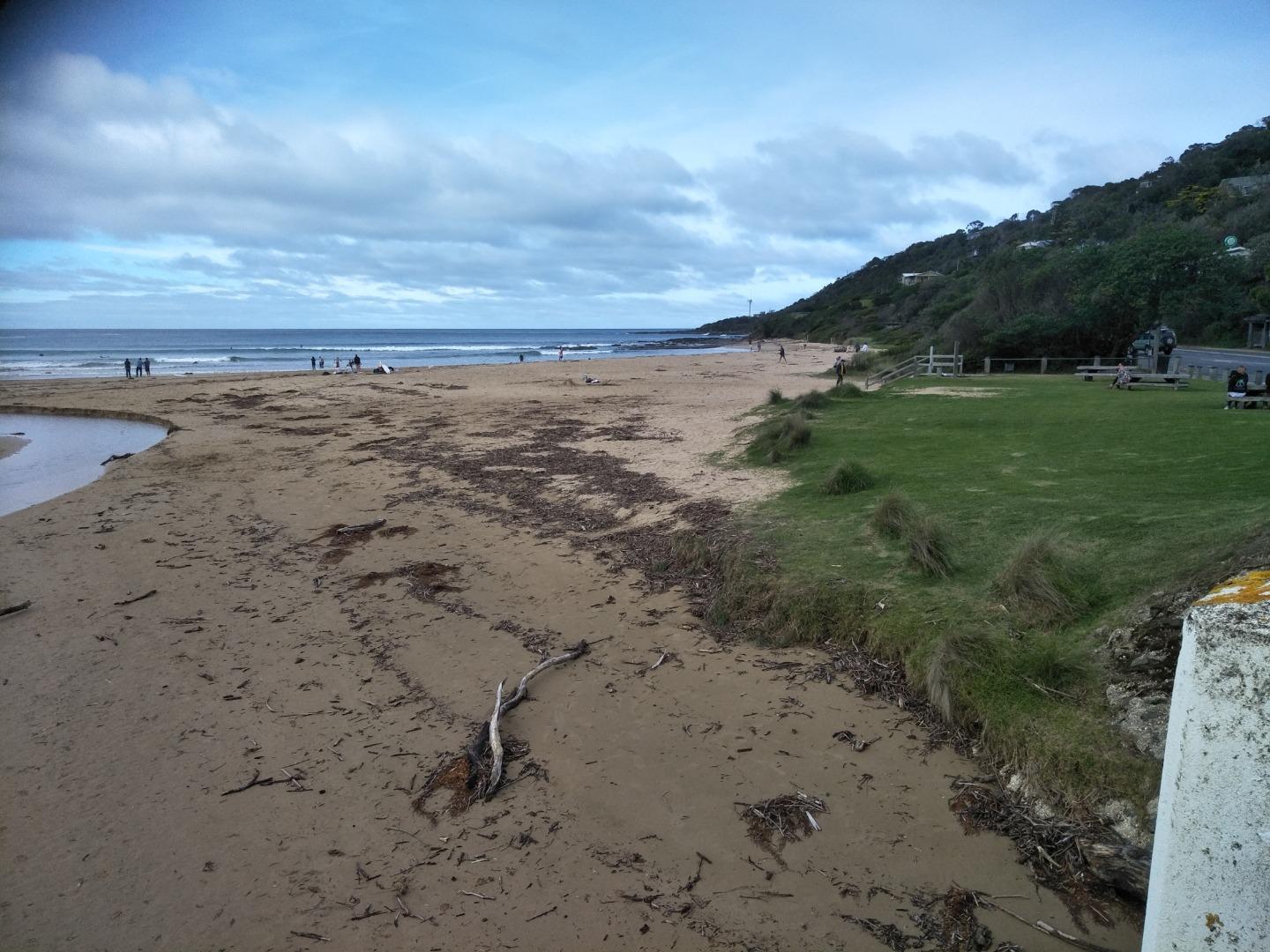
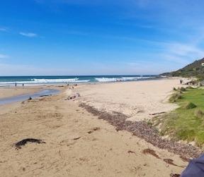
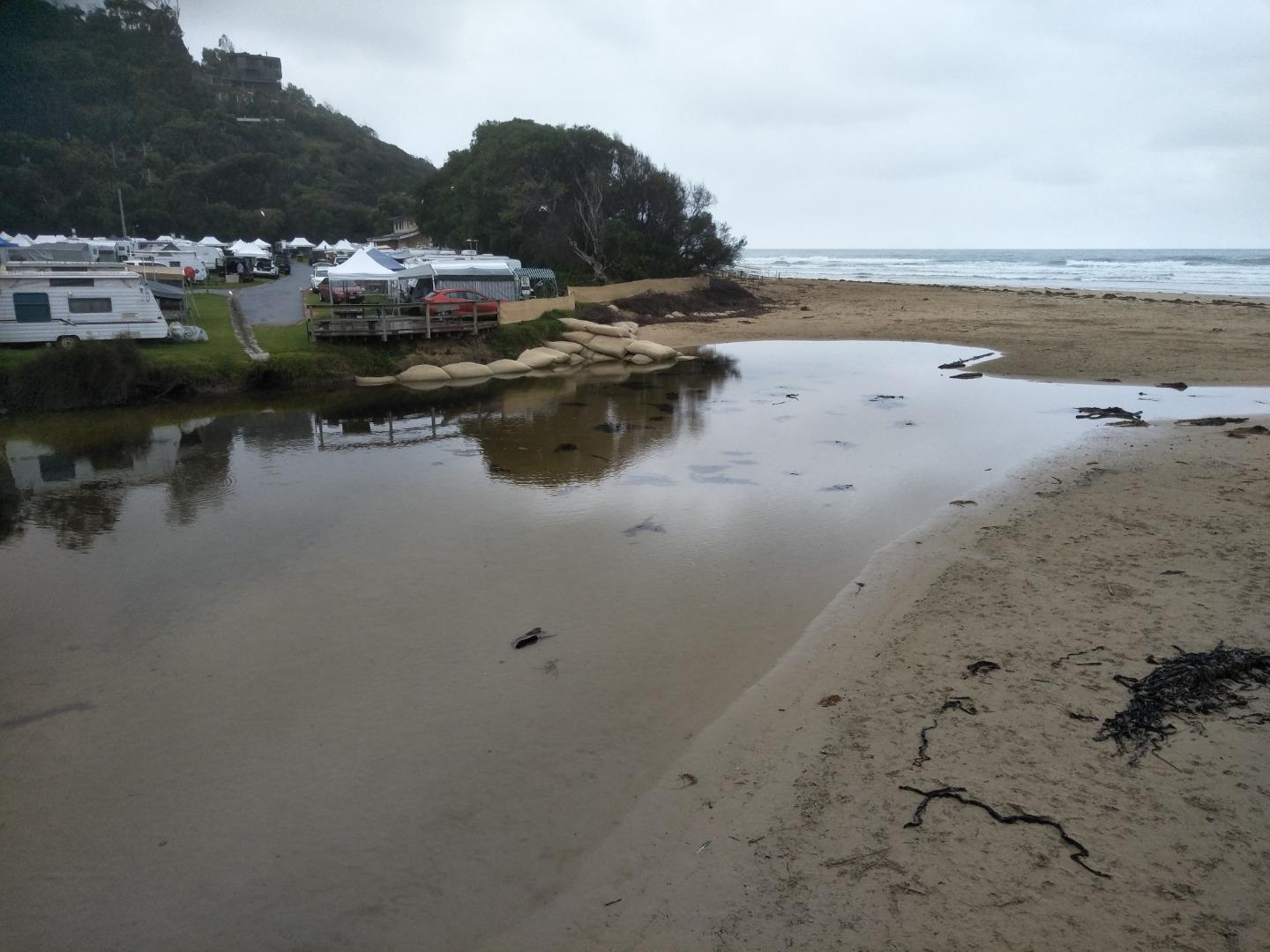
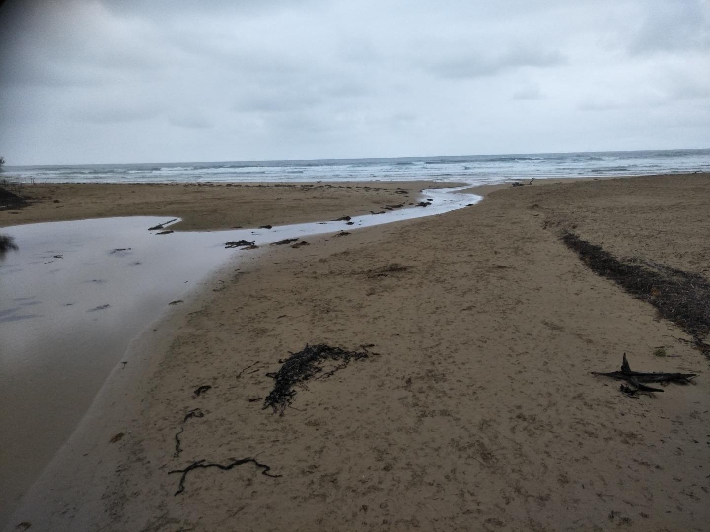
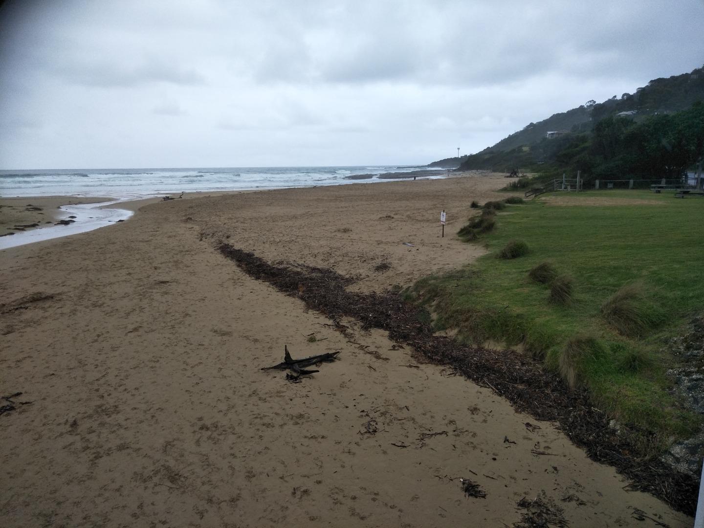
Active Mouth Condition 20-01-2007 - 21-04-2024Wye River Estuary
| ID | Date | Status | Details | |
|---|---|---|---|---|
| #15456 | 2 Apr 2023 | Approved | ||
| #15365 | 19 Mar 2023 | Approved |
Notes:
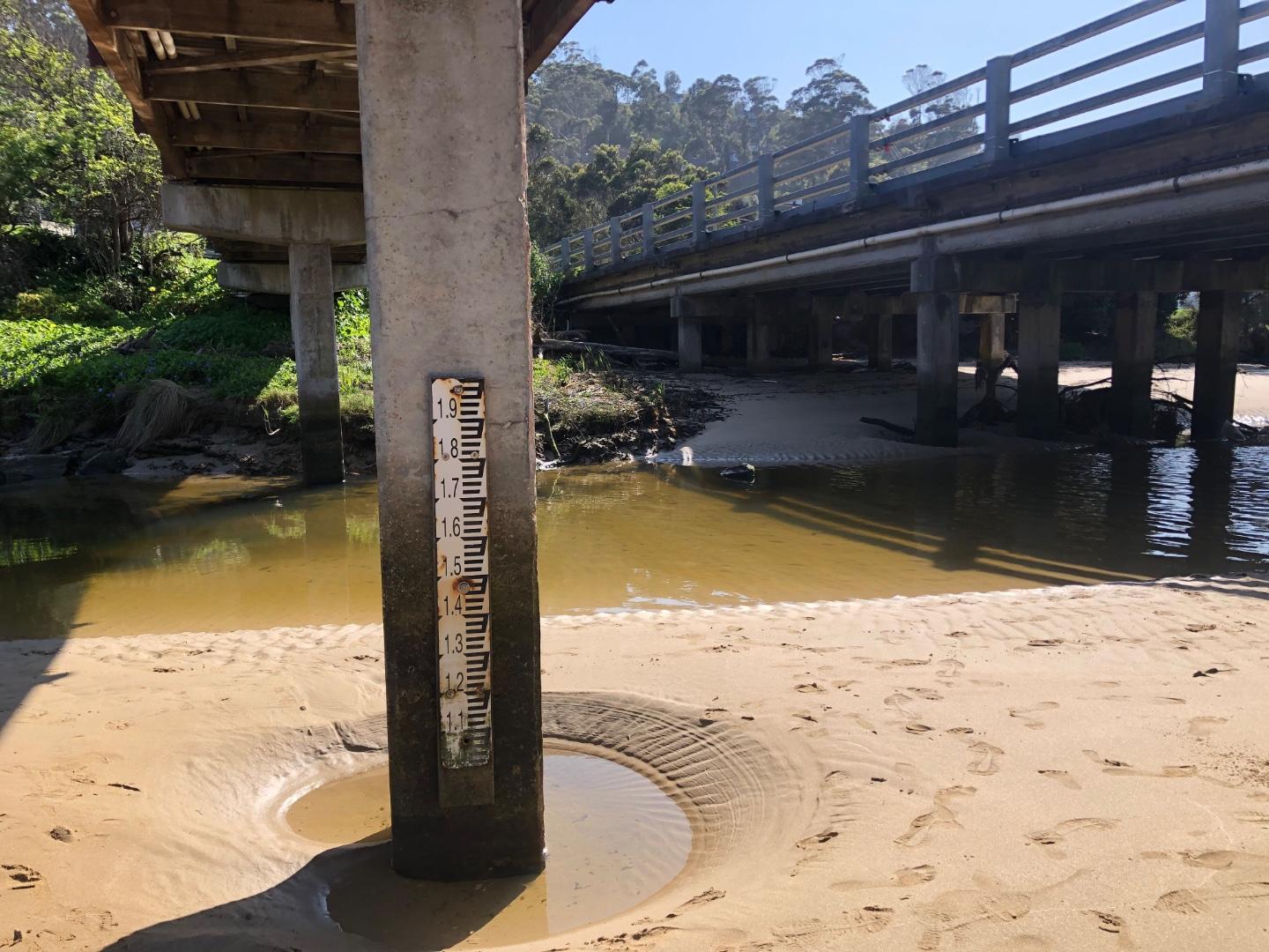
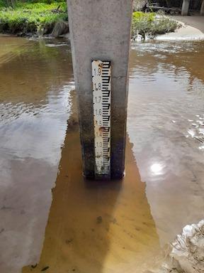
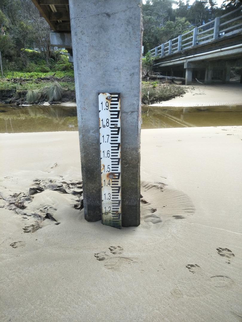
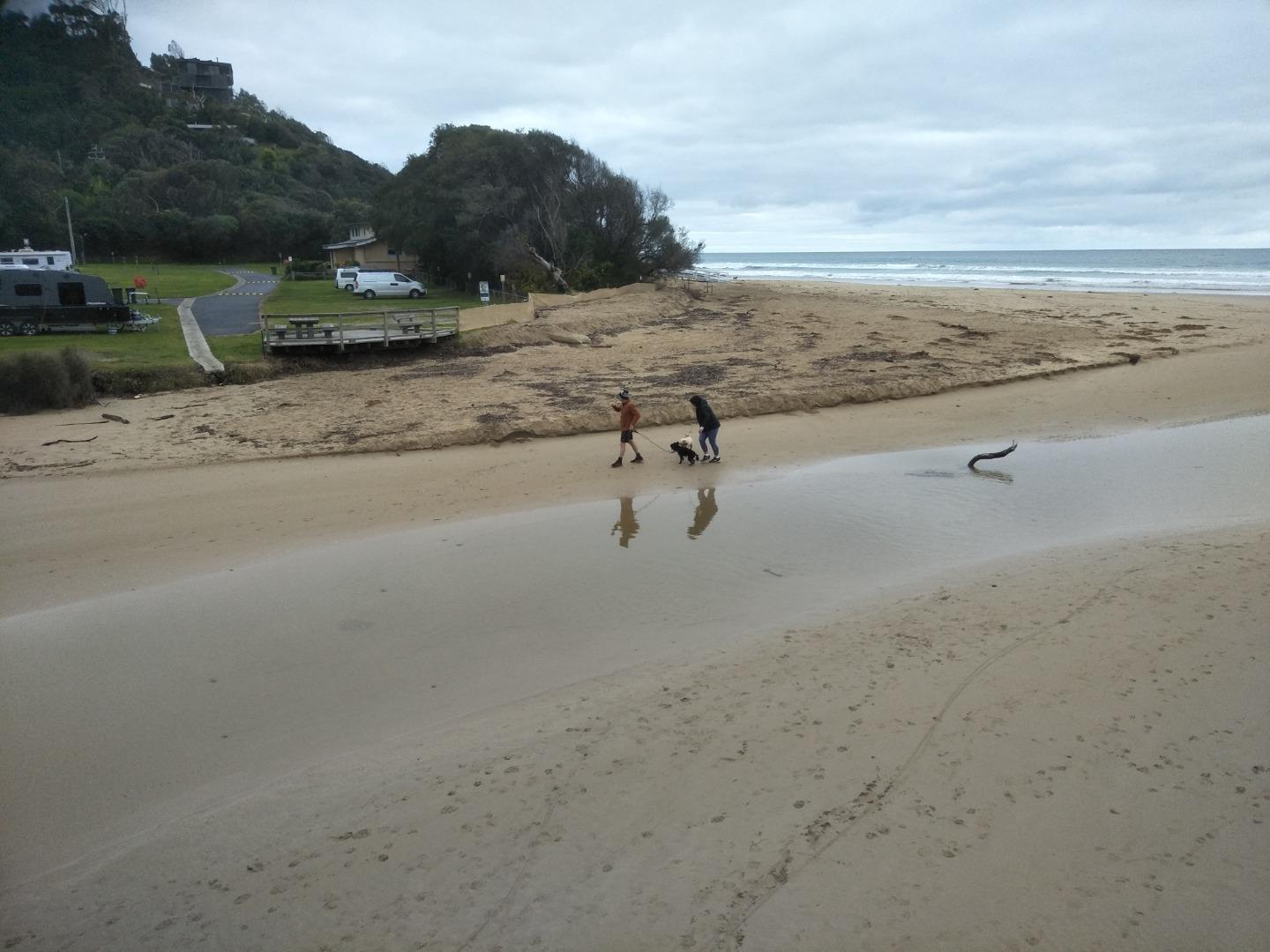
The Wye River was very wide and we experienced difficulty in reading the gauge. Access was problematic. The level was halfway up the gauge ( we dropped a stick to check and test the level) but it was difficult to decipher the reading, even on the attached photo. The Beaufort Wind strength No was 0, and Calm. |
|
| #15348 | 5 Mar 2023 | Approved | ||
| #15292 | 19 Feb 2023 | Approved |
Notes:
|
|
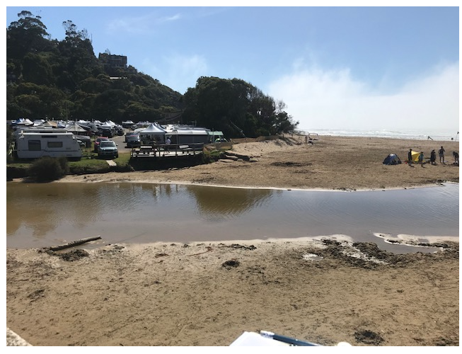
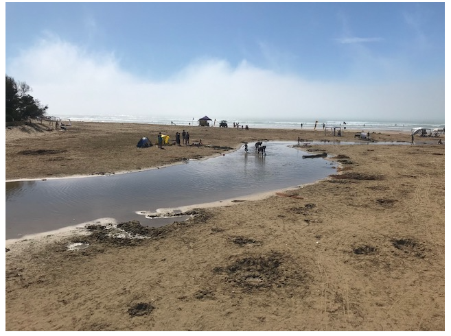
| #15833 | 5 Feb 2023 | Approved |
    |
|
| #15224 | 15 Jan 2023 | Approved | ||
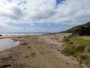
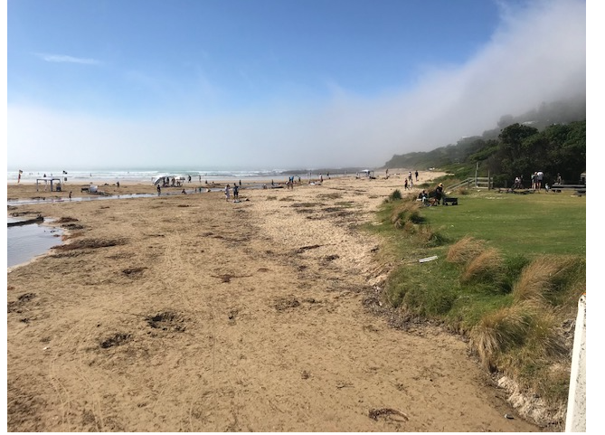
| #15212 | 1 Jan 2023 | Approved |
Notes:
Amazing sea fog this morning, can see some of it in photo 3. Warning sign about e coli had been turned over. Maybe due to low levels reported in October and November. |
|
| #15189 | 18 Dec 2022 | Approved | ||
| #15155 | 4 Dec 2022 | Approved | ||
| #15147 | 20 Nov 2022 | Approved |
Notes:
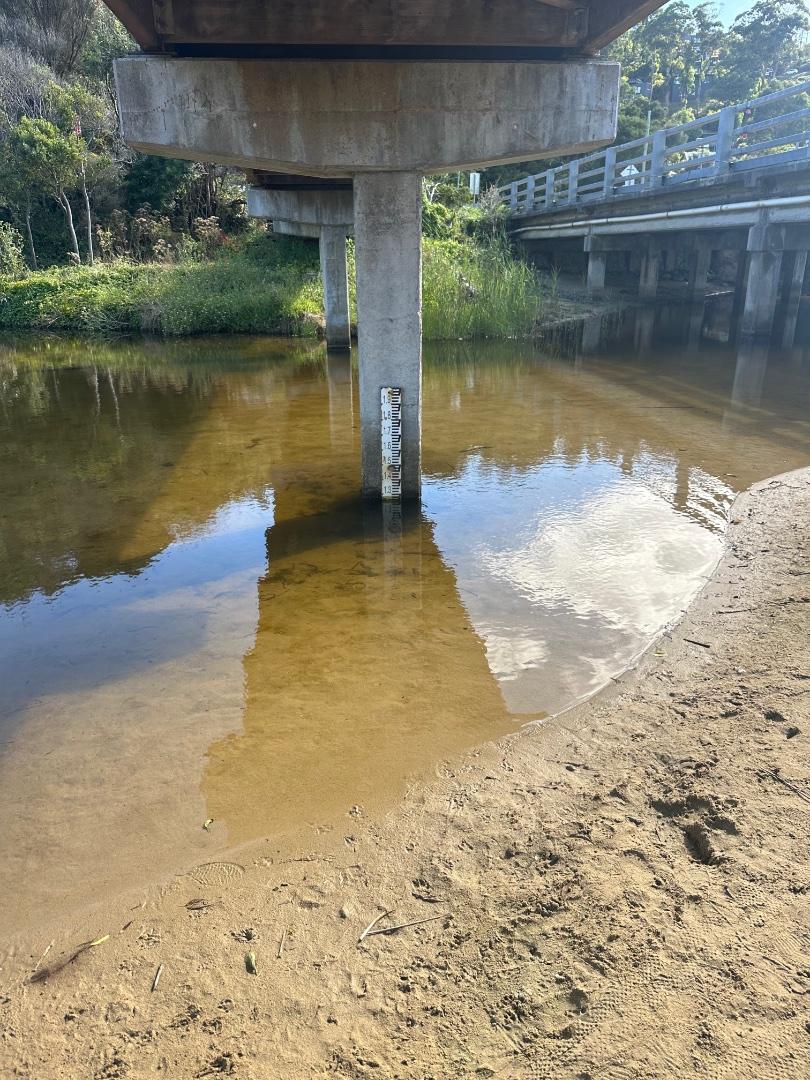
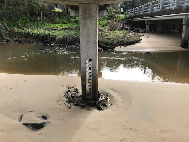
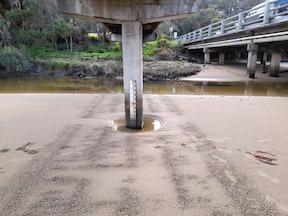
Water level is not available. The gauge requires repositioning. |
|
| #15114 | 6 Nov 2022 | Approved |
Notes:
Depth gauge in sand above water level. |
|
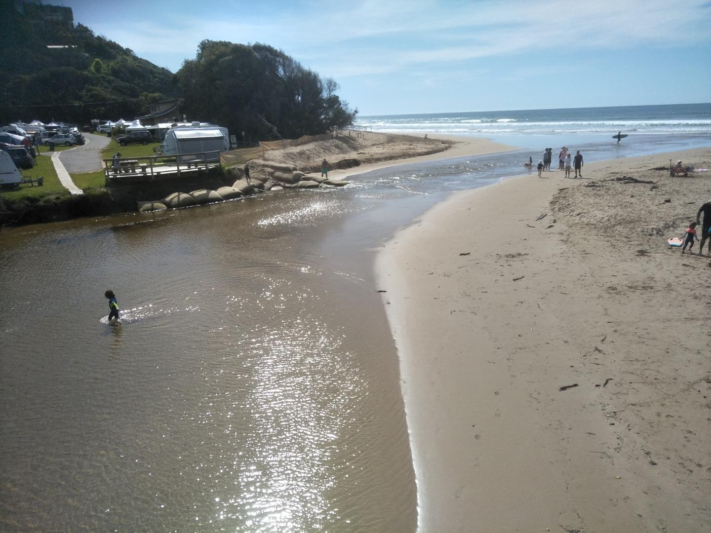
| #15075 | 16 Oct 2022 | Approved |
Notes:
The water level was well below the depth gauge. We request a new location when the new bridge is constructed. |
|
| #15055 | 2 Oct 2022 | Approved |
Notes:
Water level - marker buried in sand , photo attached |
|
| #15029 | 18 Sep 2022 | Approved |
Notes:
The water level is below the gauge. |
|
| #15040 | 4 Sep 2022 | Approved |
Notes:
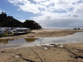
Beach upstream of bridge continues to grow! |
|
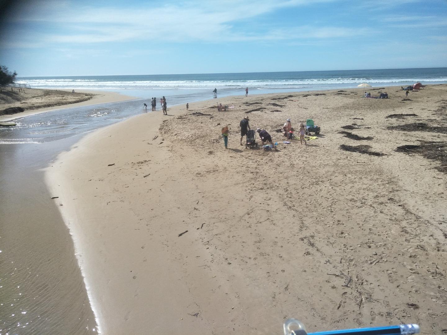
| #14961 | 21 Aug 2022 | Approved |
Notes:
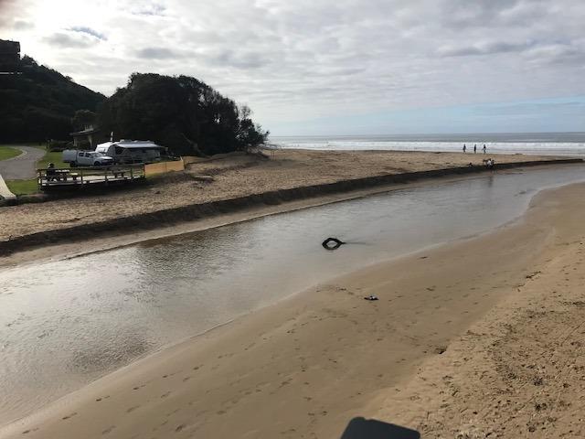
No water flowing at river gauge, so cannot ascertain the level. Large sandbank has reappeared upstream of the bridge. River channel has headed to the southern end of the beach. |
|
| #14941 | 7 Aug 2022 | Approved |
Notes:
Water level below depth gauge. |
|
| #14891 | 17 Jul 2022 | Approved |
Notes:
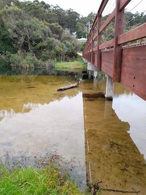
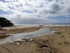
River water level below the gauge- see photo.Wyp2 - 4 |
|
| #14866 | 3 Jul 2022 | Approved |
Notes:
River water level below gauge. |
|
| #14752 | 19 Jun 2022 | Approved |
Notes:
Wye river well below the water level gauge. |
|
| #14741 | 5 Jun 2022 | Approved | ||
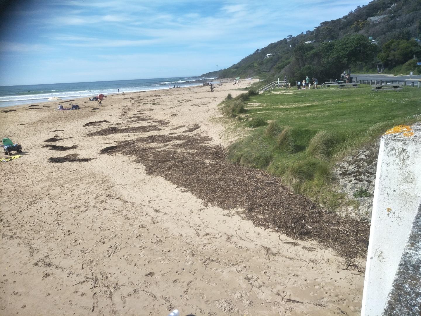
| #14678 | 15 May 2022 | Approved |
Notes:
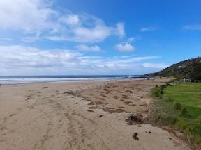
Dune restoration - sand has been moved from the south side of the beach to north side and the north side of the river - see photos 1,2,3 |
|
| #14642 | 1 May 2022 | Approved | ||
| #14607 | 17 Apr 2022 | Approved | ||
| #14576 | 3 Apr 2022 | Approved | ||


All content, files, data and images provided by the EstuaryWatch Data Portal and Gallery are subject to a Creative Commons Attribution License
Content is made available to be used in any way, and should always attribute EstuaryWatch and www.estuarywatch.org.au