EstuaryWatch Data Portal
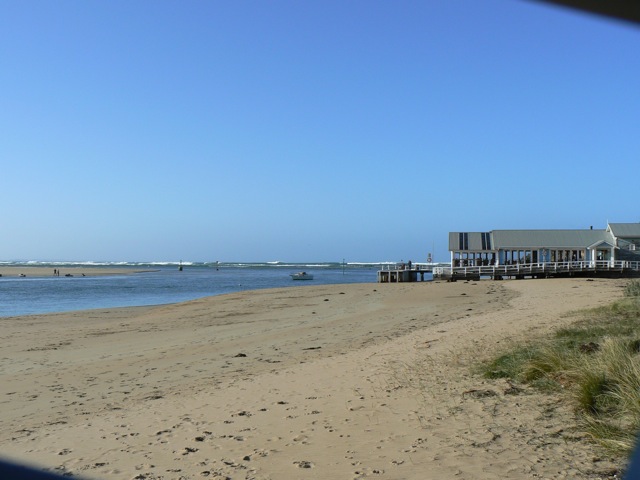
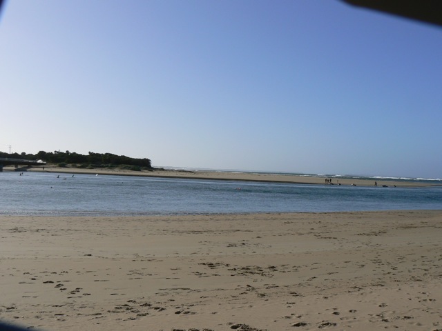
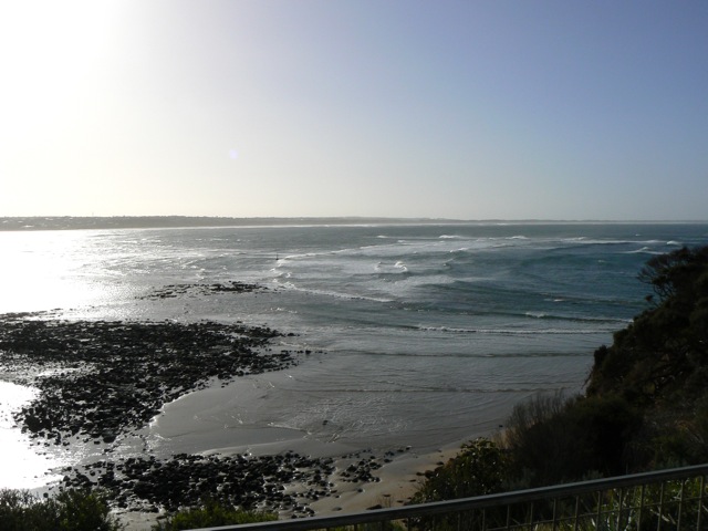
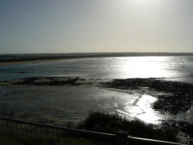
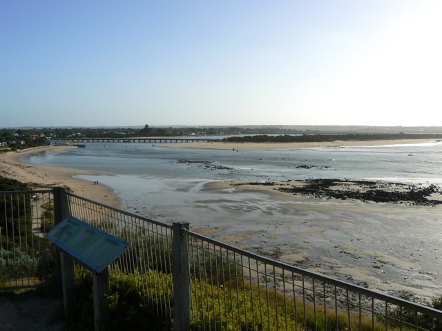
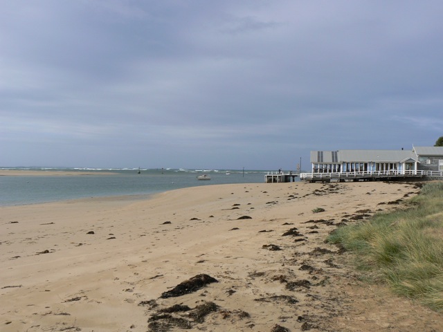
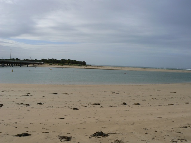
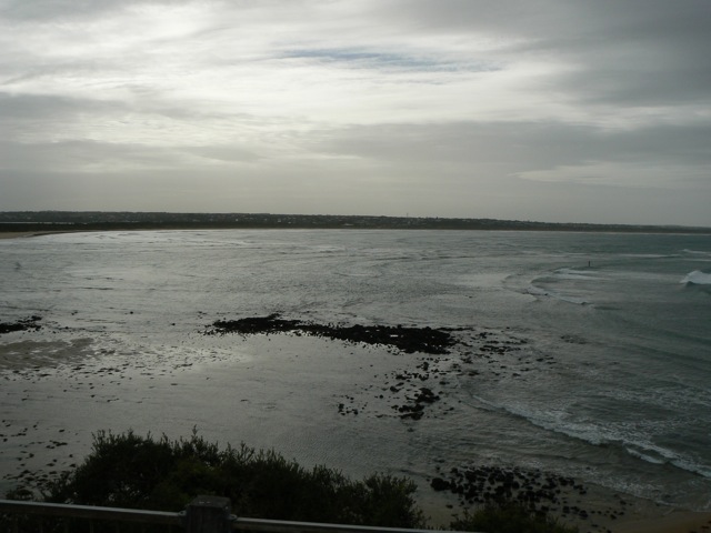
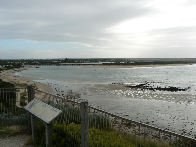
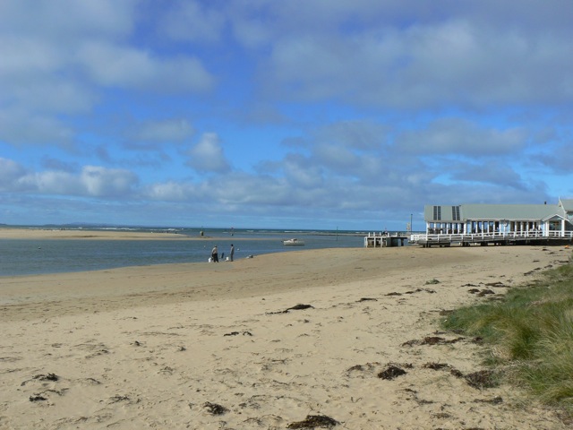
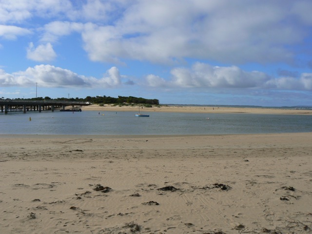
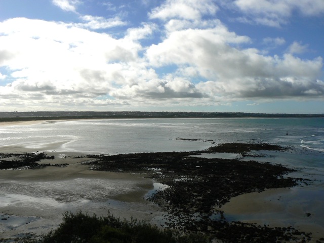
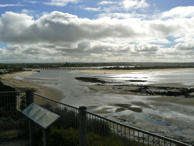
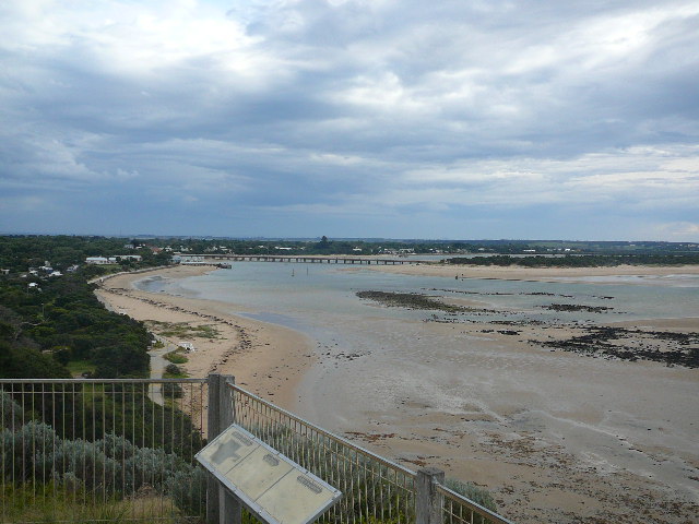
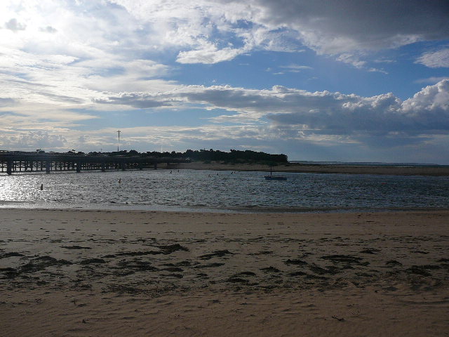
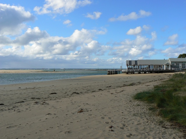
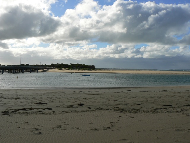
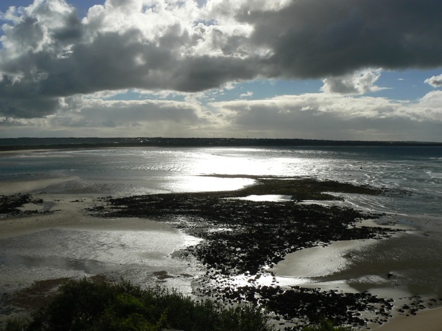
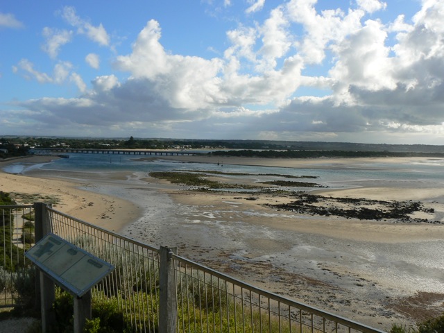
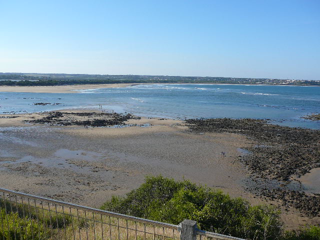
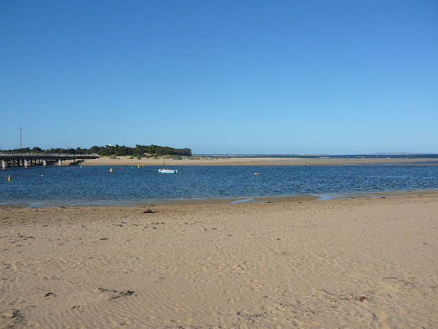
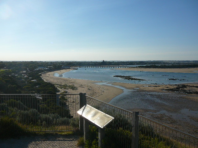
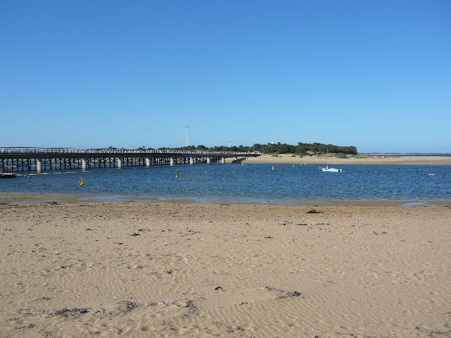
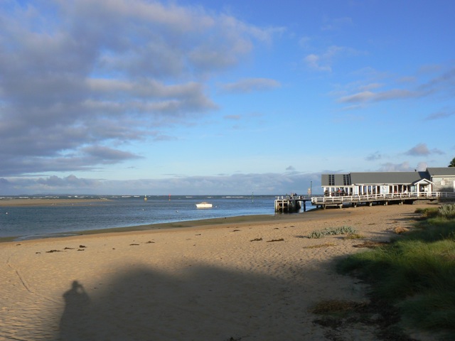
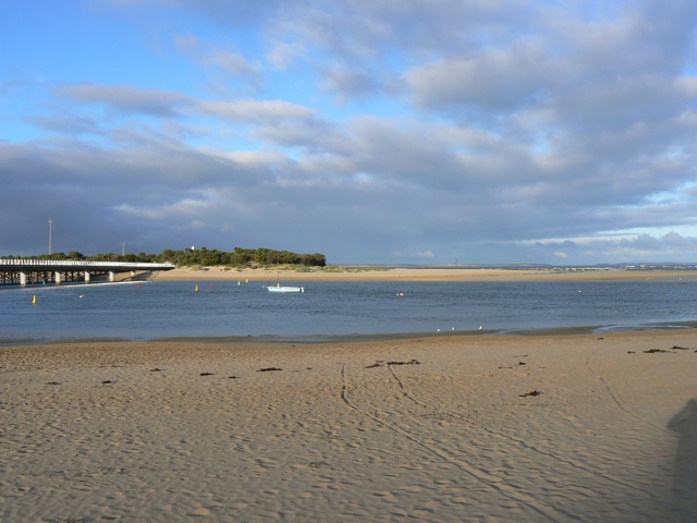
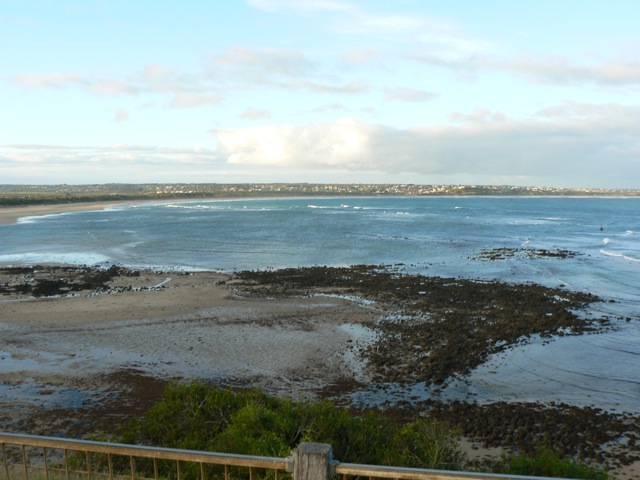
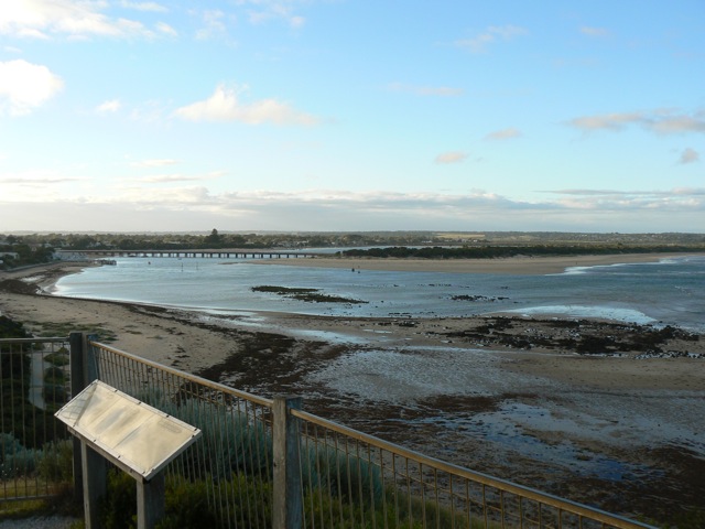
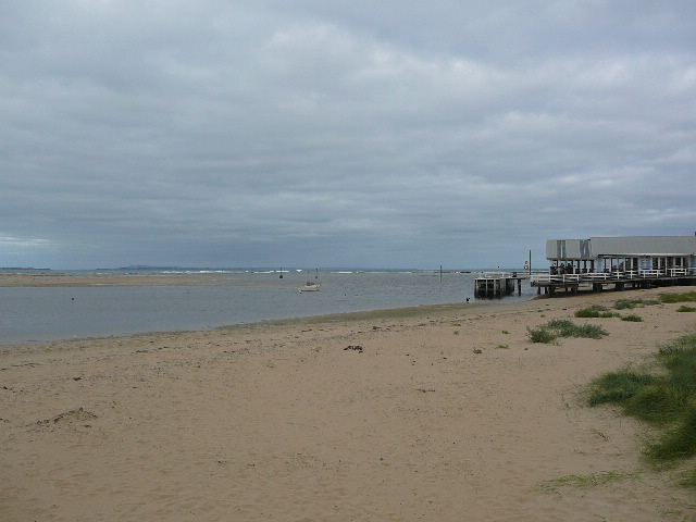
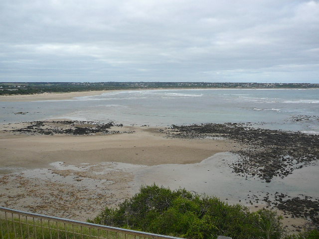
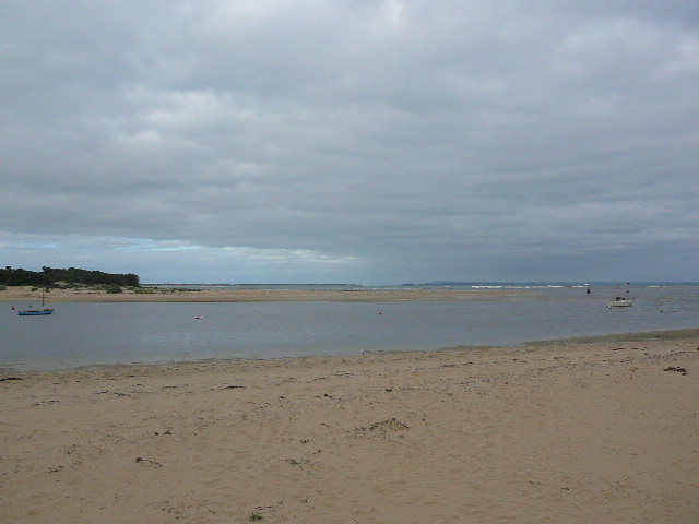
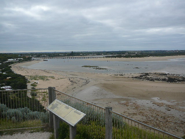
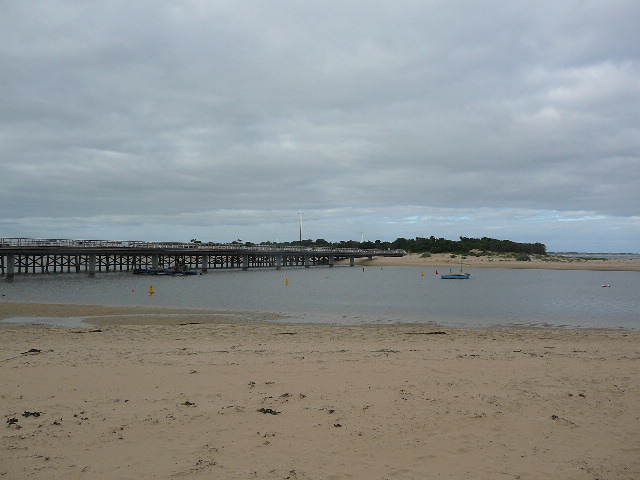
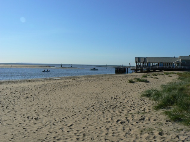
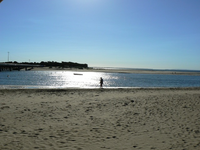
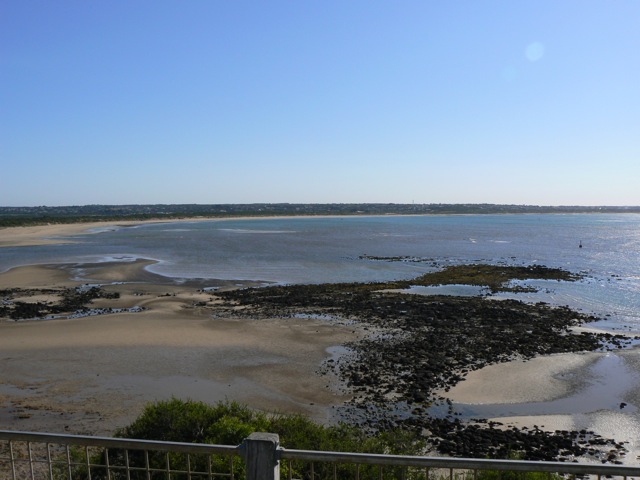
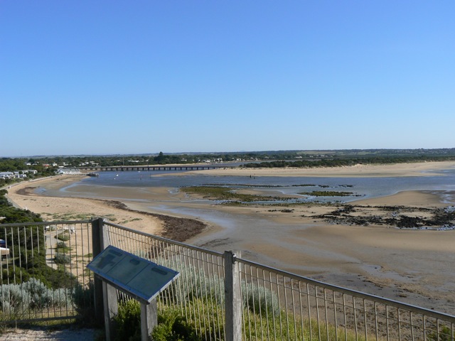
BMC Barwon River - Observation Site
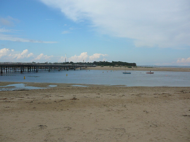
Active Mouth Condition 15-12-2007 - 17-04-2024Barwon River Estuary
236 results found (Displaying 201 - 210)
| ID | Date | Status | Details | |
|---|---|---|---|---|
| #5805 | 9 Jul 2011 | Approved | Notes: Gaugeboard at "At the Heads" jetty surrounded by sand. | |
| #5723 | 22 Jun 2011 | Approved | ||
| #5666 | 11 Jun 2011 | Approved | Notes: Gauge board is land-locked at low tide. Measurement not possible | |
| #5651 | 22 May 2011 | Approved | Notes: No tide height measurements possible as guage board out of water, sand up to 0.6m mark | |
| #5481 | 9 May 2011 | Approved | Notes: Both gaugeboards are too dirty to see the scale. Could only make a rough estimate of the water level. | |
| #5436 | 16 Apr 2011 | Approved | Notes: BP4 photos were taken on 17/4 as a wedding party was using the table from which BP4 photos are taken on 16/4 | |
| #5368 | 3 Apr 2011 | Approved | Notes: Gauge board still too dirty to read water level | |
| #5327 | 17 Mar 2011 | Approved | ||
| #5262 | 7 Mar 2011 | Approved |
Notes:
We were unable to read water level gauge - too dirty. Bp1 and Bp2 still to be redefined after bridge works Tide condition probably "slack", but the effect of the northerly wind on the surface of water made the flow appear to be "outward". We were surprised that the wind strength was greater at Bp3 (sea level), than at Bp4 (top of the Bluff). Our wind observations were recorded for Bp4 (as usual). |
|
| #5202 | 17 Feb 2011 | Approved | Notes: BP1 and BP2 observations not made as light towers marking each position have been removed. | |

All content, files, data and images provided by the EstuaryWatch Data Portal and Gallery are subject to a Creative Commons Attribution License
Content is made available to be used in any way, and should always attribute EstuaryWatch and www.estuarywatch.org.au