EstuaryWatch Data Portal
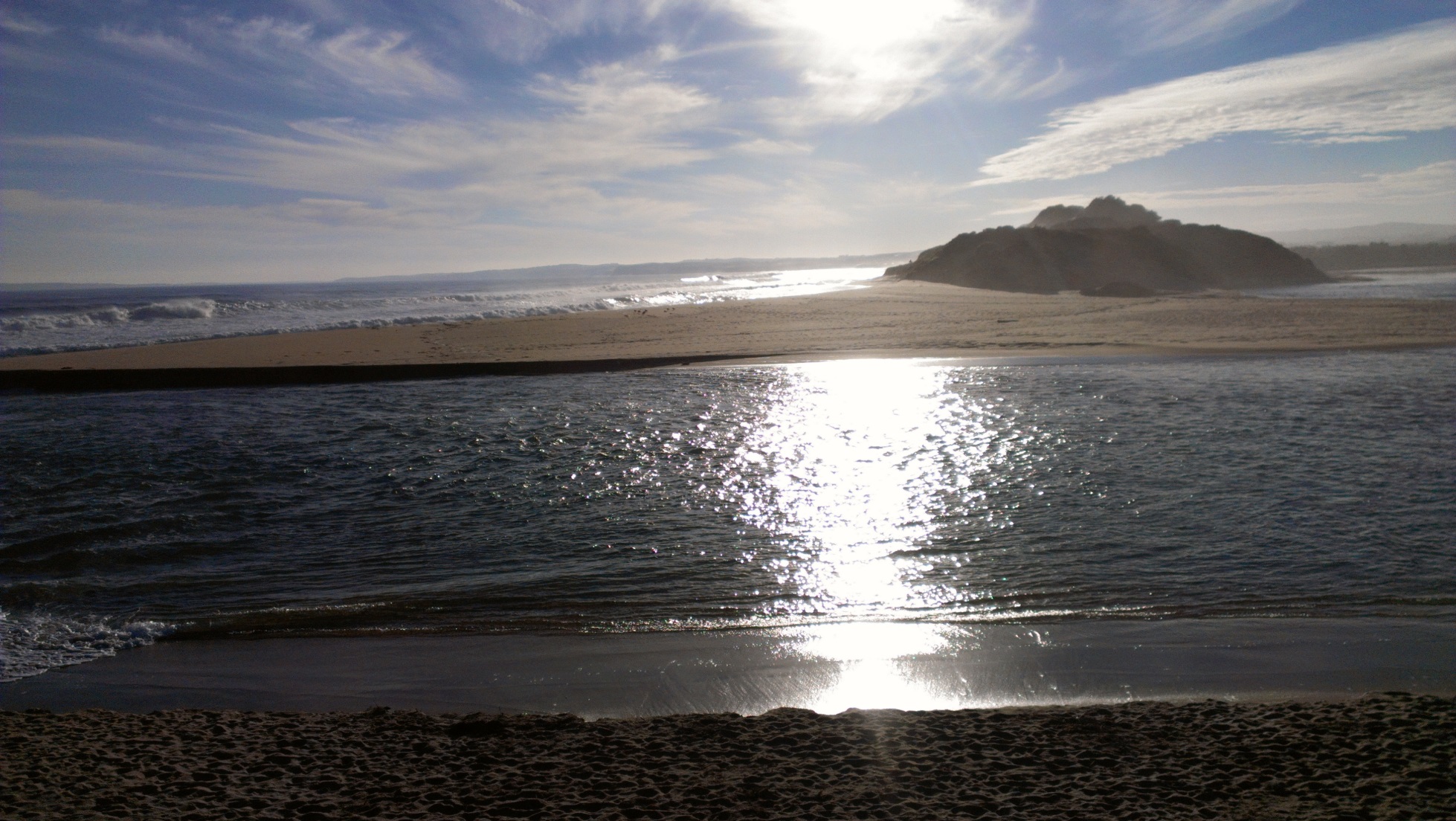
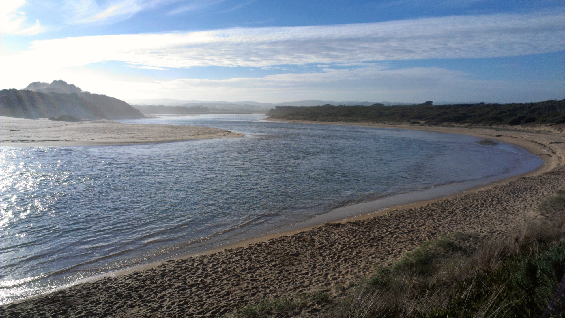
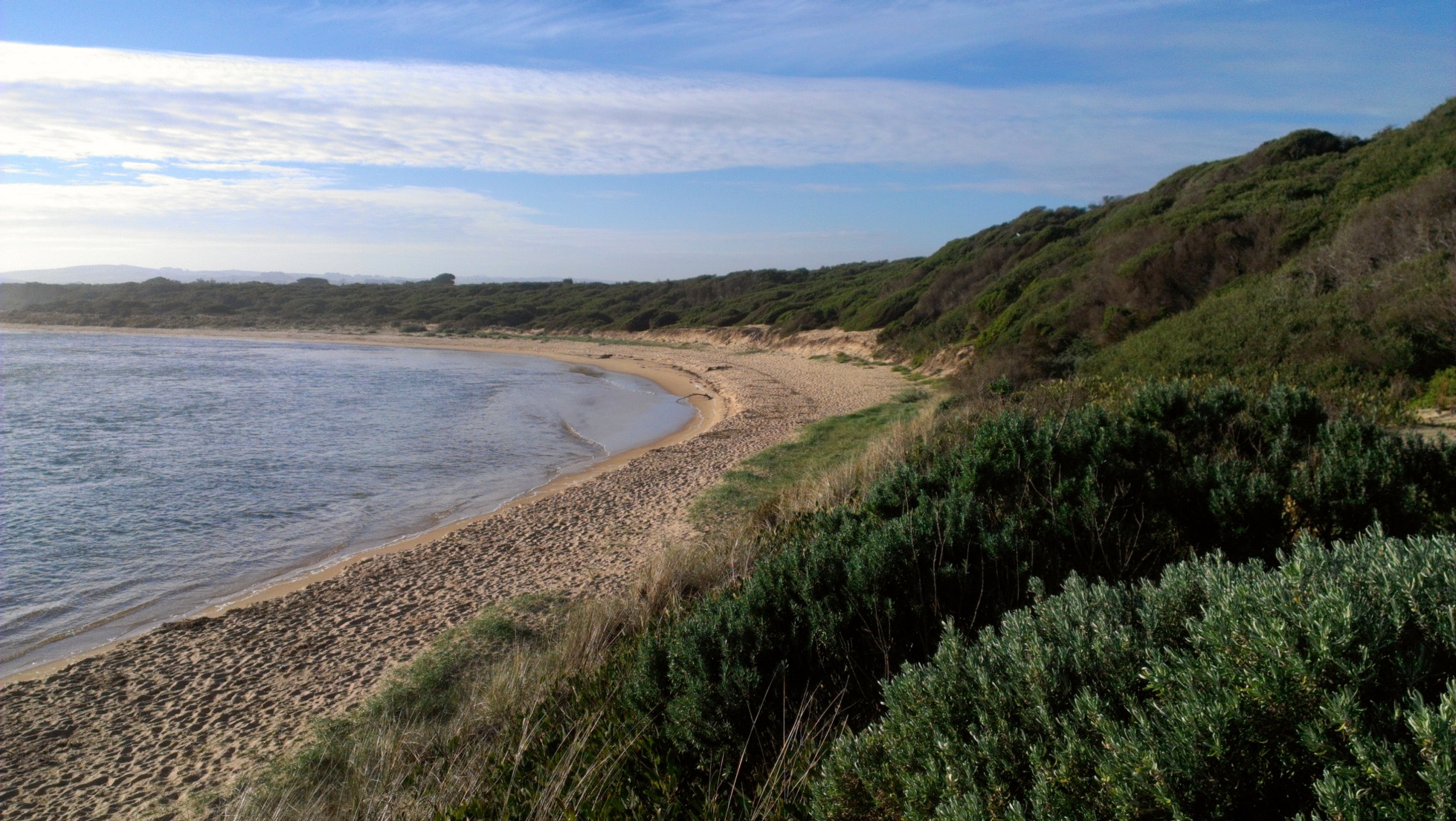
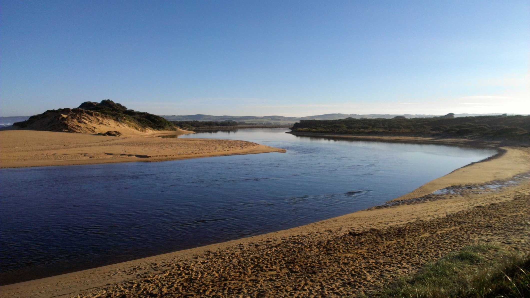
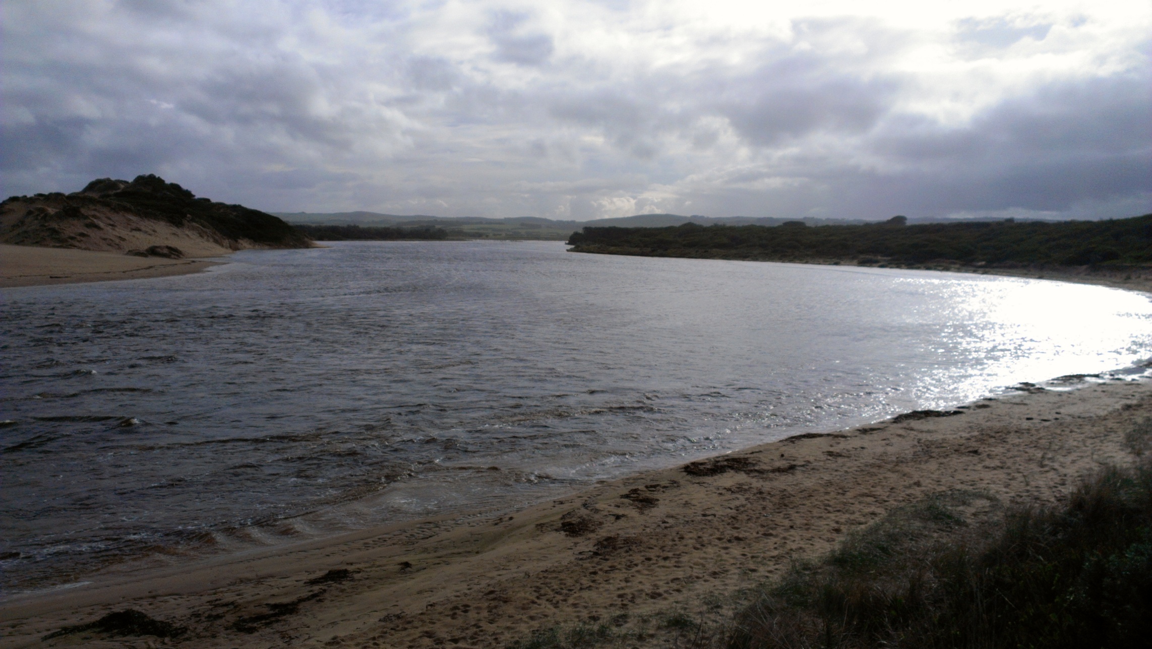
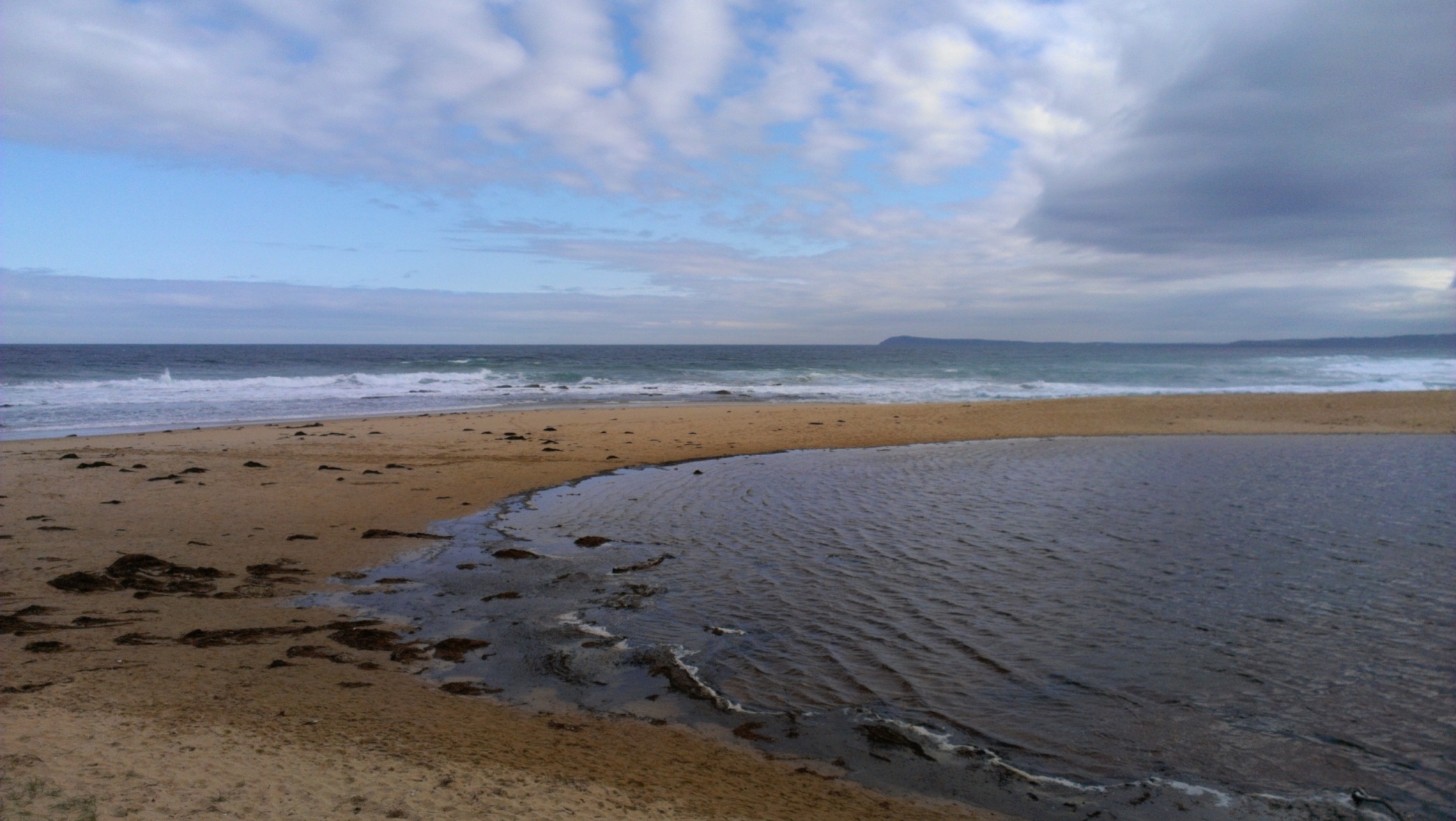
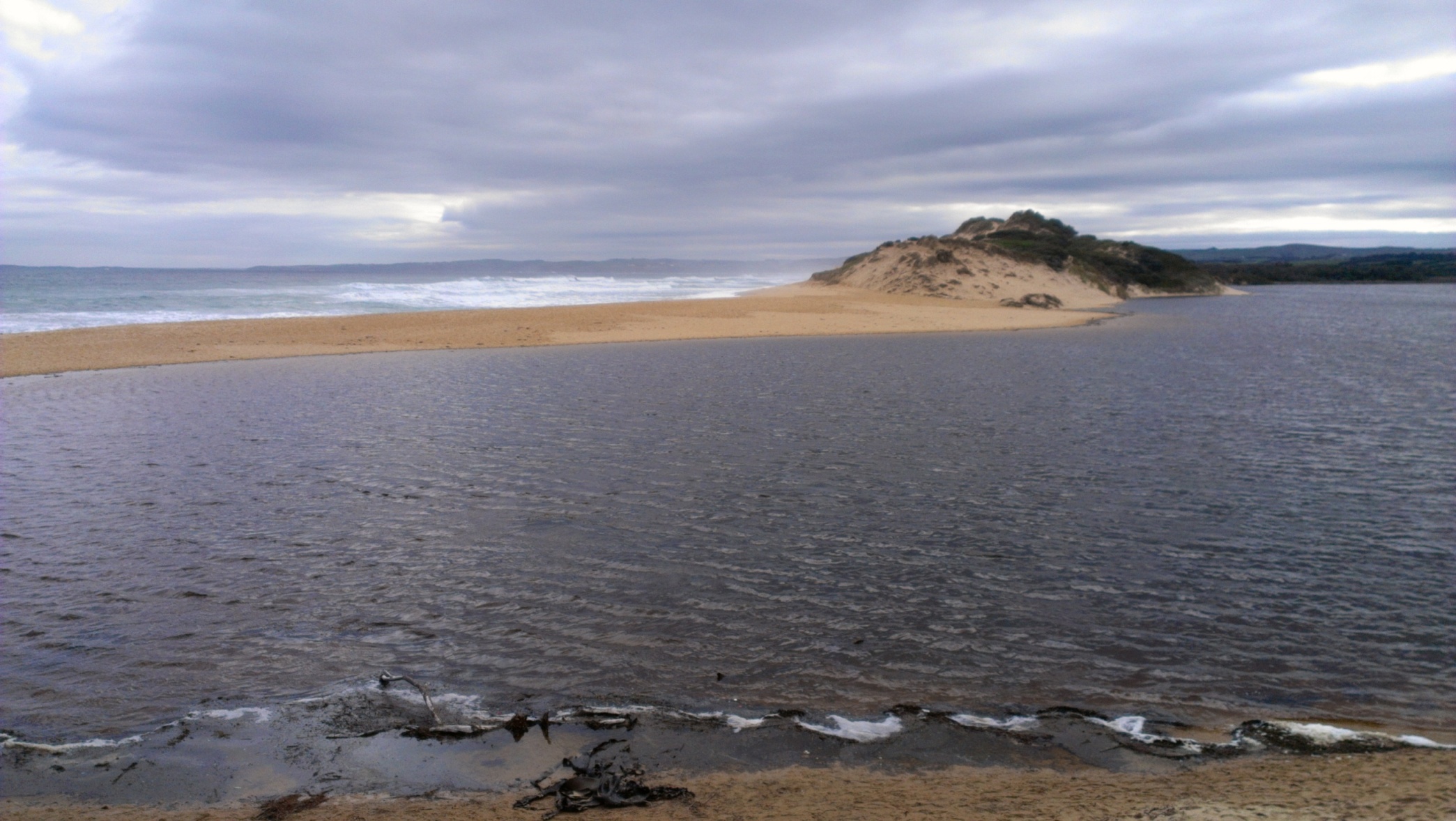
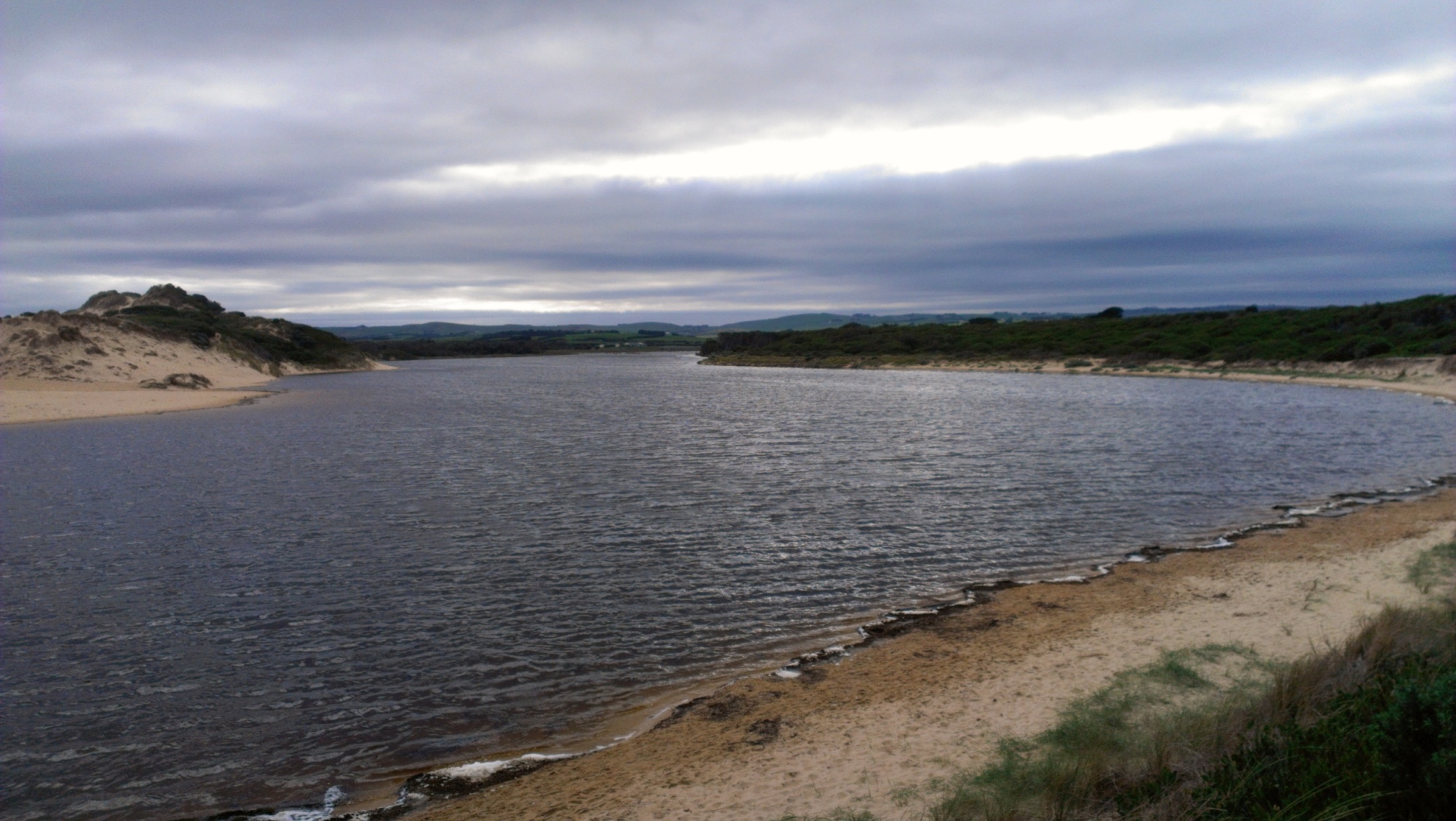
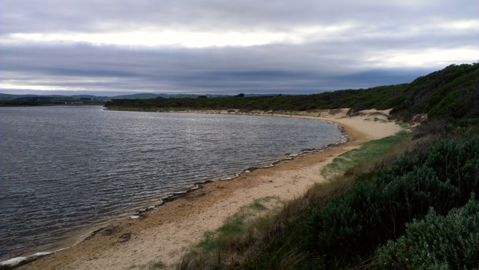
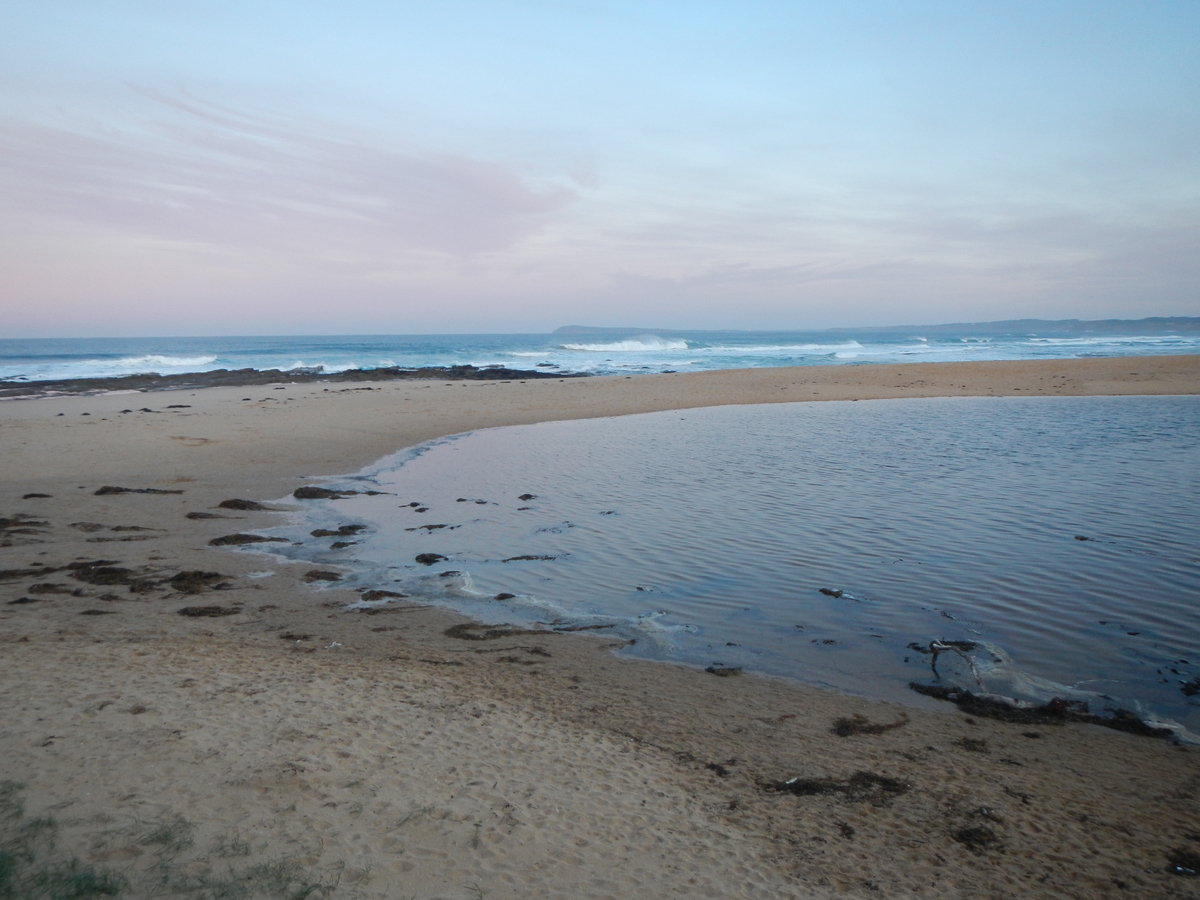
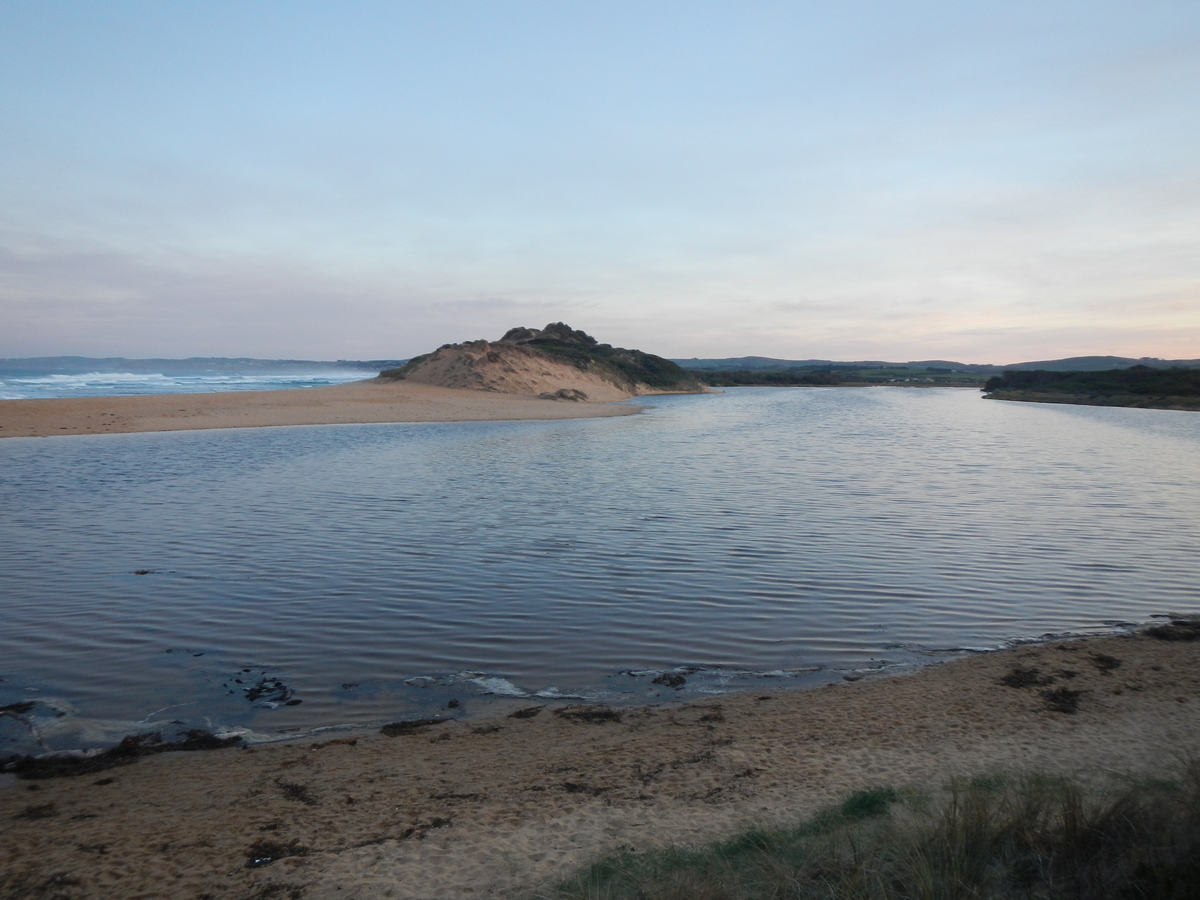
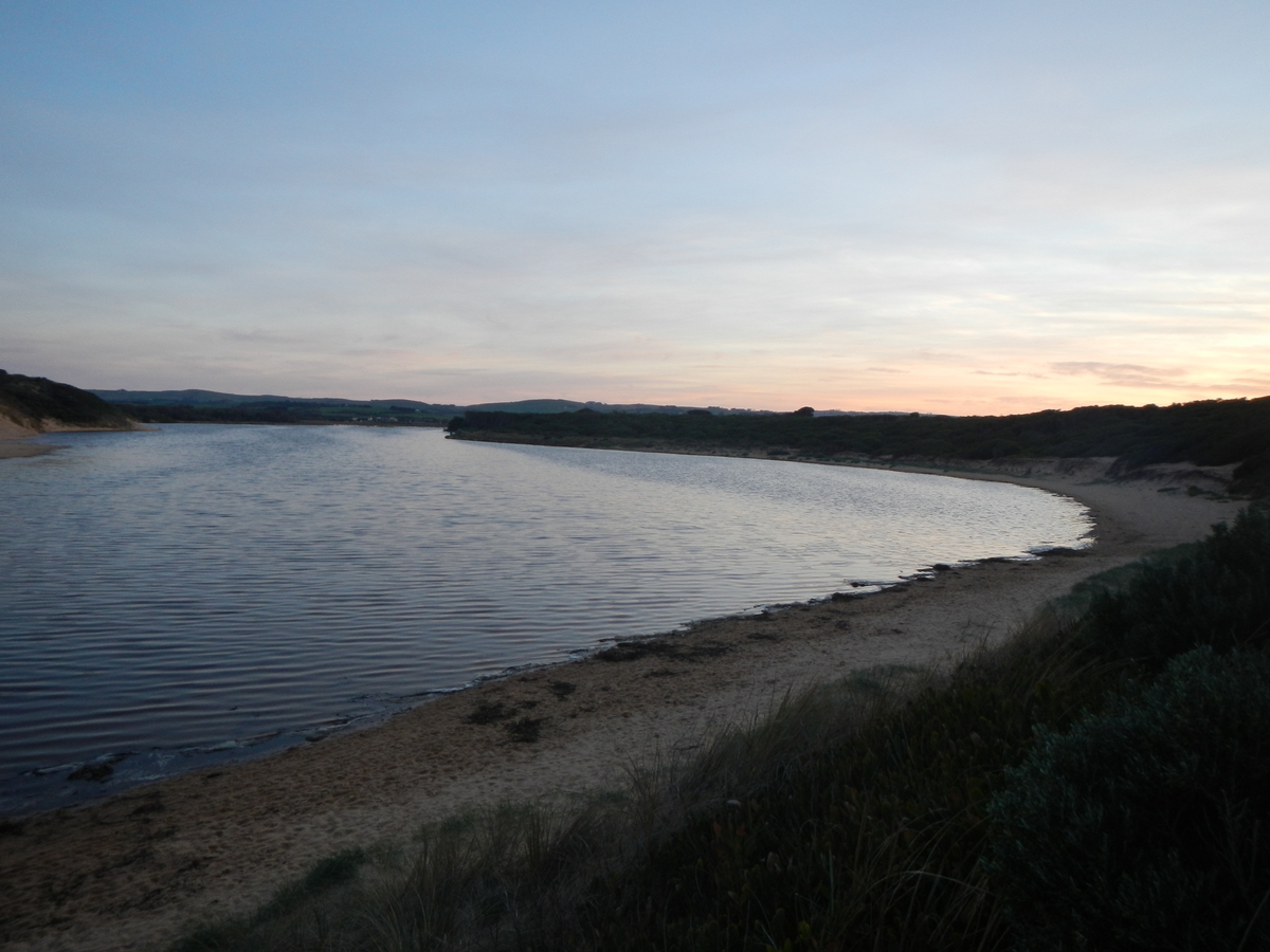
PoMC Powlett River Mouth Condition Observation Site
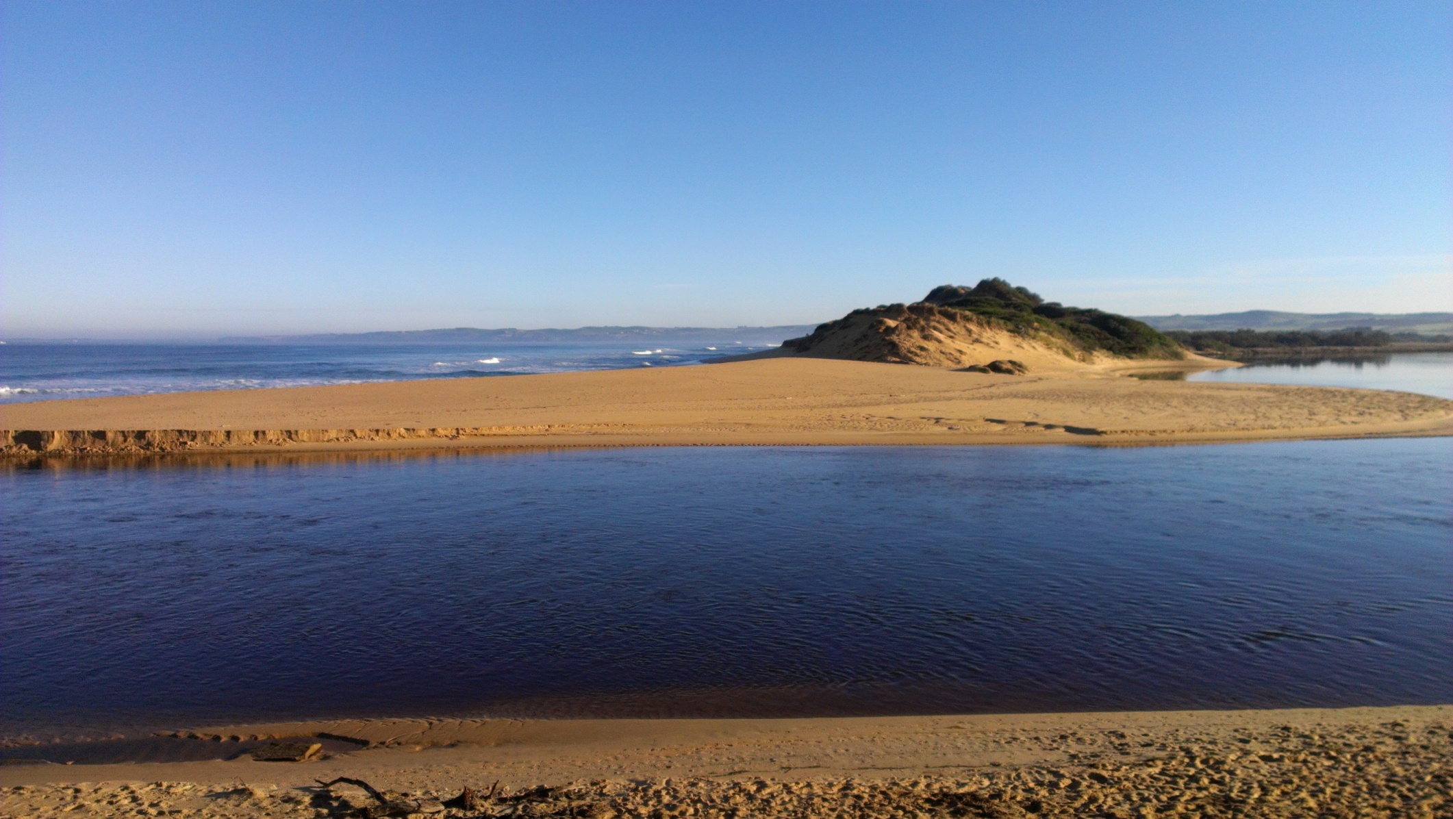
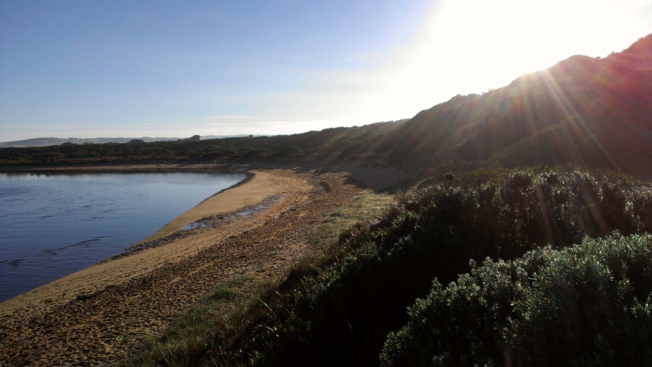
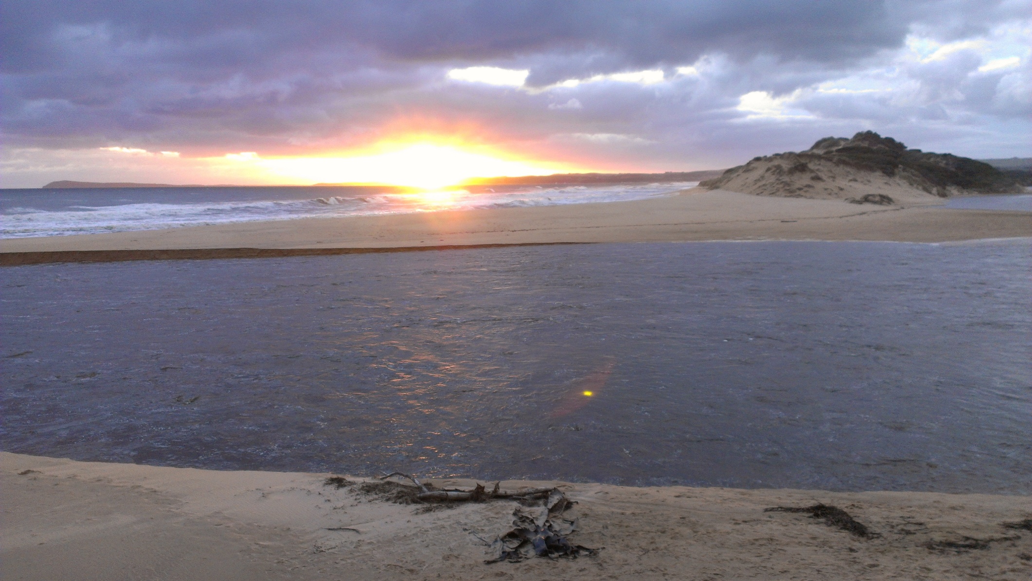
Active Mouth Condition 13-03-2010 - 12-04-2024Powlett River Estuary
255 results found (Displaying 201 - 210)
| ID | Date | Status | Details | |
|---|---|---|---|---|
| #5170 | 28 Jun 2013 | Approved | Notes: Water rushing in with incoming tide, creating small waves. | |
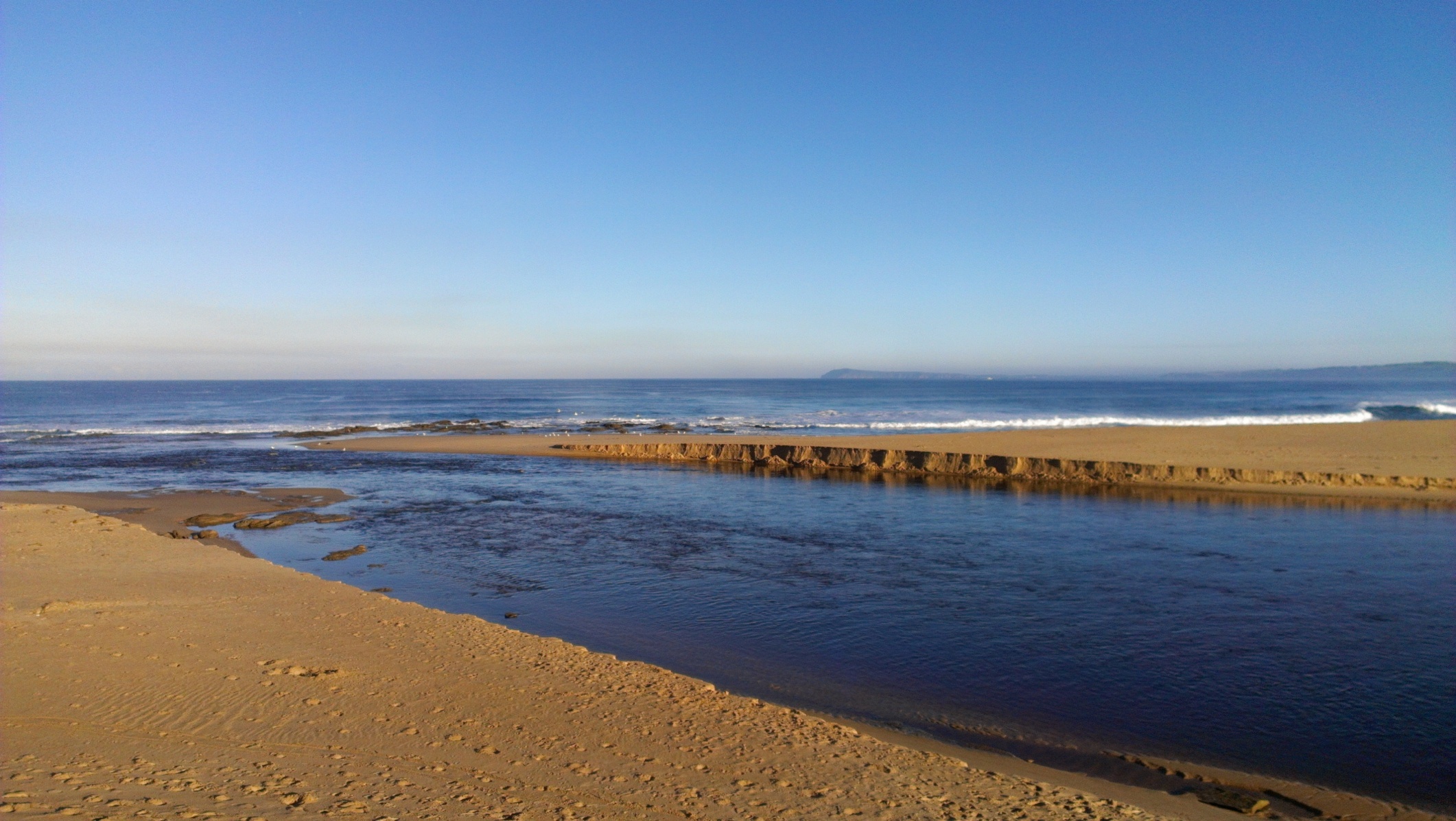
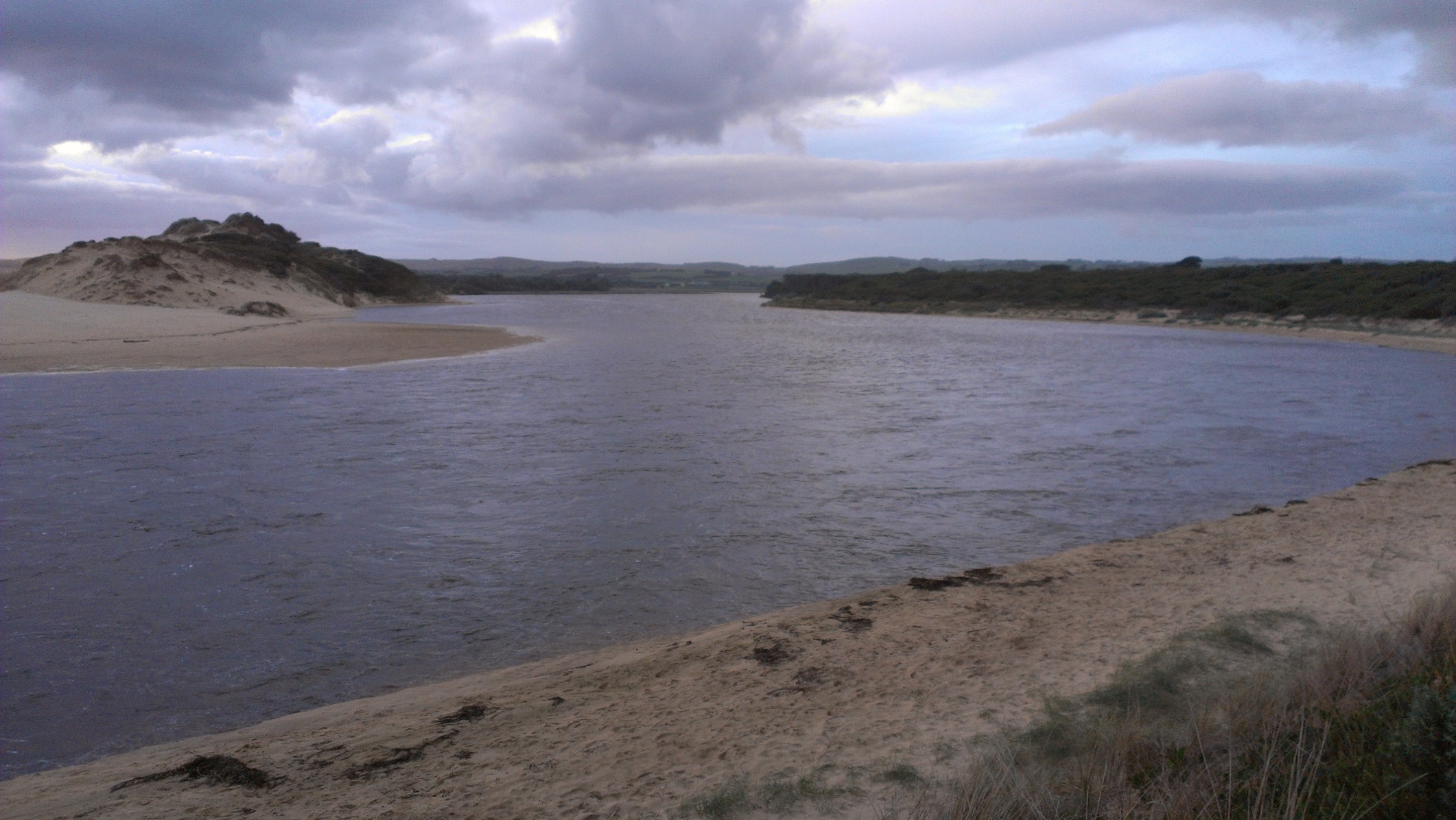
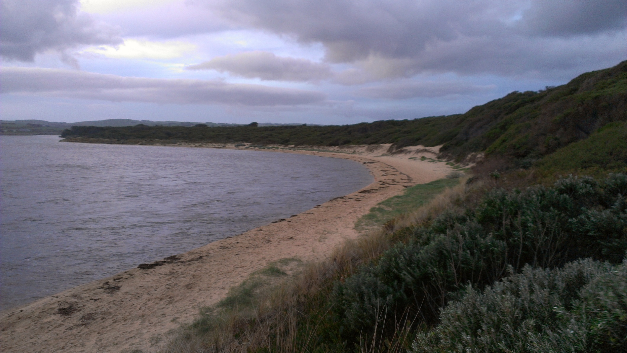
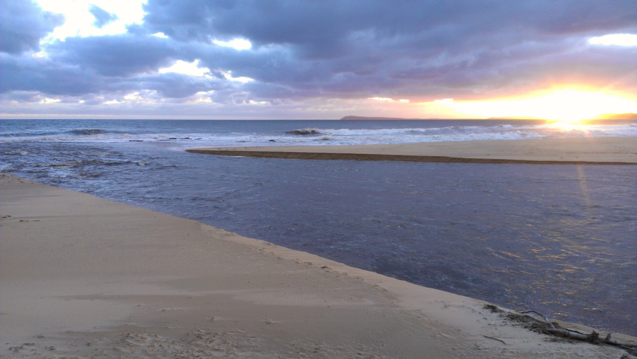
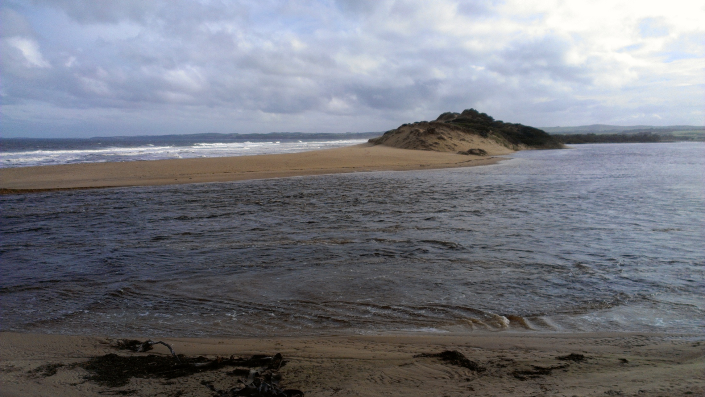
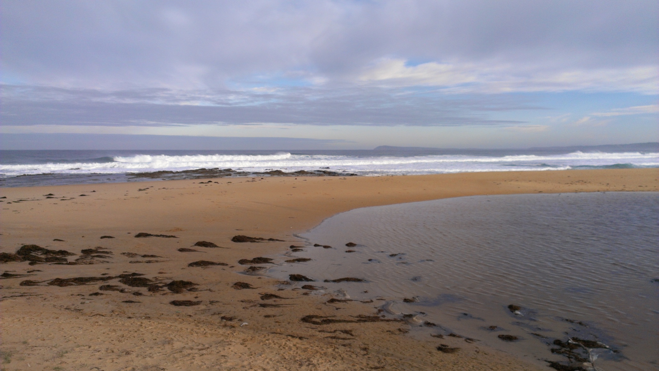
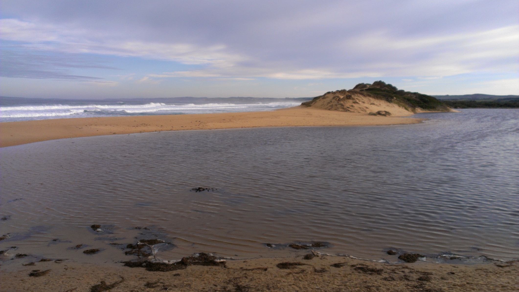
| #5167 | 25 Jun 2013 | Approved | Notes: Outwards flow very strong. River now following its natural pathway out to the left handside, following the bedrock which may have formed via natural processes over thousands of years. | |
| #5165 | 20 Jun 2013 | Approved | ||
| #5163 | 17 Jun 2013 | Approved |
Notes:
Tide pushing in slightly at mouth, but water predominately heading out (i.e. freshwater flows). Water on Parks Vic Wetland south of the mouth of the Powlett River Road still present in patches. |
|
| #5162 | 15 Jun 2013 | Approved | Notes: Paddocks not covered by much water anymore, really only the remnants in very low lying areas. | |
| #5158 | 14 Jun 2013 | Approved | Notes: Water still covering floodplain paddocks downstream of Bass Hwy, but a large portion of the water covering floodplain paddocks near the estuary mouth is now gone. | |
| #5157 | 14 Jun 2013 | Approved |
Notes:
Mouth opened naturally between 8:30 and 9ish. It was closed at close to opening at 7:30am when Parks Victoria staff sighted it. |
|
| #5153 | 11 Jun 2013 | Approved | ||
| #5152 | 9 Jun 2013 | Approved | ||
| #5151 | 8 Jun 2013 | Approved | Notes: Hooded plovers and other coastal birds at mouth | |


All content, files, data and images provided by the EstuaryWatch Data Portal and Gallery are subject to a Creative Commons Attribution License
Content is made available to be used in any way, and should always attribute EstuaryWatch and www.estuarywatch.org.au