EstuaryWatch Data Portal
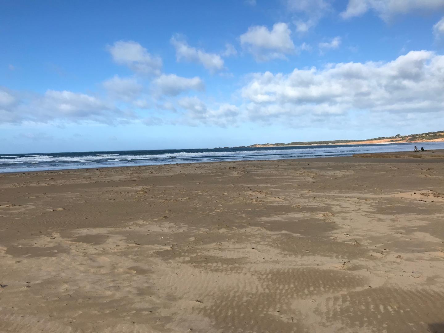
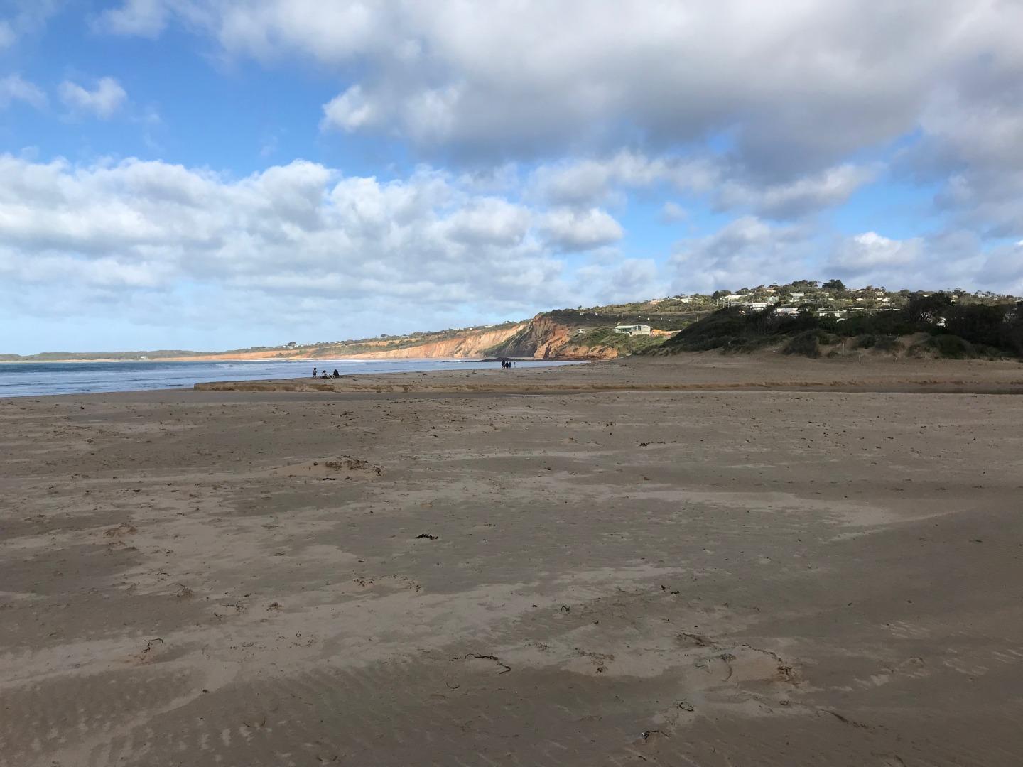
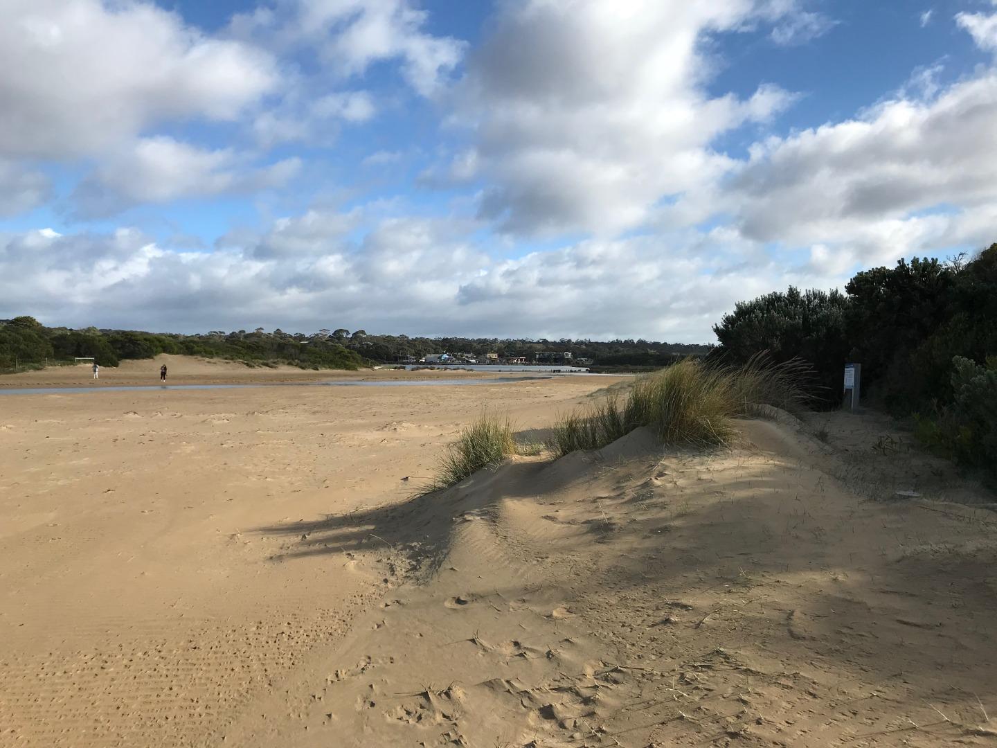
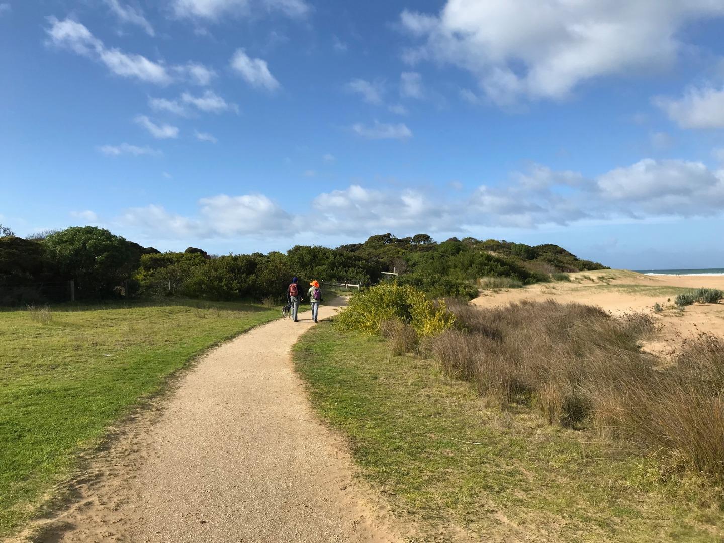
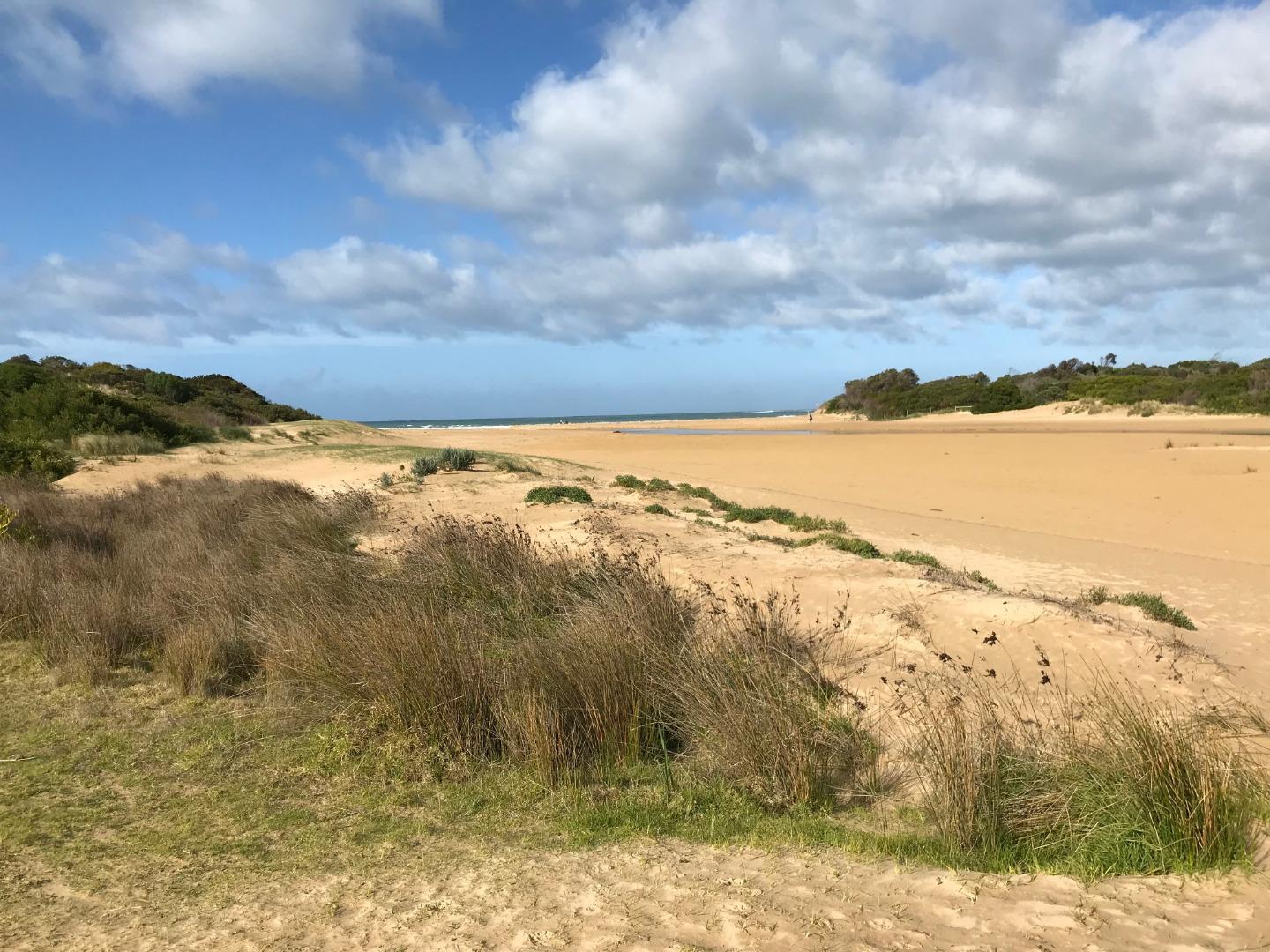
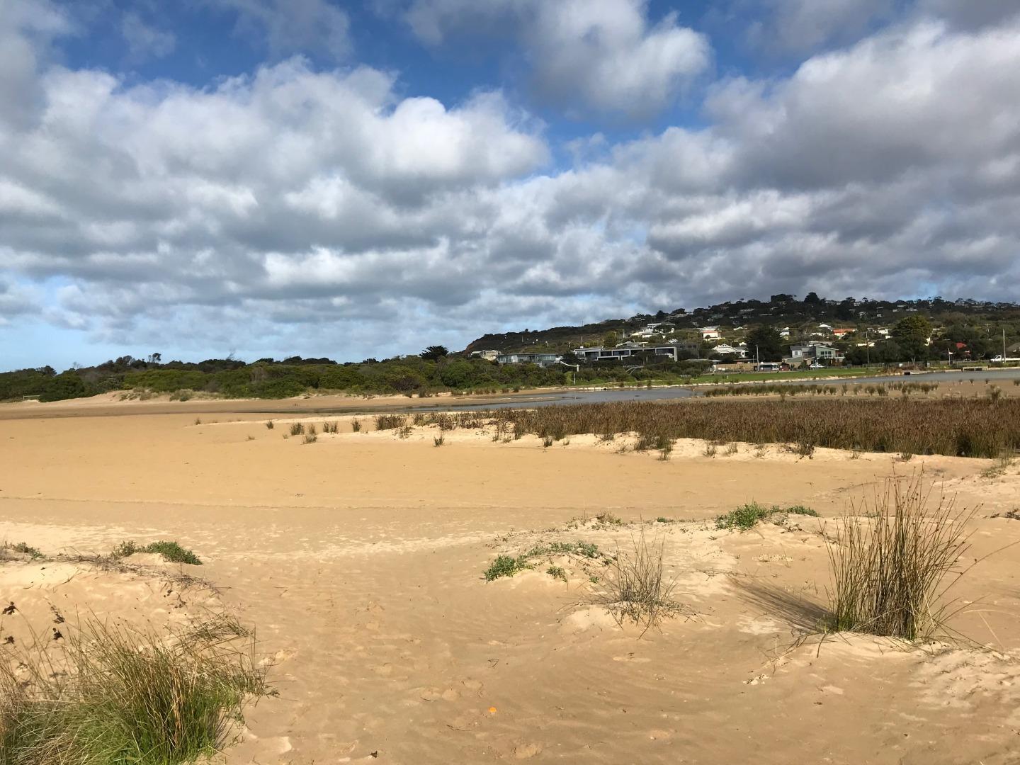
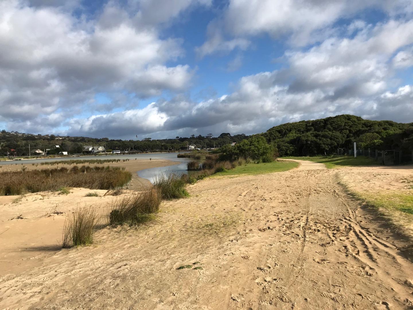
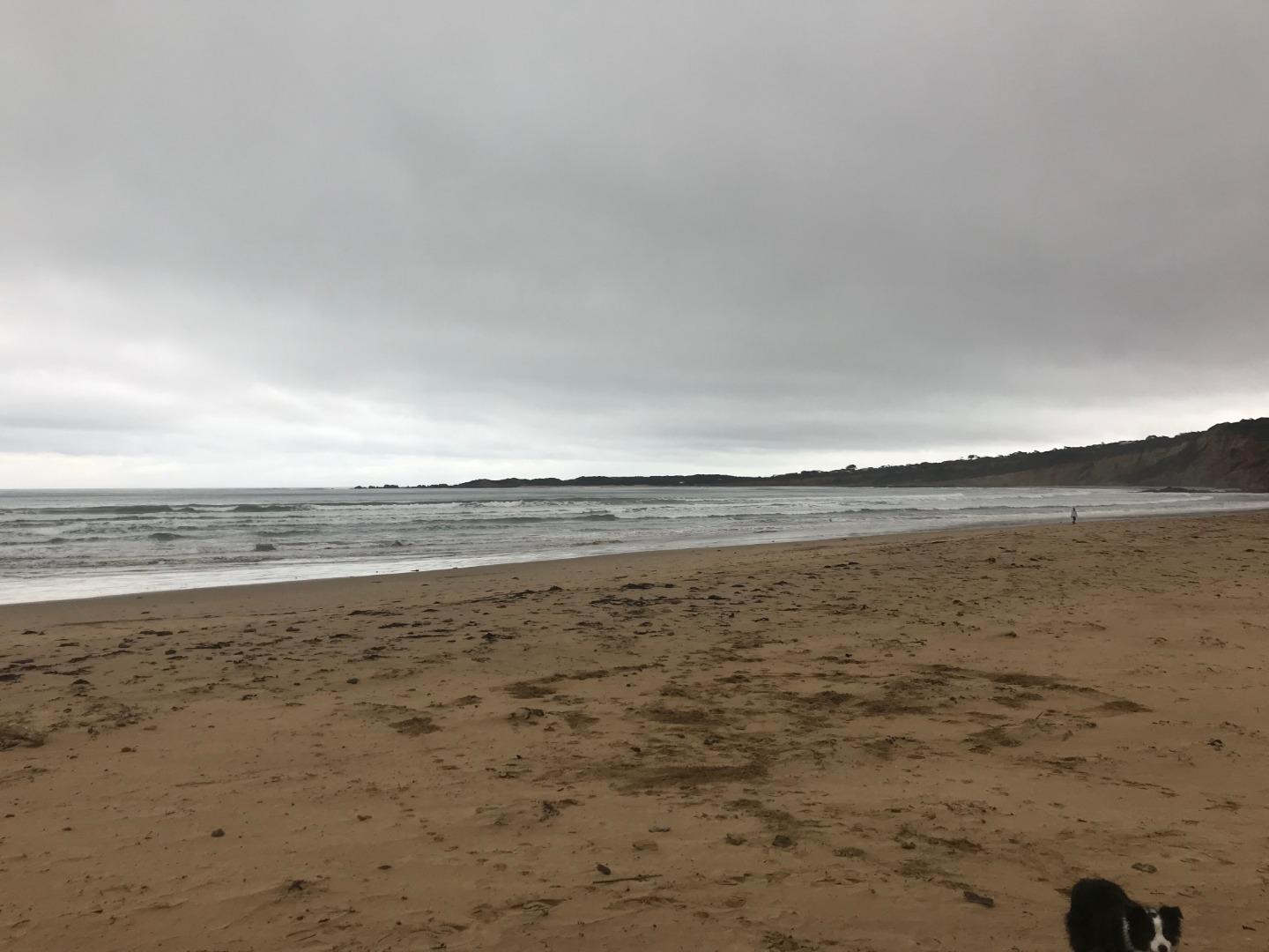
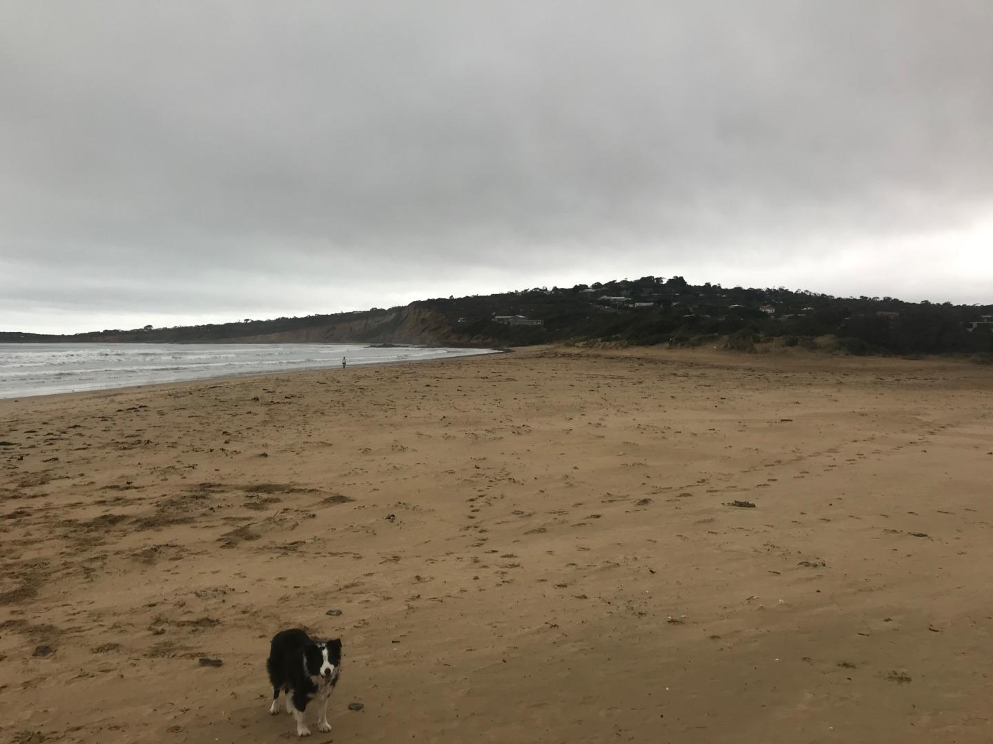
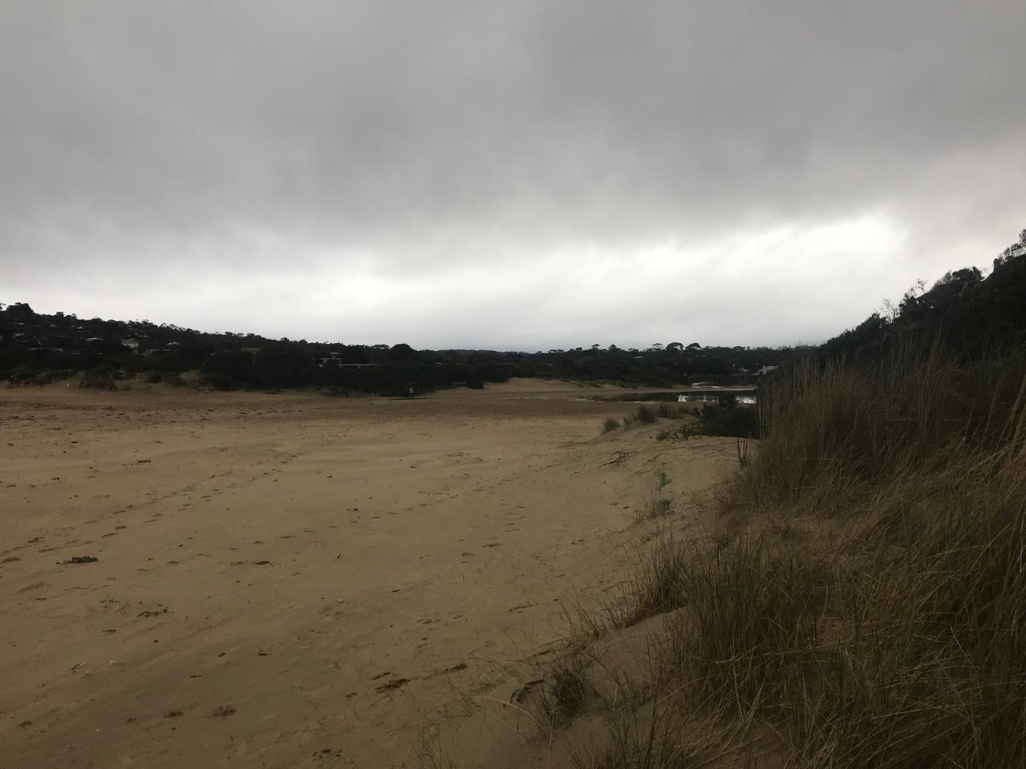
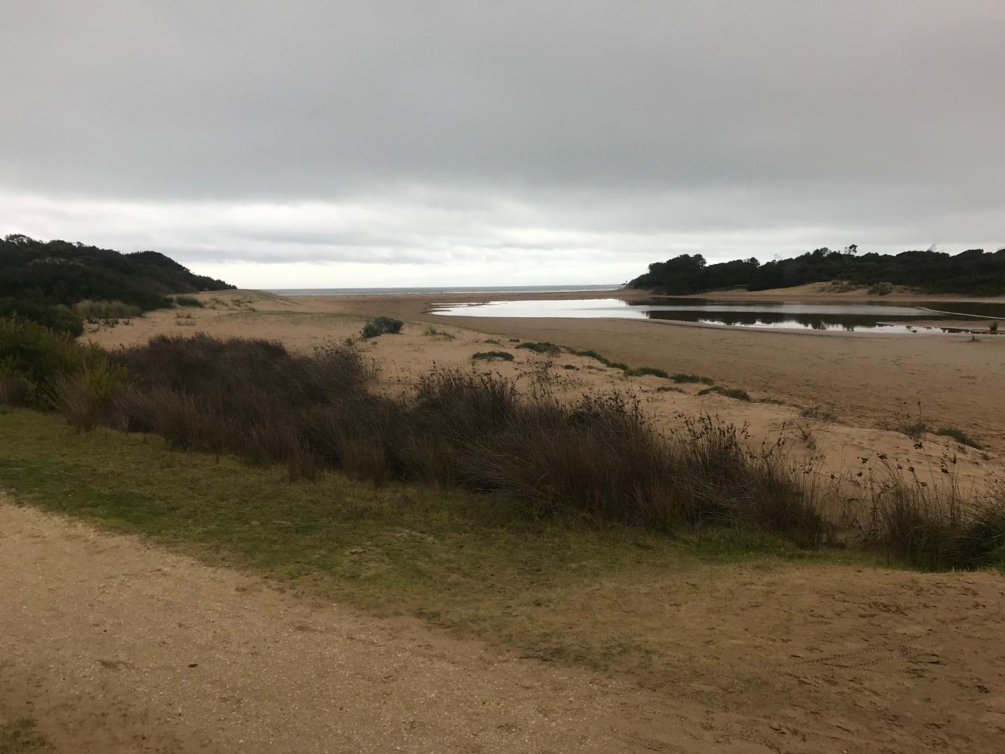
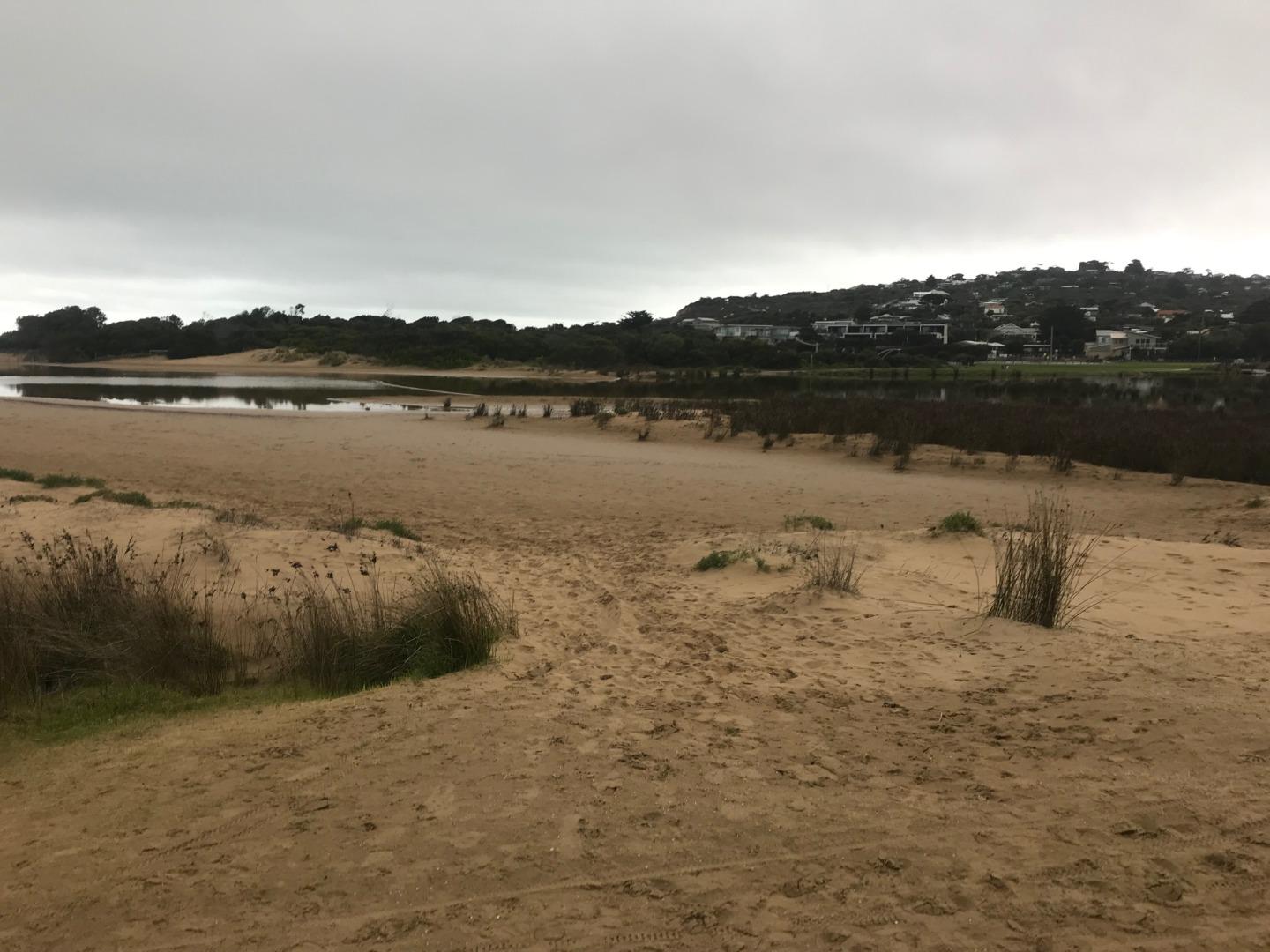
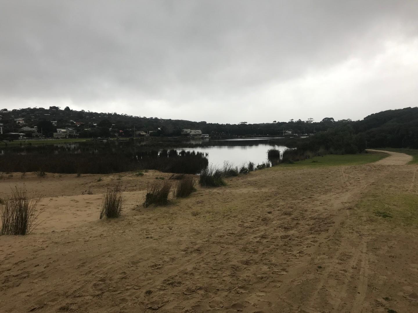
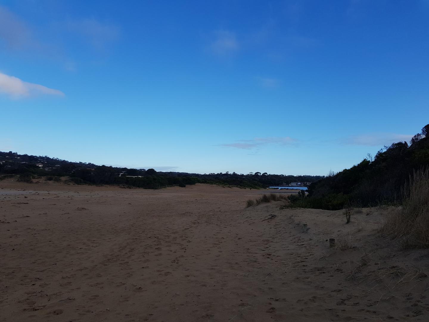
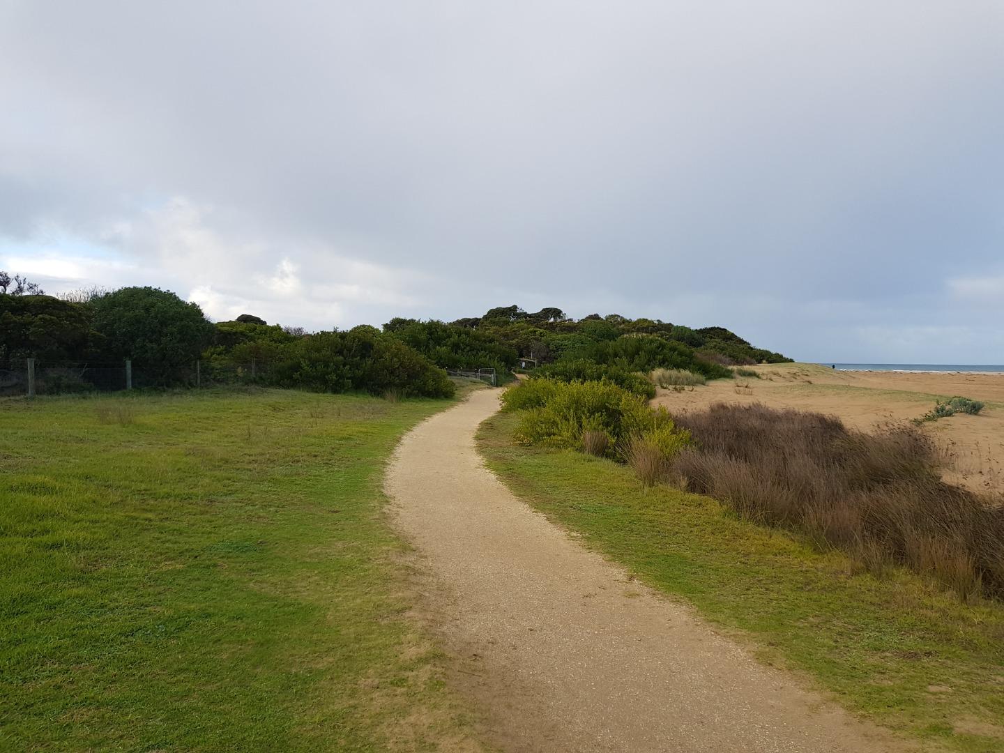
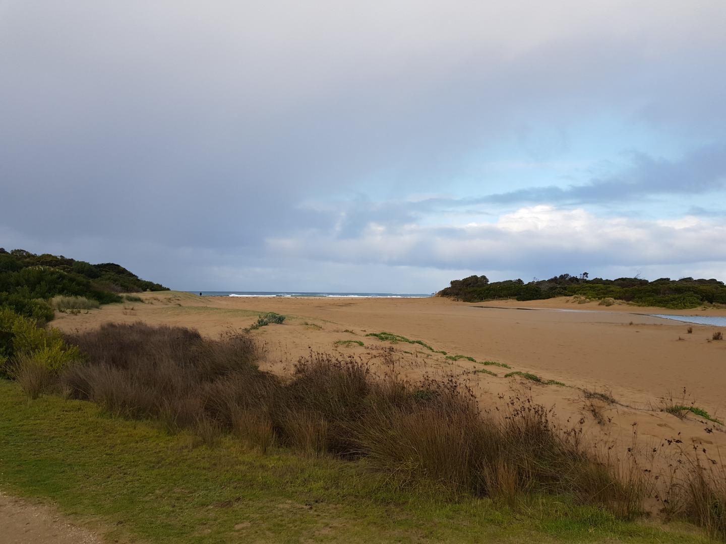
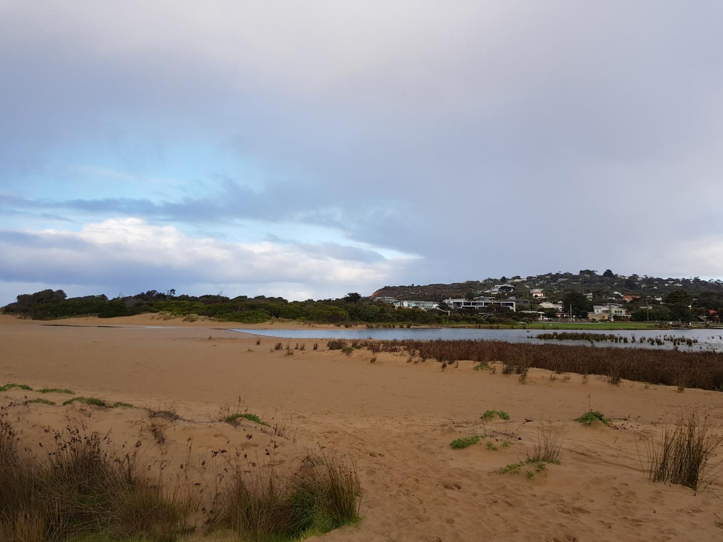
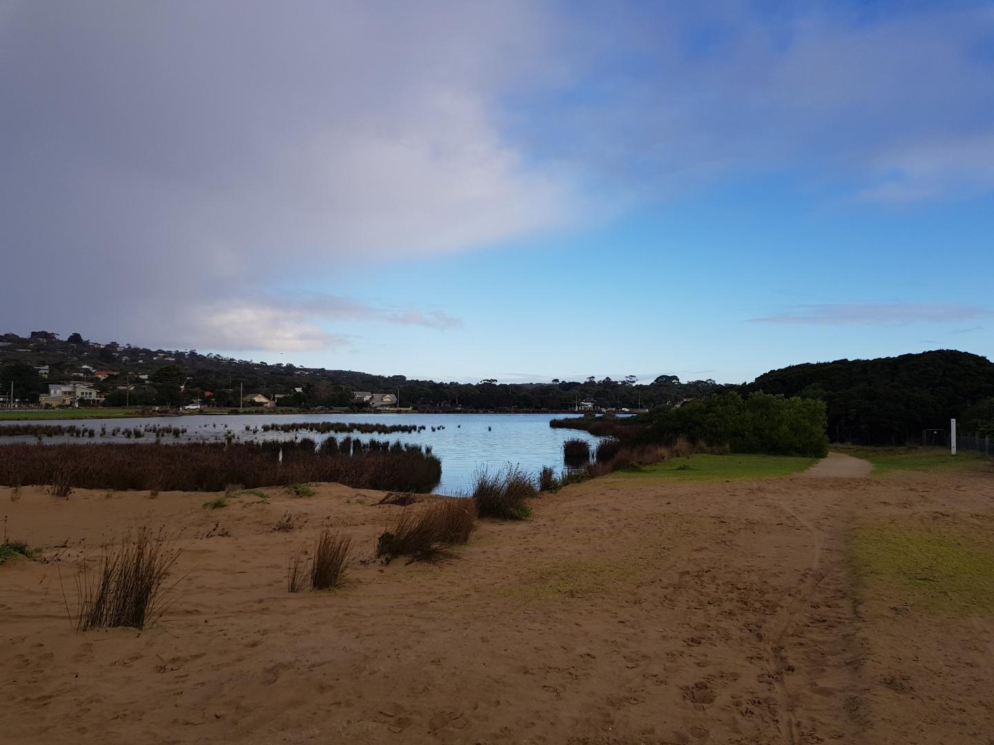
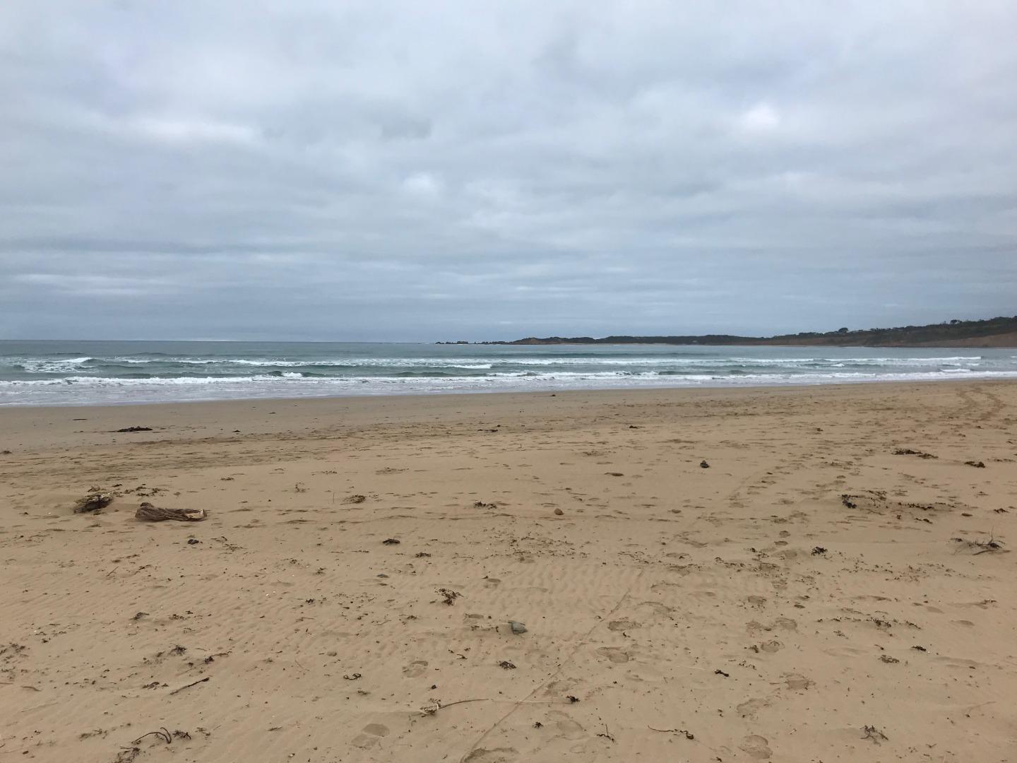
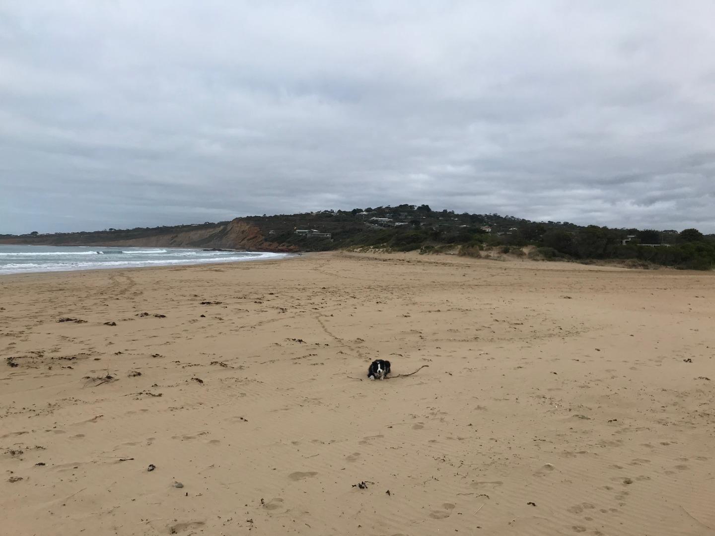
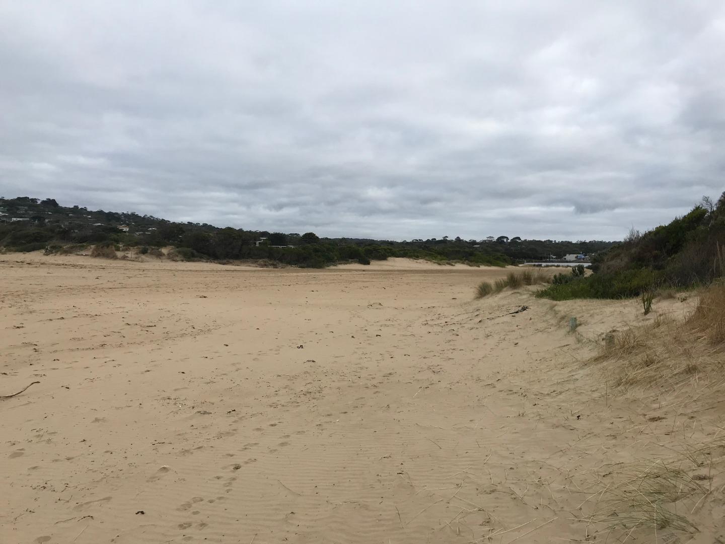
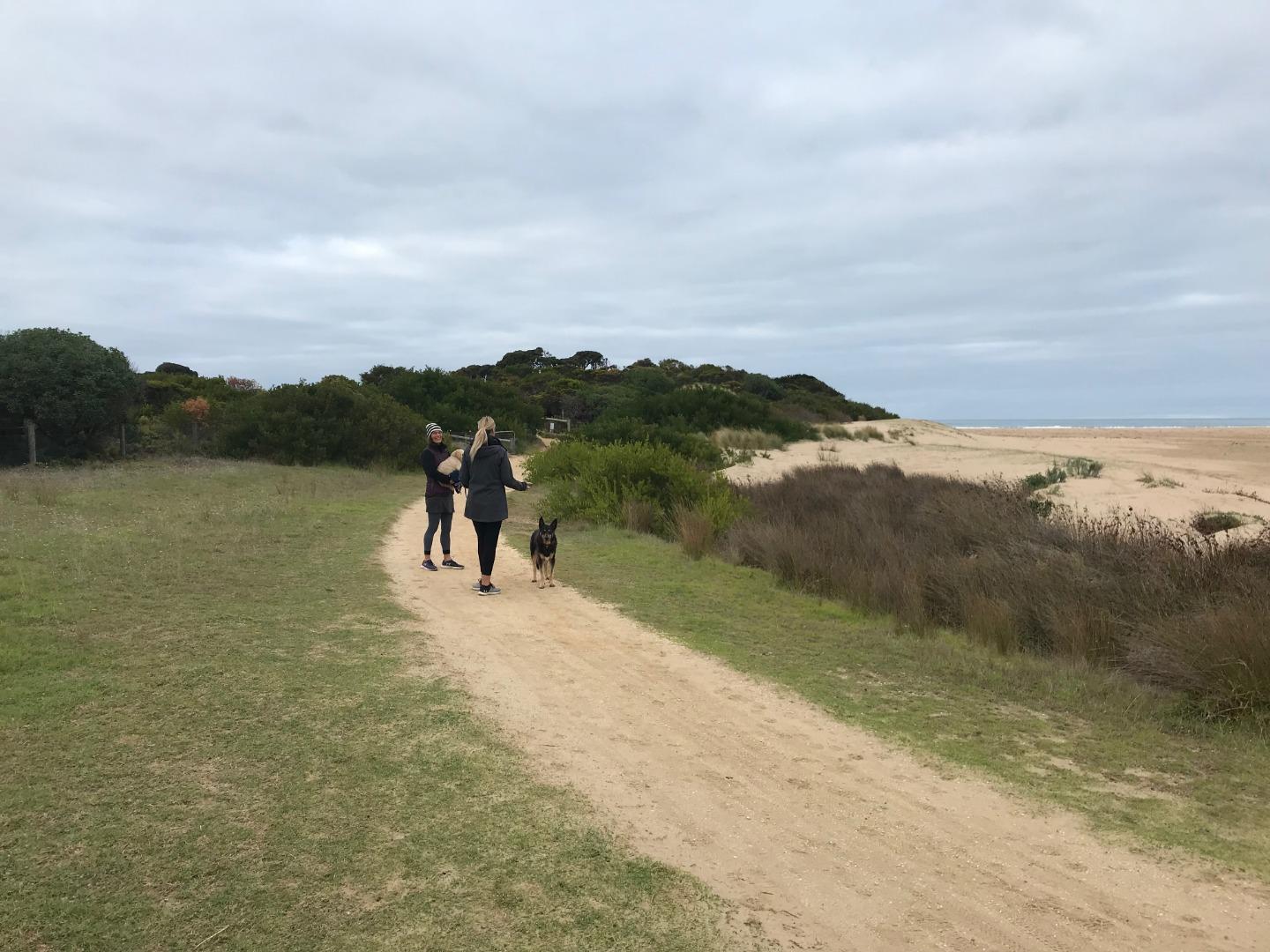
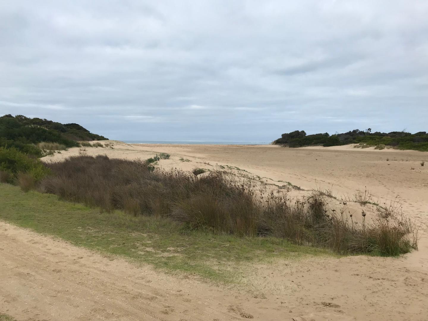
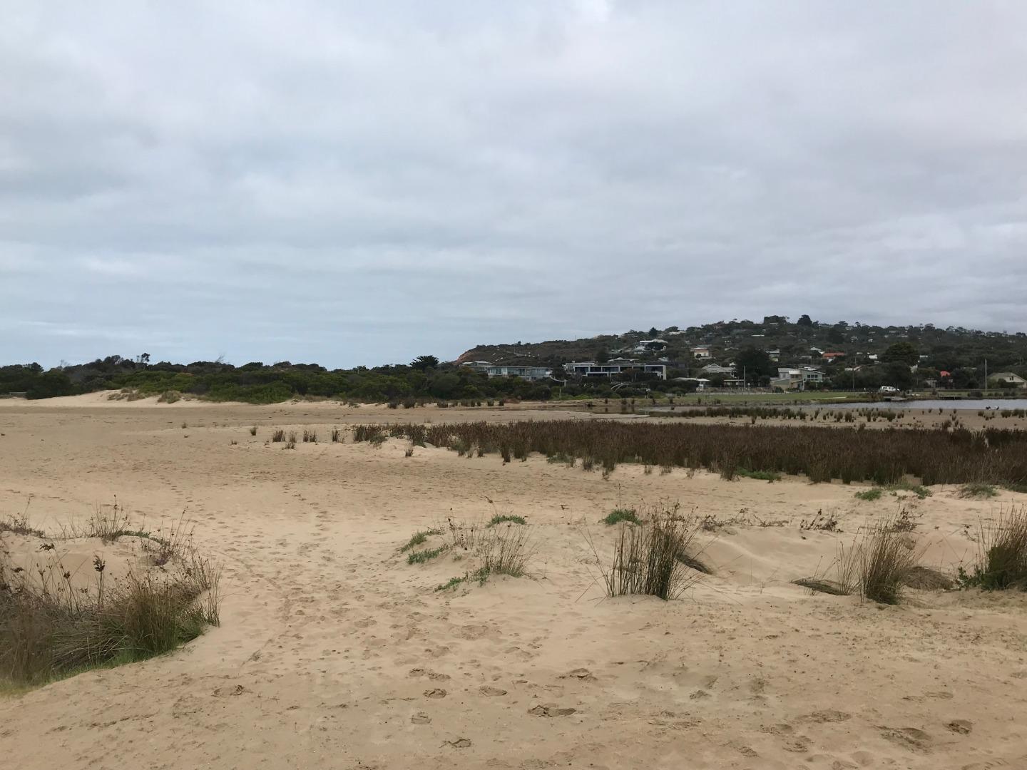
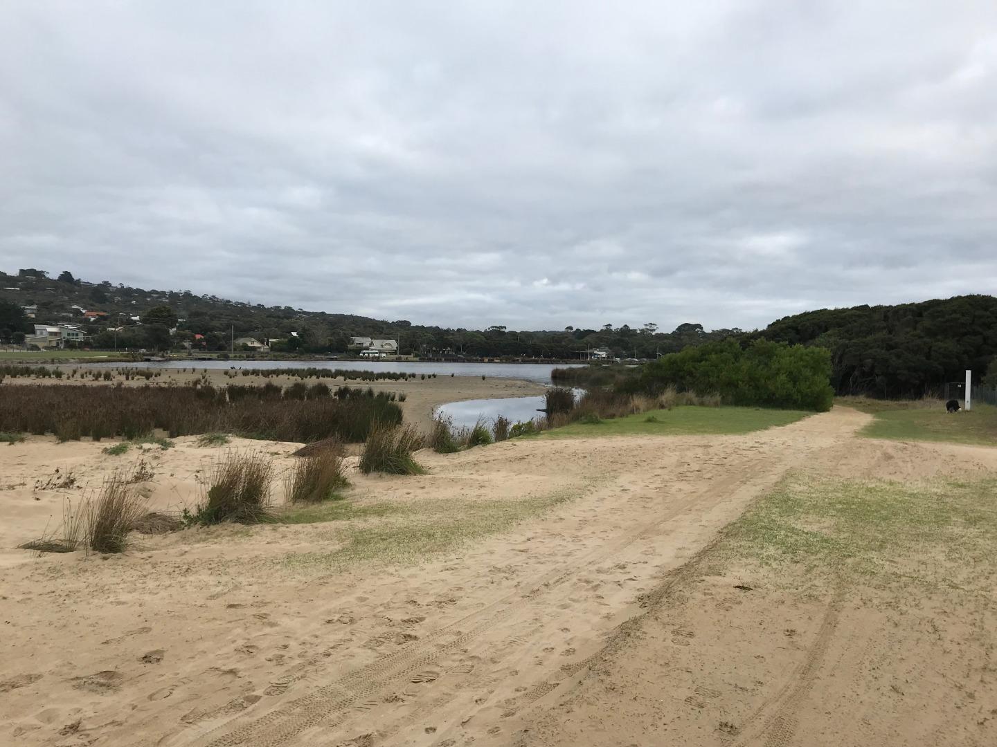
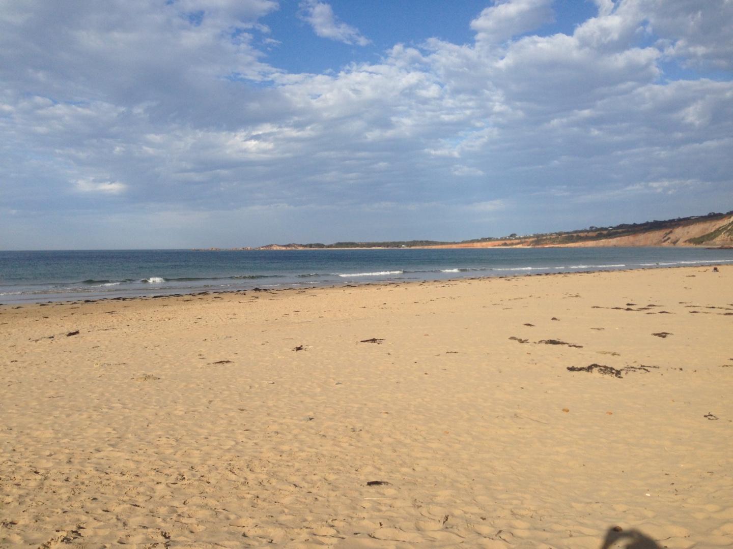
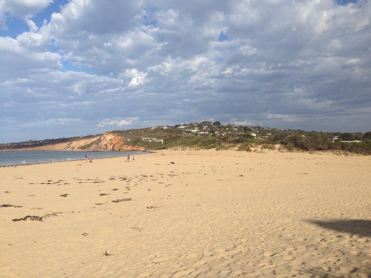
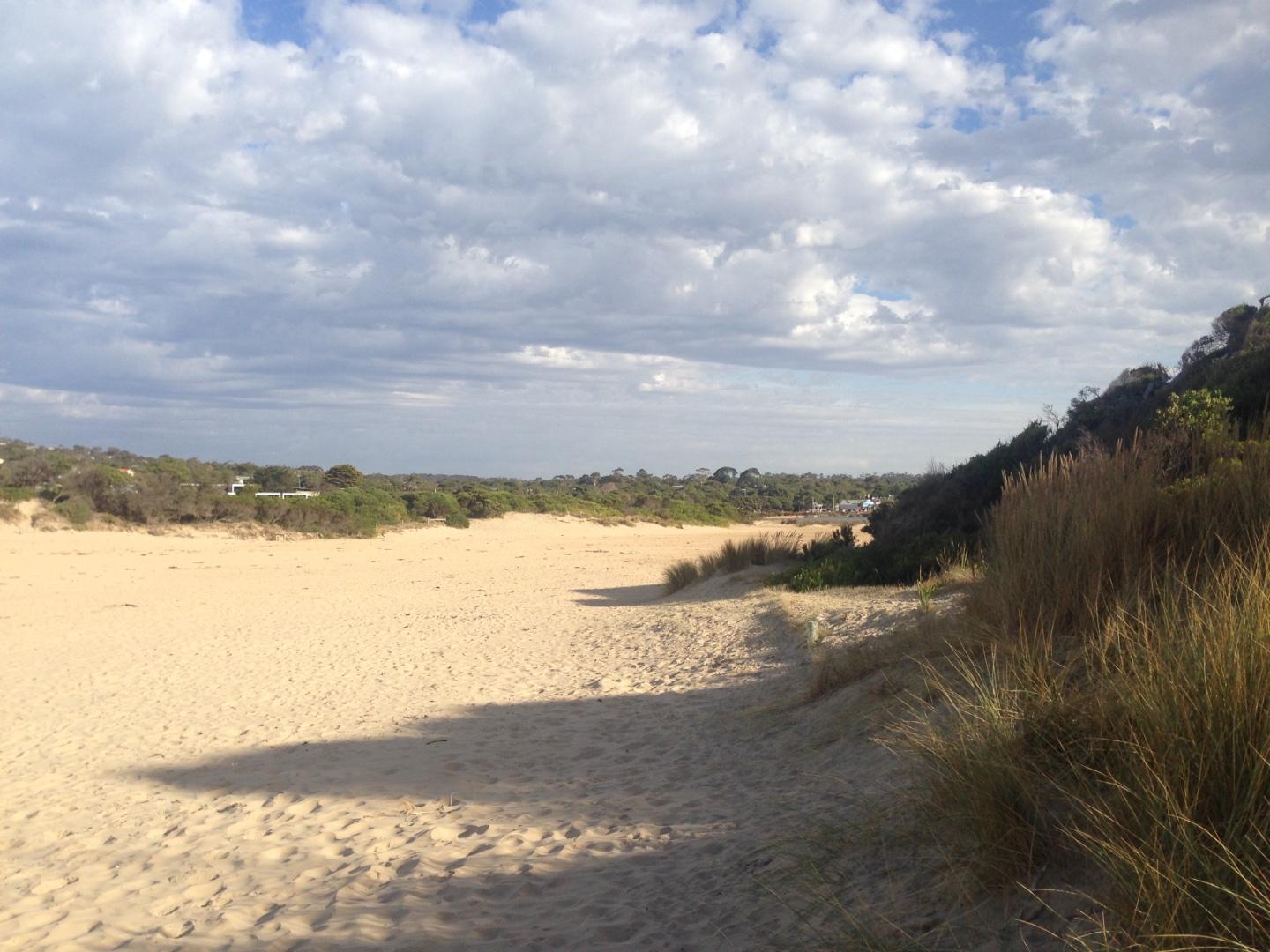
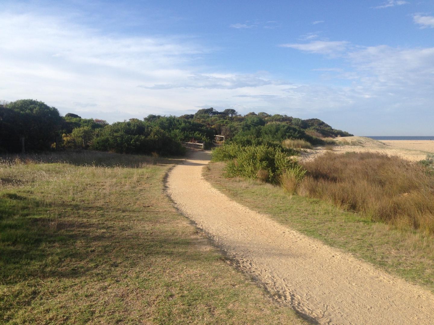
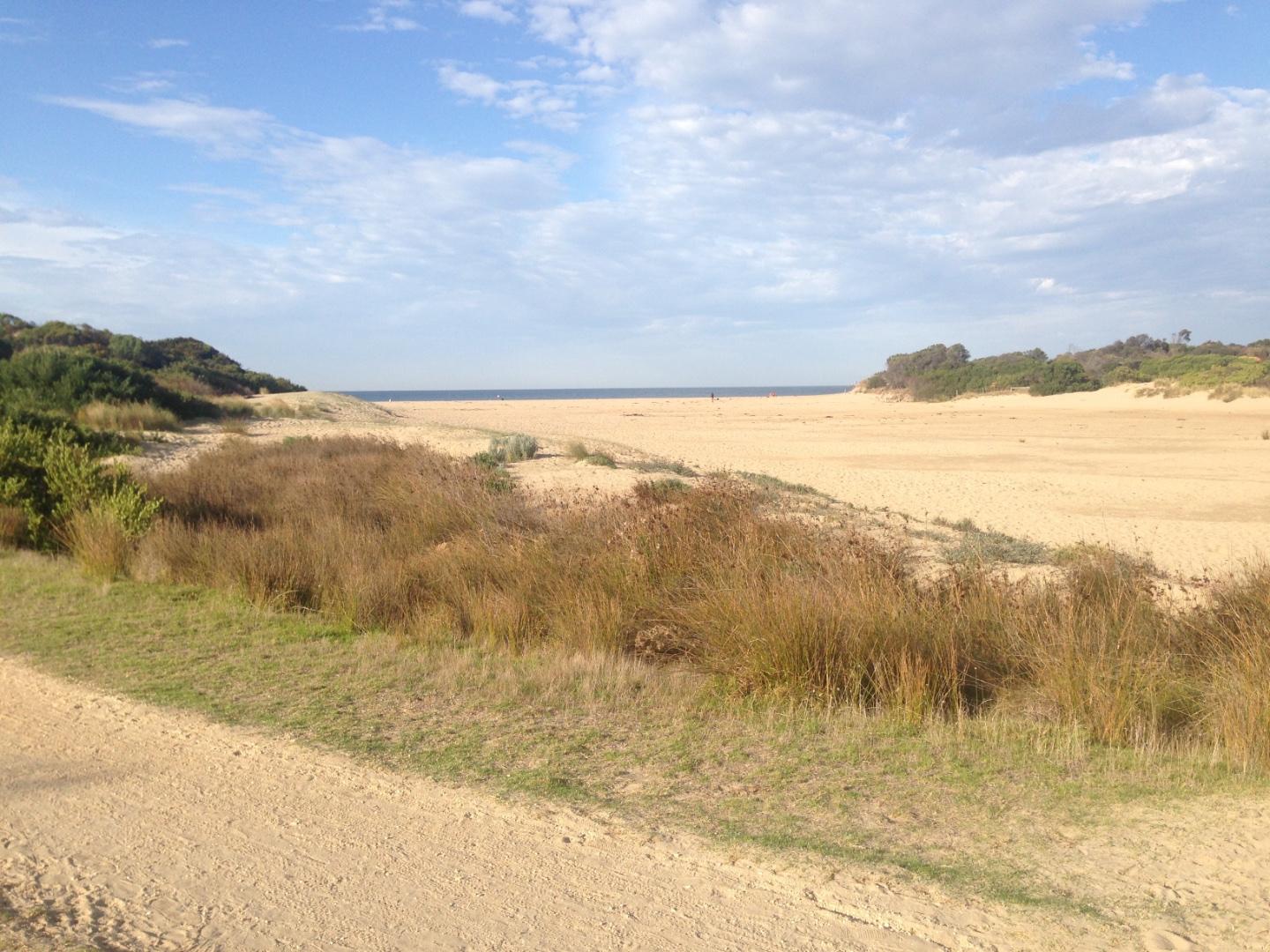
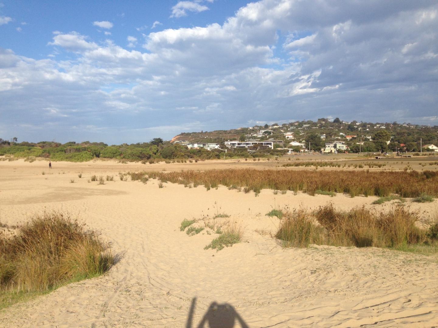
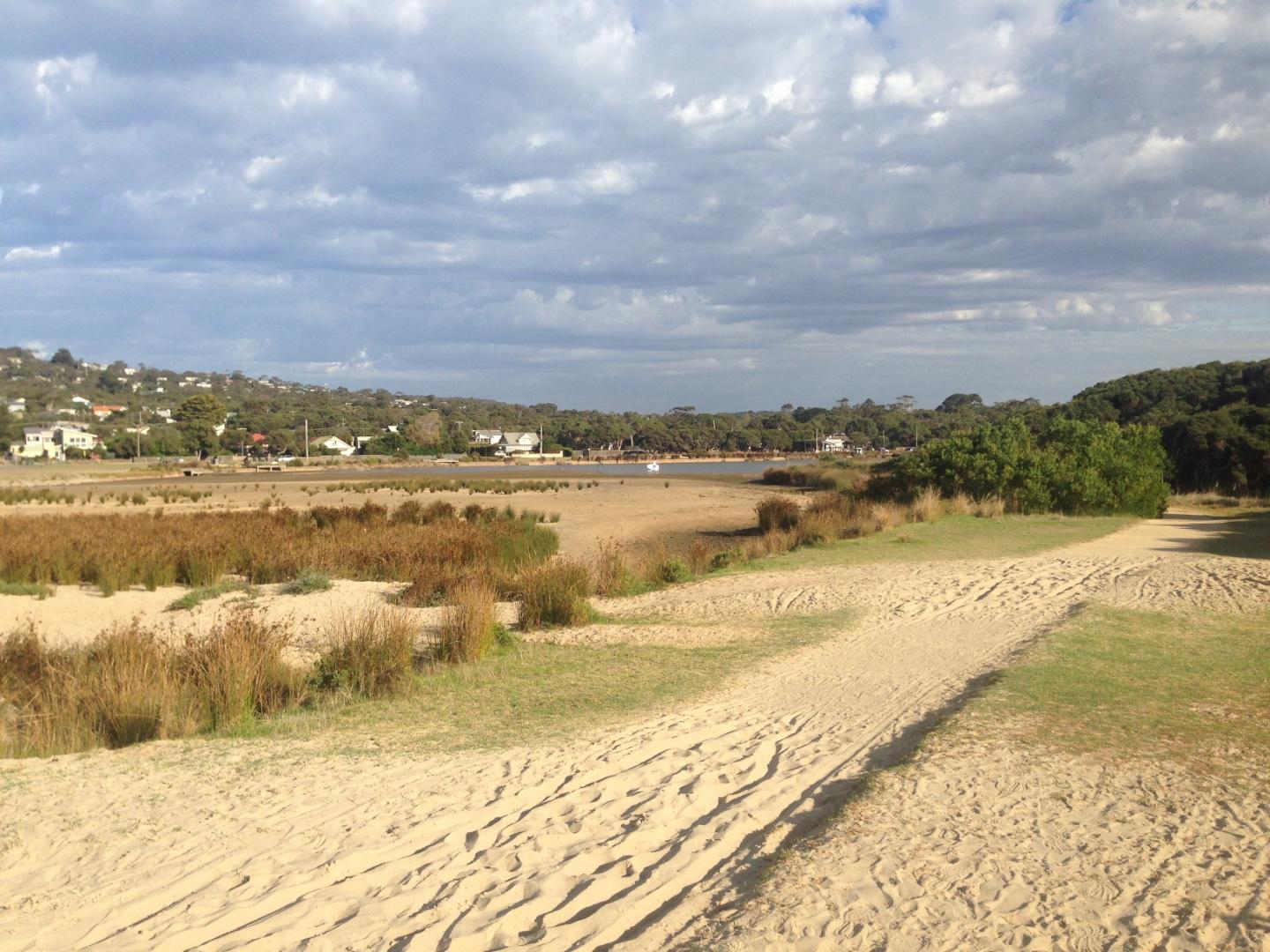
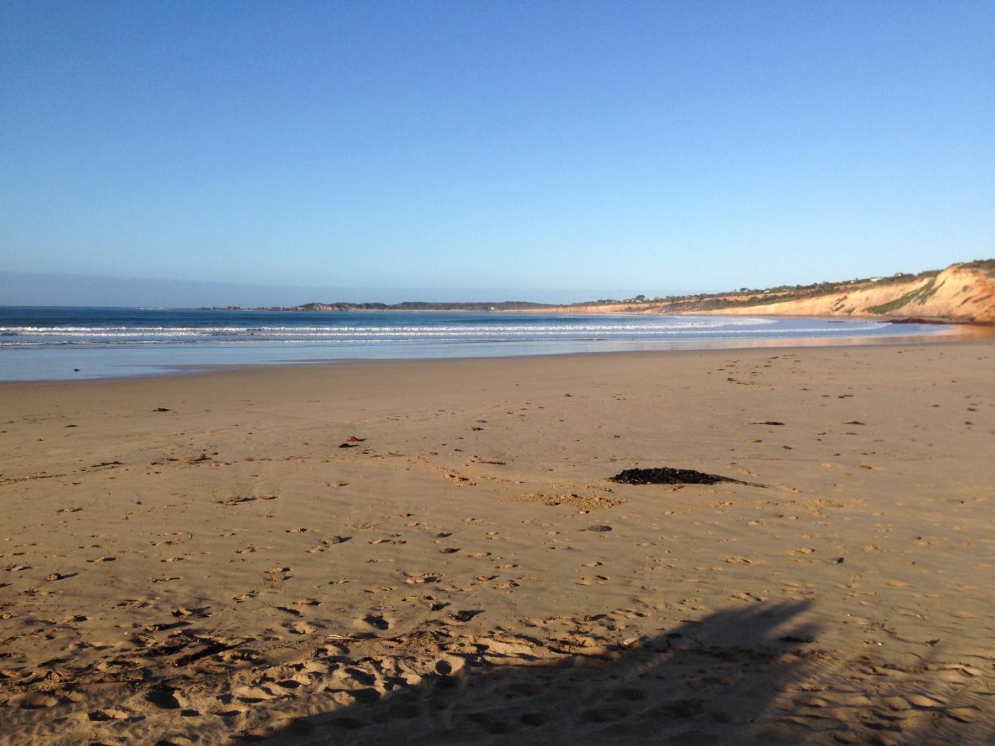
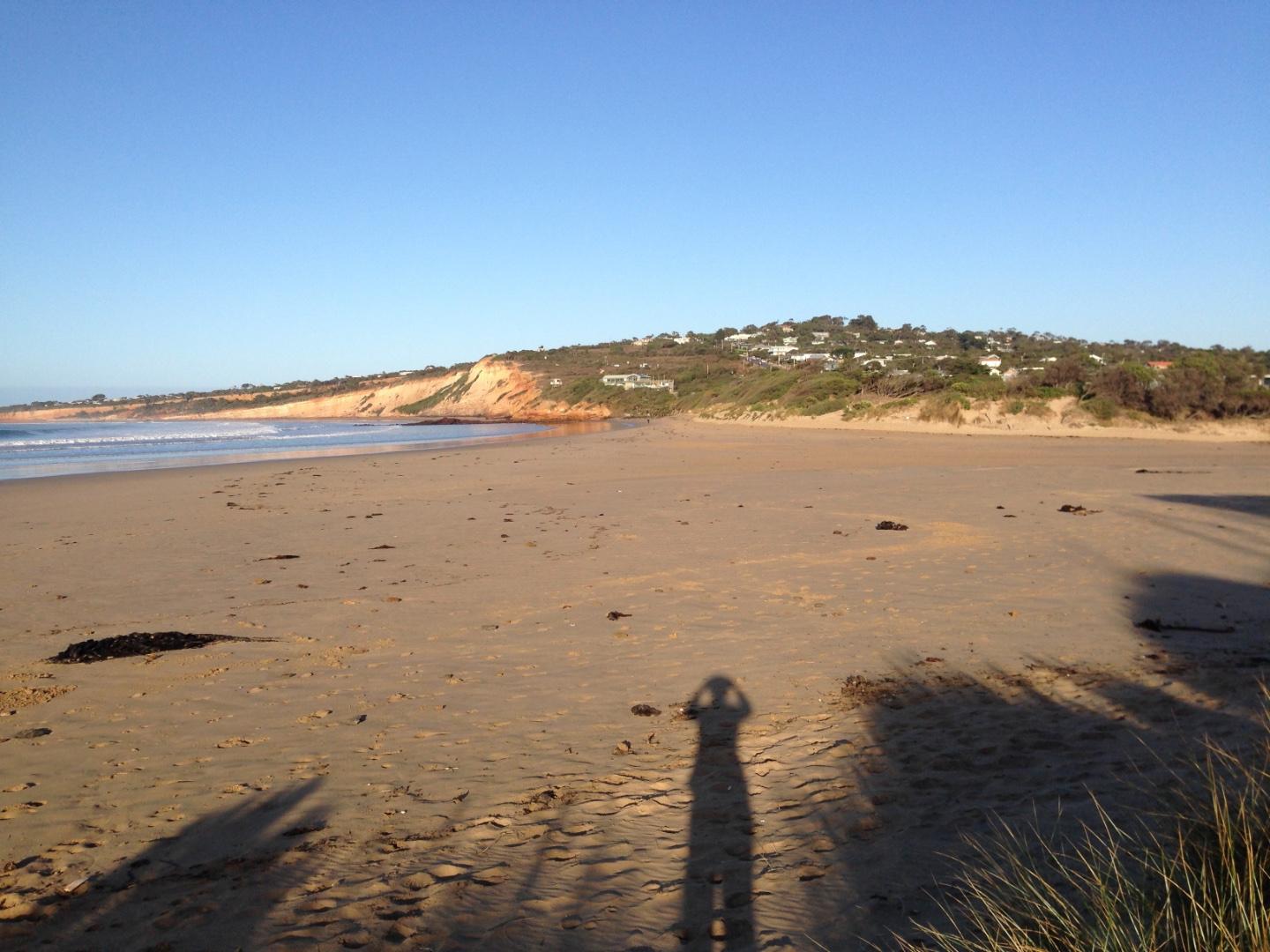
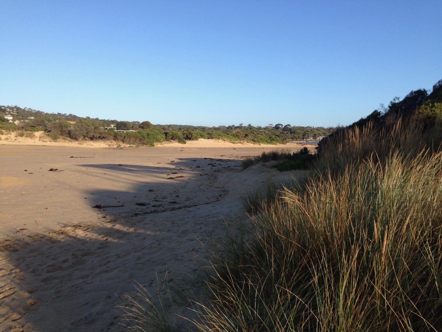
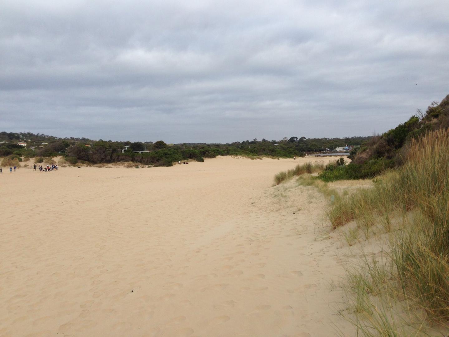
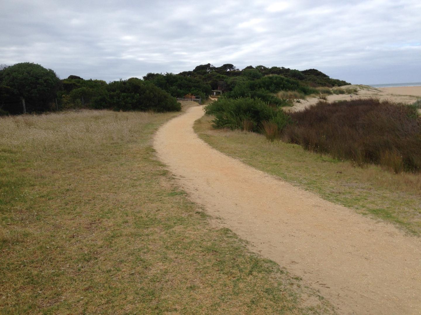
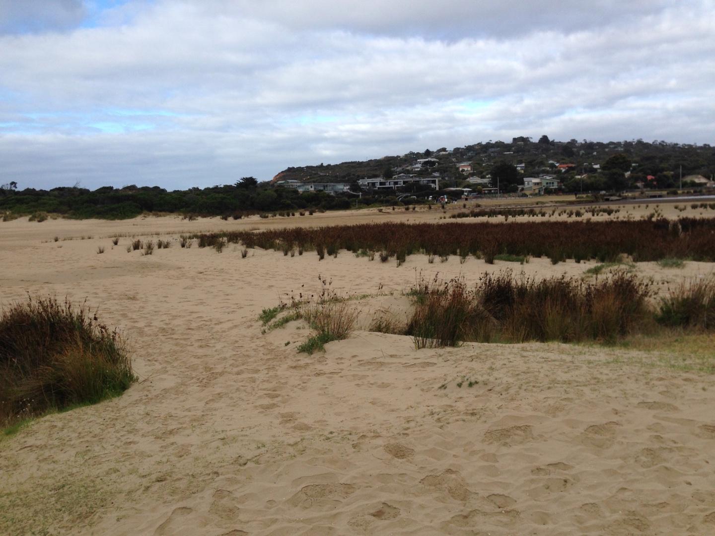
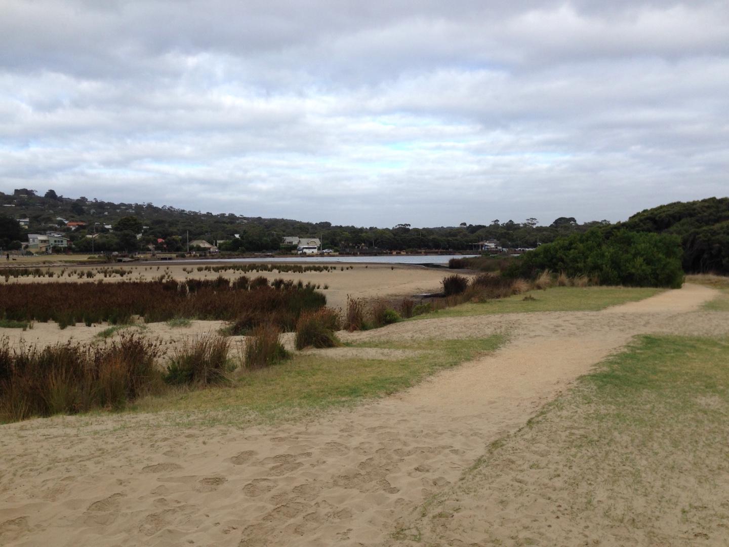
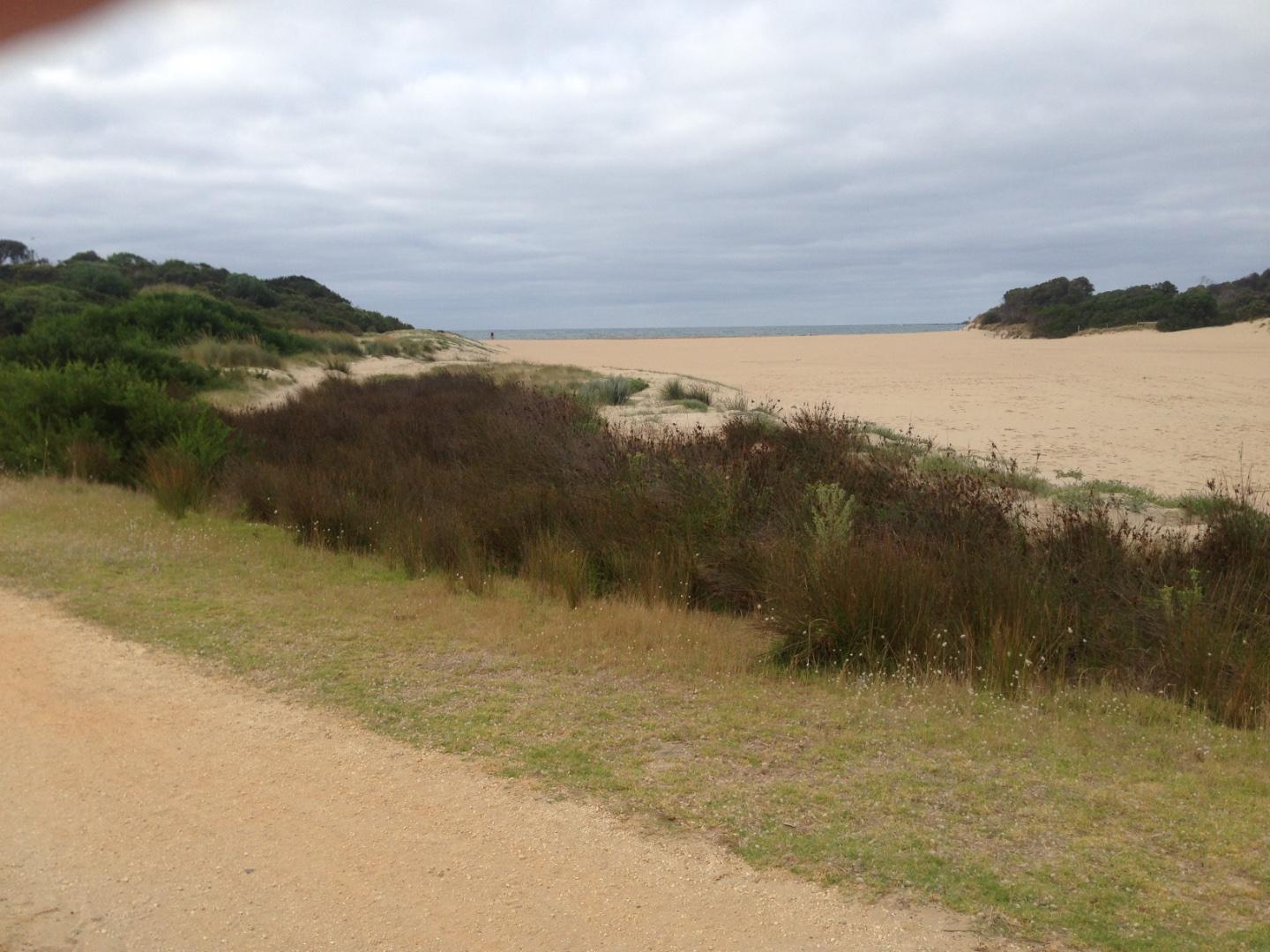
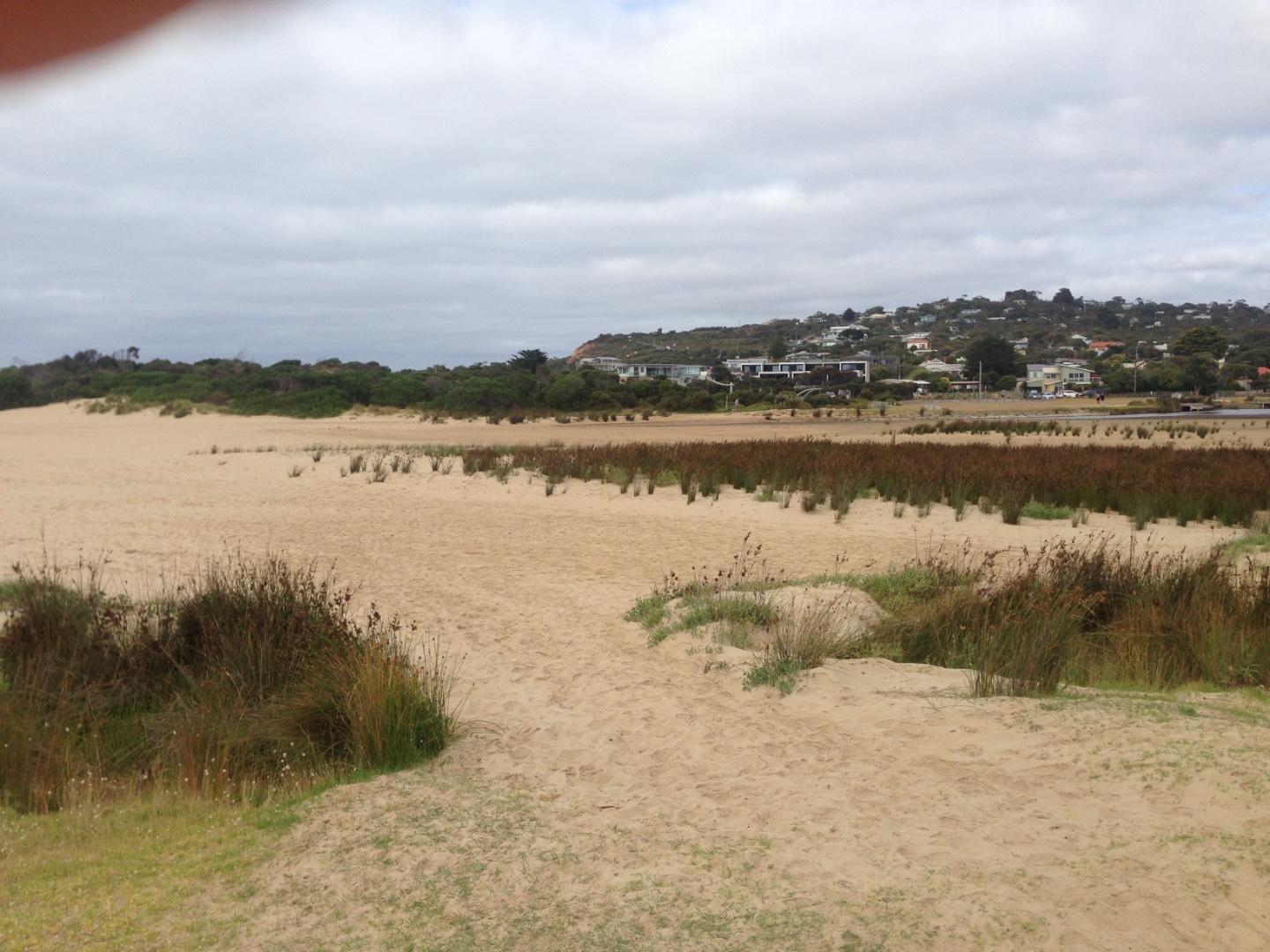
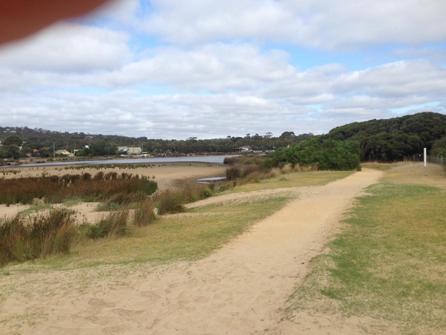
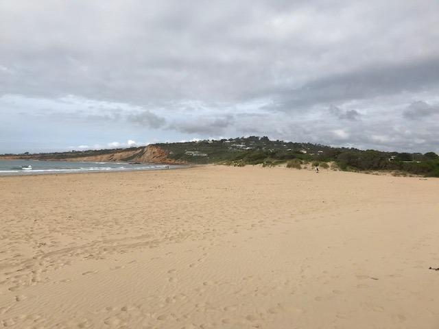
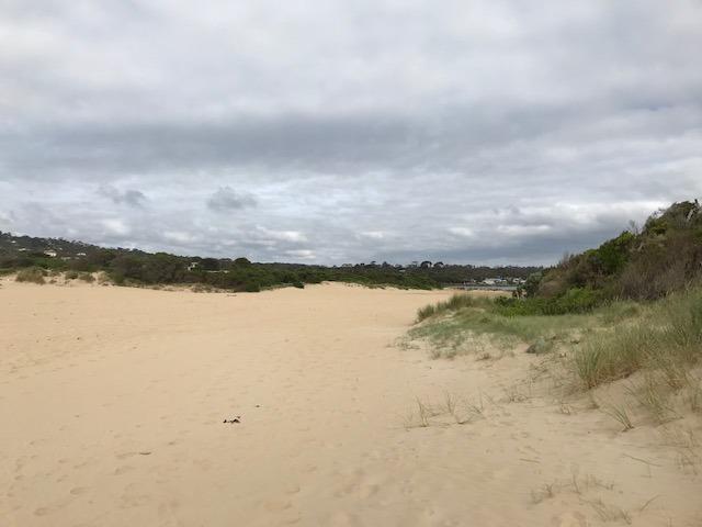
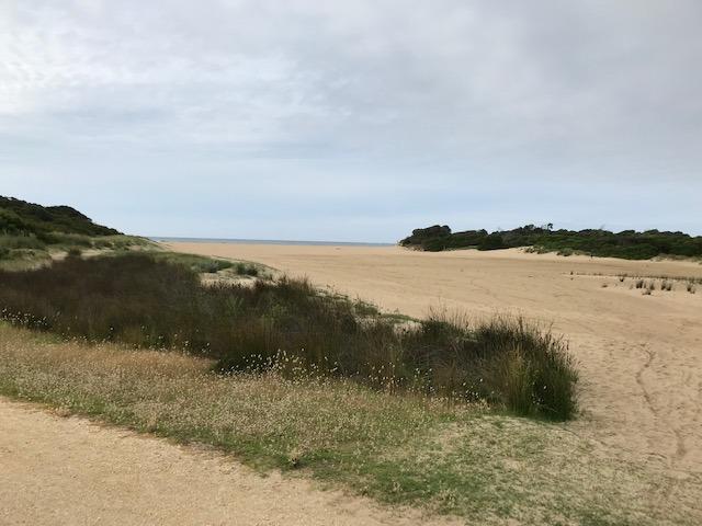
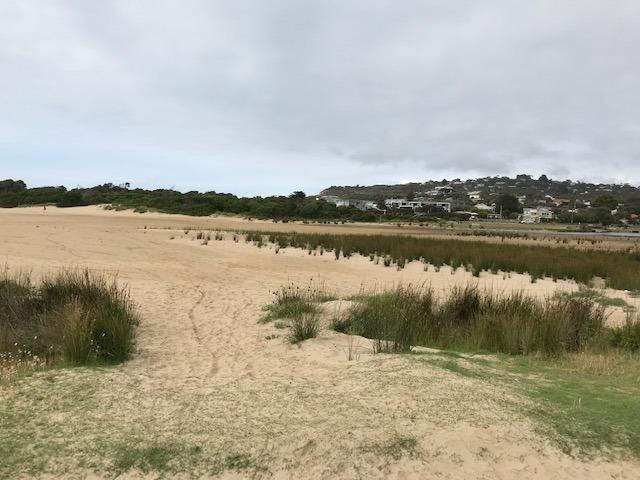
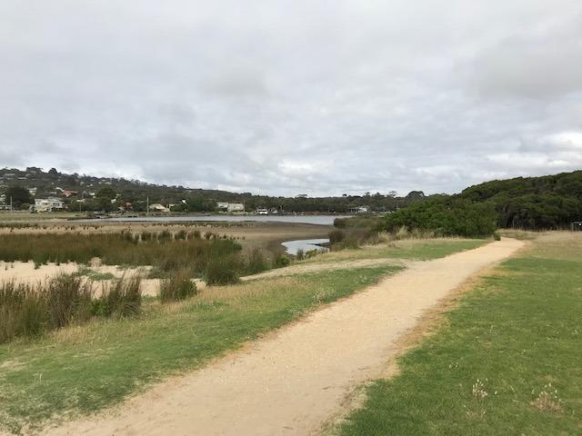
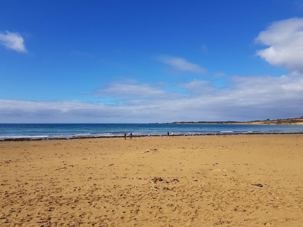
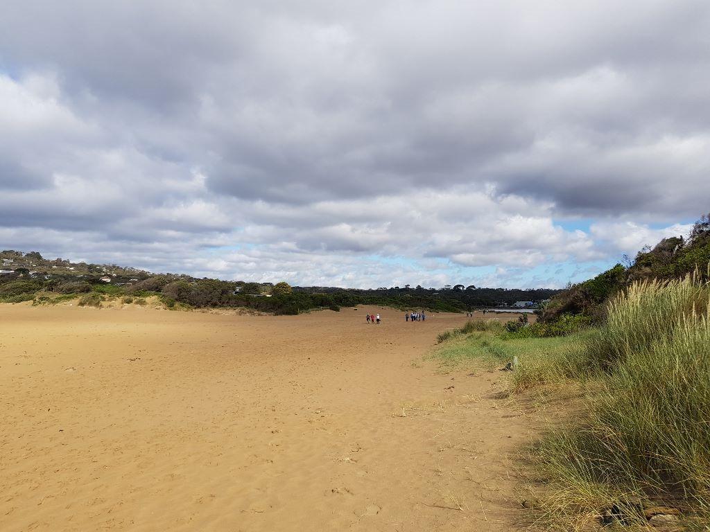
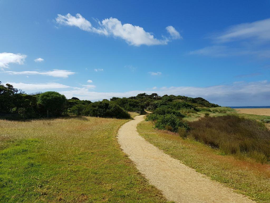
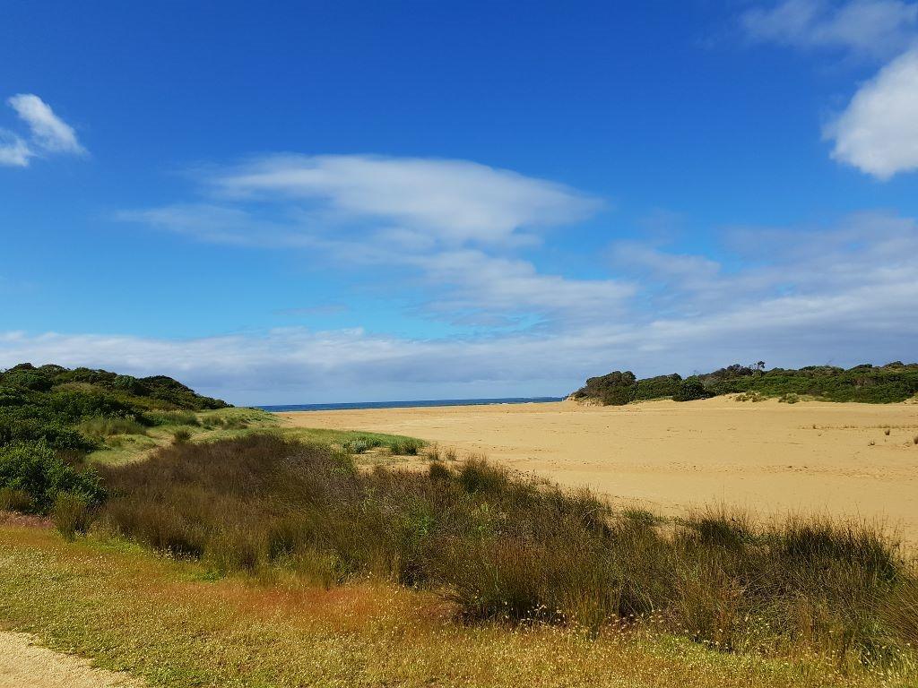
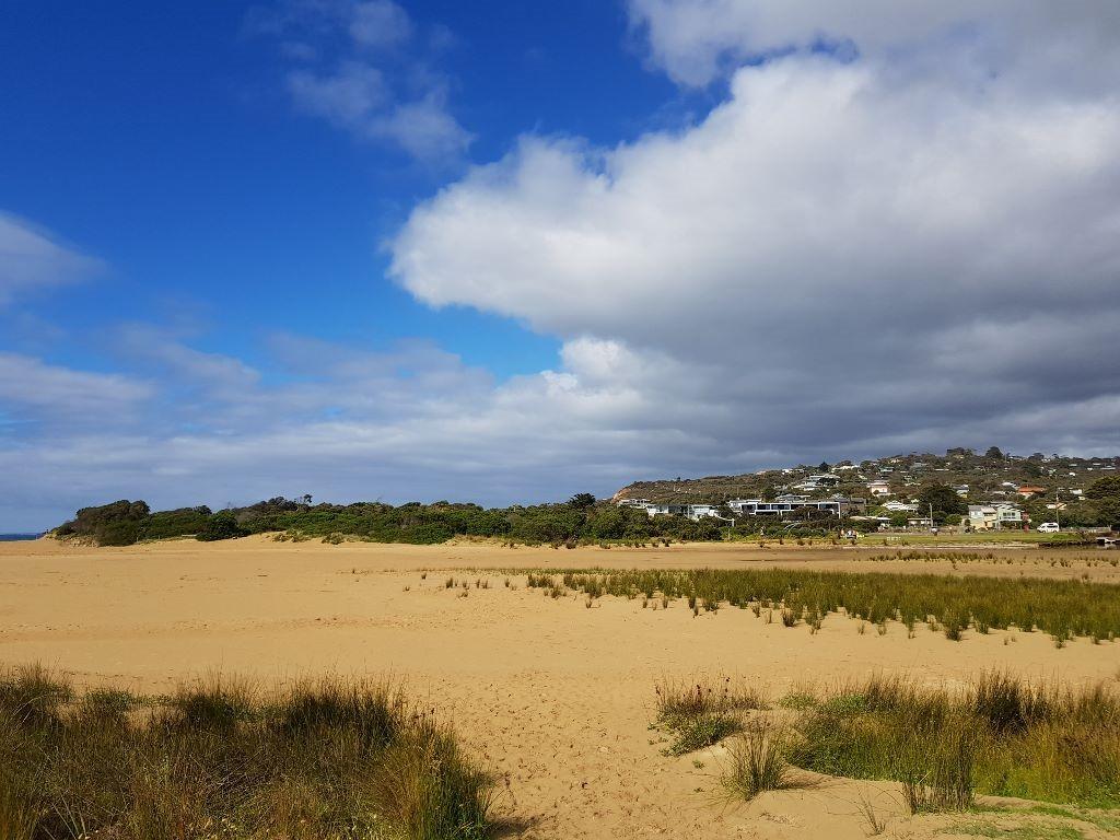
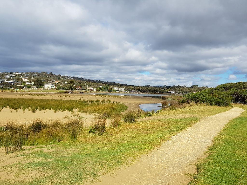
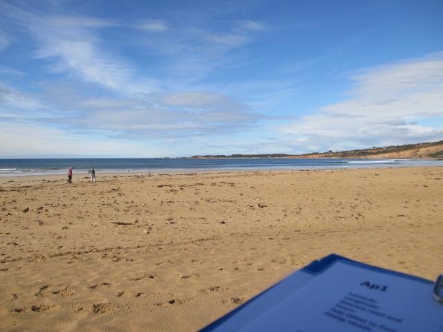
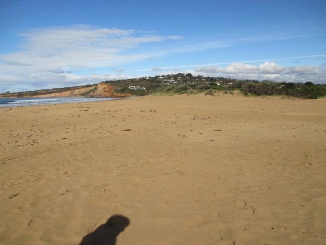
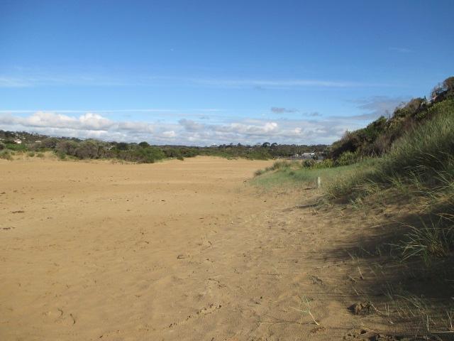
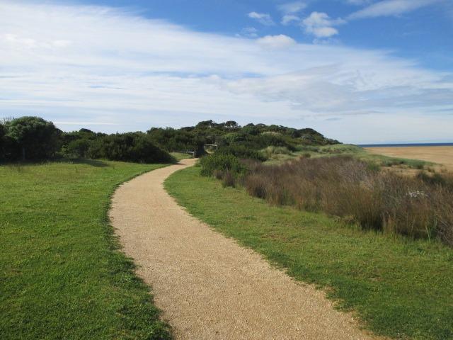
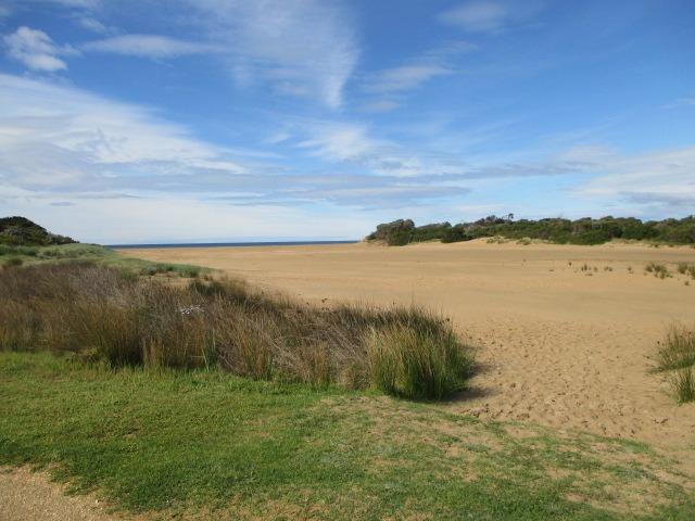
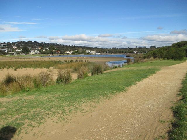
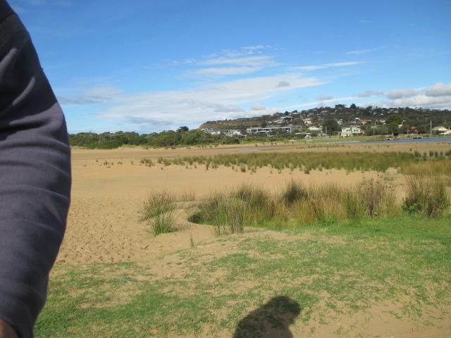
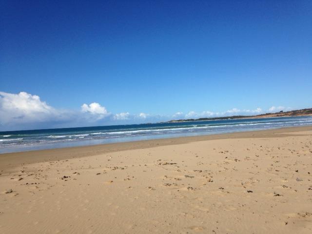
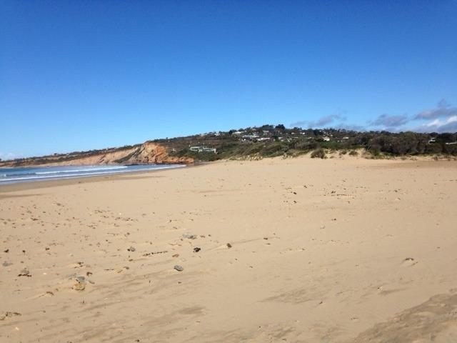
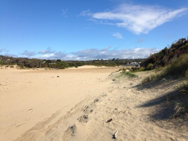
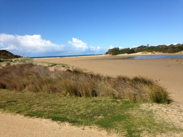
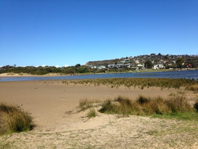
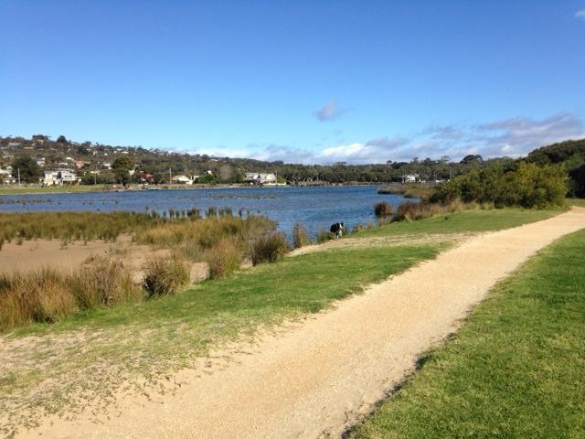
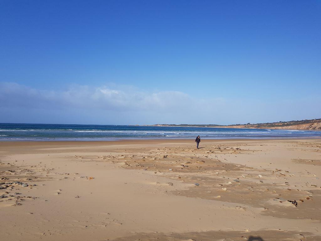
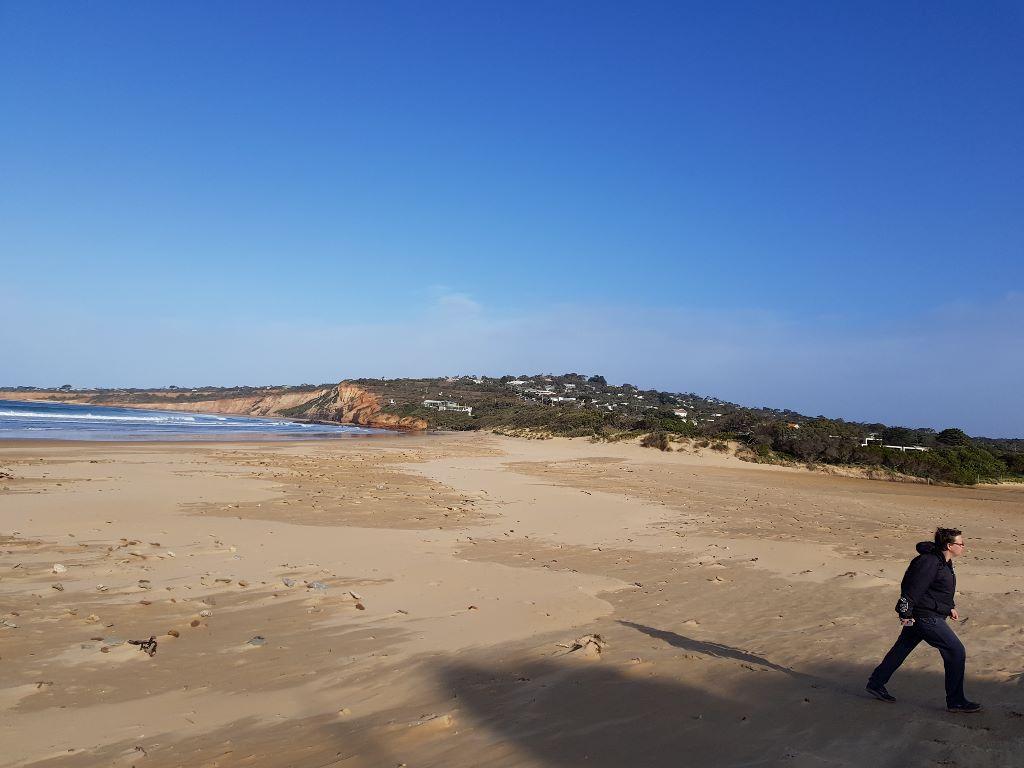
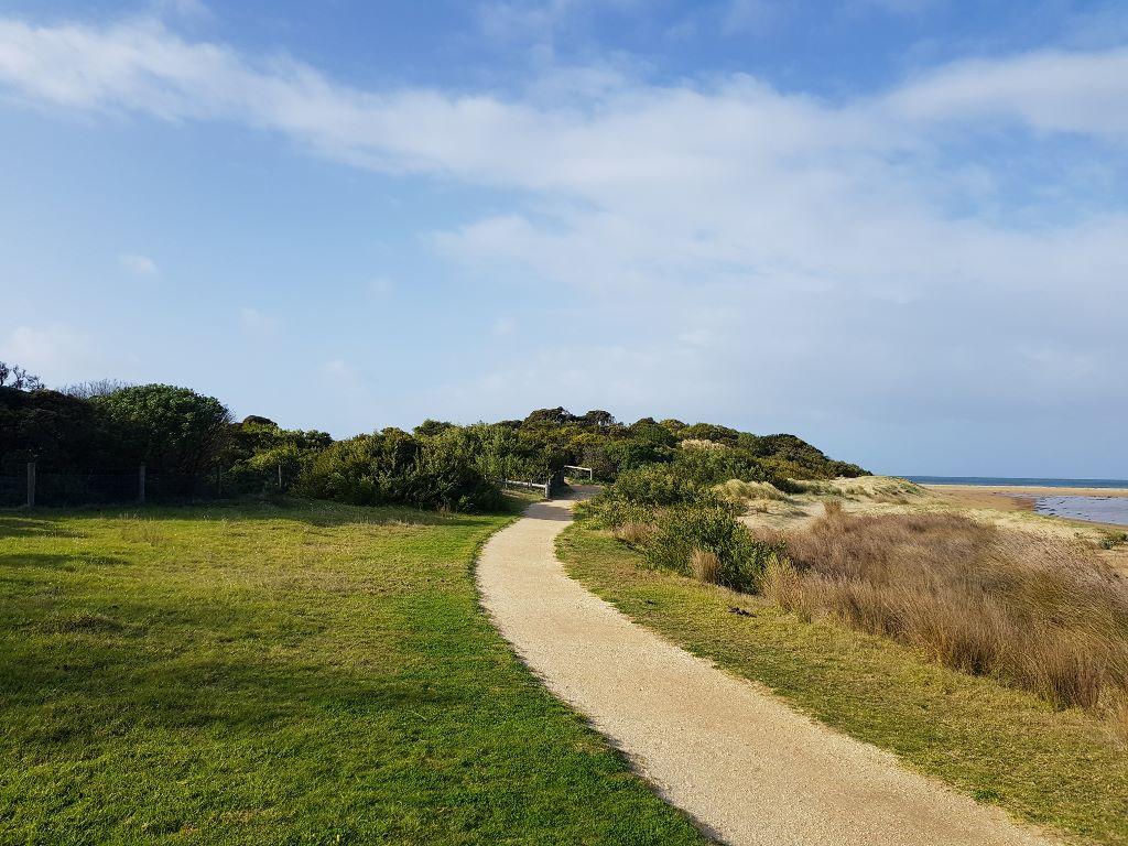
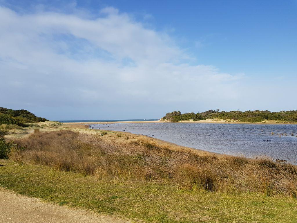
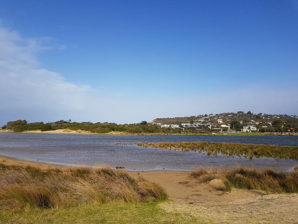
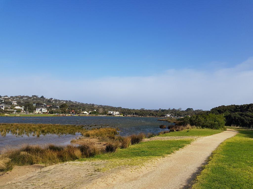
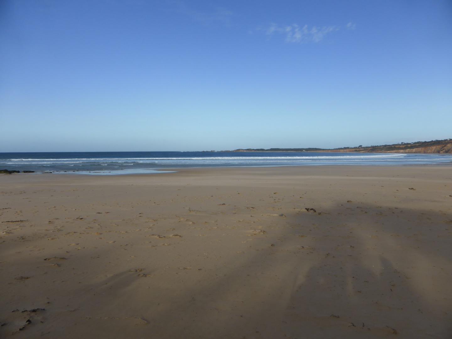
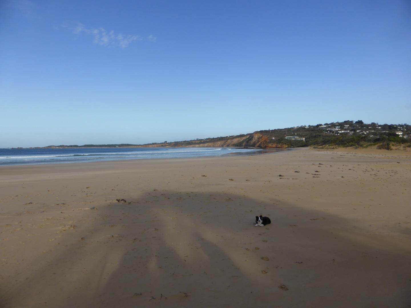
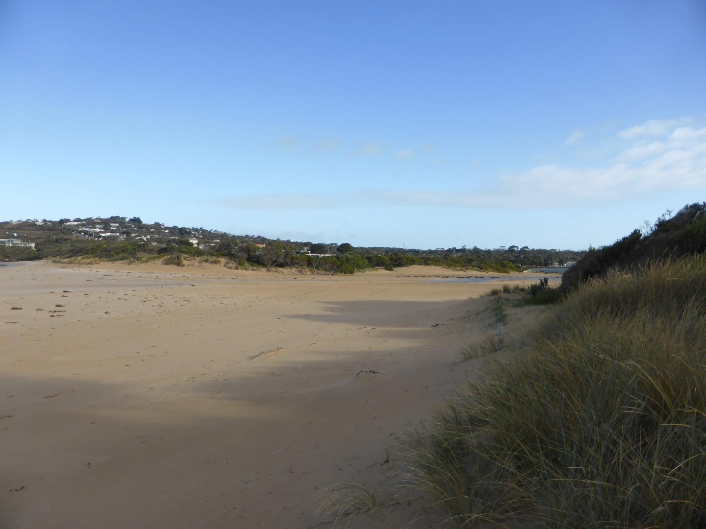
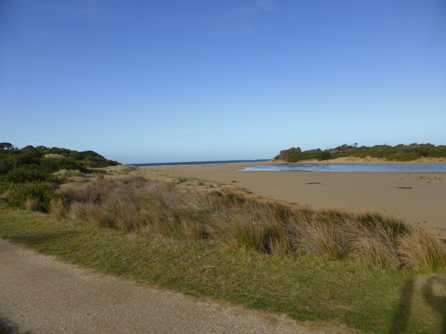
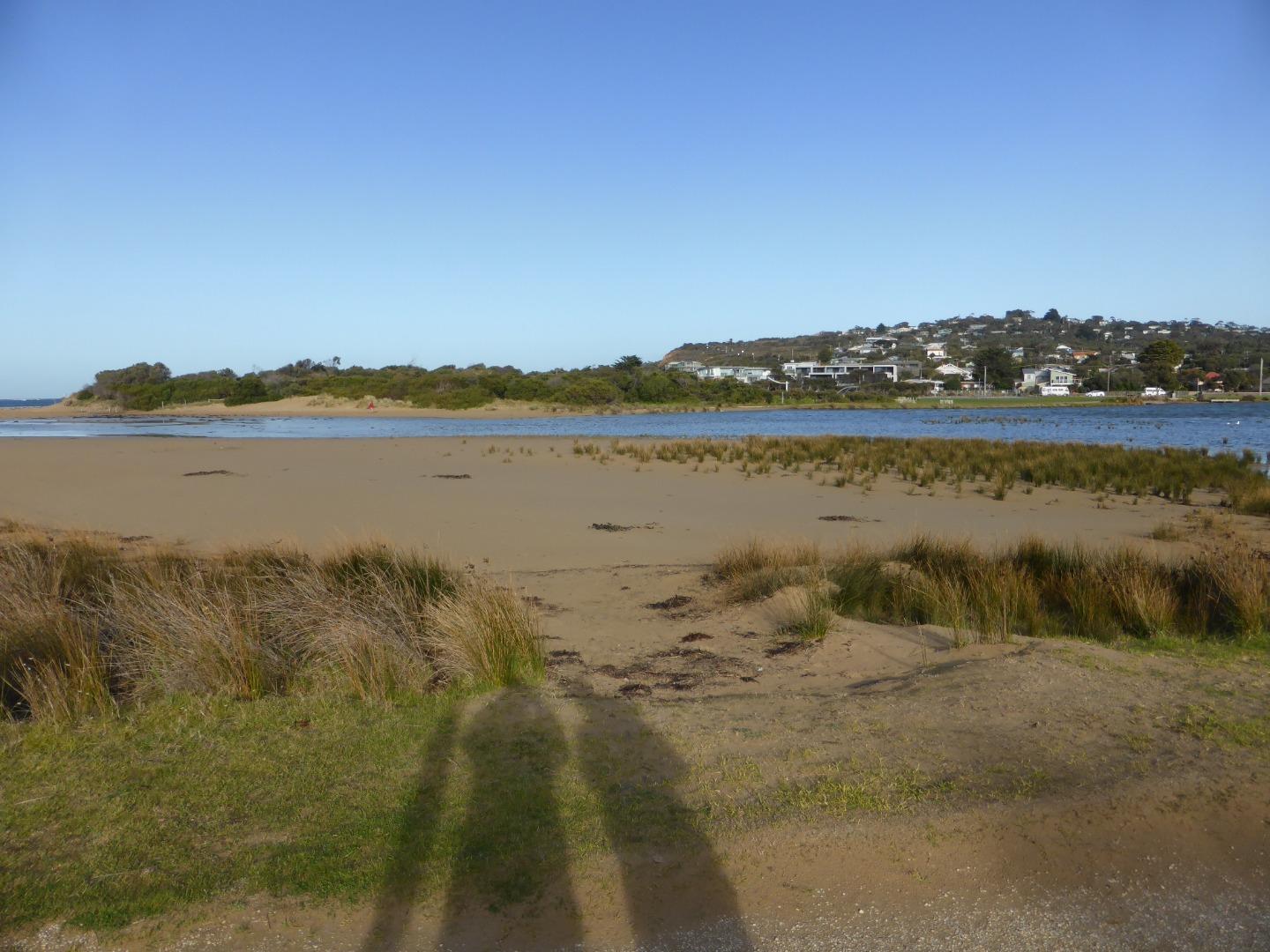
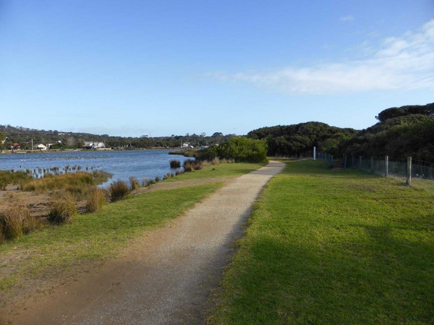
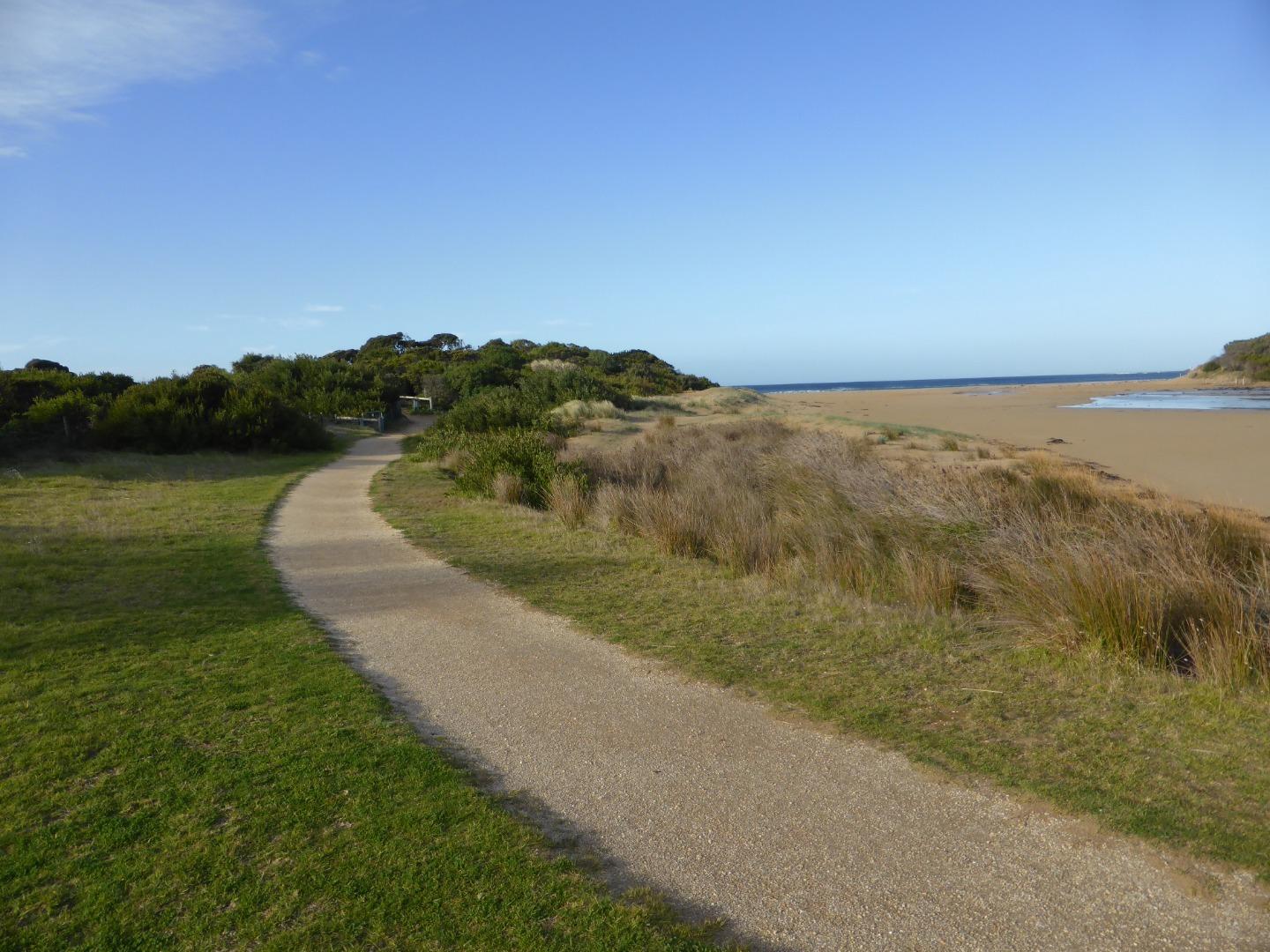
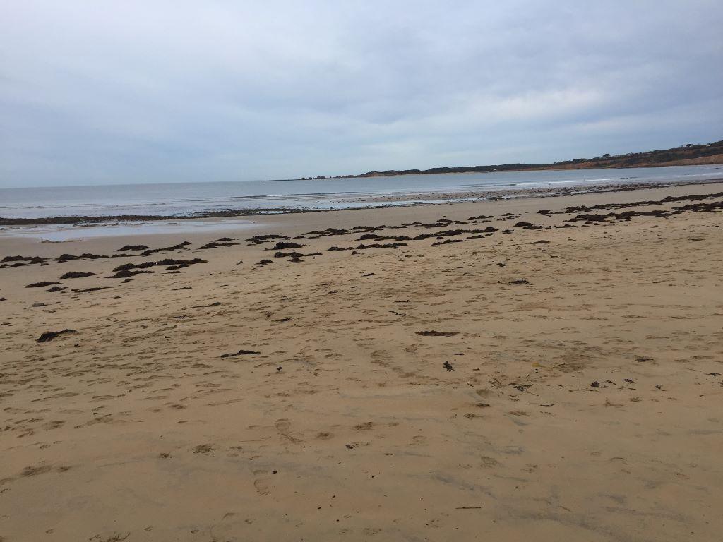
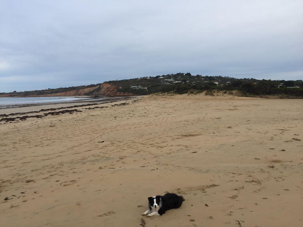
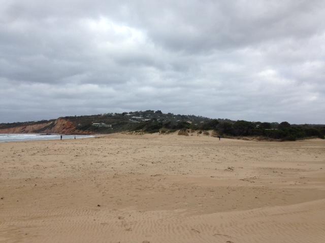
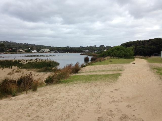
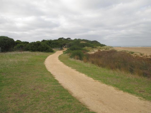
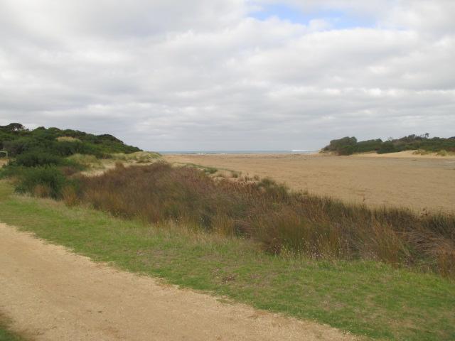
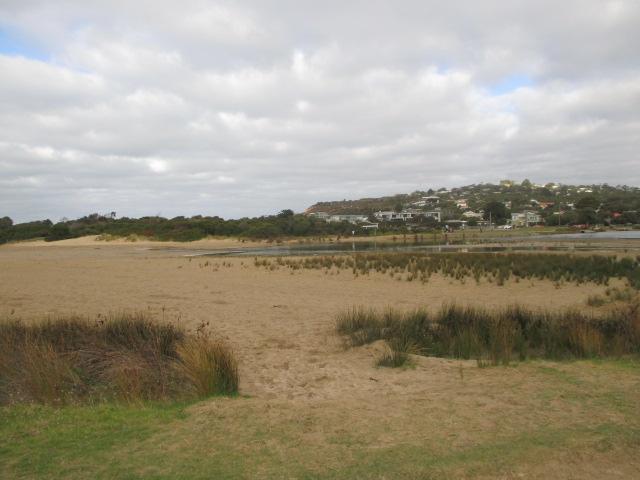
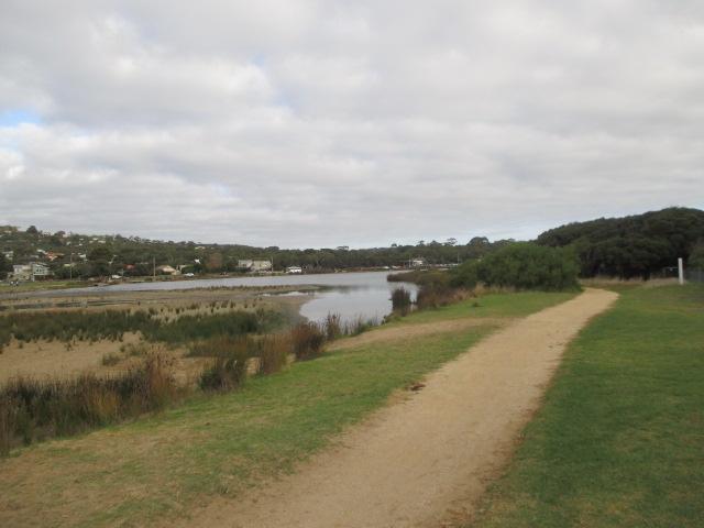
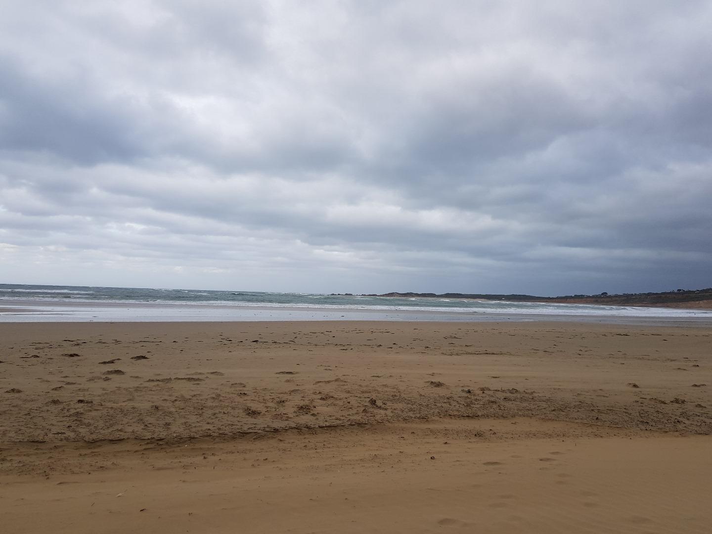
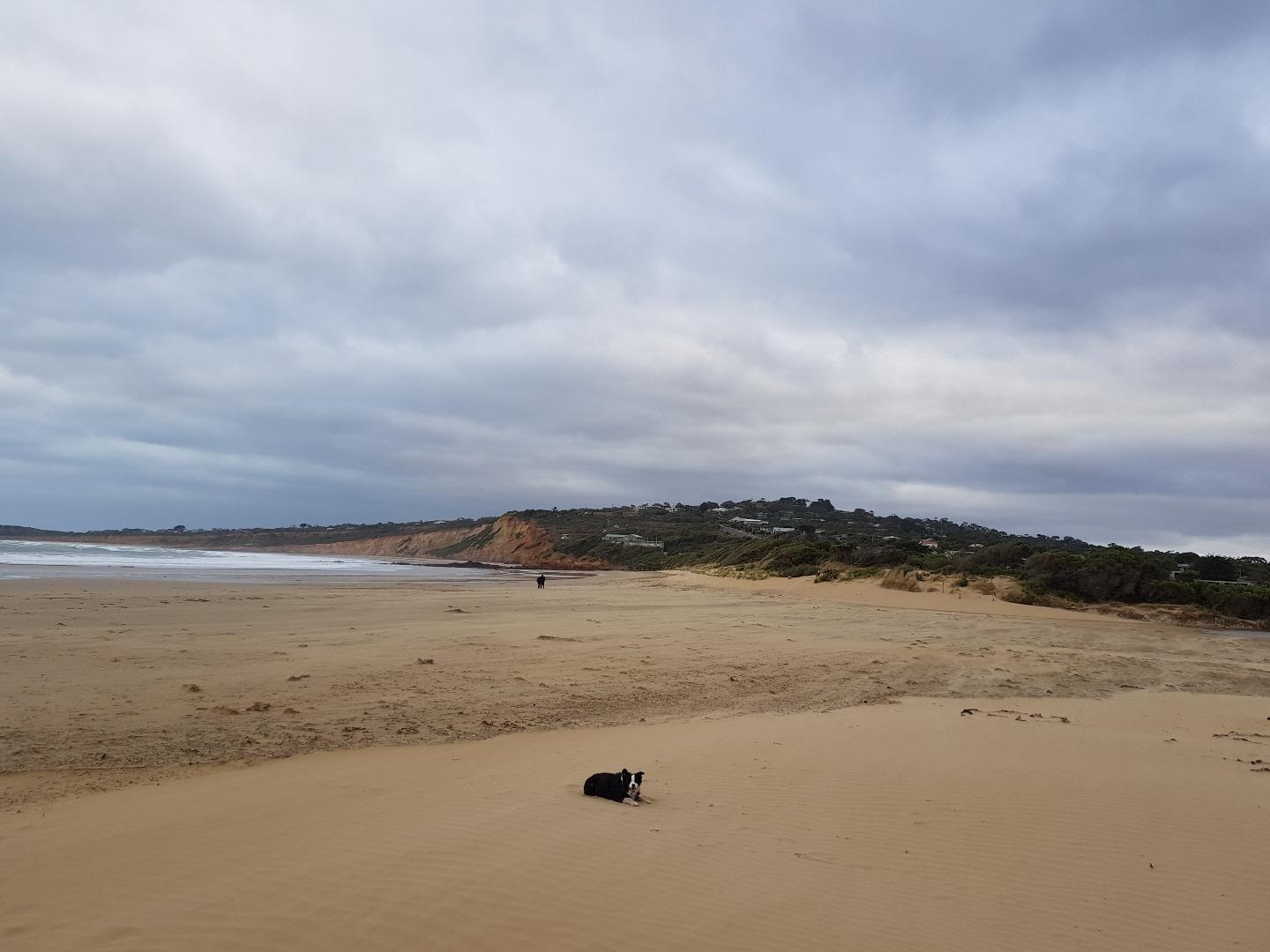
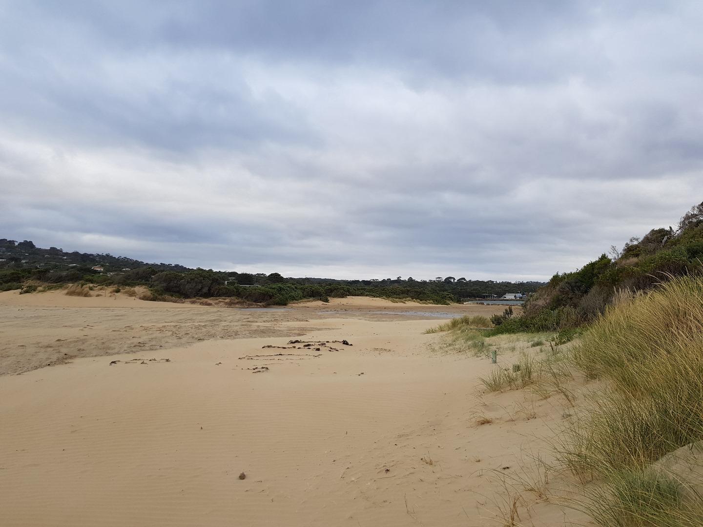
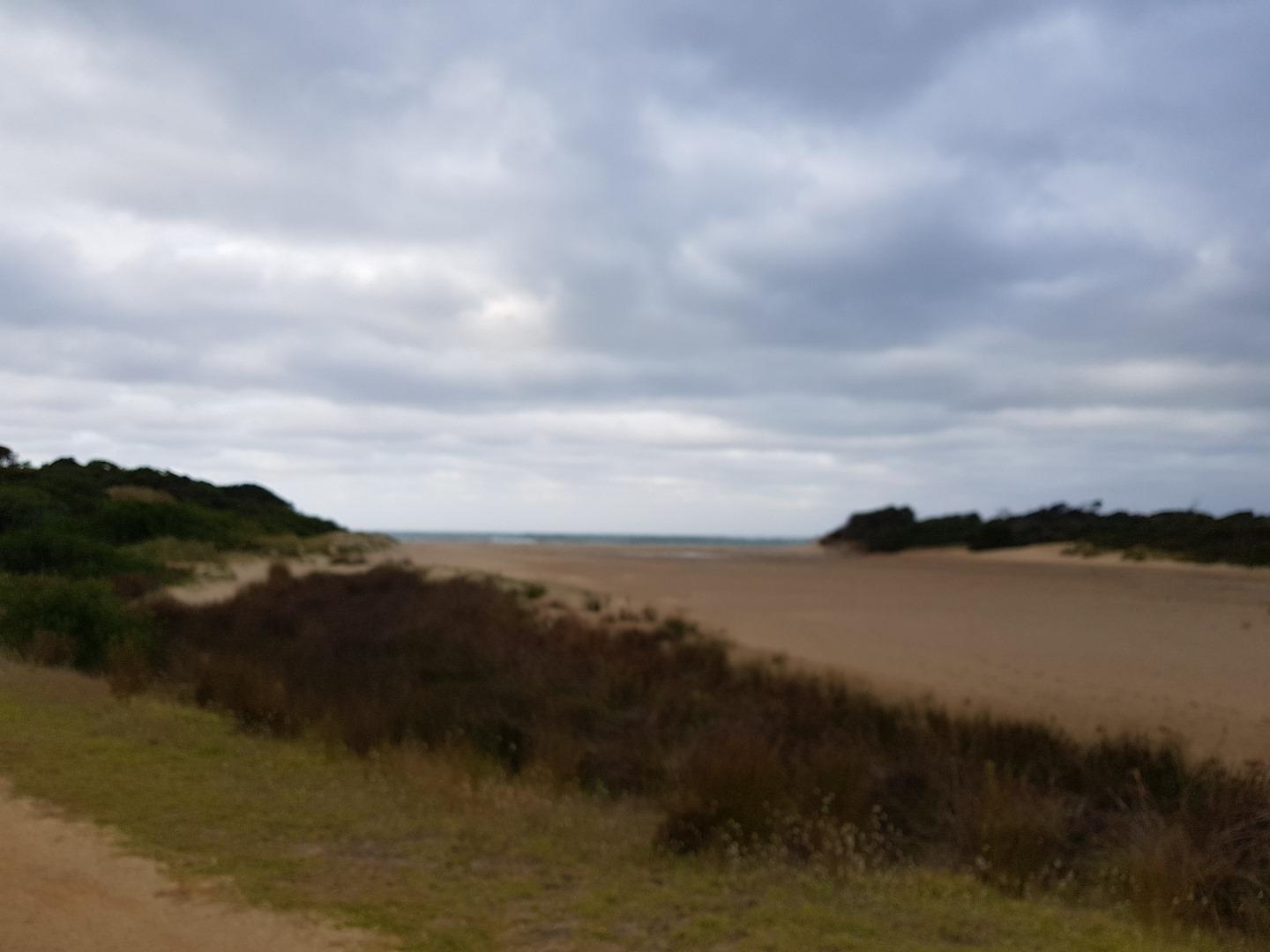
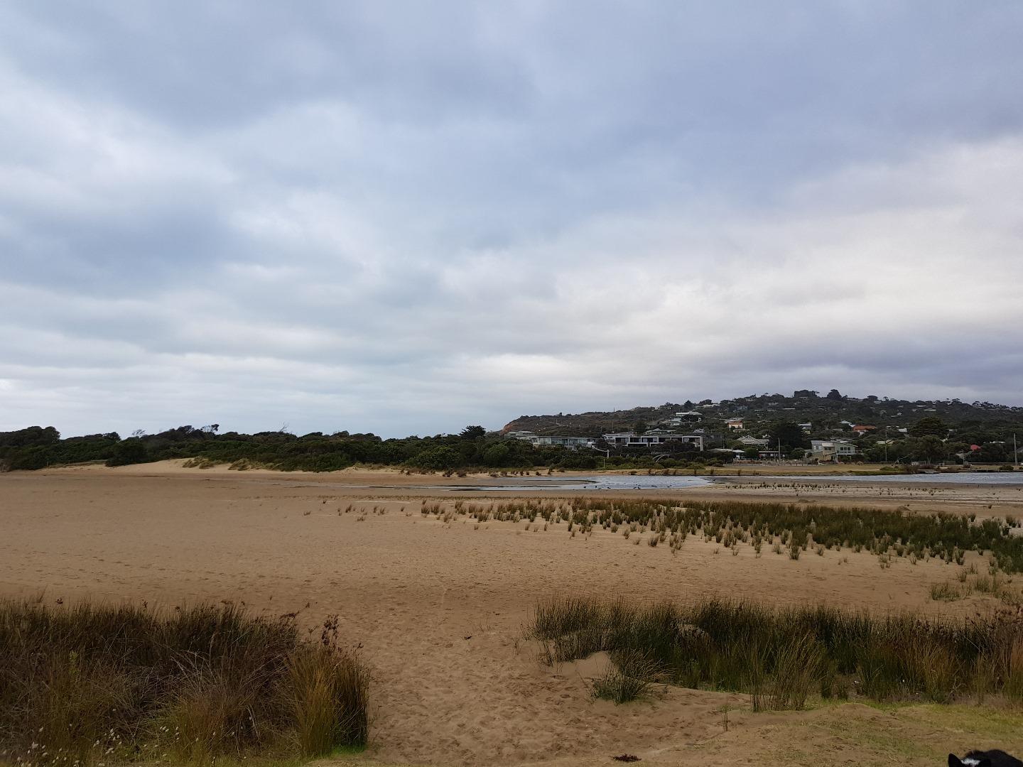
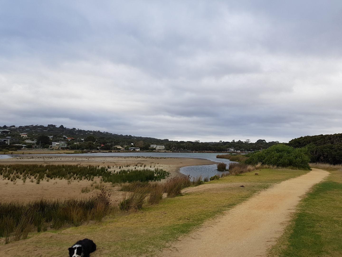
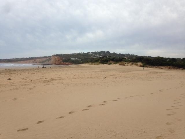
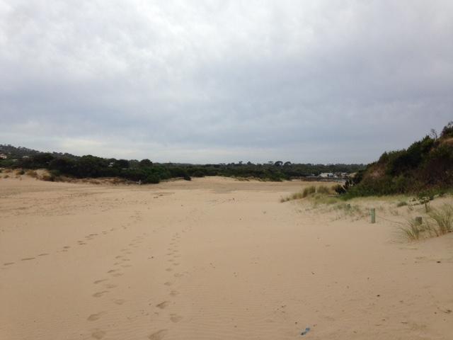
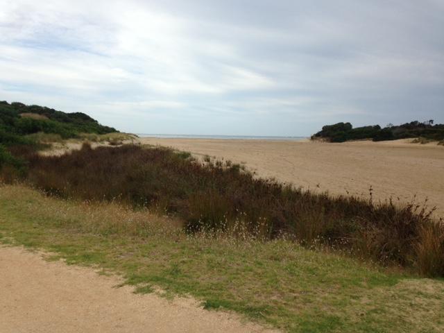
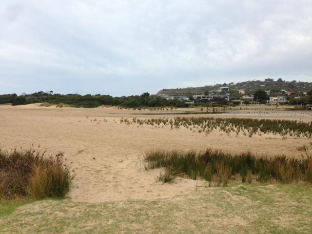
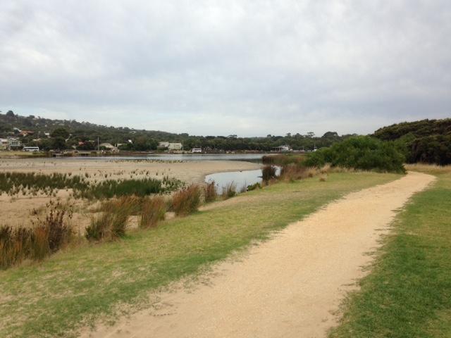
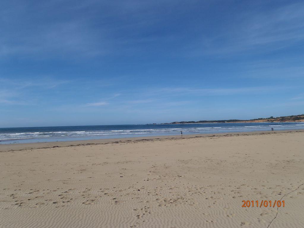
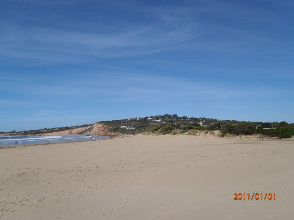
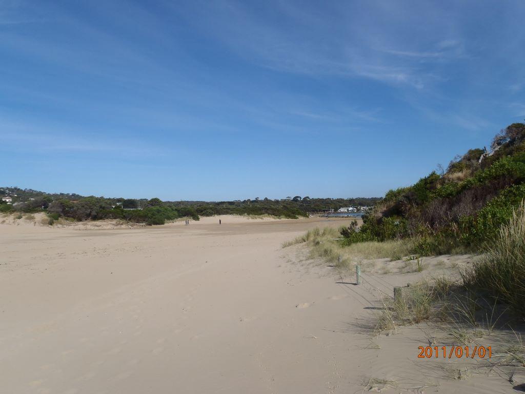
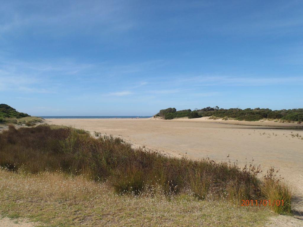
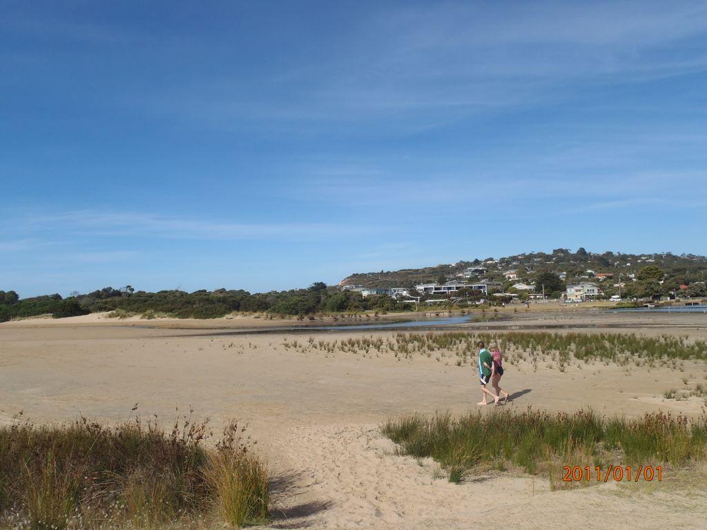
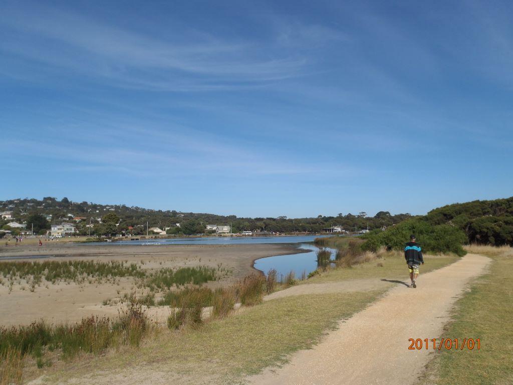
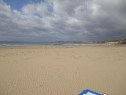
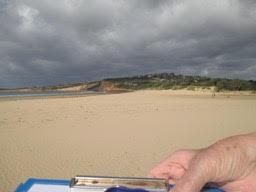
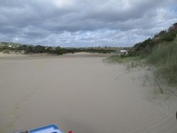
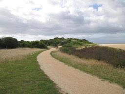
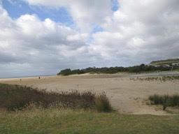
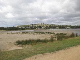
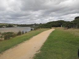
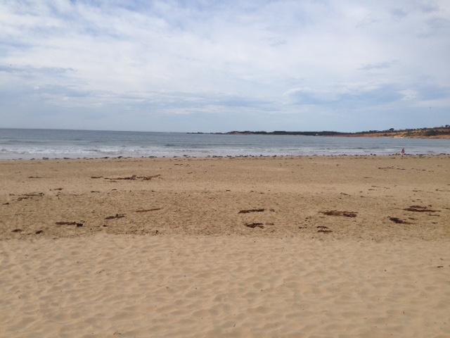
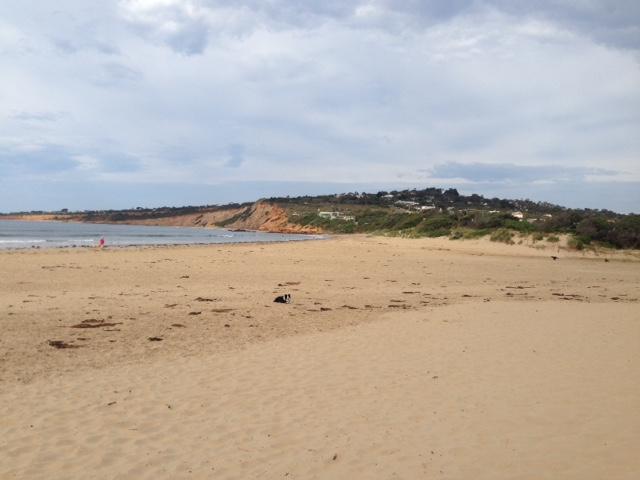
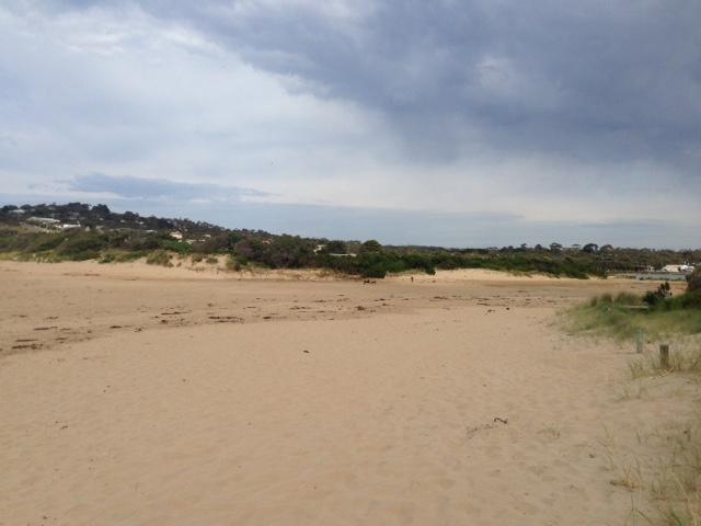
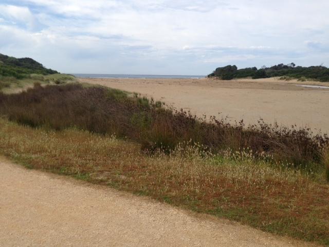
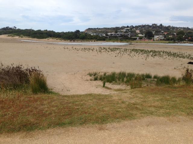
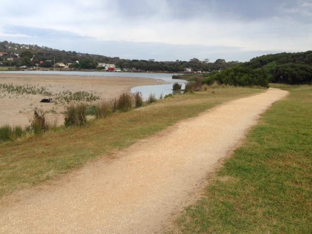
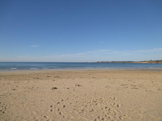
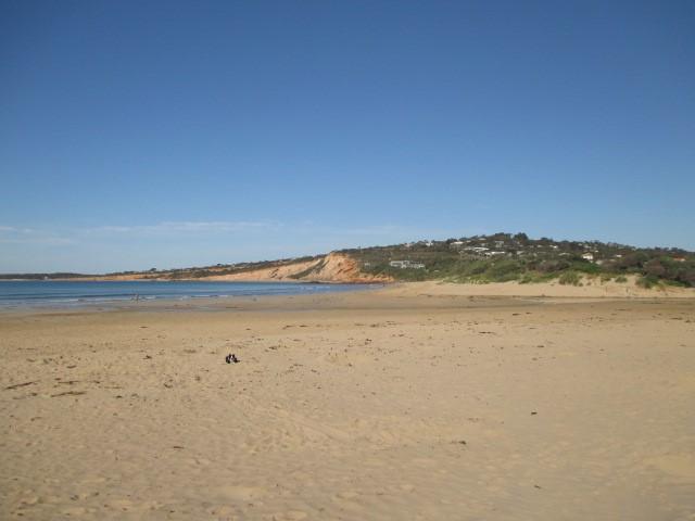
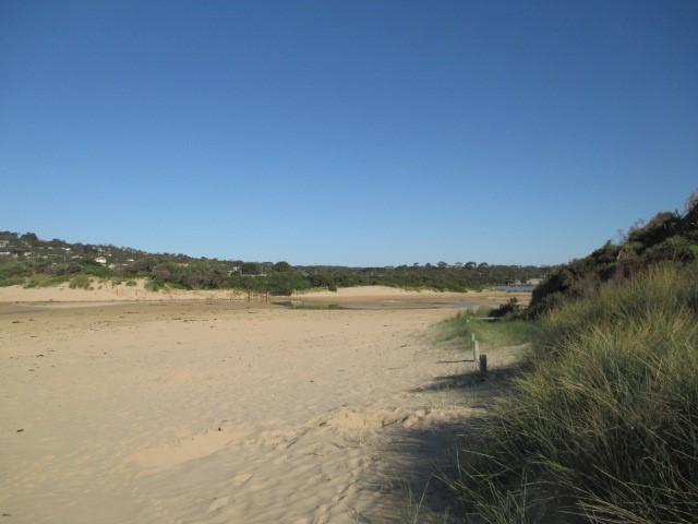
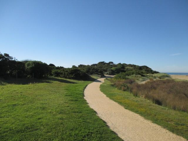
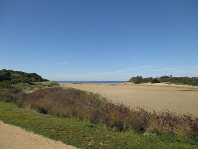
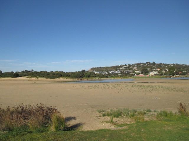
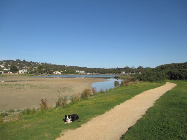
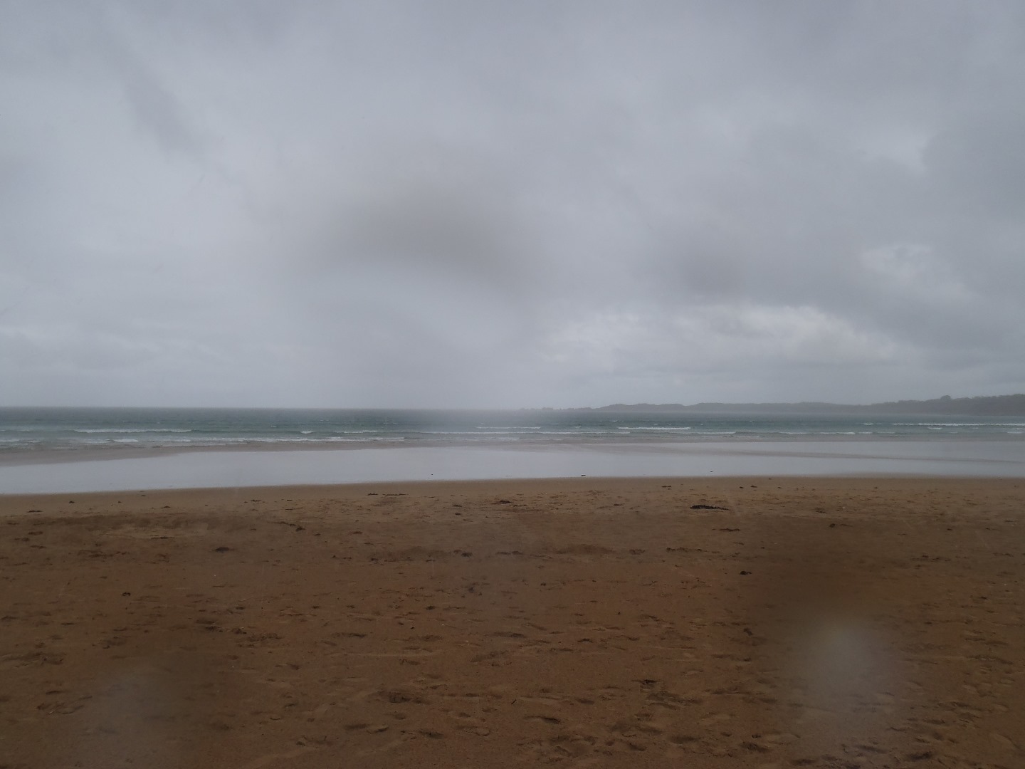
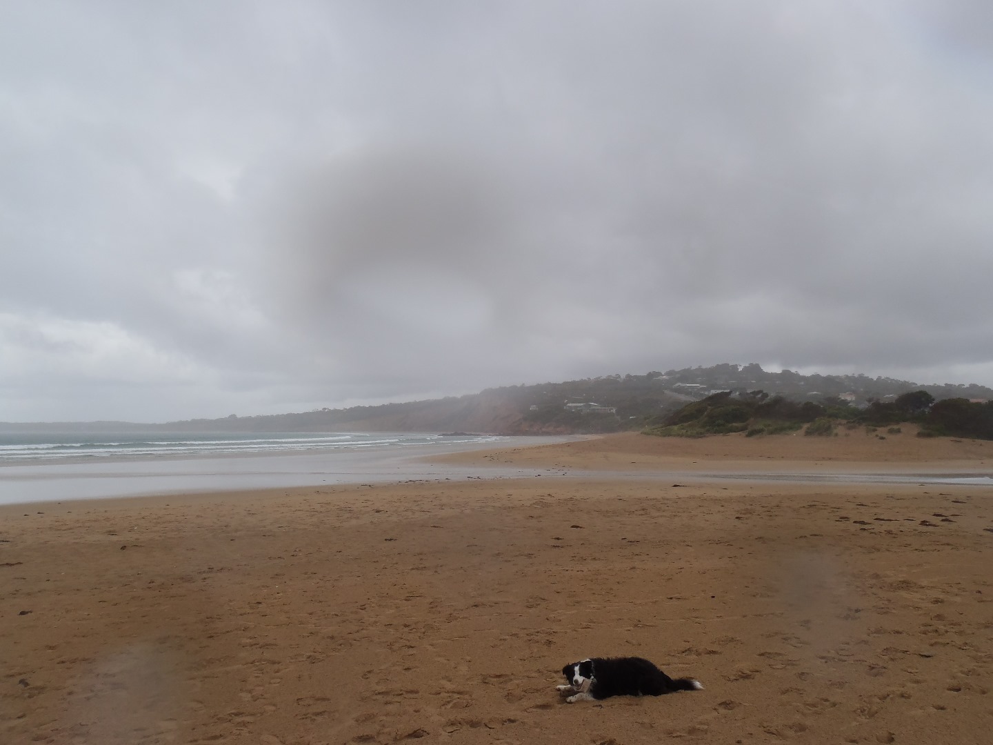
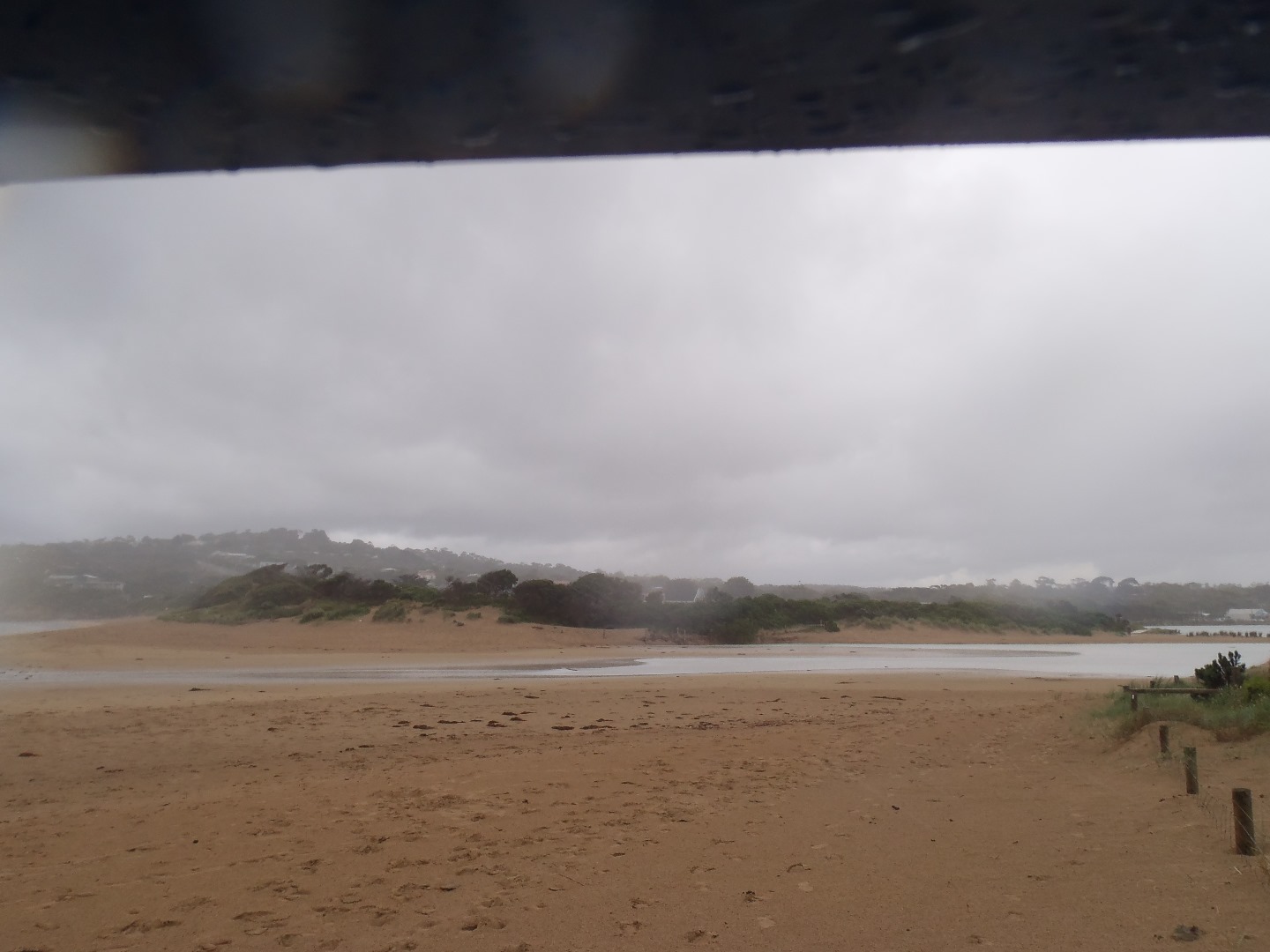
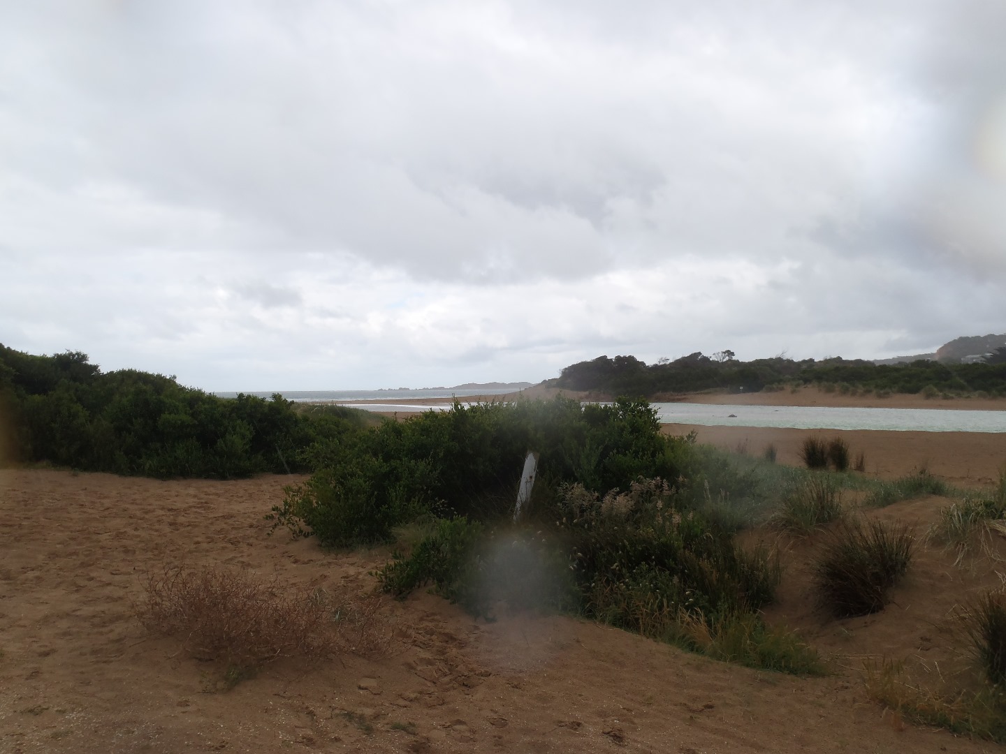
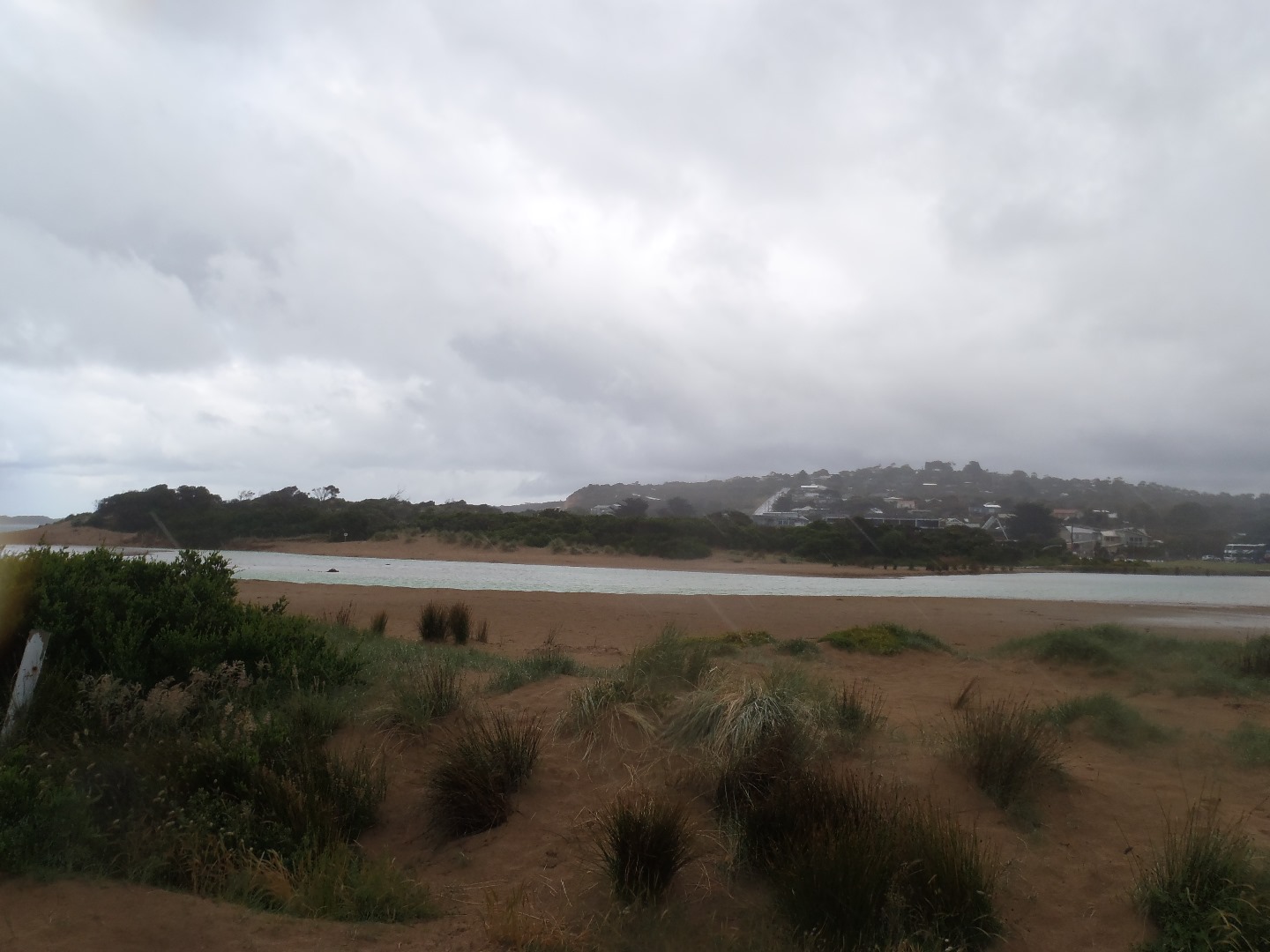
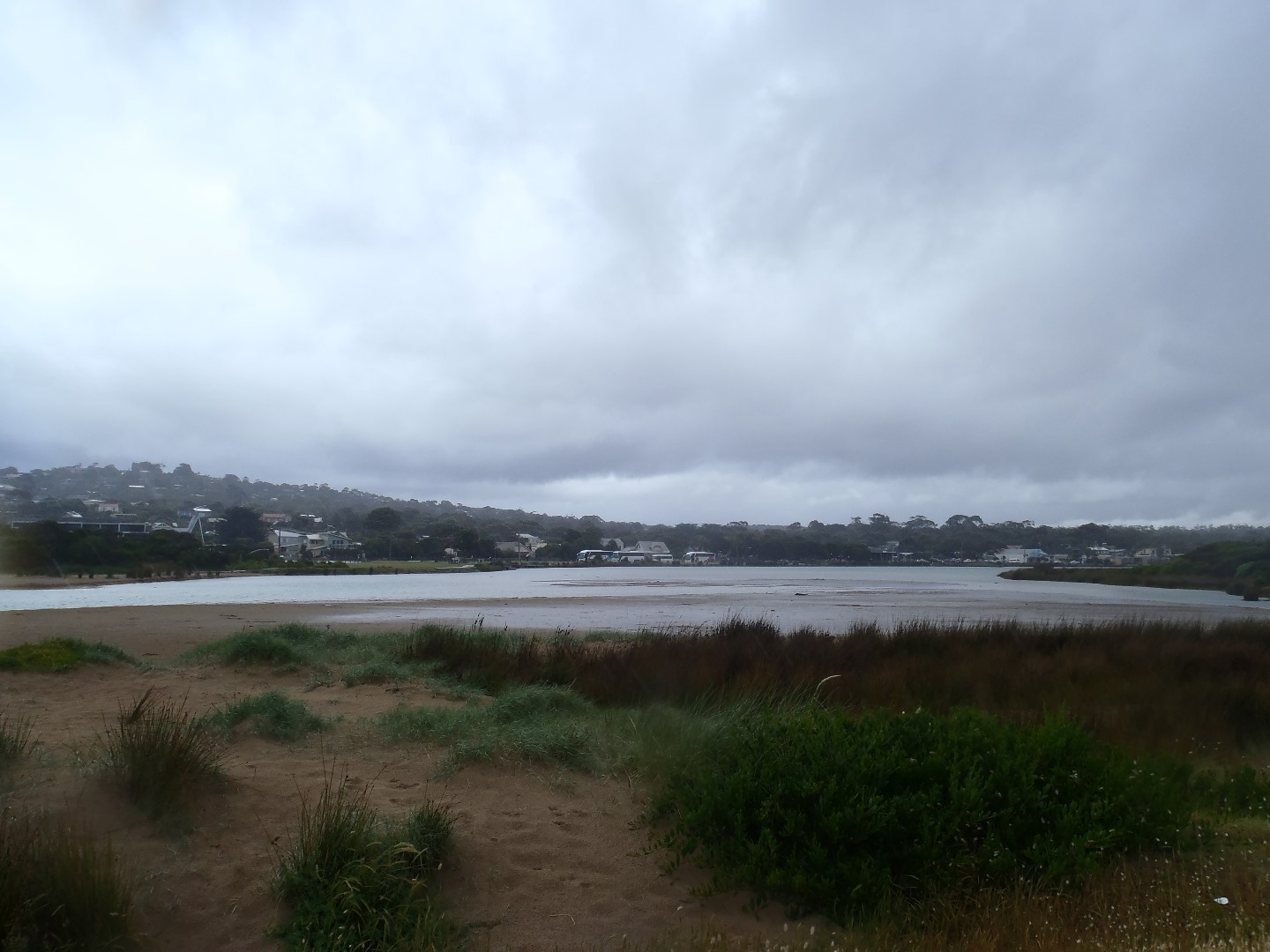
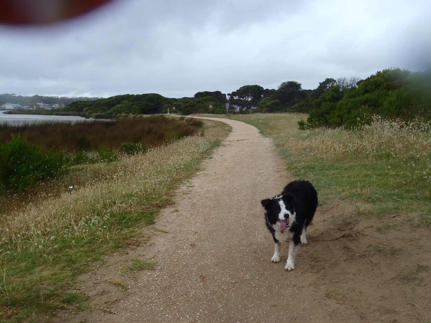
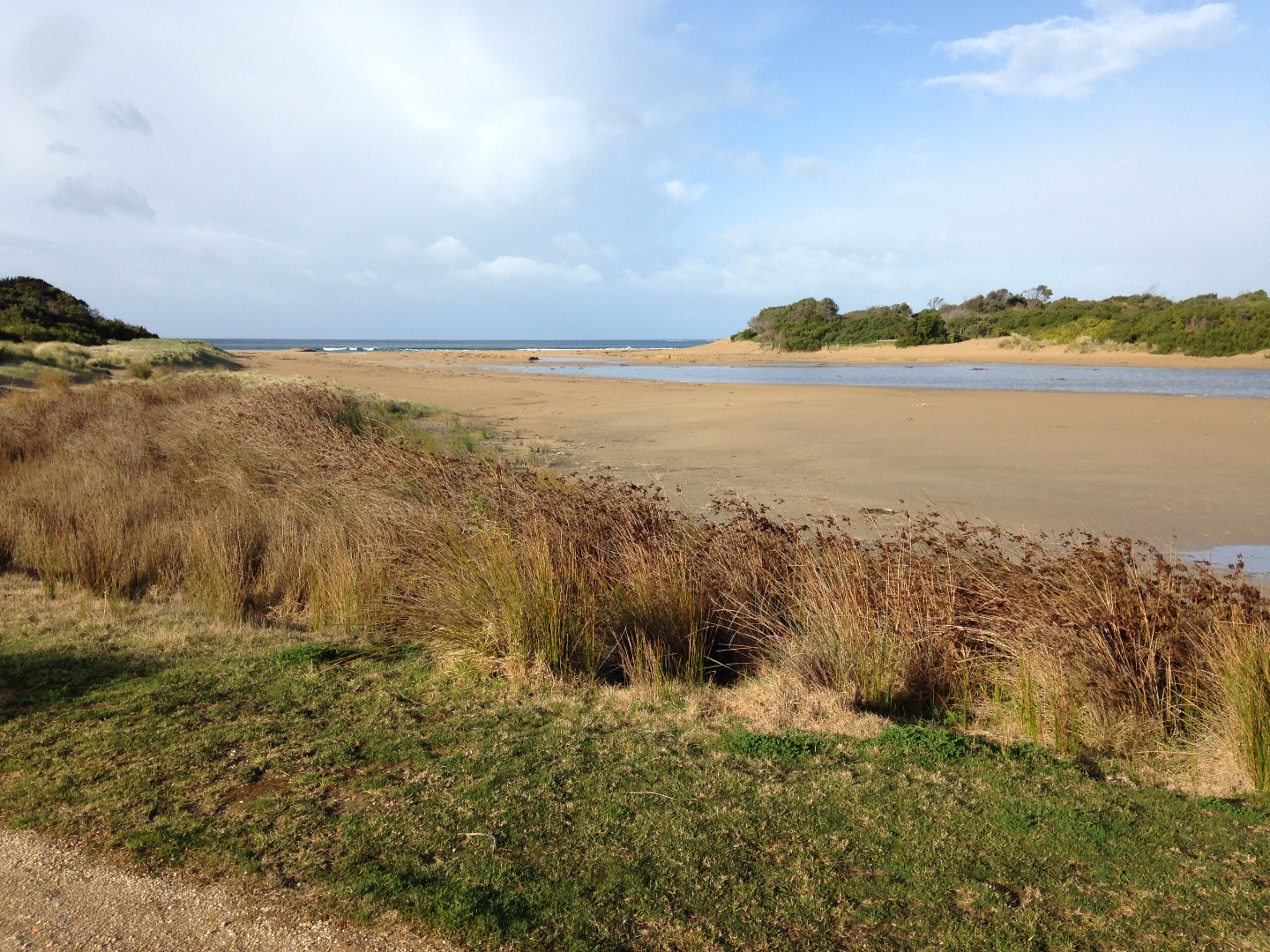
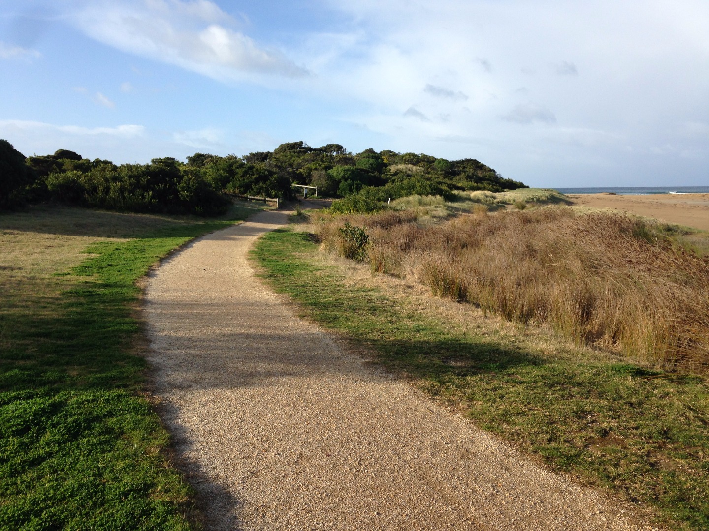
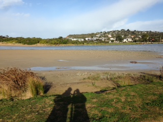
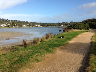
AMC Anglesea River Estuary Mouth Observation Site
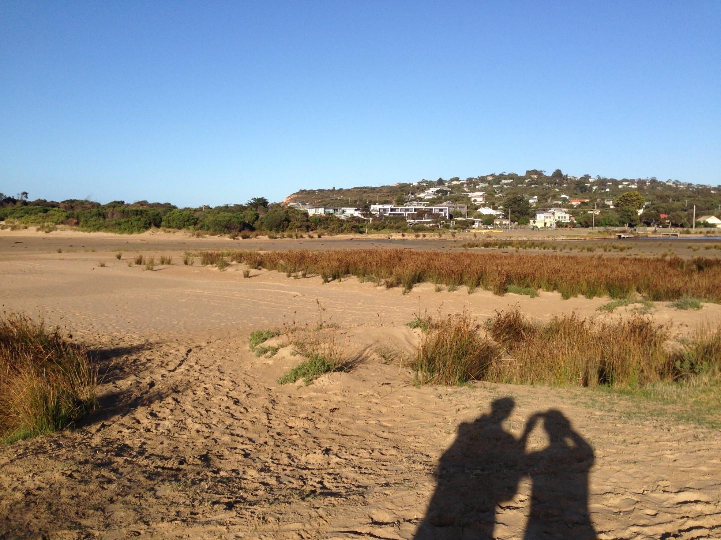
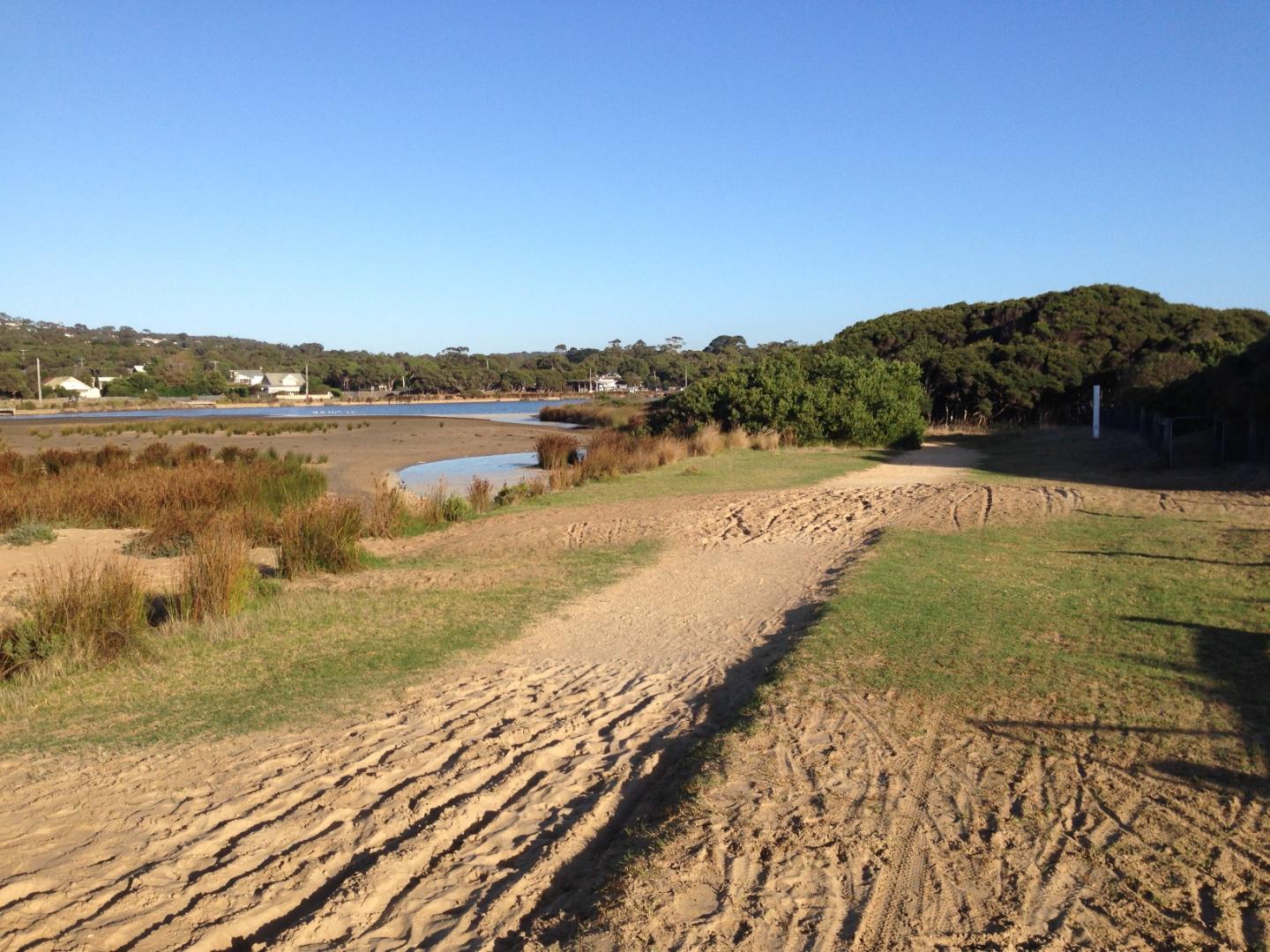
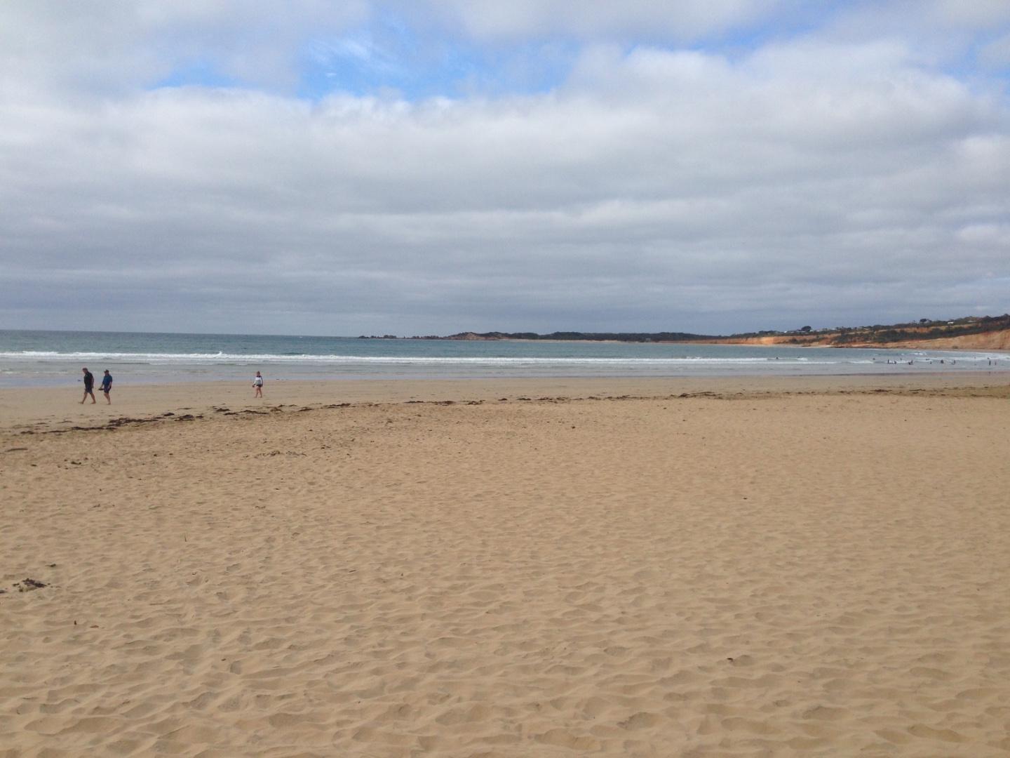
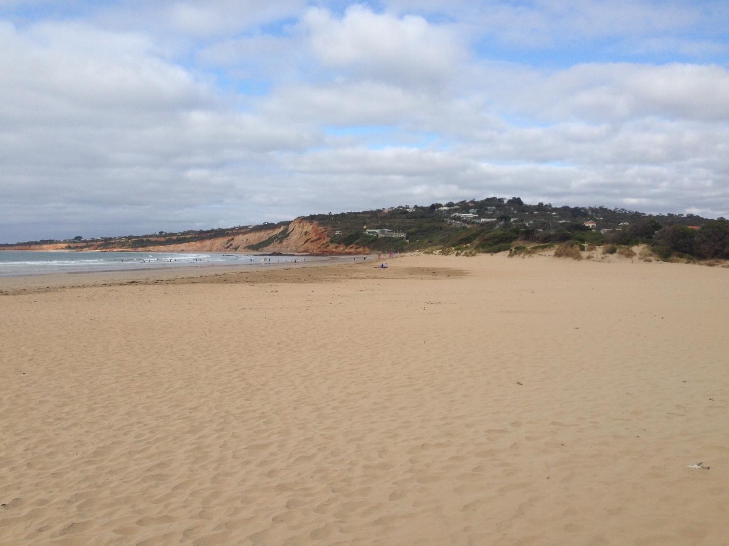
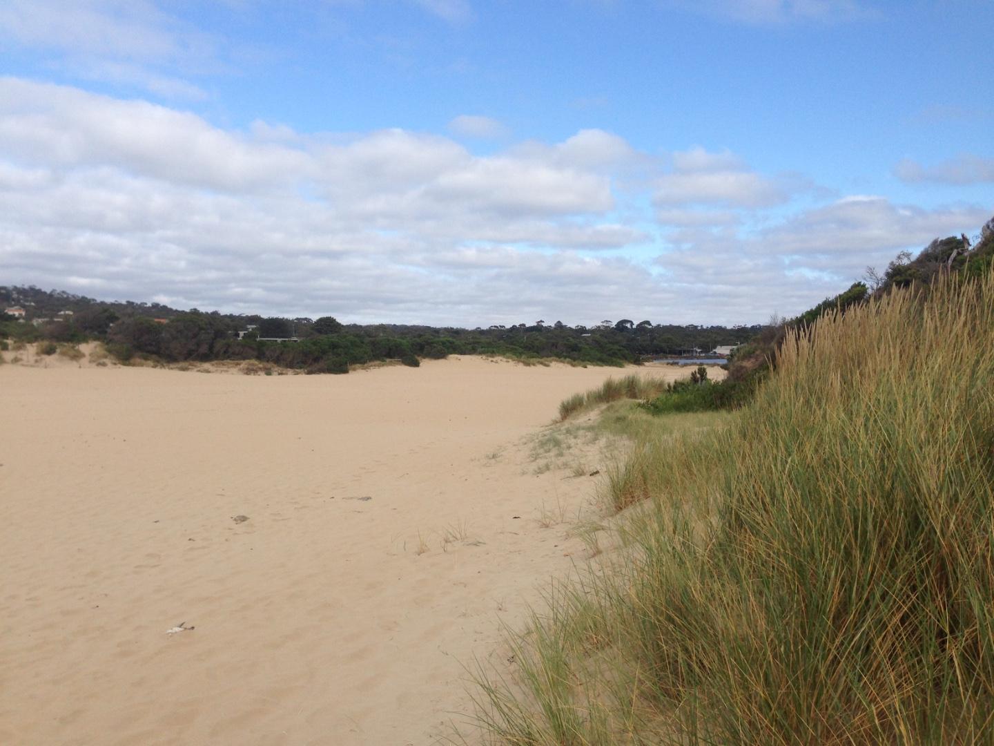
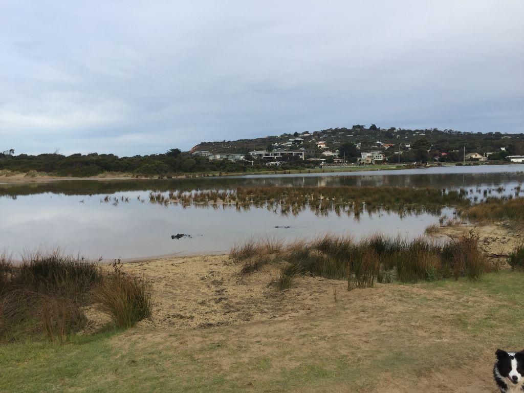
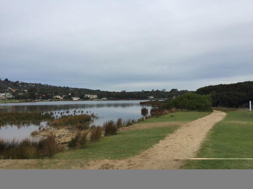
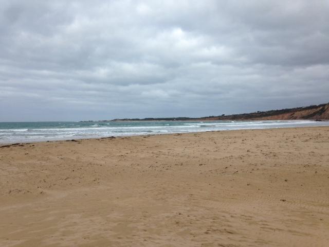
Active Mouth Condition 17-04-2007 - 17-04-2024Anglesea River Estuary
| ID | Date | Status | Details | |
|---|---|---|---|---|
| #13267 | 21 Aug 2019 | Approved |
Notes:
Mouth opened artificially last week |
|
| #13250 | 17 Jul 2019 | Approved | ||
| #13134 | 19 Jun 2019 | Approved | ||
| #13054 | 15 May 2019 | Approved |
Notes:
Rough seas, high tides over the past week, sea water had entered the estuary as per Neil's videos |
|
| #12865 | 17 Apr 2019 | Approved | ||
| #12852 | 27 Mar 2019 | Approved |
Notes:
High tide last night spilled over berm all the way to the river mouth - 214m. |
|
| #12718 | 20 Feb 2019 | Approved |
Notes:
Longest berm and lowest river level ever recorded by this team - over the last 6 years. |
|
| #12665 | 23 Jan 2019 | Approved | ||
| #12609 | 19 Dec 2018 | Approved | ||
| #12550 | 21 Nov 2018 | Approved |
Notes:
Asst Sampler Rod Webster Estuary Depth Gauge at Ocean road Bridge almost unreadable. Needs clean. |
|
| #12449 | 17 Oct 2018 | Approved |
Notes:
Anglesea river at an all time low for this group of Estuary watchers. Height 1.2m. Length of berm also a record for this group 230m Berm ht above sea was 1.45m (low tide) Berm ht above river was 1m |
|
| #12497 | 19 Sep 2018 | Approved | ||
| #12339 | 15 Aug 2018 | Approved | ||
| #12297 | 18 Jul 2018 | Approved |
Notes:
Assisted by John Slykhuis |
|
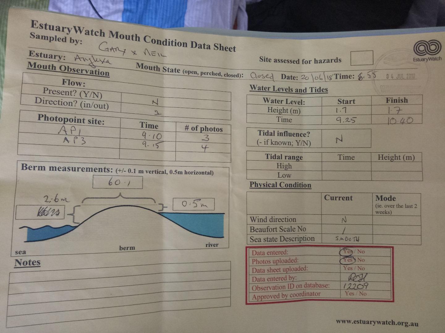
| #12209 | 20 Jun 2018 | Approved |
Notes:
Assisted by Gary Robinson |
|
| #12159 | 16 May 2018 | Approved | ||
| #11982 | 18 Apr 2018 | Approved |
Notes:
Sea has come over the berm to the estuary. |
|
| #11926 | 21 Mar 2018 | Approved | ||
| #11893 | 21 Feb 2018 | Approved | ||
| #11747 | 17 Jan 2018 | Approved | ||
| #11716 | 20 Dec 2017 | Approved | ||
| #11616 | 15 Nov 2017 | Approved | ||
| #11536 | 18 Oct 2017 | Approved | ||
| #11476 | 20 Sep 2017 | Approved | ||
| #11412 | 16 Aug 2017 | Approved |
Notes:
Unsure of tidal influence unclear about photo point A3-5 Sorry |
|


All content, files, data and images provided by the EstuaryWatch Data Portal and Gallery are subject to a Creative Commons Attribution License
Content is made available to be used in any way, and should always attribute EstuaryWatch and www.estuarywatch.org.au