EstuaryWatch Data Portal
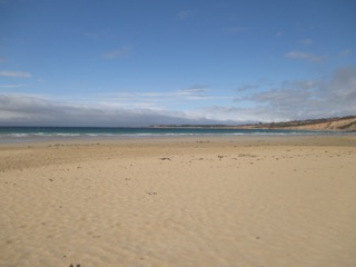
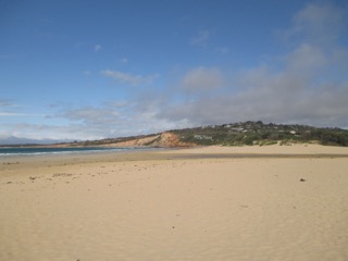
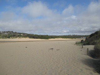
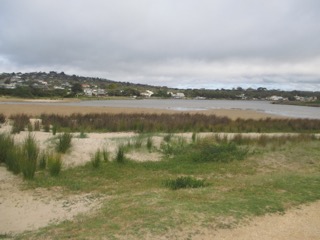
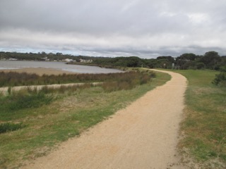
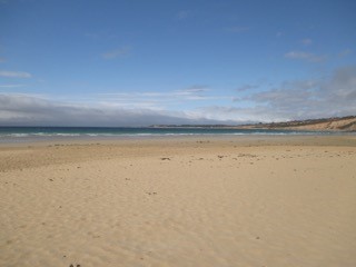
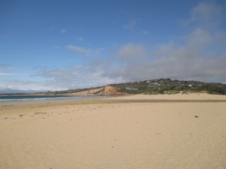
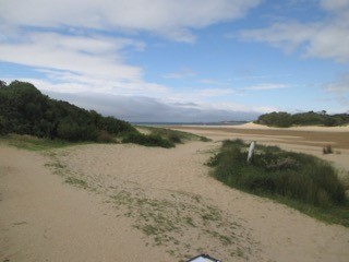
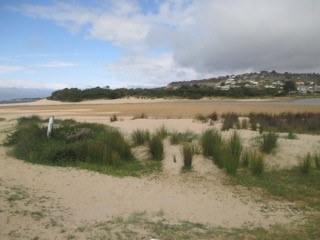
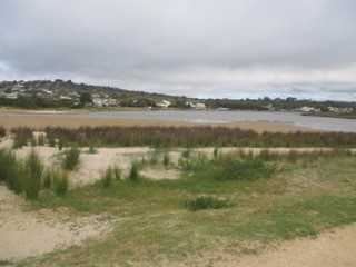
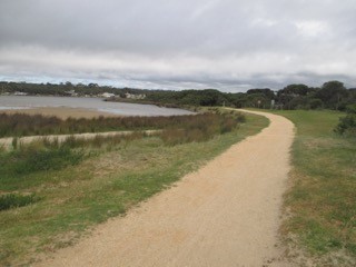
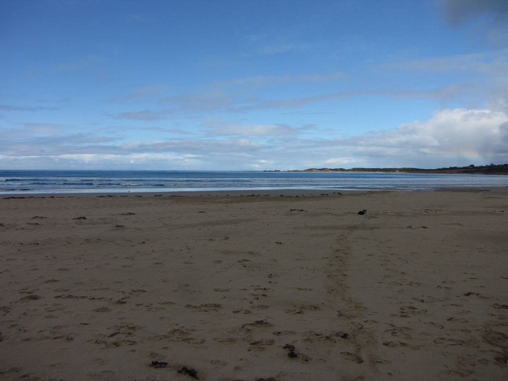
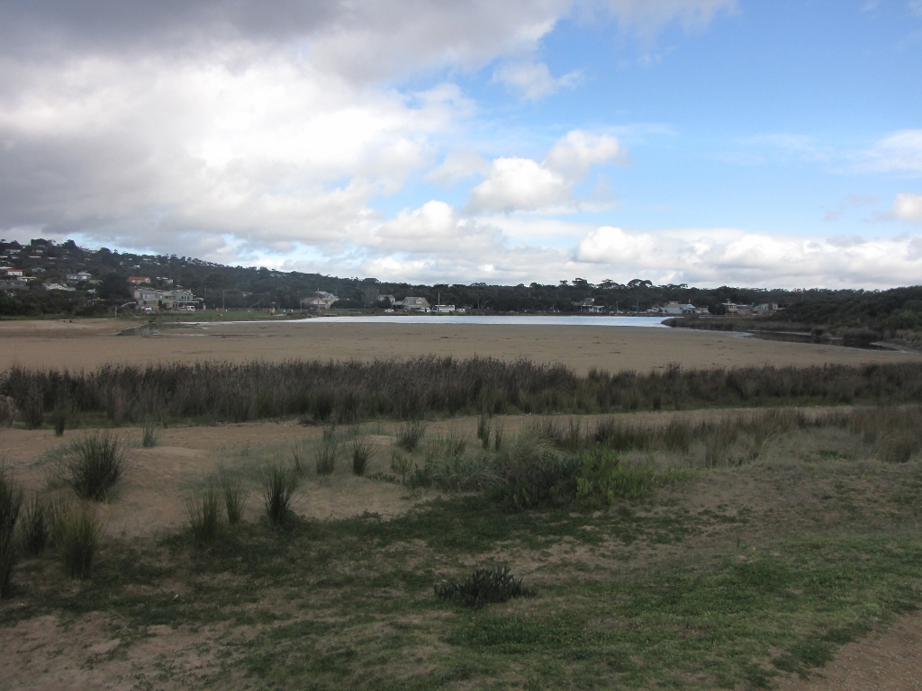
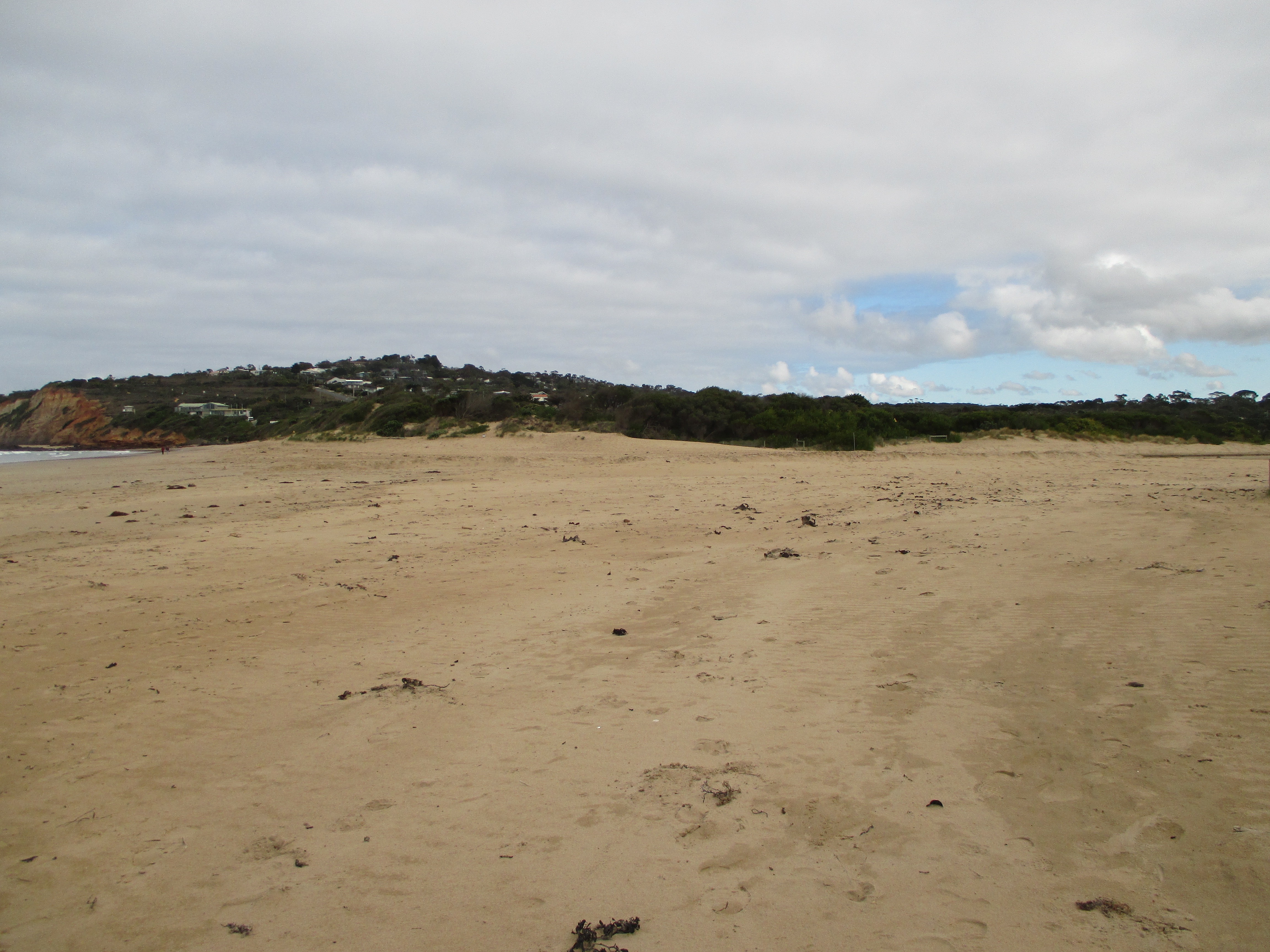
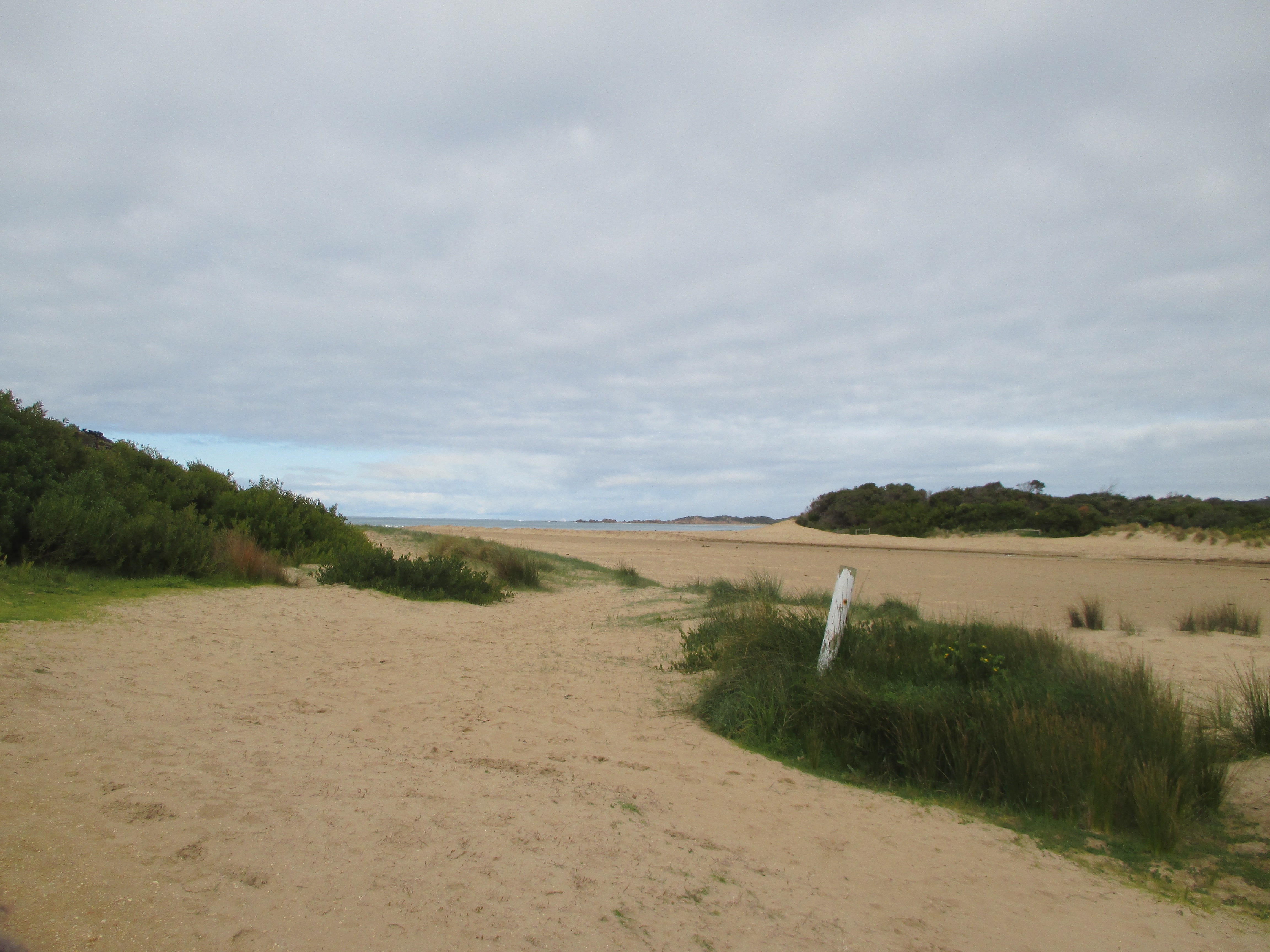
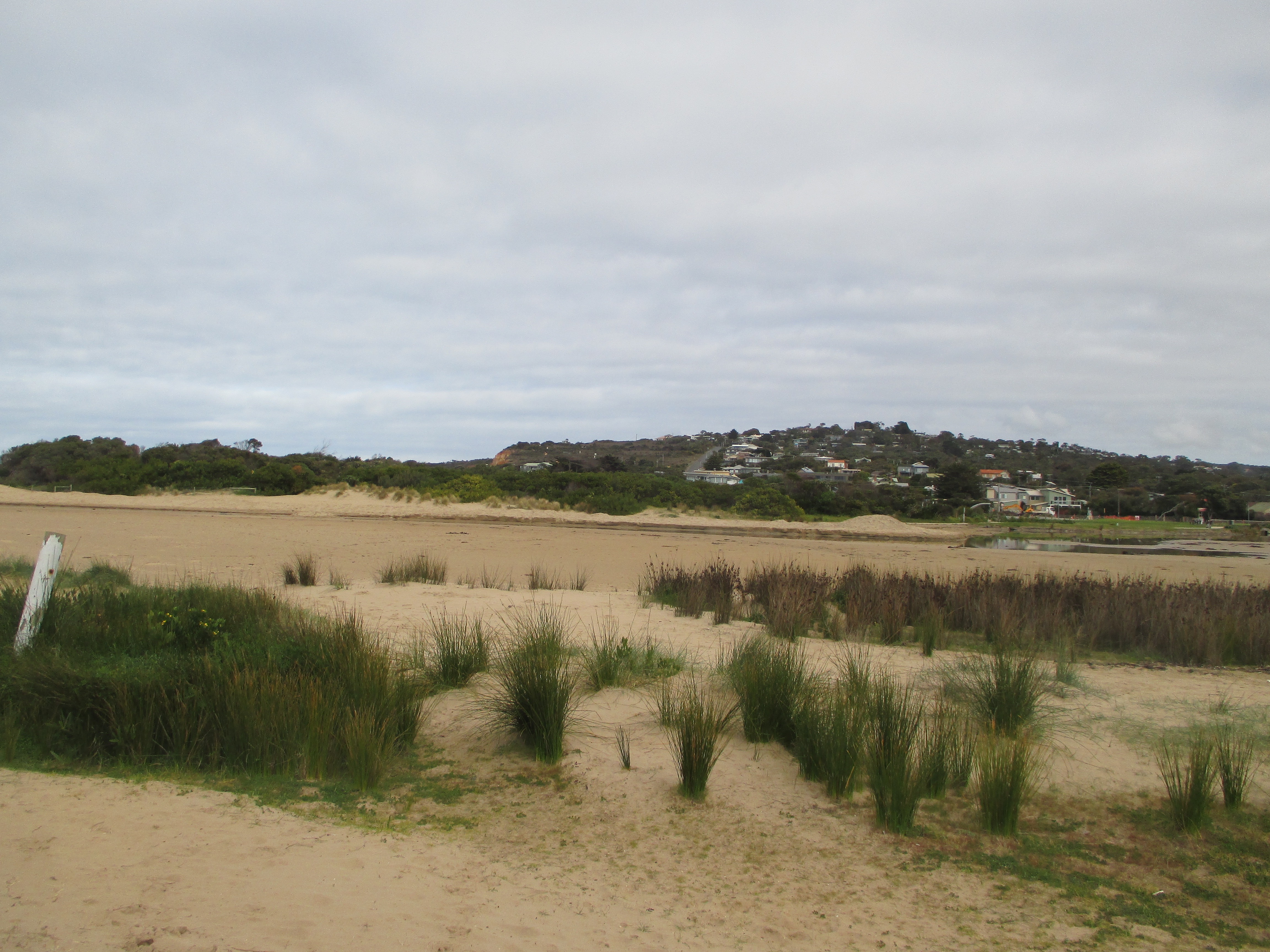
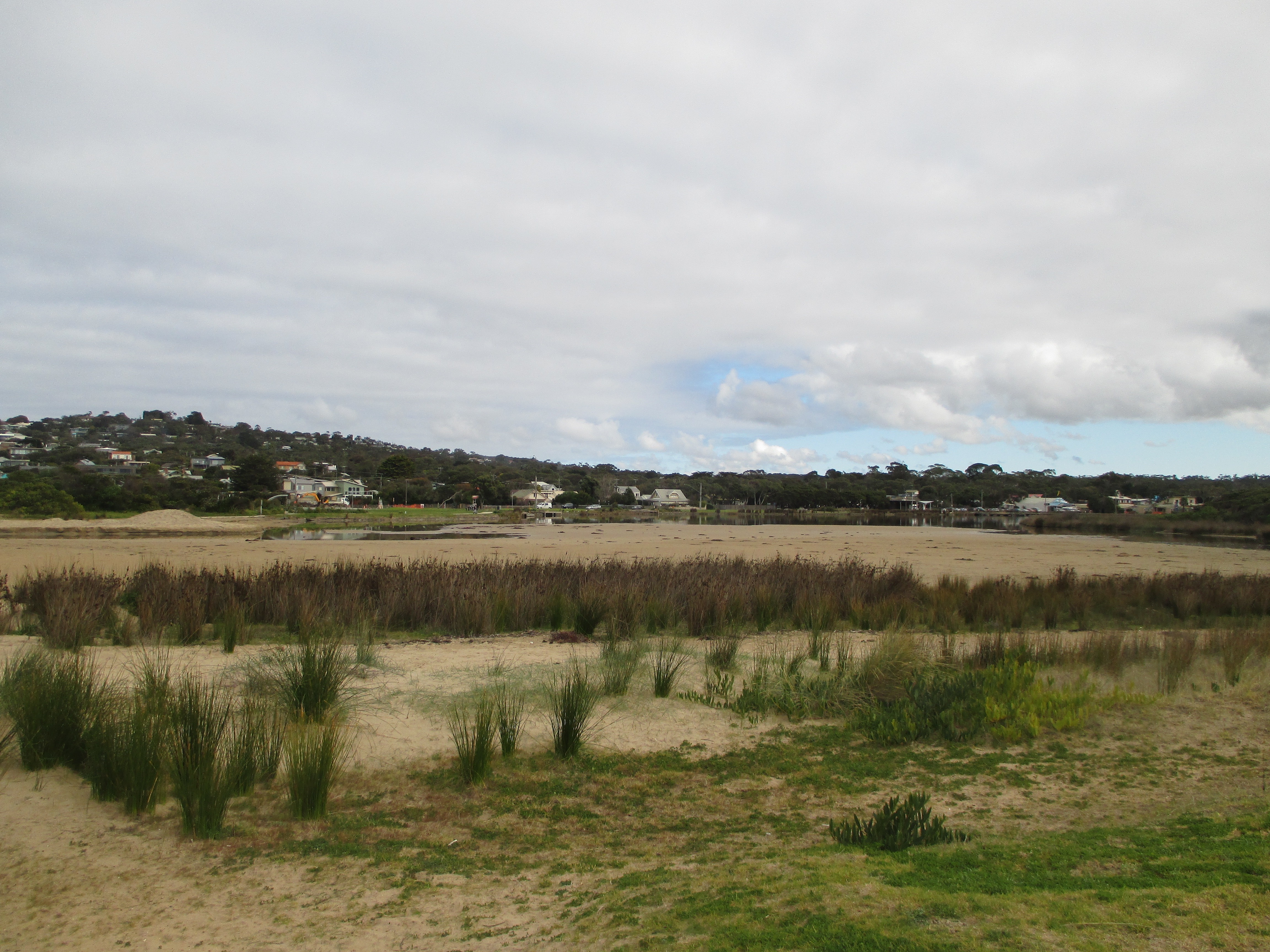
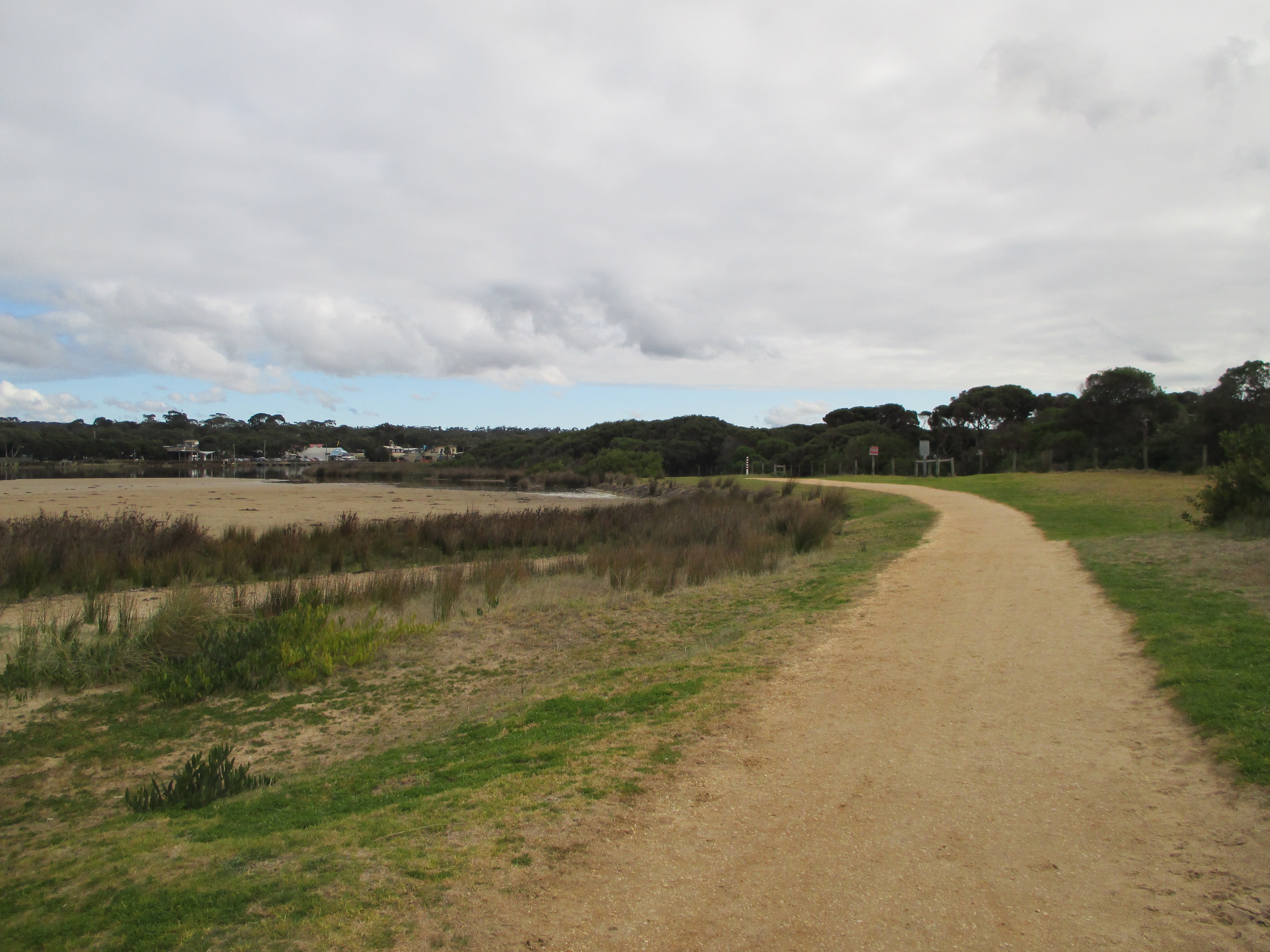
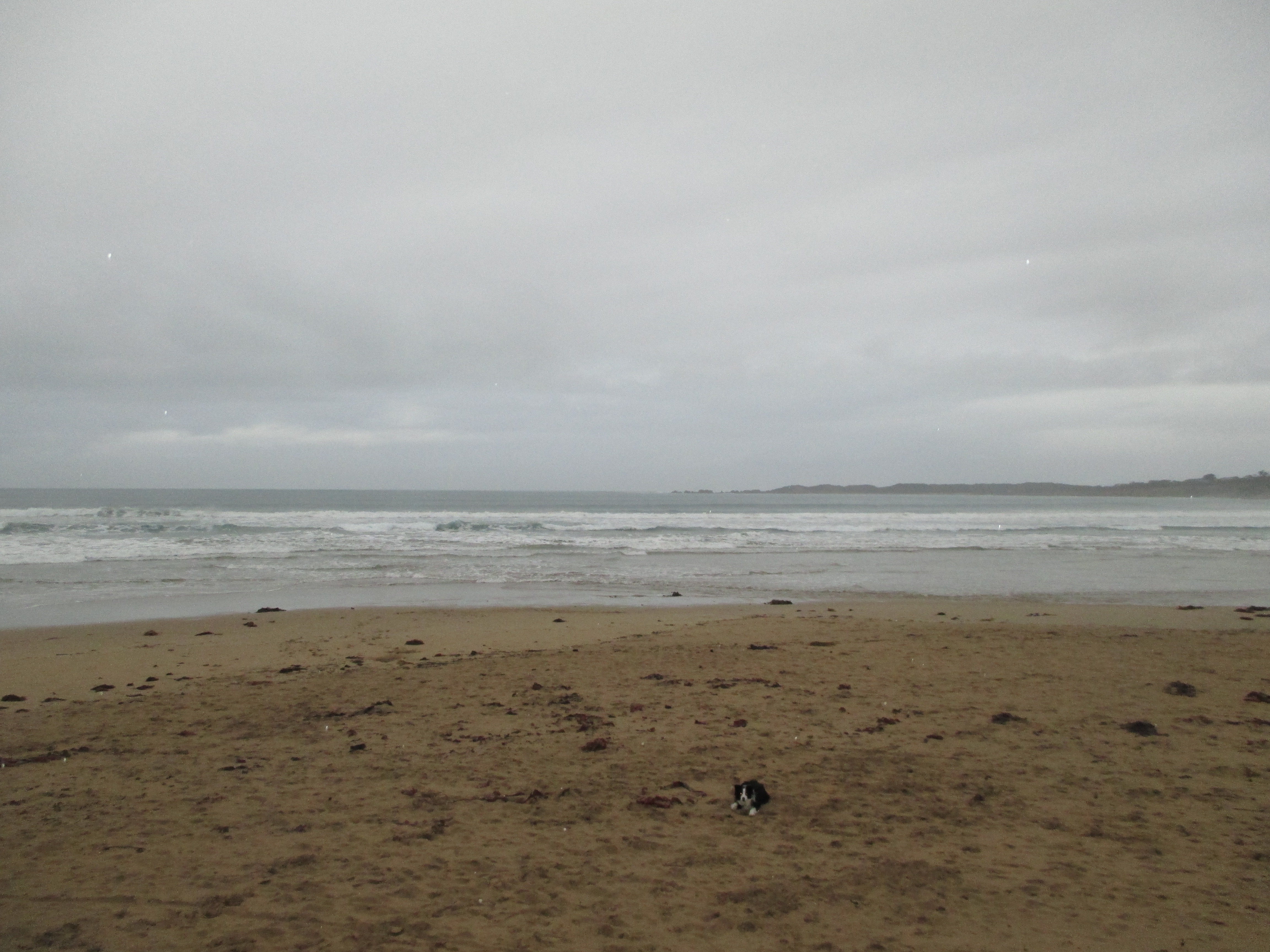
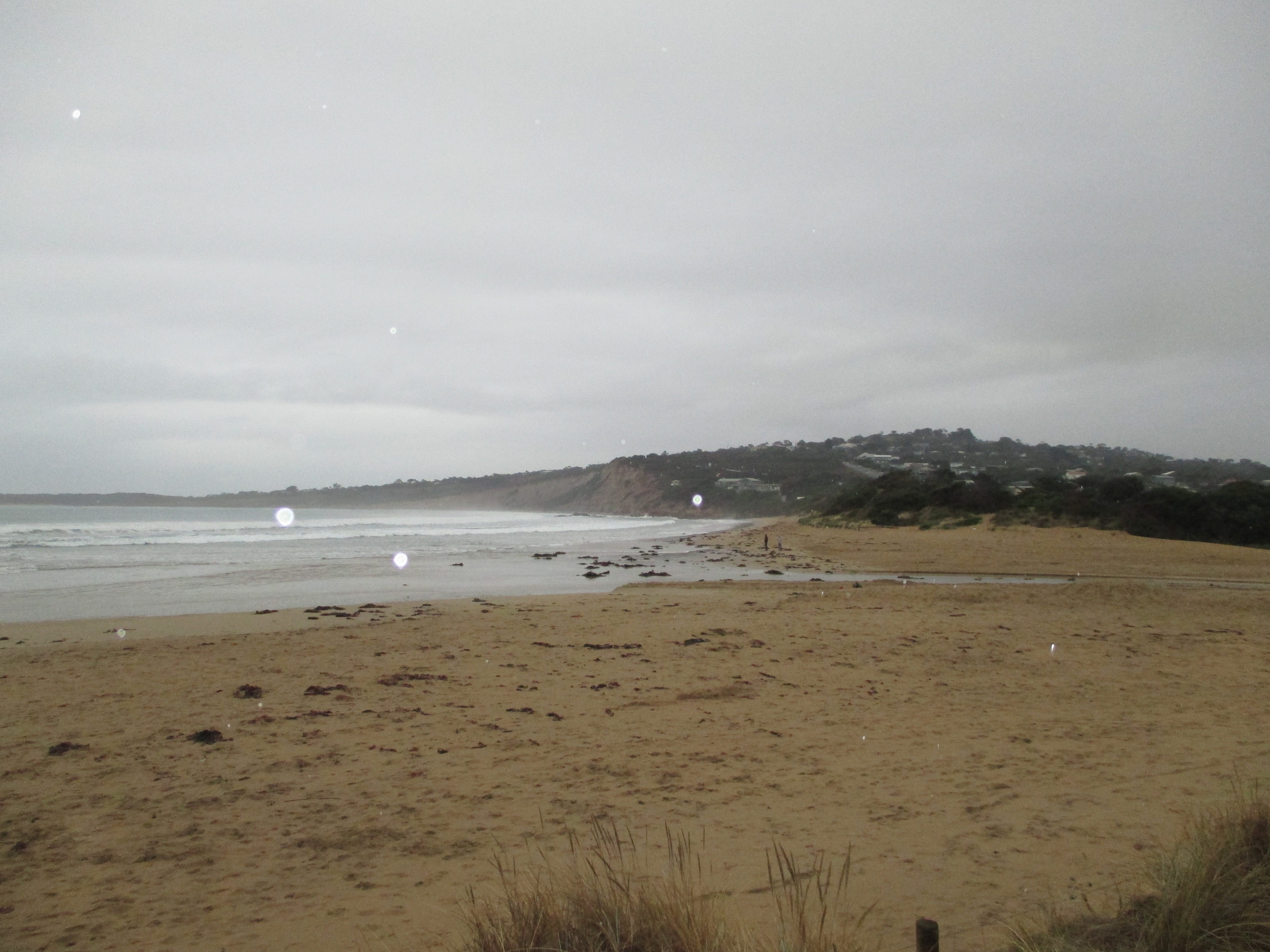
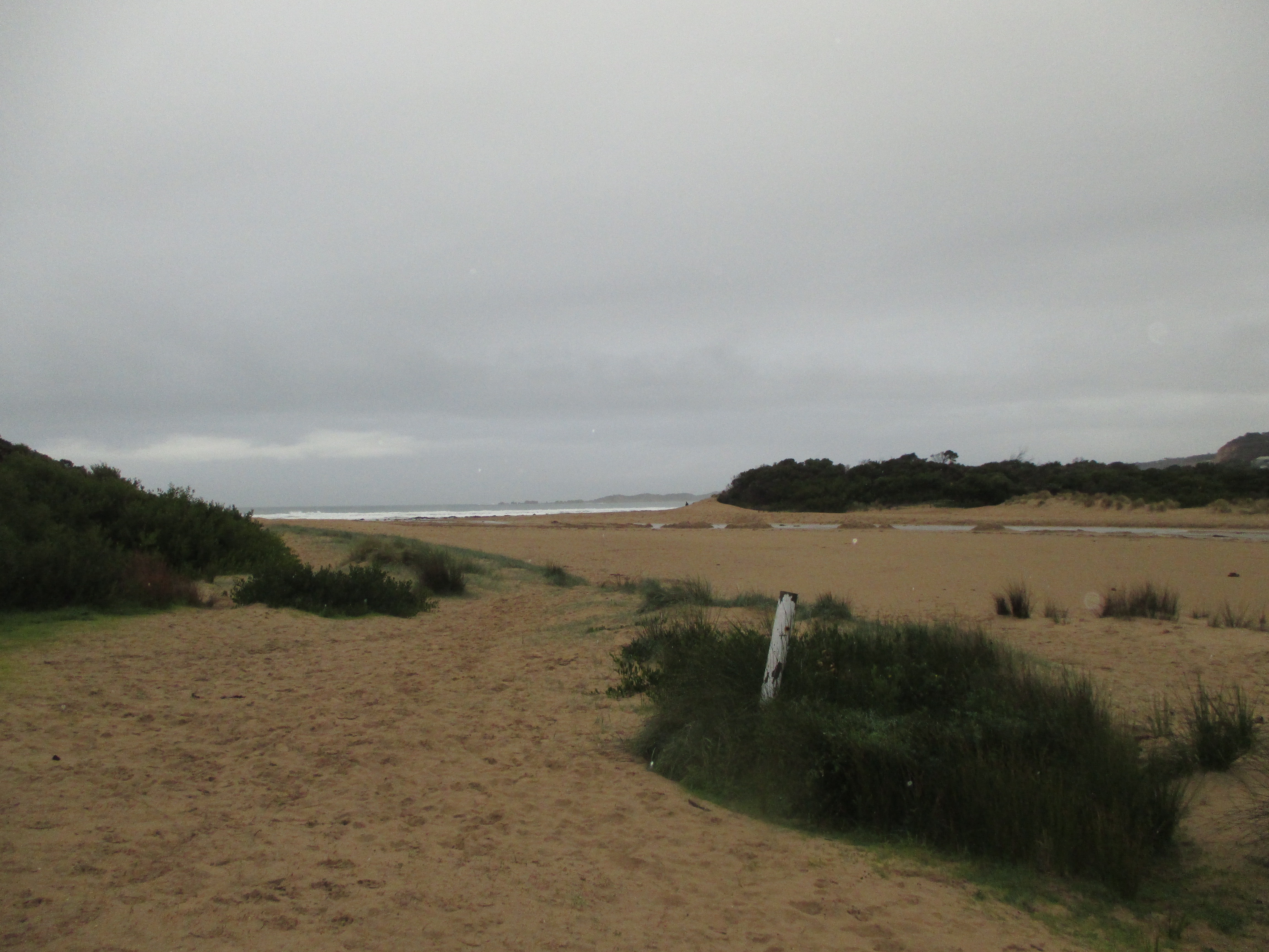
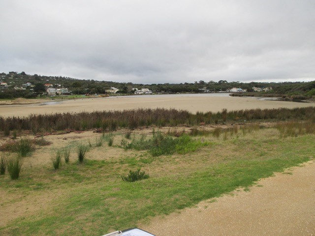
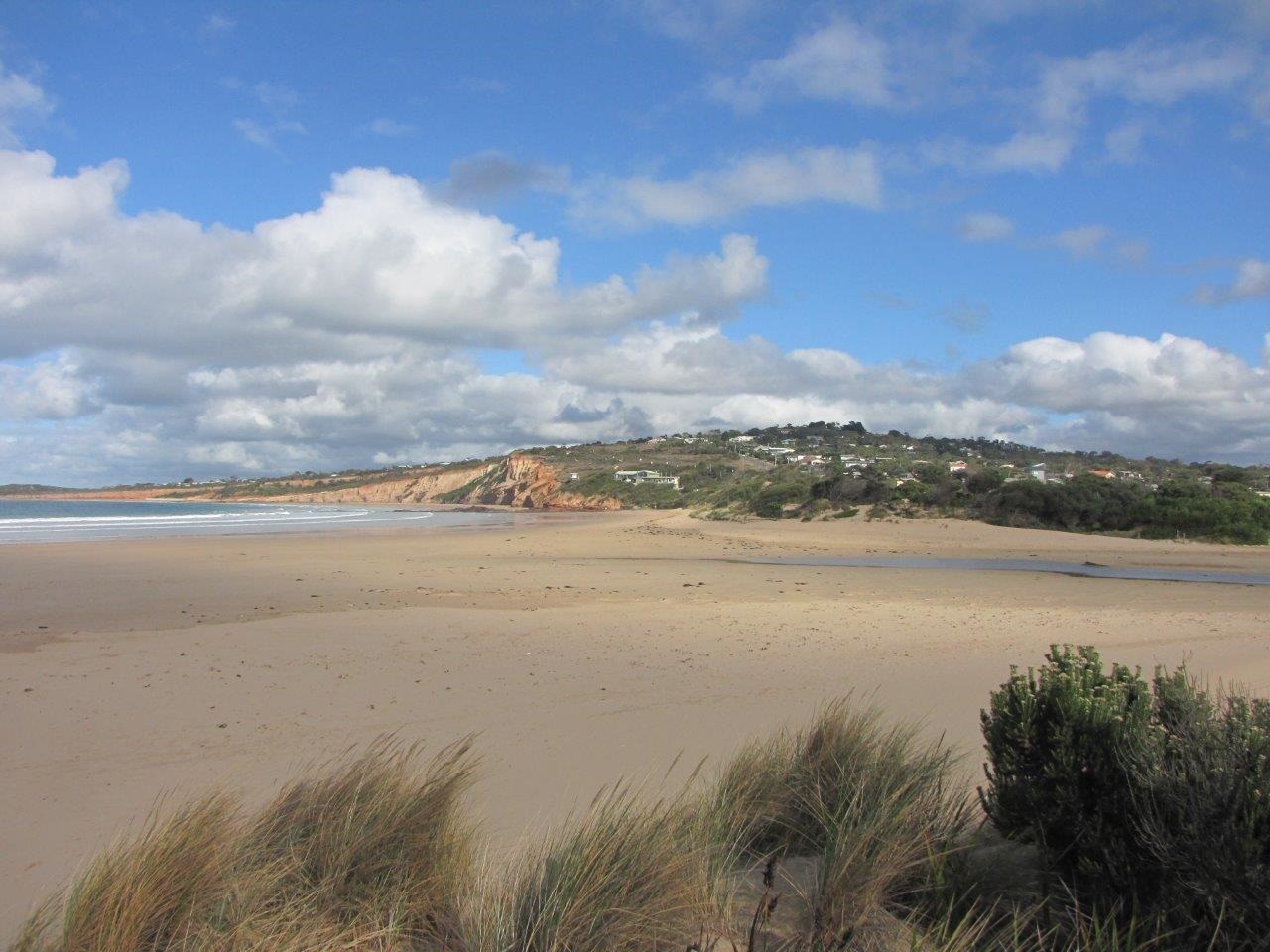
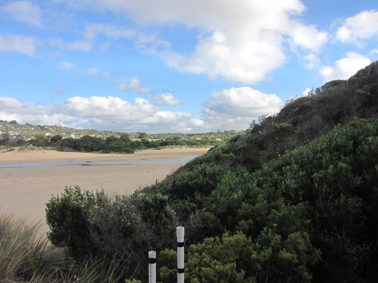
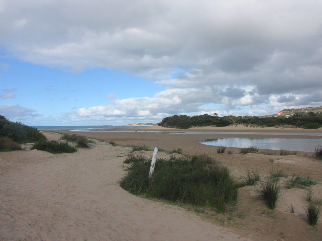
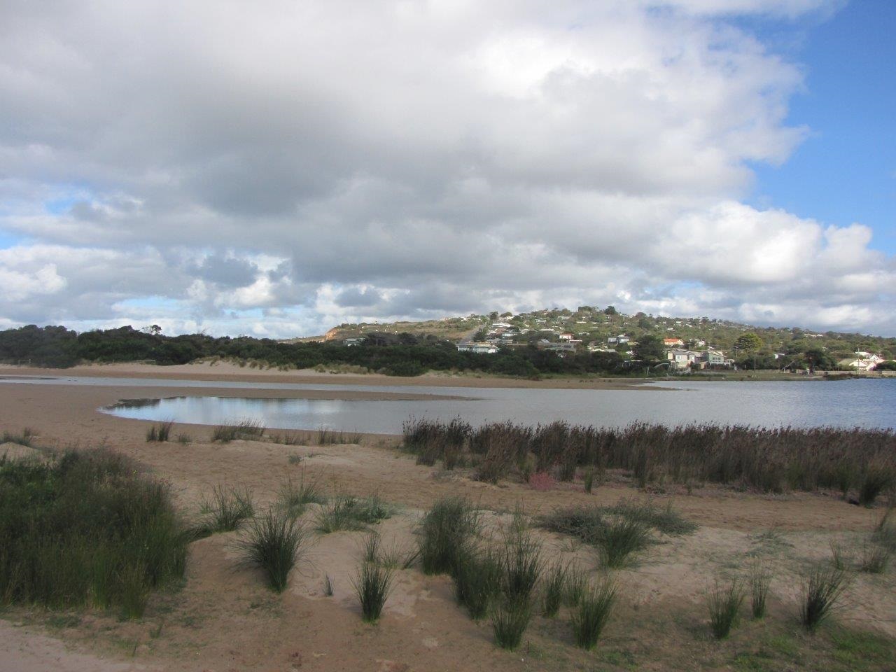
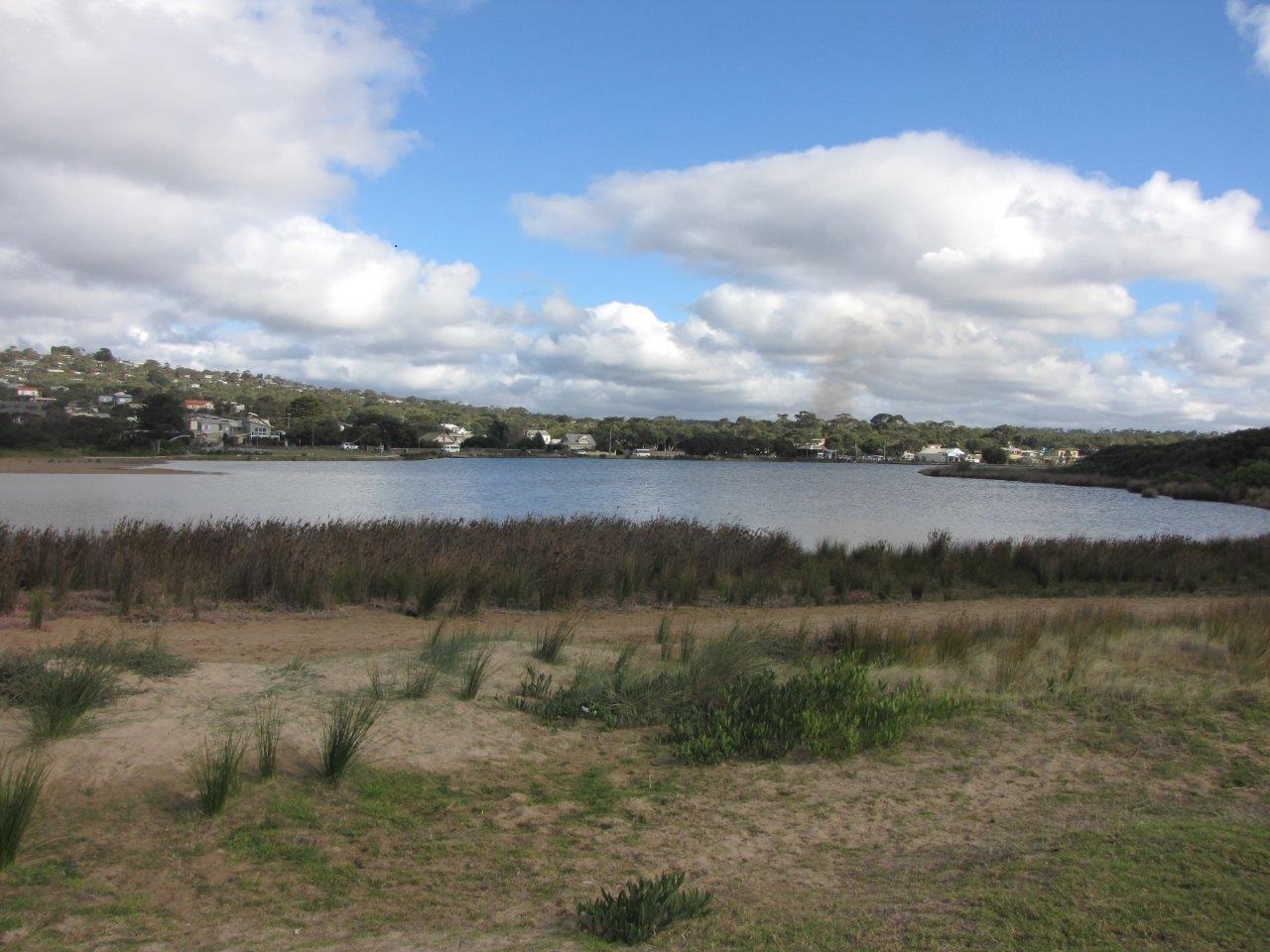
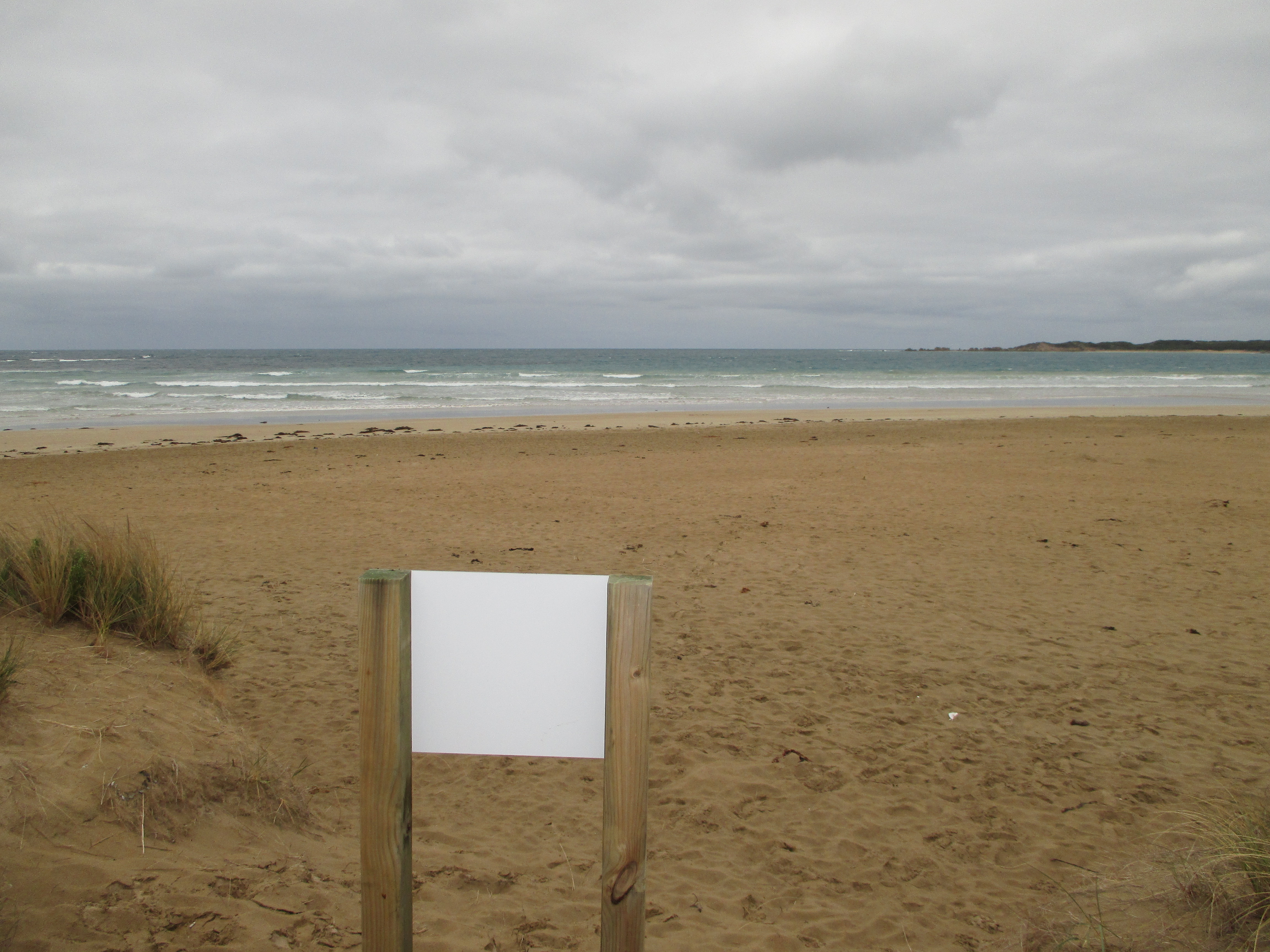
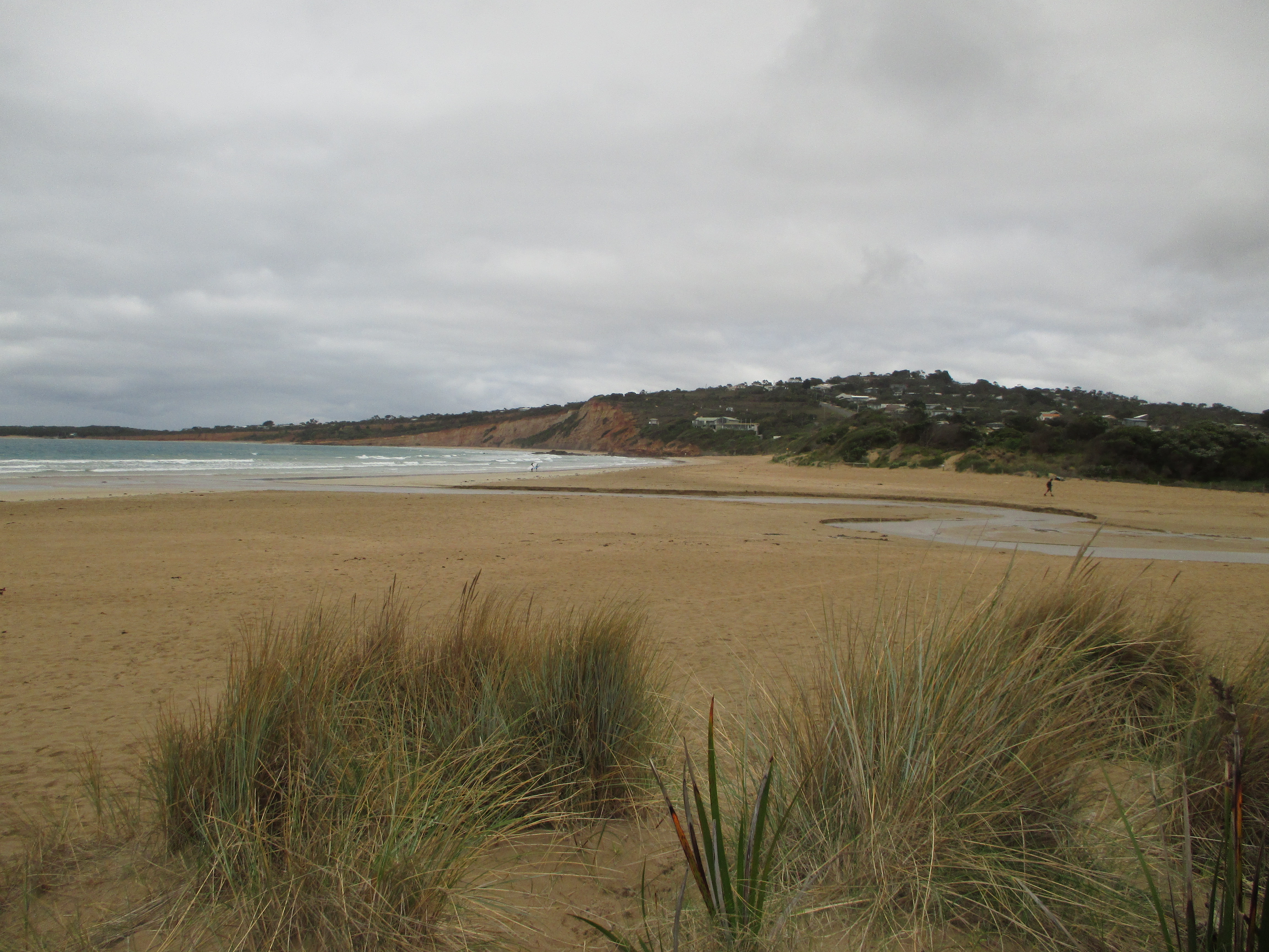
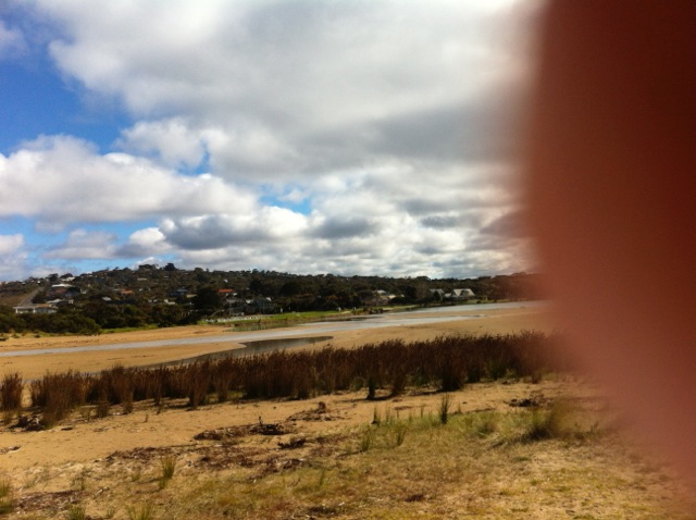
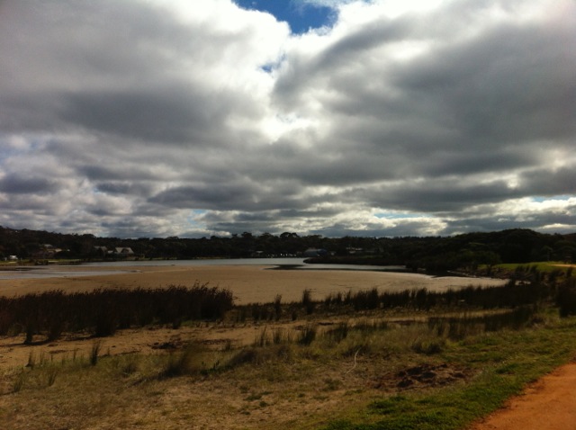
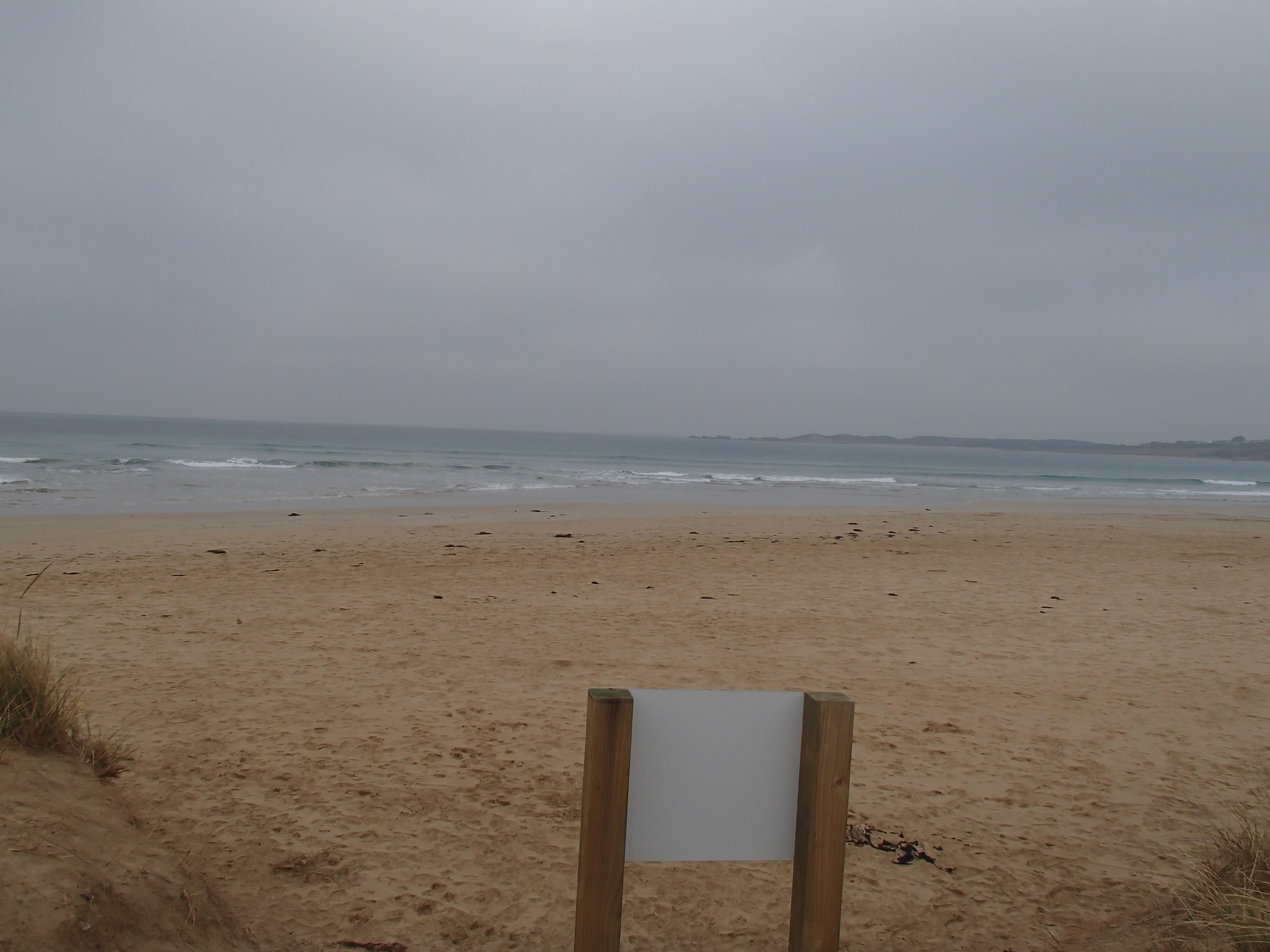
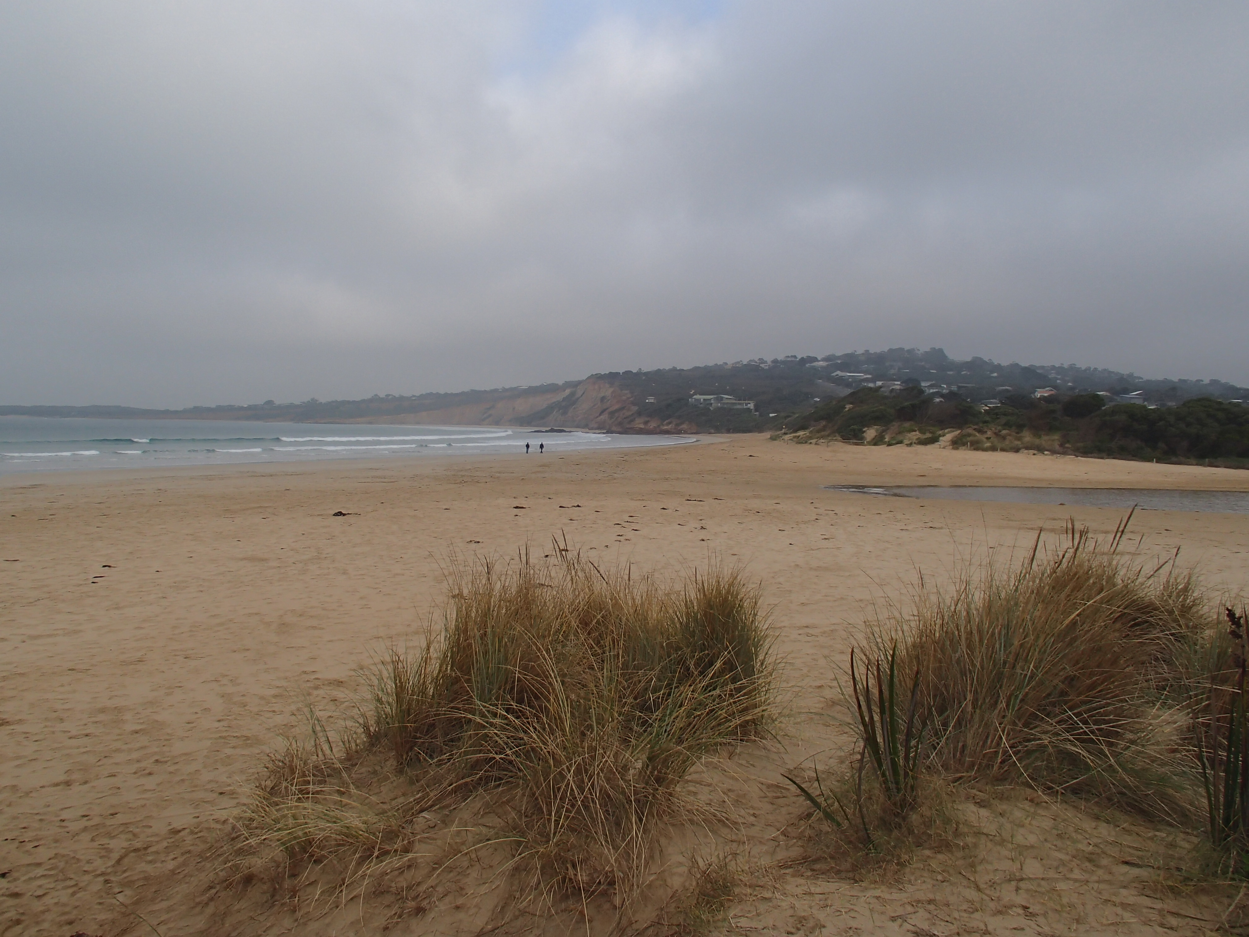
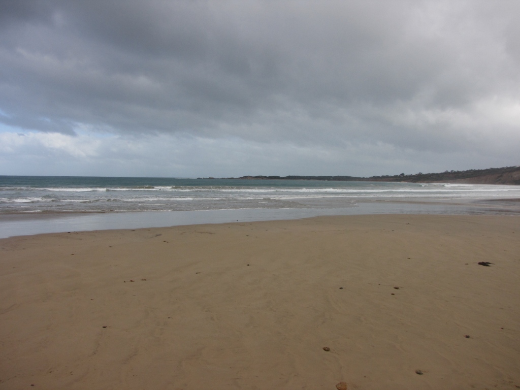
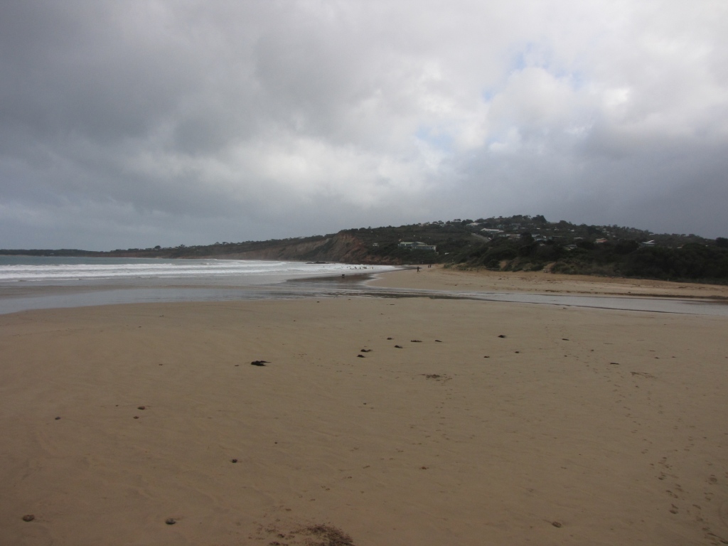
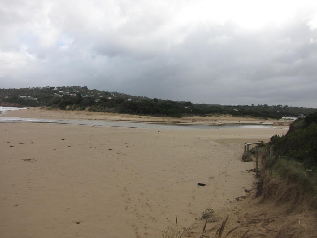
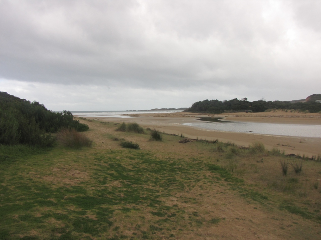
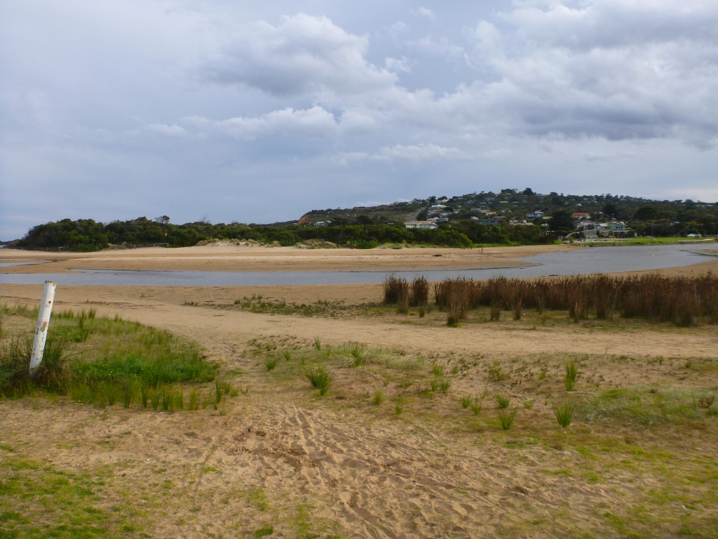
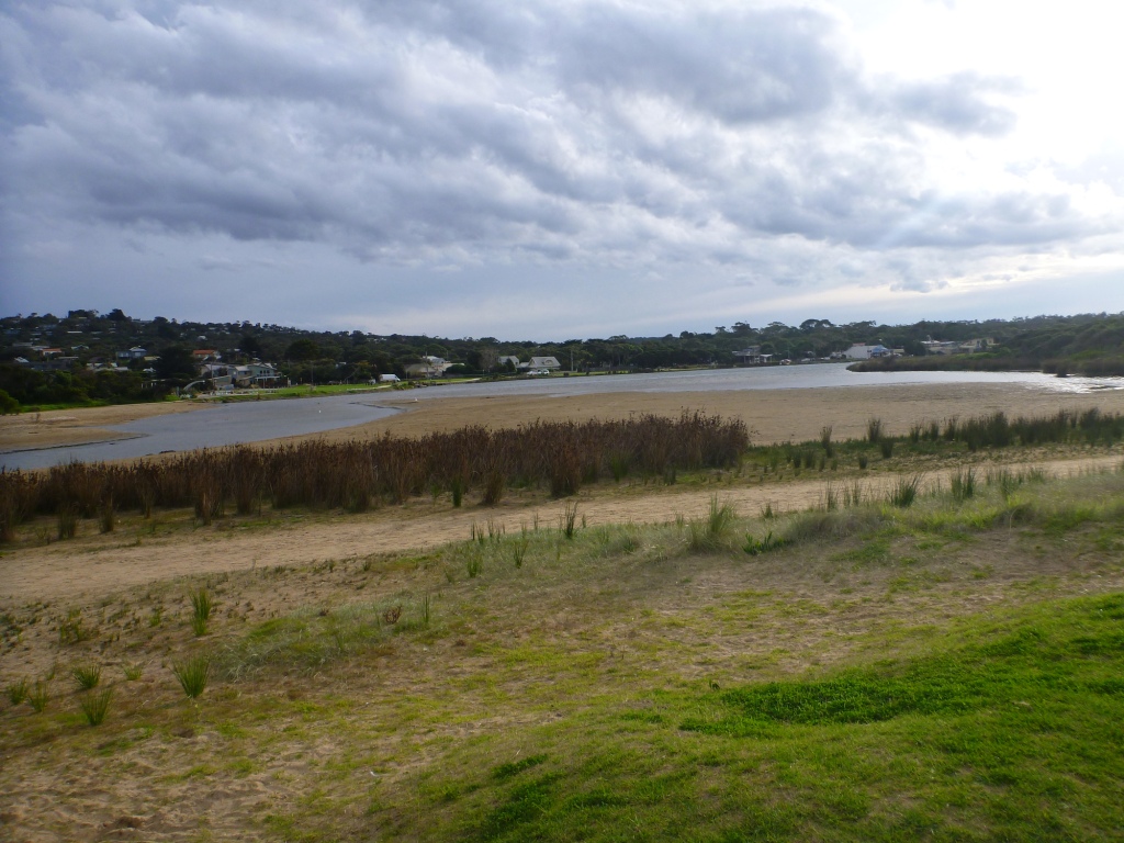
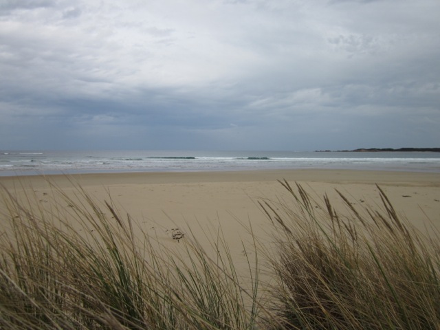
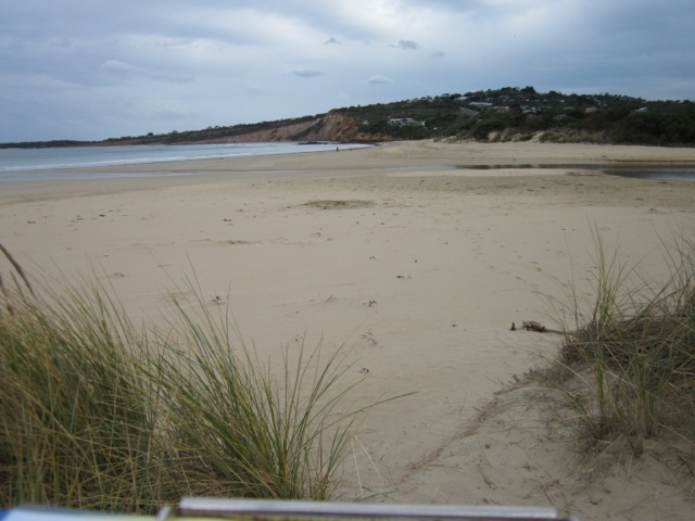
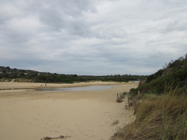
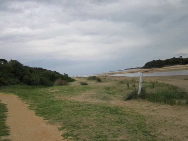
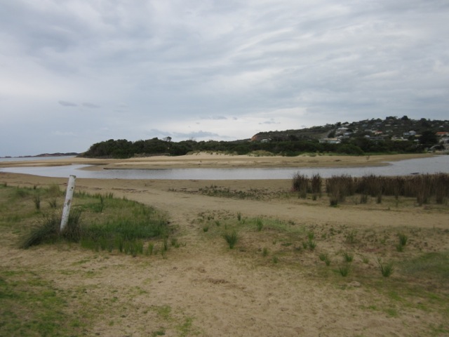
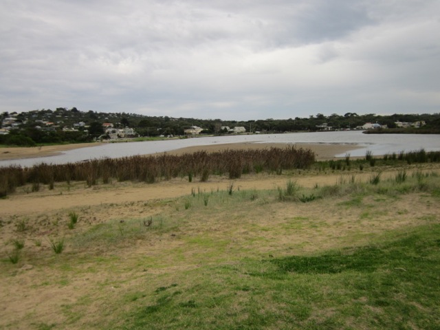
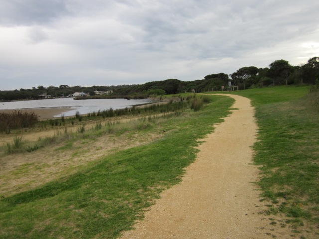
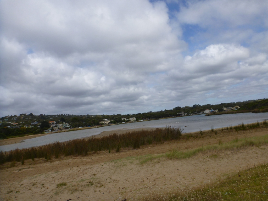
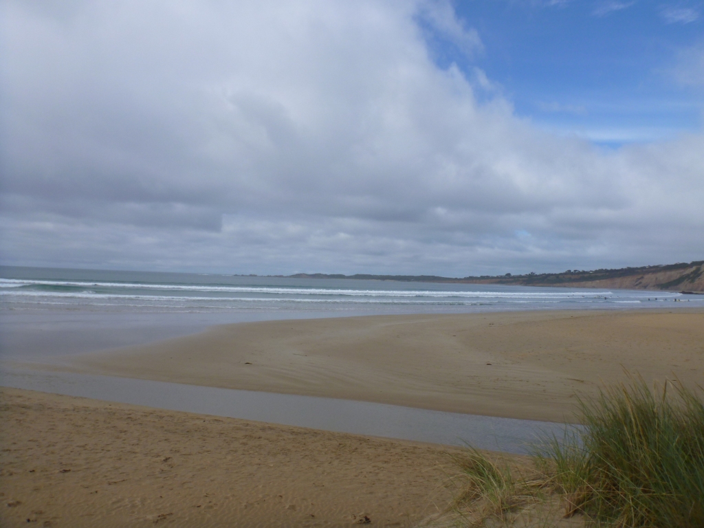
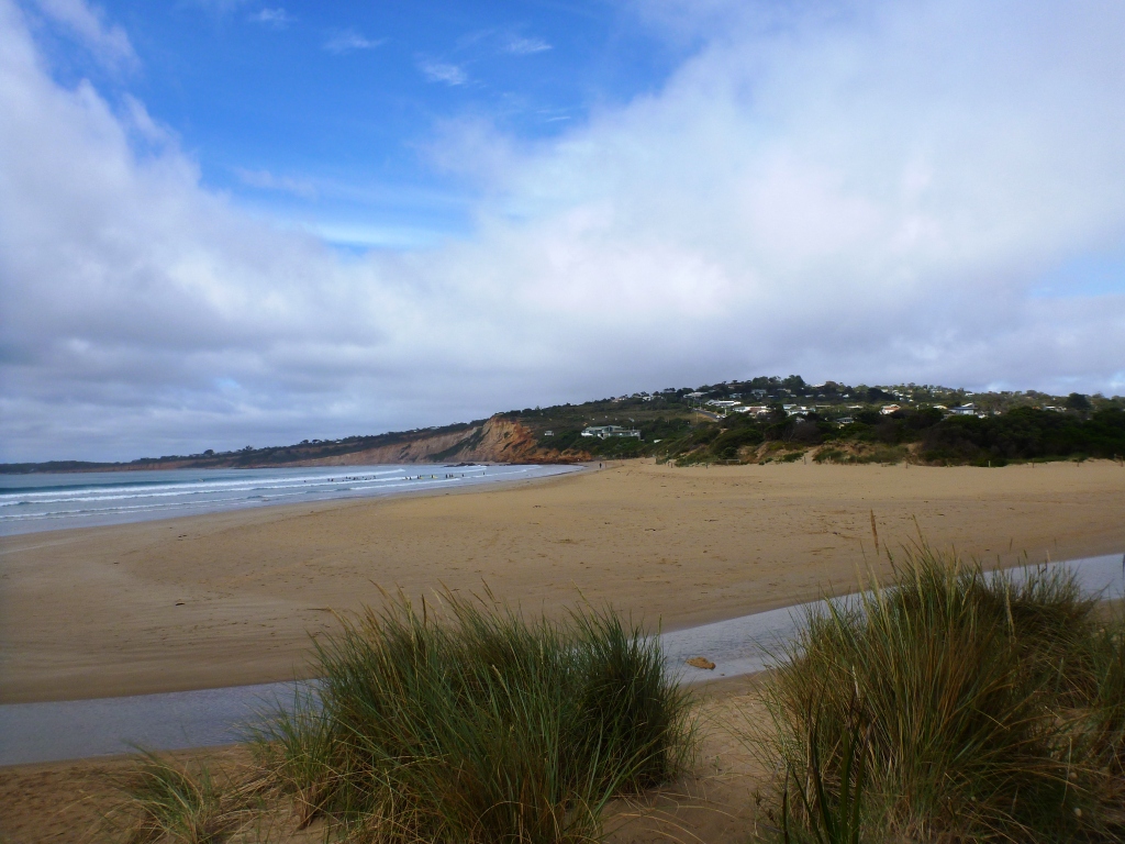
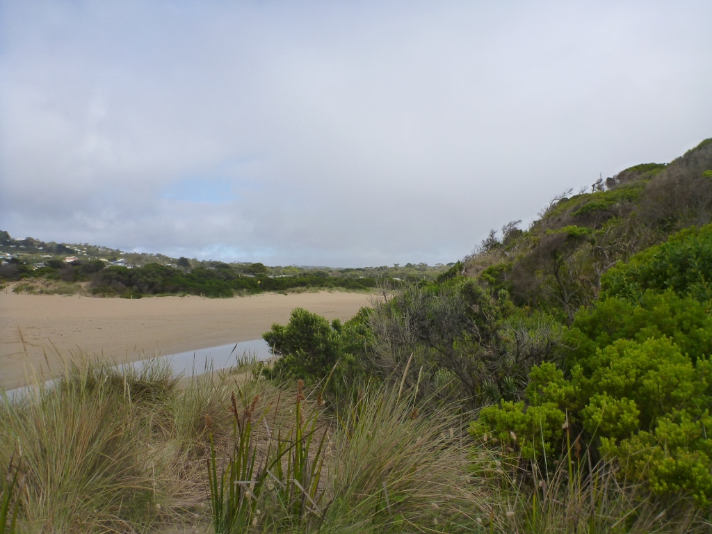
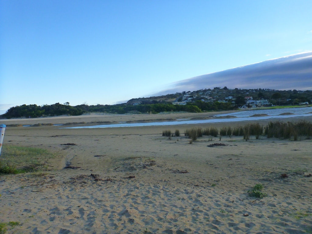
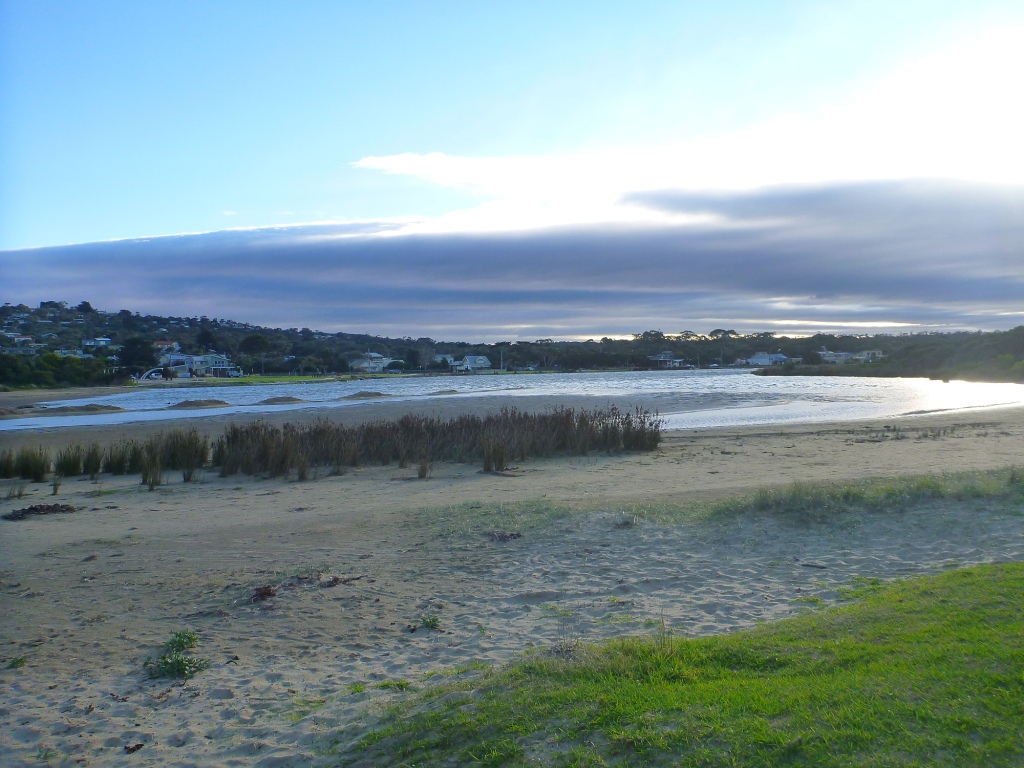
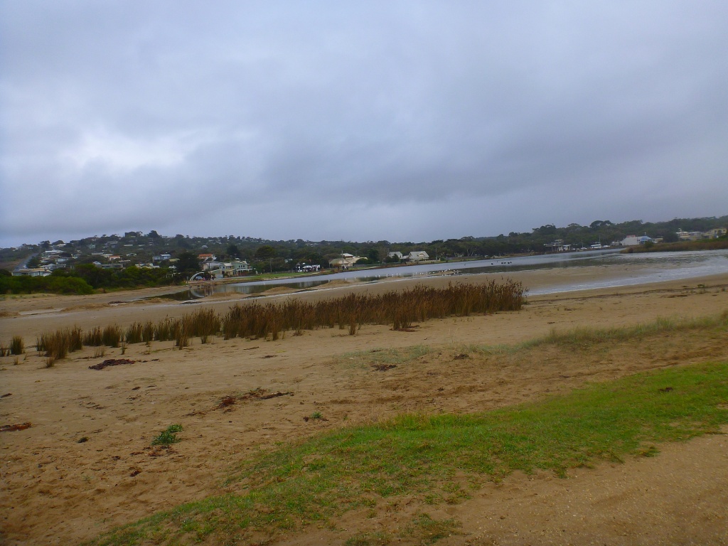
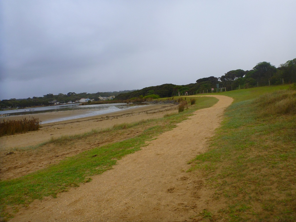
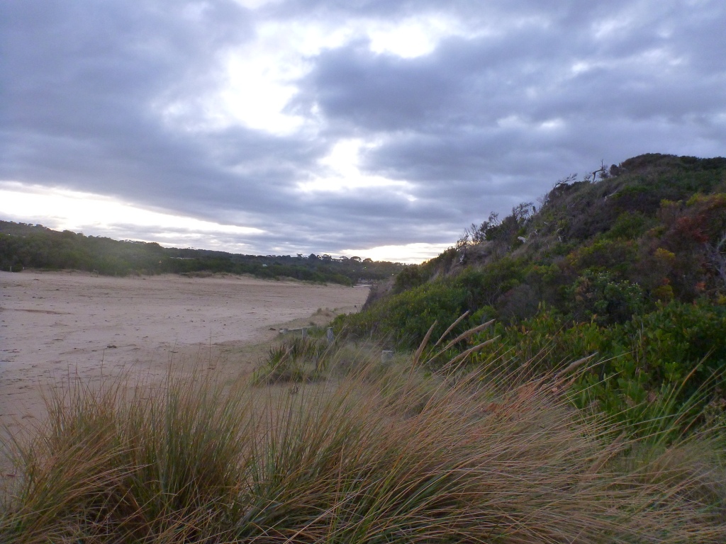
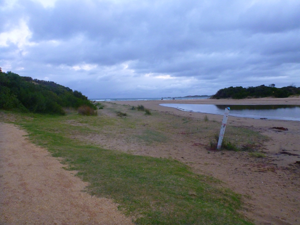
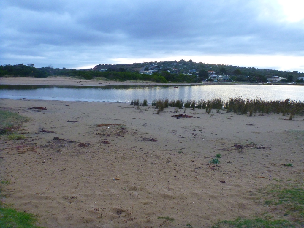
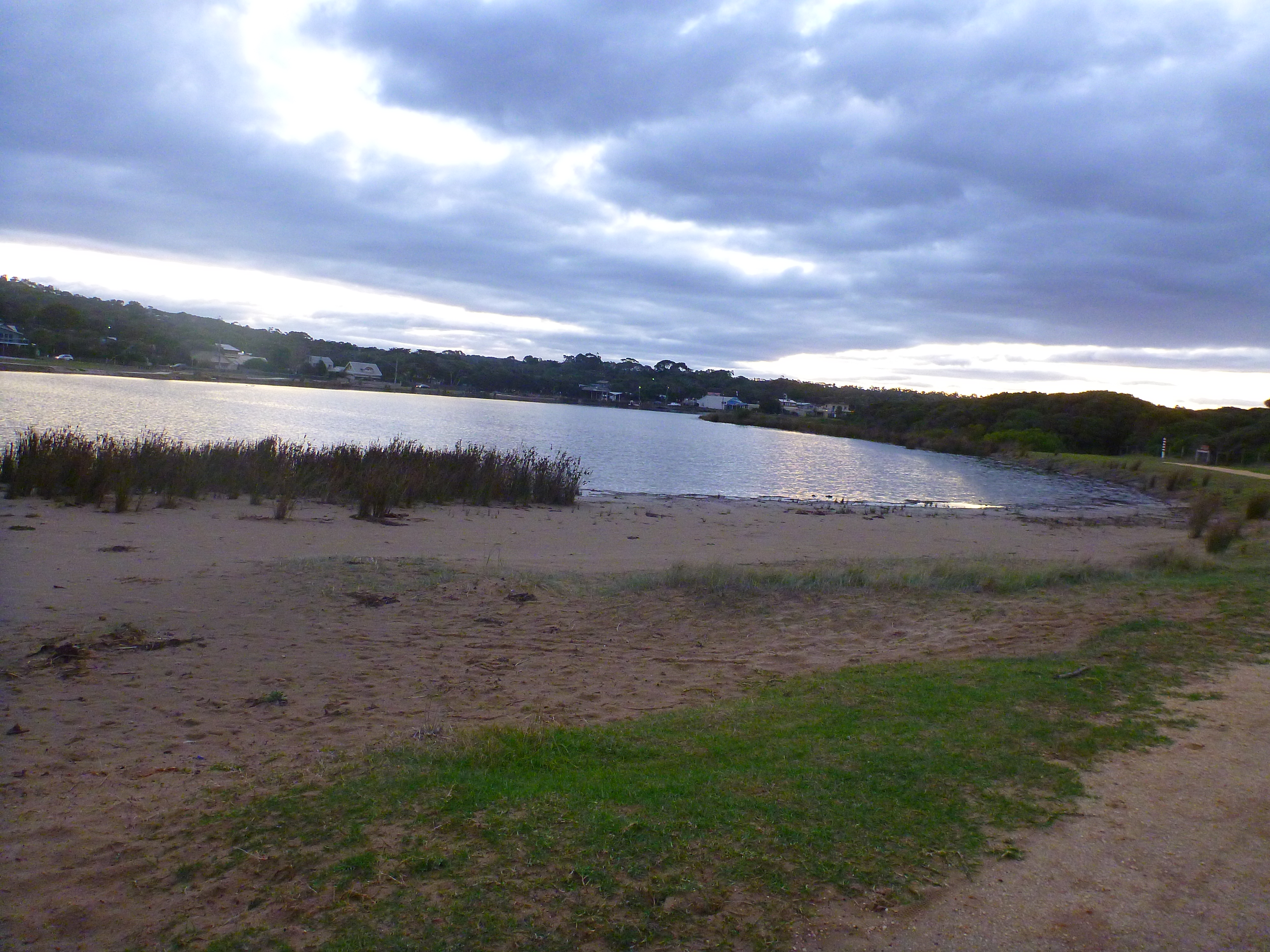
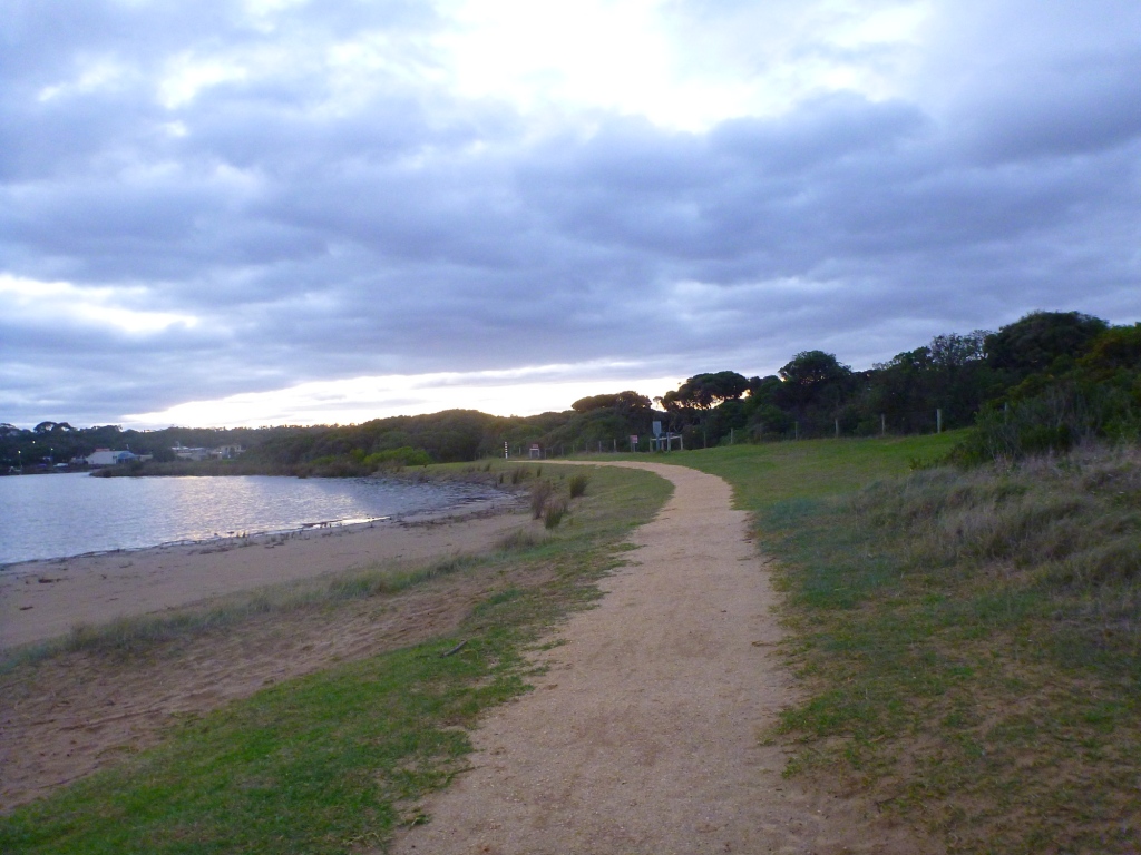
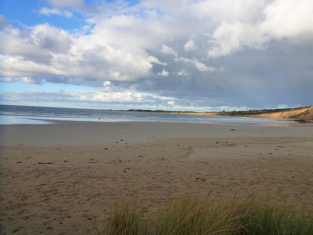
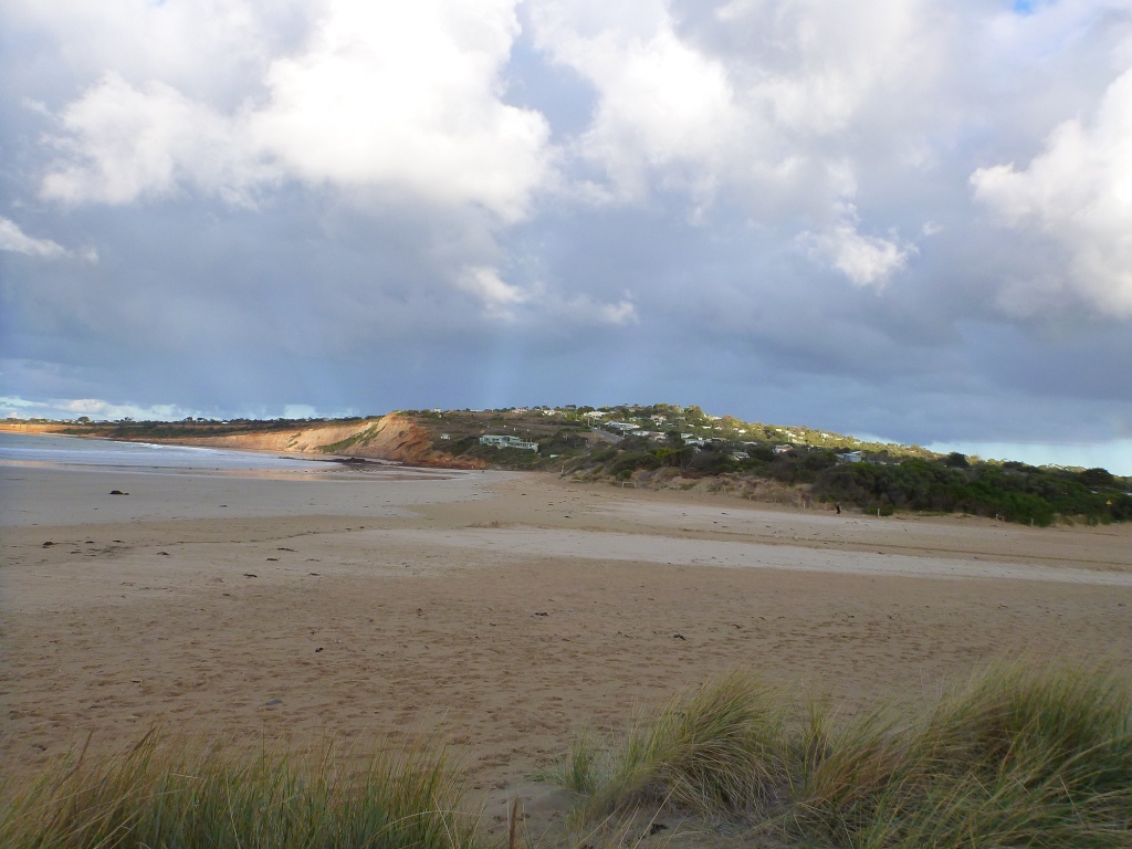
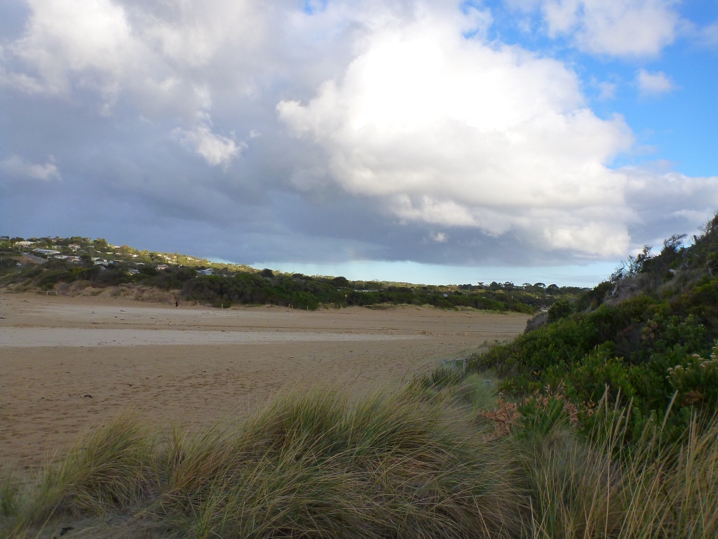
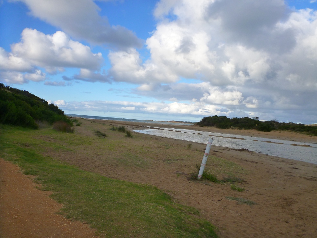
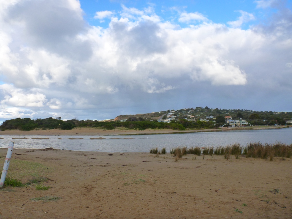
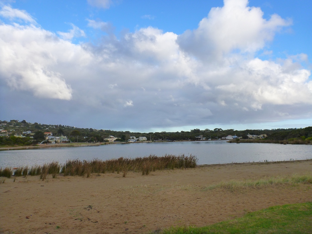
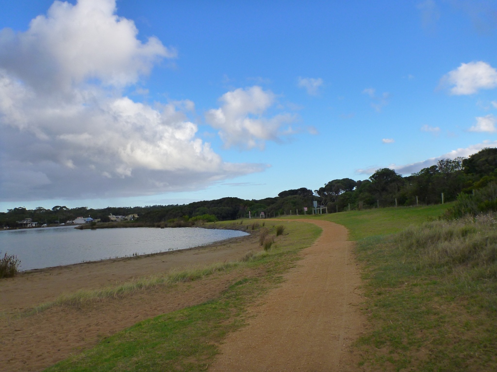
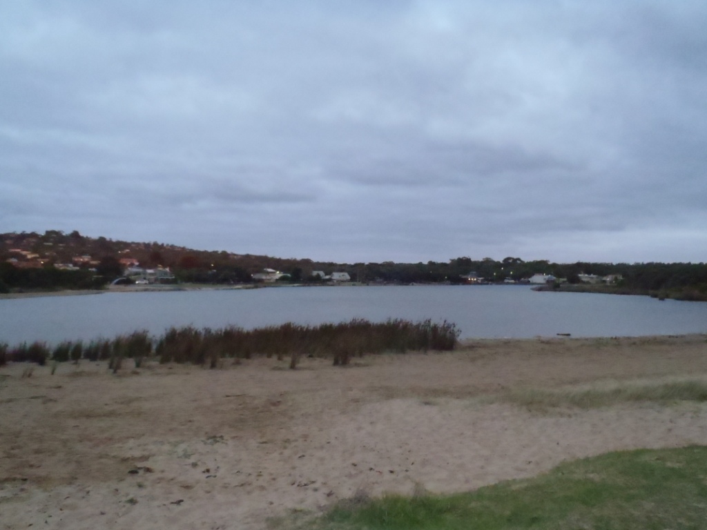
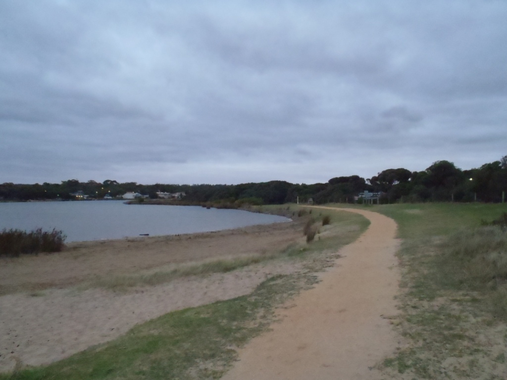
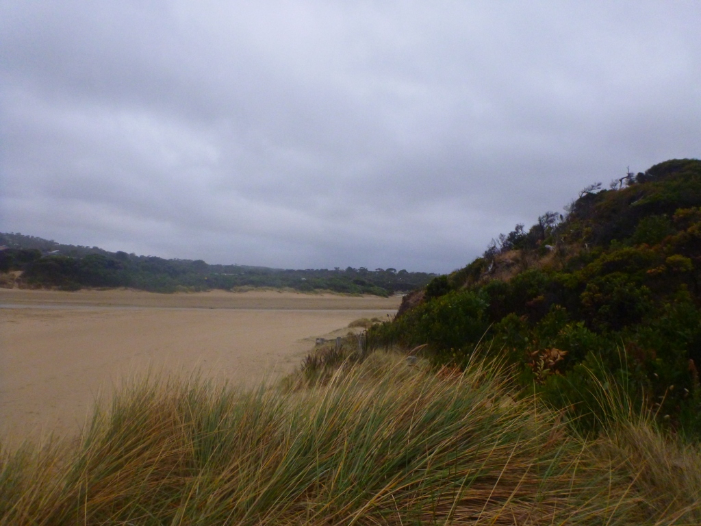
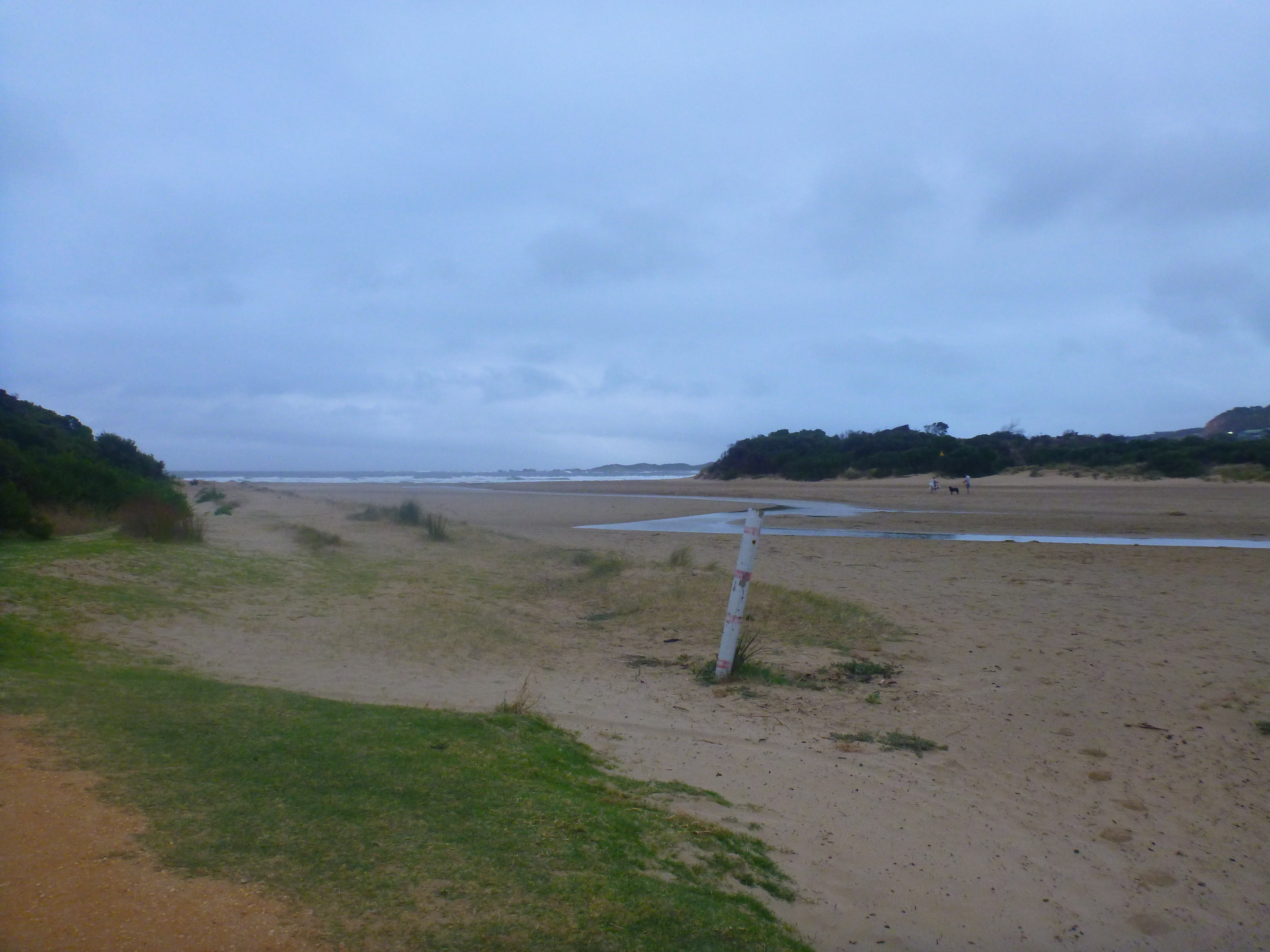
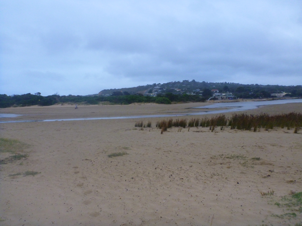
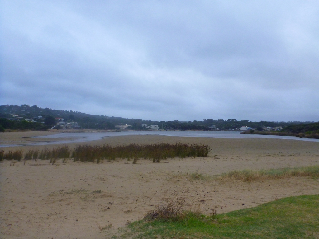
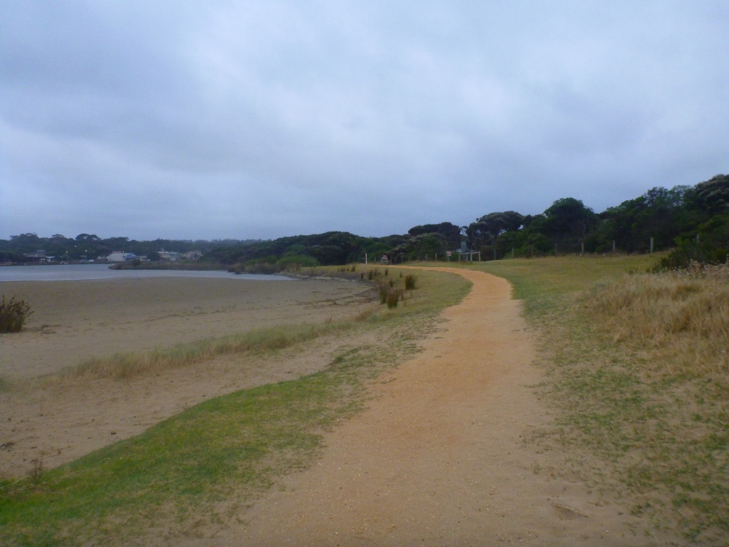
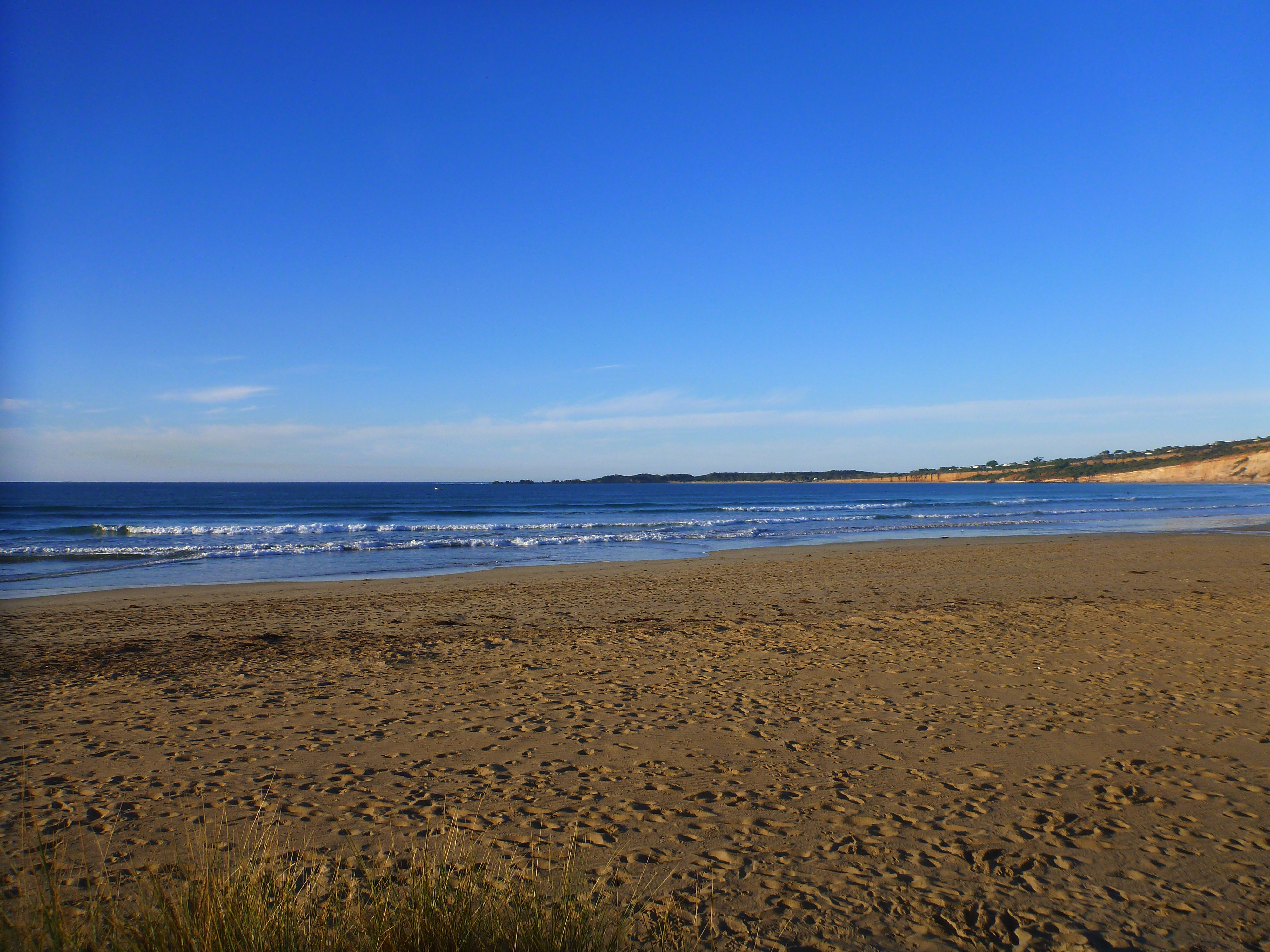
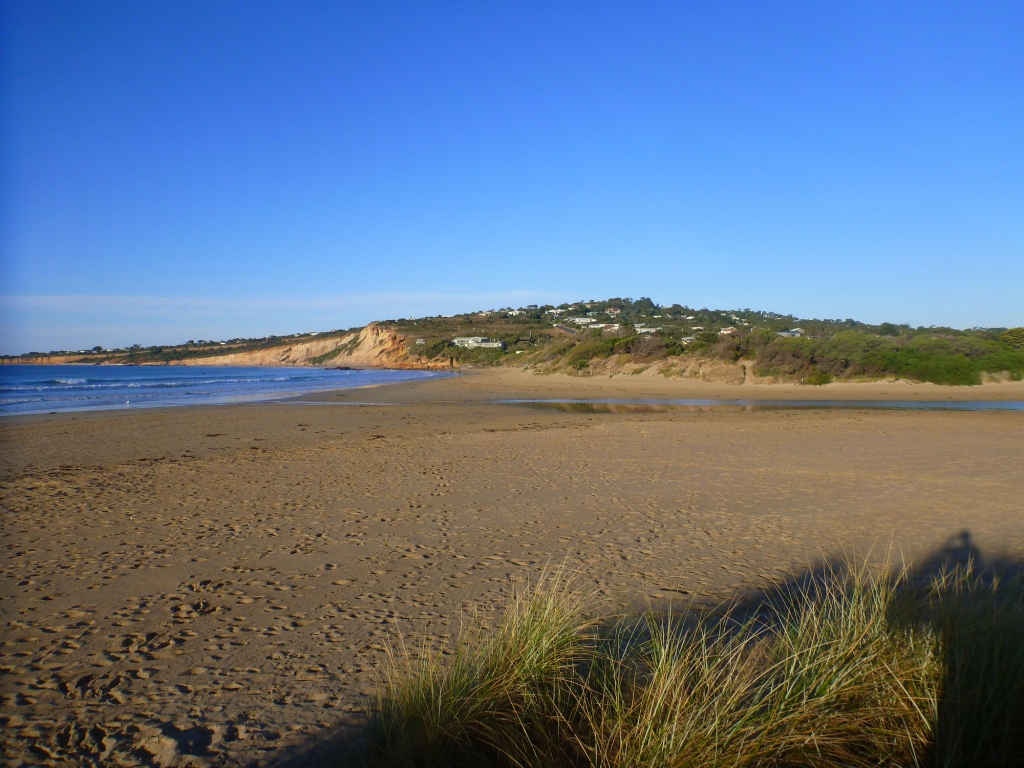
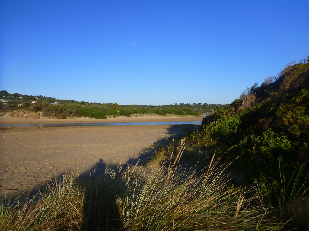
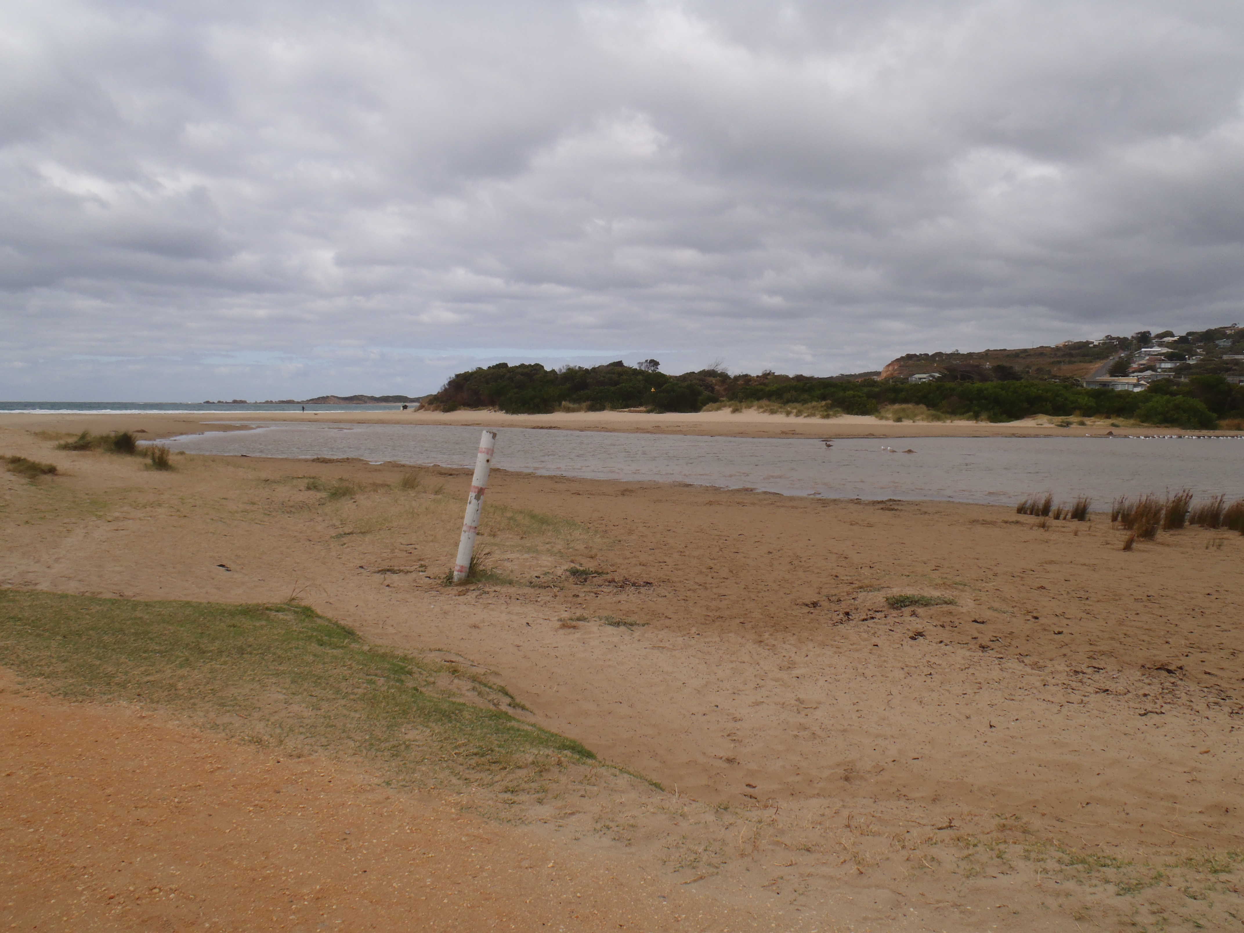
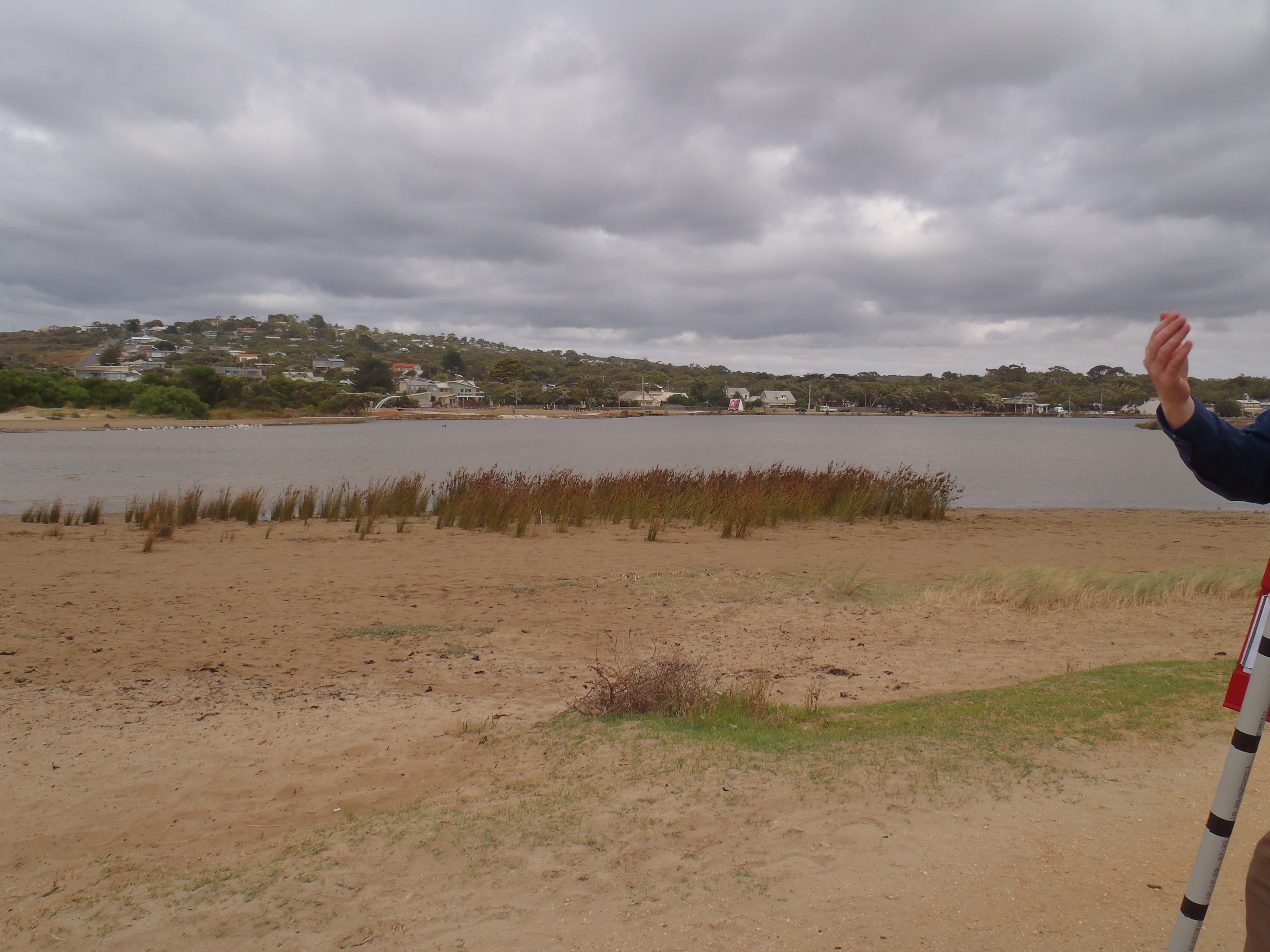
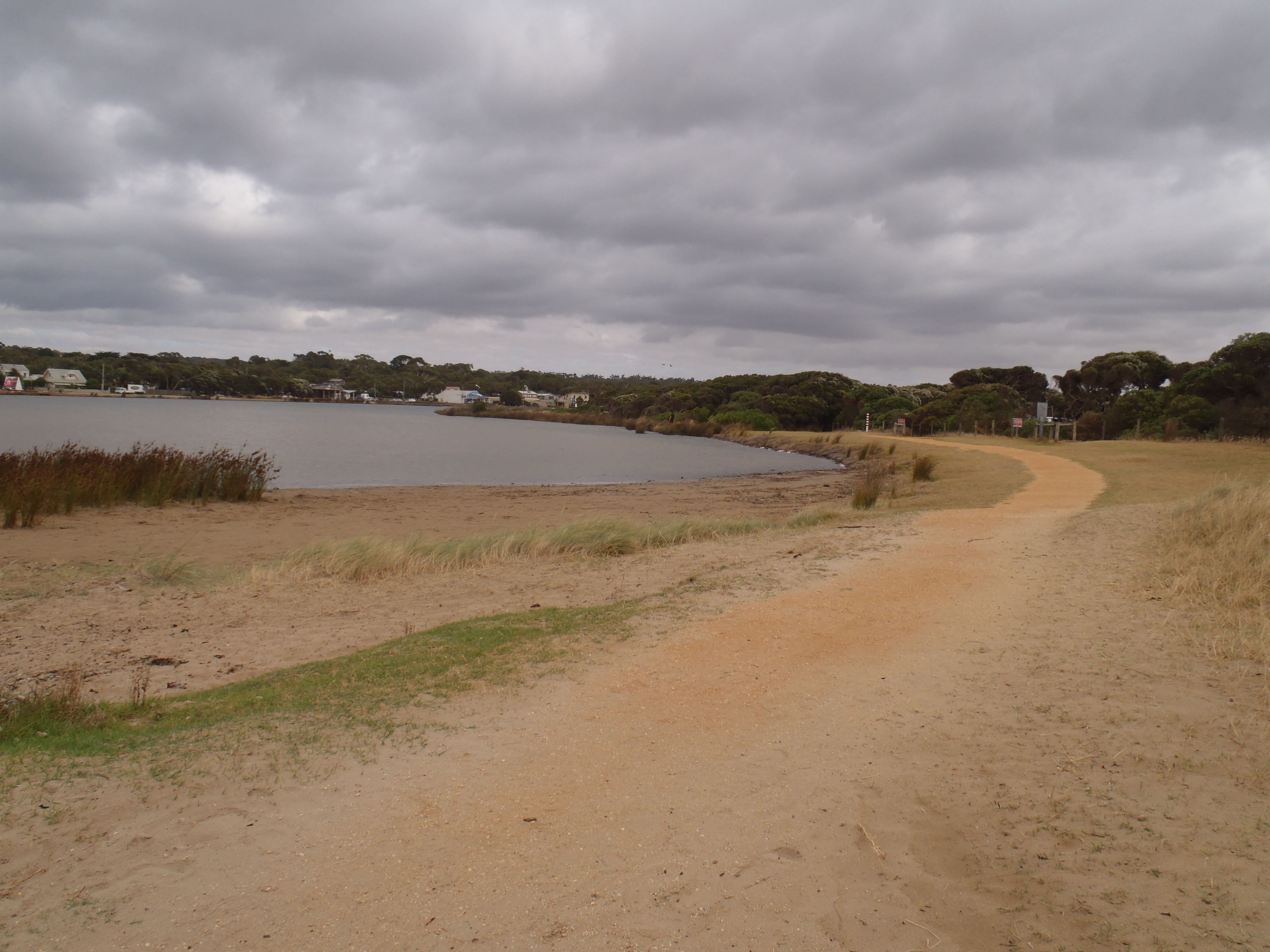
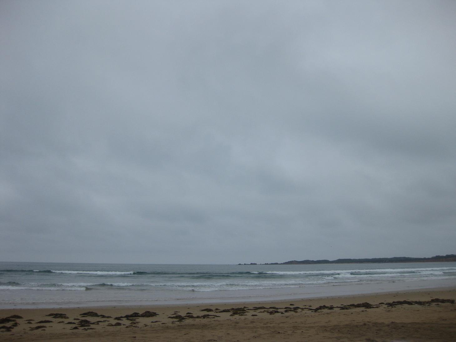
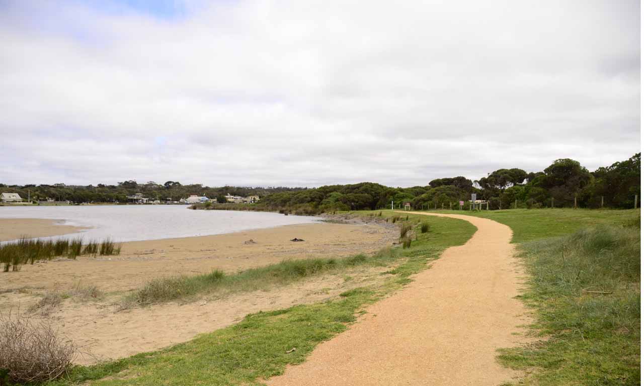
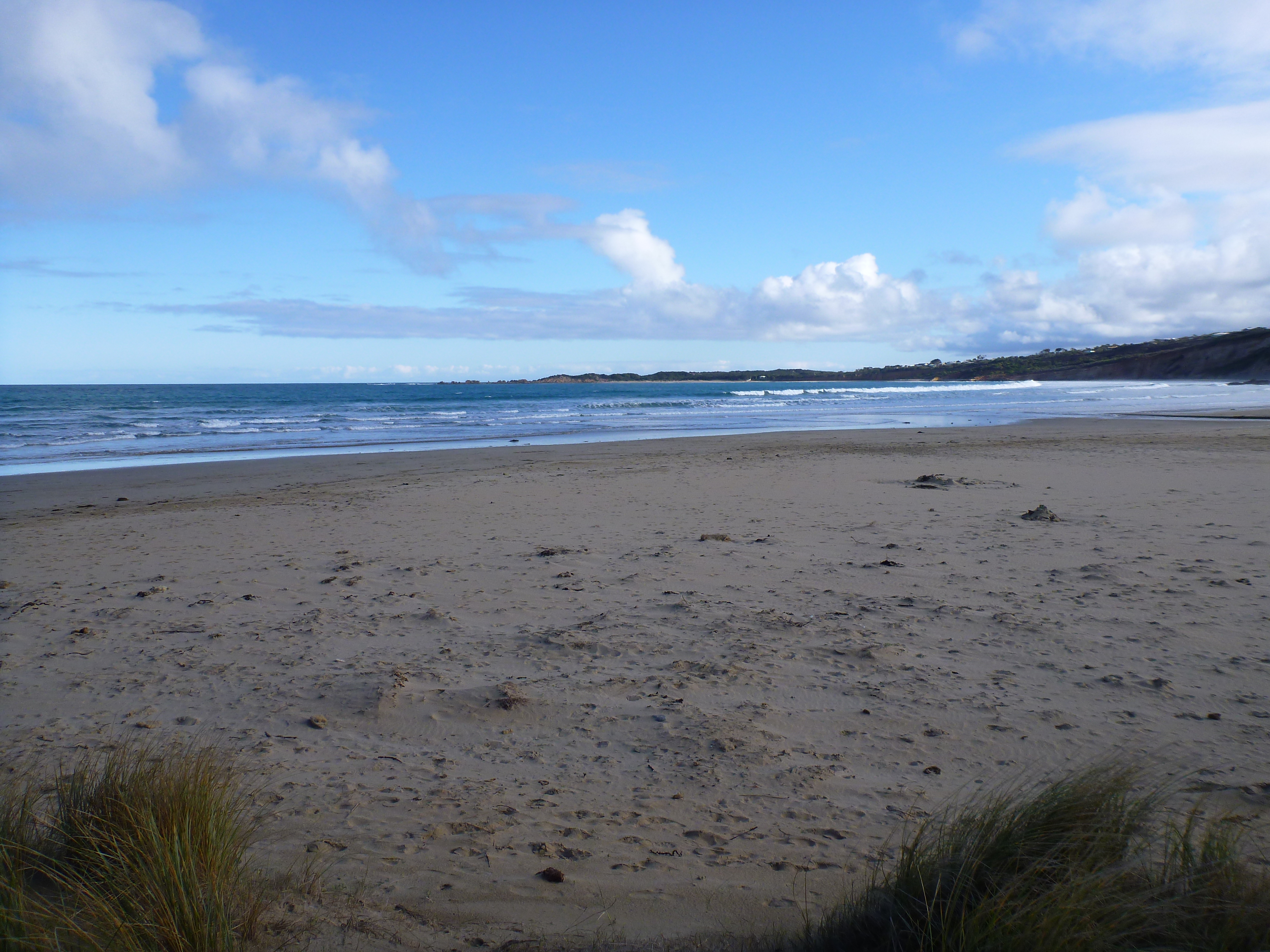
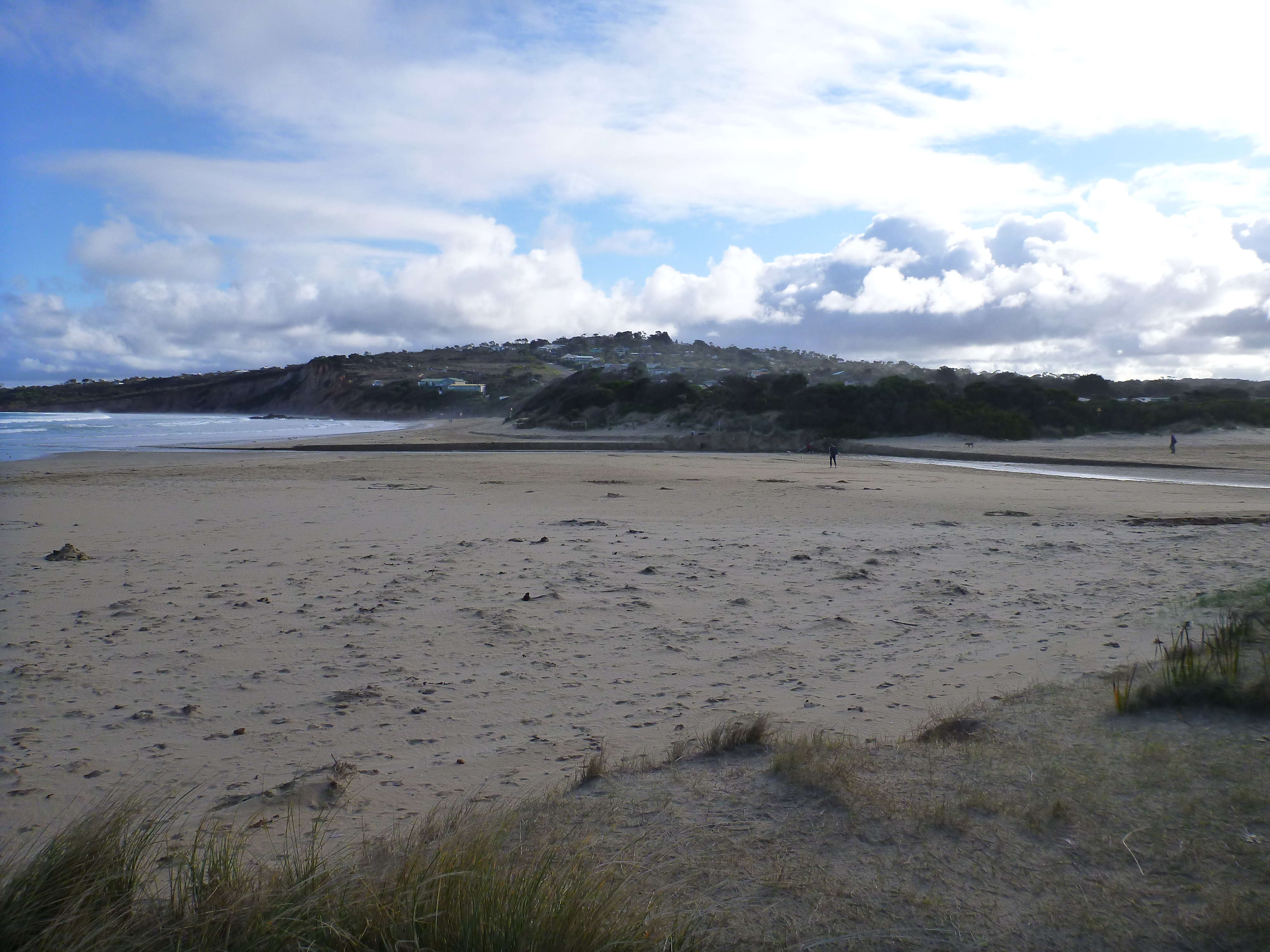
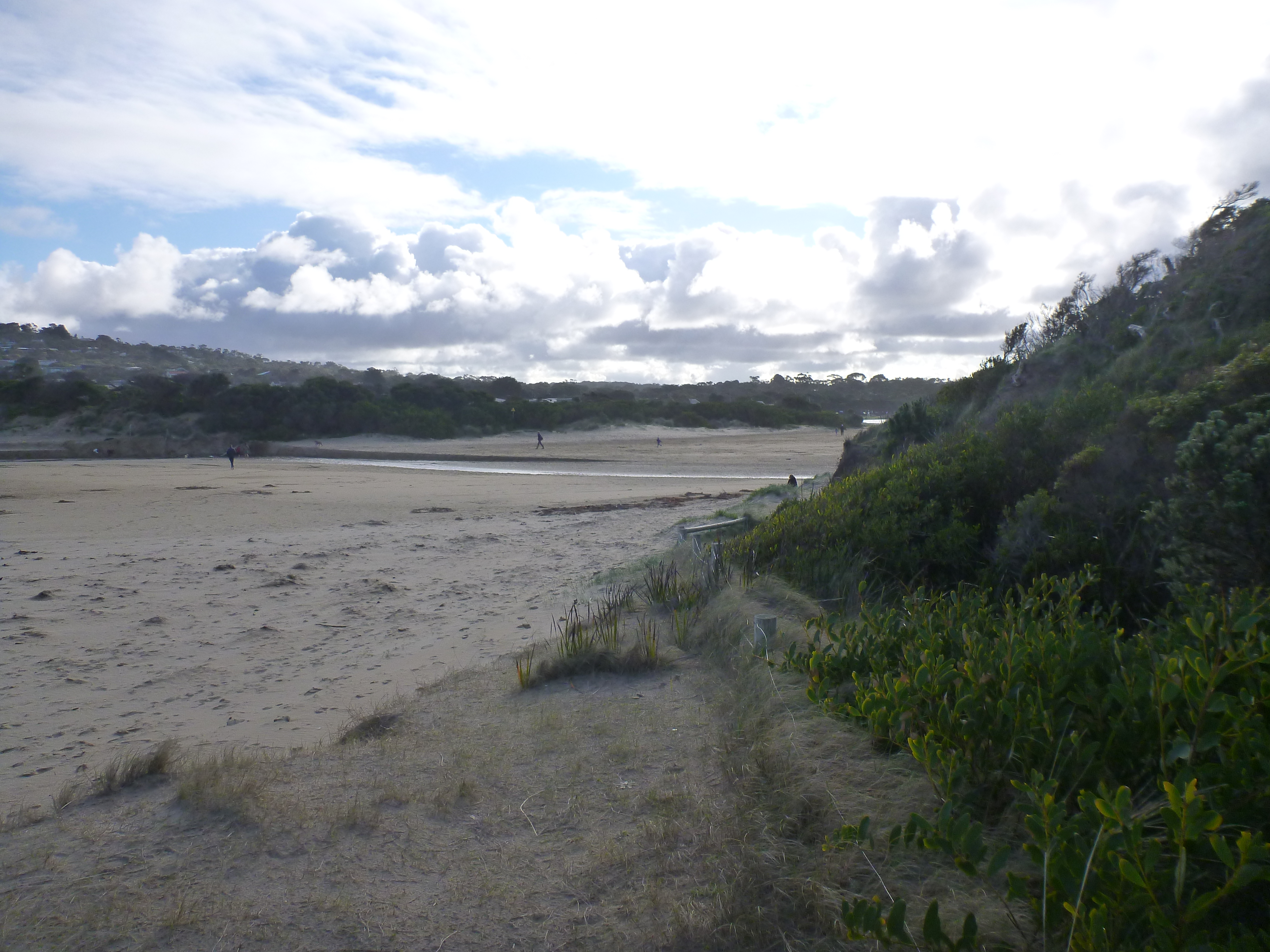
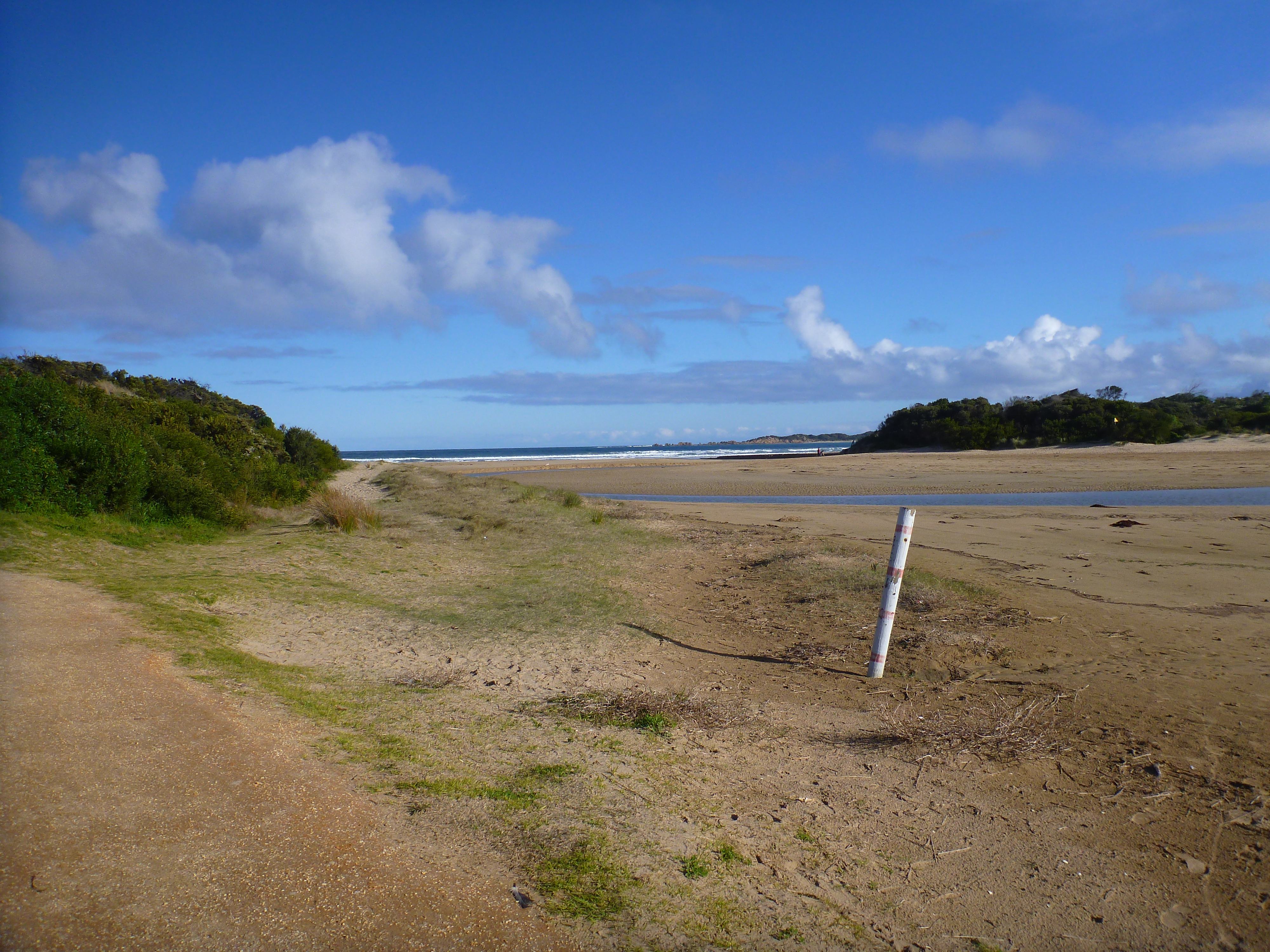
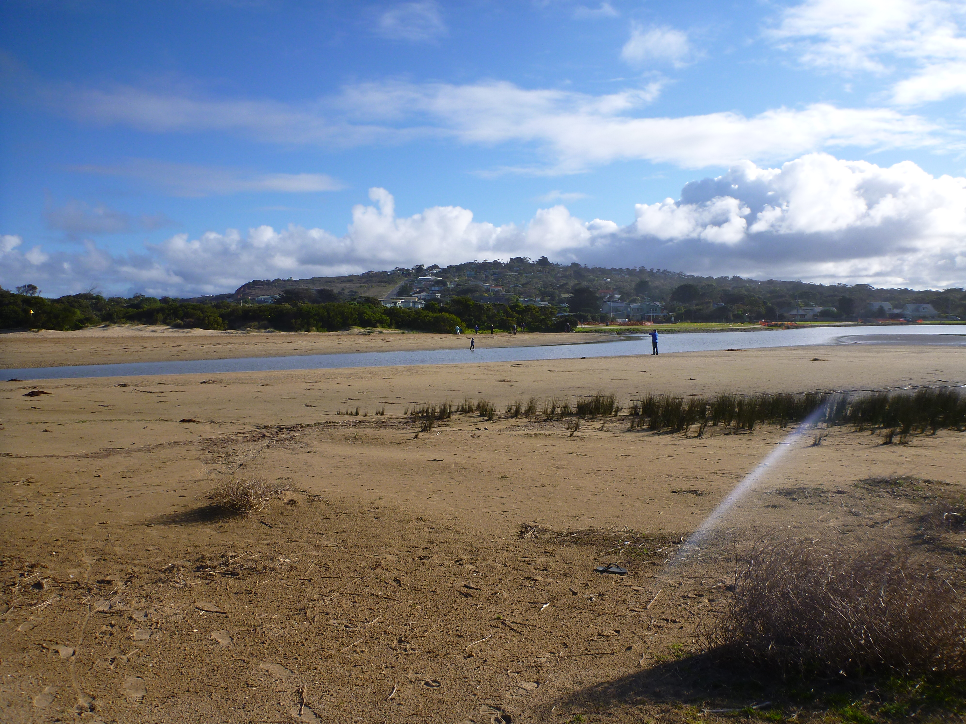
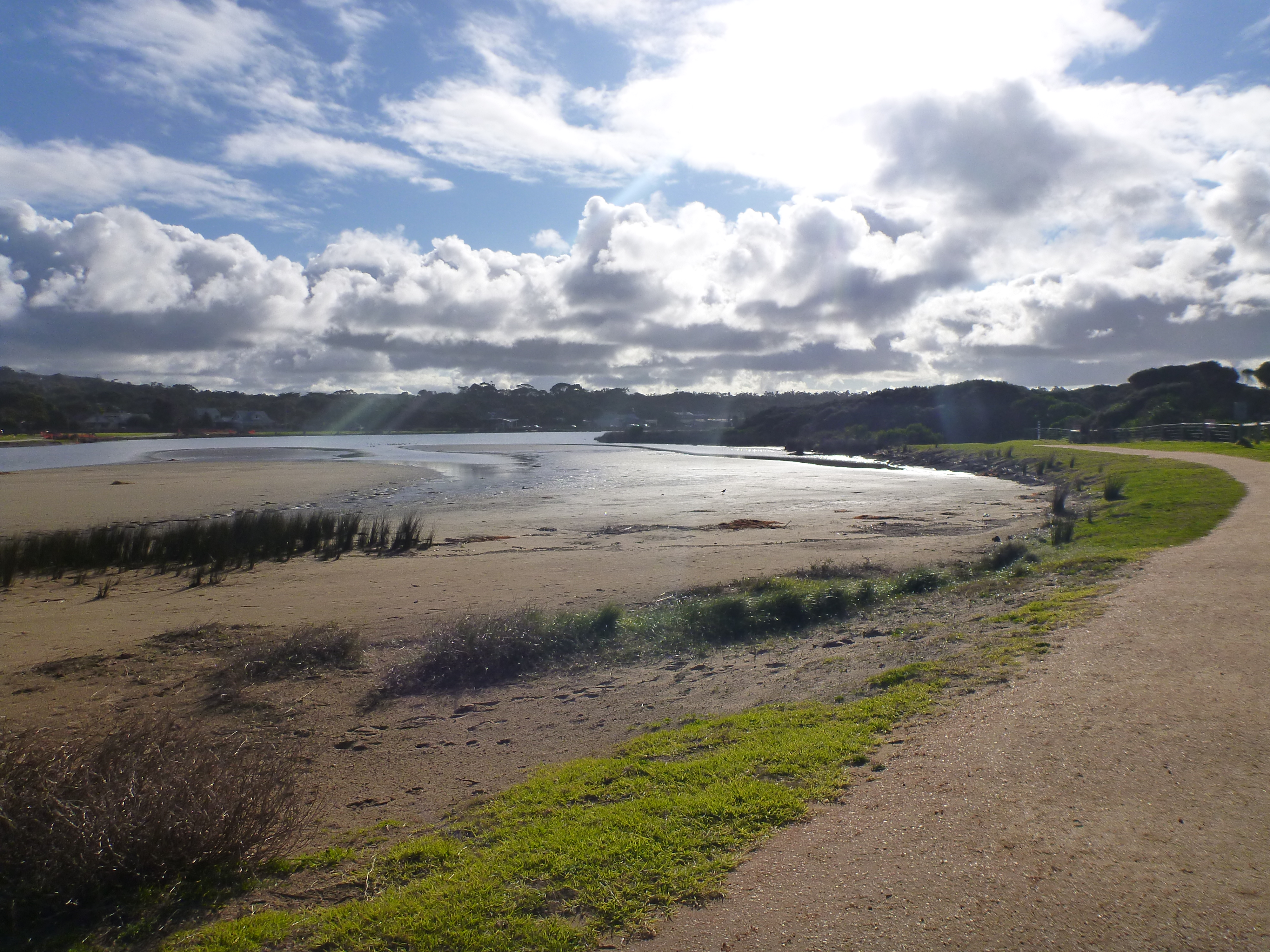
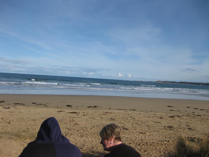
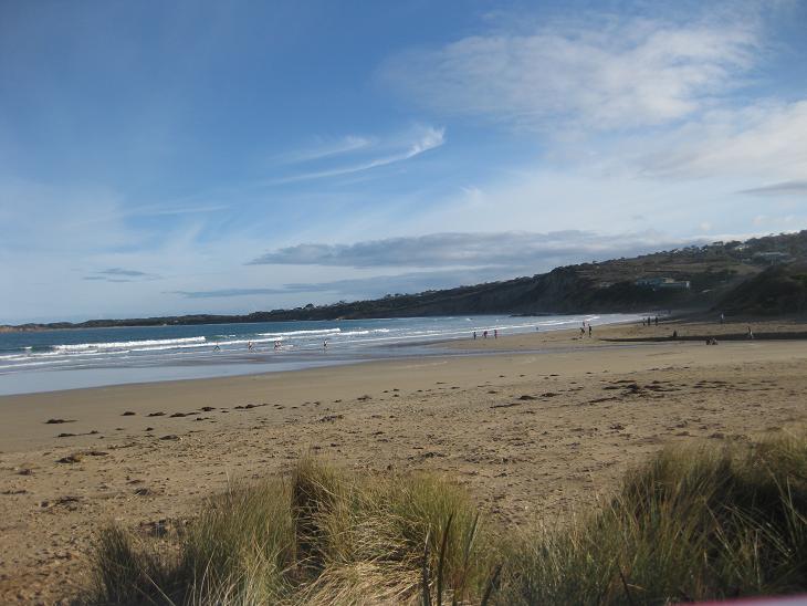
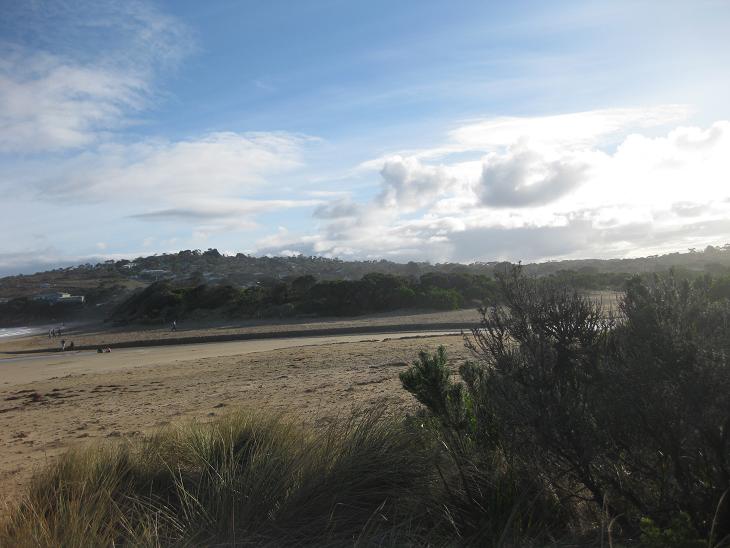
AMC Anglesea River Estuary Mouth Observation Site
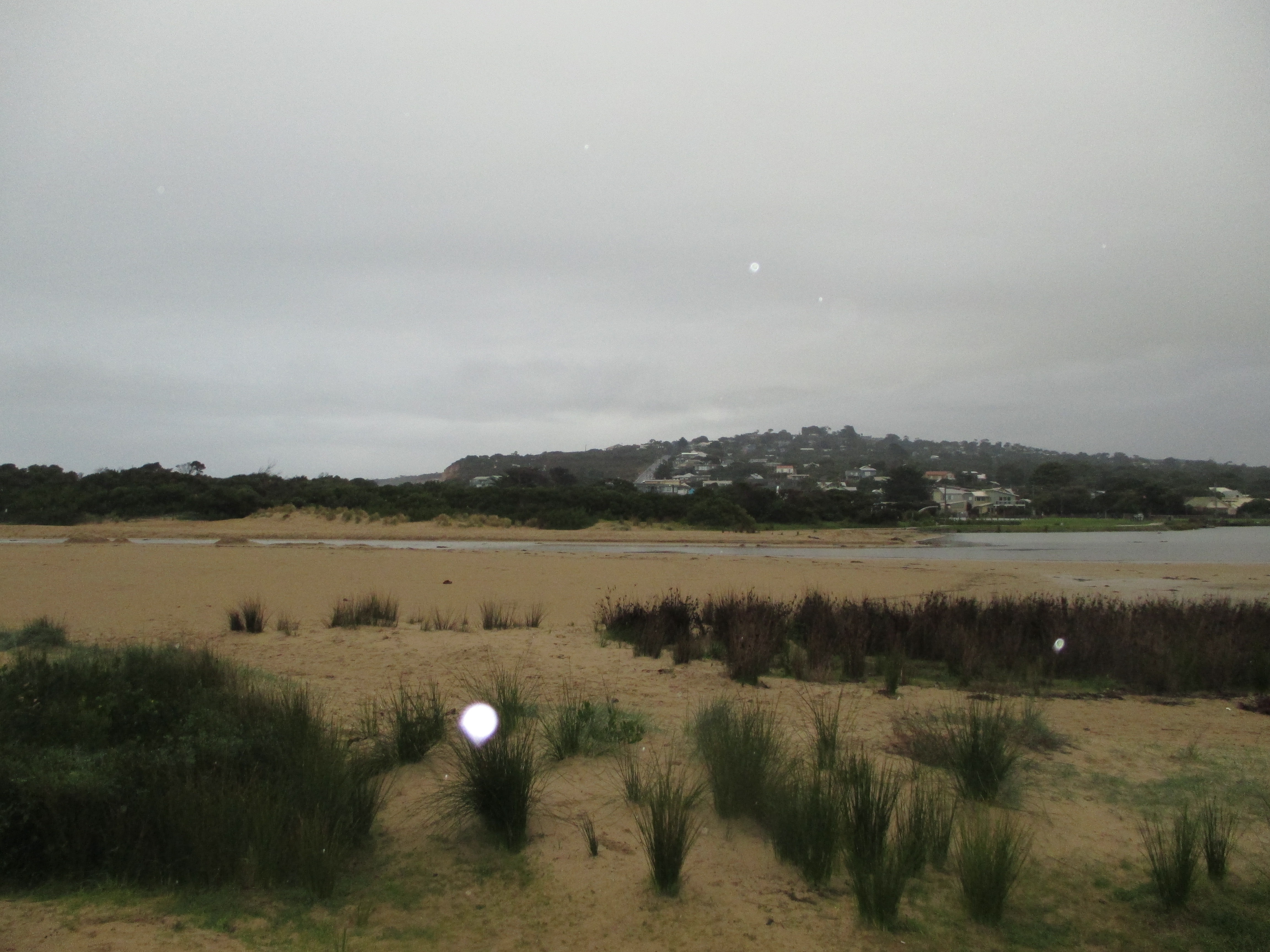
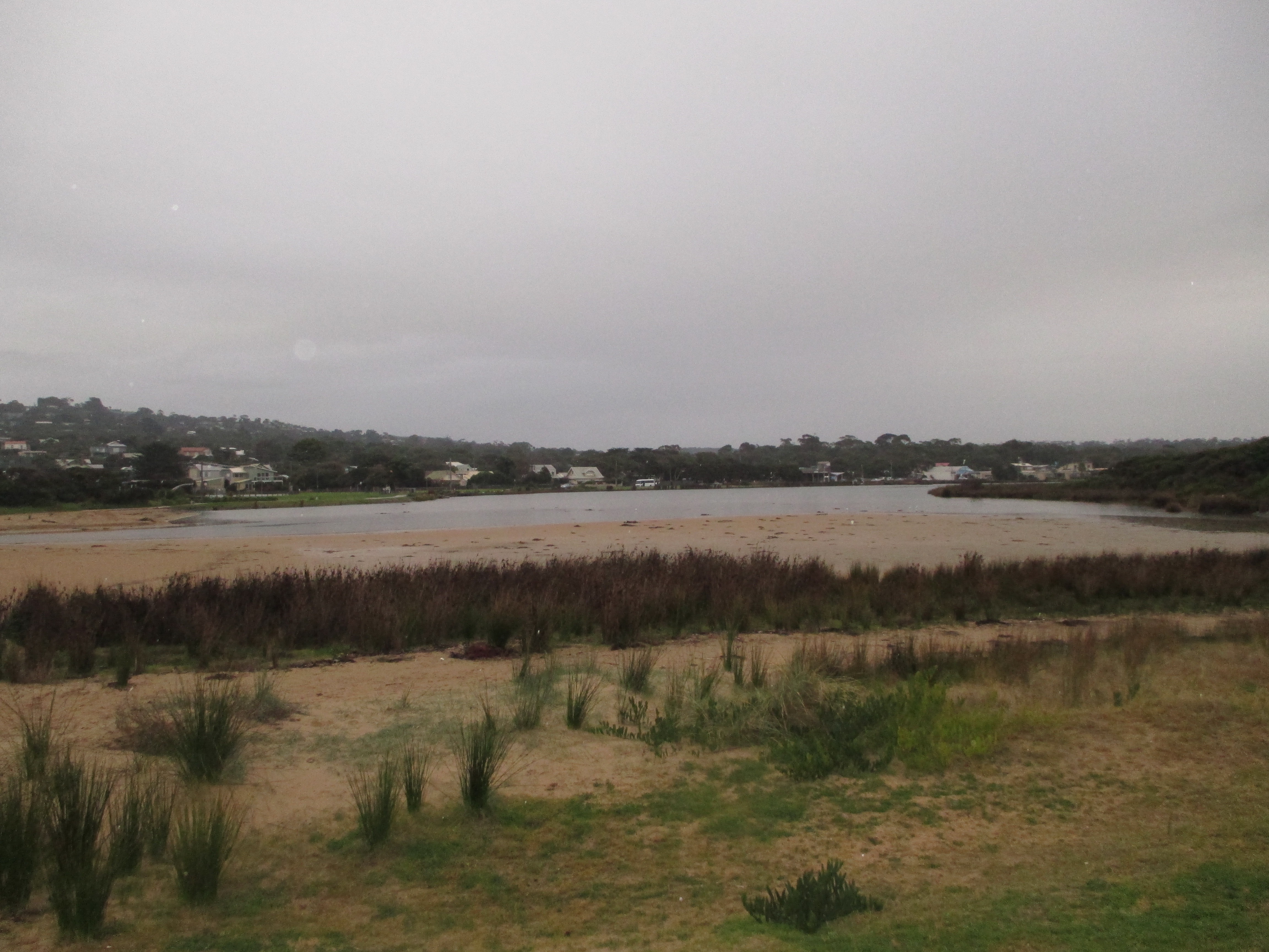
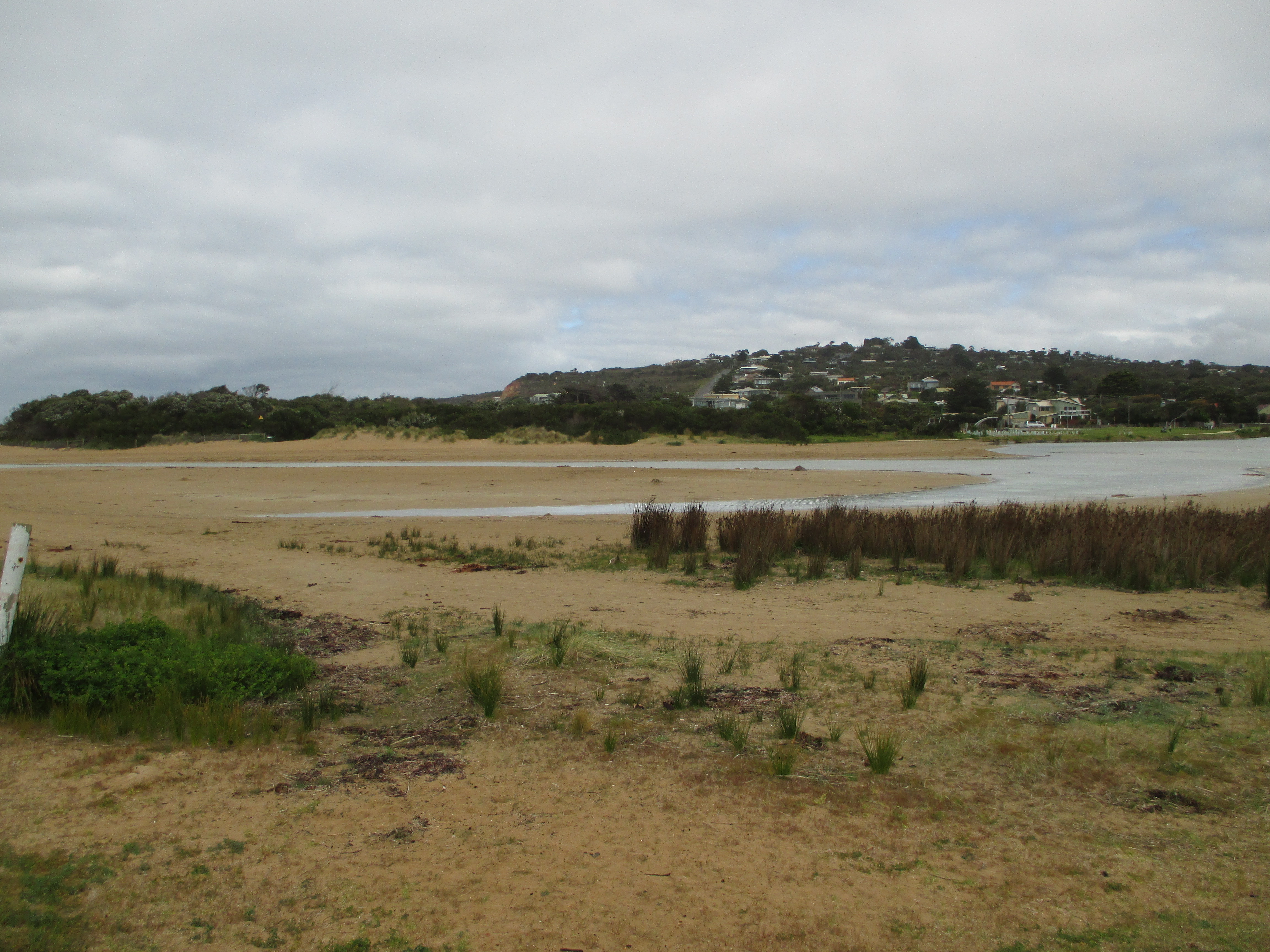
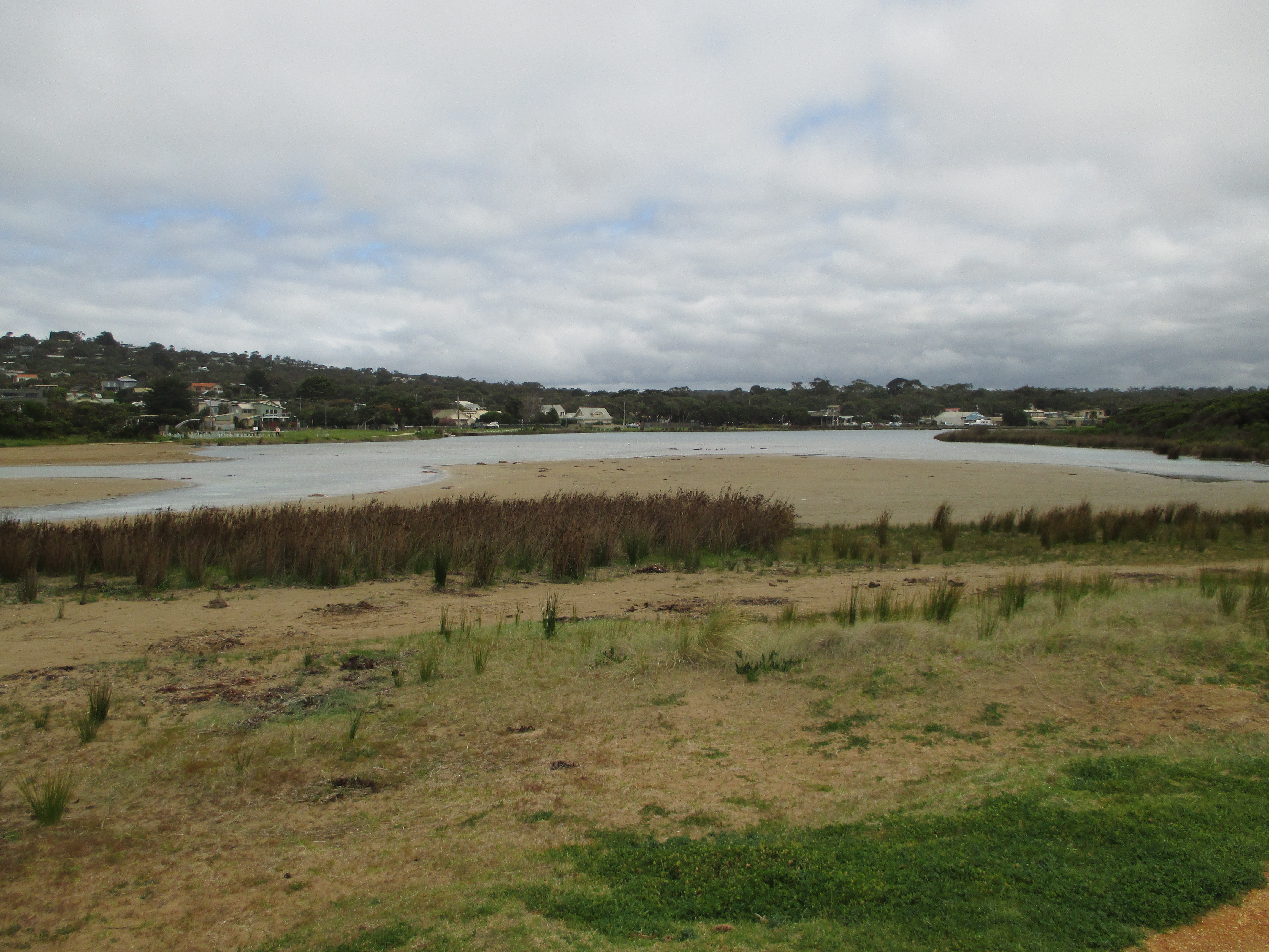
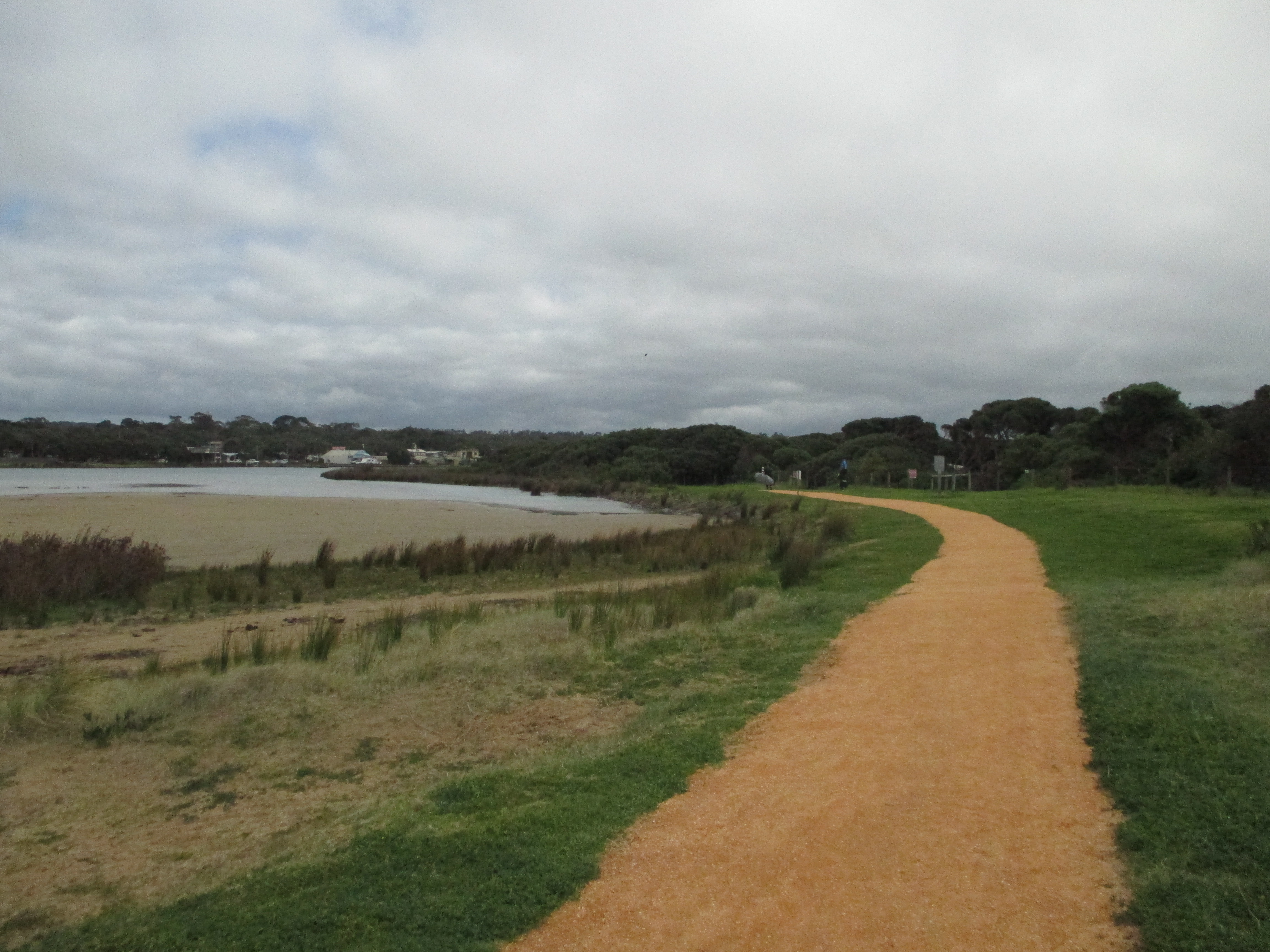
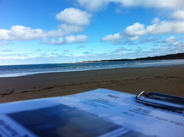
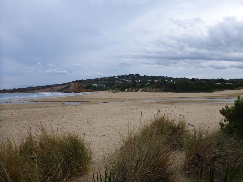
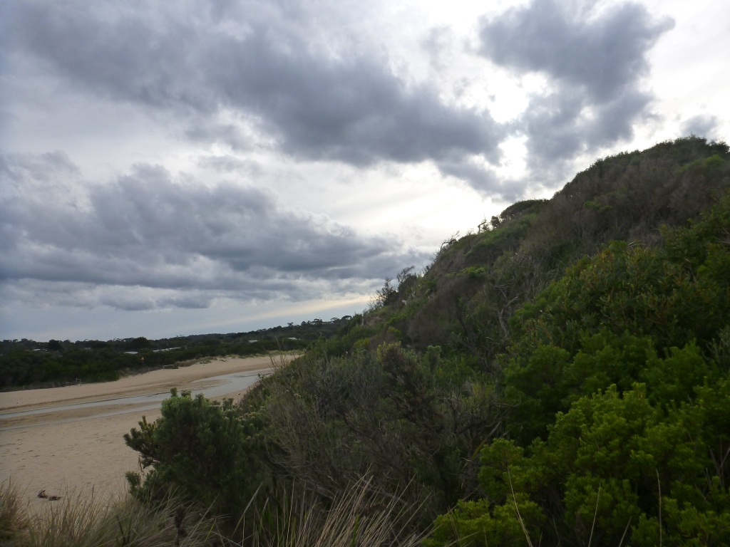
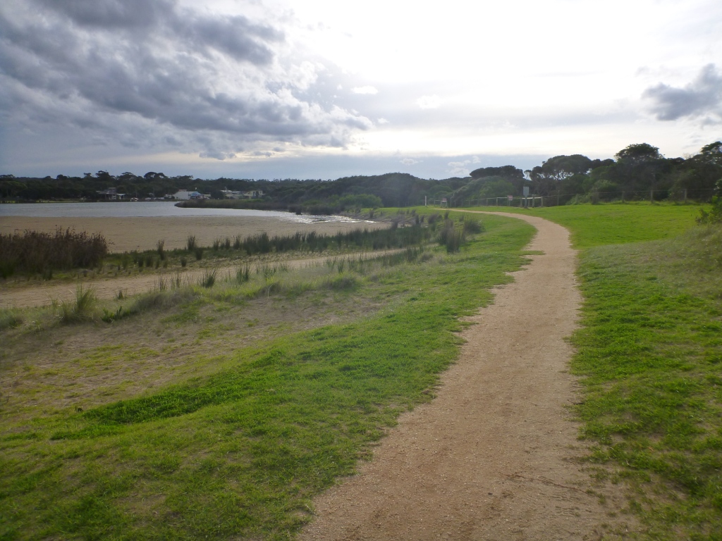
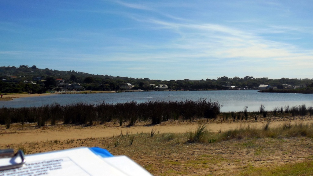
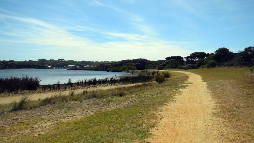
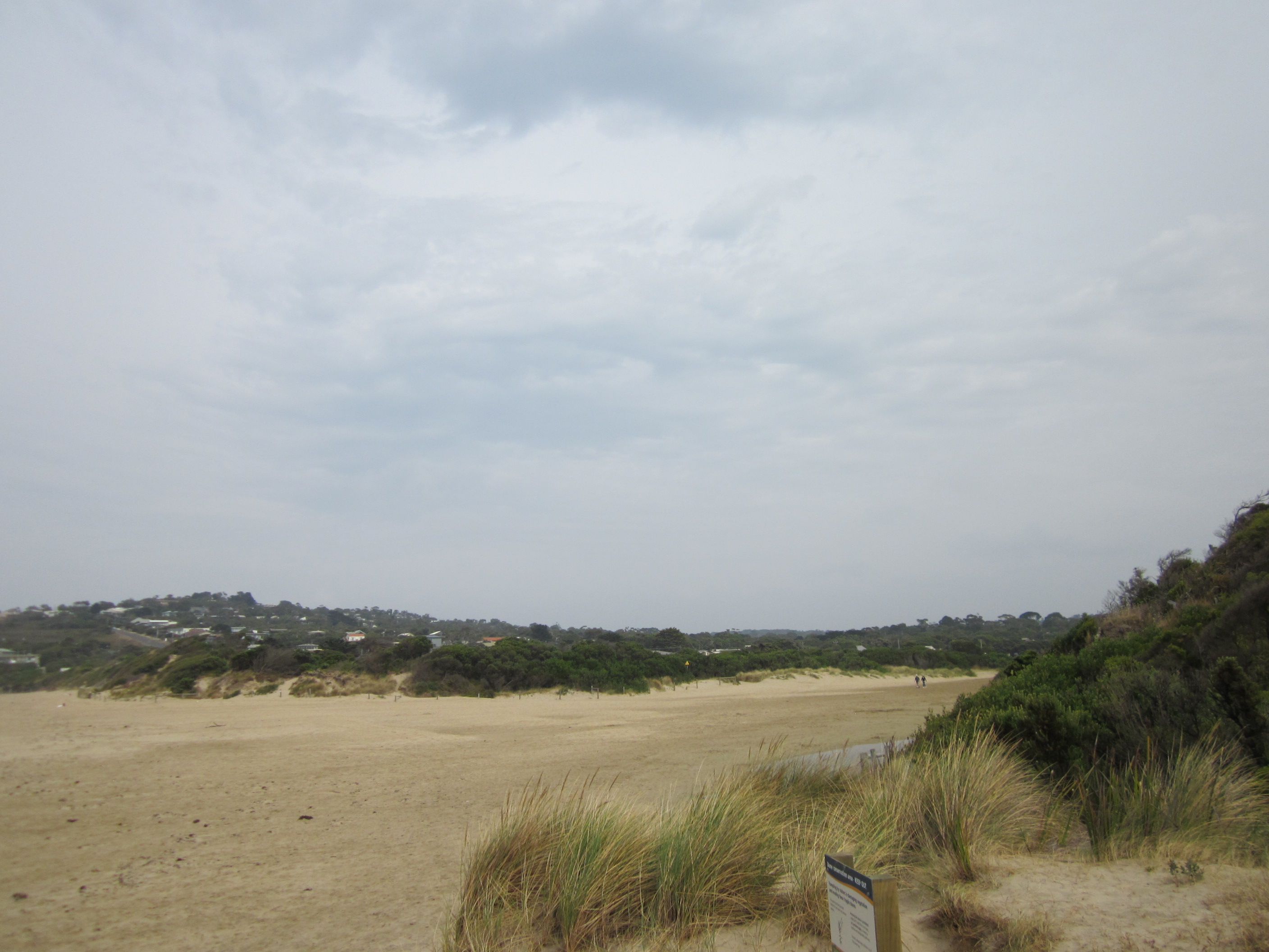
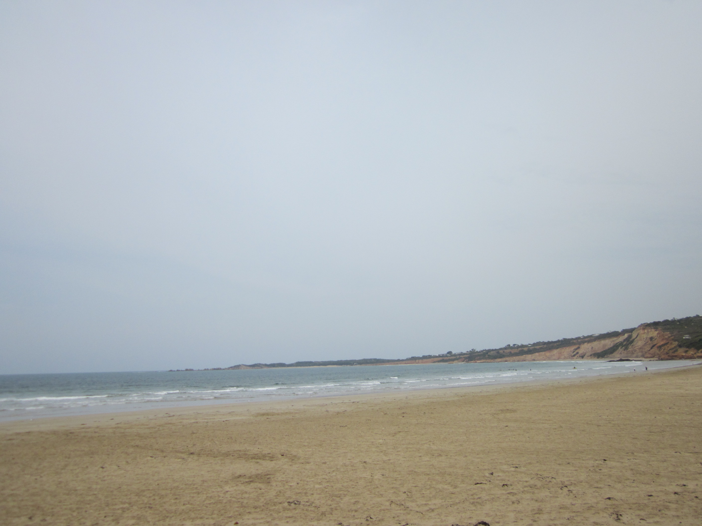
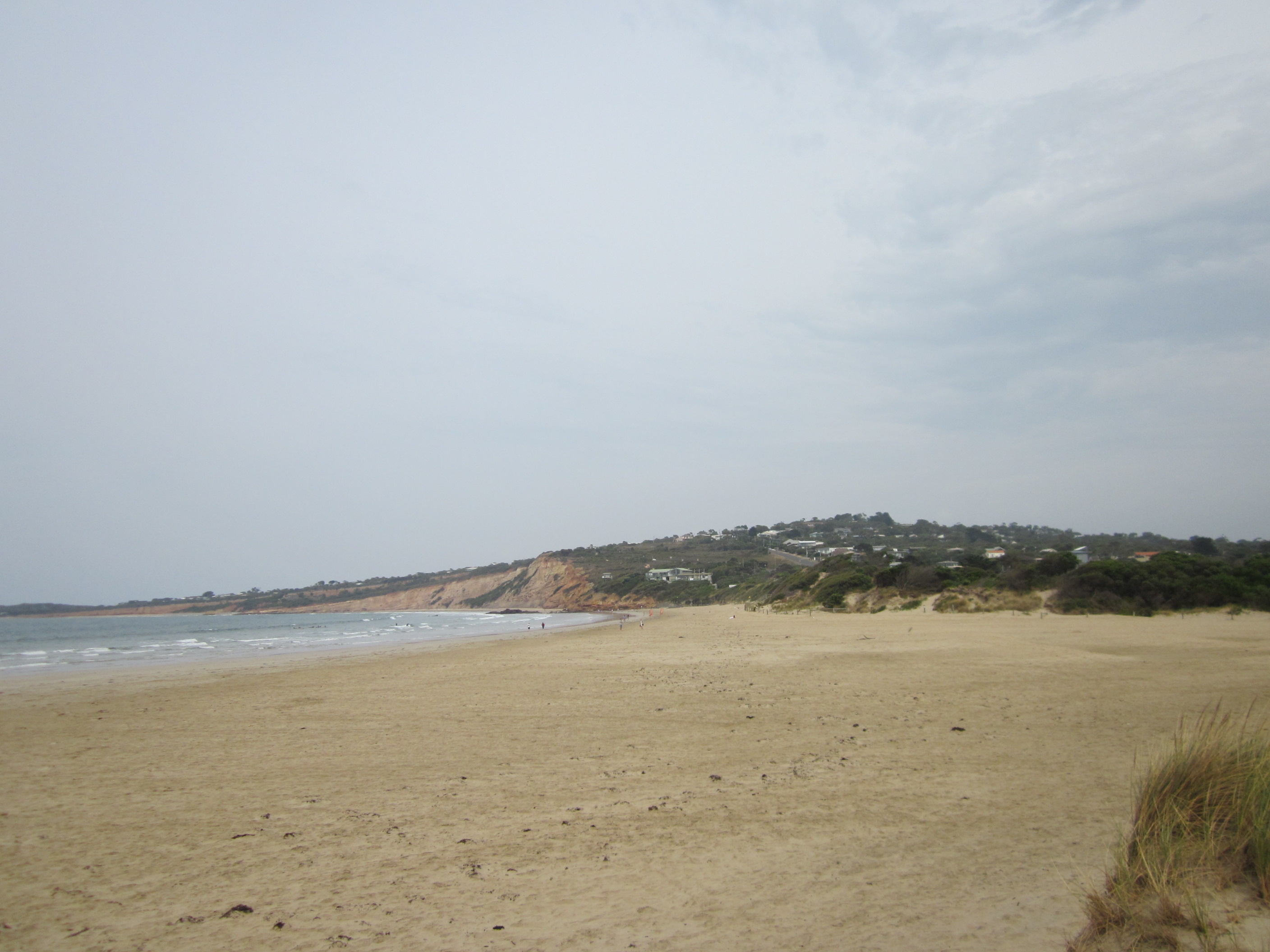
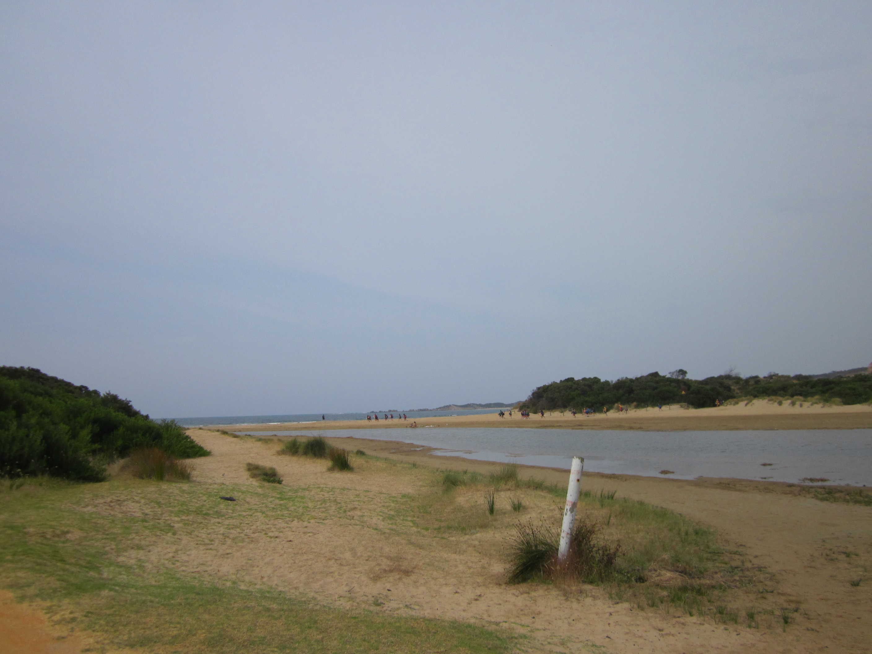
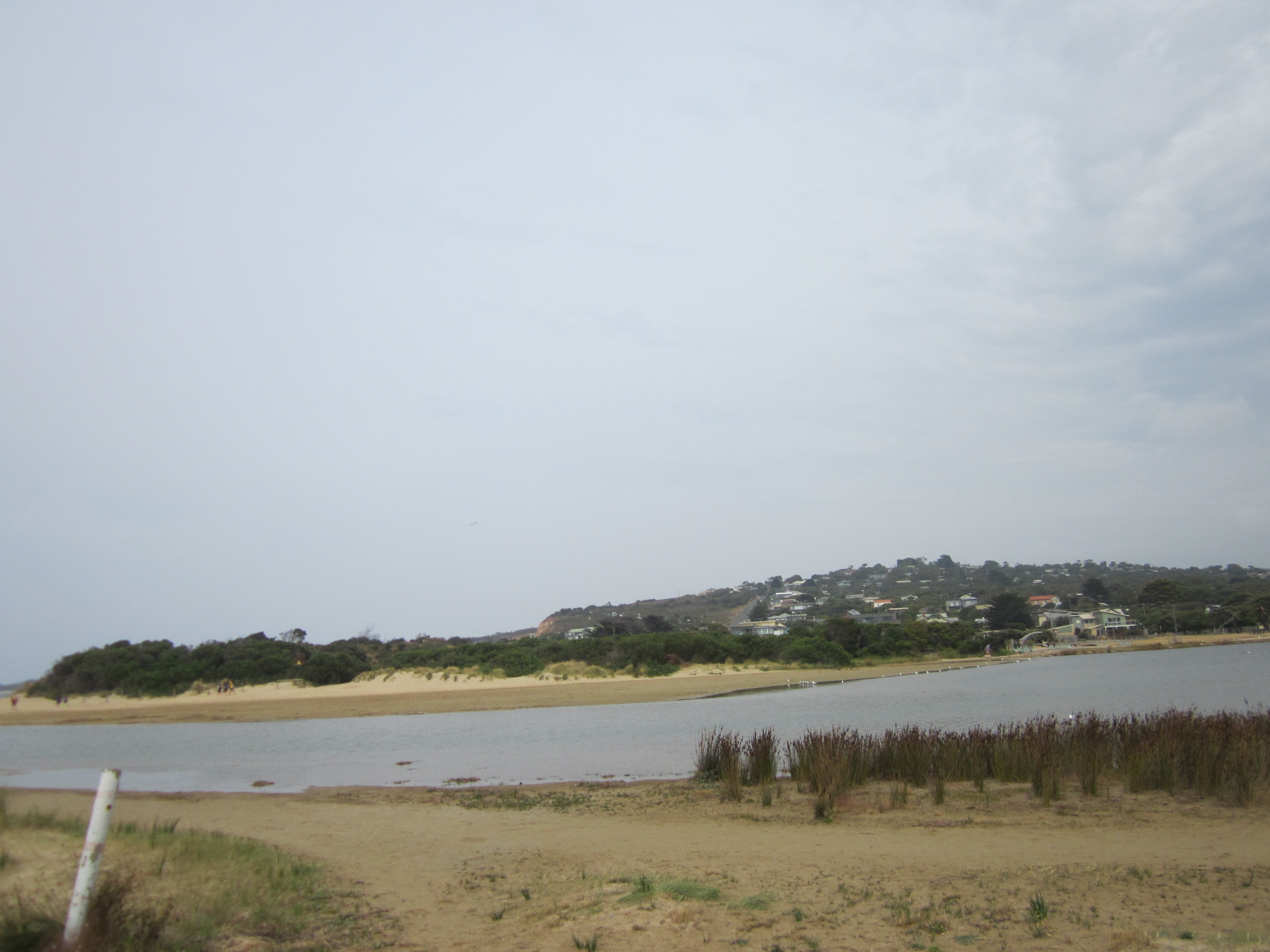
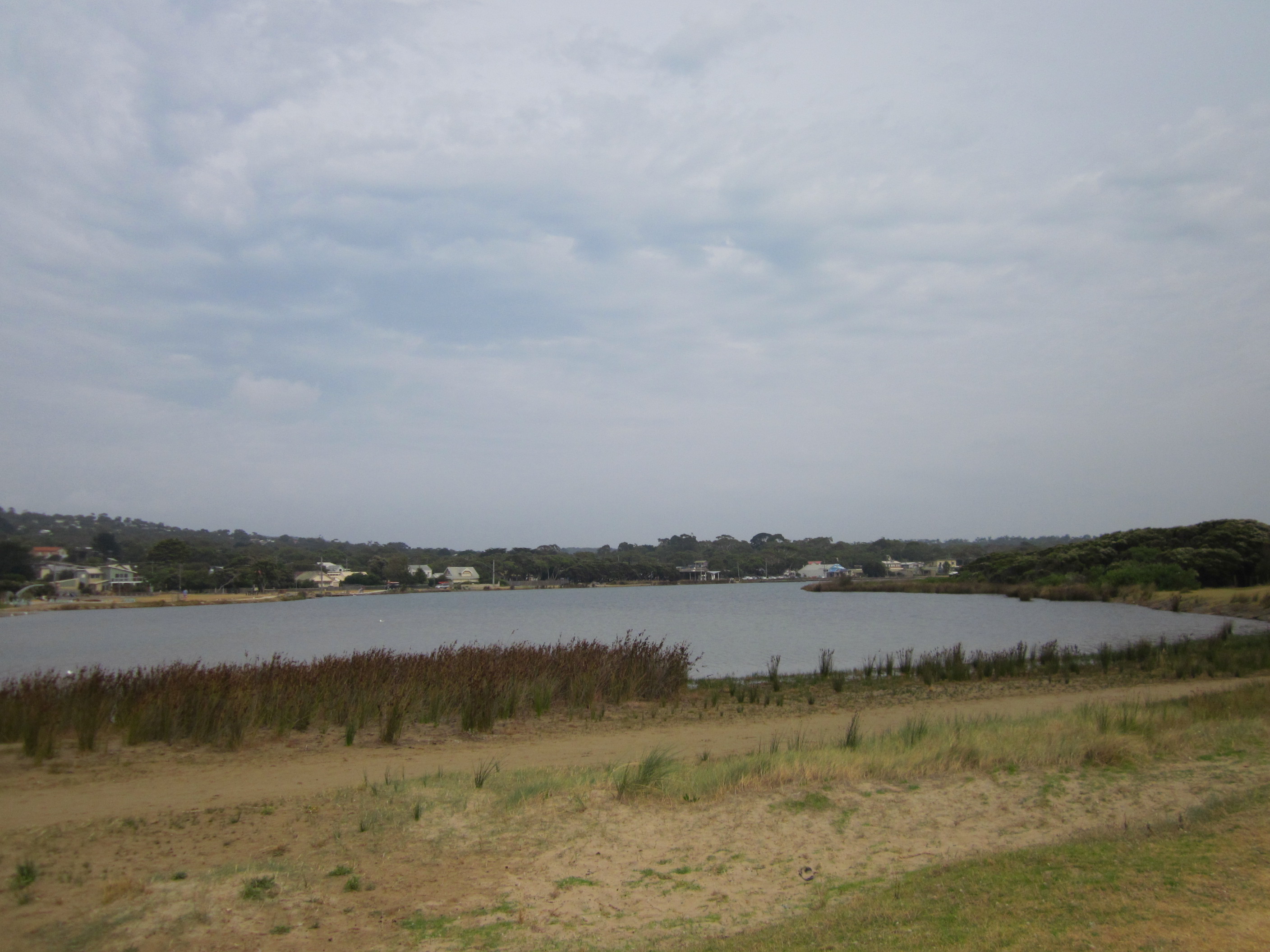
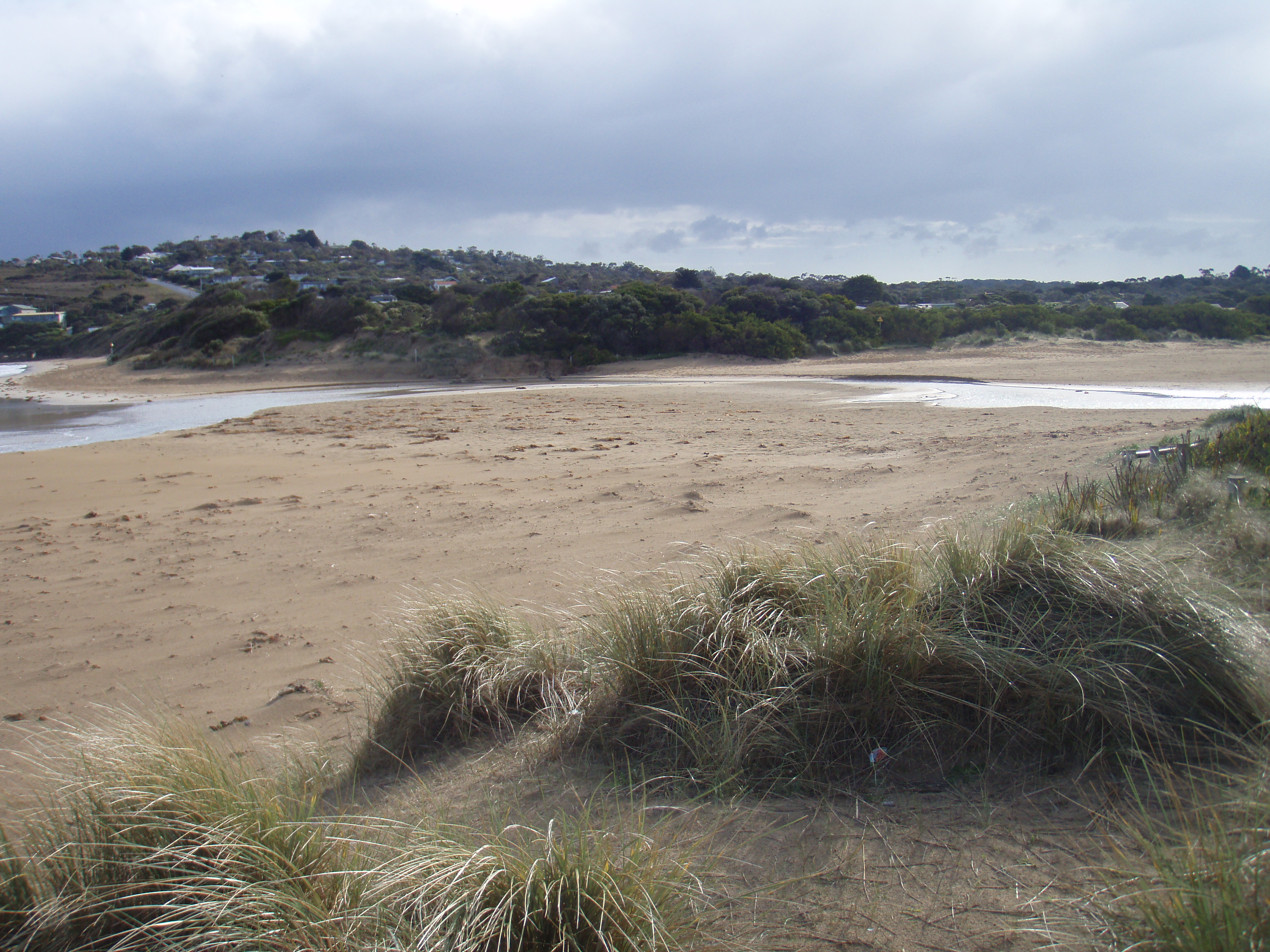
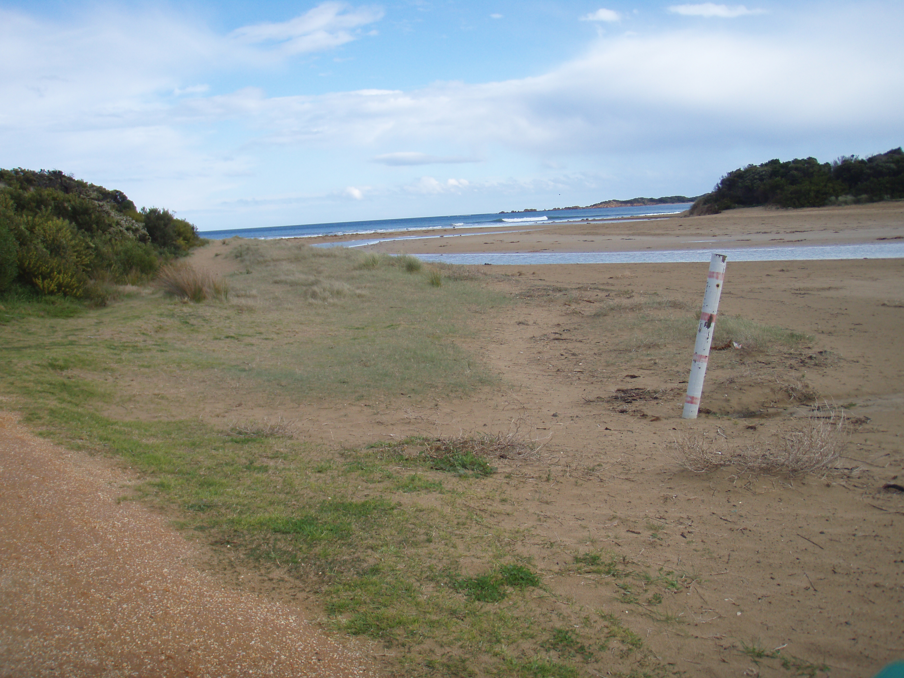
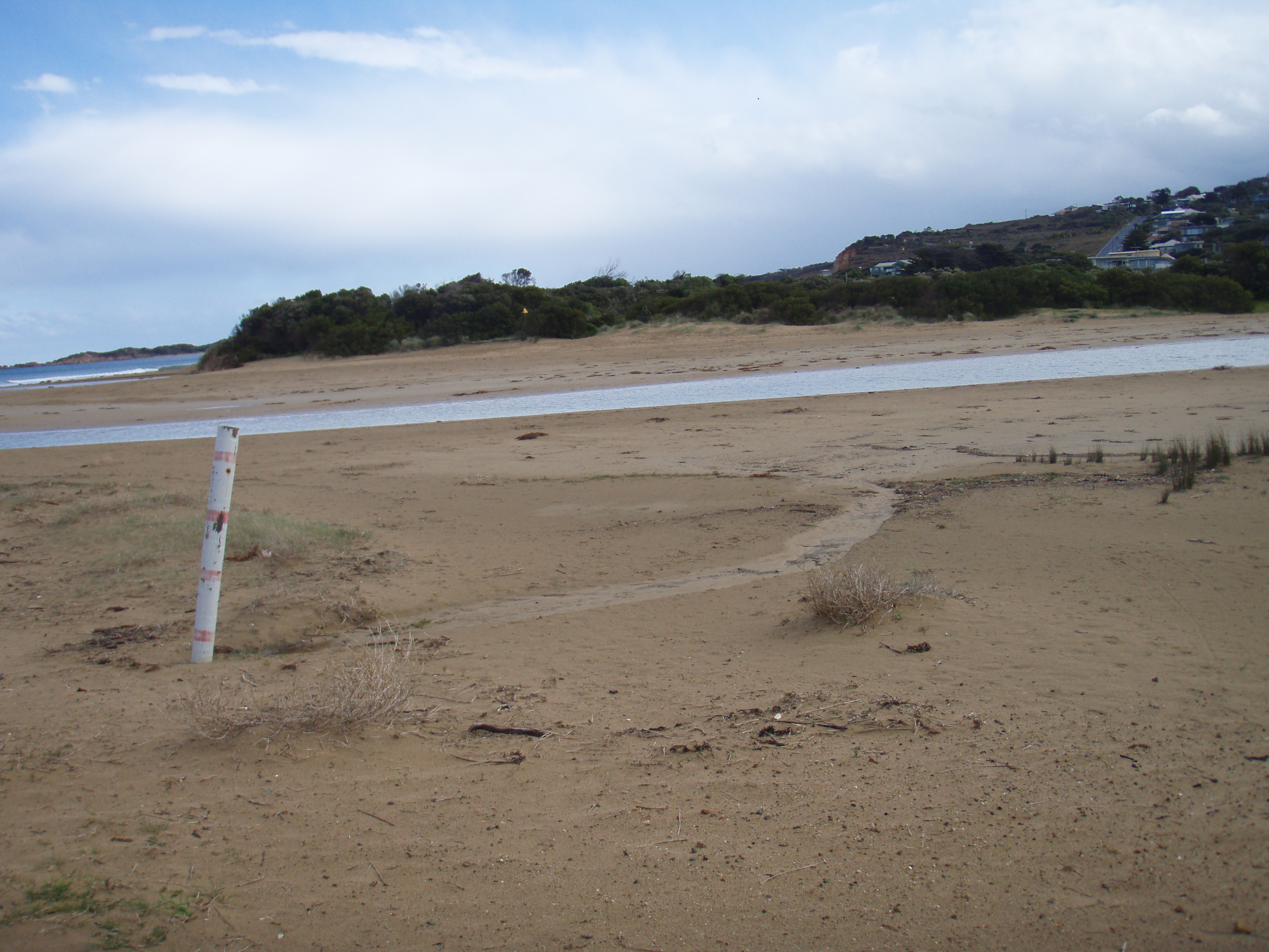
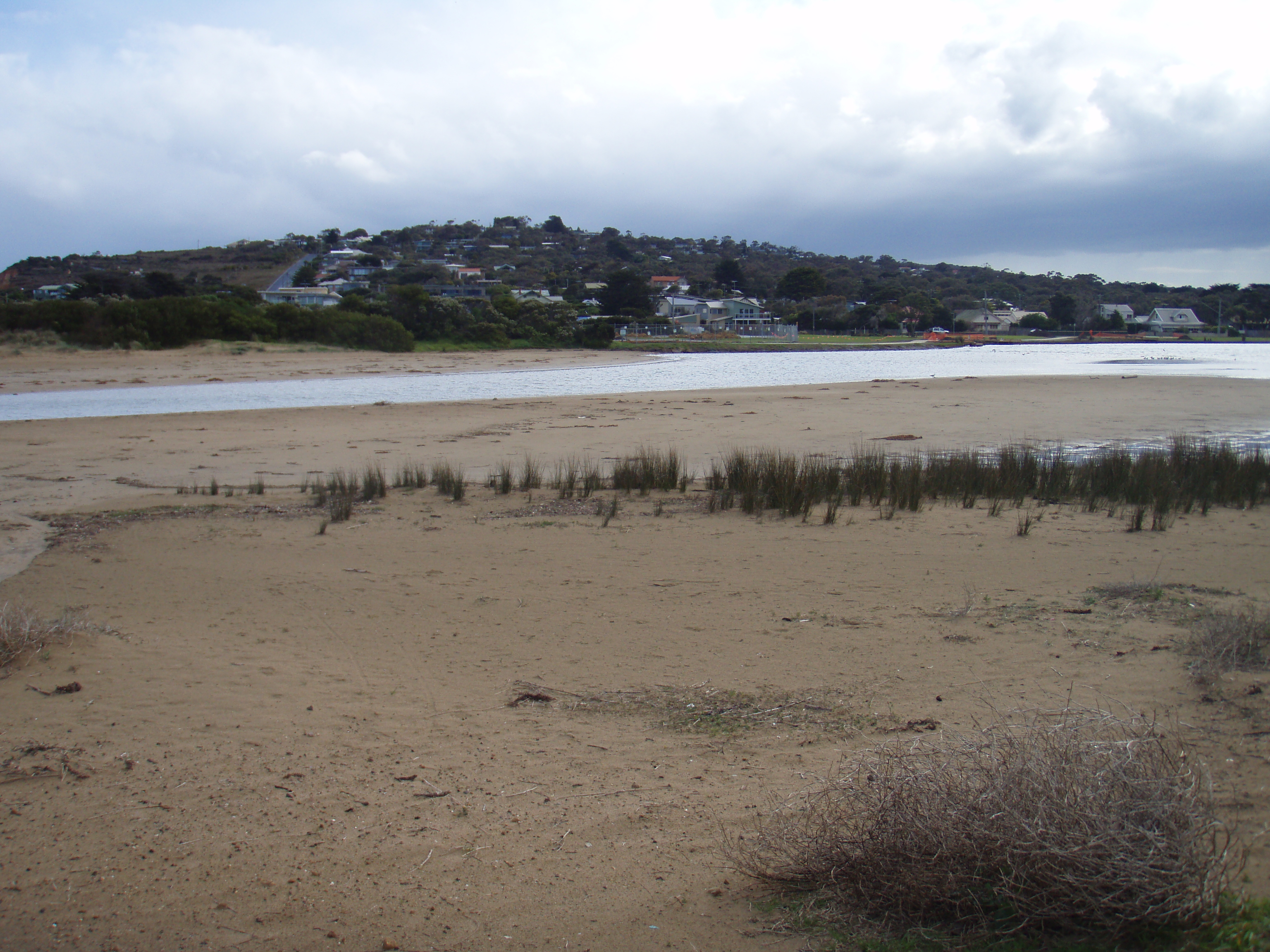
Active Mouth Condition 17-04-2007 - 17-04-2024Anglesea River Estuary
241 results found (Displaying 101 - 150)
| ID | Date | Status | Details | |
|---|---|---|---|---|
| #9952 | 18 Nov 2015 | Approved | ||
| #9899 | 21 Oct 2015 | Approved | Notes: Berm length was 80m. | |
| #9845 | 16 Sep 2015 | Approved | ||
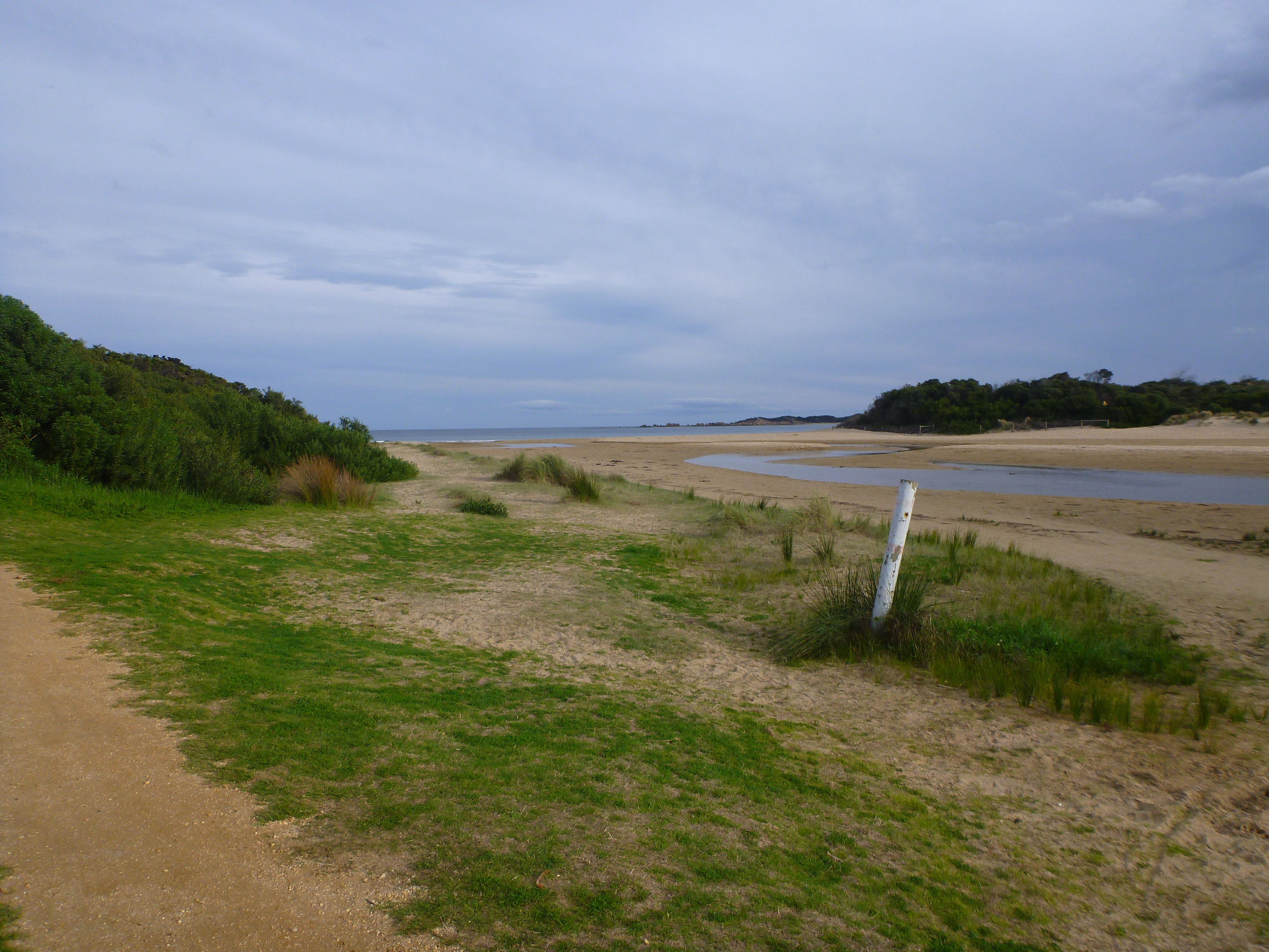
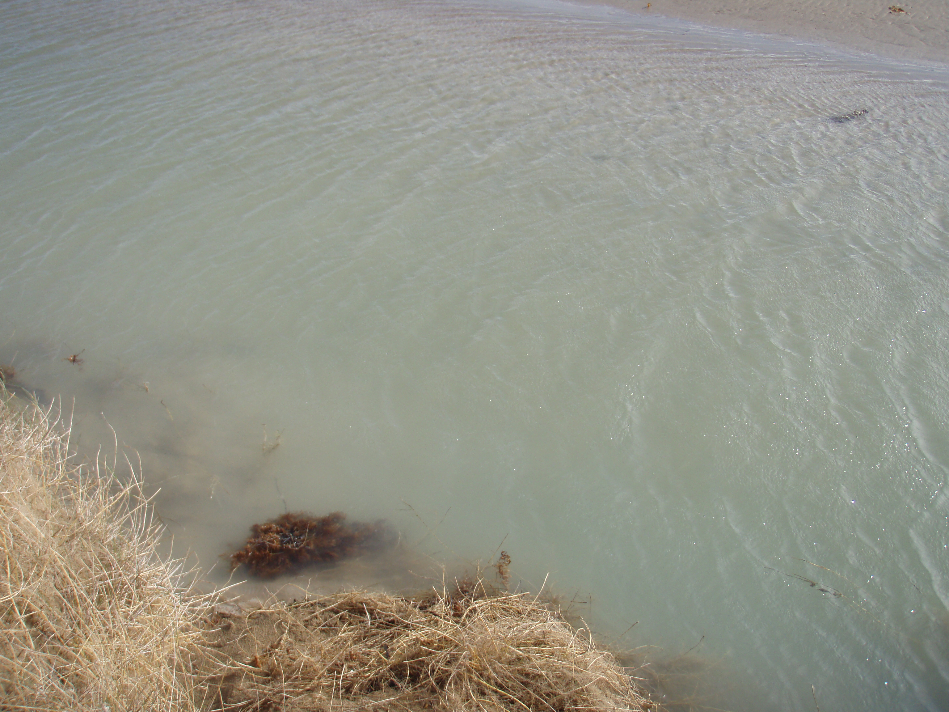
| #9797 | 19 Aug 2015 | Approved | Notes: The river had been artificially opened about three days before our observation. We measured the berm inside the river channel which was much lower than the adjacent berm (see photos). Berm length was recorded as 150m. | |
| #9722 | 15 Jul 2015 | Approved | ||
| #9674 | 17 Jun 2015 | Approved |
Notes:
Berm length was 66m.
|
|
| #9619 | 20 May 2015 | Approved | ||
| #9653 | 30 Apr 2015 | Approved | Notes: Very calm conditions. Difficult to establish wind direction. | |
| #9753 | 22 Apr 2015 | Approved | Notes: The estuary was in the process of opening. | |
| #9487 | 1 Apr 2015 | Approved | Notes: Estuary was artificially opened on 26/03/2015 | |
| #9416 | 25 Feb 2015 | Approved | Notes: length of berm was 113m. berm height was really low. mouth closed today. | |
| #9353 | 30 Jan 2015 | Approved | ||
| #9379 | 17 Dec 2014 | Approved | ||
| #9245 | 19 Nov 2014 | Approved | ||
| #9219 | 29 Oct 2014 | Approved | ||
| #9142 | 25 Sep 2014 | Approved | ||
| #9095 | 20 Aug 2014 | Approved |
Notes:
No bearm, river flowing out to sea. NB. Wind direction recorded as SSW but no option in drop box. |
|
| #9067 | 23 Jul 2014 | Approved | Notes: Swamp rat mounds near Ap2. Rose took photos of nest. | |
| #9031 | 22 Jul 2014 | Approved | ||
| #9066 | 26 Jun 2014 | Approved | ||
| #8976 | 11 Jun 2014 | Approved | Notes: Training session for Paulina Ramos | |
| #8895 | 22 May 2014 | Approved |
Notes:
Wind direction WNW (no option available). Need a new photopoint site for Ap1. Compass points are not lining up for accurate pictures, dune is too eroded. |
|
| #8845 | 23 Apr 2014 | Approved | ||
| #8796 | 20 Mar 2014 | Approved | ||
| #9025 | 19 Feb 2014 | Approved |
Notes:
Estuary artificialy opened February 14.
|
|
| #8734 | 12 Feb 2014 | Approved | ||
| #8680 | 8 Jan 2014 | Approved | ||
| #8636 | 13 Dec 2013 | Approved | ||
| #8686 | 11 Dec 2013 | Approved | ||
| #8635 | 6 Dec 2013 | Approved | Notes: estuary closed over night. | |
| #8580 | 13 Nov 2013 | Approved |
|
|
| #8559 | 12 Nov 2013 | Approved | Notes: The berm horizontal length was 24.0m. The strong SE winds were depositing sand at the mouth of the estuary. | |
| #8523 | 1 Oct 2013 | Approved | Notes: -One Caspian Tern eating a fish at the mouth of the estuary. | |
| #8440 | 11 Aug 2013 | Approved | Notes: Forgot to get the final water level ht at the bridge. Hopefully you'll be able to follow this up. | |
| #8341 | 6 Jun 2013 | Approved | Notes: Estuary was artificially opened on the 05.06.13 | |
| #8342 | 27 May 2013 | Approved | ||
| #8290 | 17 May 2013 | Approved | ||
| #8228 | 16 Apr 2013 | Approved | Notes: Estuary was artificially opened on Thursday April 11. The AHD was 1.67m. The estuary closed on Monday April 15. | |
| #8229 | 12 Apr 2013 | Approved | Notes: Estuary was artificially opened on Thursday April 11 by Surf Coast Shire. AHD 1.67 | |
| #8225 | 4 Apr 2013 | Approved |
Notes:
|
|
| #8149 | 21 Feb 2013 | Approved | Notes: -You can see where the estuary has been flowing out to sea only hours ago. | |
| #8051 | 6 Feb 2013 | Approved | Notes: Estuary had been illegally opened the night before. | |
| #8039 | 29 Jan 2013 | Approved | ||
| #7960 | 14 Dec 2012 | Approved | Notes: Looked as though the estuary had been manually opened. | |
| #7894 | 25 Oct 2012 | Approved |
|
|
| #7849 | 2 Oct 2012 | Approved | ||
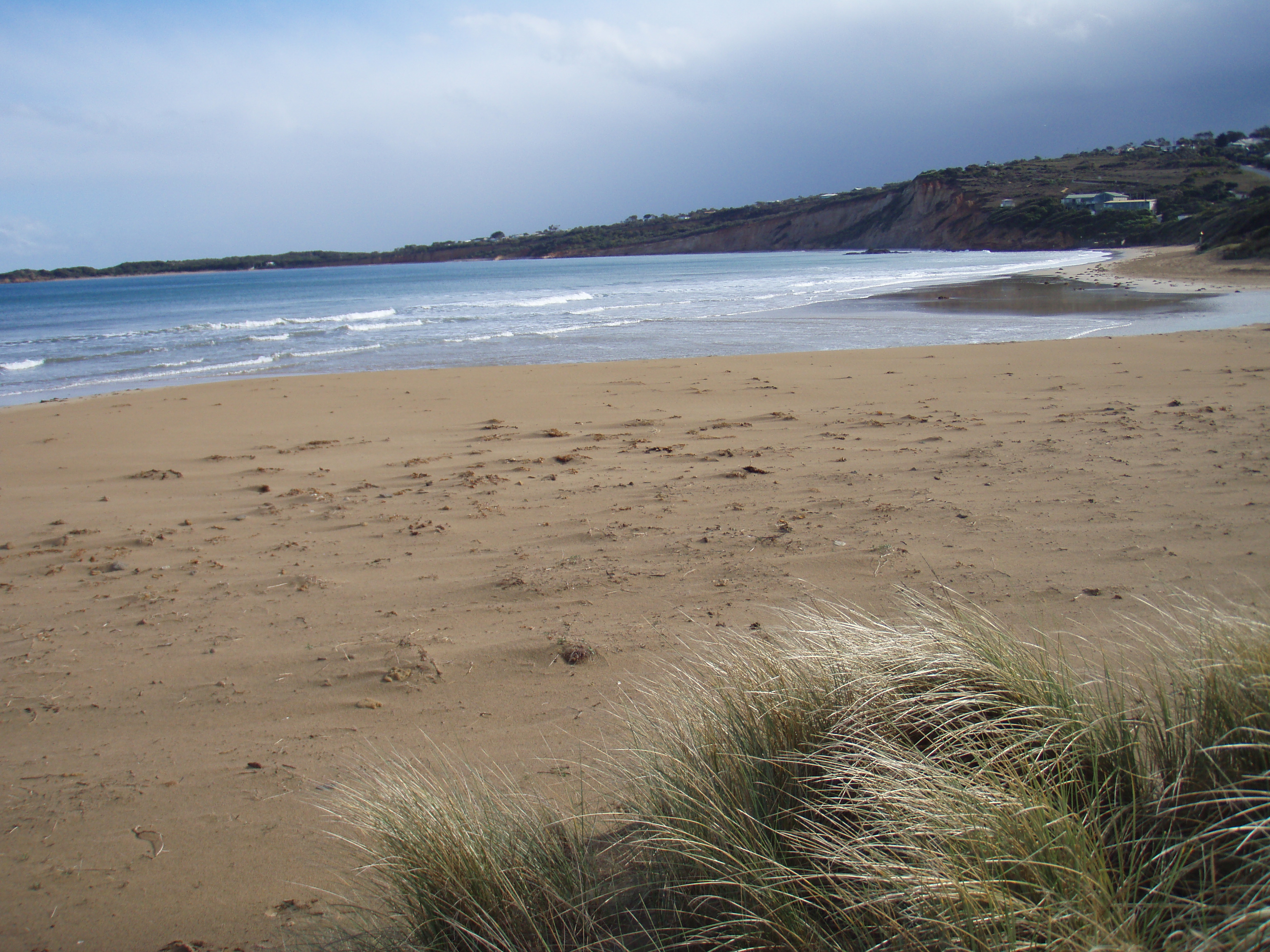
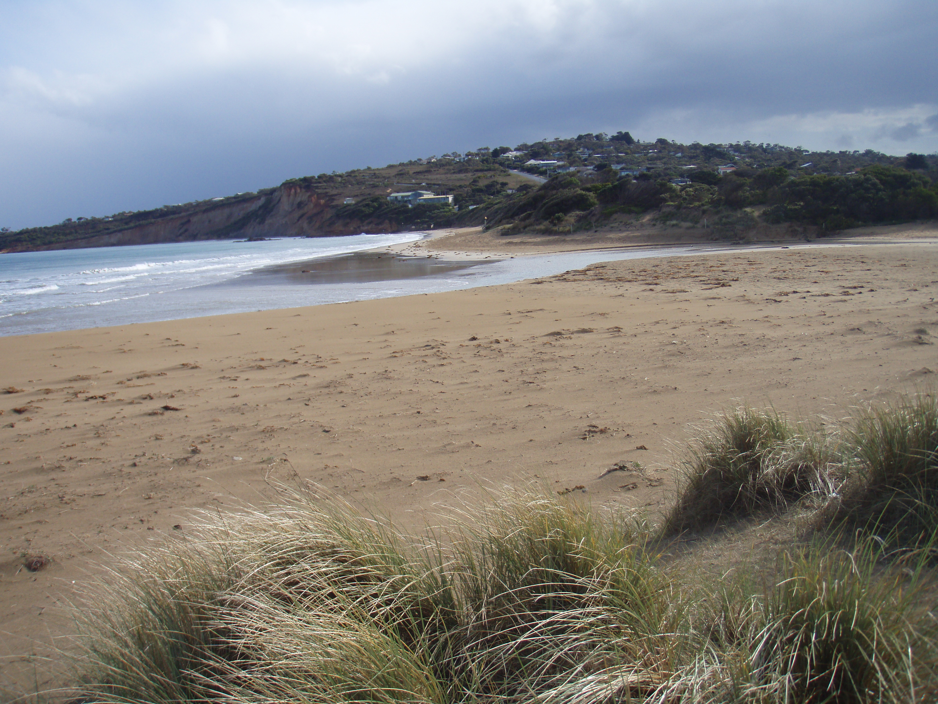
| #7701 | 5 Sep 2012 | Approved | Notes: Water at the mouth is a cloudy blue. | |
| #7582 | 12 Aug 2012 | Approved | Notes: Anglesea River opened naturally in the last couple of days. | |
| #7903 | 9 Aug 2012 | Approved |
|
|
| #7398 | 5 Jul 2012 | Approved |
Notes:
Estuary was slightly too deep to walk across to access photopoint sites, but walked a long way round. Noticed river to still be oddly-coloured. Very fresh water - altered EC readings for many top samples during physico-chemical testing. |
|


All content, files, data and images provided by the EstuaryWatch Data Portal and Gallery are subject to a Creative Commons Attribution License
Content is made available to be used in any way, and should always attribute EstuaryWatch and www.estuarywatch.org.au