EstuaryWatch Data Portal
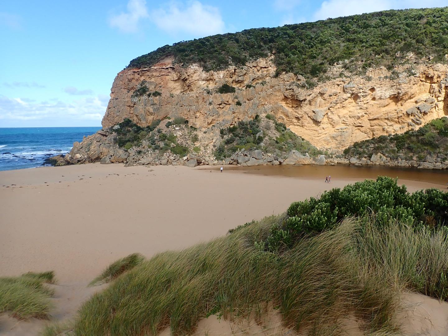
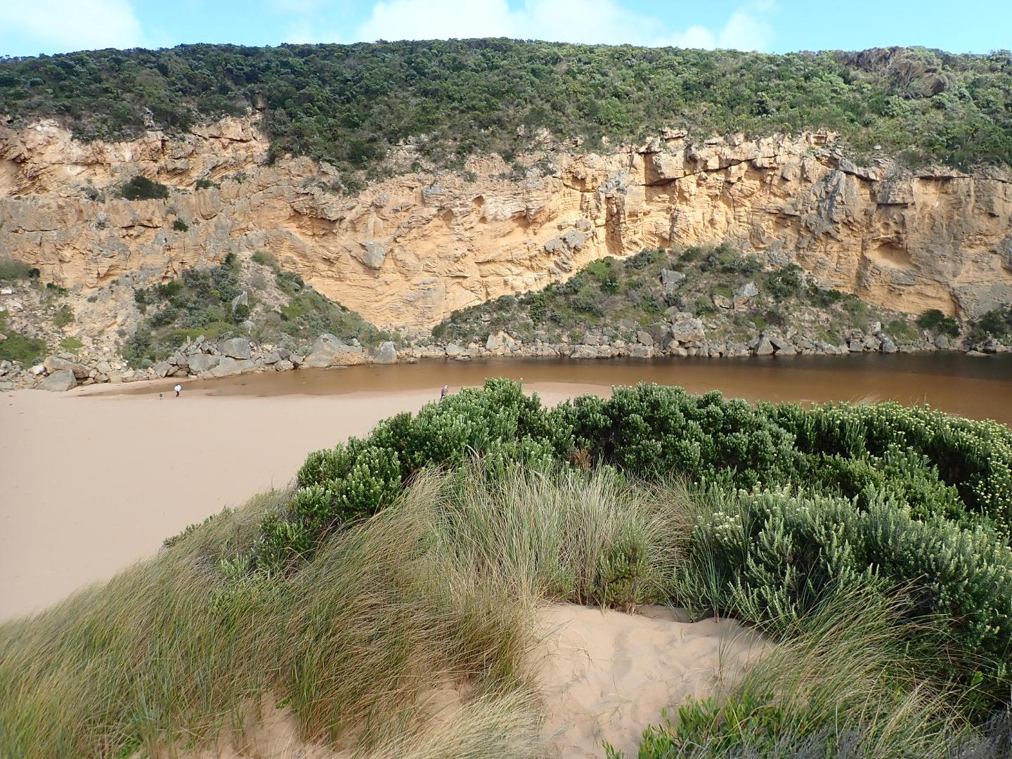
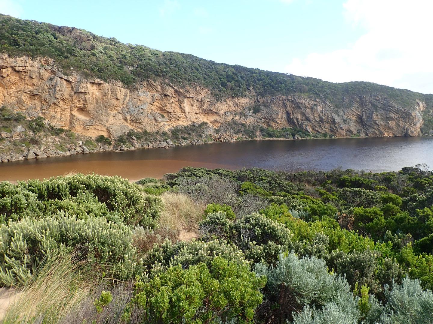
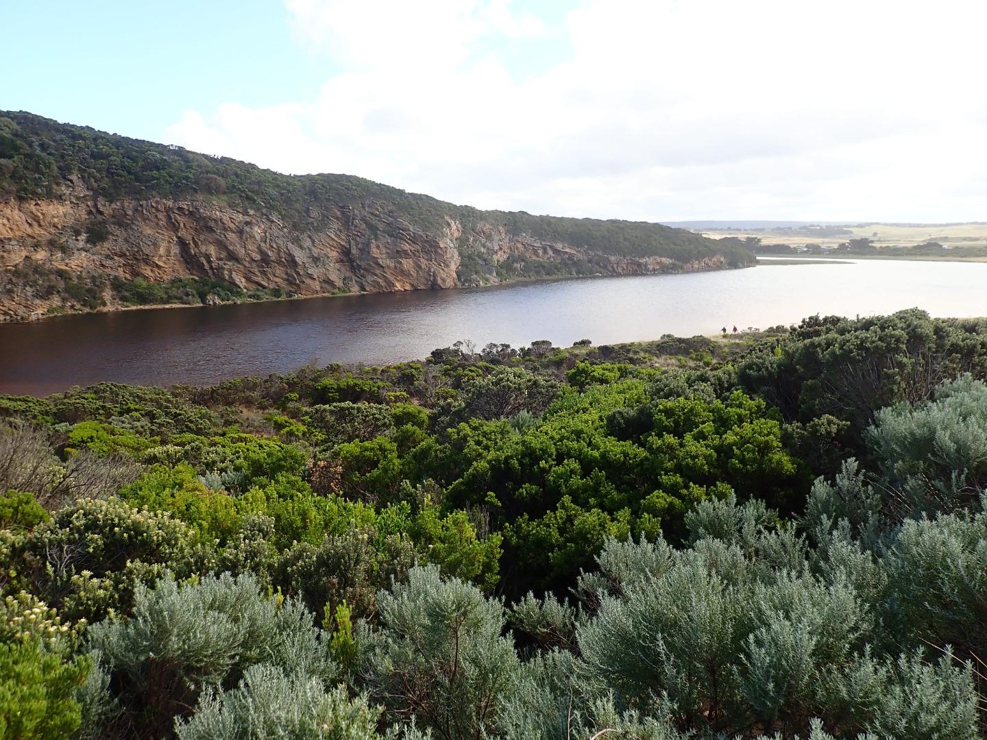
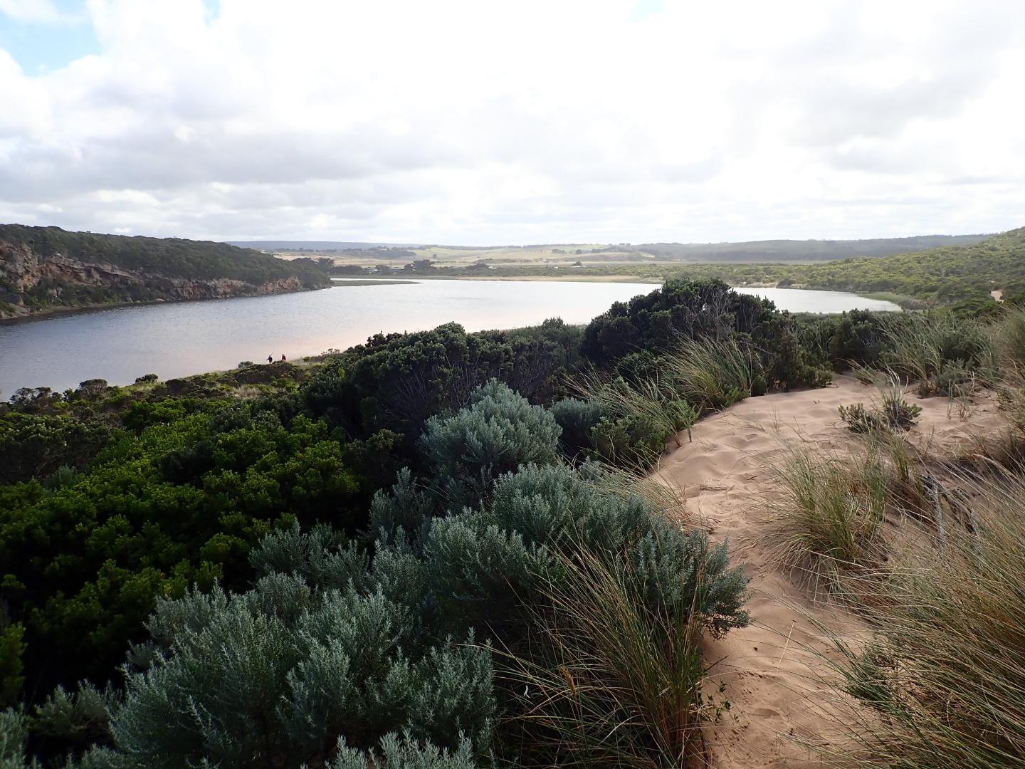
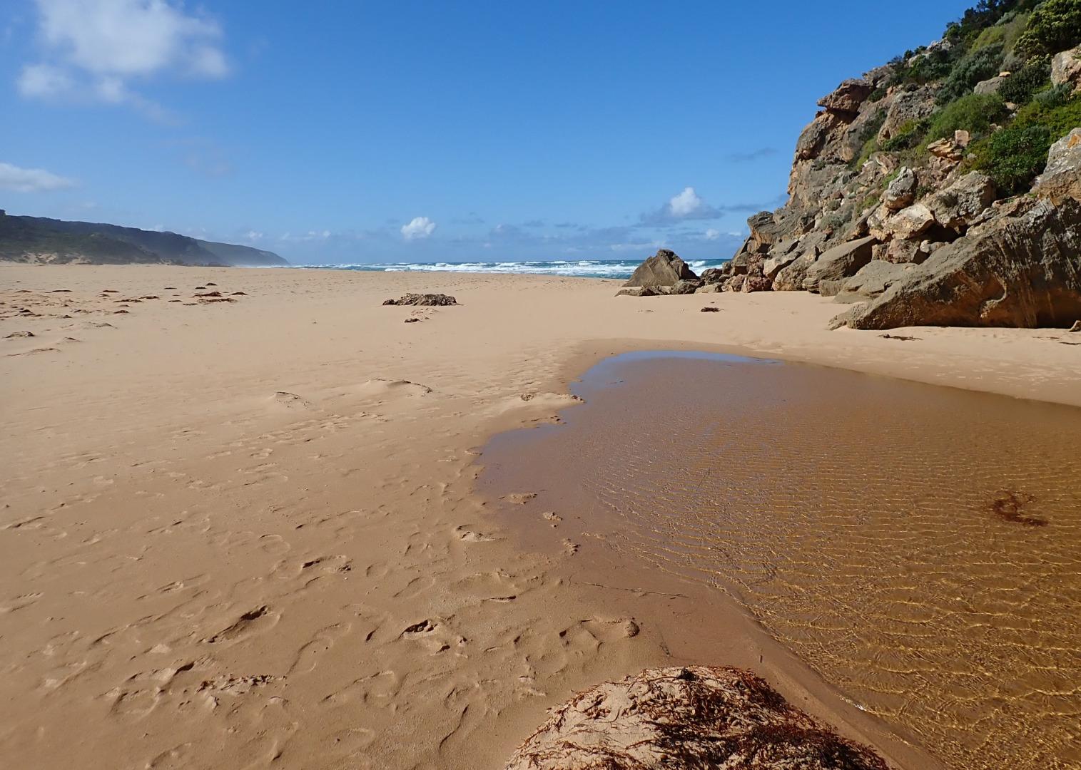
GMC Gellibrand River Estuary Mouth Observation Site
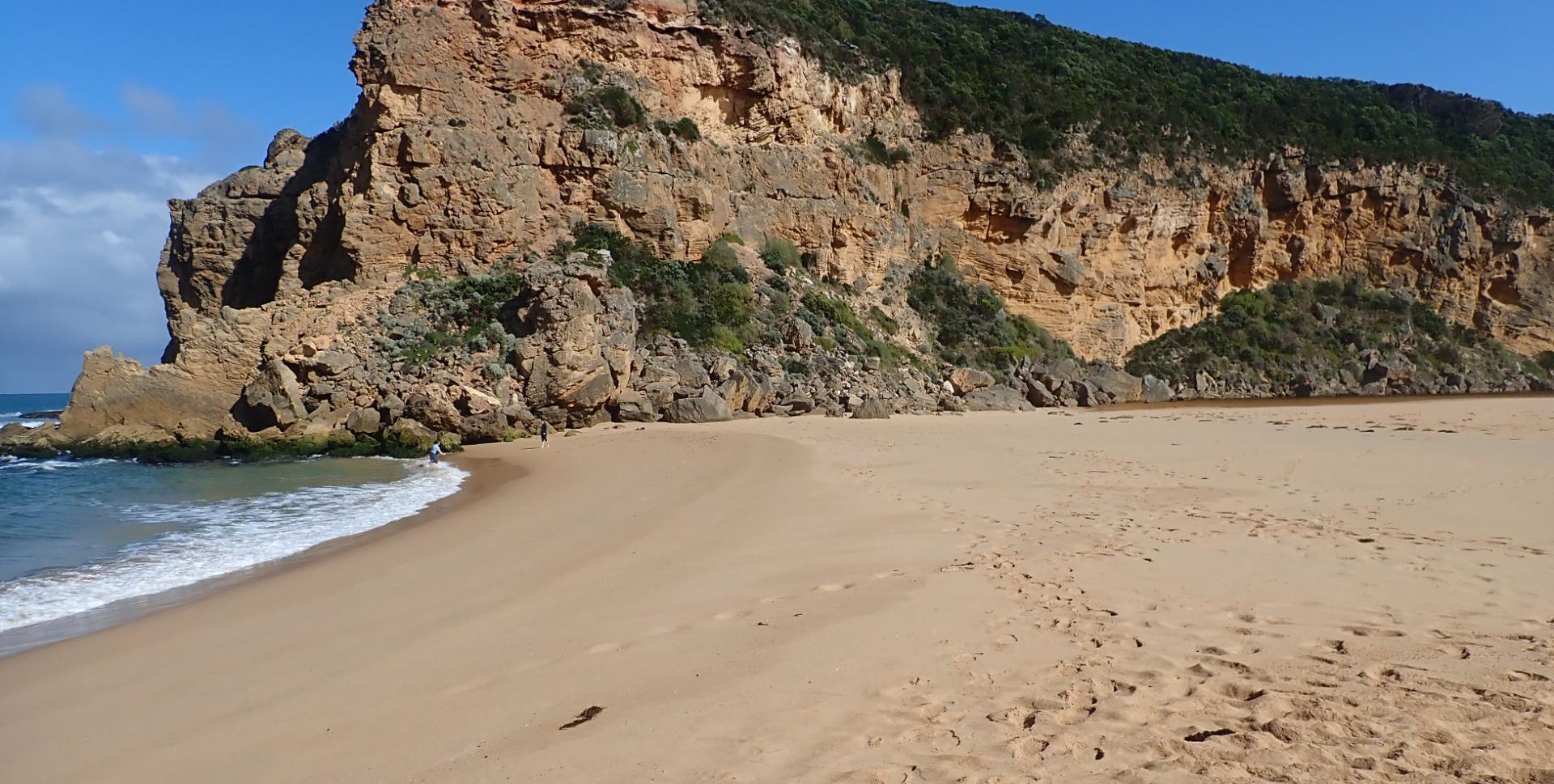
Active Mouth Condition 20-04-2007 - 19-04-2024Gellibrand River Estuary
| ID | Date | Status | Details | |
|---|---|---|---|---|
| #14960 | 19 Aug 2022 | Approved | ||
| #14911 | 22 Jul 2022 | Approved | ||
| #14696 | 19 May 2022 | Approved |
Notes:
AHD posts removed due to planned bridge replacement. Water level high, almost up to jetty. No sandbank. Wide estuary mouth, narrow river outflow channel Large clump of ?reeds ?seaweed in lagoon I forgot to record tide heights |
|
| #14634 | 22 Apr 2022 | Approved |
|
|
| #14615 | 18 Mar 2022 | Approved |
|
|
| #14831 | 14 May 2021 | Approved |
Notes:
Access track partially underwater 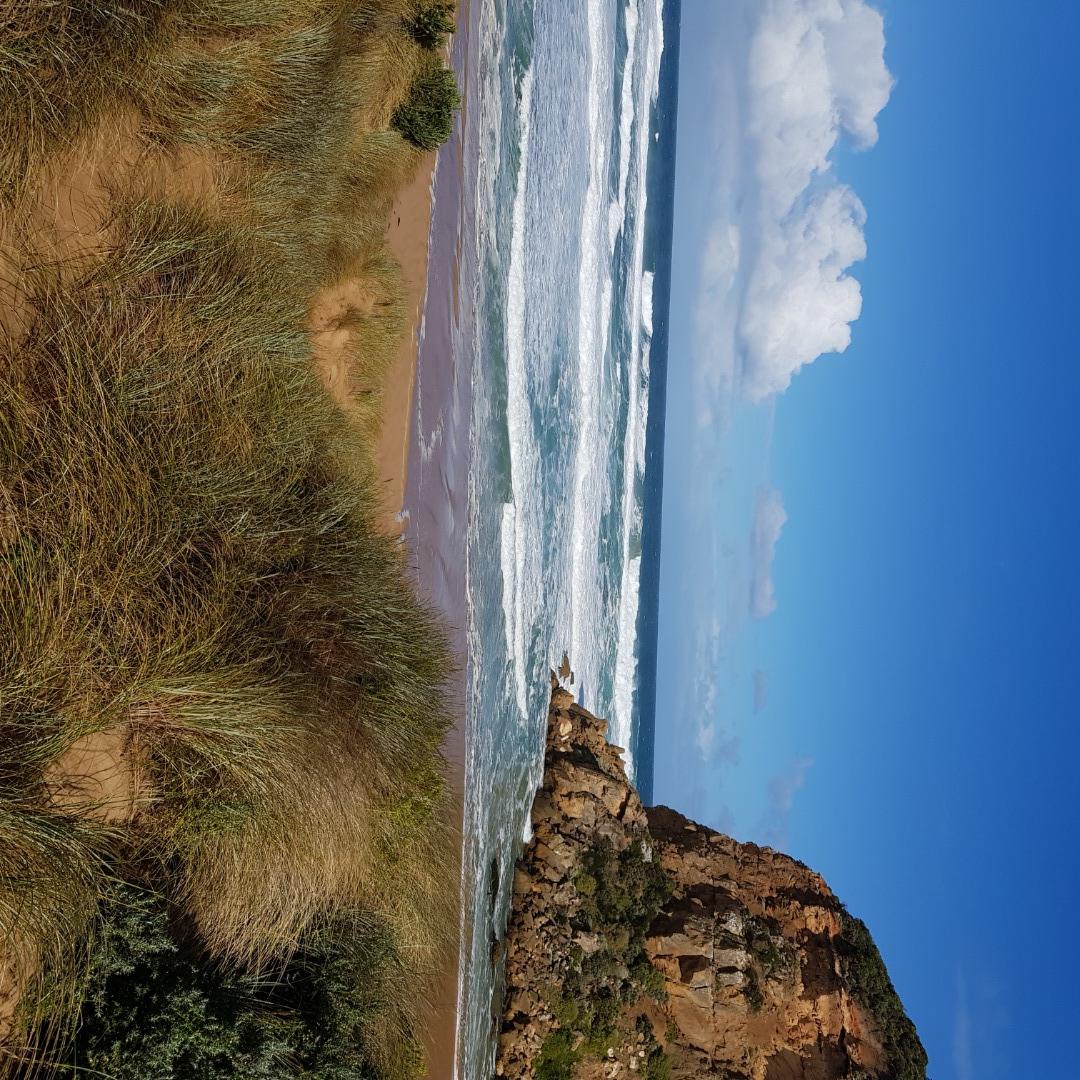 |
|
| #13649 | 20 Mar 2020 | Approved |
Notes:
Mouth closed but an illegal opening occurred on 19-03-20 which created some outflow out for a short period before the channel closed up again by early am 20-03-20 About .30m of last rock above water level at start of river Water over increased area of top track, low track has water up to ocean car park. Campground has no visible water but very small puddle on north side of OCR before bridge. No water visible on G.O.R. Small area of shallow water flowing from river is travelling north across OOR - vehicle access was still possible 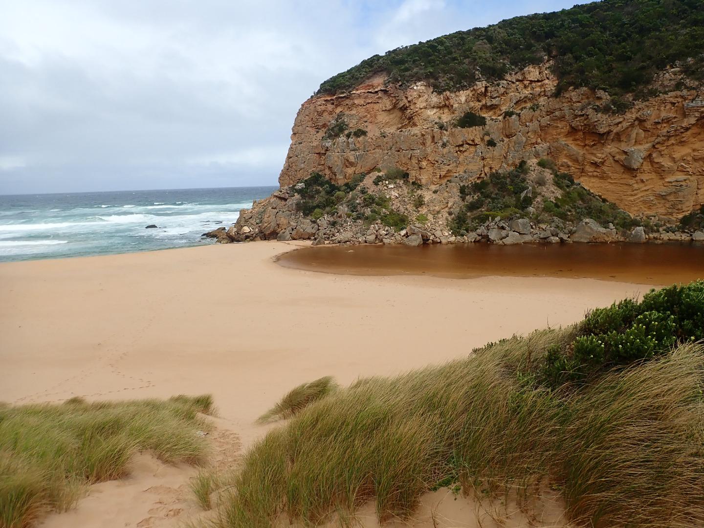 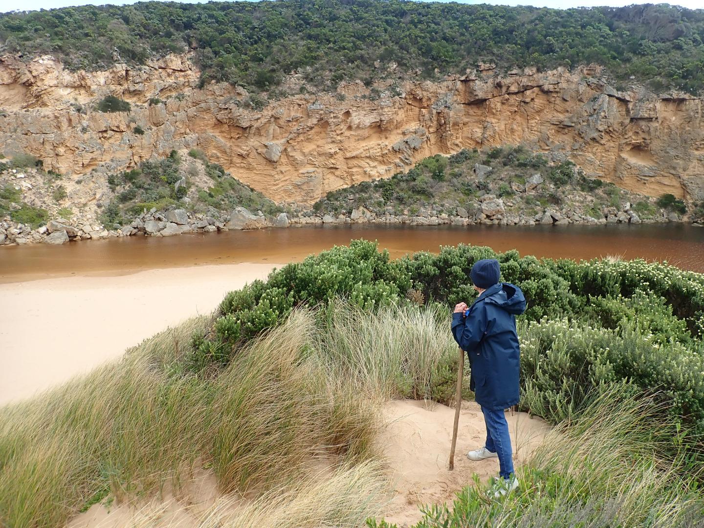 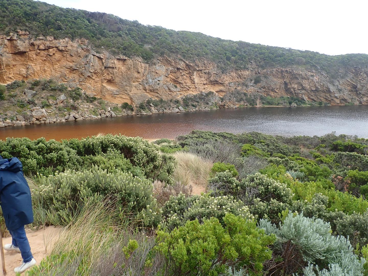 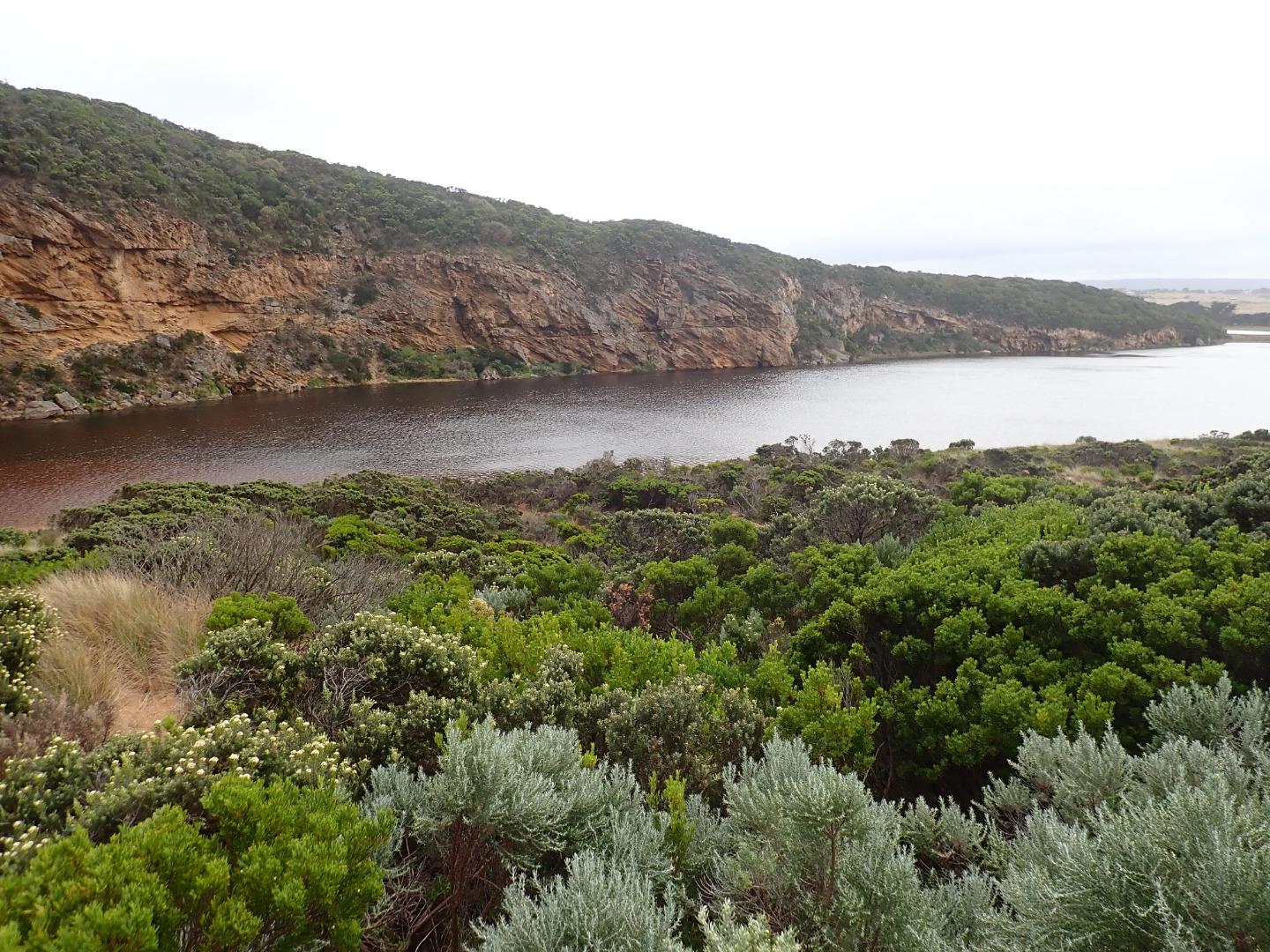 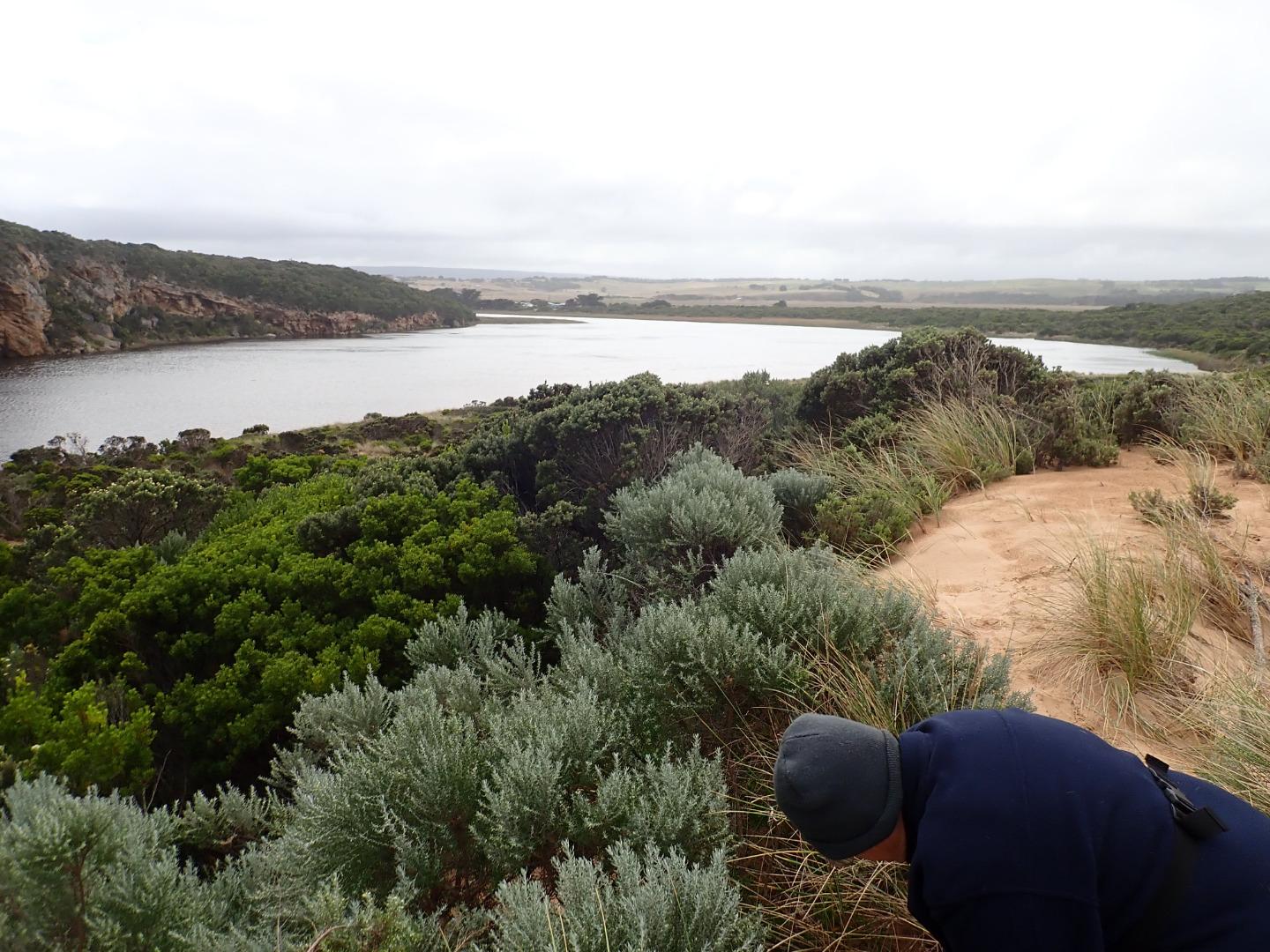 |
|
| #13608 | 7 Mar 2020 | Approved |
Notes:
Observation taken @ low tide Sand height has increased between mid beach & mouth. Beach shape has changed, higher @ mid beach with broad projection extending slightly out to sea, while area towards mouth is higher - the area to east is lower & undulating. A sandbar is running parallel to shore about 40m. out, starting from the projection & continuing close to mouth Upstream flats up to G4 are starting to flood . No water over OOR nor in area upstream G4 apart from small area between G5& G4 |
|
| #13605 | 1 Mar 2020 | Approved |
Notes:
Observations made @ Low tide River perched-some waves going up into river with return to ocean. Waves occasionally overtopping all along beachfront. Previous very rough seas have over topped beach front & travelled down wide shallow depression behind entering river channel on both sides of rocks - action of backwash to ocean has reduced height of beach front near mouth & created a very low gradual rise up to the start of the river Seal on Princetown beach 02-03-2020 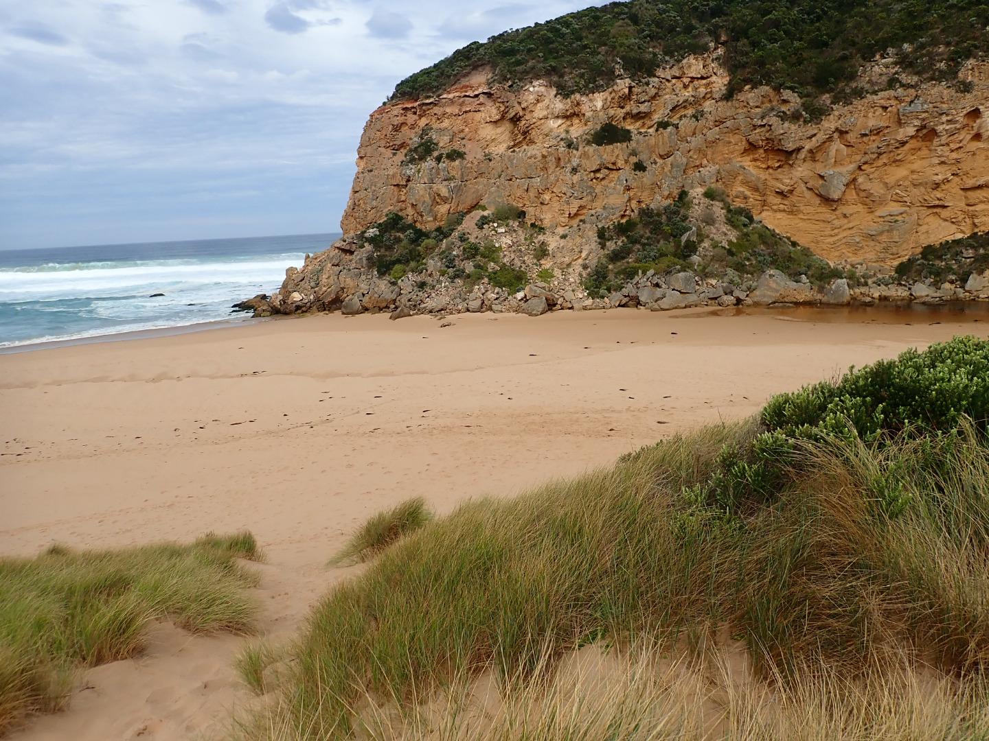 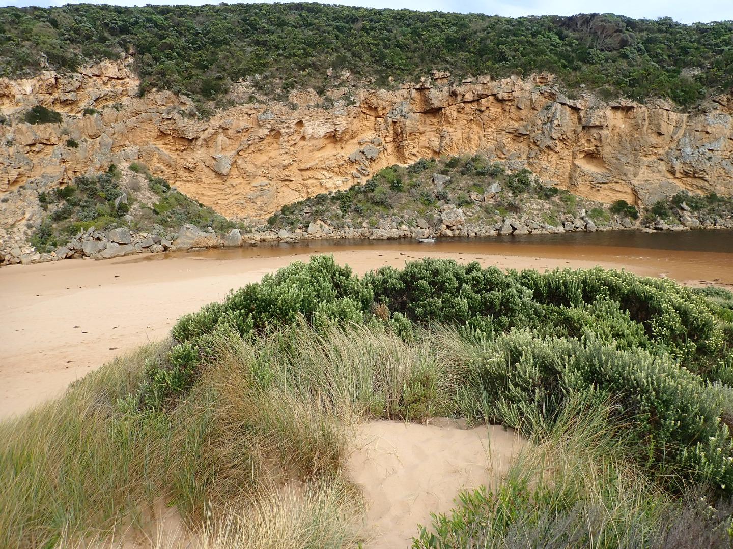 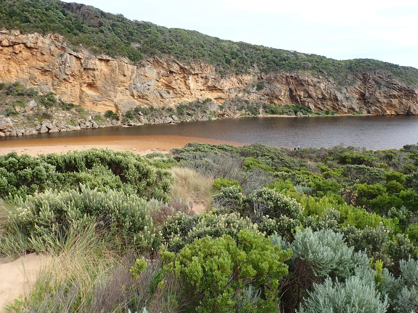 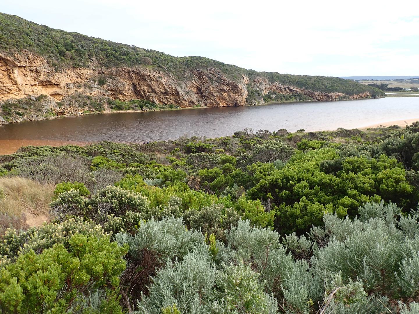 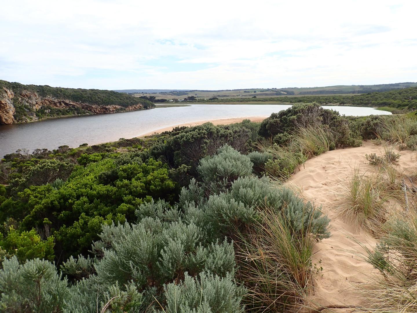 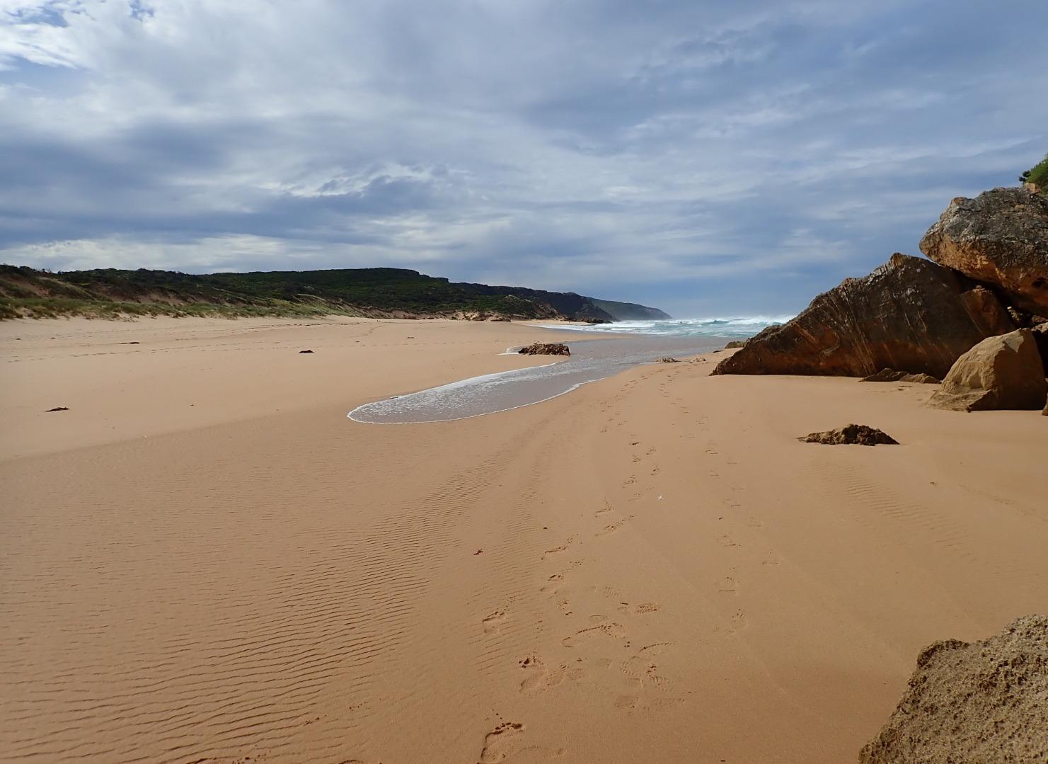 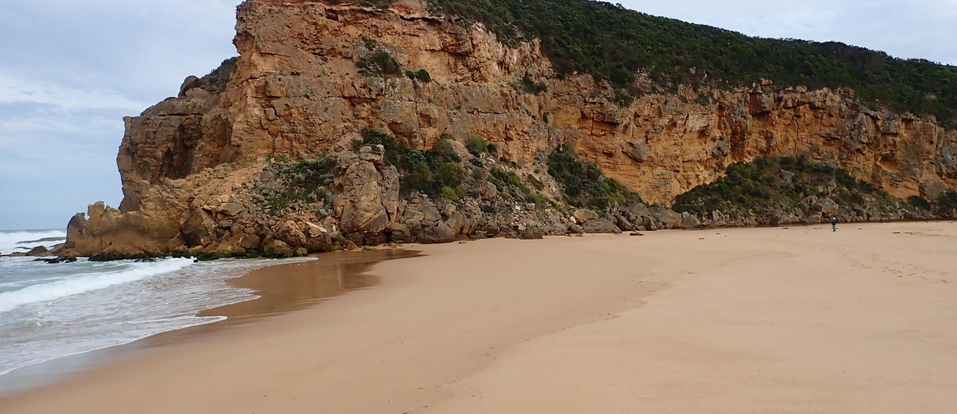 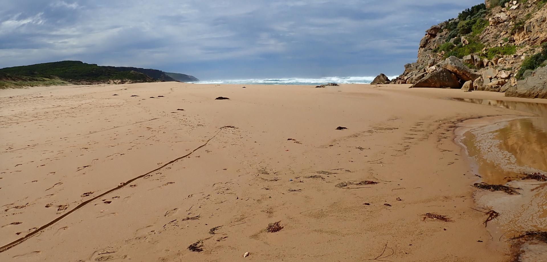 |
|
| #13586 | 21 Feb 2020 | Approved |
Notes:
Reducing outflow carrying a large amount of sand. Then travelling along foreshore to east Also lighter discharge going to west.Height of beach from mid beach to mouth has increased but from mid beach where it is highest to east the end it is much lower. Waves from last high tide have been overtopping & travelling along a wide shallow depression to enter channel around rocks. Sheer east side to channel near mouth indicates a strong flow at last change of tide 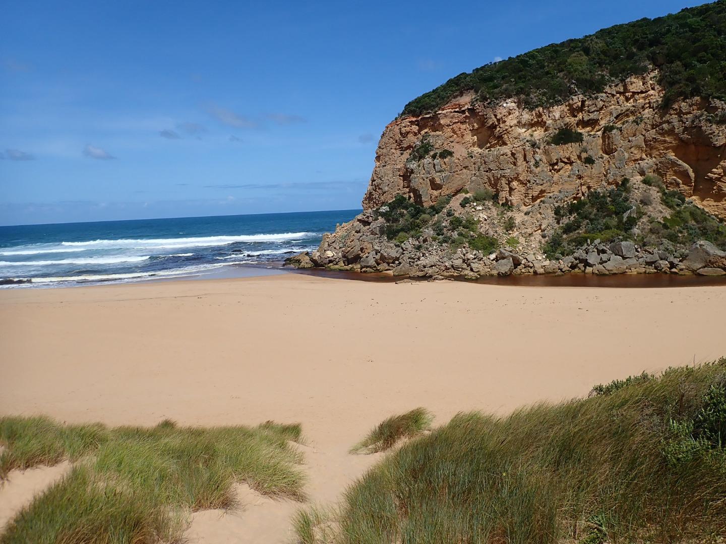  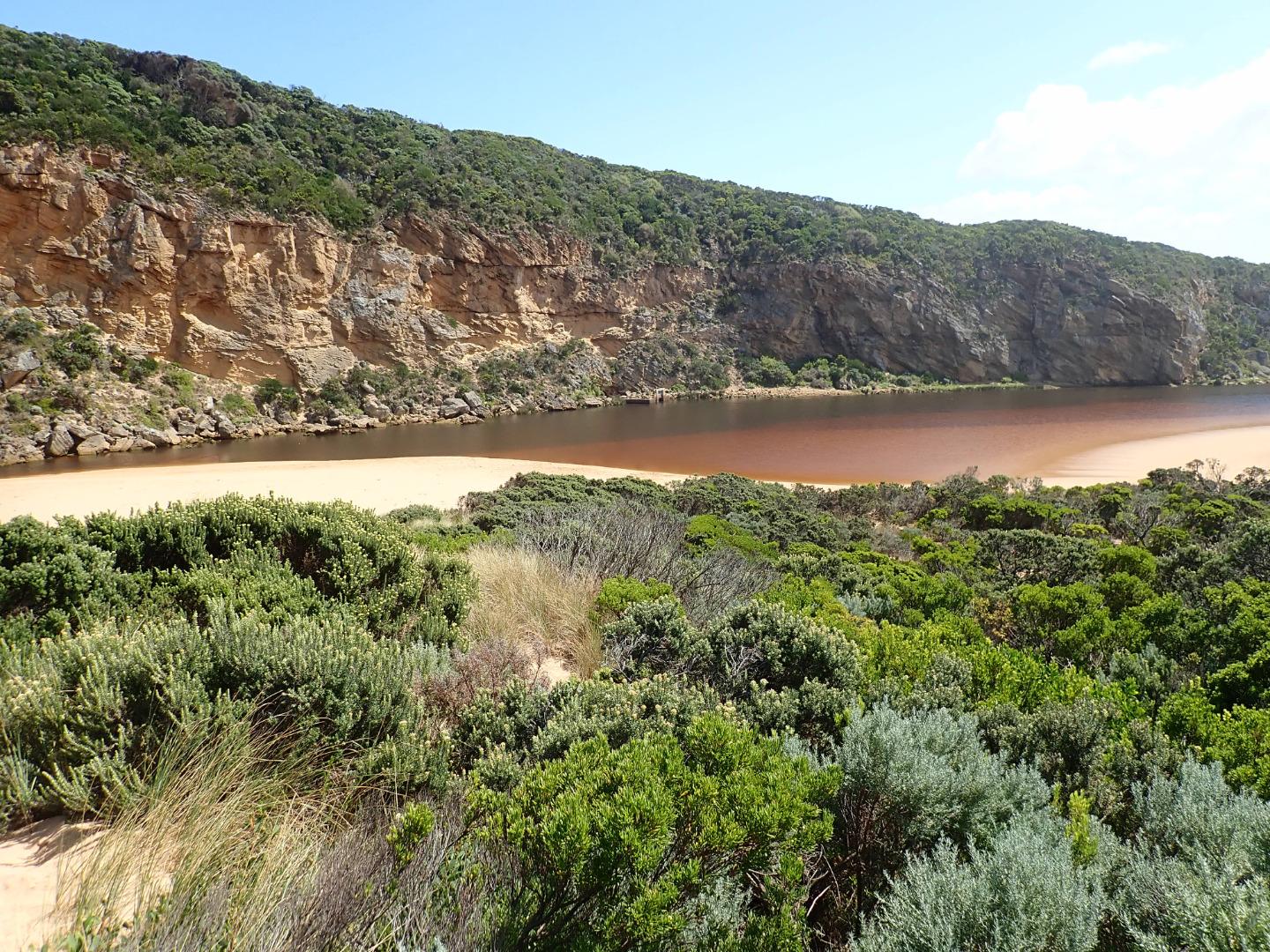 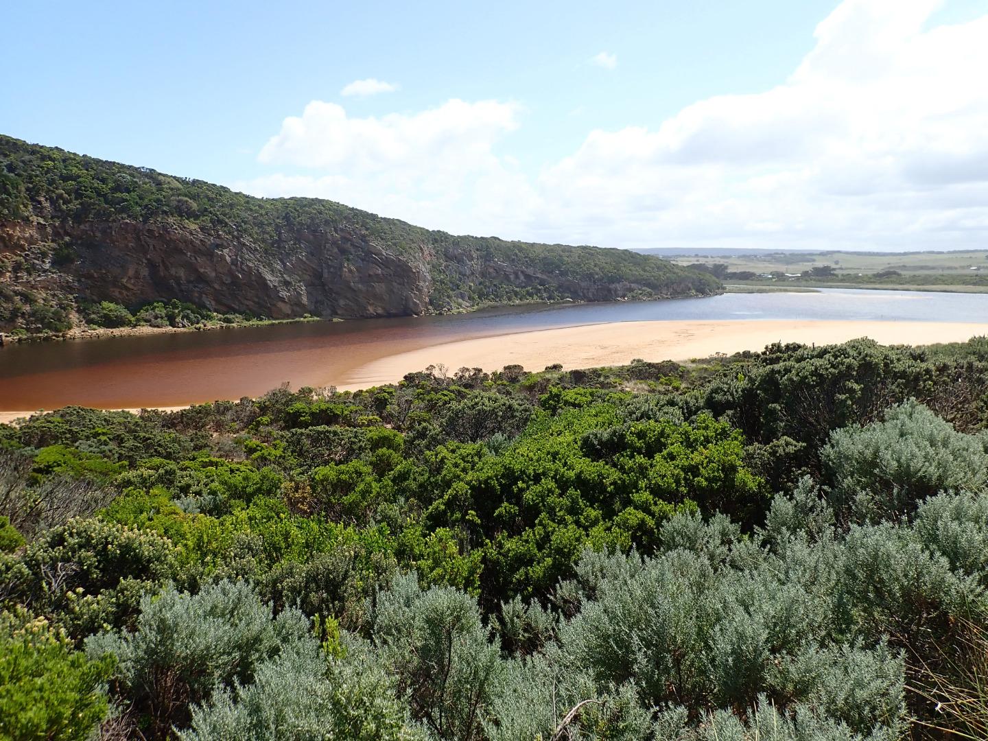 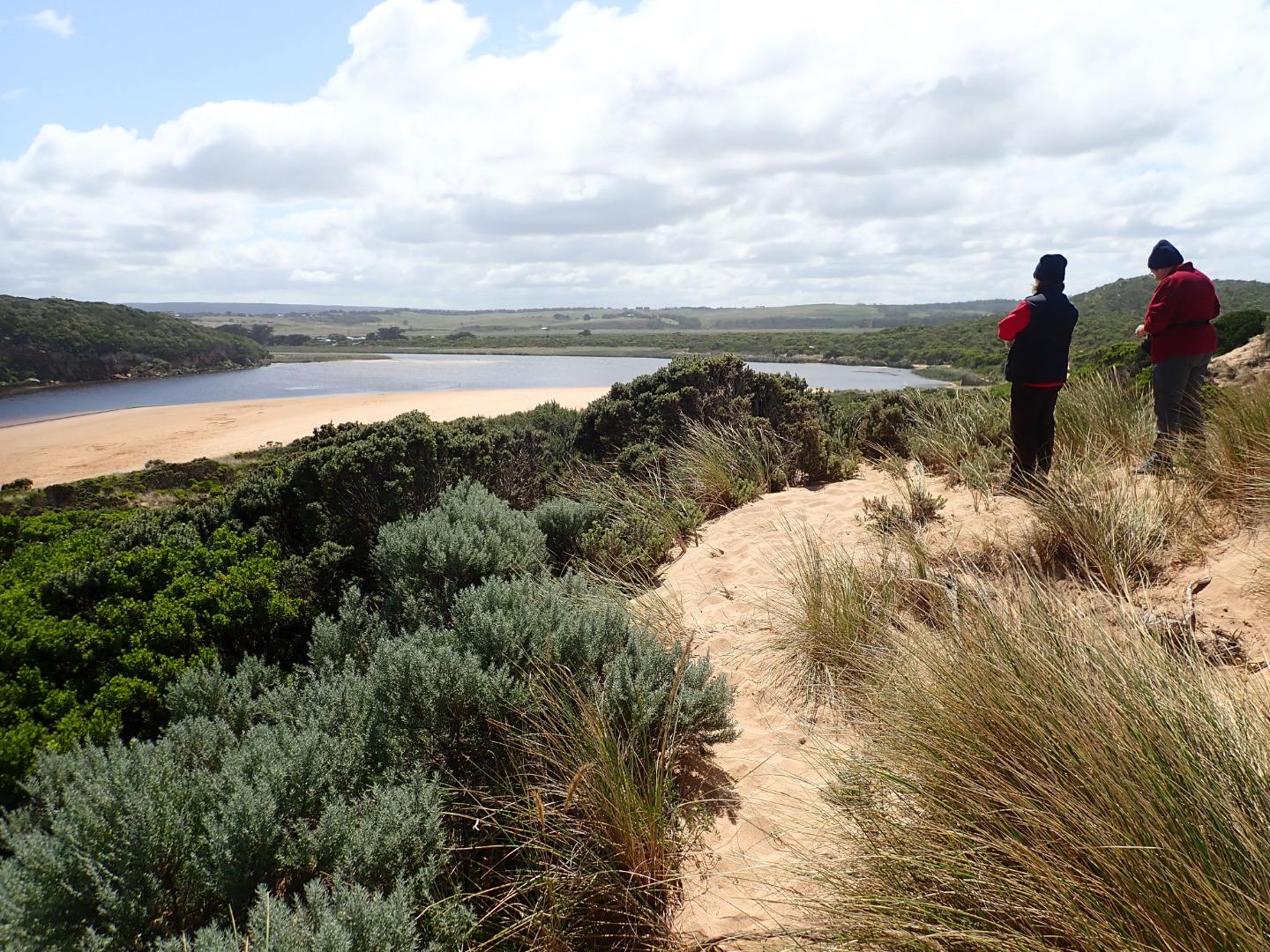 |
|

All content, files, data and images provided by the EstuaryWatch Data Portal and Gallery are subject to a Creative Commons Attribution License
Content is made available to be used in any way, and should always attribute EstuaryWatch and www.estuarywatch.org.au