EstuaryWatch Data Portal
WyMC Wye River Mouth Condition
Active Mouth Condition 20-01-2007 - 21-04-2024Wye River Estuary
| ID | Date | Status | Details | |
|---|---|---|---|---|
| #14011 | 7 Mar 2021 | Approved |
Notes:
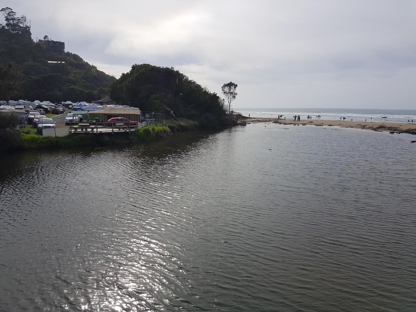
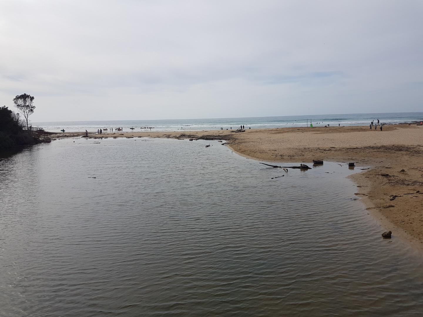
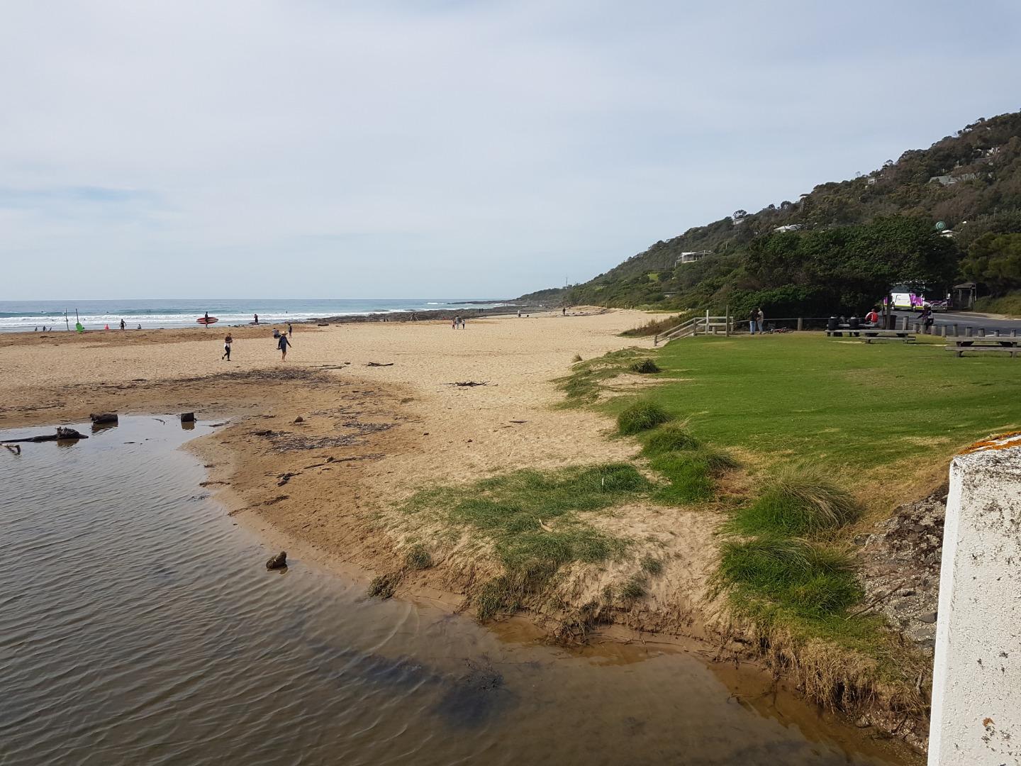
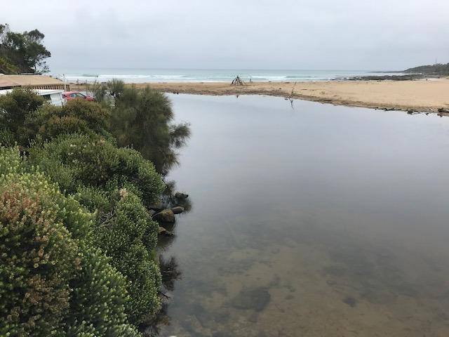
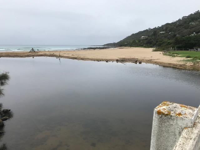
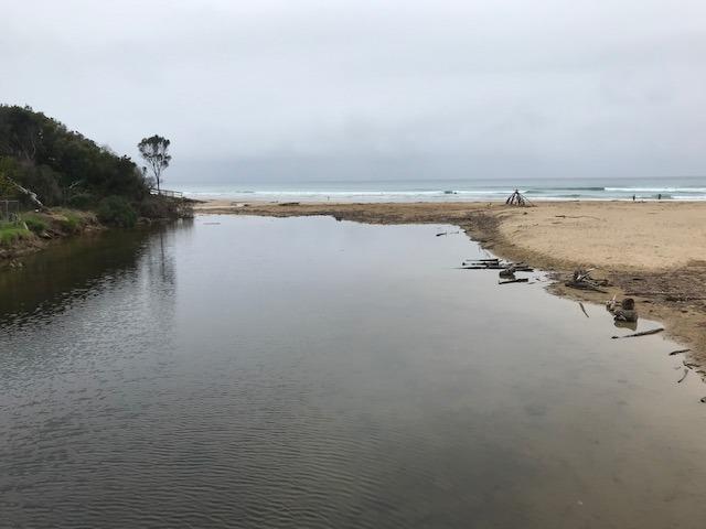
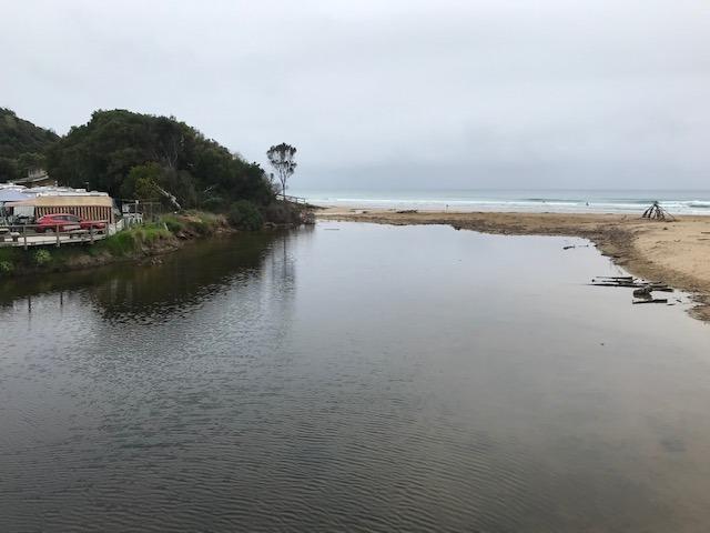
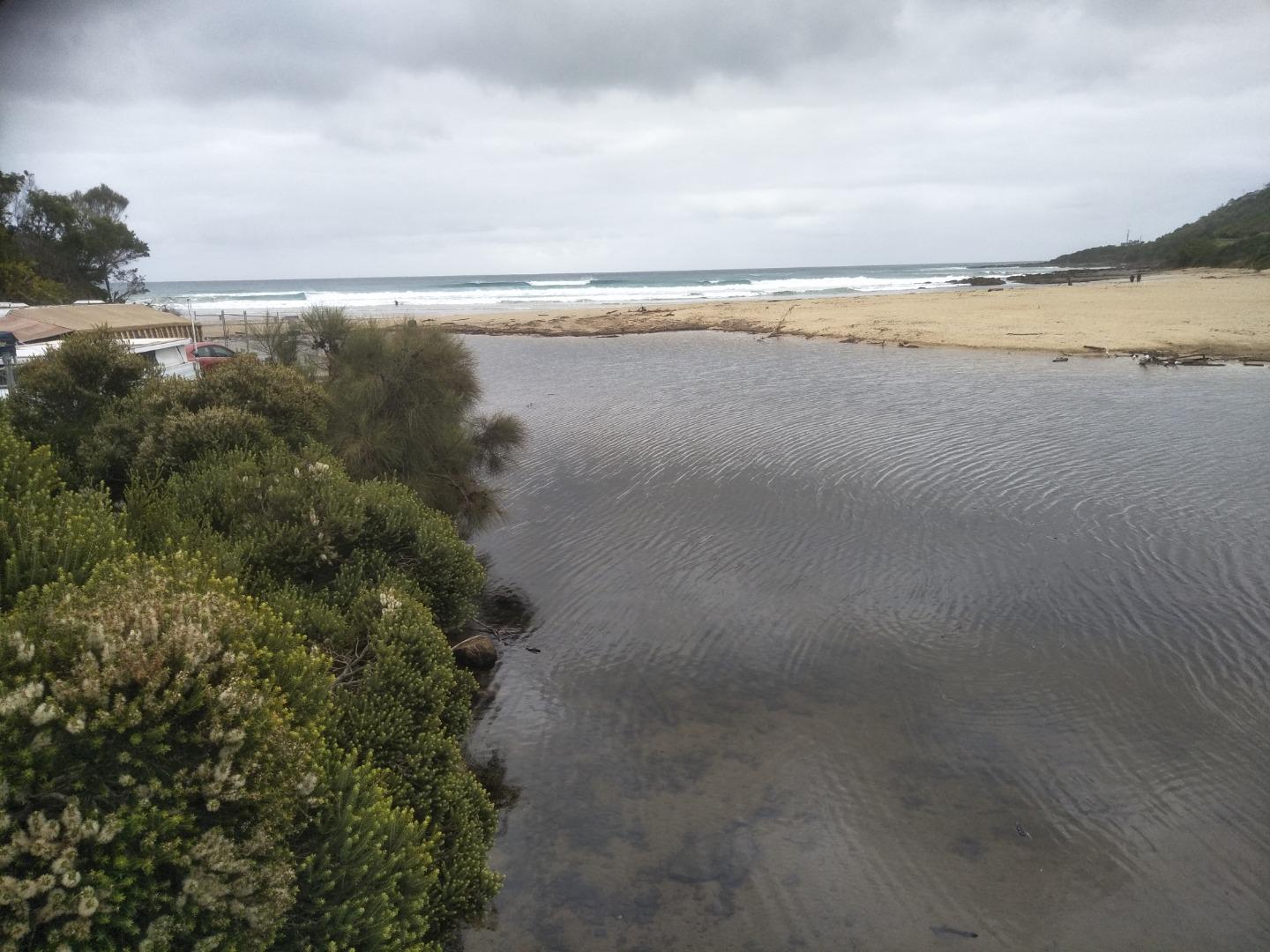
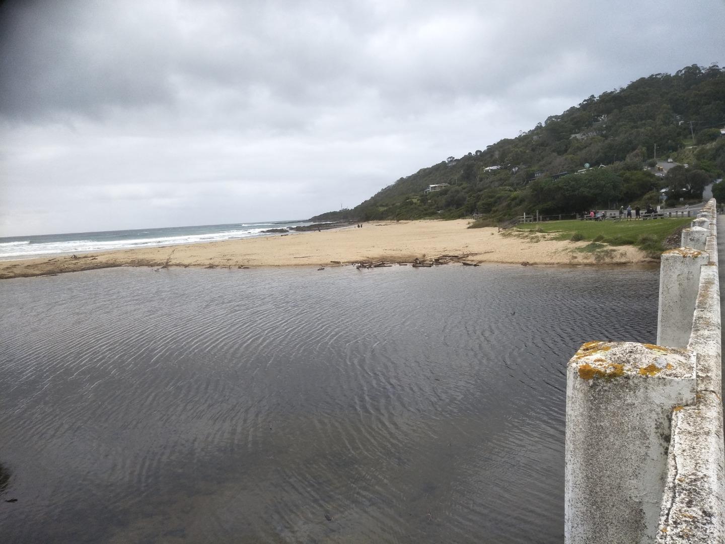
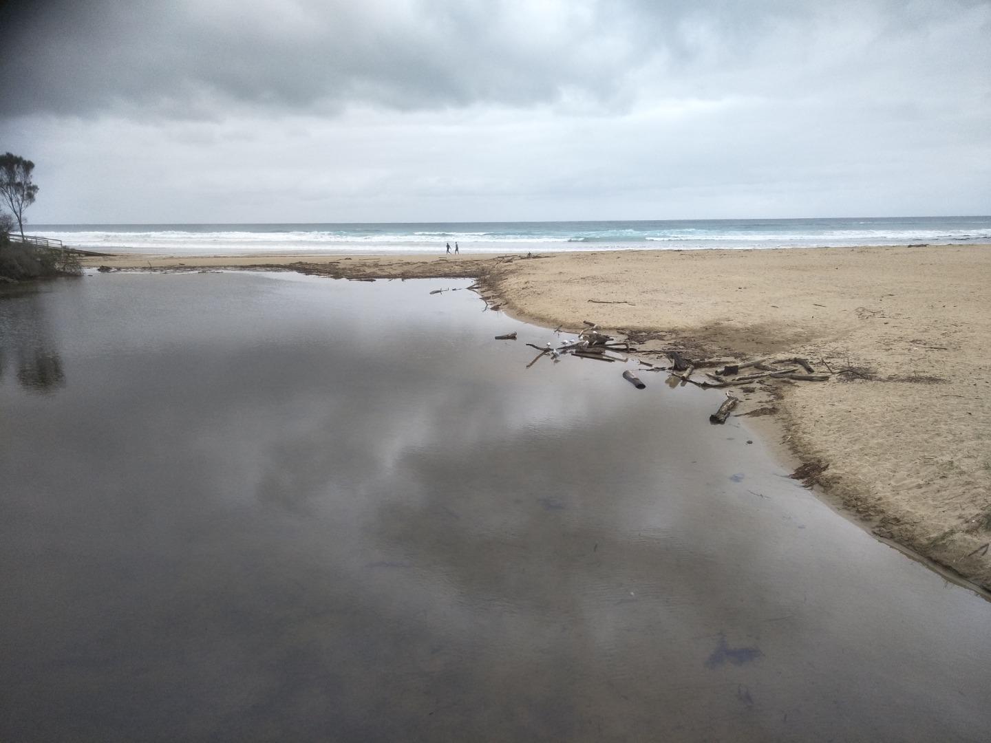
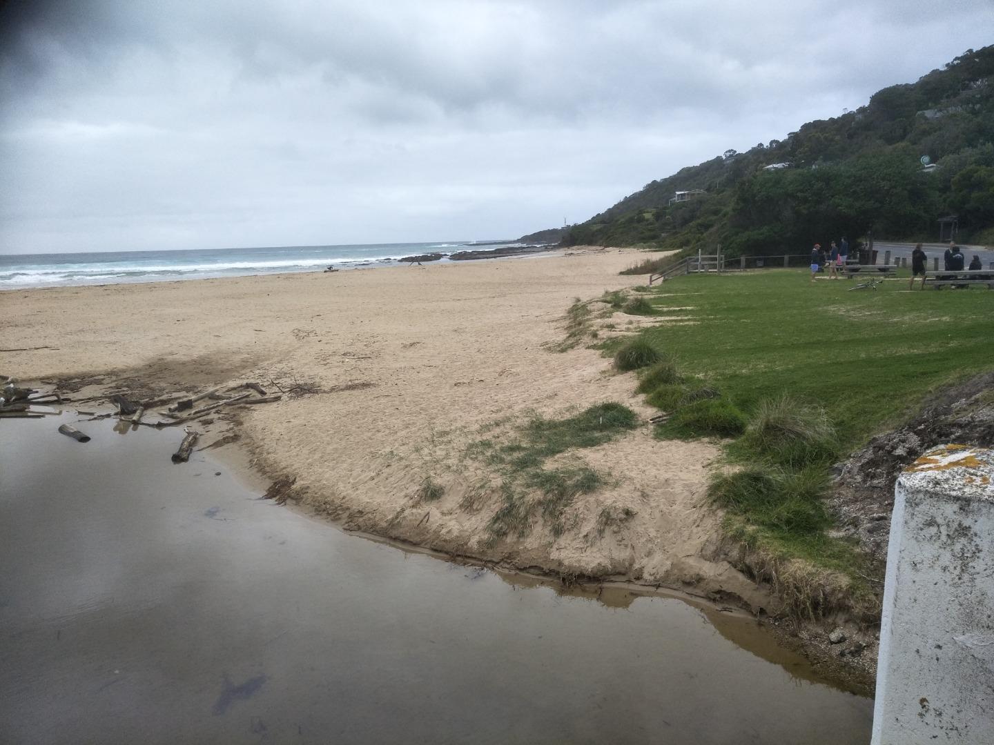
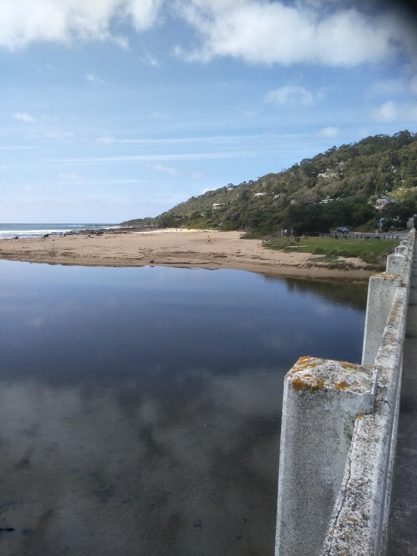
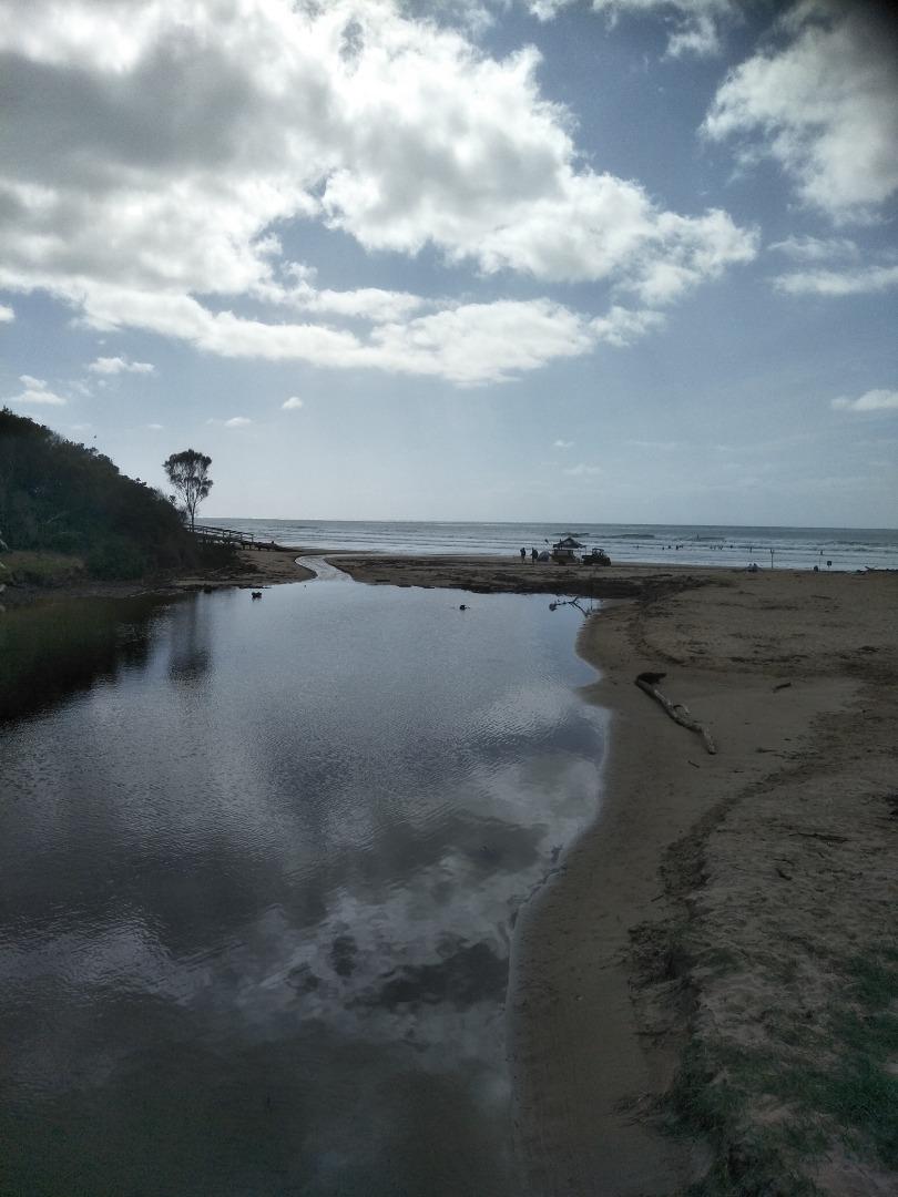
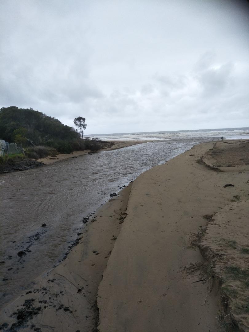
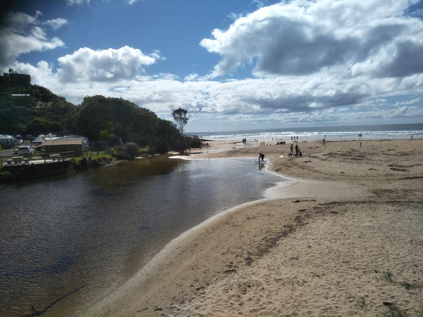
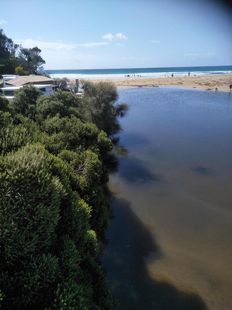
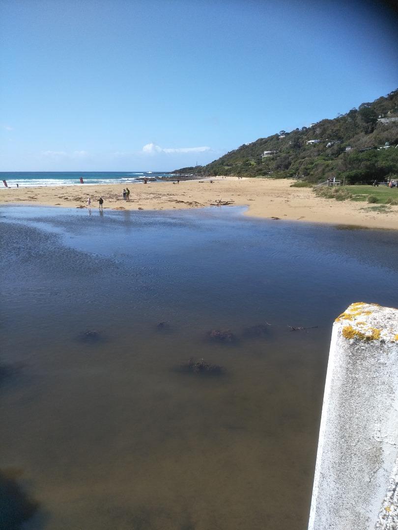
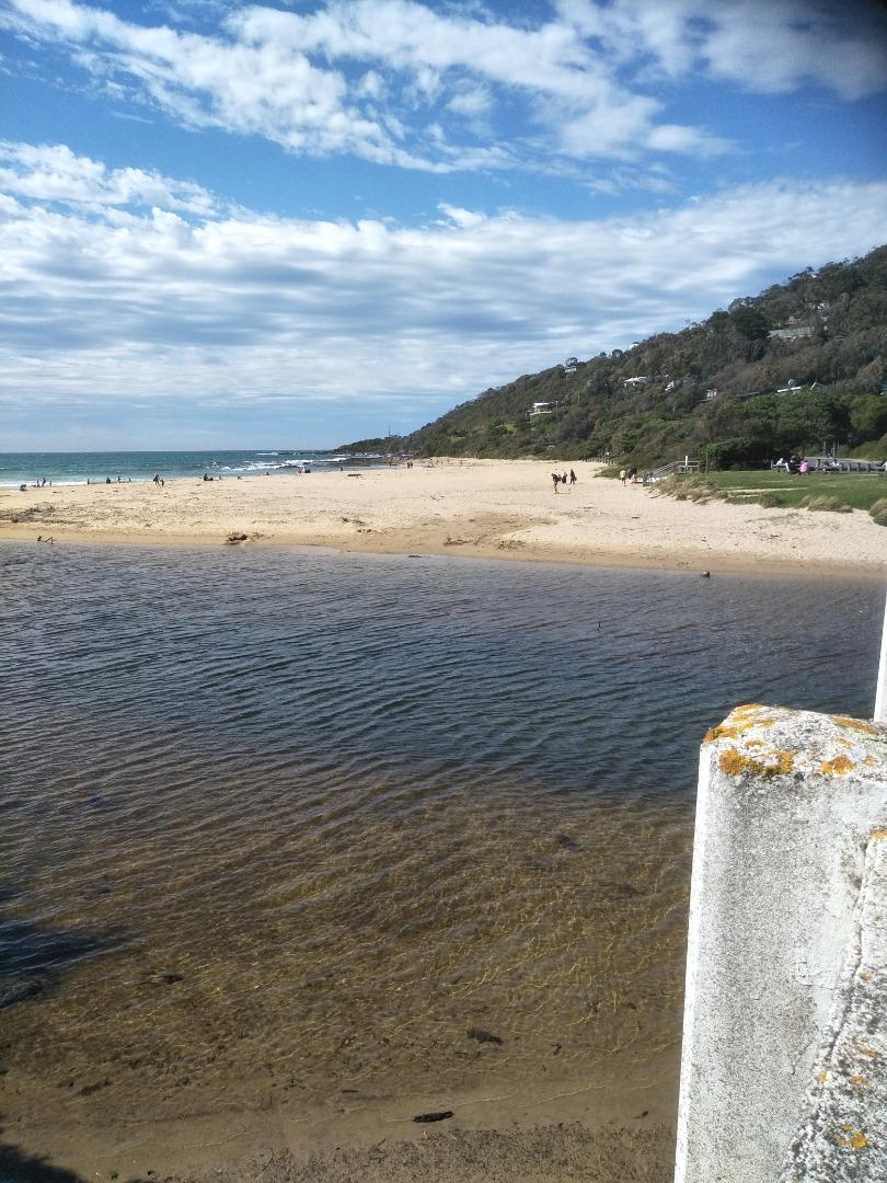
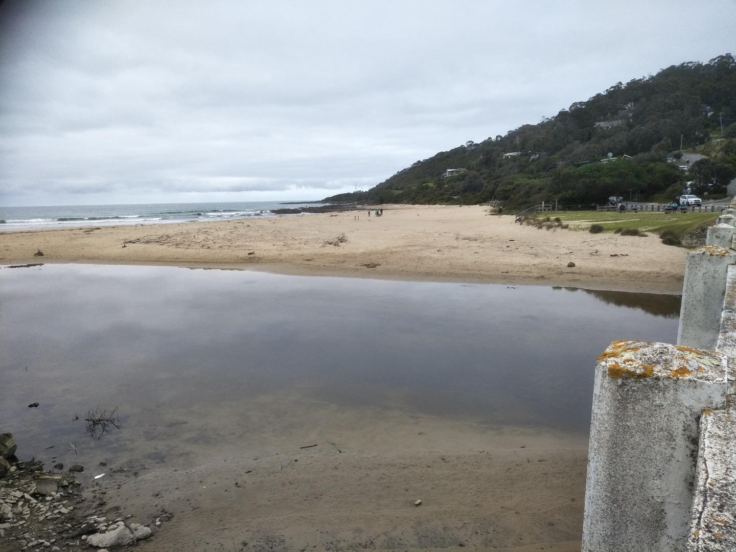
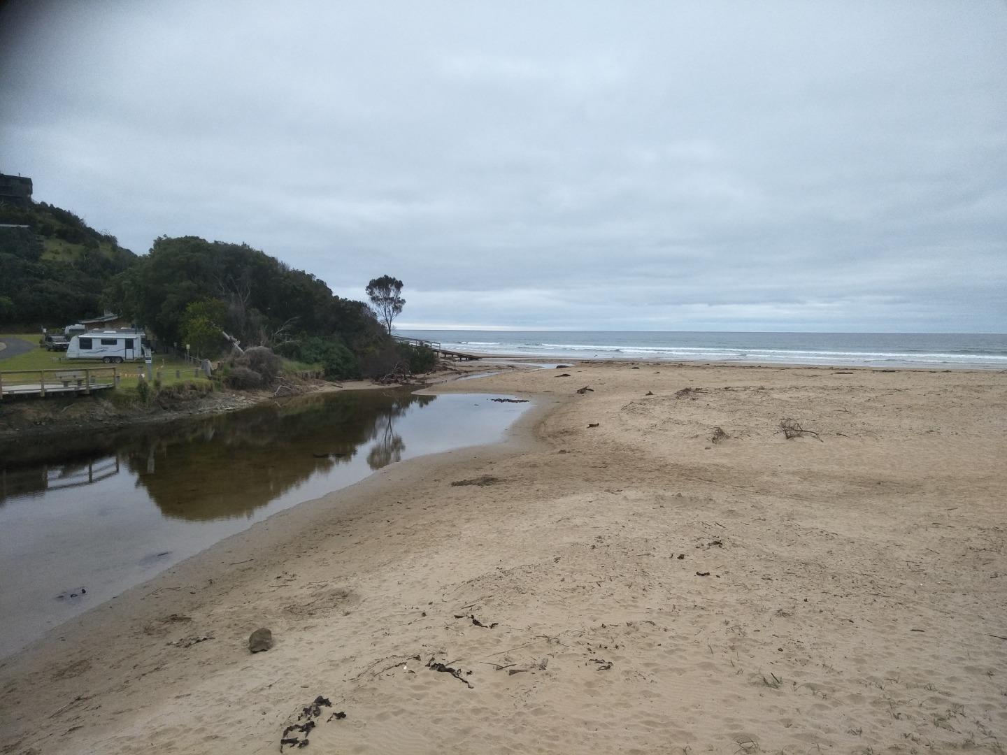
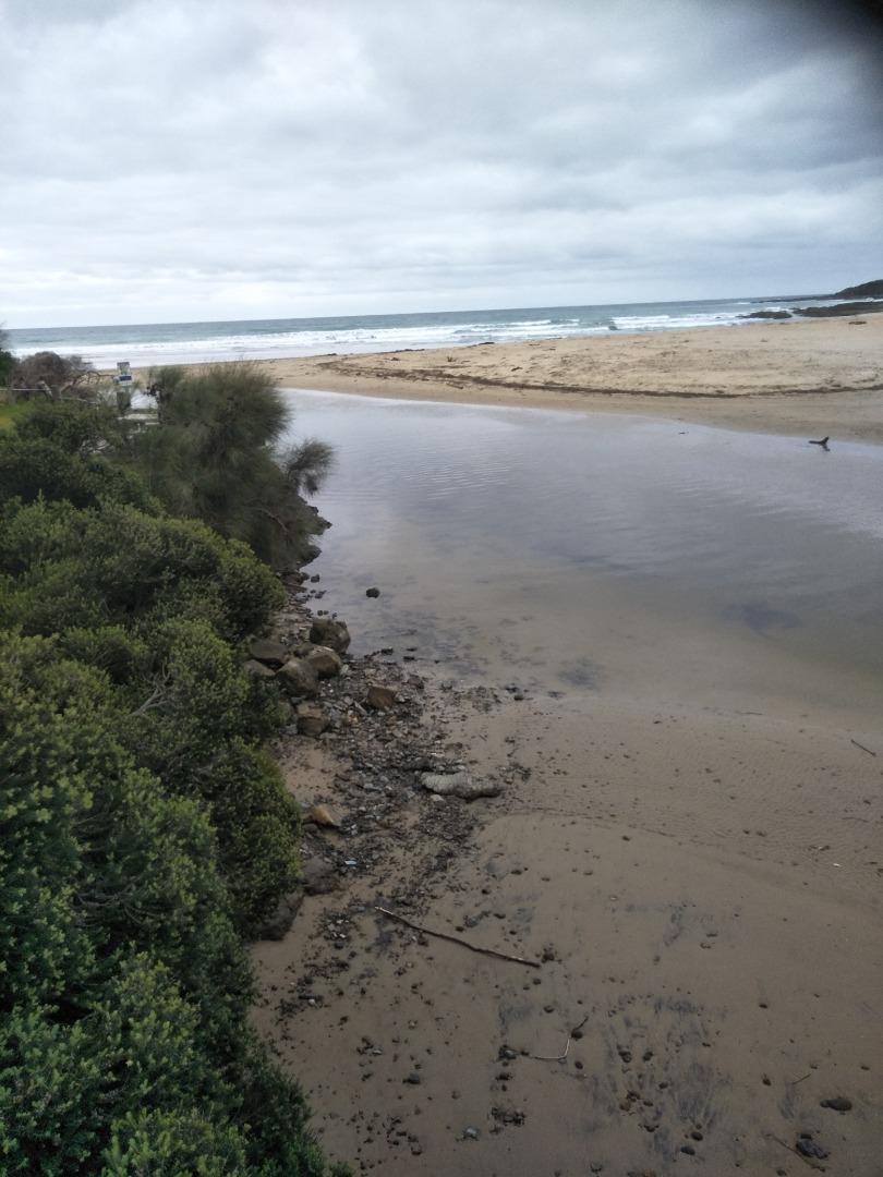
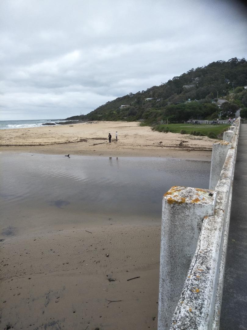
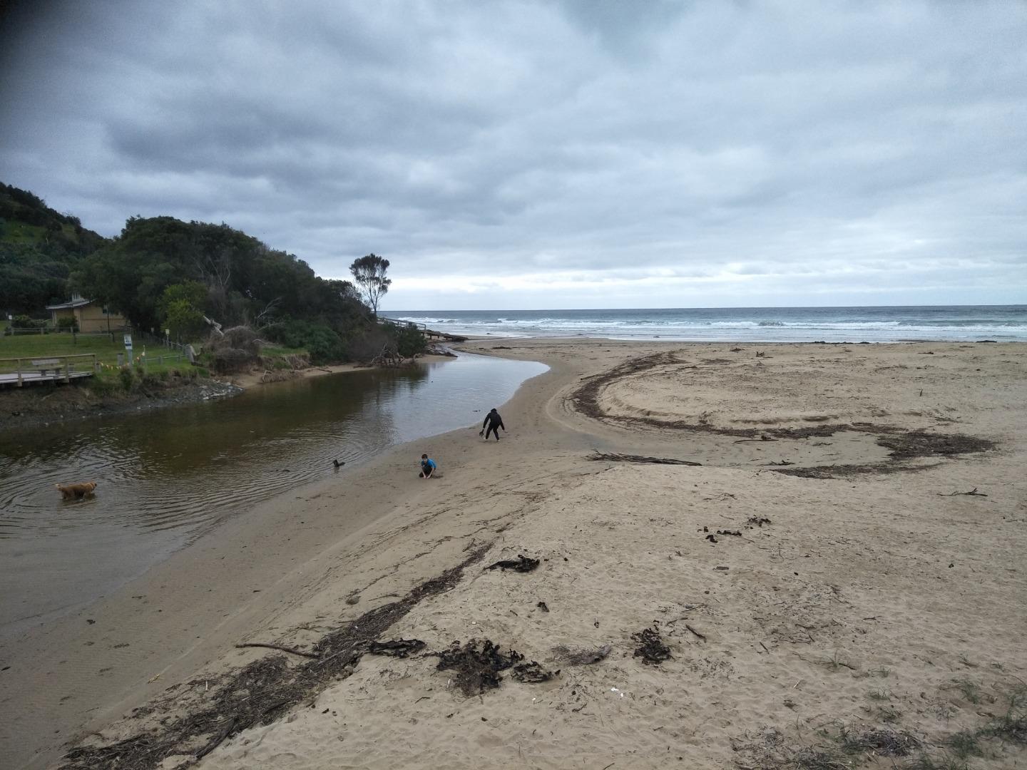
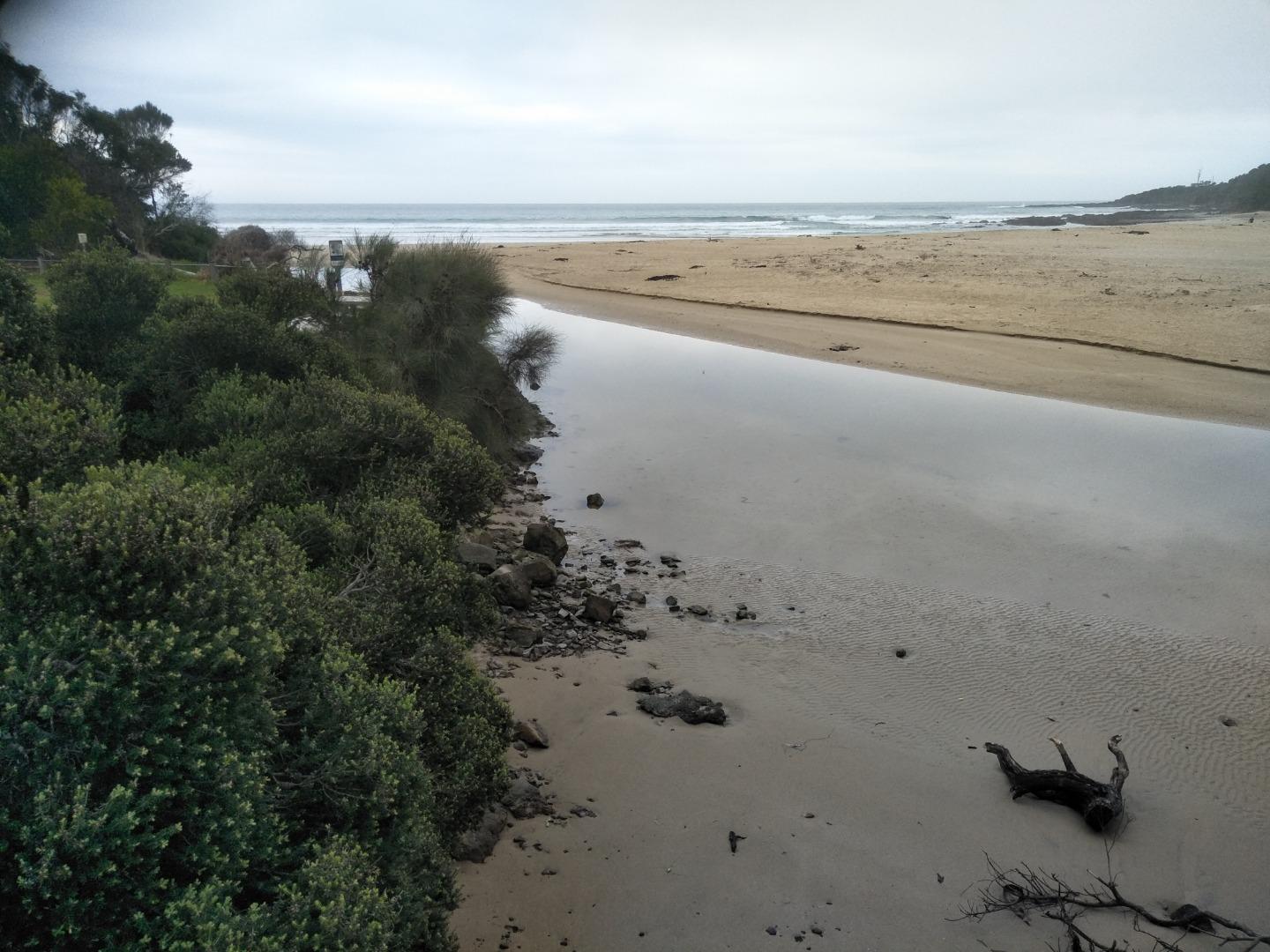
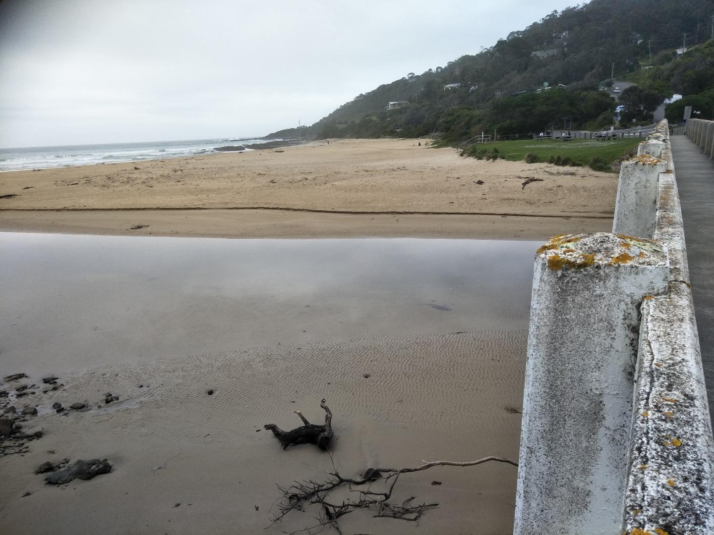
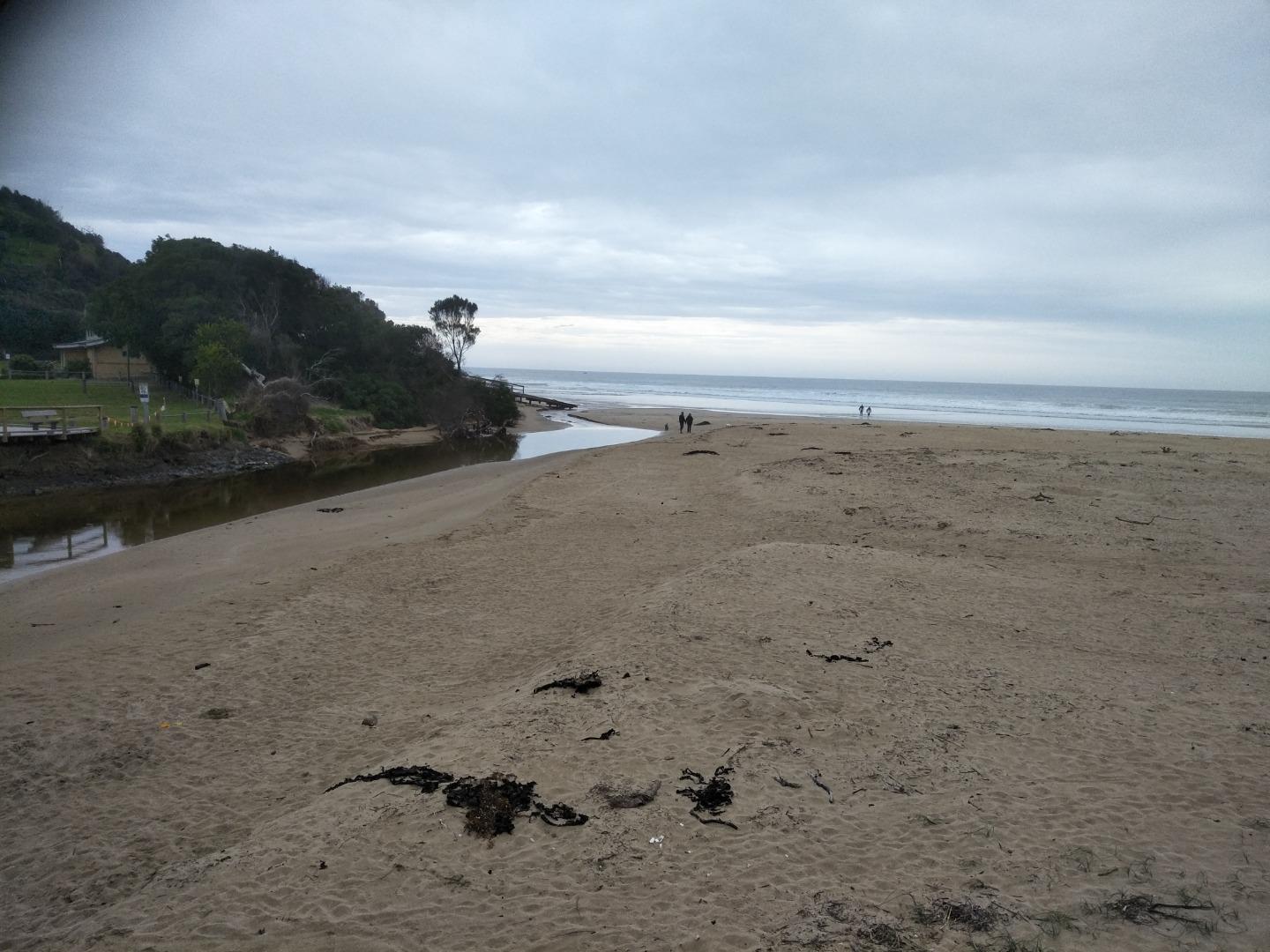
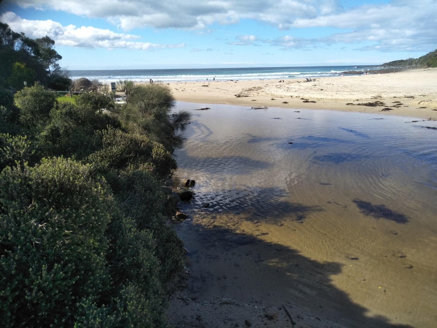
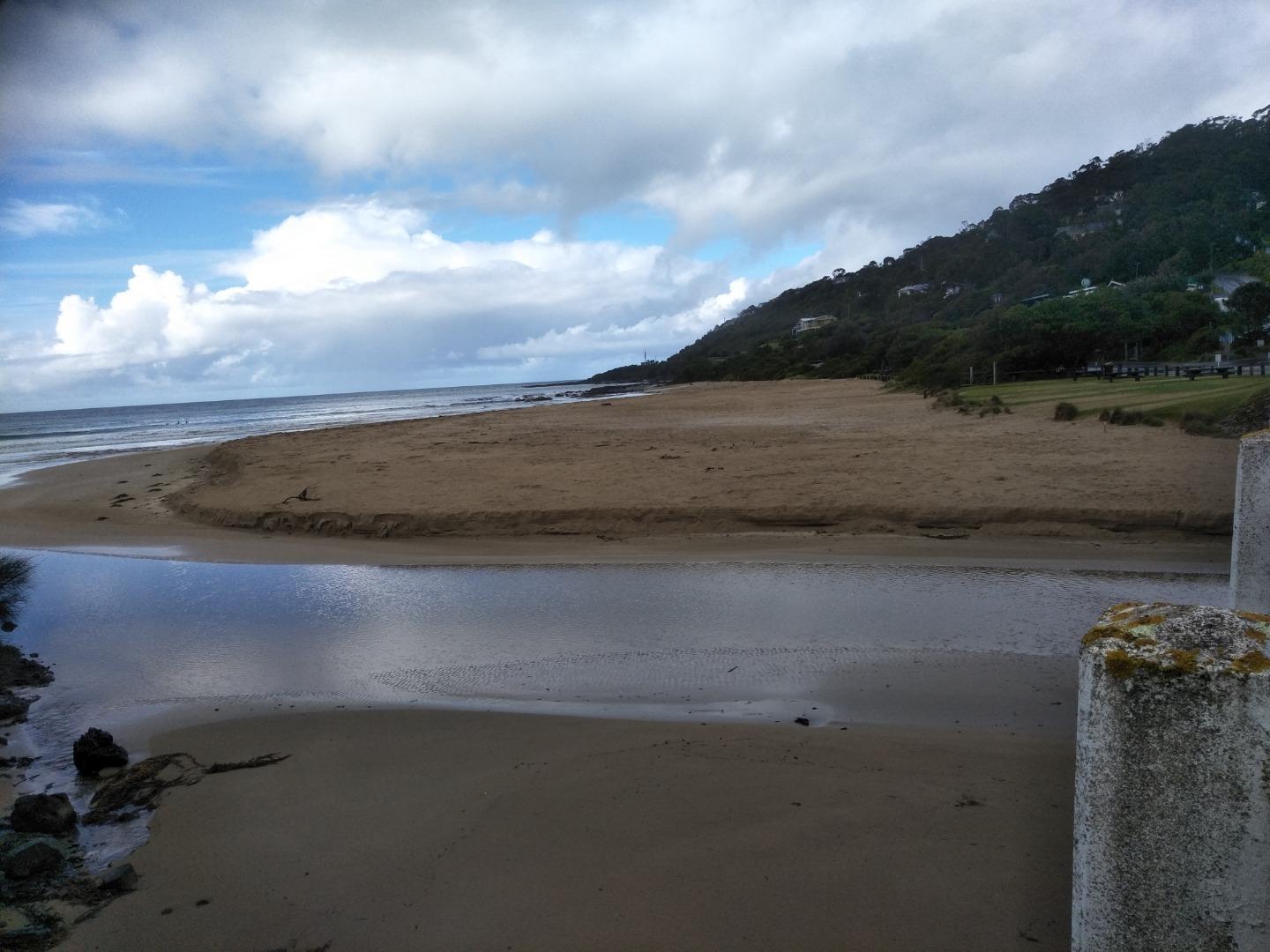
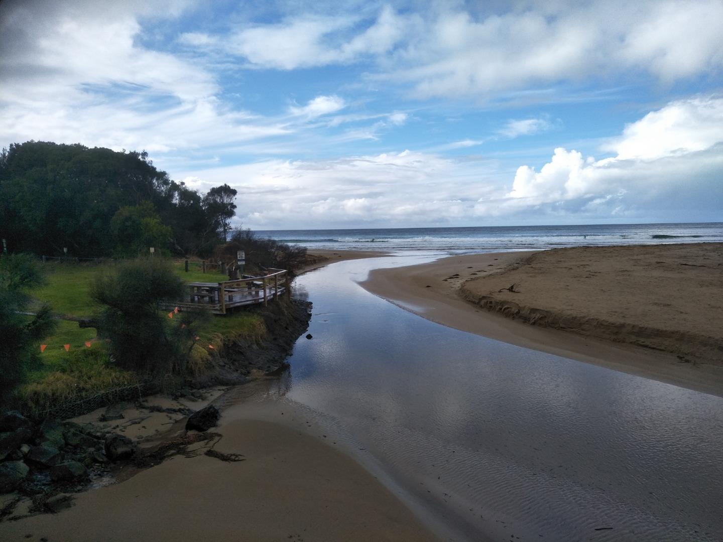
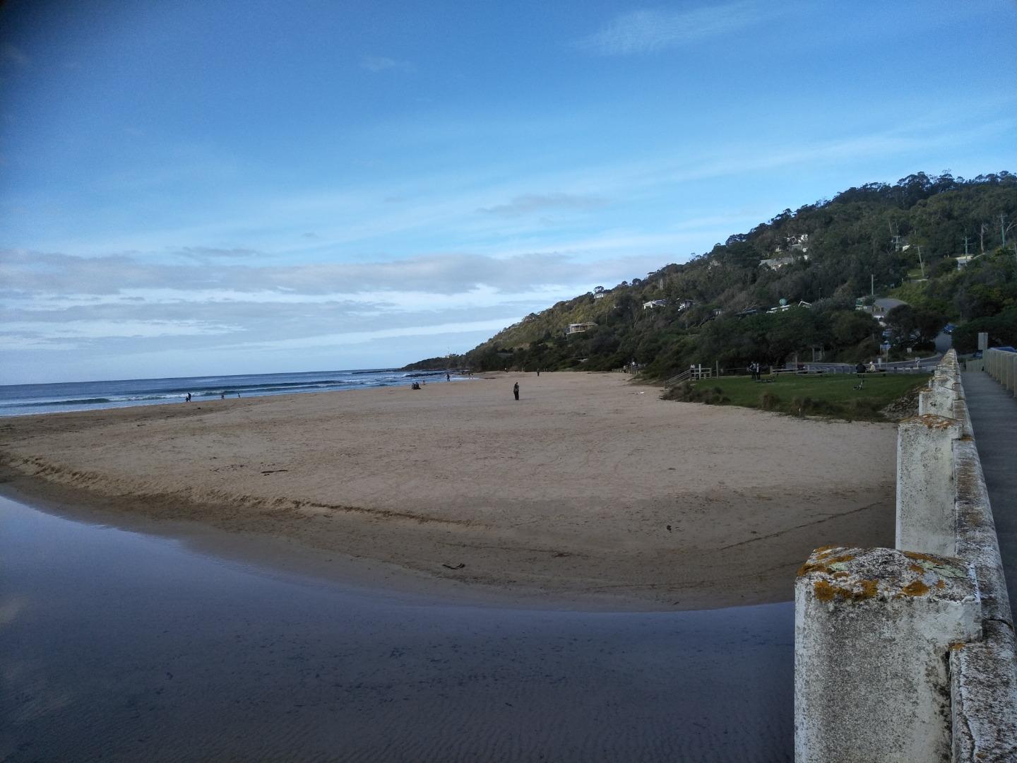
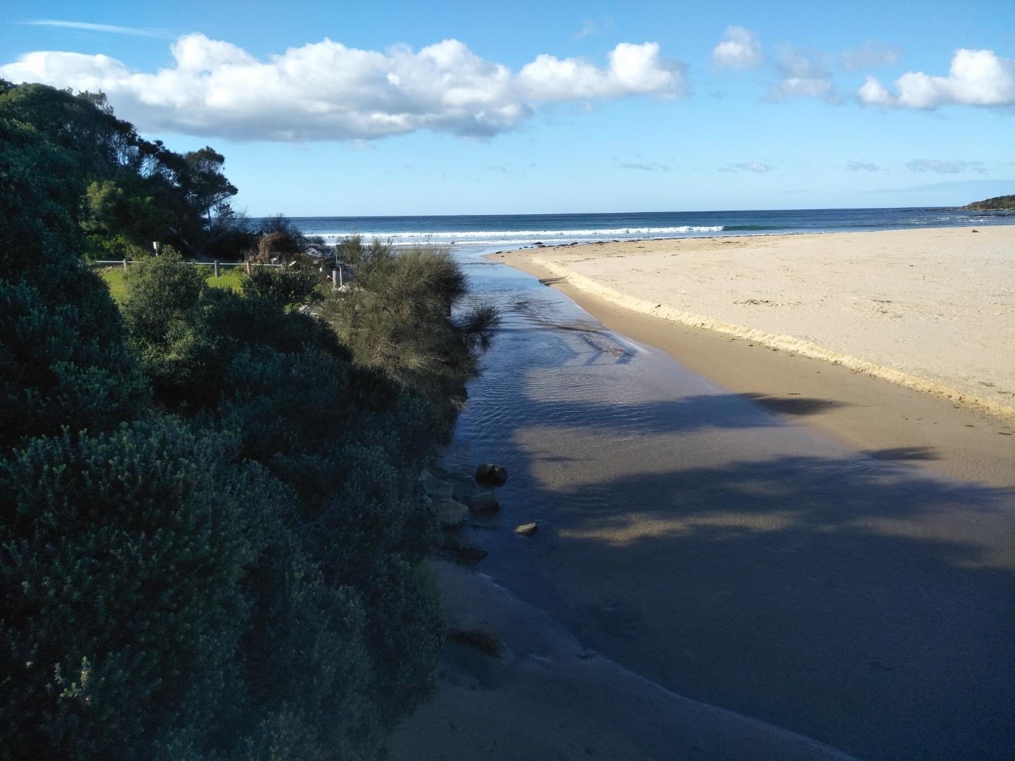
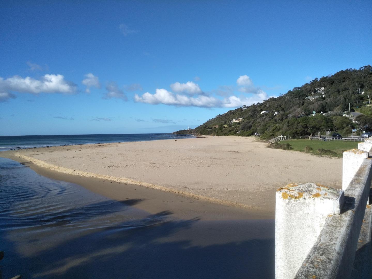
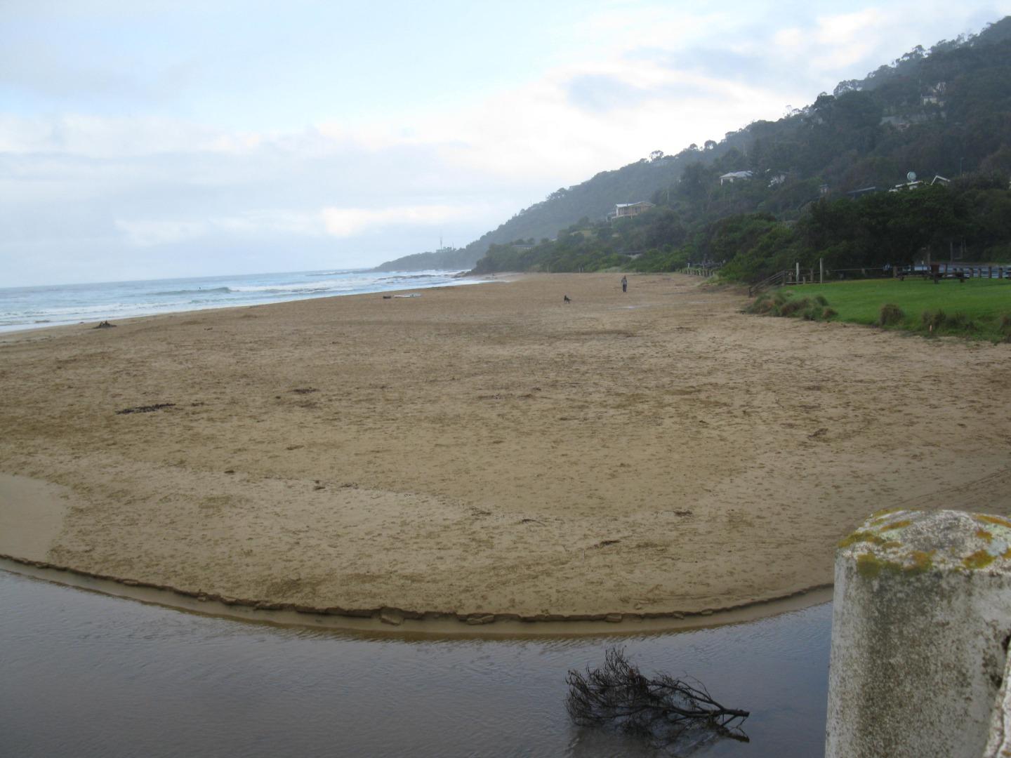
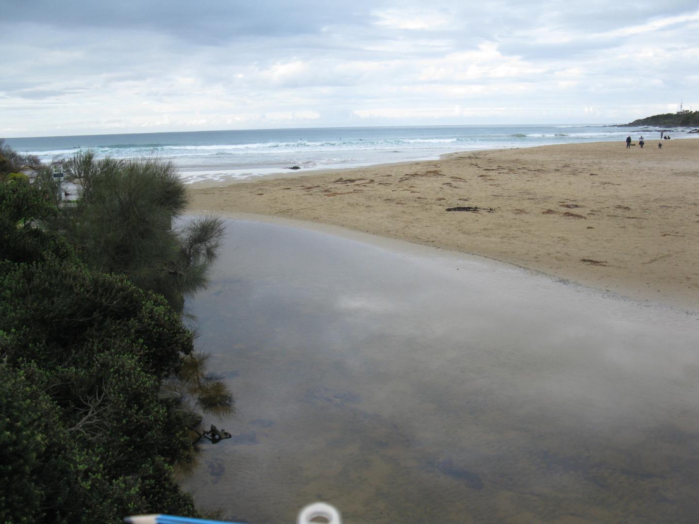
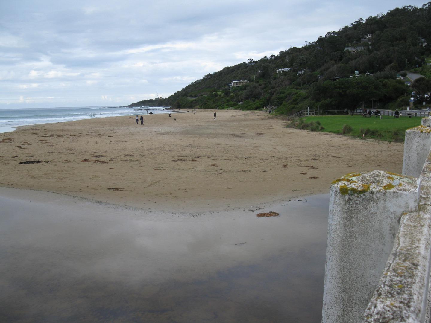
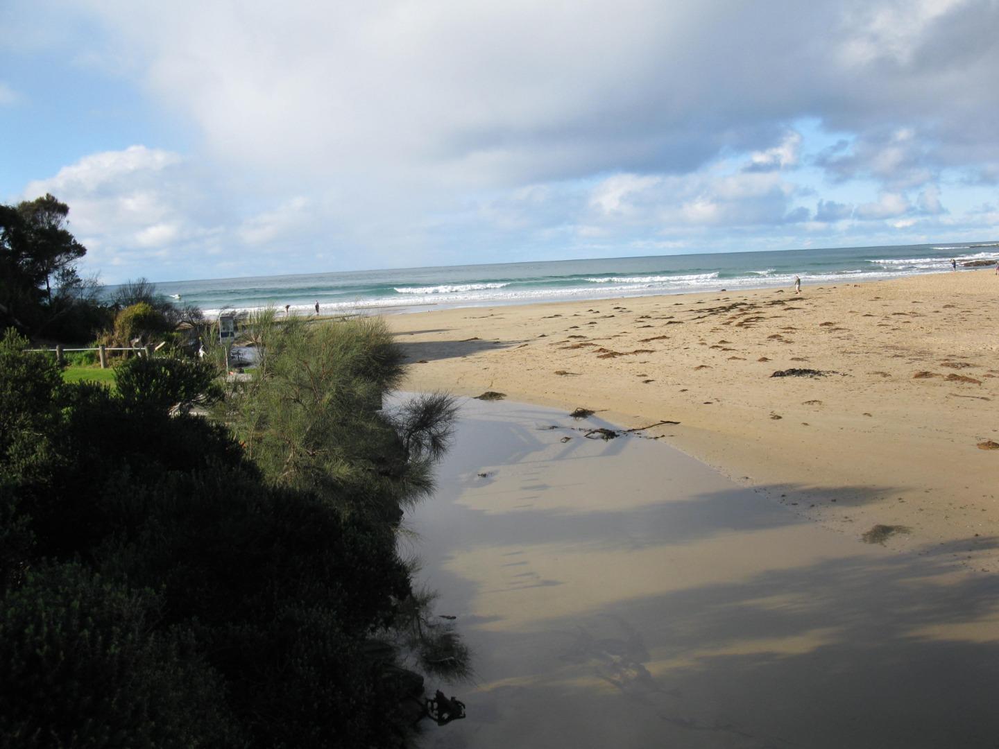
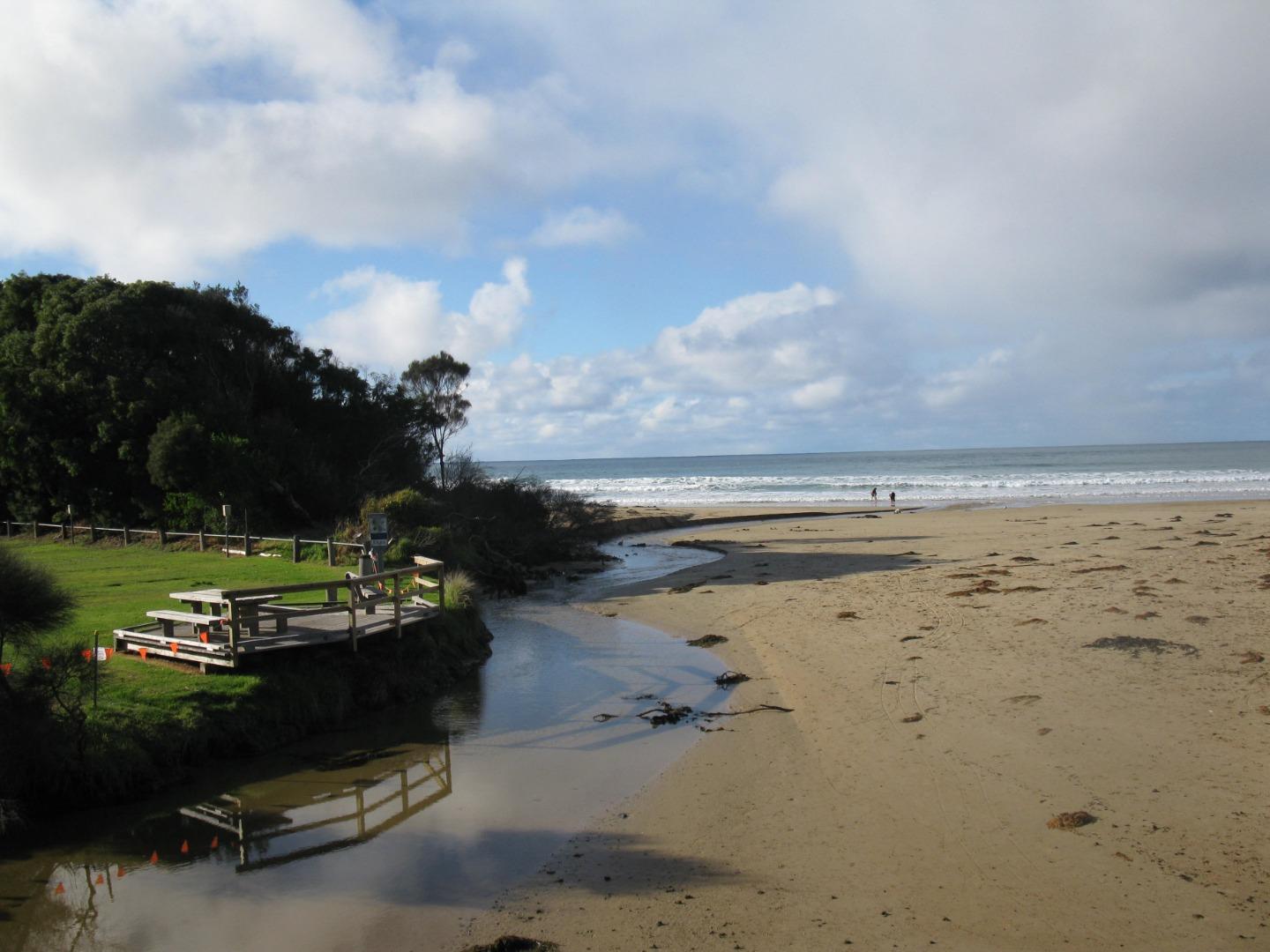
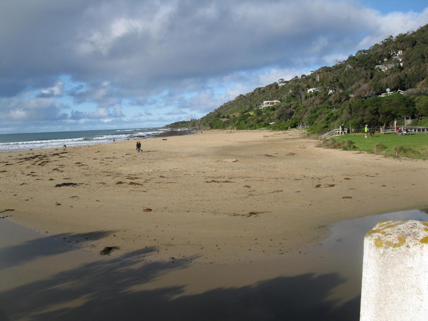
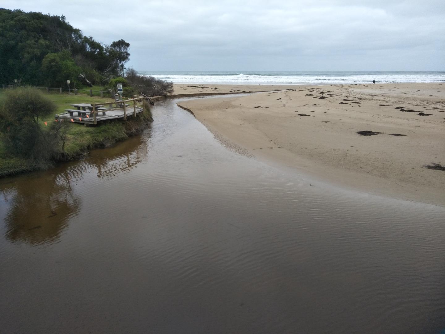
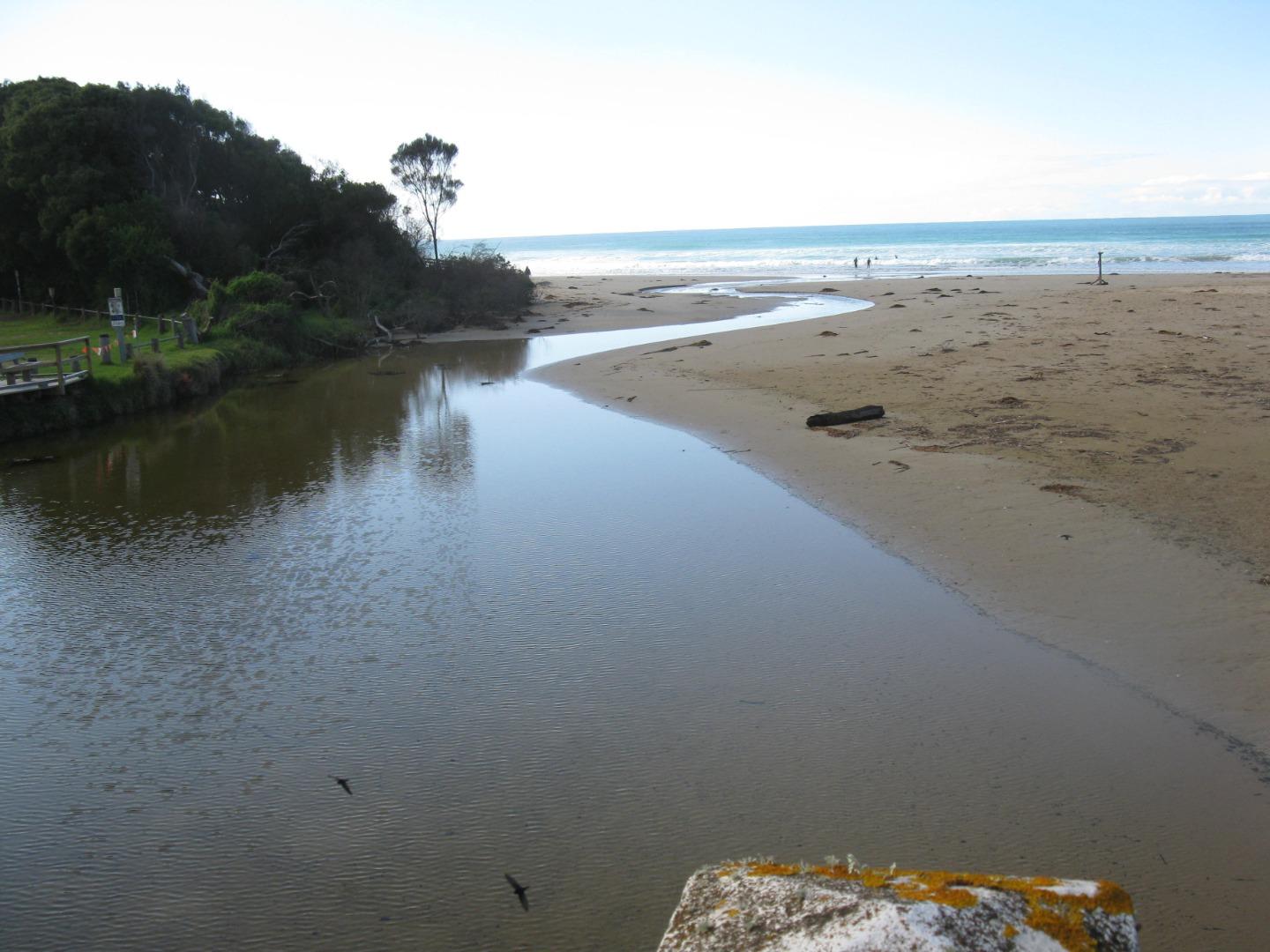
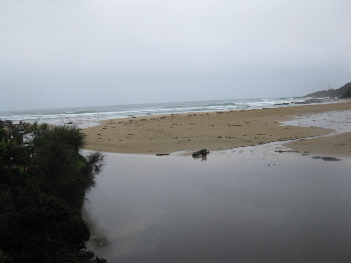
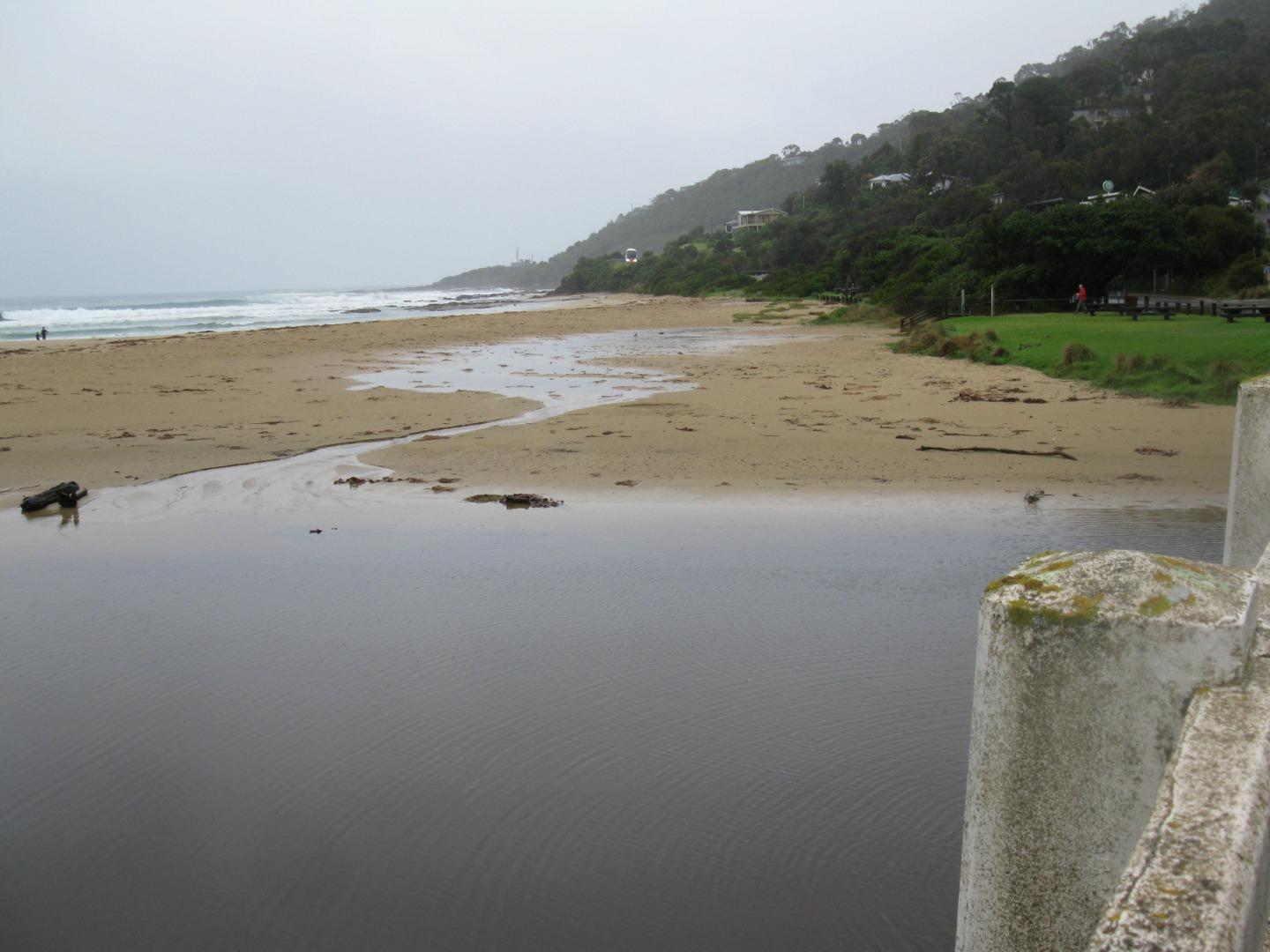
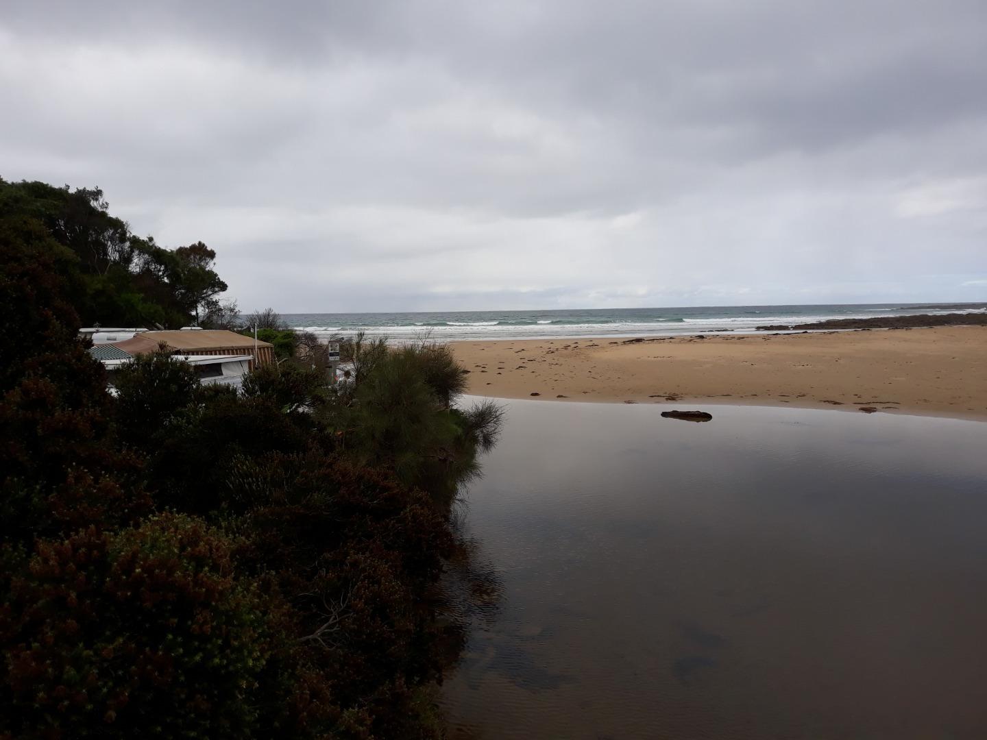
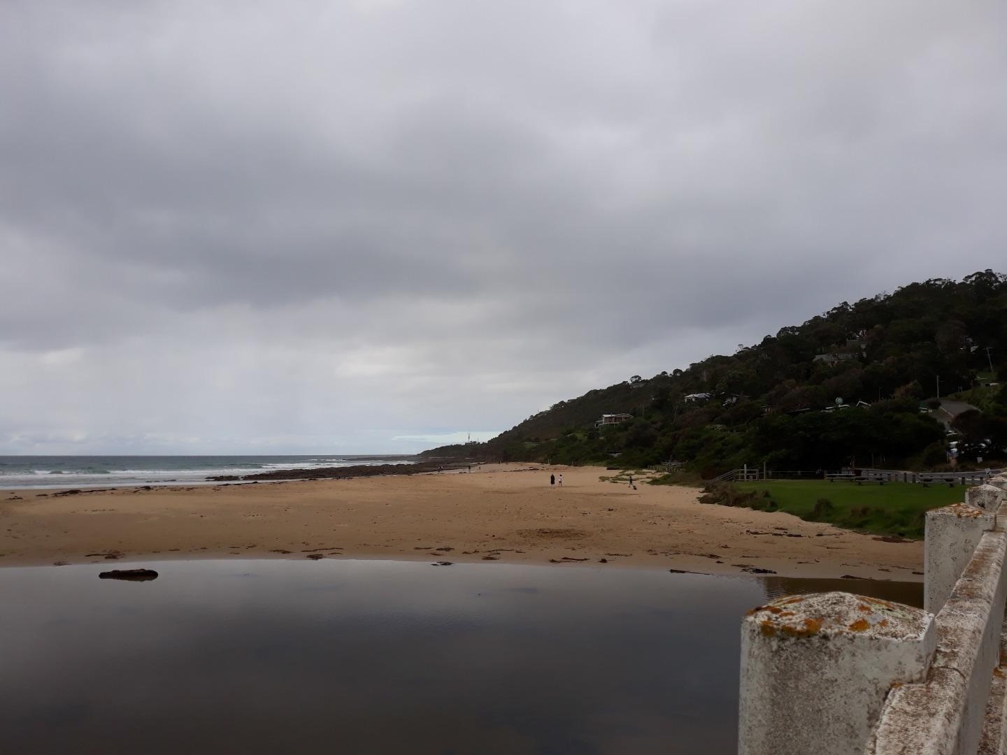
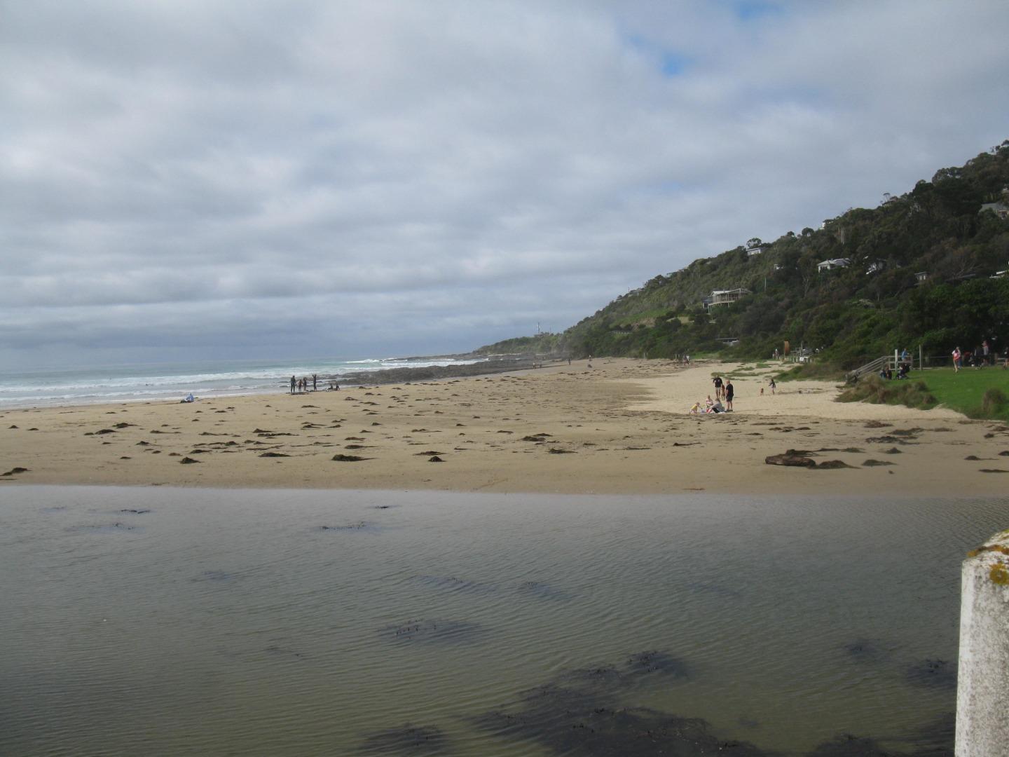
The photos are taken from the new spot on the bridge, which we are calling 'Wyp2'. We have included a third photo along the bearing 60 (called Wyp2_20210307_3_071) to show the full extent of the estuary. Erosion is continuing on the north side of the beach. |
|
| #13994 | 21 Feb 2021 | Approved |
Notes:
Photo taken at second photo point as well |
|
| #13975 | 7 Feb 2021 | Approved |
Notes:
This monitoring was conducted during regular exercise walk. |
|
| #13952 | 17 Jan 2021 | Approved |
Notes:
Monitoring conducted as part of regular daily exercise walk. |
|
| #13921 | 4 Jan 2021 | Approved |
Notes:
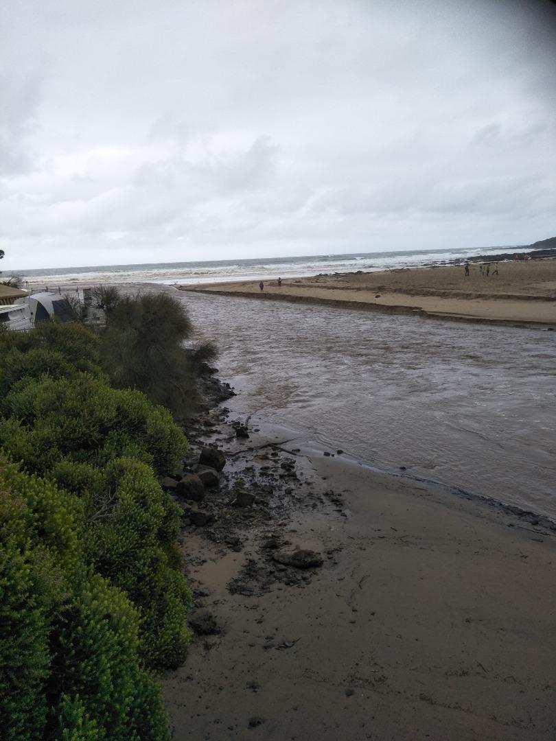
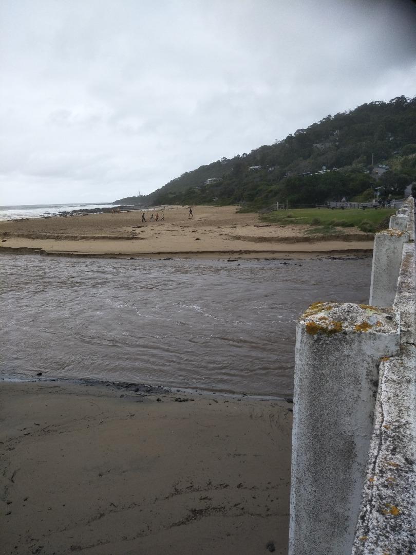
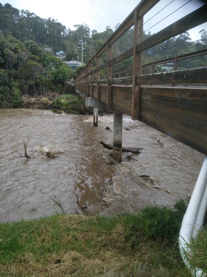
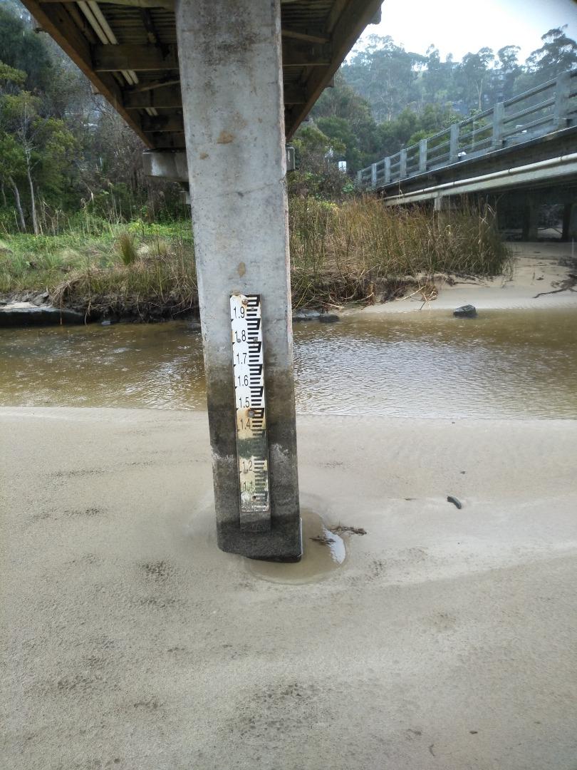
Depth gauge was above water level - see photograph. 50mm rainfall previous day (3rd January) resulted in heavy, fast, silt-laden river flow. This monitoring was performed as part of a normal exercise walk. |
|
| #13914 | 20 Dec 2020 | Approved |
Notes:
This monitoring was performed during a normal daily exercise walk. |
|
| #13888 | 6 Dec 2020 | Approved |
Notes:
This monitoring was conducted as part of regular daily walking exercise. |
|
| #13840 | 15 Nov 2020 | Approved |
Notes:
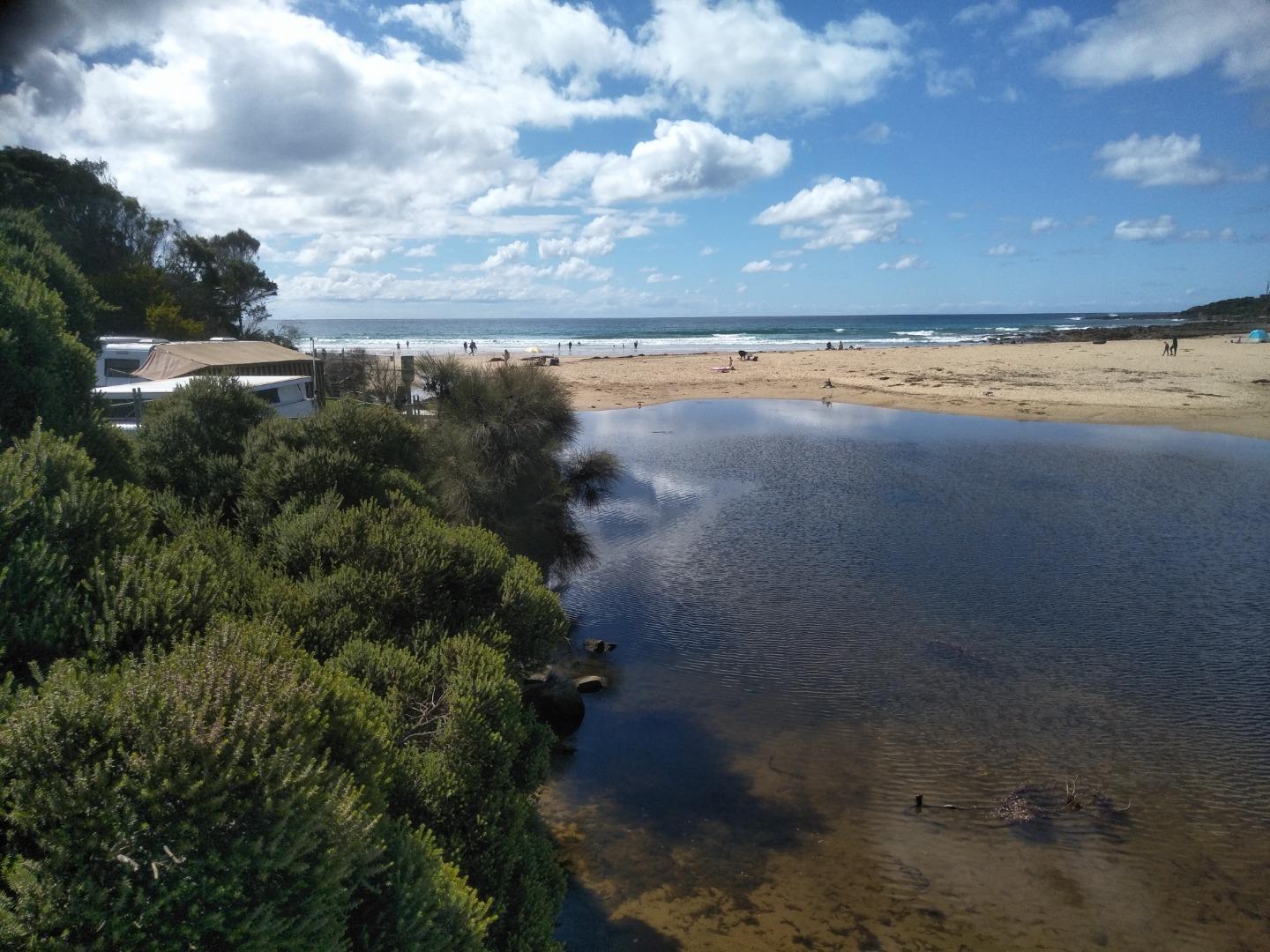
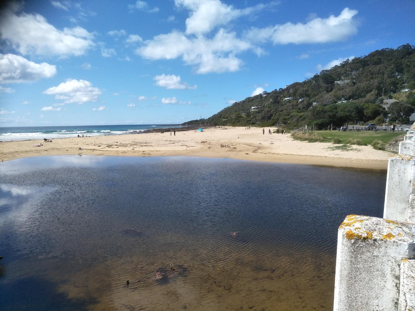
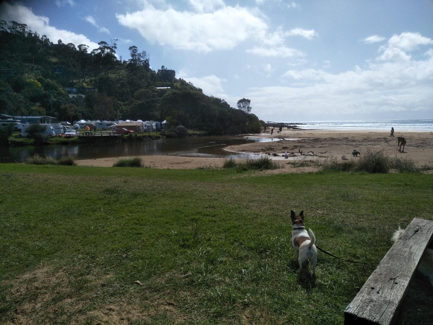
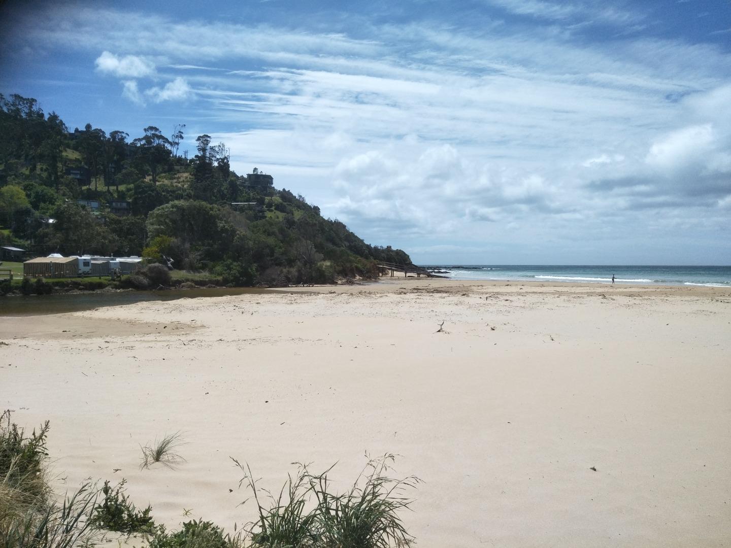
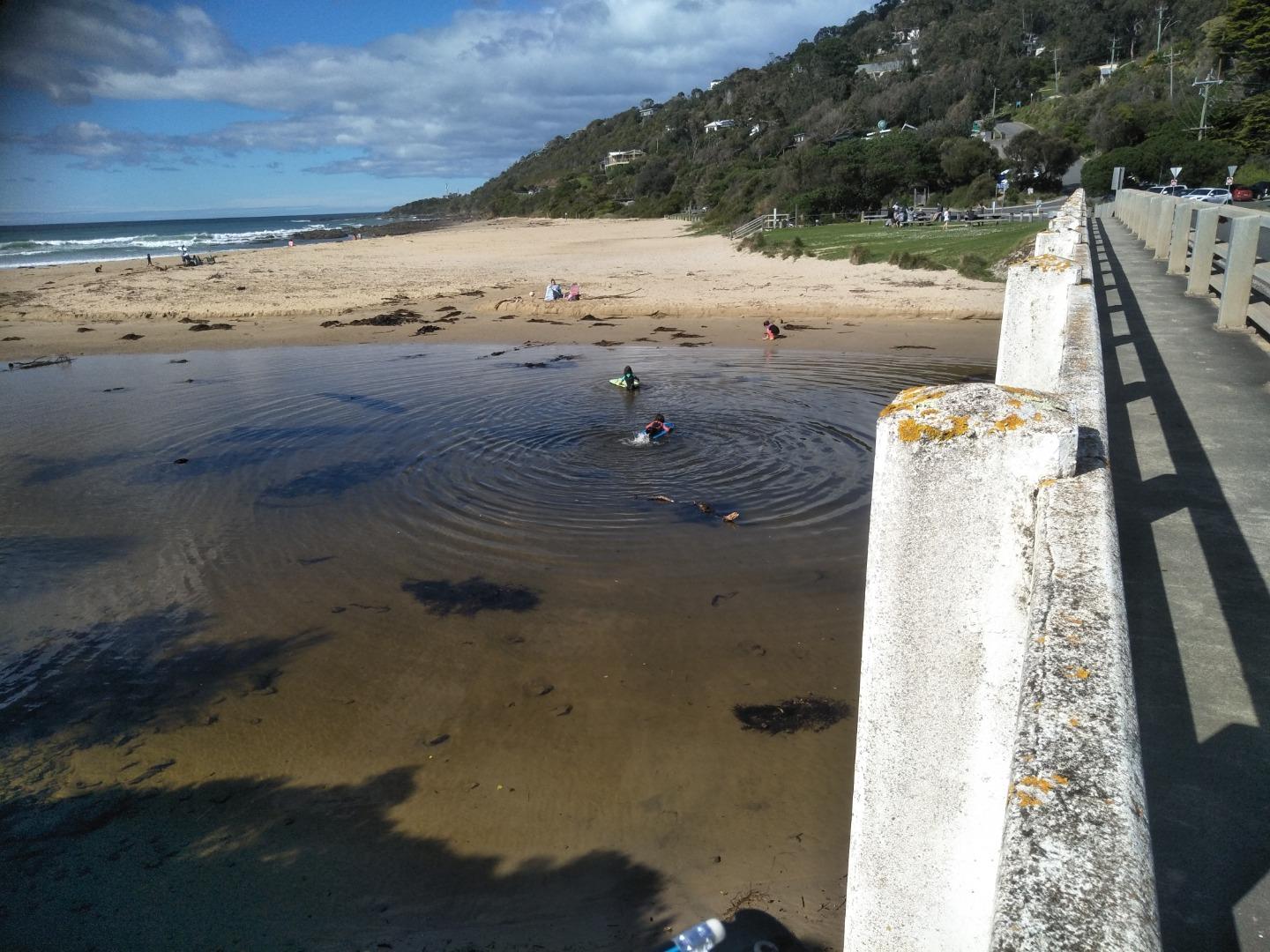
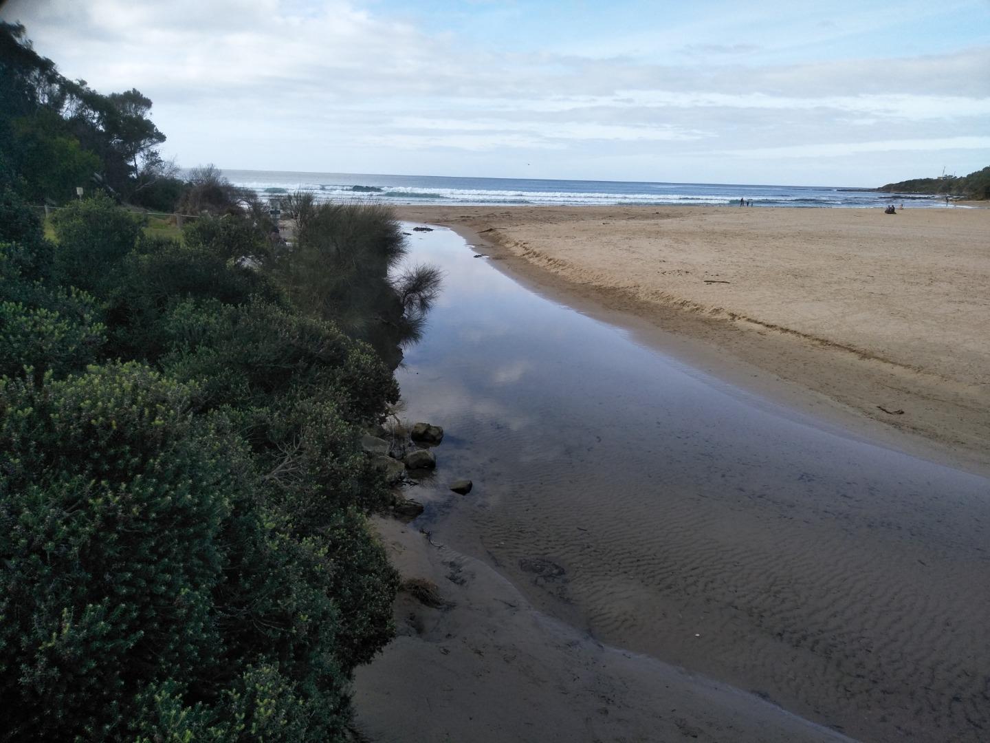
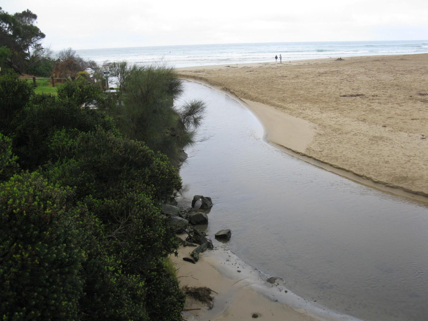
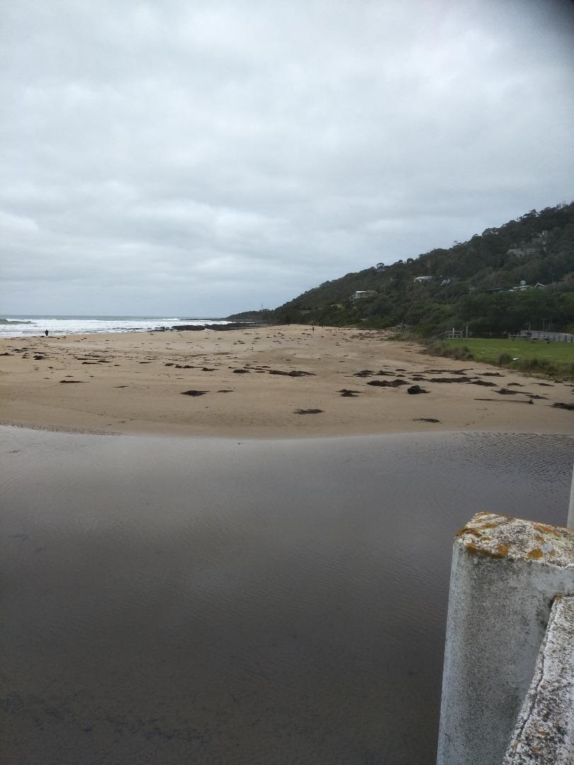
Monitoring performed during normal daily exercise walk. Shifting sand seems to have permanently shifted course of river-flow into the sea, now hugging the bank and exiting in front of the Surf Life Saving Club building. |
|
| #13823 | 1 Nov 2020 | Approved |
Notes:
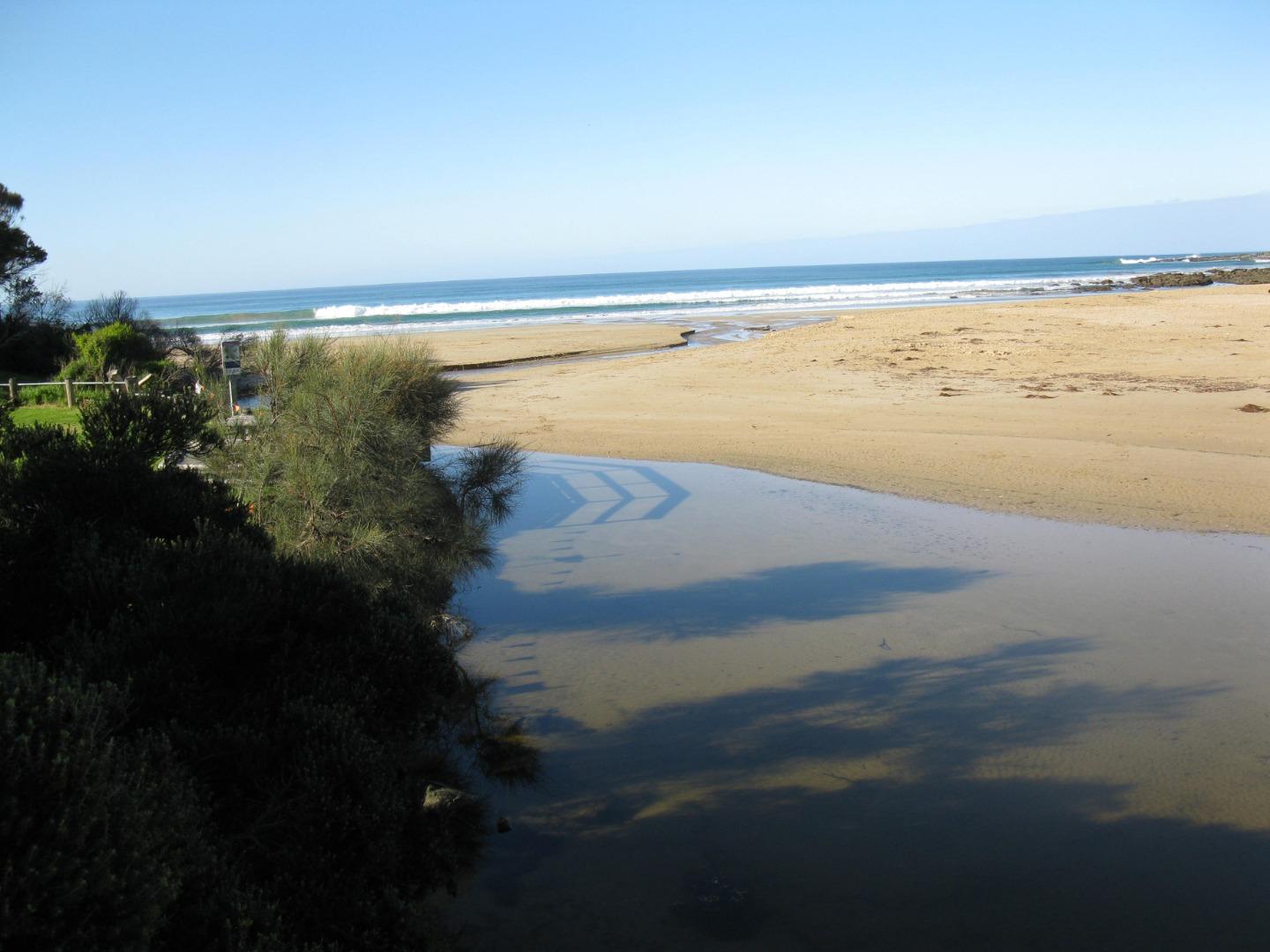
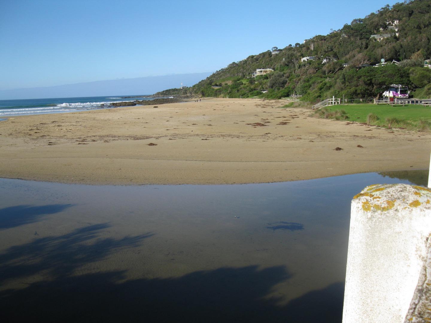
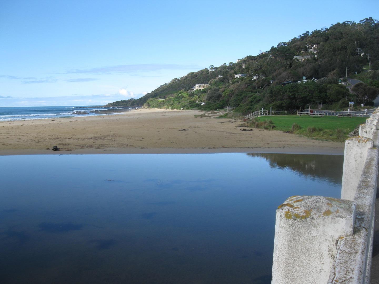
Depth gauge above water level. Monitoring performed during regular exercise walk. |
|
| #13816 | 18 Oct 2020 | Approved |
Notes:
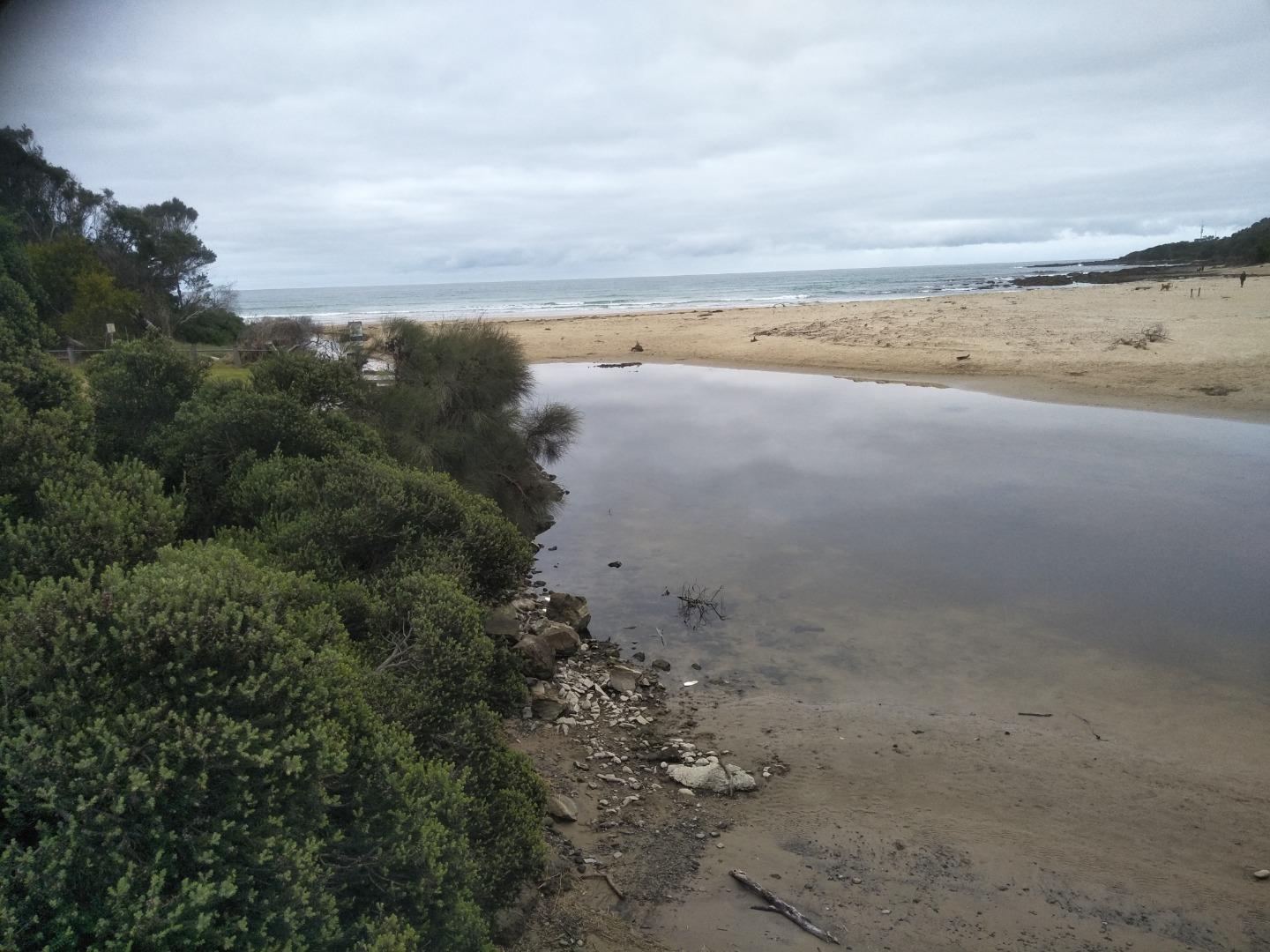
River level below depth gauge - see photograph. Monitoring was performed as part of normal daily exercise walk. |
|
| #13810 | 4 Oct 2020 | Approved |
Notes:
Water level was an estimation as depth gauge was above water level. Monitoring was performed during regular walking exercise. |
|
| #13797 | 20 Sep 2020 | Approved |
Notes:
Monitoring was conducted as part of a normal exercise dog walk. |
|
| #13790 | 6 Sep 2020 | Approved |
Notes:
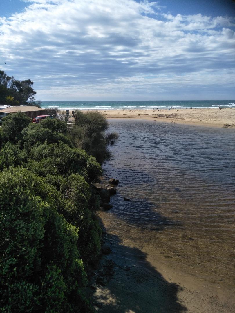
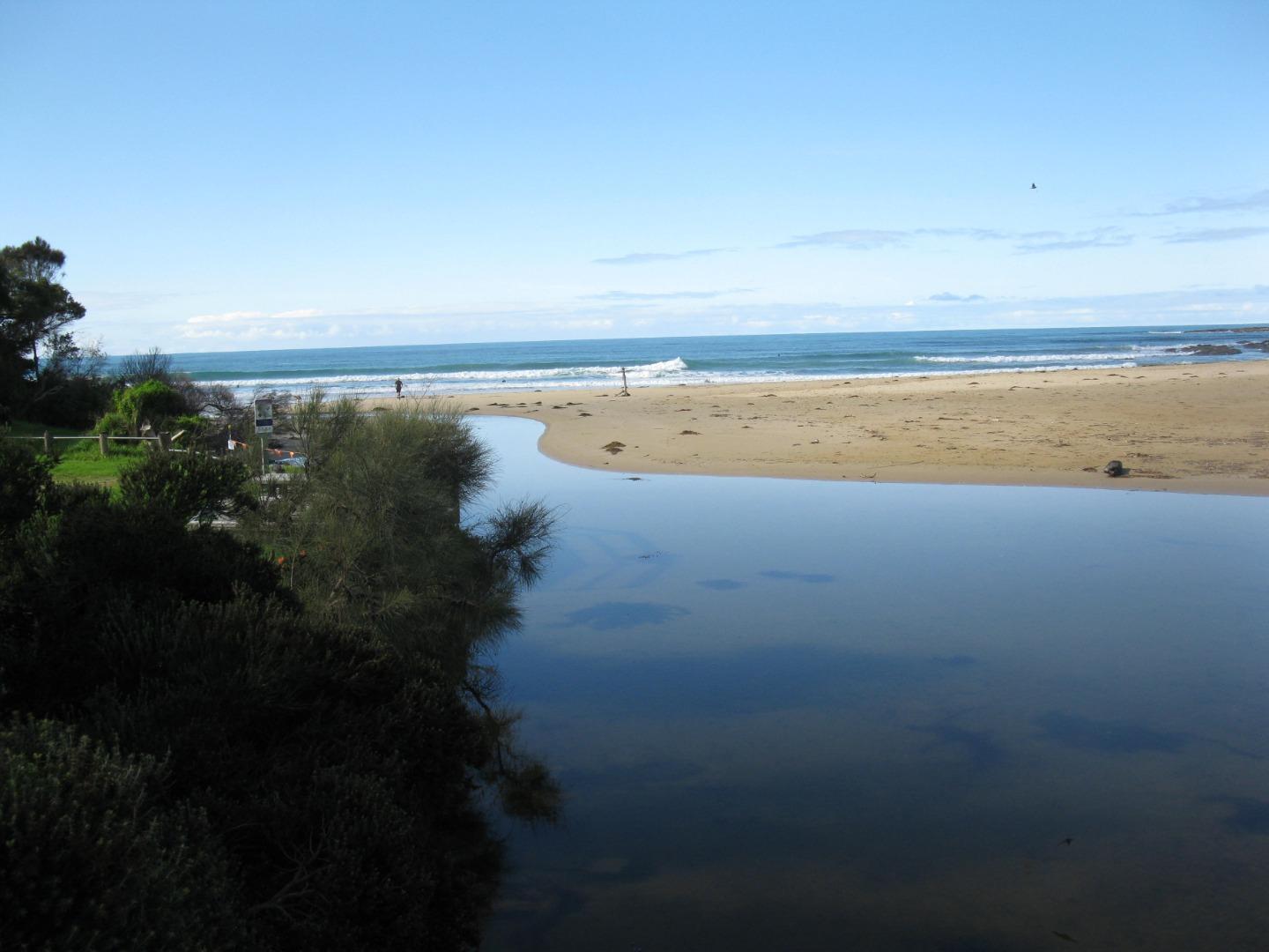
River course under bridge still narrowed - depth gauge in sand. Monitoring was conducted during regular exercise walk. |
|
| #13779 | 16 Aug 2020 | Approved |
Notes:
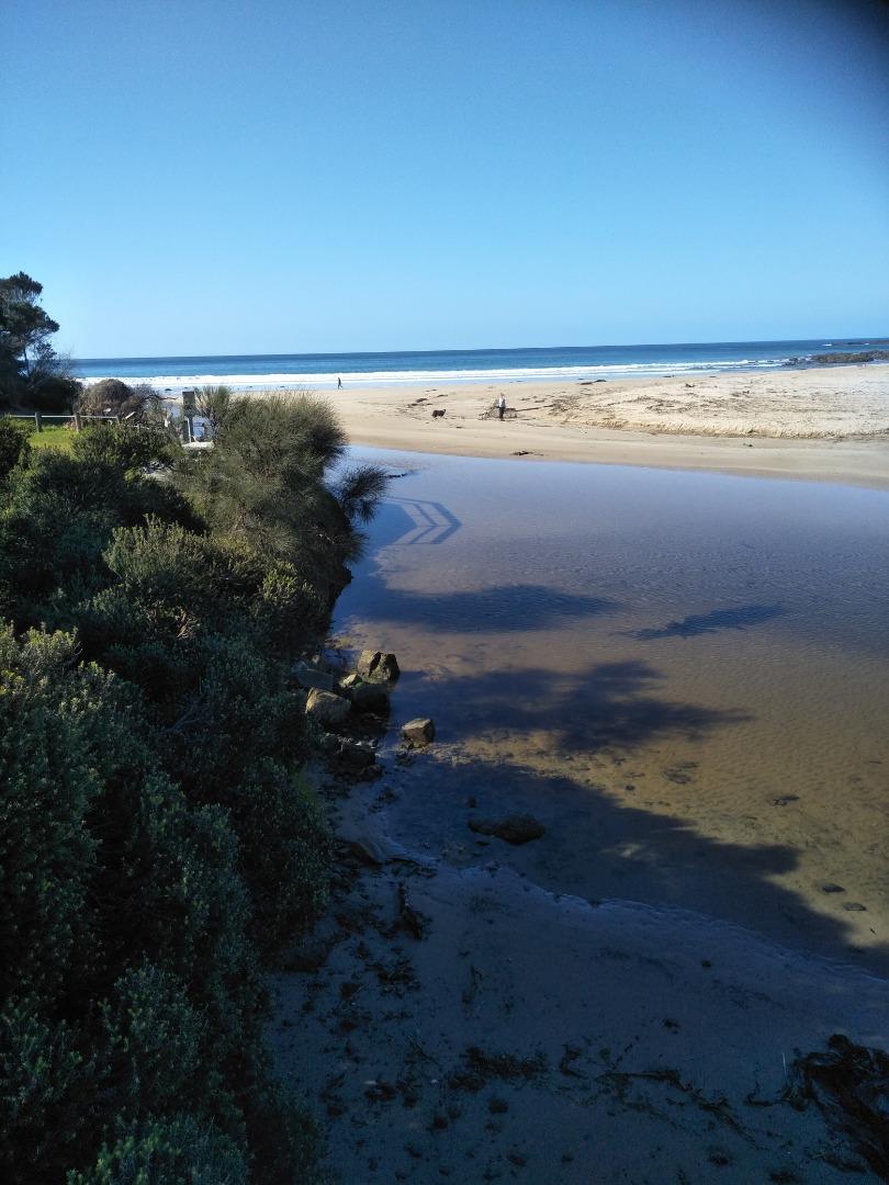
Depth gauge now in sand following shifting of sand during recent weather event - see photograph. This monitoring performed during regular exercise walk. |
|
| #13766 | 2 Aug 2020 | Approved |
Notes:
This monitoring was performed during normal exercise dog-walk. |
|
| #13753 | 19 Jul 2020 | Approved |
Notes:
Monitoring performed during normal daily exercise. |
|
| #13740 | 5 Jul 2020 | Approved |
Notes:
This monitoring was done as part of daily dog-walking exercise. |
|
| #13732 | 21 Jun 2020 | Approved |
Notes:
This monitoring was conducted as part of a normal exercise walk. |
|
| #13721 | 7 Jun 2020 | Approved |
Notes:
This monitoring was performed as part of normal daily exercise walk. |
|
| #13711 | 17 May 2020 | Approved |
Notes:
This monitoring was carried out as part of a daily exercise walk. |
|
| #13704 | 3 May 2020 | Approved |
Notes:
This monitoring was performed as part of a normal exercise walk. |
|
| #13675 | 19 Apr 2020 | Approved |
Notes:
This monitoring was done during regular dog walking exercise. |
|
| #13660 | 5 Apr 2020 | Approved |
Notes:
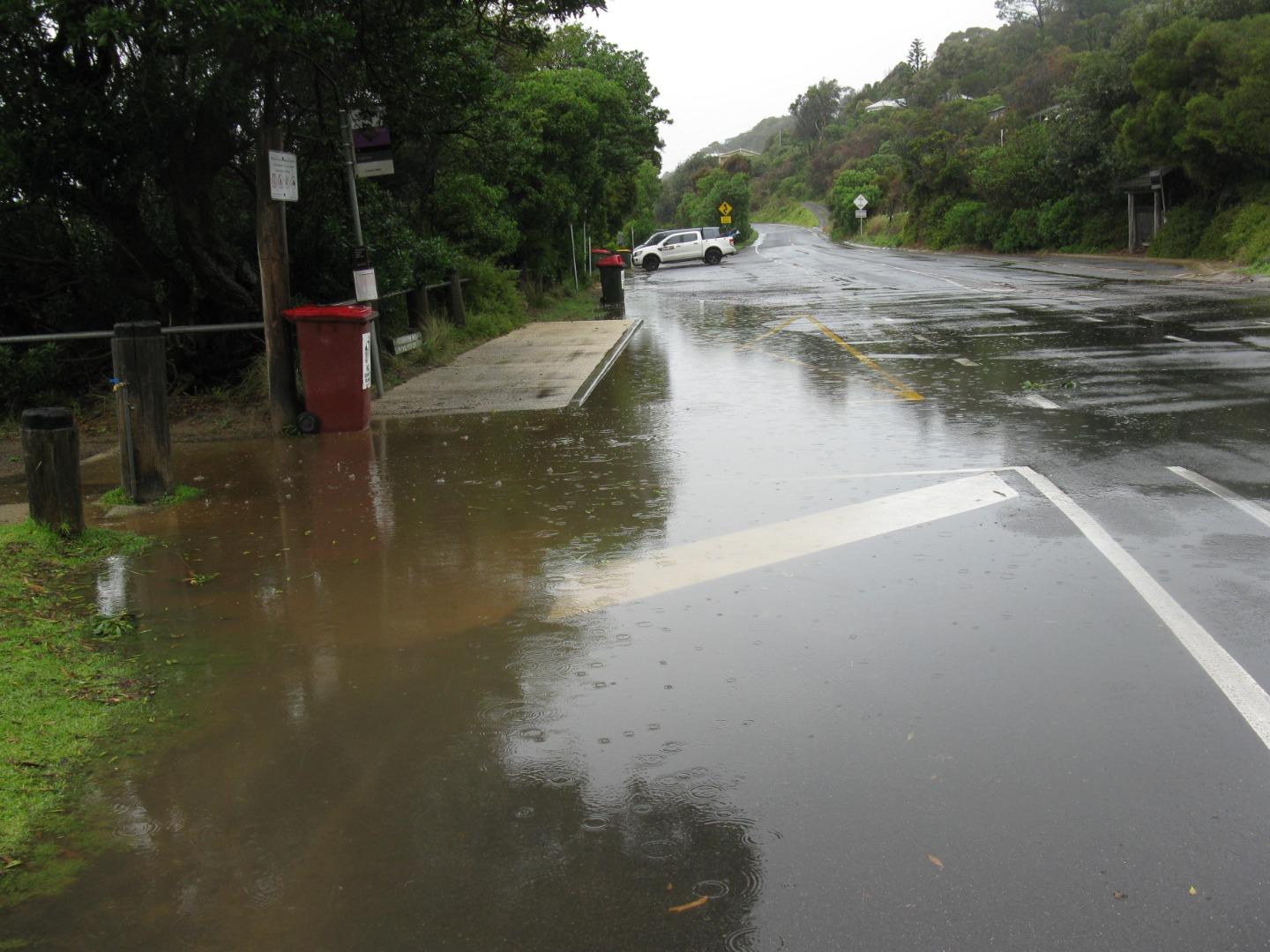
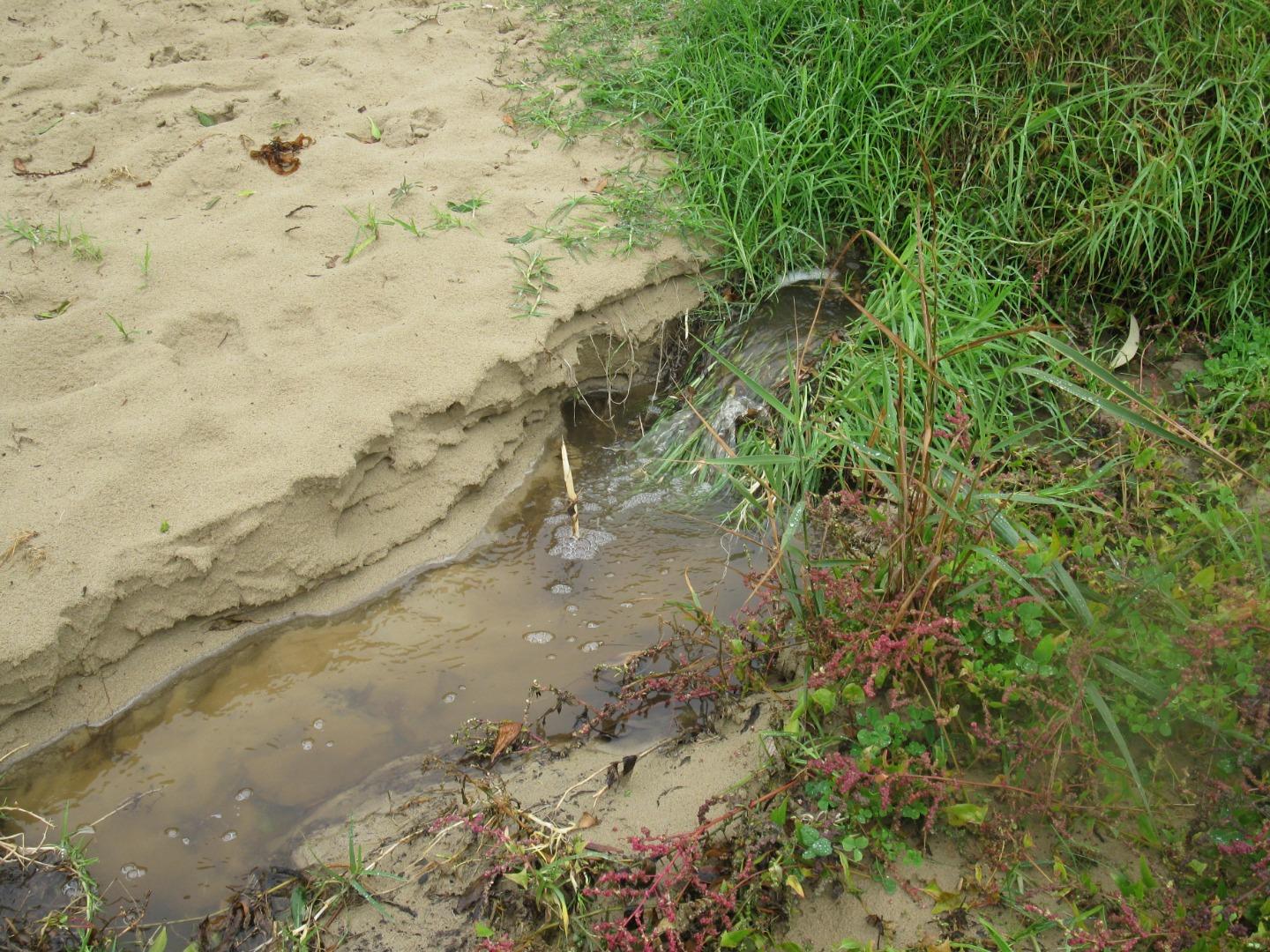
Photos attached of roadside flooding after recent rain event. There is a drainage grid and outlet pipe, which don't seem able to cope at these times. |
|
| #13618 | 15 Mar 2020 | Approved | ||
| #13602 | 29 Feb 2020 | Approved | ||


All content, files, data and images provided by the EstuaryWatch Data Portal and Gallery are subject to a Creative Commons Attribution License
Content is made available to be used in any way, and should always attribute EstuaryWatch and www.estuarywatch.org.au