EstuaryWatch Data Portal
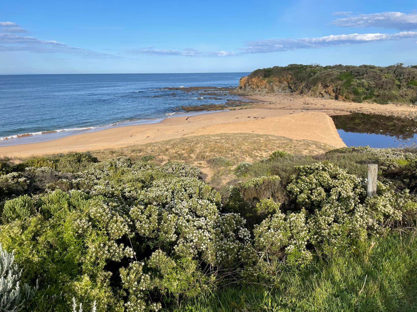
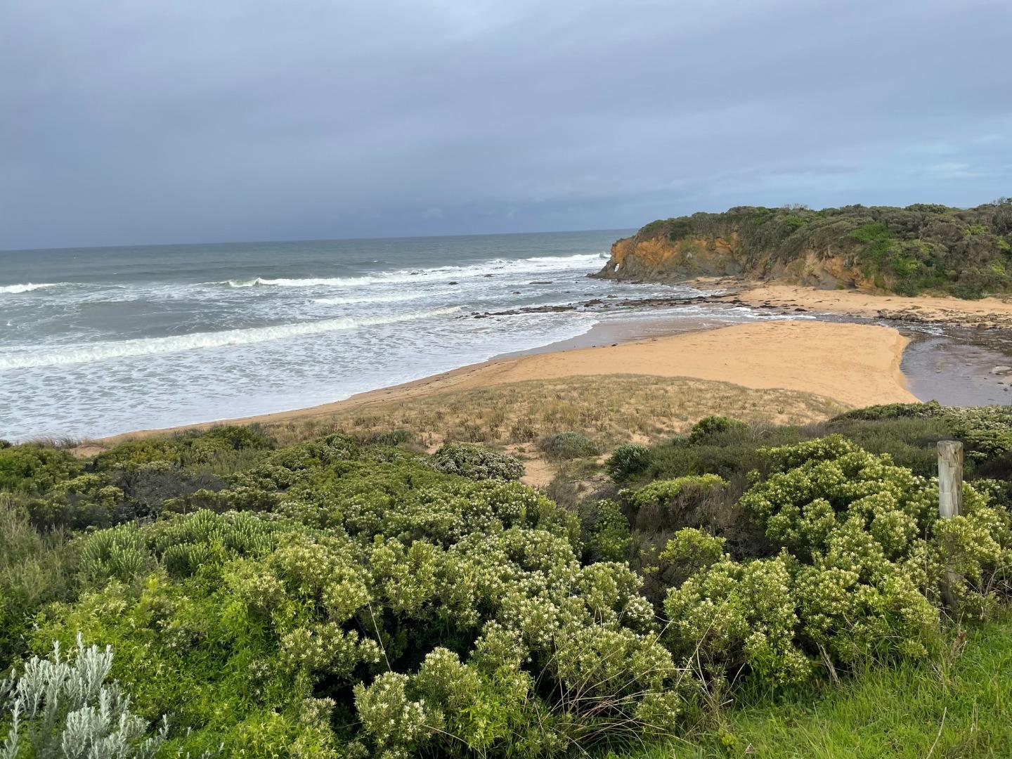
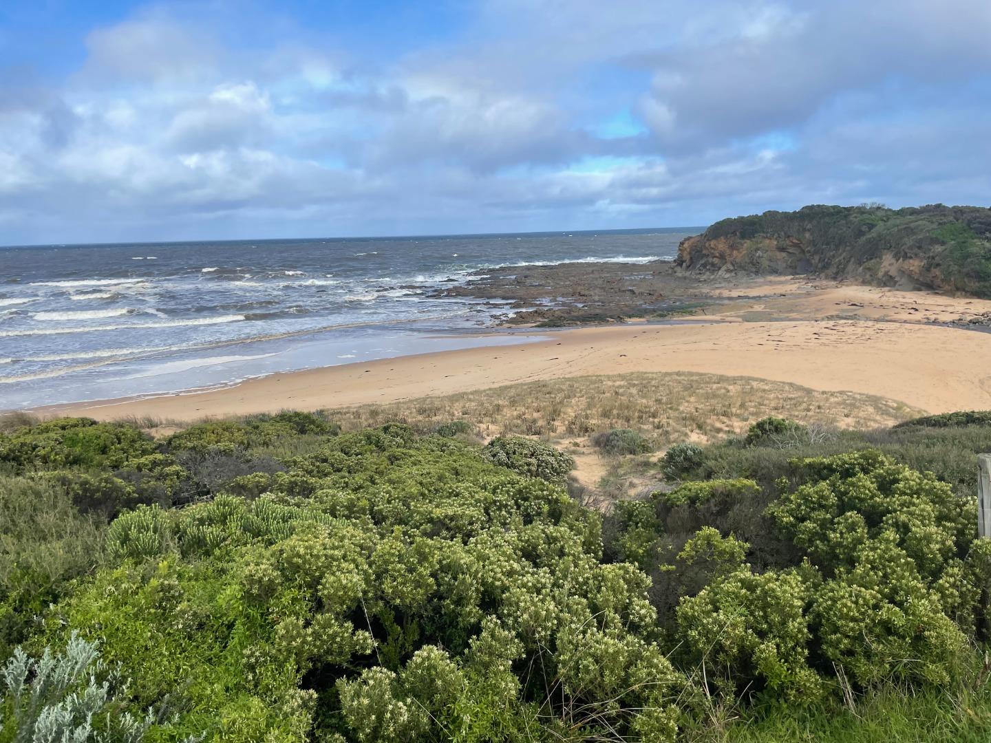
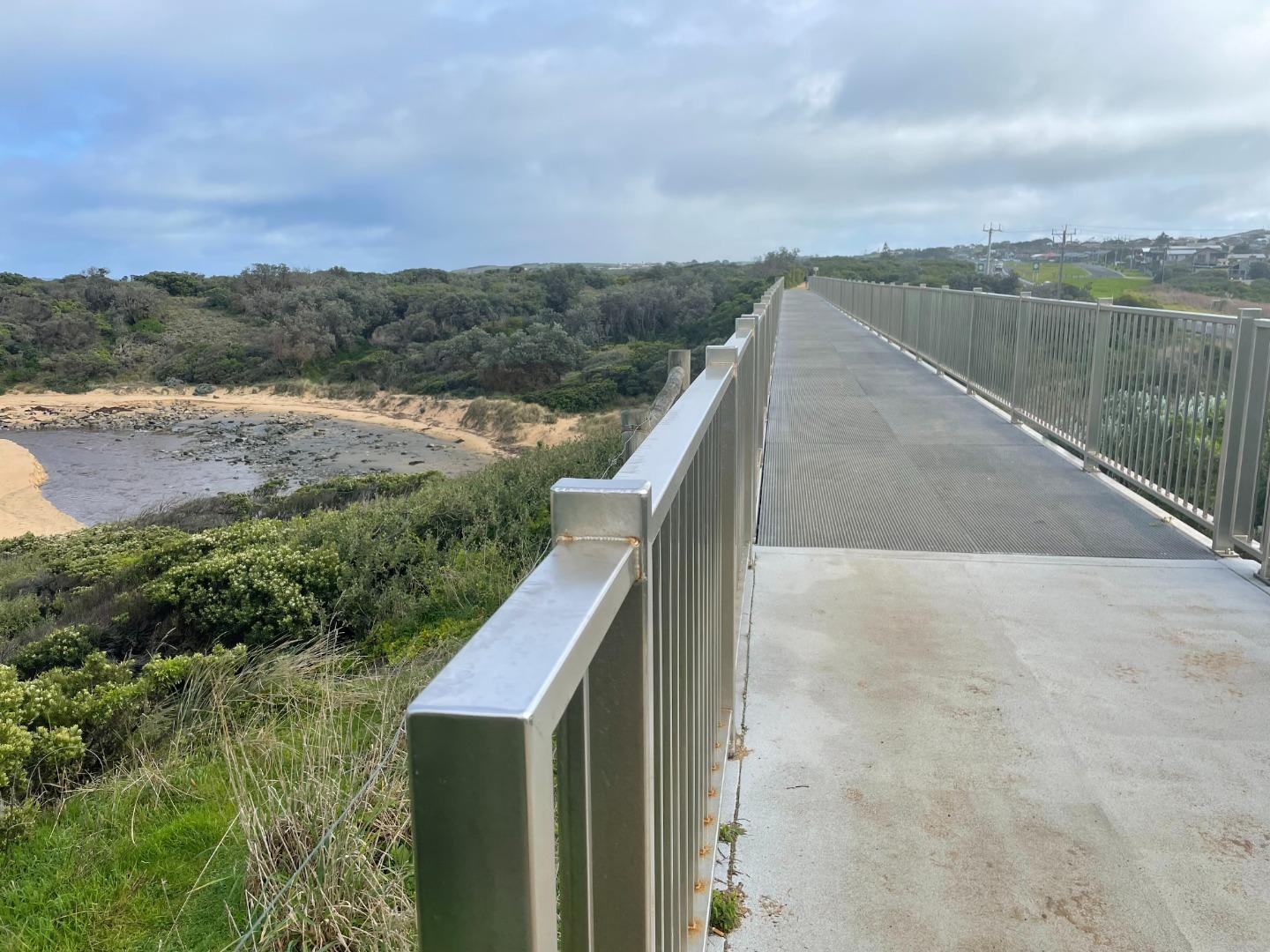
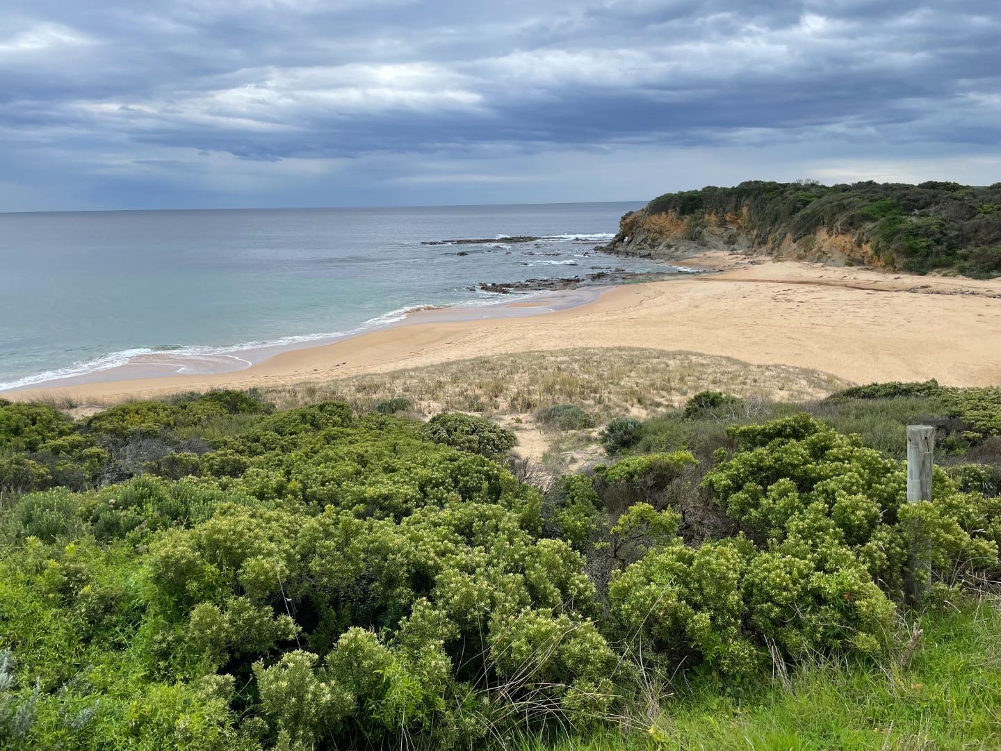
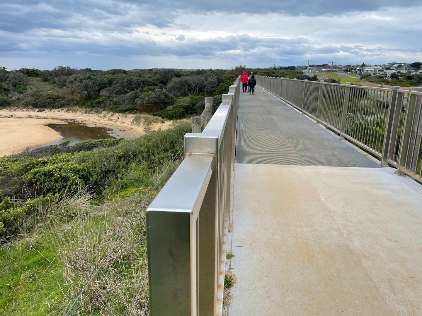
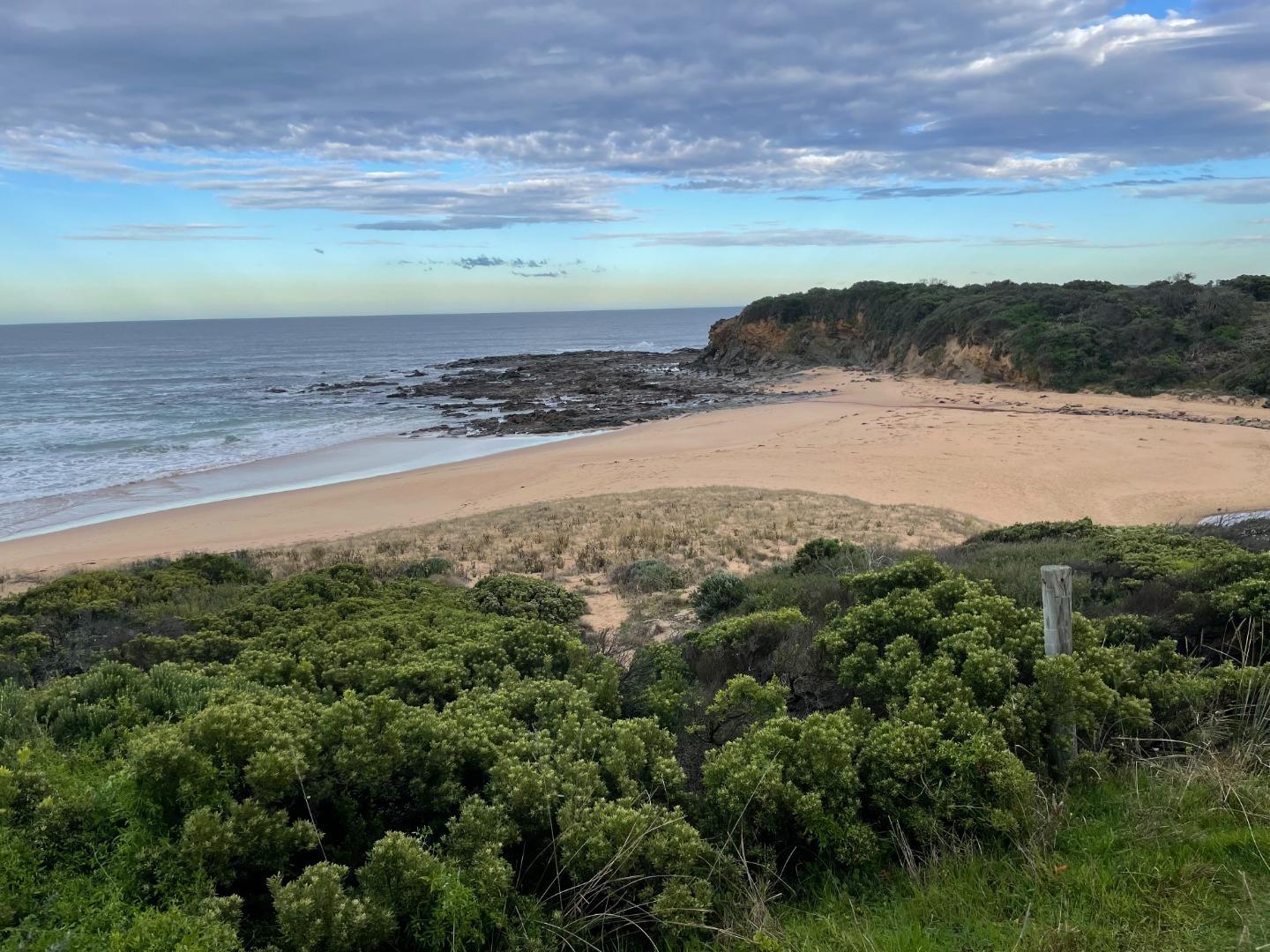
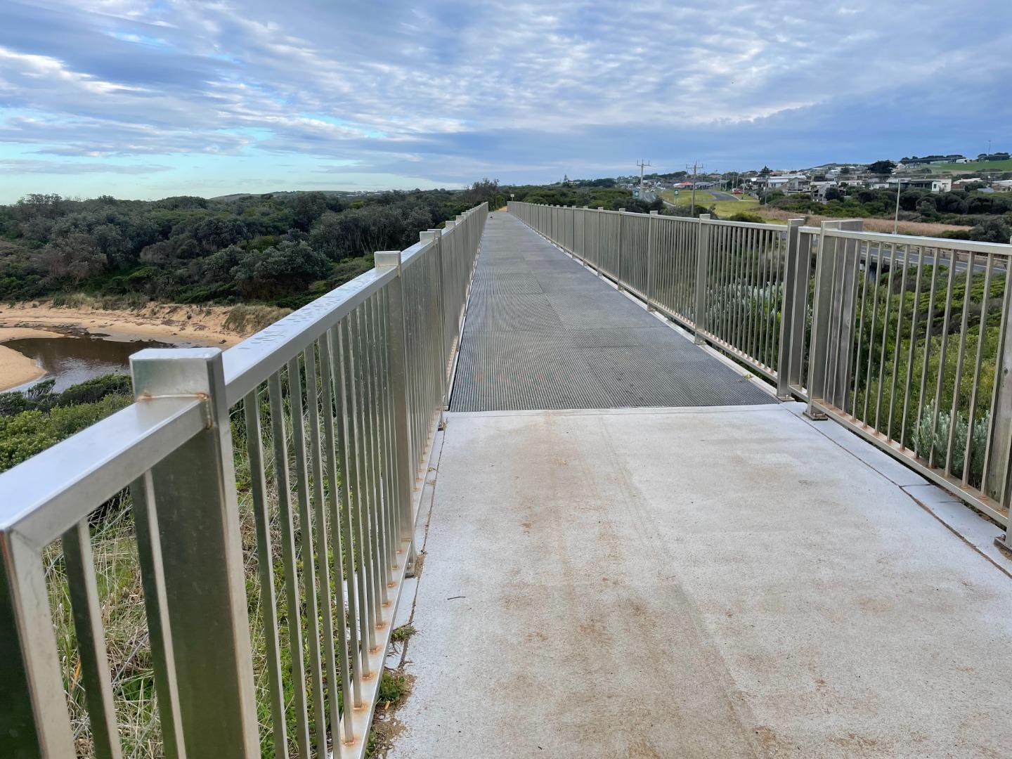
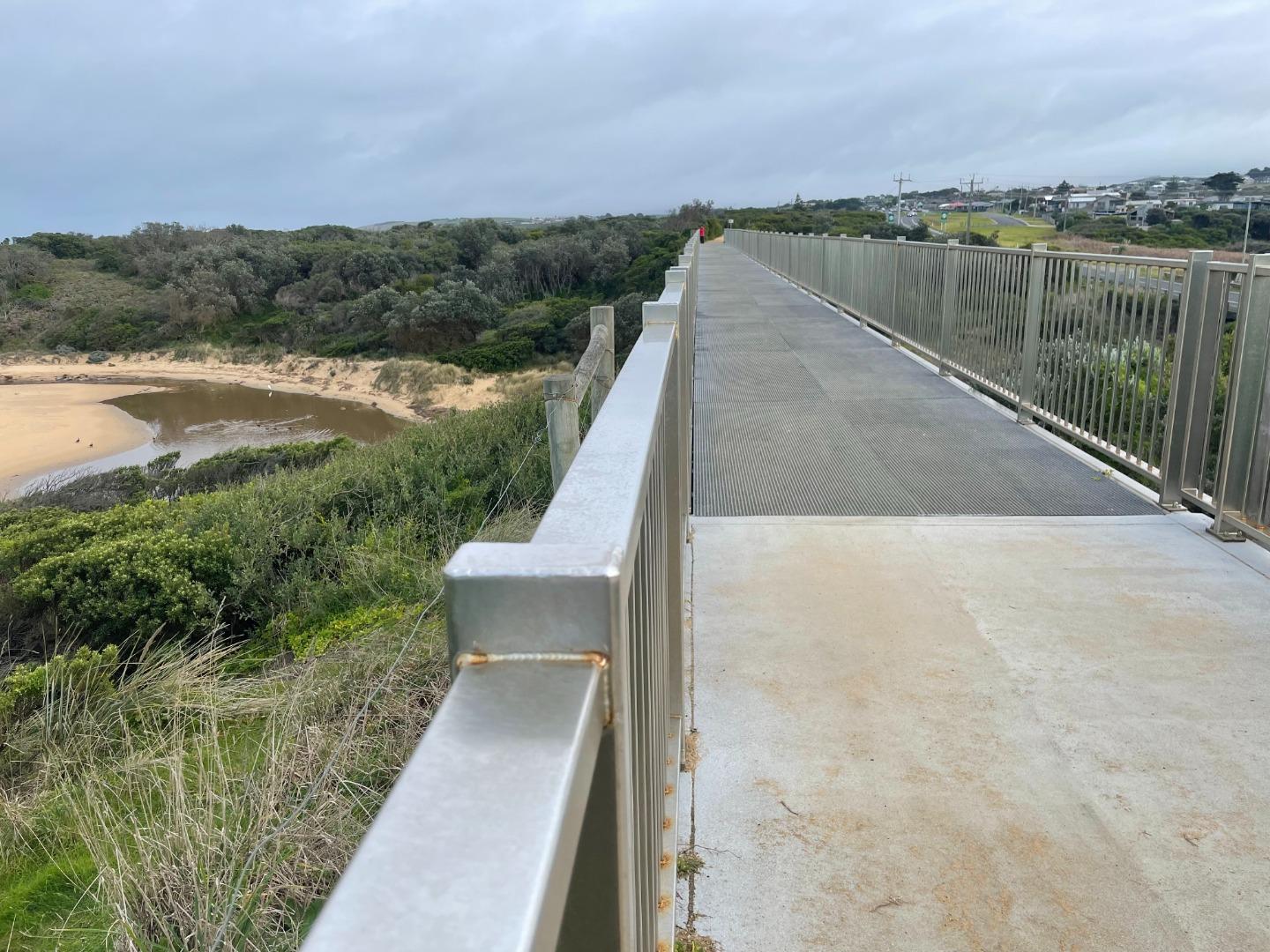
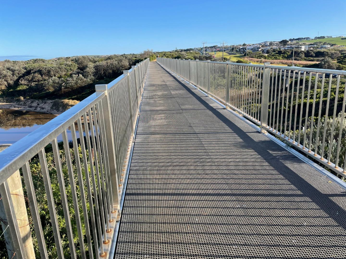
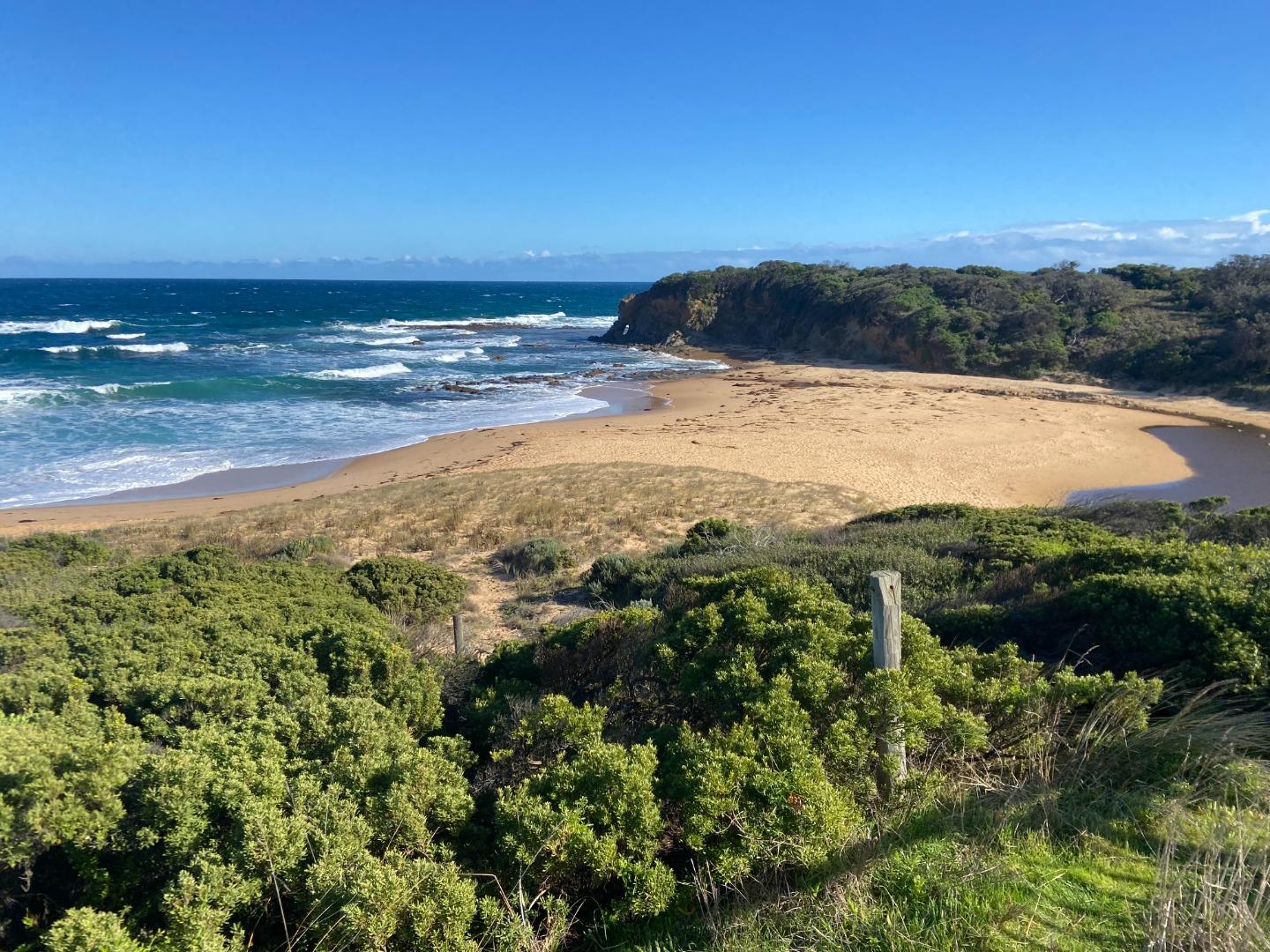
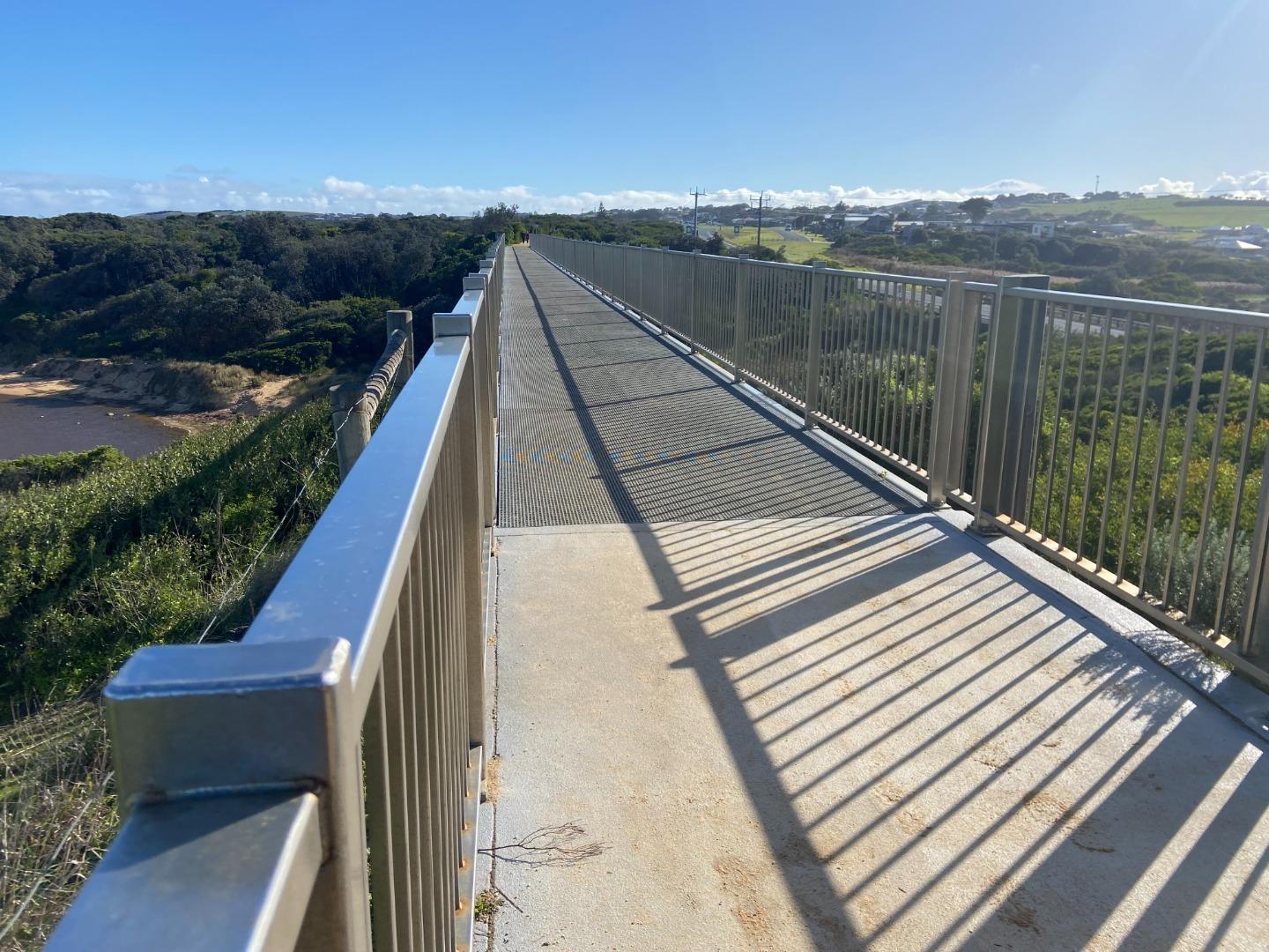
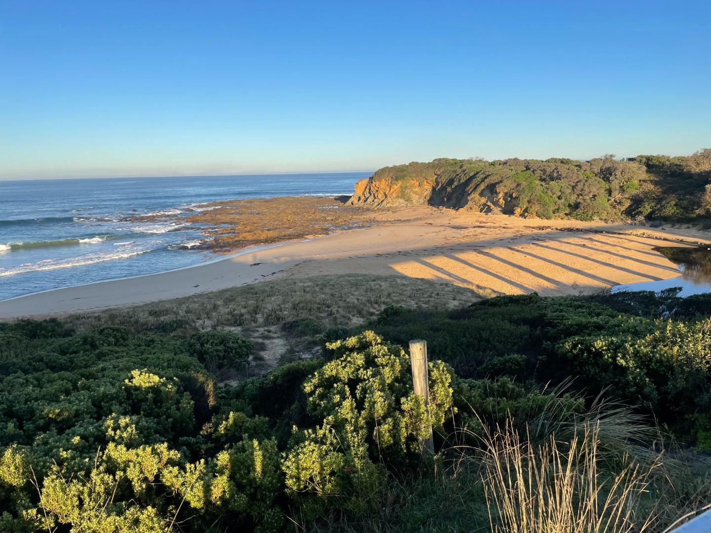
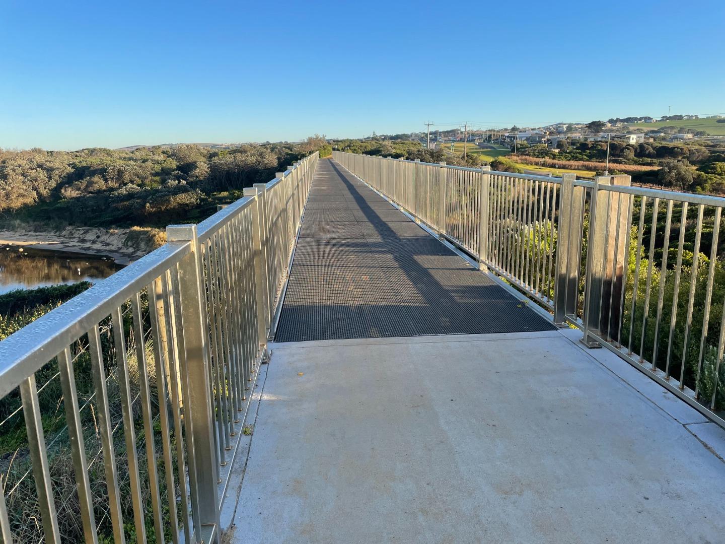
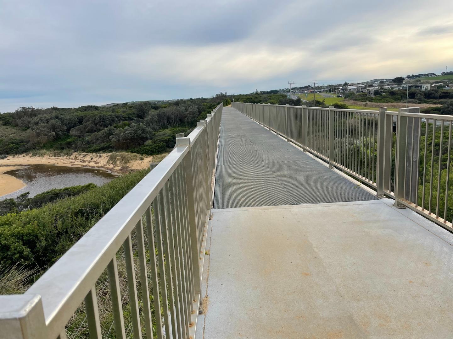
BoMC Bourne Creek Mouth Condition Monitoring Site
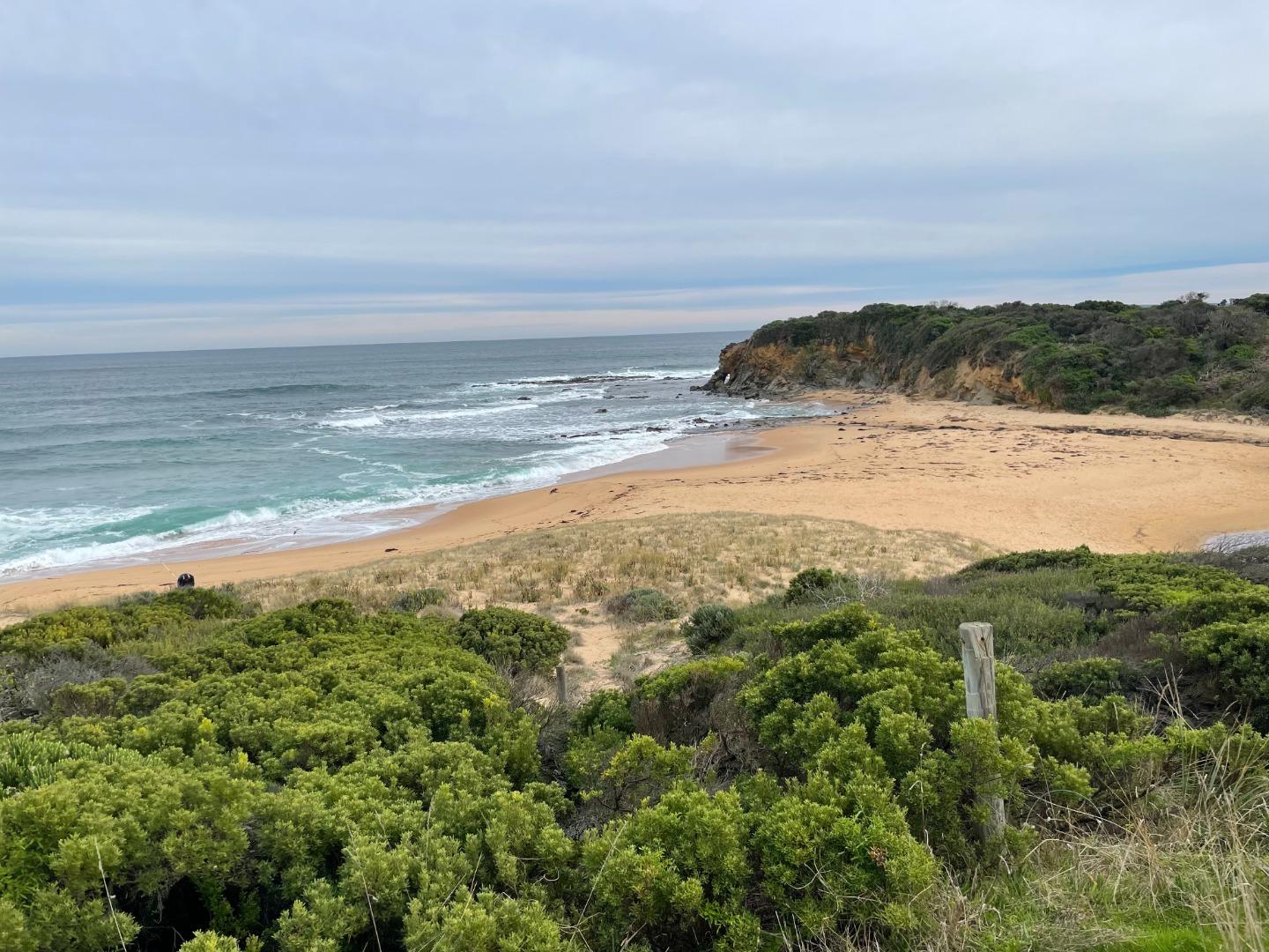
Active Mouth Condition 27-04-2017 - 12-04-2024Bourne Creek
108 results found (Displaying 31 - 40)
| ID | Date | Status | Details | |
|---|---|---|---|---|
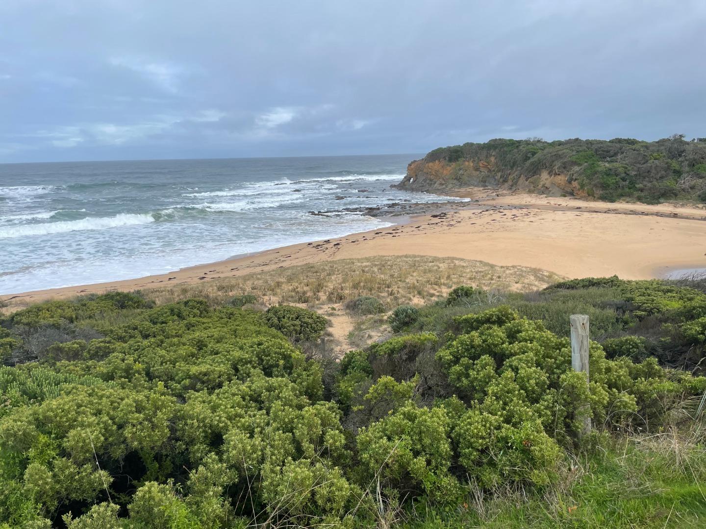
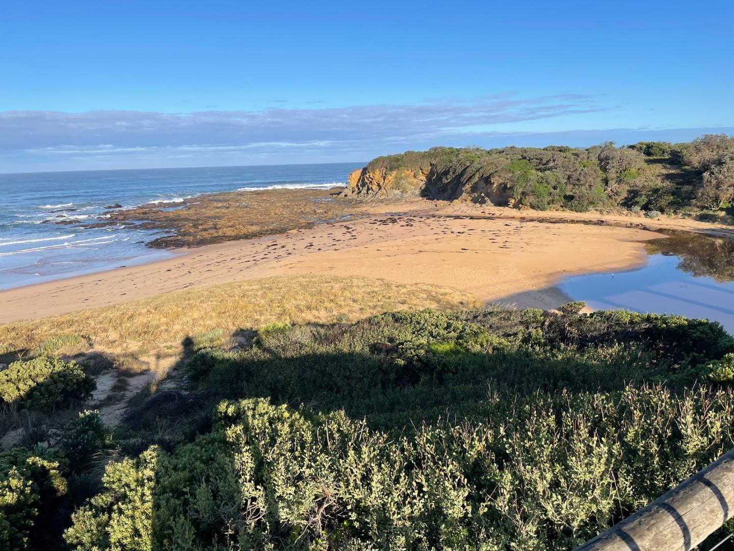
| #14993 | 7 Sep 2022 | Approved |
Notes:
Estuary has started to erode away the eastern bank adjacent to the Trestle Bridge |
|
| #14973 | 24 Aug 2022 | Approved |
Notes:
Water levels very low |
|
| #14944 | 16 Aug 2022 | Approved |
Notes:
Reports that water flooded highway over weekend so water levels reached at least 2.52mAHD (Height of lowest point in road.) |
|
| #14933 | 11 Aug 2022 | Approved | ||
| #14922 | 4 Aug 2022 | Approved | ||
| #14913 | 27 Jul 2022 | Approved | ||
| #14895 | 19 Jul 2022 | Approved | ||
| #14884 | 13 Jul 2022 | Approved | ||
| #14863 | 6 Jul 2022 | Approved |
Notes:
New gaugeboard installed at Bourne Creek. Note that AHD height = gauge height + 1.5. Road level is 2.5mAHD. |
|
| #14852 | 29 Jun 2022 | Approved | ||


All content, files, data and images provided by the EstuaryWatch Data Portal and Gallery are subject to a Creative Commons Attribution License
Content is made available to be used in any way, and should always attribute EstuaryWatch and www.estuarywatch.org.au