EstuaryWatch Data Portal
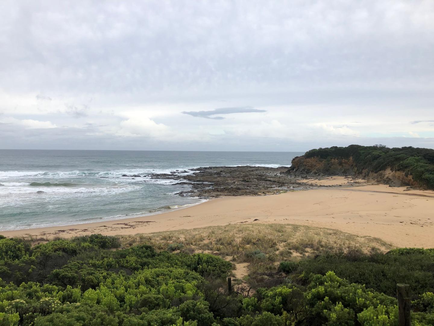
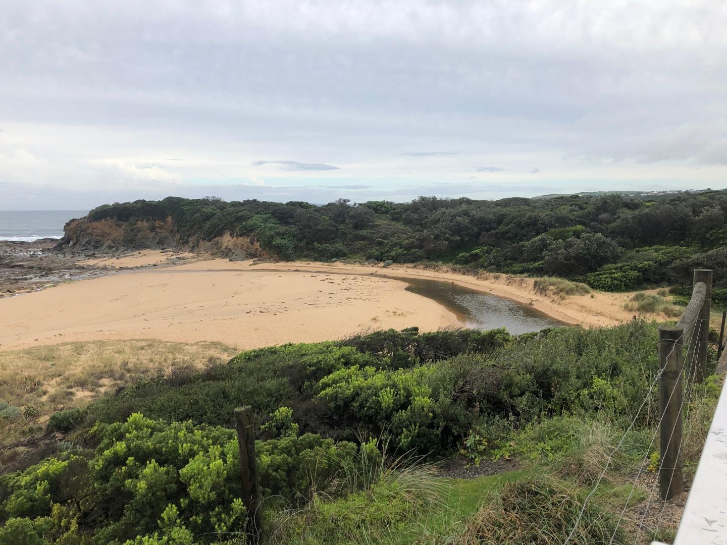
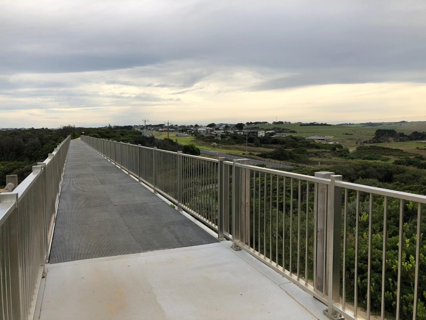
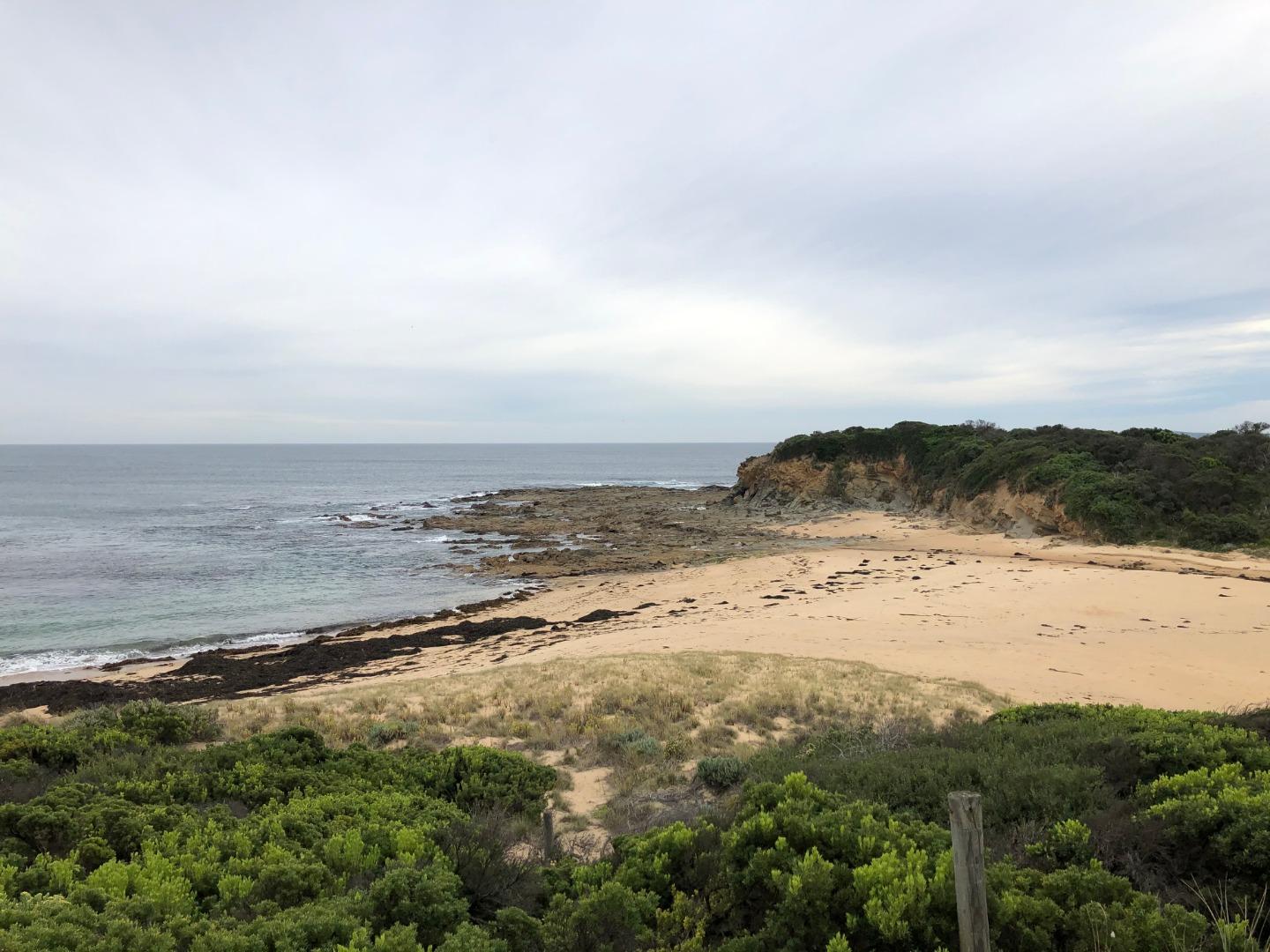
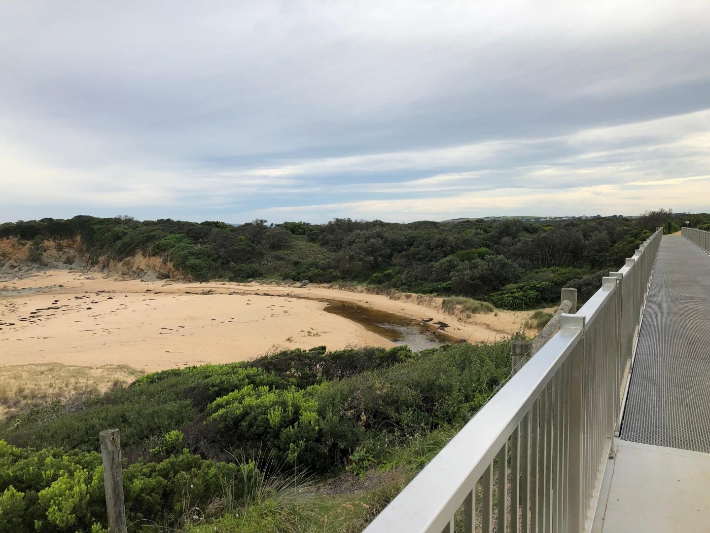
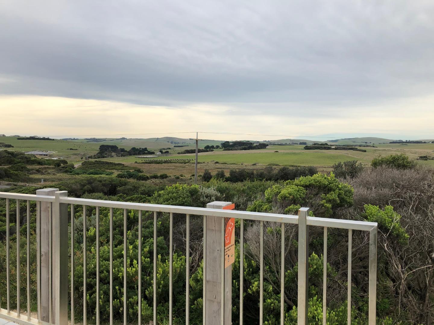
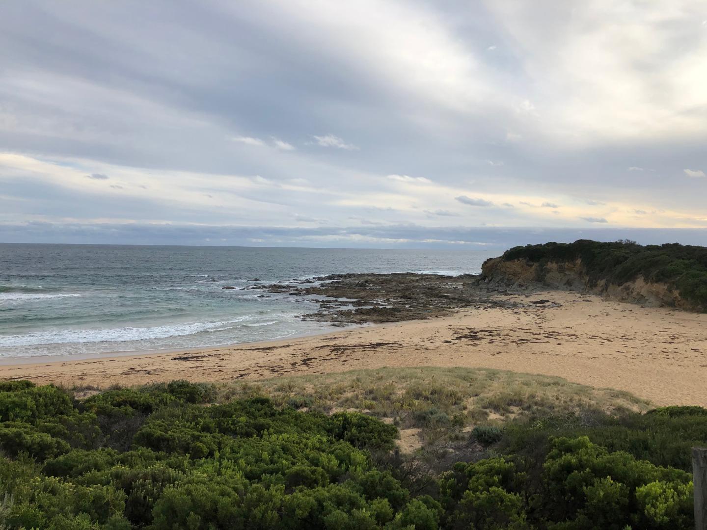
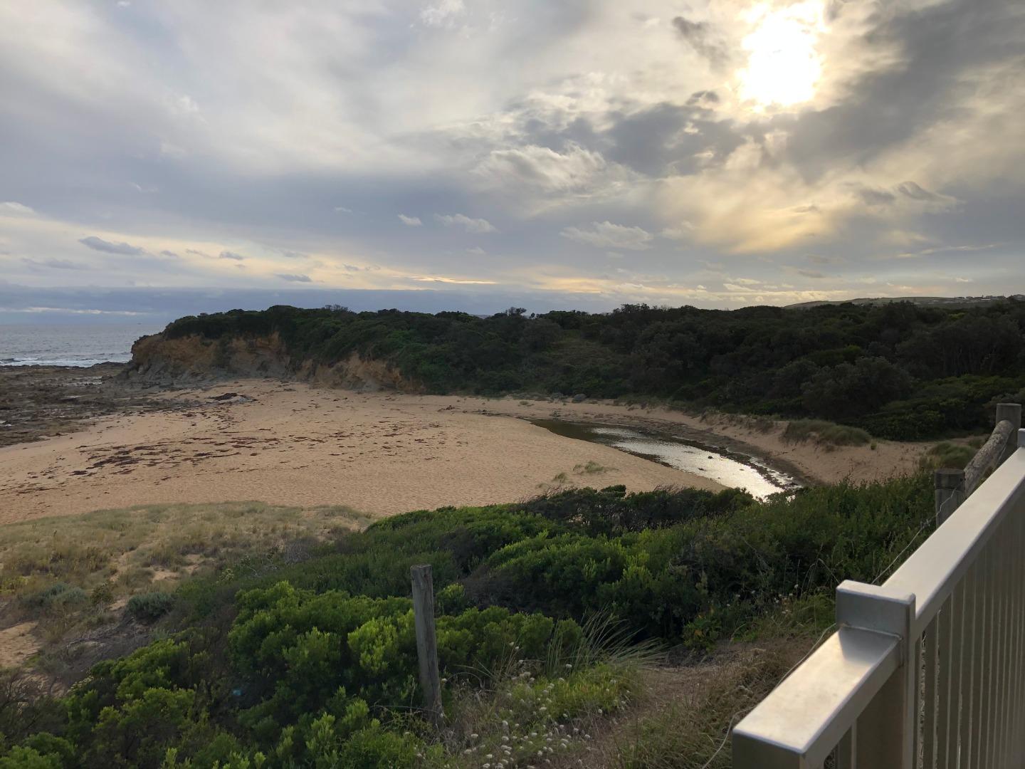
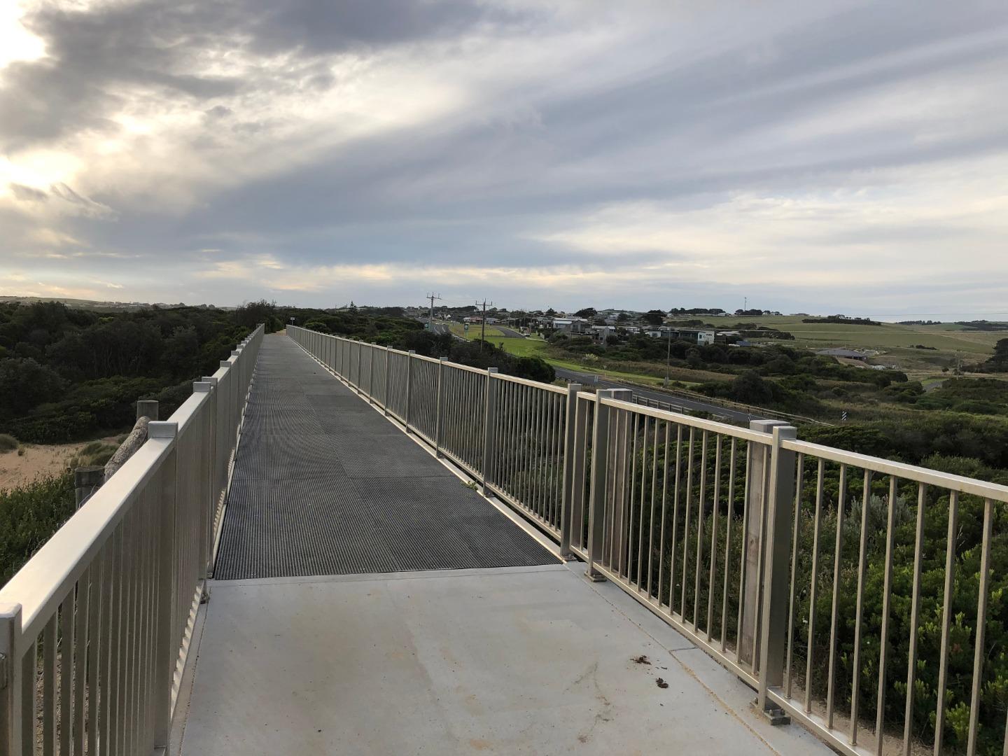
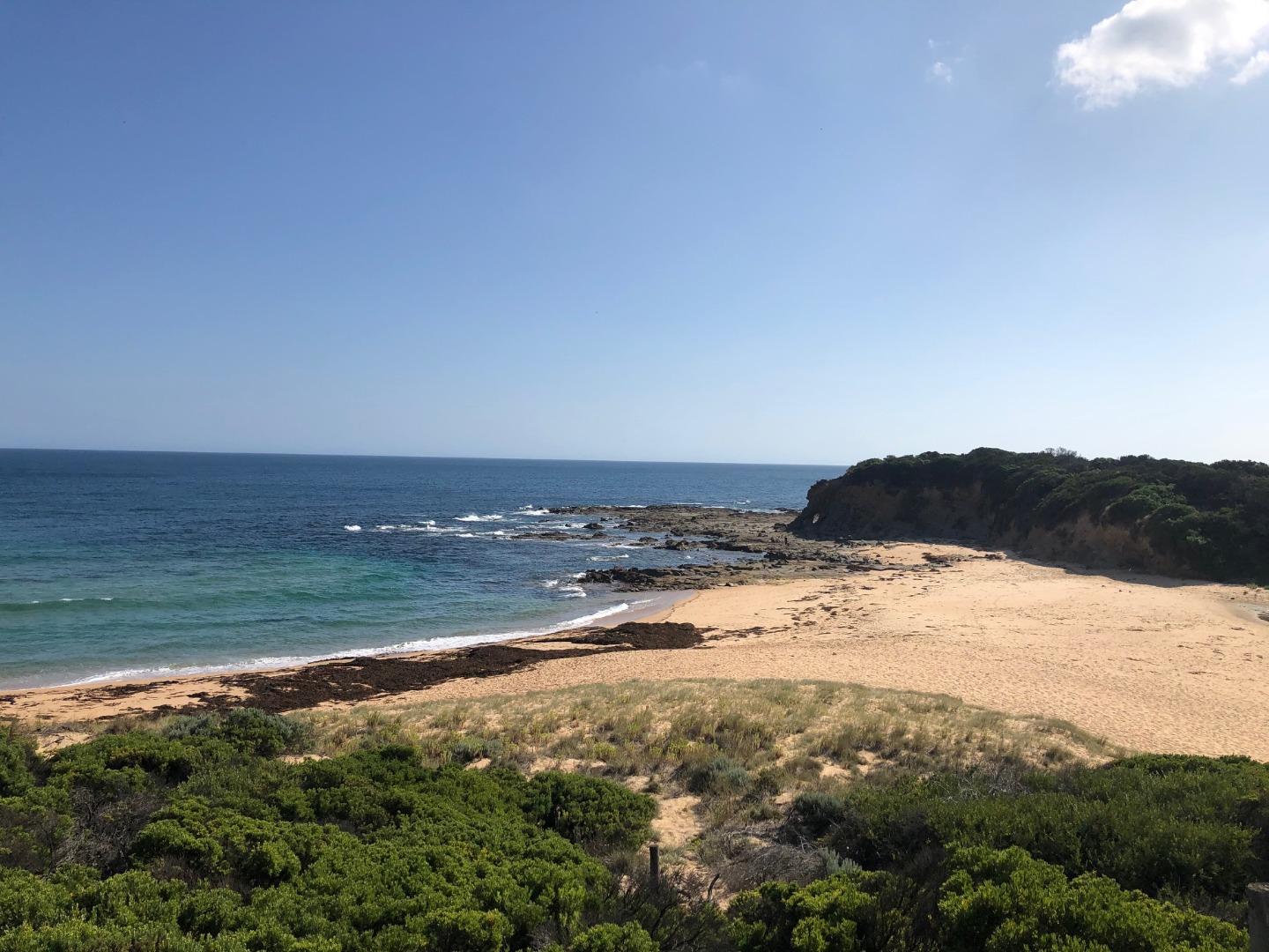
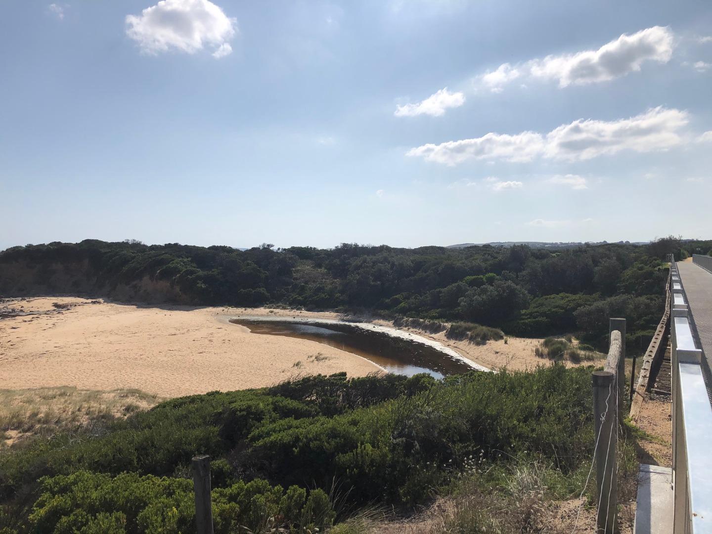
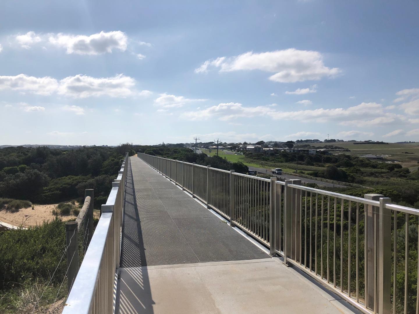
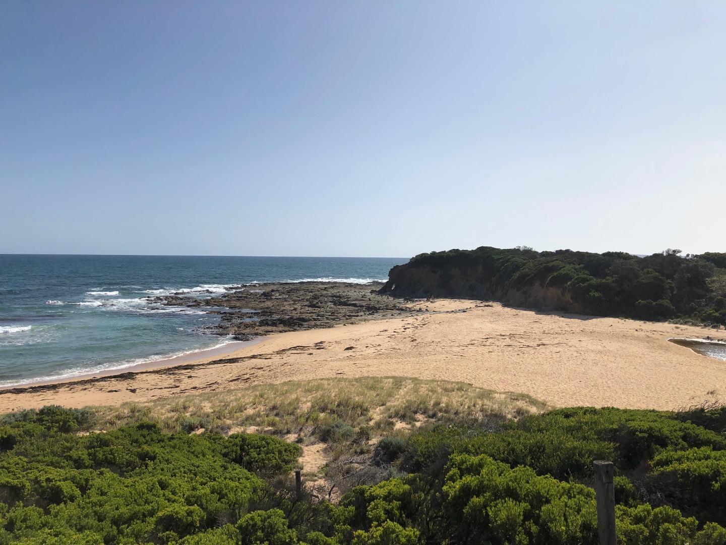
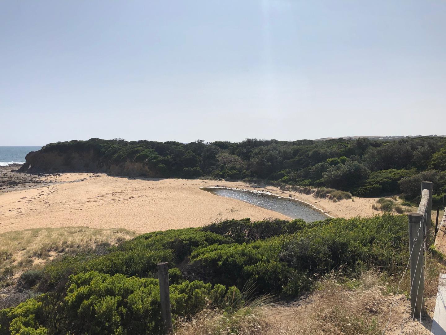
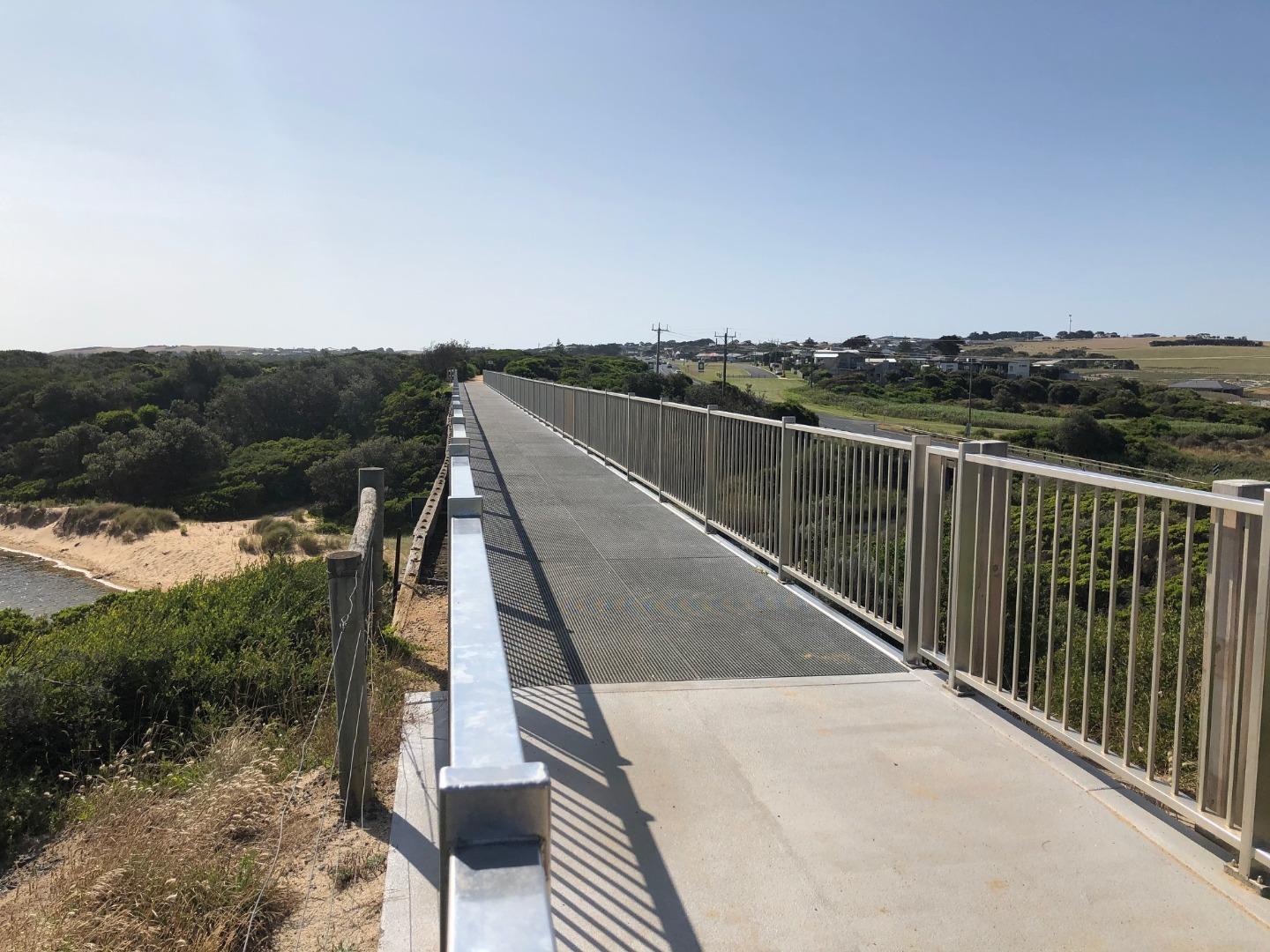
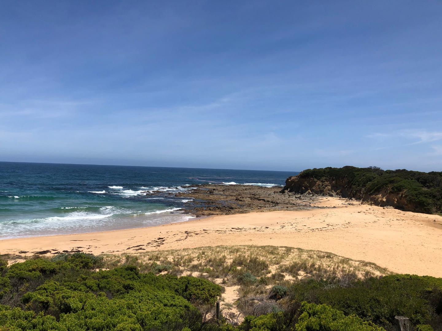
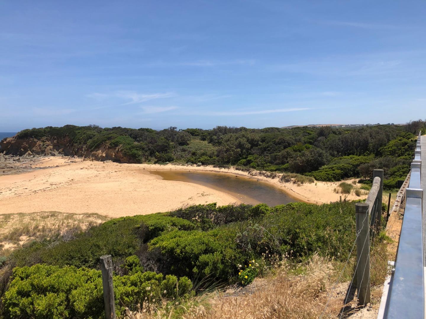
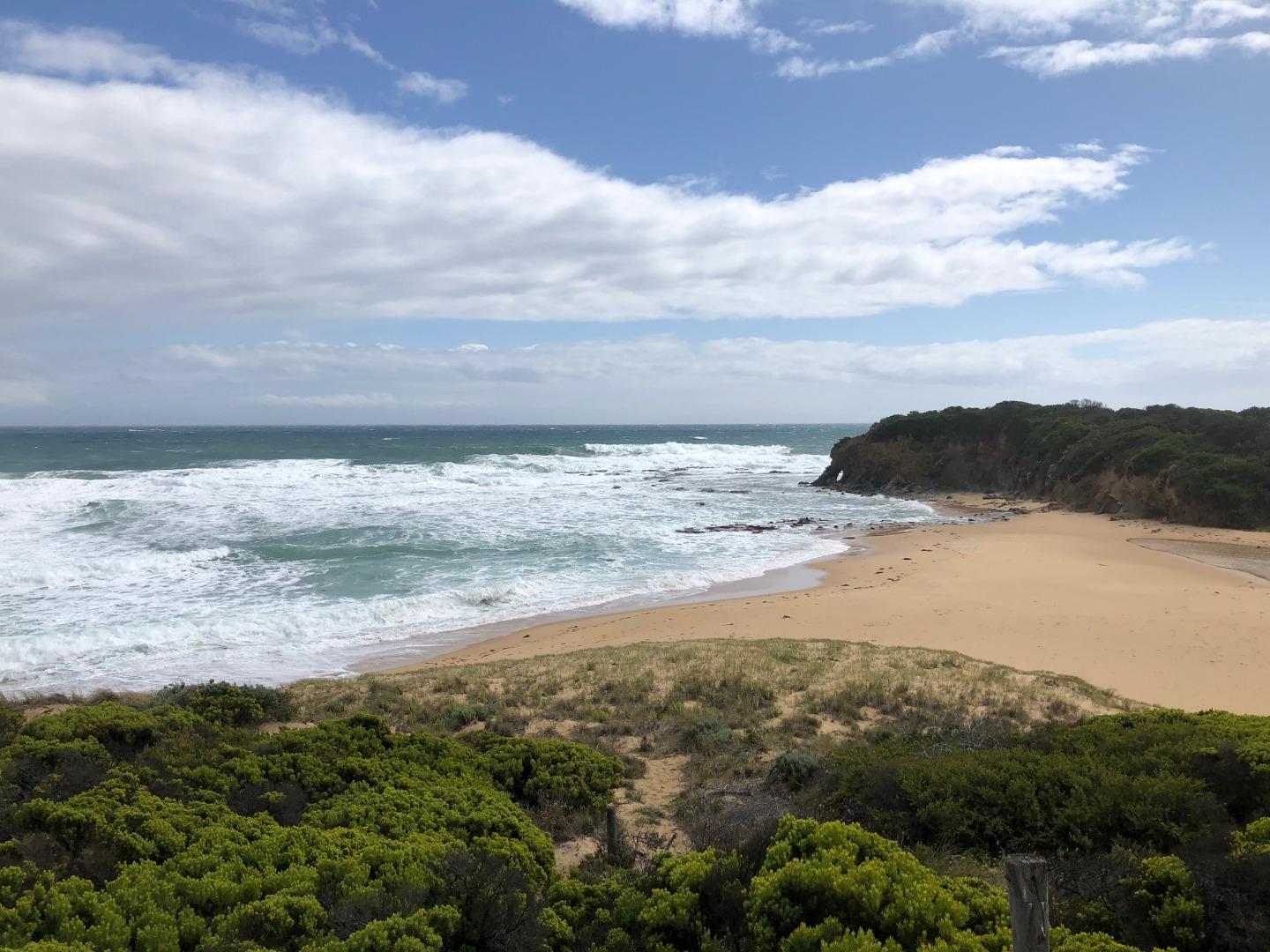
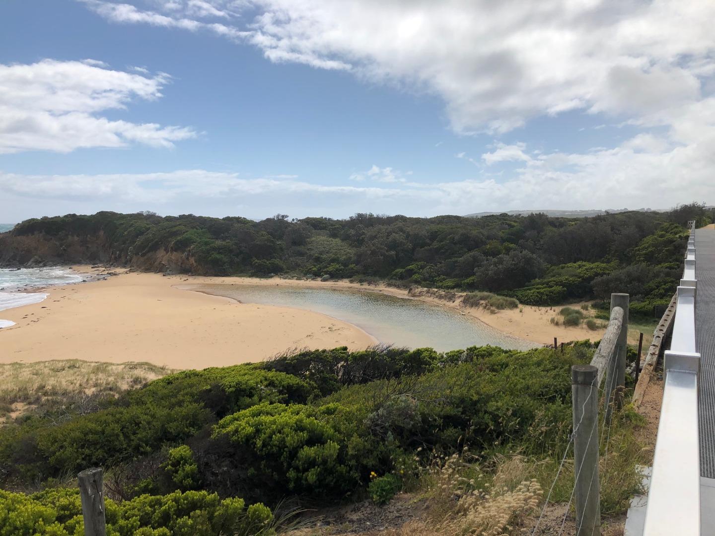
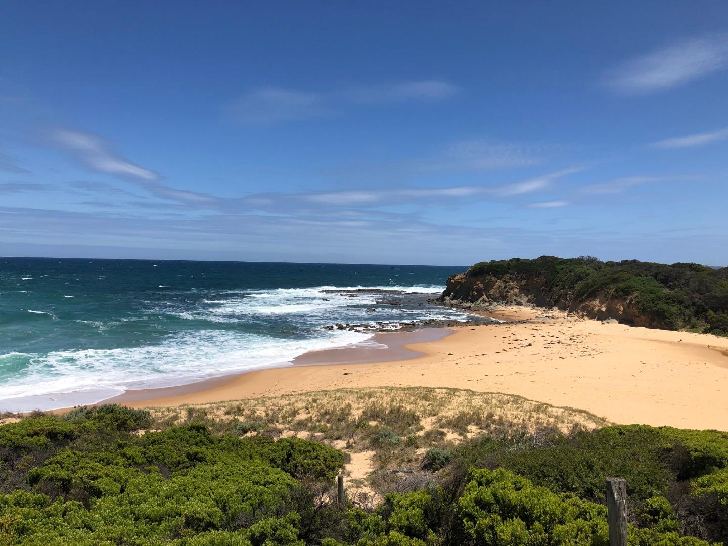
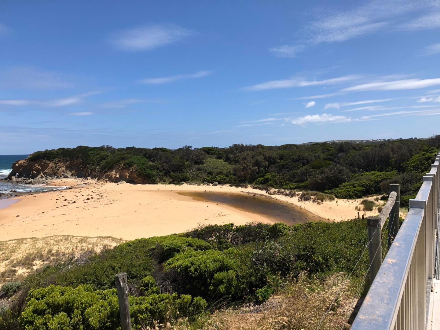
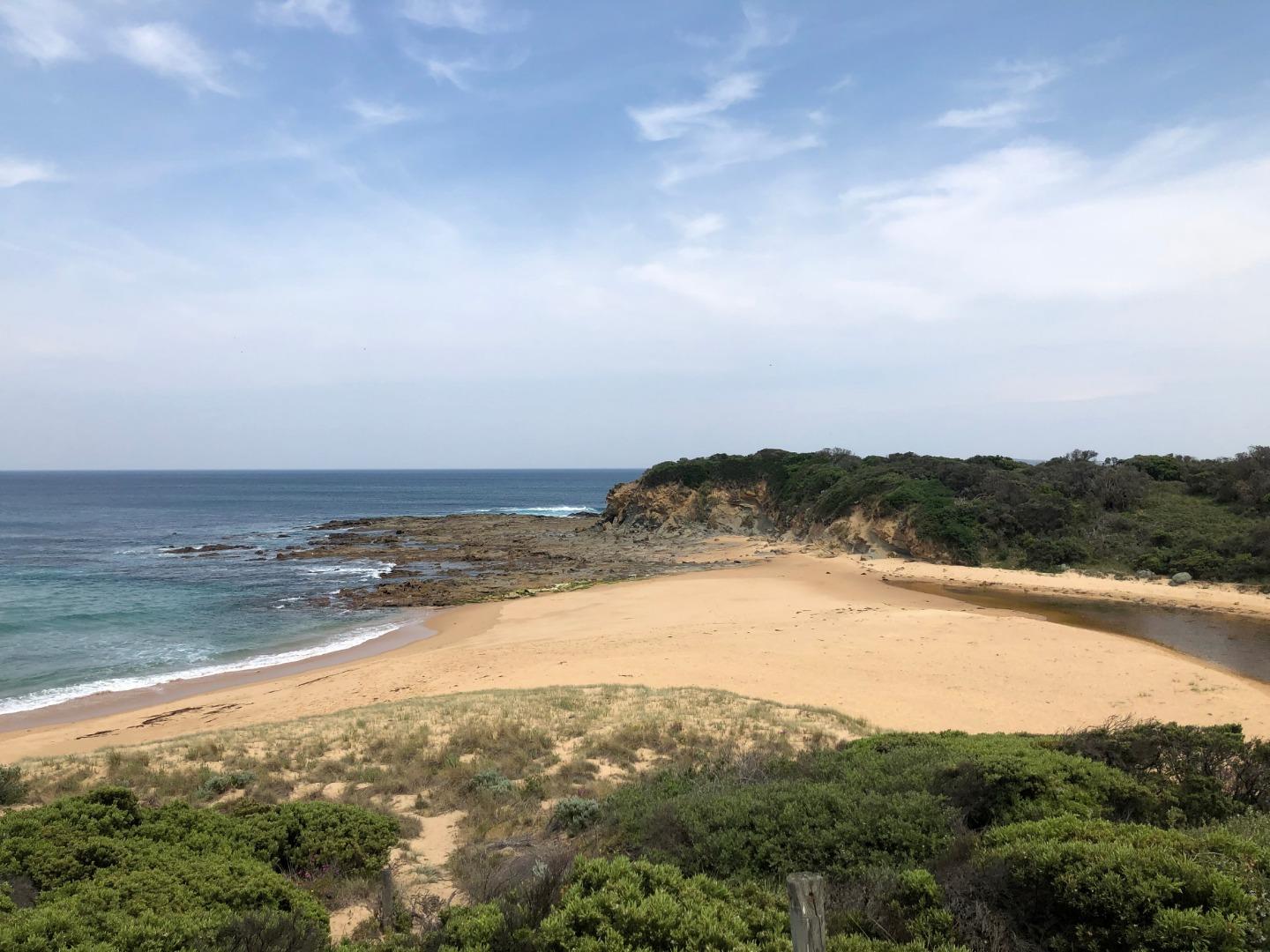
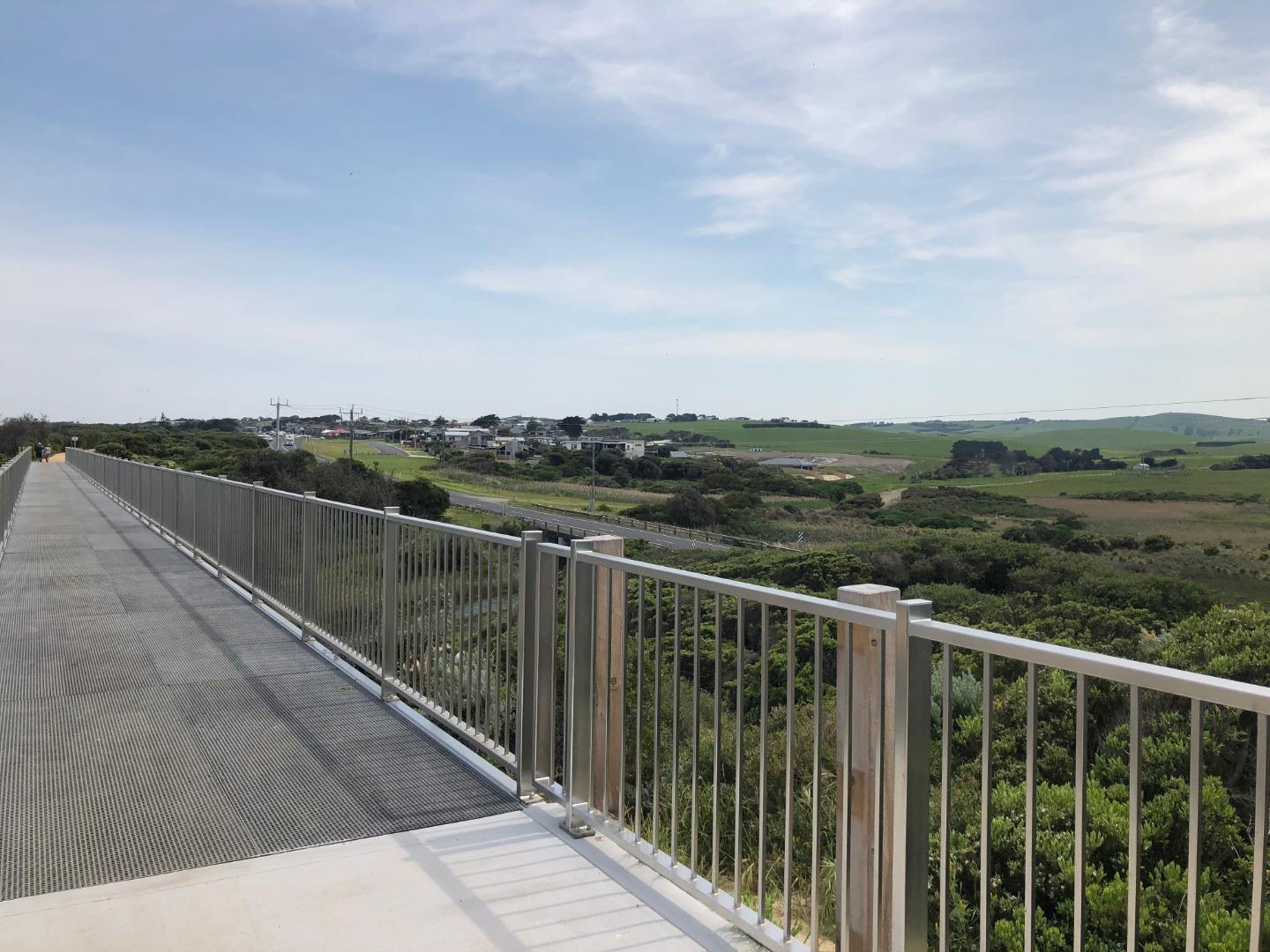
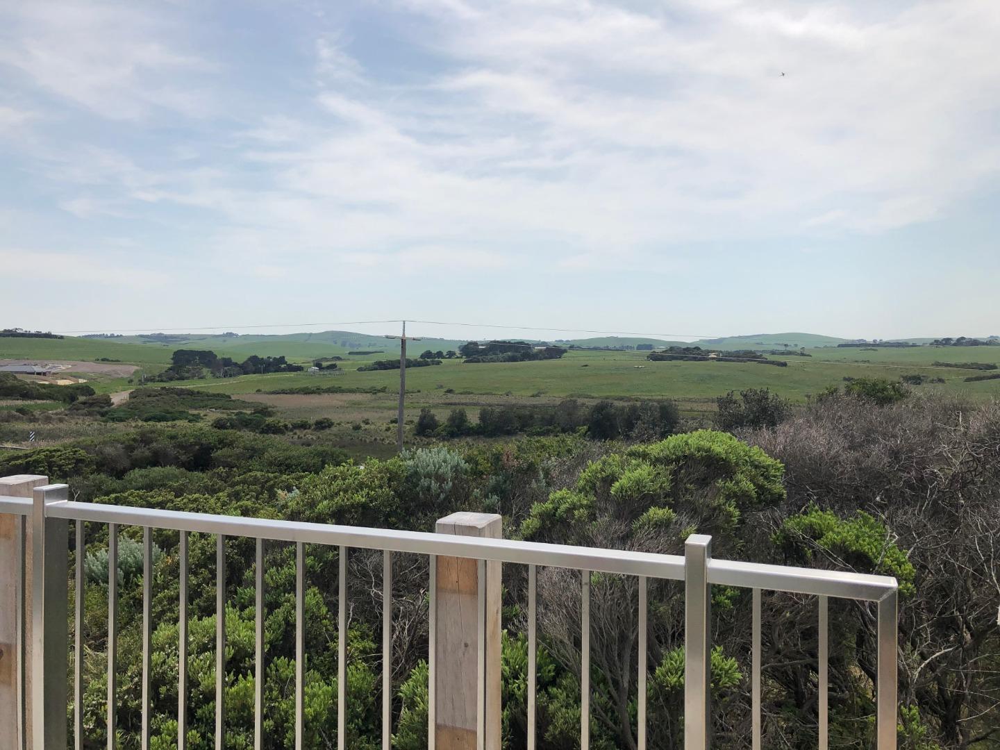
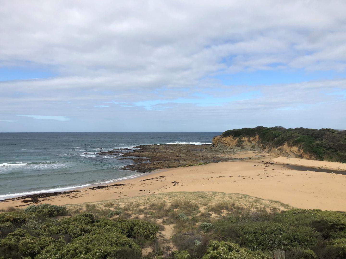
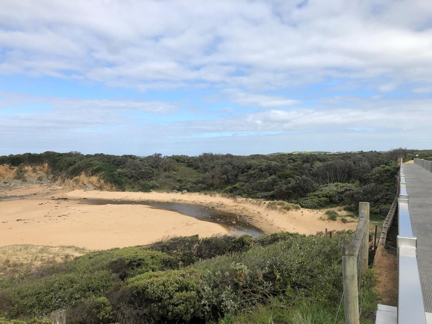
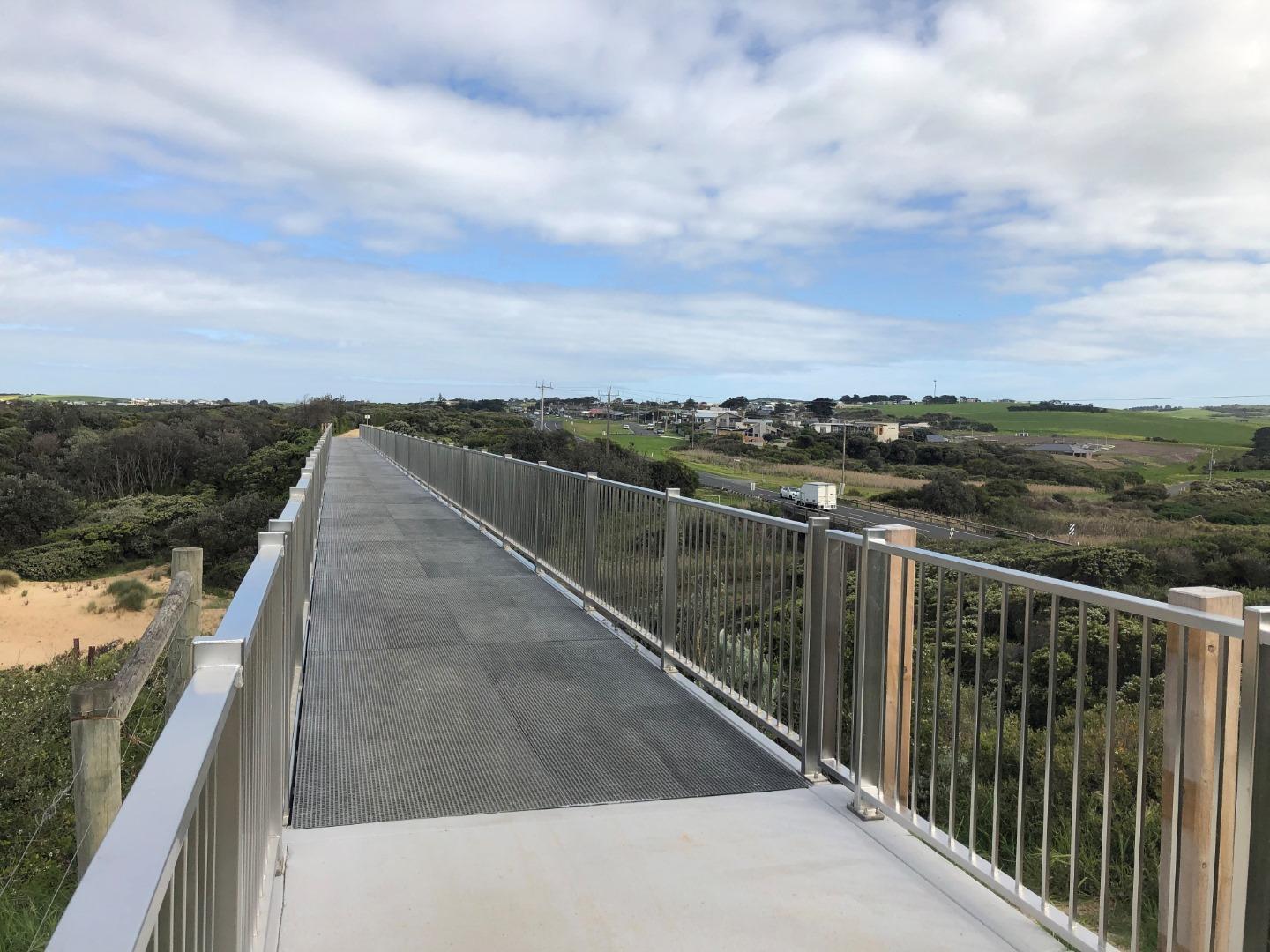
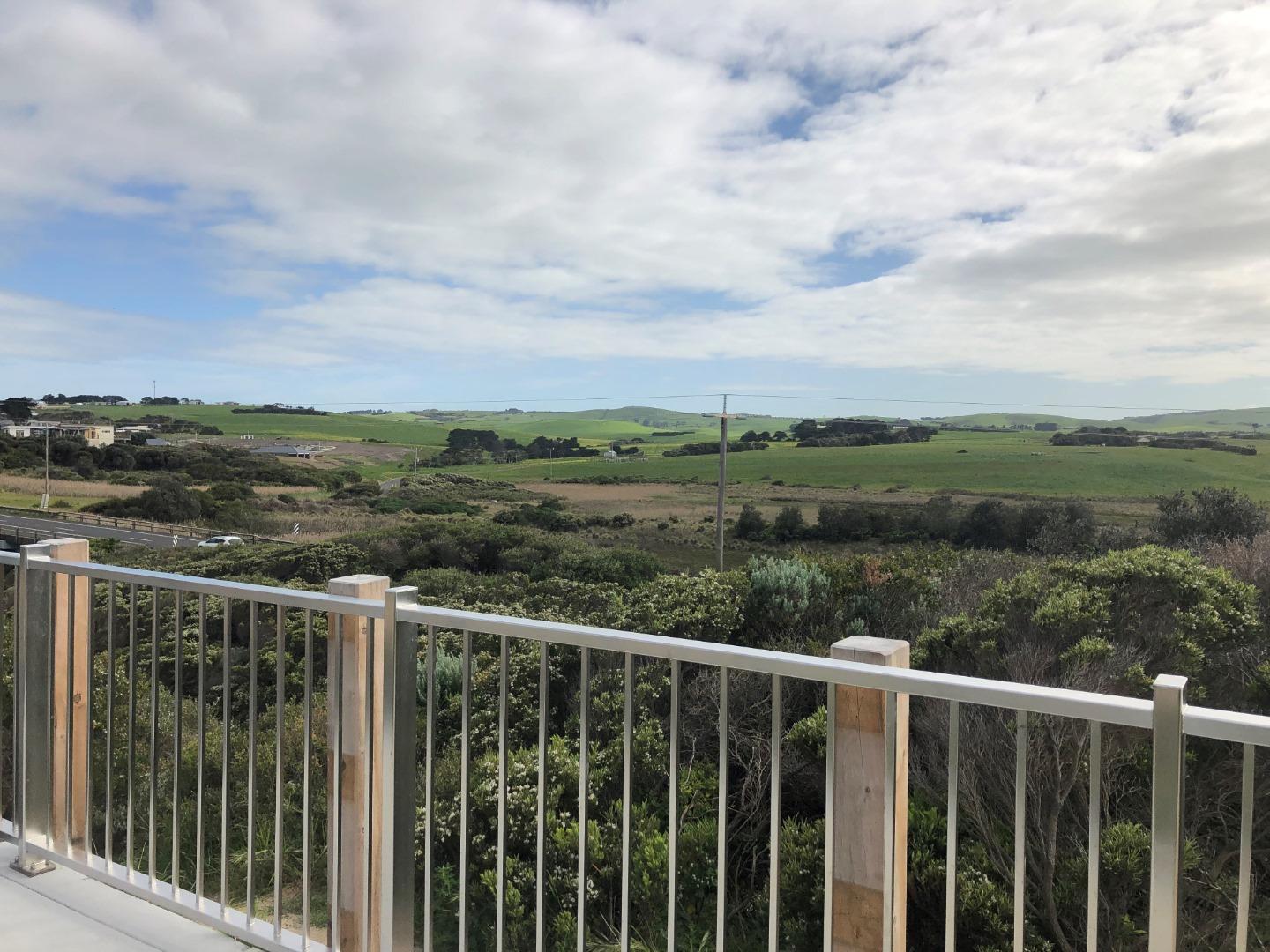
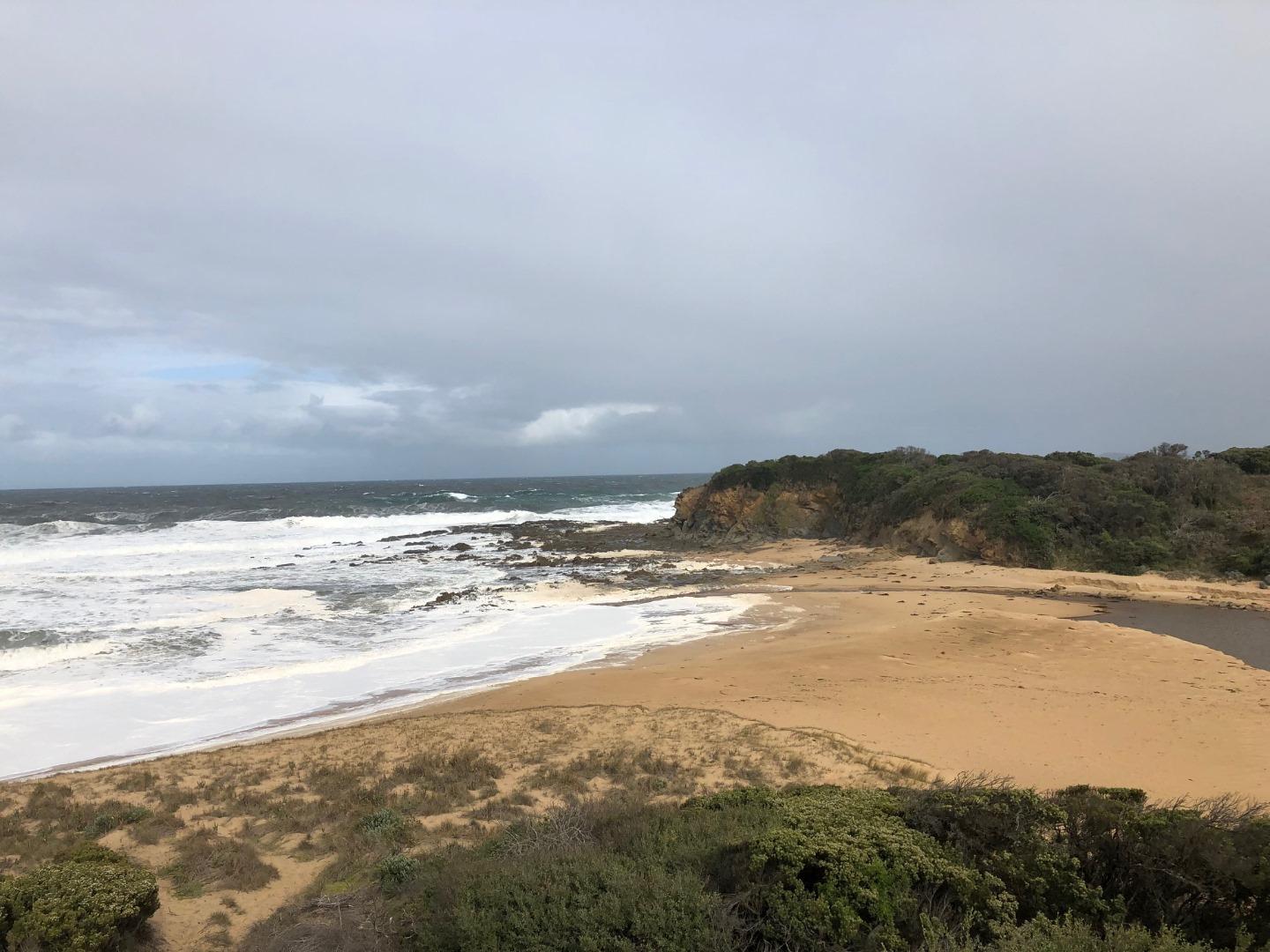
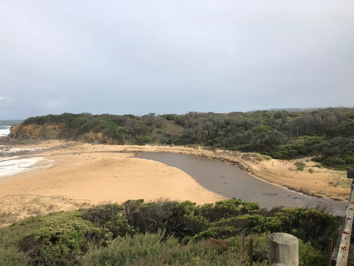
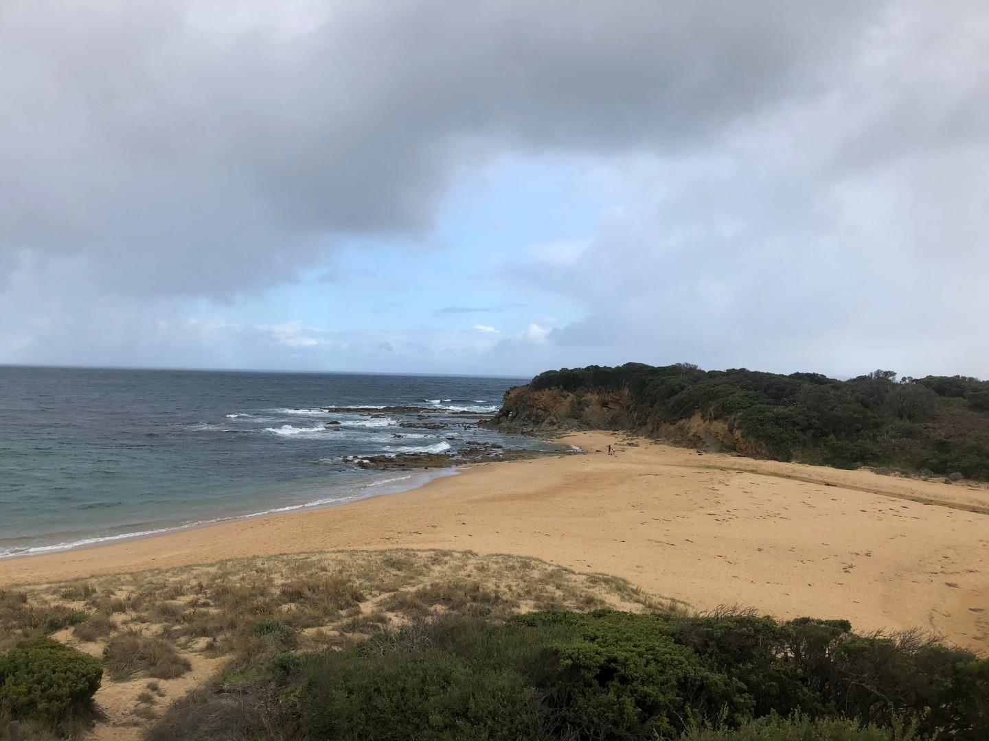
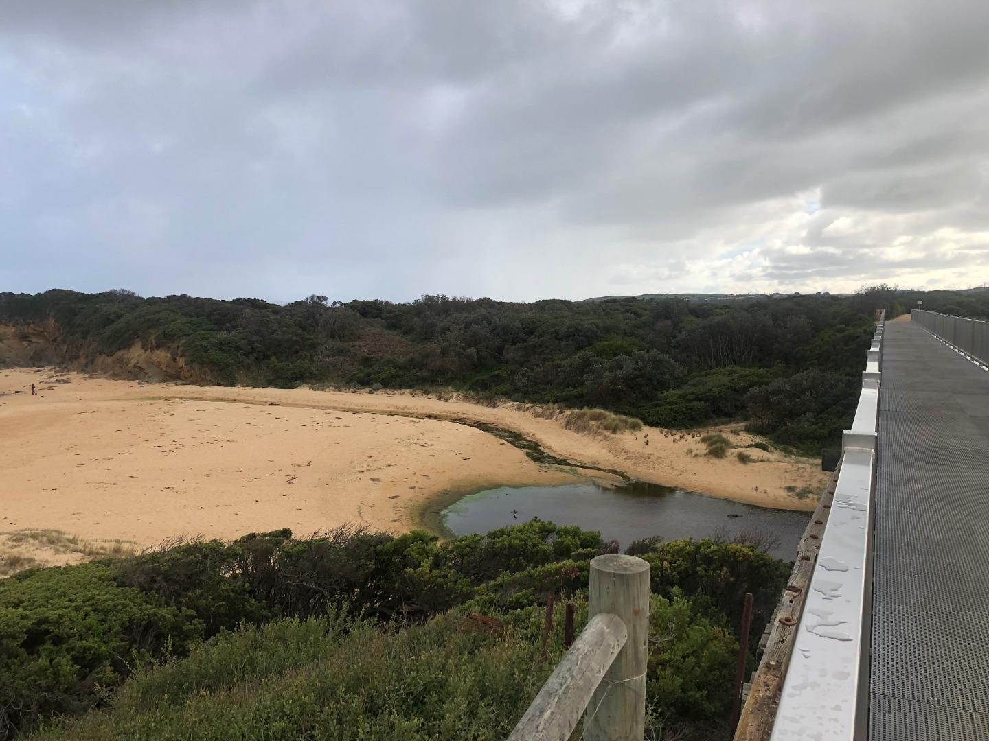
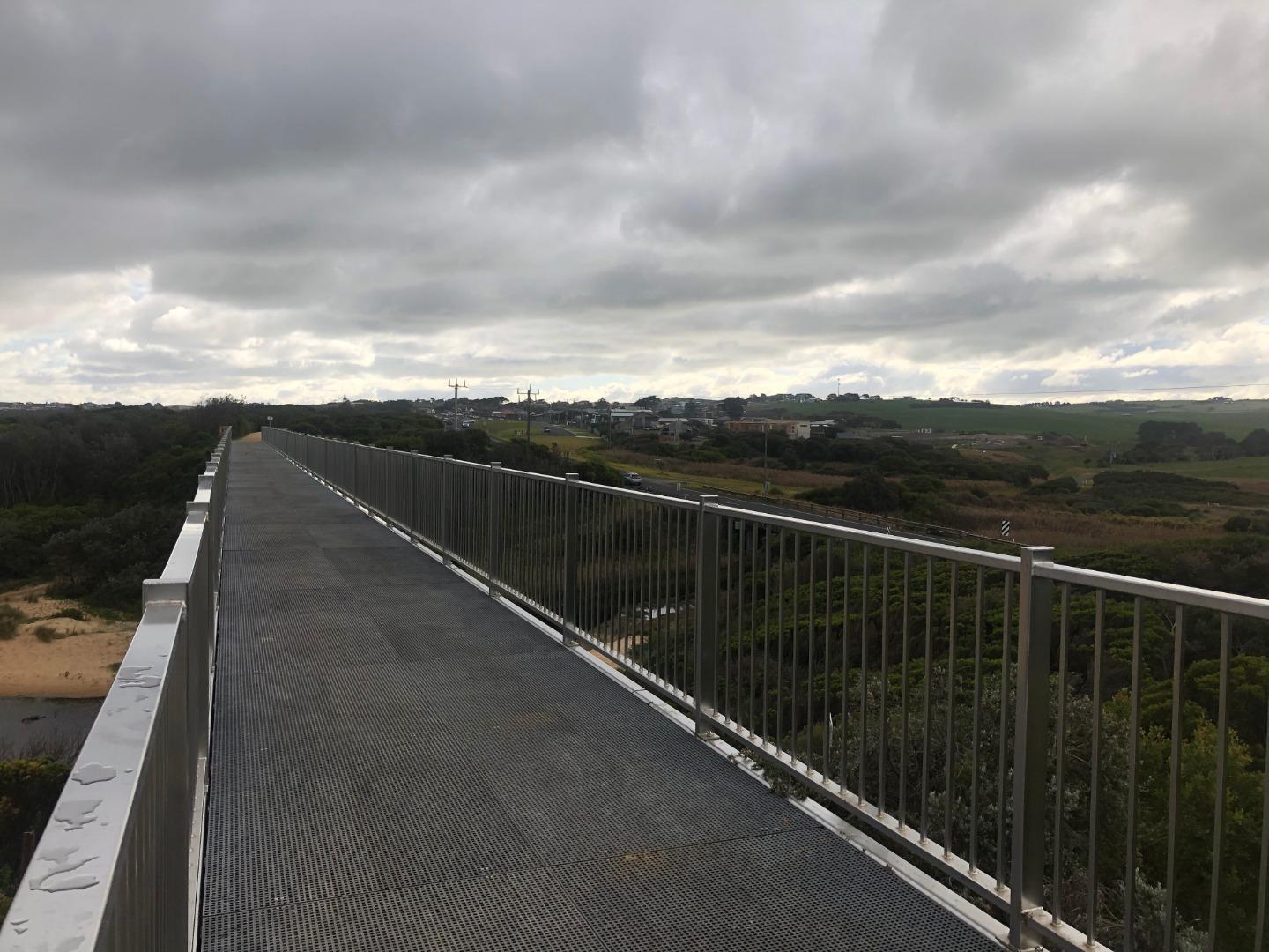
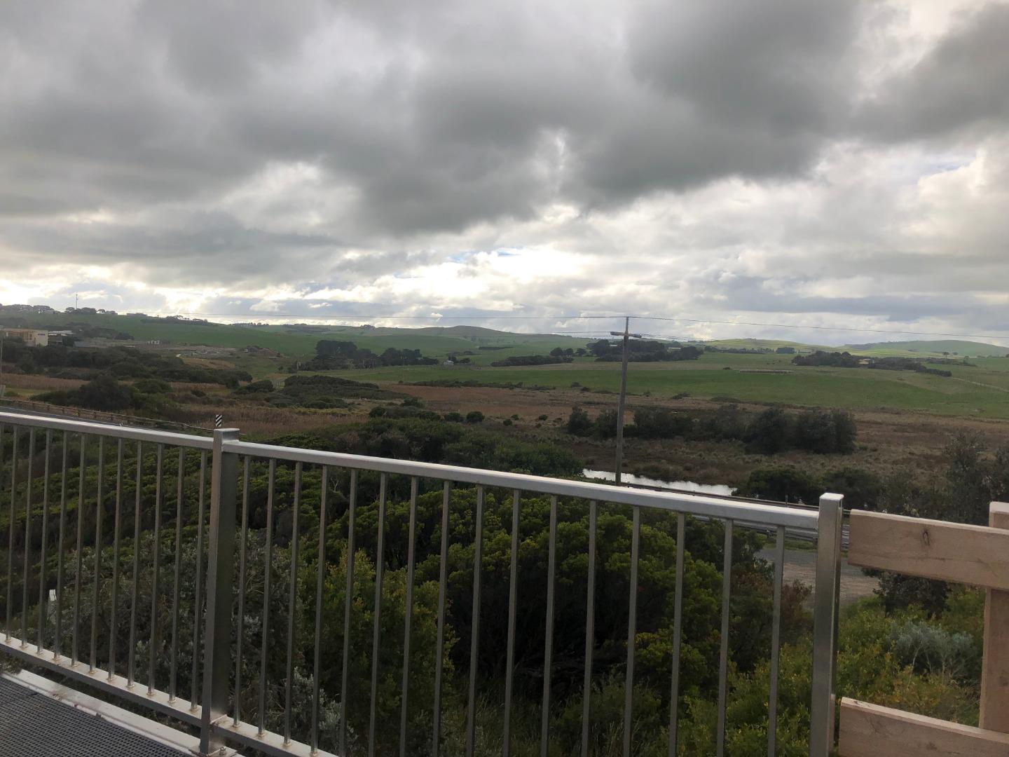
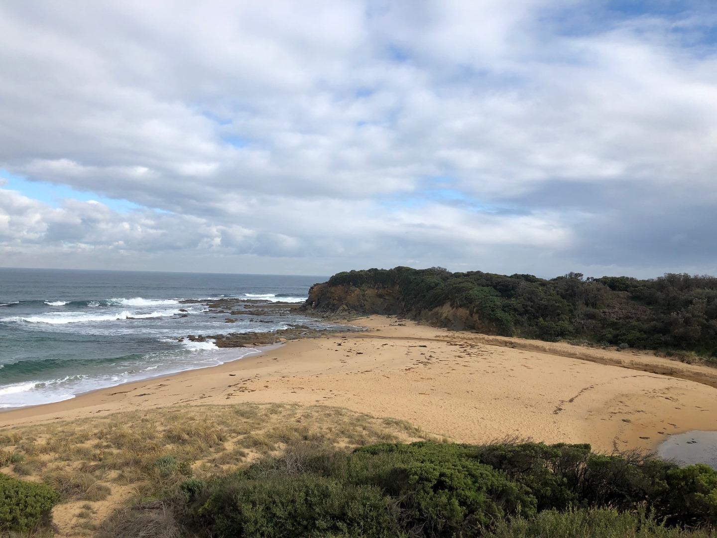
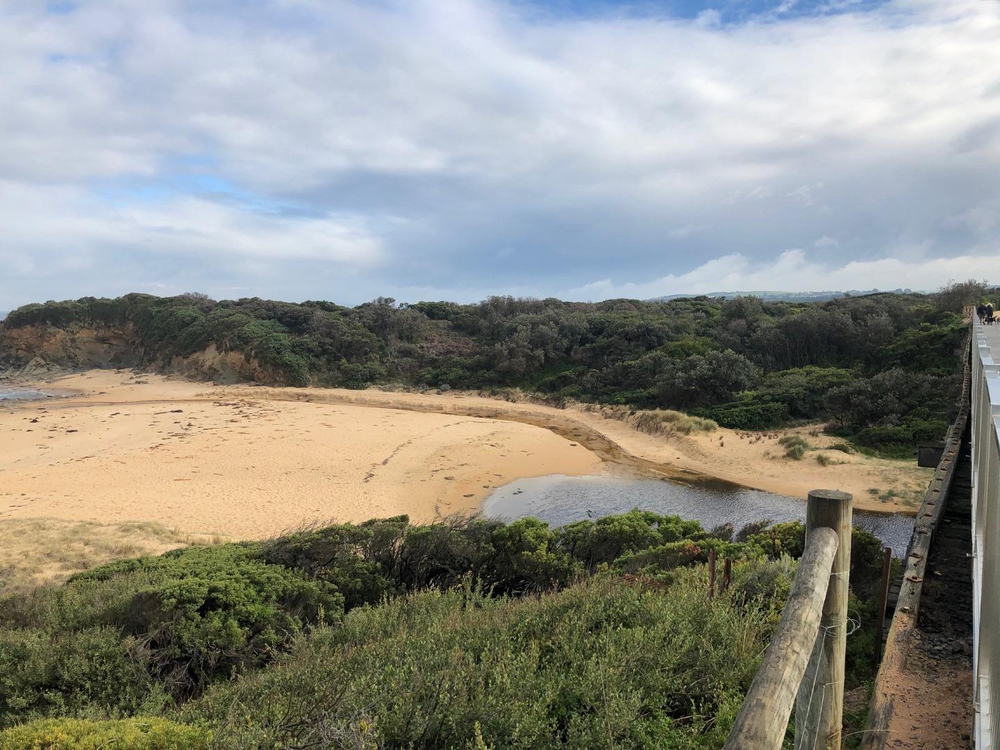
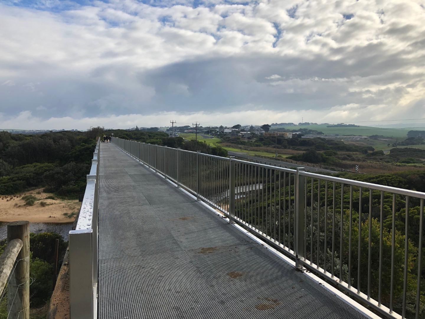
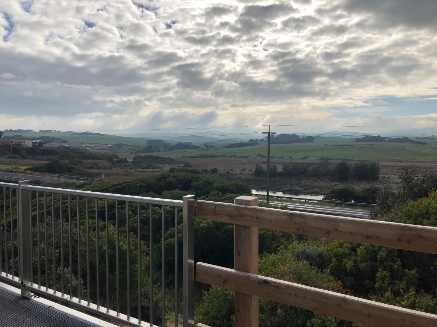
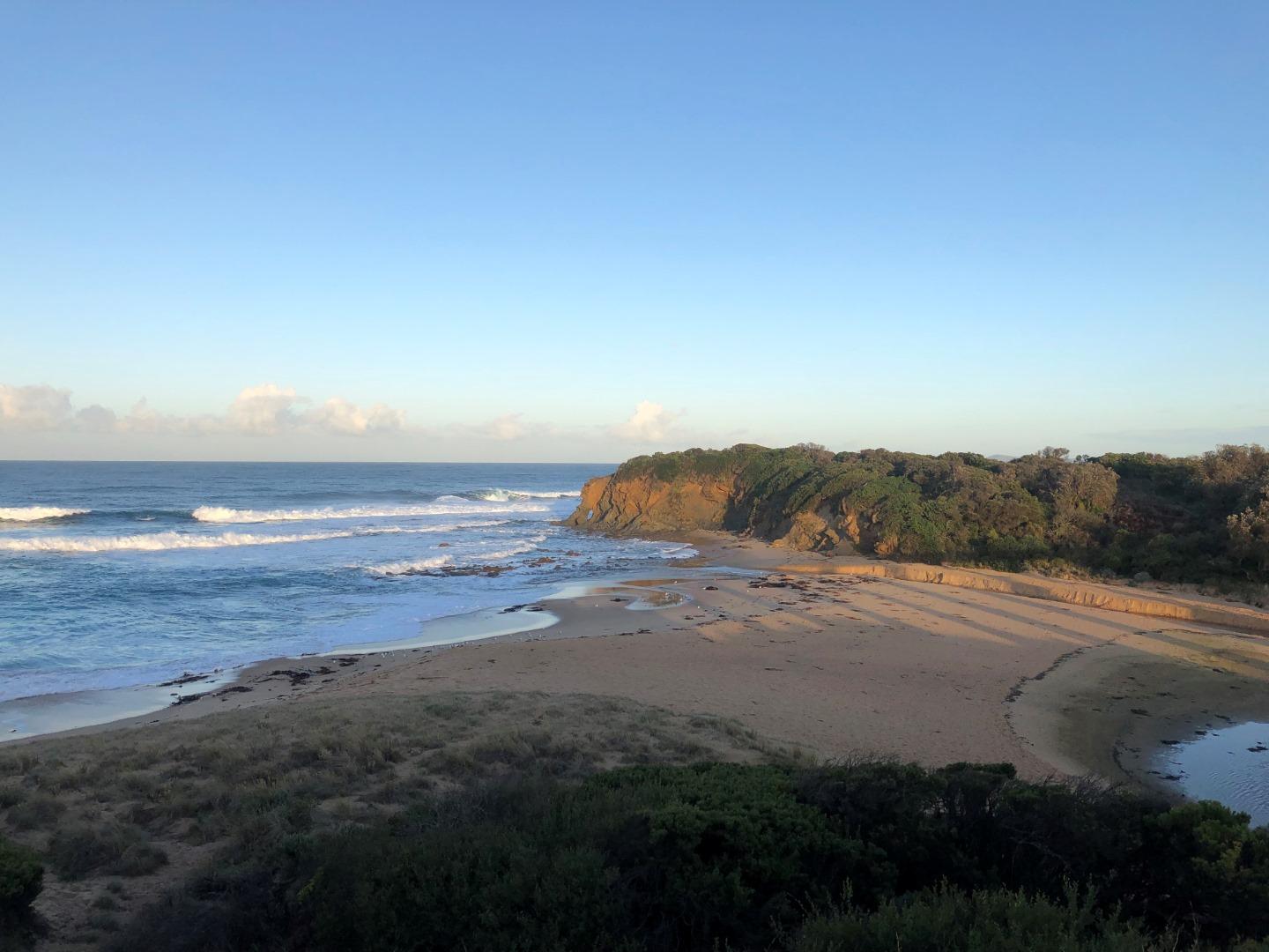
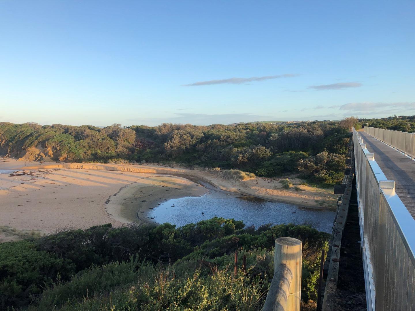
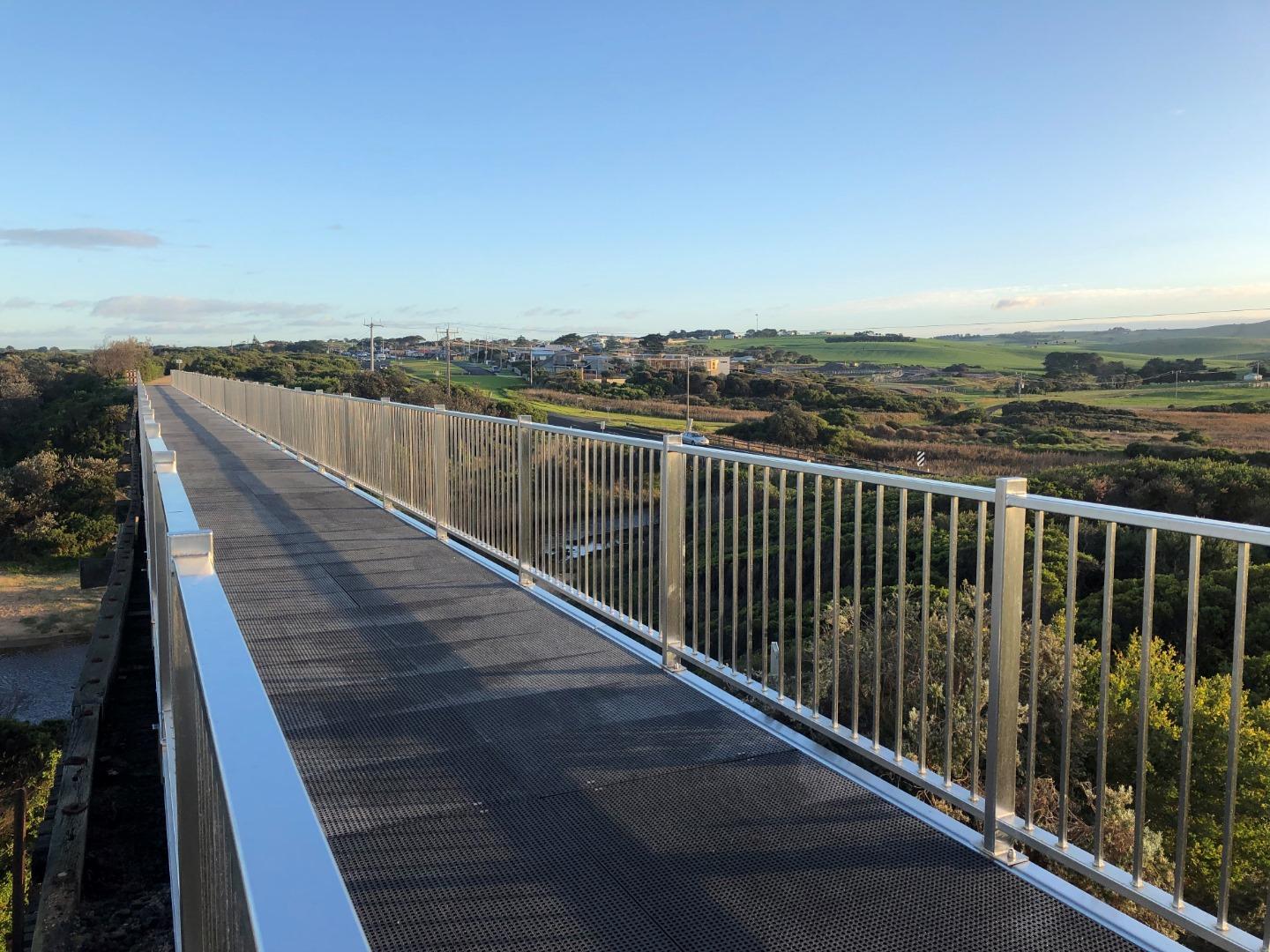
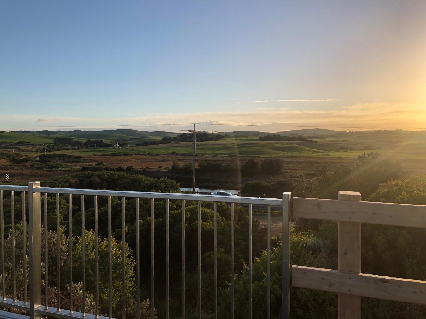
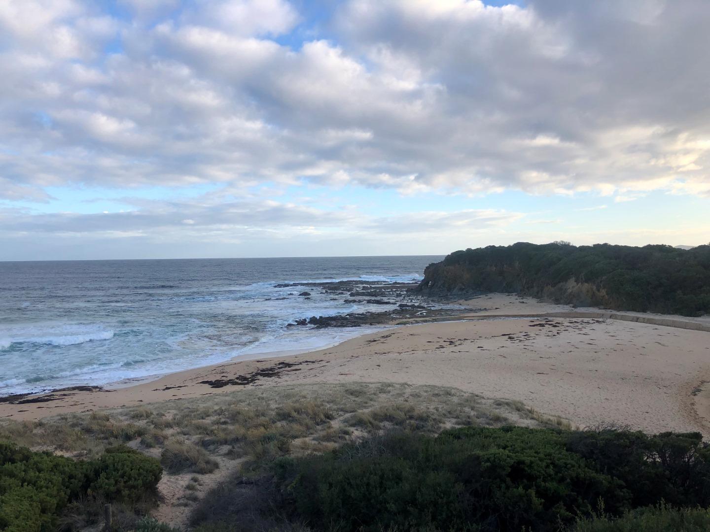
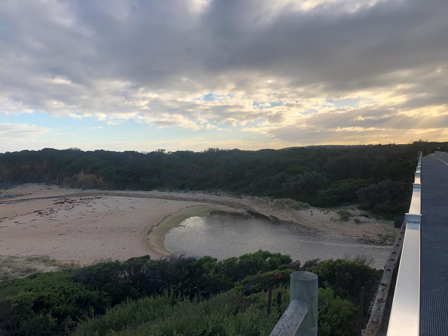
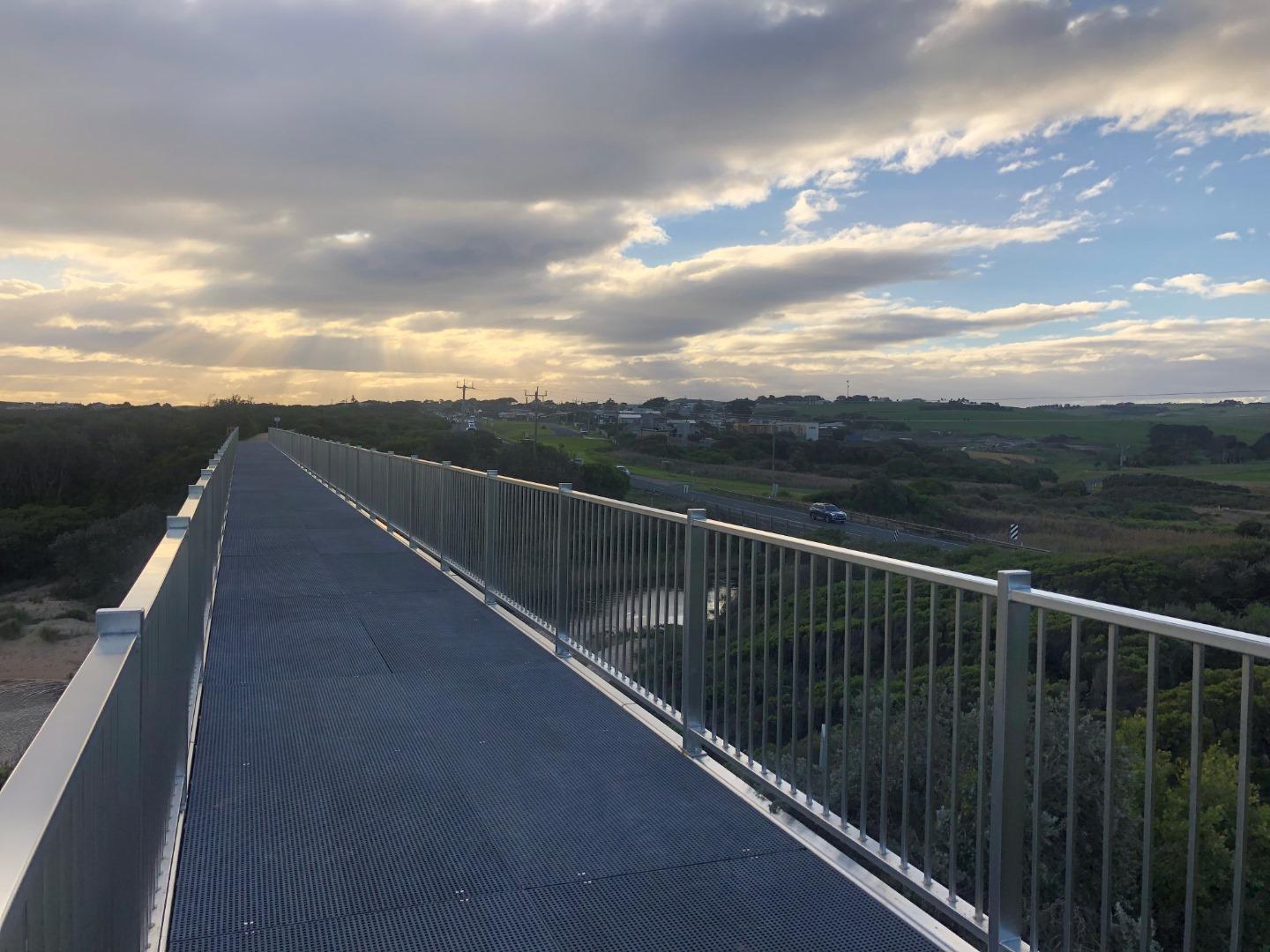
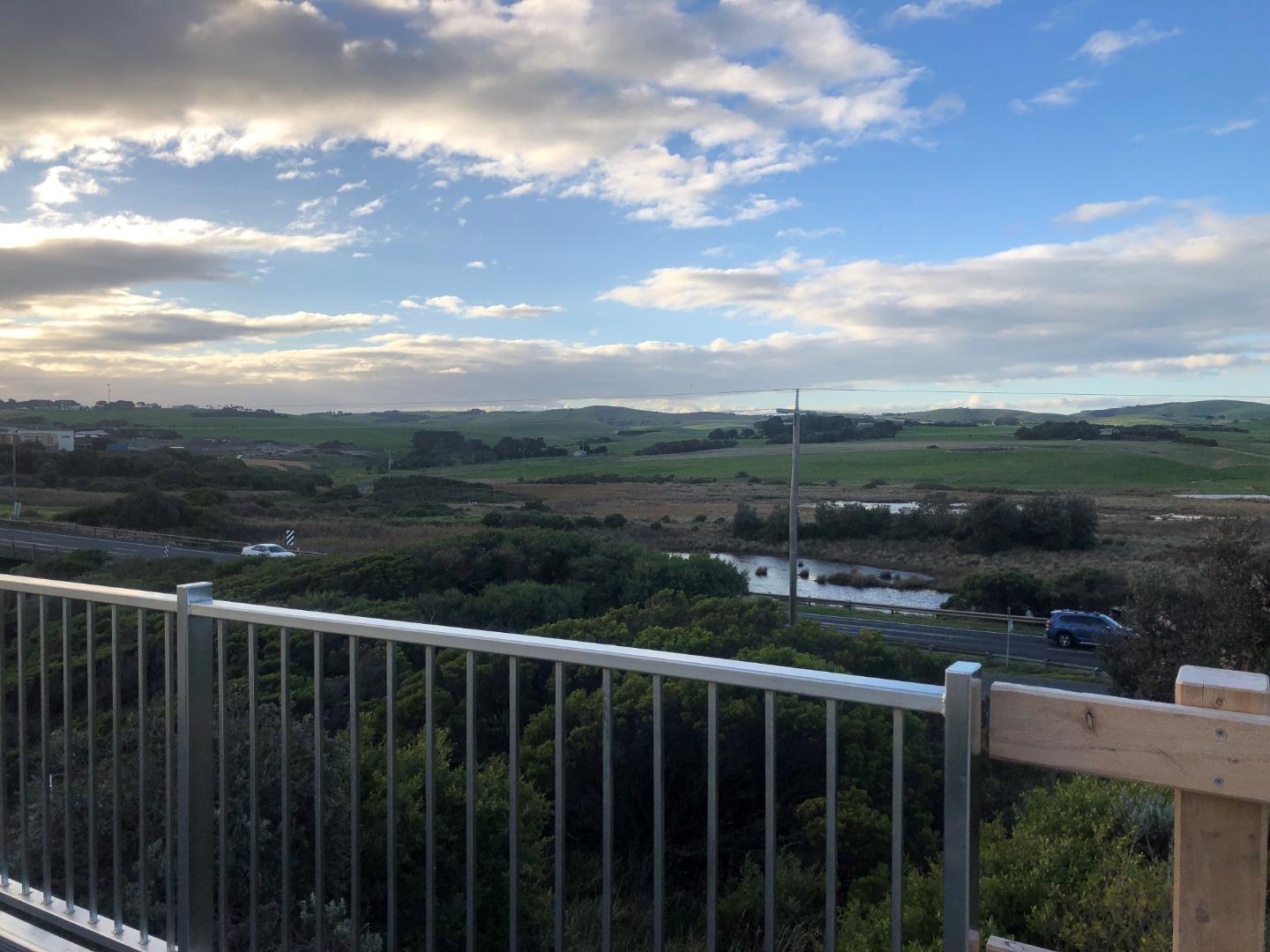
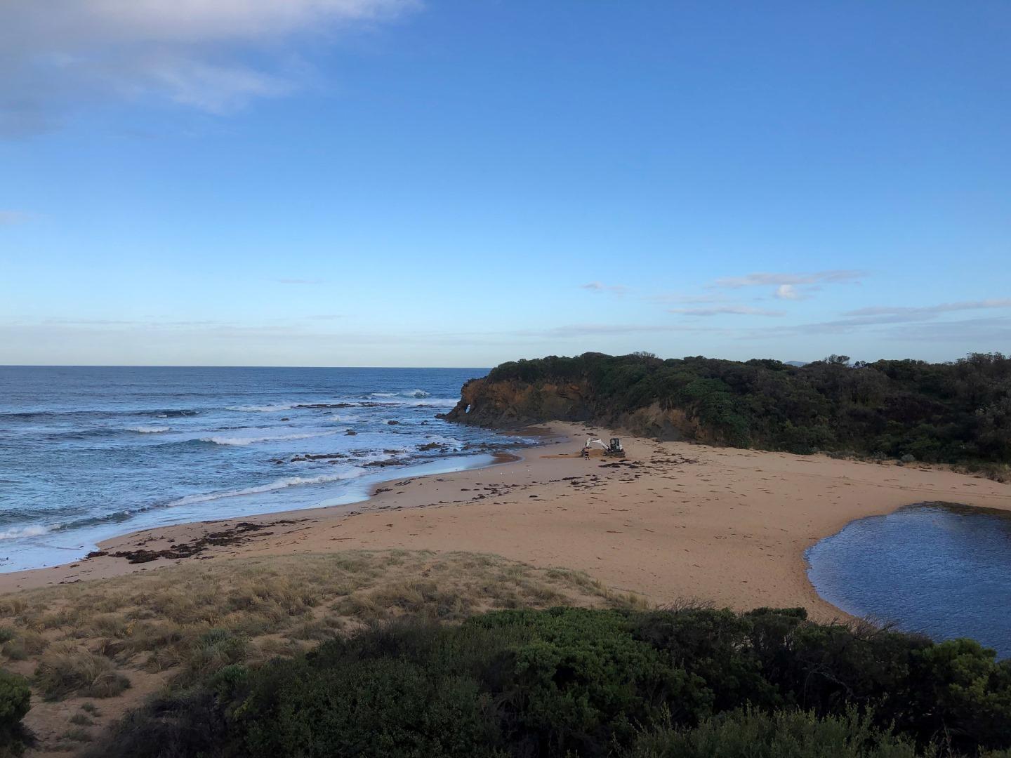
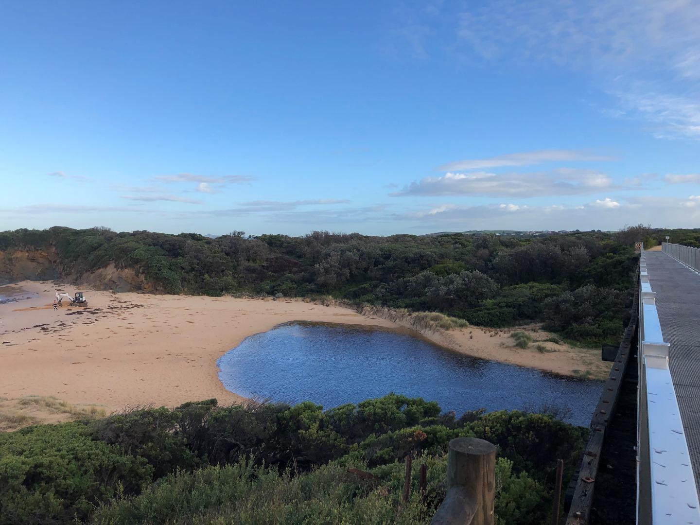
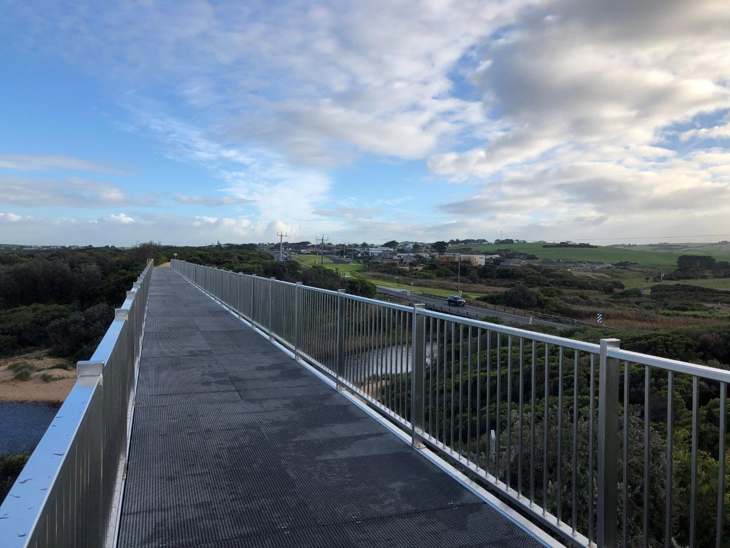
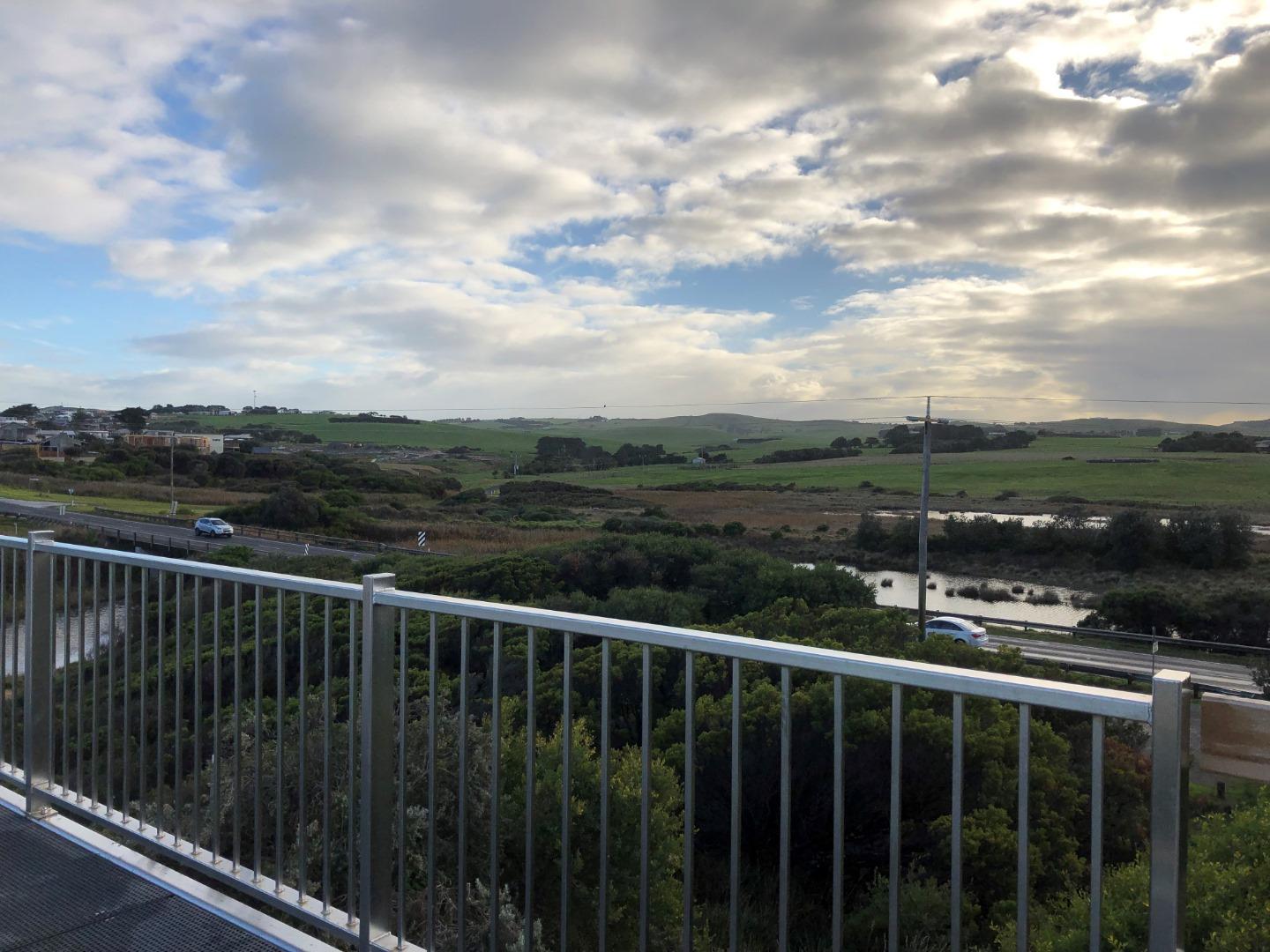
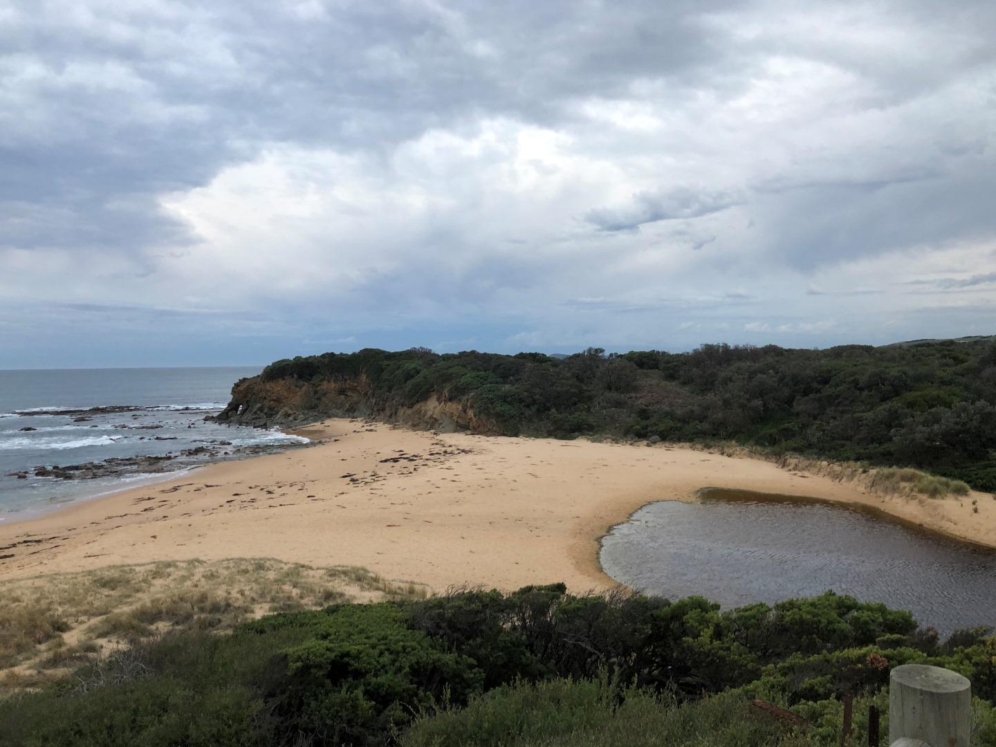
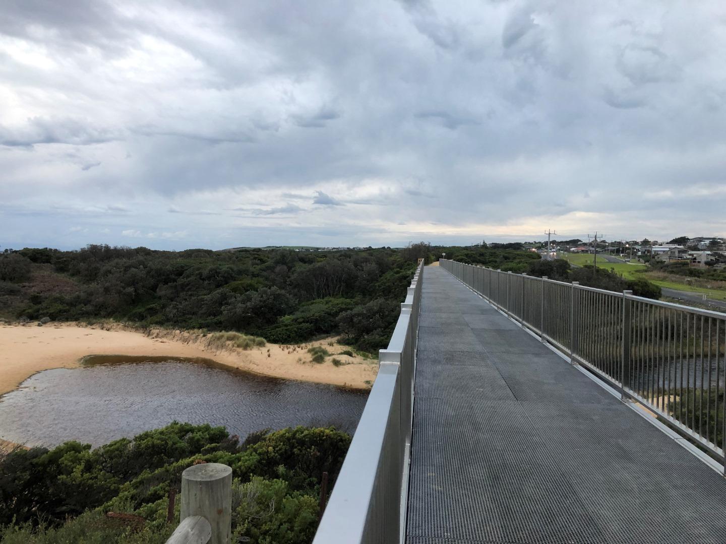
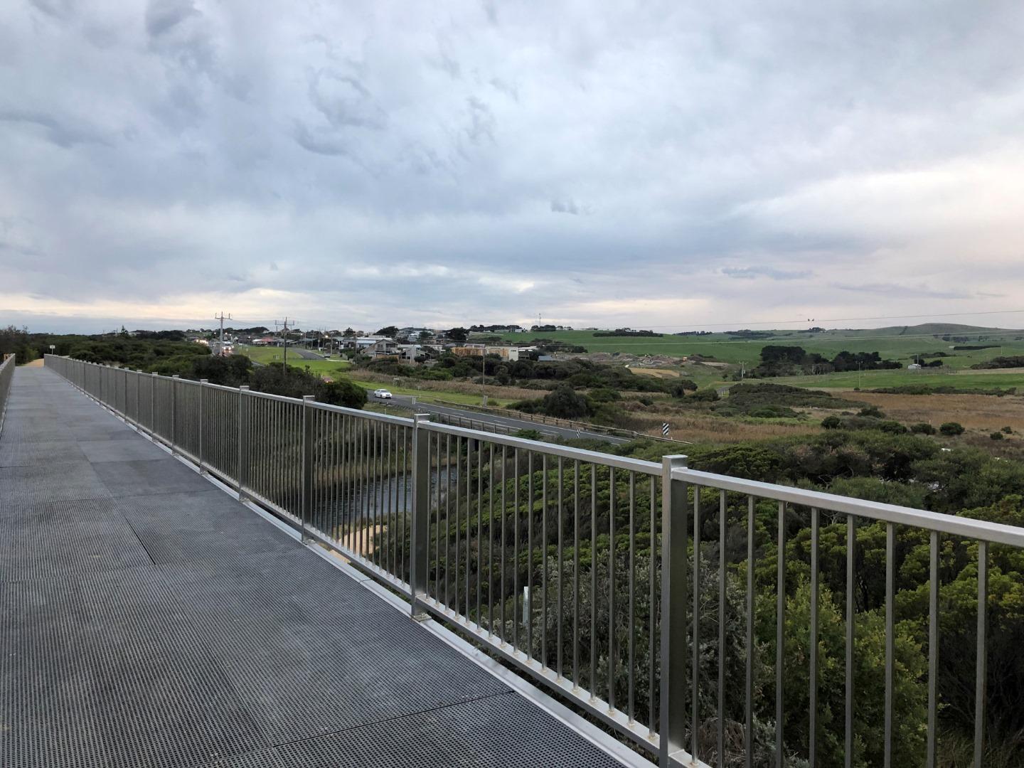
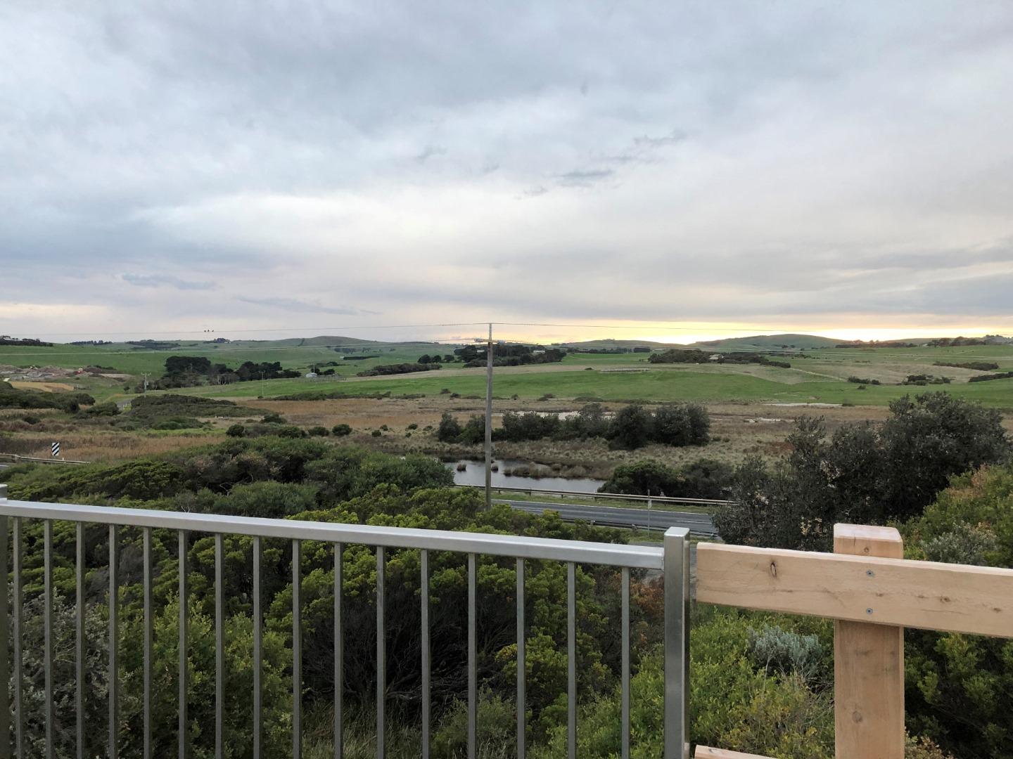
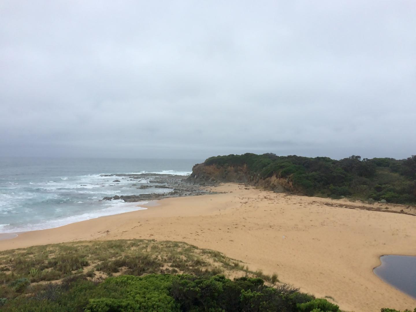
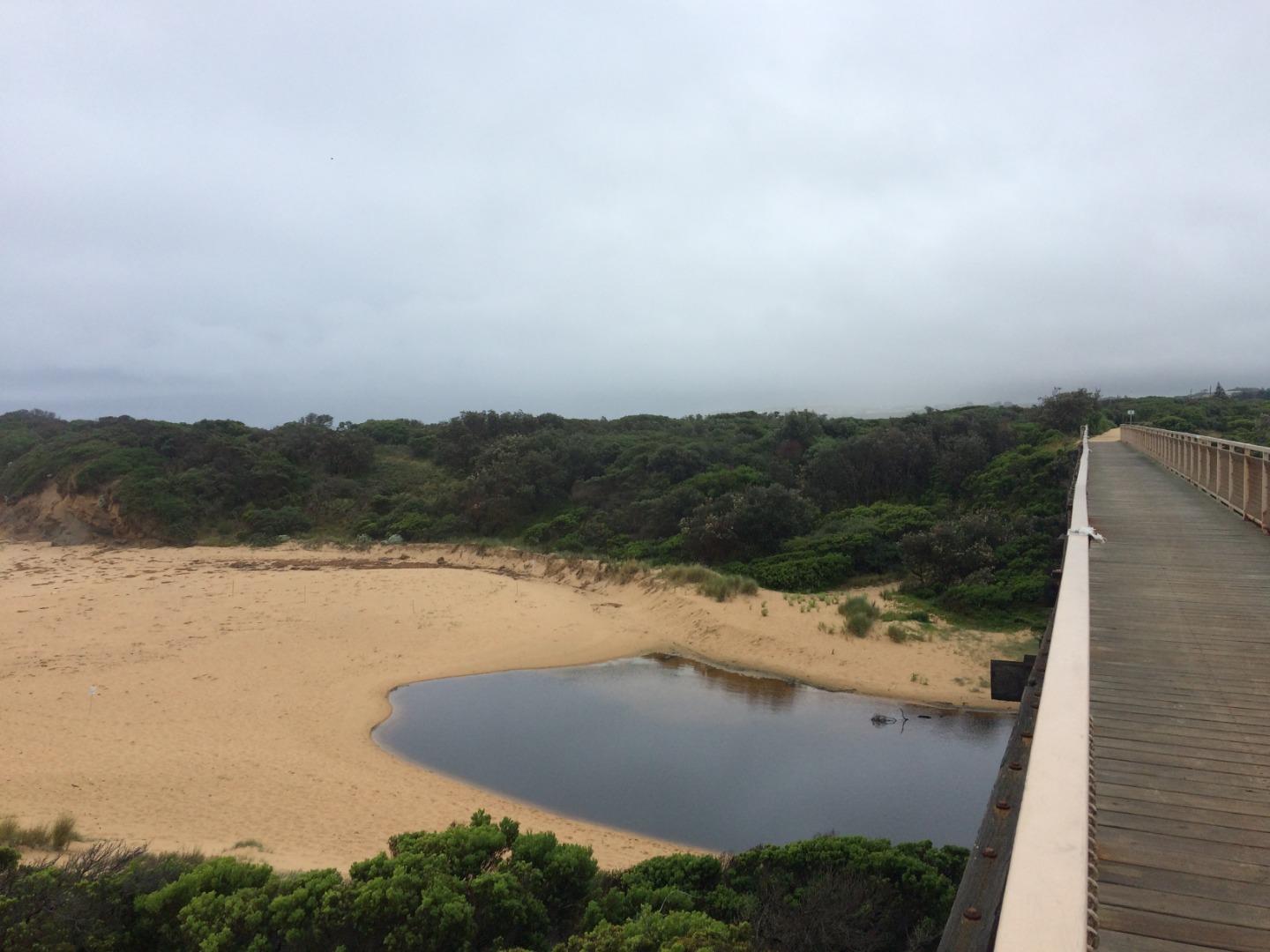
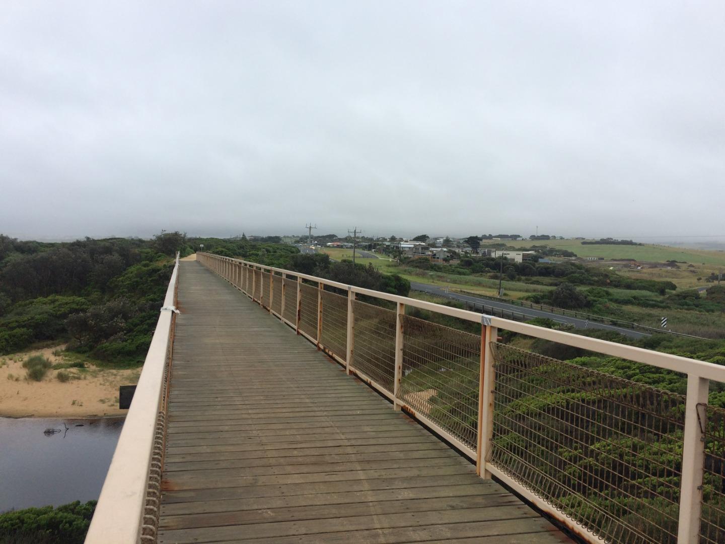
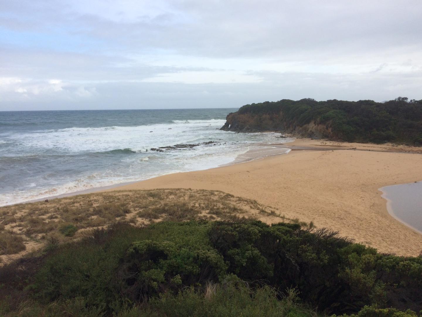
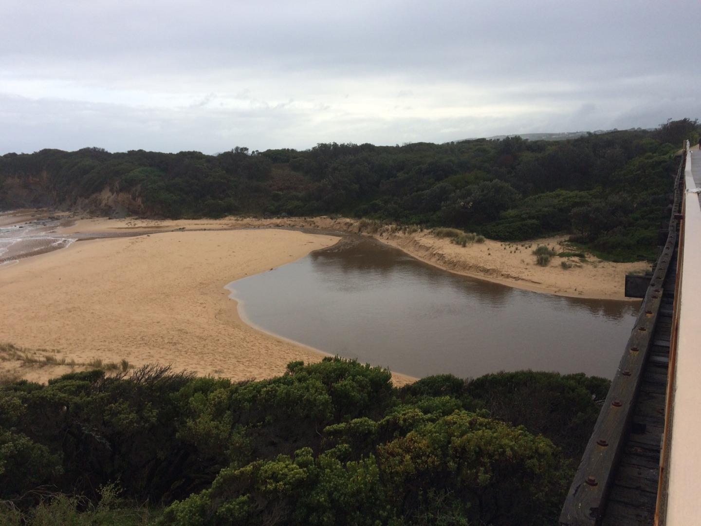
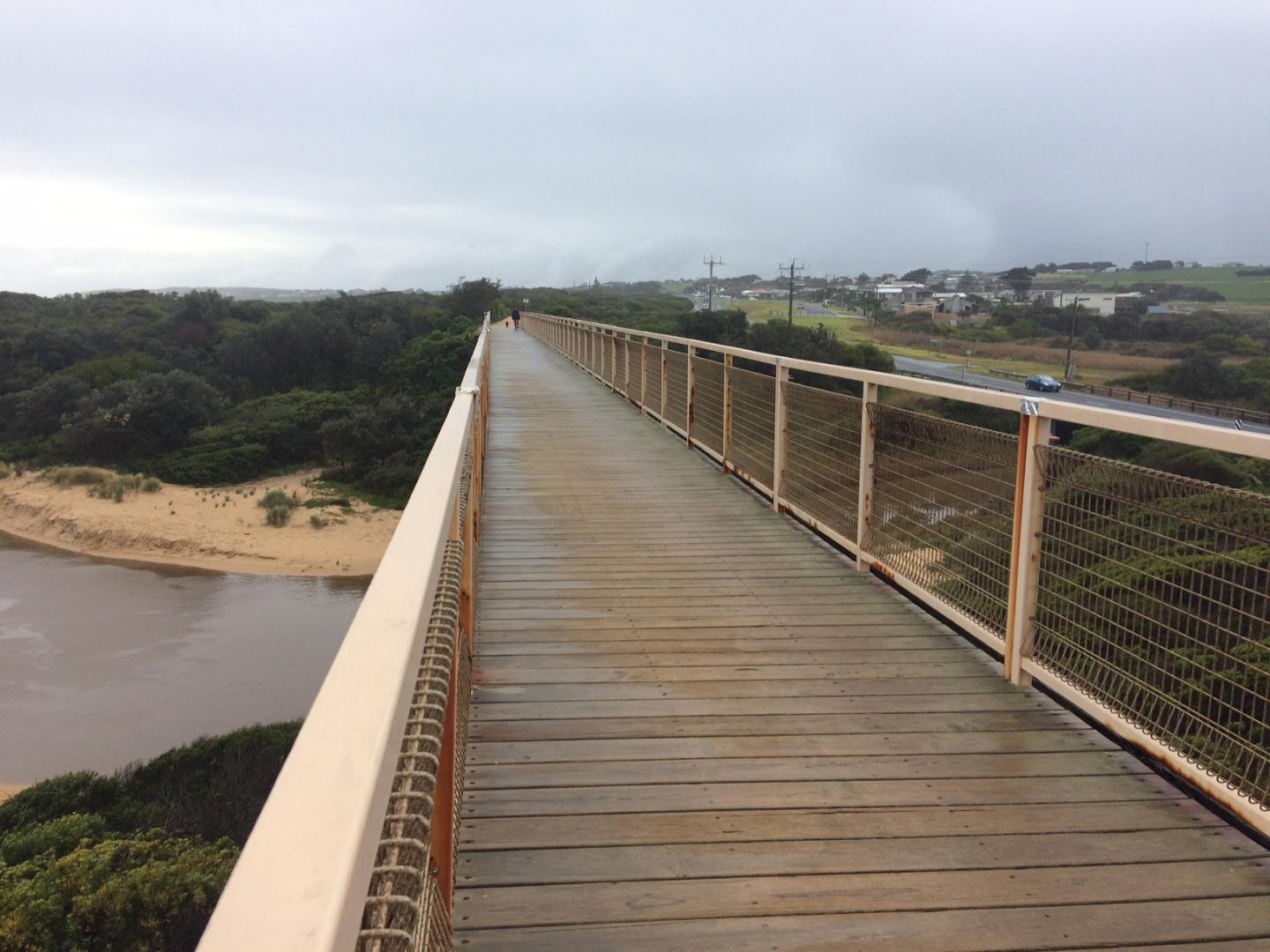
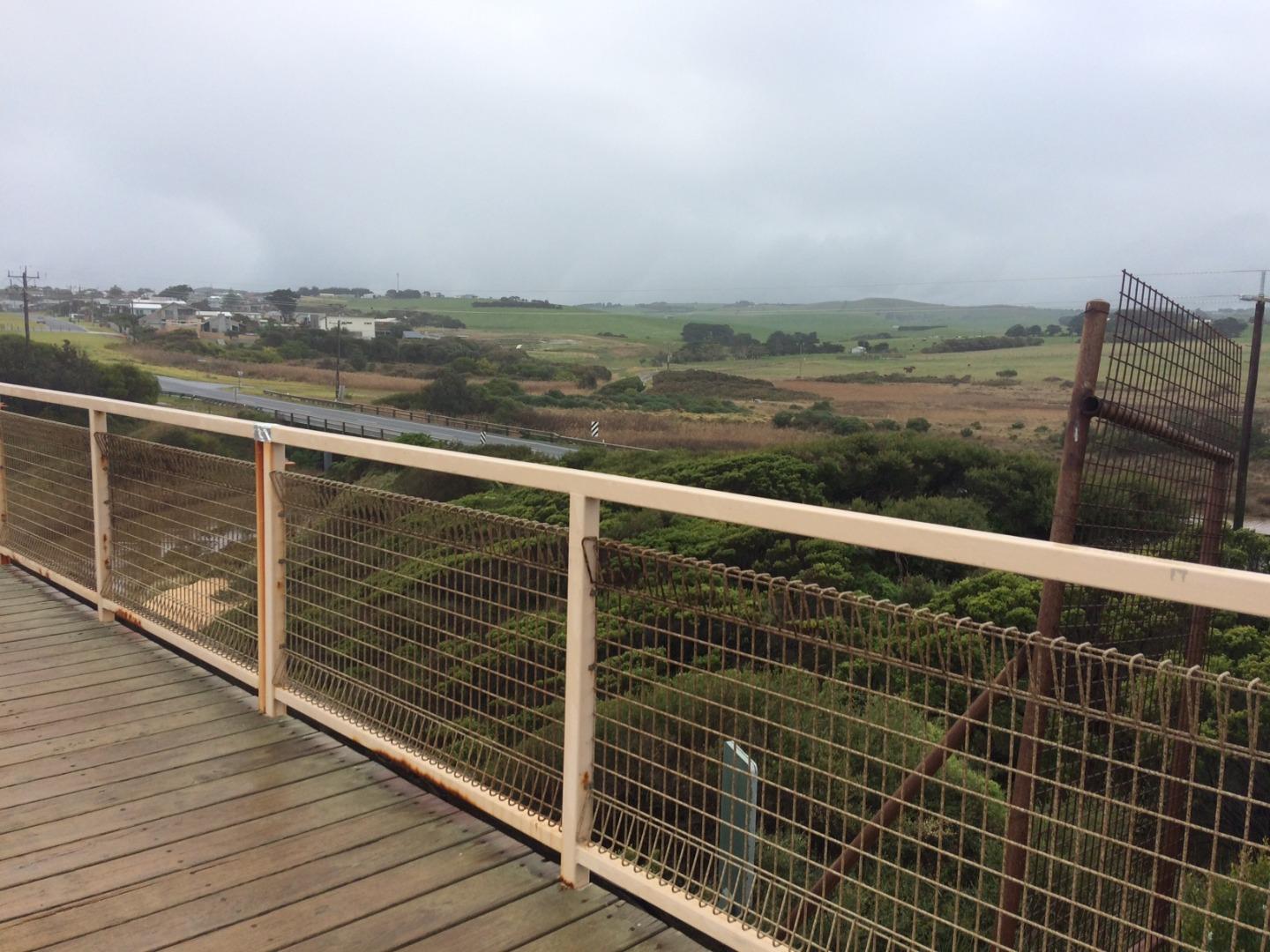
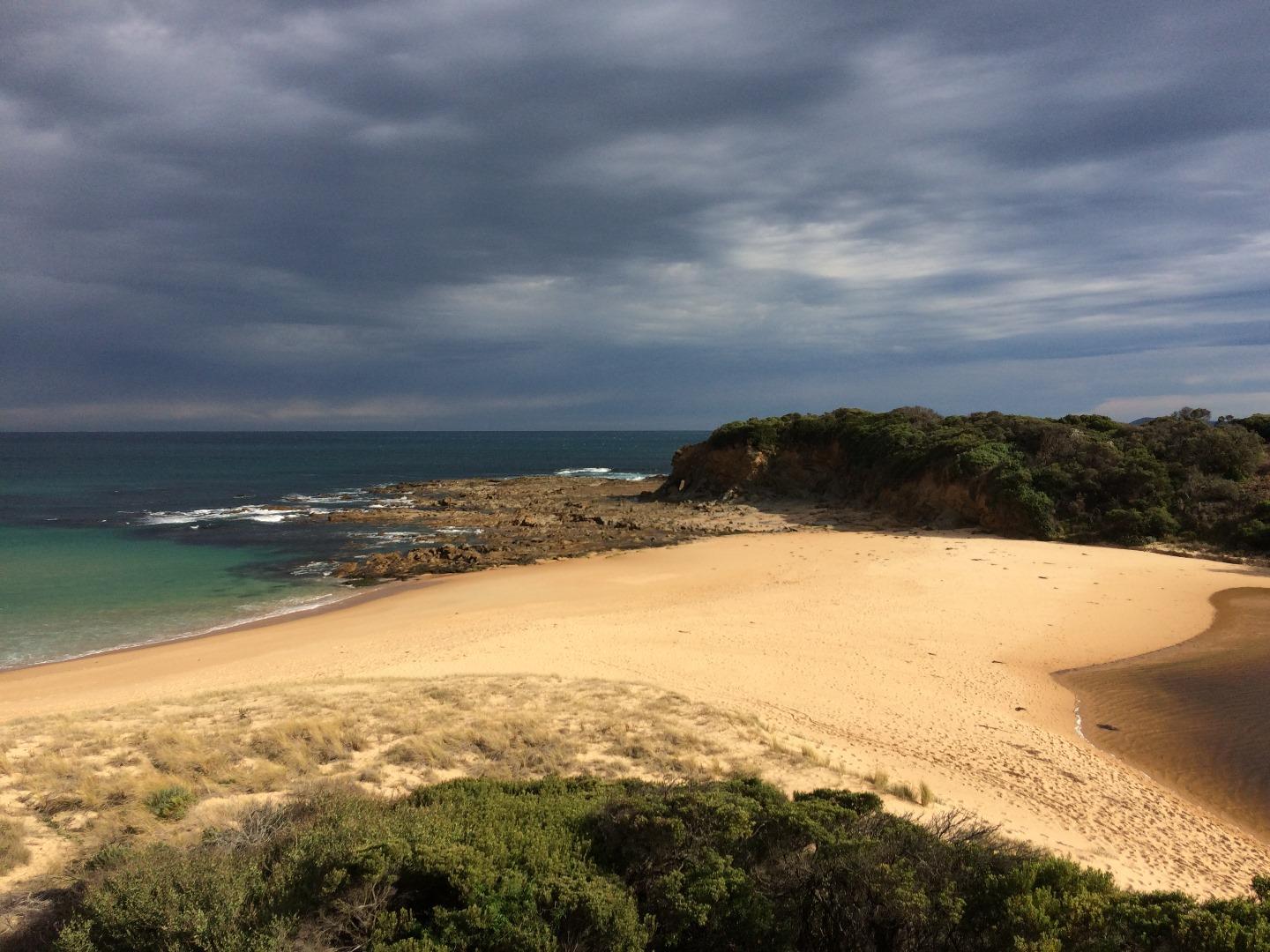
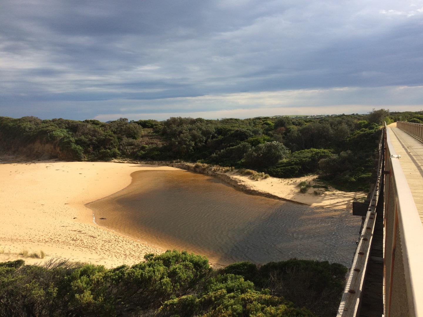
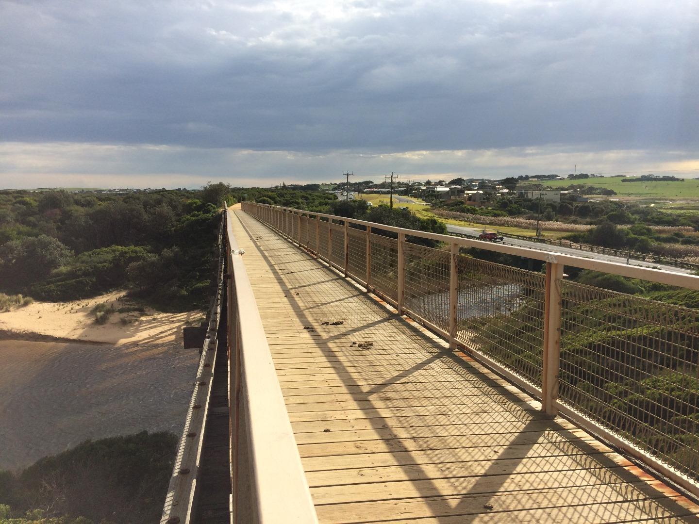
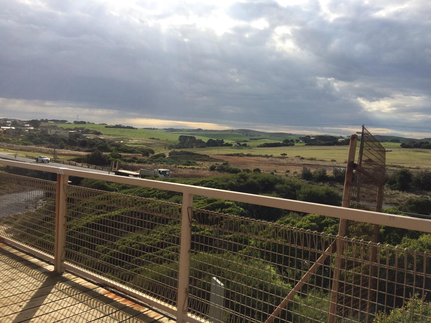
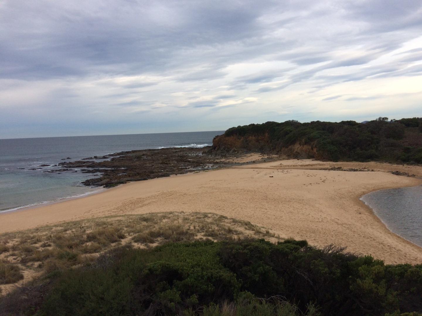
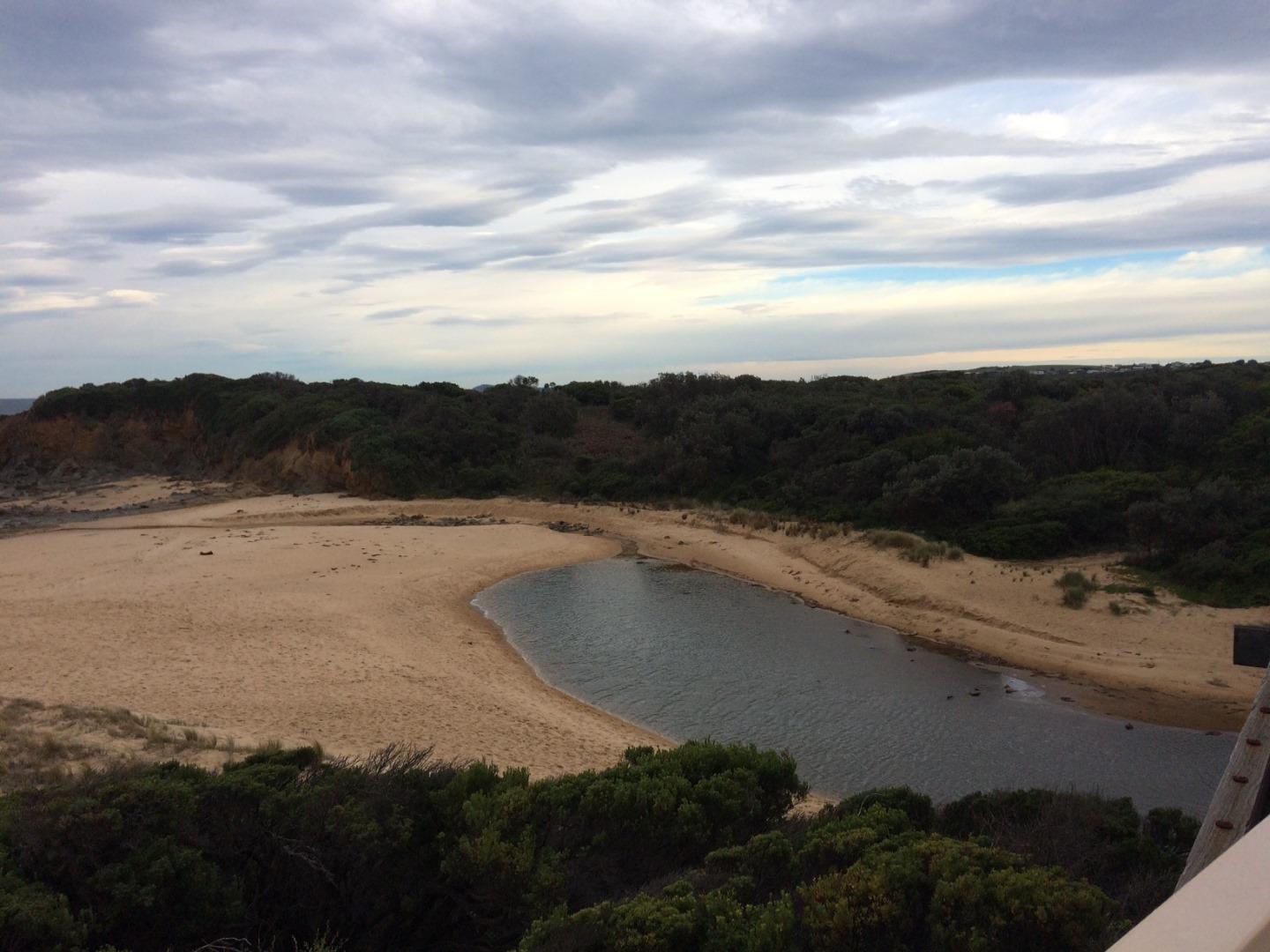
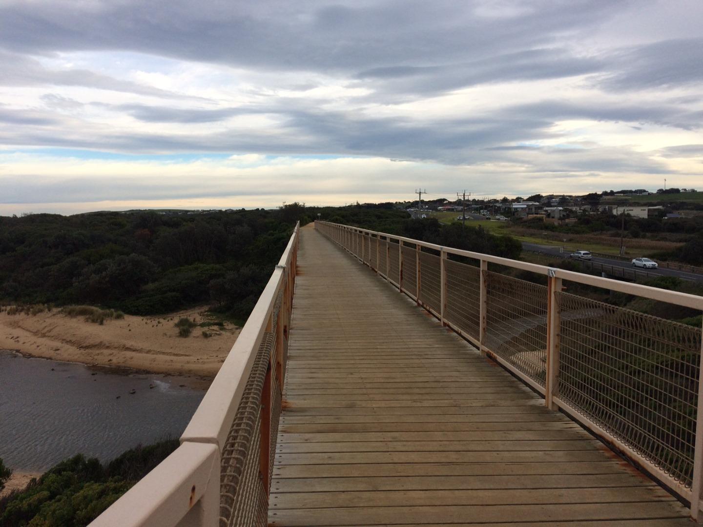
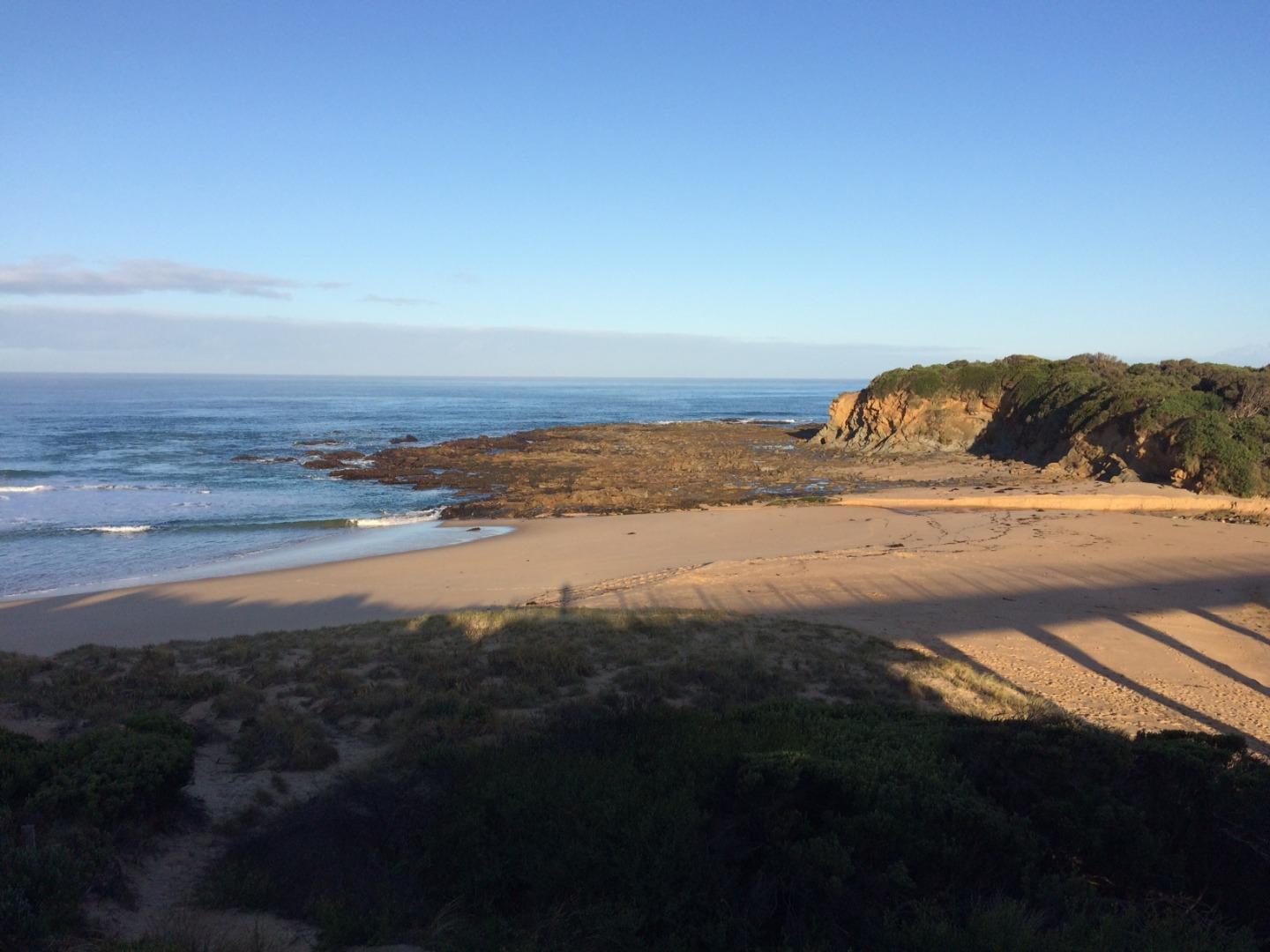
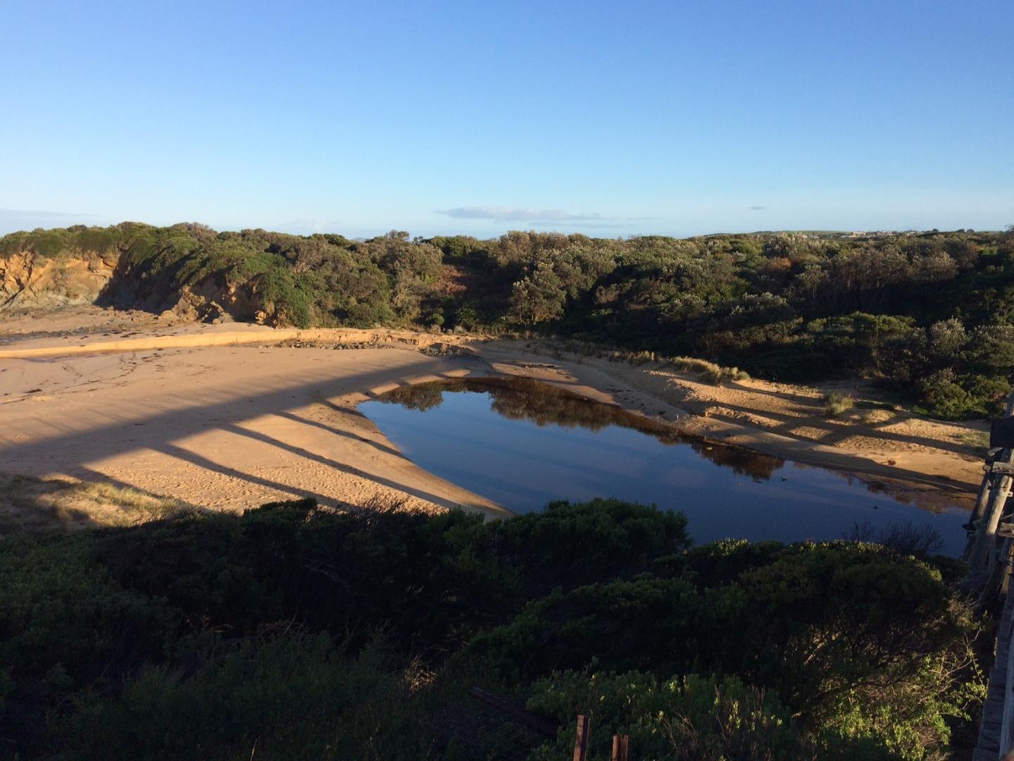
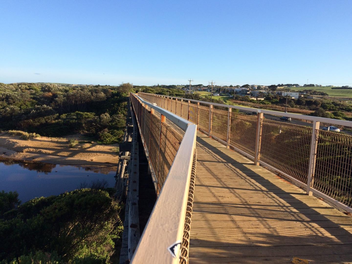
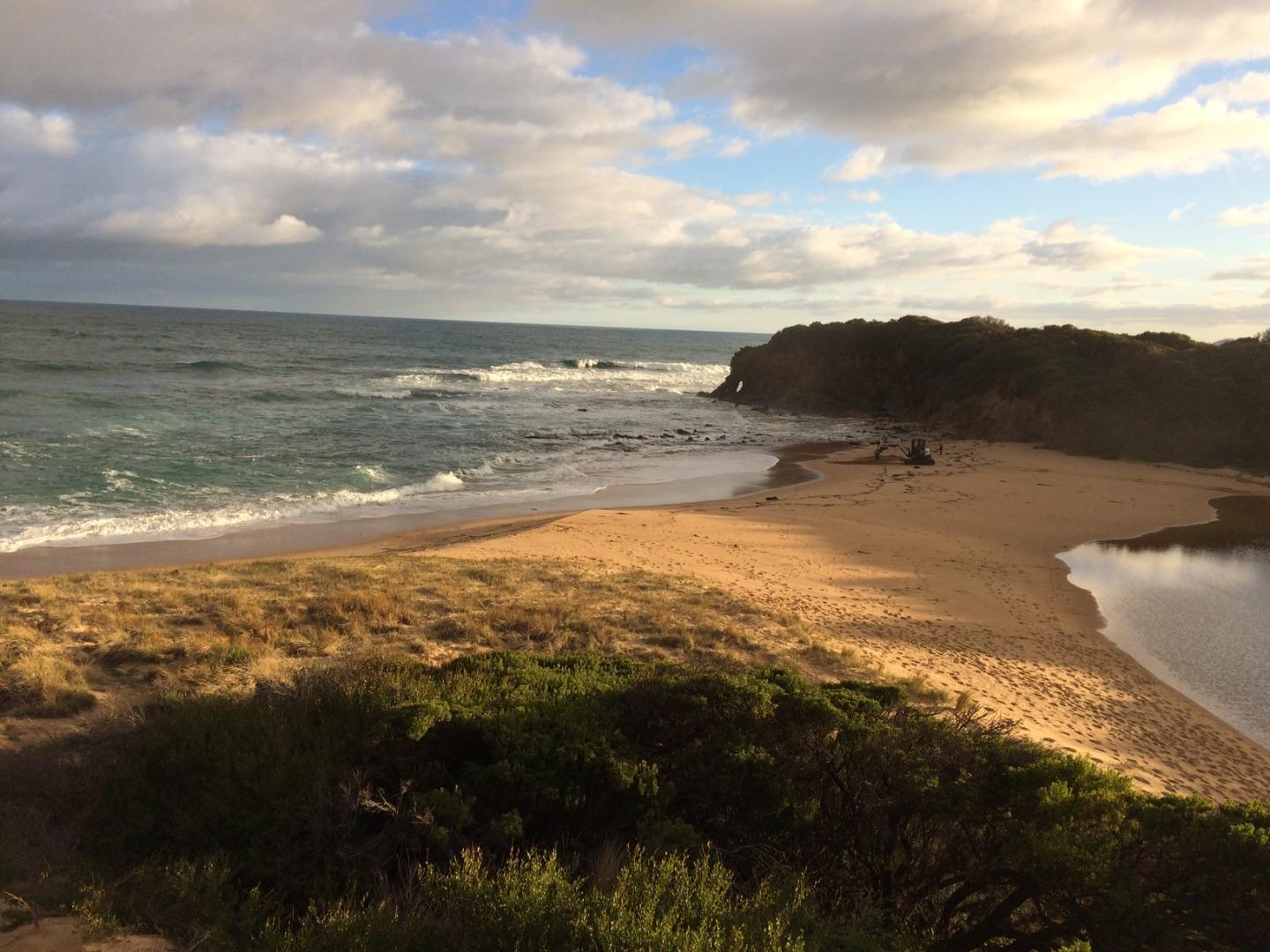
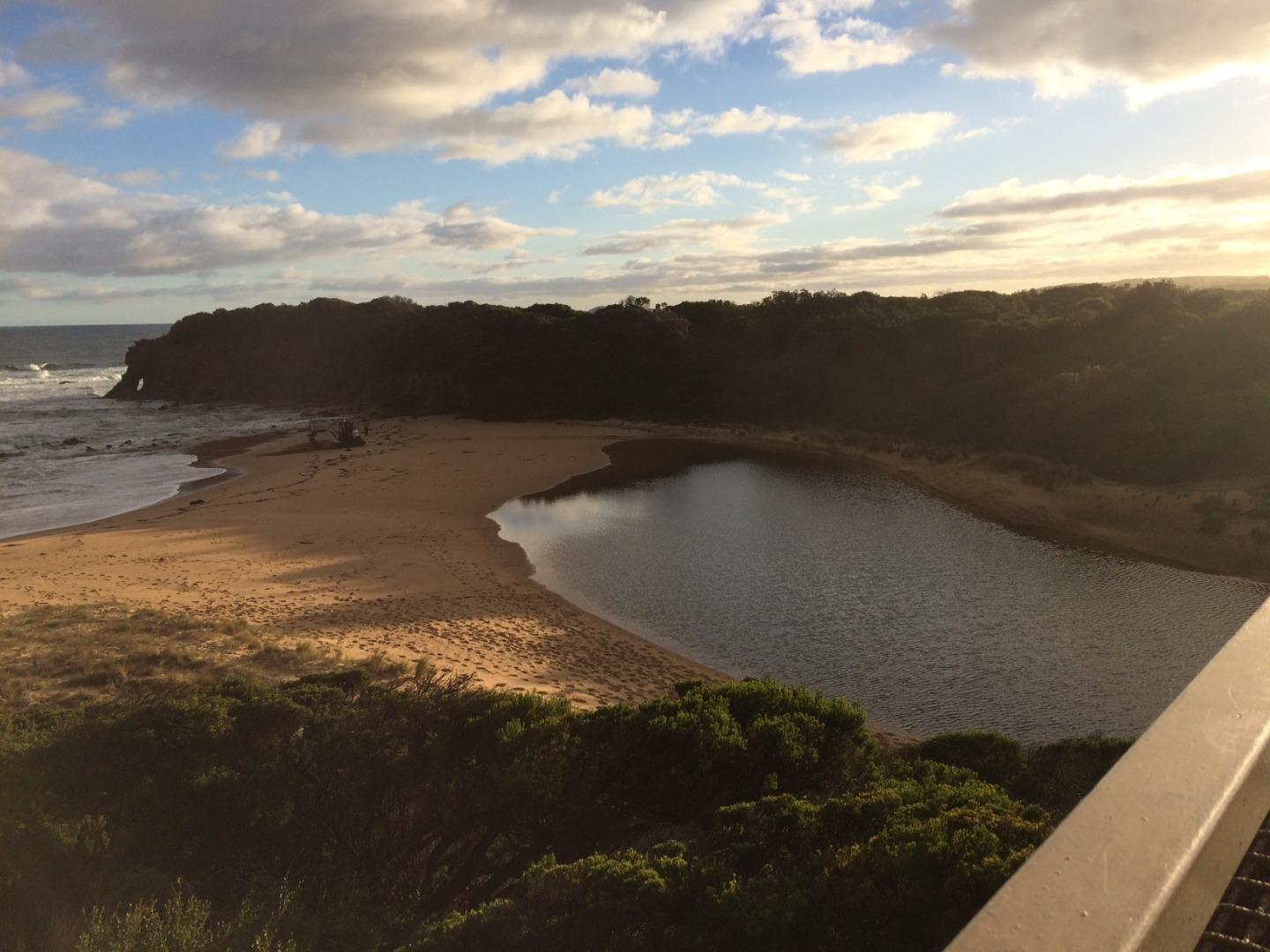
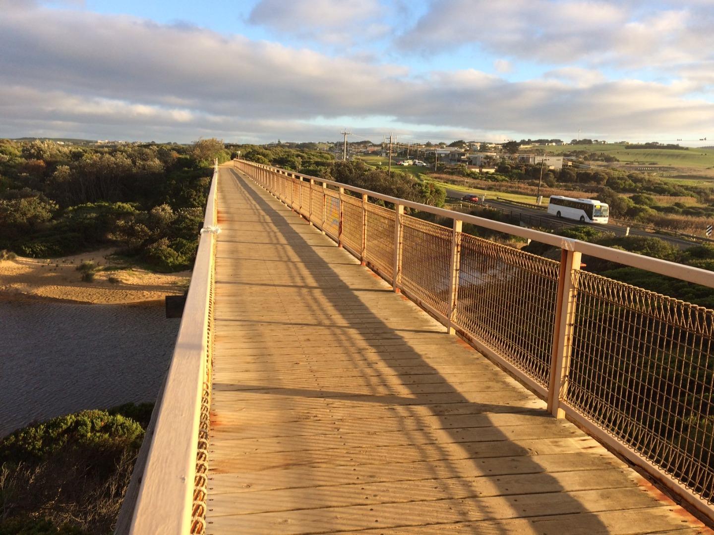
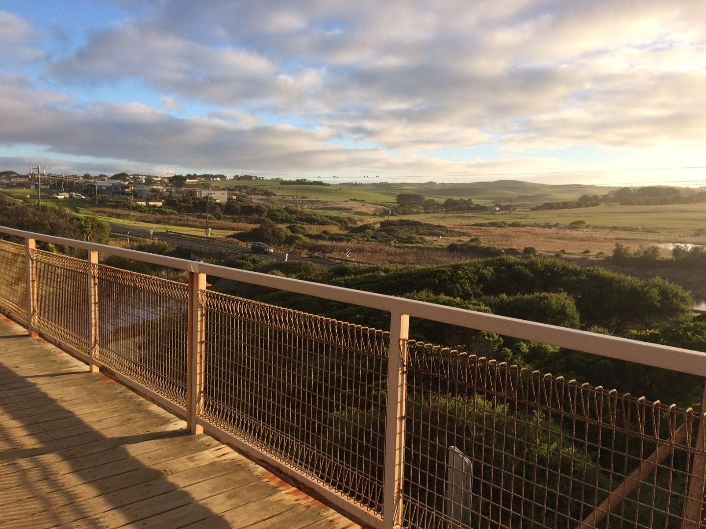
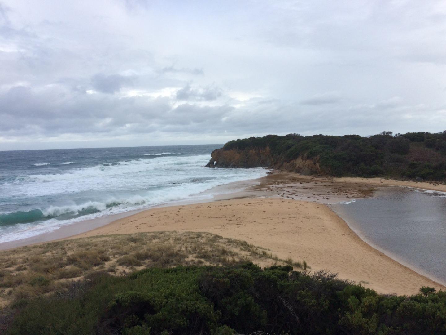
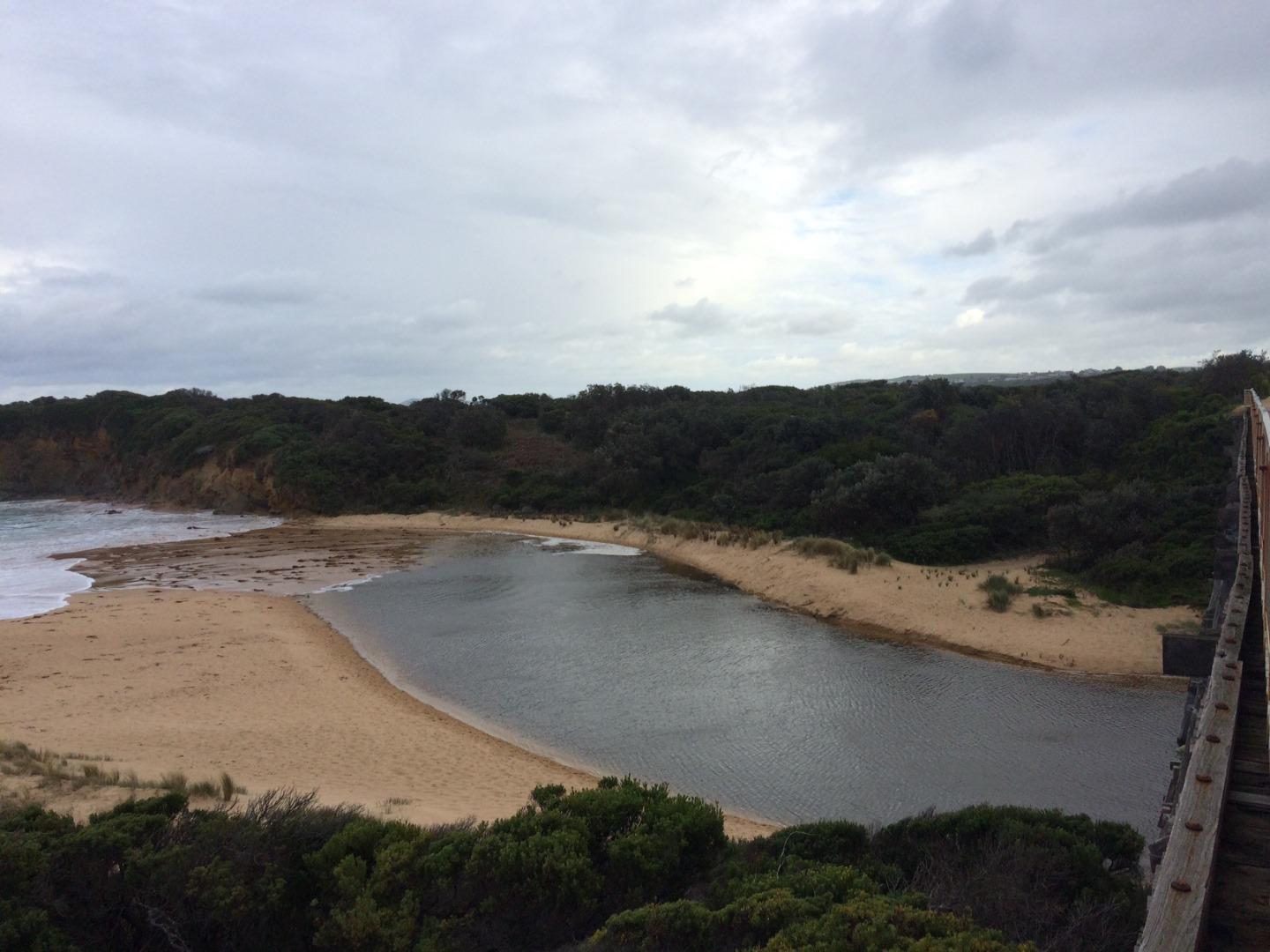
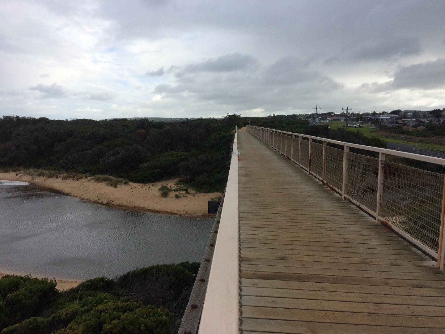
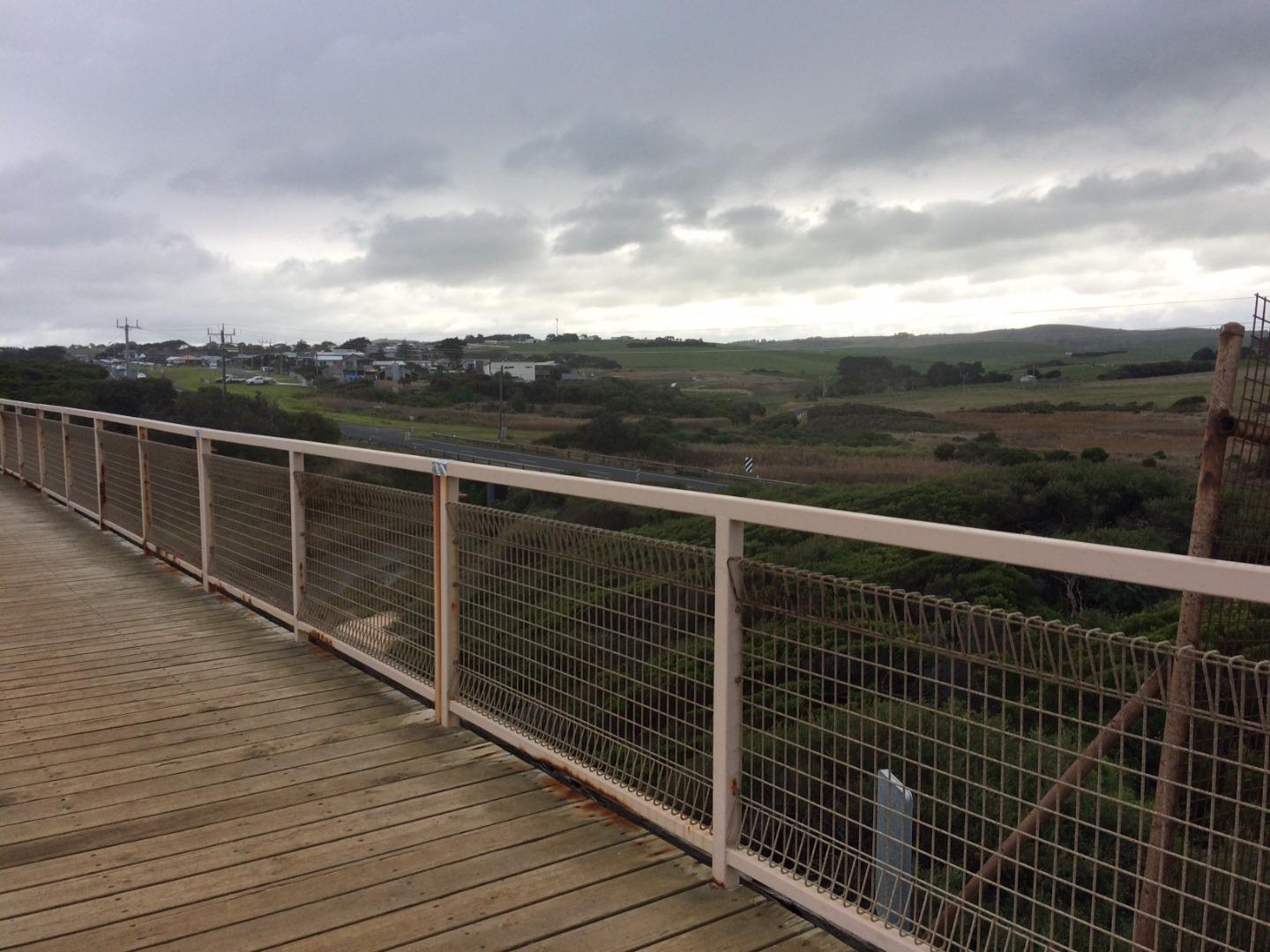
BoMC Bourne Creek Mouth Condition Monitoring Site
Active Mouth Condition 27-04-2017 - 30-04-2024Bourne Creek
109 results found (Displaying 76 - 100)
| ID | Date | Status | Details | |
|---|---|---|---|---|
| #13691 | 30 Apr 2020 | Approved | ||
| #13667 | 15 Apr 2020 | Approved | ||
| #13668 | 24 Mar 2020 | Approved | ||
| #13580 | 17 Feb 2020 | Approved |
Notes:
Bridge mark dissappeared |
|
| #13527 | 21 Jan 2020 | Approved |
Notes:
75 cm below road level (water level) |
|
| #13492 | 19 Dec 2019 | Approved |
Notes:
- Water level 0.56m below road height - Big plumes of red algae out at sea |
|
| #13444 | 3 Dec 2019 | Approved | ||
| #13437 | 27 Nov 2019 | Approved |
Notes:
Water level 645 mm below road marker on bridge |
|
| #13402 | 1 Nov 2019 | Approved |
Notes:
Water Level 0.40 meters below road level. |
|
| #13414 | 18 Oct 2019 | Approved | ||
| #13302 | 22 Aug 2019 | Approved | ||
| #13185 | 8 Jul 2019 | Approved |
Notes:
Water level height ( 0.30m below road level inundation marker on bridge ). Looks like a blue green algae outbreak is present. |
|
| #13154 | 20 Jun 2019 | Approved | ||
| #13155 | 14 Jun 2019 | Approved |
Notes:
Water level dropped by 290mm since artificial opening on the 13th of June 2019 |
|
| #13156 | 13 Jun 2019 | Approved | ||
| #13137 | 13 Jun 2019 | Approved | ||
| #13136 | 12 Jun 2019 | Approved | ||
| #12597 | 14 Dec 2018 | Approved |
Notes:
Hard to measure sand berm height and length due to sand formation and hooded plover nest location. |
|
| #12325 | 13 Aug 2018 | Approved | ||
| #12288 | 23 Jul 2018 | Approved | ||
| #12231 | 3 Jul 2018 | Approved | ||
| #12212 | 19 Jun 2018 | Approved | ||
| #12213 | 18 Jun 2018 | Approved | ||
| #12214 | 18 Jun 2018 | Approved | ||
| #12202 | 15 Jun 2018 | Approved | ||


All content, files, data and images provided by the EstuaryWatch Data Portal and Gallery are subject to a Creative Commons Attribution License
Content is made available to be used in any way, and should always attribute EstuaryWatch and www.estuarywatch.org.au