EstuaryWatch Data Portal
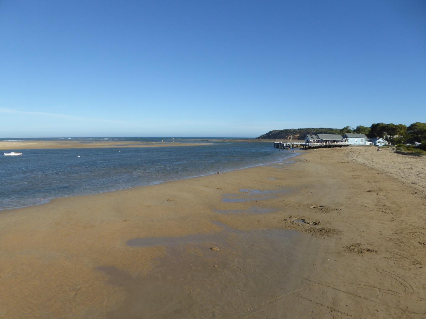
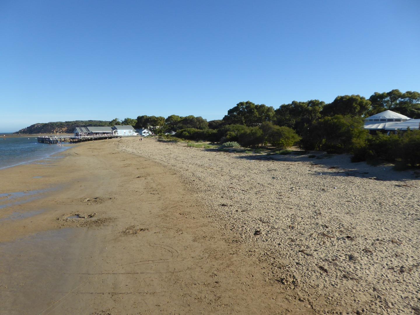
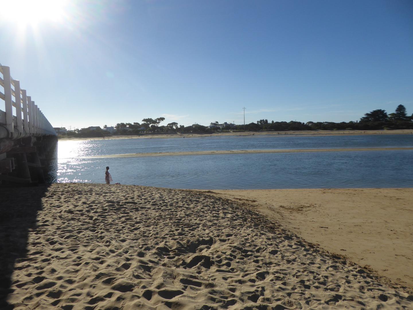
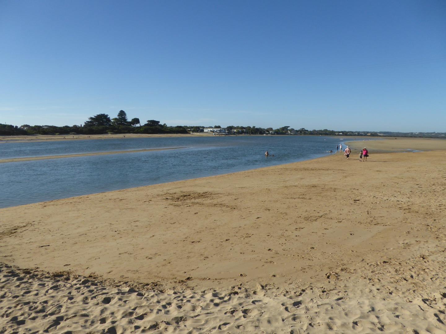
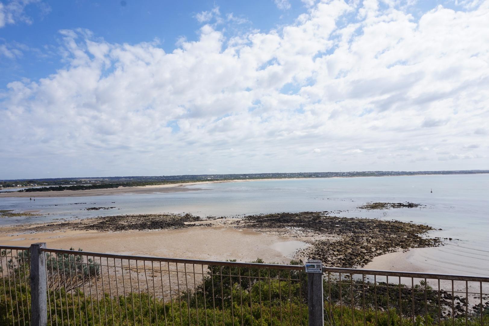
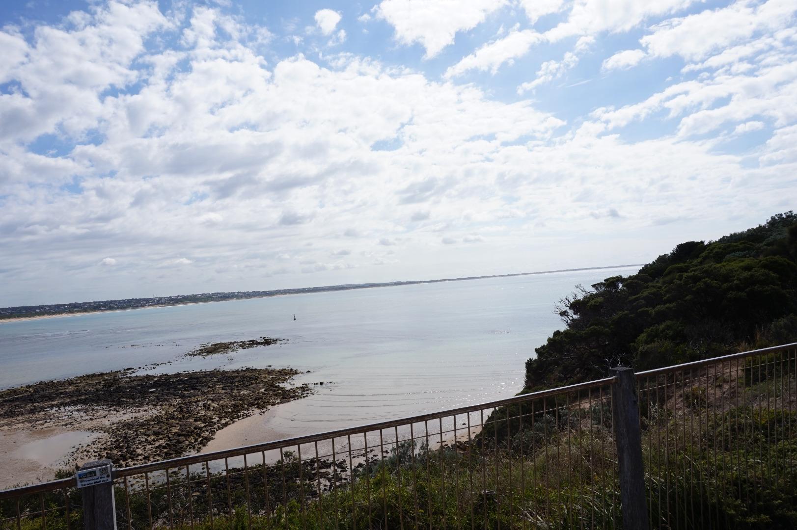
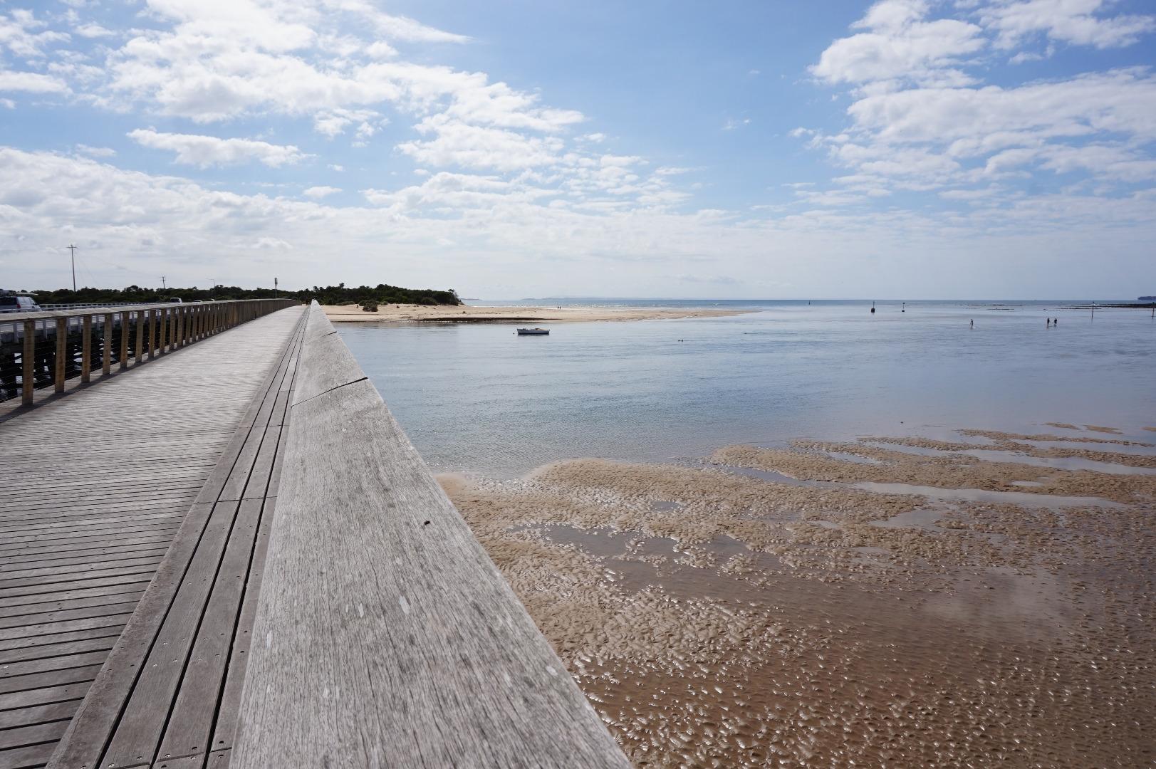
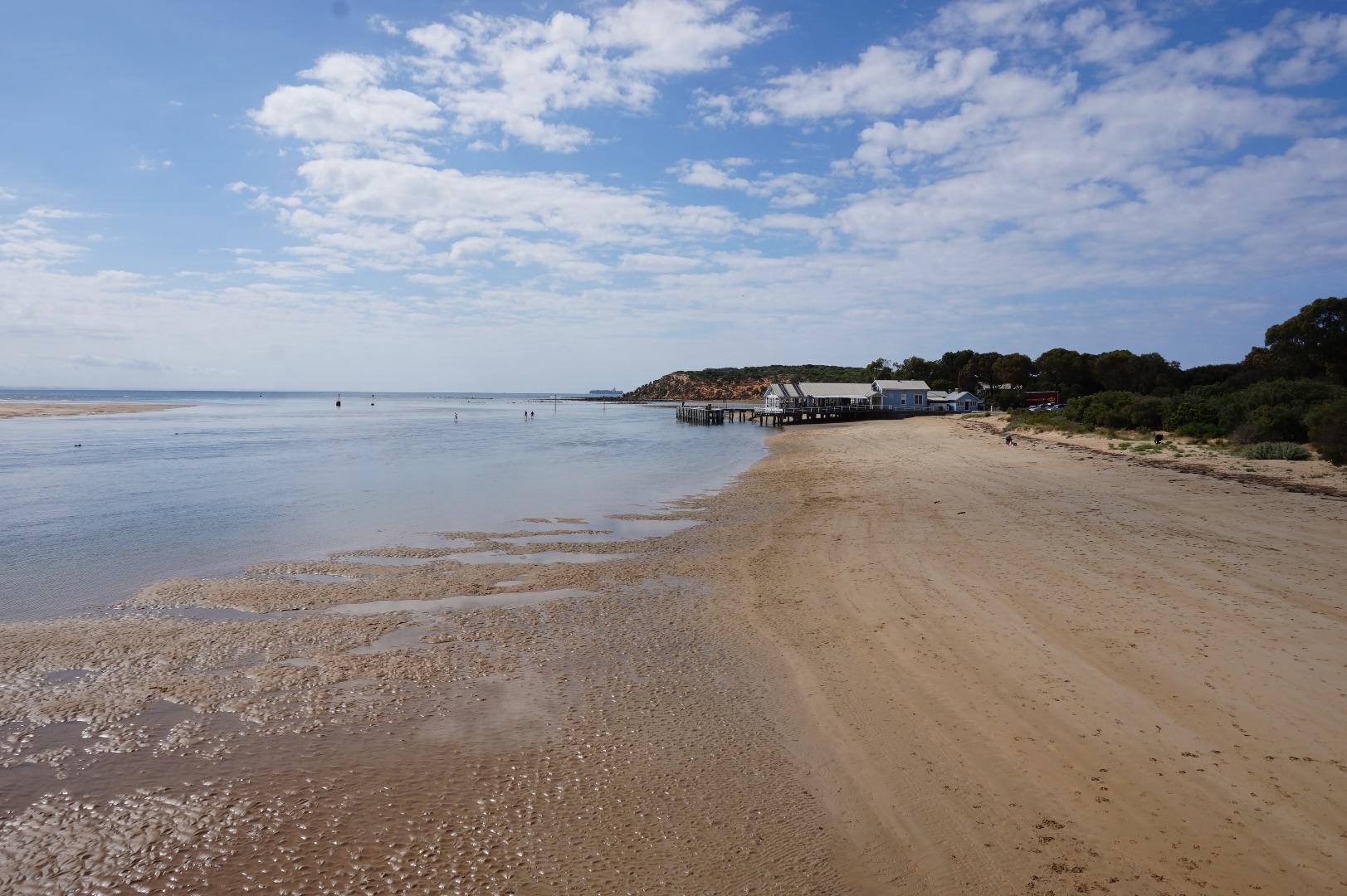
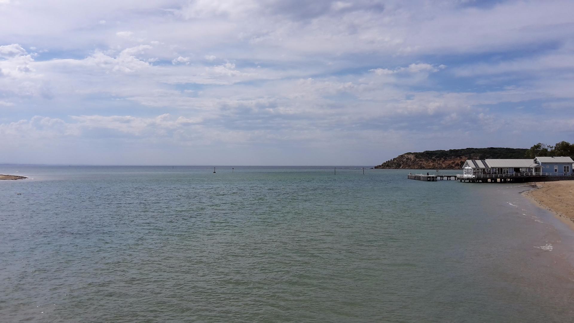
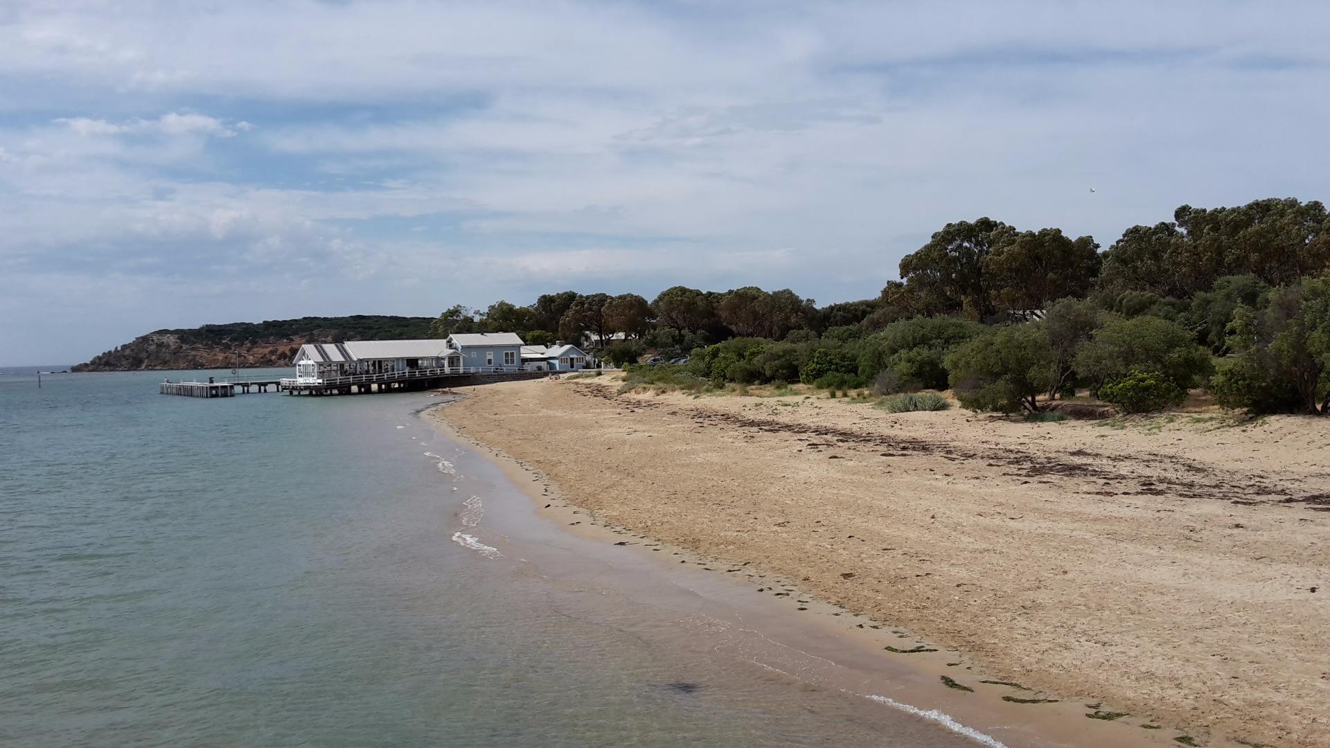
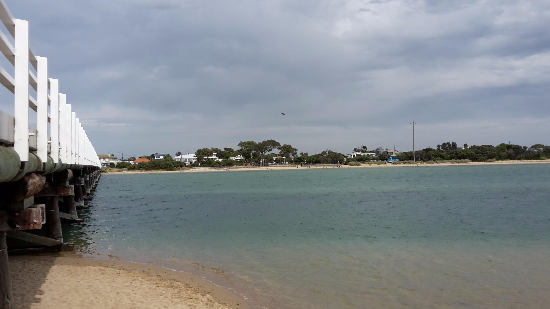
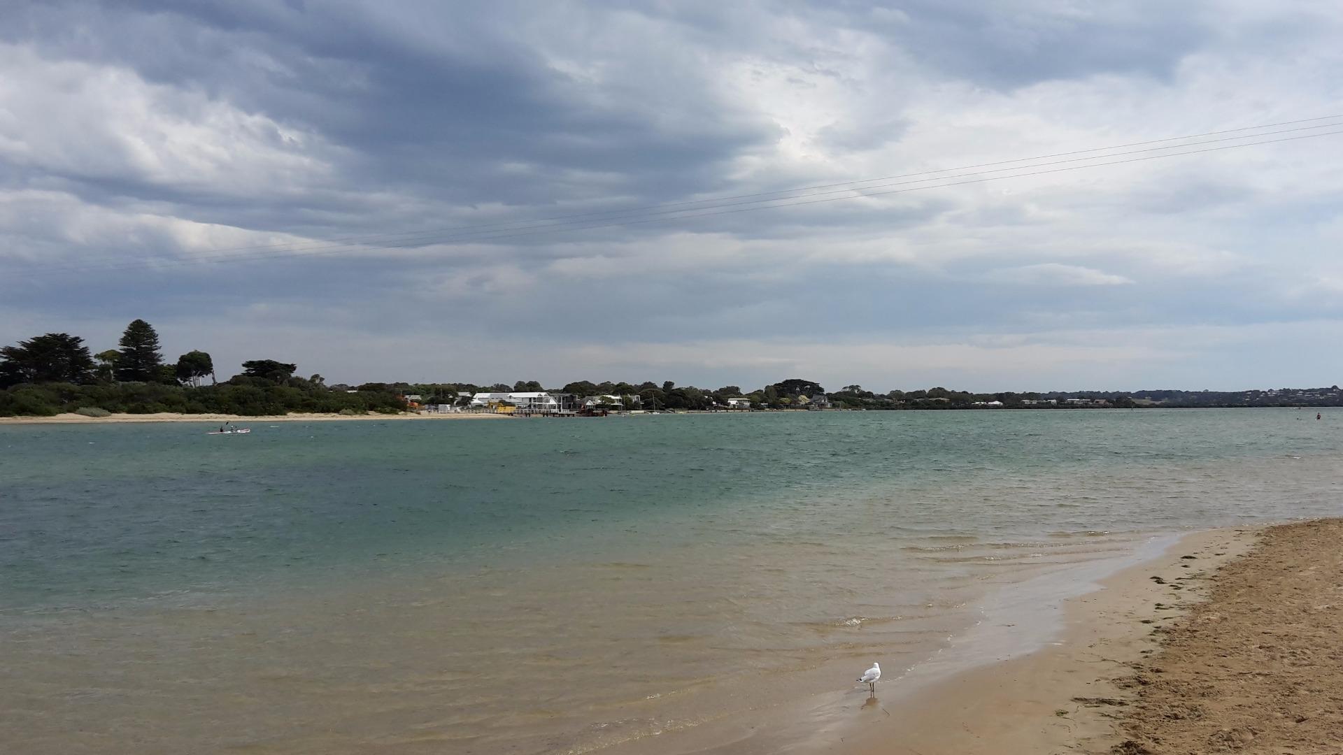
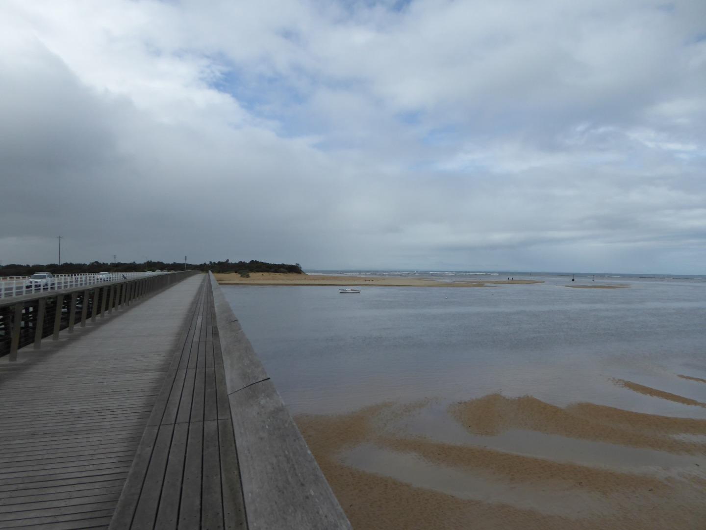
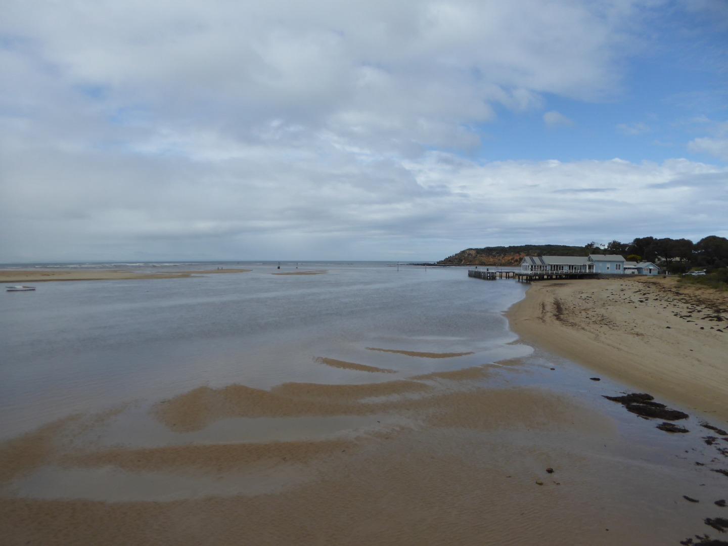
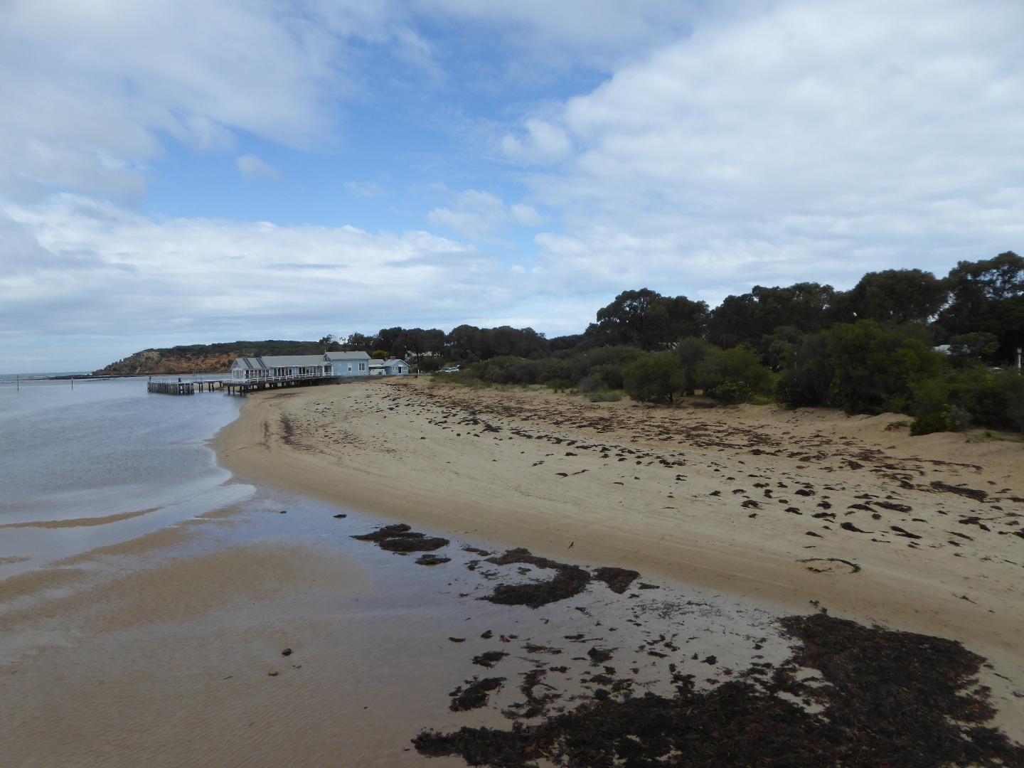
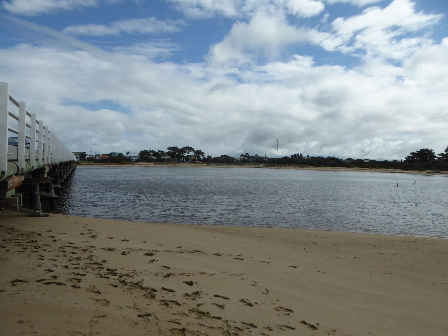
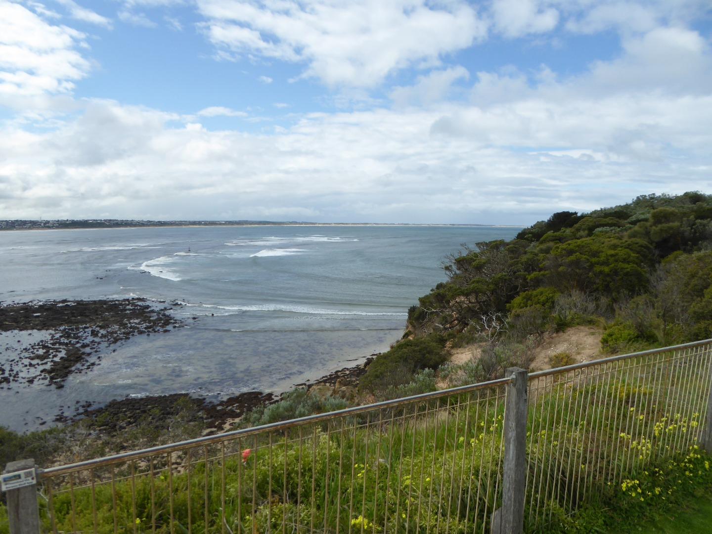
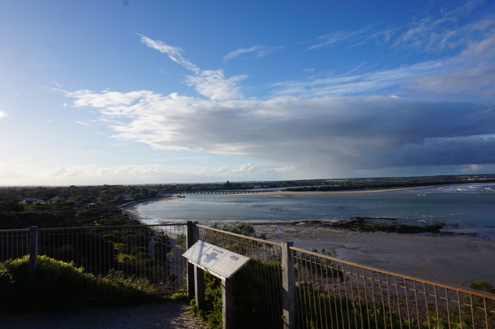
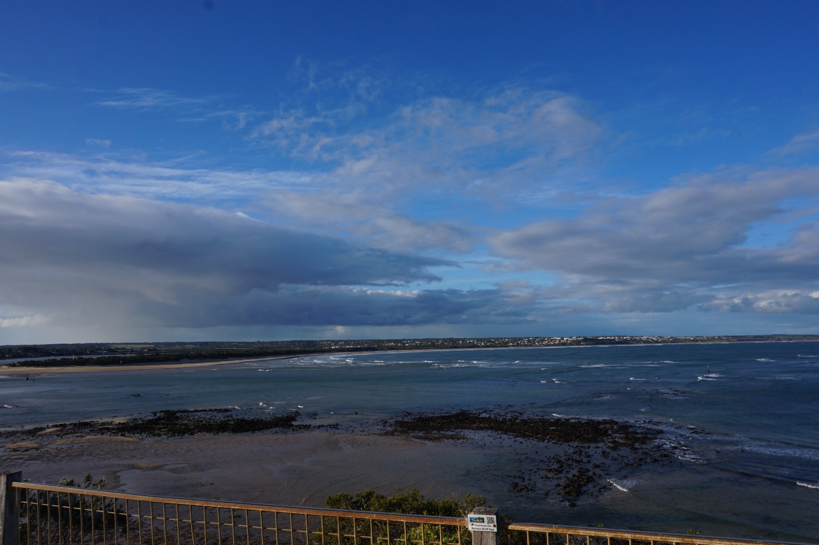
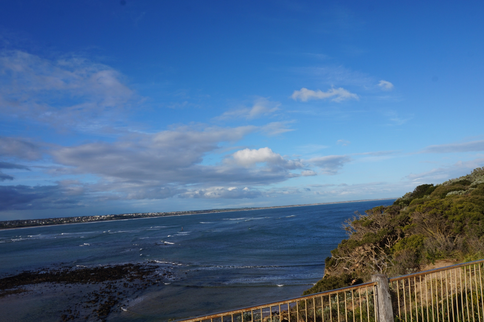
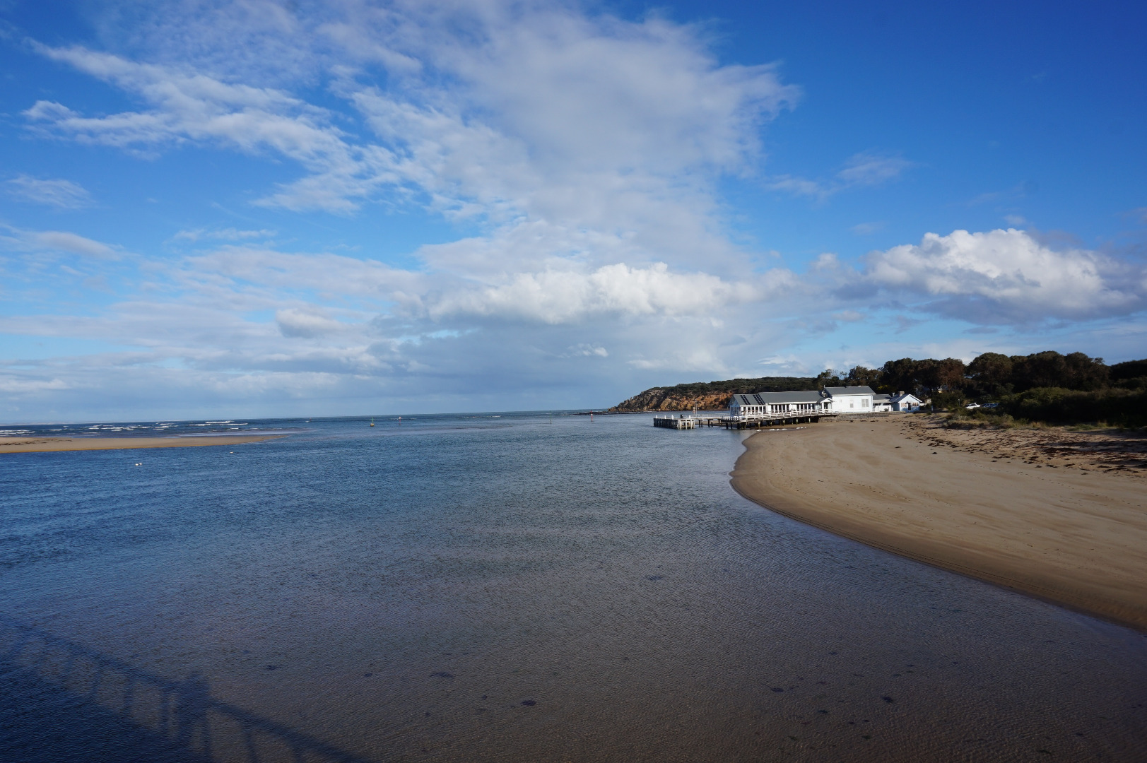
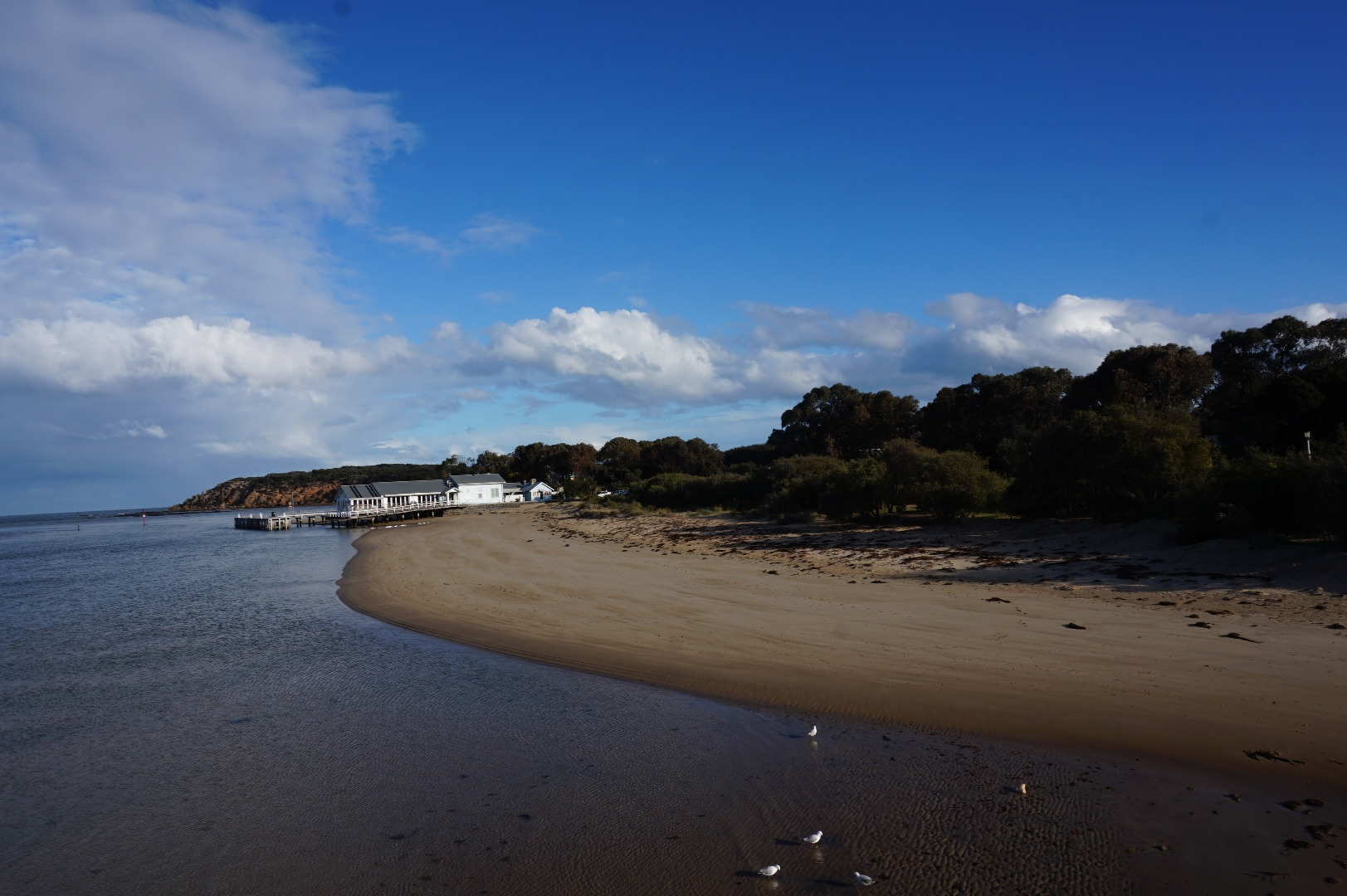
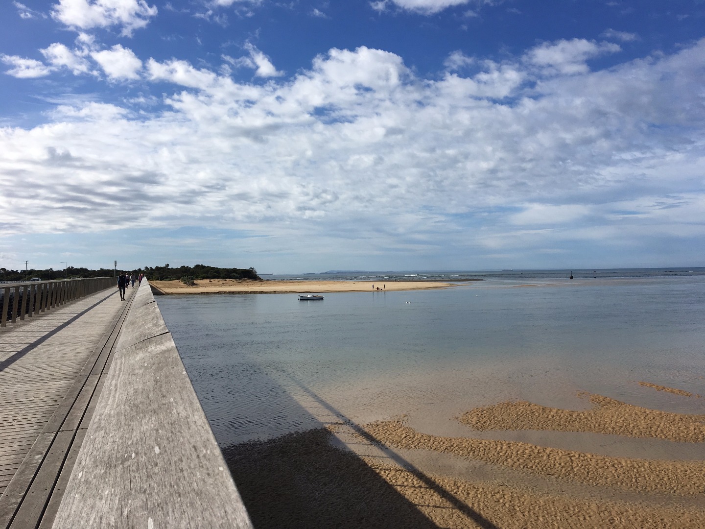
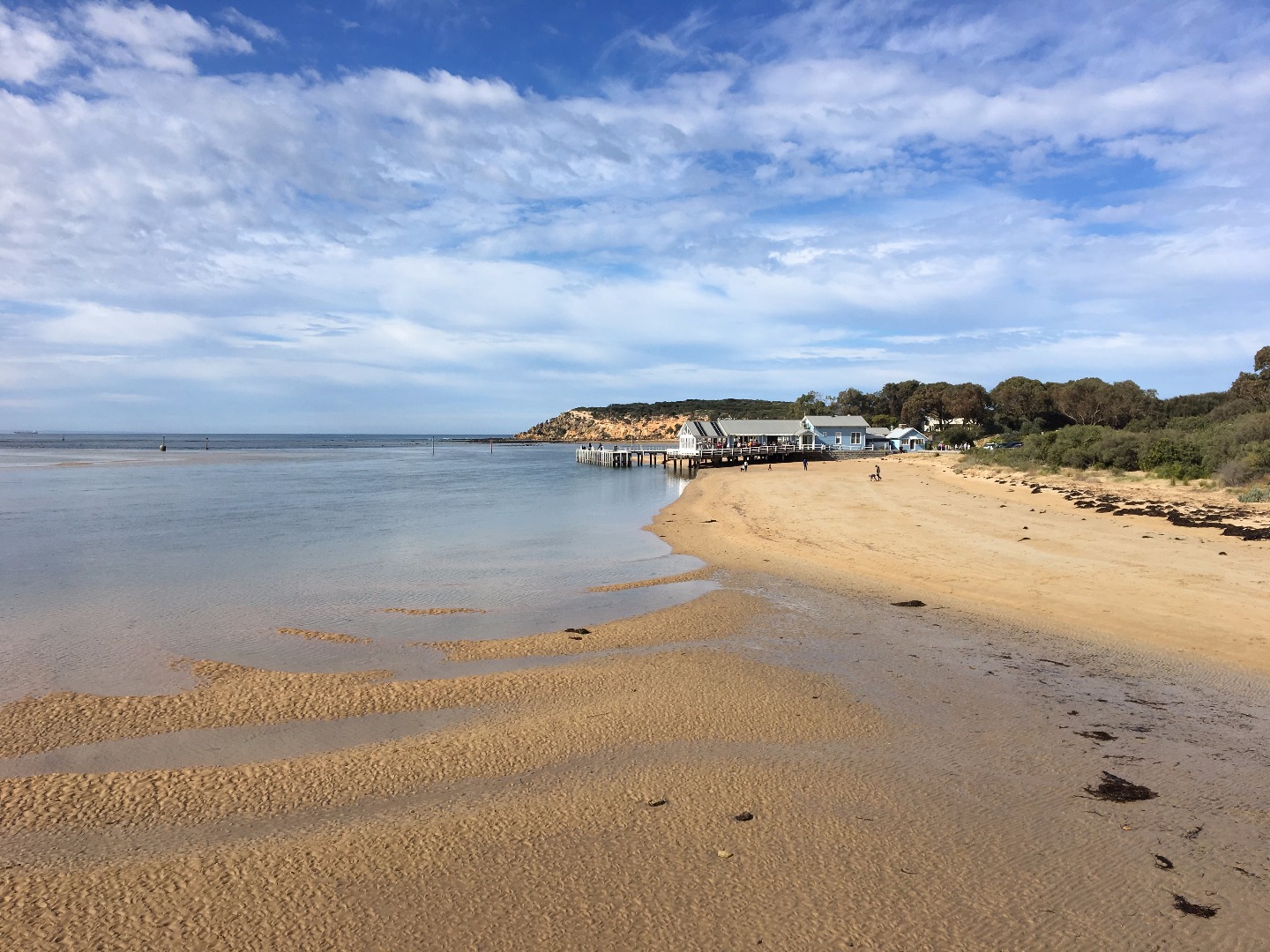
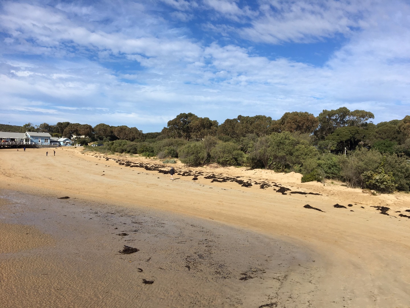
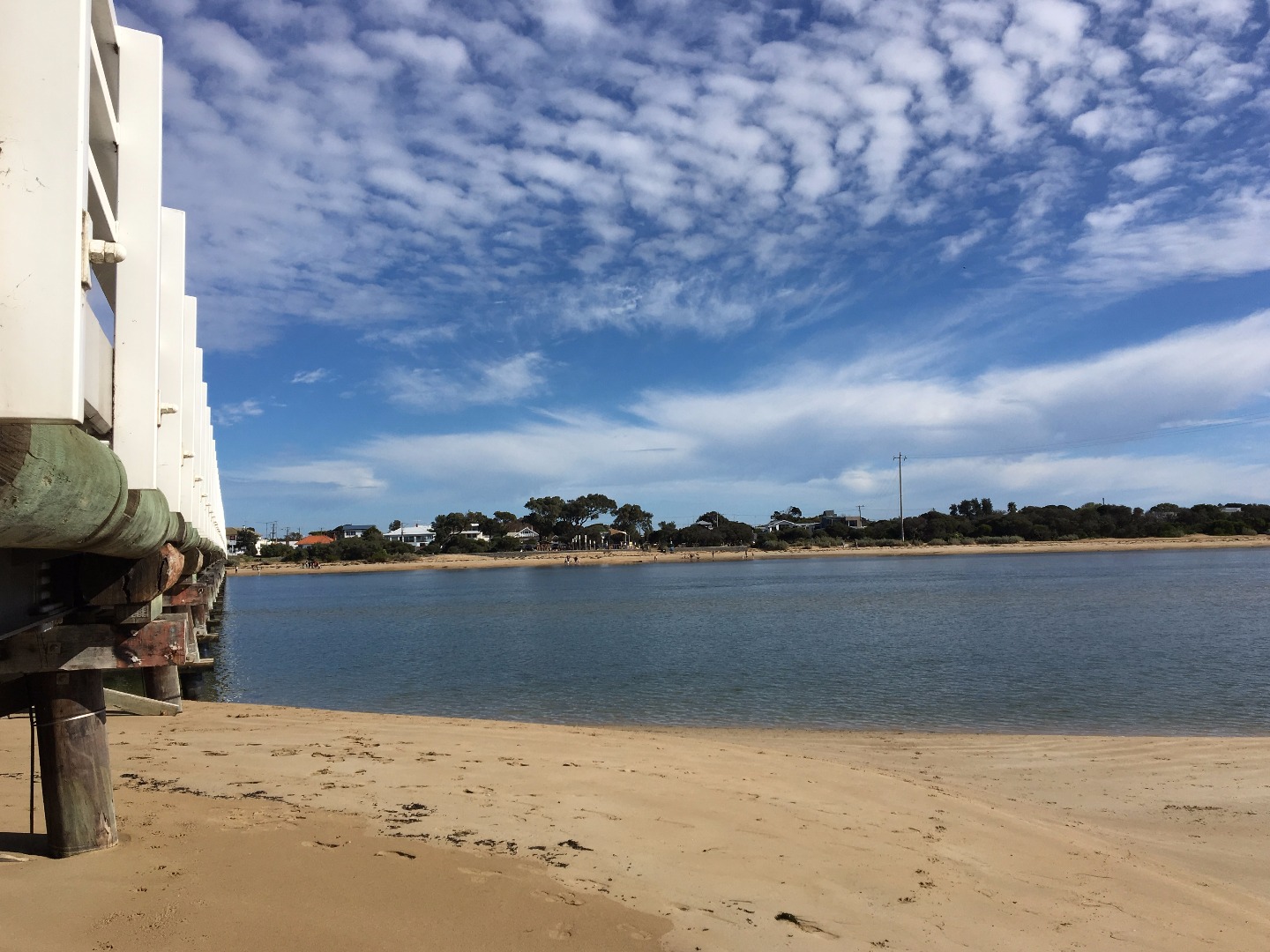
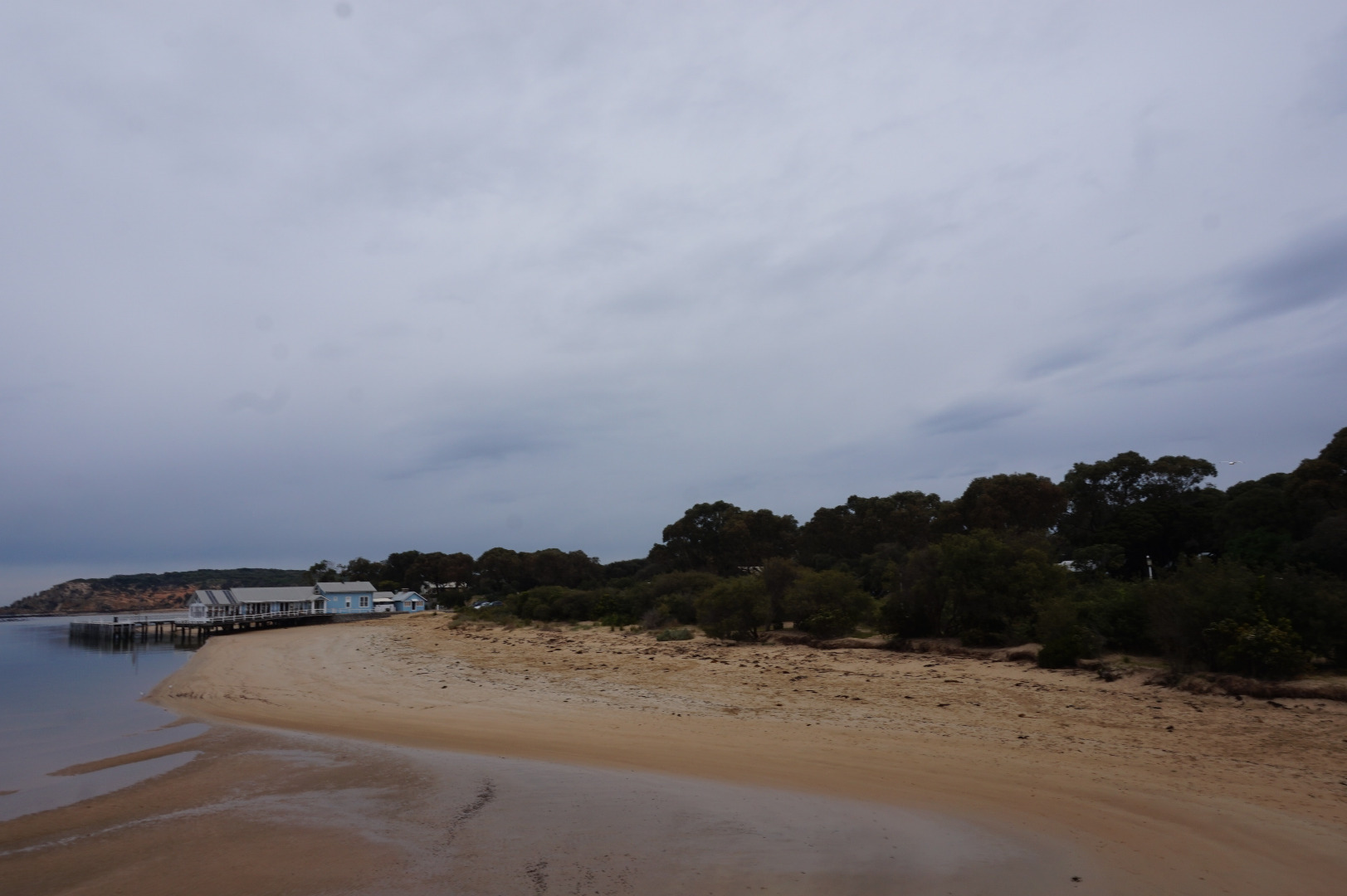
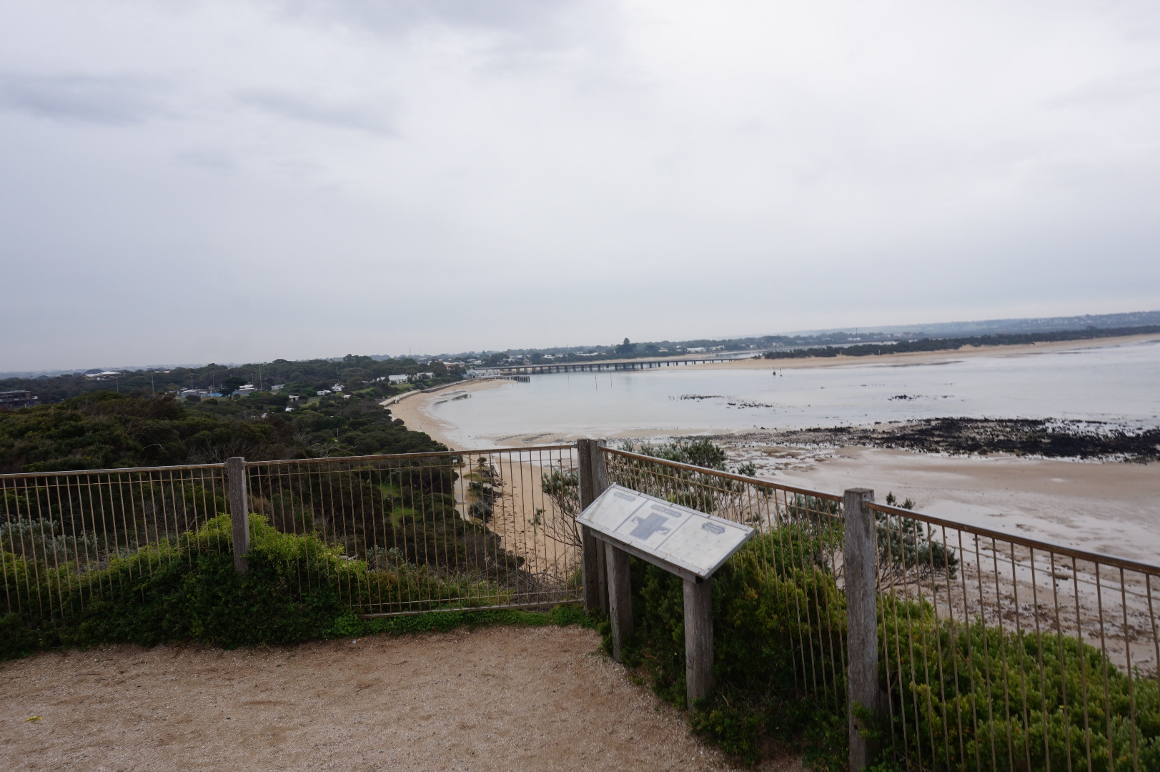
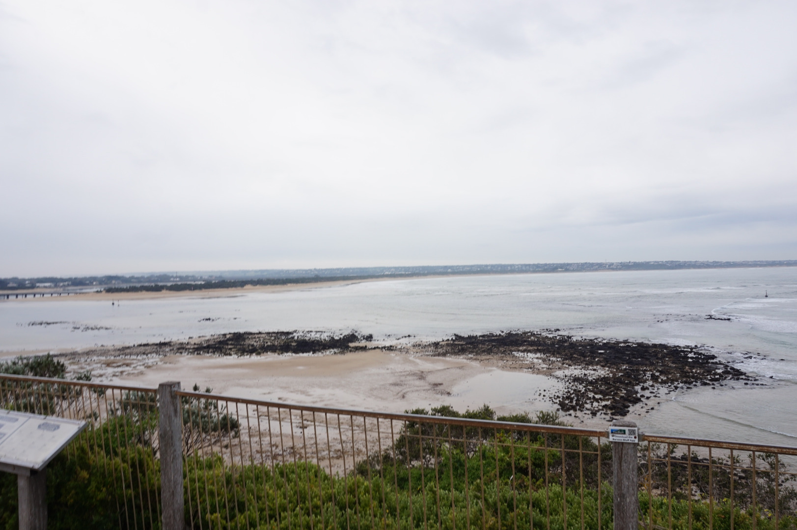
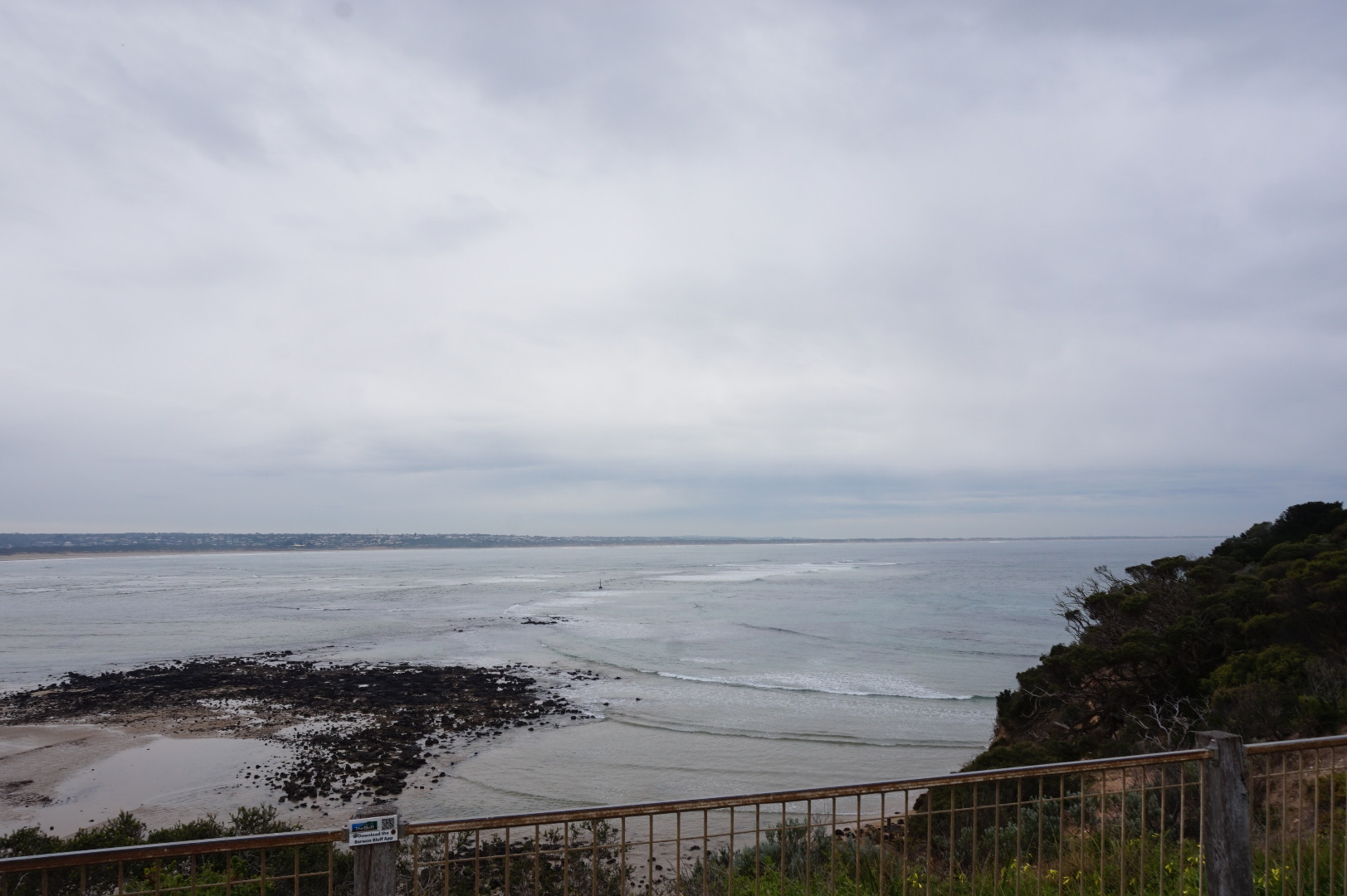
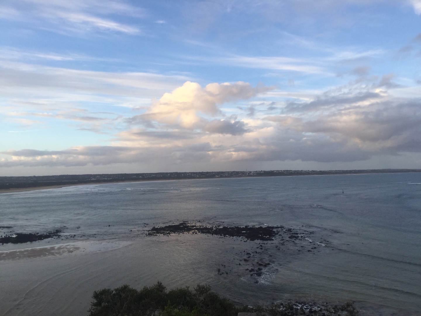
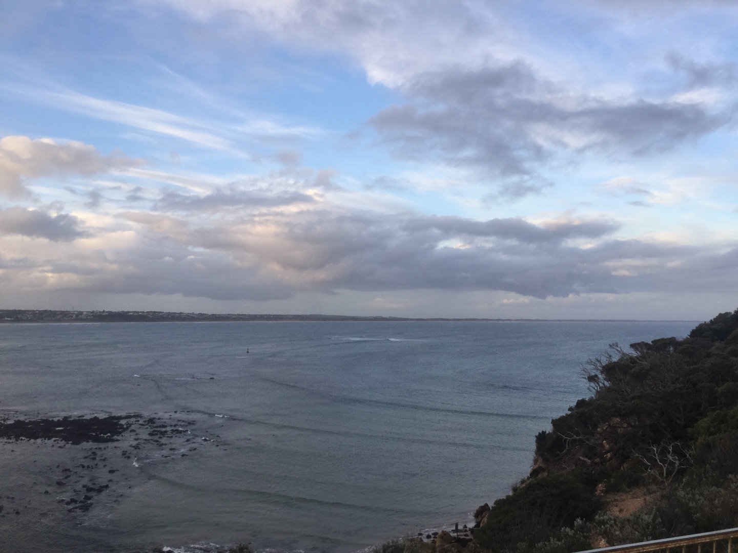
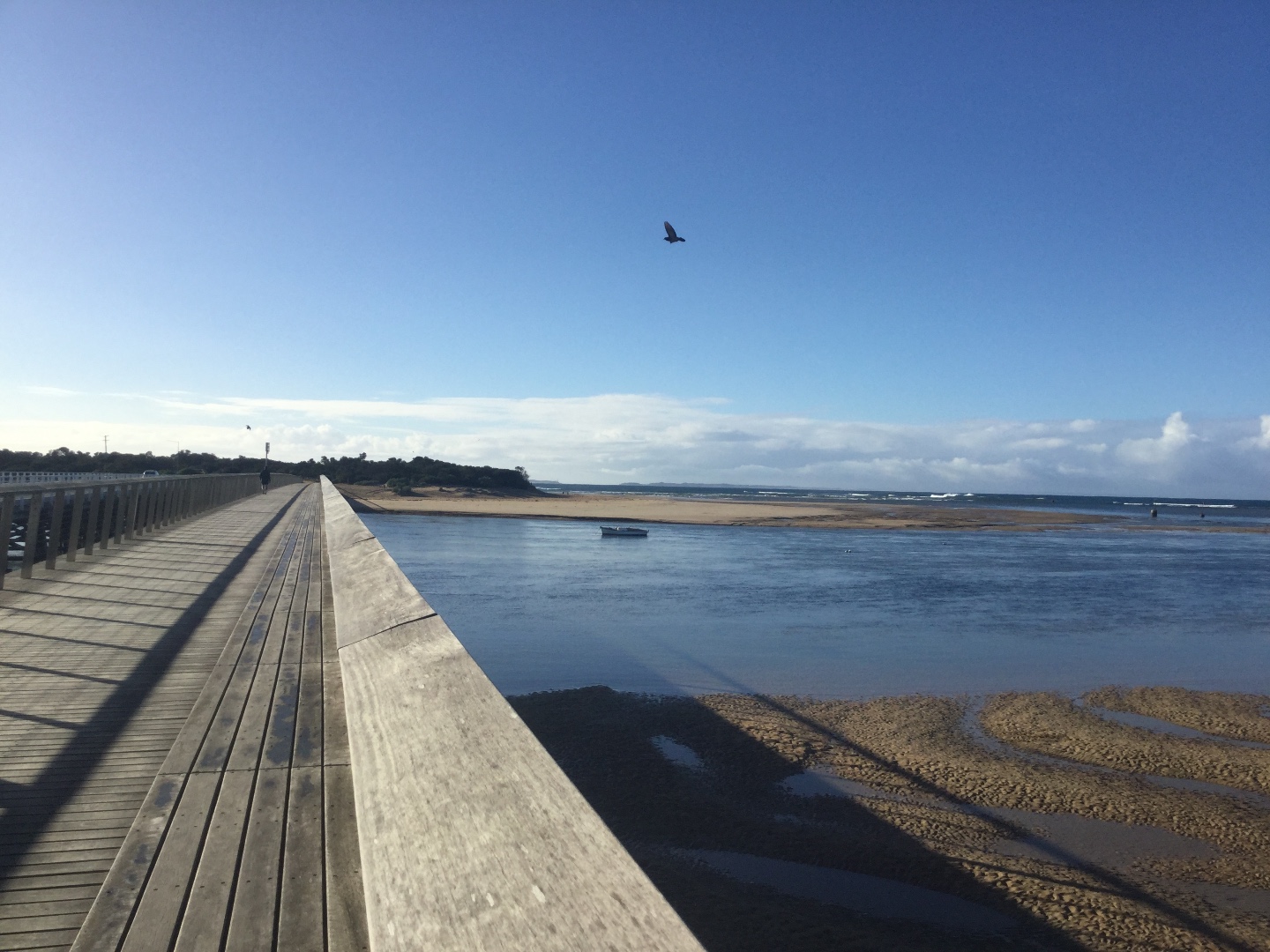
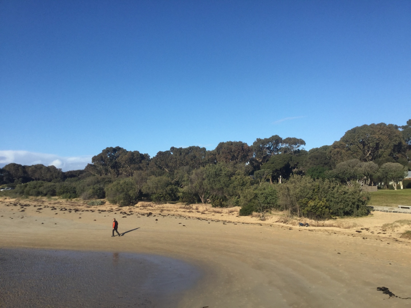
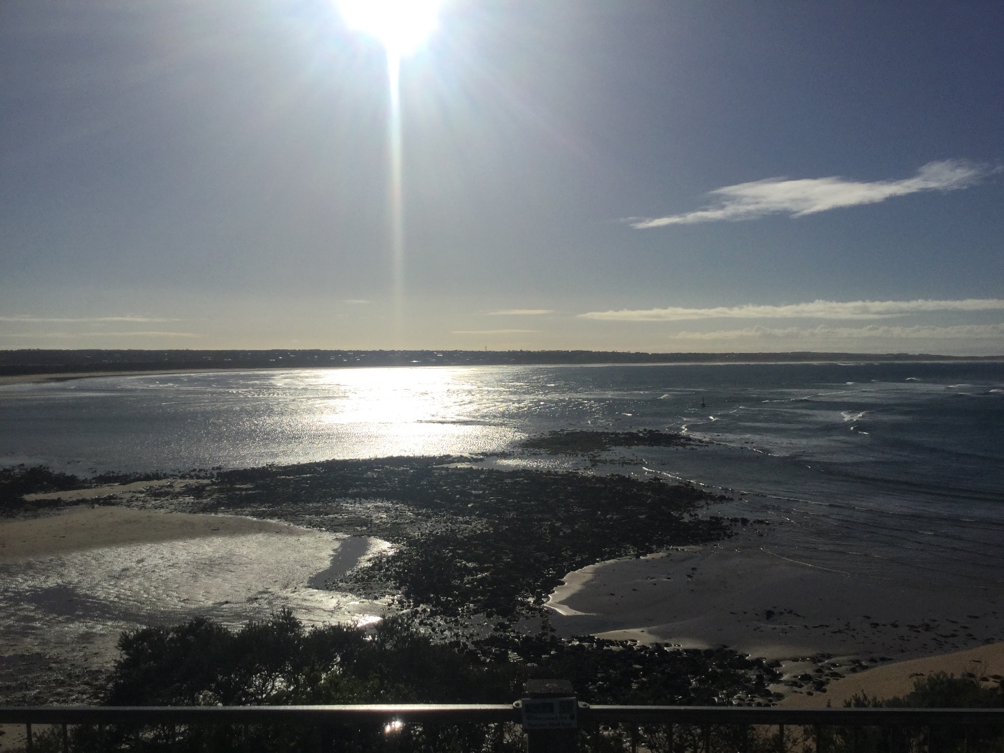
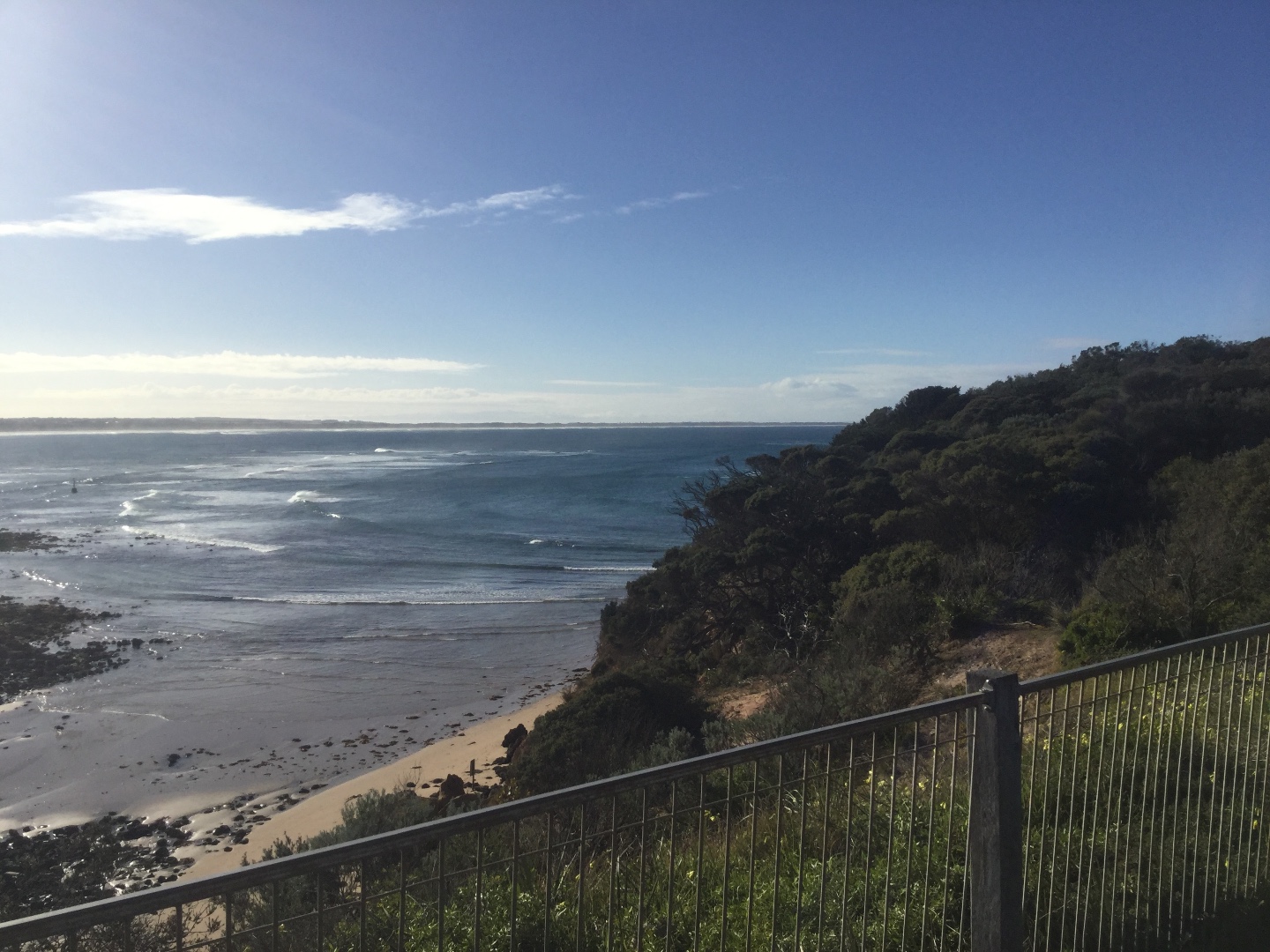
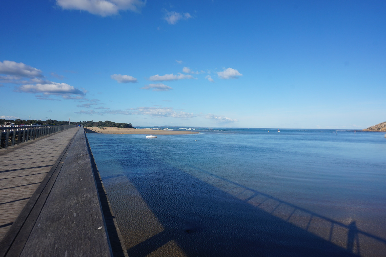
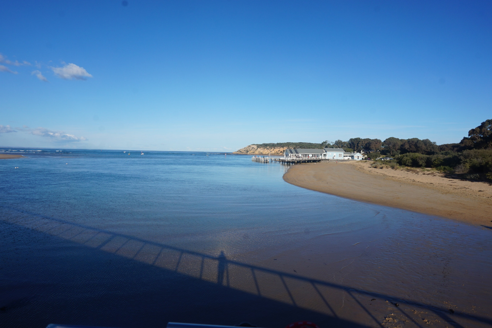
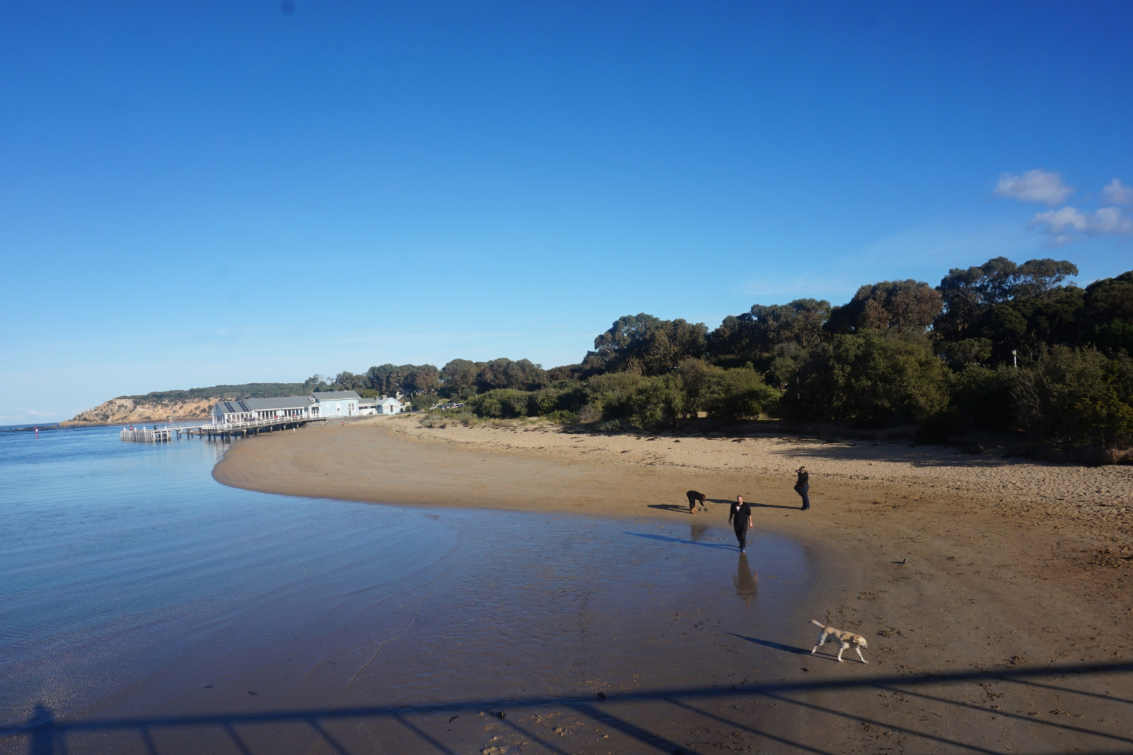
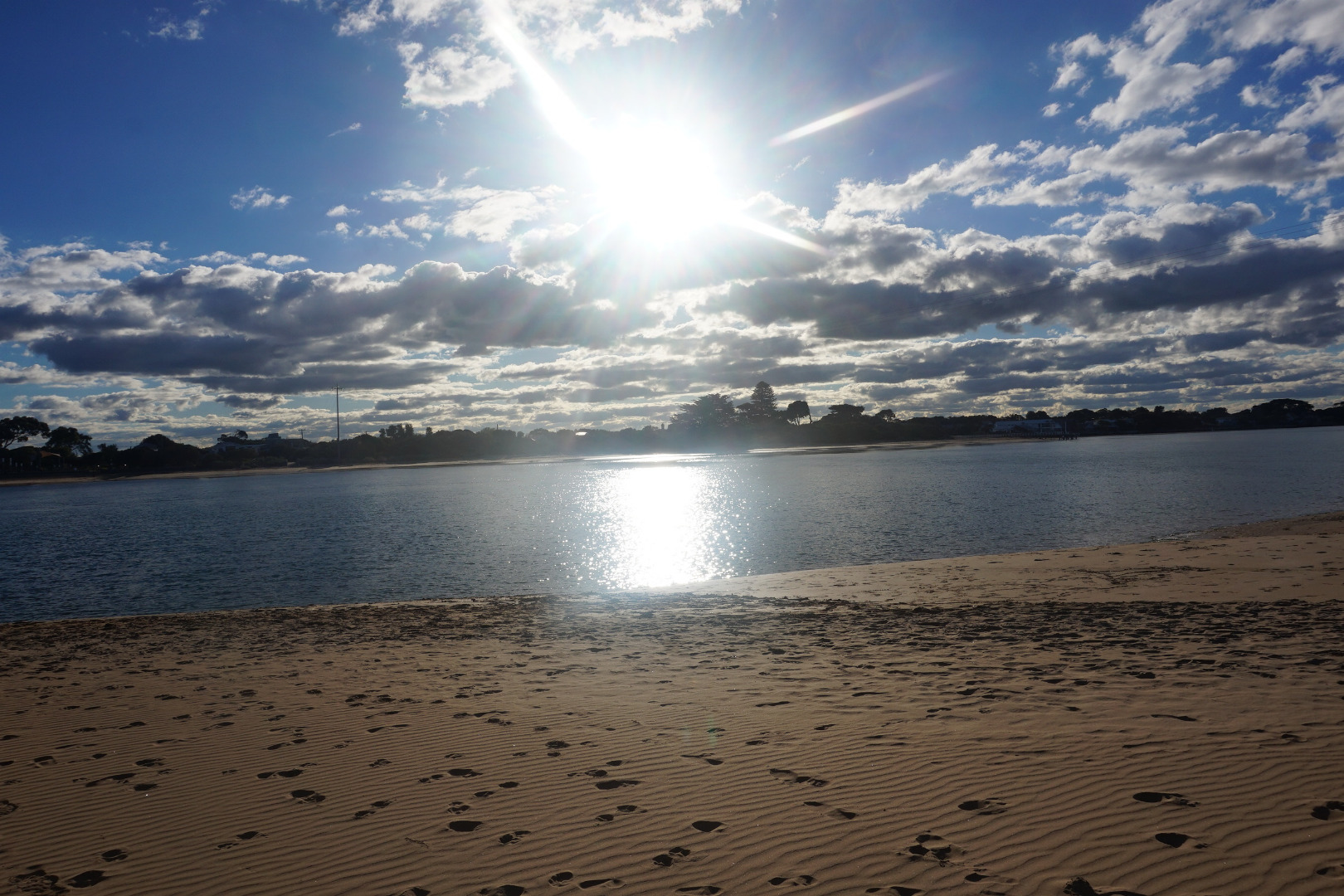
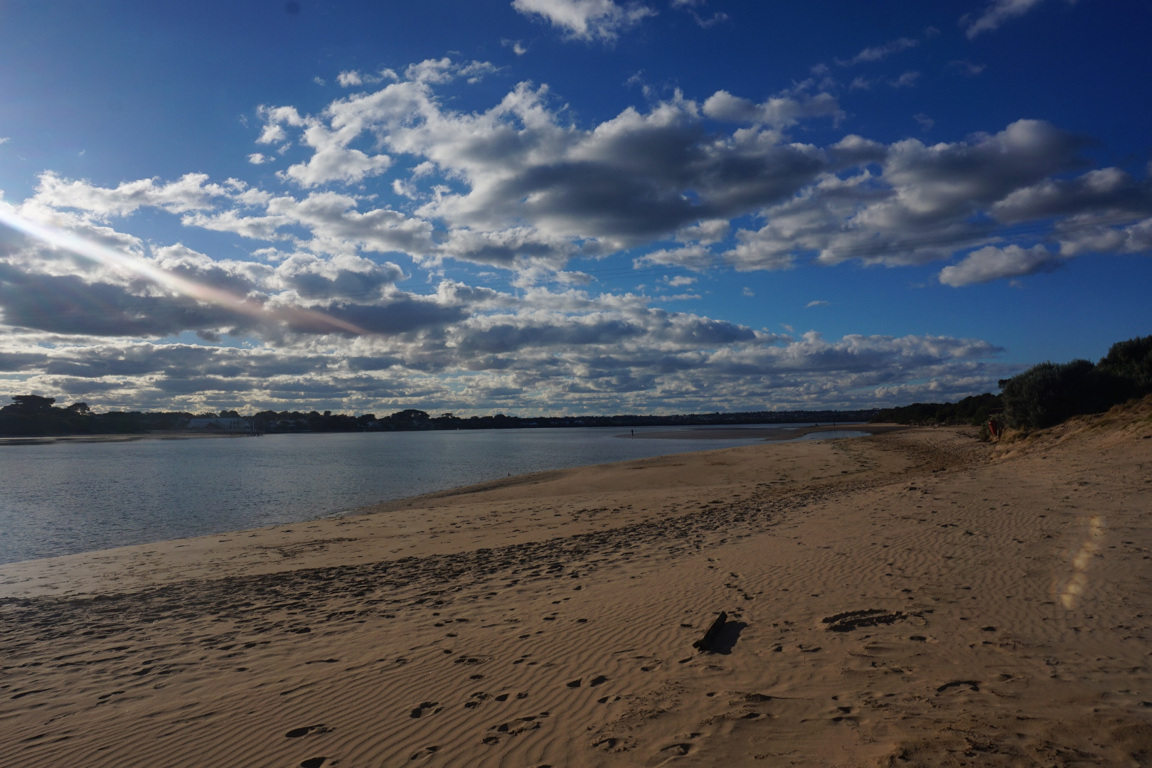
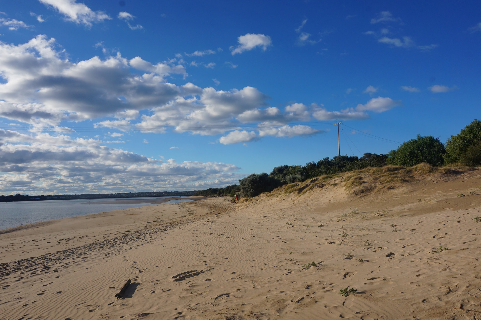
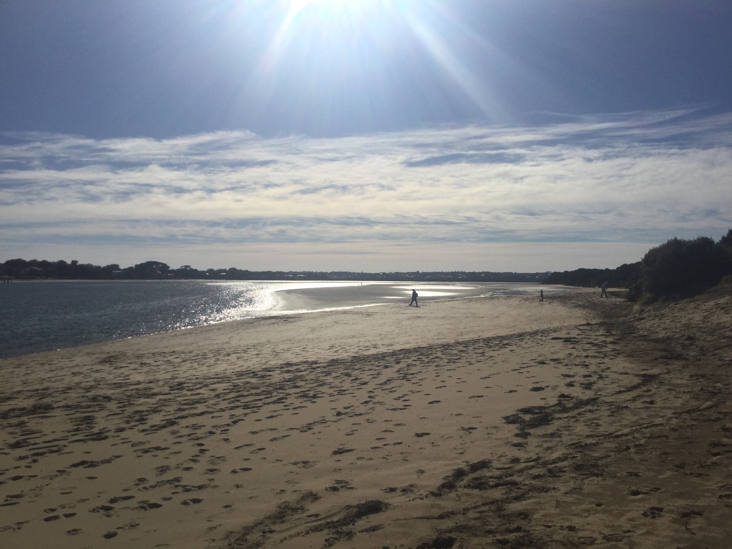
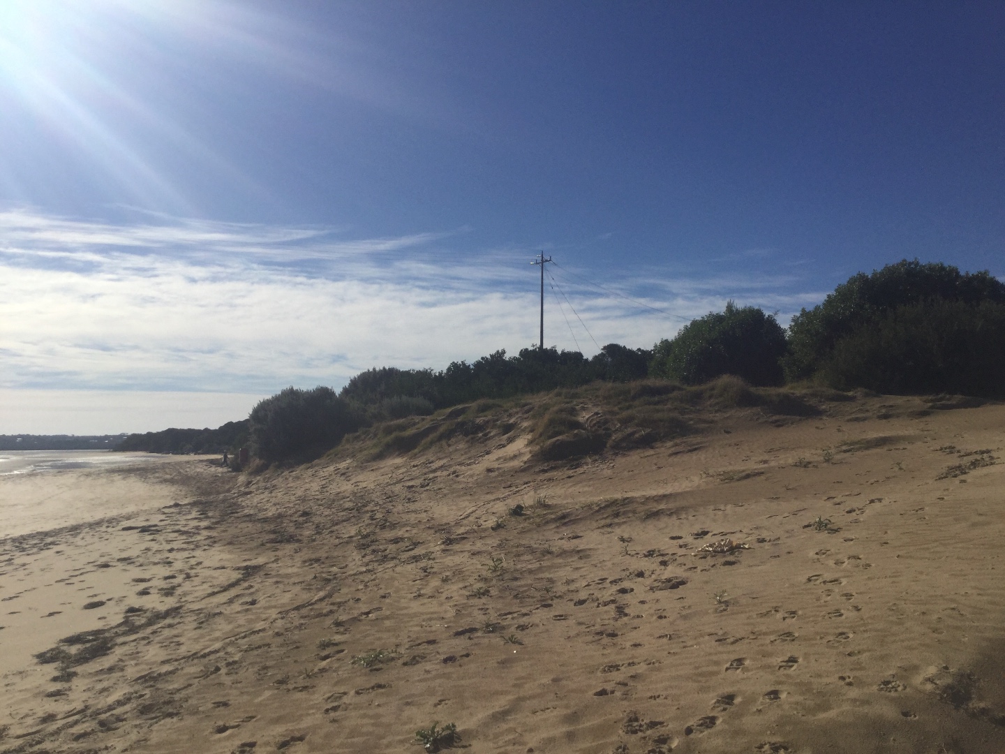
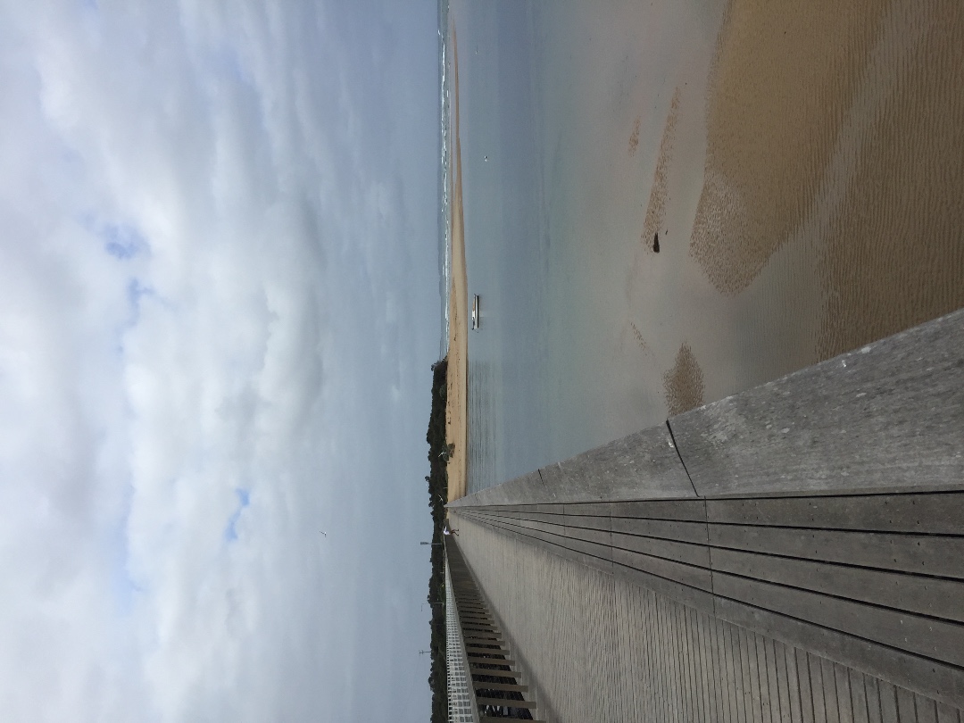
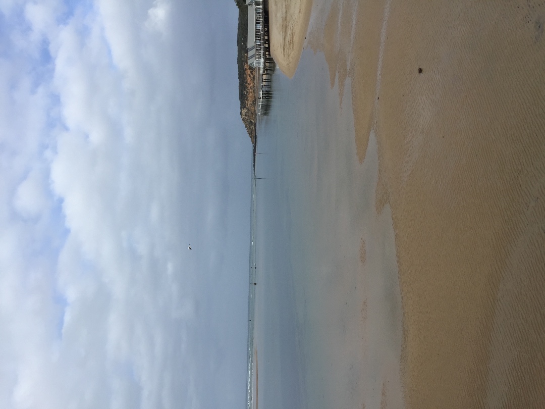
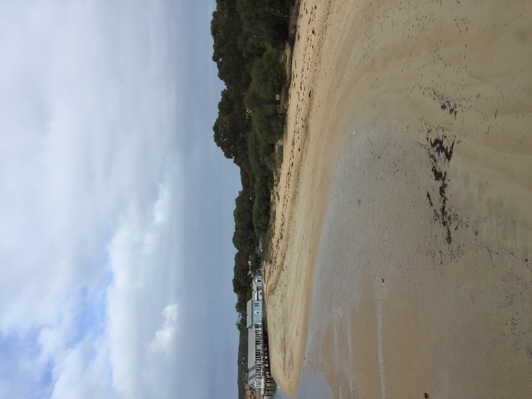
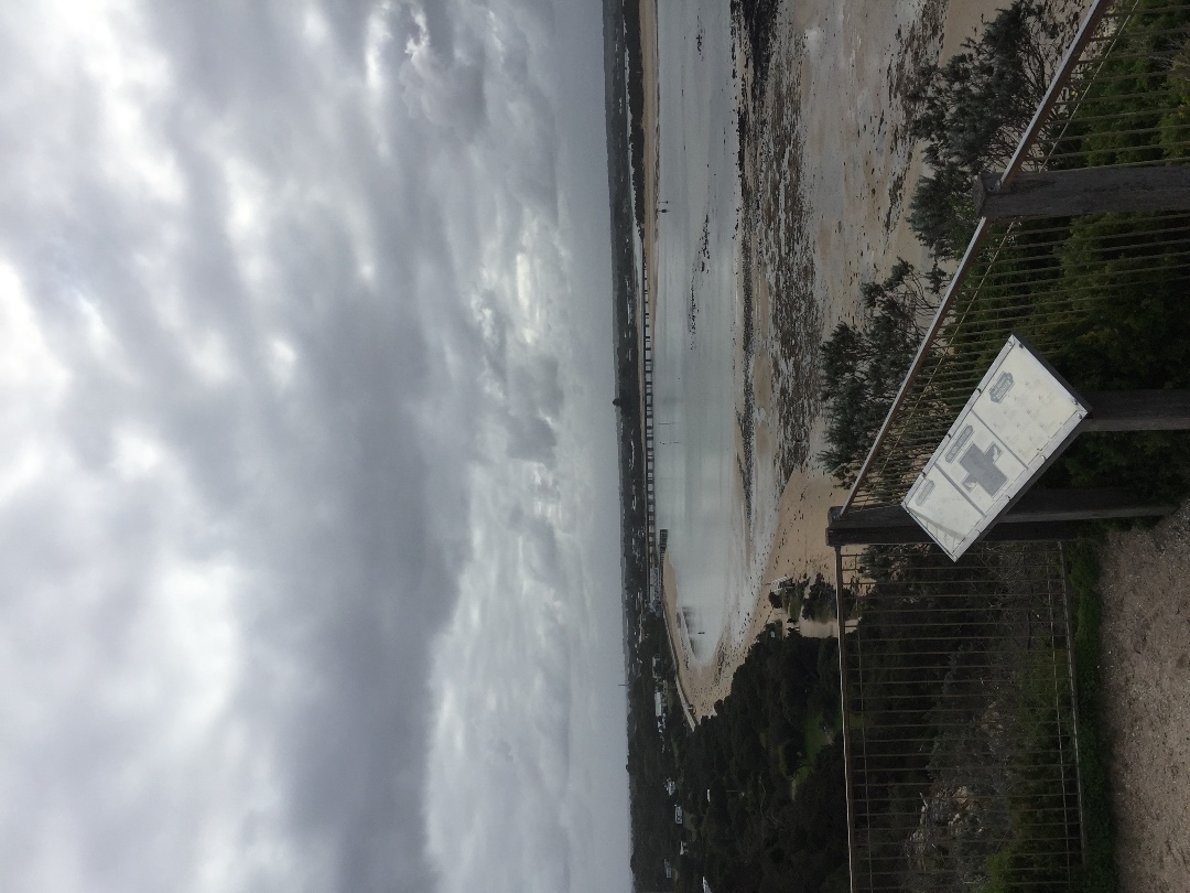
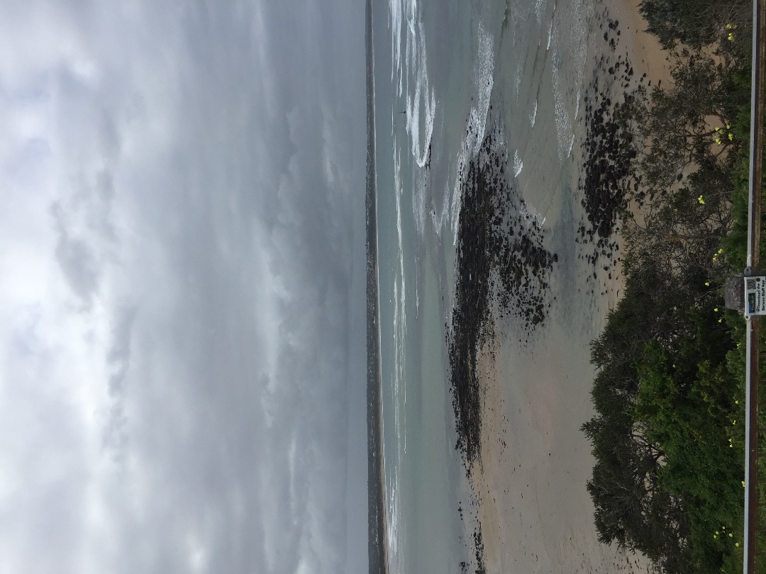
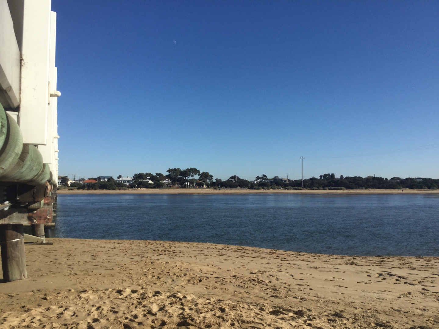
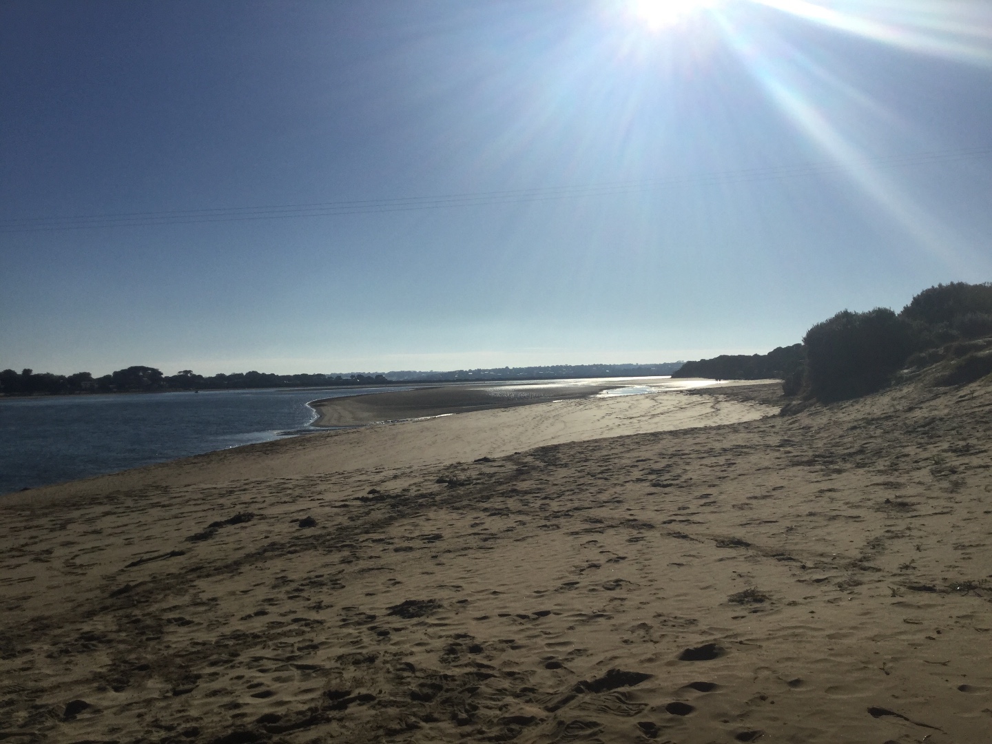
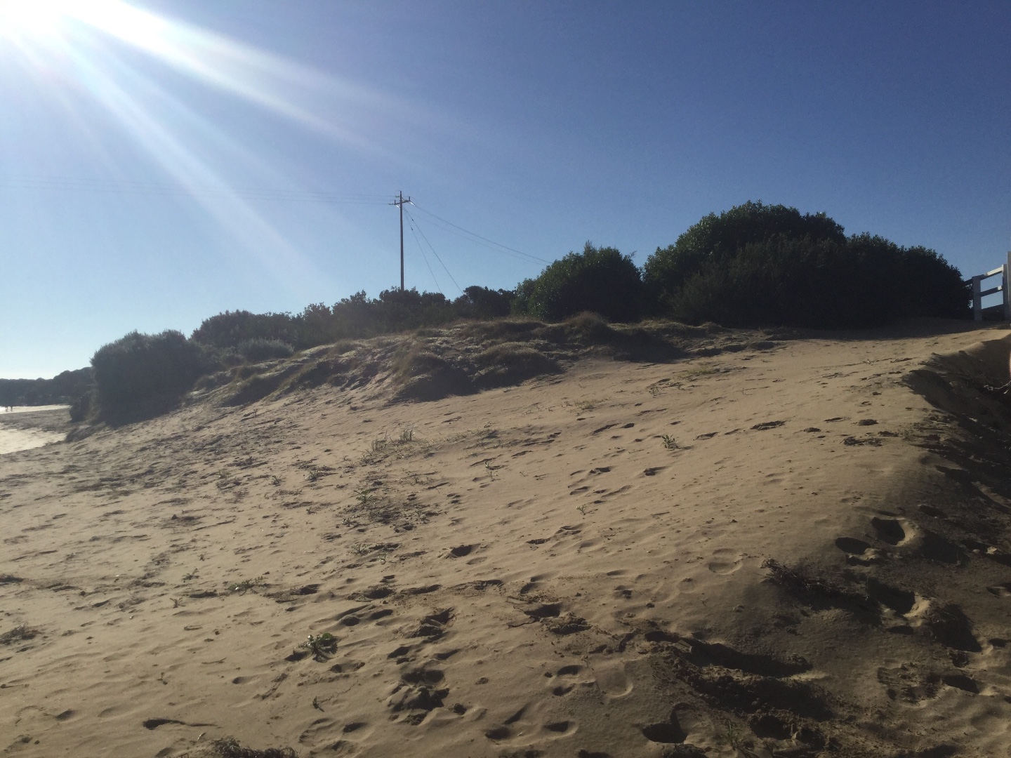
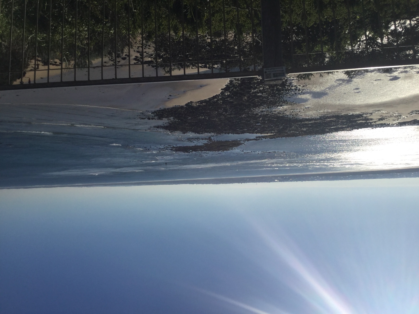
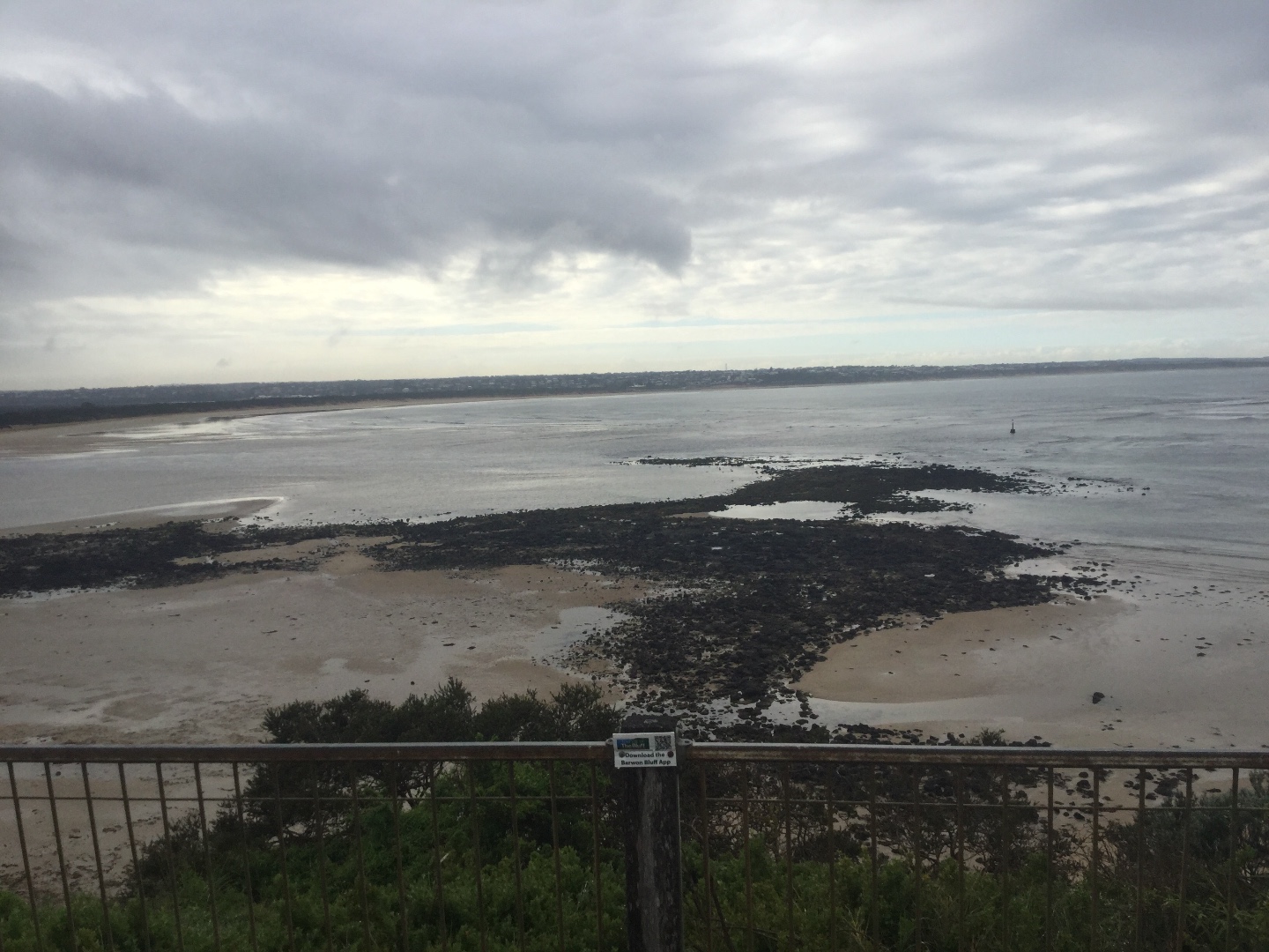
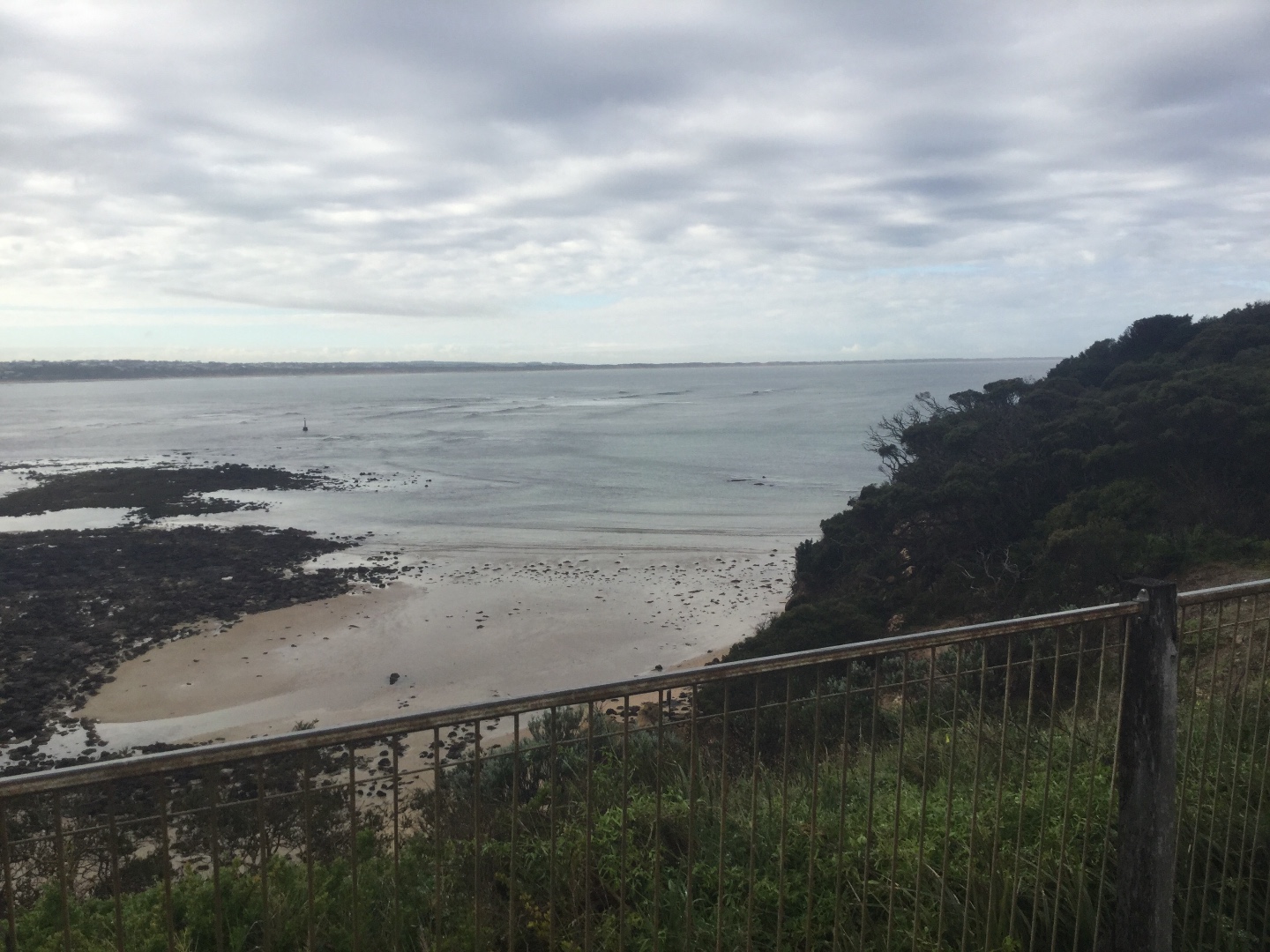
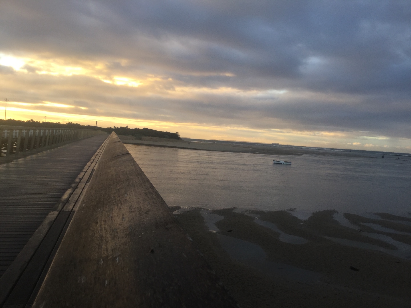
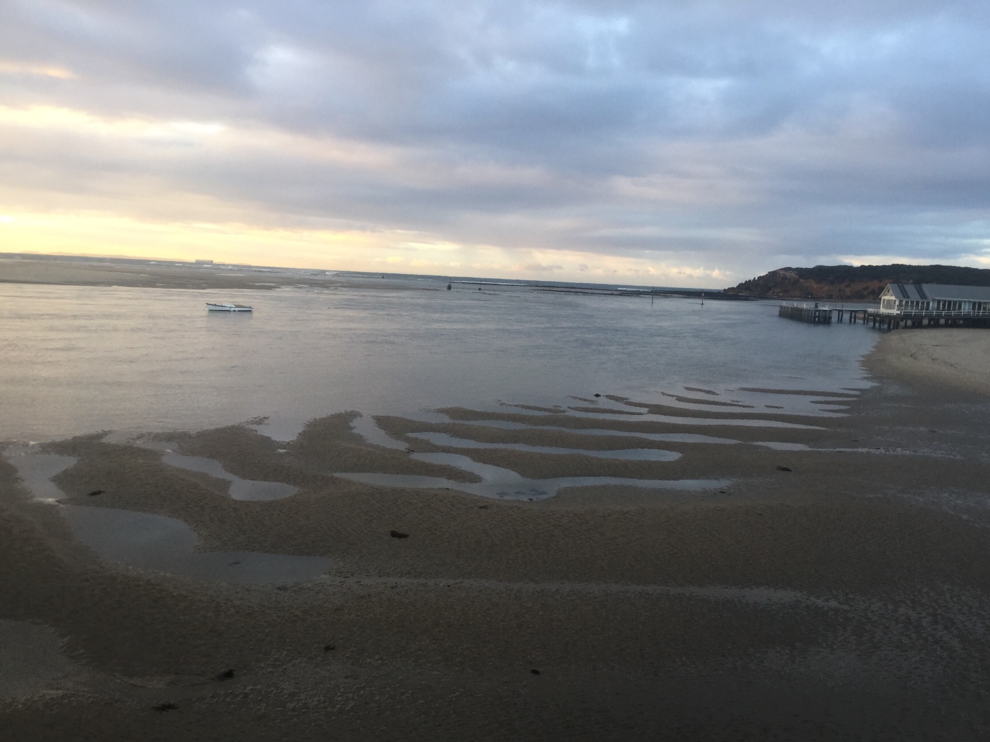
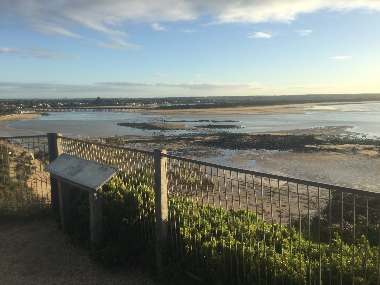
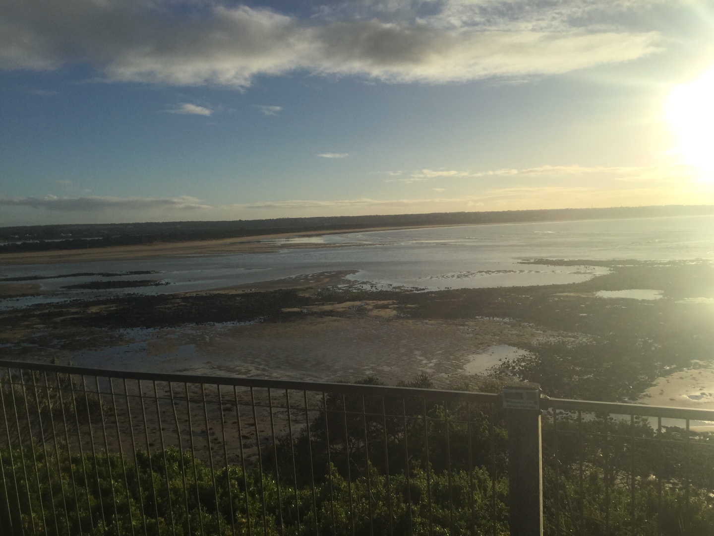
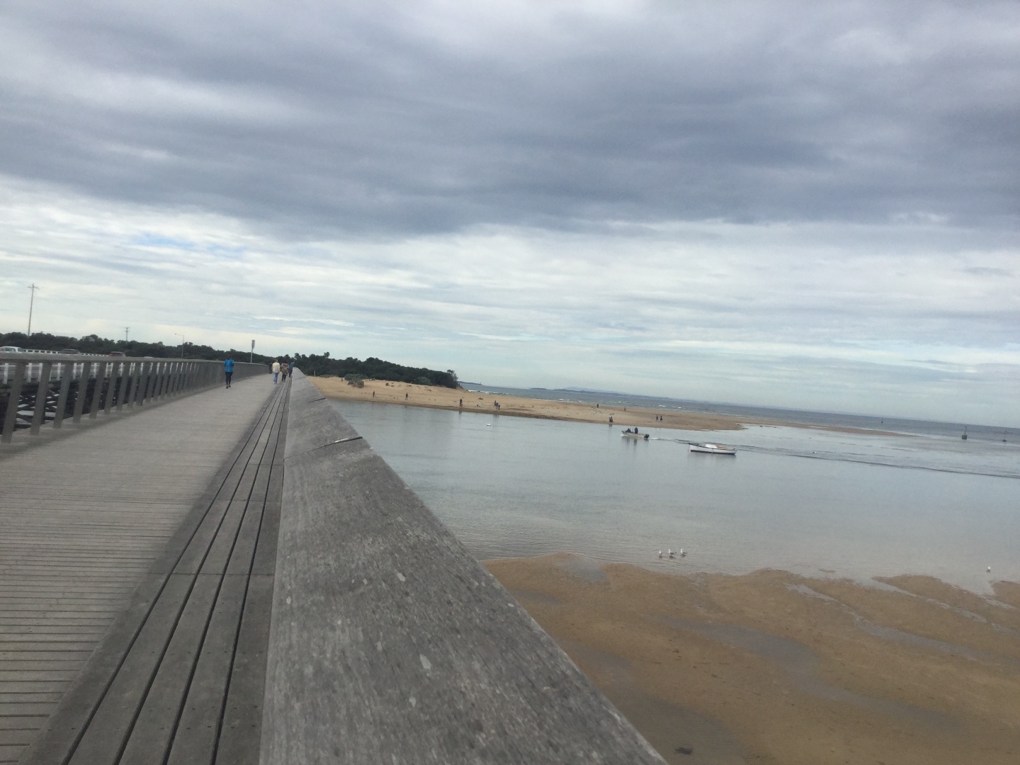
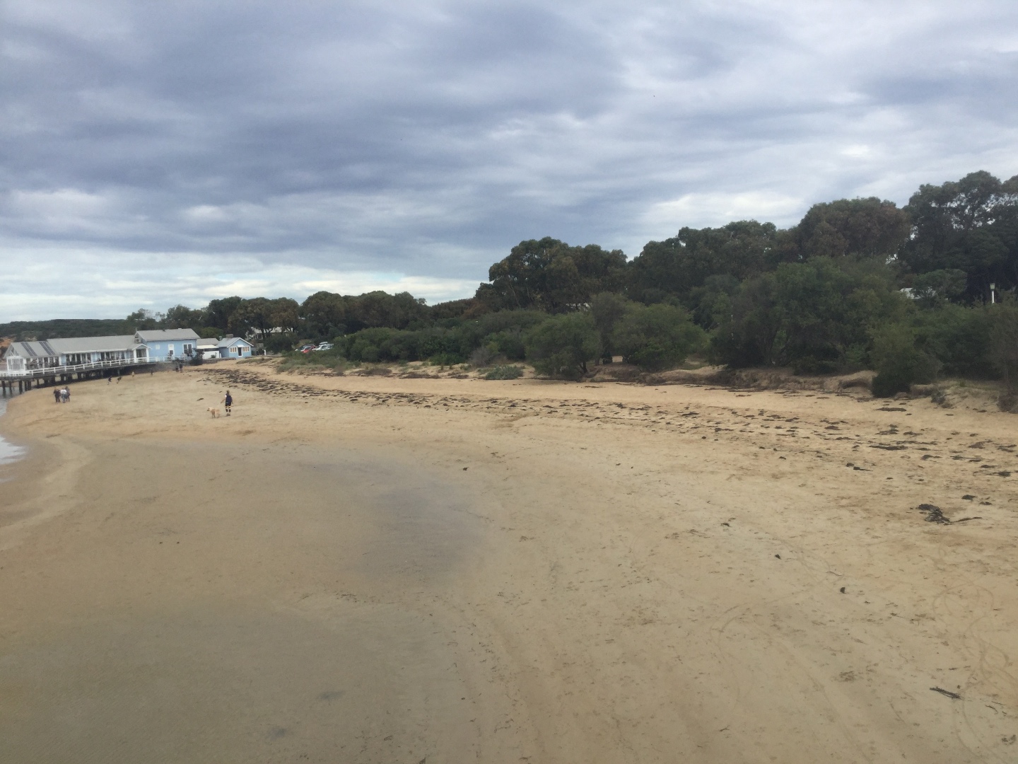
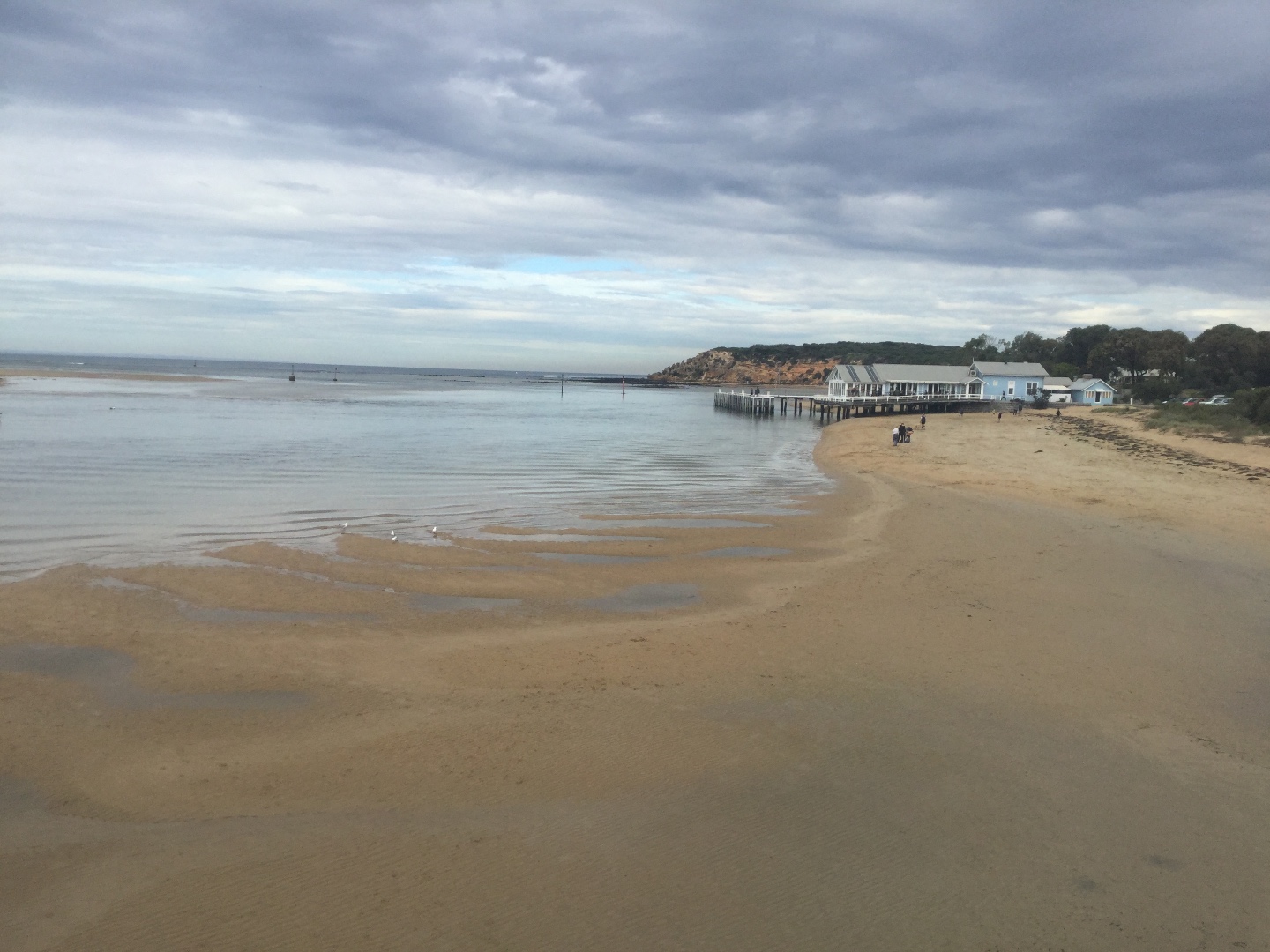
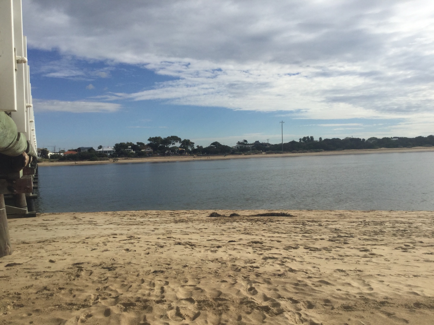
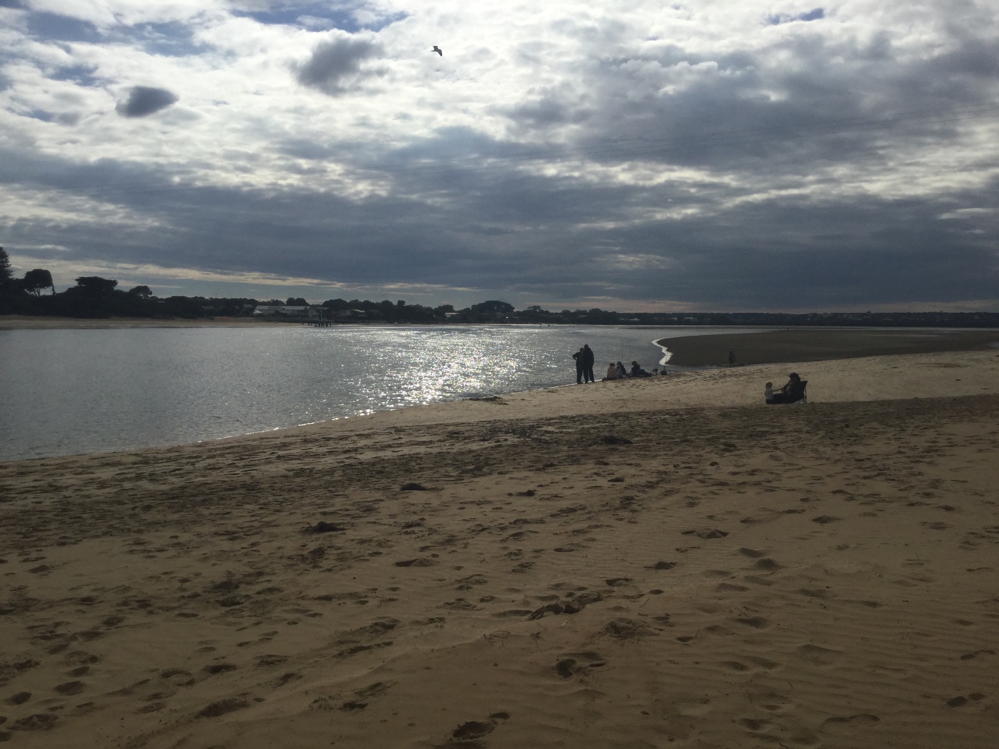
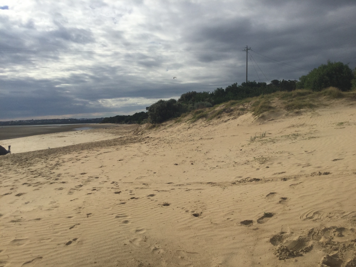
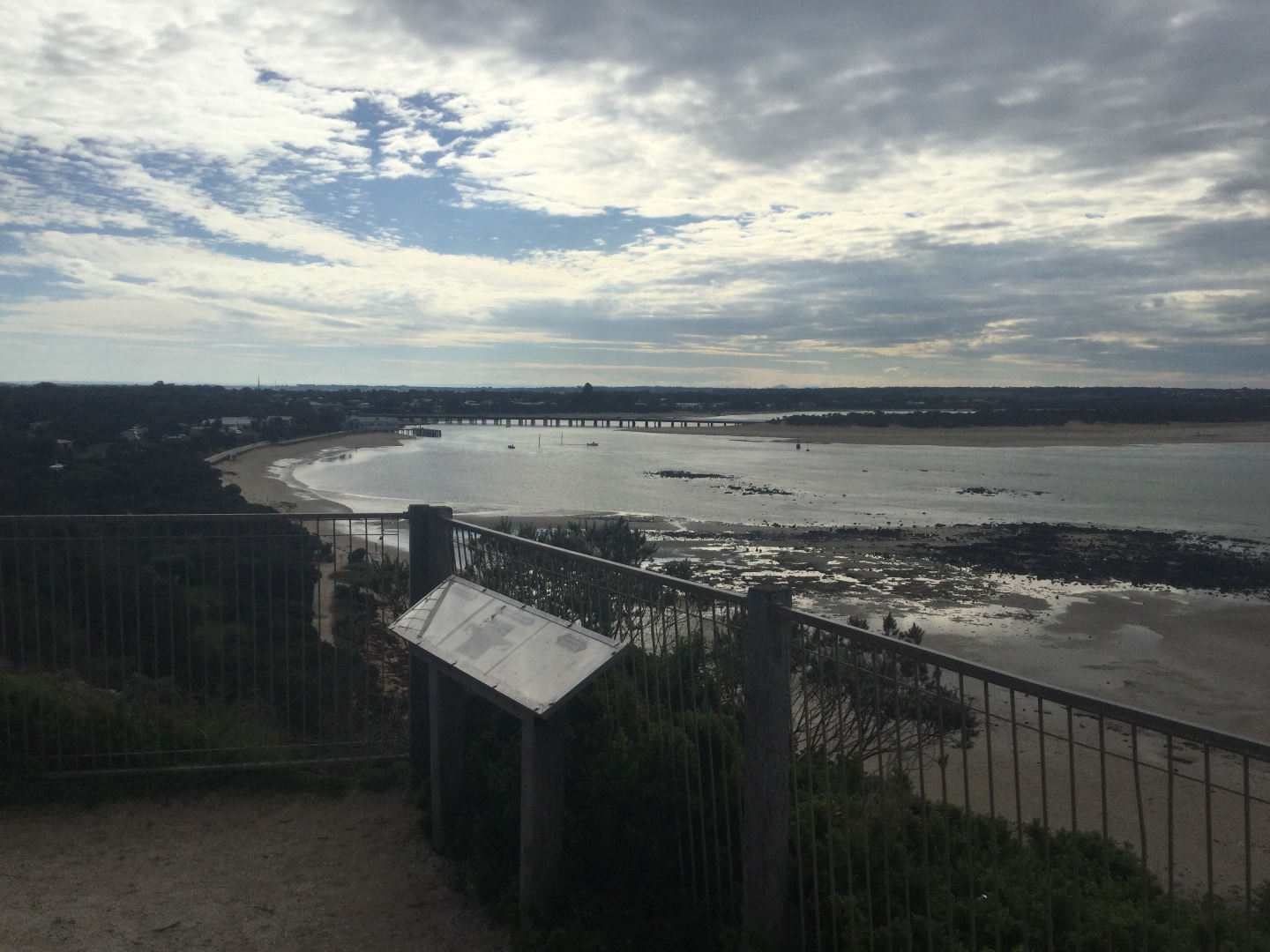
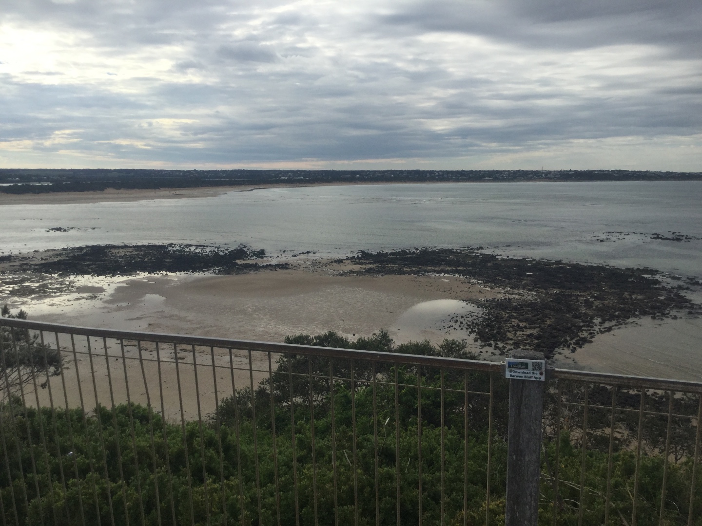
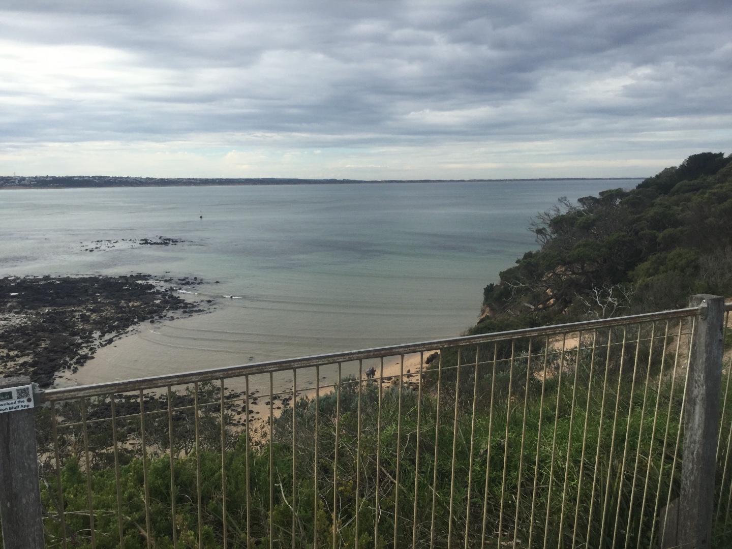
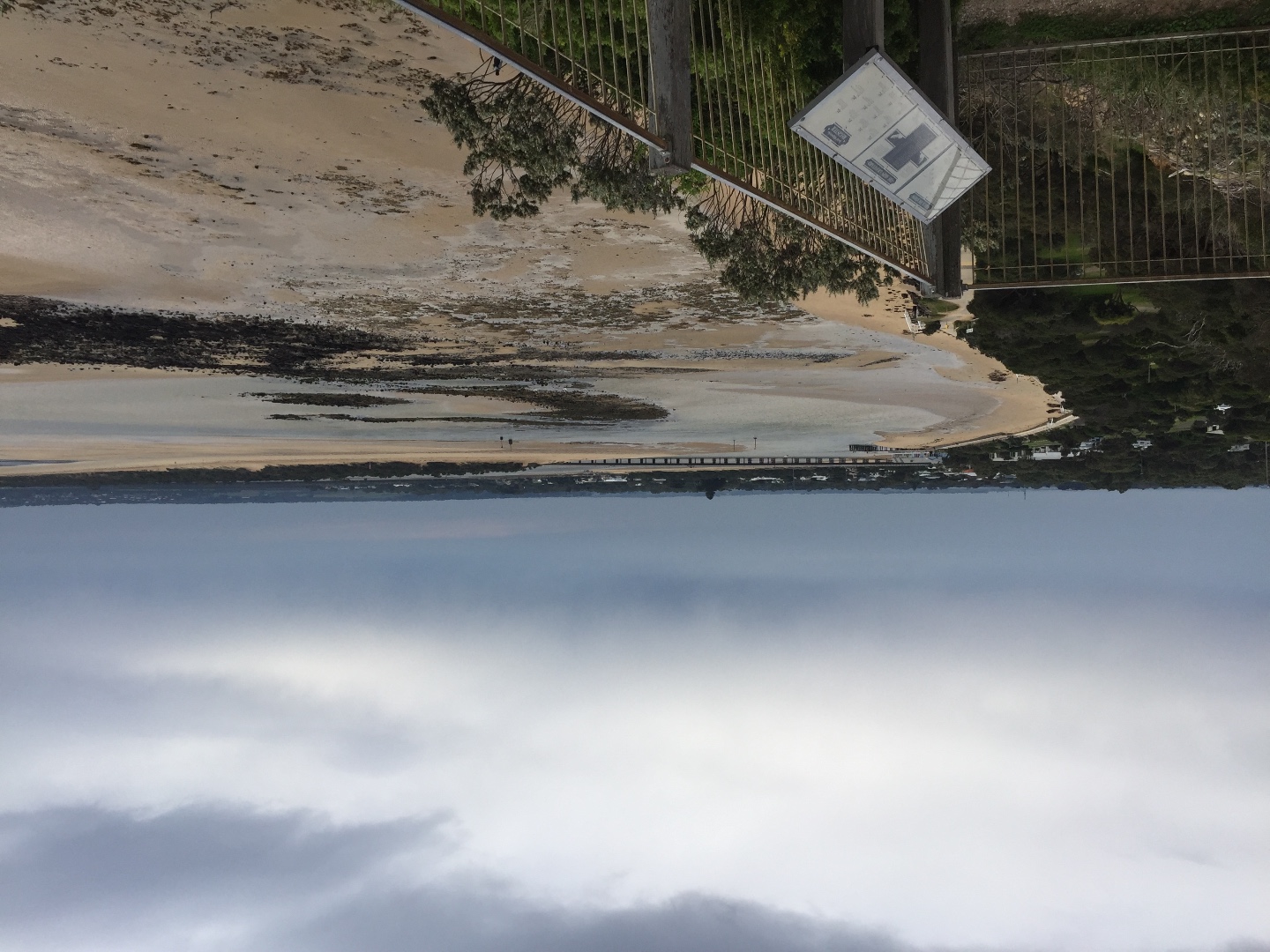
BMC Barwon River - Observation Site
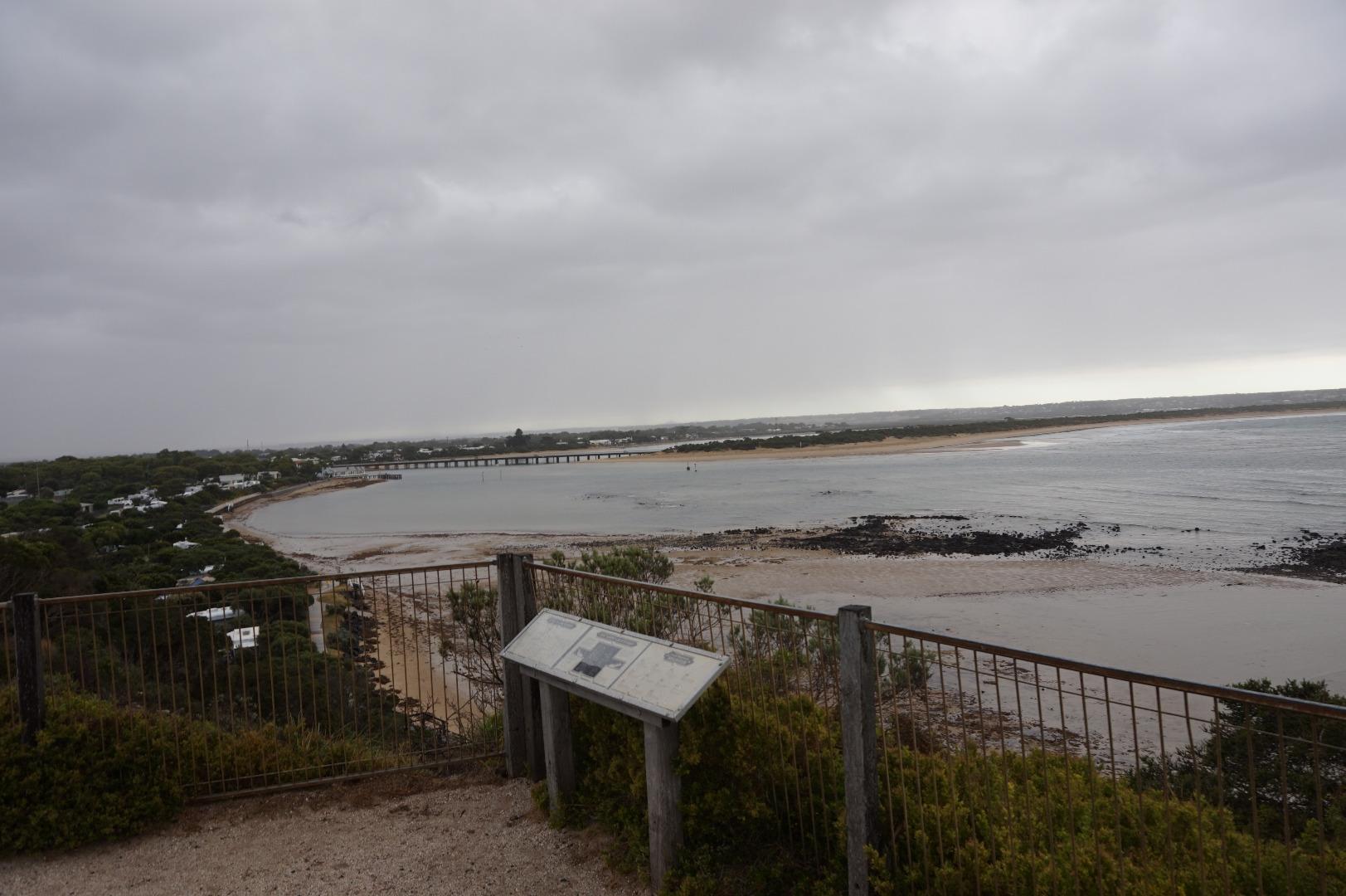
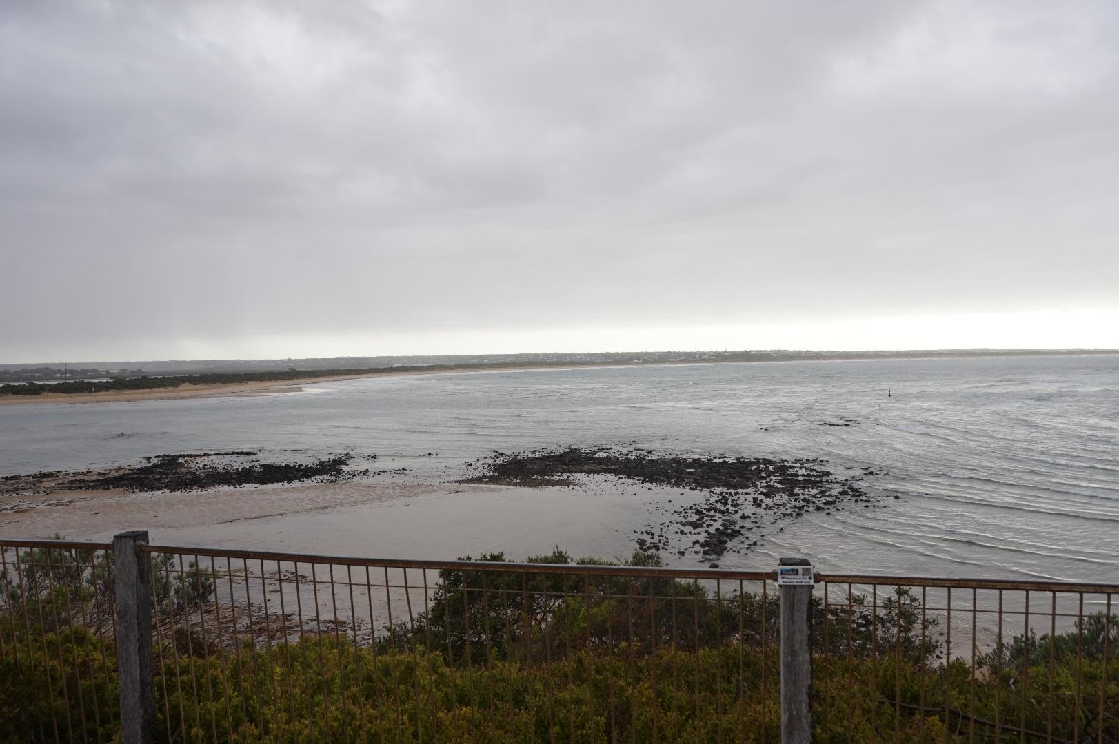
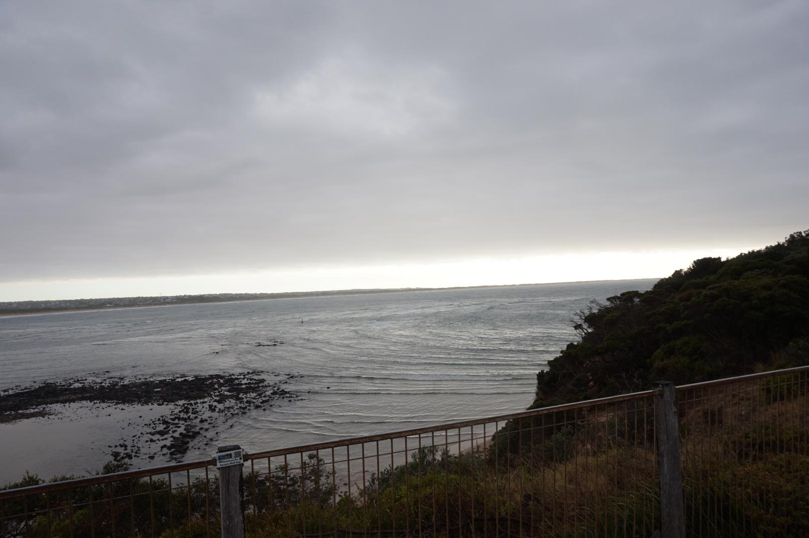
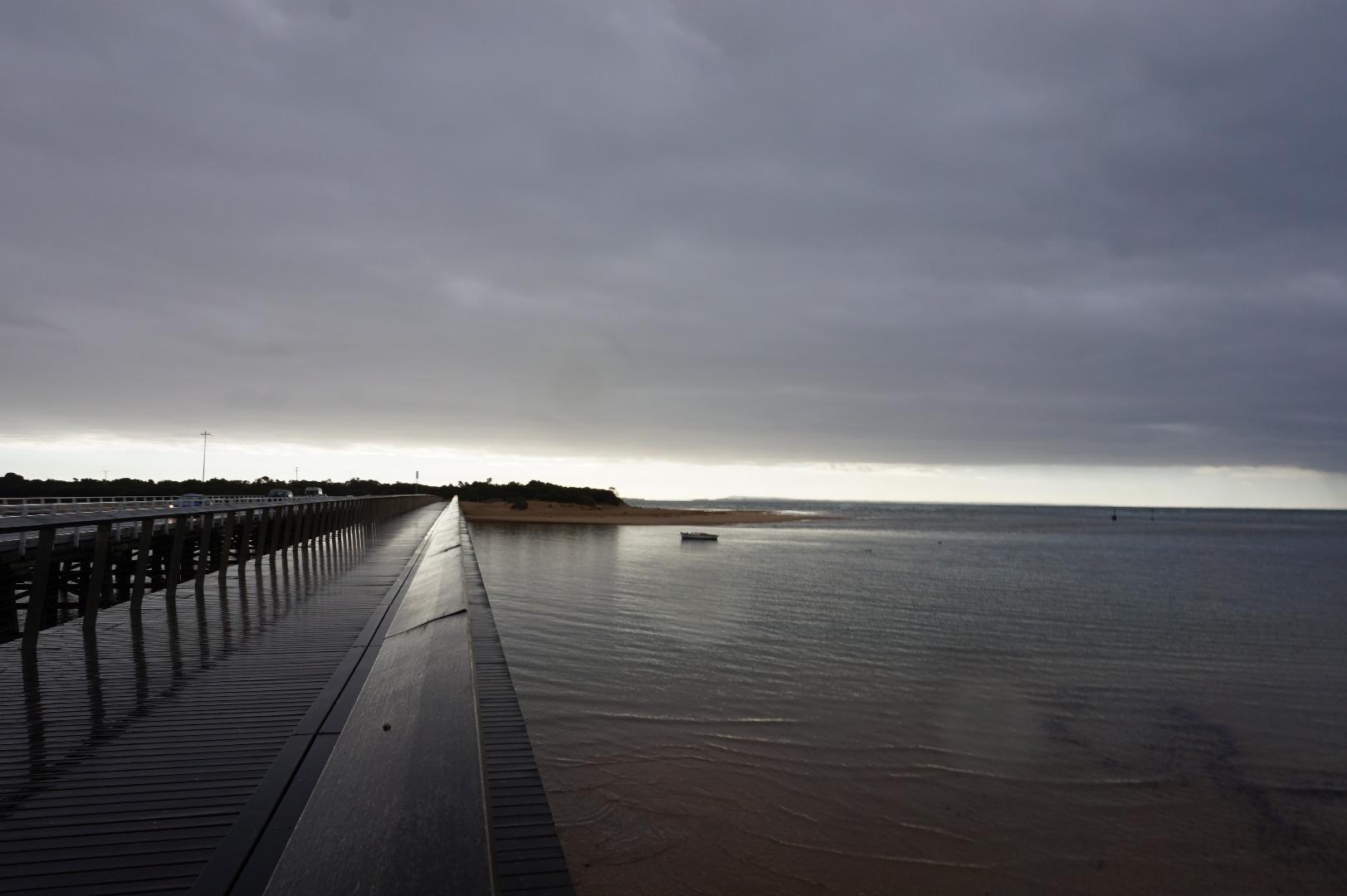
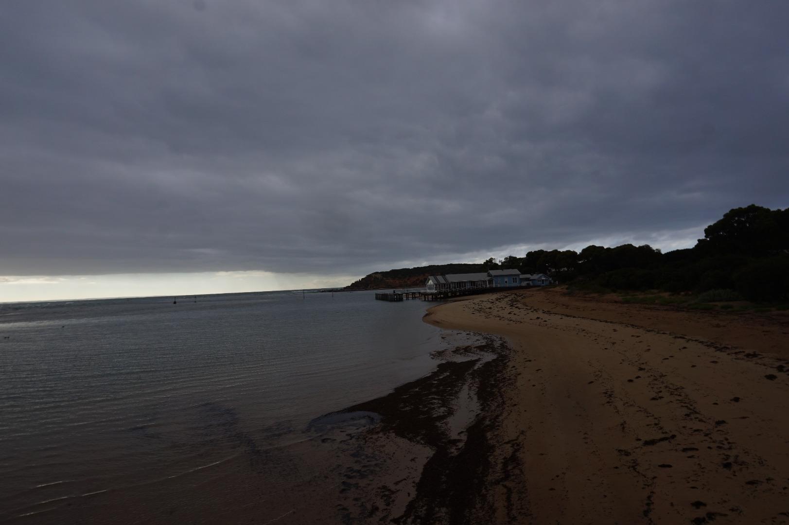
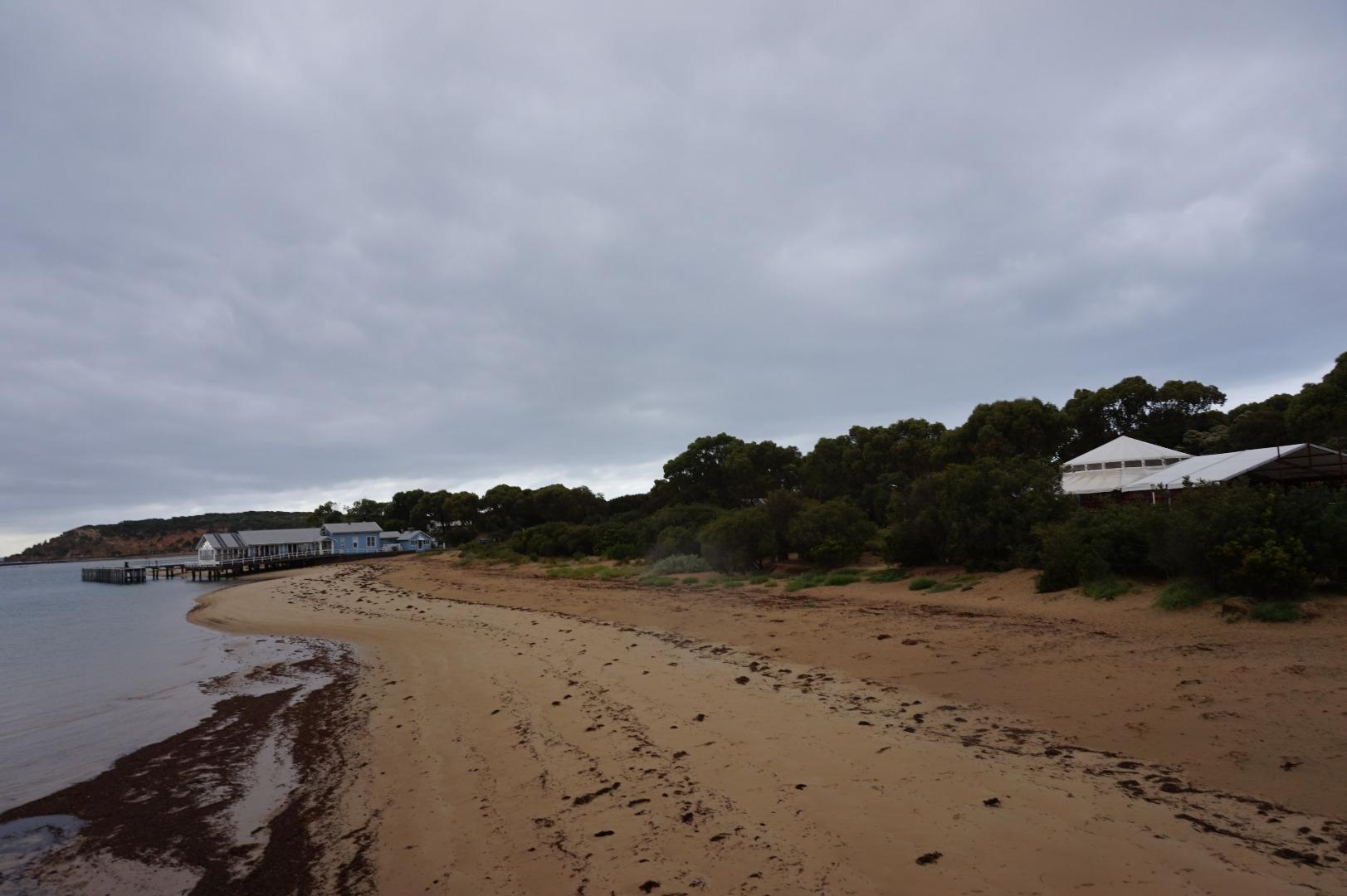
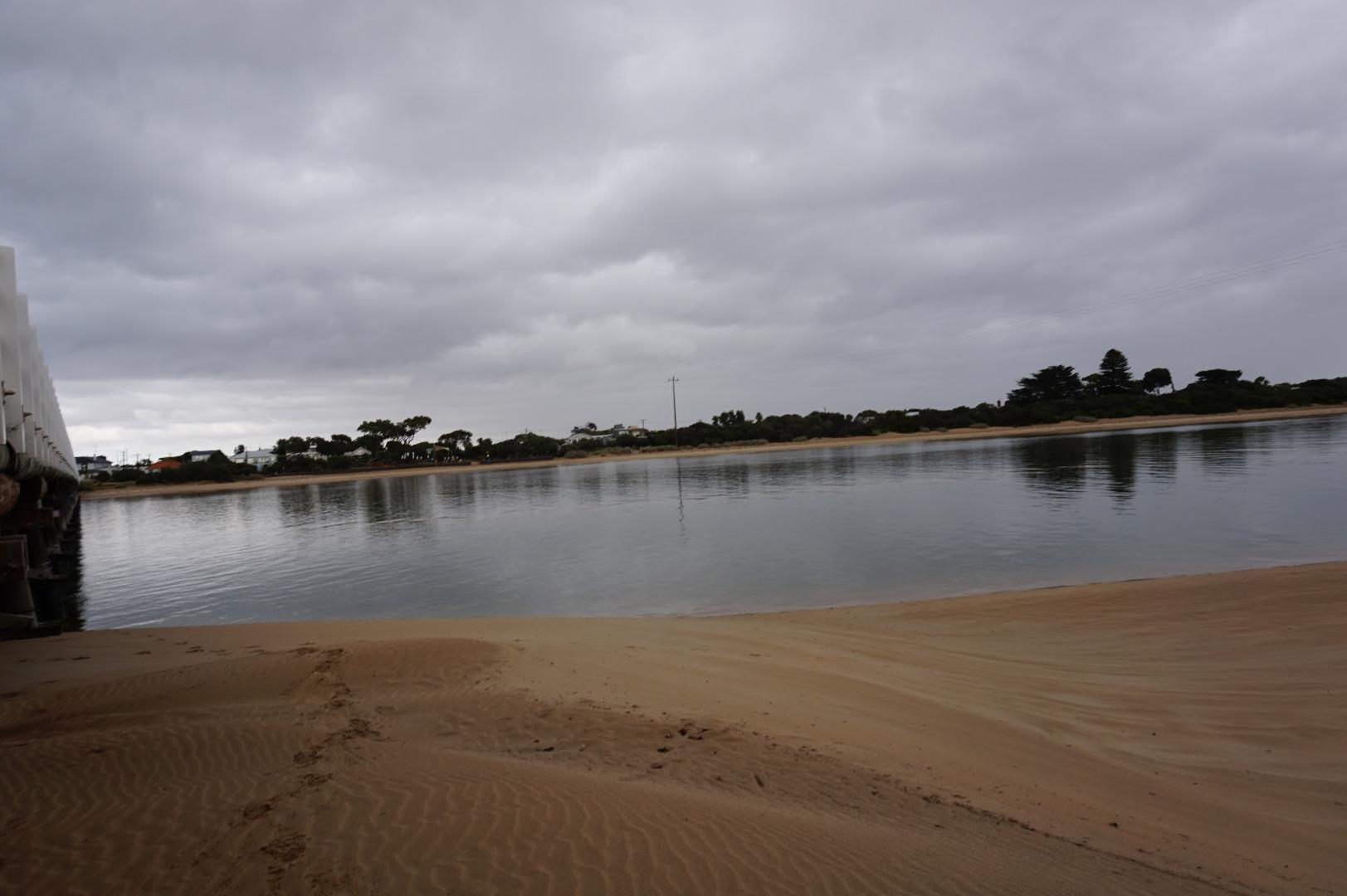
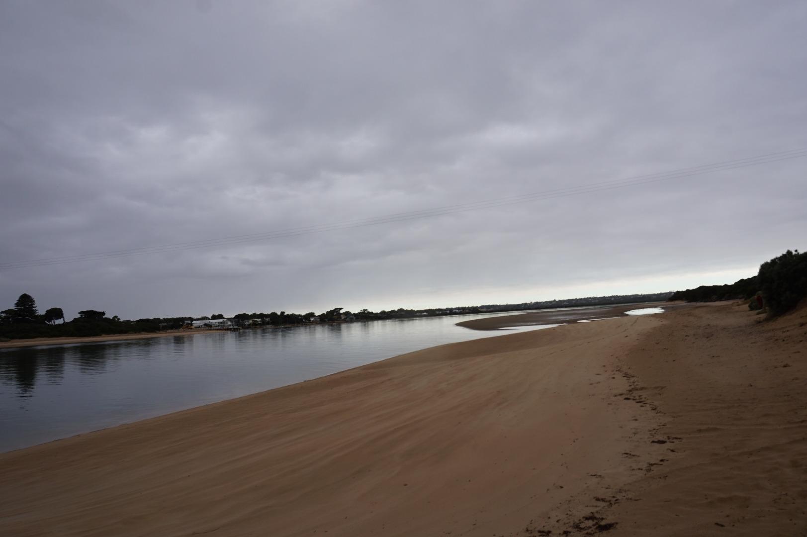
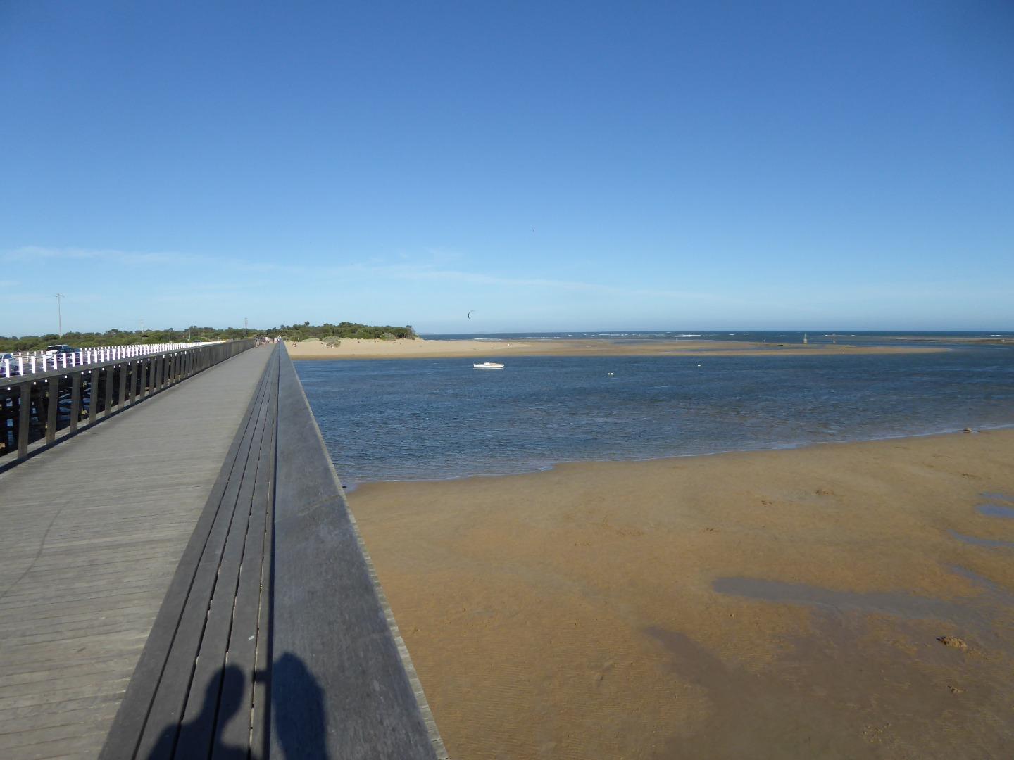
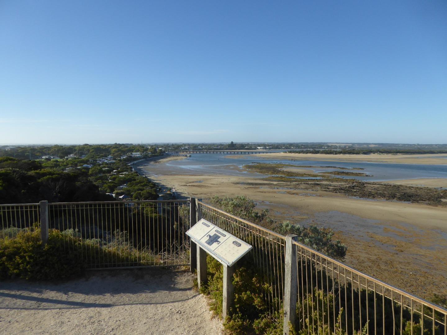
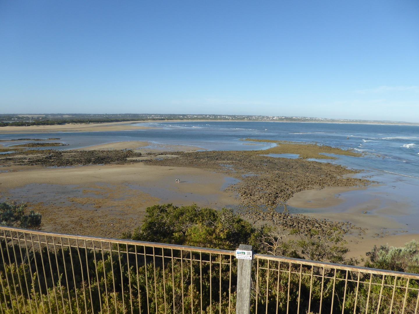
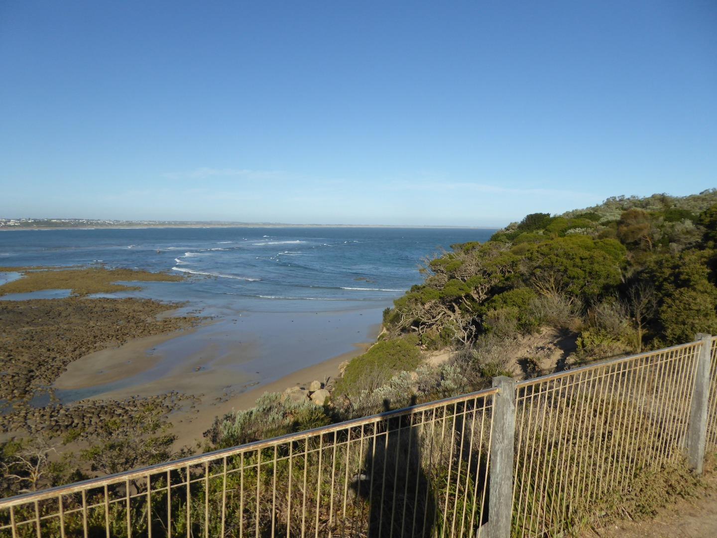
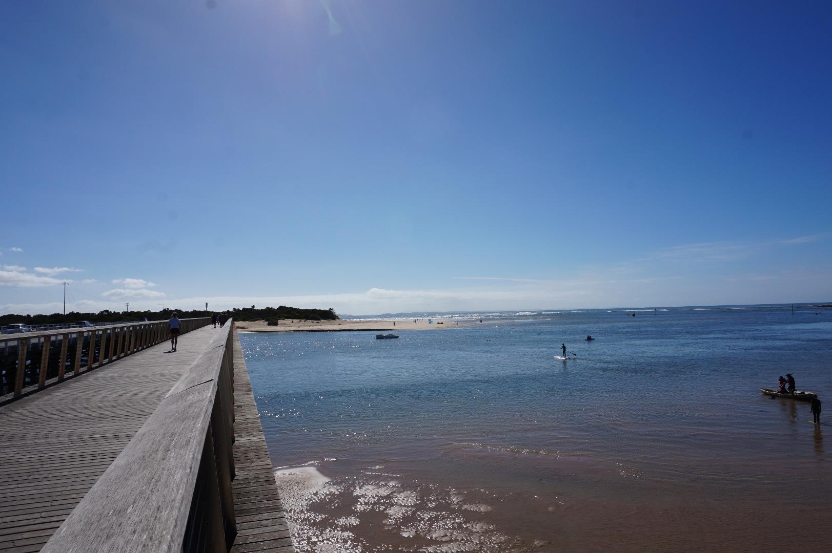
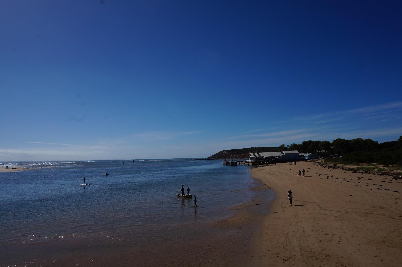
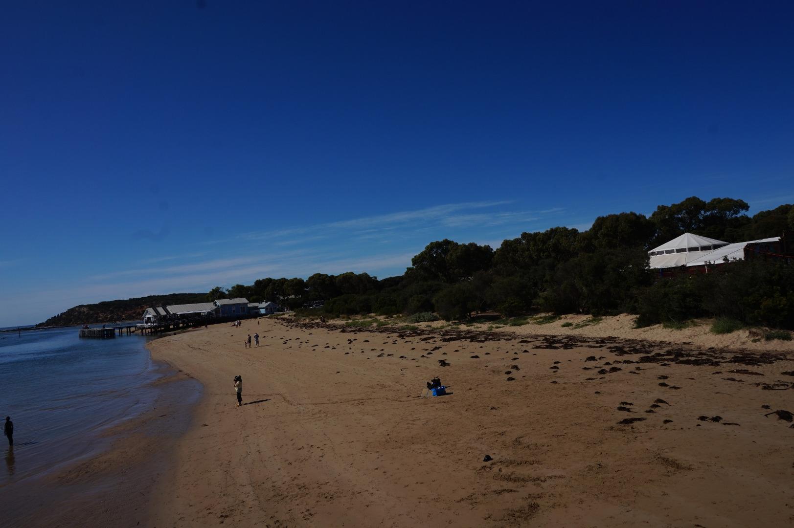
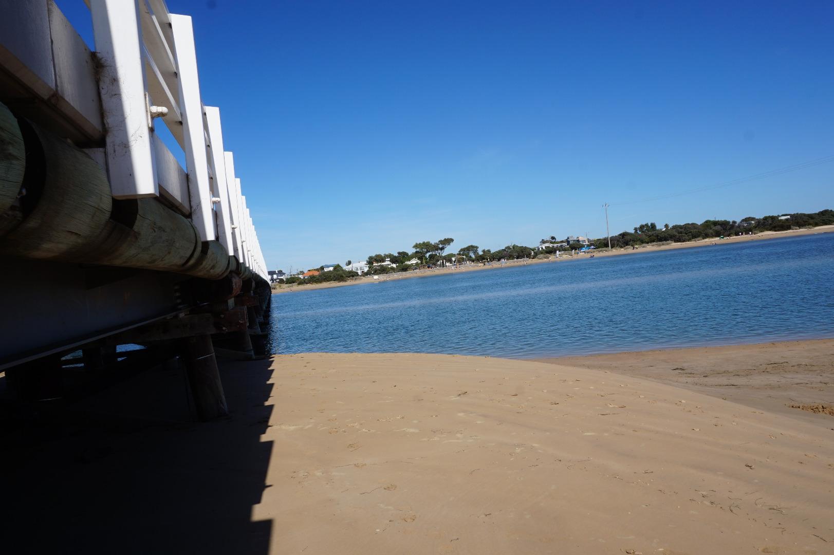
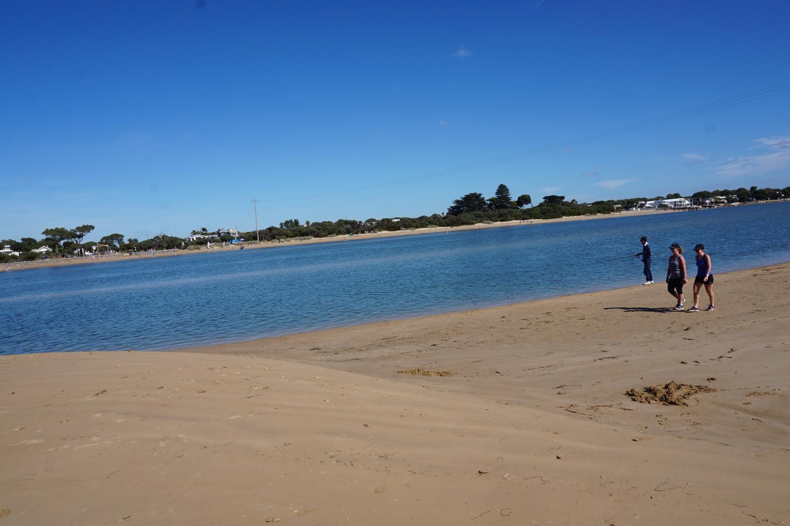
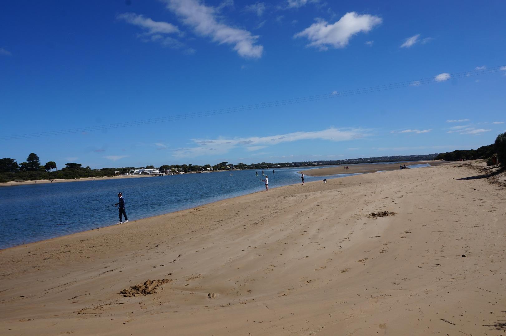
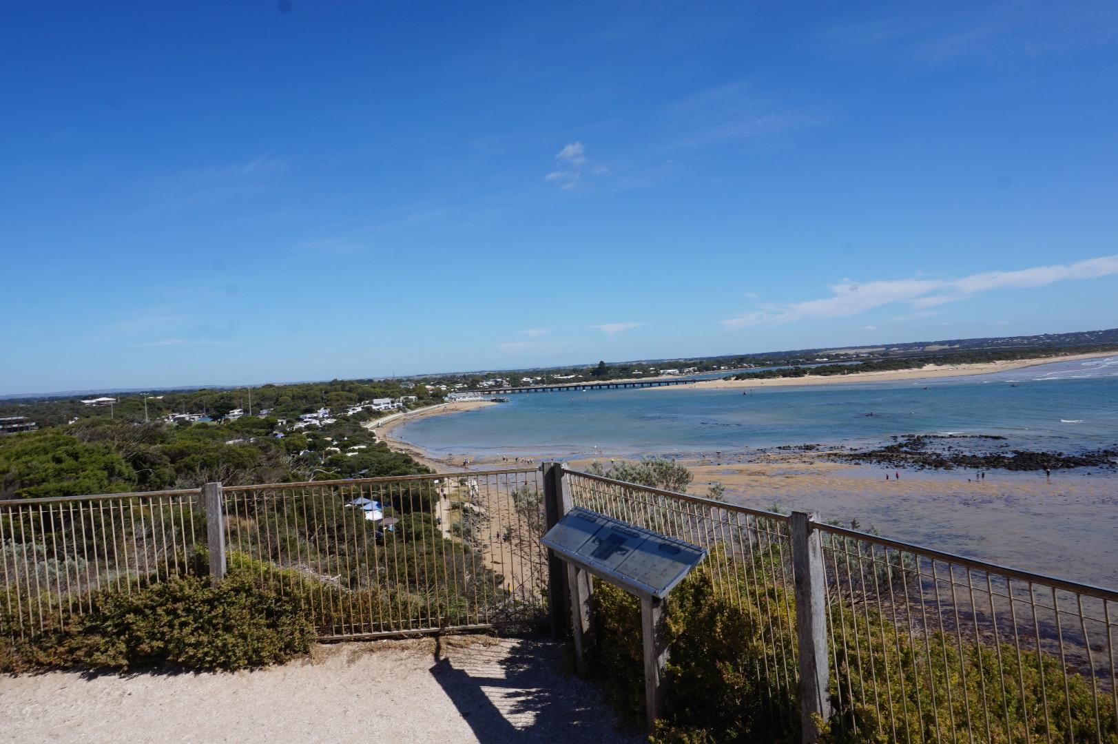
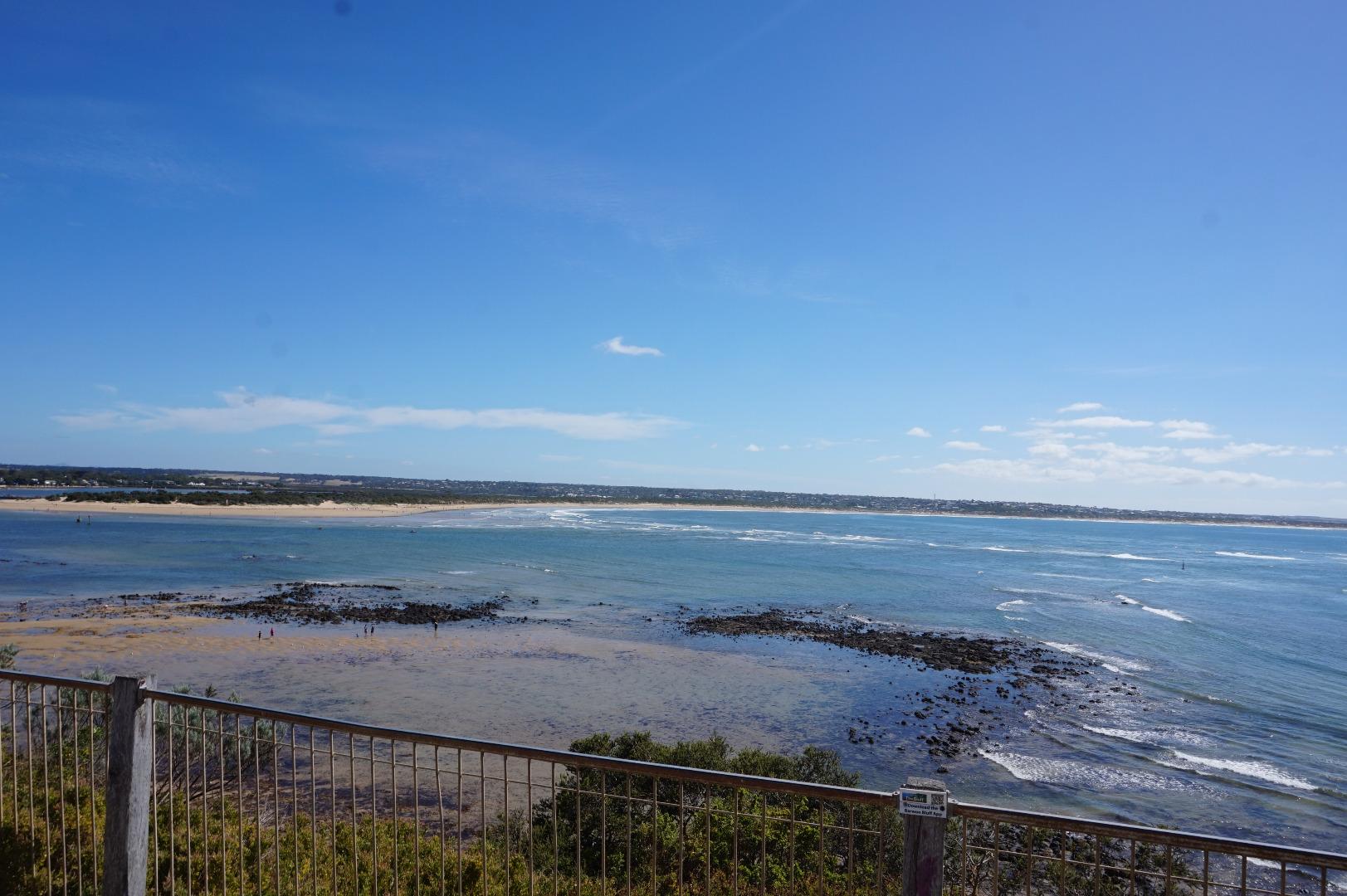
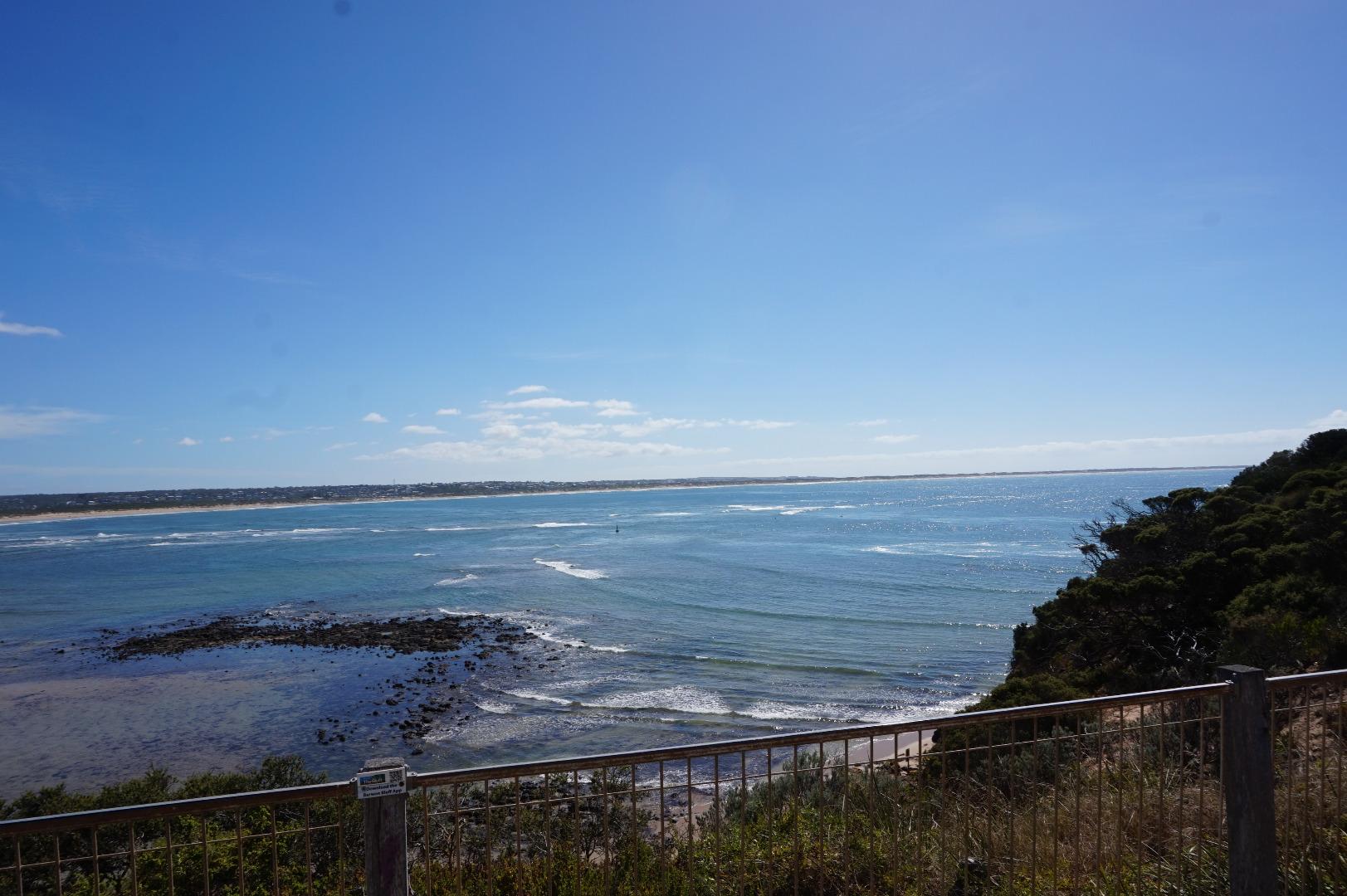
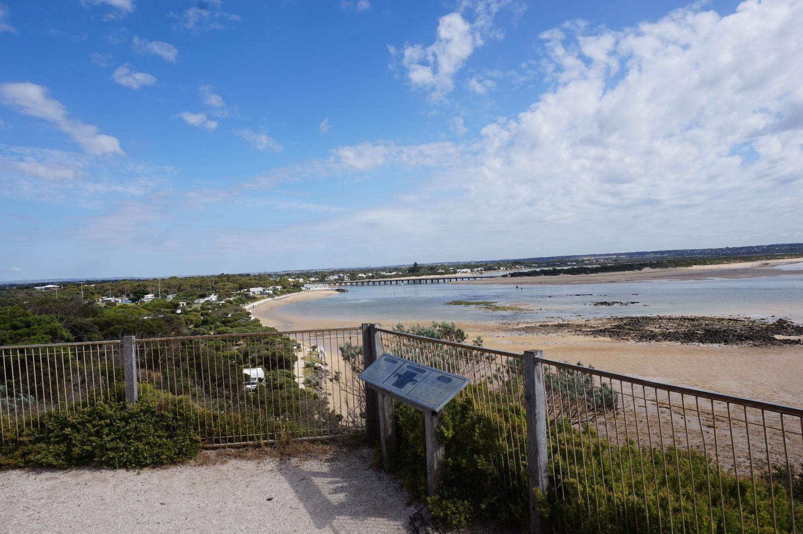
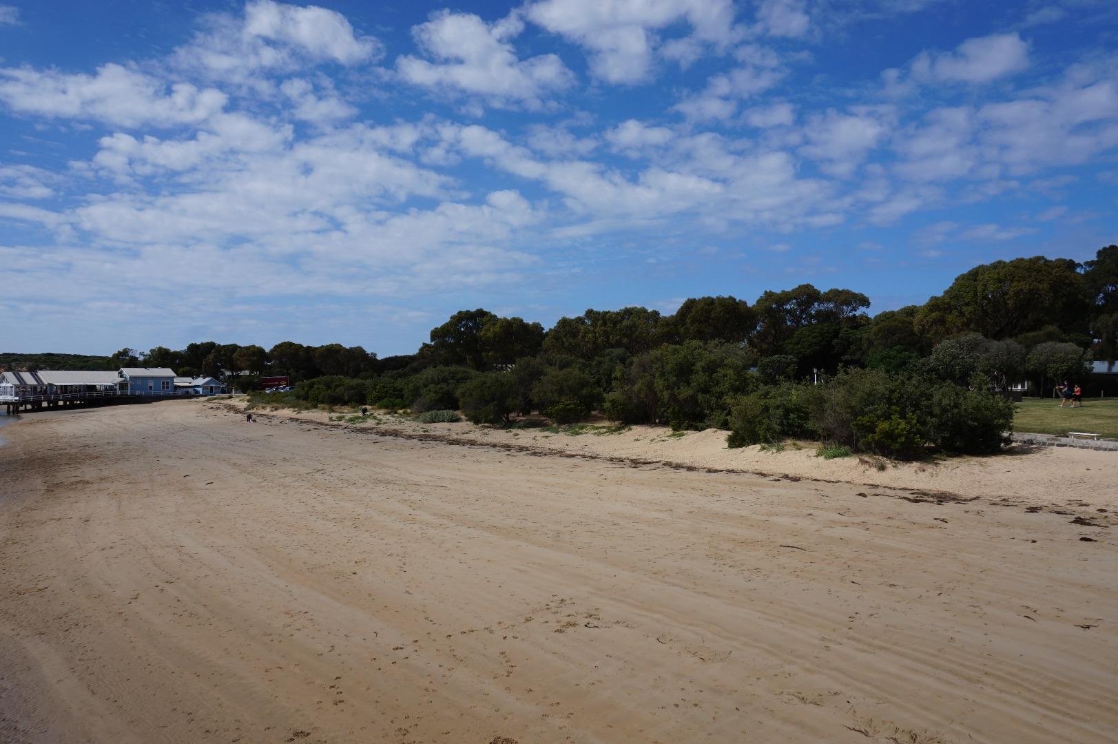
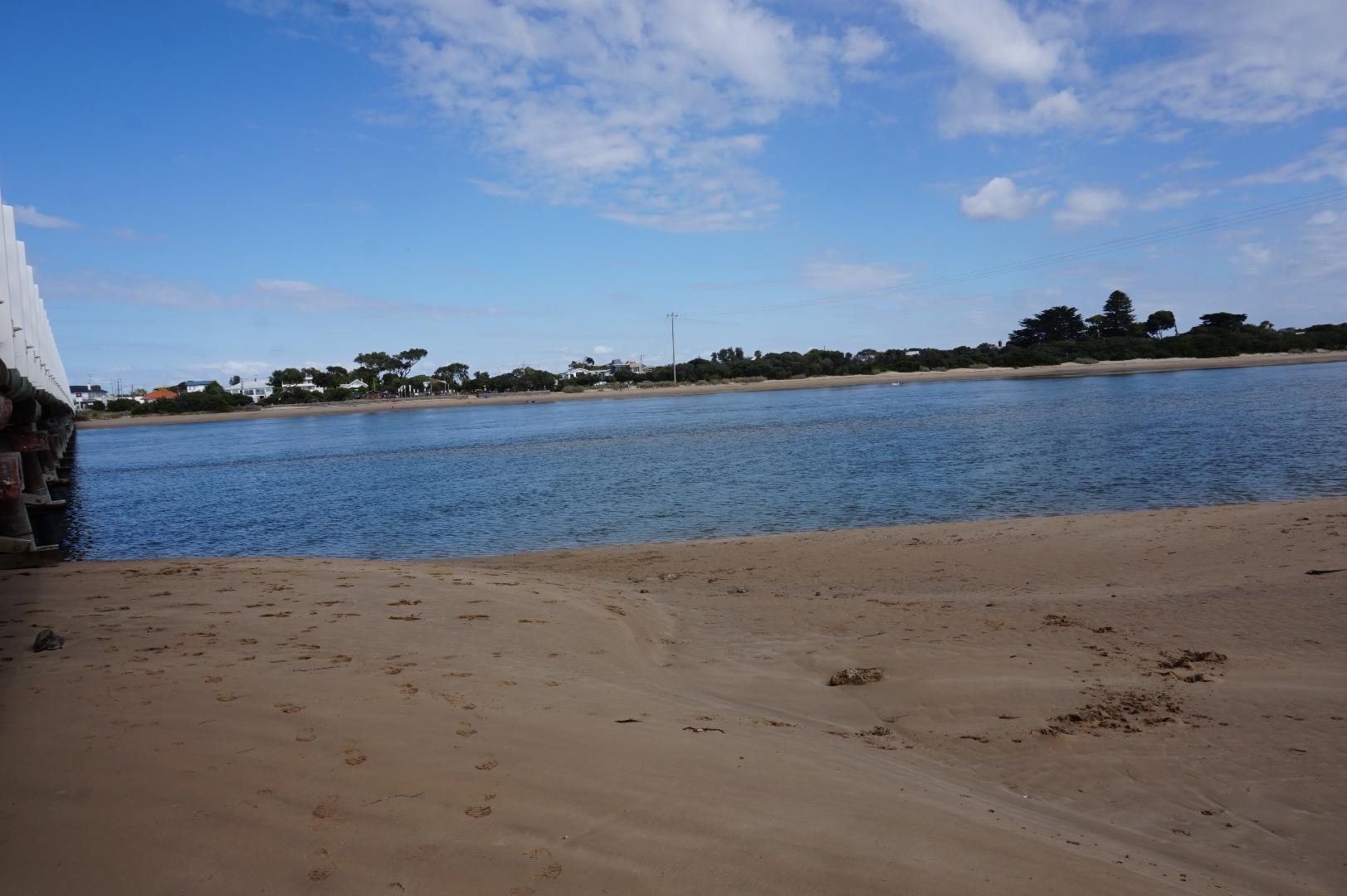
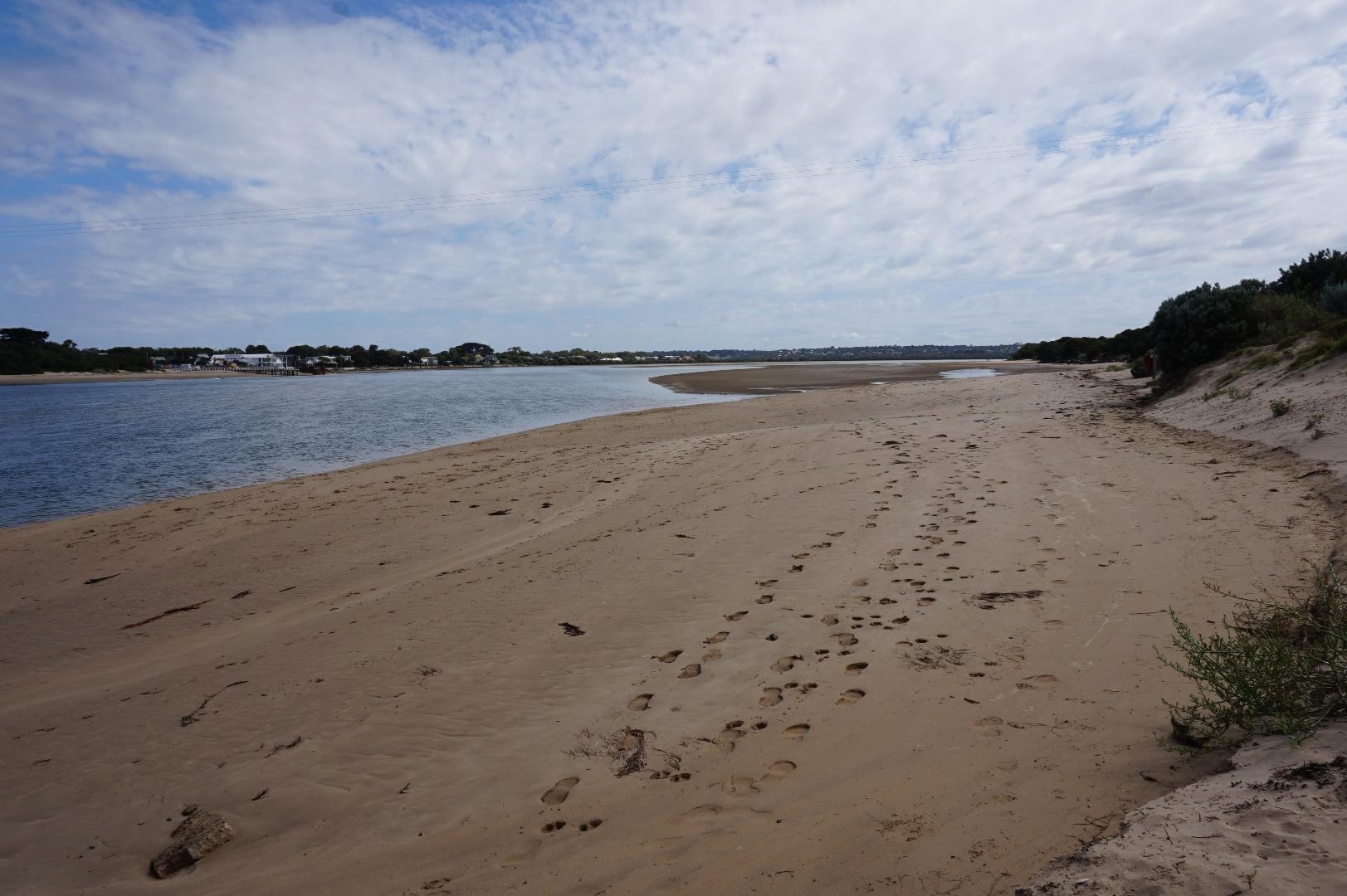
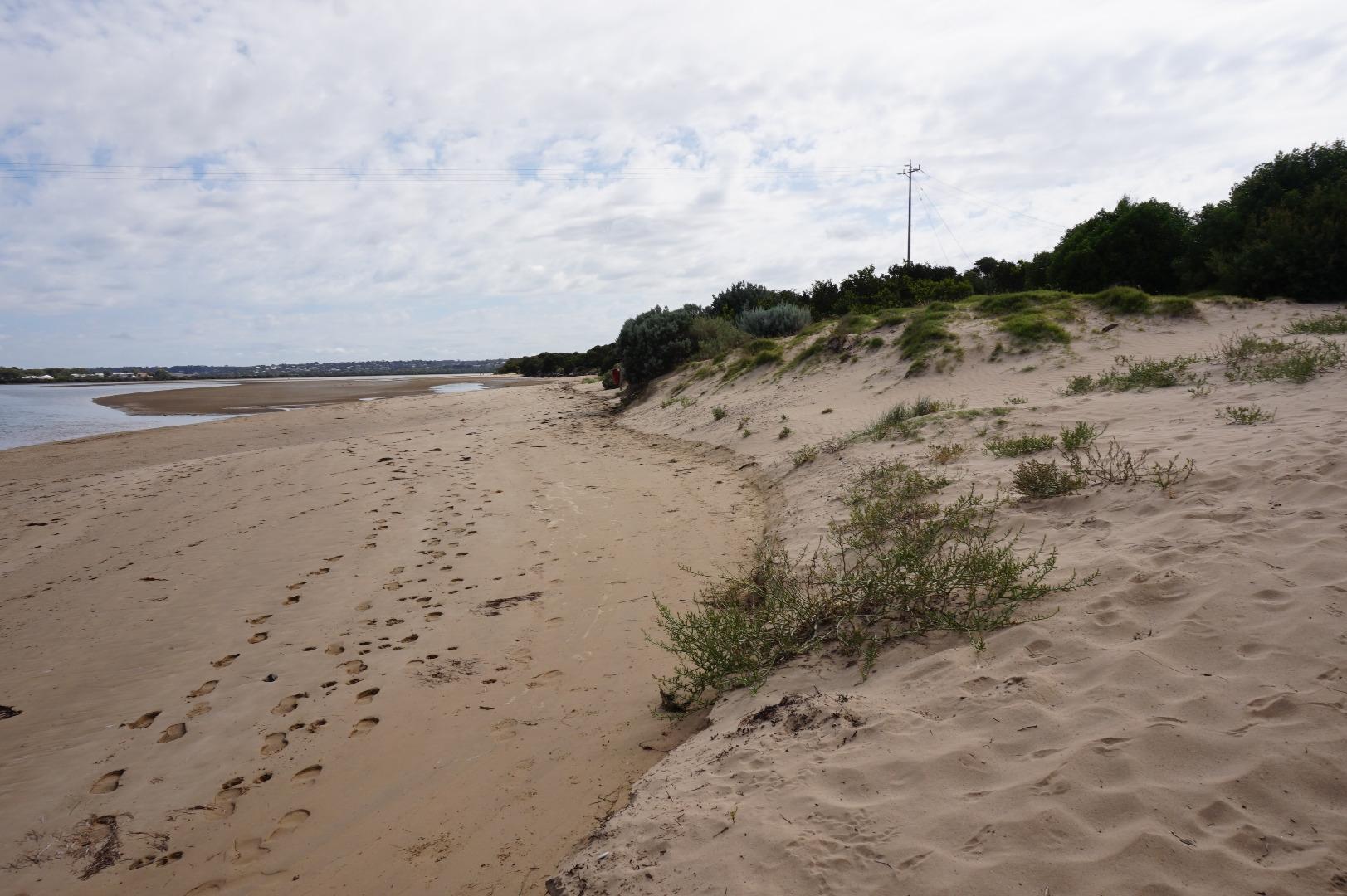
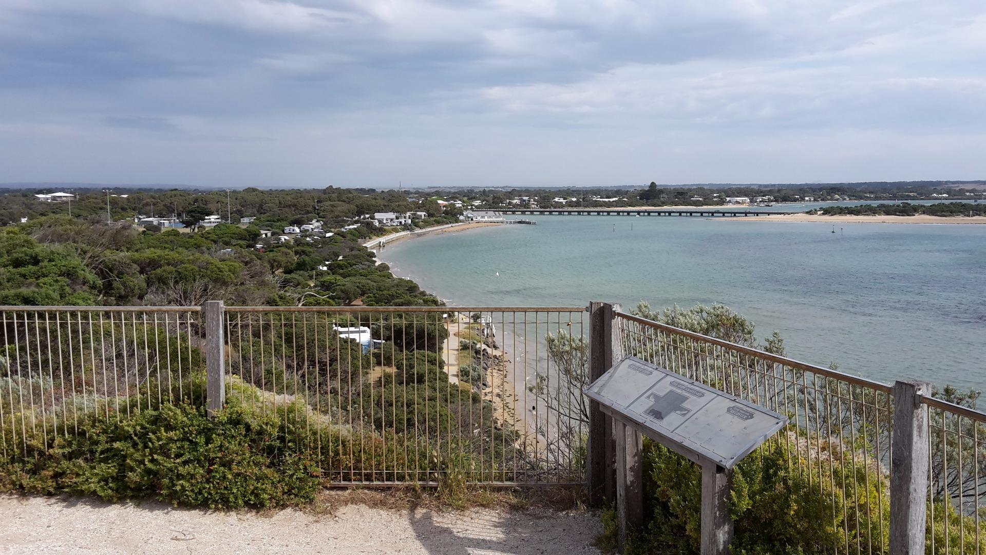
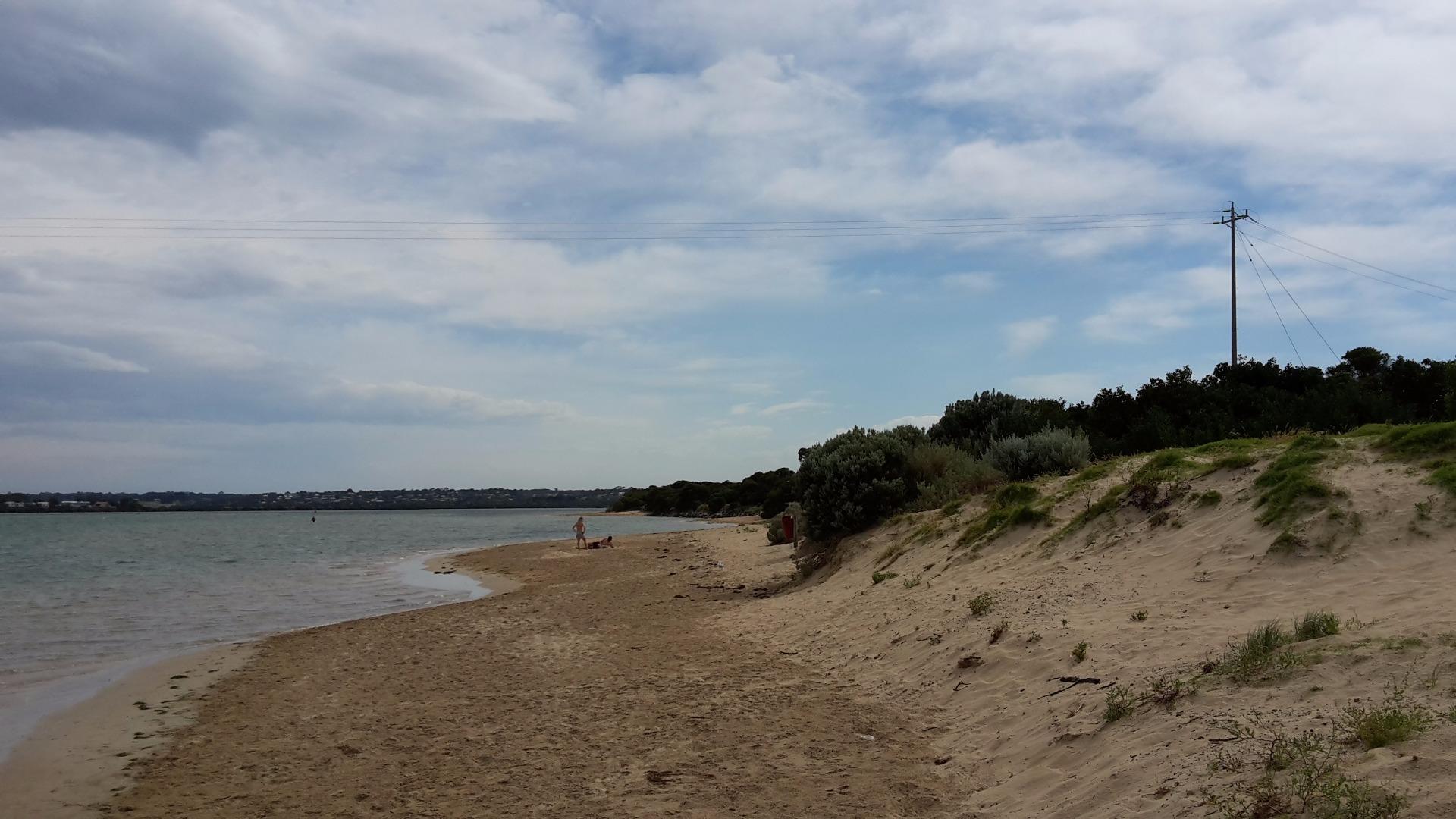
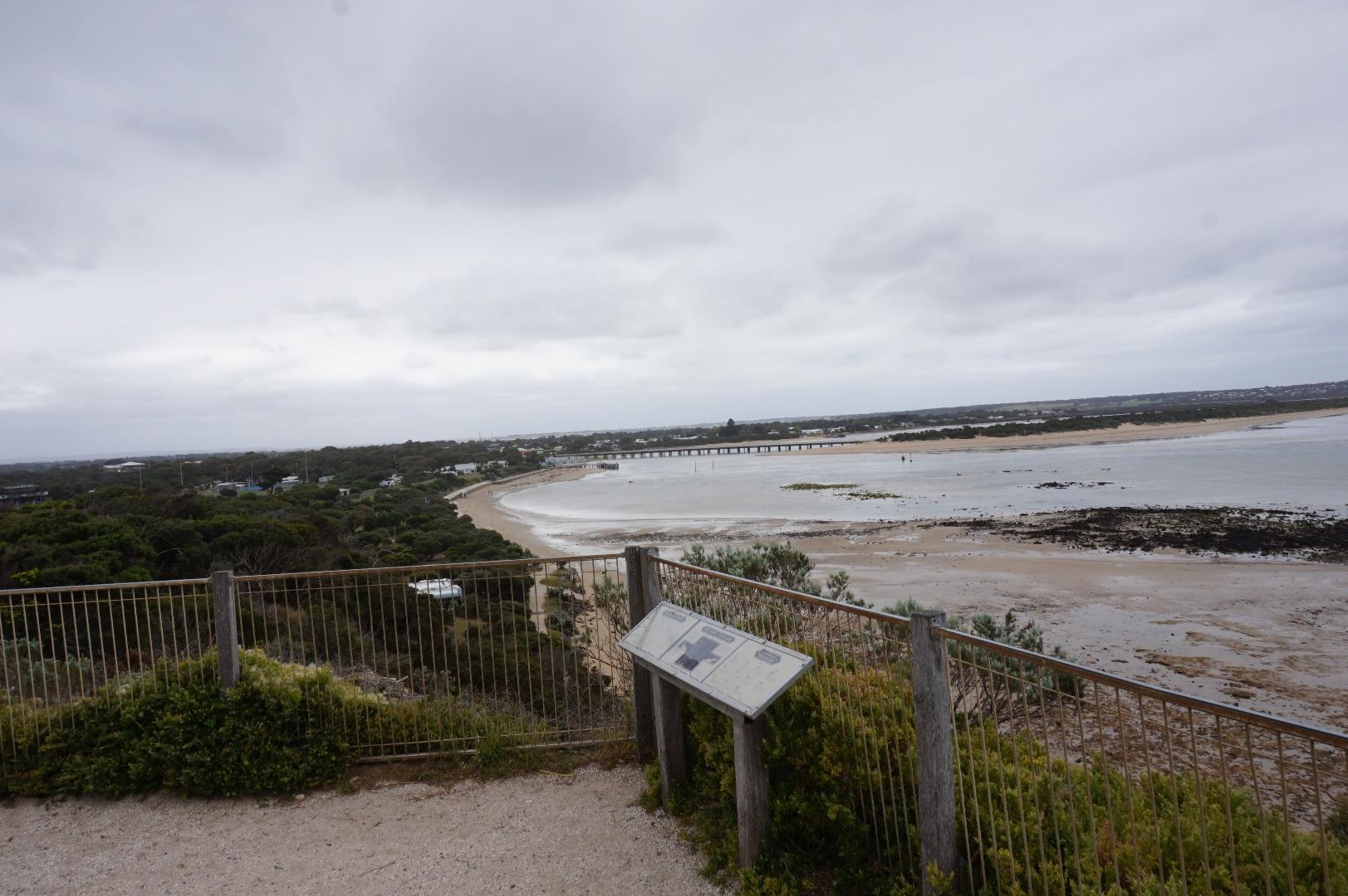
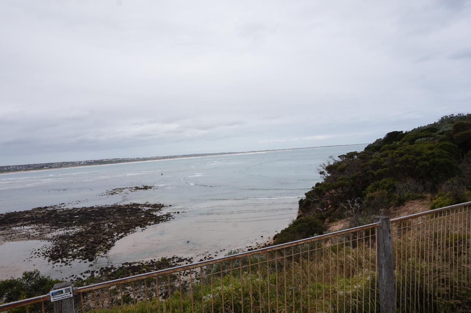
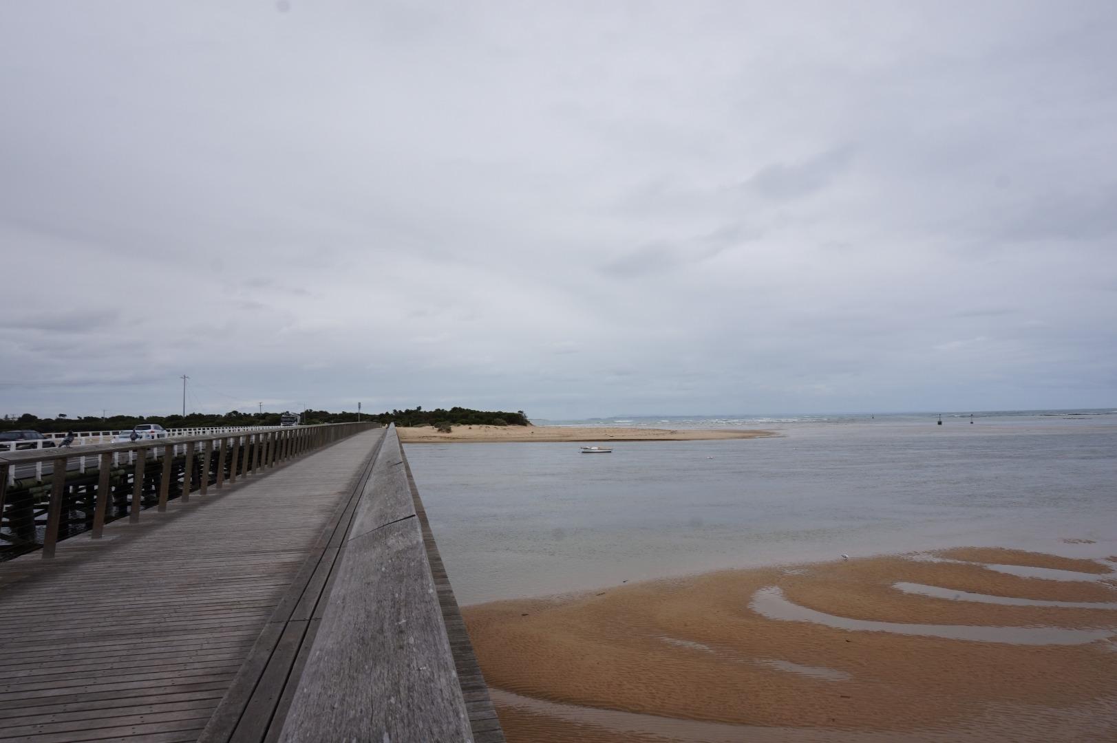
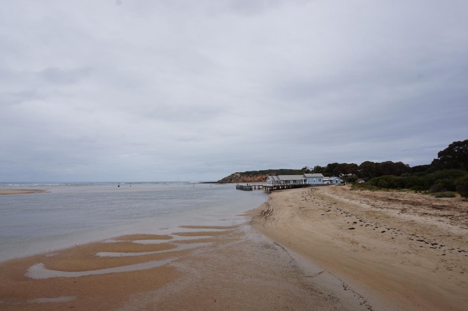
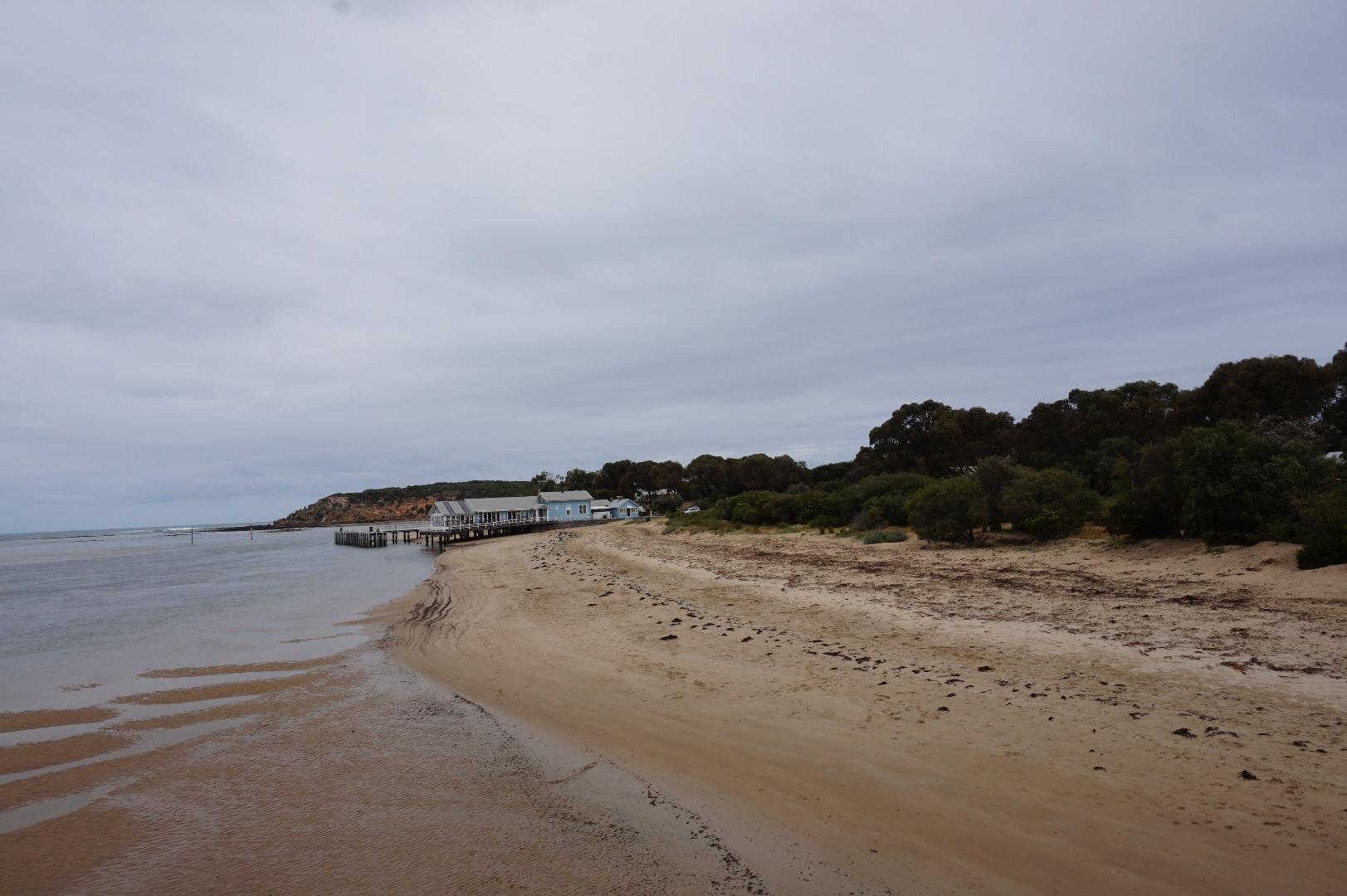
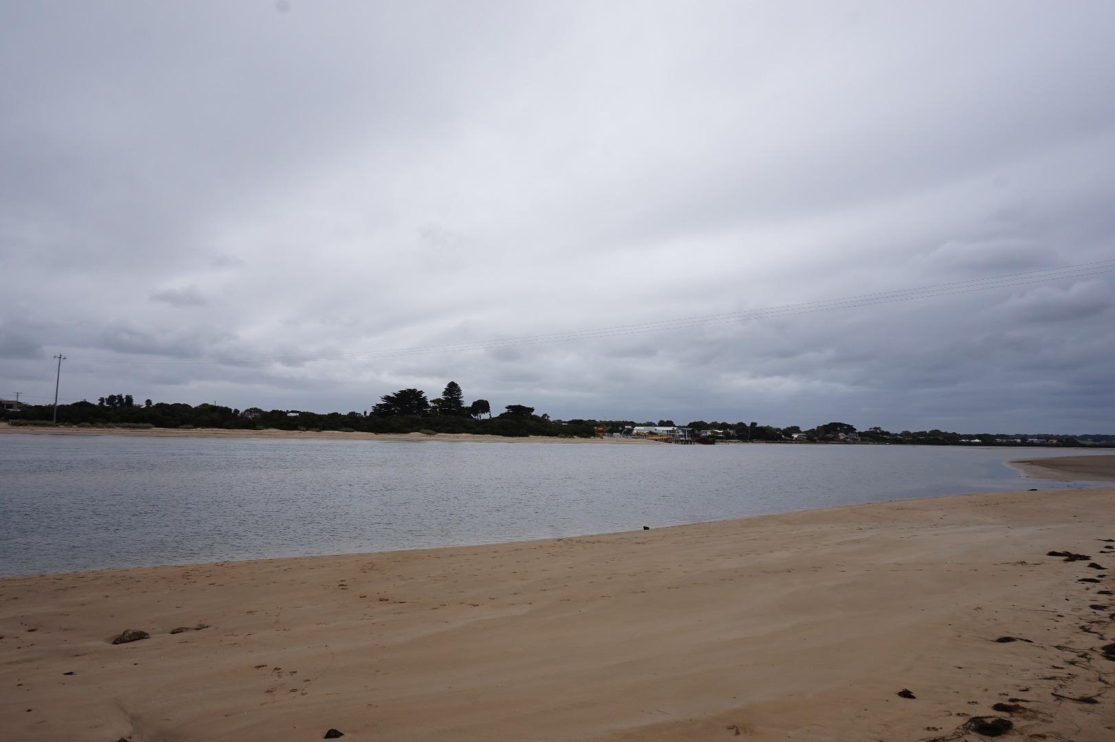
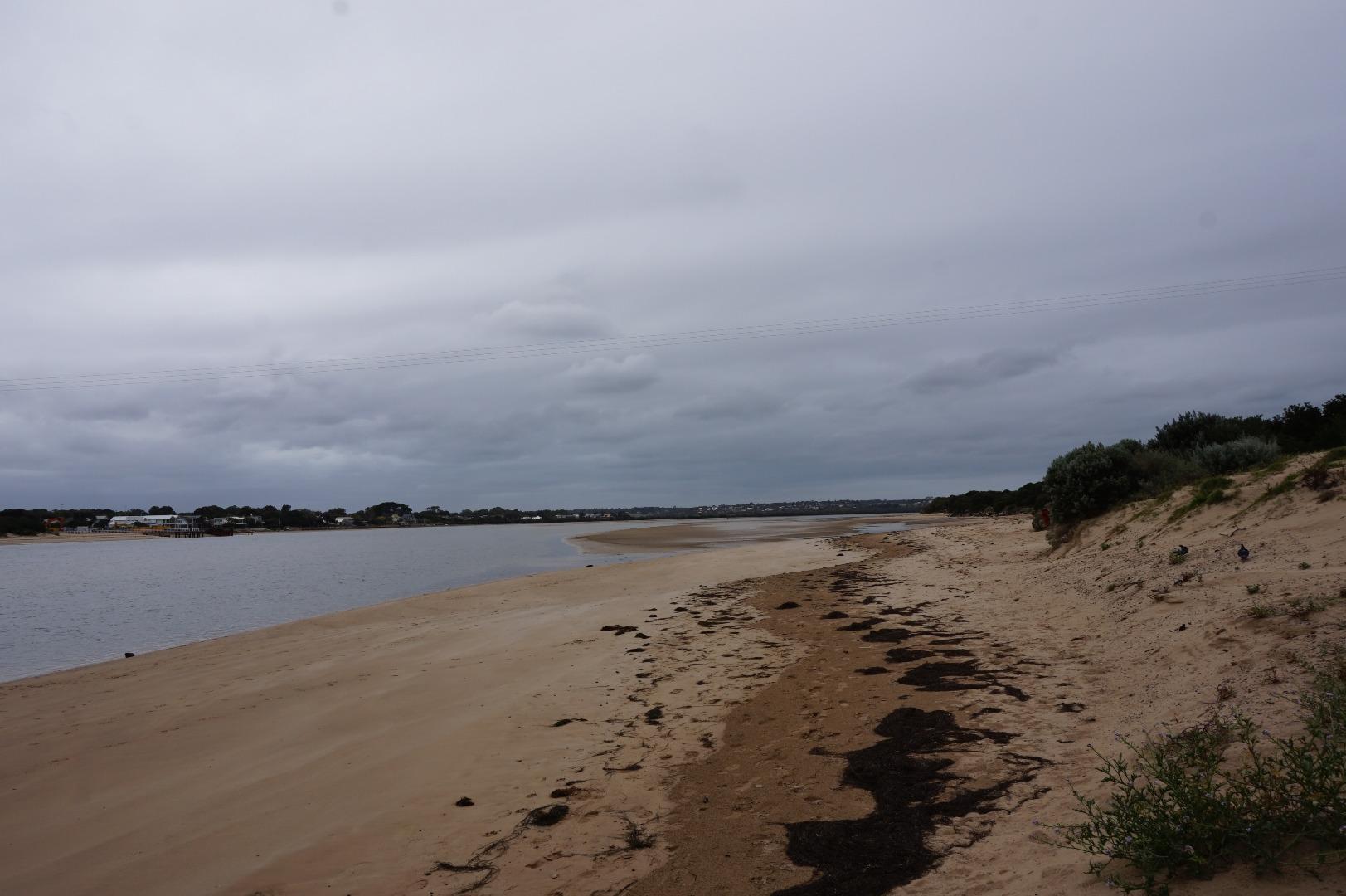
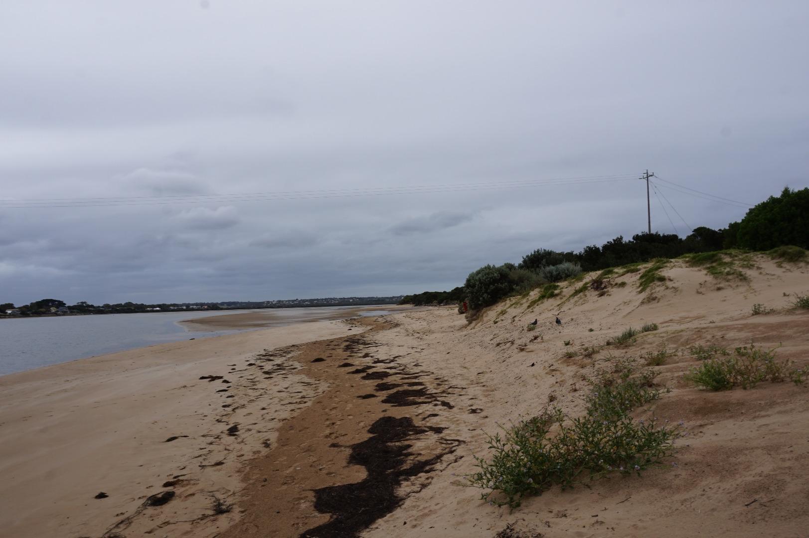
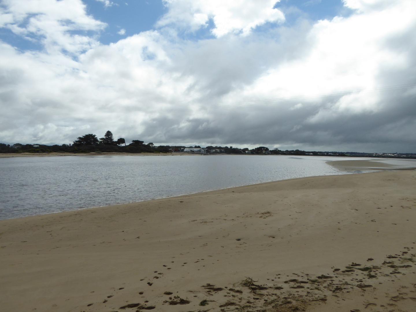
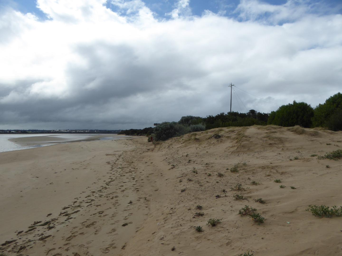
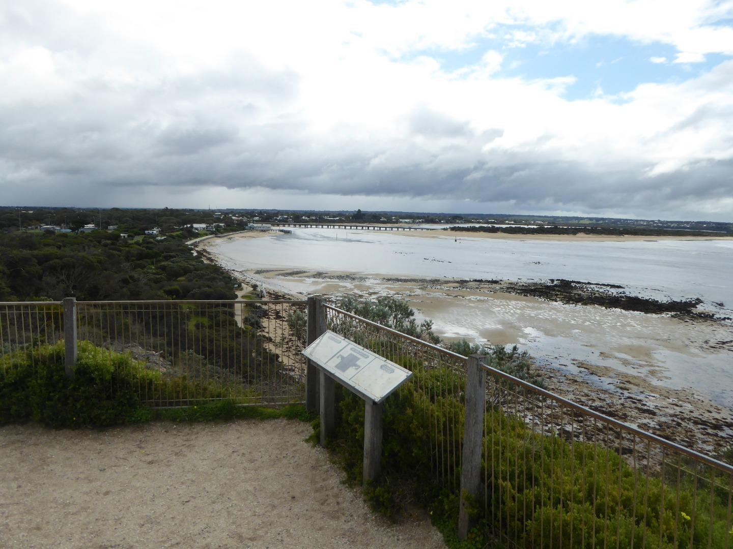
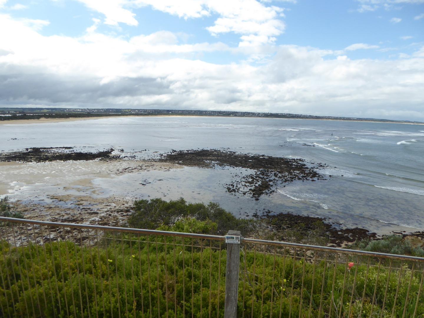
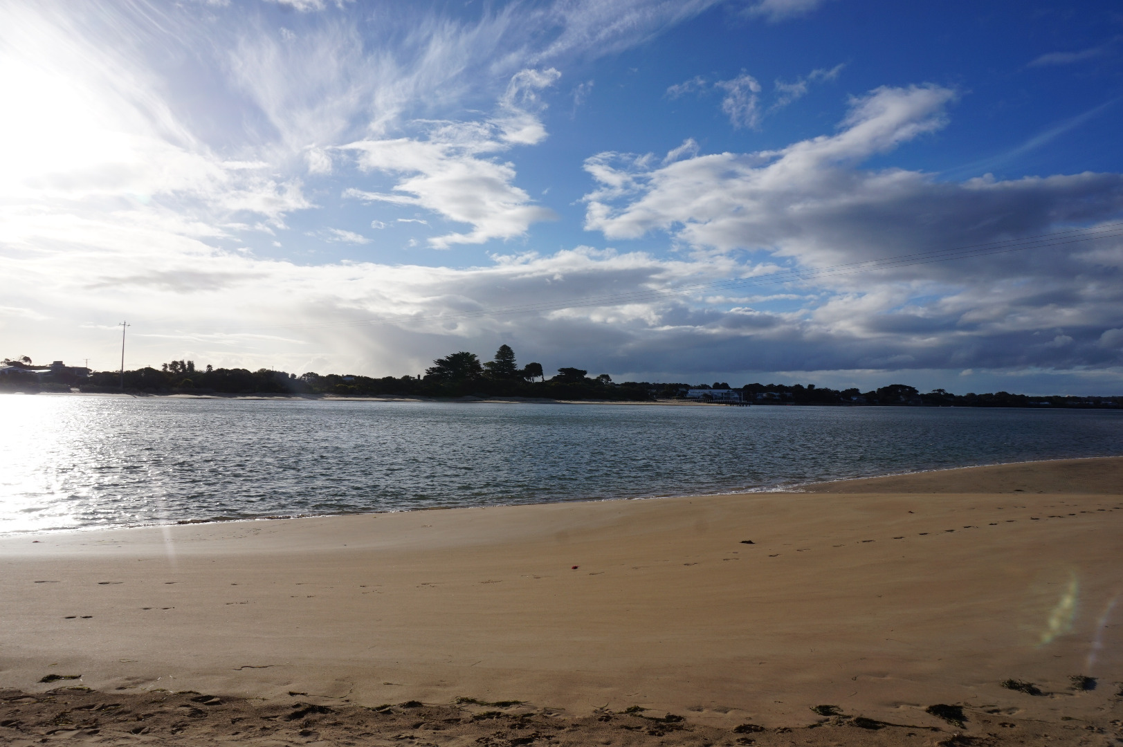
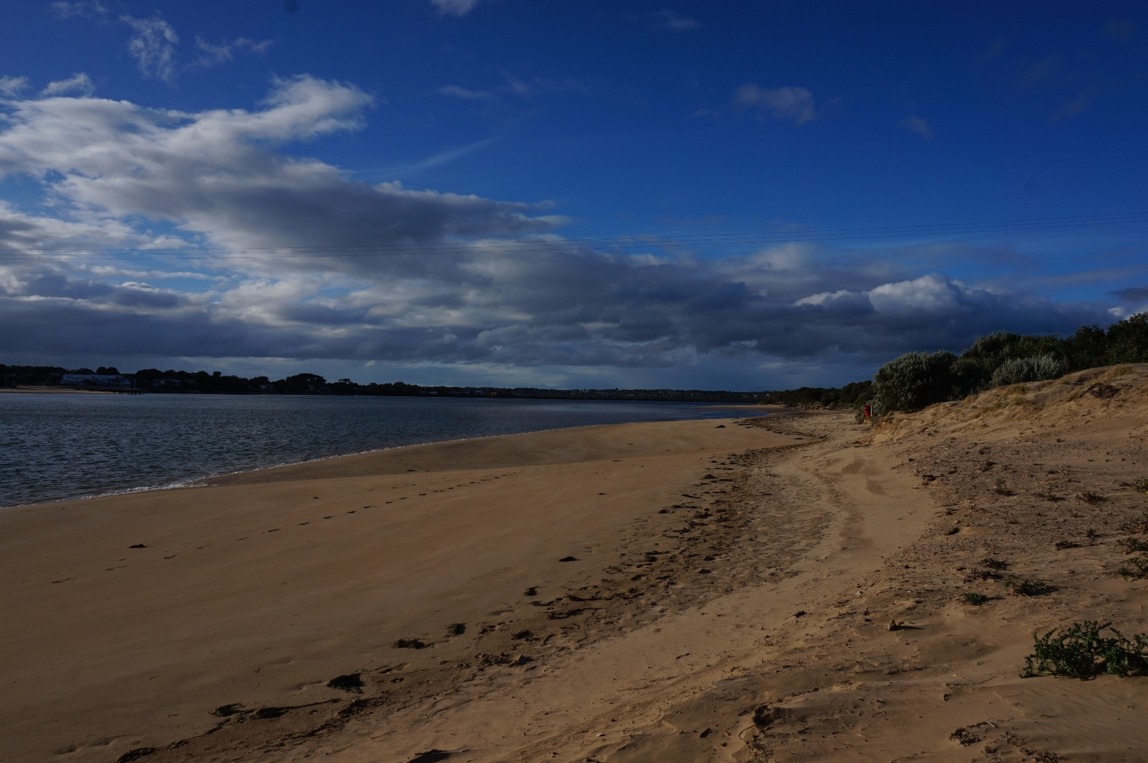
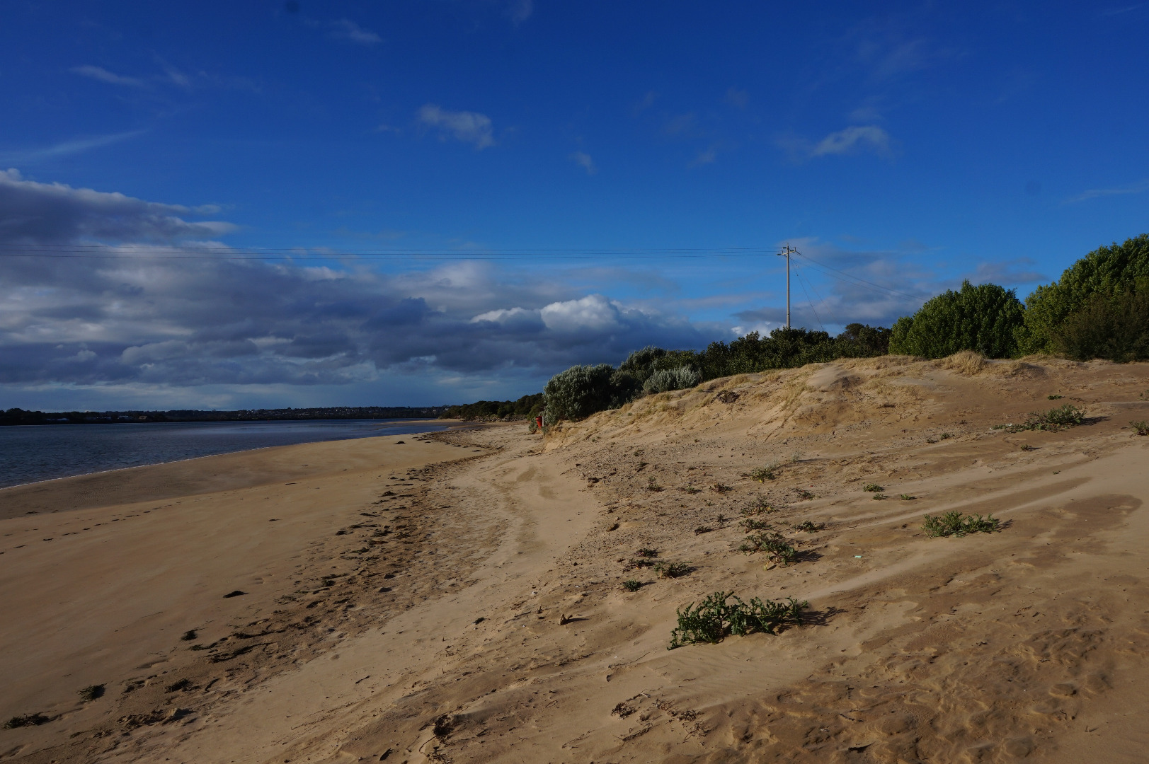
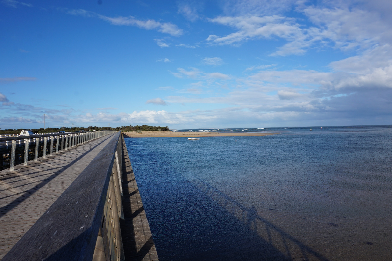
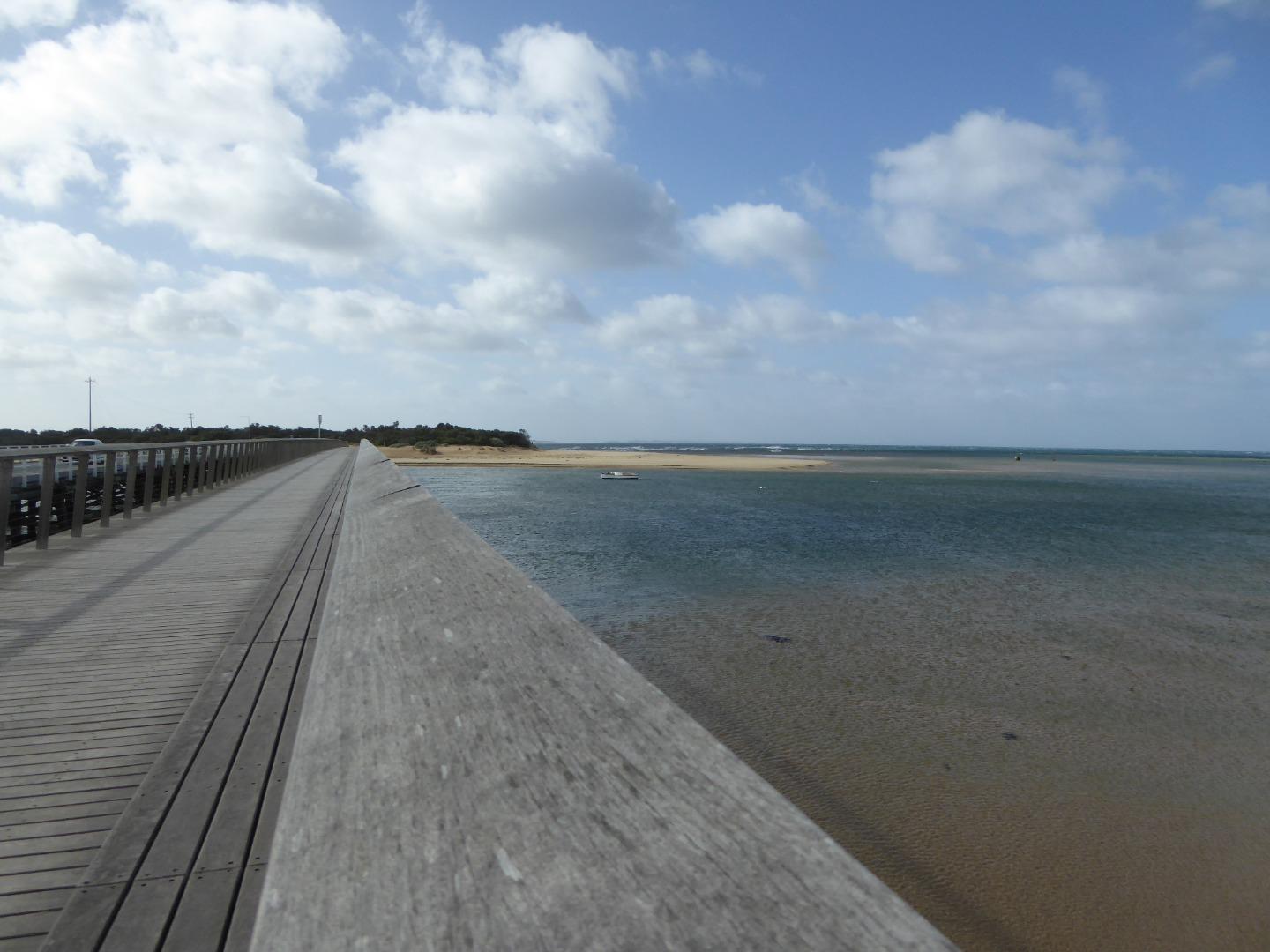
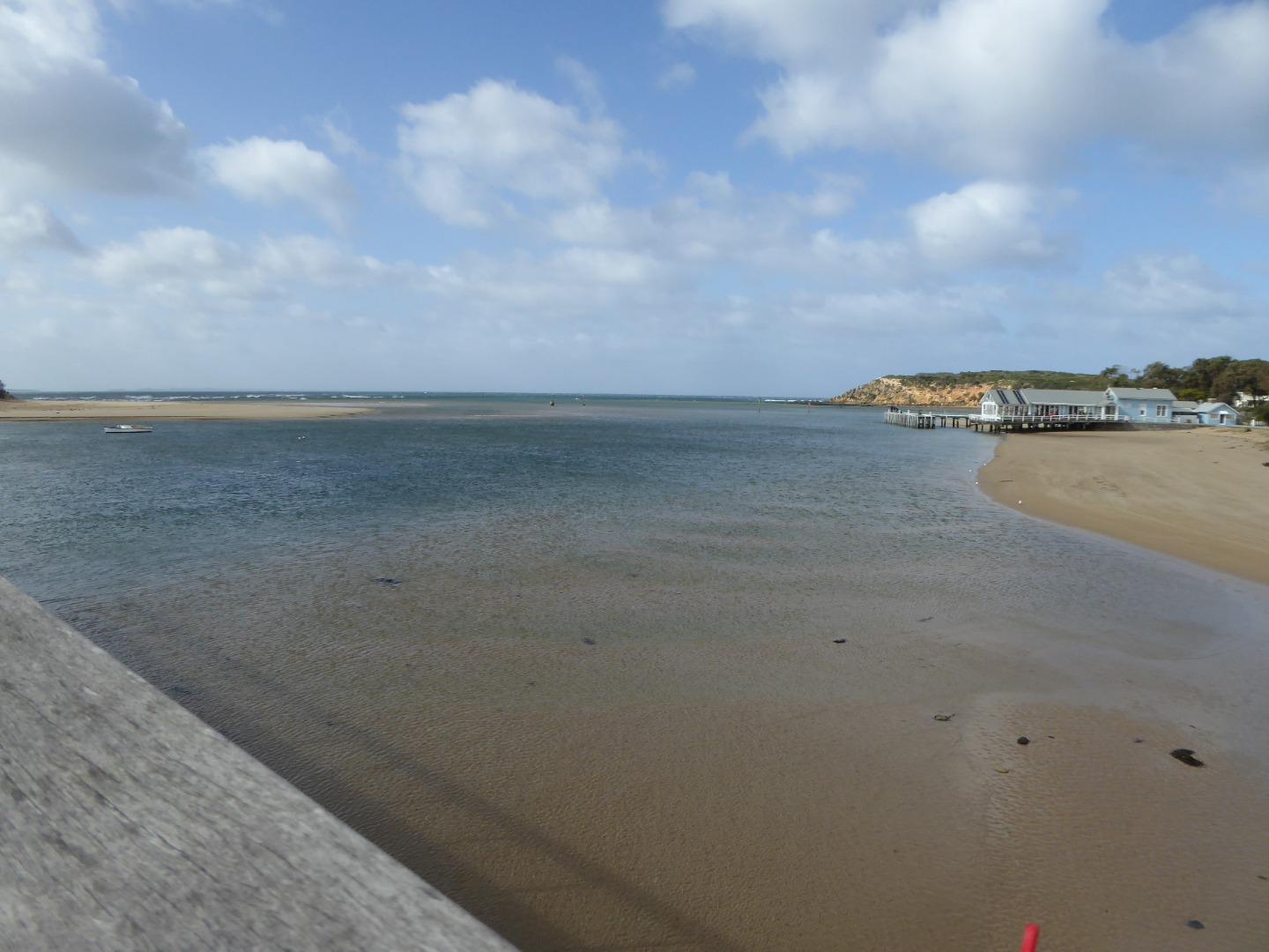
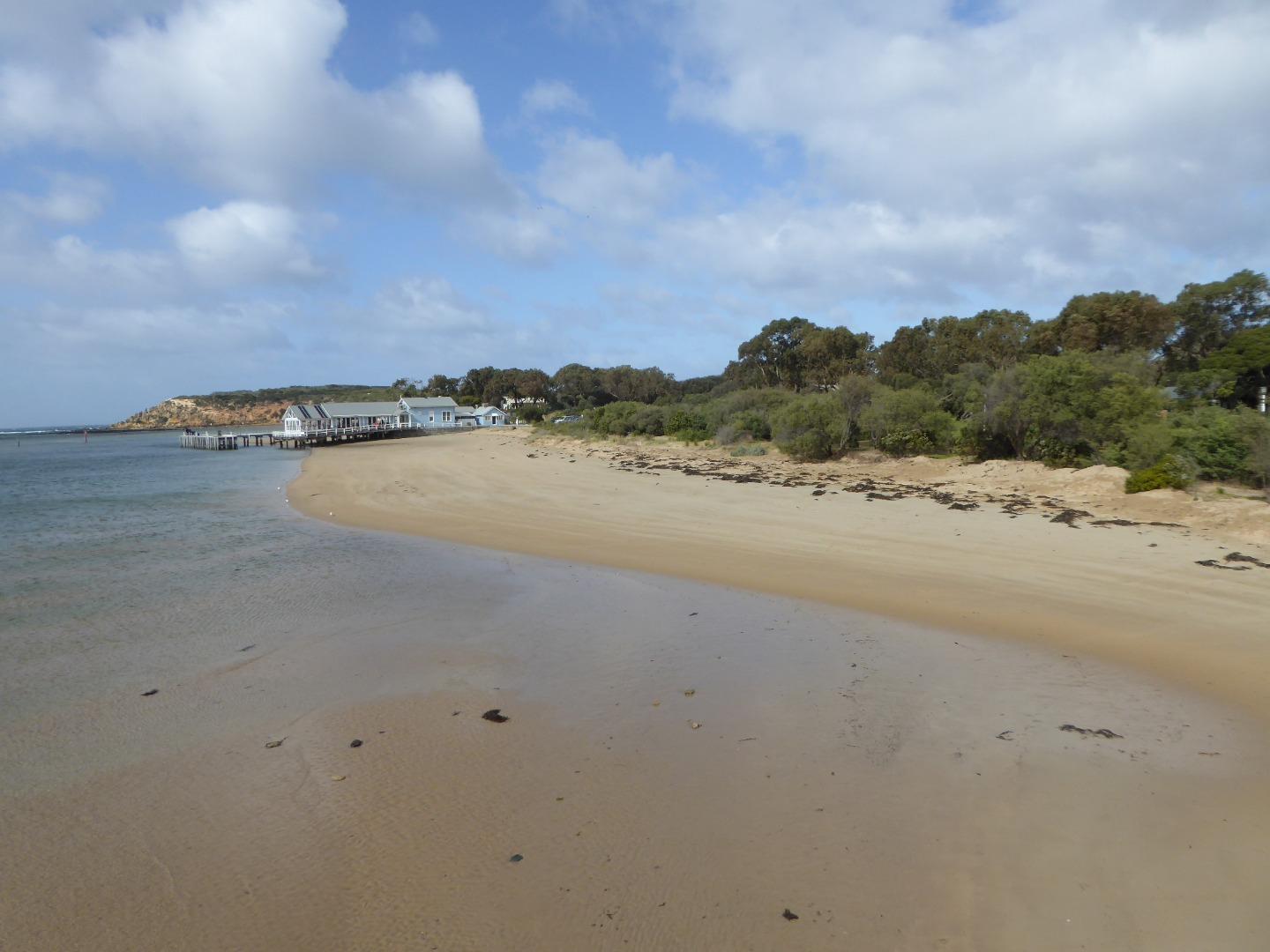
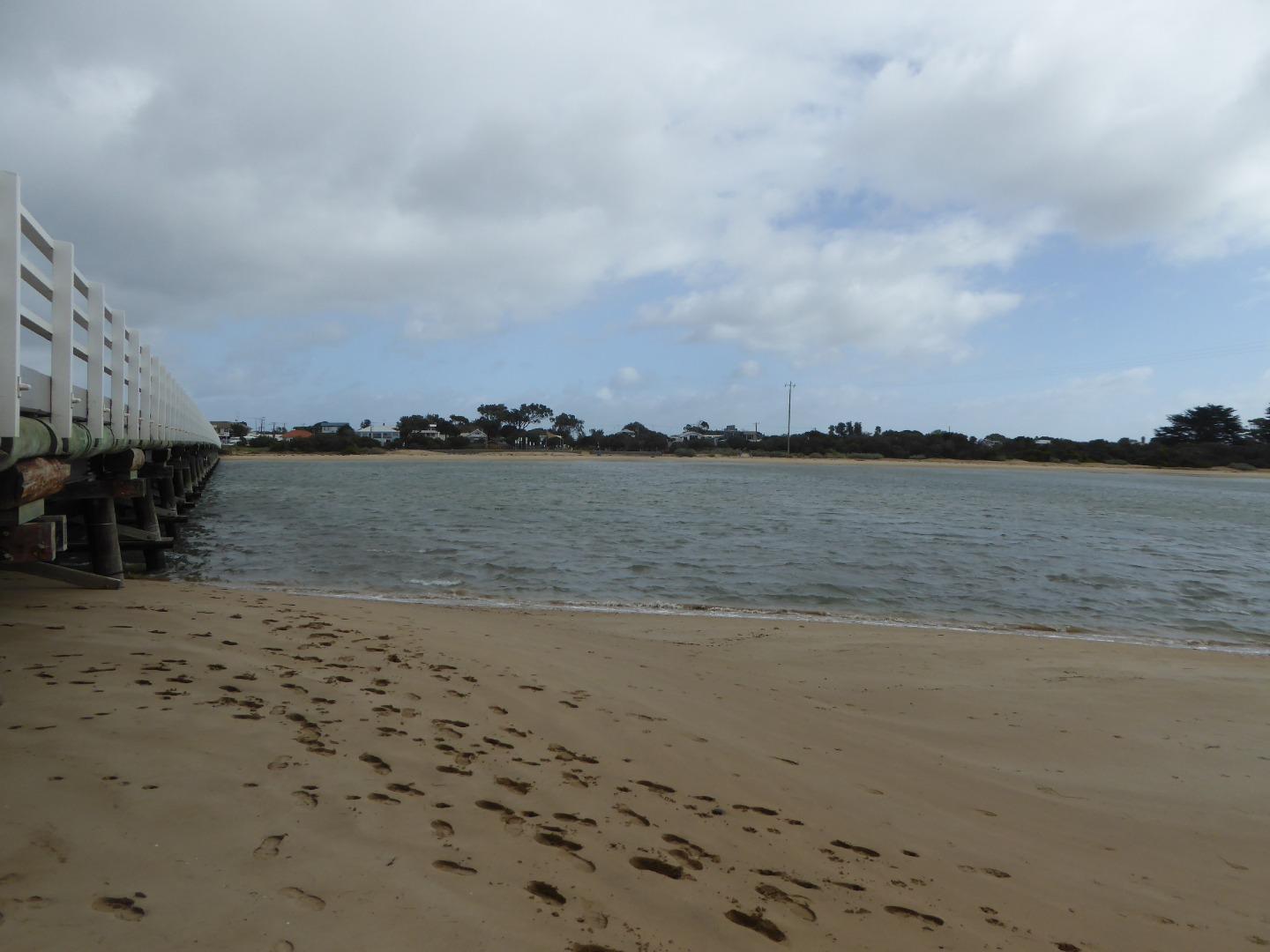
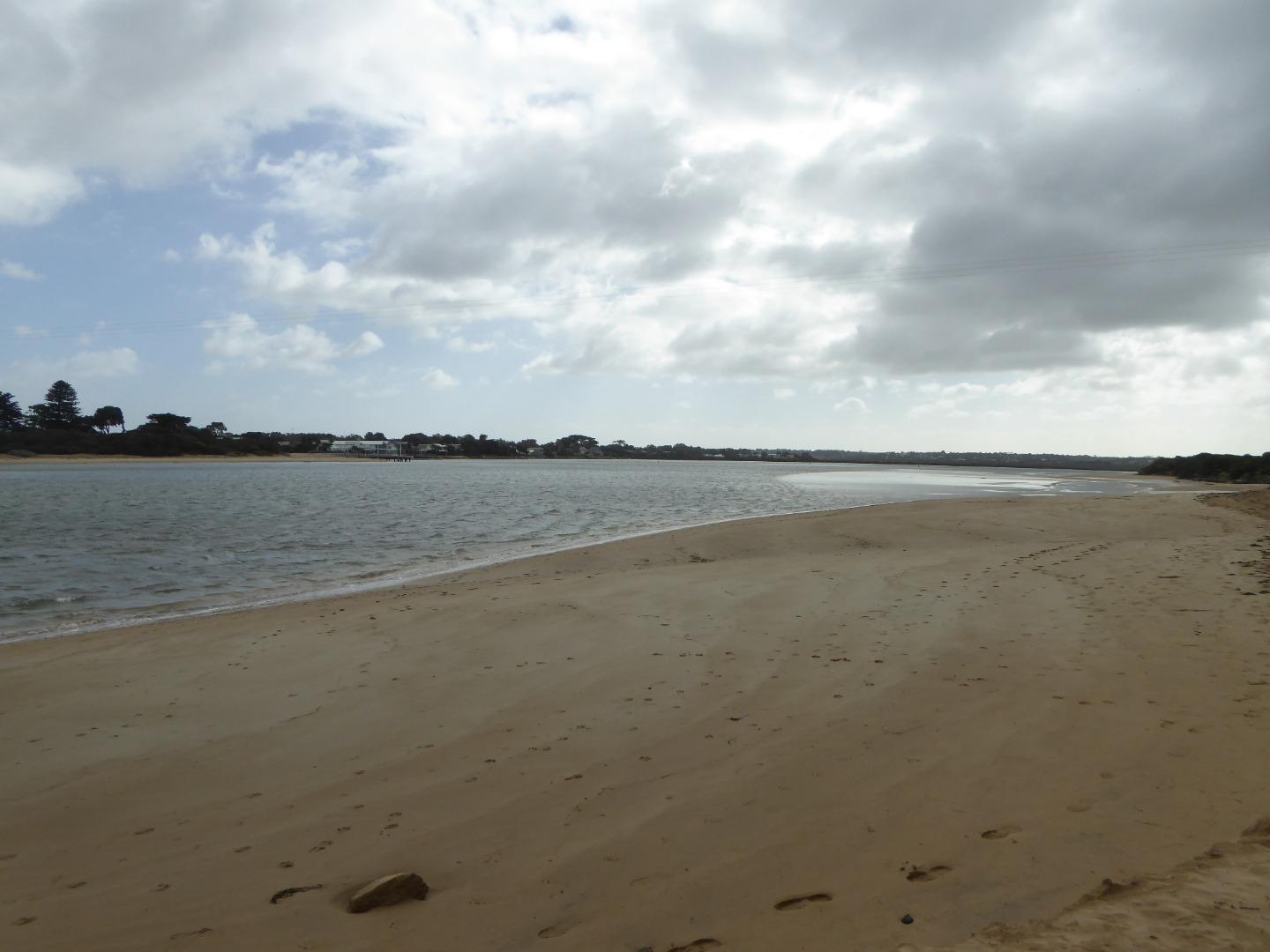
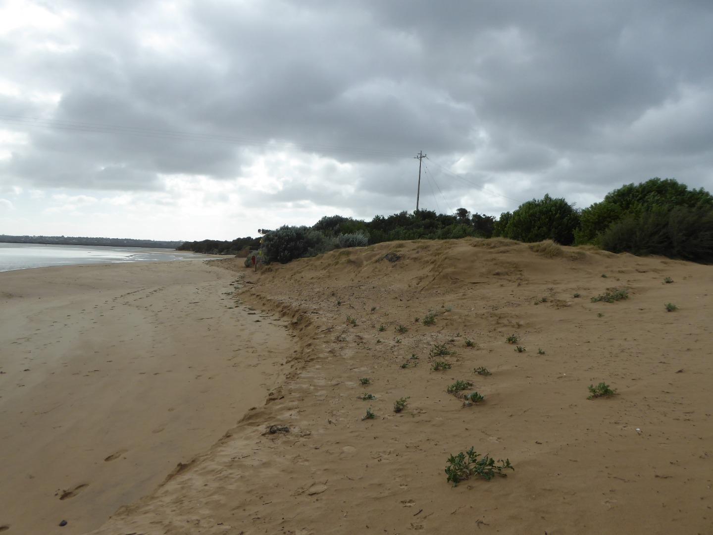
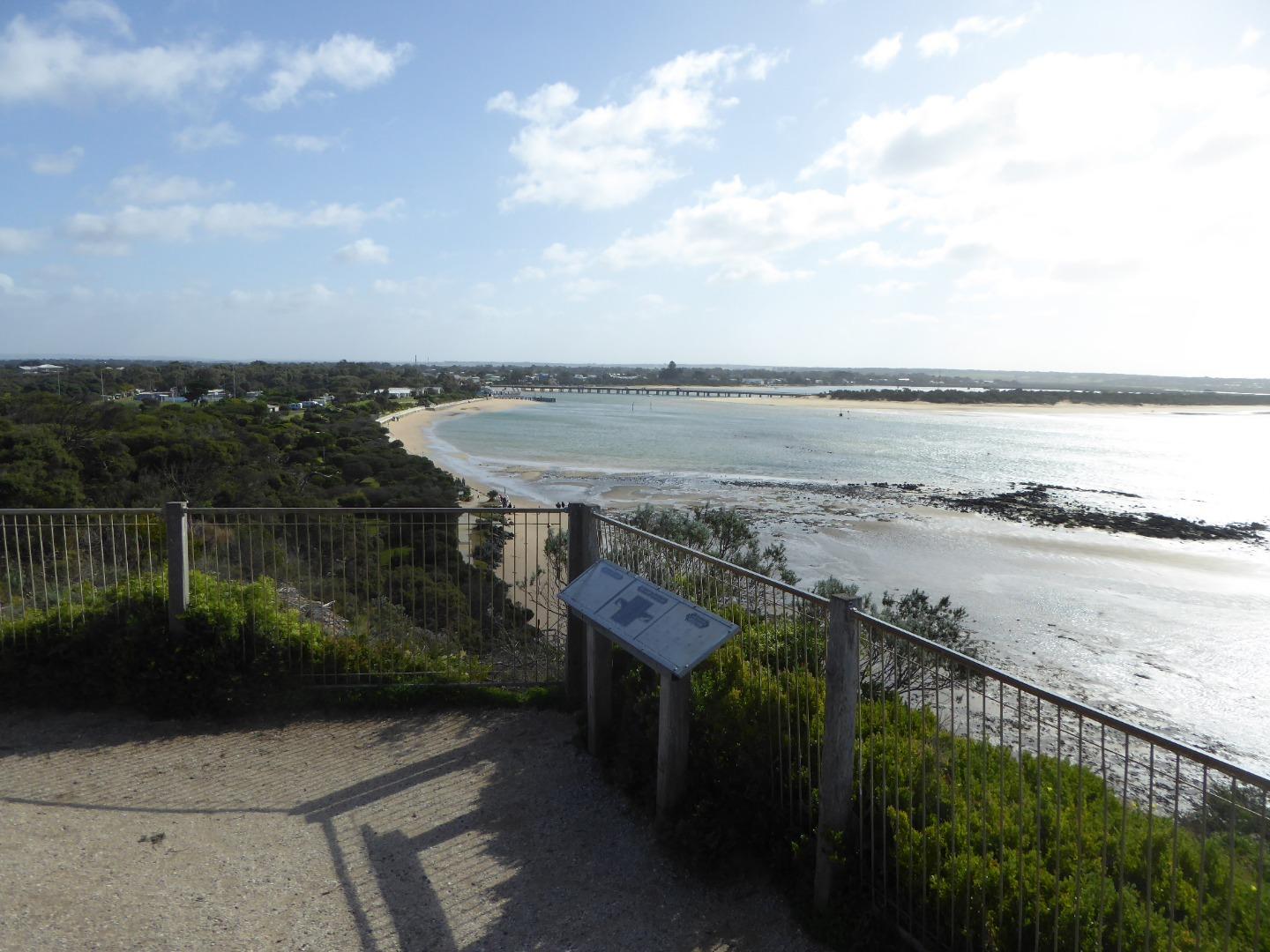
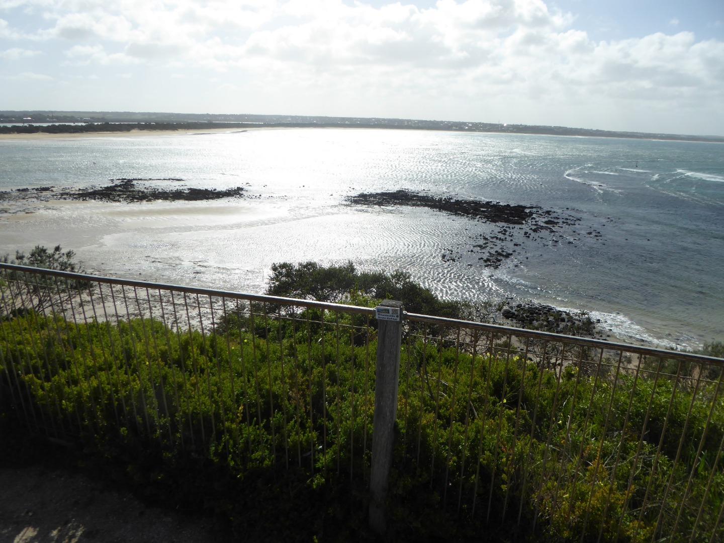
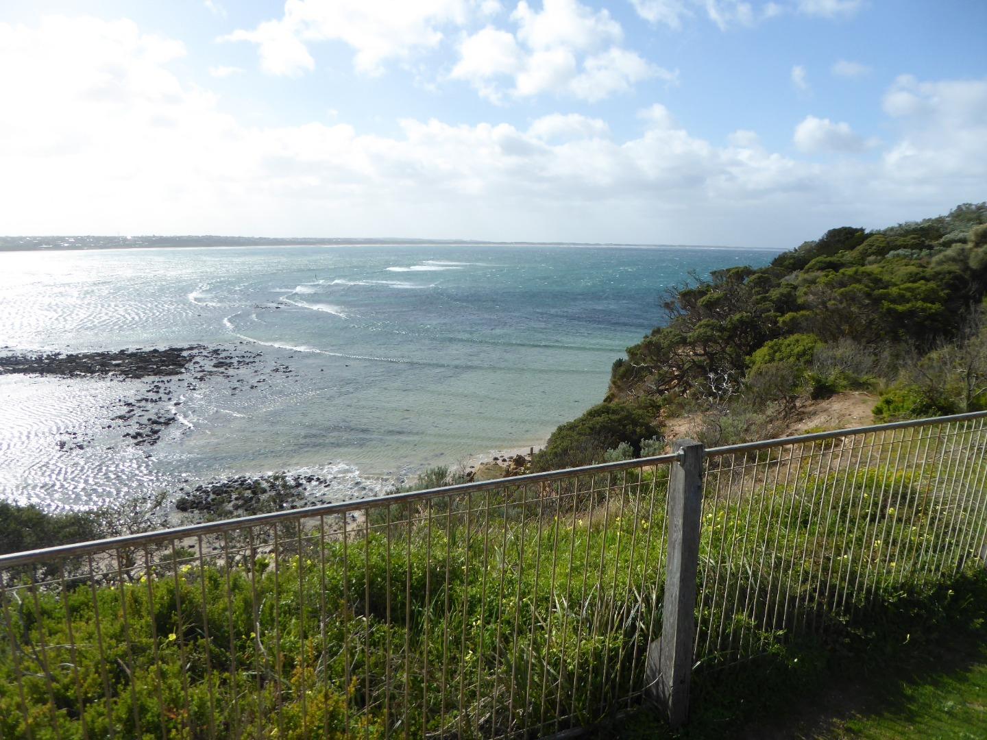
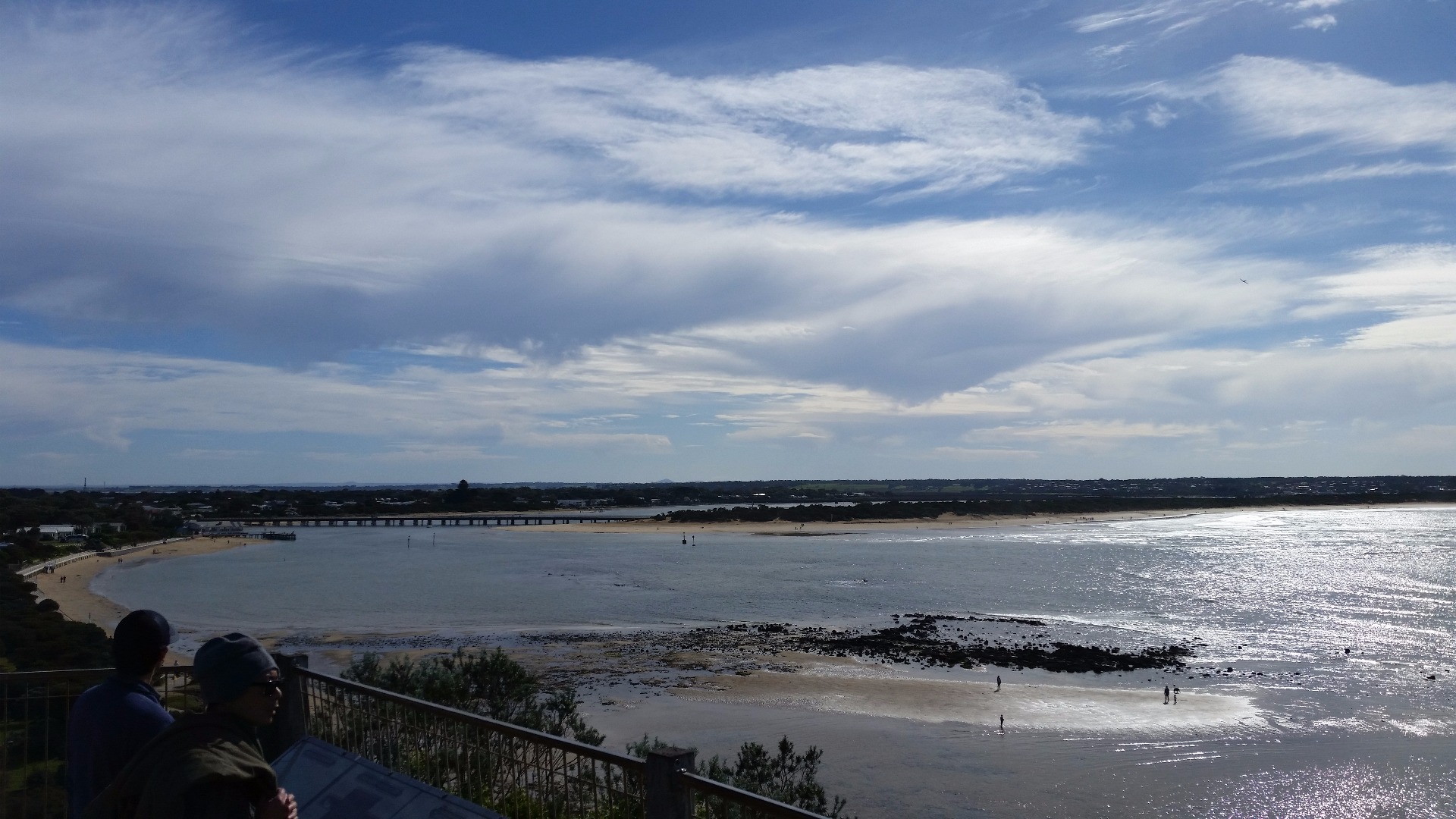
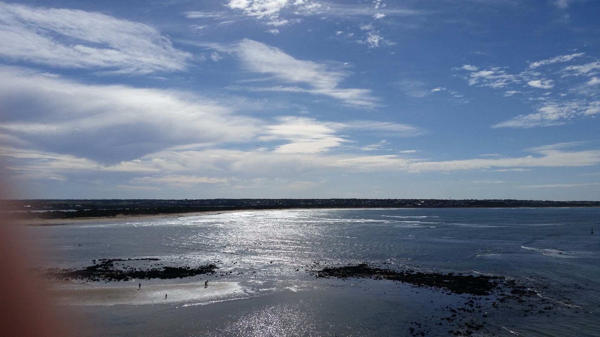
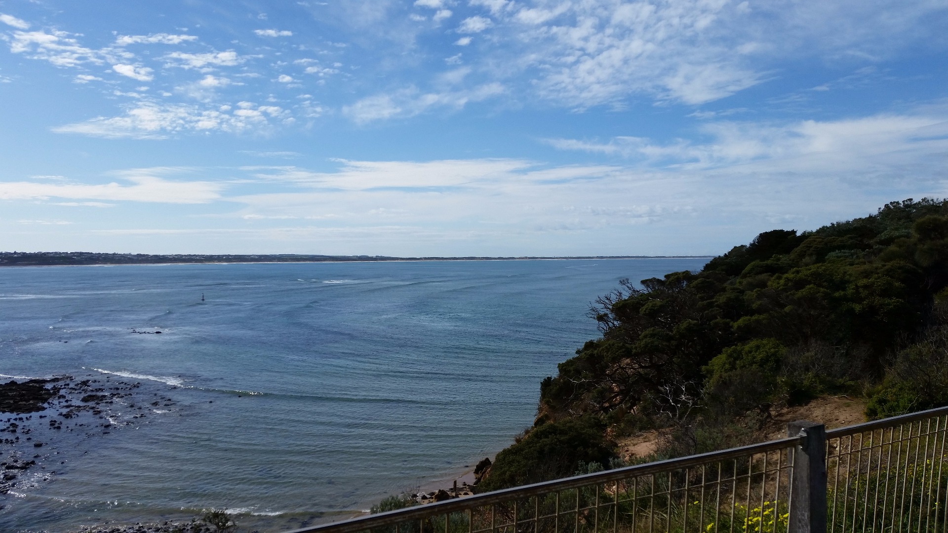
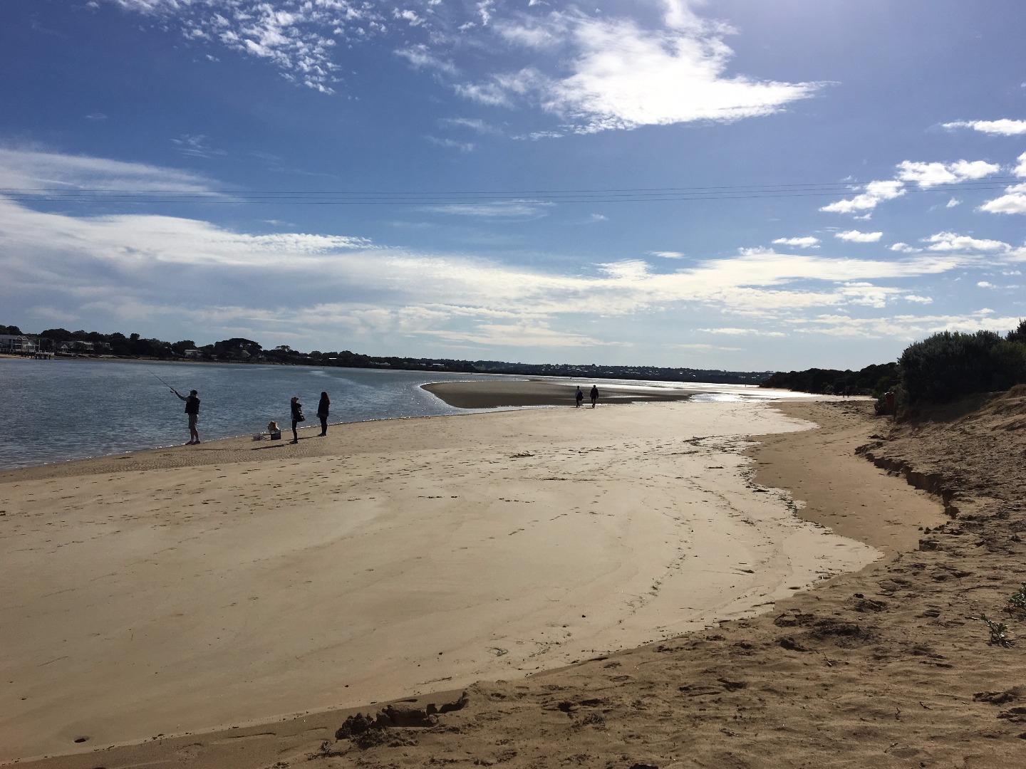
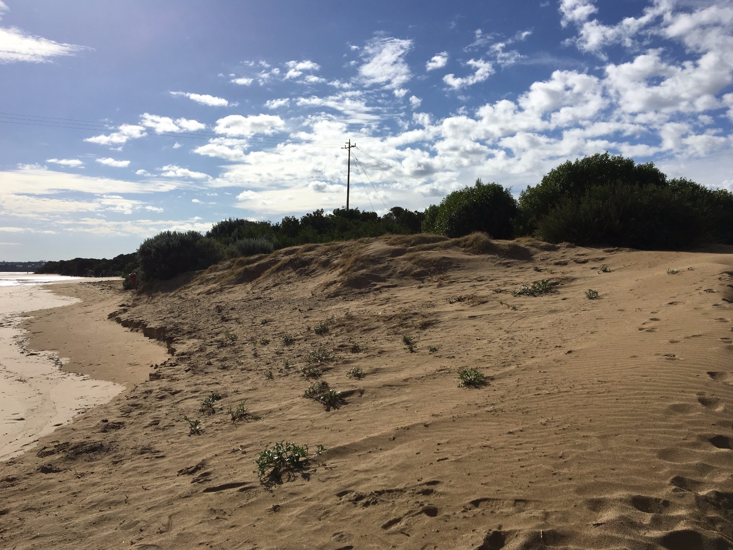
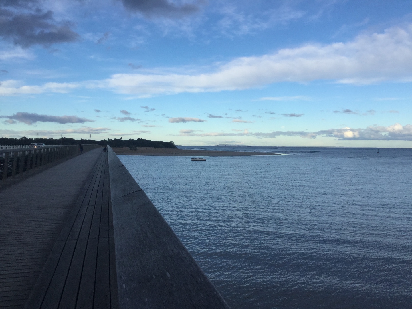
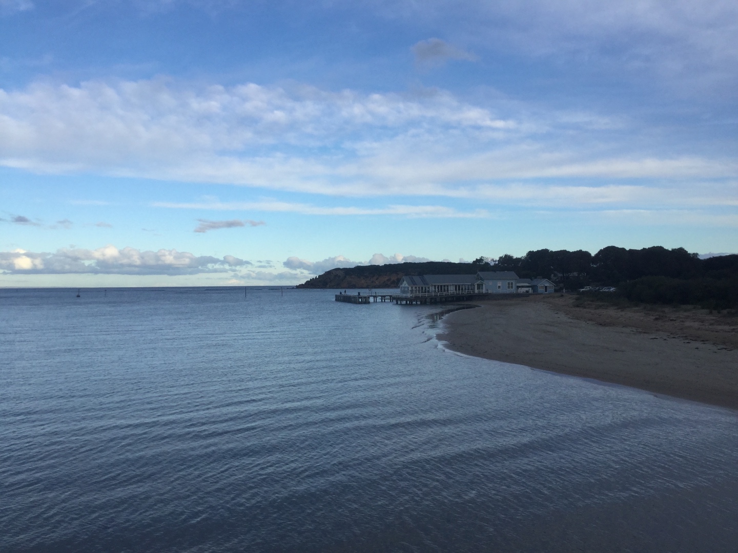
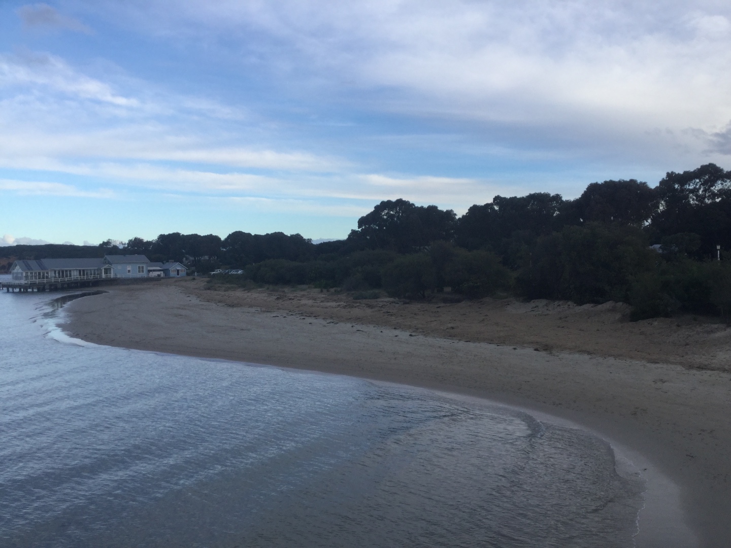
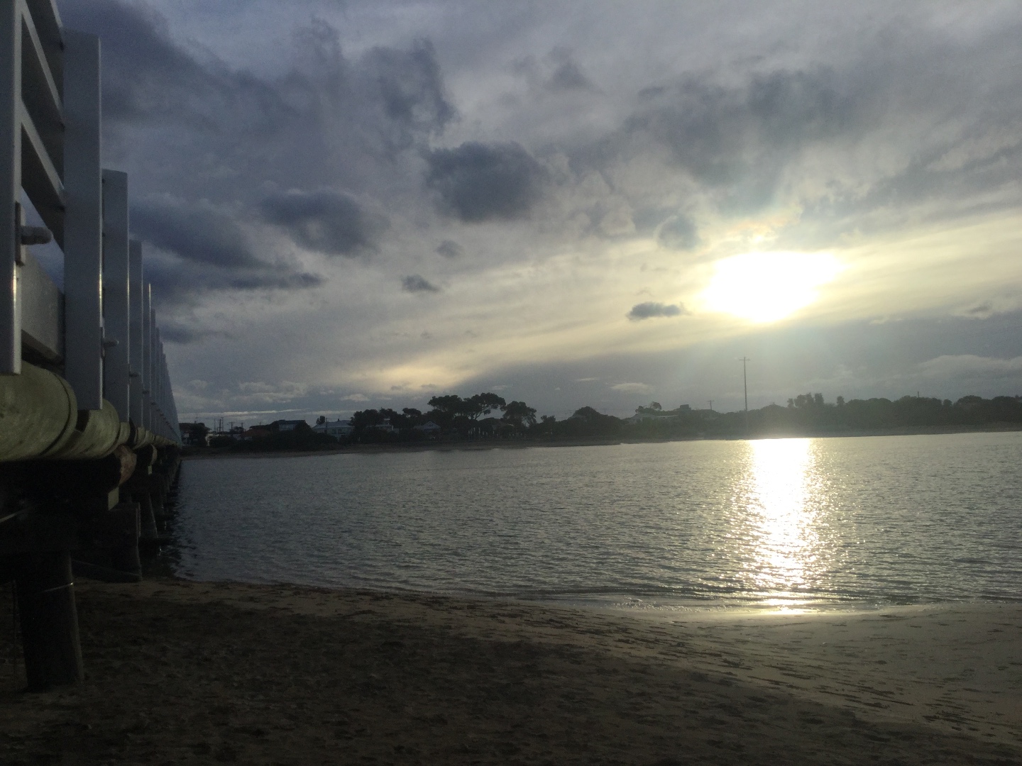
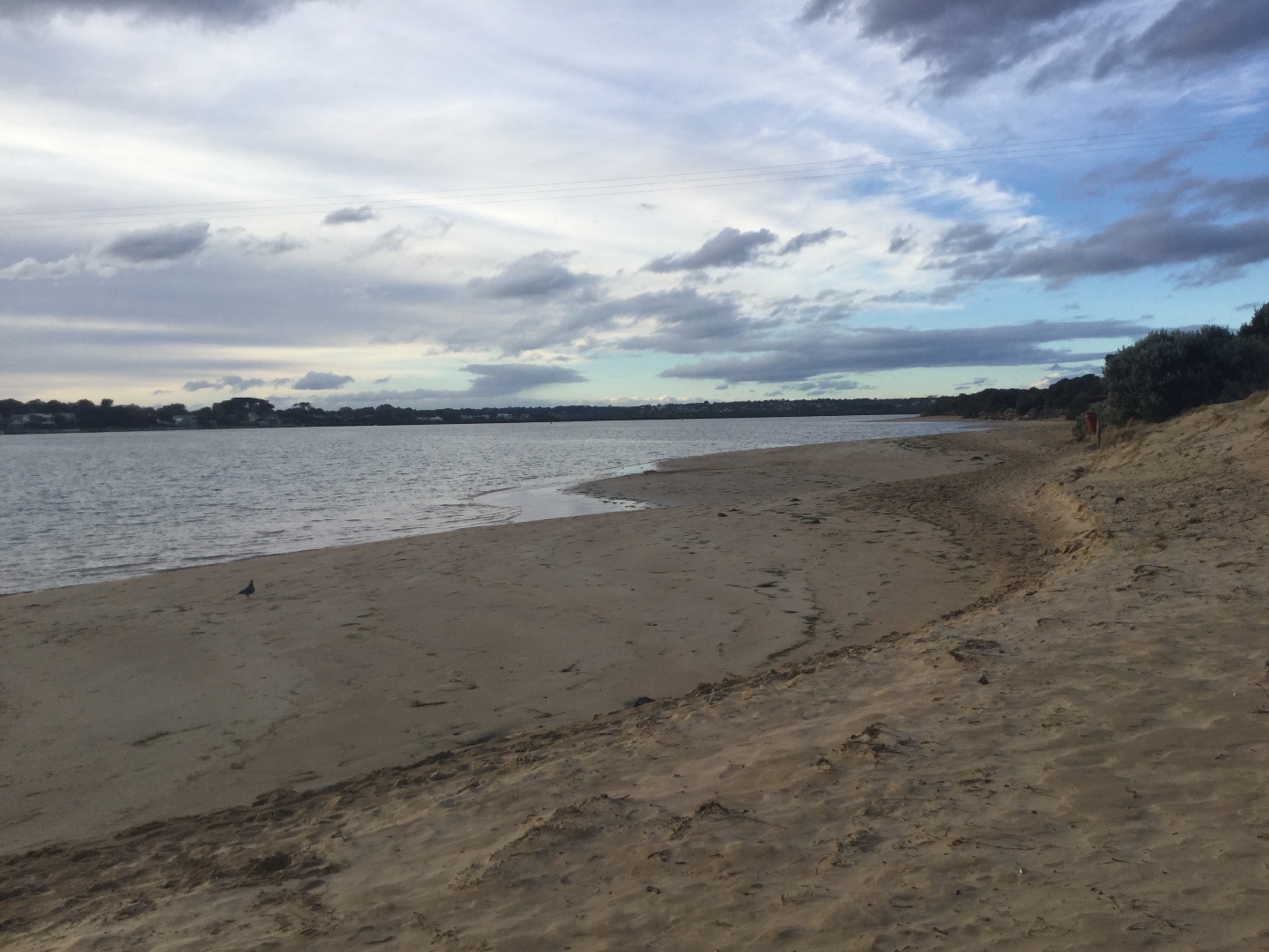
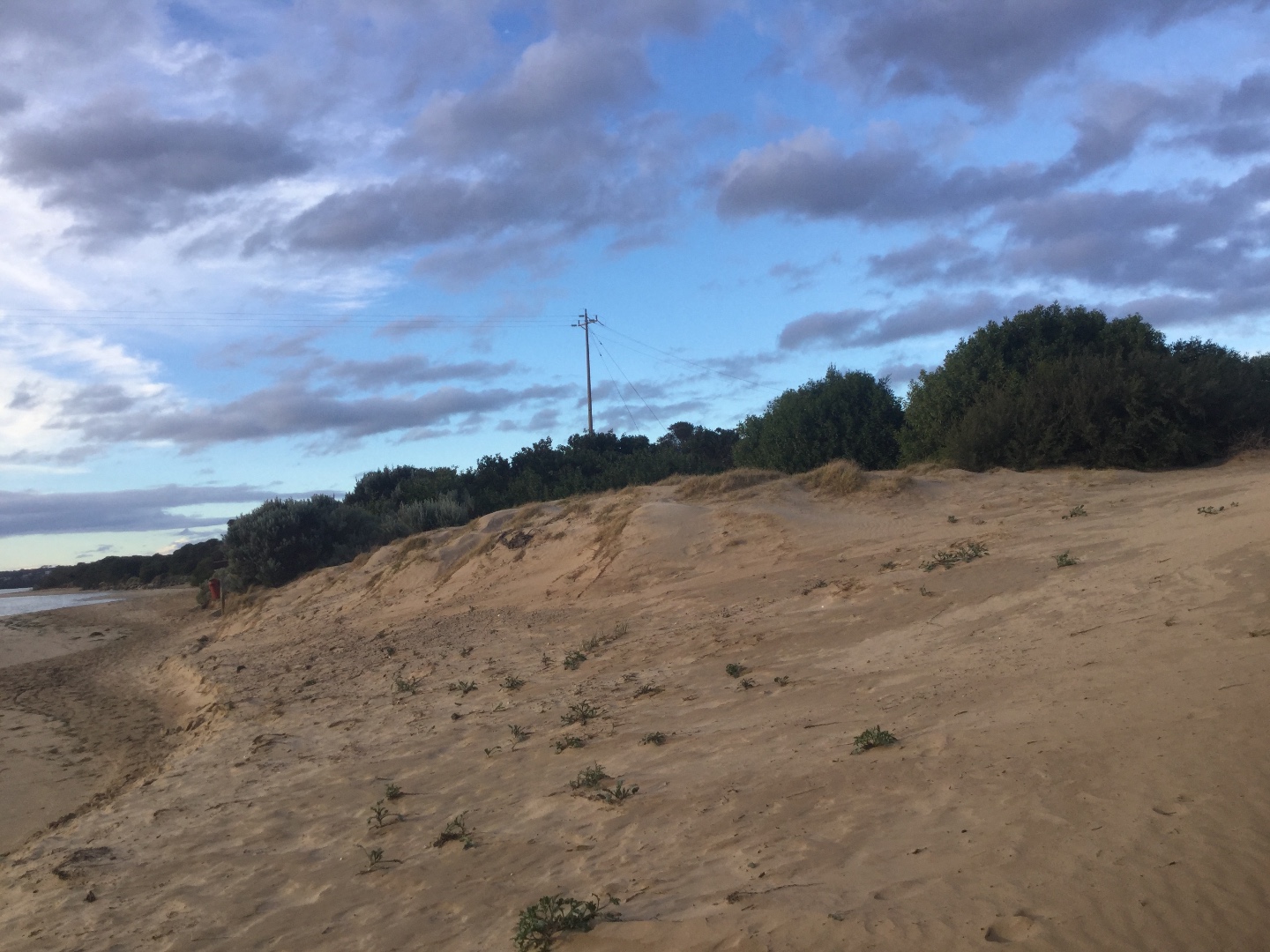
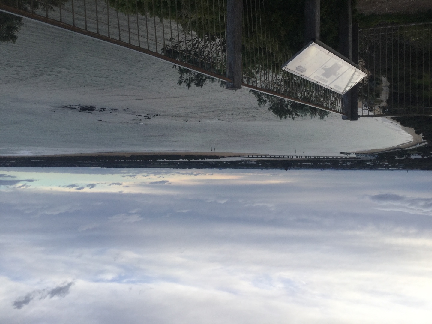
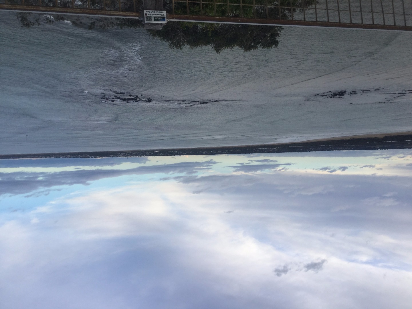
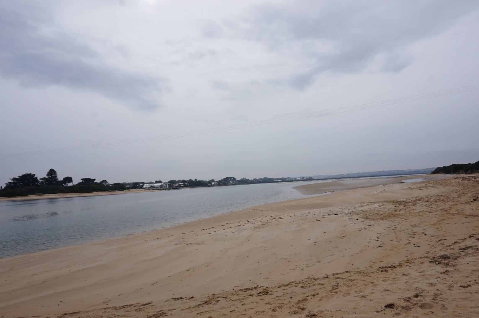
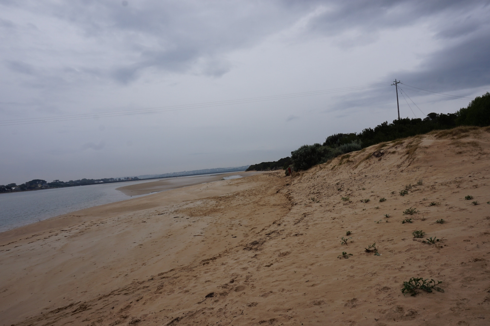
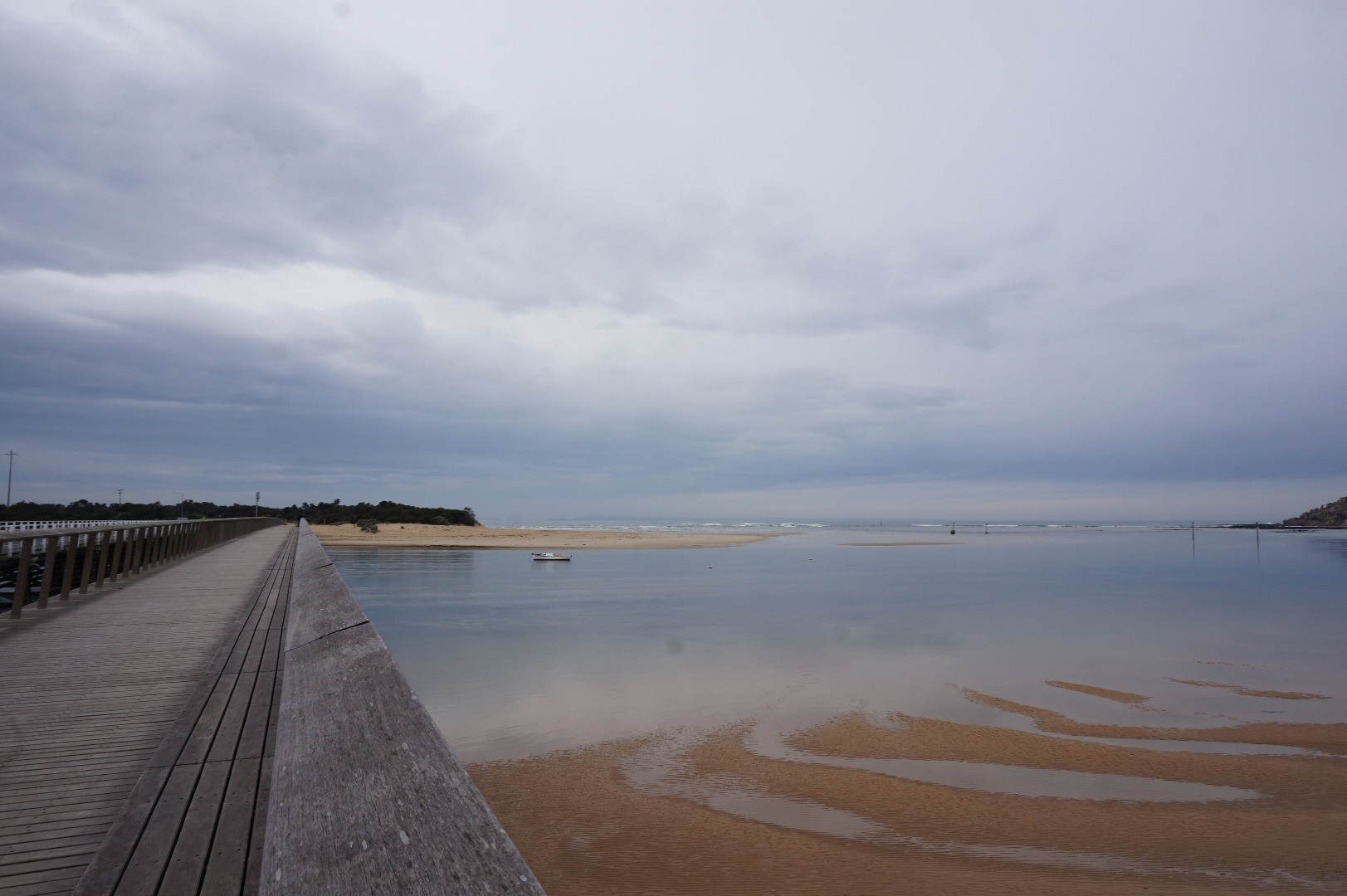
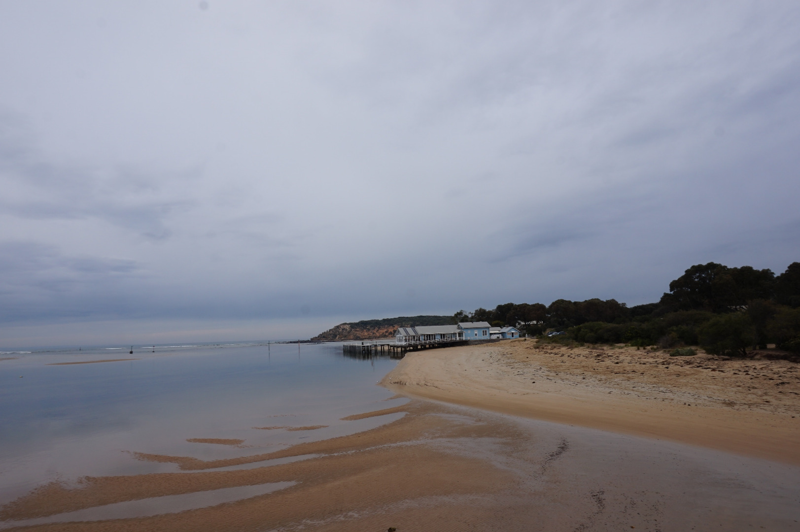
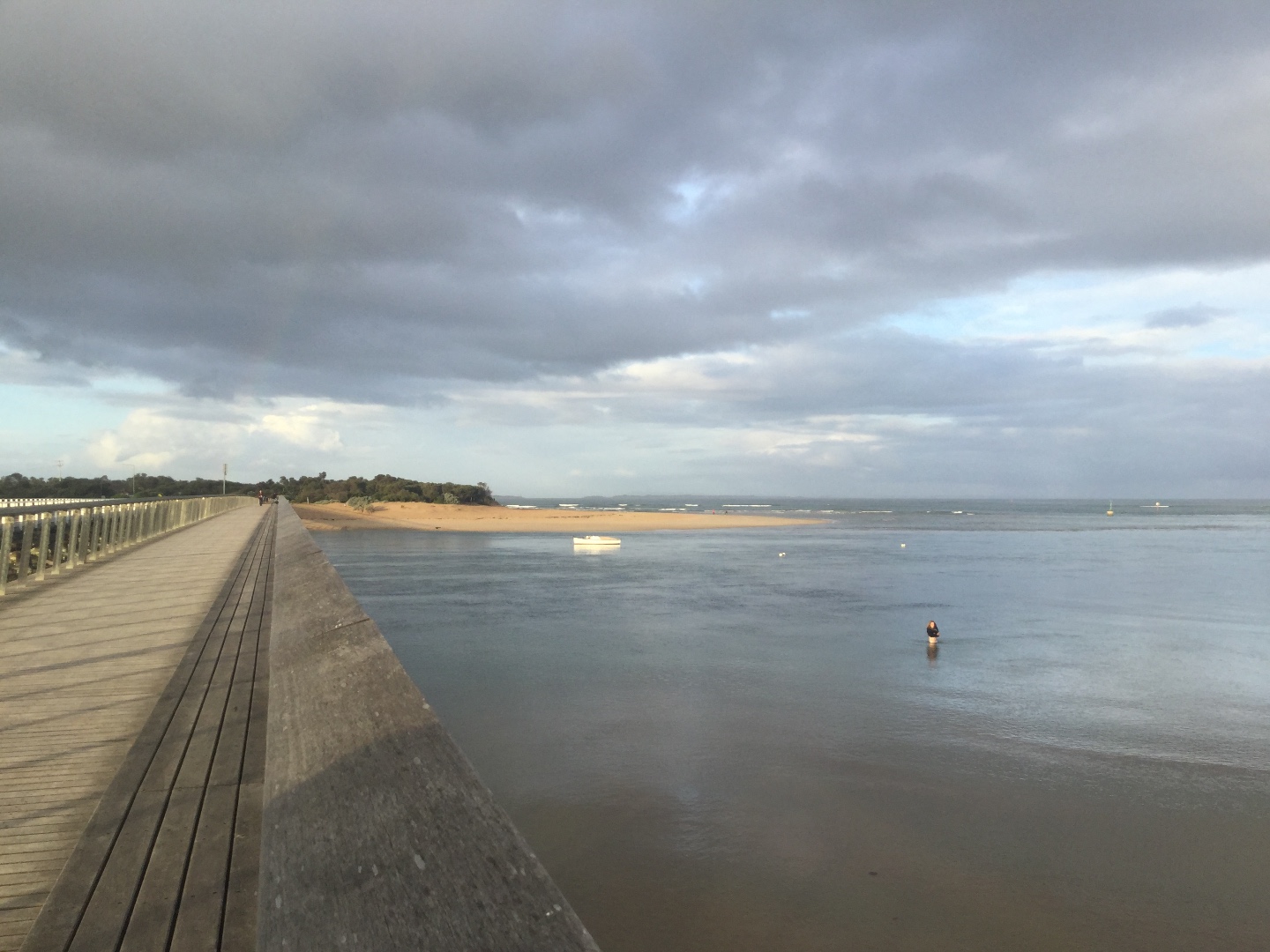
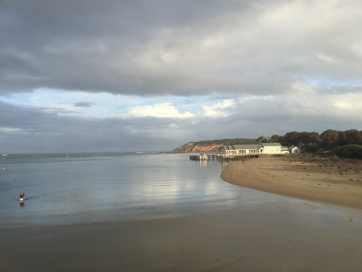
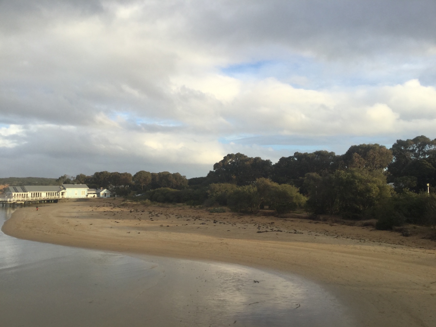
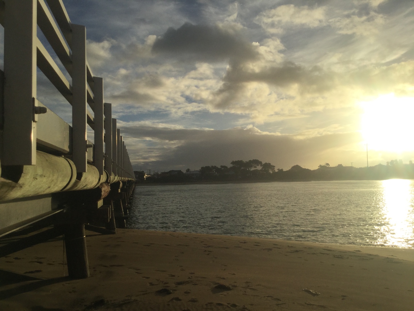
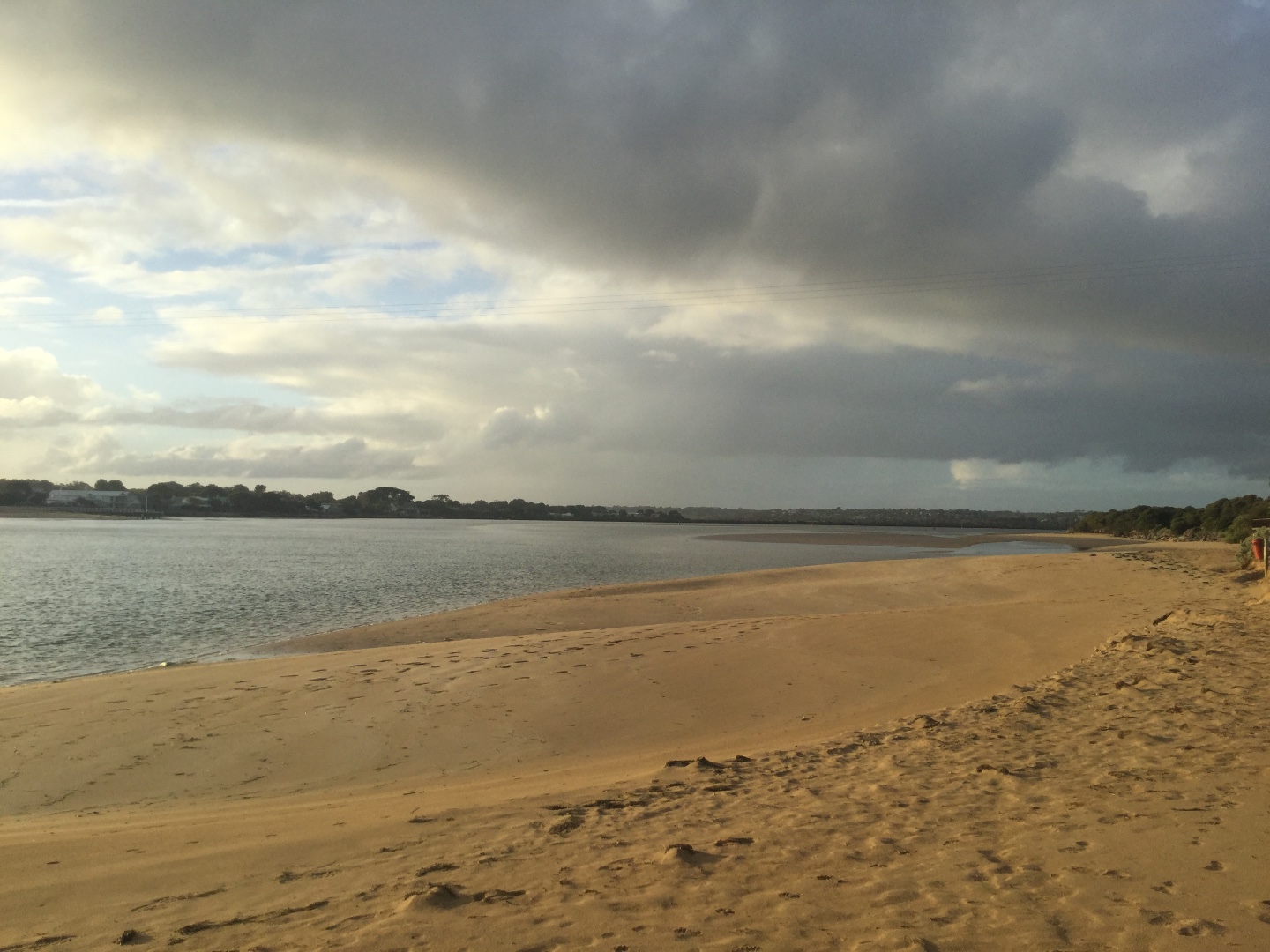
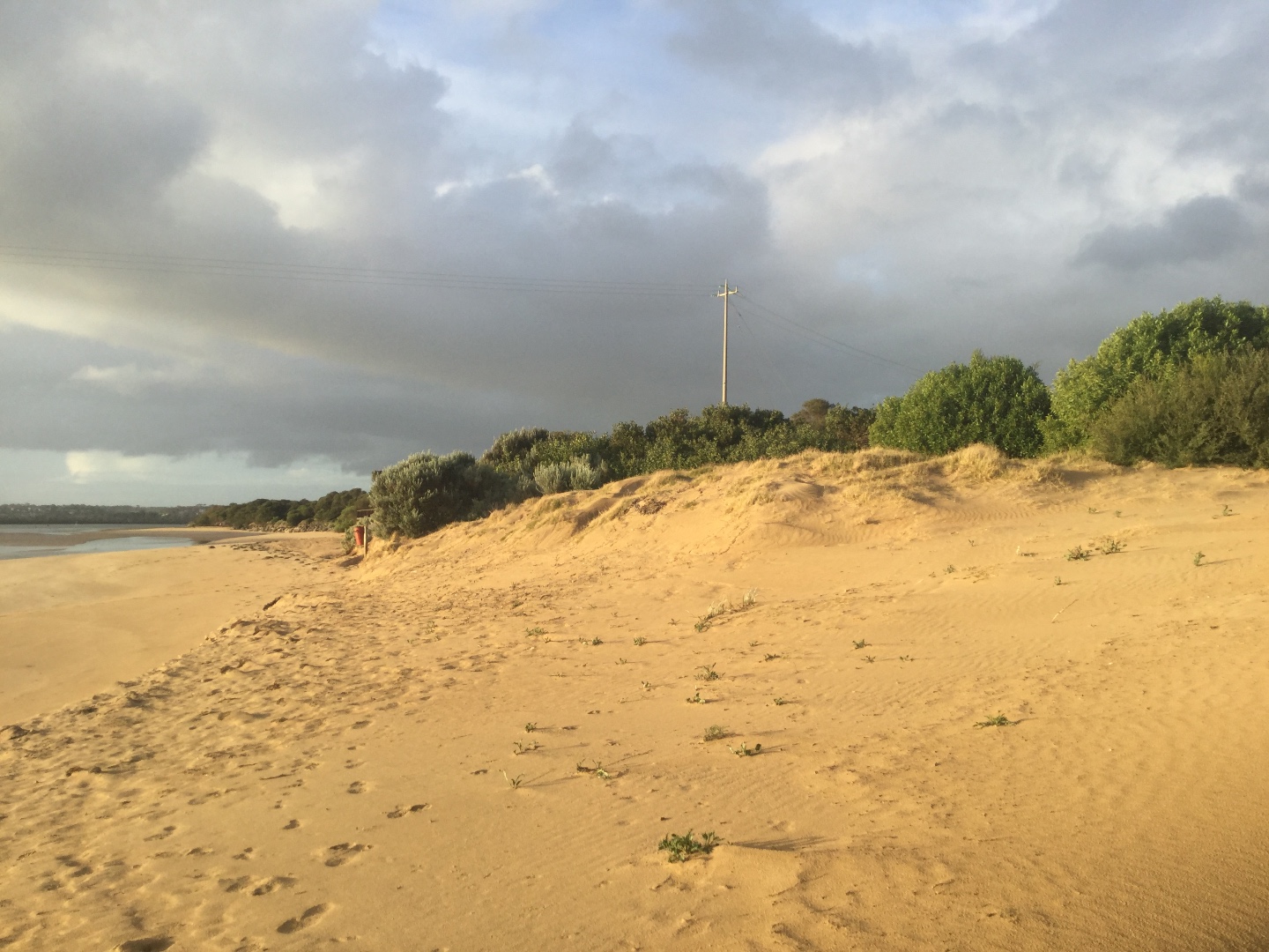
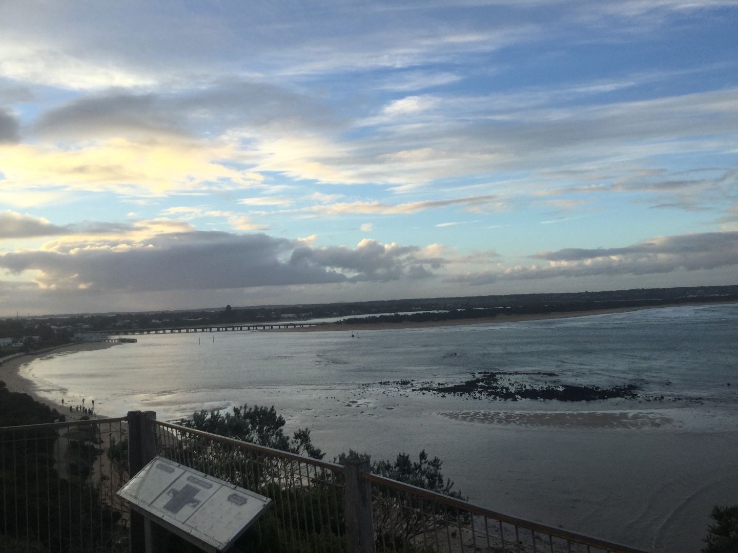
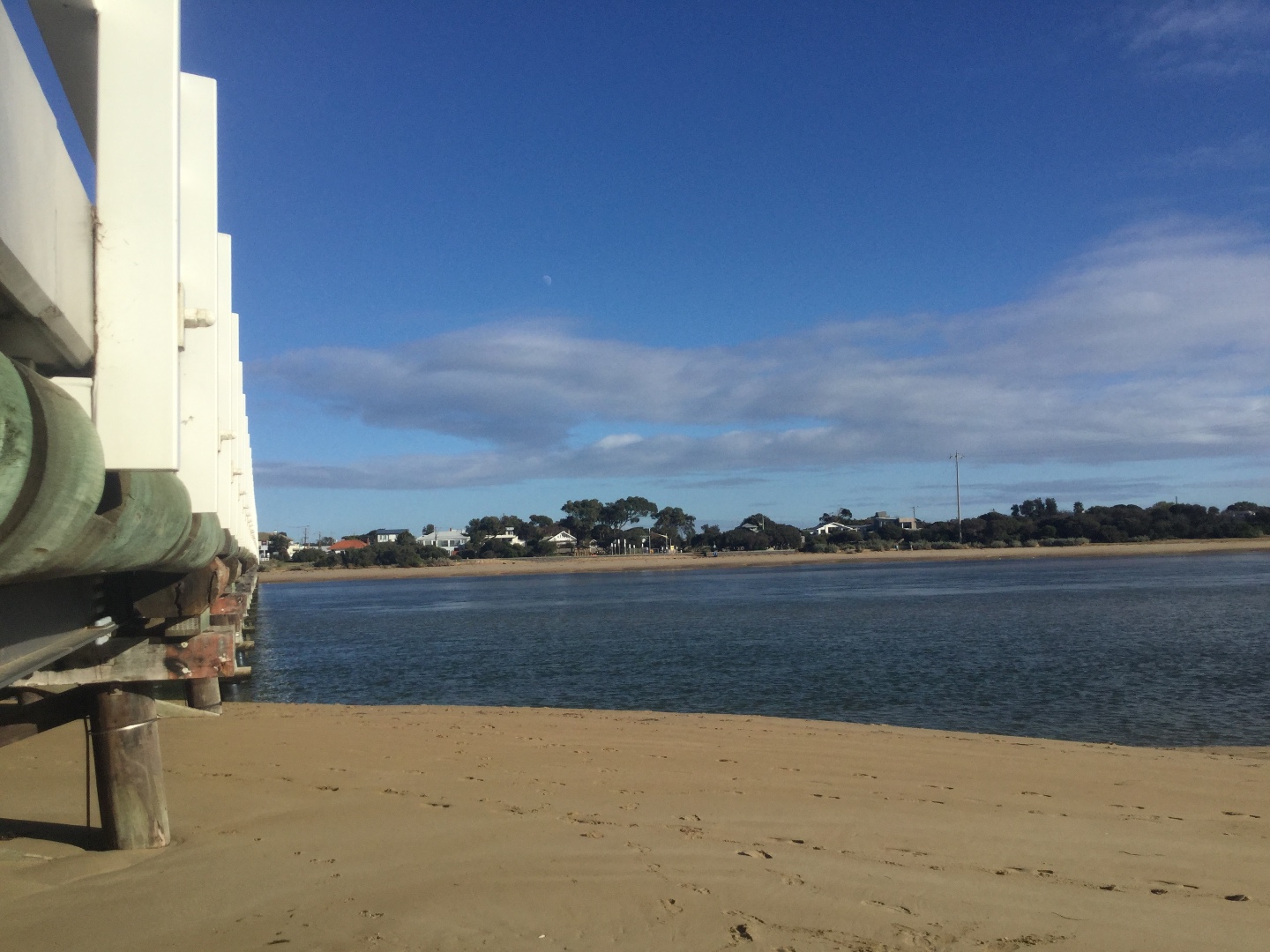
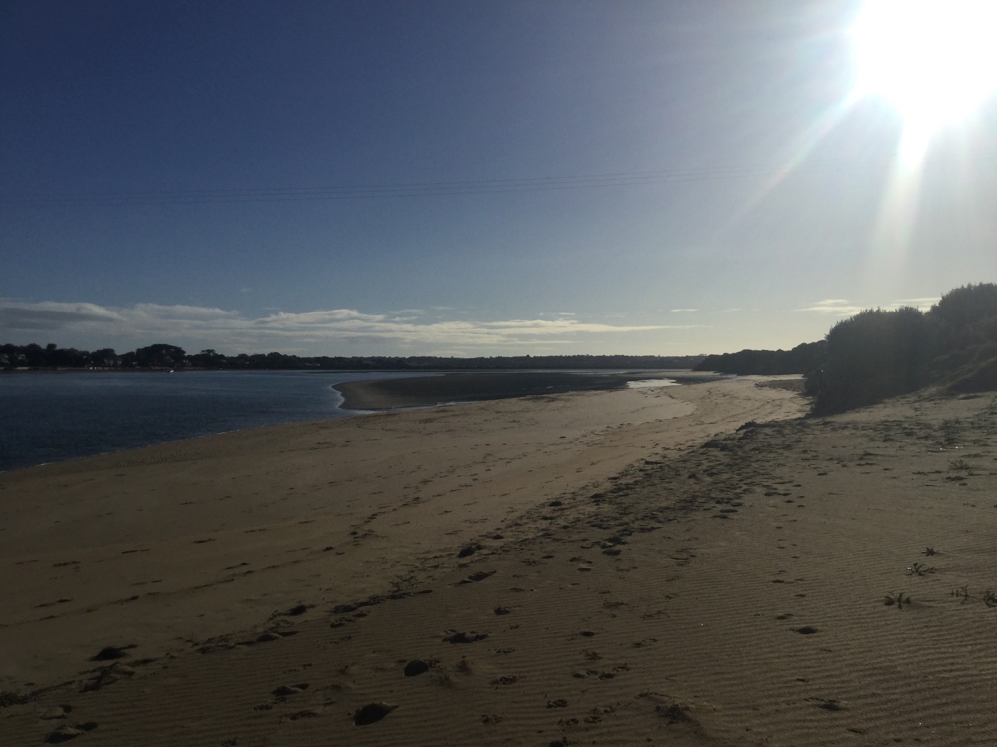
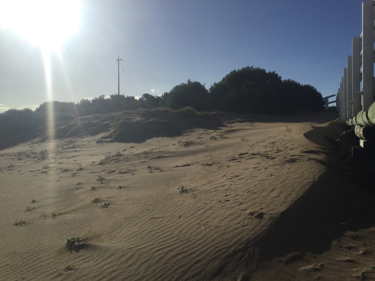
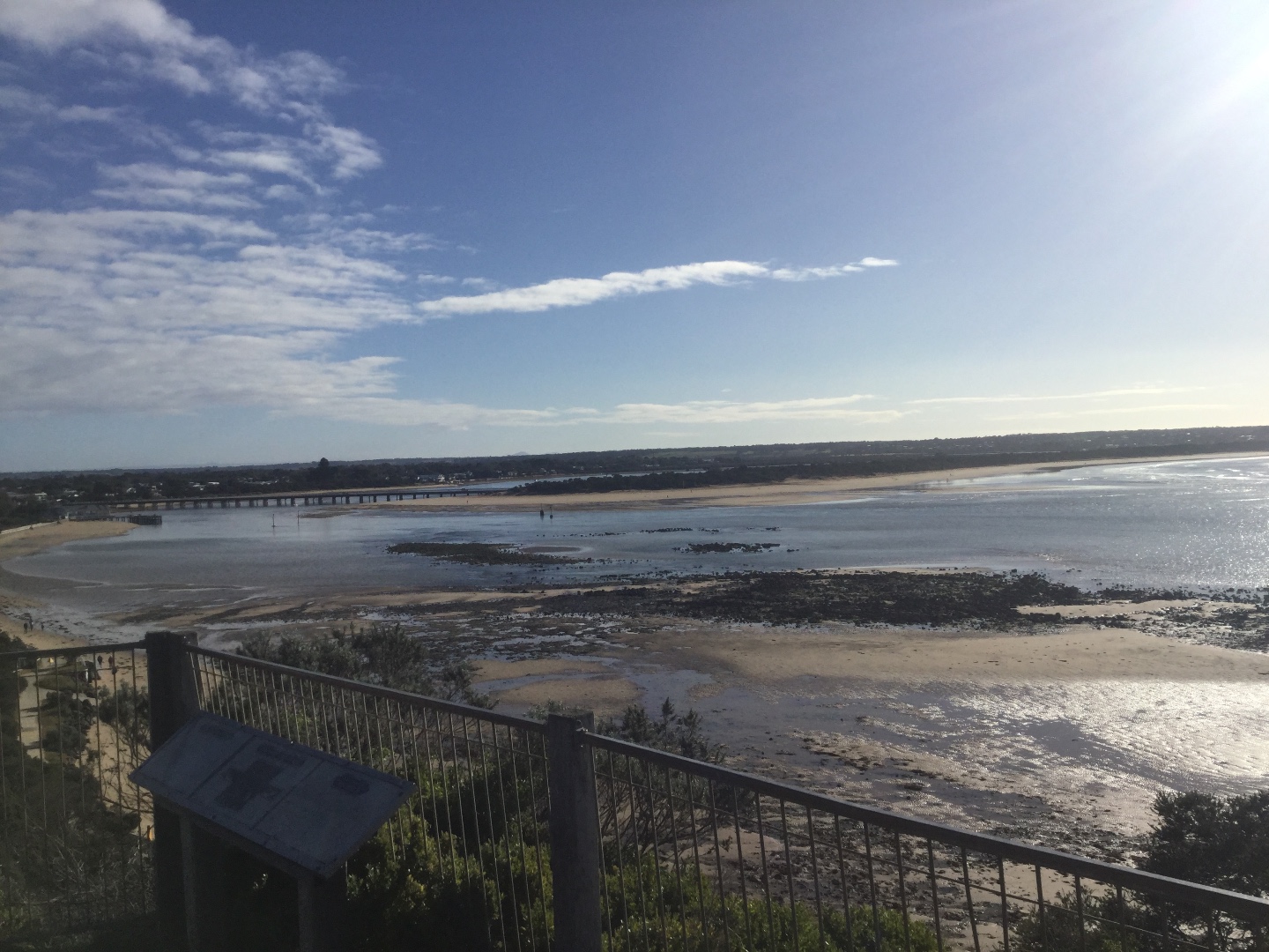
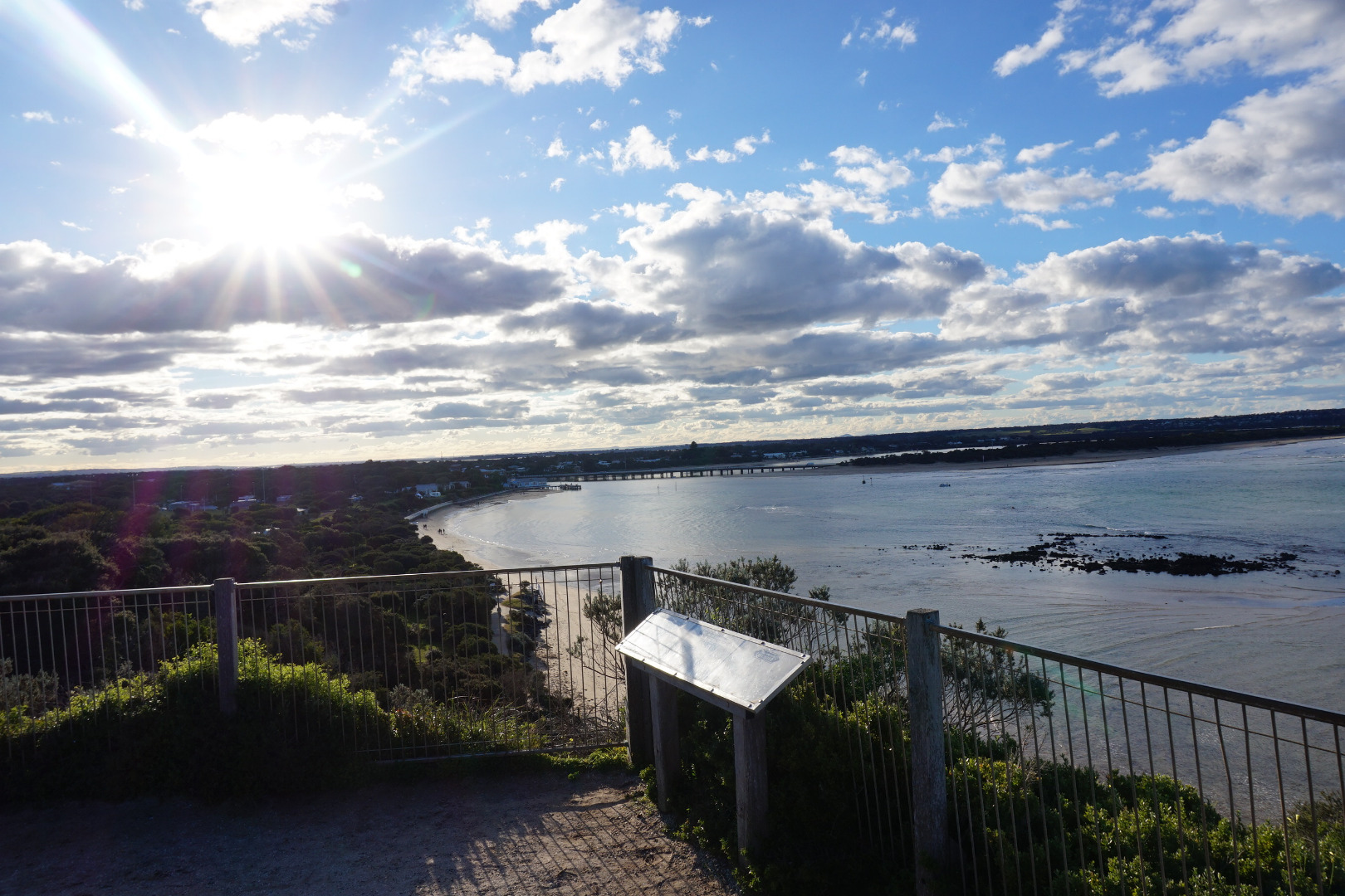
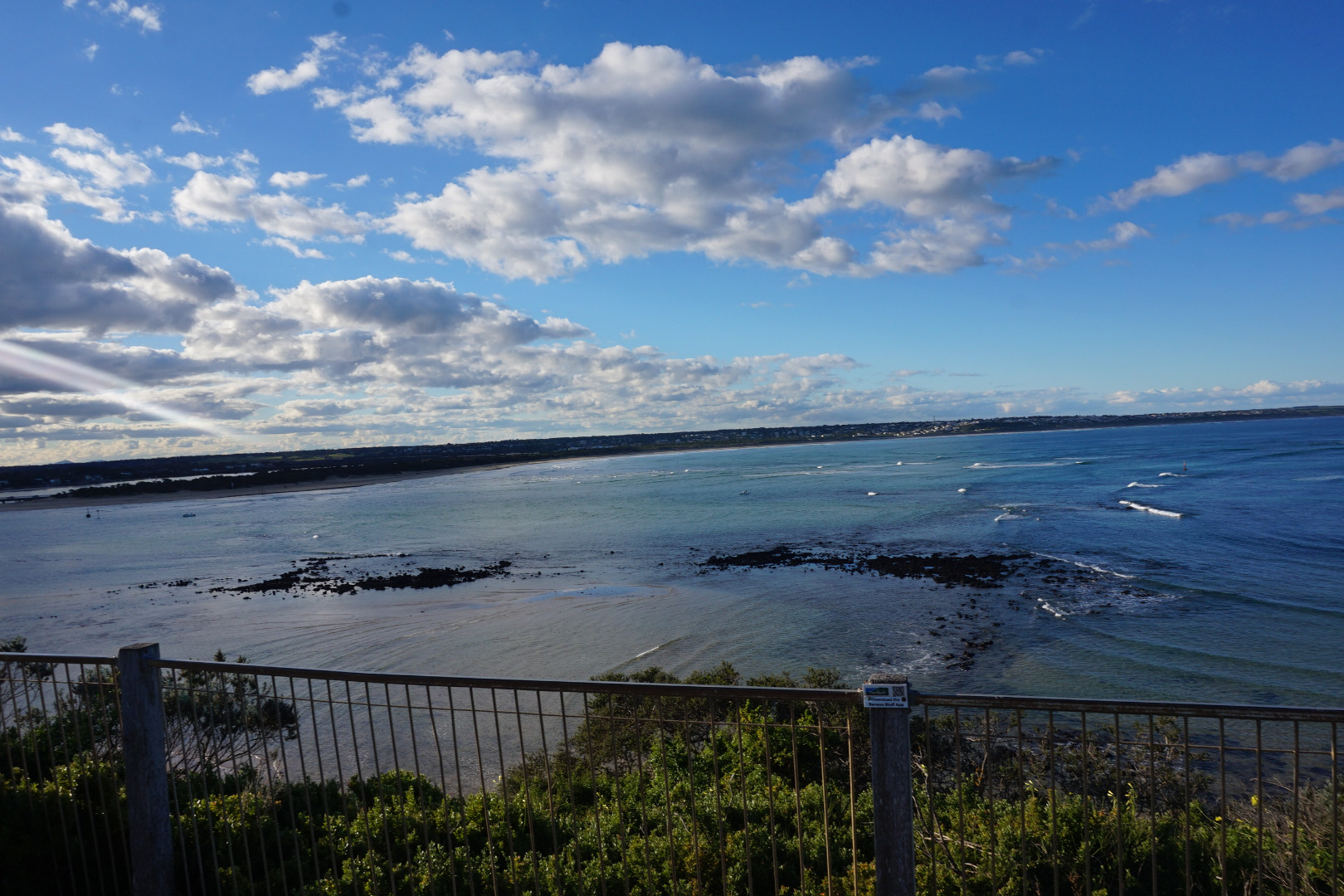
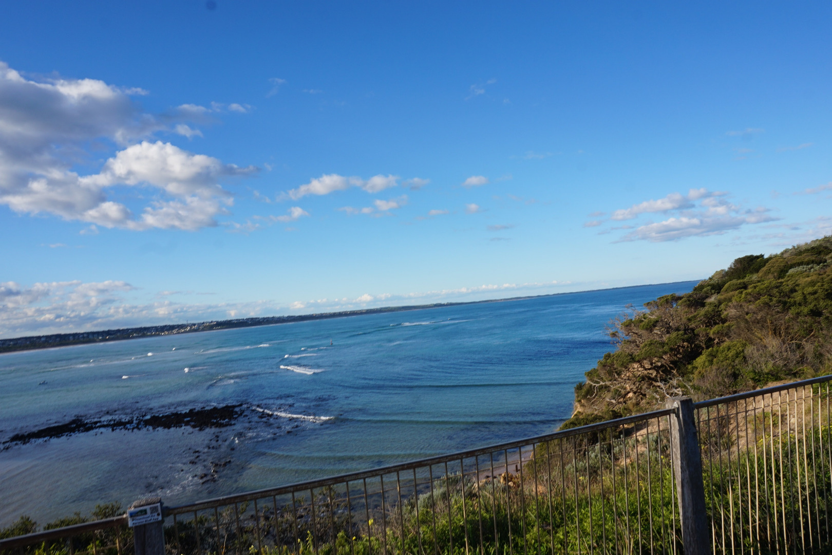
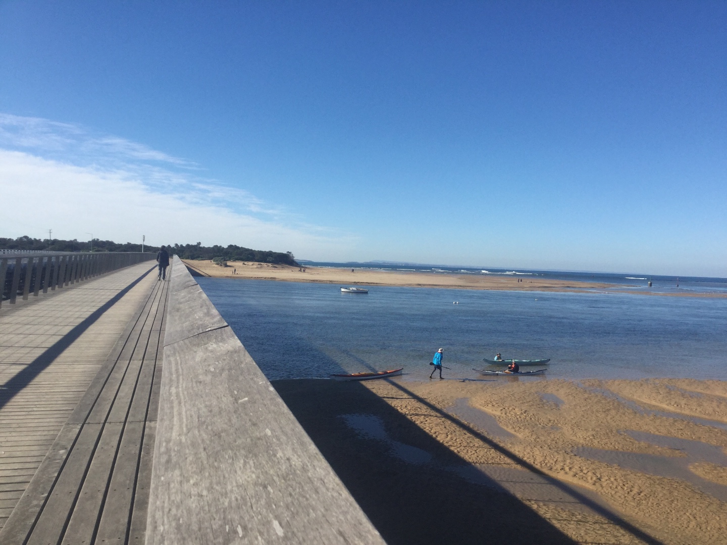
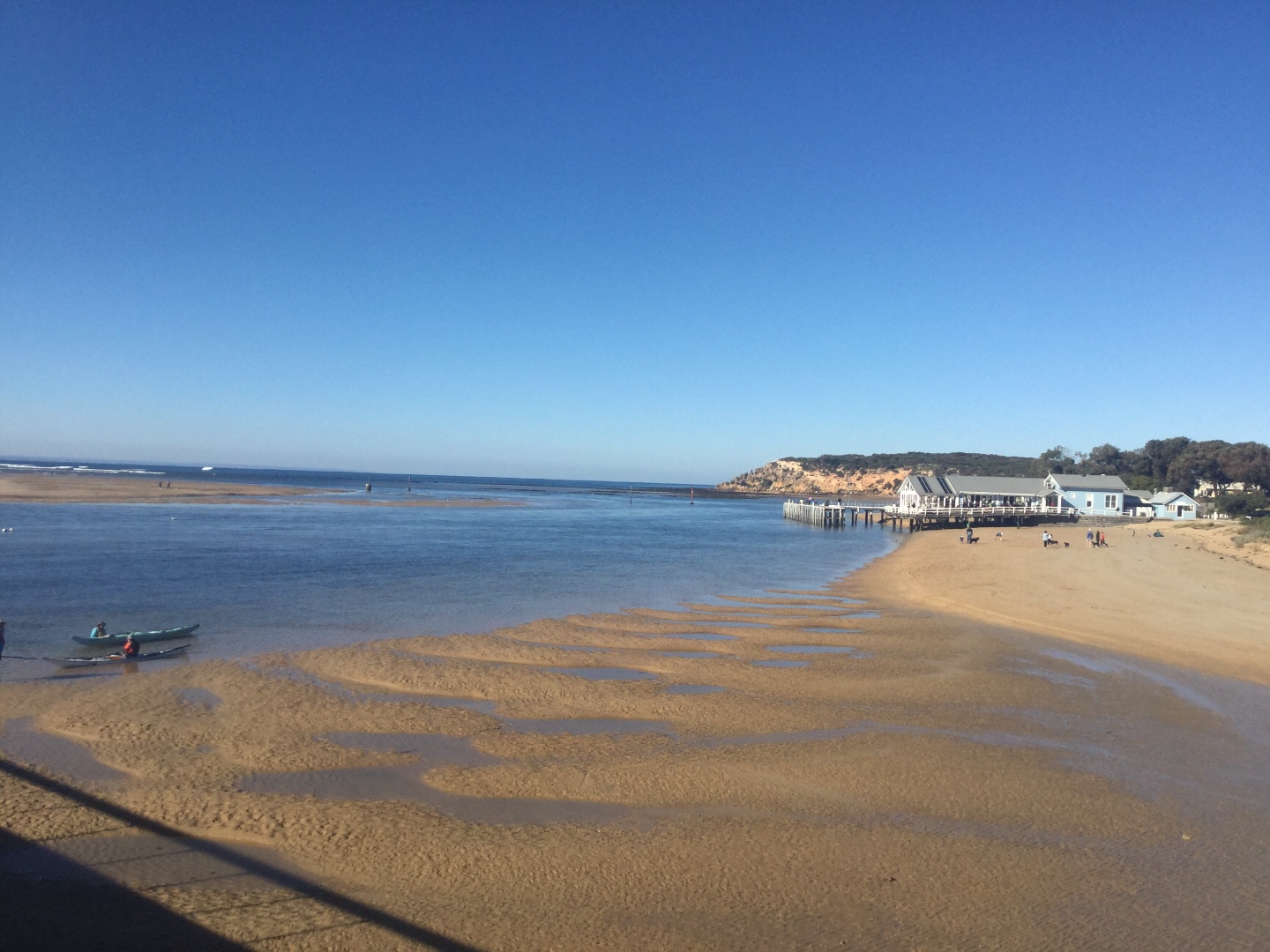
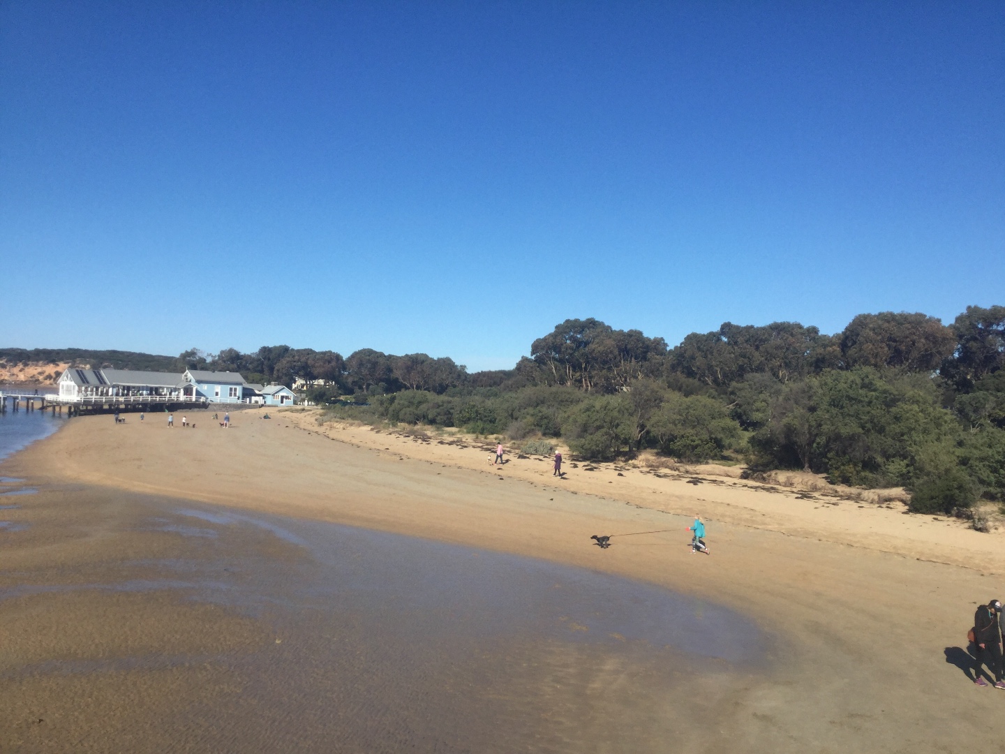
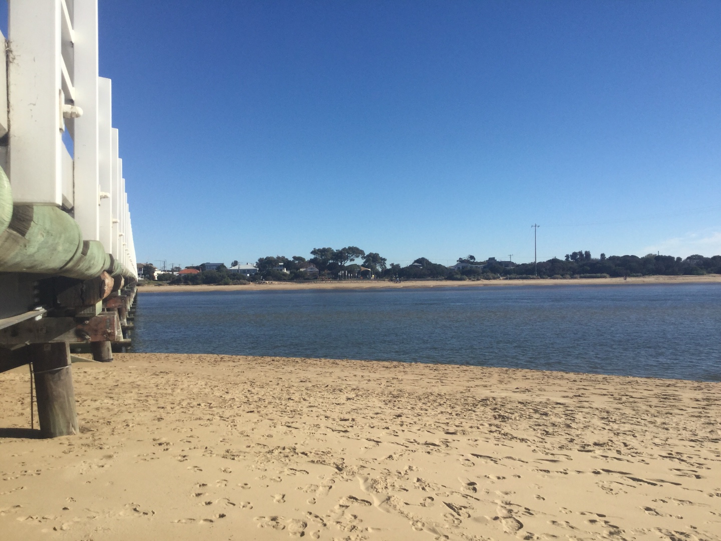
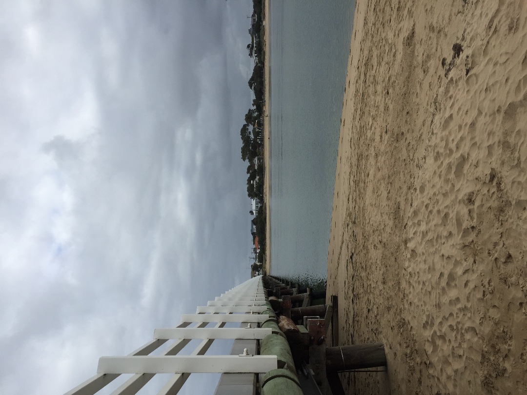
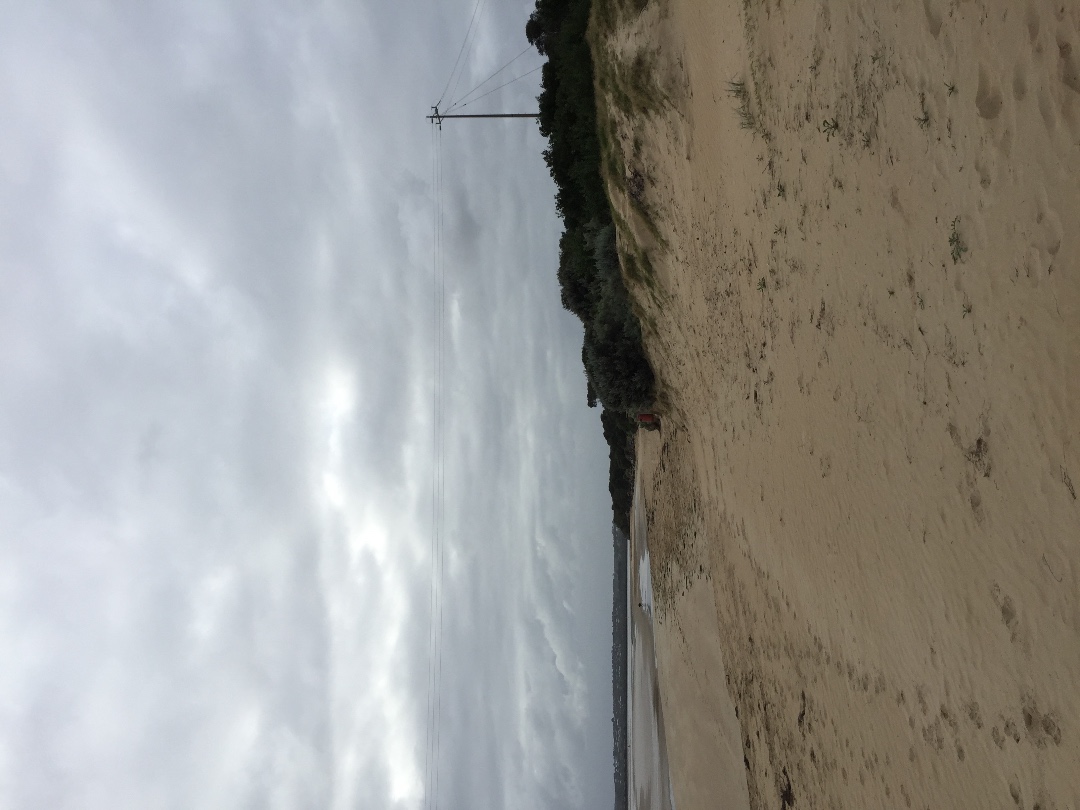
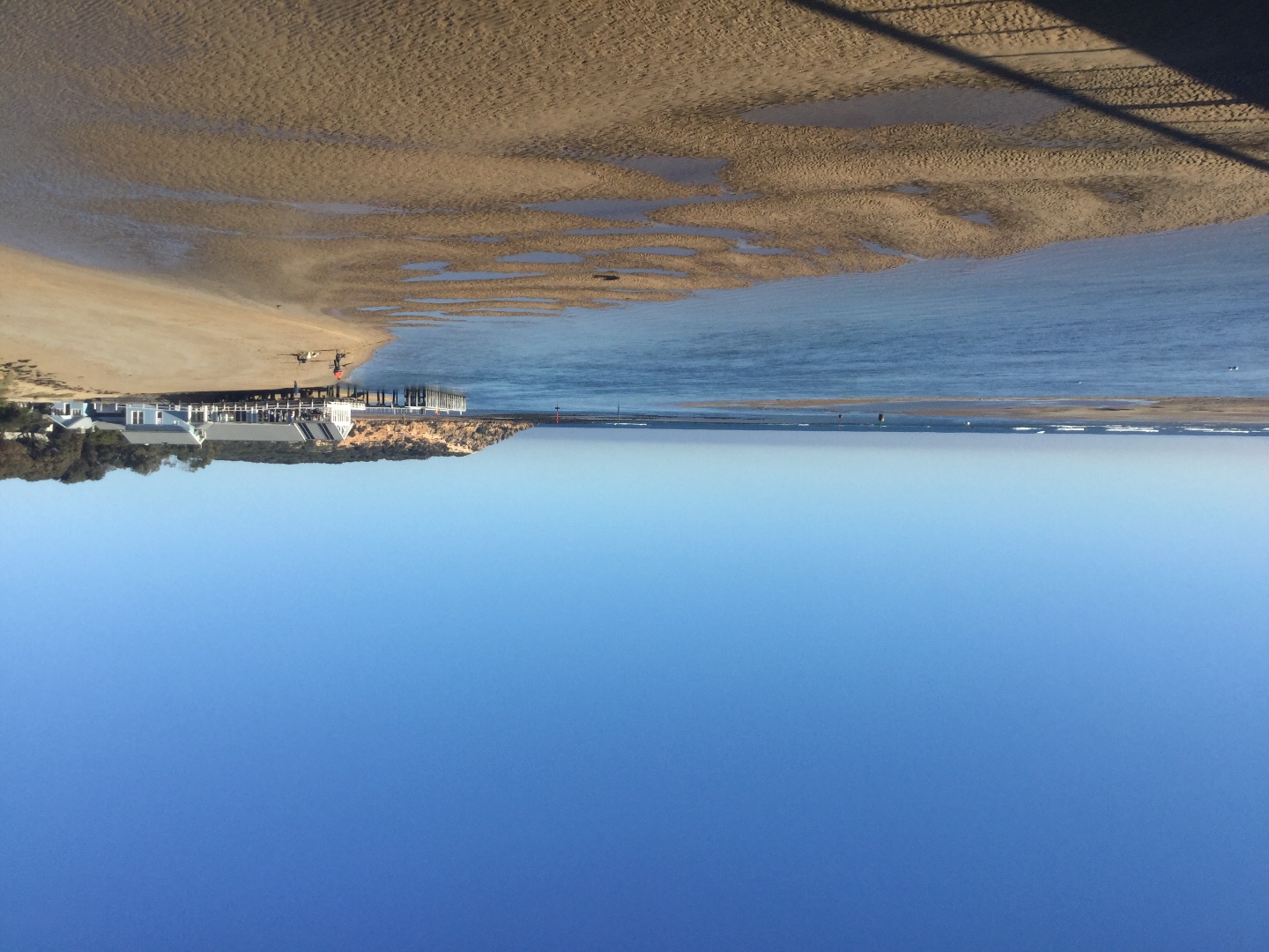
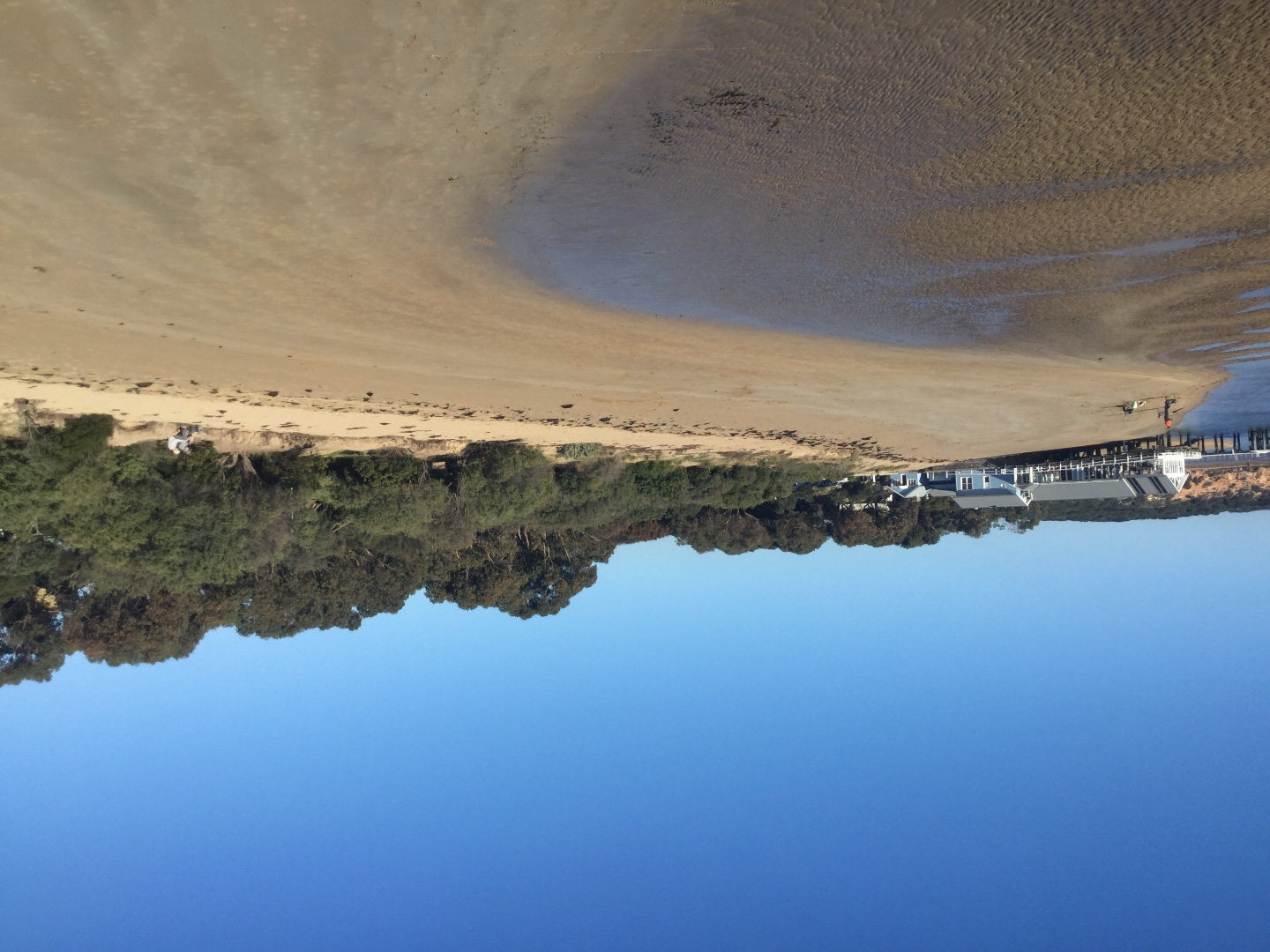
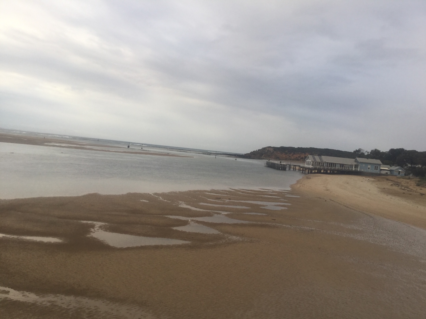
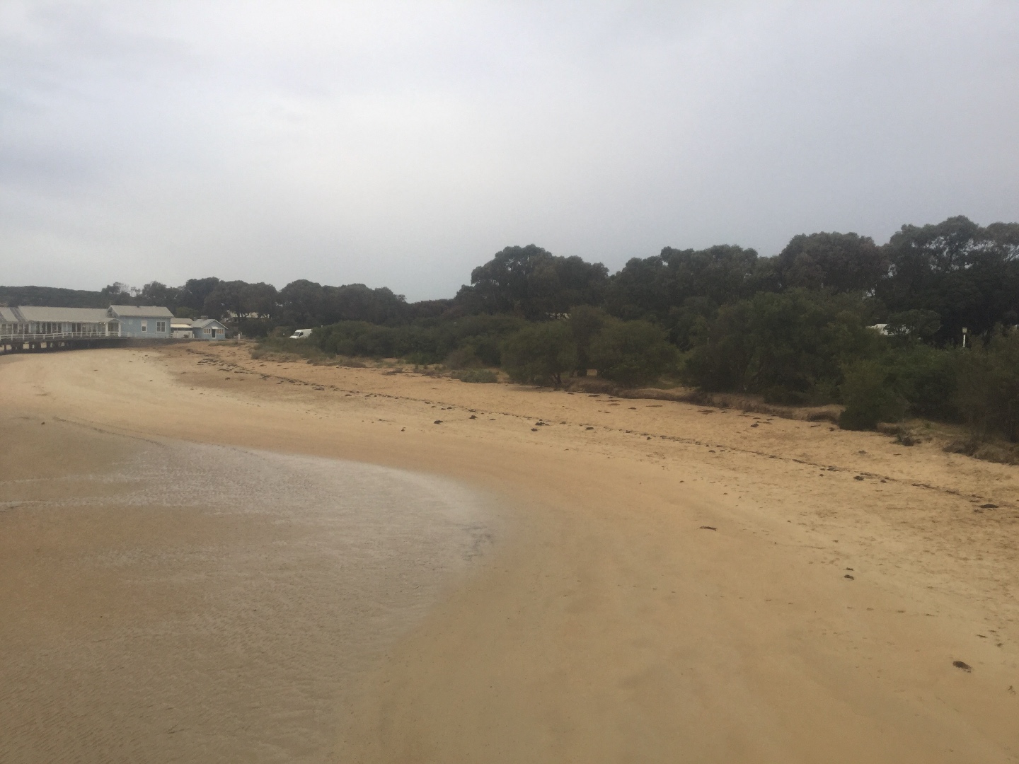
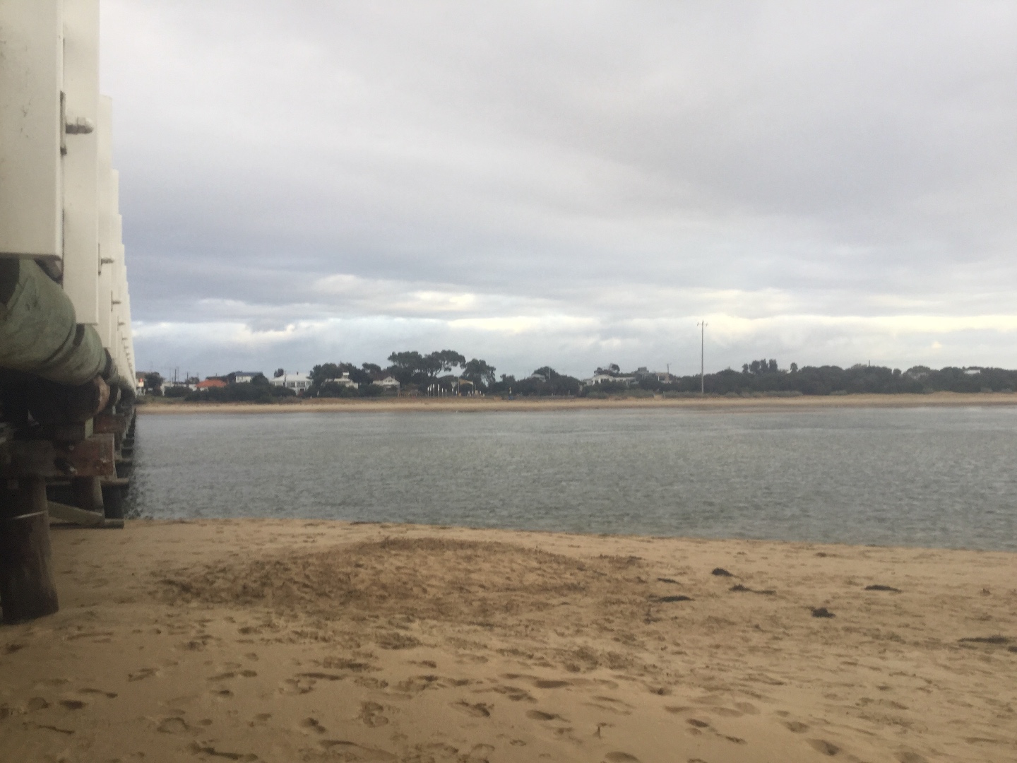
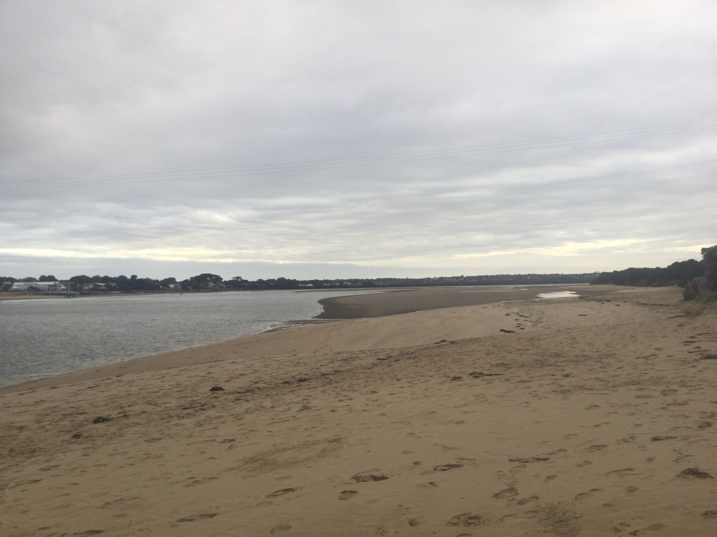
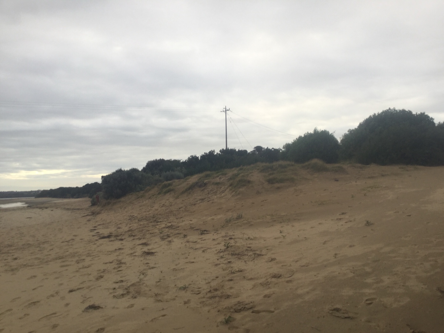
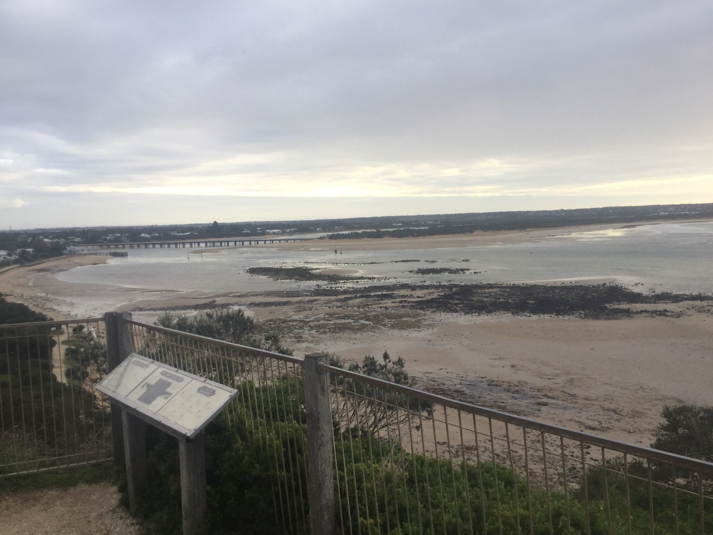
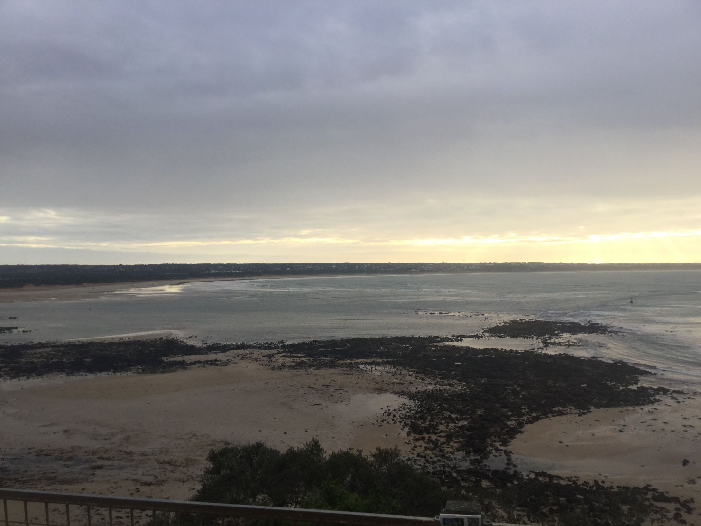
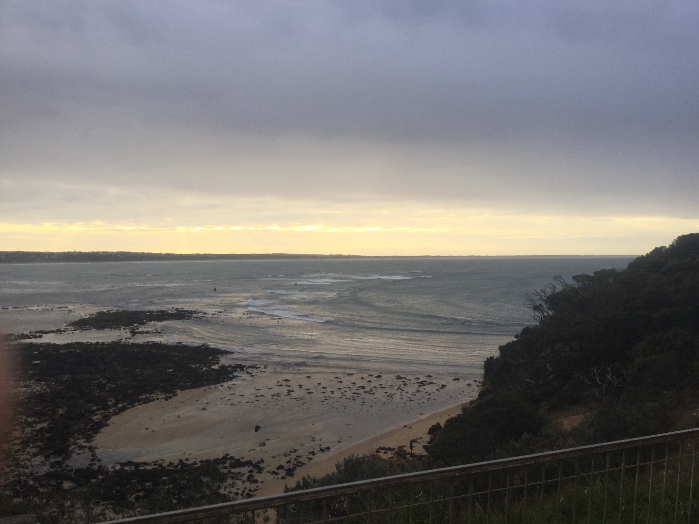
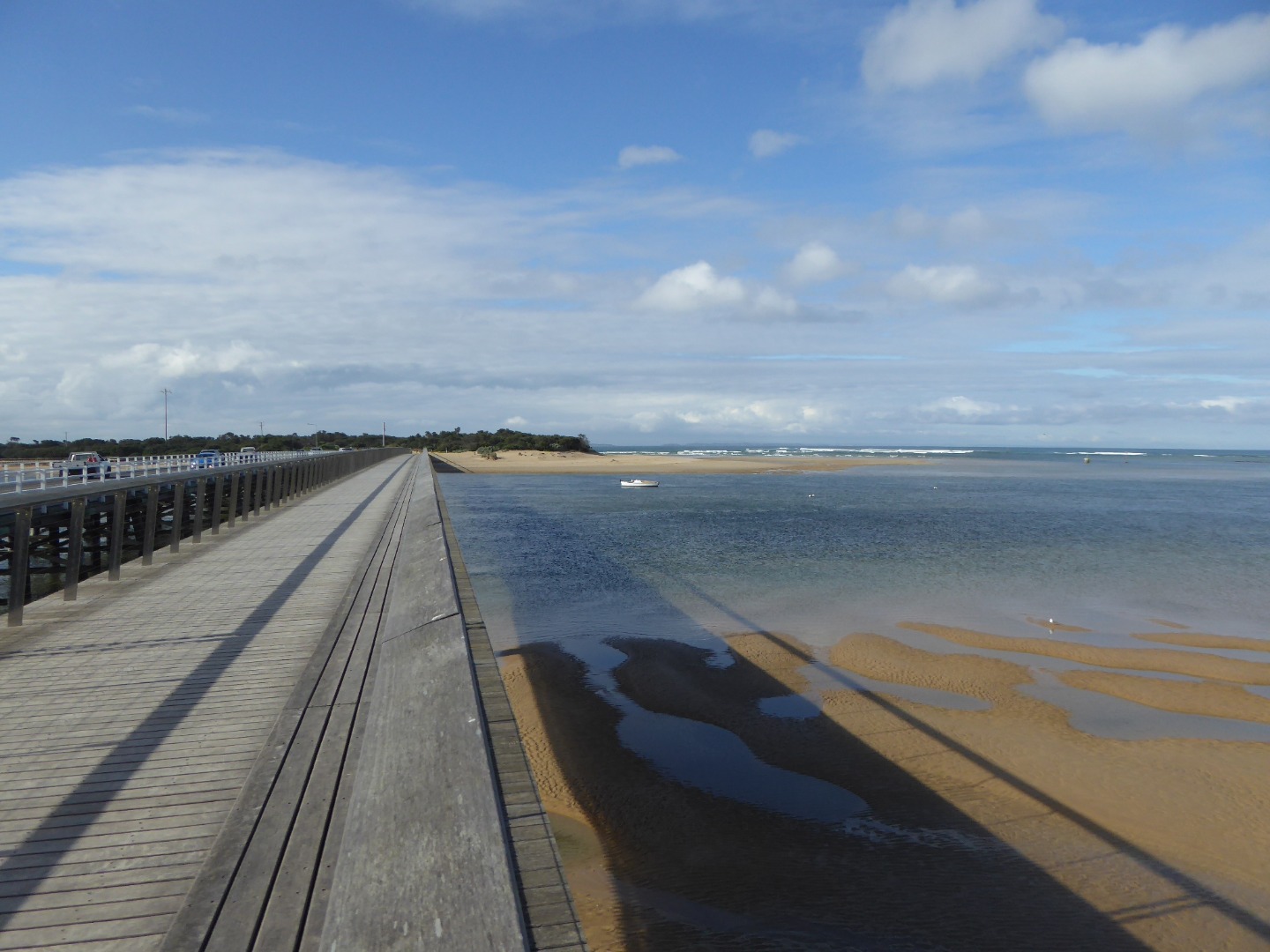
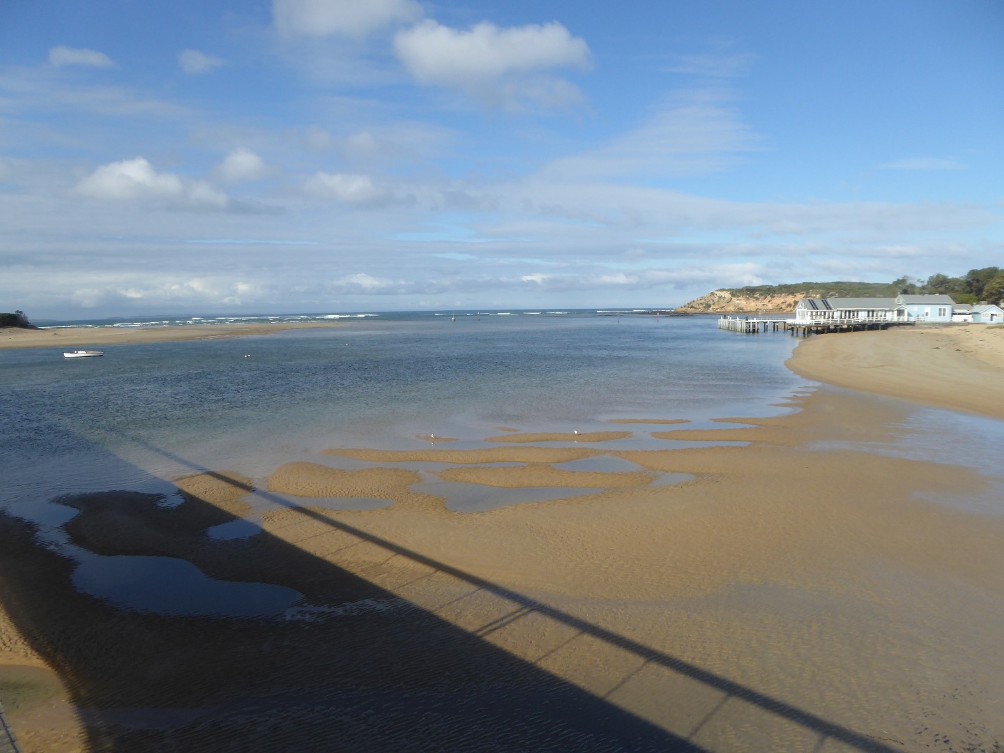
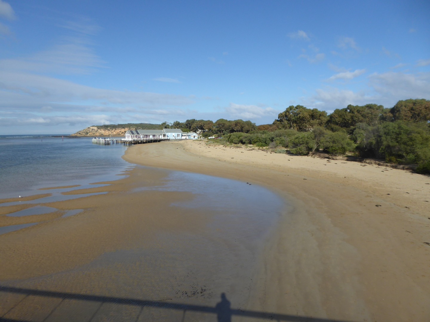
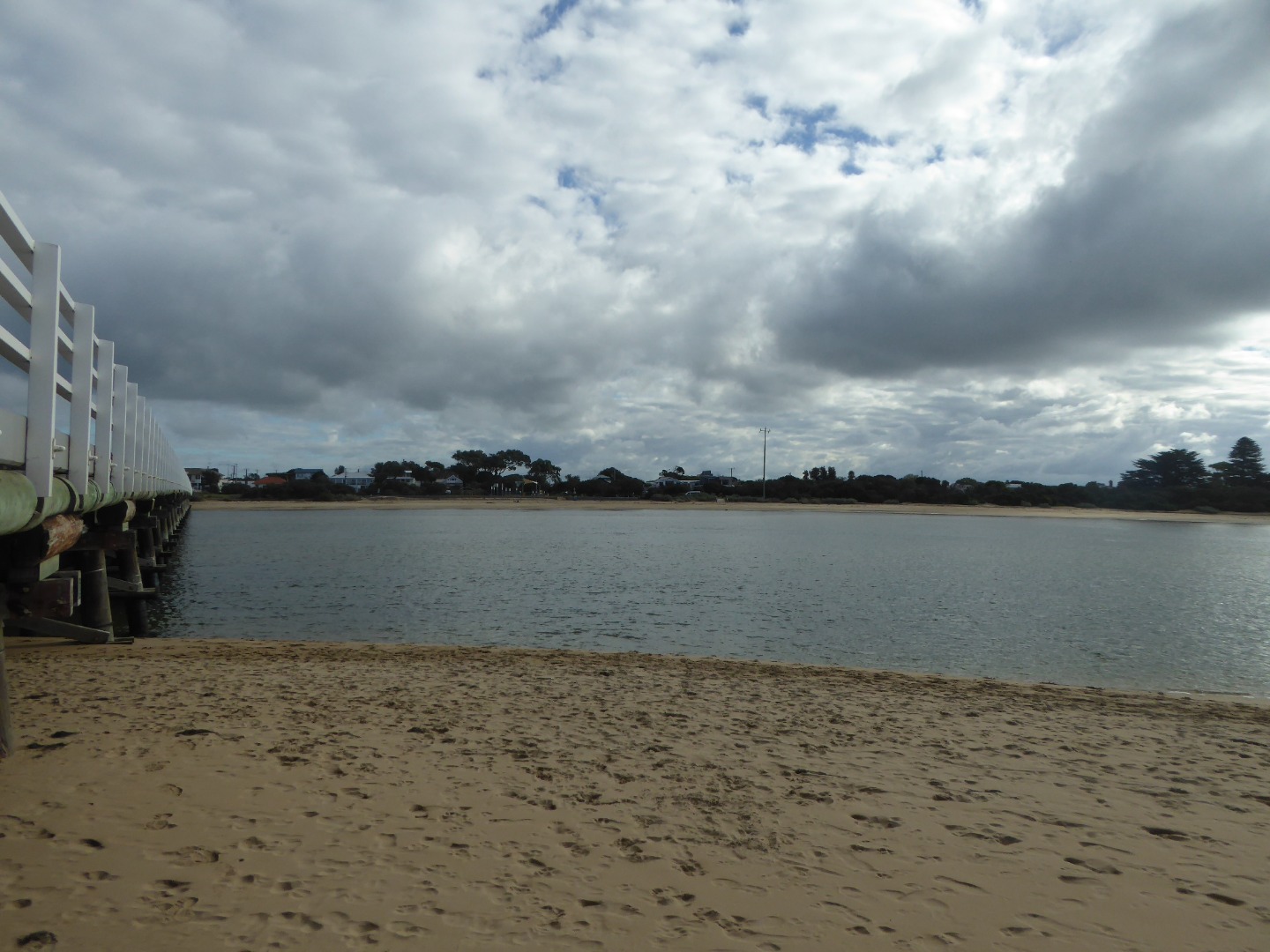
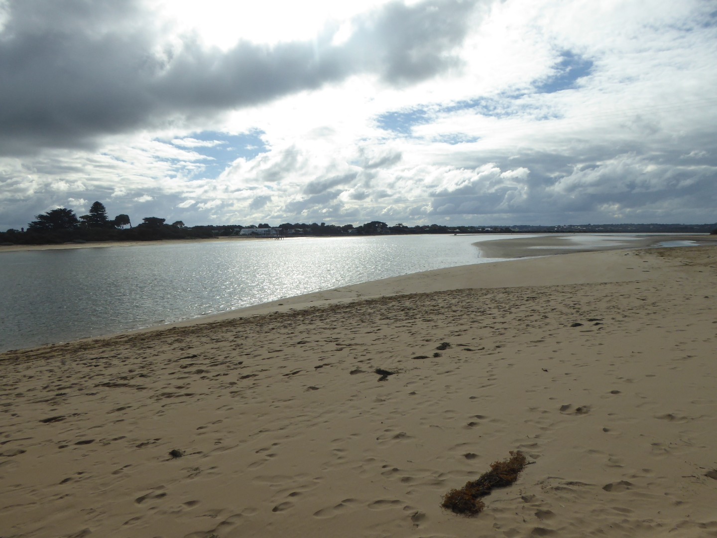
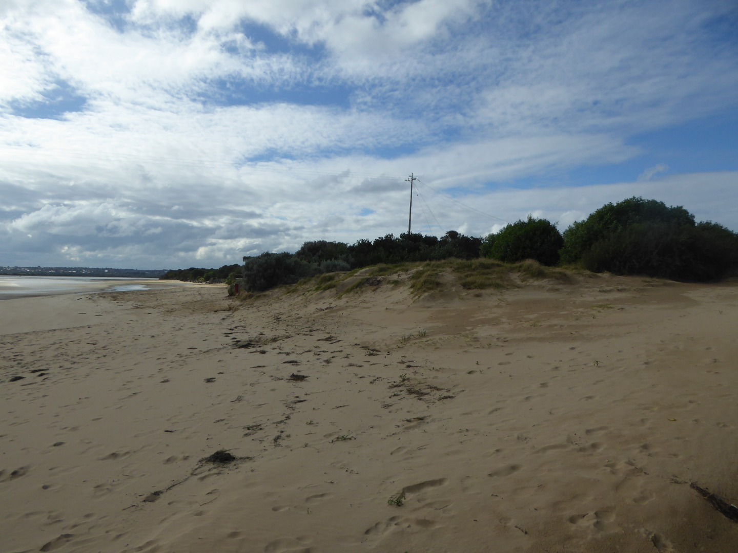
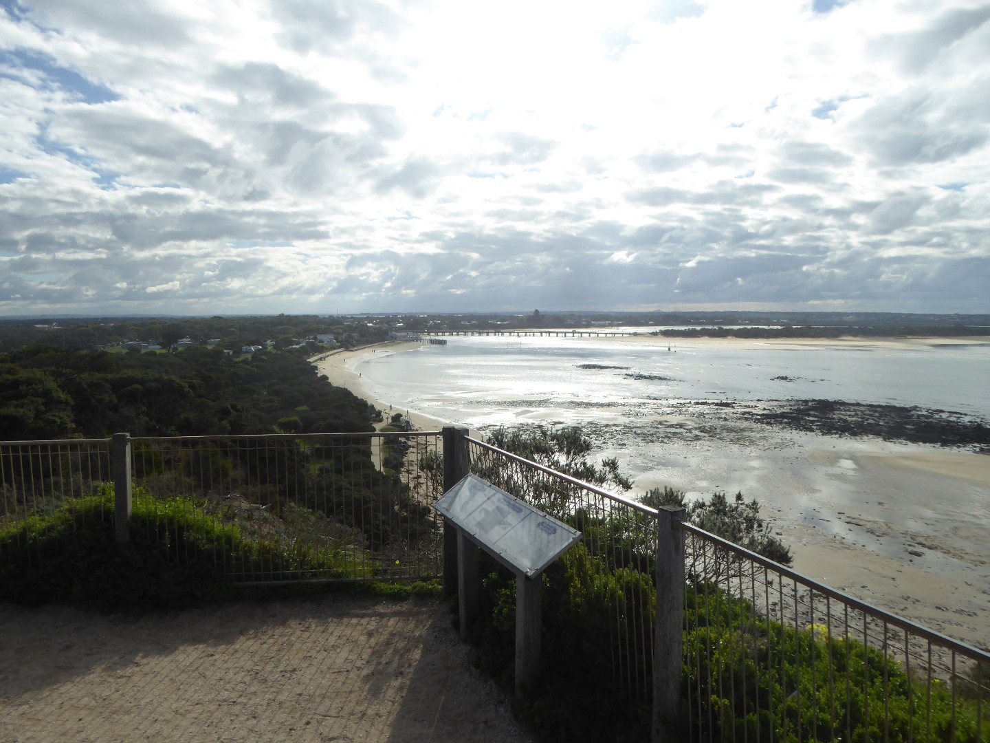
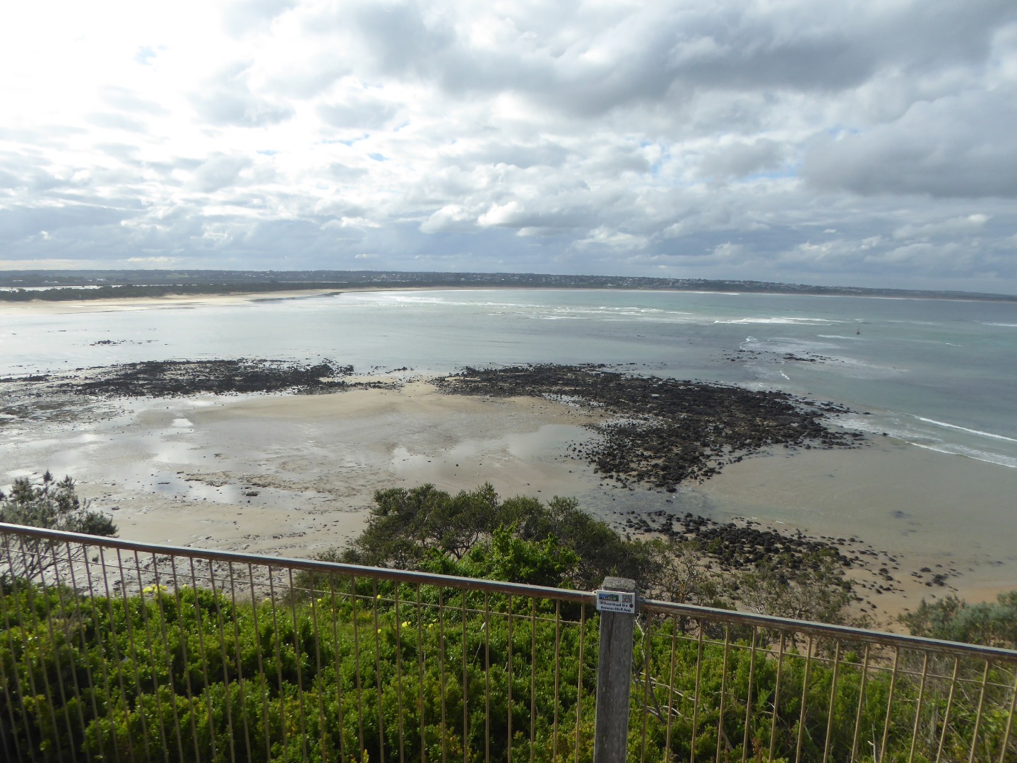
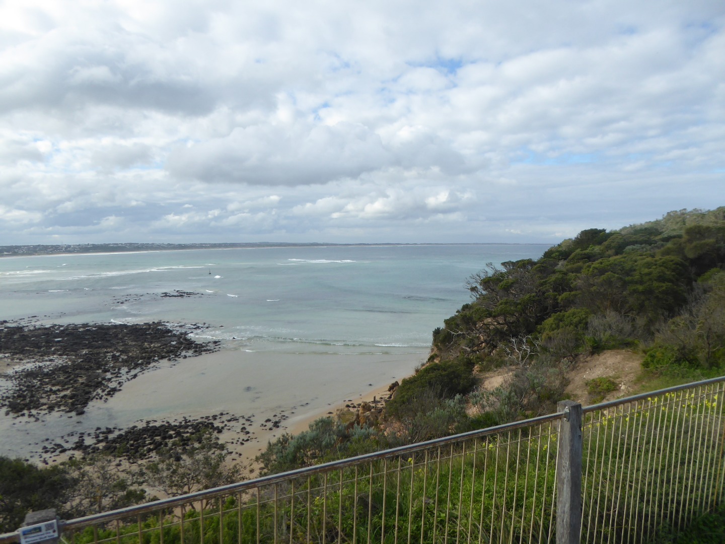
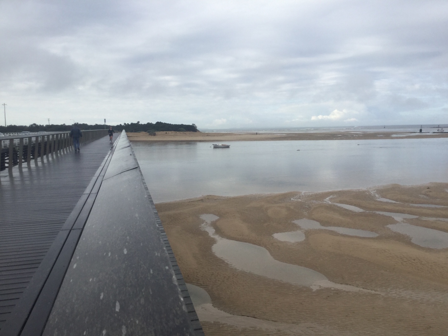
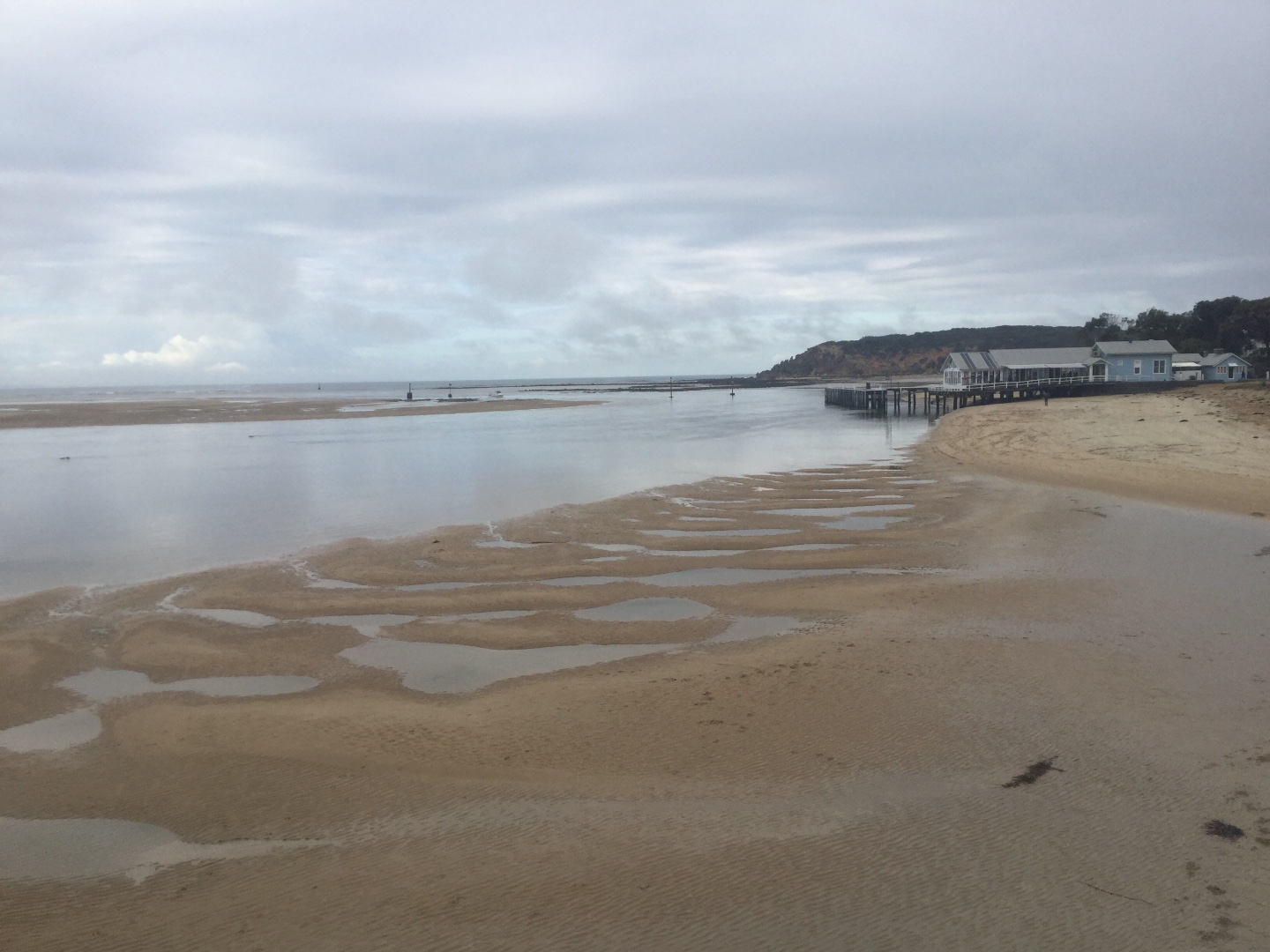
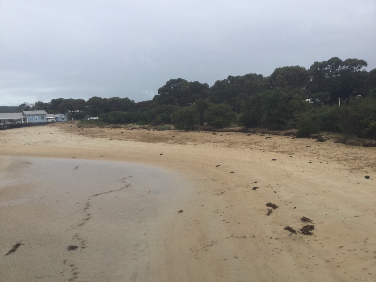
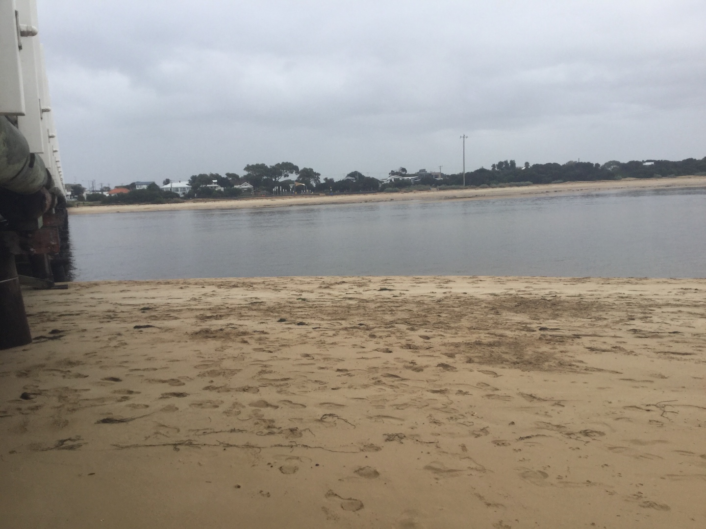
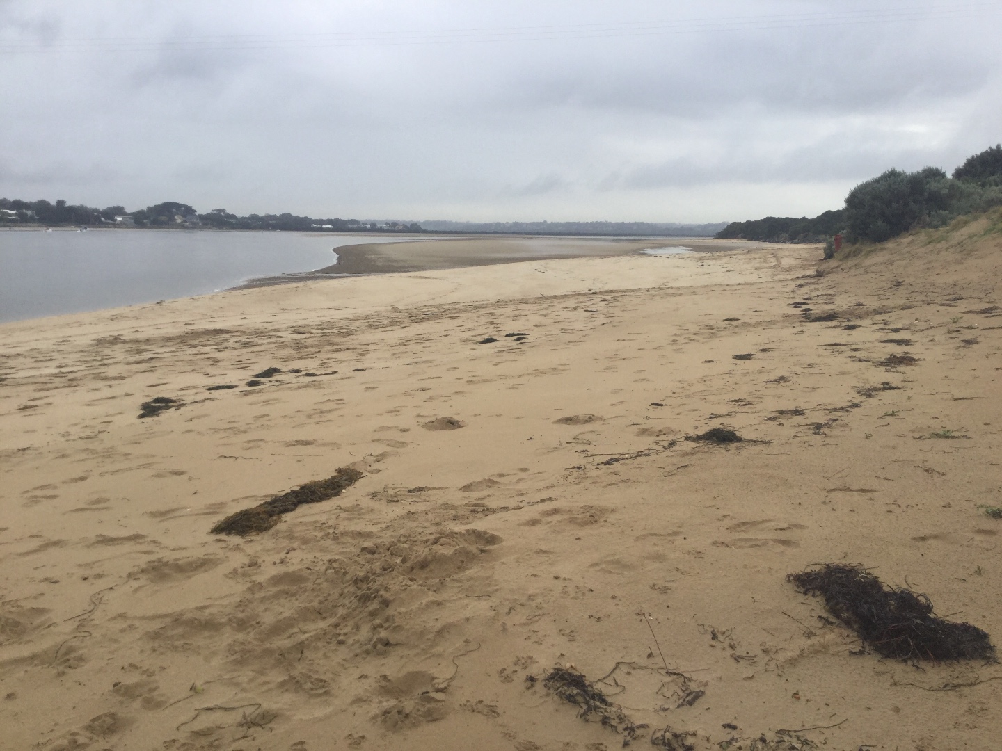
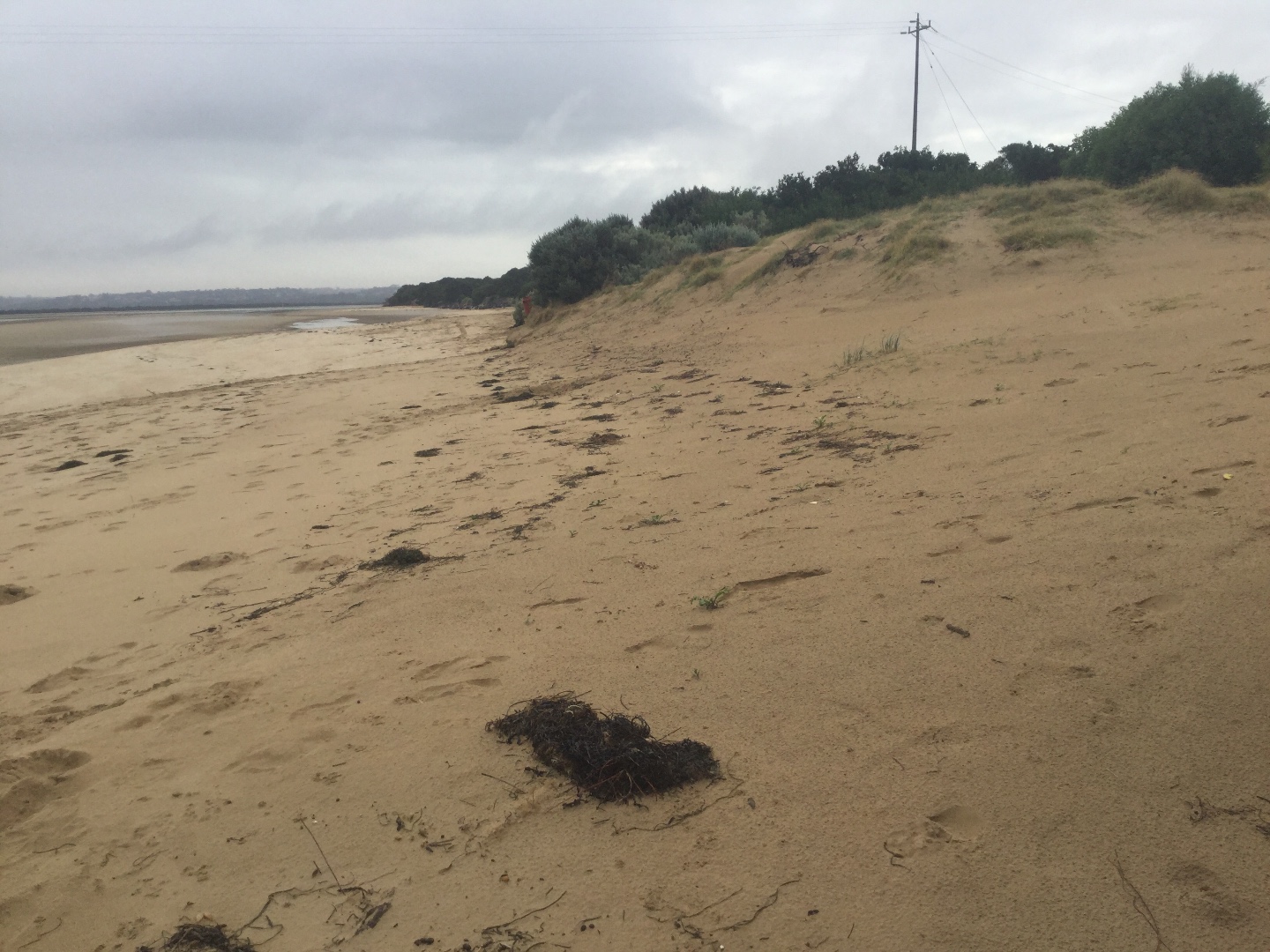
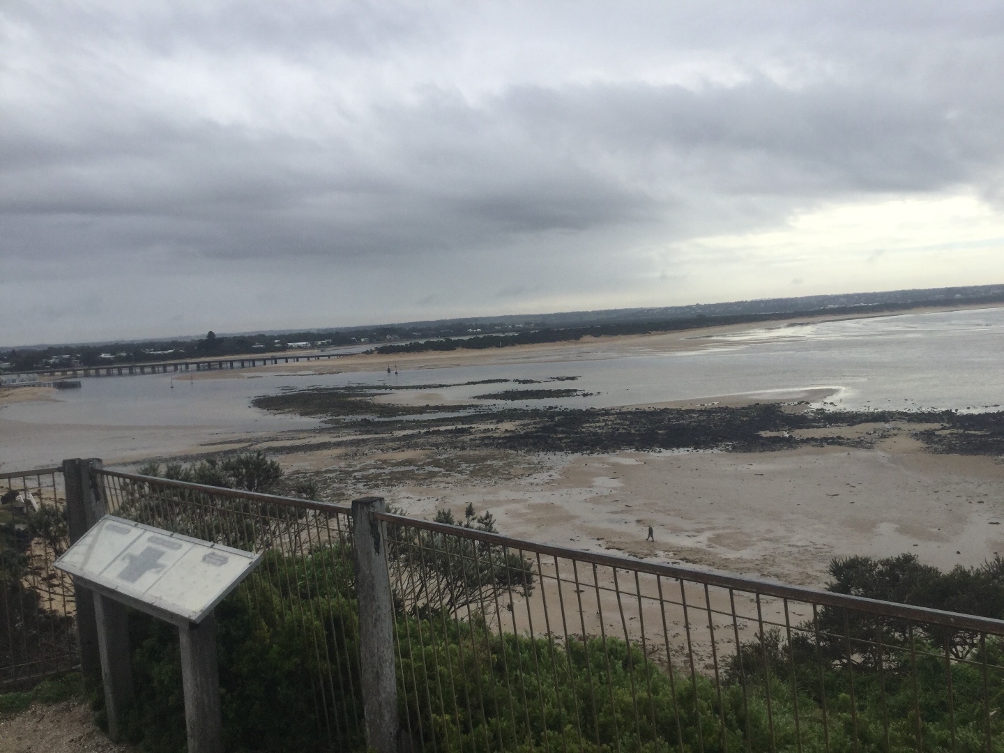
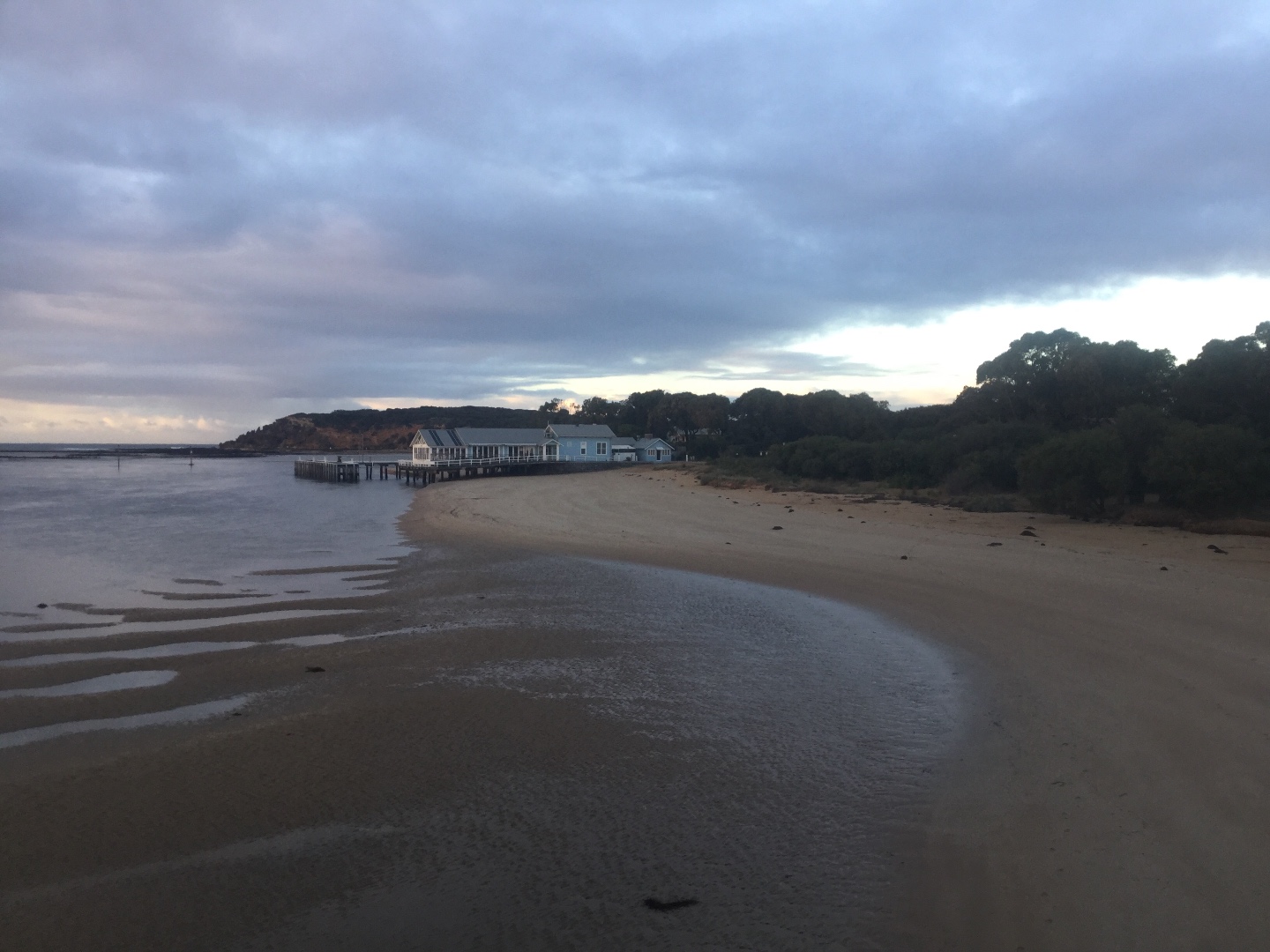
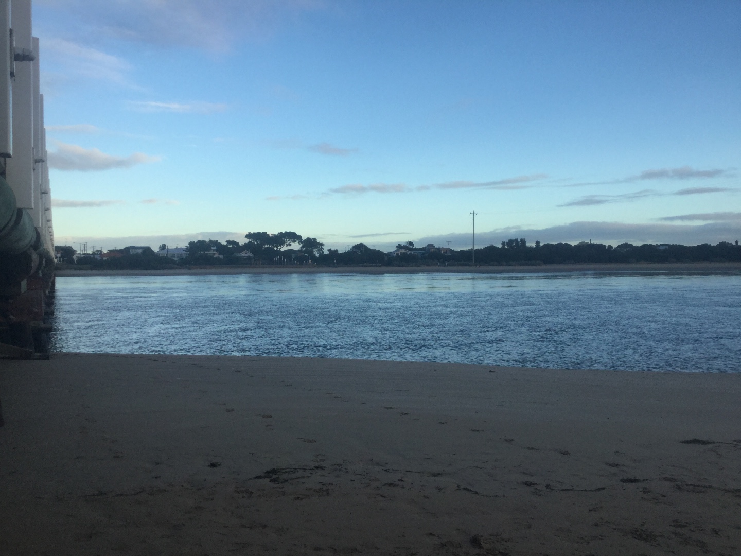
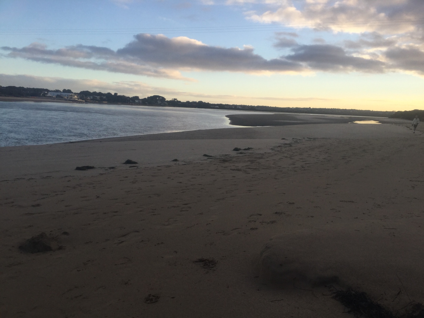
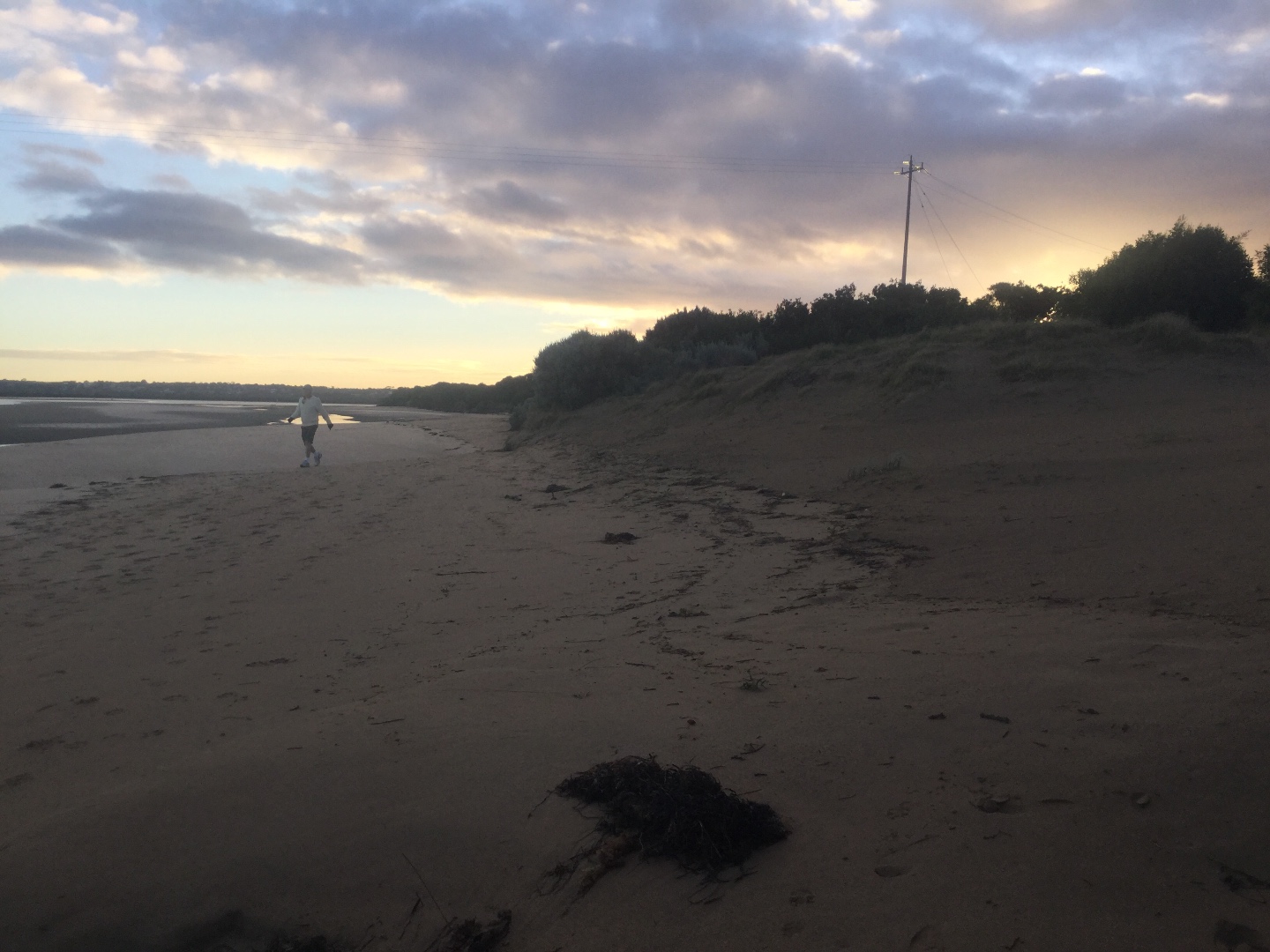
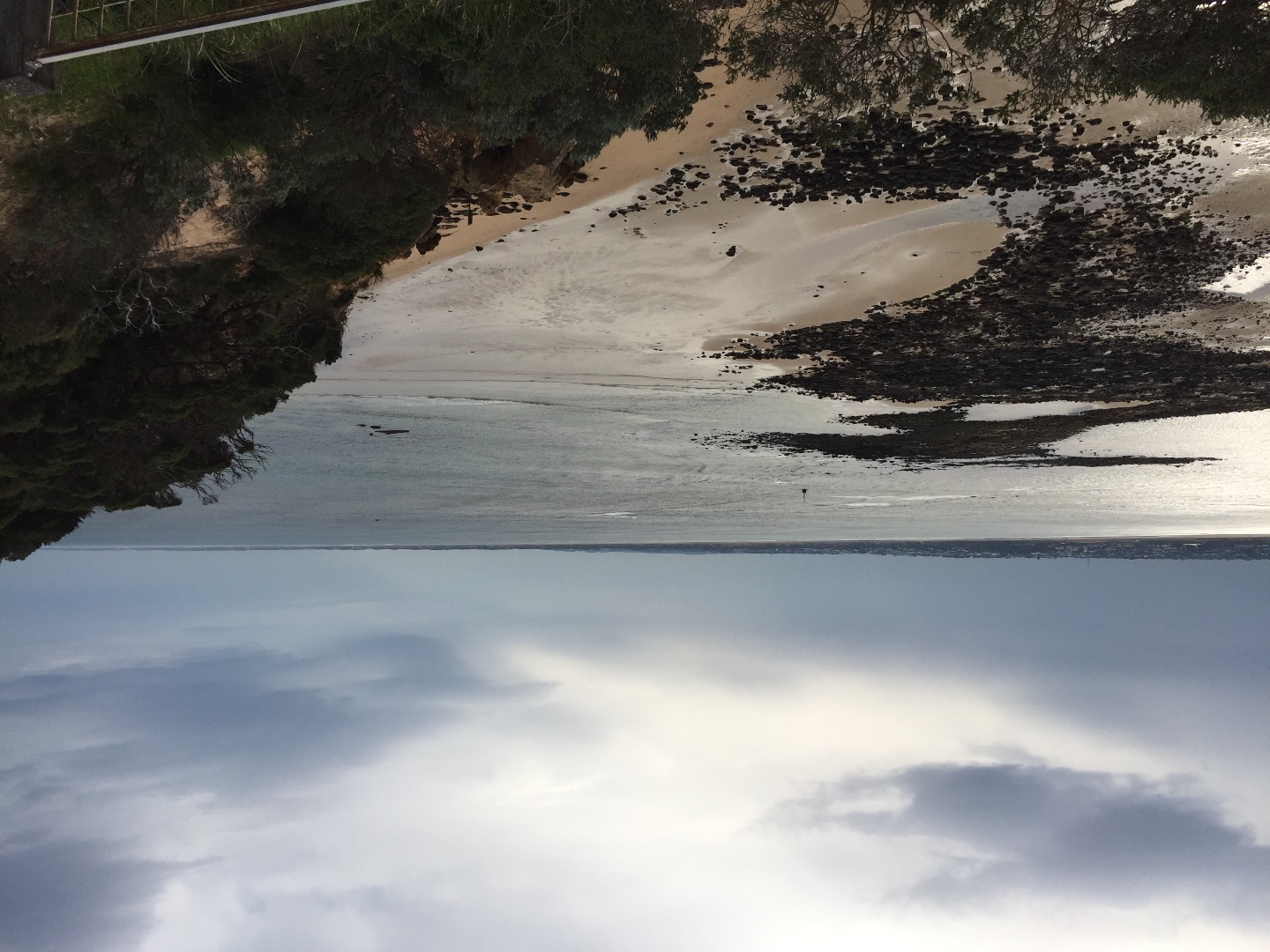
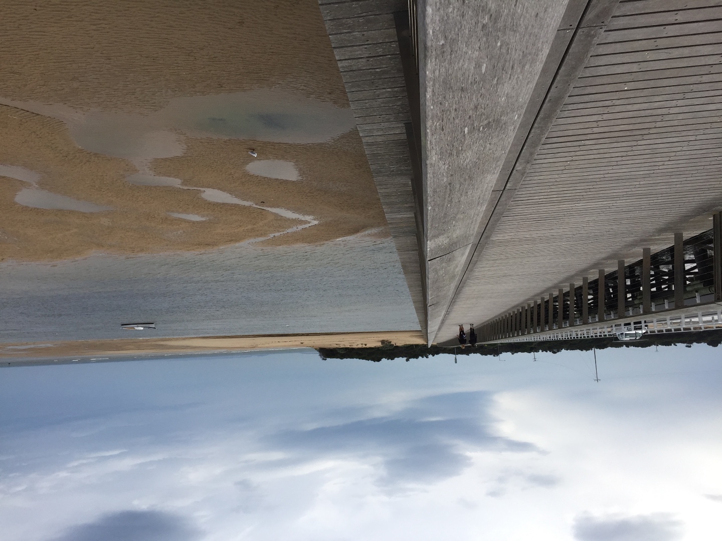
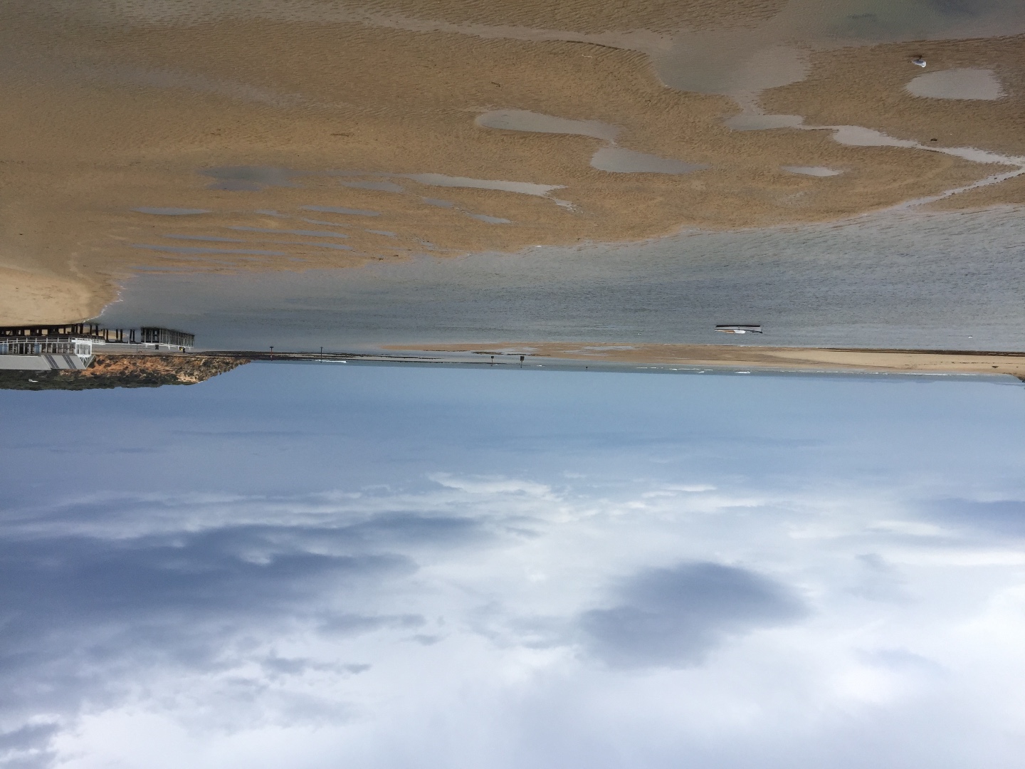
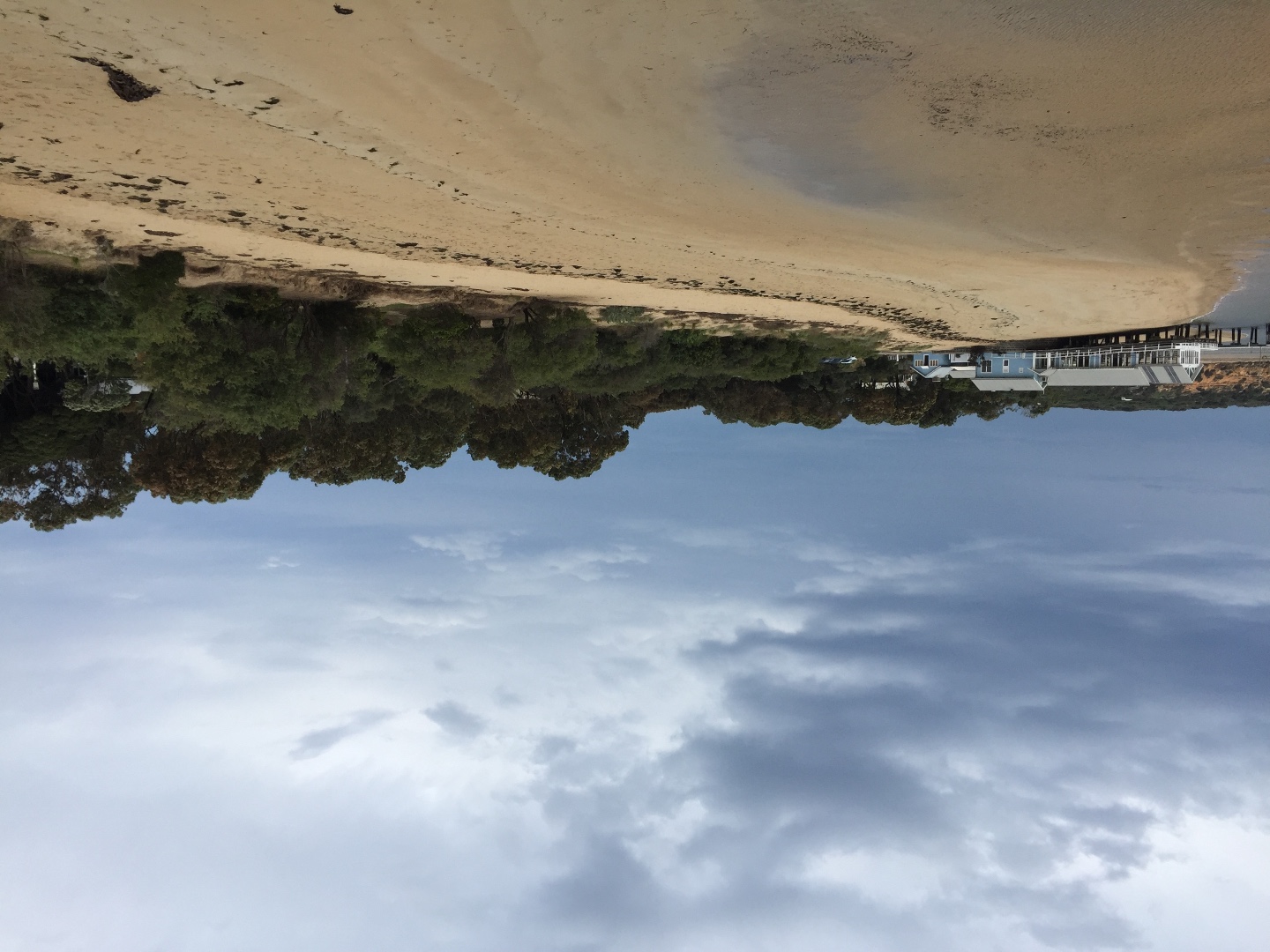
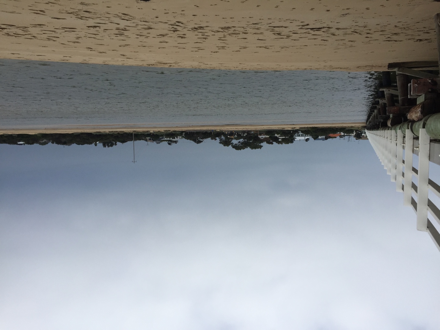
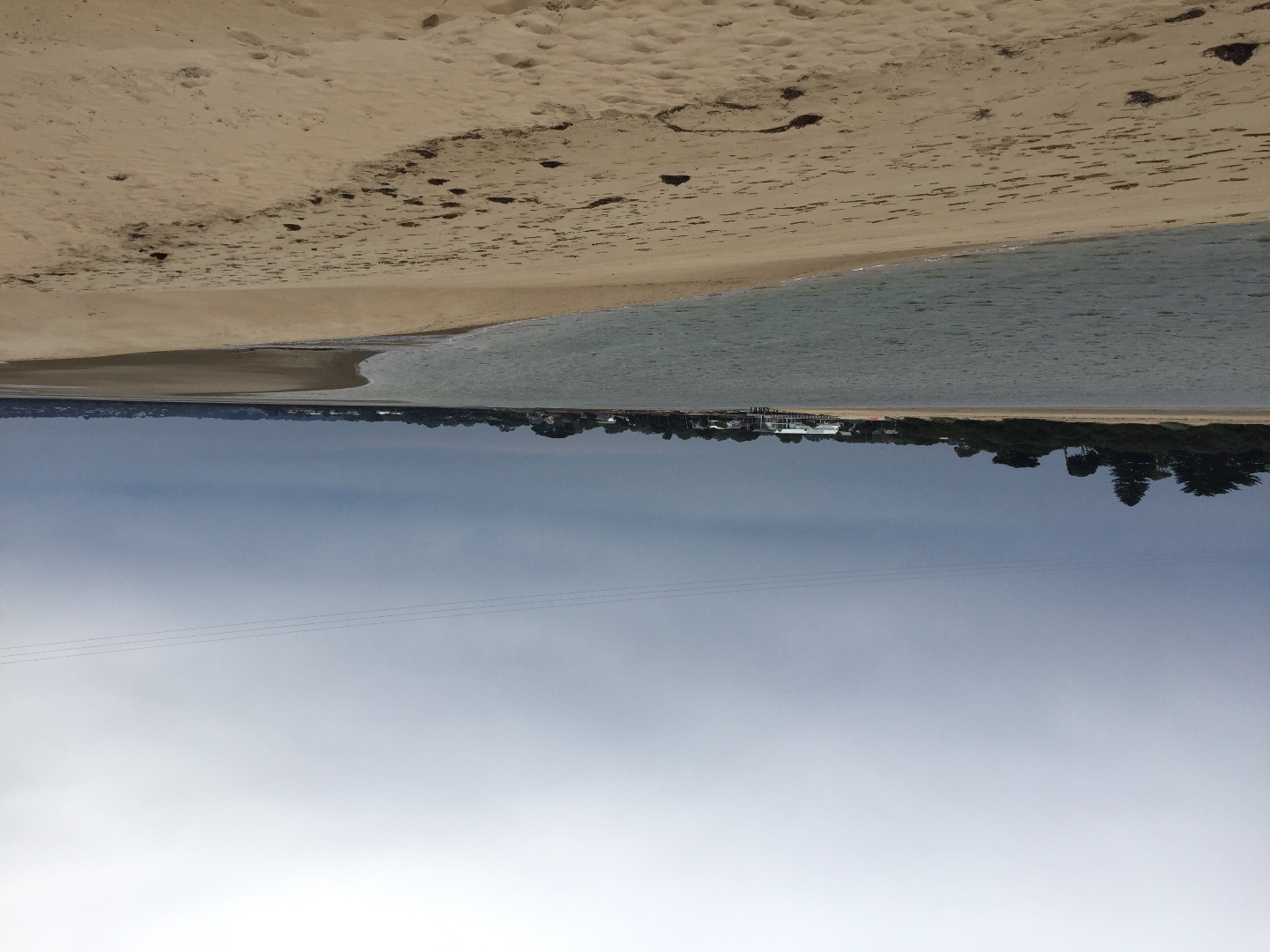
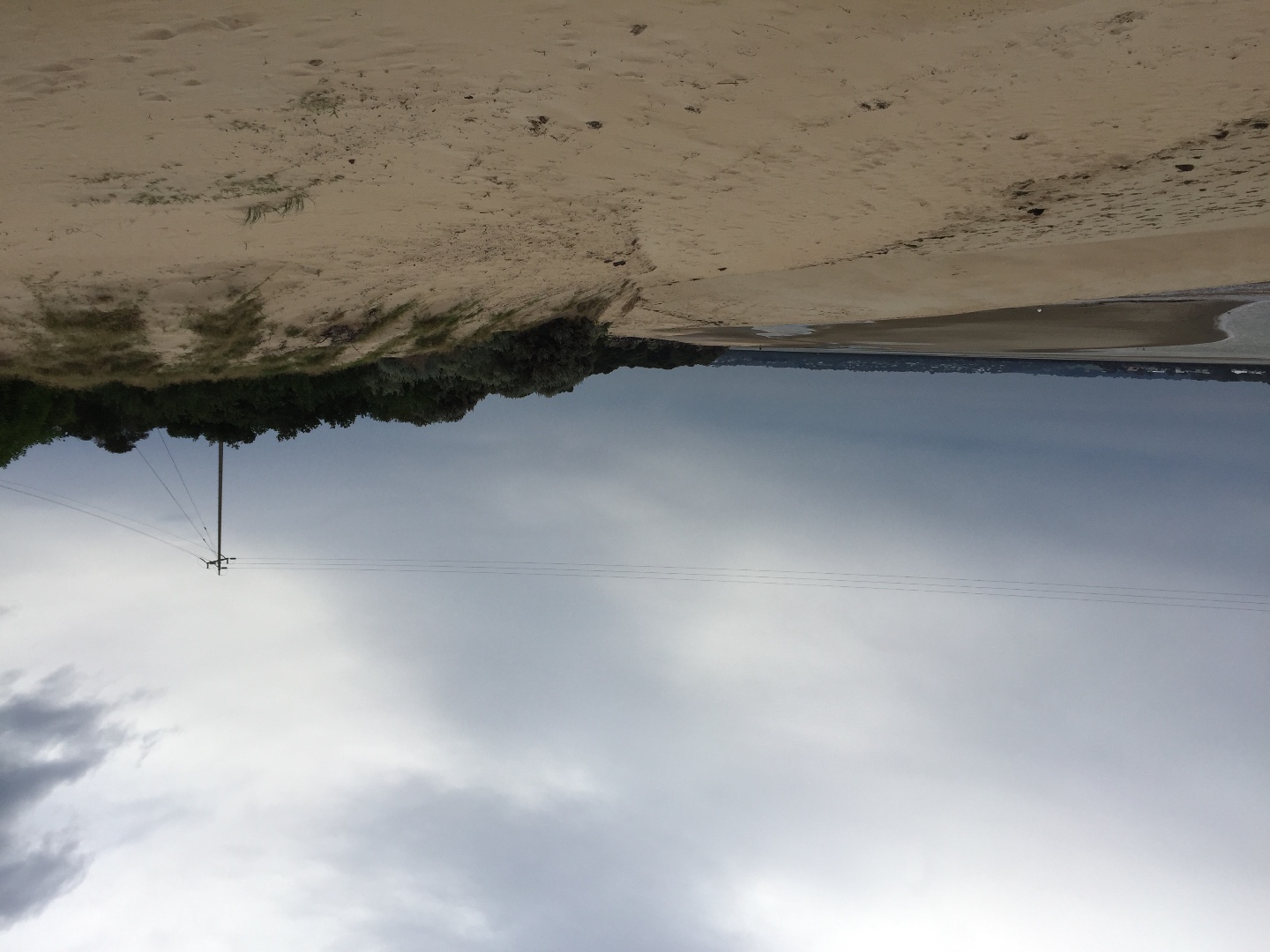
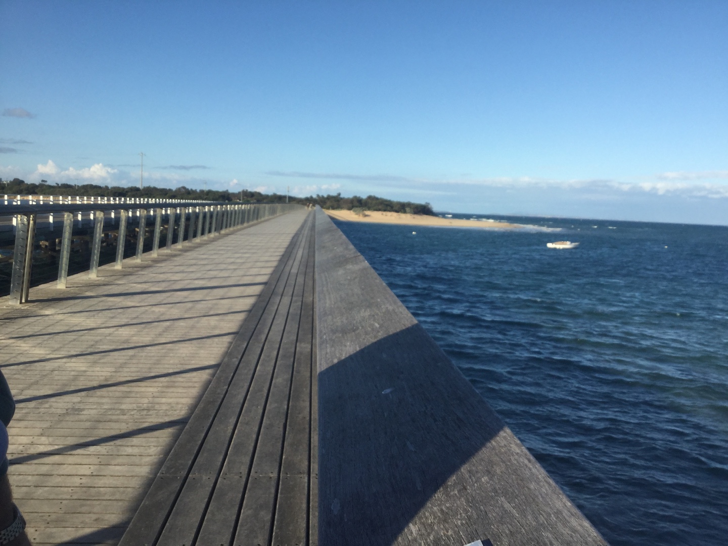
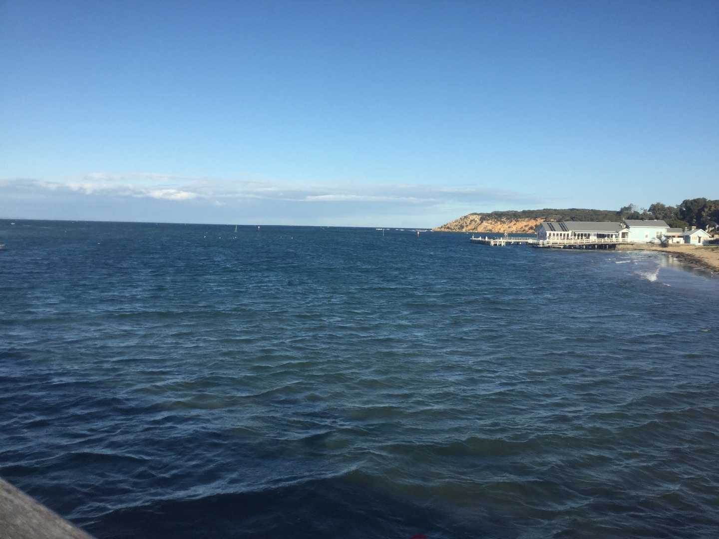
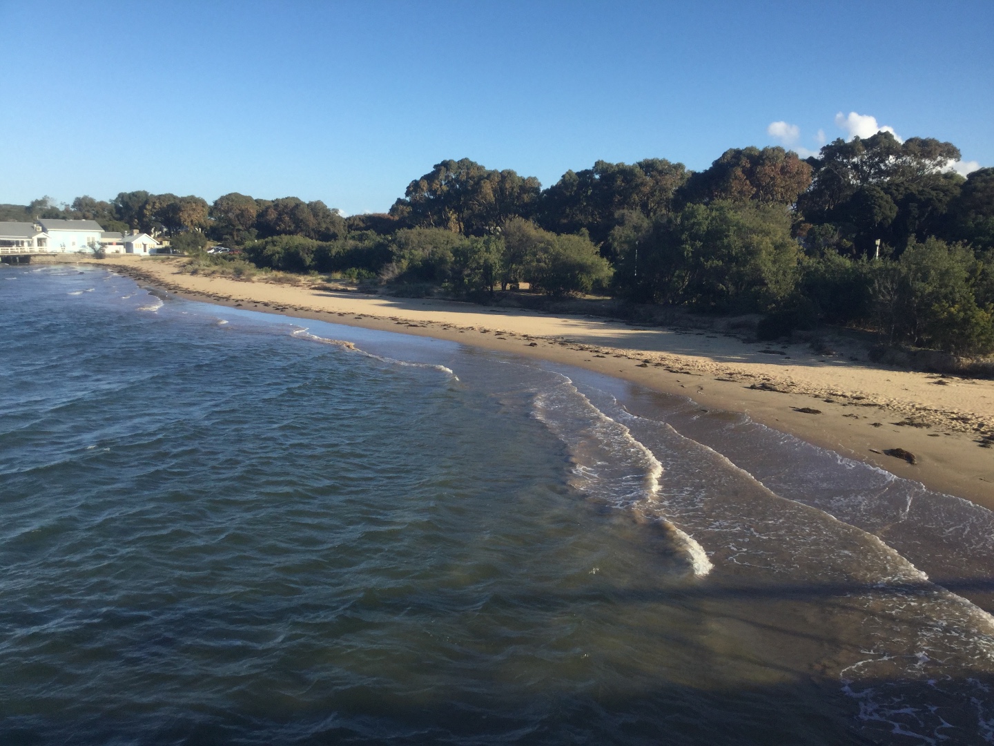
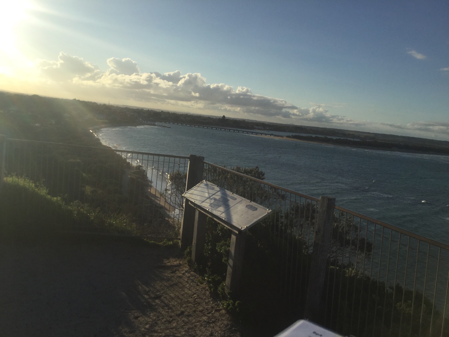
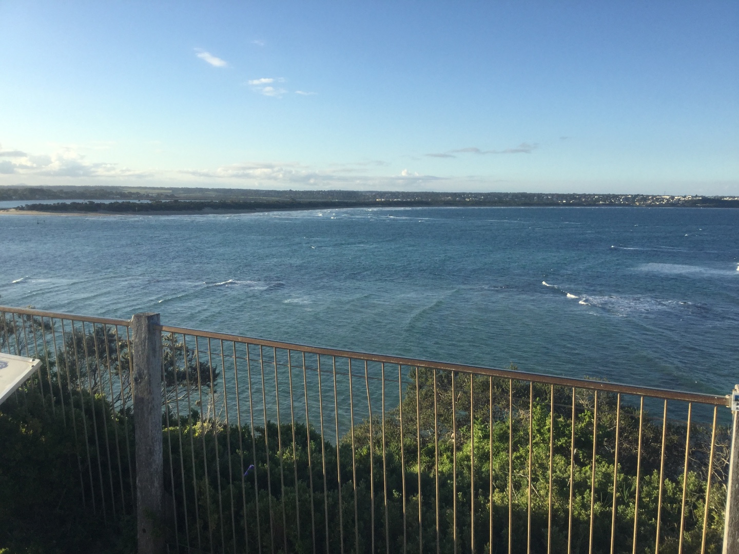
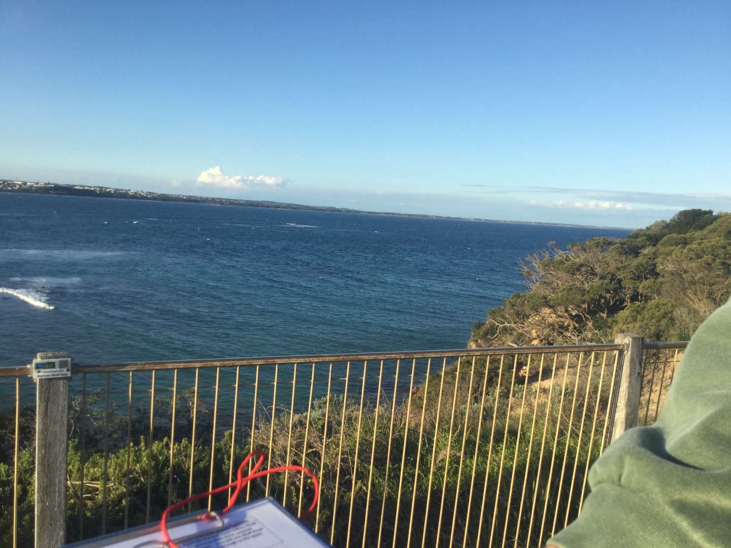
Active Mouth Condition 15-12-2007 - 17-04-2024Barwon River Estuary
236 results found (Displaying 101 - 125)
| ID | Date | Status | Details | |
|---|---|---|---|---|
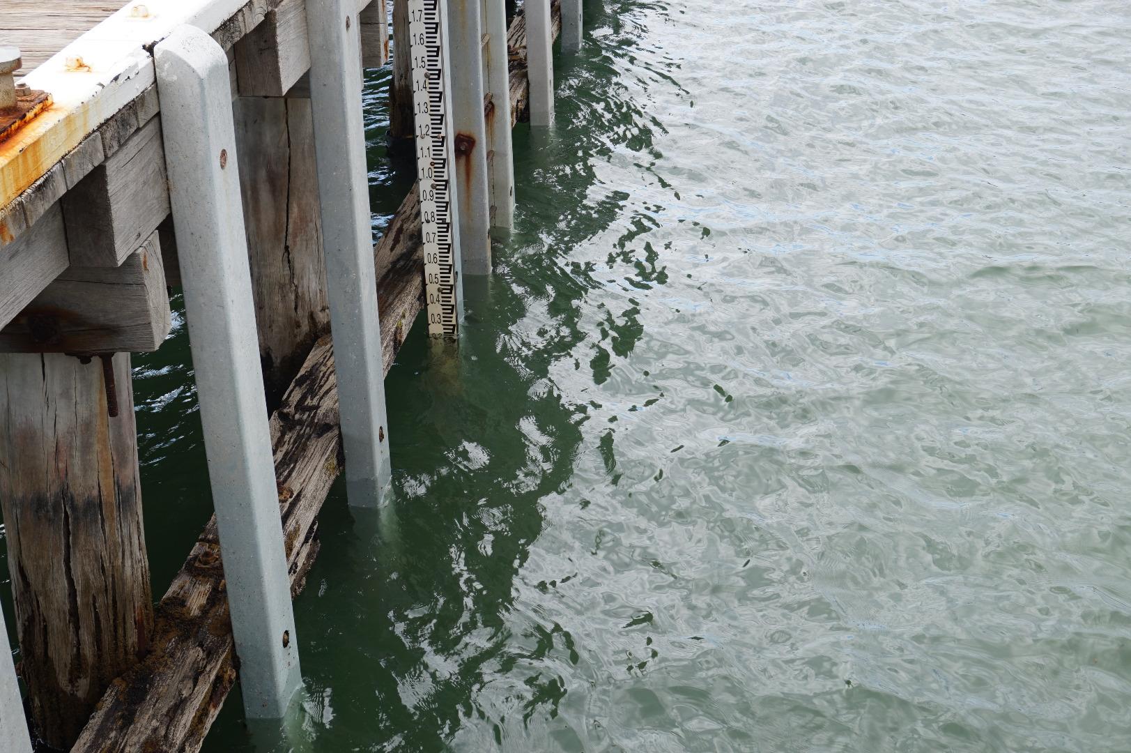
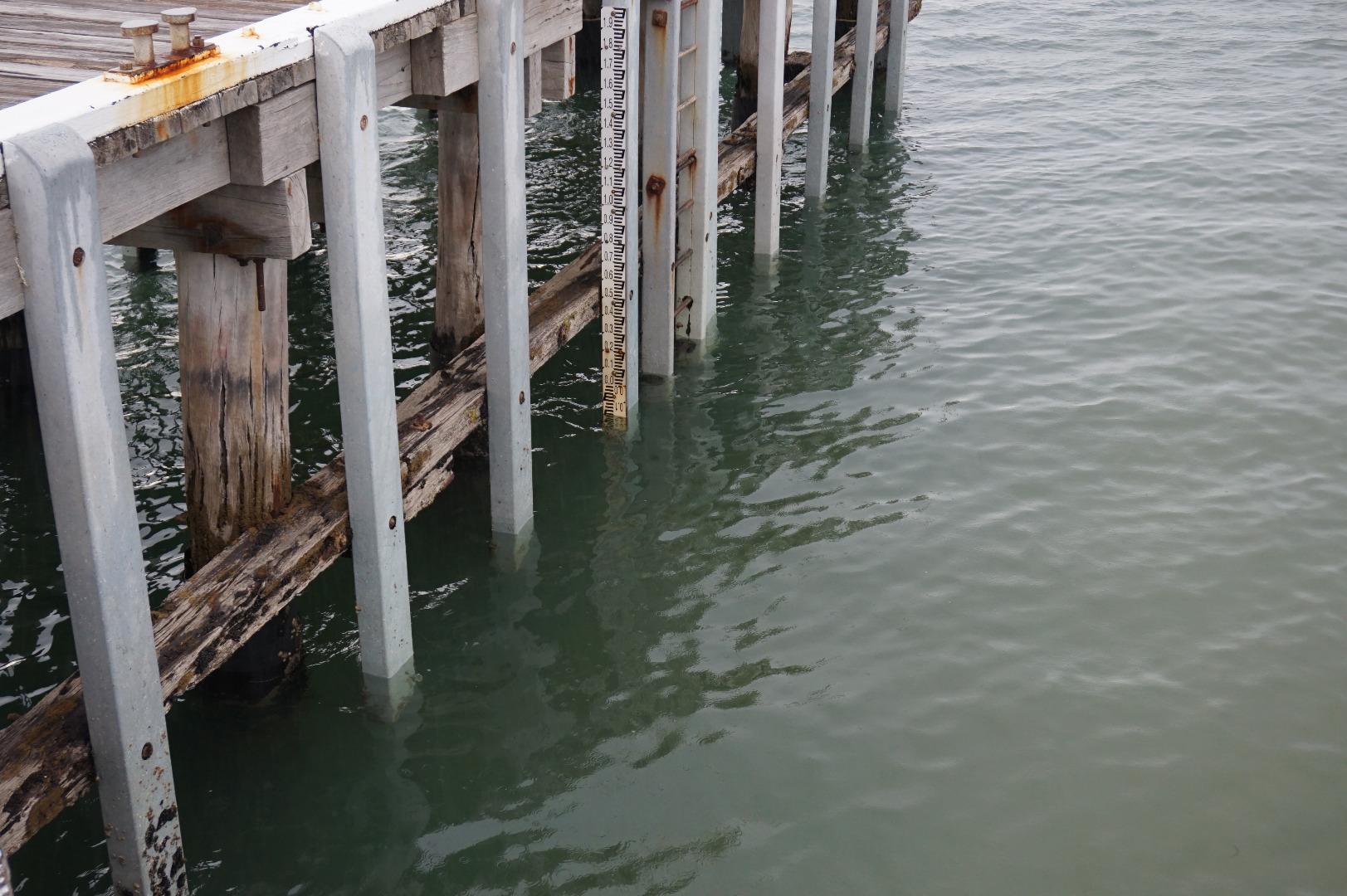
| #11761 | 1 Feb 2018 | Approved | ||
| #11822 | 17 Jan 2018 | Approved |
Notes:
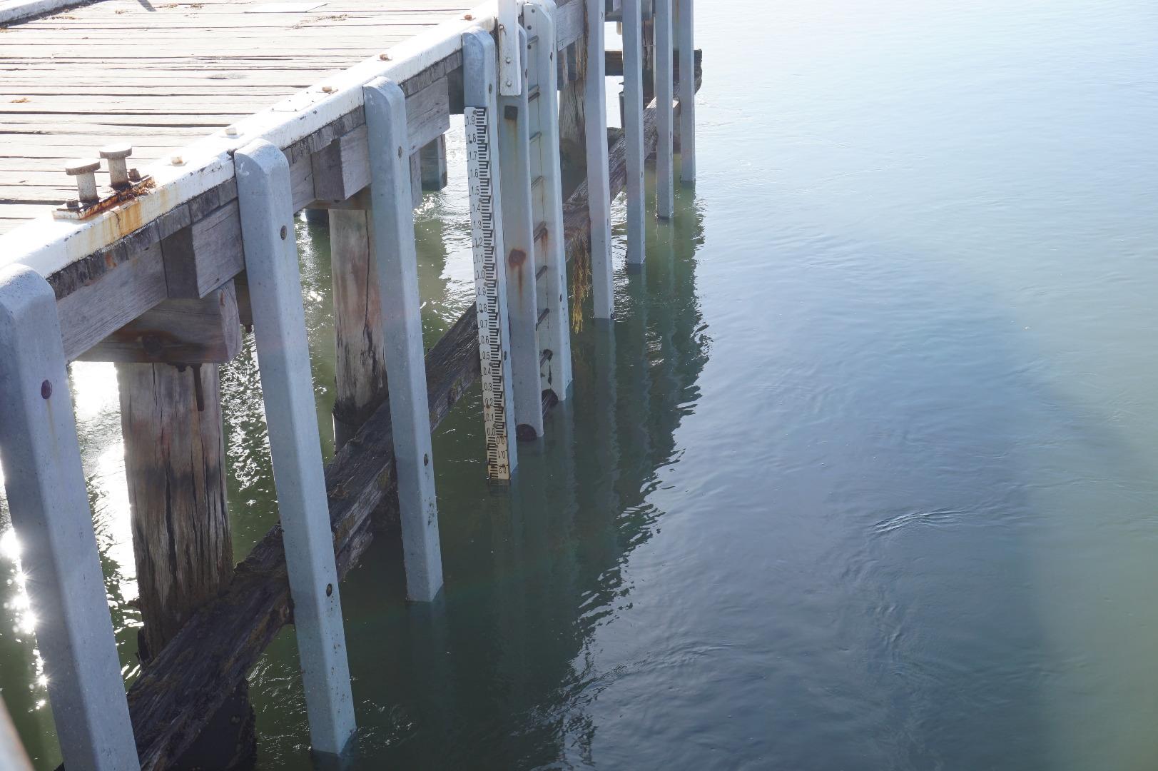
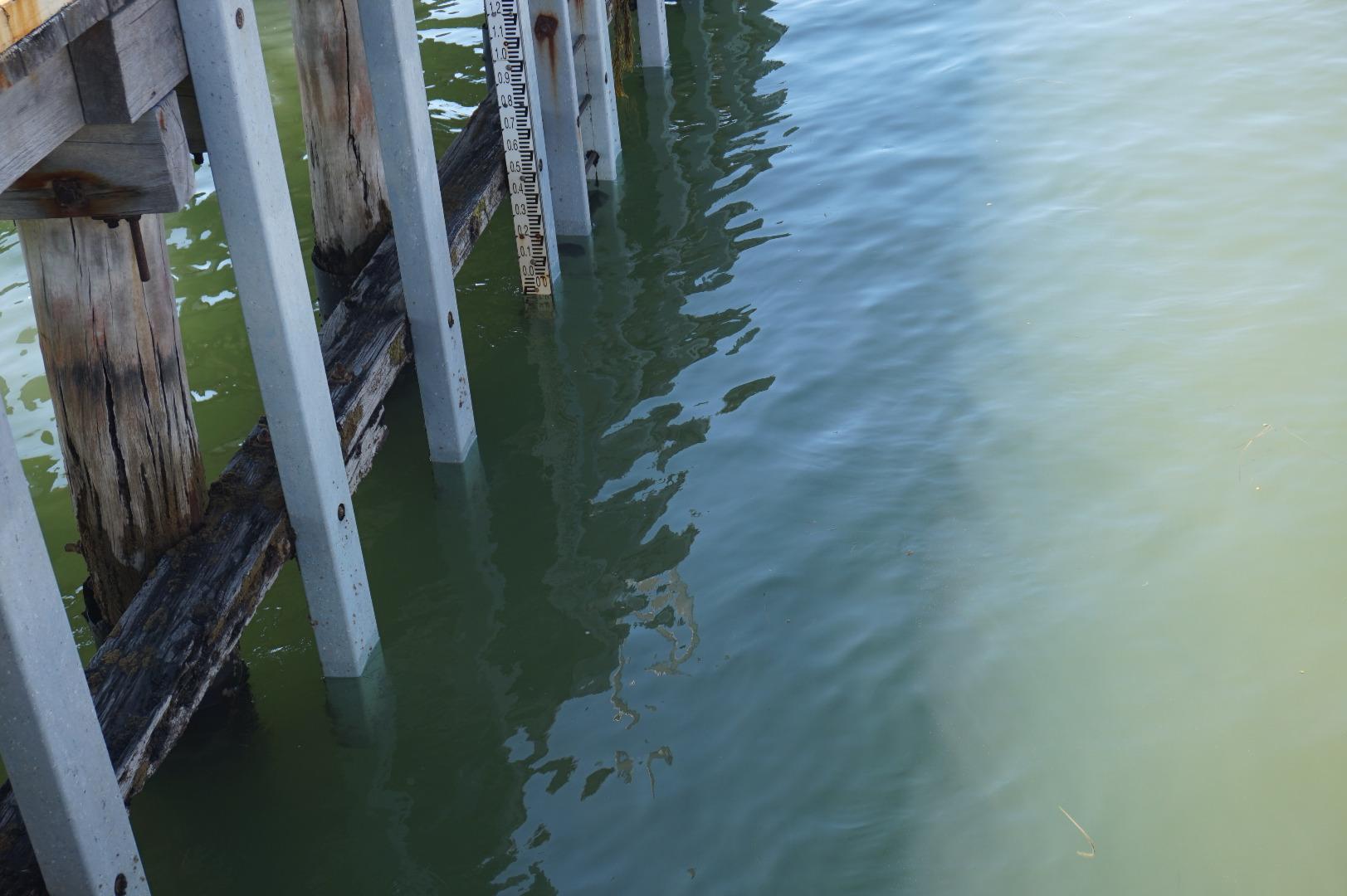
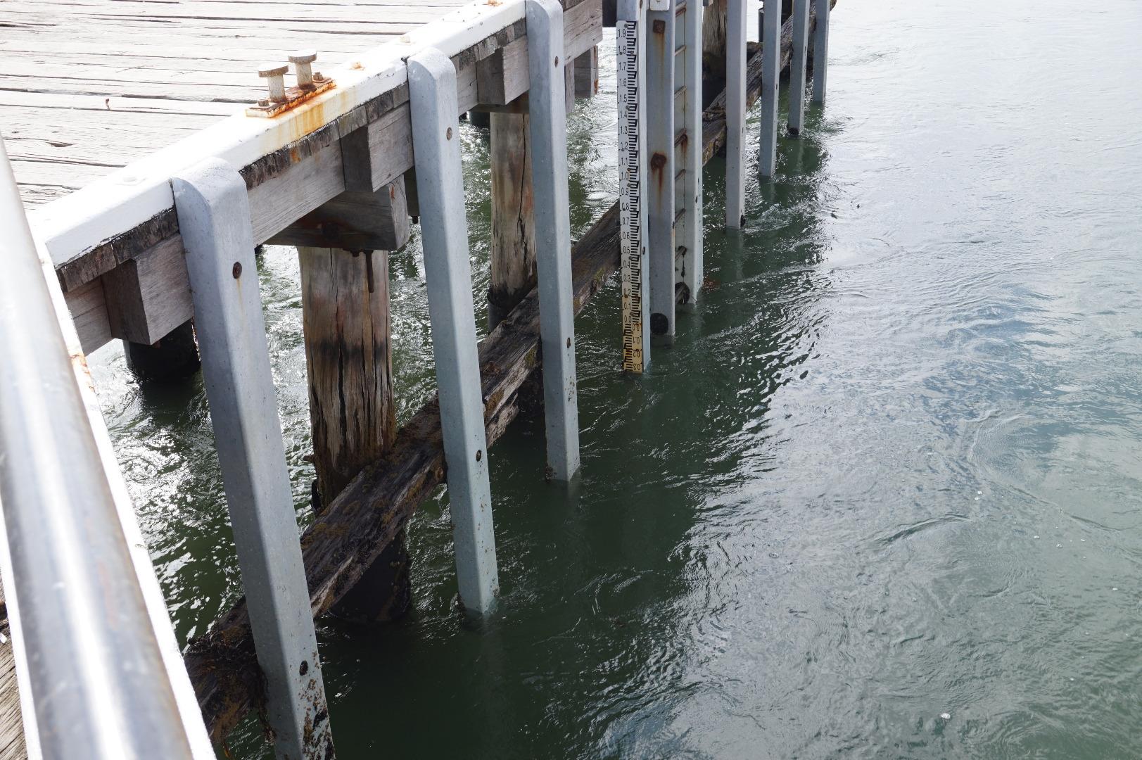
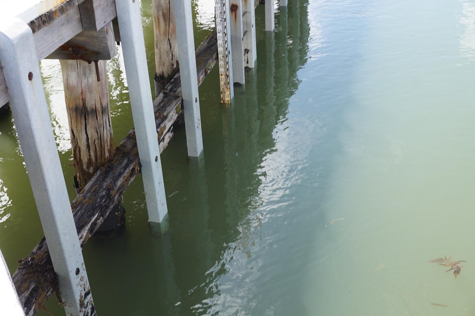
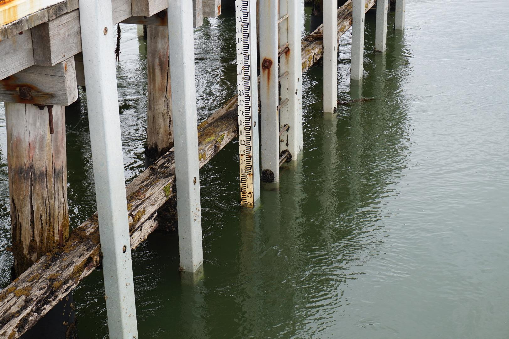
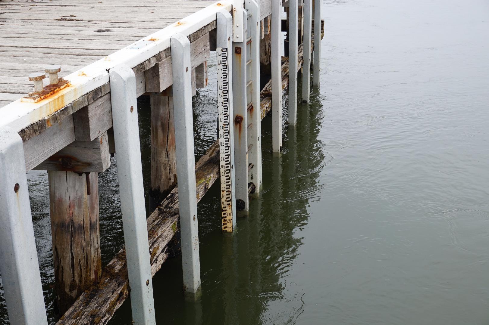
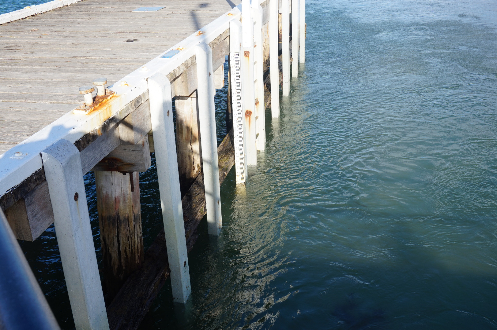
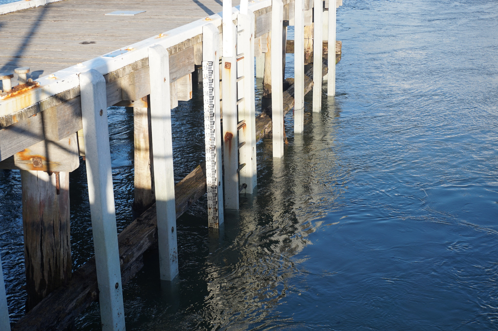
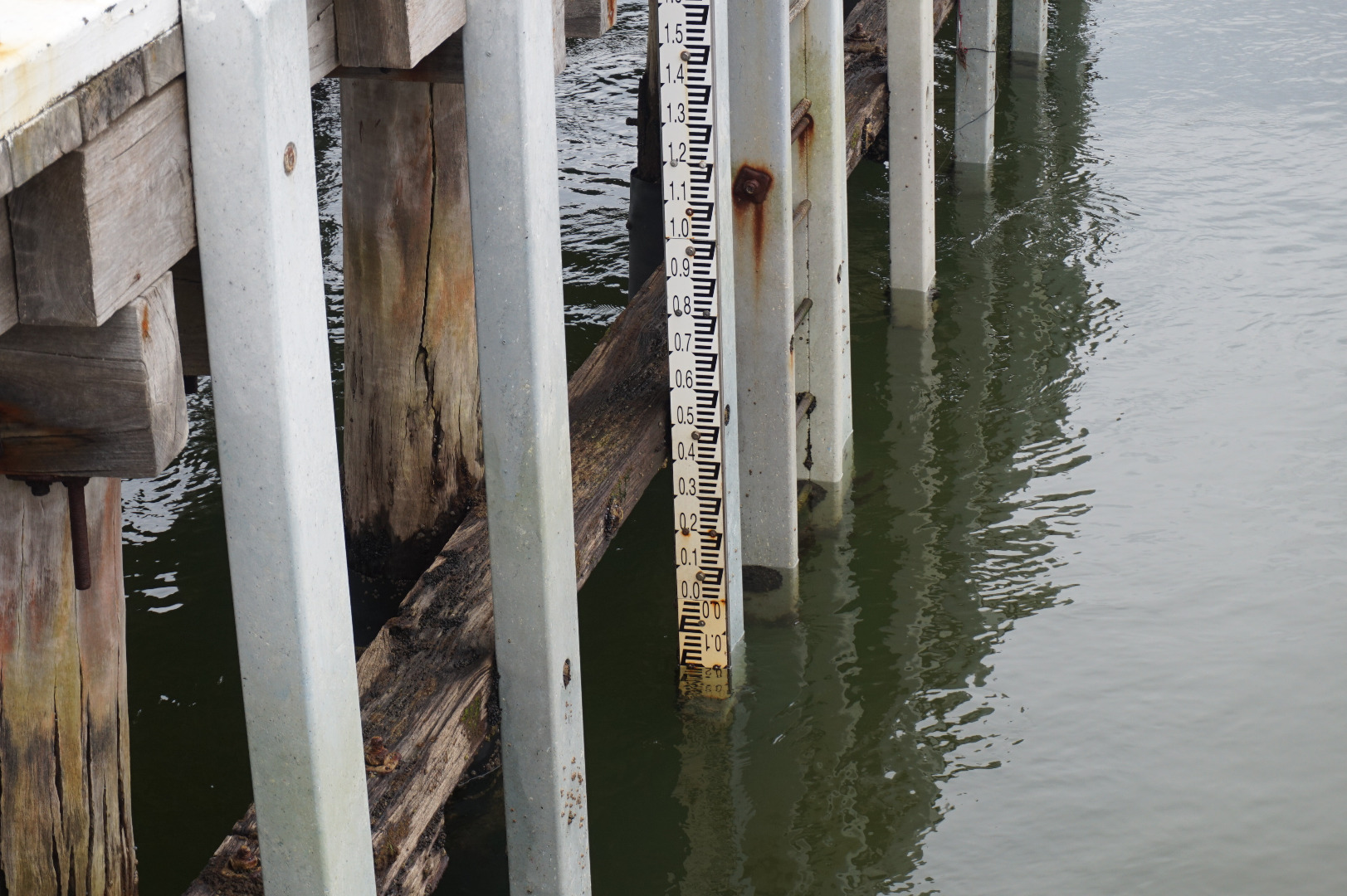
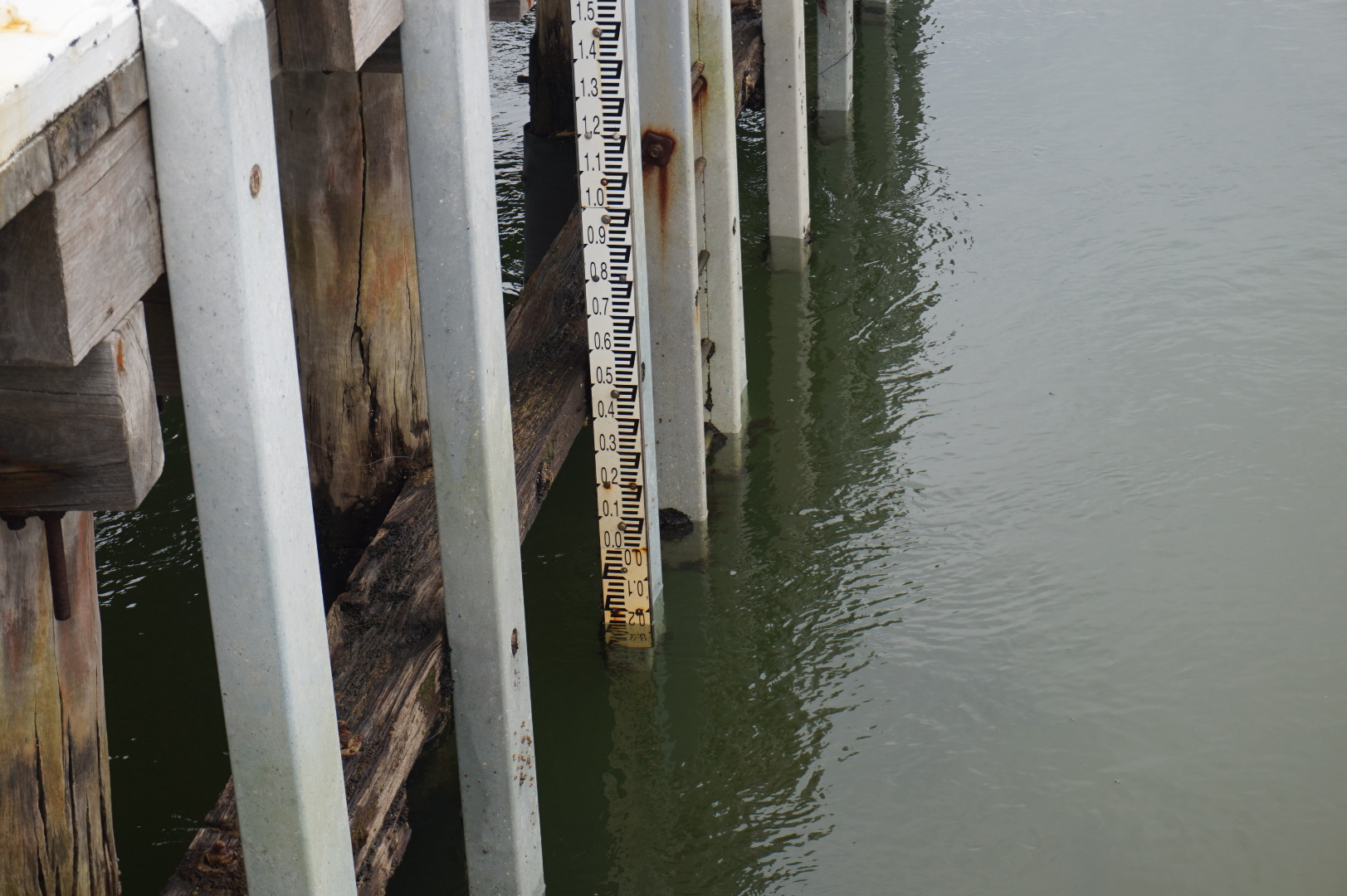
Tide height measurements are rough estimates only. Water level is approximately 0.5m below markings on the gauge board and 0.3m below the bottom of the post the gauge board is mounted on. |
|
| #11702 | 4 Jan 2018 | Approved | ||
| #11636 | 7 Dec 2017 | Approved | ||
| #11594 | 15 Nov 2017 | Approved | ||
| #11569 | 2 Nov 2017 | Approved | ||
| #11517 | 15 Sep 2017 | Approved | ||
| #11441 | 7 Sep 2017 | Approved | ||
| #11516 | 16 Aug 2017 | Approved | ||
| #11444 | 13 Aug 2017 | Approved | ||
| #11445 | 6 Aug 2017 | Approved | ||
| #11372 | 3 Aug 2017 | Approved | ||
| #11418 | 23 Jul 2017 | Approved | ||
| #11417 | 15 Jul 2017 | Approved | ||
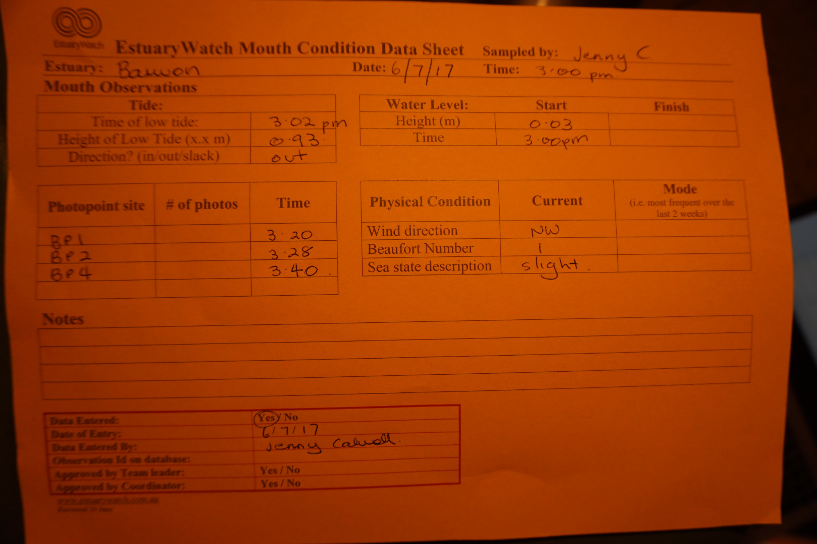
| #11324 | 6 Jul 2017 | Approved | ||
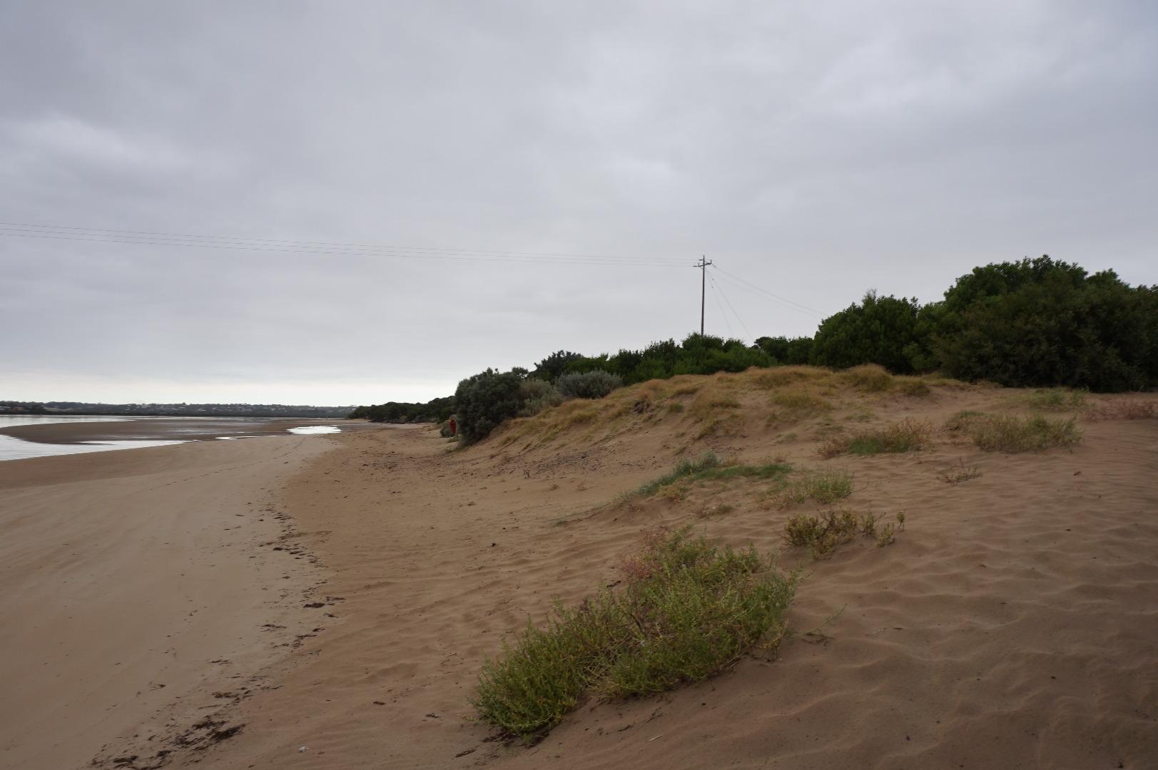
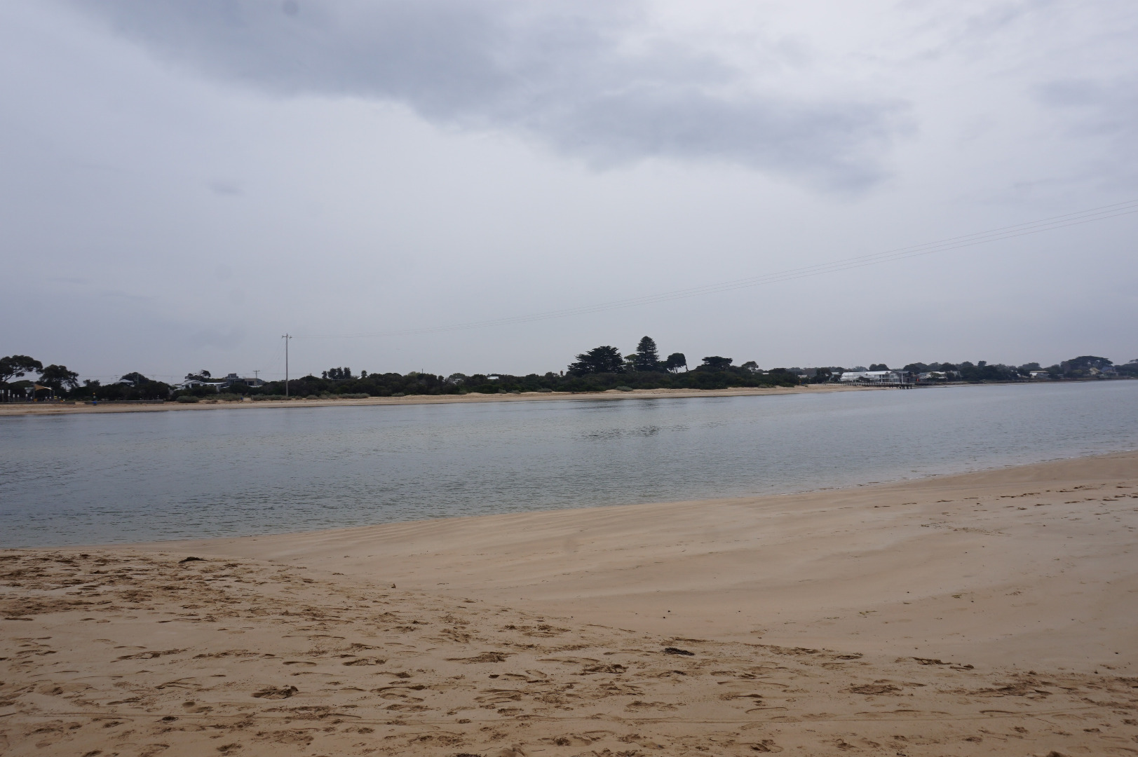
| #11332 | 2 Jul 2017 | Approved |
Notes:
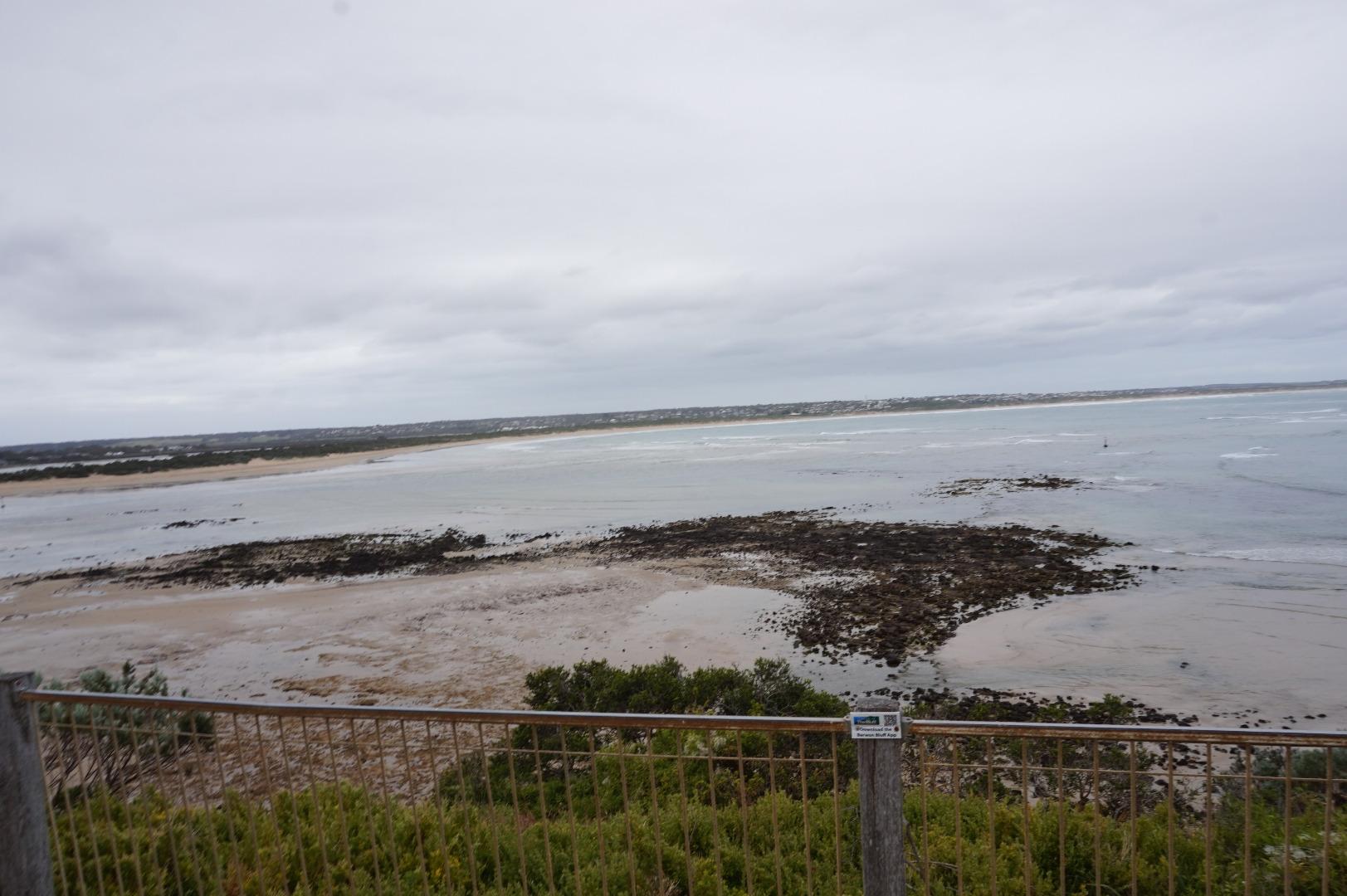
Sand has come up very high under bridge at Ocean Grove side. |
|
| #11319 | 21 Jun 2017 | Approved | ||
| #11331 | 17 Jun 2017 | Approved | ||
| #11330 | 12 Jun 2017 | Approved | ||
| #11260 | 5 Jun 2017 | Approved | ||
| #11231 | 3 Jun 2017 | Approved | ||
| #11230 | 29 May 2017 | Approved | ||
| #11216 | 21 May 2017 | Approved | ||
| #11189 | 17 May 2017 | Approved | ||
| #11214 | 15 May 2017 | Approved | ||


All content, files, data and images provided by the EstuaryWatch Data Portal and Gallery are subject to a Creative Commons Attribution License
Content is made available to be used in any way, and should always attribute EstuaryWatch and www.estuarywatch.org.au