EstuaryWatch Data Portal
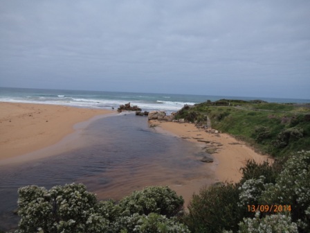
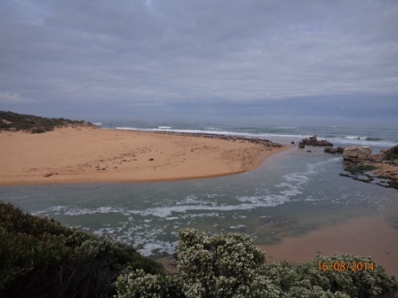
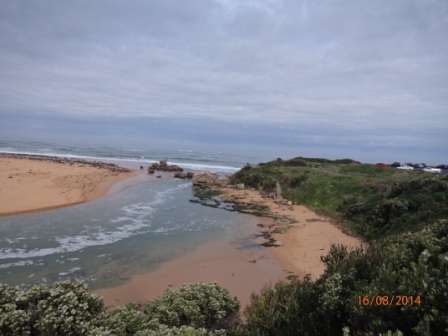
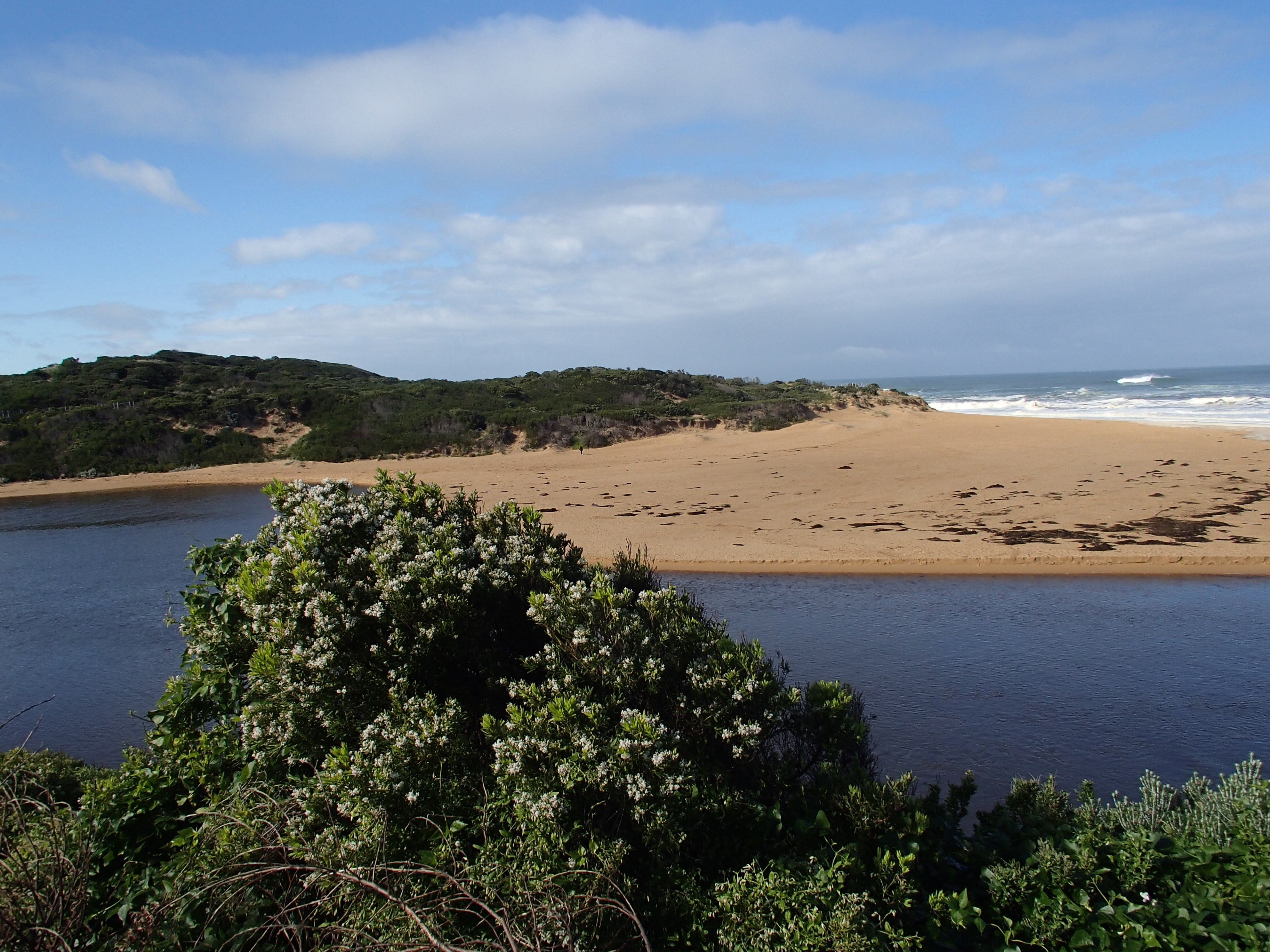
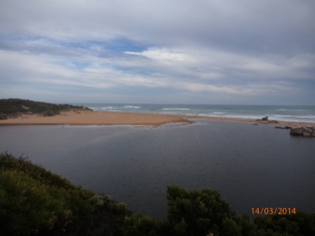
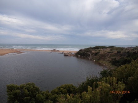
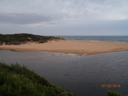
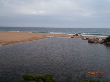
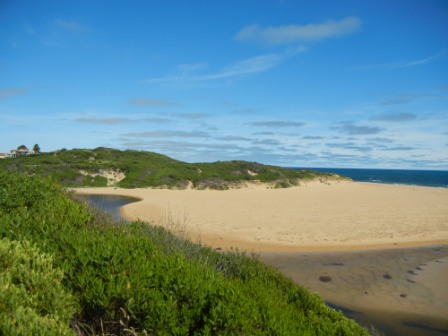
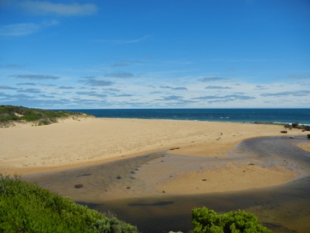
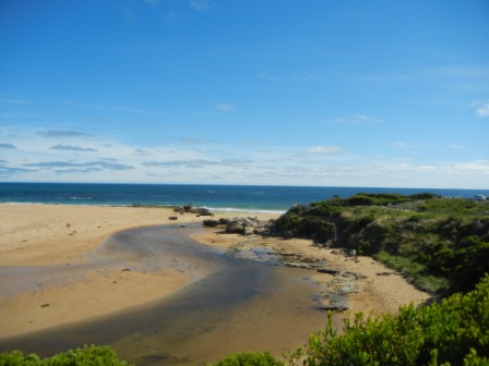
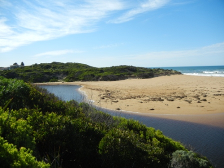
HMC Hopkins River Mouth Condition Observation Site
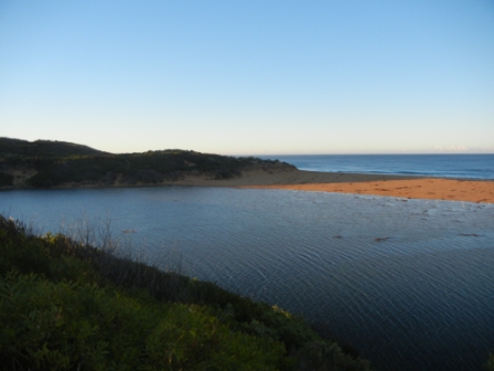
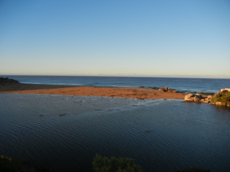
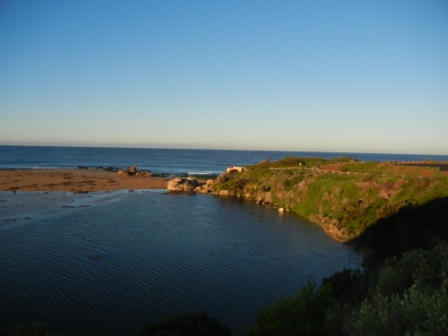
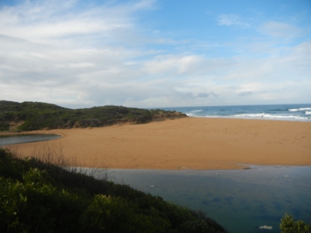
Active Mouth Condition 29-05-2010 - 20-10-2023Hopkins River Estuary
163 results found (Displaying 101 - 125)
| ID | Date | Status | Details | |
|---|---|---|---|---|
| #5245 | 13 Jun 2015 | Approved | ||
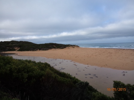
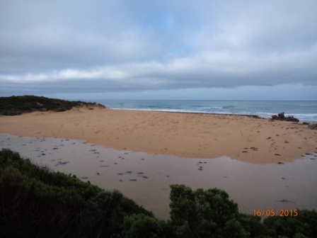
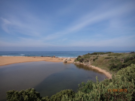
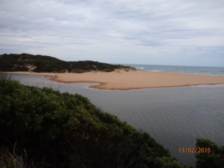
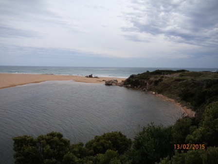
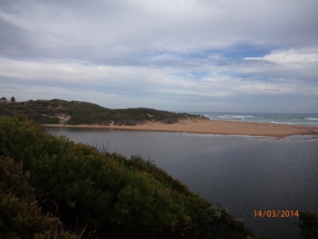
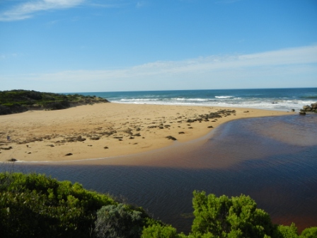
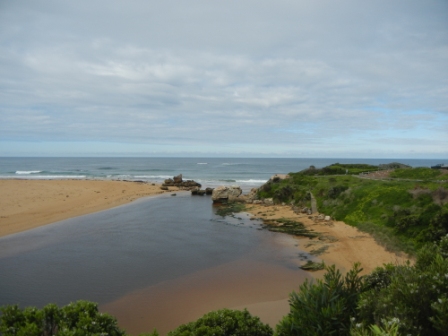
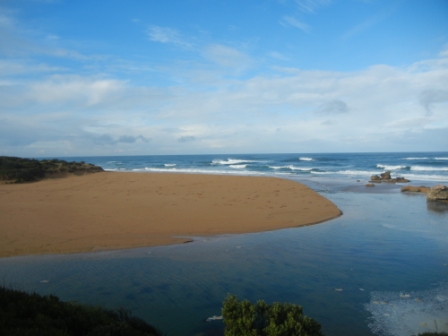
| #5193 | 16 May 2015 | Approved | Notes: The berm is approximately 109 metres from the river to the sea. The river to the highest point of the berm is approx. 66 metres & the highest point of the berm to the sea is approx. 43 metres | |
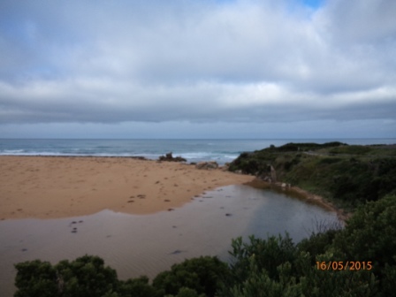
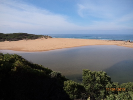
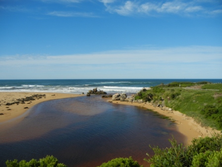
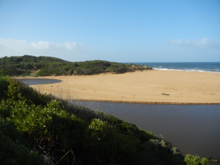
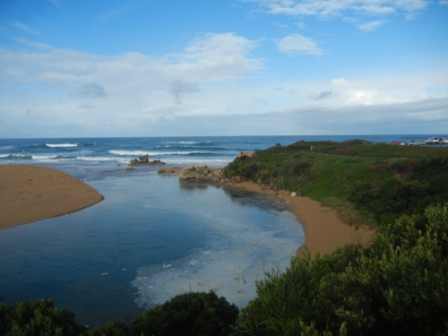
| #5192 | 11 Apr 2015 | Approved | Notes: The berm is approximately 65 metres from the river to the sea. The distance from the river to the highest point of the berm is approx. 40 metres & the distance from the highest point of the berm to the sea is approx. 25 metres. | |
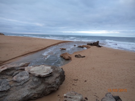
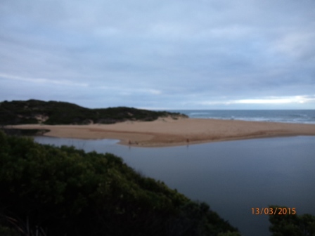
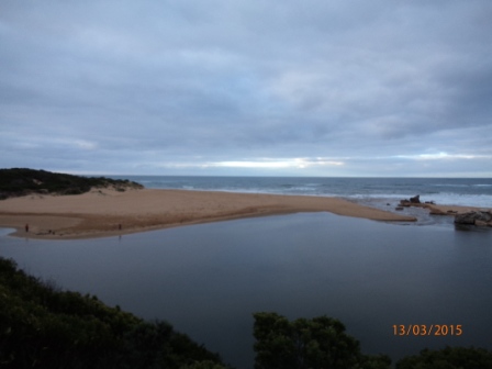
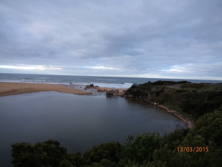
| #5191 | 13 Mar 2015 | Approved | Notes: Hopkins River artificially opened by the WCC 12/03/2015 | |
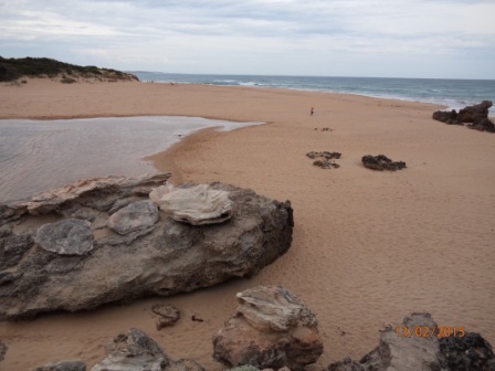
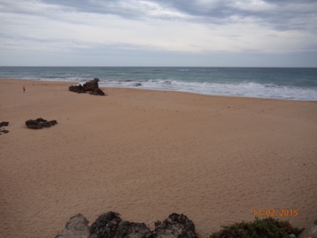
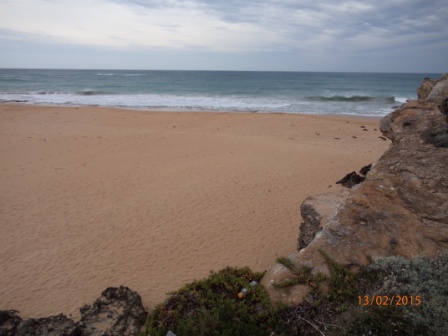
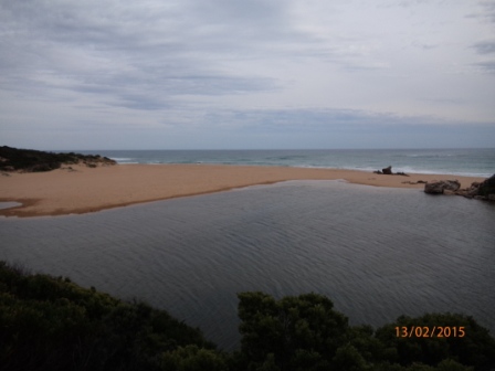
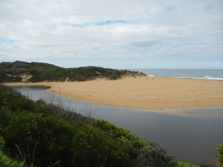
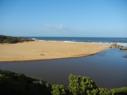
| #5190 | 13 Feb 2015 | Approved | Notes: The berm is approximately 66 metres from the river to the sea, The river to the highest point of the berm is approx. 30 metres & the highest point of the berm to the sea is approx. 36 metres. | |
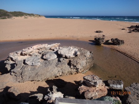
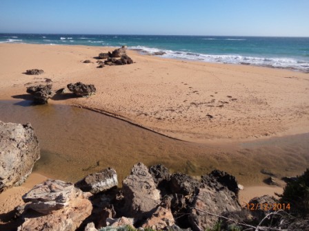
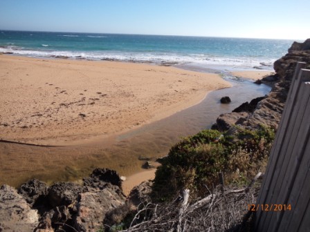
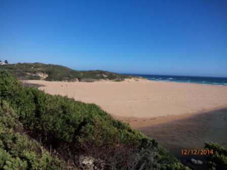
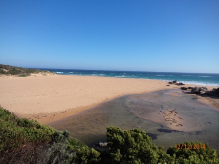
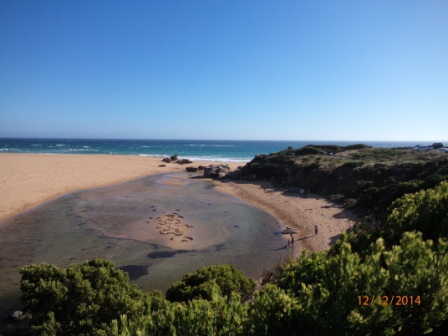
| #5173 | 12 Dec 2014 | Approved | ||
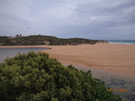
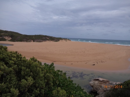
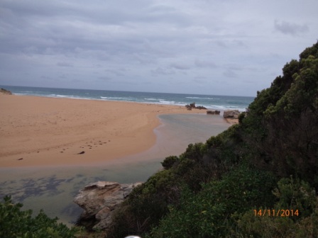
| #5172 | 14 Nov 2014 | Approved | ||
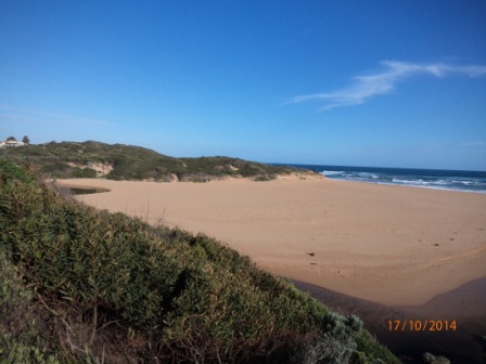
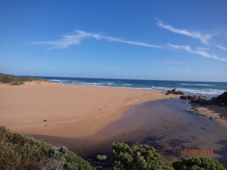
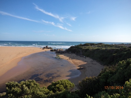
| #5171 | 17 Oct 2014 | Approved | ||
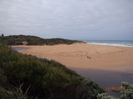
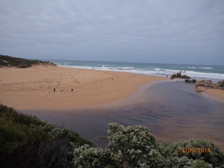
| #5170 | 13 Sep 2014 | Approved | ||
| #5169 | 16 Aug 2014 | Approved | ||
| #5092 | 5 Aug 2014 | Approved | ||
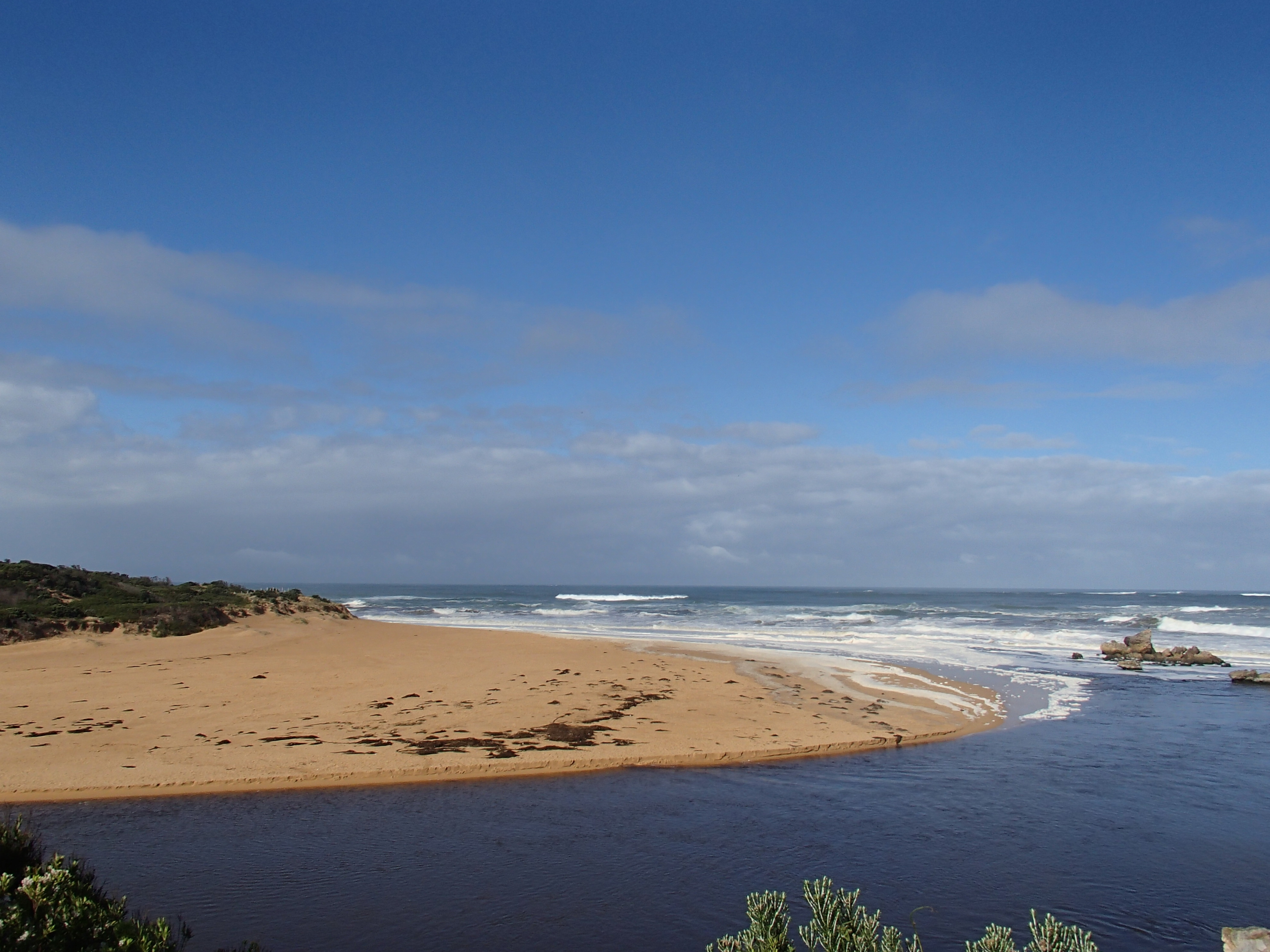
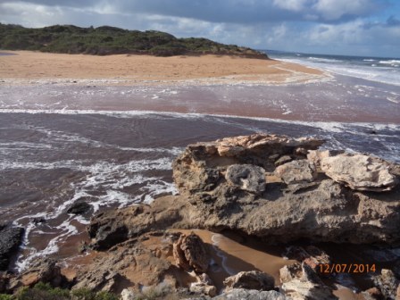
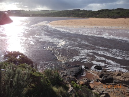
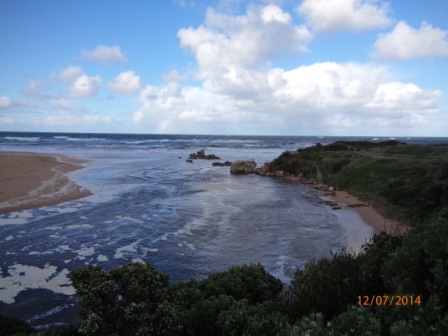
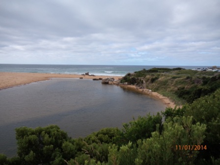
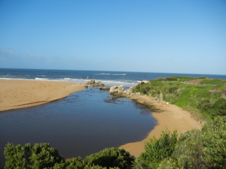
| #5168 | 12 Jul 2014 | Approved | Notes: River trying to flow out at times, but sea pushing back in. | |
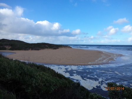
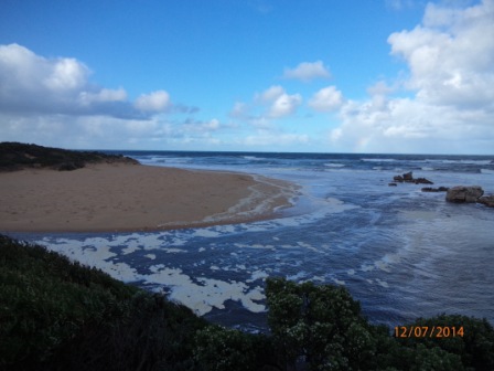
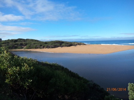
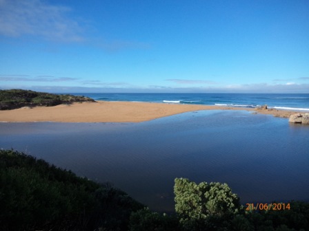
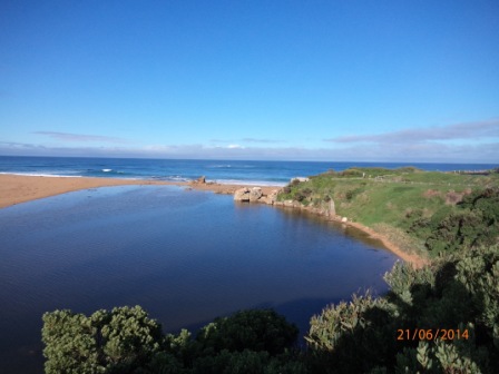
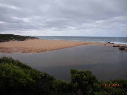
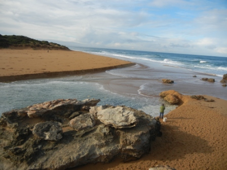
| #5082 | 21 Jun 2014 | Approved | Notes: Berm measurement approx. 48m from River to Sea. From River to highest point approx. 32m. From Sea to highest point approx. 16m. | |
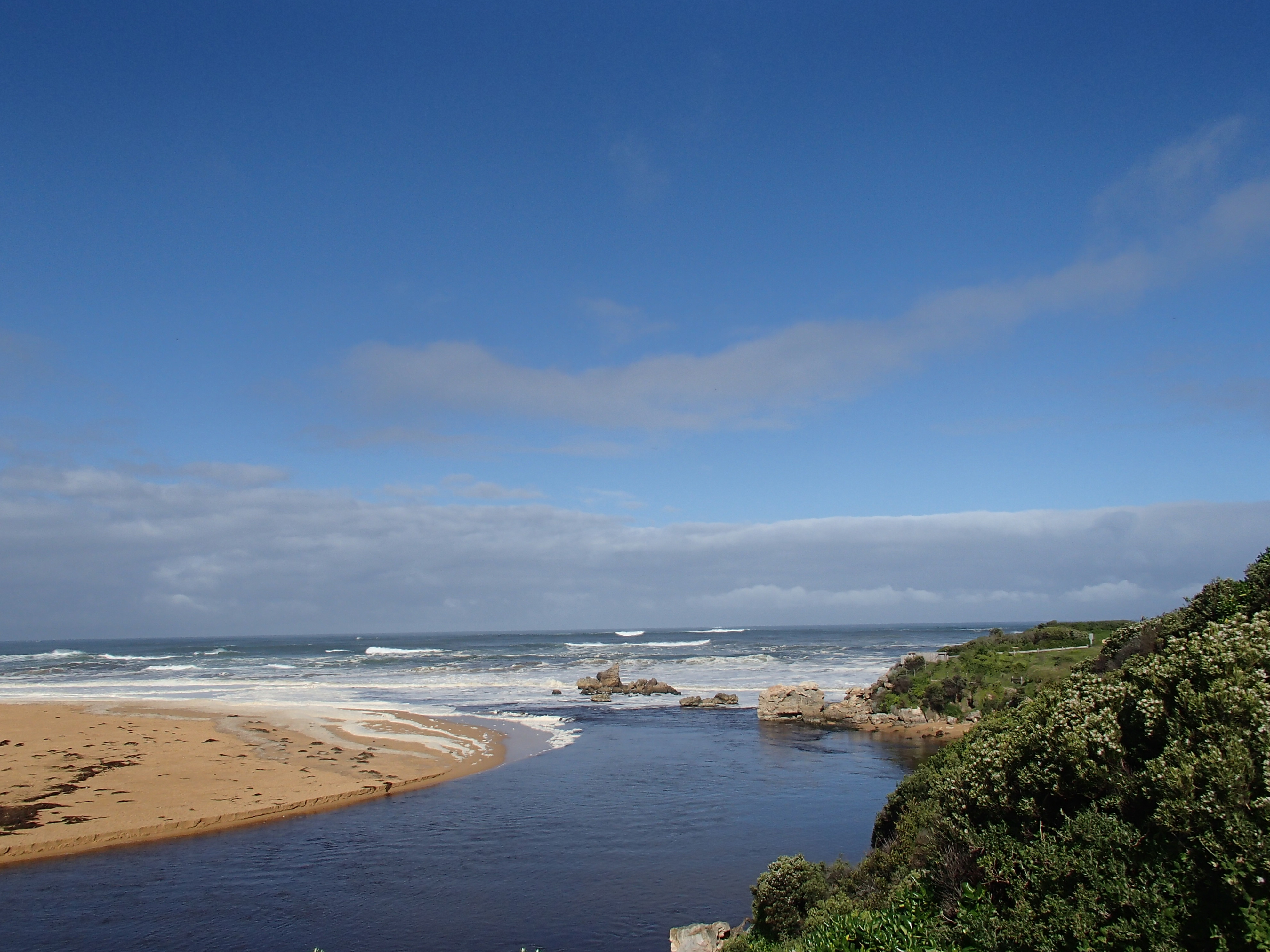
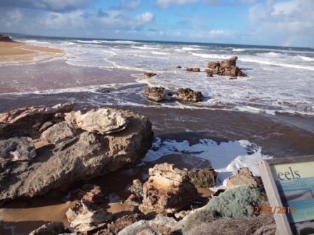
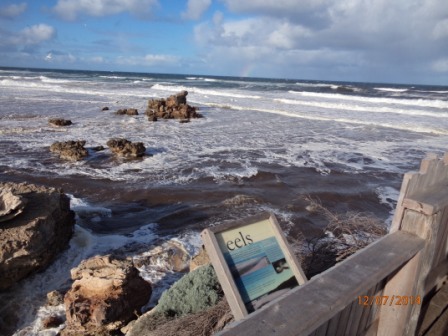
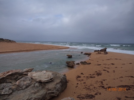
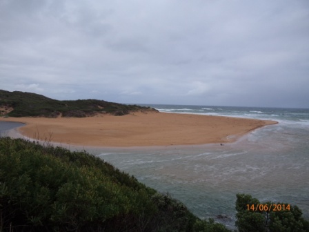
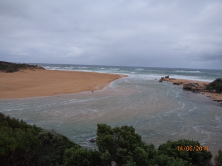
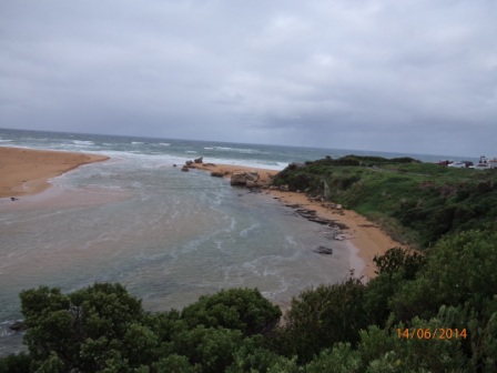
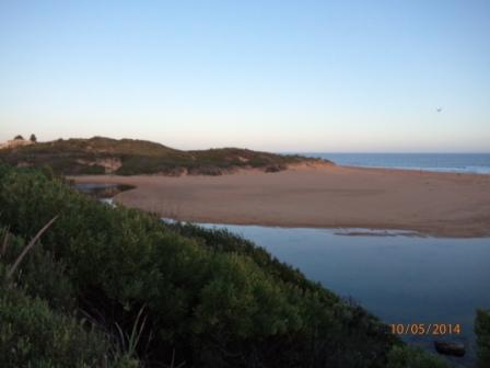
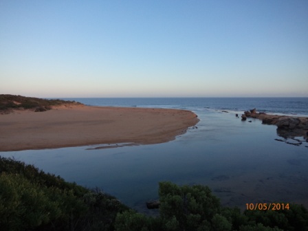
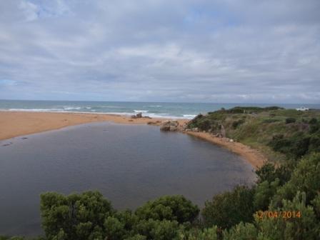
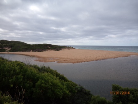
| #5081 | 14 Jun 2014 | Approved | Notes: Additional photo taken from Hopkins River mouth viewing deck | |
| #5062 | 14 May 2014 | Approved | ||
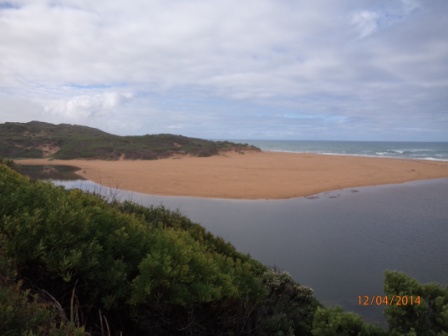
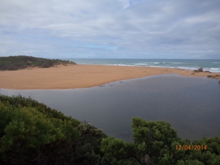
| #5061 | 12 Apr 2014 | Approved | Notes: Berm approx. 58m across, approx. 25m from highest point to sea & approx. 35m from highest point to river. | |
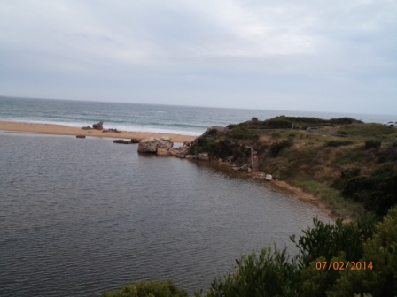
| #5046 | 14 Mar 2014 | Approved |
Notes:
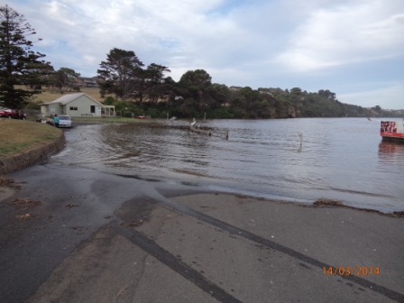
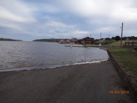
Berm from river to Sea approx. 42 m total. River - Berm high point 25m Sea - Berm high point 17m Additional photos from River Boat Cruise Pontoon road flooded |
|
| #5045 | 7 Feb 2014 | Approved |
Notes:
Berm from river to Sea approx. 45 m total. River - Berm high point 26m Sea - Berm high point 19m |
|
| #5044 | 11 Jan 2014 | Approved |
Notes:
Berm from river to Sea approx. 52 m total. River - Berm high point 31m Sea - Berm high point 21m |
|
| #5043 | 13 Dec 2013 | Approved |
Notes:
Wind direction - WSW Beaufort Scale - 3 to 4 Sea State - Slight to moderate |
|
| #5042 | 15 Nov 2013 | Approved |
Notes:
SD card failed, no images available
|
|
| #5001 | 19 Oct 2013 | Approved | ||
| #5000 | 14 Sep 2013 | Approved | ||
| #4995 | 10 Aug 2013 | Approved | ||
| #4994 | 20 Jul 2013 | Approved | ||


All content, files, data and images provided by the EstuaryWatch Data Portal and Gallery are subject to a Creative Commons Attribution License
Content is made available to be used in any way, and should always attribute EstuaryWatch and www.estuarywatch.org.au