EstuaryWatch Data Portal
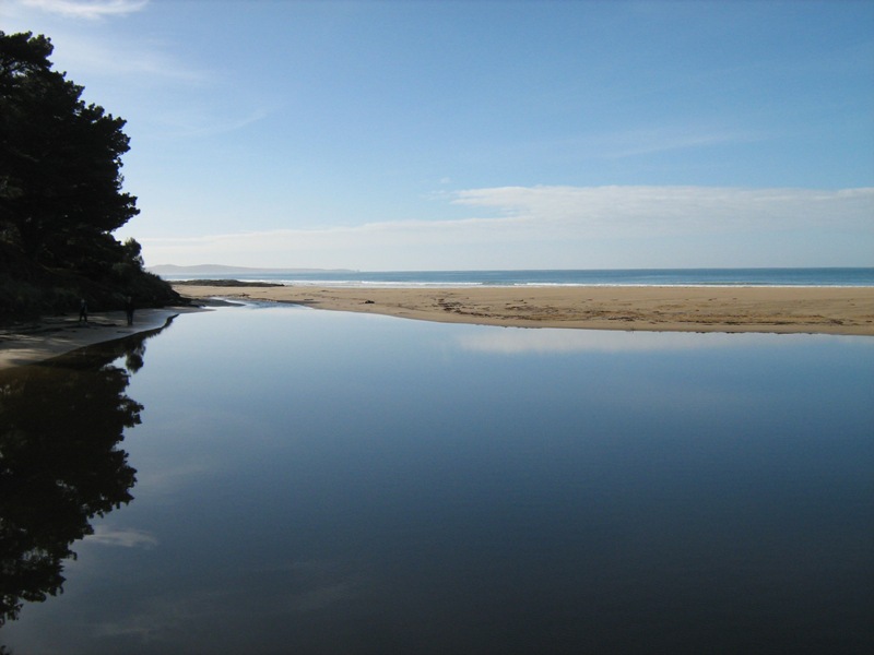
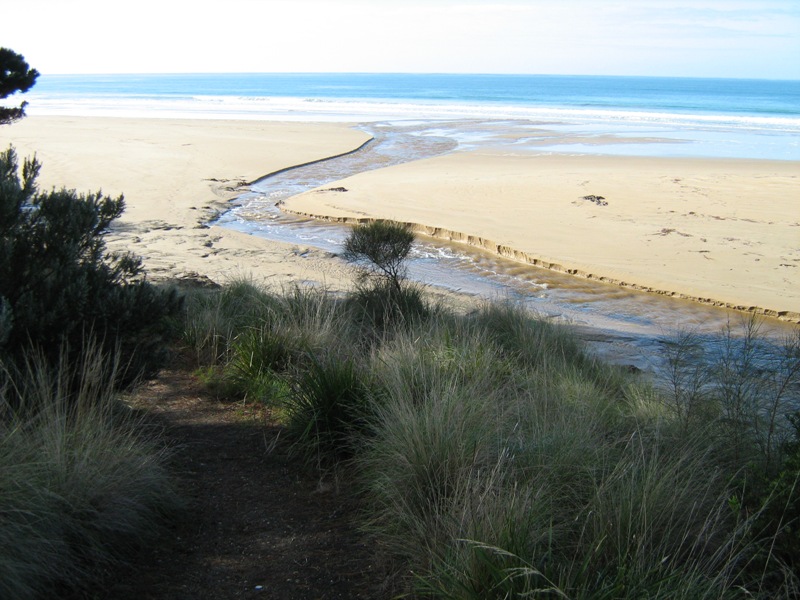
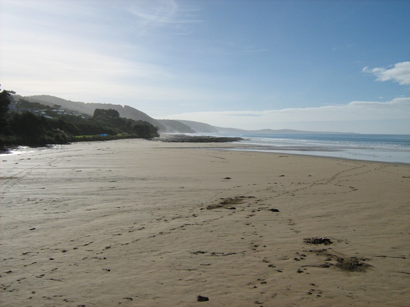
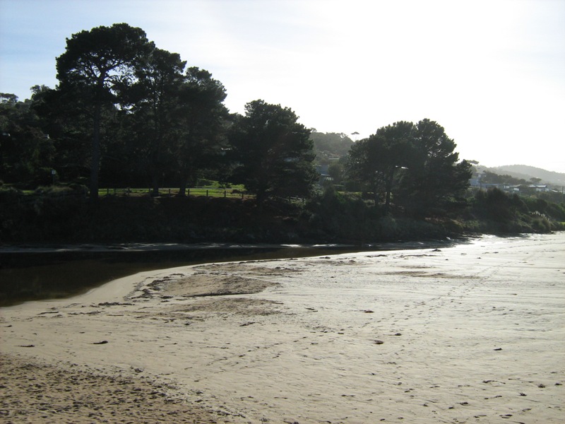
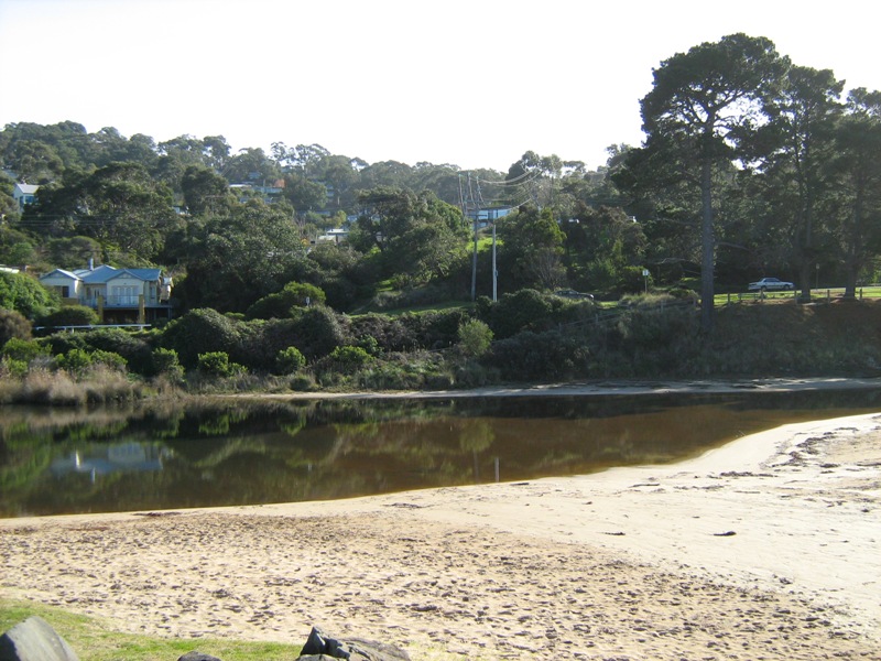
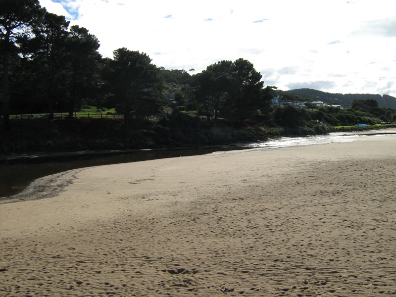
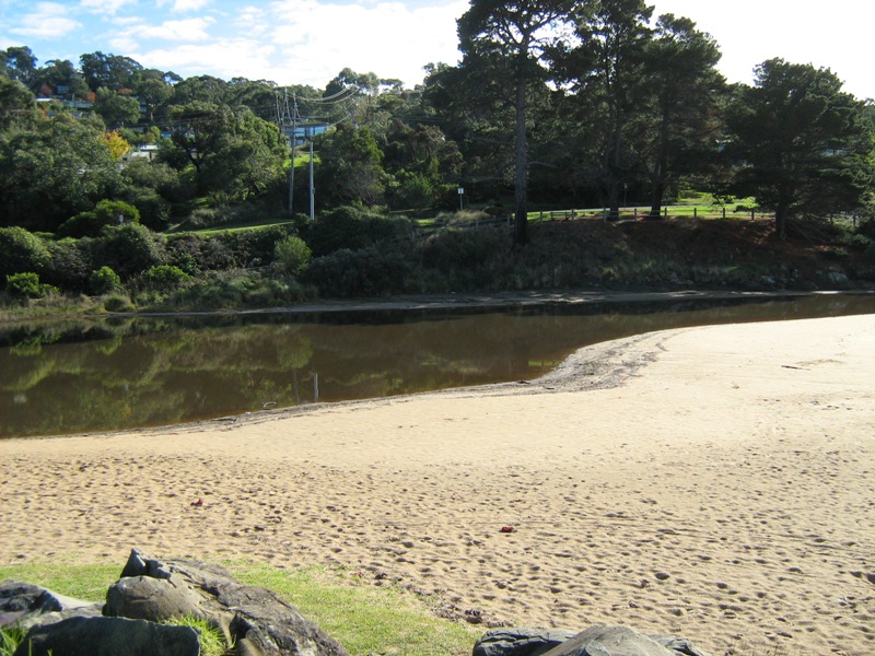
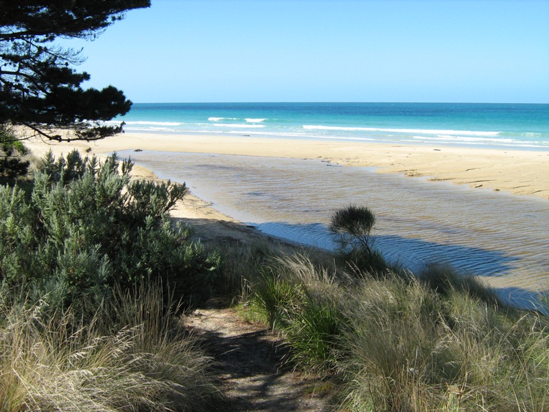
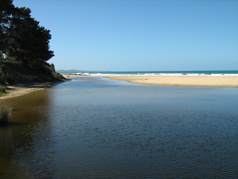
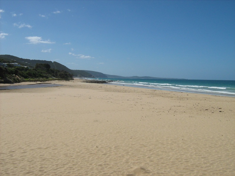
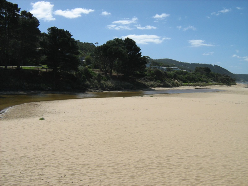
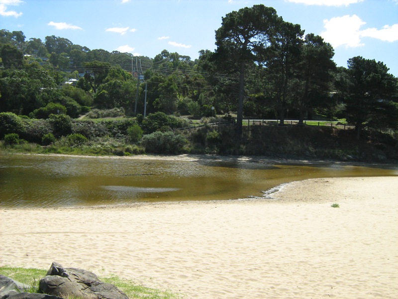
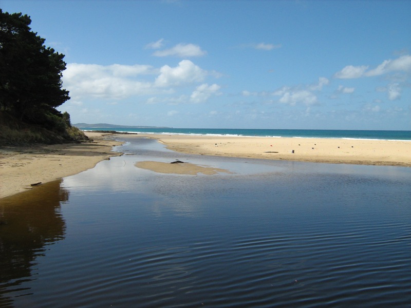
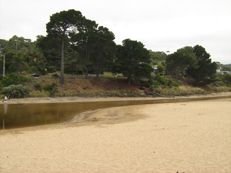
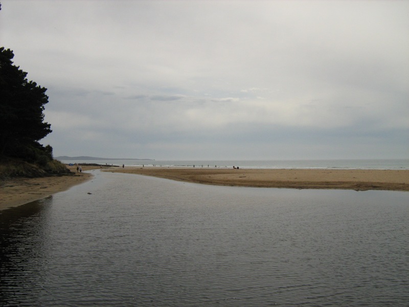
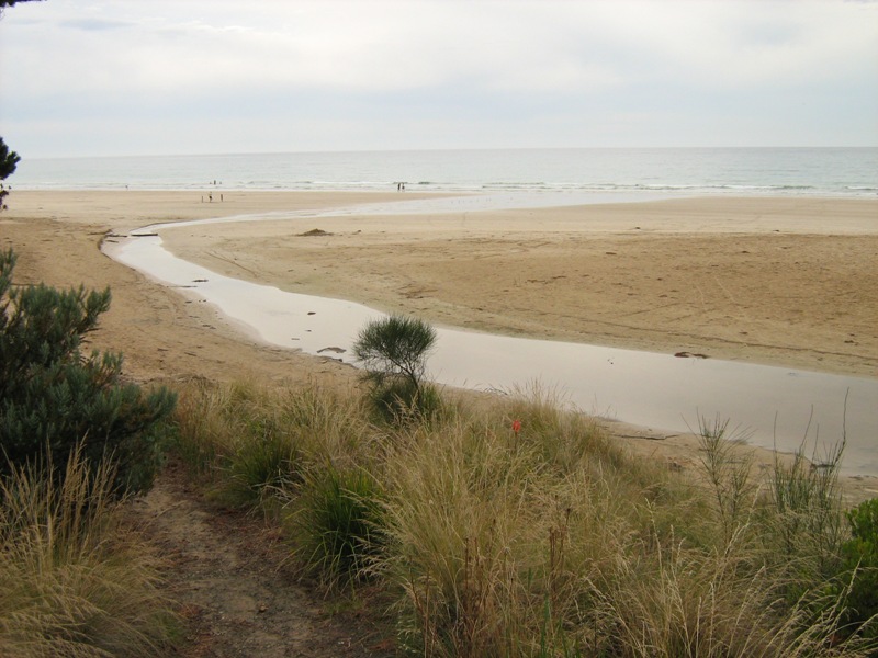
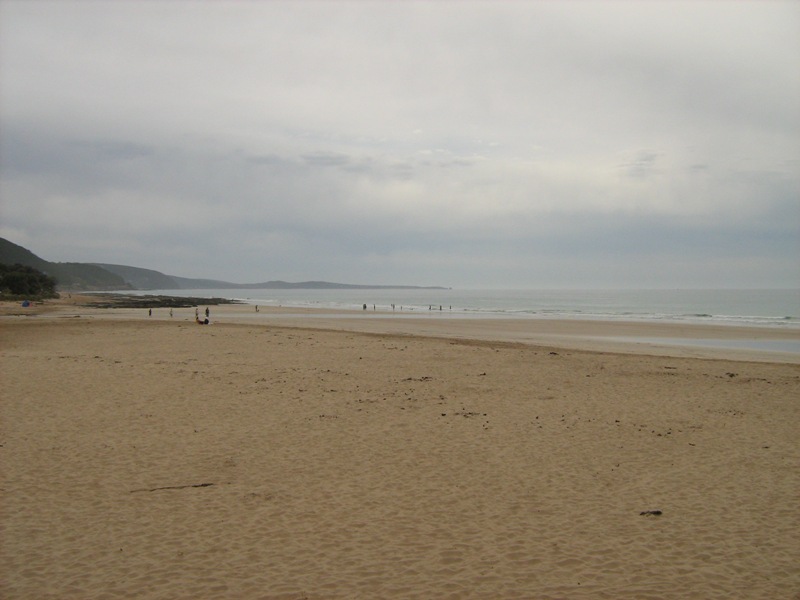
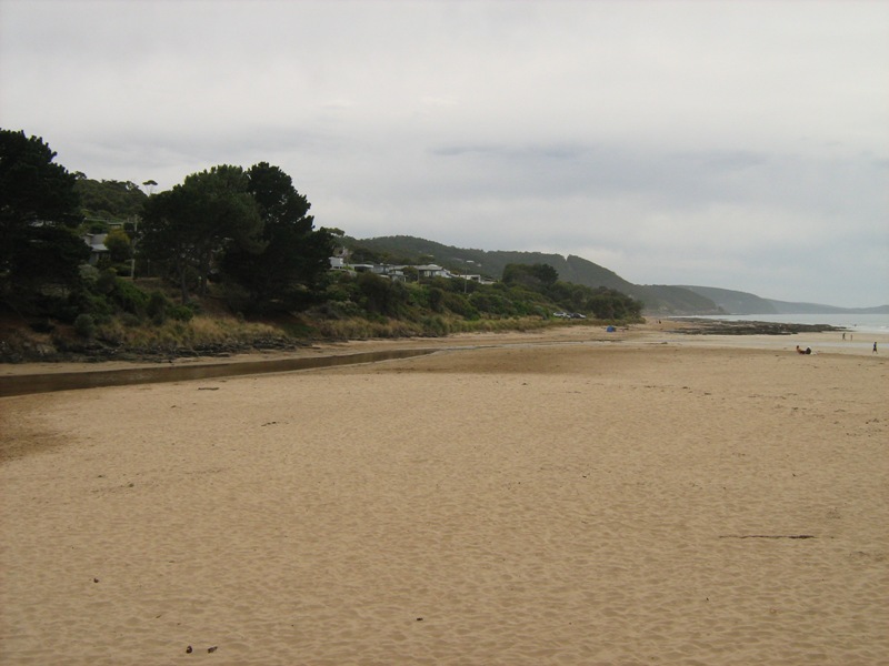
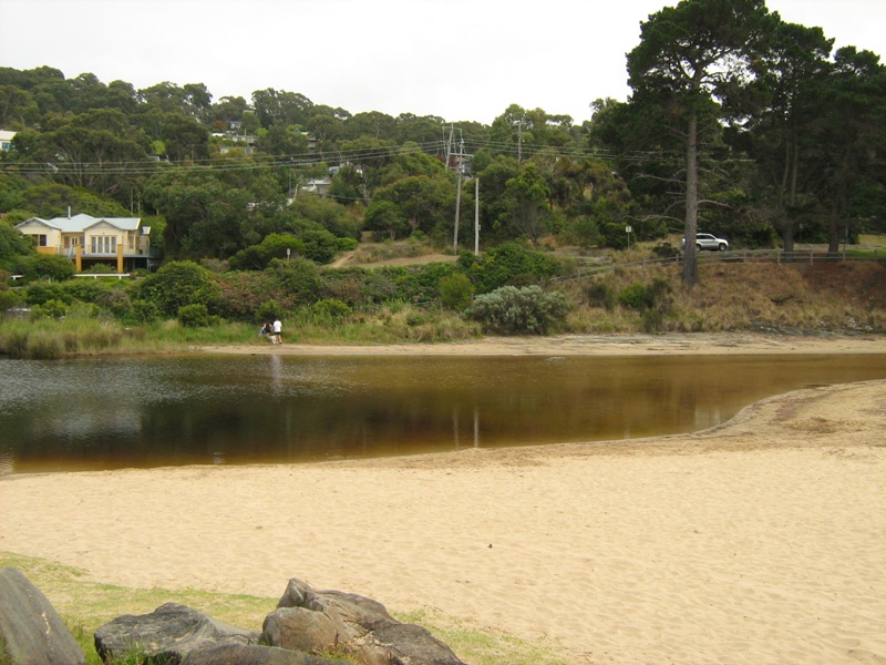
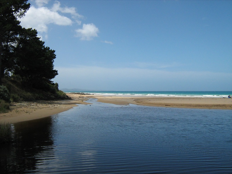
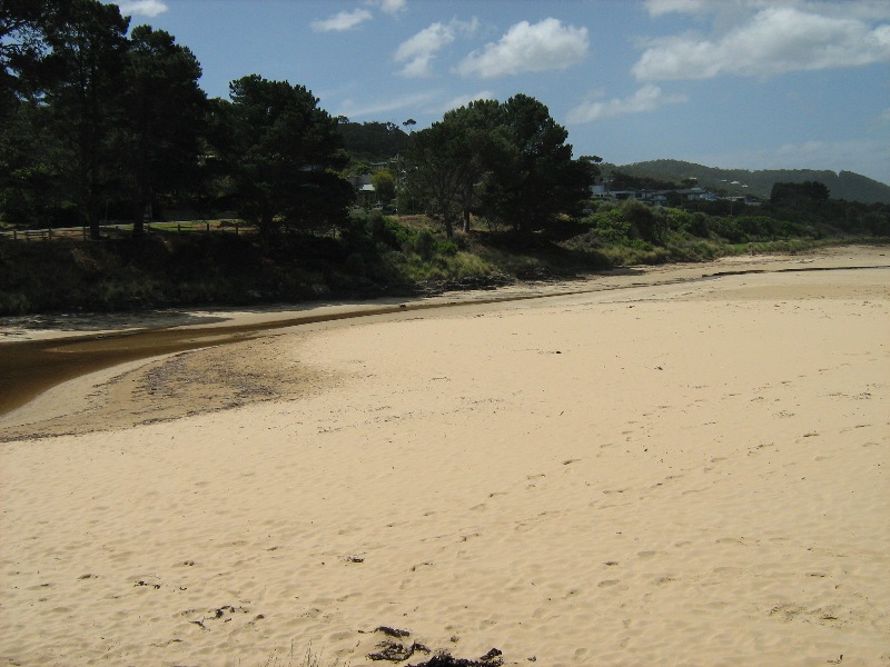
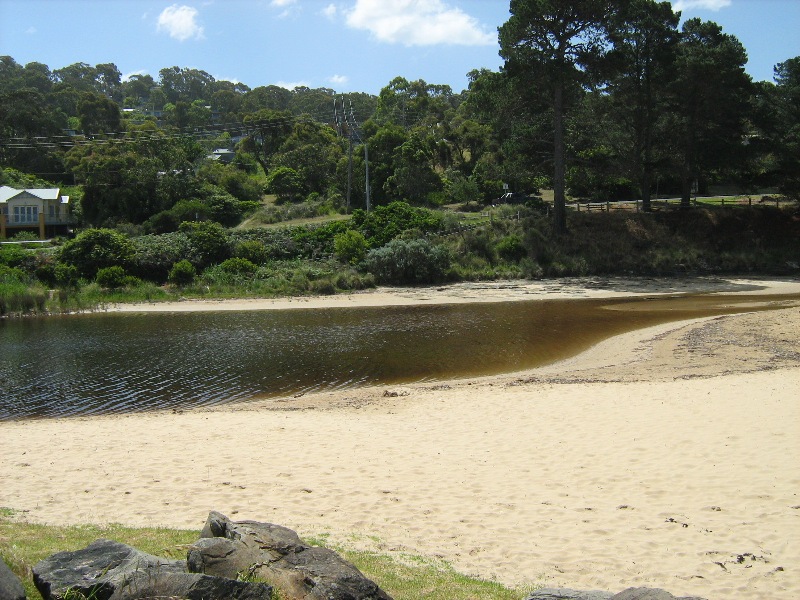
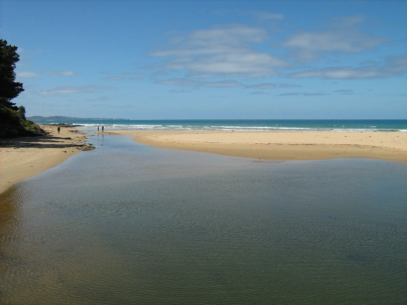
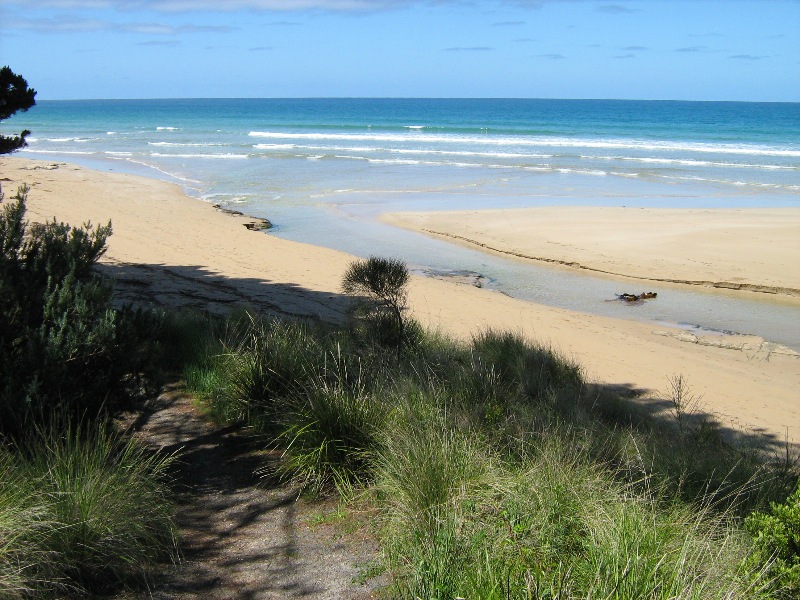
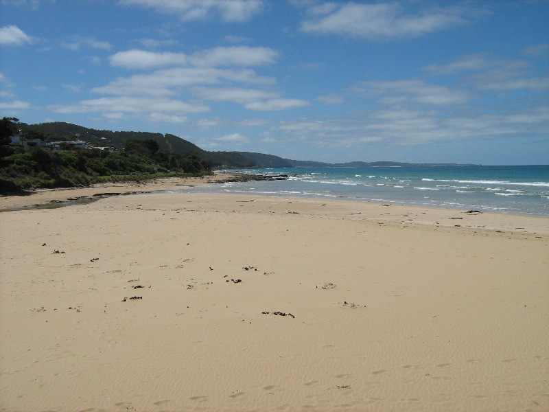
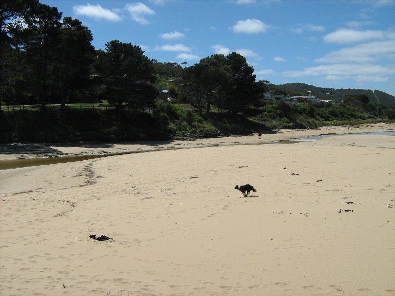
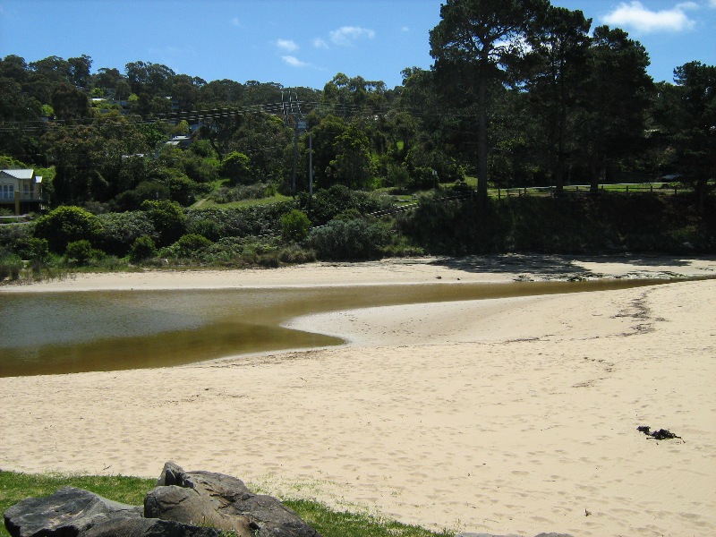
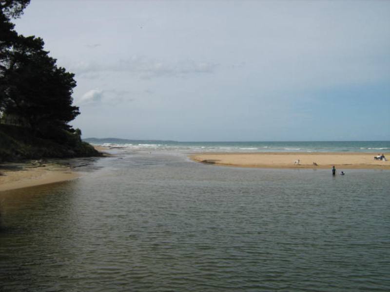
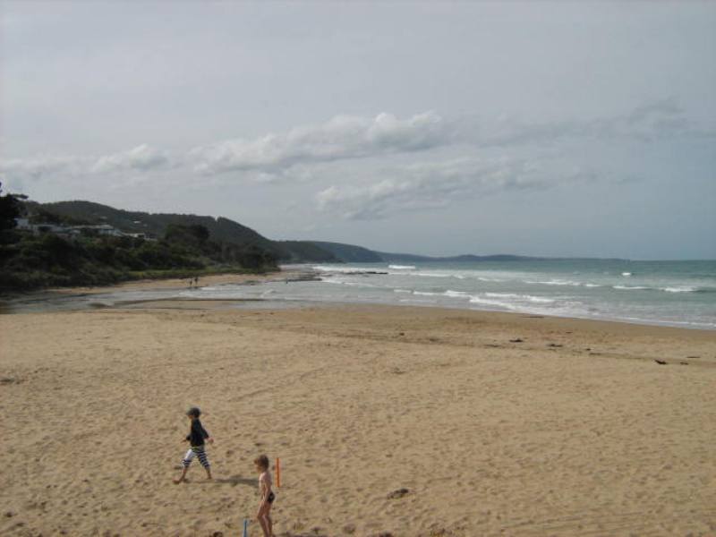
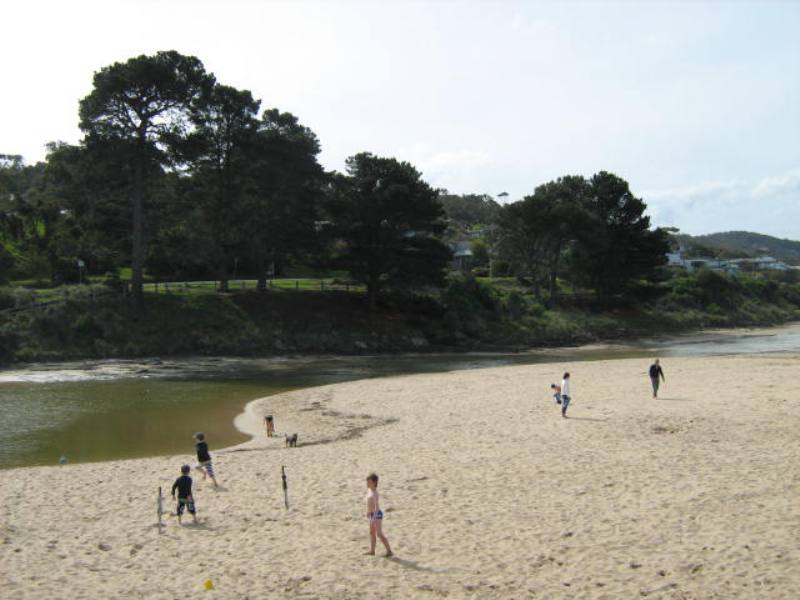
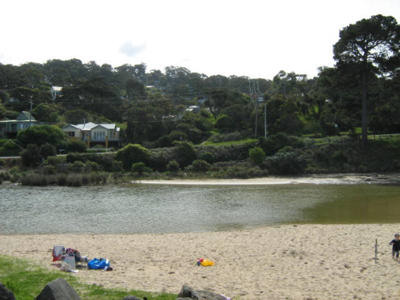
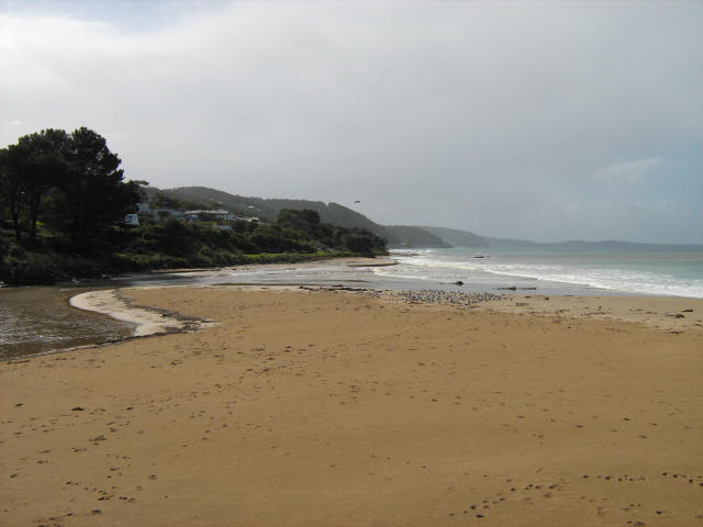
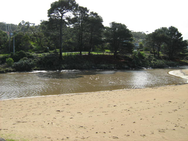
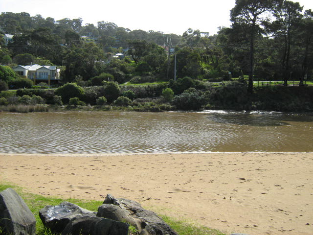
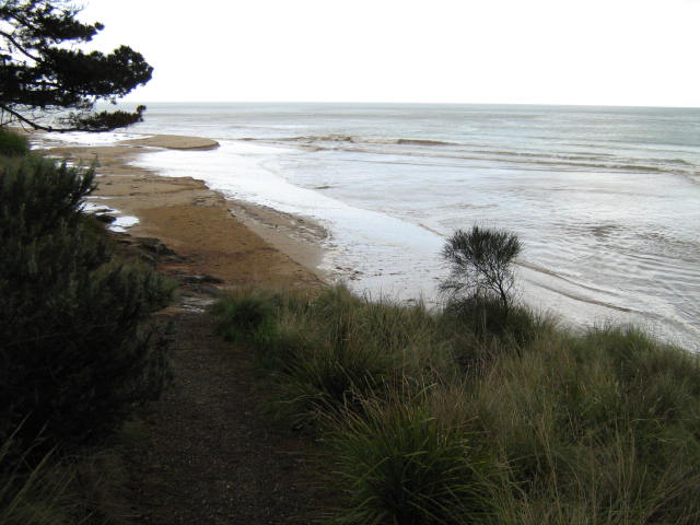
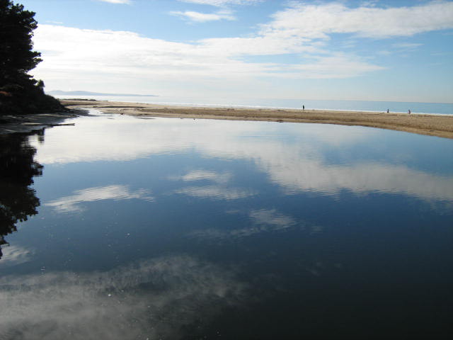
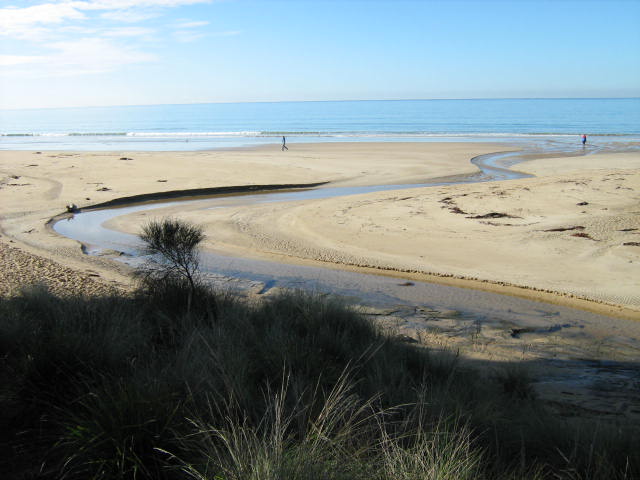
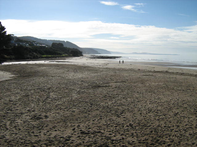
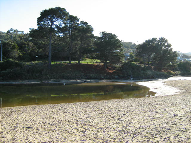
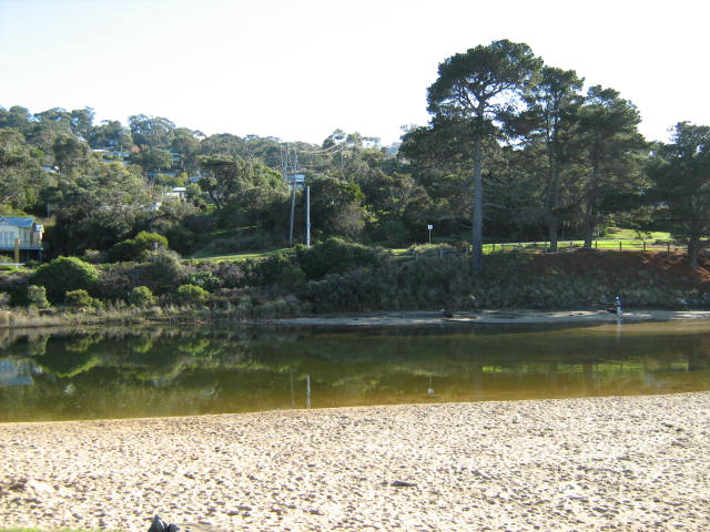
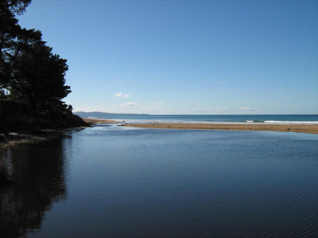
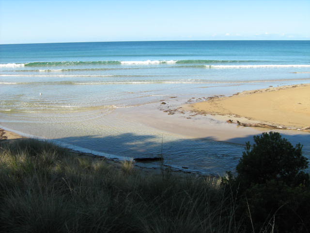
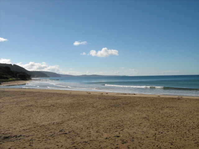
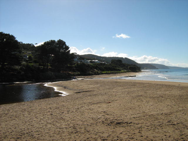
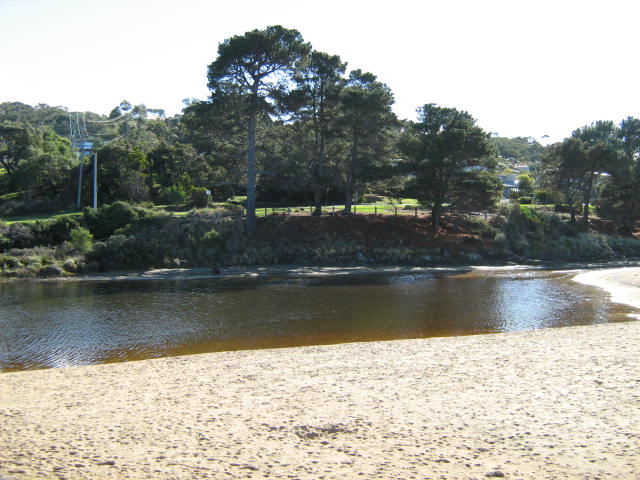
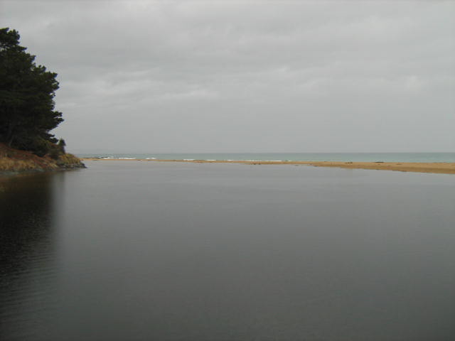
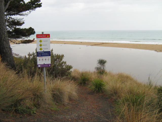
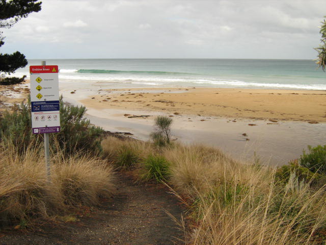
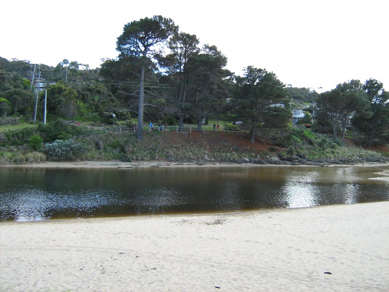
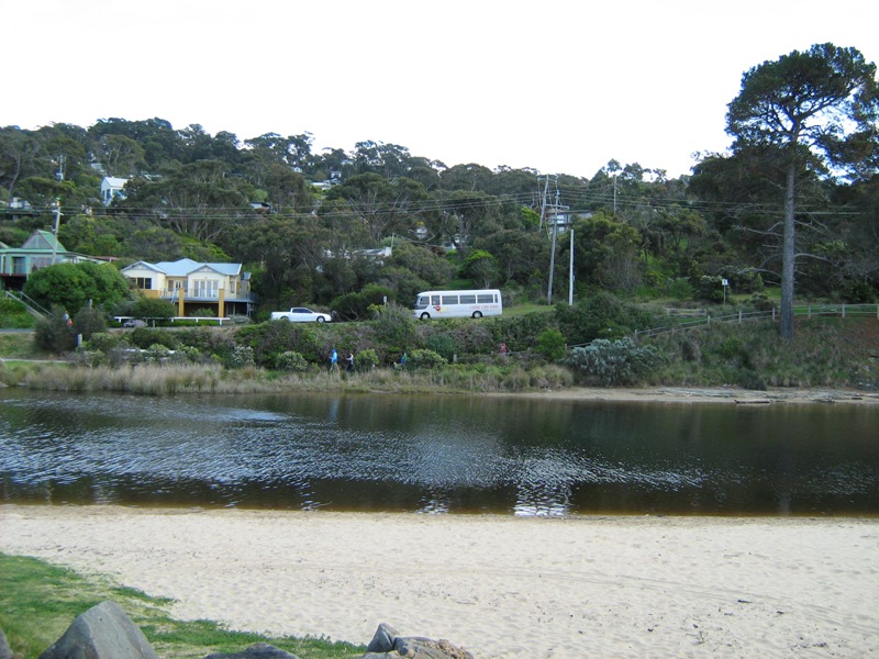
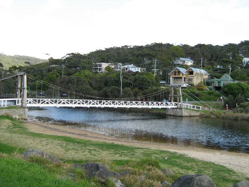
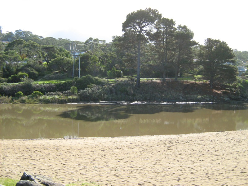
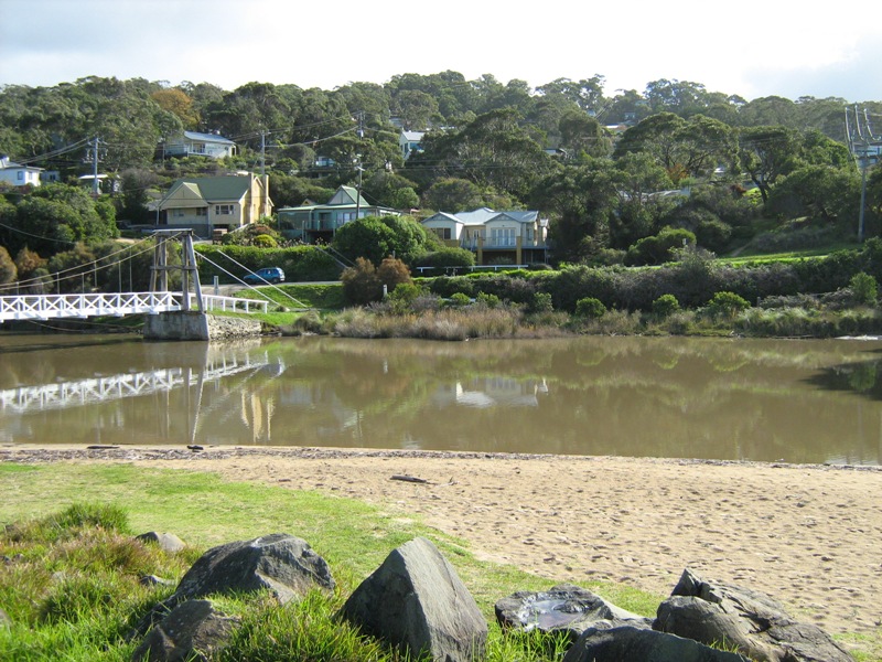
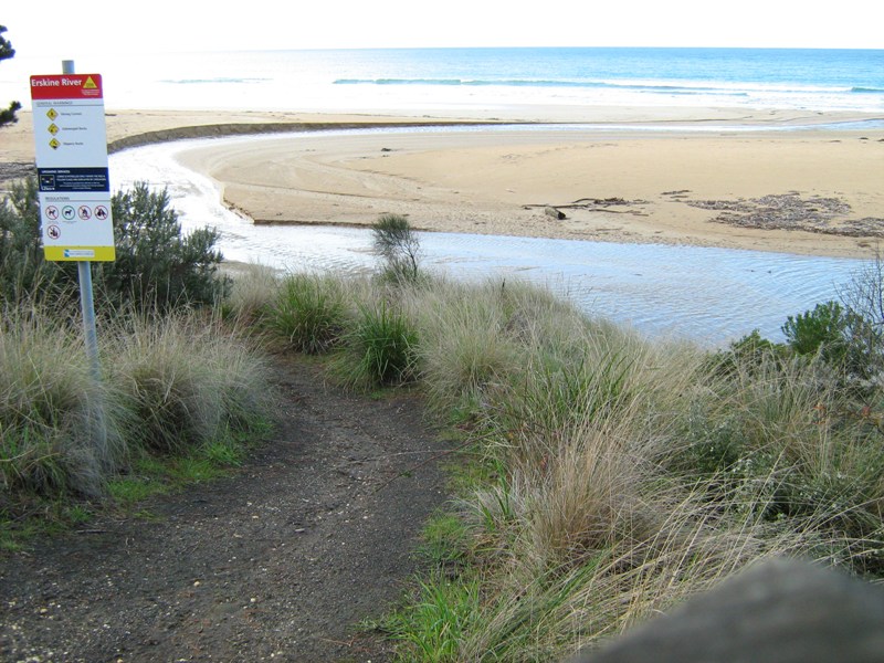
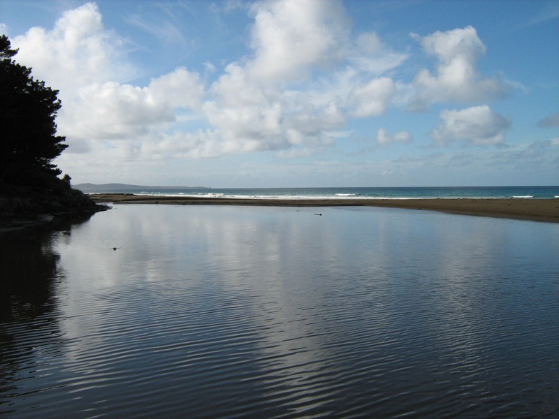
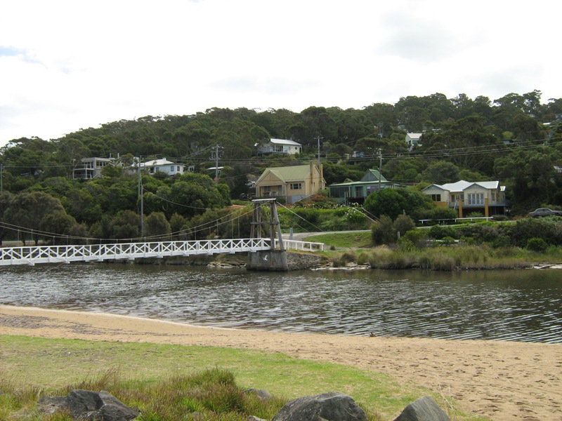
EMC Erskine River Estuary Mouth Observation Site
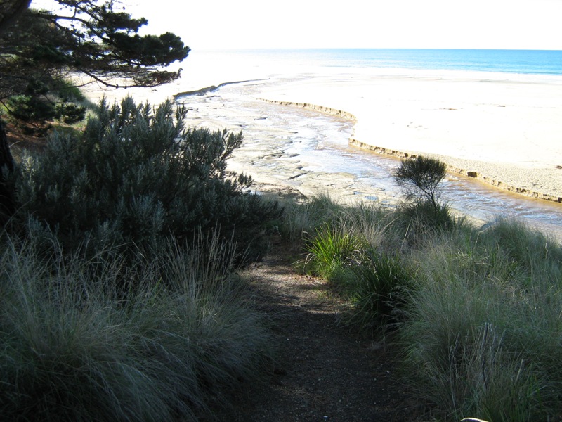
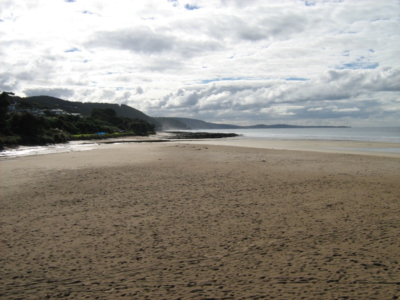
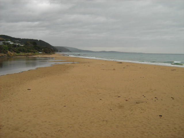
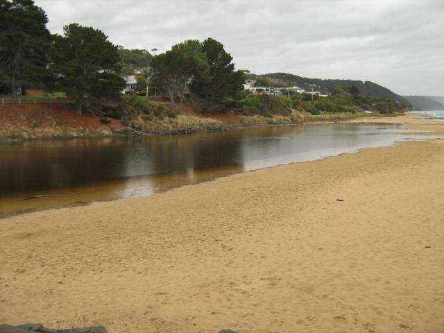
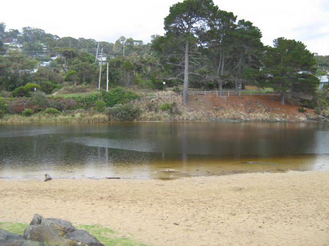
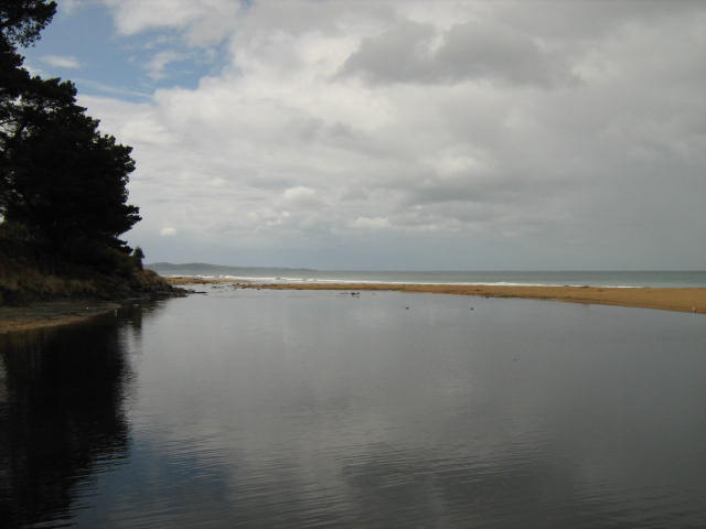
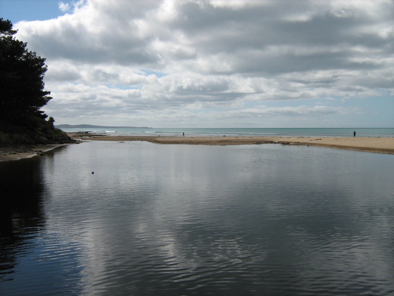
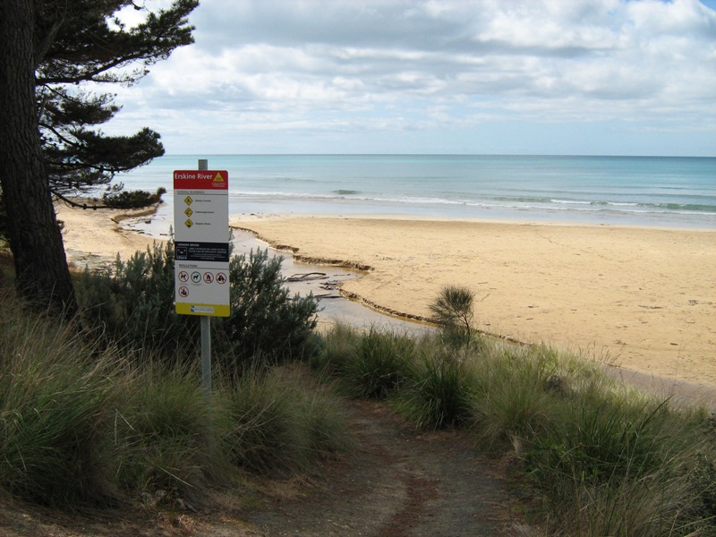
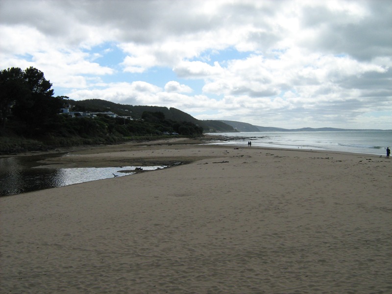
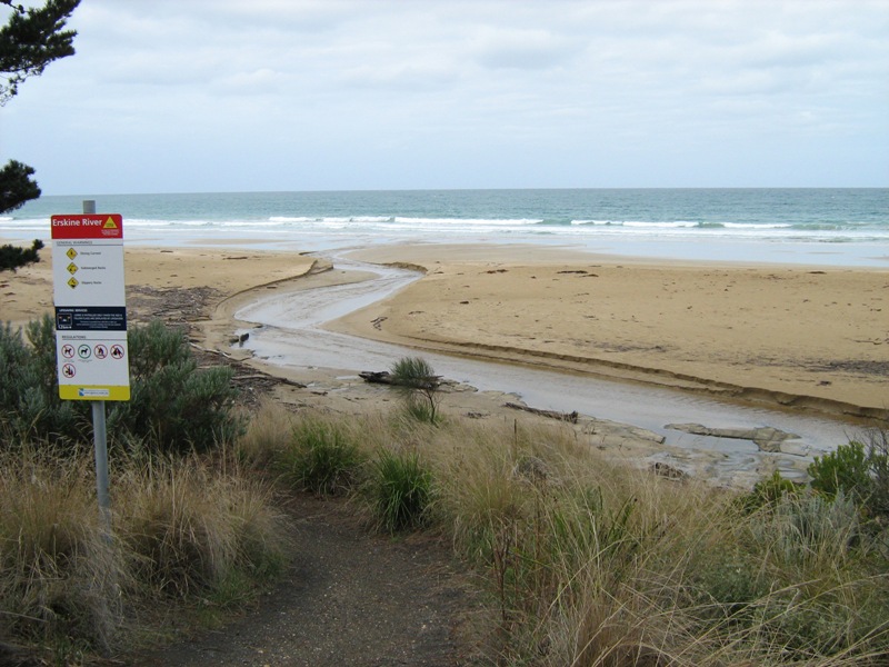
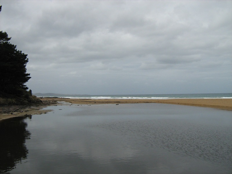
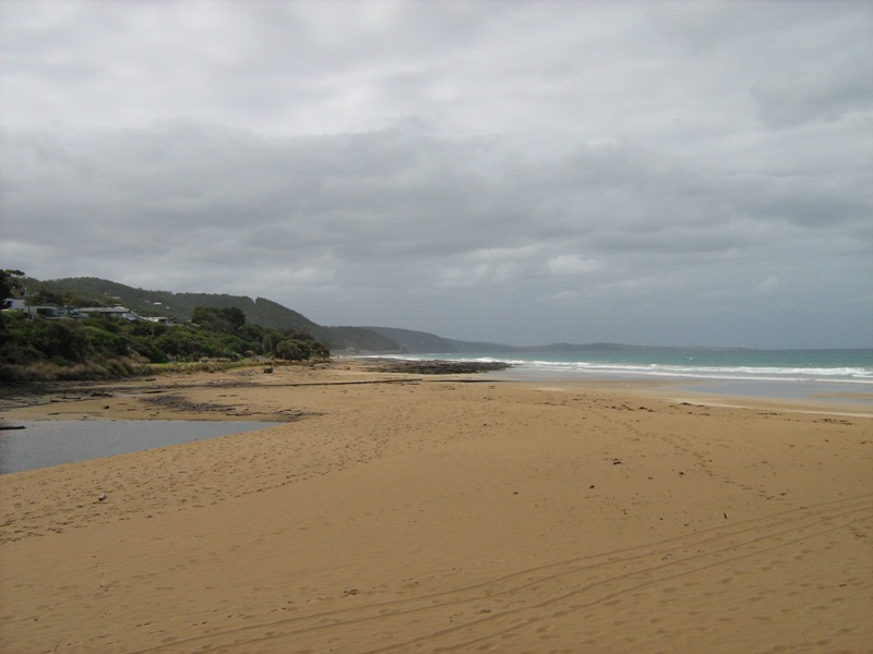
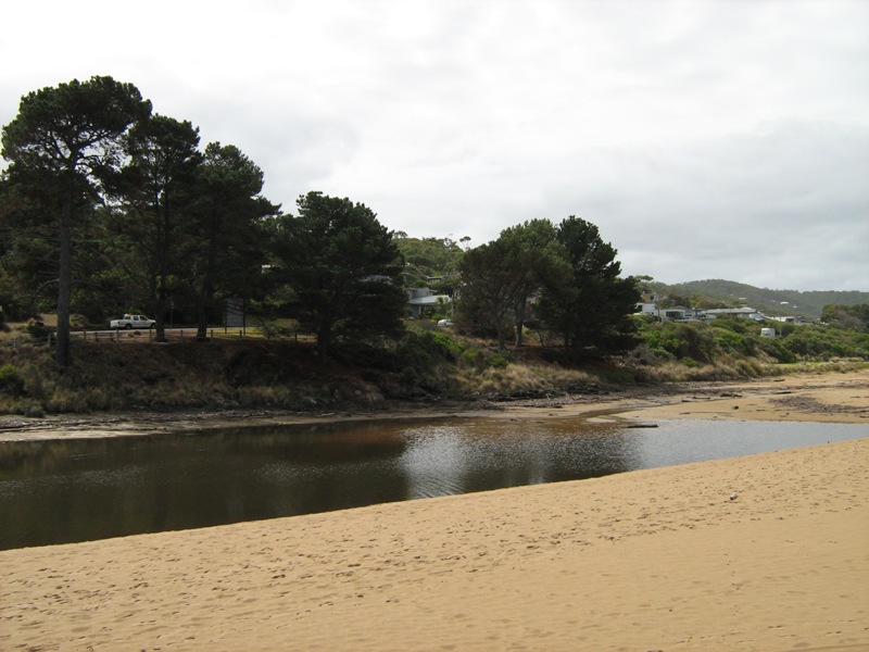
Active Mouth Condition 08-10-2007 - 23-02-2022Erskine River Estuary
145 results found (Displaying 126 - 145)
| ID | Date | Status | Details | |
|---|---|---|---|---|
| #4380 | 21 Jun 2010 | Approved |
Notes:
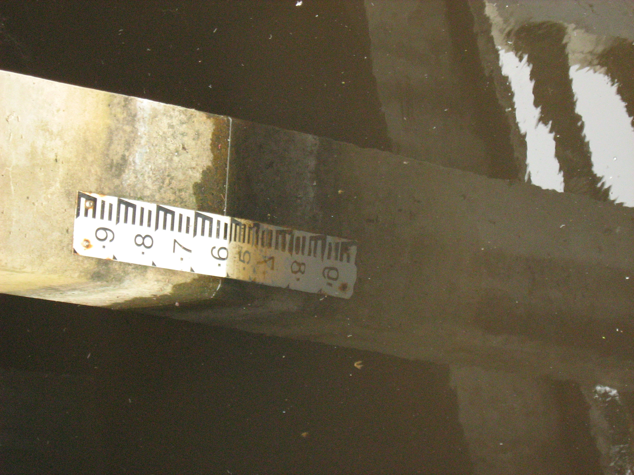
EP1 11:27, 3x photos EP2 11:47, 1 photo EP3 11:52, 1 photo Rain 13.25 in last 4 days had undercut south berm 36cm and north 20cm. High tides had flowed over berm in last 3 days. |
|
| #4379 | 21 May 2010 | Approved |
Notes:
EPP1, 11:02, 3x photos EPP2, 11:28, 1 photo EPP3, 11:32, 1 photo |
|
| #4377 | 22 Mar 2010 | Approved |
Notes:
EP1 14:03, 3x photos EP2 14:27, 1 photo EP3 14:33, 1 photo |
|
| #4376 | 23 Feb 2010 | Approved |
Notes:
EP1 14:01, 3x photos EP2 14:16, 1 photo EP3, 14:20, 1 photo Unofficial rain 16mm pn 5/2/10 and 30mm on 15/2/10 |
|
| #4375 | 22 Jan 2010 | Approved |
Notes:
EP1 10:59, 4x photos EP2 11:03, 1 photo EP3 11:07, 1 photo Unofficial 21mm rain 18-19/1/2010 |
|
| #4374 | 18 Dec 2009 | Approved |
Notes:
EP1 14:19, 3x photos EP2 14:25, 1 photo EP3 14:30, 1 photo Unofficial 35mm rain on 17/12/09 had undercut south bank by 40cm. Wind gusting between 2 & 3 |
|
| #4373 | 23 Nov 2009 | Approved |
Notes:
EP1 14.50, x3 photos EP2 14.54, 1 photo EP3 15.06, 1 photo rain had undercut north bank by 35cm and south side by 23cm |
|
| #4372 | 22 Oct 2009 | Approved |
Notes:
EP1 13:54, x3 photos EP2 14:16, 1 photo EP3 14:21, 1 photo |
|
| #4371 | 21 Sep 2009 | Approved |
Notes:
EP1 14:11, 3x photos EP2 14:17, 1 photo Unofficial 25.5 mm rain in last week including 23 mm (17 & 18 Sept) which had helped clear mouth. |
|
| #4370 | 21 Aug 2009 | Approved |
Notes:
EP1 13:09 3x photos EP2 13:25 1 photo Strong & gale force winds n last week & overnight. Sea has reduced undercut north bank from 16th August rainfall to smooth. |
|
| #4369 | 23 Jul 2009 | Approved |
Notes:
EP1 13:11 3x photos EP2 13:16 1 photo small ripples coming upstream about 30m. Gales and strong winds in last 2 weeks. Gauge very muddy. |
|
| #4368 | 27 Jun 2009 | Approved |
Notes:
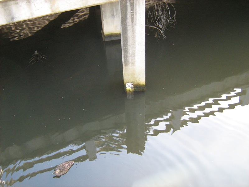
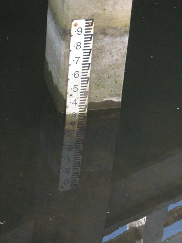
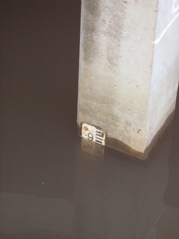
EP1 10:47 3x photos EP2 11:01 1 photo photo taken to show water level - mud on gauge |
|
| #4367 | 26 May 2009 | Approved | Notes: Strong tide had washed a large log upstream from being used to cross at low tide | |
| #4366 | 24 Apr 2009 | Approved |
Notes:
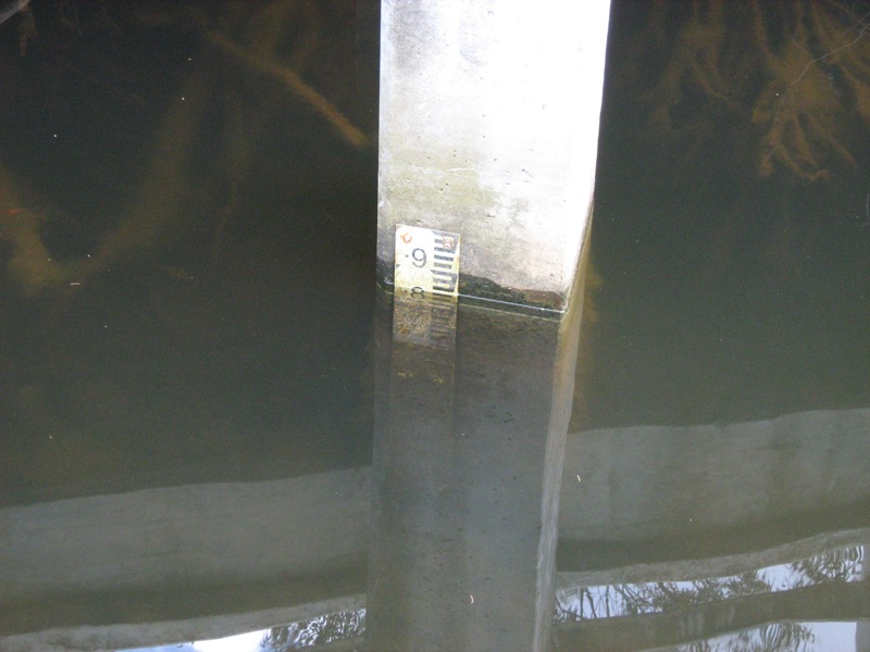
Water level: muddy from rain, level above gauge @ 1130hrs Attempted mouth opening by shovel had only worked slightly - berm height there about 50cm & only 19cm by shovel. Water slowly flowing from river in shovel opening into sand before reaching sea. |
|
| #4365 | 15 Mar 2009 | Approved |
Notes:
EP1 13.58pm, 3x photos EP2 14.20pm, 1 photo North side undercut by about 30cm at 1000 hrs when mouth opened by rain. |
|
| #4364 | 28 Sep 2008 | Approved |
Notes:
EP1 photos 10.45am x4 EP2 photos 10.52am x1 Wind gusting between 2 and 3 |
|
| #3721 | 27 May 2008 | Approved | ||
| #422 | 15 Apr 2008 | Approved |
|
|
| #4362 | 20 Feb 2008 | Approved |
Notes:
EP1 photos, 3:35pm x4 EP2 photos, 3:30pm x1 17mm rain in 24 hrs to 2:30pm today in my gauge Berm to top height undercut 90cm by opening. Berm lower undercut to water 55cm flowing out. Water level was measured under 1st fishing position from bridge, before water level gauges installed. Pre-gauge water heights rejected |
|
| #4361 | 8 Oct 2007 | Approved |
Notes:
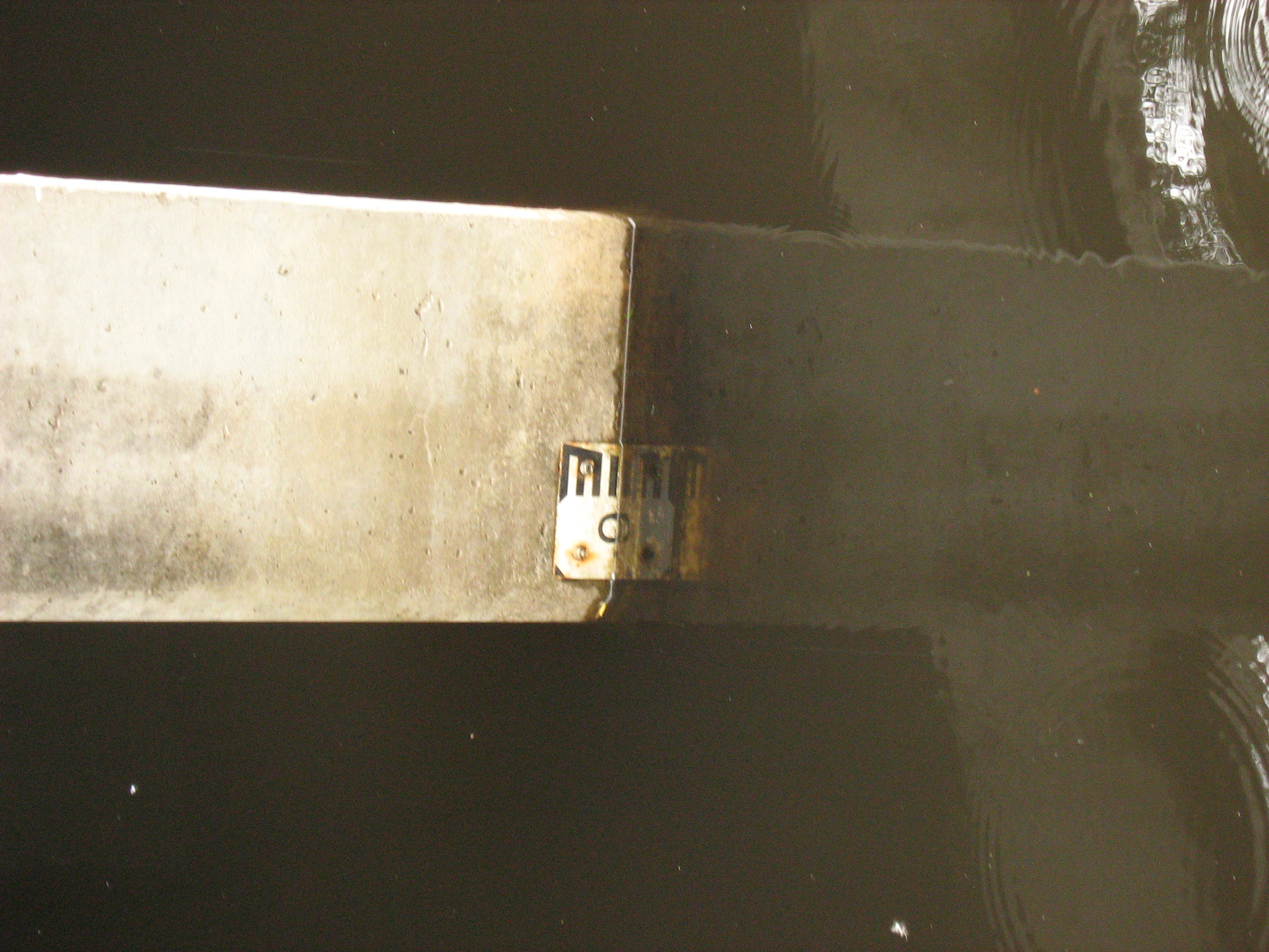
PP1 9:00am photos x3, 120W post, 150cm mark above ground level, 1 shot Split point in R/H corner PP2 9:10 photo x1, bolt on swing bridge, sit camera on capping rail, lighthouse in centre of shot Pre-gauge water heights rejected |
|


All content, files, data and images provided by the EstuaryWatch Data Portal and Gallery are subject to a Creative Commons Attribution License
Content is made available to be used in any way, and should always attribute EstuaryWatch and www.estuarywatch.org.au