EstuaryWatch Data Portal
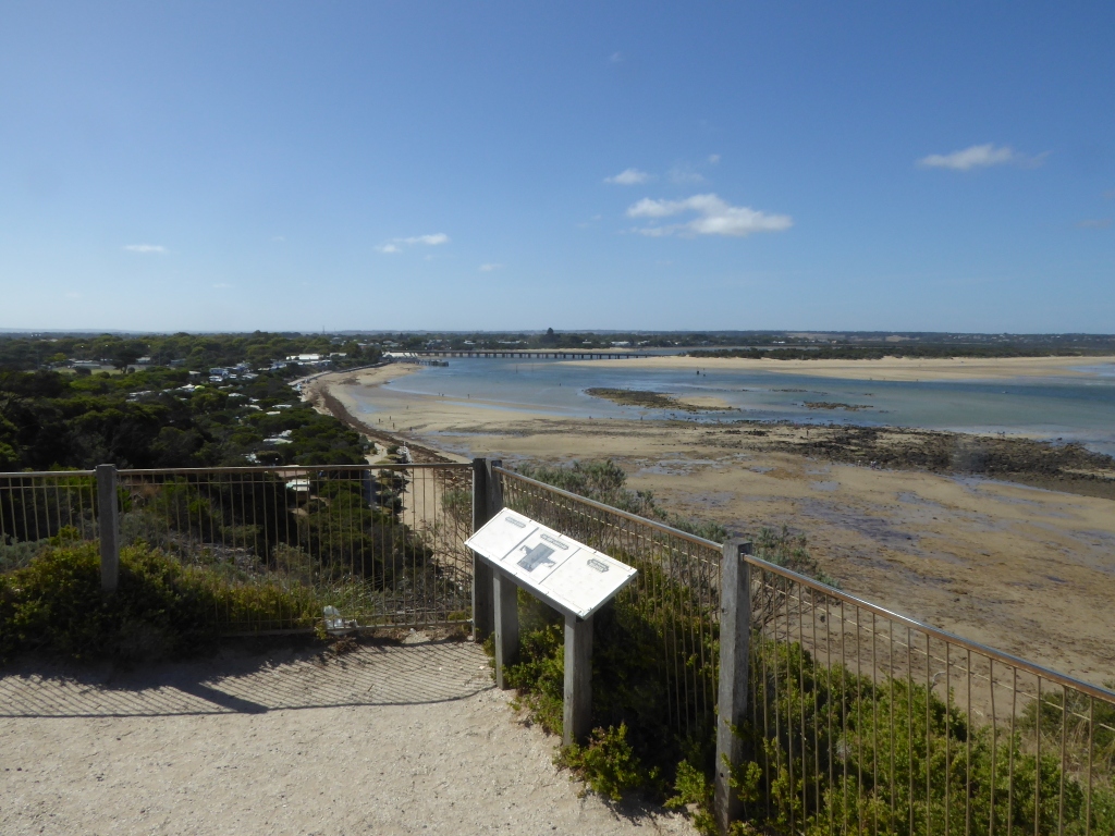
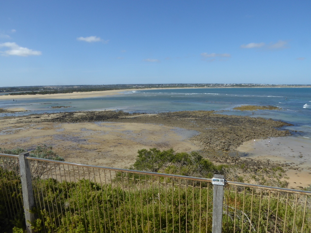
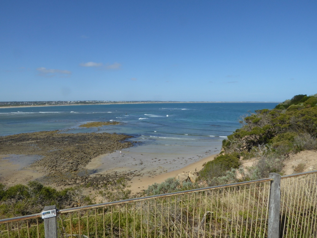
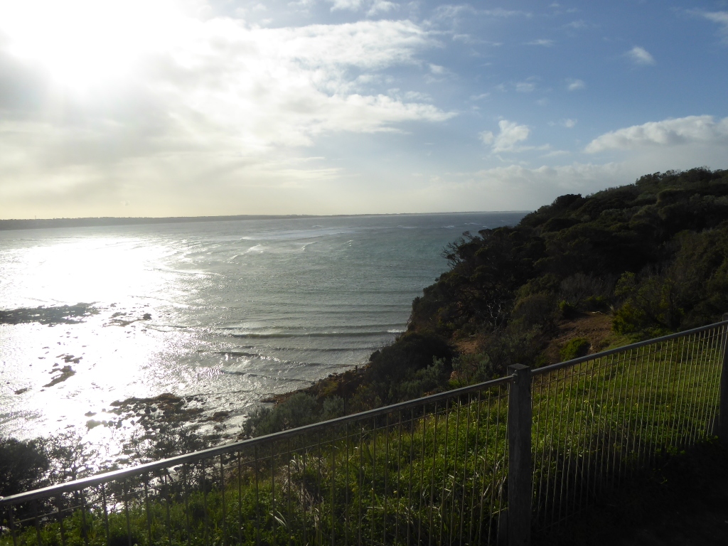
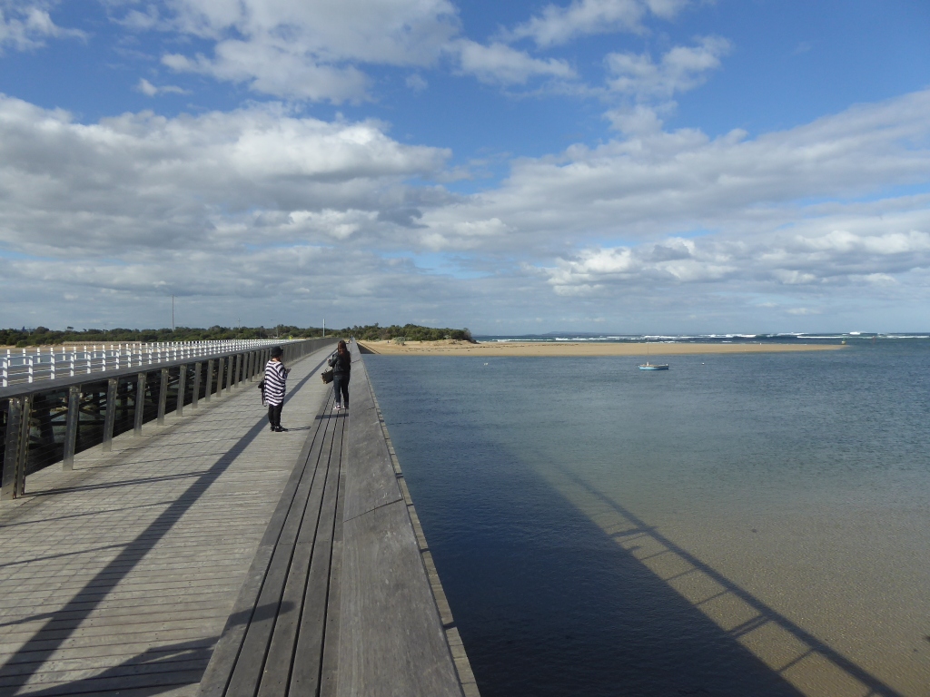
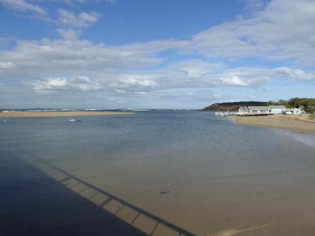
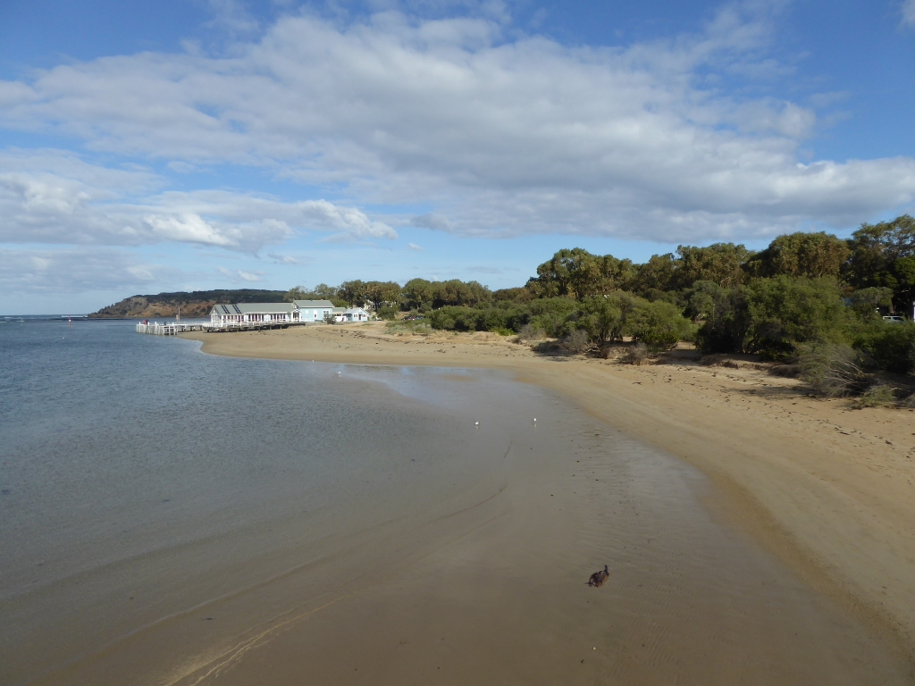
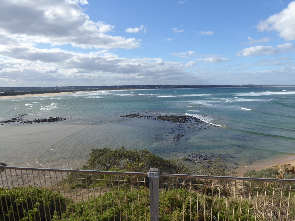
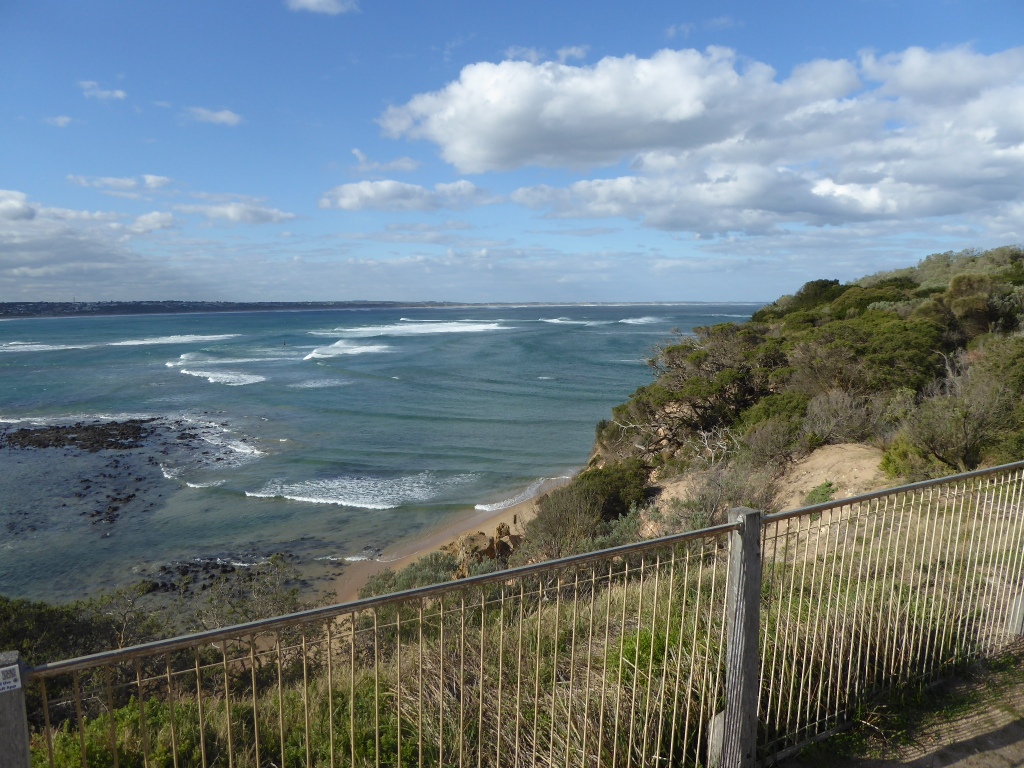
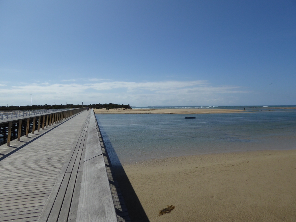
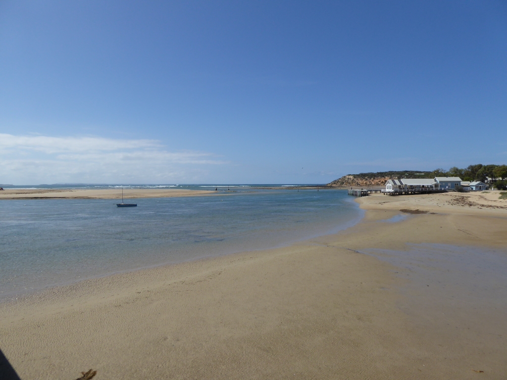
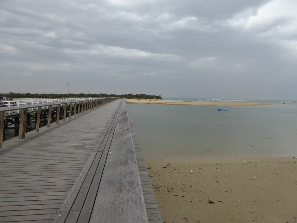
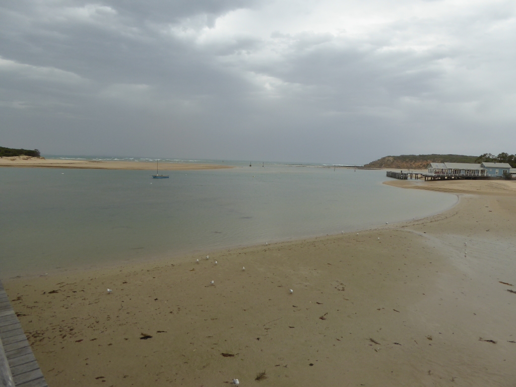
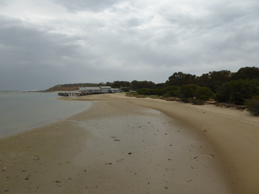
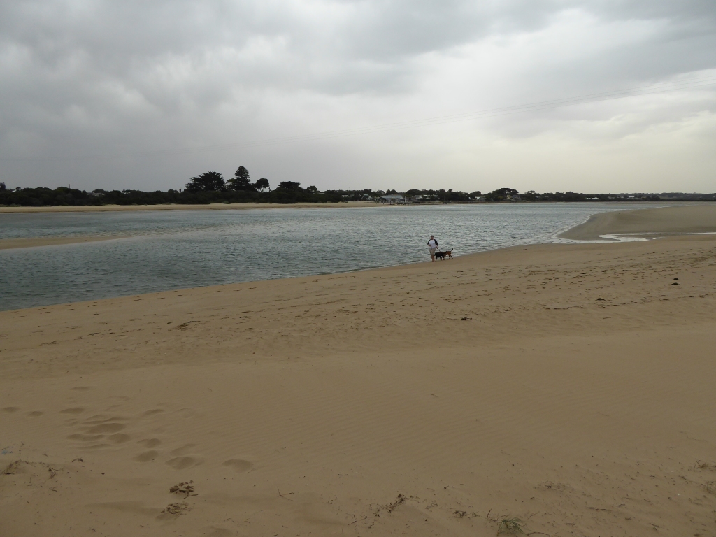
BMC Barwon River - Observation Site
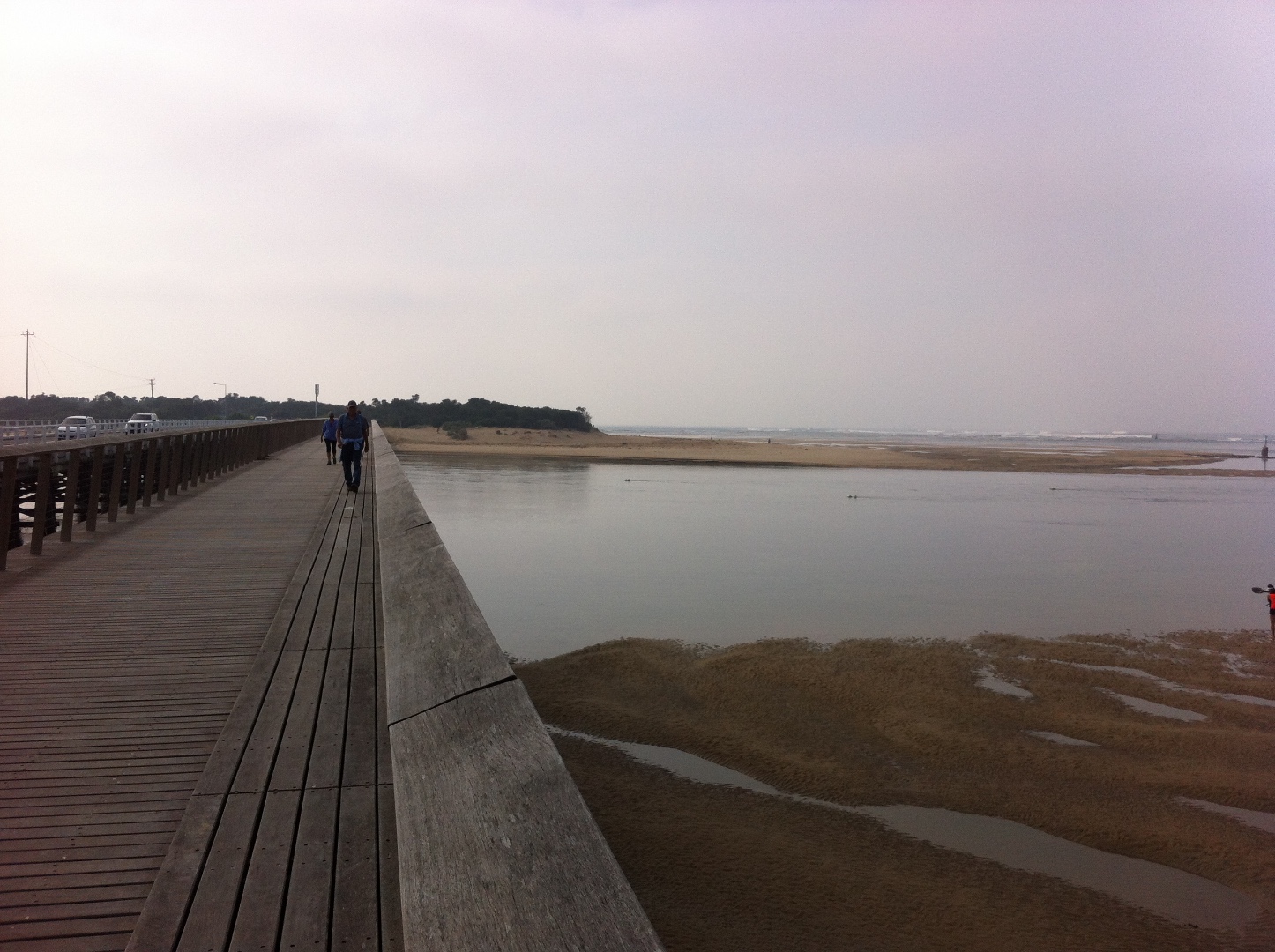
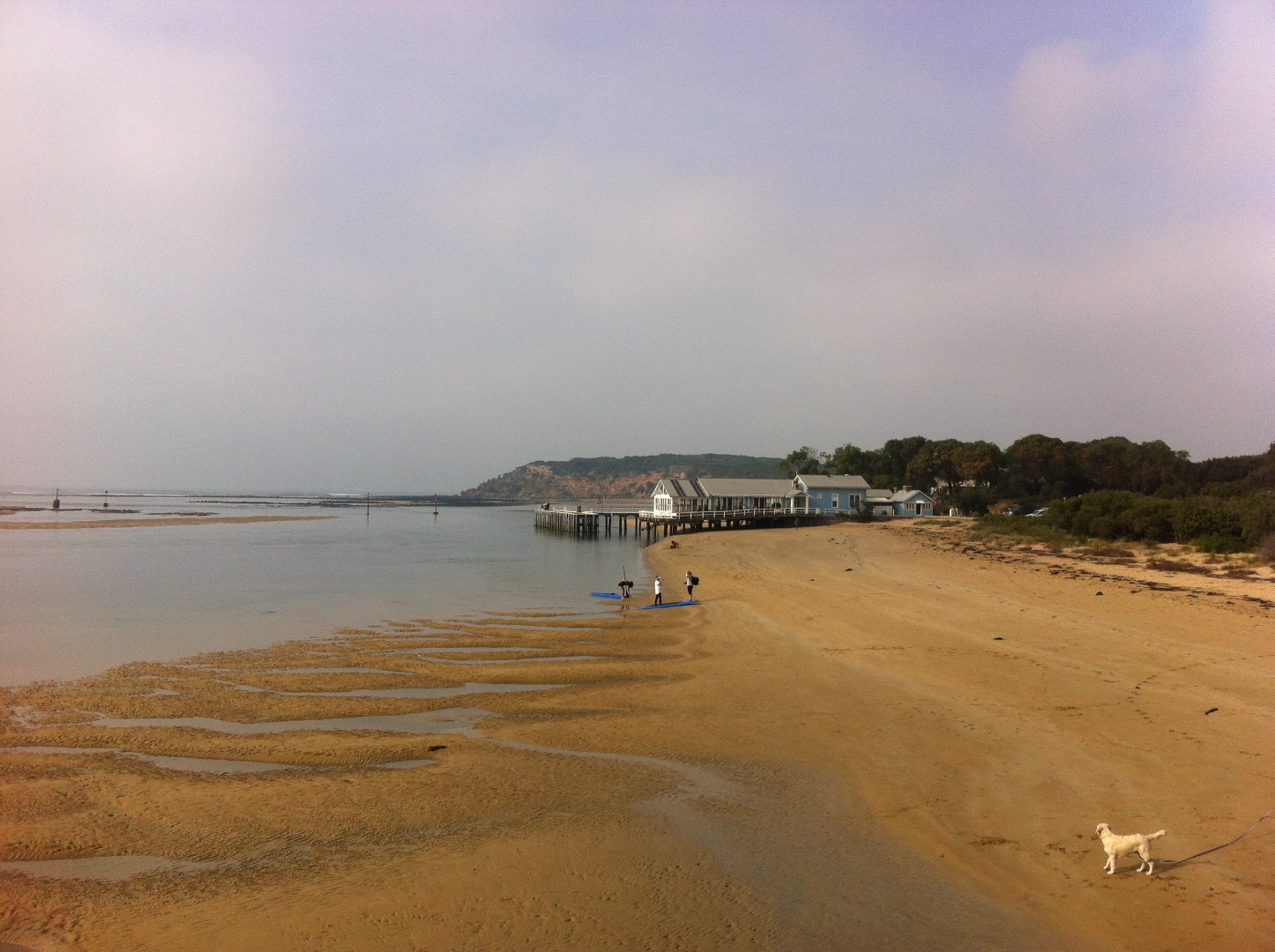
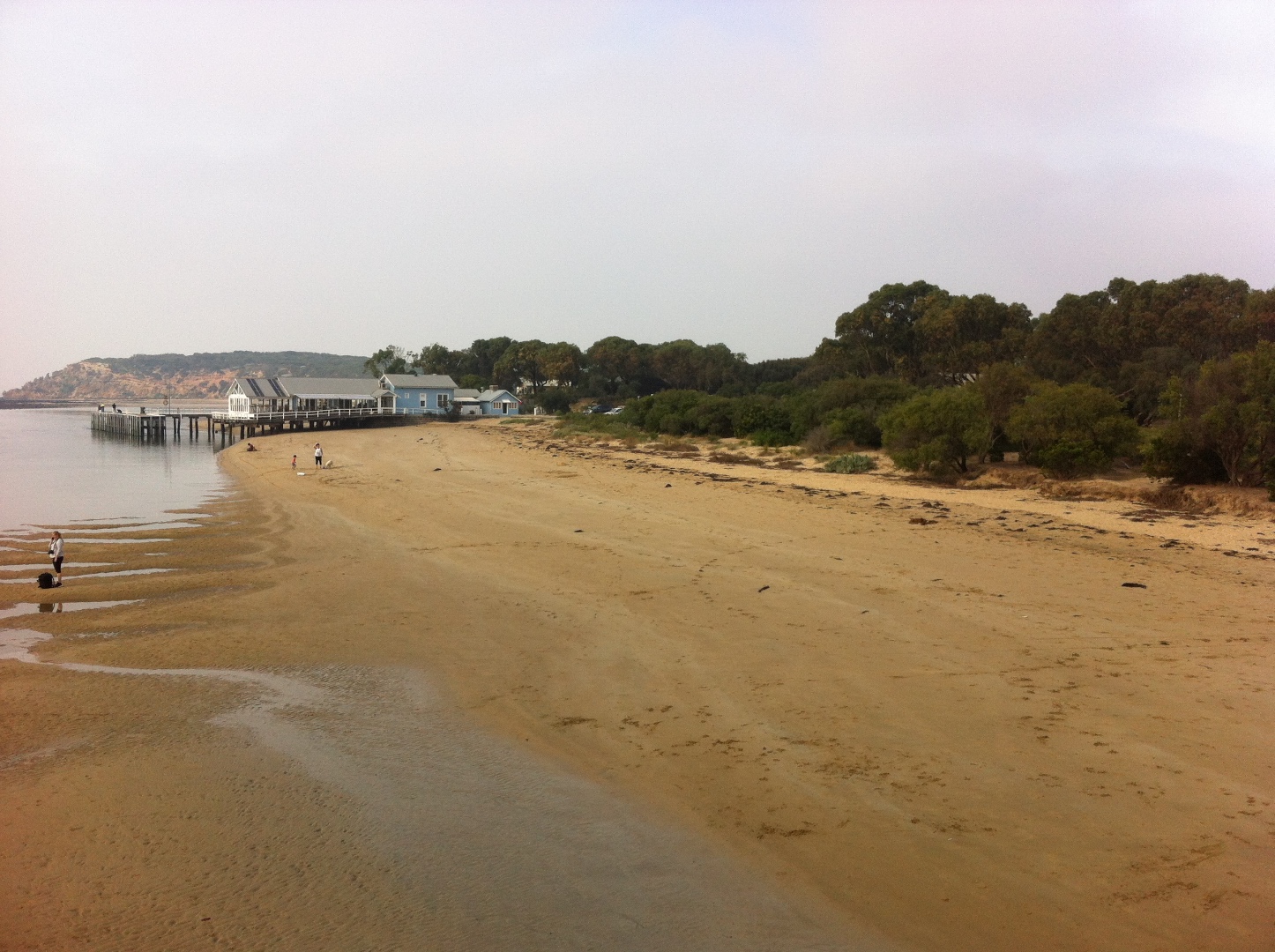
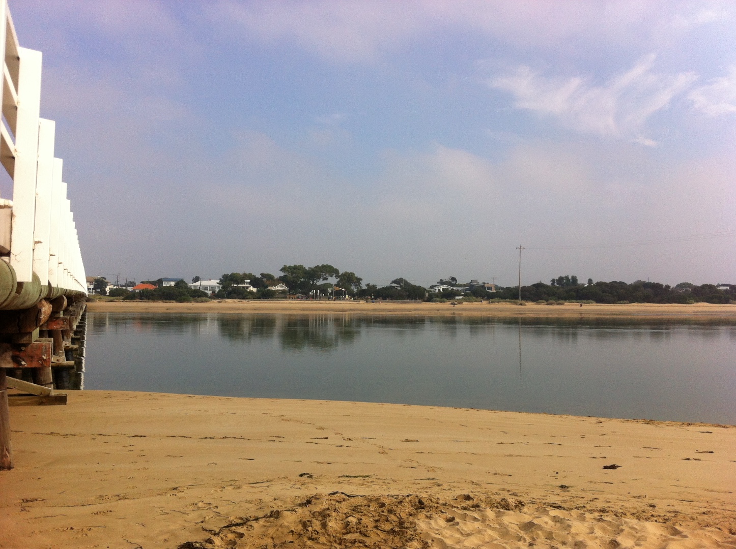
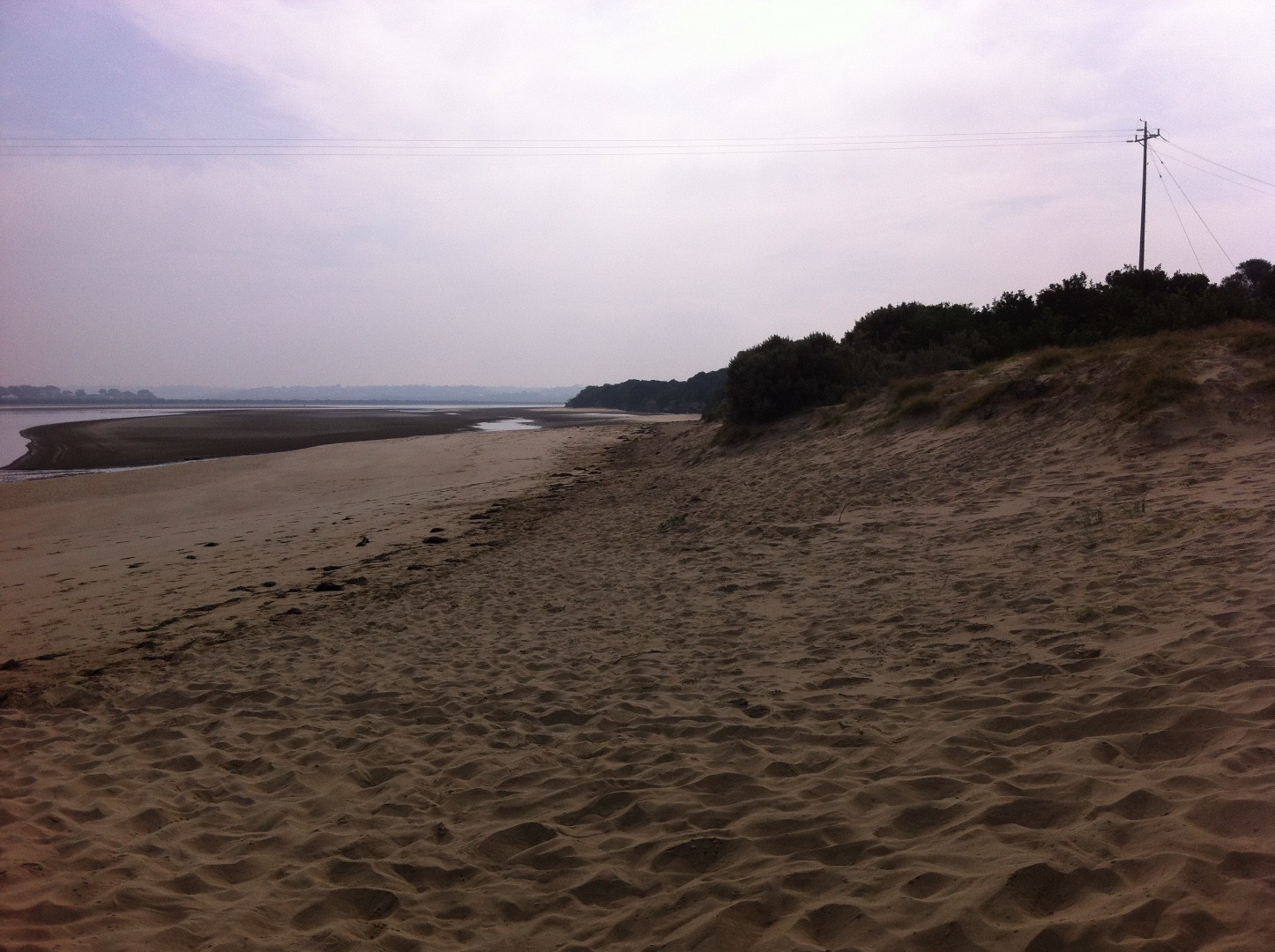
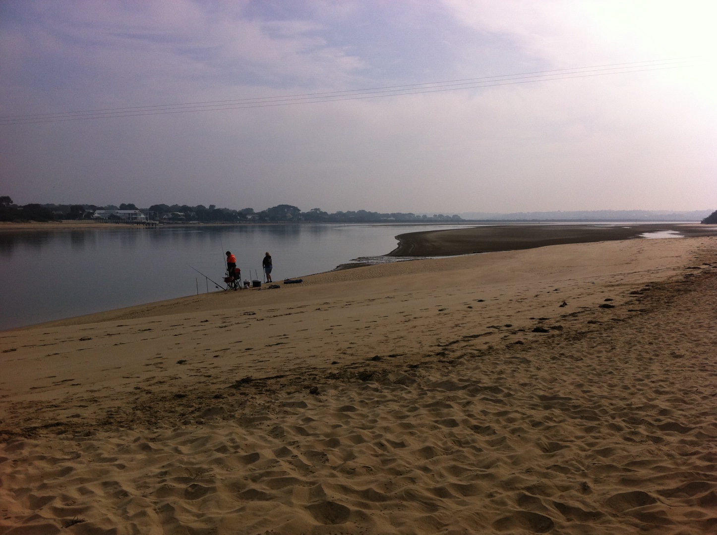
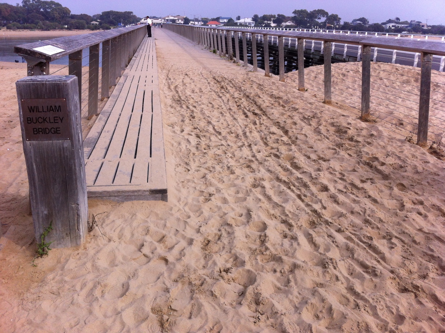
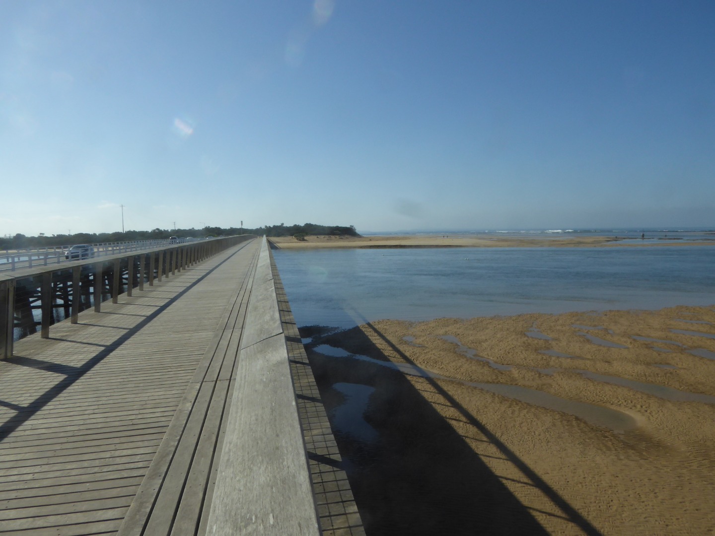
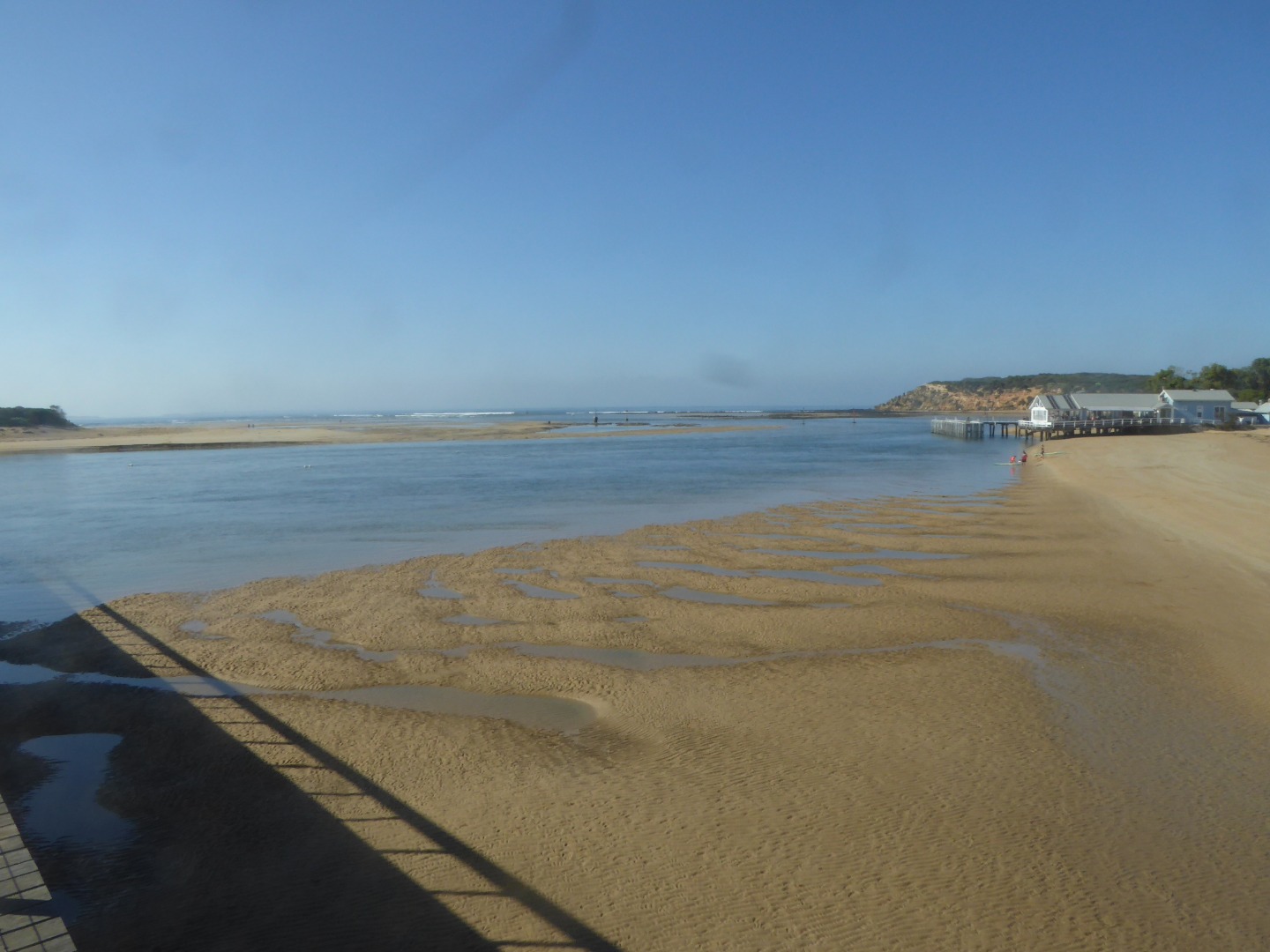
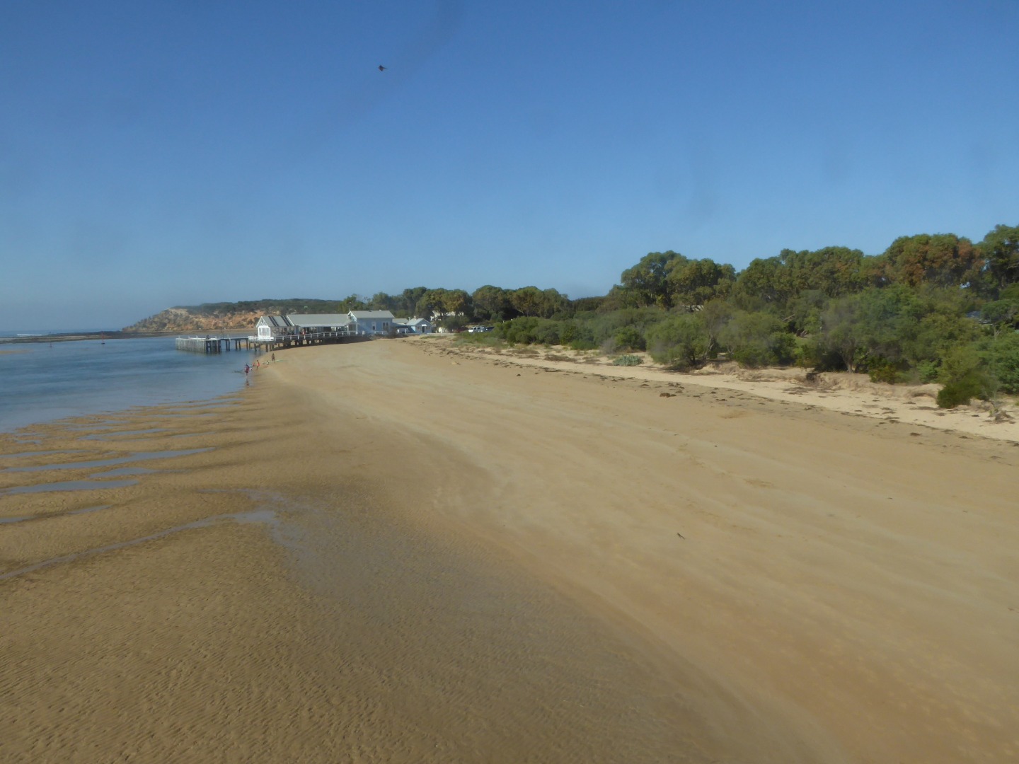
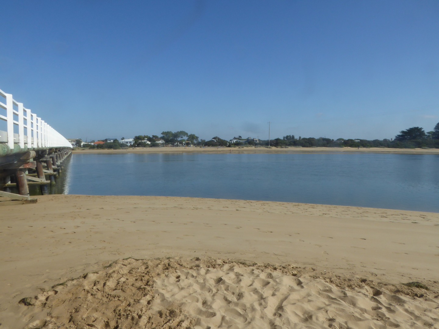
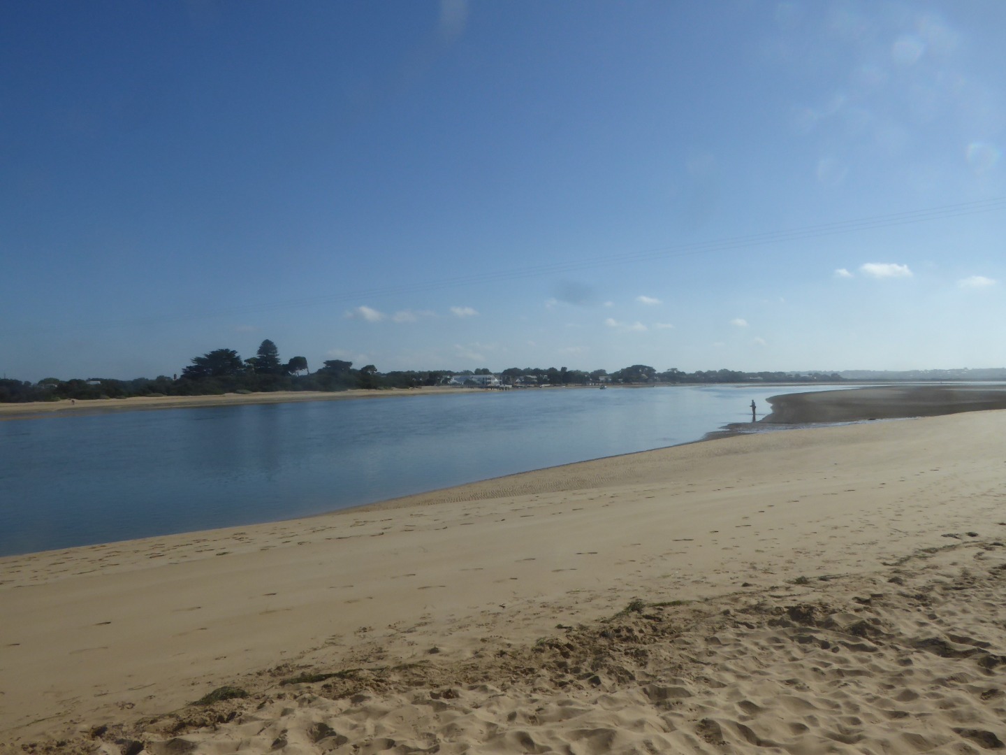
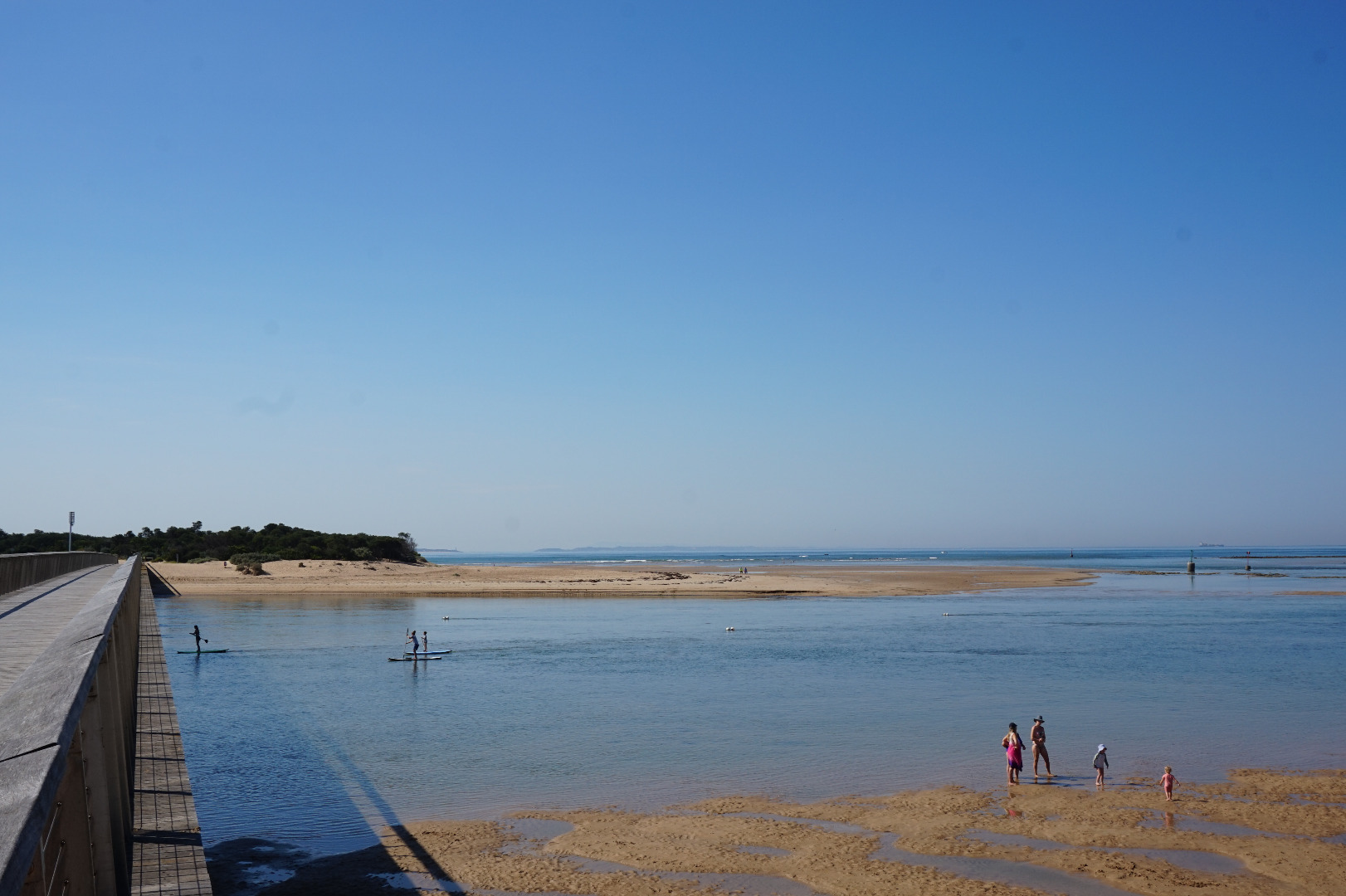
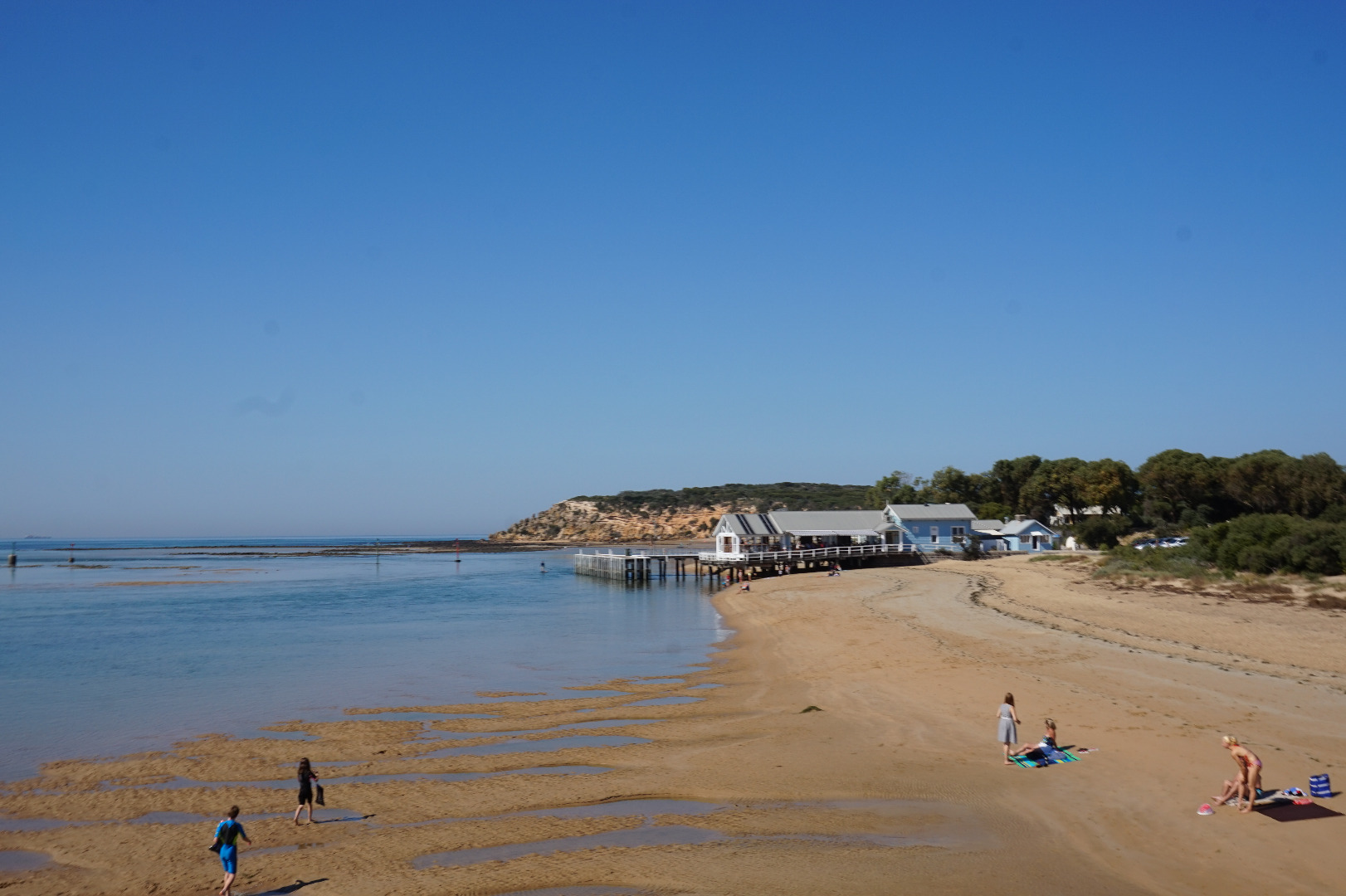
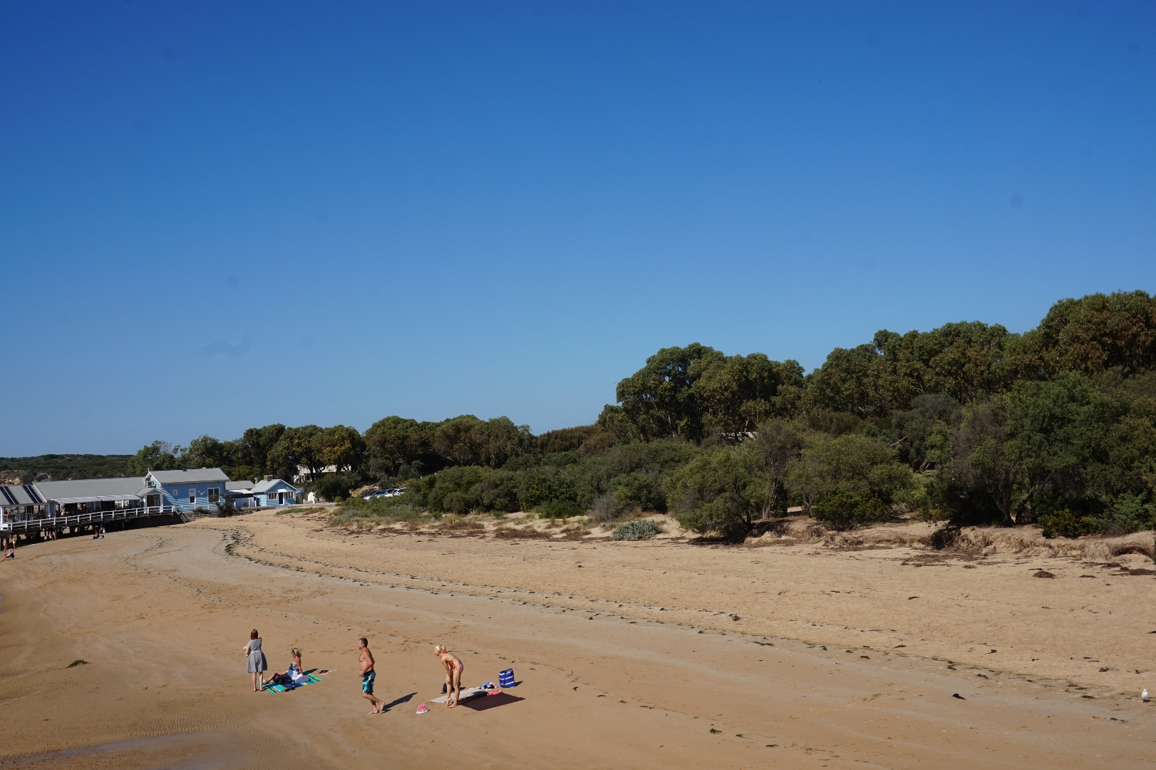
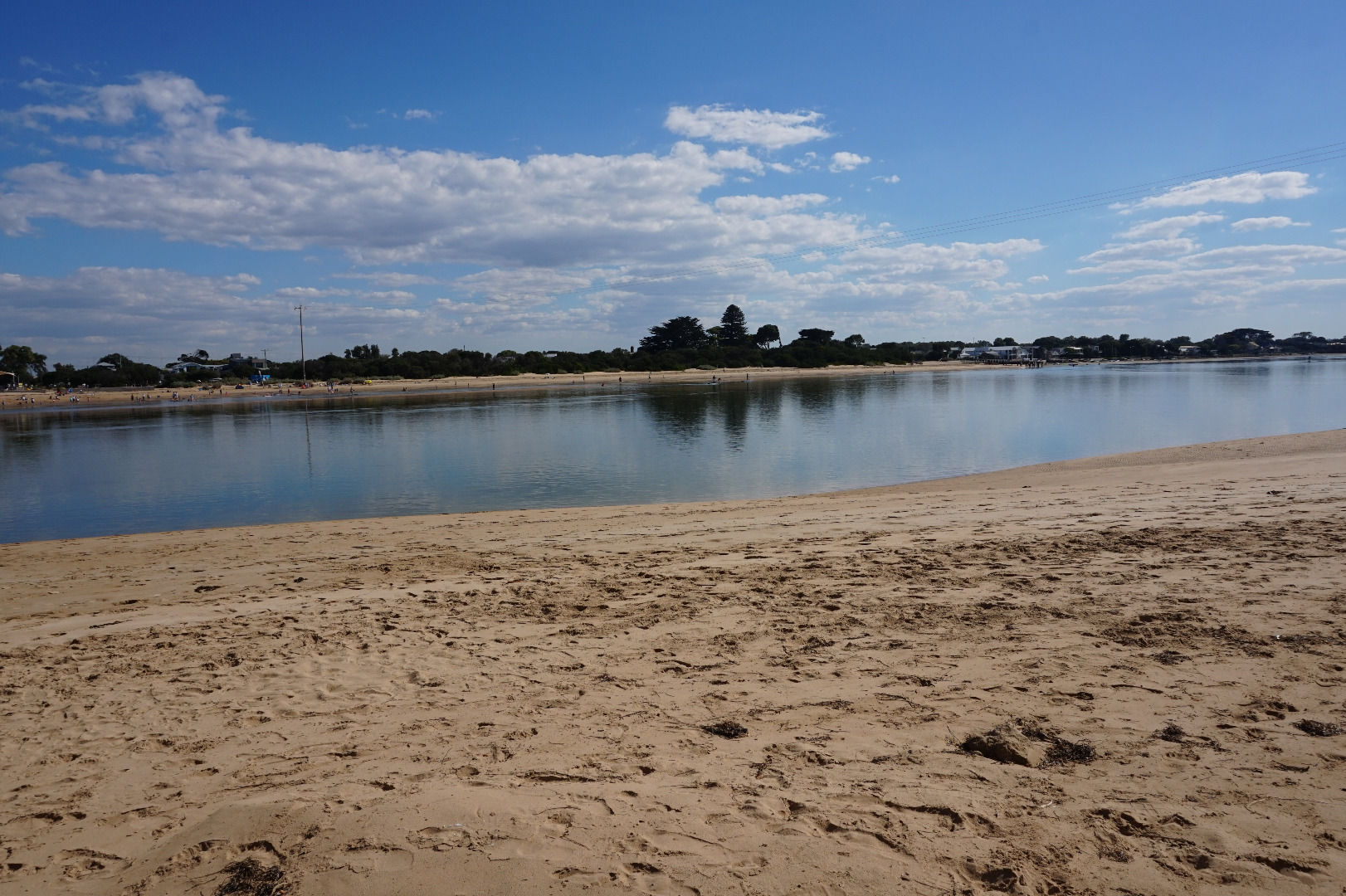
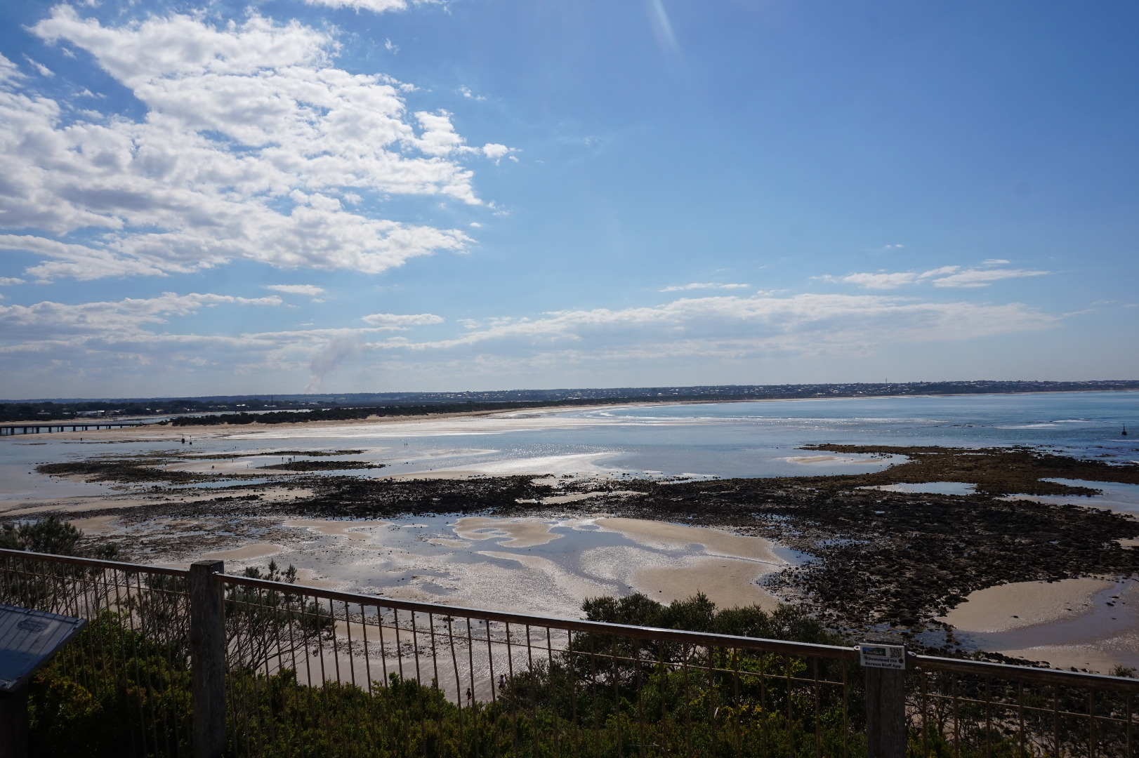
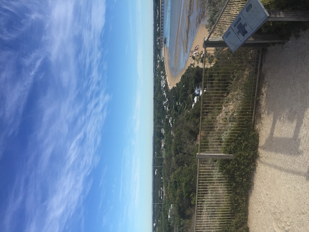
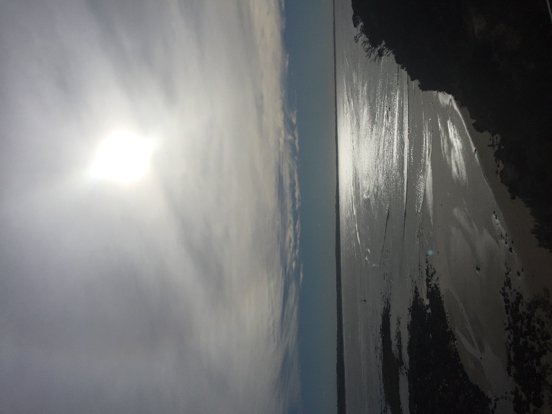
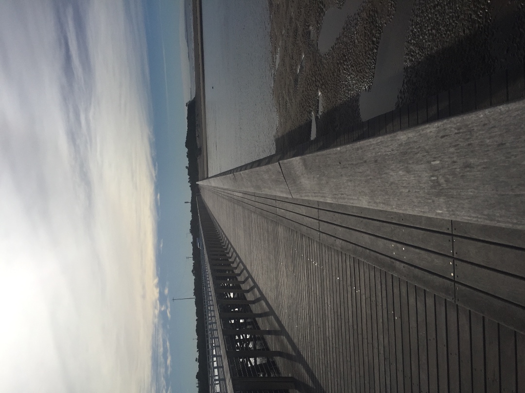
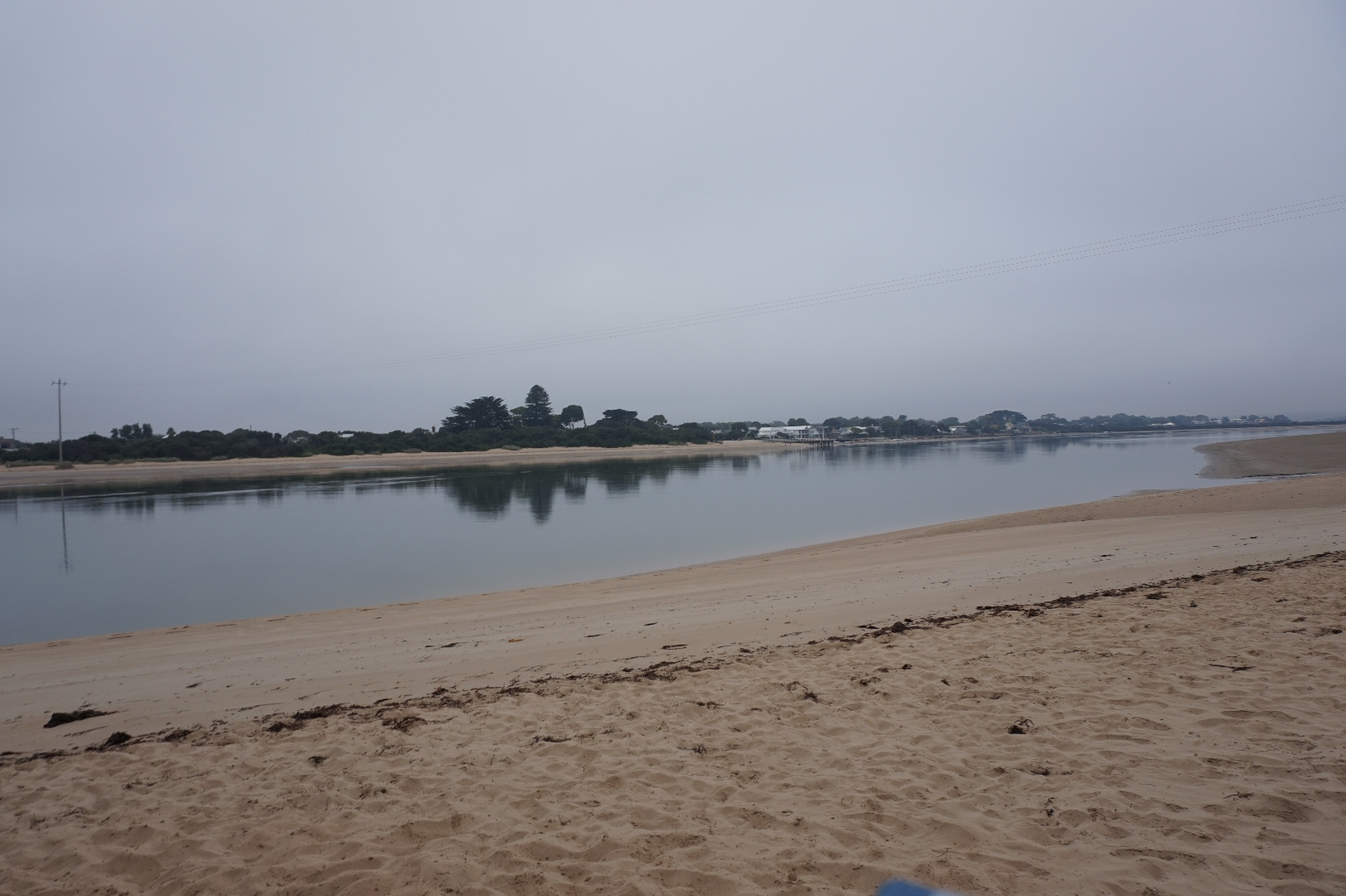
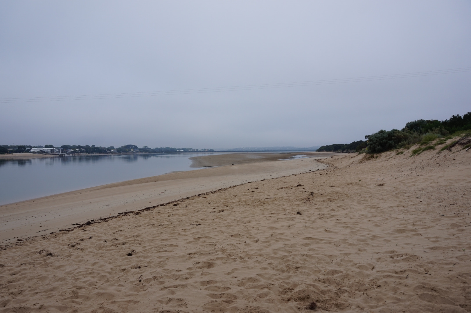
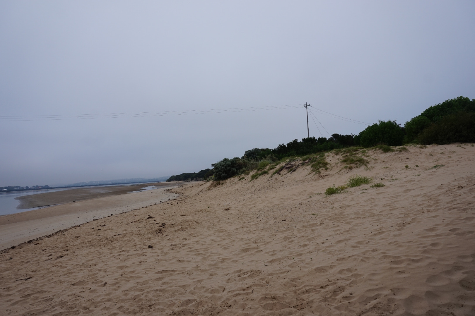
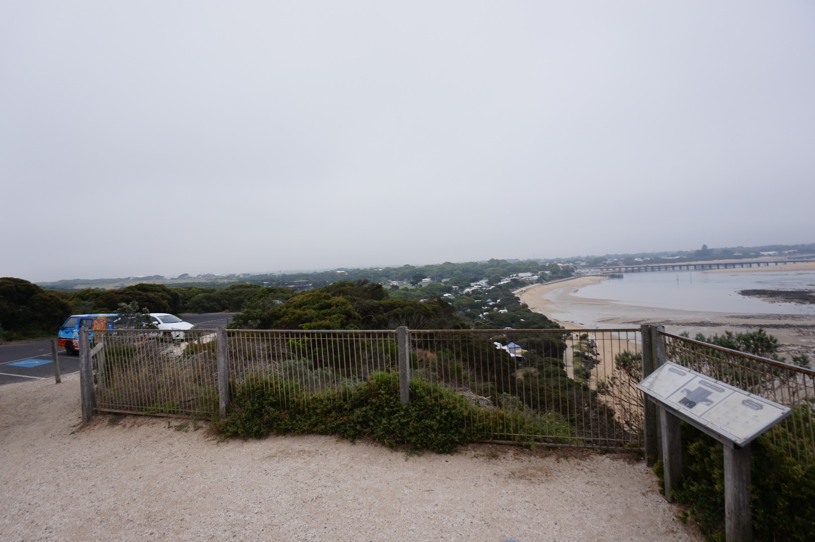
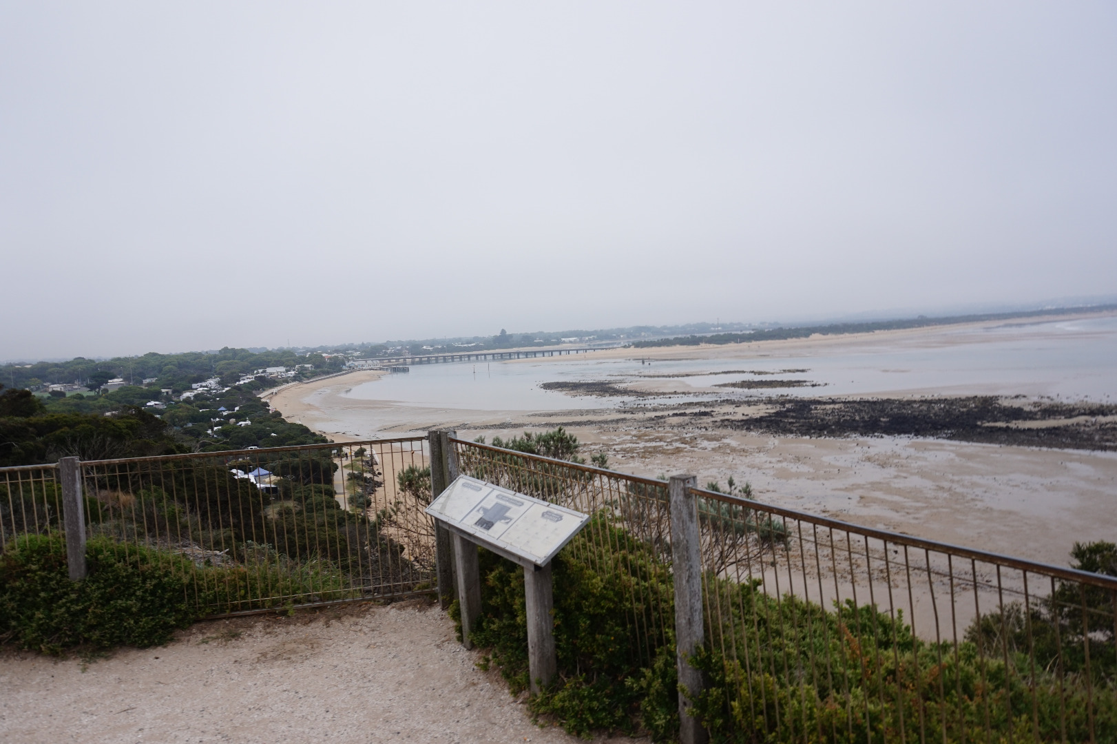
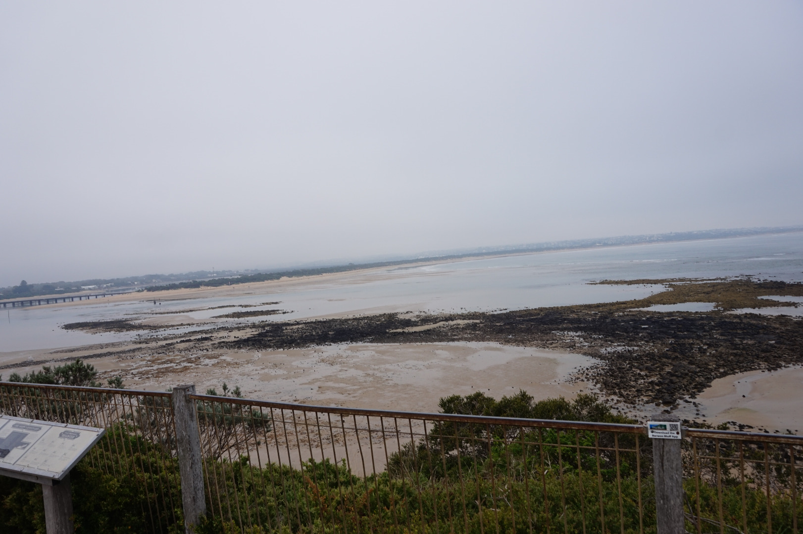
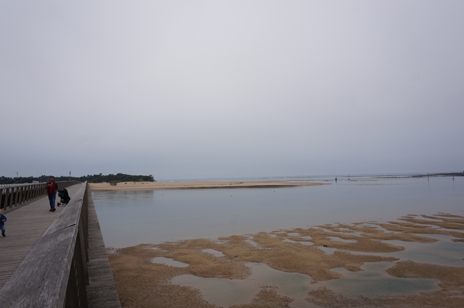
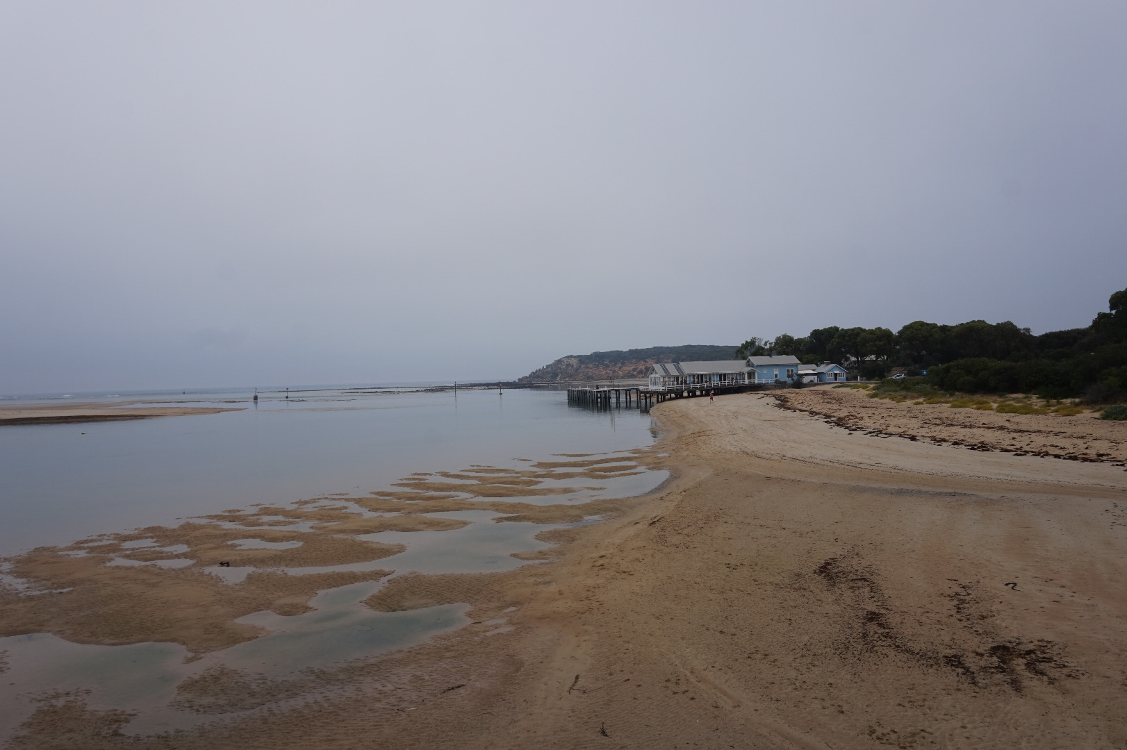
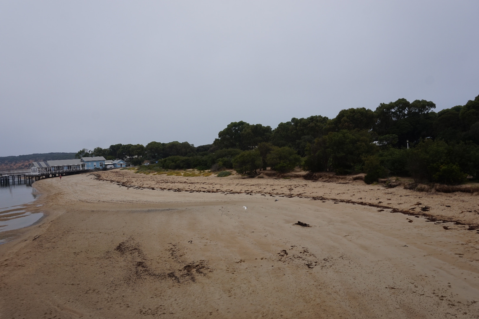
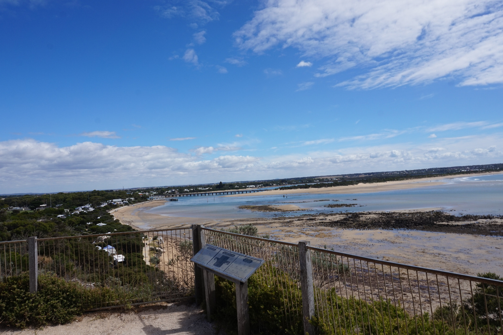
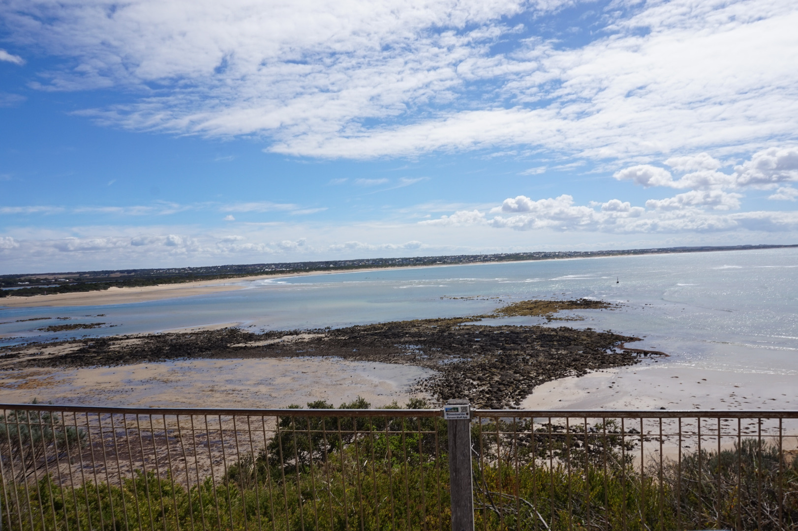
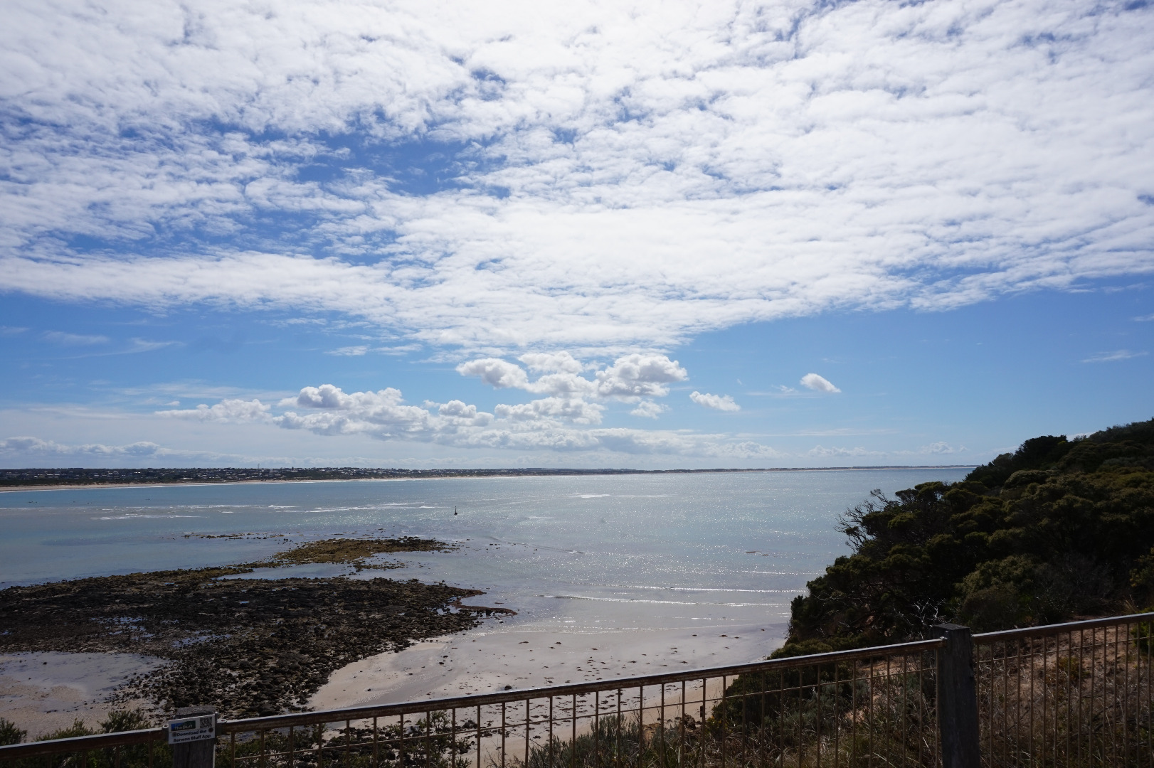
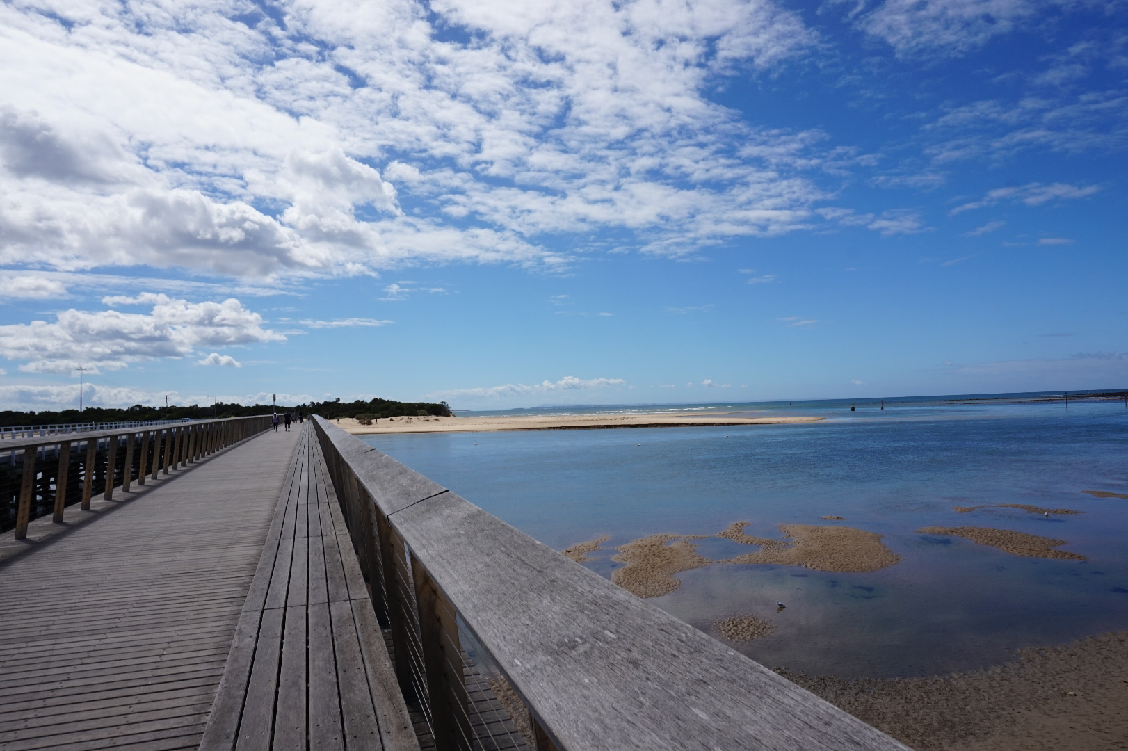
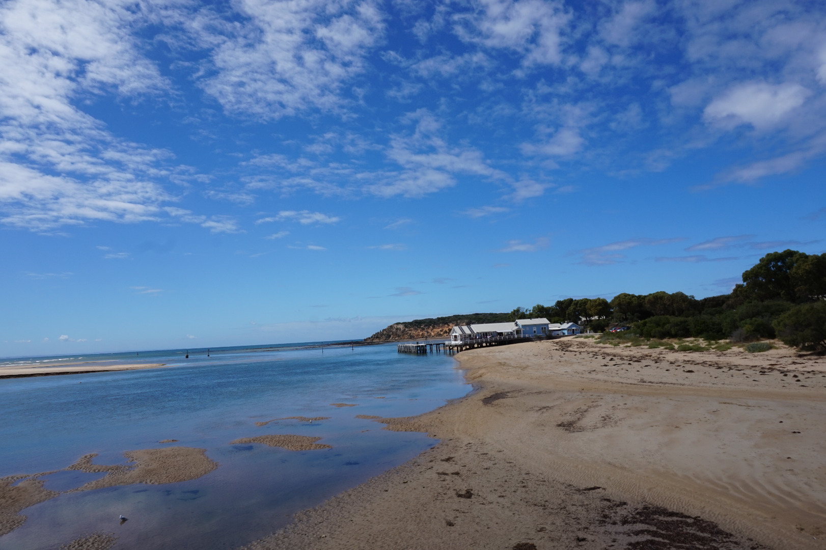
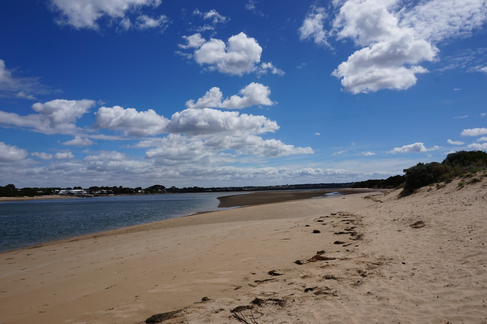
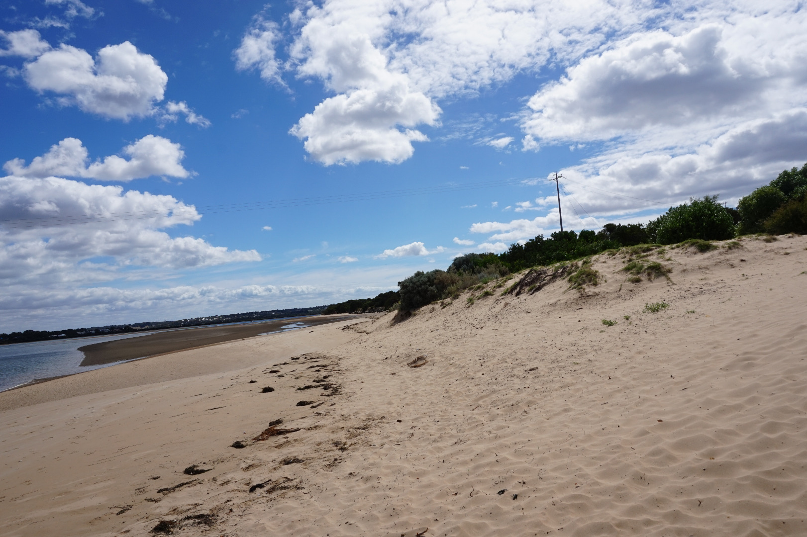
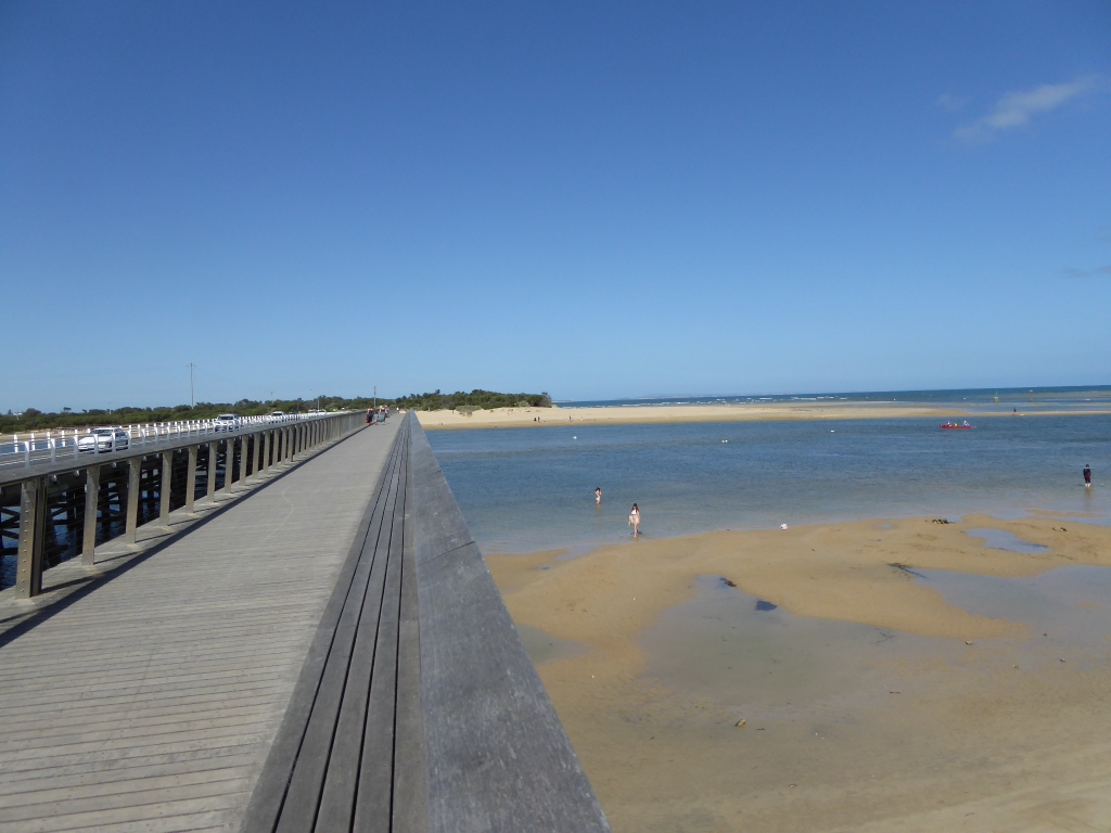
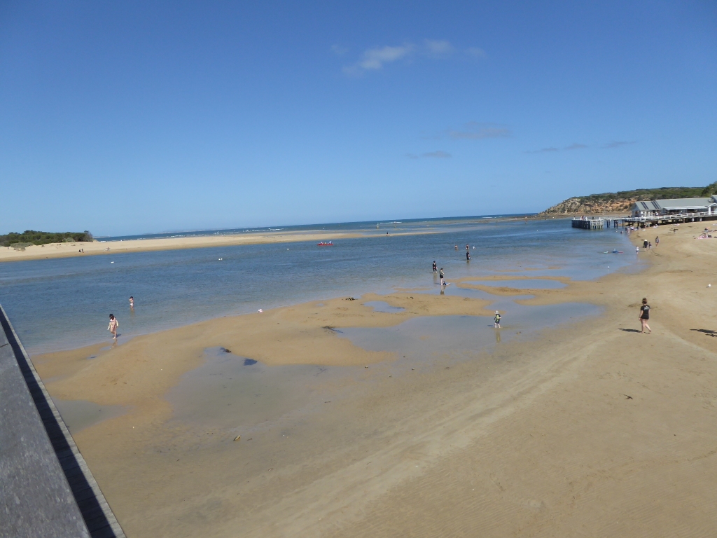
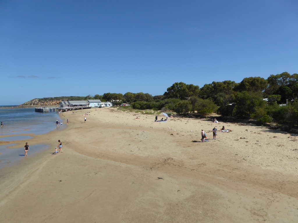
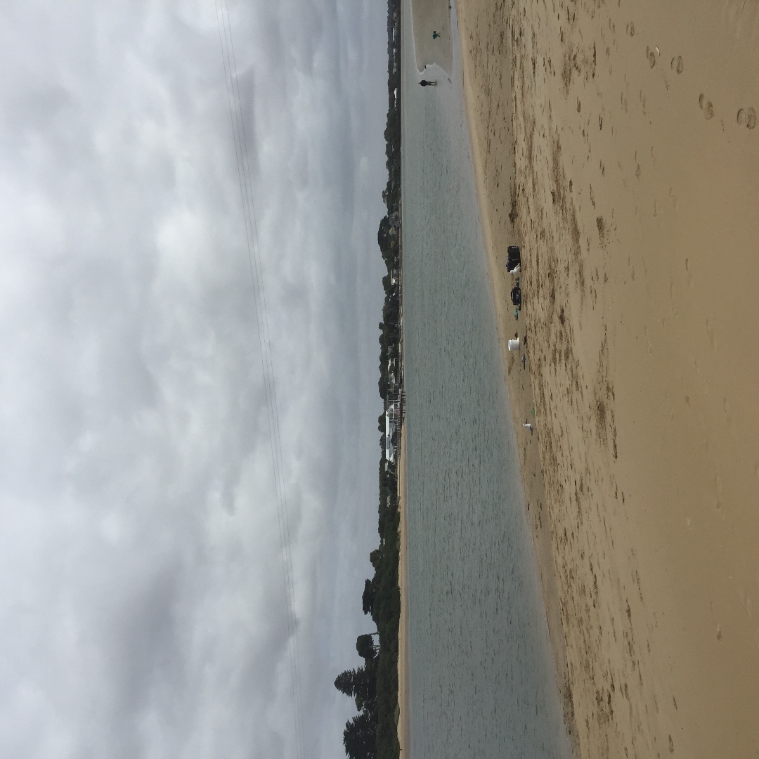
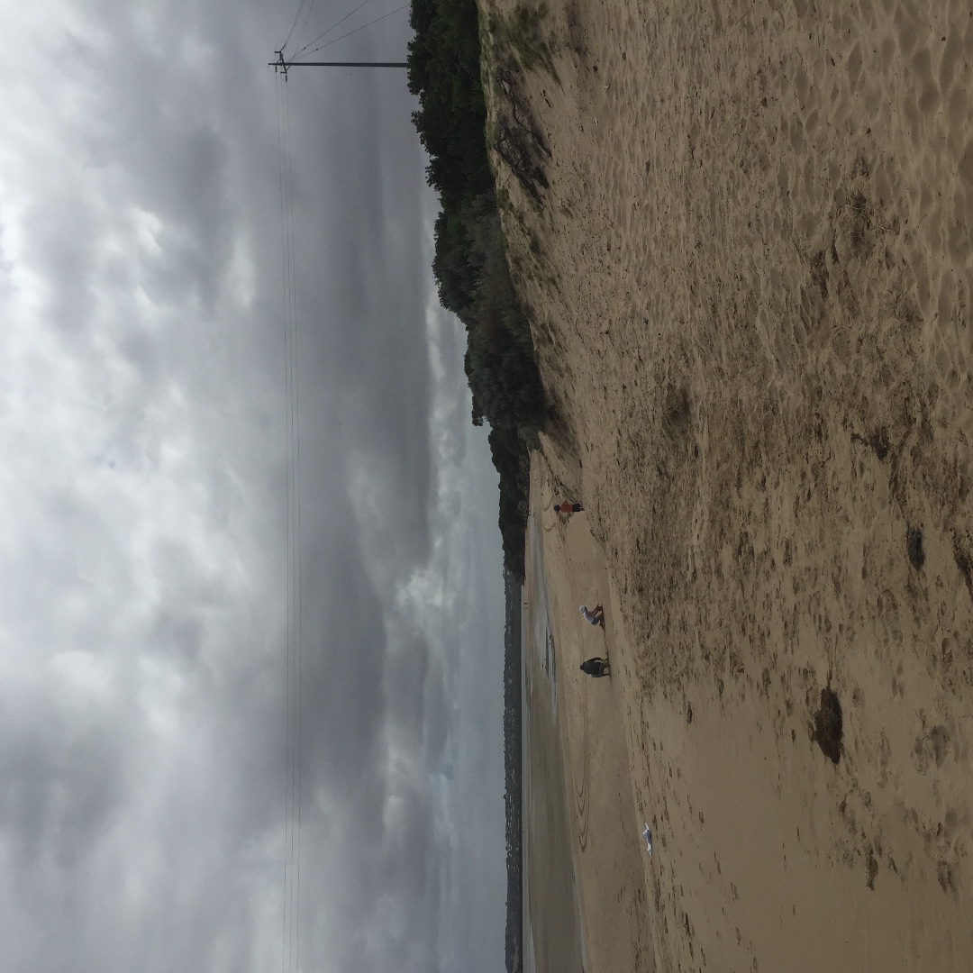
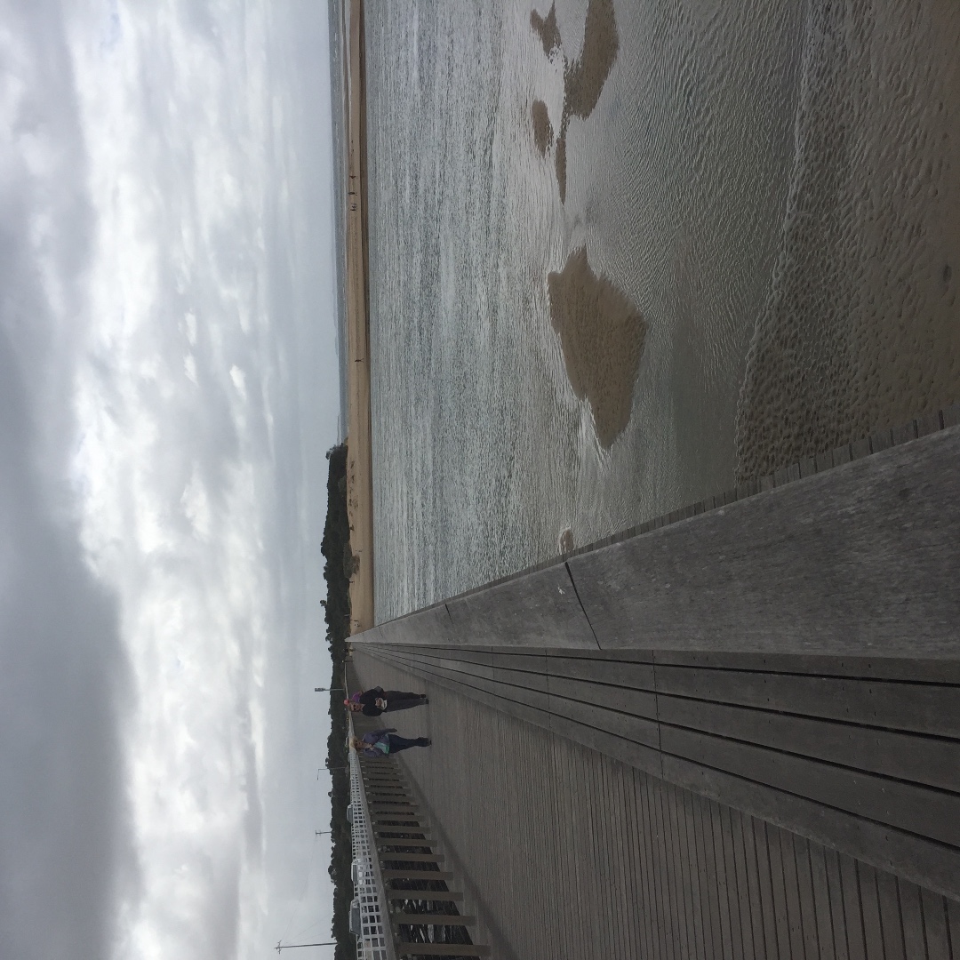
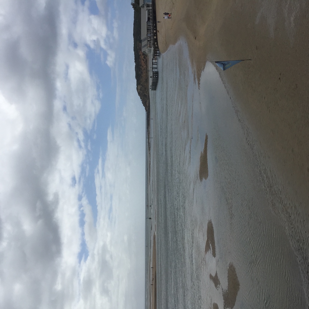
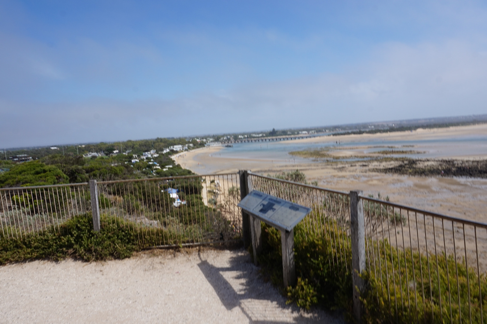
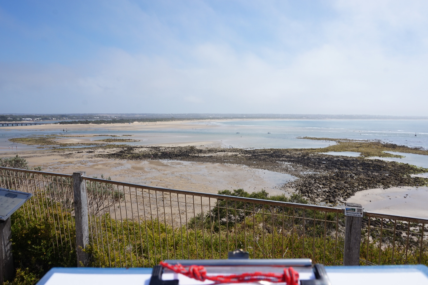
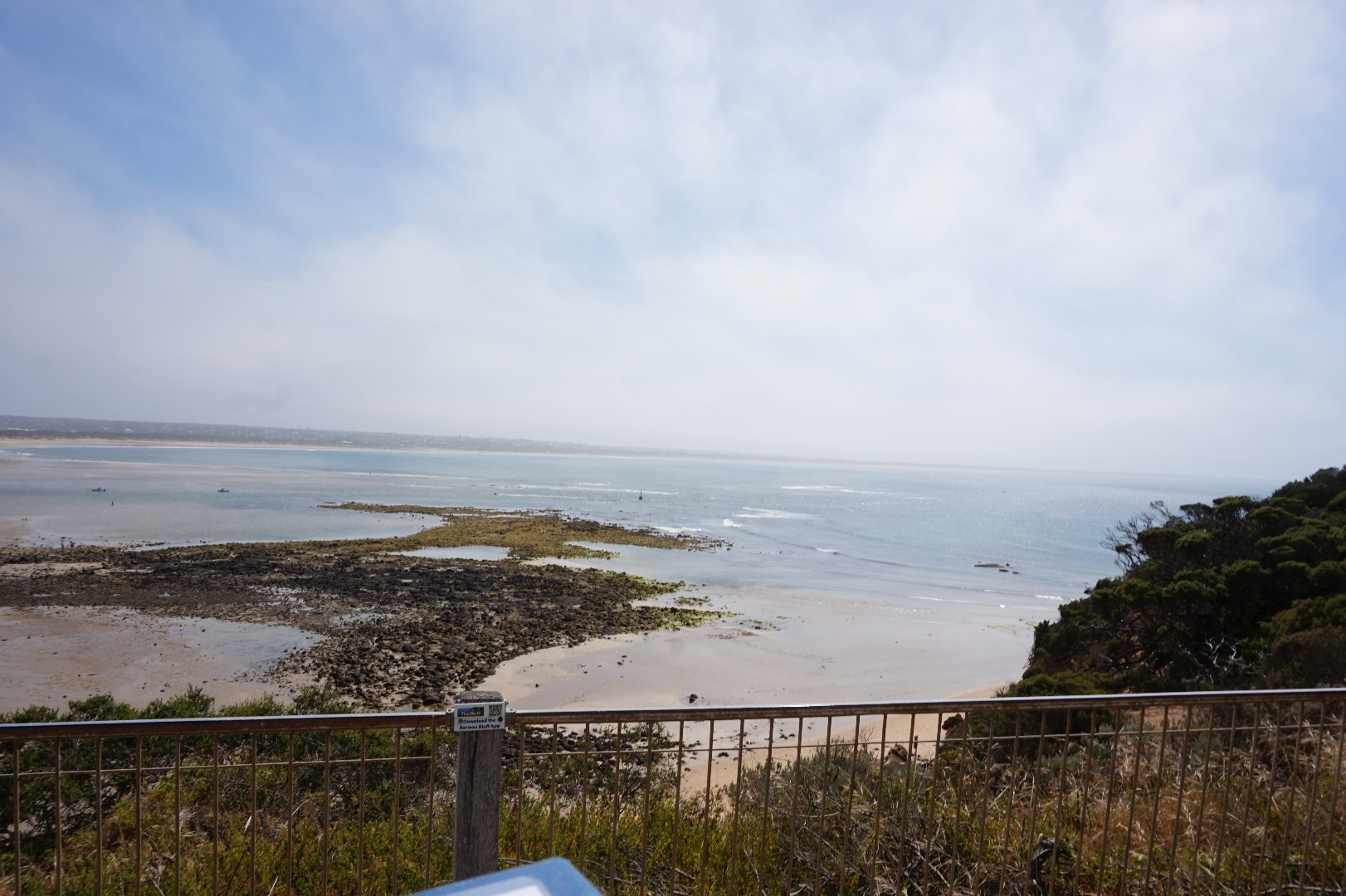
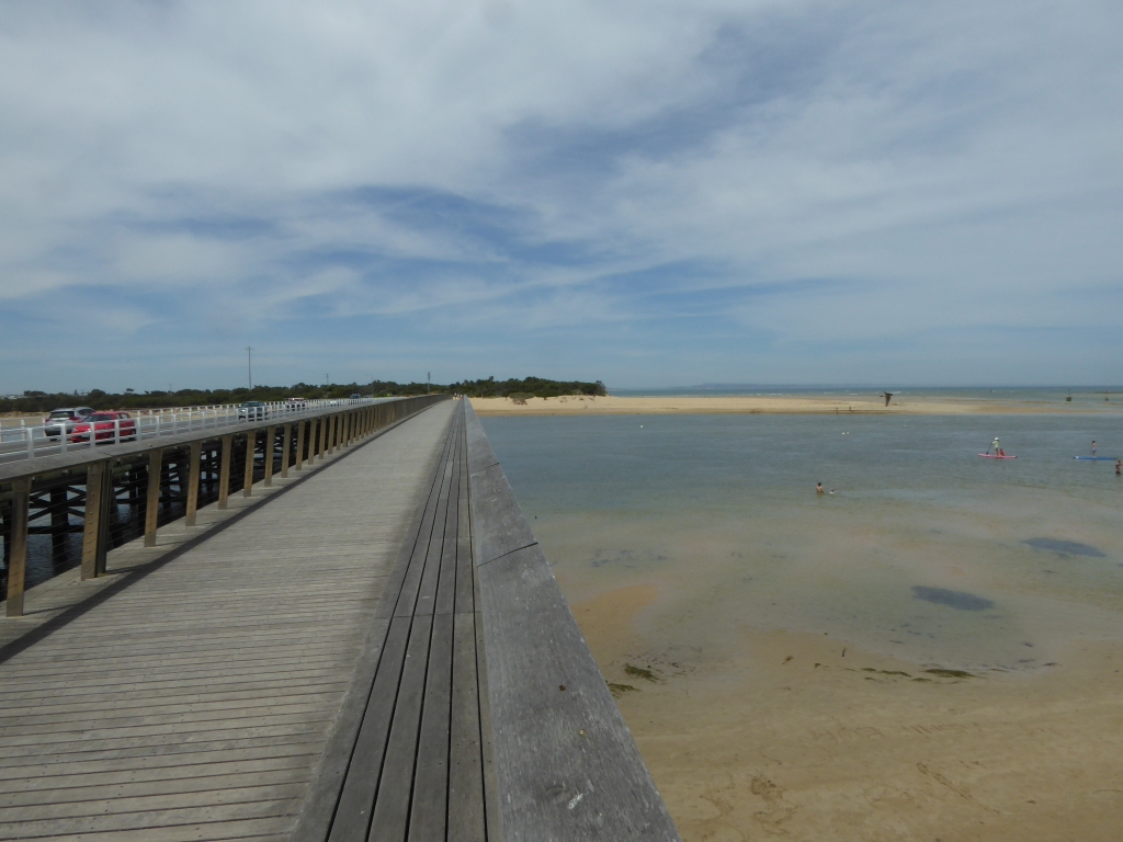
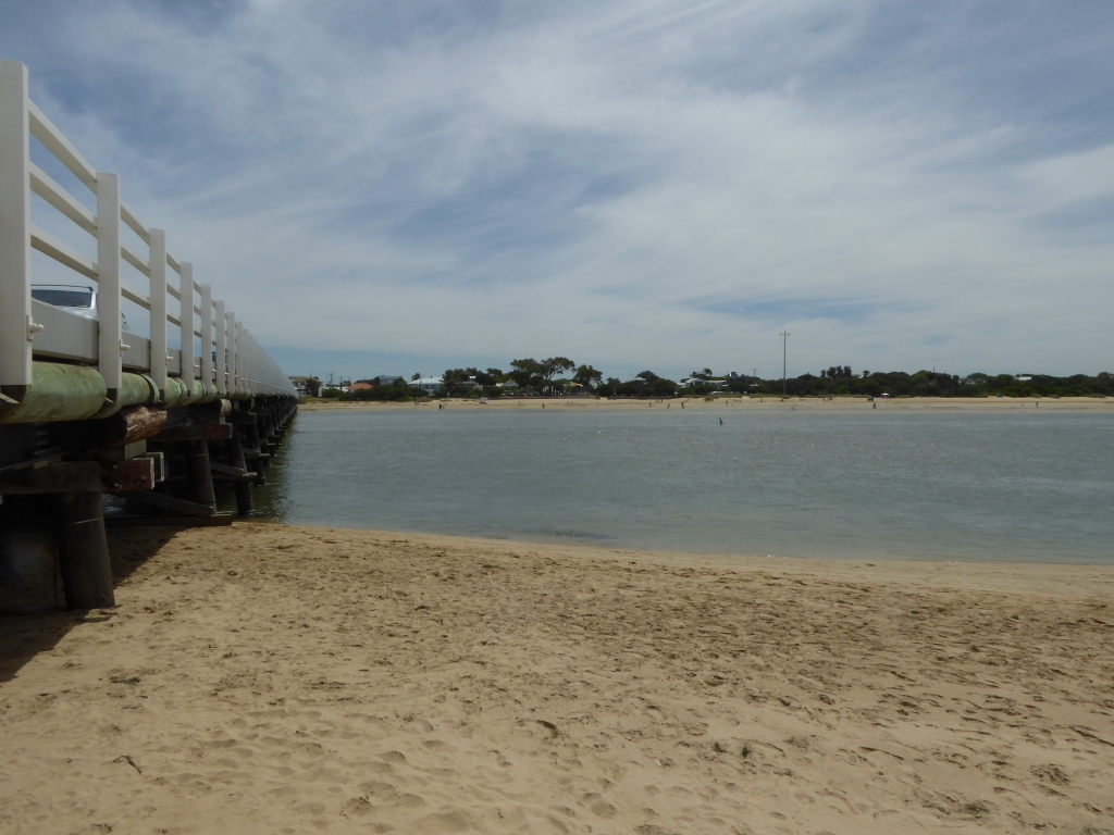
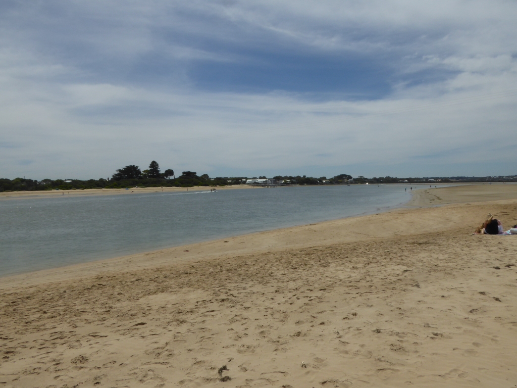
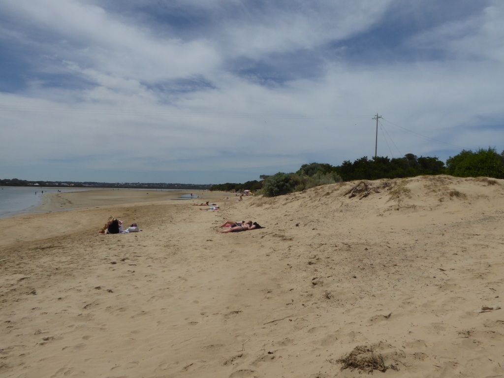
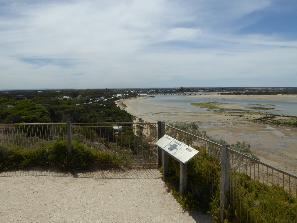
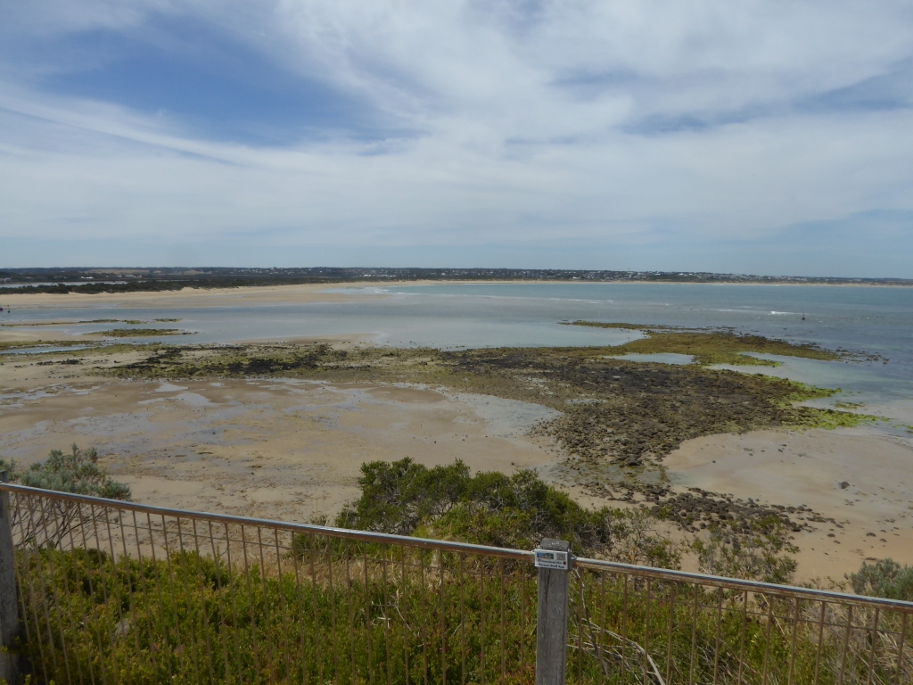
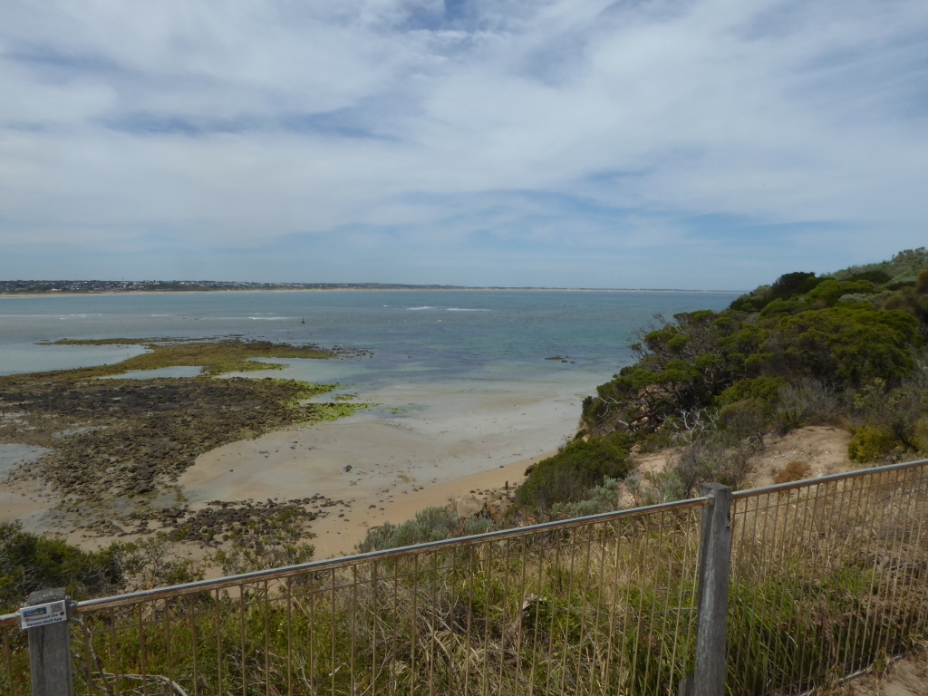
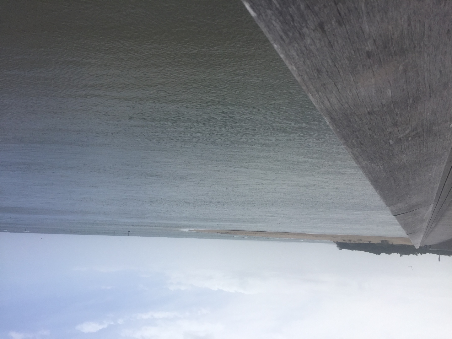
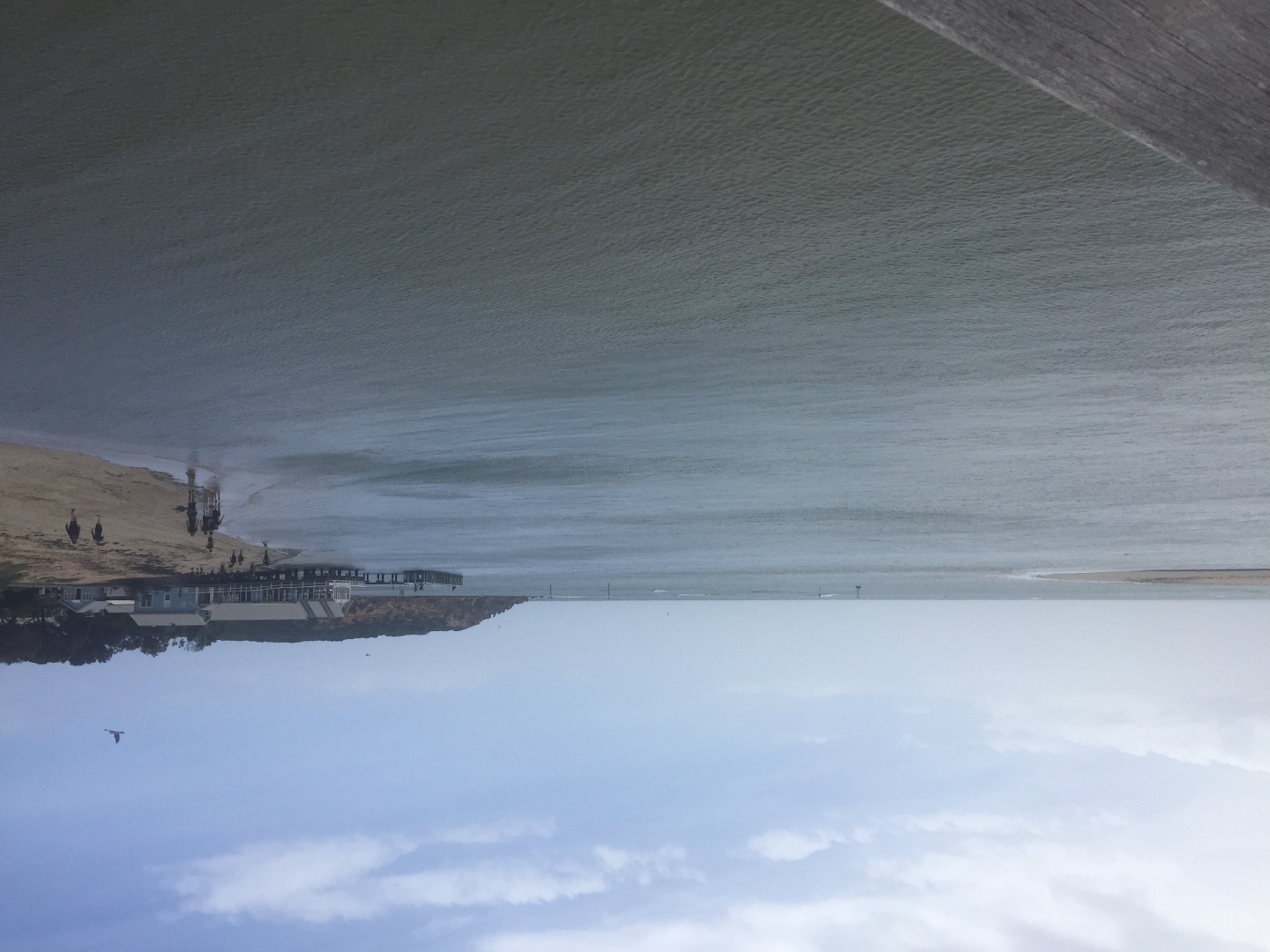
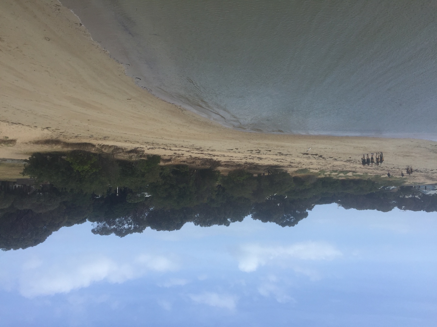
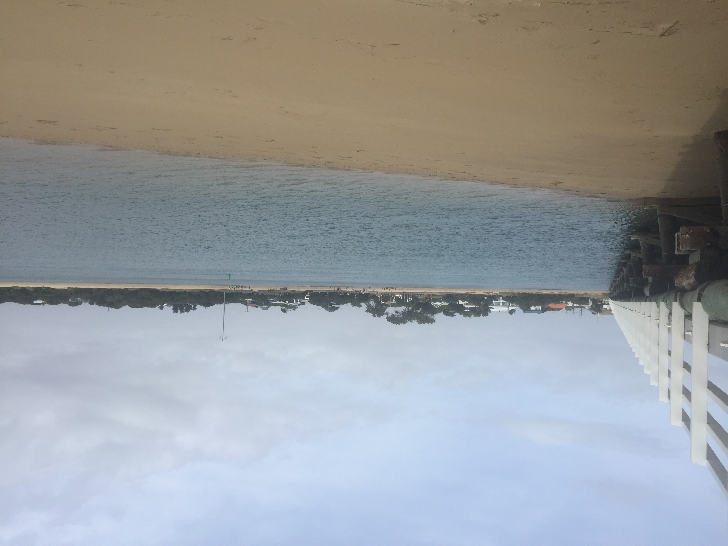
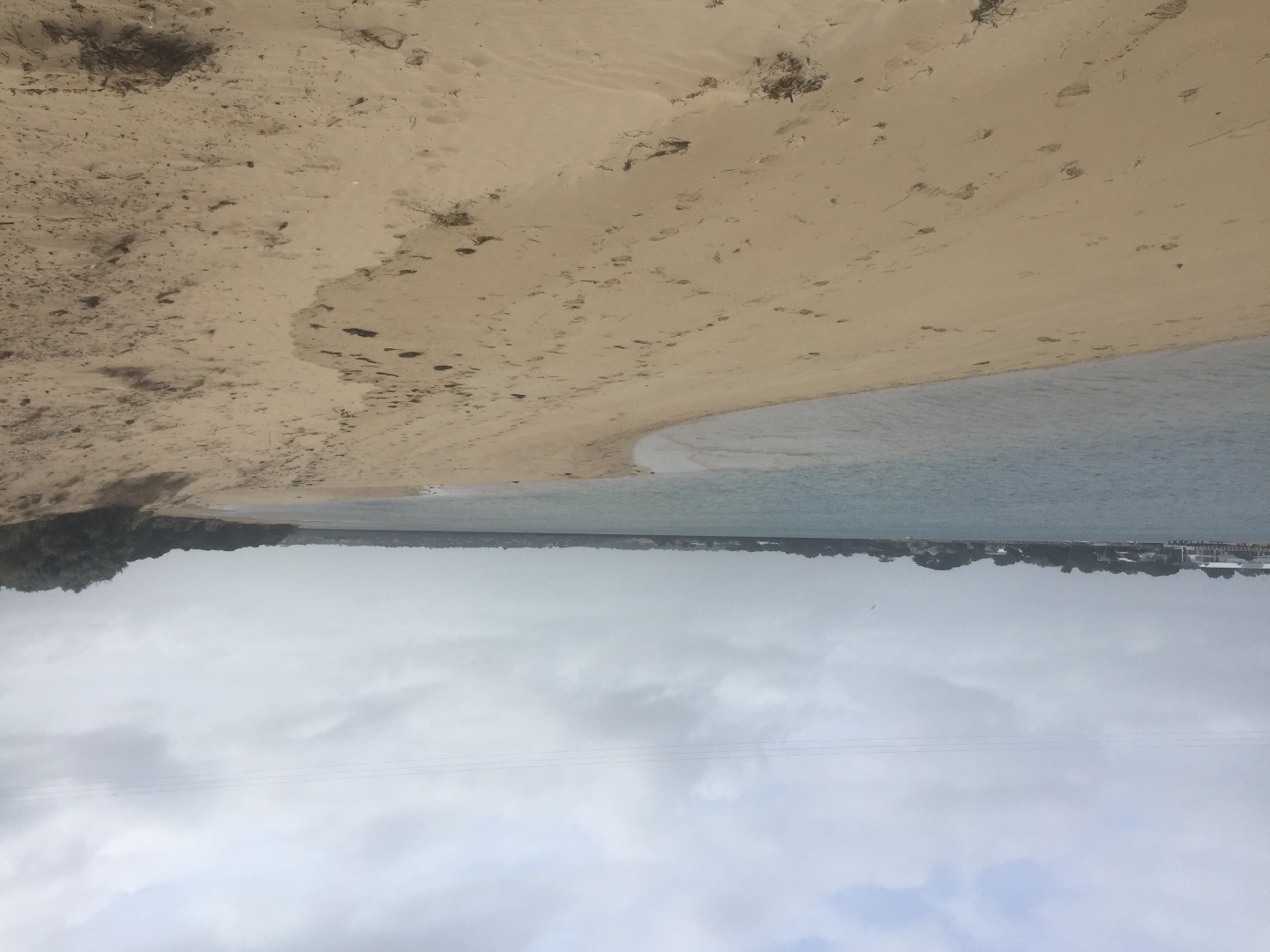
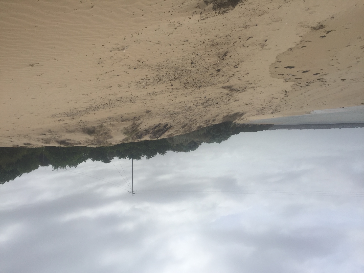
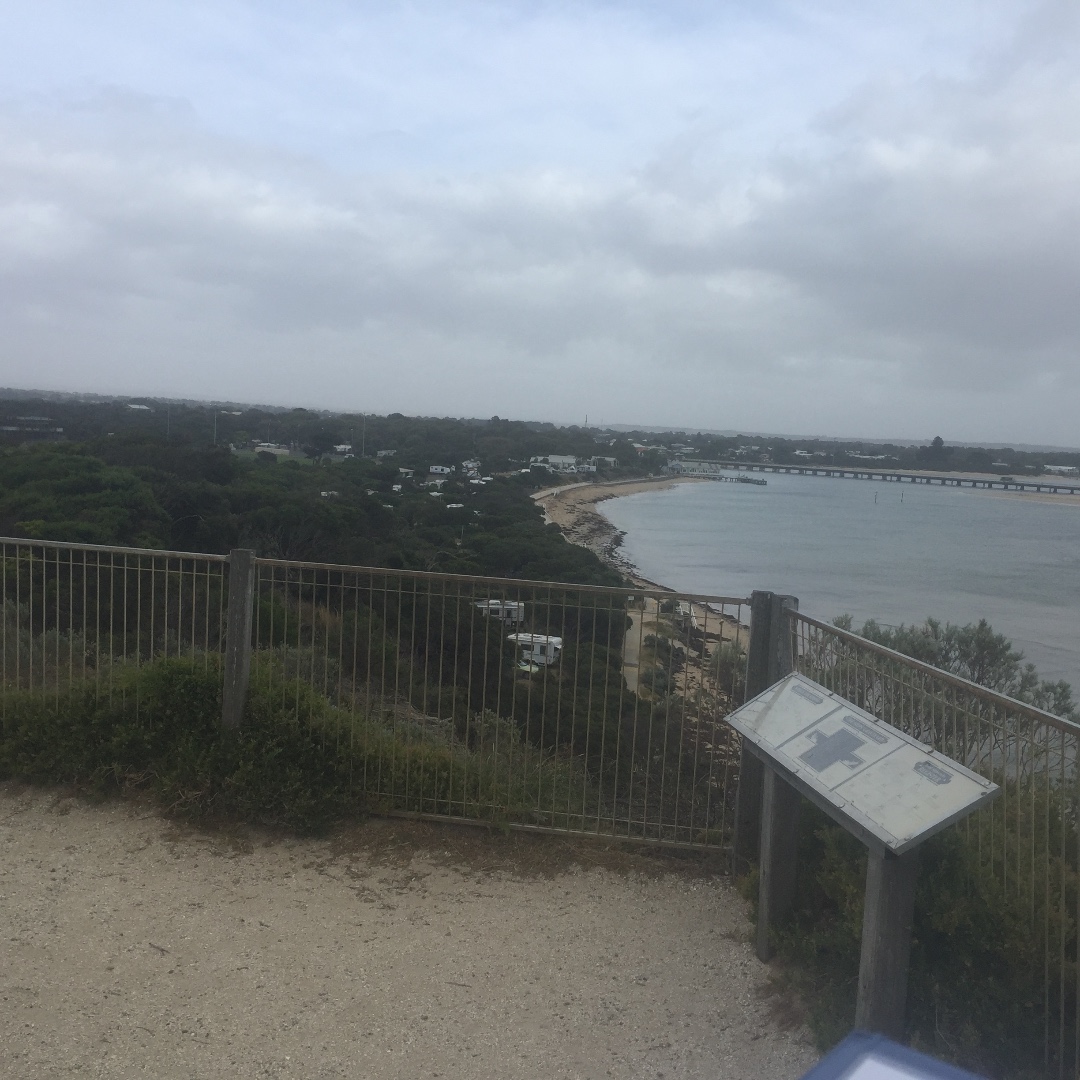
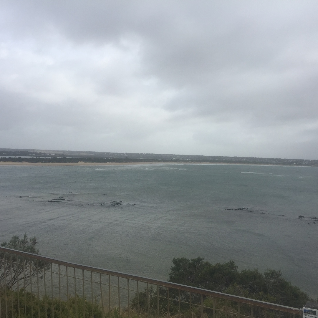
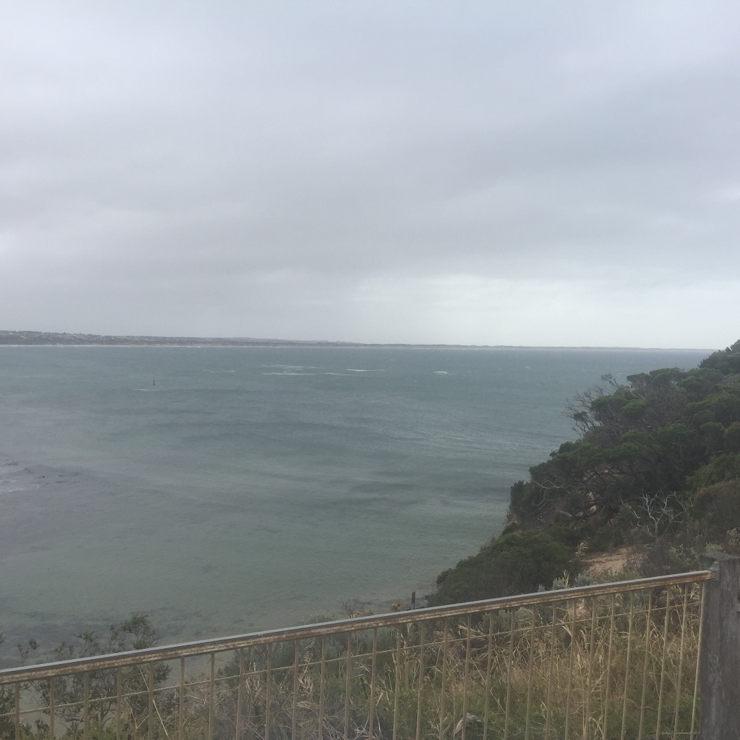
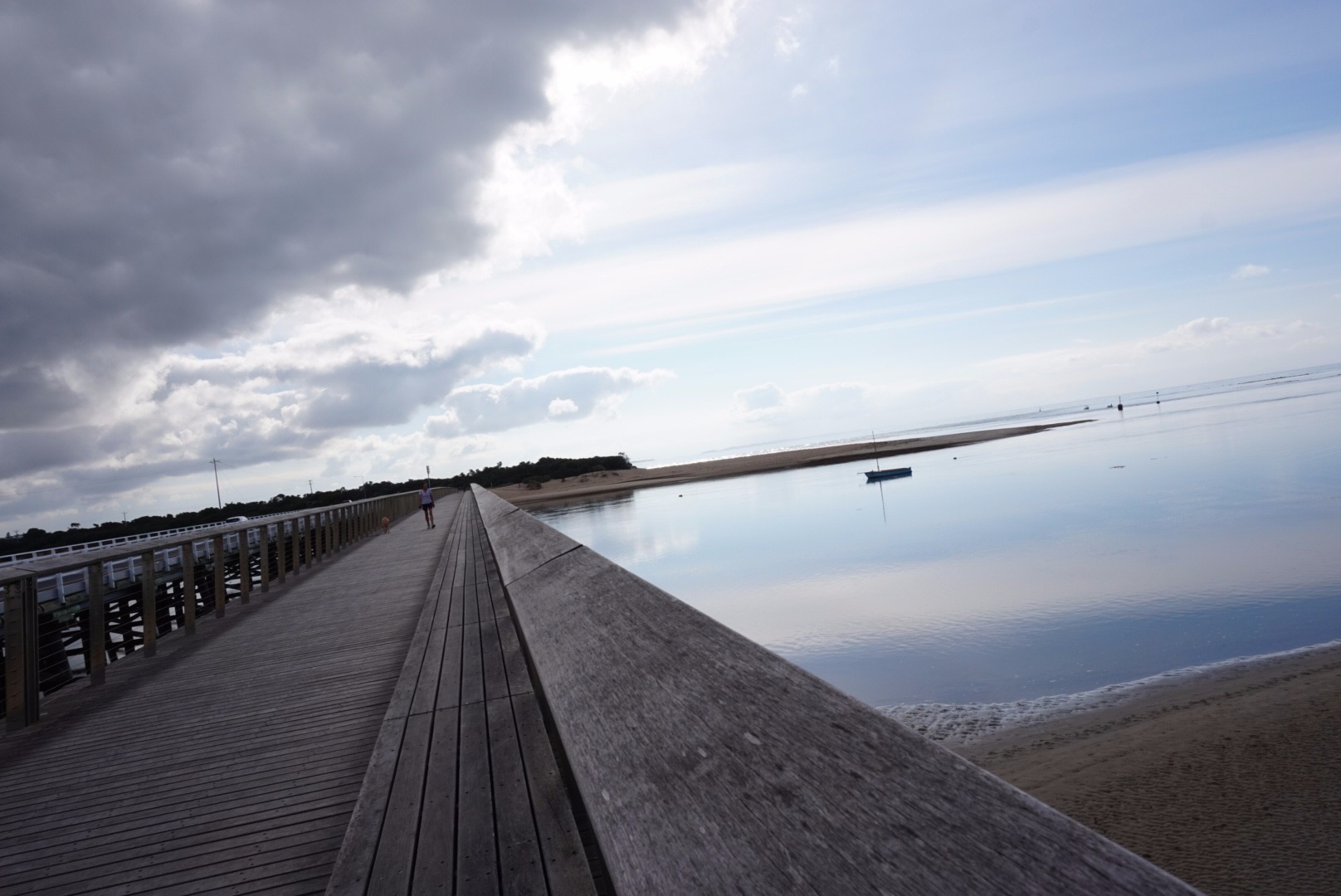
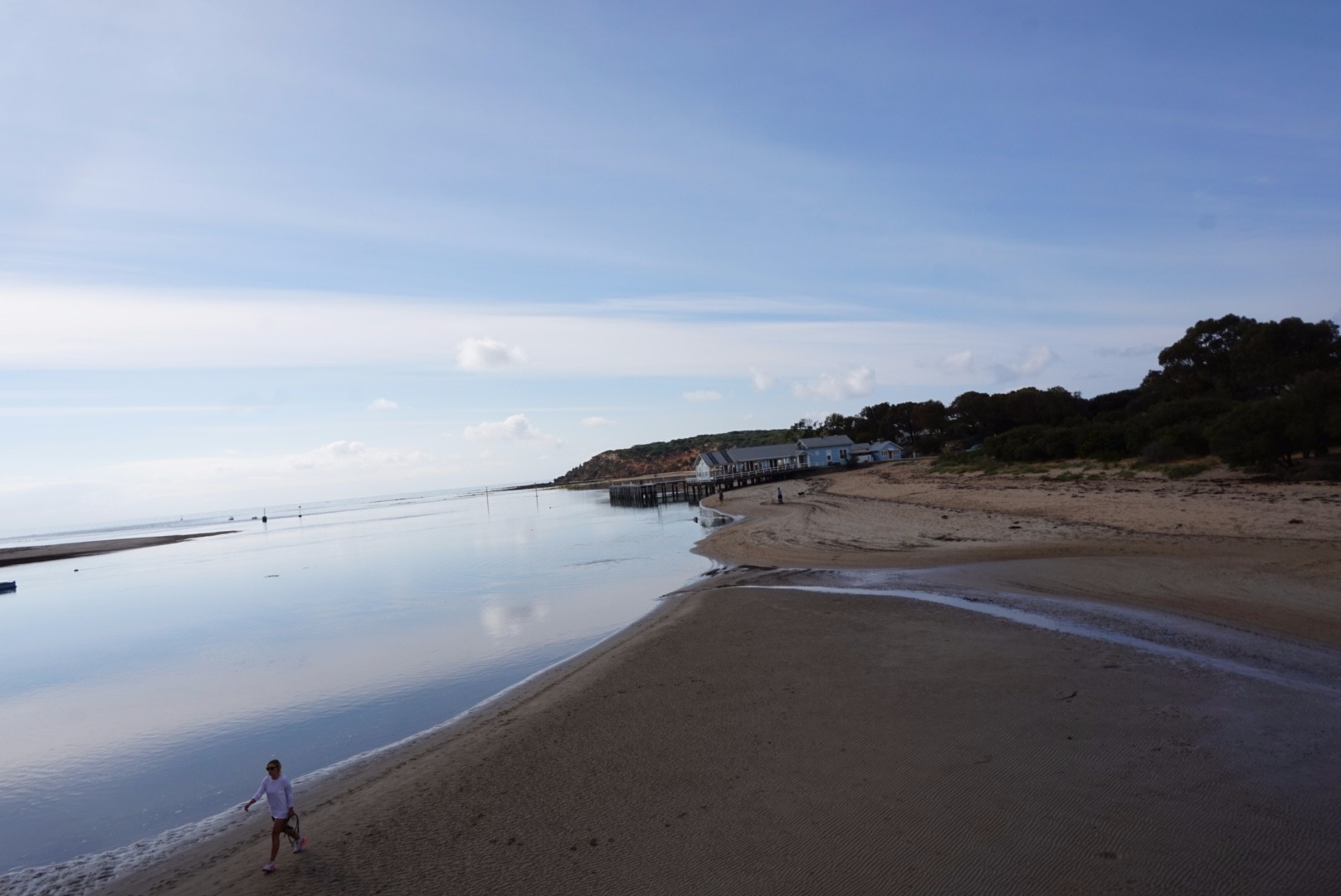
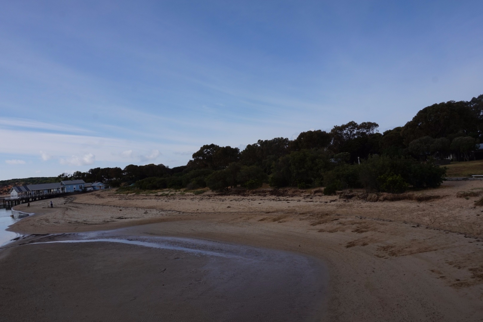
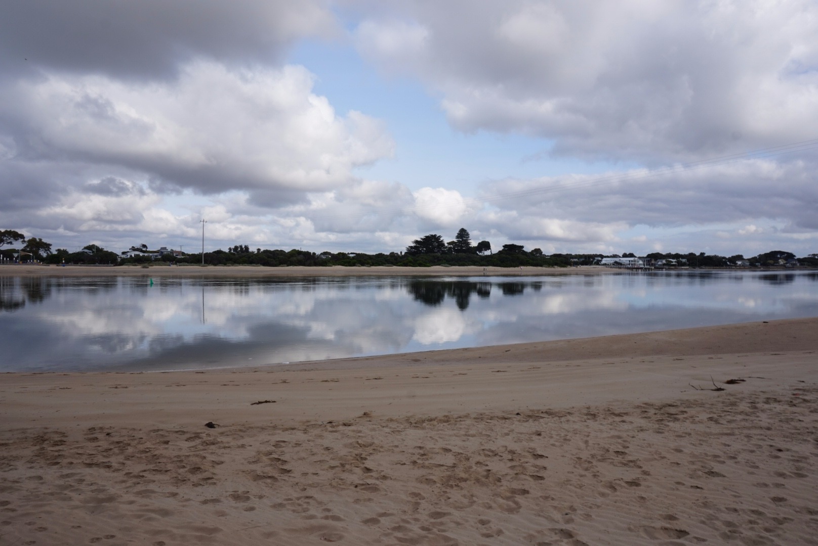
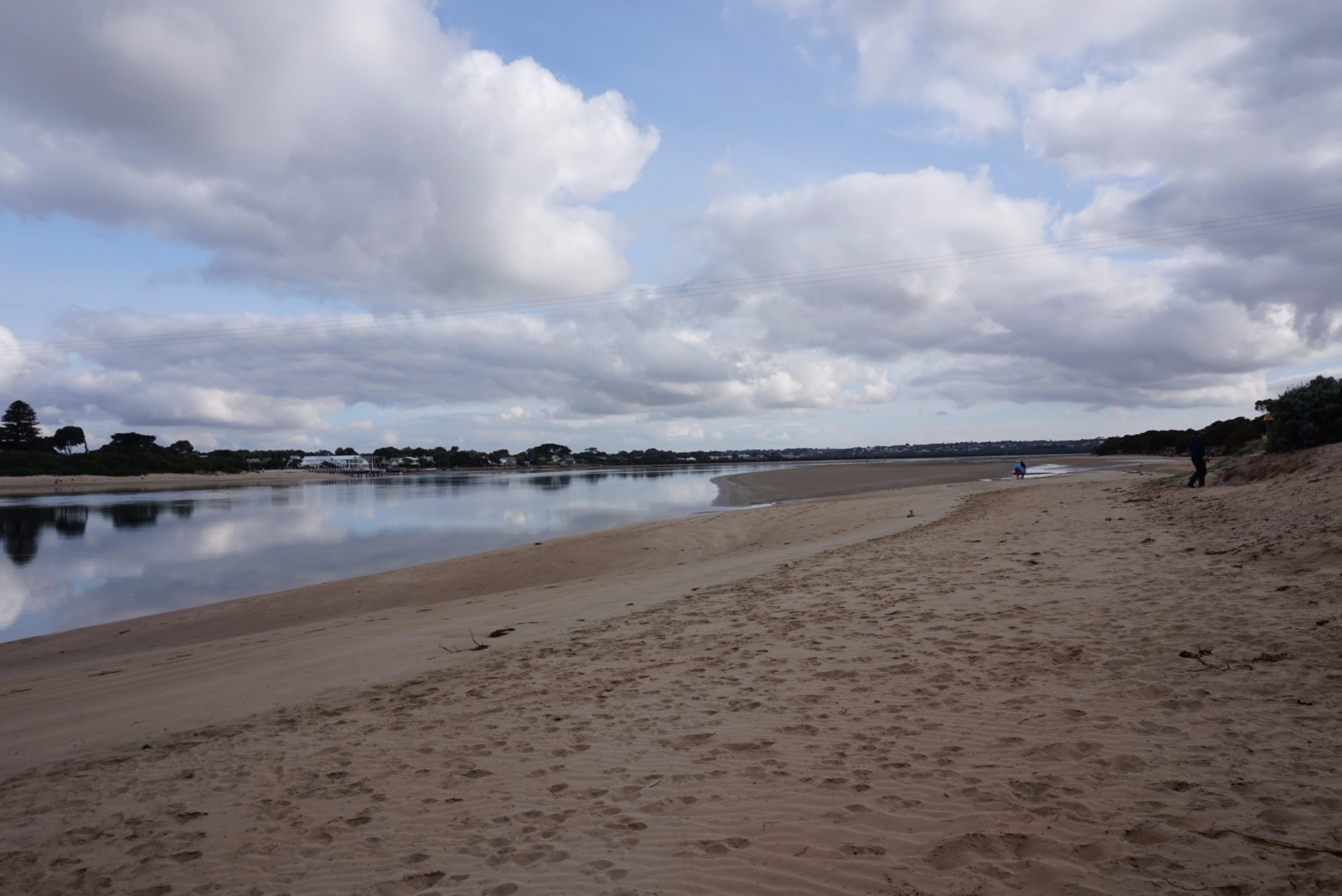
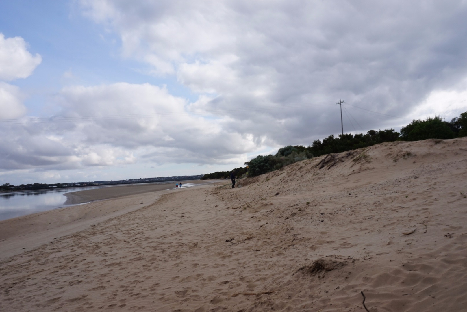
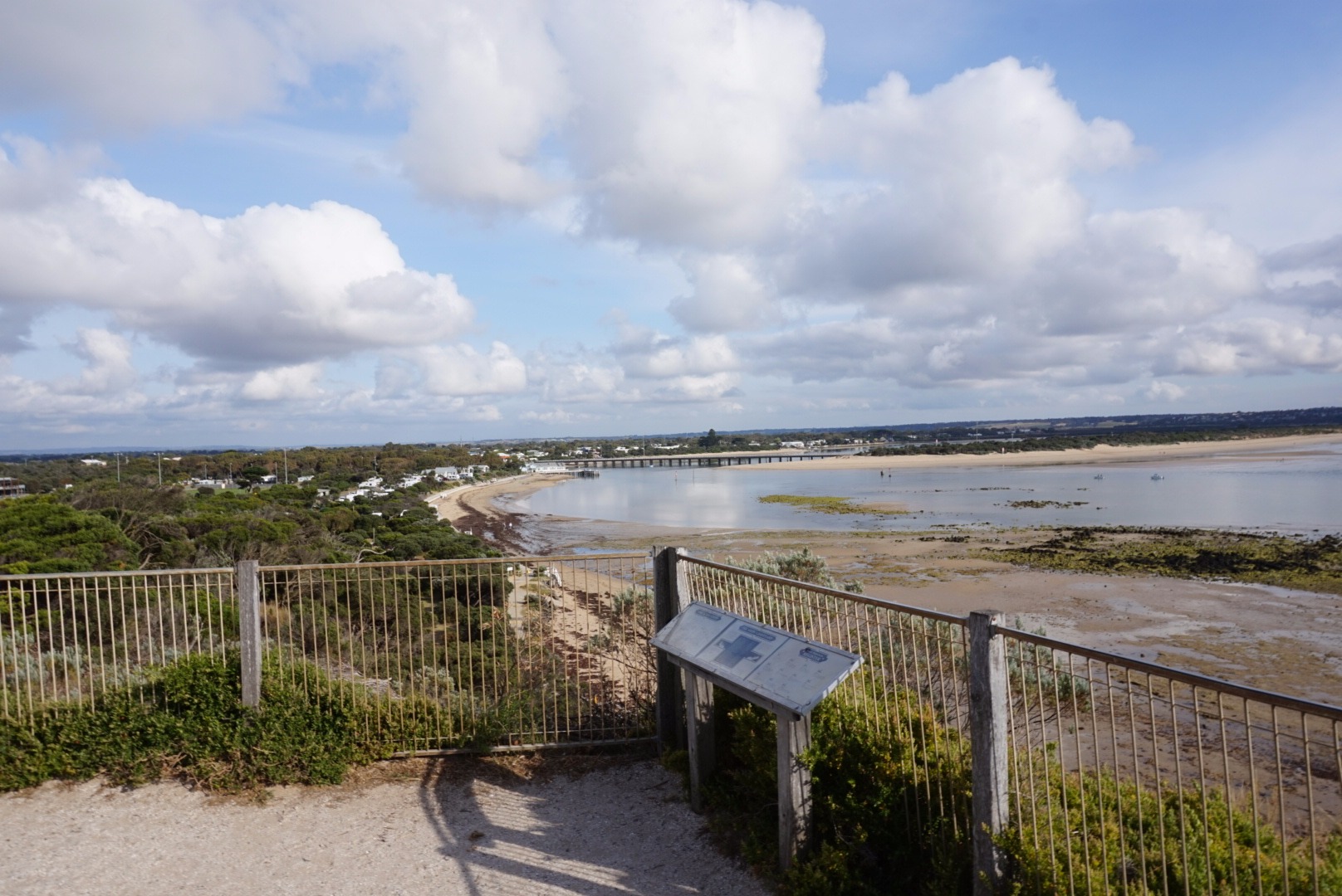
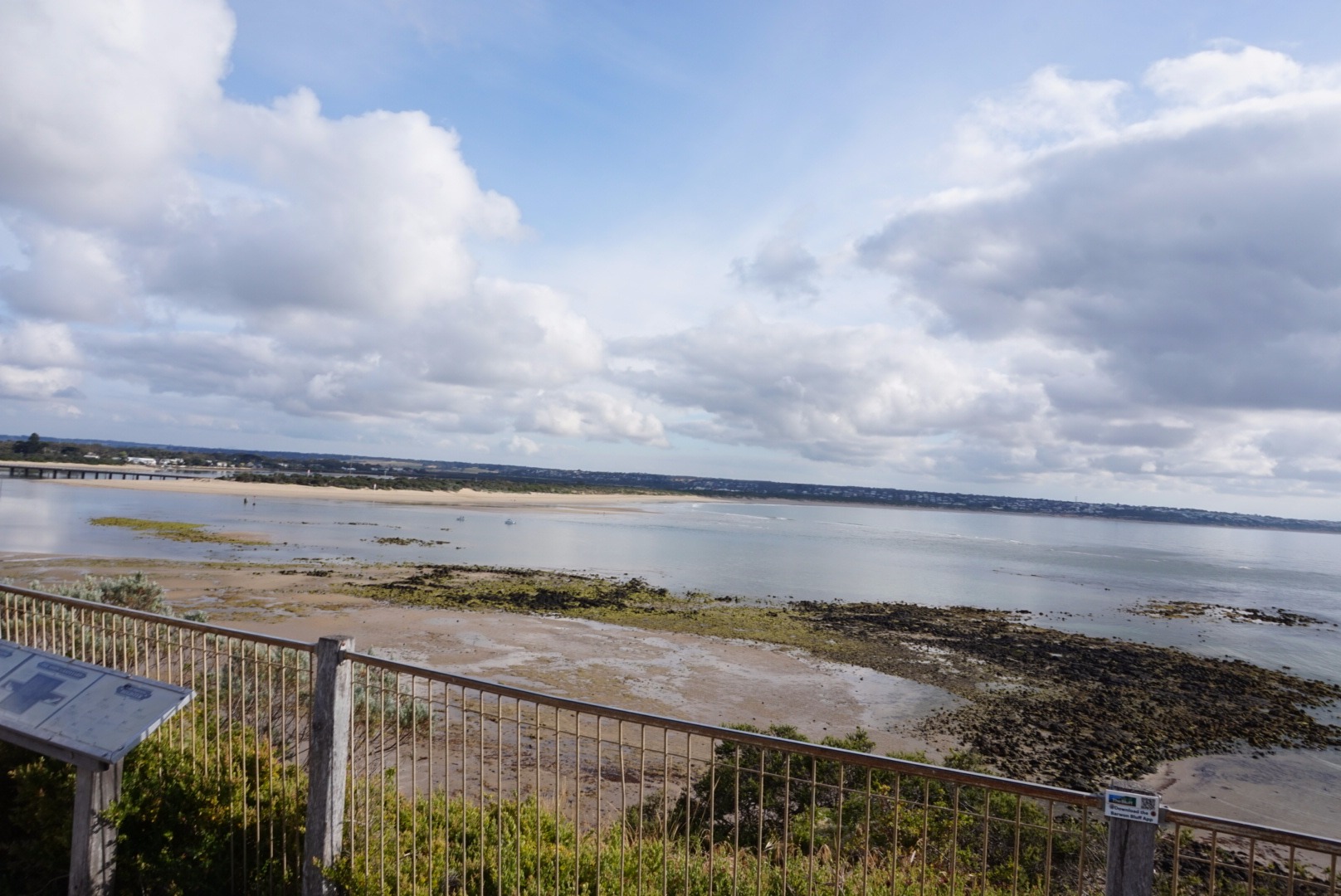
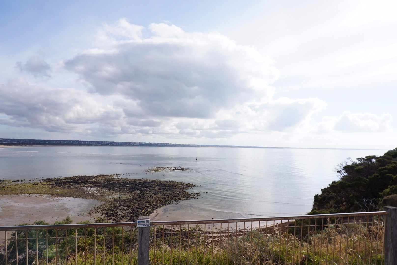
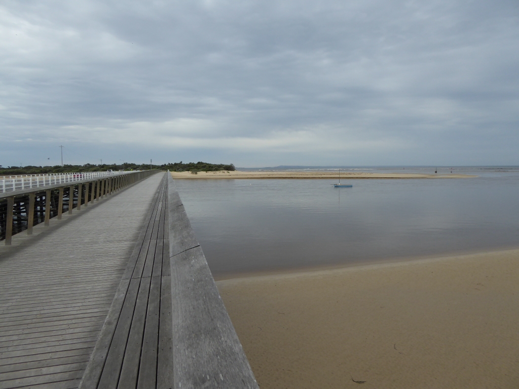
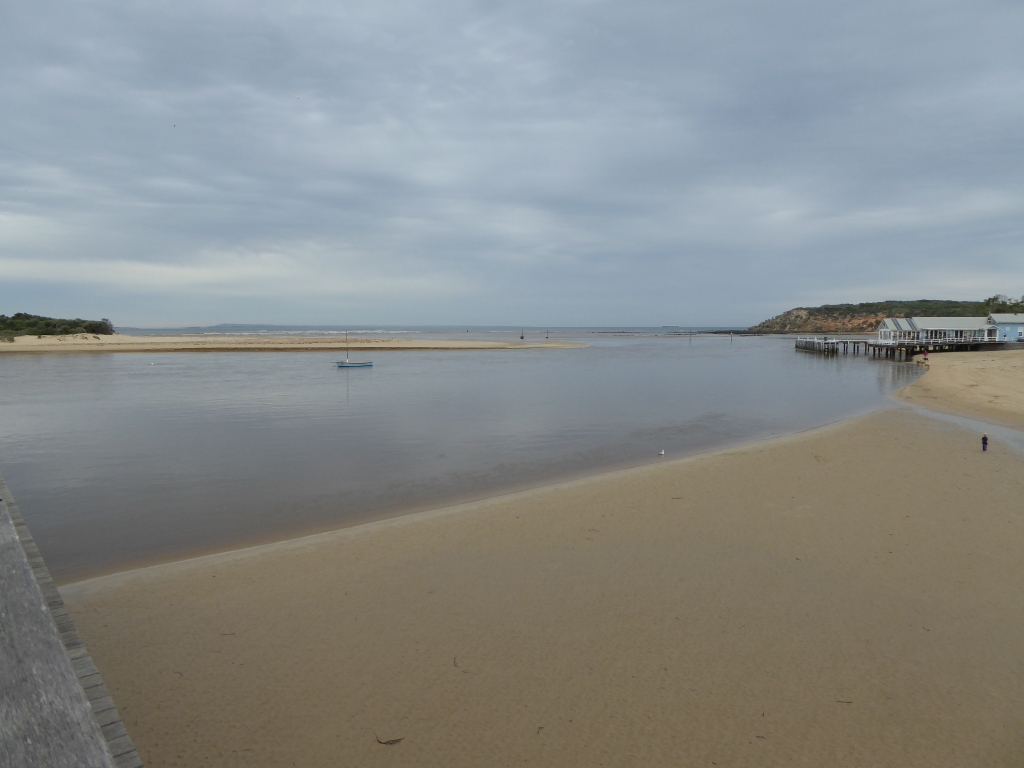
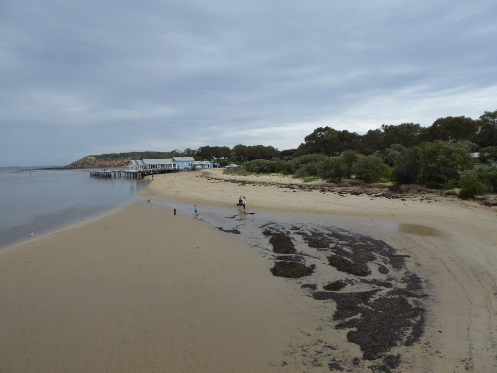
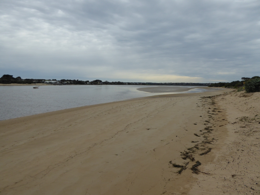
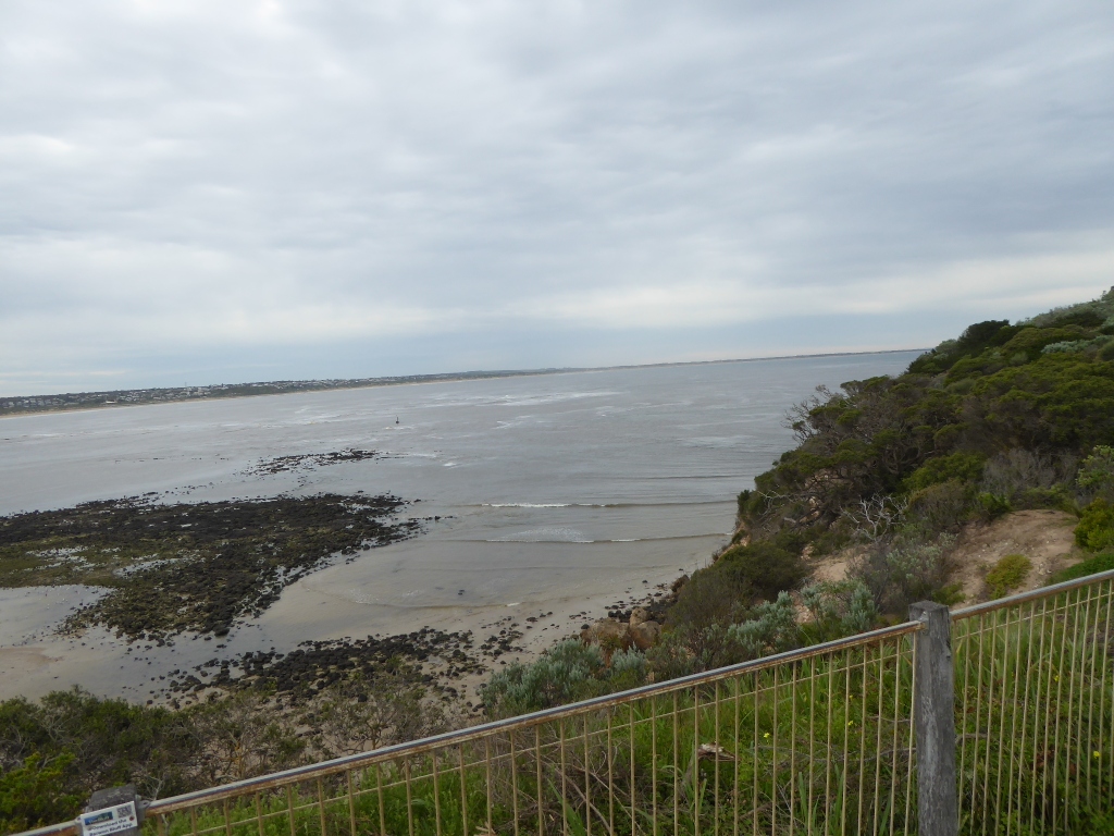
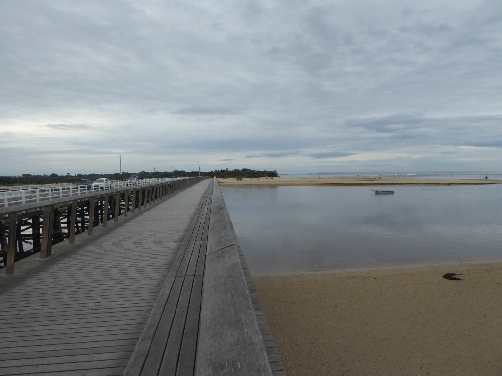
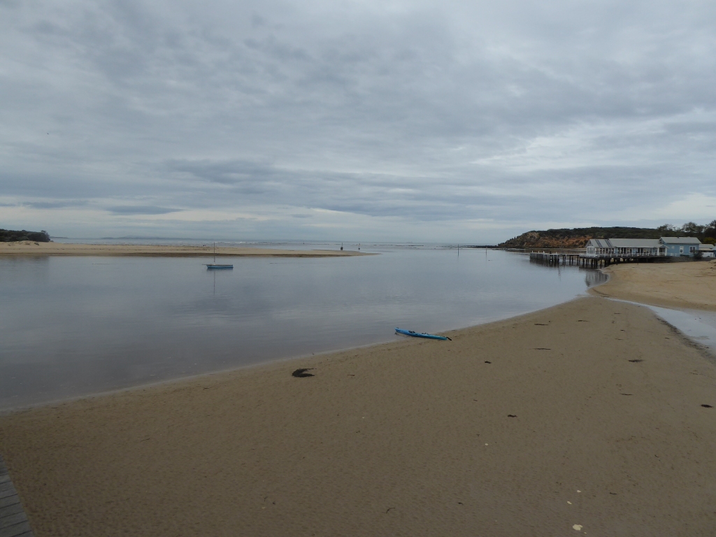
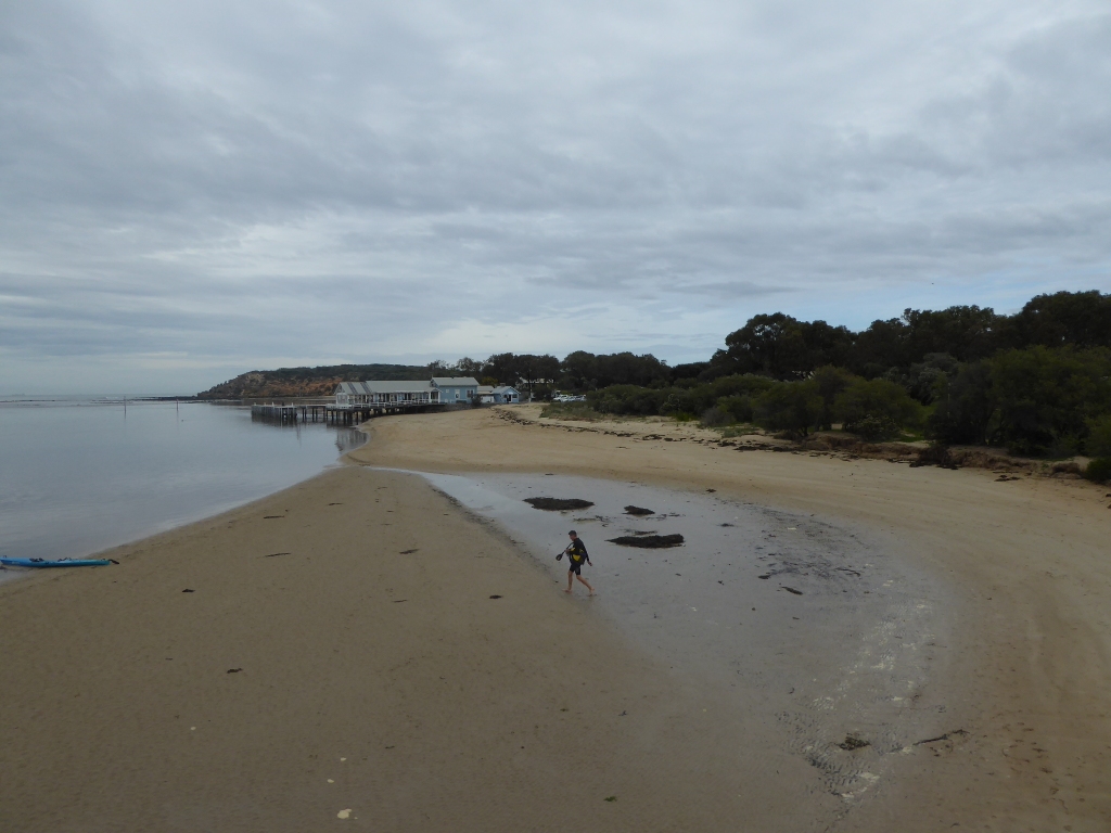
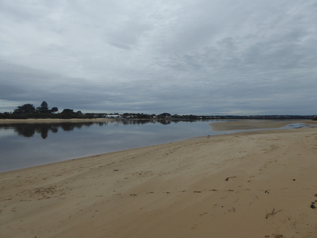
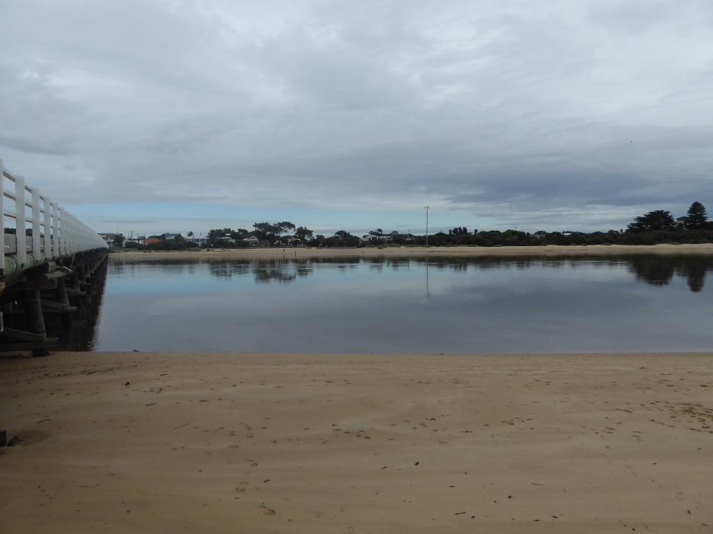
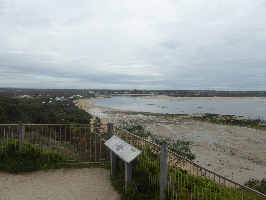
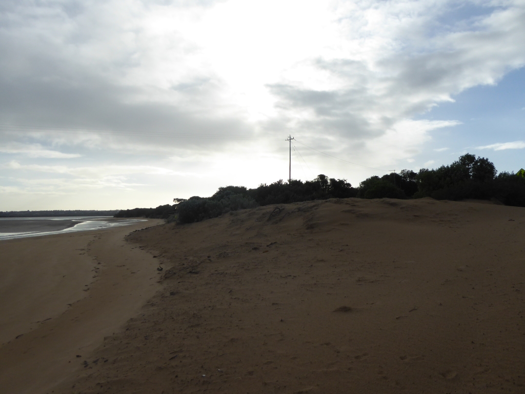
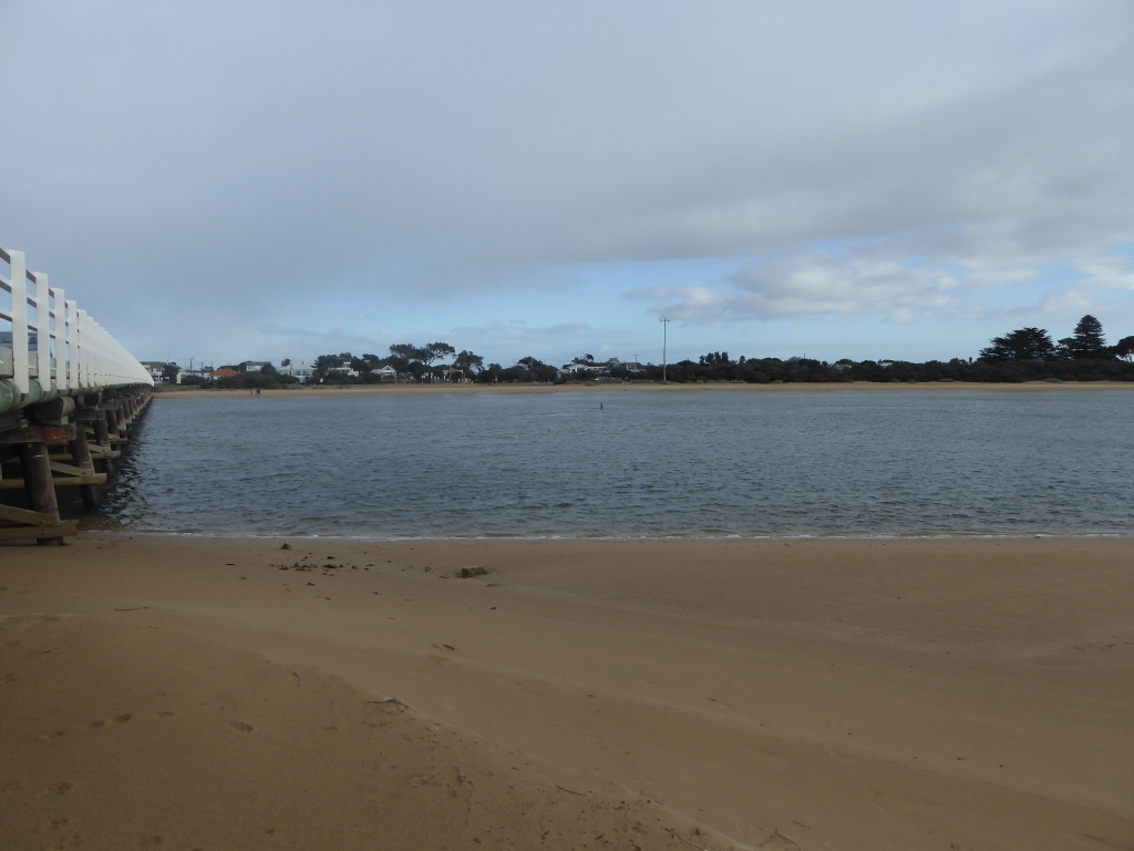
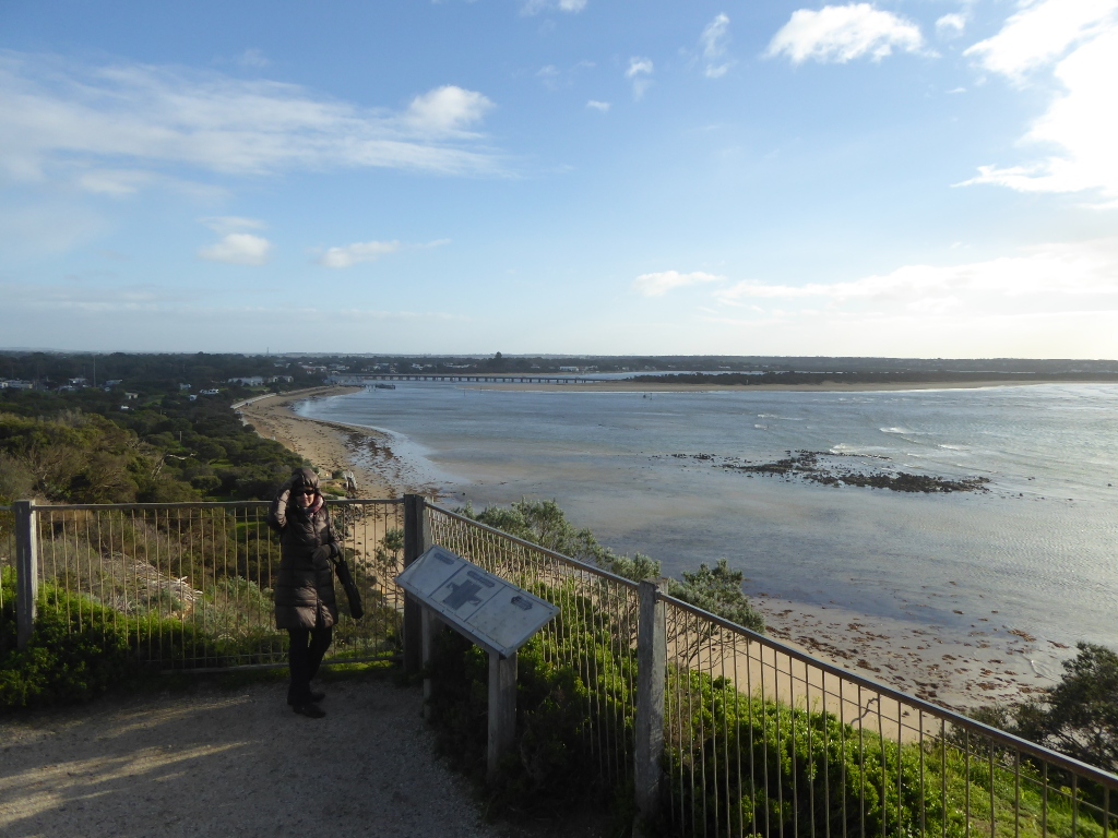
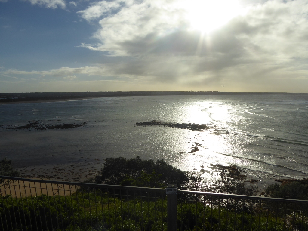
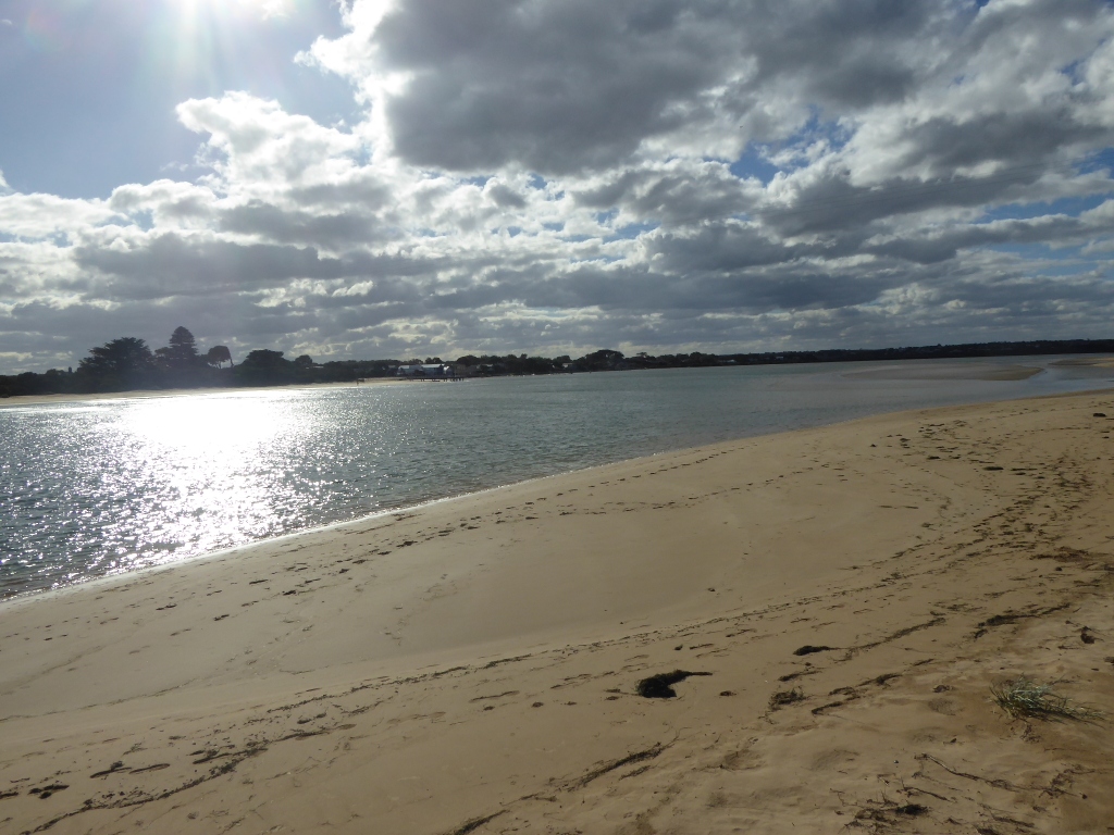
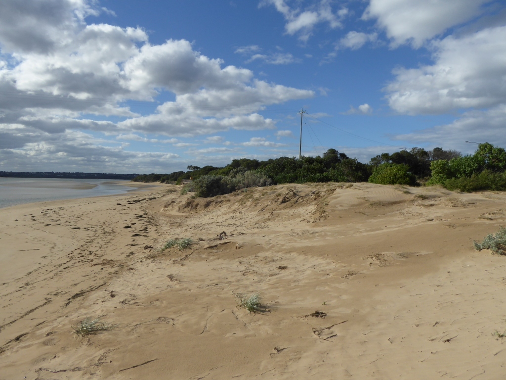
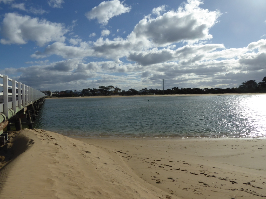
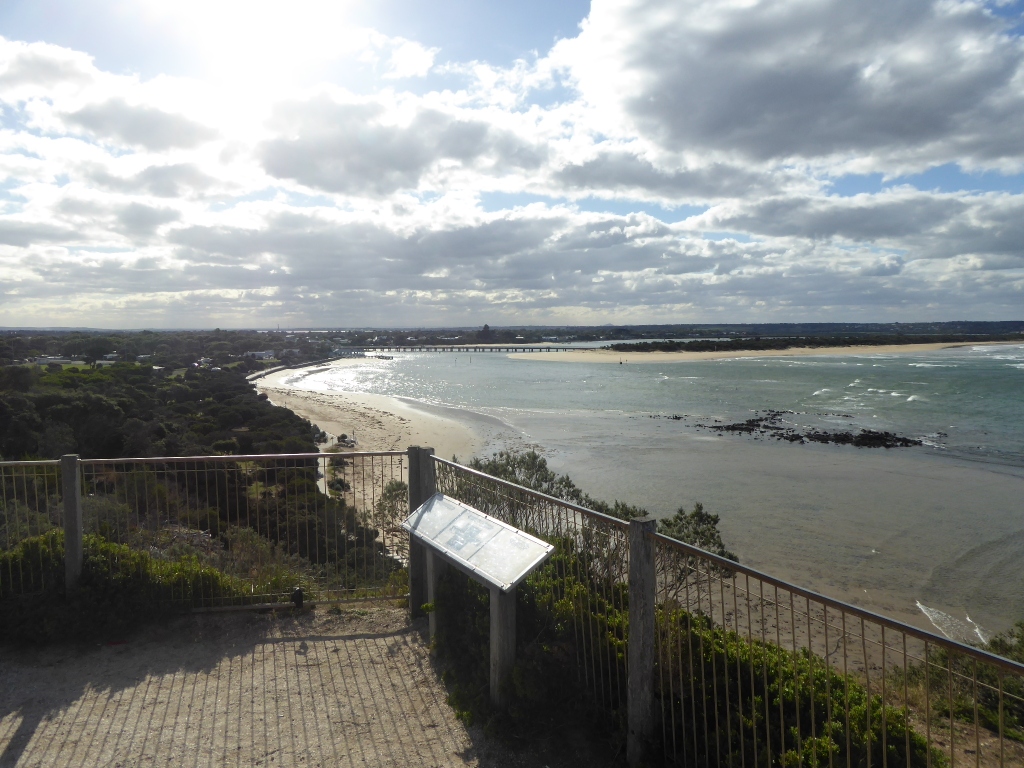
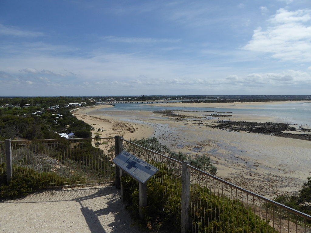
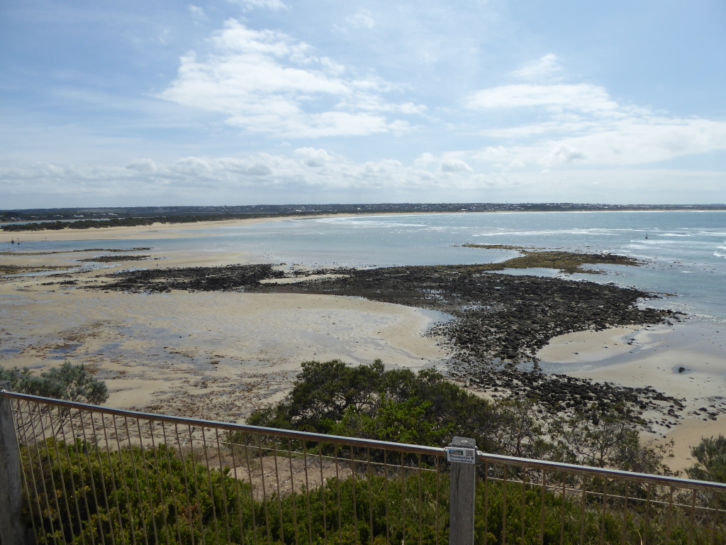
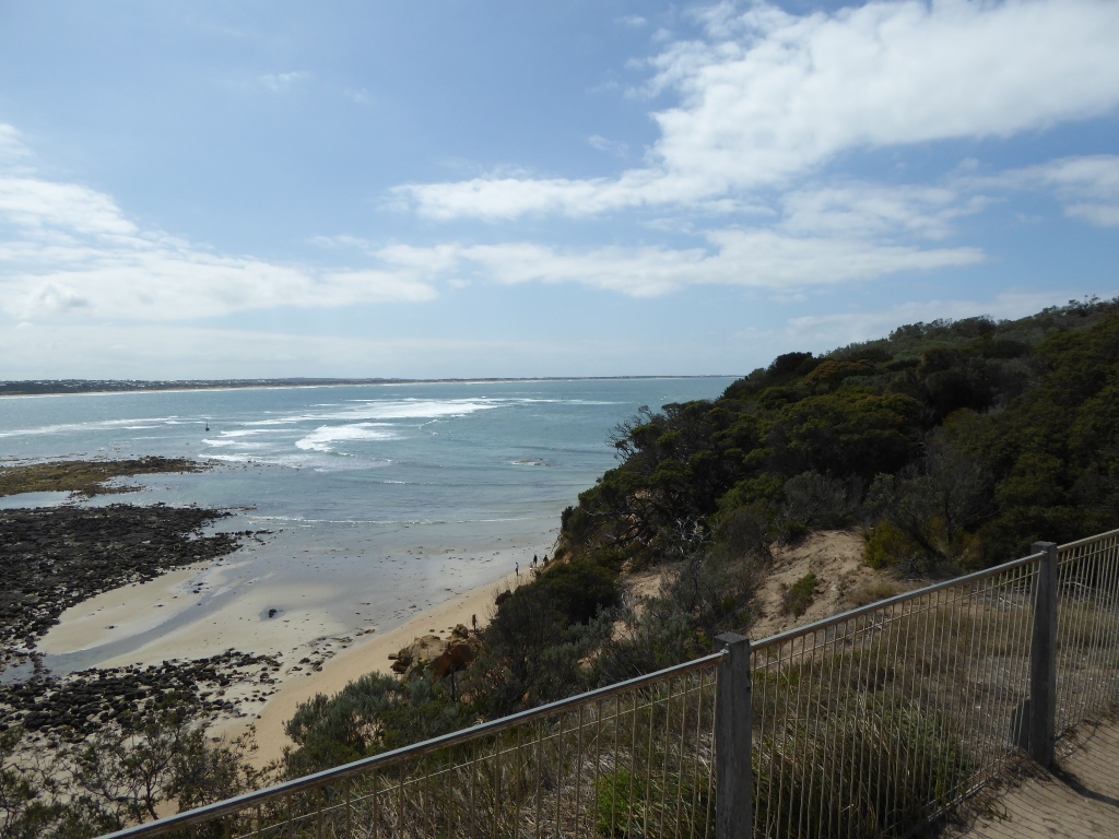
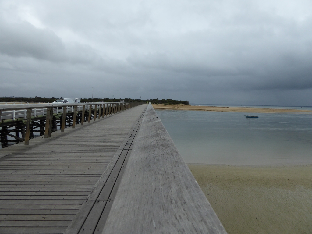
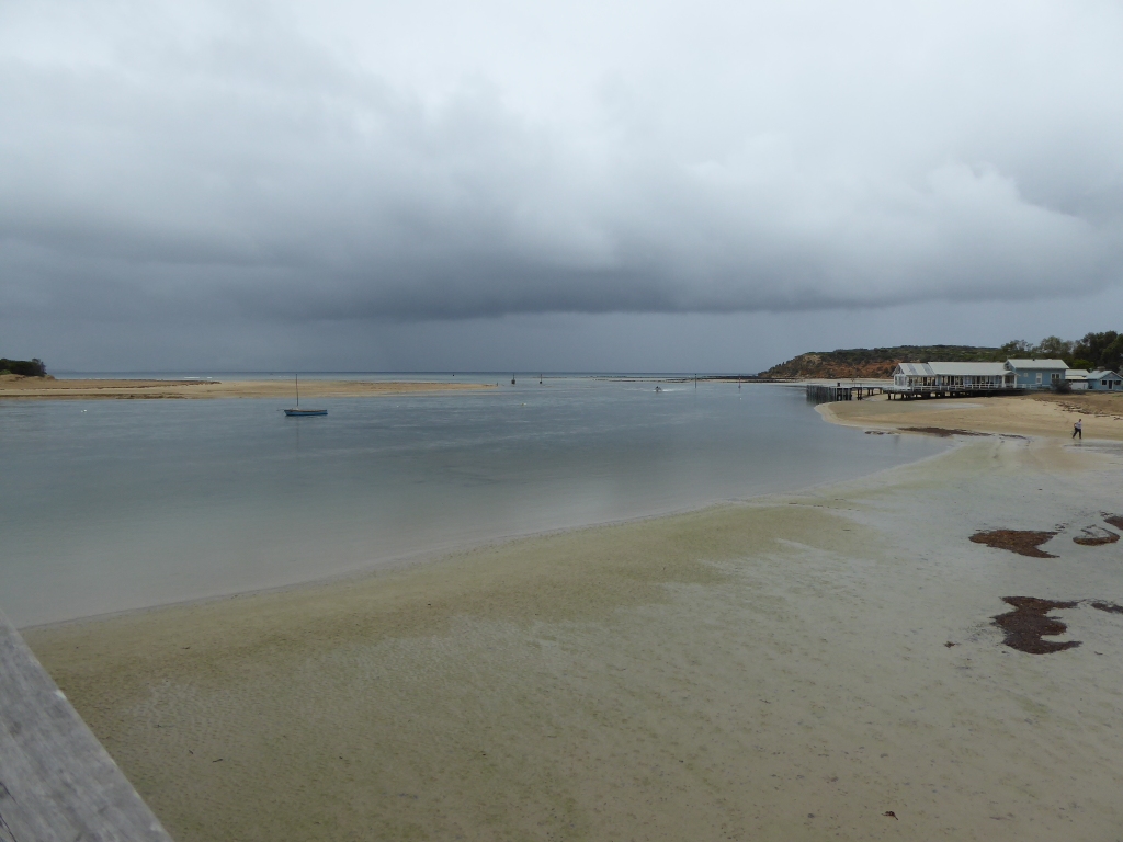
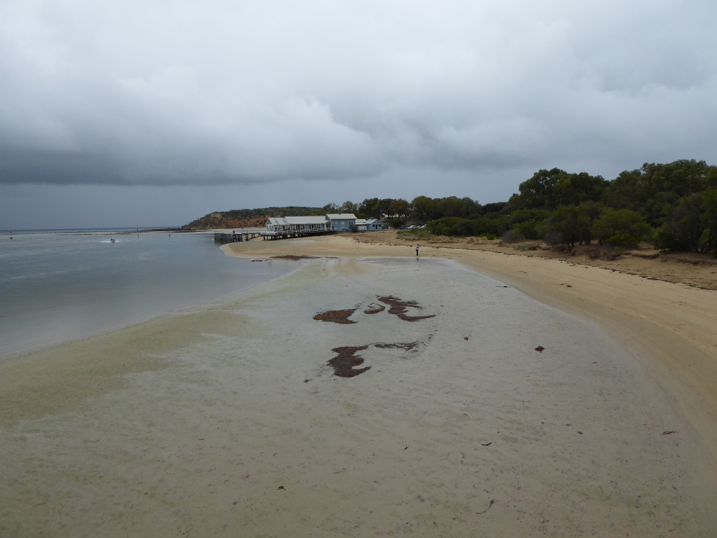
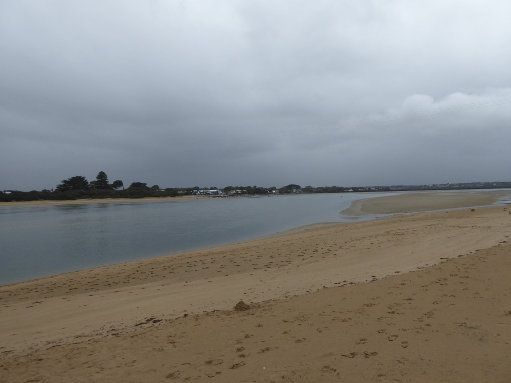
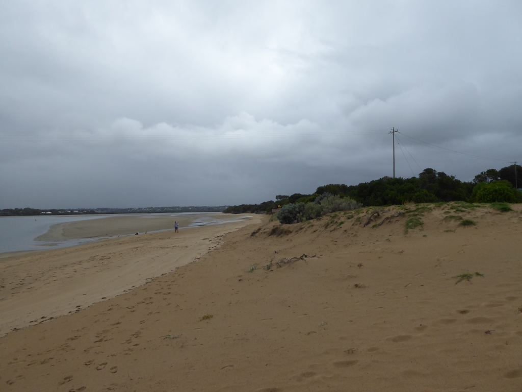
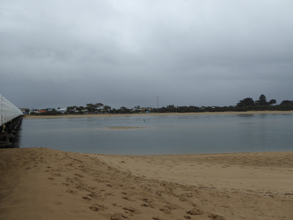
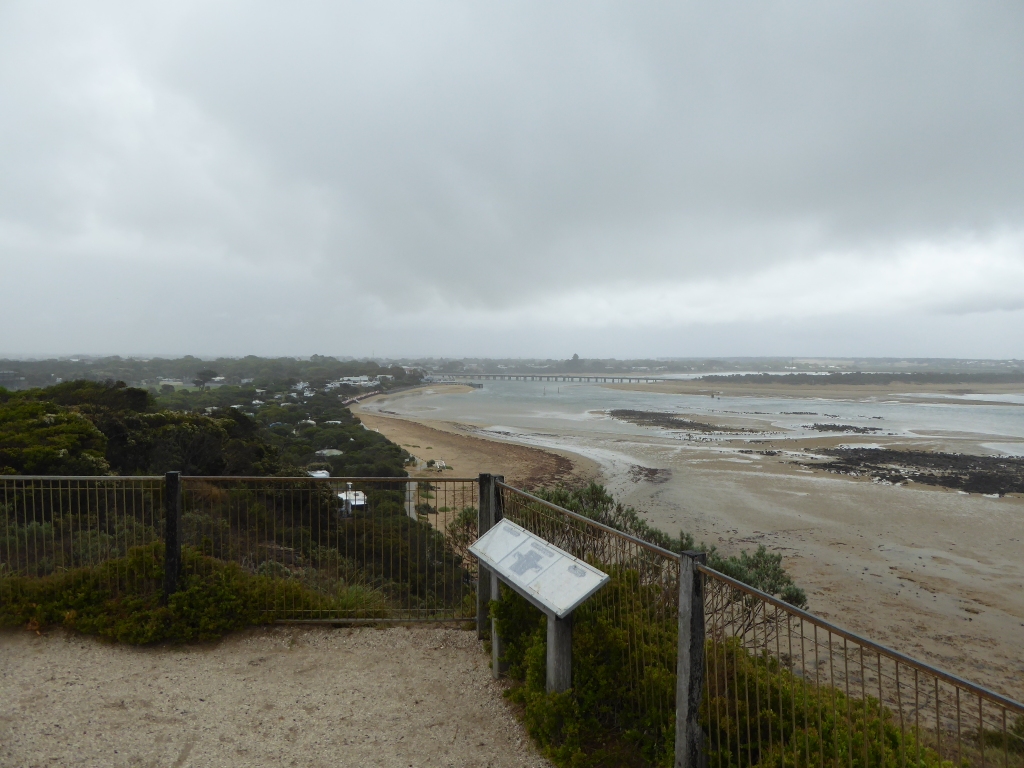
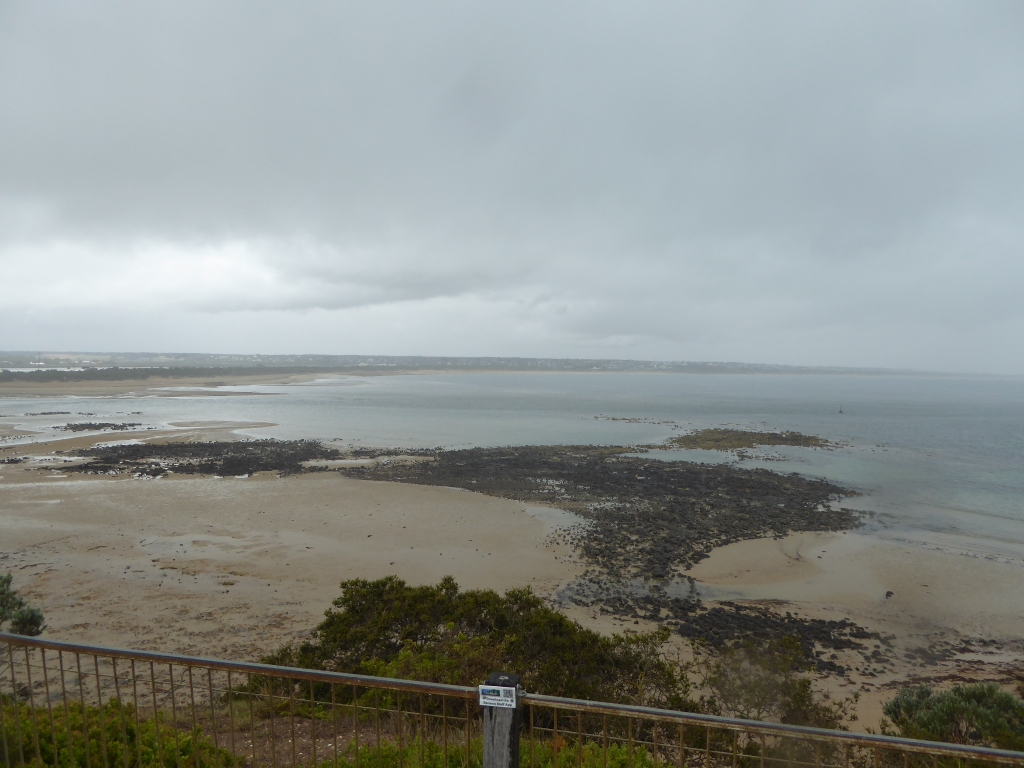
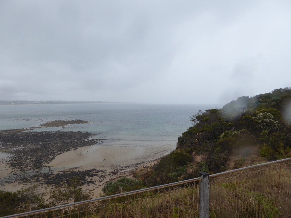
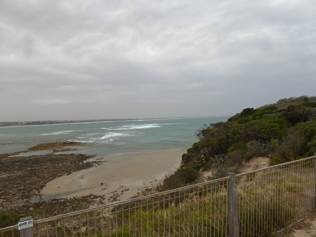
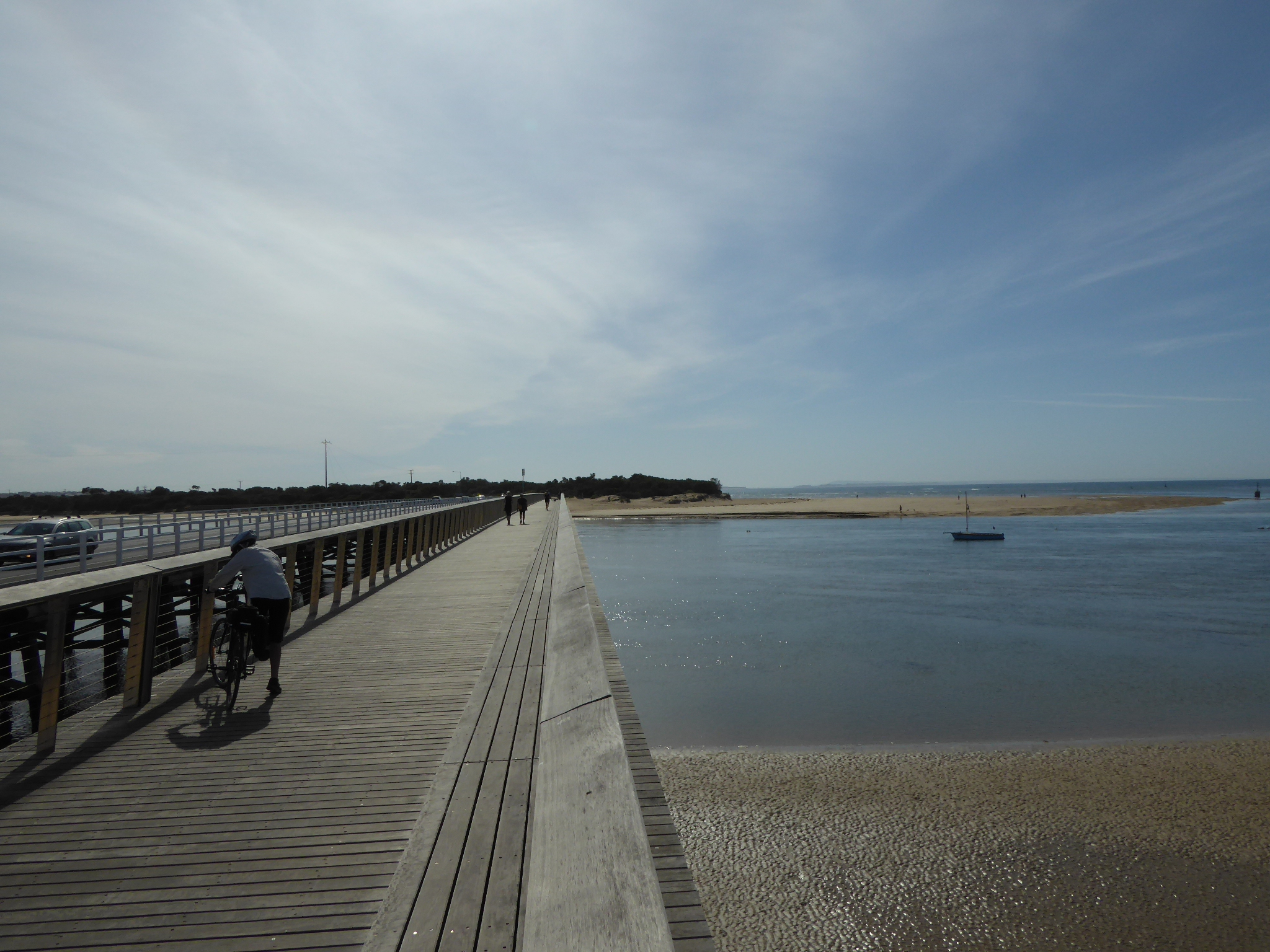
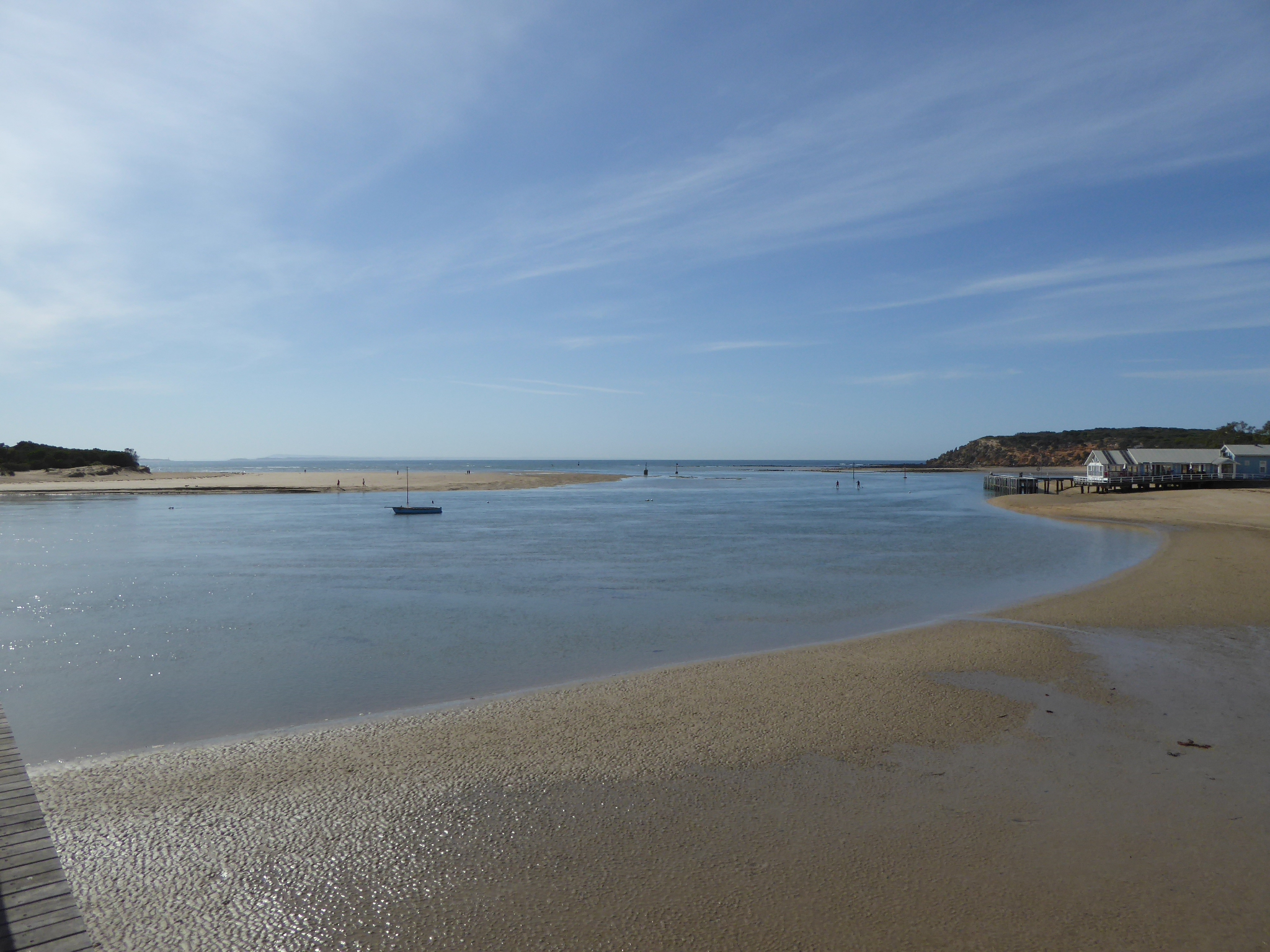
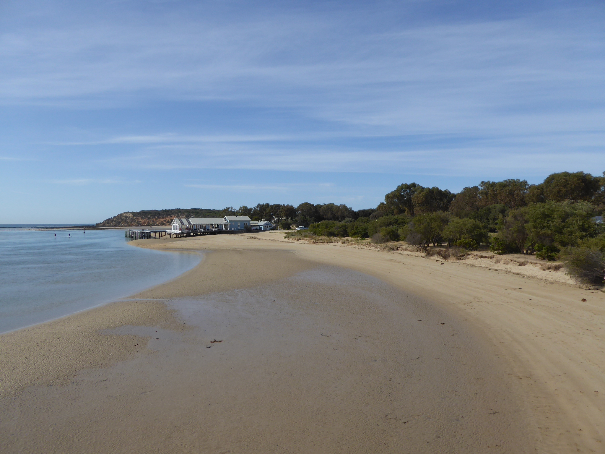
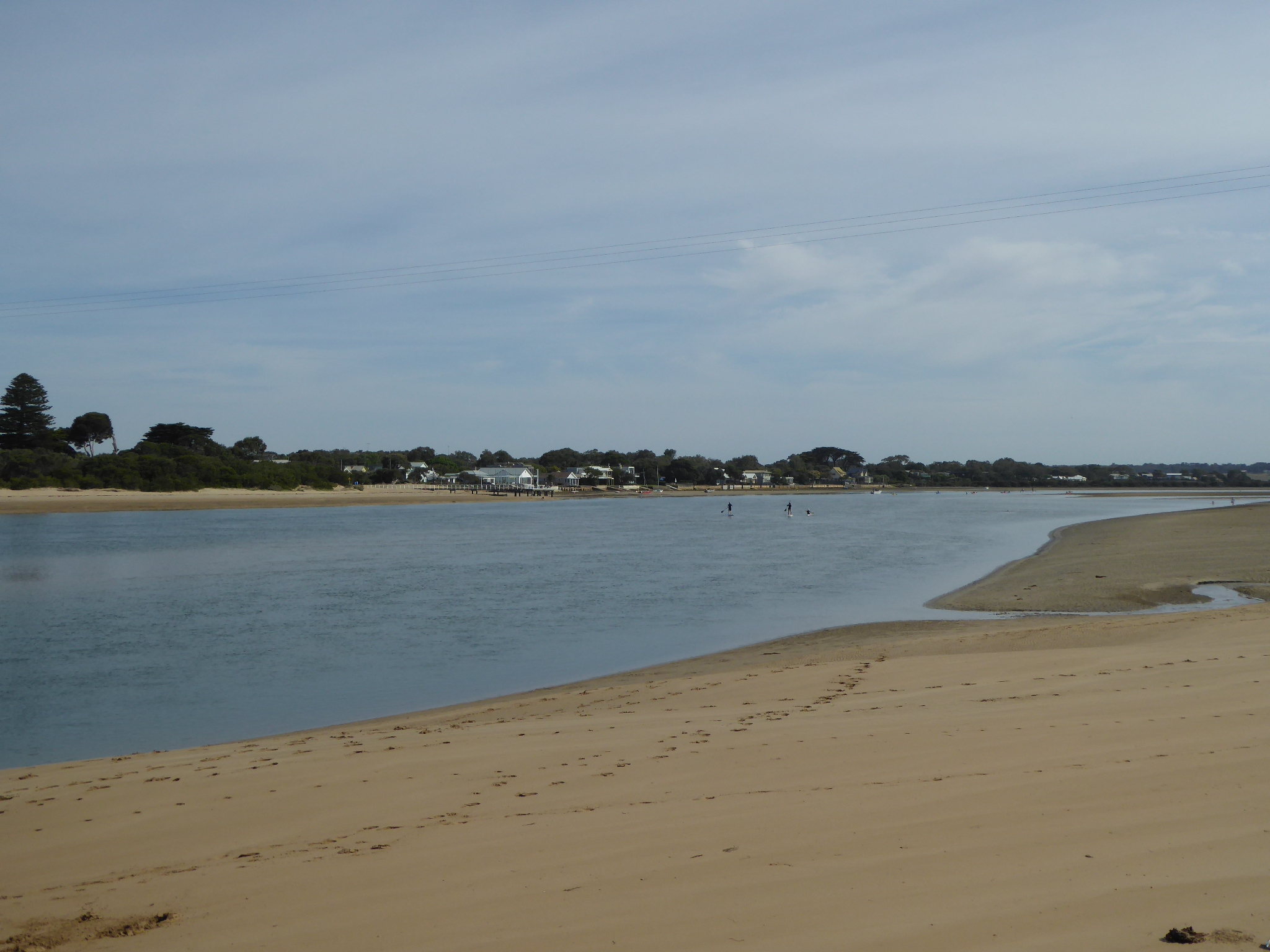
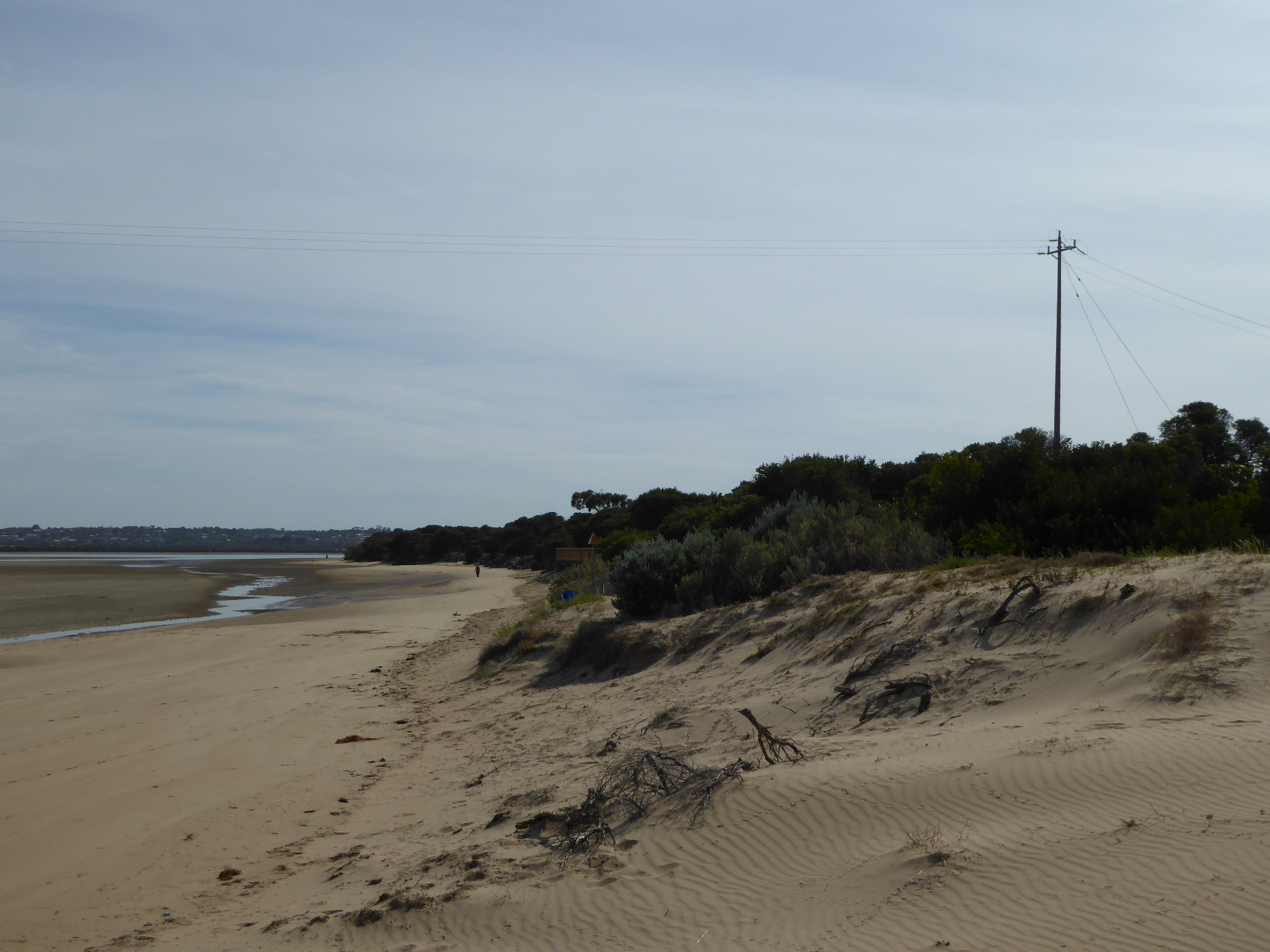
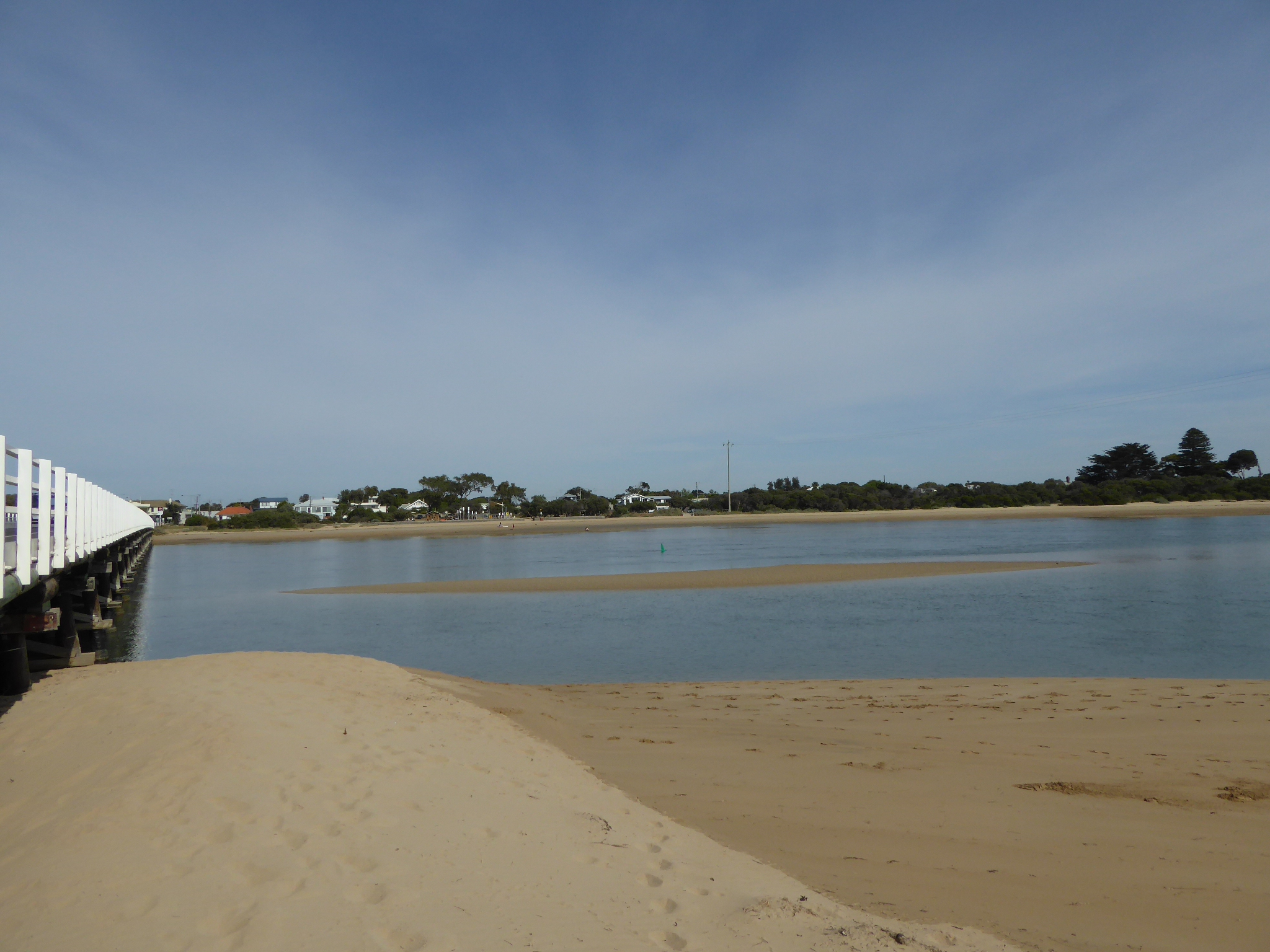
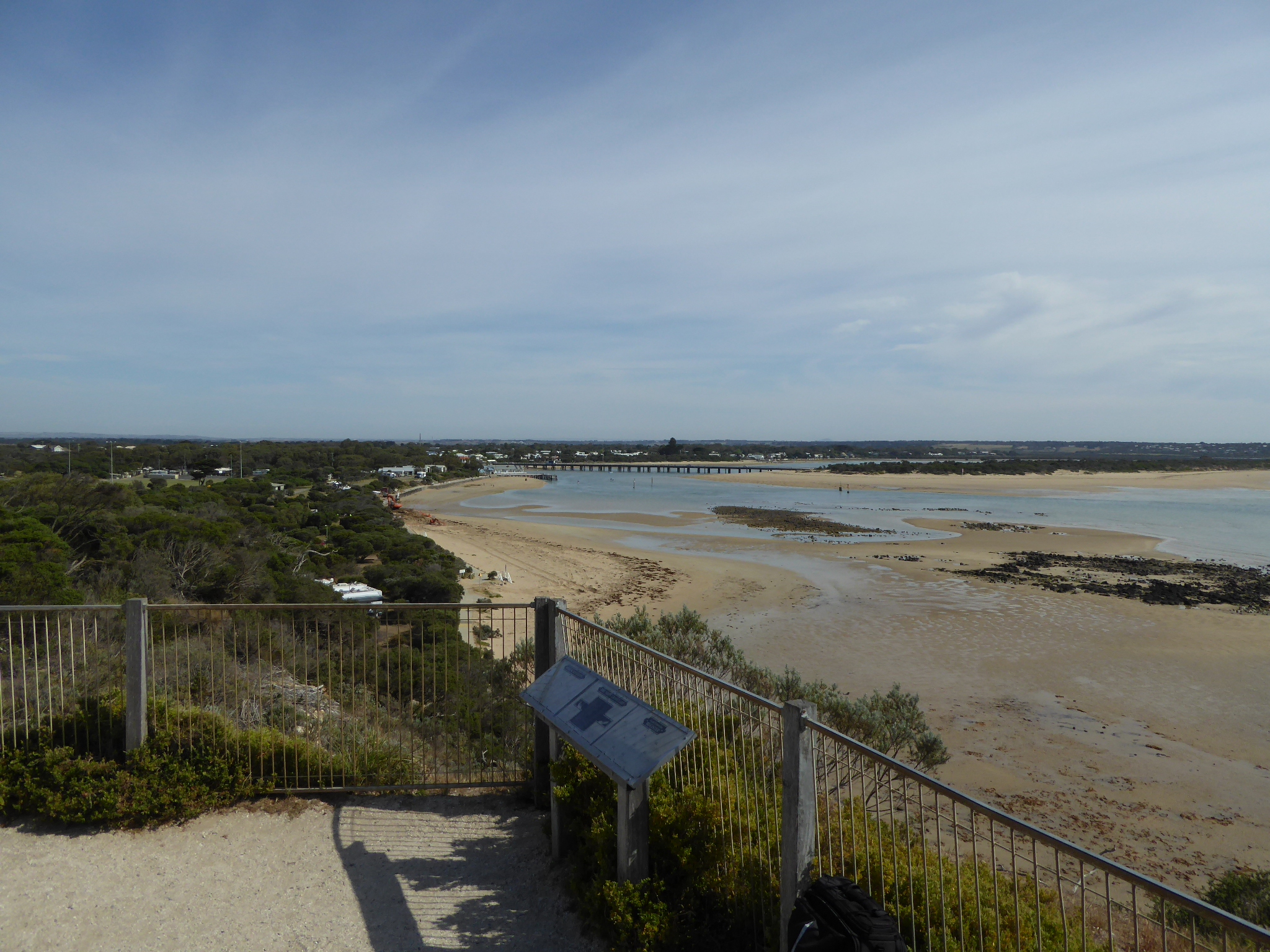
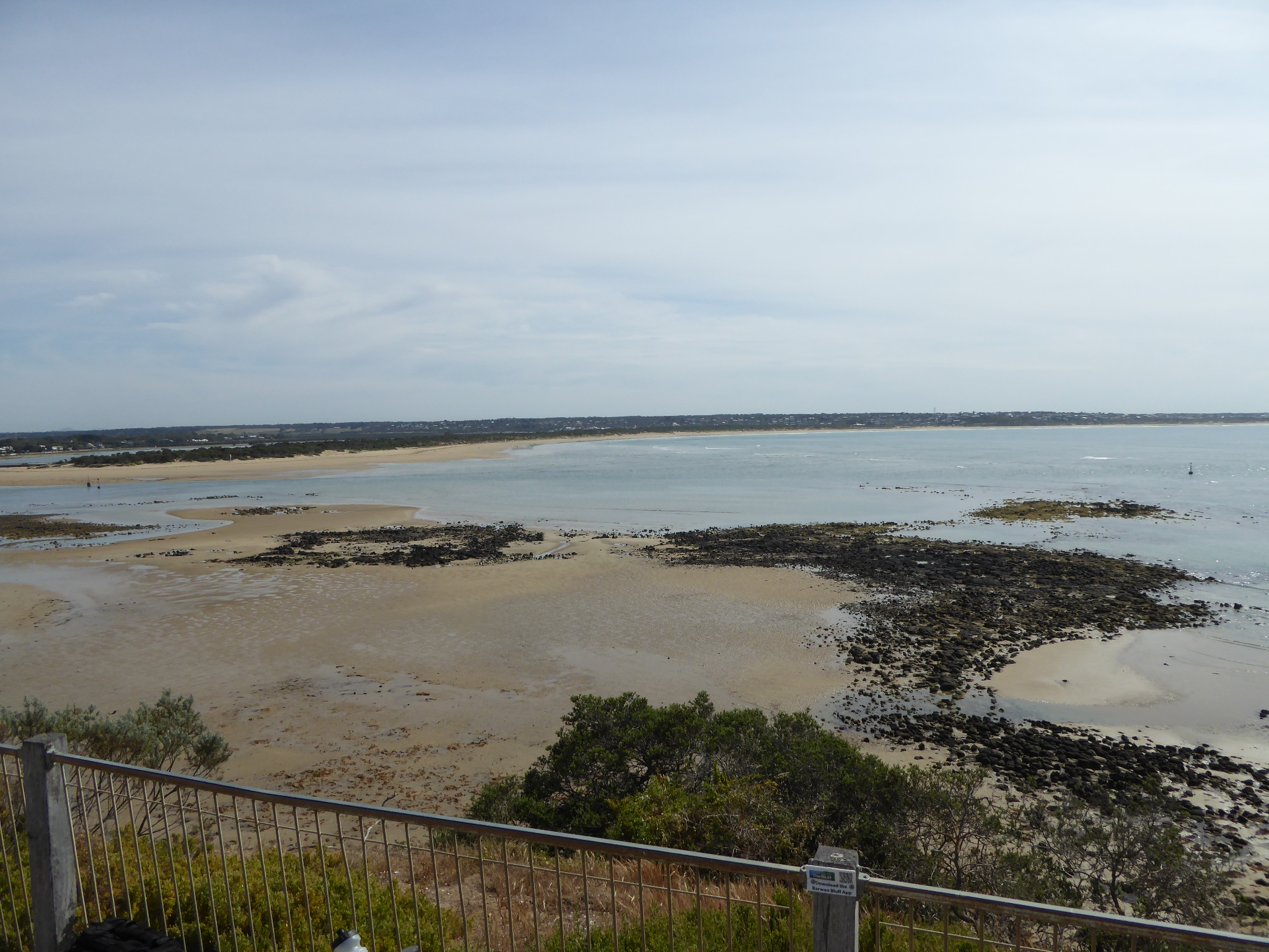
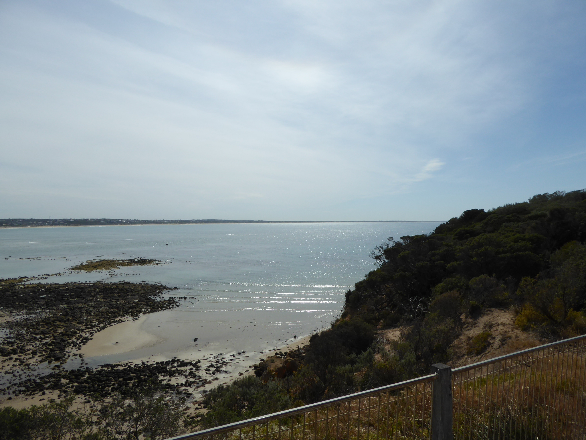
Active Mouth Condition 15-12-2007 - 17-04-2024Barwon River Estuary
| ID | Date | Status | Details | |
|---|---|---|---|---|
| #11142 | 4 May 2017 | Approved | ||
| #11091 | 19 Apr 2017 | Approved |
Notes:
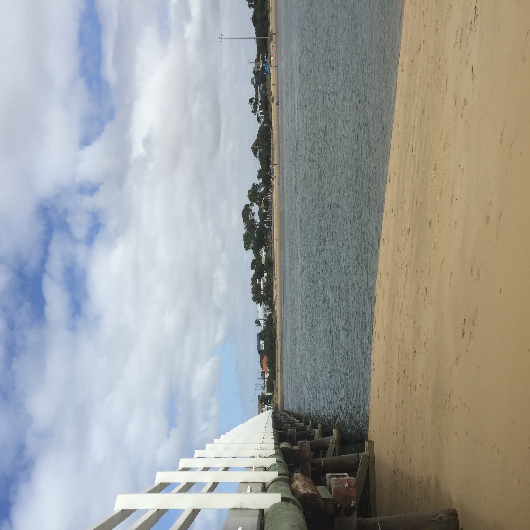
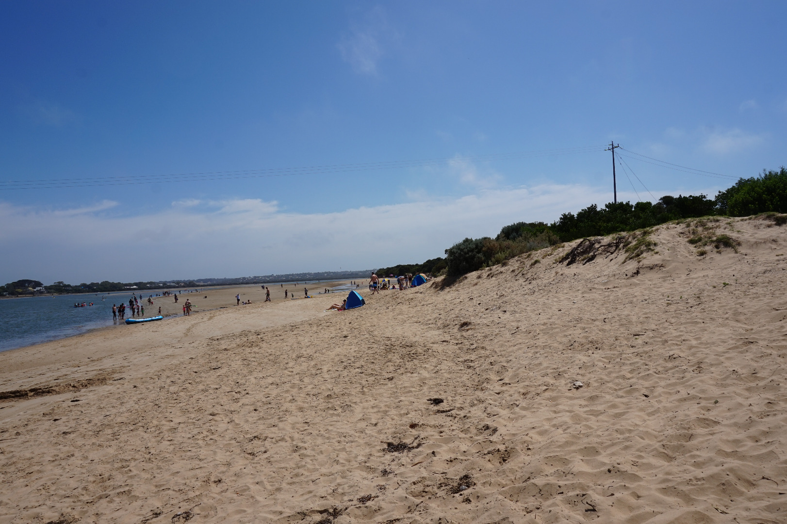
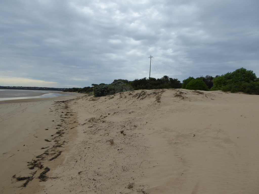
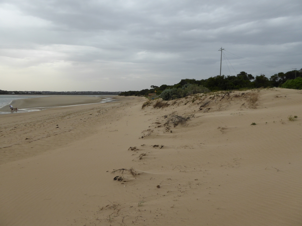
I have included photos of the sand drifts which resulted from strong winds on 7/4/17. There was significant rainfall at the same time (>80mls recorded locally) yet surprisingly there was no noticeable discoloration of the water in the estuary in the following days. |
|
| #11131 | 18 Apr 2017 | Approved | ||
| #11068 | 6 Apr 2017 | Approved | ||
| #10909 | 15 Mar 2017 | Approved |
Notes:
Missed the water level 'finish" |
|
| #10890 | 2 Mar 2017 | Pending | ||
| #10774 | 2 Feb 2017 | Pending | ||
| #10767 | 25 Jan 2017 | Approved | ||
| #10751 | 18 Jan 2017 | Approved |
Notes:
Wind gusting to strong |
|
| #10667 | 5 Jan 2017 | Pending |
Notes:
The water level was less than the lowest mark on the gauge |
|
| #10727 | 16 Dec 2016 | Approved | ||
| #10628 | 14 Dec 2016 | Approved |
Notes:
Wind gust to 31 Km/h |
|
| #10625 | 1 Dec 2016 | Approved | ||
| #10529 | 15 Oct 2016 | Approved |
Notes:
Colour still slightly brown from recent flooding |
|
| #10726 | 7 Oct 2016 | Approved |
Notes:
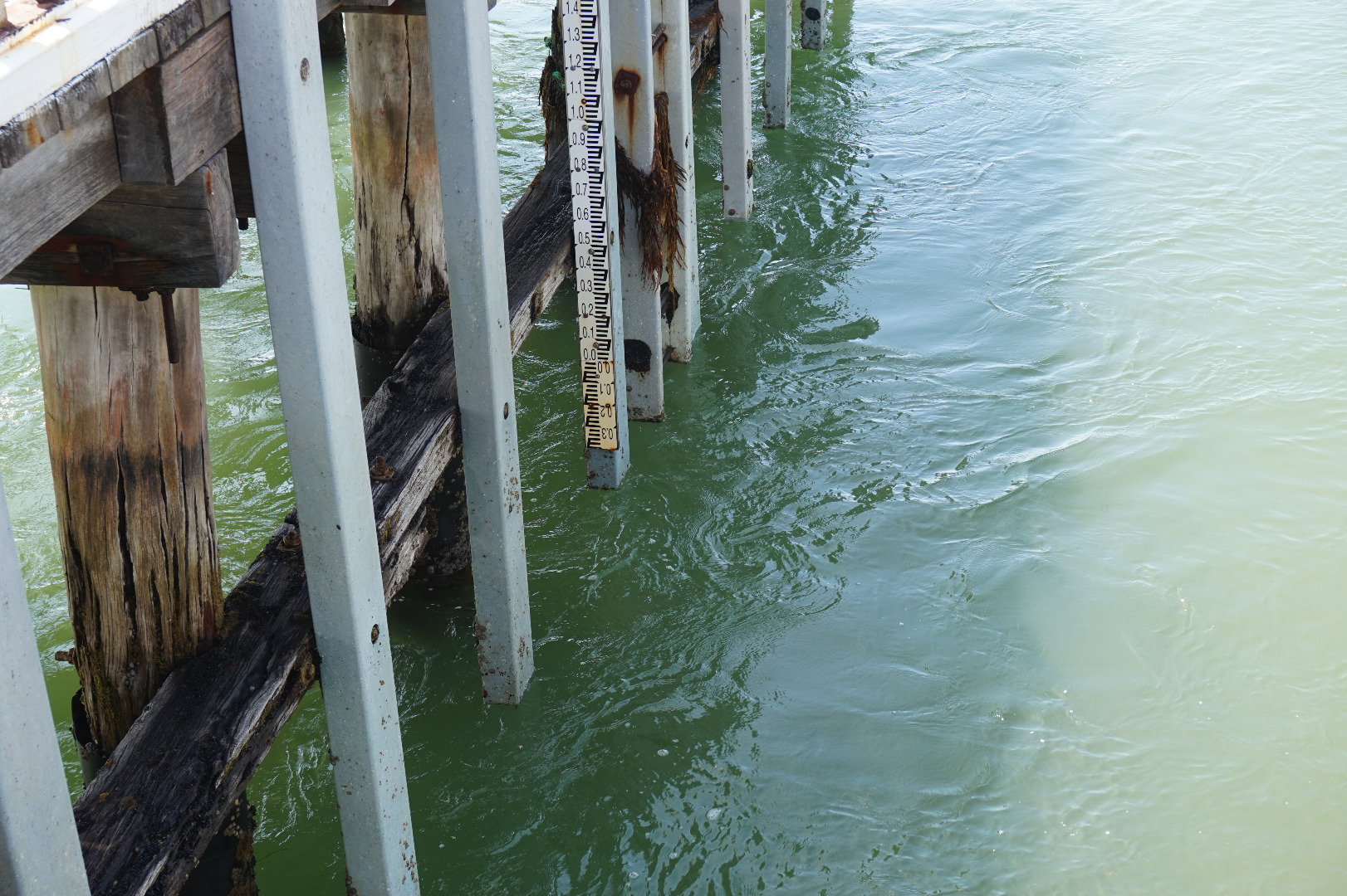
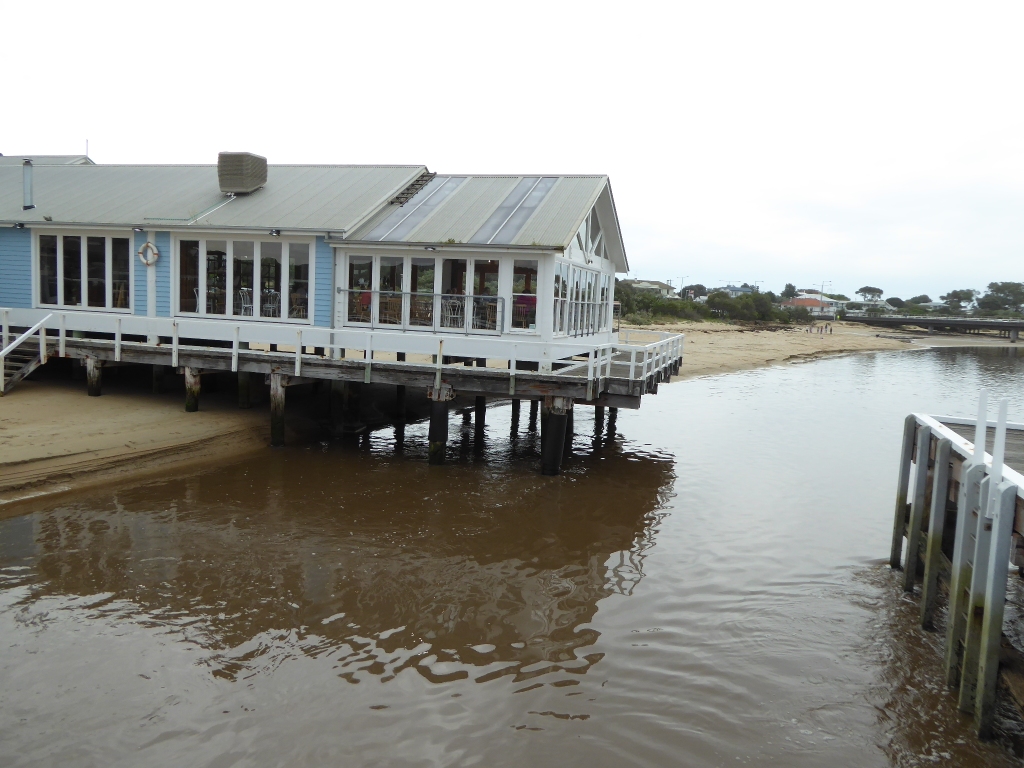
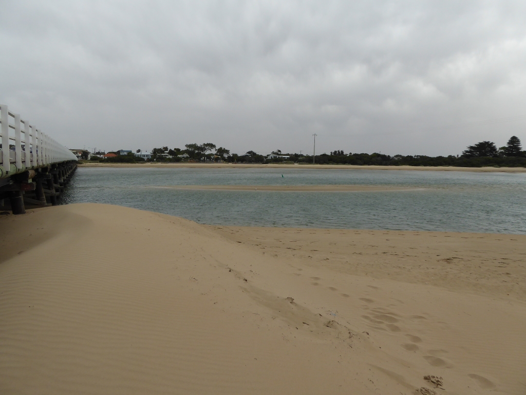
Estuary very turbid and brown from recent heavy rain. Discoloured plume of water extends East along Ocean Grove beach. Significant smell of river algae in air at mouth. Large amount of sand has moved from under/around the "Heads" restaurant. At low tide all pylons used to be out of the water now only half of them are.
|
|
| #10725 | 21 Sep 2016 | Approved | ||
| #10962 | 19 Sep 2016 | Approved |
Notes:
Heavy flow of water, huge amount of rainfall in last week. Rough break in surf, large amounts of seaweed washing up. 100 fish kill @ 17W
|
|
| #10527 | 23 Jul 2016 | Approved | ||
| #10304 | 4 May 2016 | Approved | ||
| #10306 | 20 Apr 2016 | Approved |
|
|
| #10208 | 29 Feb 2016 | Approved | ||
| #10207 | 29 Jan 2016 | Approved | Notes: Two days after floods in Geelong. Levels of sand on both sides of the estuary appear higher. | |
| #9978 | 25 Nov 2015 | Approved |
Notes:
1)Sand mounding up between bridges and blowing over road. 2) Tide heights are estimates as gauge board was fully out of water. |
|
| #10067 | 9 Nov 2015 | Approved |
|
|
| #9926 | 30 Oct 2015 | Approved |
Notes:
1) Tide heights are measured relating to AHD 2) Tide heights are estimates as gauge board scale does not extend below -0.2m |
|


All content, files, data and images provided by the EstuaryWatch Data Portal and Gallery are subject to a Creative Commons Attribution License
Content is made available to be used in any way, and should always attribute EstuaryWatch and www.estuarywatch.org.au