EstuaryWatch Data Portal
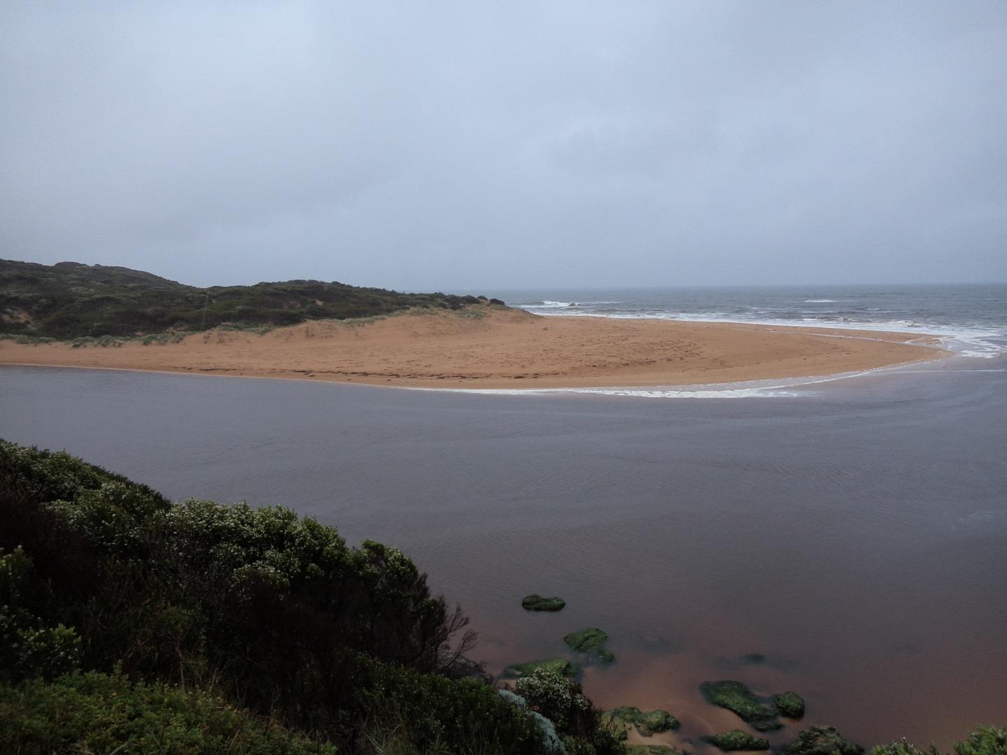
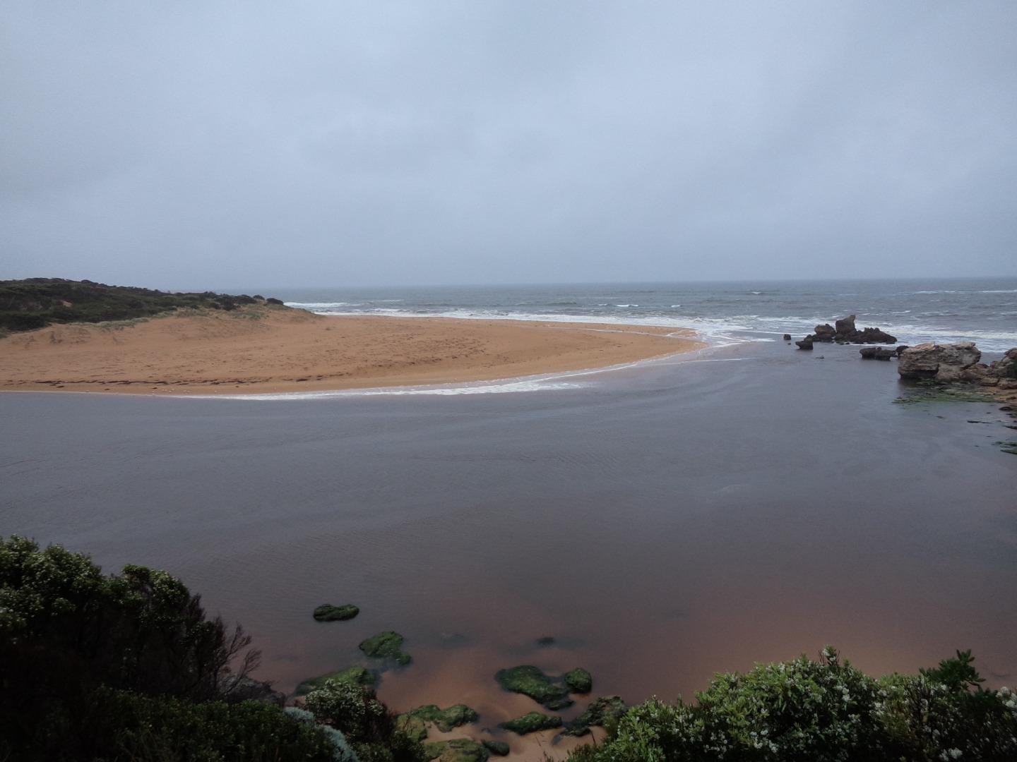
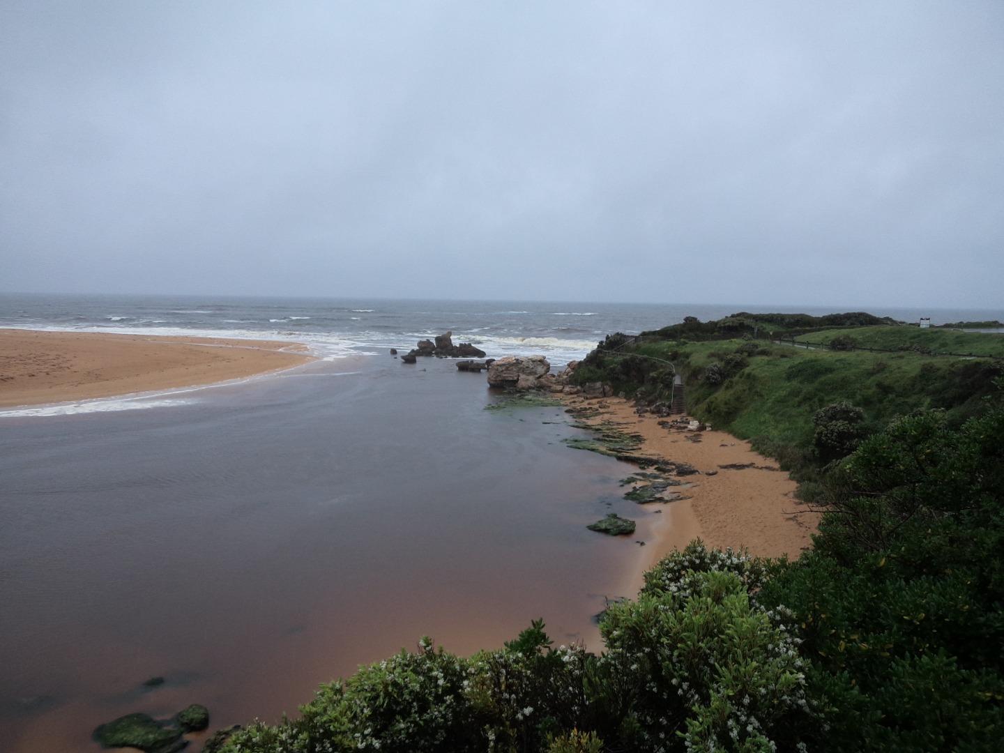
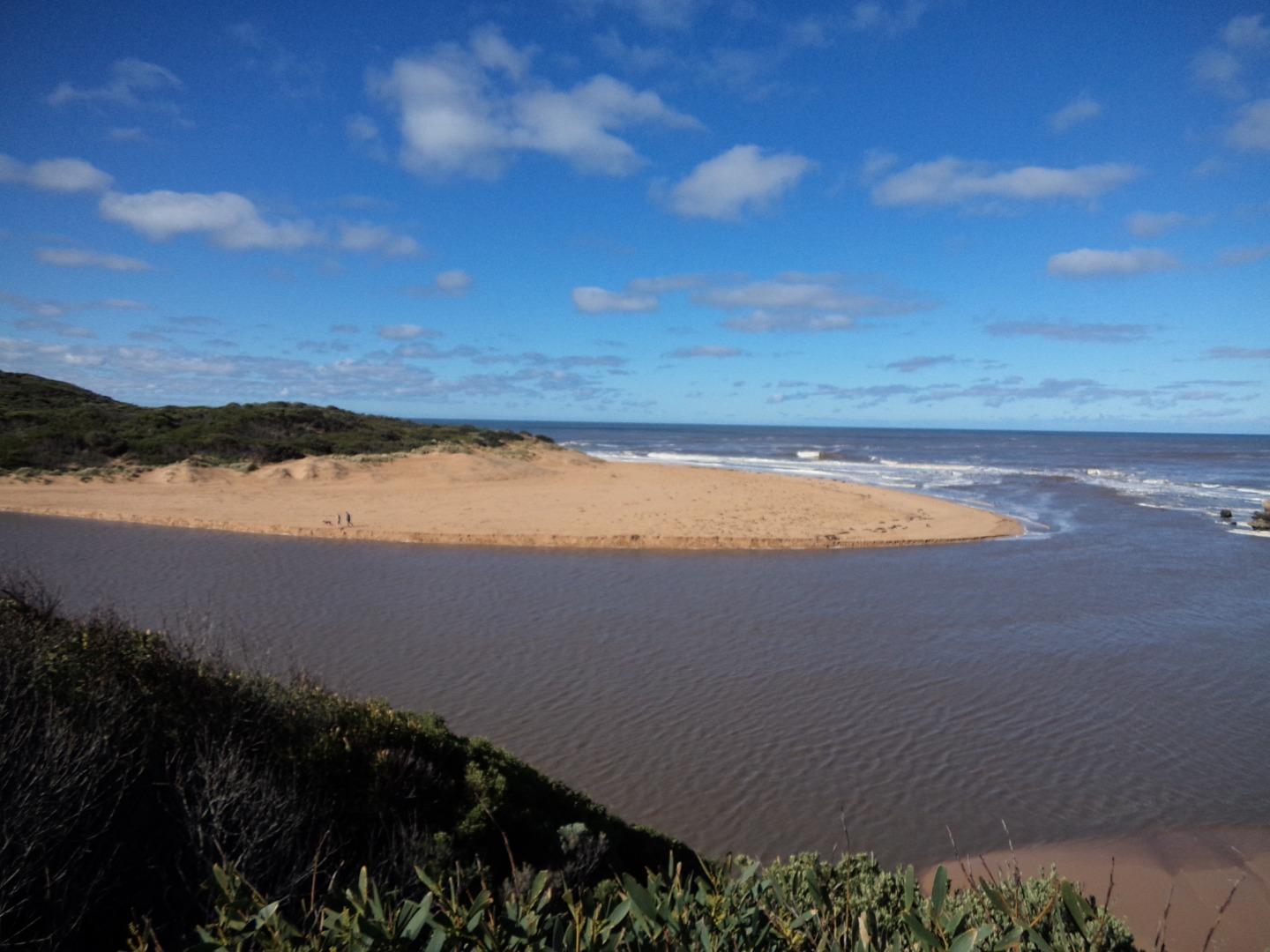
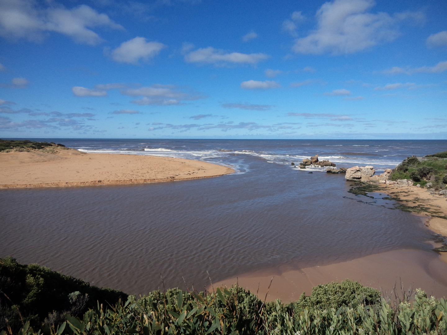
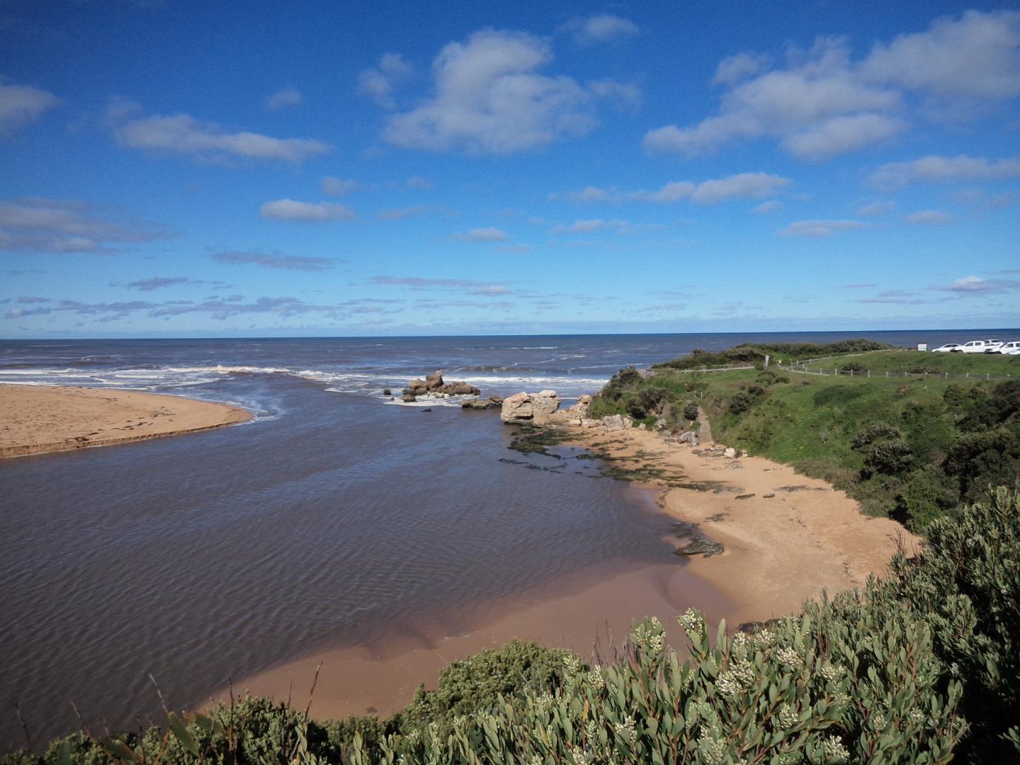
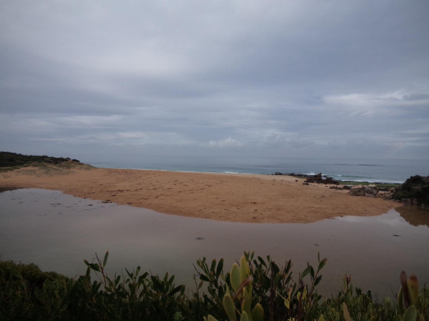
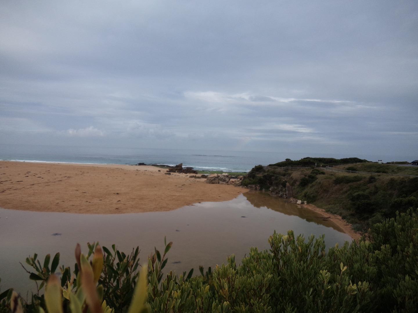
HMC Hopkins River Mouth Condition Observation Site
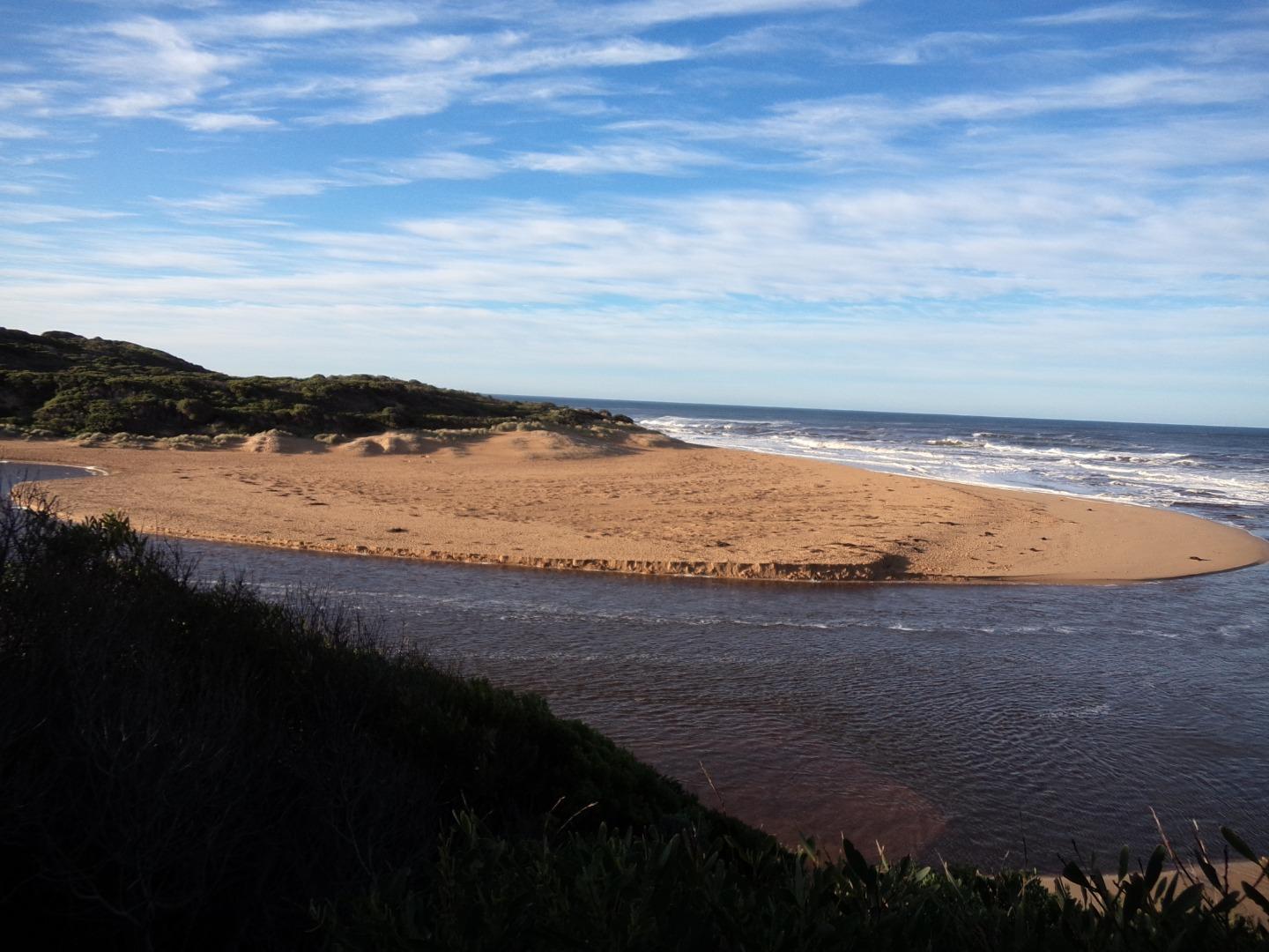
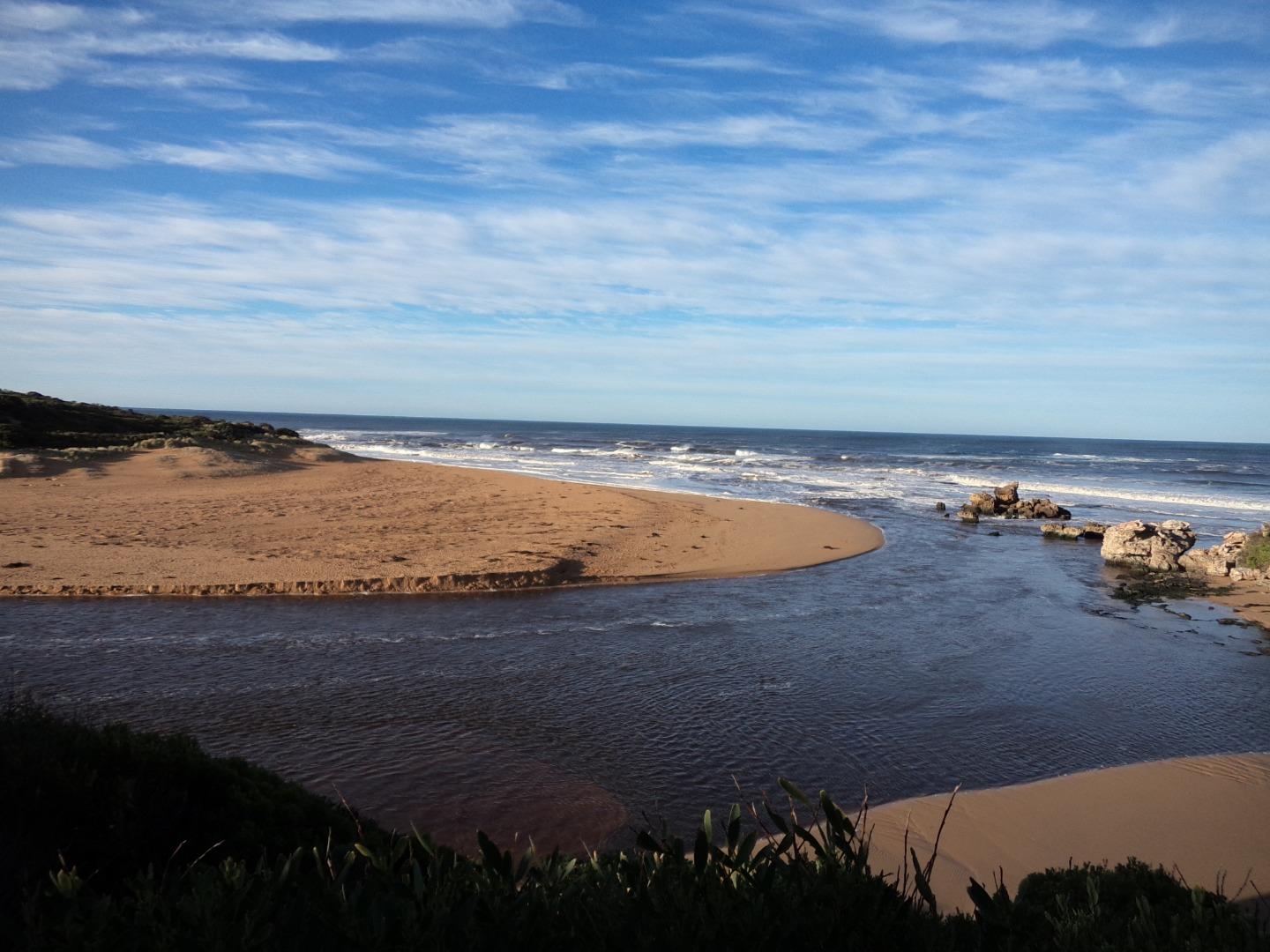
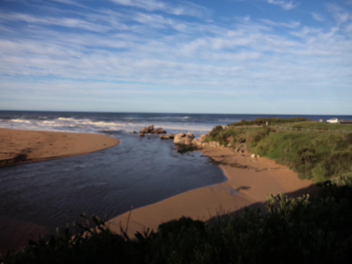
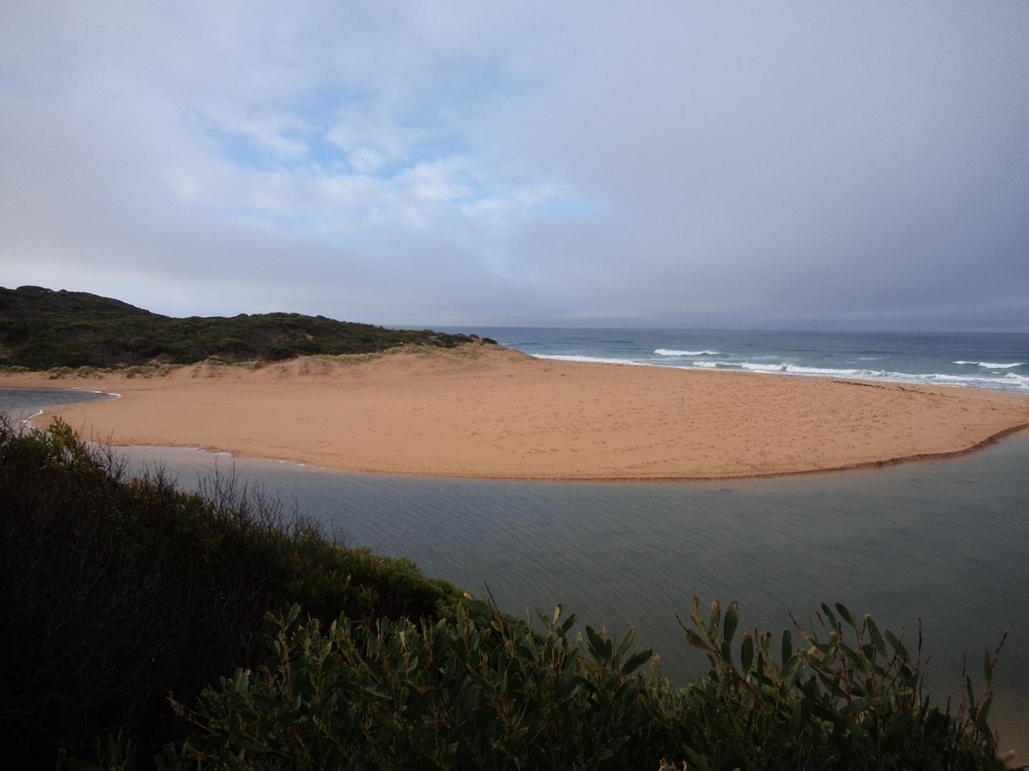
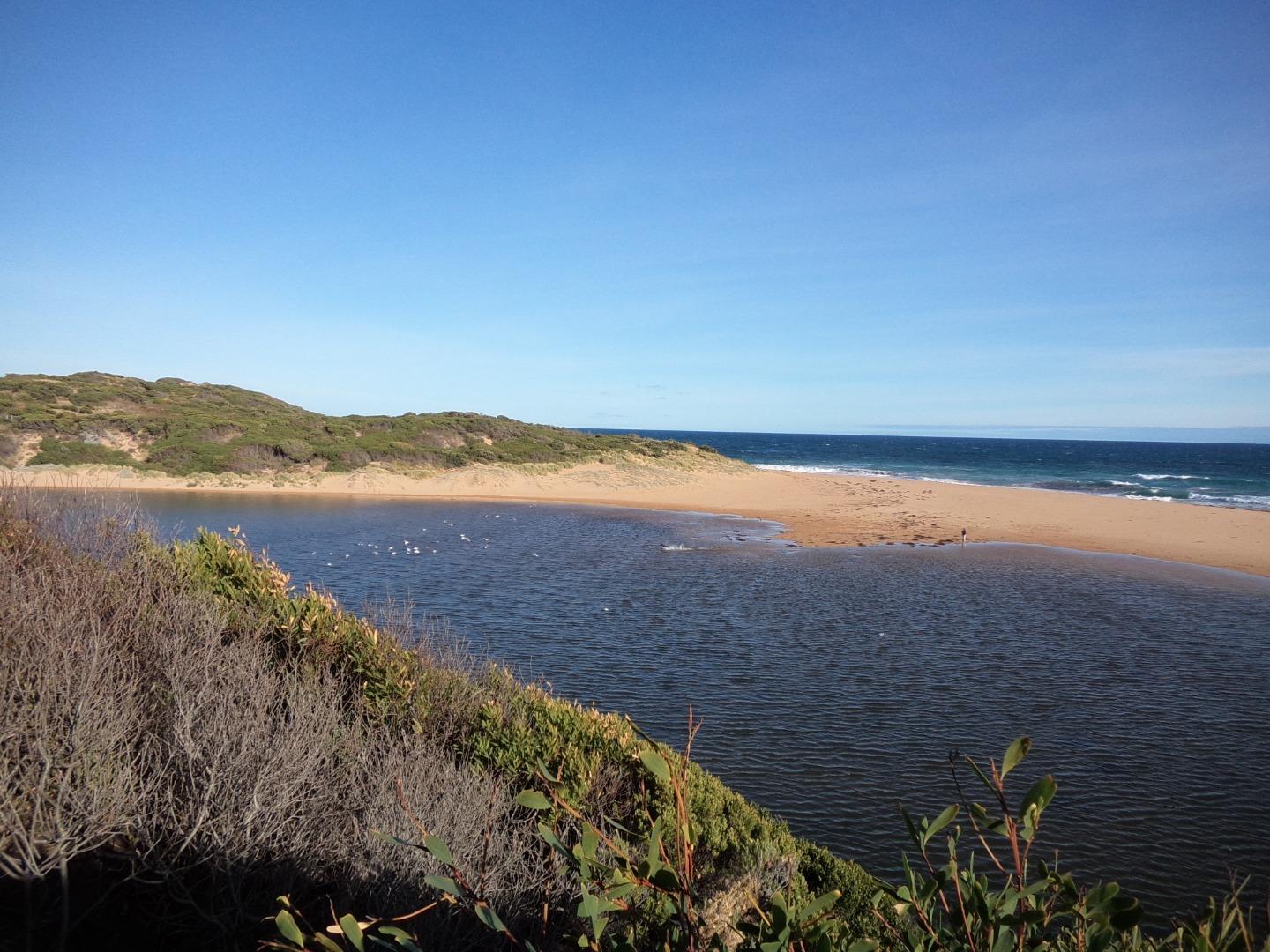
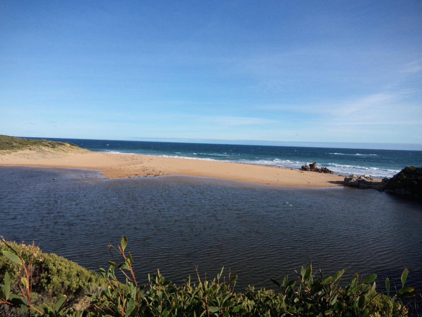
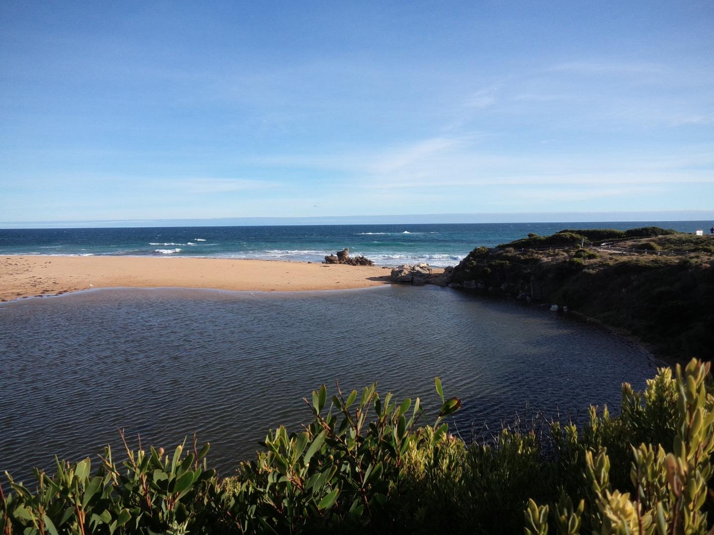
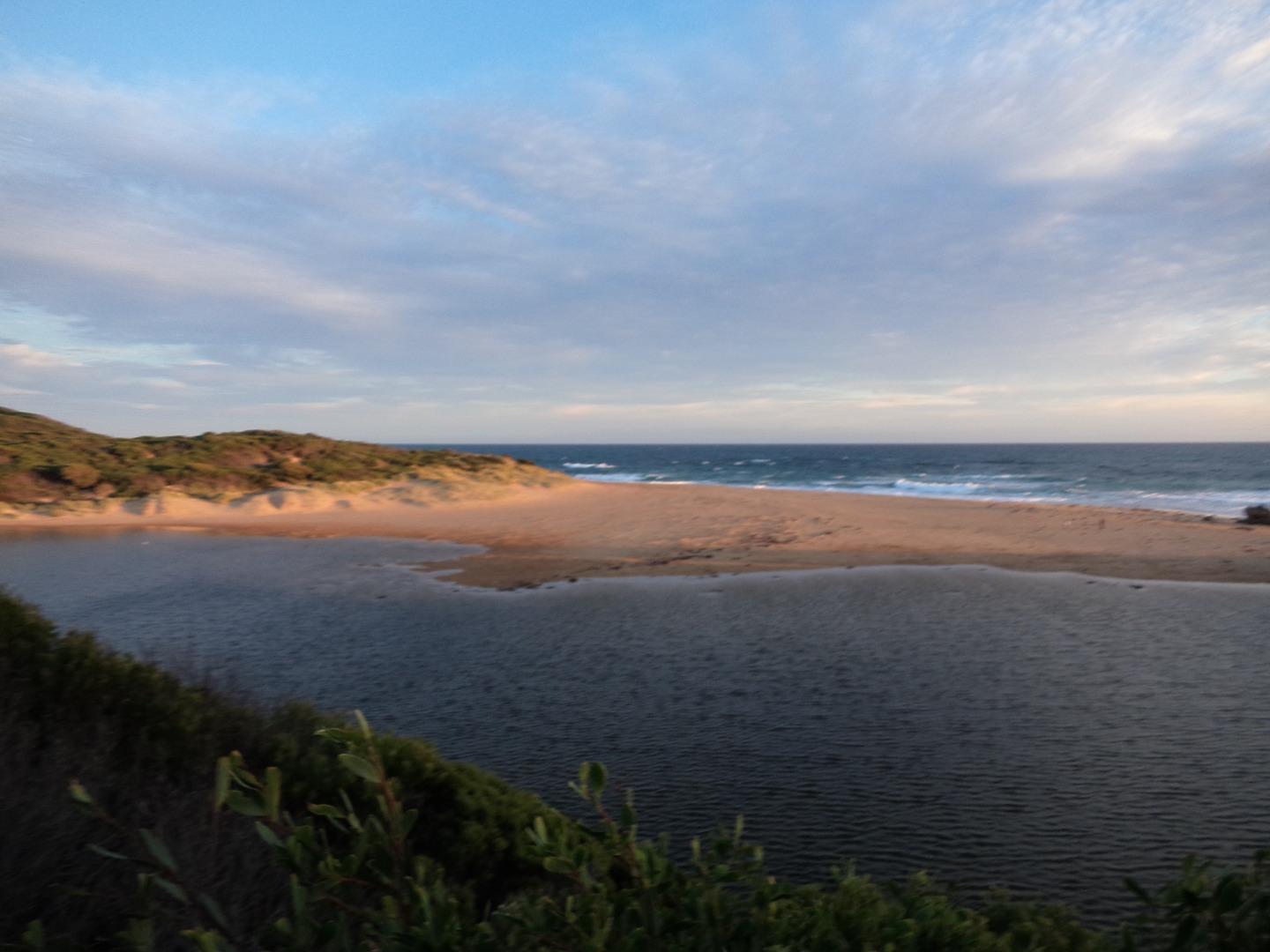
Active Mouth Condition 29-05-2010 - 20-10-2023Hopkins River Estuary
163 results found (Displaying 51 - 60)
| ID | Date | Status | Details | |
|---|---|---|---|---|
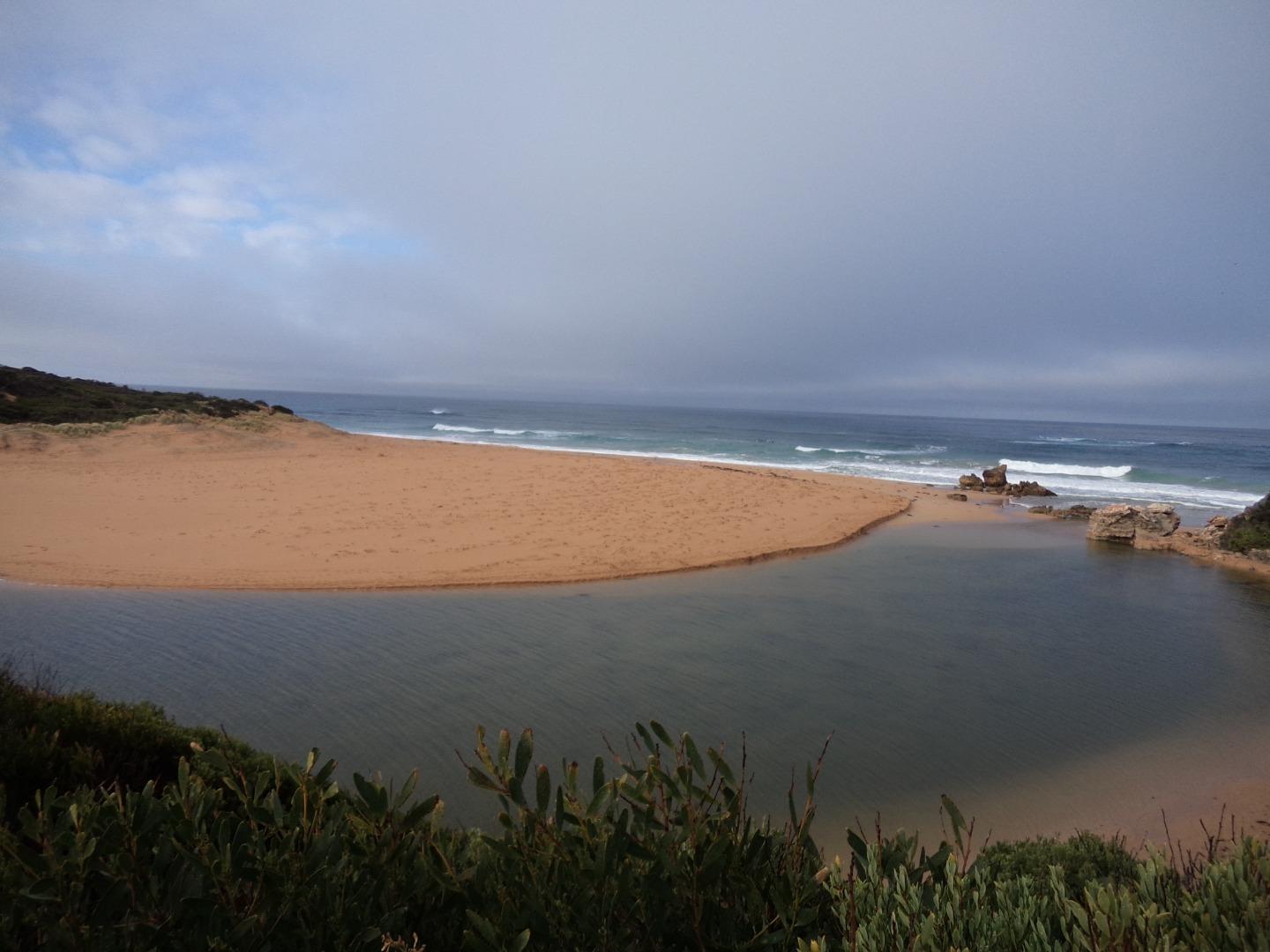
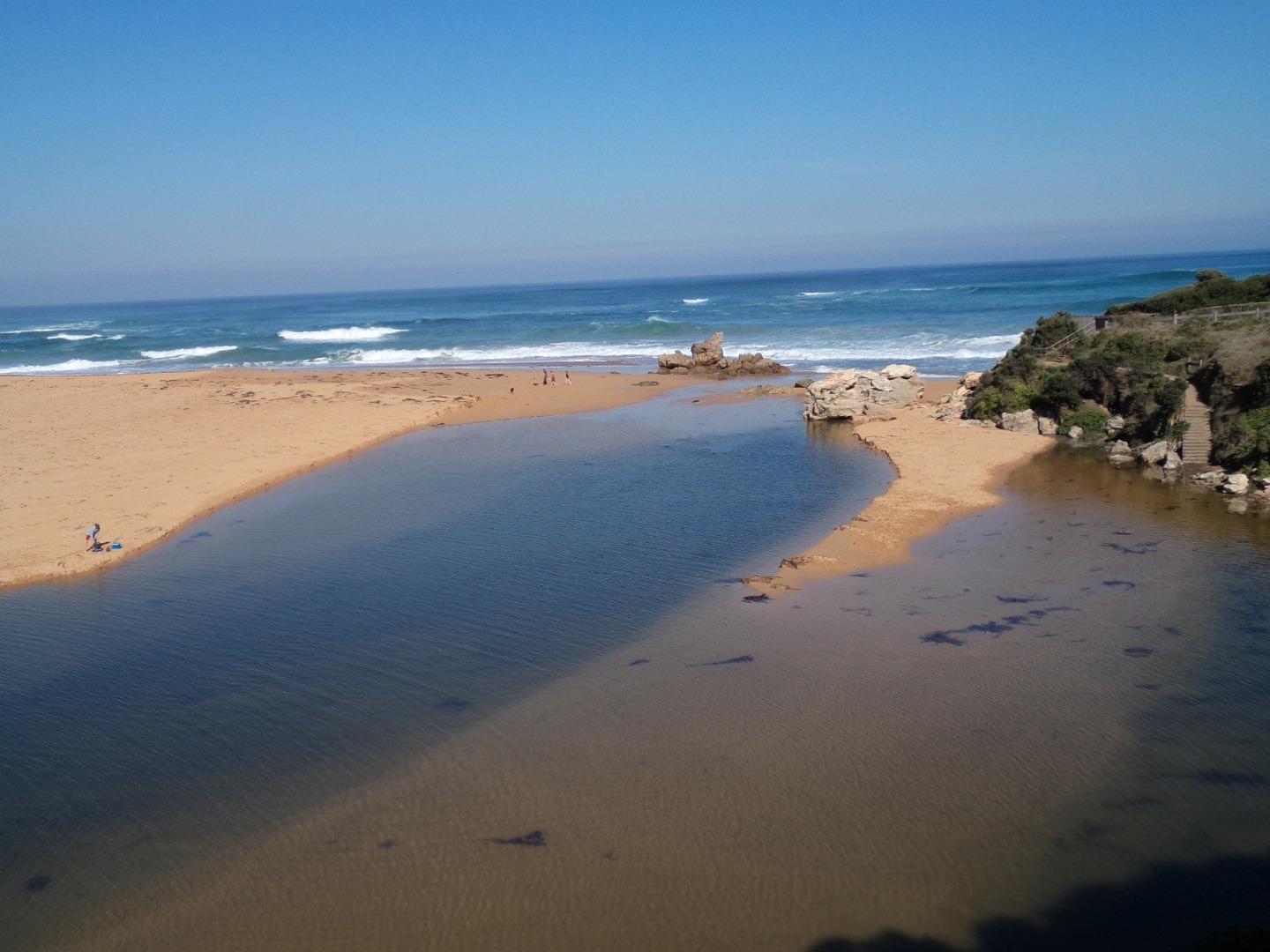
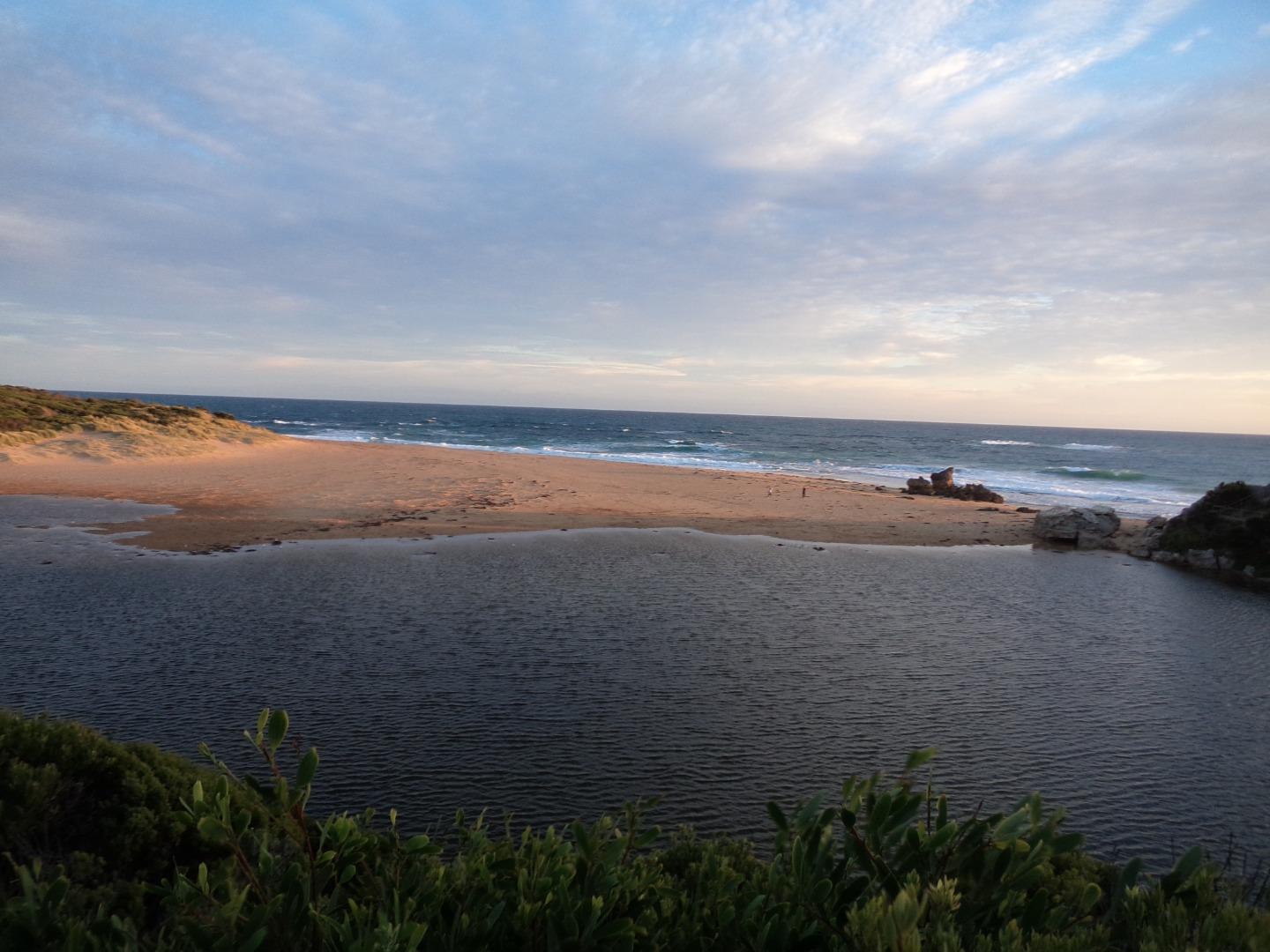
| #14777 | 21 Sep 2019 | Approved |
Notes:
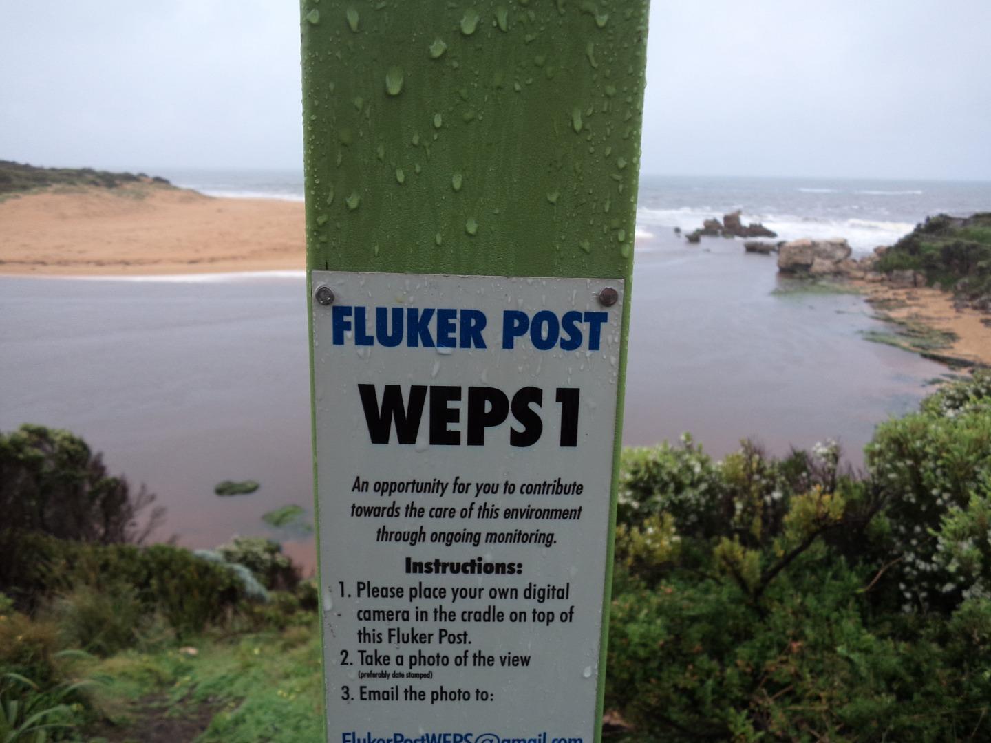
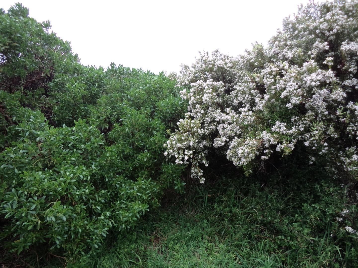
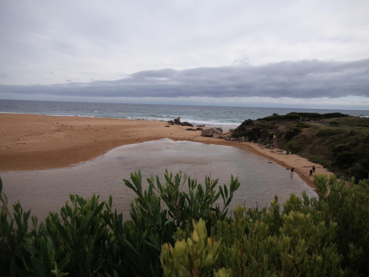
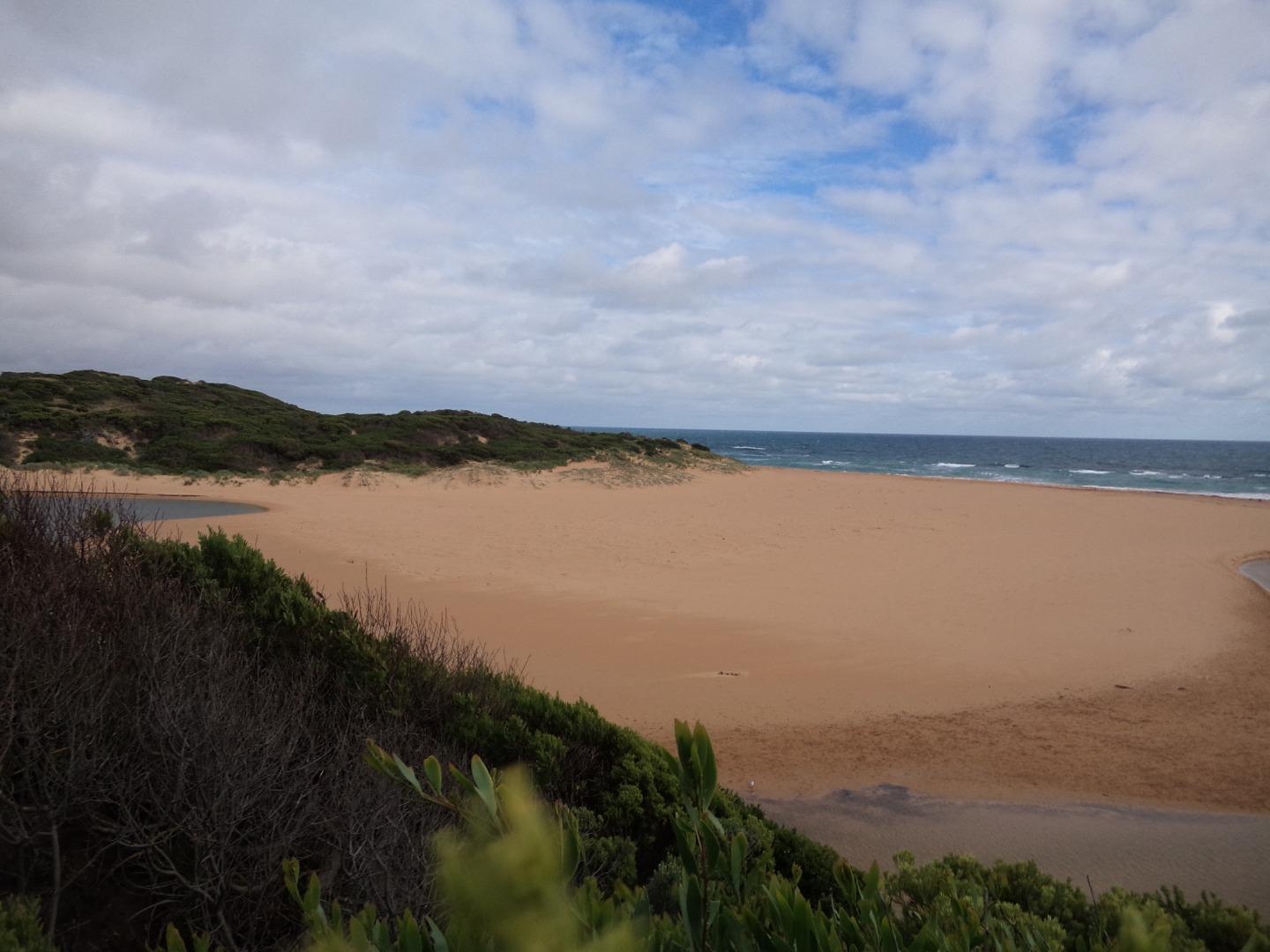
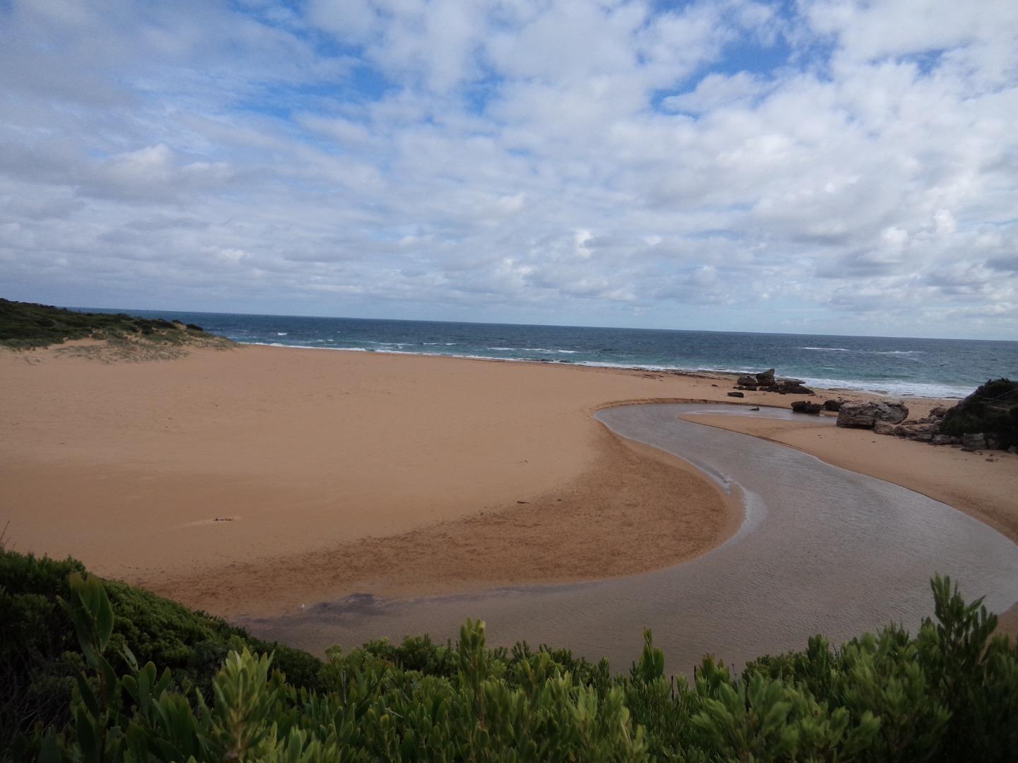
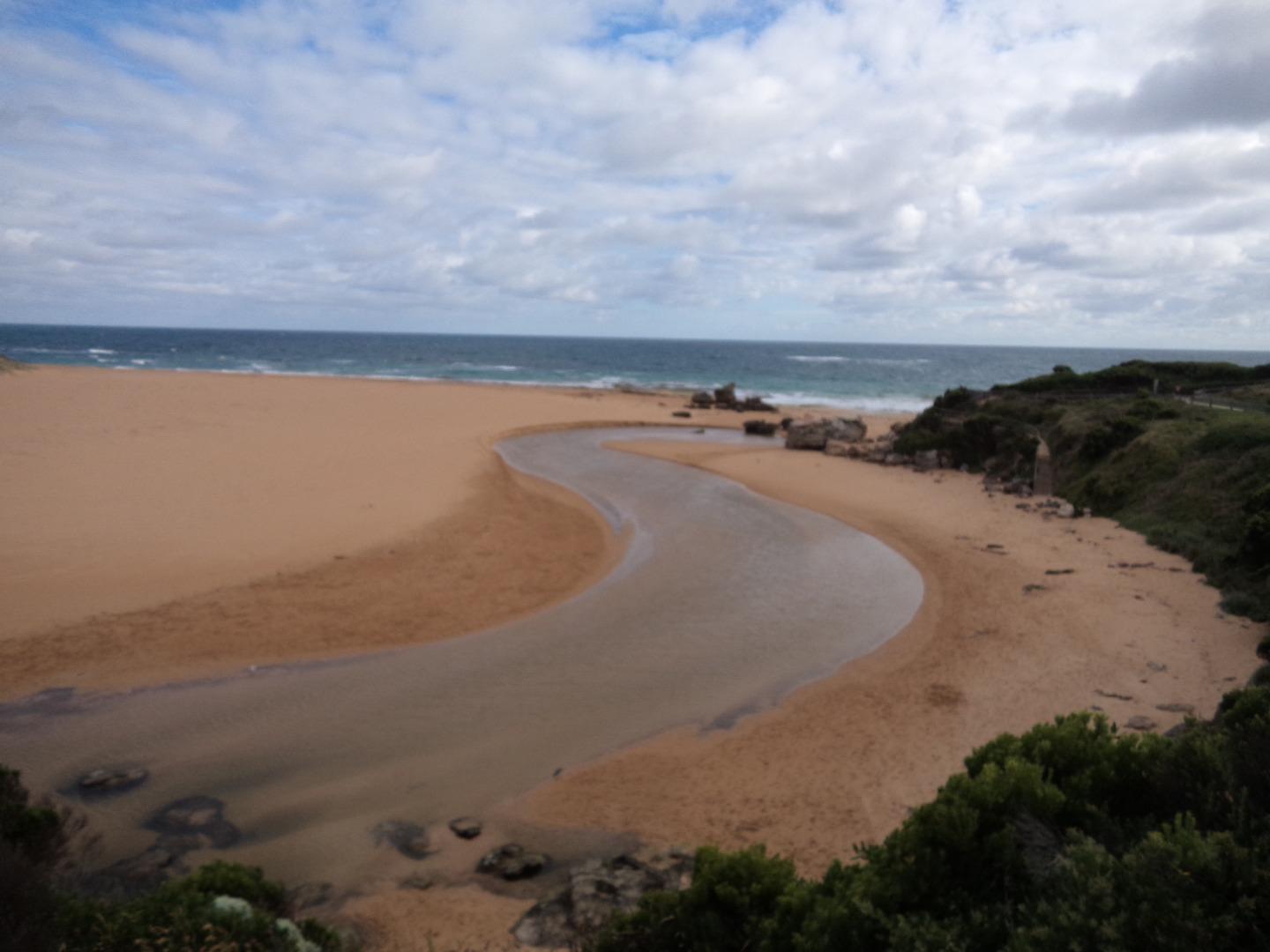
from this date: Photos taken from Fluker Post - WEPS1 as HP1 photo site now overgrown approx location: Lat - 38.4010044 Long - 142.5091587 Altitude - 14.62m
Thanks for the notification Ash - will update the details. Amazing data and photo set!! Regards Jarred. |
|
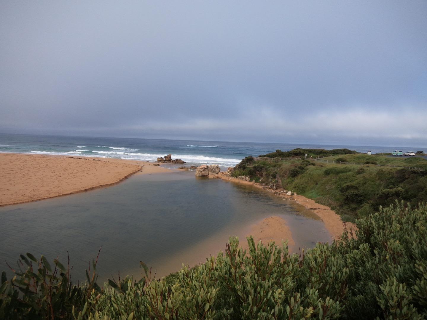
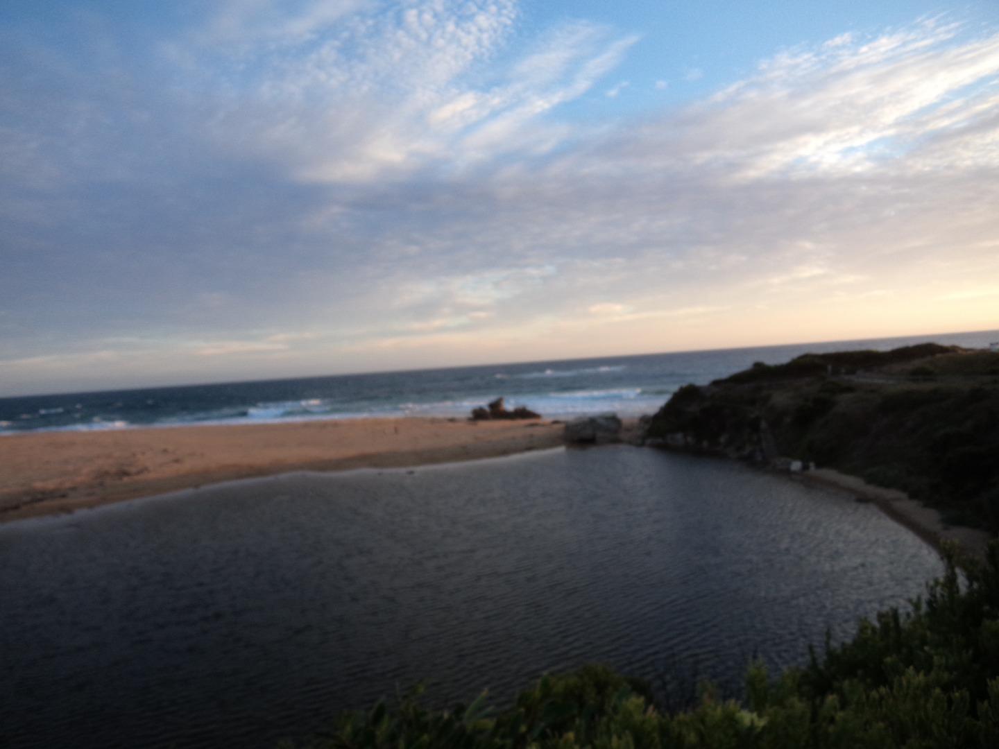
| #14776 | 17 Aug 2019 | Approved | ||
| #14775 | 20 Jul 2019 | Approved | ||
| #14774 | 15 Jun 2019 | Approved | ||
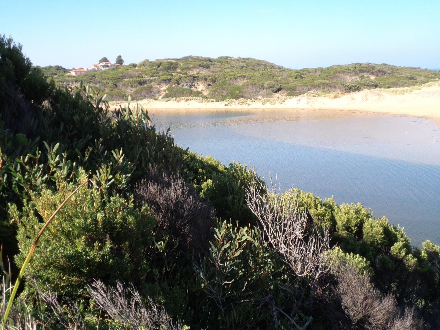
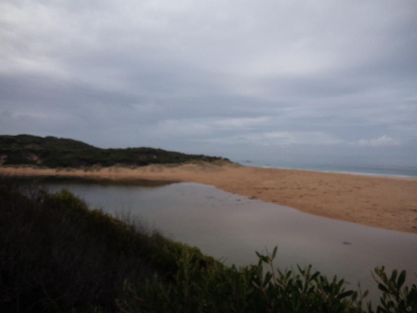
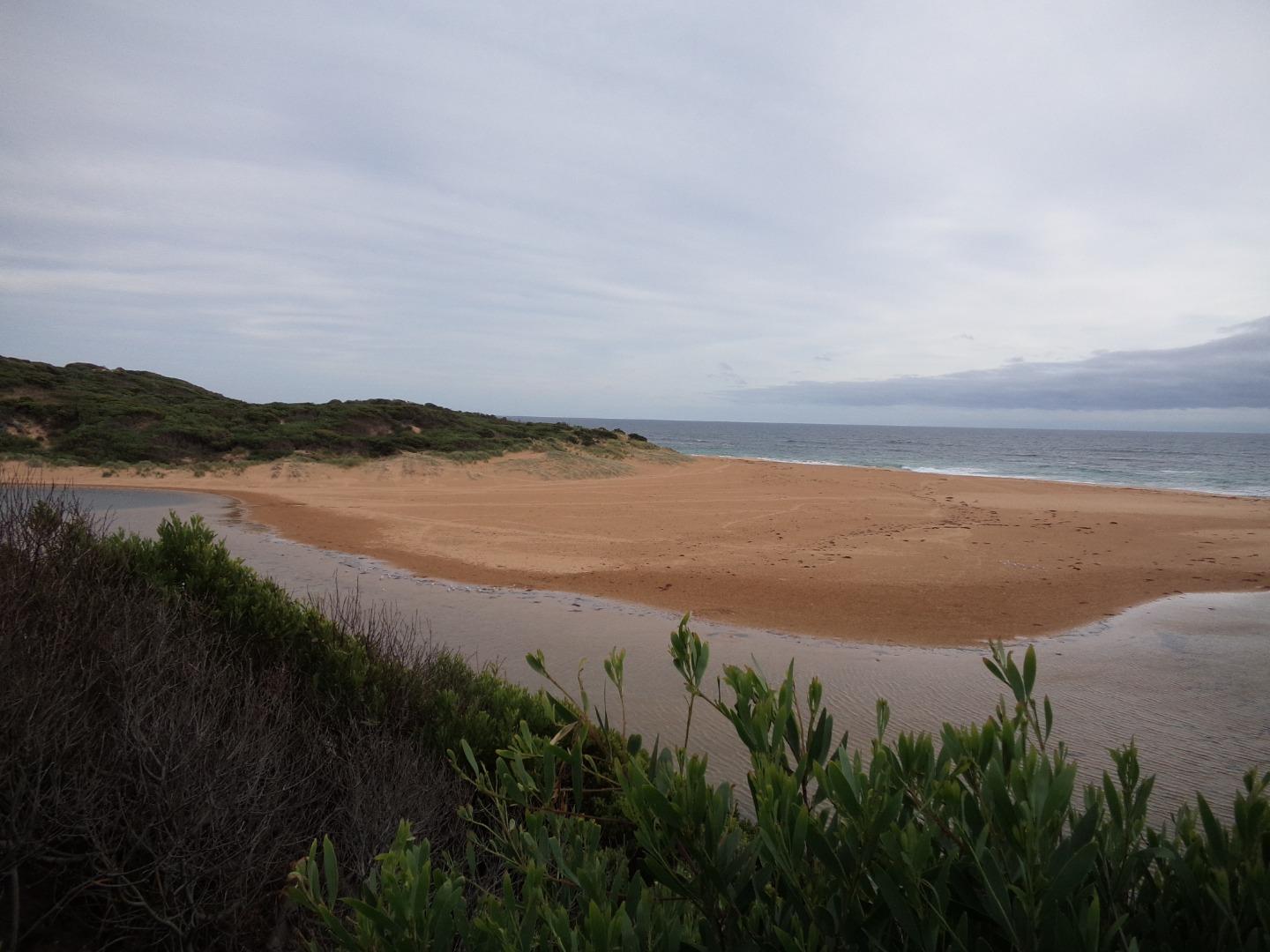
| #14773 | 18 May 2019 | Approved |
Notes:
larger waves breaking over berm approximately every 3 minutes |
|
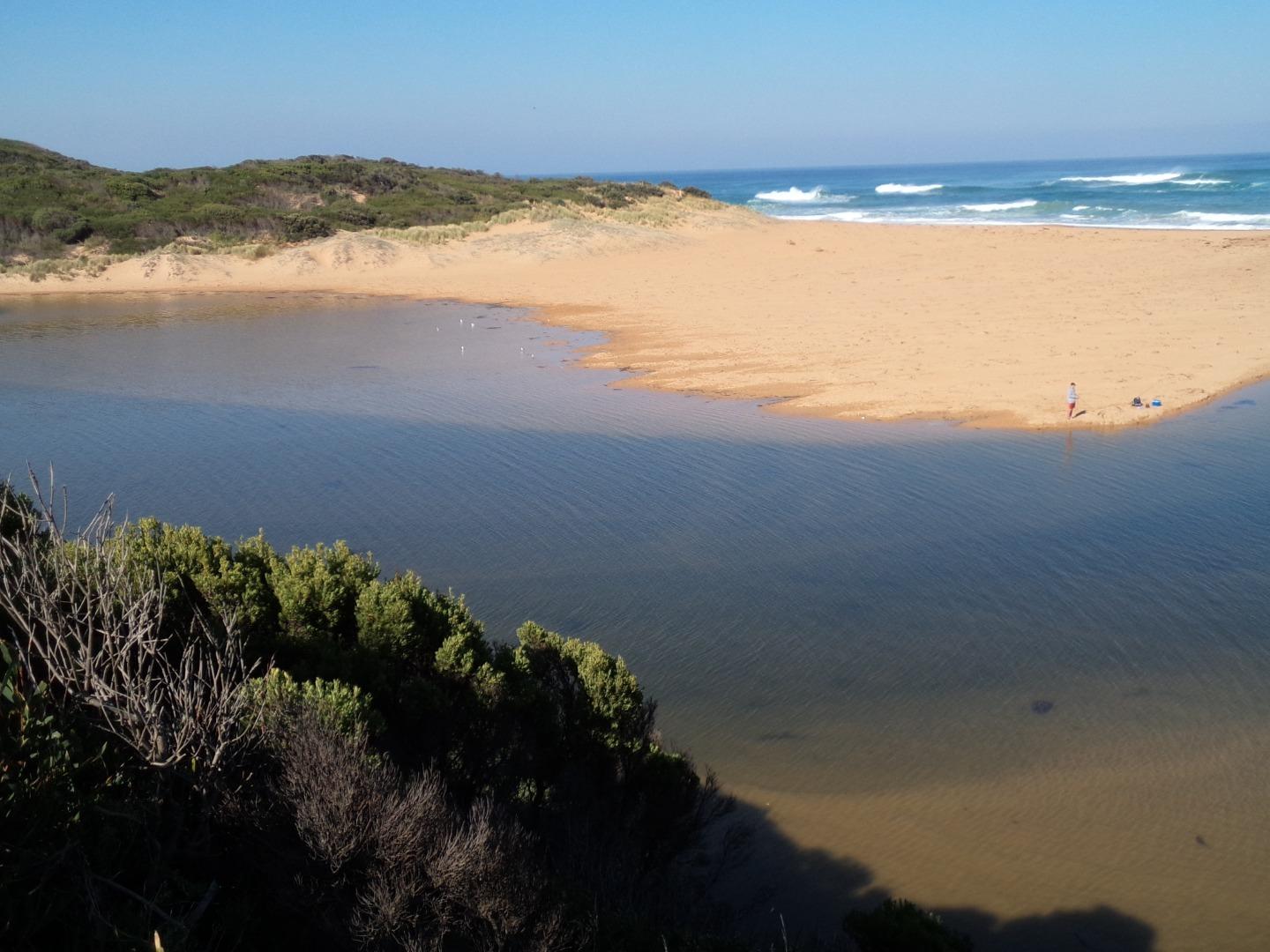
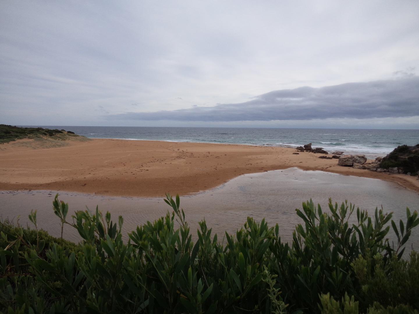
| #14772 | 13 Apr 2019 | Approved | ||
| #14771 | 15 Mar 2019 | Approved | ||
| #14770 | 15 Feb 2019 | Approved | ||
| #14769 | 18 Jan 2019 | Approved | ||
| #14768 | 21 Dec 2018 | Approved | ||

All content, files, data and images provided by the EstuaryWatch Data Portal and Gallery are subject to a Creative Commons Attribution License
Content is made available to be used in any way, and should always attribute EstuaryWatch and www.estuarywatch.org.au