EstuaryWatch Data Portal
WyMC Wye River Mouth Condition
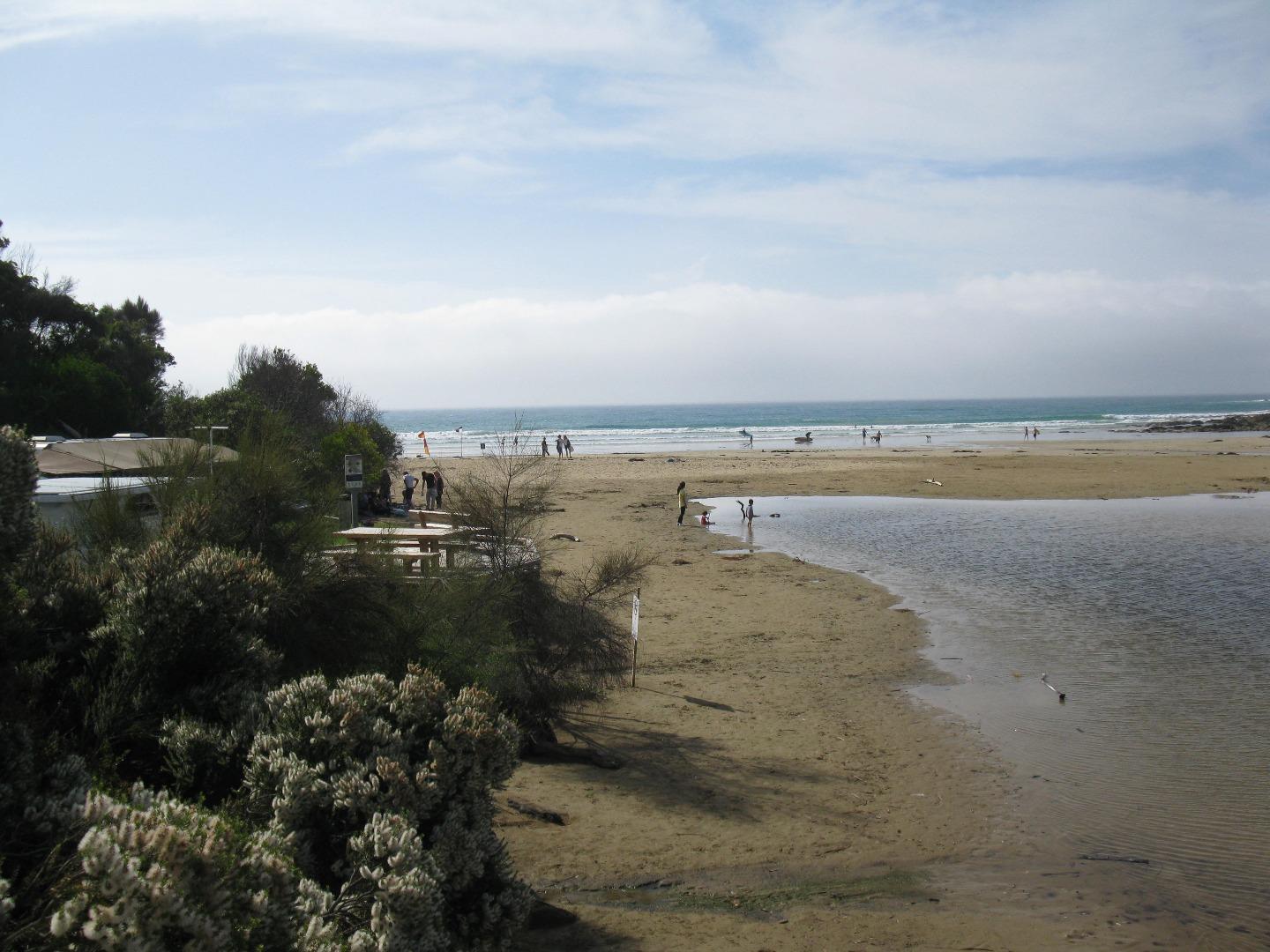
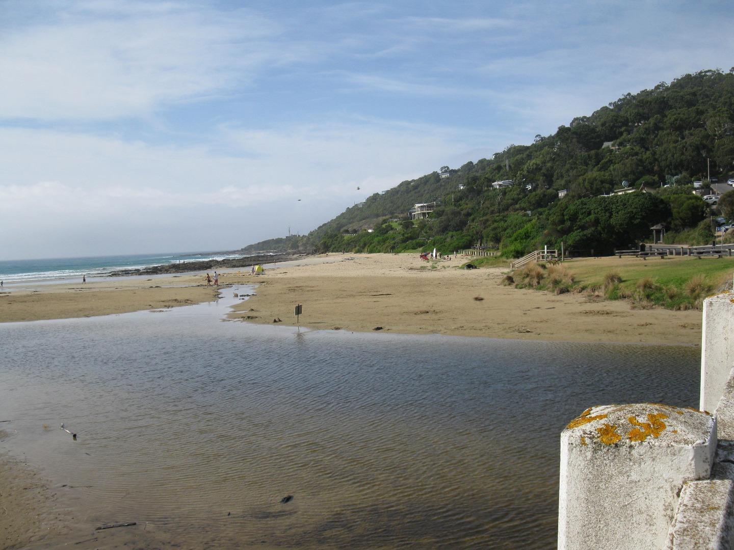
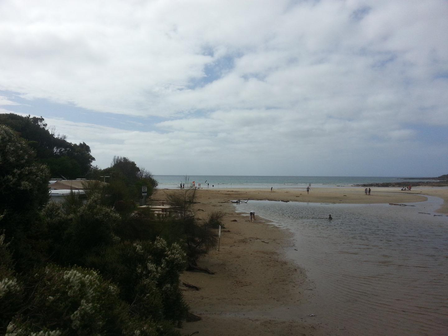
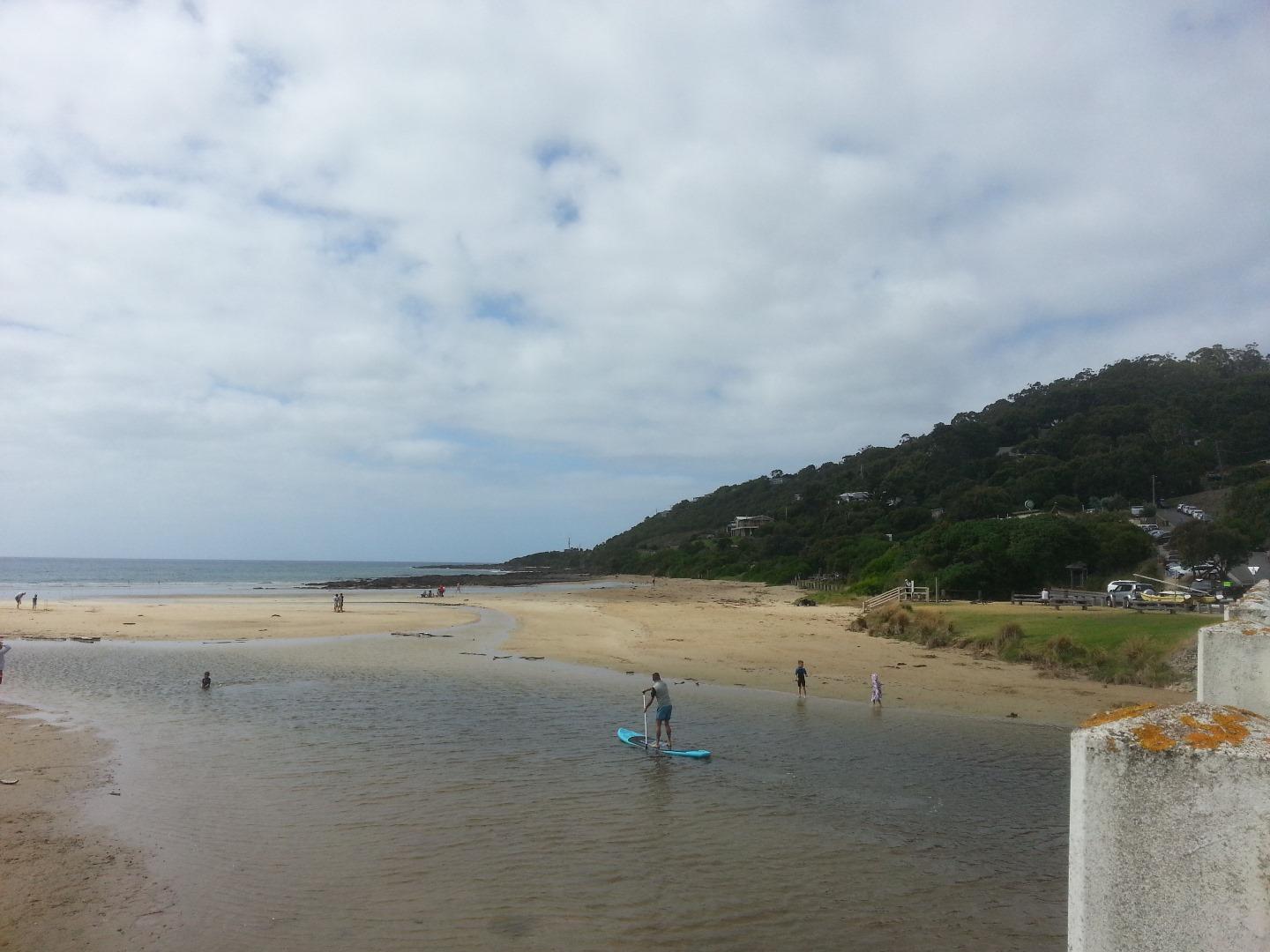
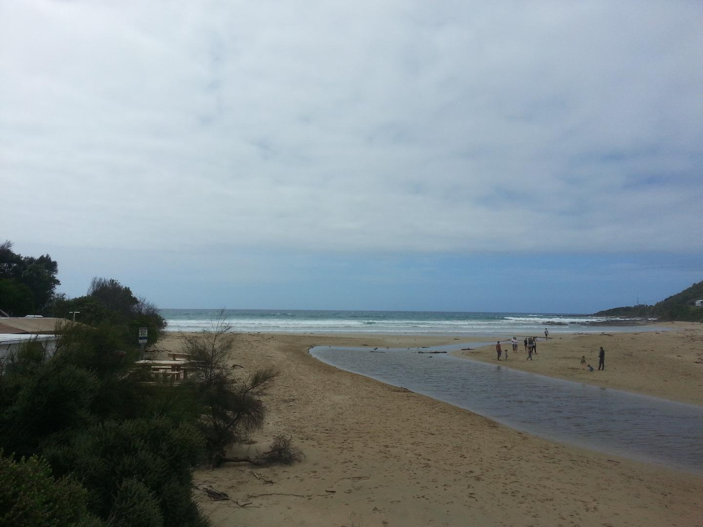
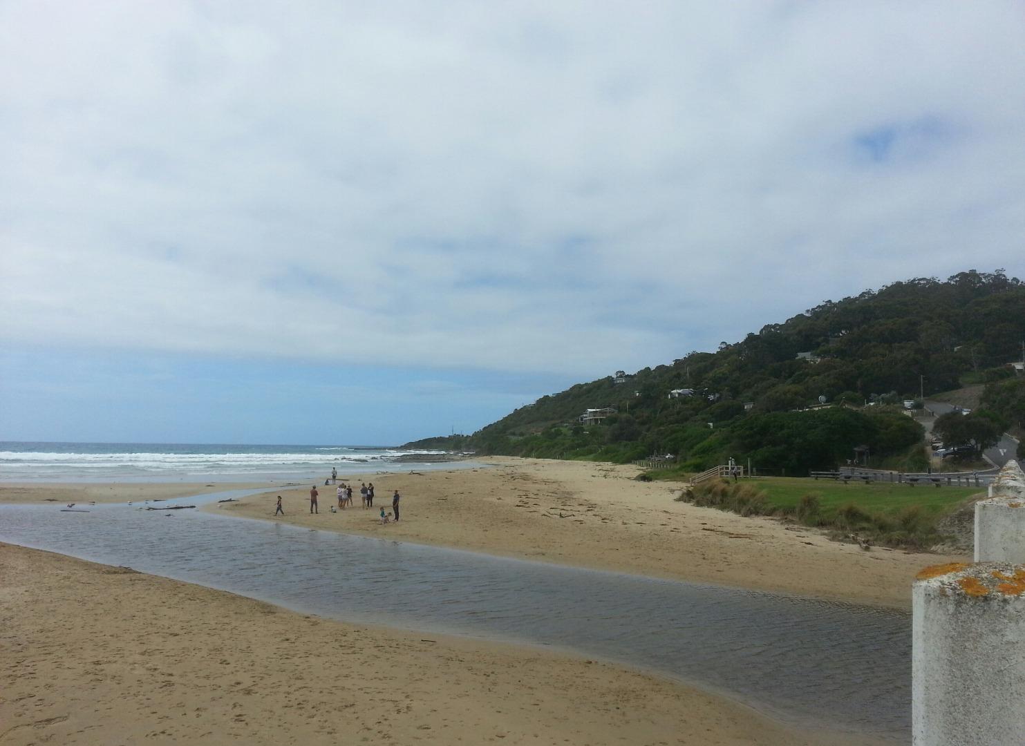
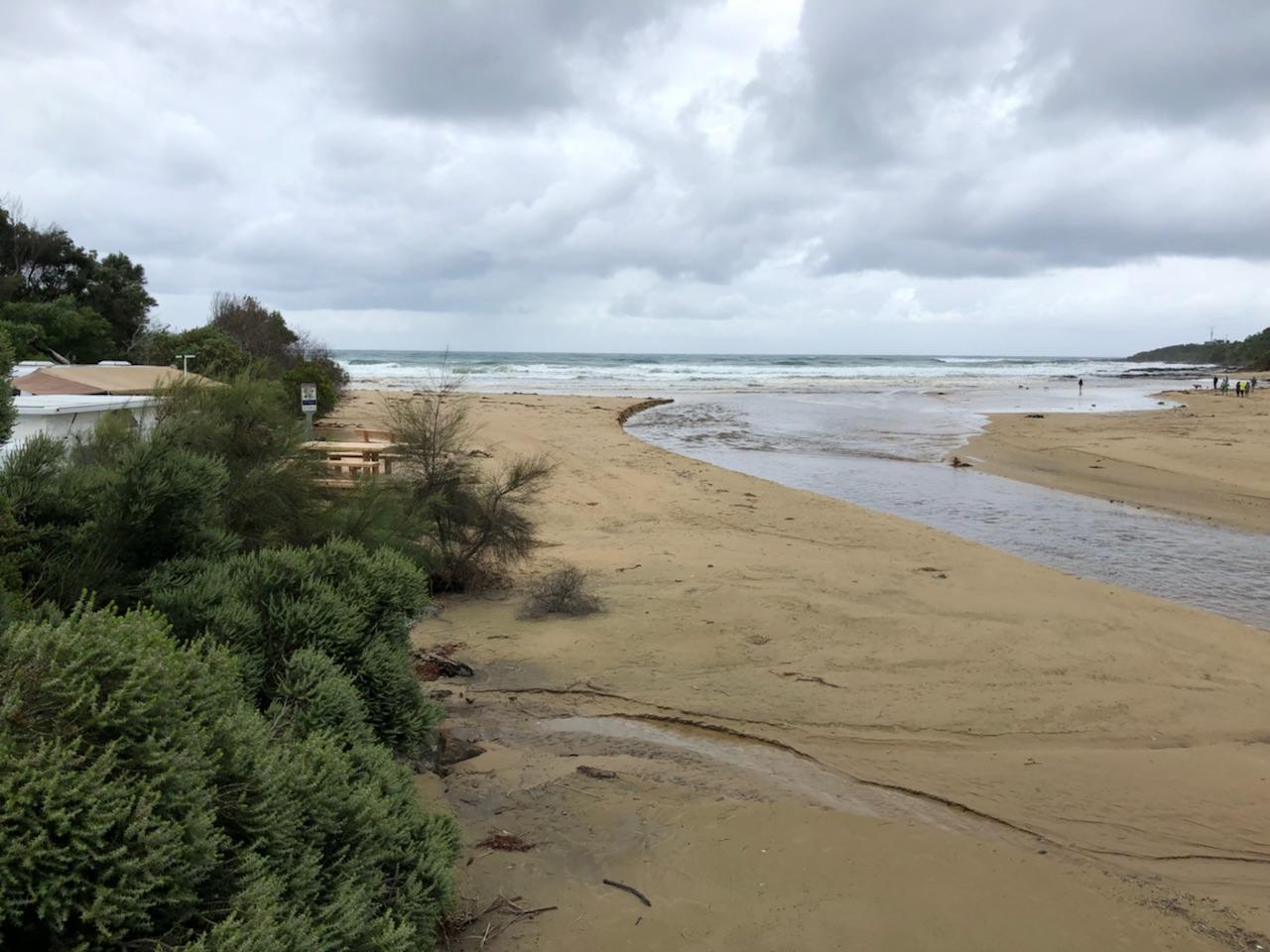
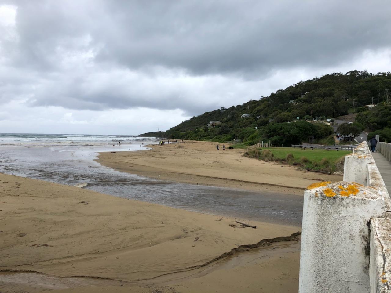
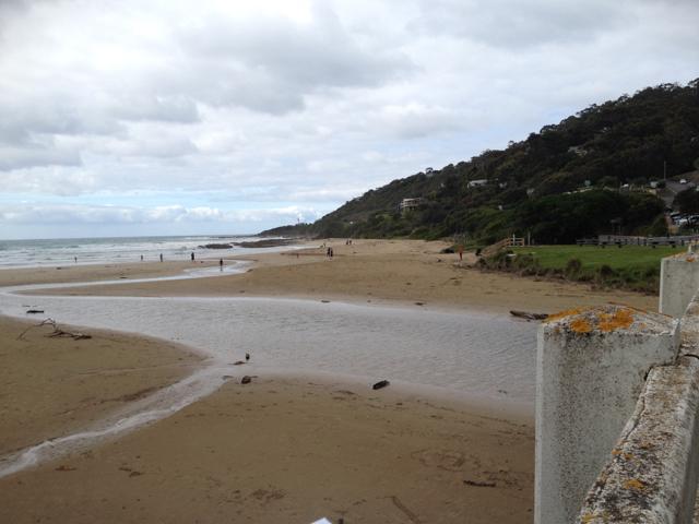
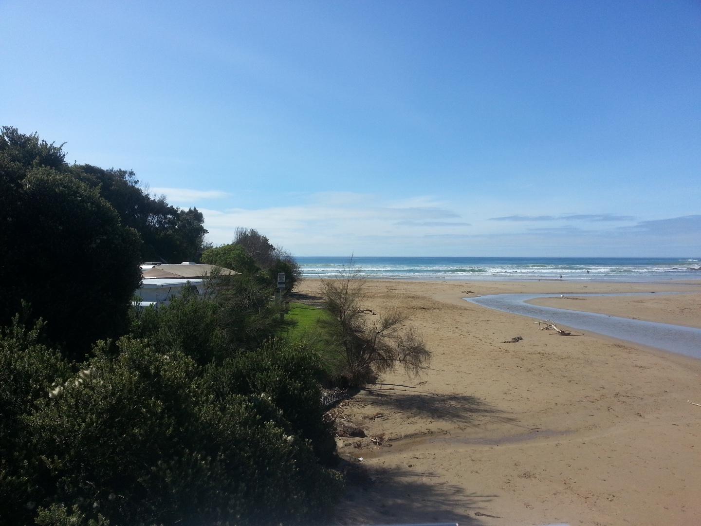
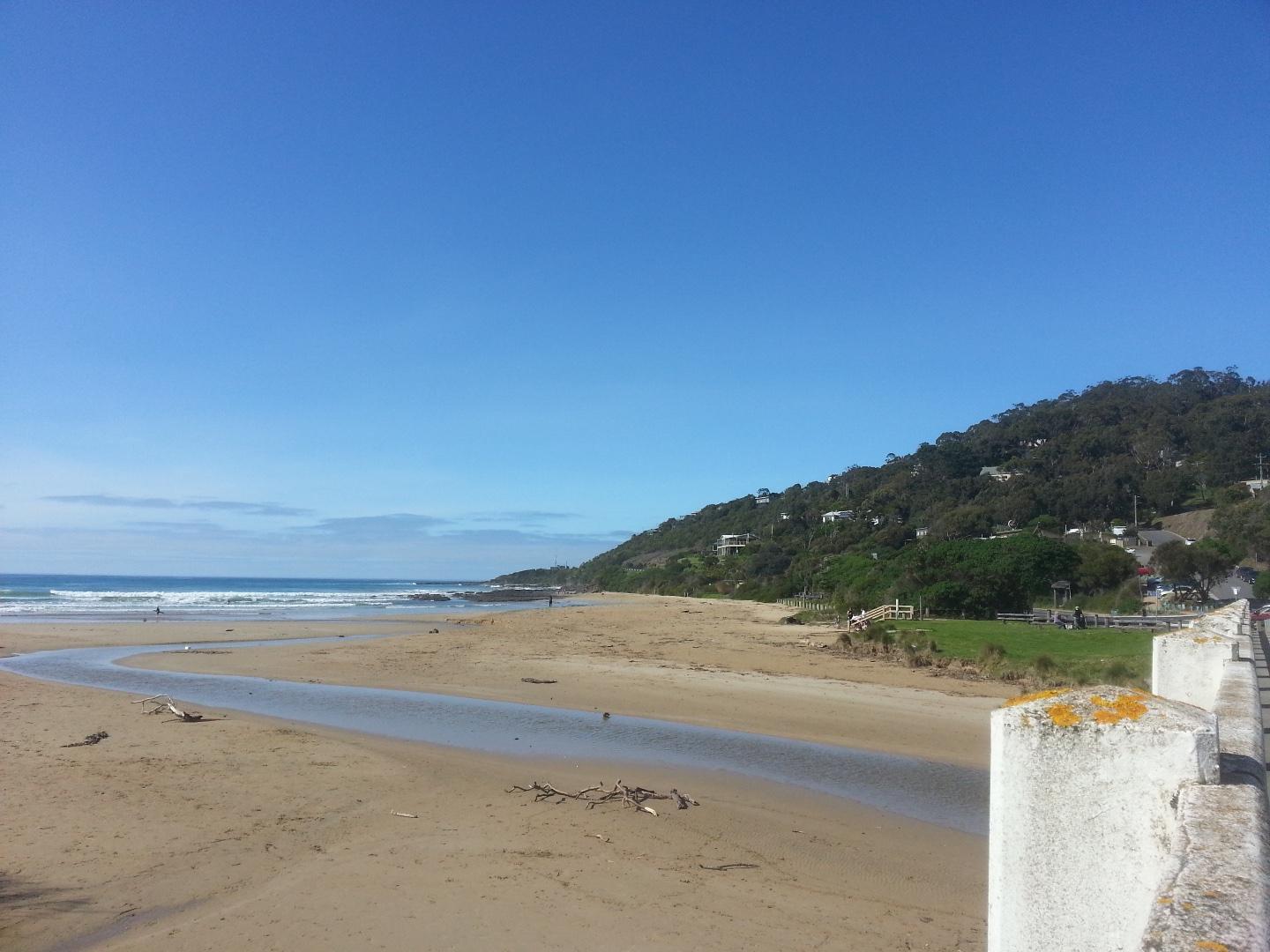
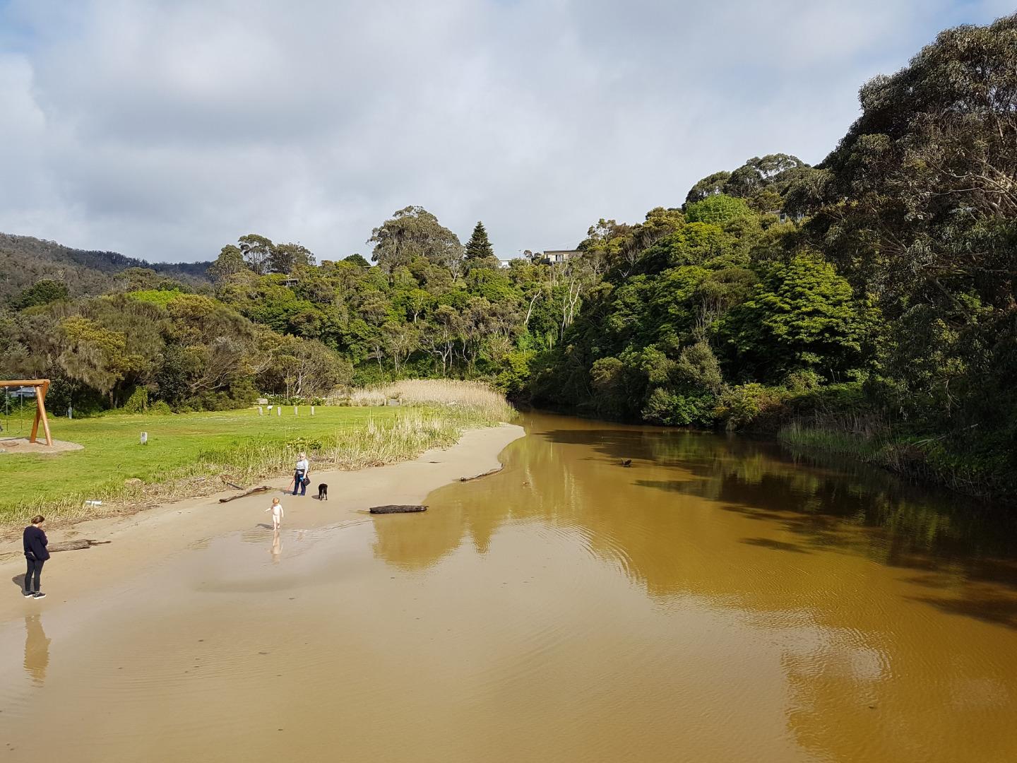
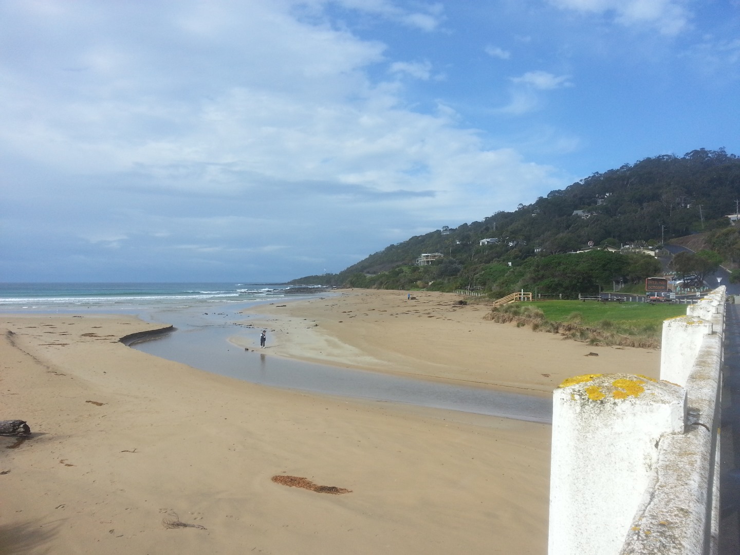
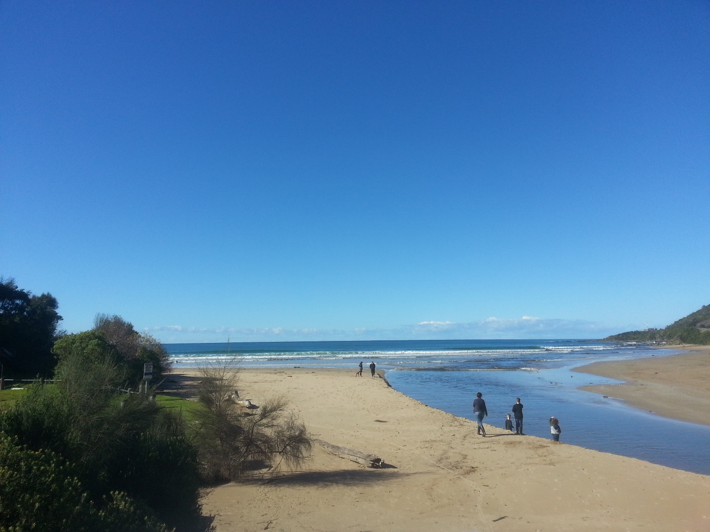
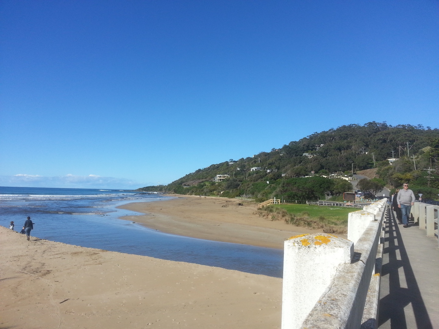
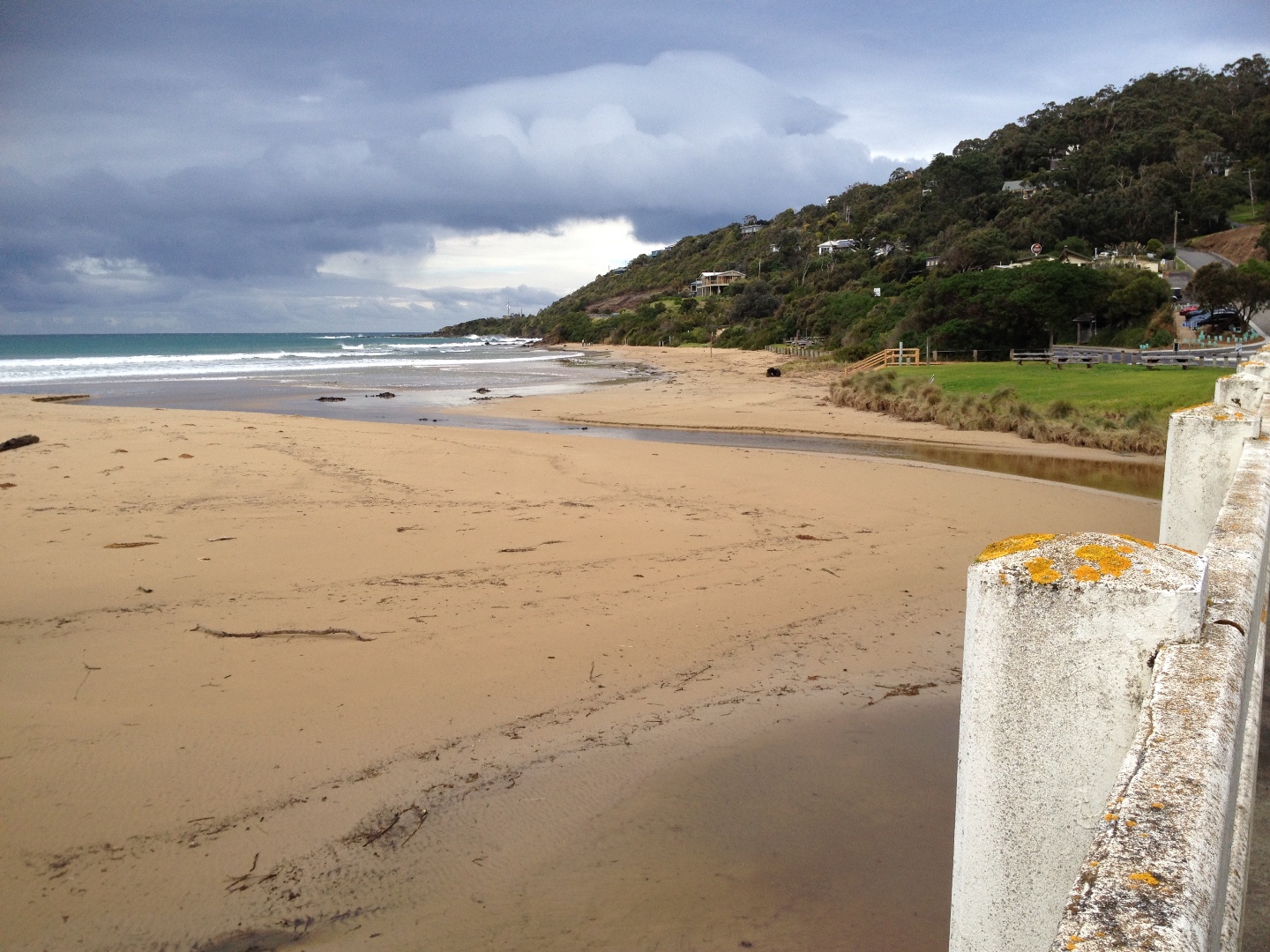
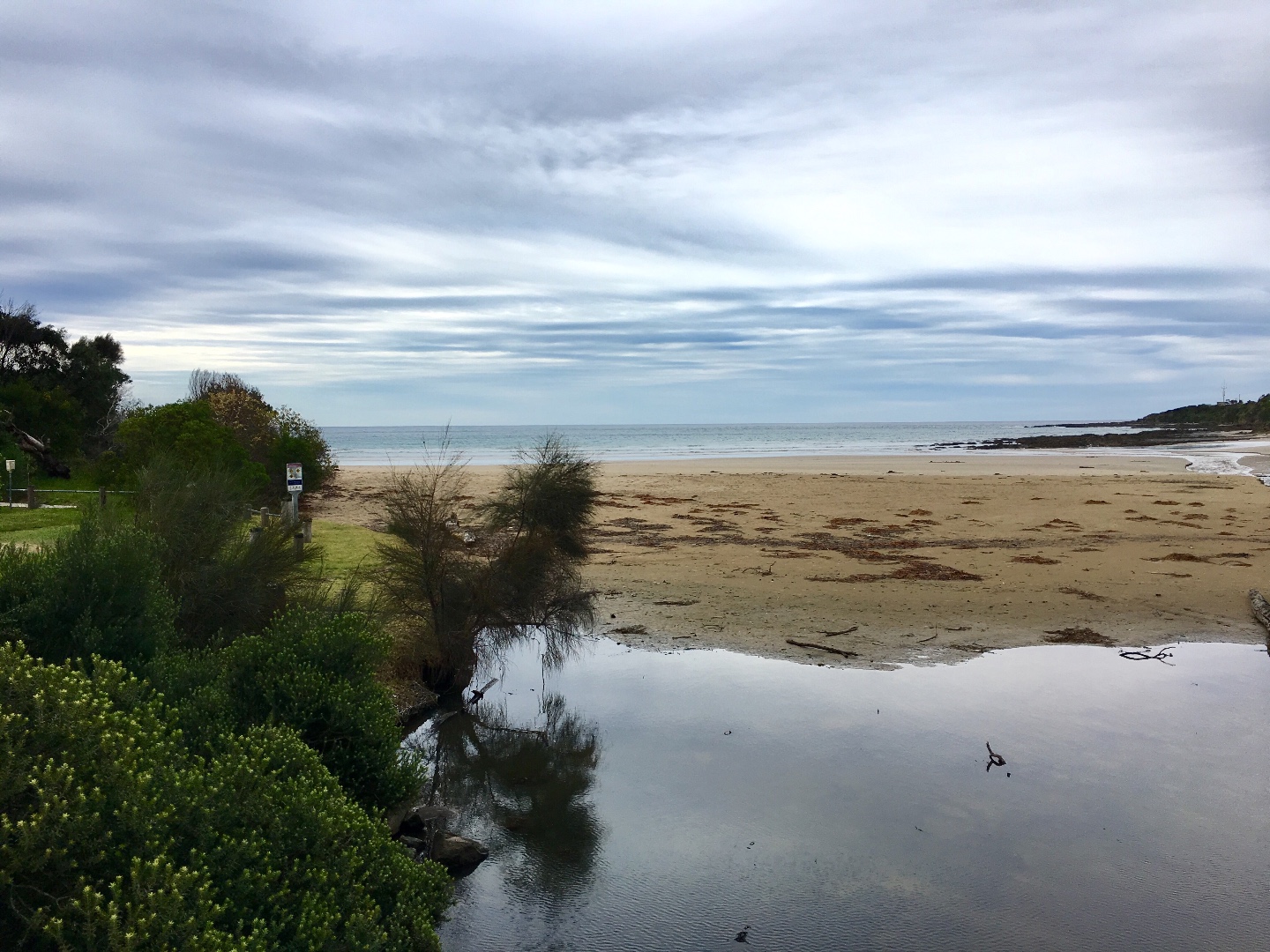
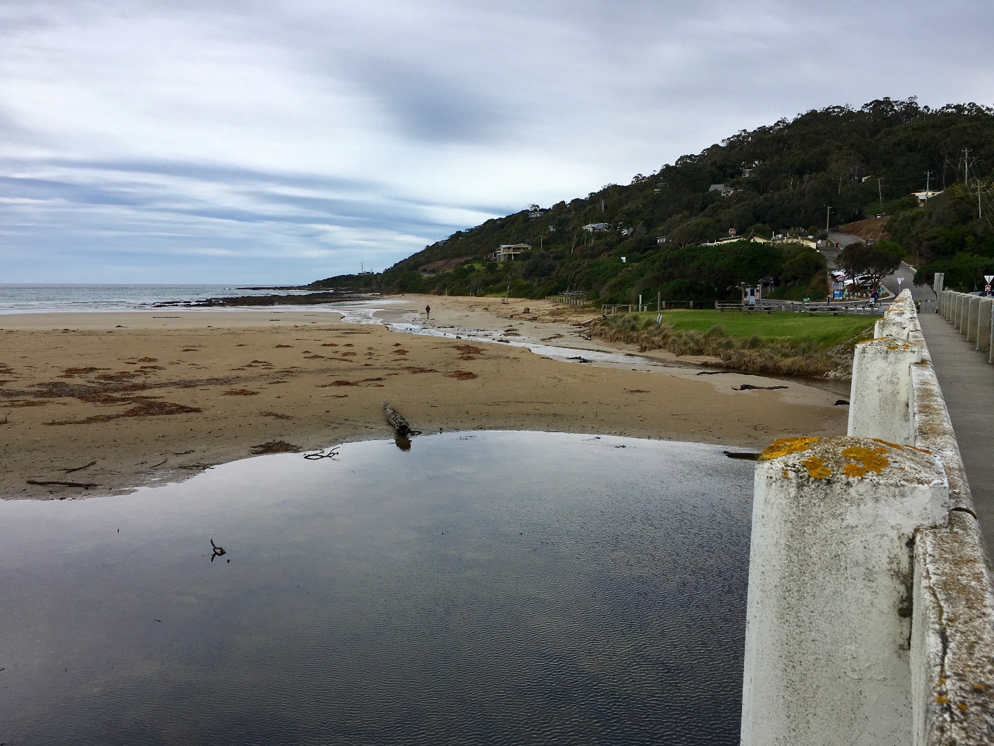
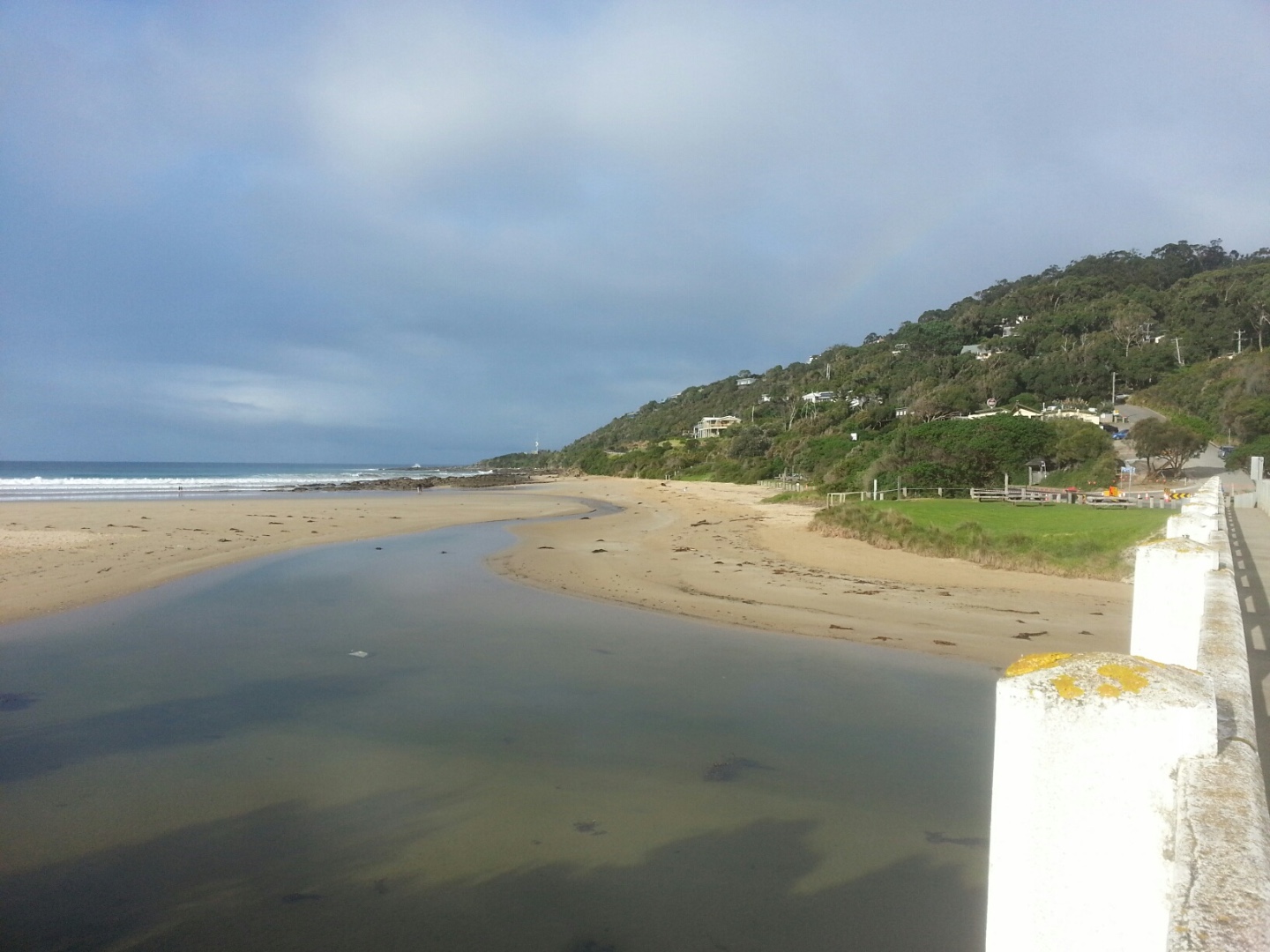
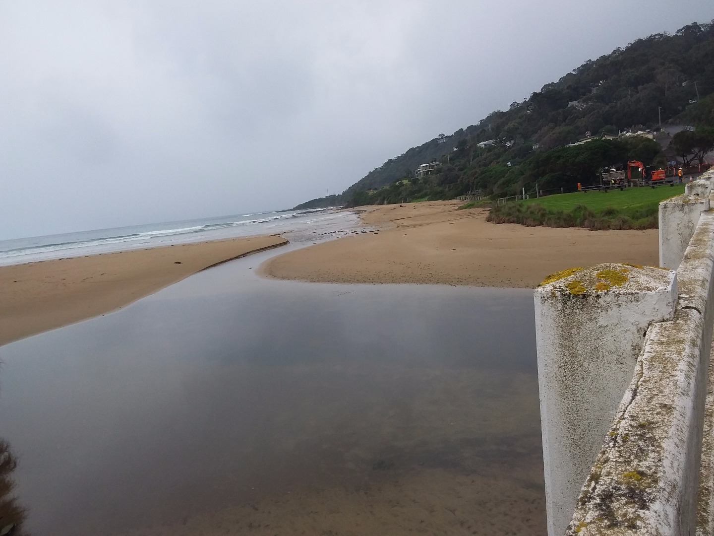
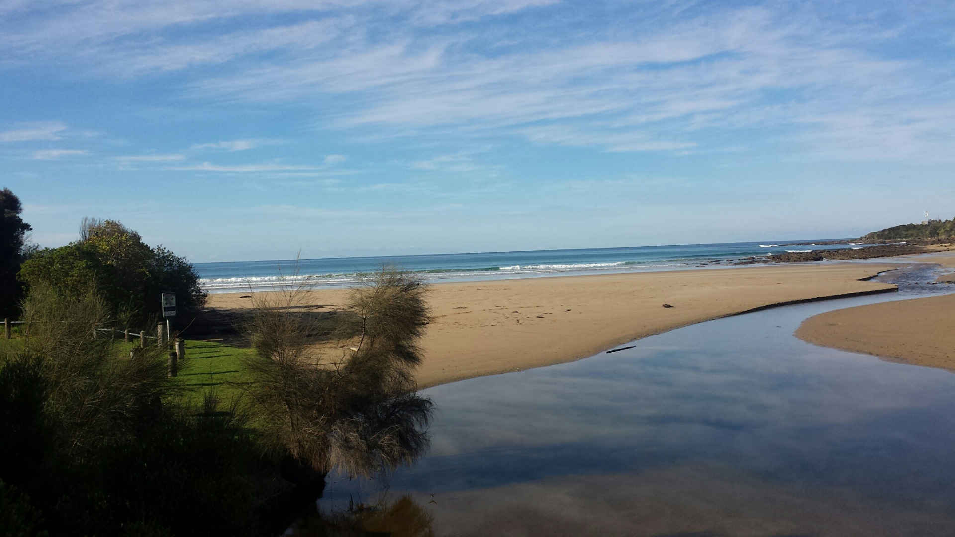
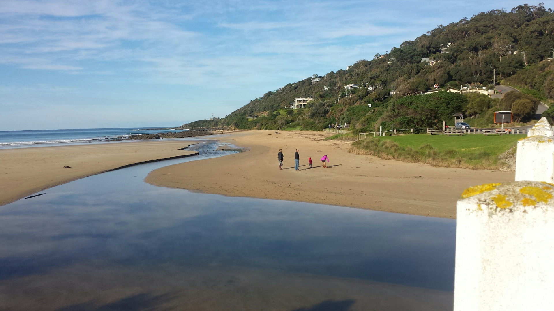
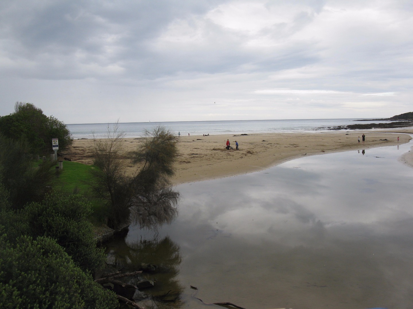
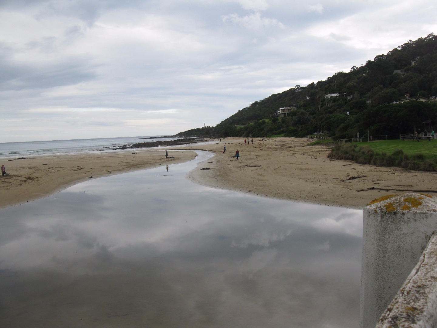
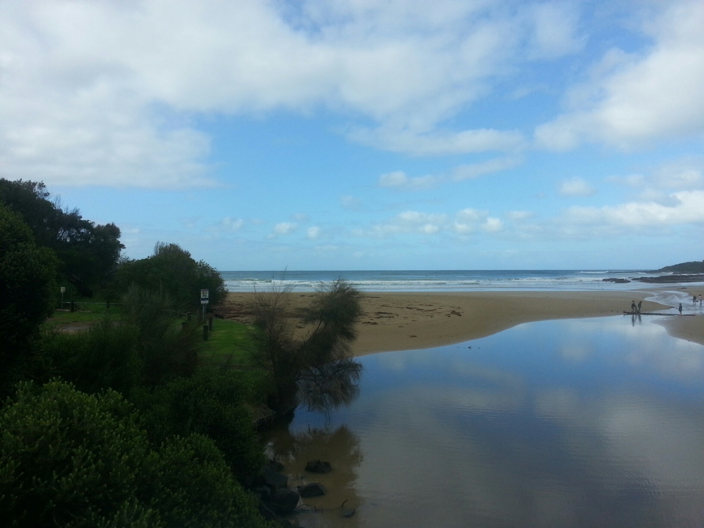
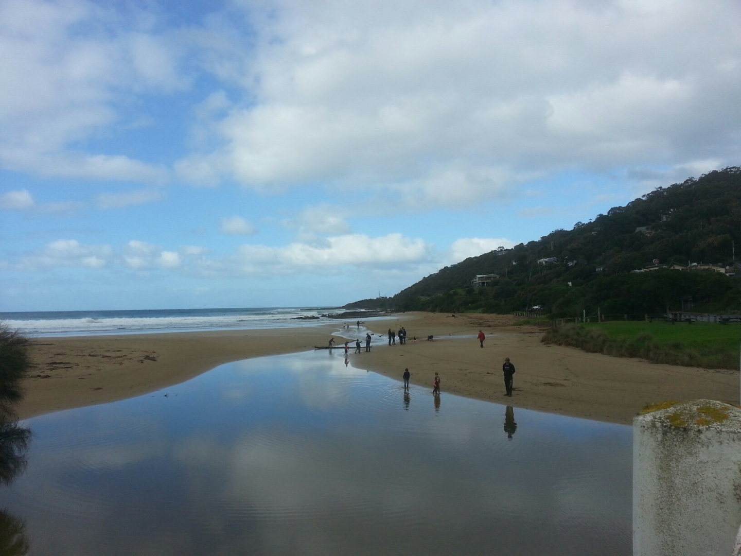
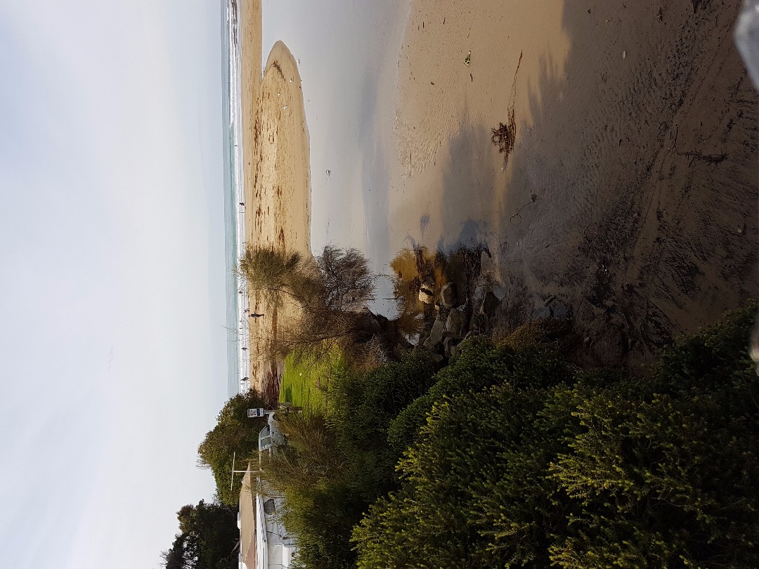
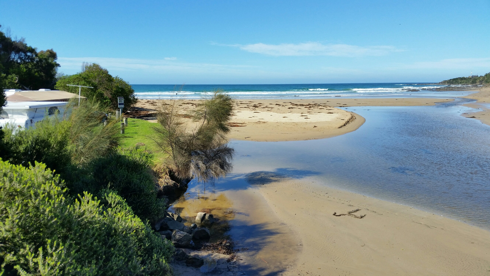
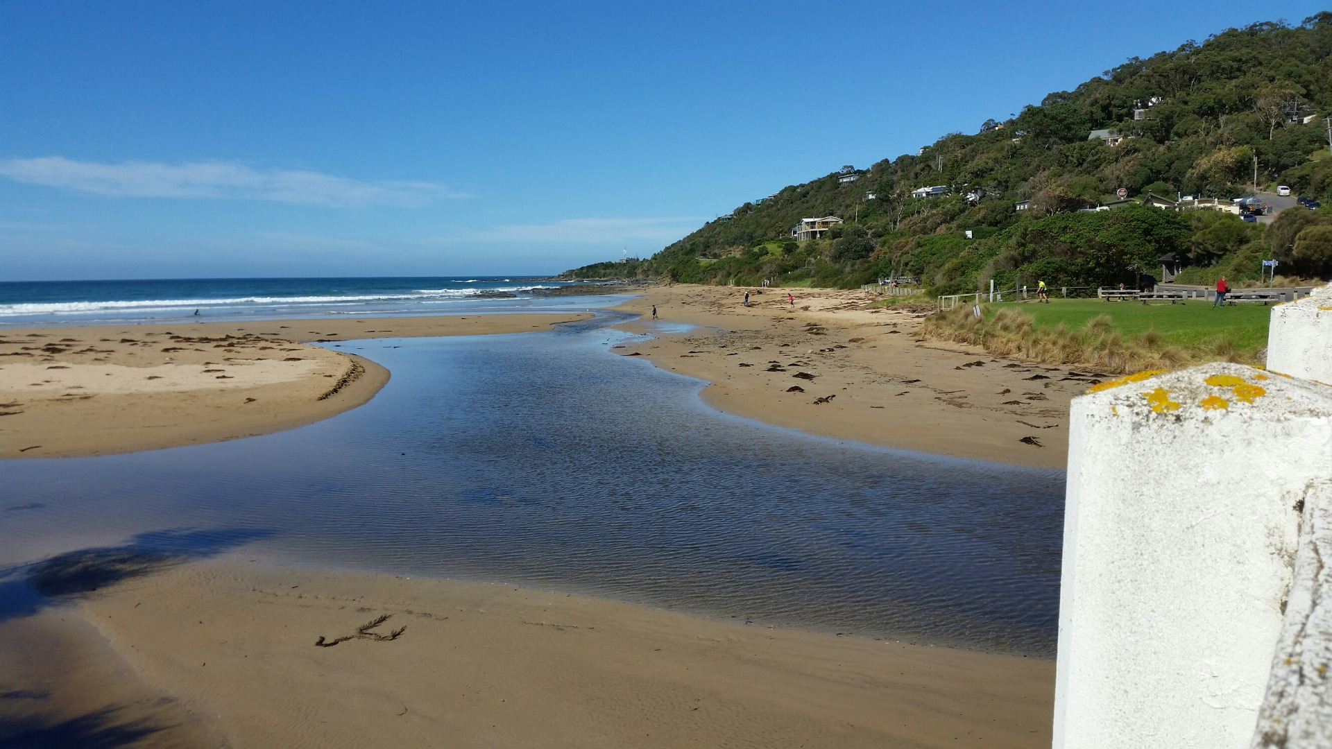
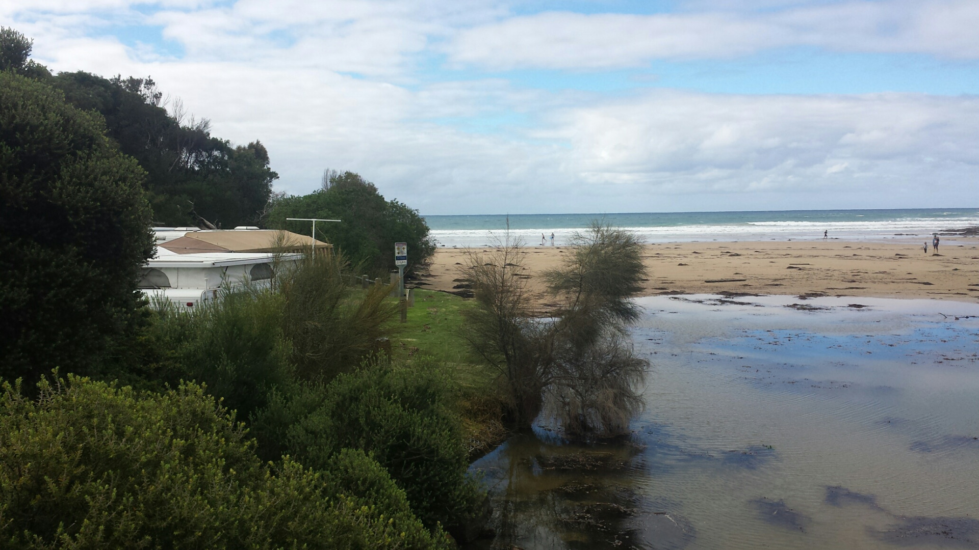
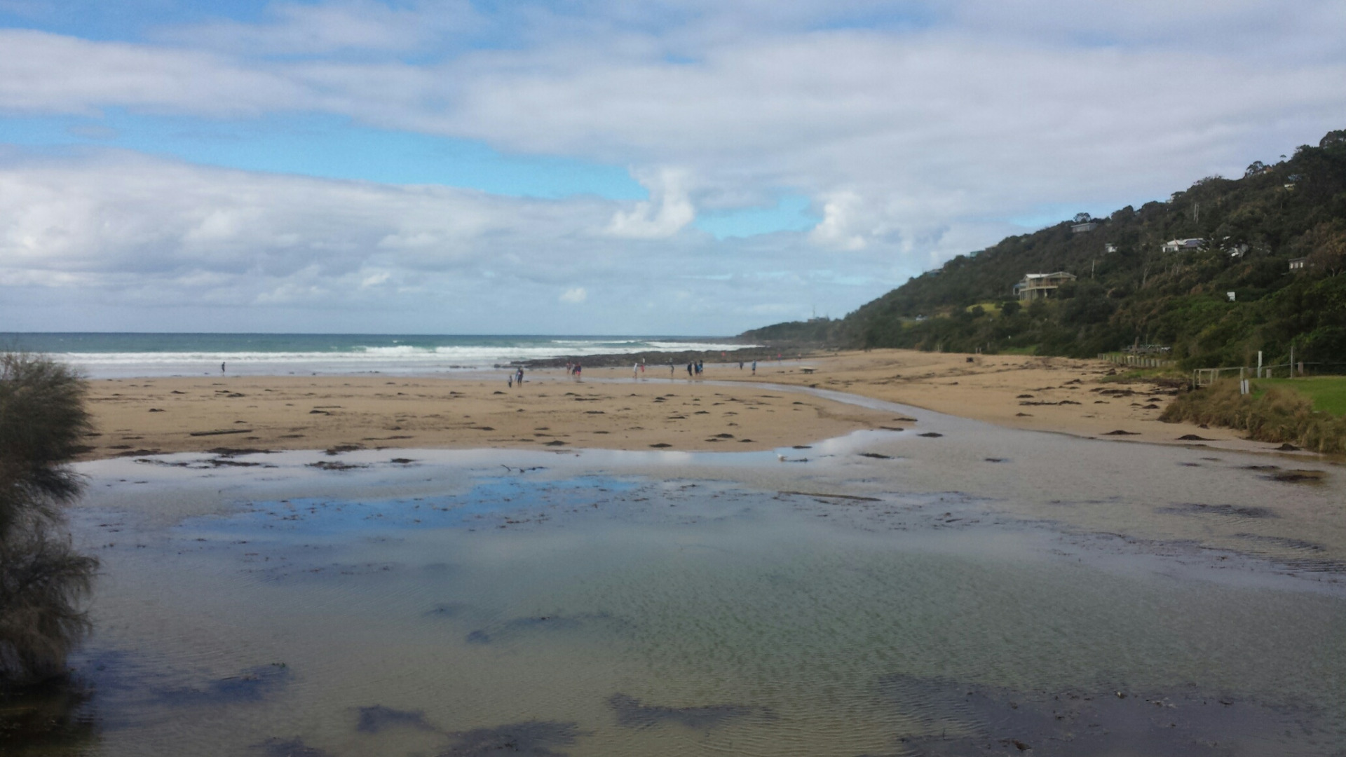
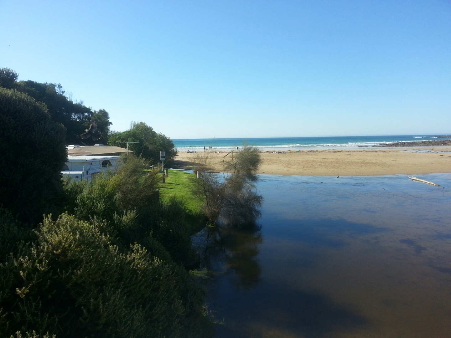
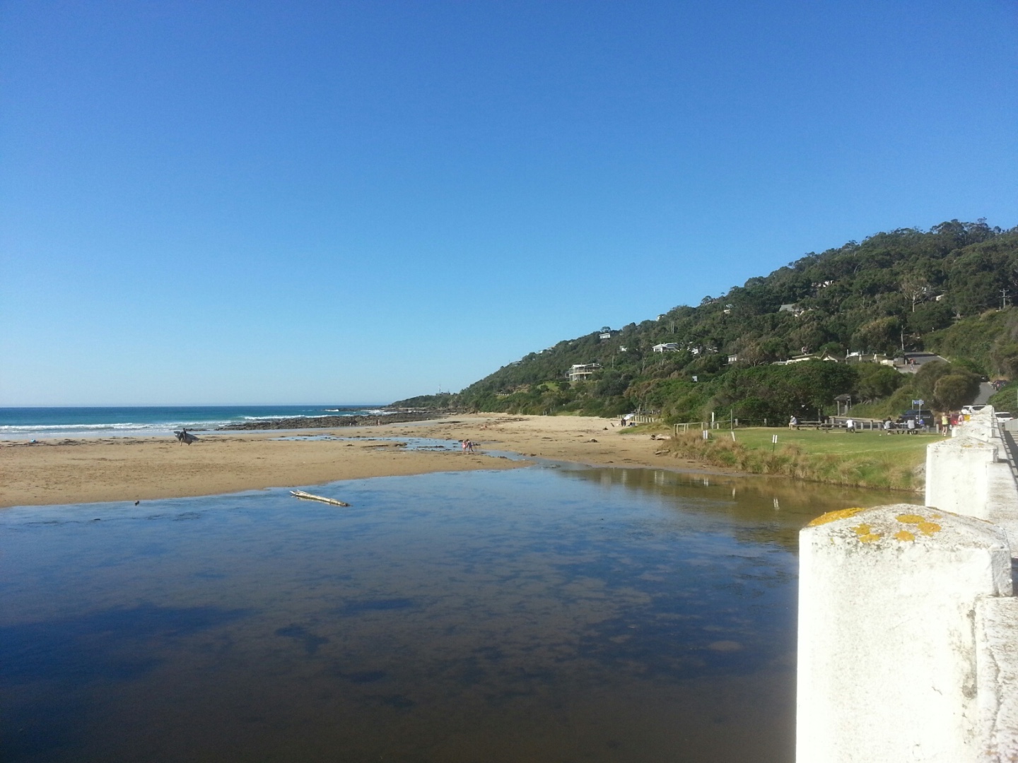
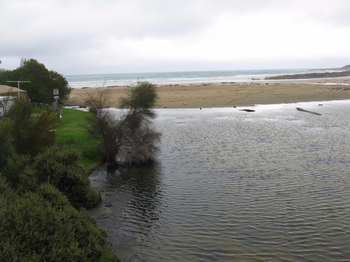
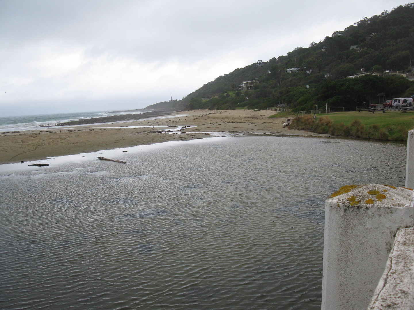
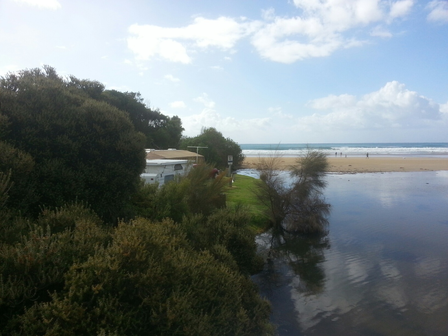
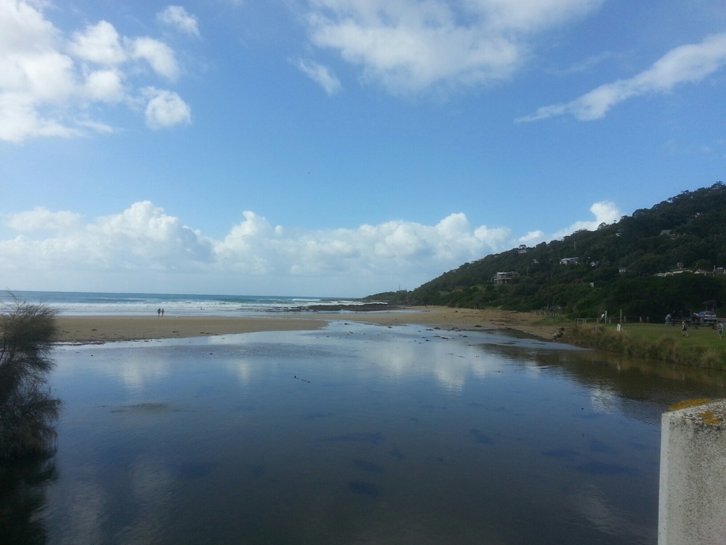
Active Mouth Condition 20-01-2007 - 21-04-2024Wye River Estuary
| ID | Date | Status | Details | |
|---|---|---|---|---|
| #11740 | 21 Jan 2018 | Approved | ||
| #11846 | 7 Jan 2018 | Approved | ||
| #11675 | 17 Dec 2017 | Approved | ||
| #11621 | 3 Dec 2017 | Approved |
Notes:
- even though the river is flowing fast out to sea the tide is coming in creating waves running up the river. -'Beach' under bridge and inland from bridge is becoming more established. |
|
| #11706 | 19 Nov 2017 | Approved |
Notes:
|
|
| #11570 | 5 Nov 2017 | Approved |
Notes:
Algae growing in the floor of the river near the fishing Platform - see photos |
|
| #11513 | 15 Oct 2017 | Approved |
Notes:
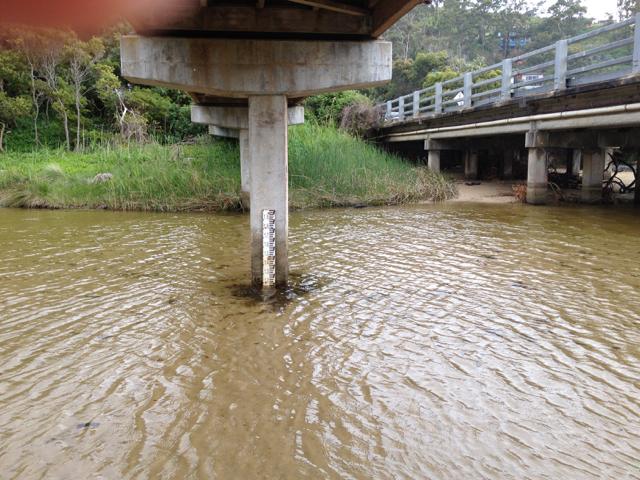
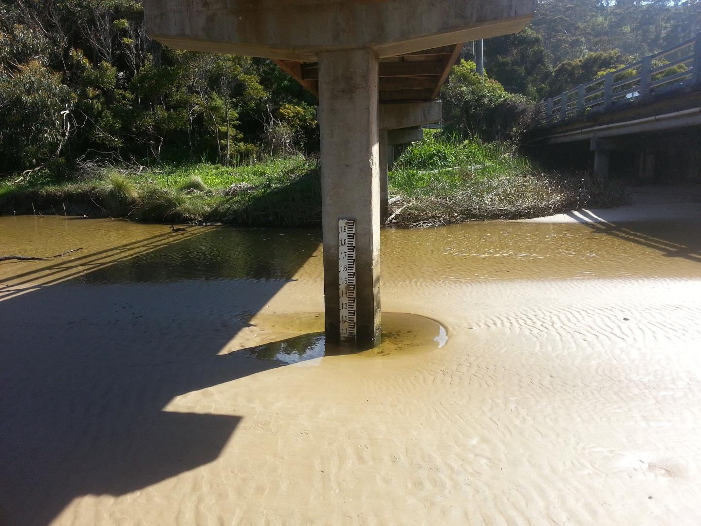
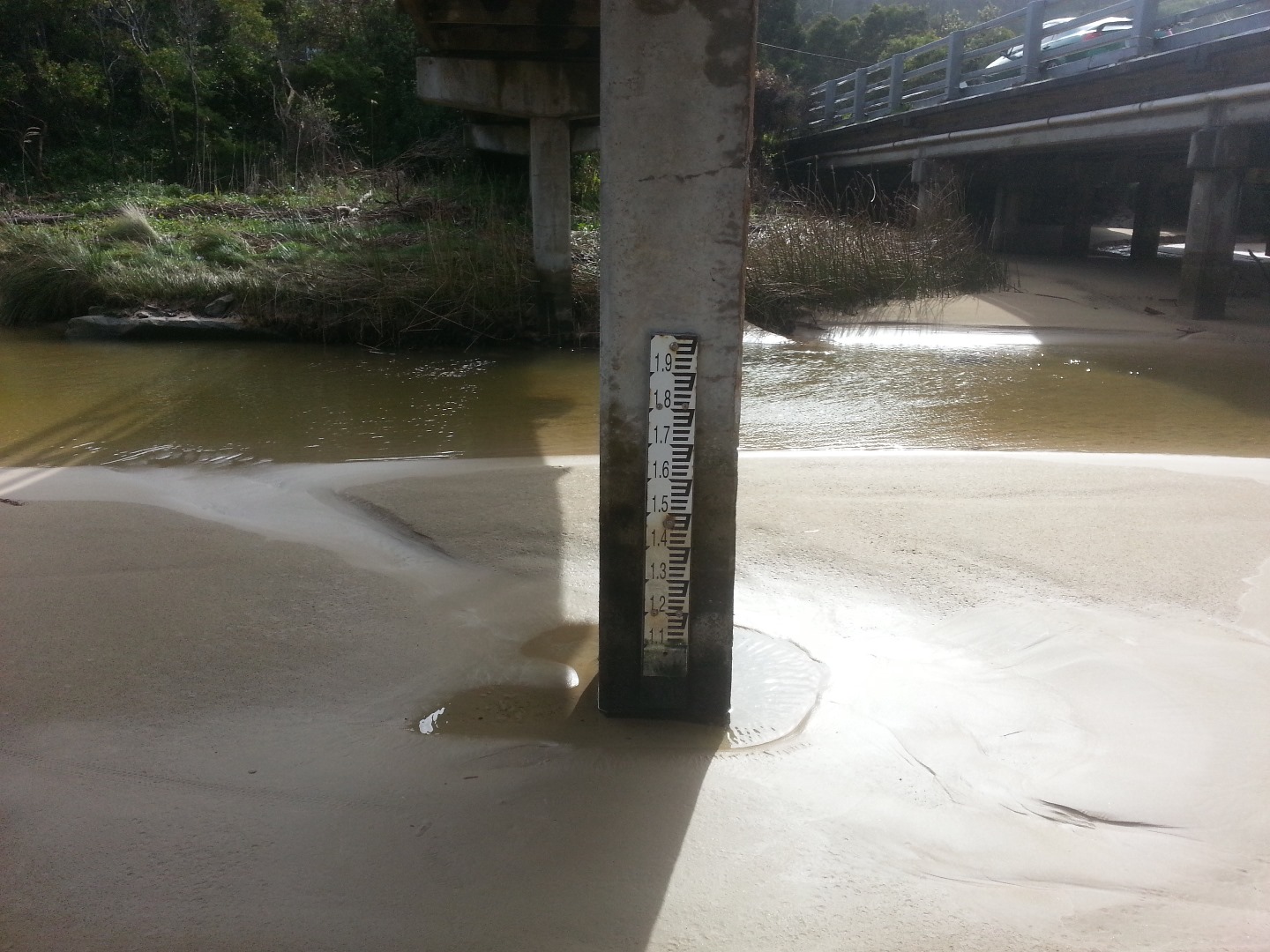
1. Water level - unable to measure as too low- photo taken for reference. 2. Sand bank visible around water level measure - photo for reference taken from the Wye River bridge. |
|
| #11511 | 1 Oct 2017 | Approved |
Notes:
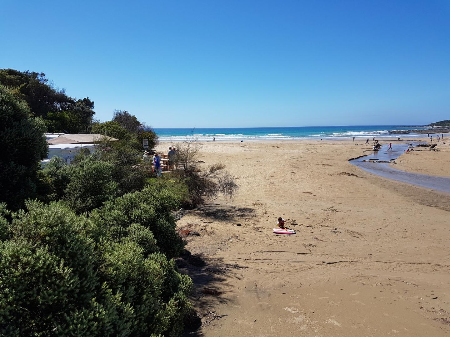
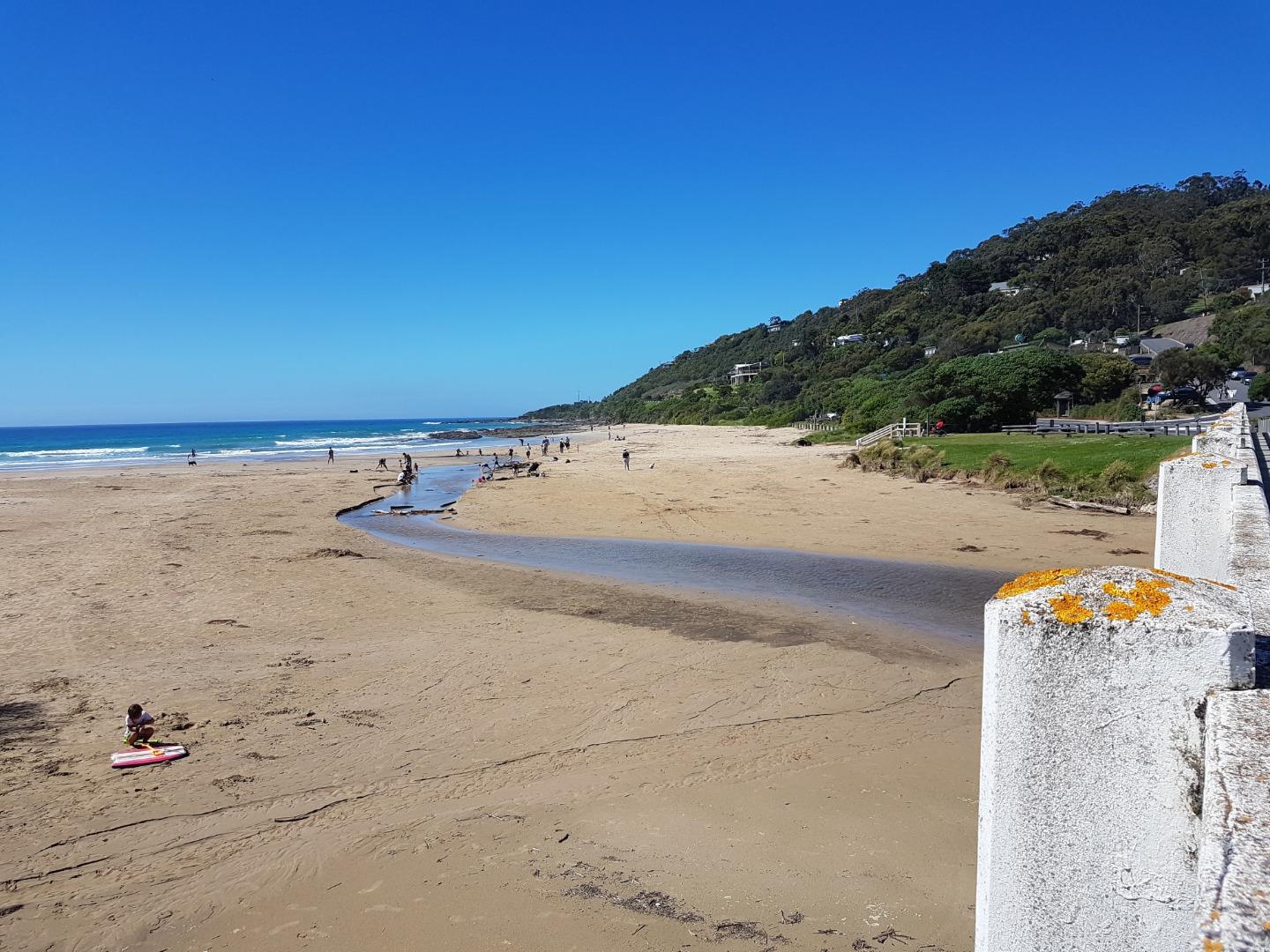
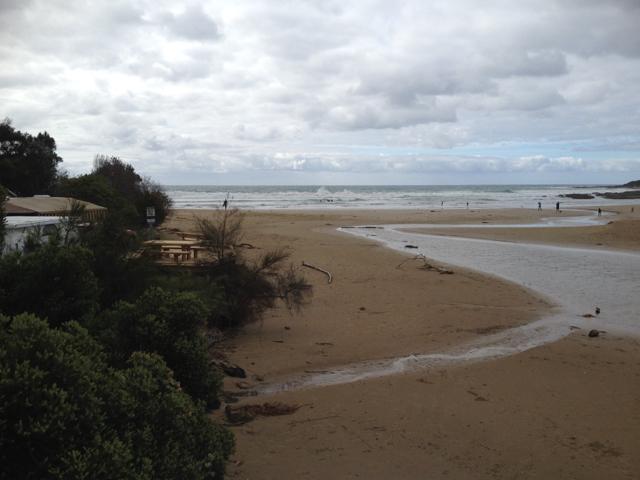
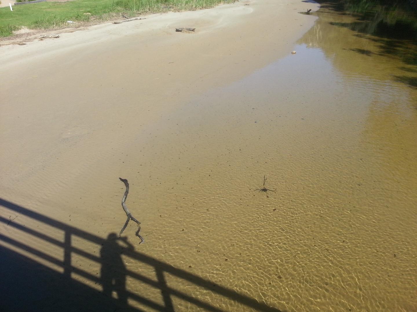
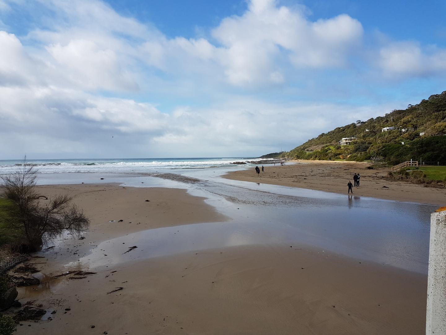
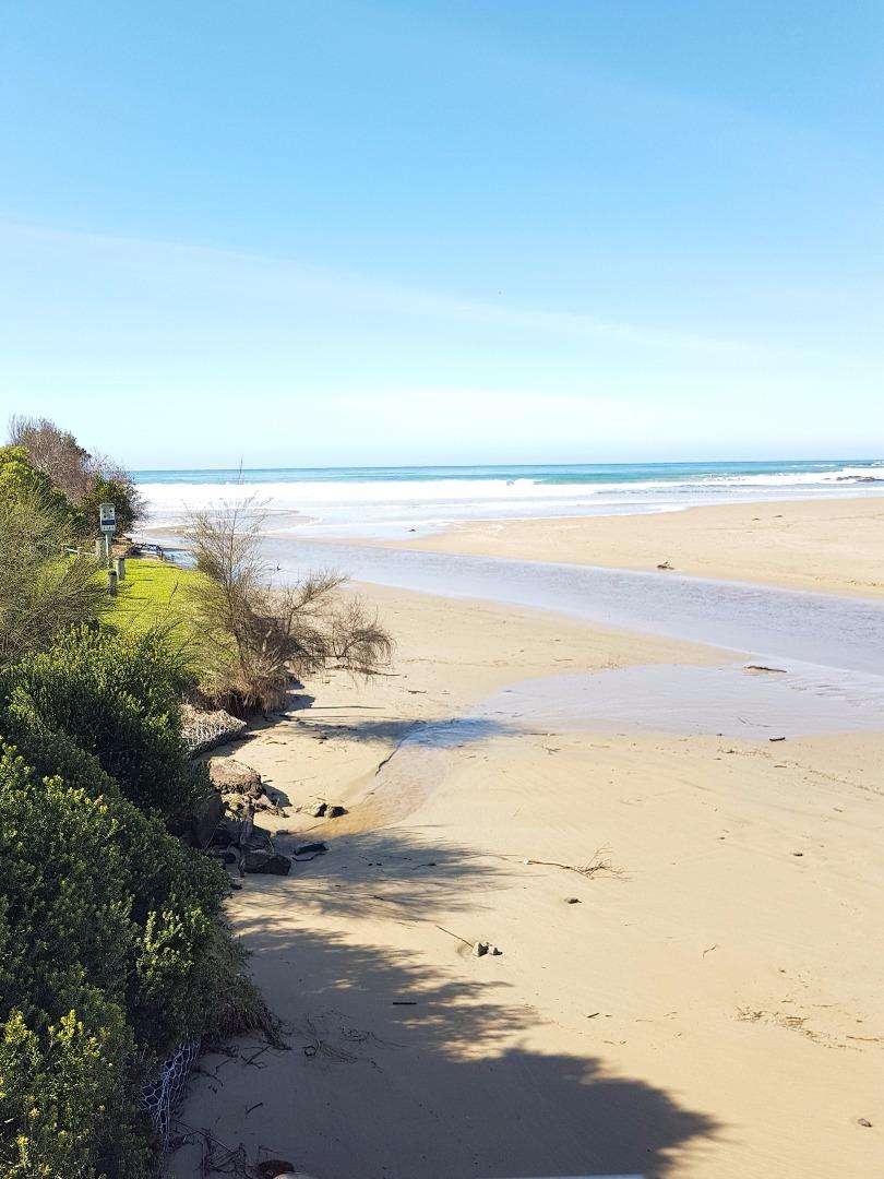
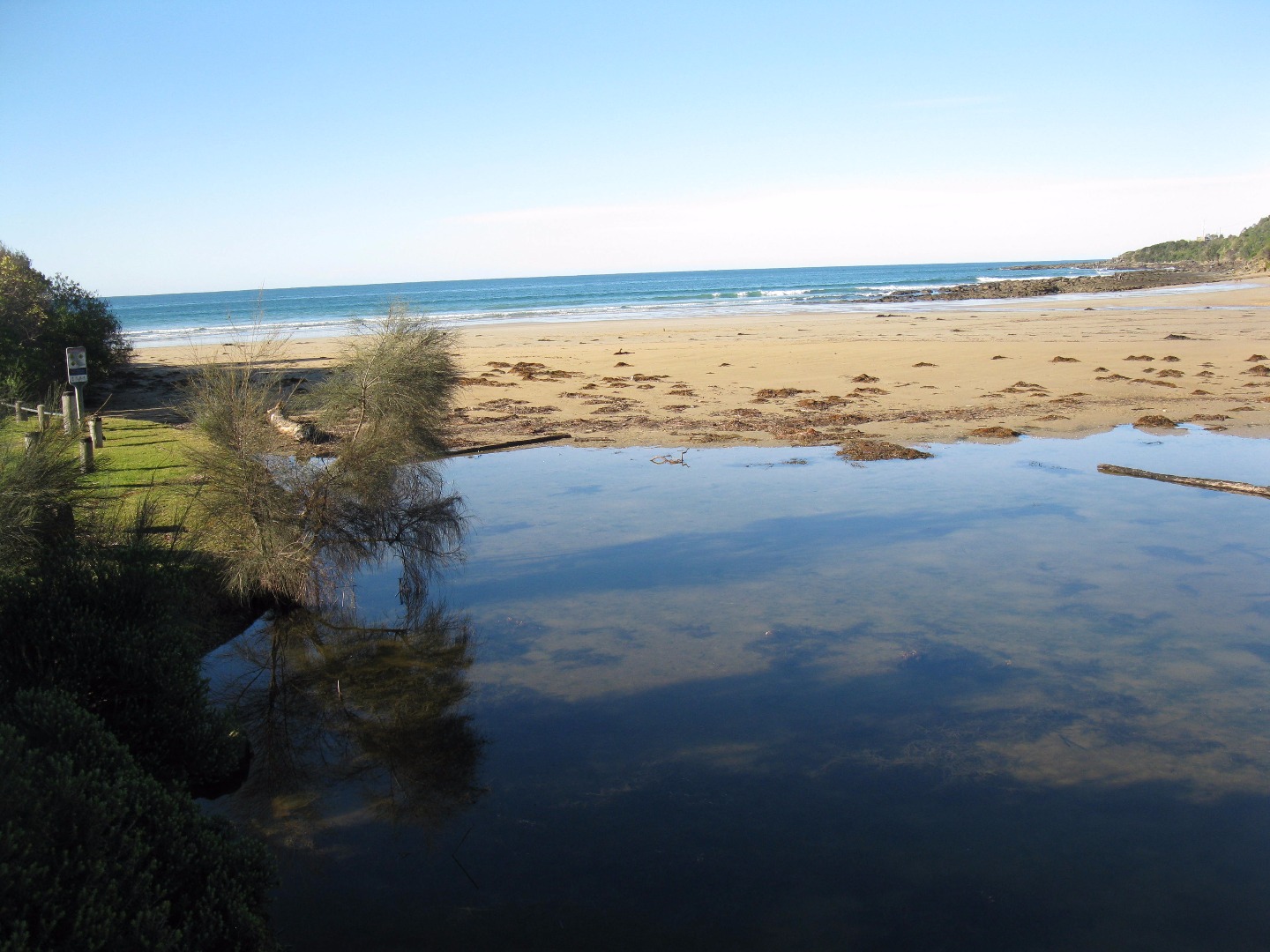
The whole river bed upstream of the bridge is now covered with sand - we have a new beach (see attached photo). A lot of sand lost in front of the campsite and river flowing straight out to sea. |
|
| #11477 | 17 Sep 2017 | Approved | ||
| #11423 | 3 Sep 2017 | Approved |
Notes:
The river channel has narrowed and the depth gauge is in sand, thus no water height can be recorded. See photo. Dolphins sighted close to the shore at 10.05am. |
|
| #11396 | 20 Aug 2017 | Approved |
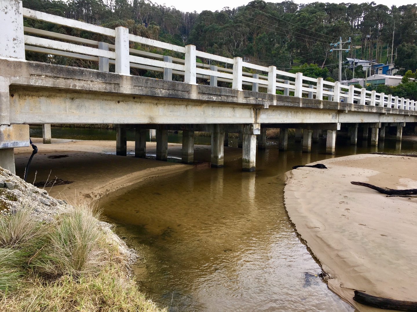
Notes:
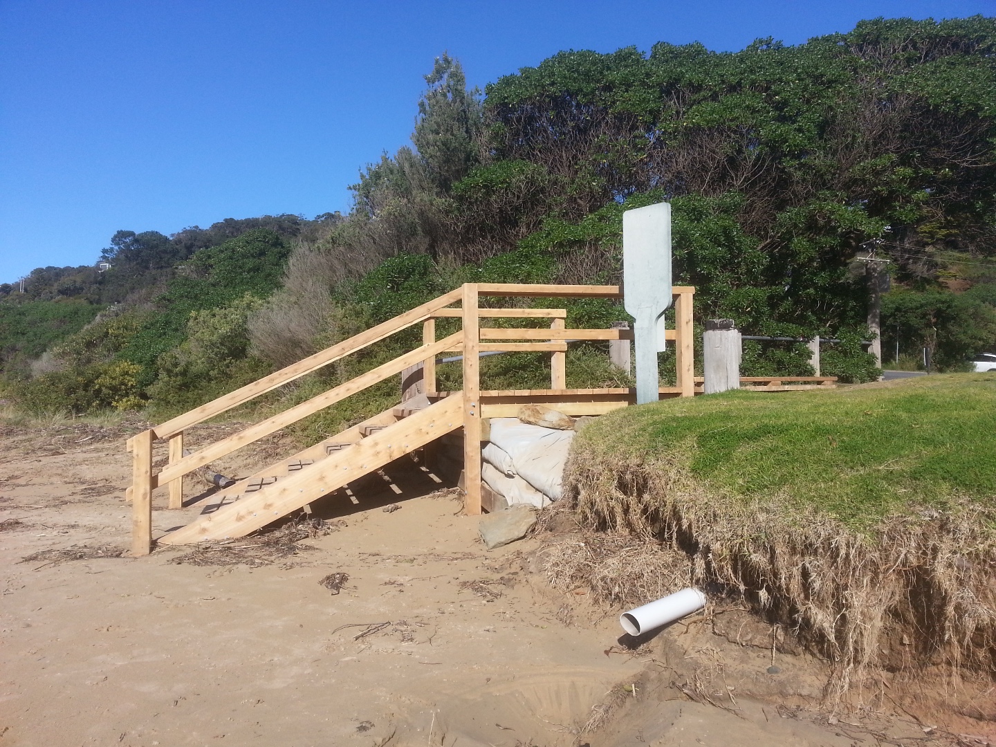
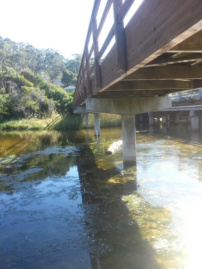
Depth gauge not in river due to change in river course-river narrow at gauge, see photo. Storm water drain flowing from caravan park, see photo. Beach access steps - new construction and drain, see photo. |
|
| #11374 | 6 Aug 2017 | Approved | ||
| #11354 | 16 Jul 2017 | Approved |
Notes:
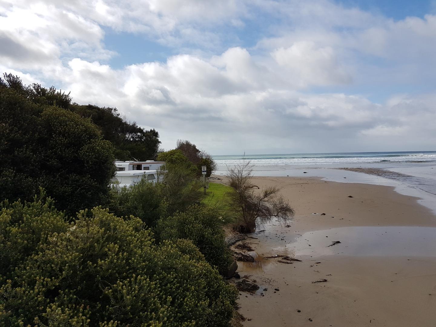
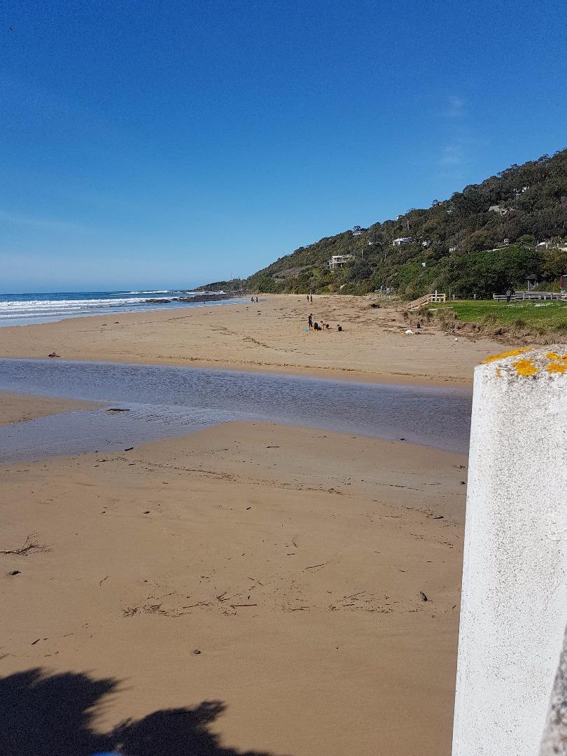
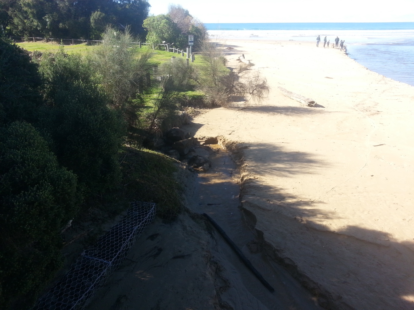
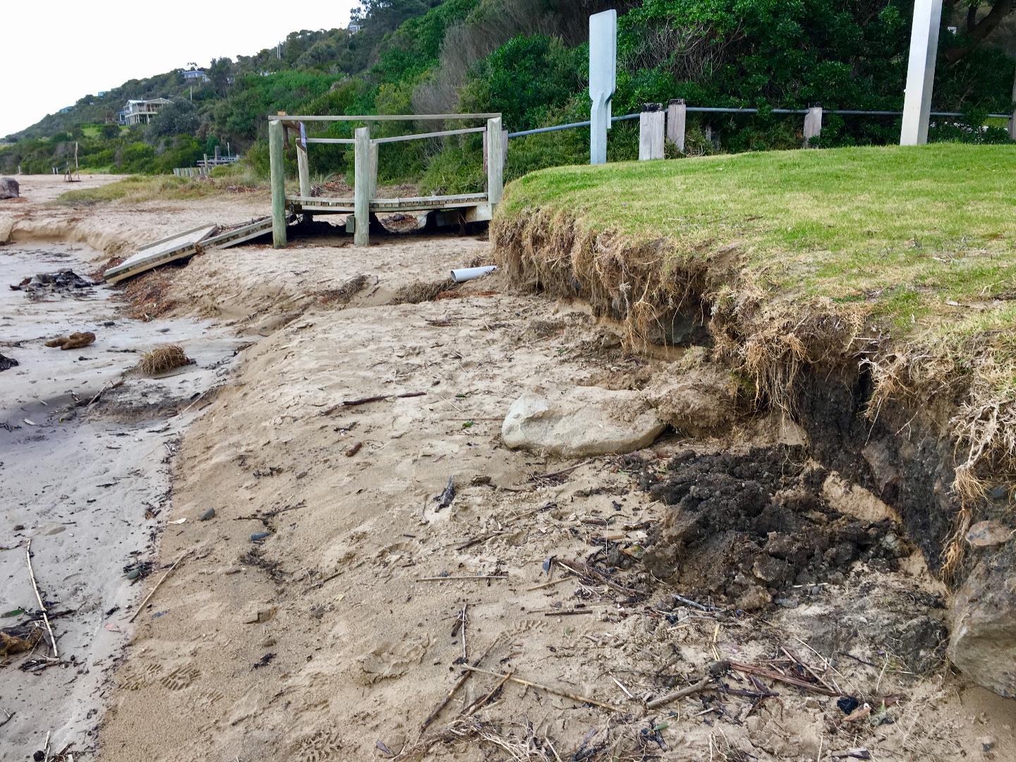
Wind gusty and chill factor high, FREEZING! The ramp to the beach has been underscored by high tides and big swells a few weeks ago. The grass edge at beach continues to erode. Strong growth of shrubs and trees on bank at foreshore camping ground side of river. River from sea side of bridge flowing in unusual shape. Flowing north-south or right to left before flowing out along a more usual path.
|
|
| #11313 | 2 Jul 2017 | Approved |
Notes:
Water level gauge was completely above the water level. |
|
| #11267 | 18 Jun 2017 | Approved | ||
| #11254 | 9 Jun 2017 | Approved | ||
| #11299 | 4 Jun 2017 | Approved |
Notes:
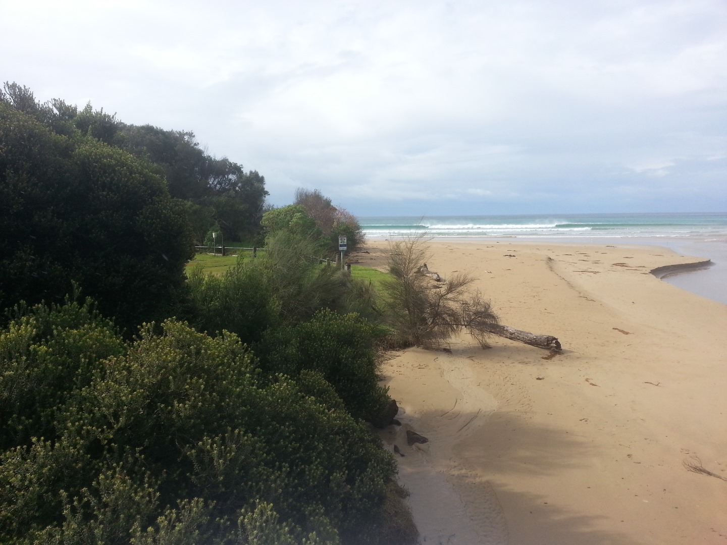
More erosion on the grassy bank, pipe sticking out again |
|
| #11196 | 21 May 2017 | Approved | ||
| #11138 | 7 May 2017 | Approved |
Notes:
Photos were taken later due to frequent showers. |
|
| #11117 | 16 Apr 2017 | Approved |
Notes:
assisted by CL, HL, AC |
|
| #11082 | 13 Apr 2017 | Approved | ||
| #11083 | 2 Apr 2017 | Approved |
Notes:
Estuary has undergone significant change in last 2 weeks following heavy rain and very high tides |
|
| #10946 | 19 Mar 2017 | Approved |
Notes:
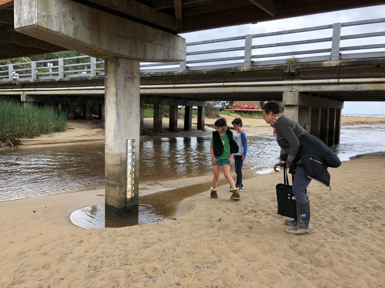
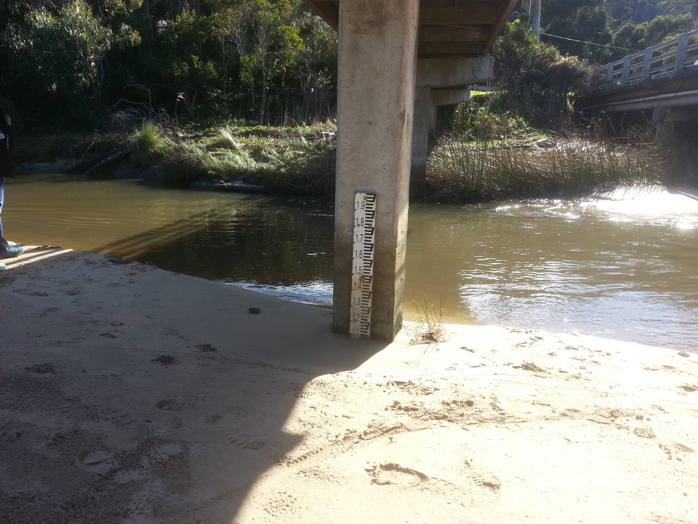
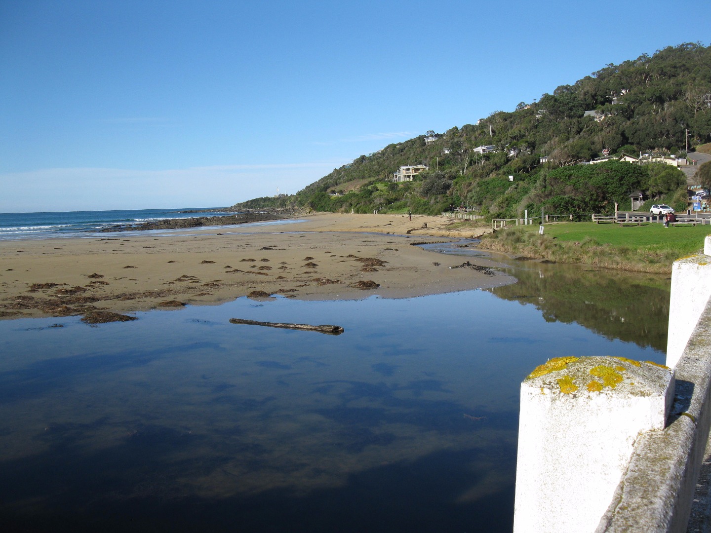
River between bridge and sea like a large very still lagoon with lots of algae - 2 schools of little fish observed. Photo taken of water level marker under the bridge- the measurements are very difficult to read- suggest the numbers could be marked in another colour and the line extended right across the post. |
|
| #10901 | 5 Mar 2017 | Approved | ||
| #10820 | 19 Feb 2017 | Approved |
Notes:
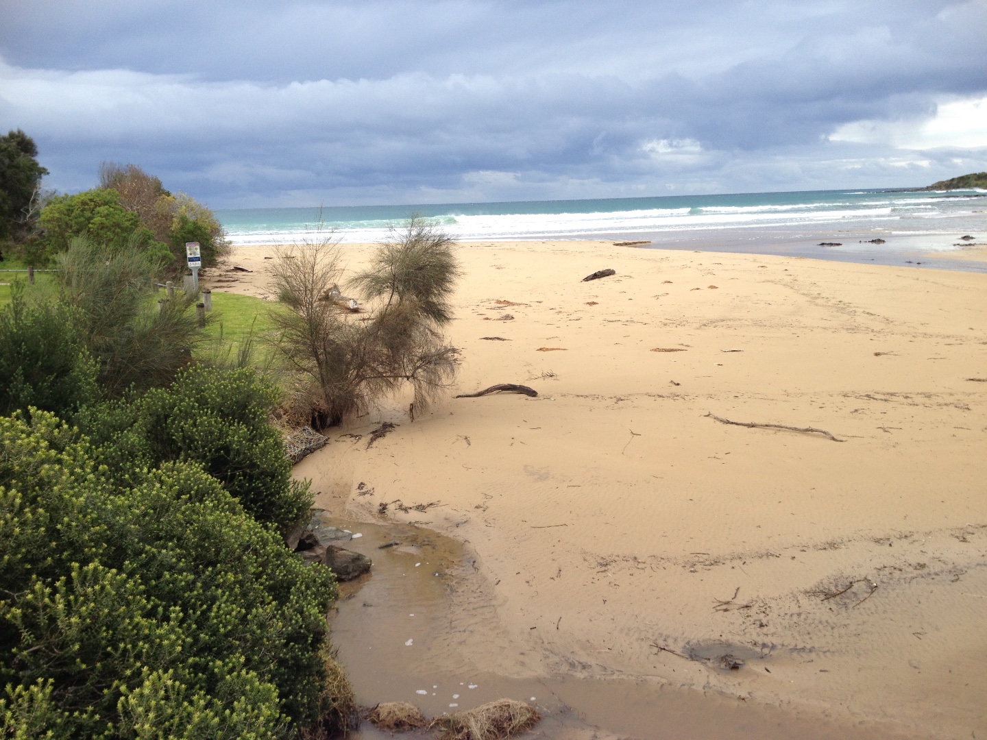
The increased growth of the tree on the river bank dominates the Wyp1 Photopoint site. |
|


All content, files, data and images provided by the EstuaryWatch Data Portal and Gallery are subject to a Creative Commons Attribution License
Content is made available to be used in any way, and should always attribute EstuaryWatch and www.estuarywatch.org.au