EstuaryWatch Data Portal
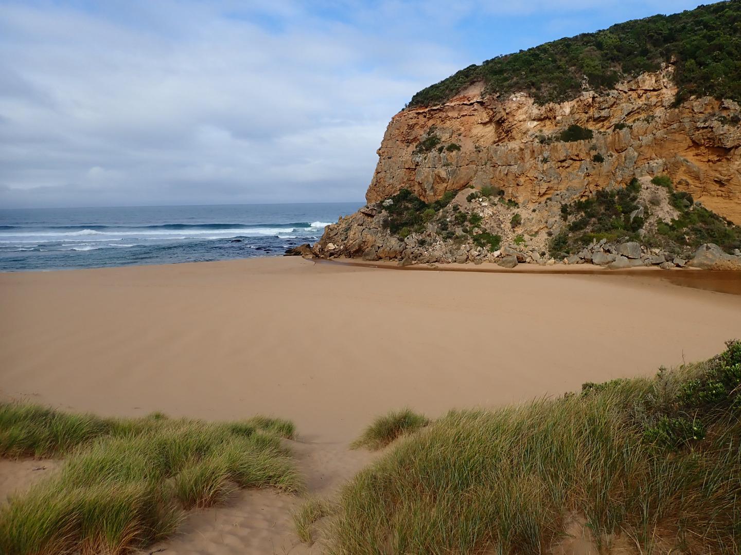
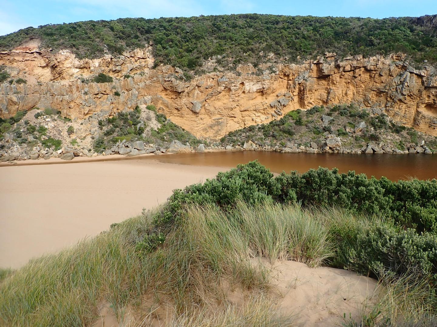
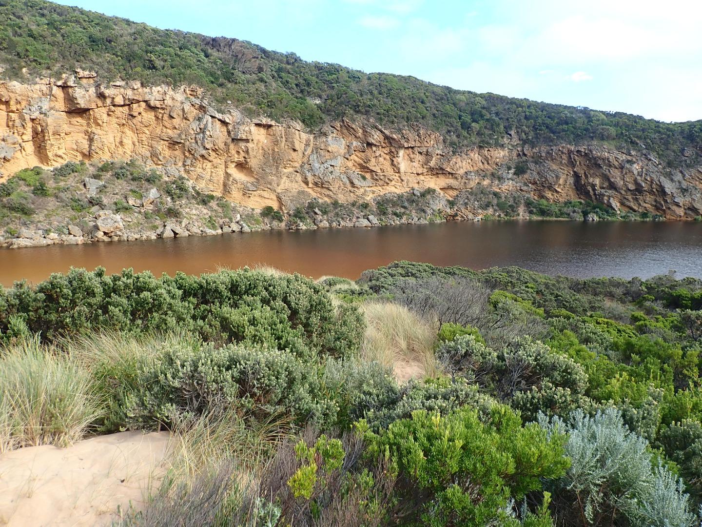
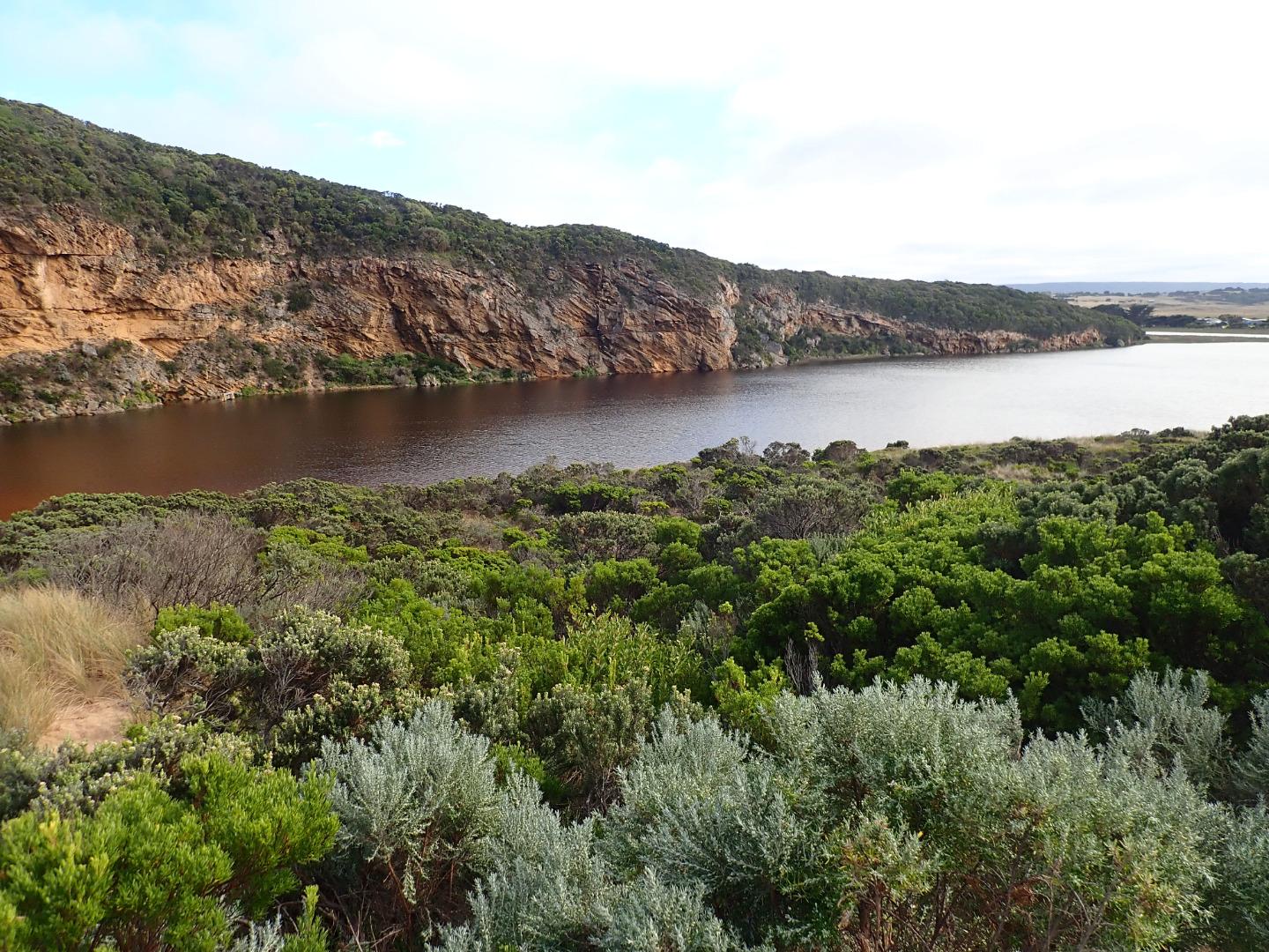
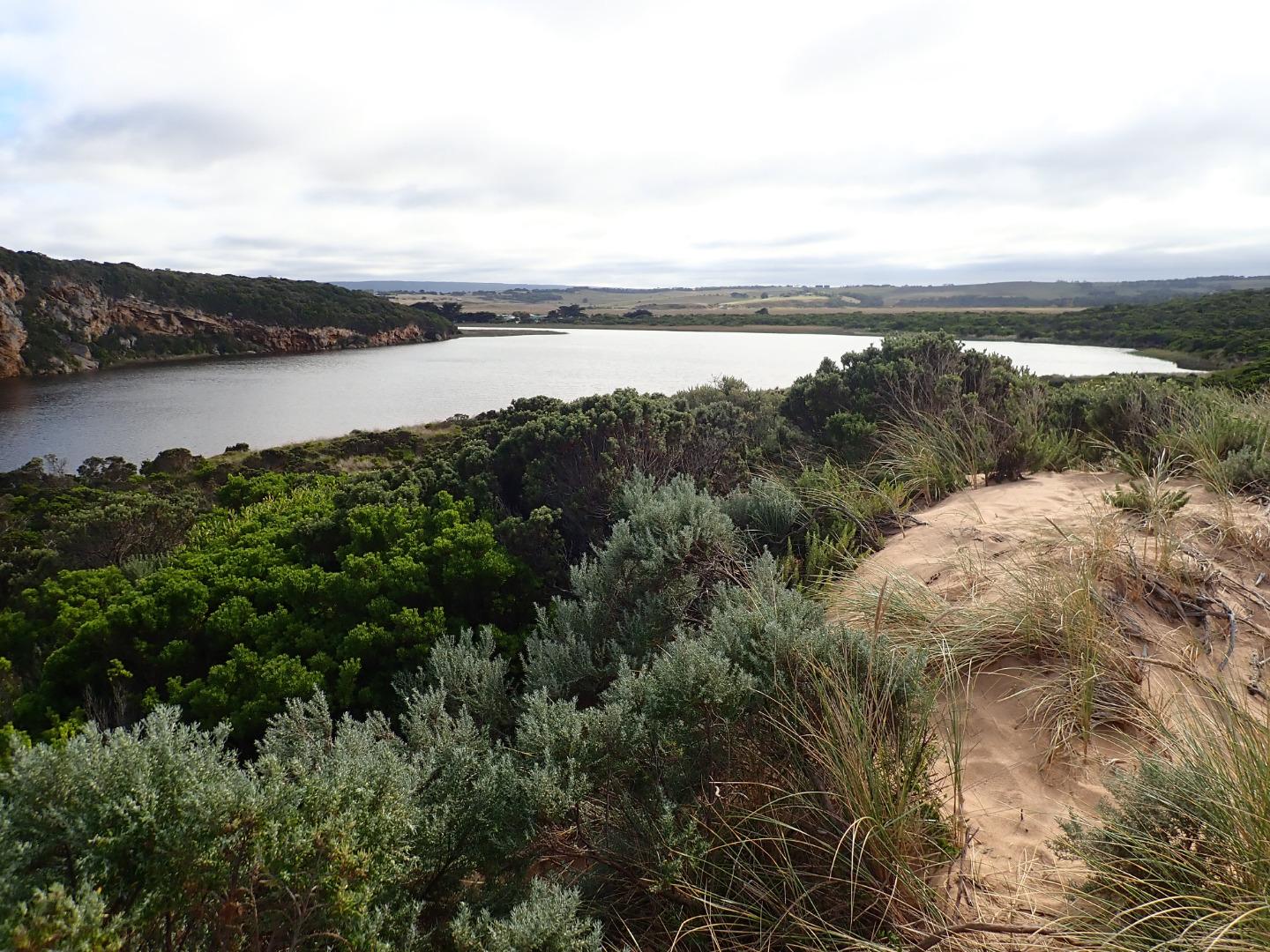
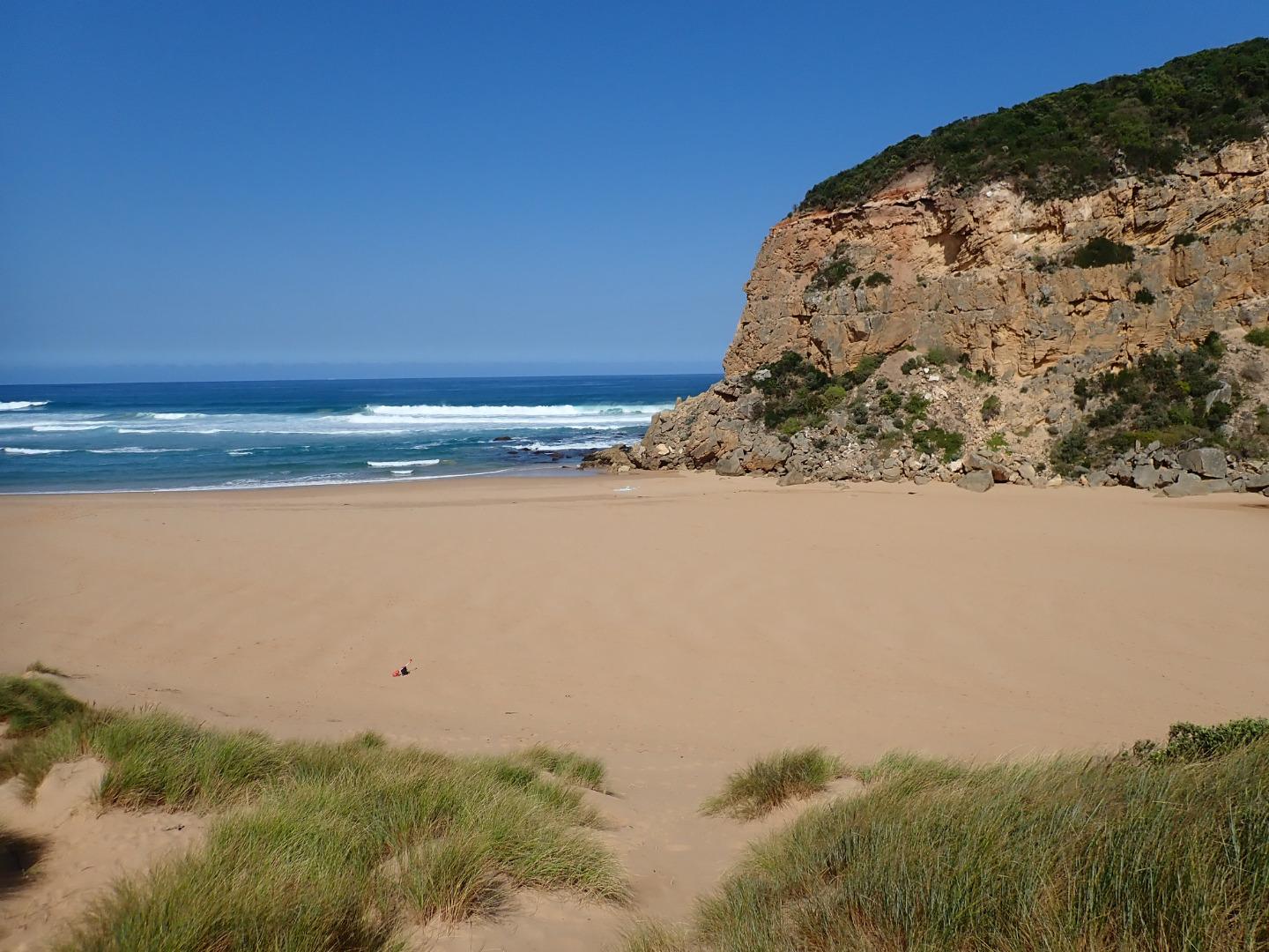
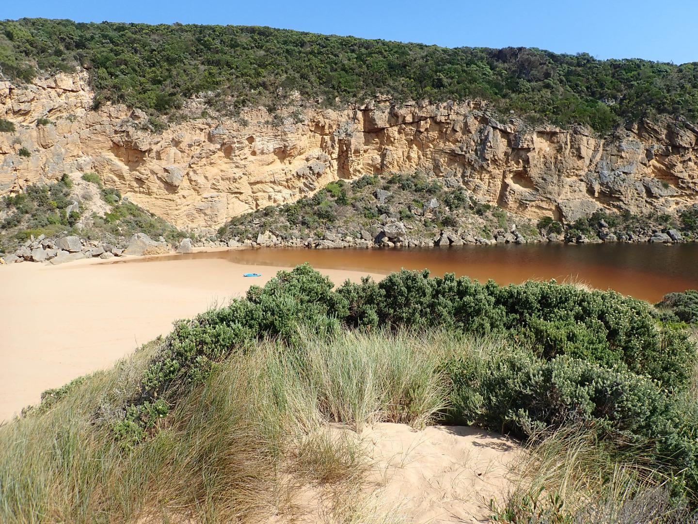
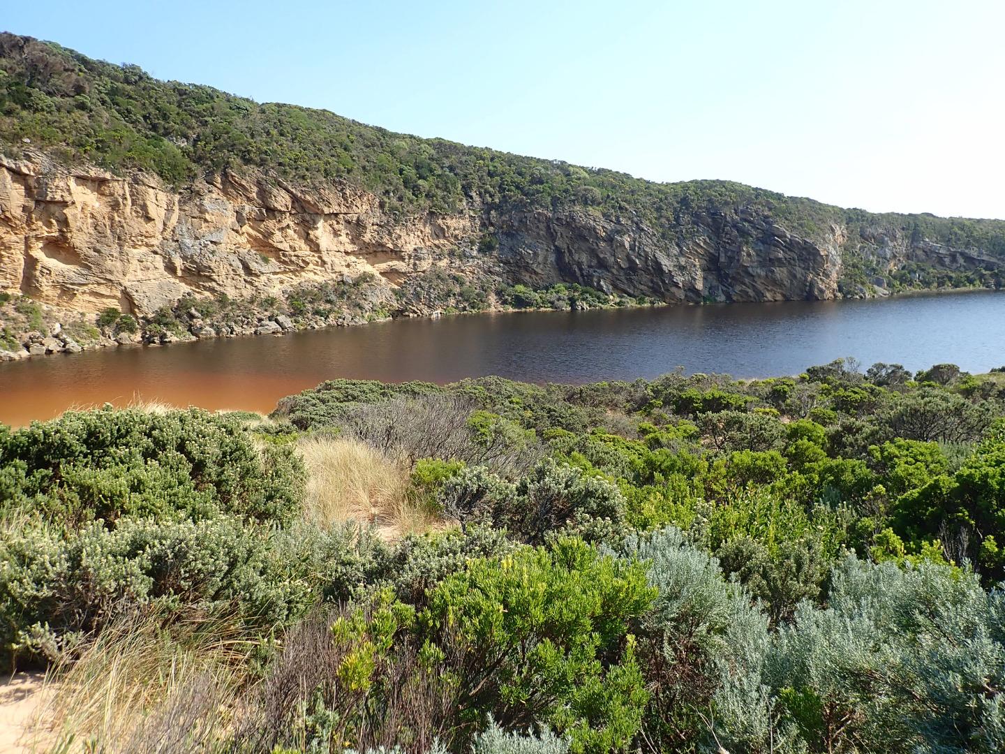
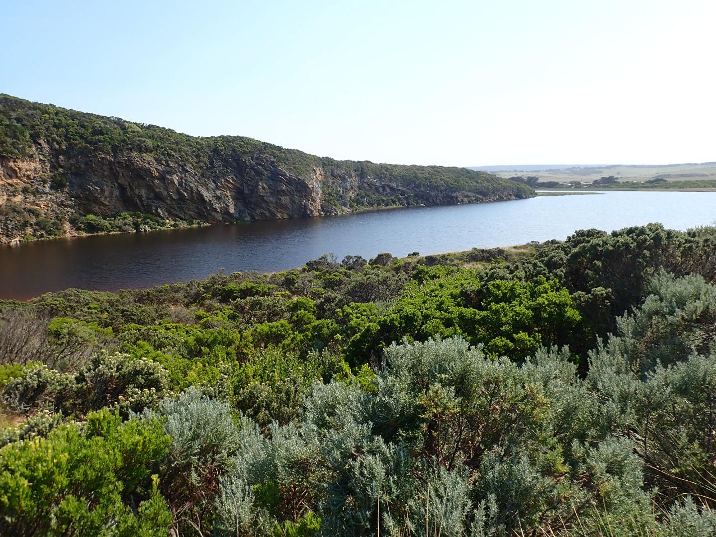
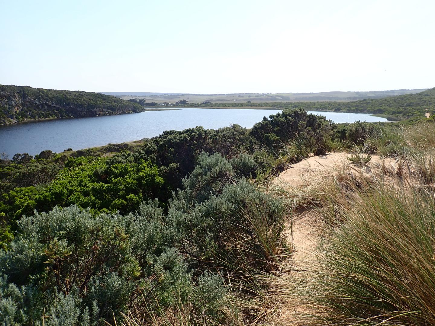
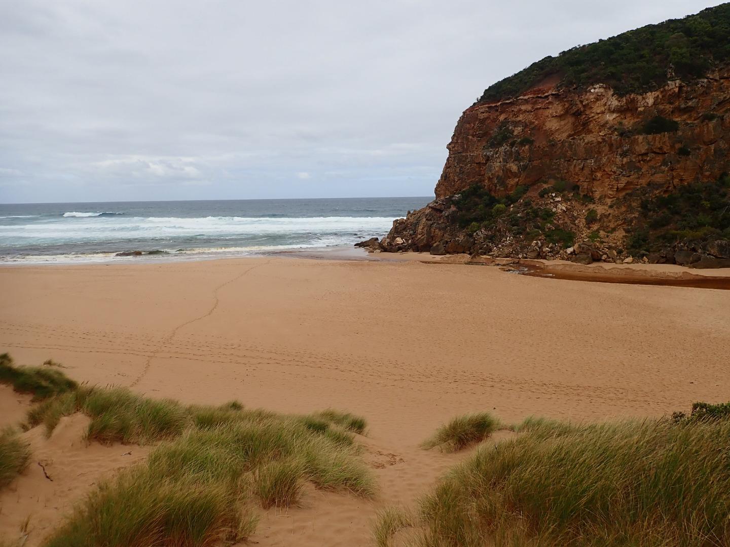
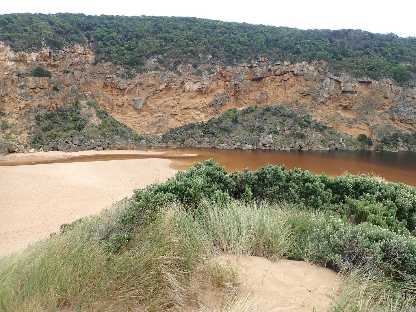
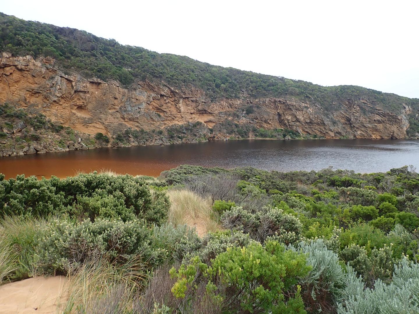
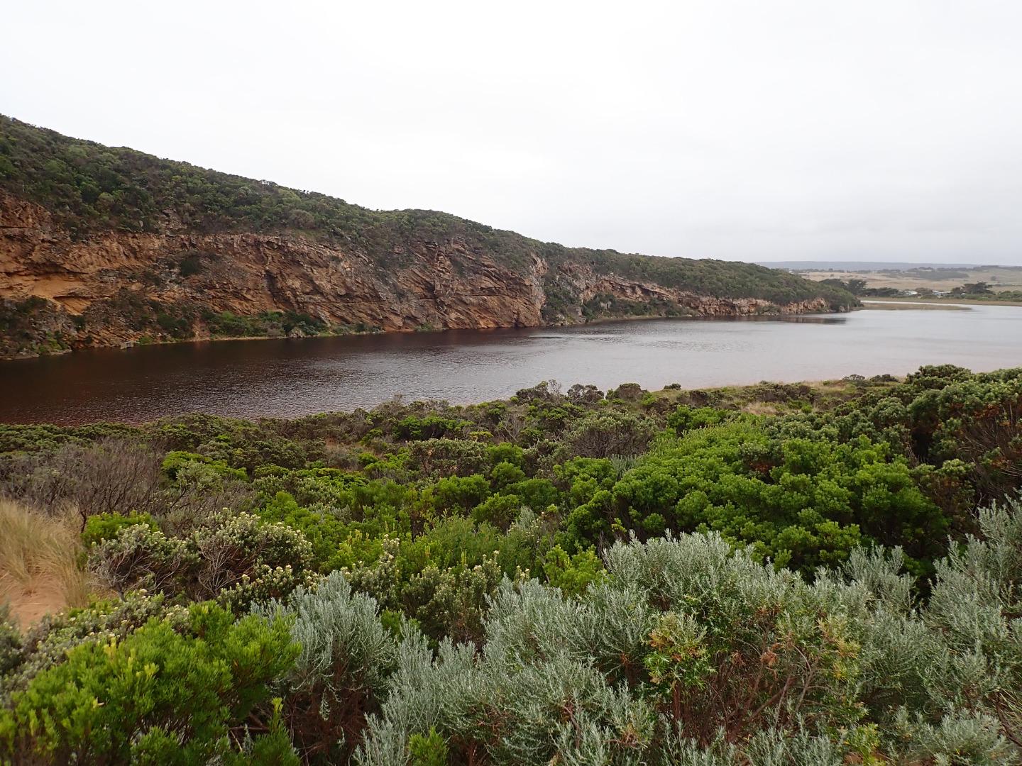
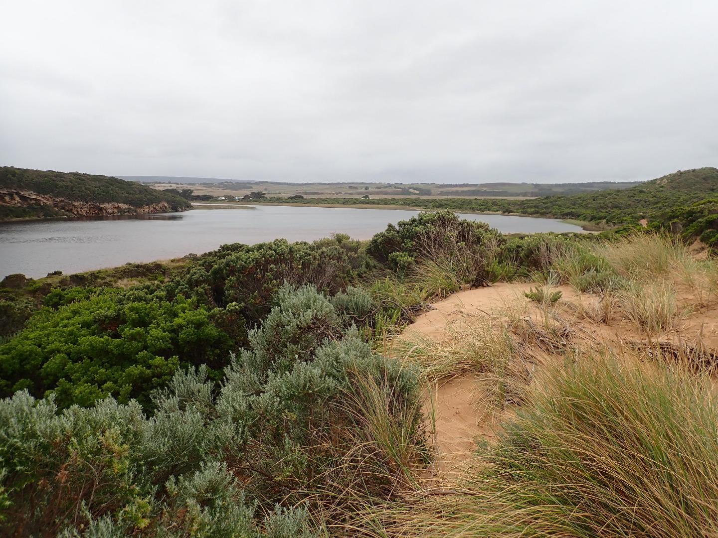
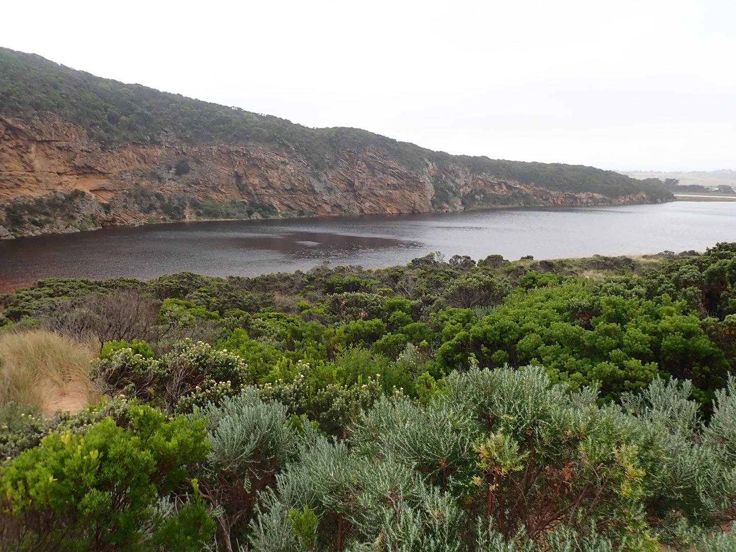
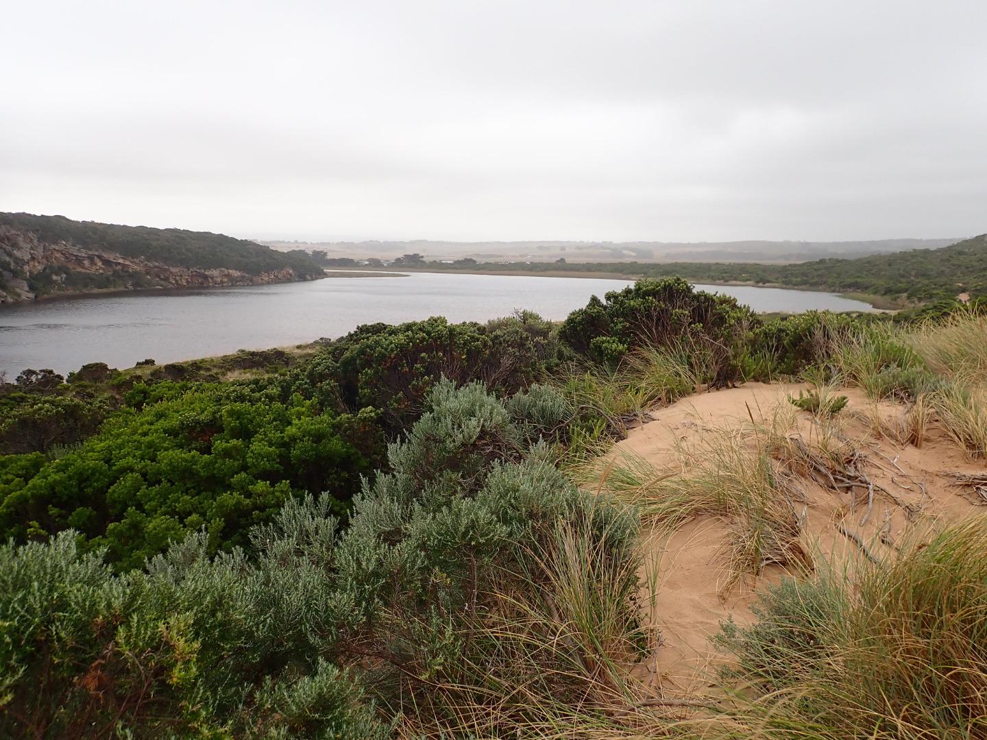
GMC Gellibrand River Estuary Mouth Observation Site
Active Mouth Condition 20-04-2007 - 19-04-2024Gellibrand River Estuary
| ID | Date | Status | Details | |
|---|---|---|---|---|
| #12830 | 25 Mar 2019 | Approved |
Notes:
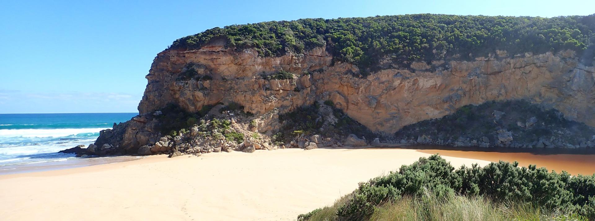
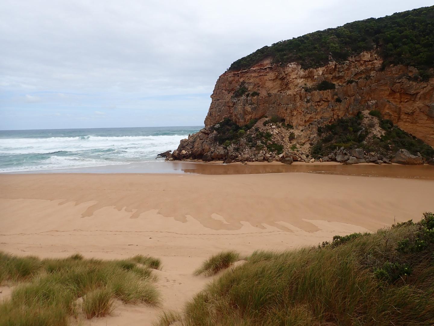
AHD G6 1.56 @ 09:37 1.59 @ 16:10 Mouth perched, flow both in & out. High seas & WSW swell (8-15 secs.) = waves over 6m. impacting beach sending waves all along up to the dunes & completely across the entrance & down the channel. Hi tide about 15:00 combined with strong longshore drift sent waves into the estuary - green water was visible at start of channel from estuary. Incoming waves were going over top of water returning across a wide front. A whirlpool occurred at start of estuary. Near gale force winds from many directions around estuary, channel & beach Increasing water cover at edge of roads,& on flats DS G4. Small area of water starting to cross OOR at flood markers. Fishing platform structure completely under water by 15:55 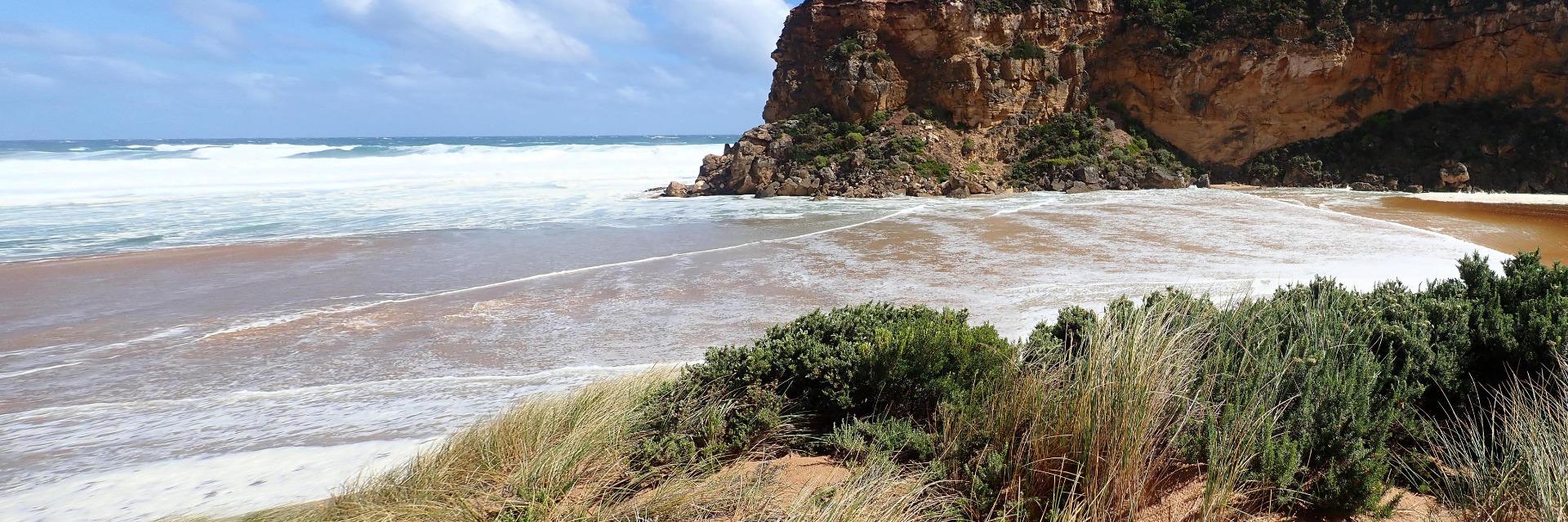 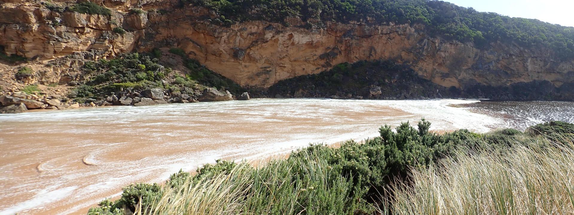  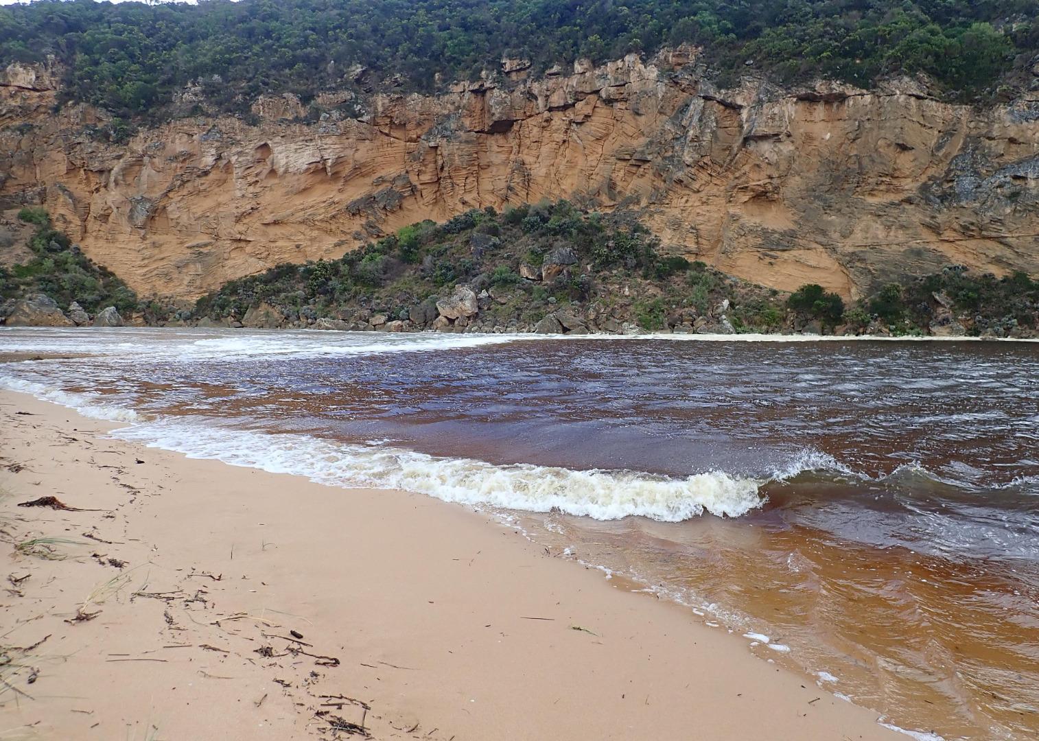 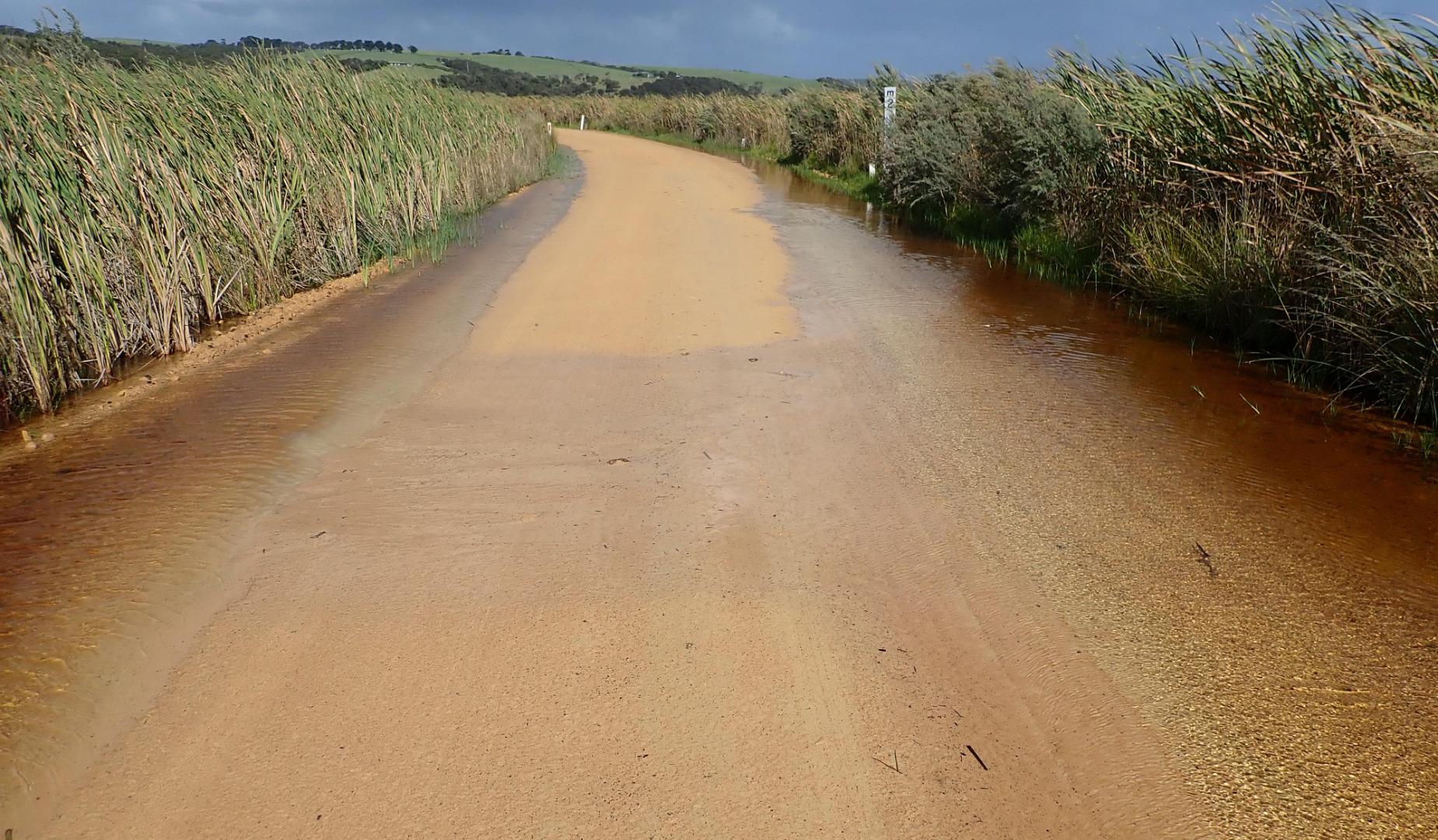 |
|
| #12831 | 24 Mar 2019 | Approved |
Notes:
AHD G2 1.57 @ 09:14 but between 1.57 & 1.58 @ 12:35 AHD G6 1.52 @ 08:40 Observations made at low tide. Mouth opened at low tide between rocks at base of cliff not through the berm sand build up which remained intact. Flow from estuary was coming down through a channel about 3-4 m across widening to 7m where it sharply curved west towards cliff - height of channel east side in that area 1m. Depth about .10-.20m . Waves had been overtopping the berm at last hi tide & running down west along the beach towards cliff along the sand behind the berm travelling down a previously formed depression. The beach rises & falls creating wide N-S depressions. High wave sets impacting on sandbar & going high up on beach = backwash & longshore drift. Very large no. small fish in shallow water around estuary & in water at edge of roads. Peregrine falcon at entrance |
|
| #12832 | 22 Mar 2019 | Approved |
Notes:
AHD @ G6 1.52 @ 08:40 Mouth was closed but a narrow very shallow flow close to cliff reached to about .30 m. from top of berm where a unsuccessful manual attempt to illegally open the mouth was being made ( small channel .10 - .15m.) Waves were occasionally overtopping berm but had been up to estuary during last hi tide 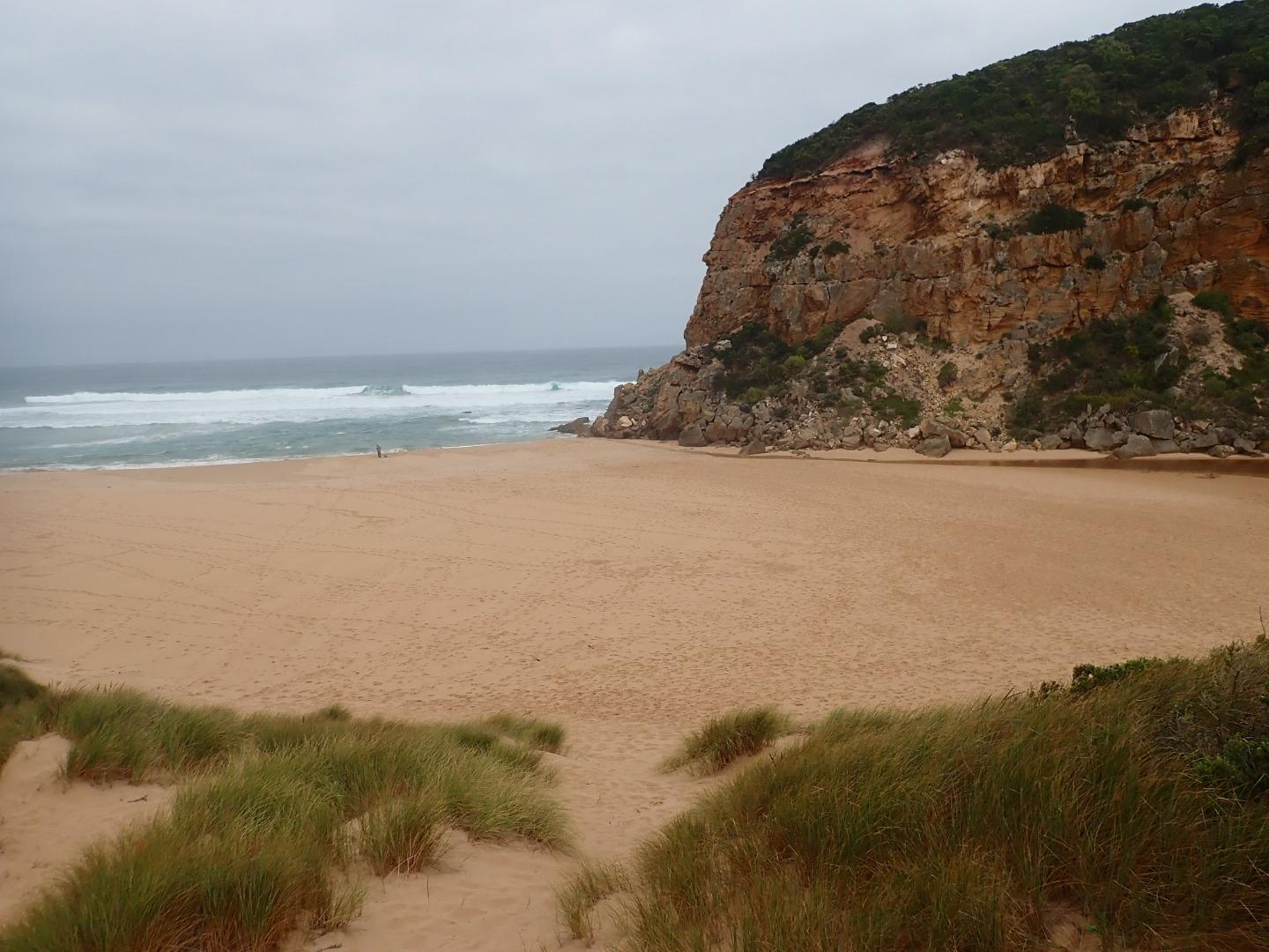 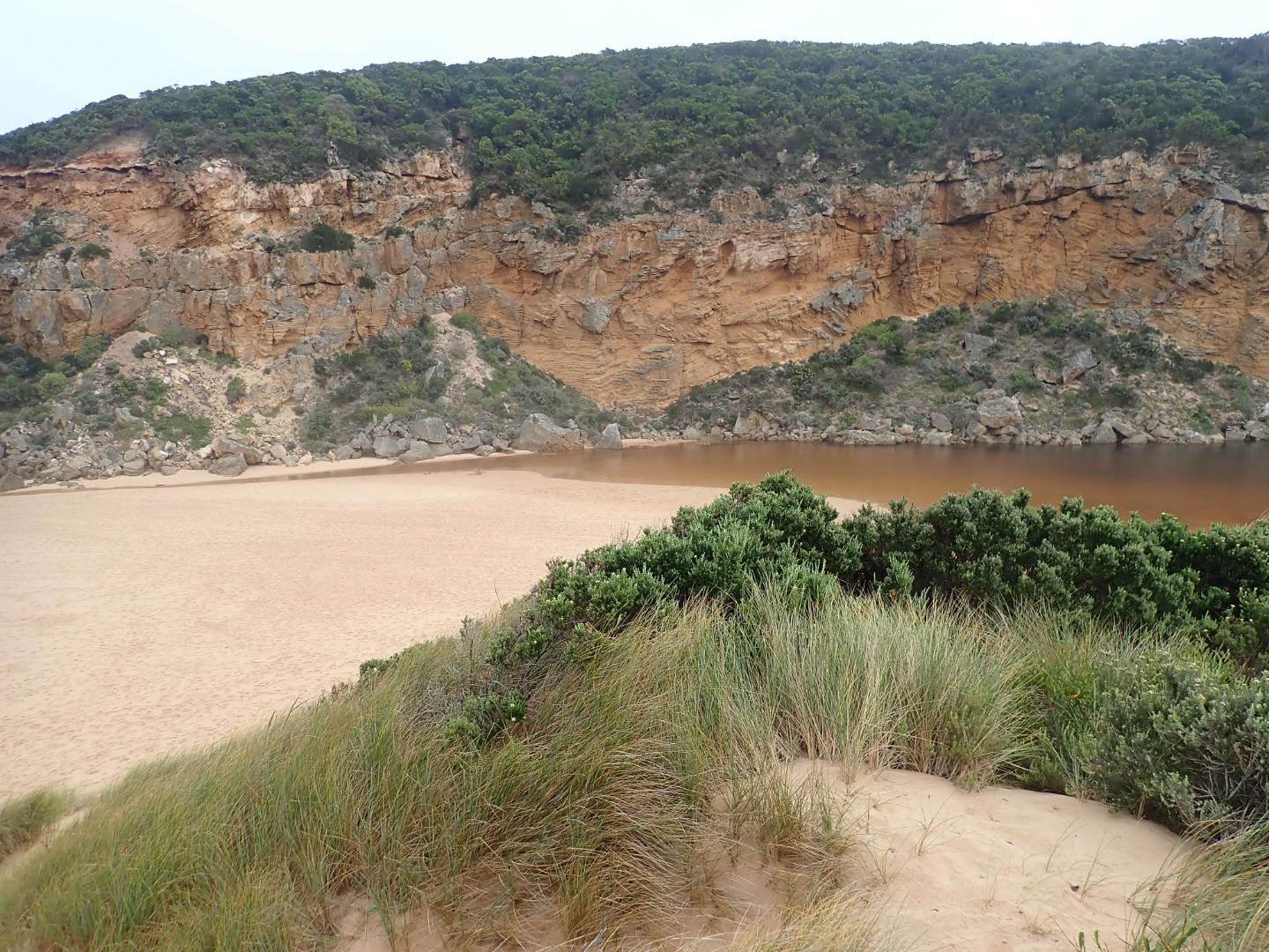 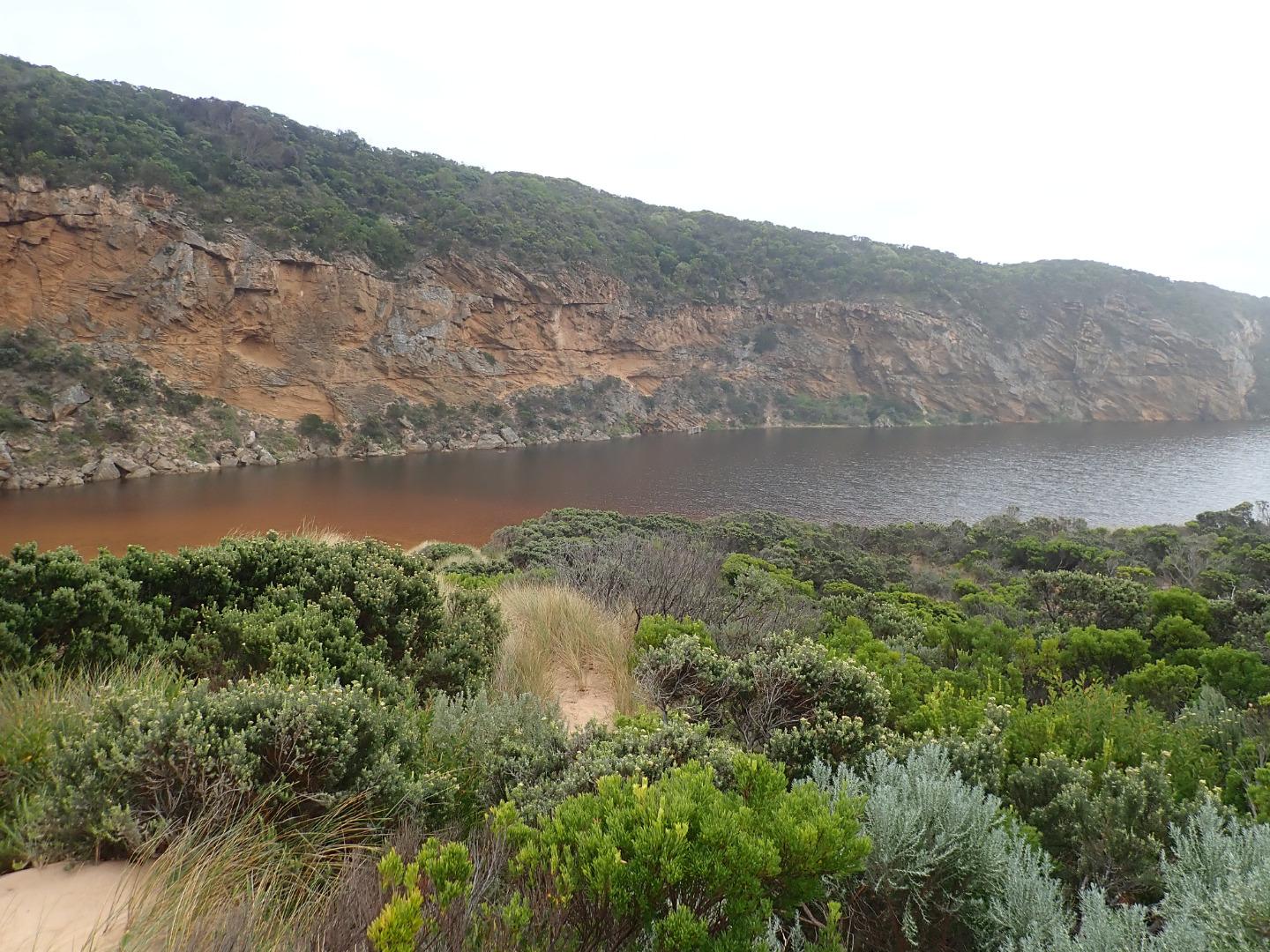 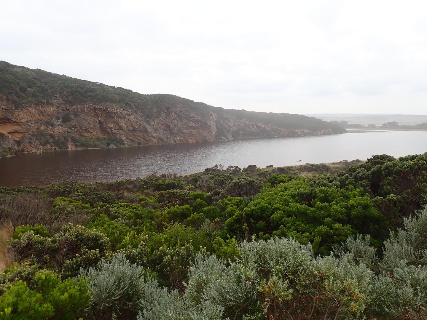 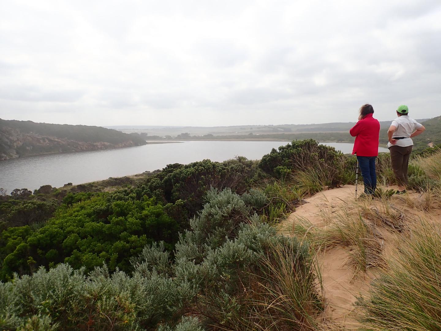  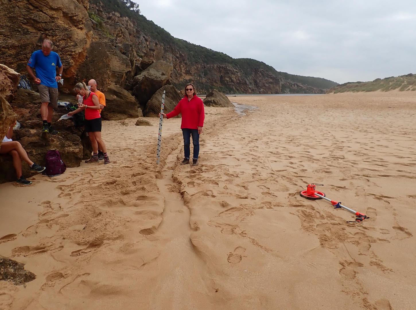 |
|
| #12833 | 19 Mar 2019 | Approved |
Notes:
AHD @ G6 1.48 Mouth closed but waves over topping berm at last hi tide. A higher 2nd. berm has risen closer to sea with a depression formed between it & the previous highest part of the original berm formation. Waves have been over berm & high up all along the beach. S wind blowing sand down channel into estuary, more sand over rock 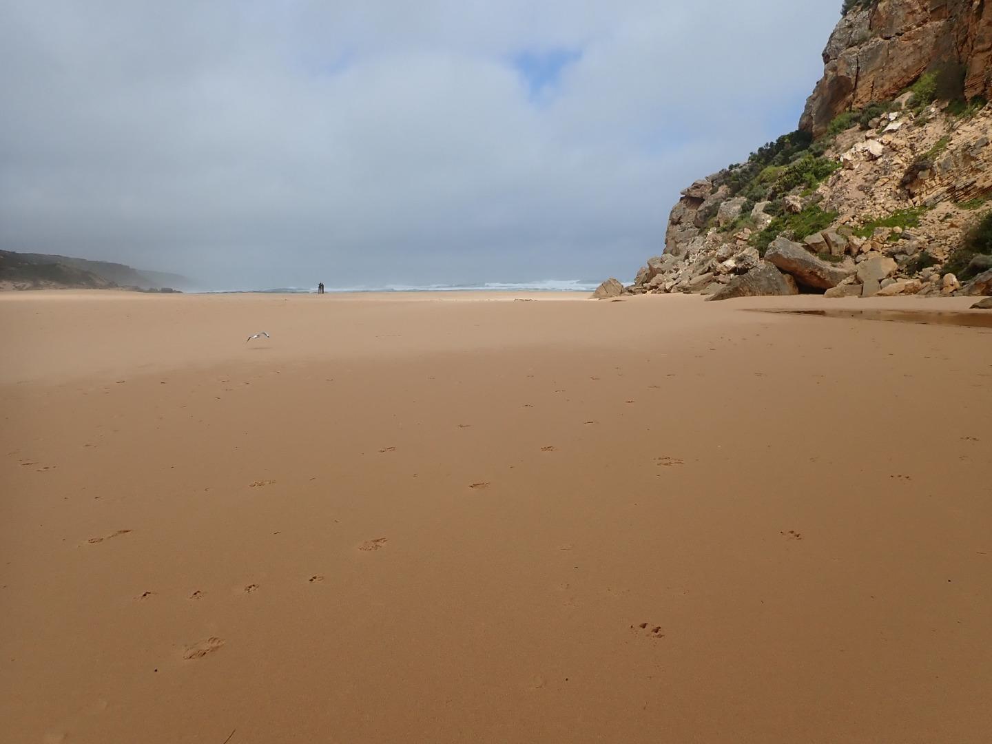 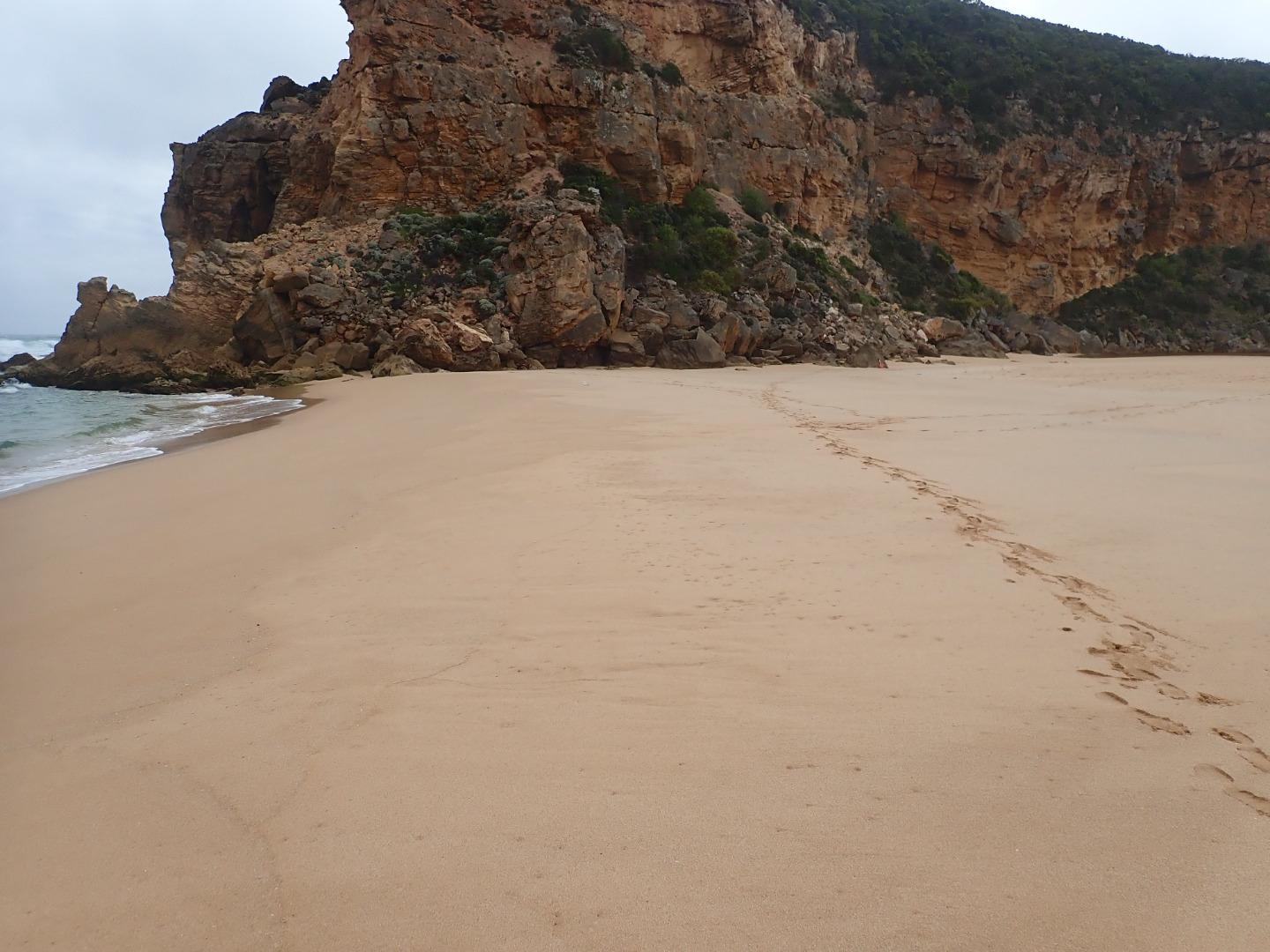 |
|
| #12836 | 16 Mar 2019 | Approved |
Notes:
AHD G6 1.46 @ 10:18 Observations taken at low tide. Mouth closed but waves have been up to the estuary at last hi tide. Sand high all along the beach. Water is across all of low track |
|
| #12837 | 14 Mar 2019 | Approved |
Notes:
AHD G6 1.41 @ 13:50 1.43 @ 17:15 Mouth closed but waves have been over at last hi tide. Top of rock about .20 above sand. Small hand dug channel at start of estuary
|
|
| #12764 | 13 Mar 2019 | Approved |
Notes:
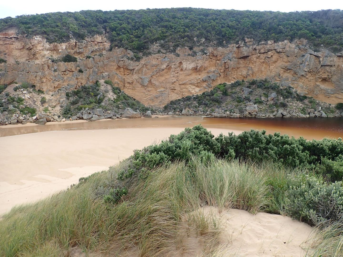
AHD @ G6 1.42 @ 13:35 Very rough seas over night have formed a high sand build up at entrance & along channel blocking flow. Currently some waves are over topping the berm & travelling up into the estuary where a small amount of green water is visible at time of entry. No fresh outflow but some salt return. During the night a 3m. high wave was observed travelling down the channel into estuary where it turned sharply east & travelled along south side of estuary, large mound of seaweed & many shells were deposited around SE corner. Waves in many directions at entrance with waves going high up on all along beach reaching base of sand dunes below Gp1 site, some very strong longshore drift across mouth - back wash rolling large amount of sand. Also very large amount of sand clearly visible in breakers all along beach & far out to sea Deep ridges have formed in NE/SW direction in sand below Gp1 site Depth profile @ G2 shows an increase in E.C. between 2-3 m. down |
|
| #12765 | 12 Mar 2019 | Approved |
Notes:
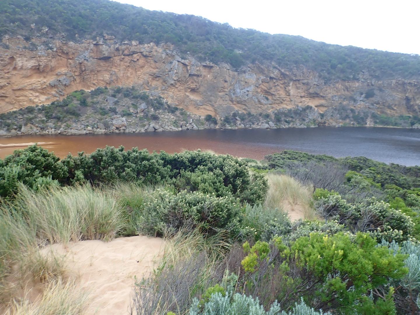
AHD G2 1.44 @ 06:45 1.39 @ 14:10 AHD G6 1.41 @ 10:51 1.39 @ 14:25 Strong dark discharge out along foreshore to east - turning S out to sea at east reef Strong longshore drift across entrance meeting incoming SW swell & outflow = waves in all directions with some entering channel going over rocks & up to estuary. Large amount of sand visible in breakers - also washing out in channel, Very strong gusts of wind along beach from S.E. scouring sand. The wind direction changes & turns S as it reaches the channel creating much stronger gusts that carry large amounts of sand into the channel & estuary 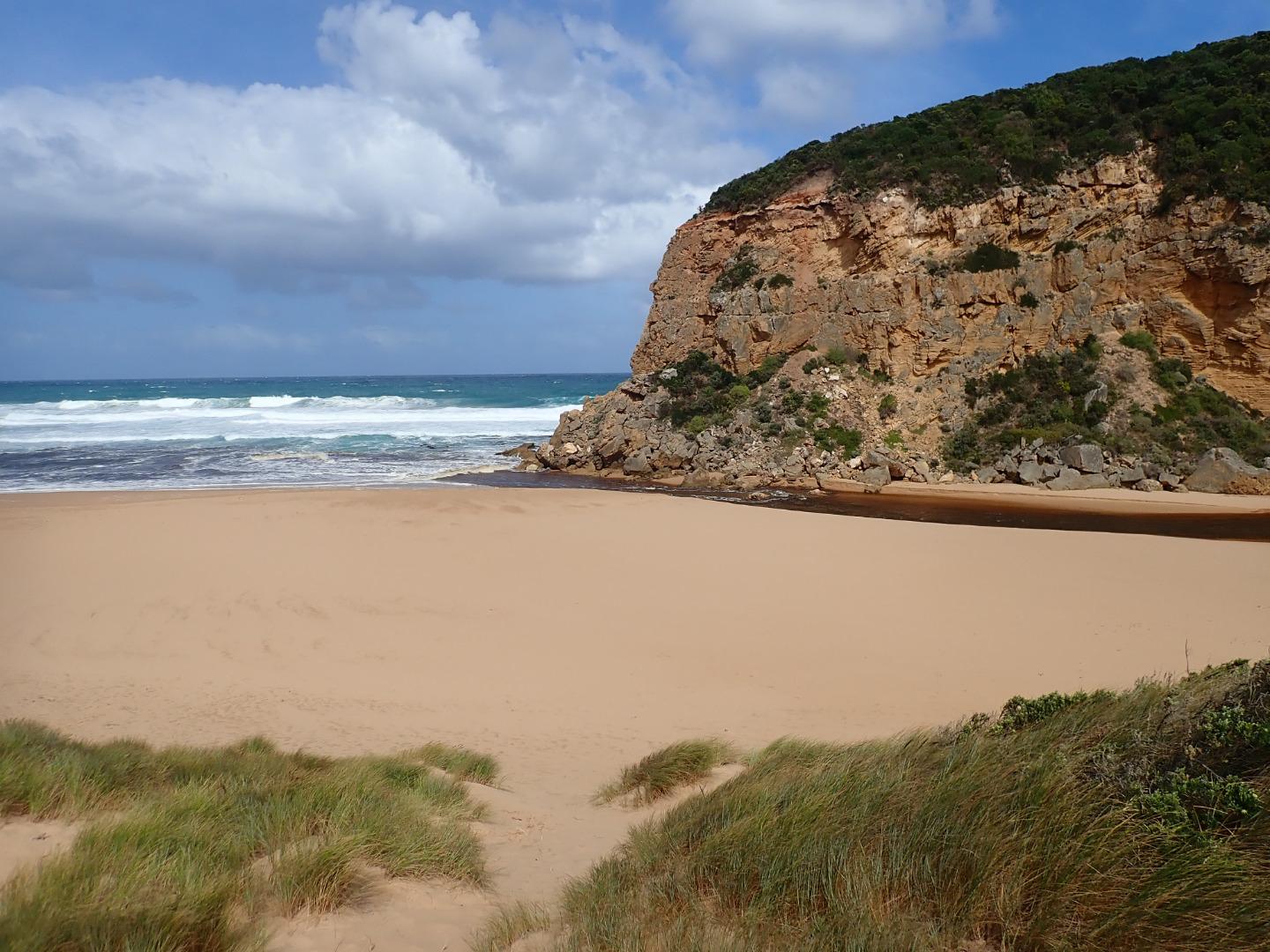 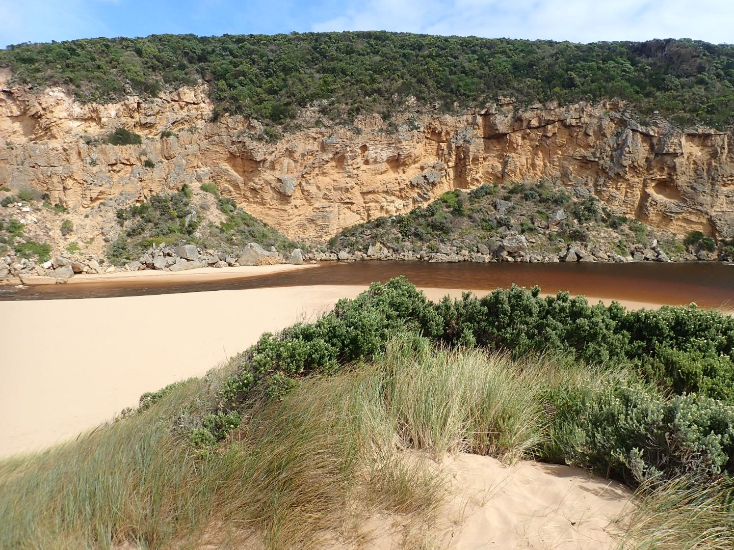 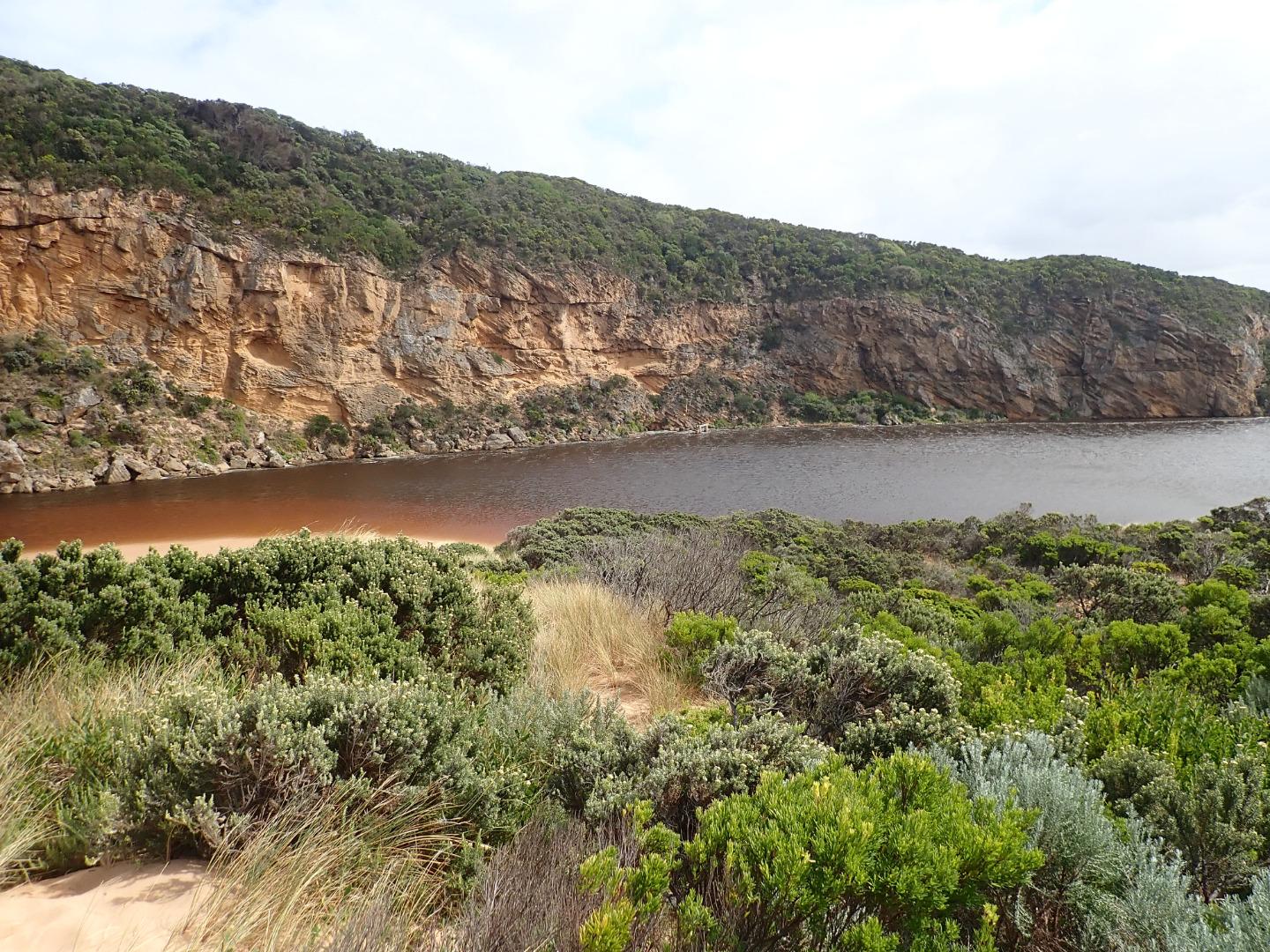 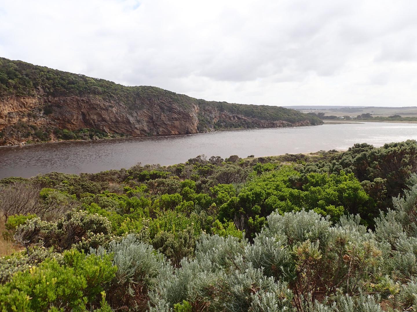 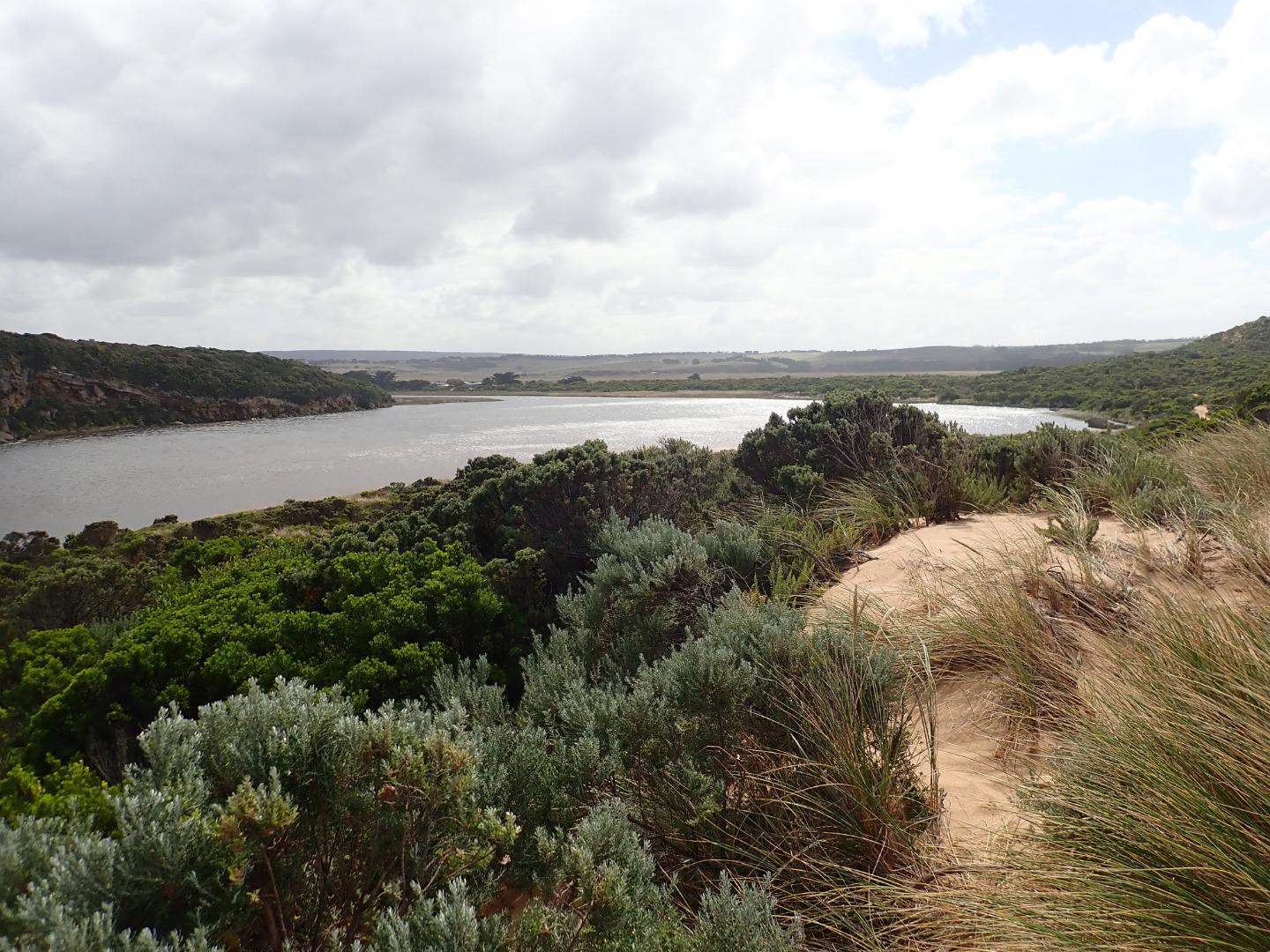 |
|
| #12762 | 11 Mar 2019 | Approved |
Notes:
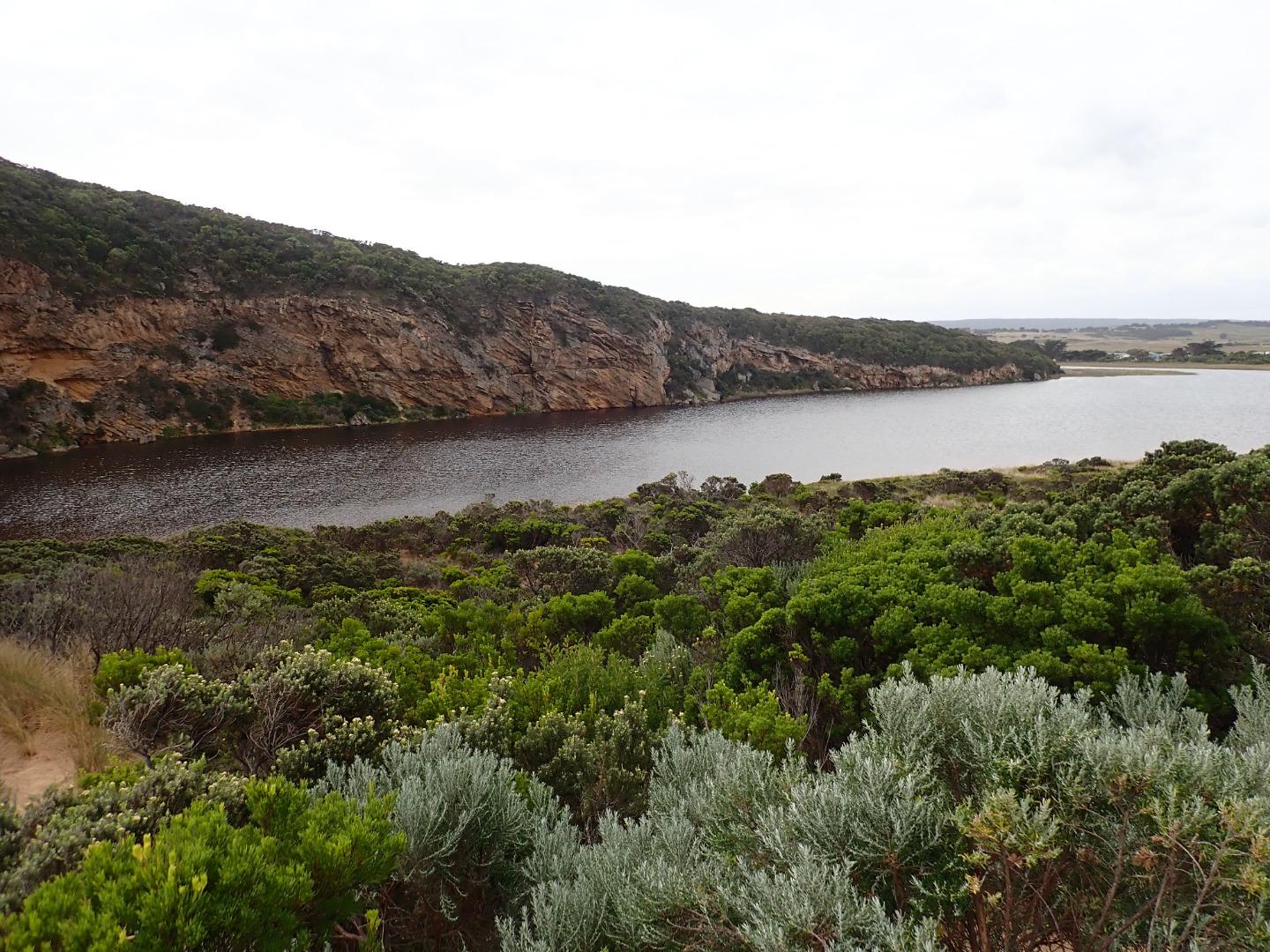
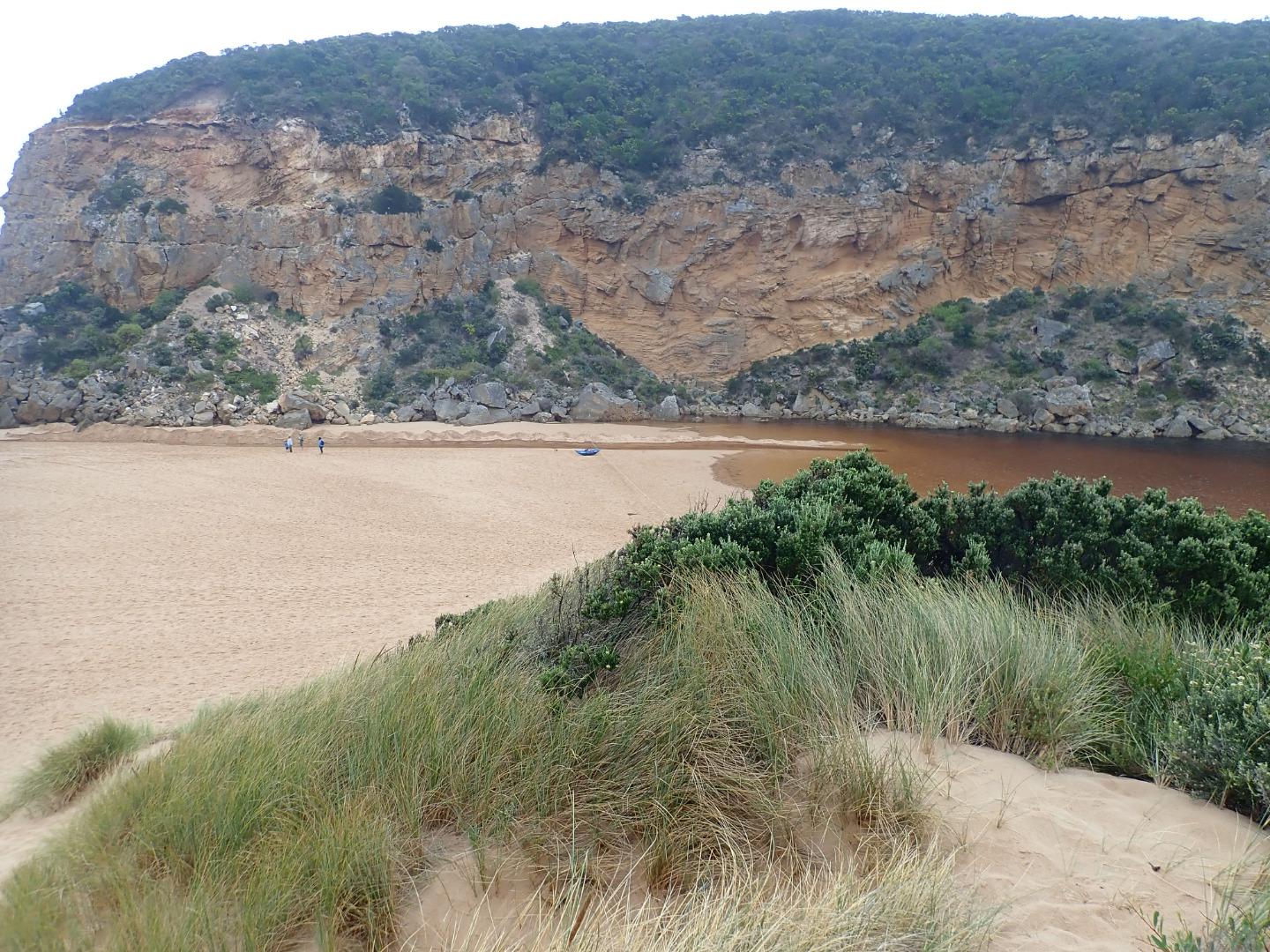
AHD G6 1.48 @ 10:25 -remaining same @ 14:53 Dark discharge out to east along side of shoreline. Width of channel from estuary about 12 m. reducing to about 6m where it curves around rocks then increasing to about 15m wide as it flows out shallow over sand build up. The flow drops down to lower level as it passes rocks. Longshore drift across mouth travelling over incoming SW swell & outflow which is carrying a large amount of sand scoured out from start of & continuation of channel. Deeper areas occur in path of more rapid flow. Height of eastside of channel .10m at start from estuary rising to 1m. around rocks, sides continually collapsing into flow. Beach front now is in almost continuous straight line. 12:40 area of high sand removed from between 1st & 2nd rock resulting in faster flow with much scouring. 13:08 sea becoming more rough with waves entering over exposed rocks & travelling up into estuary |
|
| #12760 | 10 Mar 2019 | Approved |
Notes:
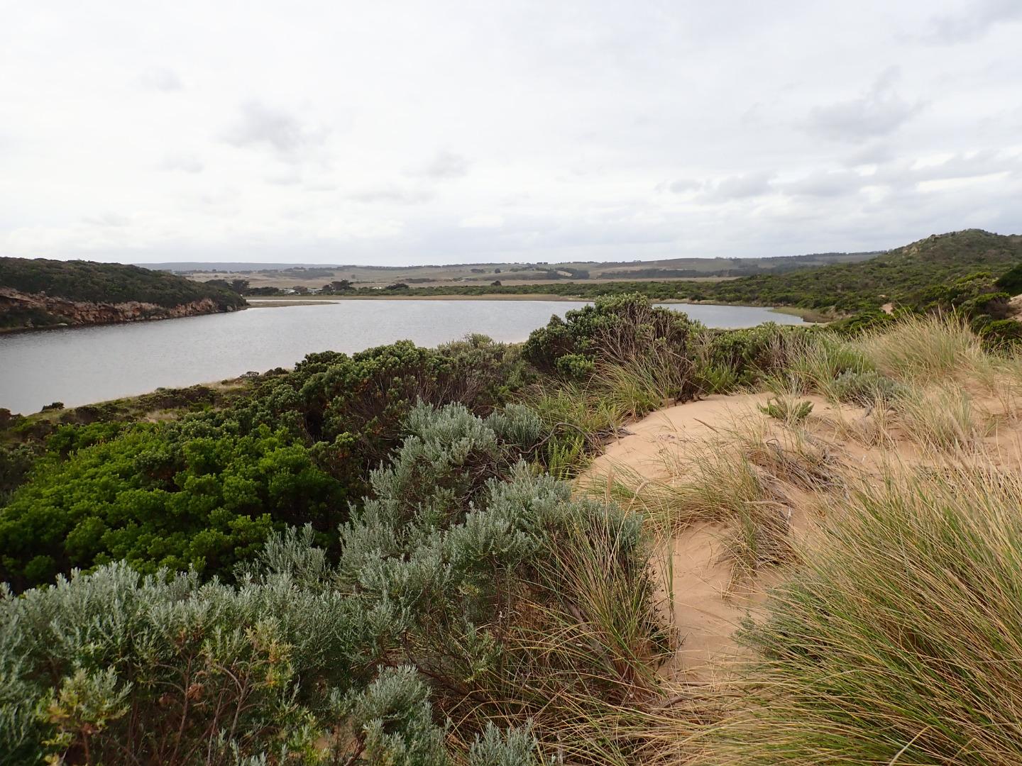
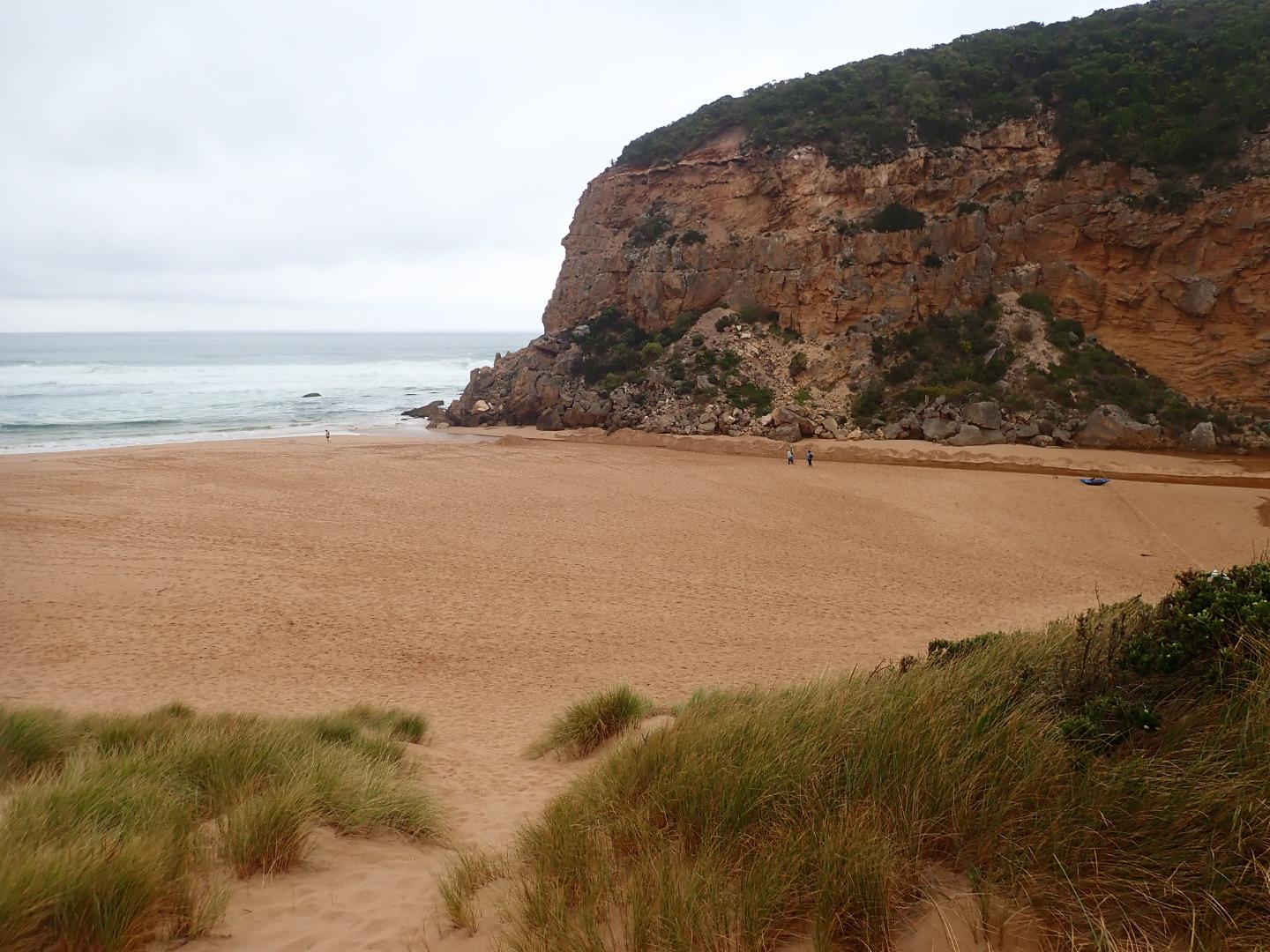
AHD G6 1.48 @ 09:55 Mouth opened 15:30 on 09-03-2019. At time of observing there was a shallow out flow with some small waves entering. Width of entrance about 6-7 m, around rock 3m. then widening again to about 7m. The width & depth continued increasing as the flow became more rapid Height of east sheer side of channel .10 cm at start of channel from estuary rising to 1m. at rocks & slightly downstream. Walls collapsing into flow |
|


All content, files, data and images provided by the EstuaryWatch Data Portal and Gallery are subject to a Creative Commons Attribution License
Content is made available to be used in any way, and should always attribute EstuaryWatch and www.estuarywatch.org.au