EstuaryWatch Data Portal
WyMC Wye River Mouth Condition
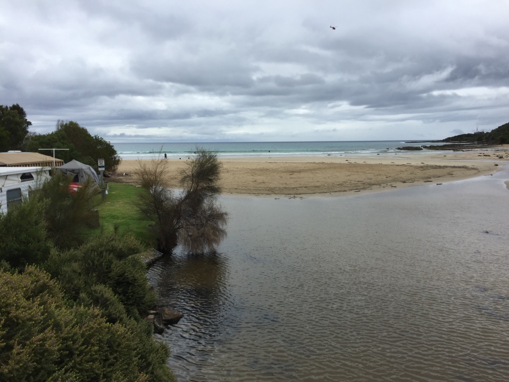
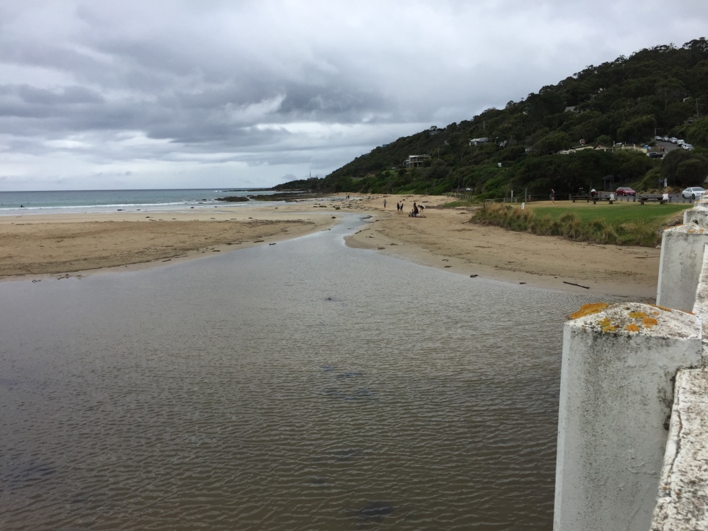
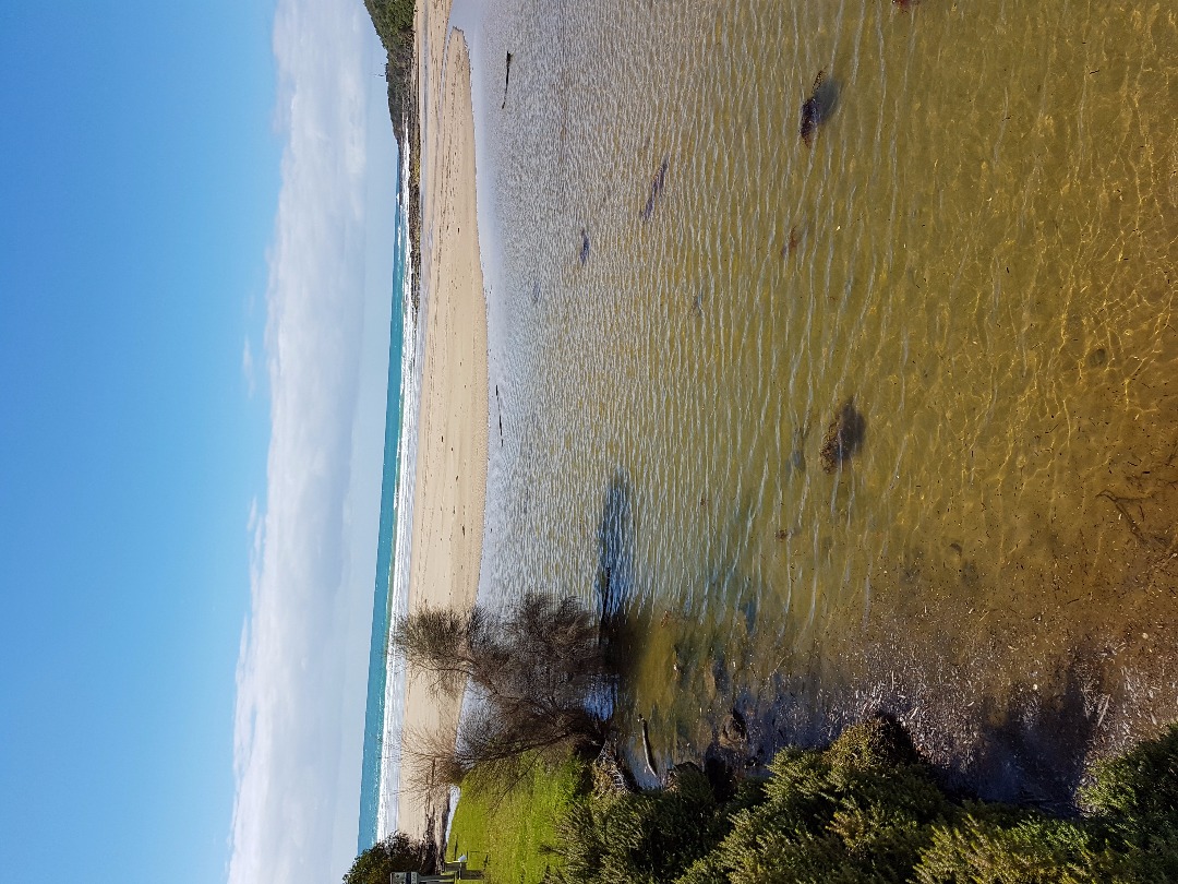
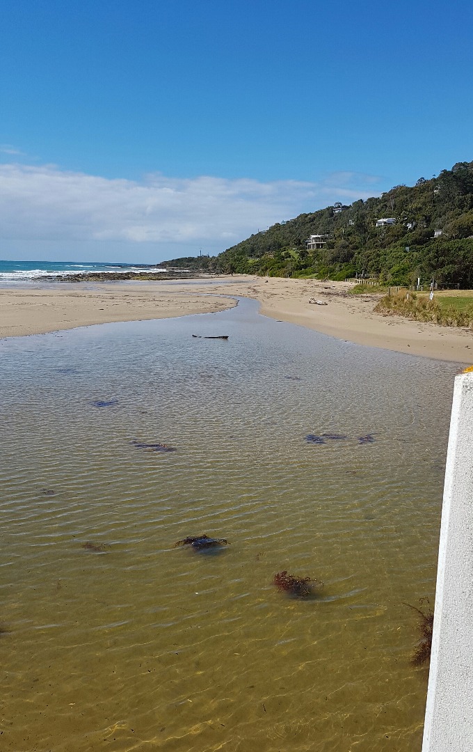
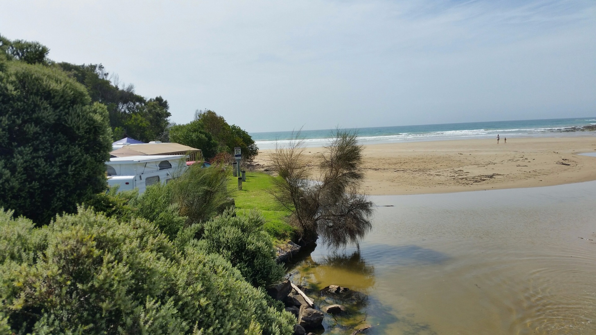
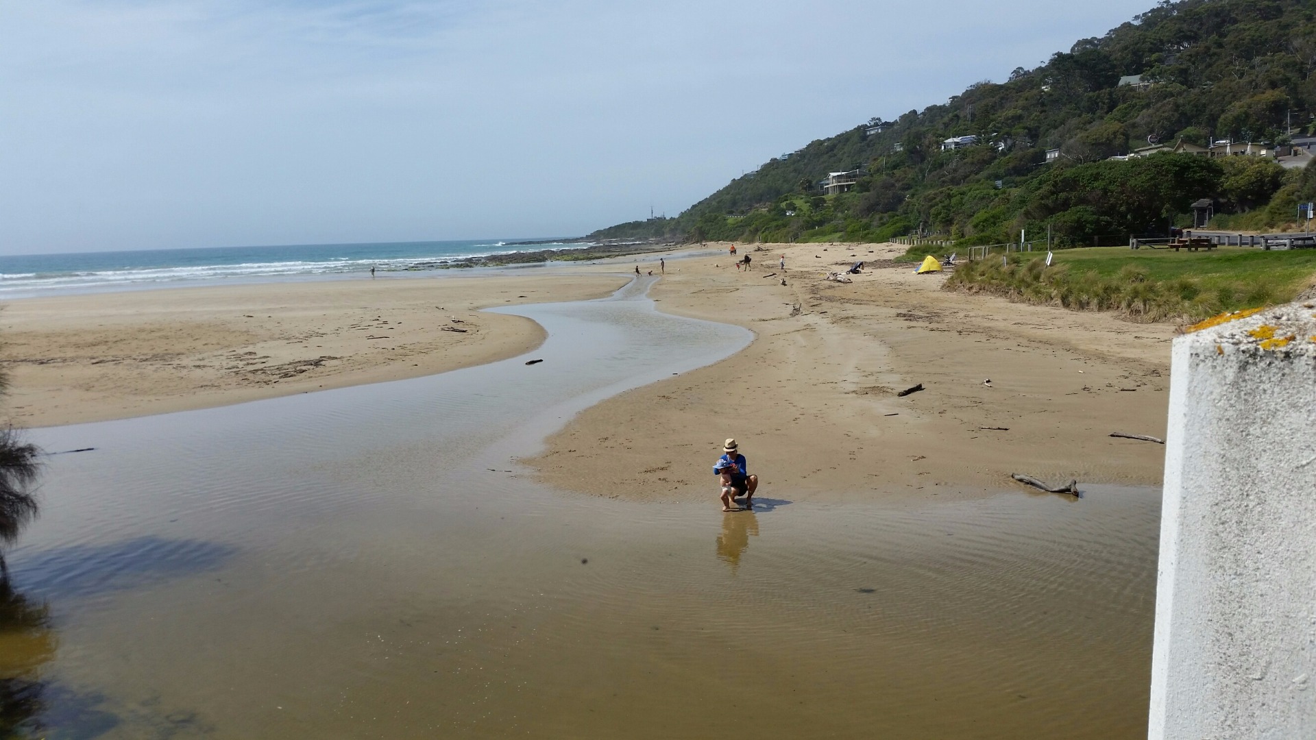
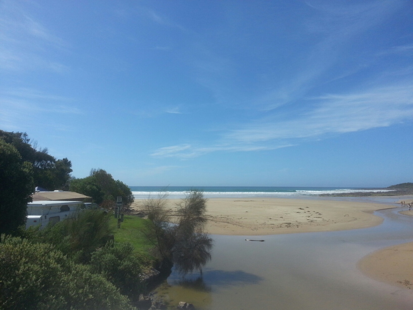
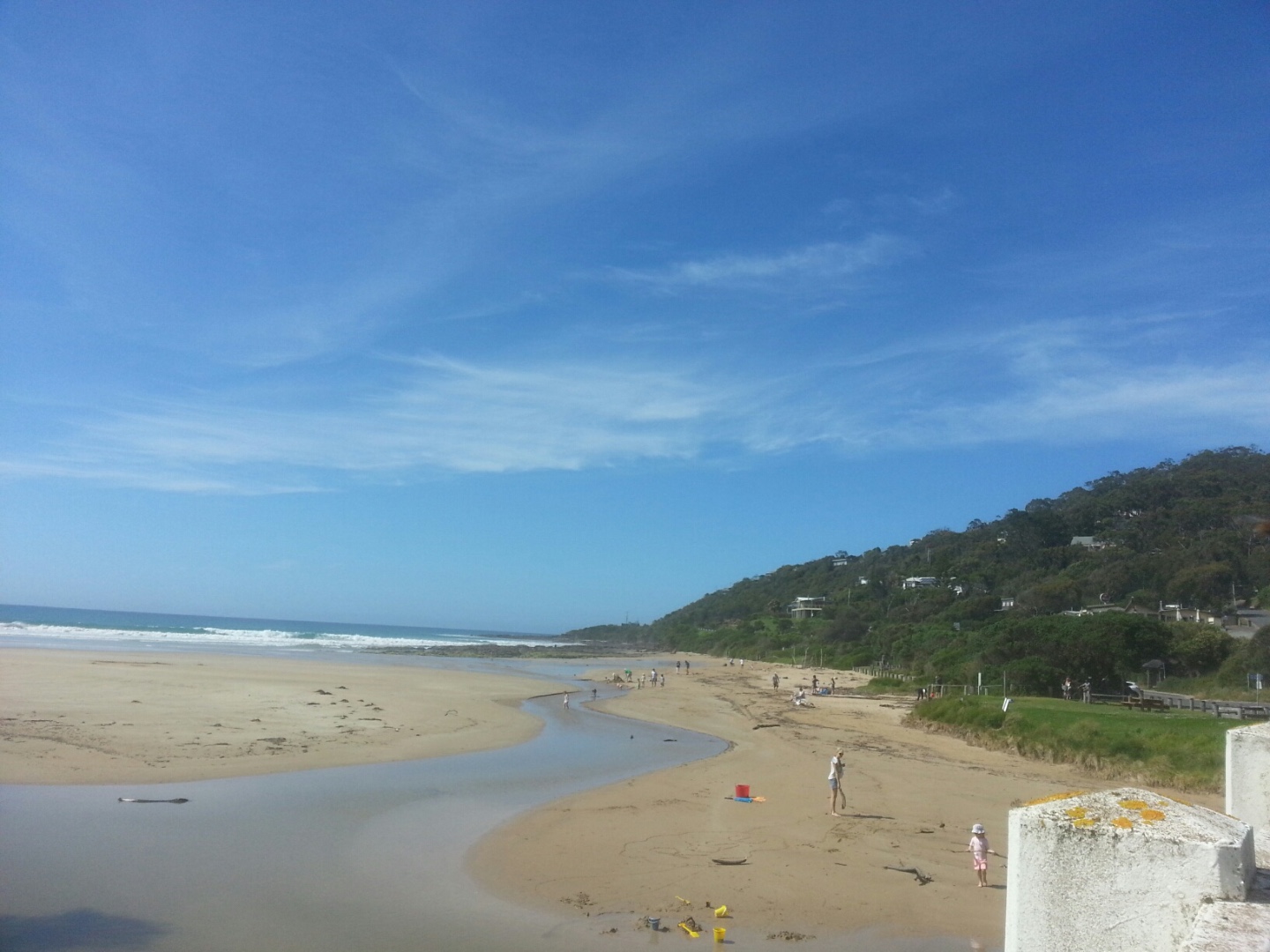
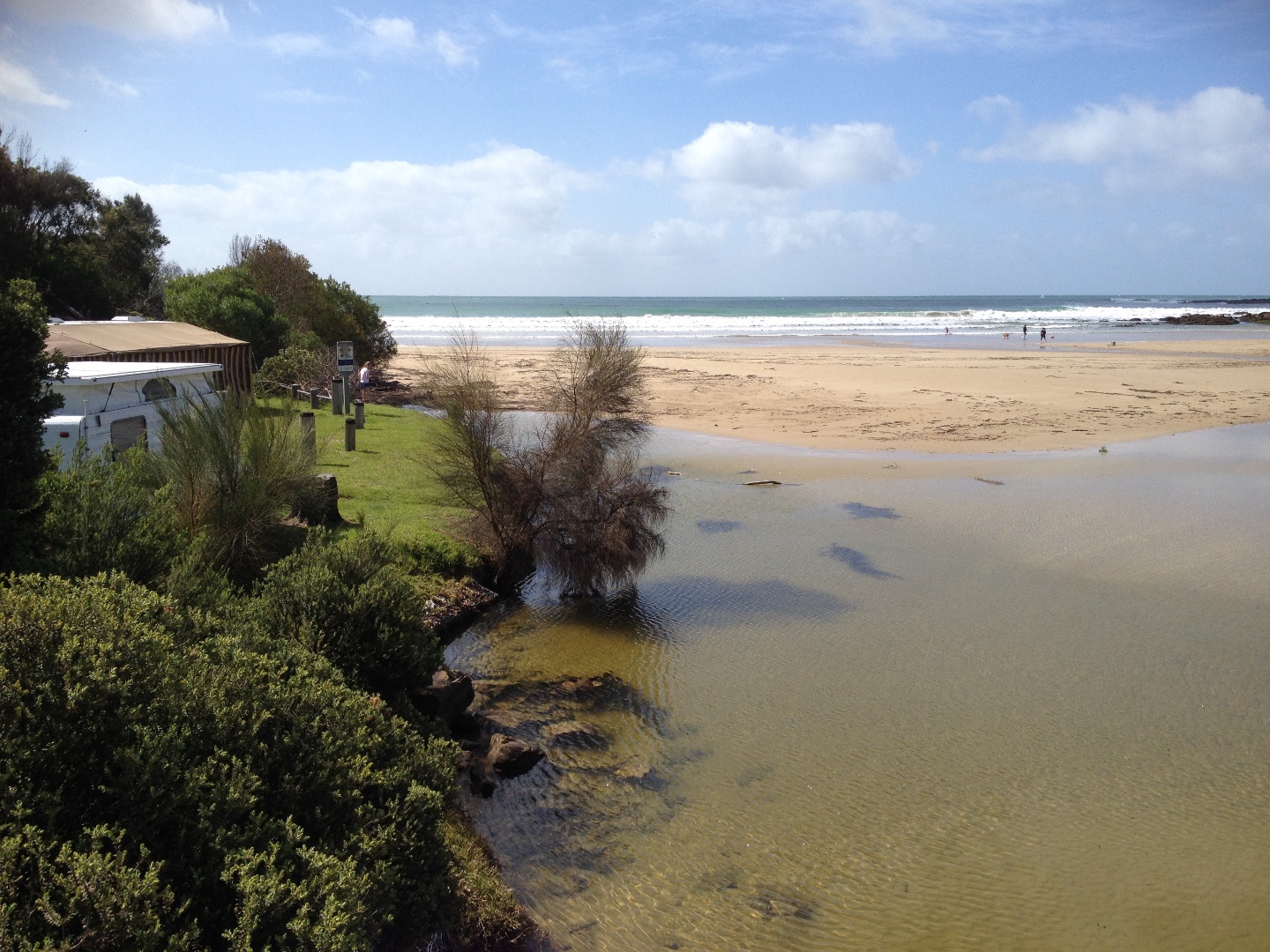
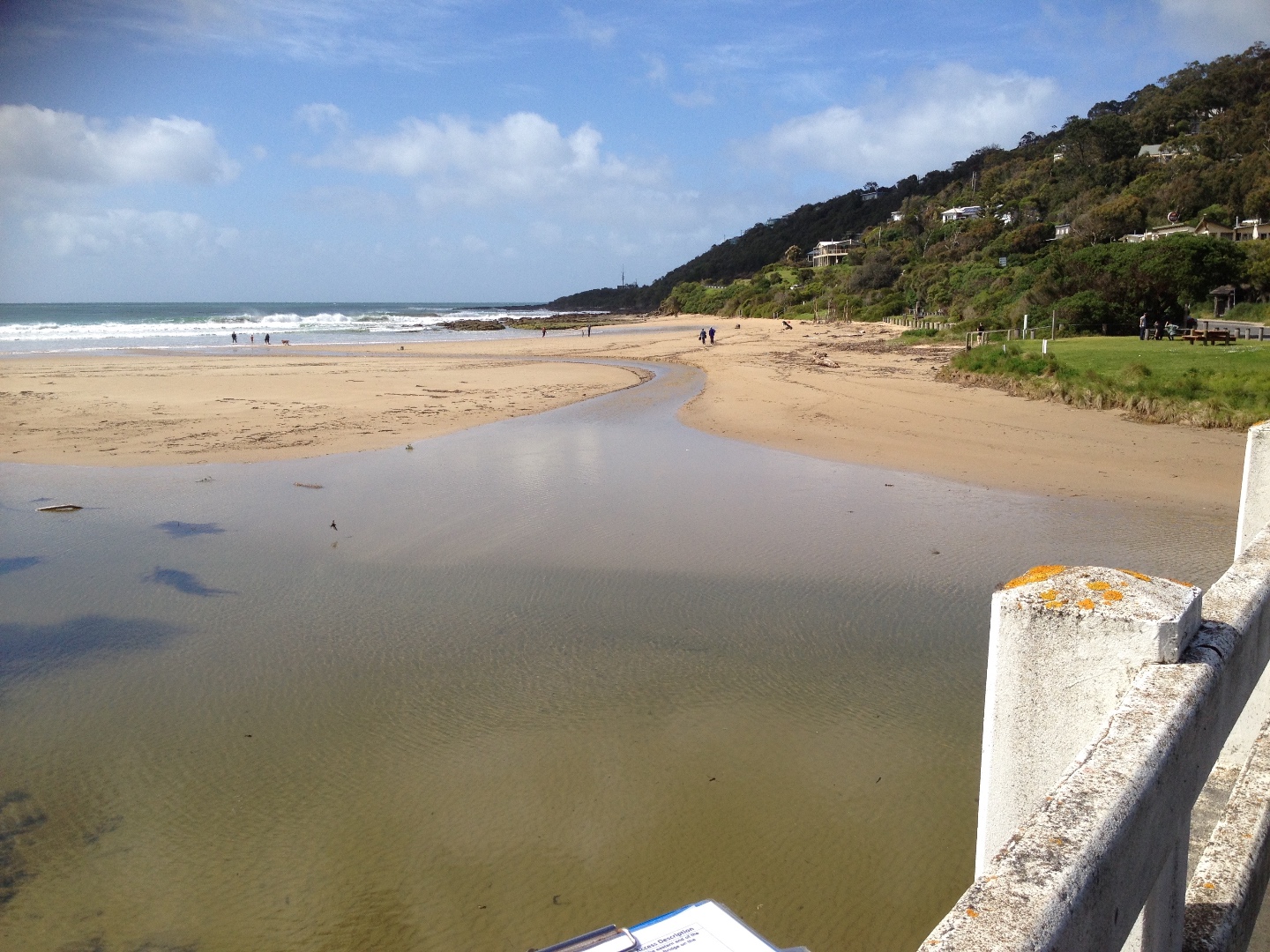
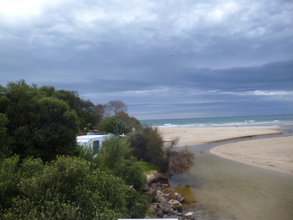
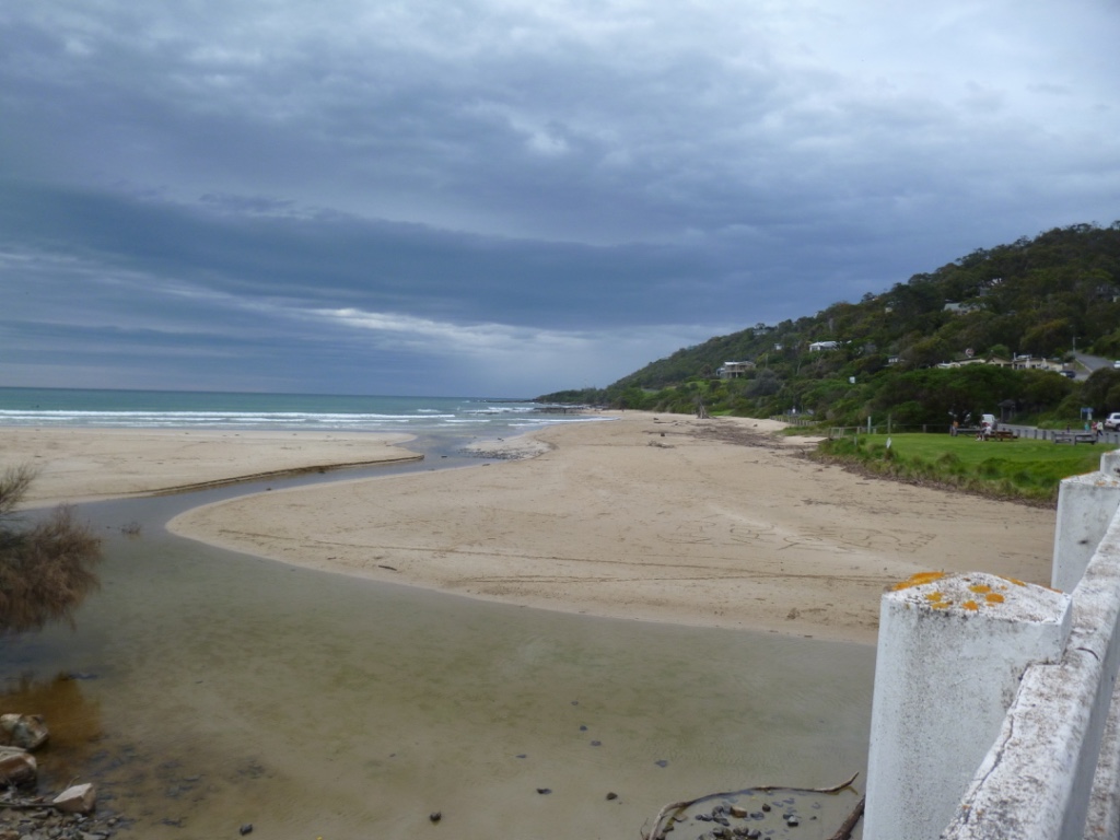
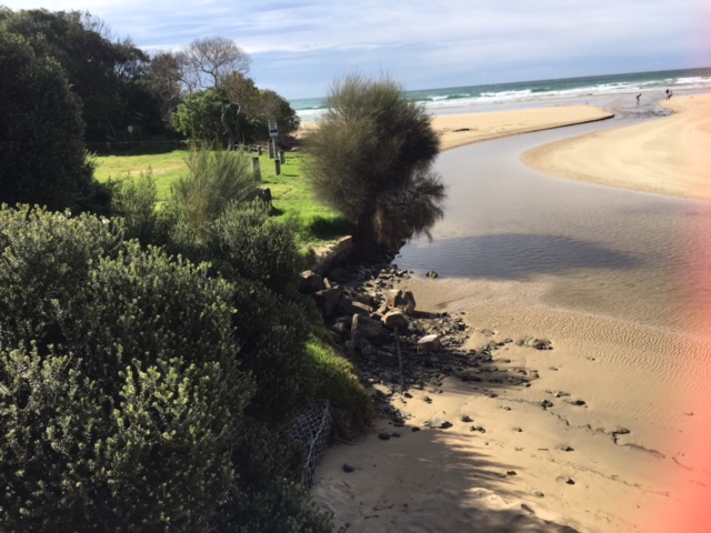
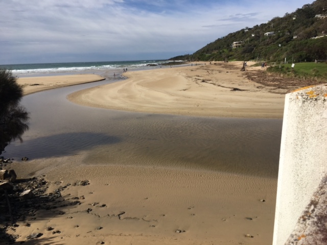
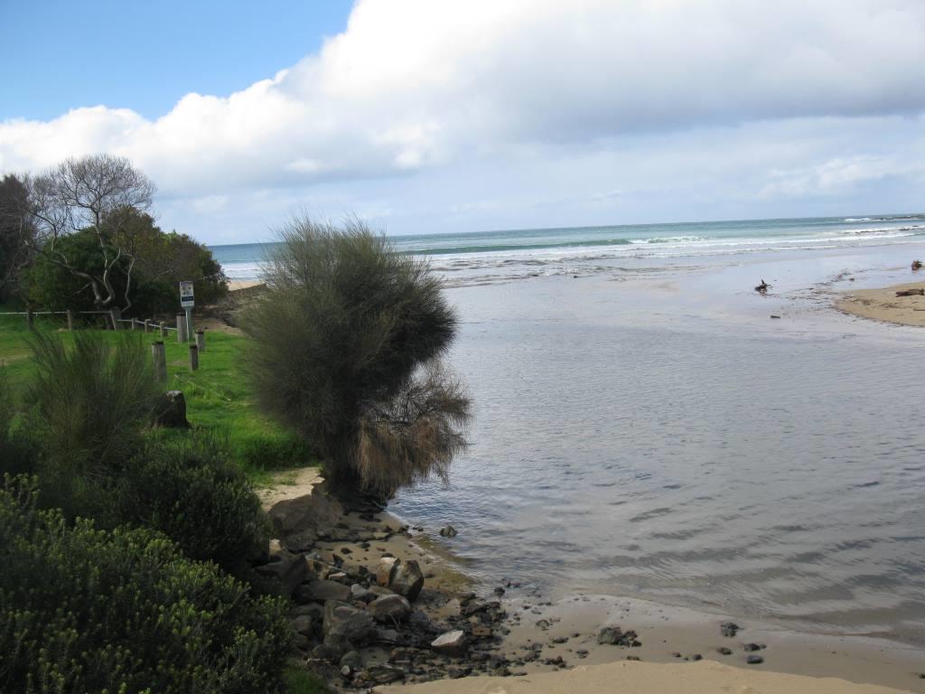
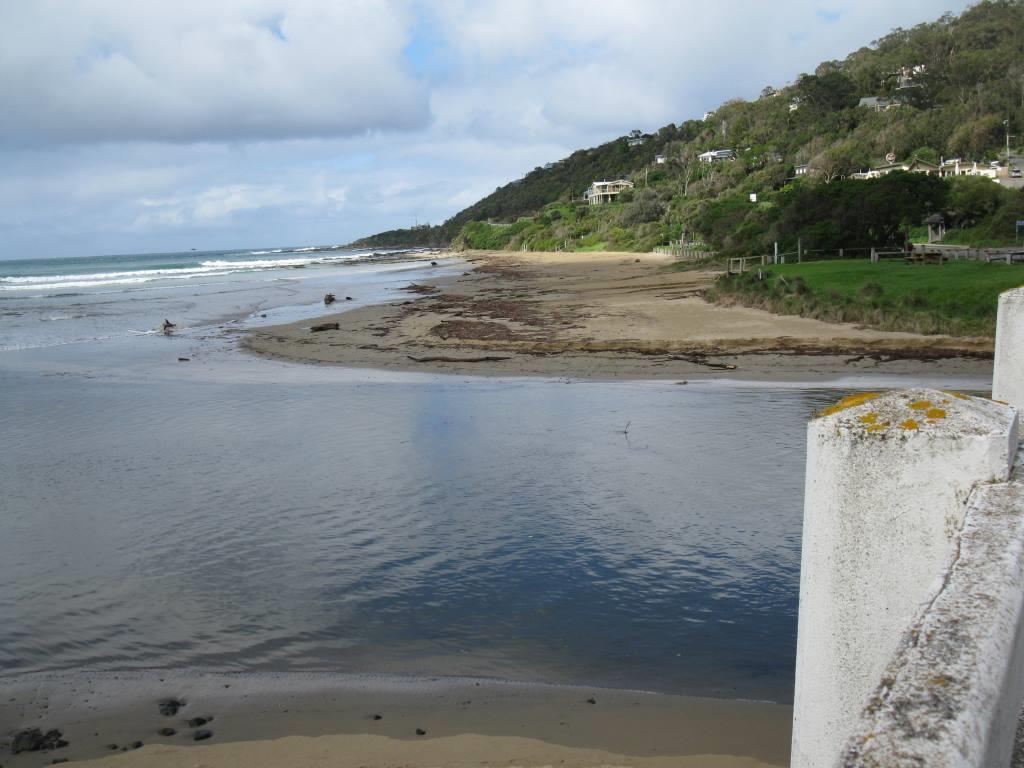
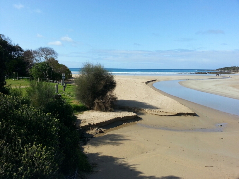
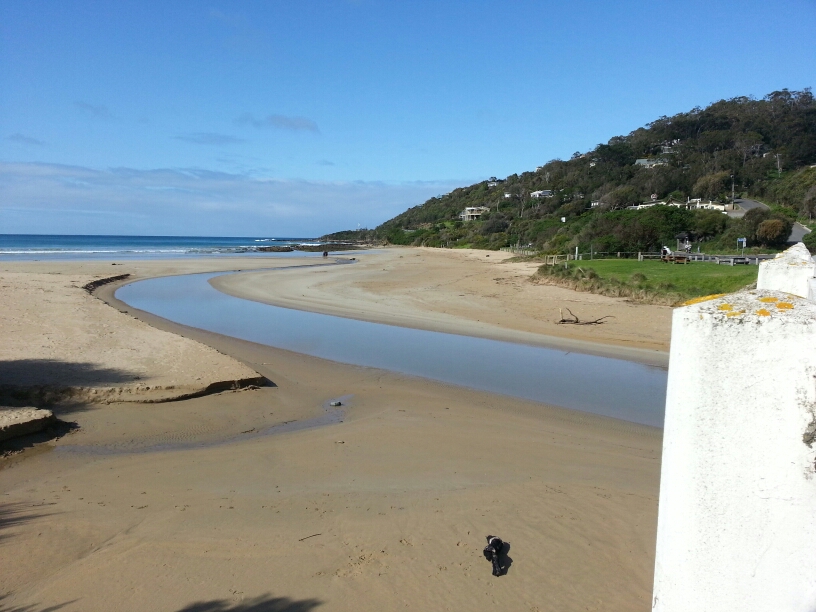
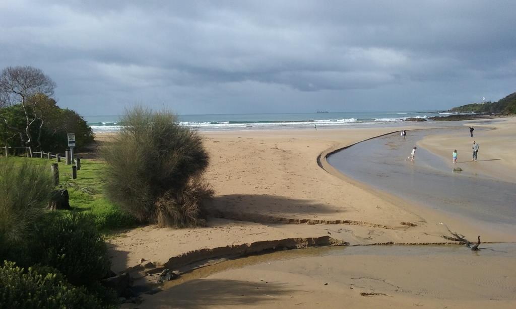
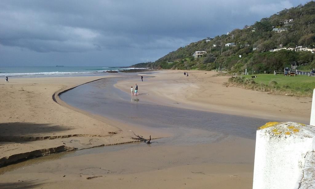
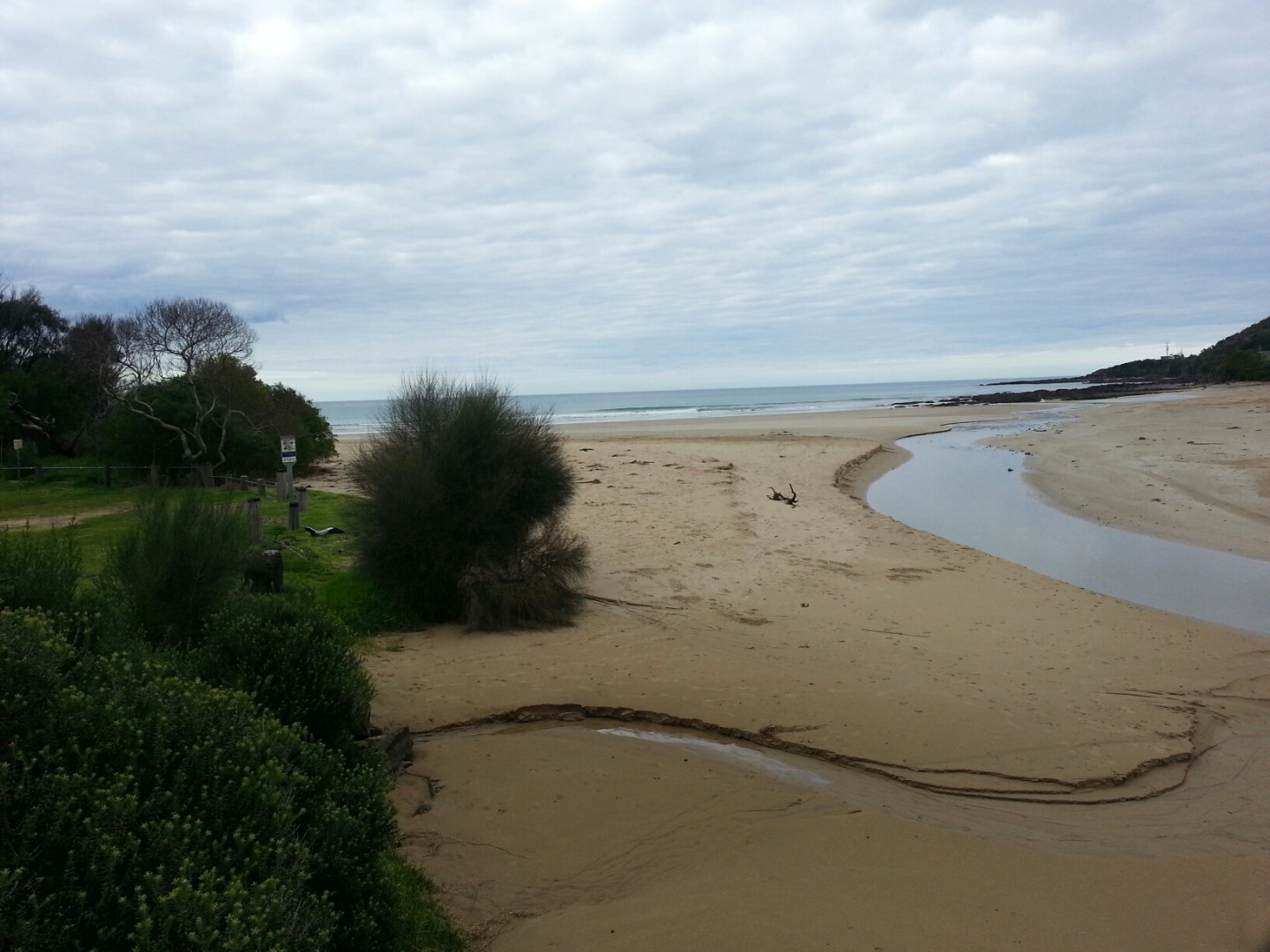
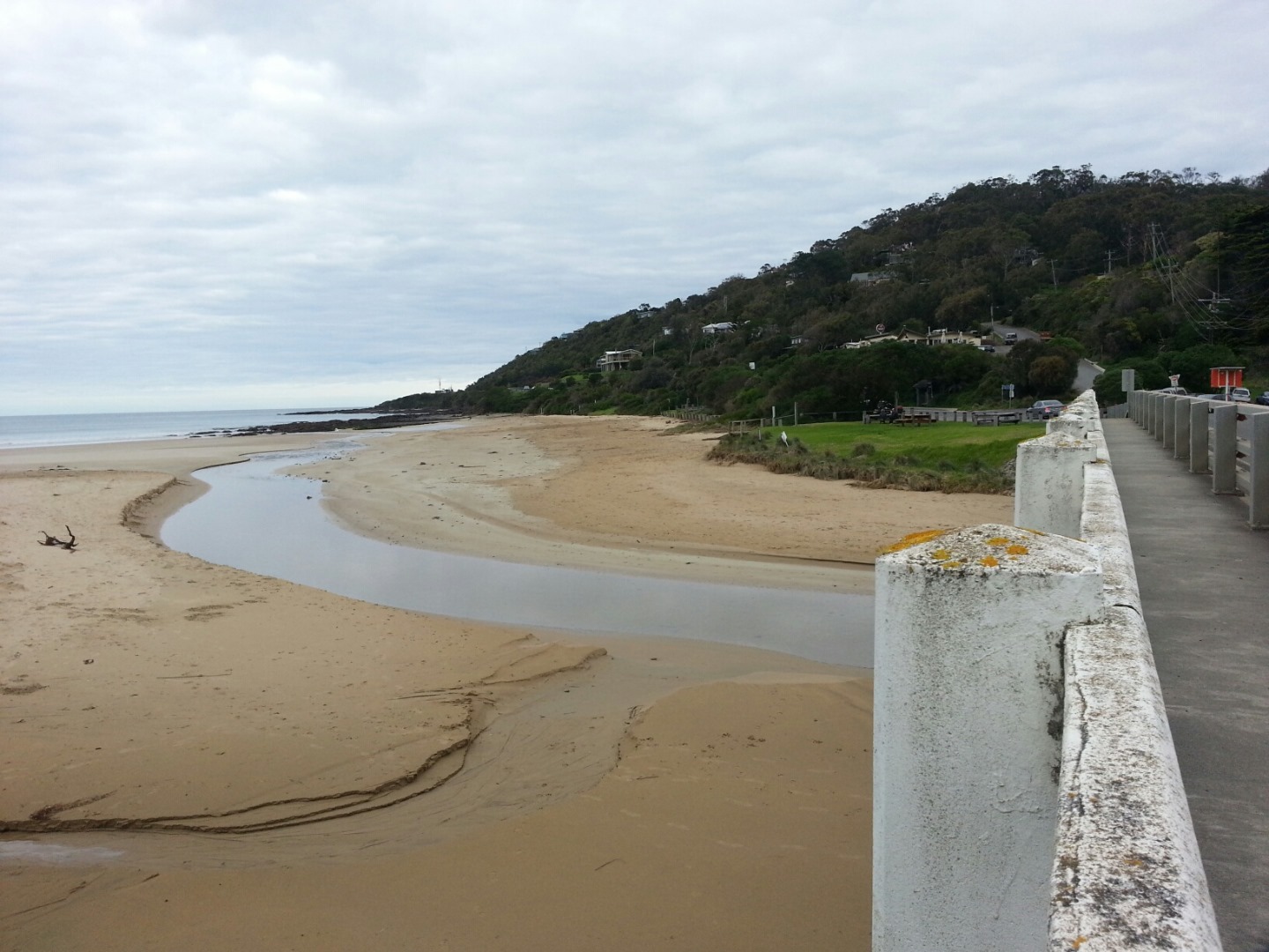
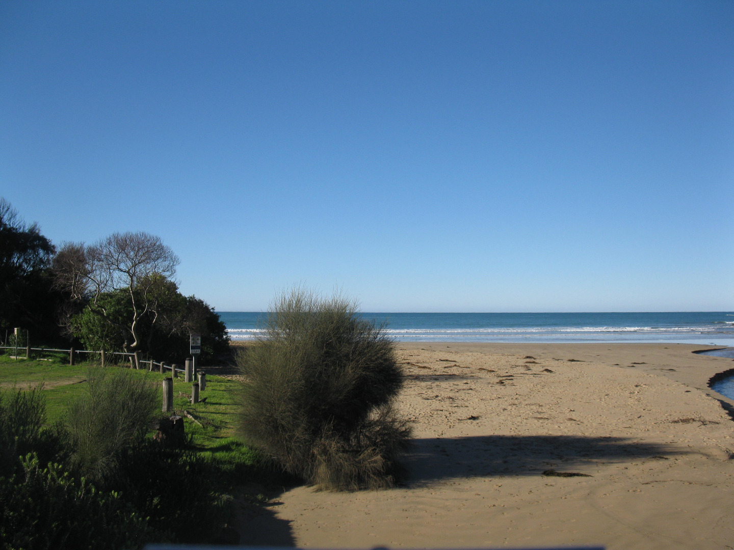
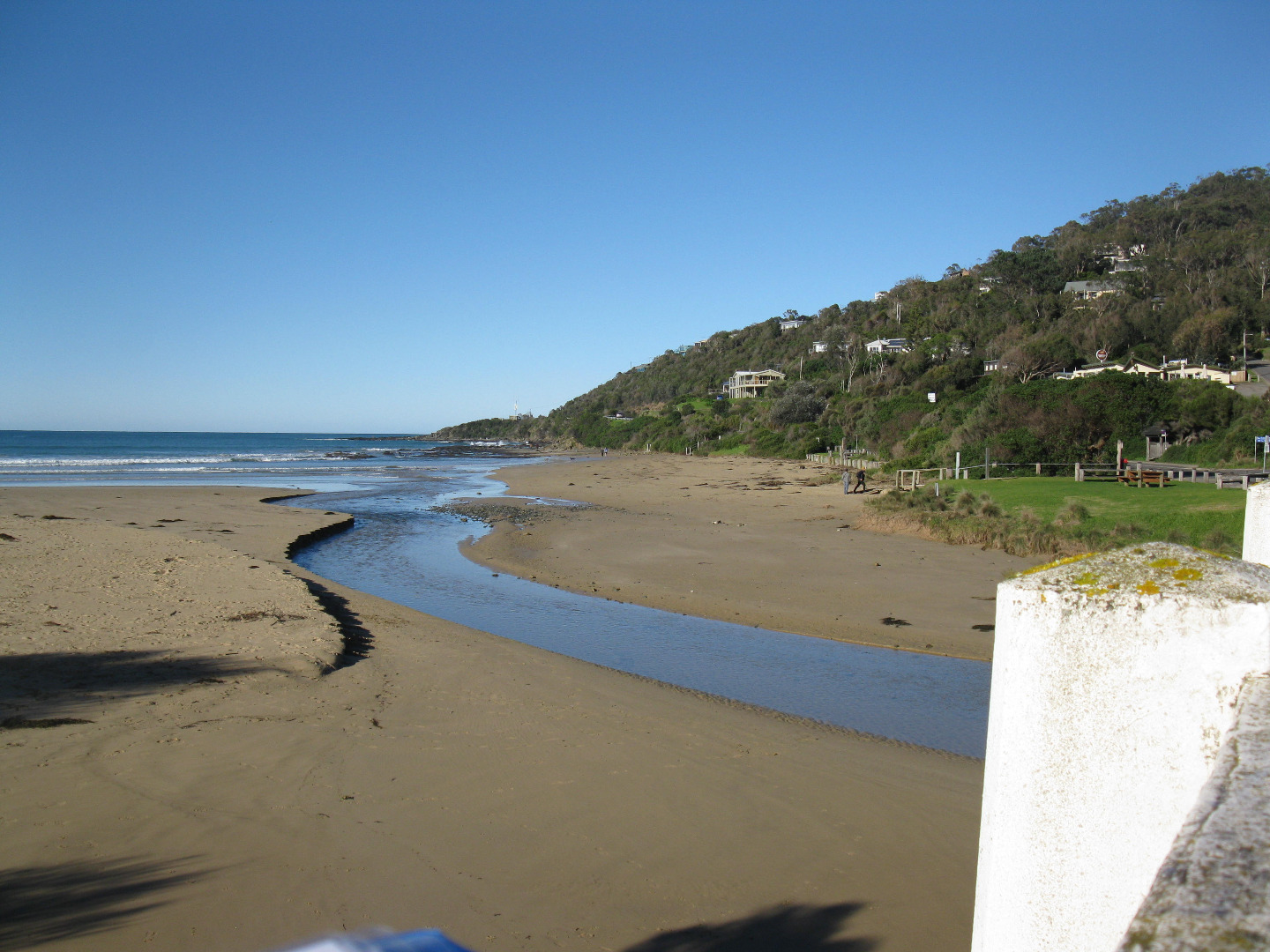
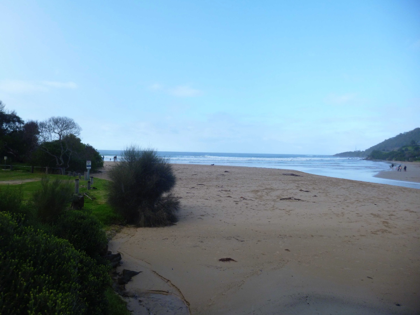
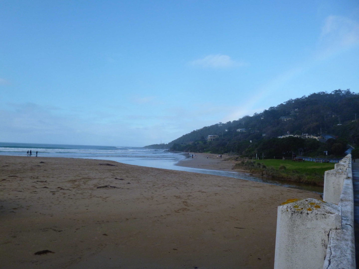
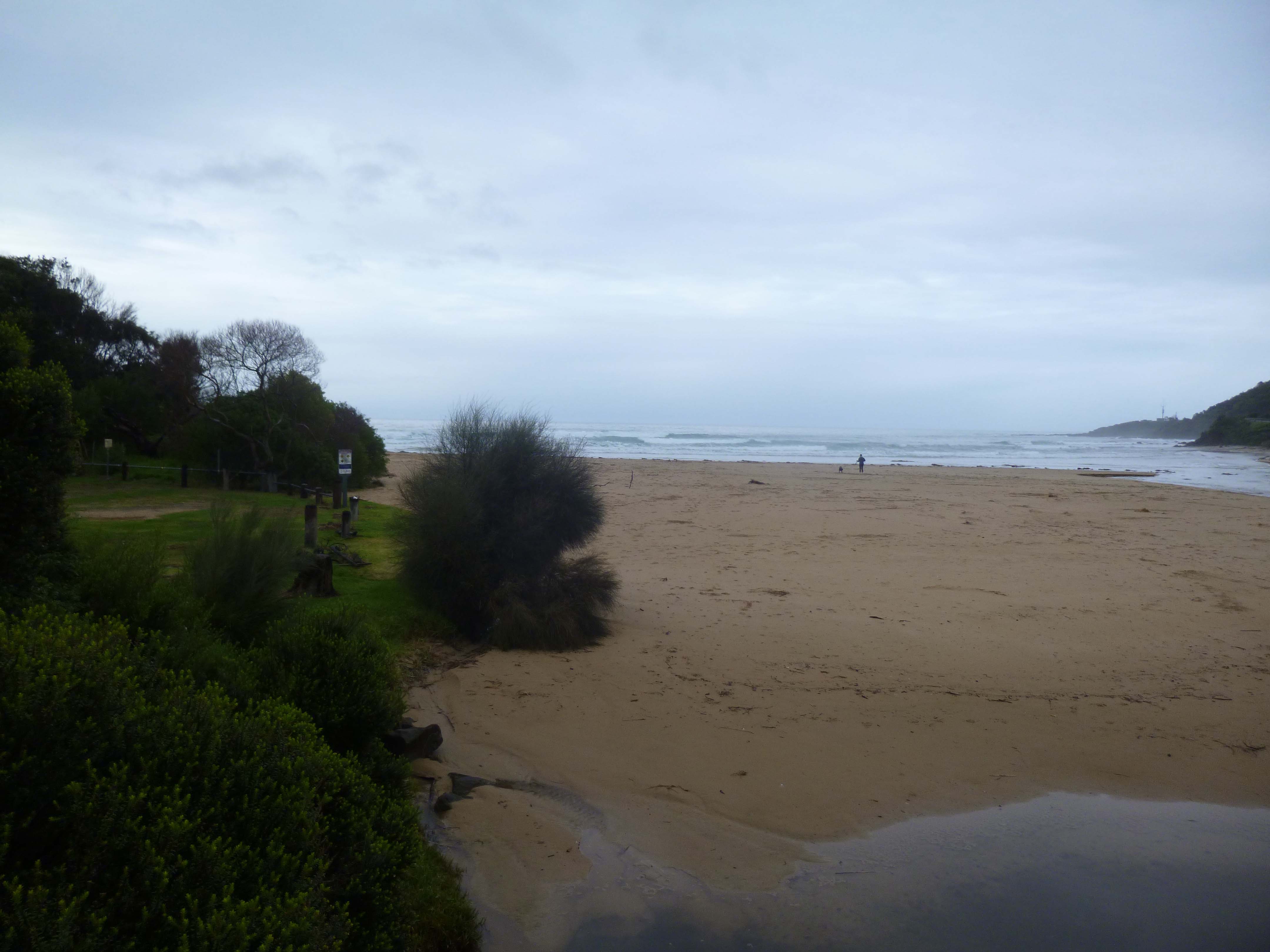
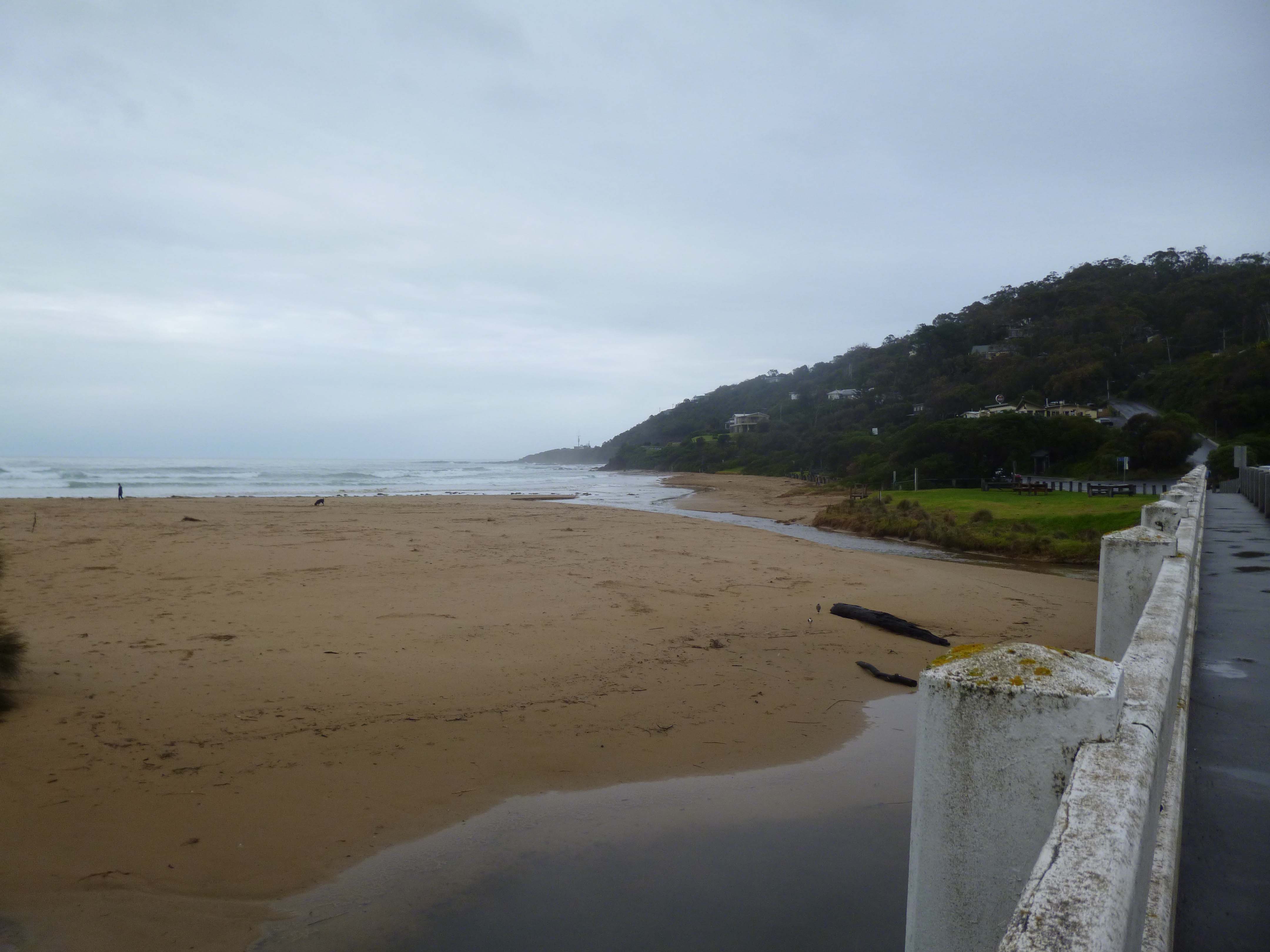
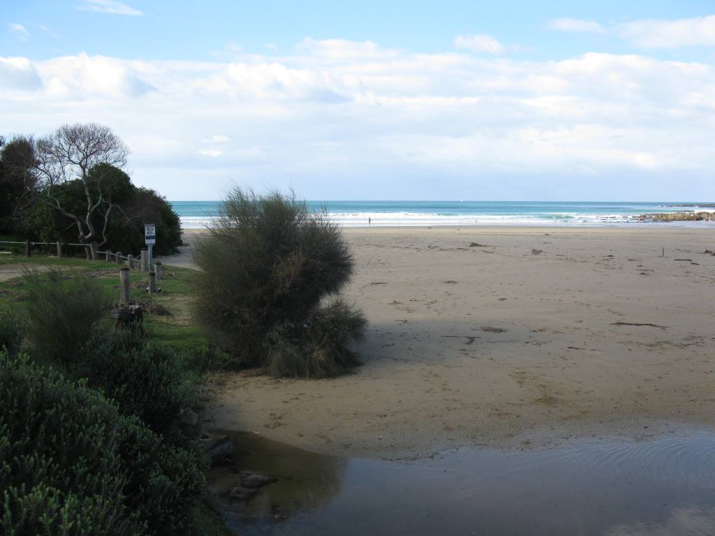
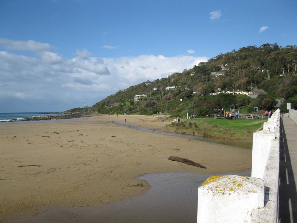
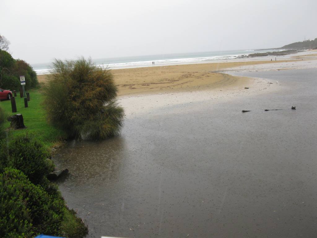
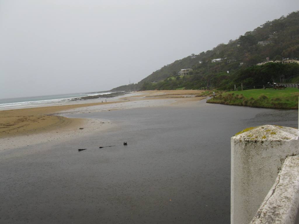
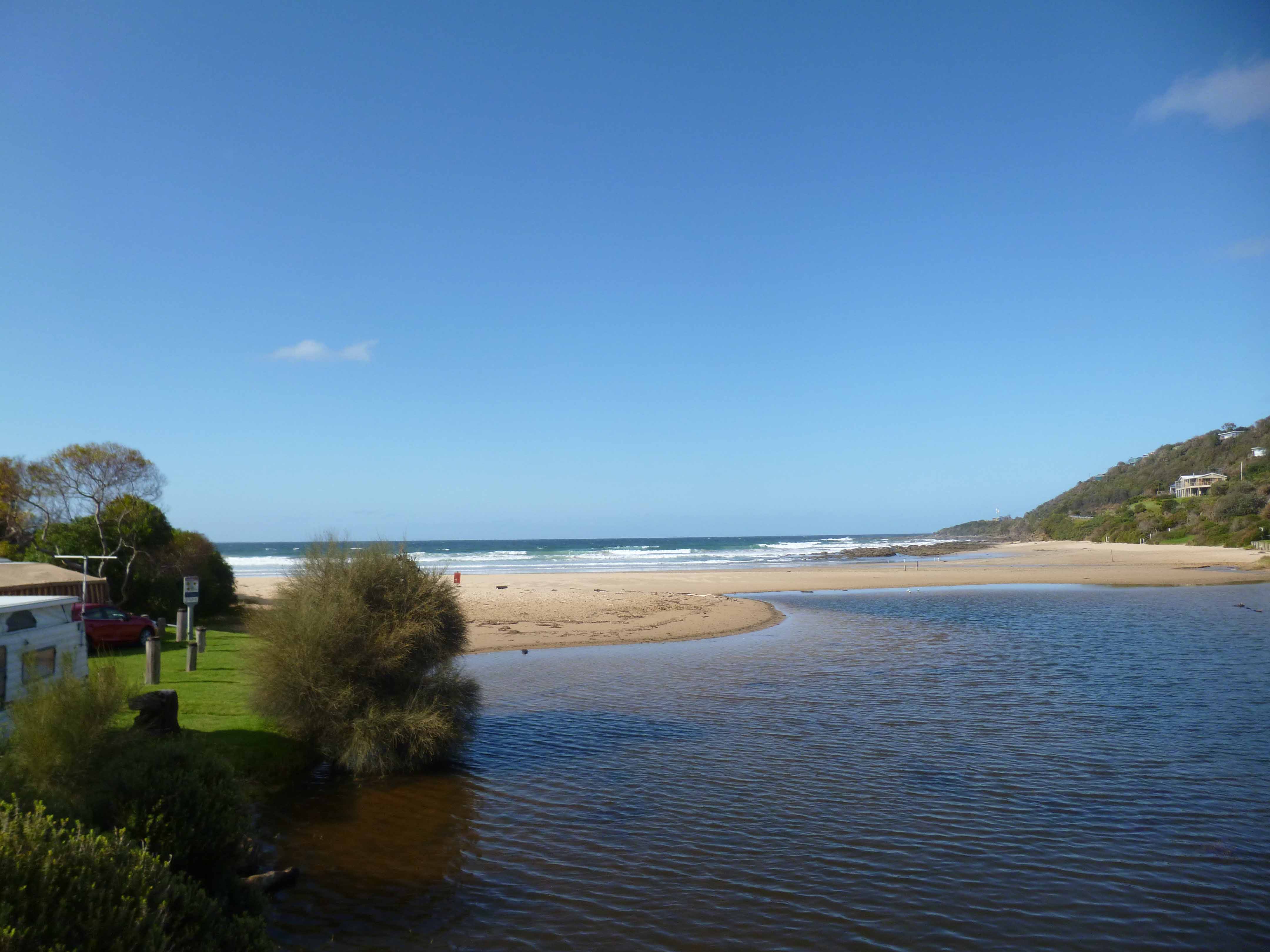
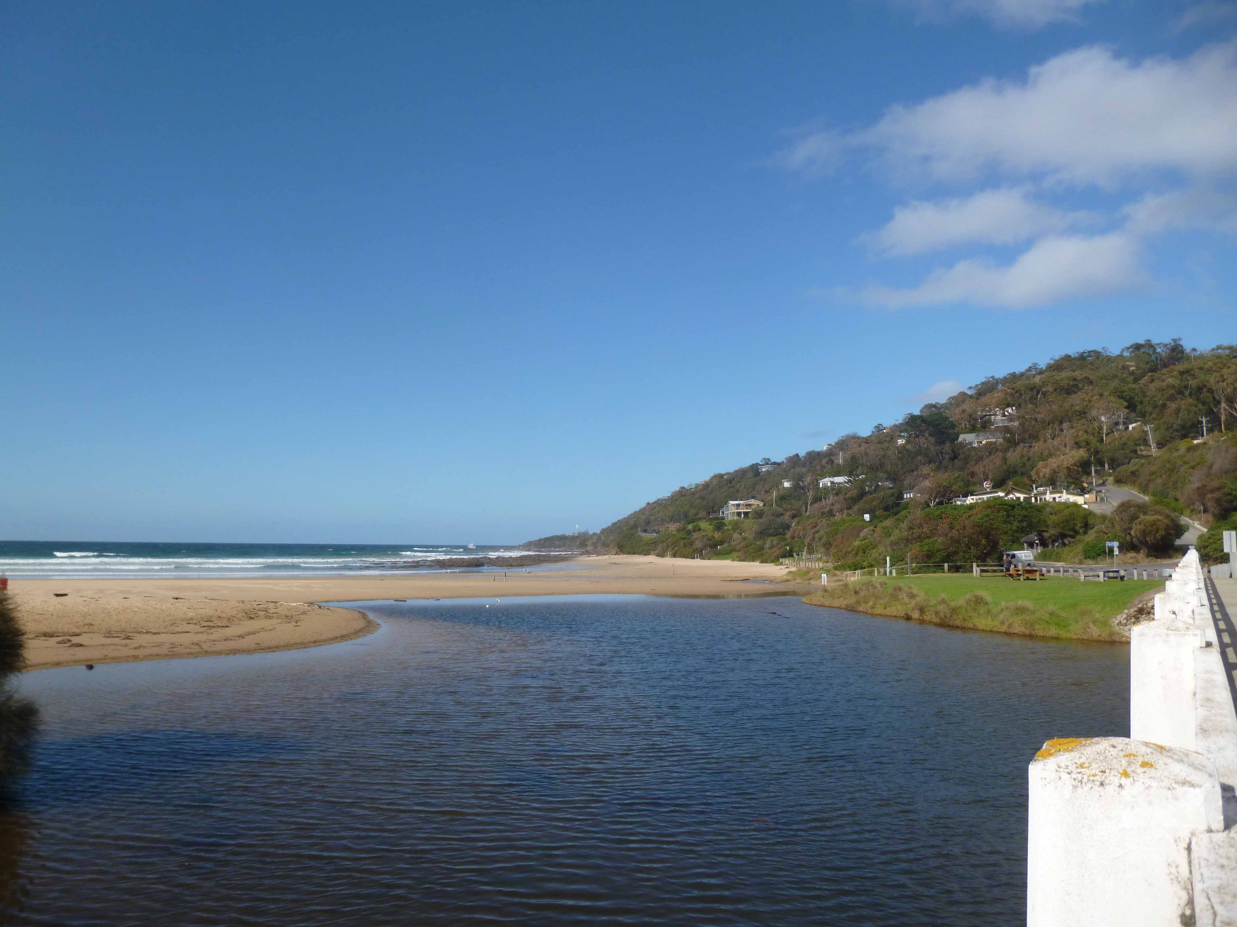
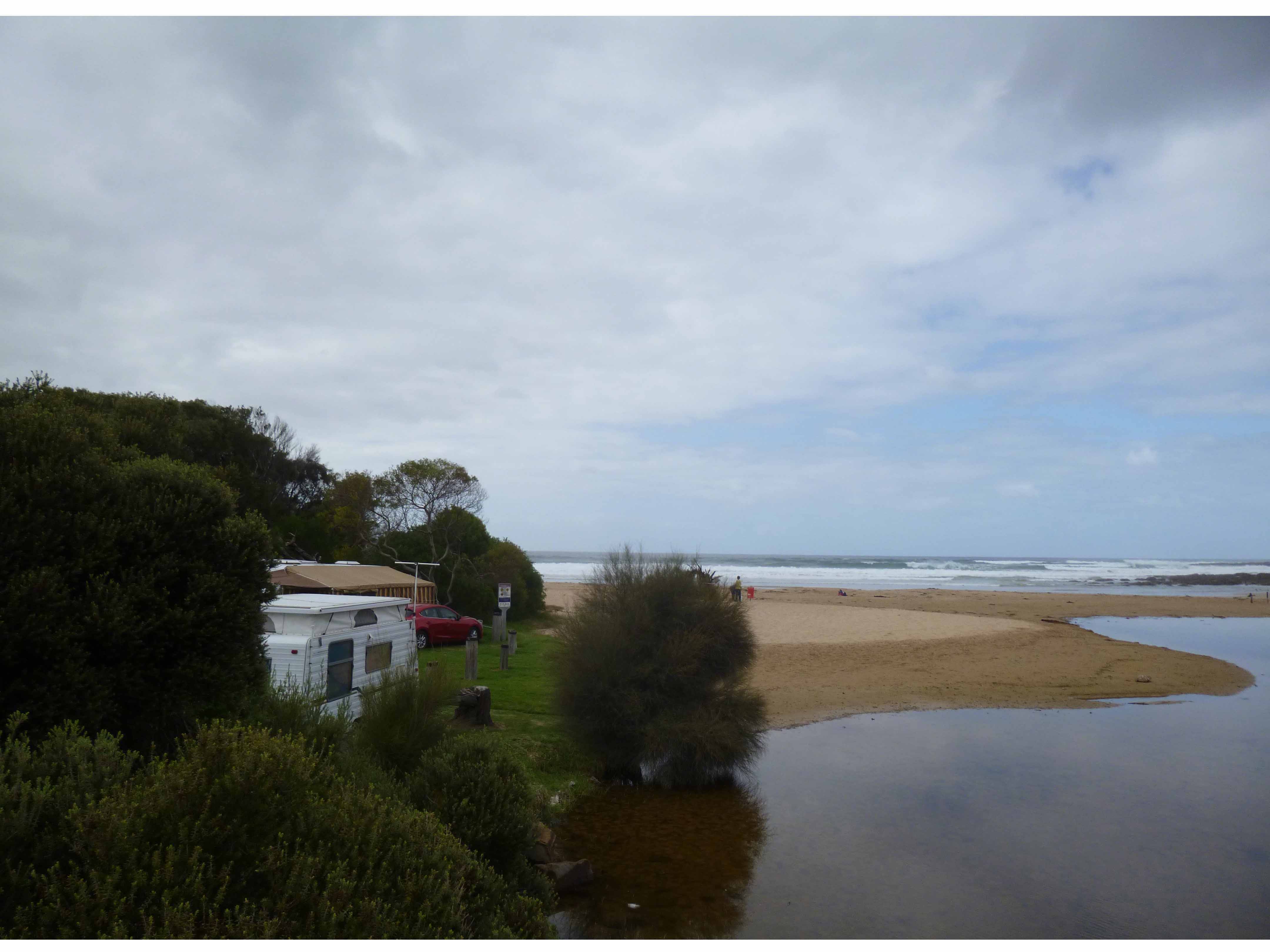
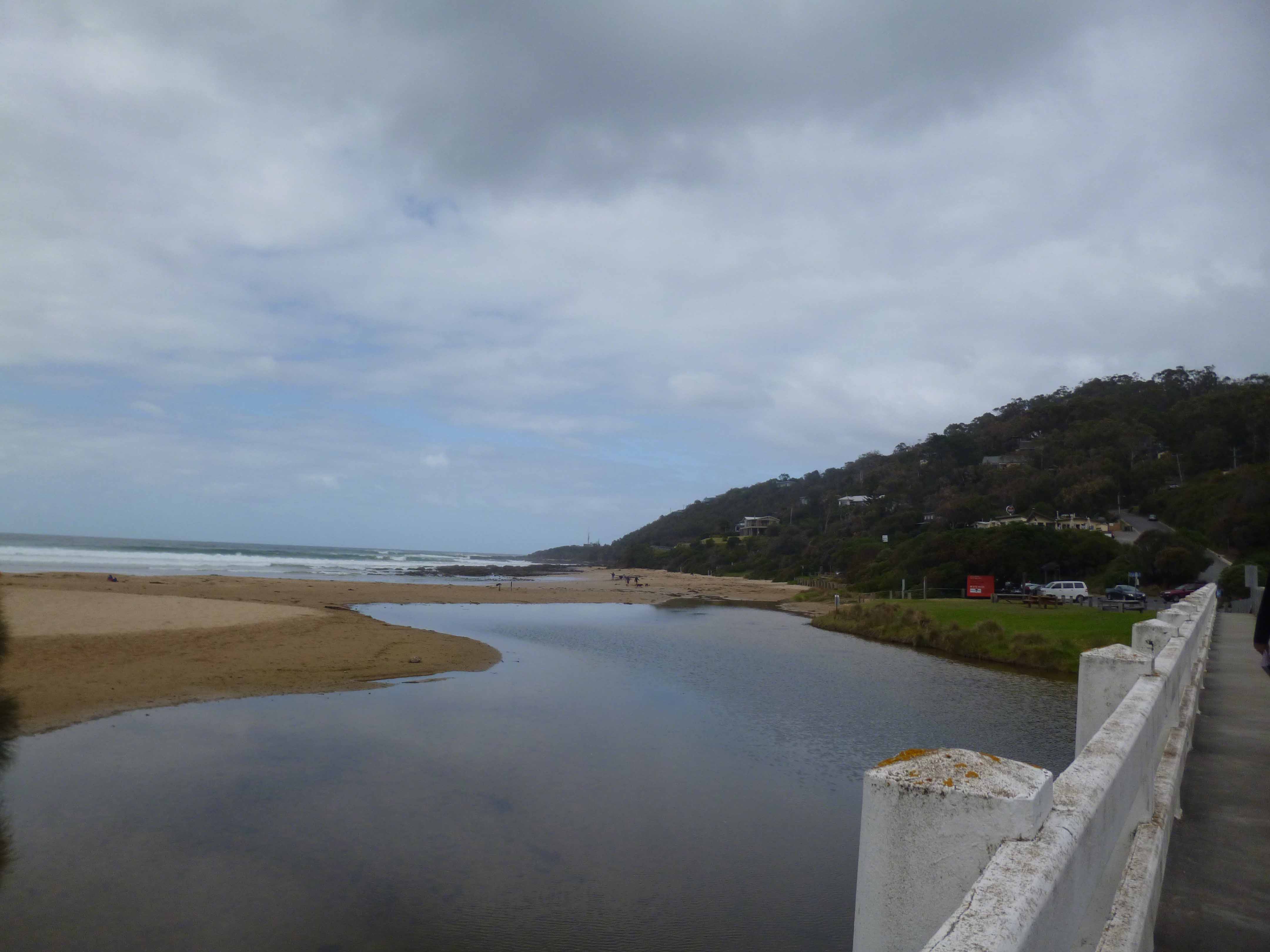
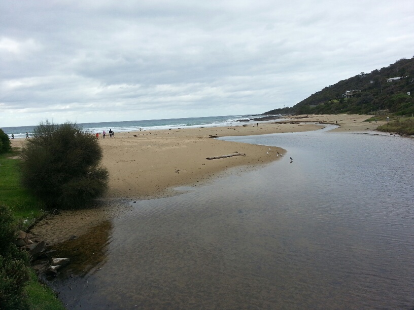
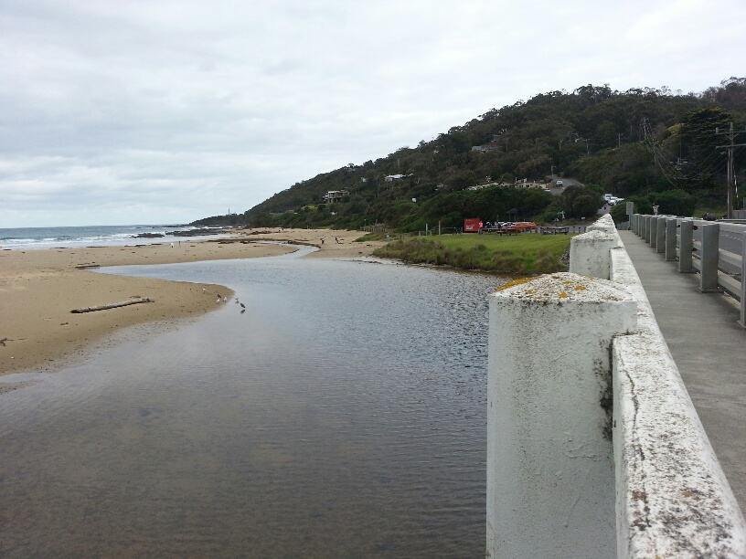
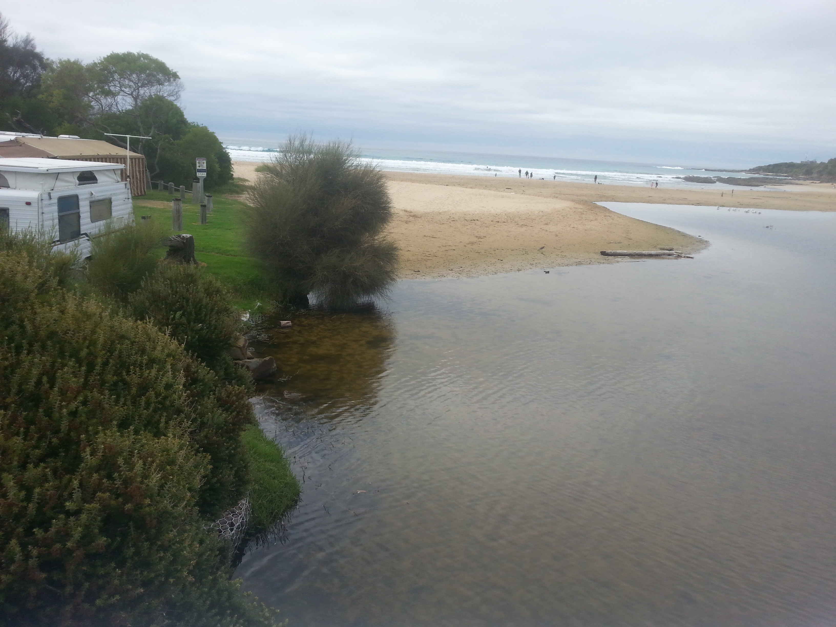
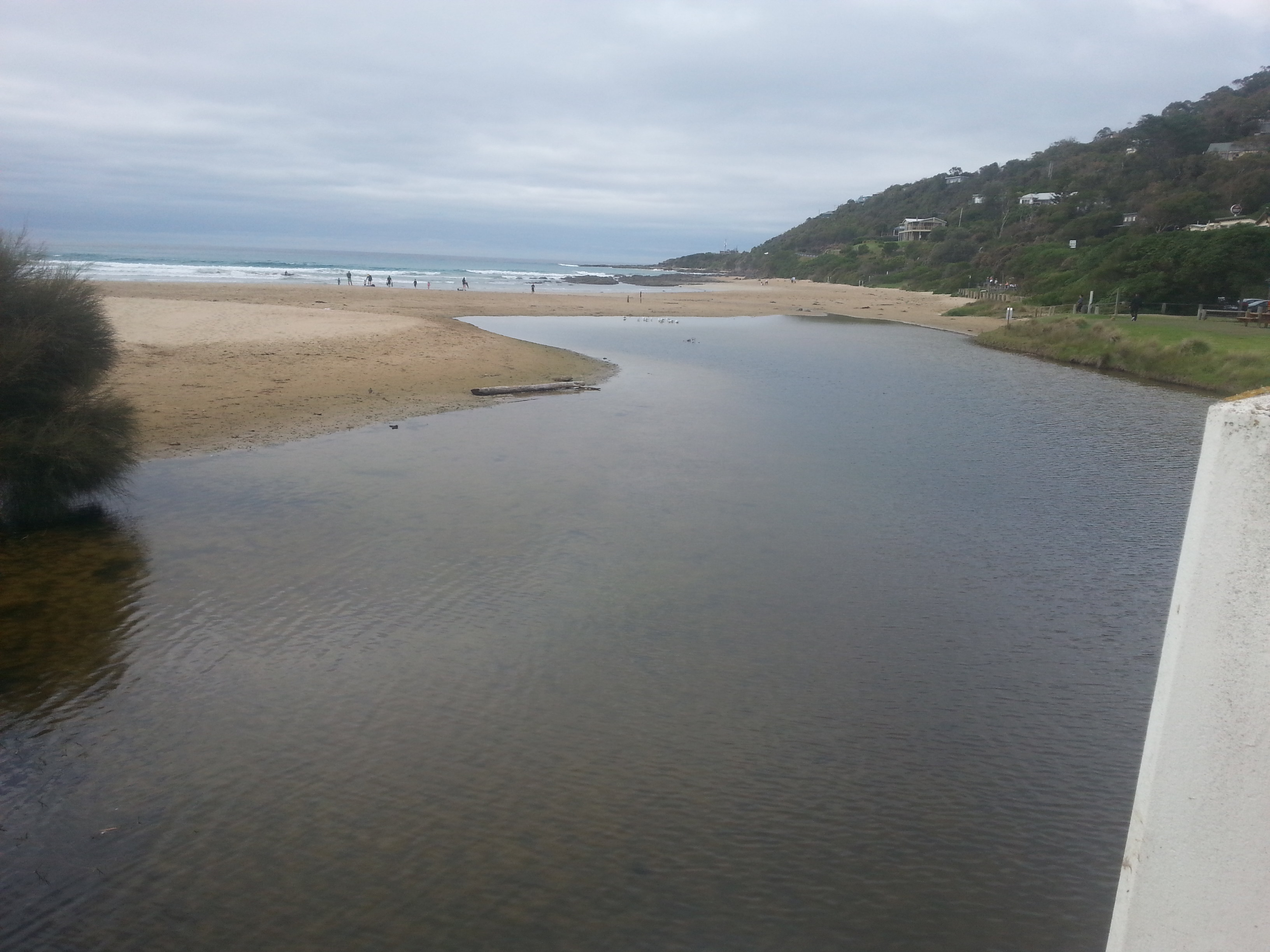
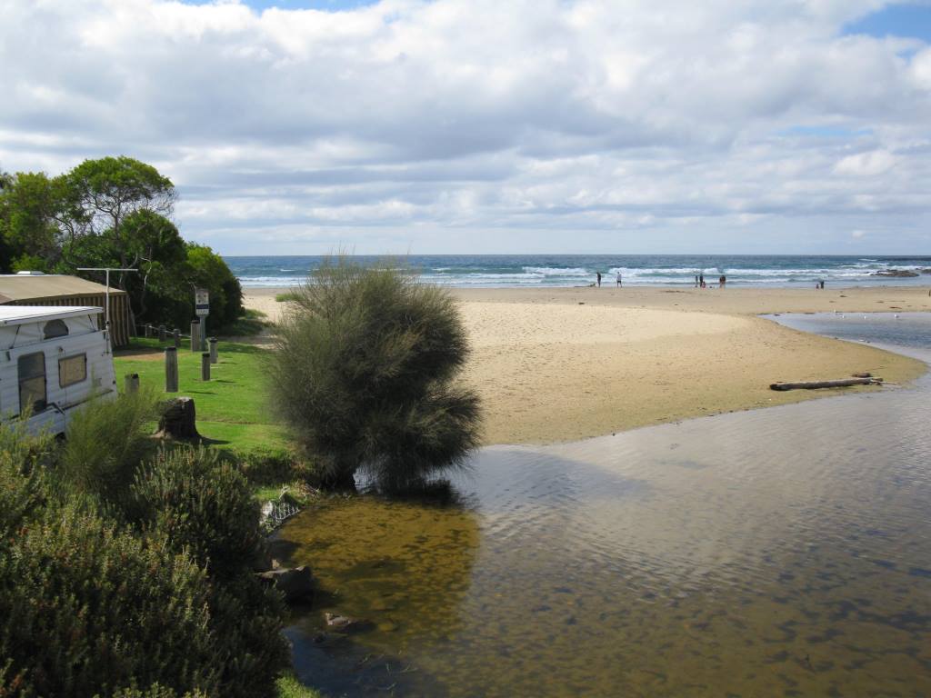
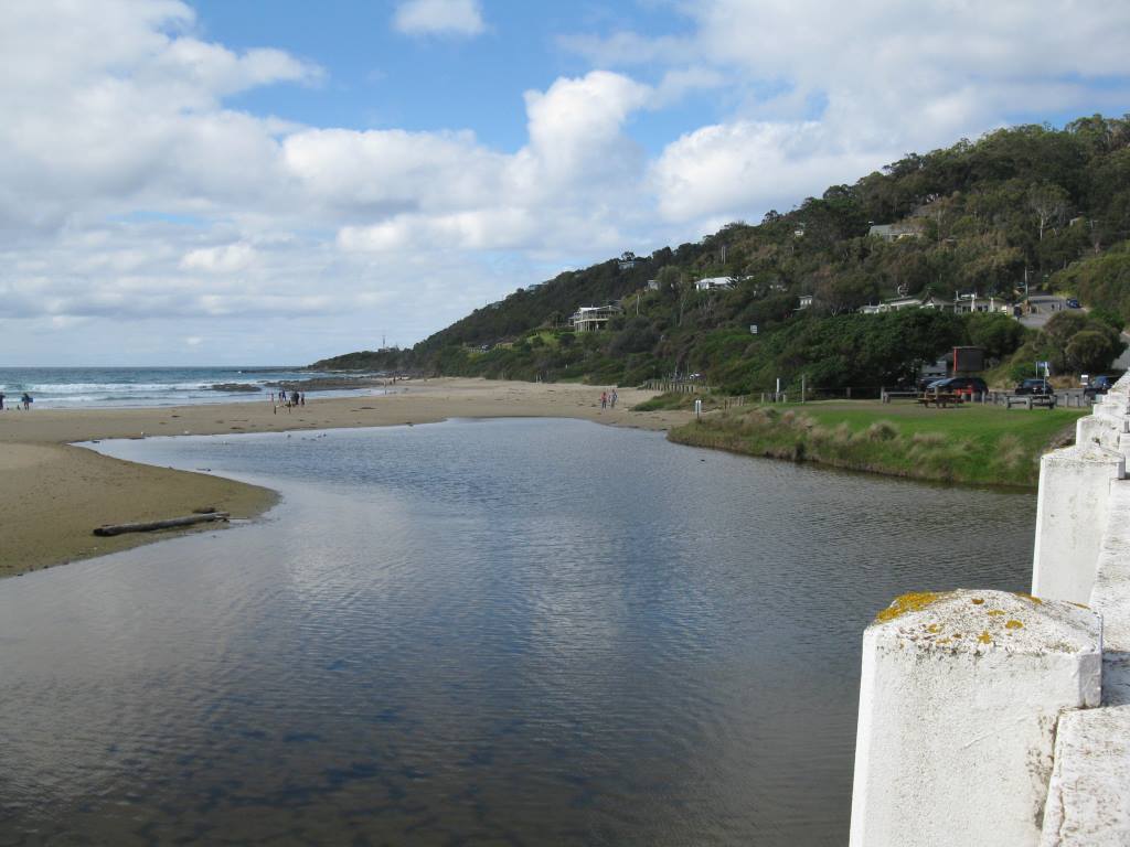
Active Mouth Condition 20-01-2007 - 21-04-2024Wye River Estuary
| ID | Date | Status | Details | |
|---|---|---|---|---|
| #10789 | 5 Feb 2017 | Approved |
Notes:
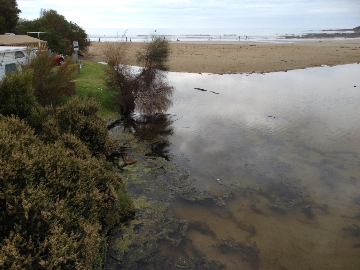
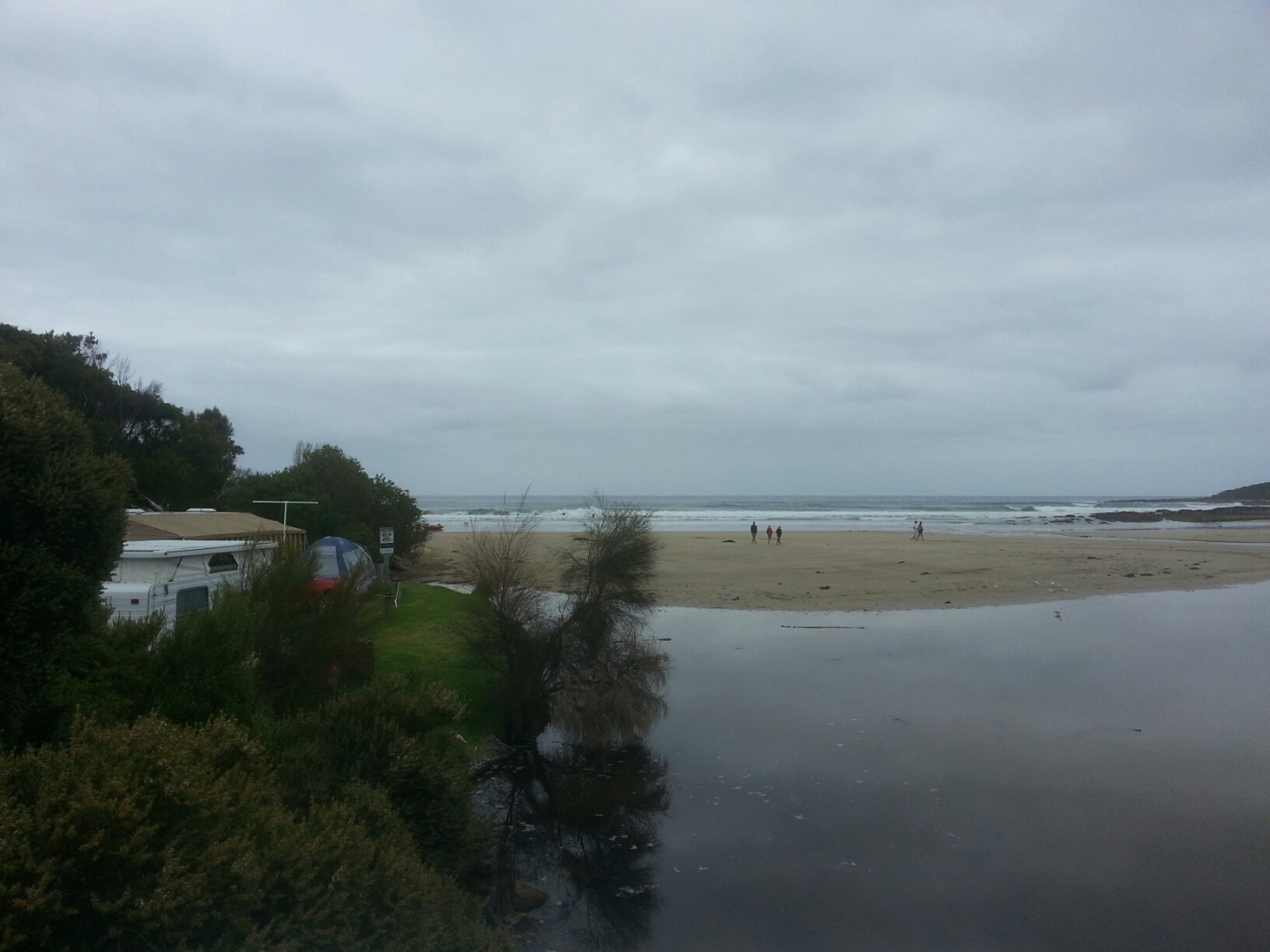
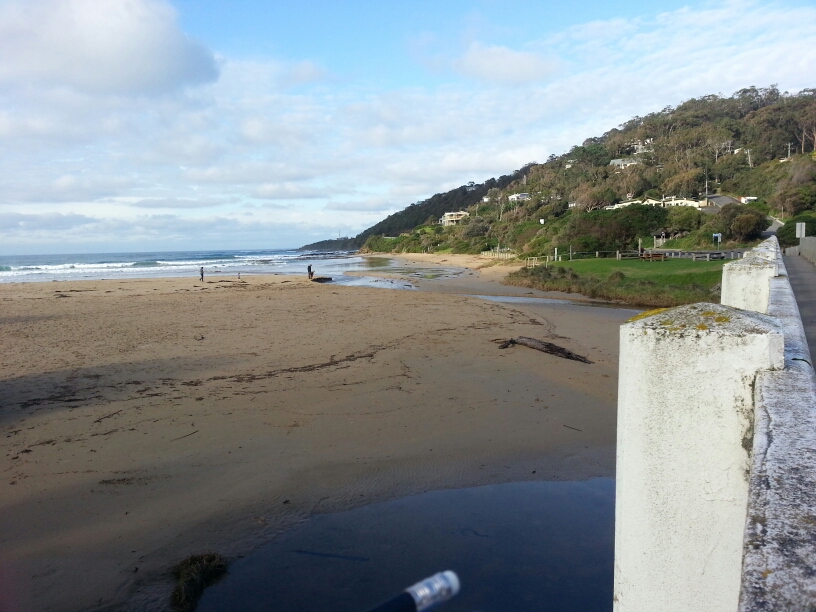
The sign that says no swimming in the mouth of the river is still in position on the beach. This sign has been in place for over one year indicating that it is unsafe to swim in the estuary for all of that time - which is untrue. Juliet has spoken to council employees about the sign - but there has been no action. There is a lot of algae in the river - both sides of the river and upstream |
|
| #10718 | 15 Jan 2017 | Approved |
Notes:
Helen Moriarty assisted with entering today's data as a new volunteer. |
|
| #10663 | 1 Jan 2017 | Approved |
Notes:
We had two observer/ visitors:
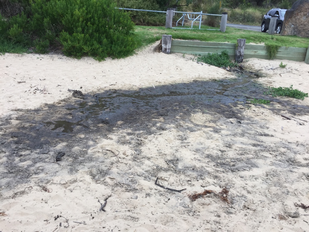
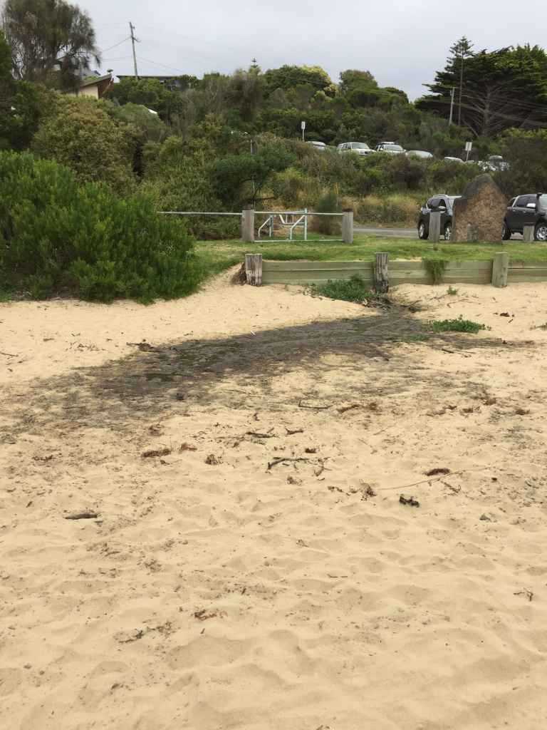
The signs - (that have been installed on Wye River beachfront location for over 12 months - first installed in December 2015) indicating that the estuary is unsuitable for swimming - are still in place. The stormwater, outlet flowing onto the beach, adjacent to the pub is making the sand black- see photo
|
|
| #10653 | 18 Dec 2016 | Approved | ||
| #10592 | 4 Dec 2016 | Approved |
Notes:
|
|
| #10560 | 20 Nov 2016 | Approved | ||
| #10619 | 6 Nov 2016 | Approved | ||
| #10514 | 16 Oct 2016 | Approved | ||
| #10553 | 2 Oct 2016 | Approved |
Notes:
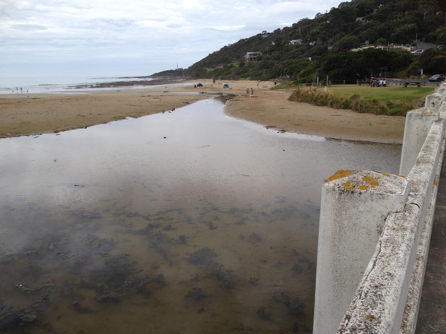
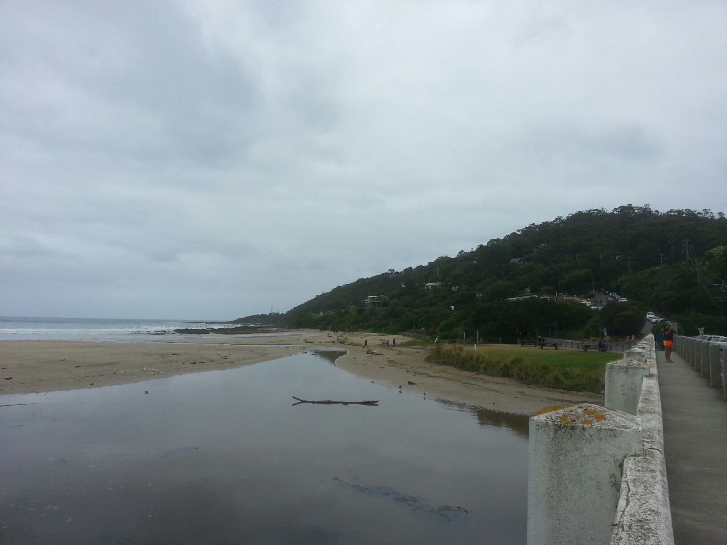
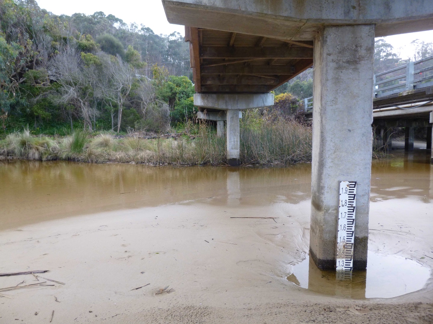
Water level below gauge base. Daylight saving time started last night. When doing Waterwatch yesterday at 9.30 am, there was tidal in-flow under the bridge up to the Fishing Platform. The river inland of the bridge has completely changed, with a pebble sandbank in the middle opposite the playground. |
|
| #10551 | 18 Sep 2016 | Approved |
Notes:
Observations made post-14 September major rain event - >100 ml in 24 hours. Water depth gauge exposed above river water level. River stones now exposed. Sand bank on north side of bridge has been washed away,. Floodwater debris on beach. |
|
| #10755 | 4 Sep 2016 | Approved |
Notes:
Even more sand. |
|
| #10549 | 21 Aug 2016 | Approved |
Notes:
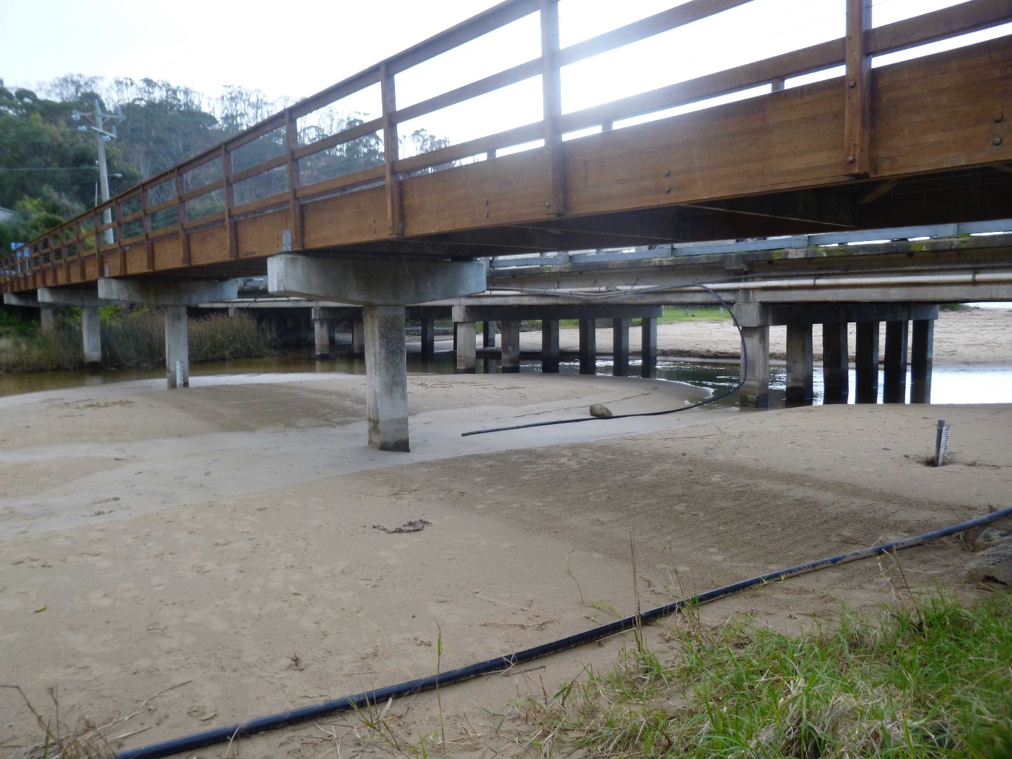
Additional sandbank under the bridge, still there, partly covering water level gauge. |
|
| #10756 | 7 Aug 2016 | Approved |
Notes:
|
|
| #10548 | 17 Jul 2016 | Approved |
Notes:
River level gauge in isolated pool due to sand movement |
|
| #10513 | 3 Jul 2016 | Approved |
Notes:
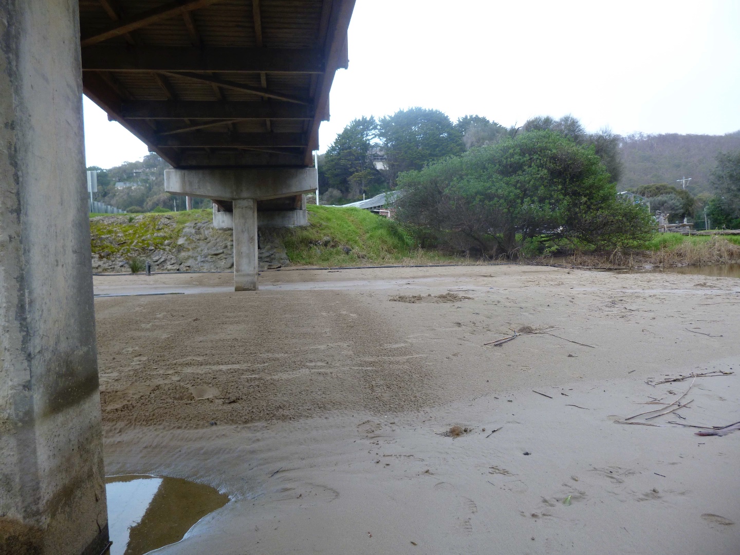
The recently installed water level gauge buried in sand. 3 photos were taken to show extensive sand coverage under the Wye River bridge. Time 10.25 |
|
| #10388 | 19 Jun 2016 | Approved |
Notes:
Significant beach erosion at edge of foreshore grass - chunks are coming away. |
|
| #10757 | 8 Jun 2016 | Approved |
|
|
| #10351 | 5 Jun 2016 | Approved |
Notes:
Water level maker needs a clean- difficult to read. |
|
| #10305 | 15 May 2016 | Approved | ||
| #10283 | 1 May 2016 | Approved |
Notes:
Gusty Wind. Heavy rain - 20 ml overnight River flow-path now almost at top of beach edge - near road |
|
| #10251 | 17 Apr 2016 | Approved |
Notes:
Rain during the week |
|
| #10231 | 3 Apr 2016 | Approved | Notes: The river seems to have resumed its normal flow- very little rain. | |
| #10209 | 20 Mar 2016 | Approved | Notes: Mouth reopened following rain, water level in lagoon significantly lower. | |
| #10204 | 6 Mar 2016 | Approved | Notes: River was opened for 6 days recently. Berm length is 60m | |
| #10158 | 21 Feb 2016 | Approved | Notes: Berm first observed on the morning of Saturday 13th February 2016 | |

All content, files, data and images provided by the EstuaryWatch Data Portal and Gallery are subject to a Creative Commons Attribution License
Content is made available to be used in any way, and should always attribute EstuaryWatch and www.estuarywatch.org.au