EstuaryWatch Data Portal
GMC Gellibrand River Estuary Mouth Observation Site
27 December 2015
Observation details
Overview
| Estuary | Gellibrand River Estuary |
|---|---|
| Site | Gellibrand River Estuary Mouth Observation Site |
| Observation ID | #10034 |
| Date and Time | Sunday 27th December 2015 07:55am |
| Approved | Approved |
Notes
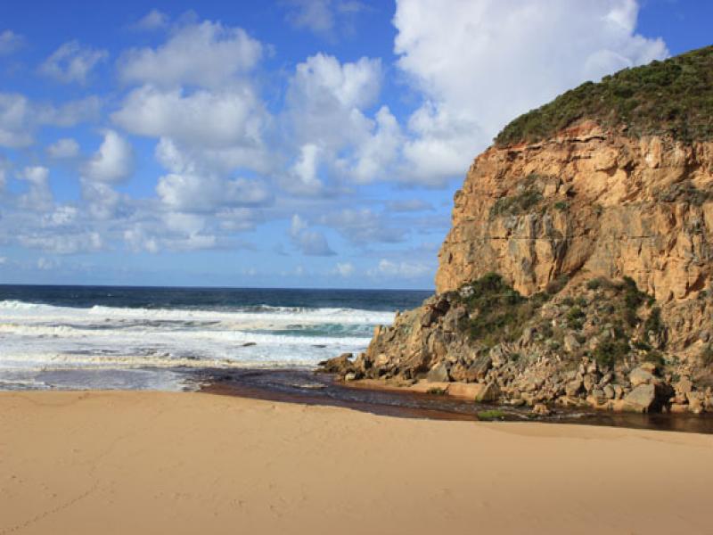
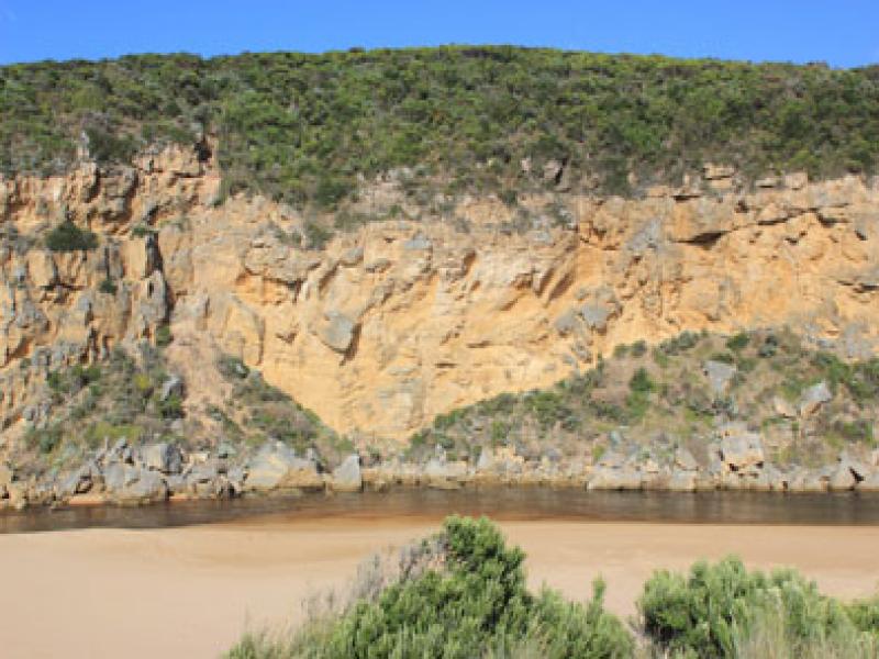
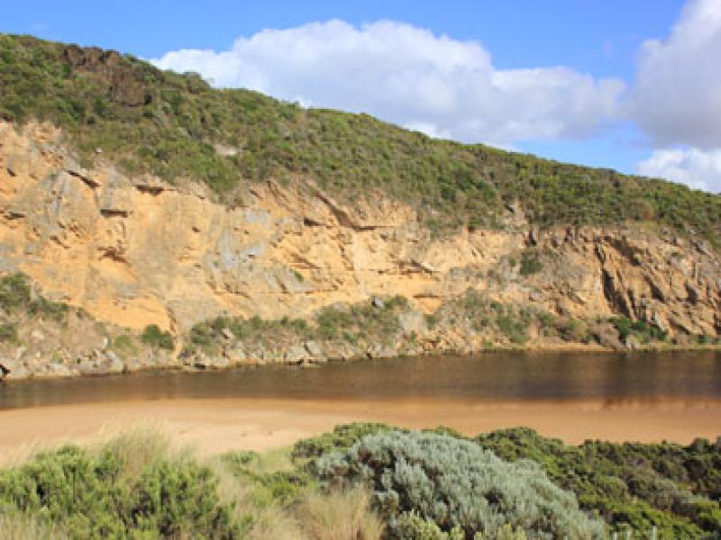
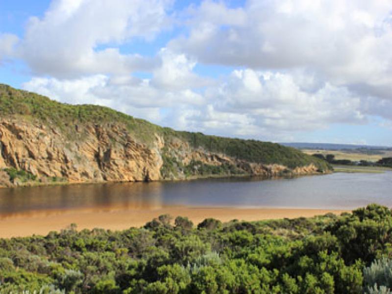
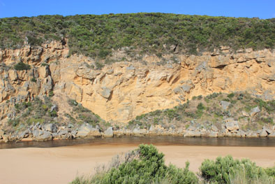
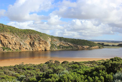
- Strong dark outflow around mouth, to SW, S & east along foreshore
- Flow has cut sheer side to channel at mouth (1-2m) which is collapsing into flow
- Both rocks well exposed but main volume of water is on east side over cascade, sand build up immediately d/s rocks
- Strong longshore drift across mouth crossing out flow & turning into channel & up into estuary
- Waves in all directions at mouth
- Waves have been high up on beach & over remaining part of berm (dark swash line)
- Beach has gradual steep slope-highest near mouth
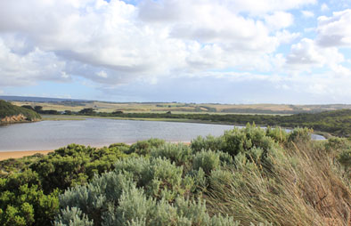
- No water in campground. Dip in causeway G4 is clear of water
Mouth Observation
| Mouth state | Open |
|---|---|
| Previous | C C C O O P C C O O O C C C C C C O O O P C O O O P O O O O O O O O O O O O O O O O O O O O O O O O O O O O O O C C C C C C |
| Flow Present? | Yes |
| Previous | N N N Y Y Y N N Y Y Y N N N N N N Y Y Y Y N Y Y Y N Y Y Y Y Y Y Y Y Y Y Y Y Y Y Y Y Y Y Y Y Y Y Y Y Y Y Y Y Y N N N N N N |
| Flow Direction | Out |
| Previous | N N N O O I N N O I O N N N N N N O O O I N O O O N O O O O O O I O I O O I O O O O O O O O O O O O O O O N N N N N N |
| Above Sea | Above Estuary | |
|---|---|---|
| Berm Height (m) | ||
| Berm Length (m) |
Physical Condition
| Current | Mode | |
|---|---|---|
| Wind Direction | South-East | |
| Beaufort Scale | Gentle breeze | |
| Sea State | Rough |


All content, files, data and images provided by the EstuaryWatch Data Portal and Gallery are subject to a Creative Commons Attribution License
Content is made available to be used in any way, and should always attribute EstuaryWatch and www.estuarywatch.org.au