EstuaryWatch Data Portal
GMC Gellibrand River Estuary Mouth Observation Site
21 January 2016
Observation details
Overview
| Estuary | Gellibrand River Estuary |
|---|---|
| Site | Gellibrand River Estuary Mouth Observation Site |
| Observation ID | #10100 |
| Date and Time | Thursday 21st January 2016 08:58am |
| Approved | Approved |
Notes
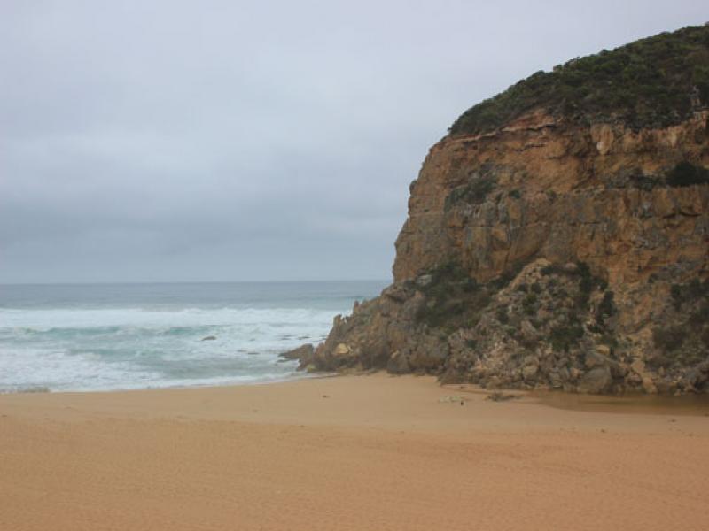
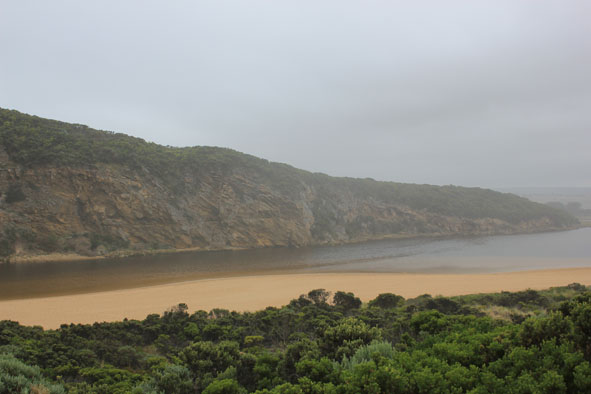
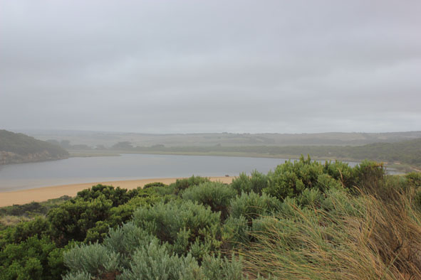
- Mouth barred but infrequent waves over into channel, some slight salt return
- Berm length 25m.
- Projection into sea 40m. from cliff has almost gone
- Swash line from last high tide indicates wide area over berm & up into channel nearly to estuary
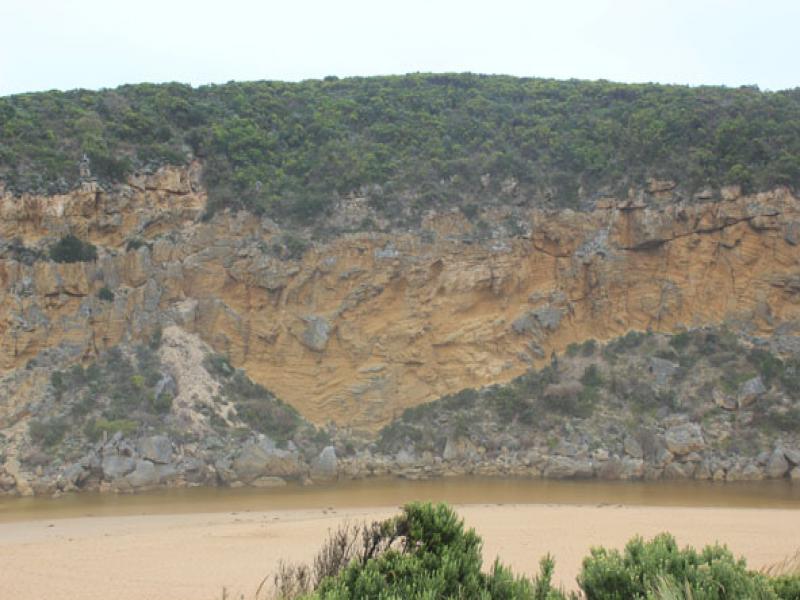
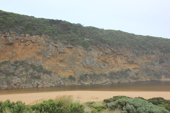
- Channel very shallow
- Large amount of sand visible in breakers about 50 m. out to sea
- Very large no. small fish in shallow water along side low track
- Sandbar covered
Mouth Observation
| Mouth state | Closed |
|---|---|
| Previous | P C C O O O C C C C C C O O O P C O O O P O O O O O O O O O O O O O O O O O O O O O O O O O O O O O O C C C C C C O O O O O O |
| Flow Present? | No |
| Previous | Y N N Y Y Y N N N N N N Y Y Y Y N Y Y Y N Y Y Y Y Y Y Y Y Y Y Y Y Y Y Y Y Y Y Y Y Y Y Y Y Y Y Y Y Y N N N N N N Y Y Y Y Y Y |
| Flow Direction | N/A |
| Previous | I N N O I O N N N N N N O O O I N O O O N O O O O O O I O I O O I O O O O O O O O O O O O O O O N N N N N N O O O O O O |
| Above Sea | Above Estuary | |
|---|---|---|
| Berm Height (m) | ||
| Berm Length (m) |
Physical Condition
| Current | Mode | |
|---|---|---|
| Wind Direction | South | |
| Beaufort Scale | Gentle breeze | |
| Sea State | Rough |


All content, files, data and images provided by the EstuaryWatch Data Portal and Gallery are subject to a Creative Commons Attribution License
Content is made available to be used in any way, and should always attribute EstuaryWatch and www.estuarywatch.org.au