EstuaryWatch Data Portal
GMC Gellibrand River Estuary Mouth Observation Site
2 February 2016
Observation details
Overview
| Estuary | Gellibrand River Estuary |
|---|---|
| Site | Gellibrand River Estuary Mouth Observation Site |
| Observation ID | #10132 |
| Date and Time | Tuesday 2nd February 2016 08:50am |
| Approved | Approved |
Notes
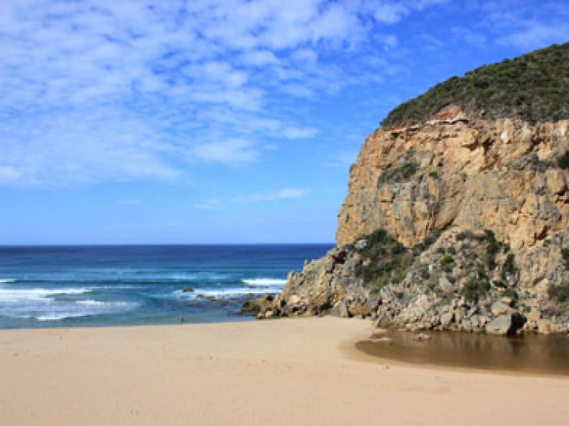
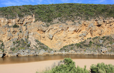
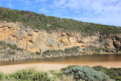
- Mouth barred but some waves over during last hi tide at lowest point
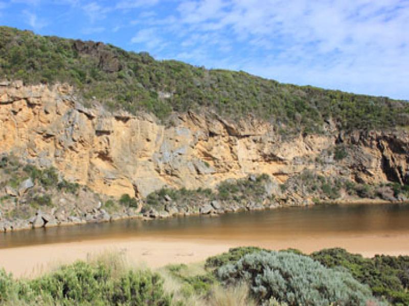
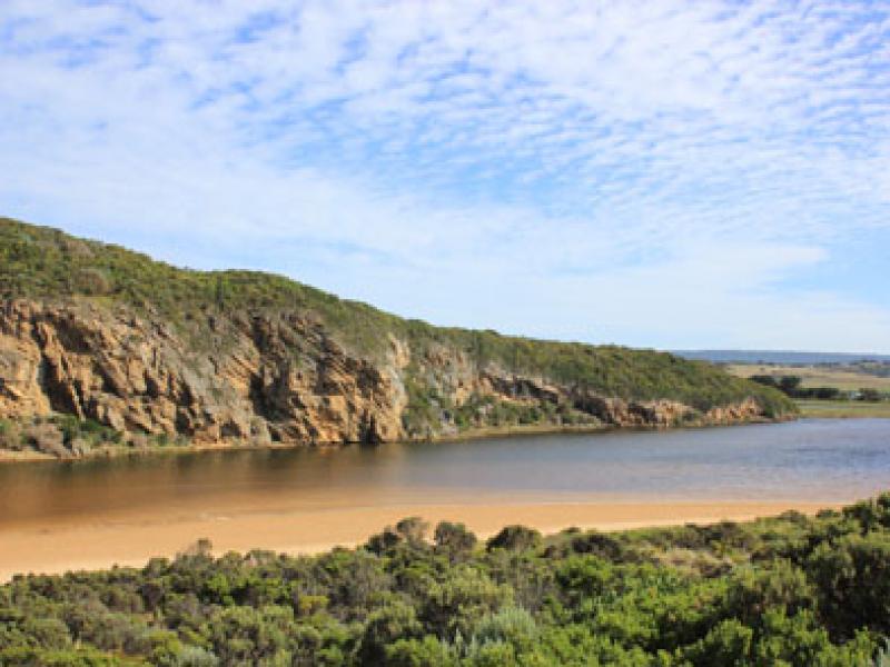
- Berm narrow (26.3 m in length) but much higher further east
- Sand spit dividing beach is much wider & moving toward mouth.
- Longshore drift bring sand to spit from east
- Large amount of sand in ocean all along the beach
- Dead Mullet at start of estuary
- Fish with parasites caught recently
- Many small fish seen along waters edge
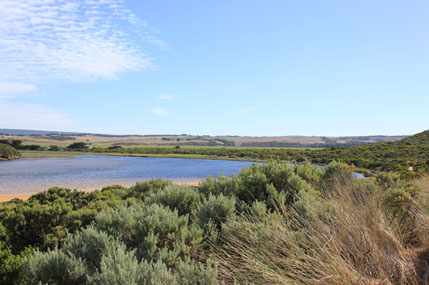
Mouth Observation
| Mouth state | Open |
|---|---|
| Previous | C O O O C C C C C C O O O P C O O O P O O O O O O O O O O O O O O O O O O O O O O O O O O O O O O C C C C C C O O O O O O C C |
| Flow Present? | No |
| Previous | N Y Y Y N N N N N N Y Y Y Y N Y Y Y N Y Y Y Y Y Y Y Y Y Y Y Y Y Y Y Y Y Y Y Y Y Y Y Y Y Y Y Y Y N N N N N N Y Y Y Y Y Y N N |
| Flow Direction | N/A |
| Previous | N O I O N N N N N N O O O I N O O O N O O O O O O I O I O O I O O O O O O O O O O O O O O O N N N N N N O O O O O O N N |
| Above Sea | Above Estuary | |
|---|---|---|
| Berm Height (m) | 1.0m | 0.6m |
| Berm Length (m) |
Physical Condition
| Current | Mode | |
|---|---|---|
| Wind Direction | North | |
| Beaufort Scale | Gentle breeze | |
| Sea State | Moderate |


All content, files, data and images provided by the EstuaryWatch Data Portal and Gallery are subject to a Creative Commons Attribution License
Content is made available to be used in any way, and should always attribute EstuaryWatch and www.estuarywatch.org.au