EstuaryWatch Data Portal
GMC Gellibrand River Estuary Mouth Observation Site
26 February 2016
Observation details
Overview
| Estuary | Gellibrand River Estuary |
|---|---|
| Site | Gellibrand River Estuary Mouth Observation Site |
| Observation ID | #10171 |
| Date and Time | Friday 26th February 2016 11:55am |
| Approved | Approved |
Notes
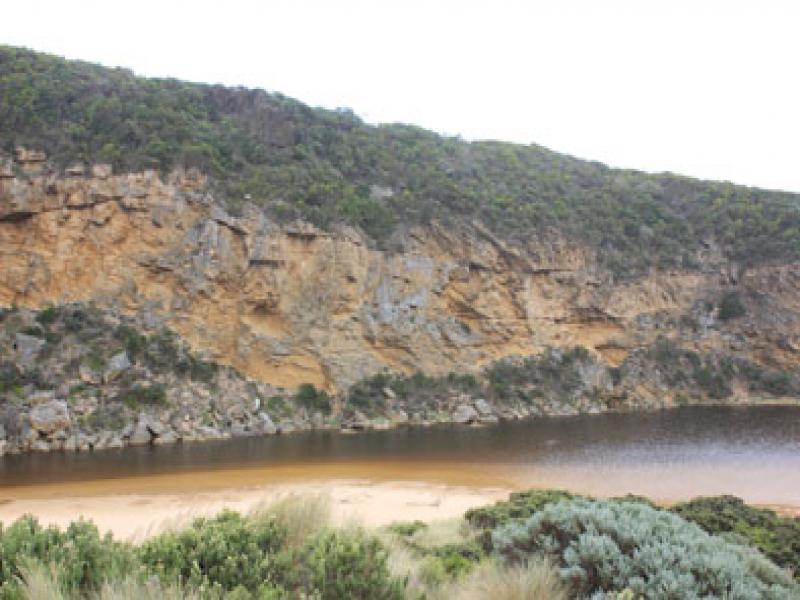
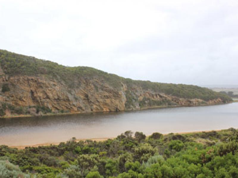
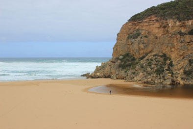
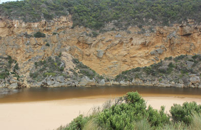
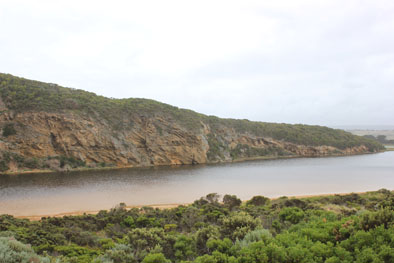
- Mouth barred but intermittent waves over into estuary from very rough seas- but no return
- waves traveling high up gradual steep rise along foreshore
- Wide sand projection about mid beach
- Very large amount of sand visible in breakers on submerged sandbar about 50m. out to sea from mouth
- Amount of water over berm increases slightly with action of occasional longshore drift
- Dead Mullet 14cm. at edge of shallow water near berm- some broken blood vessels around gills & anus
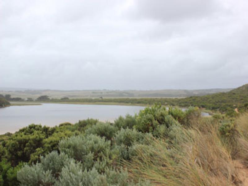
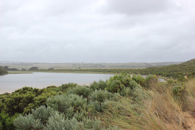
- Hundreds of very small fish in shallow water along low track-
- Top track only damp on one side & no water over any roads (slight amount at edge of road near flood markers on OOR)
- Flats flooded from Princetown to around G4. Some water cover on south flats u/s G4
- berm length 21 metres.
Mouth Observation
| Mouth state | Closed |
|---|---|
| Previous | O C C C C C C O O O P C O O O P O O O O O O O O O O O O O O O O O O O O O O O O O O O O O O C C C C C C O O O O O O C C O C C O |
| Flow Present? | No |
| Previous | Y N N N N N N Y Y Y Y N Y Y Y N Y Y Y Y Y Y Y Y Y Y Y Y Y Y Y Y Y Y Y Y Y Y Y Y Y Y Y Y Y N N N N N N Y Y Y Y Y Y N N N N N N |
| Flow Direction | N/A |
| Previous | O N N N N N N O O O I N O O O N O O O O O O I O I O O I O O O O O O O O O O O O O O O N N N N N N O O O O O O N N N N N N |
| Above Sea | Above Estuary | |
|---|---|---|
| Berm Height (m) | 0.3m | |
| Berm Length (m) |
Physical Condition
| Current | Mode | |
|---|---|---|
| Wind Direction | South-West | |
| Beaufort Scale | Fresh breeze | |
| Sea State | Very Rough |


All content, files, data and images provided by the EstuaryWatch Data Portal and Gallery are subject to a Creative Commons Attribution License
Content is made available to be used in any way, and should always attribute EstuaryWatch and www.estuarywatch.org.au