EstuaryWatch Data Portal
GMC Gellibrand River Estuary Mouth Observation Site
14 March 2016
Observation details
Overview
| Estuary | Gellibrand River Estuary |
|---|---|
| Site | Gellibrand River Estuary Mouth Observation Site |
| Observation ID | #10217 |
| Date and Time | Monday 14th March 2016 08:30am |
| Approved | Approved |
Notes
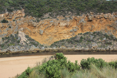
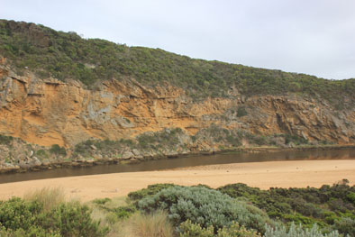
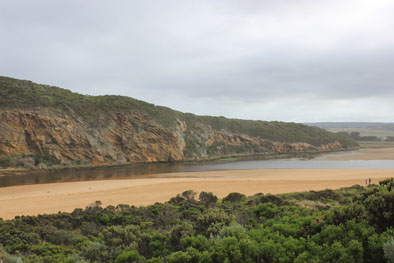
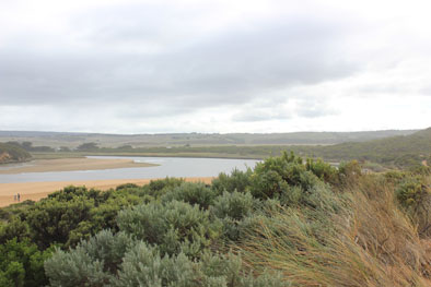
- Steep sides of channel near mouth reduced in height (not ones near ocean)
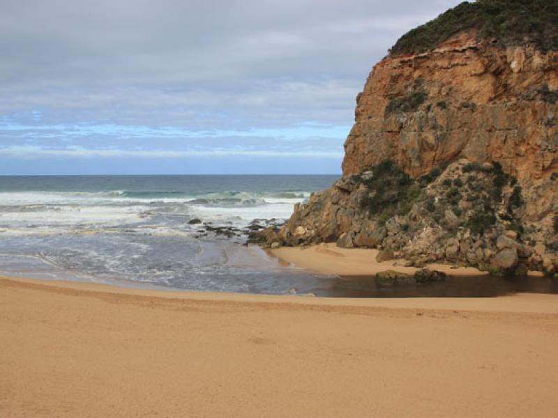
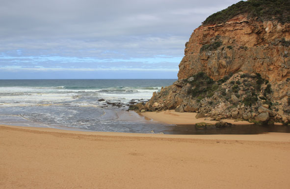
- Sea rough, waves s/w swell with rip east of mouth meeting strong out flow all of which is being crossed by longshore drift ¿waves in all directions with some entering & traveling up channel.
- Sand bar well exposed with green algae on edges , especially on west side
- Seagrass well exposed along east side has recovered from exposure to drying out & new growth evident.
- Unfortunately many shrimp etc. and small fish have been stranded in this area.
- Further south near an isolated patch of Phragmities there is an extremely large fish kill of small fish- mainly Estuary Perch, flat head etc.
- Also at fishing area on river bank south of camp ground & around auto monitoring station many small shrimp are stranded.
Mouth Observation
| Mouth state | Open |
|---|---|
| Previous | C C C C C O O O P C O O O P O O O O O O O O O O O O O O O O O O O O O O O O O O O O O O C C C C C C O O O O O O C C O C C O C C C C C O |
| Flow Present? | Yes |
| Previous | N N N N N Y Y Y Y N Y Y Y N Y Y Y Y Y Y Y Y Y Y Y Y Y Y Y Y Y Y Y Y Y Y Y Y Y Y Y Y Y N N N N N N Y Y Y Y Y Y N N N N N N N N N N N Y |
| Flow Direction | Out |
| Previous | N N N N N O O O I N O O O N O O O O O O I O I O O I O O O O O O O O O O O O O O O N N N N N N O O O O O O N N N N N N N N N N N O |
| Above Sea | Above Estuary | |
|---|---|---|
| Berm Height (m) | ||
| Berm Length (m) |
Physical Condition
| Current | Mode | |
|---|---|---|
| Wind Direction | South-West | |
| Beaufort Scale | Gentle breeze | |
| Sea State | Rough |


All content, files, data and images provided by the EstuaryWatch Data Portal and Gallery are subject to a Creative Commons Attribution License
Content is made available to be used in any way, and should always attribute EstuaryWatch and www.estuarywatch.org.au