EstuaryWatch Data Portal
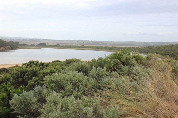
GMC Gellibrand River Estuary Mouth Observation Site
5 April 2016
Observation details
Overview
| Estuary | Gellibrand River Estuary |
|---|---|
| Site | Gellibrand River Estuary Mouth Observation Site |
| Observation ID | #10236 |
| Date and Time | Tuesday 5th April 2016 14:15pm |
| Approved | Approved |
Notes
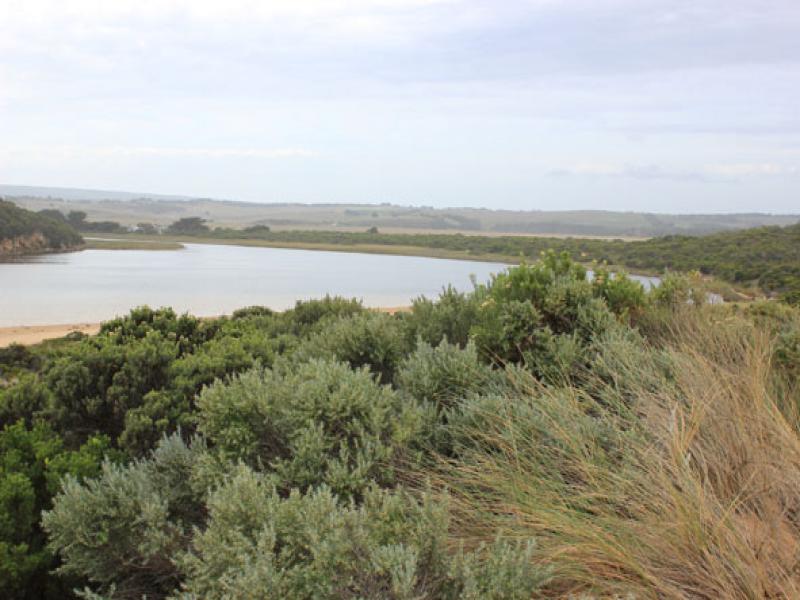
- Mouth closed between 03/4/16 & 04/04/16. very shallow before that but waves from rough sea going over berm into estuary. Waves over at last hi tide 05/04/16
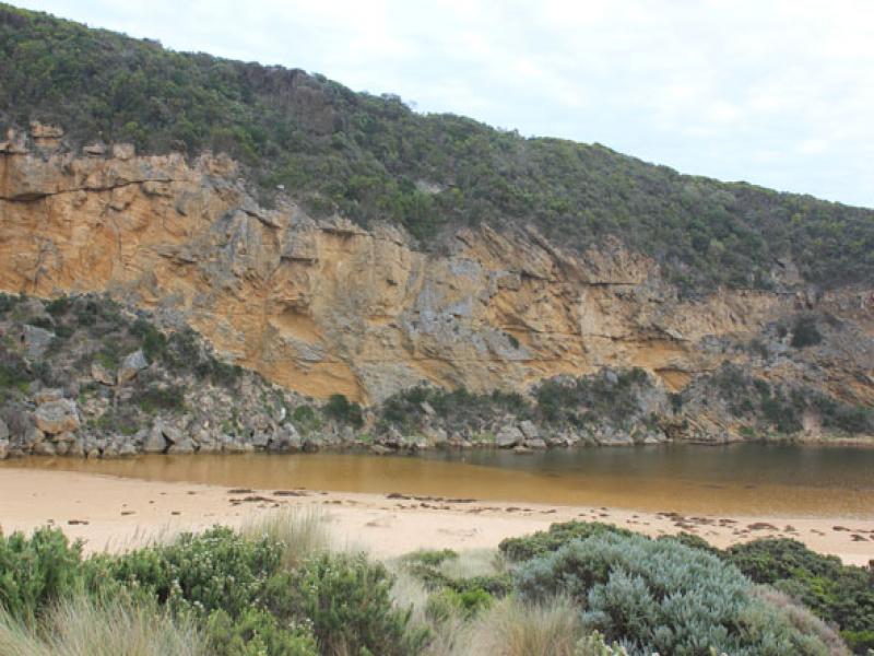
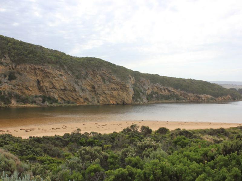
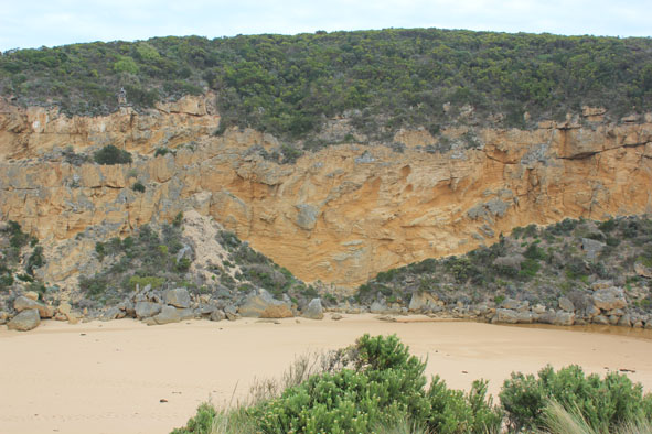
- Very long bar 82.5 m. but starting just around rocks and extending further into the estuary -channel completely filled in
- Berm not high, gradually slopping to ocean. Current swash line around rocks but some waves going further toward estuary
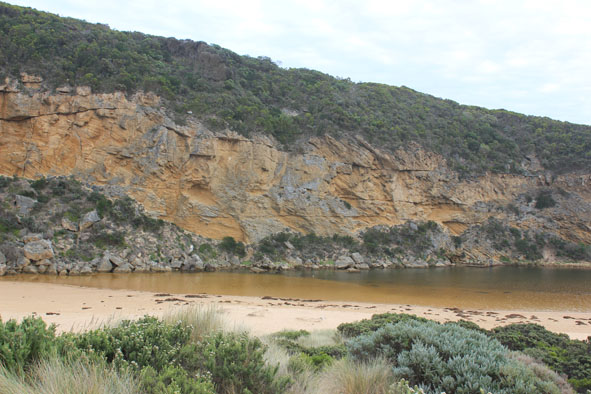
- Extremely large amount of seaweed along ocean beach, continuing around into the estuary & along low track. Also large clumps in water
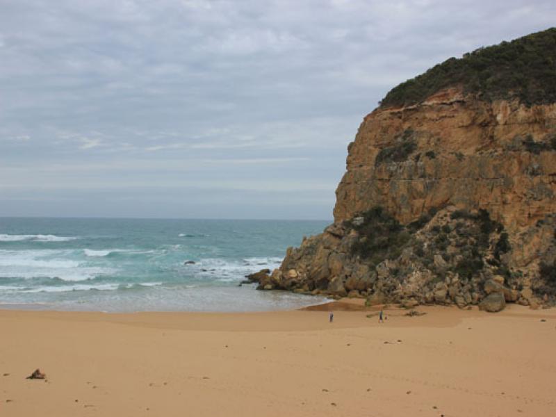
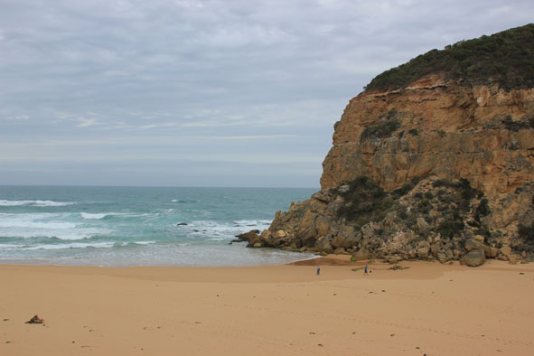
- Ocean beach -horseshoe in shape with highest area about 1/3rd from west cliff
- Red scum/algae along waterline south side of estuary(blown by N wind)
Mouth Observation
| Mouth state | Closed |
|---|---|
| Previous | O P C O O O P O O O O O O O O O O O O O O O O O O O O O O O O O O O O O O C C C C C C O O O O O O C C O C C O C C C C C O O O O O |
| Flow Present? | No |
| Previous | Y Y N Y Y Y N Y Y Y Y Y Y Y Y Y Y Y Y Y Y Y Y Y Y Y Y Y Y Y Y Y Y Y Y Y N N N N N N Y Y Y Y Y Y N N N N N N N N N N N Y Y Y Y Y |
| Flow Direction | N/A |
| Previous | O I N O O O N O O O O O O I O I O O I O O O O O O O O O O O O O O O N N N N N N O O O O O O N N N N N N N N N N N O O O O O |
| Above Sea | Above Estuary | |
|---|---|---|
| Berm Height (m) | 0.2m | 0.3m |
| Berm Length (m) |
Physical Condition
| Current | Mode | |
|---|---|---|
| Wind Direction | North | |
| Beaufort Scale | Gentle breeze | |
| Sea State | Rough |


All content, files, data and images provided by the EstuaryWatch Data Portal and Gallery are subject to a Creative Commons Attribution License
Content is made available to be used in any way, and should always attribute EstuaryWatch and www.estuarywatch.org.au