EstuaryWatch Data Portal
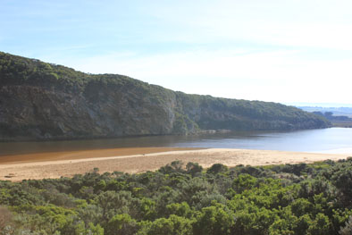
GMC Gellibrand River Estuary Mouth Observation Site
2 June 2016
Observation details
Overview
| Estuary | Gellibrand River Estuary |
|---|---|
| Site | Gellibrand River Estuary Mouth Observation Site |
| Observation ID | #10349 |
| Date and Time | Thursday 2nd June 2016 10:27am |
| Approved | Approved |
Notes
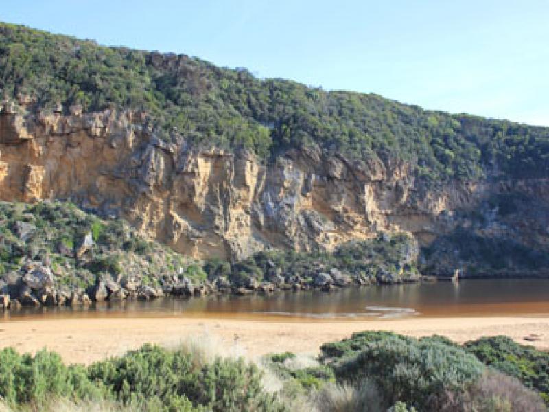
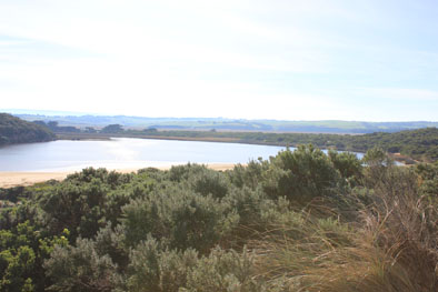
- Dark discharge out but only directly around the mouth
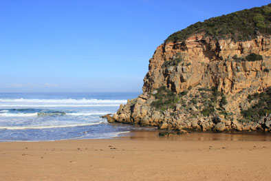
- Small waves entering over outflow & continuing up channel turning east at start of estuary
- Sand continues to build up at mouth around rocks but out flow has increased
- Gradual slope down to sea at mouth, waves entering over a wide area
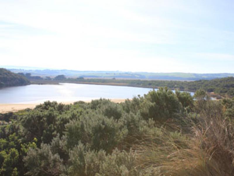
- Sand has built up higher at eastern end of beach covering rocks
- Small area at centre of beach has been scoured out, surrounding sides higher -strong backwash in front of this area
- Small 'Jellies' in swash line
- Seaweed drying out & starting to smell bad in remaining damp area. It remains alongside channel & south side of estuary but has formed very large mounds (2) on foreshore. Some is even on low track close to ocean car park
- Red swash line along s/side of estuary
- Masses of small flying insects along low track (close to vegetation. Phragmities in that area has bad Aphis infestation
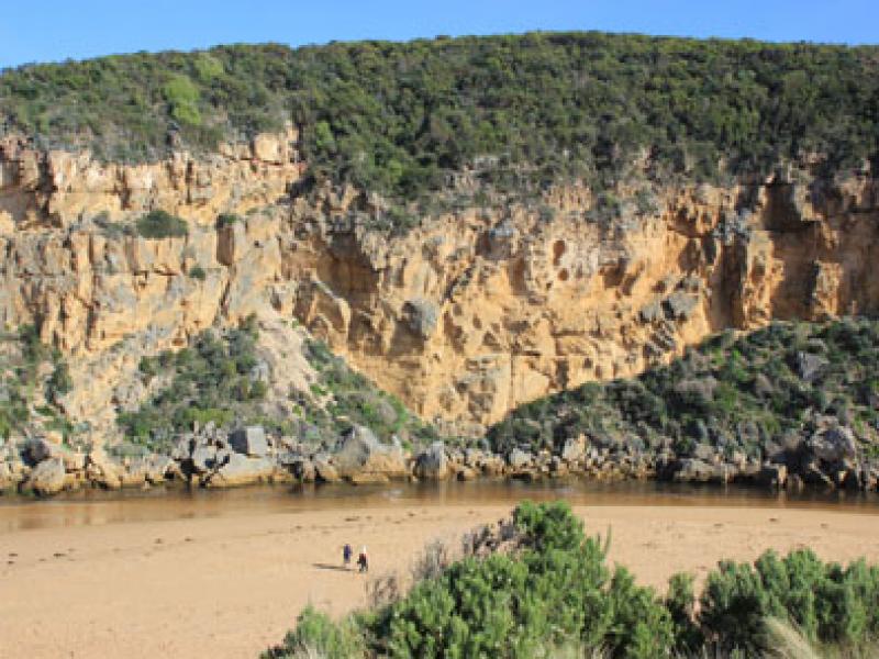
Mouth Observation
| Mouth state | Open |
|---|---|
| Previous | O O O O O O O O O O O O O O O O O O O O O O O O O C C C C C C O O O O O O C C O C C O C C C C C O O O O O C C C C C C C C C P C O O O O O O |
| Flow Present? | Yes |
| Previous | Y Y Y Y Y Y Y Y Y Y Y Y Y Y Y Y Y Y Y Y Y Y Y Y N N N N N N Y Y Y Y Y Y N N N N N N N N N N N Y Y Y Y Y N N N N N N N N N N N Y Y Y Y Y Y |
| Flow Direction | Out |
| Previous | O I O I O O I O O O O O O O O O O O O O O O N N N N N N O O O O O O N N N N N N N N N N N O O O O O N N N N N N N N N N N O O O I I I |
| Above Sea | Above Estuary | |
|---|---|---|
| Berm Height (m) | ||
| Berm Length (m) |
Physical Condition
| Current | Mode | |
|---|---|---|
| Wind Direction | North | |
| Beaufort Scale | Light Air | |
| Sea State | Rough |


All content, files, data and images provided by the EstuaryWatch Data Portal and Gallery are subject to a Creative Commons Attribution License
Content is made available to be used in any way, and should always attribute EstuaryWatch and www.estuarywatch.org.au