EstuaryWatch Data Portal
GMC Gellibrand River Estuary Mouth Observation Site
12 May 2016
Observation details
Overview
| Estuary | Gellibrand River Estuary |
|---|---|
| Site | Gellibrand River Estuary Mouth Observation Site |
| Observation ID | #10358 |
| Date and Time | Thursday 12th May 2016 07:30am |
| Approved | Approved |
Notes
- Opening attempt 11/5/16 failed as very rough seas over night filled in the channel with sand
- More sand on berm, the largest rock is now almost completely covered
- 3rd P.O. commenced 09:00 in deep water (berm extended a long way into the estuary under water)
- Observations made at low tide
- Beach higher at midway with gentle slope down to ocean in front of estuary
- Wind from south on beach & from north across estuary & down channel
- 10:30 water strongly flowing out of new excavated channel
- OCR completely covered east of G2 bridge
- GOR water over to opposite side white line
- OOR road underwater to GOR
- Extensive flooding upstream on both sides of river channel
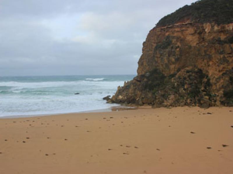
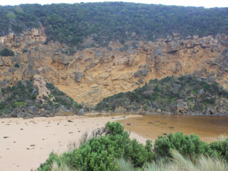
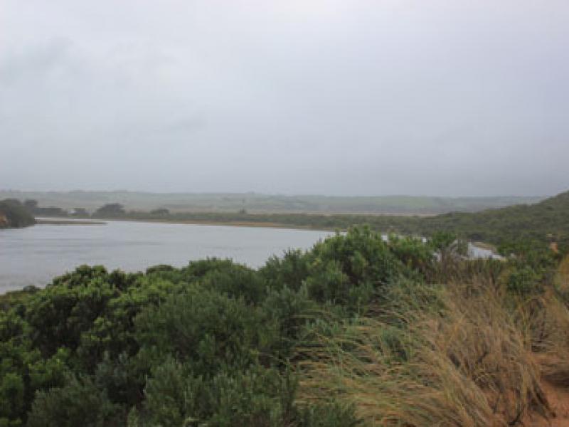
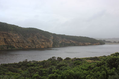
Mouth Observation
| Mouth state | Closed |
|---|---|
| Previous | P O O O O O O O O O O O O O O O O O O O O O O O O O O O O O O C C C C C C O O O O O O C C O C C O C C C C C O O O O O C C C C C C C C C P |
| Flow Present? | No |
| Previous | N Y Y Y Y Y Y Y Y Y Y Y Y Y Y Y Y Y Y Y Y Y Y Y Y Y Y Y Y Y N N N N N N Y Y Y Y Y Y N N N N N N N N N N N Y Y Y Y Y N N N N N N N N N N |
| Flow Direction | N/A |
| Previous | N O O O O O O I O I O O I O O O O O O O O O O O O O O O N N N N N N O O O O O O N N N N N N N N N N N O O O O O N N N N N N N N N N |
| Above Sea | Above Estuary | |
|---|---|---|
| Berm Height (m) | 0.3m | |
| Berm Length (m) |
Physical Condition
| Current | Mode | |
|---|---|---|
| Wind Direction | East | |
| Beaufort Scale | Moderate breeze | |
| Sea State | High |


All content, files, data and images provided by the EstuaryWatch Data Portal and Gallery are subject to a Creative Commons Attribution License
Content is made available to be used in any way, and should always attribute EstuaryWatch and www.estuarywatch.org.au