EstuaryWatch Data Portal
GMC Gellibrand River Estuary Mouth Observation Site
3 July 2016
Observation details
Overview
| Estuary | Gellibrand River Estuary |
|---|---|
| Site | Gellibrand River Estuary Mouth Observation Site |
| Observation ID | #10402 |
| Date and Time | Sunday 3rd July 2016 09:34am |
| Approved | Approved |
Notes
- AHD @ G6 2.41@09:00
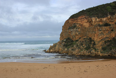
- Dark discharge around mouth being held back by V.rough SW Swell
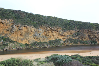
- SW swell impacting on E end of beach has created a continuous sand cliff from mid beach to rocks at east end (1-2m.) Some waves going over the top.
- Very strong rip going out at east end, meeting incoming waves then travelling fast parallel to foreshore toward mouth(west). The resulting longshore drift on reaching the mouth turns N entering the channel and then turns east into the estuary
- Waves in all direction at mouth with backwash rolling more sand into channel (back wash stirring up sand all along the beach)
- Sand build up at mouth visible under water. Sand stir visible in ocean
- Water has covered all of low track at last hi tide
- Strong N wind across estuary
- OOR water visible at edge of road near flood markers, water across causeway @ G4 & flats upstream underwater but level lower than 25/6/16
- 4 dead Kangaroos found NW end of camp ground
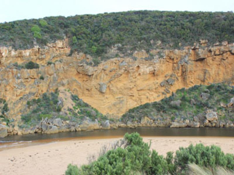
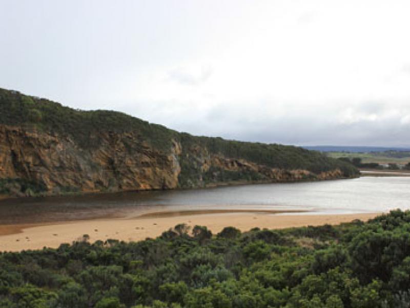
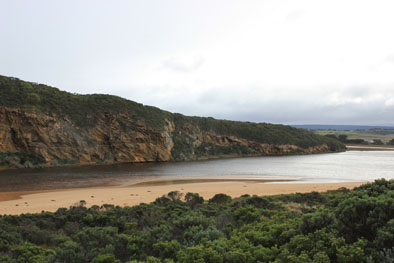
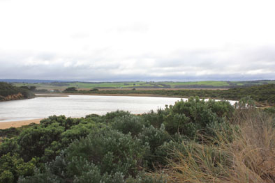
Mouth Observation
| Mouth state | Open |
|---|---|
| Previous | O O O O O O O O O O O O O O O O O O O O C C C C C C O O O O O O C C O C C O C C C C C O O O O O C C C C C C C C C P C O O O O O O O O O |
| Flow Present? | Yes |
| Previous | Y Y Y Y Y Y Y Y Y Y Y Y Y Y Y Y Y Y Y Y N N N N N N Y Y Y Y Y Y N N N N N N N N N N N Y Y Y Y Y N N N N N N N N N N N Y Y Y Y Y Y Y Y Y |
| Flow Direction | Out |
| Previous | I O O I O O O O O O O O O O O O O O O N N N N N N O O O O O O N N N N N N N N N N N O O O O O N N N N N N N N N N N O O O I I I O O O |
| Above Sea | Above Estuary | |
|---|---|---|
| Berm Height (m) | ||
| Berm Length (m) |
Physical Condition
| Current | Mode | |
|---|---|---|
| Wind Direction | North | |
| Beaufort Scale | Moderate breeze | |
| Sea State | Very Rough |


All content, files, data and images provided by the EstuaryWatch Data Portal and Gallery are subject to a Creative Commons Attribution License
Content is made available to be used in any way, and should always attribute EstuaryWatch and www.estuarywatch.org.au