EstuaryWatch Data Portal
GMC Gellibrand River Estuary Mouth Observation Site
16 July 2016
Observation details
Overview
| Estuary | Gellibrand River Estuary |
|---|---|
| Site | Gellibrand River Estuary Mouth Observation Site |
| Observation ID | #10709 |
| Date and Time | Saturday 16th July 2016 11:01am |
| Approved | Approved |
Notes
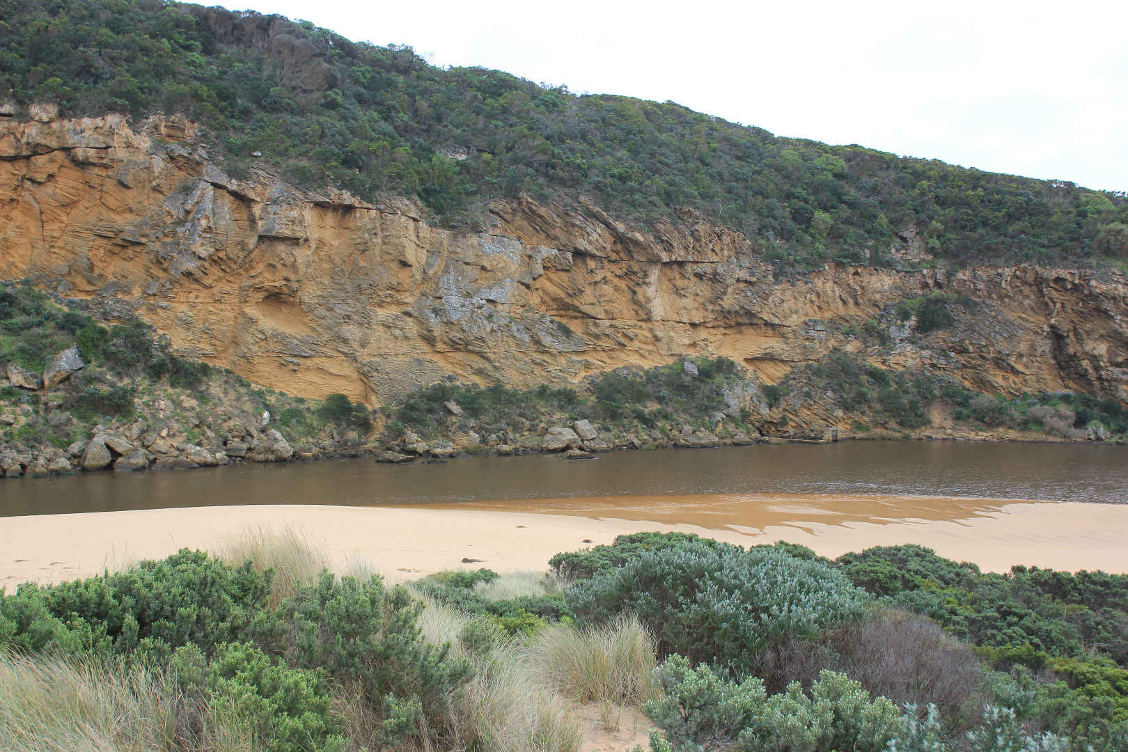
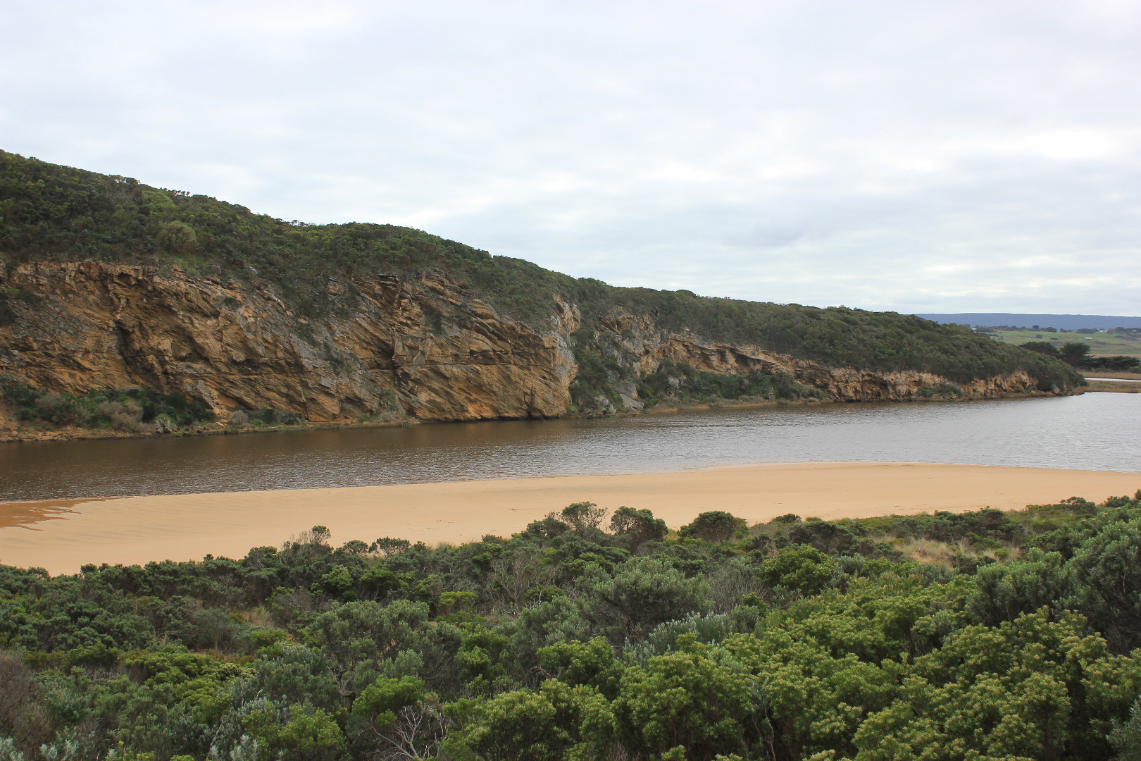
- water levels were much higher on the 13/7/16 AHD 1.43 at 13:43
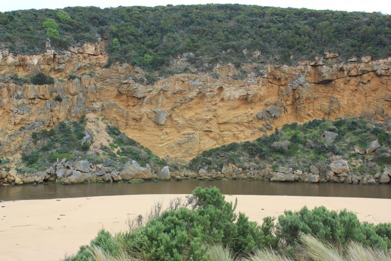
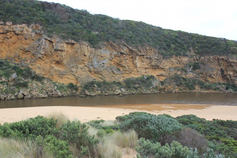
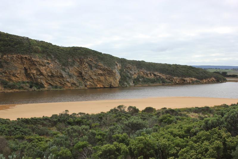
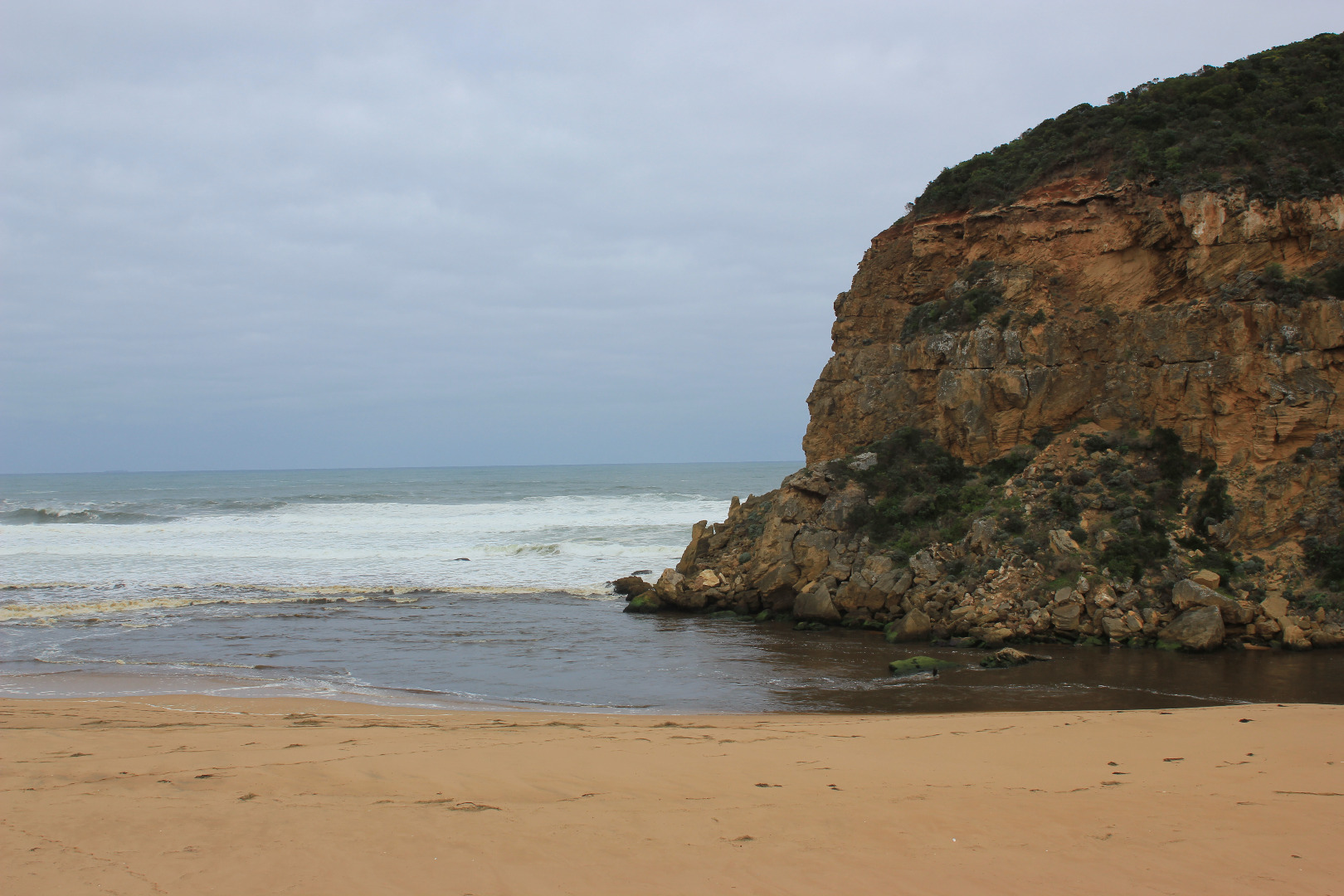
- very strong dark discharge out around mouth and to east
- dark water out to pas 2nd sand bar form east west and along beach front
- entrance is wide and fast flowing amd dirty. large amount of debris on beach
- a .6 - .8m sheer face to edge of channel
- east end of beach continues to scour out because of swell impact - reaching up into dunes
- all of the beach is covered in silt and broken veg
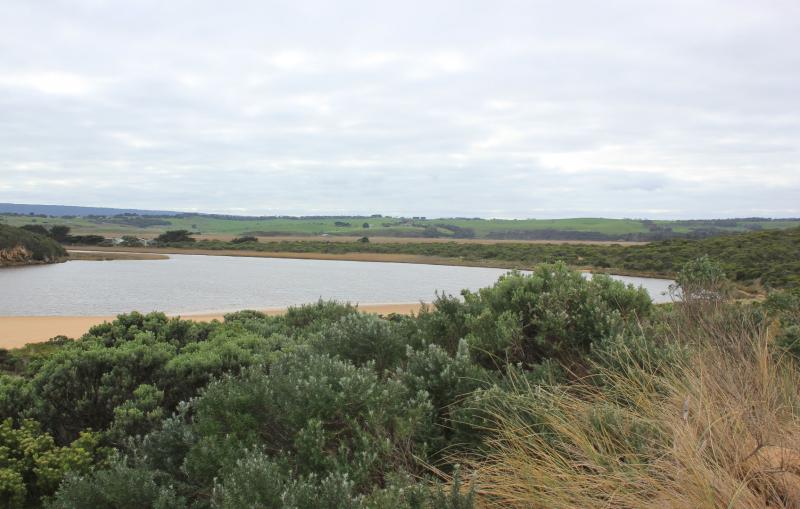
- low track partly uncovered - receding water levels have left a large circular "drainage" funnels
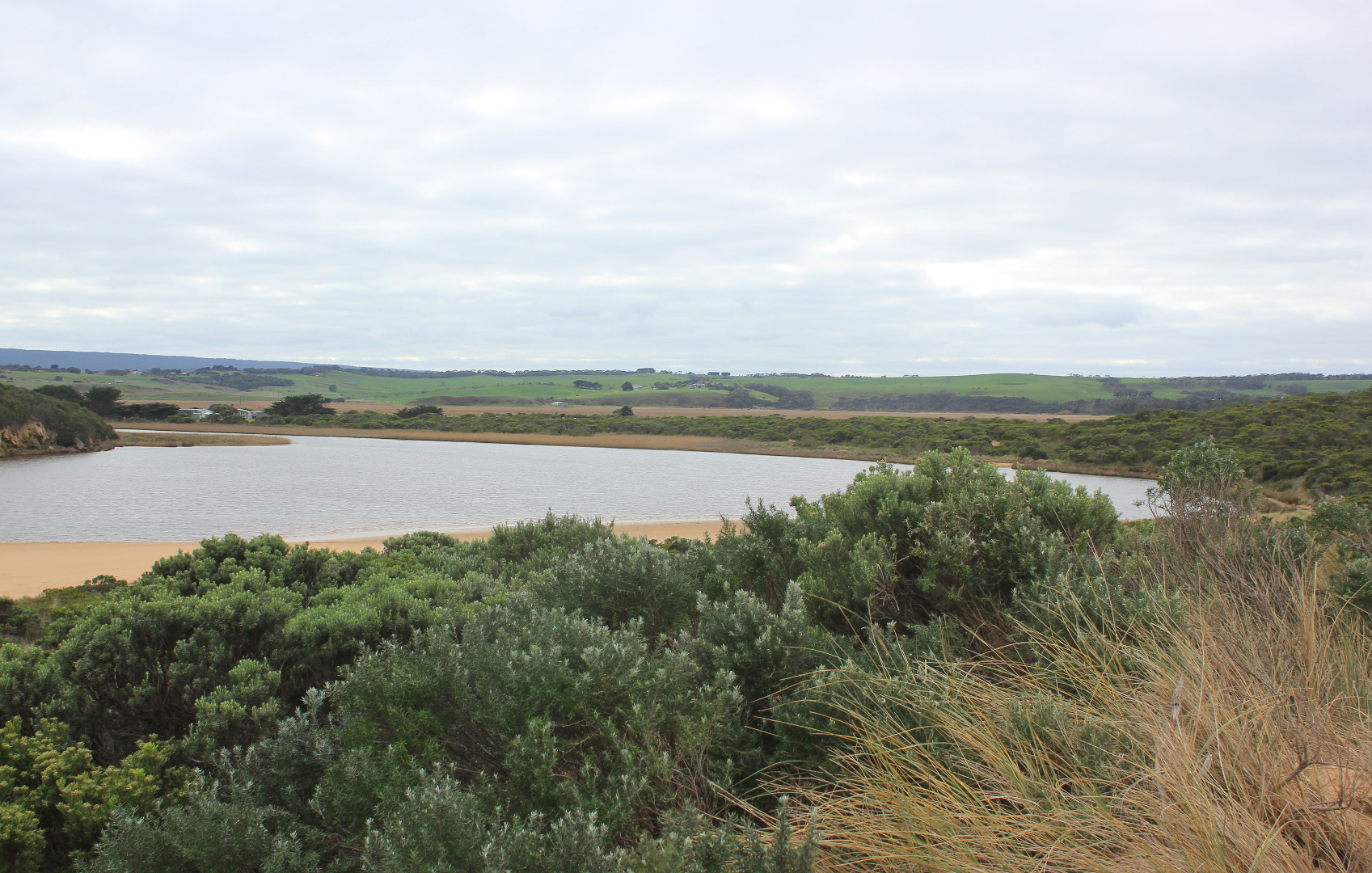
- rotting seaweed along SE estuary and low track
- some puddles covered with bubbles (photo)
- 5 stranded elvers, S side of estuary near start of channel
Mouth Observation
| Mouth state | Open |
|---|---|
| Previous | O O O O O O O O O O O O O O O O O O C C C C C C O O O O O O C C O C C O C C C C C O O O O O C C C C C C C C C P C O O O O O O O O O O O |
| Flow Present? | Yes |
| Previous | Y Y Y Y Y Y Y Y Y Y Y Y Y Y Y Y Y Y N N N N N N Y Y Y Y Y Y N N N N N N N N N N N Y Y Y Y Y N N N N N N N N N N N Y Y Y Y Y Y Y Y Y Y Y |
| Flow Direction | Out |
| Previous | O I O O O O O O O O O O O O O O O N N N N N N O O O O O O N N N N N N N N N N N O O O O O N N N N N N N N N N N O O O I I I O O O O I |
| Above Sea | Above Estuary | |
|---|---|---|
| Berm Height (m) | ||
| Berm Length (m) |
Physical Condition
| Current | Mode | |
|---|---|---|
| Wind Direction | North | |
| Beaufort Scale | Gentle breeze | |
| Sea State | Rough |


All content, files, data and images provided by the EstuaryWatch Data Portal and Gallery are subject to a Creative Commons Attribution License
Content is made available to be used in any way, and should always attribute EstuaryWatch and www.estuarywatch.org.au