EstuaryWatch Data Portal
GMC Gellibrand River Estuary Mouth Observation Site
6 September 2008
Observation details
Overview
| Estuary | Gellibrand River Estuary |
|---|---|
| Site | Gellibrand River Estuary Mouth Observation Site |
| Observation ID | #1074 |
| Date and Time | Saturday 6th September 2008 10:40am |
| Approved | Approved |
Notes
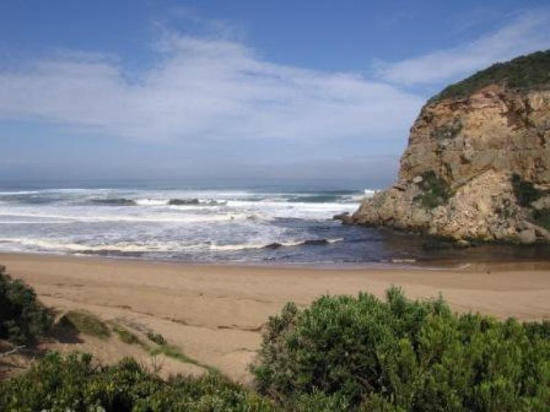
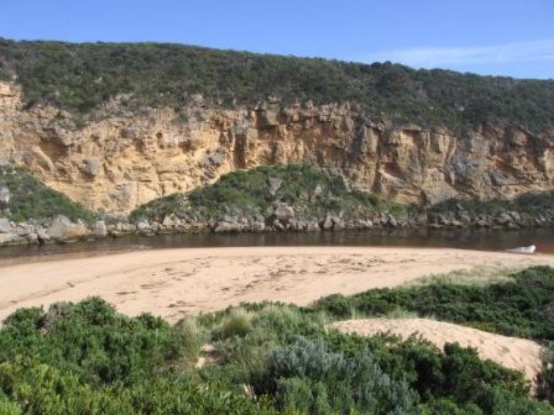
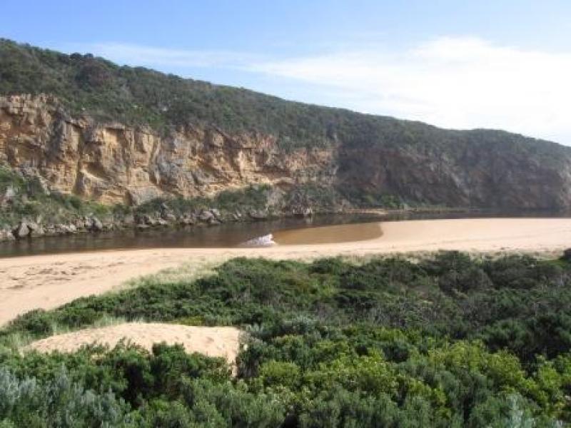
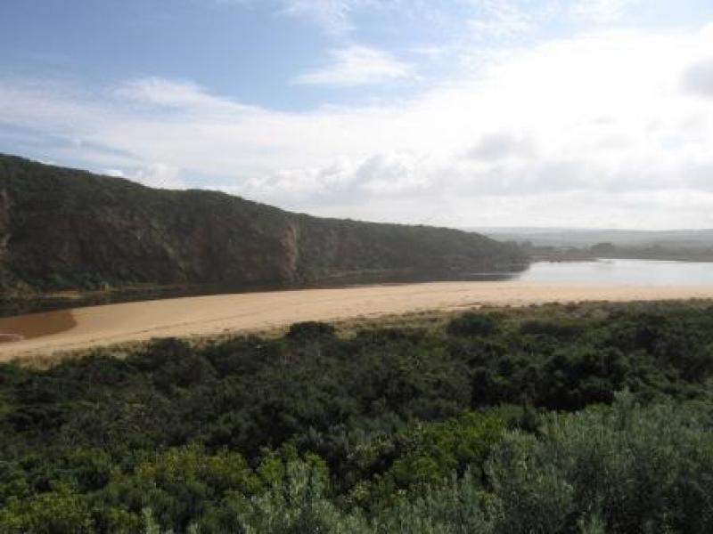
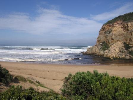
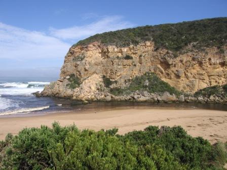
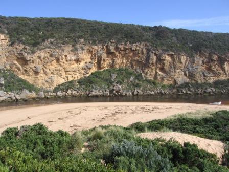
1) More sand in channel
2) Waves circling rocks in mouth entrance
3) Corolla's (6) circling in estuary
4) 4 Pied Comorants on Latrobe Bridge (Boardwalk)
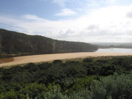
5) Waves (slight) going straight down the estuary towards the camping ground
6) Hightide has covered large area of sand to and down the channel + more sand in channel
Mouth Observation
| Mouth state | Open |
|---|---|
| Previous | O O O O O O O O O O C O O O O C C C C C P C P O O O O O O C C P C O O O O C C C O O O O O O O O O |
| Flow Present? | Yes |
| Previous | Y Y Y Y Y Y Y N Y Y Y N N N N Y Y Y Y Y Y N N N N Y Y Y Y N N Y Y Y Y Y Y Y Y Y Y |
| Flow Direction | Out |
| Previous | I O I O O O O N O O O N N N N I I I O I N N N N O O O I N N O O I O O O O O |
| Above Sea | Above Estuary | |
|---|---|---|
| Berm Height (m) | ||
| Berm Length (m) |
Physical Condition
| Current | Mode | |
|---|---|---|
| Wind Direction | South | North |
| Beaufort Scale | Light Breeze | |
| Sea State | Moderate | Rough |


All content, files, data and images provided by the EstuaryWatch Data Portal and Gallery are subject to a Creative Commons Attribution License
Content is made available to be used in any way, and should always attribute EstuaryWatch and www.estuarywatch.org.au