EstuaryWatch Data Portal
GMC Gellibrand River Estuary Mouth Observation Site
27 January 2017
Overview
| Estuary | Gellibrand River Estuary |
|---|---|
| Site | Gellibrand River Estuary Mouth Observation Site |
| Observation ID | #10765 |
| Date and Time | Friday 27th January 2017 11:15am |
| Approved | Approved |
Notes
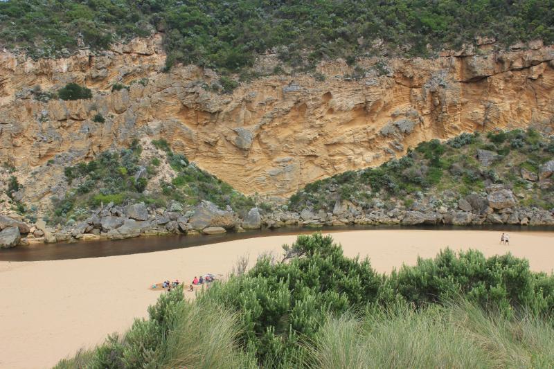
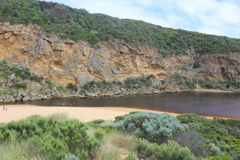
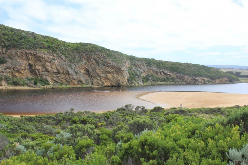
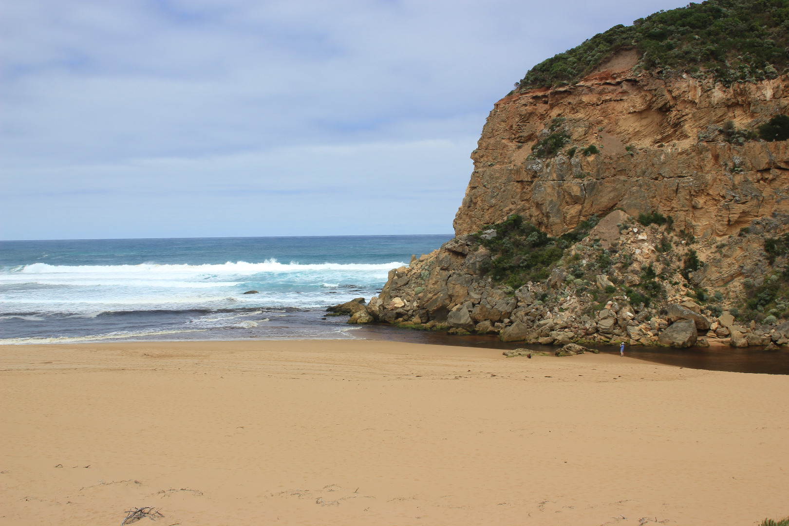
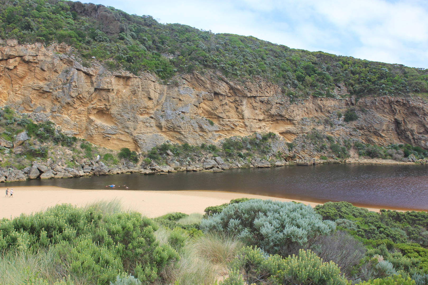
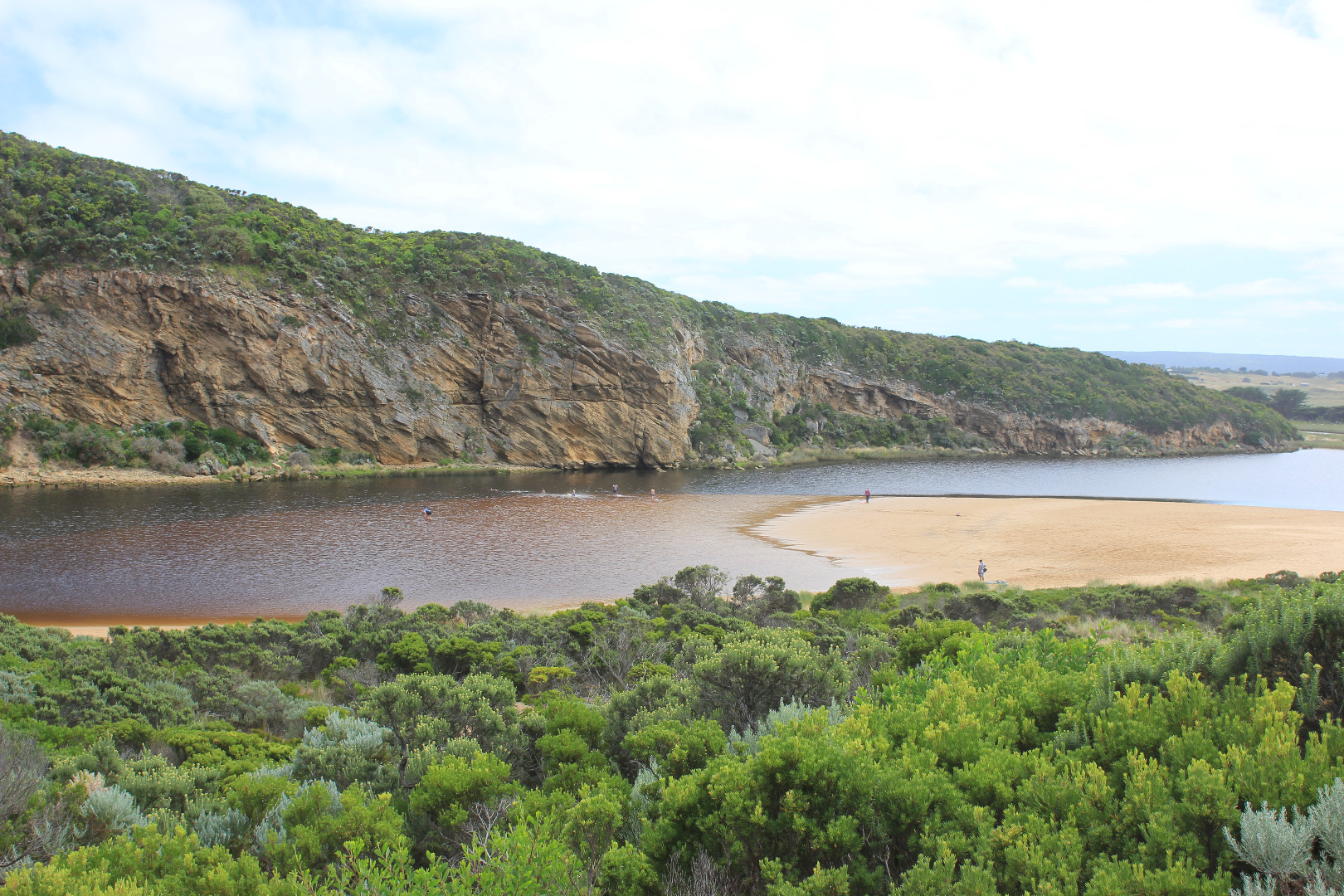
Pale discharge out along beach face to east, then turning out to sea well before rocks at east end
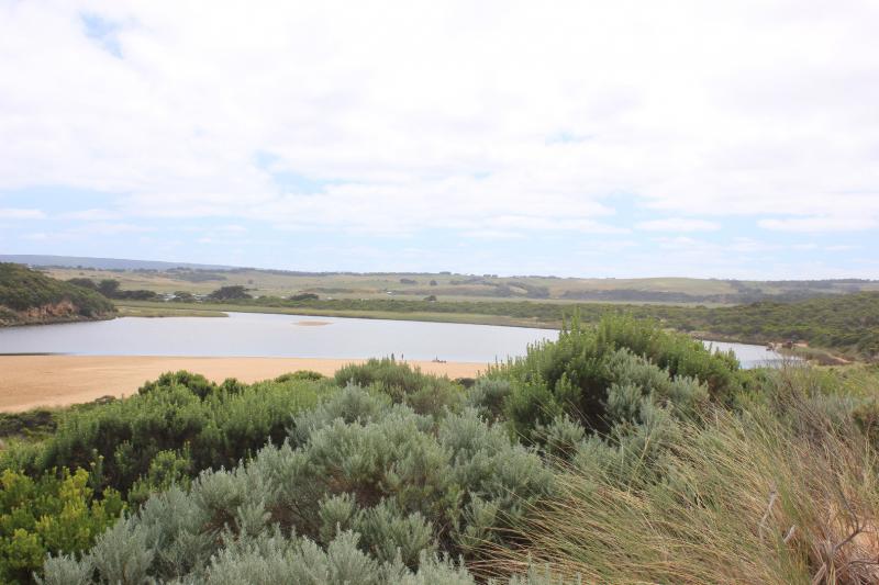
Beach face irregular, sand highest near mouth, mid beach & east end. Sand has increased at mouth & in channel
Long shore drift across mouth with occasional waves entering into channel. Sea has been well up on beach & turning, travelling west to mouth & channel
Rock falls & erosion continues at south face of Pt. Ronald
Algae & unusual dried white scum on stream side veg
Some small fish & crabs in shallow water beside low track close to car park, Flathead Gudgeons remain in cut off tidal pool
Large no. people on beach & around estuary. March flies in large nos.
Mouth Observation
| Mouth state | Open |
|---|---|
| Previous | C O C C O C C C C C O O O O O C C C C C C C C C P C O O O O O O O O O O O O O O O O O O O O O O O O O O O O O O O O O |
| Flow Present? | Yes |
| Previous | N N N N N N N N N N Y Y Y Y Y N N N N N N N N N N N Y Y Y Y Y Y Y Y Y Y Y Y Y Y Y Y Y Y Y Y Y Y Y Y Y Y Y Y Y Y Y Y Y |
| Flow Direction | Out |
| Previous | N N N N N N N N N N O O O O O N N N N N N N N N N N O O O I I I O O O O I O O O I O O O O O O O O O O O O O O O I I O |
| Above Sea | Above Estuary | |
|---|---|---|
| Berm Height (m) | ||
| Berm Length (m) |
Physical Condition
| Current | Mode | |
|---|---|---|
| Wind Direction | South | |
| Beaufort Scale | Light Breeze | |
| Sea State | Moderate |


All content, files, data and images provided by the EstuaryWatch Data Portal and Gallery are subject to a Creative Commons Attribution License
Content is made available to be used in any way, and should always attribute EstuaryWatch and www.estuarywatch.org.au