EstuaryWatch Data Portal
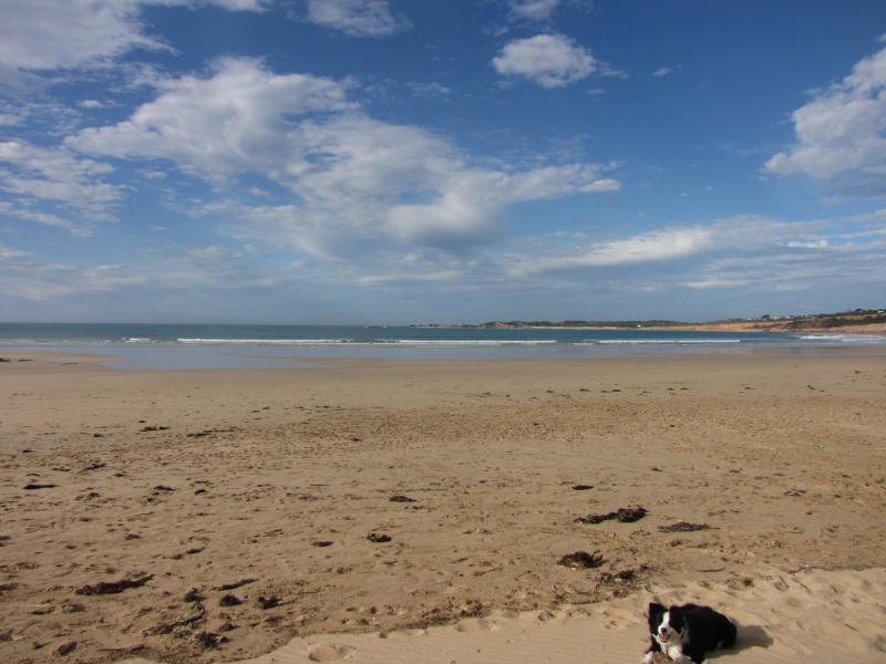
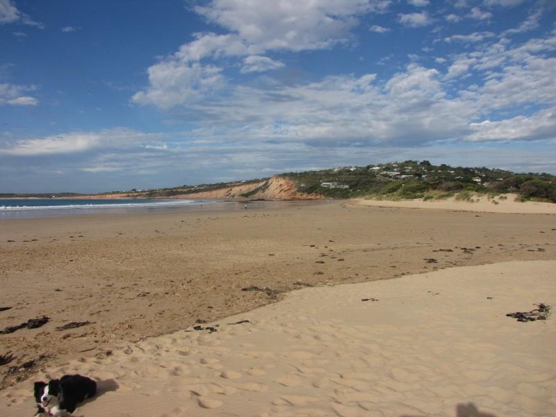
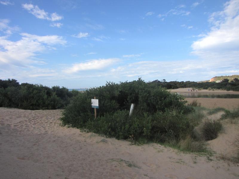
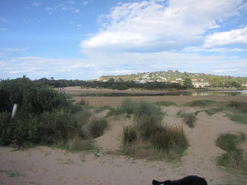
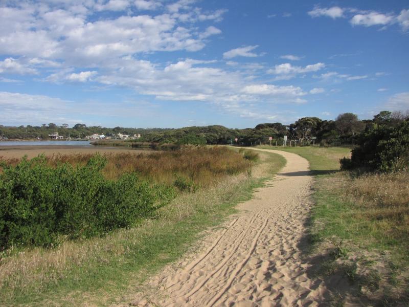
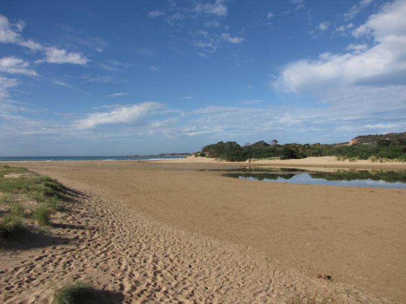
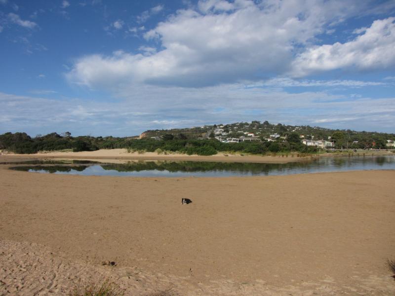
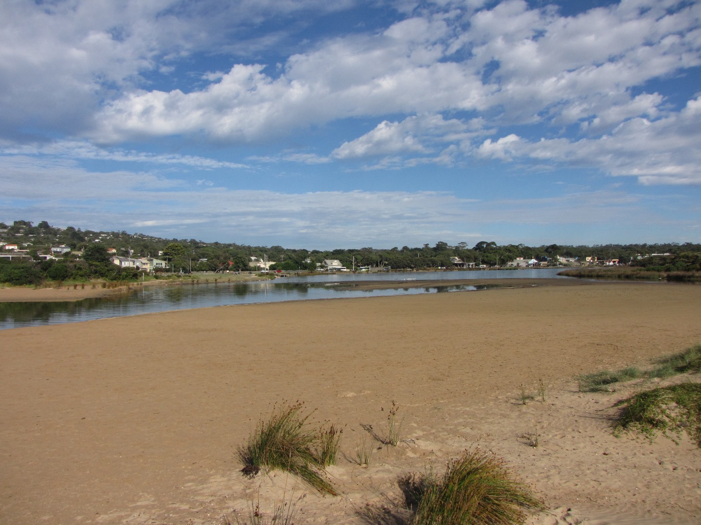
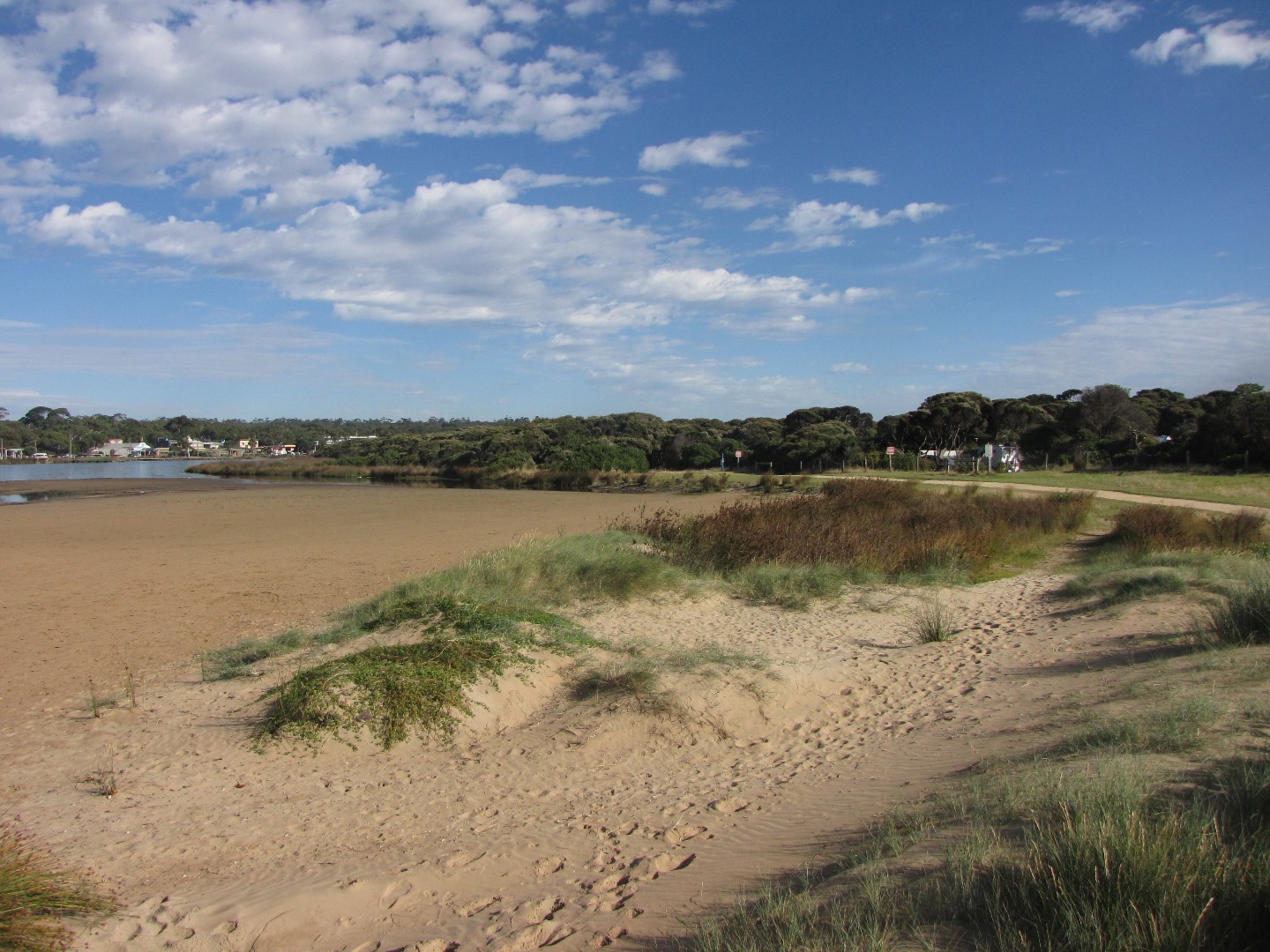
AMC Anglesea River Estuary Mouth Observation Site
15 February 2017
Observation details
Overview
| Estuary | Anglesea River Estuary |
|---|---|
| Site | Anglesea River Estuary Mouth Observation Site |
| Observation ID | #10838 |
| Date and Time | Wednesday 15th February 2017 08:55am |
| Approved | Approved |
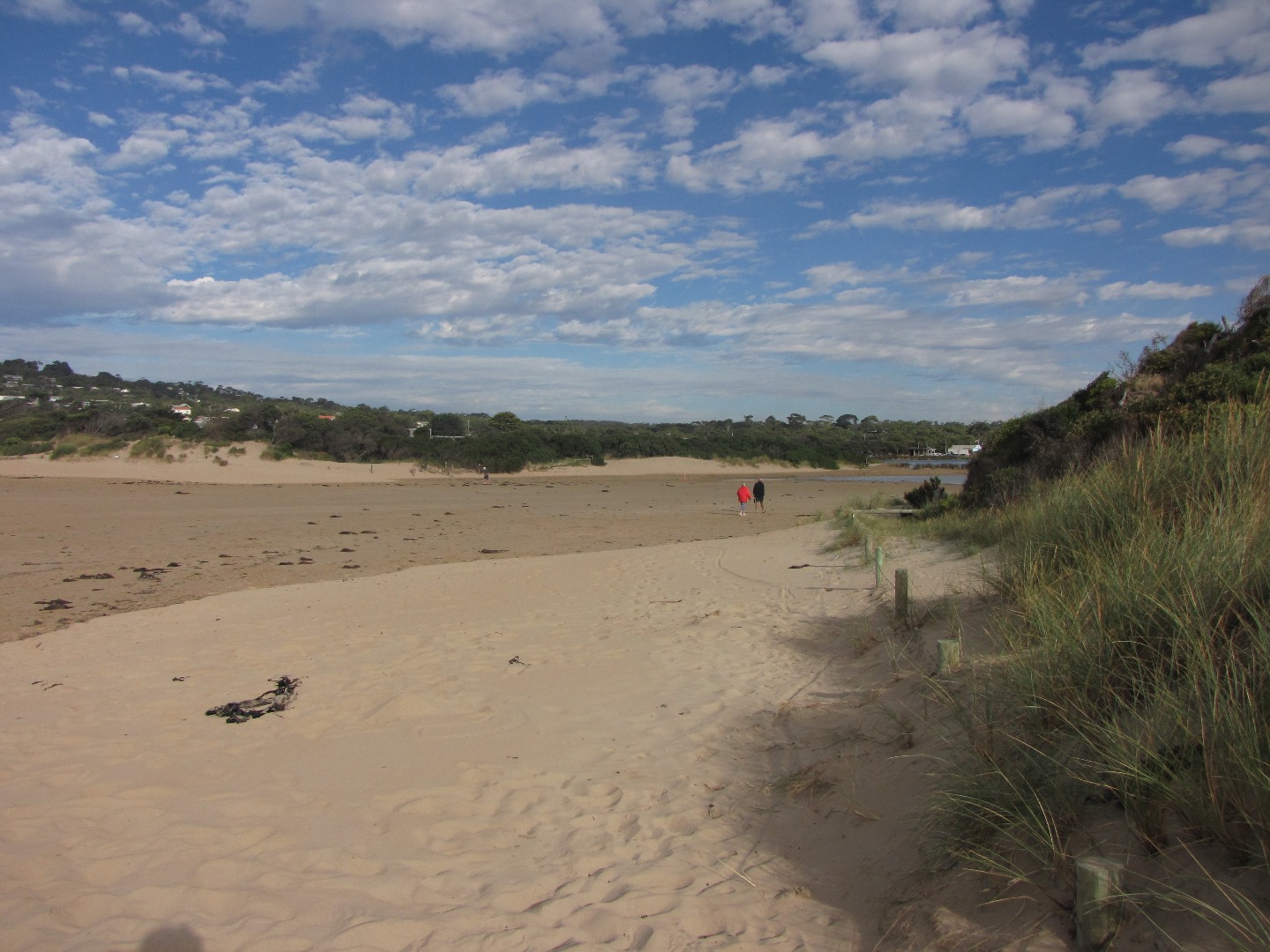
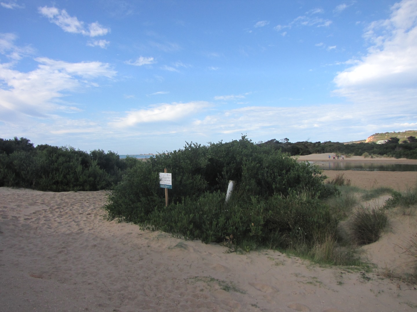
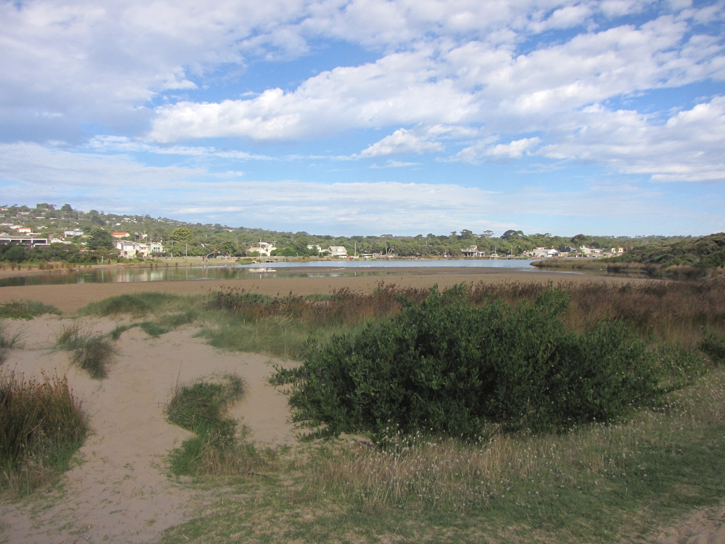
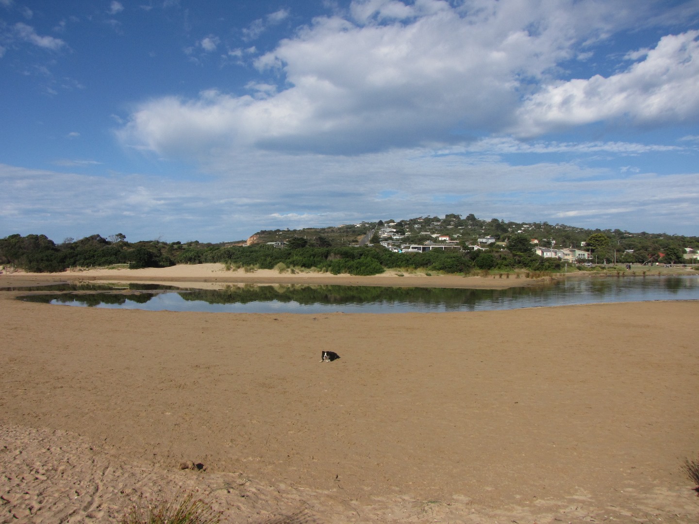
Mouth Observation
| Mouth state | Closed |
|---|---|
| Previous | C C C C C C C O C C O O O P O C C |
| Flow Present? | No |
| Previous | N N N N N N N Y N N Y Y Y N Y N N |
| Flow Direction | N/A |
| Previous | N N N N N N N O N N O O O N O N N |
| Above Sea | Above Estuary | |
|---|---|---|
| Berm Height (m) | 2.1m | 0.6m |
| Berm Length (m) | 150.0m |
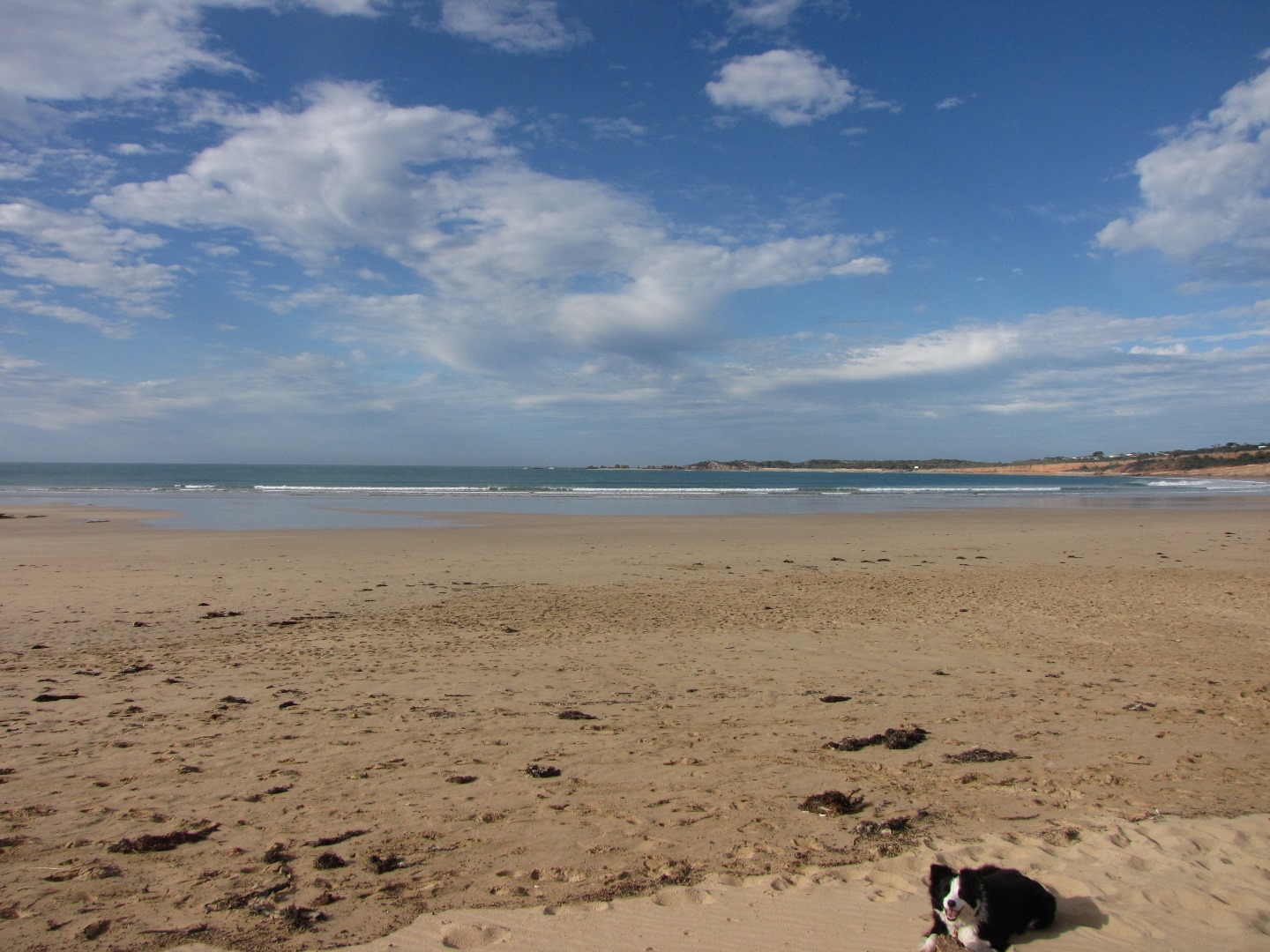
Physical Condition
| Current | Mode | |
|---|---|---|
| Wind Direction | ||
| Beaufort Scale | Calm | |
| Sea State | Calm (rippled) |


All content, files, data and images provided by the EstuaryWatch Data Portal and Gallery are subject to a Creative Commons Attribution License
Content is made available to be used in any way, and should always attribute EstuaryWatch and www.estuarywatch.org.au