EstuaryWatch Data Portal
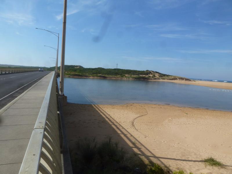
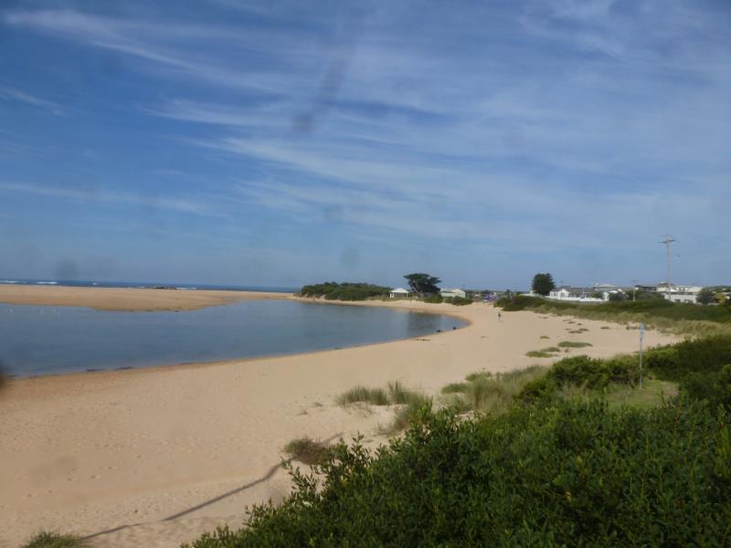
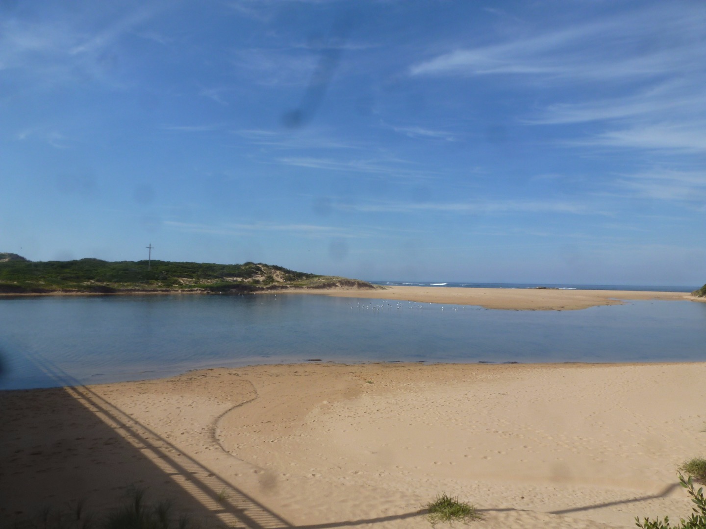
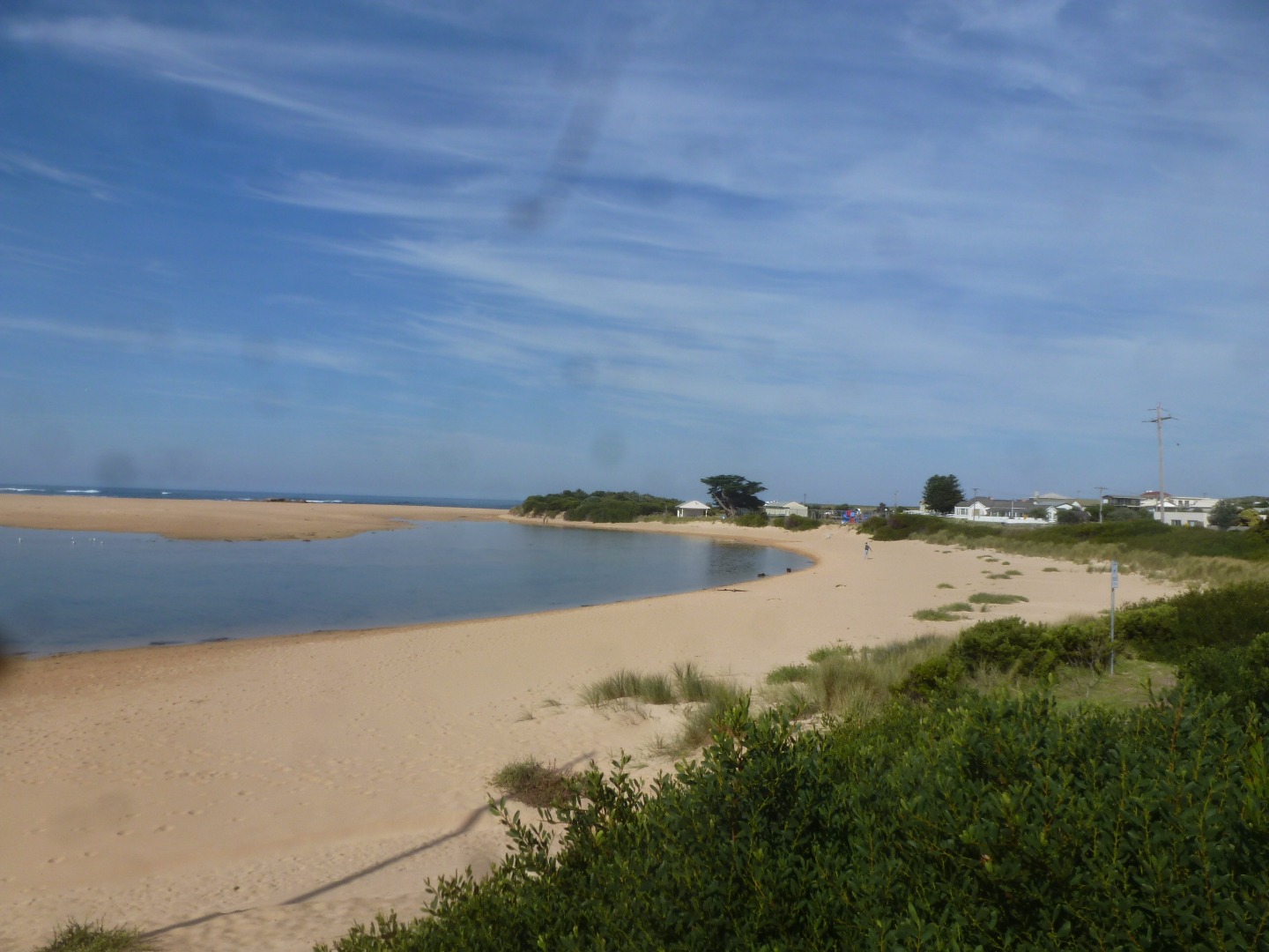
Cu2 Boggy Creek Road fishing jetty
4 April 2017
Observation details
Overview
| Estuary | Curdies River Estuary |
|---|---|
| Site | Boggy Creek Road fishing jetty |
| Observation ID | #11054 |
| Date and Time | Tuesday 4th April 2017 11:30am |
| Approved | Approved |
Depth Profiling
| Depth m | Temperature °C | Salinity ppt | D.O. mg/L | D.O. % sat | EC mS/cm | Notes | |
|---|---|---|---|---|---|---|---|
| 0.1m | 18.00 | 13.50 | 7.45 | 85.3 | 22.15 | ||
| Previous | 22.0 | 14.3 | 6.8 | 83.0 | 23.9 | ||
| Median | 18.3 | 2.90 | 8.07 | 79.50 | 5.2 | ||
| 0.5m | 18.40 | 17.60 | 7.77 | 91.9 | 28.70 | ||
| Previous | 19.4 | 4.2 | 9.0 | 98.6 | 7.7 | ||
| Median | 14.8 | 1.90 | 8.07 | 75.50 | 3.6 | ||
| 1.0m | 18.50 | 22.90 | 7.41 | 90.1 | 36.22 | ||
| Previous | 23.6 | 19.4 | 6.4 | 83.4 | 31.5 | ||
| Median | 19.1 | 10.00 | 6.85 | 75.70 | 8.5 | ||
| 1.5m | 18.10 | 23.40 | 7.56 | 92.6 | 36.92 | ||
| Previous | 23.0 | 18.8 | 5.9 | 75.8 | 29.7 | ||
| Median | 13.7 | 6.10 | 6.85 | 72.10 | 6.9 |


All content, files, data and images provided by the EstuaryWatch Data Portal and Gallery are subject to a Creative Commons Attribution License
Content is made available to be used in any way, and should always attribute EstuaryWatch and www.estuarywatch.org.au