EstuaryWatch Data Portal
Overview
| Estuary name | Curdies River Estuary |
|---|---|
| CMA | Corangamite CMA |
| Description |
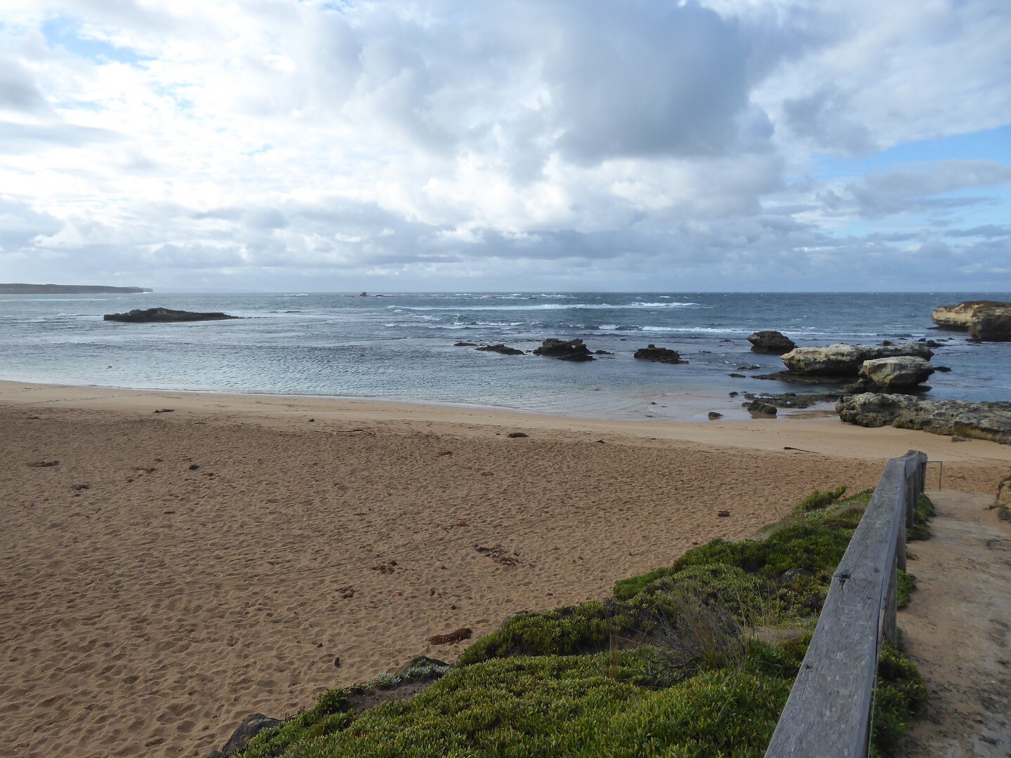
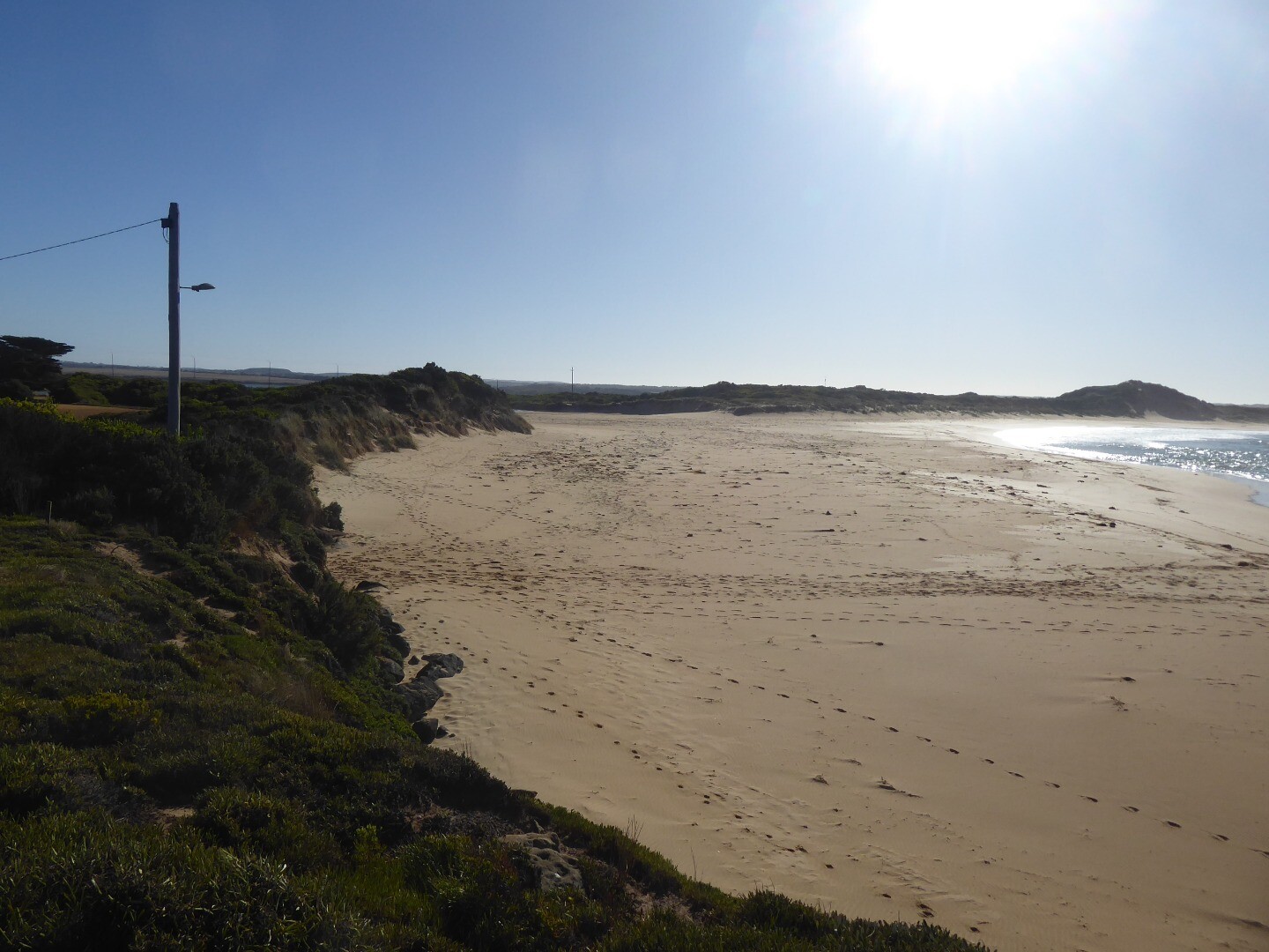
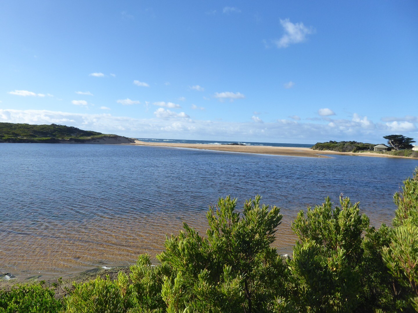
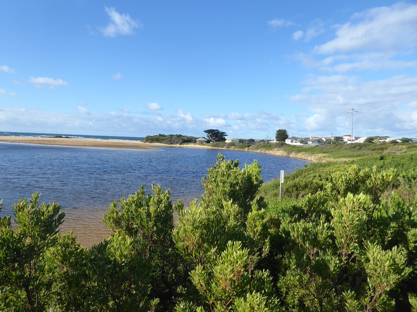
Curdies Inlet is the estuarine lagoon of the Curdies River at Peterborough in south western Victoria. Curdies River catchment and its major tributaries, Scotts Creek and Cooriemungle Creek, enclose an area cited as 1245 square km. |
| Estuary Values |
|
| Estuary Threats |
|
| Data | Site observations |
| Status | Active |
| Monitor group | Curdies River EstuaryWatchers |

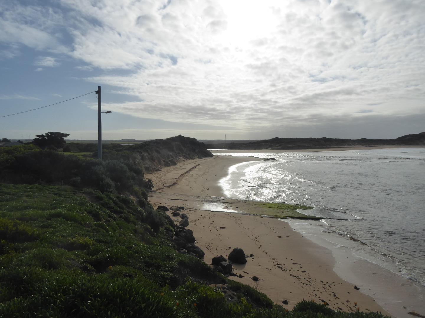
Boggy Creek fishing jetty |
|
Sites
| Site details | Options |
|---|---|
Cu1 Dorey Street floating pontoonActive Physico-Chemical 11-12-2013 - 02-07-2024Floating pontoon at the end of Dorey Street, Peterborough. The floating pontoon is next to the Curdies River boat ramp. Monitoring is conducted in front of the first wooden pylon on the floating jetty. |
Observations 129 |
Cu2 Boggy Creek Road fishing jettyActive Physico-Chemical 11-12-2013 - 02-07-2024Fishing jetty downstream of Boggy Creek Rd bridge, Curdievale. Monitoring is conducted in front of the fish ruler. |
Observations 118 |
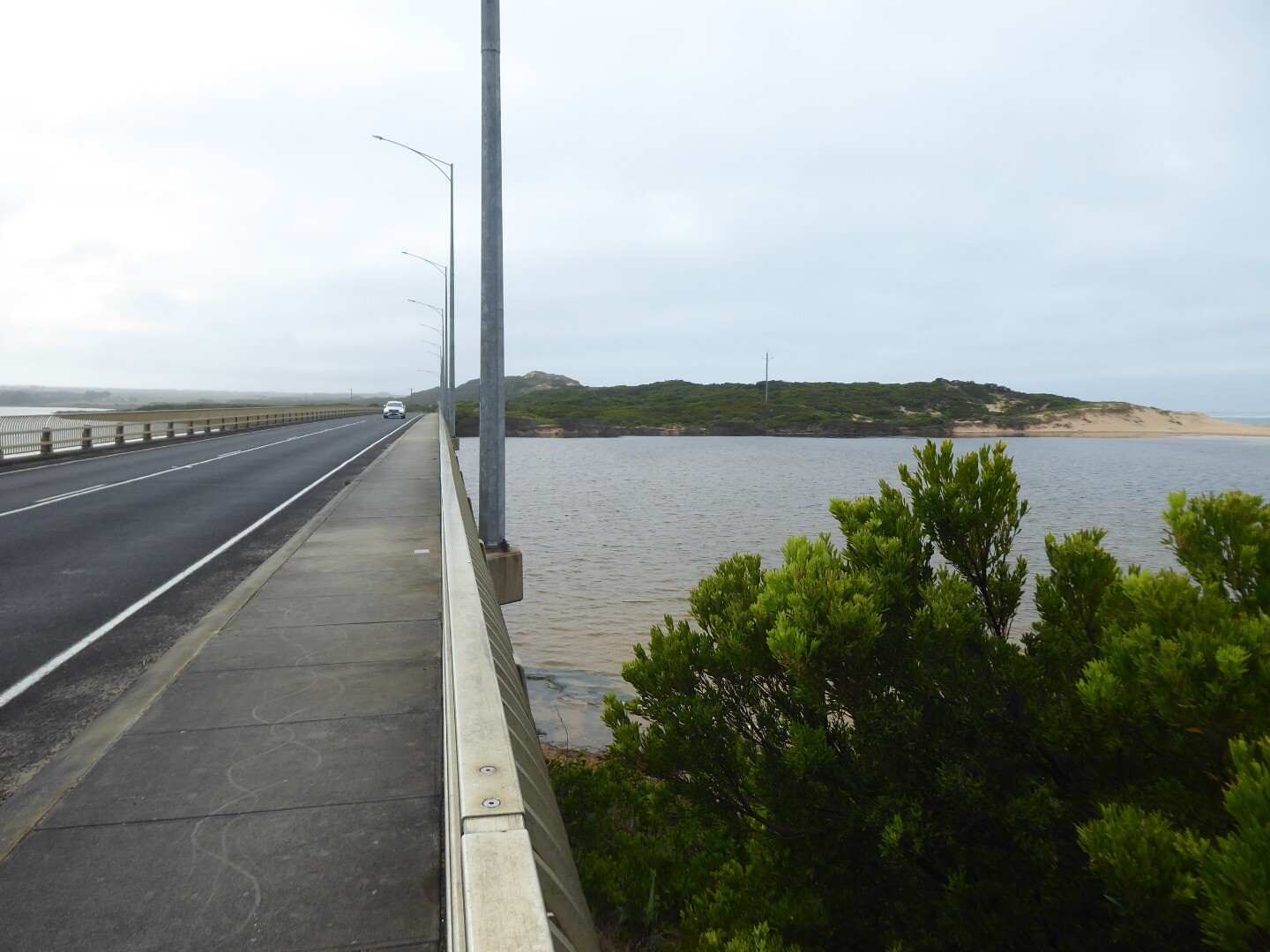
CuGB Curdies Water Level GaugeActive Gauge BoardThe gauge board can be found on a pylon of the GOR bridge and can be viewed from the eastern side of the estuary. |
|
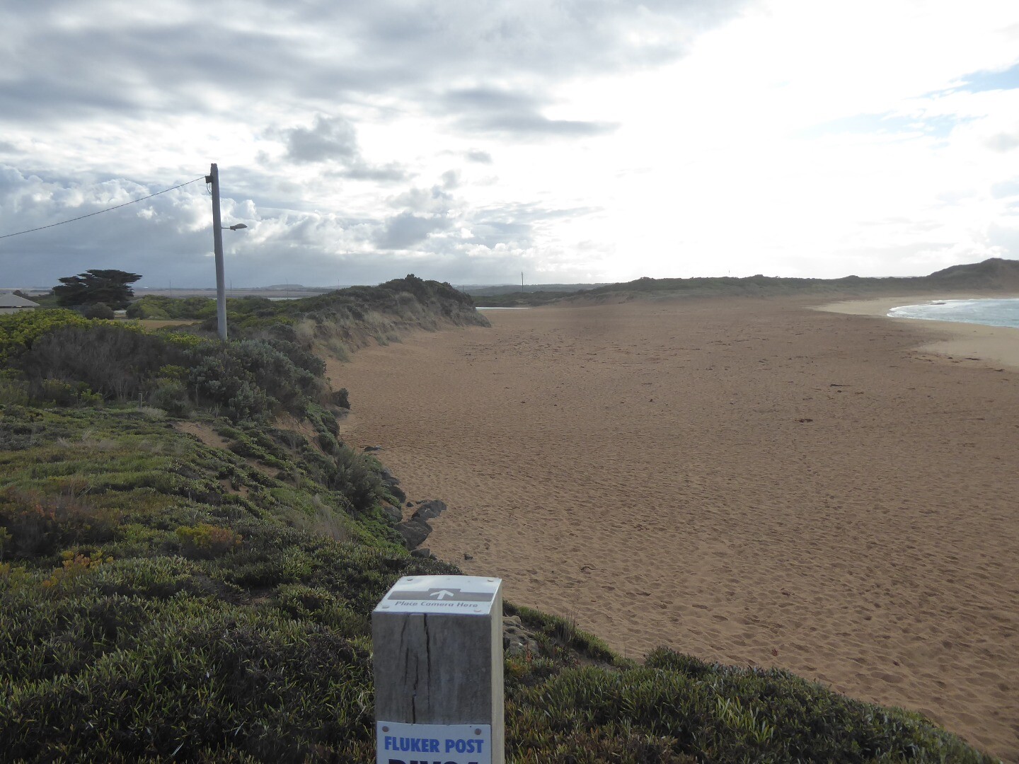
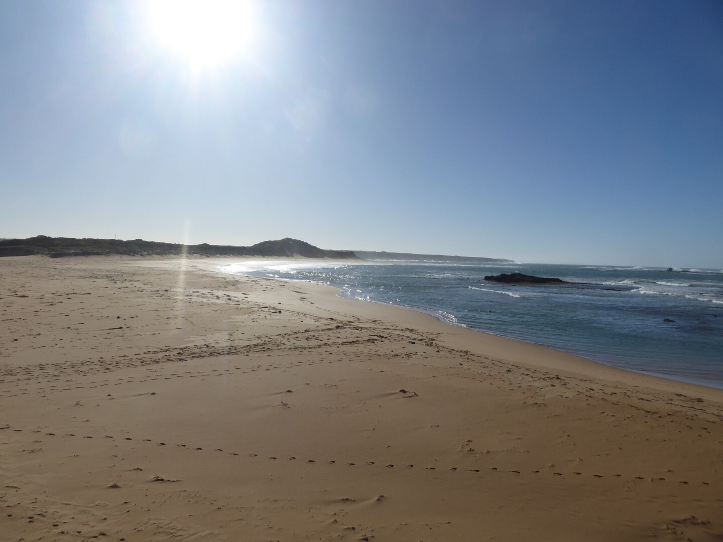
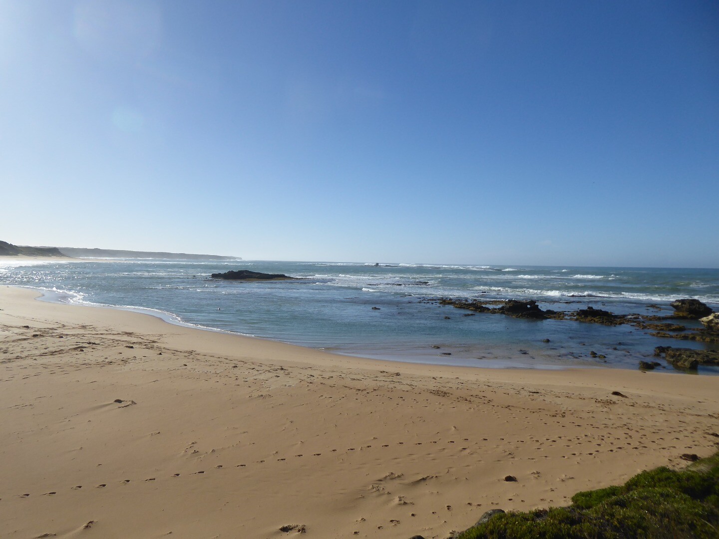
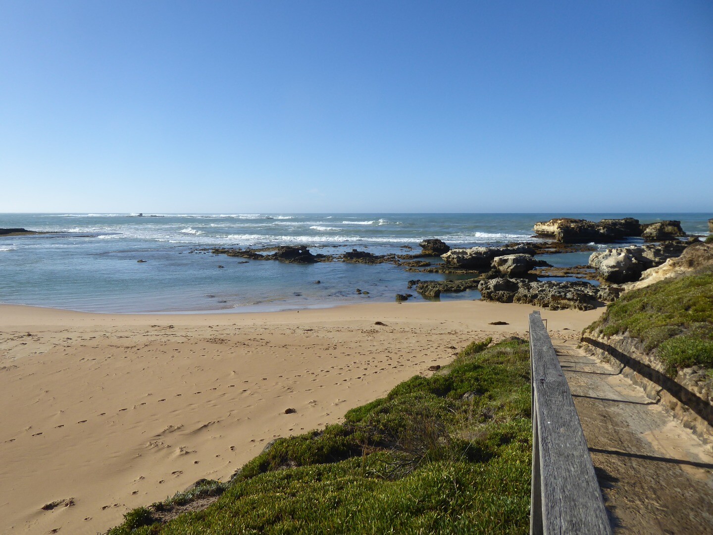
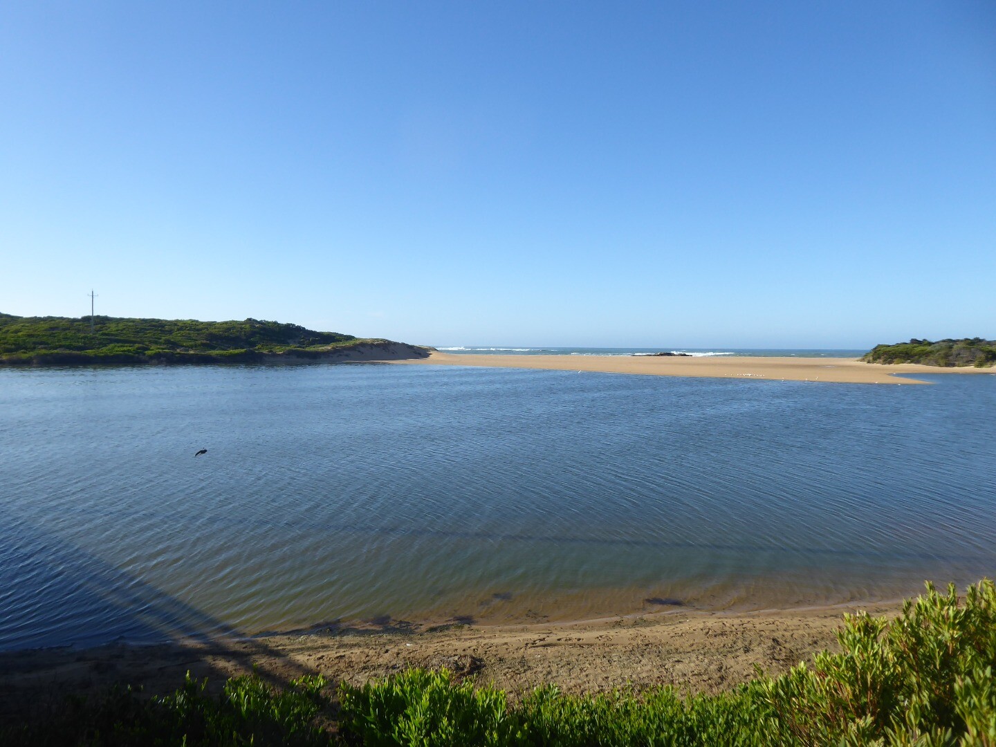
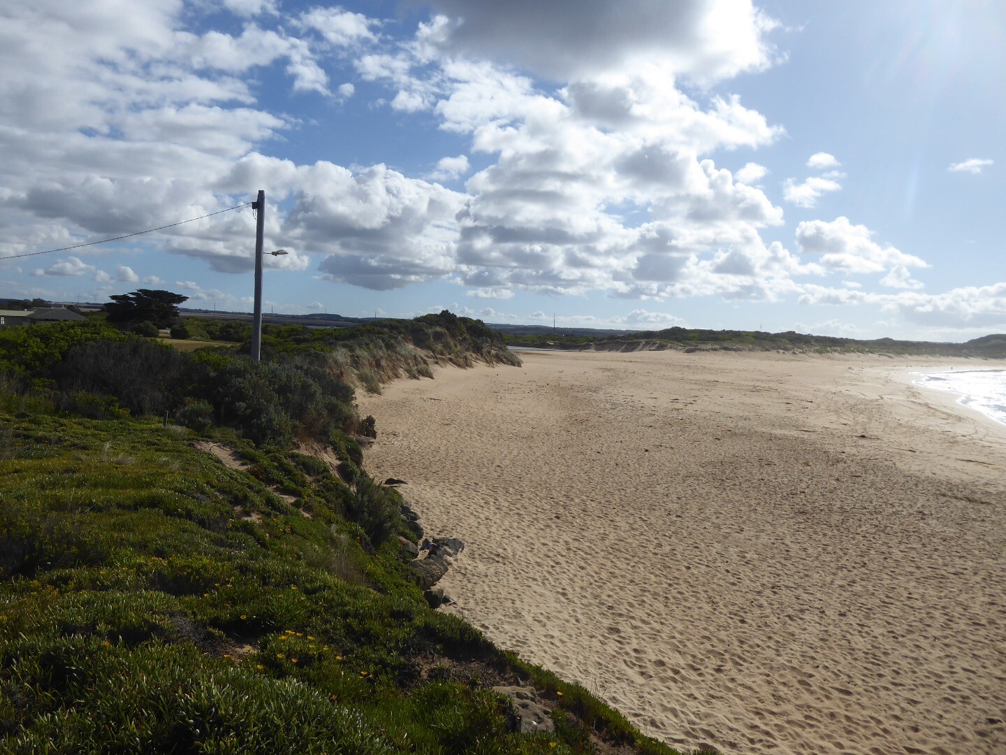
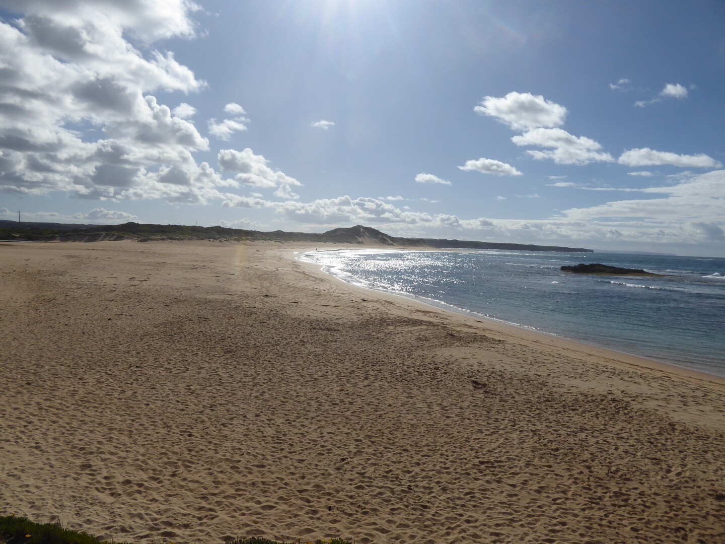
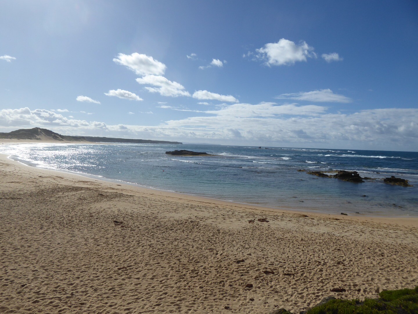
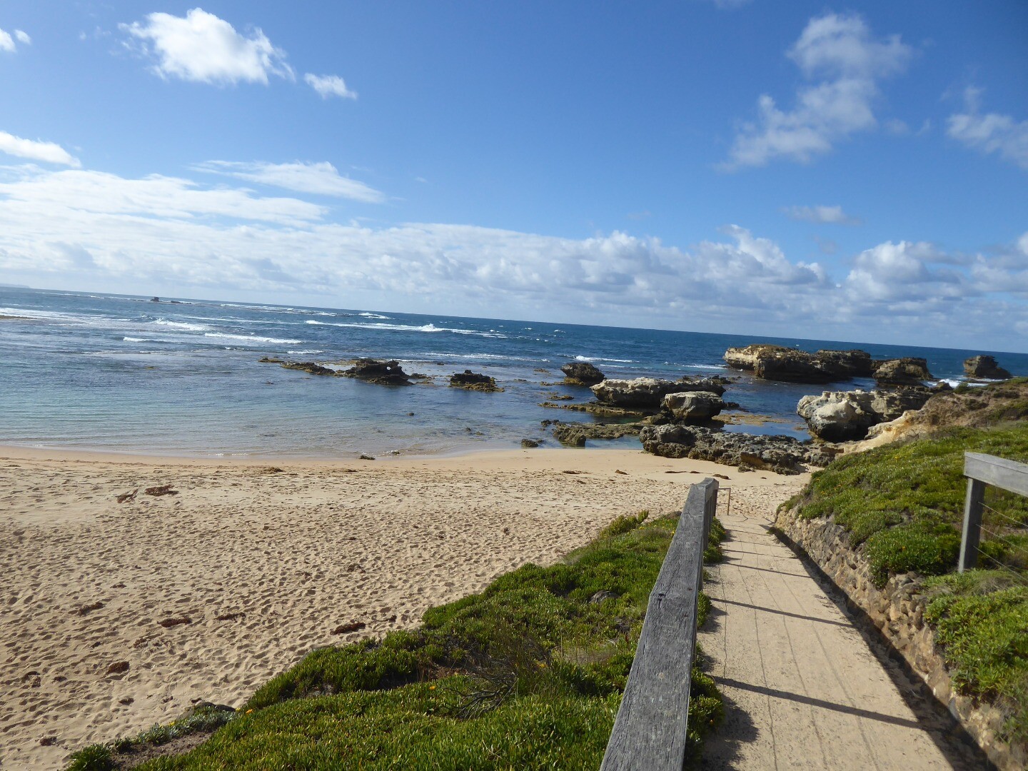
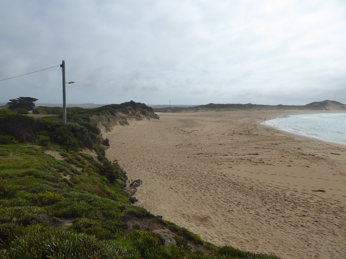
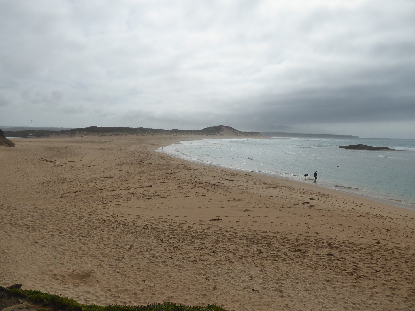
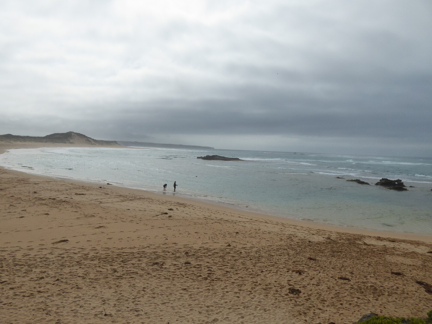
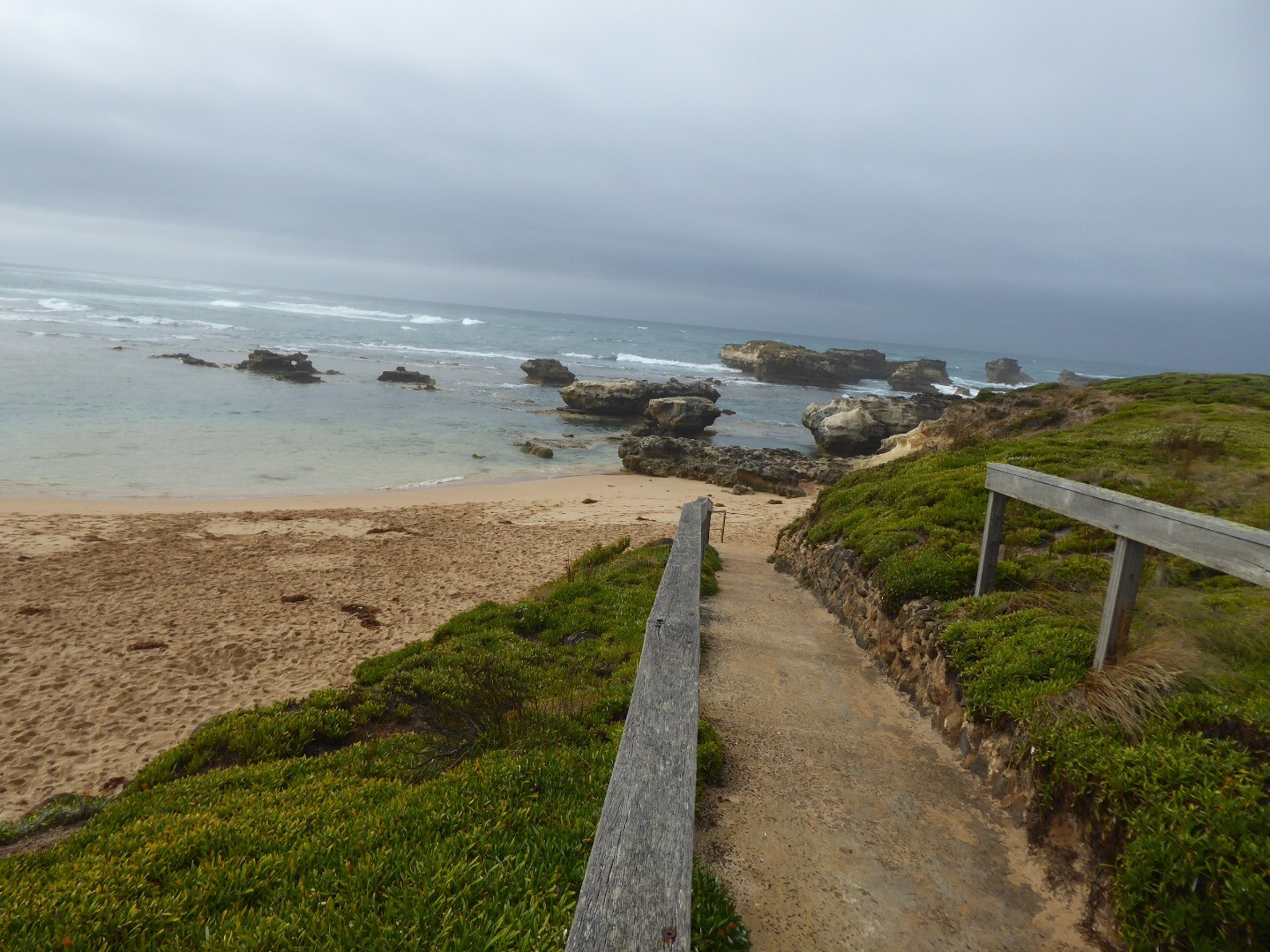
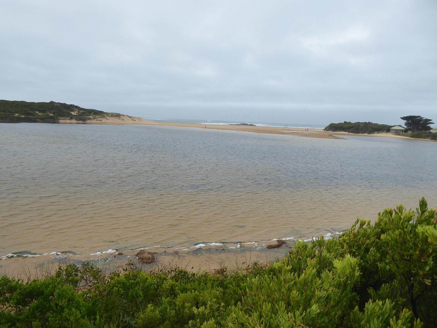
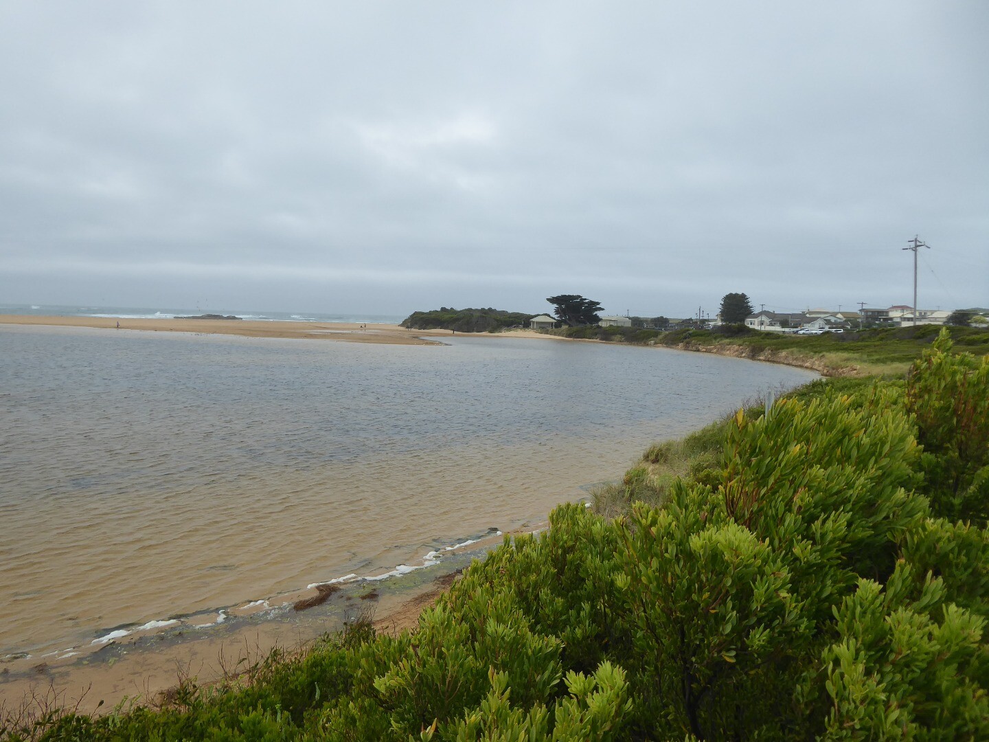
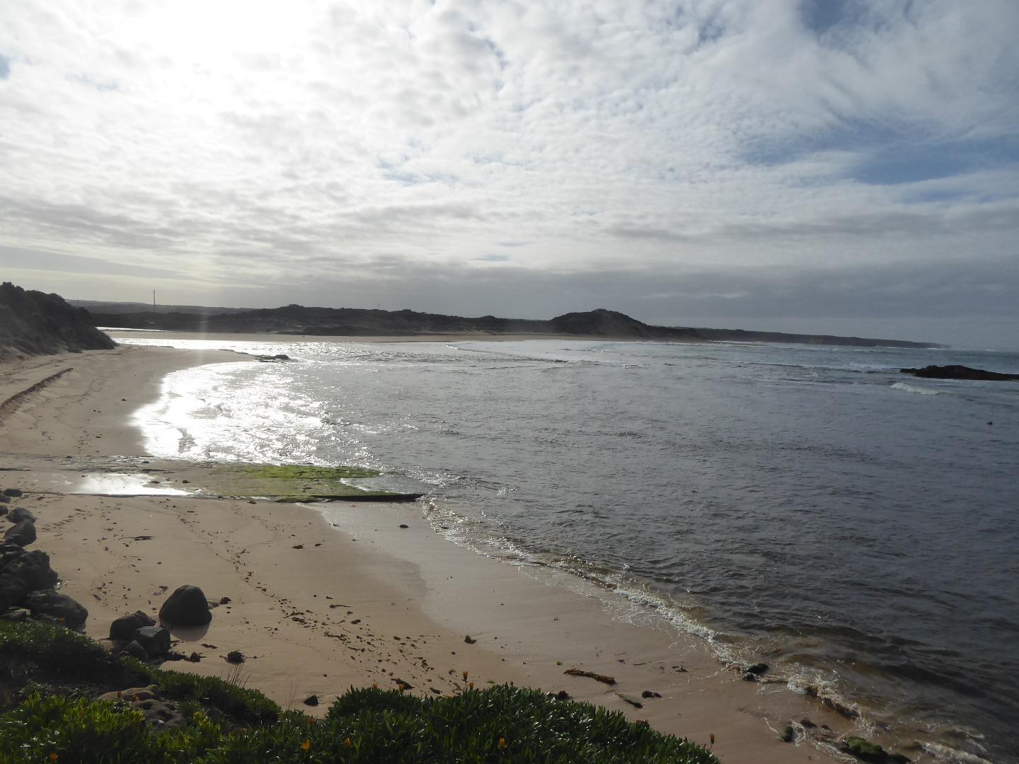
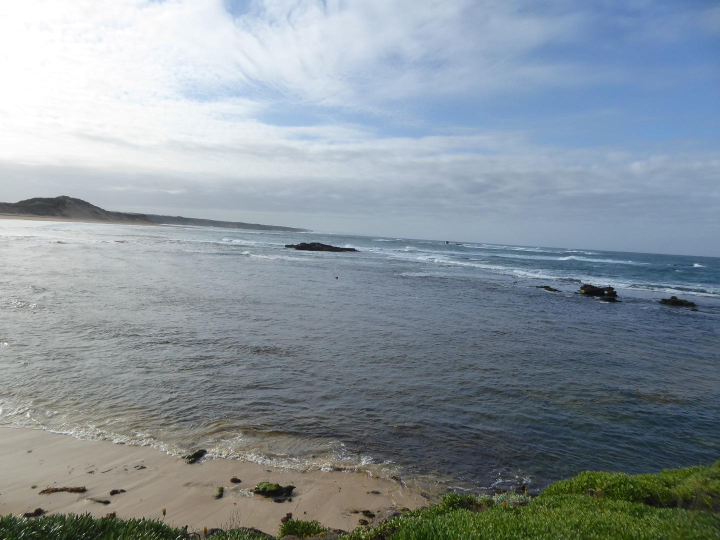
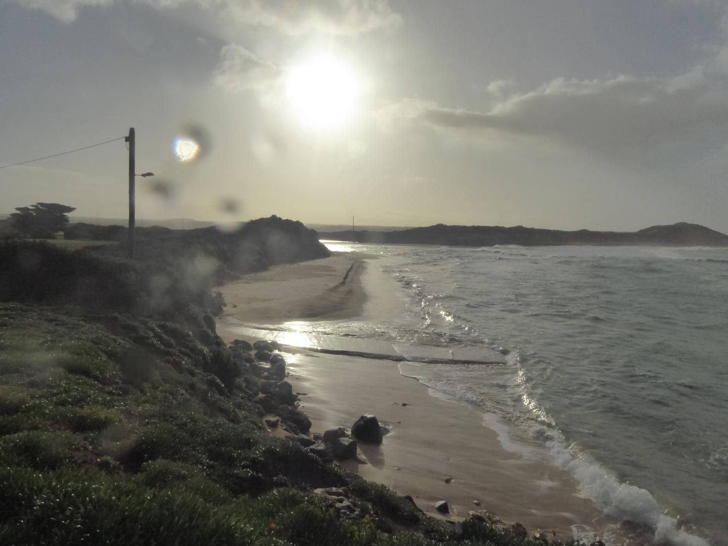
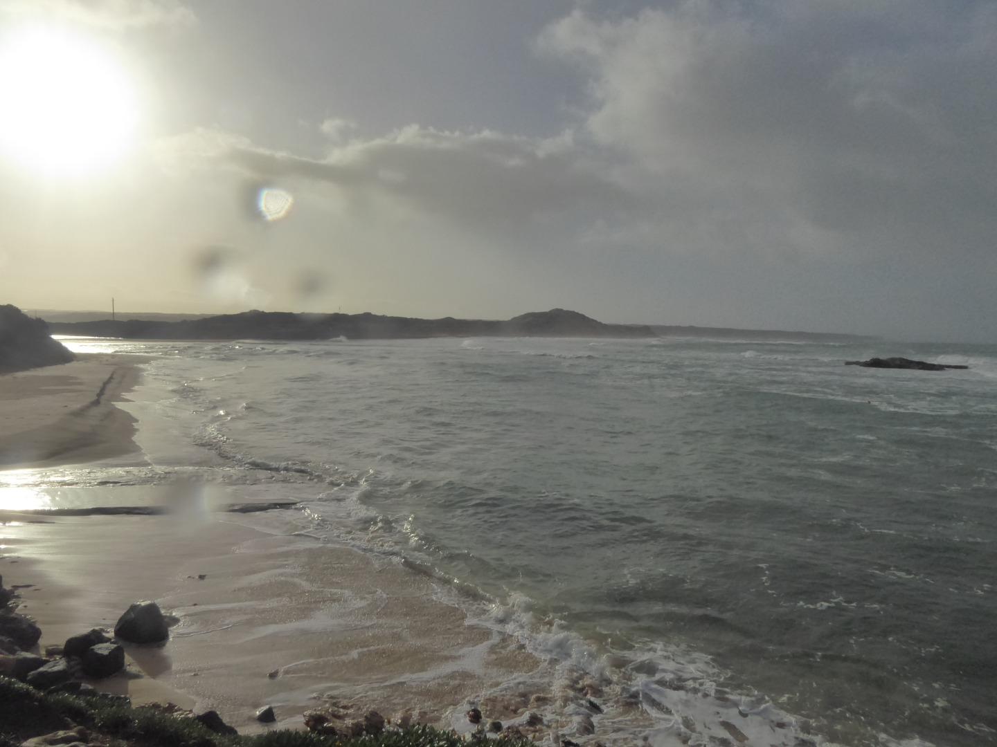
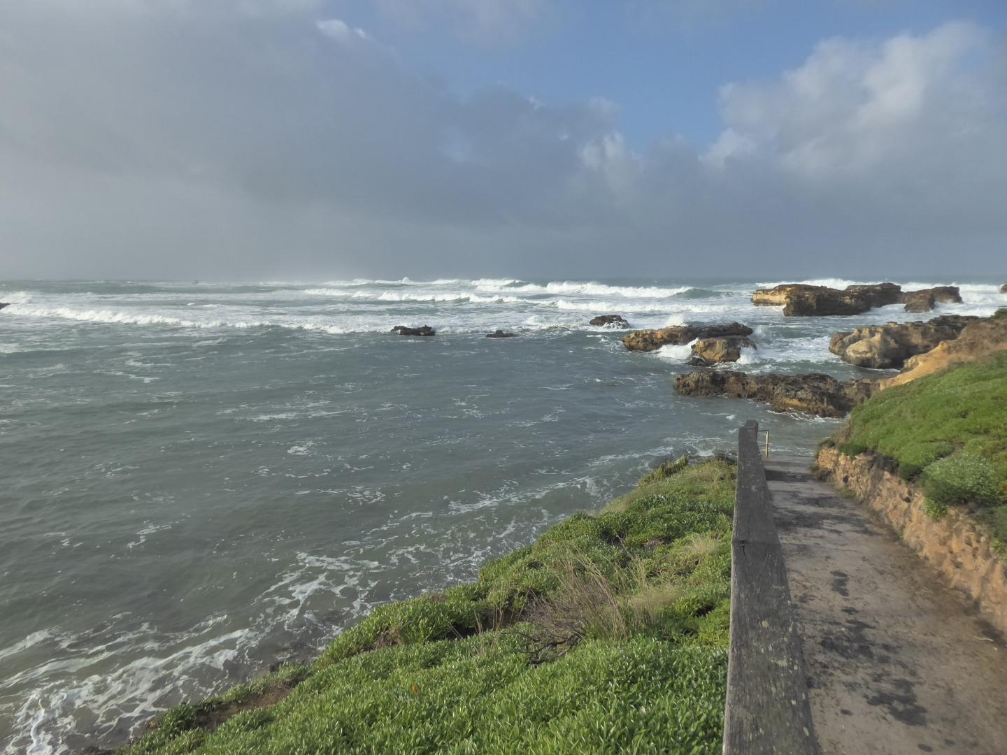
CuMC Curdies Mouth ConditionActive Mouth Condition 21-02-2014 - 02-07-2024Behind the no disabled access sign at the top of the beach access track opposite the disabled car parks in the James Irvine memorial car park, Peterborough. |
Observations 159 |
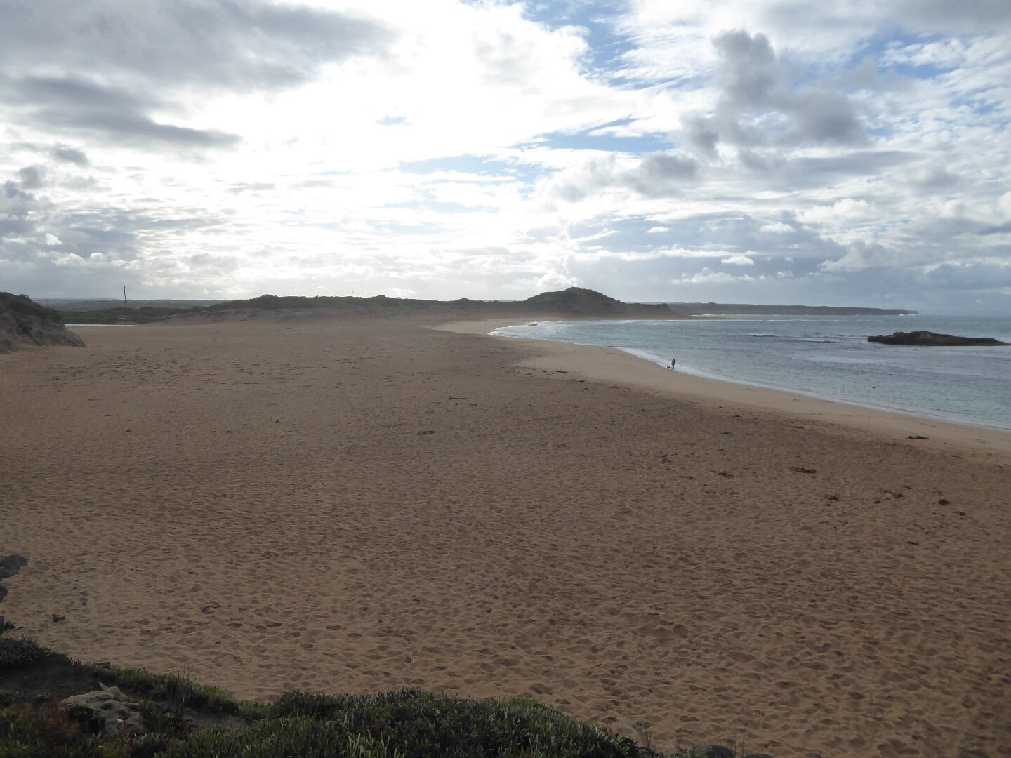
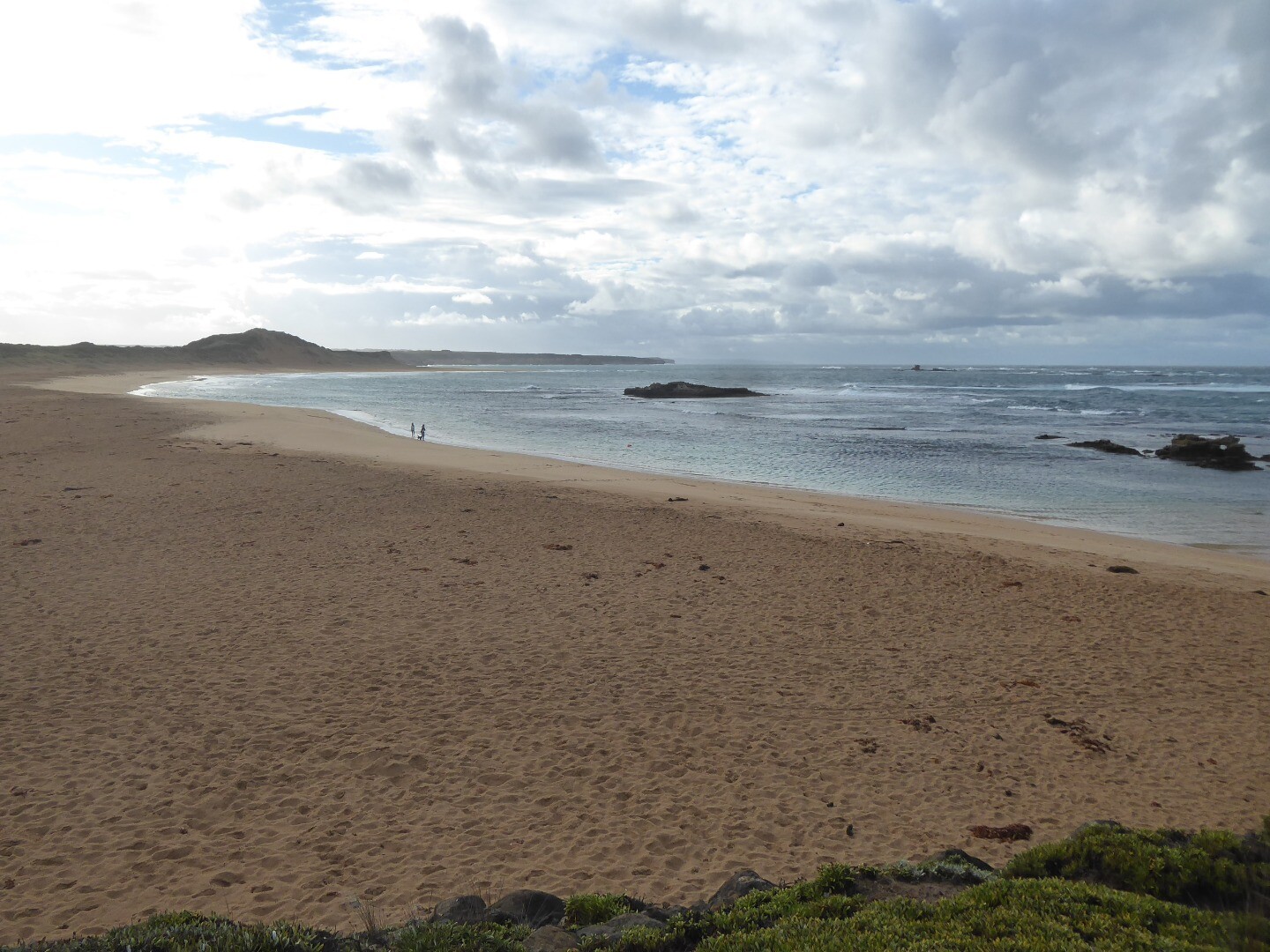
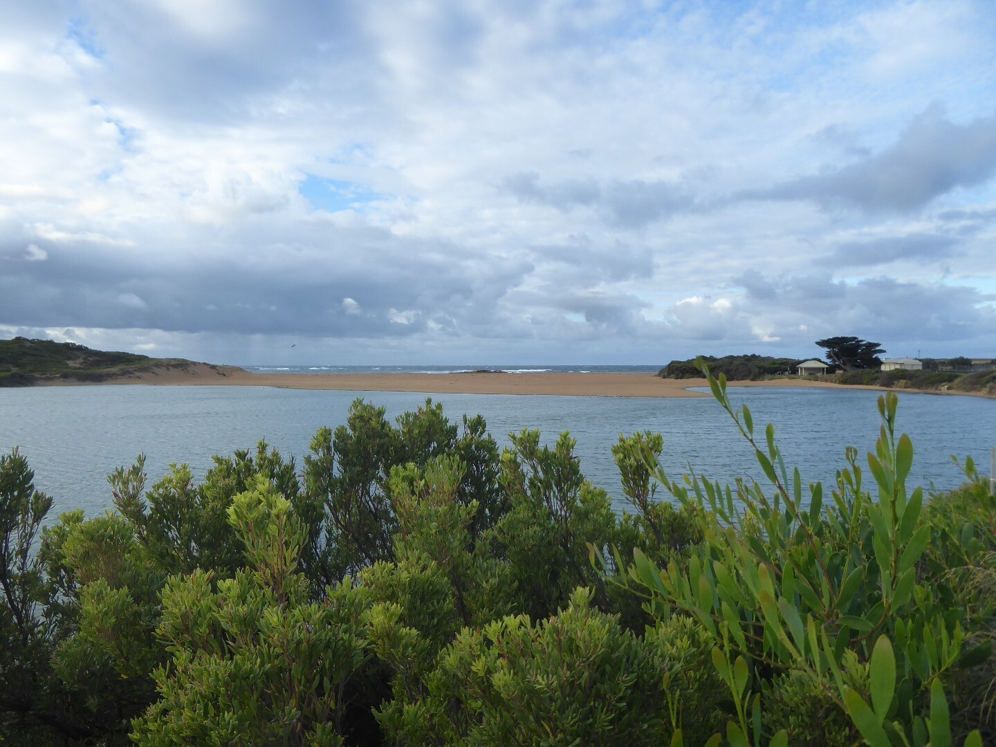
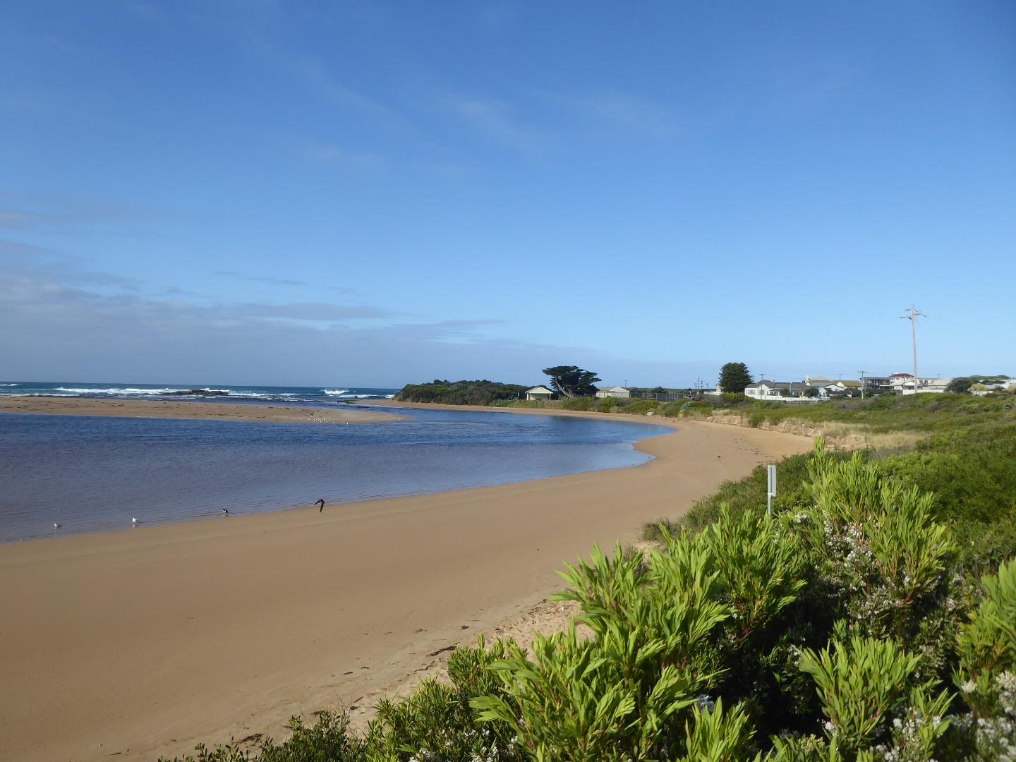
Cup1 Curdies Photopoint 1Active Photopoint 14-05-2014 - 02-07-2024Behind the no disabled access sign at the top of the beach access track opposite the disabled car parks in the James Irvine memorial car park, Peterborough. |
Photos 562 |
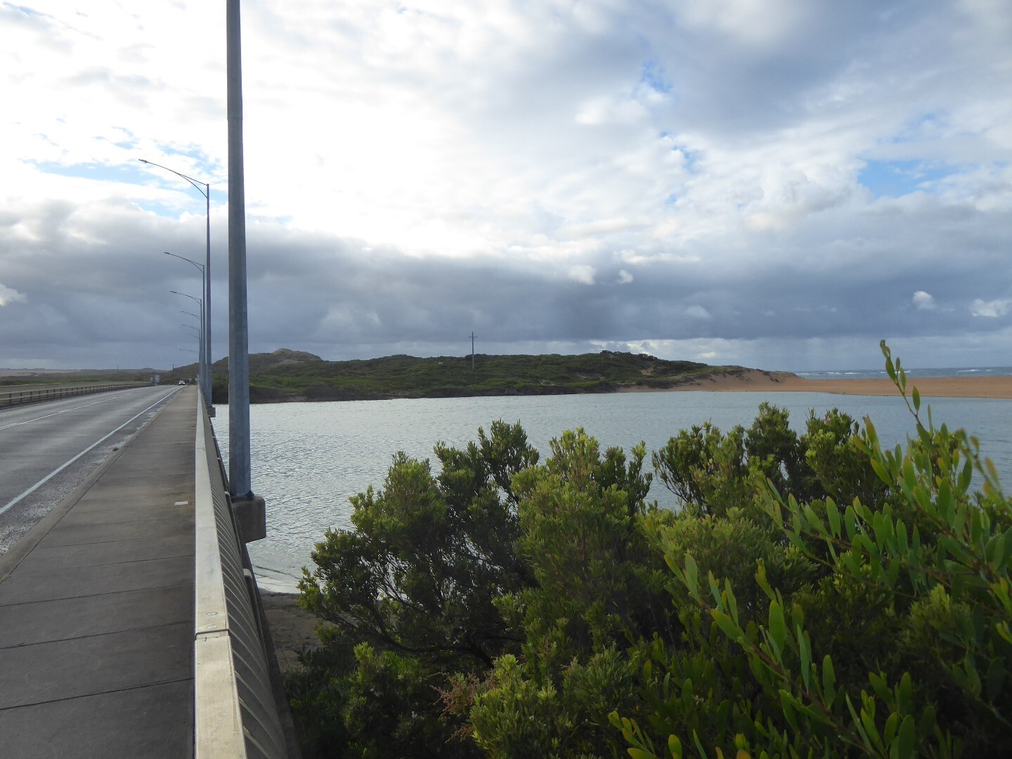
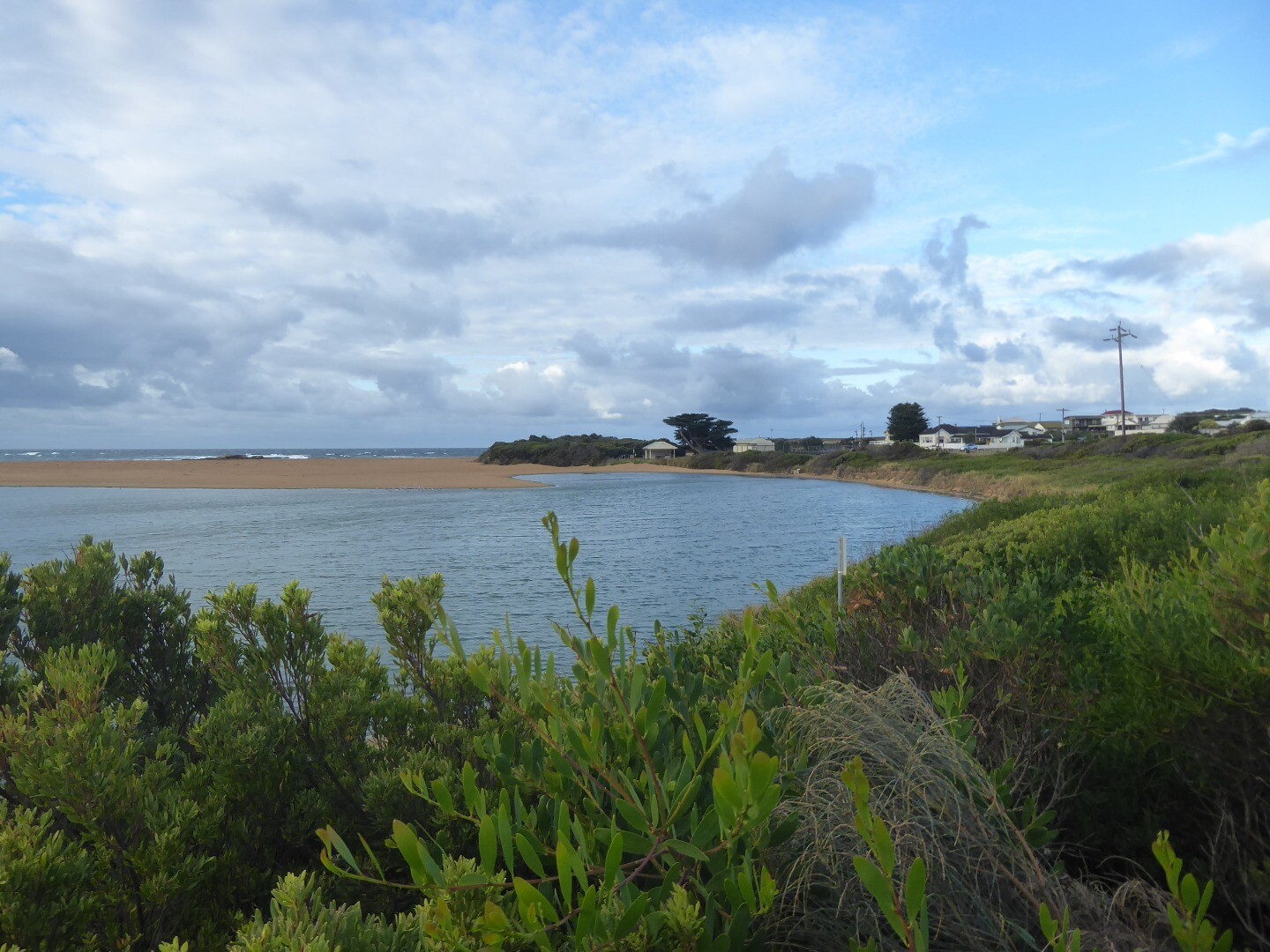
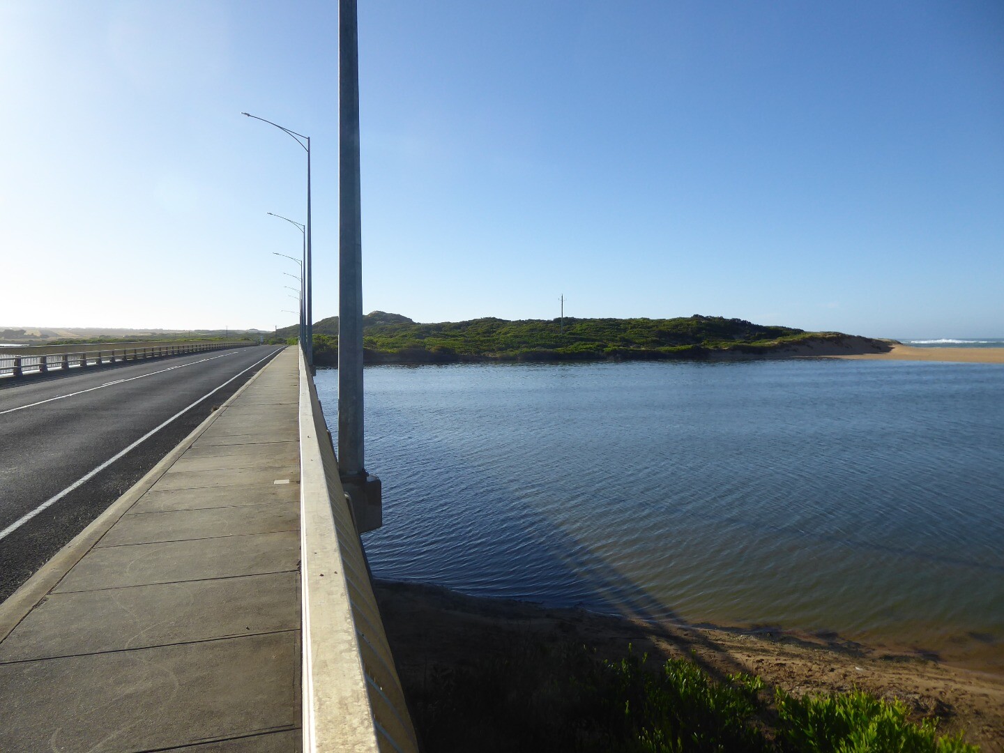
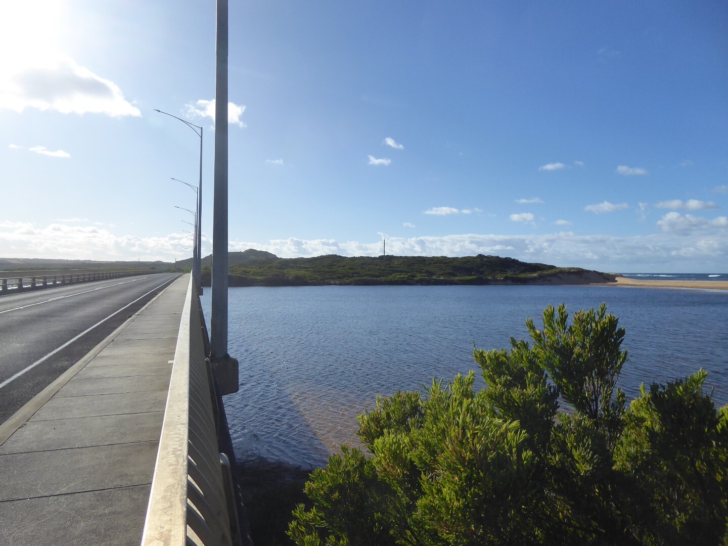
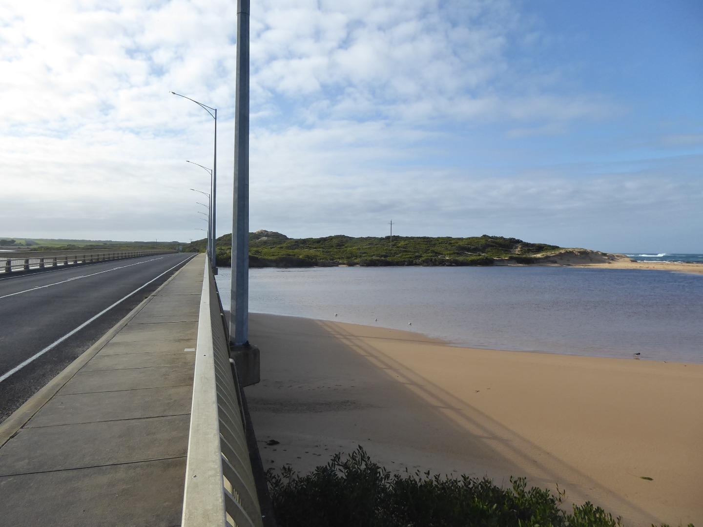
Cup2 Curdies Photopoint 2Active Photopoint 14-05-2014 - 02-07-2024Concrete pylon at the start of the Great Ocean Road Bridge on the western side. |
Photos 410 |
Estuary Snapshots
The EstuaryWatch snapshots provide a summary of estuary condition on a particular day. For all EstuaryWatch Snapshots, photopoint photos and a longitudinal water quality profile from the estuary mouth to the inland extent is displayed. Read more
Full estuary snapshots below use dates where samples at every active monitoring site were recorded.
View
full and partial snapshots
Winter 2024


Autumn 2024


Summer 2024
Spring 2023

Winter 2023

All content, files, data and images provided by the EstuaryWatch Data Portal and Gallery are subject to a Creative Commons Attribution License
Content is made available to be used in any way, and should always attribute EstuaryWatch and www.estuarywatch.org.au