EstuaryWatch Data Portal
GMC Gellibrand River Estuary Mouth Observation Site
1 April 2017
Observation details
Overview
| Estuary | Gellibrand River Estuary |
|---|---|
| Site | Gellibrand River Estuary Mouth Observation Site |
| Observation ID | #11064 |
| Date and Time | Saturday 1st April 2017 11:50am |
| Approved | Approved |
Notes
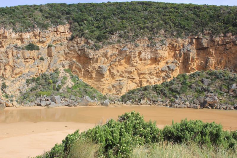
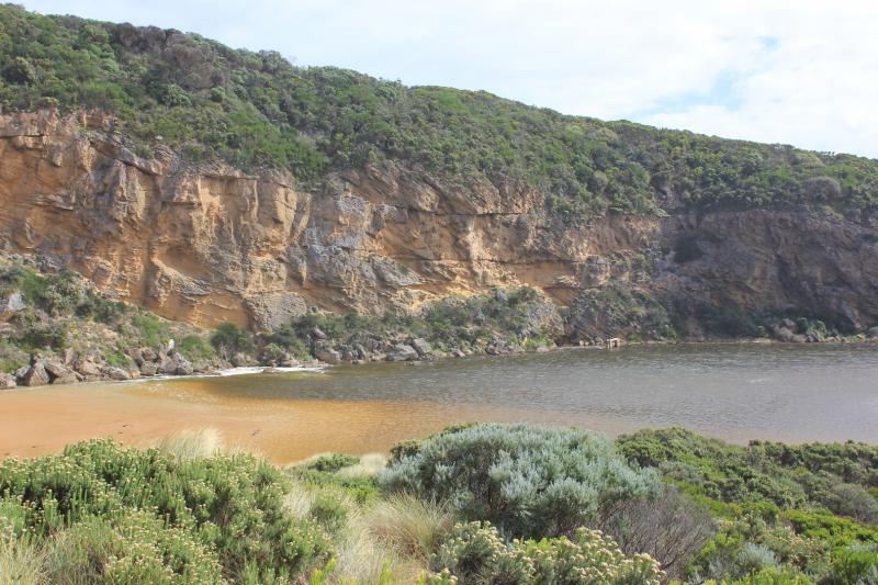
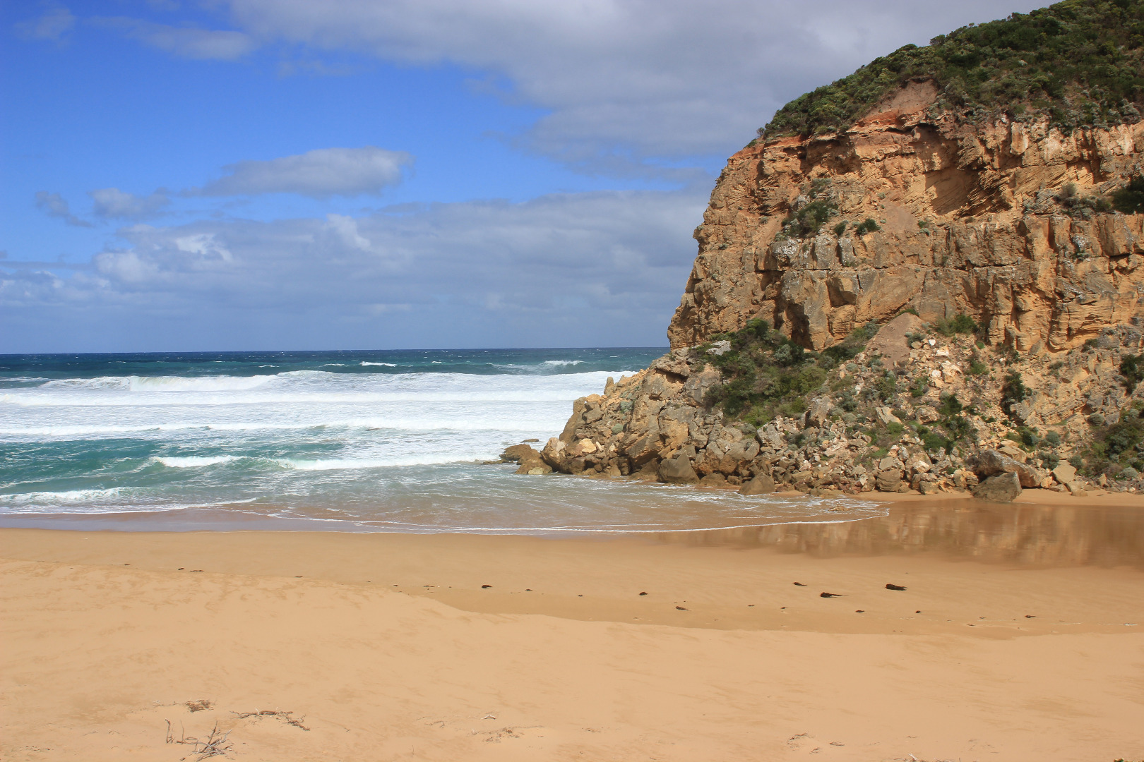
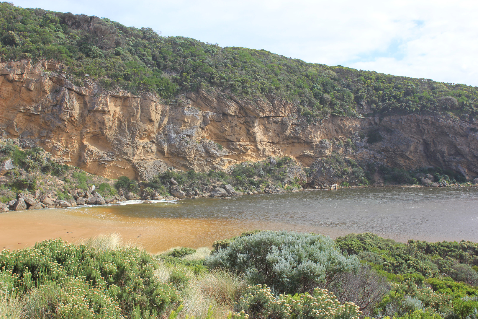
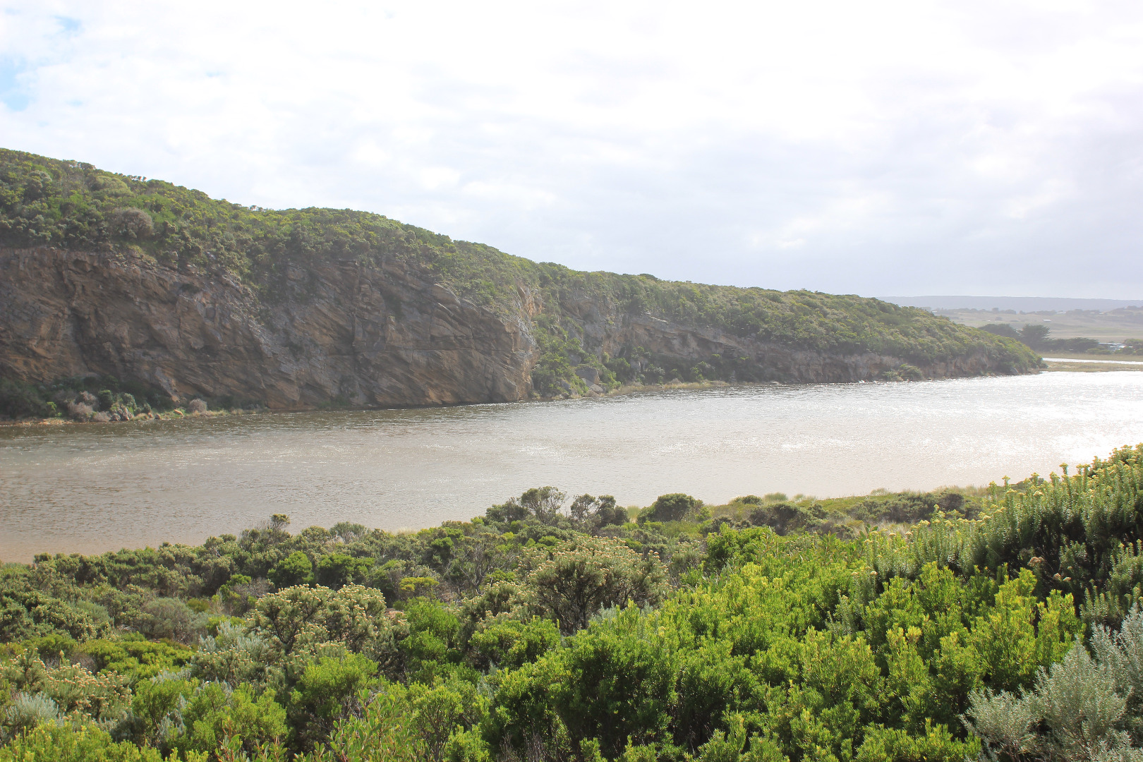
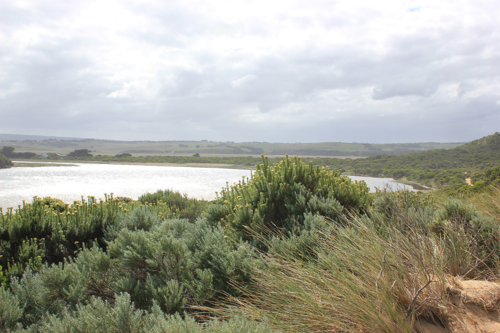
Mouth barred but waves from very rough seas entering over a wide area. Only salt return. Long shore drift across entrance
Large amount of sand at entrance and in channel -only about .20m of large rock above
Entrance is lowest part of the beach, sand is higher mid beach and at east end
Some waves going up over steep slopping beach front almost up to dunes
Mouth Observation
| Mouth state | Open |
|---|---|
| Previous | C C C C C C C C C P C O O O O O O O O O O O O O O O O O O O O O O O O O O O O O O O O O O O P O P C C O O O O O O O C |
| Flow Present? | No |
| Previous | N N N N N N N N N N N Y Y Y Y Y Y Y Y Y Y Y Y Y Y Y Y Y Y Y Y Y Y Y Y Y Y Y Y Y Y Y Y Y Y Y Y Y Y N N Y Y Y N Y Y Y N |
| Flow Direction | N/A |
| Previous | N N N N N N N N N N N O O O I I I O O O O I O O O I O O O O O O O O O O O O O O O I I O O O I O I N N O O I N O O O N |
| Above Sea | Above Estuary | |
|---|---|---|
| Berm Height (m) | ||
| Berm Length (m) |
Physical Condition
| Current | Mode | |
|---|---|---|
| Wind Direction | South | |
| Beaufort Scale | Strong breeze | |
| Sea State | Very Rough |


All content, files, data and images provided by the EstuaryWatch Data Portal and Gallery are subject to a Creative Commons Attribution License
Content is made available to be used in any way, and should always attribute EstuaryWatch and www.estuarywatch.org.au