EstuaryWatch Data Portal
GMC Gellibrand River Estuary Mouth Observation Site
15 April 2017
Overview
| Estuary | Gellibrand River Estuary |
|---|---|
| Site | Gellibrand River Estuary Mouth Observation Site |
| Observation ID | #11111 |
| Date and Time | Saturday 15th April 2017 08:26am |
| Approved | Approved |
Notes
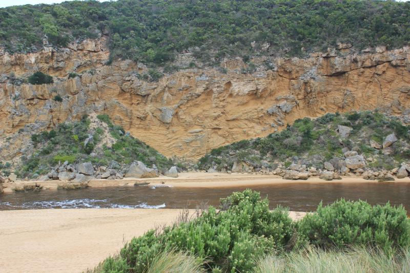
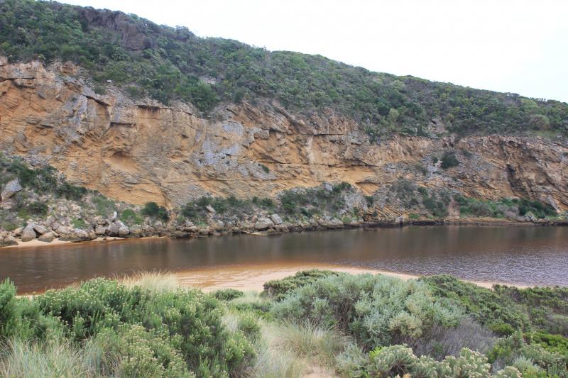
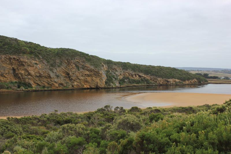
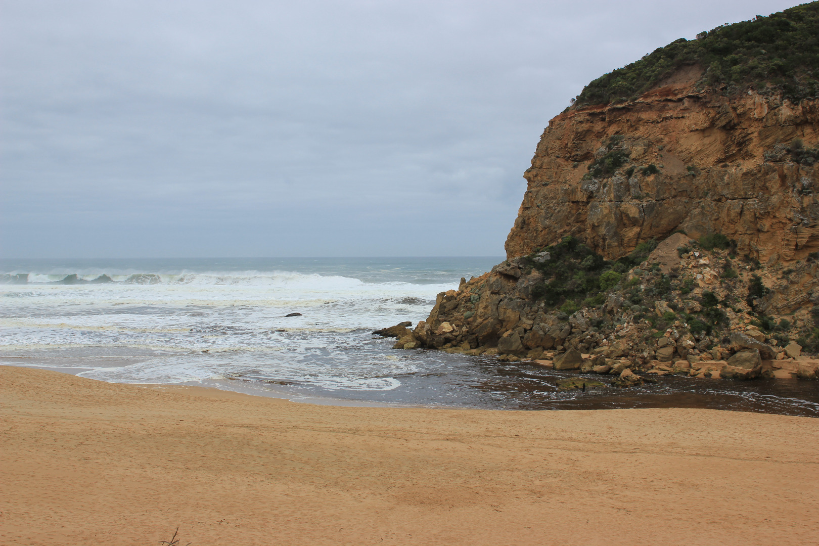
Discharge out south & to east (difficult to estimate because of large amount of foam), outflow reducing but entrance remains very wide. Some waves from long shore drift & SW swell are entering down channel into estuary where only a small area of sandbar is exposed. Sand is building up at east side of entrance.
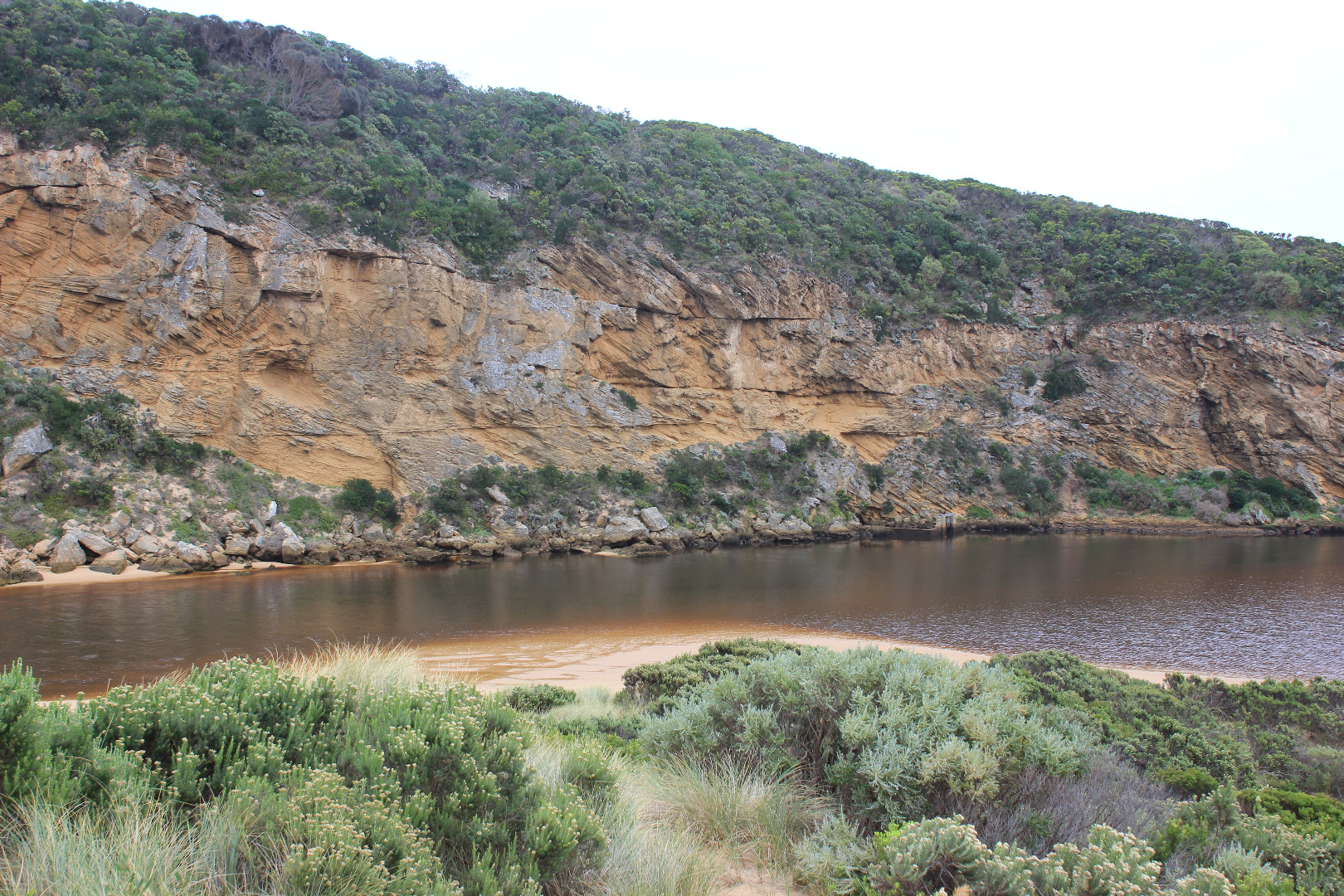
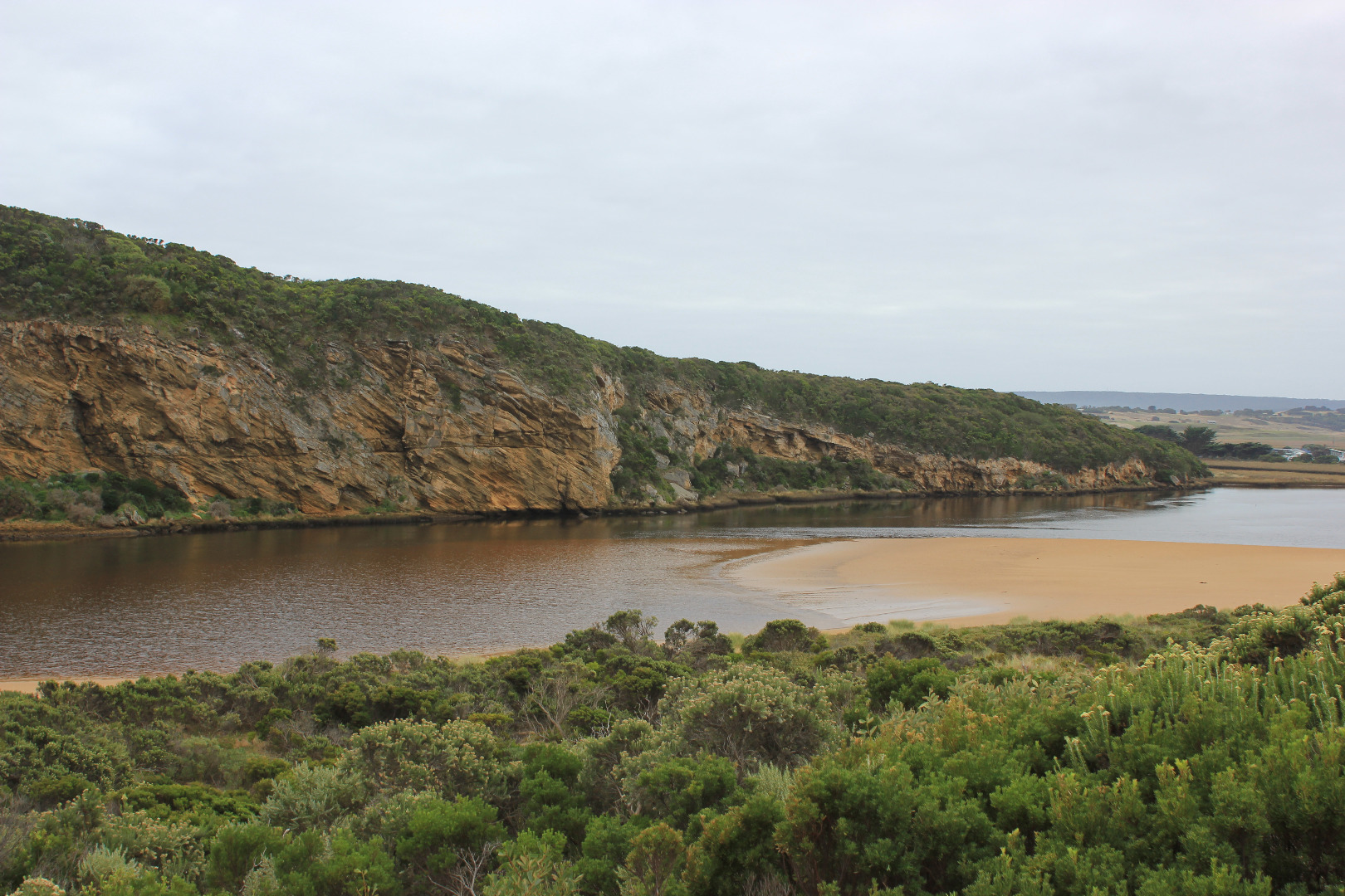
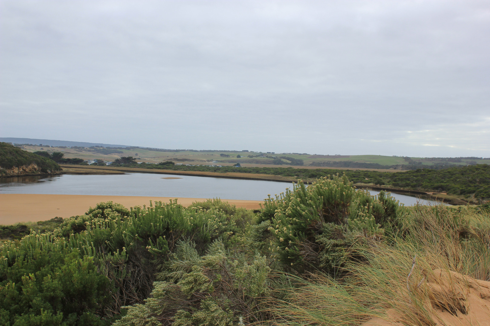
An extremely wide expanse of sand has been exposed extending far north into the estuary well past level with the Tunnel entrance. The sand is high near the channel/estuary entrance but becomes lower & silt covered toward SE corner where a 'skin' has formed across surface of shallow water.
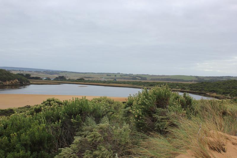
Low track has drained -sea grass visible under shallow water . Iridescent slick in some shallow areas.
Camp ground, OCR & 2 areas at flood markers OOR have water. The area at OOR has large no. very small fish in excavated area near blocked culverts. Flats draining upstream
Mouth Observation
| Mouth state | Open |
|---|---|
| Previous | C C C C C C C C P C O O O O O O O O O O O O O O O O O O O O O O O O O O O O O O O O O O O P O P C C O O O O O O O C O C C C O |
| Flow Present? | Yes |
| Previous | N N N N N N N N N N Y Y Y Y Y Y Y Y Y Y Y Y Y Y Y Y Y Y Y Y Y Y Y Y Y Y Y Y Y Y Y Y Y Y Y Y Y Y N N Y Y Y N Y Y Y N N N N N Y |
| Flow Direction | Out |
| Previous | N N N N N N N N N N O O O I I I O O O O I O O O I O O O O O O O O O O O O O O O I I O O O I O I N N O O I N O O O N N N N N O |
| Above Sea | Above Estuary | |
|---|---|---|
| Berm Height (m) | ||
| Berm Length (m) |
Physical Condition
| Current | Mode | |
|---|---|---|
| Wind Direction | North | |
| Beaufort Scale | Light Breeze | |
| Sea State | Moderate |


All content, files, data and images provided by the EstuaryWatch Data Portal and Gallery are subject to a Creative Commons Attribution License
Content is made available to be used in any way, and should always attribute EstuaryWatch and www.estuarywatch.org.au