EstuaryWatch Data Portal
GMC Gellibrand River Estuary Mouth Observation Site
30 April 2017
Overview
| Estuary | Gellibrand River Estuary |
|---|---|
| Site | Gellibrand River Estuary Mouth Observation Site |
| Observation ID | #11154 |
| Date and Time | Sunday 30th April 2017 11:20am |
| Approved | Approved |
Notes
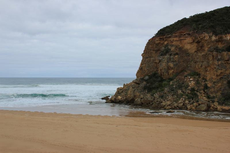
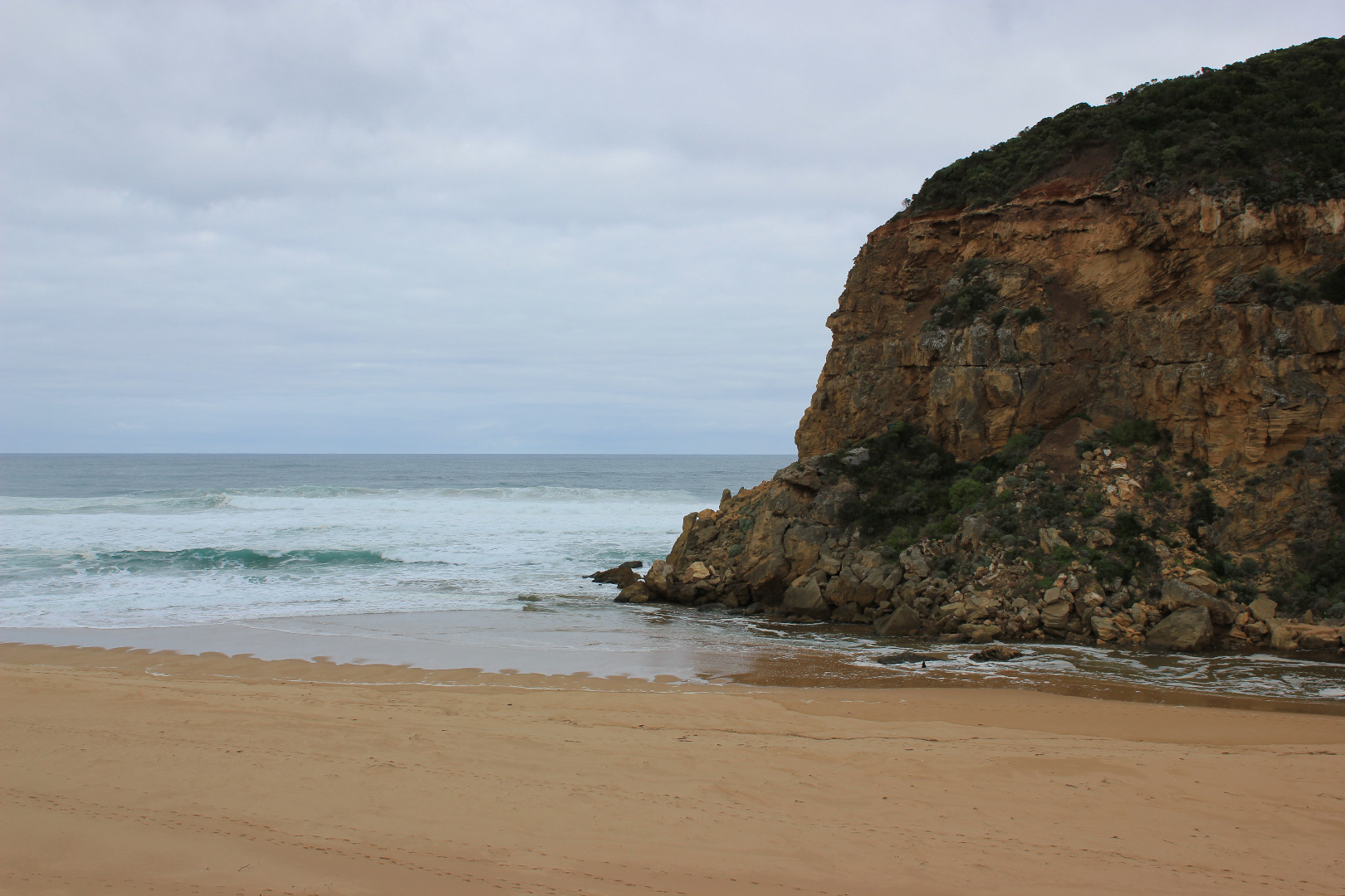
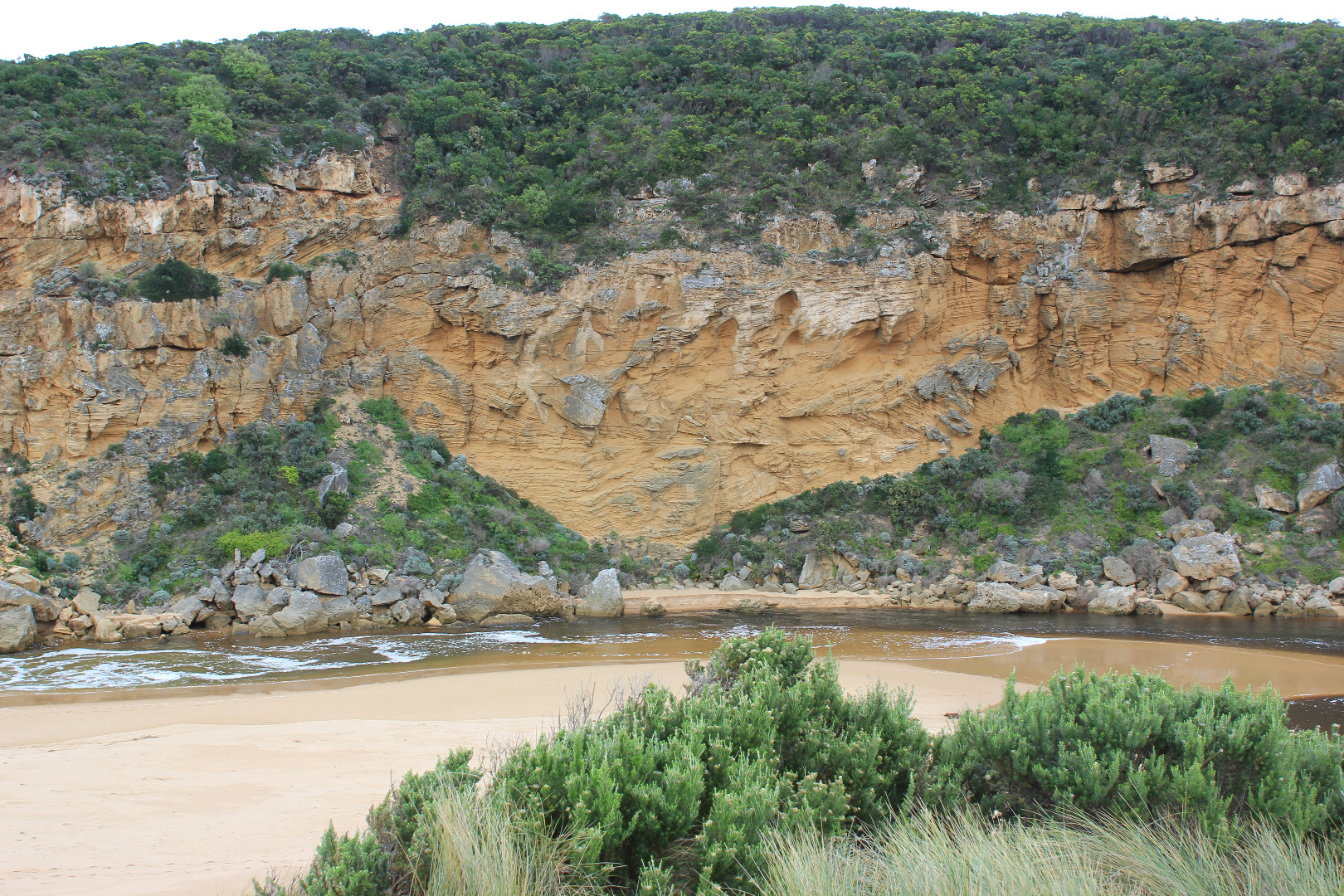
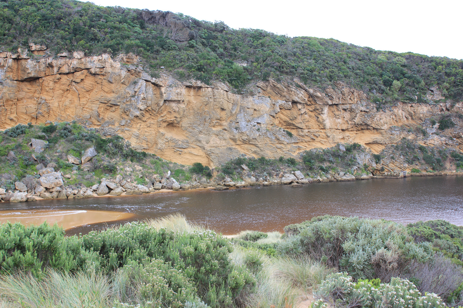
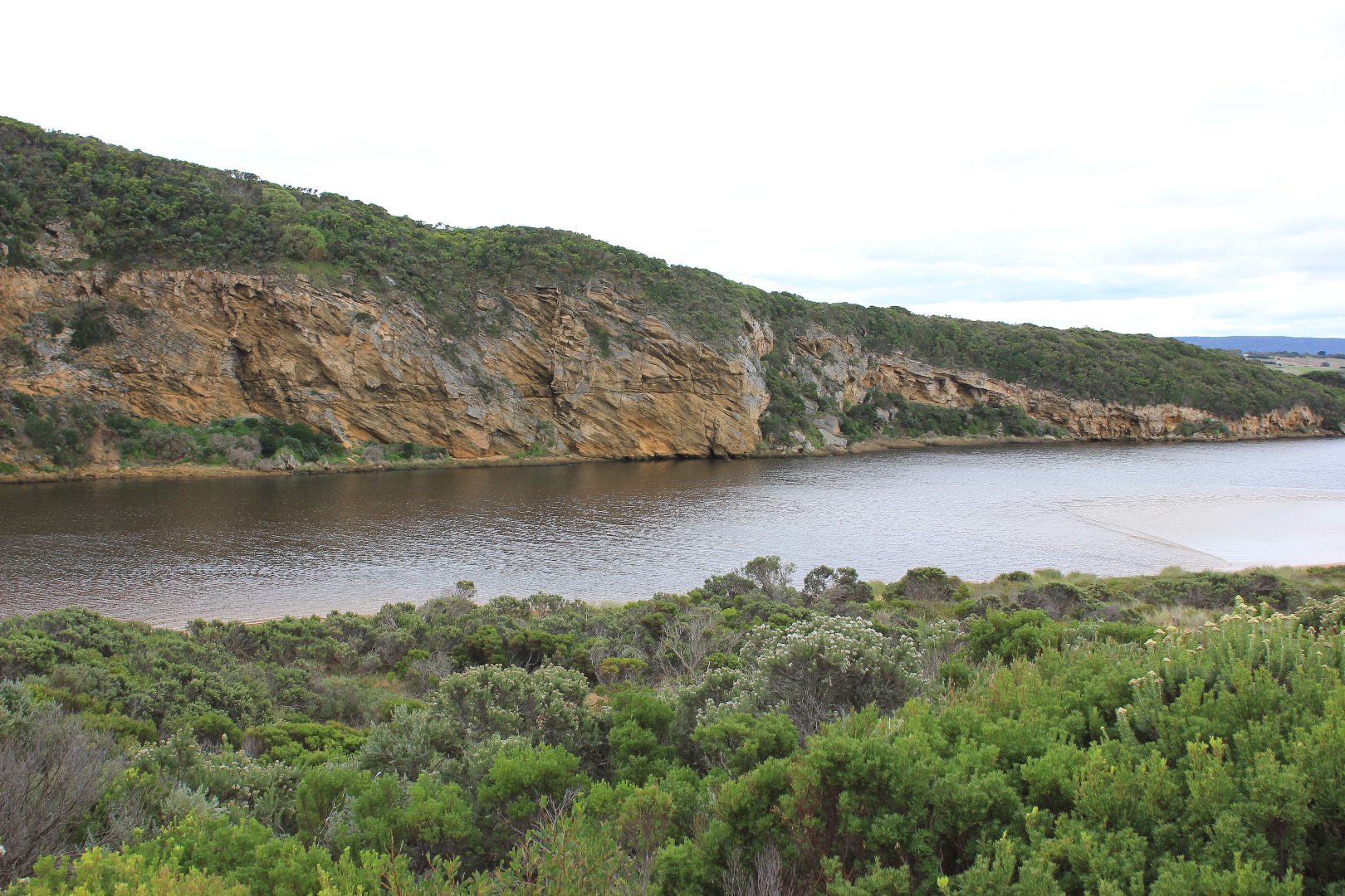
Flow is both in & out. The darker discharge is not visible - held back by incoming waves sending salt water (green) upstream of rocks. Long shore drift across mouth over outflow meeting SW/WSW swell - creating a whirl pool around rocks.
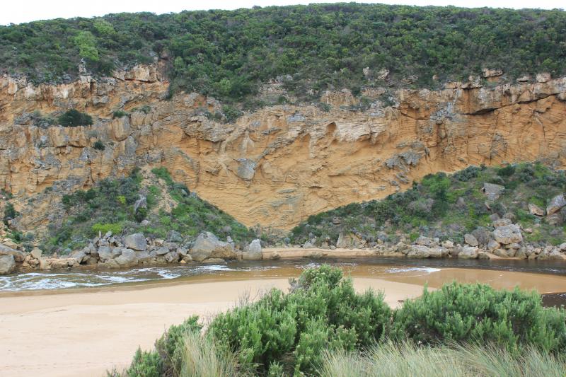
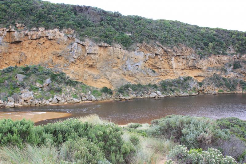
Waves are travelling far into the estuary over an unusual sand formation extending north alongside channel. Recent storms have created both wind & wave action that has re shaped dunes, beach & channel.
Beach has high slopping face- very high midway ( beach very curved) where waves are frequently over topping. (very high & very low tides occuring) A high sand projection at near east end extends far into sea where large areas of sand can be seen in backwash
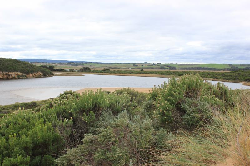
24 Coots & 1 Black duck on estuary
Mouth Observation
| Mouth state | Open |
|---|---|
| Previous | C C C C C C P C O O O O O O O O O O O O O O O O O O O O O O O O O O O O O O O O O O O P O P C C O O O O O O O C O C C C O O O |
| Flow Present? | Yes |
| Previous | N N N N N N N N Y Y Y Y Y Y Y Y Y Y Y Y Y Y Y Y Y Y Y Y Y Y Y Y Y Y Y Y Y Y Y Y Y Y Y Y Y Y N N Y Y Y N Y Y Y N N N N N Y Y Y |
| Flow Direction | Out |
| Previous | N N N N N N N N O O O I I I O O O O I O O O I O O O O O O O O O O O O O O O I I O O O I O I N N O O I N O O O N N N N N O O O |
| Above Sea | Above Estuary | |
|---|---|---|
| Berm Height (m) | ||
| Berm Length (m) |
Physical Condition
| Current | Mode | |
|---|---|---|
| Wind Direction | North-West | |
| Beaufort Scale | Moderate breeze | |
| Sea State | Rough |


All content, files, data and images provided by the EstuaryWatch Data Portal and Gallery are subject to a Creative Commons Attribution License
Content is made available to be used in any way, and should always attribute EstuaryWatch and www.estuarywatch.org.au