EstuaryWatch Data Portal
GMC Gellibrand River Estuary Mouth Observation Site
2 July 2017
Observation details
Overview
| Estuary | Gellibrand River Estuary |
|---|---|
| Site | Gellibrand River Estuary Mouth Observation Site |
| Observation ID | #11301 |
| Date and Time | Sunday 2nd July 2017 11:20am |
| Approved | Approved |
Notes
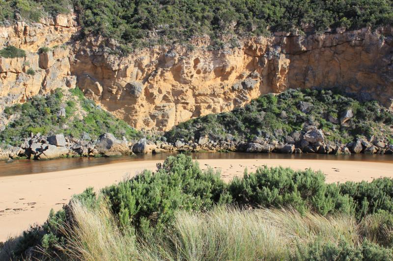
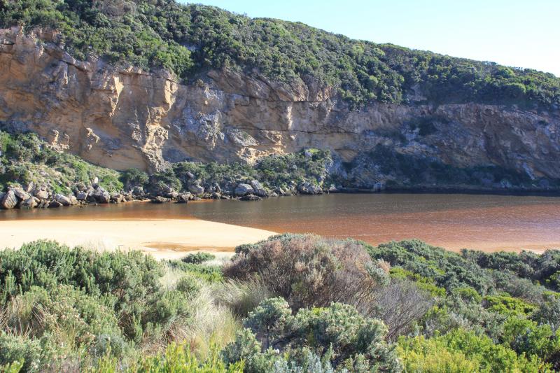
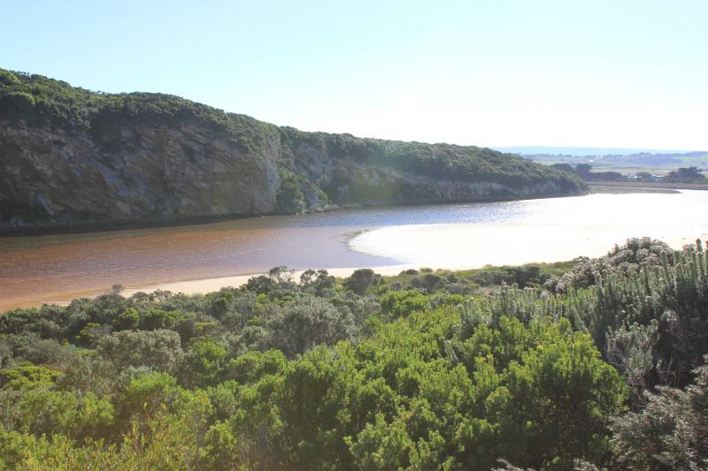
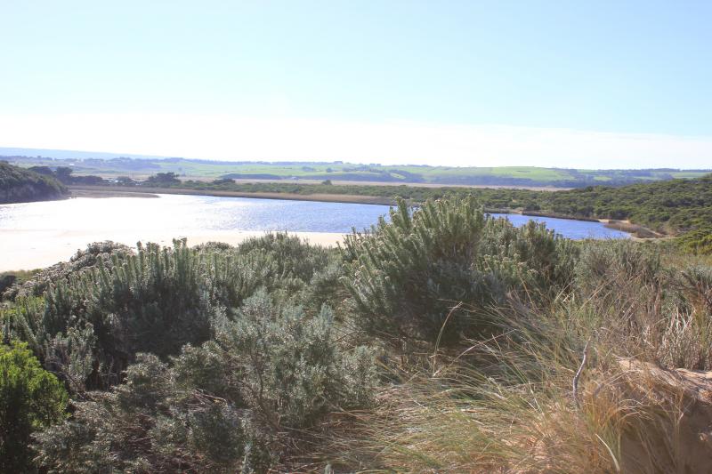
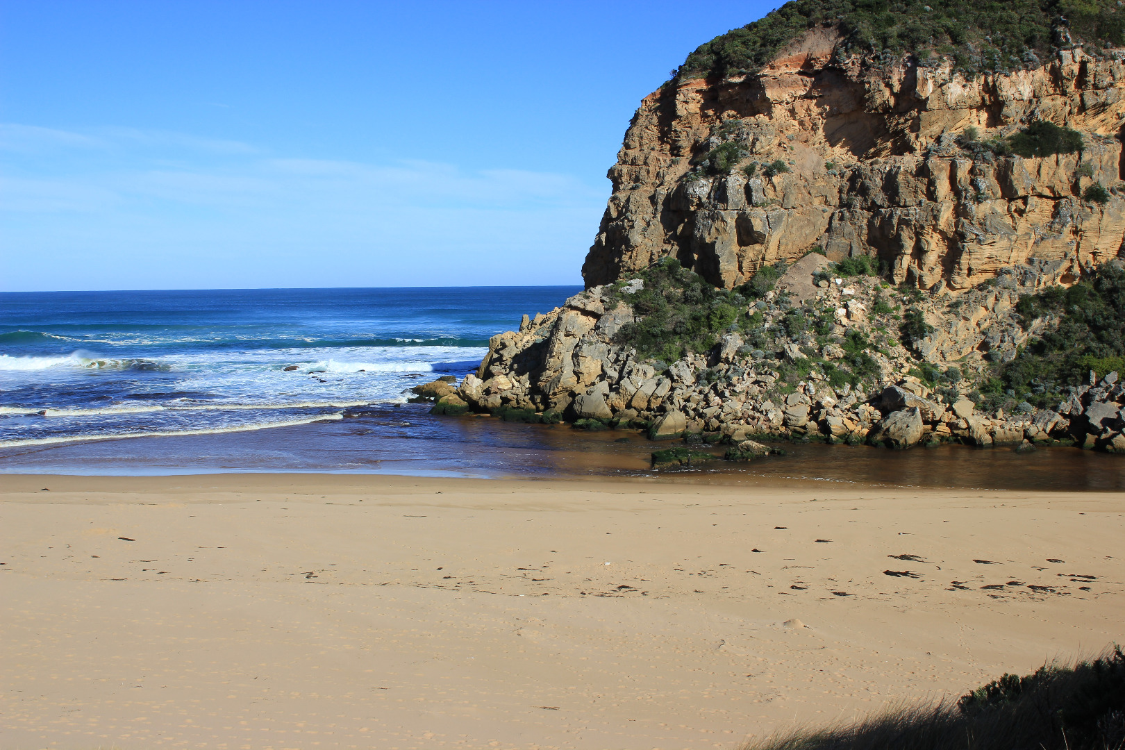
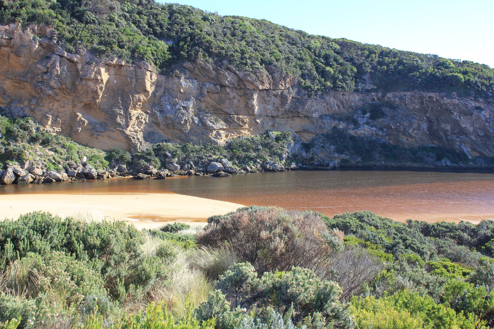
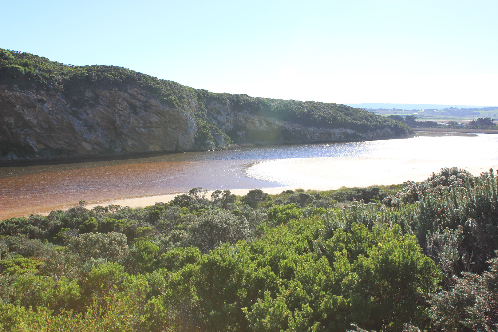
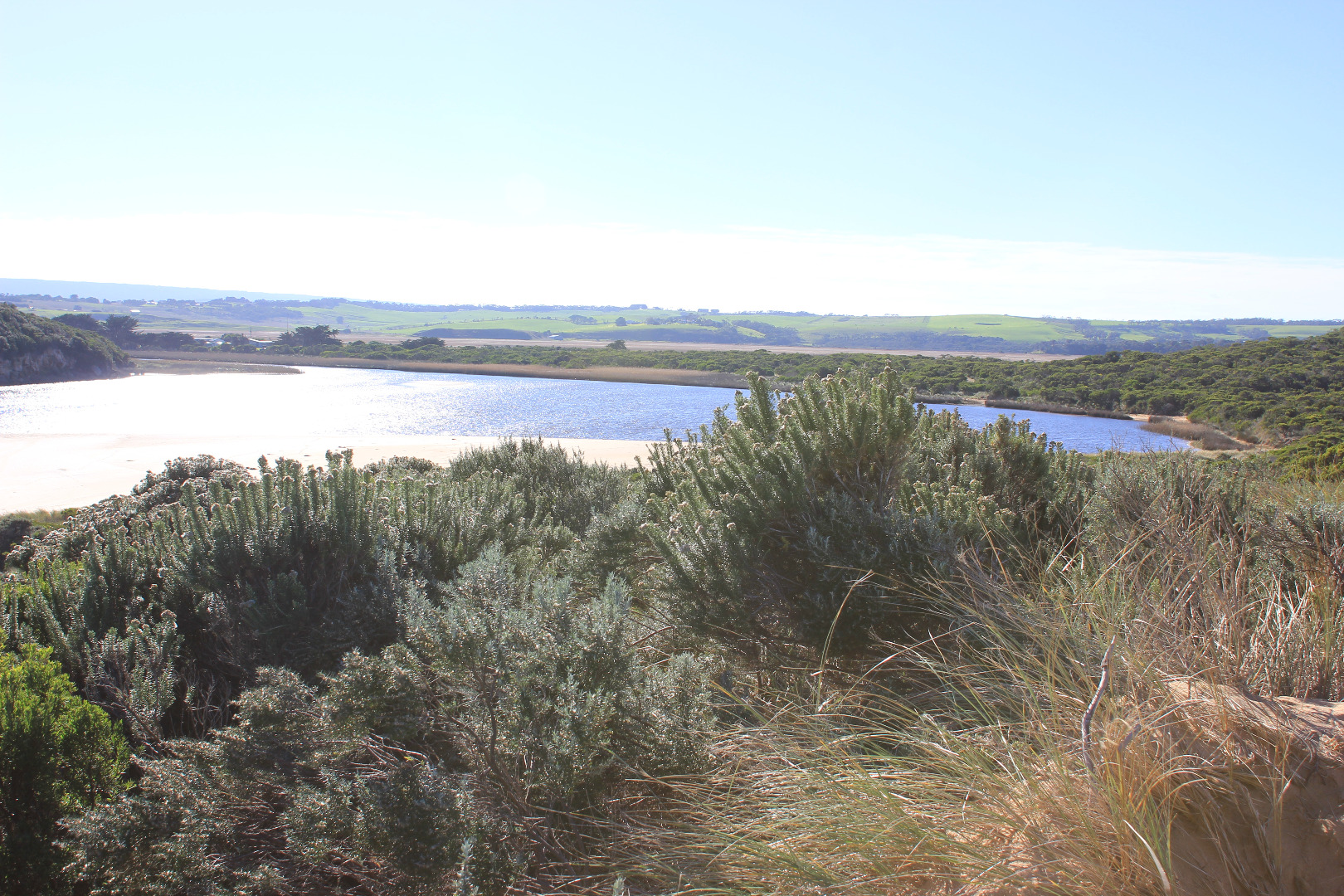
Outflow out around mouth continuing east along shoreline. Waves entering over outflow from all directions, longshore drift active across mouth
Actual entrance still wide but more sand in channel & start of estuary
Sand build up in front of rocks increased - previous high edges along beach have been smoothed out
Salt levels have increased at G2
Mouth Observation
| Mouth state | Open |
|---|---|
| Previous | O O O O O O O O O O O O O O O O O O O O O O O O O O P O P C C O O O O O O O C O C C C O O O O O C O O O O O |
| Flow Present? | Yes |
| Previous | Y Y Y Y Y Y Y Y Y Y Y Y Y Y Y Y Y Y Y Y Y Y Y Y Y Y Y Y Y N N Y Y Y N Y Y Y N N N N N Y Y Y Y Y N Y Y Y N Y |
| Flow Direction | Out |
| Previous | O I O O O I O O O O O O O O O O O O O O O I I O O O I O I N N O O I N O O O N N N N N O O O O O N O O O N O |
| Above Sea | Above Estuary | |
|---|---|---|
| Berm Height (m) | ||
| Berm Length (m) |
Physical Condition
| Current | Mode | |
|---|---|---|
| Wind Direction | North | |
| Beaufort Scale | Gentle breeze | |
| Sea State | Rough |


All content, files, data and images provided by the EstuaryWatch Data Portal and Gallery are subject to a Creative Commons Attribution License
Content is made available to be used in any way, and should always attribute EstuaryWatch and www.estuarywatch.org.au