EstuaryWatch Data Portal
GMC Gellibrand River Estuary Mouth Observation Site
8 August 2017
Overview
| Estuary | Gellibrand River Estuary |
|---|---|
| Site | Gellibrand River Estuary Mouth Observation Site |
| Observation ID | #11389 |
| Date and Time | Tuesday 8th August 2017 10:50am |
| Approved | Approved |
Notes
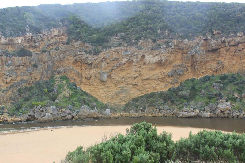
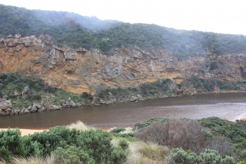
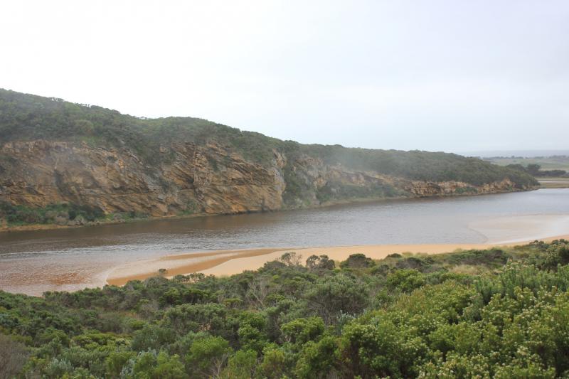
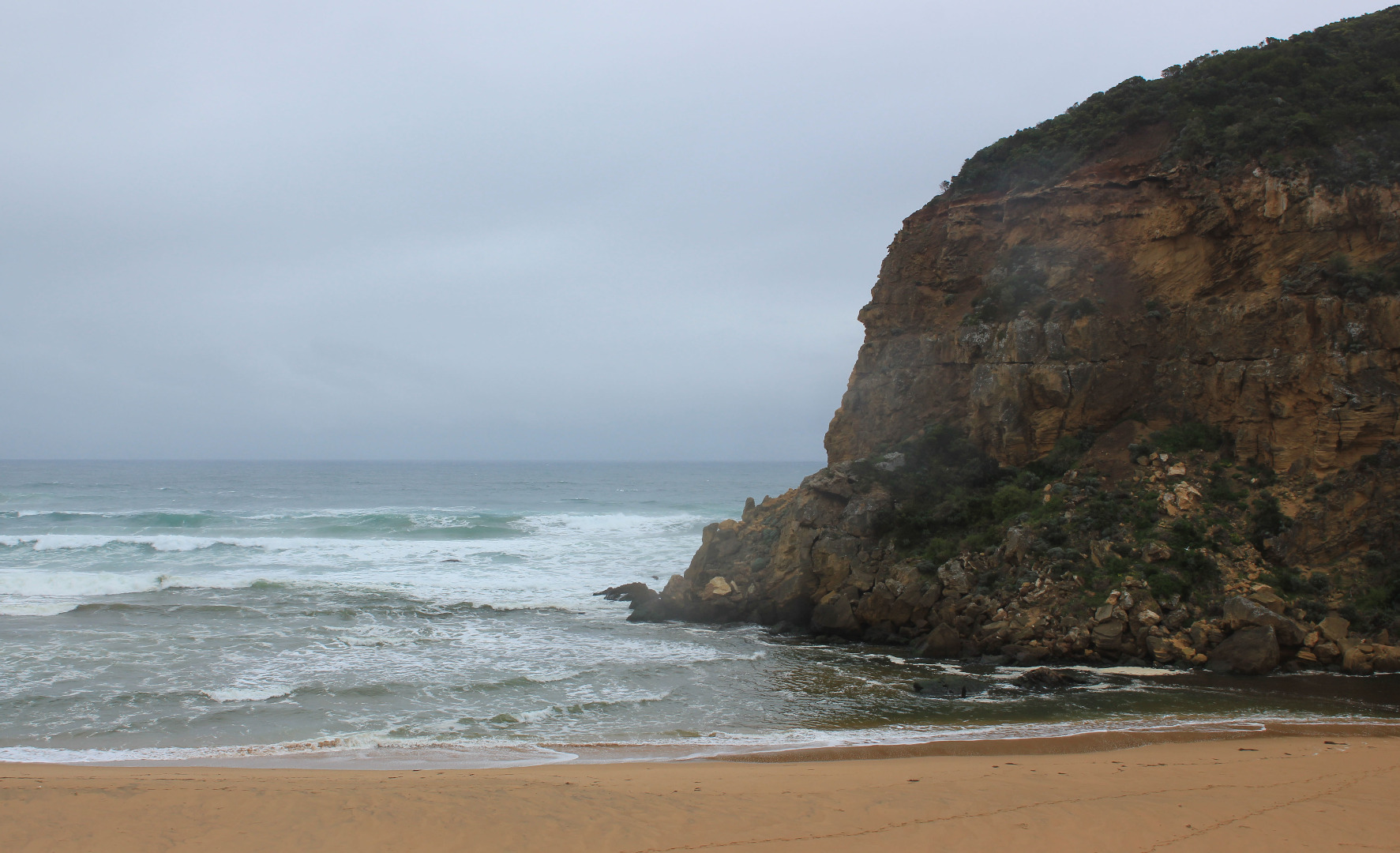
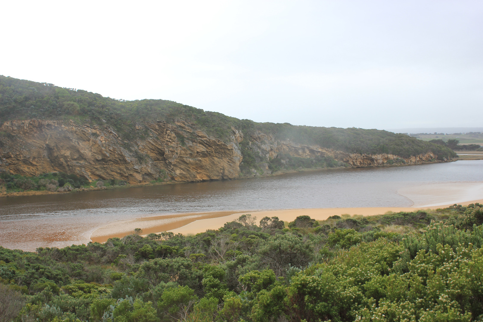
Pale coloured discharge out around mouth but salt water visible entering up to rocks where dark divide occurs. Strong longshore drift across mouth over outflow & incoming sw/wsw swell
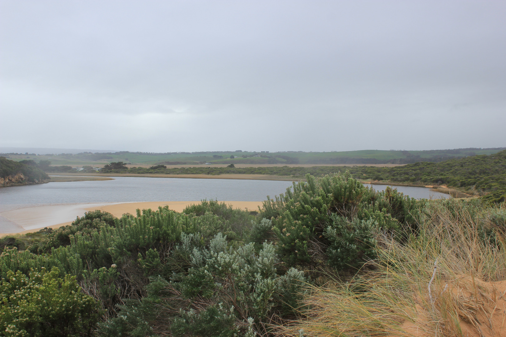
Beach very wide - highest at east end but also high at mid beach after which it slopes down to the mouth. Wind & waves have scoured the face of the dunes at east end
Channel has become more curved with large waves from V rough seas turning east at start of the estuary. Waves have impacted on low track
Large areas of flooding upstream G4 with considerable rise in turbidity G2 17 NTU's pH 6.5 Lt1 15 NTU's pH 7.0 G6 22 NTU's pH 7.2
Mouth Observation
| Mouth state | Open |
|---|---|
| Previous | O O O O O O O O O O O O O O O O O O O O O O O P O P C C O O O O O O O C O C C C O O O O O C O O O O O O O O O |
| Flow Present? | Yes |
| Previous | Y Y Y Y Y Y Y Y Y Y Y Y Y Y Y Y Y Y Y Y Y Y Y Y Y Y N N Y Y Y N Y Y Y N N N N N Y Y Y Y Y N Y Y Y N Y Y Y Y Y |
| Flow Direction | Out |
| Previous | O O I O O O O O O O O O O O O O O O I I O O O I O I N N O O I N O O O N N N N N O O O O O N O O O N O O O O O |
| Above Sea | Above Estuary | |
|---|---|---|
| Berm Height (m) | ||
| Berm Length (m) |
Physical Condition
| Current | Mode | |
|---|---|---|
| Wind Direction | North | |
| Beaufort Scale | Strong breeze | |
| Sea State | Very Rough |


All content, files, data and images provided by the EstuaryWatch Data Portal and Gallery are subject to a Creative Commons Attribution License
Content is made available to be used in any way, and should always attribute EstuaryWatch and www.estuarywatch.org.au