EstuaryWatch Data Portal
GMC Gellibrand River Estuary Mouth Observation Site
16 March 2018
Observation details
Overview
| Estuary | Gellibrand River Estuary |
|---|---|
| Site | Gellibrand River Estuary Mouth Observation Site |
| Observation ID | #11916 |
| Date and Time | Friday 16th March 2018 11:05am |
| Approved | Approved |
Notes
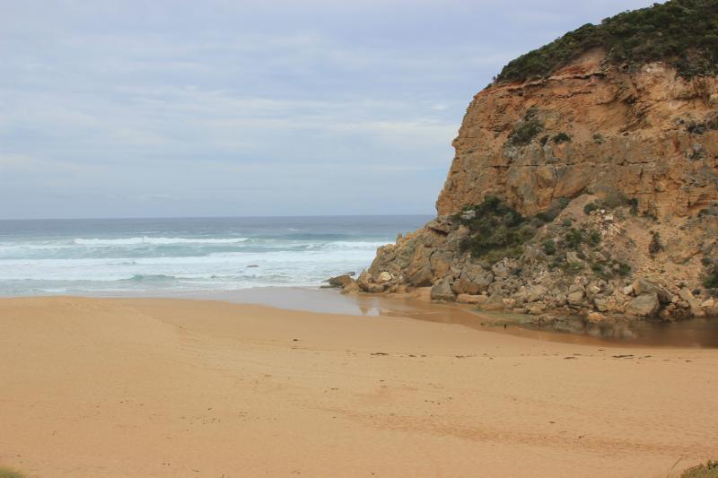
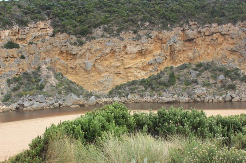
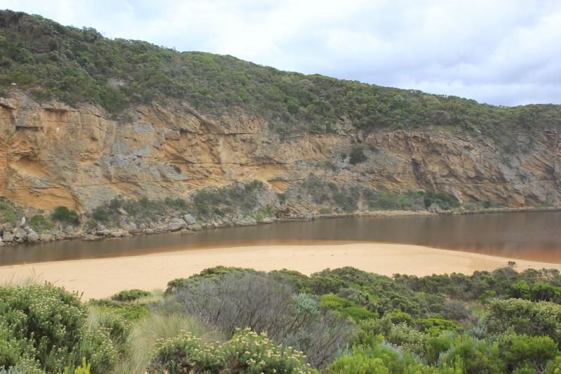
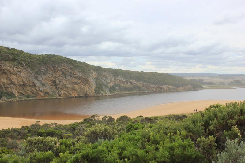
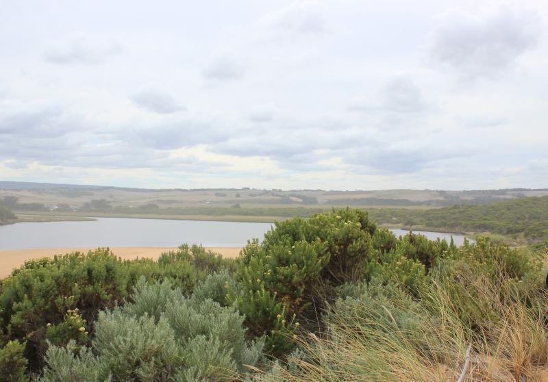
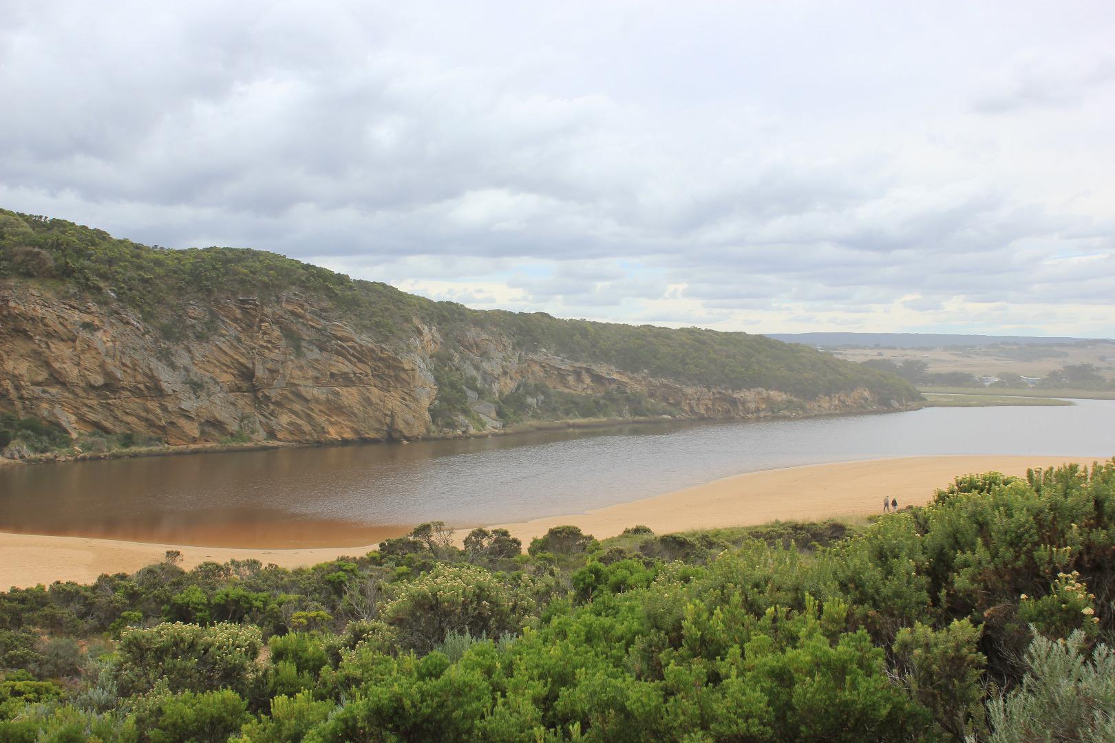
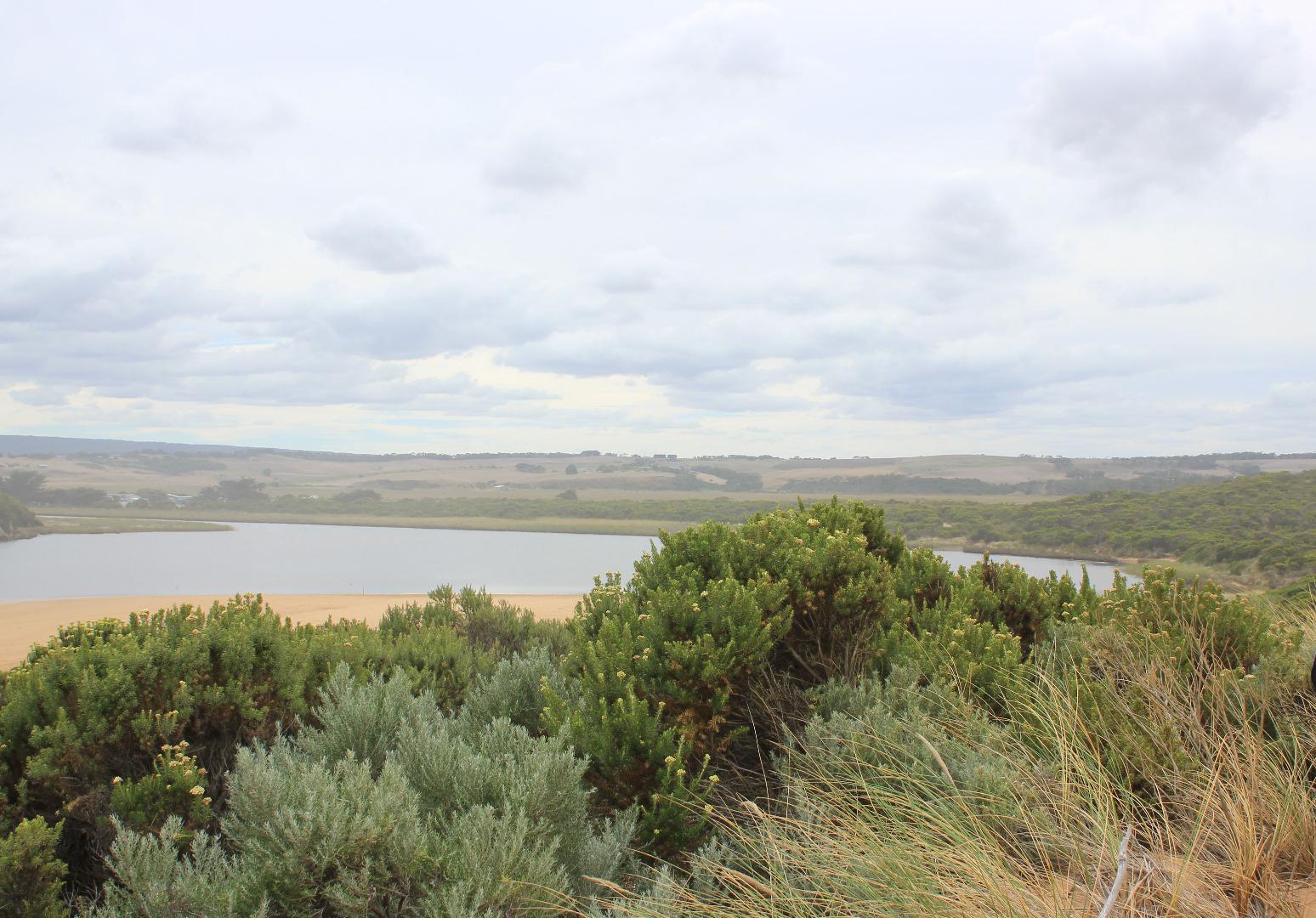
Mouth observation whether open/perched or closed depended on the tidal influence. The sea at the time of observation was entering over a wide sand built up area with no exchange of darker water from the estuary, green water was returning & could be seen in front of rocks. Very large amount of sand could be seen in breakers out to sea where the waves were over 3m. high.
Mouth Observation
| Mouth state | Closed |
|---|---|
| Previous | O C O C C C O O O O O C O O O O O O O O O O O O O O O O O O O O O O O O O O O P C C C C C C C O O O O |
| Flow Present? | No |
| Previous | Y N N N N N Y Y Y Y Y N Y Y Y N Y Y Y Y Y Y Y Y Y Y Y Y Y Y Y Y Y Y Y Y Y Y Y N N N N N N N N Y Y Y Y |
| Flow Direction | N/A |
| Previous | O N N N N N O O O O O N O O O N O O O O O O O O O O O O O O O O O O O O O O O N N N N N N N N O I O O |
| Above Sea | Above Estuary | |
|---|---|---|
| Berm Height (m) | ||
| Berm Length (m) |
Physical Condition
| Current | Mode | |
|---|---|---|
| Wind Direction | South | |
| Beaufort Scale | Gentle breeze | |
| Sea State | Rough |


All content, files, data and images provided by the EstuaryWatch Data Portal and Gallery are subject to a Creative Commons Attribution License
Content is made available to be used in any way, and should always attribute EstuaryWatch and www.estuarywatch.org.au