EstuaryWatch Data Portal
GMC Gellibrand River Estuary Mouth Observation Site
21 November 2008
Observation details
Overview
| Estuary | Gellibrand River Estuary |
|---|---|
| Site | Gellibrand River Estuary Mouth Observation Site |
| Observation ID | #1523 |
| Date and Time | Friday 21st November 2008 11:55am |
| Approved | Approved |
Notes
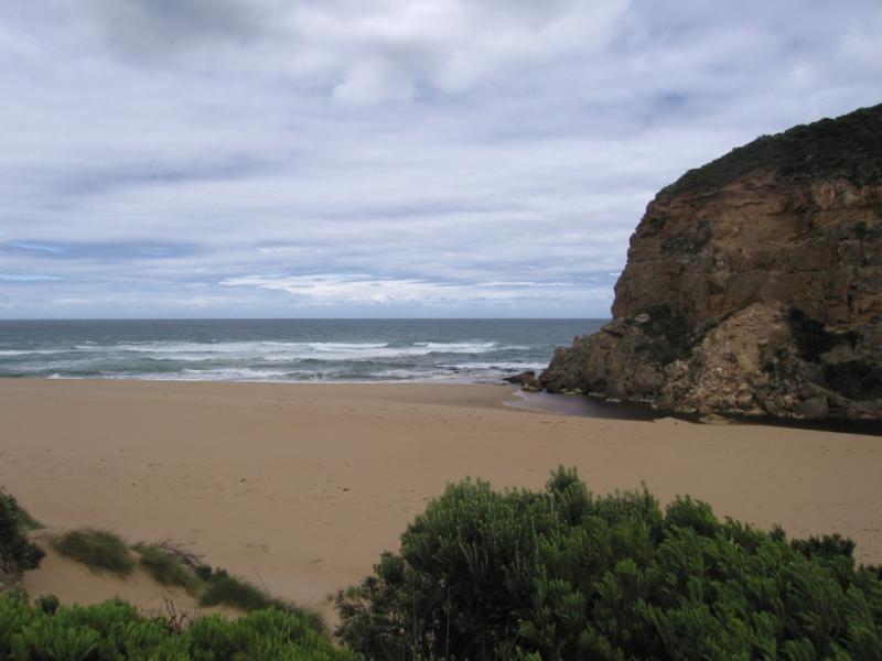
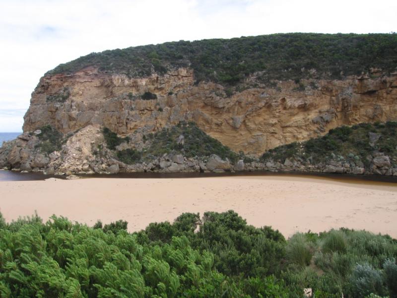
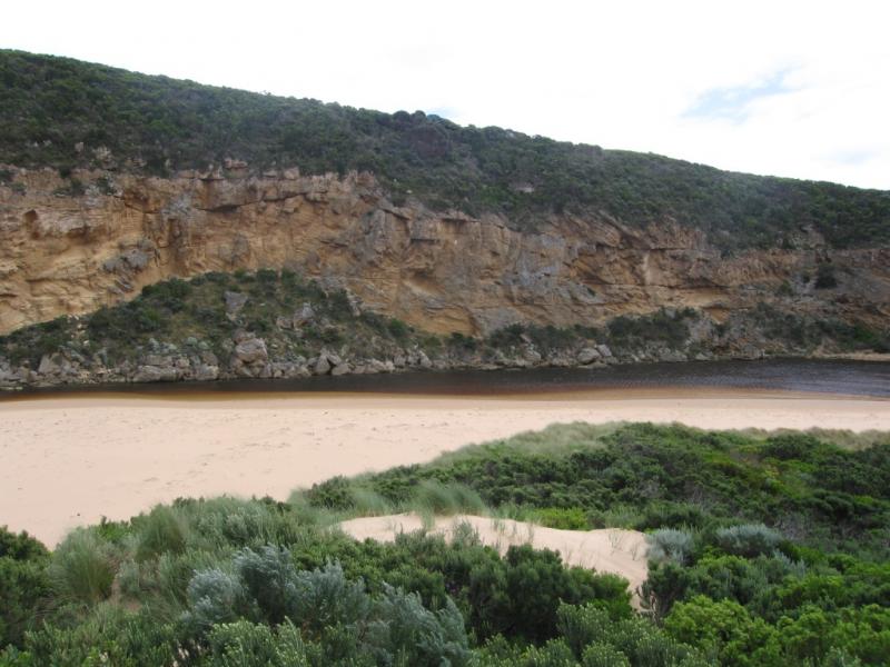
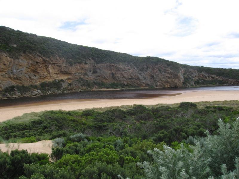
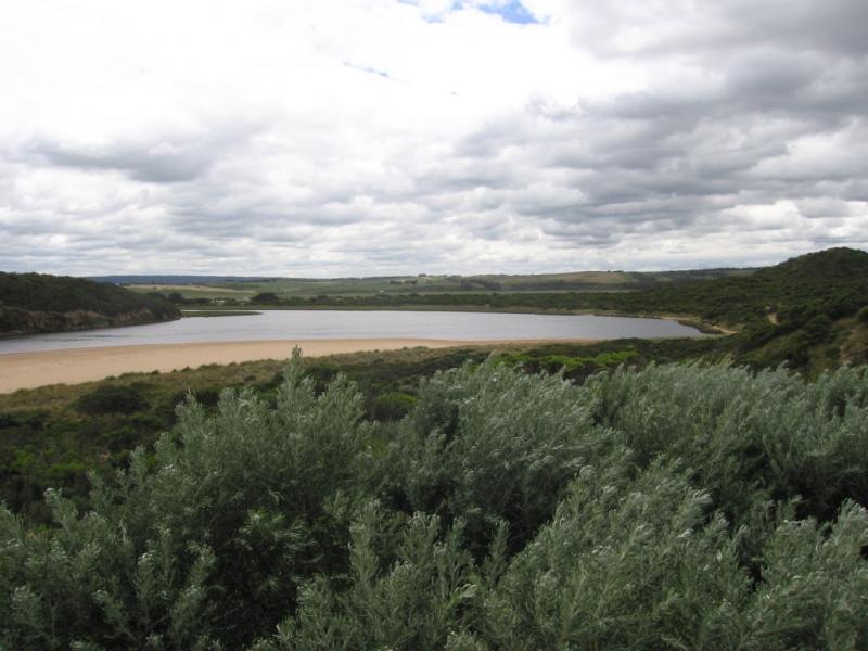
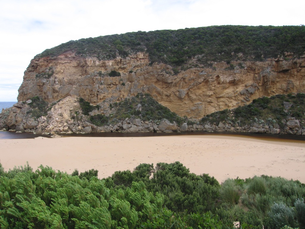
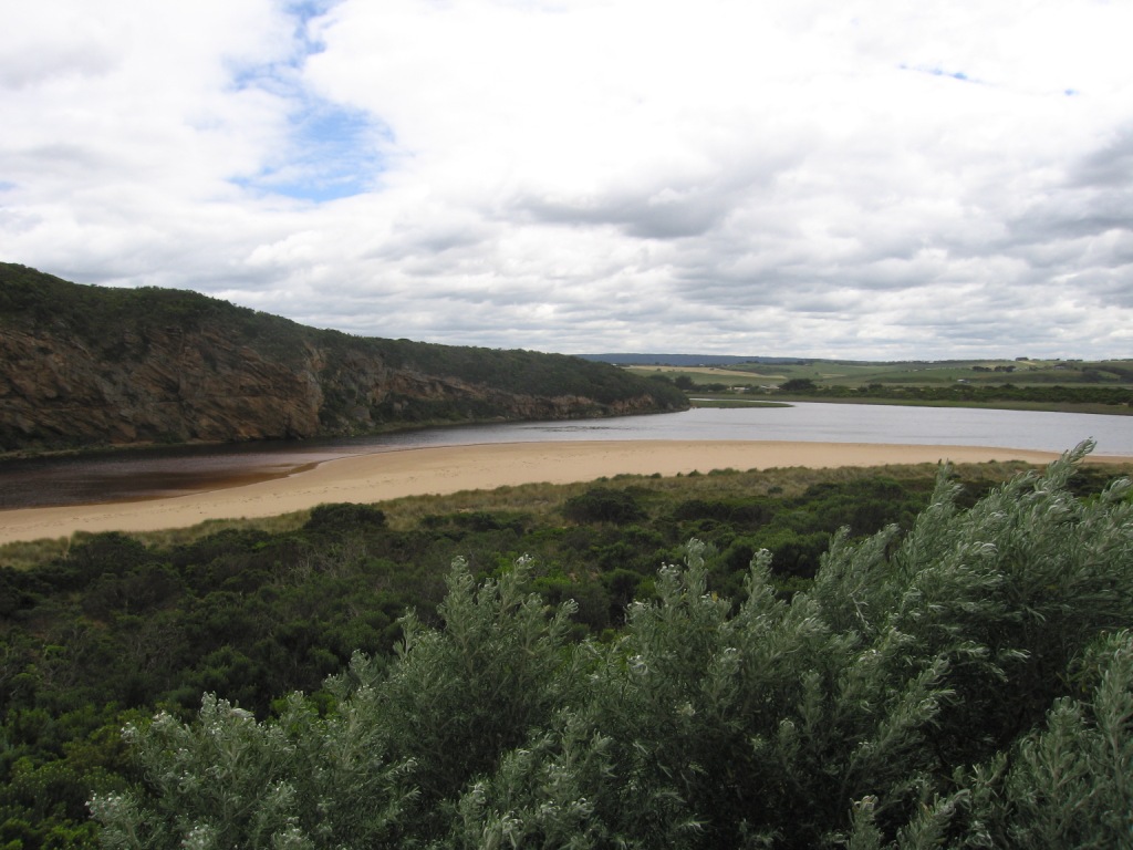
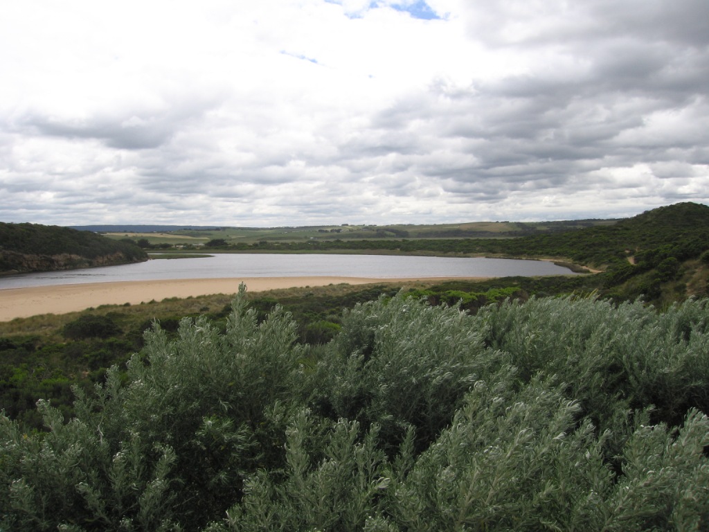
Sand on the mid beach is much higher than the river. Sand being blown from edge of estuary to the mouth.
Dead seal found on beach.
Very reduced flow, new channel between rocks at extreme end of the cliff face about 1m wide.
Sand reducing width of channel near tunnel.
Depth of water greatly reduced from last week.
Mouth Observation
| Mouth state | Open |
|---|---|
| Previous | O O O O O C O O O O C C C C C P C P O O O O O O C C P C O O O O C C C O O O O O O O O O O O O O O C O O |
| Flow Present? | Yes |
| Previous | Y Y Y Y Y N Y Y Y N N N N Y Y Y Y Y Y N N N N Y Y Y Y N N Y Y Y Y Y Y Y Y Y Y Y Y Y Y Y N Y Y |
| Flow Direction | Out |
| Previous | I O O O O N O O O N N N N I I I O I N N N N O O O I N N O O I O O O O O O I O O O N O O |
| Above Sea | Above Estuary | |
|---|---|---|
| Berm Height (m) | ||
| Berm Length (m) |
Physical Condition
| Current | Mode | |
|---|---|---|
| Wind Direction | North | |
| Beaufort Scale | Gale, fresh gale | |
| Sea State | Moderate |


All content, files, data and images provided by the EstuaryWatch Data Portal and Gallery are subject to a Creative Commons Attribution License
Content is made available to be used in any way, and should always attribute EstuaryWatch and www.estuarywatch.org.au