EstuaryWatch Data Portal
GMC Gellibrand River Estuary Mouth Observation Site
21 January 2009
Observation details
Overview
| Estuary | Gellibrand River Estuary |
|---|---|
| Site | Gellibrand River Estuary Mouth Observation Site |
| Observation ID | #1544 |
| Date and Time | Wednesday 21st January 2009 13:50pm |
| Approved | Approved |
Notes
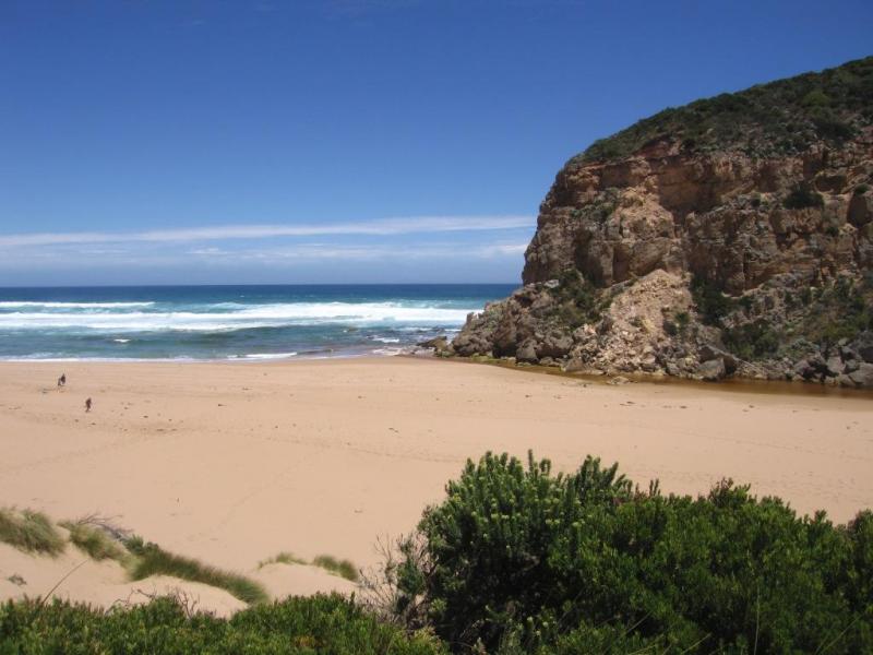
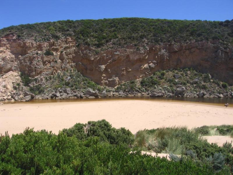
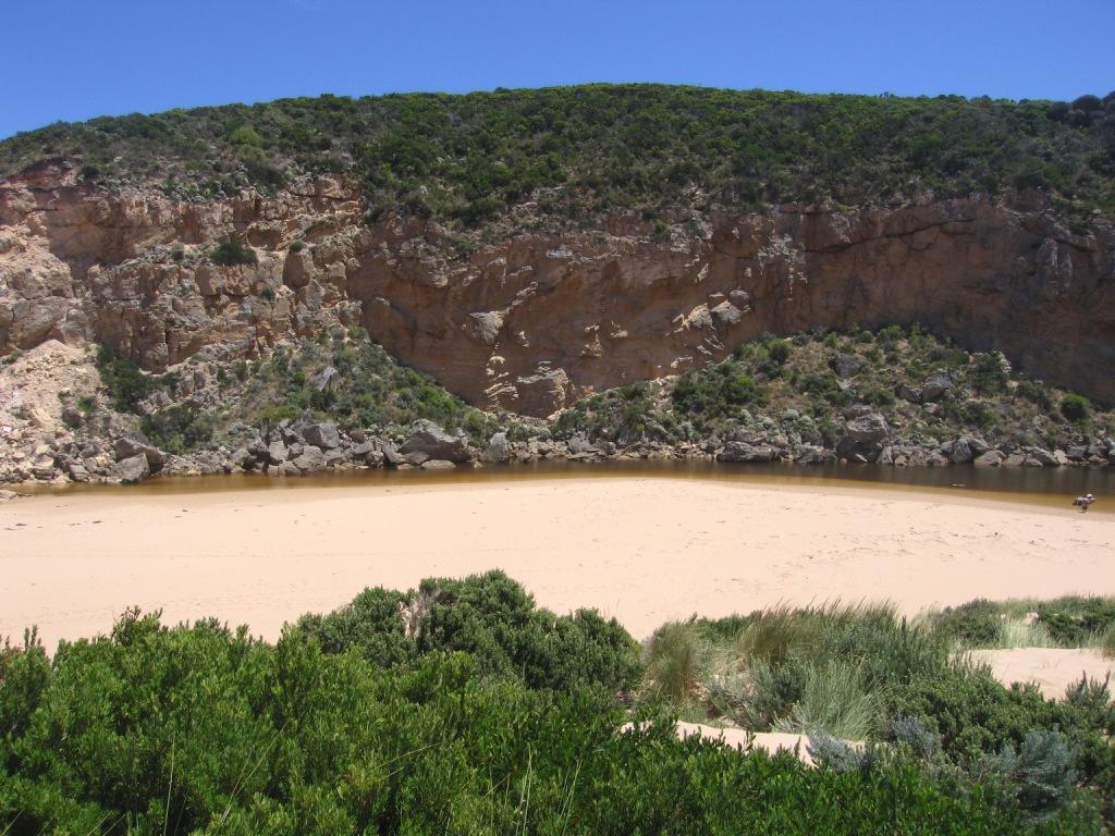
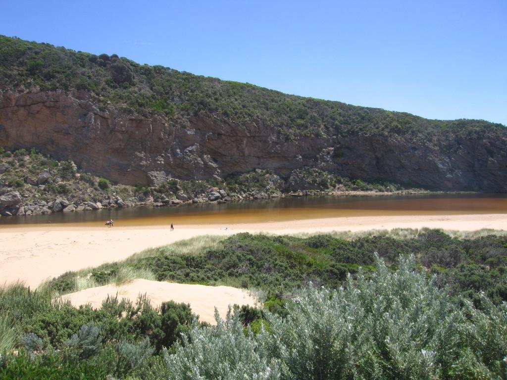
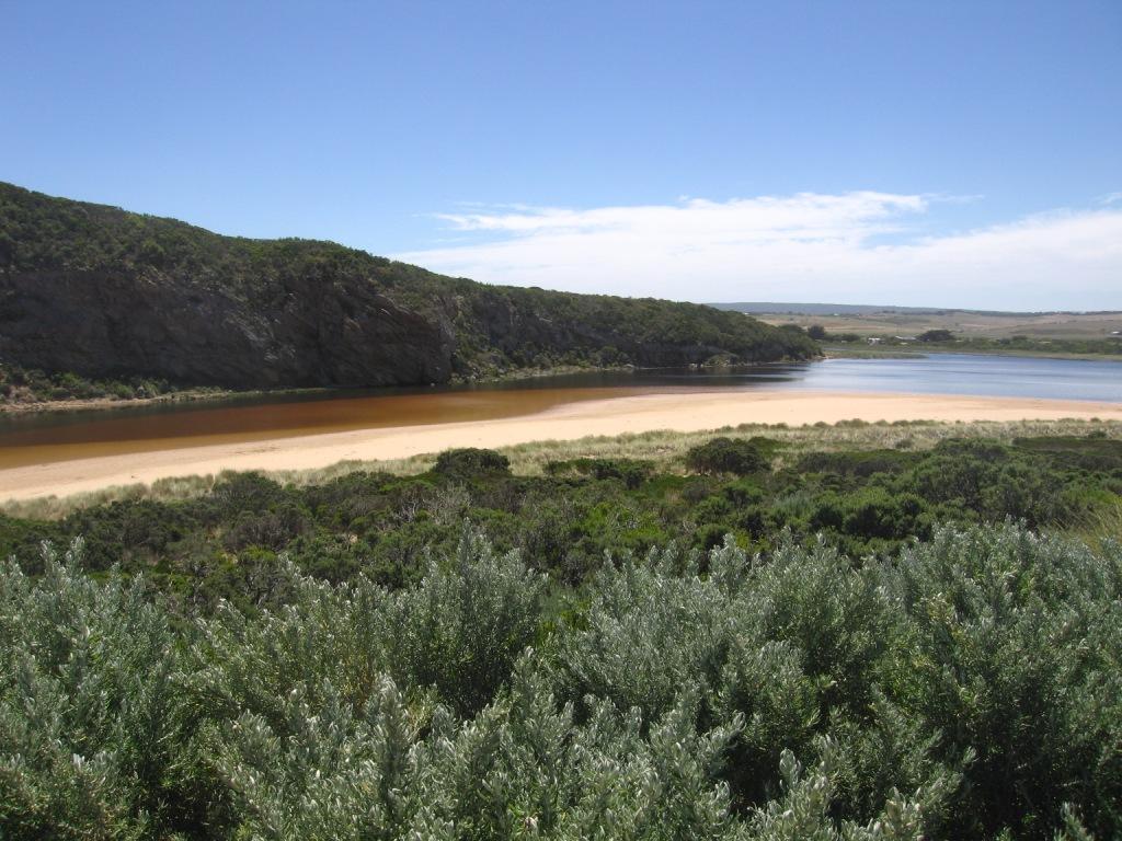
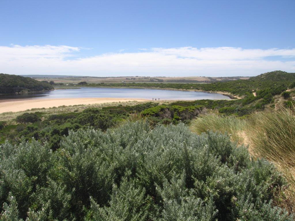
Sand cliffs to about 20cm south of green rocks, very shallow after green rocks, people and their dogs crossing estuary.
Mouth nearly barred very shallow at waters edge, discharge going slightly left then dispersing ( along the beach to the east.)
A lot of sand stir in the area and out to the east of the beach and sea.
Evidence of high tide along the beach and around the estuary.
Mouth Observation
| Mouth state | Open |
|---|---|
| Previous | O O O C C C C C P C P O O O O O O C C P C O O O O C C C O O O O O O O O O O O O O O C O O O C C C C O O O O O O O |
| Flow Present? | Yes |
| Previous | Y Y N N N N Y Y Y Y Y Y N N N N Y Y Y Y N N Y Y Y Y Y Y Y Y Y Y Y Y Y Y Y N Y Y Y N N Y Y Y Y Y Y Y |
| Flow Direction | Out |
| Previous | O O N N N N I I I O I N N N N O O O I N N O O I O O O O O O I O O O N O O O N N I O O O O O O |
| Above Sea | Above Estuary | |
|---|---|---|
| Berm Height (m) | ||
| Berm Length (m) |
Physical Condition
| Current | Mode | |
|---|---|---|
| Wind Direction | South | |
| Beaufort Scale | Moderate breeze | |
| Sea State | Moderate |


All content, files, data and images provided by the EstuaryWatch Data Portal and Gallery are subject to a Creative Commons Attribution License
Content is made available to be used in any way, and should always attribute EstuaryWatch and www.estuarywatch.org.au