EstuaryWatch Data Portal
GMC Gellibrand River Estuary Mouth Observation Site
15 August 2009
Observation details
Overview
| Estuary | Gellibrand River Estuary |
|---|---|
| Site | Gellibrand River Estuary Mouth Observation Site |
| Observation ID | #2283 |
| Date and Time | Saturday 15th August 2009 09:05am |
| Approved | Approved |
Notes
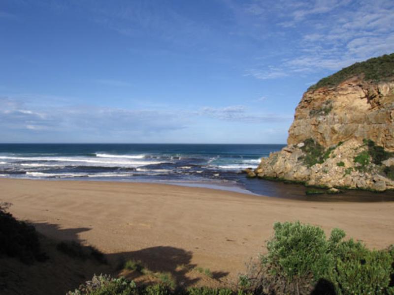
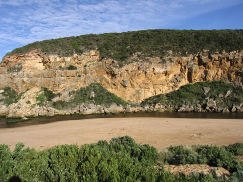
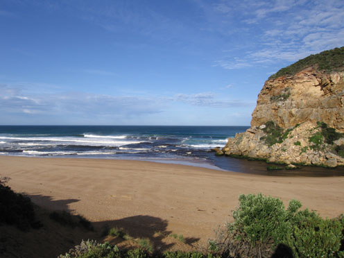
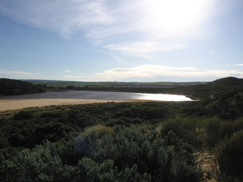
1. Strong out flow to east along beach but also more around the mouth and travelling at least 50m. out to sea (south)
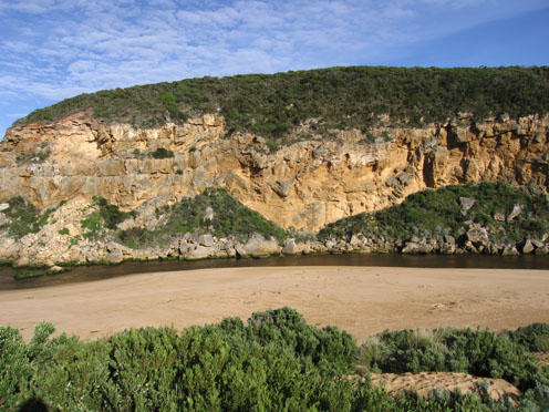
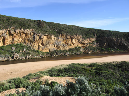
2.Waves in all directions at mouth with a strong current out on east side of rocks. Sand build up on east side increasing.
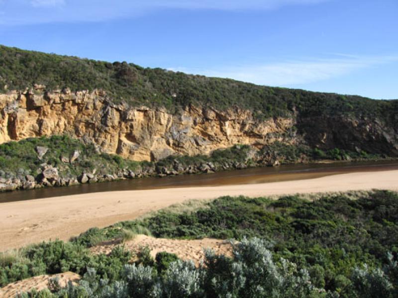
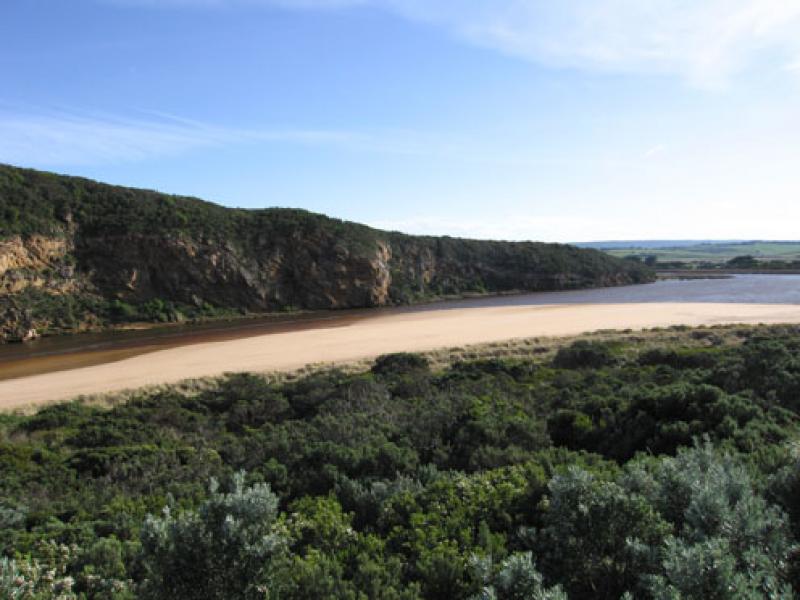
3.Chanel at mouth about 8m. Upstream of rocks about 10m
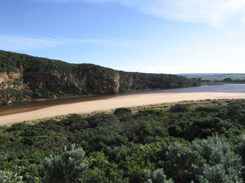
4. Beach similar to last week but tide further out
Mouth Observation
| Mouth state | Open |
|---|---|
| Previous | O O O O O O O C O O O C C C C O O O O O O O O C C C C C C C C C O C O O O O O O P O O O O P P P C P P O O O O P P O O O O O O C O O O O O O O |
| Flow Present? | Yes |
| Previous | Y Y Y Y Y Y Y N Y Y Y N N Y Y Y Y Y Y Y Y Y N N N N N N N N Y N Y Y Y Y Y Y Y Y Y Y Y Y Y Y N Y Y Y Y Y Y Y Y Y Y Y Y Y Y Y Y Y Y Y Y Y Y |
| Flow Direction | Out |
| Previous | O O O I O O O N O O O N N I O O O O O O O I N N N N N N N N O N O O O O O O I O O O O O I N I I O O O I I O O O O I I O I O O O O O O |
| Above Sea | Above Estuary | |
|---|---|---|
| Berm Height (m) | ||
| Berm Length (m) |
Physical Condition
| Current | Mode | |
|---|---|---|
| Wind Direction | North | North |
| Beaufort Scale | High wind, moderate gale, near gale | Fresh breeze |
| Sea State | Rough | Moderate |


All content, files, data and images provided by the EstuaryWatch Data Portal and Gallery are subject to a Creative Commons Attribution License
Content is made available to be used in any way, and should always attribute EstuaryWatch and www.estuarywatch.org.au